Detailed Map of Wildorado, Texas
A detailed map of Wildorado, Texas, showing every building in its true location, the roads by name, and shaded topographical relief.
Read More
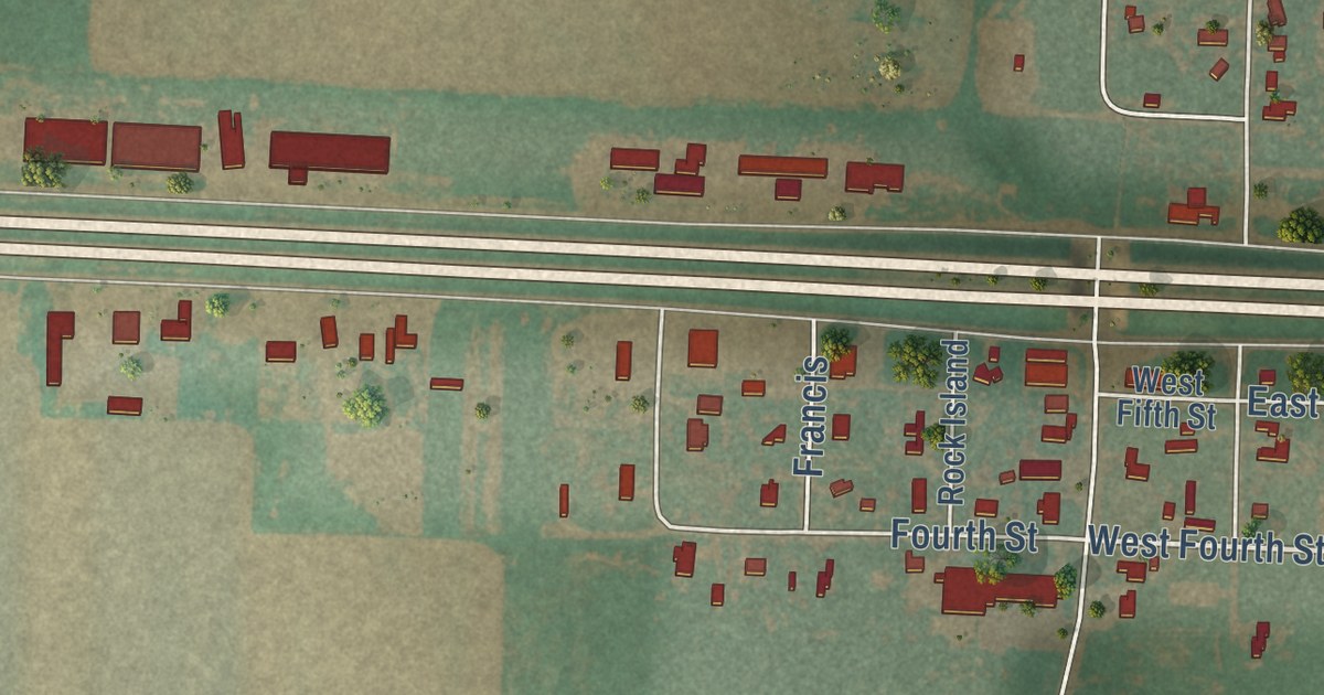
A detailed map of Wildorado, Texas, showing every building in its true location, the roads by name, and shaded topographical relief.
Read More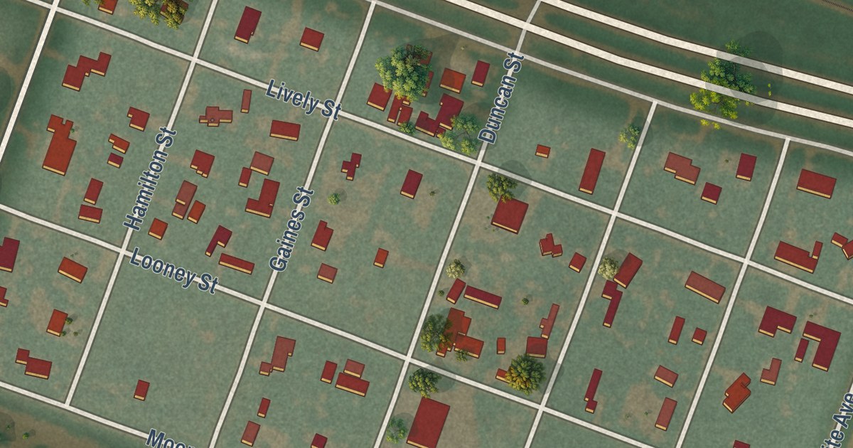
A detailed map of Washburn, Texas, showing every building in its true location, the roads by name, and shaded topographical relief.
Read More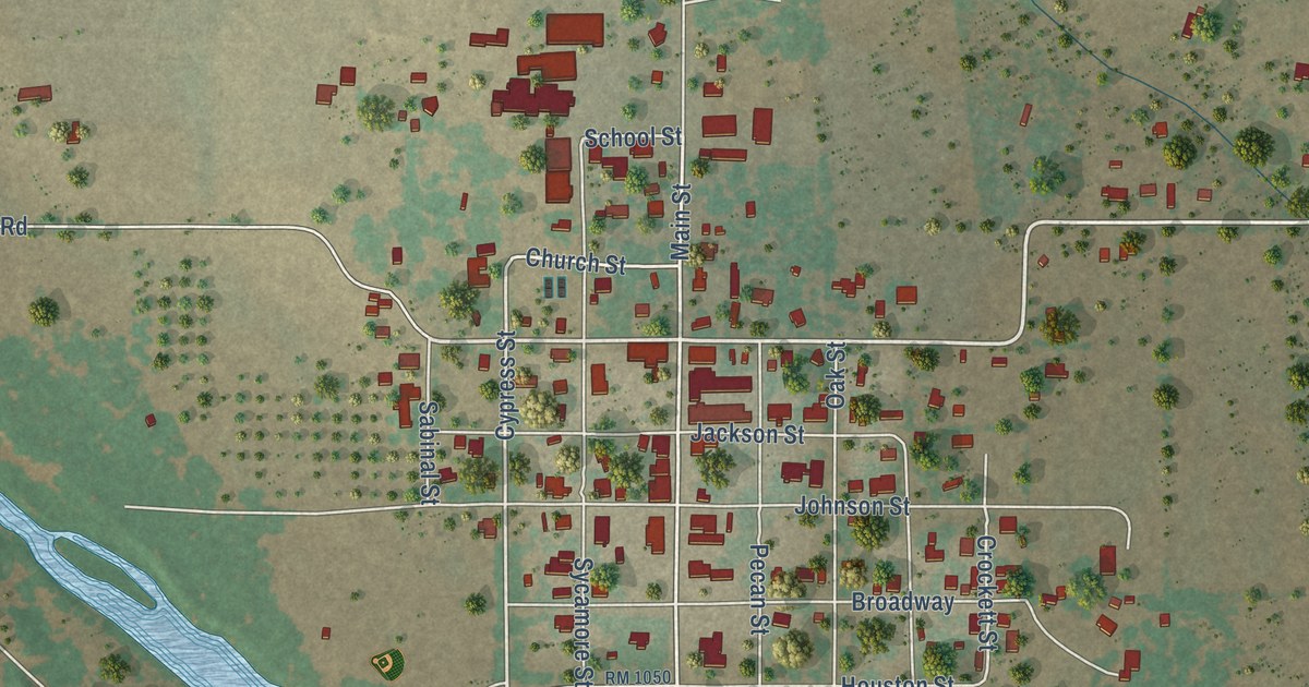
A detailed map of Utopia, Texas, showing every building in its true location, the roads by name, and shaded topographical relief.
Read More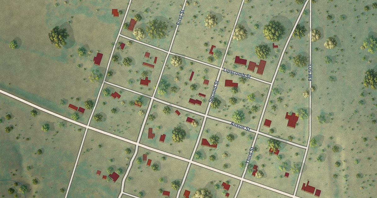
A detailed map of Valera, Texas, showing every building in its true location, the roads by name, and shaded topographical relief.
Read More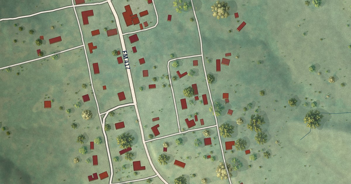
A detailed map of Shelbyville, Texas, showing every building in its true location, the roads by name, and shaded topographical relief.
Read More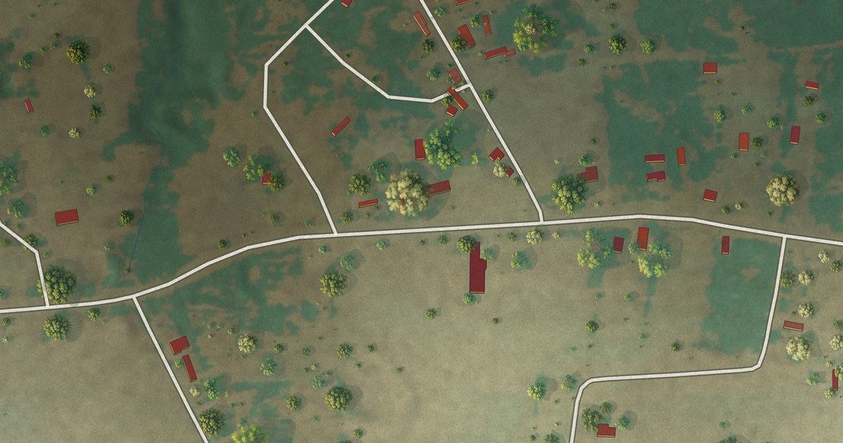
A detailed map of Tunis, Texas, showing every building in its true location, the roads by name, and shaded topographical relief.
Read More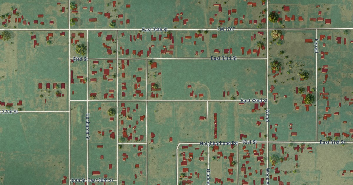
A detailed map of Seth Ward, Texas, showing every building in its true location, the roads by name, and shaded topographical relief.
Read More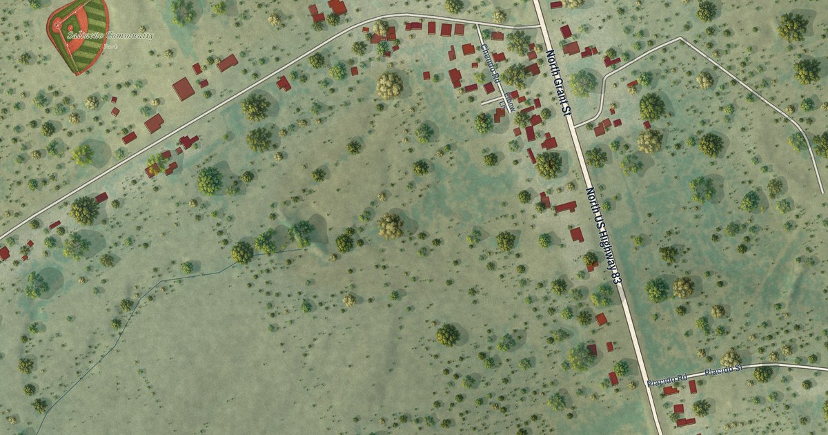
A detailed map of Salineño North, Texas, showing every building in its true location, the roads by name, and shaded topographical relief.
Read More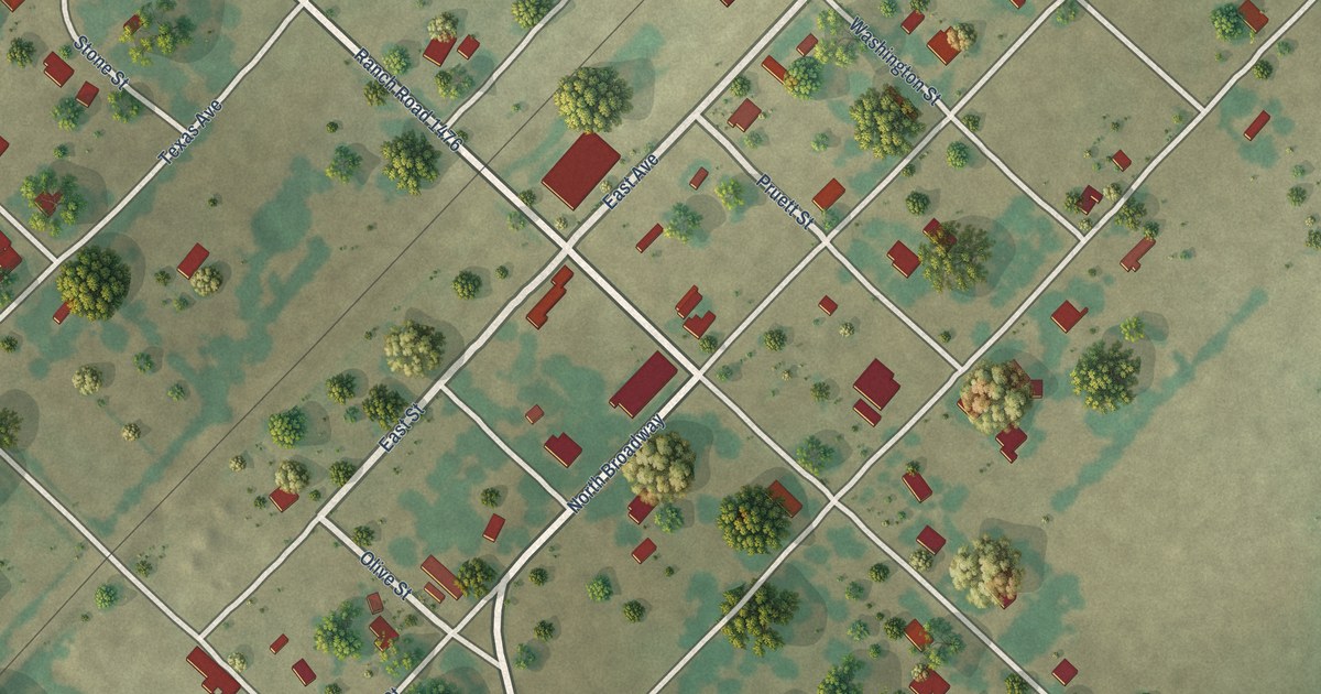
A detailed map of Proctor, Texas, showing every building in its true location, the roads by name, and shaded topographical relief.
Read More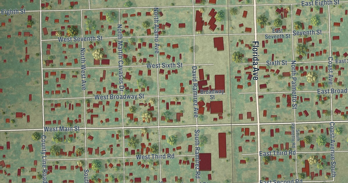
A detailed map of Sebastian, Texas, showing every building in its true location, the roads by name, and shaded topographical relief.
Read More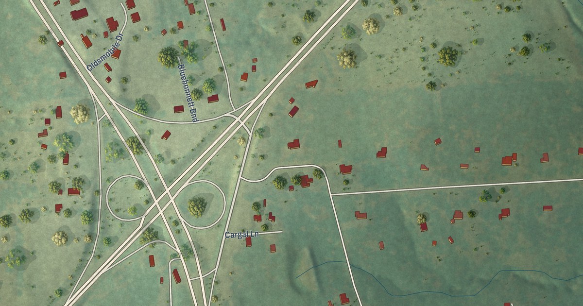
A detailed map of Redfield, Texas, showing every building in its true location, the roads by name, and shaded topographical relief.
Read More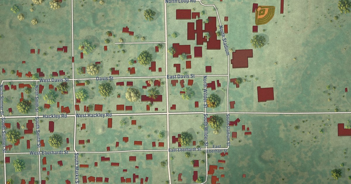
A detailed map of Perrin, Texas, showing every building in its true location, the roads by name, and shaded topographical relief.
Read More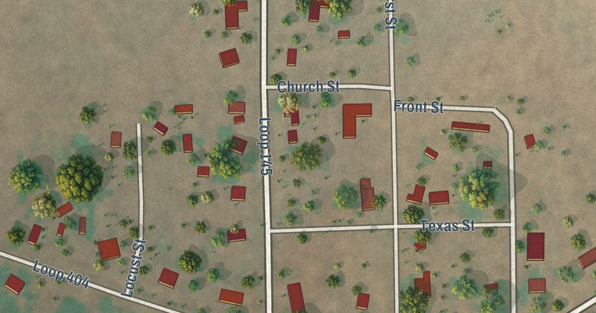
A detailed map of Oklaunion, Texas, showing every building in its true location, the roads by name, and shaded topographical relief.
Read More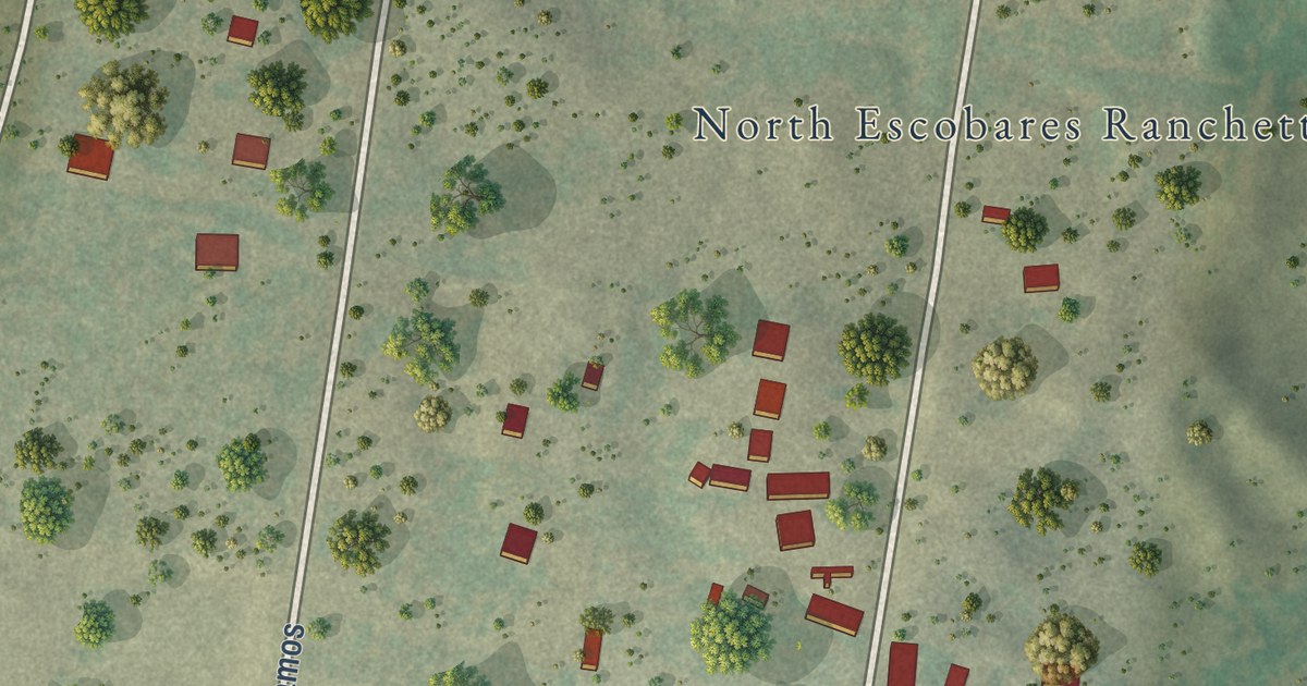
A detailed map of North Escobares, Texas, showing every building in its true location, the roads by name, and shaded topographical relief.
Read More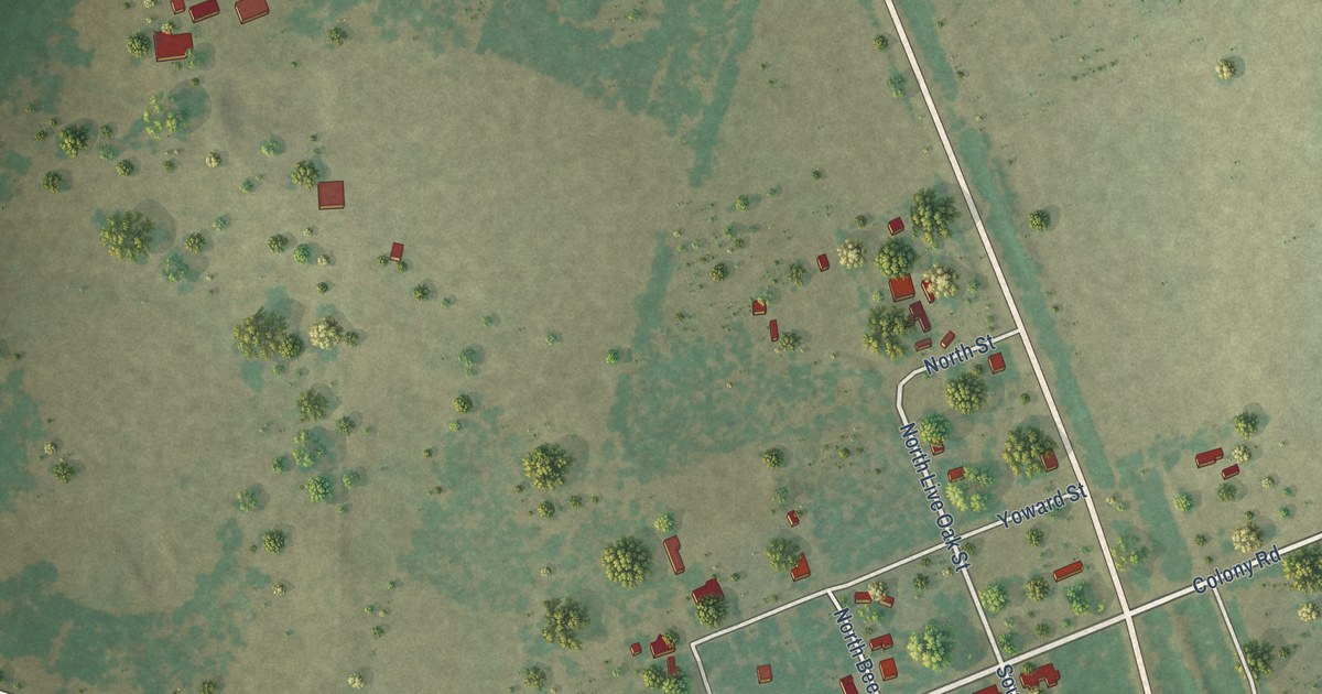
A detailed map of Normanna, Texas, showing every building in its true location, the roads by name, and shaded topographical relief.
Read More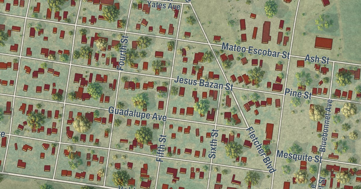
A detailed map of Monte Alto, Texas, showing every building in its true location, the roads by name, and shaded topographical relief.
Read More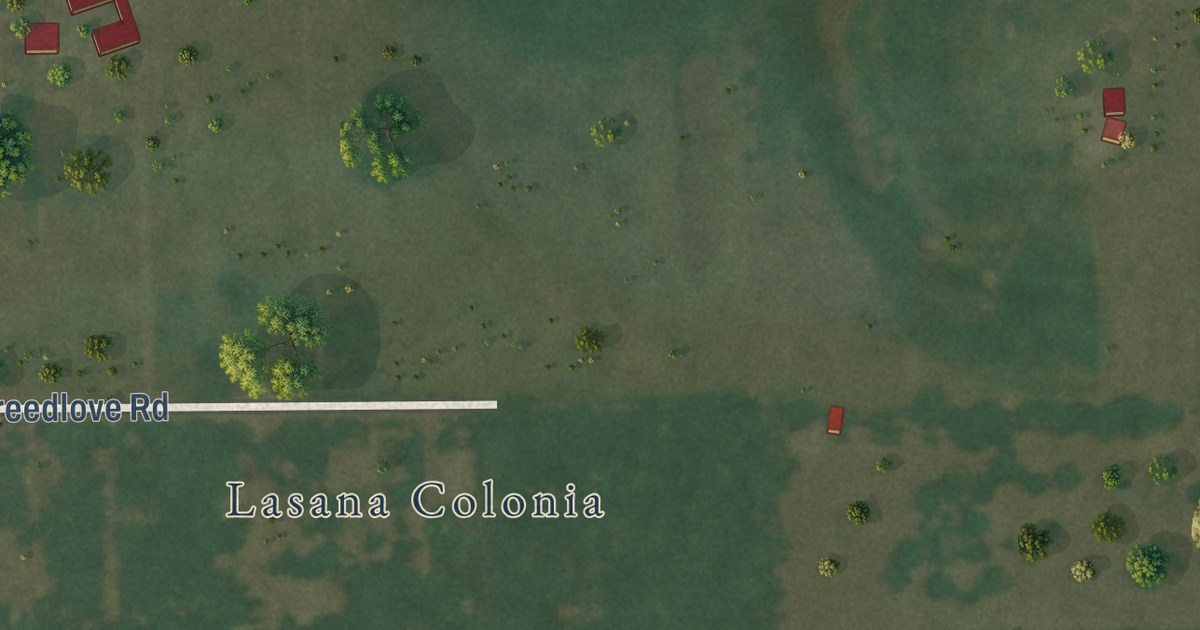
A detailed map of Lasana, Texas, showing every building in its true location, the roads by name, and shaded topographical relief.
Read More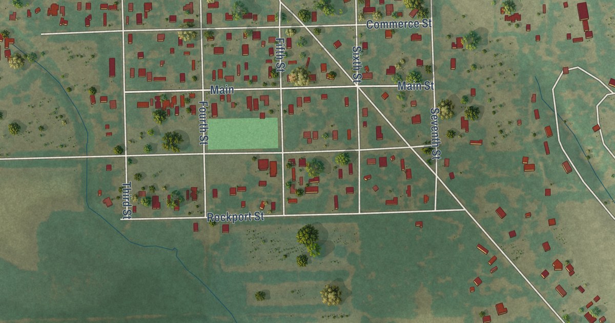
A detailed map of Macdona, Texas, showing every building in its true location, the roads by name, and shaded topographical relief.
Read More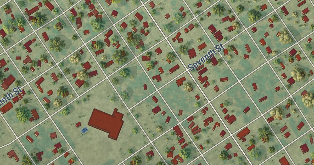
A detailed map of Markham, Texas, showing every building in its true location, the roads by name, and shaded topographical relief.
Read More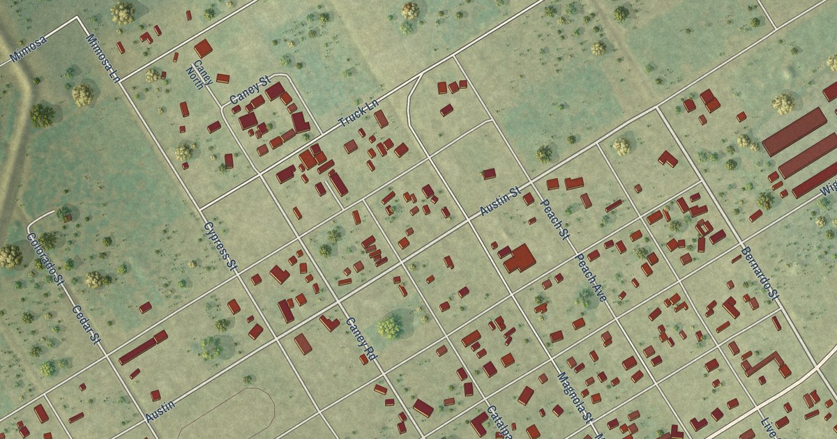
A detailed map of Matagorda, Texas, showing every building in its true location, the roads by name, and shaded topographical relief.
Read More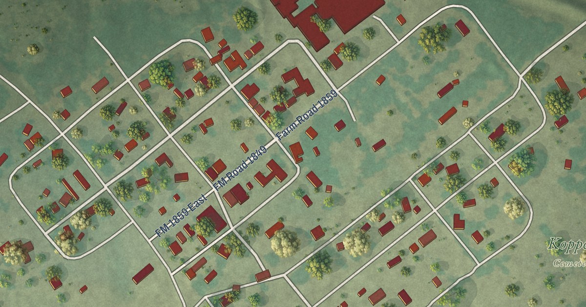
A detailed map of Kopperl, Texas, showing every building in its true location, the roads by name, and shaded topographical relief.
Read More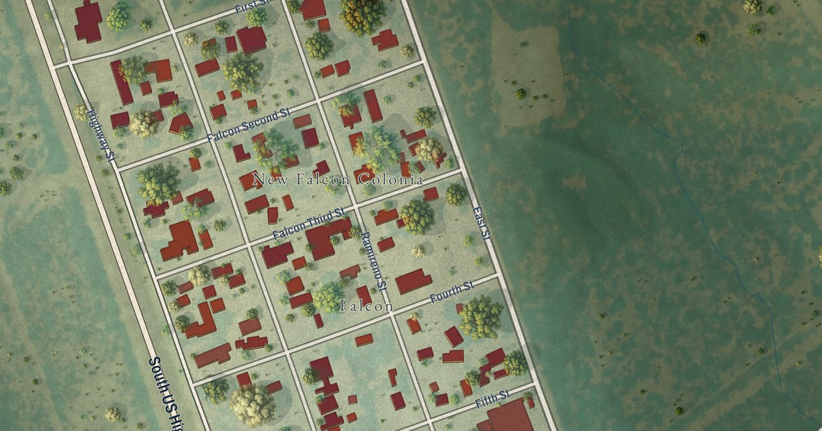
A detailed map of New Falcon, Texas, showing every building in its true location, the roads by name, and shaded topographical relief.
Read More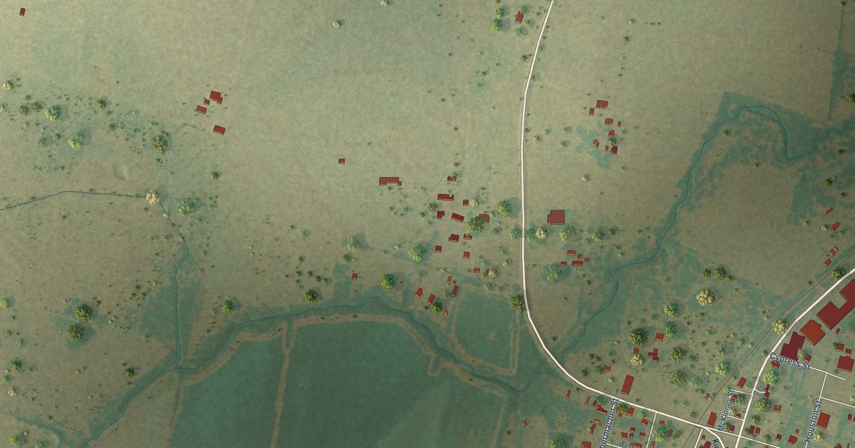
A detailed map of Hungerford, Texas, showing every building in its true location, the roads by name, and shaded topographical relief.
Read More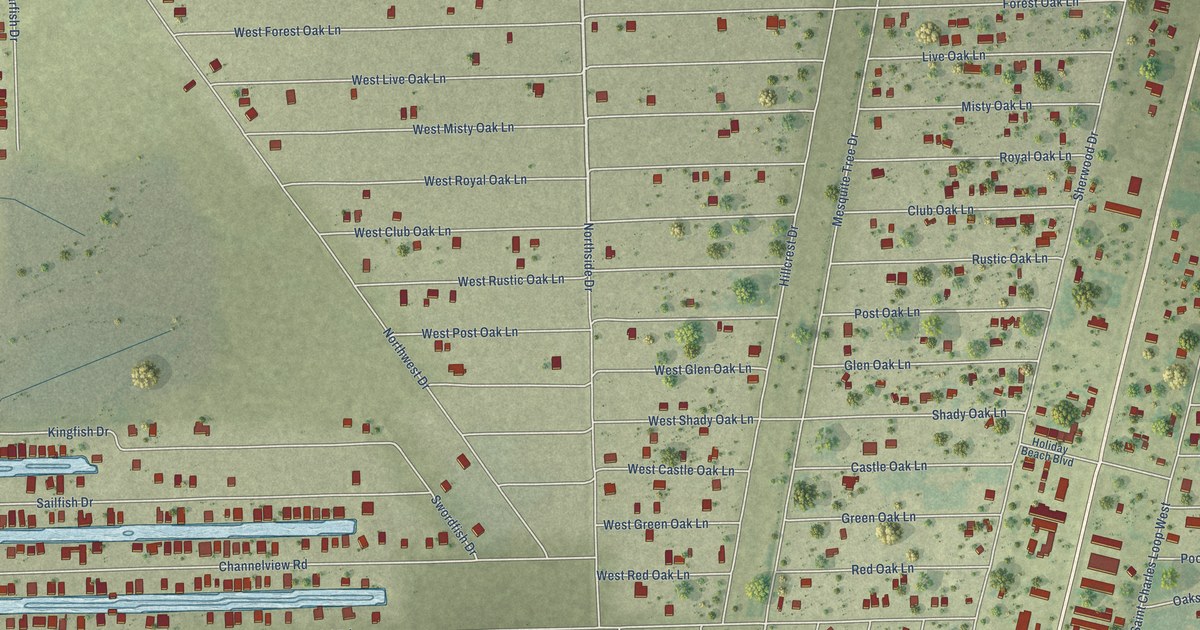
A detailed map of Holiday Beach, Texas, showing every building in its true location, the roads by name, and shaded topographical relief.
Read More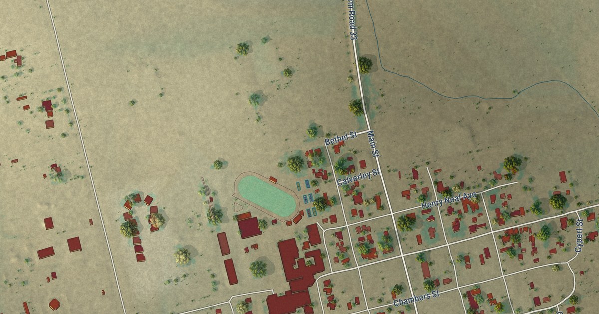
A detailed map of Garden City, Texas, showing every building in its true location, the roads by name, and shaded topographical relief.
Read More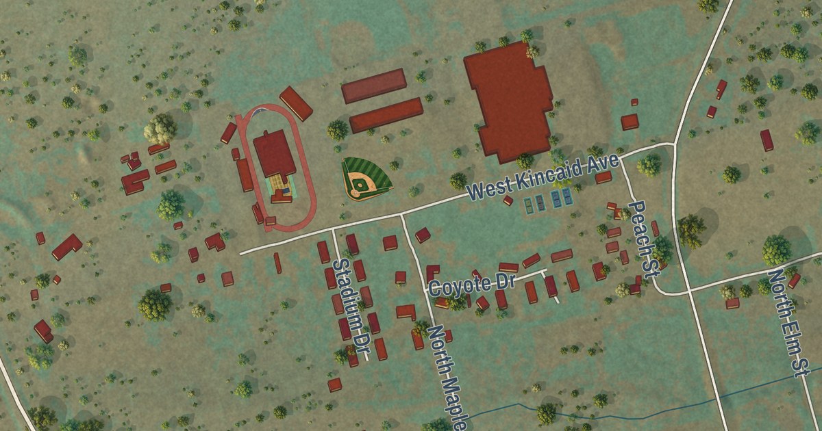
A detailed map of Gail, Texas, showing every building in its true location, the roads by name, and shaded topographical relief.
Read More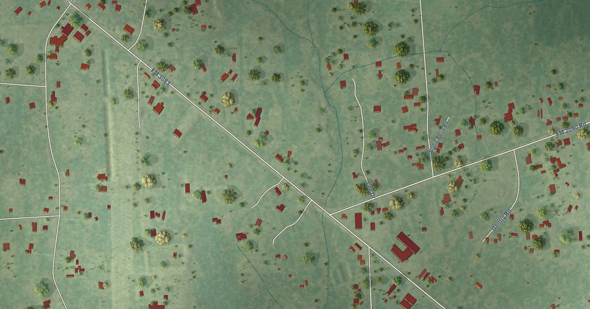
A detailed map of Grangerland, Texas, showing every building in its true location, the roads by name, and shaded topographical relief.
Read More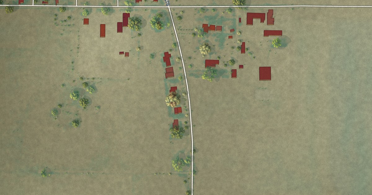
A detailed map of Farnsworth, Texas, showing every building in its true location, the roads by name, and shaded topographical relief.
Read More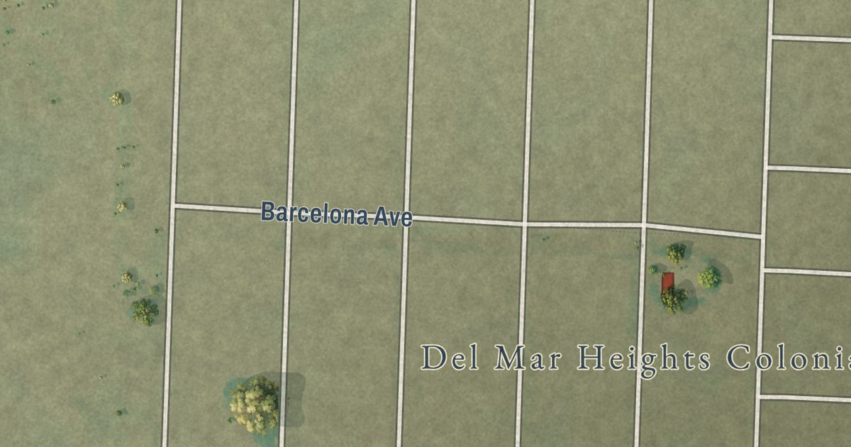
A detailed map of Del Mar Heights, Texas, showing every building in its true location, the roads by name, and shaded topographical relief.
Read More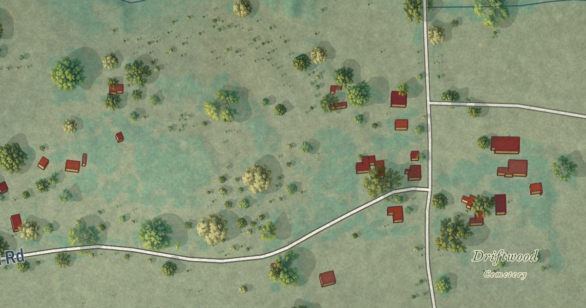
A detailed map of Driftwood, Texas, showing every building in its true location, the roads by name, and shaded topographical relief.
Read More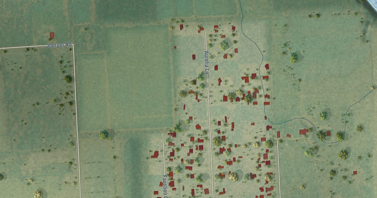
A detailed map of Cumings, Texas, showing every building in its true location, the roads by name, and shaded topographical relief.
Read More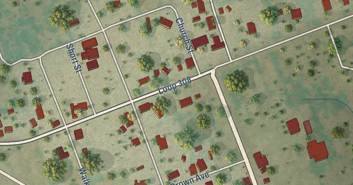
A detailed map of Briggs, Texas, showing every building in its true location, the roads by name, and shaded topographical relief.
Read More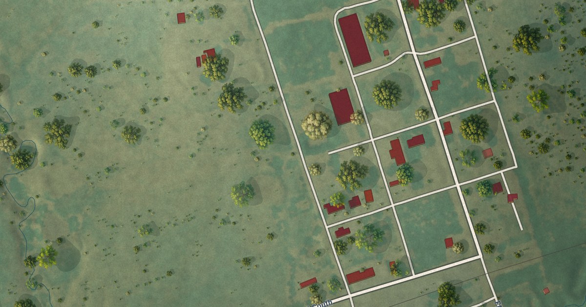
A detailed map of Brookston, Texas, showing every building in its true location, the roads by name, and shaded topographical relief.
Read More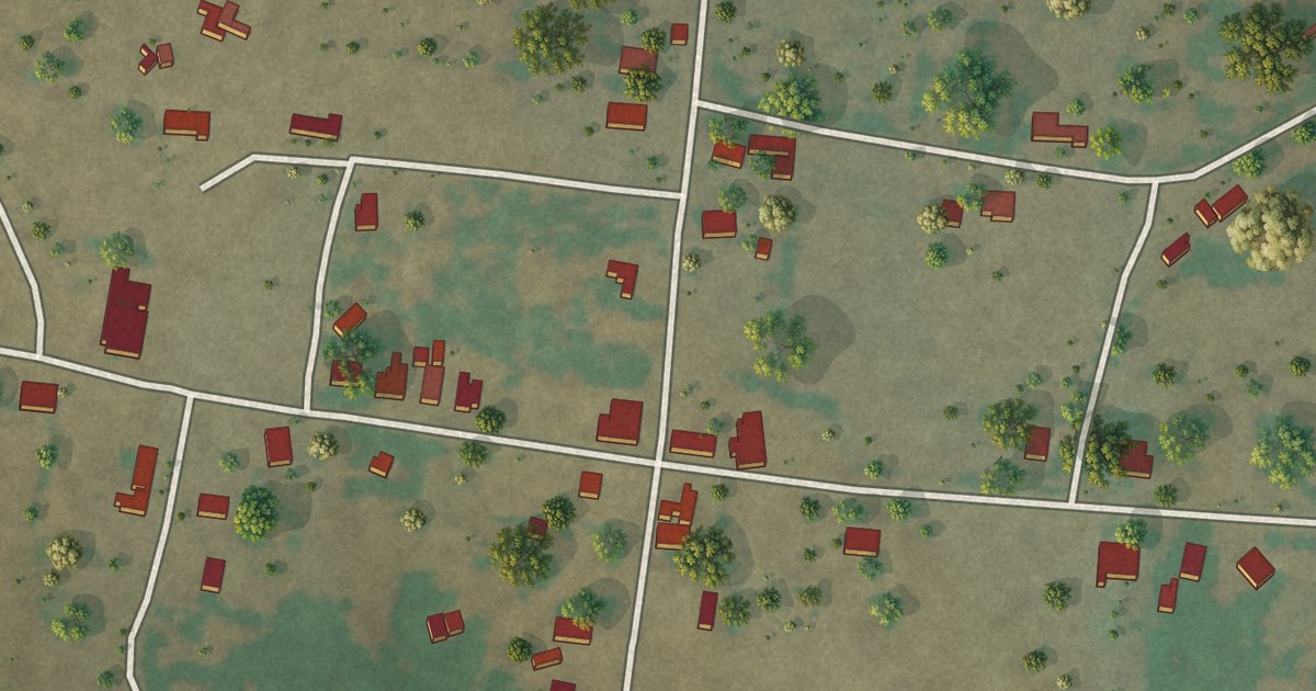
A detailed map of Carlton, Texas, showing every building in its true location, the roads by name, and shaded topographical relief.
Read More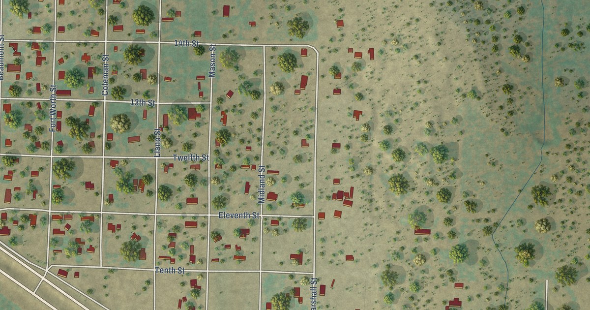
A detailed map of Carlsbad, Texas, showing every building in its true location, the roads by name, and shaded topographical relief.
Read More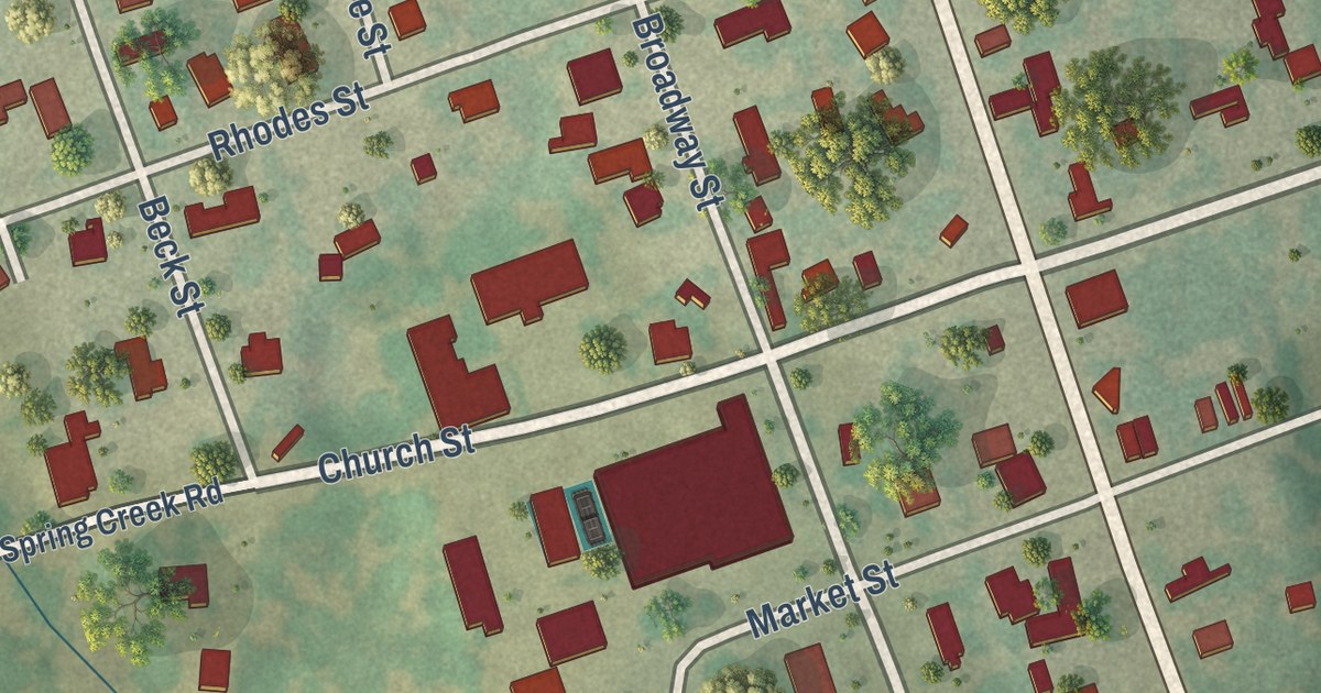
A detailed map of Barksdale, Texas, showing every building in its true location, the roads by name, and shaded topographical relief.
Read More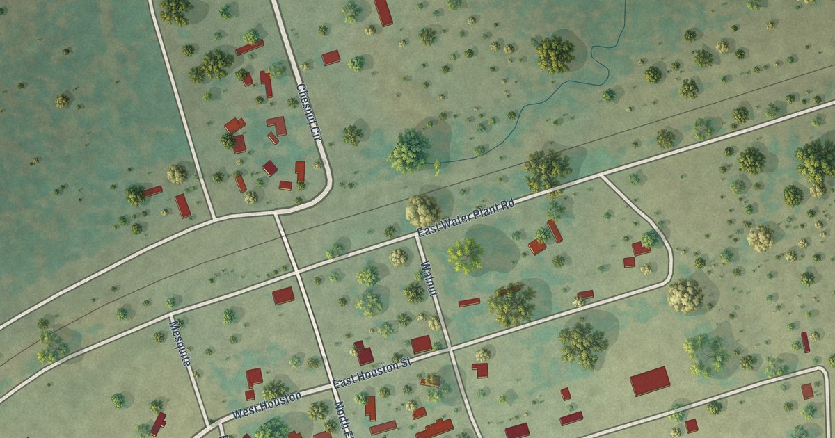
A detailed map of Brazos, Texas, showing every building in its true location, the roads by name, and shaded topographical relief.
Read More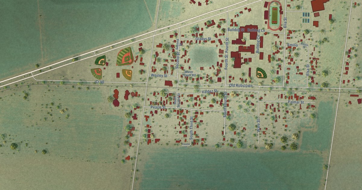
A detailed map of Banquete, Texas, showing every building in its true location, the roads by name, and shaded topographical relief.
Read More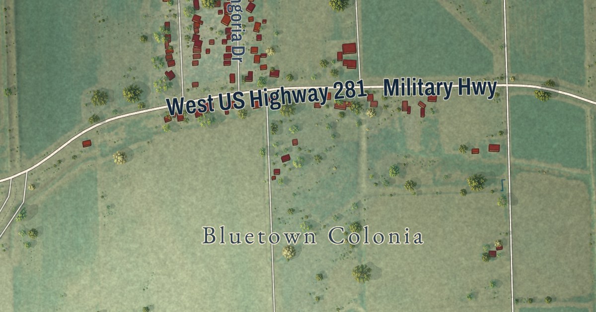
A detailed map of Bluetown, Texas, showing every building in its true location, the roads by name, and shaded topographical relief.
Read More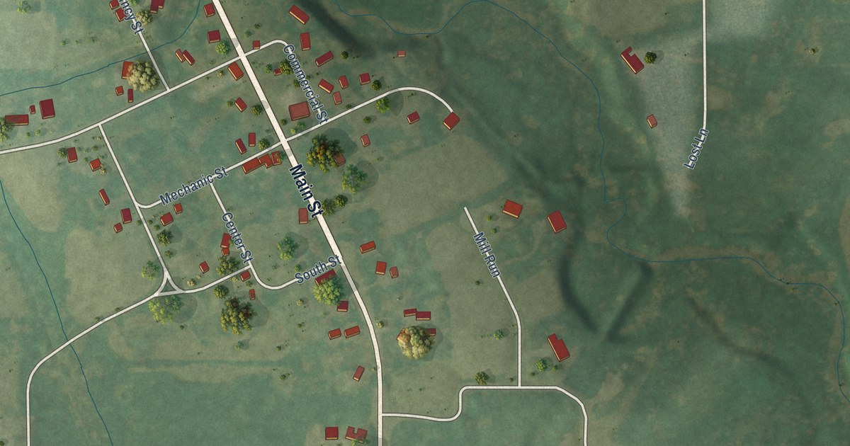
A detailed map of Waukau, Wisconsin, showing every building in its true location, the roads by name, and shaded topographical relief.
Read More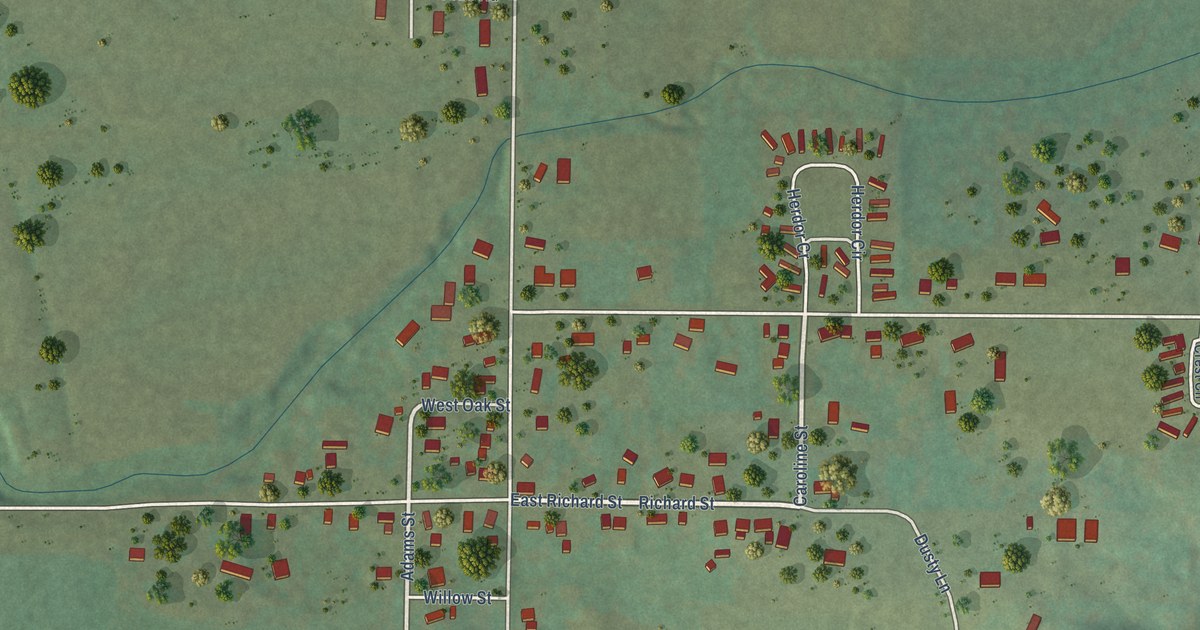
A detailed map of Sextonville, Wisconsin, showing every building in its true location, the roads by name, and shaded topographical relief.
Read More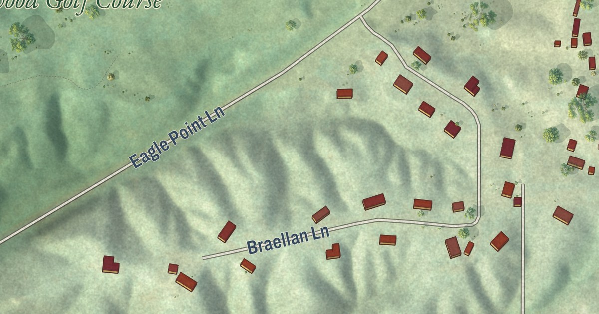
A detailed map of Sandy Hook, Wisconsin, showing every building in its true location, the roads by name, and shaded topographical relief.
Read More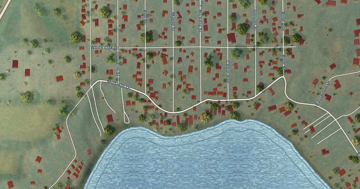
A detailed map of Potter Lake, Wisconsin, showing every building in its true location, the roads by name, and shaded topographical relief.
Read More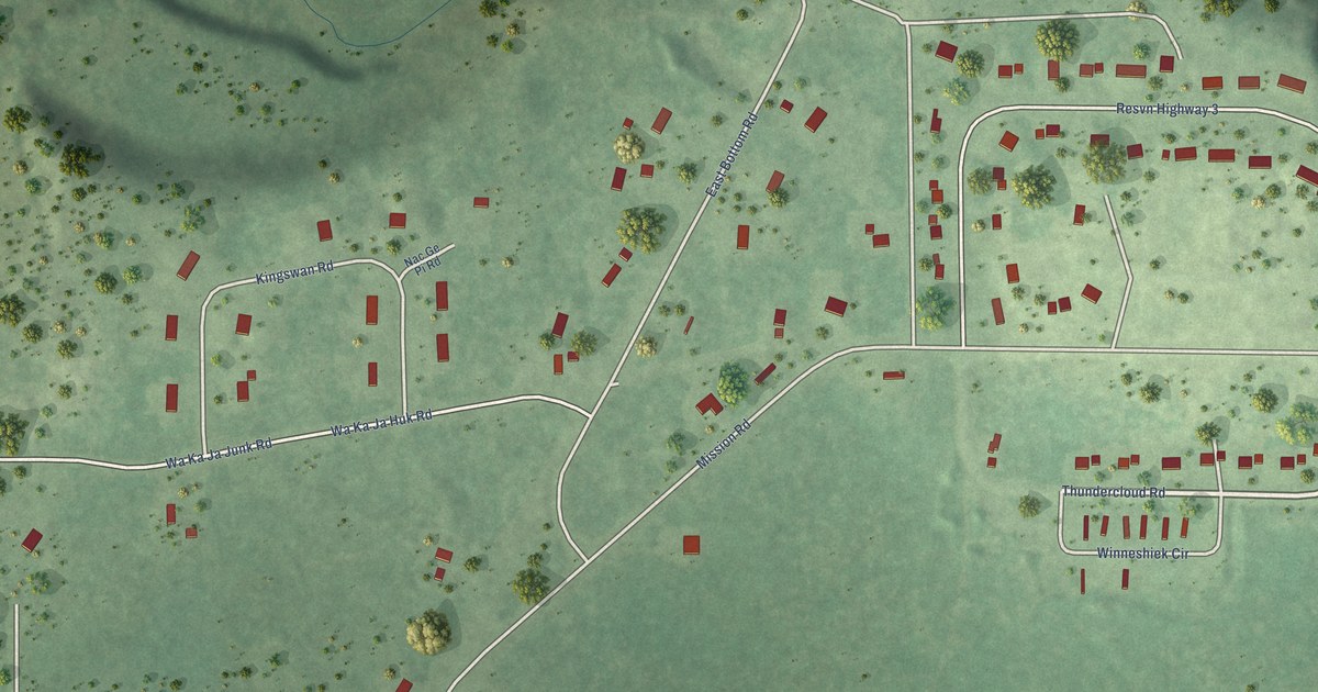
A detailed map of Mission, Wisconsin, showing every building in its true location, the roads by name, and shaded topographical relief.
Read More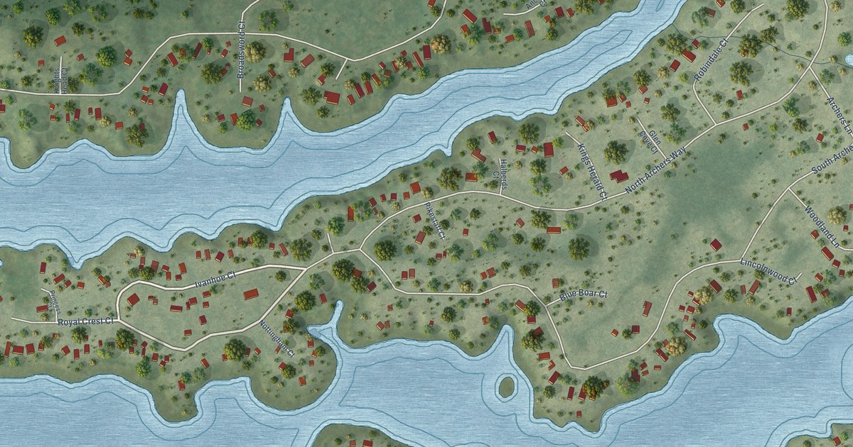
A detailed map of Lake Sherwood, Wisconsin, showing every building in its true location, the roads by name, and shaded topographical relief.
Read More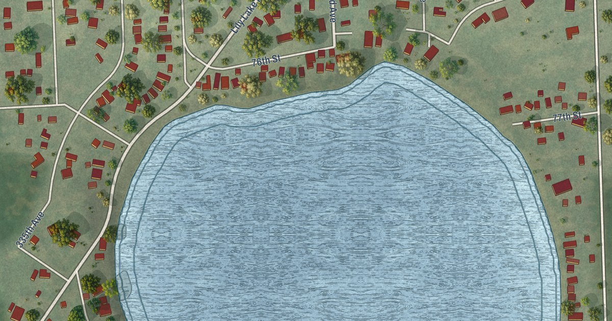
A detailed map of Lily Lake, Wisconsin, showing every building in its true location, the roads by name, and shaded topographical relief.
Read More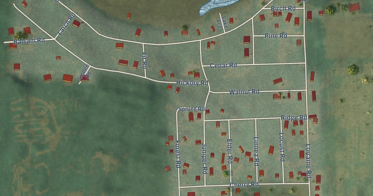
A detailed map of Lake Lorraine, Wisconsin, showing every building in its true location, the roads by name, and shaded topographical relief.
Read More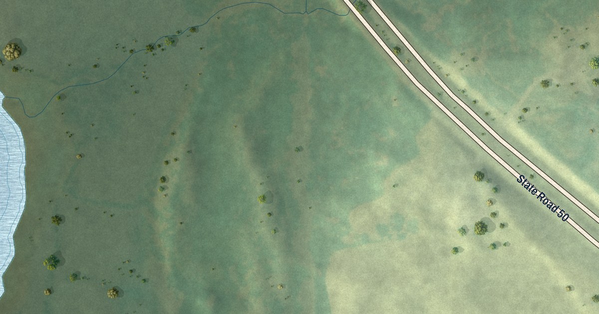
A detailed map of Lake Ivanhoe, Wisconsin, showing every building in its true location, the roads by name, and shaded topographical relief.
Read More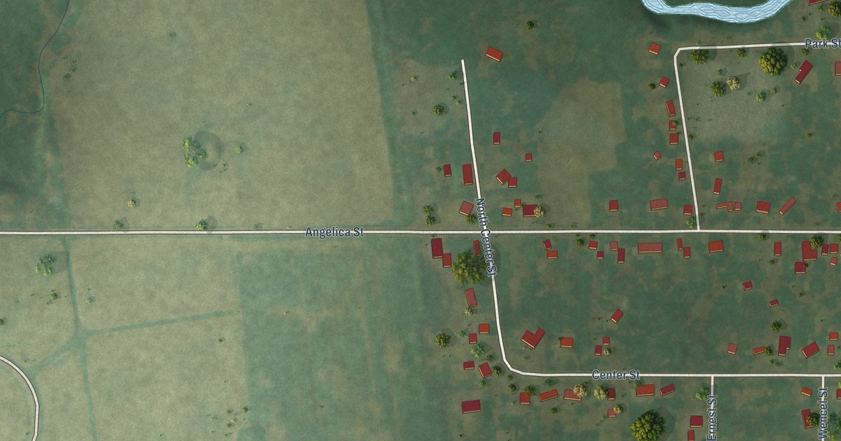
A detailed map of Krakow, Wisconsin, showing every building in its true location, the roads by name, and shaded topographical relief.
Read More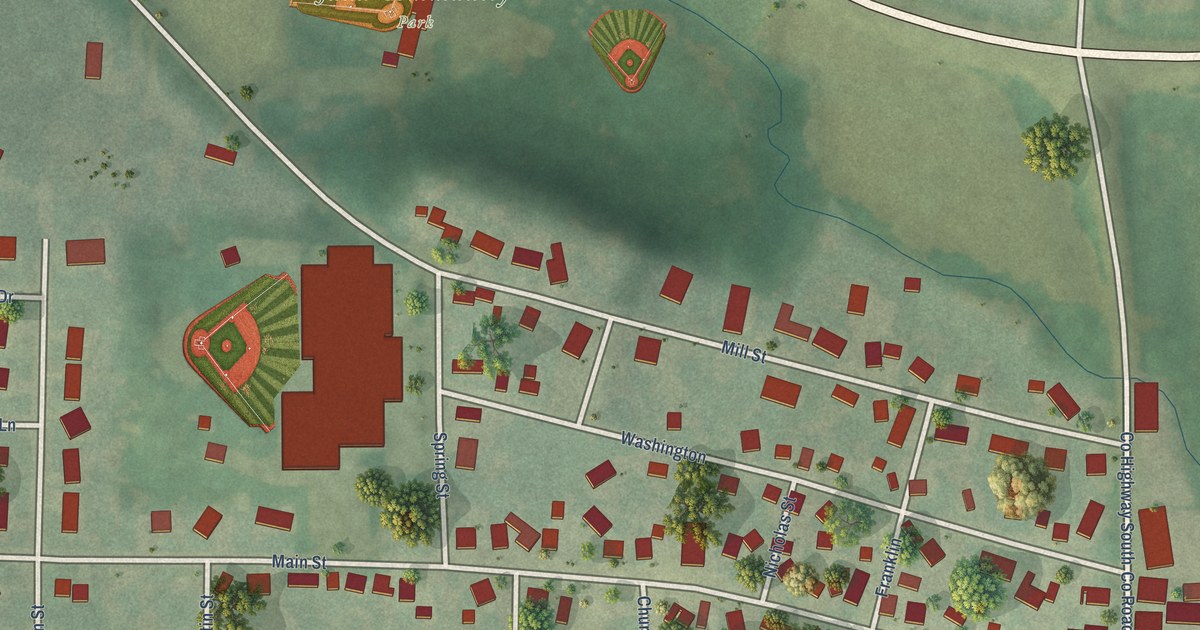
A detailed map of Juda, Wisconsin, showing every building in its true location, the roads by name, and shaded topographical relief.
Read More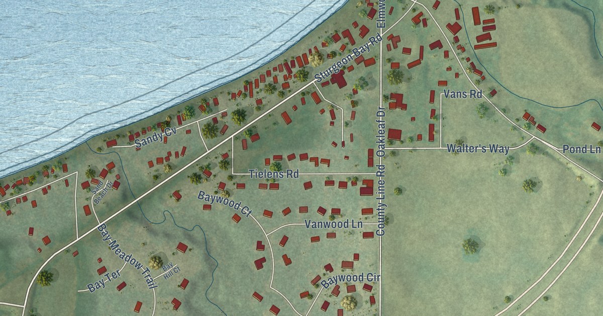
A detailed map of Dyckesville, Wisconsin, showing every building in its true location, the roads by name, and shaded topographical relief.
Read More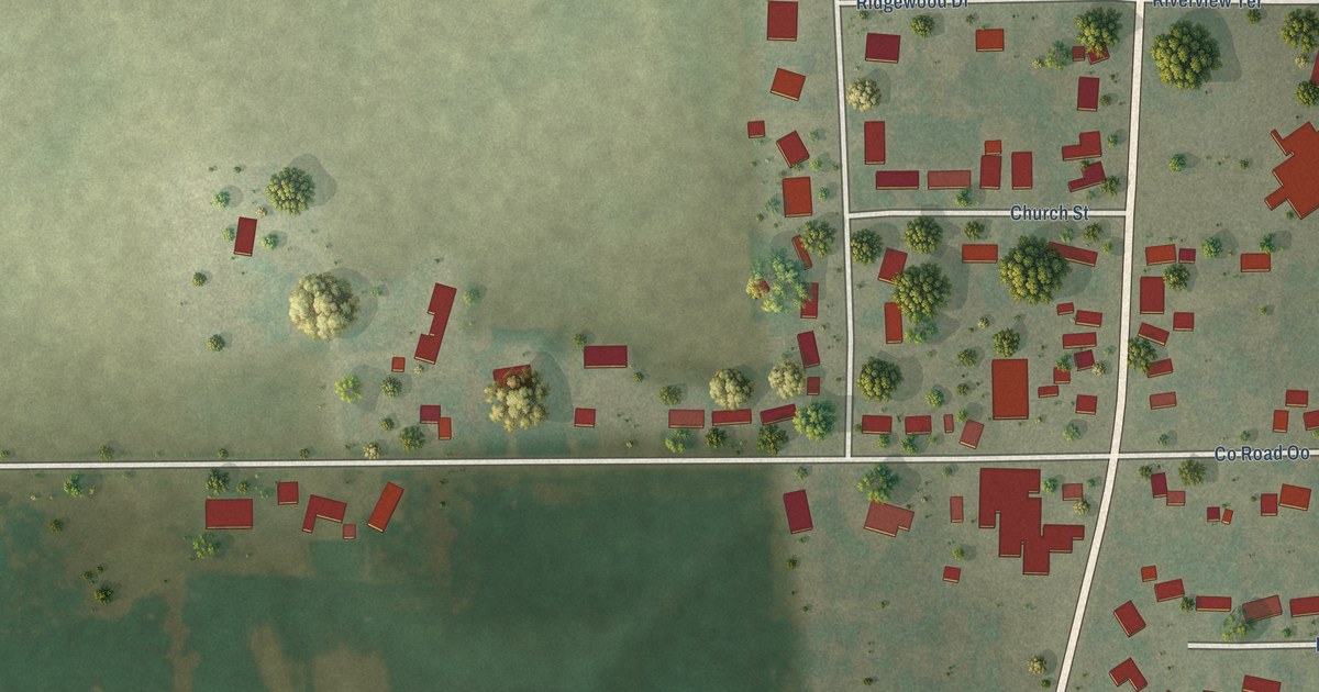
A detailed map of Gibbsville, Wisconsin, showing every building in its true location, the roads by name, and shaded topographical relief.
Read More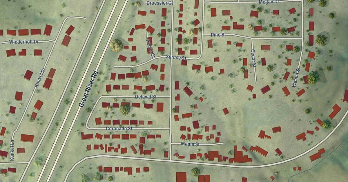
A detailed map of Kieler, Wisconsin, showing every building in its true location, the roads by name, and shaded topographical relief.
Read More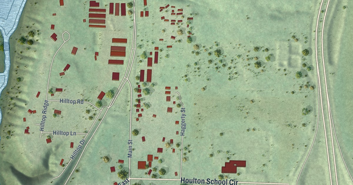
A detailed map of Houlton, Wisconsin, showing every building in its true location, the roads by name, and shaded topographical relief.
Read More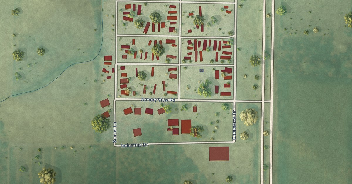
A detailed map of Bluffview, Wisconsin, showing every building in its true location, the roads by name, and shaded topographical relief.
Read More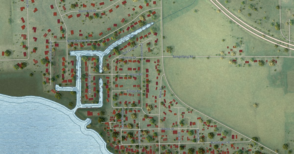
A detailed map of Butte des Morts, Wisconsin, showing every building in its true location, the roads by name, and shaded topographical relief.
Read More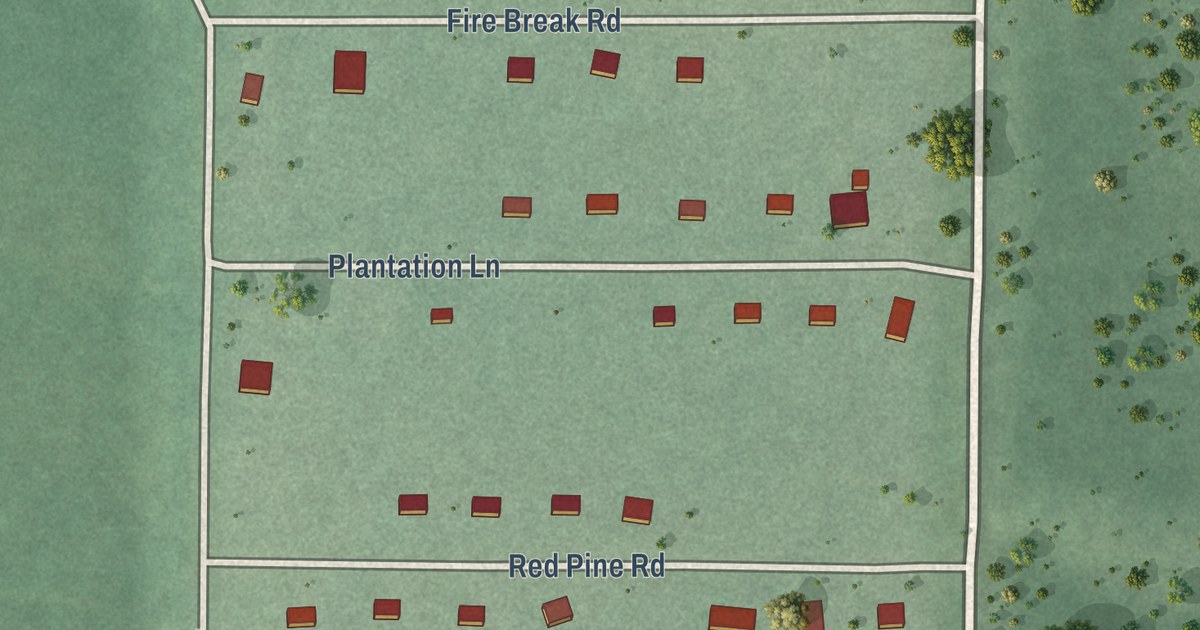
A detailed map of Birch Hill, Wisconsin, showing every building in its true location, the roads by name, and shaded topographical relief.
Read More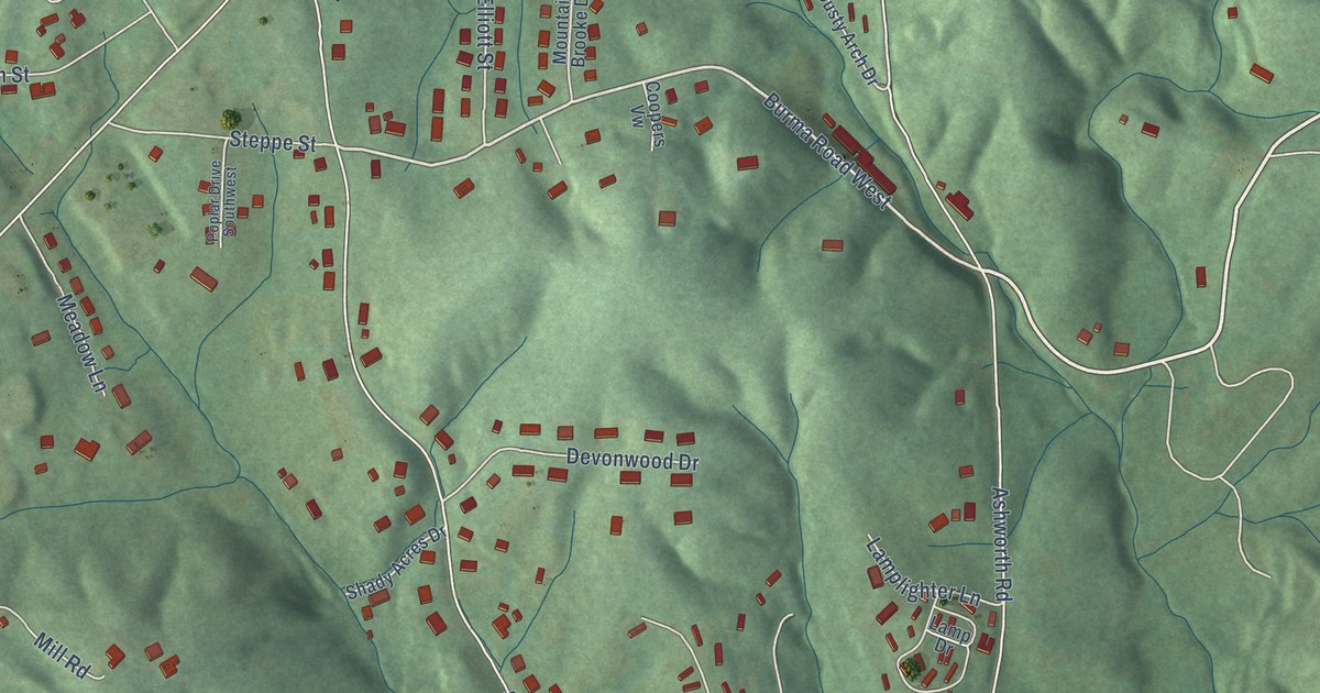
A detailed map of West Marion, North Carolina, showing every building in its true location, the roads by name, and shaded topographical relief.
Read More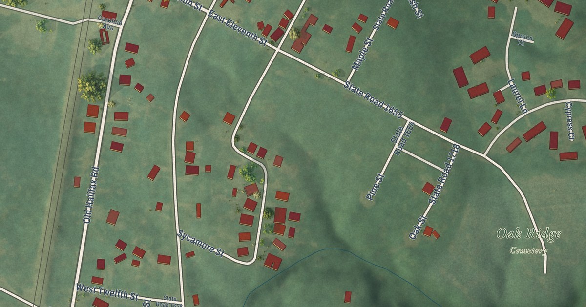
A detailed map of South Weldon, North Carolina, showing every building in its true location, the roads by name, and shaded topographical relief.
Read More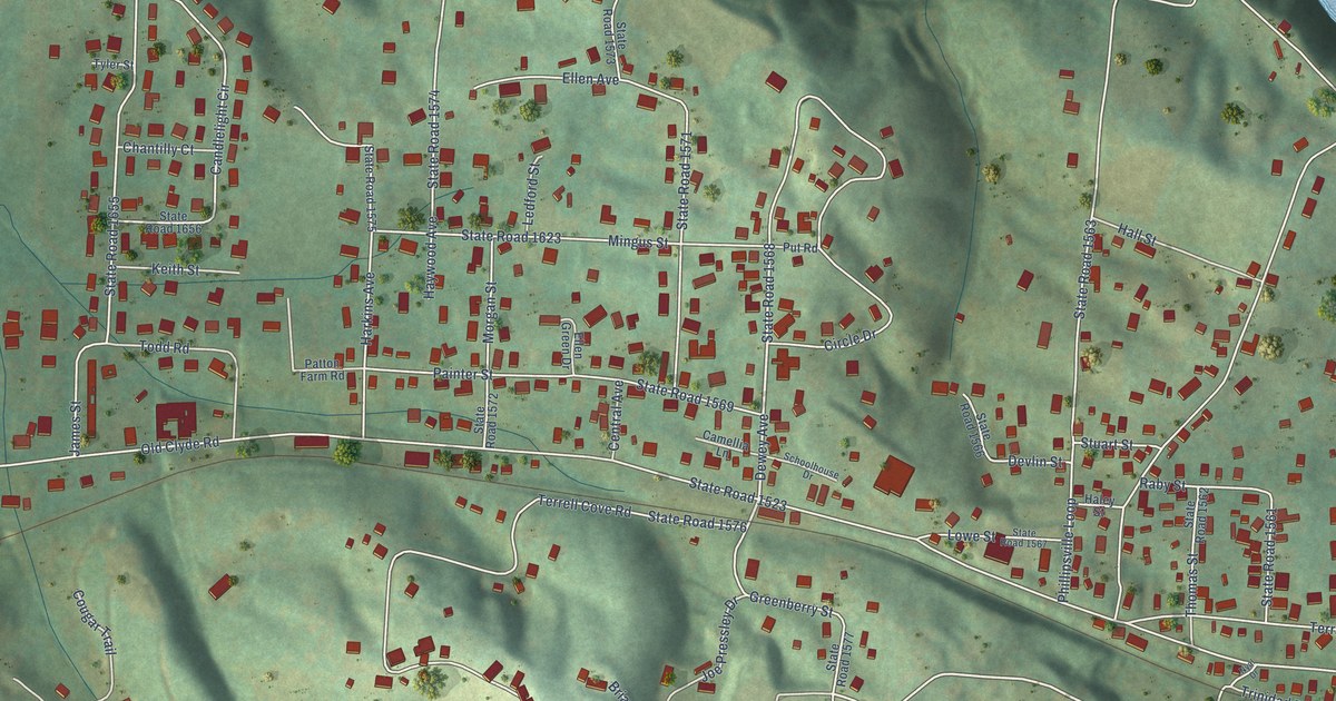
A detailed map of West Canton, North Carolina, showing every building in its true location, the roads by name, and shaded topographical relief.
Read More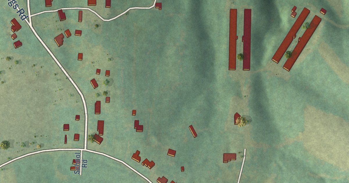
A detailed map of Smithtown, North Carolina, showing every building in its true location, the roads by name, and shaded topographical relief.
Read More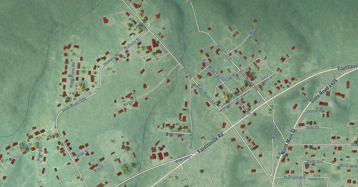
A detailed map of Silver City, North Carolina, showing every building in its true location, the roads by name, and shaded topographical relief.
Read More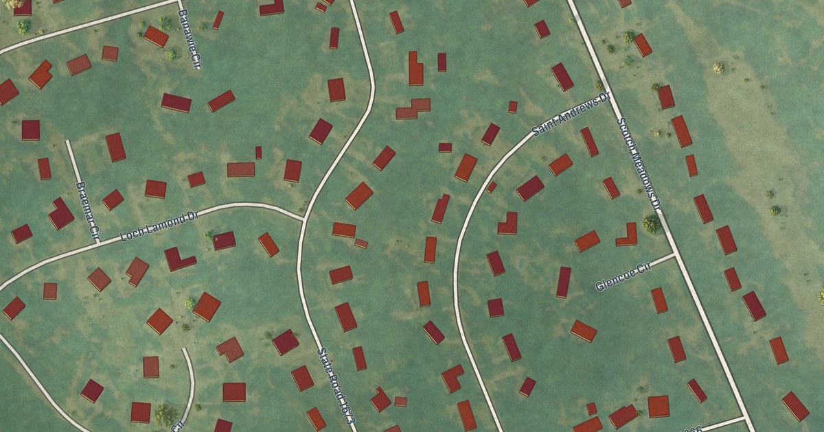
A detailed map of Scotch Meadows, North Carolina, showing every building in its true location, the roads by name, and shaded topographical relief.
Read More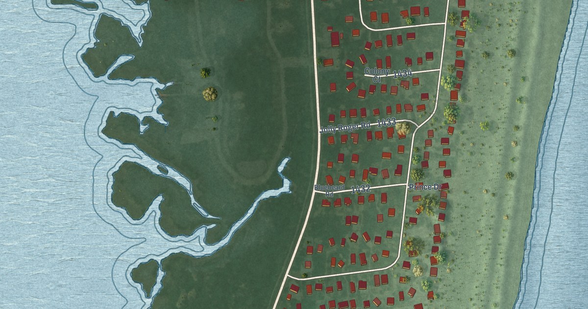
A detailed map of Salvo, North Carolina, showing every building in its true location, the roads by name, and shaded topographical relief.
Read More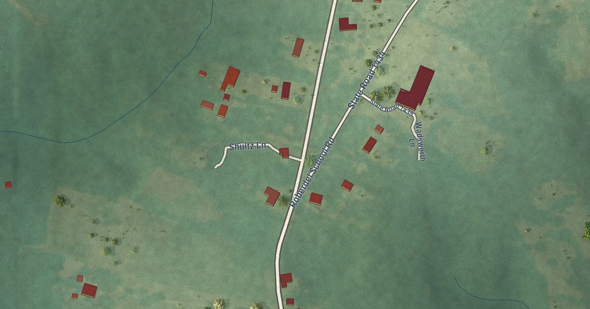
A detailed map of Roberdel, North Carolina, showing every building in its true location, the roads by name, and shaded topographical relief.
Read More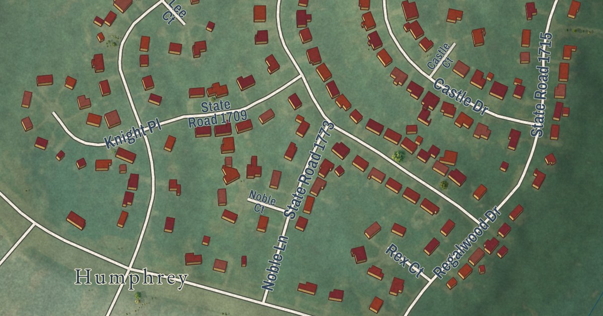
A detailed map of Pumpkin Center, North Carolina, showing every building in its true location, the roads by name, and shaded topographical relief.
Read More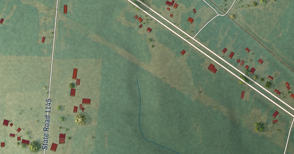
A detailed map of Old Hundred, North Carolina, showing every building in its true location, the roads by name, and shaded topographical relief.
Read More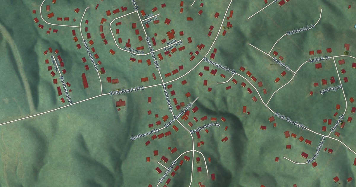
A detailed map of Northlakes, North Carolina, showing every building in its true location, the roads by name, and shaded topographical relief.
Read More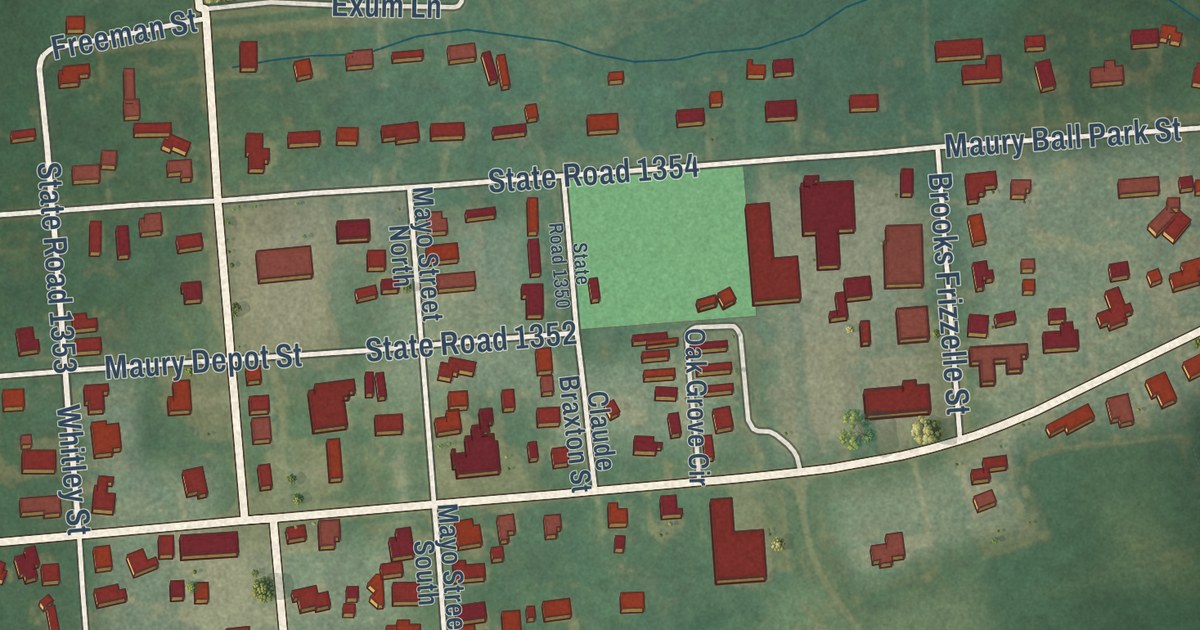
A detailed map of Maury, North Carolina, showing every building in its true location, the roads by name, and shaded topographical relief.
Read More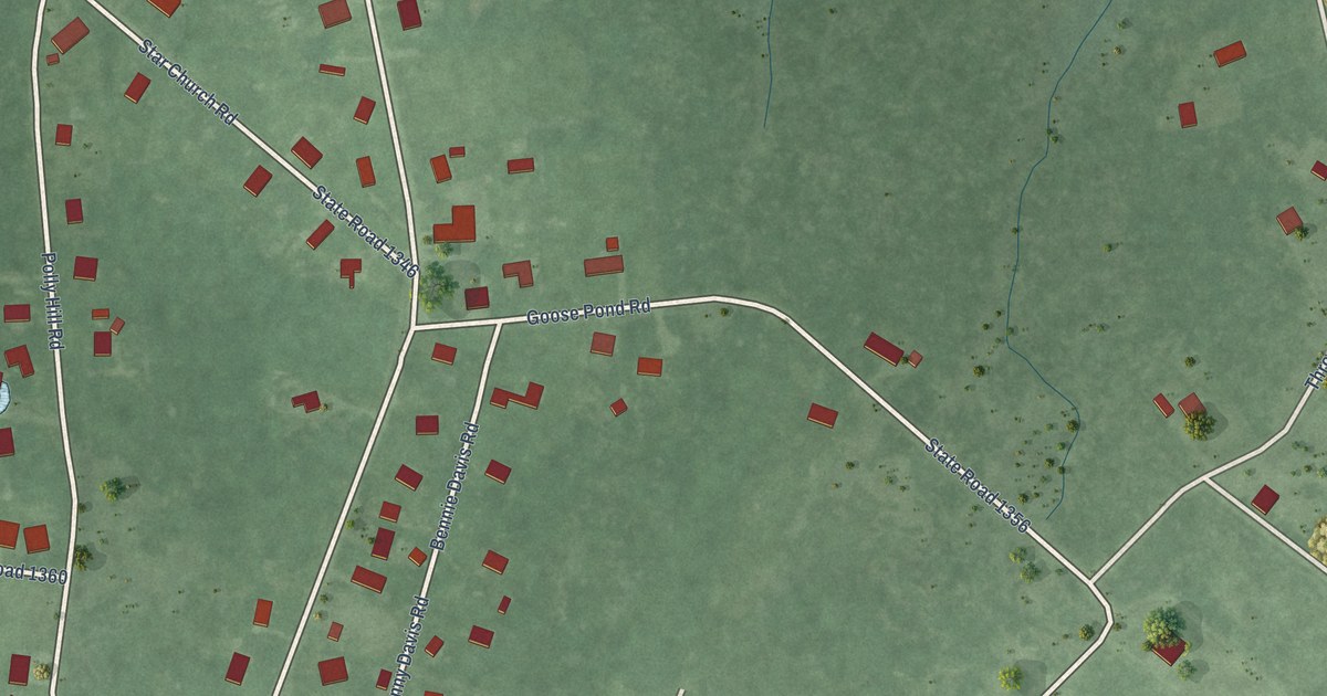
A detailed map of Marshallberg, North Carolina, showing every building in its true location, the roads by name, and shaded topographical relief.
Read More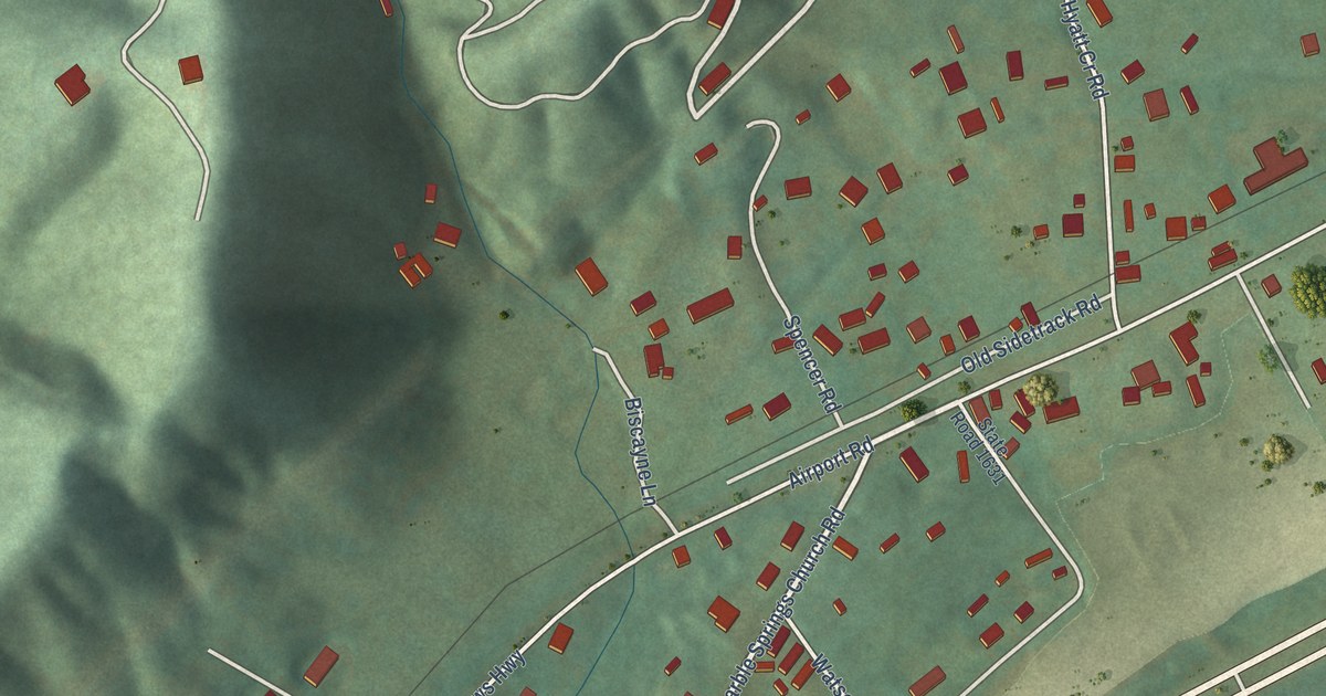
A detailed map of Marble, North Carolina, showing every building in its true location, the roads by name, and shaded topographical relief.
Read More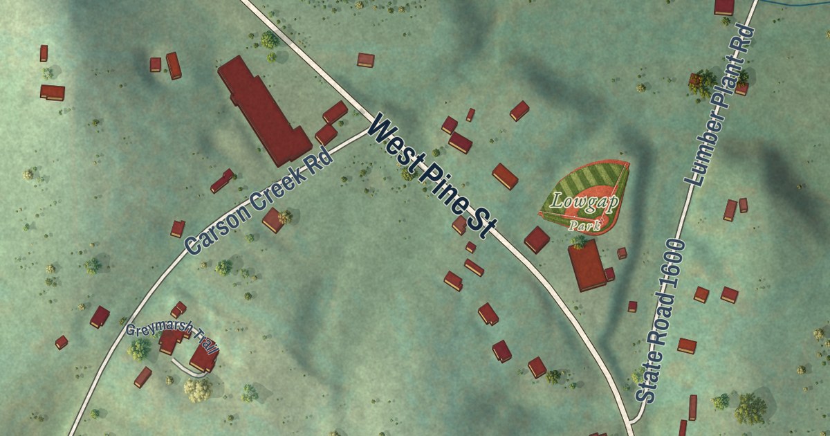
A detailed map of Lowgap, North Carolina, showing every building in its true location, the roads by name, and shaded topographical relief.
Read More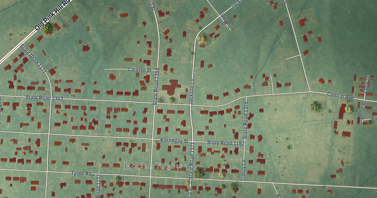
A detailed map of Jackson Heights, North Carolina, showing every building in its true location, the roads by name, and shaded topographical relief.
Read More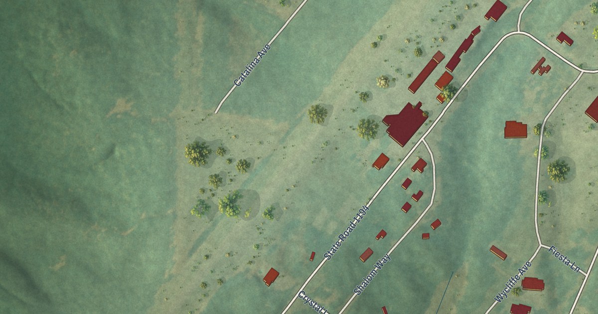
A detailed map of JAARS, North Carolina, showing every building in its true location, the roads by name, and shaded topographical relief.
Read More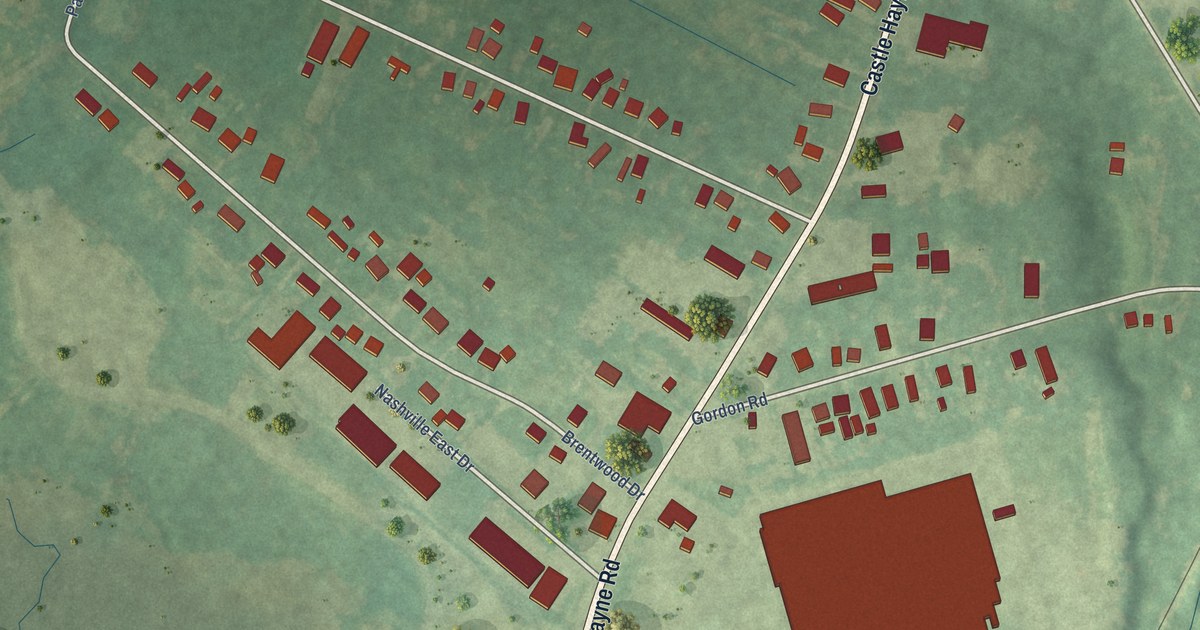
A detailed map of Hightsville, North Carolina, showing every building in its true location, the roads by name, and shaded topographical relief.
Read More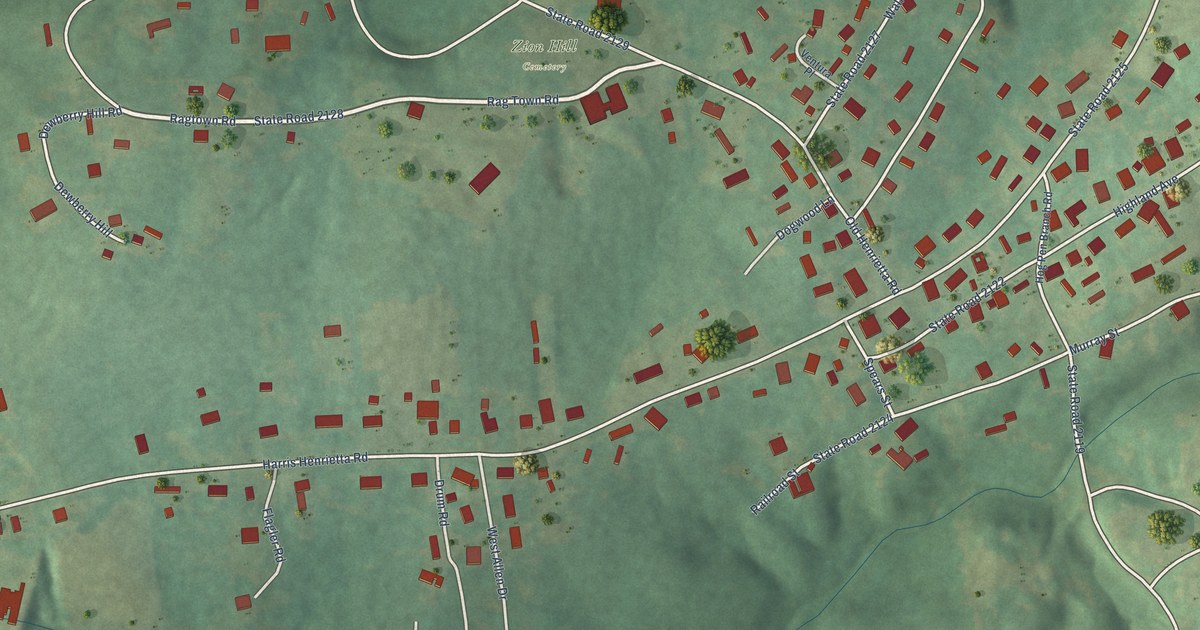
A detailed map of Henrietta, North Carolina, showing every building in its true location, the roads by name, and shaded topographical relief.
Read More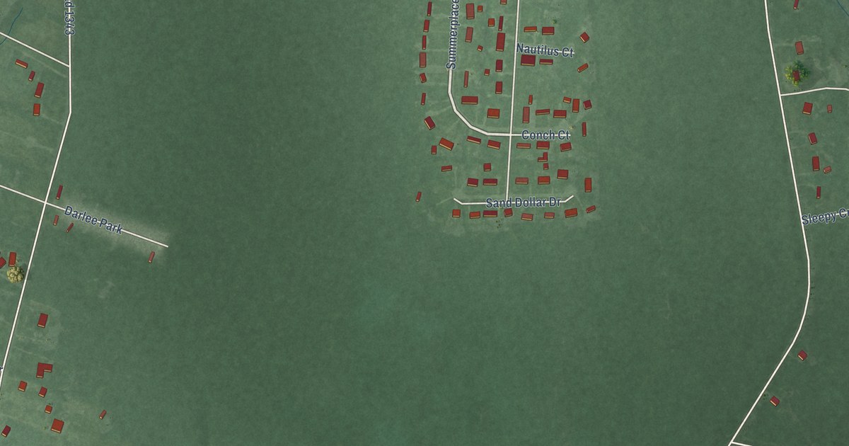
A detailed map of Gloucester, North Carolina, showing every building in its true location, the roads by name, and shaded topographical relief.
Read More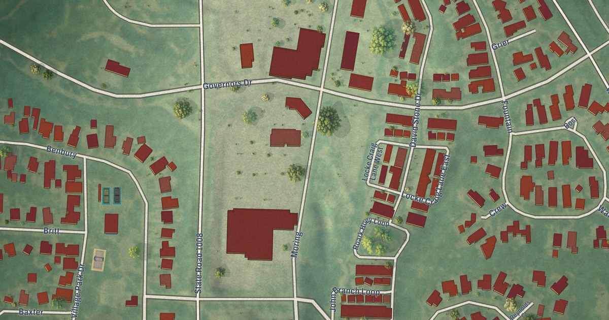
A detailed map of Governors Village, North Carolina, showing every building in its true location, the roads by name, and shaded topographical relief.
Read More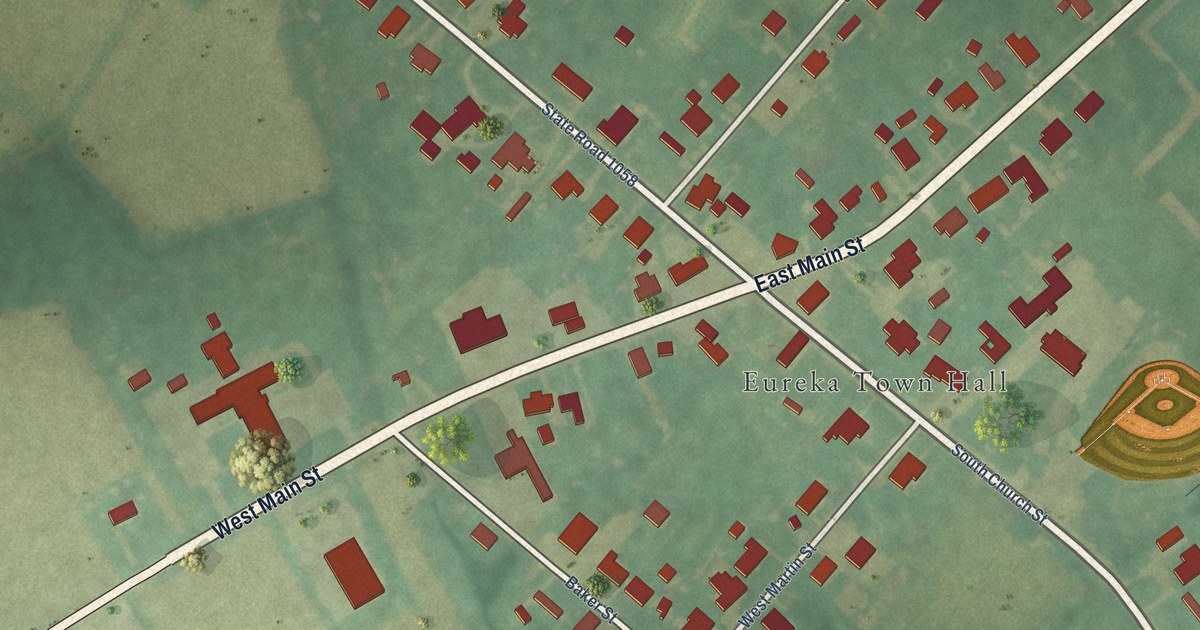
A detailed map of Eureka, North Carolina, showing every building in its true location, the roads by name, and shaded topographical relief.
Read More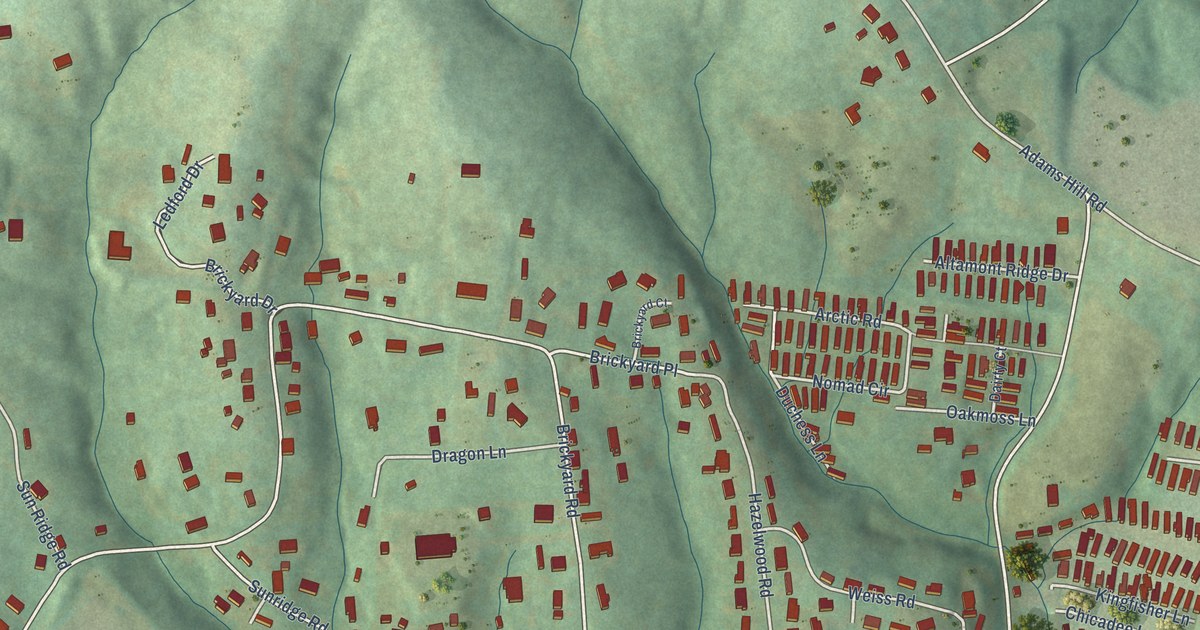
A detailed map of Emma, North Carolina, showing every building in its true location, the roads by name, and shaded topographical relief.
Read More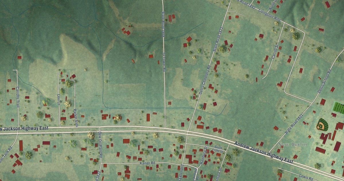
A detailed map of Delco, North Carolina, showing every building in its true location, the roads by name, and shaded topographical relief.
Read More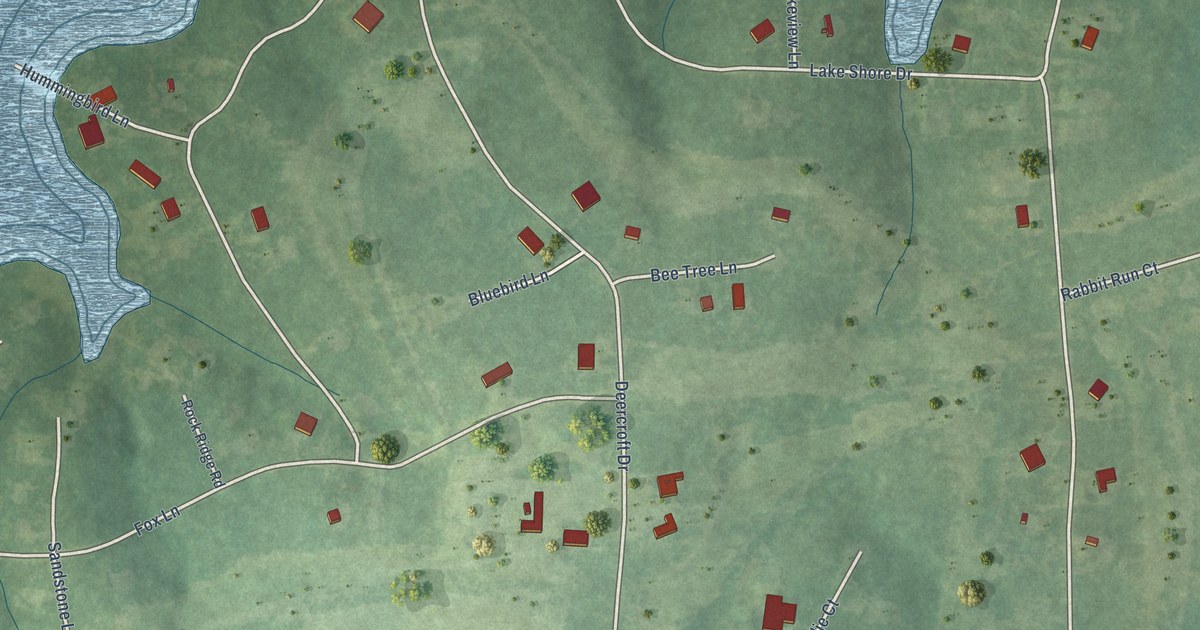
A detailed map of Deercroft, North Carolina, showing every building in its true location, the roads by name, and shaded topographical relief.
Read More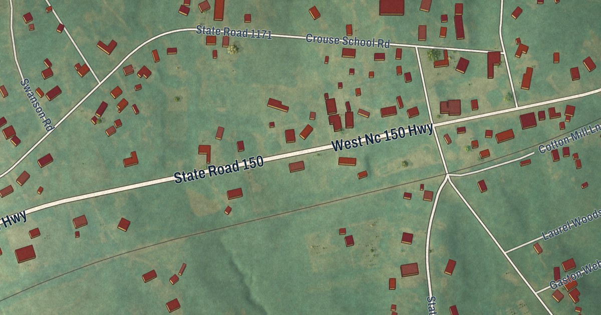
A detailed map of Crouse, North Carolina, showing every building in its true location, the roads by name, and shaded topographical relief.
Read More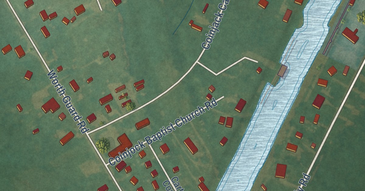
A detailed map of Coinjock, North Carolina, showing every building in its true location, the roads by name, and shaded topographical relief.
Read More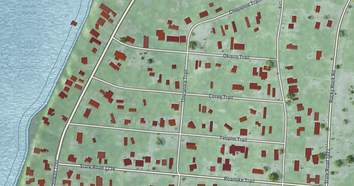
A detailed map of Chowan Beach, North Carolina, showing every building in its true location, the roads by name, and shaded topographical relief.
Read More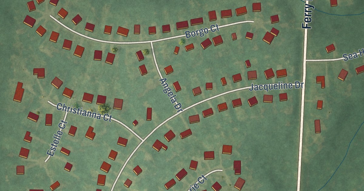
A detailed map of Cherry Branch, North Carolina, showing every building in its true location, the roads by name, and shaded topographical relief.
Read More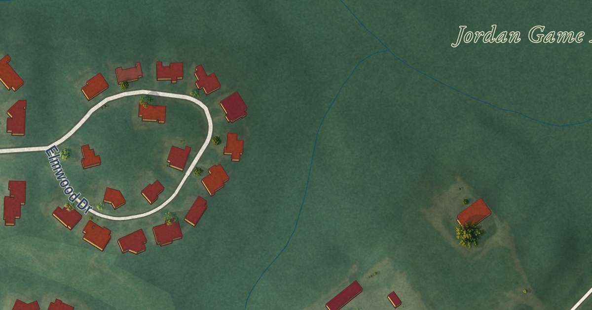
A detailed map of Carolina Meadows, North Carolina, showing every building in its true location, the roads by name, and shaded topographical relief.
Read More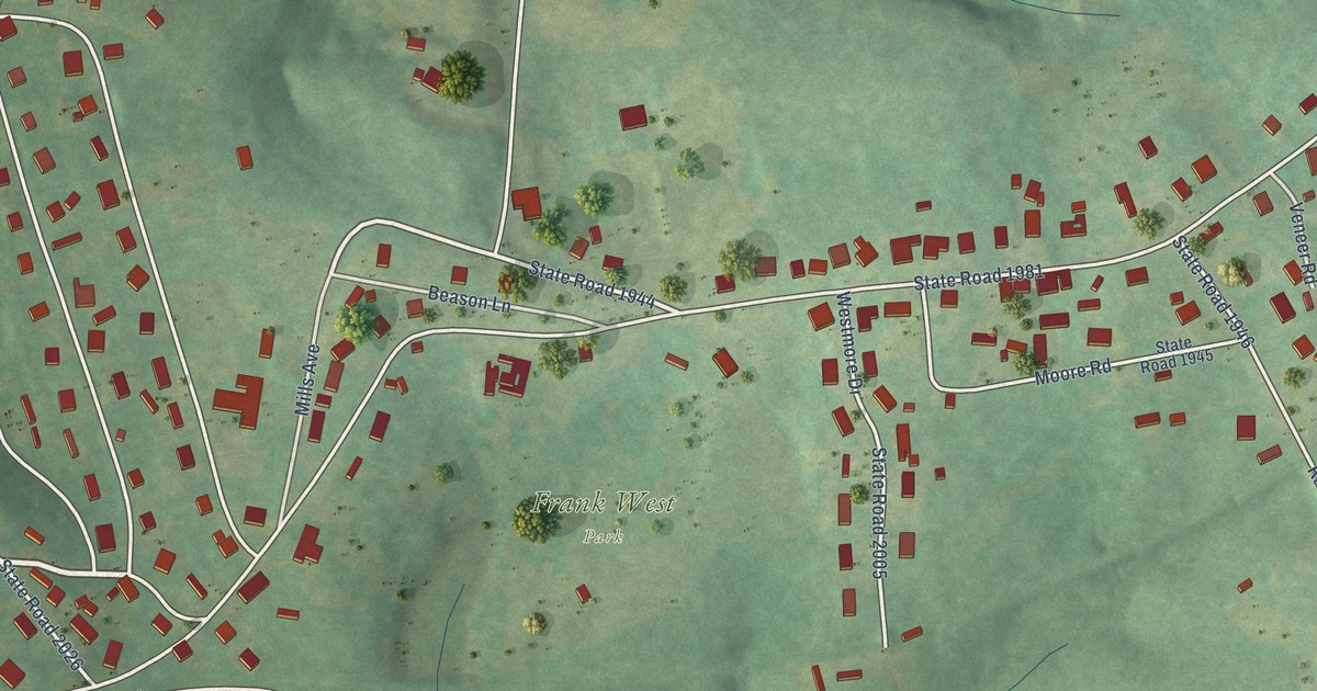
A detailed map of Caroleen, North Carolina, showing every building in its true location, the roads by name, and shaded topographical relief.
Read More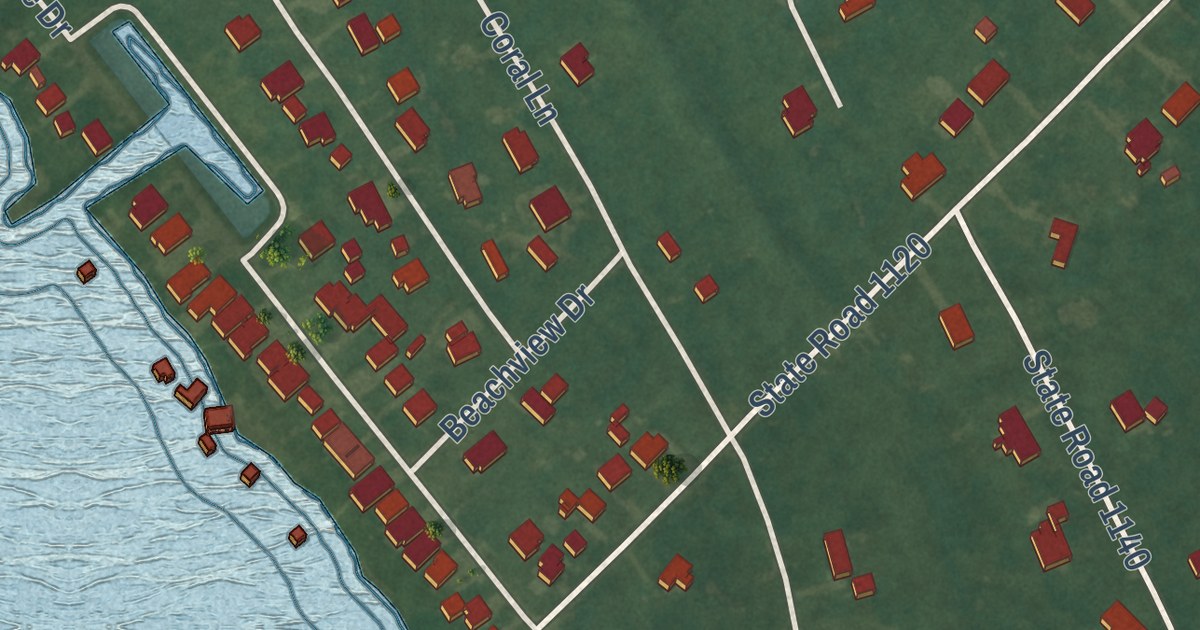
A detailed map of Cape Colony, North Carolina, showing every building in its true location, the roads by name, and shaded topographical relief.
Read More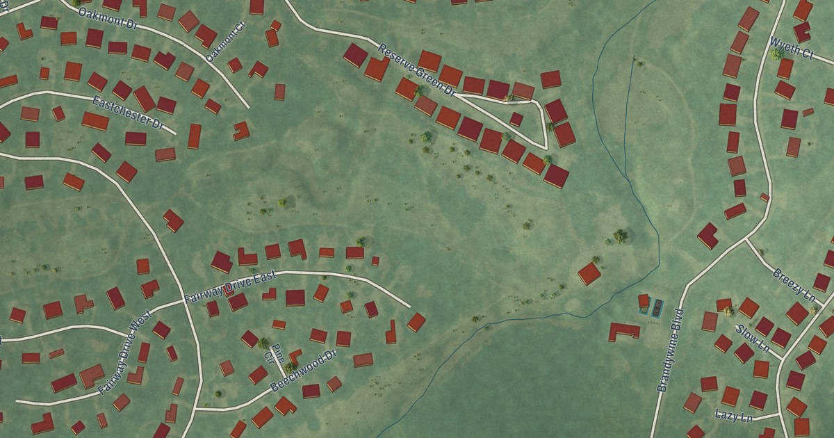
A detailed map of Brandywine Bay, North Carolina, showing every building in its true location, the roads by name, and shaded topographical relief.
Read More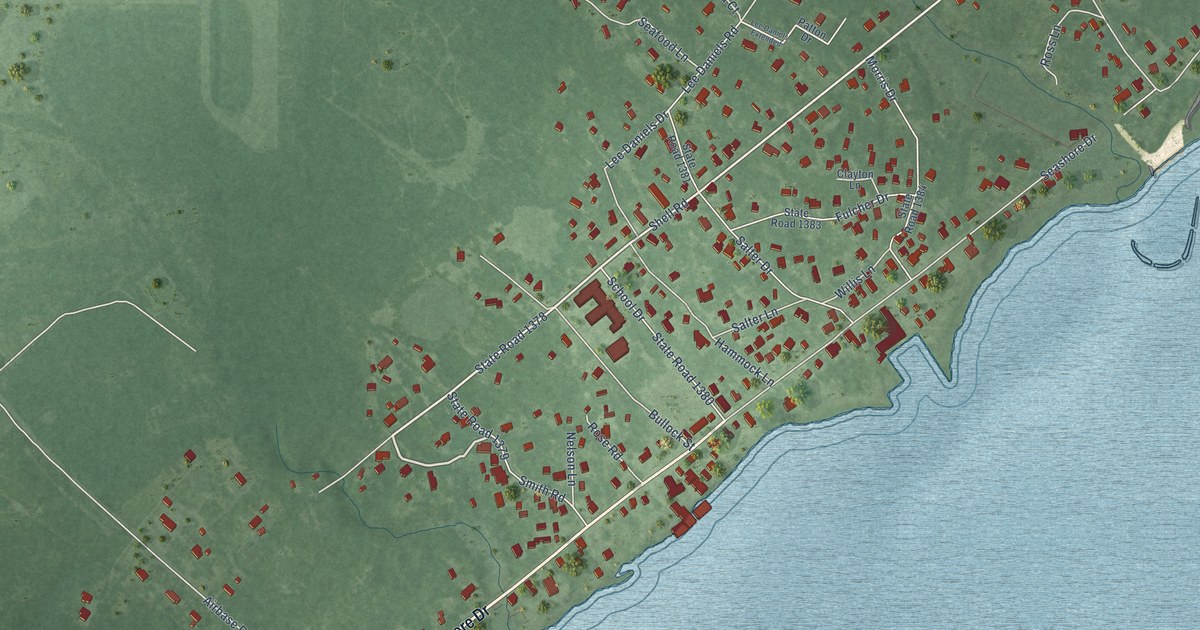
A detailed map of Atlantic, North Carolina, showing every building in its true location, the roads by name, and shaded topographical relief.
Read More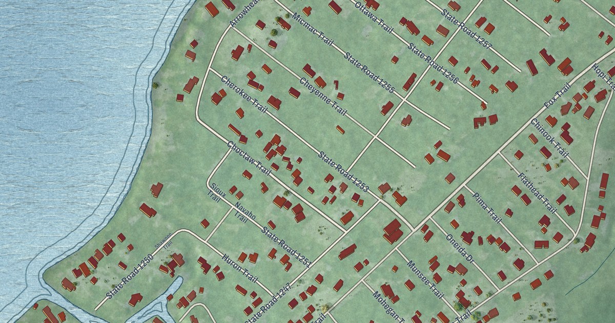
A detailed map of Arrowhead Beach, North Carolina, showing every building in its true location, the roads by name, and shaded topographical relief.
Read More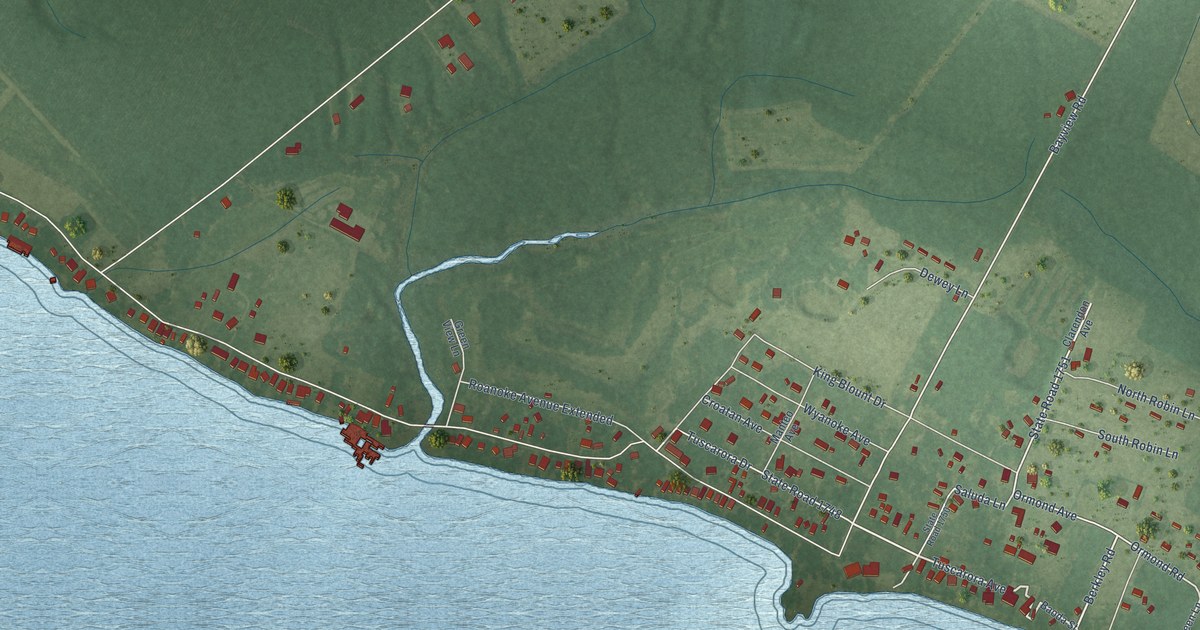
A detailed map of Bayview, North Carolina, showing every building in its true location, the roads by name, and shaded topographical relief.
Read More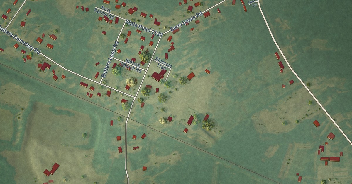
A detailed map of Butters, North Carolina, showing every building in its true location, the roads by name, and shaded topographical relief.
Read More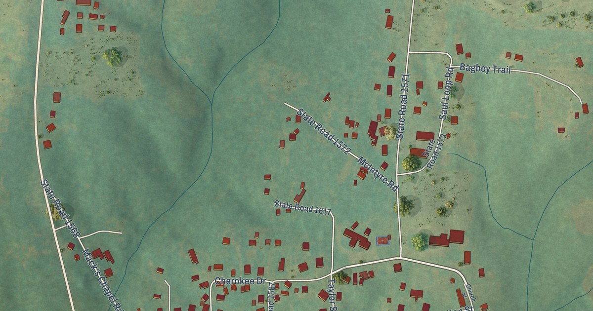
A detailed map of Altamahaw, North Carolina, showing every building in its true location, the roads by name, and shaded topographical relief.
Read More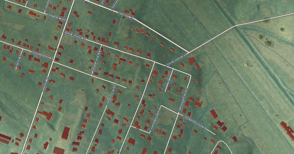
A detailed map of Barker Heights, North Carolina, showing every building in its true location, the roads by name, and shaded topographical relief.
Read More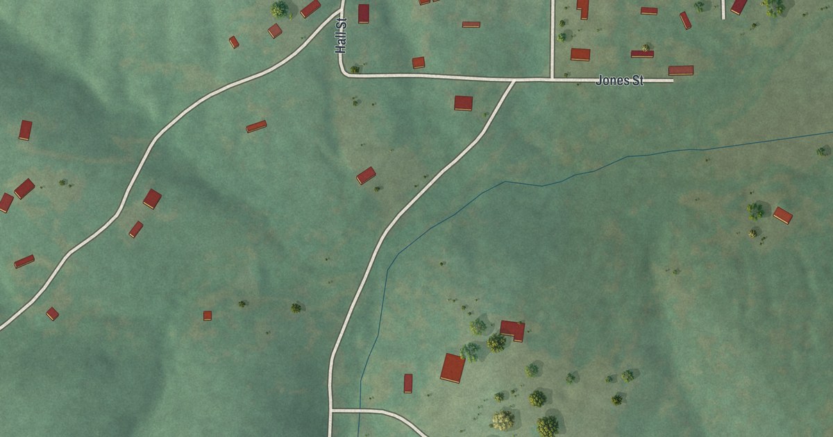
A detailed map of Wortham, Missouri, showing every building in its true location, the roads by name, and shaded topographical relief.
Read More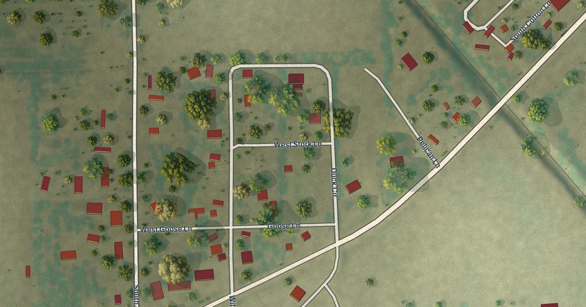
A detailed map of Whiting, Missouri, showing every building in its true location, the roads by name, and shaded topographical relief.
Read More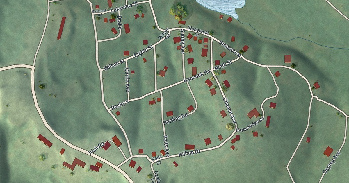
A detailed map of White Branch, Missouri, showing every building in its true location, the roads by name, and shaded topographical relief.
Read More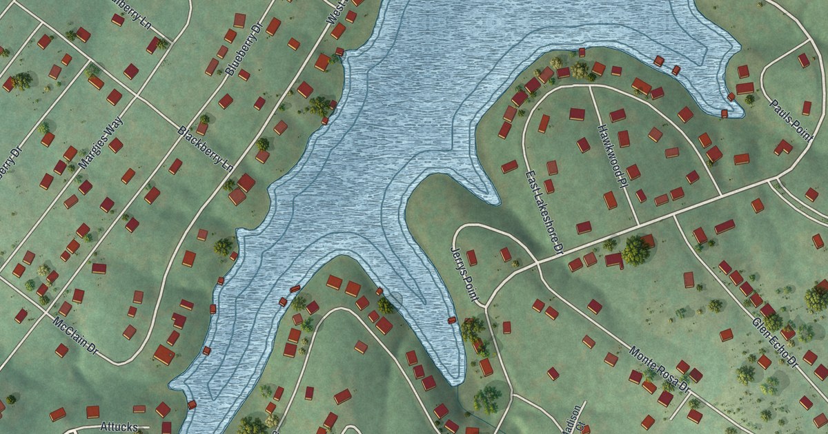
A detailed map of Summer Set, Missouri, showing every building in its true location, the roads by name, and shaded topographical relief.
Read More















