Detailed Map of St. George, Missouri
A detailed map of St. George, Missouri, showing every building in its true location, the roads by name, and shaded topographical relief.
Read More
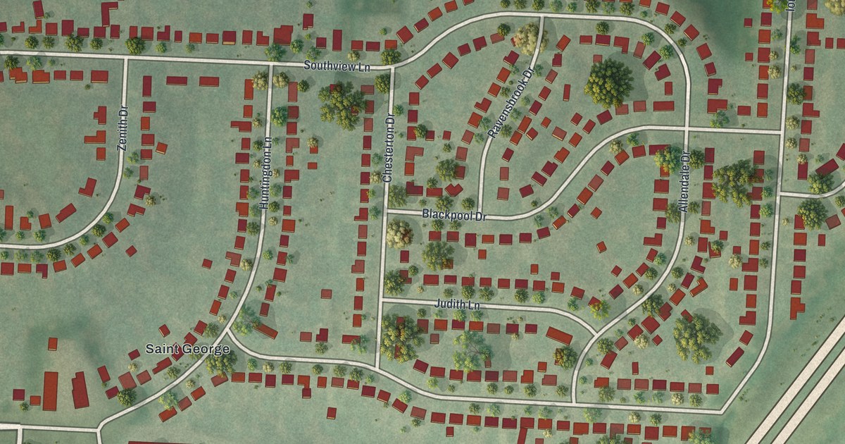
A detailed map of St. George, Missouri, showing every building in its true location, the roads by name, and shaded topographical relief.
Read More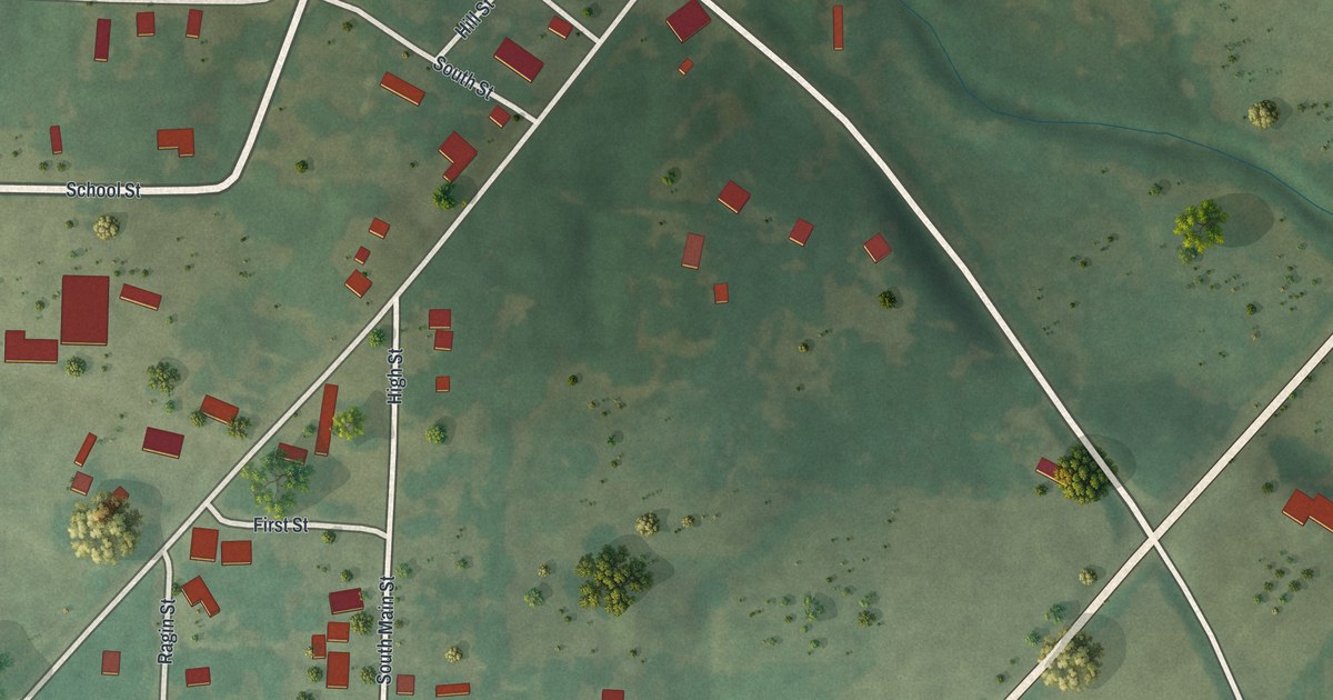
A detailed map of Rocky Comfort, Missouri, showing every building in its true location, the roads by name, and shaded topographical relief.
Read More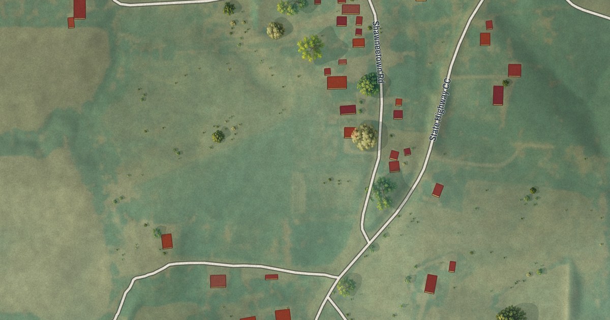
A detailed map of Shawneetown, Missouri, showing every building in its true location, the roads by name, and shaded topographical relief.
Read More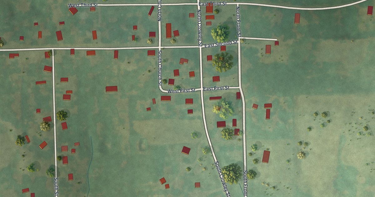
A detailed map of Rayville, Missouri, showing every building in its true location, the roads by name, and shaded topographical relief.
Read More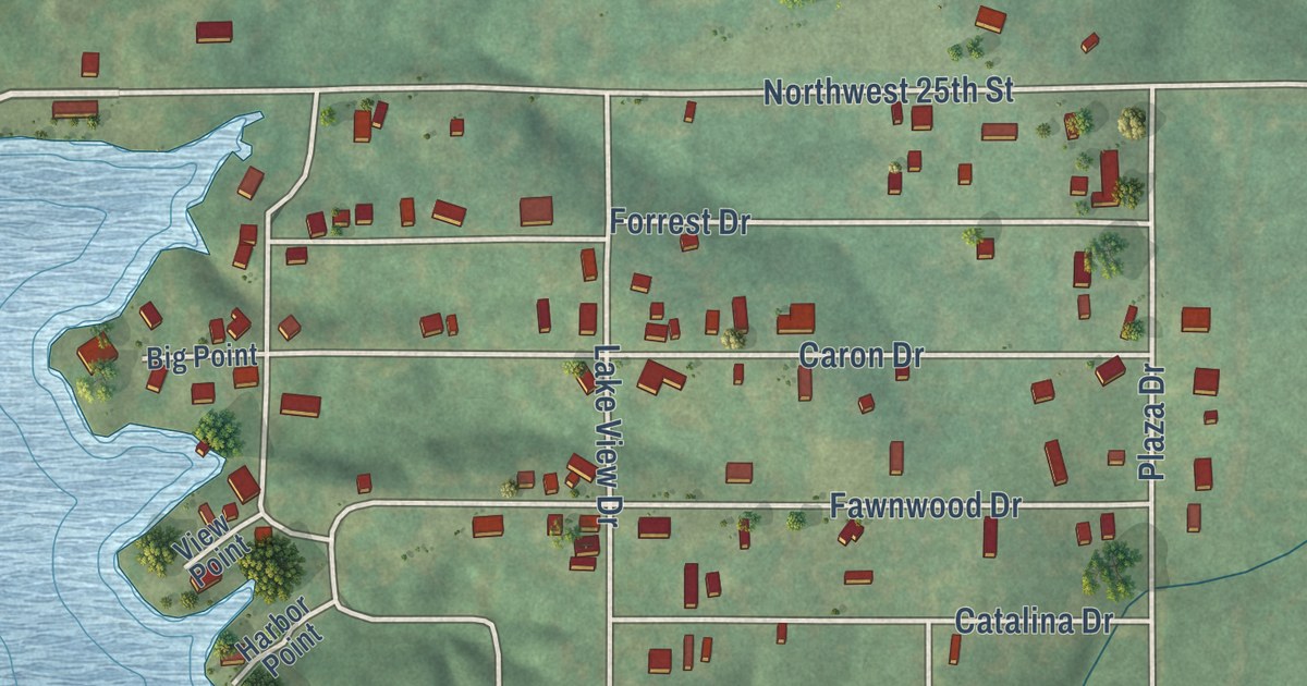
A detailed map of Leisure Lake, Missouri, showing every building in its true location, the roads by name, and shaded topographical relief.
Read More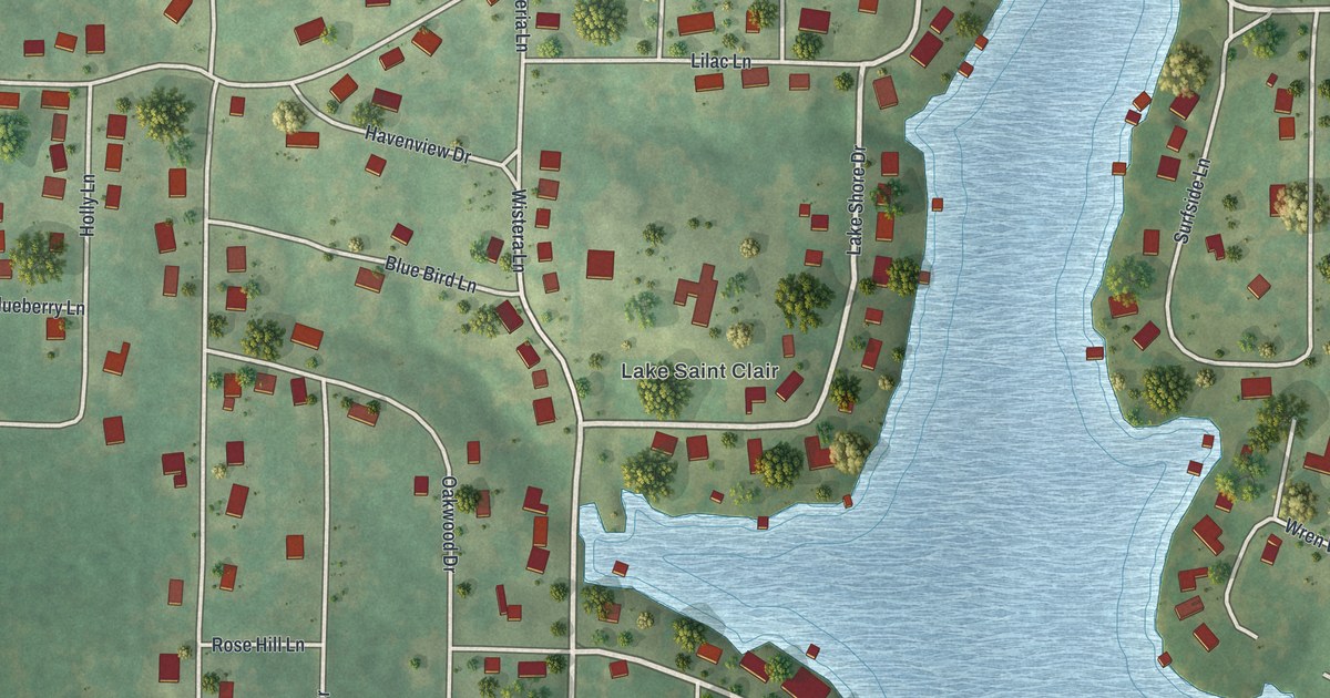
A detailed map of Lake St. Clair, Missouri, showing every building in its true location, the roads by name, and shaded topographical relief.
Read More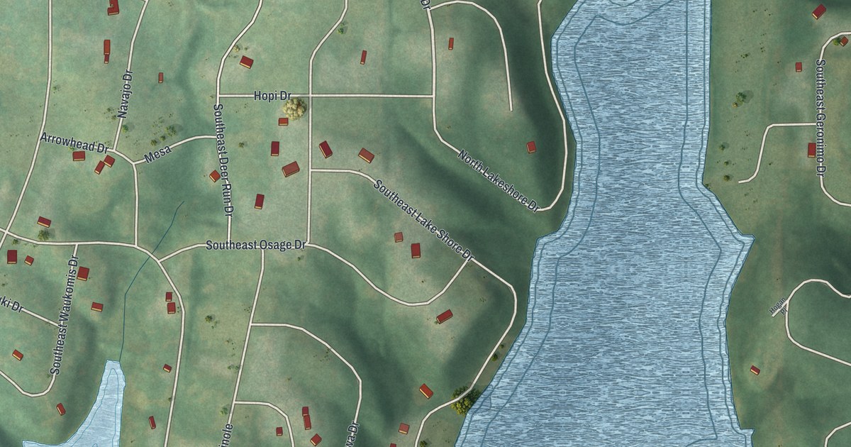
A detailed map of Lake Arrowhead, Missouri, showing every building in its true location, the roads by name, and shaded topographical relief.
Read More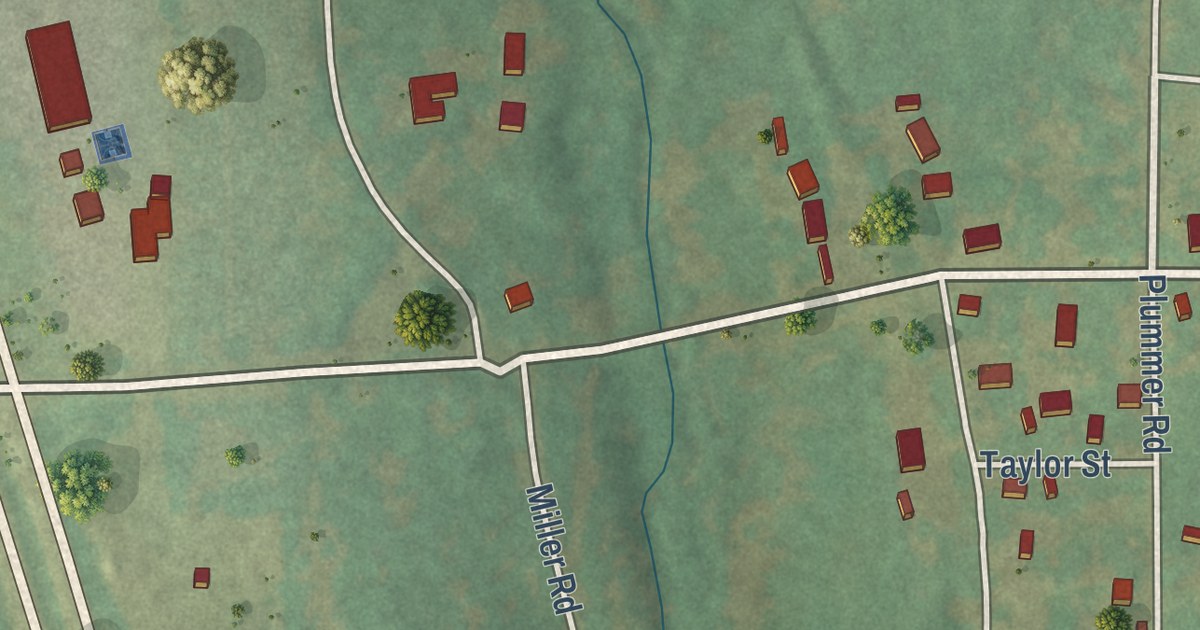
A detailed map of Knob Lick, Missouri, showing every building in its true location, the roads by name, and shaded topographical relief.
Read More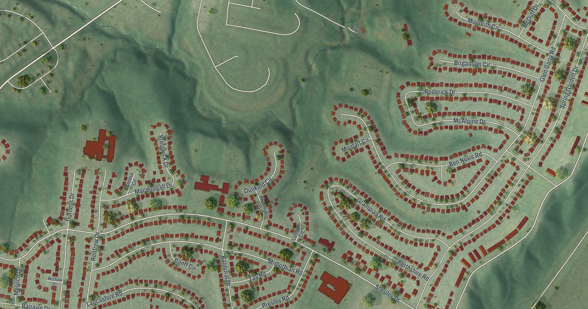
A detailed map of Glasgow Village, Missouri, showing every building in its true location, the roads by name, and shaded topographical relief.
Read More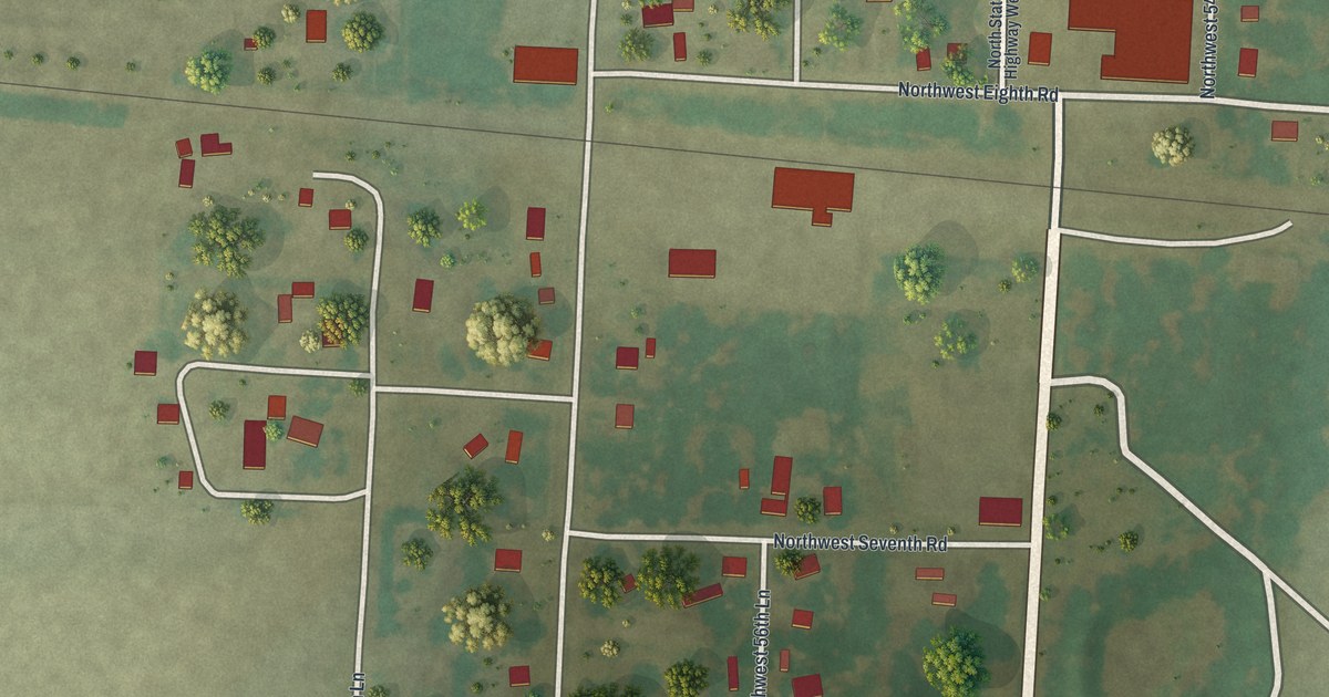
A detailed map of Iantha, Missouri, showing every building in its true location, the roads by name, and shaded topographical relief.
Read More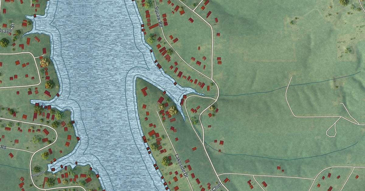
A detailed map of Indian Lake, Missouri, showing every building in its true location, the roads by name, and shaded topographical relief.
Read More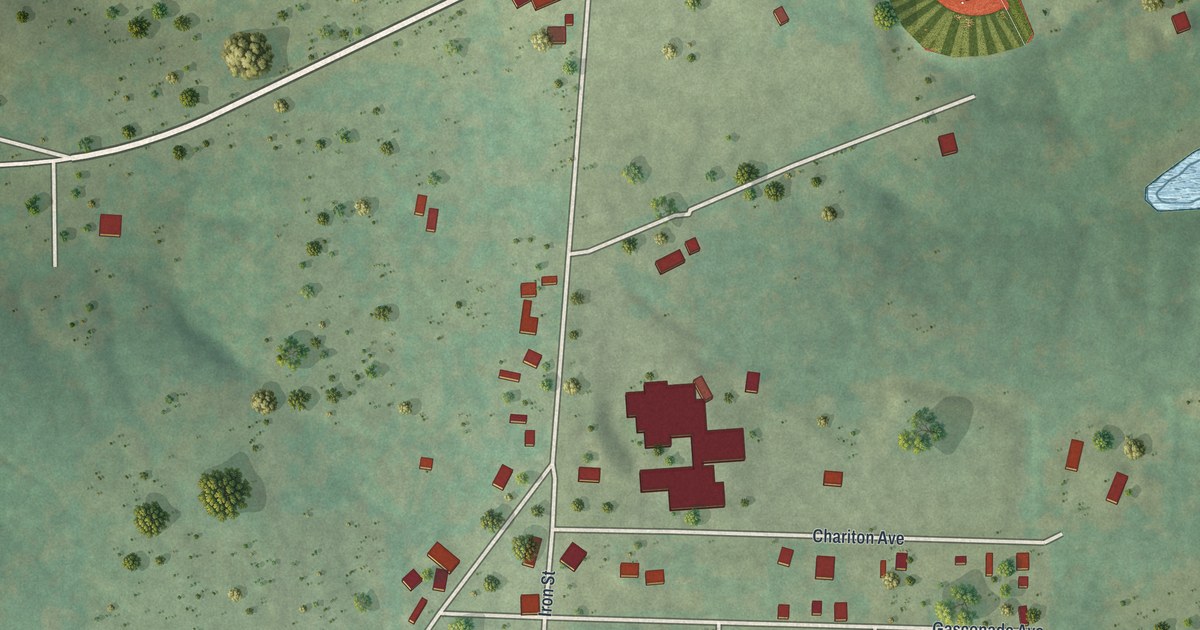
A detailed map of Frankclay, Missouri, showing every building in its true location, the roads by name, and shaded topographical relief.
Read More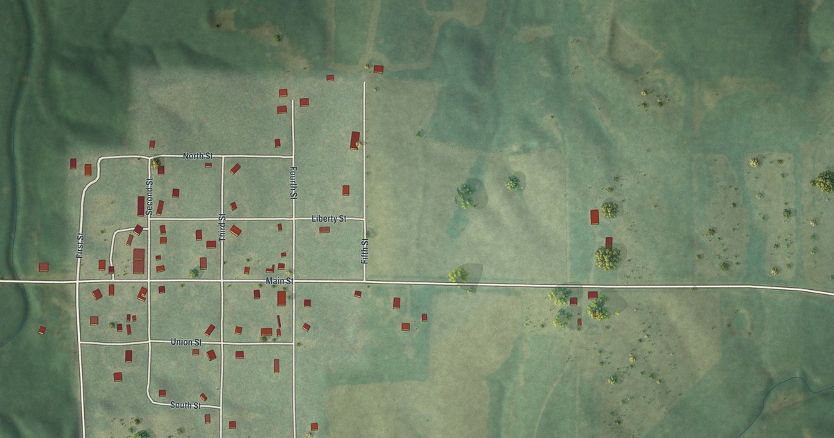
A detailed map of Dawn, Missouri, showing every building in its true location, the roads by name, and shaded topographical relief.
Read More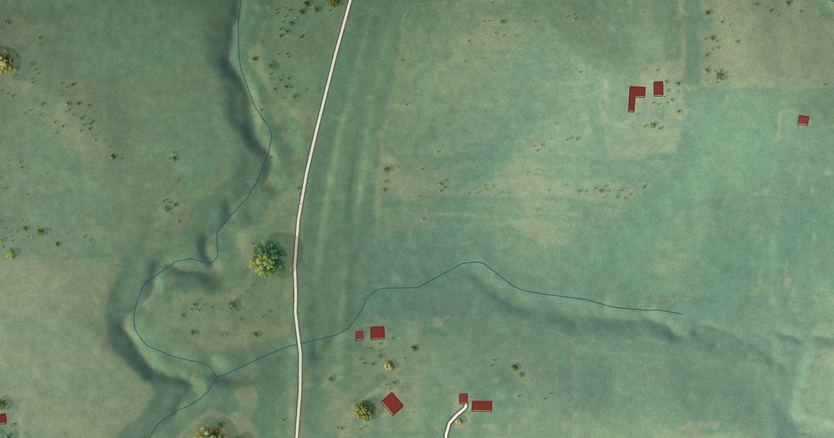
A detailed map of Faucett, Missouri, showing every building in its true location, the roads by name, and shaded topographical relief.
Read More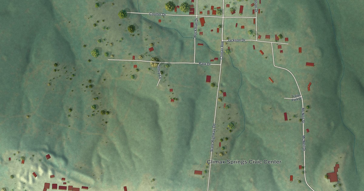
A detailed map of Climax Springs, Missouri, showing every building in its true location, the roads by name, and shaded topographical relief.
Read More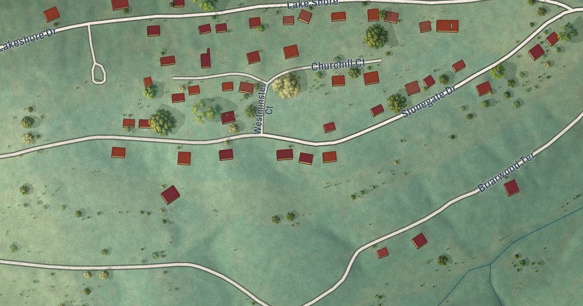
A detailed map of Briarwood Estates, Missouri, showing every building in its true location, the roads by name, and shaded topographical relief.
Read More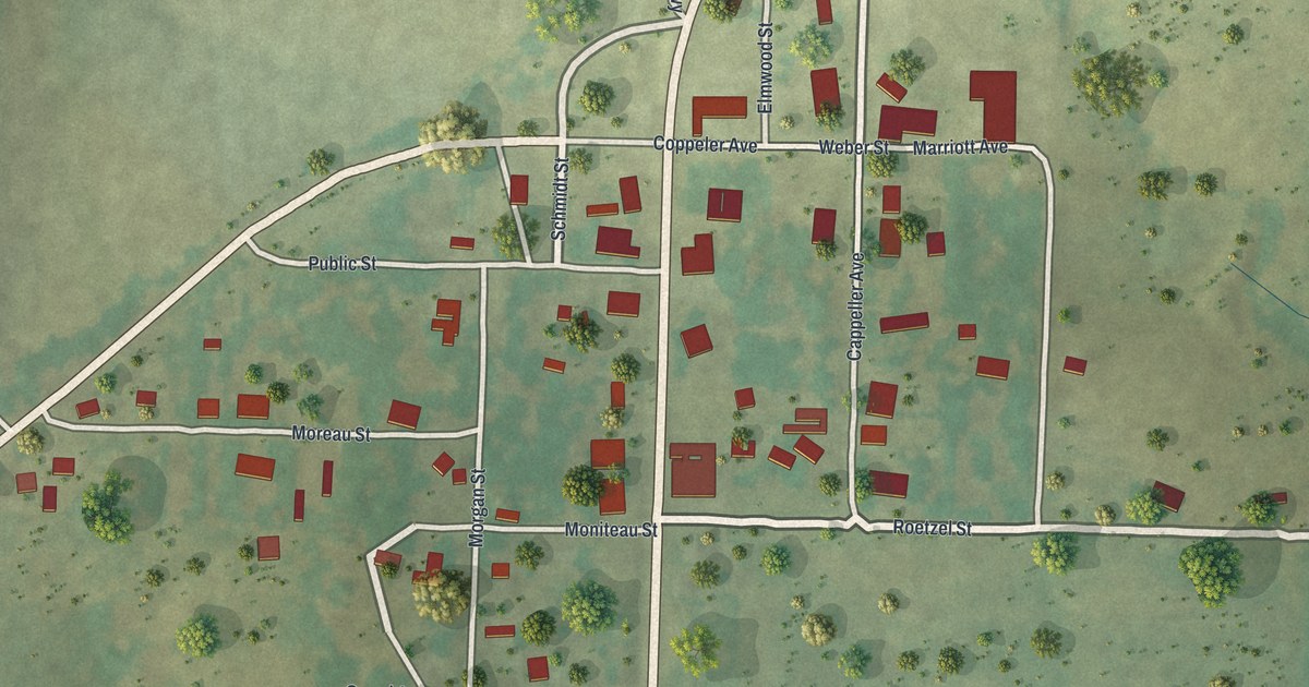
A detailed map of Fortuna, Missouri, showing every building in its true location, the roads by name, and shaded topographical relief.
Read More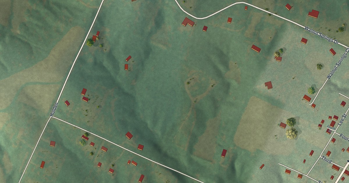
A detailed map of Defiance, Missouri, showing every building in its true location, the roads by name, and shaded topographical relief.
Read More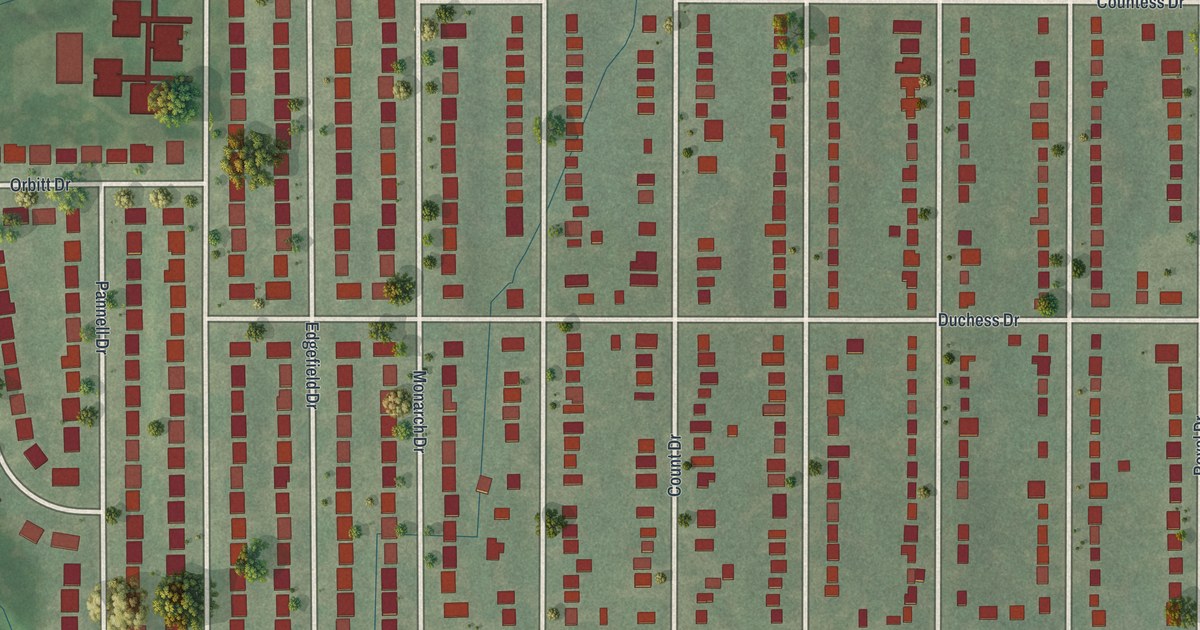
A detailed map of Castle Point, Missouri, showing every building in its true location, the roads by name, and shaded topographical relief.
Read More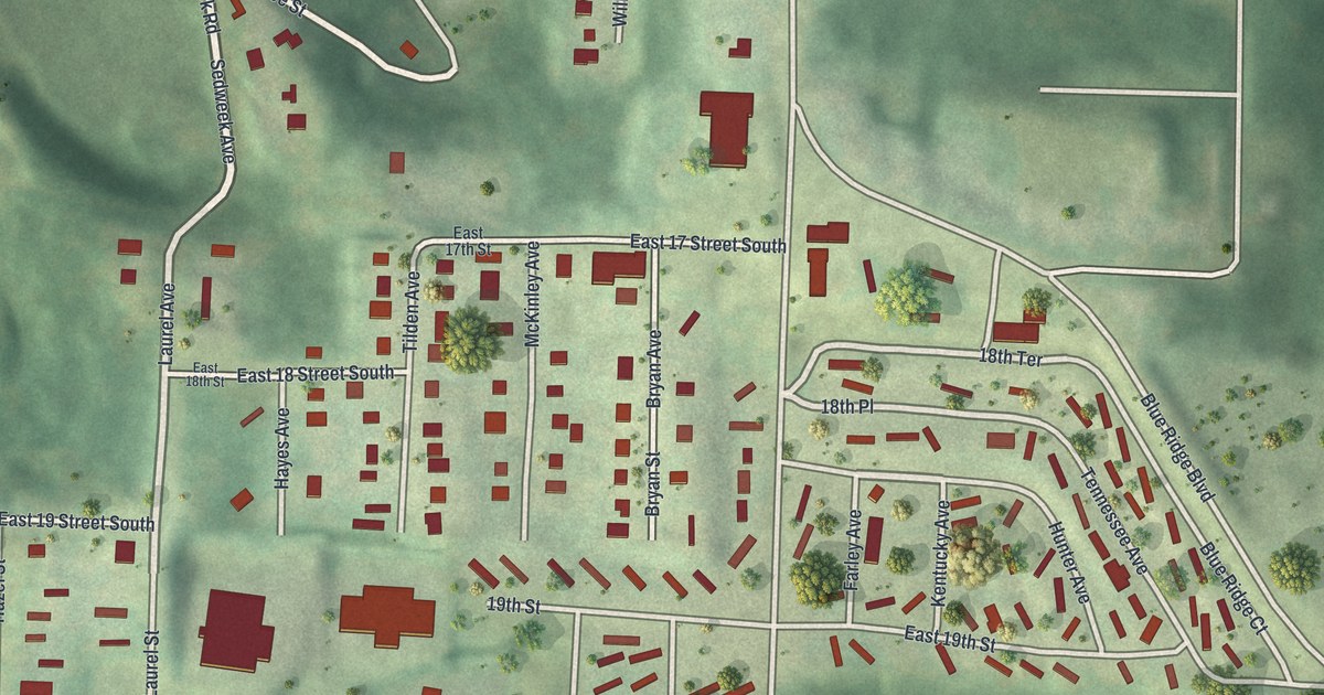
A detailed map of Blue Summit, Missouri, showing every building in its true location, the roads by name, and shaded topographical relief.
Read More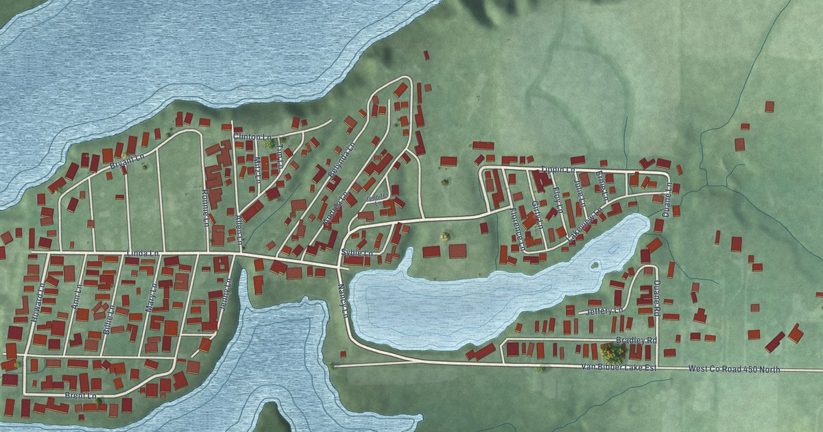
A detailed map of Van Bibber Lake, Indiana, showing every building in its true location, the roads by name, and shaded topographical relief.
Read More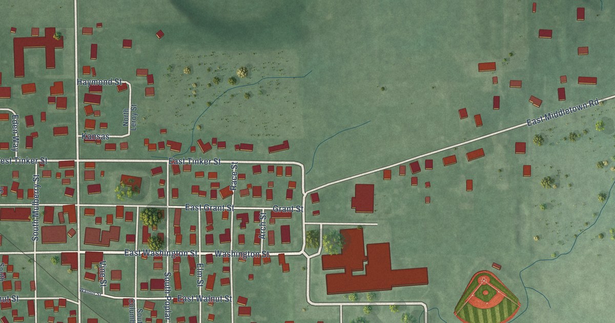
A detailed map of Waldron, Indiana, showing every building in its true location, the roads by name, and shaded topographical relief.
Read More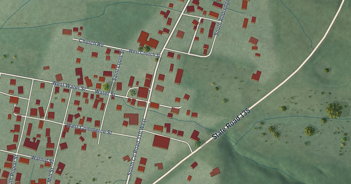
A detailed map of Vallonia, Indiana, showing every building in its true location, the roads by name, and shaded topographical relief.
Read More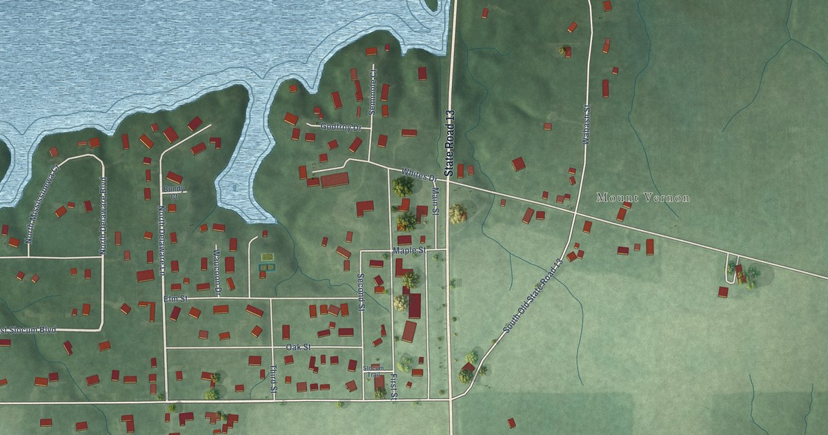
A detailed map of Somerset, Indiana, showing every building in its true location, the roads by name, and shaded topographical relief.
Read More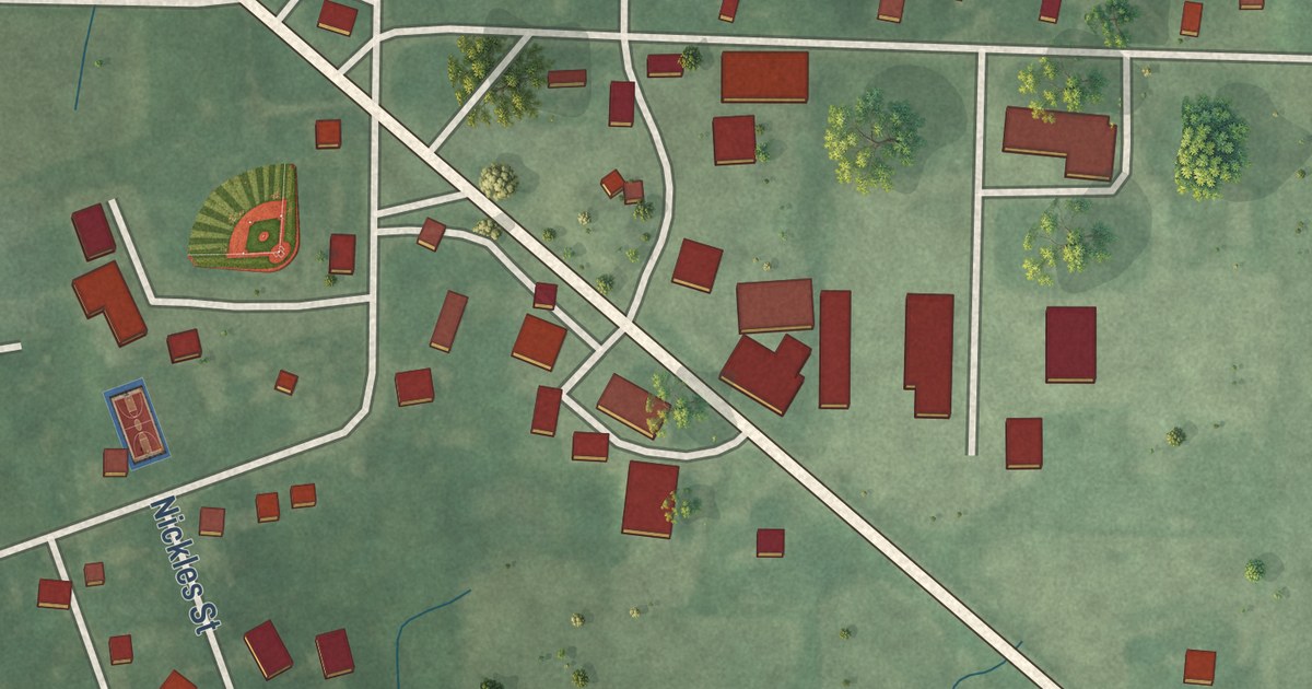
A detailed map of Star City, Indiana, showing every building in its true location, the roads by name, and shaded topographical relief.
Read More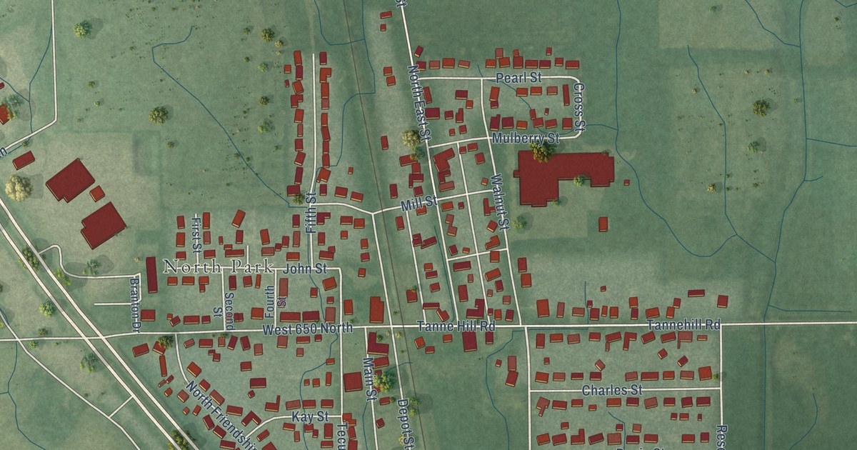
A detailed map of Taylorsville, Indiana, showing every building in its true location, the roads by name, and shaded topographical relief.
Read More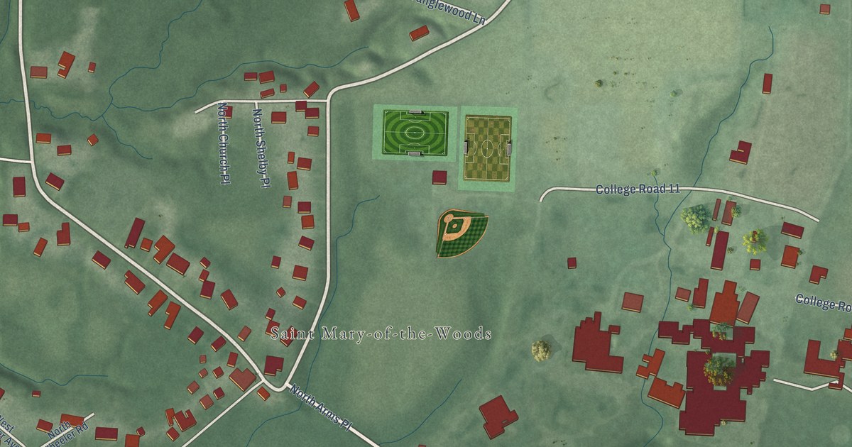
A detailed map of St. Mary of the Woods, Indiana, showing every building in its true location, the roads by name, and shaded topographical relief.
Read More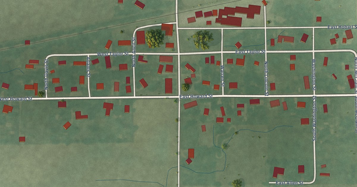
A detailed map of Sims, Indiana, showing every building in its true location, the roads by name, and shaded topographical relief.
Read More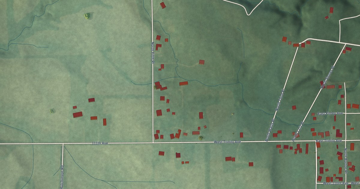
A detailed map of Shepardsville, Indiana, showing every building in its true location, the roads by name, and shaded topographical relief.
Read More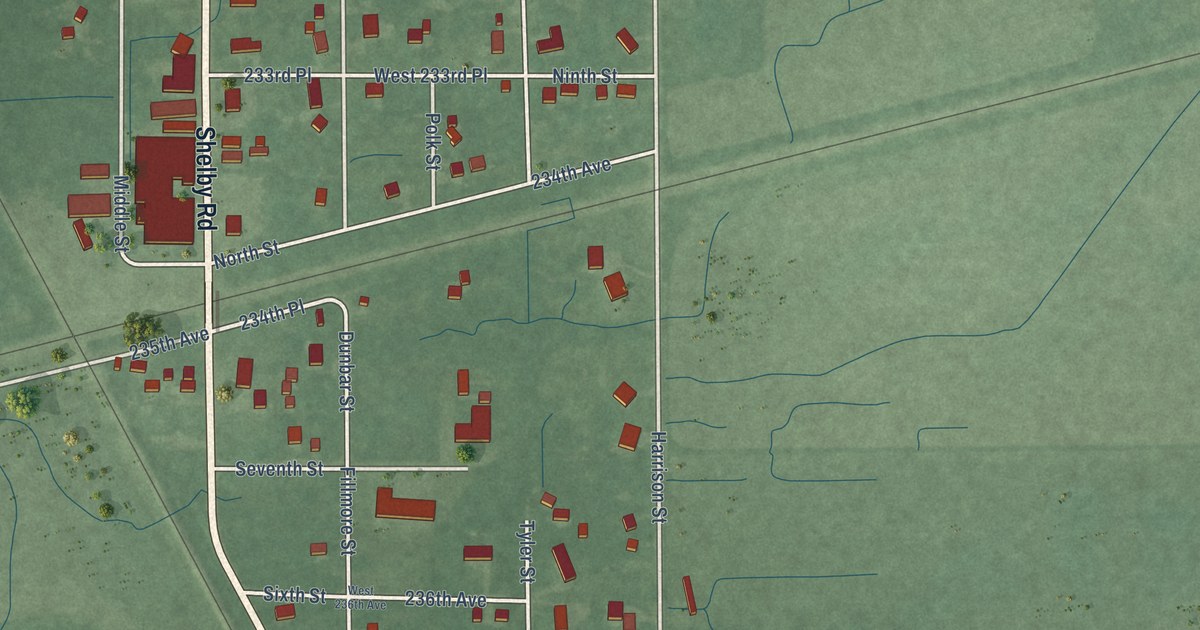
A detailed map of Shelby, Indiana, showing every building in its true location, the roads by name, and shaded topographical relief.
Read More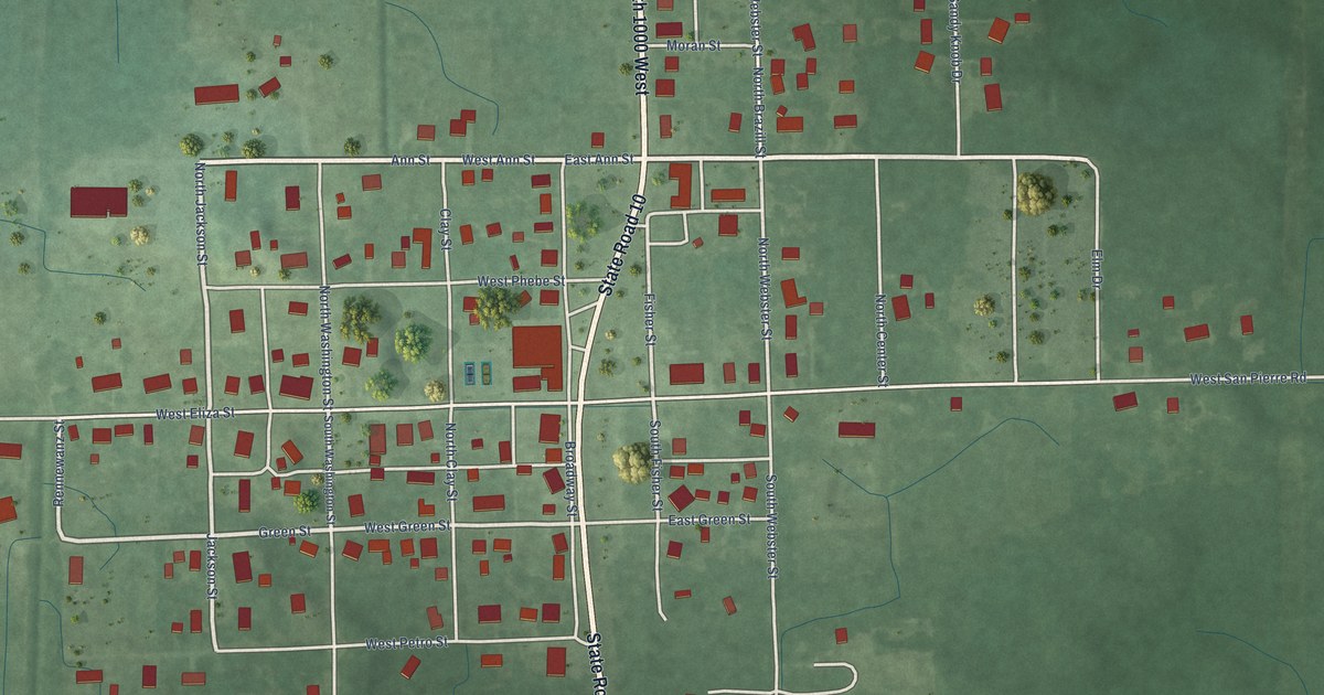
A detailed map of San Pierre, Indiana, showing every building in its true location, the roads by name, and shaded topographical relief.
Read More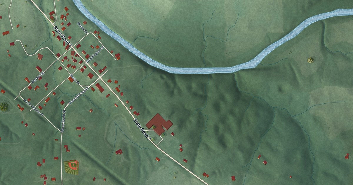
A detailed map of Scipio, Indiana, showing every building in its true location, the roads by name, and shaded topographical relief.
Read More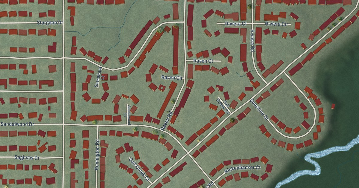
A detailed map of Salt Creek Commons, Indiana, showing every building in its true location, the roads by name, and shaded topographical relief.
Read More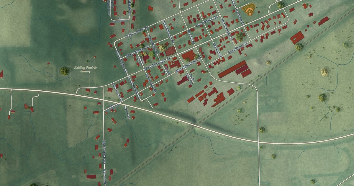
A detailed map of Rolling Prairie, Indiana, showing every building in its true location, the roads by name, and shaded topographical relief.
Read More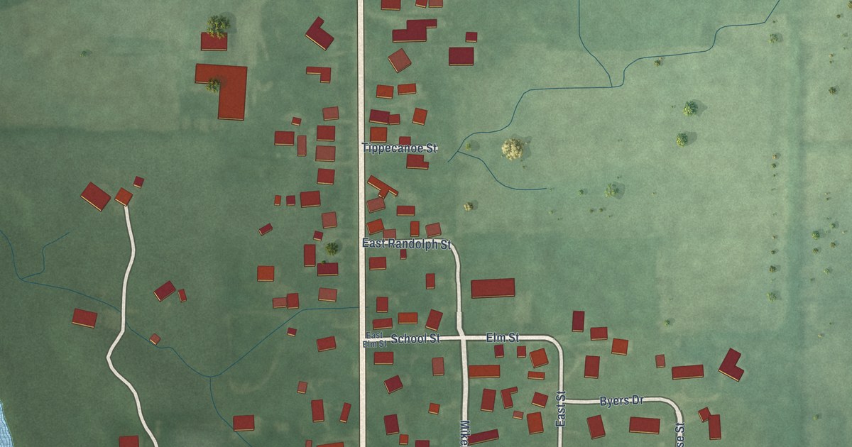
A detailed map of Romney, Indiana, showing every building in its true location, the roads by name, and shaded topographical relief.
Read More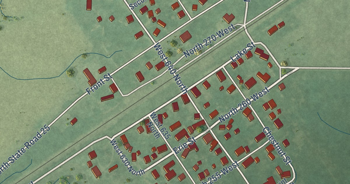
A detailed map of Rockfield, Indiana, showing every building in its true location, the roads by name, and shaded topographical relief.
Read More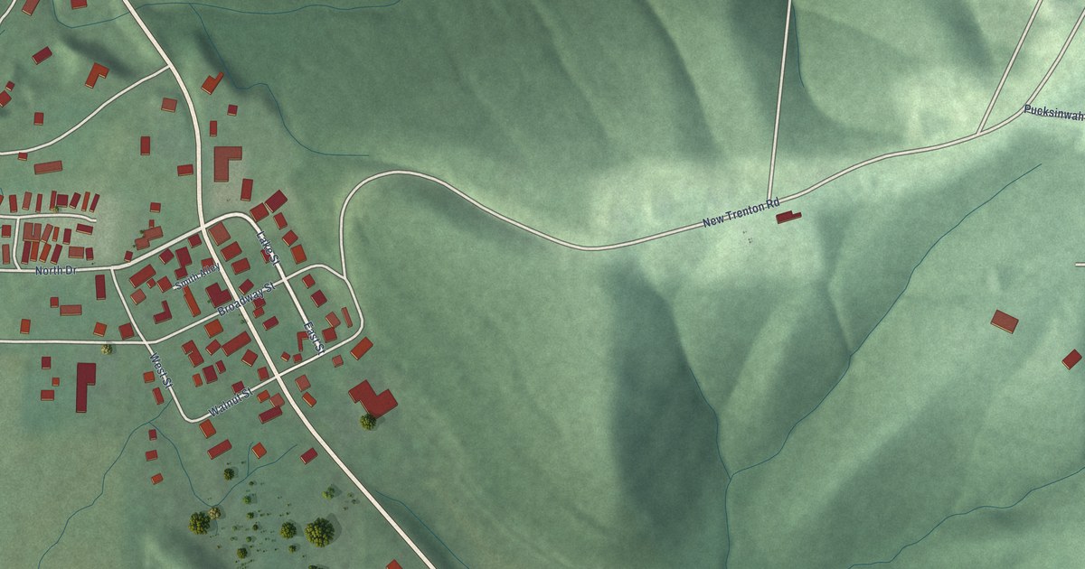
A detailed map of New Trenton, Indiana, showing every building in its true location, the roads by name, and shaded topographical relief.
Read More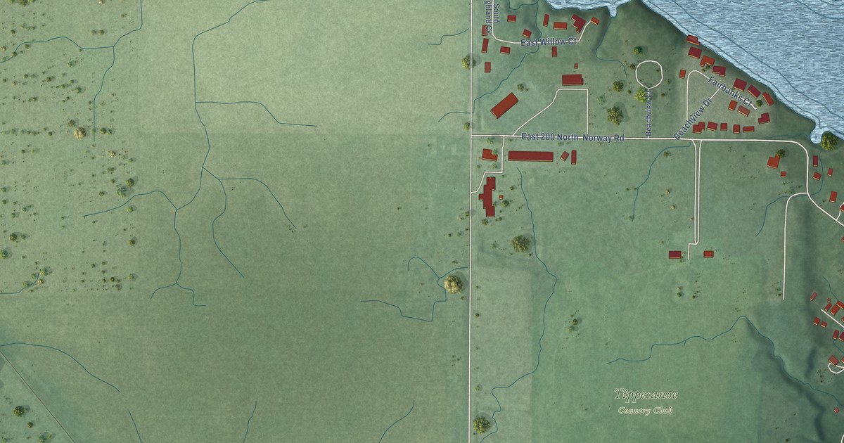
A detailed map of Norway, Indiana, showing every building in its true location, the roads by name, and shaded topographical relief.
Read More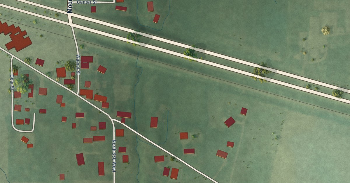
A detailed map of Montmorenci, Indiana, showing every building in its true location, the roads by name, and shaded topographical relief.
Read More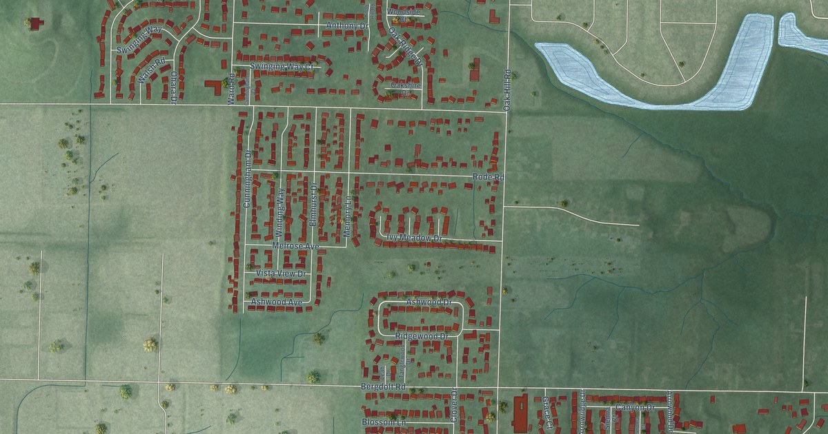
A detailed map of Melody Hill, Indiana, showing every building in its true location, the roads by name, and shaded topographical relief.
Read More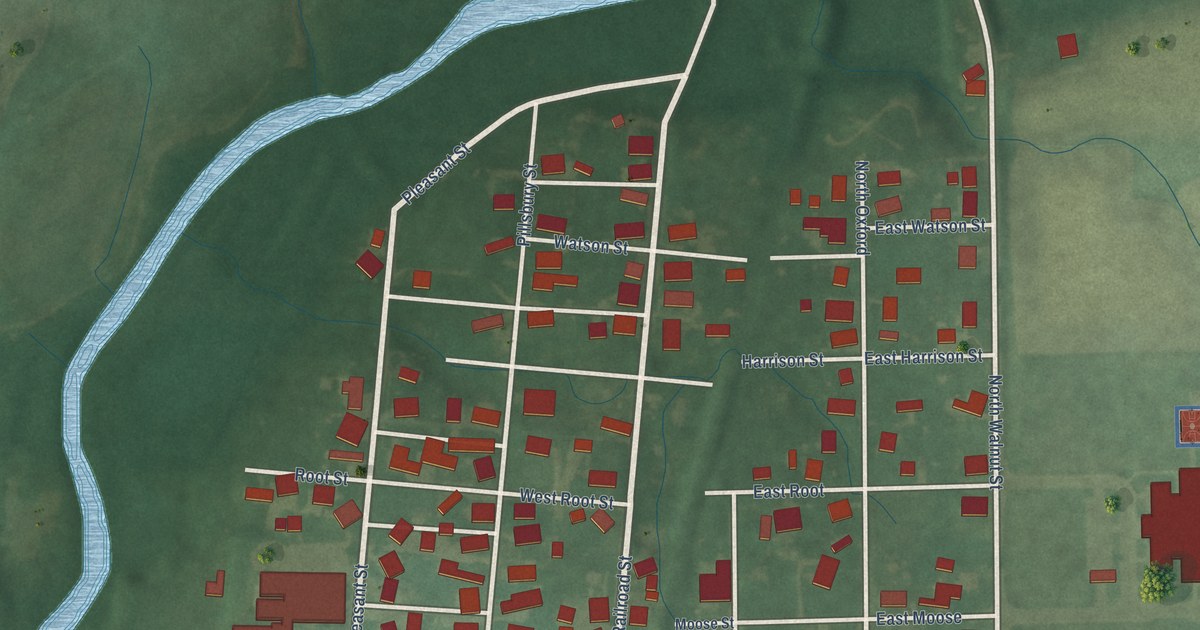
A detailed map of Milroy, Indiana, showing every building in its true location, the roads by name, and shaded topographical relief.
Read More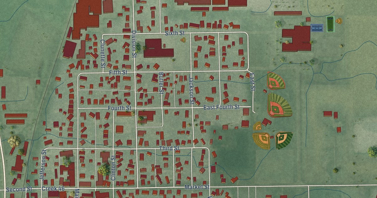
A detailed map of New Paris, Indiana, showing every building in its true location, the roads by name, and shaded topographical relief.
Read More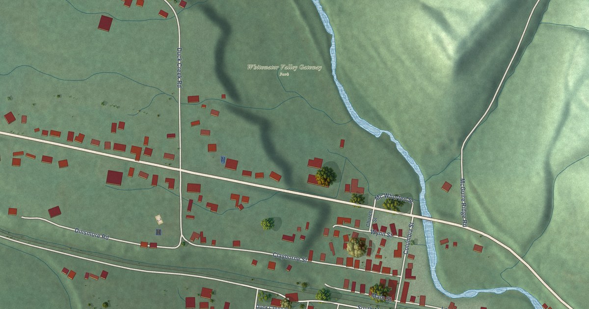
A detailed map of Metamora, Indiana, showing every building in its true location, the roads by name, and shaded topographical relief.
Read More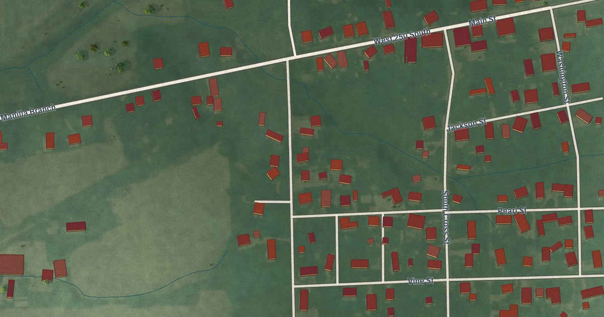
A detailed map of Manilla, Indiana, showing every building in its true location, the roads by name, and shaded topographical relief.
Read More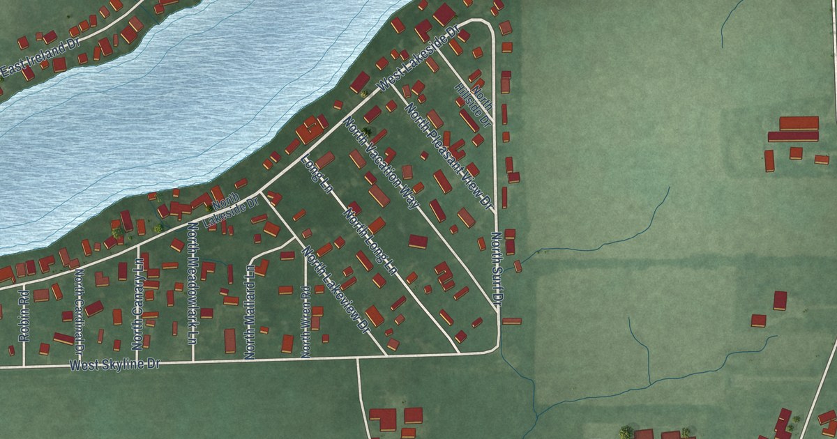
A detailed map of Laketon, Indiana, showing every building in its true location, the roads by name, and shaded topographical relief.
Read More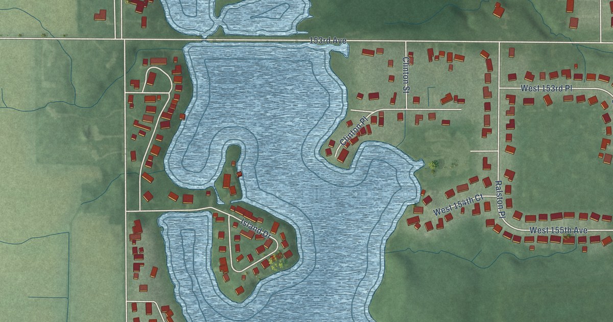
A detailed map of Lake Dalecarlia, Indiana, showing every building in its true location, the roads by name, and shaded topographical relief.
Read More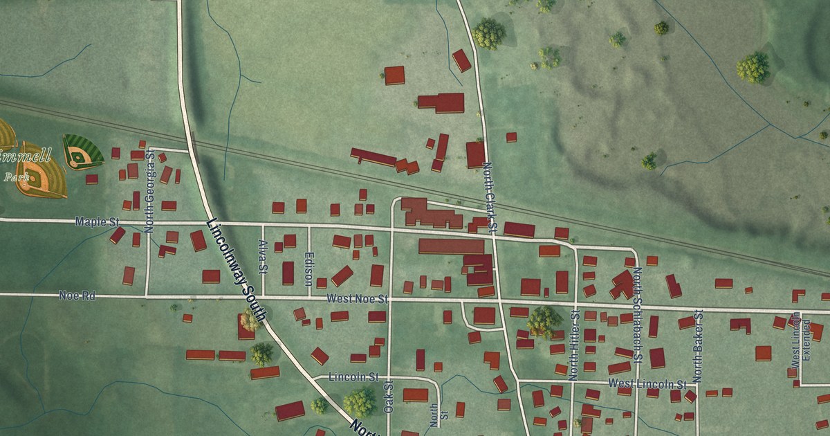
A detailed map of Kimmell, Indiana, showing every building in its true location, the roads by name, and shaded topographical relief.
Read More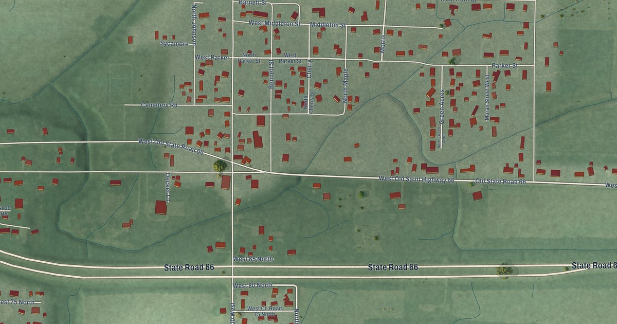
A detailed map of Hatfield, Indiana, showing every building in its true location, the roads by name, and shaded topographical relief.
Read More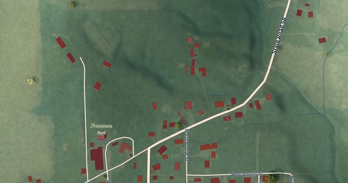
A detailed map of Freetown, Indiana, showing every building in its true location, the roads by name, and shaded topographical relief.
Read More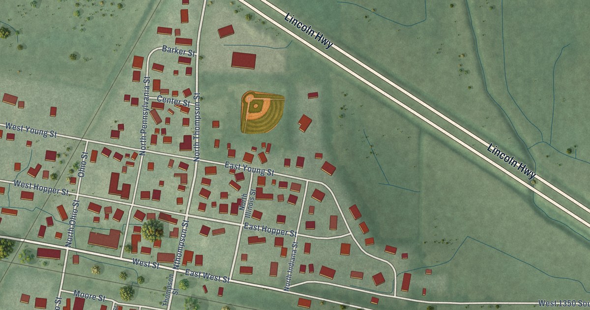
A detailed map of Hanna, Indiana, showing every building in its true location, the roads by name, and shaded topographical relief.
Read More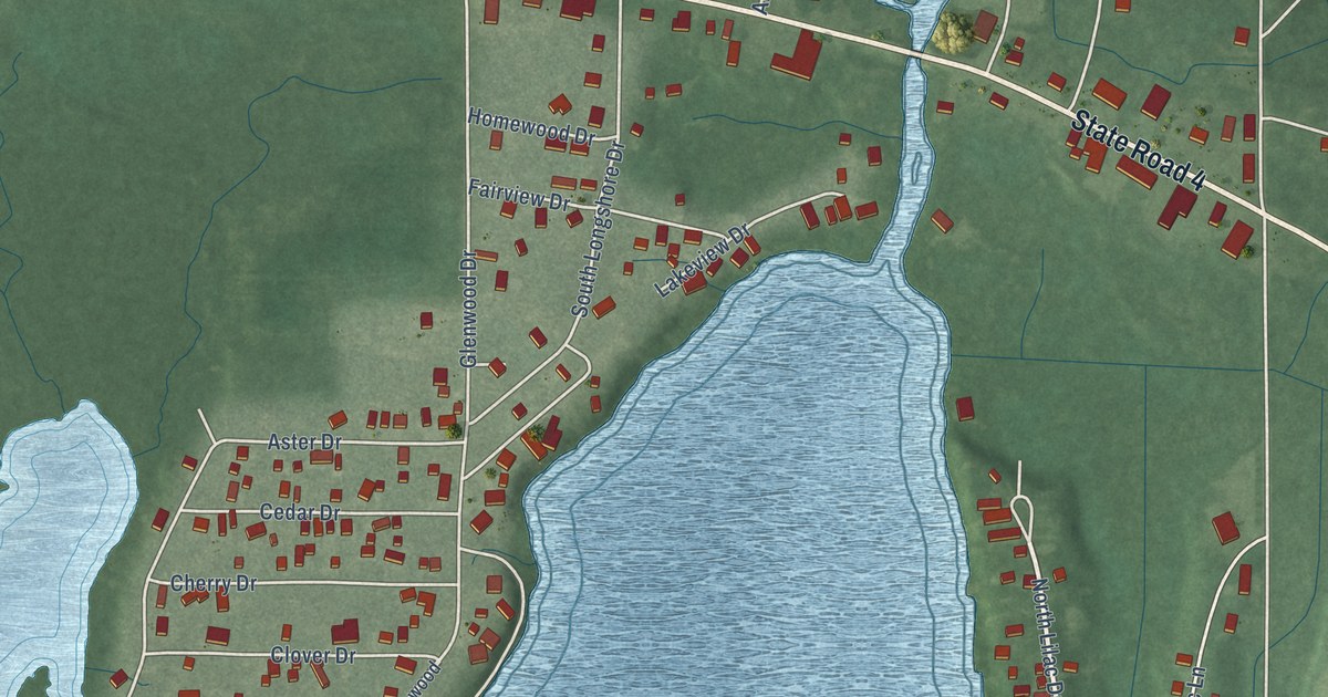
A detailed map of Fish Lake, Indiana, showing every building in its true location, the roads by name, and shaded topographical relief.
Read More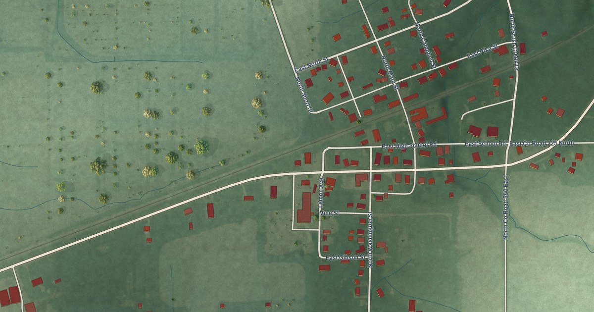
A detailed map of Butlerville, Indiana, showing every building in its true location, the roads by name, and shaded topographical relief.
Read More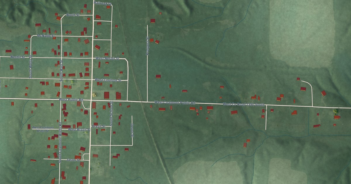
A detailed map of Coalmont, Indiana, showing every building in its true location, the roads by name, and shaded topographical relief.
Read More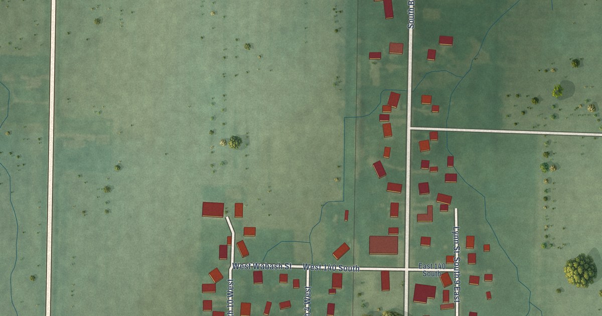
A detailed map of Bringhurst, Indiana, showing every building in its true location, the roads by name, and shaded topographical relief.
Read More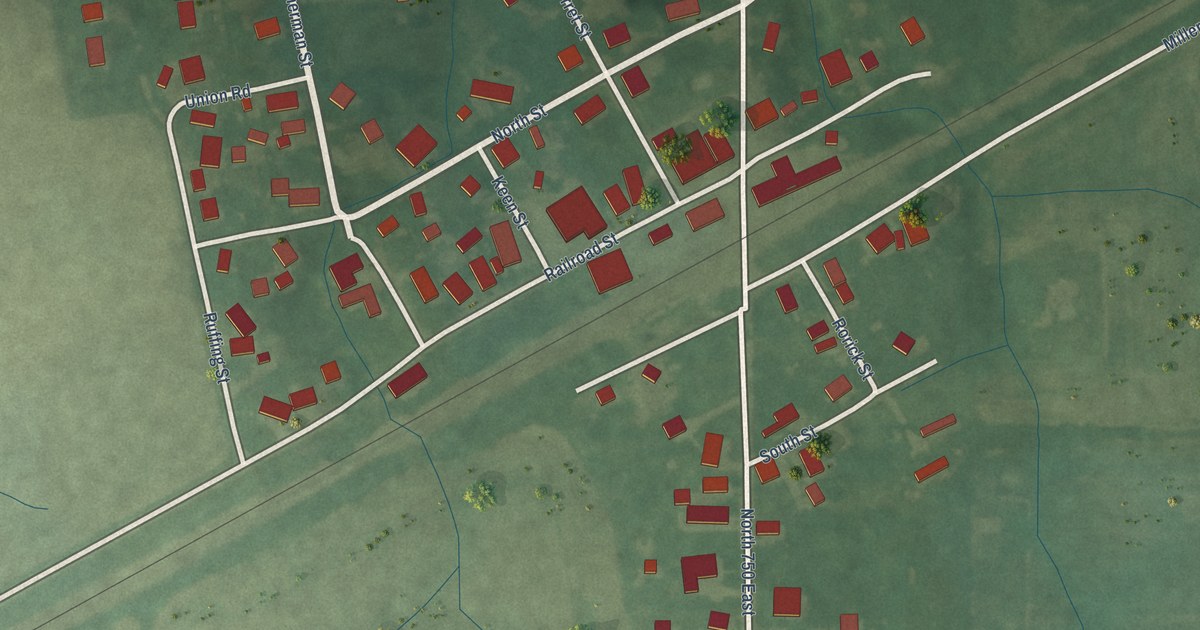
A detailed map of Buck Creek, Indiana, showing every building in its true location, the roads by name, and shaded topographical relief.
Read More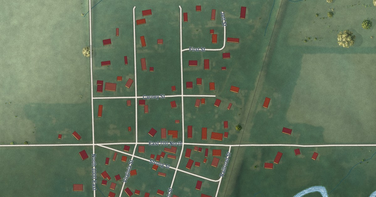
A detailed map of Colburn, Indiana, showing every building in its true location, the roads by name, and shaded topographical relief.
Read More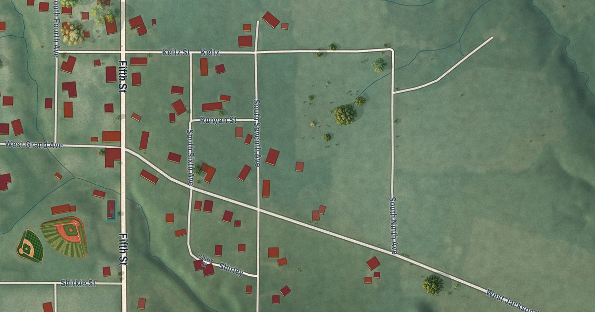
A detailed map of Blanford, Indiana, showing every building in its true location, the roads by name, and shaded topographical relief.
Read More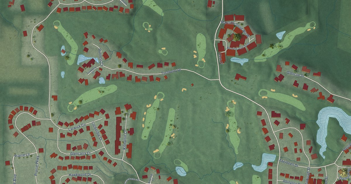
A detailed map of Aberdeen, Indiana, showing every building in its true location, the roads by name, and shaded topographical relief.
Read More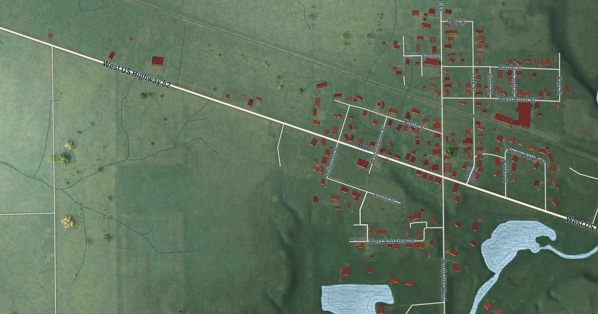
A detailed map of Arlington, Indiana, showing every building in its true location, the roads by name, and shaded topographical relief.
Read More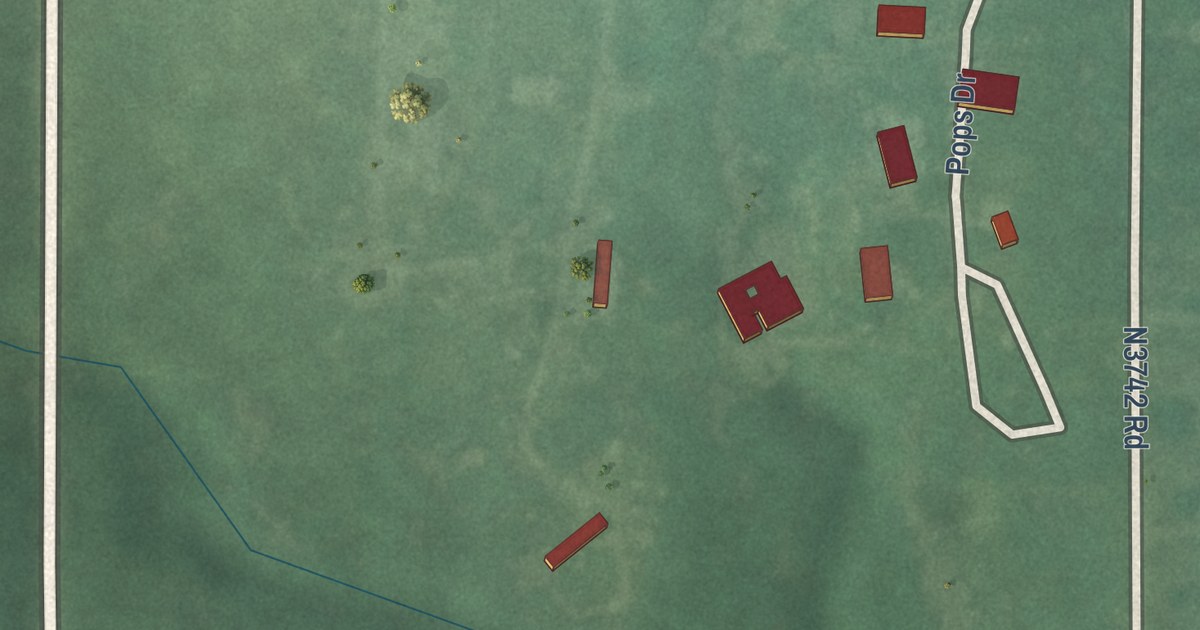
A detailed map of Oak Grove, Oklahoma, showing every building in its true location, the roads by name, and shaded topographical relief.
Read More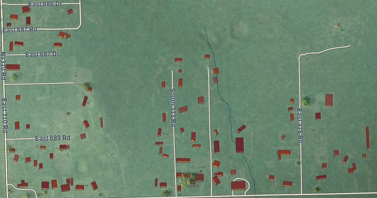
A detailed map of Rocky Point, Oklahoma, showing every building in its true location, the roads by name, and shaded topographical relief.
Read More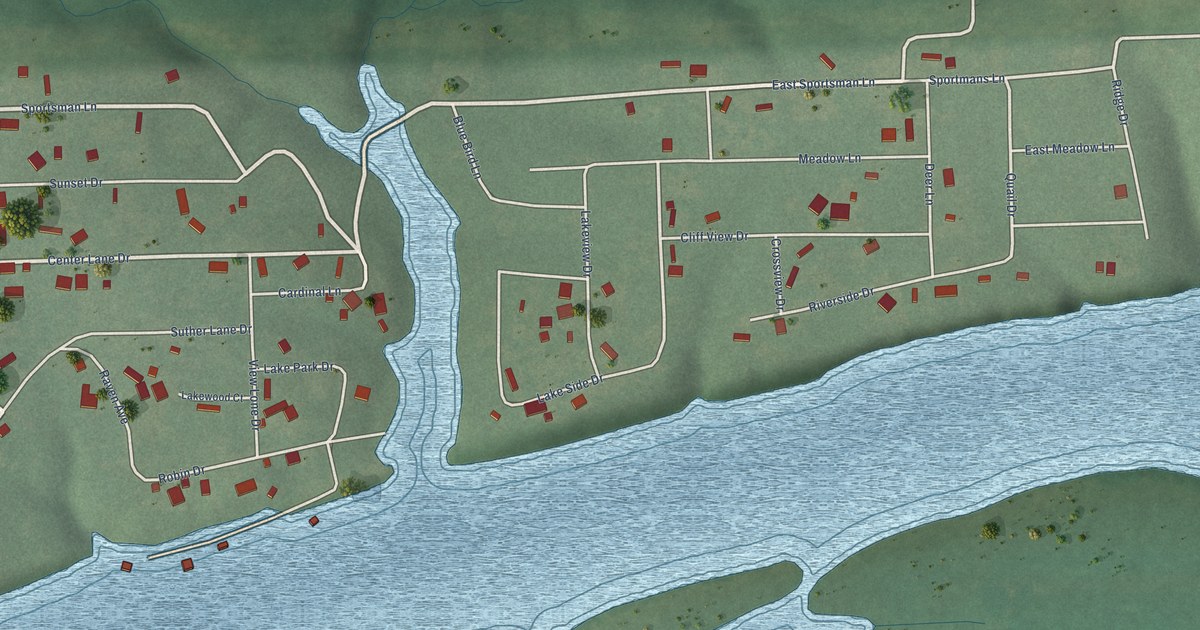
A detailed map of Sportmans Shores, Oklahoma, showing every building in its true location, the roads by name, and shaded topographical relief.
Read More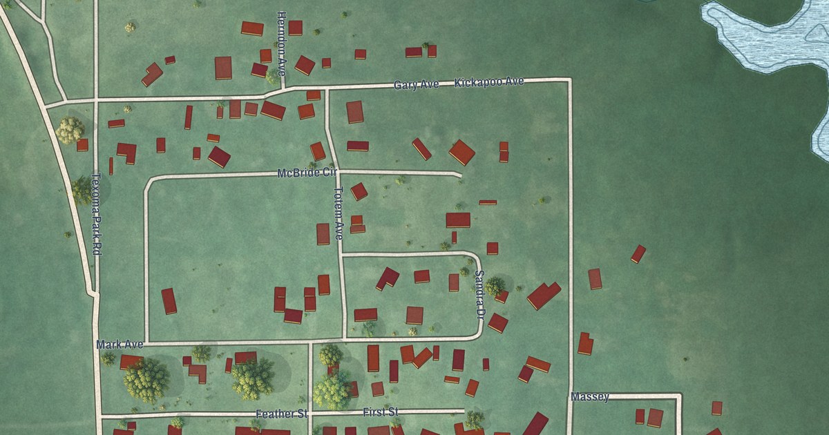
A detailed map of McBride, Oklahoma, showing every building in its true location, the roads by name, and shaded topographical relief.
Read More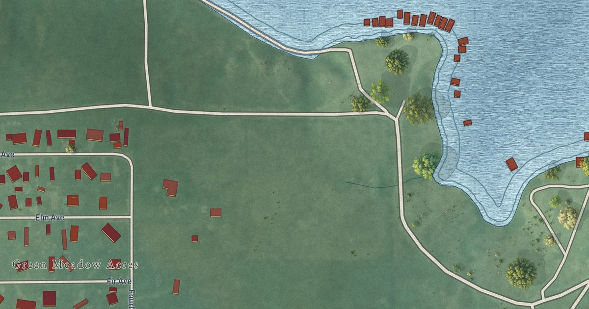
A detailed map of Lakeside Village, Oklahoma, showing every building in its true location, the roads by name, and shaded topographical relief.
Read More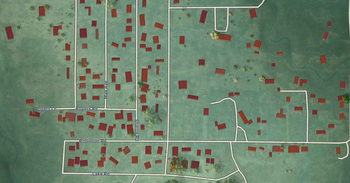
A detailed map of Lawtonka Acres, Oklahoma, showing every building in its true location, the roads by name, and shaded topographical relief.
Read More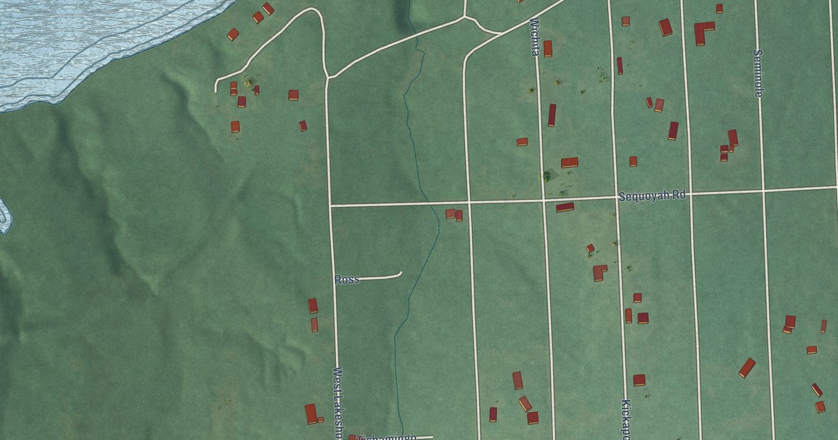
A detailed map of Canadian Shores, Oklahoma, showing every building in its true location, the roads by name, and shaded topographical relief.
Read More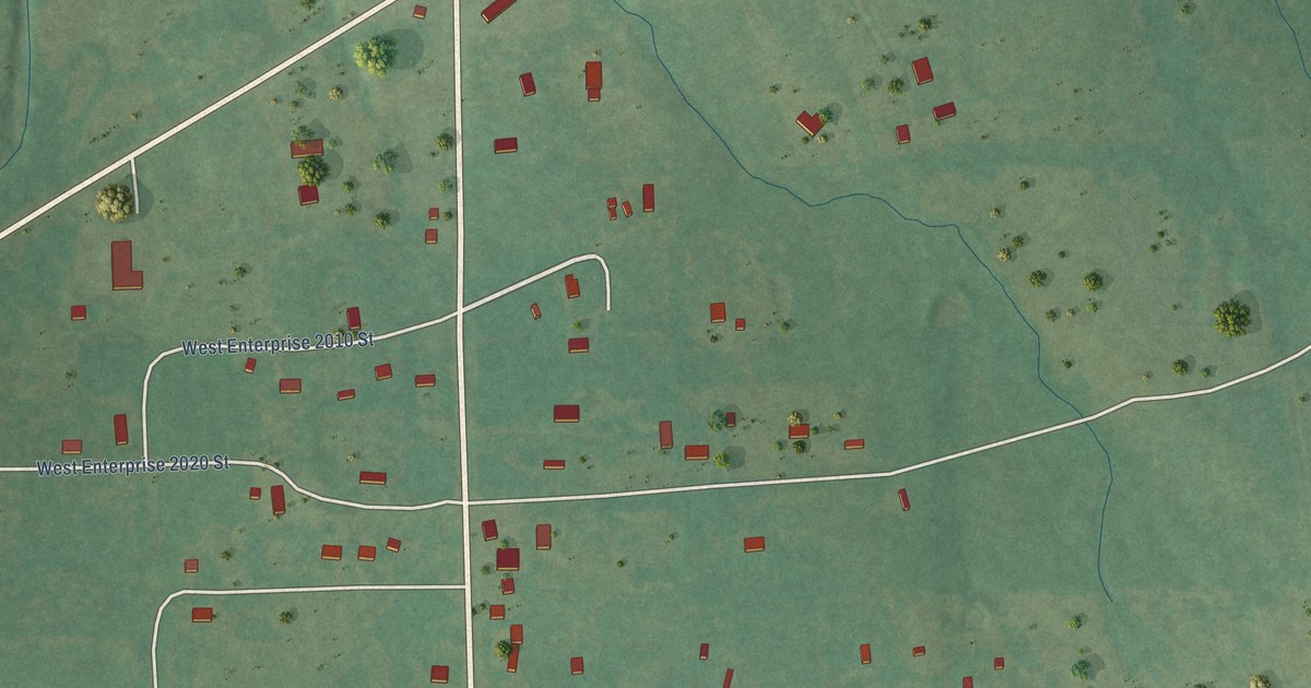
A detailed map of Enterprise, Oklahoma, showing every building in its true location, the roads by name, and shaded topographical relief.
Read More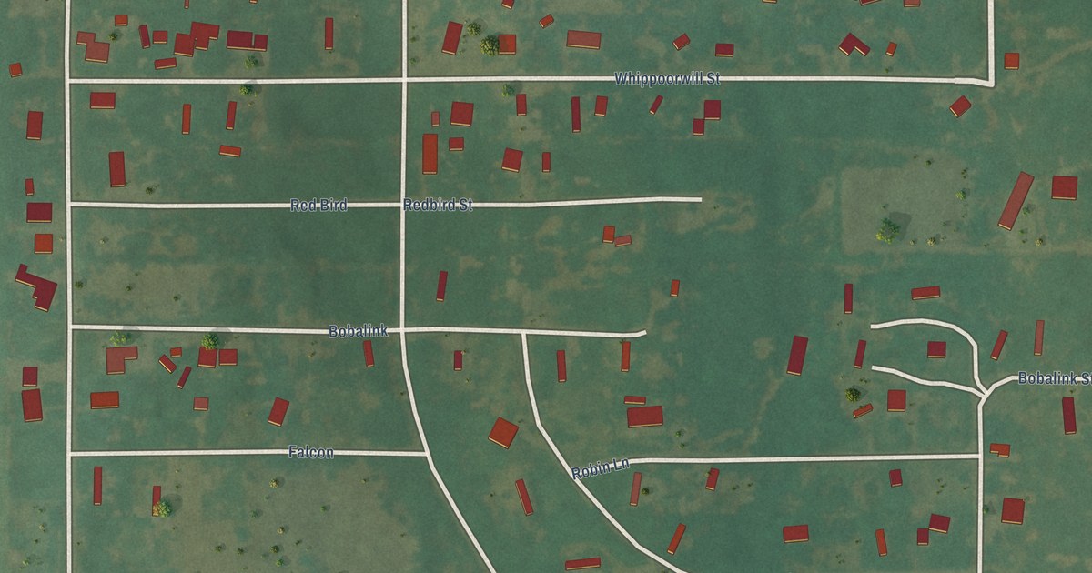
A detailed map of Lake Ellsworth Addition, Oklahoma, showing every building in its true location, the roads by name, and shaded topographical relief.
Read More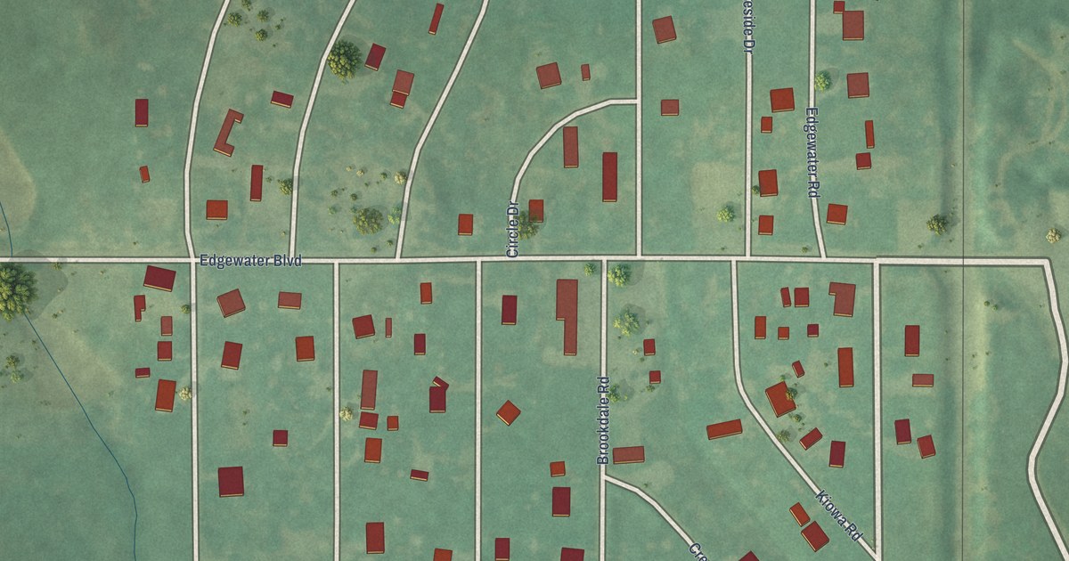
A detailed map of Edgewater Park, Oklahoma, showing every building in its true location, the roads by name, and shaded topographical relief.
Read More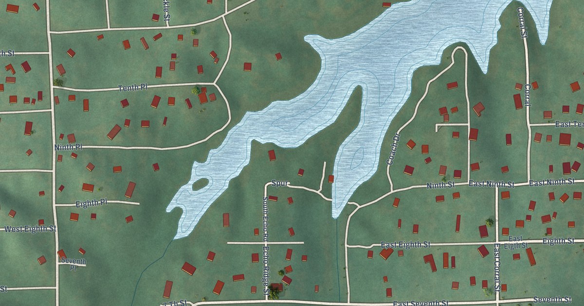
A detailed map of Cedar Lake, Oklahoma, showing every building in its true location, the roads by name, and shaded topographical relief.
Read More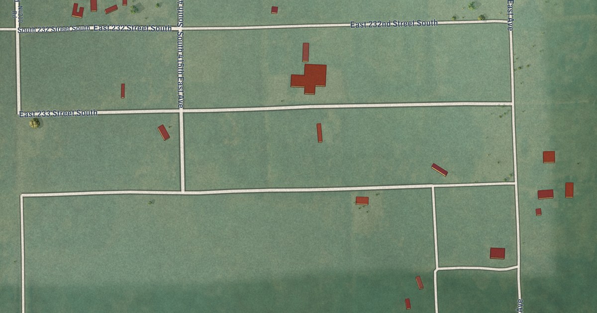
A detailed map of Clarksville, Oklahoma, showing every building in its true location, the roads by name, and shaded topographical relief.
Read More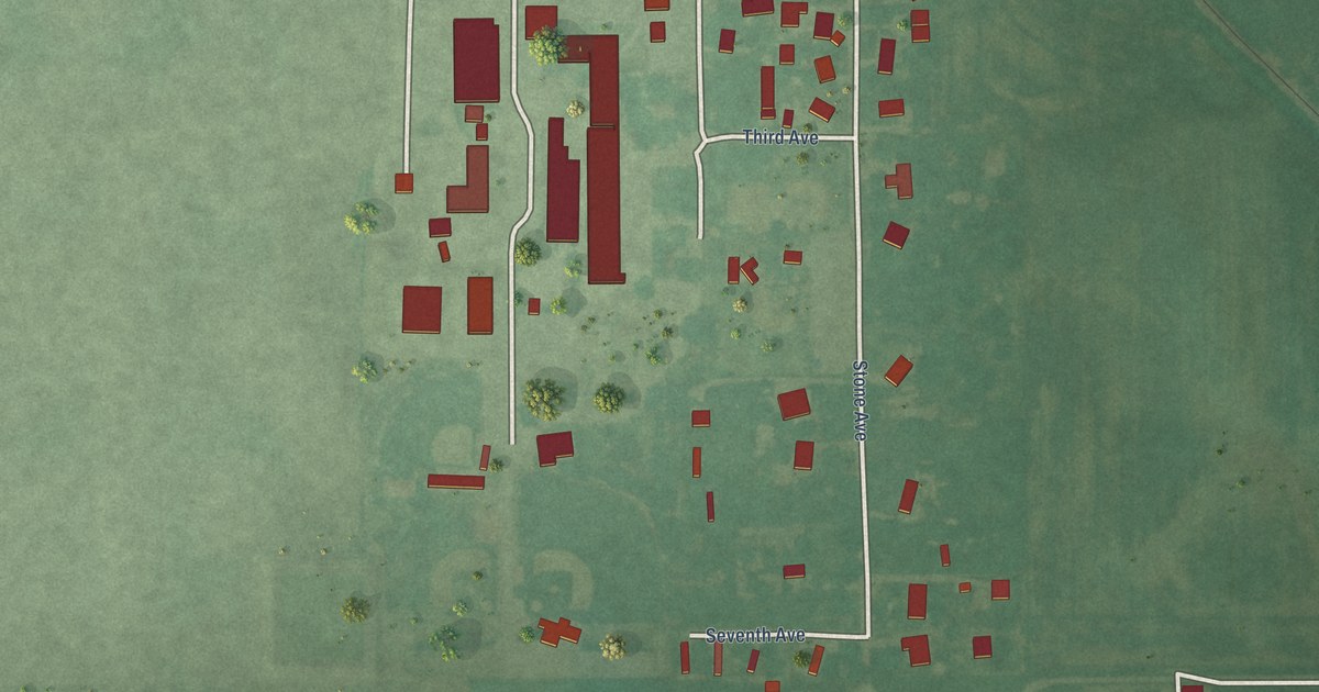
A detailed map of Dale, Oklahoma, showing every building in its true location, the roads by name, and shaded topographical relief.
Read More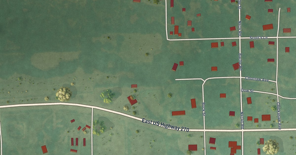
A detailed map of Bache, Oklahoma, showing every building in its true location, the roads by name, and shaded topographical relief.
Read More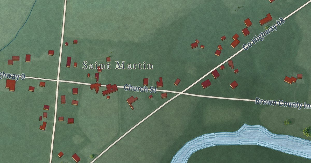
A detailed map of St. Martin, Ohio, showing every building in its true location, the roads by name, and shaded topographical relief.
Read More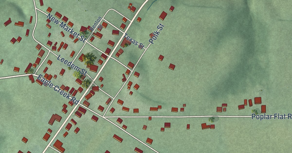
A detailed map of Bentonville, Ohio, showing every building in its true location, the roads by name, and shaded topographical relief.
Read More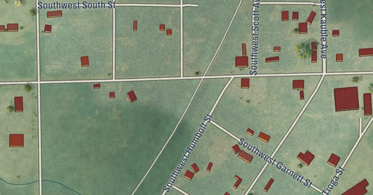
A detailed map of Welda, Kansas, showing every building in its true location, the roads by name, and shaded topographical relief.
Read More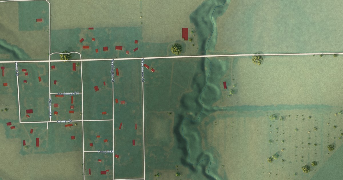
A detailed map of Wabaunsee, Kansas, showing every building in its true location, the roads by name, and shaded topographical relief.
Read More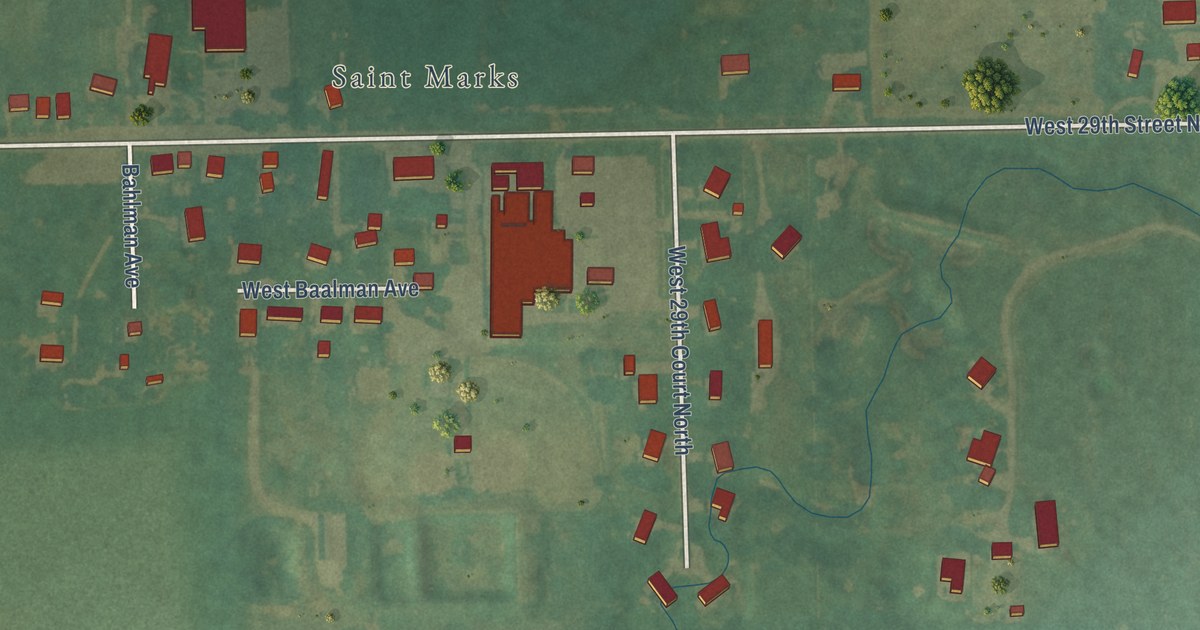
A detailed map of St. Marks, Kansas, showing every building in its true location, the roads by name, and shaded topographical relief.
Read More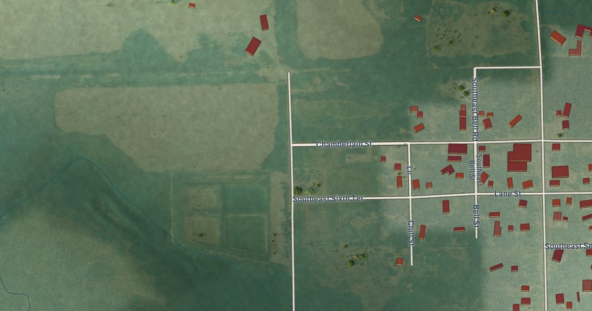
A detailed map of Rosalia, Kansas, showing every building in its true location, the roads by name, and shaded topographical relief.
Read More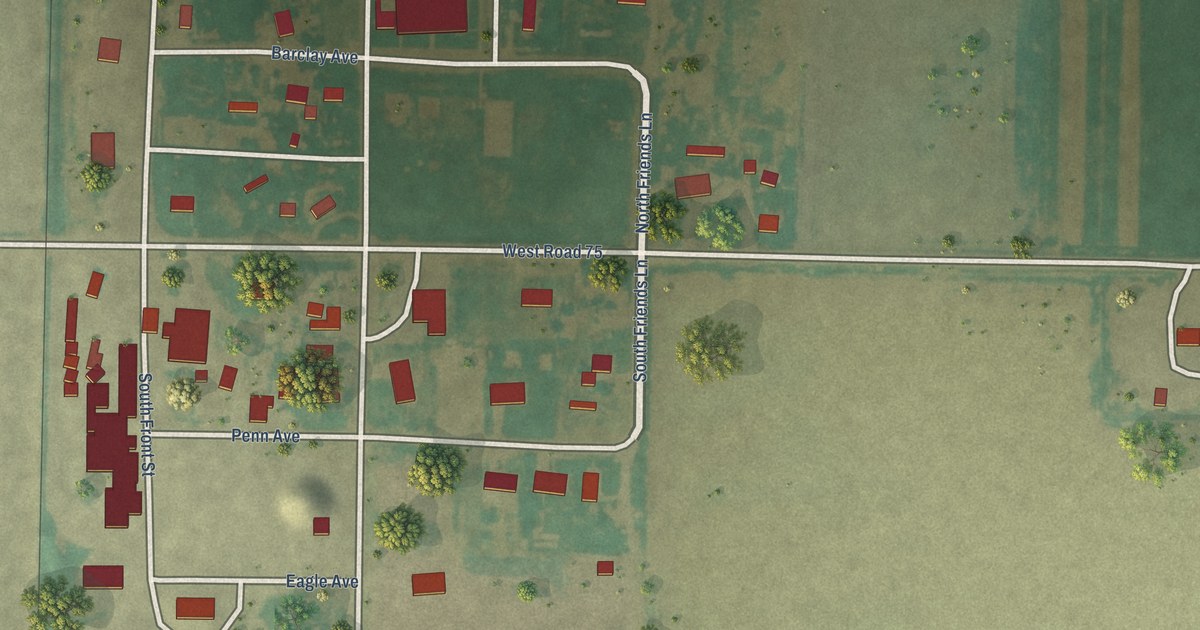
A detailed map of Shallow Water, Kansas, showing every building in its true location, the roads by name, and shaded topographical relief.
Read More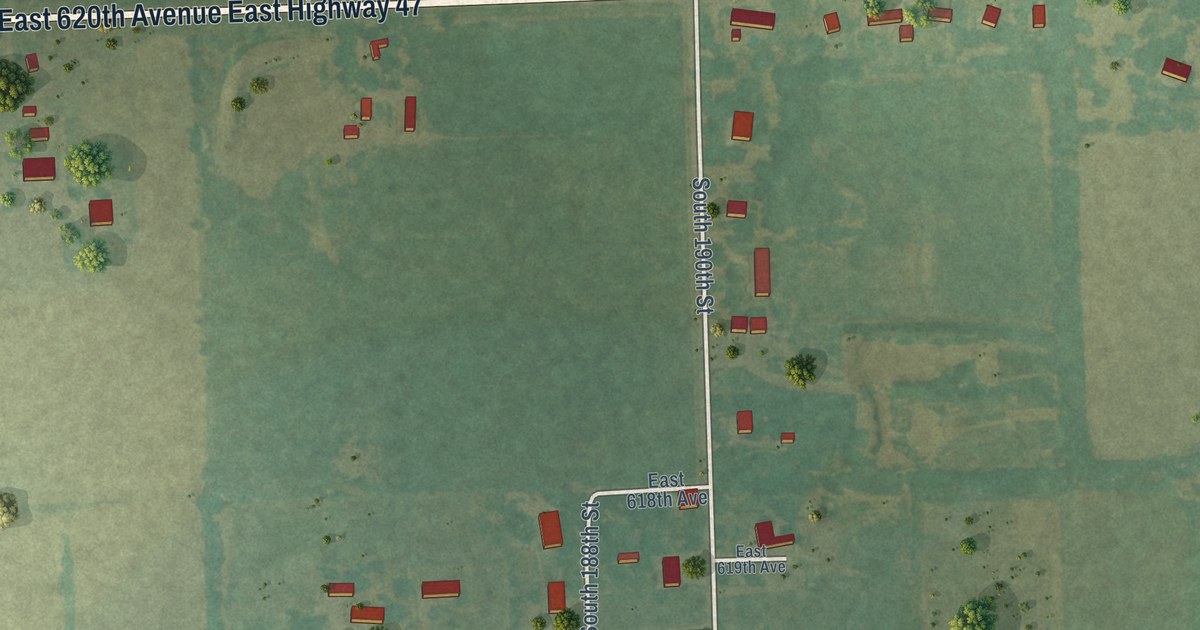
A detailed map of Ringo, Kansas, showing every building in its true location, the roads by name, and shaded topographical relief.
Read More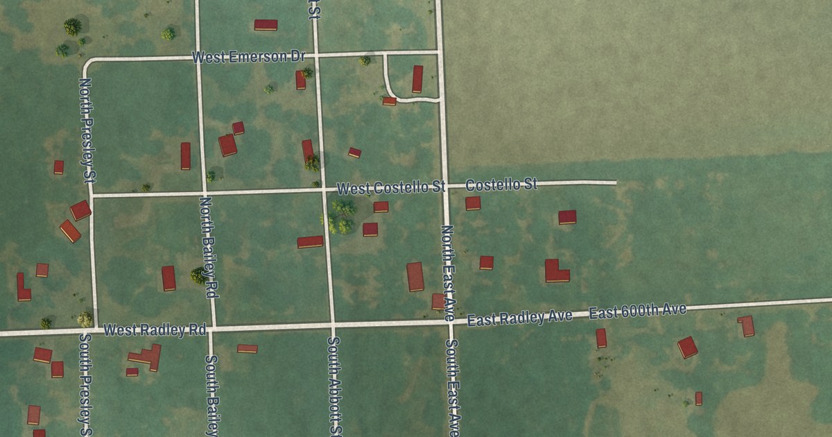
A detailed map of Radley, Kansas, showing every building in its true location, the roads by name, and shaded topographical relief.
Read More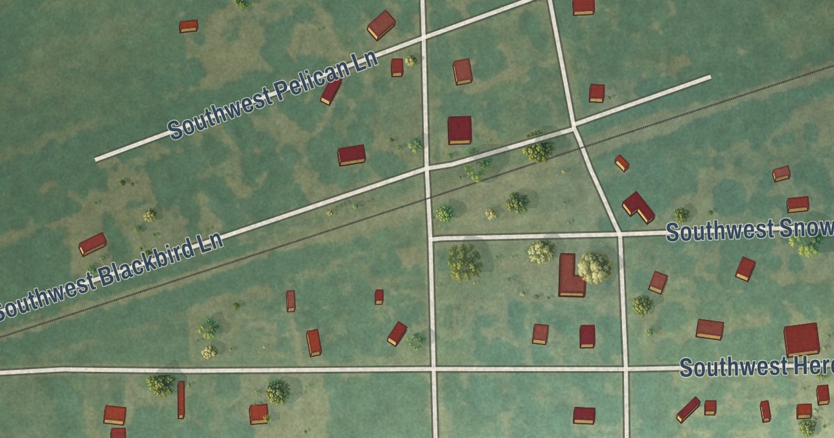
A detailed map of Hallowell, Kansas, showing every building in its true location, the roads by name, and shaded topographical relief.
Read More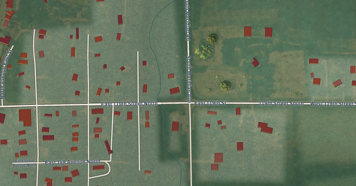
A detailed map of Peck, Kansas, showing every building in its true location, the roads by name, and shaded topographical relief.
Read More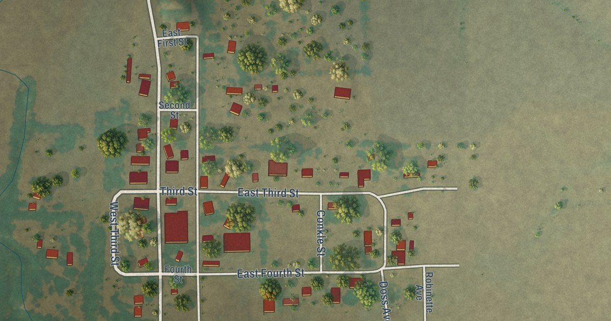
A detailed map of Falun, Kansas, showing every building in its true location, the roads by name, and shaded topographical relief.
Read More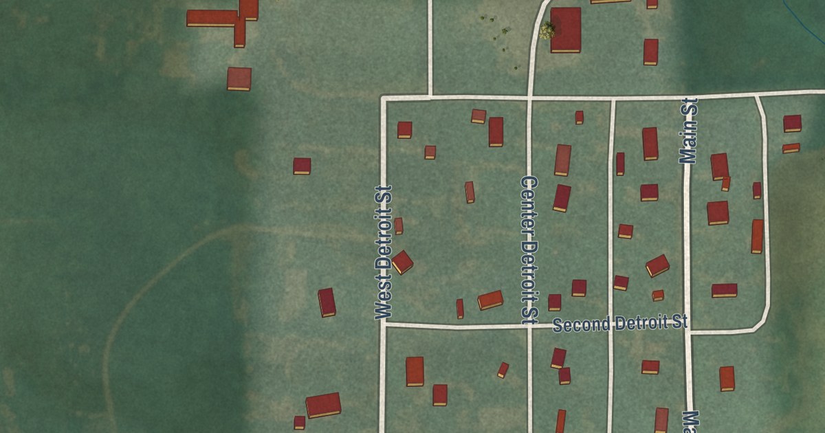
A detailed map of Detroit, Kansas, showing every building in its true location, the roads by name, and shaded topographical relief.
Read More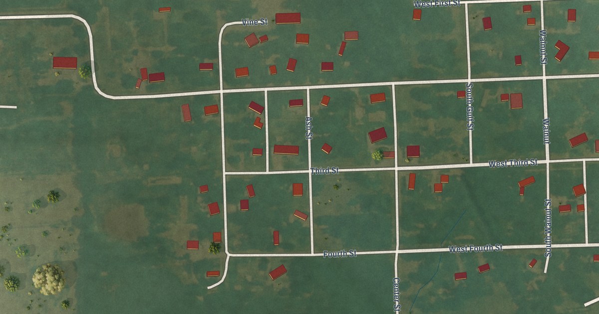
A detailed map of Opolis, Kansas, showing every building in its true location, the roads by name, and shaded topographical relief.
Read More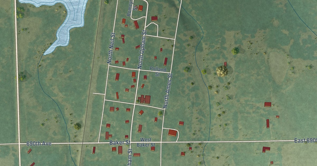
A detailed map of Farlington, Kansas, showing every building in its true location, the roads by name, and shaded topographical relief.
Read More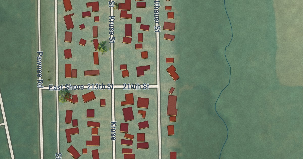
A detailed map of Eastshore, Kansas, showing every building in its true location, the roads by name, and shaded topographical relief.
Read More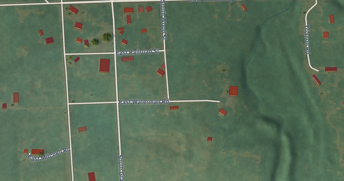
A detailed map of Croweburg, Kansas, showing every building in its true location, the roads by name, and shaded topographical relief.
Read More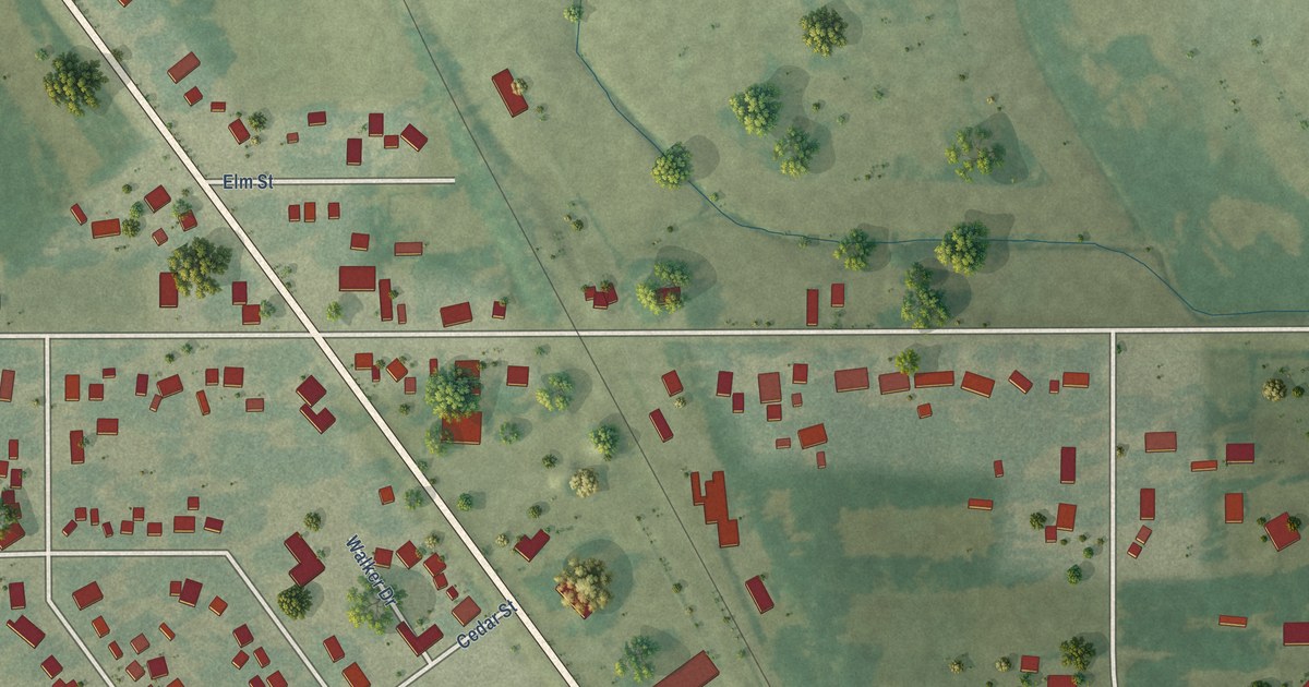
A detailed map of Washburn, Iowa, showing every building in its true location, the roads by name, and shaded topographical relief.
Read More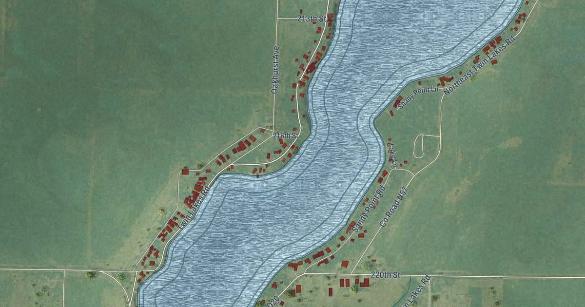
A detailed map of Twin Lakes, Iowa, showing every building in its true location, the roads by name, and shaded topographical relief.
Read More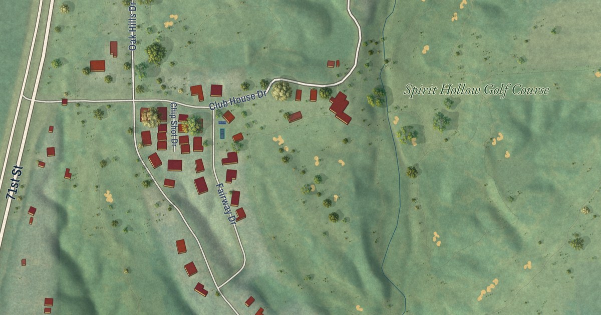
A detailed map of Oak Hills, Iowa, showing every building in its true location, the roads by name, and shaded topographical relief.
Read More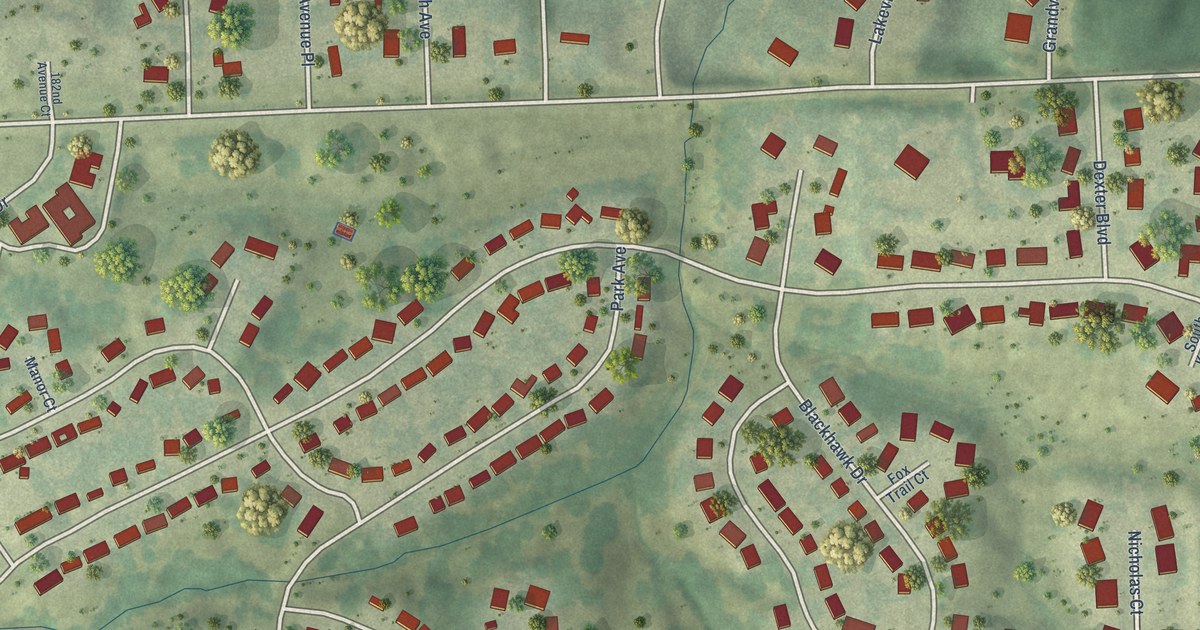
A detailed map of Park View, Iowa, showing every building in its true location, the roads by name, and shaded topographical relief.
Read More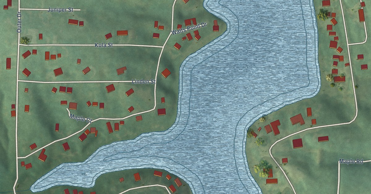
A detailed map of Diamondhead Lake, Iowa, showing every building in its true location, the roads by name, and shaded topographical relief.
Read More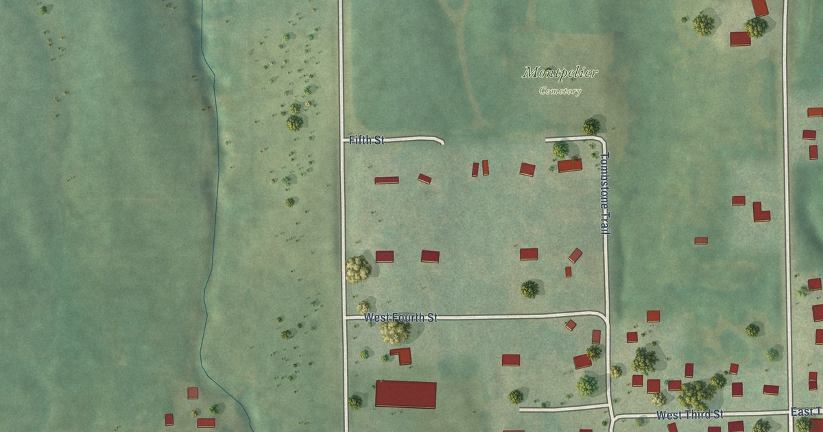
A detailed map of Montpelier, Iowa, showing every building in its true location, the roads by name, and shaded topographical relief.
Read More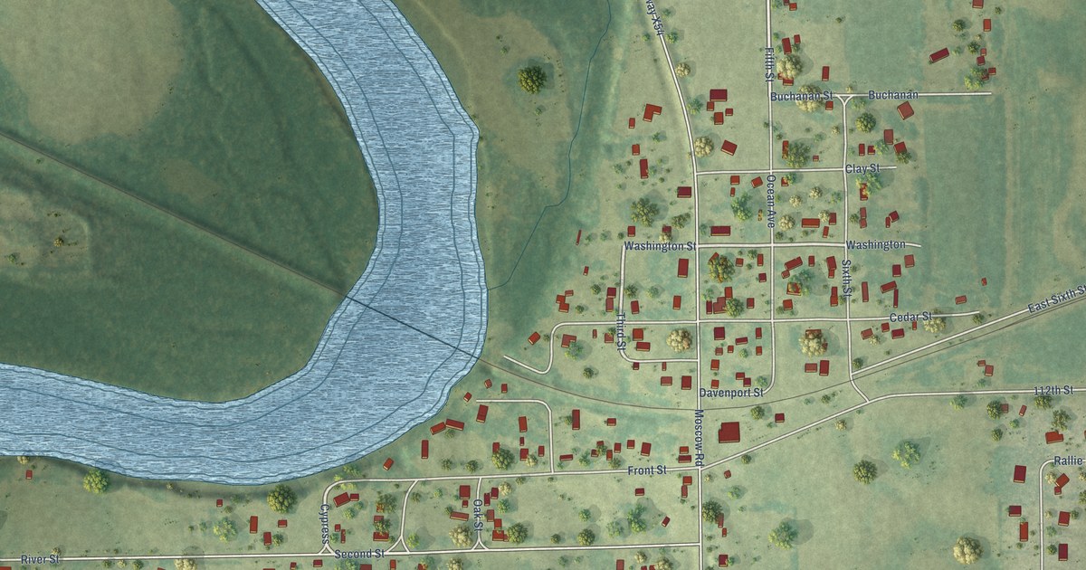
A detailed map of Moscow, Iowa, showing every building in its true location, the roads by name, and shaded topographical relief.
Read More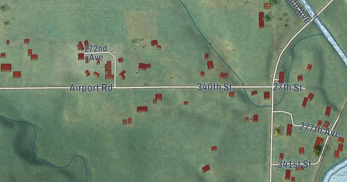
A detailed map of Sandusky, Iowa, showing every building in its true location, the roads by name, and shaded topographical relief.
Read More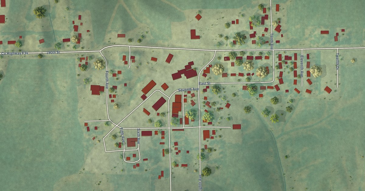
A detailed map of Conroy, Iowa, showing every building in its true location, the roads by name, and shaded topographical relief.
Read More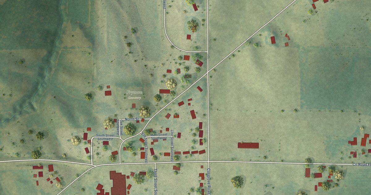
A detailed map of Frytown, Iowa, showing every building in its true location, the roads by name, and shaded topographical relief.
Read More















