Detailed Map of West Brule, South Dakota
A detailed map of West Brule, South Dakota, showing every building in its true location, the roads by name, and shaded topographical relief.
Read More
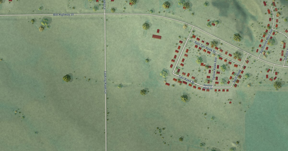
A detailed map of West Brule, South Dakota, showing every building in its true location, the roads by name, and shaded topographical relief.
Read More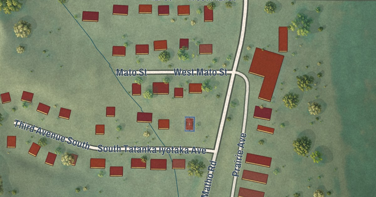
A detailed map of Wakpala, South Dakota, showing every building in its true location, the roads by name, and shaded topographical relief.
Read More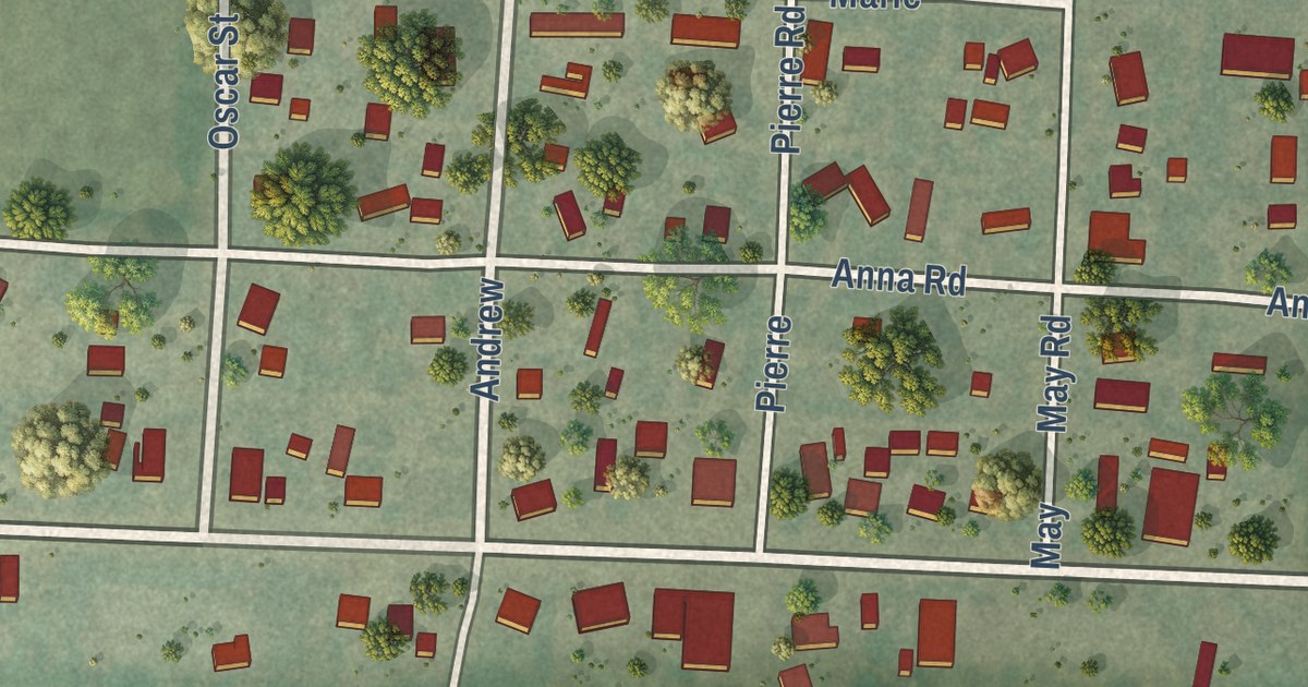
A detailed map of Vale, South Dakota, showing every building in its true location, the roads by name, and shaded topographical relief.
Read More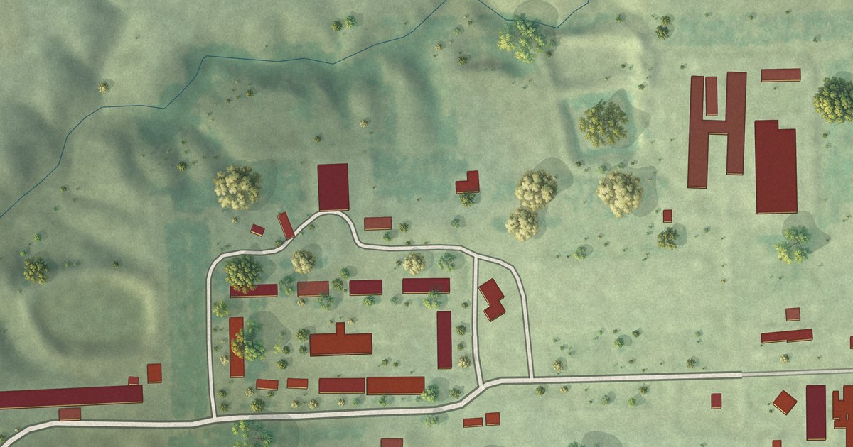
A detailed map of Upland Colony, South Dakota, showing every building in its true location, the roads by name, and shaded topographical relief.
Read More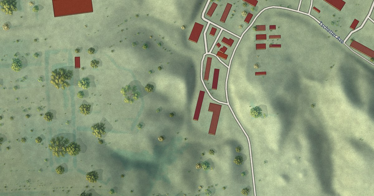
A detailed map of Tschetter Colony, South Dakota, showing every building in its true location, the roads by name, and shaded topographical relief.
Read More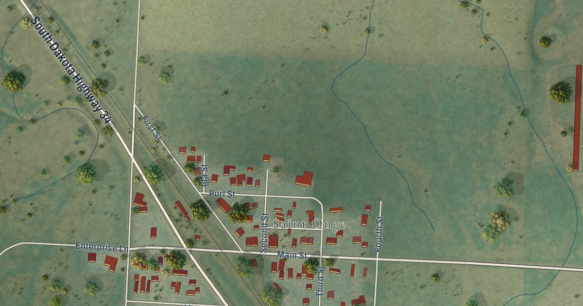
A detailed map of St. Onge, South Dakota, showing every building in its true location, the roads by name, and shaded topographical relief.
Read More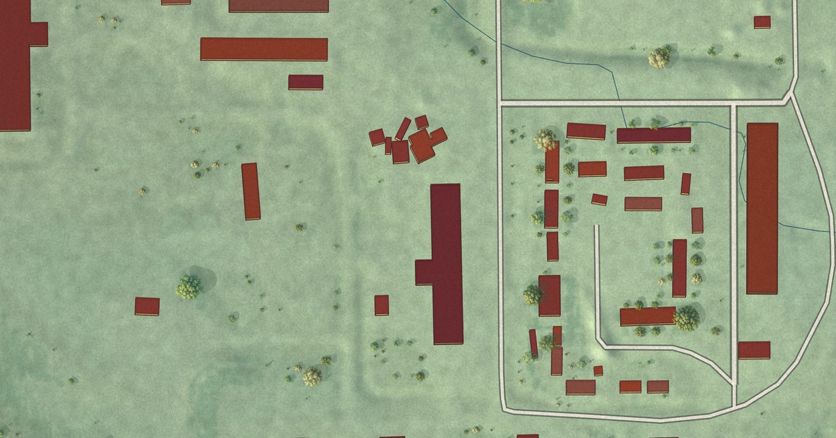
A detailed map of Spring Creek Colony, South Dakota, showing every building in its true location, the roads by name, and shaded topographical relief.
Read More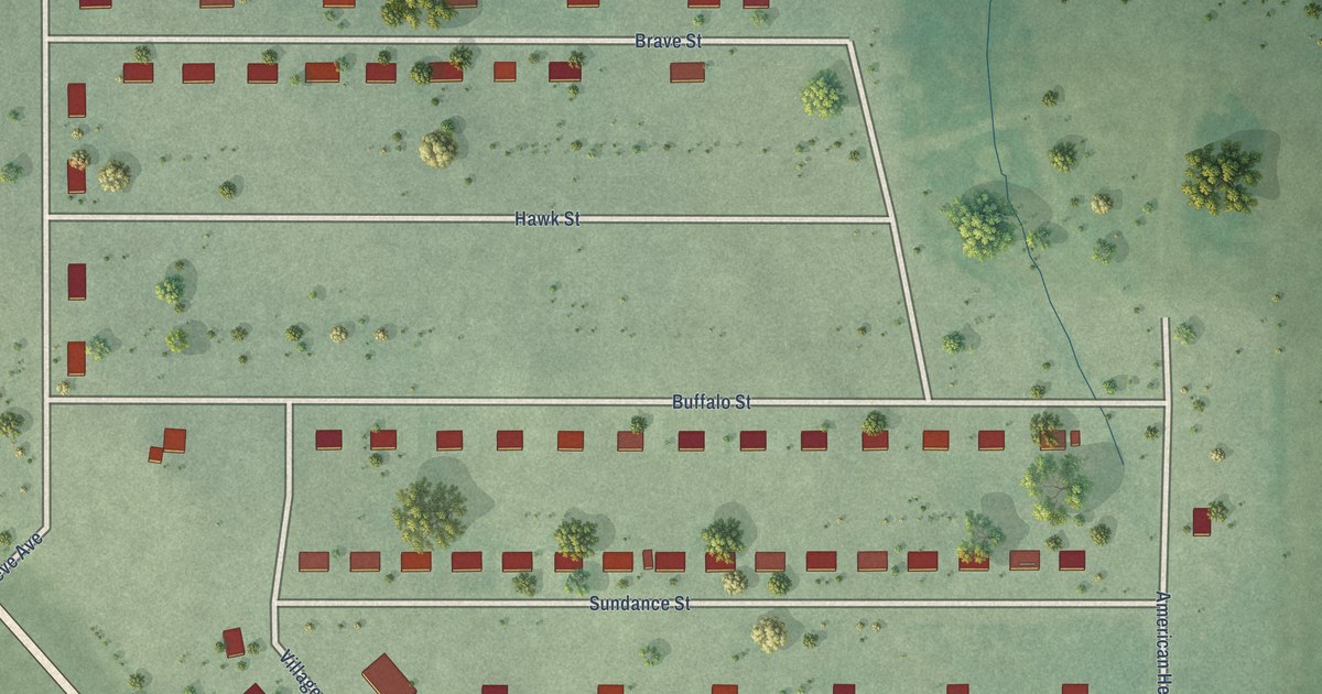
A detailed map of Sicangu Village, South Dakota, showing every building in its true location, the roads by name, and shaded topographical relief.
Read More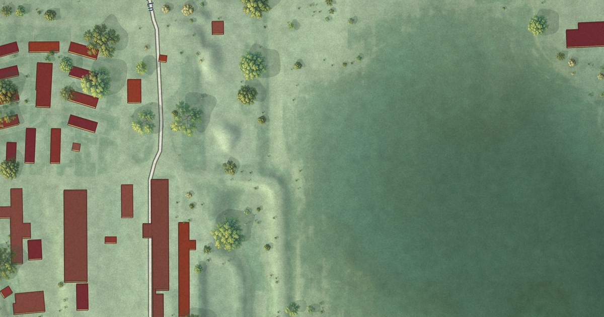
A detailed map of Spink Colony, South Dakota, showing every building in its true location, the roads by name, and shaded topographical relief.
Read More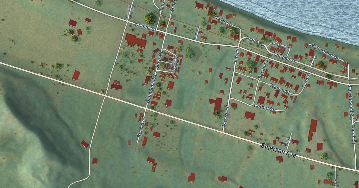
A detailed map of Waverly, West Virginia, showing every building in its true location, the roads by name, and shaded topographical relief.
Read More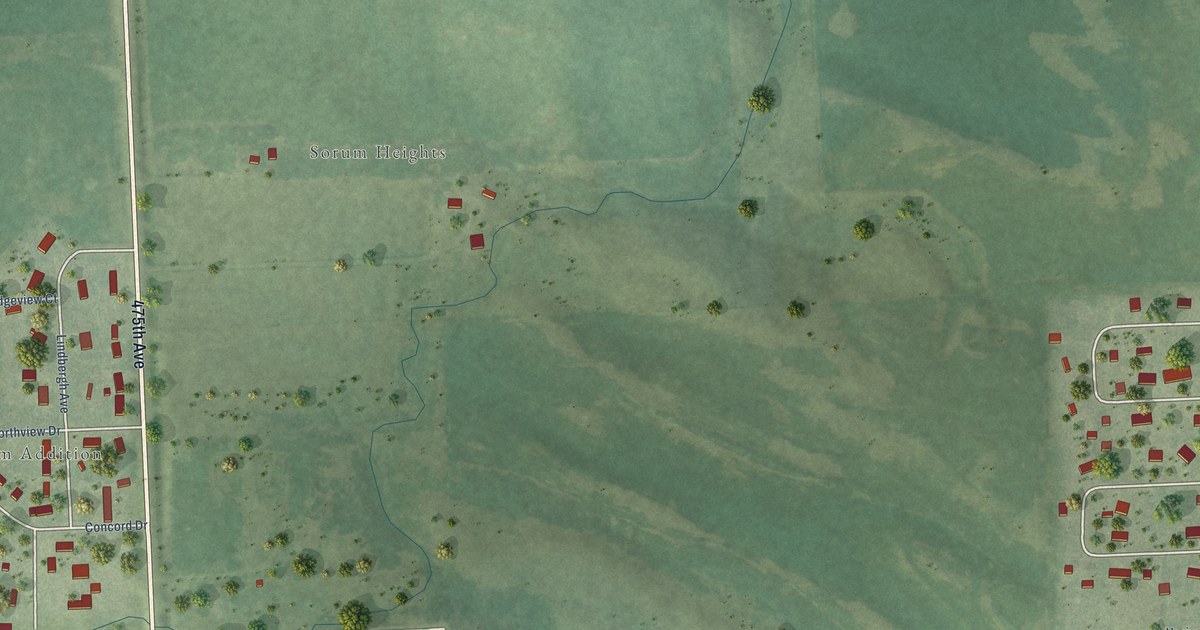
A detailed map of Renner Corner, South Dakota, showing every building in its true location, the roads by name, and shaded topographical relief.
Read More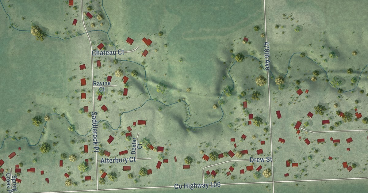
A detailed map of Shindler, South Dakota, showing every building in its true location, the roads by name, and shaded topographical relief.
Read More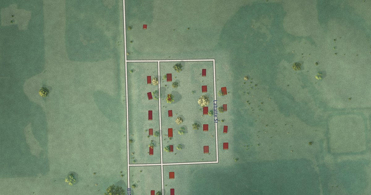
A detailed map of Peever Flats, South Dakota, showing every building in its true location, the roads by name, and shaded topographical relief.
Read More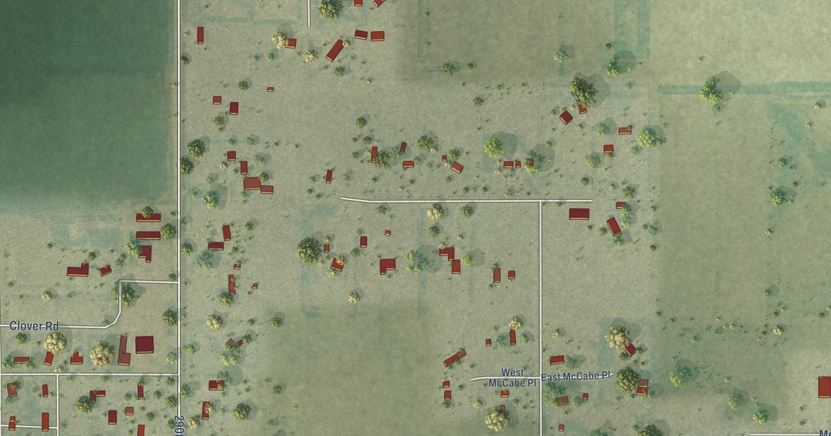
A detailed map of Oahe Acres, South Dakota, showing every building in its true location, the roads by name, and shaded topographical relief.
Read More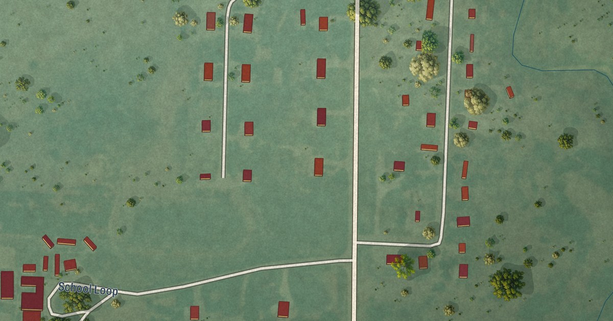
A detailed map of Norris, South Dakota, showing every building in its true location, the roads by name, and shaded topographical relief.
Read More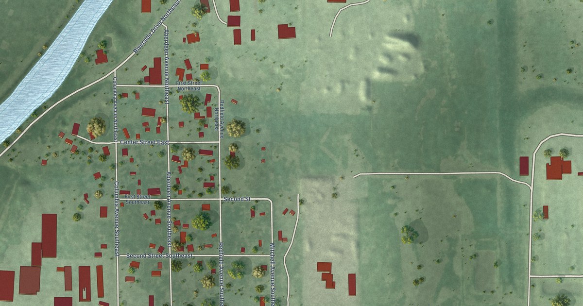
A detailed map of Morningside, South Dakota, showing every building in its true location, the roads by name, and shaded topographical relief.
Read More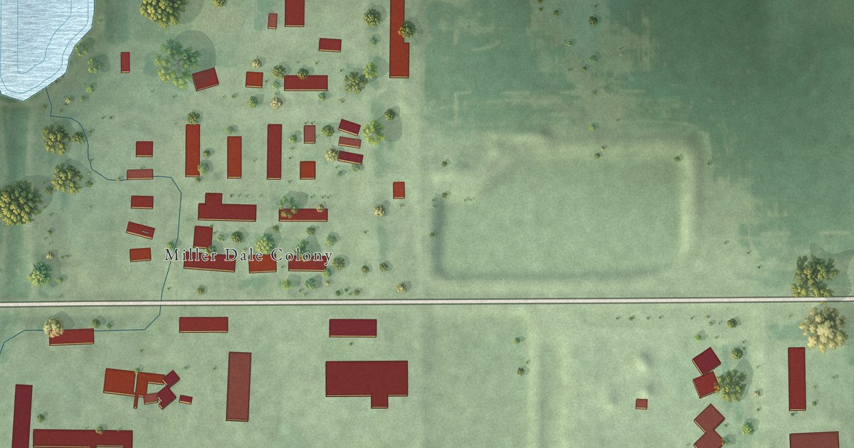
A detailed map of Millerdale Colony, South Dakota, showing every building in its true location, the roads by name, and shaded topographical relief.
Read More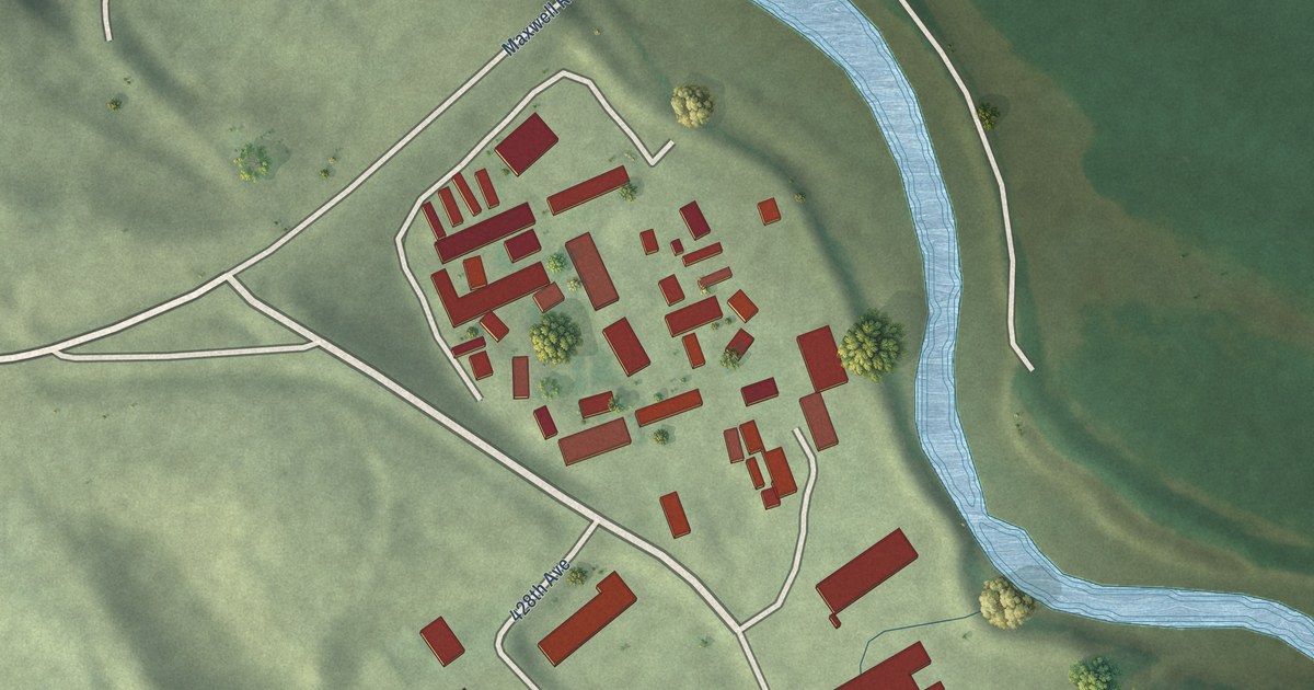
A detailed map of Maxwell Colony, South Dakota, showing every building in its true location, the roads by name, and shaded topographical relief.
Read More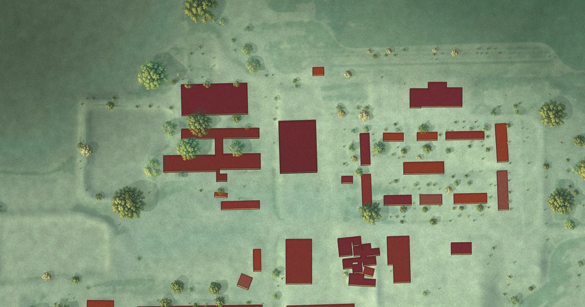
A detailed map of Mayfield Colony, South Dakota, showing every building in its true location, the roads by name, and shaded topographical relief.
Read More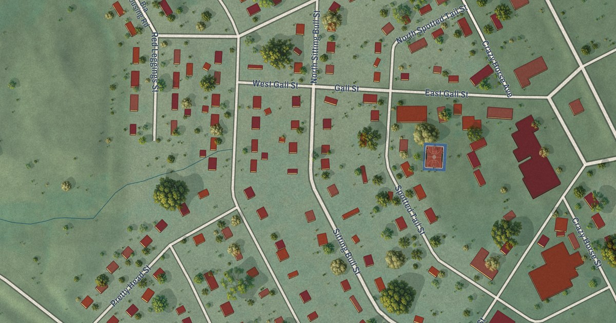
A detailed map of Lower Brule, South Dakota, showing every building in its true location, the roads by name, and shaded topographical relief.
Read More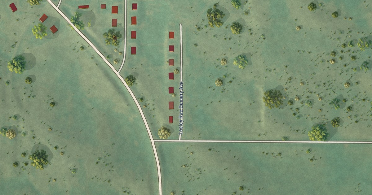
A detailed map of Kenel, South Dakota, showing every building in its true location, the roads by name, and shaded topographical relief.
Read More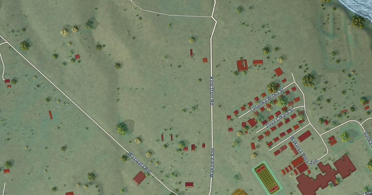
A detailed map of Kyle, South Dakota, showing every building in its true location, the roads by name, and shaded topographical relief.
Read More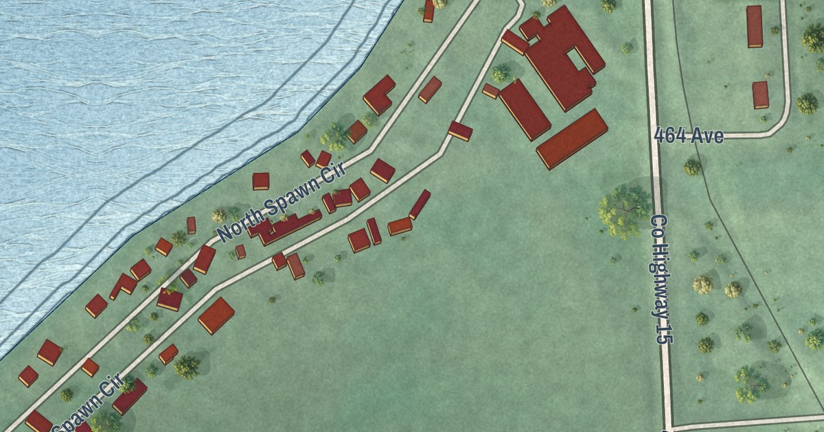
A detailed map of Brant Lake South, South Dakota, showing every building in its true location, the roads by name, and shaded topographical relief.
Read More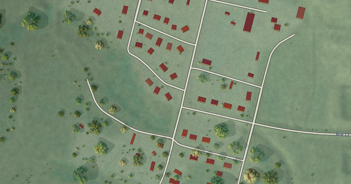
A detailed map of Cherry Creek, South Dakota, showing every building in its true location, the roads by name, and shaded topographical relief.
Read More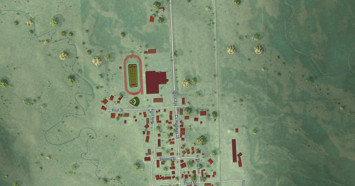
A detailed map of Chester, South Dakota, showing every building in its true location, the roads by name, and shaded topographical relief.
Read More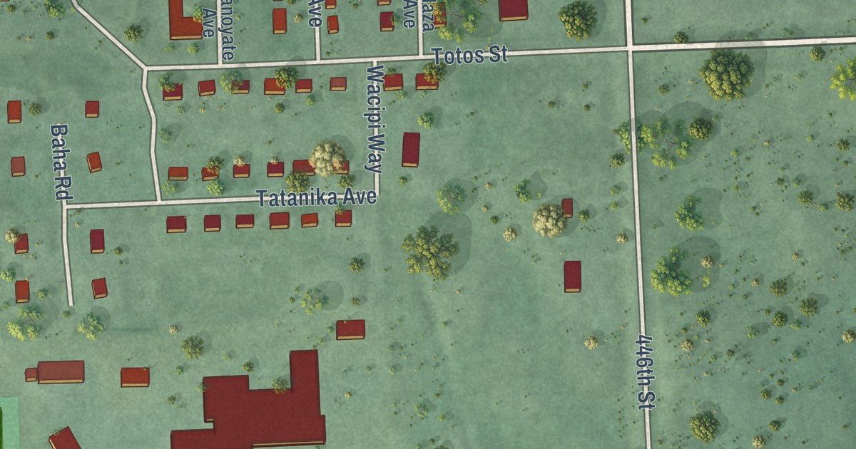
A detailed map of Enemy Swim, South Dakota, showing every building in its true location, the roads by name, and shaded topographical relief.
Read More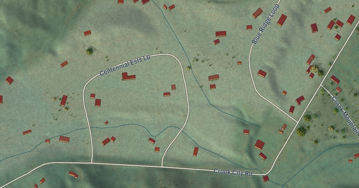
A detailed map of Crook City, South Dakota, showing every building in its true location, the roads by name, and shaded topographical relief.
Read More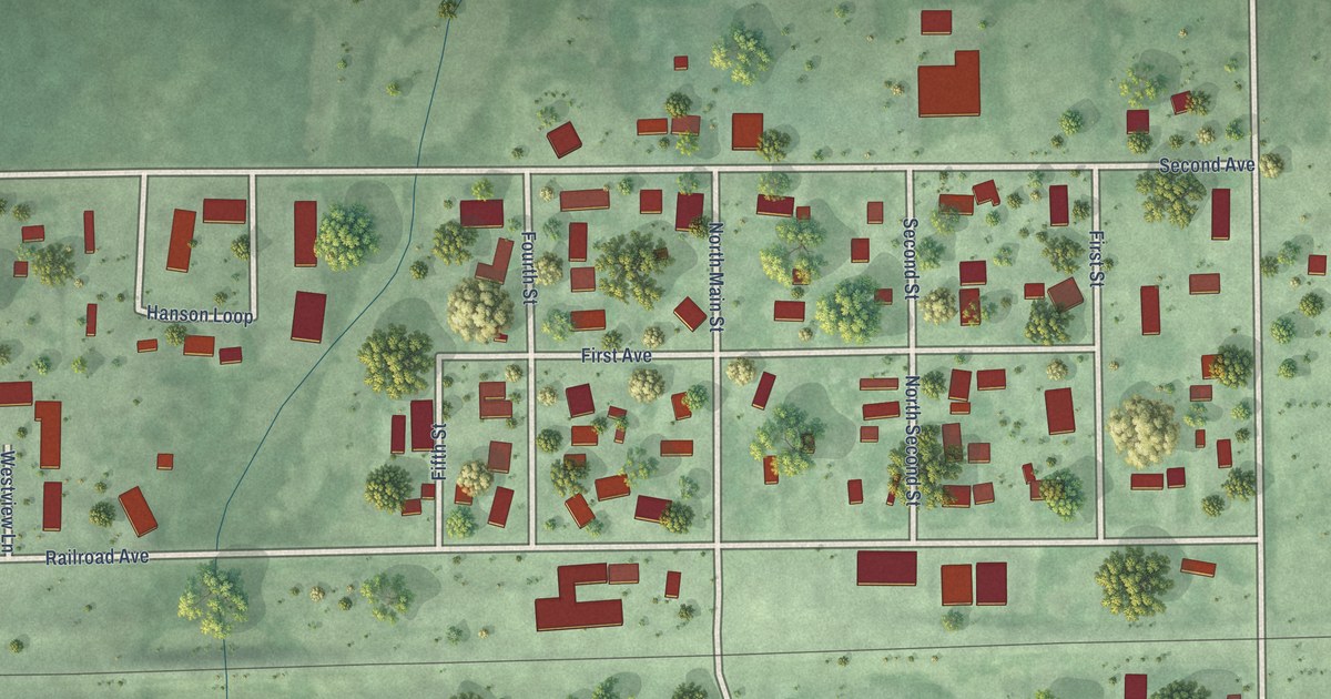
A detailed map of Bath, South Dakota, showing every building in its true location, the roads by name, and shaded topographical relief.
Read More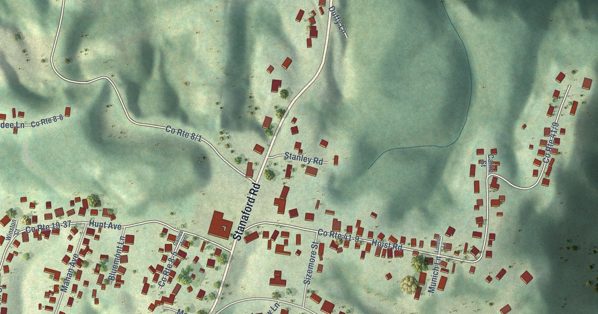
A detailed map of Stanaford, West Virginia, showing every building in its true location, the roads by name, and shaded topographical relief.
Read More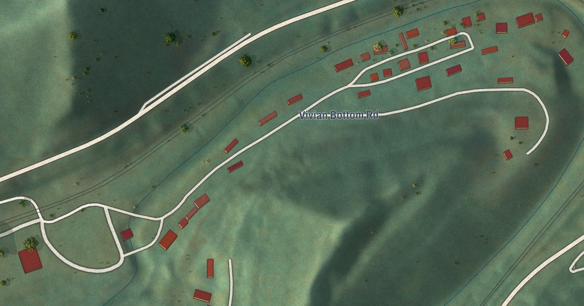
A detailed map of Vivian, West Virginia, showing every building in its true location, the roads by name, and shaded topographical relief.
Read More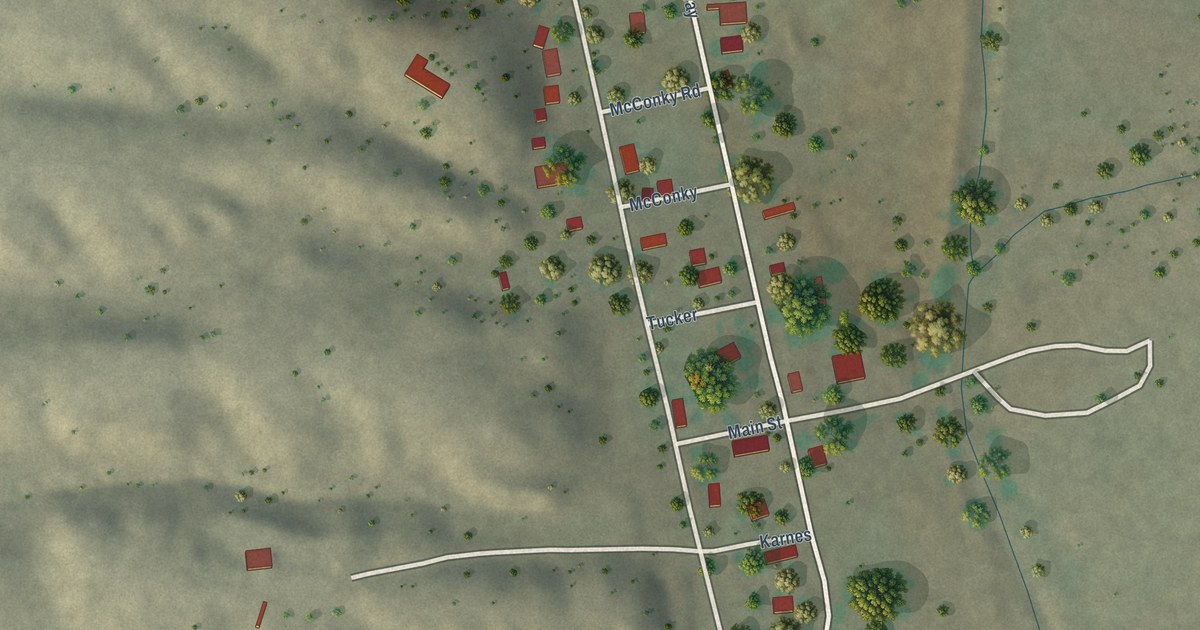
A detailed map of Winston, New Mexico, showing every building in its true location, the roads by name, and shaded topographical relief.
Read More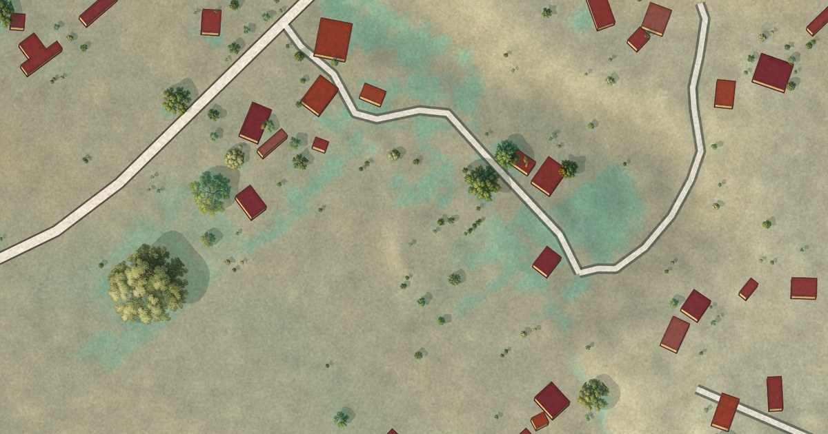
A detailed map of Youngsville, New Mexico, showing every building in its true location, the roads by name, and shaded topographical relief.
Read More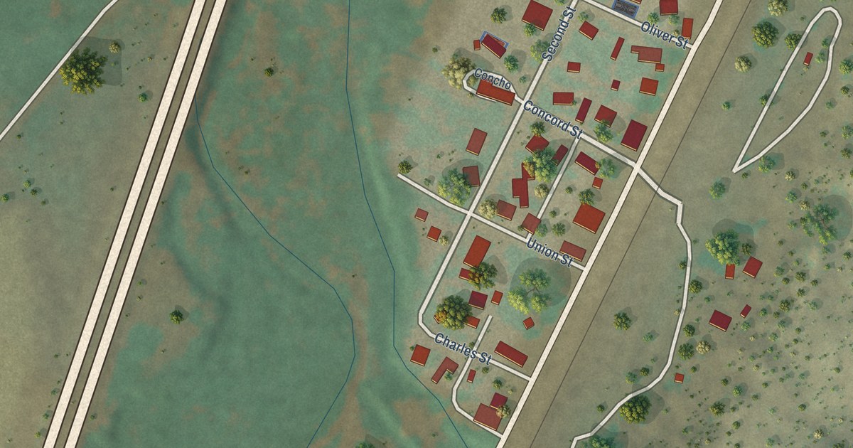
A detailed map of Watrous, New Mexico, showing every building in its true location, the roads by name, and shaded topographical relief.
Read More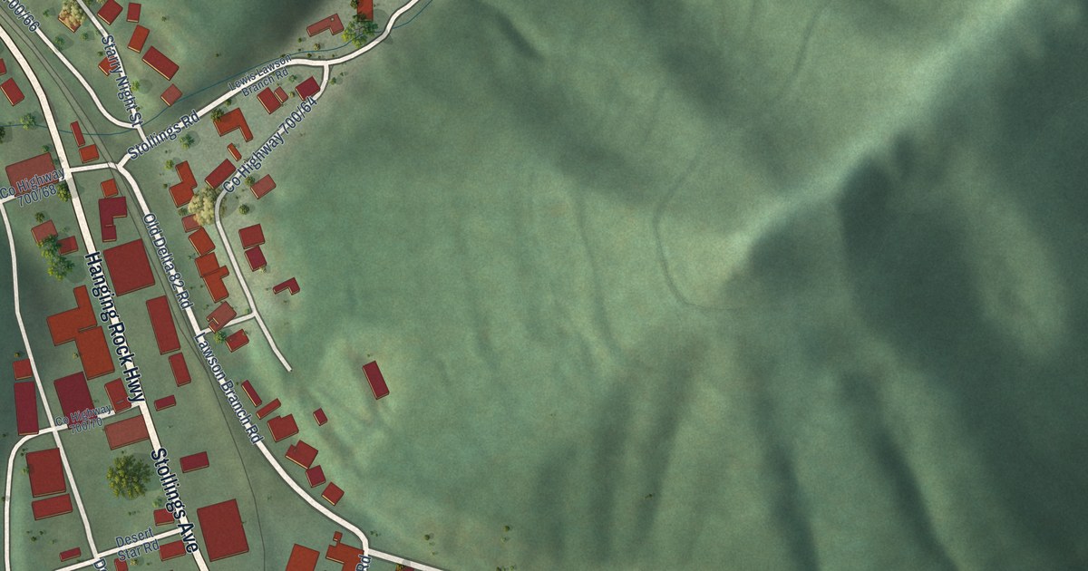
A detailed map of Stollings, West Virginia, showing every building in its true location, the roads by name, and shaded topographical relief.
Read More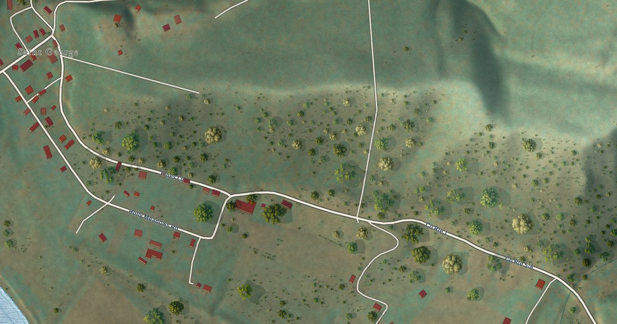
A detailed map of St. George, West Virginia, showing every building in its true location, the roads by name, and shaded topographical relief.
Read More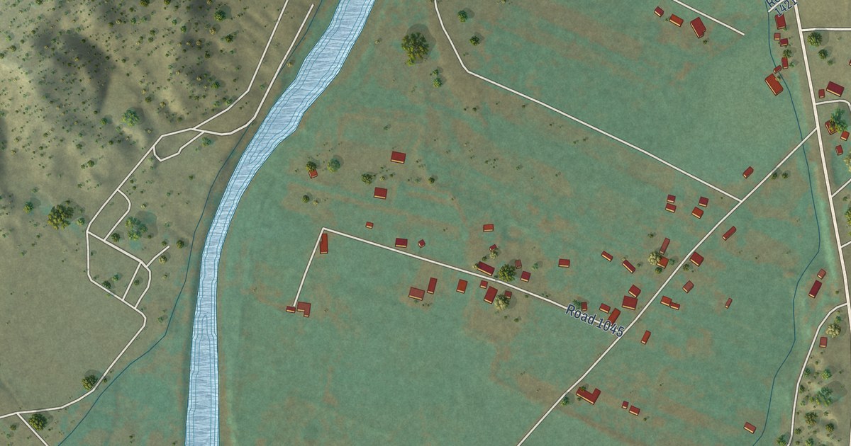
A detailed map of Velarde, New Mexico, showing every building in its true location, the roads by name, and shaded topographical relief.
Read More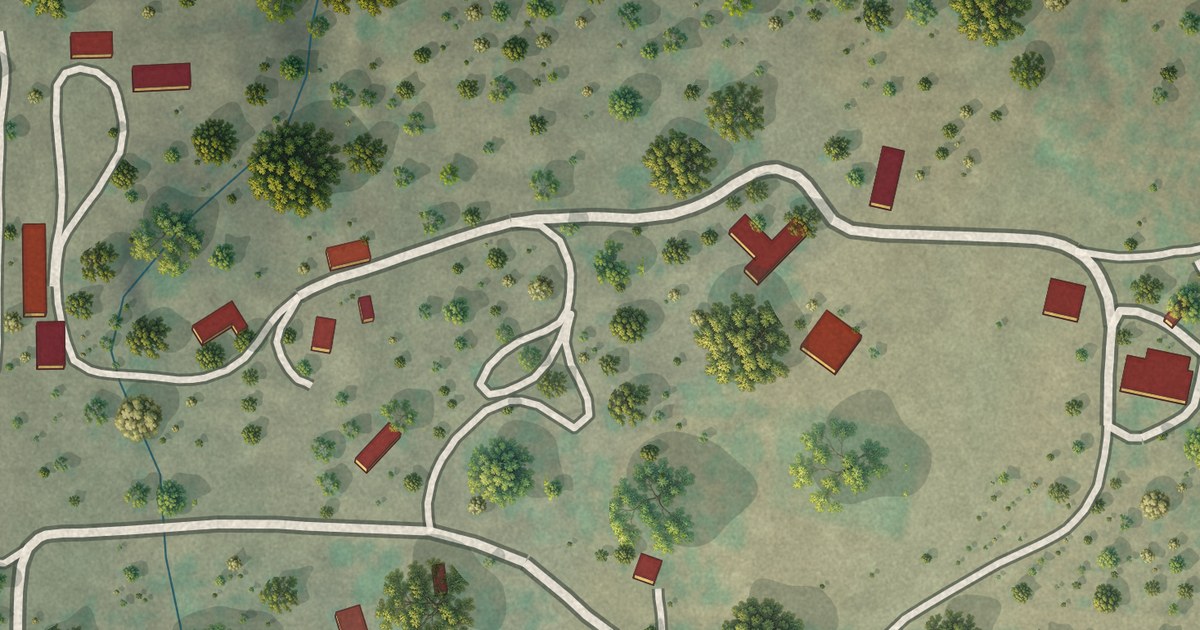
A detailed map of Vanderwagen, New Mexico, showing every building in its true location, the roads by name, and shaded topographical relief.
Read More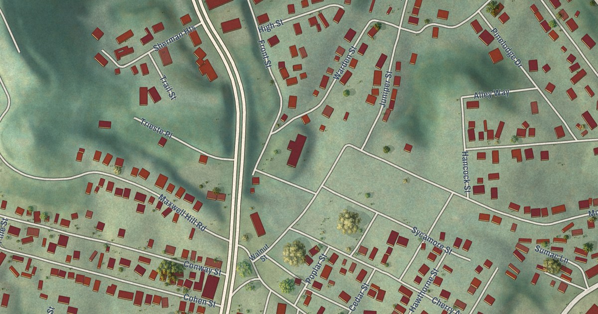
A detailed map of Sprague, West Virginia, showing every building in its true location, the roads by name, and shaded topographical relief.
Read More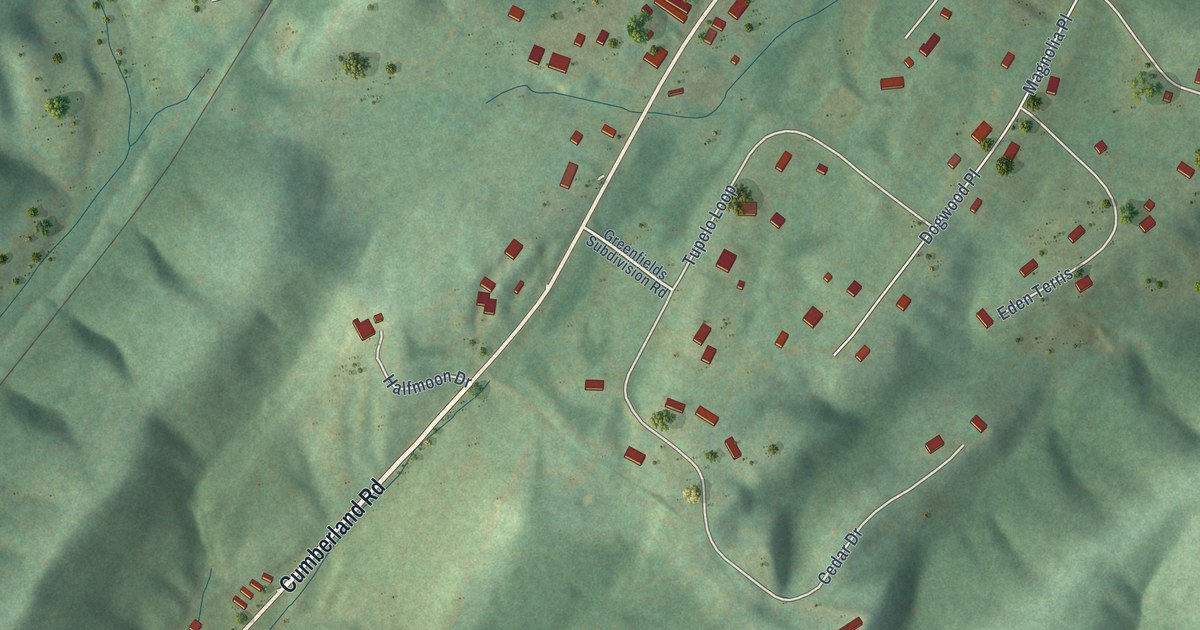
A detailed map of Springfield, West Virginia, showing every building in its true location, the roads by name, and shaded topographical relief.
Read More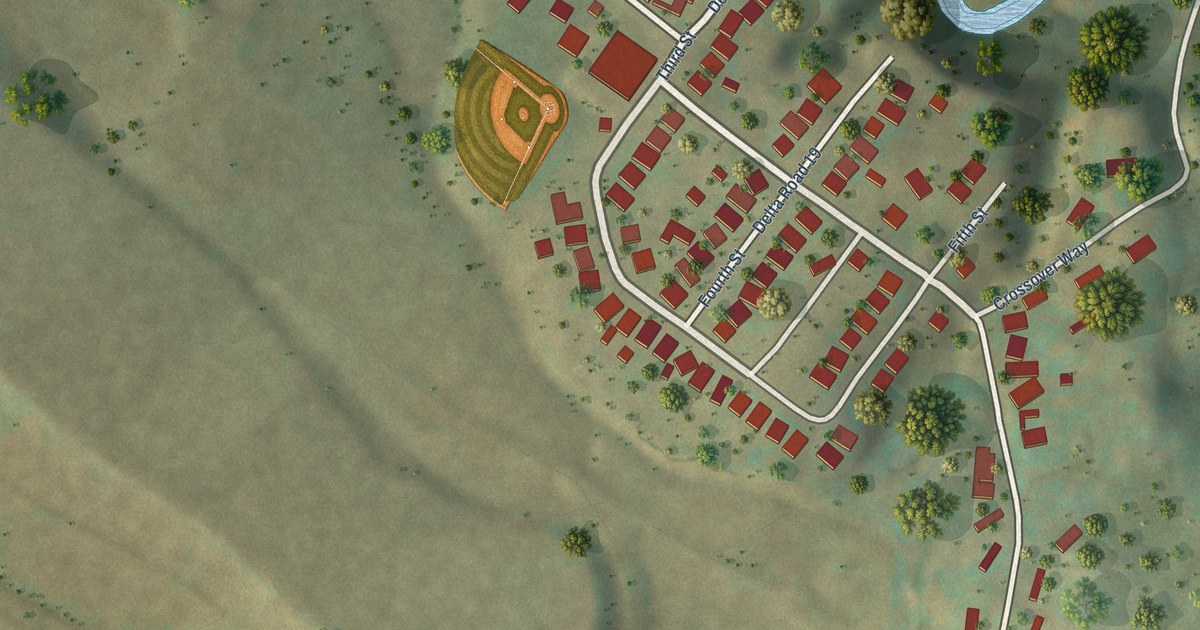
A detailed map of Spelter, West Virginia, showing every building in its true location, the roads by name, and shaded topographical relief.
Read More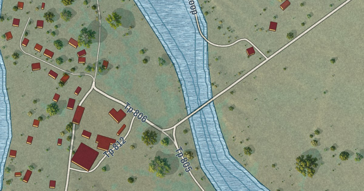
A detailed map of Tesuque Pueblo, New Mexico, showing every building in its true location, the roads by name, and shaded topographical relief.
Read More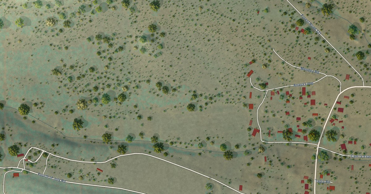
A detailed map of Tajique, New Mexico, showing every building in its true location, the roads by name, and shaded topographical relief.
Read More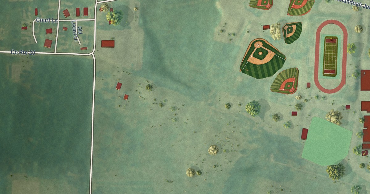
A detailed map of Shenandoah Junction, West Virginia, showing every building in its true location, the roads by name, and shaded topographical relief.
Read More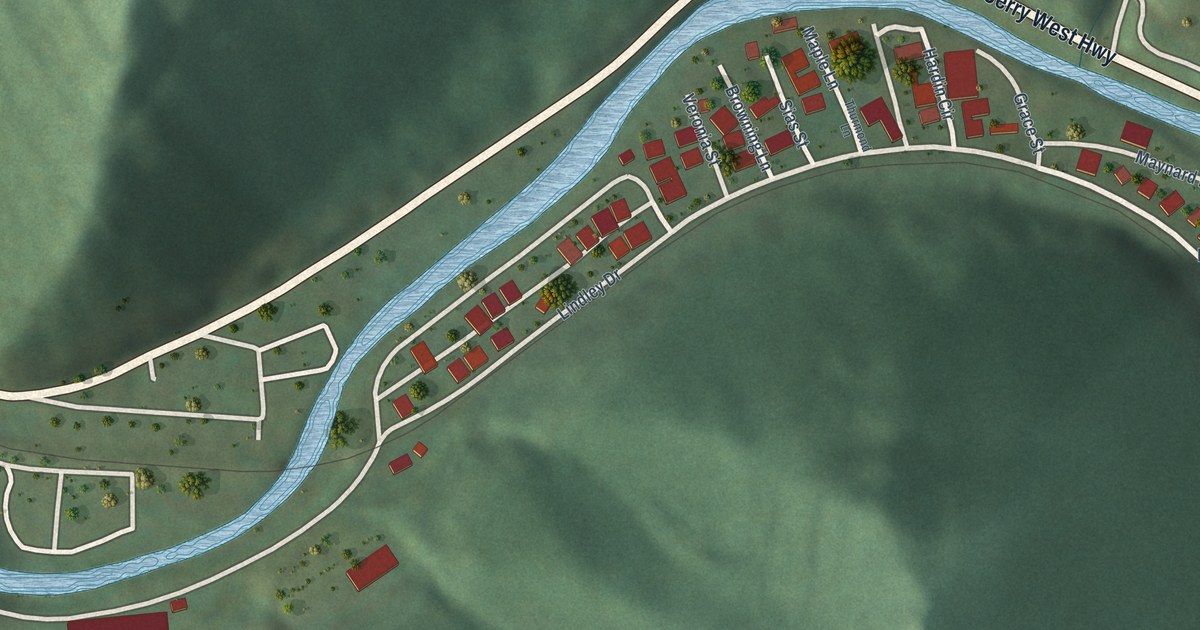
A detailed map of Rossmore, West Virginia, showing every building in its true location, the roads by name, and shaded topographical relief.
Read More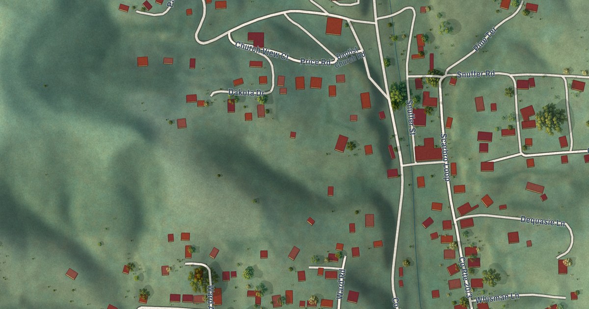
A detailed map of Scarbro, West Virginia, showing every building in its true location, the roads by name, and shaded topographical relief.
Read More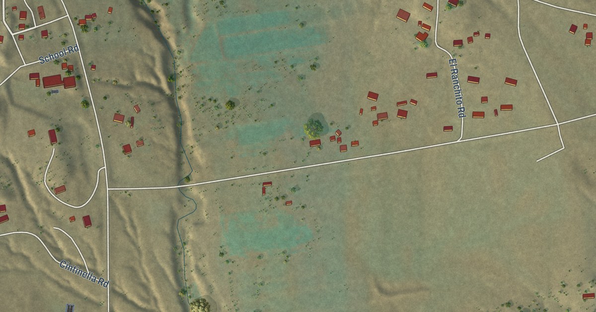
A detailed map of Seboyeta, New Mexico, showing every building in its true location, the roads by name, and shaded topographical relief.
Read More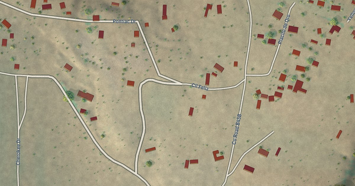
A detailed map of Tecolotito, New Mexico, showing every building in its true location, the roads by name, and shaded topographical relief.
Read More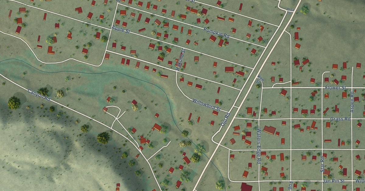
A detailed map of Santa Clara Pueblo, New Mexico, showing every building in its true location, the roads by name, and shaded topographical relief.
Read More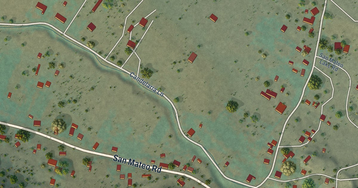
A detailed map of San Mateo, New Mexico, showing every building in its true location, the roads by name, and shaded topographical relief.
Read More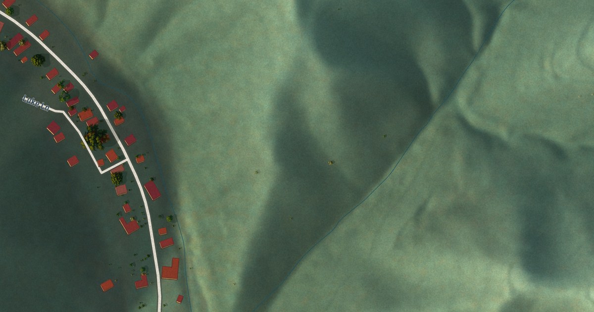
A detailed map of Rhodell, West Virginia, showing every building in its true location, the roads by name, and shaded topographical relief.
Read More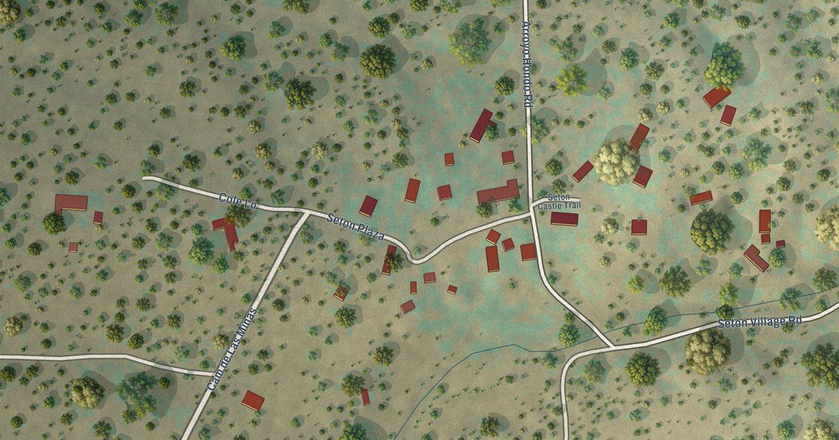
A detailed map of Seton Village, New Mexico, showing every building in its true location, the roads by name, and shaded topographical relief.
Read More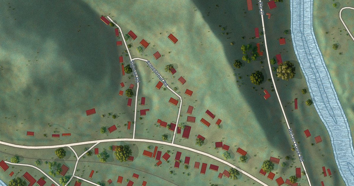
A detailed map of Raymond City, West Virginia, showing every building in its true location, the roads by name, and shaded topographical relief.
Read More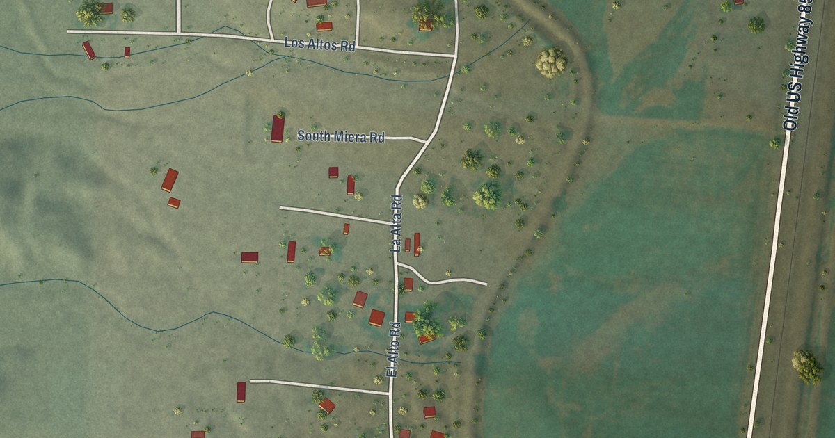
A detailed map of San Antonito, New Mexico, showing every building in its true location, the roads by name, and shaded topographical relief.
Read More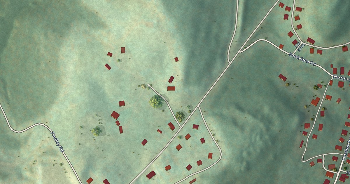
A detailed map of Norton, West Virginia, showing every building in its true location, the roads by name, and shaded topographical relief.
Read More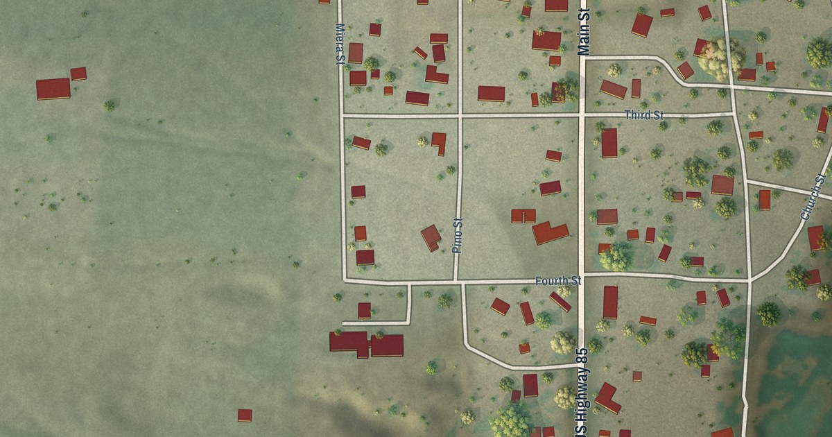
A detailed map of San Antonio, New Mexico, showing every building in its true location, the roads by name, and shaded topographical relief.
Read More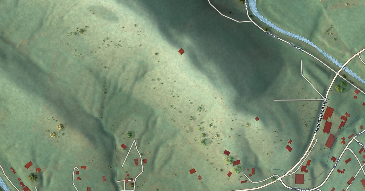
A detailed map of Pentress, West Virginia, showing every building in its true location, the roads by name, and shaded topographical relief.
Read More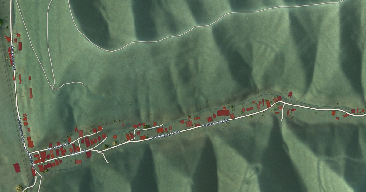
A detailed map of Peach Creek, West Virginia, showing every building in its true location, the roads by name, and shaded topographical relief.
Read More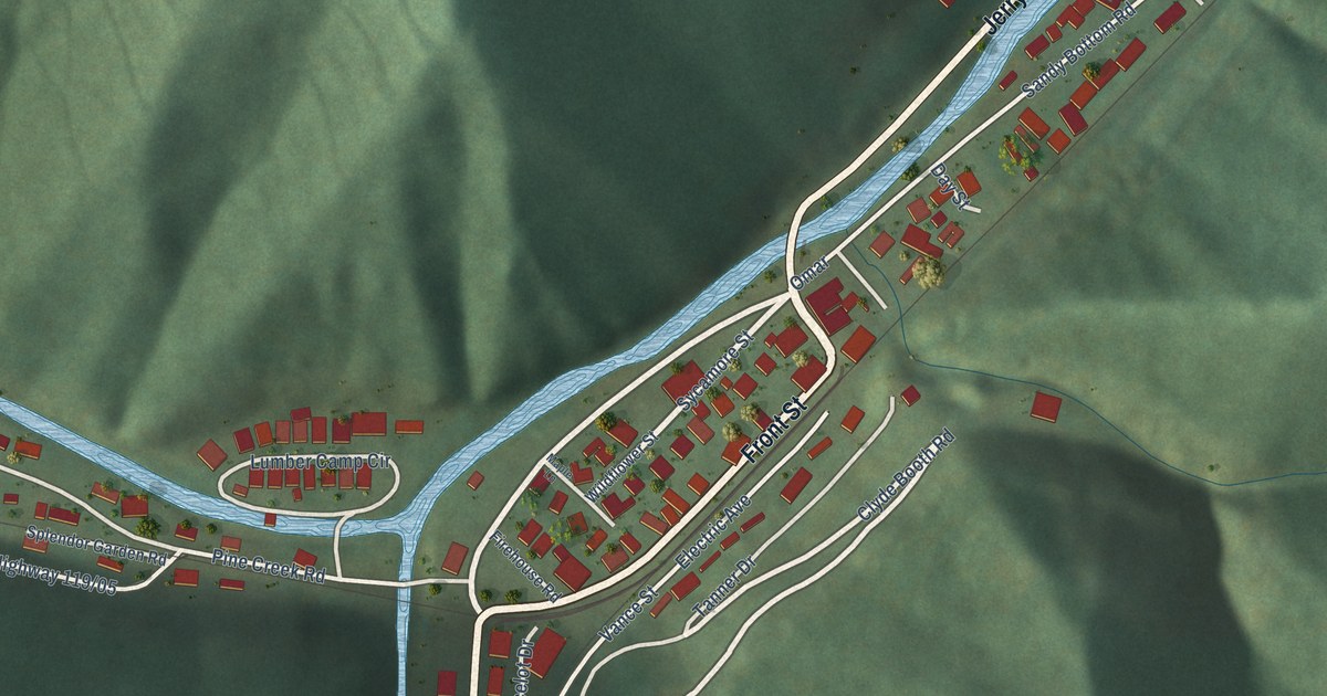
A detailed map of Omar, West Virginia, showing every building in its true location, the roads by name, and shaded topographical relief.
Read More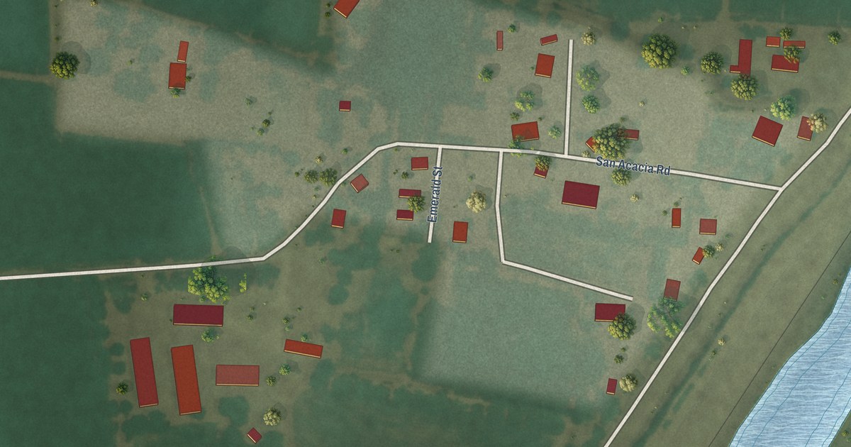
A detailed map of San Acacia, New Mexico, showing every building in its true location, the roads by name, and shaded topographical relief.
Read More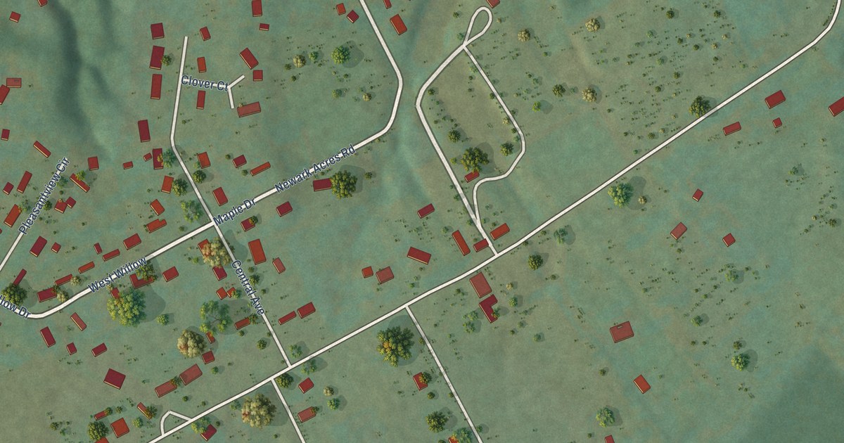
A detailed map of Newark, West Virginia, showing every building in its true location, the roads by name, and shaded topographical relief.
Read More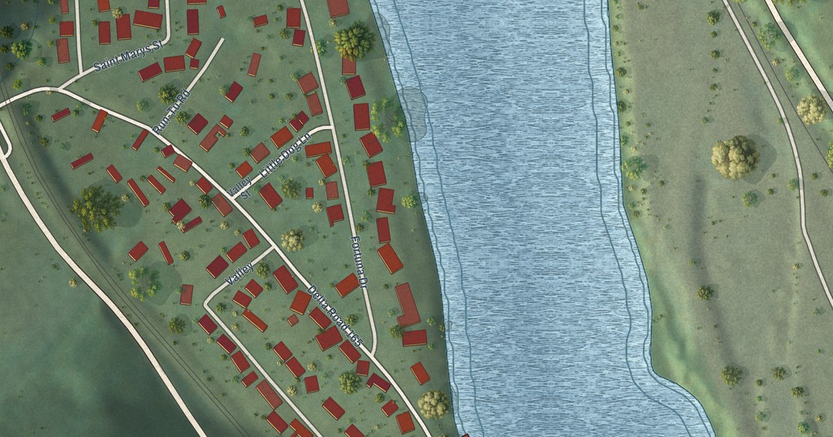
A detailed map of Mount Carbon, West Virginia, showing every building in its true location, the roads by name, and shaded topographical relief.
Read More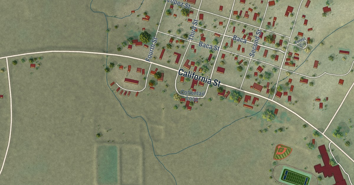
A detailed map of Quemado, New Mexico, showing every building in its true location, the roads by name, and shaded topographical relief.
Read More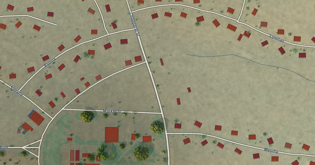
A detailed map of Playas, New Mexico, showing every building in its true location, the roads by name, and shaded topographical relief.
Read More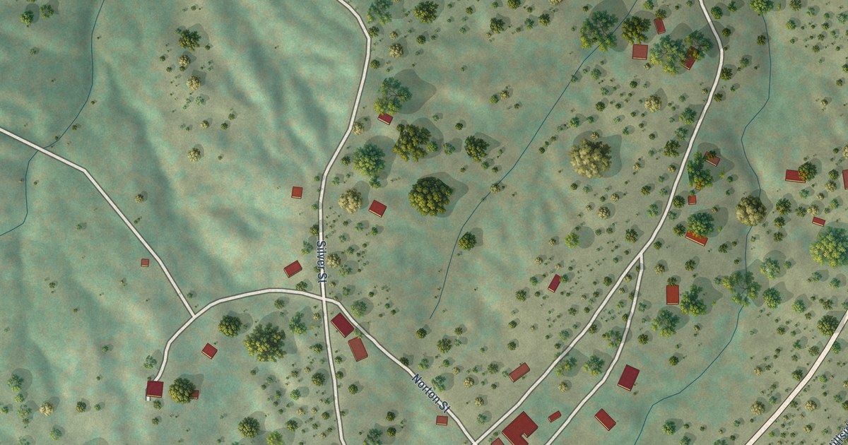
A detailed map of Pinos Altos, New Mexico, showing every building in its true location, the roads by name, and shaded topographical relief.
Read More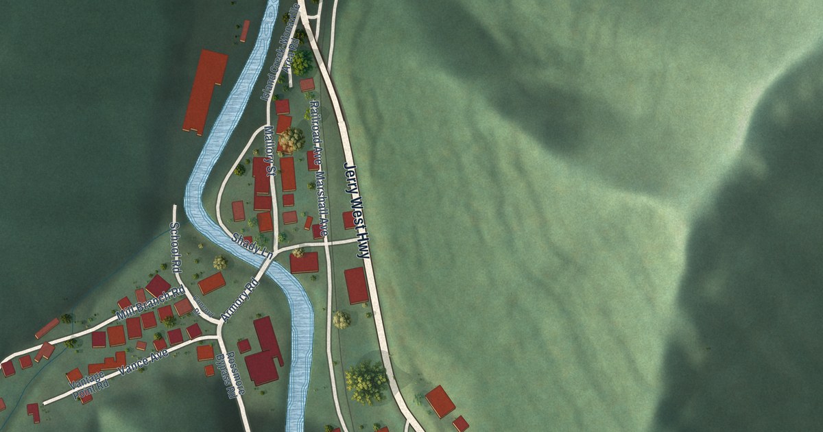
A detailed map of Monaville, West Virginia, showing every building in its true location, the roads by name, and shaded topographical relief.
Read More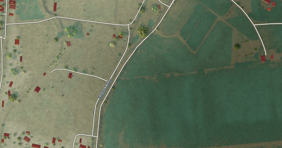
A detailed map of Polvadera, New Mexico, showing every building in its true location, the roads by name, and shaded topographical relief.
Read More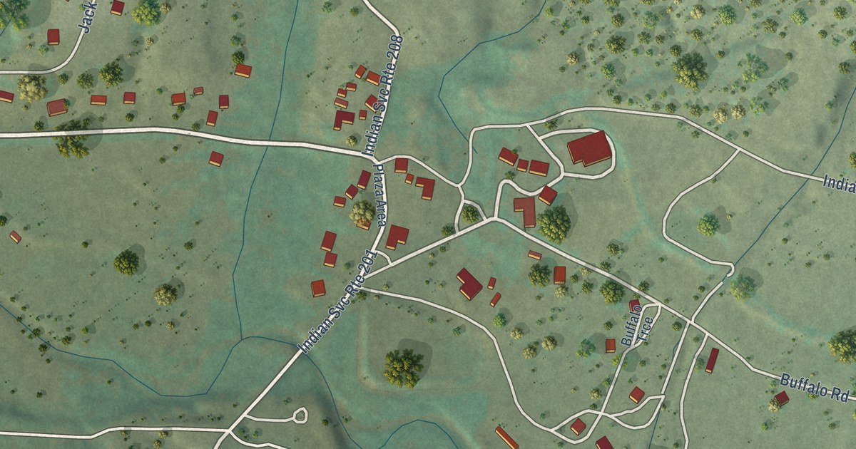
A detailed map of Picuris Pueblo, New Mexico, showing every building in its true location, the roads by name, and shaded topographical relief.
Read More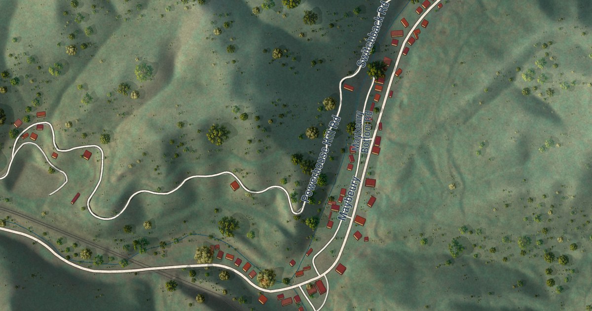
A detailed map of Maybeury, West Virginia, showing every building in its true location, the roads by name, and shaded topographical relief.
Read More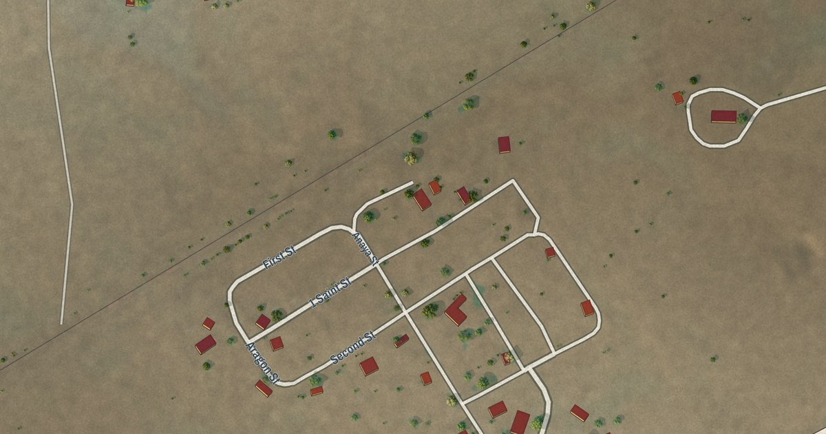
A detailed map of Pastura, New Mexico, showing every building in its true location, the roads by name, and shaded topographical relief.
Read More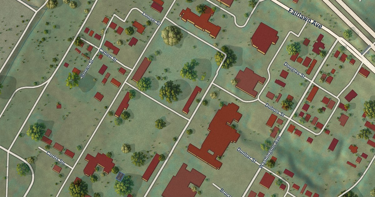
A detailed map of Institute, West Virginia, showing every building in its true location, the roads by name, and shaded topographical relief.
Read More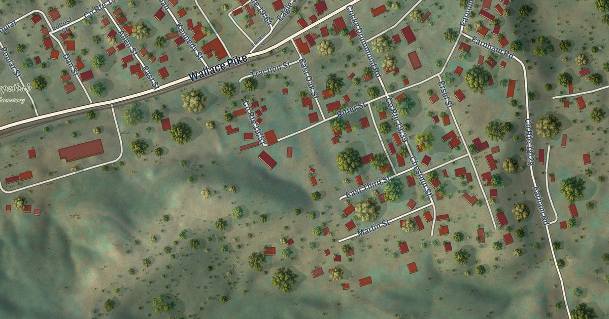
A detailed map of Hepzibah, West Virginia, showing every building in its true location, the roads by name, and shaded topographical relief.
Read More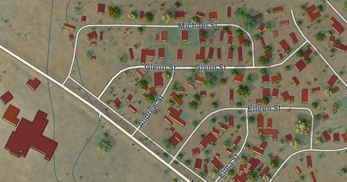
A detailed map of Mount Taylor, New Mexico, showing every building in its true location, the roads by name, and shaded topographical relief.
Read More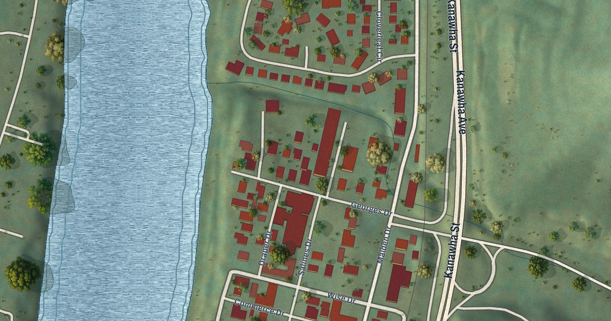
A detailed map of Malden, West Virginia, showing every building in its true location, the roads by name, and shaded topographical relief.
Read More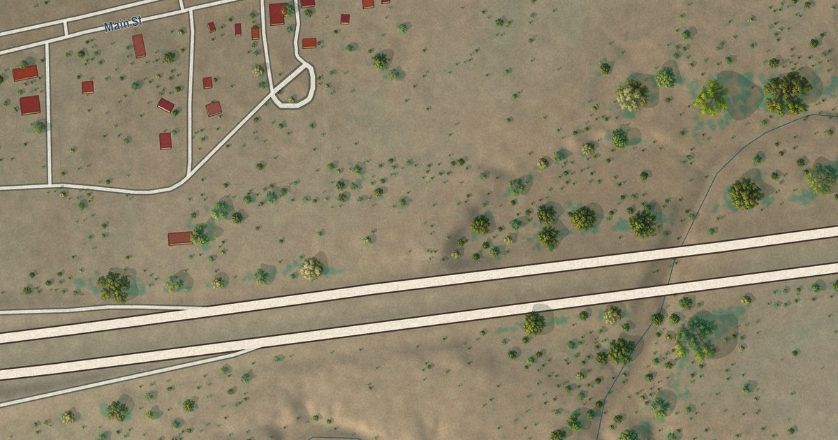
A detailed map of Newkirk, New Mexico, showing every building in its true location, the roads by name, and shaded topographical relief.
Read More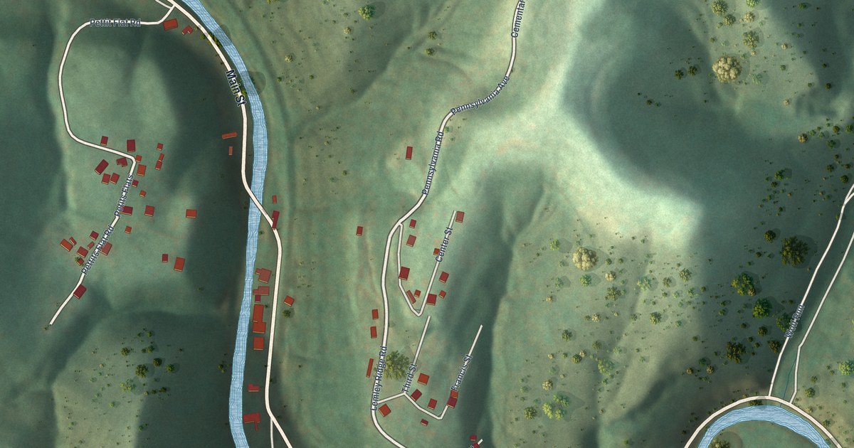
A detailed map of Littleton, West Virginia, showing every building in its true location, the roads by name, and shaded topographical relief.
Read More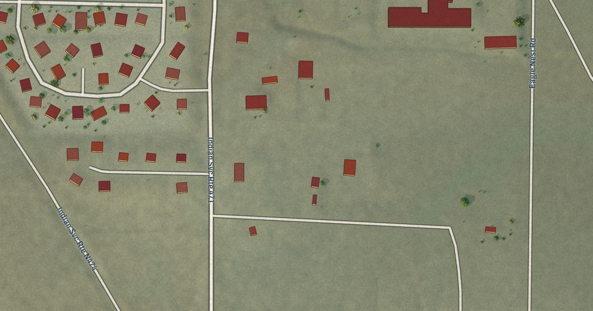
A detailed map of Ojo Encino, New Mexico, showing every building in its true location, the roads by name, and shaded topographical relief.
Read More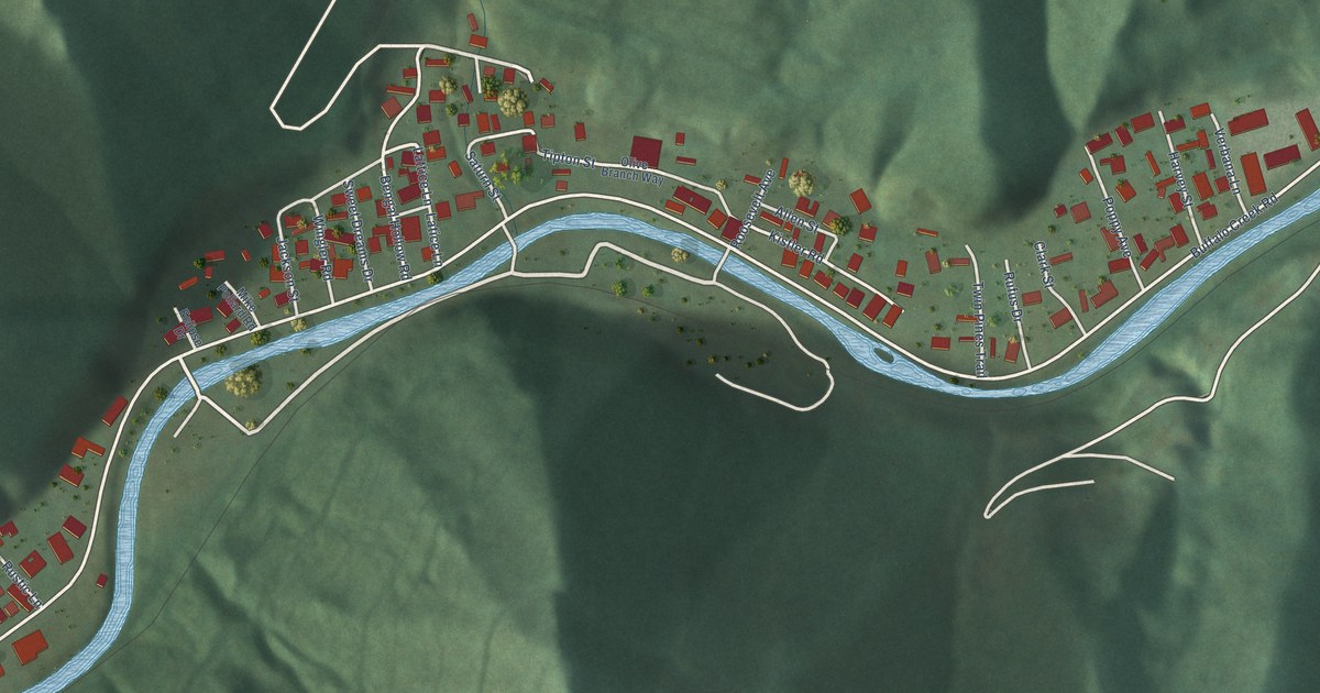
A detailed map of Kistler, West Virginia, showing every building in its true location, the roads by name, and shaded topographical relief.
Read More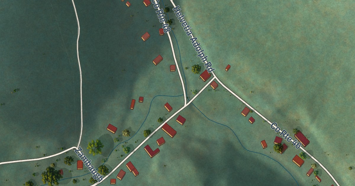
A detailed map of Helvetia, West Virginia, showing every building in its true location, the roads by name, and shaded topographical relief.
Read More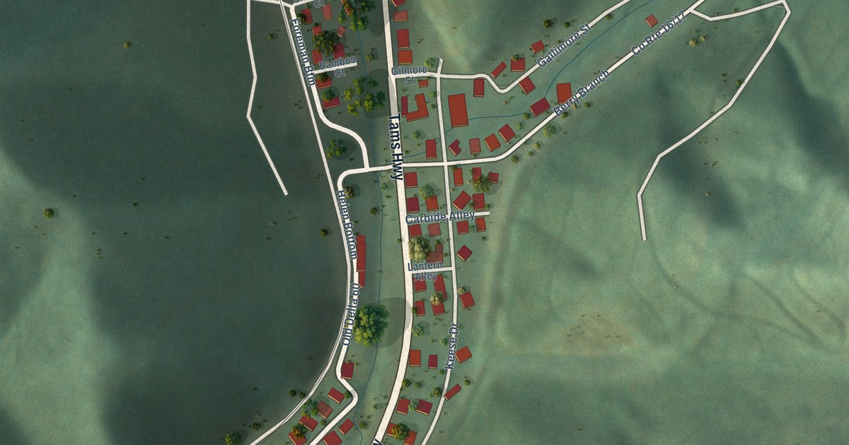
A detailed map of Helen, West Virginia, showing every building in its true location, the roads by name, and shaded topographical relief.
Read More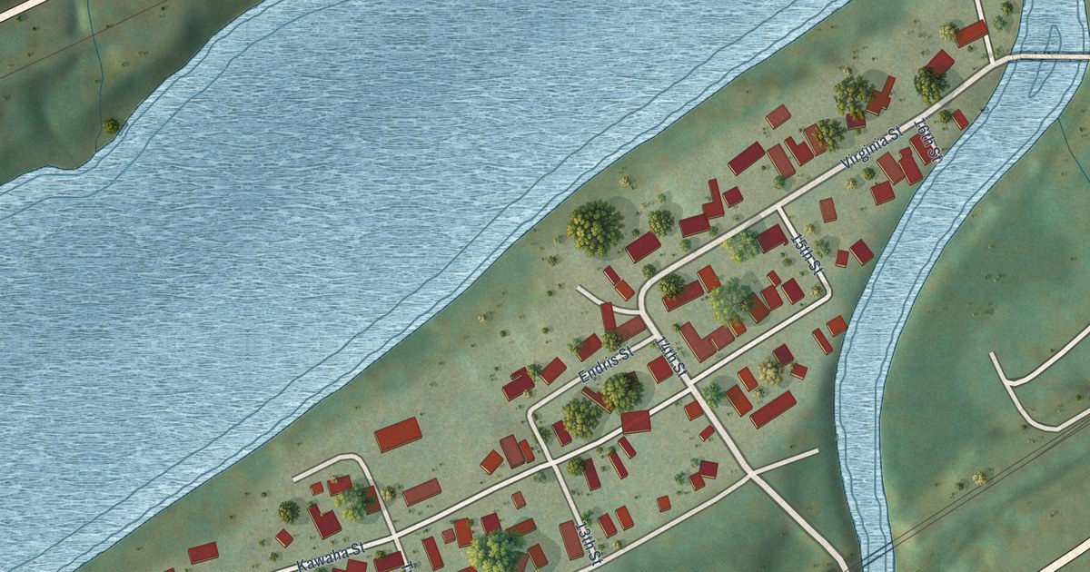
A detailed map of Hansford, West Virginia, showing every building in its true location, the roads by name, and shaded topographical relief.
Read More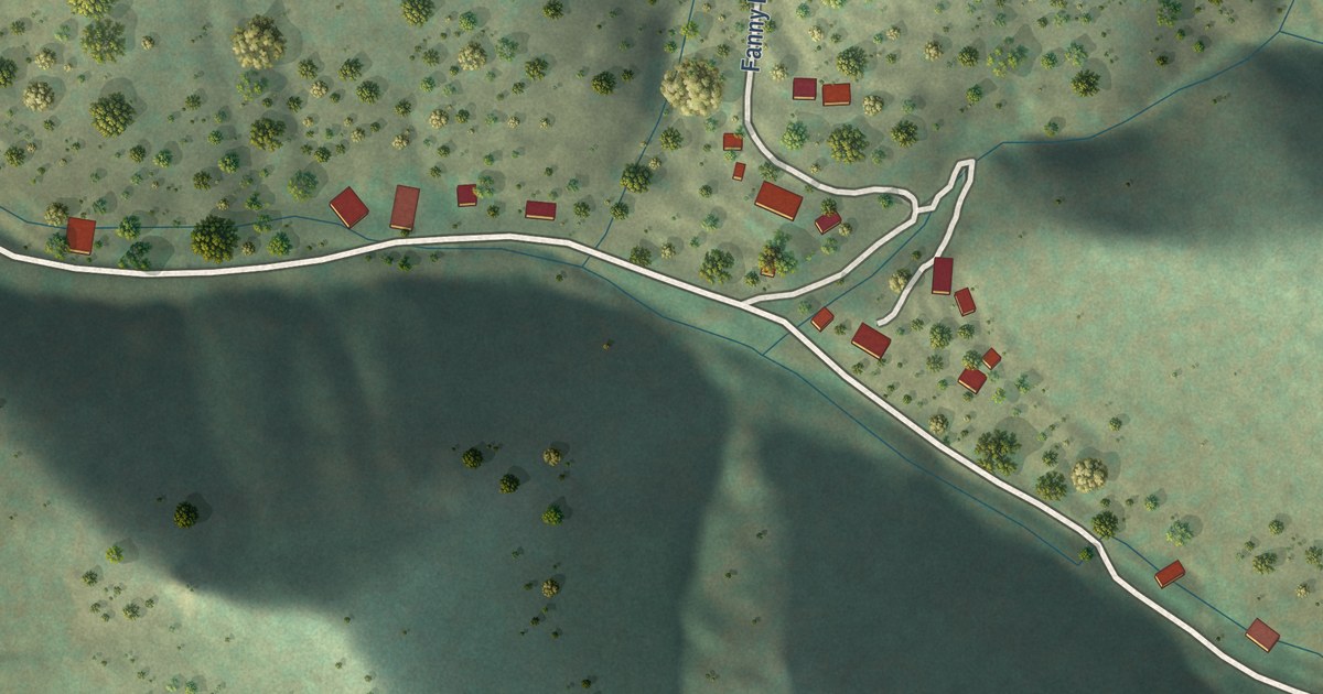
A detailed map of Mogollon, New Mexico, showing every building in its true location, the roads by name, and shaded topographical relief.
Read More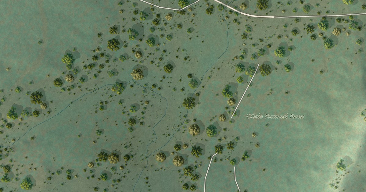
A detailed map of McGaffey, New Mexico, showing every building in its true location, the roads by name, and shaded topographical relief.
Read More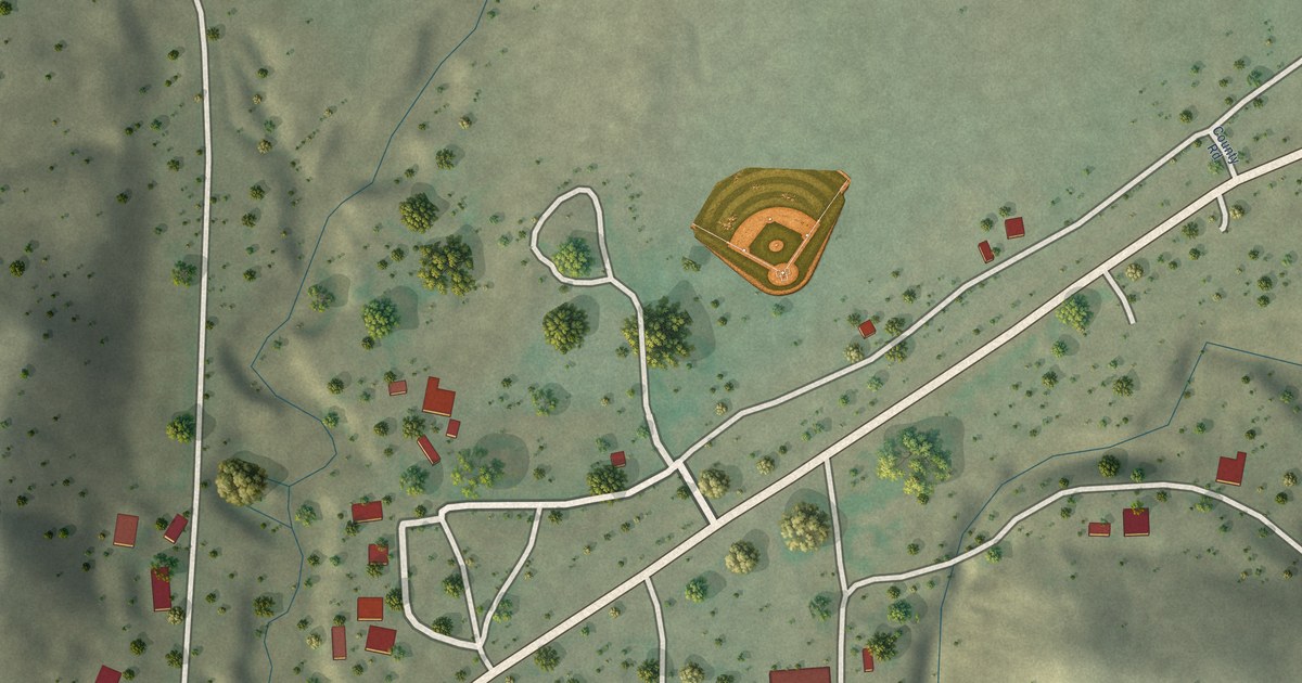
A detailed map of Lumberton, New Mexico, showing every building in its true location, the roads by name, and shaded topographical relief.
Read More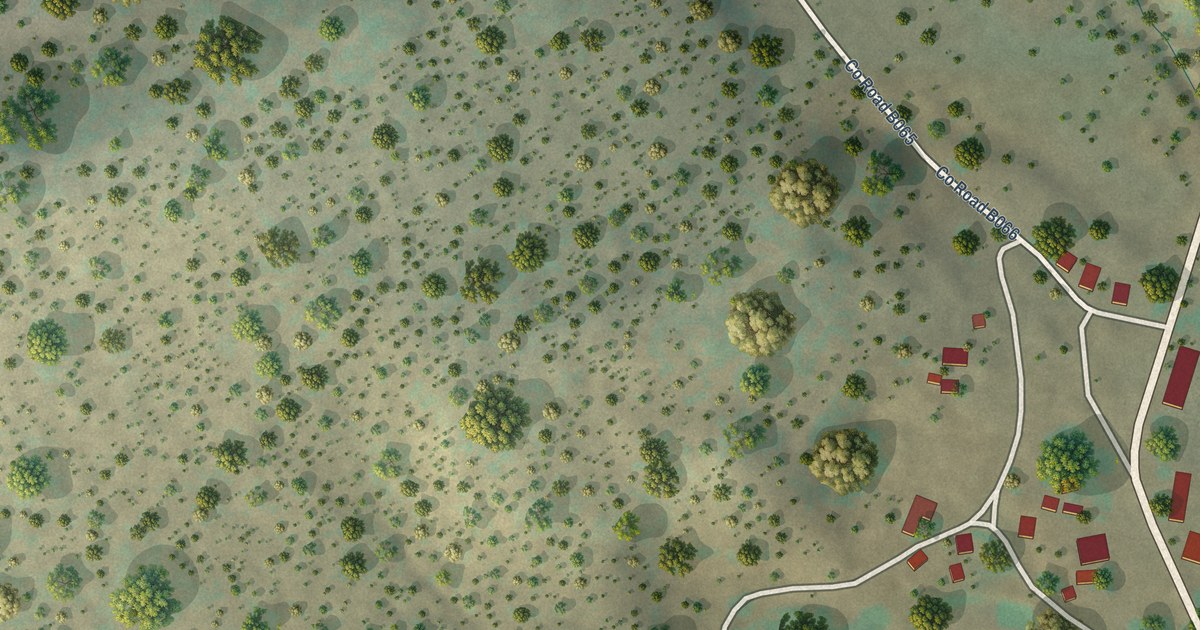
A detailed map of Manzano, New Mexico, showing every building in its true location, the roads by name, and shaded topographical relief.
Read More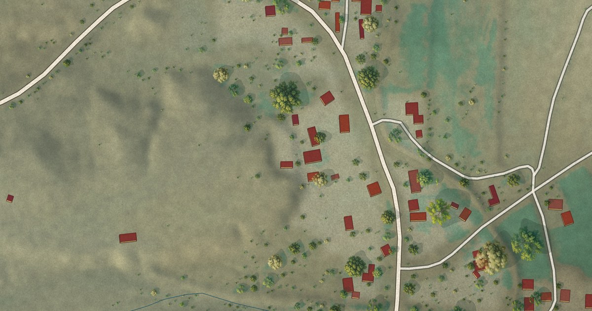
A detailed map of Luis Lopez, New Mexico, showing every building in its true location, the roads by name, and shaded topographical relief.
Read More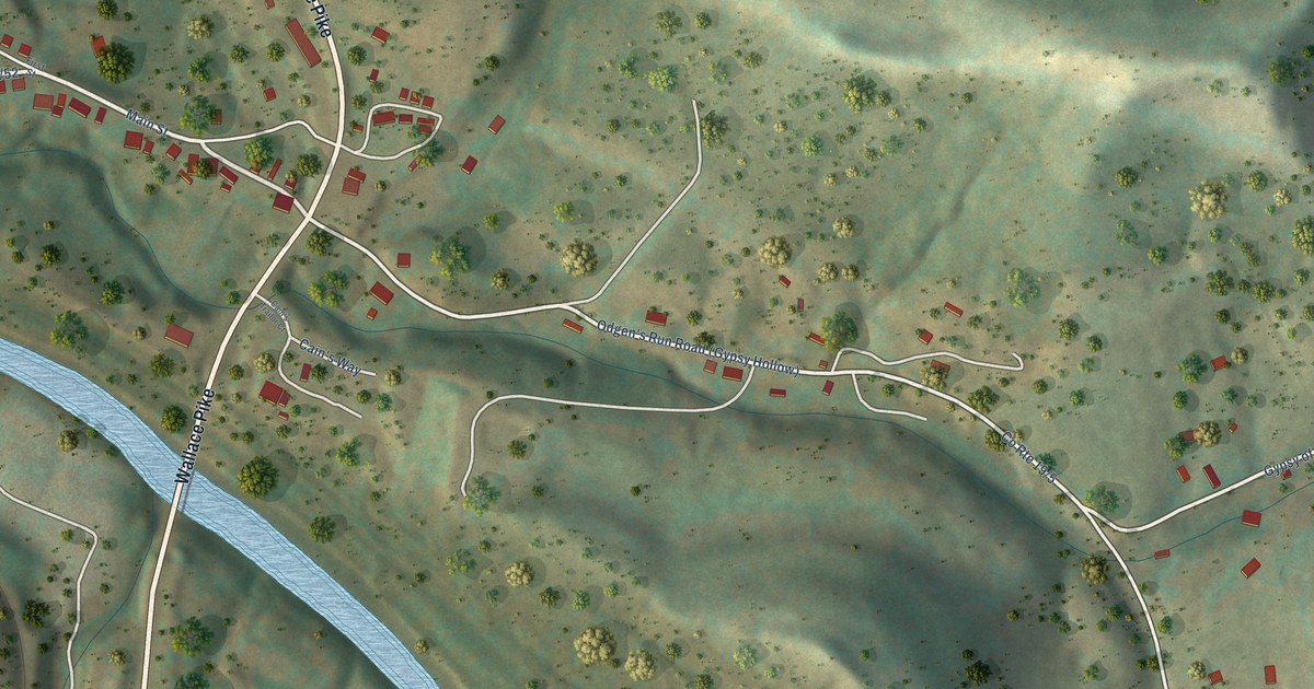
A detailed map of Gypsy, West Virginia, showing every building in its true location, the roads by name, and shaded topographical relief.
Read More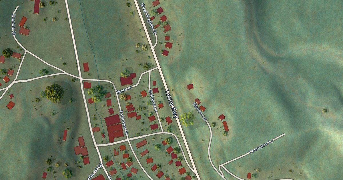
A detailed map of Glen White, West Virginia, showing every building in its true location, the roads by name, and shaded topographical relief.
Read More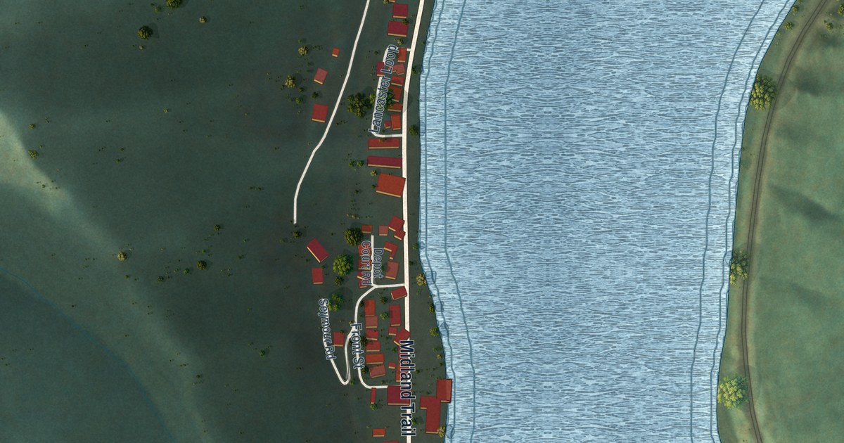
A detailed map of Glen Ferris, West Virginia, showing every building in its true location, the roads by name, and shaded topographical relief.
Read More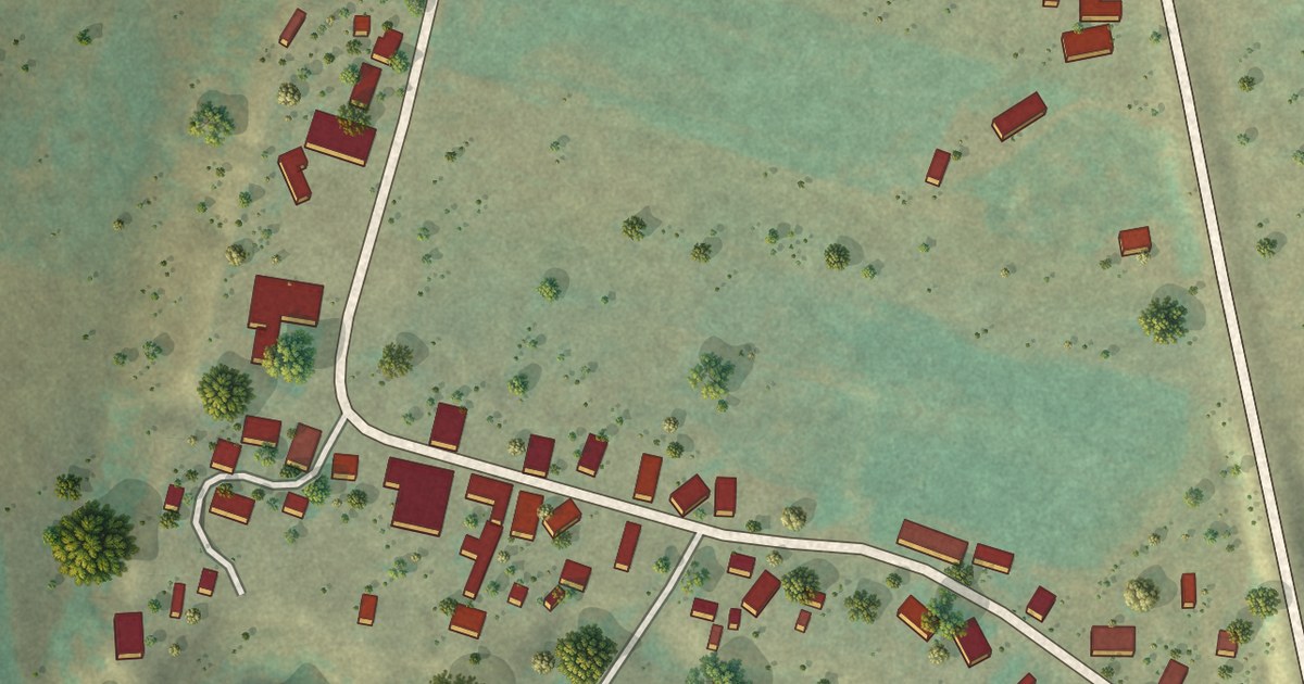
A detailed map of Los Ojos, New Mexico, showing every building in its true location, the roads by name, and shaded topographical relief.
Read More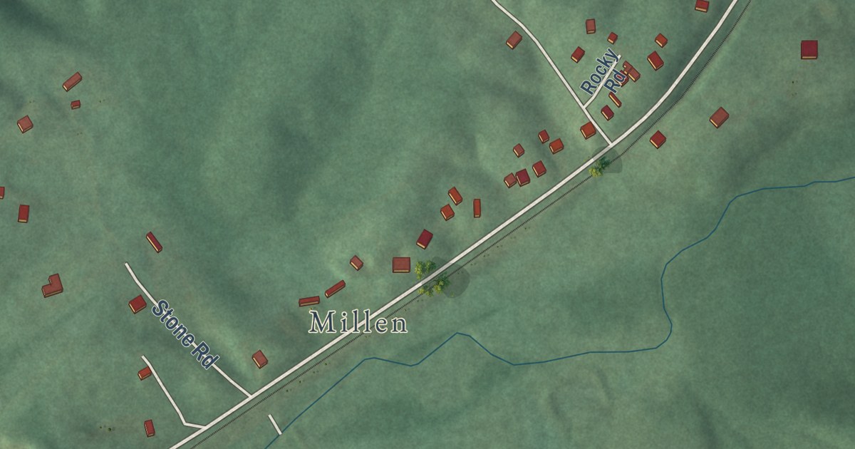
A detailed map of Green Spring, West Virginia, showing every building in its true location, the roads by name, and shaded topographical relief.
Read More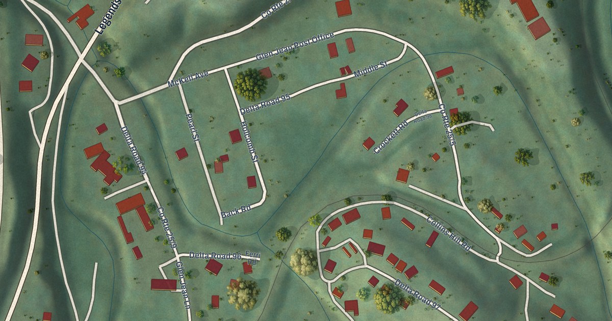
A detailed map of Glen Jean, West Virginia, showing every building in its true location, the roads by name, and shaded topographical relief.
Read More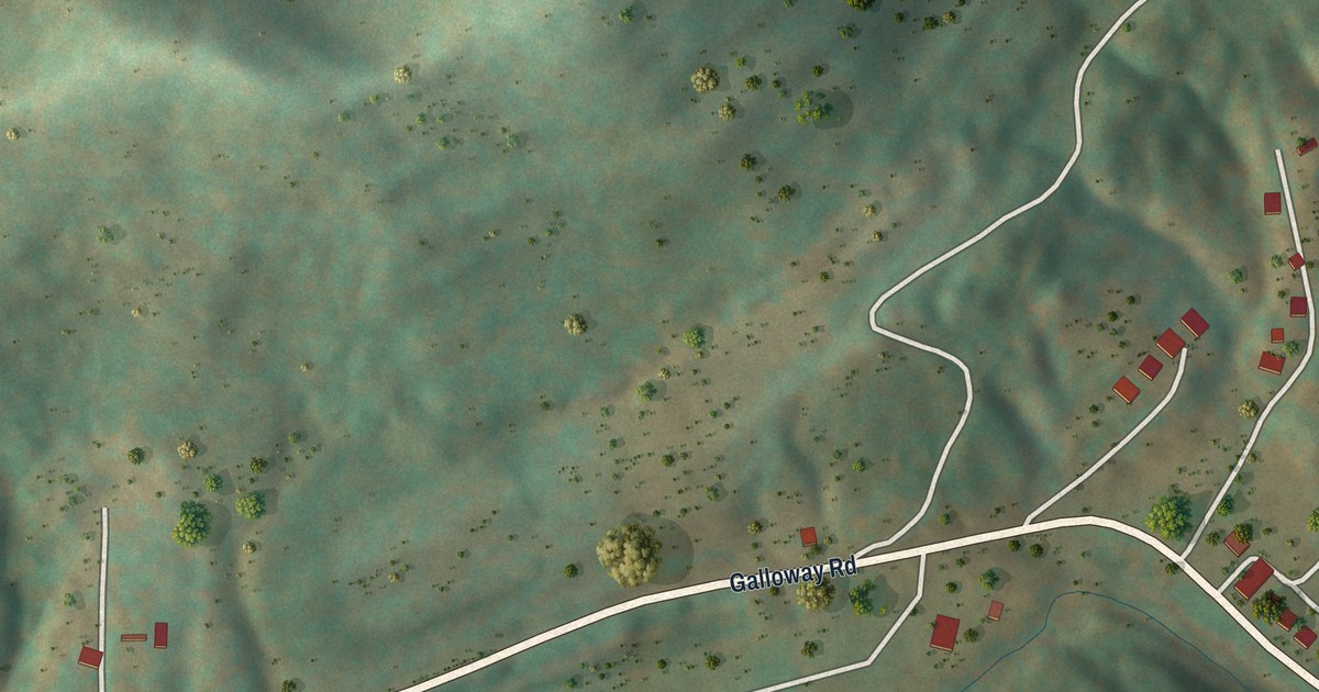
A detailed map of Galloway, West Virginia, showing every building in its true location, the roads by name, and shaded topographical relief.
Read More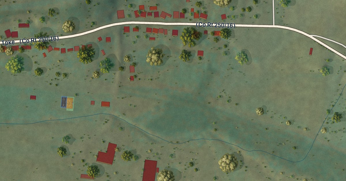
A detailed map of Frank, West Virginia, showing every building in its true location, the roads by name, and shaded topographical relief.
Read More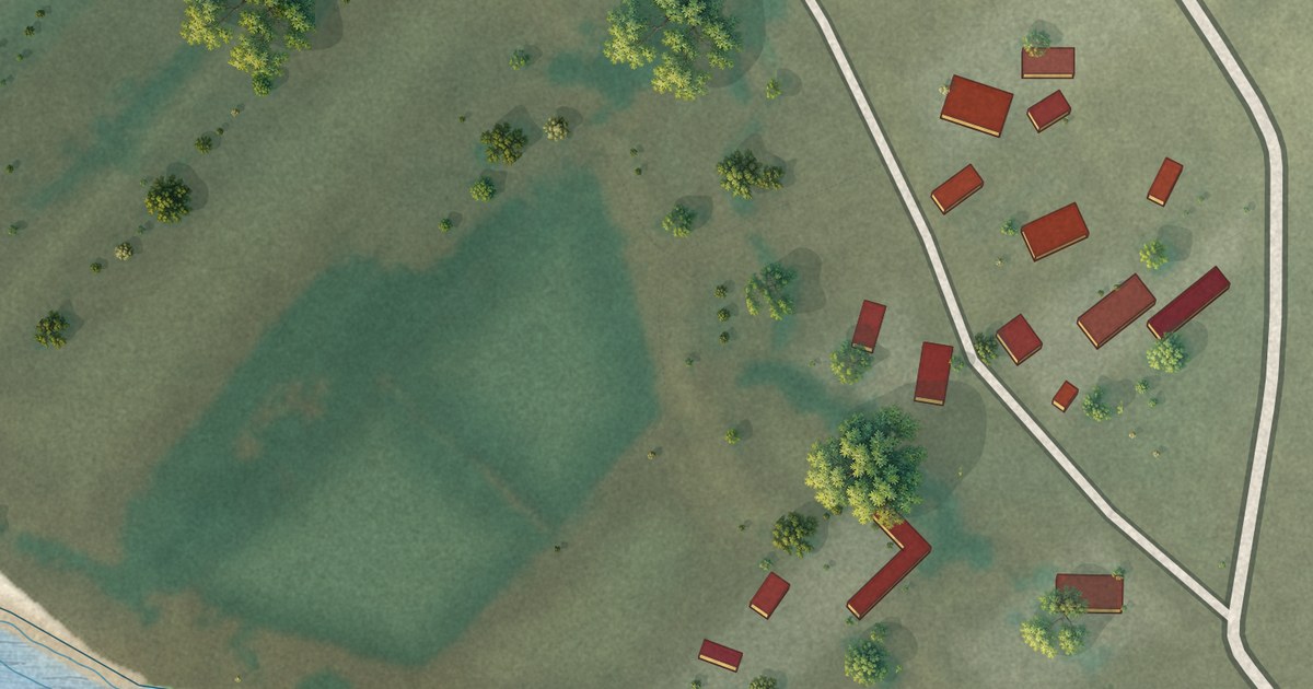
A detailed map of La Bajada, New Mexico, showing every building in its true location, the roads by name, and shaded topographical relief.
Read More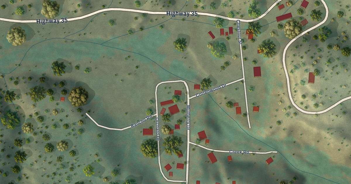
A detailed map of Lake Roberts, New Mexico, showing every building in its true location, the roads by name, and shaded topographical relief.
Read More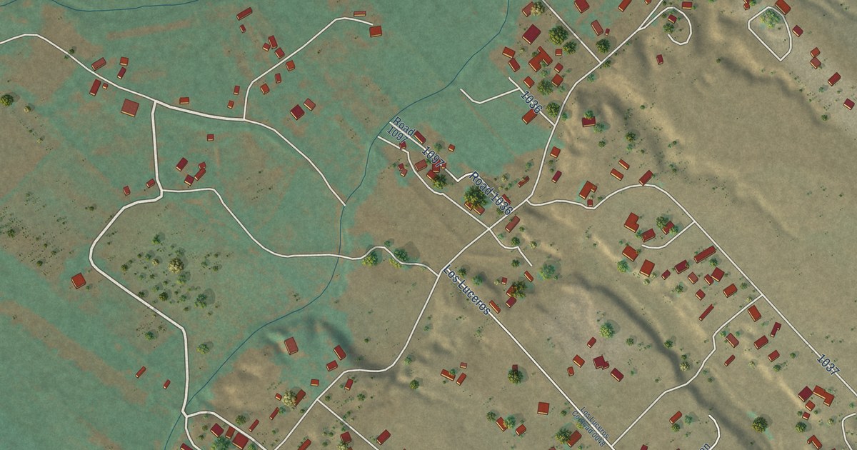
A detailed map of Los Luceros, New Mexico, showing every building in its true location, the roads by name, and shaded topographical relief.
Read More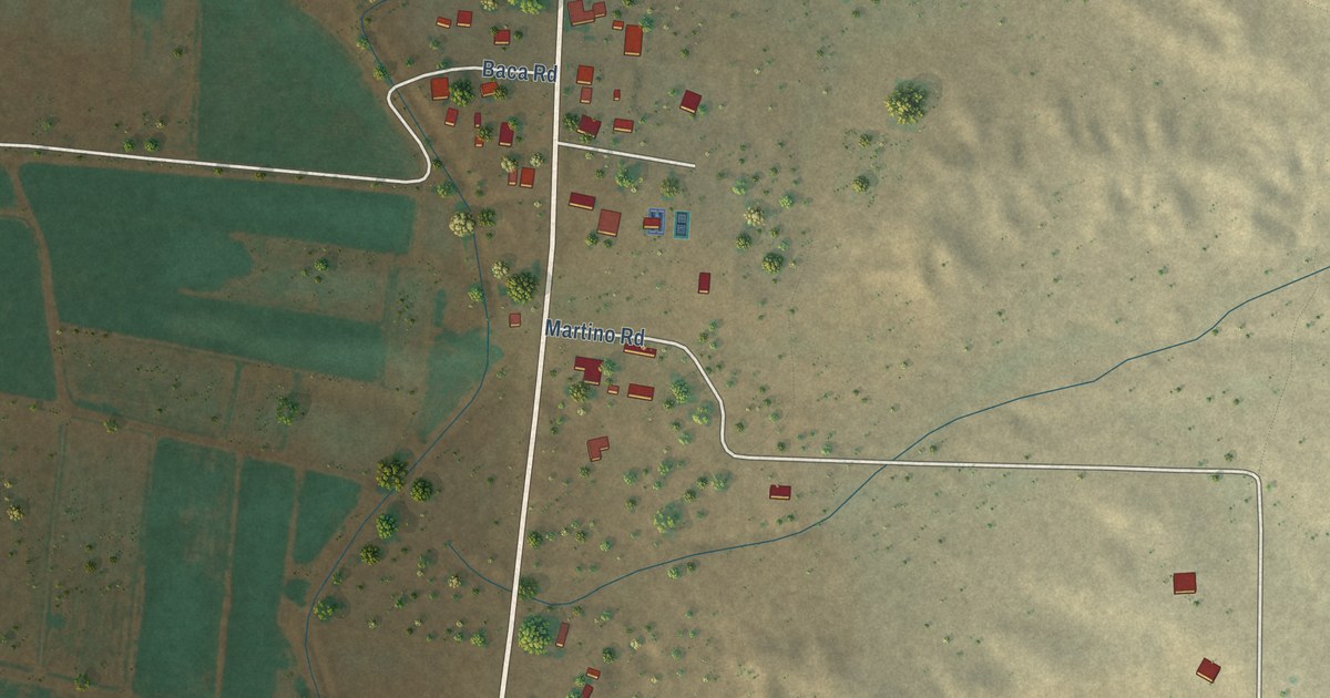
A detailed map of Las Nutrias, New Mexico, showing every building in its true location, the roads by name, and shaded topographical relief.
Read More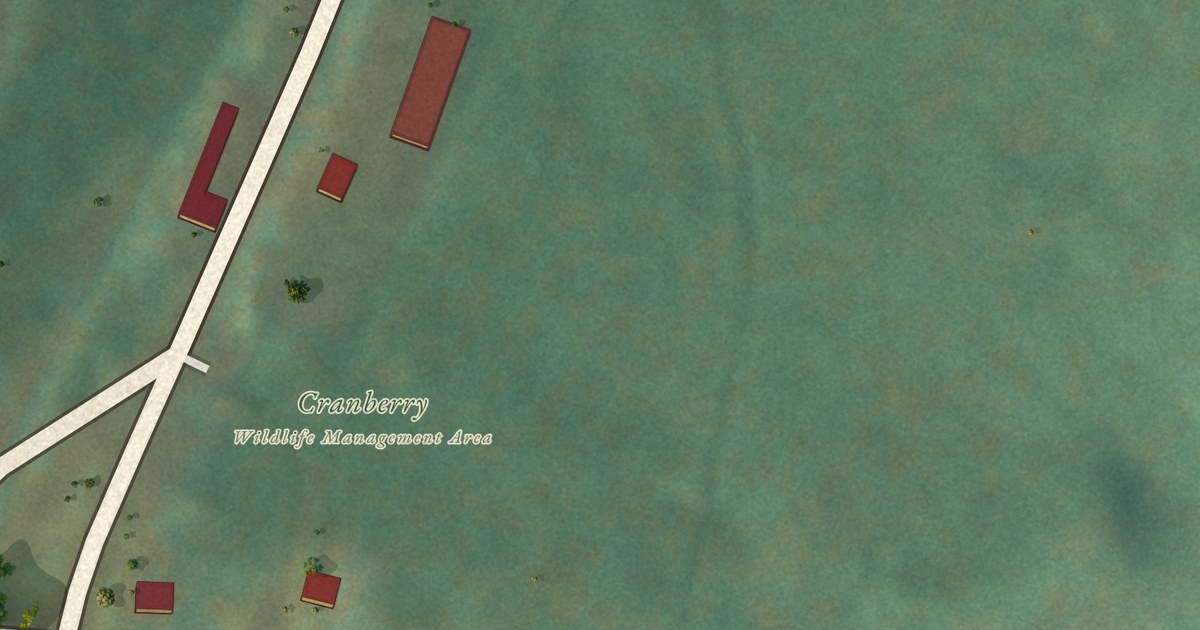
A detailed map of Fenwick, West Virginia, showing every building in its true location, the roads by name, and shaded topographical relief.
Read More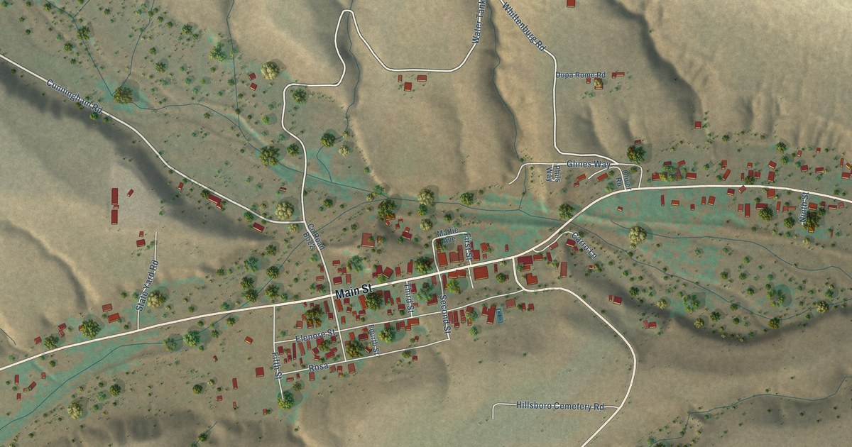
A detailed map of Hillsboro, New Mexico, showing every building in its true location, the roads by name, and shaded topographical relief.
Read More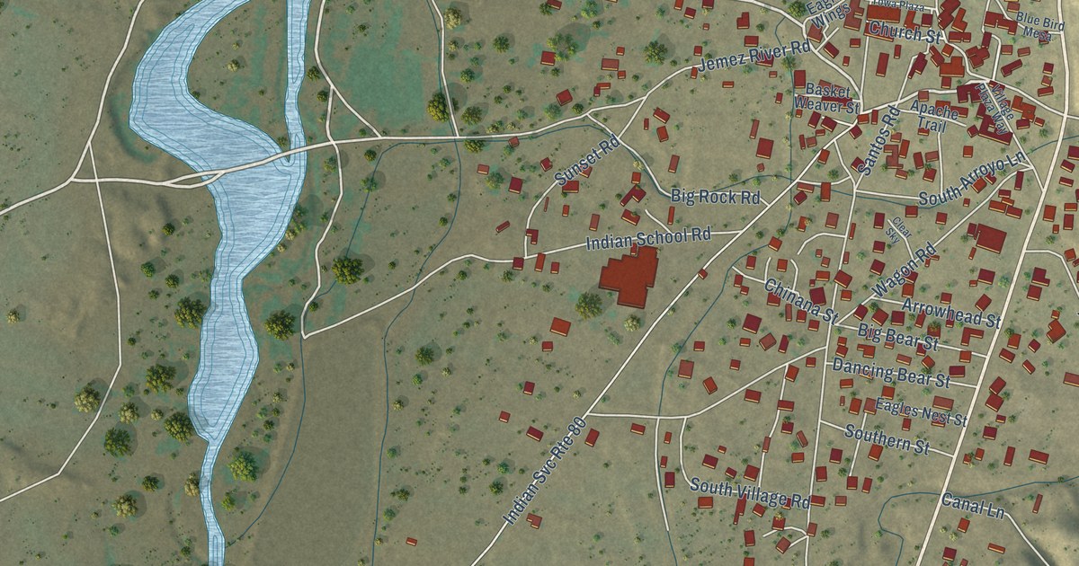
A detailed map of Jemez Pueblo, New Mexico, showing every building in its true location, the roads by name, and shaded topographical relief.
Read More















