Detailed Map of Hyde Park, New Mexico
A detailed map of Hyde Park, New Mexico, showing every building in its true location, the roads by name, and shaded topographical relief.
Read More
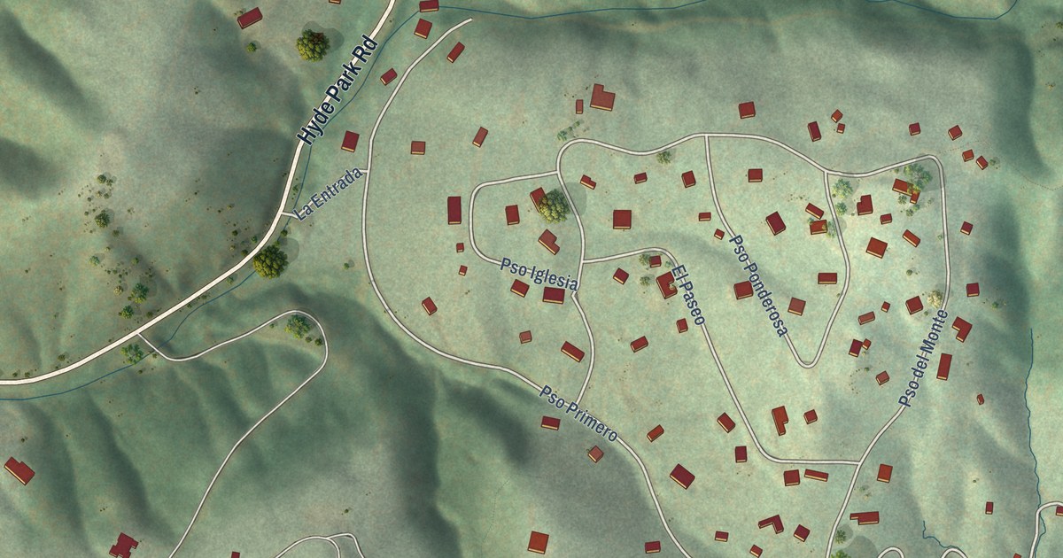
A detailed map of Hyde Park, New Mexico, showing every building in its true location, the roads by name, and shaded topographical relief.
Read More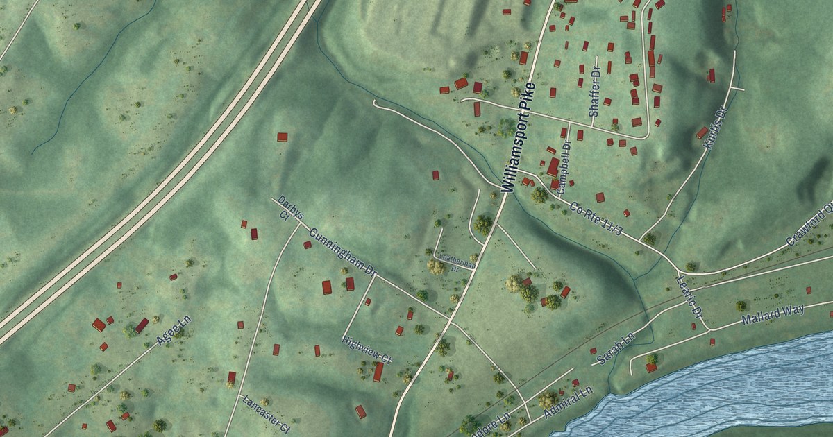
A detailed map of Falling Waters, West Virginia, showing every building in its true location, the roads by name, and shaded topographical relief.
Read More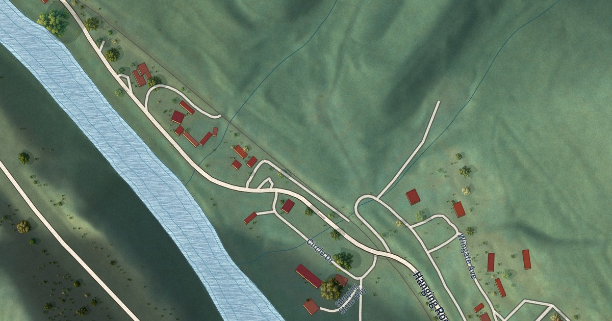
A detailed map of Earling, West Virginia, showing every building in its true location, the roads by name, and shaded topographical relief.
Read More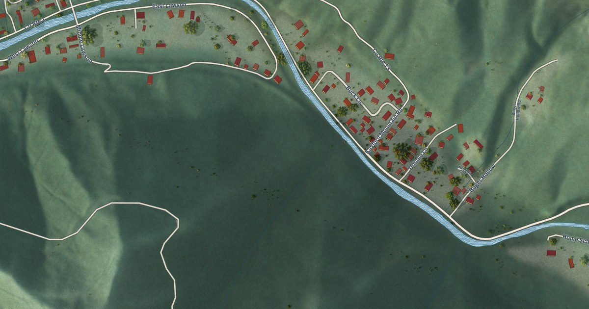
A detailed map of Dorothy, West Virginia, showing every building in its true location, the roads by name, and shaded topographical relief.
Read More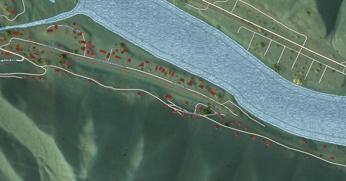
A detailed map of Deep Water, West Virginia, showing every building in its true location, the roads by name, and shaded topographical relief.
Read More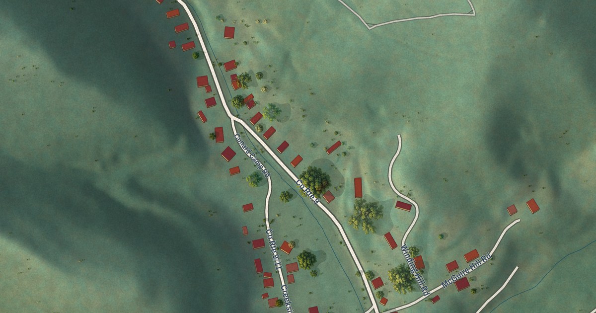
A detailed map of Cunard, West Virginia, showing every building in its true location, the roads by name, and shaded topographical relief.
Read More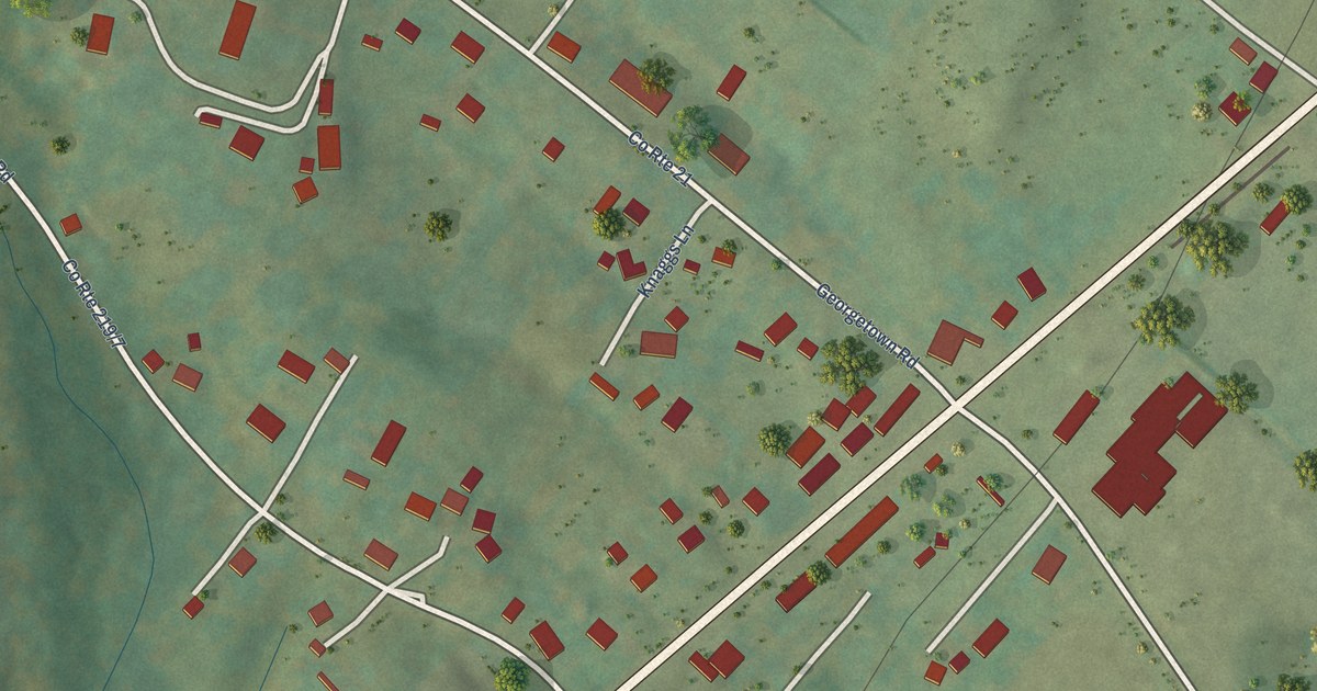
A detailed map of Dailey, West Virginia, showing every building in its true location, the roads by name, and shaded topographical relief.
Read More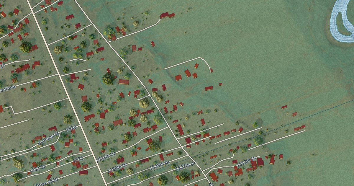
A detailed map of Hernandez, New Mexico, showing every building in its true location, the roads by name, and shaded topographical relief.
Read More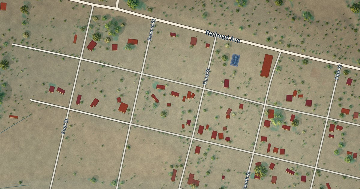
A detailed map of Hachita, New Mexico, showing every building in its true location, the roads by name, and shaded topographical relief.
Read More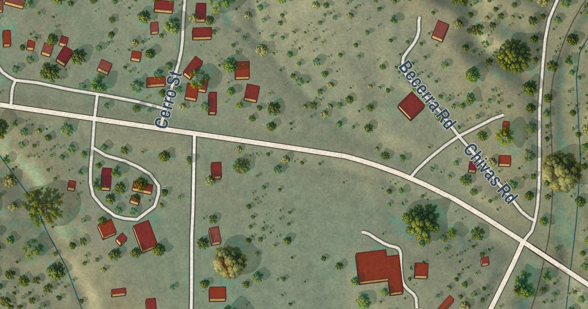
A detailed map of Hanover, New Mexico, showing every building in its true location, the roads by name, and shaded topographical relief.
Read More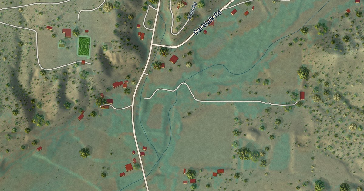
A detailed map of Glenwood, New Mexico, showing every building in its true location, the roads by name, and shaded topographical relief.
Read More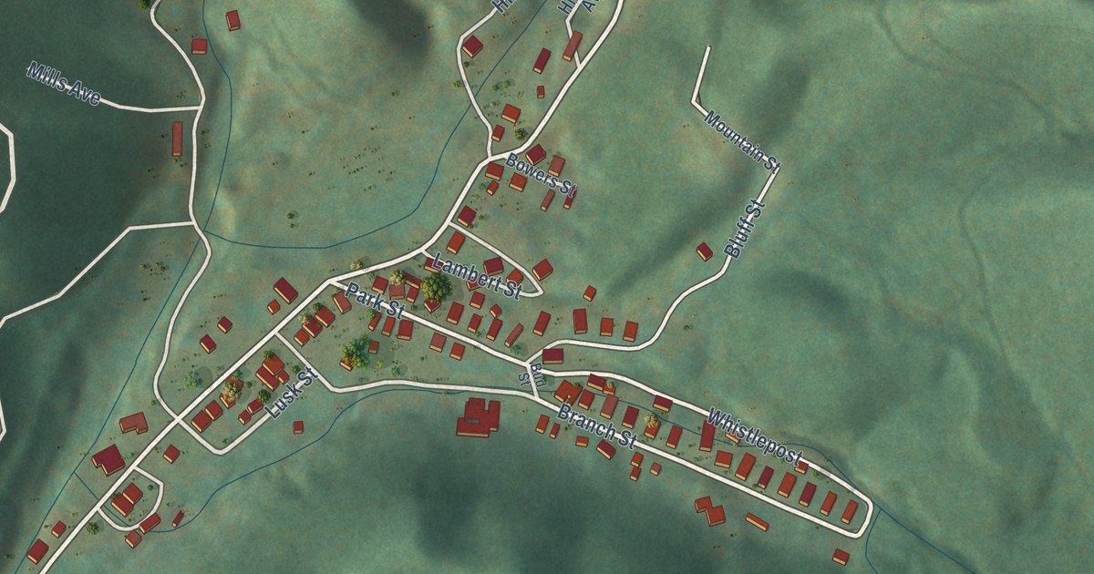
A detailed map of Crumpler, West Virginia, showing every building in its true location, the roads by name, and shaded topographical relief.
Read More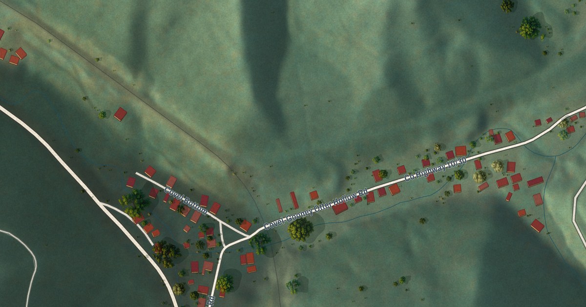
A detailed map of Covel, West Virginia, showing every building in its true location, the roads by name, and shaded topographical relief.
Read More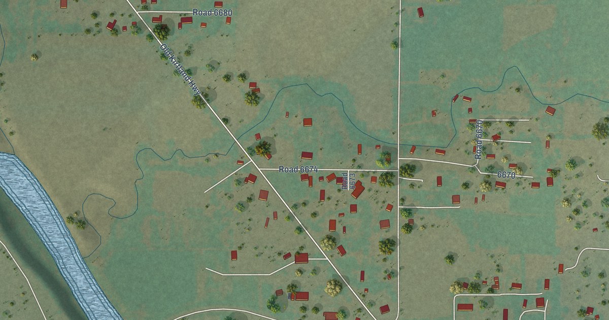
A detailed map of Fruitland, New Mexico, showing every building in its true location, the roads by name, and shaded topographical relief.
Read More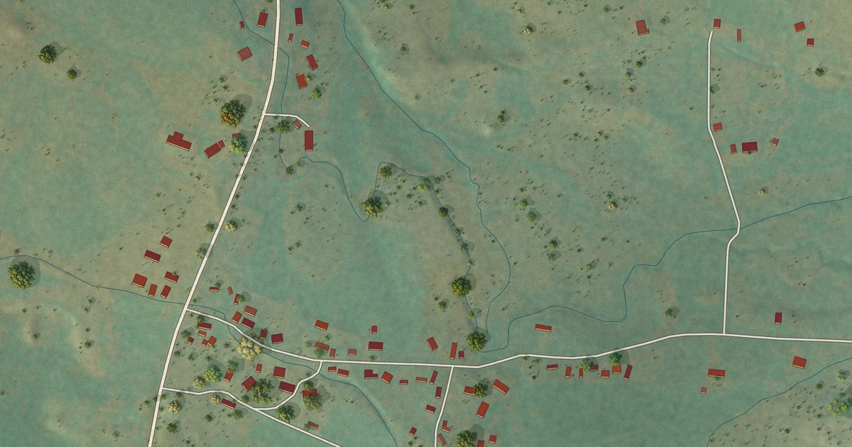
A detailed map of Ensenada, New Mexico, showing every building in its true location, the roads by name, and shaded topographical relief.
Read More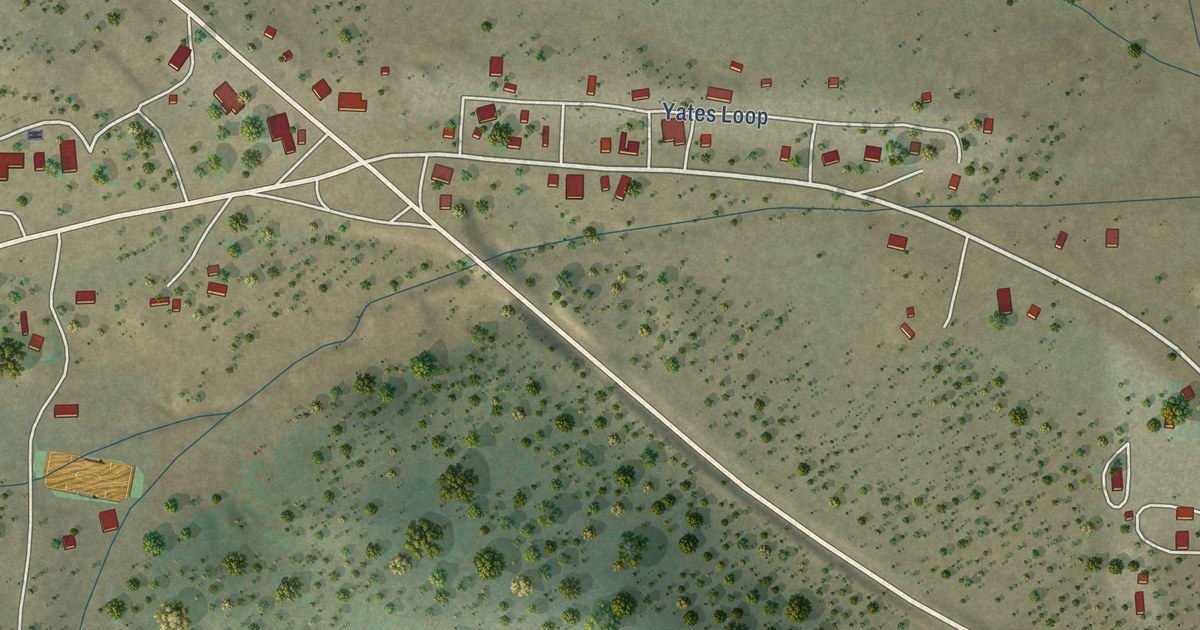
A detailed map of Datil, New Mexico, showing every building in its true location, the roads by name, and shaded topographical relief.
Read More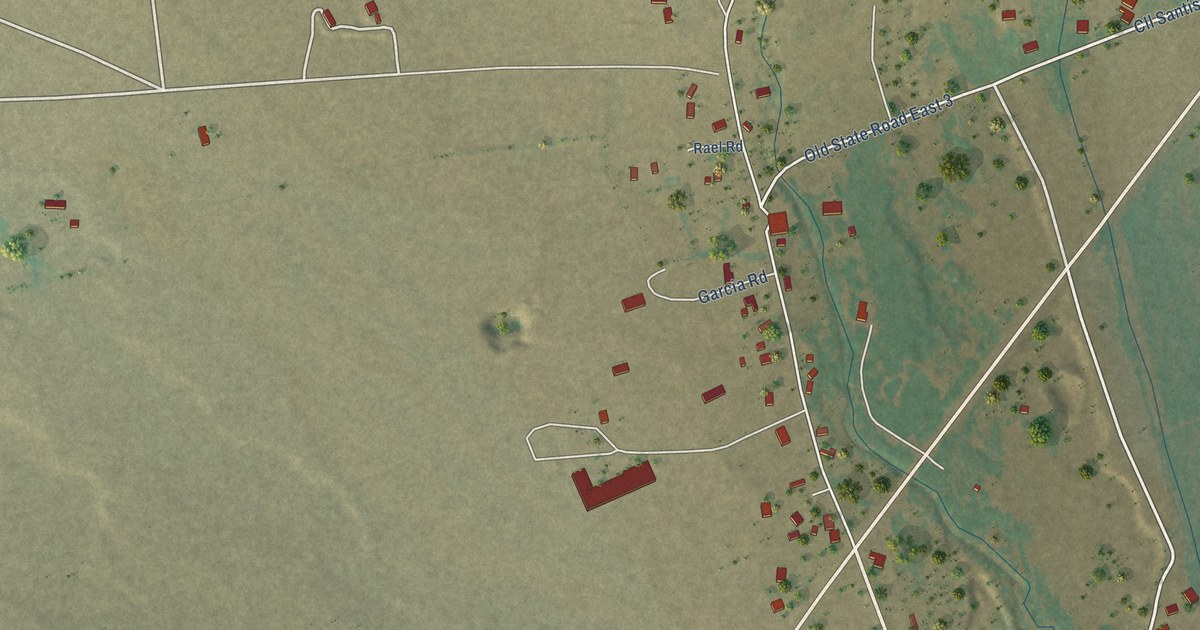
A detailed map of Costilla, New Mexico, showing every building in its true location, the roads by name, and shaded topographical relief.
Read More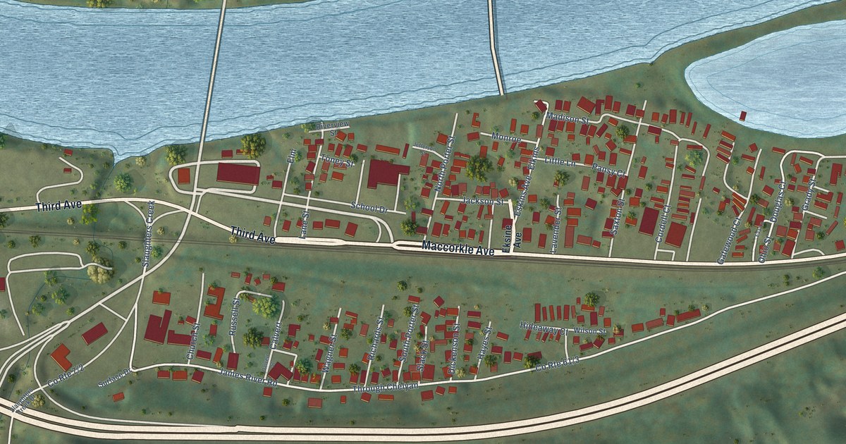
A detailed map of Chelyan, West Virginia, showing every building in its true location, the roads by name, and shaded topographical relief.
Read More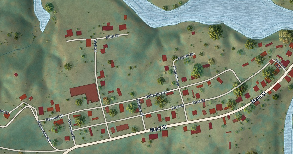
A detailed map of Cottageville, West Virginia, showing every building in its true location, the roads by name, and shaded topographical relief.
Read More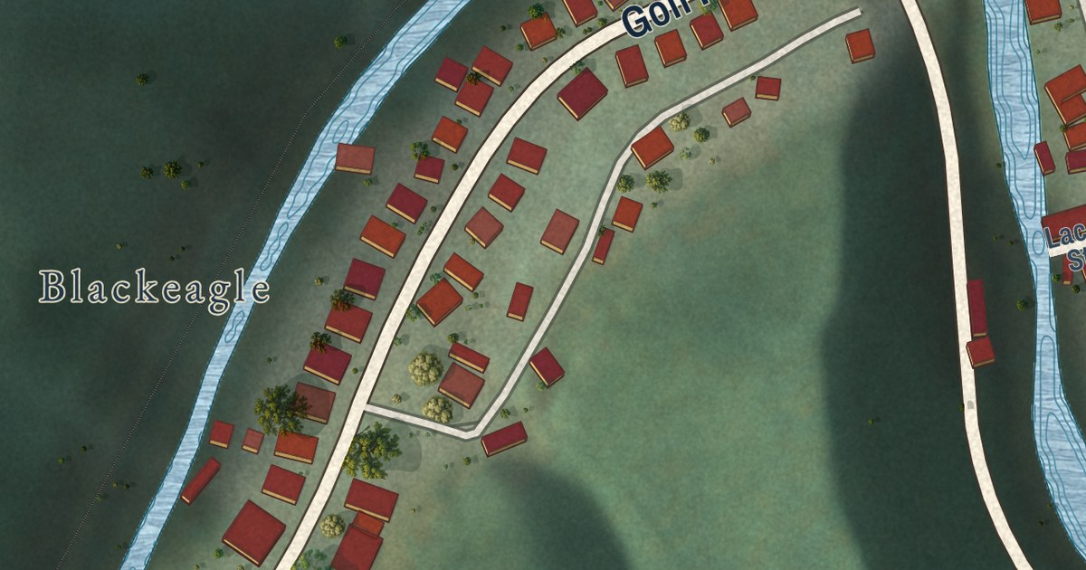
A detailed map of Corinne, West Virginia, showing every building in its true location, the roads by name, and shaded topographical relief.
Read More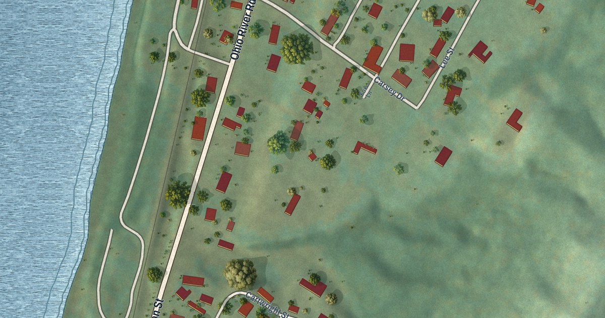
A detailed map of Clifton, West Virginia, showing every building in its true location, the roads by name, and shaded topographical relief.
Read More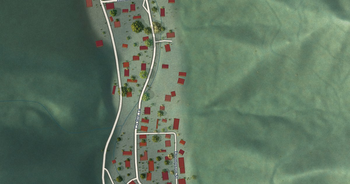
A detailed map of Colcord, West Virginia, showing every building in its true location, the roads by name, and shaded topographical relief.
Read More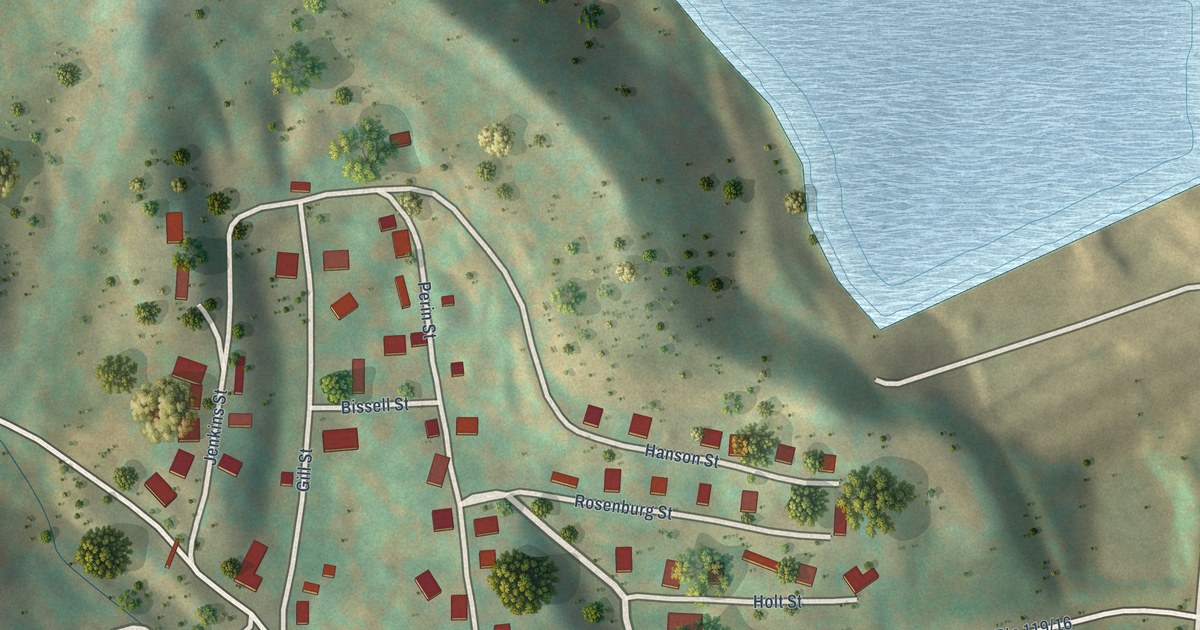
A detailed map of Century, West Virginia, showing every building in its true location, the roads by name, and shaded topographical relief.
Read More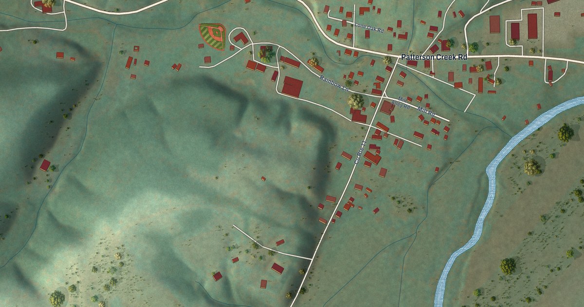
A detailed map of Burlington, West Virginia, showing every building in its true location, the roads by name, and shaded topographical relief.
Read More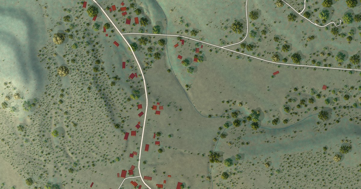
A detailed map of Chilili, New Mexico, showing every building in its true location, the roads by name, and shaded topographical relief.
Read More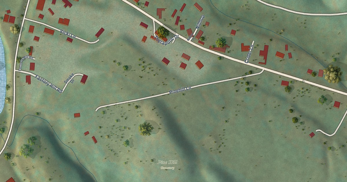
A detailed map of Brandywine, West Virginia, showing every building in its true location, the roads by name, and shaded topographical relief.
Read More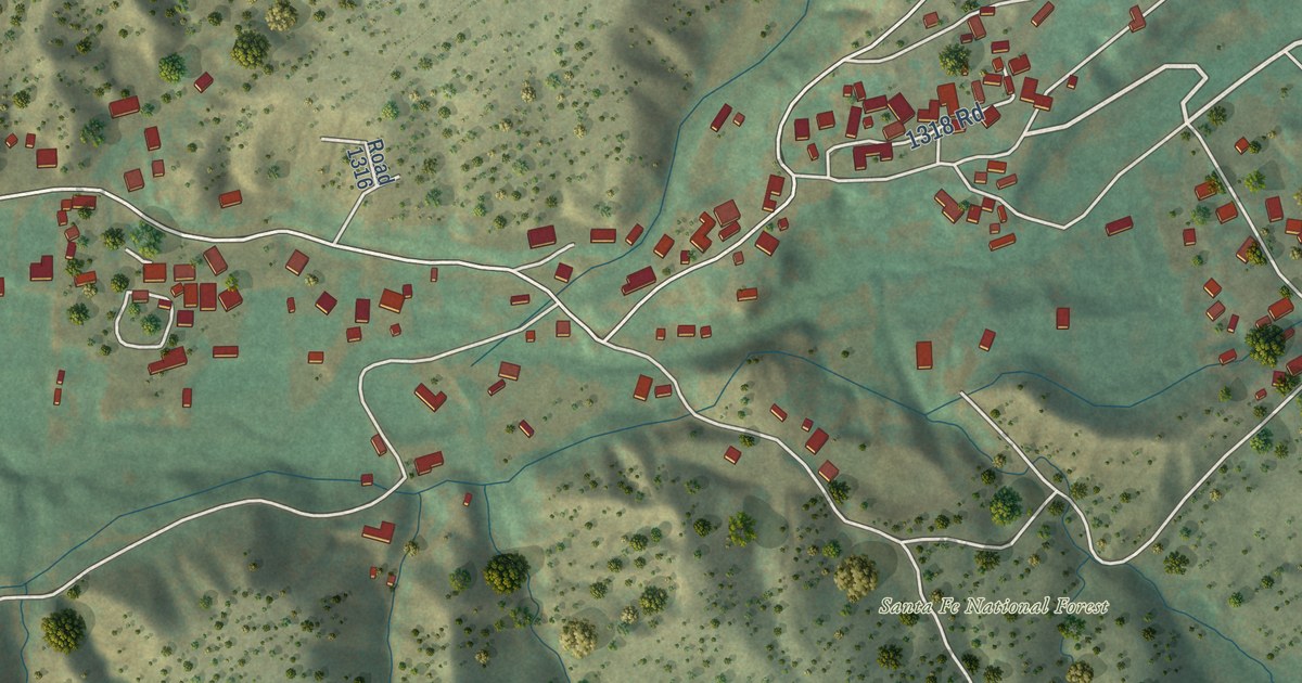
A detailed map of Cordova, New Mexico, showing every building in its true location, the roads by name, and shaded topographical relief.
Read More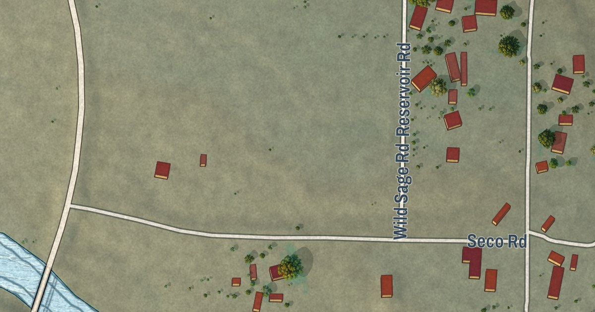
A detailed map of Caballo, New Mexico, showing every building in its true location, the roads by name, and shaded topographical relief.
Read More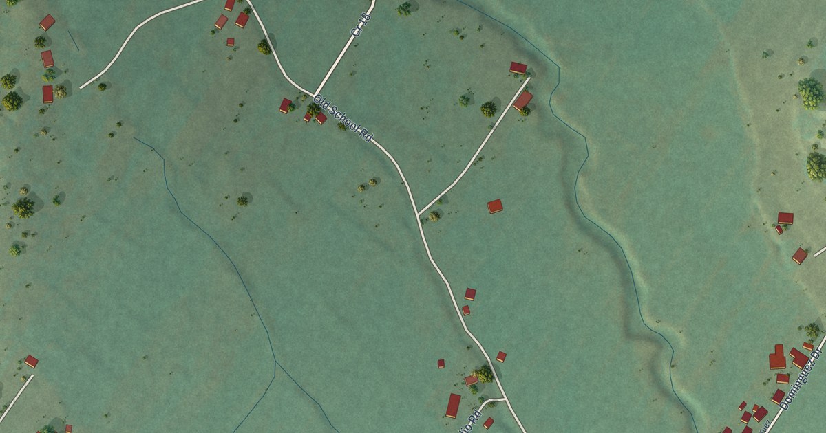
A detailed map of Chamisal, New Mexico, showing every building in its true location, the roads by name, and shaded topographical relief.
Read More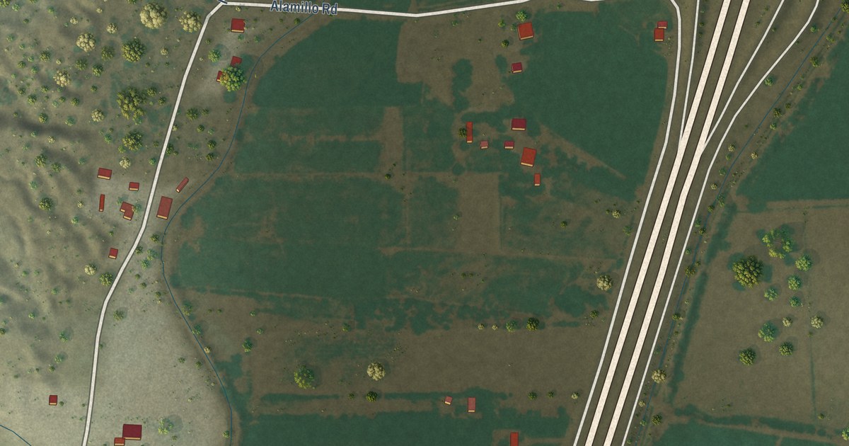
A detailed map of Alamillo, New Mexico, showing every building in its true location, the roads by name, and shaded topographical relief.
Read More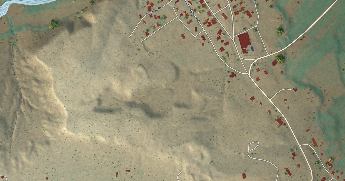
A detailed map of Anton Chico, New Mexico, showing every building in its true location, the roads by name, and shaded topographical relief.
Read More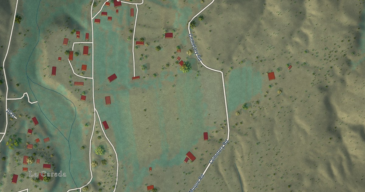
A detailed map of Abiquiu, New Mexico, showing every building in its true location, the roads by name, and shaded topographical relief.
Read More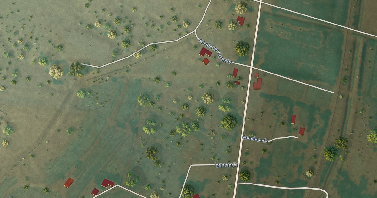
A detailed map of Abeytas, New Mexico, showing every building in its true location, the roads by name, and shaded topographical relief.
Read More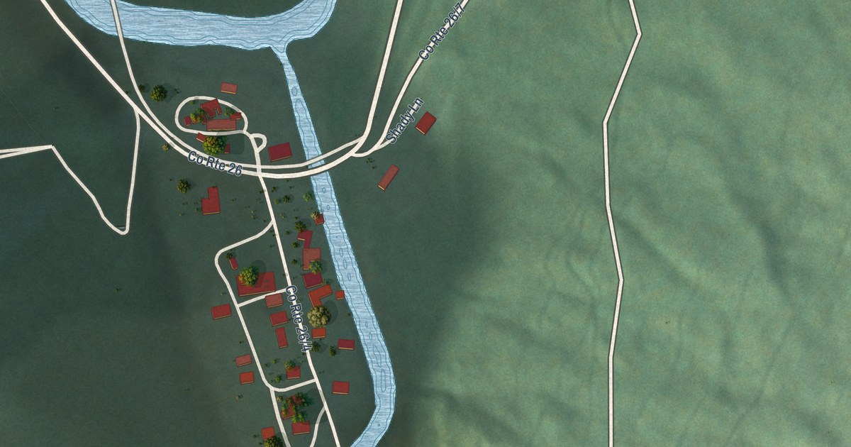
A detailed map of Bergoo, West Virginia, showing every building in its true location, the roads by name, and shaded topographical relief.
Read More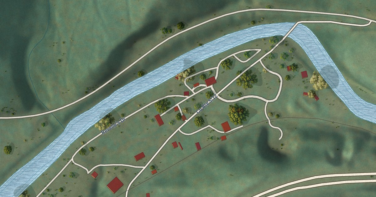
A detailed map of Bowden, West Virginia, showing every building in its true location, the roads by name, and shaded topographical relief.
Read More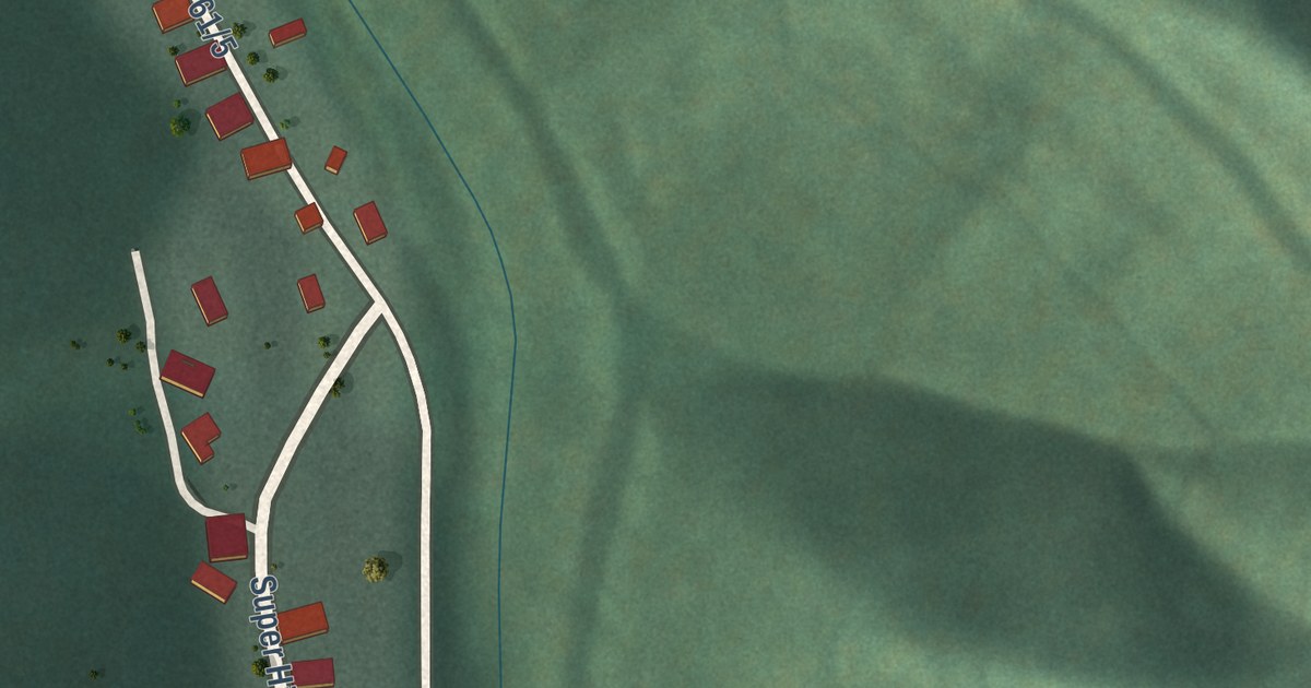
A detailed map of Beards Fork, West Virginia, showing every building in its true location, the roads by name, and shaded topographical relief.
Read More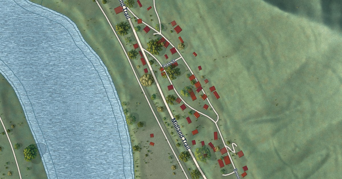
A detailed map of Boomer, West Virginia, showing every building in its true location, the roads by name, and shaded topographical relief.
Read More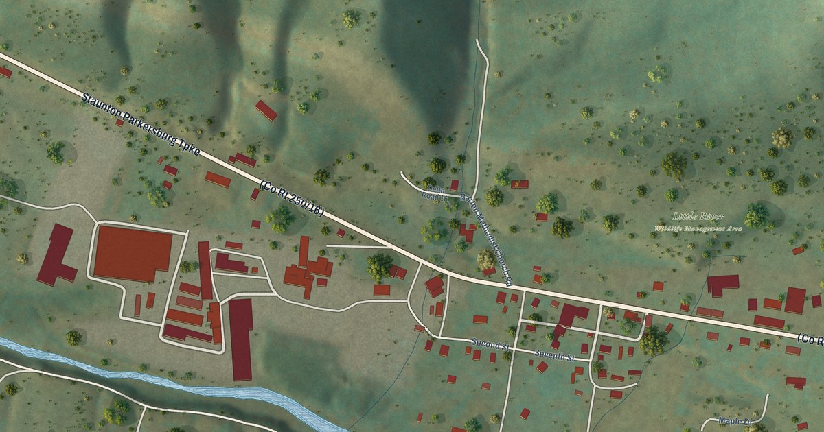
A detailed map of Bartow, West Virginia, showing every building in its true location, the roads by name, and shaded topographical relief.
Read More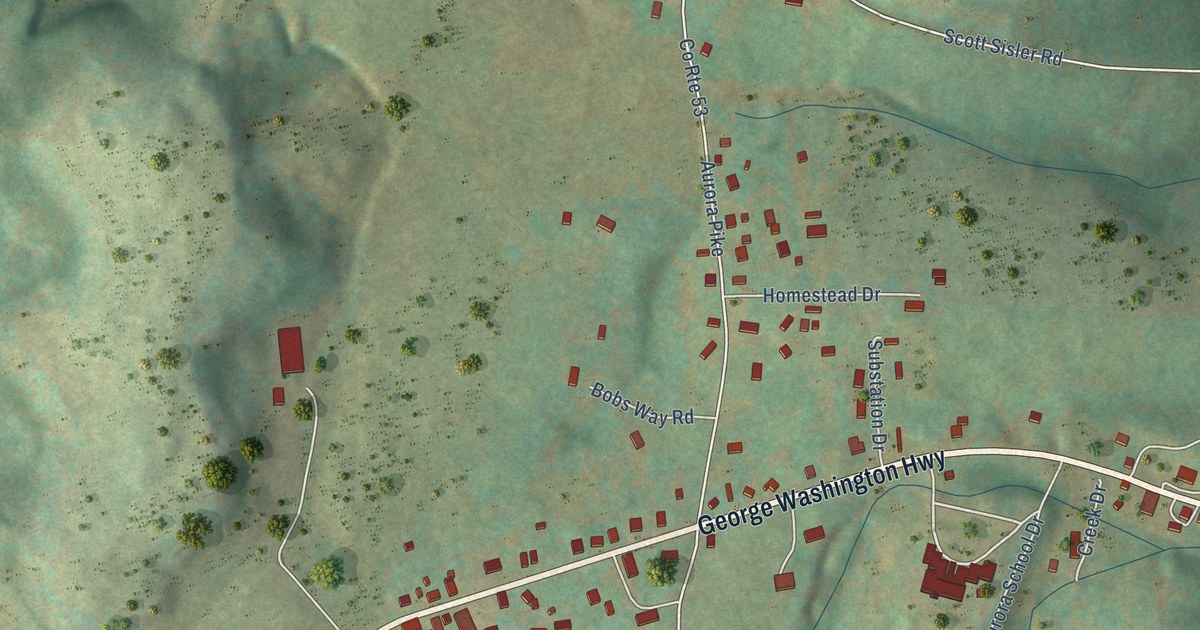
A detailed map of Aurora, West Virginia, showing every building in its true location, the roads by name, and shaded topographical relief.
Read More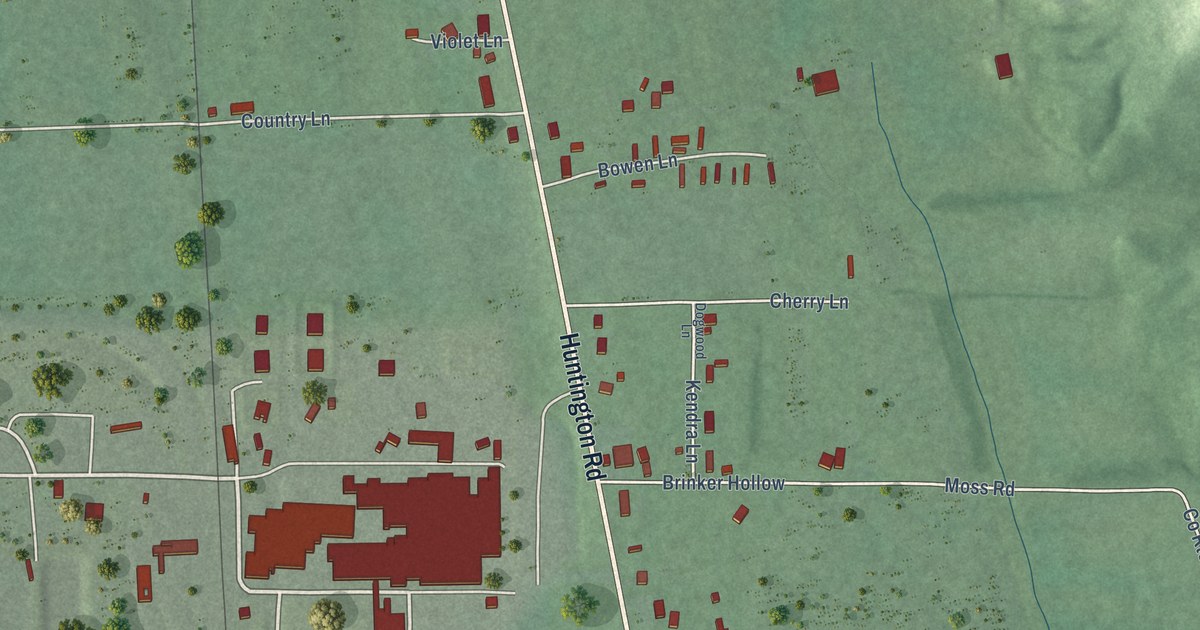
A detailed map of Apple Grove, West Virginia, showing every building in its true location, the roads by name, and shaded topographical relief.
Read More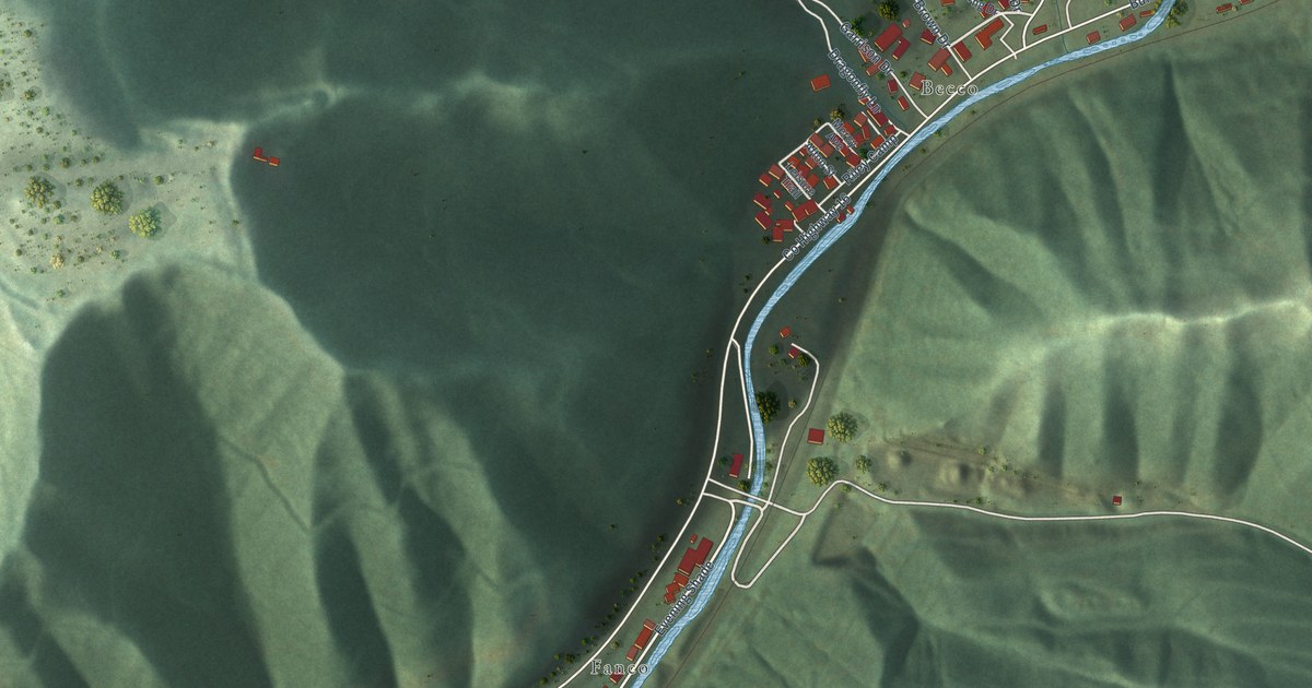
A detailed map of Amherstdale, West Virginia, showing every building in its true location, the roads by name, and shaded topographical relief.
Read More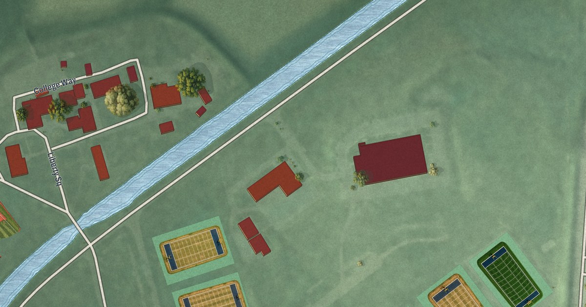
A detailed map of Zarephath, New Jersey, showing every building in its true location, the roads by name, and shaded topographical relief.
Read More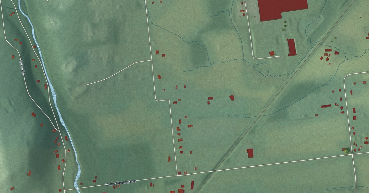
A detailed map of Skillman, New Jersey, showing every building in its true location, the roads by name, and shaded topographical relief.
Read More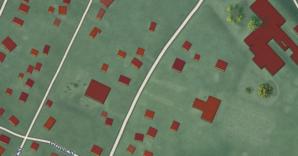
A detailed map of Three Bridges, New Jersey, showing every building in its true location, the roads by name, and shaded topographical relief.
Read More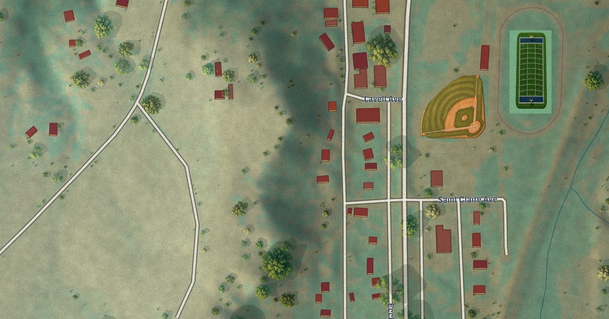
A detailed map of Elbert, Colorado, showing every building in its true location, the roads by name, and shaded topographical relief.
Read More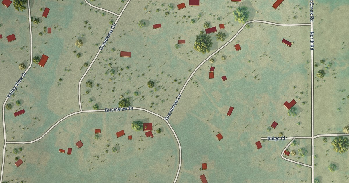
A detailed map of Divide, Colorado, showing every building in its true location, the roads by name, and shaded topographical relief.
Read More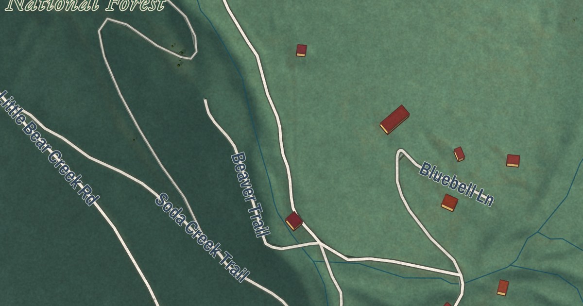
A detailed map of Blue Valley, Colorado, showing every building in its true location, the roads by name, and shaded topographical relief.
Read More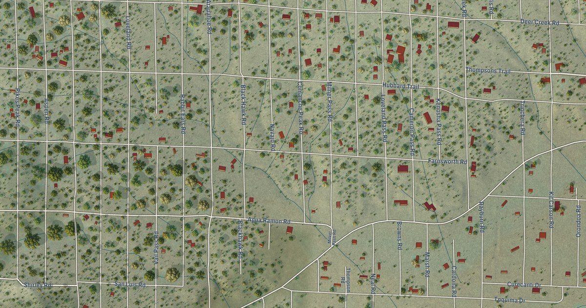
A detailed map of Alpine, Colorado, showing every building in its true location, the roads by name, and shaded topographical relief.
Read More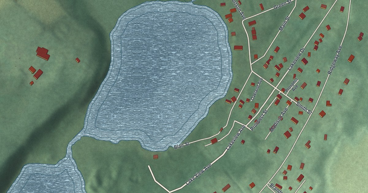
A detailed map of Silver Lake, New Jersey, showing every building in its true location, the roads by name, and shaded topographical relief.
Read More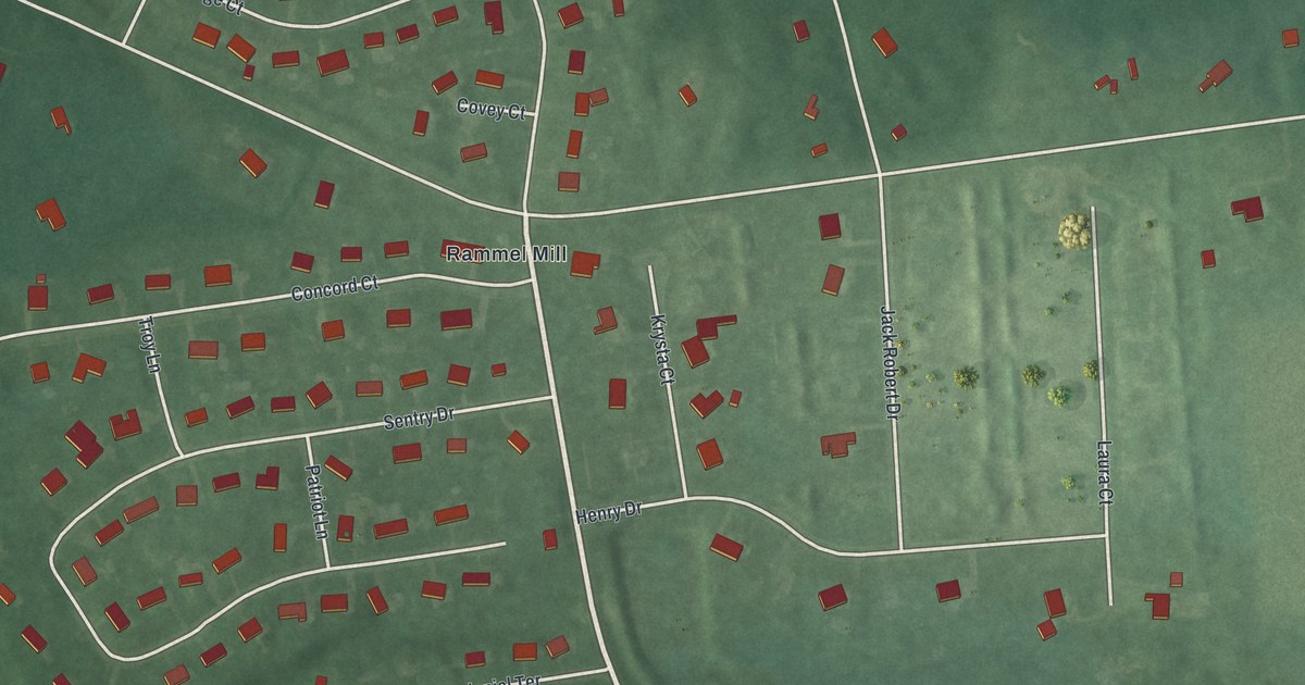
A detailed map of Silver Lake, New Jersey, showing every building in its true location, the roads by name, and shaded topographical relief.
Read More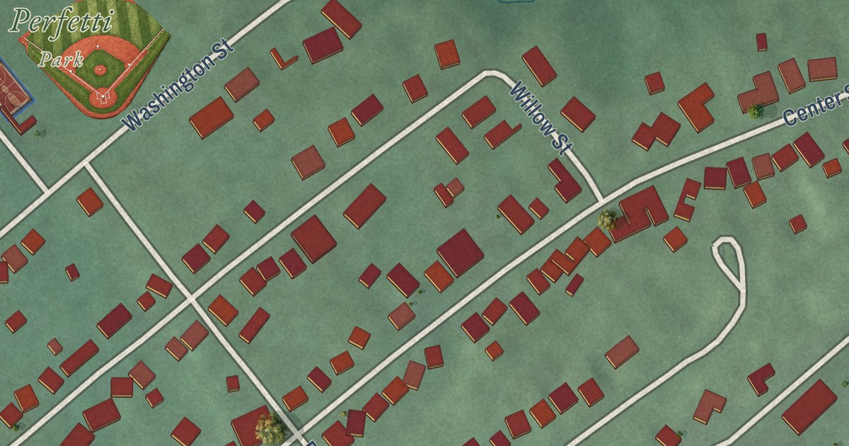
A detailed map of Port Morris, New Jersey, showing every building in its true location, the roads by name, and shaded topographical relief.
Read More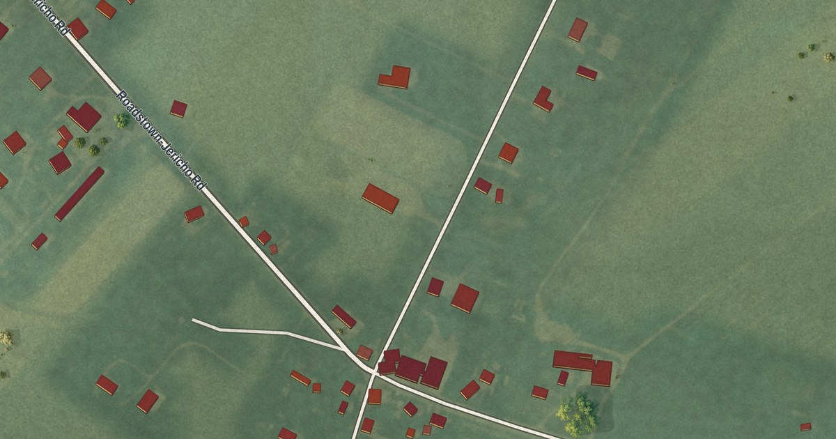
A detailed map of Roadstown, New Jersey, showing every building in its true location, the roads by name, and shaded topographical relief.
Read More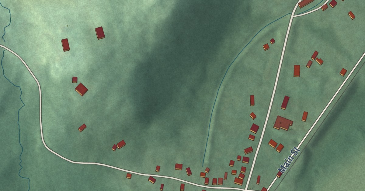
A detailed map of Port Murray, New Jersey, showing every building in its true location, the roads by name, and shaded topographical relief.
Read More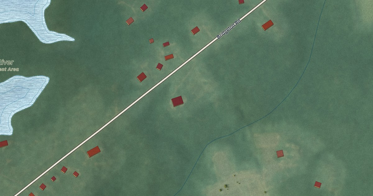
A detailed map of Sheppards Mill, New Jersey, showing every building in its true location, the roads by name, and shaded topographical relief.
Read More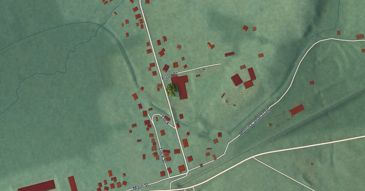
A detailed map of Port Colden, New Jersey, showing every building in its true location, the roads by name, and shaded topographical relief.
Read More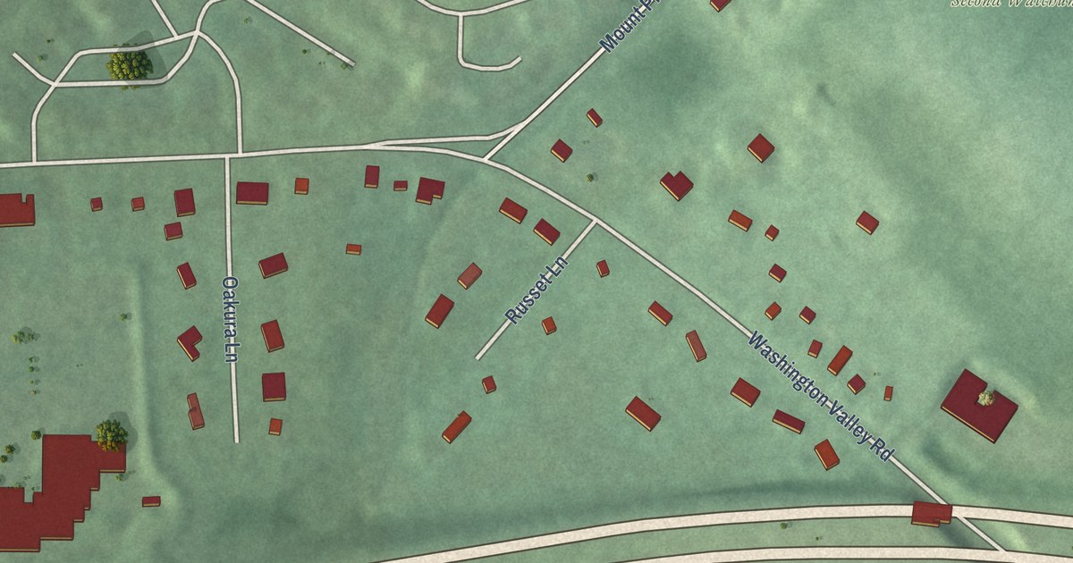
A detailed map of Pluckemin, New Jersey, showing every building in its true location, the roads by name, and shaded topographical relief.
Read More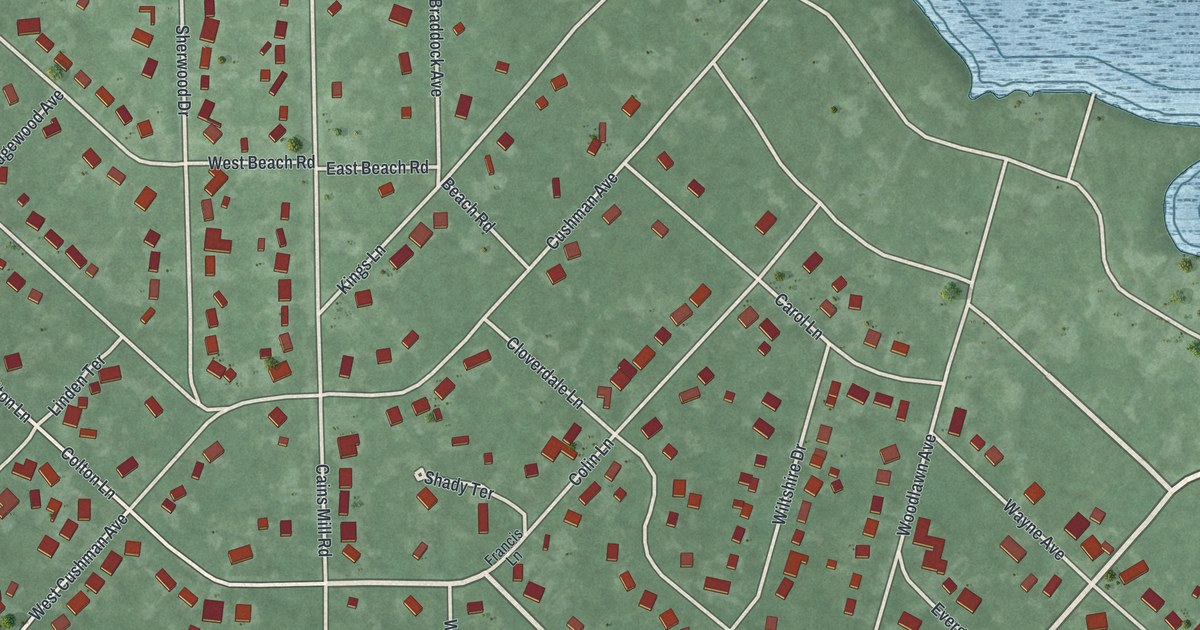
A detailed map of Collings Lakes, New Jersey, showing every building in its true location, the roads by name, and shaded topographical relief.
Read More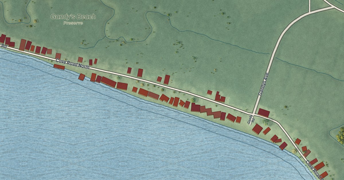
A detailed map of Gandys Beach, New Jersey, showing every building in its true location, the roads by name, and shaded topographical relief.
Read More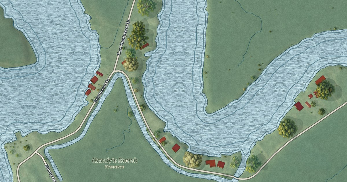
A detailed map of Money Island, New Jersey, showing every building in its true location, the roads by name, and shaded topographical relief.
Read More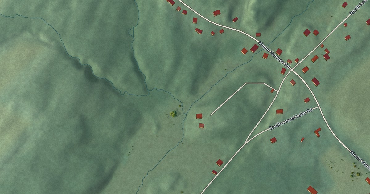
A detailed map of Mount Hermon, New Jersey, showing every building in its true location, the roads by name, and shaded topographical relief.
Read More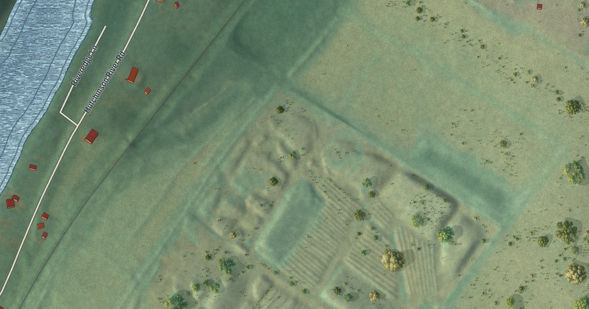
A detailed map of Hutchinson, New Jersey, showing every building in its true location, the roads by name, and shaded topographical relief.
Read More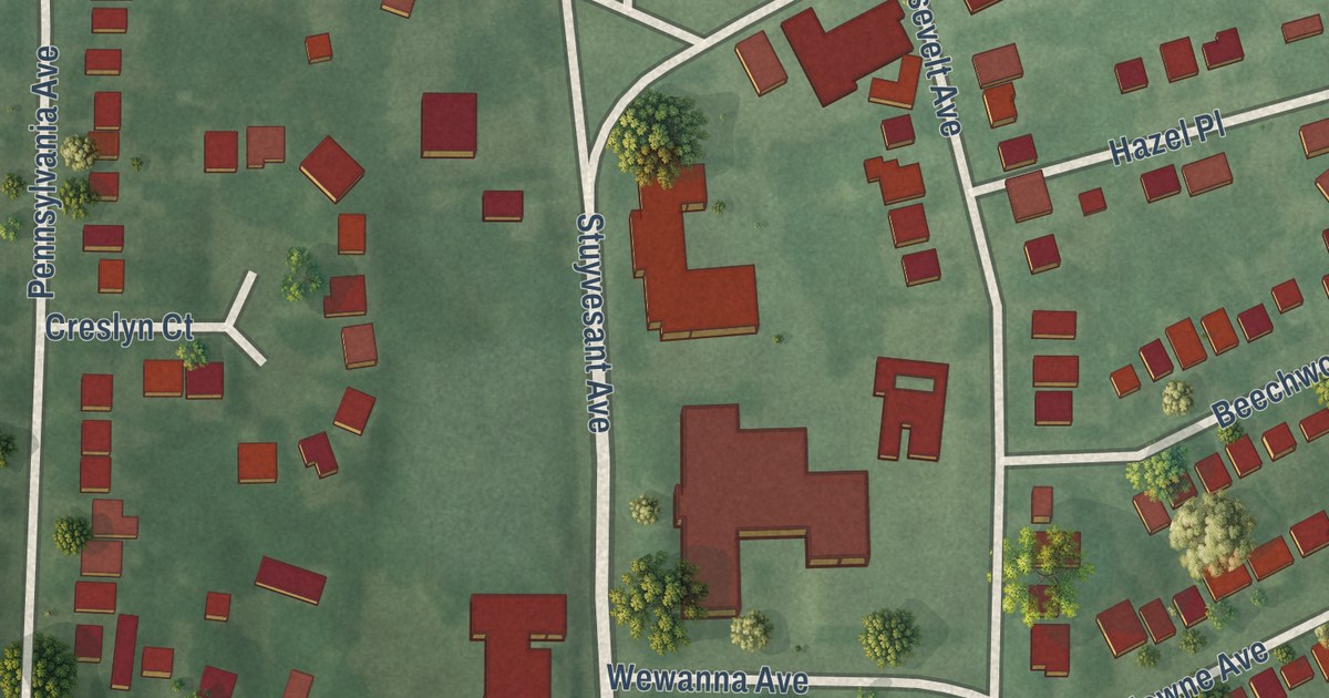
A detailed map of Connecticut Farms, New Jersey, showing every building in its true location, the roads by name, and shaded topographical relief.
Read More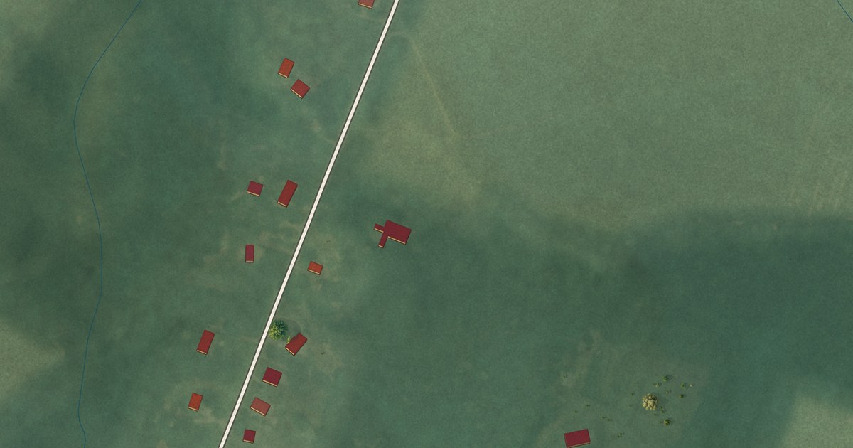
A detailed map of Dutch Neck, New Jersey, showing every building in its true location, the roads by name, and shaded topographical relief.
Read More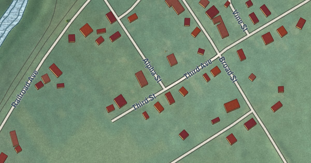
A detailed map of Brainards, New Jersey, showing every building in its true location, the roads by name, and shaded topographical relief.
Read More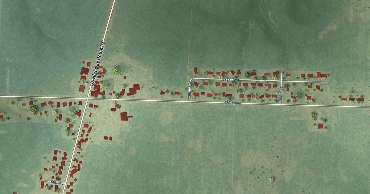
A detailed map of Preemption, Illinois, showing every building in its true location, the roads by name, and shaded topographical relief.
Read More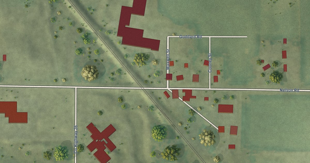
A detailed map of Hartland, Illinois, showing every building in its true location, the roads by name, and shaded topographical relief.
Read More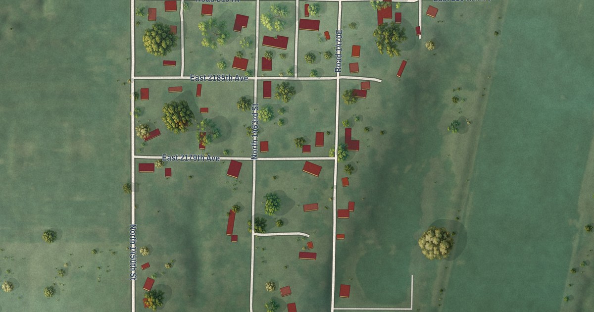
A detailed map of West York, Illinois, showing every building in its true location, the roads by name, and shaded topographical relief.
Read More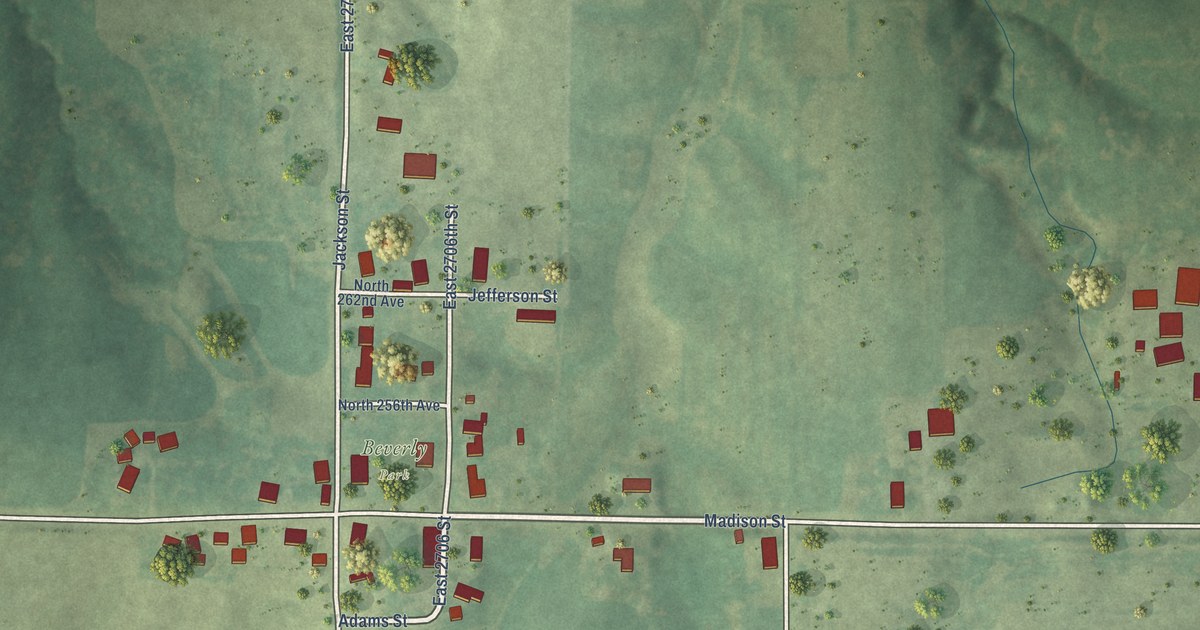
A detailed map of Beverly, Illinois, showing every building in its true location, the roads by name, and shaded topographical relief.
Read More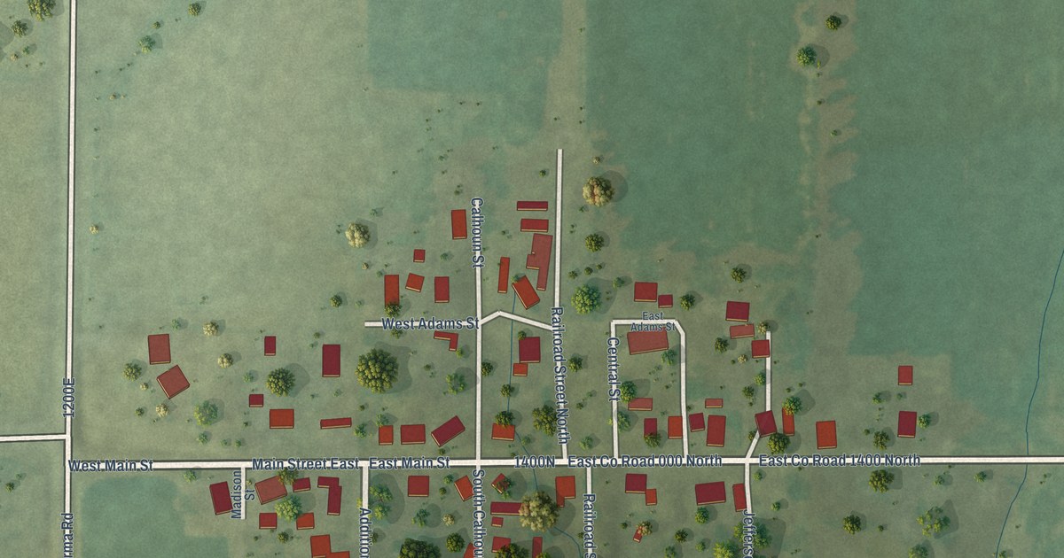
A detailed map of Janesville, Illinois, showing every building in its true location, the roads by name, and shaded topographical relief.
Read More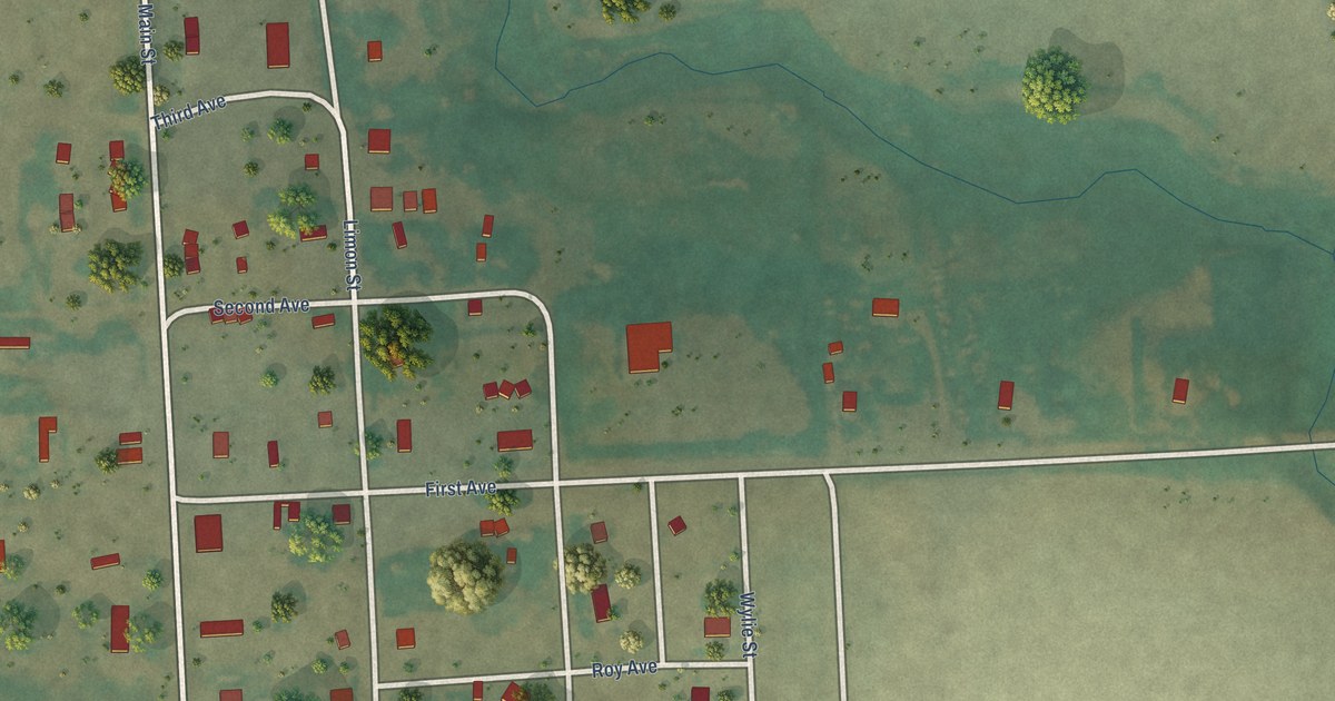
A detailed map of Whitetail, Montana, showing every building in its true location, the roads by name, and shaded topographical relief.
Read More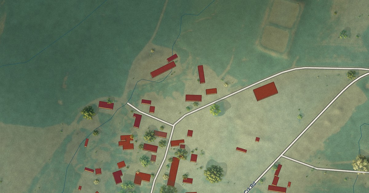
A detailed map of Surprise Creek Colony, Montana, showing every building in its true location, the roads by name, and shaded topographical relief.
Read More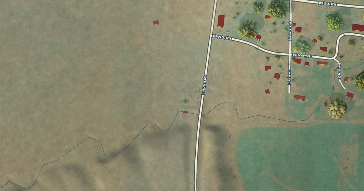
A detailed map of Twodot, Montana, showing every building in its true location, the roads by name, and shaded topographical relief.
Read More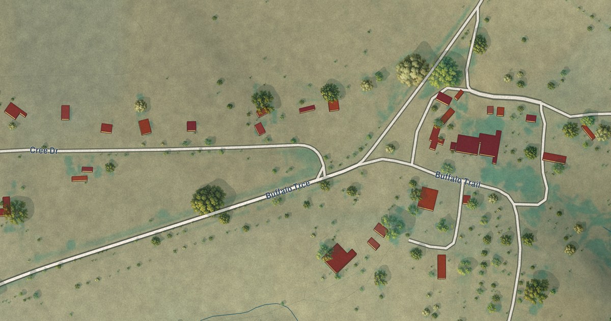
A detailed map of Sleeping Buffalo, Montana, showing every building in its true location, the roads by name, and shaded topographical relief.
Read More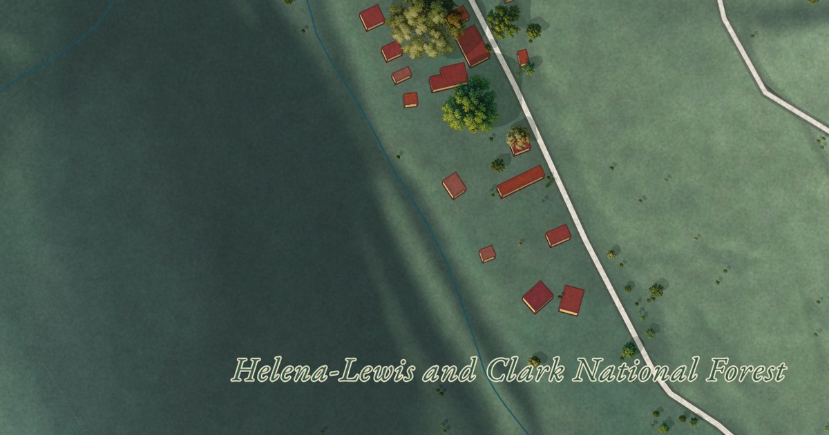
A detailed map of Rimini, Montana, showing every building in its true location, the roads by name, and shaded topographical relief.
Read More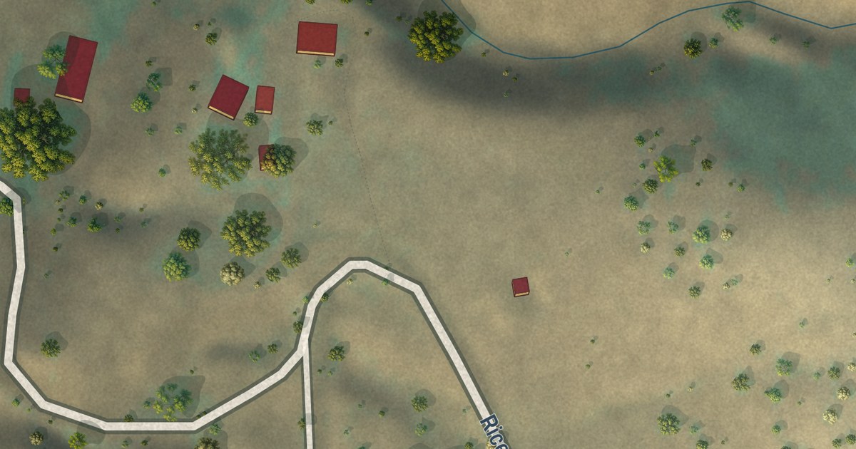
A detailed map of Riceville, Montana, showing every building in its true location, the roads by name, and shaded topographical relief.
Read More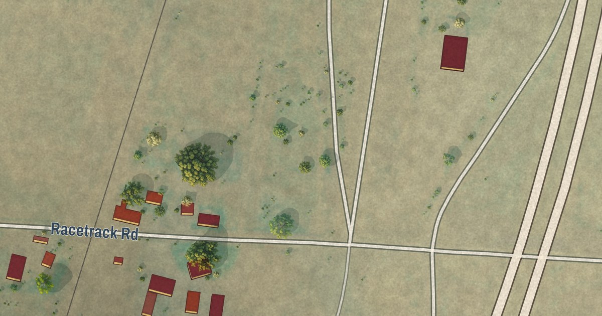
A detailed map of Racetrack, Montana, showing every building in its true location, the roads by name, and shaded topographical relief.
Read More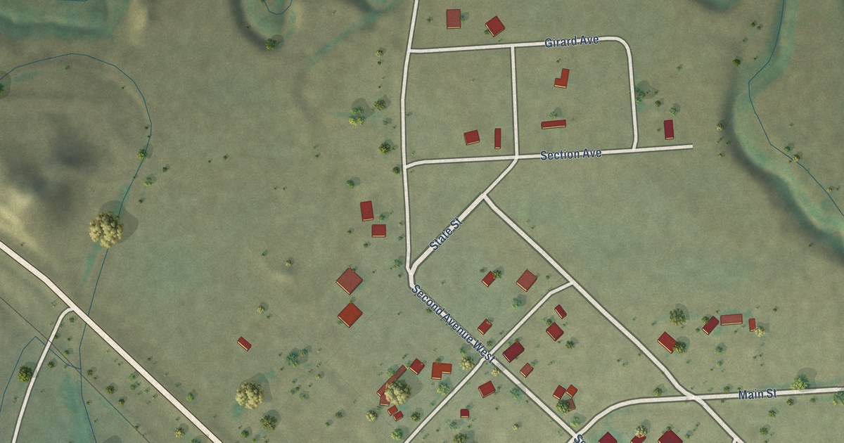
A detailed map of Redstone, Montana, showing every building in its true location, the roads by name, and shaded topographical relief.
Read More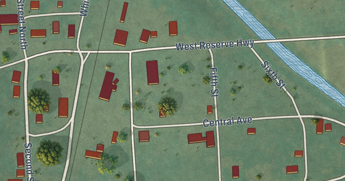
A detailed map of Reserve, Montana, showing every building in its true location, the roads by name, and shaded topographical relief.
Read More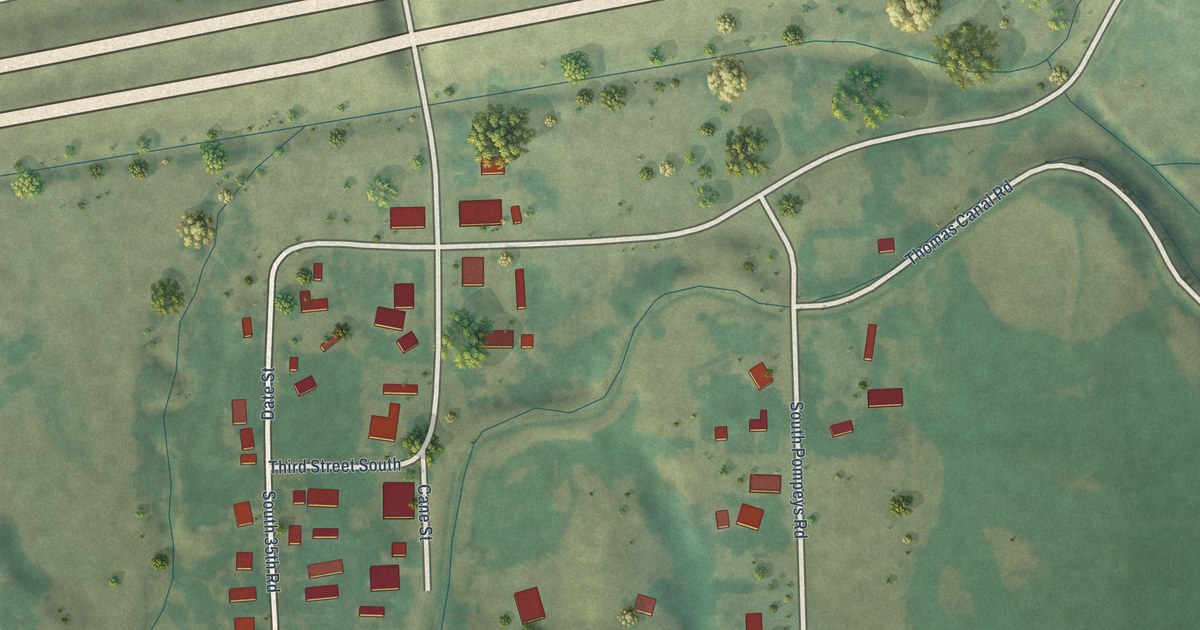
A detailed map of Pompeys Pillar, Montana, showing every building in its true location, the roads by name, and shaded topographical relief.
Read More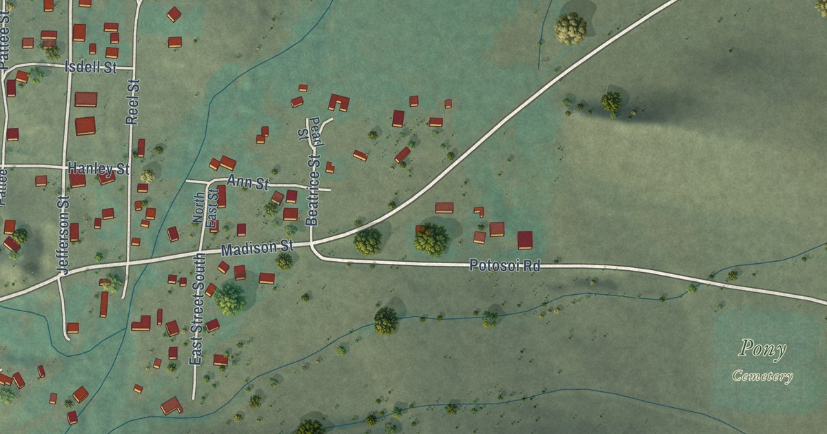
A detailed map of Pony, Montana, showing every building in its true location, the roads by name, and shaded topographical relief.
Read More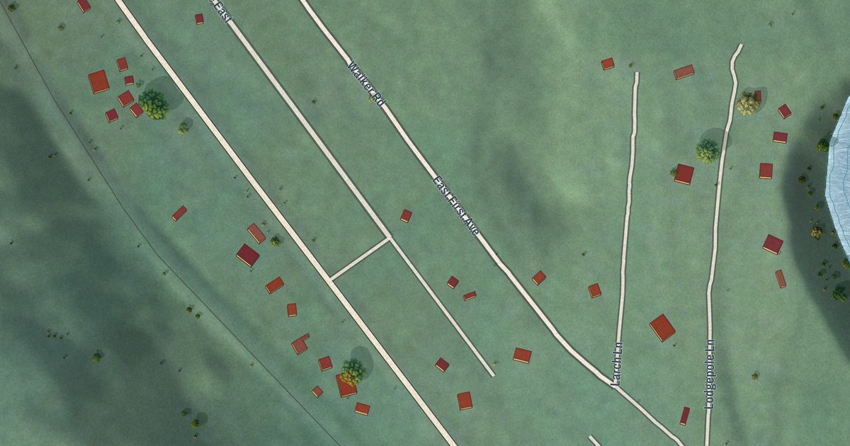
A detailed map of Pinnacle, Montana, showing every building in its true location, the roads by name, and shaded topographical relief.
Read More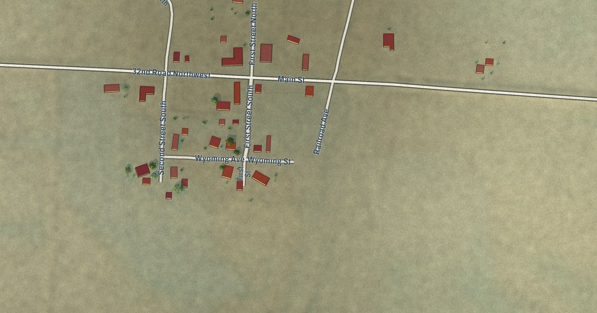
A detailed map of Pendroy, Montana, showing every building in its true location, the roads by name, and shaded topographical relief.
Read More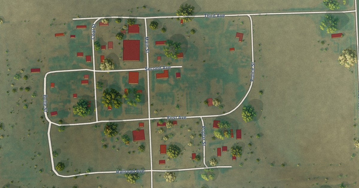
A detailed map of Peerless, Montana, showing every building in its true location, the roads by name, and shaded topographical relief.
Read More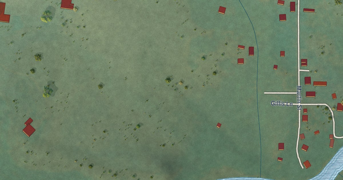
A detailed map of Nye, Montana, showing every building in its true location, the roads by name, and shaded topographical relief.
Read More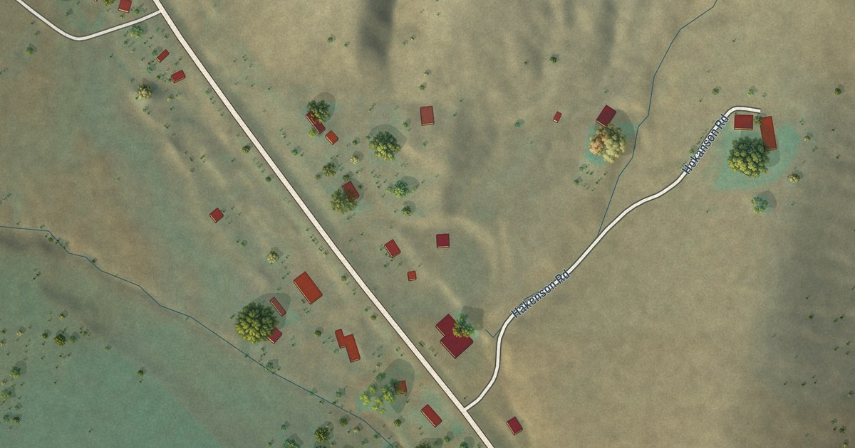
A detailed map of Norris, Montana, showing every building in its true location, the roads by name, and shaded topographical relief.
Read More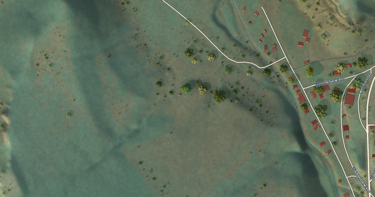
A detailed map of Monarch, Montana, showing every building in its true location, the roads by name, and shaded topographical relief.
Read More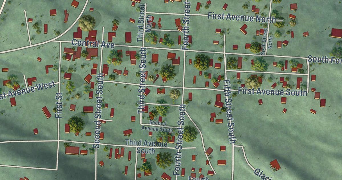
A detailed map of Martin City, Montana, showing every building in its true location, the roads by name, and shaded topographical relief.
Read More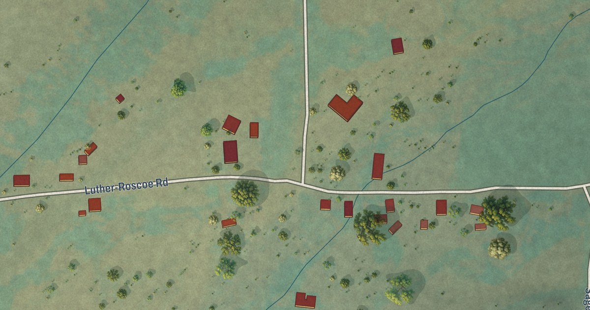
A detailed map of Luther, Montana, showing every building in its true location, the roads by name, and shaded topographical relief.
Read More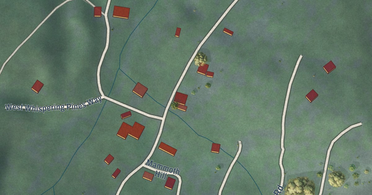
A detailed map of Mammoth, Montana, showing every building in its true location, the roads by name, and shaded topographical relief.
Read More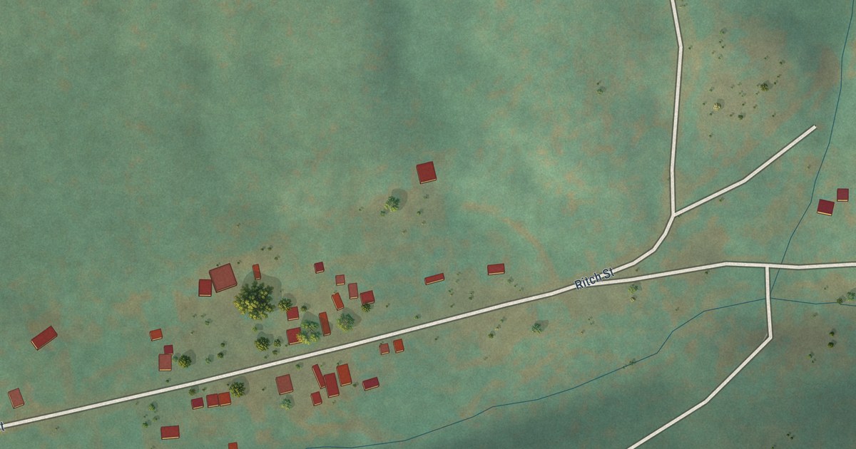
A detailed map of Landusky, Montana, showing every building in its true location, the roads by name, and shaded topographical relief.
Read More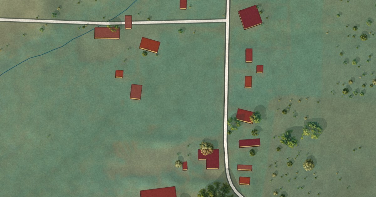
A detailed map of Lakeview, Montana, showing every building in its true location, the roads by name, and shaded topographical relief.
Read More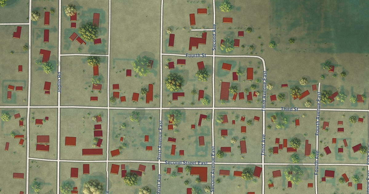
A detailed map of Joplin, Montana, showing every building in its true location, the roads by name, and shaded topographical relief.
Read More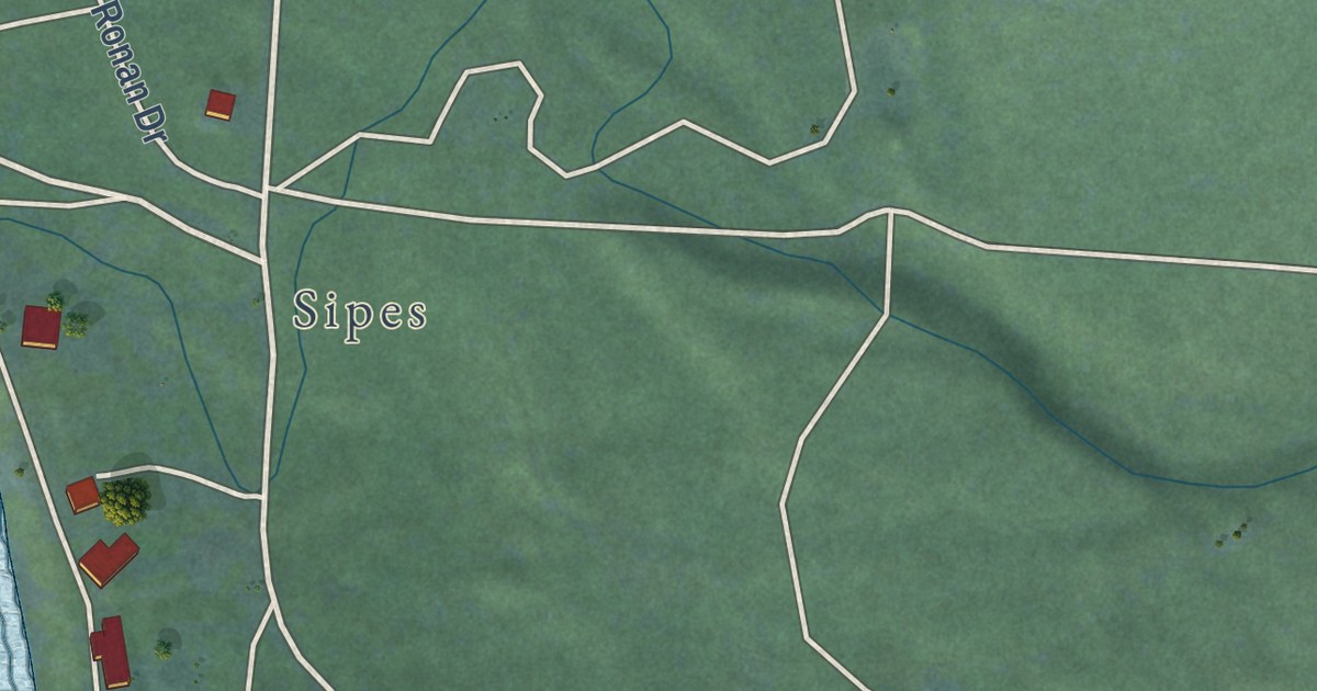
A detailed map of Lake Mary Ronan, Montana, showing every building in its true location, the roads by name, and shaded topographical relief.
Read More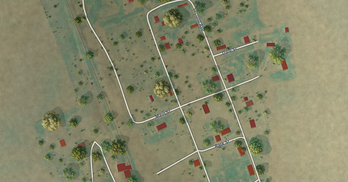
A detailed map of Homestead, Montana, showing every building in its true location, the roads by name, and shaded topographical relief.
Read More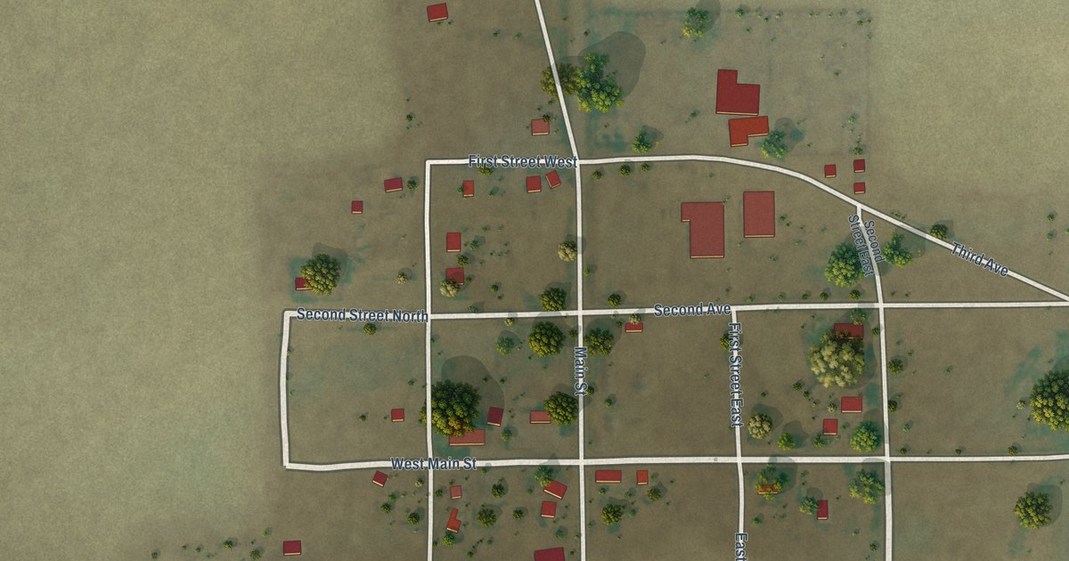
A detailed map of Hogeland, Montana, showing every building in its true location, the roads by name, and shaded topographical relief.
Read More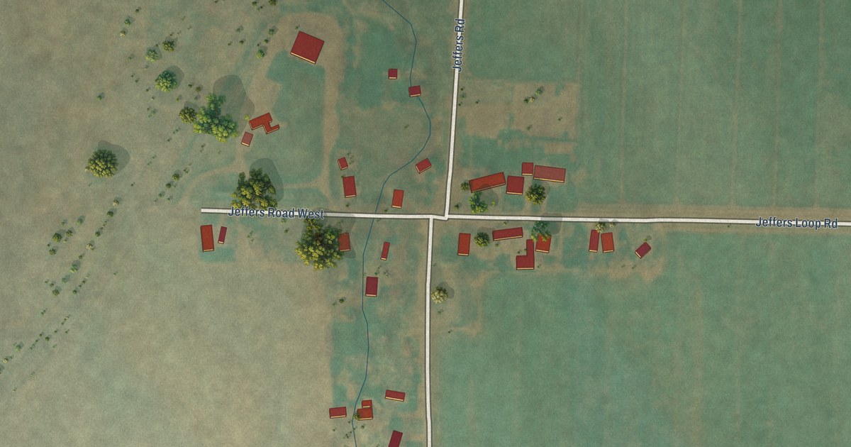
A detailed map of Jeffers, Montana, showing every building in its true location, the roads by name, and shaded topographical relief.
Read More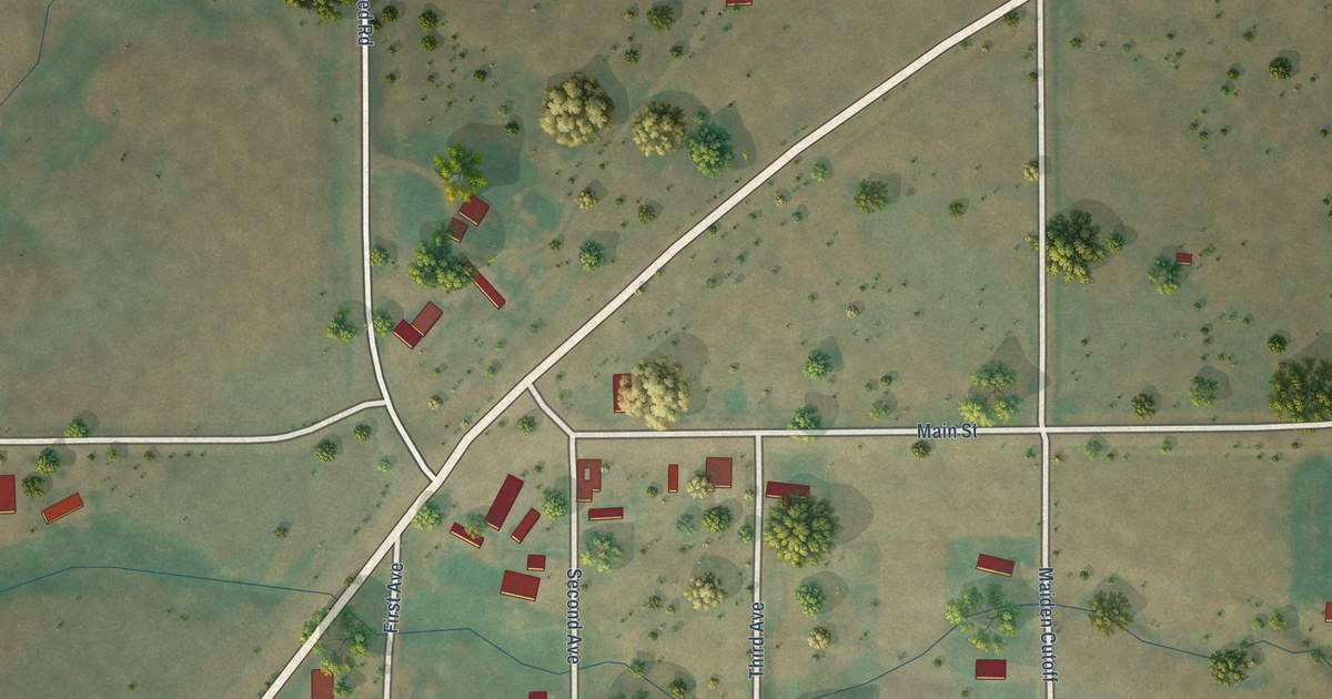
A detailed map of Hilger, Montana, showing every building in its true location, the roads by name, and shaded topographical relief.
Read More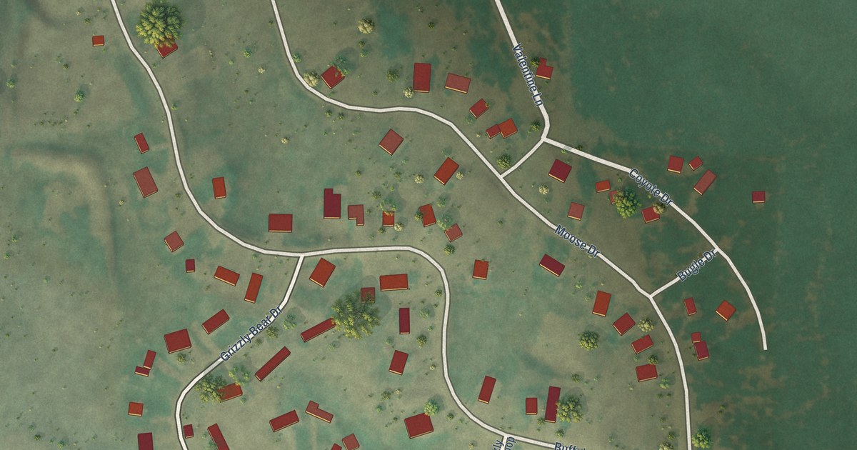
A detailed map of Hebgen Lake Estates, Montana, showing every building in its true location, the roads by name, and shaded topographical relief.
Read More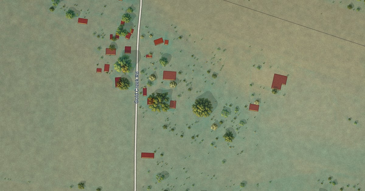
A detailed map of Goldcreek, Montana, showing every building in its true location, the roads by name, and shaded topographical relief.
Read More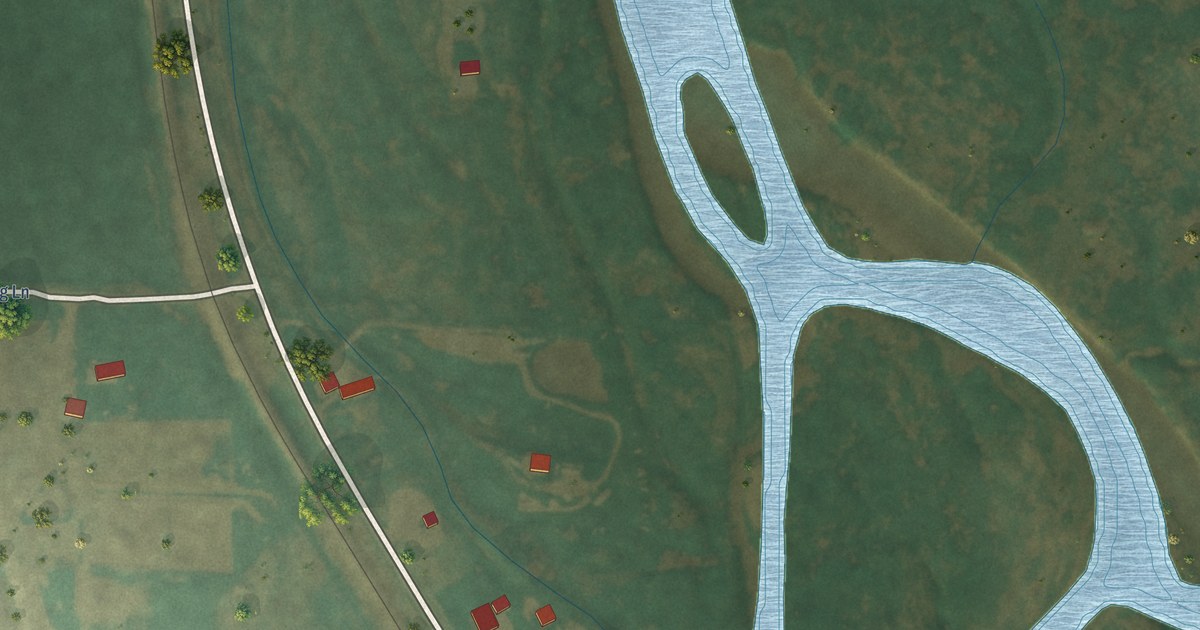
A detailed map of Glen, Montana, showing every building in its true location, the roads by name, and shaded topographical relief.
Read More















