Detailed Map of Hardy, Montana
A detailed map of Hardy, Montana, showing every building in its true location, the roads by name, and shaded topographical relief.
Read More
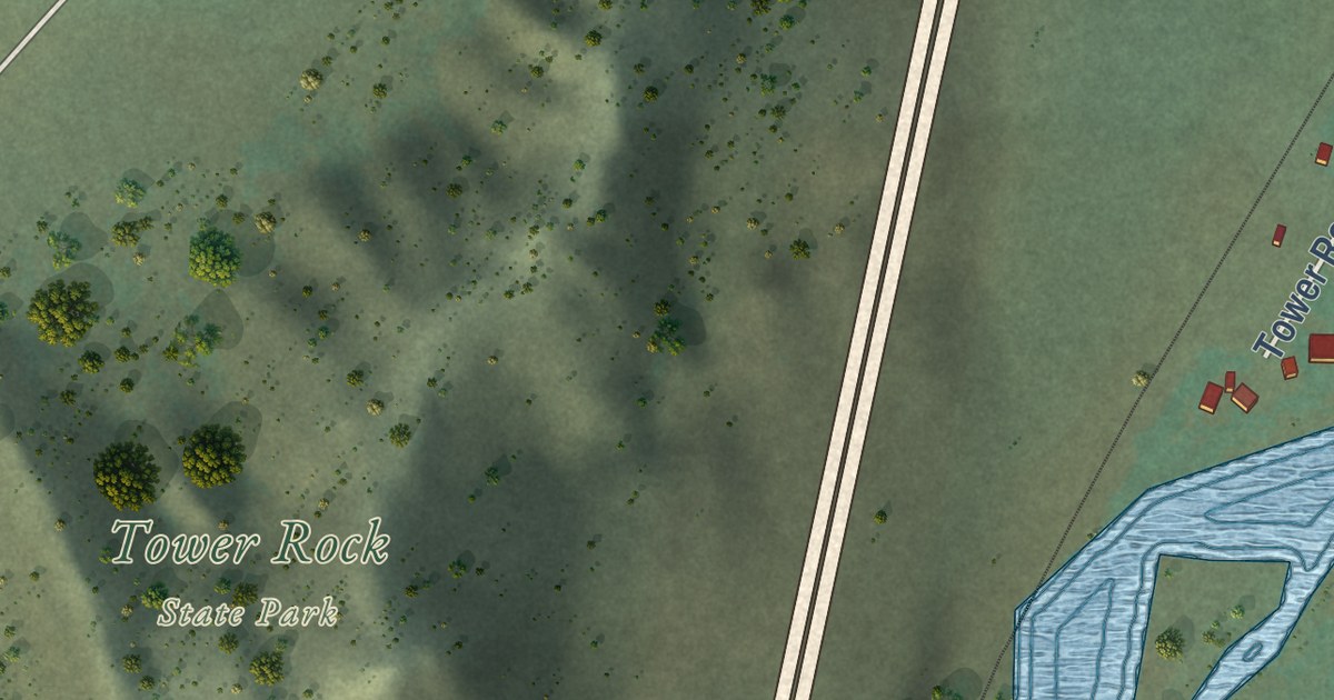
A detailed map of Hardy, Montana, showing every building in its true location, the roads by name, and shaded topographical relief.
Read More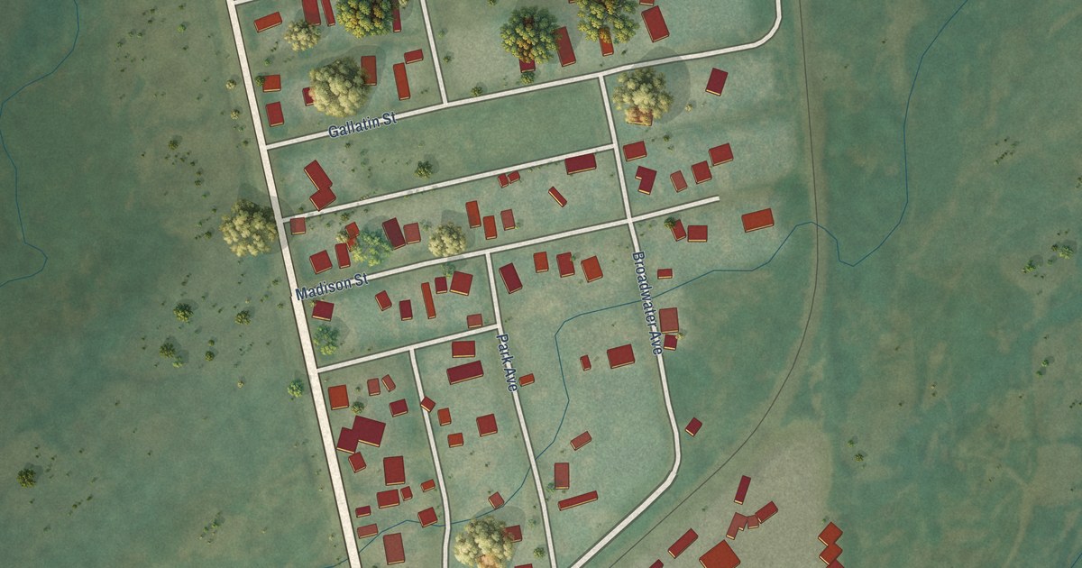
A detailed map of Harrison, Montana, showing every building in its true location, the roads by name, and shaded topographical relief.
Read More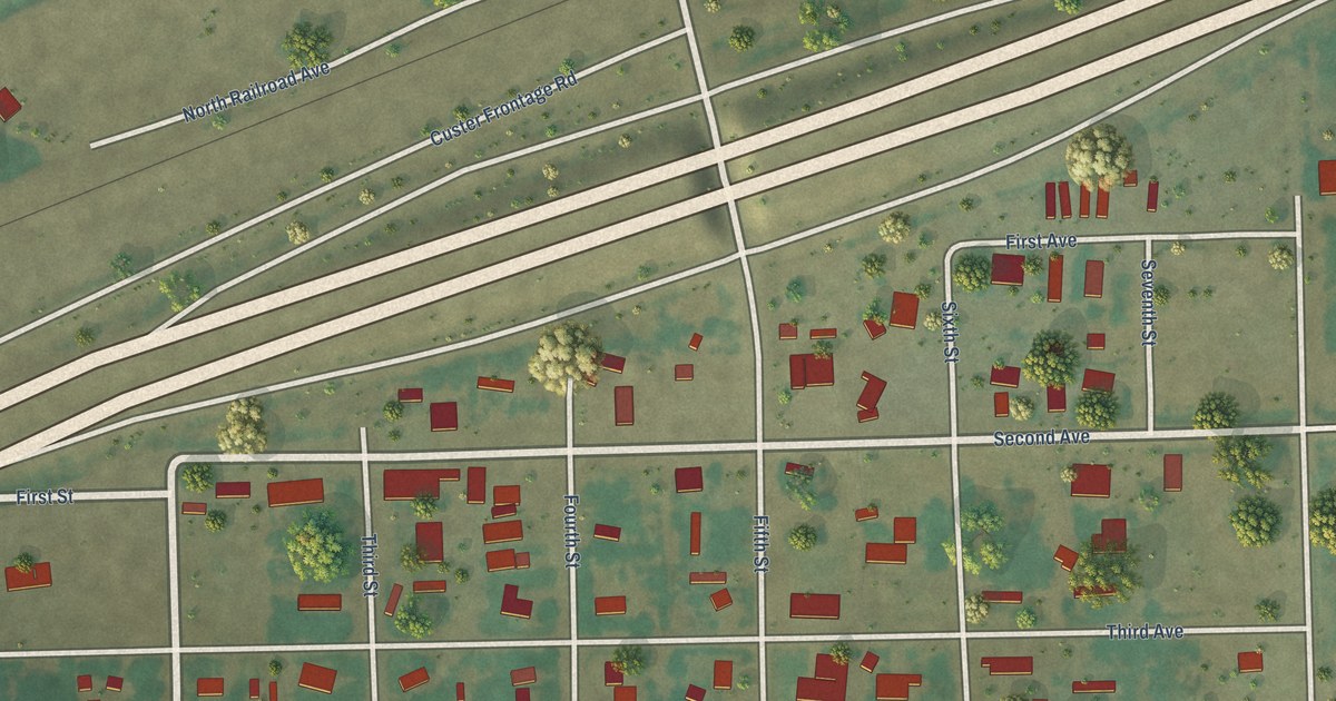
A detailed map of Custer, Montana, showing every building in its true location, the roads by name, and shaded topographical relief.
Read More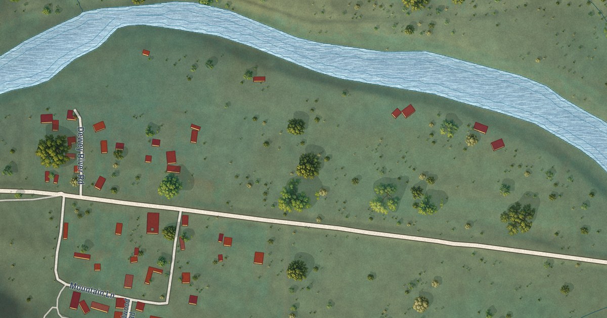
A detailed map of Dewey, Montana, showing every building in its true location, the roads by name, and shaded topographical relief.
Read More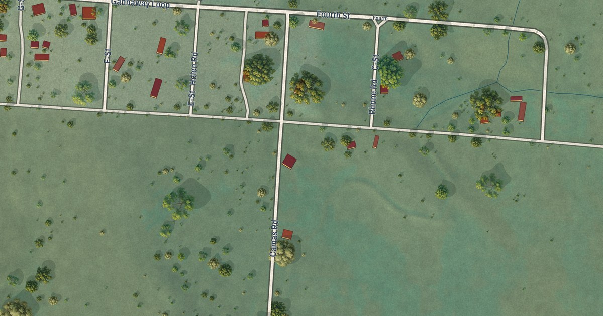
A detailed map of Camas, Montana, showing every building in its true location, the roads by name, and shaded topographical relief.
Read More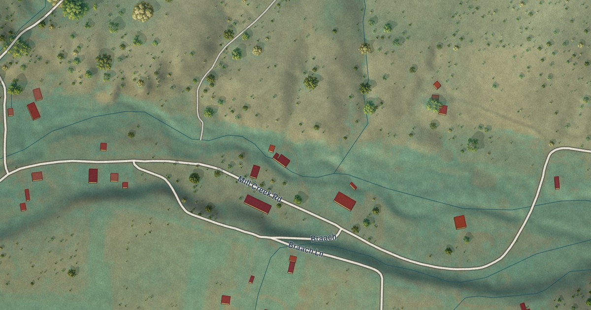
A detailed map of Brandon, Montana, showing every building in its true location, the roads by name, and shaded topographical relief.
Read More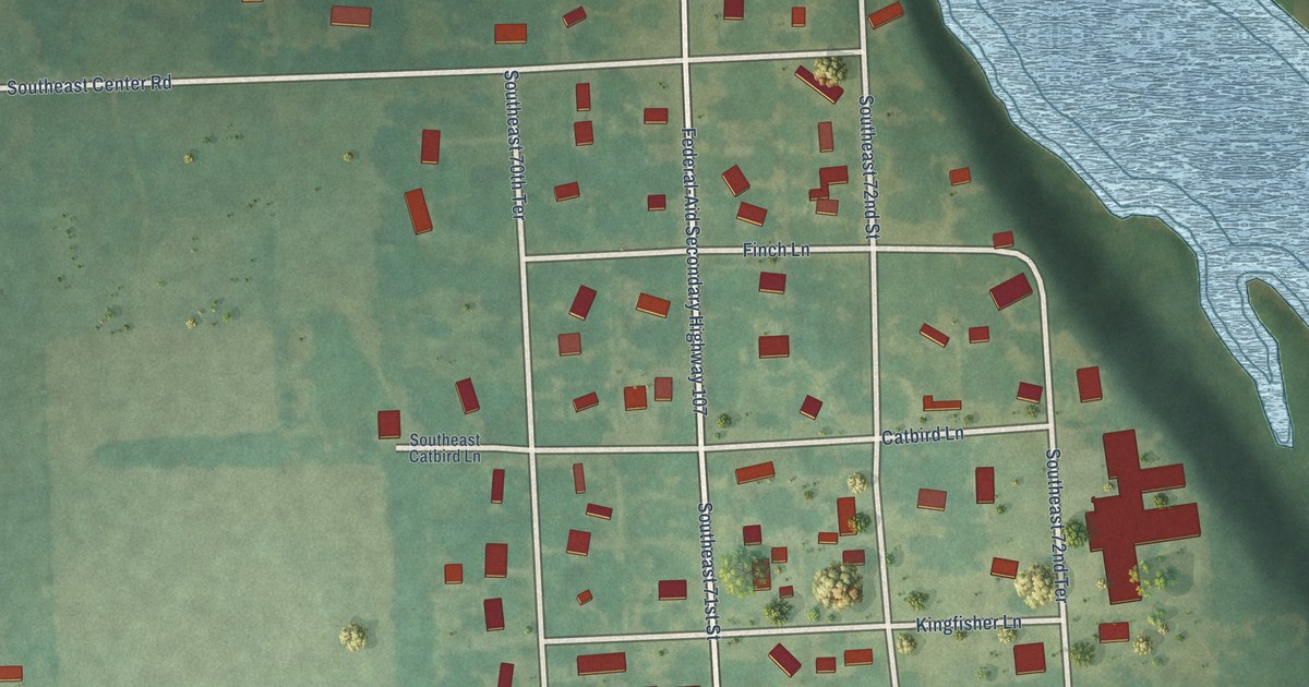
A detailed map of Lowell, Kansas, showing every building in its true location, the roads by name, and shaded topographical relief.
Read More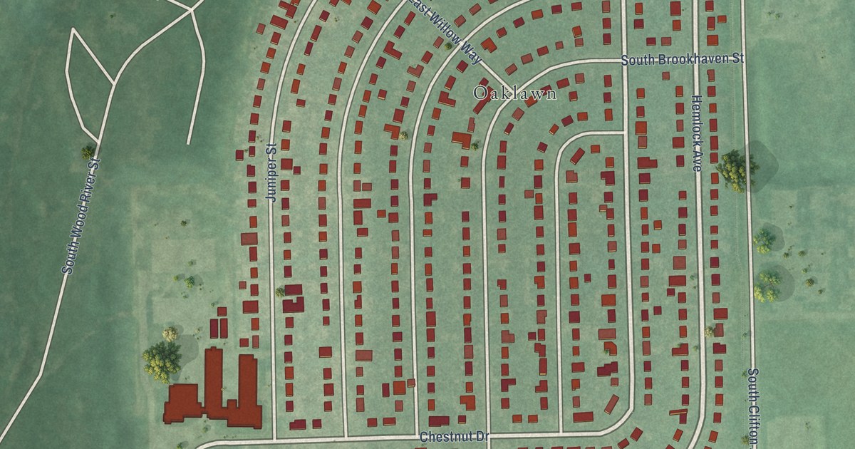
A detailed map of Oaklawn-Sunview, Kansas, showing every building in its true location, the roads by name, and shaded topographical relief.
Read More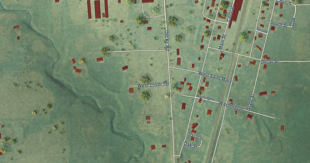
A detailed map of Hillsdale, Kansas, showing every building in its true location, the roads by name, and shaded topographical relief.
Read More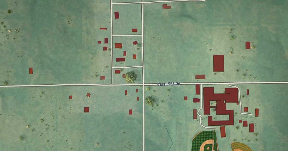
A detailed map of Vanoss, Oklahoma, showing every building in its true location, the roads by name, and shaded topographical relief.
Read More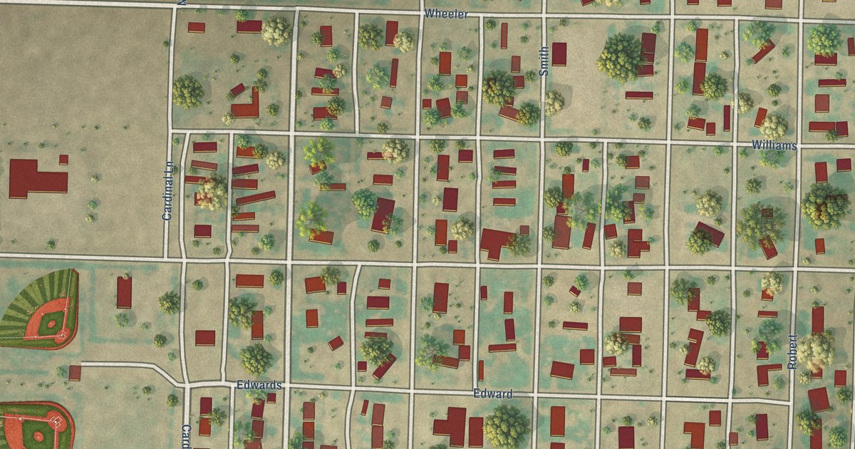
A detailed map of Turpin, Oklahoma, showing every building in its true location, the roads by name, and shaded topographical relief.
Read More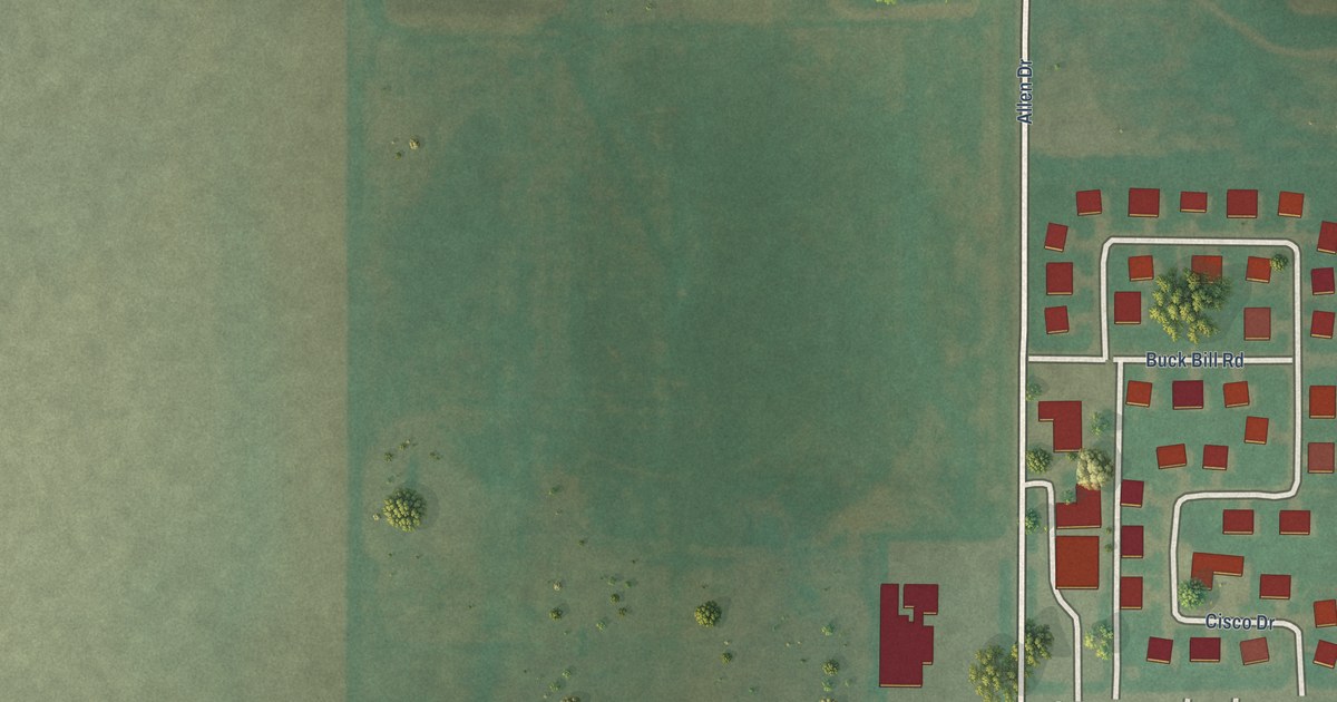
A detailed map of Tonkawa Tribal Housing, Oklahoma, showing every building in its true location, the roads by name, and shaded topographical relief.
Read More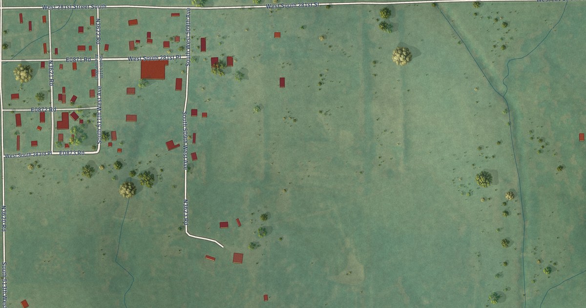
A detailed map of Milfay, Oklahoma, showing every building in its true location, the roads by name, and shaded topographical relief.
Read More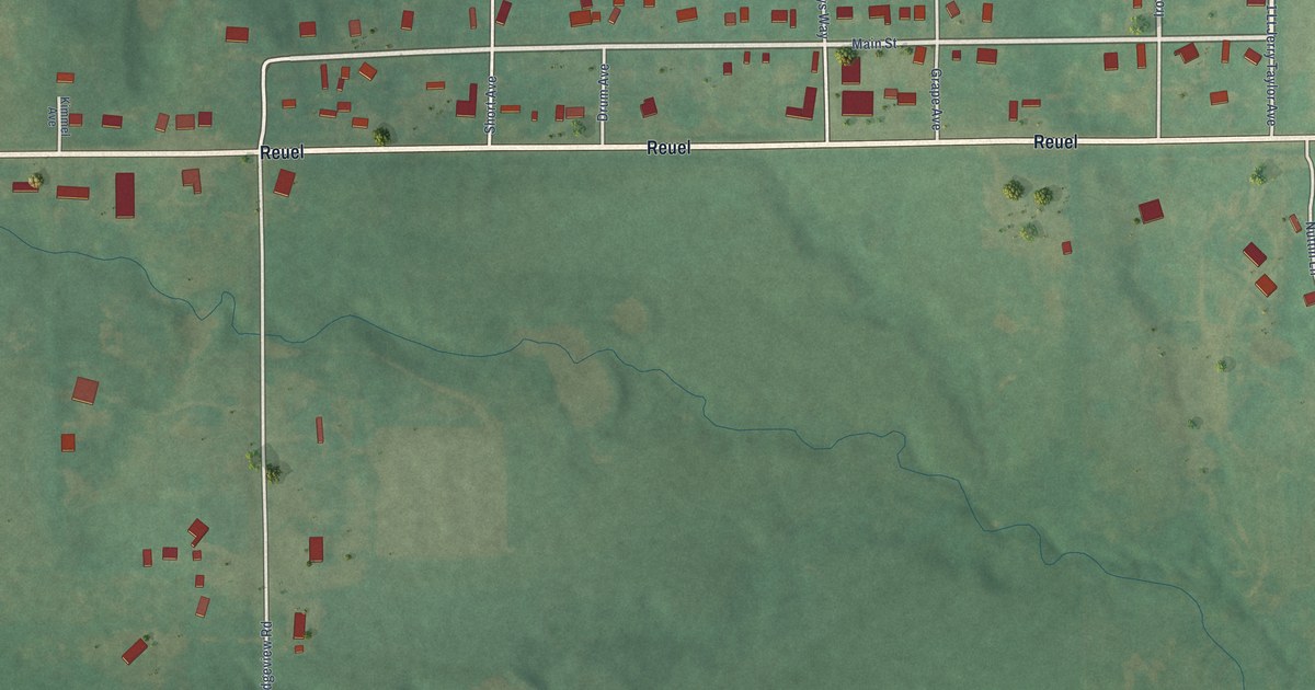
A detailed map of Little City, Oklahoma, showing every building in its true location, the roads by name, and shaded topographical relief.
Read More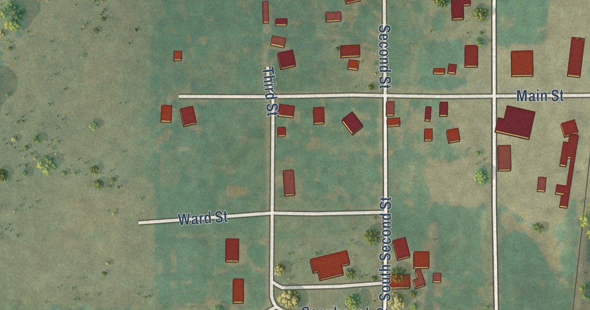
A detailed map of Bison, Oklahoma, showing every building in its true location, the roads by name, and shaded topographical relief.
Read More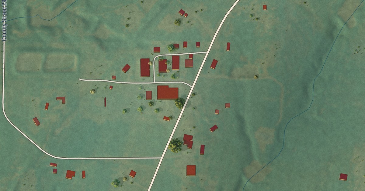
A detailed map of Middleberg, Oklahoma, showing every building in its true location, the roads by name, and shaded topographical relief.
Read More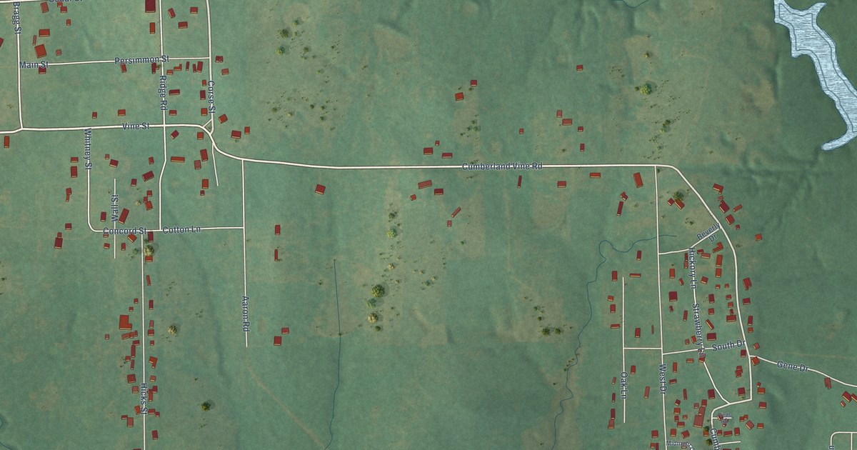
A detailed map of Cumberland, Oklahoma, showing every building in its true location, the roads by name, and shaded topographical relief.
Read More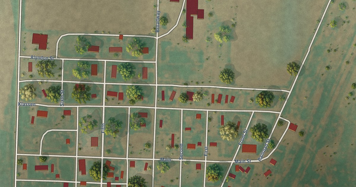
A detailed map of Adams, Oklahoma, showing every building in its true location, the roads by name, and shaded topographical relief.
Read More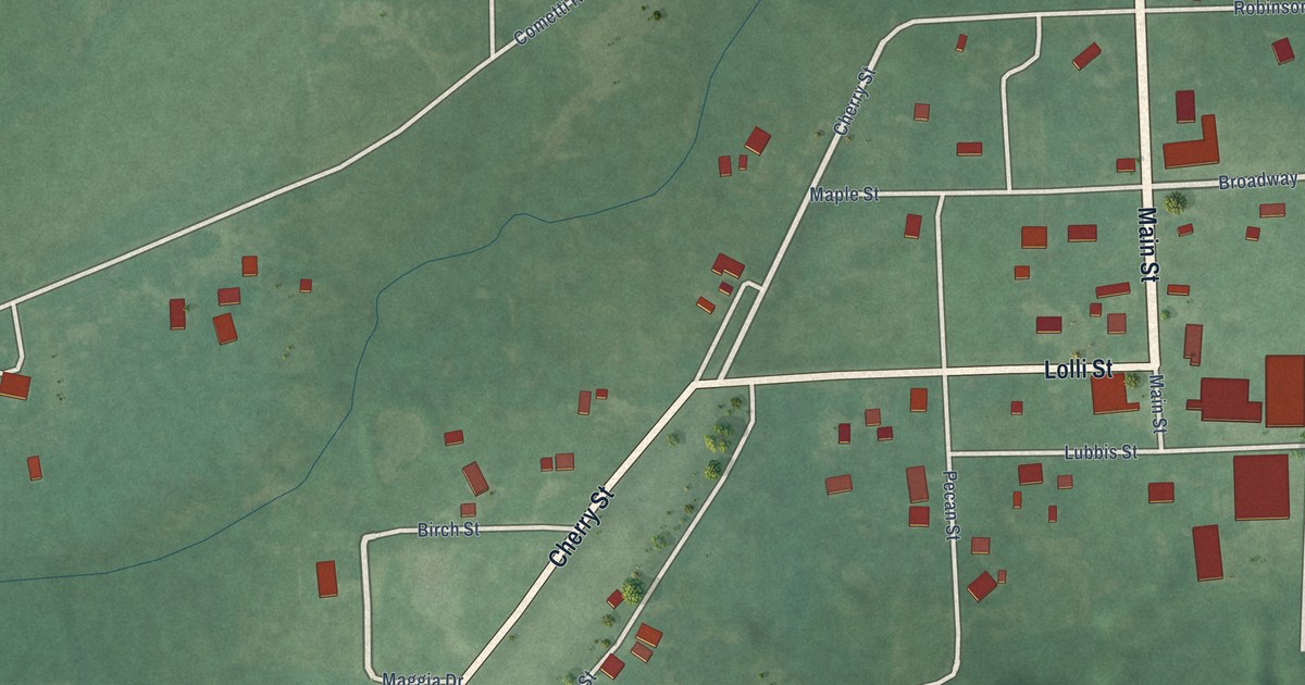
A detailed map of Cottonwood, Oklahoma, showing every building in its true location, the roads by name, and shaded topographical relief.
Read More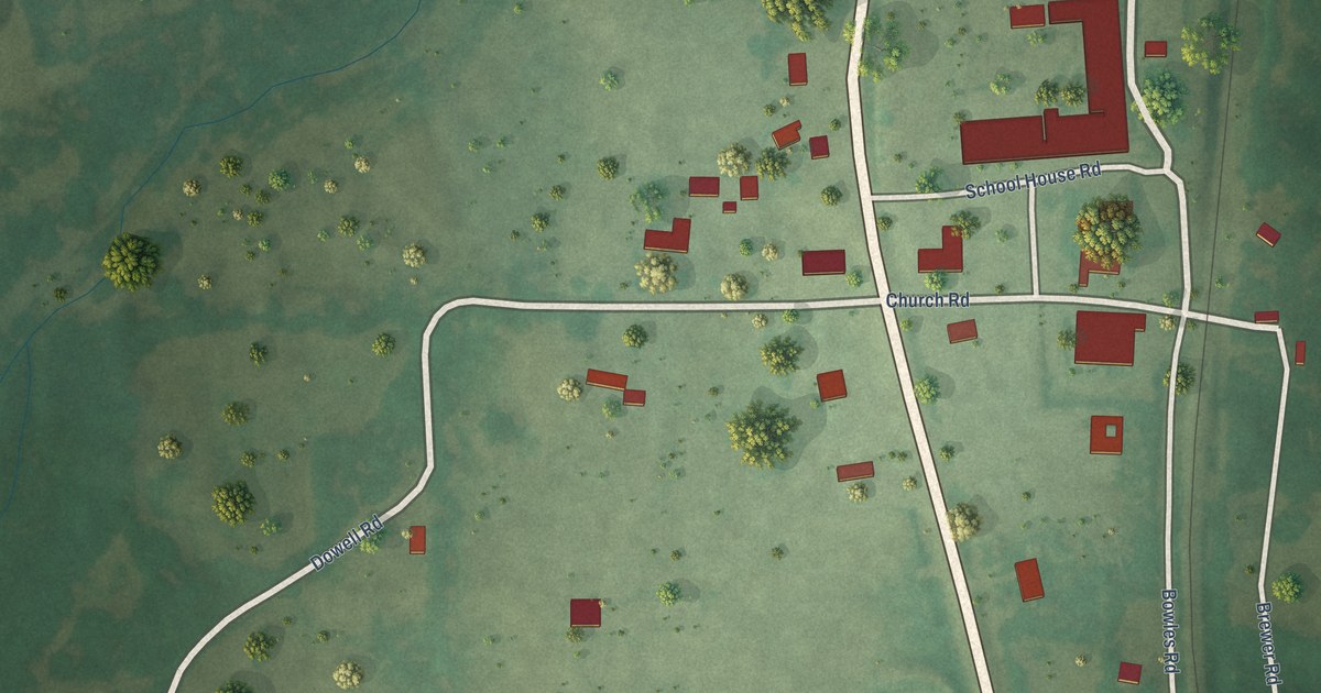
A detailed map of Hodgen, Oklahoma, showing every building in its true location, the roads by name, and shaded topographical relief.
Read More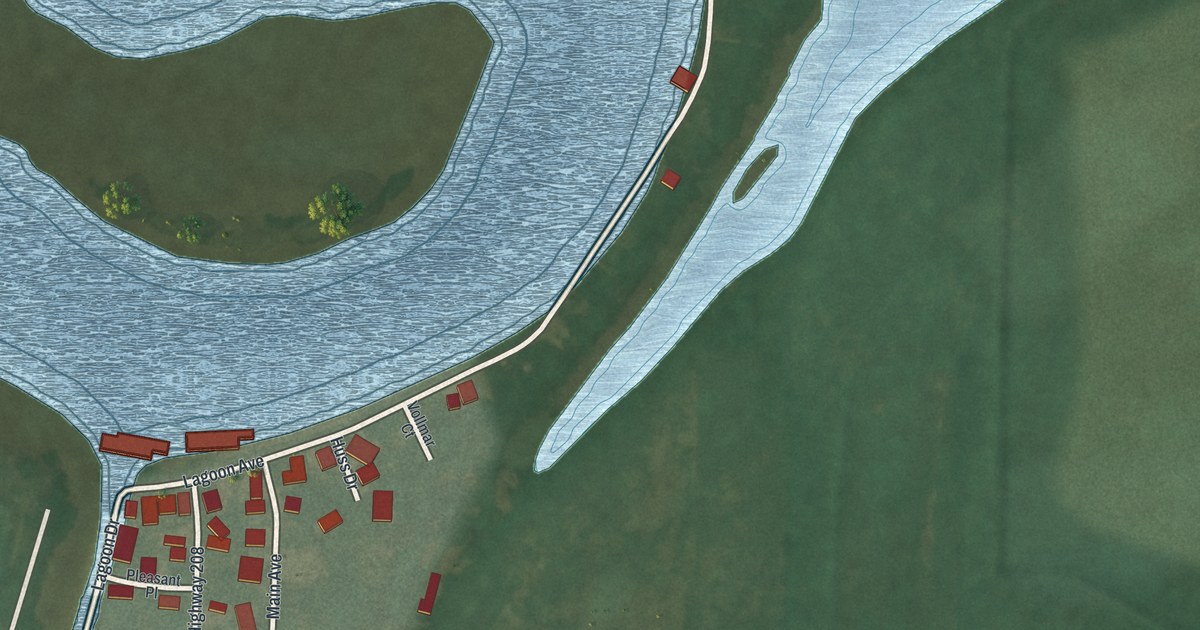
A detailed map of Wightmans Grove, Ohio, showing every building in its true location, the roads by name, and shaded topographical relief.
Read More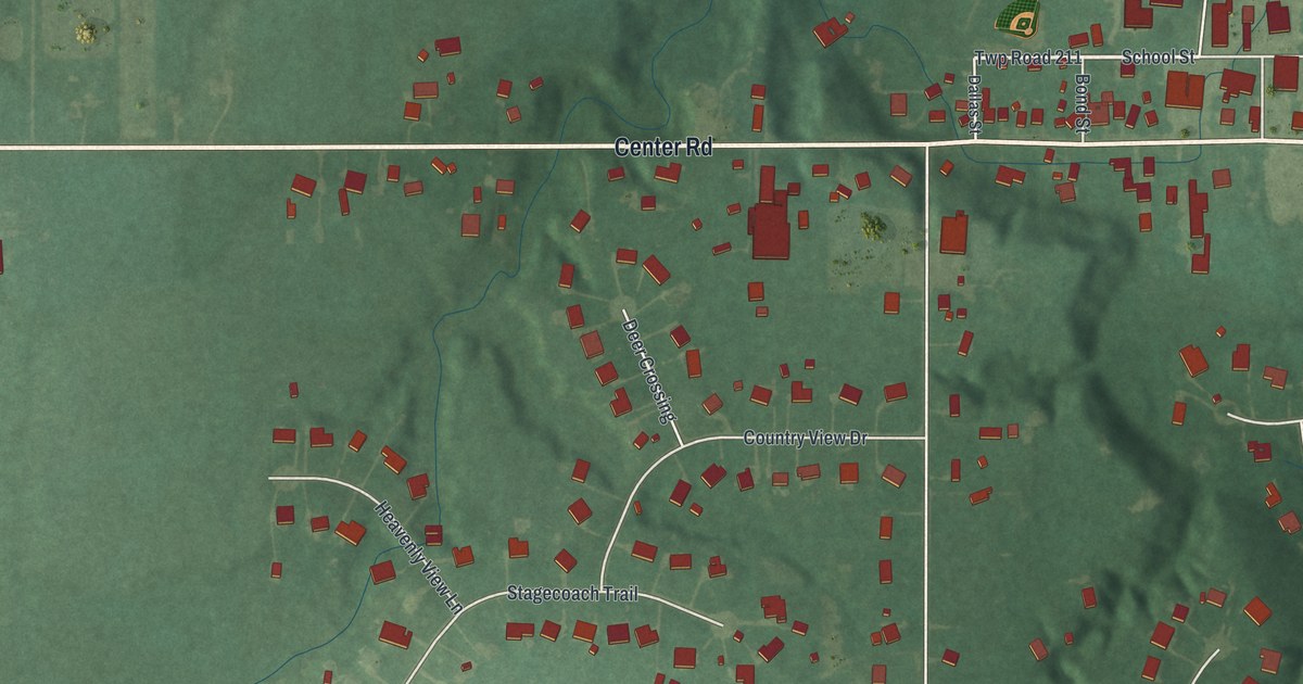
A detailed map of Valley City, Ohio, showing every building in its true location, the roads by name, and shaded topographical relief.
Read More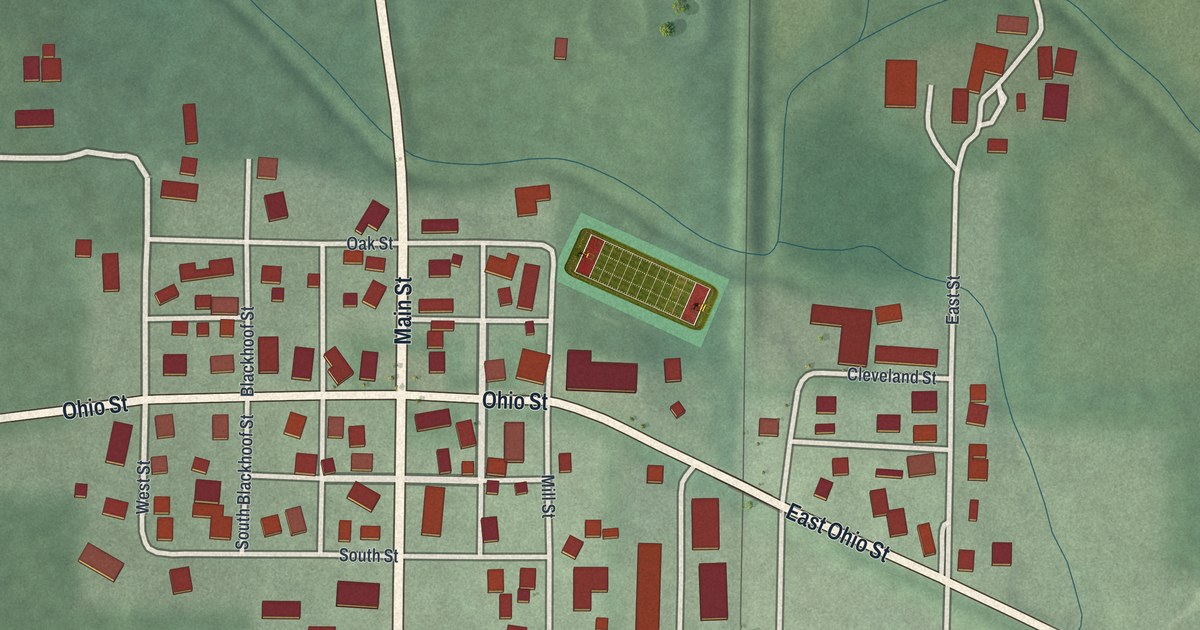
A detailed map of Uniopolis, Ohio, showing every building in its true location, the roads by name, and shaded topographical relief.
Read More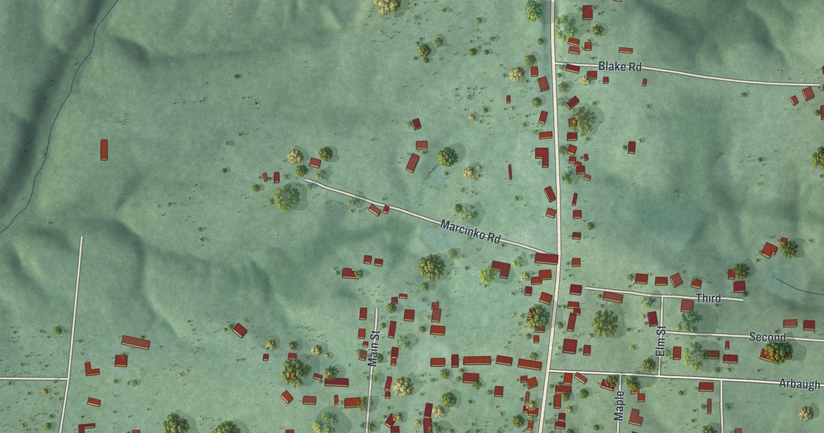
A detailed map of Tuppers Plains, Ohio, showing every building in its true location, the roads by name, and shaded topographical relief.
Read More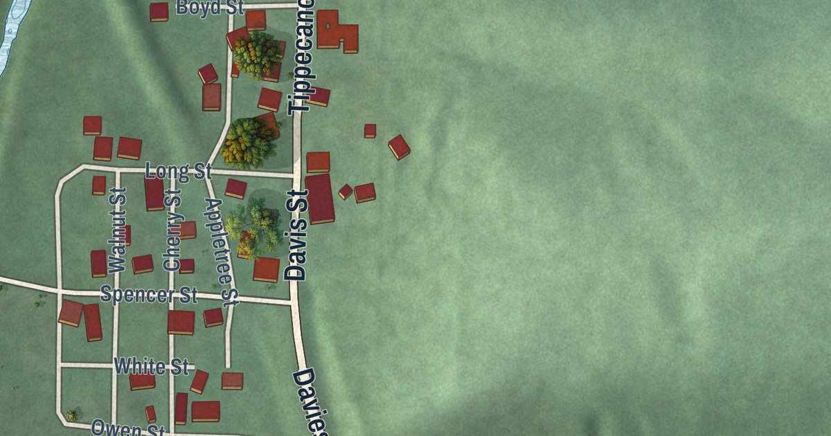
A detailed map of Tippecanoe, Ohio, showing every building in its true location, the roads by name, and shaded topographical relief.
Read More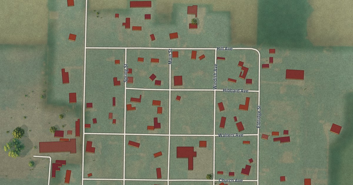
A detailed map of Tedrow, Ohio, showing every building in its true location, the roads by name, and shaded topographical relief.
Read More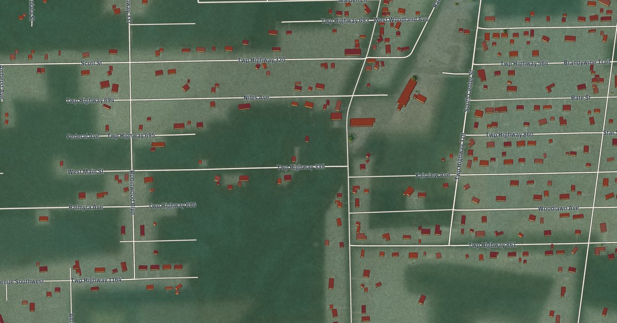
A detailed map of South Canal, Ohio, showing every building in its true location, the roads by name, and shaded topographical relief.
Read More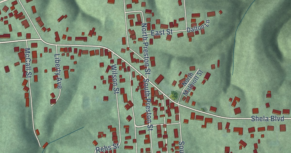
A detailed map of Sciotodale, Ohio, showing every building in its true location, the roads by name, and shaded topographical relief.
Read More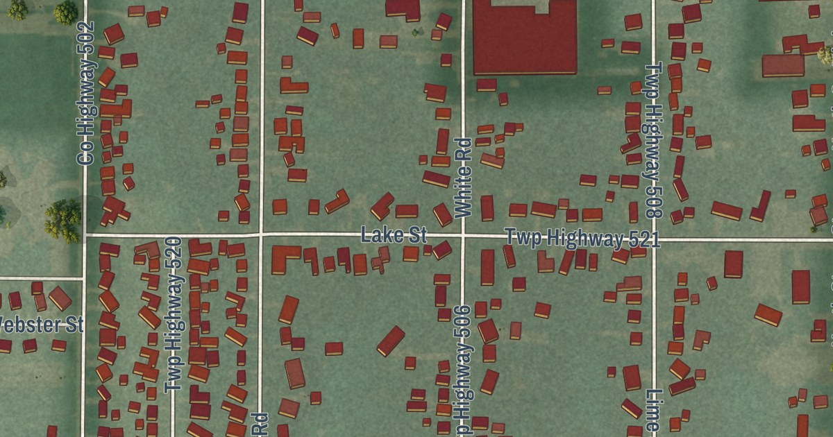
A detailed map of Stony Prairie, Ohio, showing every building in its true location, the roads by name, and shaded topographical relief.
Read More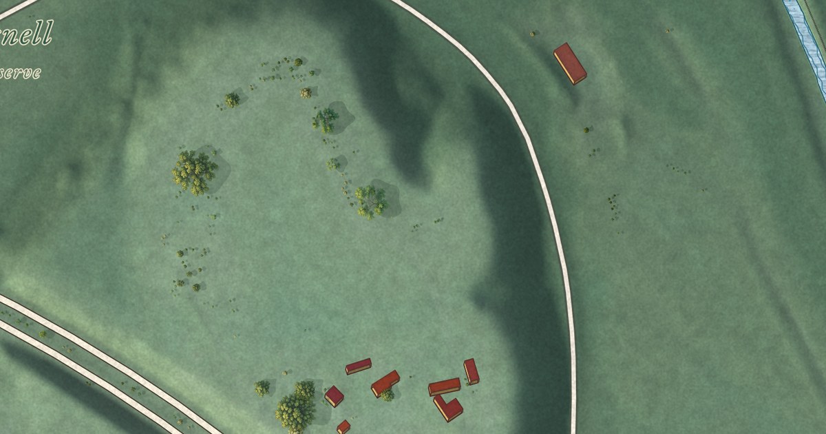
A detailed map of Rockbridge, Ohio, showing every building in its true location, the roads by name, and shaded topographical relief.
Read More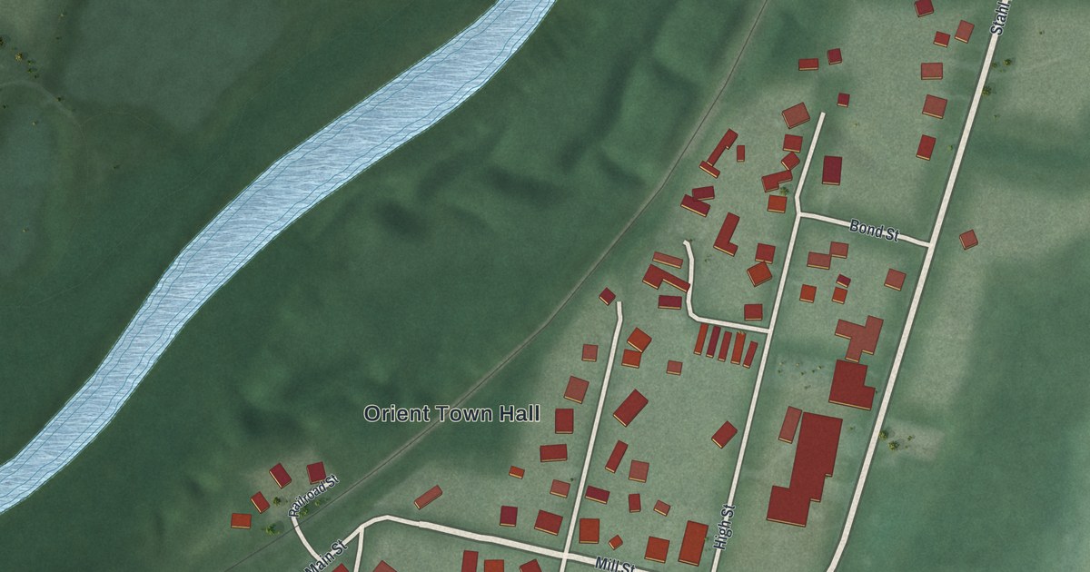
A detailed map of Orient, Ohio, showing every building in its true location, the roads by name, and shaded topographical relief.
Read More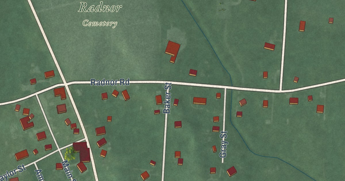
A detailed map of Radnor, Ohio, showing every building in its true location, the roads by name, and shaded topographical relief.
Read More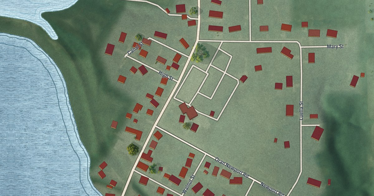
A detailed map of Newport, Ohio, showing every building in its true location, the roads by name, and shaded topographical relief.
Read More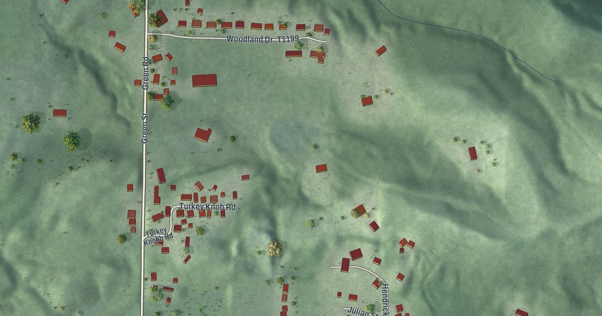
A detailed map of Newport, Ohio, showing every building in its true location, the roads by name, and shaded topographical relief.
Read More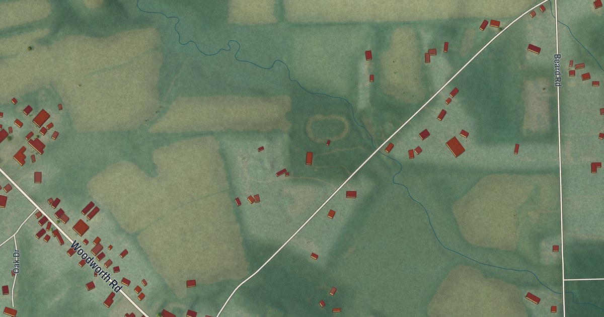
A detailed map of New Springfield, Ohio, showing every building in its true location, the roads by name, and shaded topographical relief.
Read More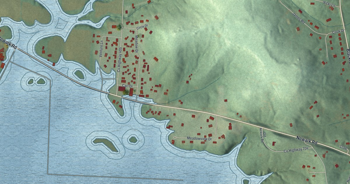
A detailed map of Nashport, Ohio, showing every building in its true location, the roads by name, and shaded topographical relief.
Read More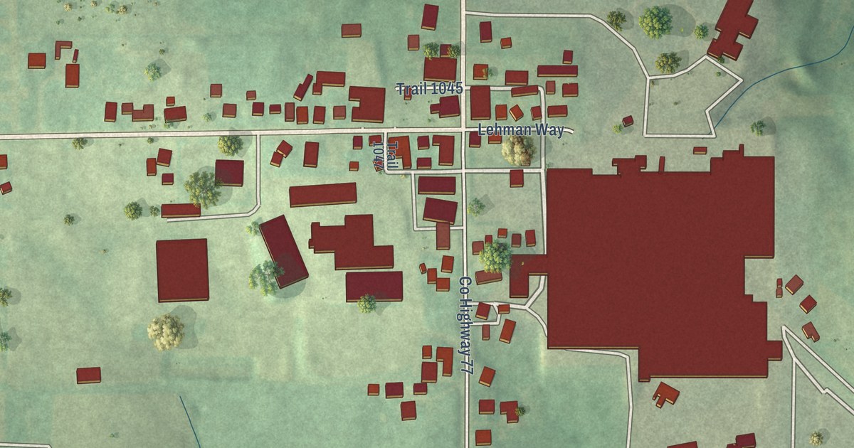
A detailed map of Mount Hope, Ohio, showing every building in its true location, the roads by name, and shaded topographical relief.
Read More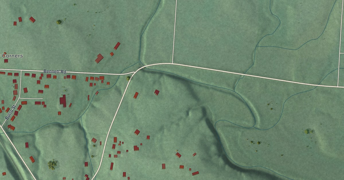
A detailed map of Minford, Ohio, showing every building in its true location, the roads by name, and shaded topographical relief.
Read More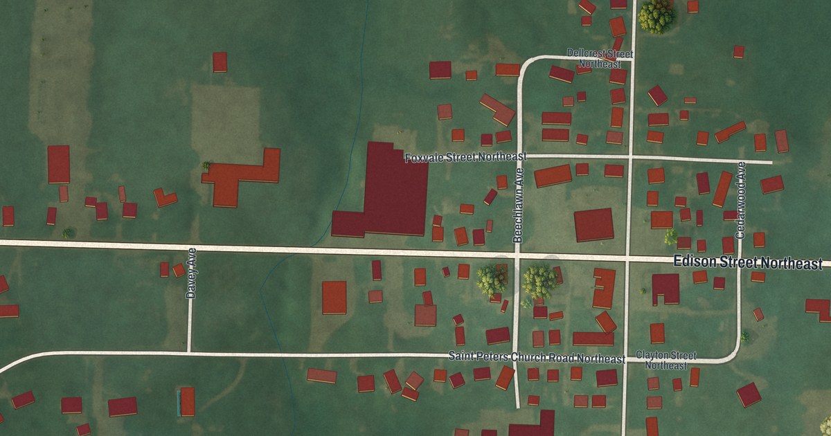
A detailed map of Marlboro, Ohio, showing every building in its true location, the roads by name, and shaded topographical relief.
Read More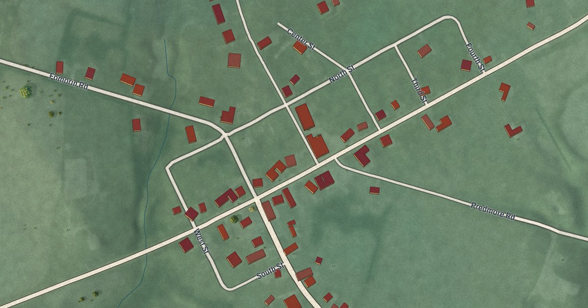
A detailed map of Marathon, Ohio, showing every building in its true location, the roads by name, and shaded topographical relief.
Read More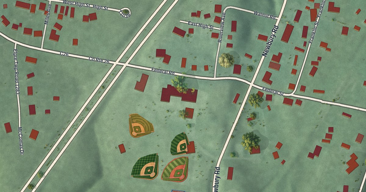
A detailed map of Little Hocking, Ohio, showing every building in its true location, the roads by name, and shaded topographical relief.
Read More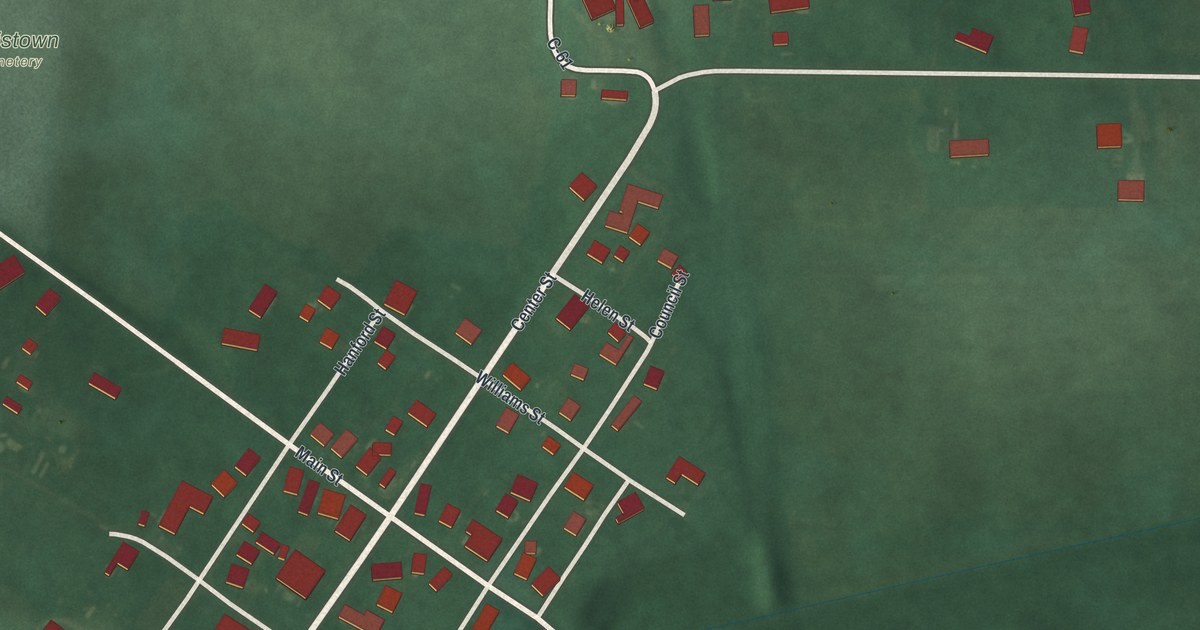
A detailed map of Lewistown, Ohio, showing every building in its true location, the roads by name, and shaded topographical relief.
Read More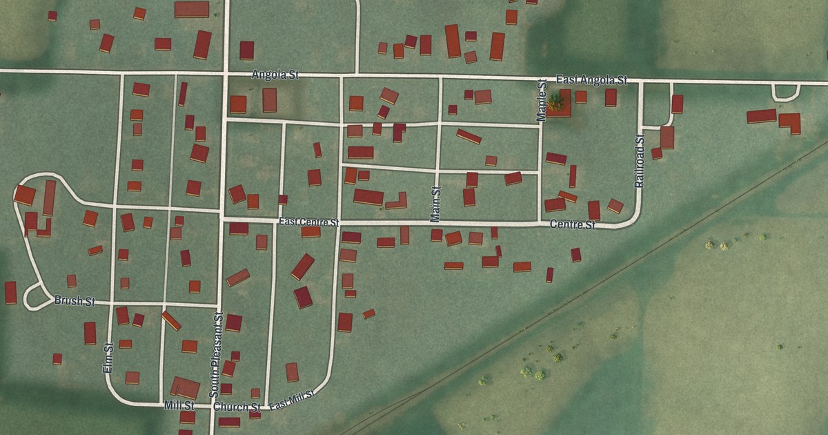
A detailed map of Kunkle, Ohio, showing every building in its true location, the roads by name, and shaded topographical relief.
Read More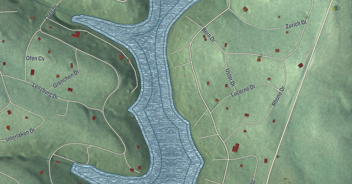
A detailed map of Lake Buckhorn, Ohio, showing every building in its true location, the roads by name, and shaded topographical relief.
Read More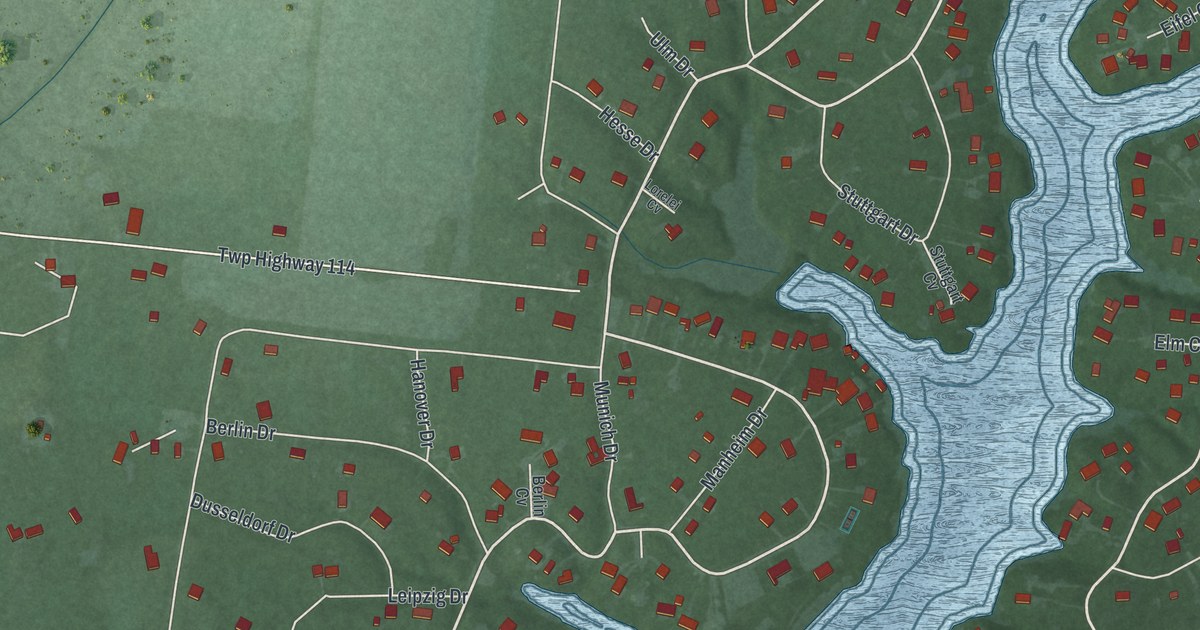
A detailed map of Lake Lorelei, Ohio, showing every building in its true location, the roads by name, and shaded topographical relief.
Read More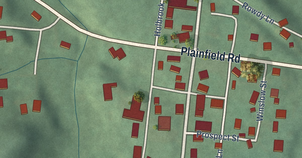
A detailed map of Kimbolton, Ohio, showing every building in its true location, the roads by name, and shaded topographical relief.
Read More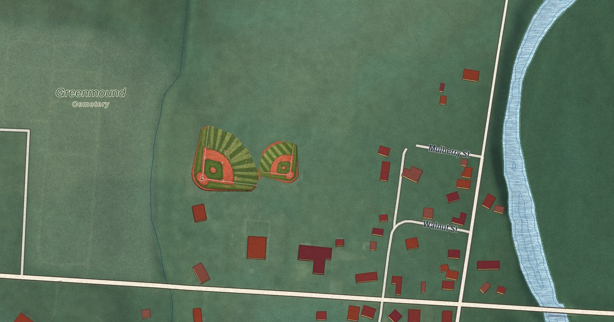
A detailed map of Kilbourne, Ohio, showing every building in its true location, the roads by name, and shaded topographical relief.
Read More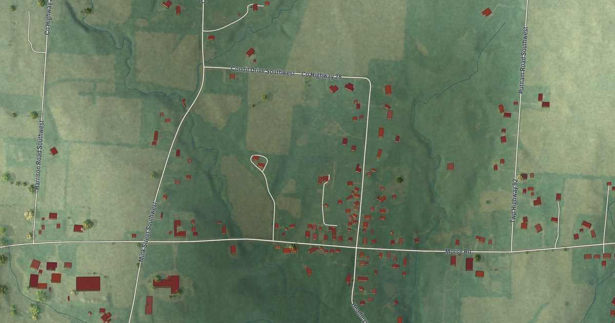
A detailed map of Jersey, Ohio, showing every building in its true location, the roads by name, and shaded topographical relief.
Read More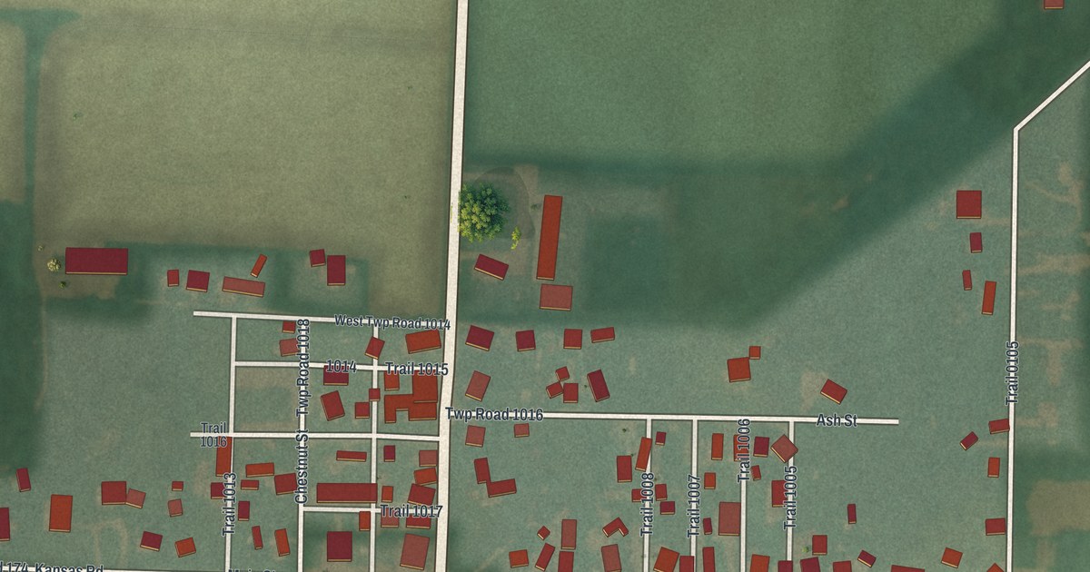
A detailed map of Kansas, Ohio, showing every building in its true location, the roads by name, and shaded topographical relief.
Read More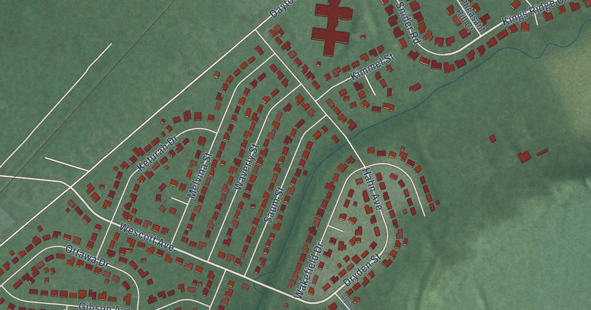
A detailed map of Holiday Valley, Ohio, showing every building in its true location, the roads by name, and shaded topographical relief.
Read More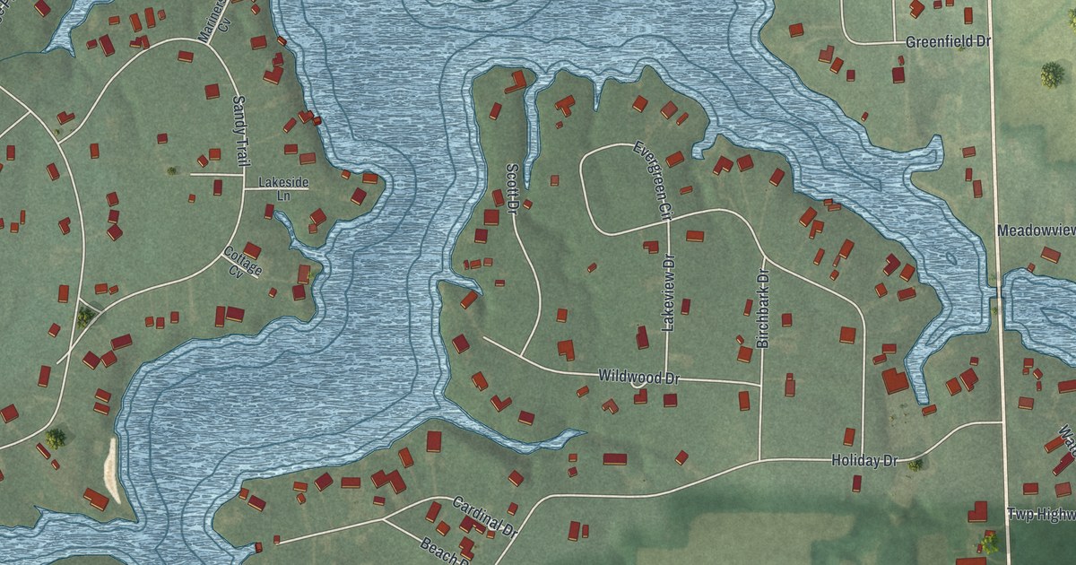
A detailed map of Holiday Lakes, Ohio, showing every building in its true location, the roads by name, and shaded topographical relief.
Read More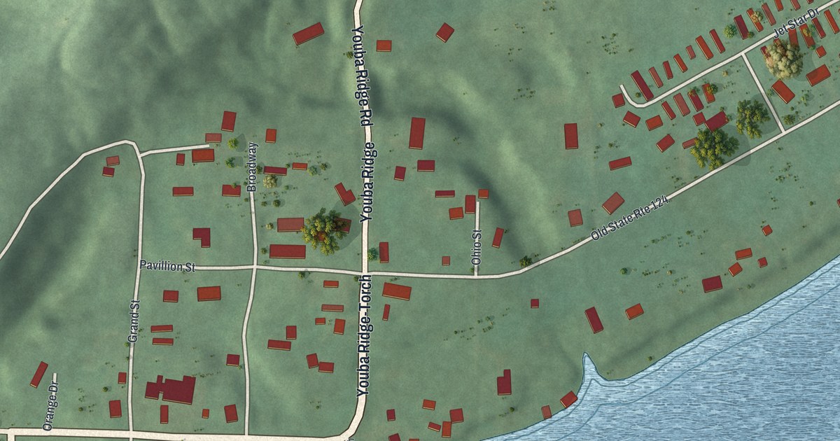
A detailed map of Hockingport, Ohio, showing every building in its true location, the roads by name, and shaded topographical relief.
Read More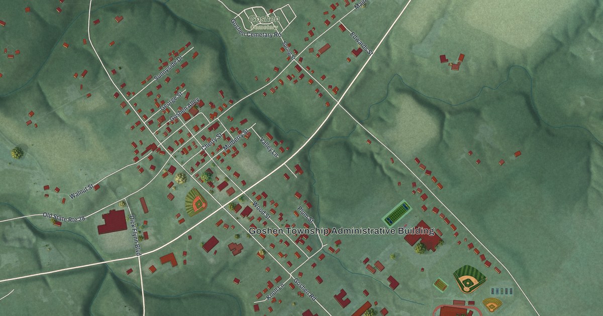
A detailed map of Goshen, Ohio, showing every building in its true location, the roads by name, and shaded topographical relief.
Read More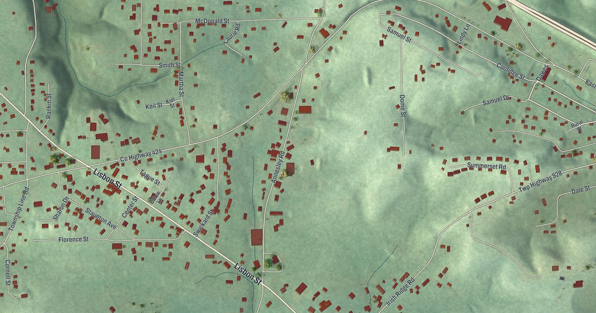
A detailed map of Glenmoor, Ohio, showing every building in its true location, the roads by name, and shaded topographical relief.
Read More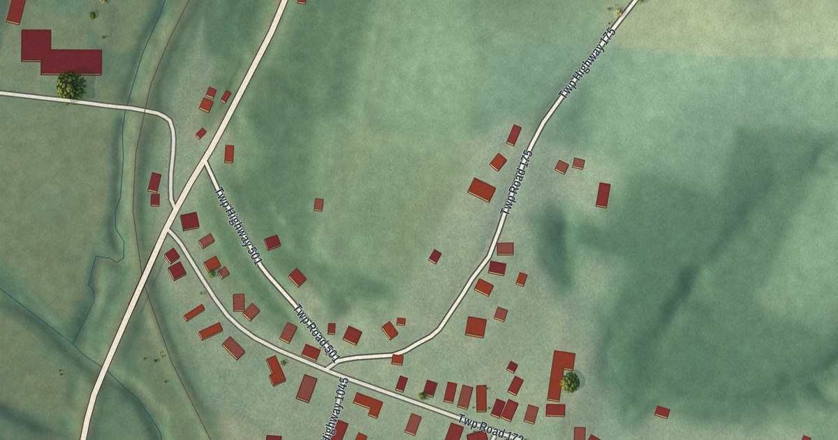
A detailed map of Fresno, Ohio, showing every building in its true location, the roads by name, and shaded topographical relief.
Read More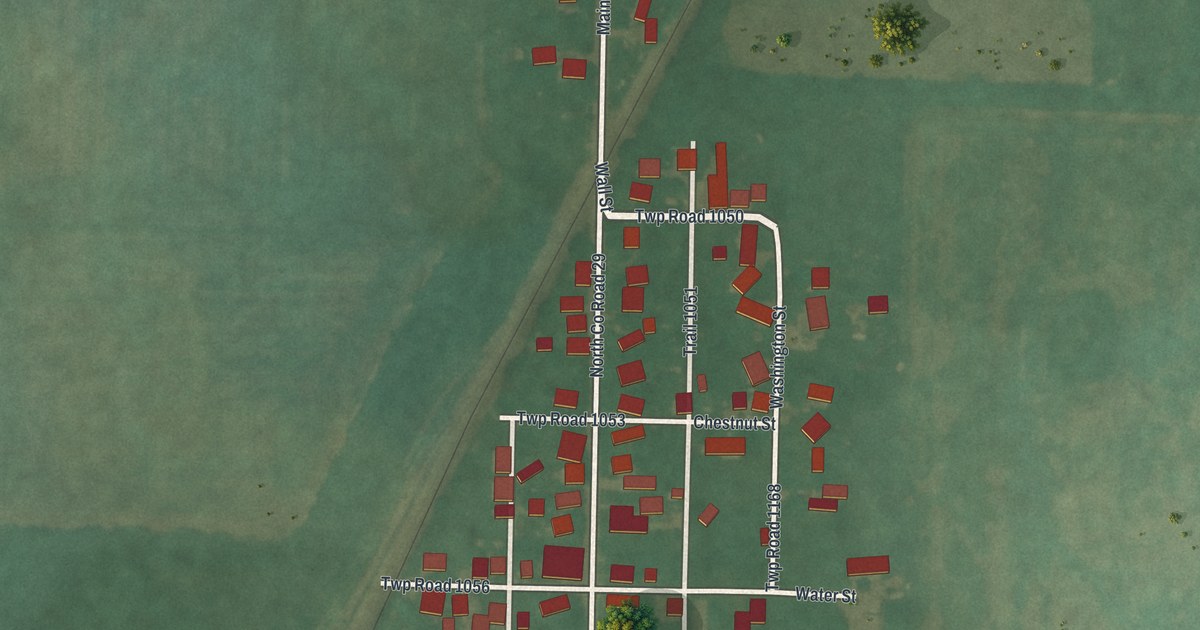
A detailed map of Flat Rock, Ohio, showing every building in its true location, the roads by name, and shaded topographical relief.
Read More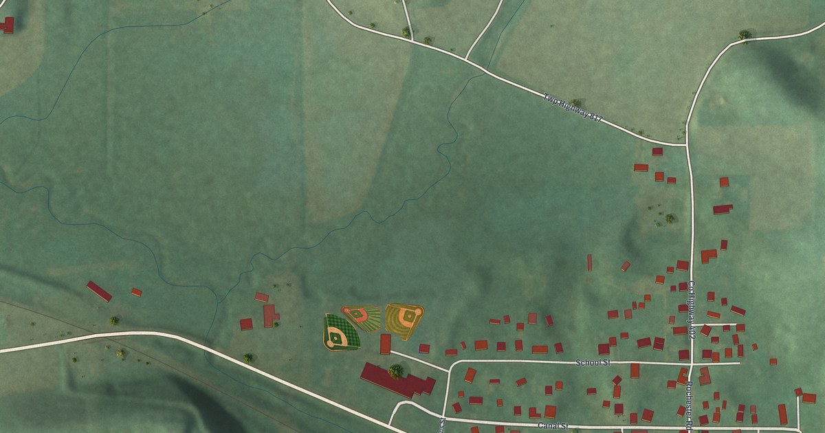
A detailed map of East Rochester, Ohio, showing every building in its true location, the roads by name, and shaded topographical relief.
Read More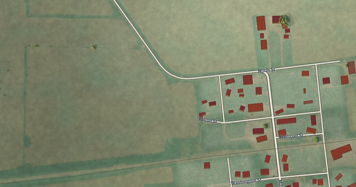
A detailed map of Dola, Ohio, showing every building in its true location, the roads by name, and shaded topographical relief.
Read More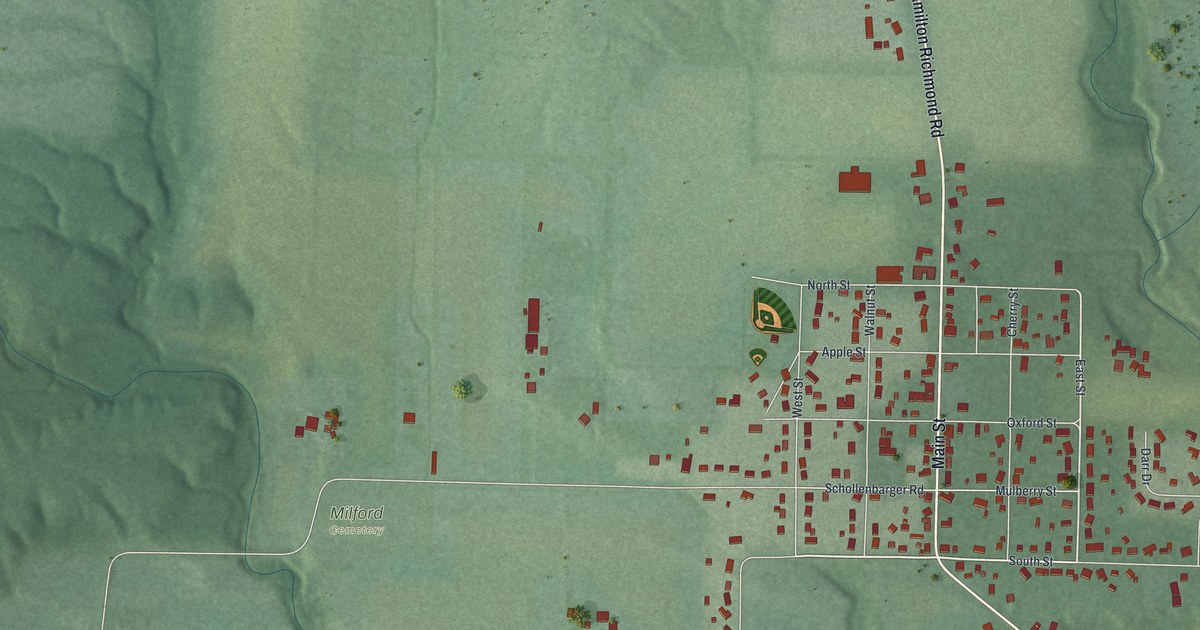
A detailed map of Darrtown, Ohio, showing every building in its true location, the roads by name, and shaded topographical relief.
Read More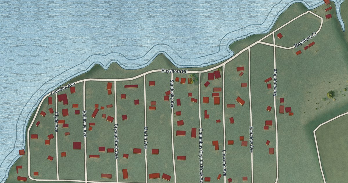
A detailed map of Crystal Rock, Ohio, showing every building in its true location, the roads by name, and shaded topographical relief.
Read More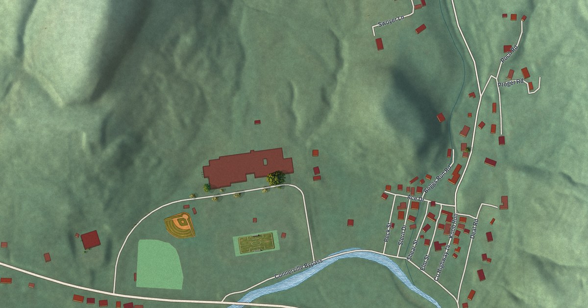
A detailed map of Connorville, Ohio, showing every building in its true location, the roads by name, and shaded topographical relief.
Read More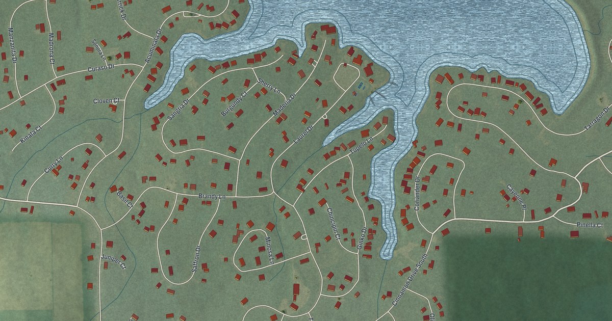
A detailed map of Cinnamon Lake, Ohio, showing every building in its true location, the roads by name, and shaded topographical relief.
Read More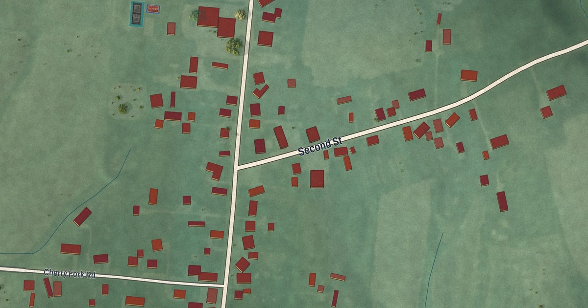
A detailed map of Cherry Fork, Ohio, showing every building in its true location, the roads by name, and shaded topographical relief.
Read More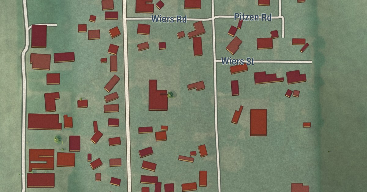
A detailed map of Celeryville, Ohio, showing every building in its true location, the roads by name, and shaded topographical relief.
Read More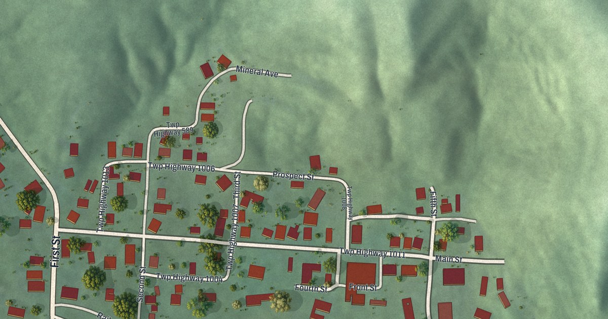
A detailed map of Carbon Hill, Ohio, showing every building in its true location, the roads by name, and shaded topographical relief.
Read More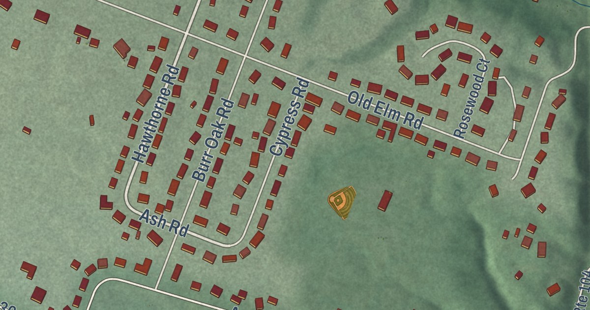
A detailed map of Andersonville, Ohio, showing every building in its true location, the roads by name, and shaded topographical relief.
Read More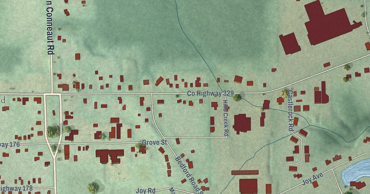
A detailed map of Brookfield Center, Ohio, showing every building in its true location, the roads by name, and shaded topographical relief.
Read More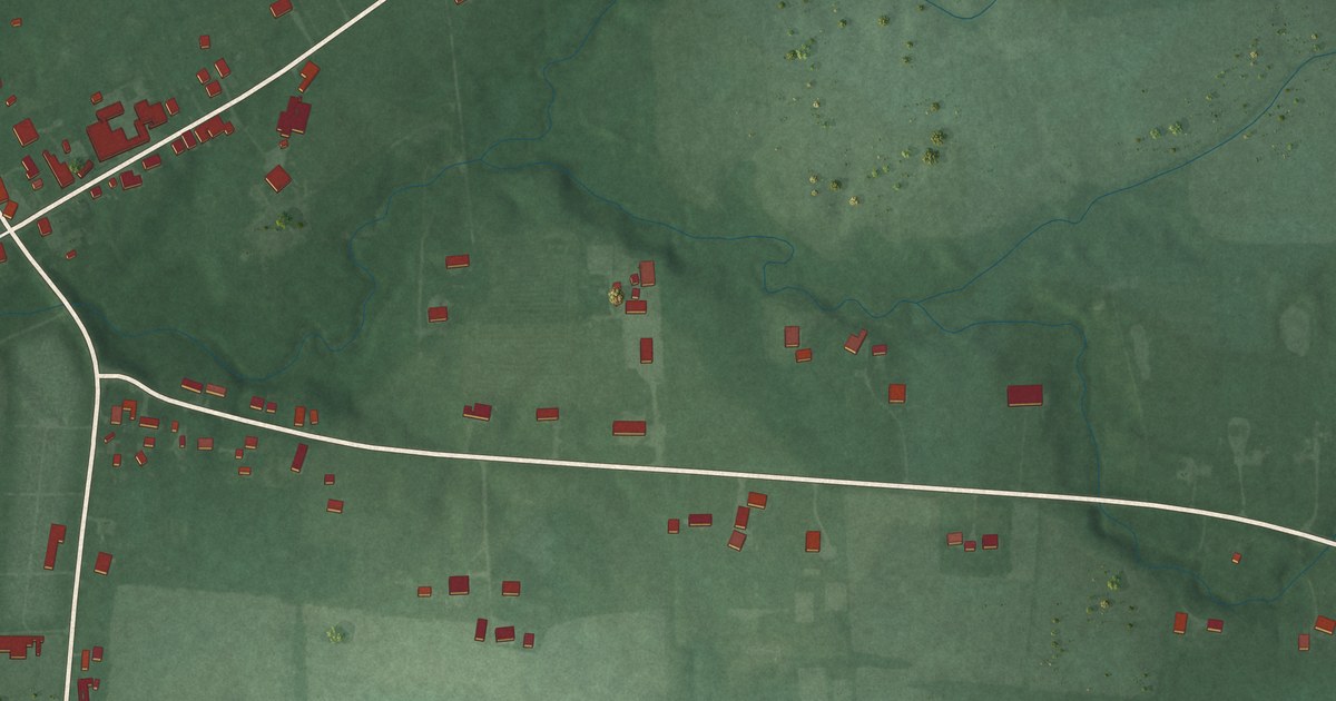
A detailed map of Buford, Ohio, showing every building in its true location, the roads by name, and shaded topographical relief.
Read More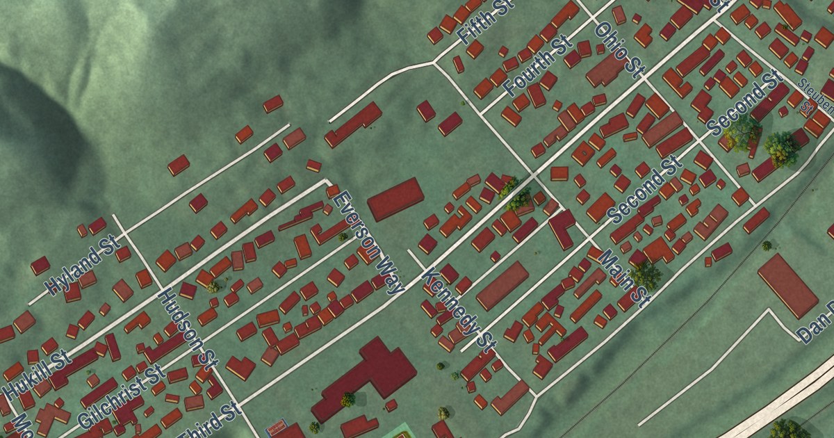
A detailed map of Brilliant, Ohio, showing every building in its true location, the roads by name, and shaded topographical relief.
Read More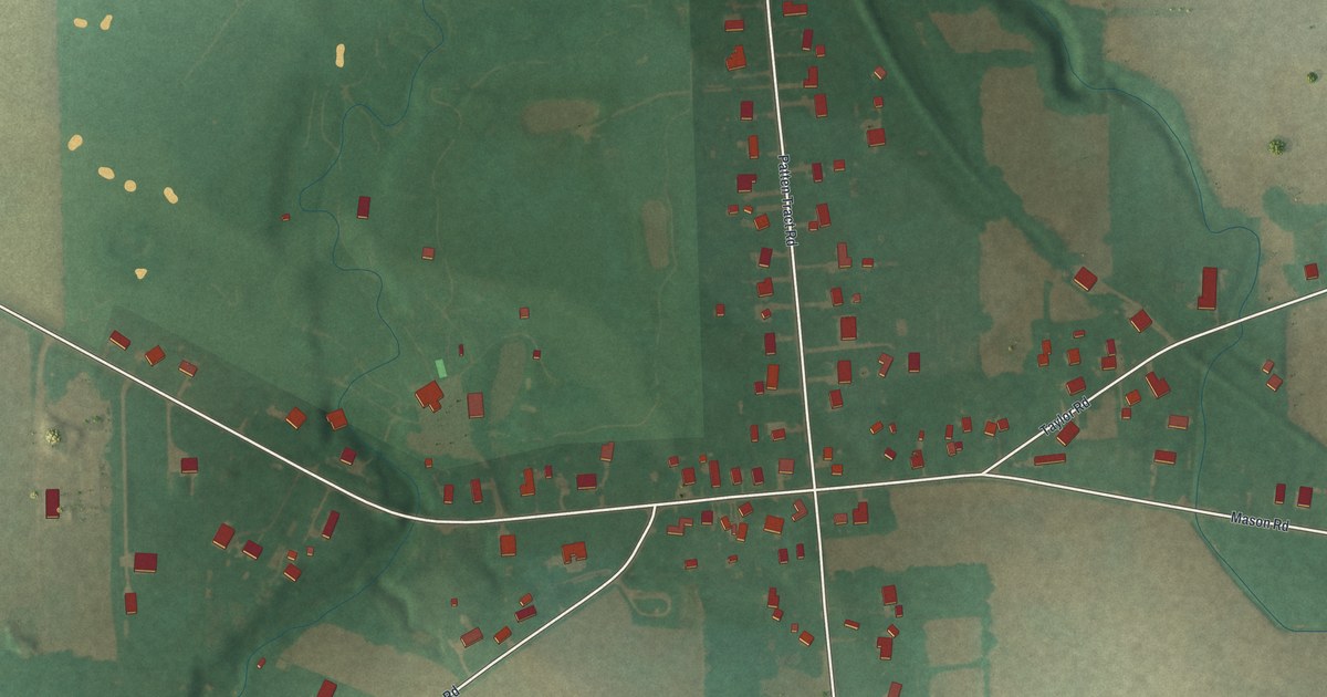
A detailed map of Bloomingville, Ohio, showing every building in its true location, the roads by name, and shaded topographical relief.
Read More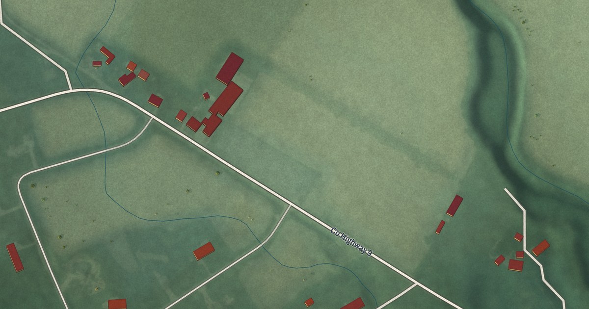
A detailed map of Bourneville, Ohio, showing every building in its true location, the roads by name, and shaded topographical relief.
Read More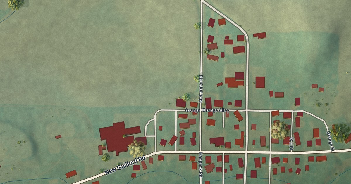
A detailed map of Bladensburg, Ohio, showing every building in its true location, the roads by name, and shaded topographical relief.
Read More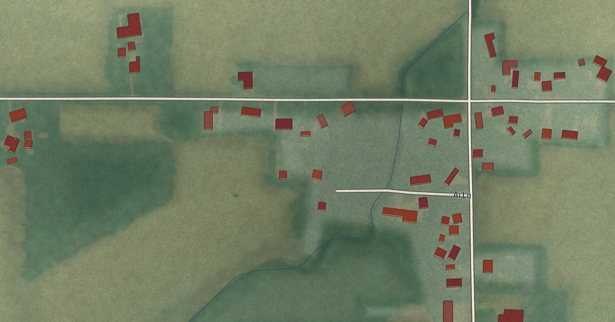
A detailed map of Ai, Ohio, showing every building in its true location, the roads by name, and shaded topographical relief.
Read More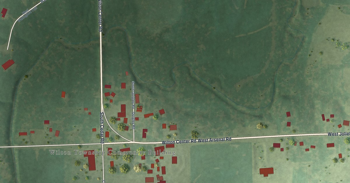
A detailed map of Wilton Center, Illinois, showing every building in its true location, the roads by name, and shaded topographical relief.
Read More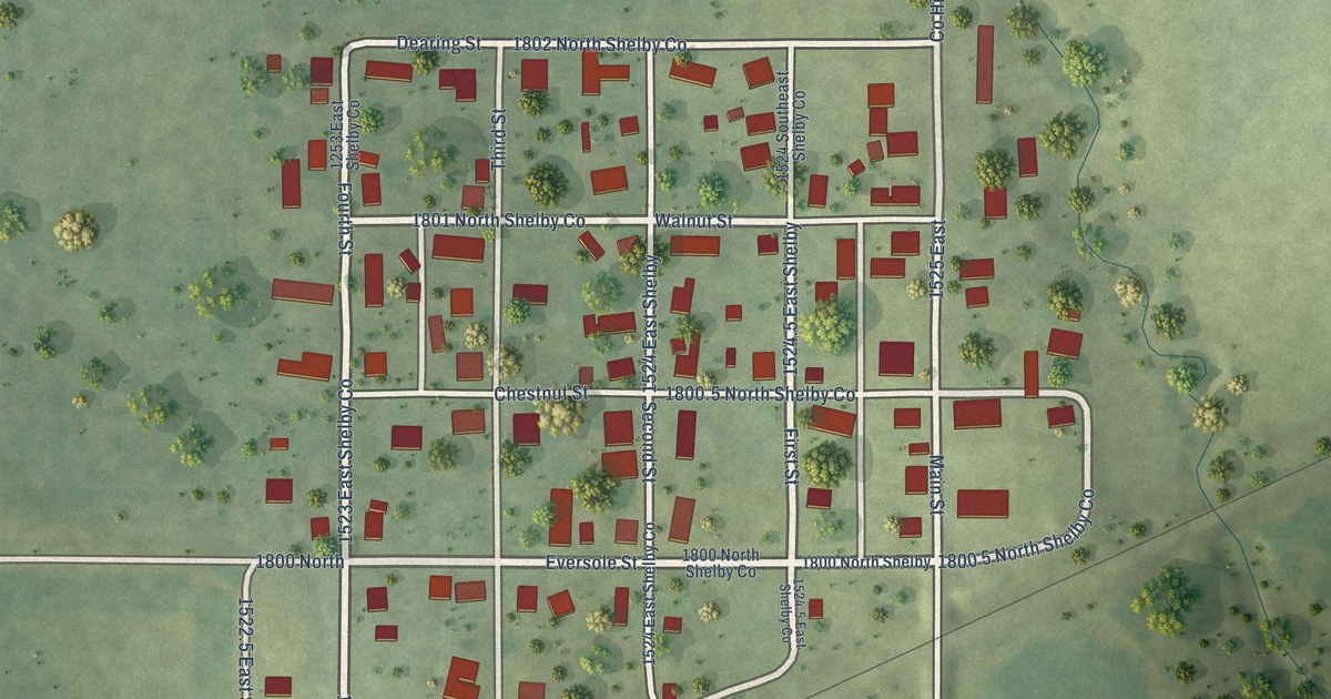
A detailed map of Westervelt, Illinois, showing every building in its true location, the roads by name, and shaded topographical relief.
Read More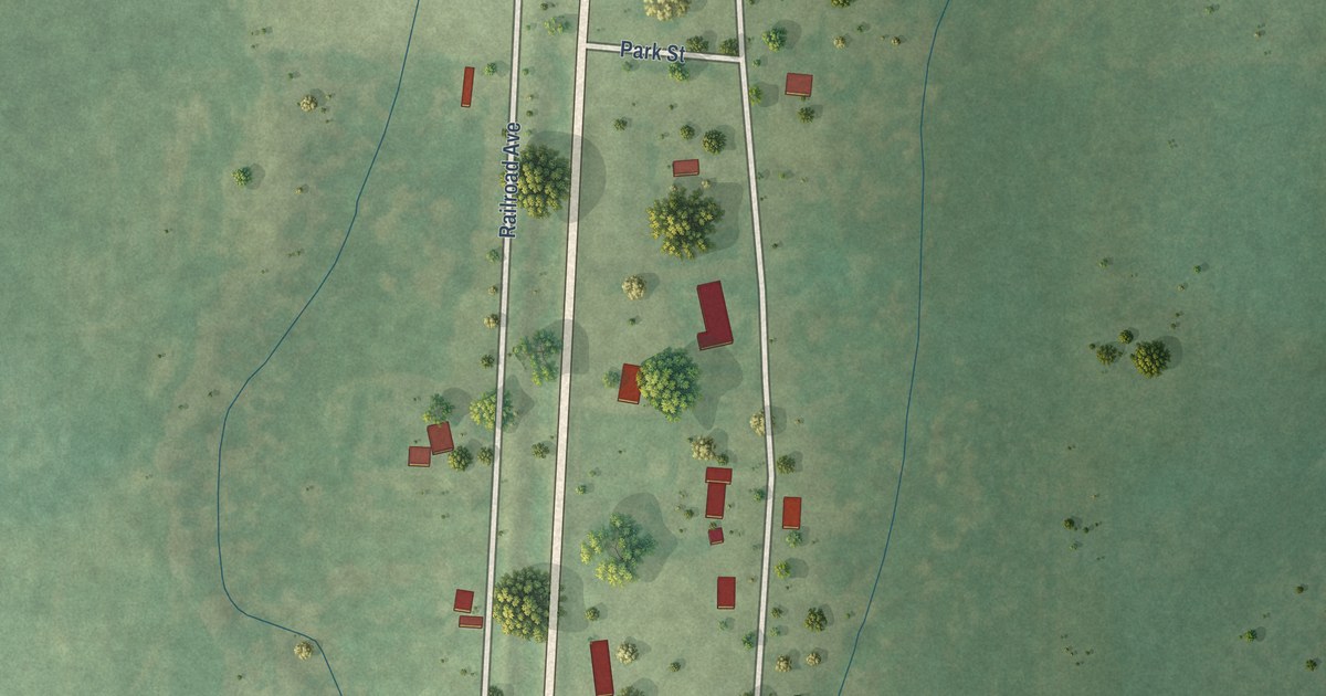
A detailed map of Unity, Illinois, showing every building in its true location, the roads by name, and shaded topographical relief.
Read More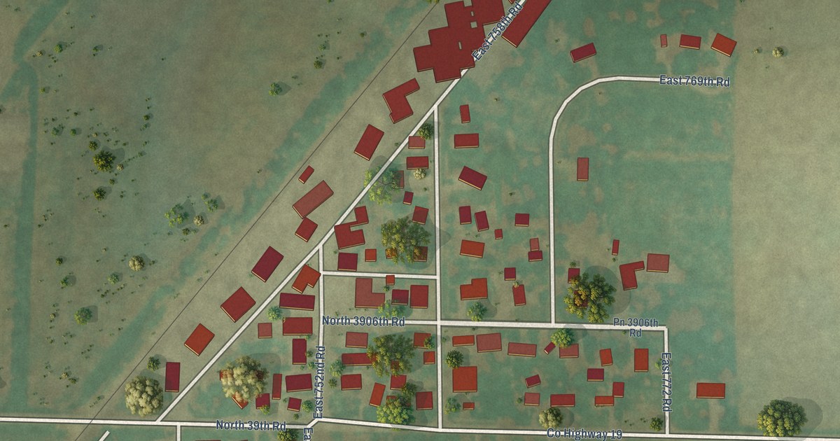
A detailed map of Triumph, Illinois, showing every building in its true location, the roads by name, and shaded topographical relief.
Read More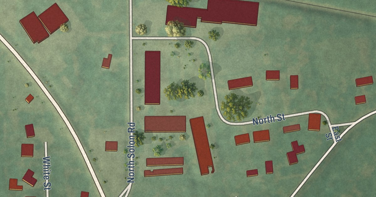
A detailed map of Solon Mills, Illinois, showing every building in its true location, the roads by name, and shaded topographical relief.
Read More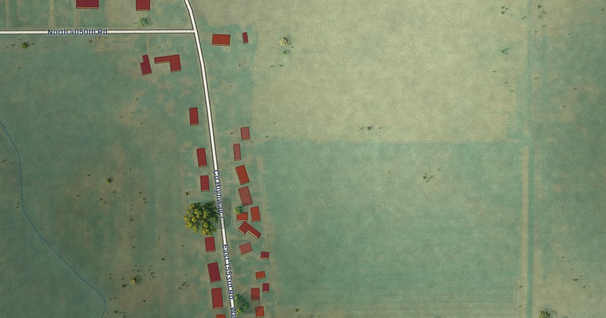
A detailed map of Harding, Illinois, showing every building in its true location, the roads by name, and shaded topographical relief.
Read More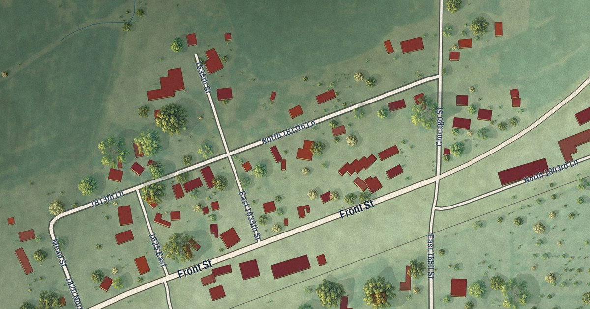
A detailed map of Paloma, Illinois, showing every building in its true location, the roads by name, and shaded topographical relief.
Read More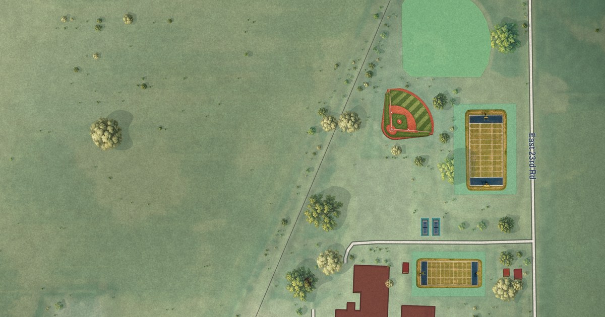
A detailed map of Serena, Illinois, showing every building in its true location, the roads by name, and shaded topographical relief.
Read More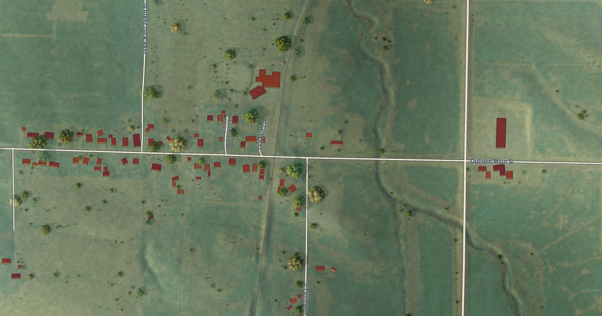
A detailed map of Ophiem, Illinois, showing every building in its true location, the roads by name, and shaded topographical relief.
Read More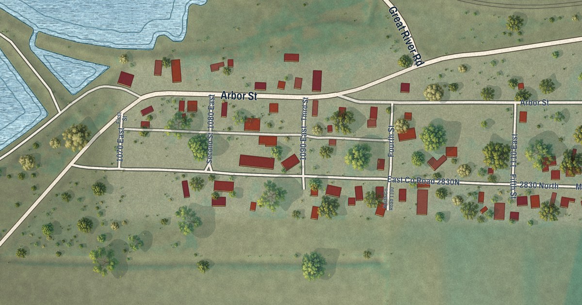
A detailed map of Niota, Illinois, showing every building in its true location, the roads by name, and shaded topographical relief.
Read More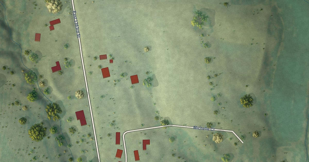
A detailed map of Burton, Illinois, showing every building in its true location, the roads by name, and shaded topographical relief.
Read More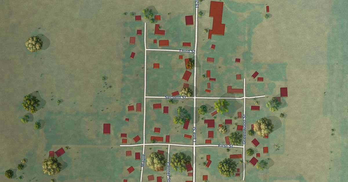
A detailed map of Lane, Illinois, showing every building in its true location, the roads by name, and shaded topographical relief.
Read More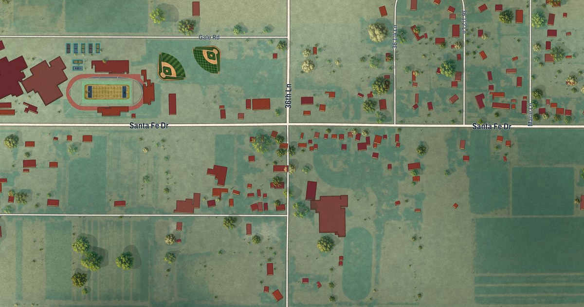
A detailed map of Vineland, Colorado, showing every building in its true location, the roads by name, and shaded topographical relief.
Read More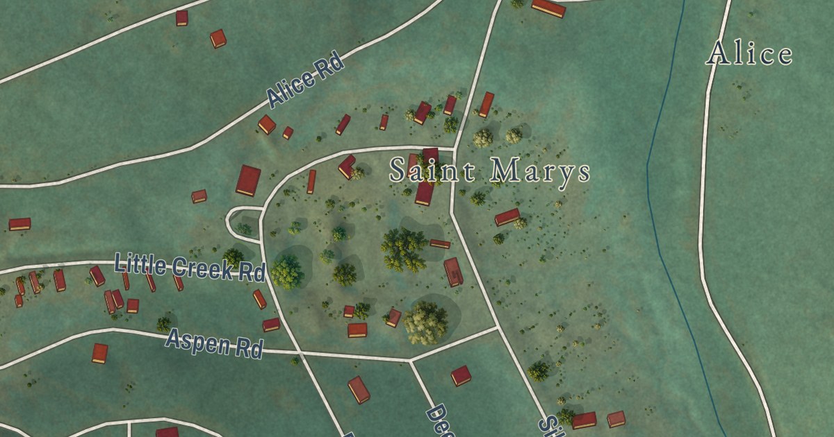
A detailed map of St. Mary’s, Colorado, showing every building in its true location, the roads by name, and shaded topographical relief.
Read More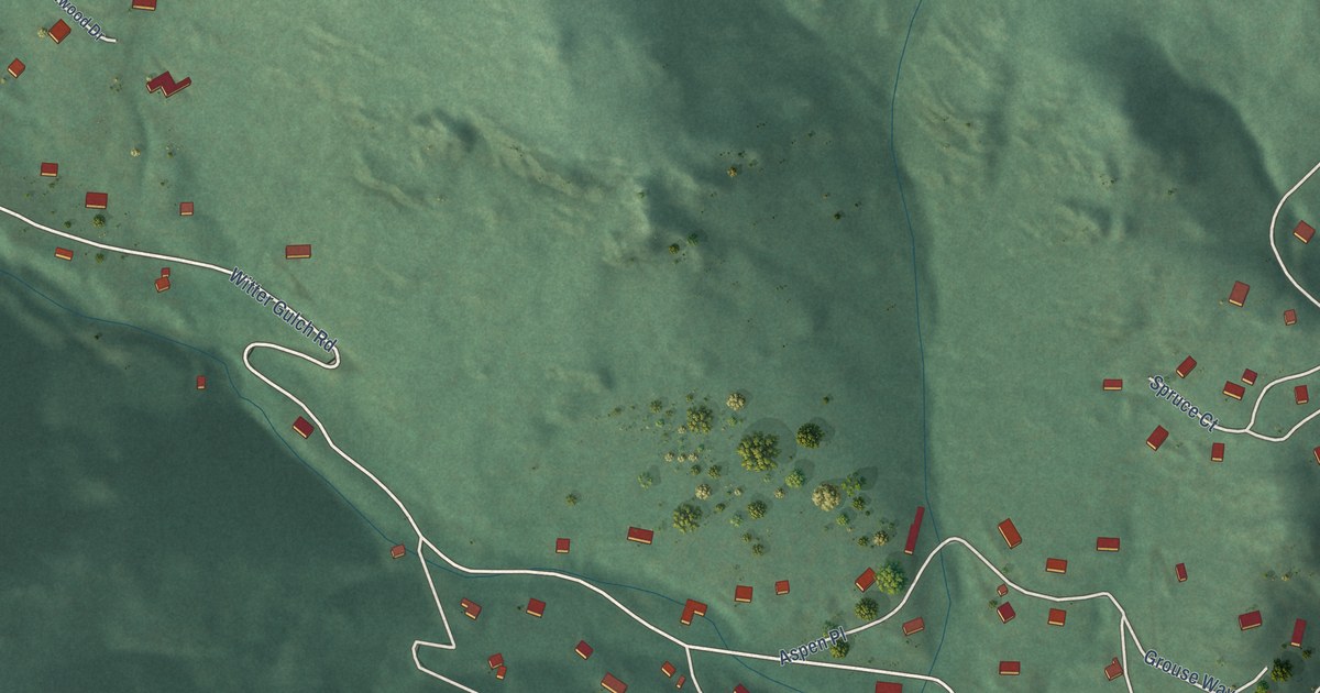
A detailed map of Upper Witter Gulch, Colorado, showing every building in its true location, the roads by name, and shaded topographical relief.
Read More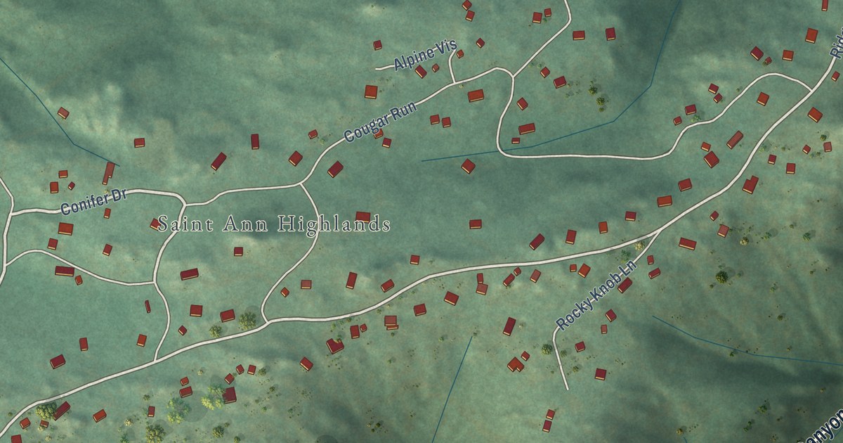
A detailed map of St. Ann Highlands, Colorado, showing every building in its true location, the roads by name, and shaded topographical relief.
Read More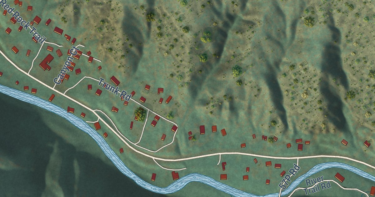
A detailed map of Placerville, Colorado, showing every building in its true location, the roads by name, and shaded topographical relief.
Read More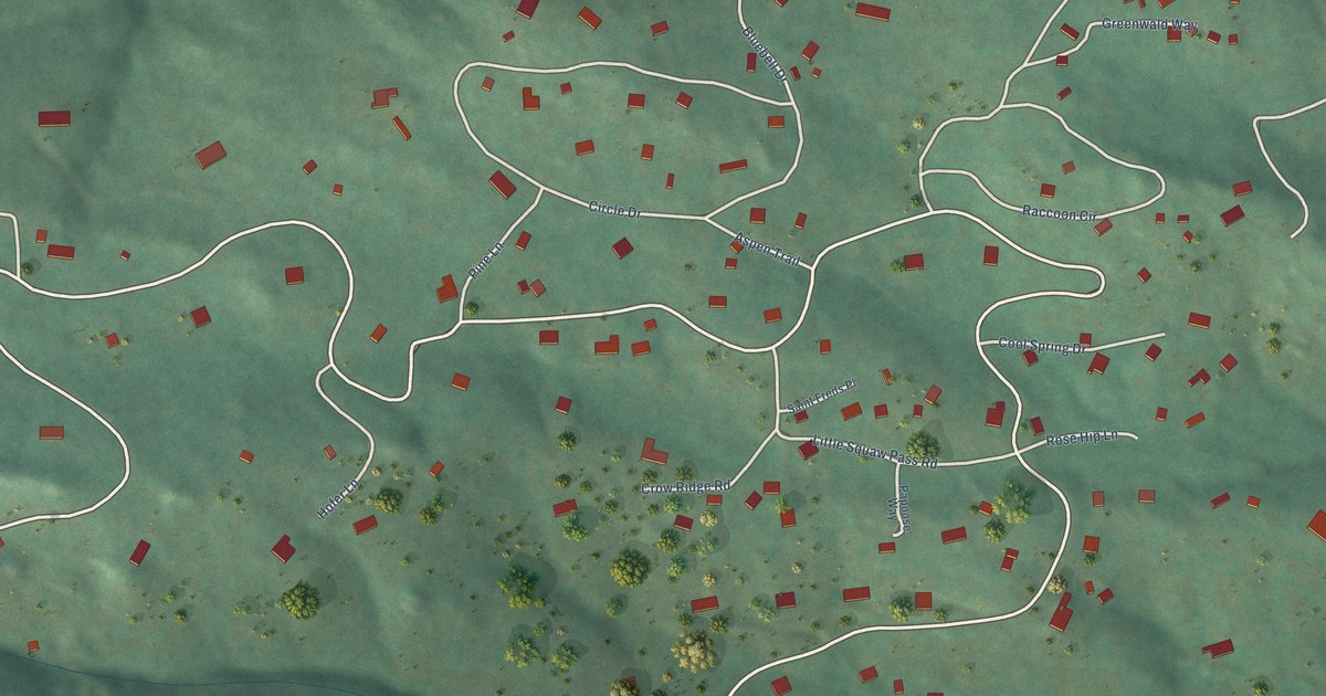
A detailed map of Pine Valley, Colorado, showing every building in its true location, the roads by name, and shaded topographical relief.
Read More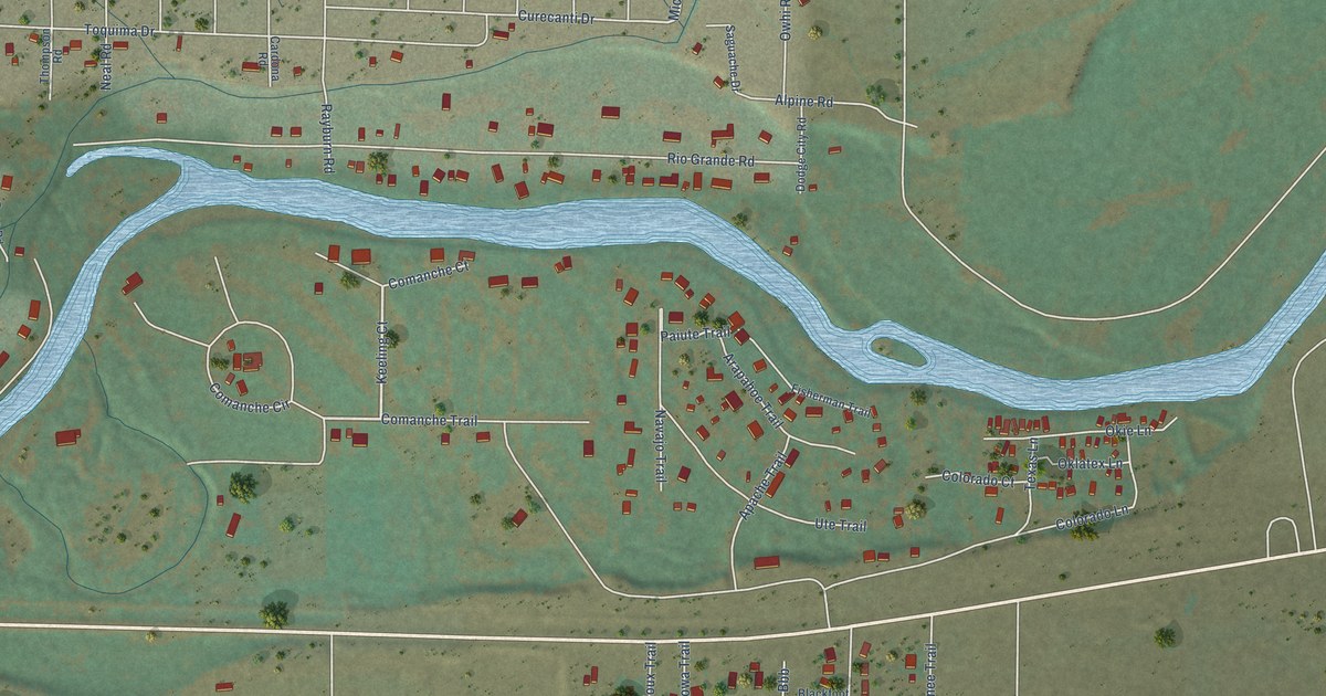
A detailed map of Gerrard, Colorado, showing every building in its true location, the roads by name, and shaded topographical relief.
Read More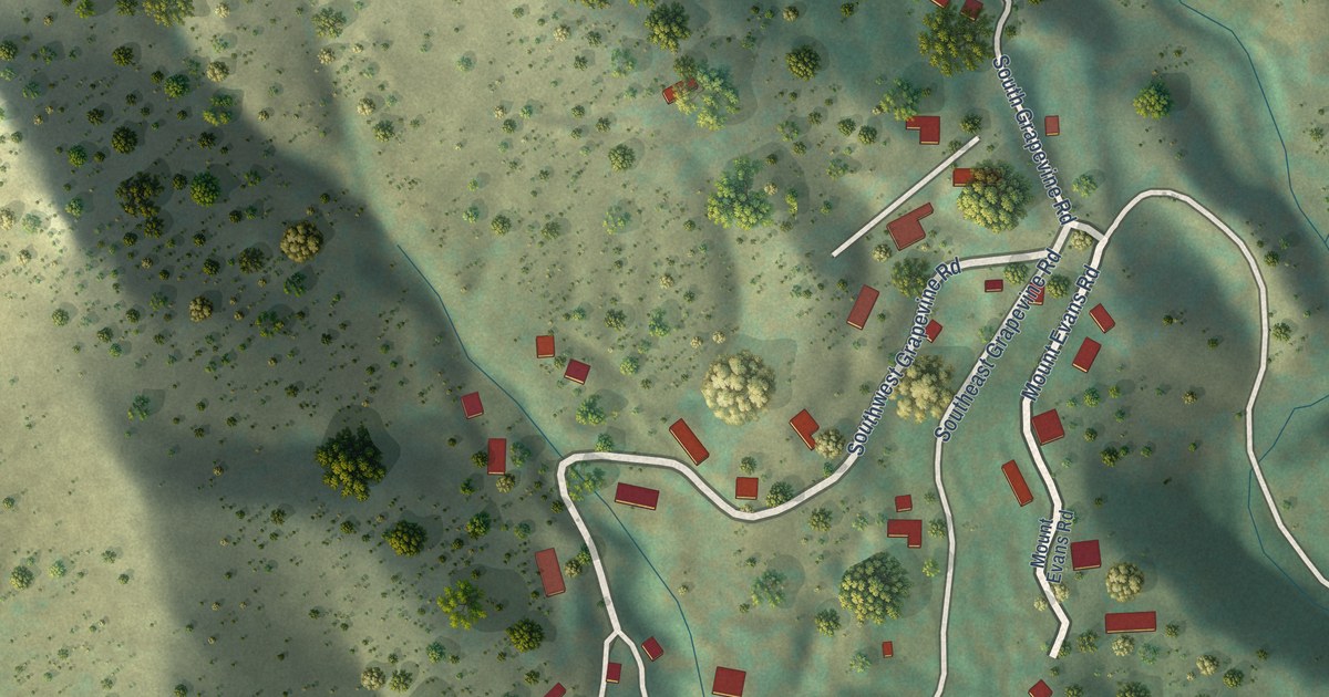
A detailed map of Idledale, Colorado, showing every building in its true location, the roads by name, and shaded topographical relief.
Read More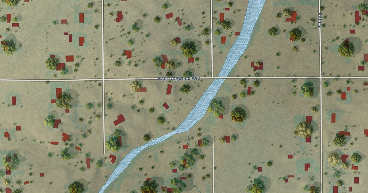
A detailed map of Grand View Estates, Colorado, showing every building in its true location, the roads by name, and shaded topographical relief.
Read More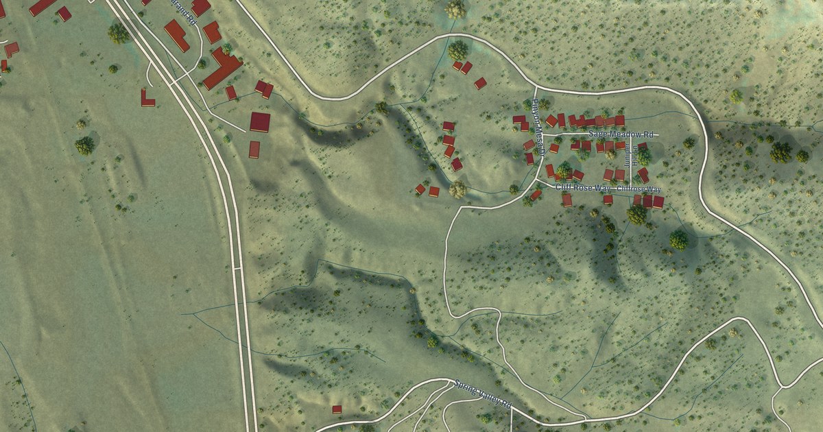
A detailed map of Cattle Creek, Colorado, showing every building in its true location, the roads by name, and shaded topographical relief.
Read More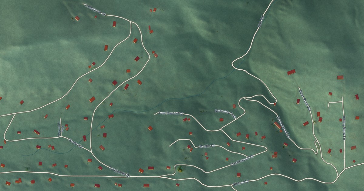
A detailed map of Echo Hills, Colorado, showing every building in its true location, the roads by name, and shaded topographical relief.
Read More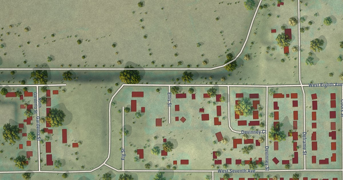
A detailed map of East Pleasant View, Colorado, showing every building in its true location, the roads by name, and shaded topographical relief.
Read More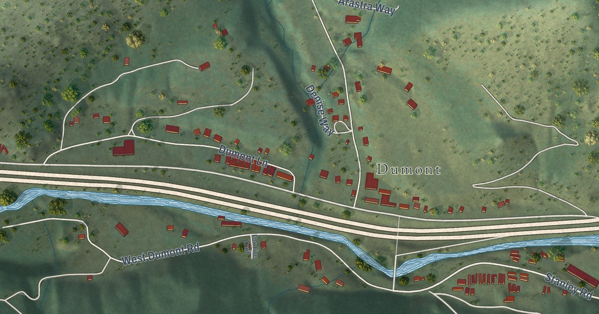
A detailed map of Downieville-Lawson-Dumont, Colorado, showing every building in its true location, the roads by name, and shaded topographical relief.
Read More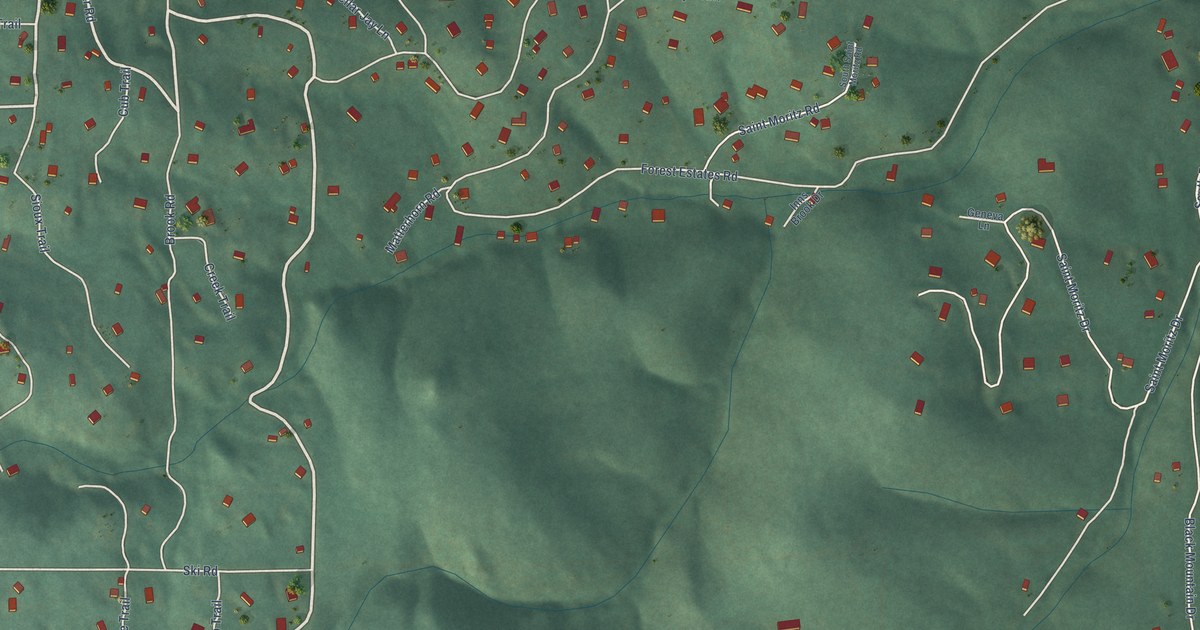
A detailed map of Brook Forest, Colorado, showing every building in its true location, the roads by name, and shaded topographical relief.
Read More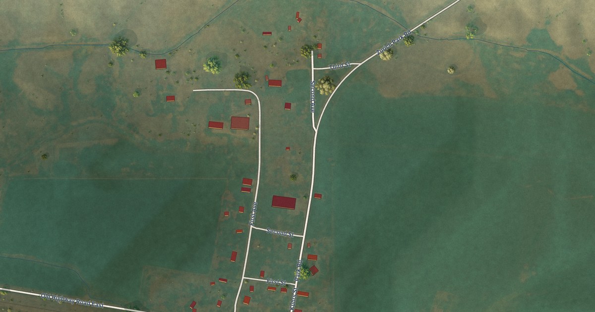
A detailed map of Zurich, Montana, showing every building in its true location, the roads by name, and shaded topographical relief.
Read More















