Detailed Map of WaKeeney, Kansas
A detailed map of WaKeeney, Kansas, showing every building in its true location, the roads by name, and shaded topographical relief.
Read More
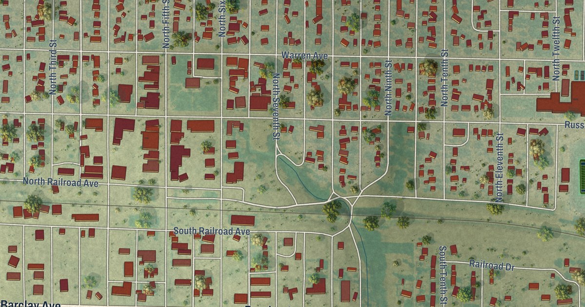
A detailed map of WaKeeney, Kansas, showing every building in its true location, the roads by name, and shaded topographical relief.
Read More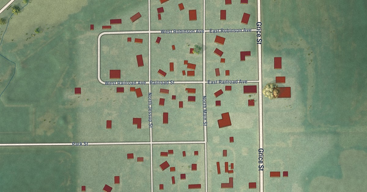
A detailed map of Viola, Kansas, showing every building in its true location, the roads by name, and shaded topographical relief.
Read More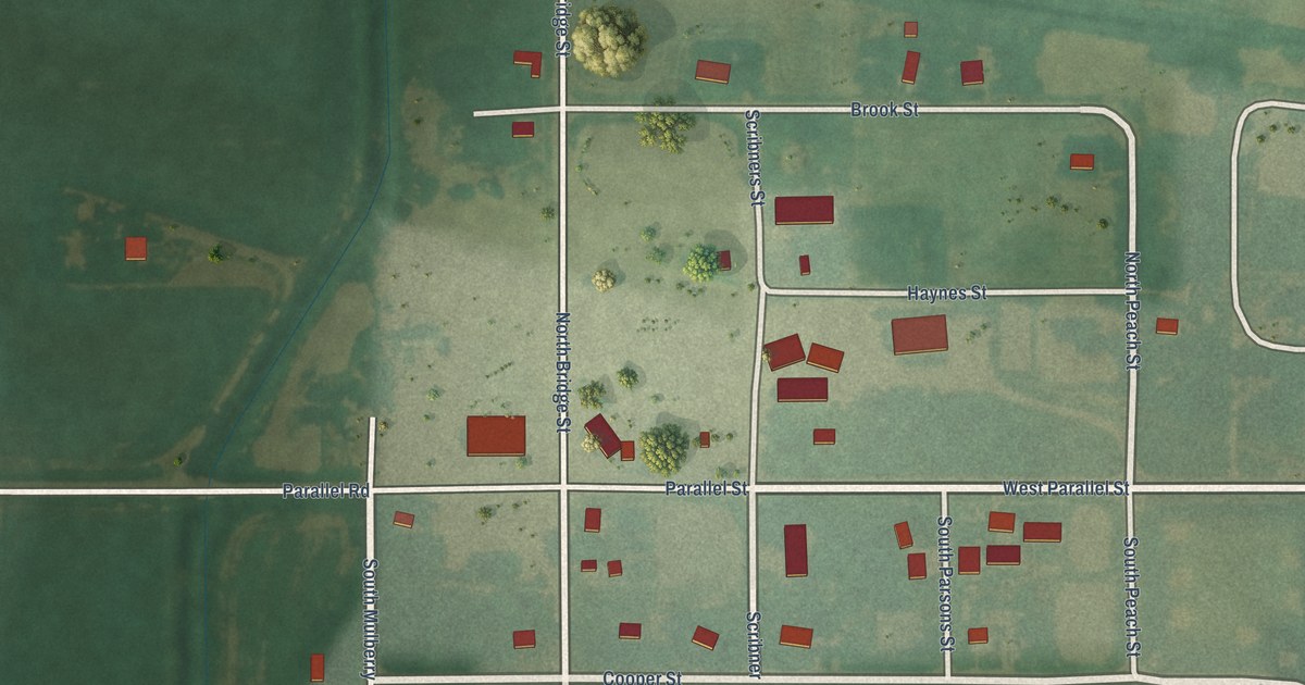
A detailed map of Vining, Kansas, showing every building in its true location, the roads by name, and shaded topographical relief.
Read More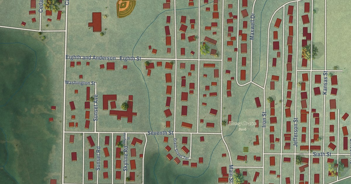
A detailed map of Victoria, Kansas, showing every building in its true location, the roads by name, and shaded topographical relief.
Read More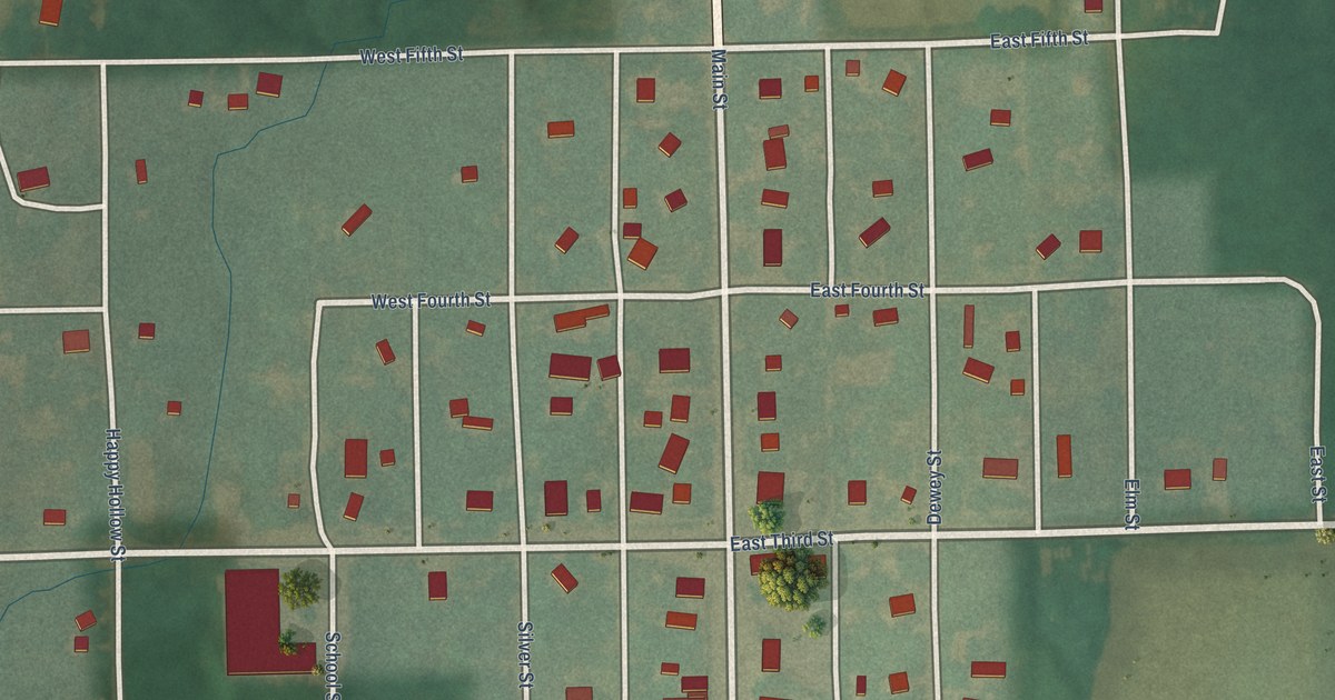
A detailed map of Vermillion, Kansas, showing every building in its true location, the roads by name, and shaded topographical relief.
Read More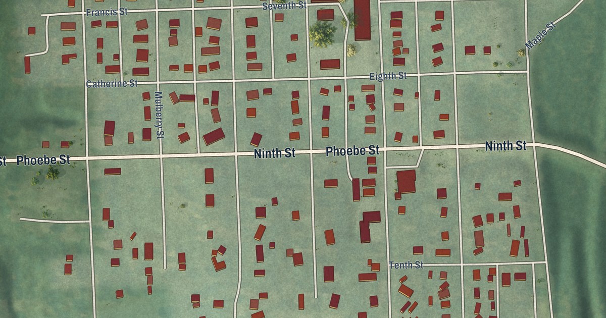
A detailed map of Valley Falls, Kansas, showing every building in its true location, the roads by name, and shaded topographical relief.
Read More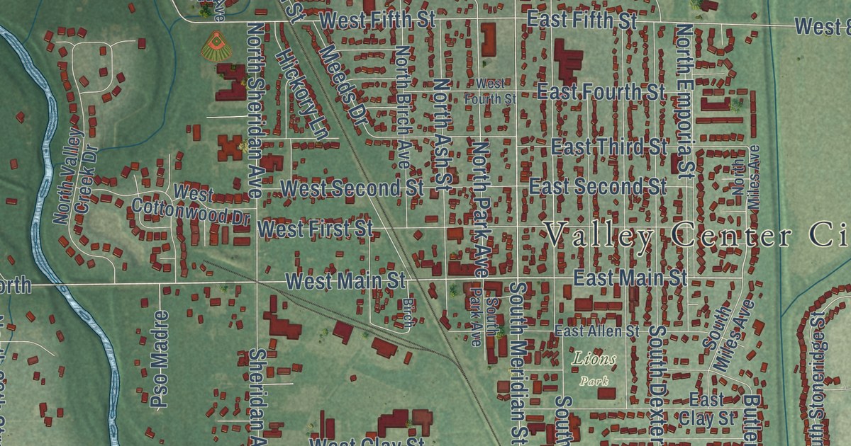
A detailed map of Valley Center, Kansas, showing every building in its true location, the roads by name, and shaded topographical relief.
Read More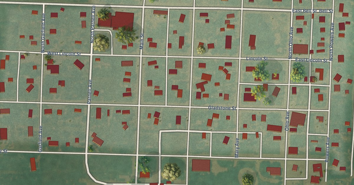
A detailed map of Utica, Kansas, showing every building in its true location, the roads by name, and shaded topographical relief.
Read More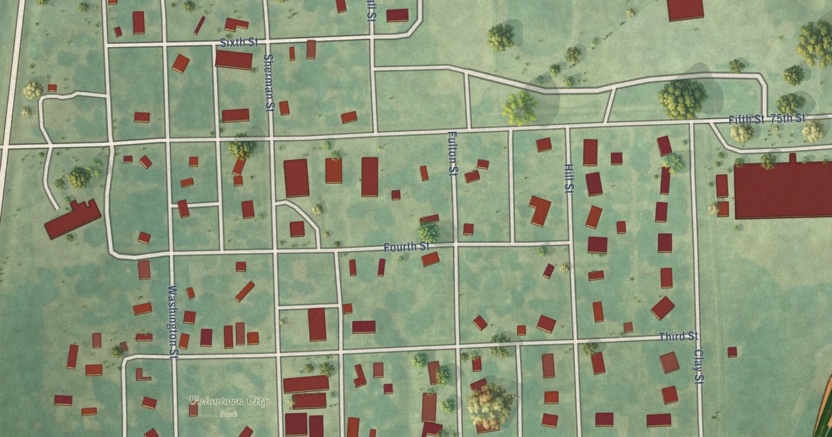
A detailed map of Uniontown, Kansas, showing every building in its true location, the roads by name, and shaded topographical relief.
Read More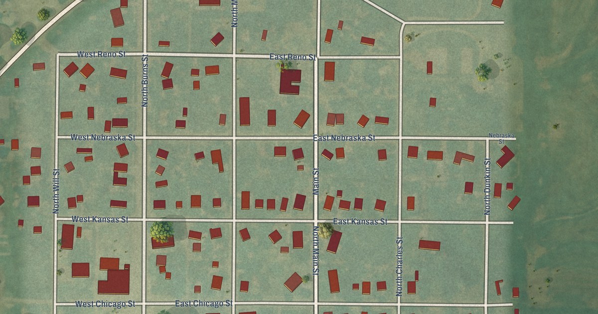
A detailed map of Turon, Kansas, showing every building in its true location, the roads by name, and shaded topographical relief.
Read More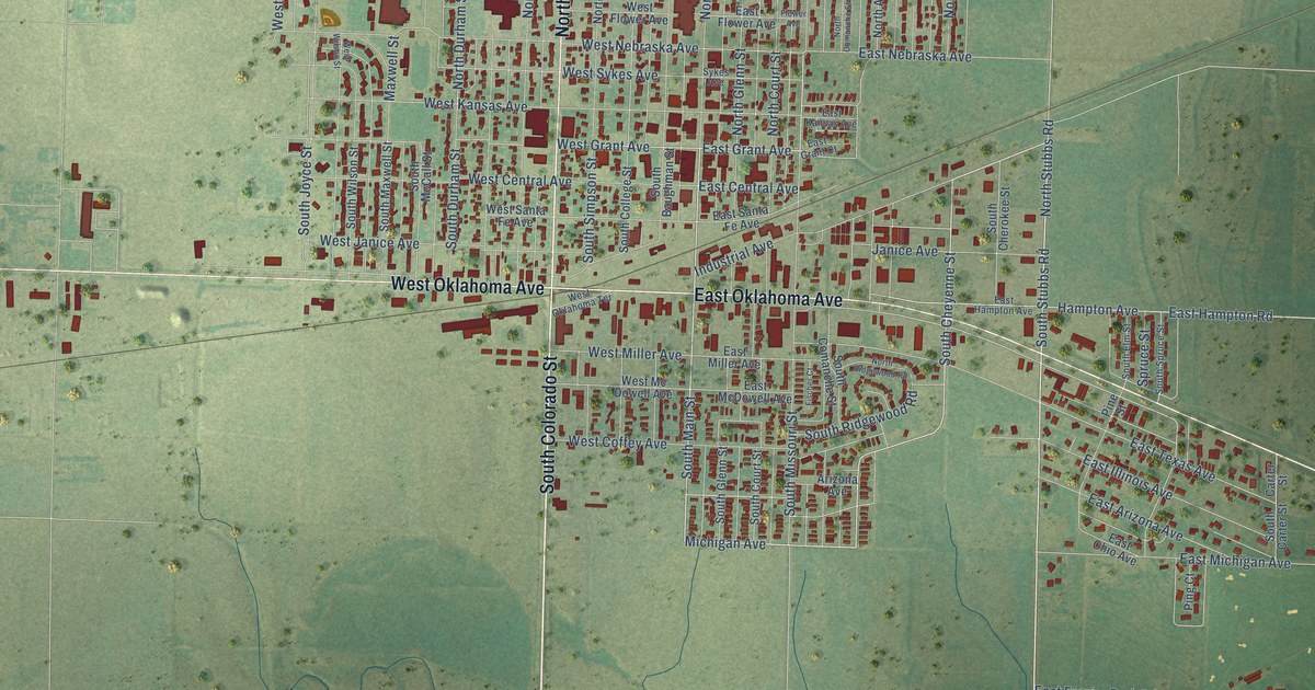
A detailed map of Ulysses, Kansas, showing every building in its true location, the roads by name, and shaded topographical relief.
Read More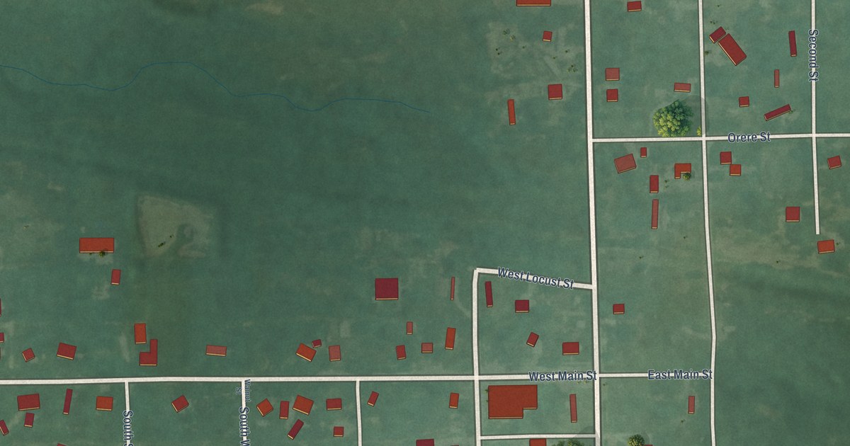
A detailed map of Tyro, Kansas, showing every building in its true location, the roads by name, and shaded topographical relief.
Read More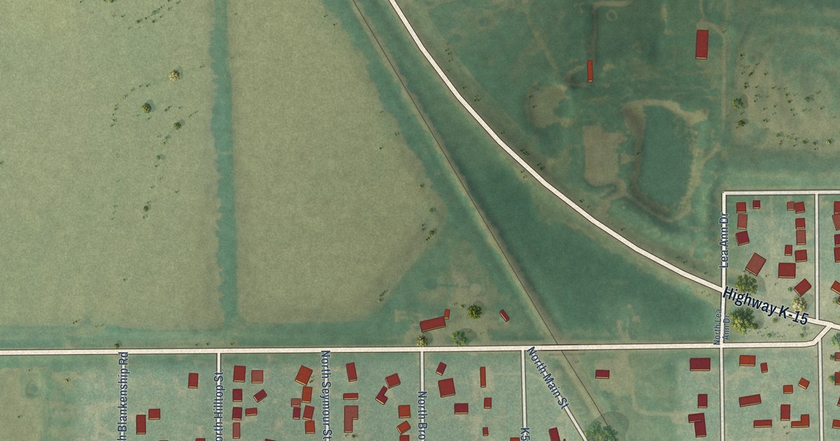
A detailed map of Udall, Kansas, showing every building in its true location, the roads by name, and shaded topographical relief.
Read More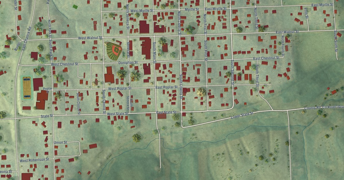
A detailed map of Troy, Kansas, showing every building in its true location, the roads by name, and shaded topographical relief.
Read More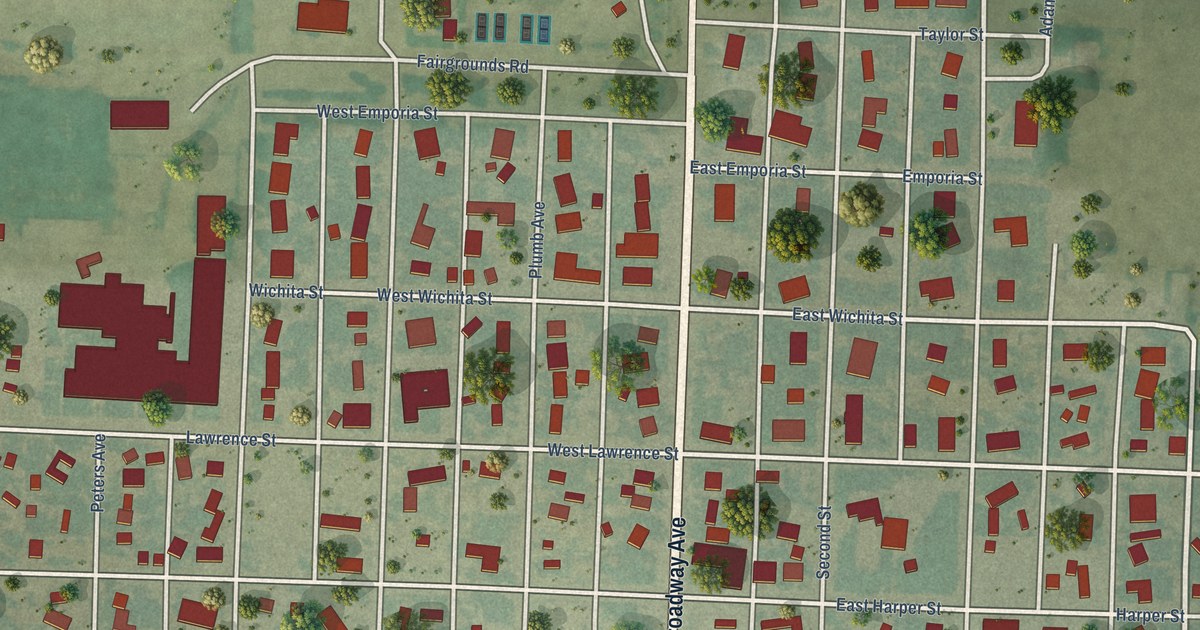
A detailed map of Tribune, Kansas, showing every building in its true location, the roads by name, and shaded topographical relief.
Read More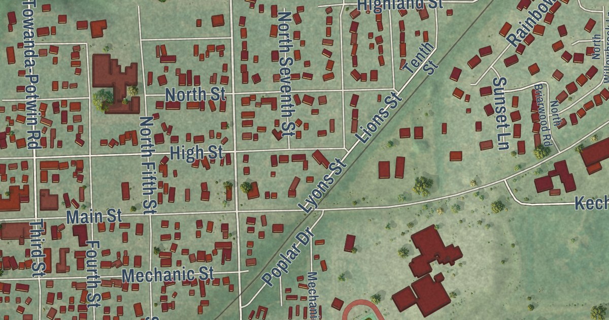
A detailed map of Towanda, Kansas, showing every building in its true location, the roads by name, and shaded topographical relief.
Read More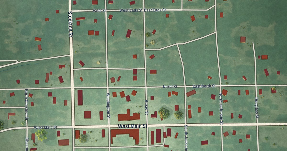
A detailed map of Toronto, Kansas, showing every building in its true location, the roads by name, and shaded topographical relief.
Read More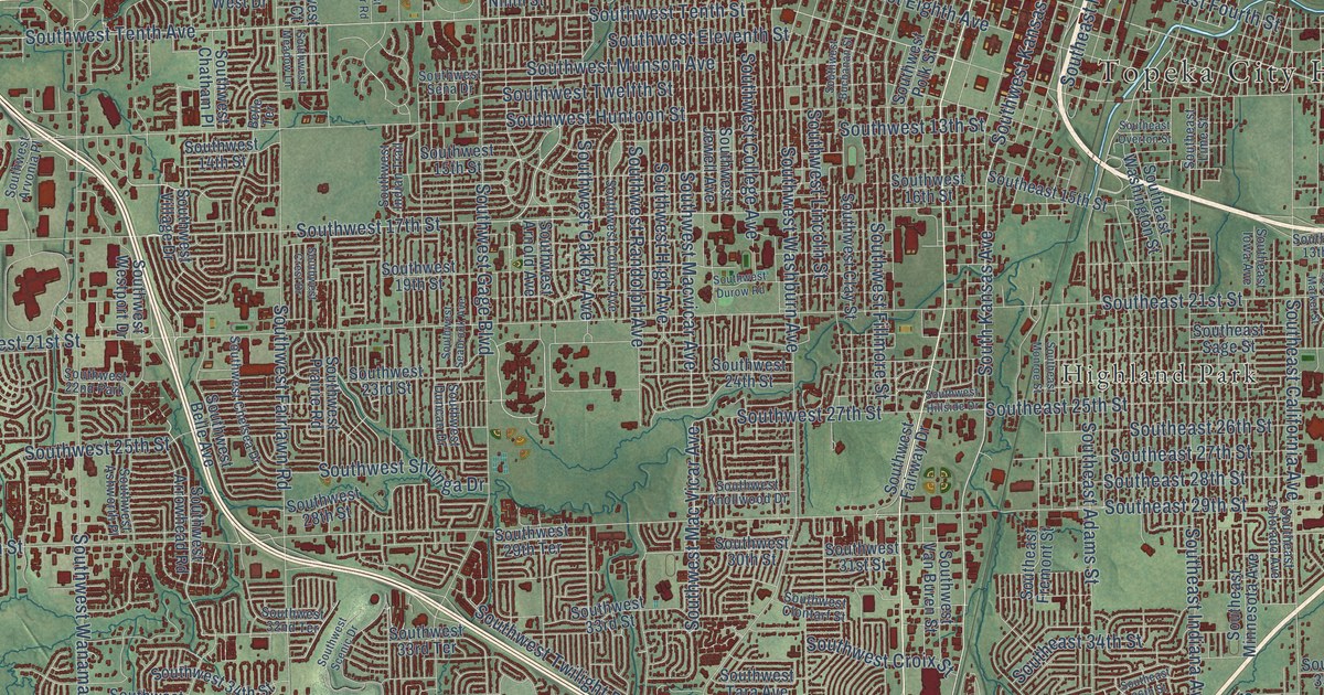
A detailed map of Topeka, Kansas, showing every building in its true location, the roads by name, and shaded topographical relief.
Read More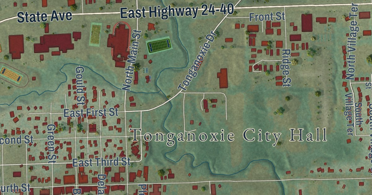
A detailed map of Tonganoxie, Kansas, showing every building in its true location, the roads by name, and shaded topographical relief.
Read More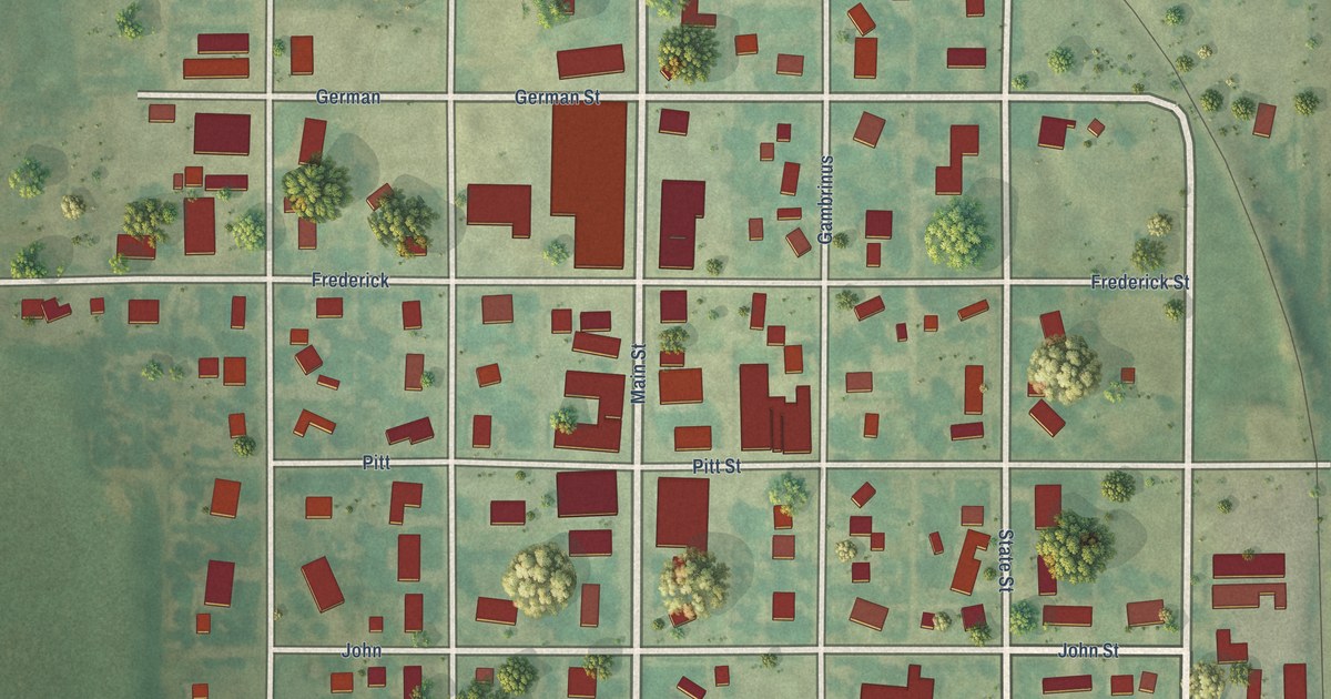
A detailed map of Tipton, Kansas, showing every building in its true location, the roads by name, and shaded topographical relief.
Read More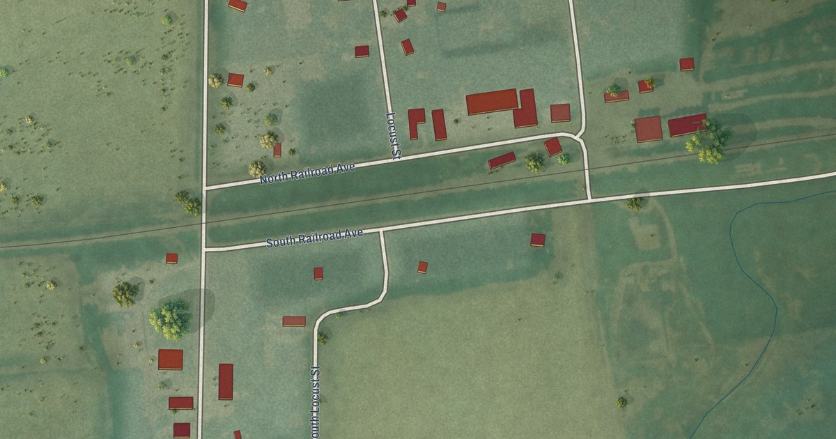
A detailed map of Timken, Kansas, showing every building in its true location, the roads by name, and shaded topographical relief.
Read More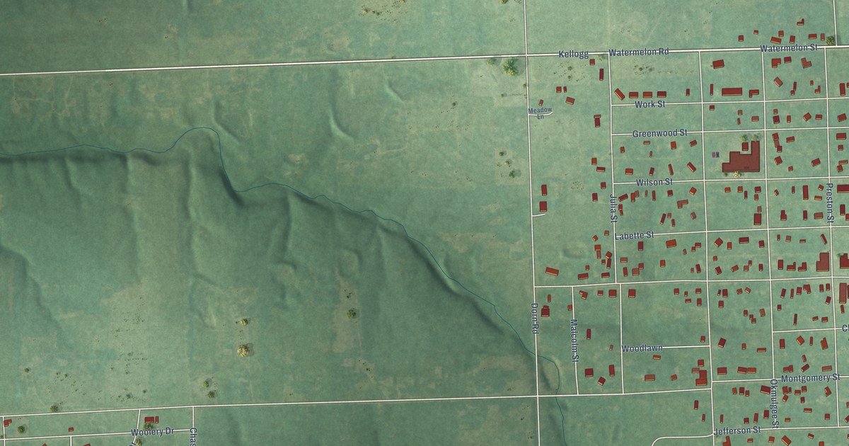
A detailed map of Thayer, Kansas, showing every building in its true location, the roads by name, and shaded topographical relief.
Read More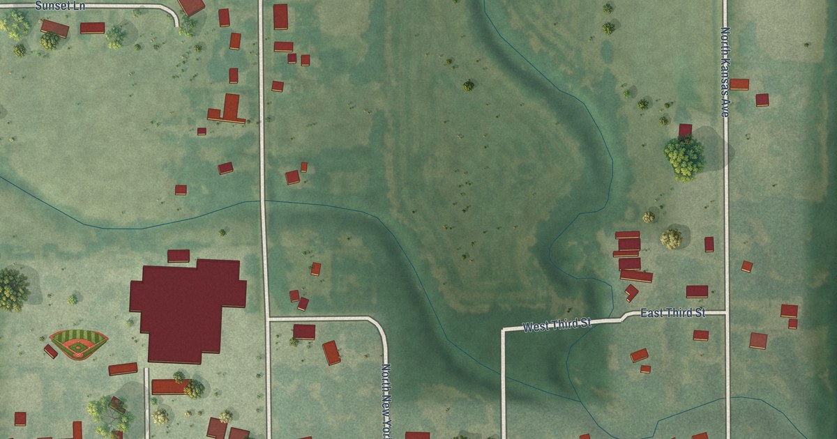
A detailed map of Tescott, Kansas, showing every building in its true location, the roads by name, and shaded topographical relief.
Read More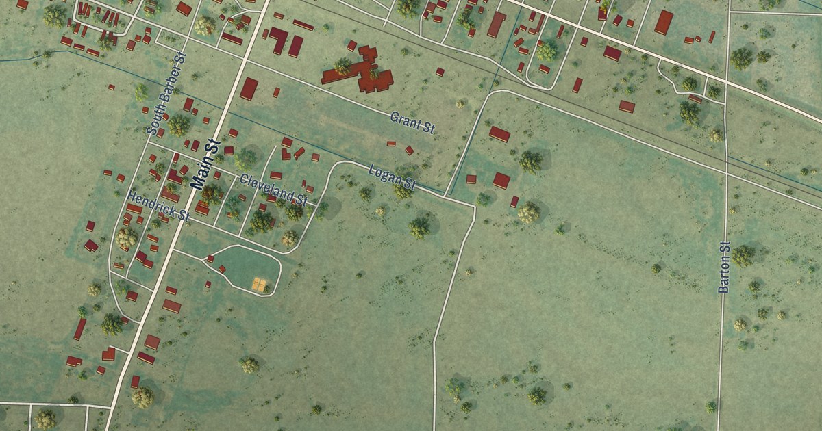
A detailed map of Syracuse, Kansas, showing every building in its true location, the roads by name, and shaded topographical relief.
Read More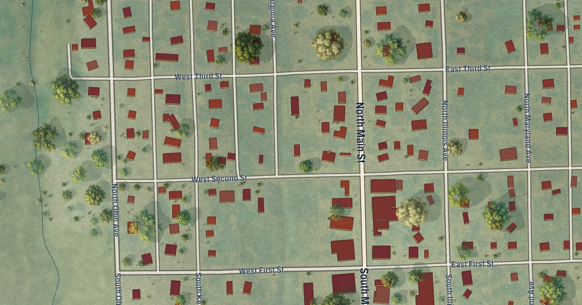
A detailed map of Sylvan Grove, Kansas, showing every building in its true location, the roads by name, and shaded topographical relief.
Read More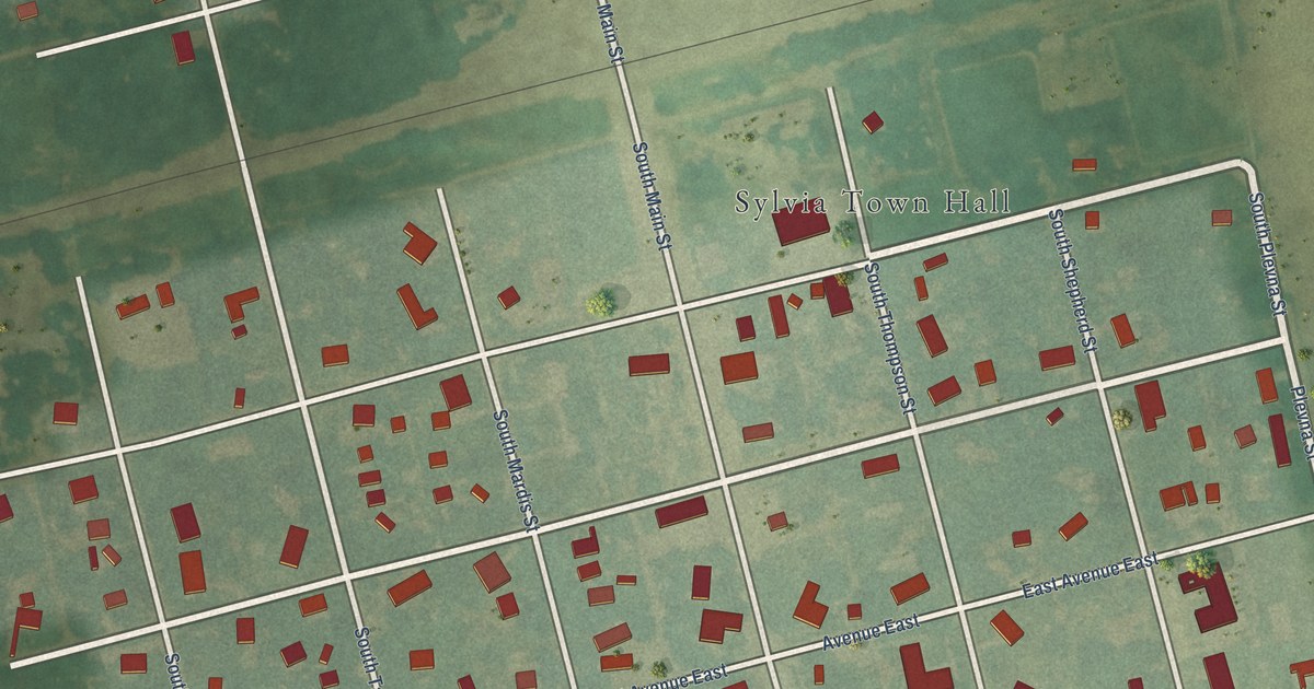
A detailed map of Sylvia, Kansas, showing every building in its true location, the roads by name, and shaded topographical relief.
Read More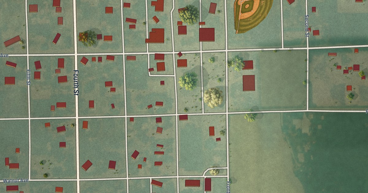
A detailed map of Summerfield, Kansas, showing every building in its true location, the roads by name, and shaded topographical relief.
Read More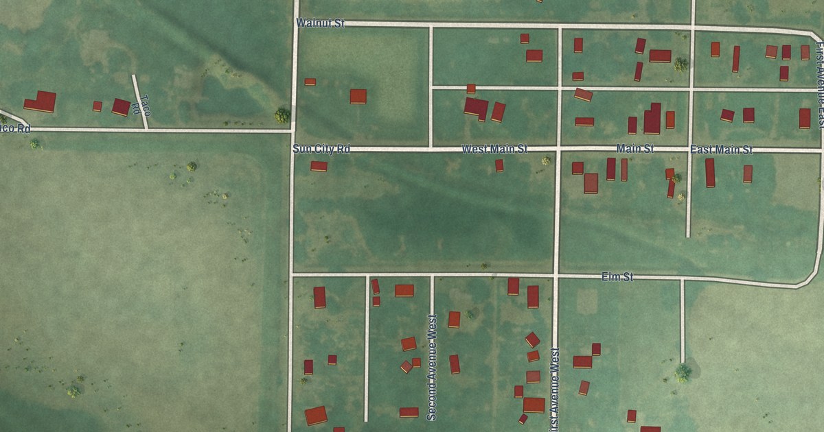
A detailed map of Sun City, Kansas, showing every building in its true location, the roads by name, and shaded topographical relief.
Read More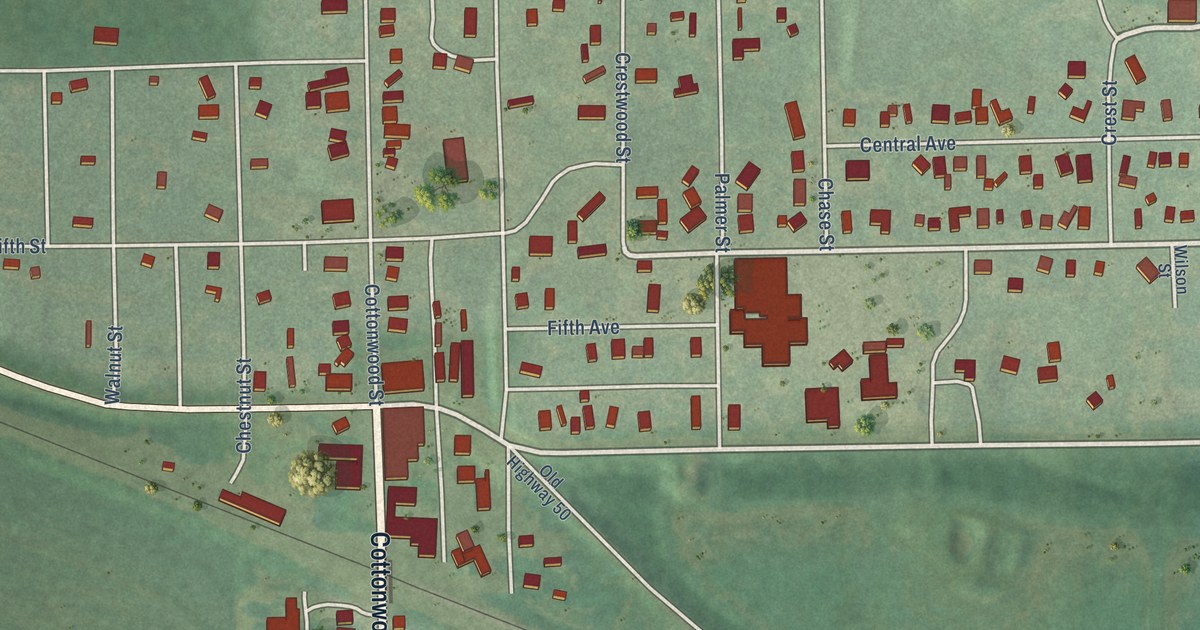
A detailed map of Strong City, Kansas, showing every building in its true location, the roads by name, and shaded topographical relief.
Read More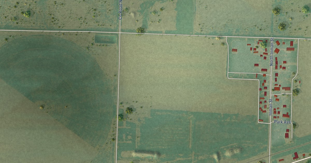
A detailed map of Sublette, Kansas, showing every building in its true location, the roads by name, and shaded topographical relief.
Read More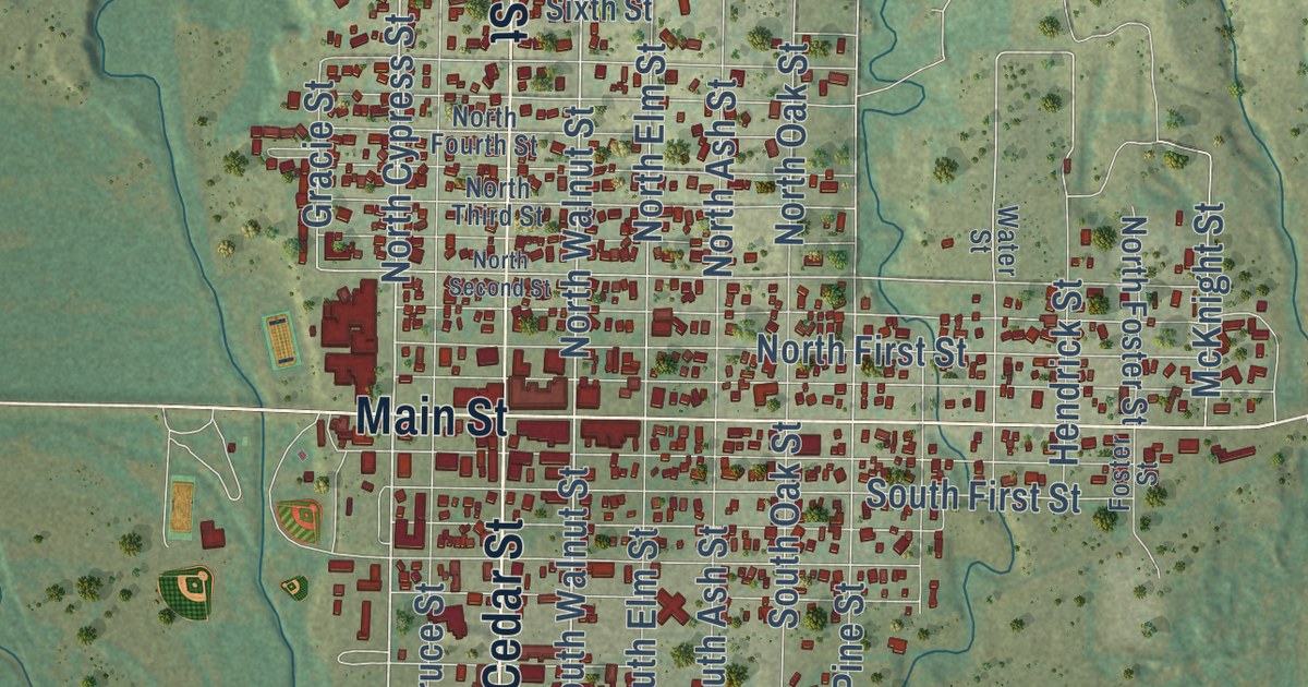
A detailed map of Stockton, Kansas, showing every building in its true location, the roads by name, and shaded topographical relief.
Read More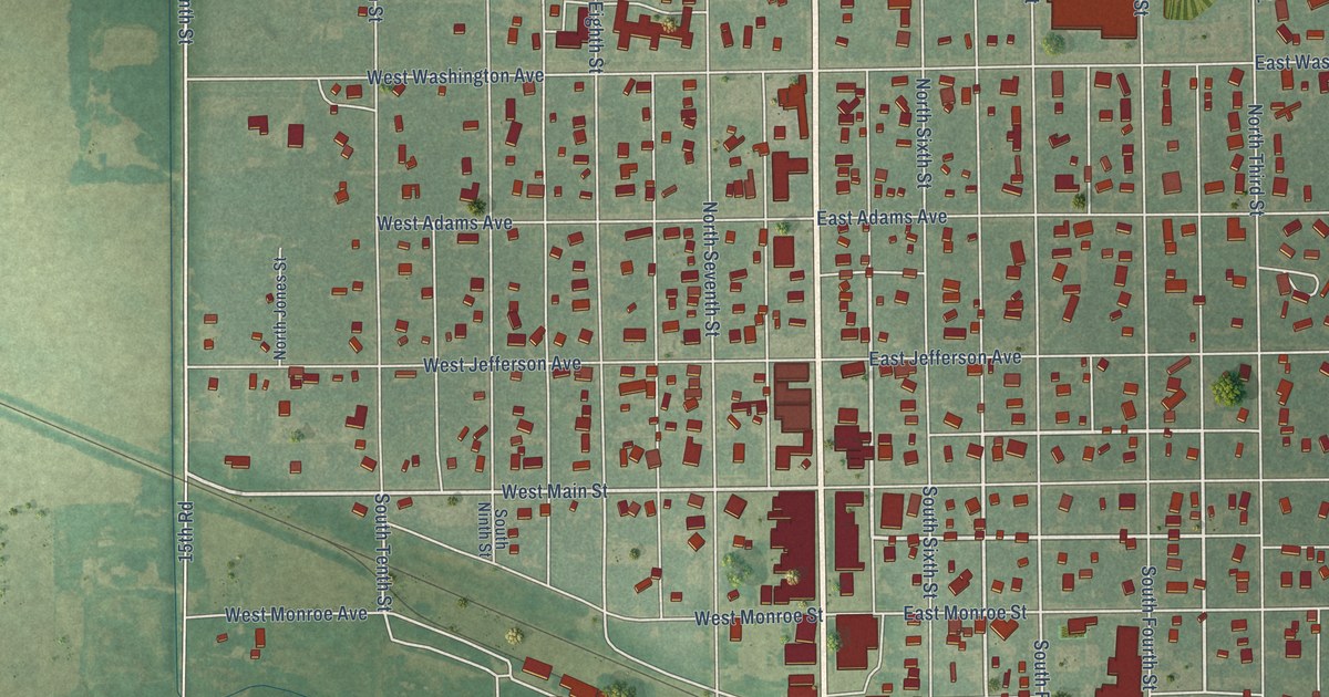
A detailed map of Sterling, Kansas, showing every building in its true location, the roads by name, and shaded topographical relief.
Read More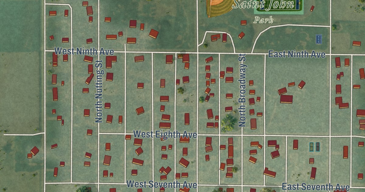
A detailed map of St. John, Kansas, showing every building in its true location, the roads by name, and shaded topographical relief.
Read More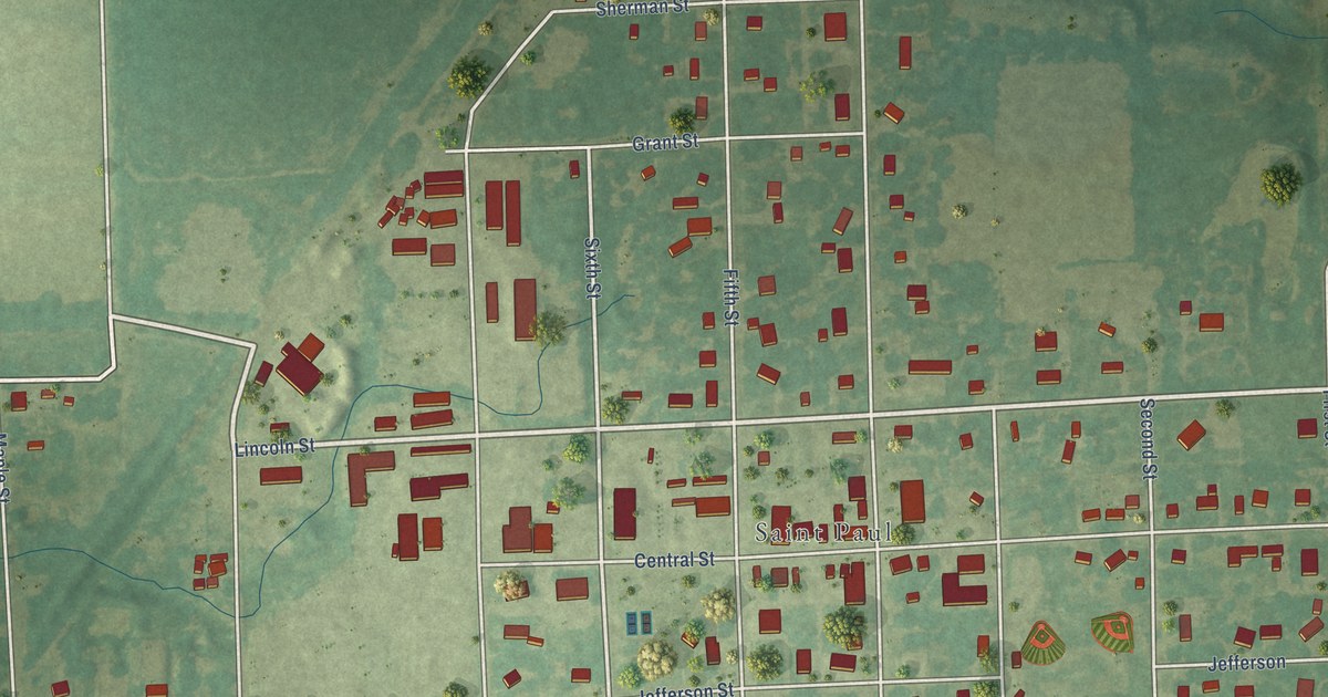
A detailed map of St. Paul, Kansas, showing every building in its true location, the roads by name, and shaded topographical relief.
Read More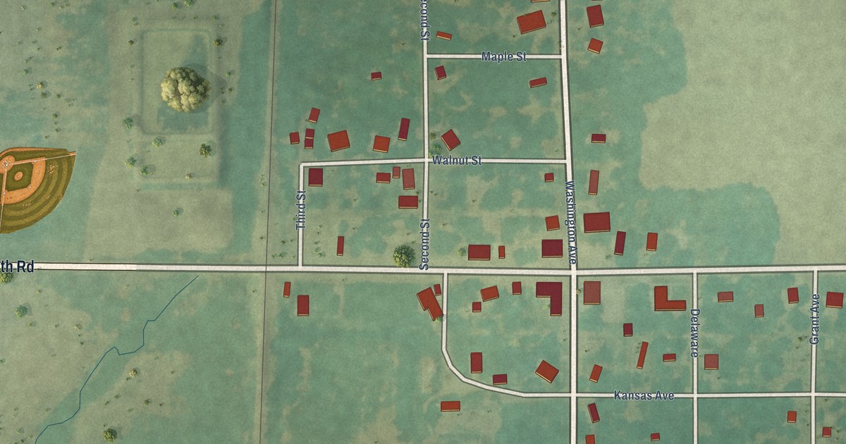
A detailed map of Stark, Kansas, showing every building in its true location, the roads by name, and shaded topographical relief.
Read More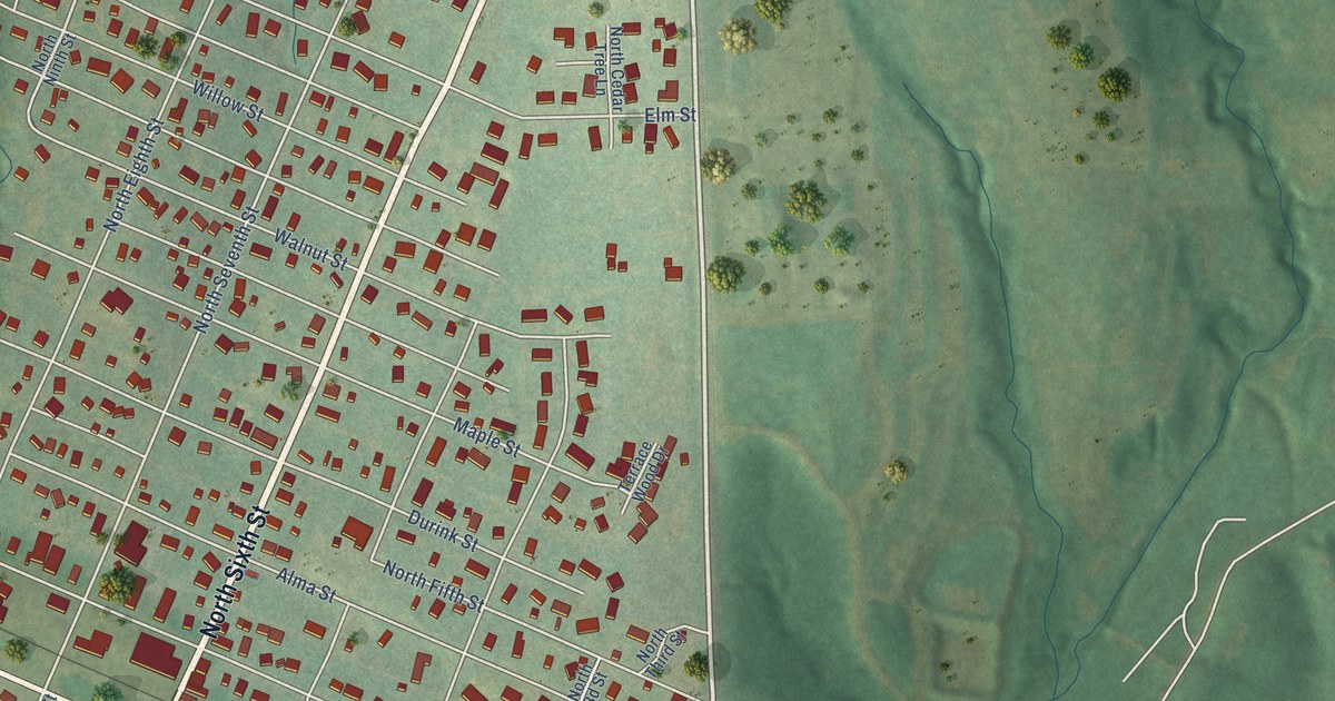
A detailed map of St. Marys, Kansas, showing every building in its true location, the roads by name, and shaded topographical relief.
Read More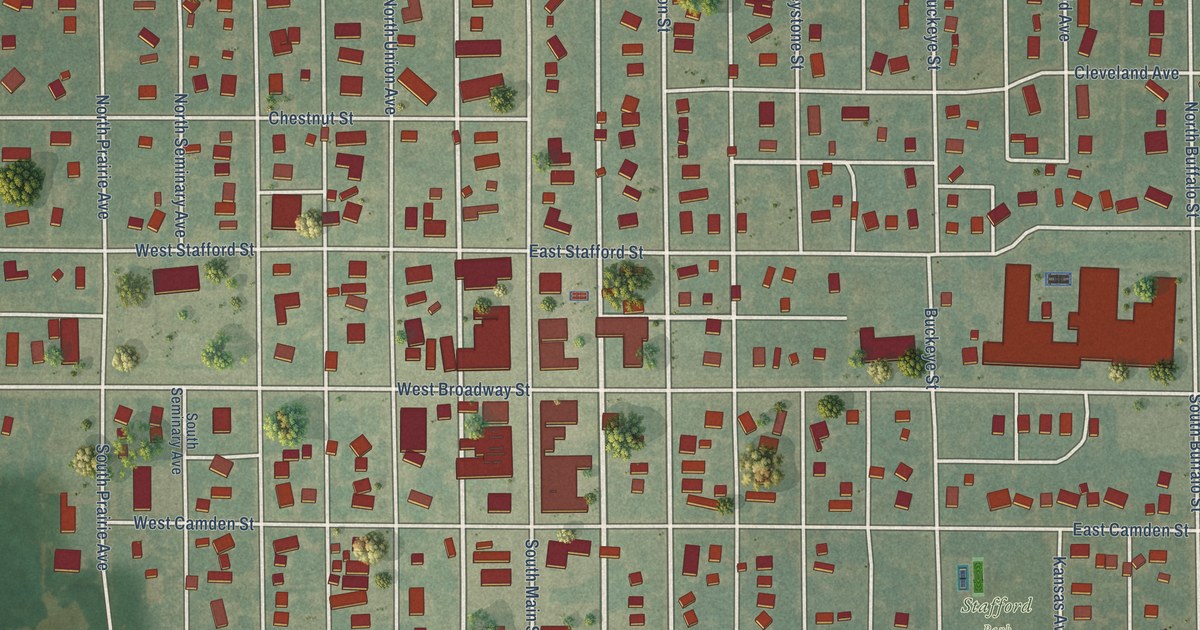
A detailed map of Stafford, Kansas, showing every building in its true location, the roads by name, and shaded topographical relief.
Read More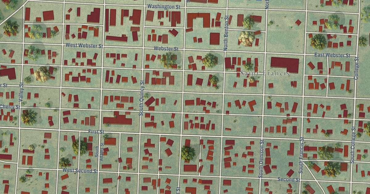
A detailed map of St. Francis, Kansas, showing every building in its true location, the roads by name, and shaded topographical relief.
Read More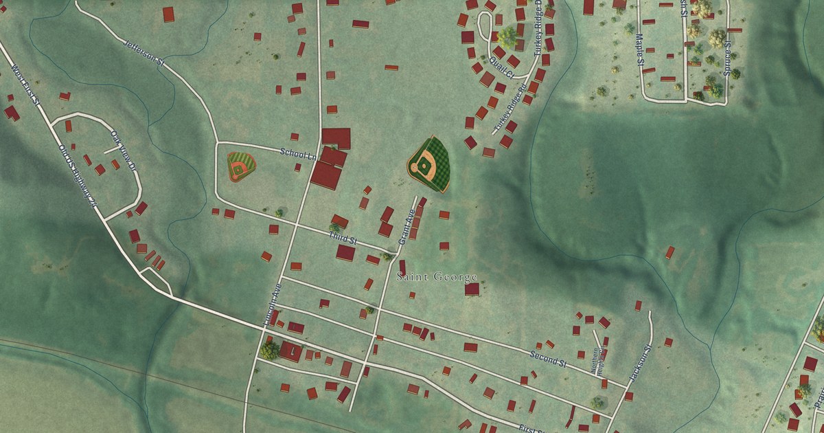
A detailed map of St. George, Kansas, showing every building in its true location, the roads by name, and shaded topographical relief.
Read More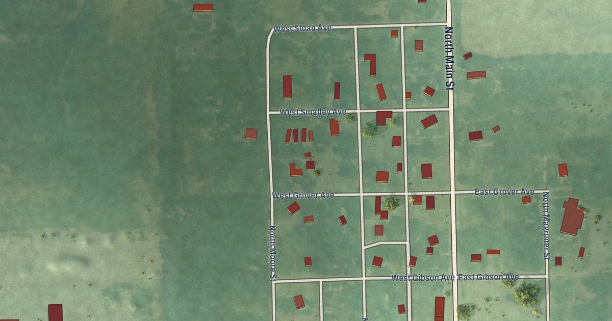
A detailed map of Spivey, Kansas, showing every building in its true location, the roads by name, and shaded topographical relief.
Read More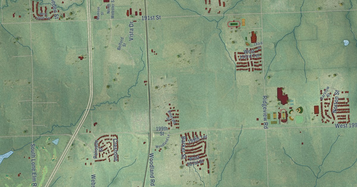
A detailed map of Spring Hill, Kansas, showing every building in its true location, the roads by name, and shaded topographical relief.
Read More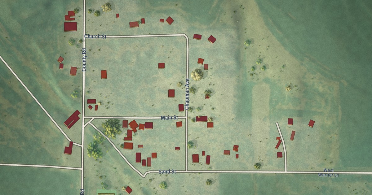
A detailed map of Speed, Kansas, showing every building in its true location, the roads by name, and shaded topographical relief.
Read More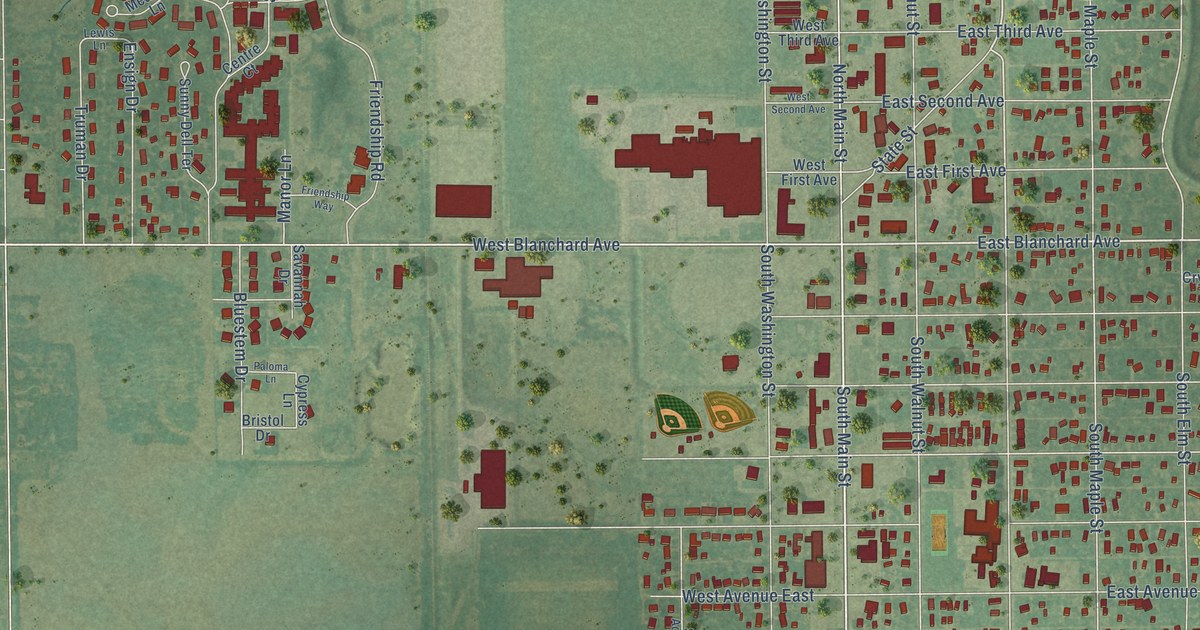
A detailed map of South Hutchinson, Kansas, showing every building in its true location, the roads by name, and shaded topographical relief.
Read More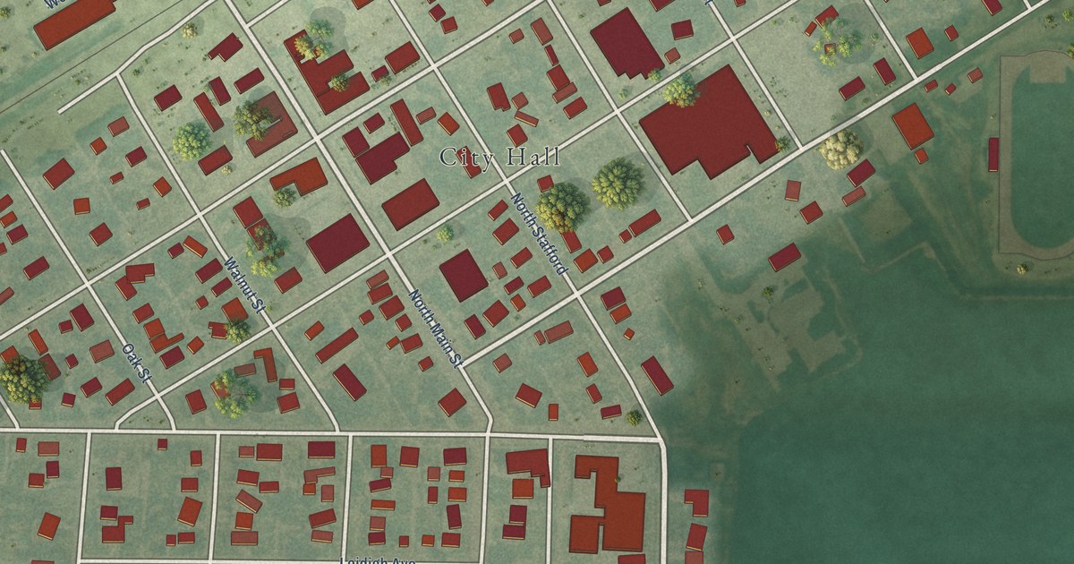
A detailed map of Spearville, Kansas, showing every building in its true location, the roads by name, and shaded topographical relief.
Read More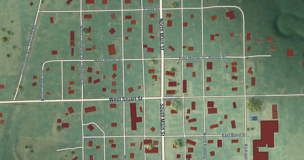
A detailed map of South Haven, Kansas, showing every building in its true location, the roads by name, and shaded topographical relief.
Read More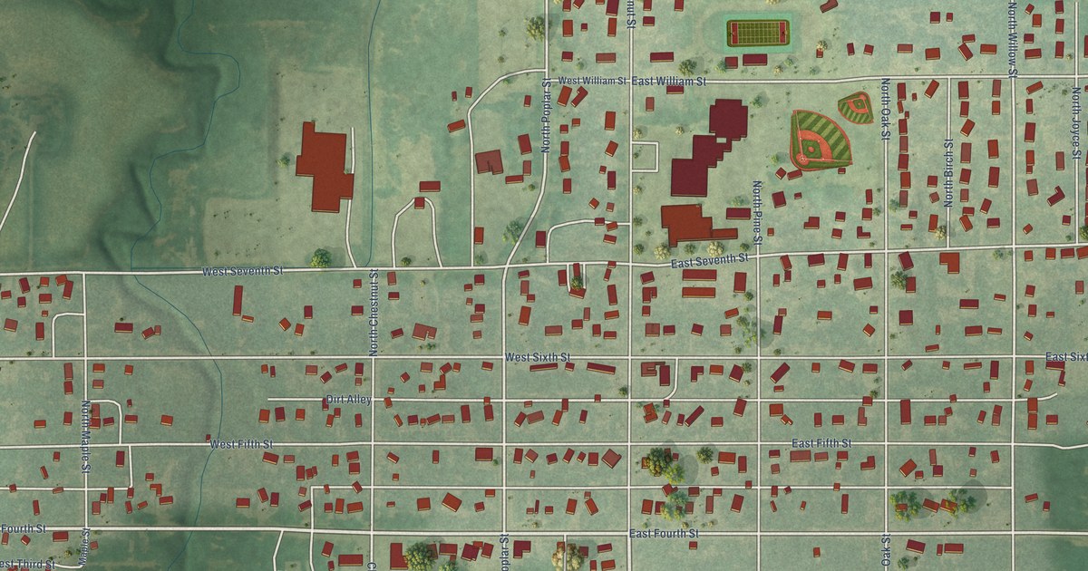
A detailed map of Solomon, Kansas, showing every building in its true location, the roads by name, and shaded topographical relief.
Read More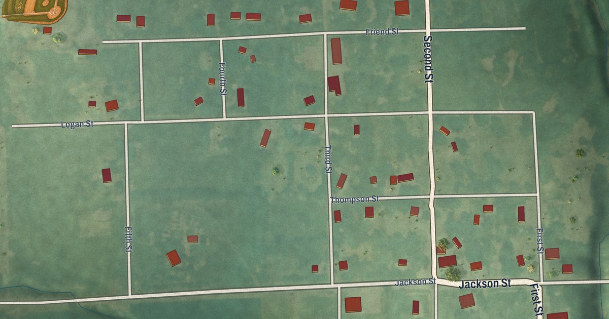
A detailed map of Soldier, Kansas, showing every building in its true location, the roads by name, and shaded topographical relief.
Read More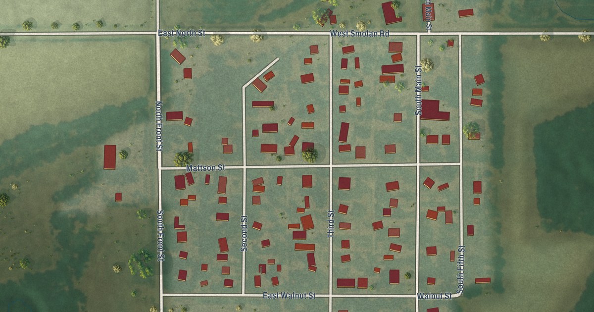
A detailed map of Smolan, Kansas, showing every building in its true location, the roads by name, and shaded topographical relief.
Read More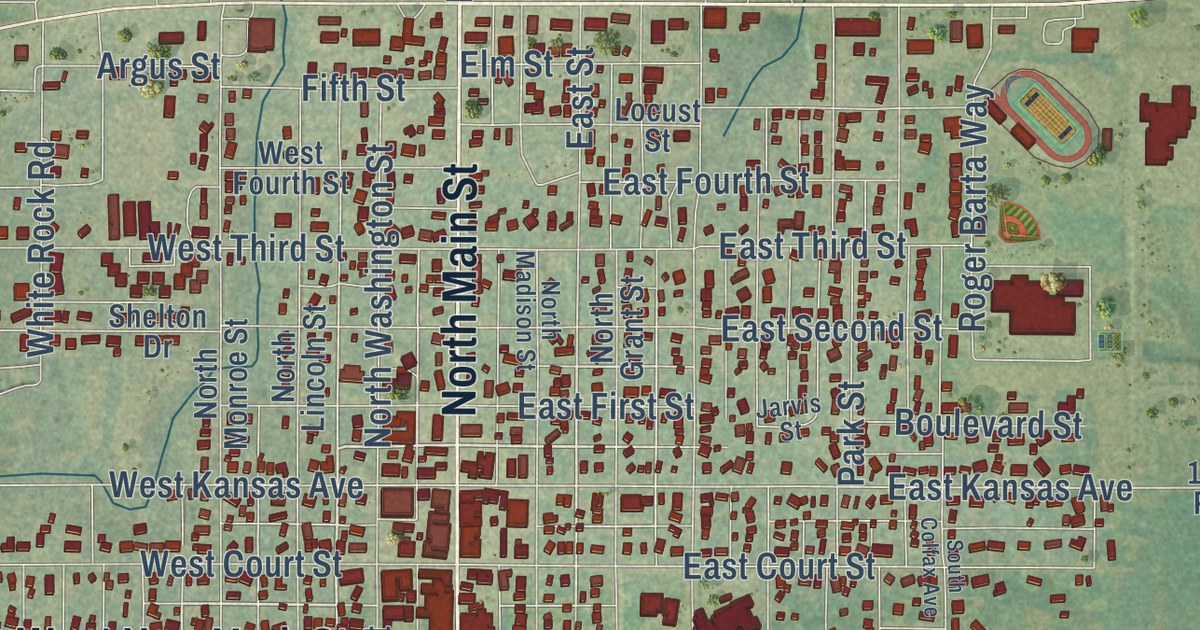
A detailed map of Smith Center, Kansas, showing every building in its true location, the roads by name, and shaded topographical relief.
Read More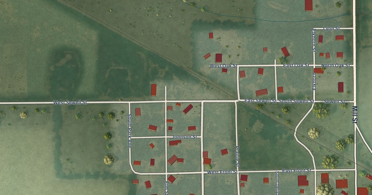
A detailed map of Simpson, Kansas, showing every building in its true location, the roads by name, and shaded topographical relief.
Read More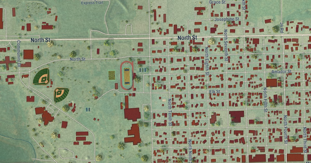
A detailed map of Seneca, Kansas, showing every building in its true location, the roads by name, and shaded topographical relief.
Read More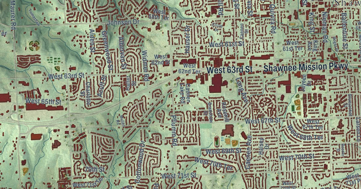
A detailed map of Shawnee, Kansas, showing every building in its true location, the roads by name, and shaded topographical relief.
Read More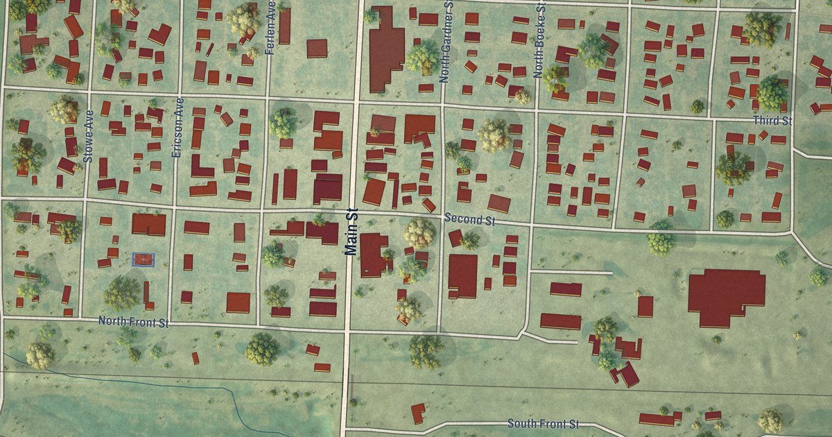
A detailed map of Sharon Springs, Kansas, showing every building in its true location, the roads by name, and shaded topographical relief.
Read More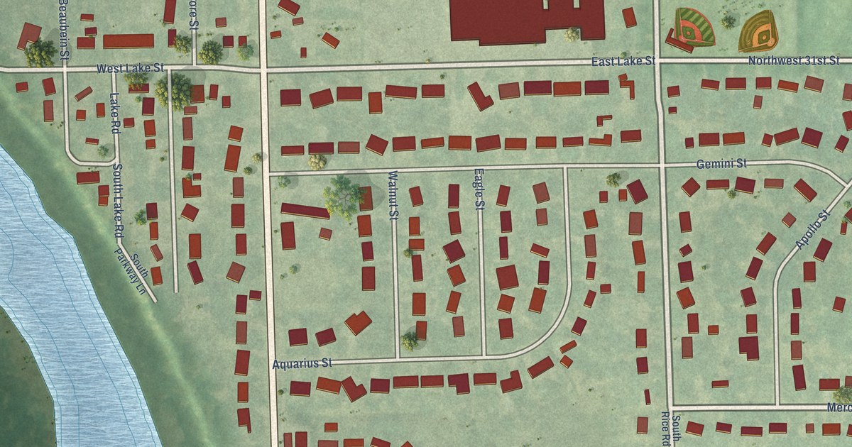
A detailed map of Silver Lake, Kansas, showing every building in its true location, the roads by name, and shaded topographical relief.
Read More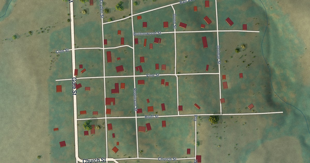
A detailed map of Severance, Kansas, showing every building in its true location, the roads by name, and shaded topographical relief.
Read More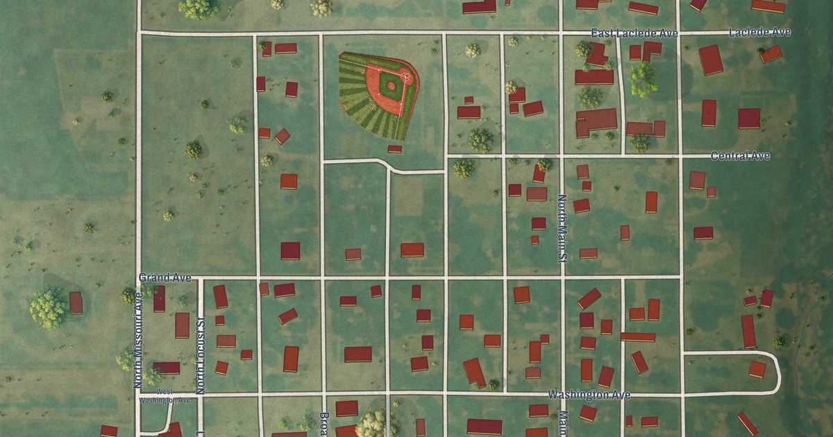
A detailed map of Sharon, Kansas, showing every building in its true location, the roads by name, and shaded topographical relief.
Read More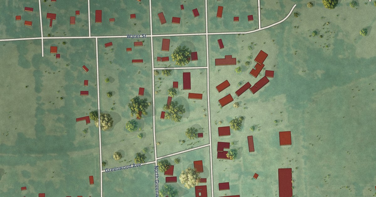
A detailed map of Severy, Kansas, showing every building in its true location, the roads by name, and shaded topographical relief.
Read More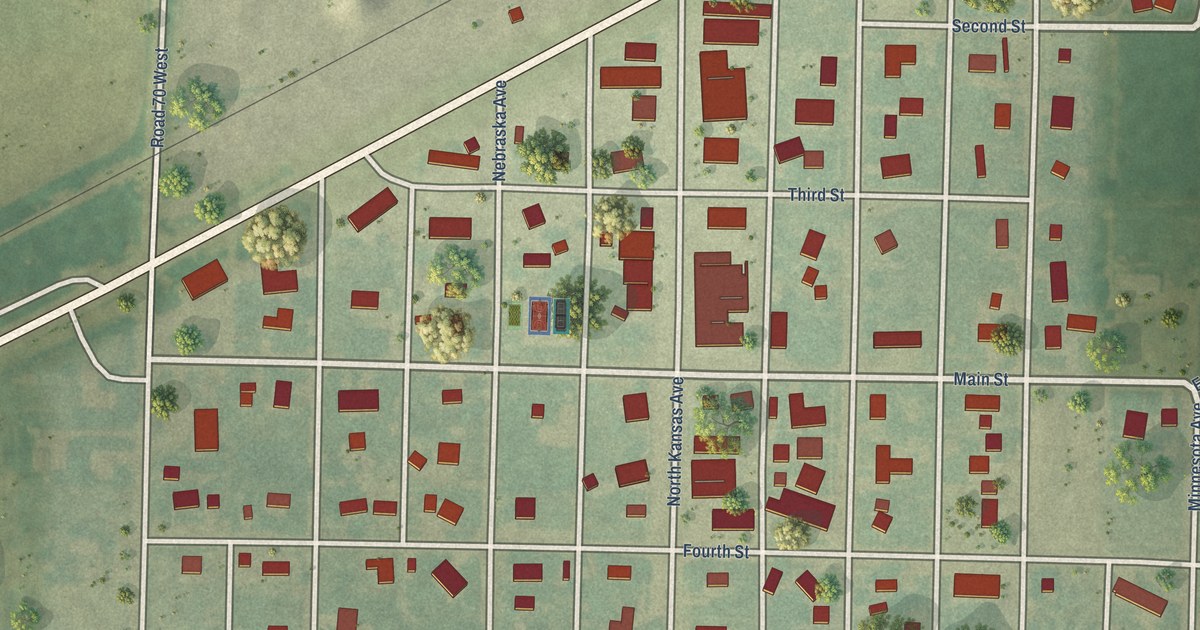
A detailed map of Selden, Kansas, showing every building in its true location, the roads by name, and shaded topographical relief.
Read More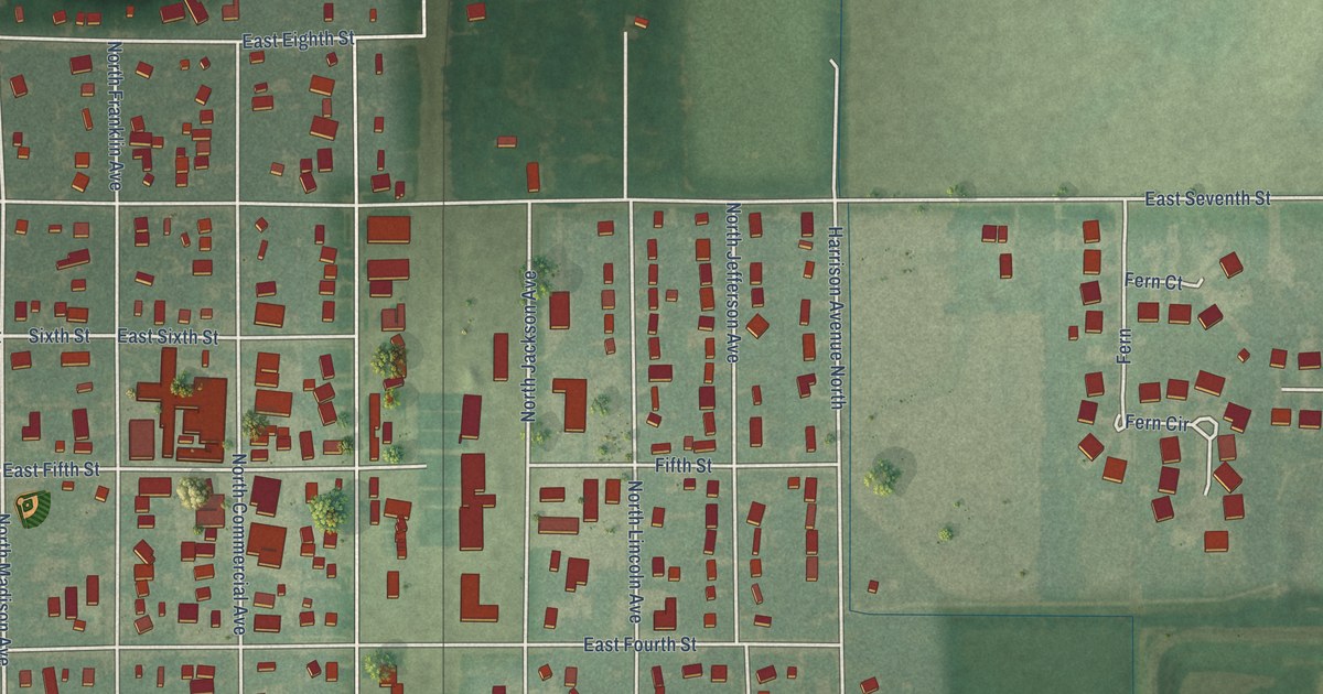
A detailed map of Sedgwick, Kansas, showing every building in its true location, the roads by name, and shaded topographical relief.
Read More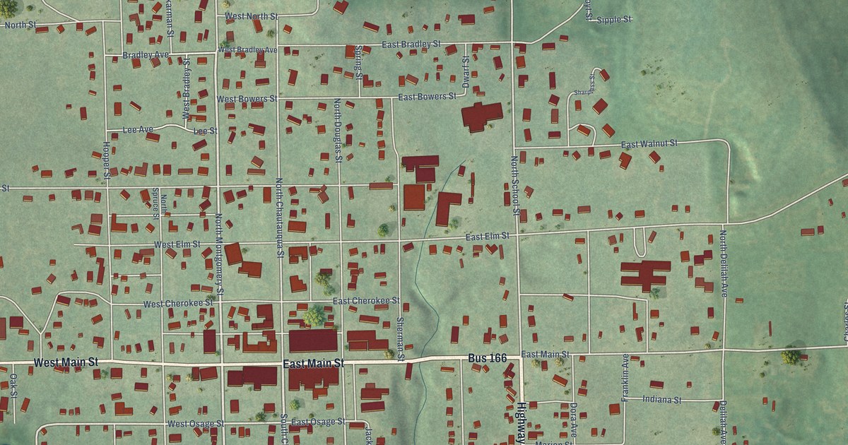
A detailed map of Sedan, Kansas, showing every building in its true location, the roads by name, and shaded topographical relief.
Read More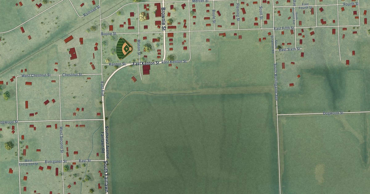
A detailed map of Scranton, Kansas, showing every building in its true location, the roads by name, and shaded topographical relief.
Read More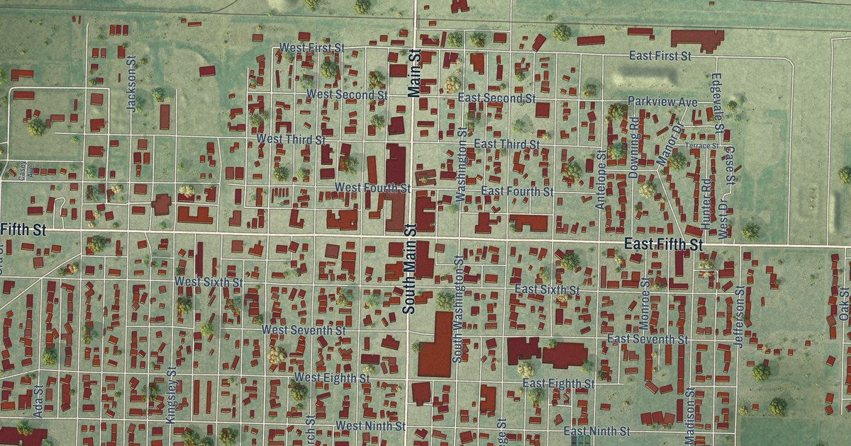
A detailed map of Scott City, Kansas, showing every building in its true location, the roads by name, and shaded topographical relief.
Read More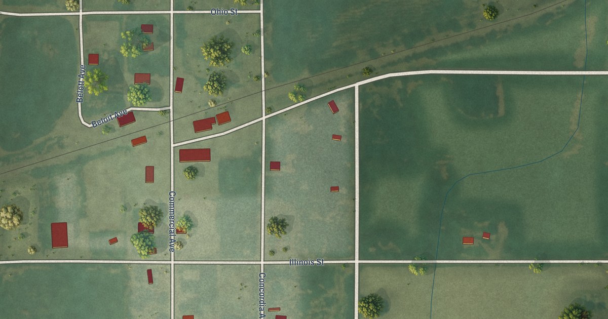
A detailed map of Scottsville, Kansas, showing every building in its true location, the roads by name, and shaded topographical relief.
Read More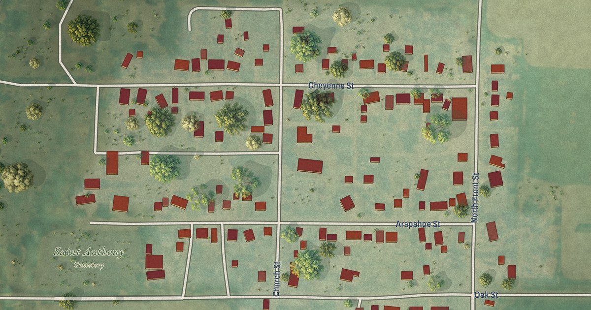
A detailed map of Schoenchen, Kansas, showing every building in its true location, the roads by name, and shaded topographical relief.
Read More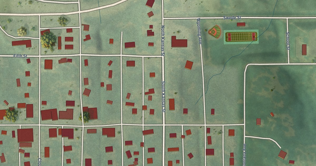
A detailed map of Scandia, Kansas, showing every building in its true location, the roads by name, and shaded topographical relief.
Read More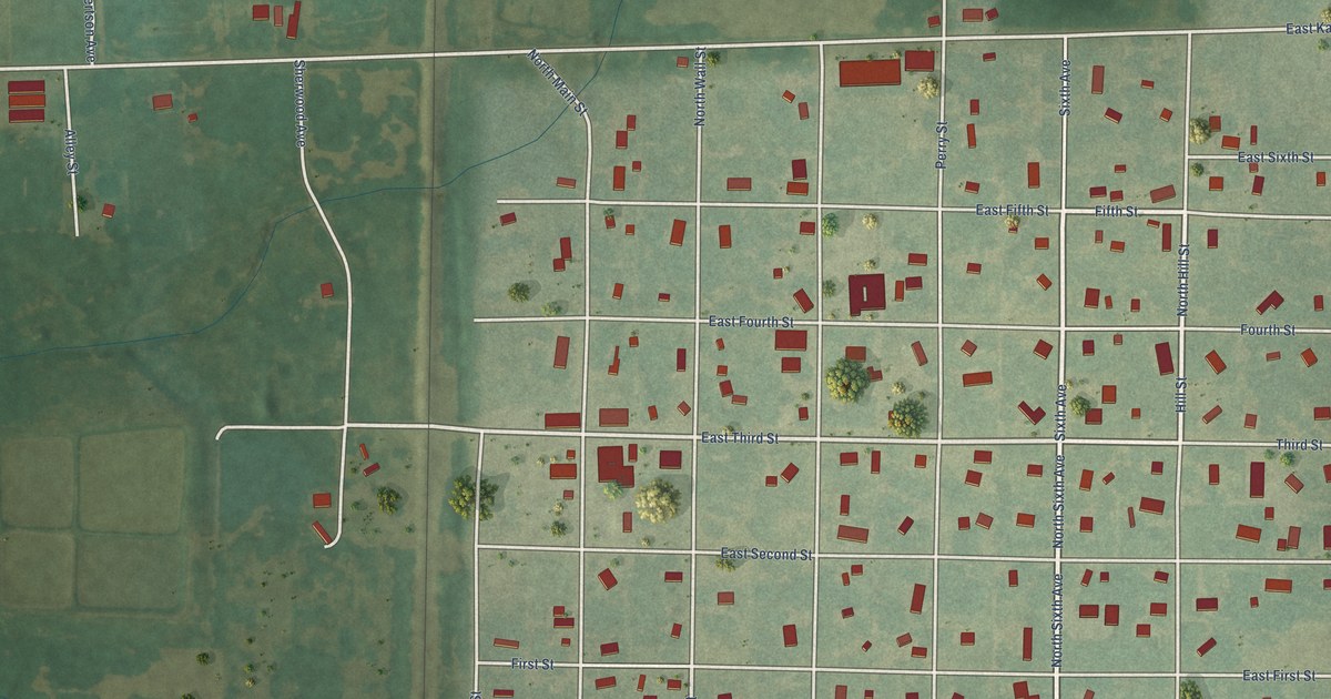
A detailed map of Scammon, Kansas, showing every building in its true location, the roads by name, and shaded topographical relief.
Read More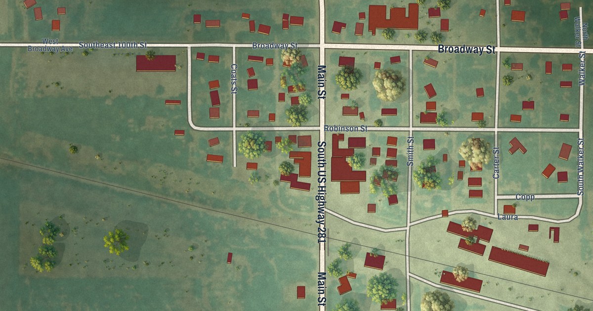
A detailed map of Sawyer, Kansas, showing every building in its true location, the roads by name, and shaded topographical relief.
Read More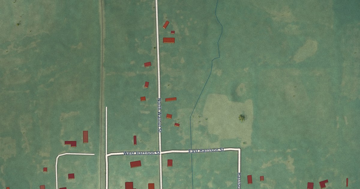
A detailed map of Savonburg, Kansas, showing every building in its true location, the roads by name, and shaded topographical relief.
Read More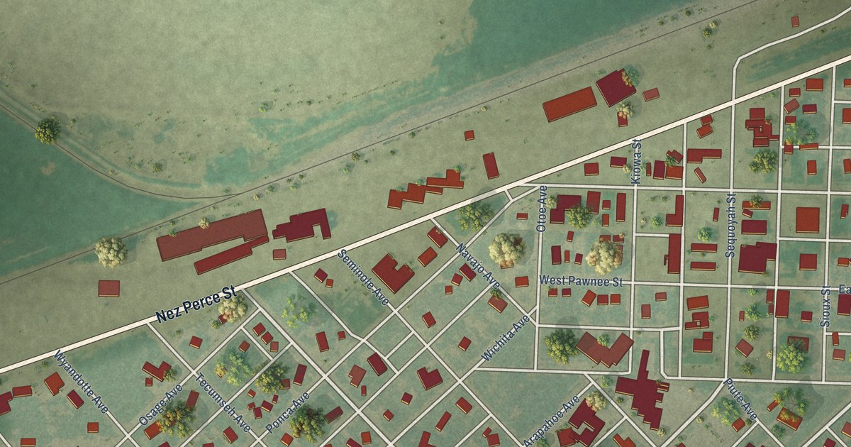
A detailed map of Satanta, Kansas, showing every building in its true location, the roads by name, and shaded topographical relief.
Read More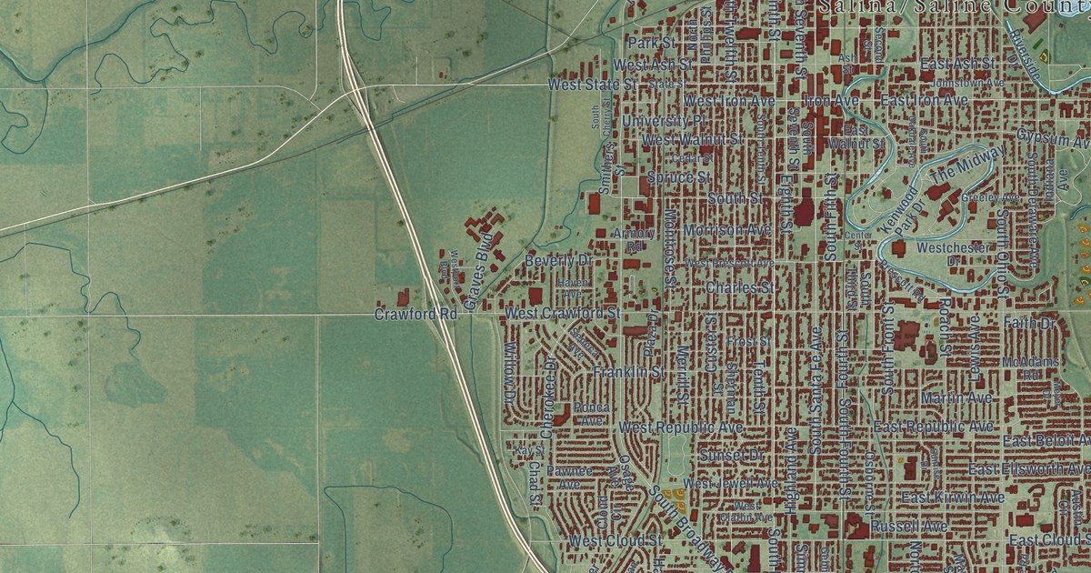
A detailed map of Salina, Kansas, showing every building in its true location, the roads by name, and shaded topographical relief.
Read More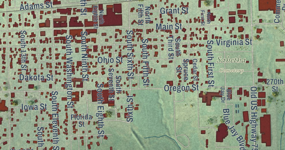
A detailed map of Sabetha, Kansas, showing every building in its true location, the roads by name, and shaded topographical relief.
Read More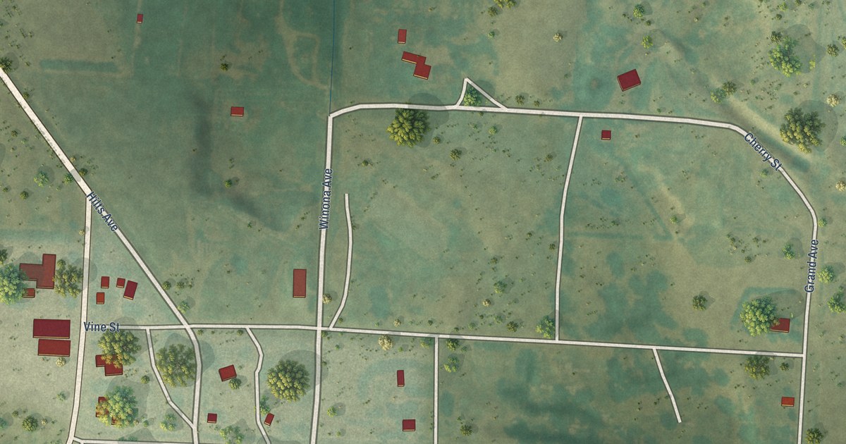
A detailed map of Russell Springs, Kansas, showing every building in its true location, the roads by name, and shaded topographical relief.
Read More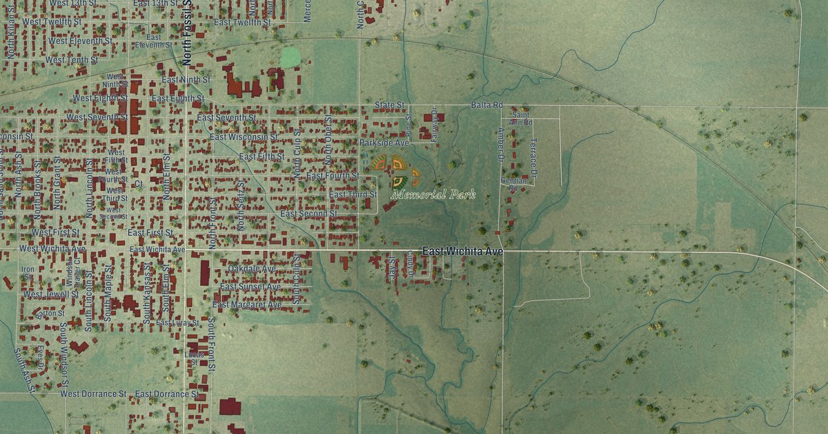
A detailed map of Russell, Kansas, showing every building in its true location, the roads by name, and shaded topographical relief.
Read More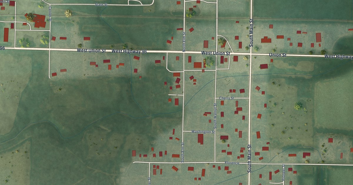
A detailed map of Rush Center, Kansas, showing every building in its true location, the roads by name, and shaded topographical relief.
Read More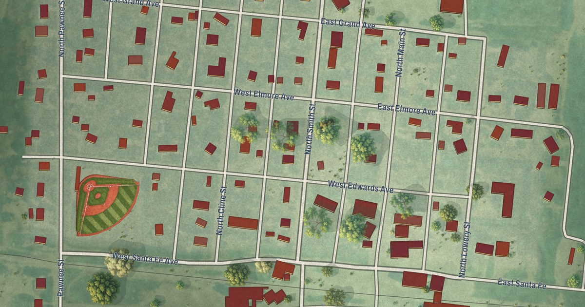
A detailed map of Rozel, Kansas, showing every building in its true location, the roads by name, and shaded topographical relief.
Read More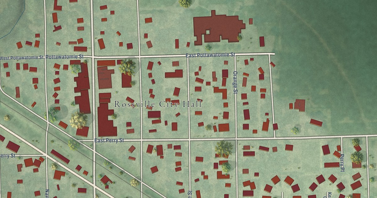
A detailed map of Rossville, Kansas, showing every building in its true location, the roads by name, and shaded topographical relief.
Read More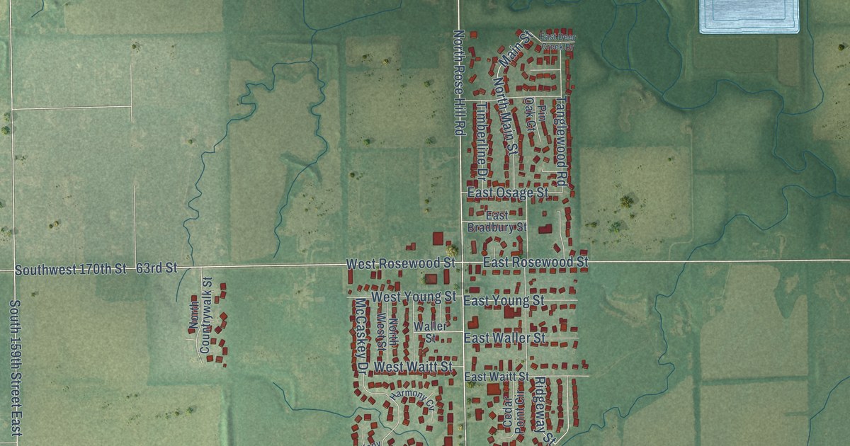
A detailed map of Rose Hill, Kansas, showing every building in its true location, the roads by name, and shaded topographical relief.
Read More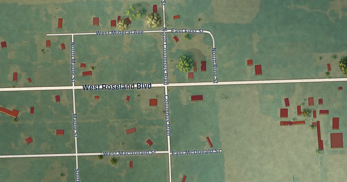
A detailed map of Roseland, Kansas, showing every building in its true location, the roads by name, and shaded topographical relief.
Read More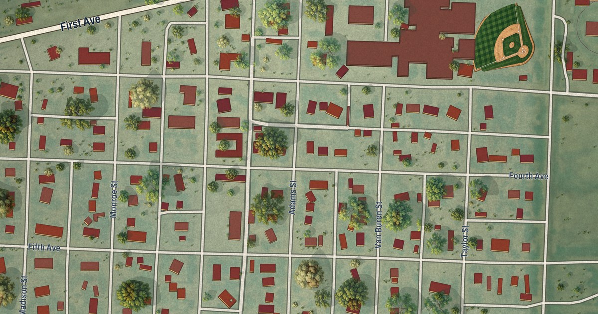
A detailed map of Rolla, Kansas, showing every building in its true location, the roads by name, and shaded topographical relief.
Read More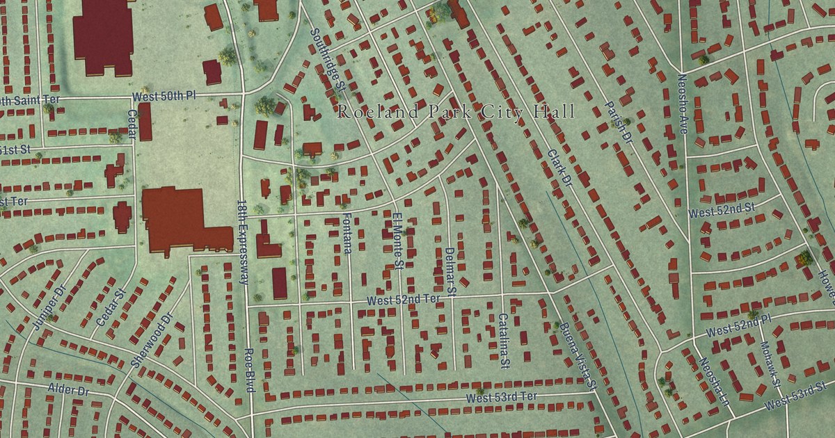
A detailed map of Roeland Park, Kansas, showing every building in its true location, the roads by name, and shaded topographical relief.
Read More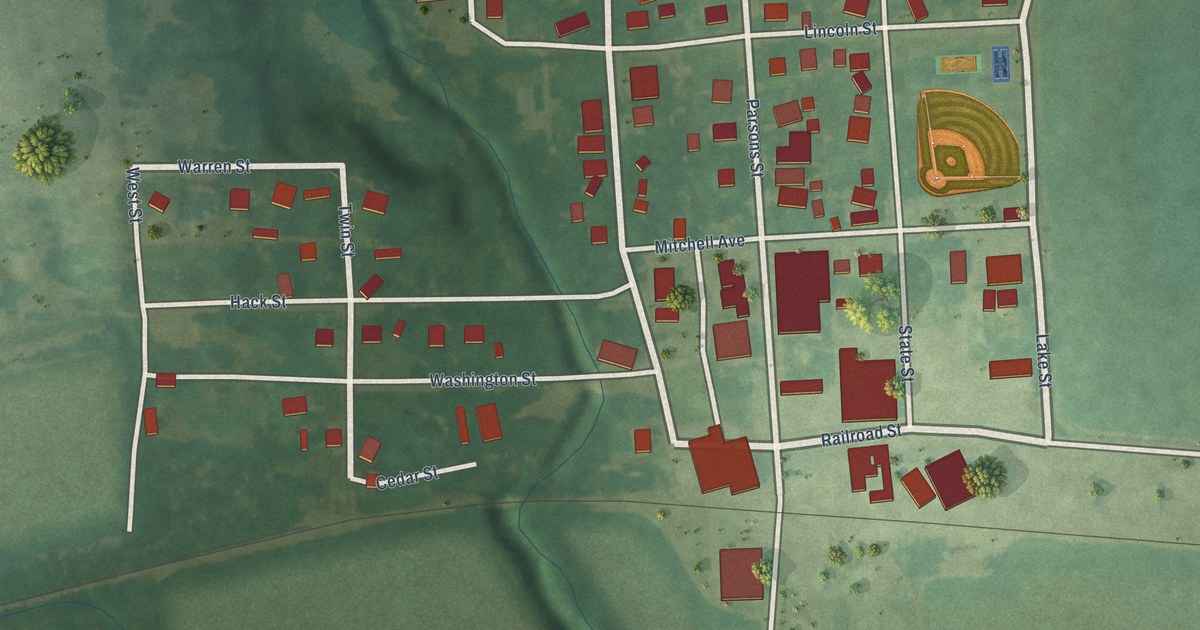
A detailed map of Robinson, Kansas, showing every building in its true location, the roads by name, and shaded topographical relief.
Read More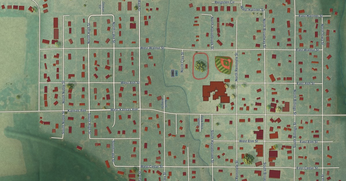
A detailed map of Riley, Kansas, showing every building in its true location, the roads by name, and shaded topographical relief.
Read More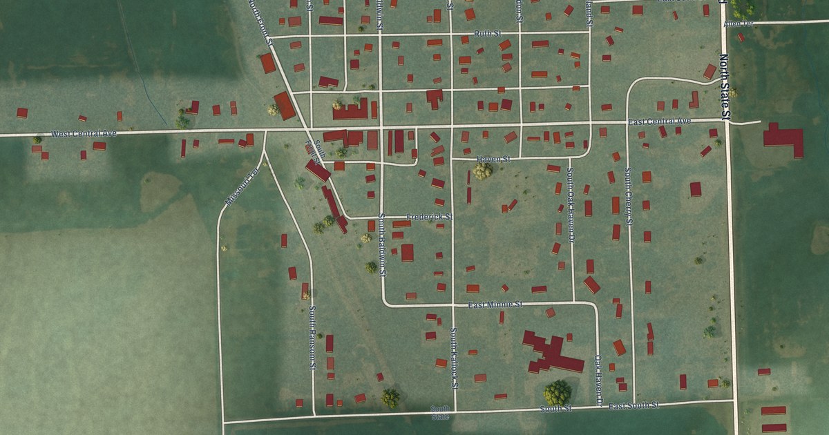
A detailed map of Richmond, Kansas, showing every building in its true location, the roads by name, and shaded topographical relief.
Read More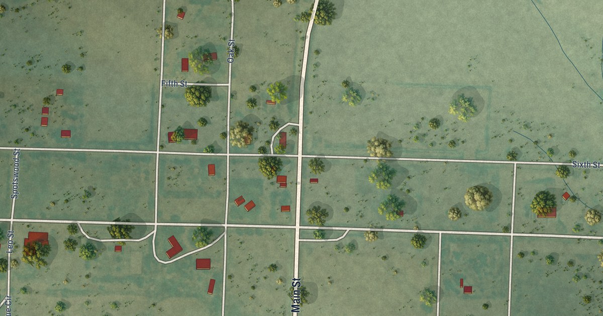
A detailed map of Richfield, Kansas, showing every building in its true location, the roads by name, and shaded topographical relief.
Read More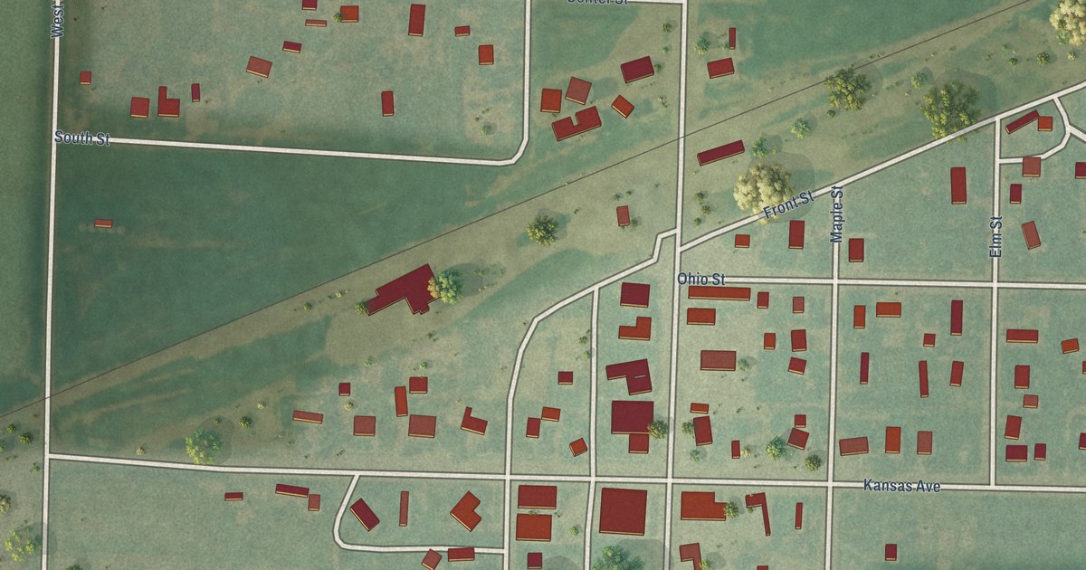
A detailed map of Rexford, Kansas, showing every building in its true location, the roads by name, and shaded topographical relief.
Read More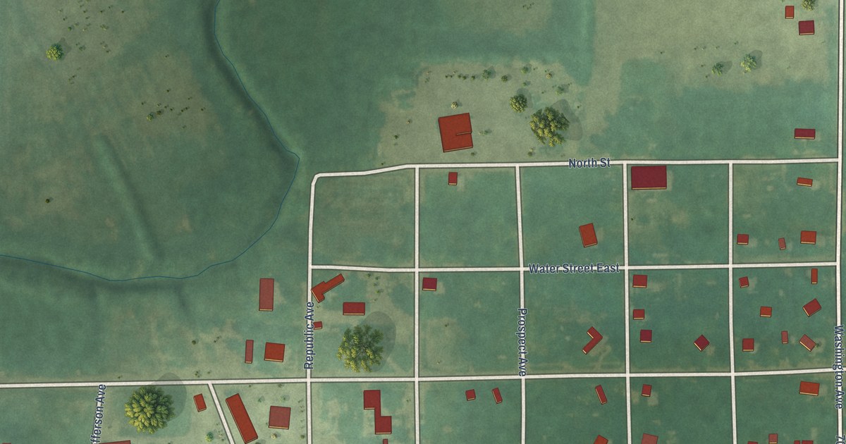
A detailed map of Republic, Kansas, showing every building in its true location, the roads by name, and shaded topographical relief.
Read More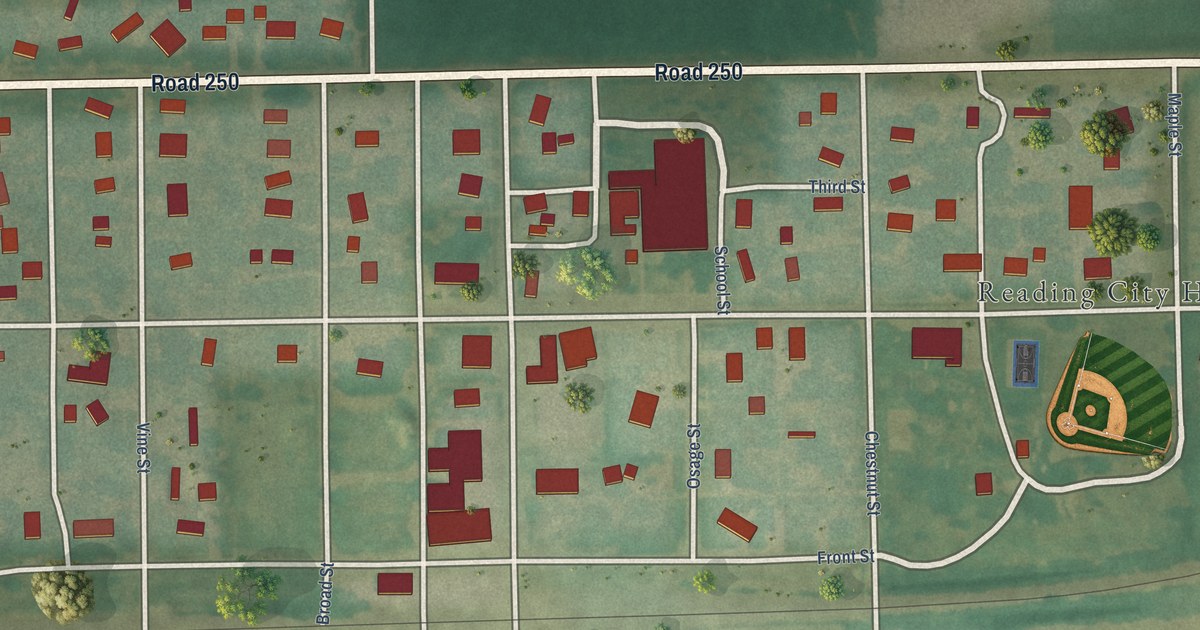
A detailed map of Reading, Kansas, showing every building in its true location, the roads by name, and shaded topographical relief.
Read More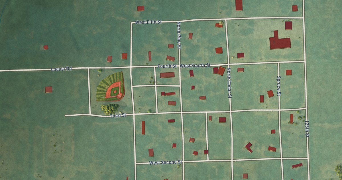
A detailed map of Redfield, Kansas, showing every building in its true location, the roads by name, and shaded topographical relief.
Read More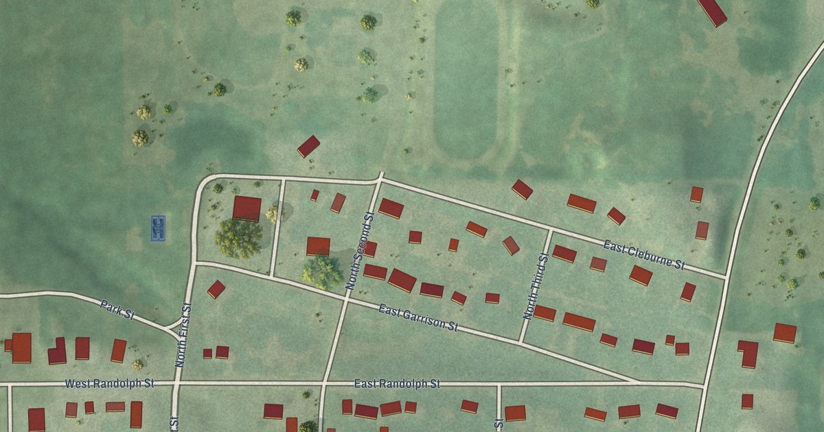
A detailed map of Randolph, Kansas, showing every building in its true location, the roads by name, and shaded topographical relief.
Read More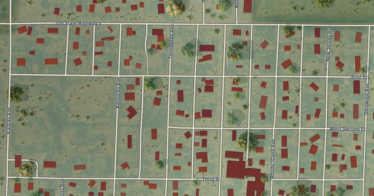
A detailed map of Ransom, Kansas, showing every building in its true location, the roads by name, and shaded topographical relief.
Read More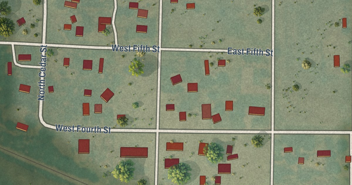
A detailed map of Raymond, Kansas, showing every building in its true location, the roads by name, and shaded topographical relief.
Read More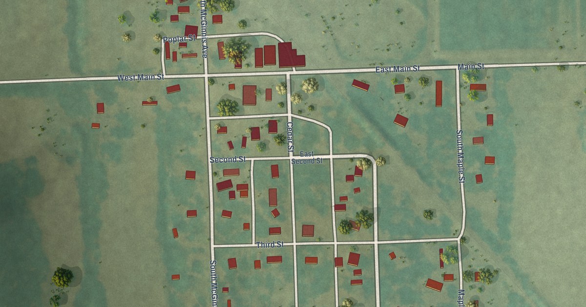
A detailed map of Rantoul, Kansas, showing every building in its true location, the roads by name, and shaded topographical relief.
Read More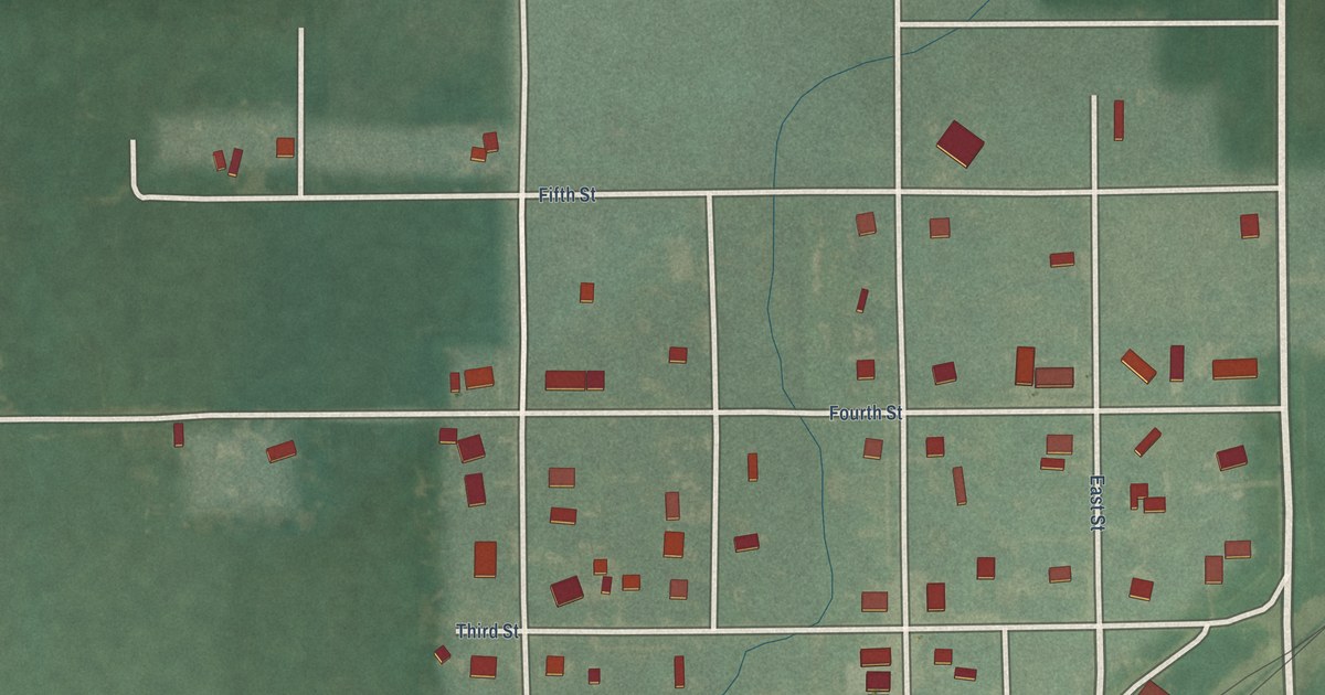
A detailed map of Ramona, Kansas, showing every building in its true location, the roads by name, and shaded topographical relief.
Read More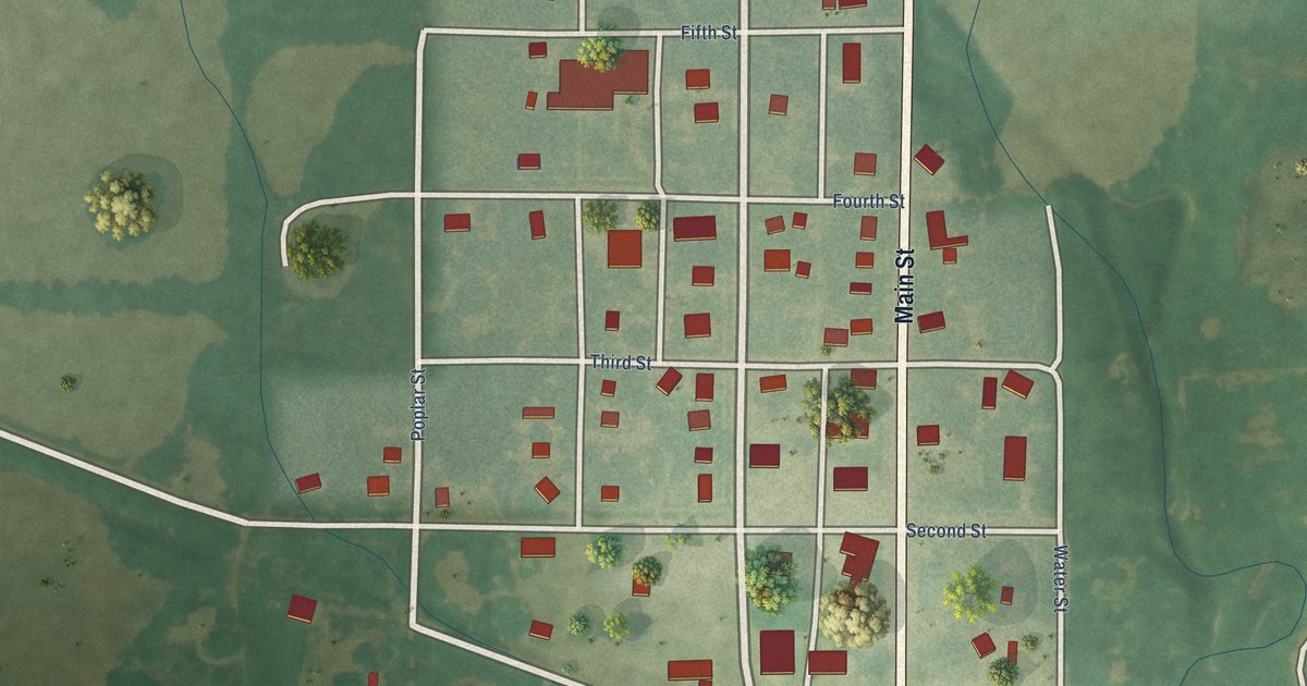
A detailed map of Randall, Kansas, showing every building in its true location, the roads by name, and shaded topographical relief.
Read More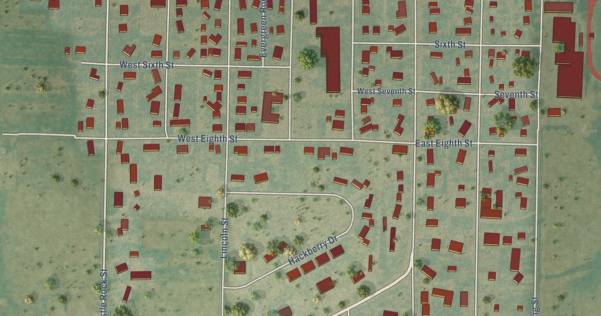
A detailed map of Quinter, Kansas, showing every building in its true location, the roads by name, and shaded topographical relief.
Read More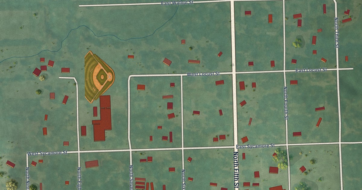
A detailed map of Quenemo, Kansas, showing every building in its true location, the roads by name, and shaded topographical relief.
Read More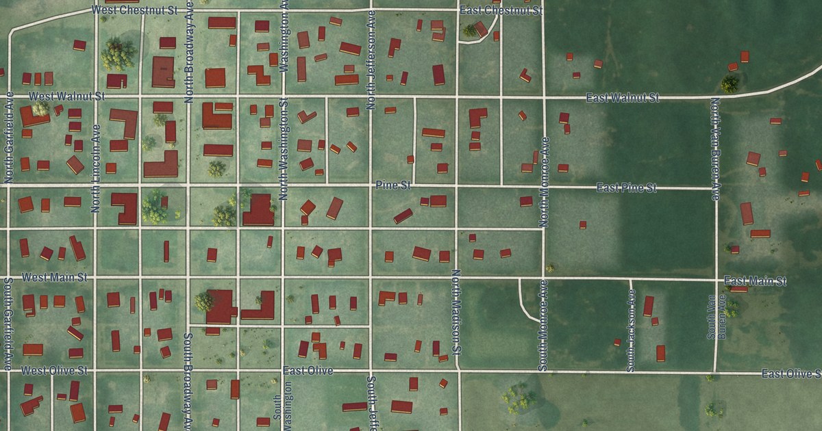
A detailed map of Protection, Kansas, showing every building in its true location, the roads by name, and shaded topographical relief.
Read More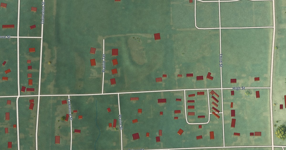
A detailed map of Princeton, Kansas, showing every building in its true location, the roads by name, and shaded topographical relief.
Read More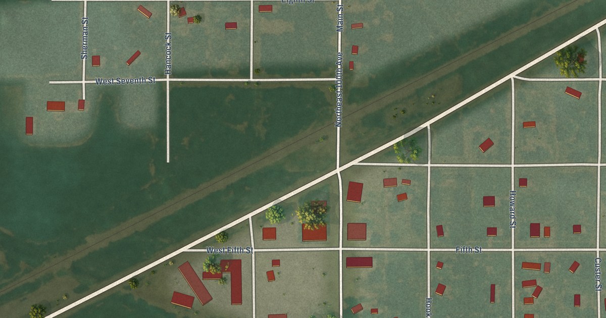
A detailed map of Preston, Kansas, showing every building in its true location, the roads by name, and shaded topographical relief.
Read More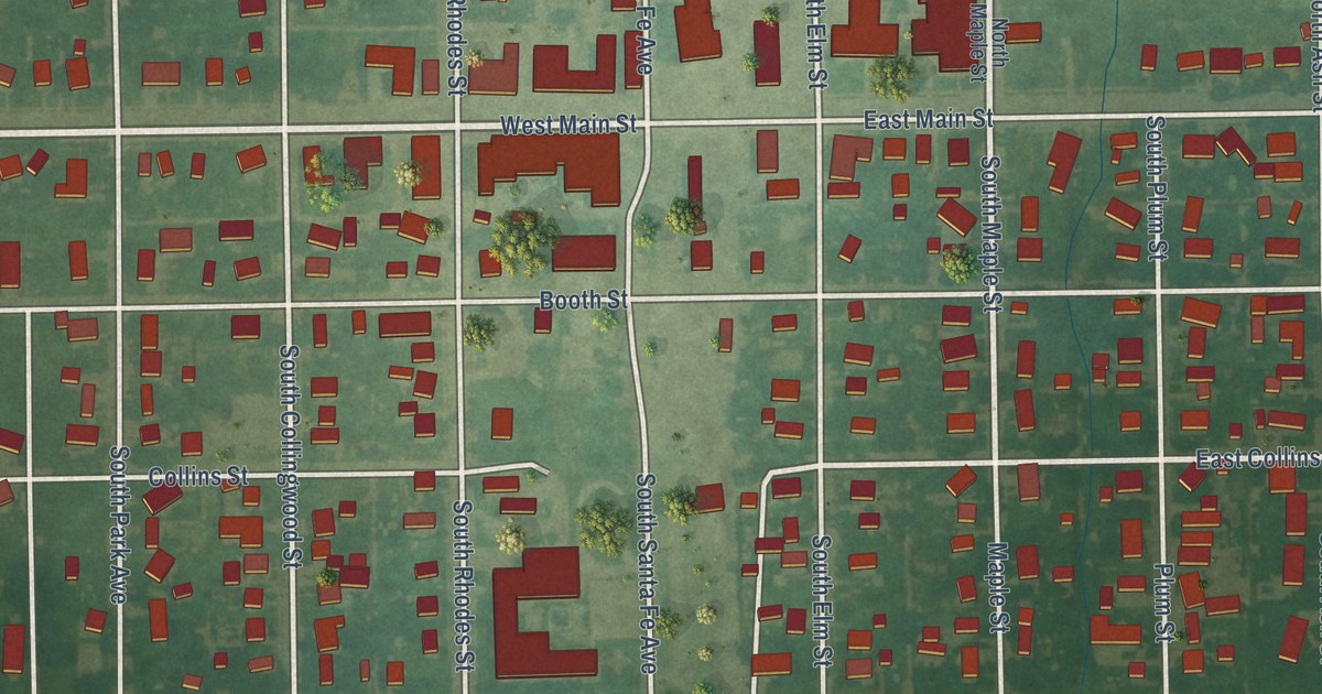
A detailed map of Pretty Prairie, Kansas, showing every building in its true location, the roads by name, and shaded topographical relief.
Read More















