Detailed Map of Bradbury, California
A detailed map of Bradbury, California, showing every building in its true location, the roads by name, and shaded topographical relief.
Read More
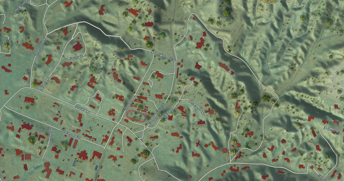
A detailed map of Bradbury, California, showing every building in its true location, the roads by name, and shaded topographical relief.
Read More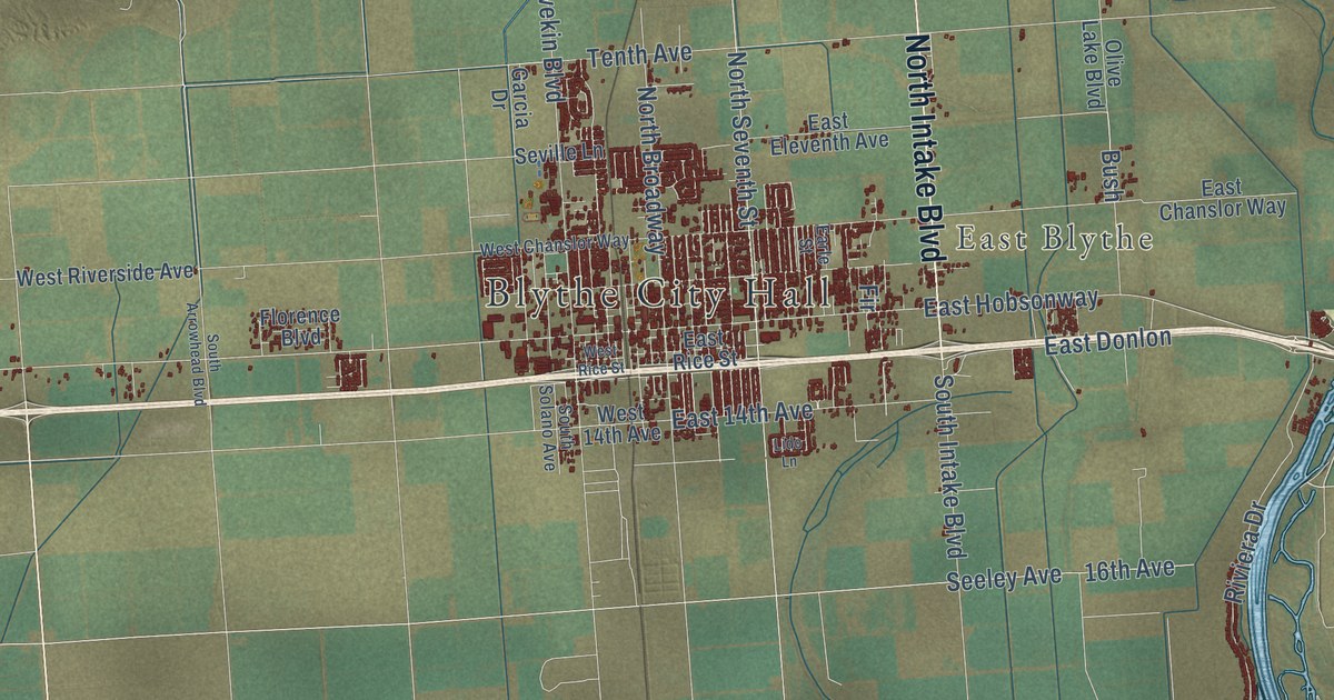
A detailed map of Blythe, California, showing every building in its true location, the roads by name, and shaded topographical relief.
Read More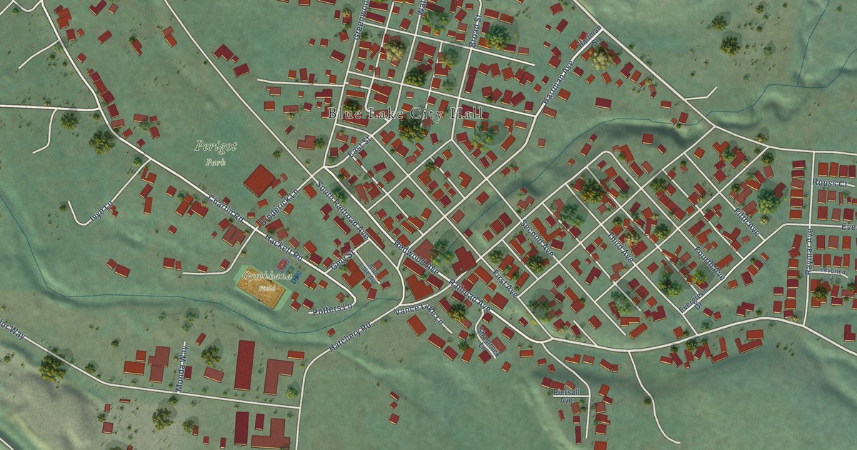
A detailed map of Blue Lake, California, showing every building in its true location, the roads by name, and shaded topographical relief.
Read More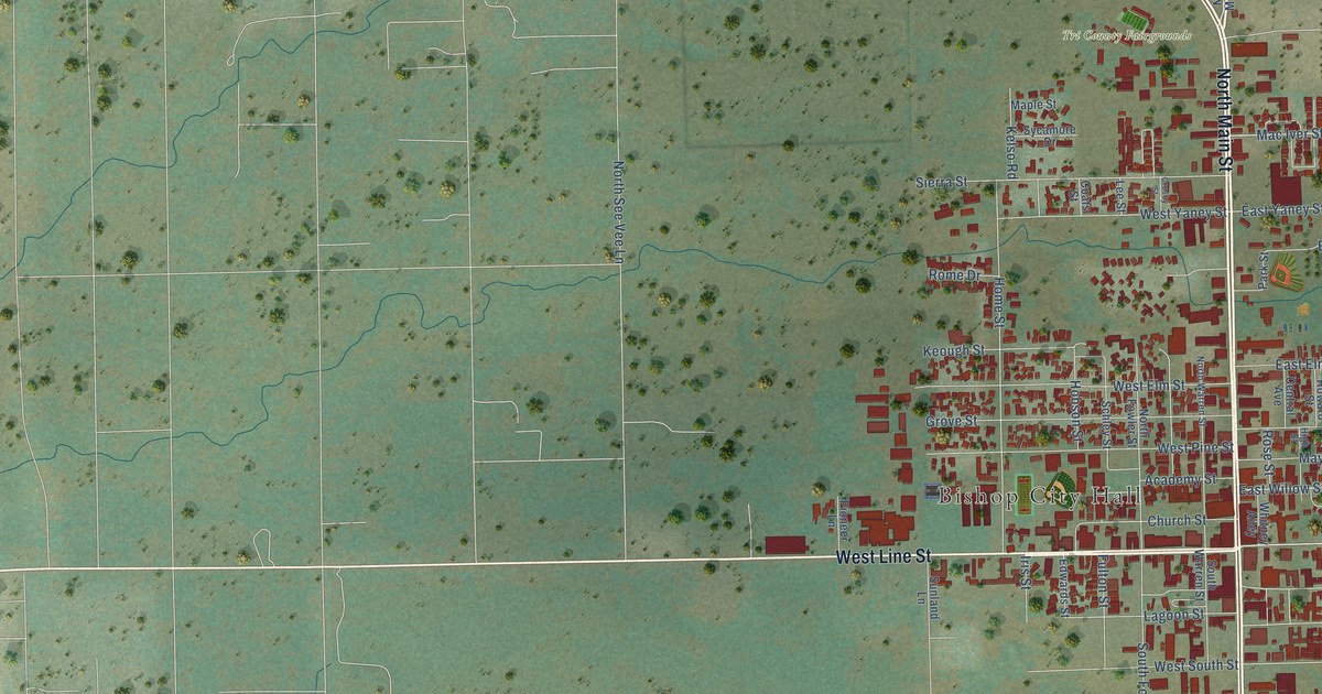
A detailed map of Bishop, California, showing every building in its true location, the roads by name, and shaded topographical relief.
Read More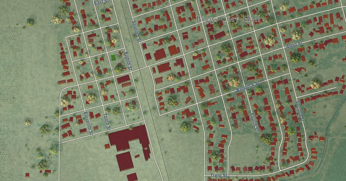
A detailed map of Biggs, California, showing every building in its true location, the roads by name, and shaded topographical relief.
Read More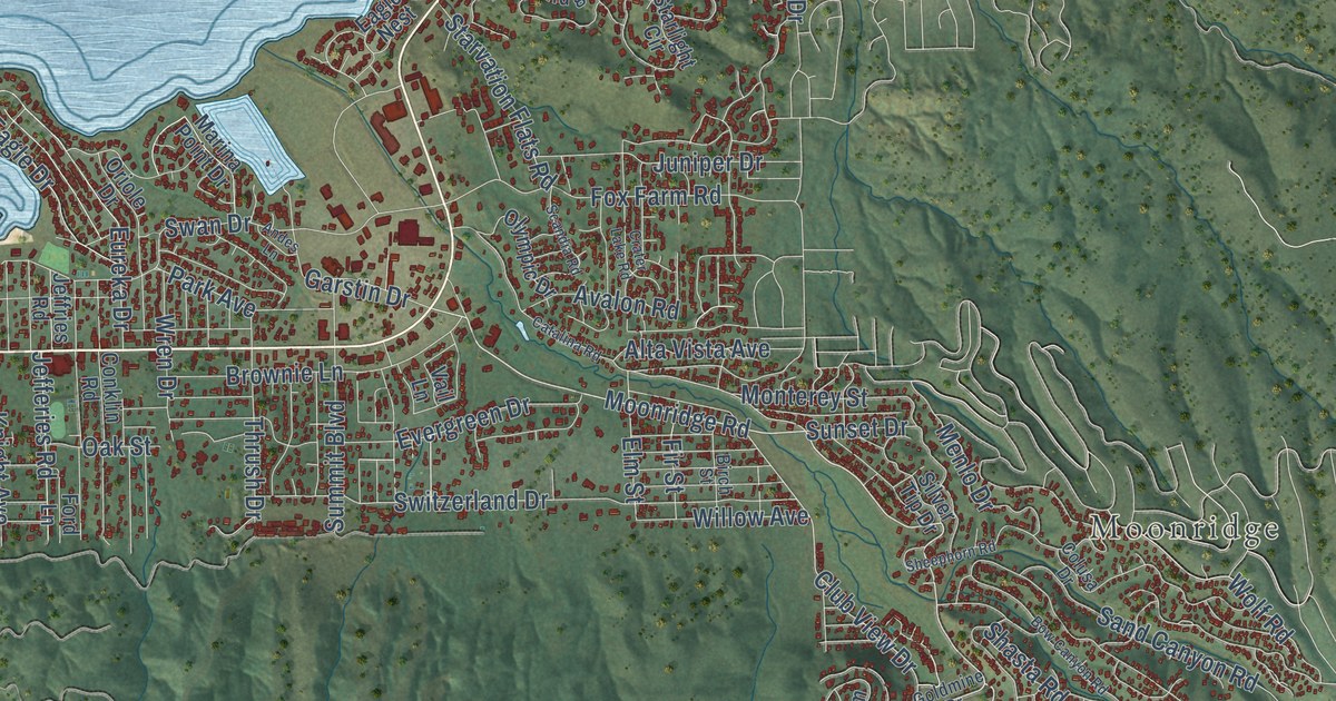
A detailed map of Big Bear Lake, California, showing every building in its true location, the roads by name, and shaded topographical relief.
Read More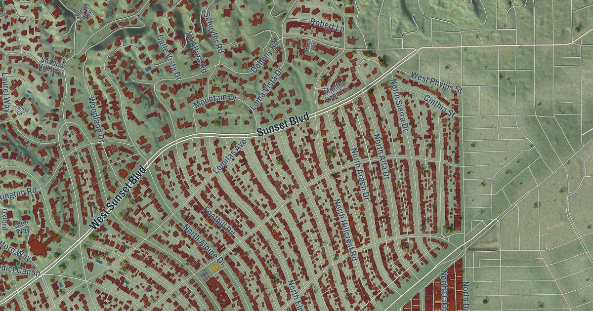
A detailed map of Beverly Hills, California, showing every building in its true location, the roads by name, and shaded topographical relief.
Read More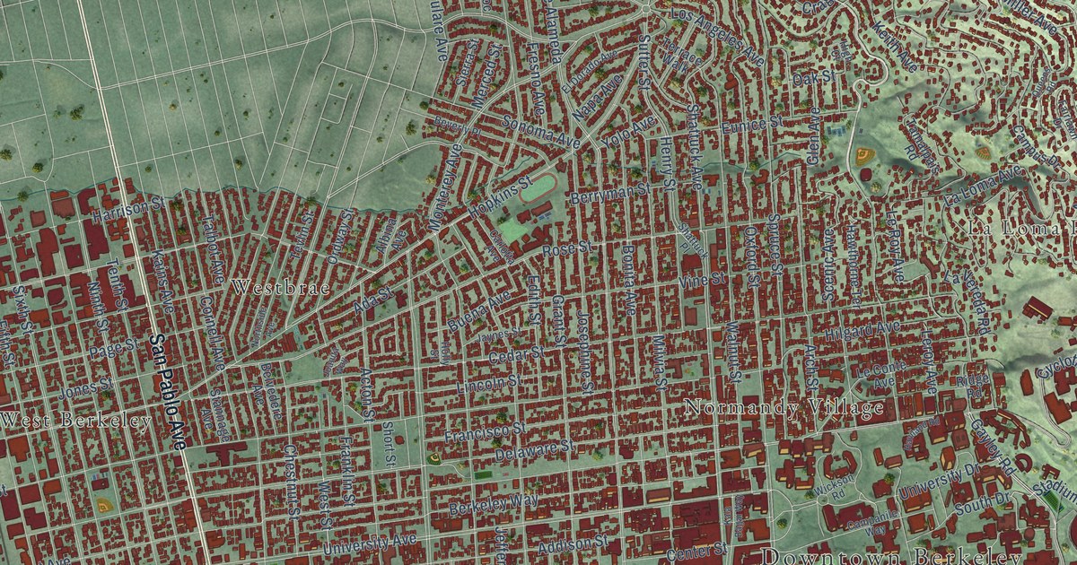
A detailed map of Berkeley, California, showing every building in its true location, the roads by name, and shaded topographical relief.
Read More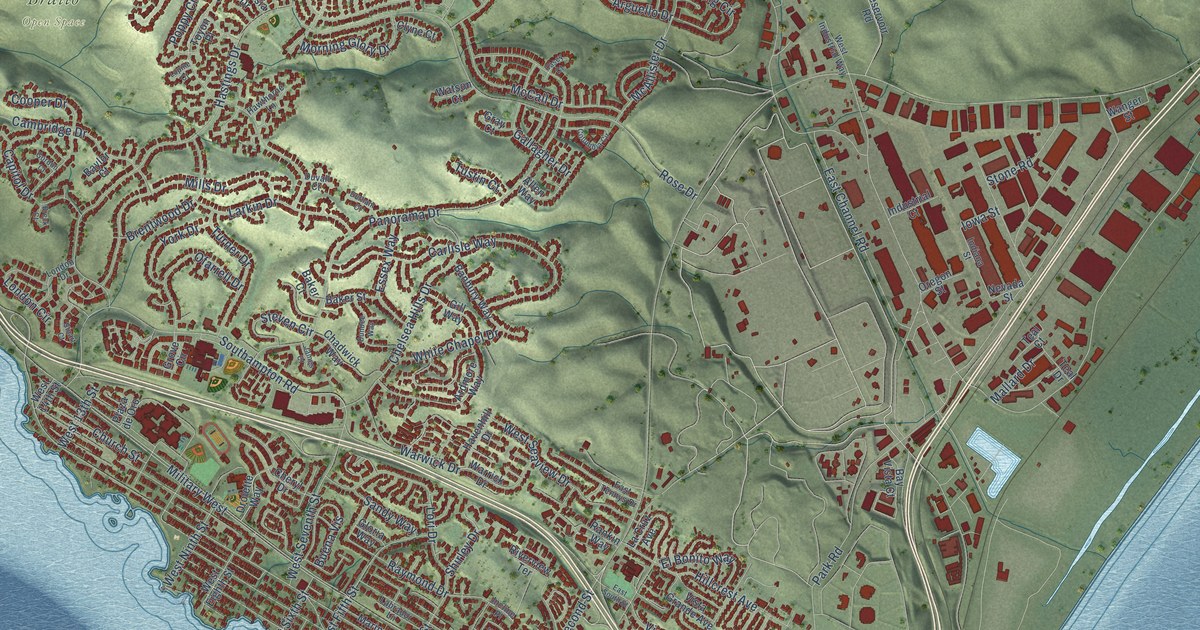
A detailed map of Benicia, California, showing every building in its true location, the roads by name, and shaded topographical relief.
Read More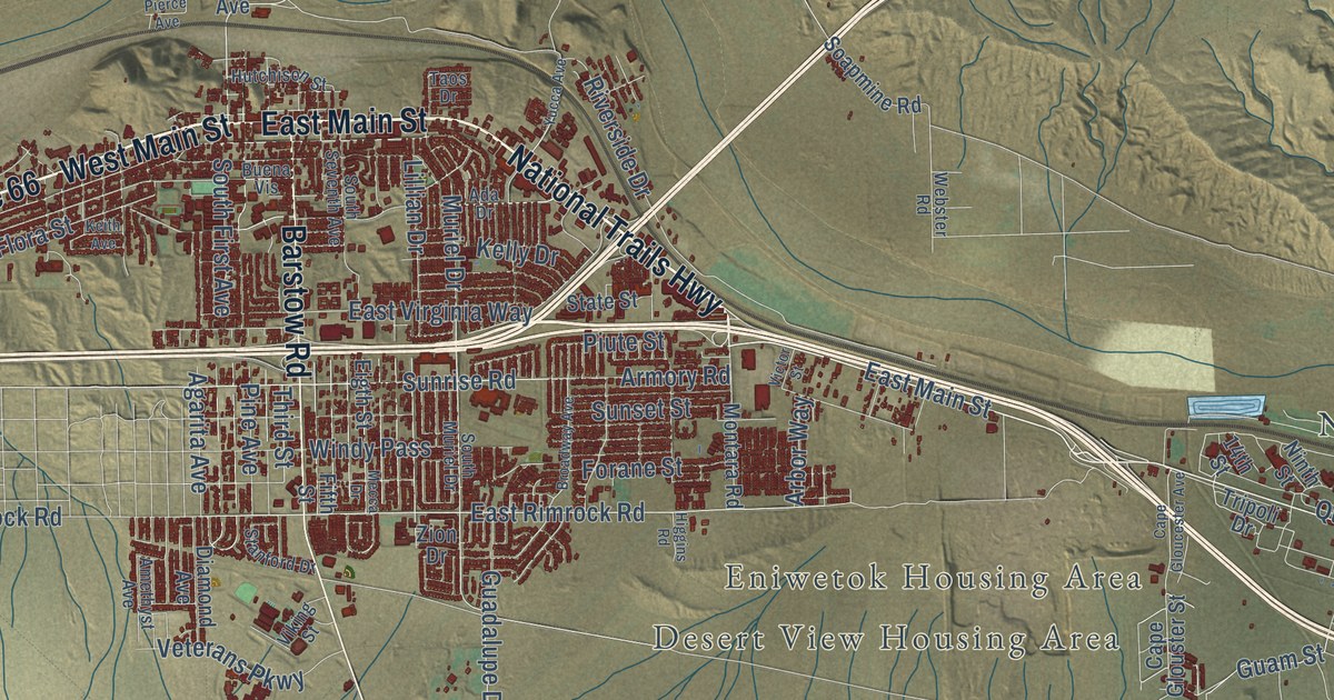
A detailed map of Barstow, California, showing every building in its true location, the roads by name, and shaded topographical relief.
Read More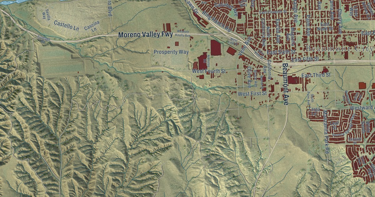
A detailed map of Beaumont, California, showing every building in its true location, the roads by name, and shaded topographical relief.
Read More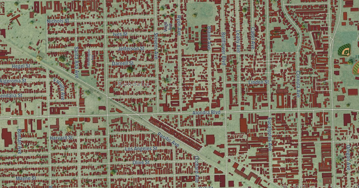
A detailed map of Bellflower, California, showing every building in its true location, the roads by name, and shaded topographical relief.
Read More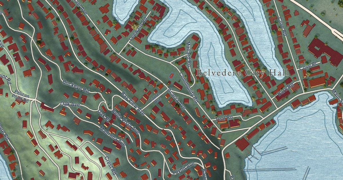
A detailed map of Belvedere, California, showing every building in its true location, the roads by name, and shaded topographical relief.
Read More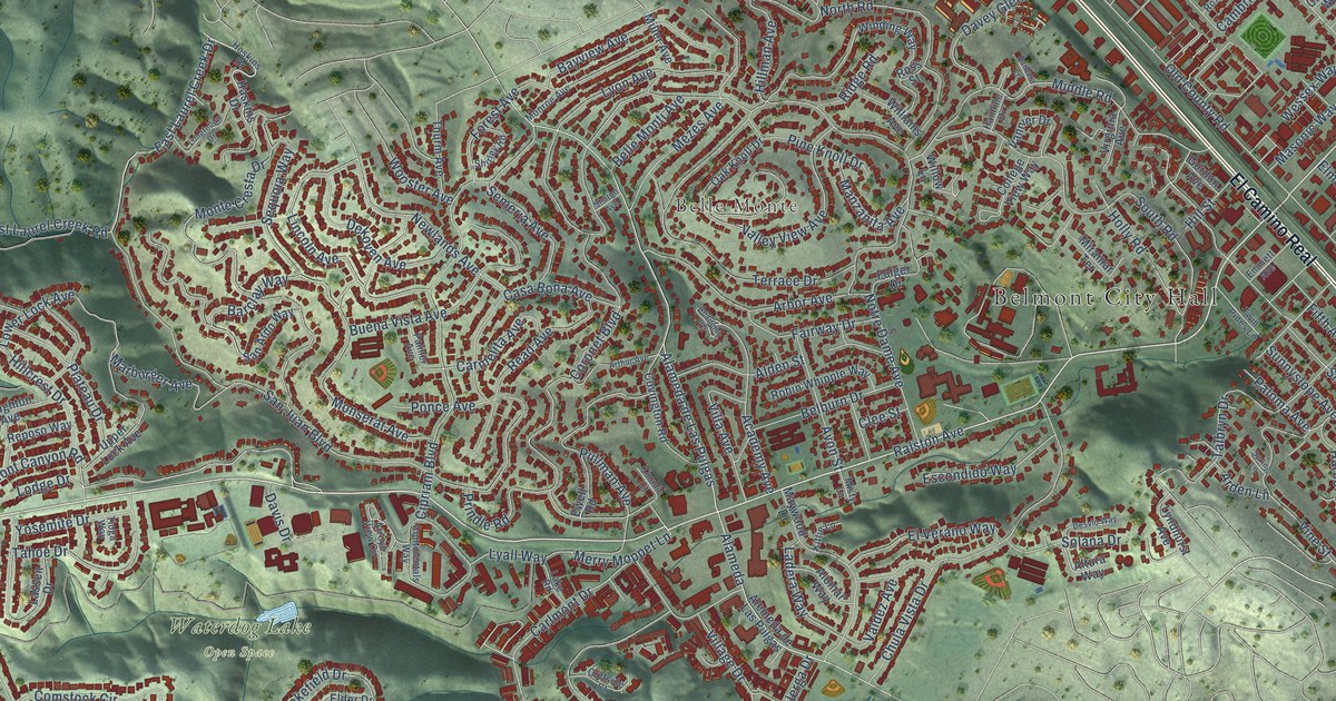
A detailed map of Belmont, California, showing every building in its true location, the roads by name, and shaded topographical relief.
Read More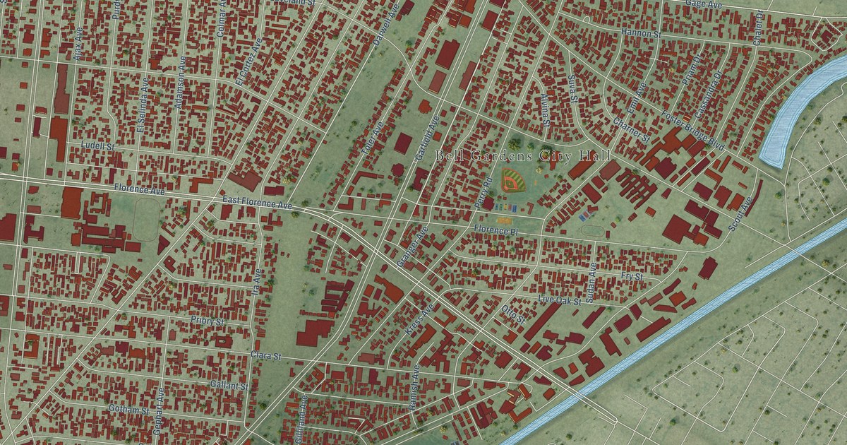
A detailed map of Bell Gardens, California, showing every building in its true location, the roads by name, and shaded topographical relief.
Read More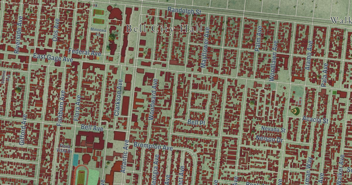
A detailed map of Bell, California, showing every building in its true location, the roads by name, and shaded topographical relief.
Read More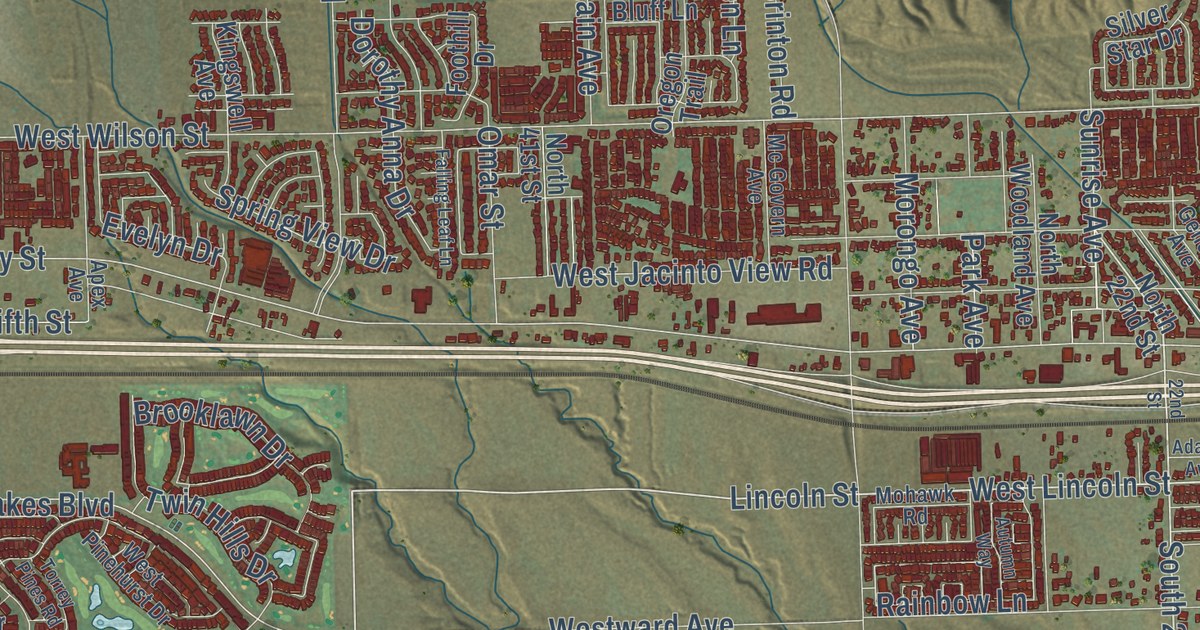
A detailed map of Banning, California, showing every building in its true location, the roads by name, and shaded topographical relief.
Read More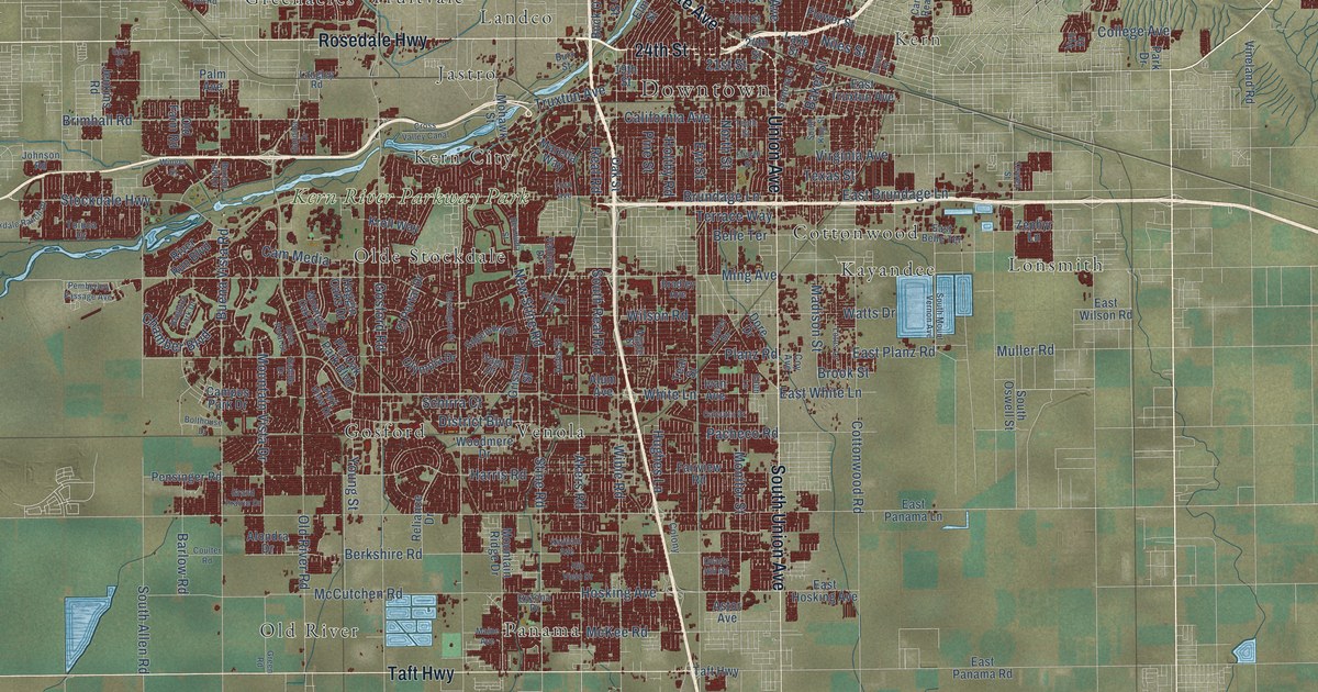
A detailed map of Bakersfield, California, showing every building in its true location, the roads by name, and shaded topographical relief.
Read More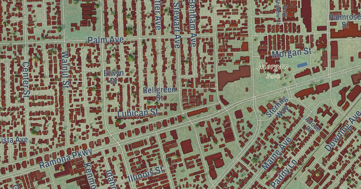
A detailed map of Baldwin Park, California, showing every building in its true location, the roads by name, and shaded topographical relief.
Read More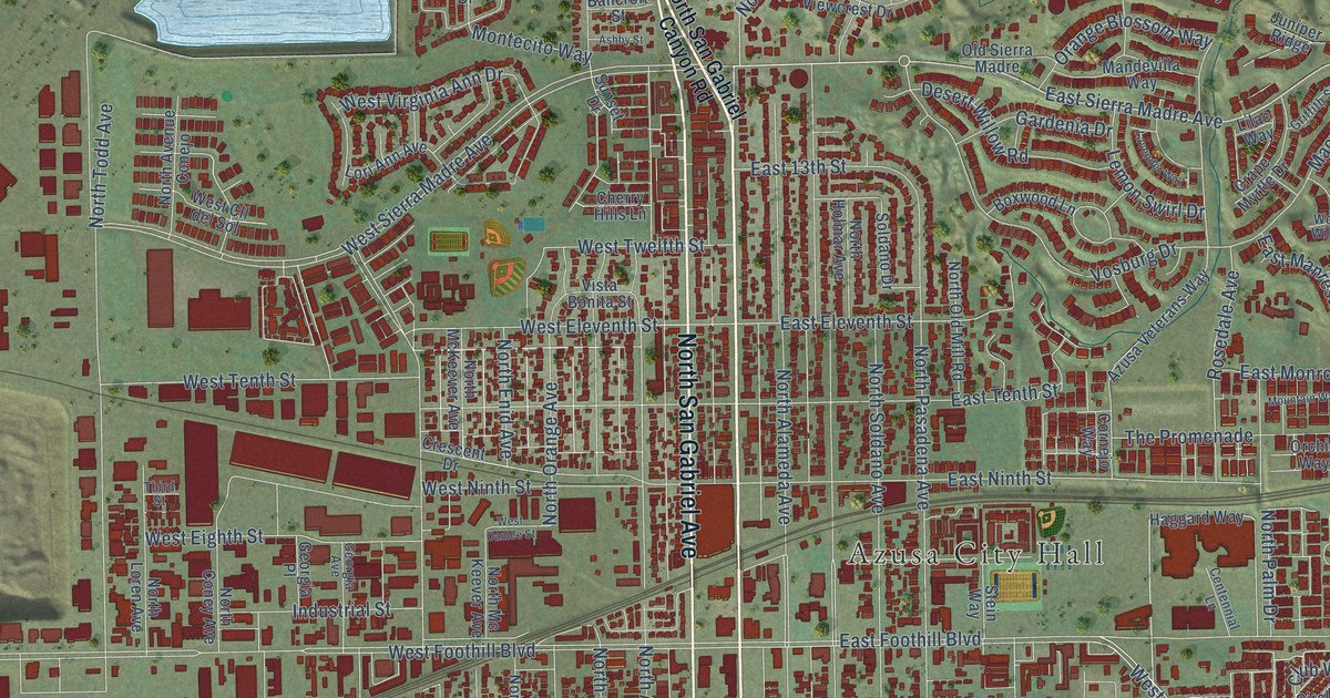
A detailed map of Azusa, California, showing every building in its true location, the roads by name, and shaded topographical relief.
Read More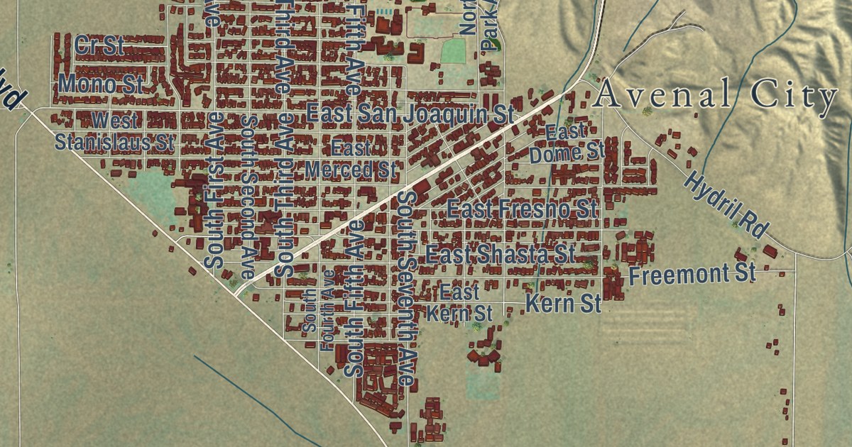
A detailed map of Avenal, California, showing every building in its true location, the roads by name, and shaded topographical relief.
Read More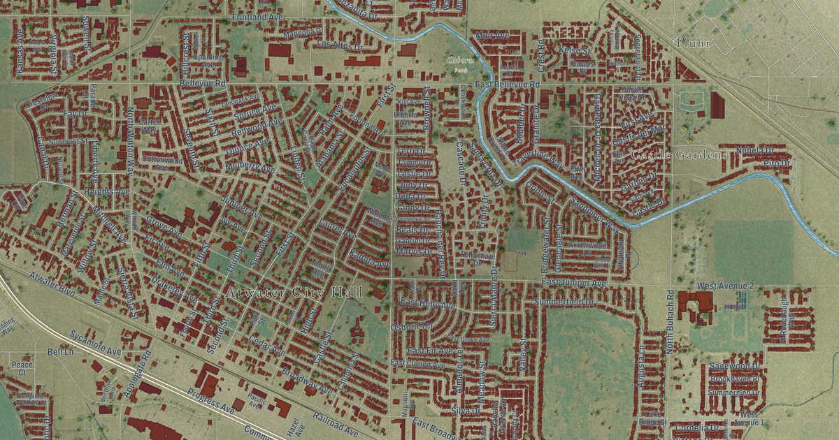
A detailed map of Atwater, California, showing every building in its true location, the roads by name, and shaded topographical relief.
Read More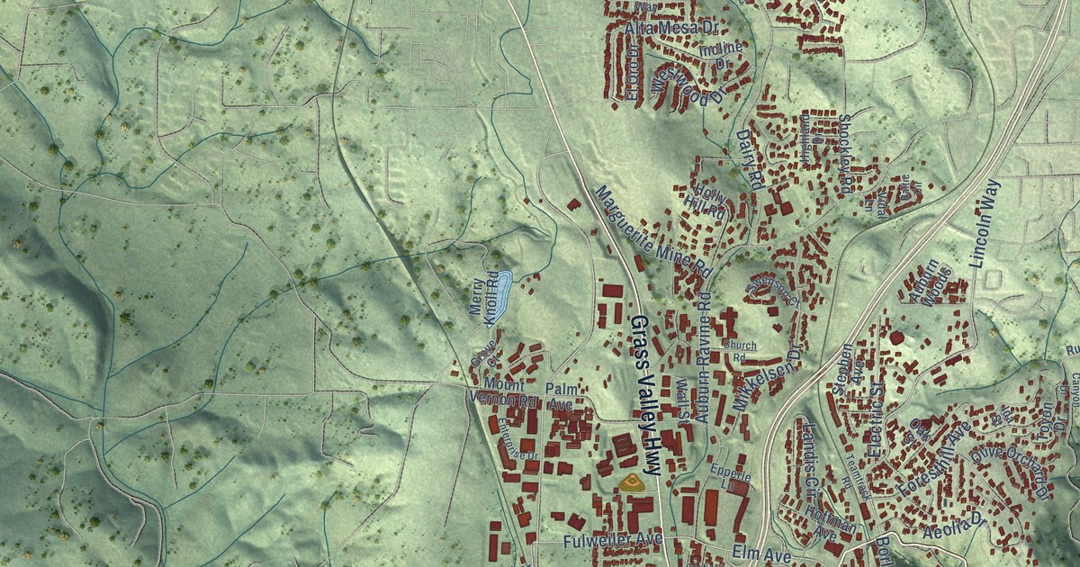
A detailed map of Auburn, California, showing every building in its true location, the roads by name, and shaded topographical relief.
Read More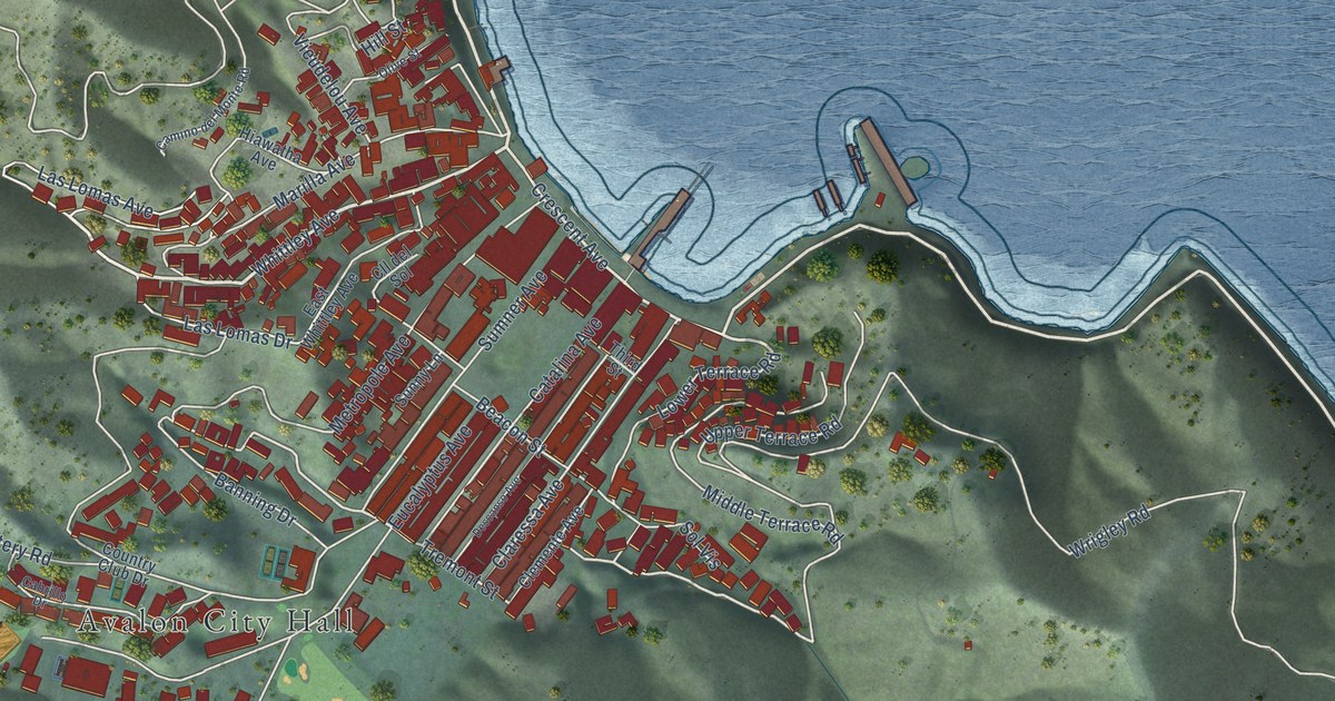
A detailed map of Avalon, California, showing every building in its true location, the roads by name, and shaded topographical relief.
Read More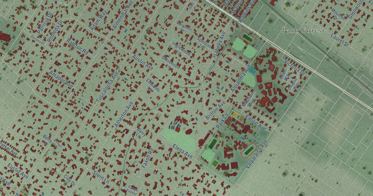
A detailed map of Atherton, California, showing every building in its true location, the roads by name, and shaded topographical relief.
Read More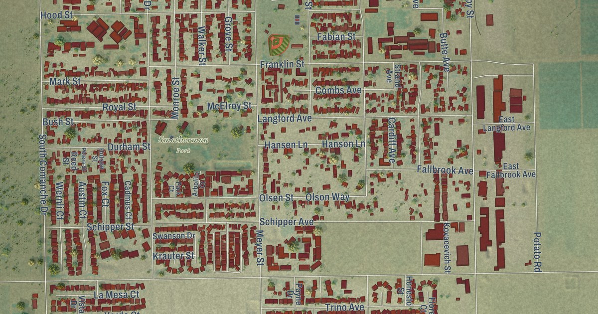
A detailed map of Arvin, California, showing every building in its true location, the roads by name, and shaded topographical relief.
Read More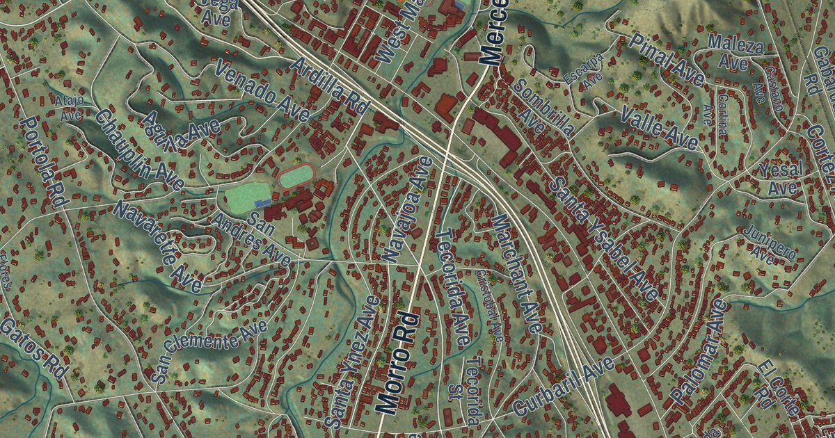
A detailed map of Atascadero, California, showing every building in its true location, the roads by name, and shaded topographical relief.
Read More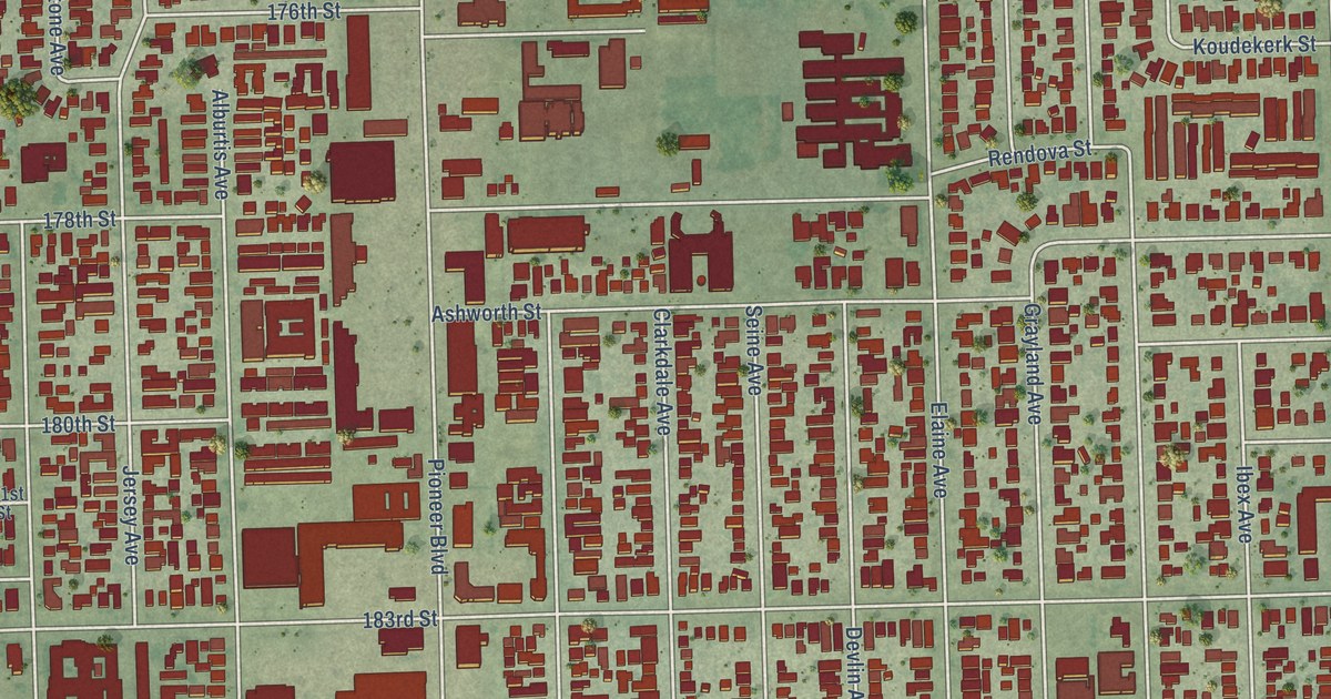
A detailed map of Artesia, California, showing every building in its true location, the roads by name, and shaded topographical relief.
Read More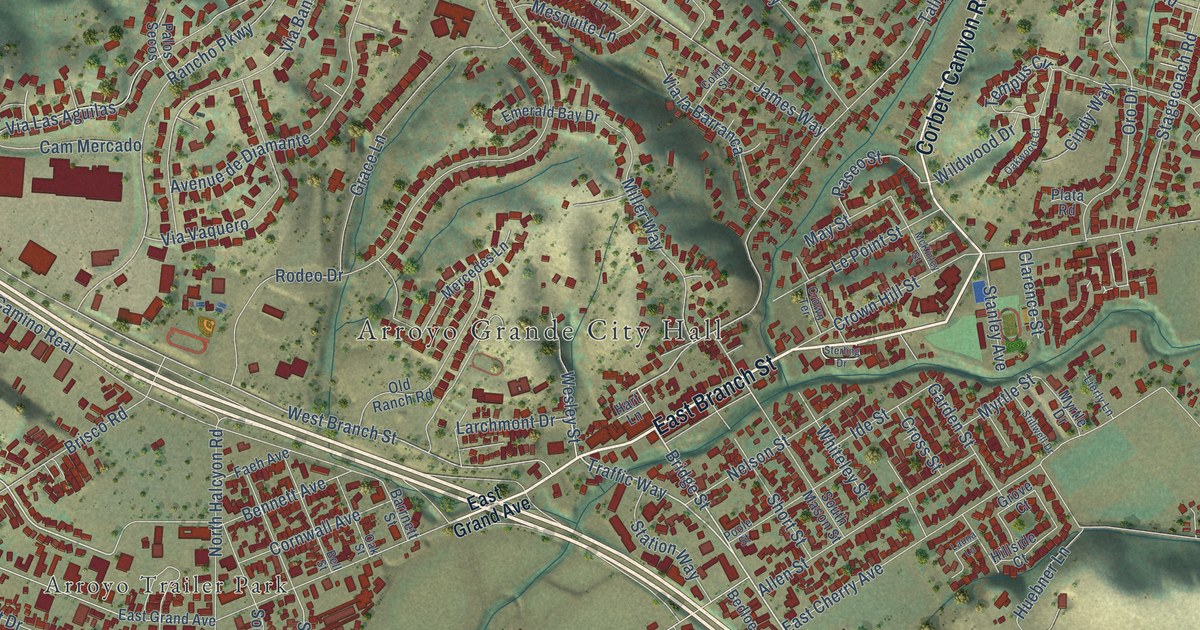
A detailed map of Arroyo Grande, California, showing every building in its true location, the roads by name, and shaded topographical relief.
Read More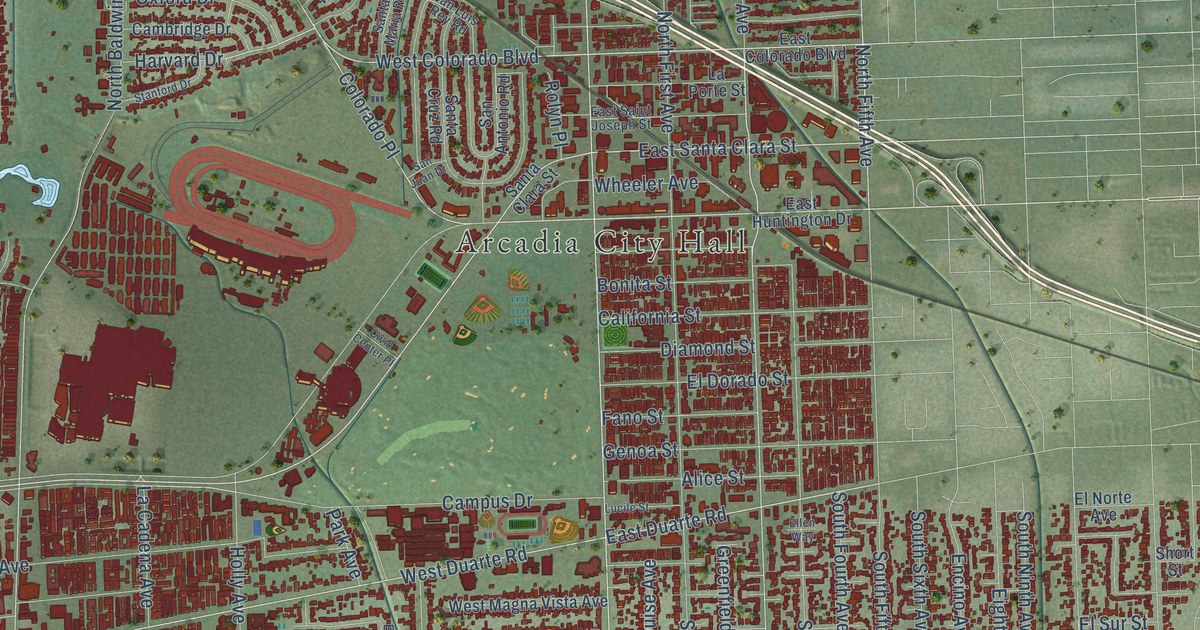
A detailed map of Arcadia, California, showing every building in its true location, the roads by name, and shaded topographical relief.
Read More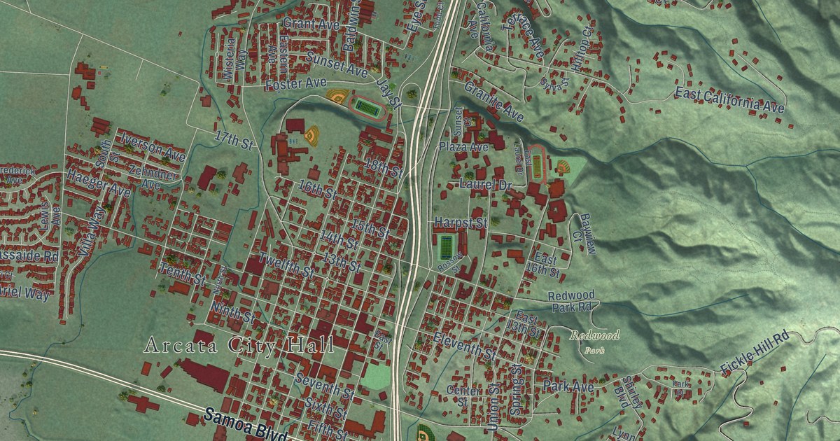
A detailed map of Arcata, California, showing every building in its true location, the roads by name, and shaded topographical relief.
Read More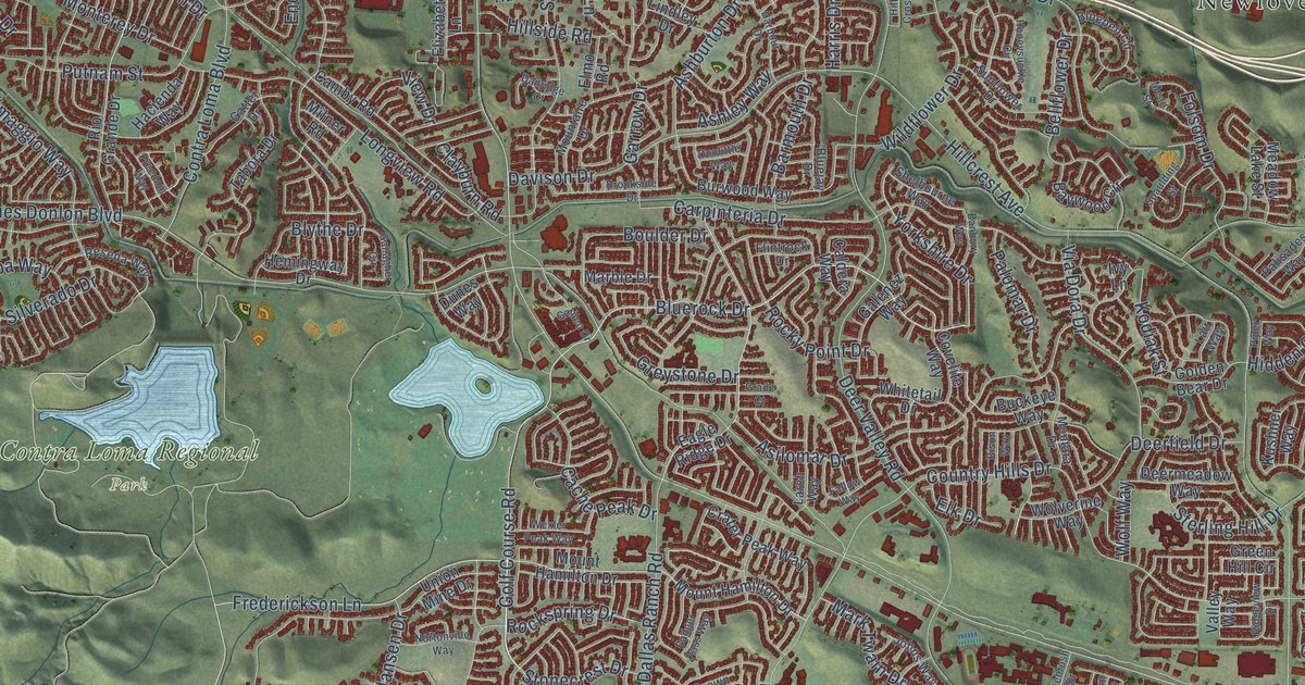
A detailed map of Antioch, California, showing every building in its true location, the roads by name, and shaded topographical relief.
Read More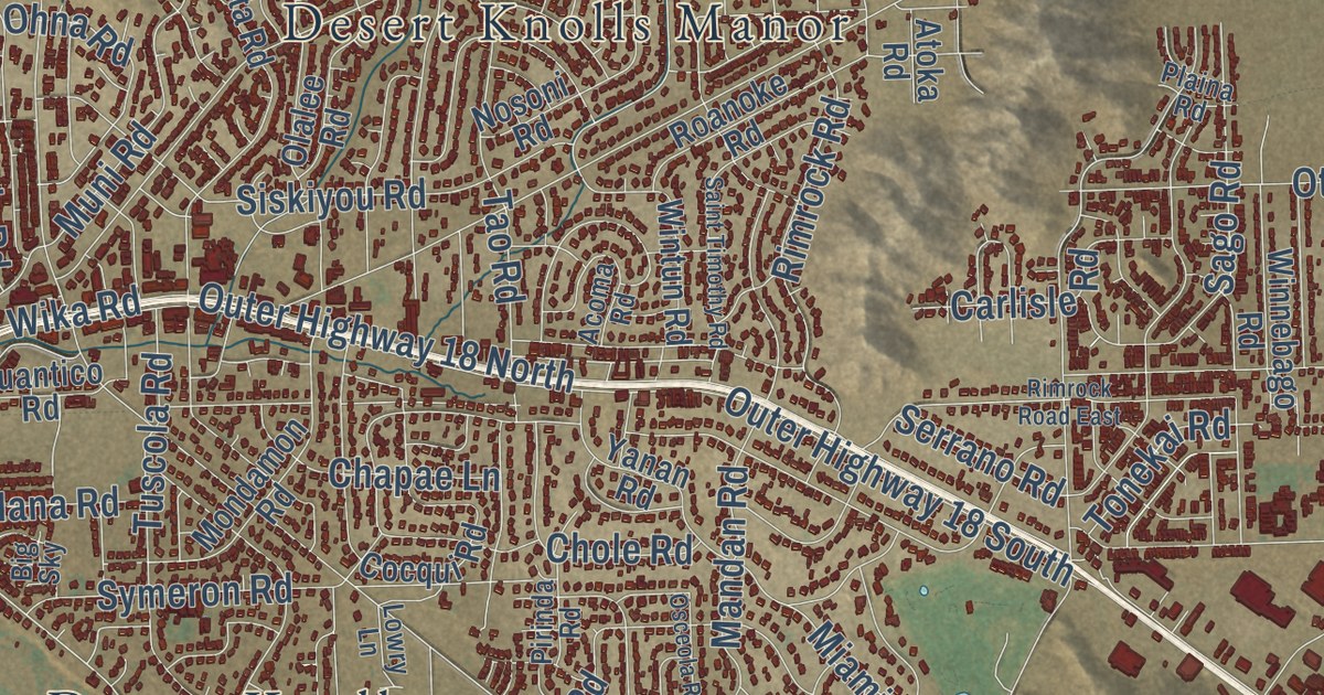
A detailed map of Apple Valley, California, showing every building in its true location, the roads by name, and shaded topographical relief.
Read More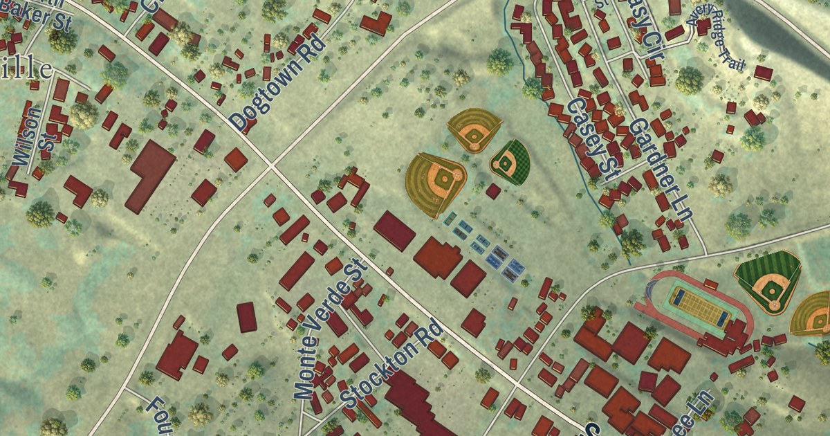
A detailed map of Angels Camp, California, showing every building in its true location, the roads by name, and shaded topographical relief.
Read More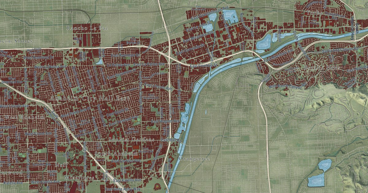
A detailed map of Anaheim, California, showing every building in its true location, the roads by name, and shaded topographical relief.
Read More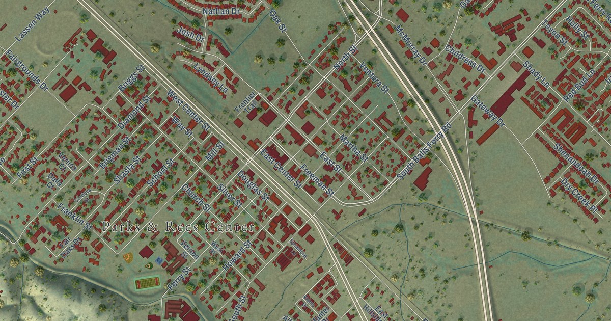
A detailed map of Anderson, California, showing every building in its true location, the roads by name, and shaded topographical relief.
Read More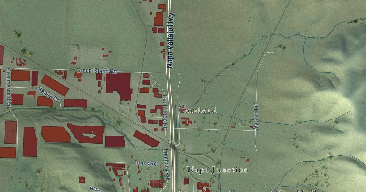
A detailed map of American Canyon, California, showing every building in its true location, the roads by name, and shaded topographical relief.
Read More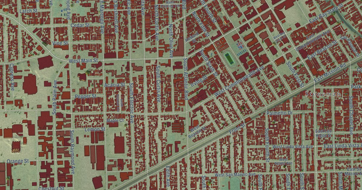
A detailed map of Alhambra, California, showing every building in its true location, the roads by name, and shaded topographical relief.
Read More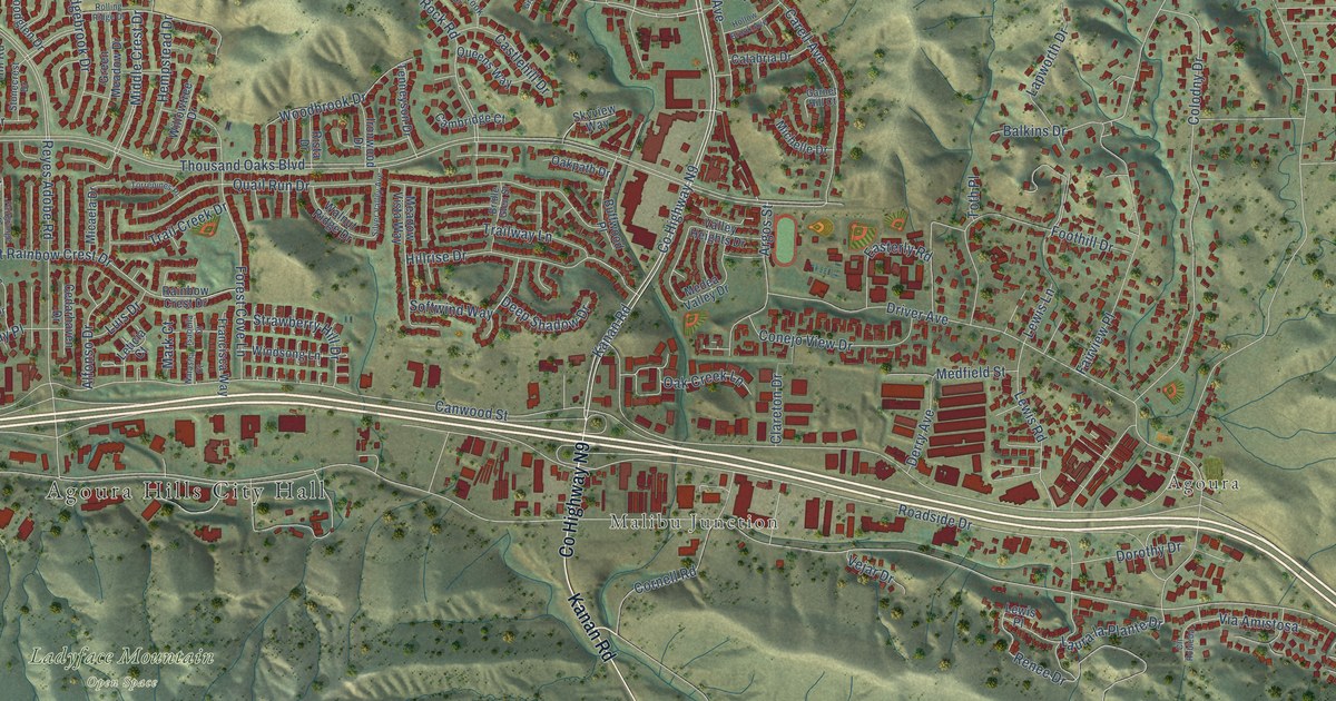
A detailed map of Agoura Hills, California, showing every building in its true location, the roads by name, and shaded topographical relief.
Read More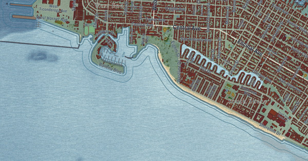
A detailed map of Alameda, California, showing every building in its true location, the roads by name, and shaded topographical relief.
Read More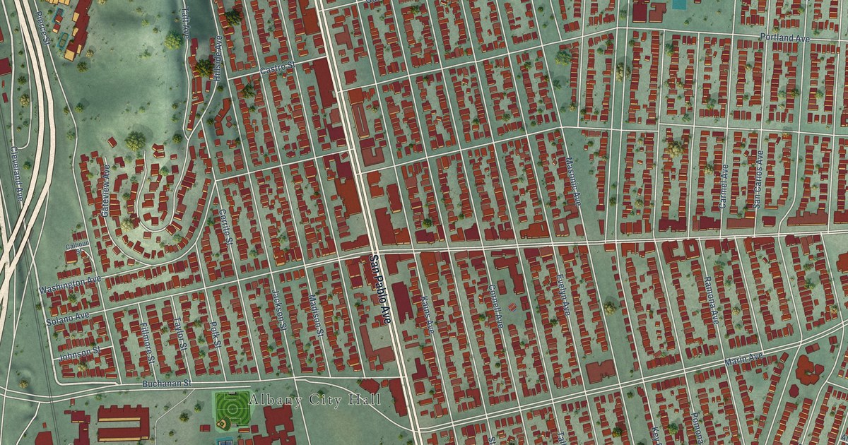
A detailed map of Albany, California, showing every building in its true location, the roads by name, and shaded topographical relief.
Read More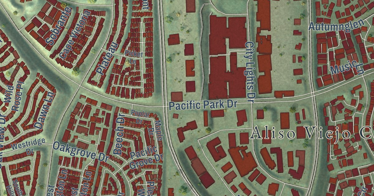
A detailed map of Aliso Viejo, California, showing every building in its true location, the roads by name, and shaded topographical relief.
Read More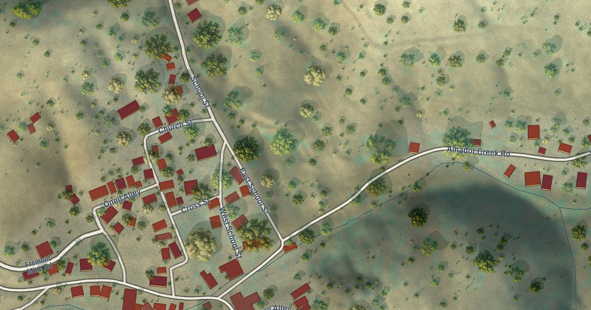
A detailed map of Amador City, California, showing every building in its true location, the roads by name, and shaded topographical relief.
Read More
A detailed map of Alturas, California, showing every building in its true location, the roads by name, and shaded topographical relief.
Read More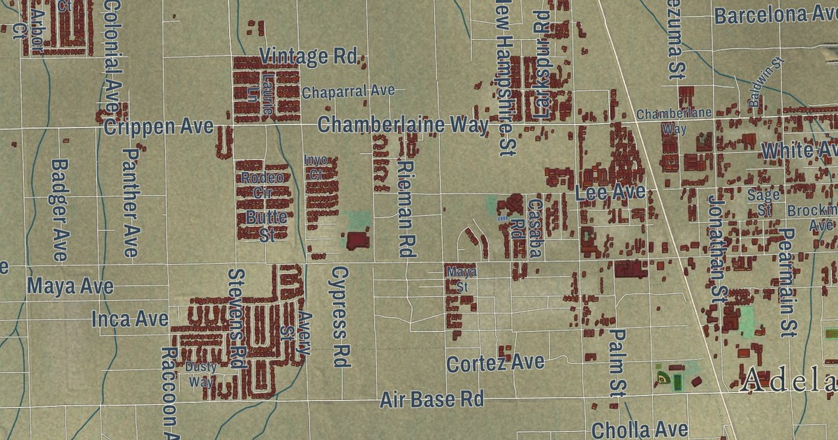
A detailed map of Adelanto, California, showing every building in its true location, the roads by name, and shaded topographical relief.
Read More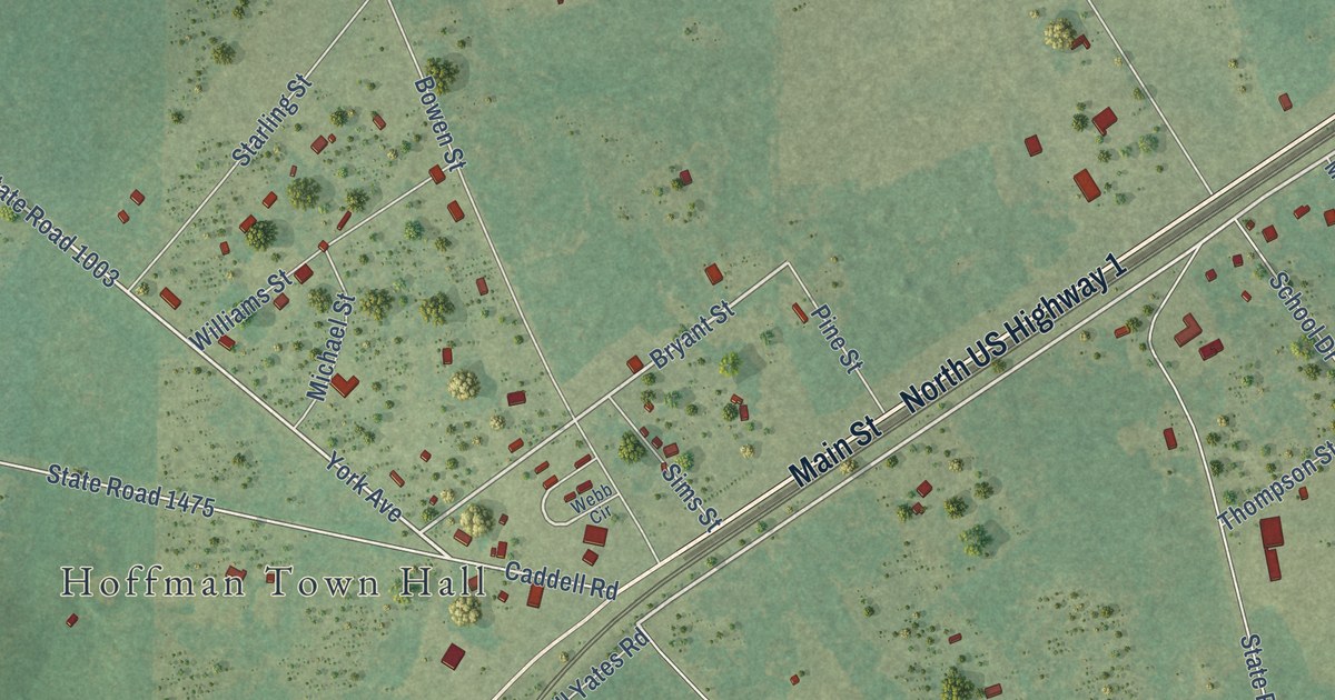
A detailed map of Hoffman, North Carolina, showing every building in its true location, the roads by name, and shaded topographical relief.
Read More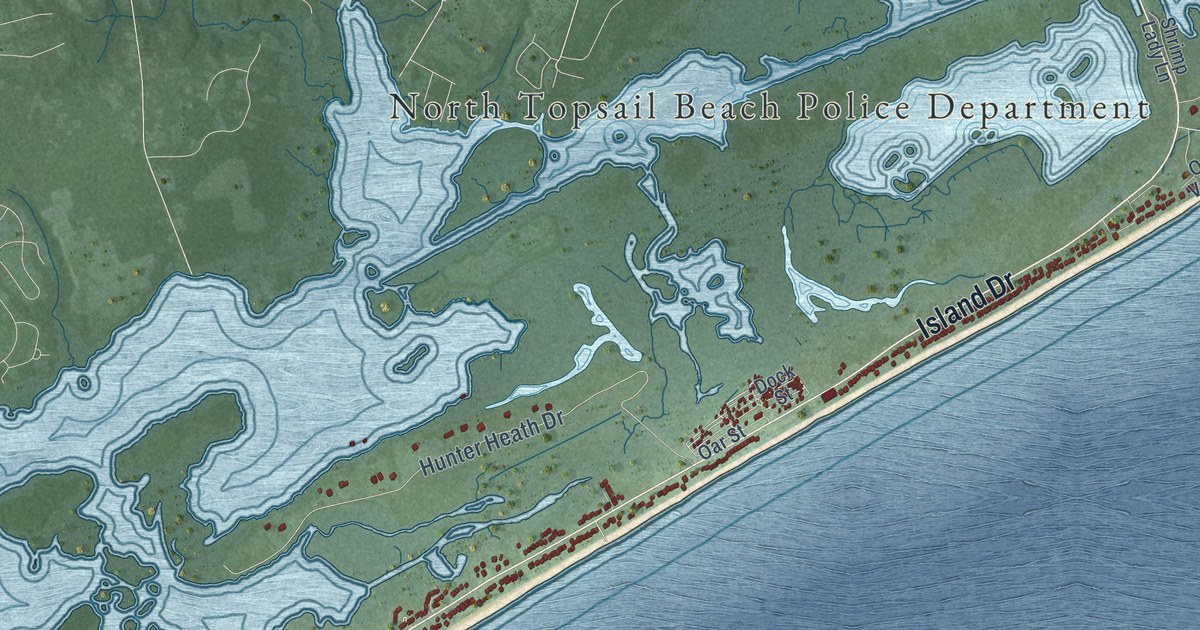
A detailed map of North Topsail Beach, North Carolina, showing every building in its true location, the roads by name, and shaded topographical relief.
Read More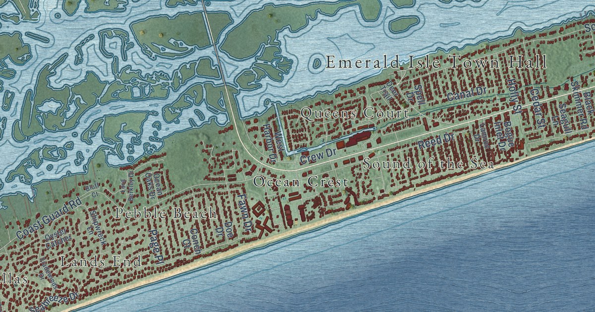
A detailed map of Emerald Isle, North Carolina, showing every building in its true location, the roads by name, and shaded topographical relief.
Read More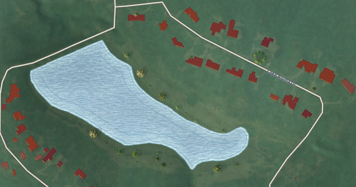
A detailed map of Lake Aluma, Oklahoma, showing every building in its true location, the roads by name, and shaded topographical relief.
Read More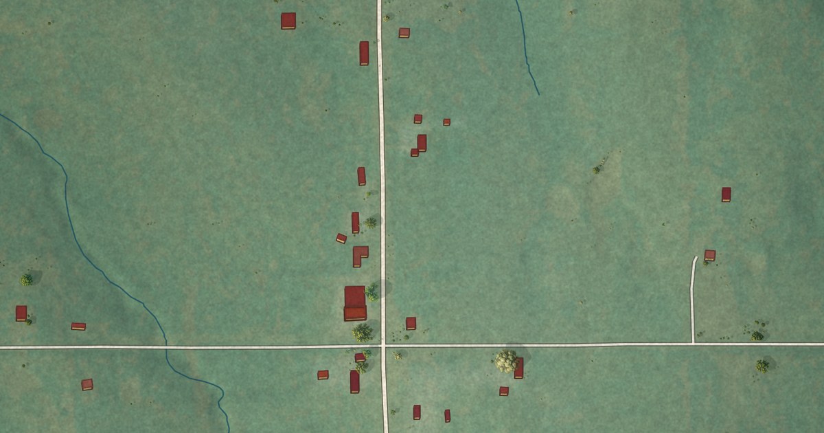
A detailed map of IXL, Oklahoma, showing every building in its true location, the roads by name, and shaded topographical relief.
Read More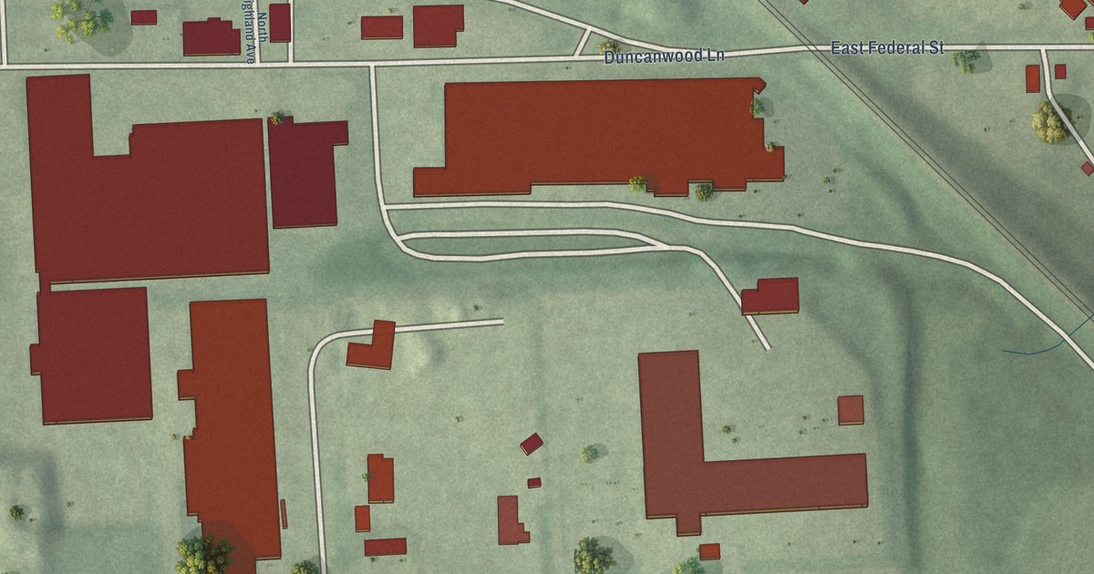
A detailed map of Orangeville Industrial Area, Maryland, showing every building in its true location, the roads by name, and shaded topographical relief.
Read More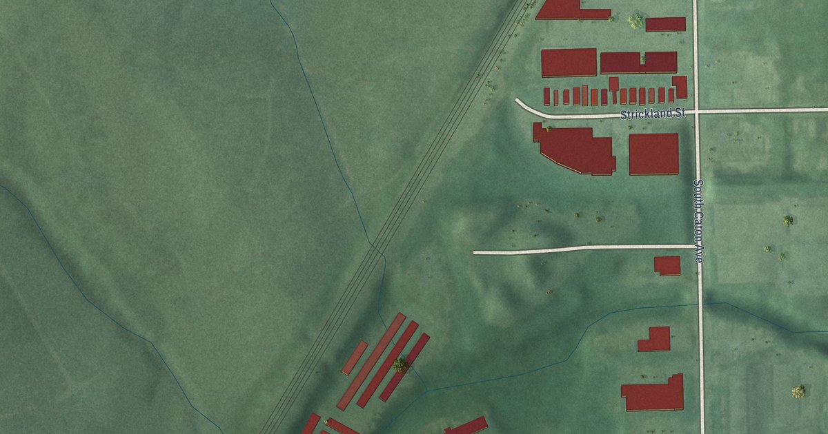
A detailed map of Saint Agnes, Maryland, showing every building in its true location, the roads by name, and shaded topographical relief.
Read More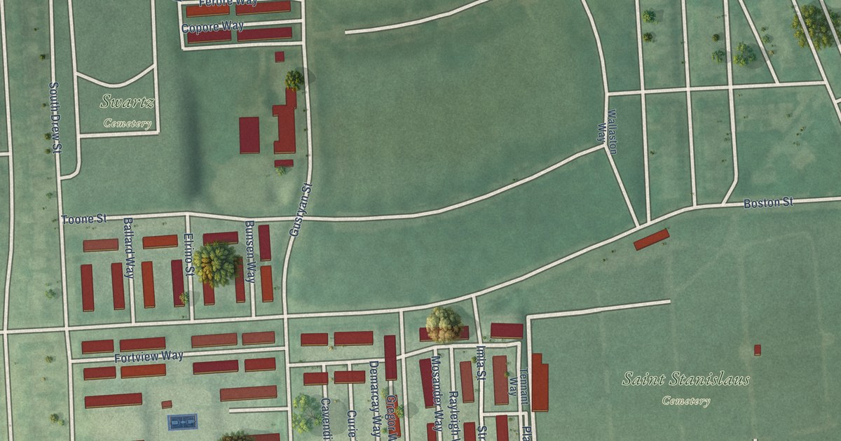
A detailed map of O’Donnell Heights, Maryland, showing every building in its true location, the roads by name, and shaded topographical relief.
Read More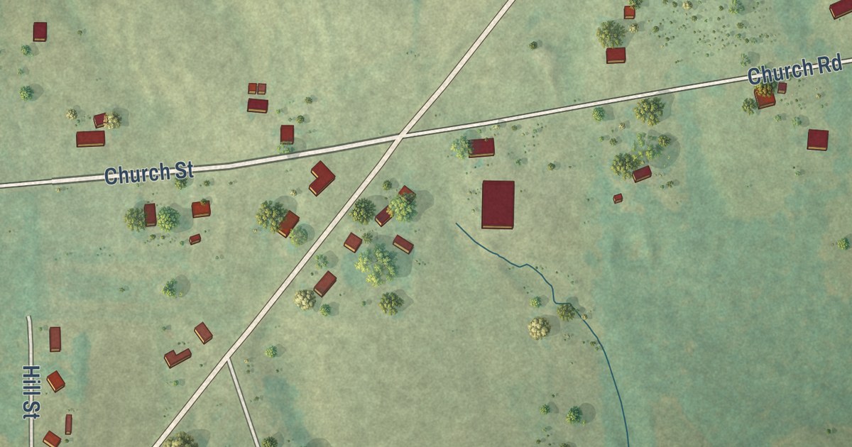
A detailed map of Lakeview, Alabama, showing every building in its true location, the roads by name, and shaded topographical relief.
Read More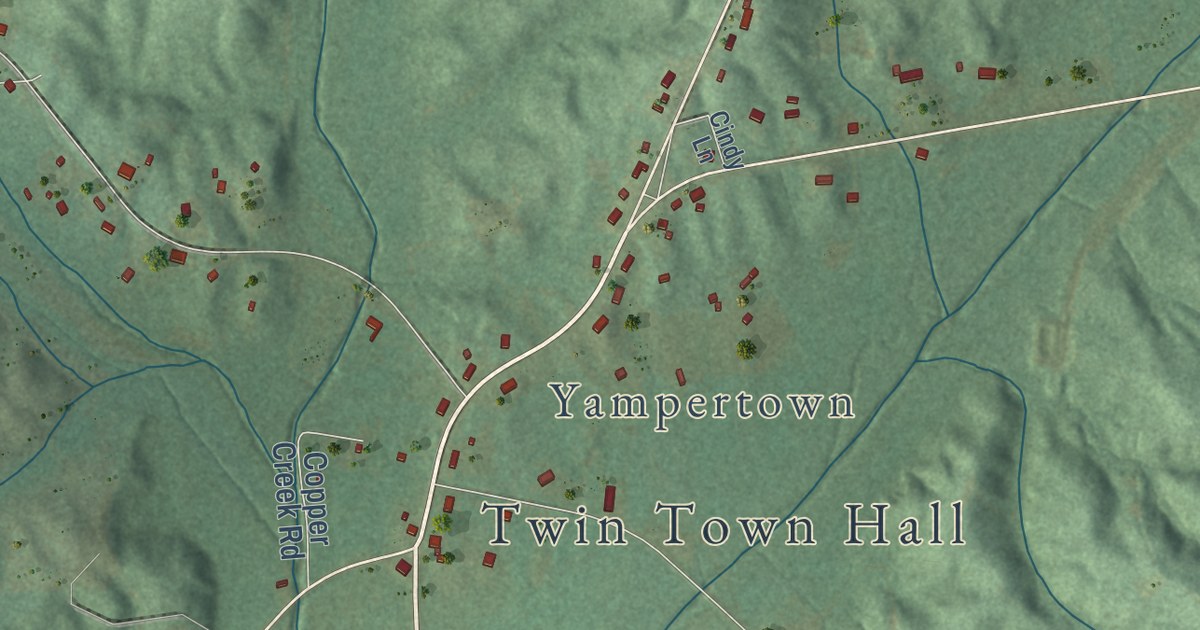
A detailed map of Twin, Alabama, showing every building in its true location, the roads by name, and shaded topographical relief.
Read More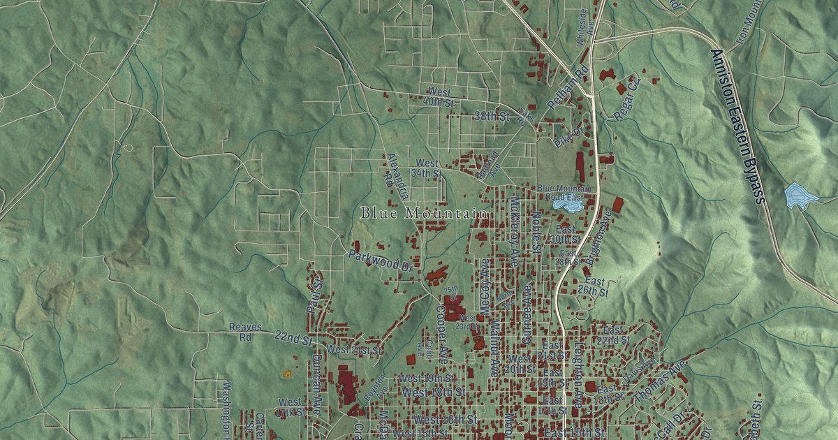
A detailed map of Anniston, Alabama, showing every building in its true location, the roads by name, and shaded topographical relief.
Read More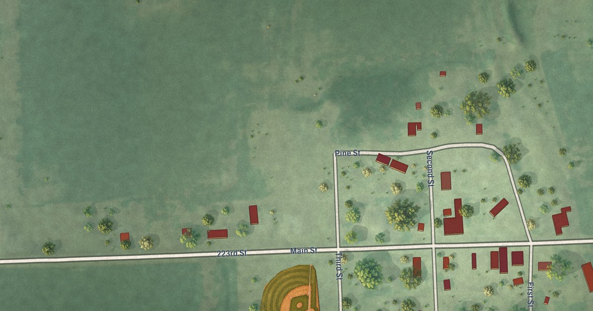
A detailed map of Ward, South Dakota, showing every building in its true location, the roads by name, and shaded topographical relief.
Read More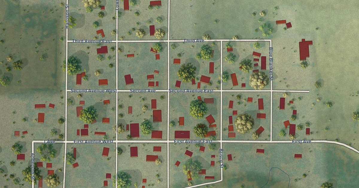
A detailed map of Glenham, South Dakota, showing every building in its true location, the roads by name, and shaded topographical relief.
Read More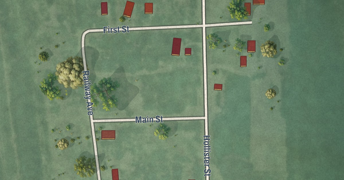
A detailed map of Naples, South Dakota, showing every building in its true location, the roads by name, and shaded topographical relief.
Read More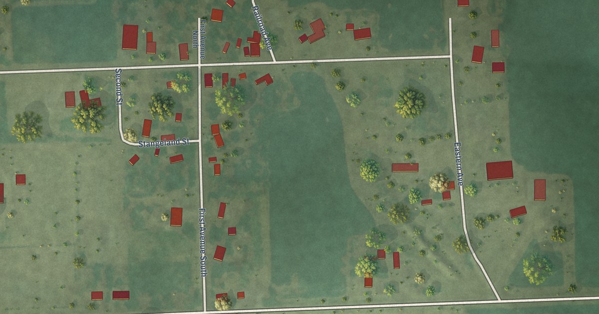
A detailed map of Bushnell, South Dakota, showing every building in its true location, the roads by name, and shaded topographical relief.
Read More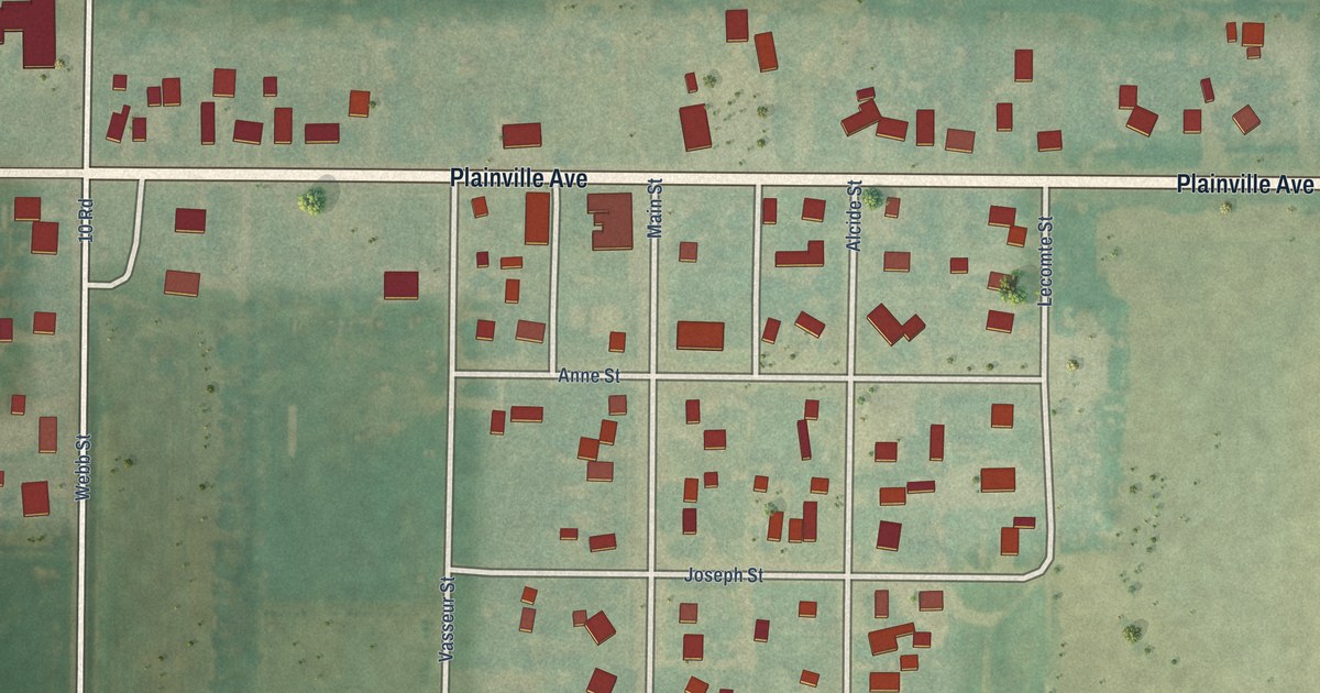
A detailed map of Zurich, Kansas, showing every building in its true location, the roads by name, and shaded topographical relief.
Read More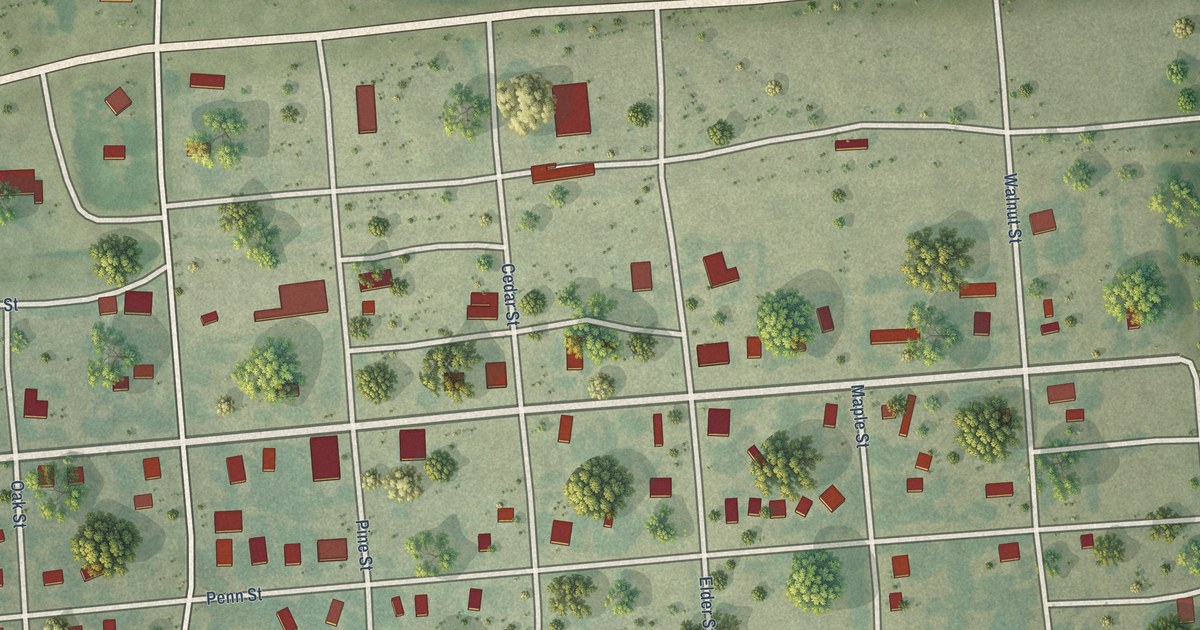
A detailed map of Woodston, Kansas, showing every building in its true location, the roads by name, and shaded topographical relief.
Read More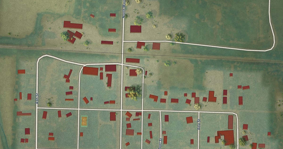
A detailed map of Zenda, Kansas, showing every building in its true location, the roads by name, and shaded topographical relief.
Read More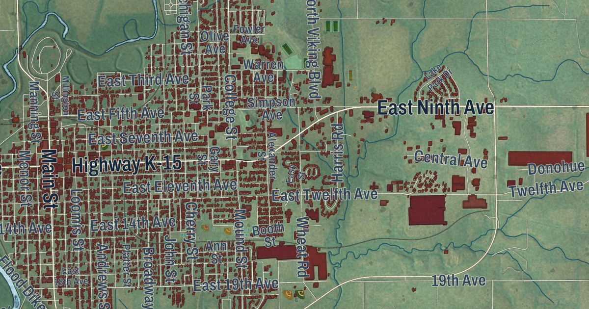
A detailed map of Winfield, Kansas, showing every building in its true location, the roads by name, and shaded topographical relief.
Read More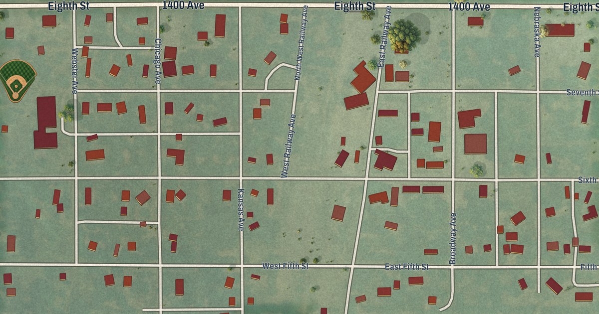
A detailed map of Woodbine, Kansas, showing every building in its true location, the roads by name, and shaded topographical relief.
Read More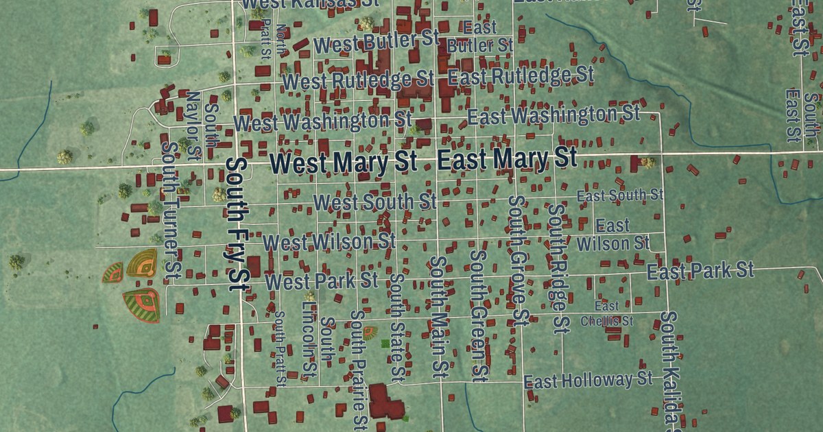
A detailed map of Yates Center, Kansas, showing every building in its true location, the roads by name, and shaded topographical relief.
Read More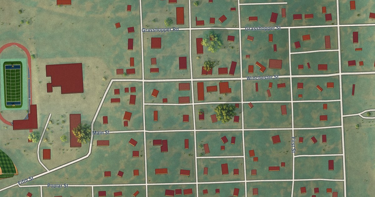
A detailed map of Winchester, Kansas, showing every building in its true location, the roads by name, and shaded topographical relief.
Read More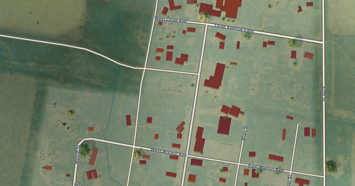
A detailed map of Windom, Kansas, showing every building in its true location, the roads by name, and shaded topographical relief.
Read More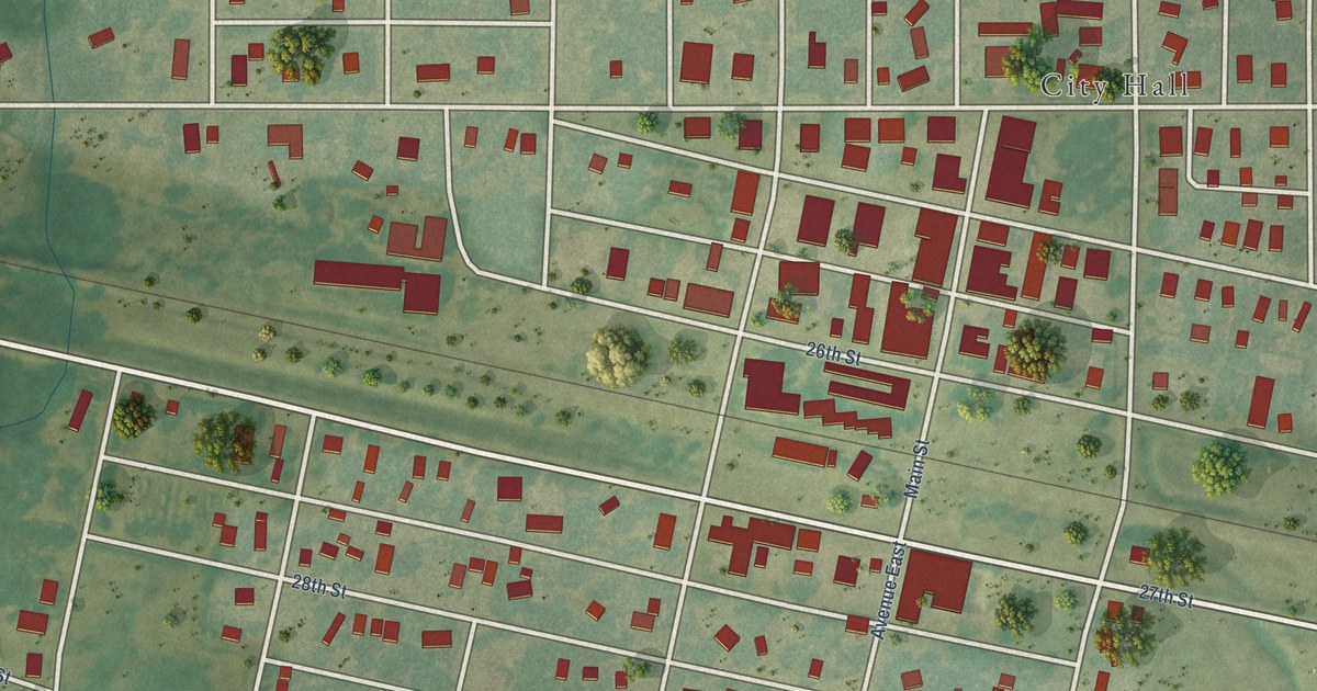
A detailed map of Wilson, Kansas, showing every building in its true location, the roads by name, and shaded topographical relief.
Read More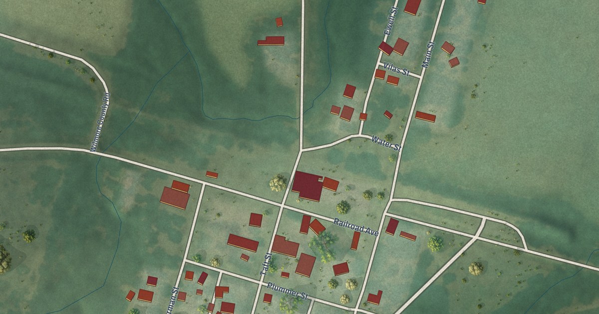
A detailed map of Wilmore, Kansas, showing every building in its true location, the roads by name, and shaded topographical relief.
Read More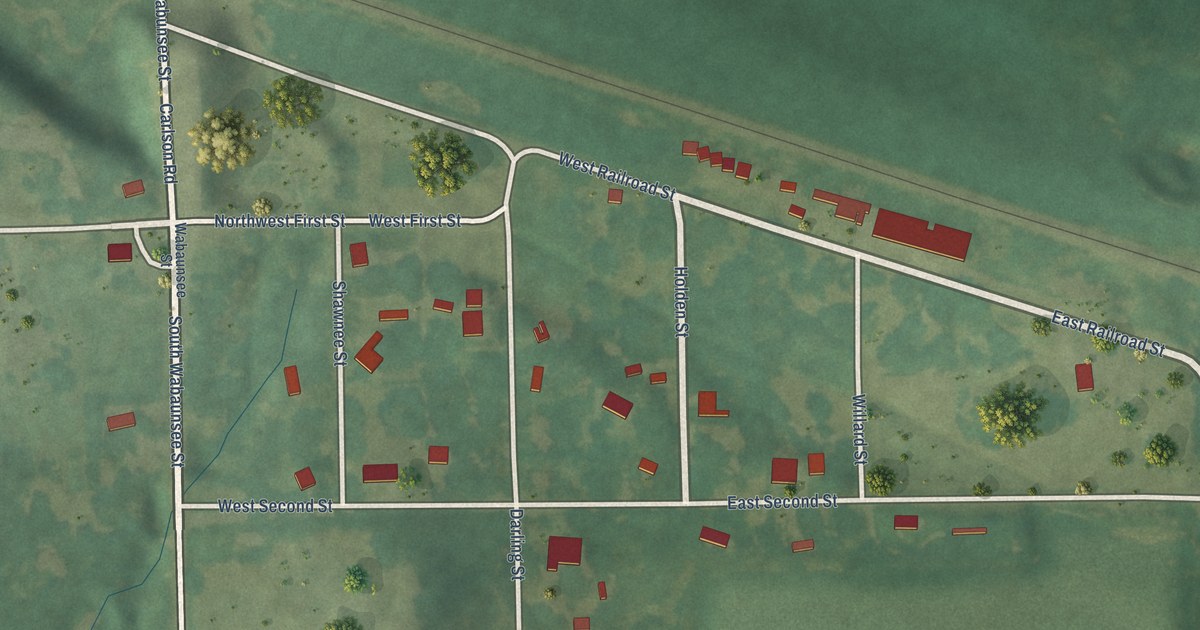
A detailed map of Willard, Kansas, showing every building in its true location, the roads by name, and shaded topographical relief.
Read More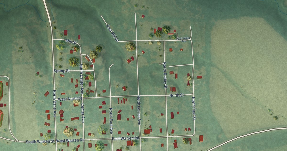
A detailed map of Williamsburg, Kansas, showing every building in its true location, the roads by name, and shaded topographical relief.
Read More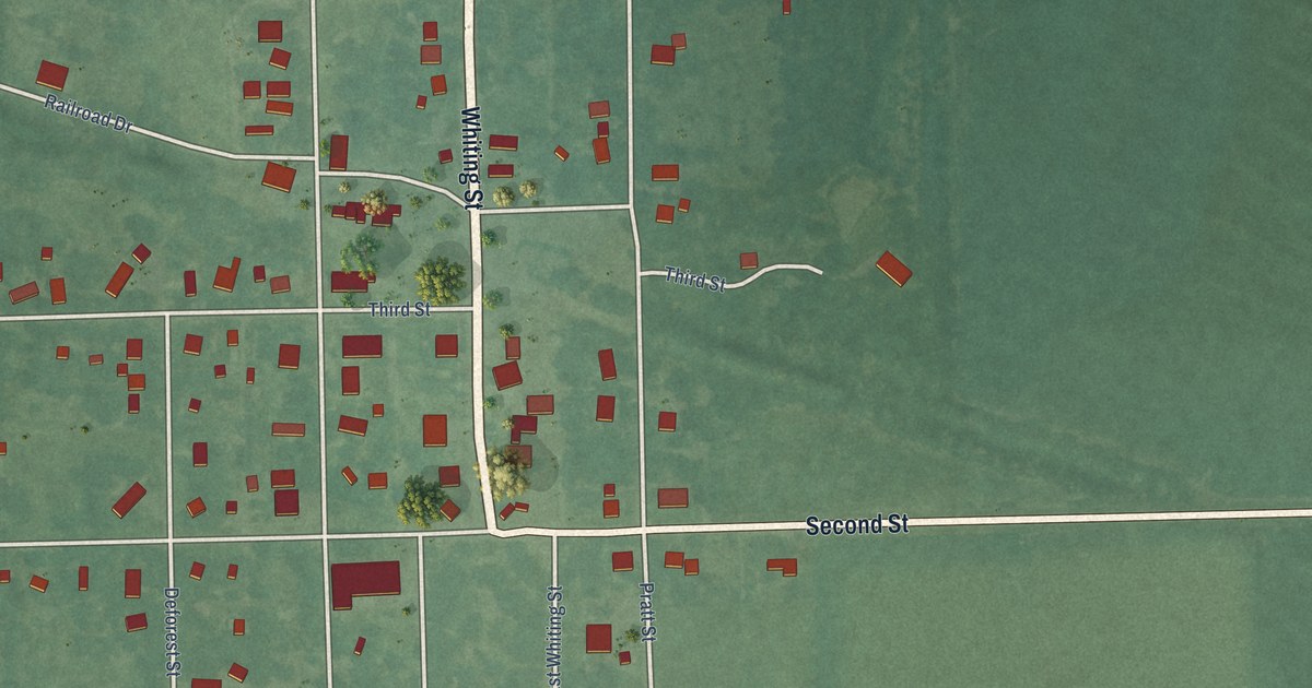
A detailed map of Whiting, Kansas, showing every building in its true location, the roads by name, and shaded topographical relief.
Read More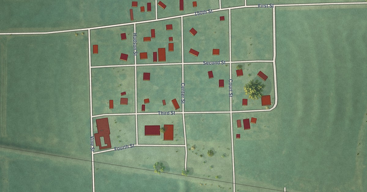
A detailed map of Willis, Kansas, showing every building in its true location, the roads by name, and shaded topographical relief.
Read More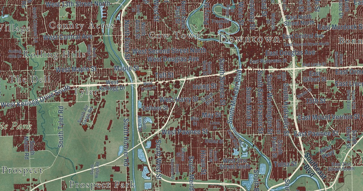
A detailed map of Wichita, Kansas, showing every building in its true location, the roads by name, and shaded topographical relief.
Read More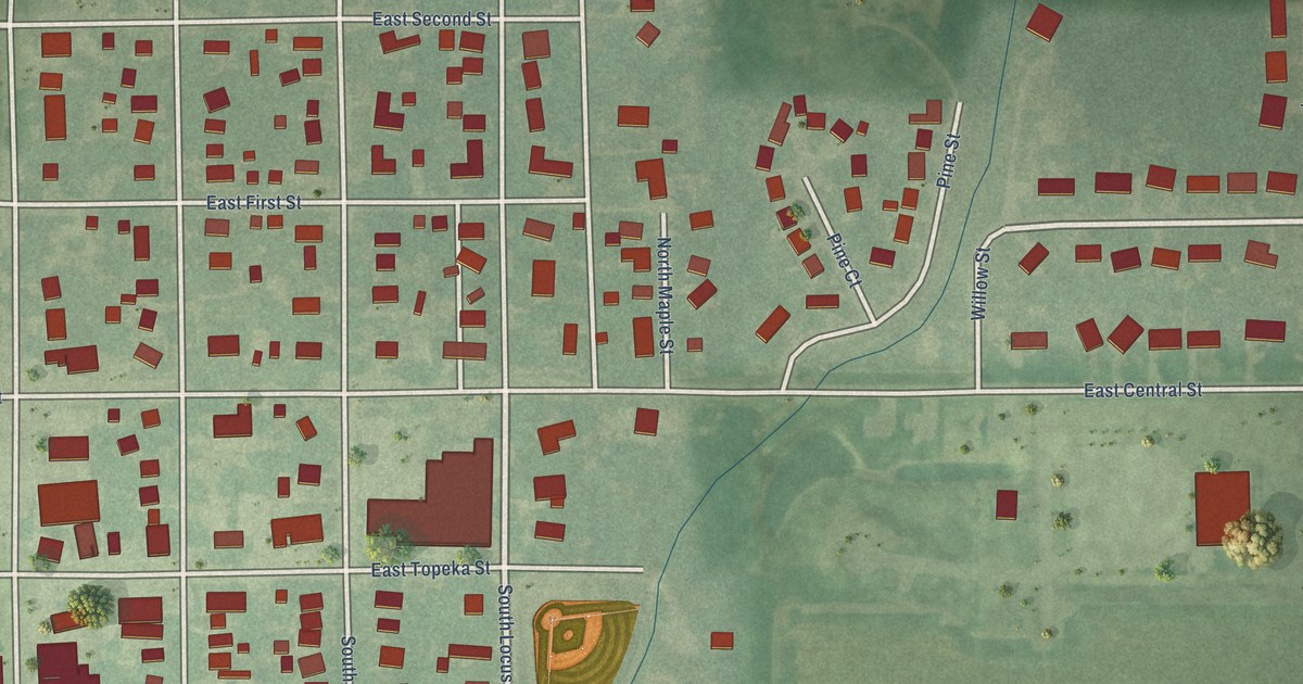
A detailed map of Whitewater, Kansas, showing every building in its true location, the roads by name, and shaded topographical relief.
Read More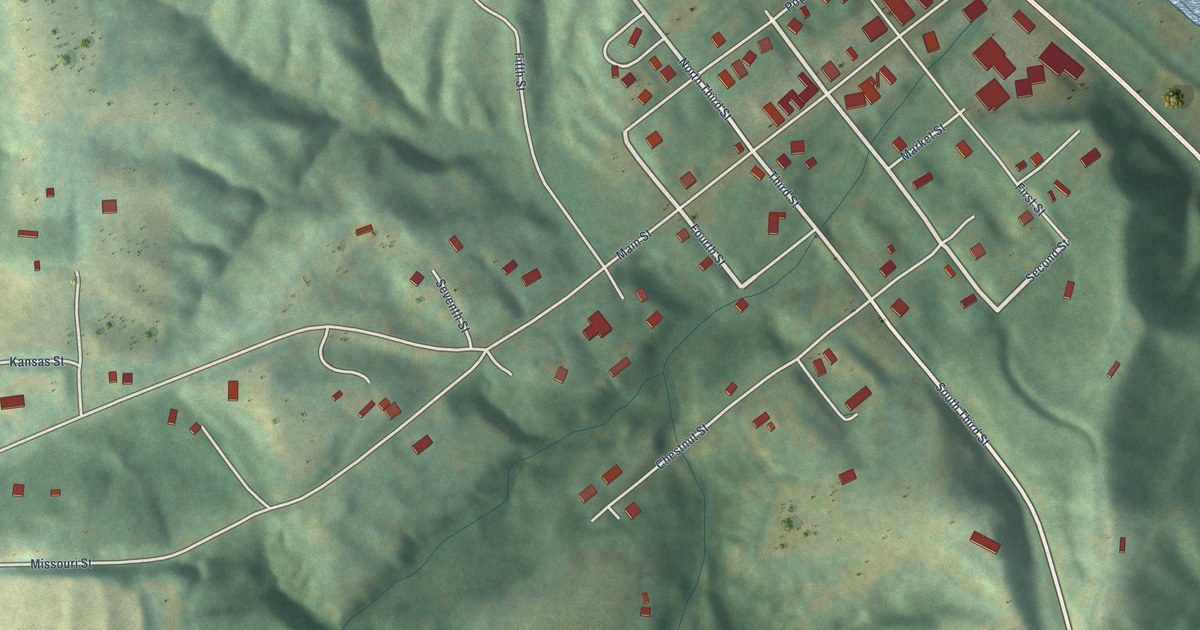
A detailed map of White Cloud, Kansas, showing every building in its true location, the roads by name, and shaded topographical relief.
Read More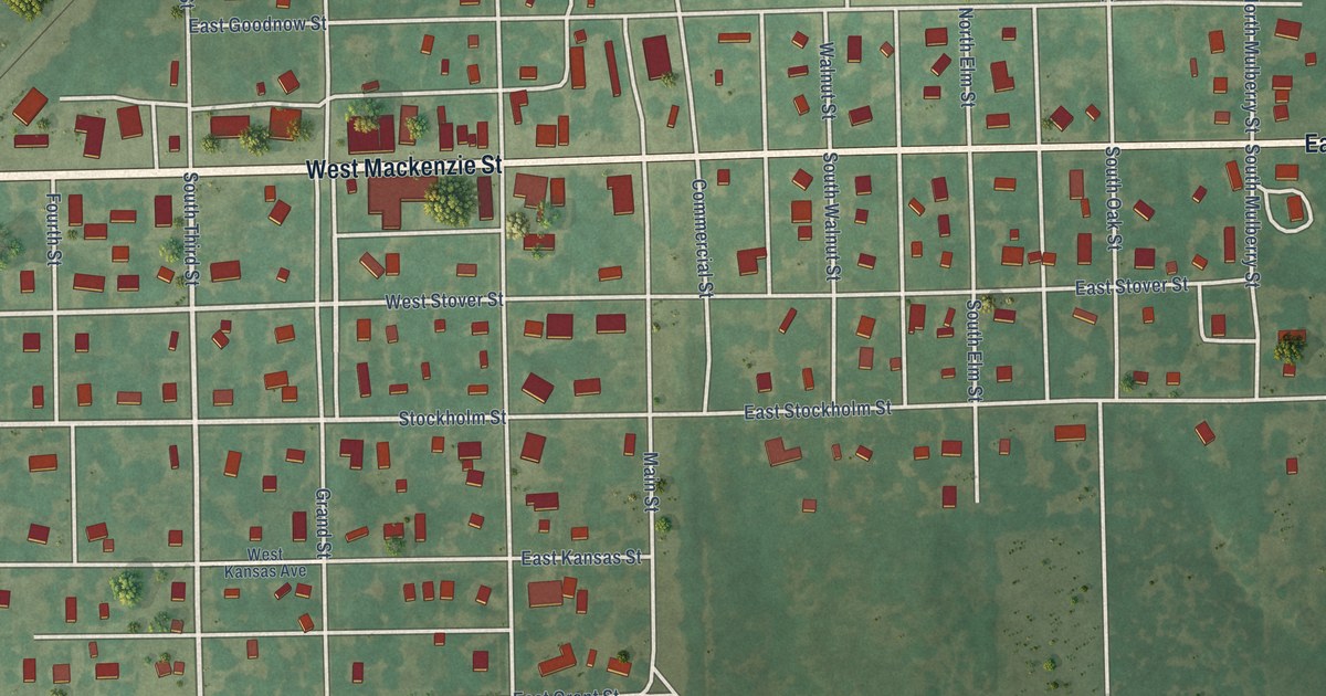
A detailed map of White City, Kansas, showing every building in its true location, the roads by name, and shaded topographical relief.
Read More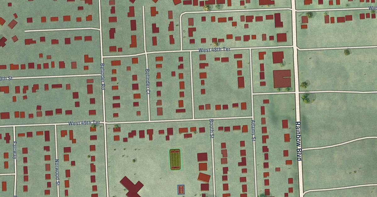
A detailed map of Westwood, Kansas, showing every building in its true location, the roads by name, and shaded topographical relief.
Read More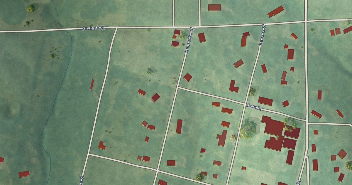
A detailed map of Wetmore, Kansas, showing every building in its true location, the roads by name, and shaded topographical relief.
Read More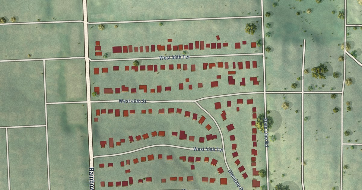
A detailed map of Westwood Hills, Kansas, showing every building in its true location, the roads by name, and shaded topographical relief.
Read More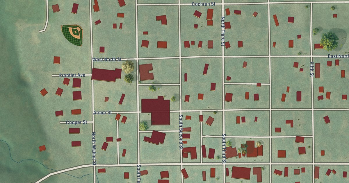
A detailed map of Westmoreland, Kansas, showing every building in its true location, the roads by name, and shaded topographical relief.
Read More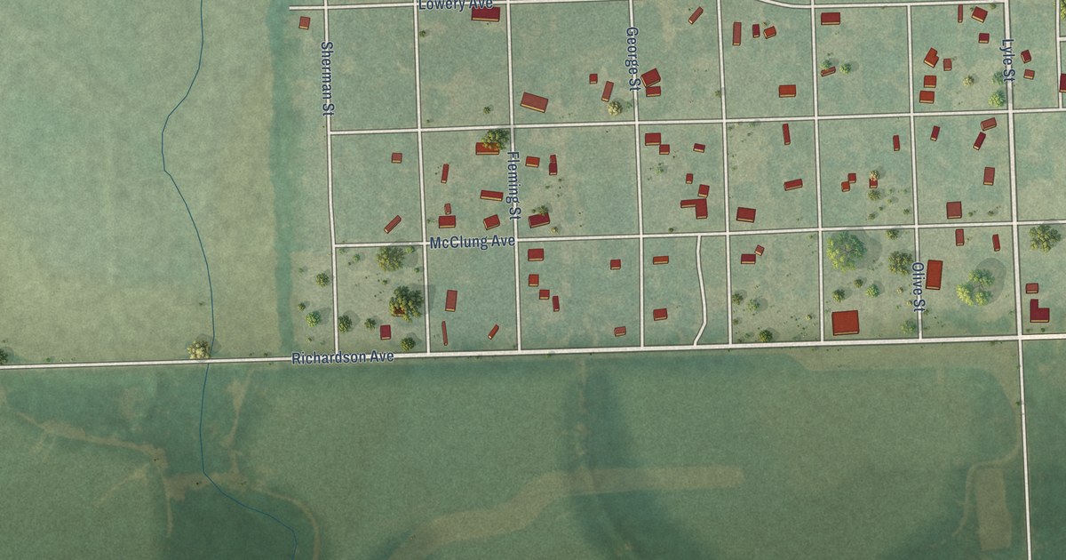
A detailed map of West Mineral, Kansas, showing every building in its true location, the roads by name, and shaded topographical relief.
Read More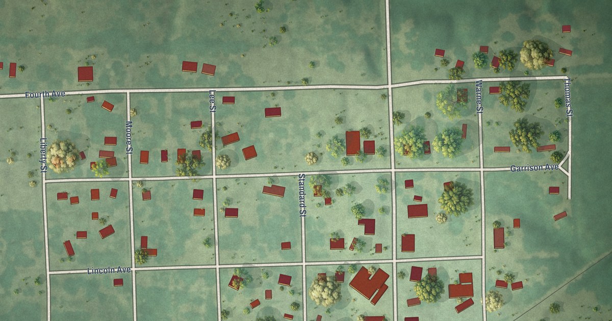
A detailed map of Westphalia, Kansas, showing every building in its true location, the roads by name, and shaded topographical relief.
Read More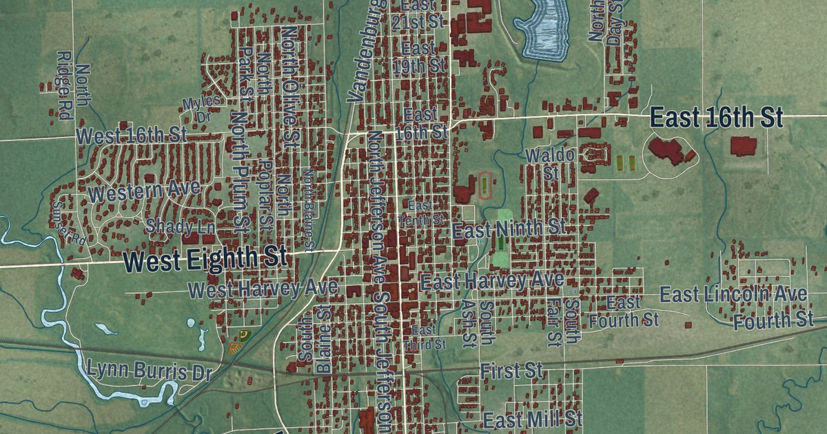
A detailed map of Wellington, Kansas, showing every building in its true location, the roads by name, and shaded topographical relief.
Read More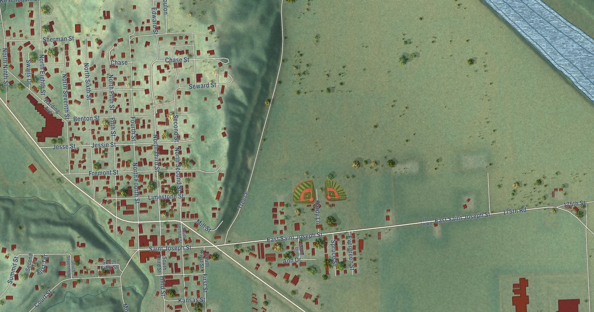
A detailed map of Wathena, Kansas, showing every building in its true location, the roads by name, and shaded topographical relief.
Read More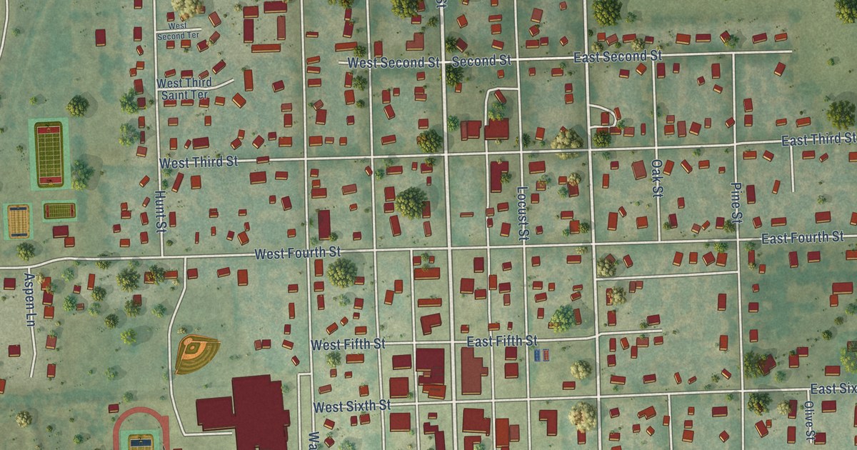
A detailed map of Wellsville, Kansas, showing every building in its true location, the roads by name, and shaded topographical relief.
Read More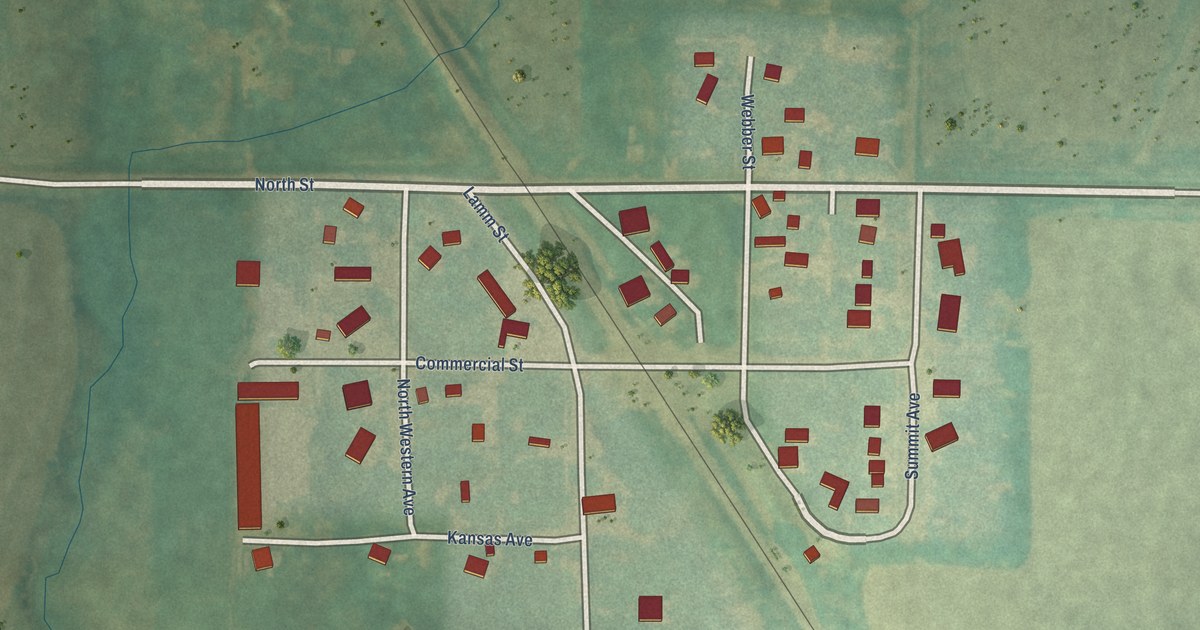
A detailed map of Webber, Kansas, showing every building in its true location, the roads by name, and shaded topographical relief.
Read More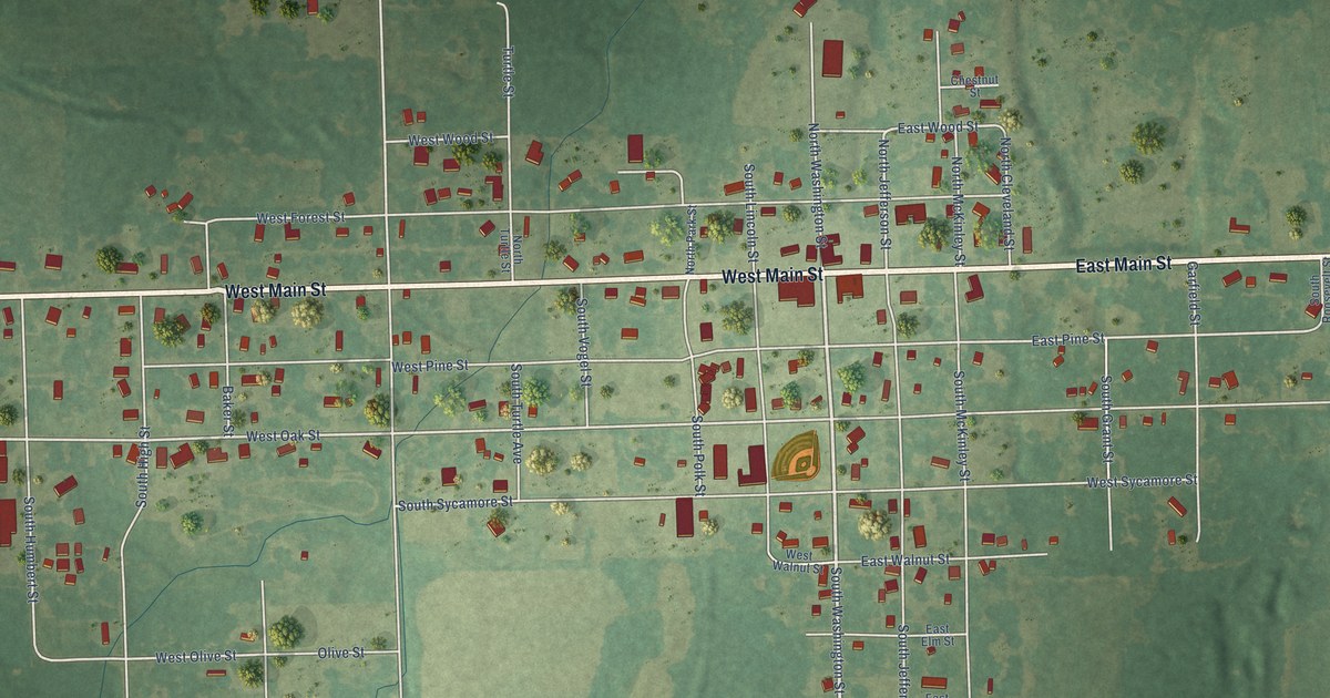
A detailed map of Weir, Kansas, showing every building in its true location, the roads by name, and shaded topographical relief.
Read More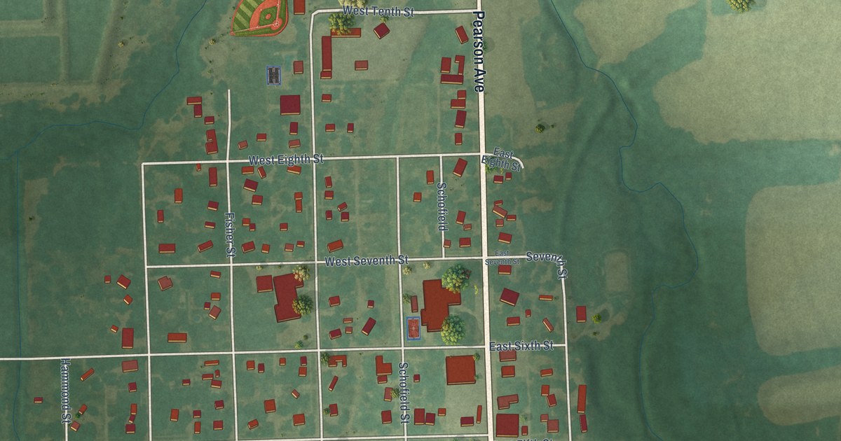
A detailed map of Waverly, Kansas, showing every building in its true location, the roads by name, and shaded topographical relief.
Read More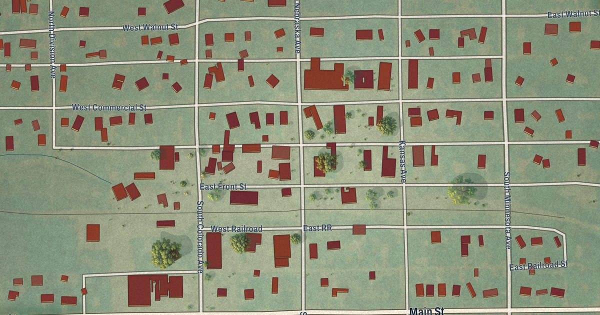
A detailed map of Waterville, Kansas, showing every building in its true location, the roads by name, and shaded topographical relief.
Read More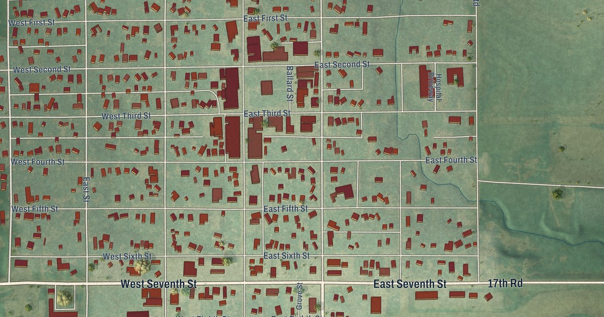
A detailed map of Washington, Kansas, showing every building in its true location, the roads by name, and shaded topographical relief.
Read More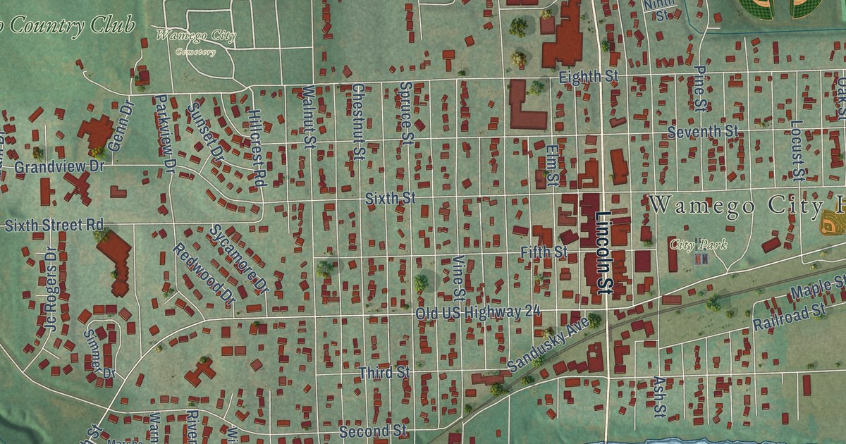
A detailed map of Wamego, Kansas, showing every building in its true location, the roads by name, and shaded topographical relief.
Read More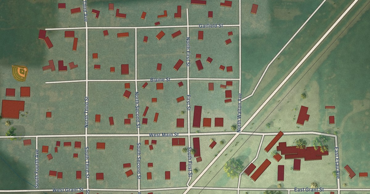
A detailed map of Walton, Kansas, showing every building in its true location, the roads by name, and shaded topographical relief.
Read More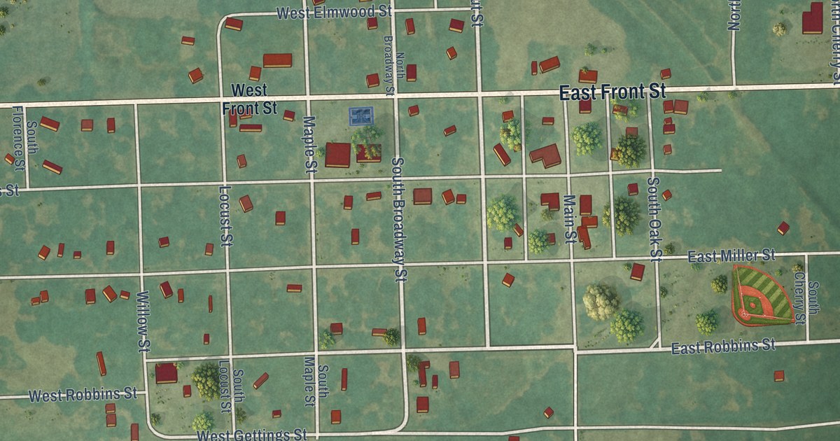
A detailed map of Walnut, Kansas, showing every building in its true location, the roads by name, and shaded topographical relief.
Read More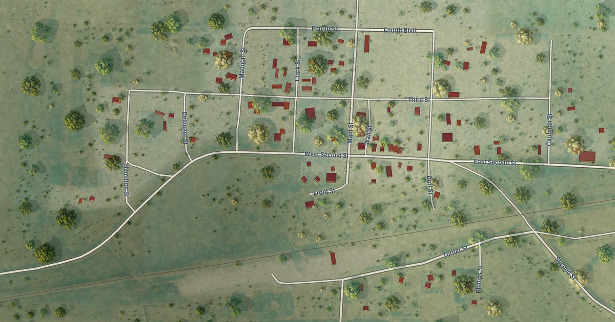
A detailed map of Wallace, Kansas, showing every building in its true location, the roads by name, and shaded topographical relief.
Read More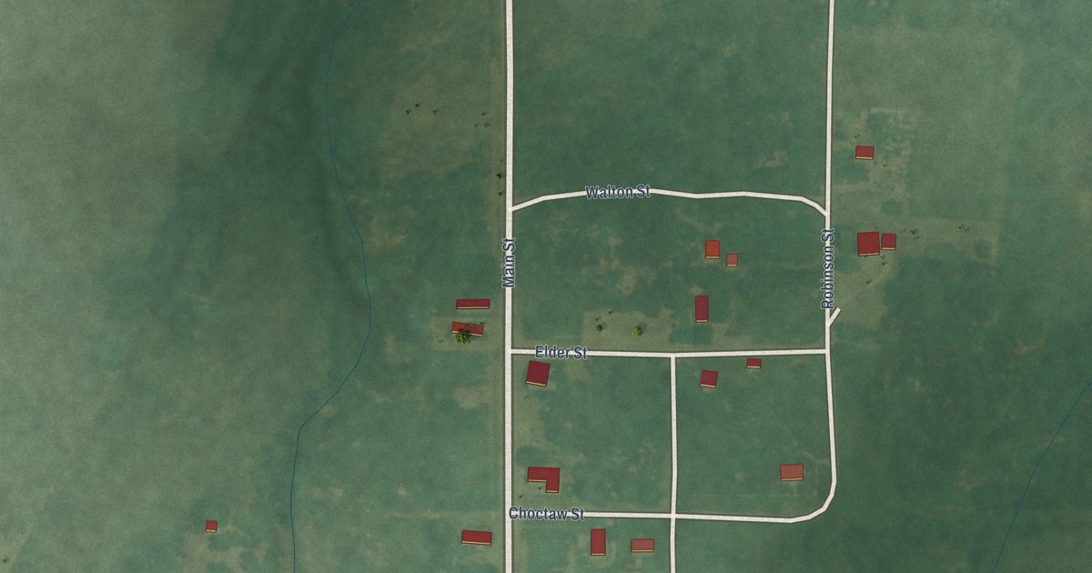
A detailed map of Waldron, Kansas, showing every building in its true location, the roads by name, and shaded topographical relief.
Read More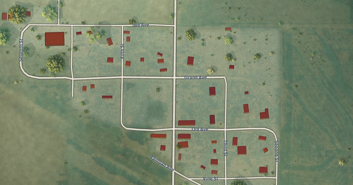
A detailed map of Waldo, Kansas, showing every building in its true location, the roads by name, and shaded topographical relief.
Read More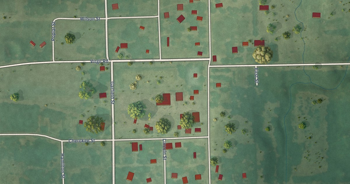
A detailed map of Virgil, Kansas, showing every building in its true location, the roads by name, and shaded topographical relief.
Read More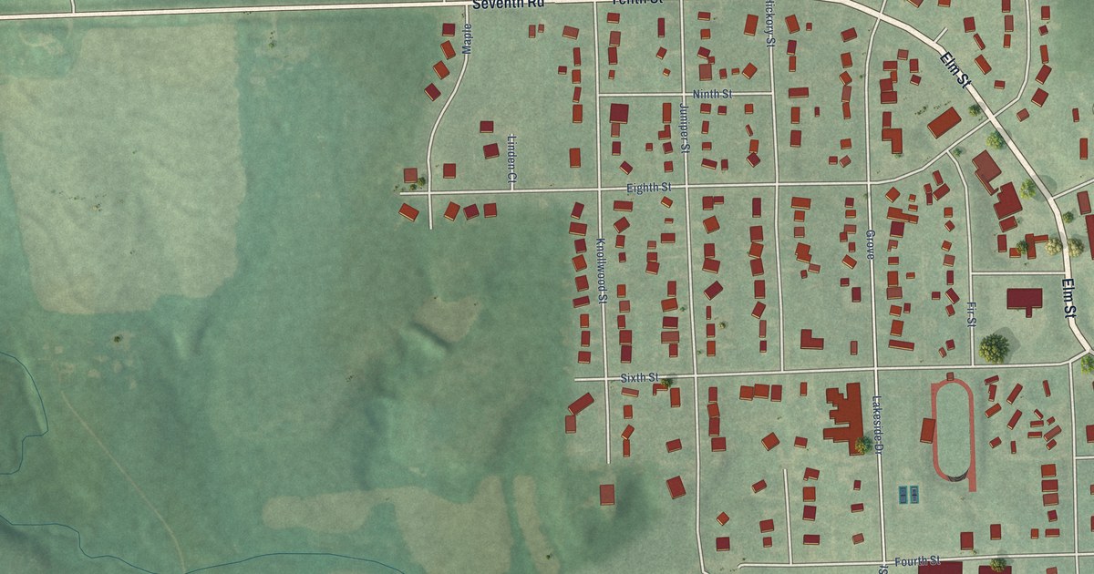
A detailed map of Wakefield, Kansas, showing every building in its true location, the roads by name, and shaded topographical relief.
Read More















