Detailed Map of Humboldt, Kansas
A detailed map of Humboldt, Kansas, showing every building in its true location, the roads by name, and shaded topographical relief.
Read More
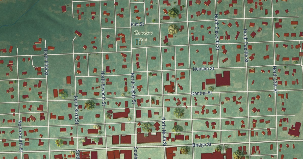
A detailed map of Humboldt, Kansas, showing every building in its true location, the roads by name, and shaded topographical relief.
Read More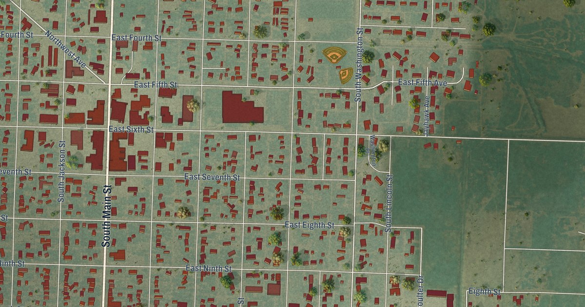
A detailed map of Hugoton, Kansas, showing every building in its true location, the roads by name, and shaded topographical relief.
Read More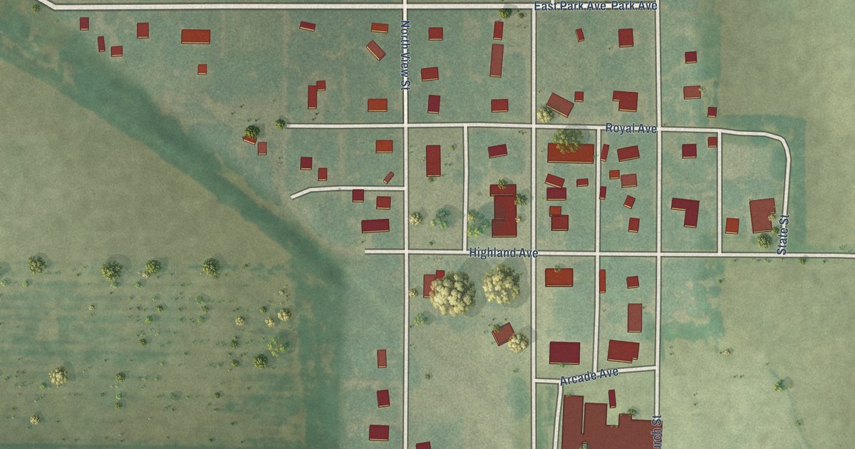
A detailed map of Hudson, Kansas, showing every building in its true location, the roads by name, and shaded topographical relief.
Read More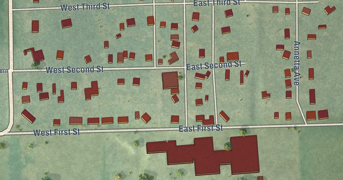
A detailed map of Hoyt, Kansas, showing every building in its true location, the roads by name, and shaded topographical relief.
Read More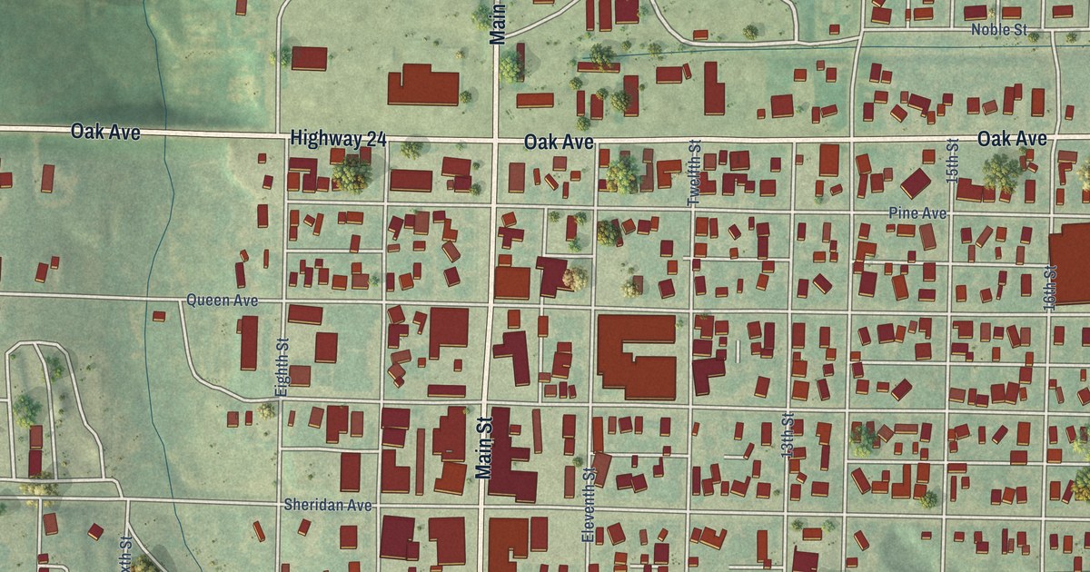
A detailed map of Hoxie, Kansas, showing every building in its true location, the roads by name, and shaded topographical relief.
Read More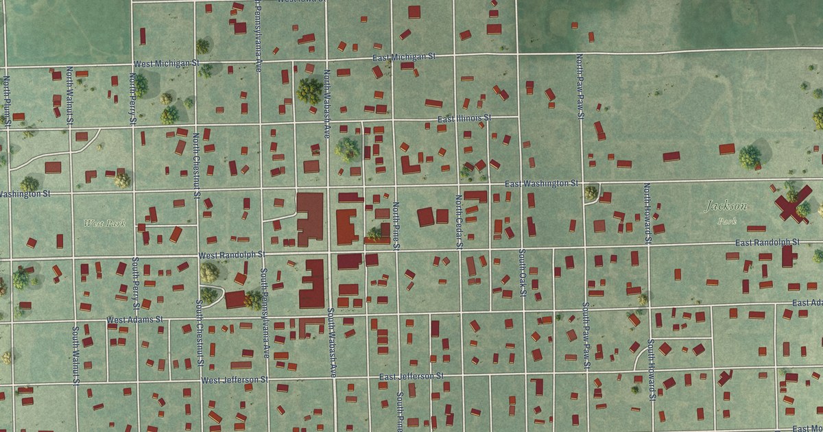
A detailed map of Howard, Kansas, showing every building in its true location, the roads by name, and shaded topographical relief.
Read More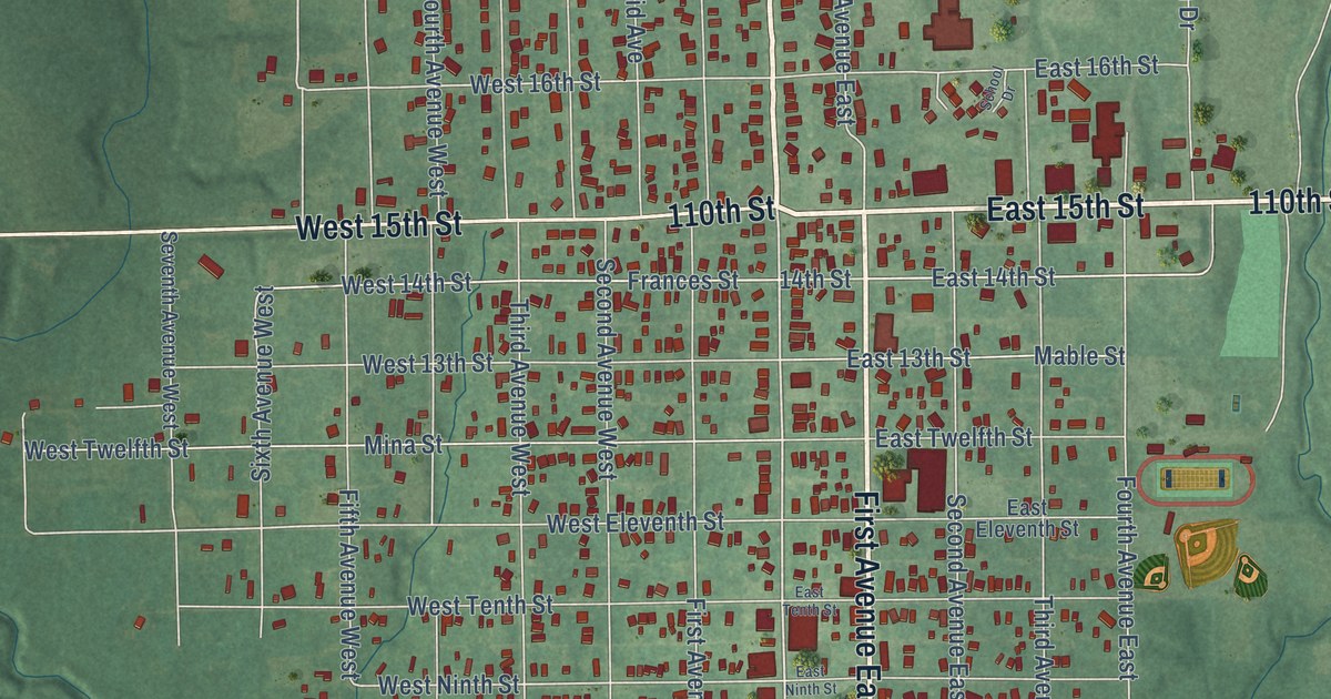
A detailed map of Horton, Kansas, showing every building in its true location, the roads by name, and shaded topographical relief.
Read More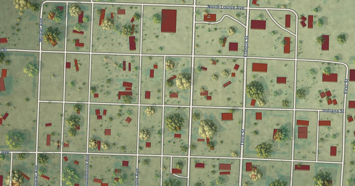
A detailed map of Horace, Kansas, showing every building in its true location, the roads by name, and shaded topographical relief.
Read More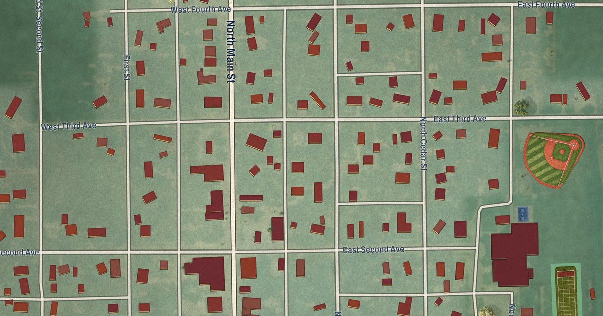
A detailed map of Hope, Kansas, showing every building in its true location, the roads by name, and shaded topographical relief.
Read More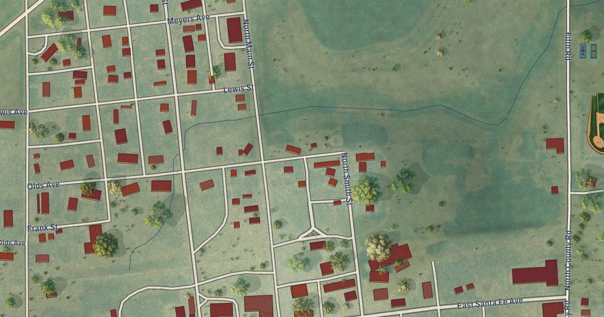
A detailed map of Holyrood, Kansas, showing every building in its true location, the roads by name, and shaded topographical relief.
Read More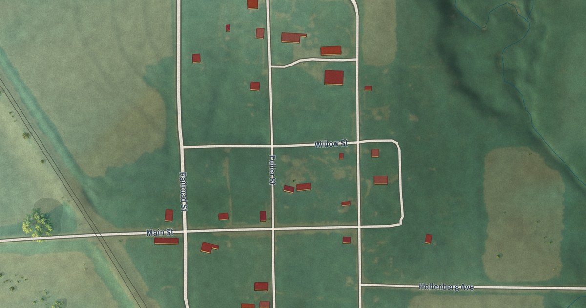
A detailed map of Hollenberg, Kansas, showing every building in its true location, the roads by name, and shaded topographical relief.
Read More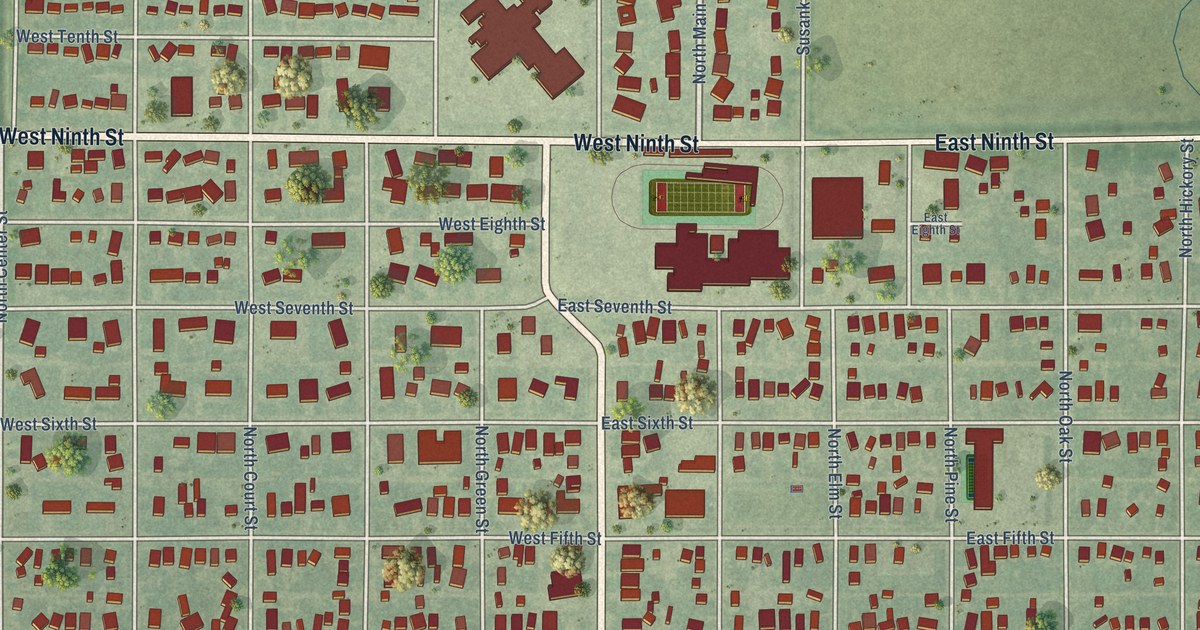
A detailed map of Hoisington, Kansas, showing every building in its true location, the roads by name, and shaded topographical relief.
Read More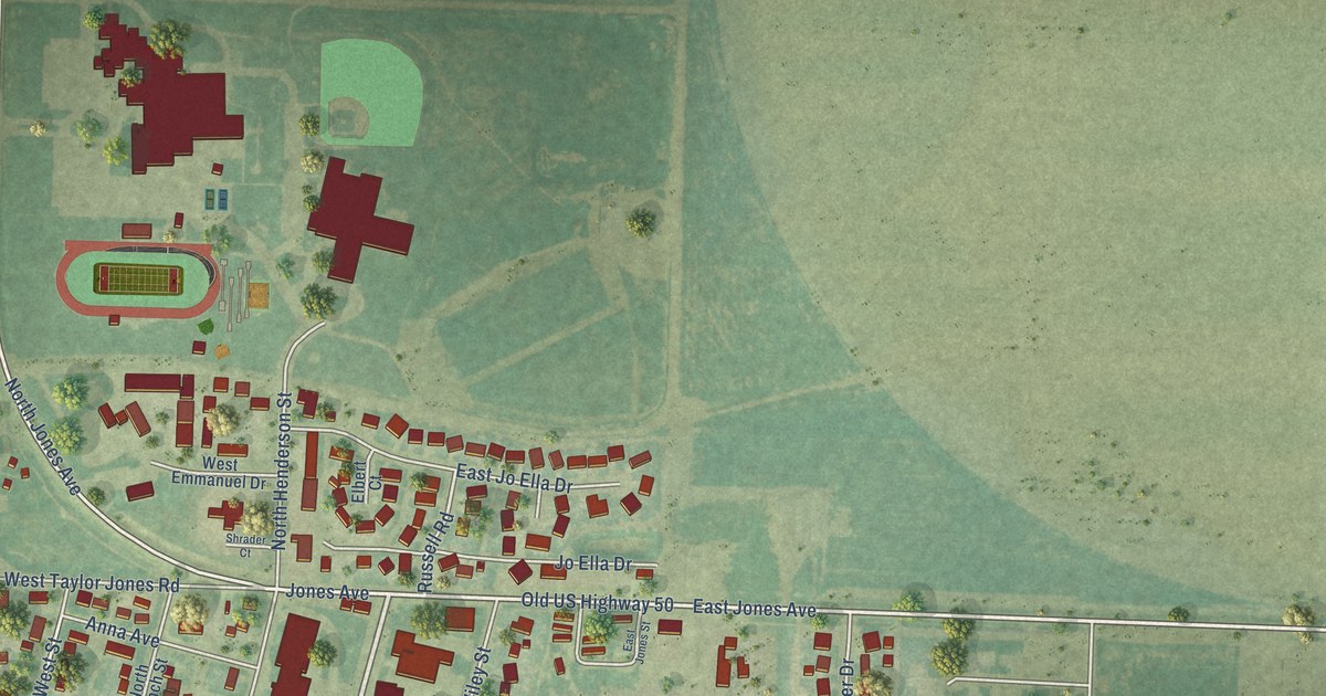
A detailed map of Holcomb, Kansas, showing every building in its true location, the roads by name, and shaded topographical relief.
Read More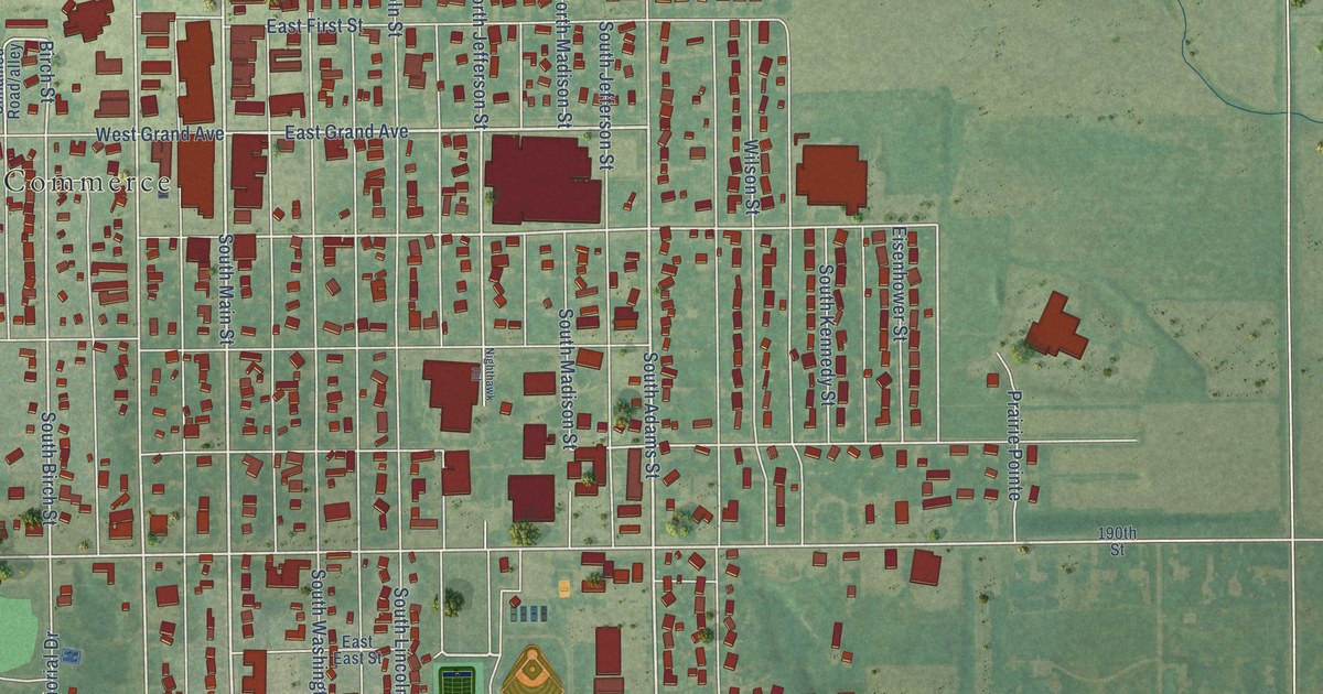
A detailed map of Hillsboro, Kansas, showing every building in its true location, the roads by name, and shaded topographical relief.
Read More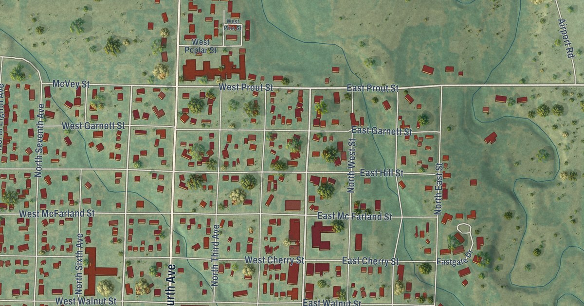
A detailed map of Hill City, Kansas, showing every building in its true location, the roads by name, and shaded topographical relief.
Read More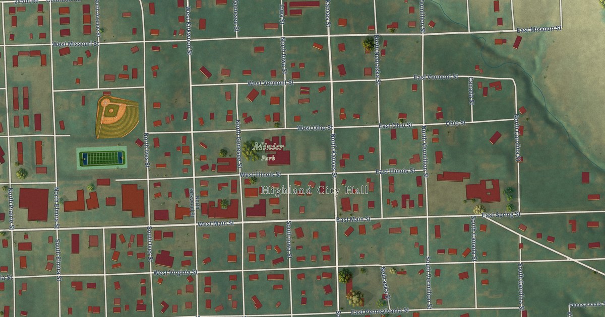
A detailed map of Highland, Kansas, showing every building in its true location, the roads by name, and shaded topographical relief.
Read More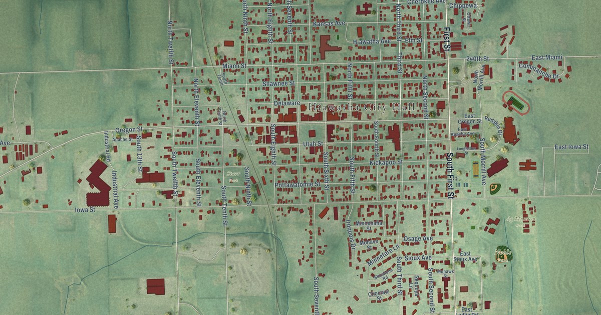
A detailed map of Hiawatha, Kansas, showing every building in its true location, the roads by name, and shaded topographical relief.
Read More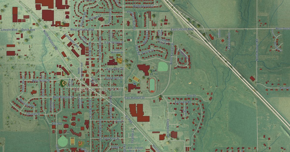
A detailed map of Hesston, Kansas, showing every building in its true location, the roads by name, and shaded topographical relief.
Read More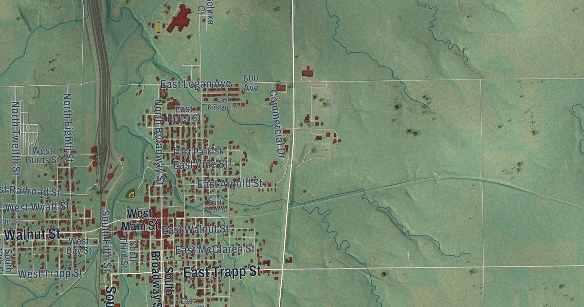
A detailed map of Herington, Kansas, showing every building in its true location, the roads by name, and shaded topographical relief.
Read More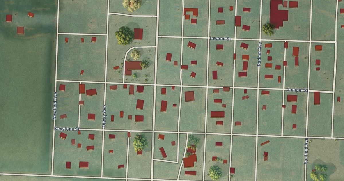
A detailed map of Herndon, Kansas, showing every building in its true location, the roads by name, and shaded topographical relief.
Read More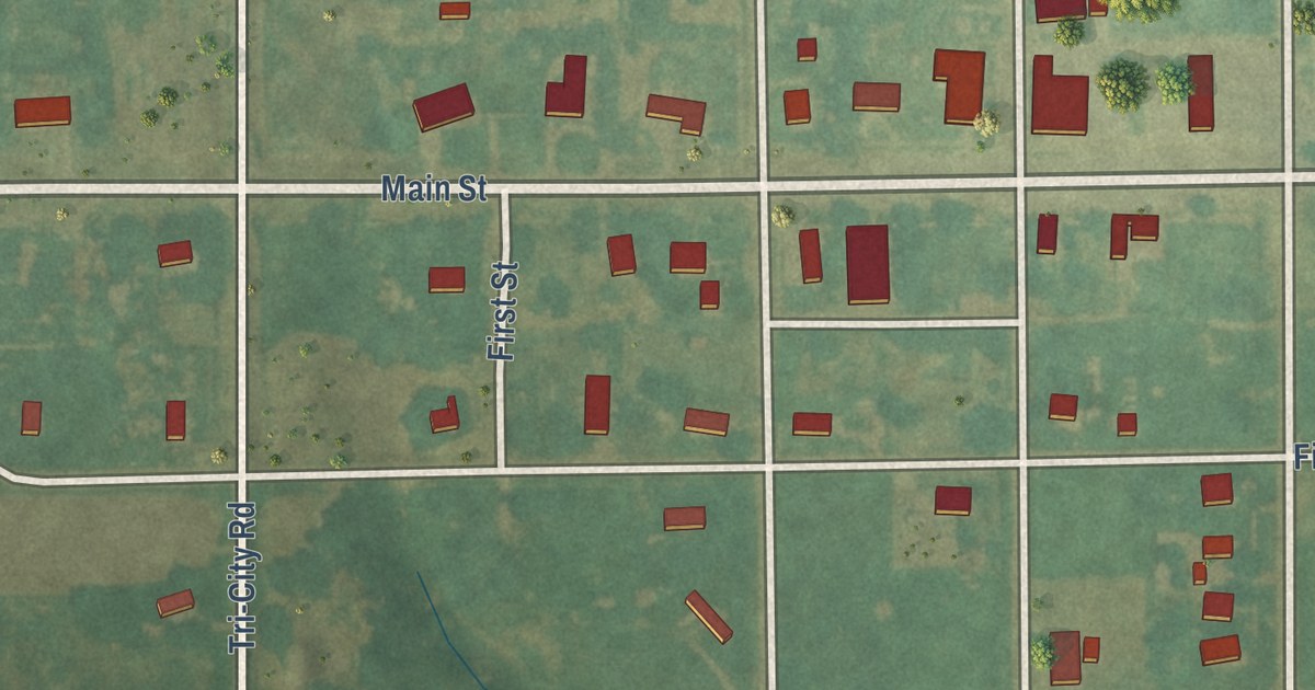
A detailed map of Hazelton, Kansas, showing every building in its true location, the roads by name, and shaded topographical relief.
Read More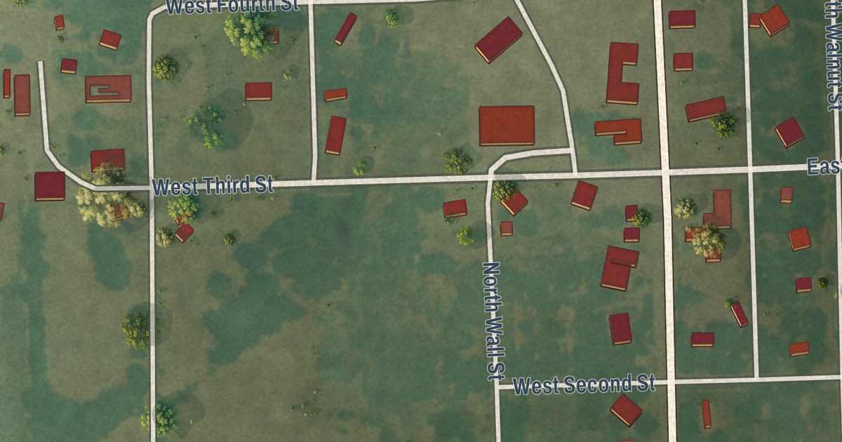
A detailed map of Hepler, Kansas, showing every building in its true location, the roads by name, and shaded topographical relief.
Read More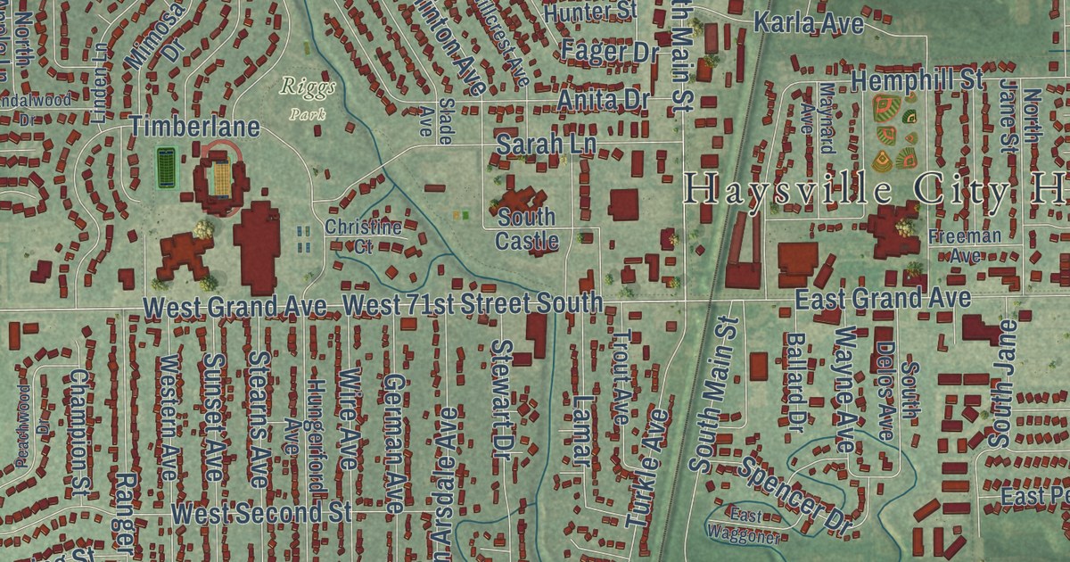
A detailed map of Haysville, Kansas, showing every building in its true location, the roads by name, and shaded topographical relief.
Read More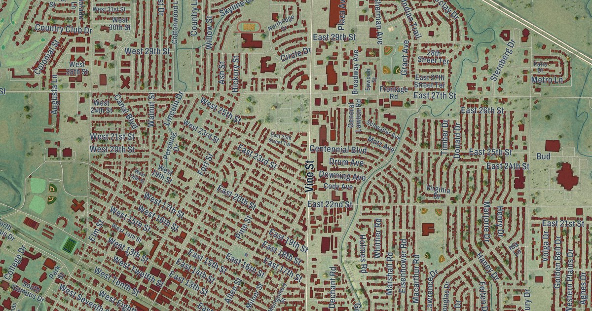
A detailed map of Hays, Kansas, showing every building in its true location, the roads by name, and shaded topographical relief.
Read More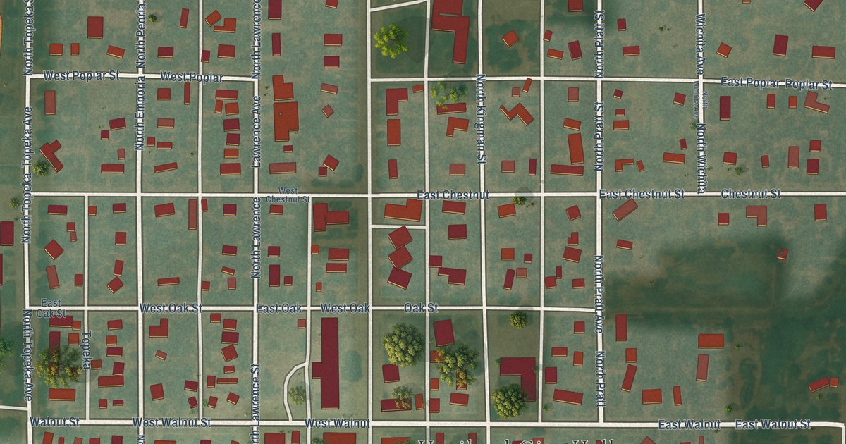
A detailed map of Haviland, Kansas, showing every building in its true location, the roads by name, and shaded topographical relief.
Read More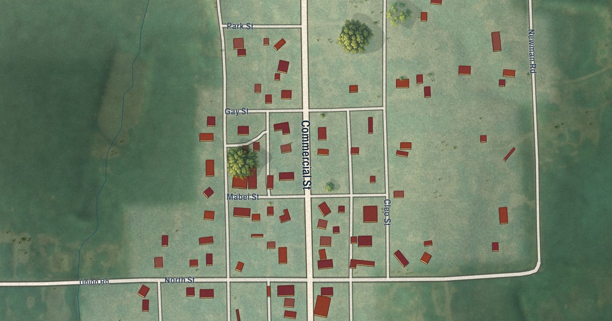
A detailed map of Havensville, Kansas, showing every building in its true location, the roads by name, and shaded topographical relief.
Read More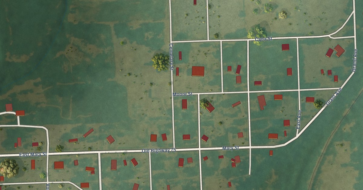
A detailed map of Havana, Kansas, showing every building in its true location, the roads by name, and shaded topographical relief.
Read More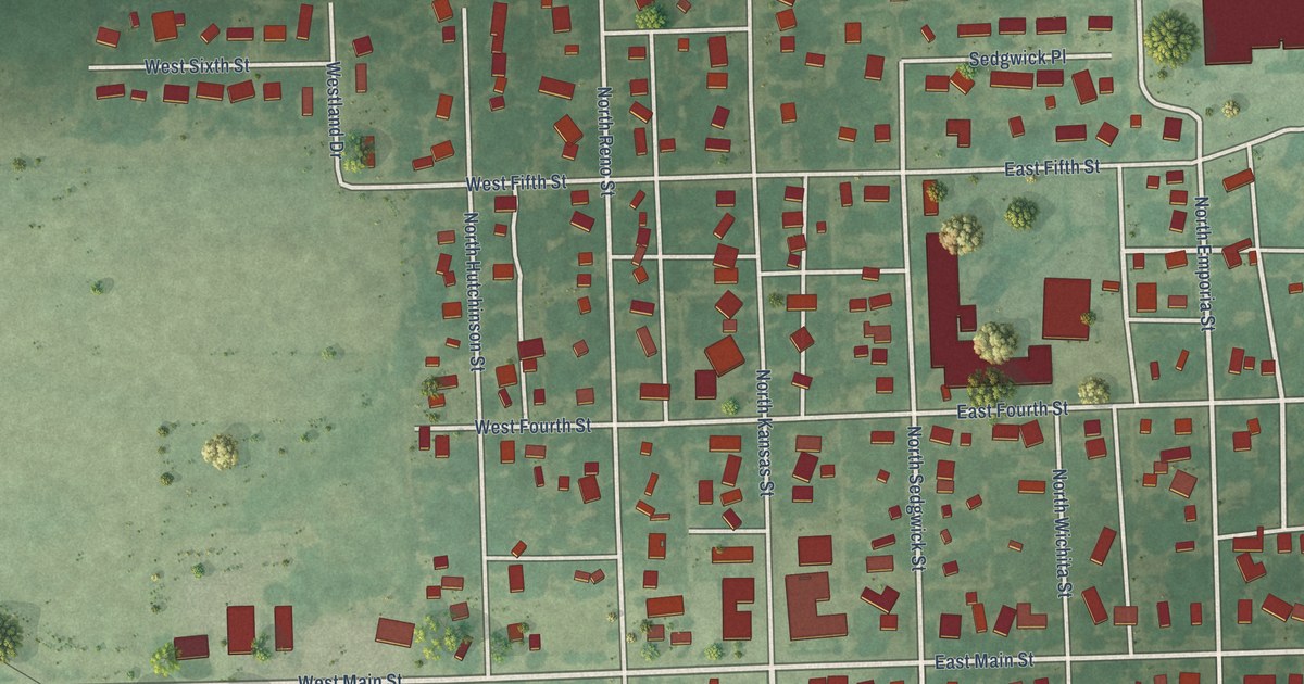
A detailed map of Haven, Kansas, showing every building in its true location, the roads by name, and shaded topographical relief.
Read More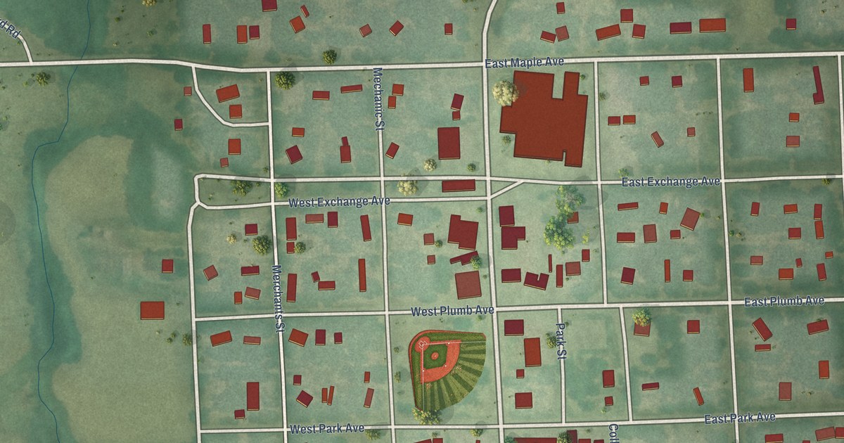
A detailed map of Hartford, Kansas, showing every building in its true location, the roads by name, and shaded topographical relief.
Read More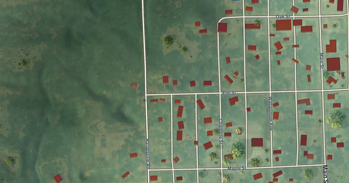
A detailed map of Harveyville, Kansas, showing every building in its true location, the roads by name, and shaded topographical relief.
Read More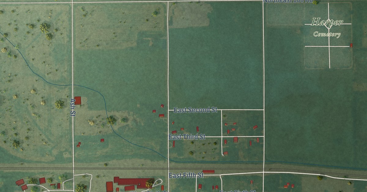
A detailed map of Harper, Kansas, showing every building in its true location, the roads by name, and shaded topographical relief.
Read More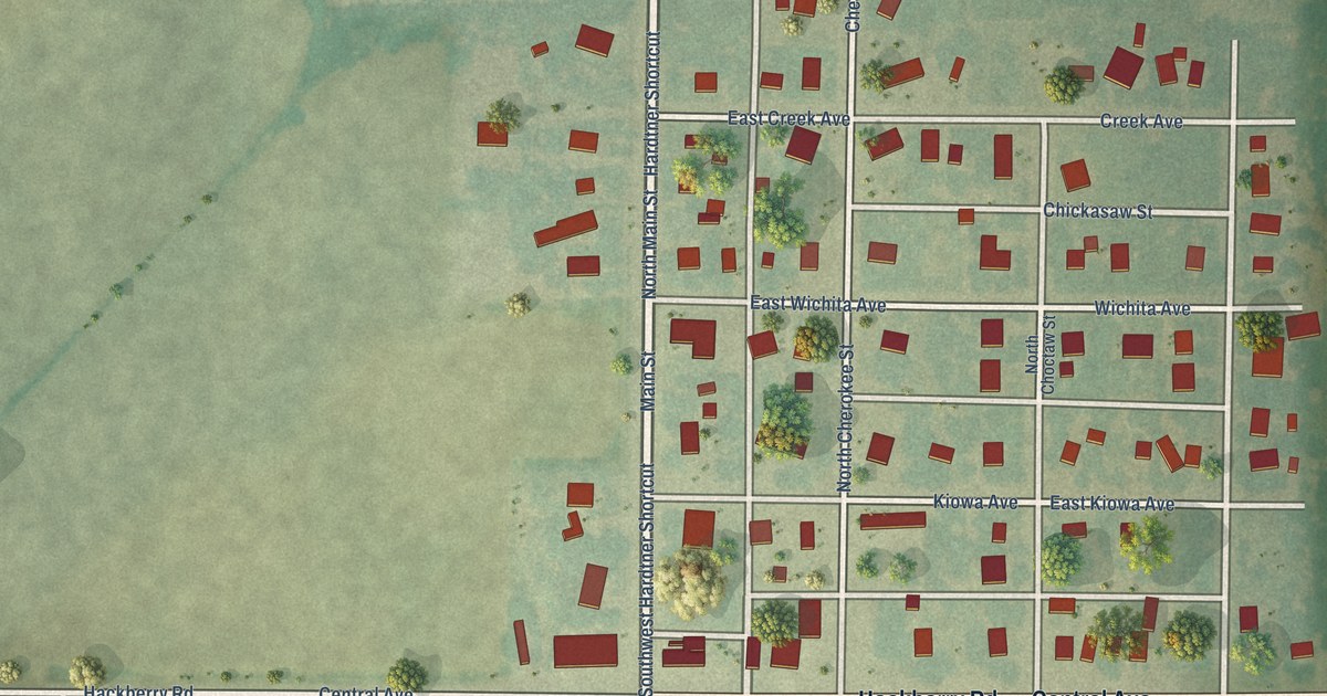
A detailed map of Hardtner, Kansas, showing every building in its true location, the roads by name, and shaded topographical relief.
Read More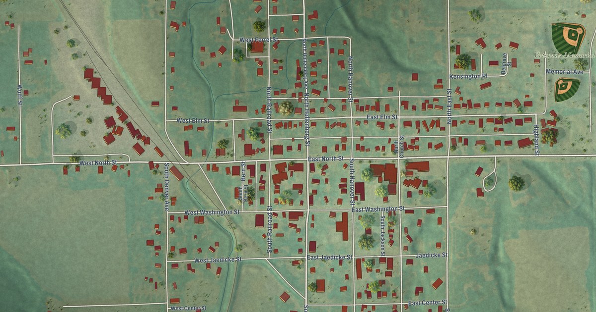
A detailed map of Hanover, Kansas, showing every building in its true location, the roads by name, and shaded topographical relief.
Read More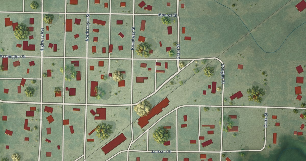
A detailed map of Hanston, Kansas, showing every building in its true location, the roads by name, and shaded topographical relief.
Read More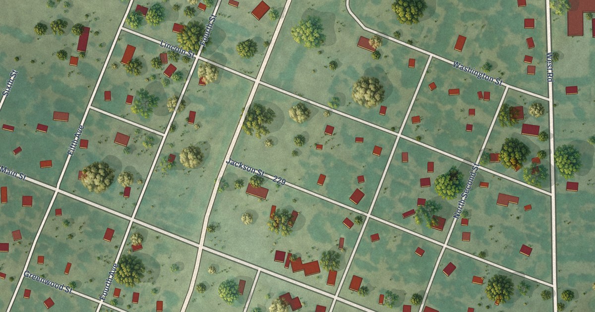
A detailed map of Hamilton, Kansas, showing every building in its true location, the roads by name, and shaded topographical relief.
Read More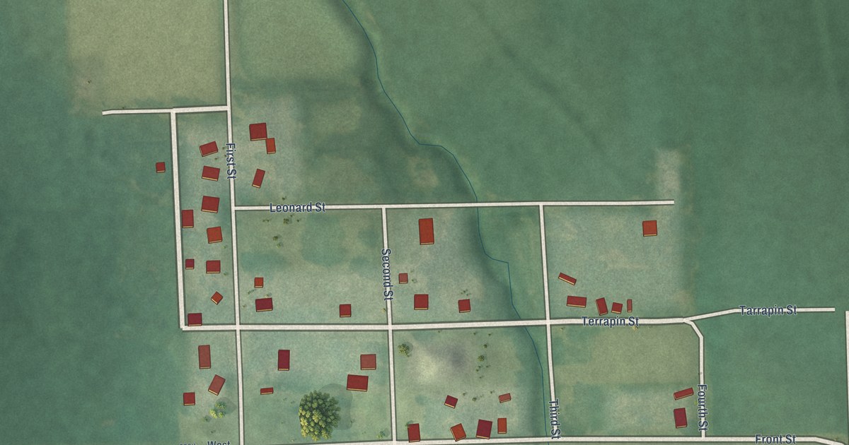
A detailed map of Hamlin, Kansas, showing every building in its true location, the roads by name, and shaded topographical relief.
Read More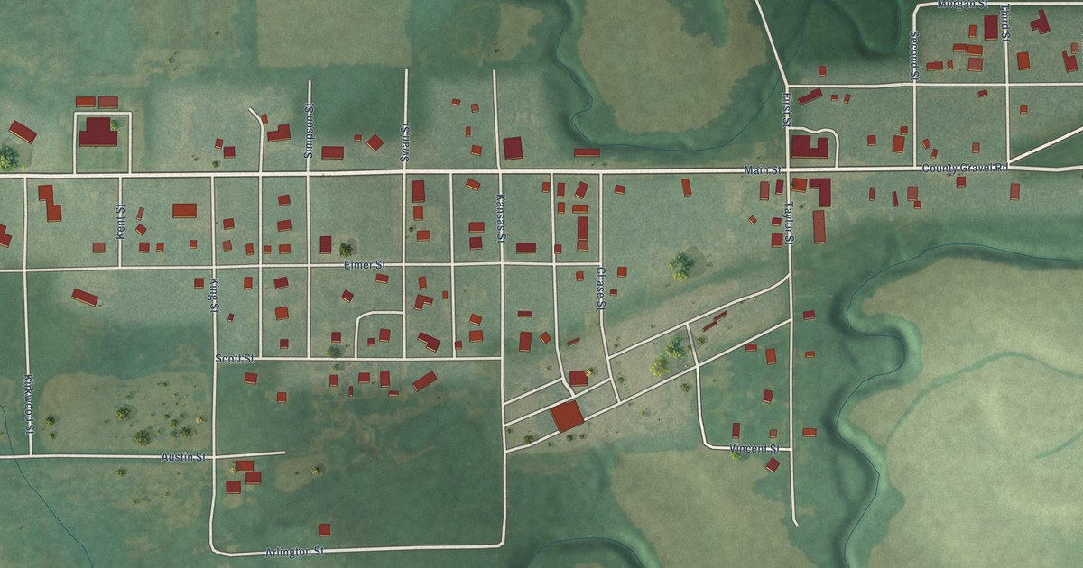
A detailed map of Haddam, Kansas, showing every building in its true location, the roads by name, and shaded topographical relief.
Read More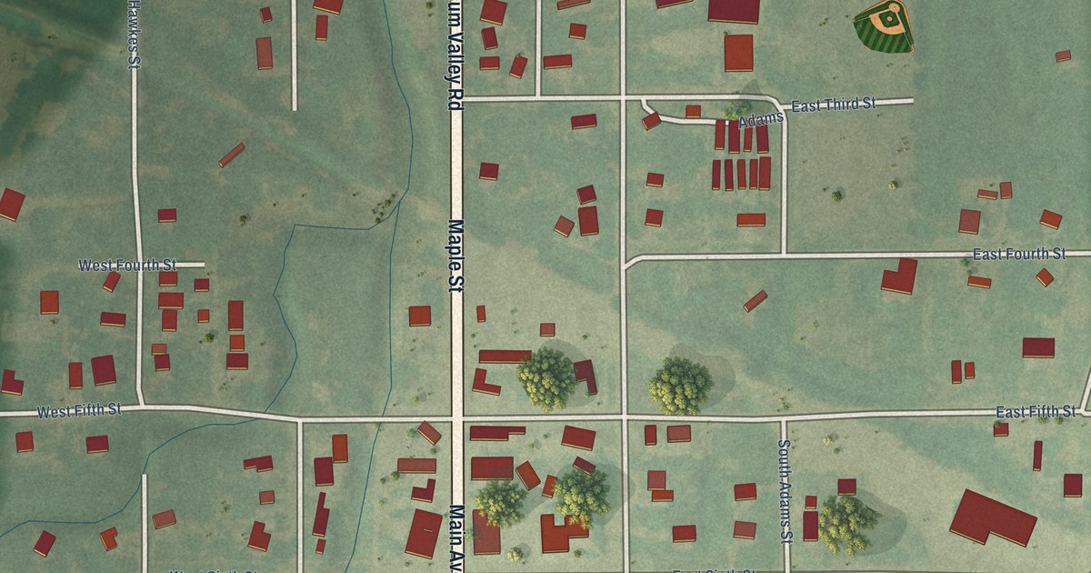
A detailed map of Gypsum, Kansas, showing every building in its true location, the roads by name, and shaded topographical relief.
Read More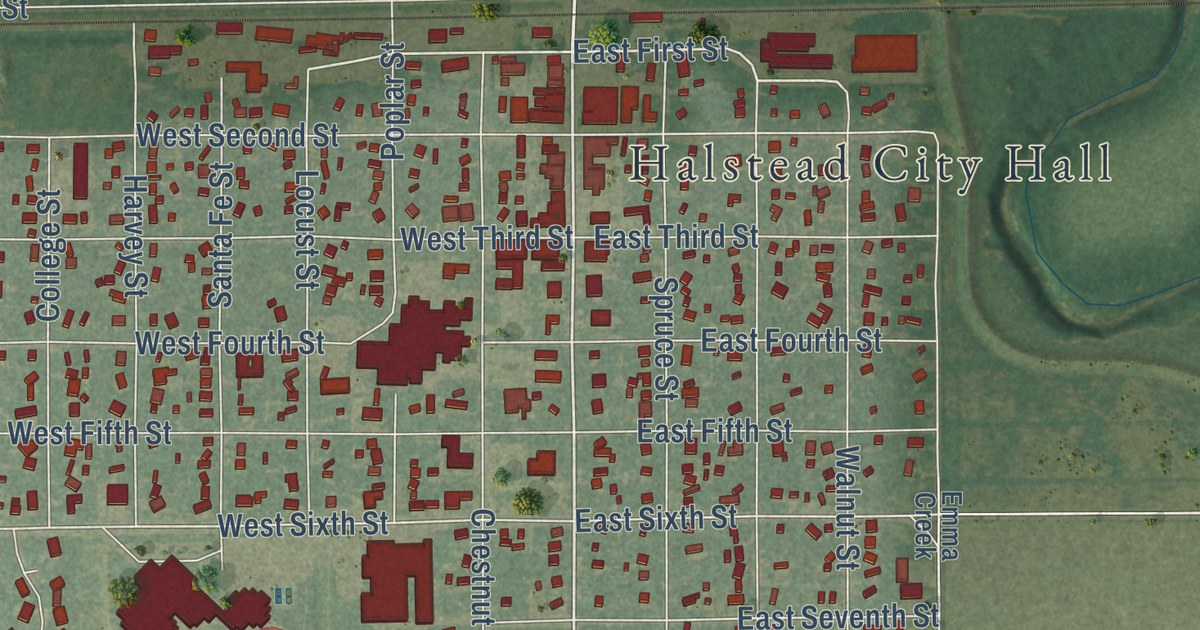
A detailed map of Halstead, Kansas, showing every building in its true location, the roads by name, and shaded topographical relief.
Read More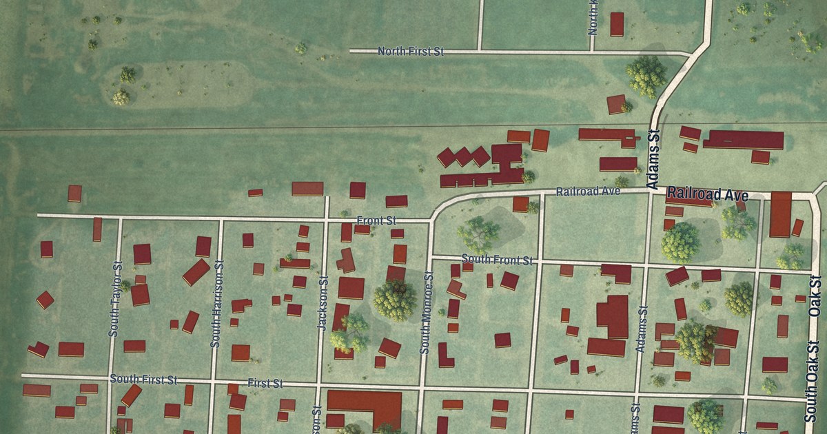
A detailed map of Grinnell, Kansas, showing every building in its true location, the roads by name, and shaded topographical relief.
Read More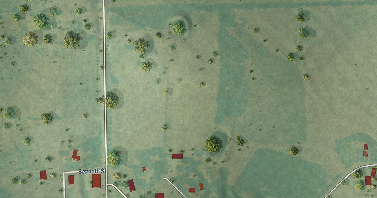
A detailed map of Gridley, Kansas, showing every building in its true location, the roads by name, and shaded topographical relief.
Read More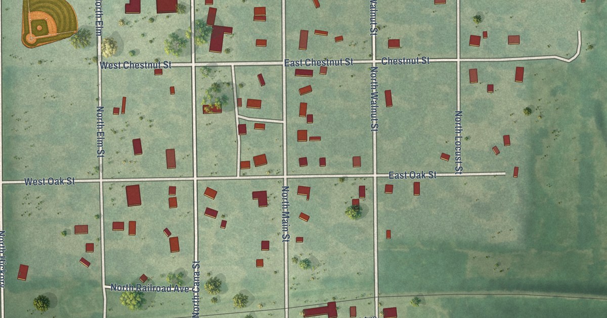
A detailed map of Grenola, Kansas, showing every building in its true location, the roads by name, and shaded topographical relief.
Read More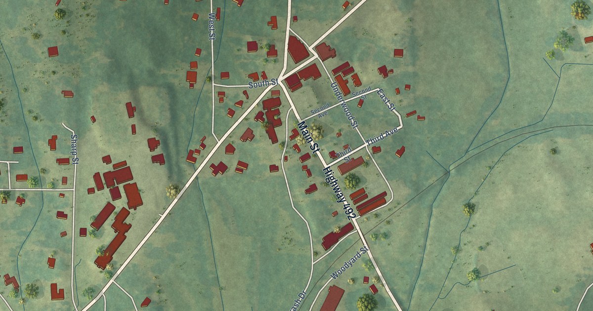
A detailed map of Sebastopol, Mississippi, showing every building in its true location, the roads by name, and shaded topographical relief.
Read More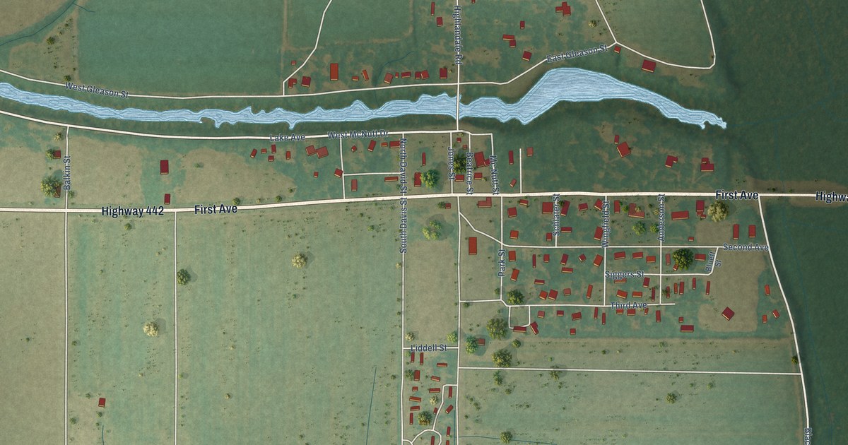
A detailed map of Schlater, Mississippi, showing every building in its true location, the roads by name, and shaded topographical relief.
Read More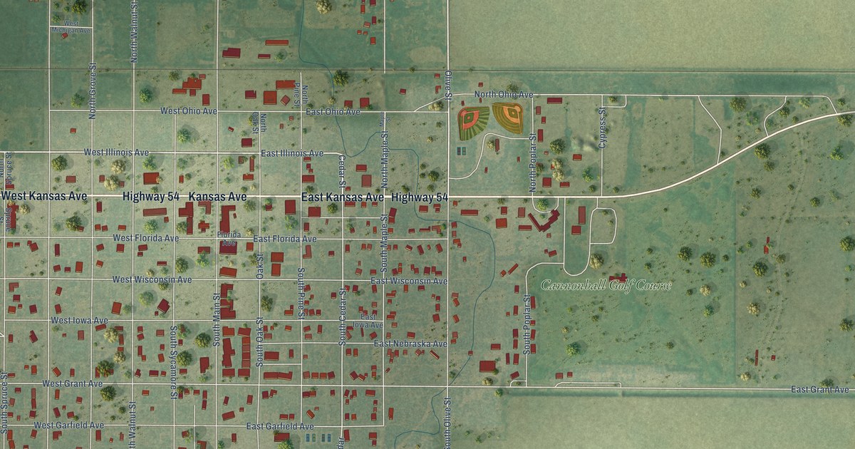
A detailed map of Greensburg, Kansas, showing every building in its true location, the roads by name, and shaded topographical relief.
Read More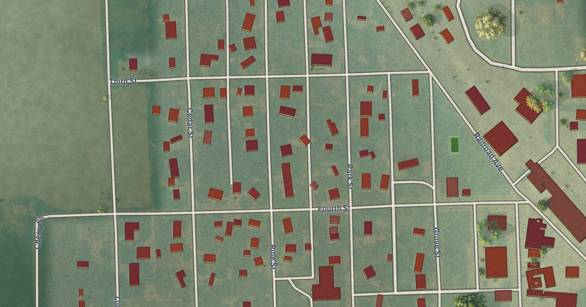
A detailed map of Greenleaf, Kansas, showing every building in its true location, the roads by name, and shaded topographical relief.
Read More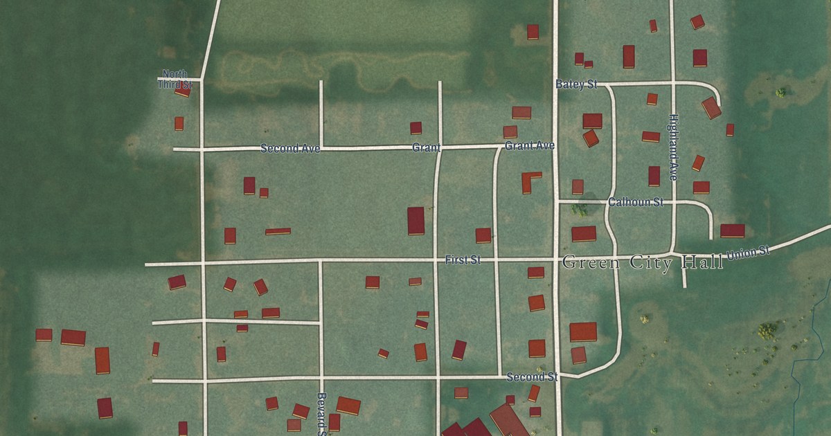
A detailed map of Green, Kansas, showing every building in its true location, the roads by name, and shaded topographical relief.
Read More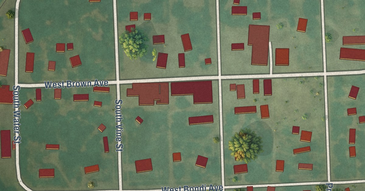
A detailed map of Greeley, Kansas, showing every building in its true location, the roads by name, and shaded topographical relief.
Read More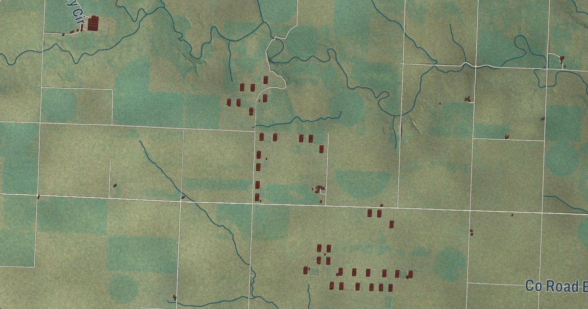
A detailed map of Greeley County, Kansas, showing every building in its true location, the roads by name, and shaded topographical relief.
Read More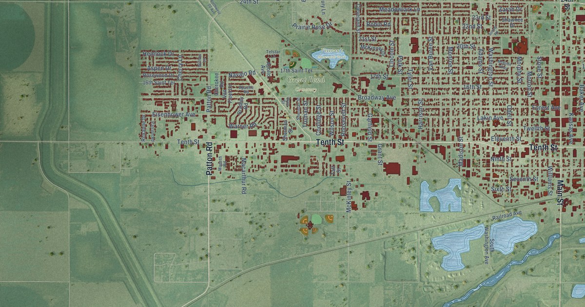
A detailed map of Great Bend, Kansas, showing every building in its true location, the roads by name, and shaded topographical relief.
Read More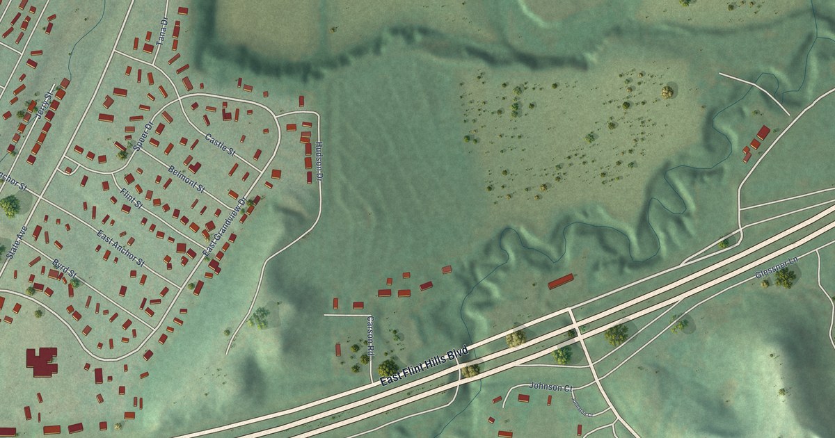
A detailed map of Grandview Plaza, Kansas, showing every building in its true location, the roads by name, and shaded topographical relief.
Read More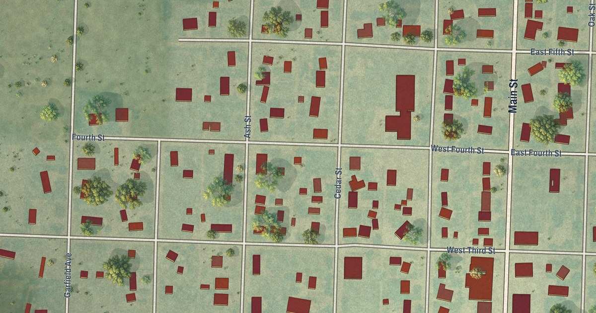
A detailed map of Grainfield, Kansas, showing every building in its true location, the roads by name, and shaded topographical relief.
Read More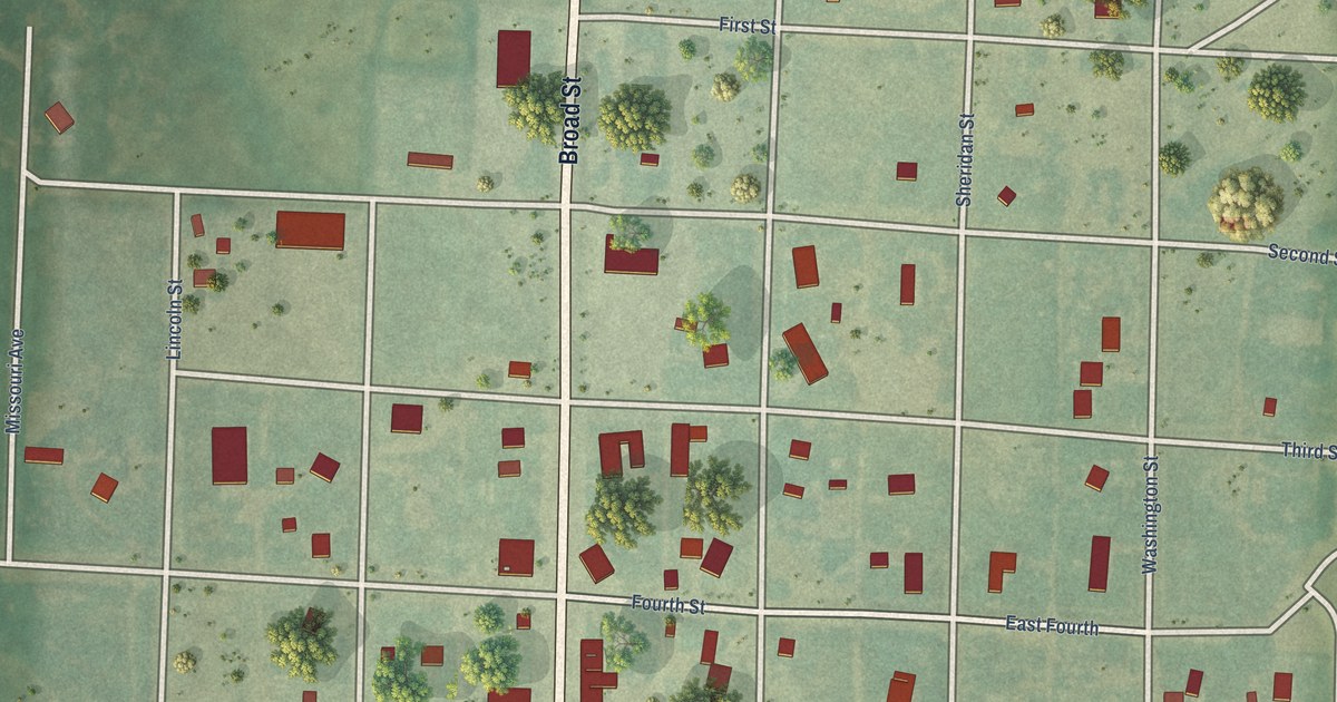
A detailed map of Gove City, Kansas, showing every building in its true location, the roads by name, and shaded topographical relief.
Read More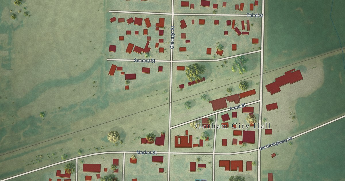
A detailed map of Gorham, Kansas, showing every building in its true location, the roads by name, and shaded topographical relief.
Read More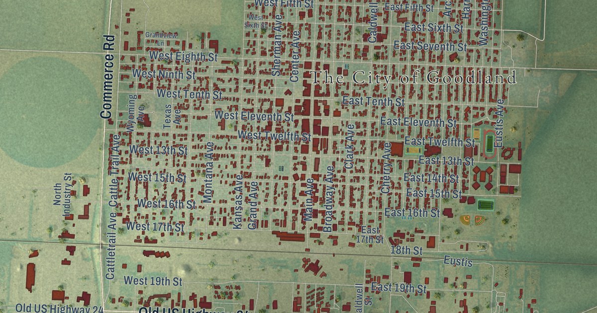
A detailed map of Goodland, Kansas, showing every building in its true location, the roads by name, and shaded topographical relief.
Read More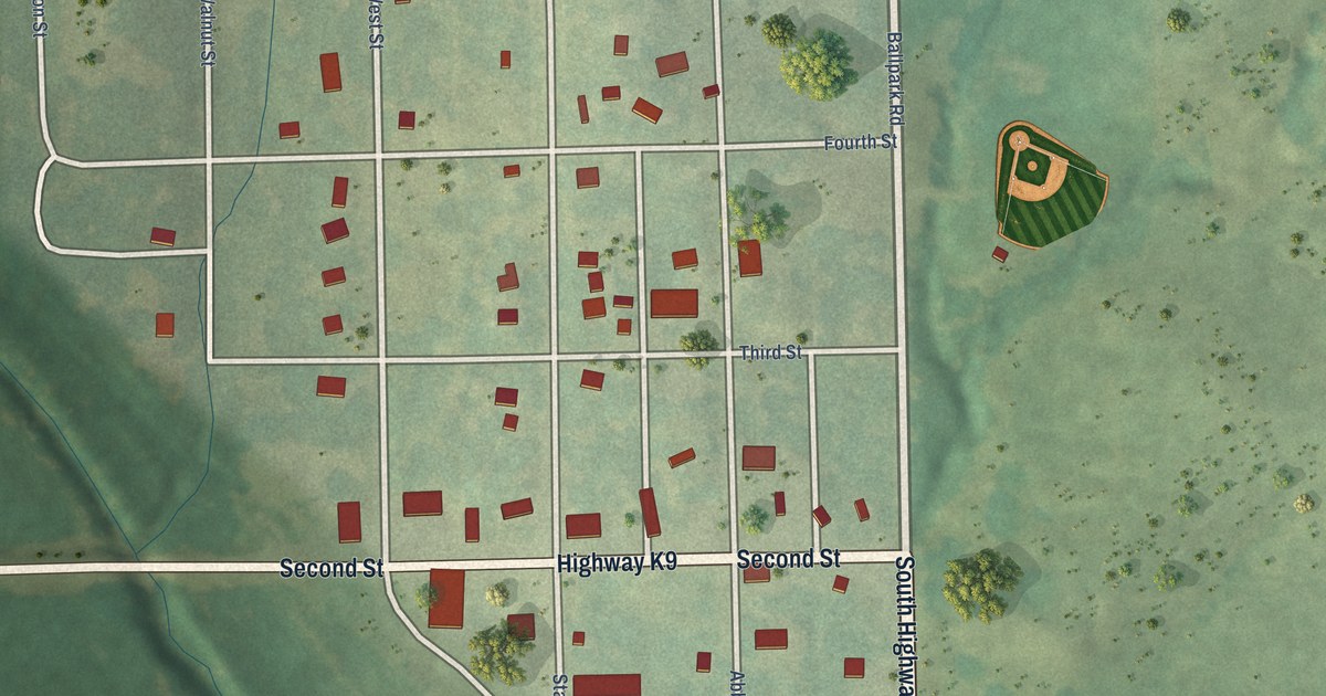
A detailed map of Goff, Kansas, showing every building in its true location, the roads by name, and shaded topographical relief.
Read More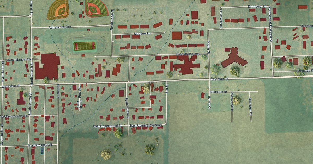
A detailed map of Goessel, Kansas, showing every building in its true location, the roads by name, and shaded topographical relief.
Read More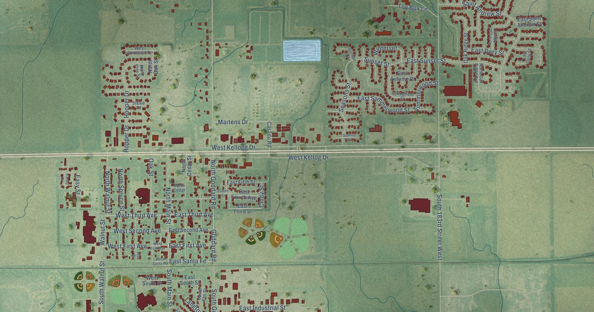
A detailed map of Goddard, Kansas, showing every building in its true location, the roads by name, and shaded topographical relief.
Read More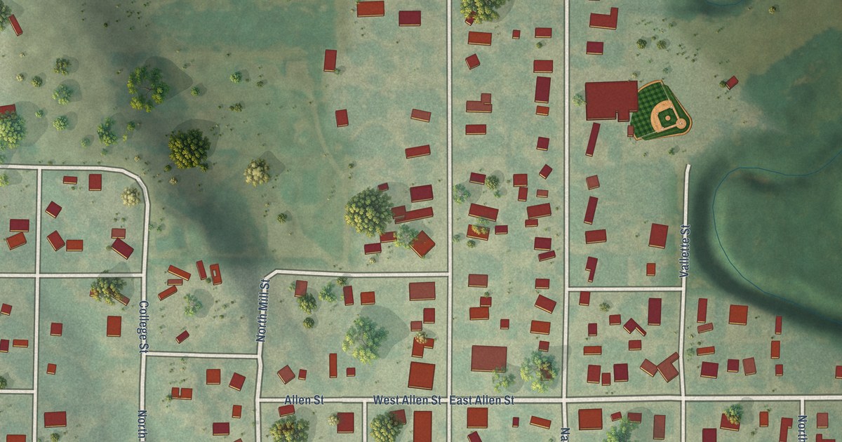
A detailed map of Glen Elder, Kansas, showing every building in its true location, the roads by name, and shaded topographical relief.
Read More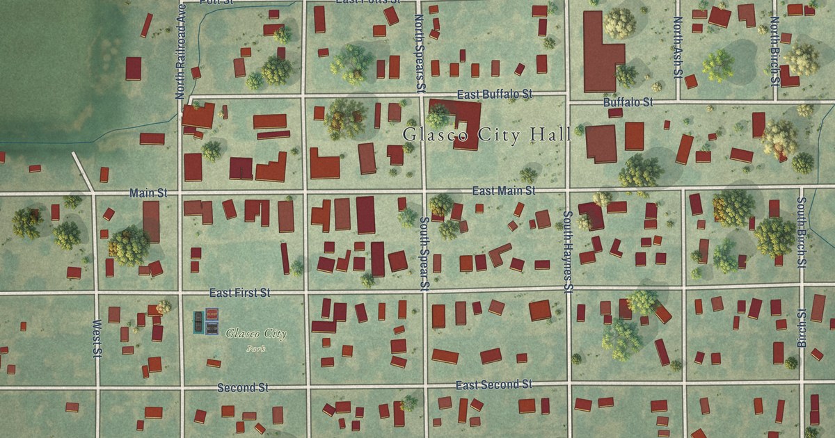
A detailed map of Glasco, Kansas, showing every building in its true location, the roads by name, and shaded topographical relief.
Read More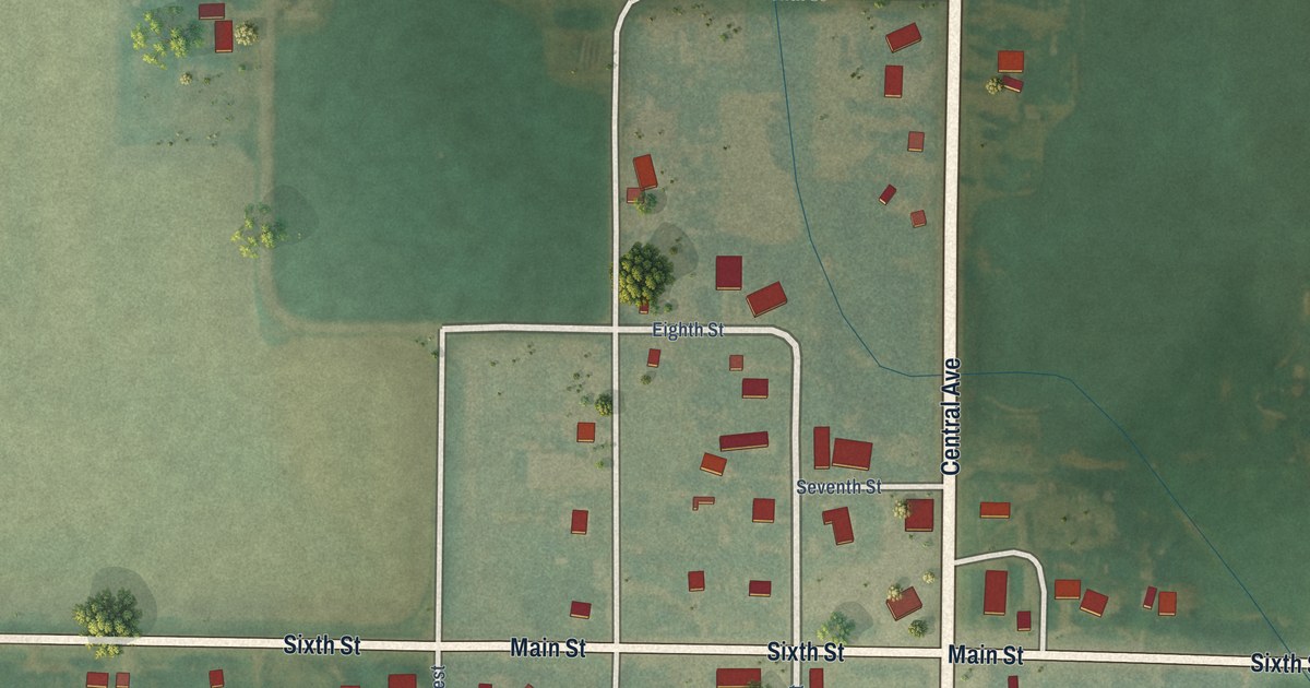
A detailed map of Glade, Kansas, showing every building in its true location, the roads by name, and shaded topographical relief.
Read More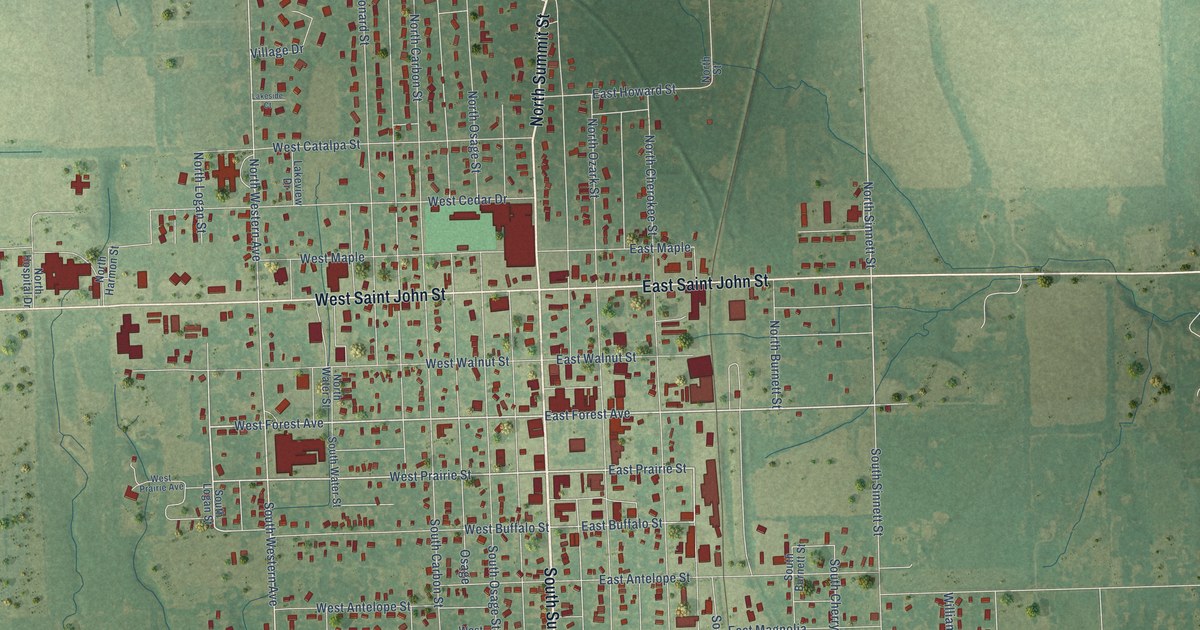
A detailed map of Girard, Kansas, showing every building in its true location, the roads by name, and shaded topographical relief.
Read More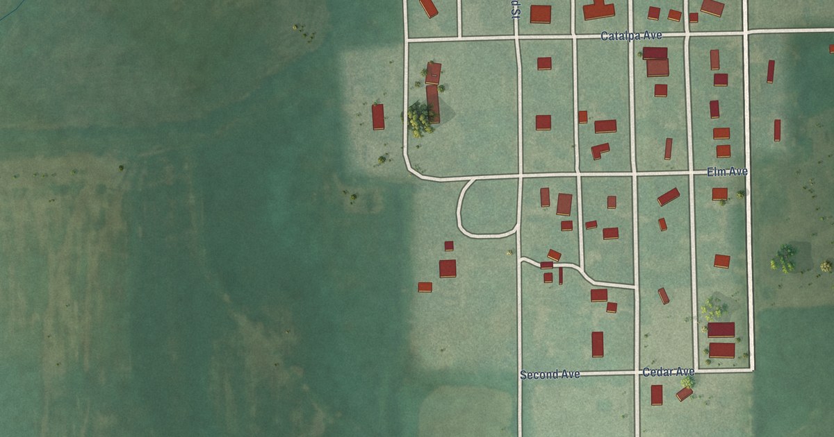
A detailed map of Geuda Springs, Kansas, showing every building in its true location, the roads by name, and shaded topographical relief.
Read More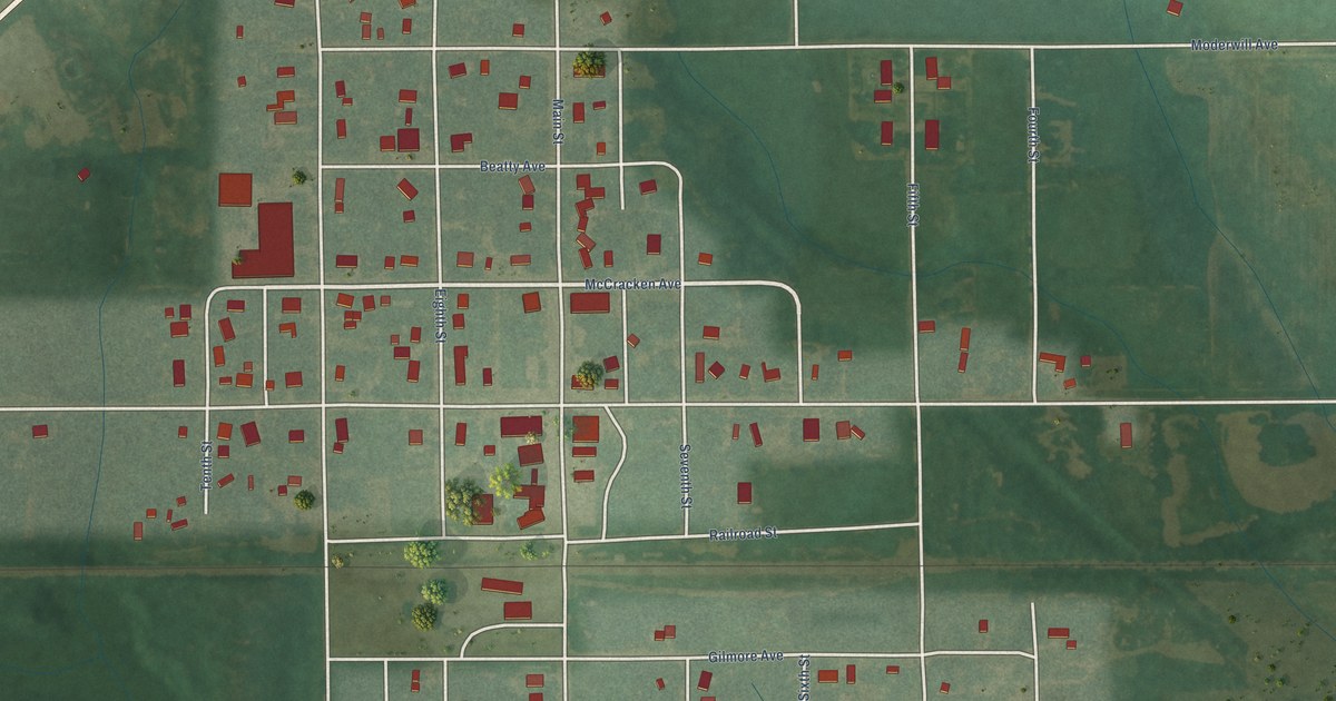
A detailed map of Geneseo, Kansas, showing every building in its true location, the roads by name, and shaded topographical relief.
Read More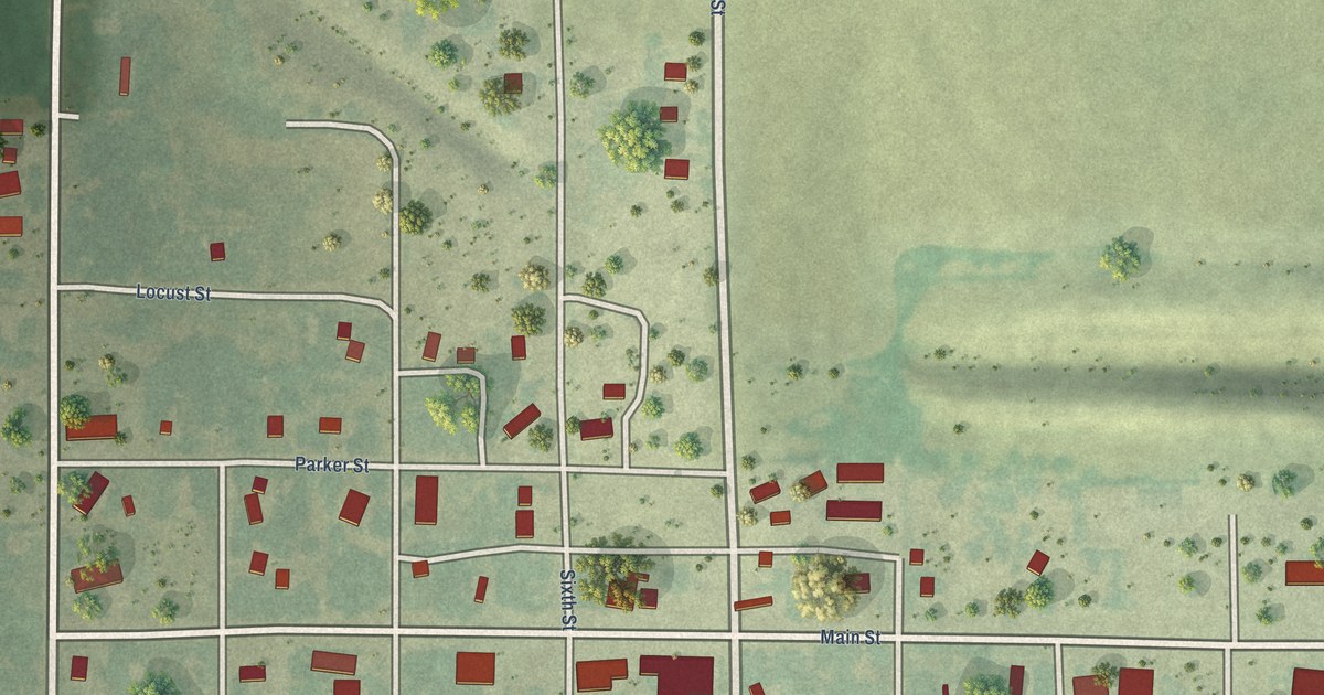
A detailed map of Gaylord, Kansas, showing every building in its true location, the roads by name, and shaded topographical relief.
Read More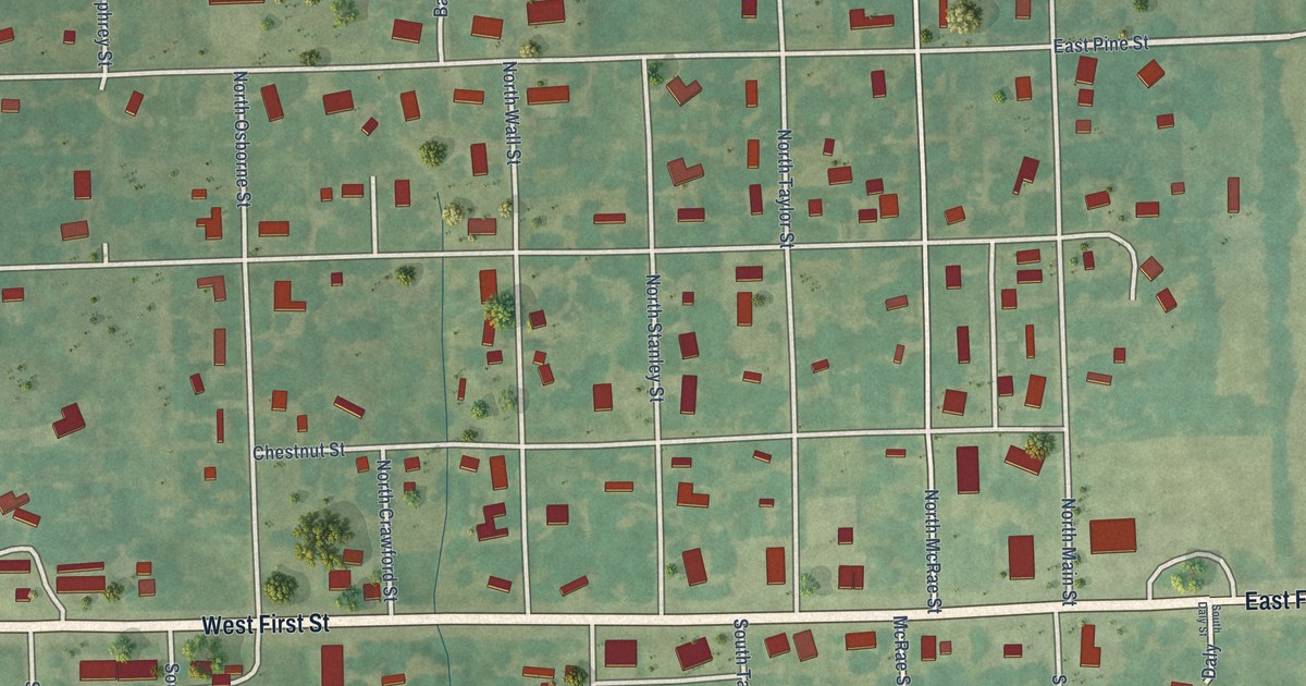
A detailed map of Gas, Kansas, showing every building in its true location, the roads by name, and shaded topographical relief.
Read More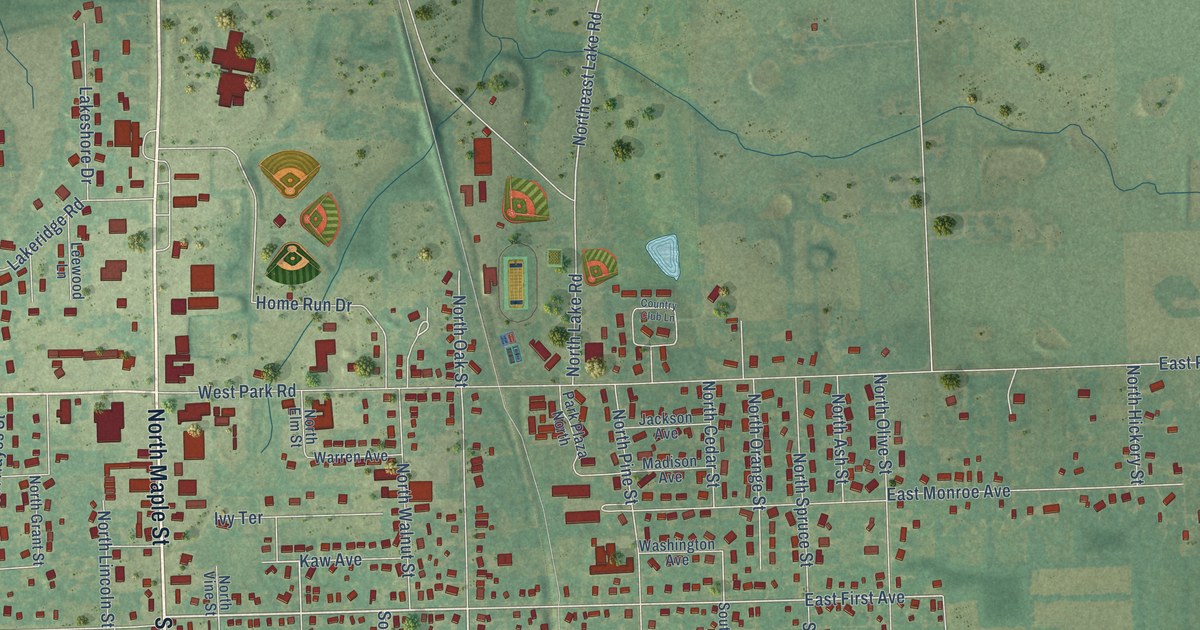
A detailed map of Garnett, Kansas, showing every building in its true location, the roads by name, and shaded topographical relief.
Read More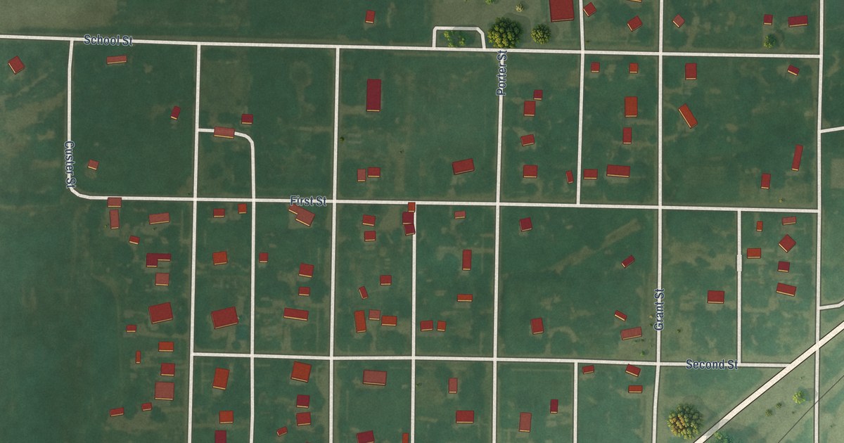
A detailed map of Garfield, Kansas, showing every building in its true location, the roads by name, and shaded topographical relief.
Read More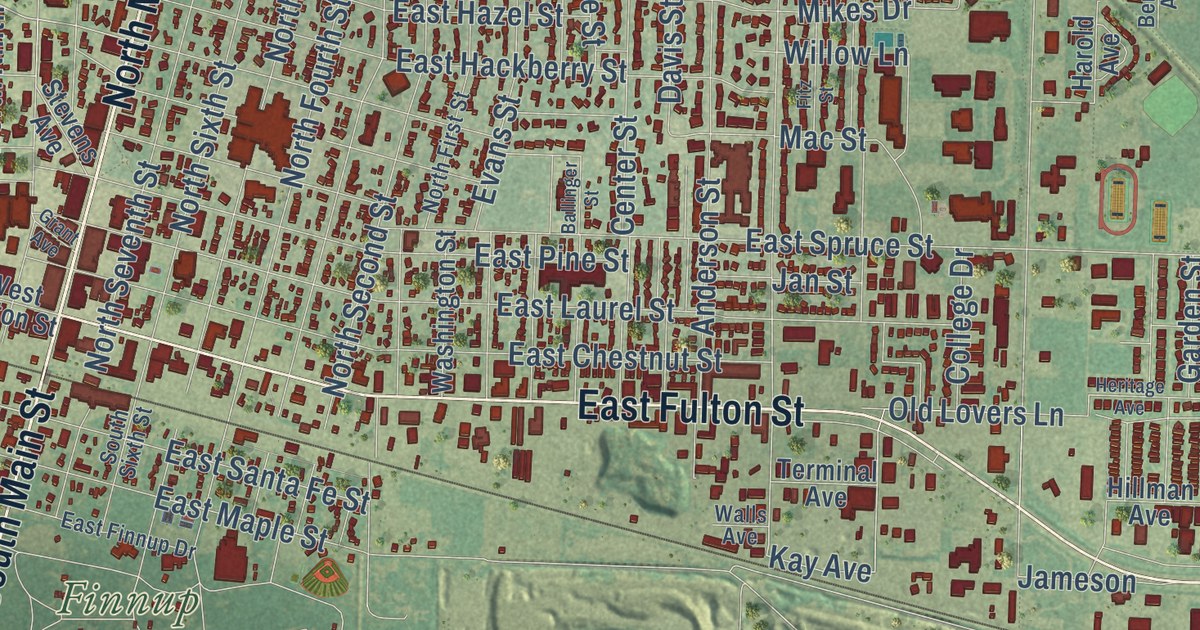
A detailed map of Garden City, Kansas, showing every building in its true location, the roads by name, and shaded topographical relief.
Read More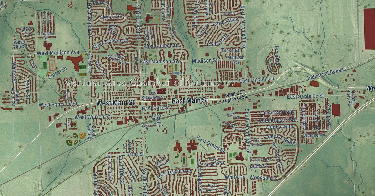
A detailed map of Gardner, Kansas, showing every building in its true location, the roads by name, and shaded topographical relief.
Read More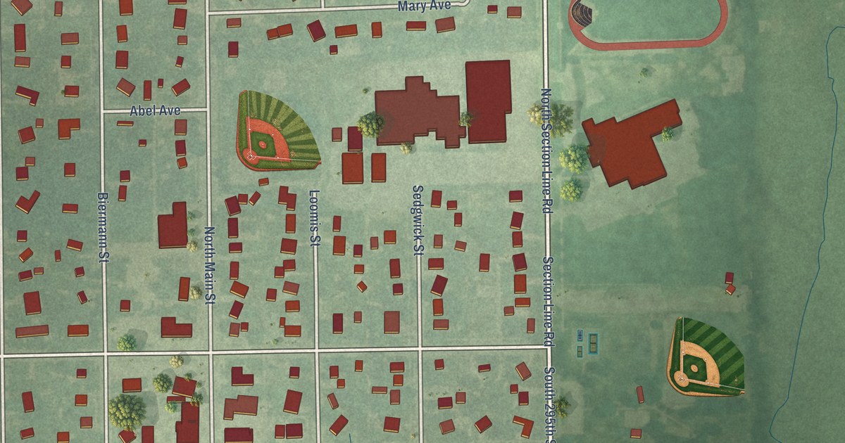
A detailed map of Garden Plain, Kansas, showing every building in its true location, the roads by name, and shaded topographical relief.
Read More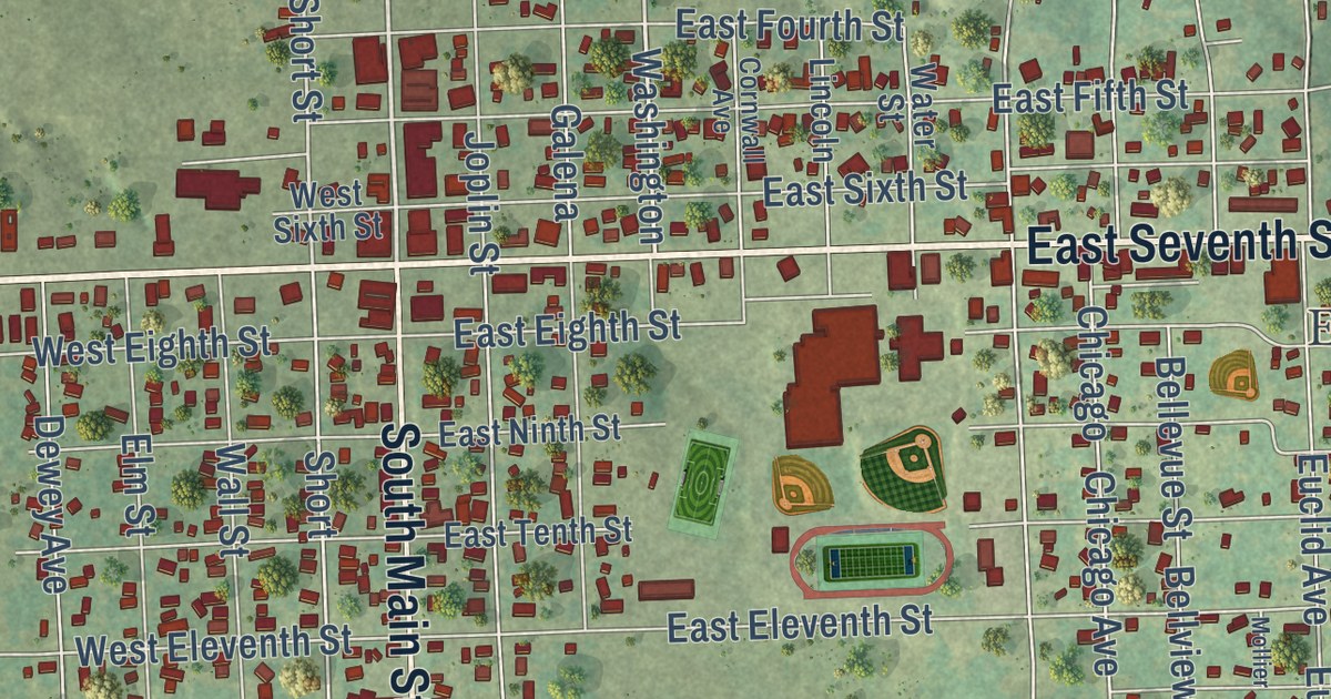
A detailed map of Galena, Kansas, showing every building in its true location, the roads by name, and shaded topographical relief.
Read More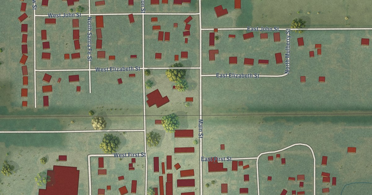
A detailed map of Galva, Kansas, showing every building in its true location, the roads by name, and shaded topographical relief.
Read More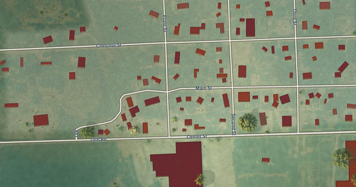
A detailed map of Galesburg, Kansas, showing every building in its true location, the roads by name, and shaded topographical relief.
Read More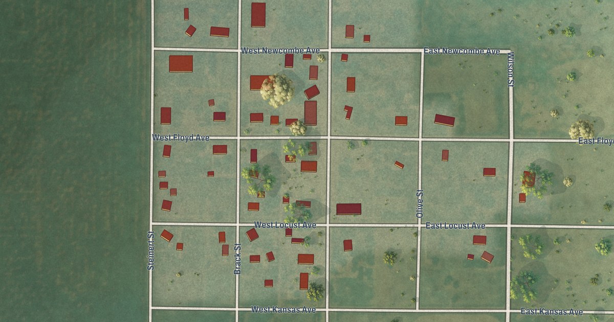
A detailed map of Galatia, Kansas, showing every building in its true location, the roads by name, and shaded topographical relief.
Read More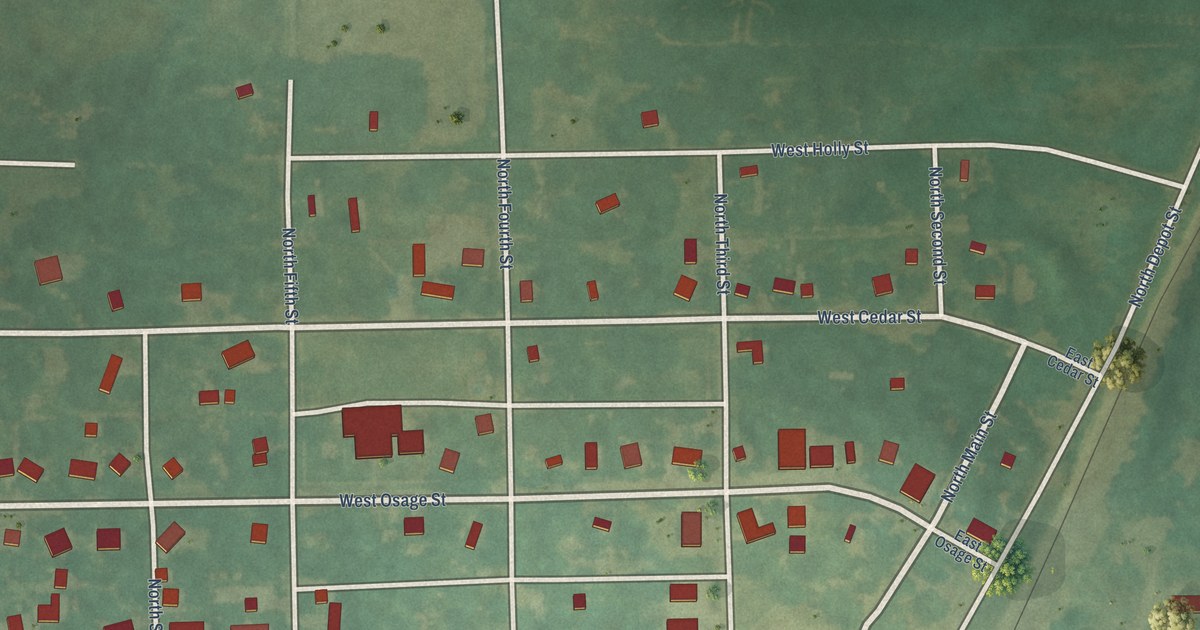
A detailed map of Fulton, Kansas, showing every building in its true location, the roads by name, and shaded topographical relief.
Read More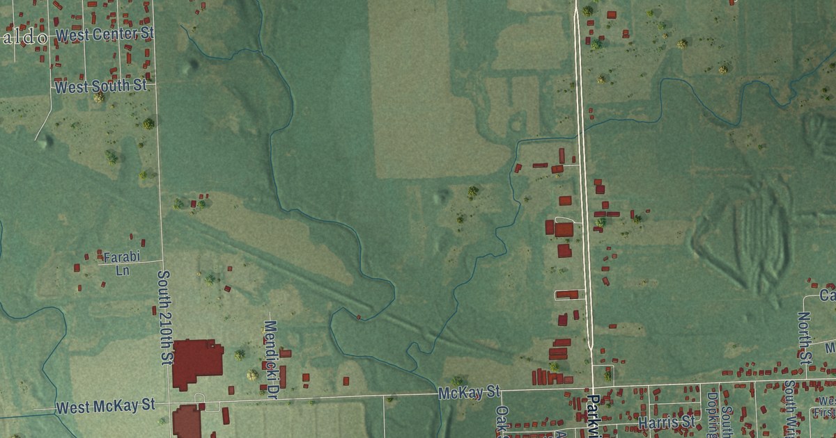
A detailed map of Frontenac, Kansas, showing every building in its true location, the roads by name, and shaded topographical relief.
Read More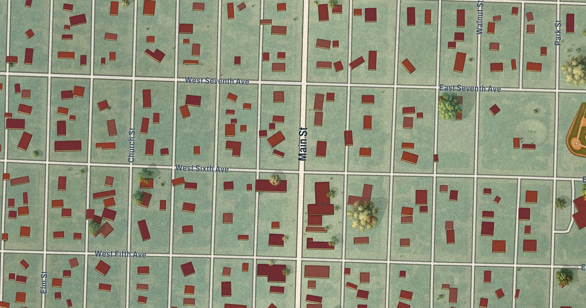
A detailed map of Fowler, Kansas, showing every building in its true location, the roads by name, and shaded topographical relief.
Read More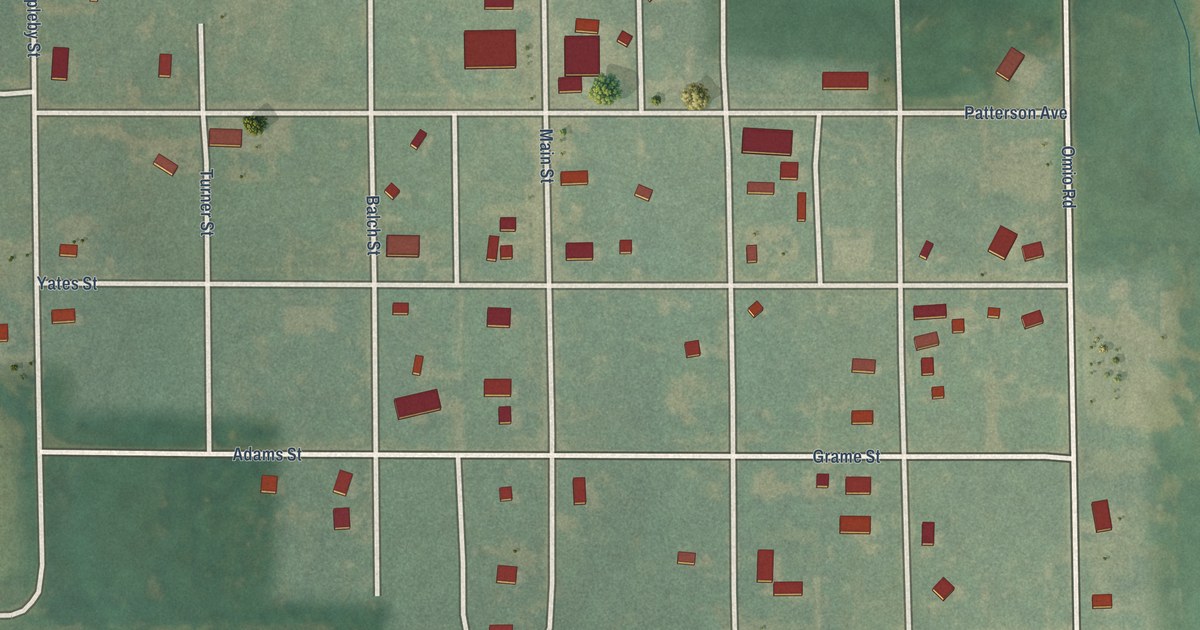
A detailed map of Formoso, Kansas, showing every building in its true location, the roads by name, and shaded topographical relief.
Read More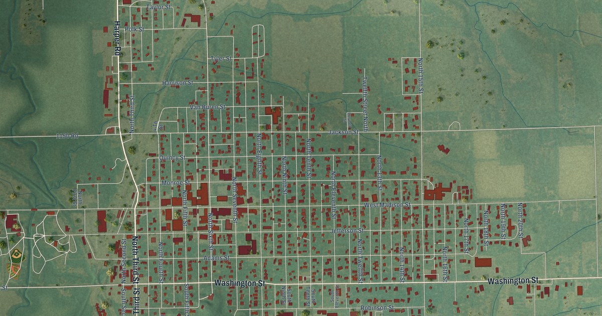
A detailed map of Fredonia, Kansas, showing every building in its true location, the roads by name, and shaded topographical relief.
Read More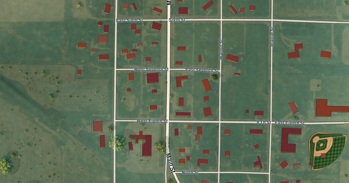
A detailed map of Ford, Kansas, showing every building in its true location, the roads by name, and shaded topographical relief.
Read More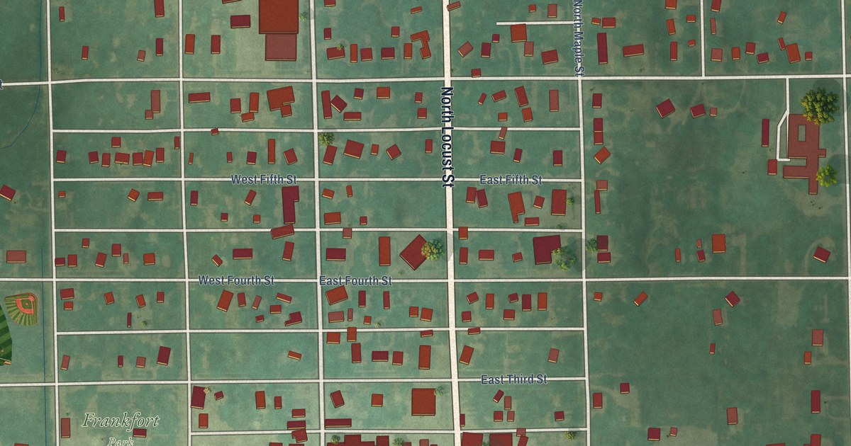
A detailed map of Frankfort, Kansas, showing every building in its true location, the roads by name, and shaded topographical relief.
Read More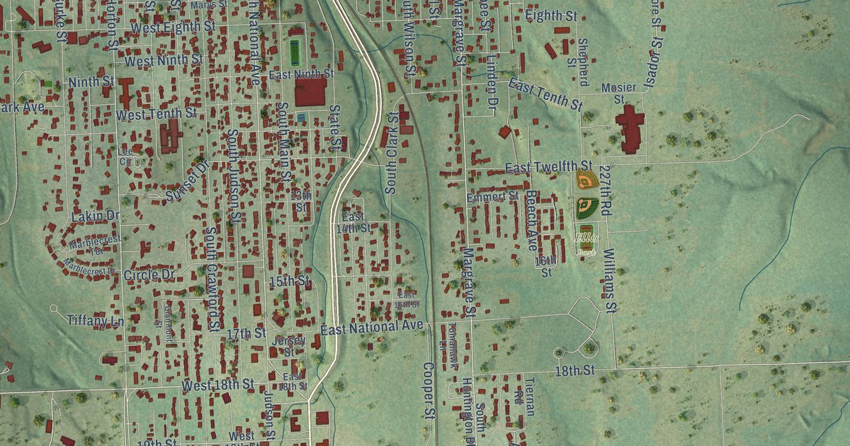
A detailed map of Fort Scott, Kansas, showing every building in its true location, the roads by name, and shaded topographical relief.
Read More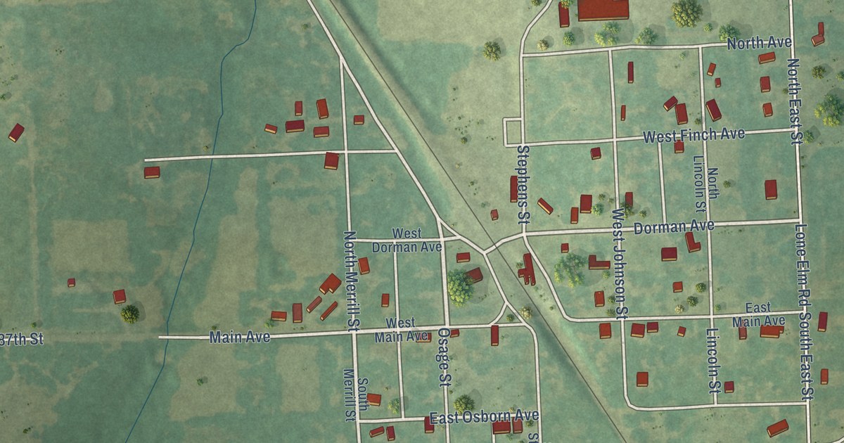
A detailed map of Fontana, Kansas, showing every building in its true location, the roads by name, and shaded topographical relief.
Read More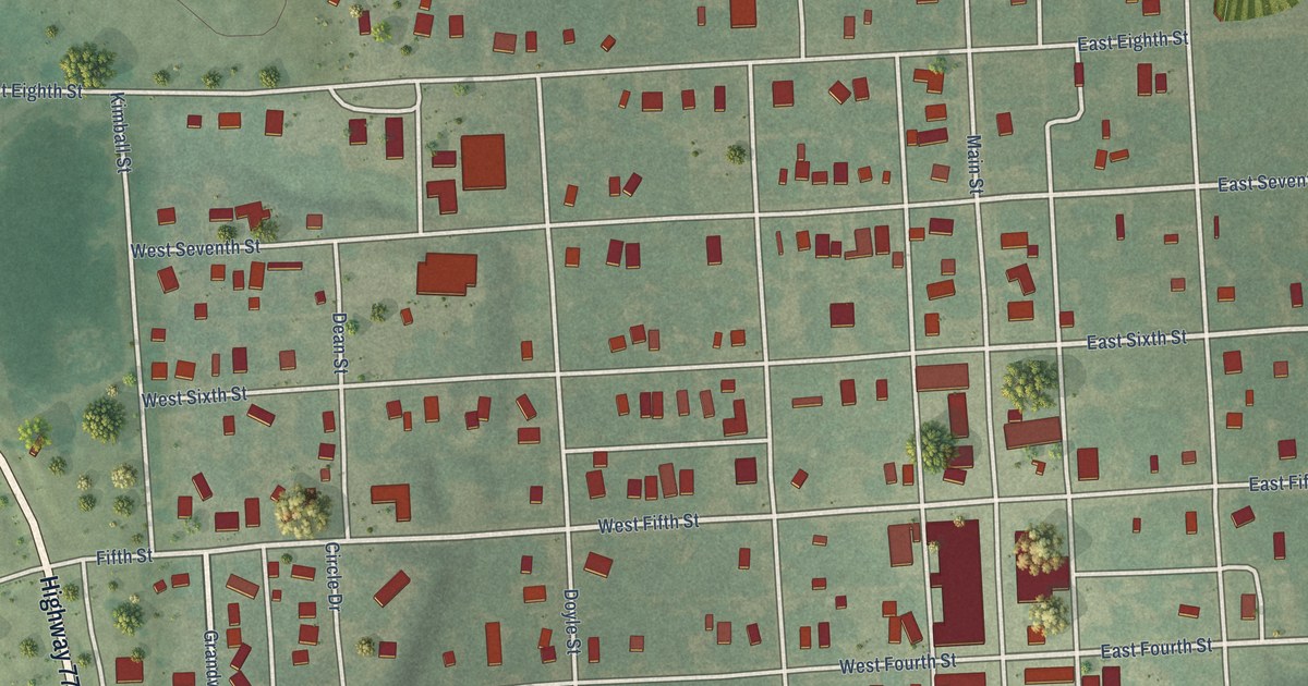
A detailed map of Florence, Kansas, showing every building in its true location, the roads by name, and shaded topographical relief.
Read More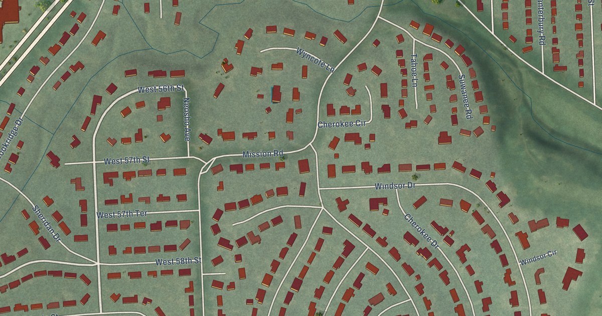
A detailed map of Fairway, Kansas, showing every building in its true location, the roads by name, and shaded topographical relief.
Read More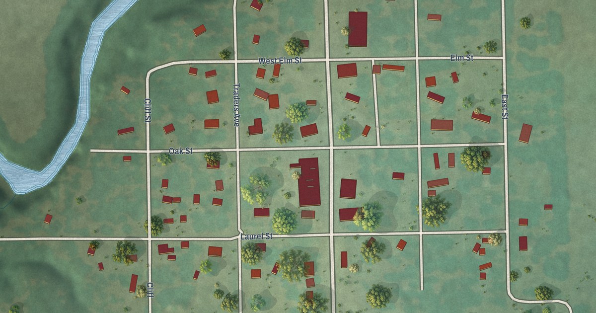
A detailed map of Fall River, Kansas, showing every building in its true location, the roads by name, and shaded topographical relief.
Read More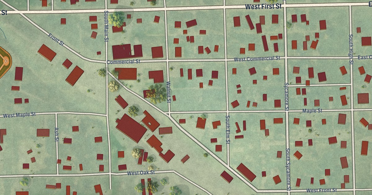
A detailed map of Fairview, Kansas, showing every building in its true location, the roads by name, and shaded topographical relief.
Read More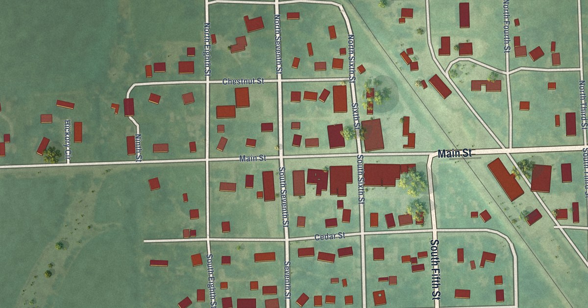
A detailed map of Everest, Kansas, showing every building in its true location, the roads by name, and shaded topographical relief.
Read More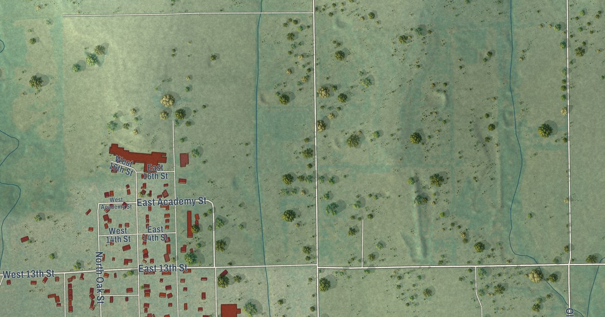
A detailed map of Eureka, Kansas, showing every building in its true location, the roads by name, and shaded topographical relief.
Read More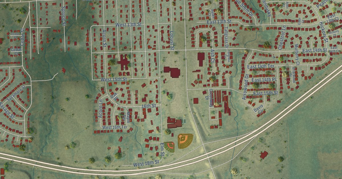
A detailed map of Eudora, Kansas, showing every building in its true location, the roads by name, and shaded topographical relief.
Read More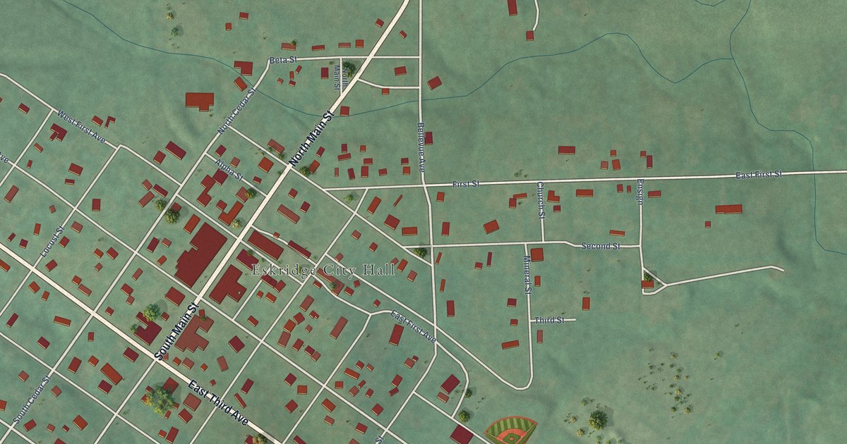
A detailed map of Eskridge, Kansas, showing every building in its true location, the roads by name, and shaded topographical relief.
Read More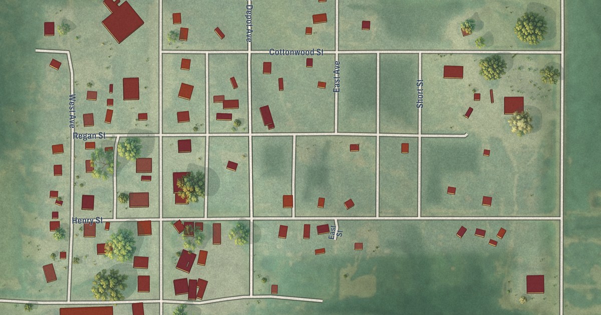
A detailed map of Esbon, Kansas, showing every building in its true location, the roads by name, and shaded topographical relief.
Read More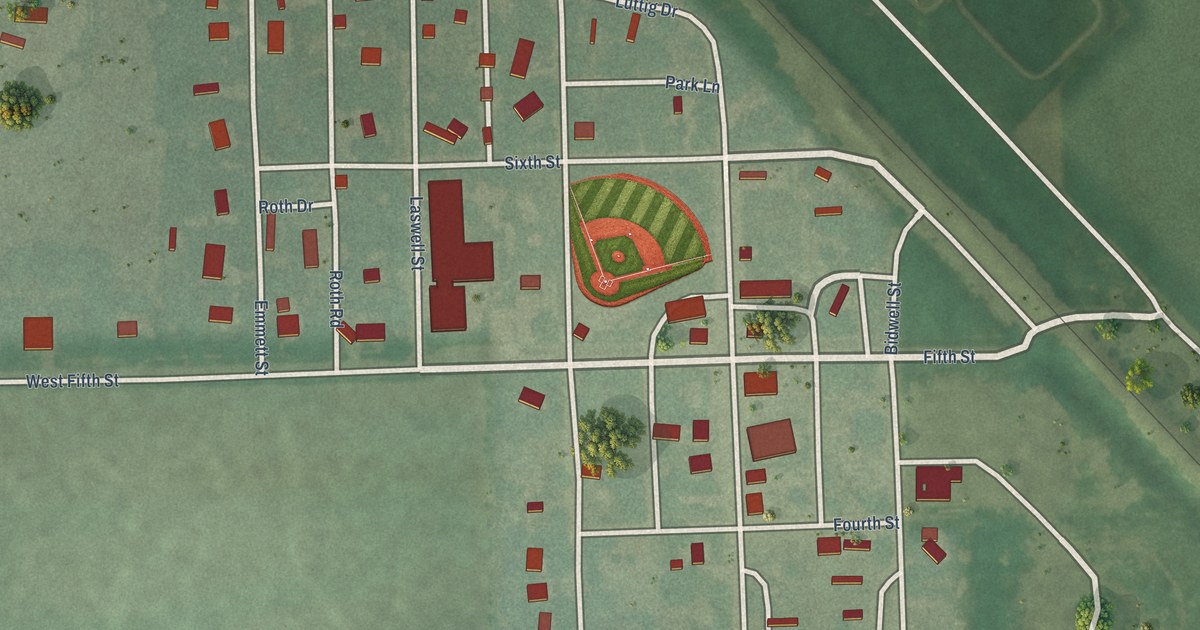
A detailed map of Emmett, Kansas, showing every building in its true location, the roads by name, and shaded topographical relief.
Read More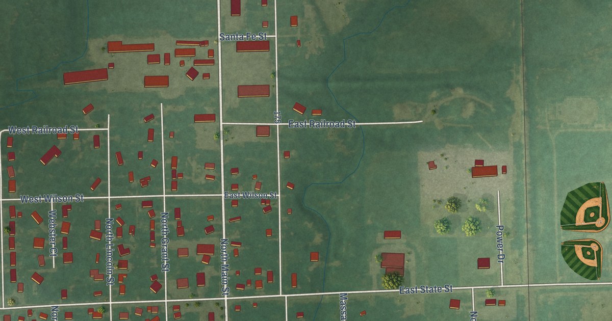
A detailed map of Erie, Kansas, showing every building in its true location, the roads by name, and shaded topographical relief.
Read More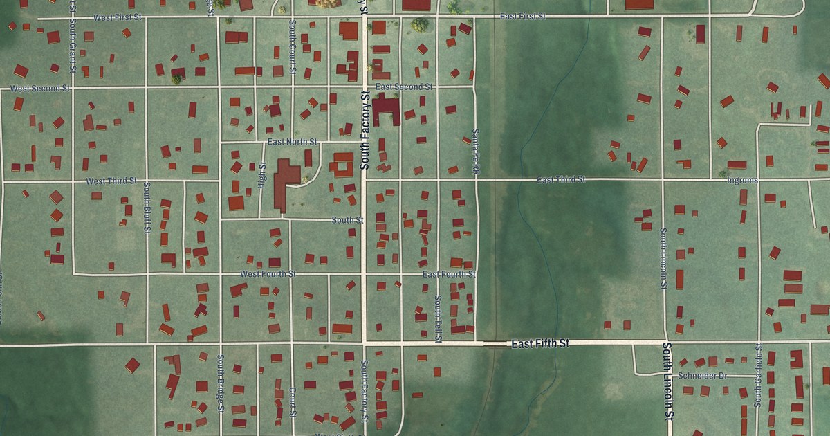
A detailed map of Enterprise, Kansas, showing every building in its true location, the roads by name, and shaded topographical relief.
Read More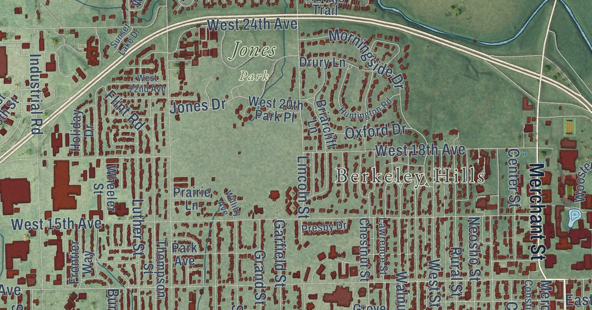
A detailed map of Emporia, Kansas, showing every building in its true location, the roads by name, and shaded topographical relief.
Read More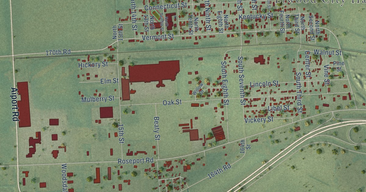
A detailed map of Elwood, Kansas, showing every building in its true location, the roads by name, and shaded topographical relief.
Read More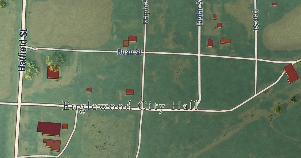
A detailed map of Englewood, Kansas, showing every building in its true location, the roads by name, and shaded topographical relief.
Read More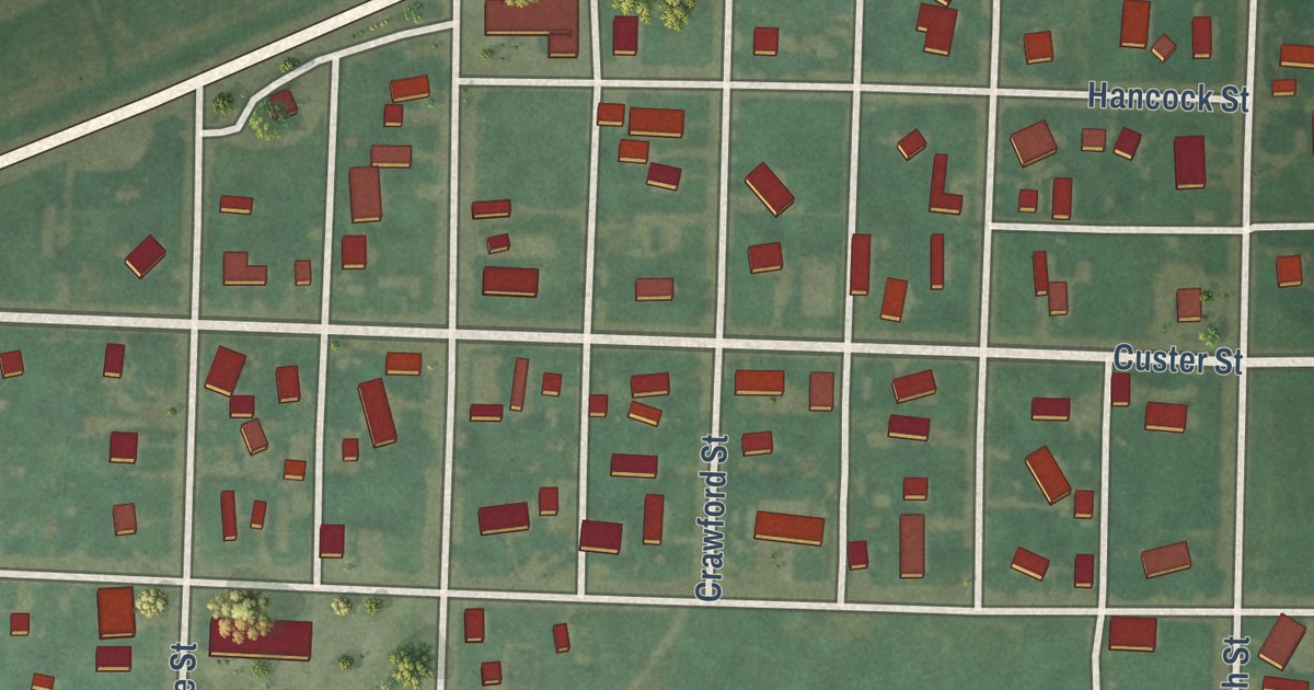
A detailed map of Ensign, Kansas, showing every building in its true location, the roads by name, and shaded topographical relief.
Read More















