Detailed Map of Kelso, Missouri
A detailed map of Kelso, Missouri, showing every building in its true location, the roads by name, and shaded topographical relief.
Read More
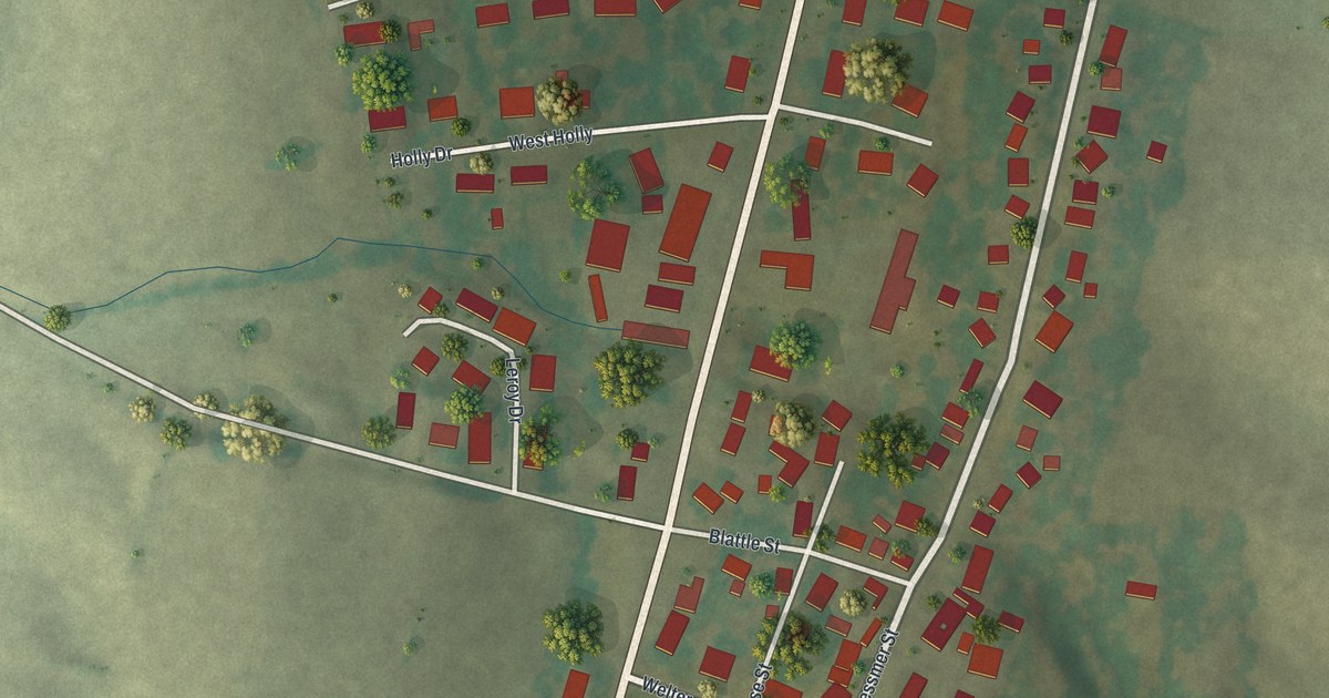
A detailed map of Kelso, Missouri, showing every building in its true location, the roads by name, and shaded topographical relief.
Read More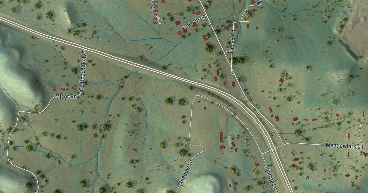
A detailed map of Jane, Missouri, showing every building in its true location, the roads by name, and shaded topographical relief.
Read More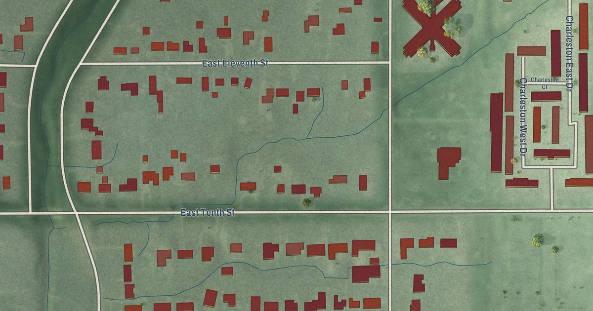
A detailed map of Warren Park, Indiana, showing every building in its true location, the roads by name, and shaded topographical relief.
Read More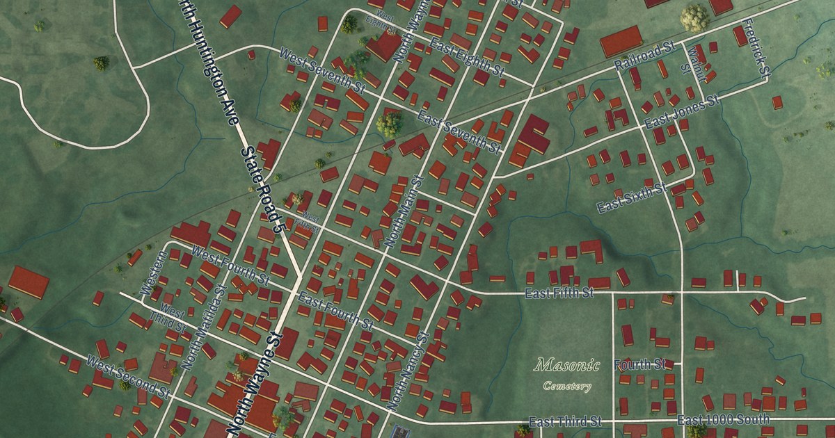
A detailed map of Warren, Indiana, showing every building in its true location, the roads by name, and shaded topographical relief.
Read More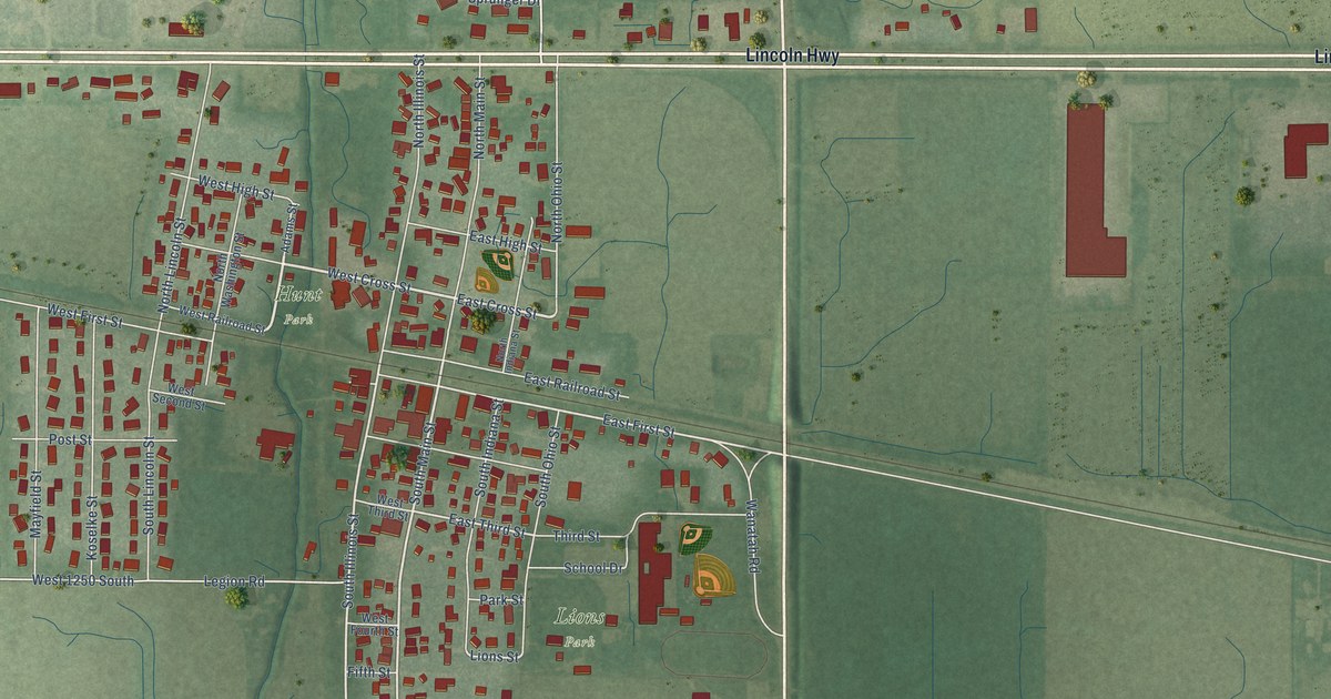
A detailed map of Wanatah, Indiana, showing every building in its true location, the roads by name, and shaded topographical relief.
Read More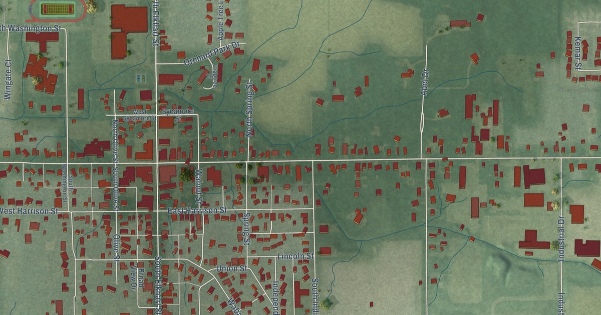
A detailed map of Wakarusa, Indiana, showing every building in its true location, the roads by name, and shaded topographical relief.
Read More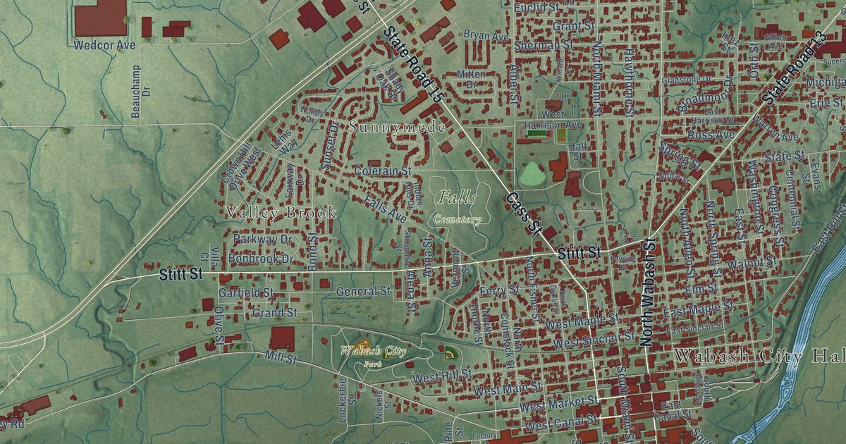
A detailed map of Wabash, Indiana, showing every building in its true location, the roads by name, and shaded topographical relief.
Read More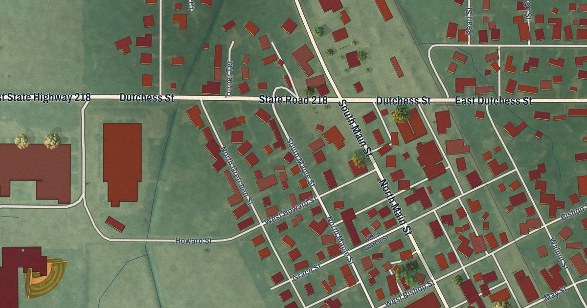
A detailed map of Walton, Indiana, showing every building in its true location, the roads by name, and shaded topographical relief.
Read More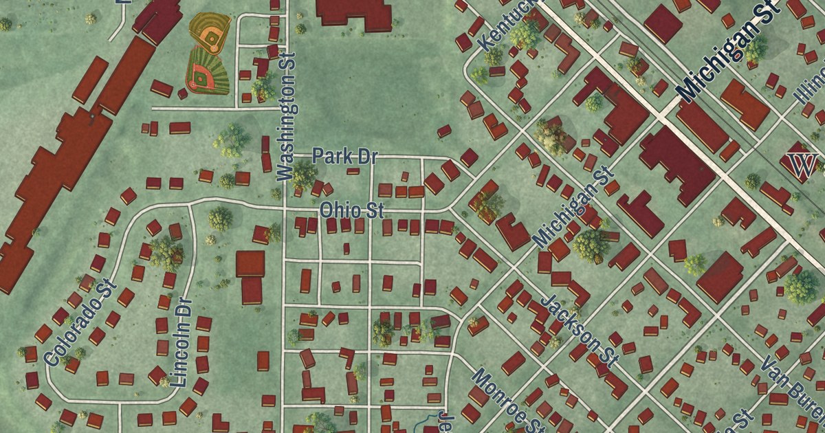
A detailed map of Walkerton, Indiana, showing every building in its true location, the roads by name, and shaded topographical relief.
Read More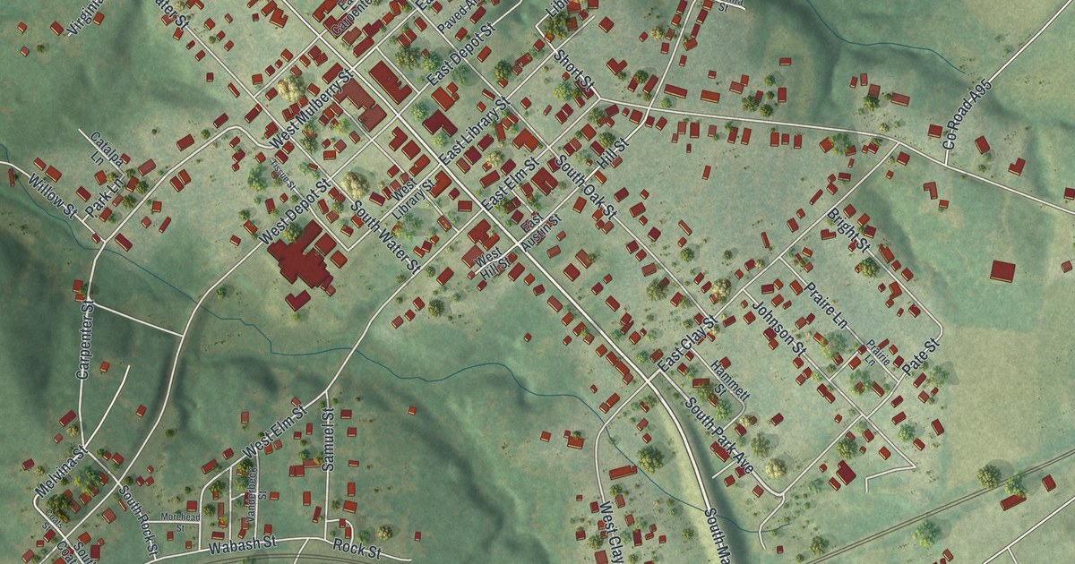
A detailed map of Huntsville, Missouri, showing every building in its true location, the roads by name, and shaded topographical relief.
Read More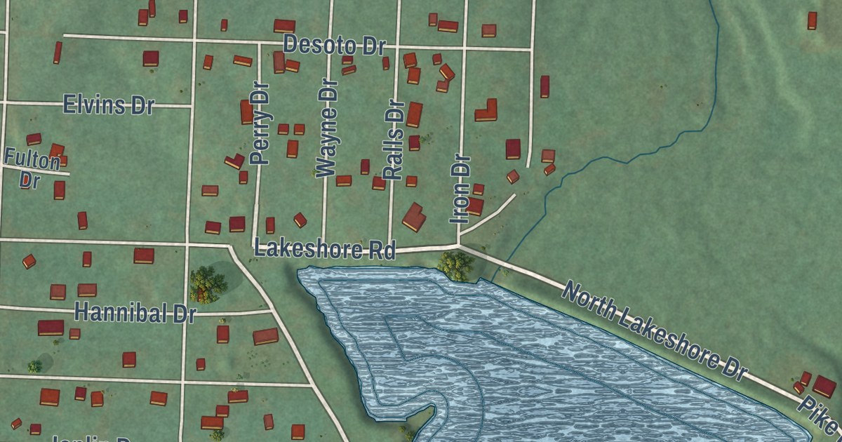
A detailed map of Iron Mountain Lake, Missouri, showing every building in its true location, the roads by name, and shaded topographical relief.
Read More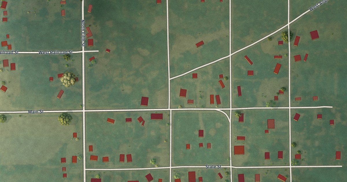
A detailed map of Hurdland, Missouri, showing every building in its true location, the roads by name, and shaded topographical relief.
Read More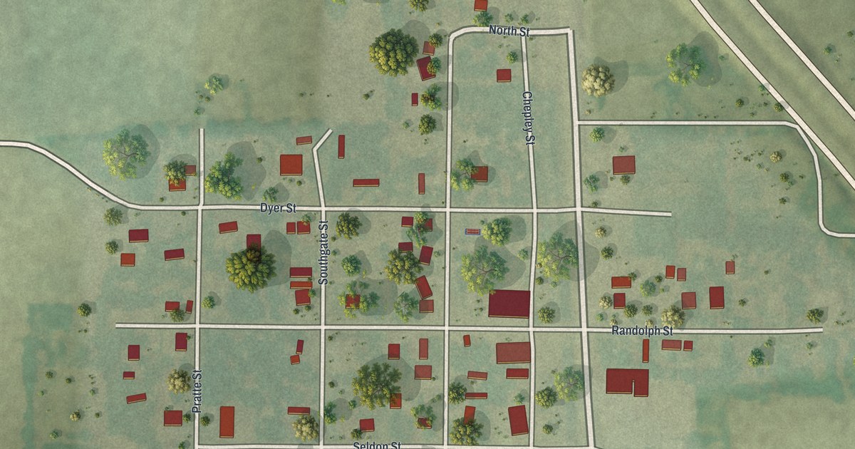
A detailed map of Jacksonville, Missouri, showing every building in its true location, the roads by name, and shaded topographical relief.
Read More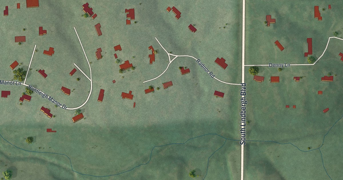
A detailed map of Huntleigh, Missouri, showing every building in its true location, the roads by name, and shaded topographical relief.
Read More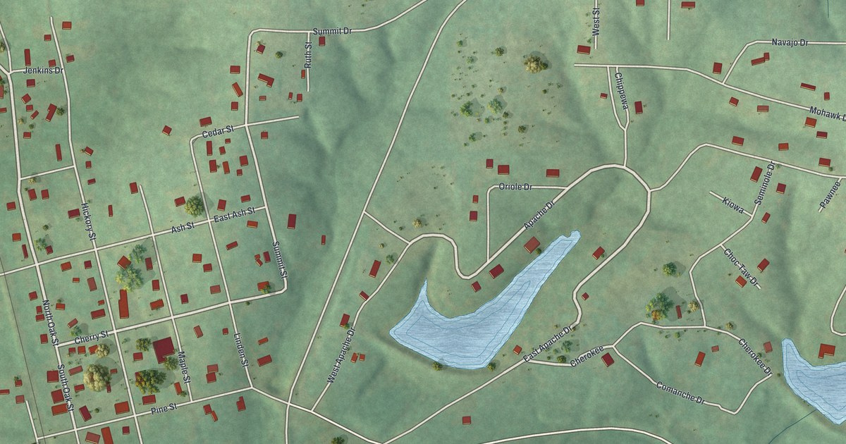
A detailed map of Irondale, Missouri, showing every building in its true location, the roads by name, and shaded topographical relief.
Read More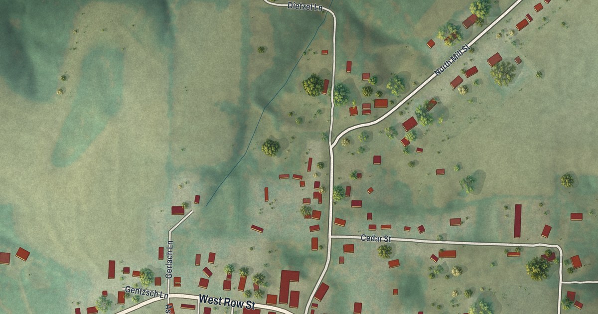
A detailed map of Jamestown, Missouri, showing every building in its true location, the roads by name, and shaded topographical relief.
Read More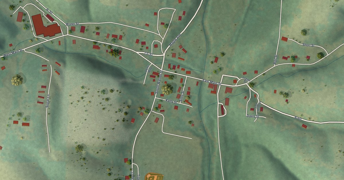
A detailed map of Hurley, Missouri, showing every building in its true location, the roads by name, and shaded topographical relief.
Read More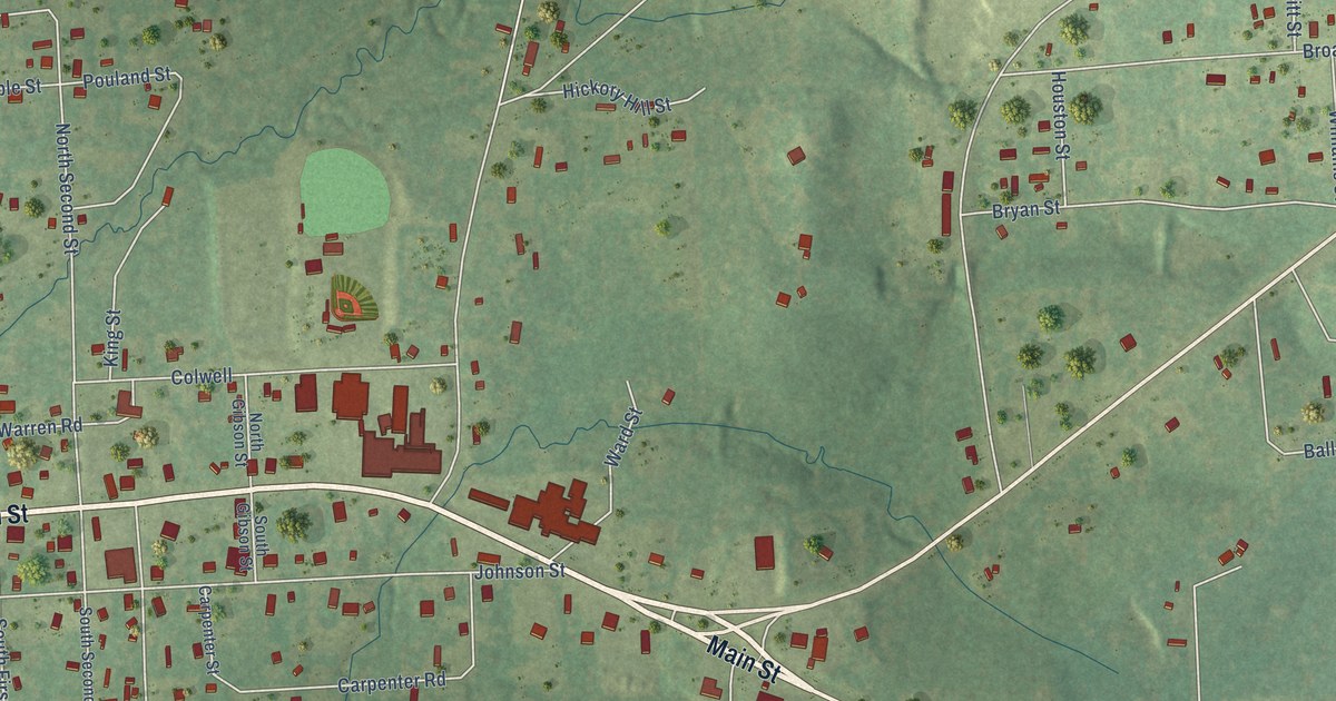
A detailed map of Zavalla, Texas, showing every building in its true location, the roads by name, and shaded topographical relief.
Read More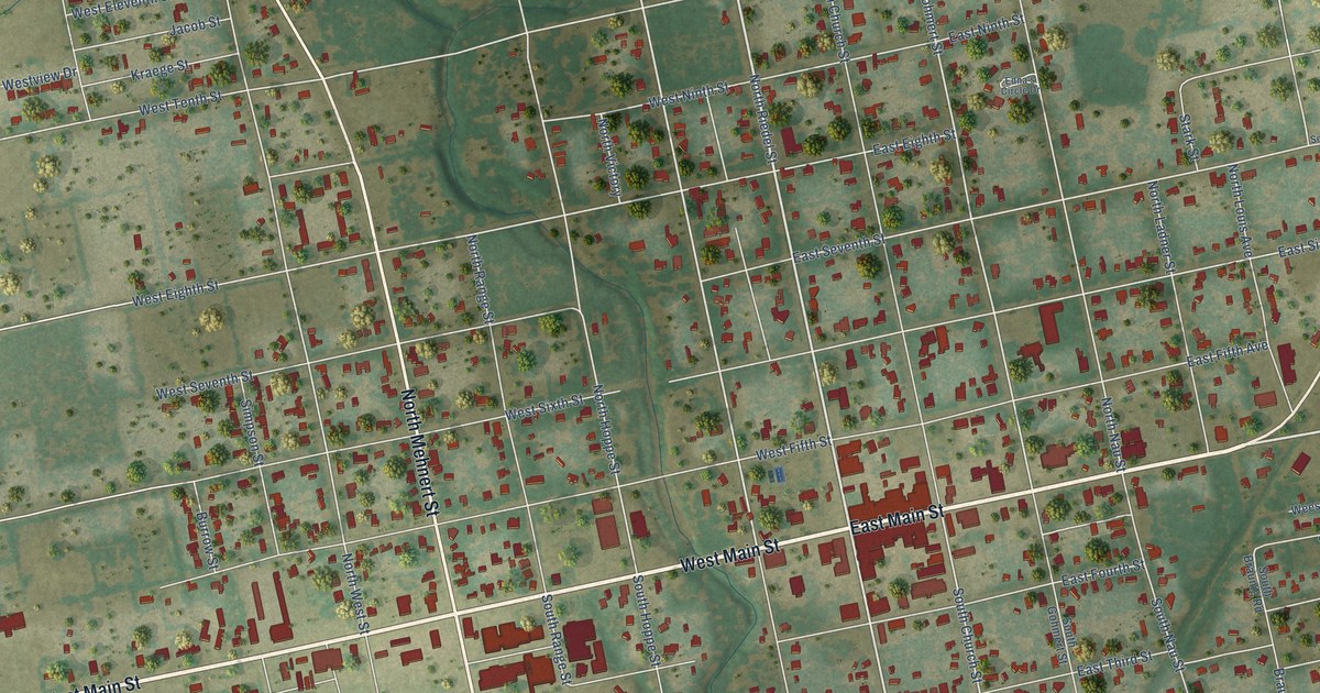
A detailed map of Yorktown, Texas, showing every building in its true location, the roads by name, and shaded topographical relief.
Read More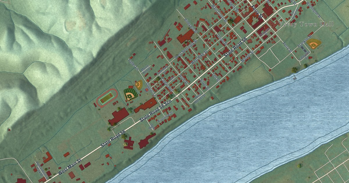
A detailed map of Vevay, Indiana, showing every building in its true location, the roads by name, and shaded topographical relief.
Read More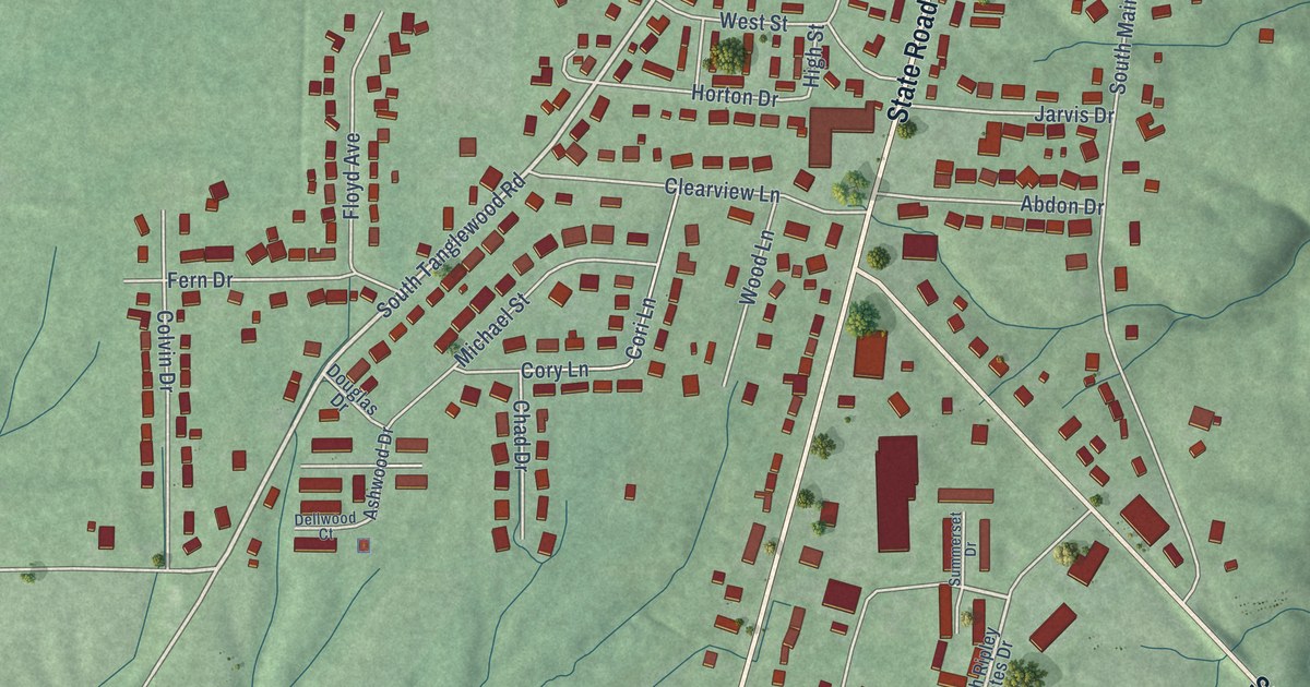
A detailed map of Versailles, Indiana, showing every building in its true location, the roads by name, and shaded topographical relief.
Read More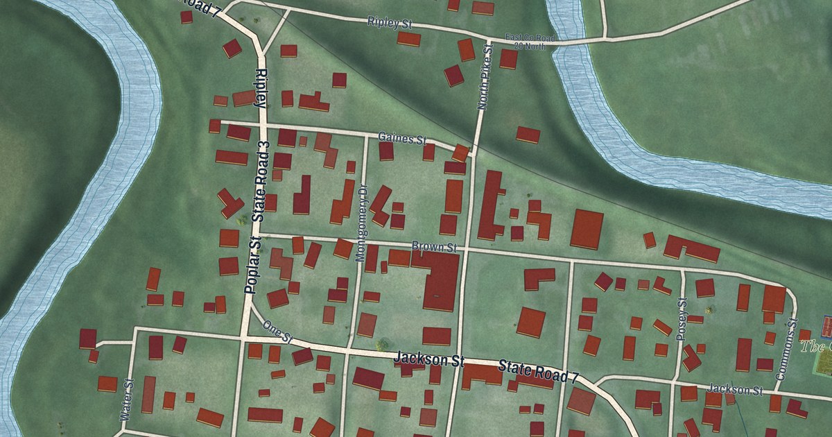
A detailed map of Vernon, Indiana, showing every building in its true location, the roads by name, and shaded topographical relief.
Read More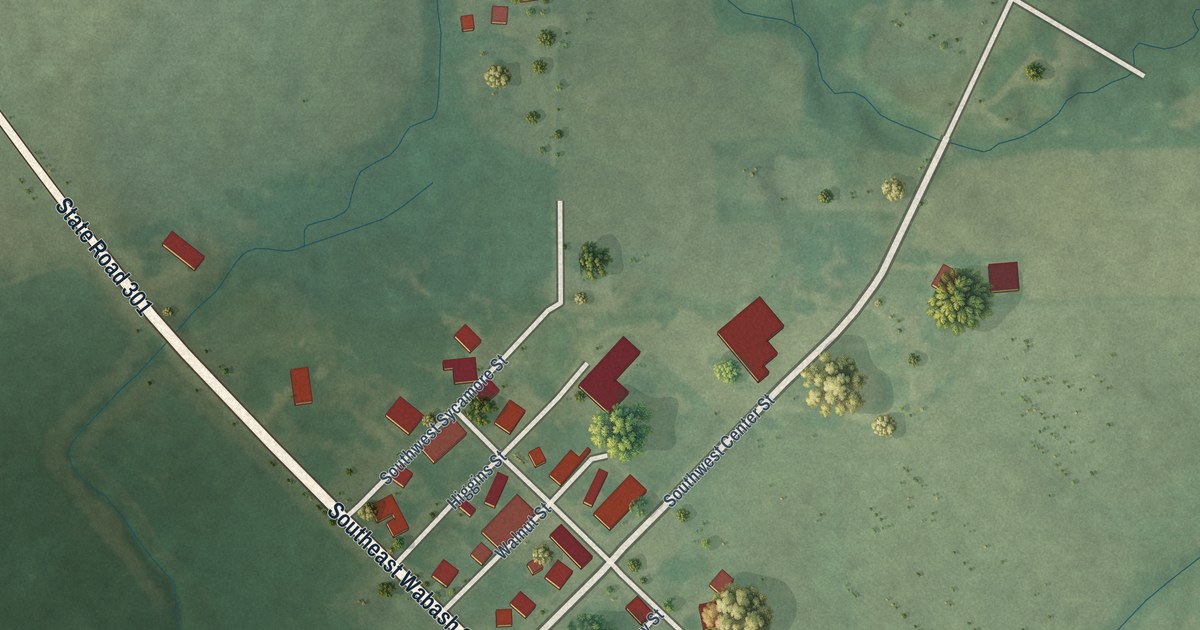
A detailed map of Vera Cruz, Indiana, showing every building in its true location, the roads by name, and shaded topographical relief.
Read More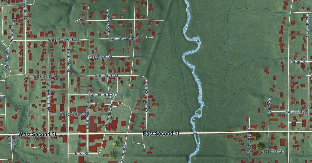
A detailed map of Veedersburg, Indiana, showing every building in its true location, the roads by name, and shaded topographical relief.
Read More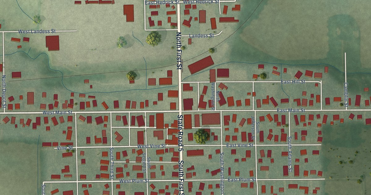
A detailed map of Van Buren, Indiana, showing every building in its true location, the roads by name, and shaded topographical relief.
Read More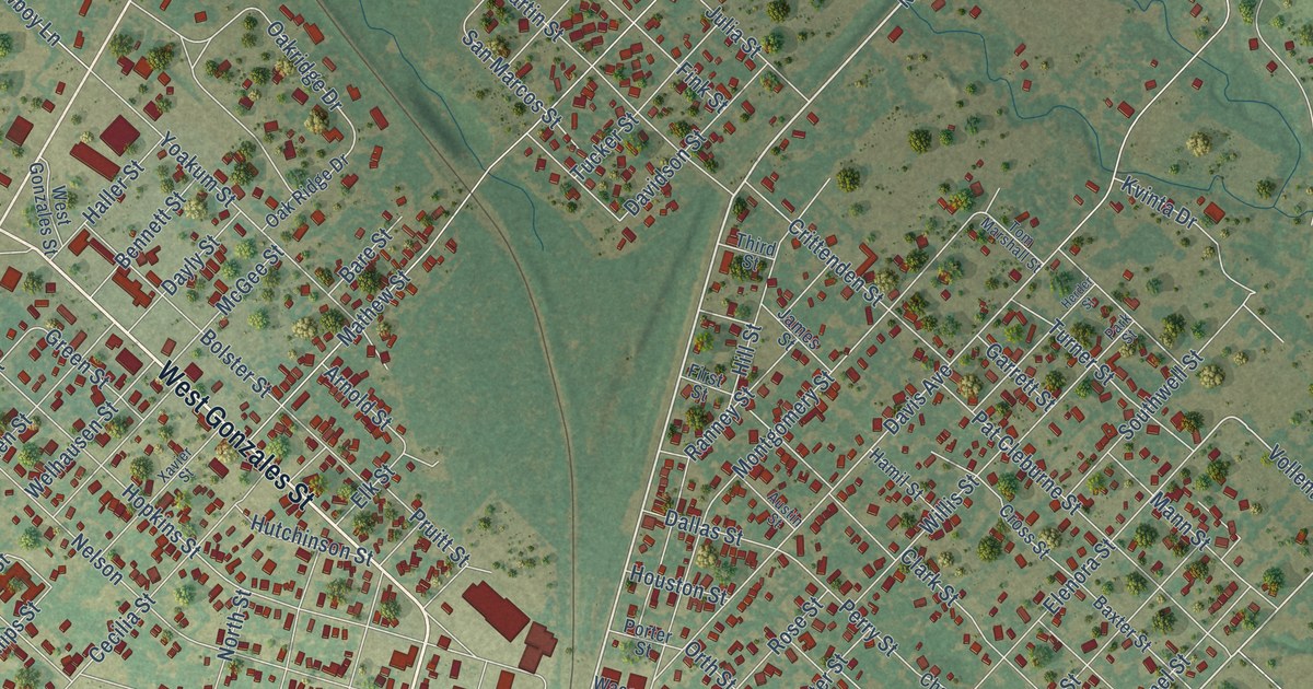
A detailed map of Yoakum, Texas, showing every building in its true location, the roads by name, and shaded topographical relief.
Read More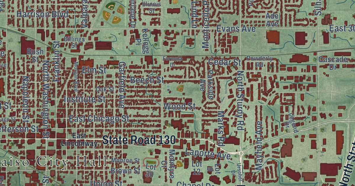
A detailed map of Valparaiso, Indiana, showing every building in its true location, the roads by name, and shaded topographical relief.
Read More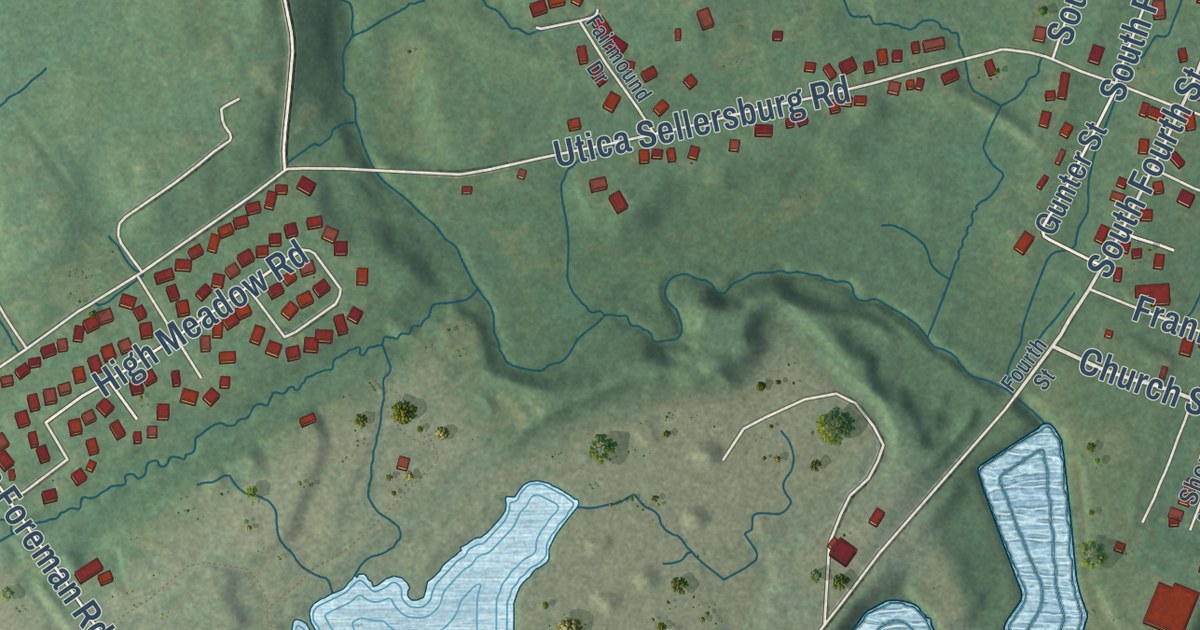
A detailed map of Utica, Indiana, showing every building in its true location, the roads by name, and shaded topographical relief.
Read More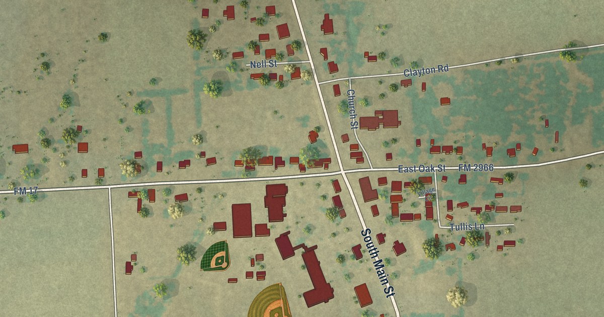
A detailed map of Yantis, Texas, showing every building in its true location, the roads by name, and shaded topographical relief.
Read More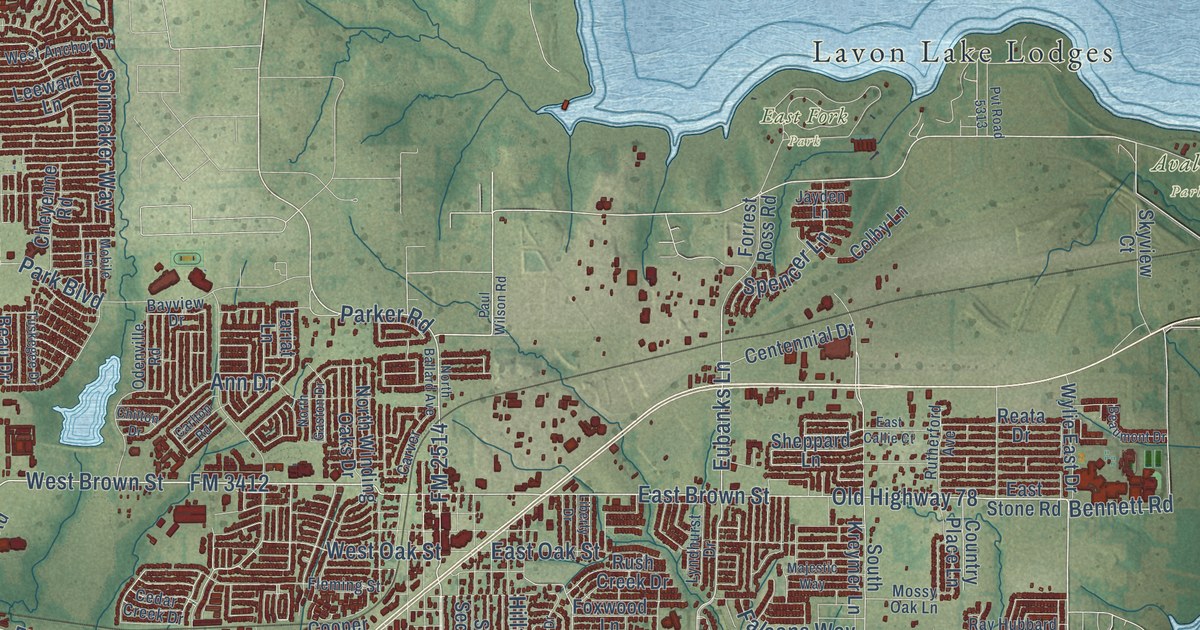
A detailed map of Wylie, Texas, showing every building in its true location, the roads by name, and shaded topographical relief.
Read More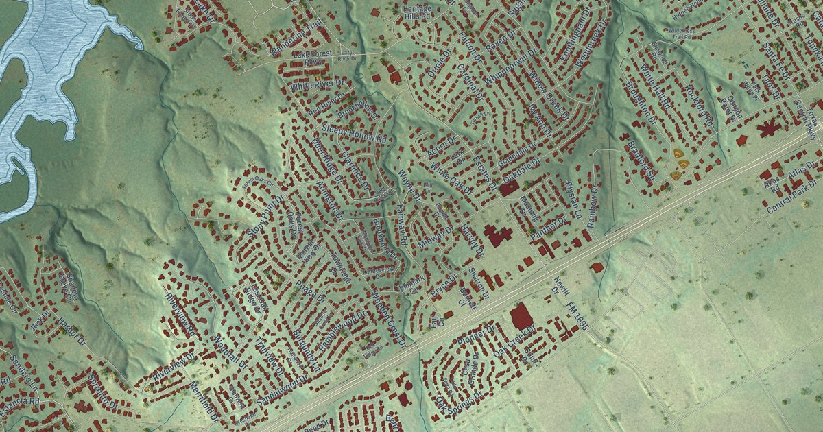
A detailed map of Woodway, Texas, showing every building in its true location, the roads by name, and shaded topographical relief.
Read More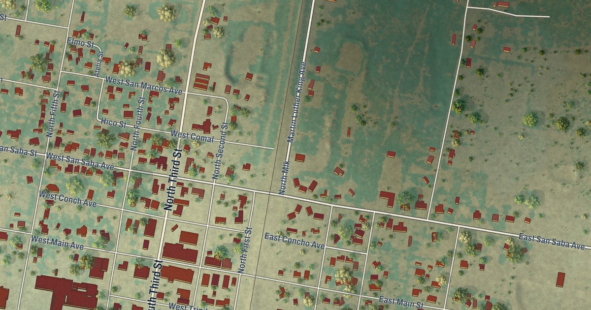
A detailed map of Wortham, Texas, showing every building in its true location, the roads by name, and shaded topographical relief.
Read More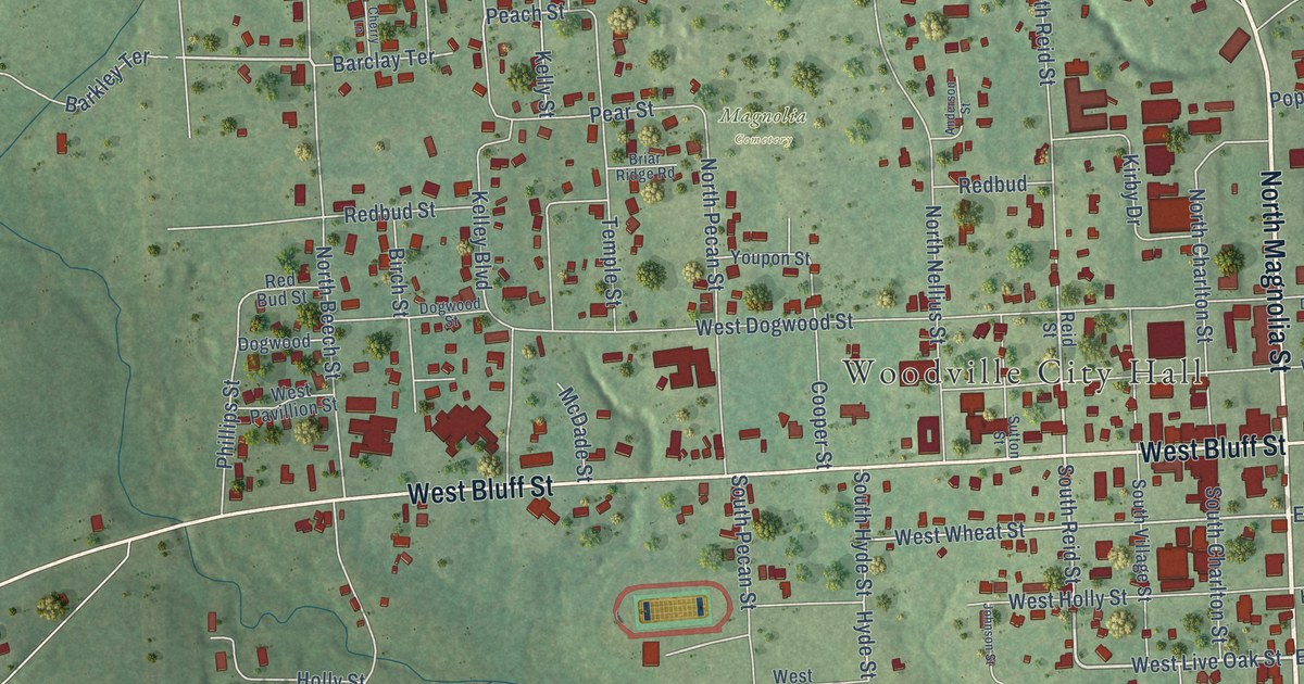
A detailed map of Woodville, Texas, showing every building in its true location, the roads by name, and shaded topographical relief.
Read More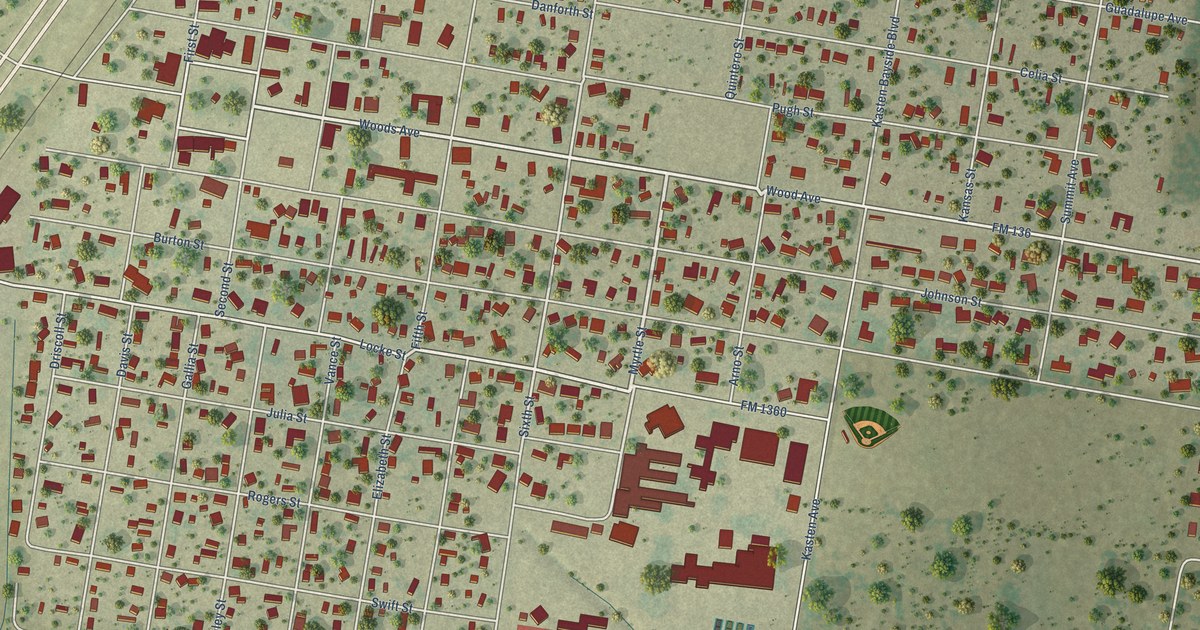
A detailed map of Woodsboro, Texas, showing every building in its true location, the roads by name, and shaded topographical relief.
Read More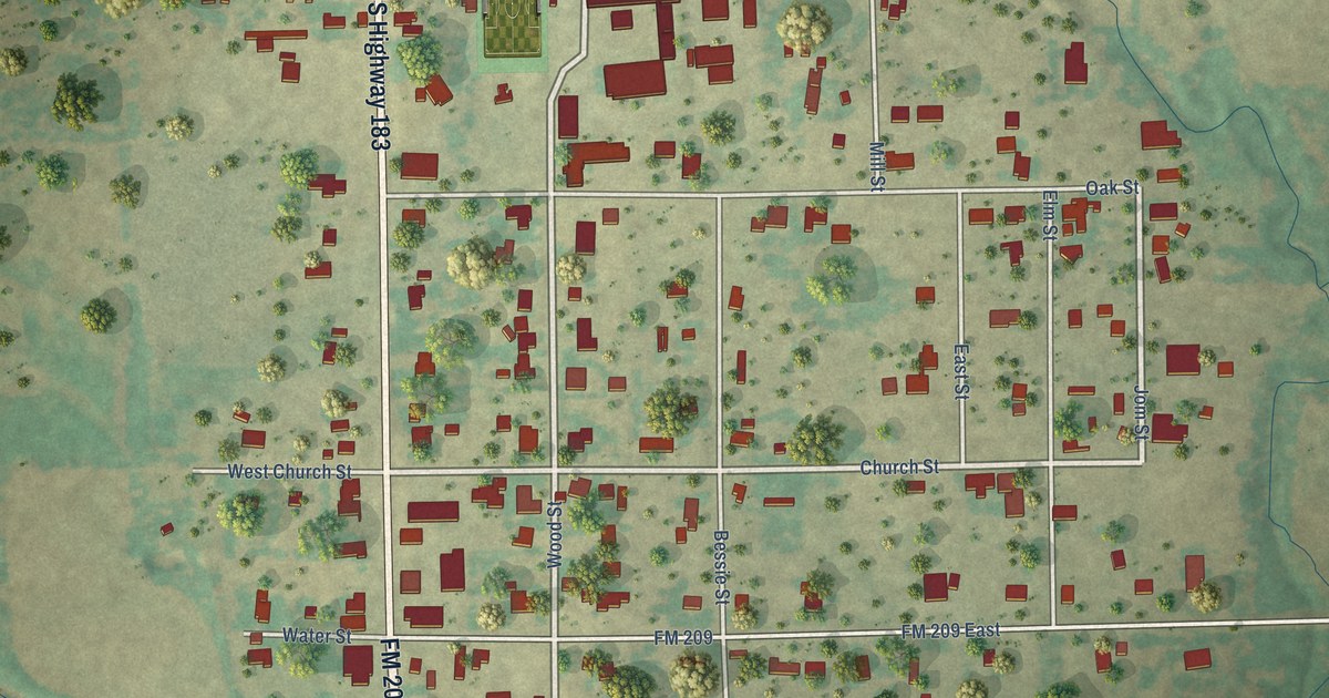
A detailed map of Woodson, Texas, showing every building in its true location, the roads by name, and shaded topographical relief.
Read More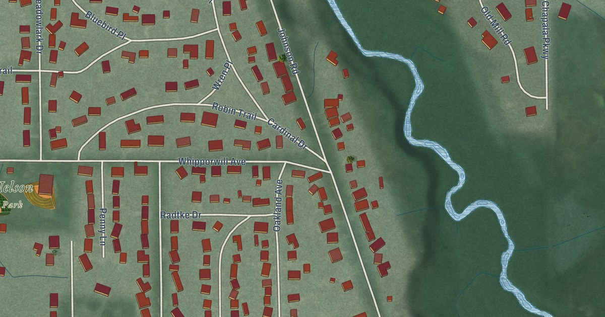
A detailed map of Trail Creek, Indiana, showing every building in its true location, the roads by name, and shaded topographical relief.
Read More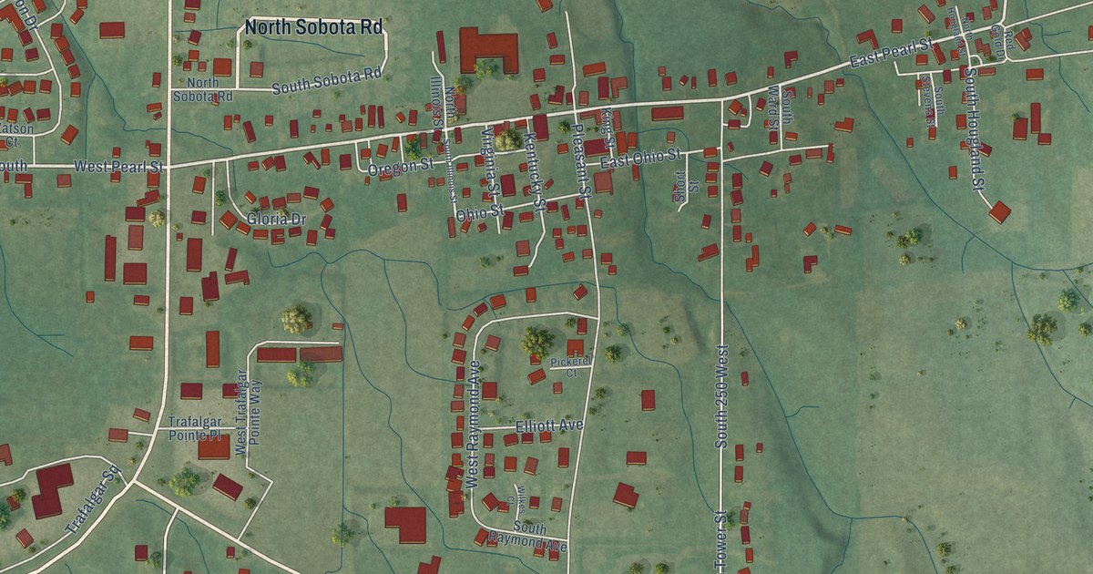
A detailed map of Trafalgar, Indiana, showing every building in its true location, the roads by name, and shaded topographical relief.
Read More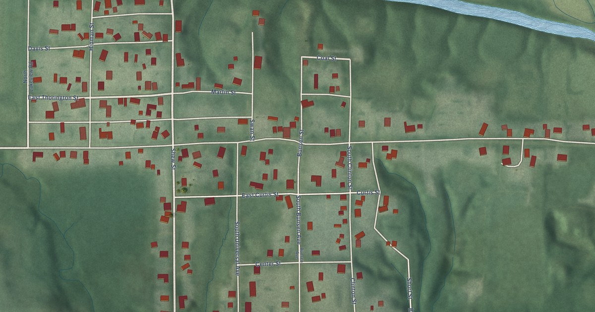
A detailed map of Universal, Indiana, showing every building in its true location, the roads by name, and shaded topographical relief.
Read More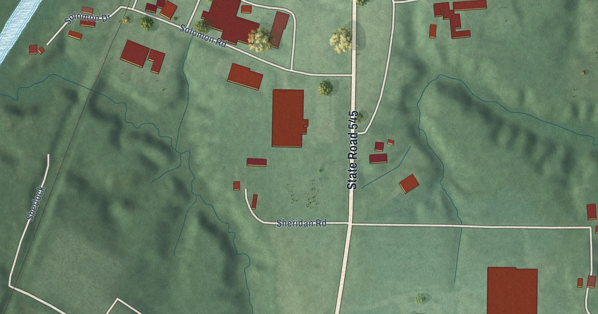
A detailed map of Troy, Indiana, showing every building in its true location, the roads by name, and shaded topographical relief.
Read More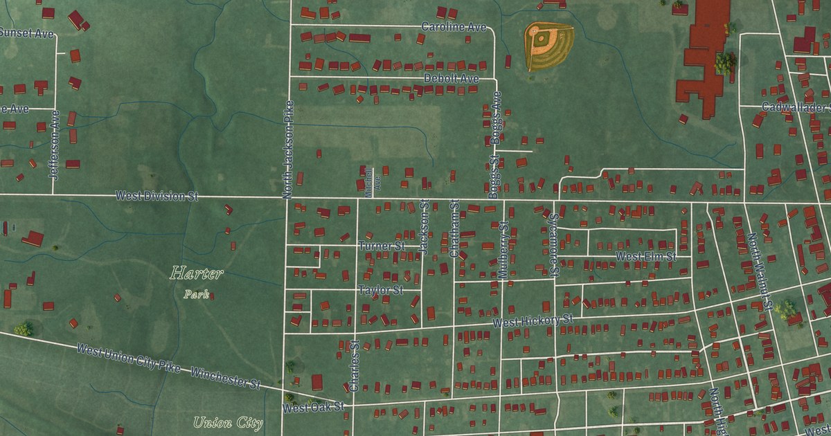
A detailed map of Union City, Indiana, showing every building in its true location, the roads by name, and shaded topographical relief.
Read More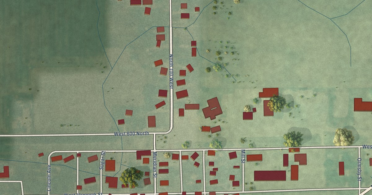
A detailed map of Uniondale, Indiana, showing every building in its true location, the roads by name, and shaded topographical relief.
Read More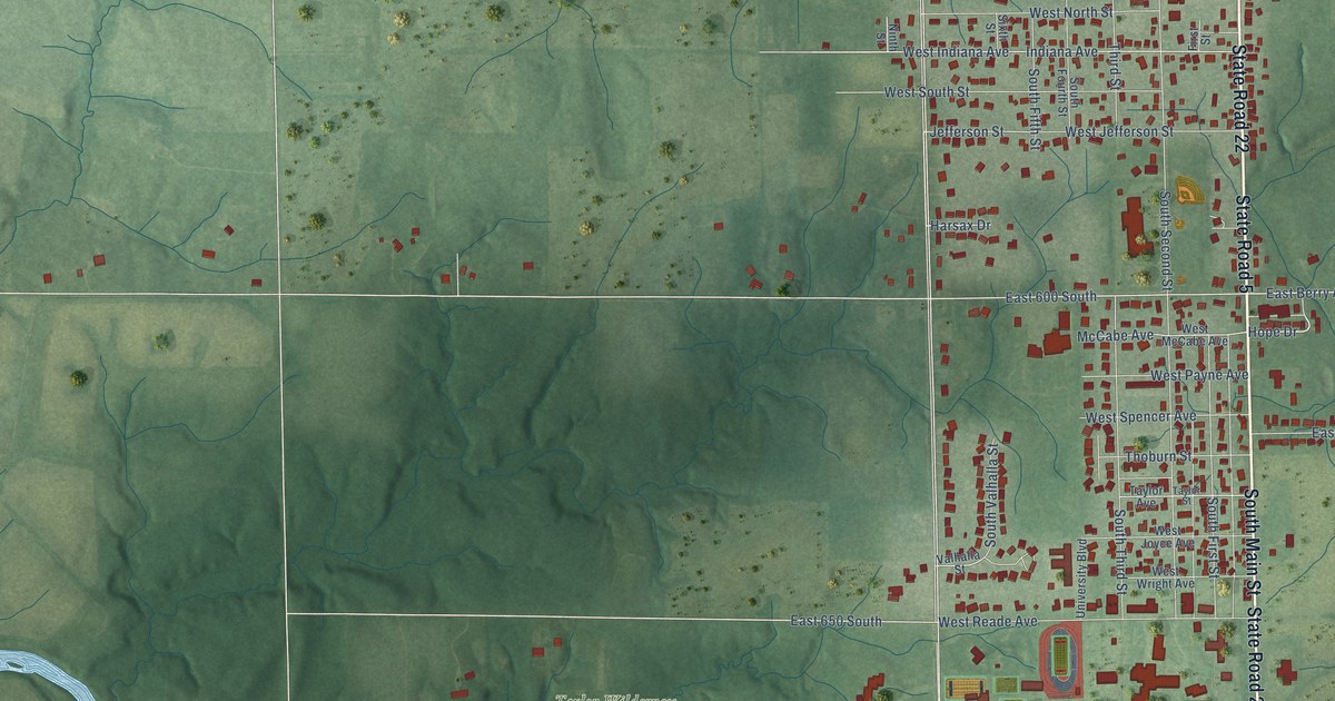
A detailed map of Upland, Indiana, showing every building in its true location, the roads by name, and shaded topographical relief.
Read More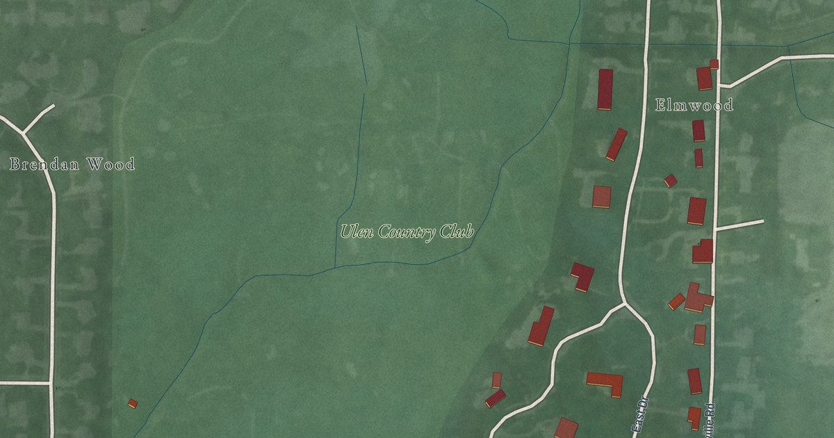
A detailed map of Ulen, Indiana, showing every building in its true location, the roads by name, and shaded topographical relief.
Read More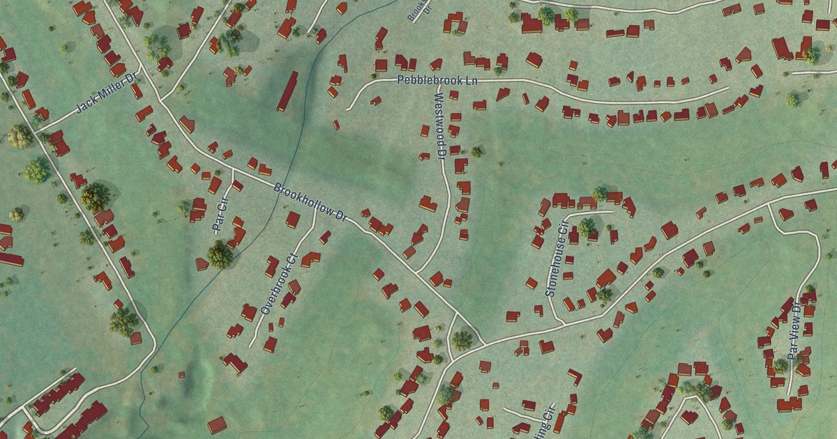
A detailed map of Woodcreek, Texas, showing every building in its true location, the roads by name, and shaded topographical relief.
Read More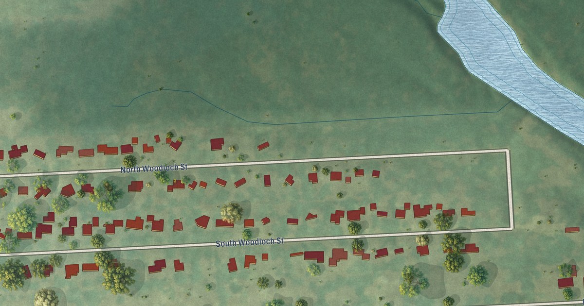
A detailed map of Woodloch, Texas, showing every building in its true location, the roads by name, and shaded topographical relief.
Read More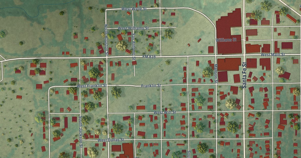
A detailed map of Wolfe City, Texas, showing every building in its true location, the roads by name, and shaded topographical relief.
Read More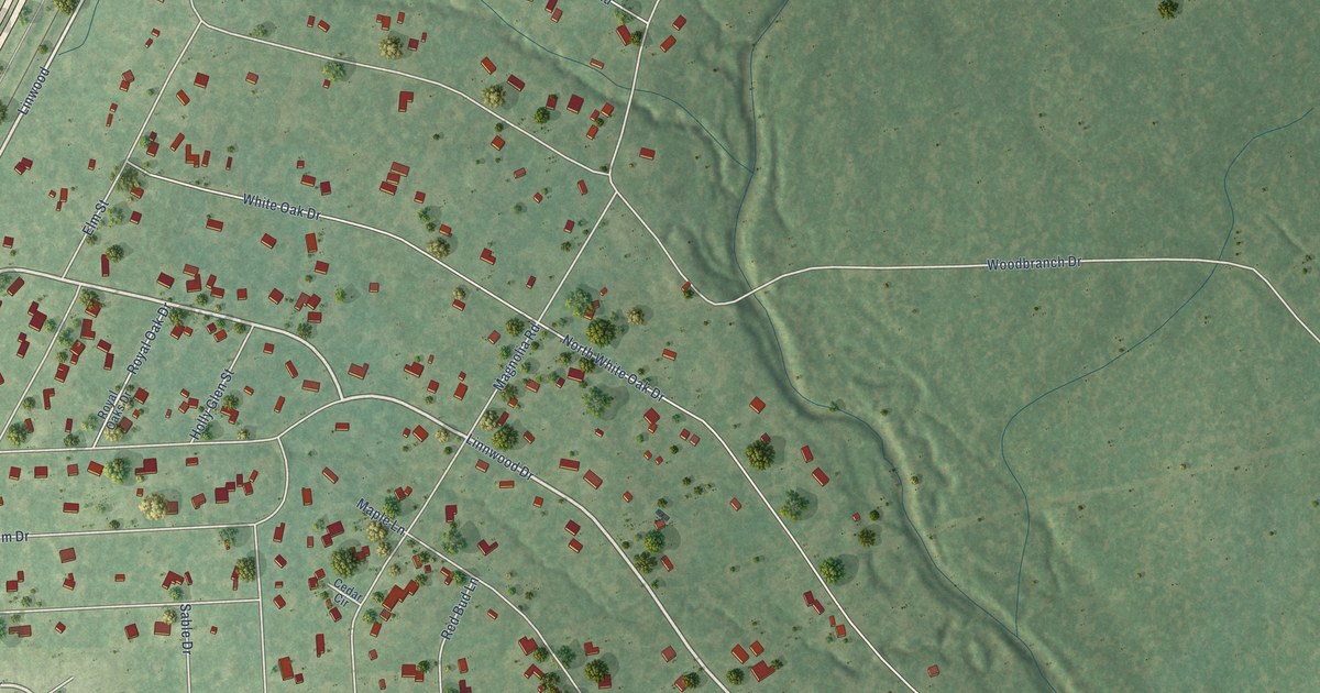
A detailed map of Woodbranch, Texas, showing every building in its true location, the roads by name, and shaded topographical relief.
Read More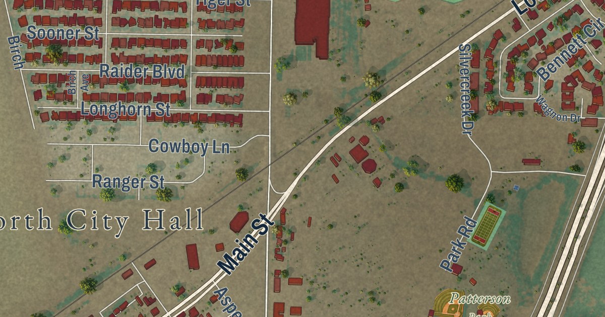
A detailed map of Wolfforth, Texas, showing every building in its true location, the roads by name, and shaded topographical relief.
Read More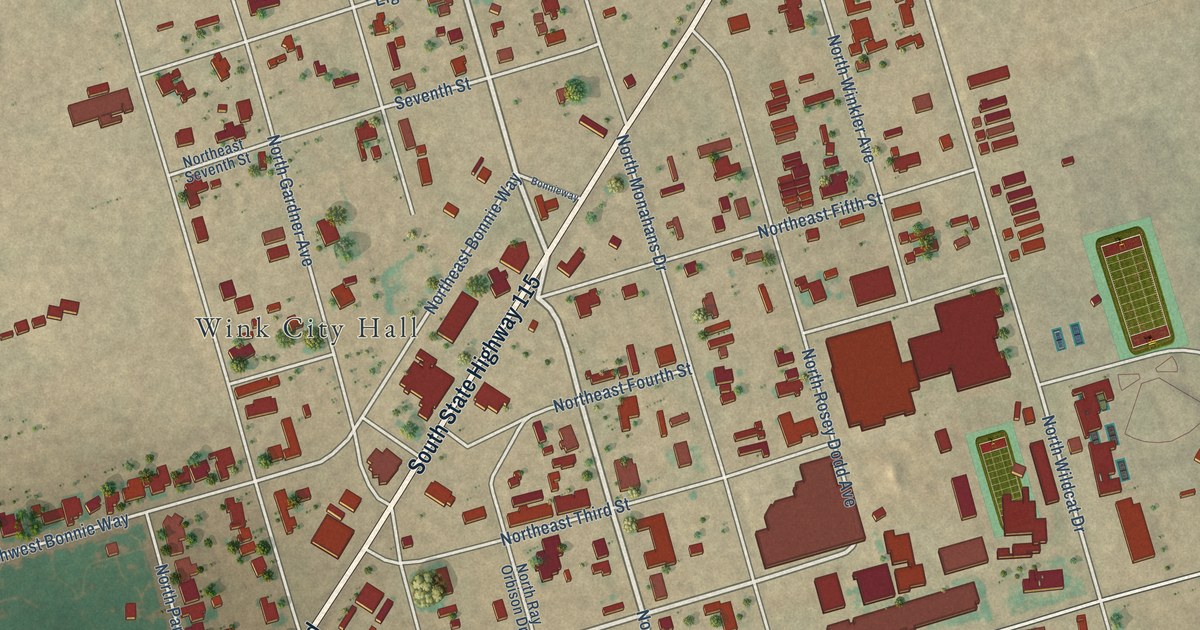
A detailed map of Wink, Texas, showing every building in its true location, the roads by name, and shaded topographical relief.
Read More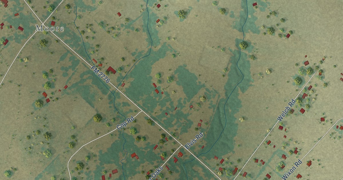
A detailed map of Wixon Valley, Texas, showing every building in its true location, the roads by name, and shaded topographical relief.
Read More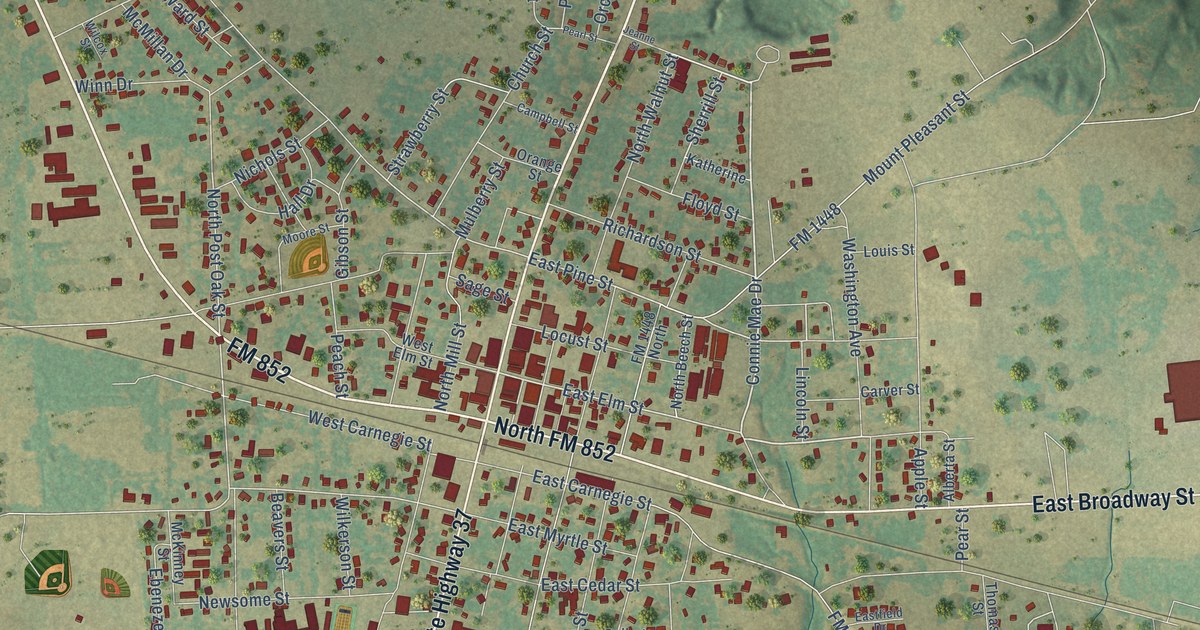
A detailed map of Winnsboro, Texas, showing every building in its true location, the roads by name, and shaded topographical relief.
Read More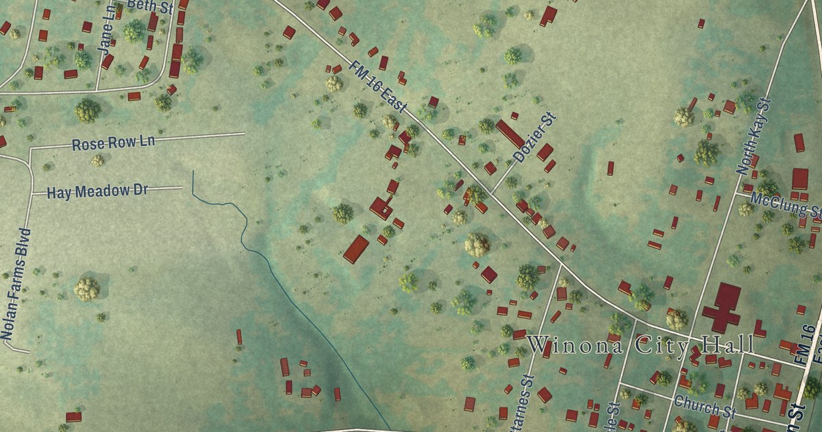
A detailed map of Winona, Texas, showing every building in its true location, the roads by name, and shaded topographical relief.
Read More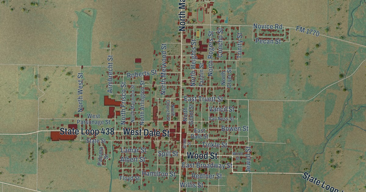
A detailed map of Winters, Texas, showing every building in its true location, the roads by name, and shaded topographical relief.
Read More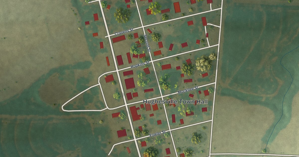
A detailed map of Hughesville, Missouri, showing every building in its true location, the roads by name, and shaded topographical relief.
Read More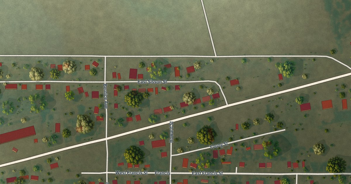
A detailed map of Howardville, Missouri, showing every building in its true location, the roads by name, and shaded topographical relief.
Read More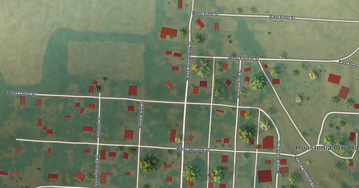
A detailed map of Houstonia, Missouri, showing every building in its true location, the roads by name, and shaded topographical relief.
Read More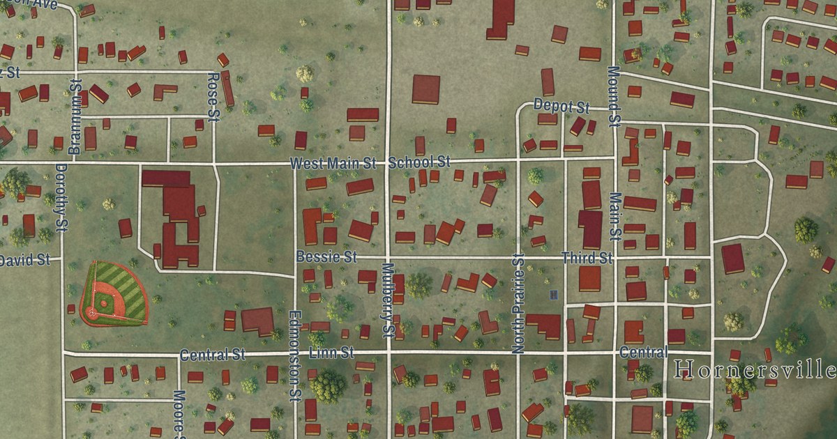
A detailed map of Hornersville, Missouri, showing every building in its true location, the roads by name, and shaded topographical relief.
Read More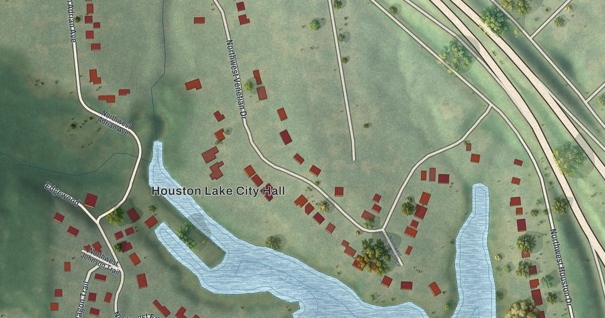
A detailed map of Houston Lake, Missouri, showing every building in its true location, the roads by name, and shaded topographical relief.
Read More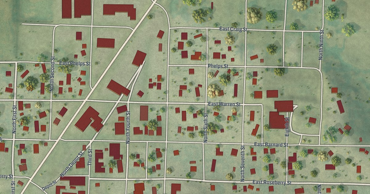
A detailed map of Hopkins, Missouri, showing every building in its true location, the roads by name, and shaded topographical relief.
Read More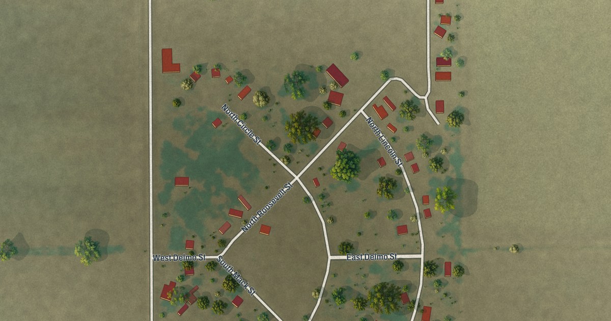
A detailed map of Homestown, Missouri, showing every building in its true location, the roads by name, and shaded topographical relief.
Read More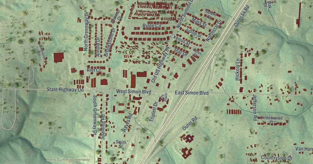
A detailed map of Holts Summit, Missouri, showing every building in its true location, the roads by name, and shaded topographical relief.
Read More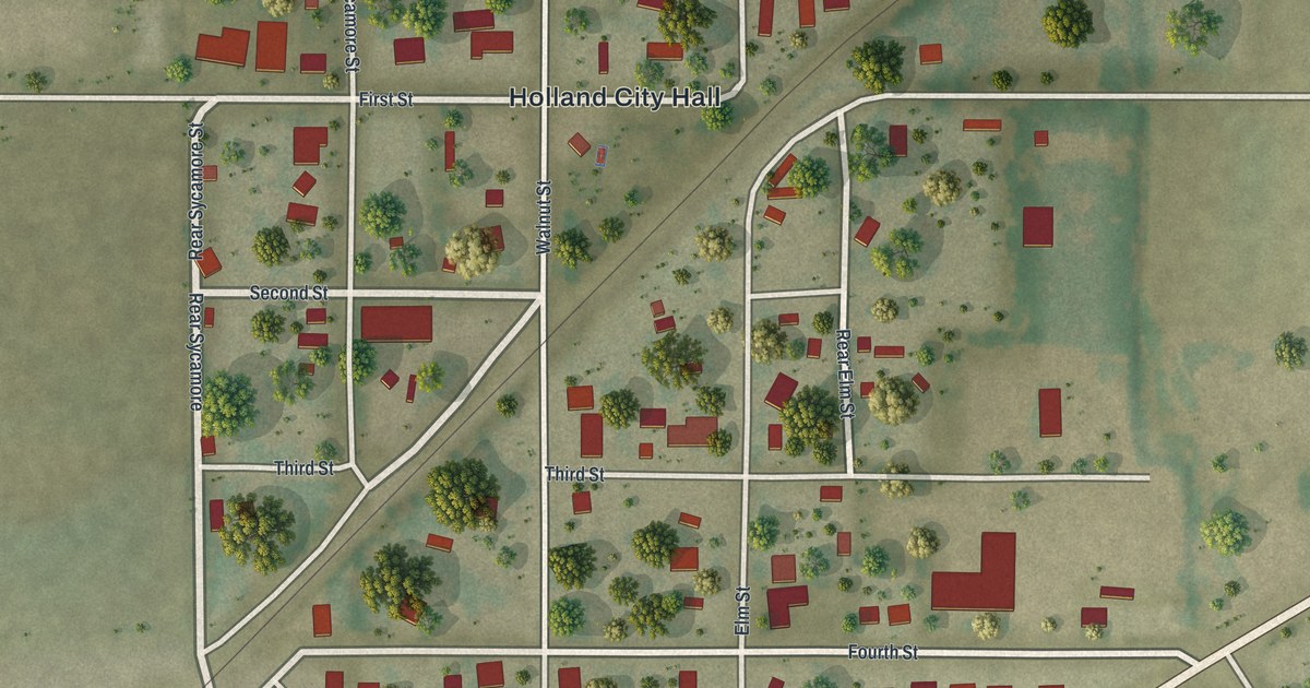
A detailed map of Holland, Missouri, showing every building in its true location, the roads by name, and shaded topographical relief.
Read More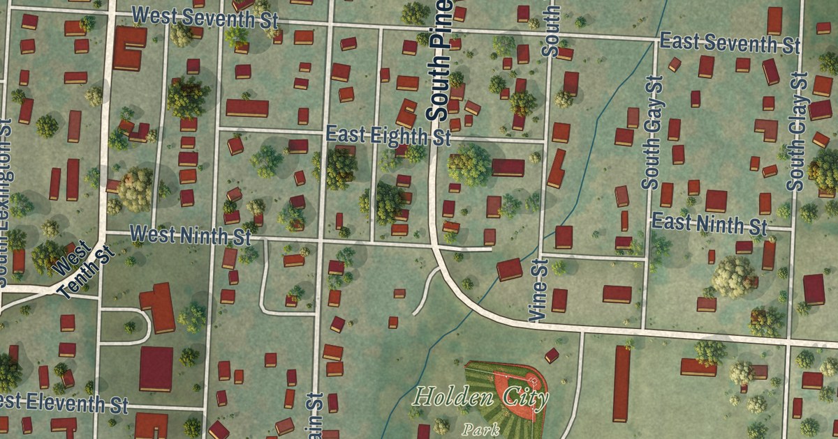
A detailed map of Holden, Missouri, showing every building in its true location, the roads by name, and shaded topographical relief.
Read More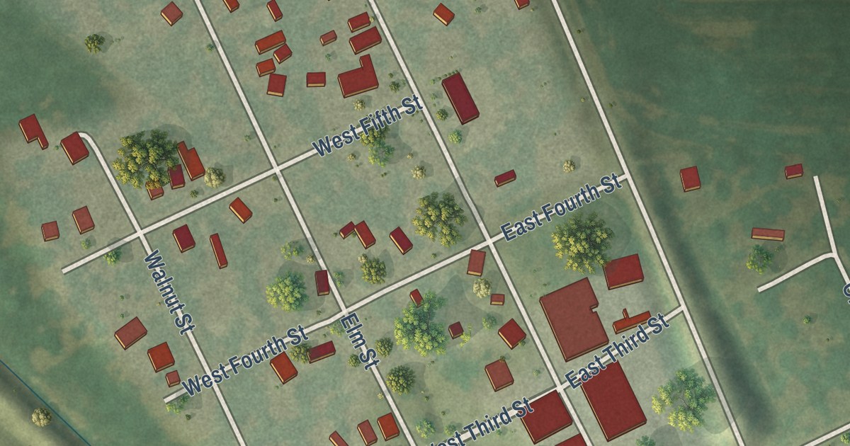
A detailed map of Henrietta, Missouri, showing every building in its true location, the roads by name, and shaded topographical relief.
Read More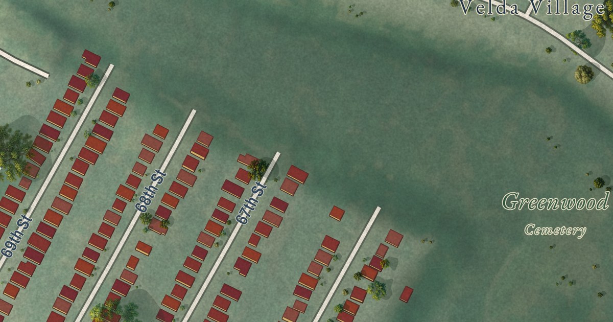
A detailed map of Hillsdale, Missouri, showing every building in its true location, the roads by name, and shaded topographical relief.
Read More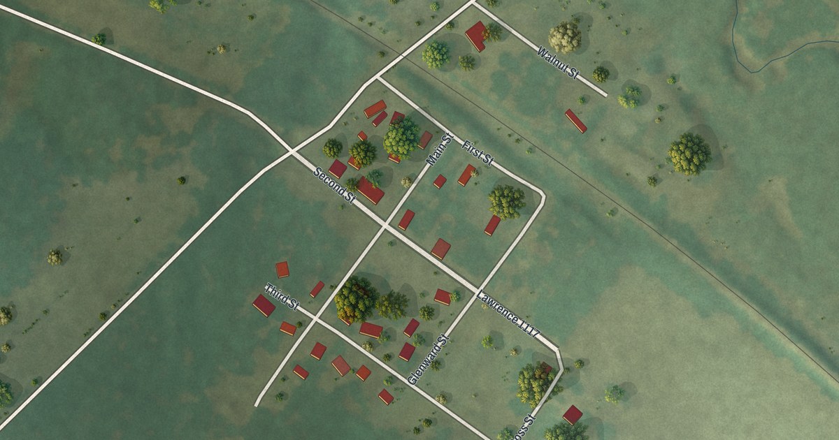
A detailed map of Hoberg, Missouri, showing every building in its true location, the roads by name, and shaded topographical relief.
Read More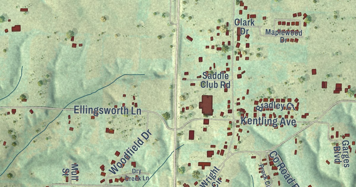
A detailed map of Highlandville, Missouri, showing every building in its true location, the roads by name, and shaded topographical relief.
Read More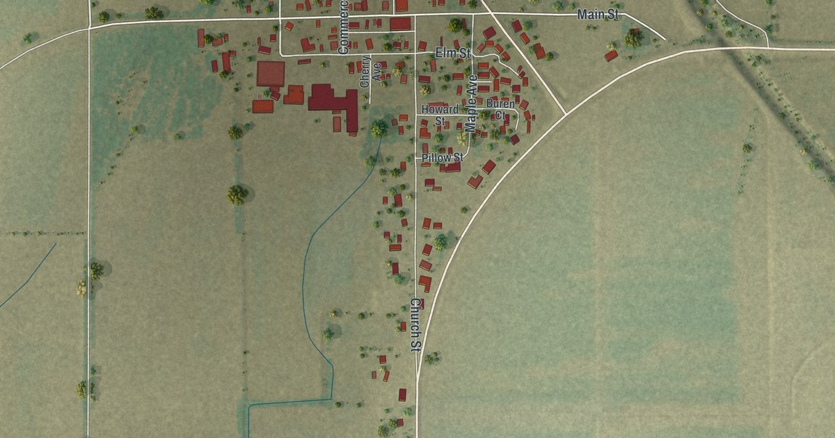
A detailed map of Holcomb, Missouri, showing every building in its true location, the roads by name, and shaded topographical relief.
Read More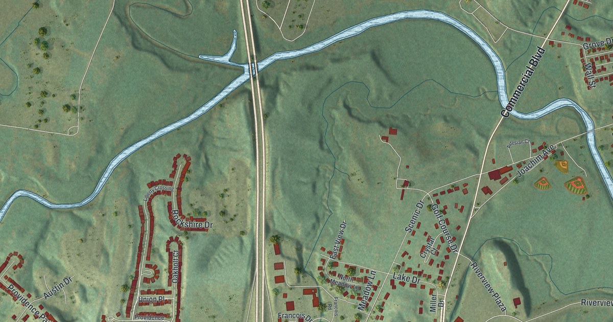
A detailed map of Herculaneum, Missouri, showing every building in its true location, the roads by name, and shaded topographical relief.
Read More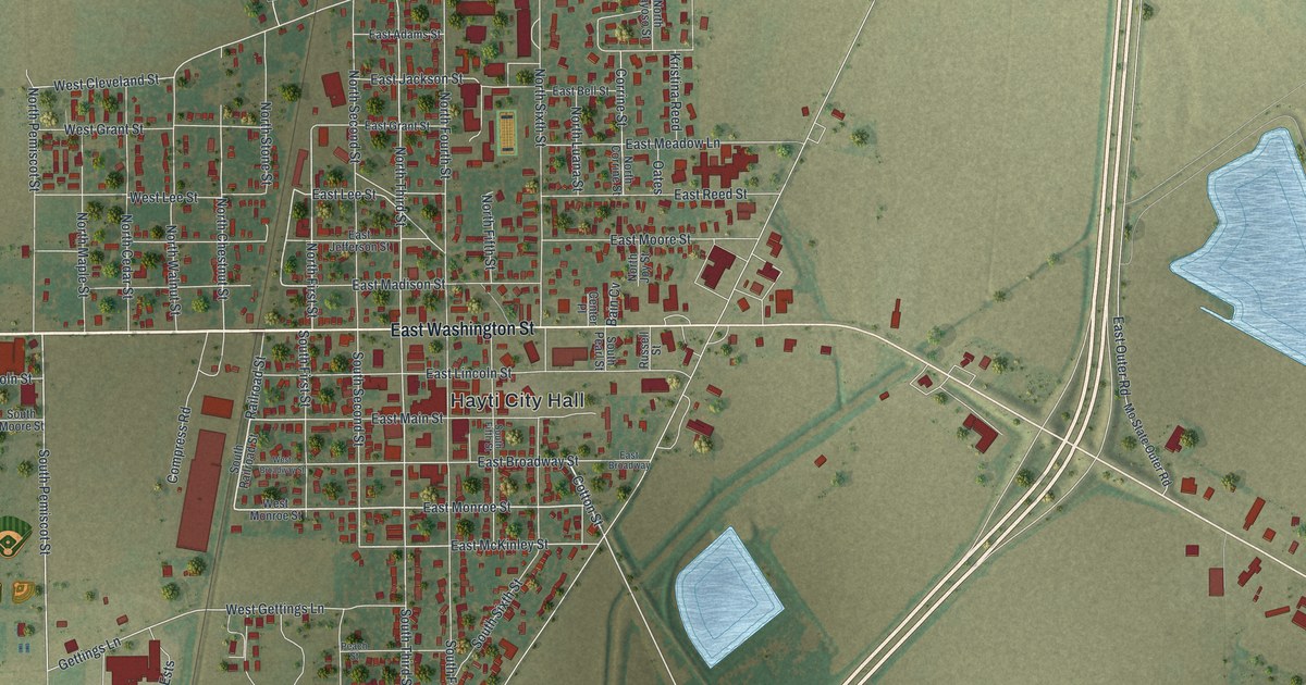
A detailed map of Hayti, Missouri, showing every building in its true location, the roads by name, and shaded topographical relief.
Read More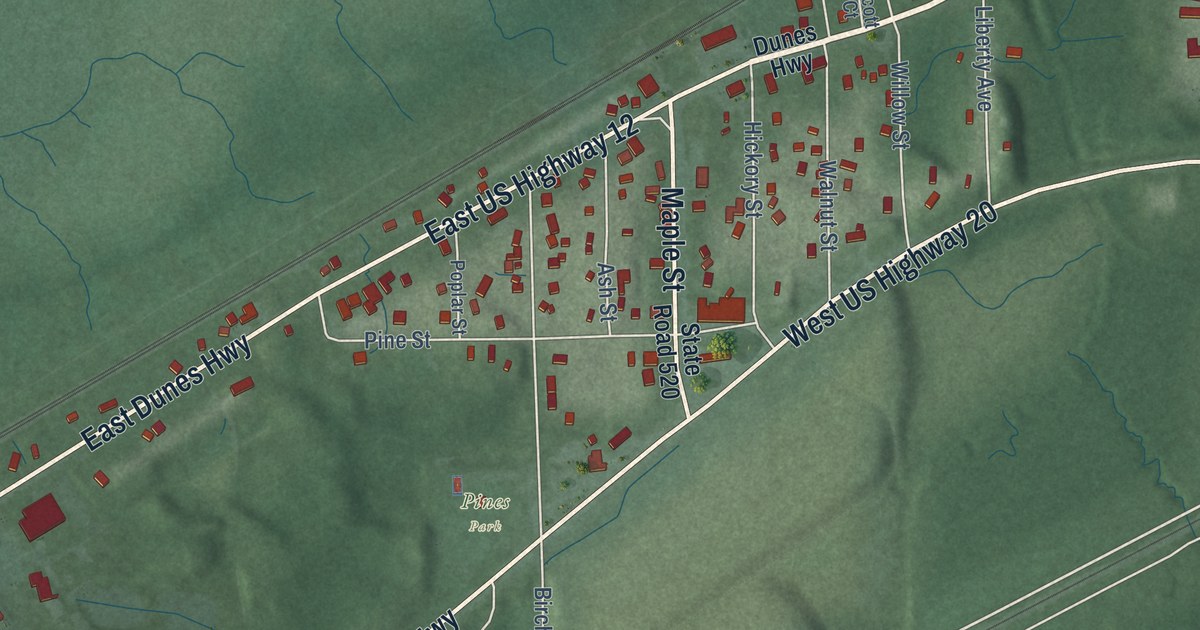
A detailed map of Pines, Indiana, showing every building in its true location, the roads by name, and shaded topographical relief.
Read More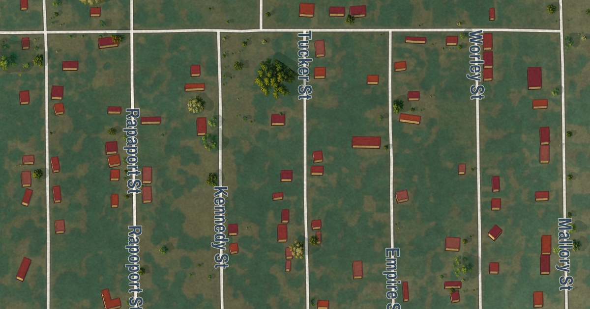
A detailed map of Hayti Heights, Missouri, showing every building in its true location, the roads by name, and shaded topographical relief.
Read More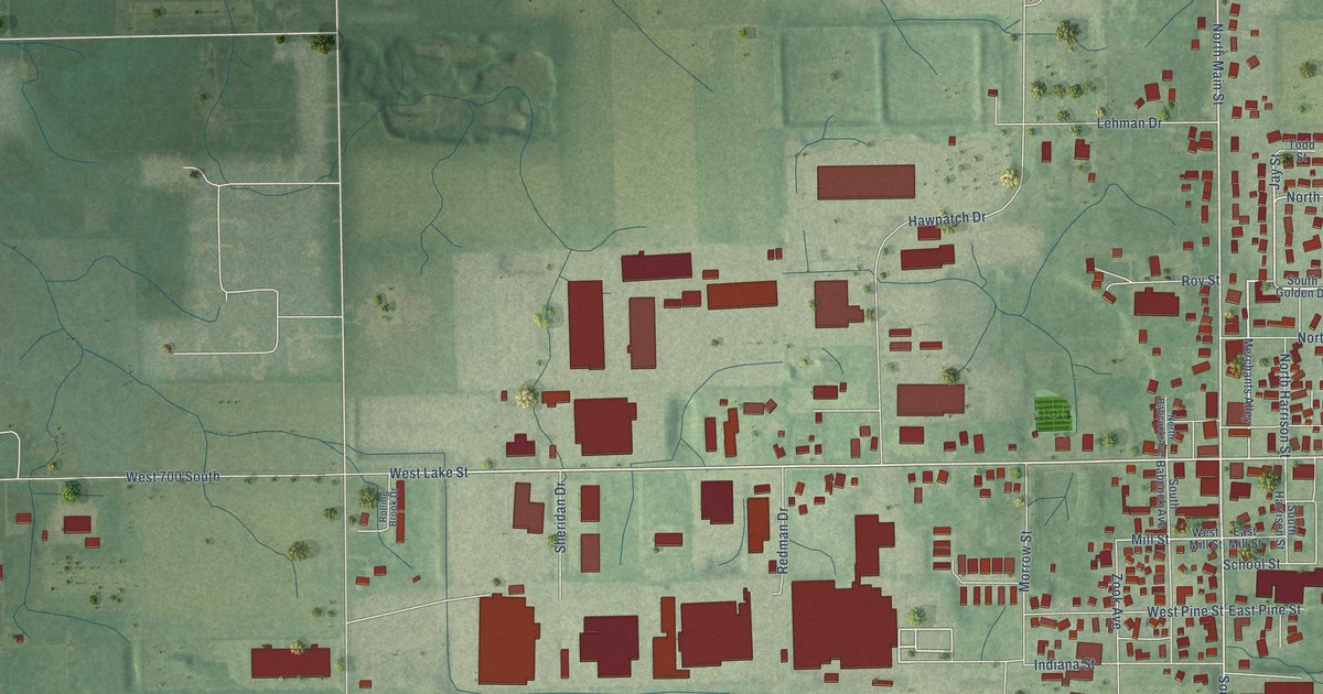
A detailed map of Topeka, Indiana, showing every building in its true location, the roads by name, and shaded topographical relief.
Read More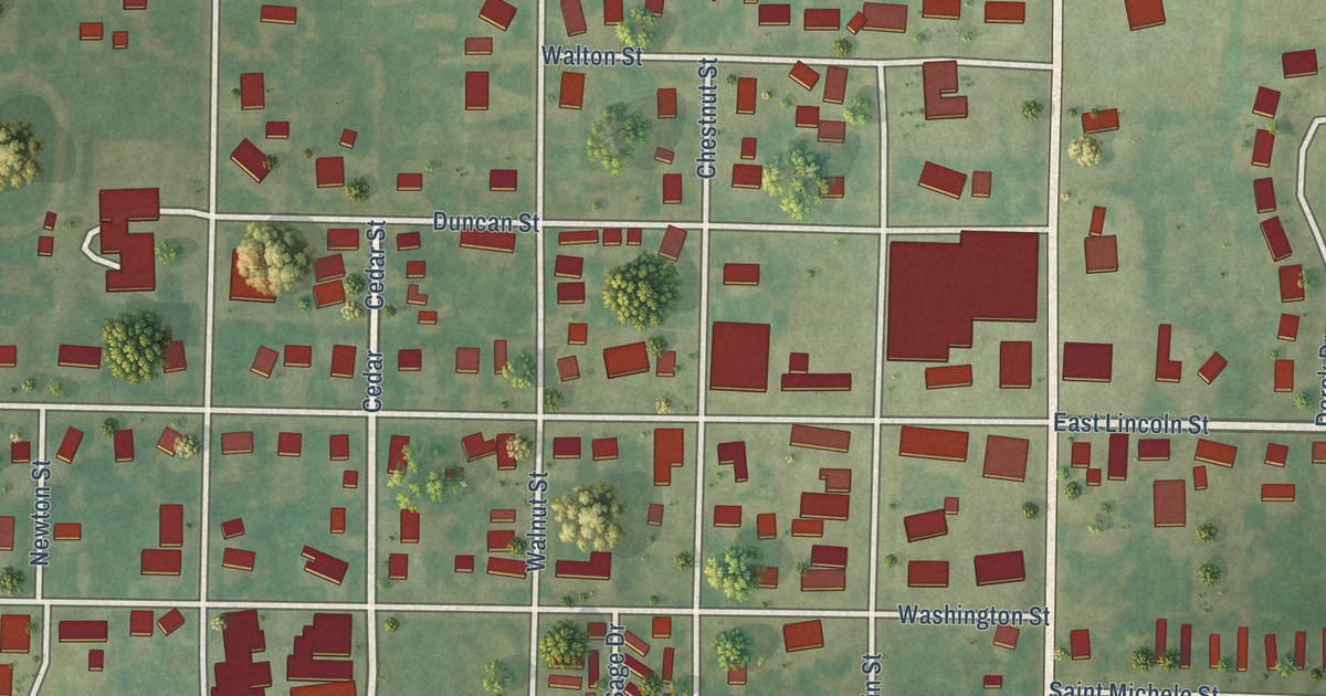
A detailed map of Hawk Point, Missouri, showing every building in its true location, the roads by name, and shaded topographical relief.
Read More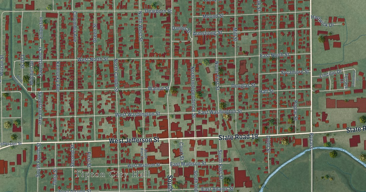
A detailed map of Tipton, Indiana, showing every building in its true location, the roads by name, and shaded topographical relief.
Read More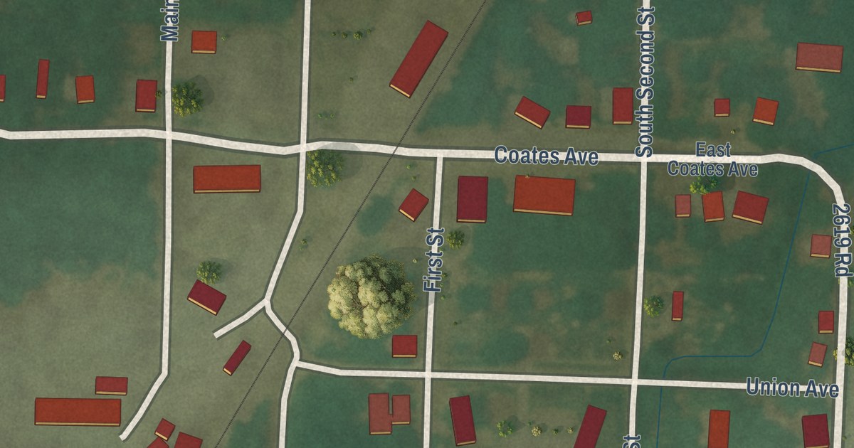
A detailed map of Harwood, Missouri, showing every building in its true location, the roads by name, and shaded topographical relief.
Read More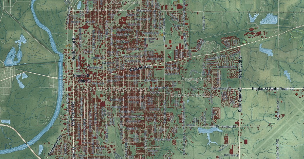
A detailed map of Terre Haute, Indiana, showing every building in its true location, the roads by name, and shaded topographical relief.
Read More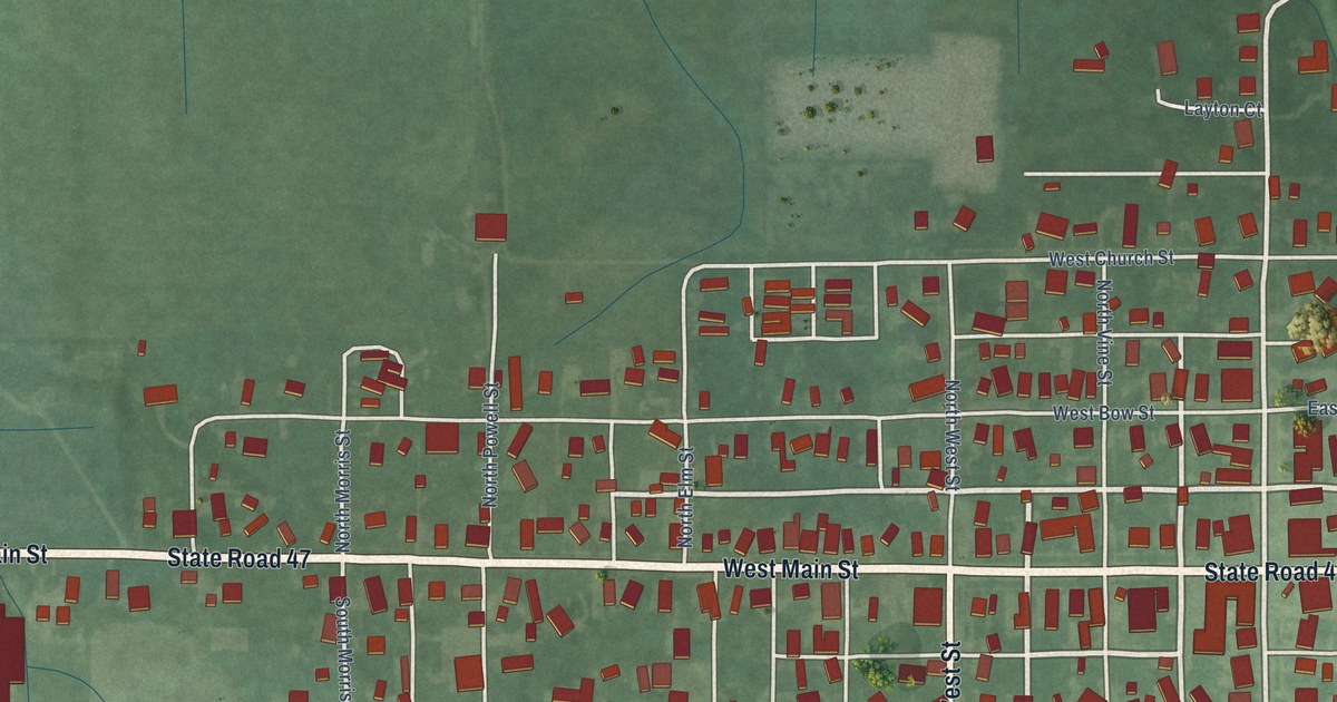
A detailed map of Thorntown, Indiana, showing every building in its true location, the roads by name, and shaded topographical relief.
Read More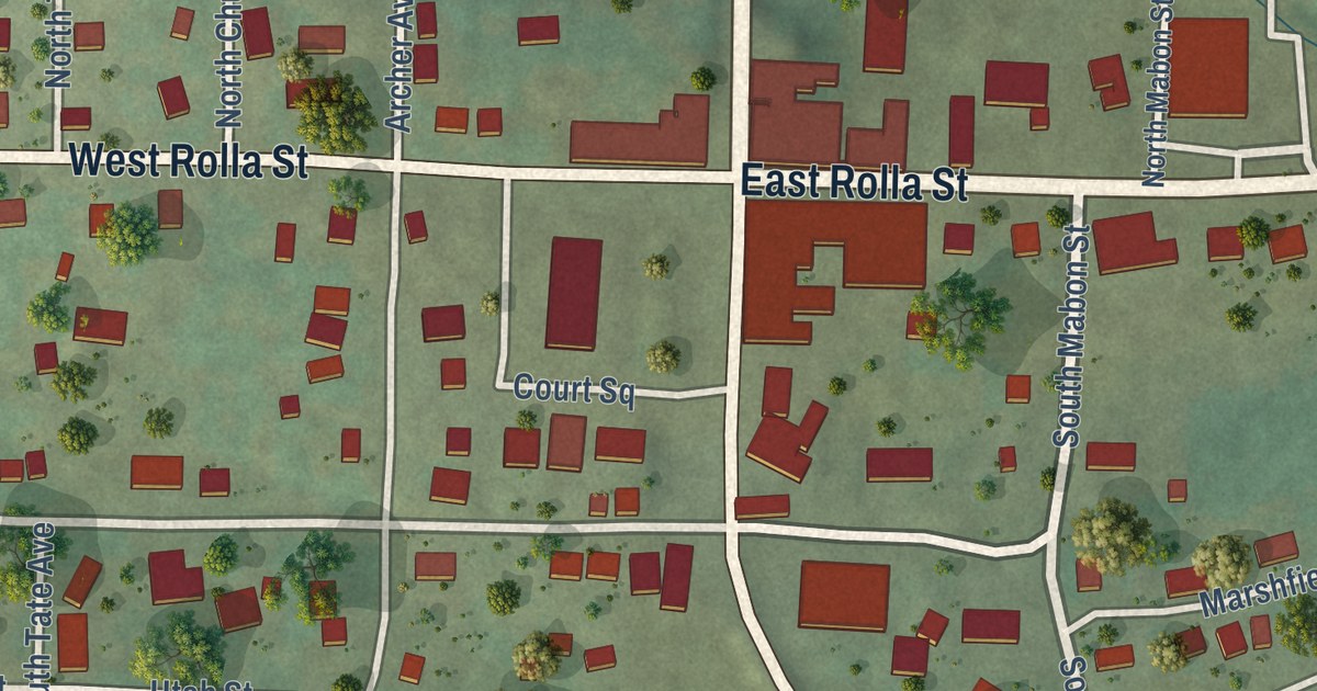
A detailed map of Hartville, Missouri, showing every building in its true location, the roads by name, and shaded topographical relief.
Read More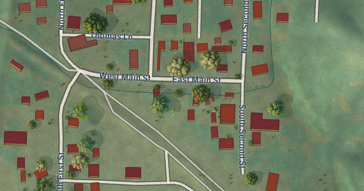
A detailed map of Hartsburg, Missouri, showing every building in its true location, the roads by name, and shaded topographical relief.
Read More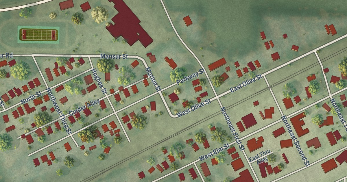
A detailed map of Hardin, Missouri, showing every building in its true location, the roads by name, and shaded topographical relief.
Read More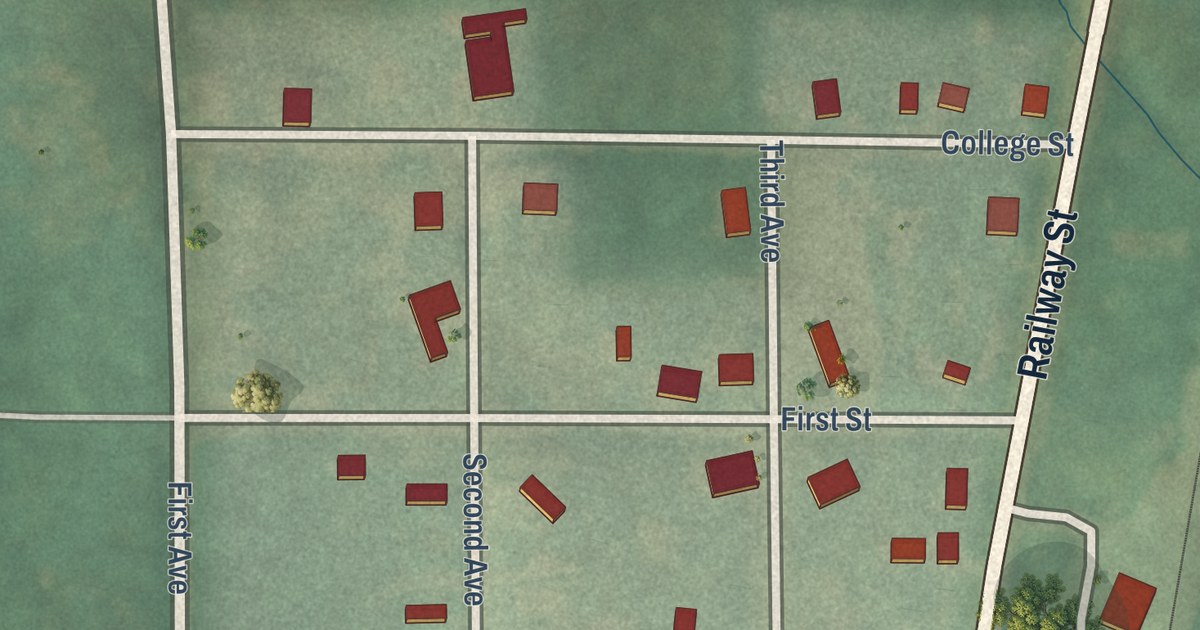
A detailed map of Harris, Missouri, showing every building in its true location, the roads by name, and shaded topographical relief.
Read More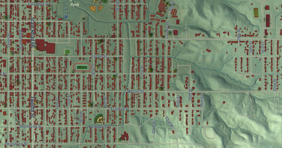
A detailed map of Tell City, Indiana, showing every building in its true location, the roads by name, and shaded topographical relief.
Read More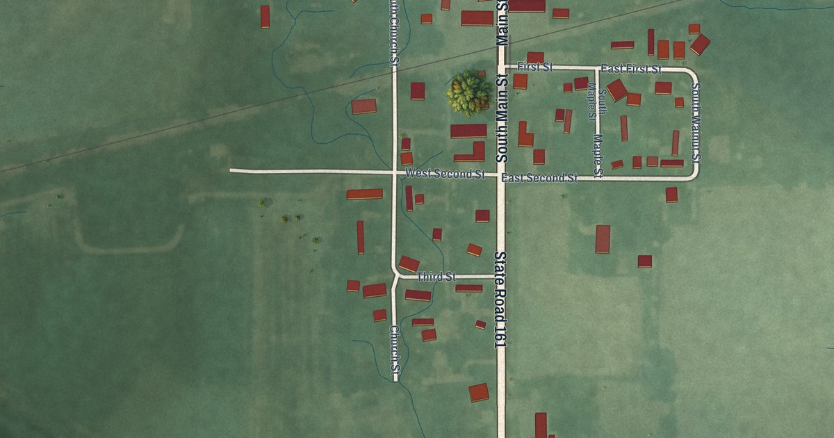
A detailed map of Tennyson, Indiana, showing every building in its true location, the roads by name, and shaded topographical relief.
Read More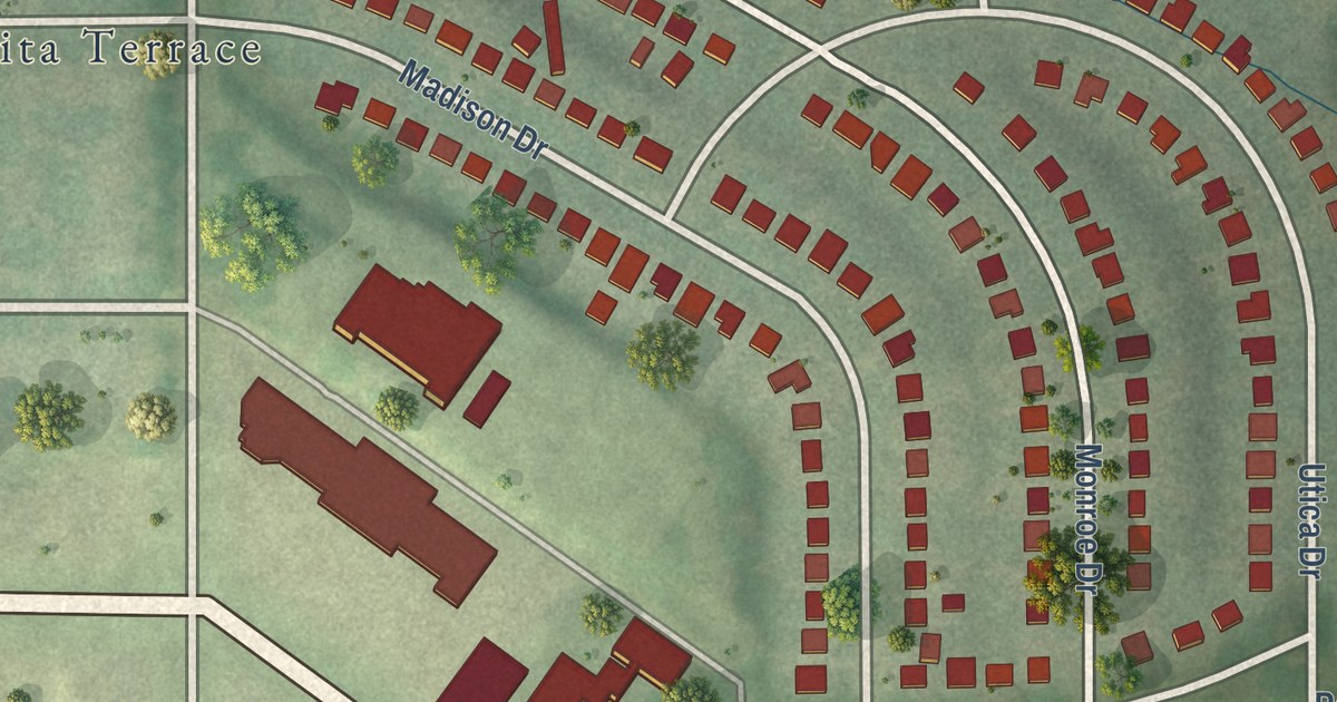
A detailed map of Hanley Hills, Missouri, showing every building in its true location, the roads by name, and shaded topographical relief.
Read More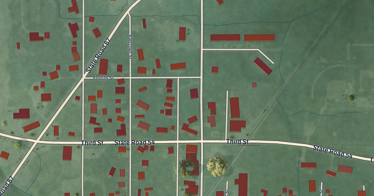
A detailed map of Switz City, Indiana, showing every building in its true location, the roads by name, and shaded topographical relief.
Read More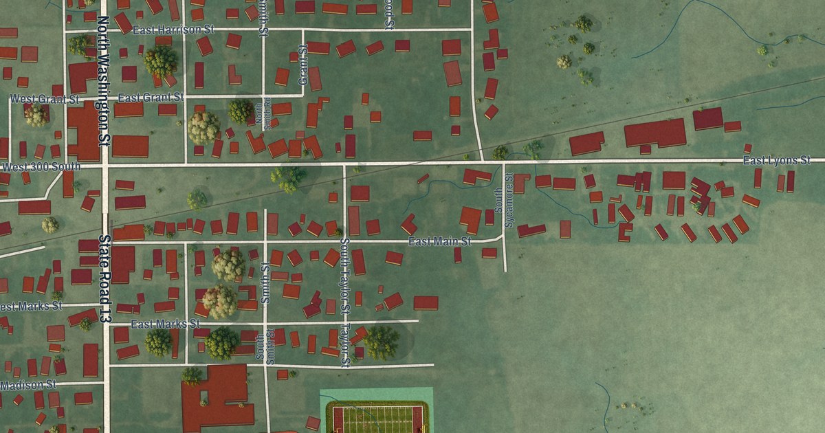
A detailed map of Swayzee, Indiana, showing every building in its true location, the roads by name, and shaded topographical relief.
Read More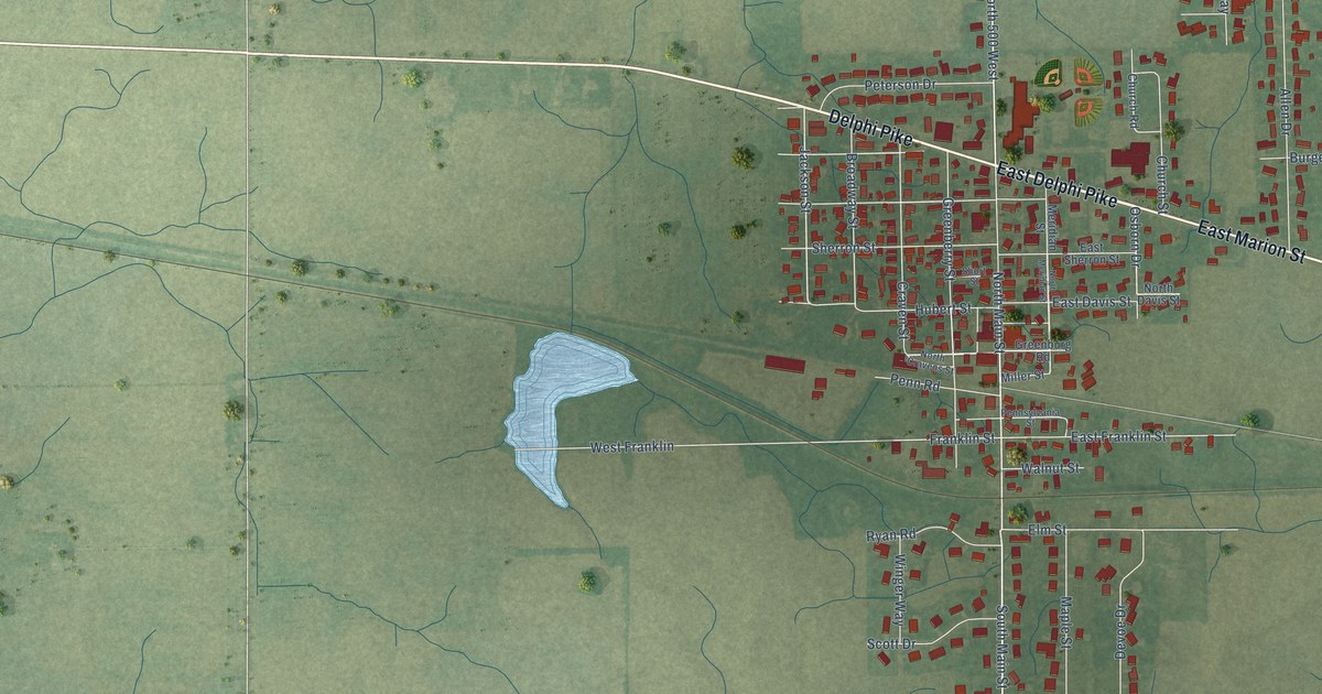
A detailed map of Sweetser, Indiana, showing every building in its true location, the roads by name, and shaded topographical relief.
Read More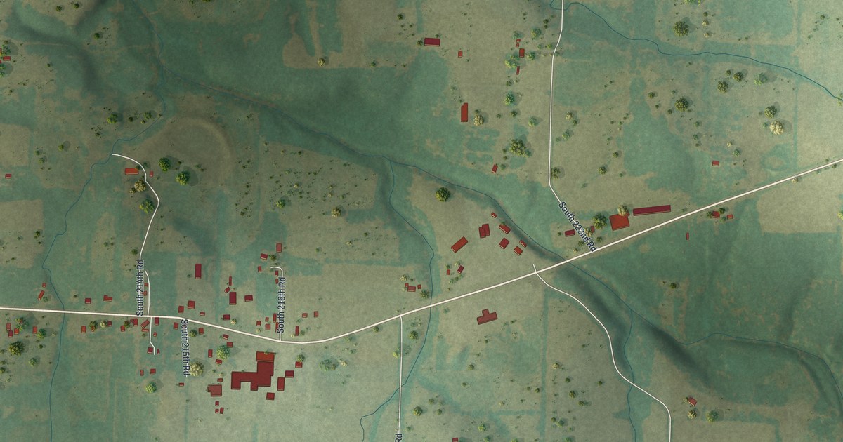
A detailed map of Halfway, Missouri, showing every building in its true location, the roads by name, and shaded topographical relief.
Read More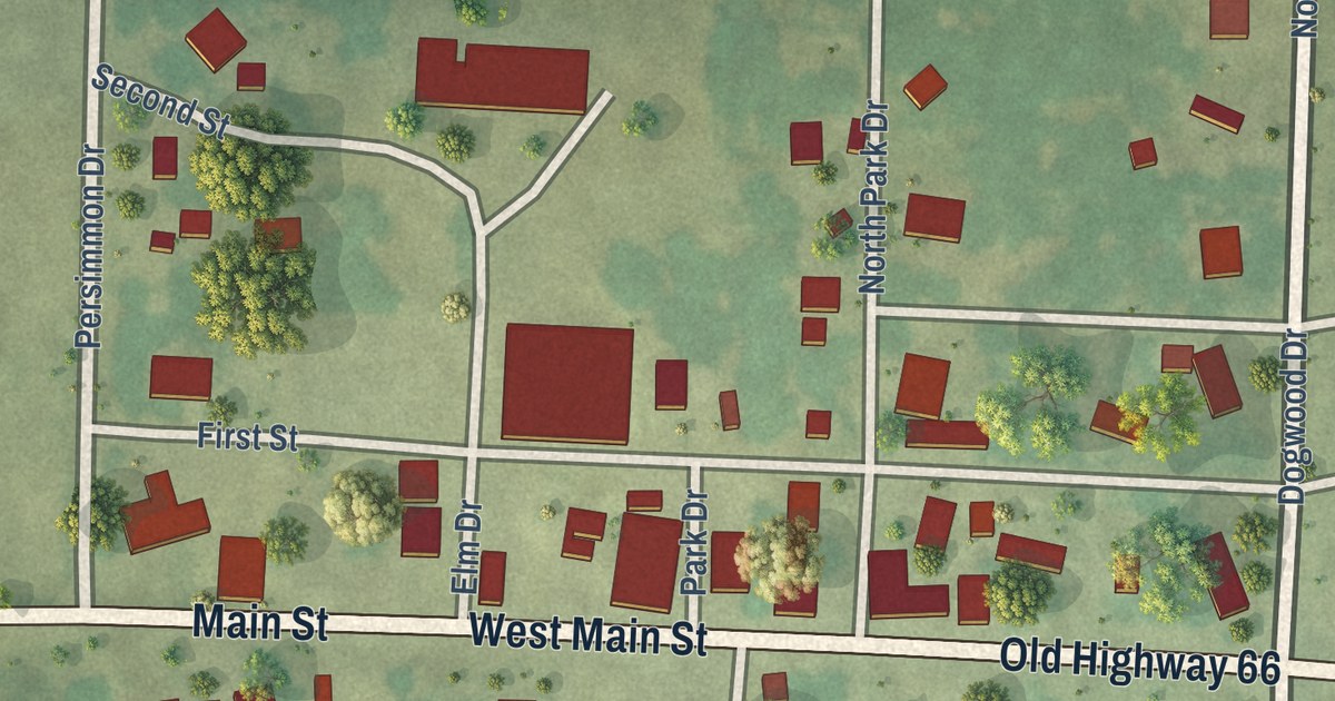
A detailed map of Halltown, Missouri, showing every building in its true location, the roads by name, and shaded topographical relief.
Read More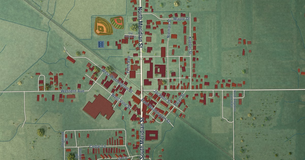
A detailed map of Sunman, Indiana, showing every building in its true location, the roads by name, and shaded topographical relief.
Read More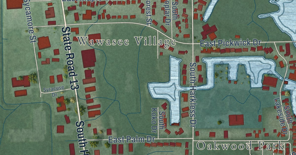
A detailed map of Syracuse, Indiana, showing every building in its true location, the roads by name, and shaded topographical relief.
Read More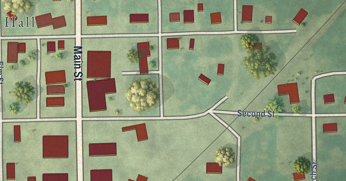
A detailed map of Hale, Missouri, showing every building in its true location, the roads by name, and shaded topographical relief.
Read More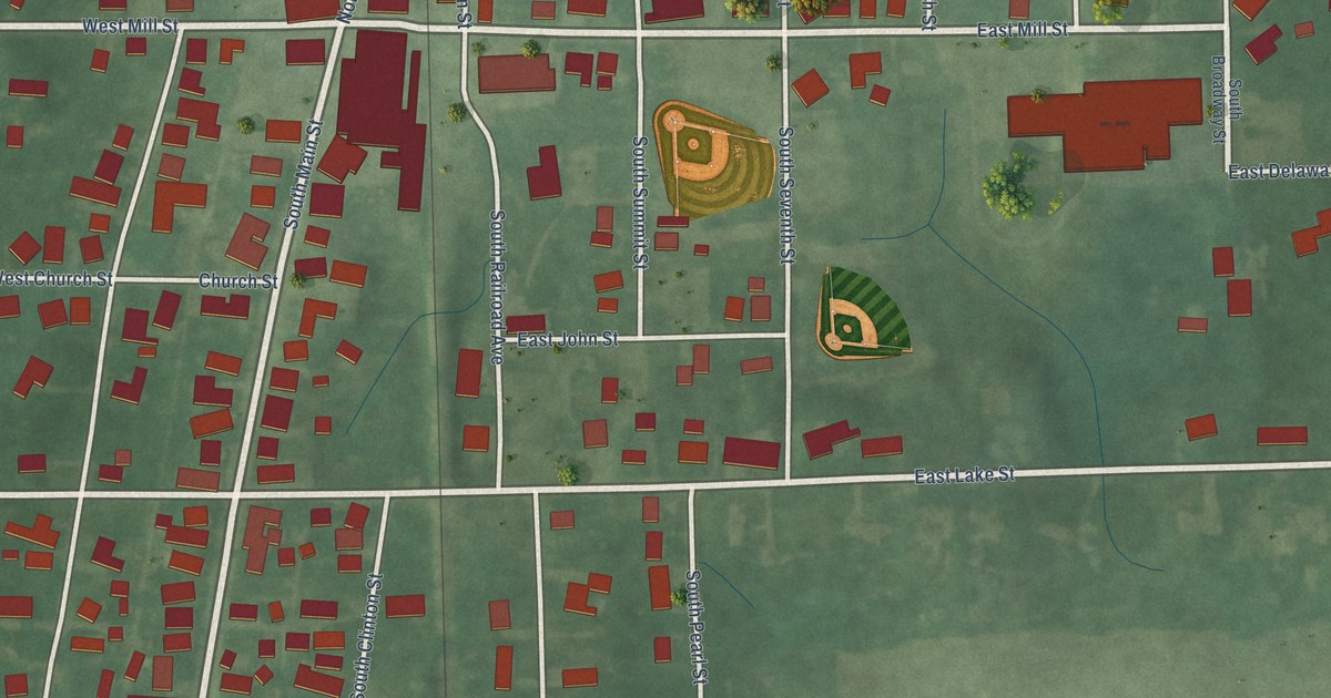
A detailed map of Summitville, Indiana, showing every building in its true location, the roads by name, and shaded topographical relief.
Read More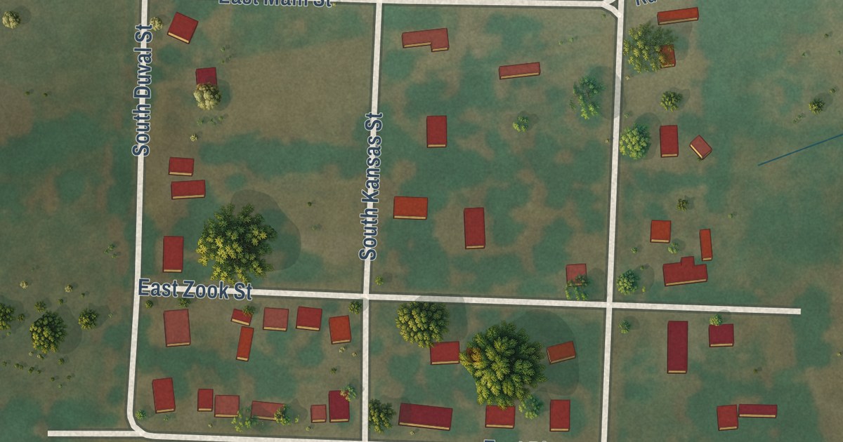
A detailed map of Gunn City, Missouri, showing every building in its true location, the roads by name, and shaded topographical relief.
Read More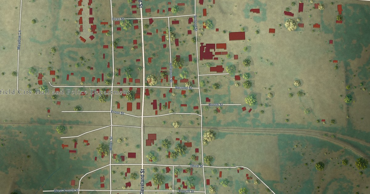
A detailed map of Winfield, Texas, showing every building in its true location, the roads by name, and shaded topographical relief.
Read More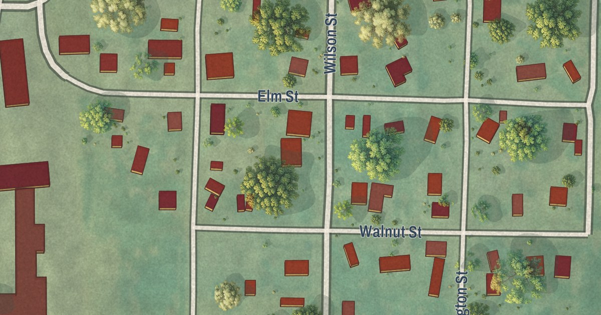
A detailed map of Guilford, Missouri, showing every building in its true location, the roads by name, and shaded topographical relief.
Read More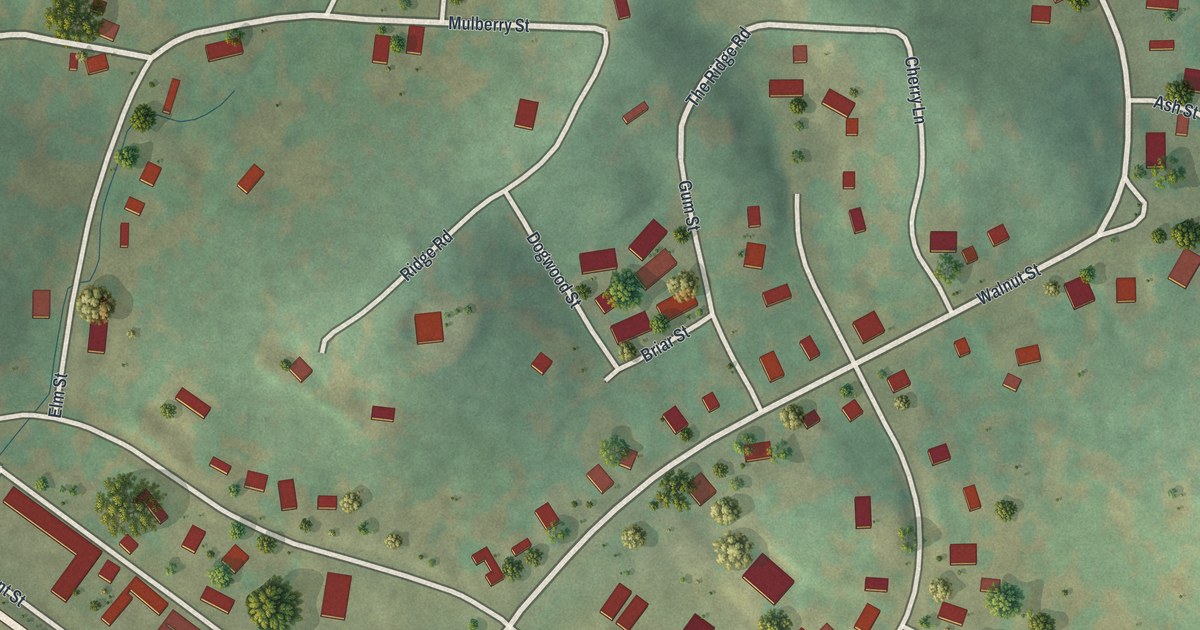
A detailed map of Greenville, Missouri, showing every building in its true location, the roads by name, and shaded topographical relief.
Read More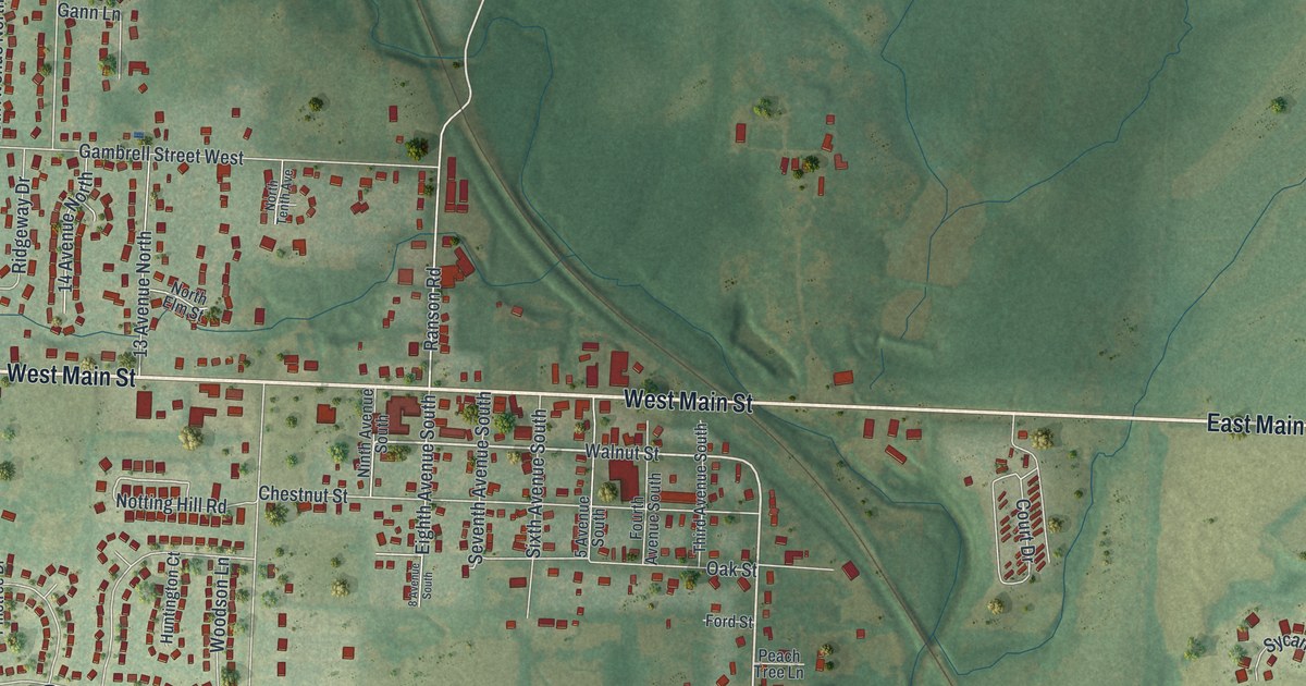
A detailed map of Greenwood, Missouri, showing every building in its true location, the roads by name, and shaded topographical relief.
Read More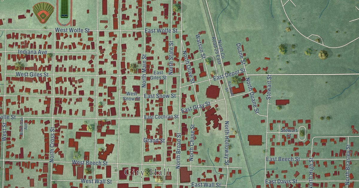
A detailed map of Sullivan, Indiana, showing every building in its true location, the roads by name, and shaded topographical relief.
Read More















