Detailed Map of Merriam Woods, Missouri
A detailed map of Merriam Woods, Missouri, showing every building in its true location, the roads by name, and shaded topographical relief.
Read More
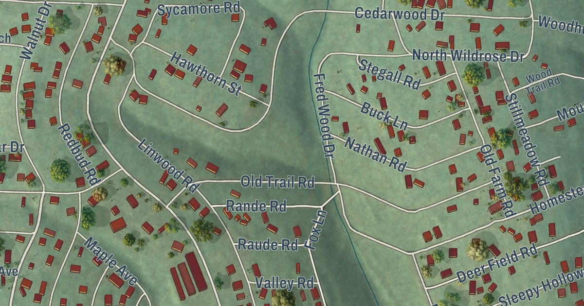
A detailed map of Merriam Woods, Missouri, showing every building in its true location, the roads by name, and shaded topographical relief.
Read More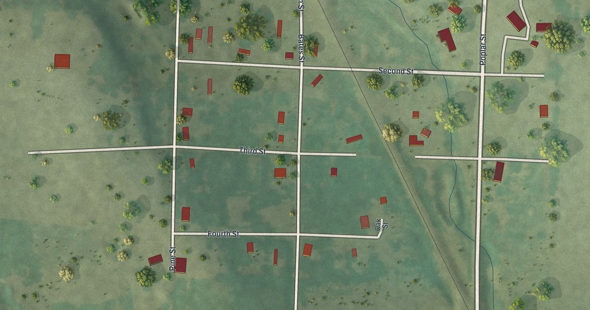
A detailed map of Merwin, Missouri, showing every building in its true location, the roads by name, and shaded topographical relief.
Read More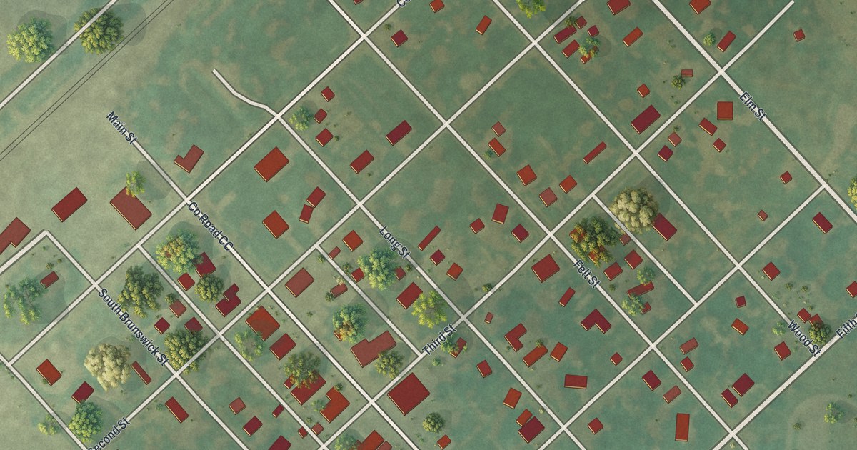
A detailed map of Mendon, Missouri, showing every building in its true location, the roads by name, and shaded topographical relief.
Read More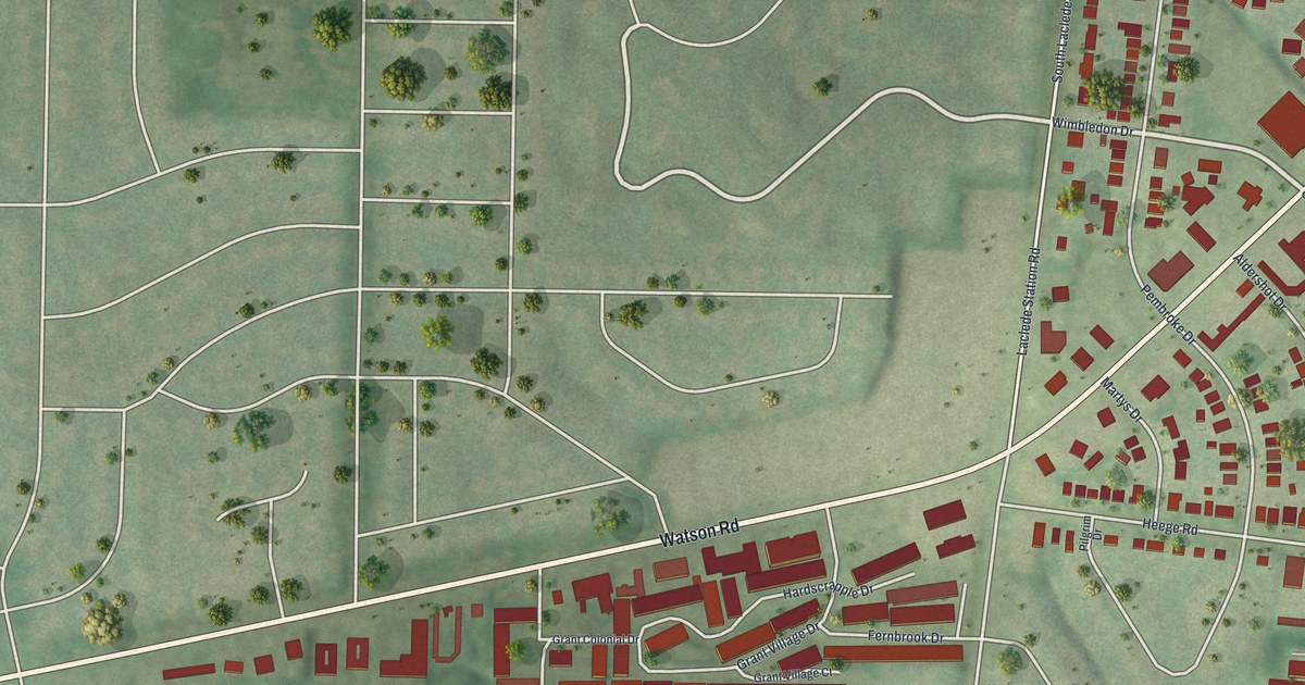
A detailed map of Marlborough, Missouri, showing every building in its true location, the roads by name, and shaded topographical relief.
Read More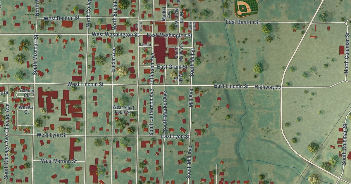
A detailed map of Marionville, Missouri, showing every building in its true location, the roads by name, and shaded topographical relief.
Read More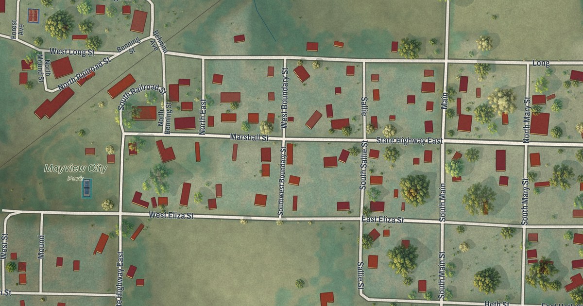
A detailed map of Mayview, Missouri, showing every building in its true location, the roads by name, and shaded topographical relief.
Read More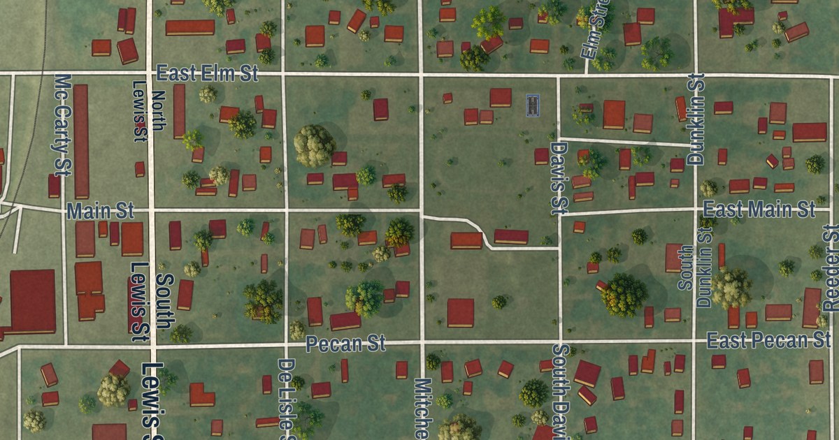
A detailed map of Marston, Missouri, showing every building in its true location, the roads by name, and shaded topographical relief.
Read More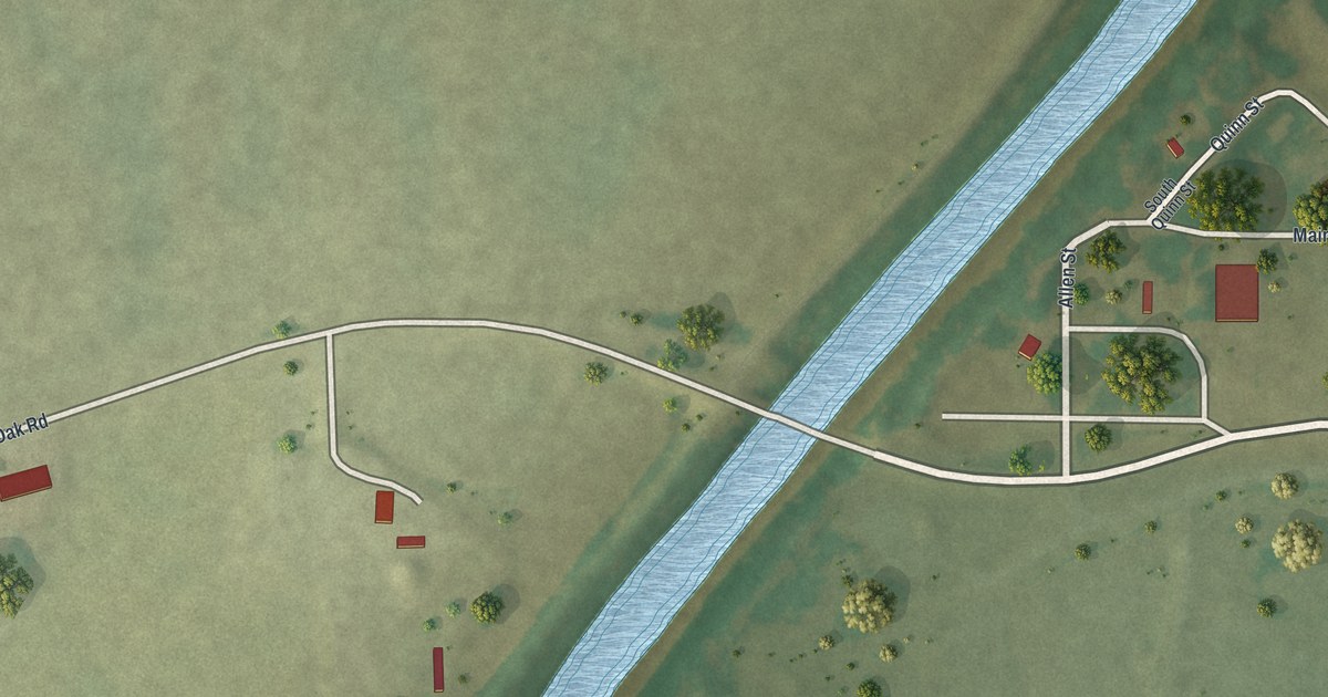
A detailed map of McBaine, Missouri, showing every building in its true location, the roads by name, and shaded topographical relief.
Read More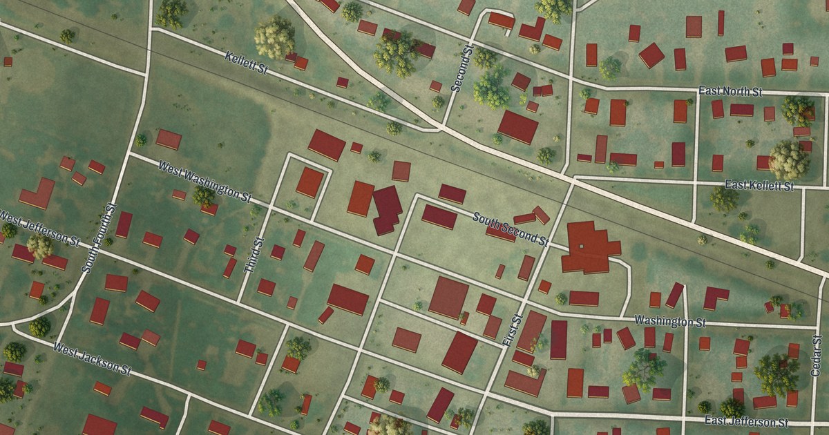
A detailed map of Martinsburg, Missouri, showing every building in its true location, the roads by name, and shaded topographical relief.
Read More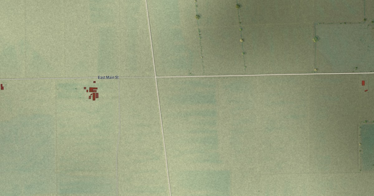
A detailed map of Matthews, Missouri, showing every building in its true location, the roads by name, and shaded topographical relief.
Read More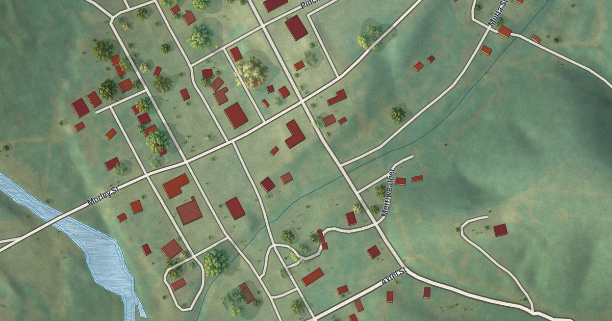
A detailed map of Marquand, Missouri, showing every building in its true location, the roads by name, and shaded topographical relief.
Read More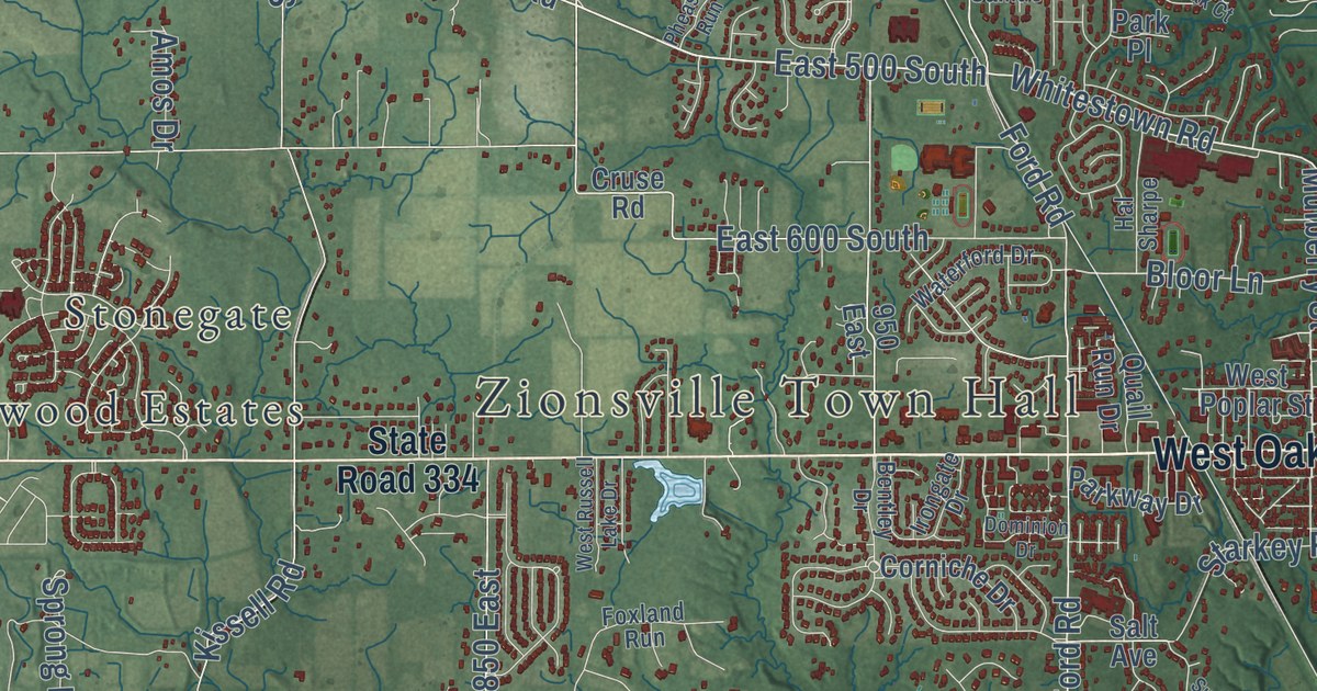
A detailed map of Zionsville, Indiana, showing every building in its true location, the roads by name, and shaded topographical relief.
Read More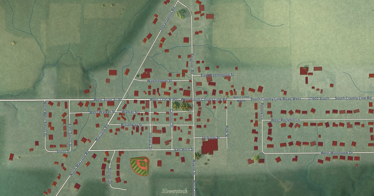
A detailed map of Zanesville, Indiana, showing every building in its true location, the roads by name, and shaded topographical relief.
Read More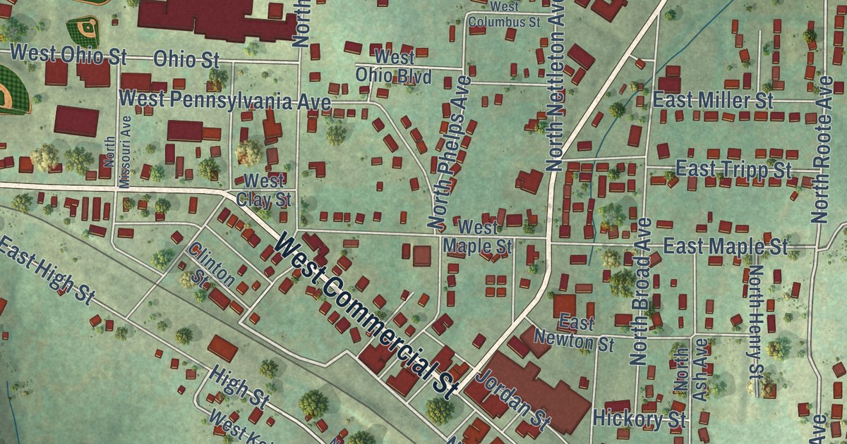
A detailed map of Mansfield, Missouri, showing every building in its true location, the roads by name, and shaded topographical relief.
Read More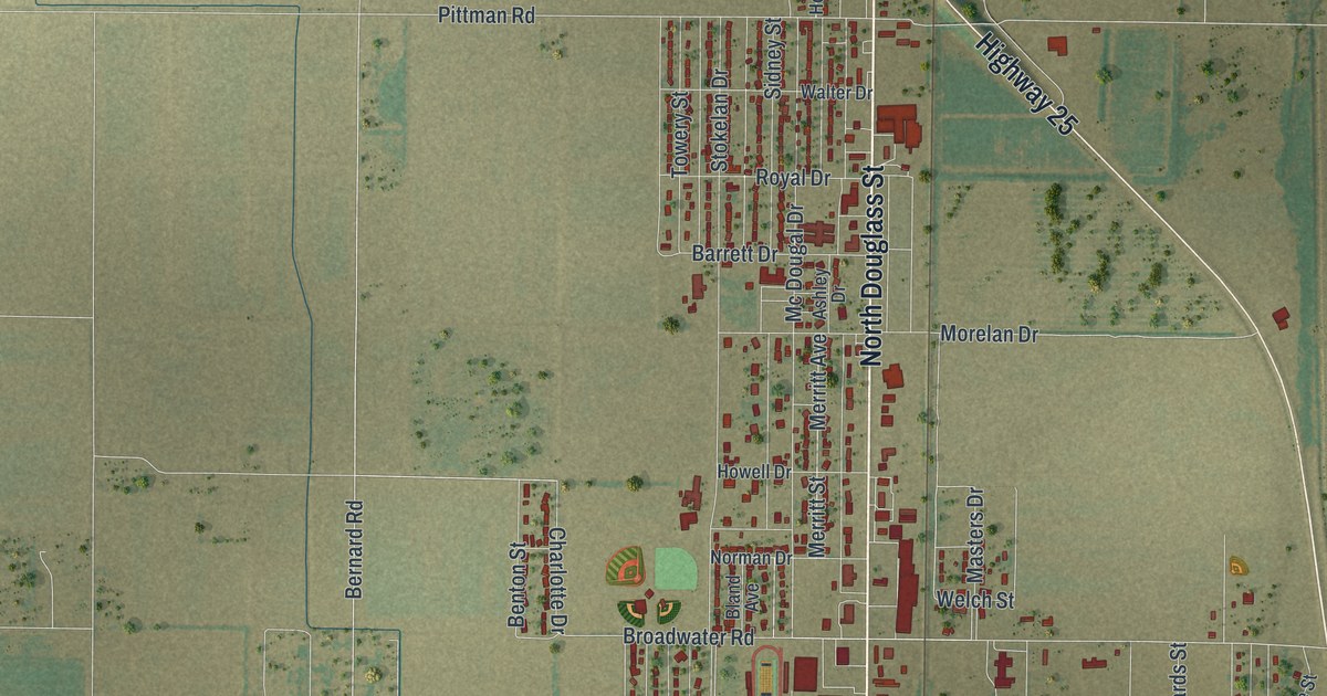
A detailed map of Malden, Missouri, showing every building in its true location, the roads by name, and shaded topographical relief.
Read More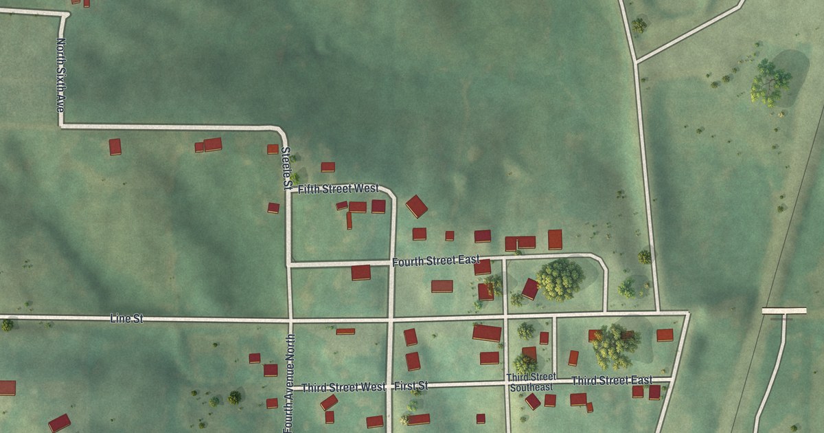
A detailed map of Lucerne, Missouri, showing every building in its true location, the roads by name, and shaded topographical relief.
Read More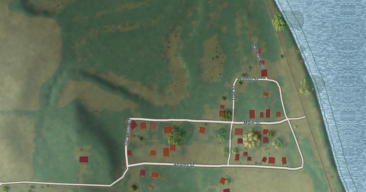
A detailed map of Lupus, Missouri, showing every building in its true location, the roads by name, and shaded topographical relief.
Read More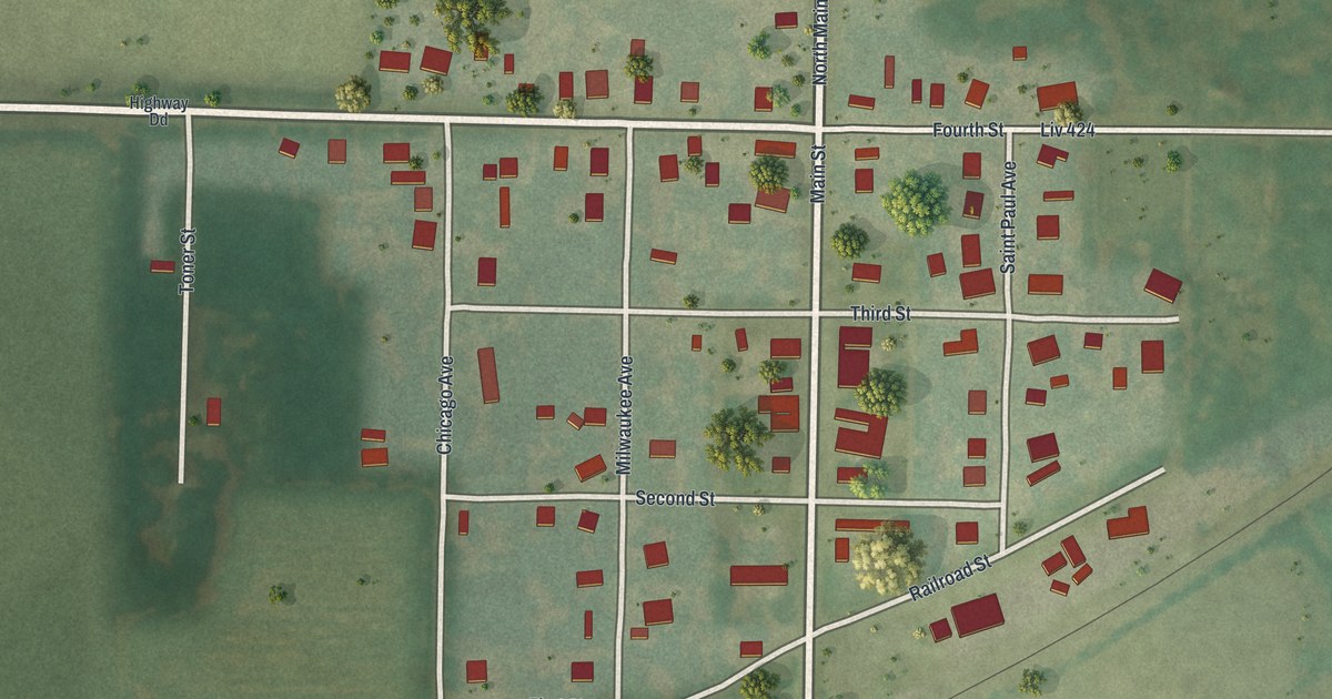
A detailed map of Ludlow, Missouri, showing every building in its true location, the roads by name, and shaded topographical relief.
Read More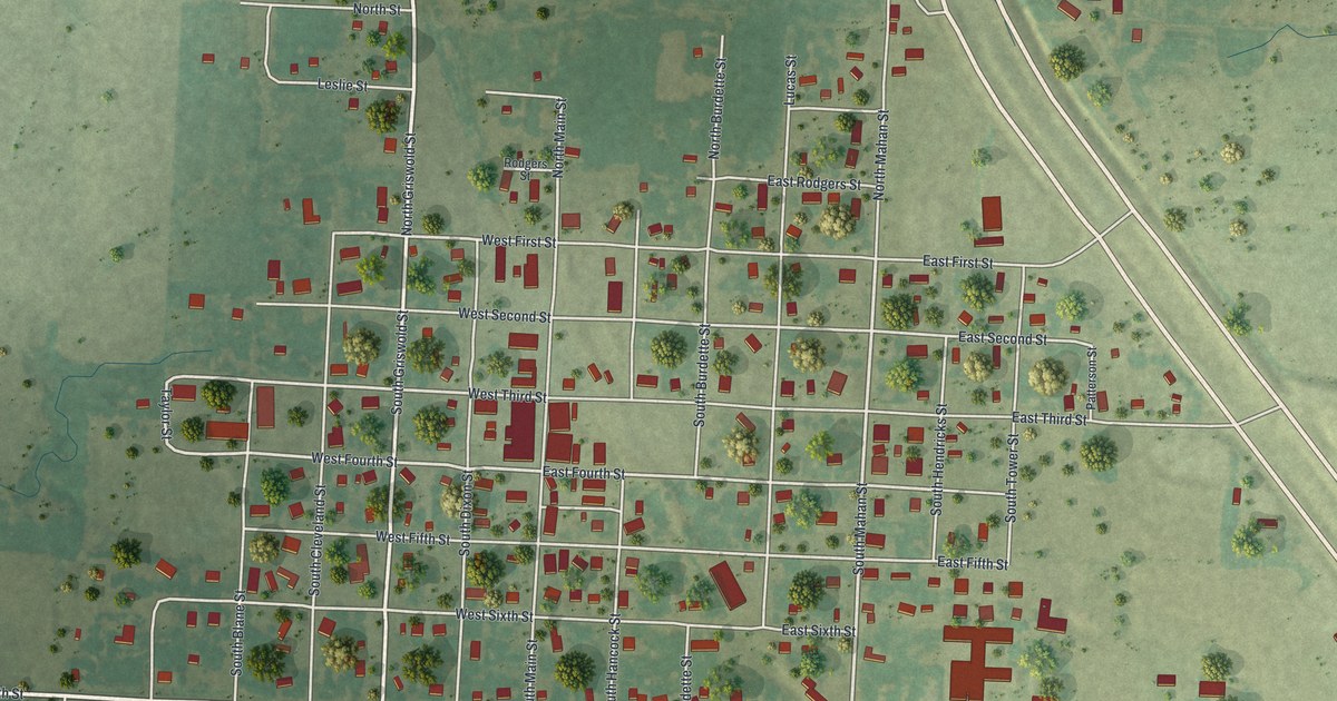
A detailed map of Lowry City, Missouri, showing every building in its true location, the roads by name, and shaded topographical relief.
Read More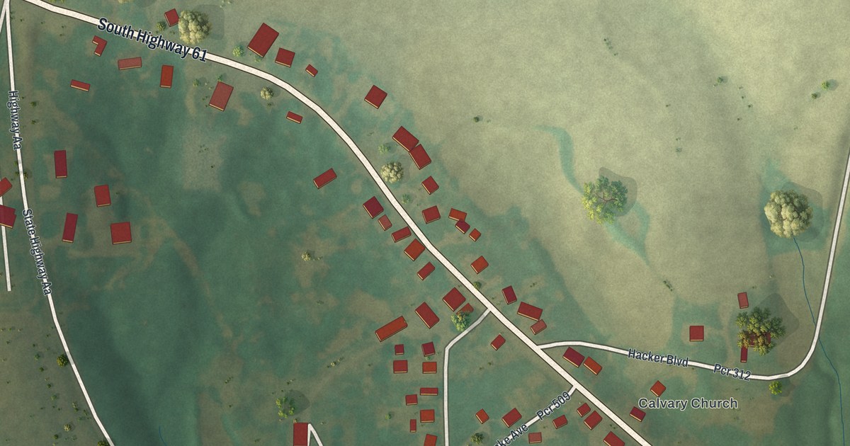
A detailed map of Longtown, Missouri, showing every building in its true location, the roads by name, and shaded topographical relief.
Read More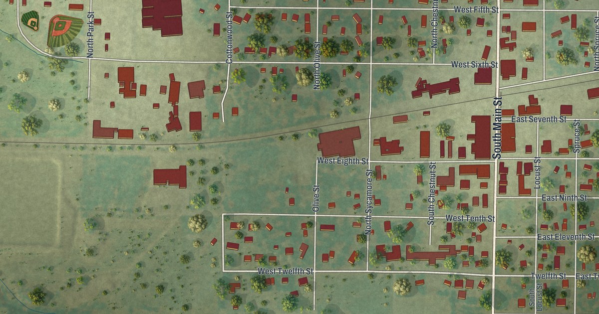
A detailed map of Lockwood, Missouri, showing every building in its true location, the roads by name, and shaded topographical relief.
Read More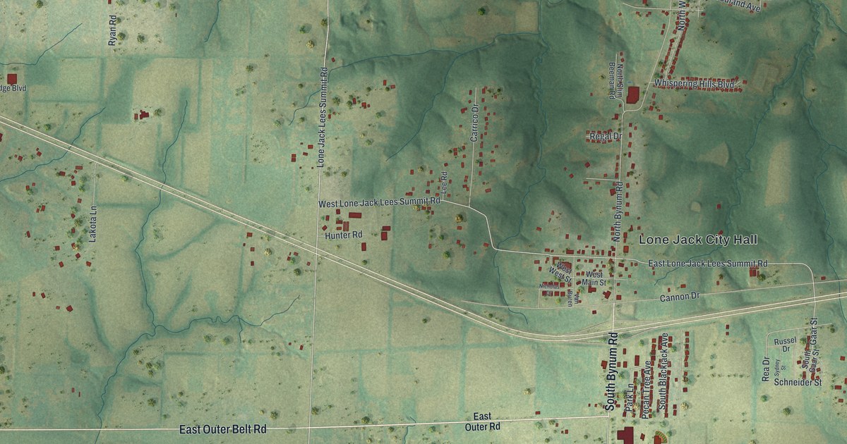
A detailed map of Lone Jack, Missouri, showing every building in its true location, the roads by name, and shaded topographical relief.
Read More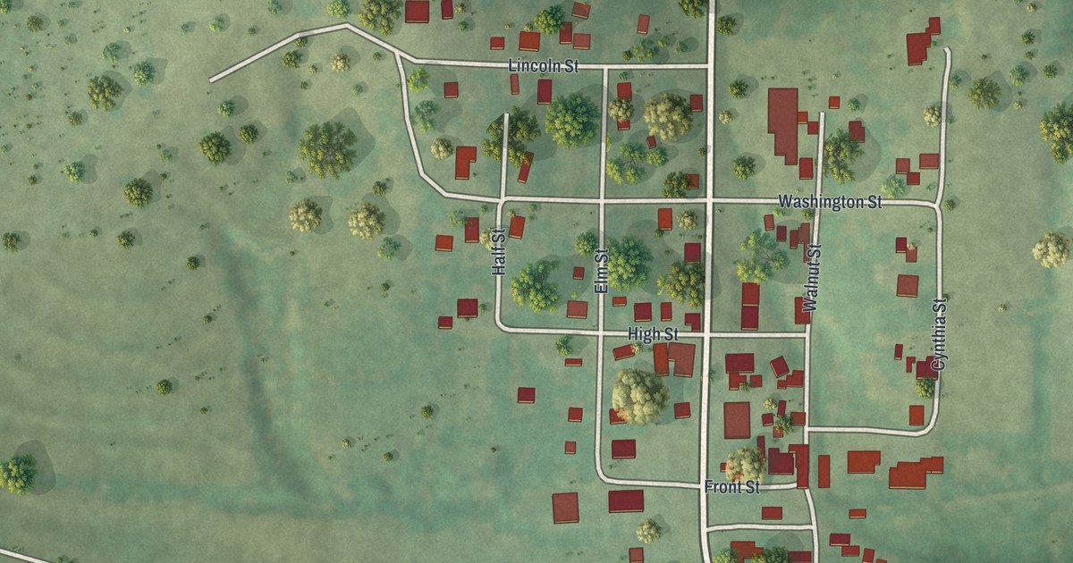
A detailed map of Lohman, Missouri, showing every building in its true location, the roads by name, and shaded topographical relief.
Read More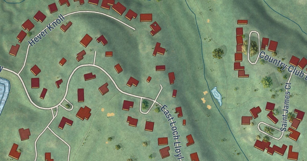
A detailed map of Loch Lloyd, Missouri, showing every building in its true location, the roads by name, and shaded topographical relief.
Read More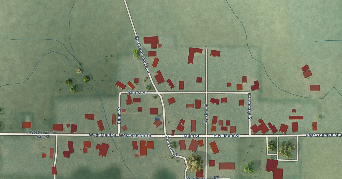
A detailed map of Yeoman, Indiana, showing every building in its true location, the roads by name, and shaded topographical relief.
Read More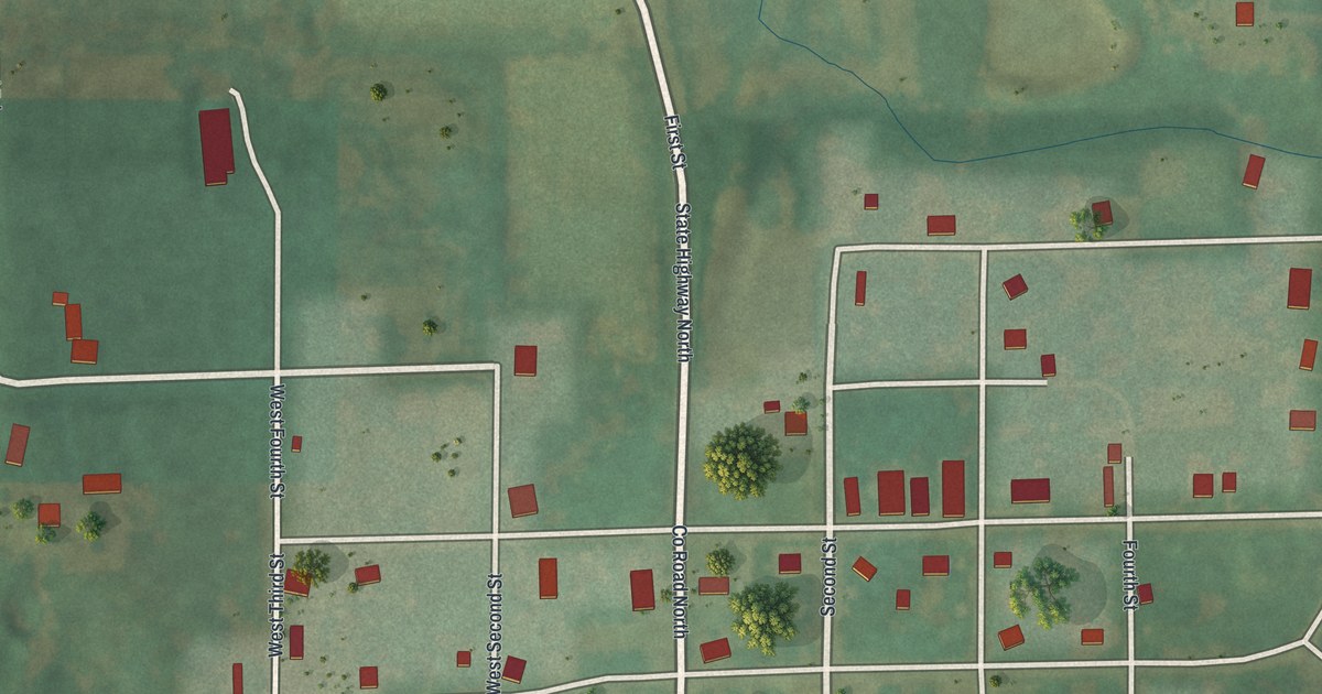
A detailed map of Livonia, Missouri, showing every building in its true location, the roads by name, and shaded topographical relief.
Read More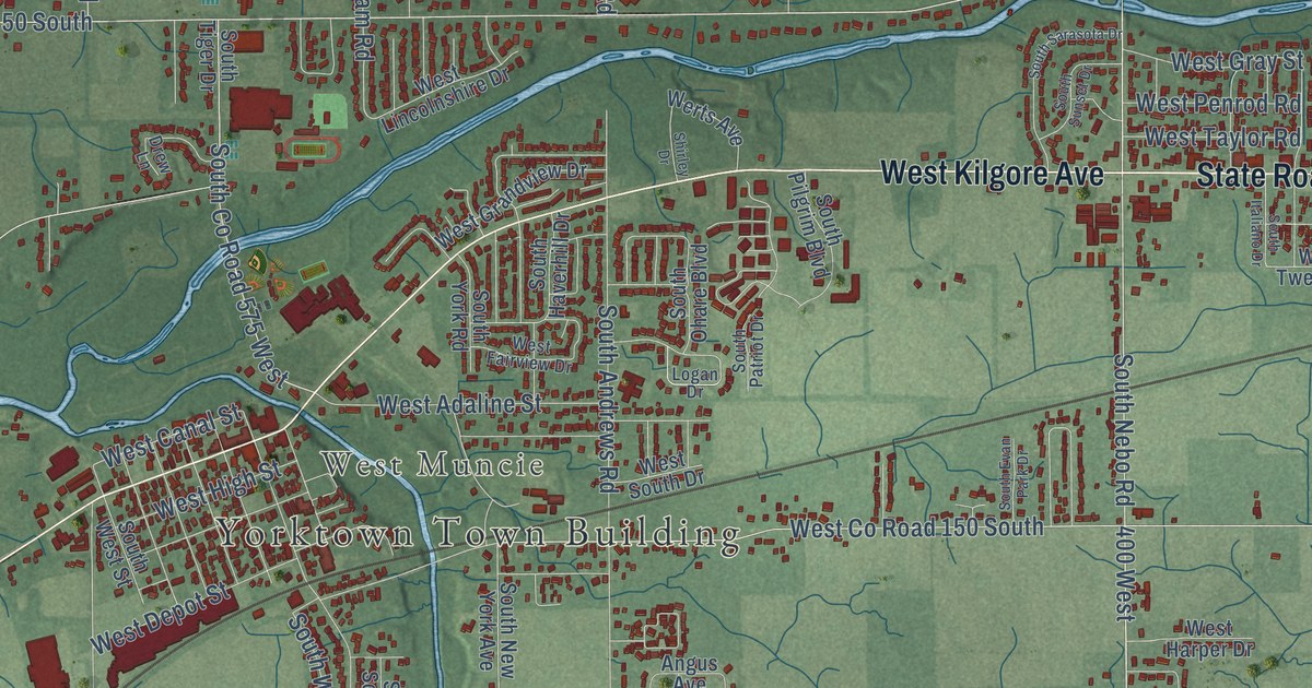
A detailed map of Yorktown, Indiana, showing every building in its true location, the roads by name, and shaded topographical relief.
Read More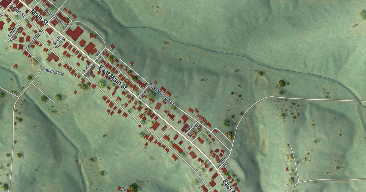
A detailed map of Linn, Missouri, showing every building in its true location, the roads by name, and shaded topographical relief.
Read More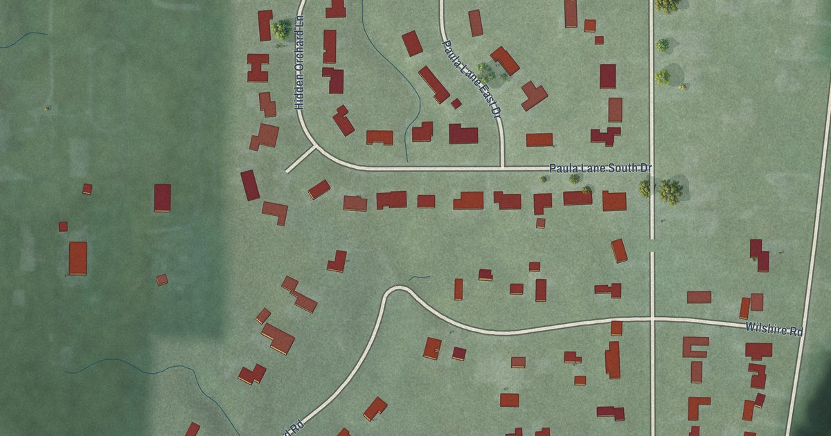
A detailed map of Wynnedale, Indiana, showing every building in its true location, the roads by name, and shaded topographical relief.
Read More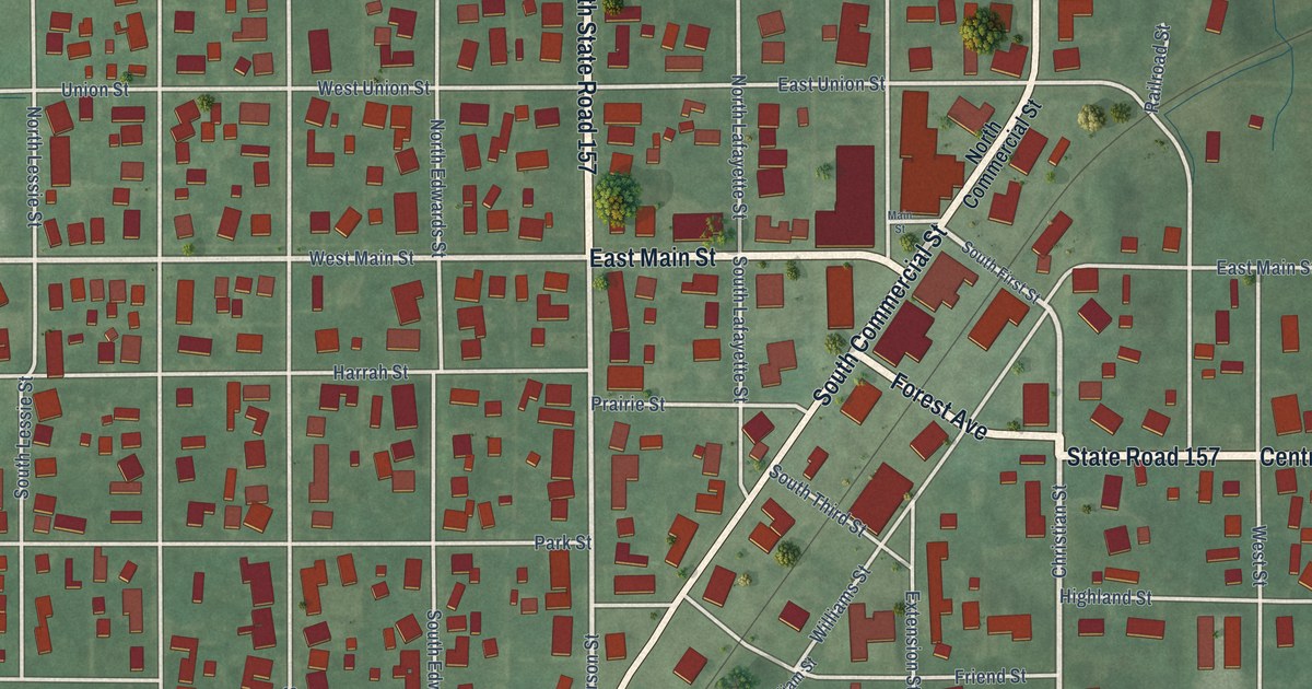
A detailed map of Worthington, Indiana, showing every building in its true location, the roads by name, and shaded topographical relief.
Read More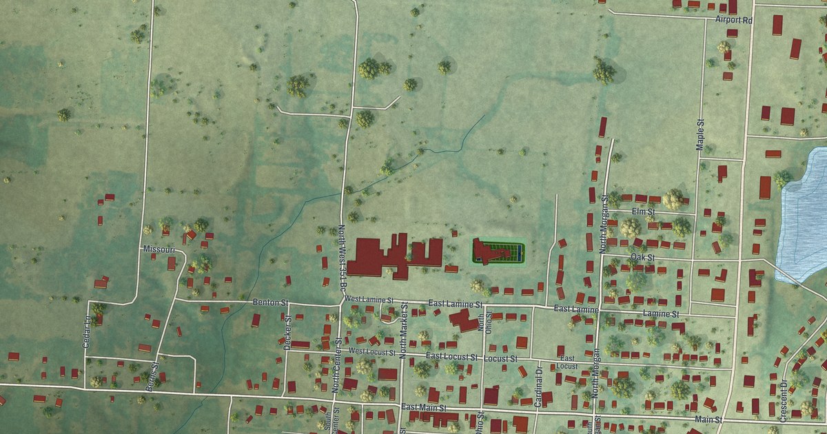
A detailed map of Lincoln, Missouri, showing every building in its true location, the roads by name, and shaded topographical relief.
Read More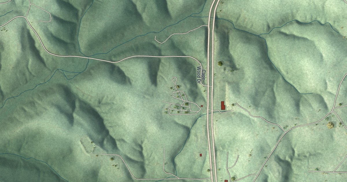
A detailed map of Linn Creek, Missouri, showing every building in its true location, the roads by name, and shaded topographical relief.
Read More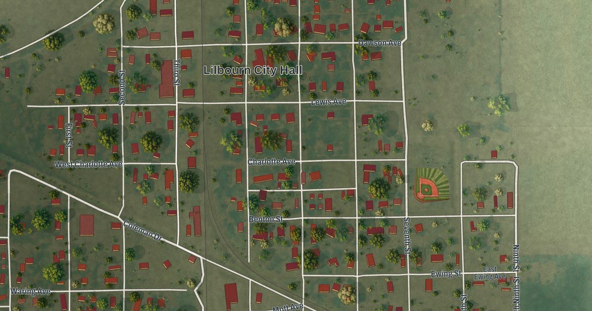
A detailed map of Lilbourn, Missouri, showing every building in its true location, the roads by name, and shaded topographical relief.
Read More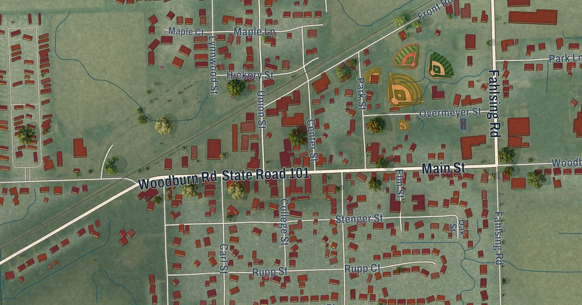
A detailed map of Woodburn, Indiana, showing every building in its true location, the roads by name, and shaded topographical relief.
Read More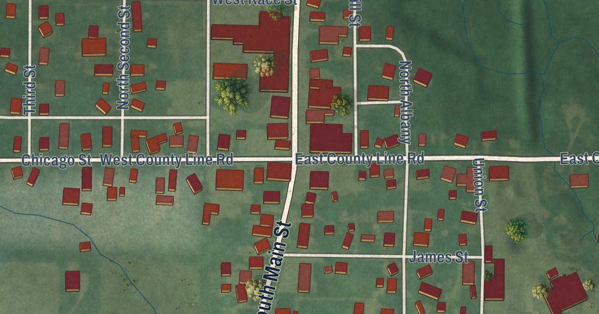
A detailed map of Wolcottville, Indiana, showing every building in its true location, the roads by name, and shaded topographical relief.
Read More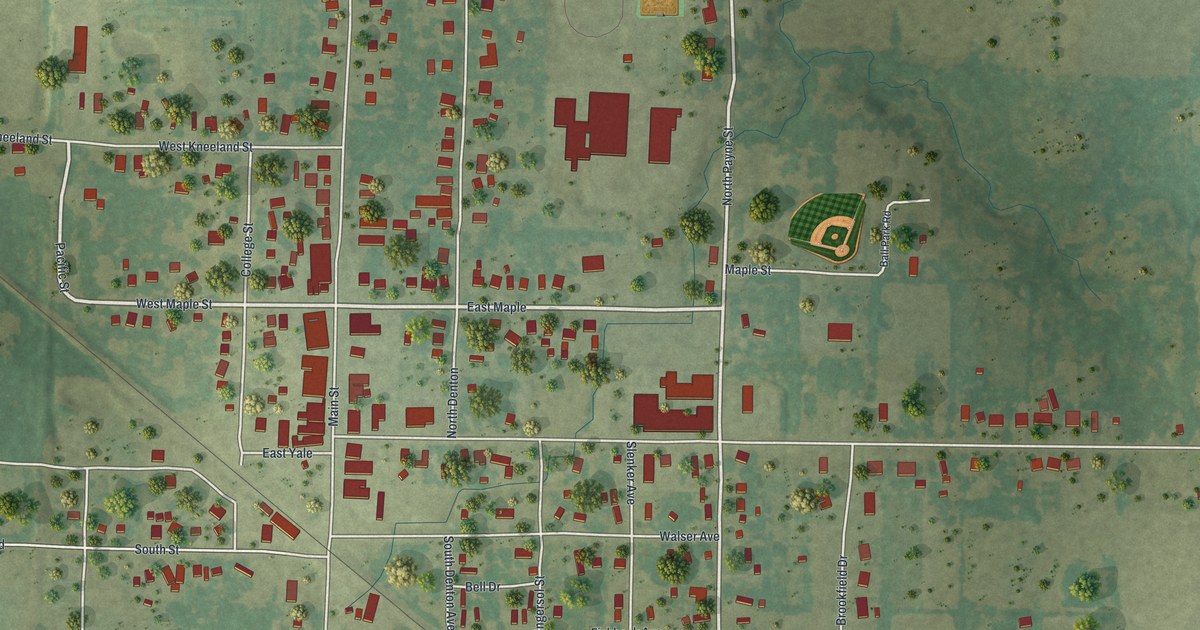
A detailed map of Liberal, Missouri, showing every building in its true location, the roads by name, and shaded topographical relief.
Read More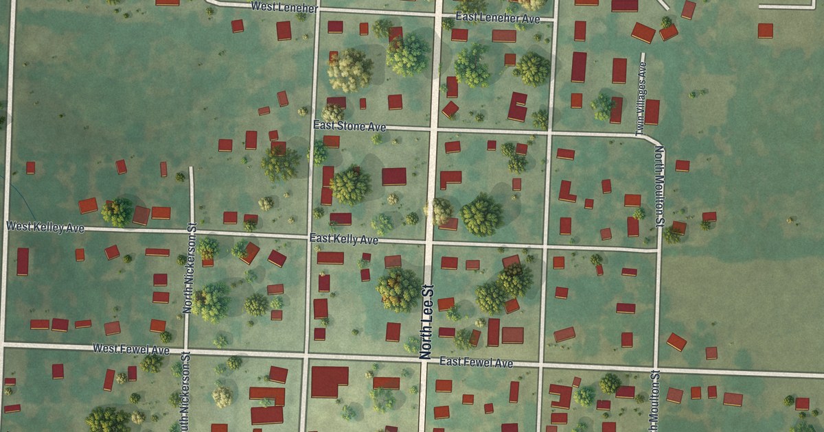
A detailed map of Leeton, Missouri, showing every building in its true location, the roads by name, and shaded topographical relief.
Read More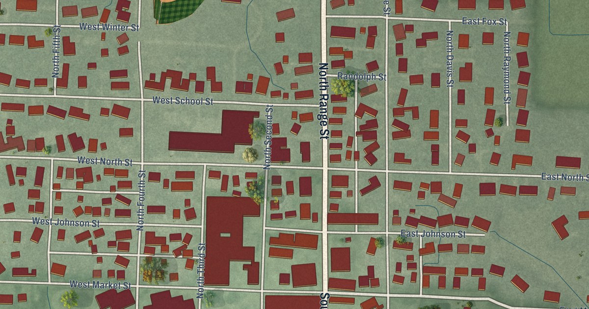
A detailed map of Wolcott, Indiana, showing every building in its true location, the roads by name, and shaded topographical relief.
Read More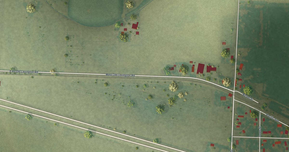
A detailed map of Levasy, Missouri, showing every building in its true location, the roads by name, and shaded topographical relief.
Read More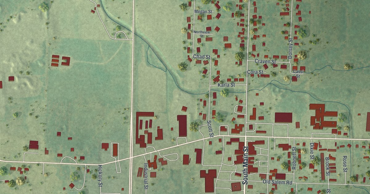
A detailed map of Licking, Missouri, showing every building in its true location, the roads by name, and shaded topographical relief.
Read More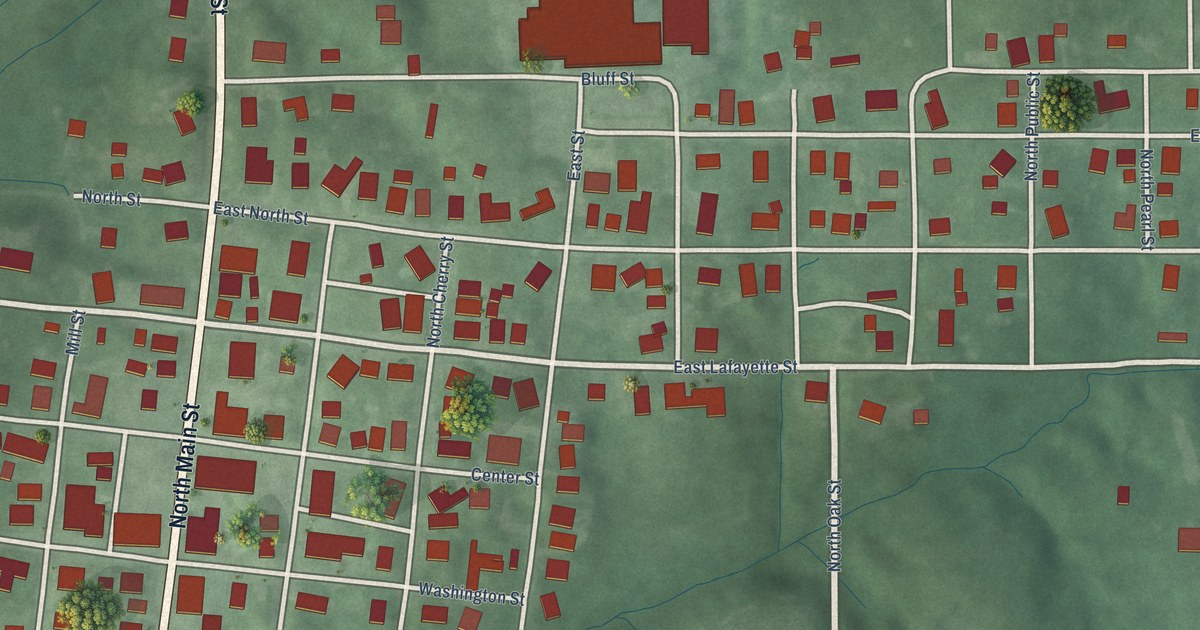
A detailed map of Winslow, Indiana, showing every building in its true location, the roads by name, and shaded topographical relief.
Read More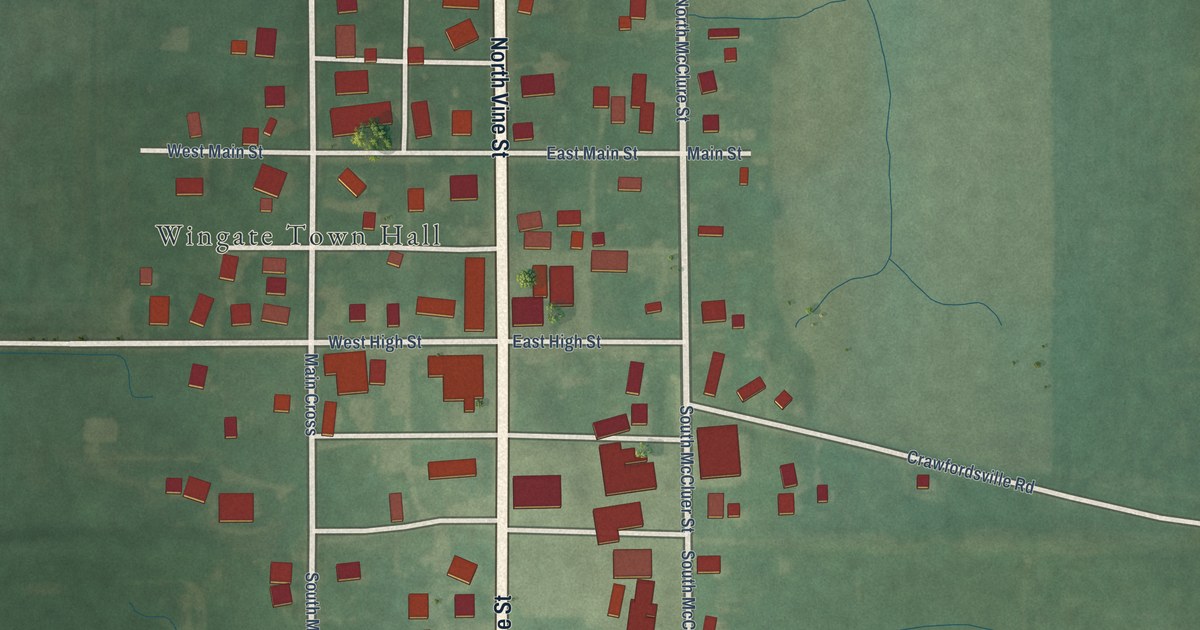
A detailed map of Wingate, Indiana, showing every building in its true location, the roads by name, and shaded topographical relief.
Read More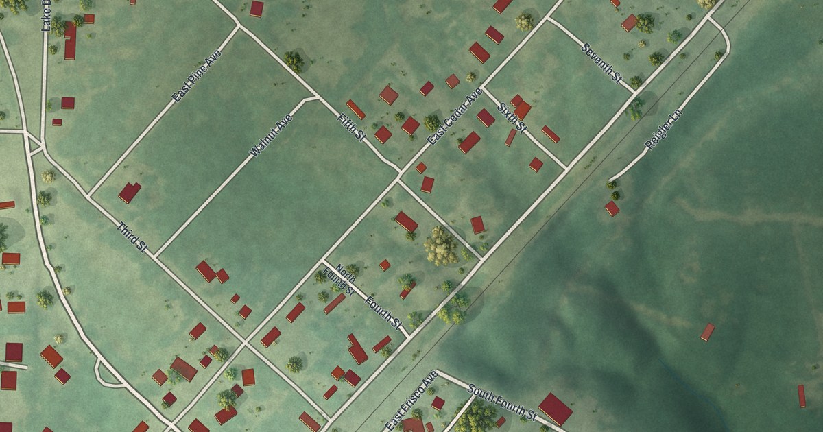
A detailed map of Leasburg, Missouri, showing every building in its true location, the roads by name, and shaded topographical relief.
Read More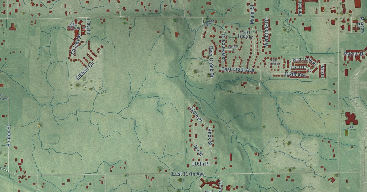
A detailed map of Winfield, Indiana, showing every building in its true location, the roads by name, and shaded topographical relief.
Read More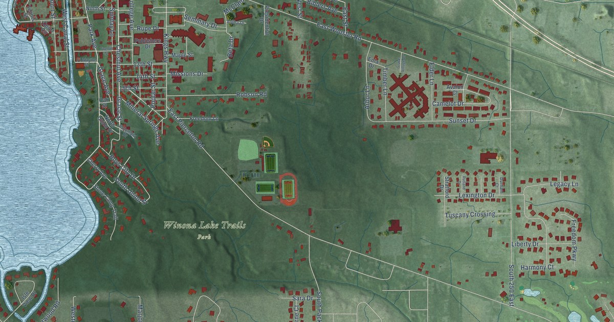
A detailed map of Winona Lake, Indiana, showing every building in its true location, the roads by name, and shaded topographical relief.
Read More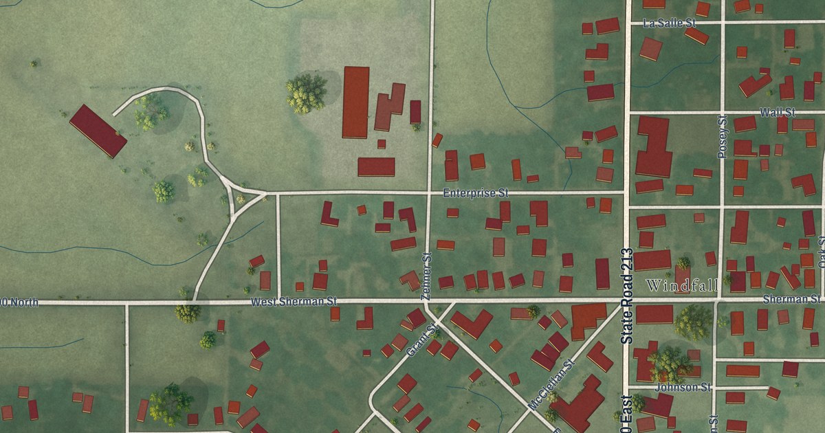
A detailed map of Windfall City, Indiana, showing every building in its true location, the roads by name, and shaded topographical relief.
Read More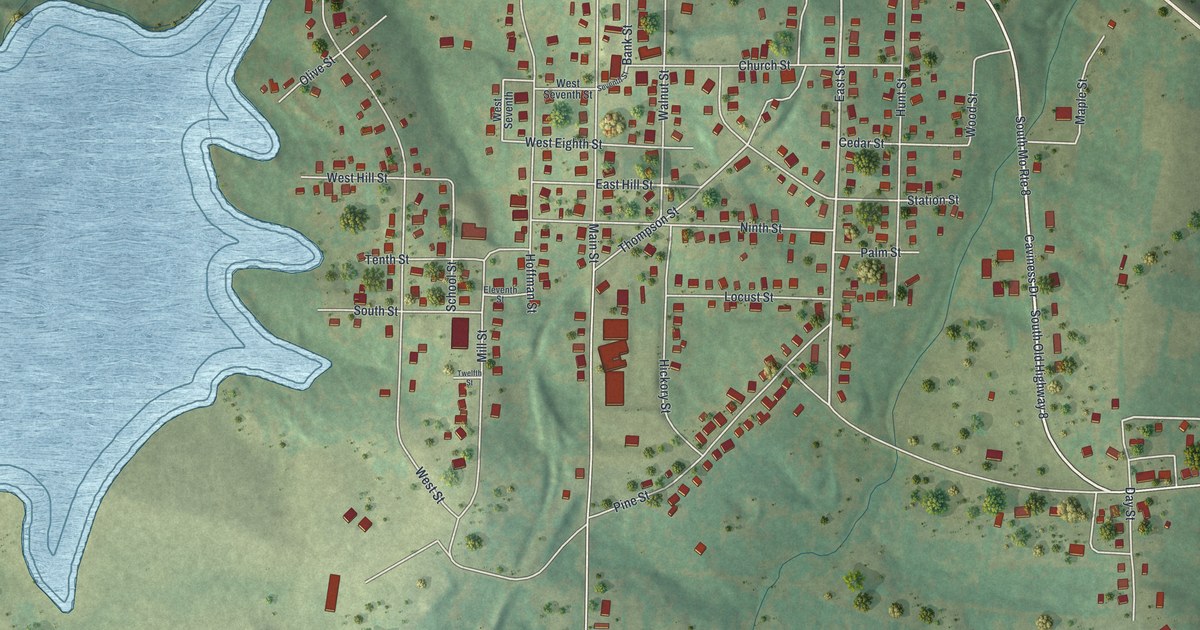
A detailed map of Leadwood, Missouri, showing every building in its true location, the roads by name, and shaded topographical relief.
Read More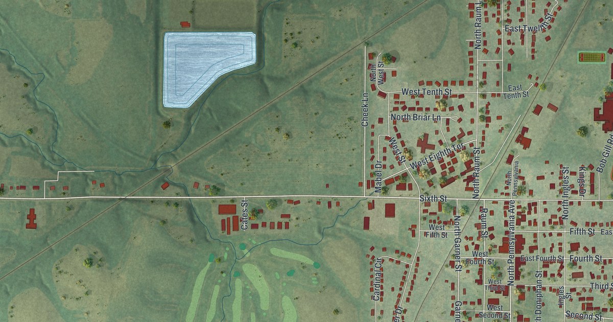
A detailed map of Lawson, Missouri, showing every building in its true location, the roads by name, and shaded topographical relief.
Read More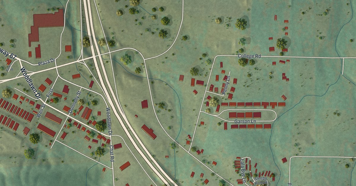
A detailed map of Leadington, Missouri, showing every building in its true location, the roads by name, and shaded topographical relief.
Read More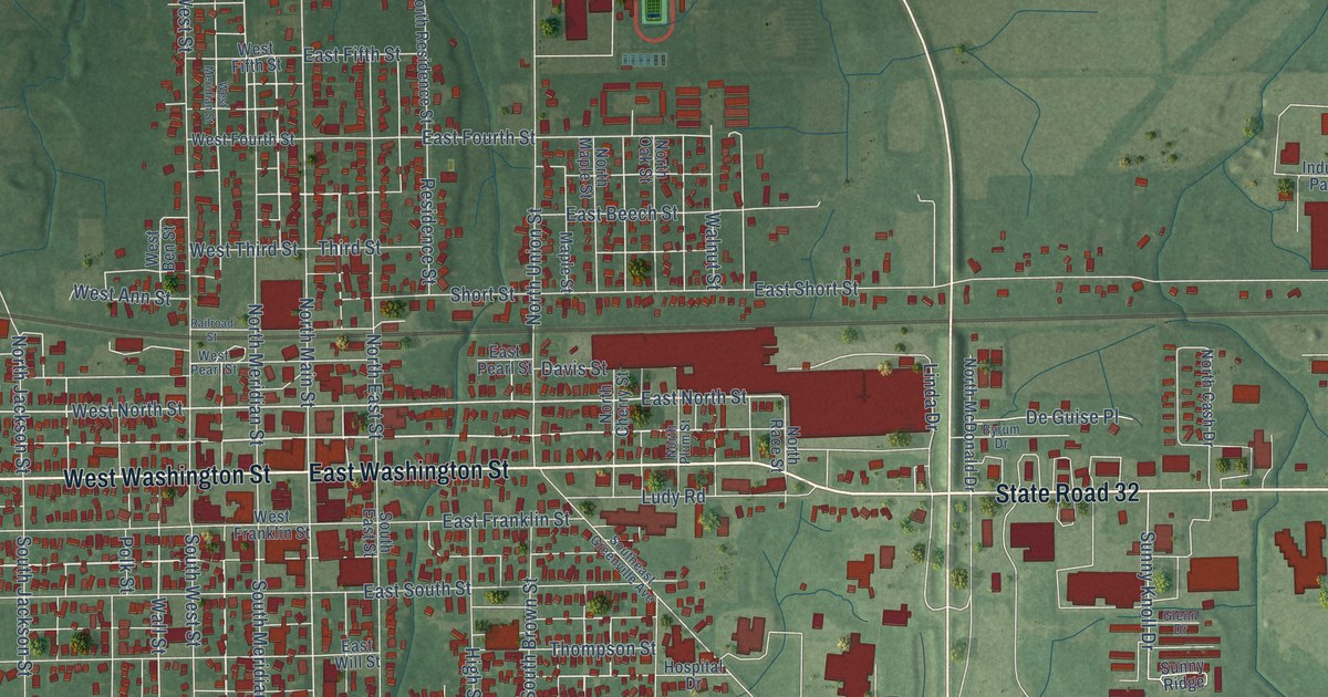
A detailed map of Winchester, Indiana, showing every building in its true location, the roads by name, and shaded topographical relief.
Read More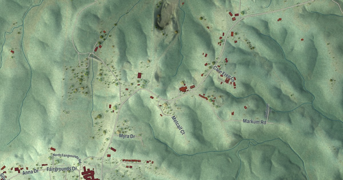
A detailed map of Laurie, Missouri, showing every building in its true location, the roads by name, and shaded topographical relief.
Read More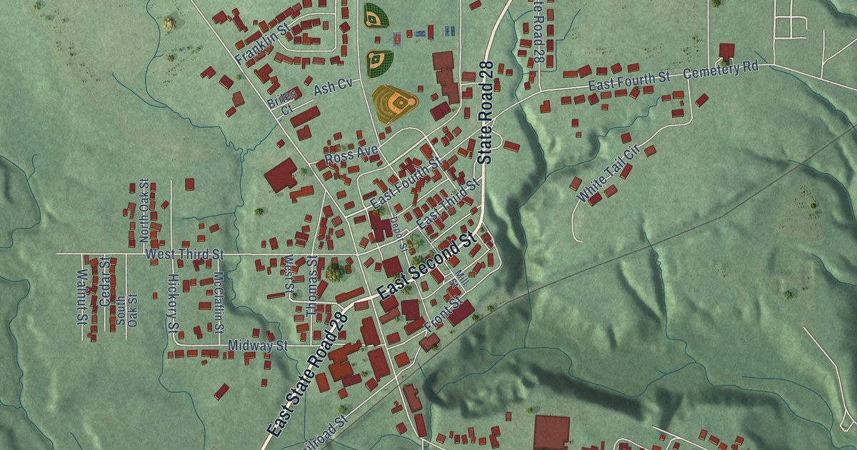
A detailed map of Williamsport, Indiana, showing every building in its true location, the roads by name, and shaded topographical relief.
Read More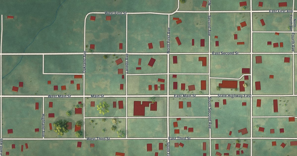
A detailed map of Laredo, Missouri, showing every building in its true location, the roads by name, and shaded topographical relief.
Read More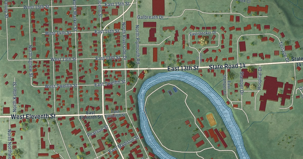
A detailed map of Winamac, Indiana, showing every building in its true location, the roads by name, and shaded topographical relief.
Read More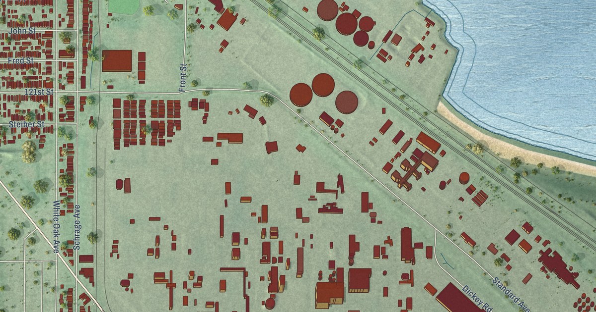
A detailed map of Whiting, Indiana, showing every building in its true location, the roads by name, and shaded topographical relief.
Read More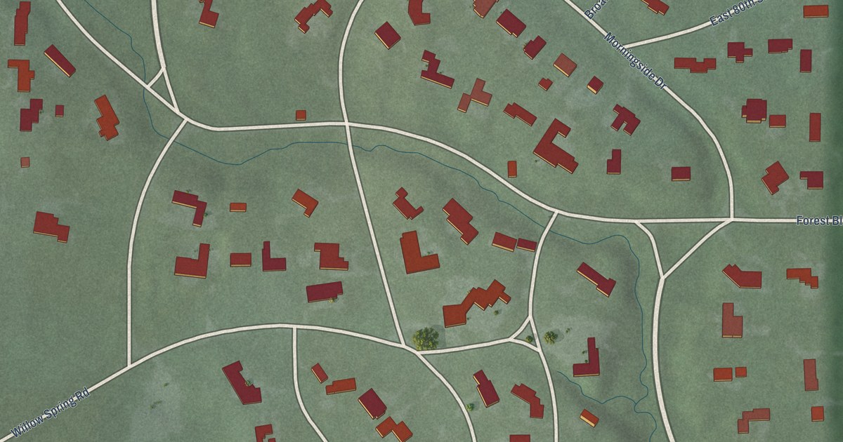
A detailed map of Williams Creek, Indiana, showing every building in its true location, the roads by name, and shaded topographical relief.
Read More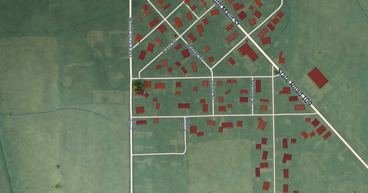
A detailed map of Wilkinson, Indiana, showing every building in its true location, the roads by name, and shaded topographical relief.
Read More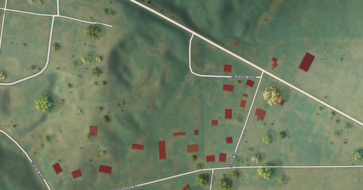
A detailed map of Lambert, Missouri, showing every building in its true location, the roads by name, and shaded topographical relief.
Read More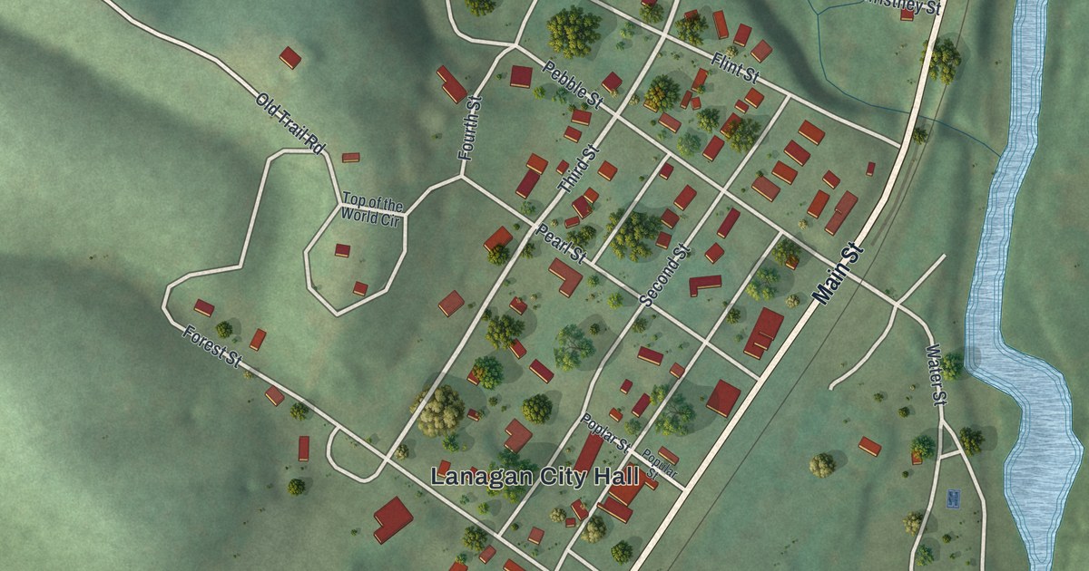
A detailed map of Lanagan, Missouri, showing every building in its true location, the roads by name, and shaded topographical relief.
Read More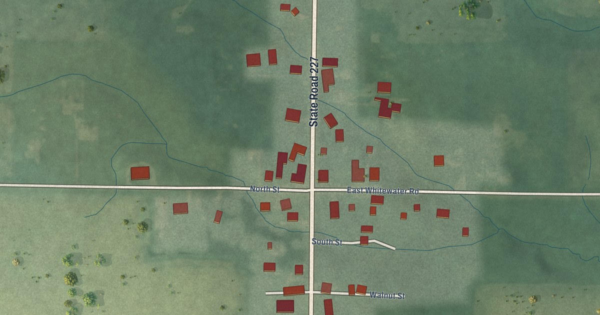
A detailed map of Whitewater, Indiana, showing every building in its true location, the roads by name, and shaded topographical relief.
Read More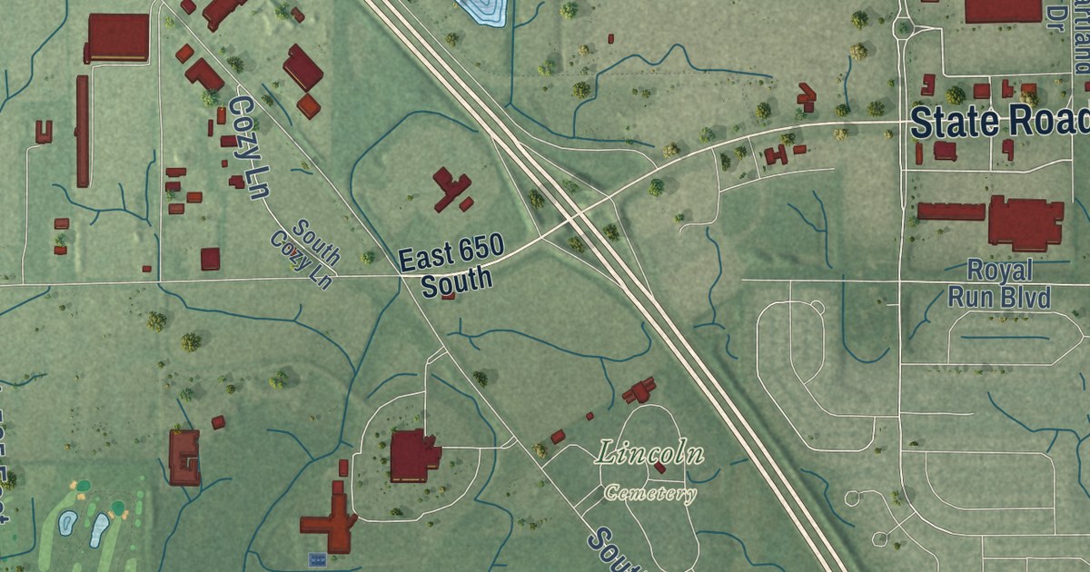
A detailed map of Whitestown, Indiana, showing every building in its true location, the roads by name, and shaded topographical relief.
Read More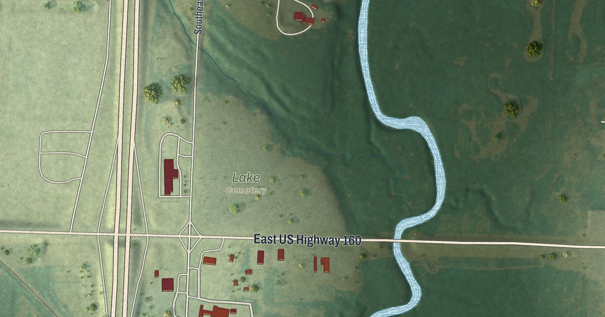
A detailed map of Lamar Heights, Missouri, showing every building in its true location, the roads by name, and shaded topographical relief.
Read More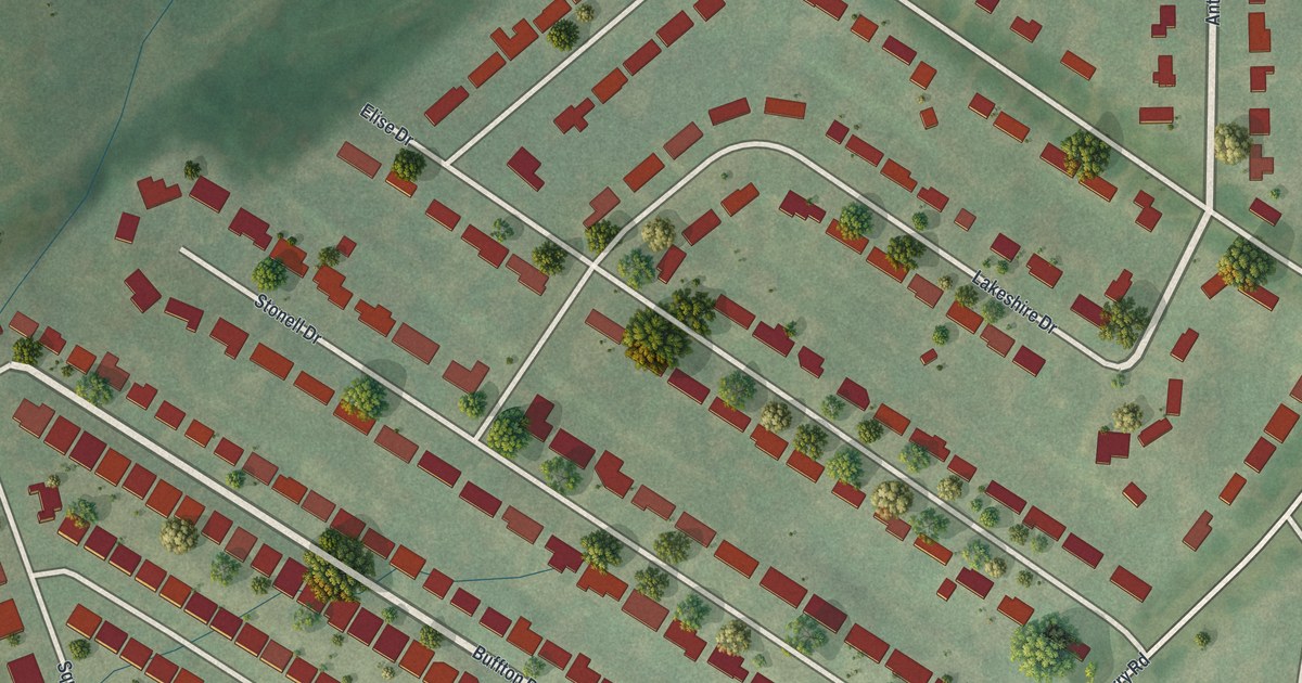
A detailed map of Lakeshire, Missouri, showing every building in its true location, the roads by name, and shaded topographical relief.
Read More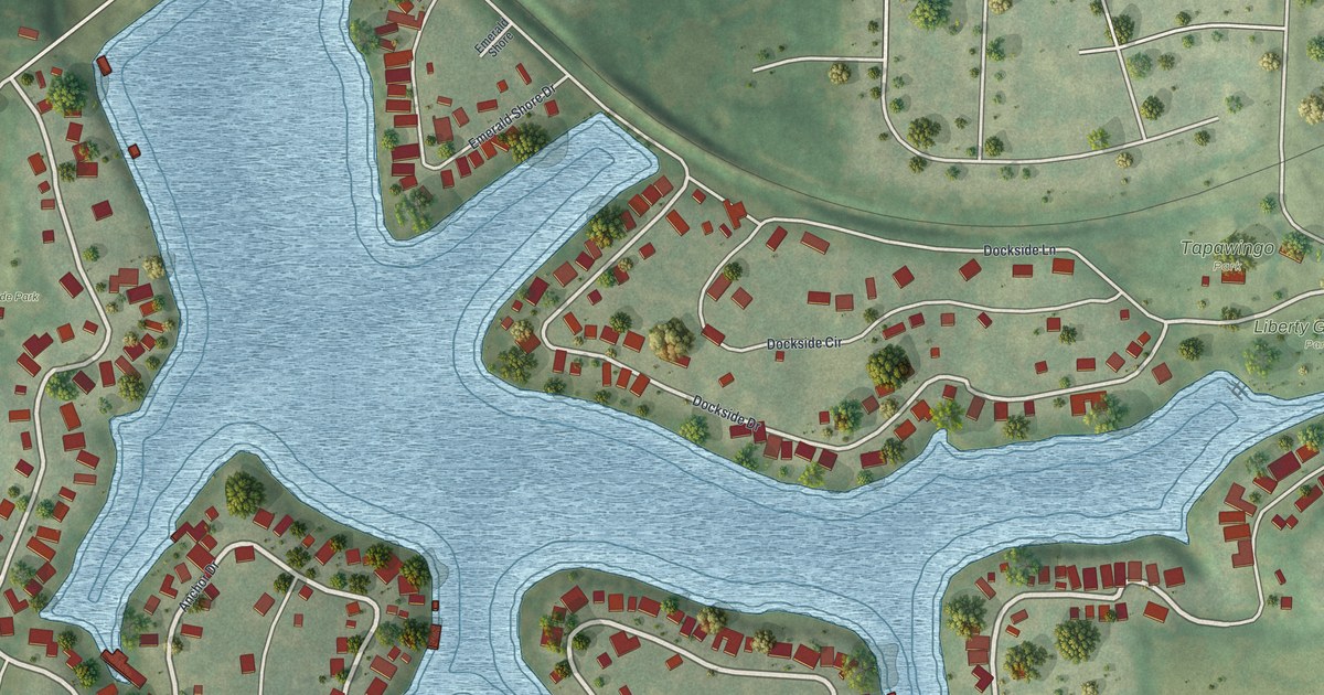
A detailed map of Lake Tapawingo, Missouri, showing every building in its true location, the roads by name, and shaded topographical relief.
Read More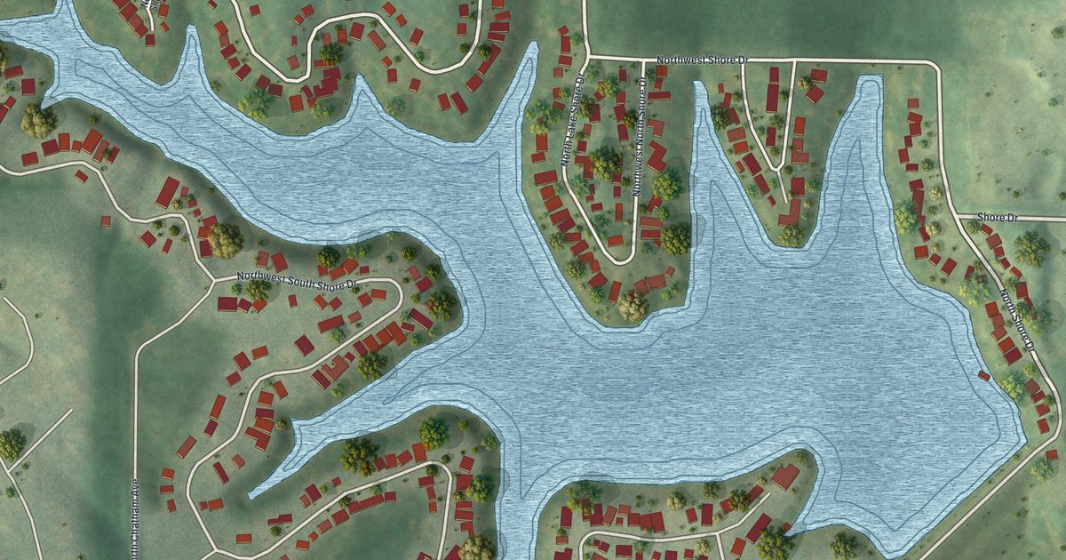
A detailed map of Lake Waukomis, Missouri, showing every building in its true location, the roads by name, and shaded topographical relief.
Read More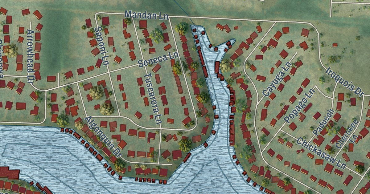
A detailed map of Lake Winnebago, Missouri, showing every building in its true location, the roads by name, and shaded topographical relief.
Read More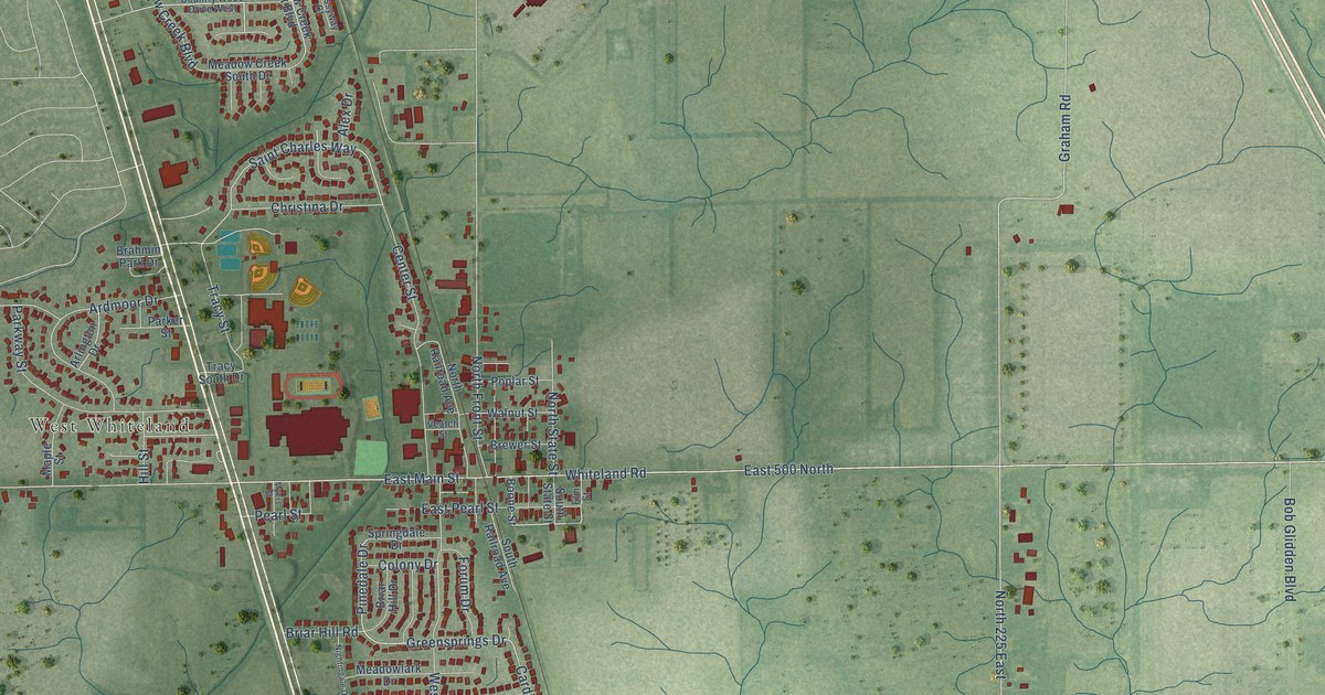
A detailed map of Whiteland, Indiana, showing every building in its true location, the roads by name, and shaded topographical relief.
Read More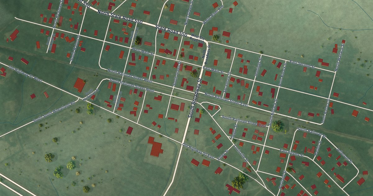
A detailed map of Wheatland, Indiana, showing every building in its true location, the roads by name, and shaded topographical relief.
Read More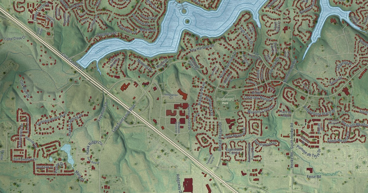
A detailed map of Lake St. Louis, Missouri, showing every building in its true location, the roads by name, and shaded topographical relief.
Read More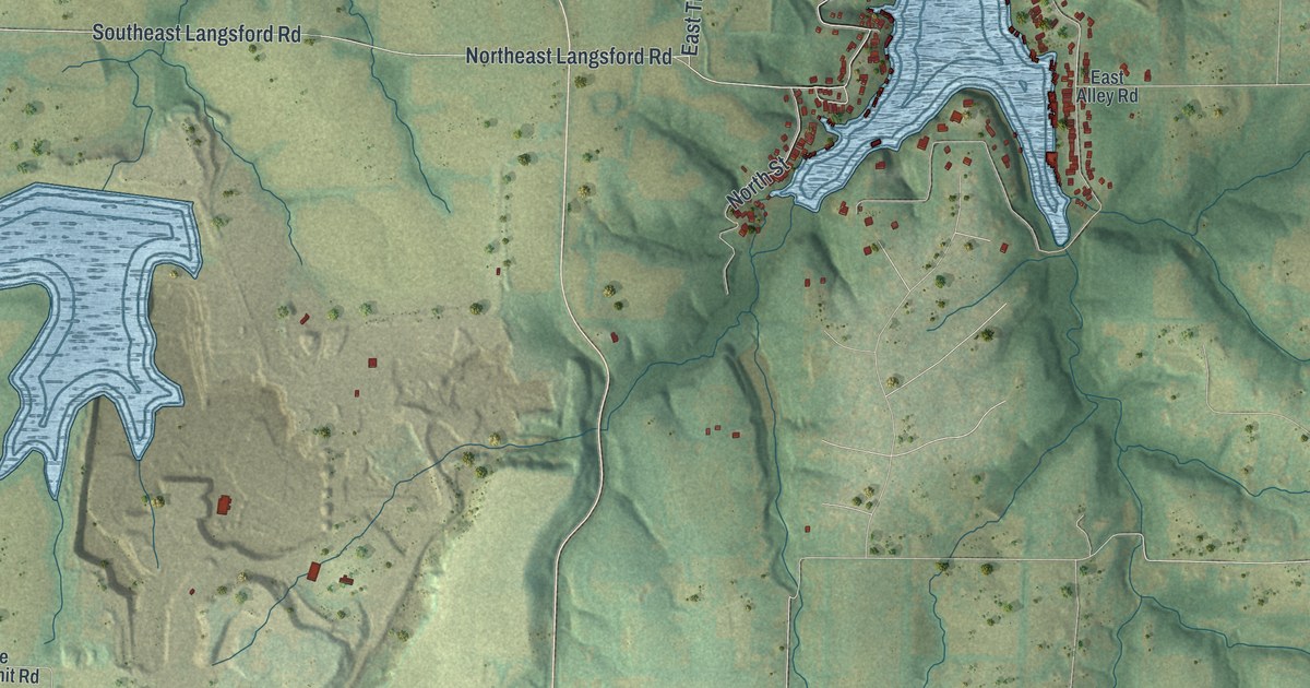
A detailed map of Lake Lotawana, Missouri, showing every building in its true location, the roads by name, and shaded topographical relief.
Read More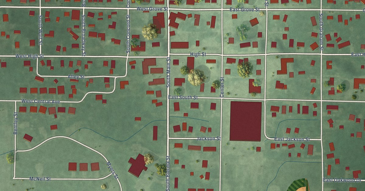
A detailed map of Wheatfield, Indiana, showing every building in its true location, the roads by name, and shaded topographical relief.
Read More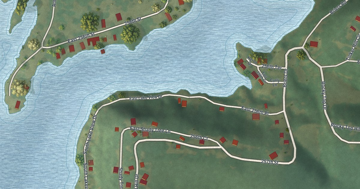
A detailed map of Lake Annette, Missouri, showing every building in its true location, the roads by name, and shaded topographical relief.
Read More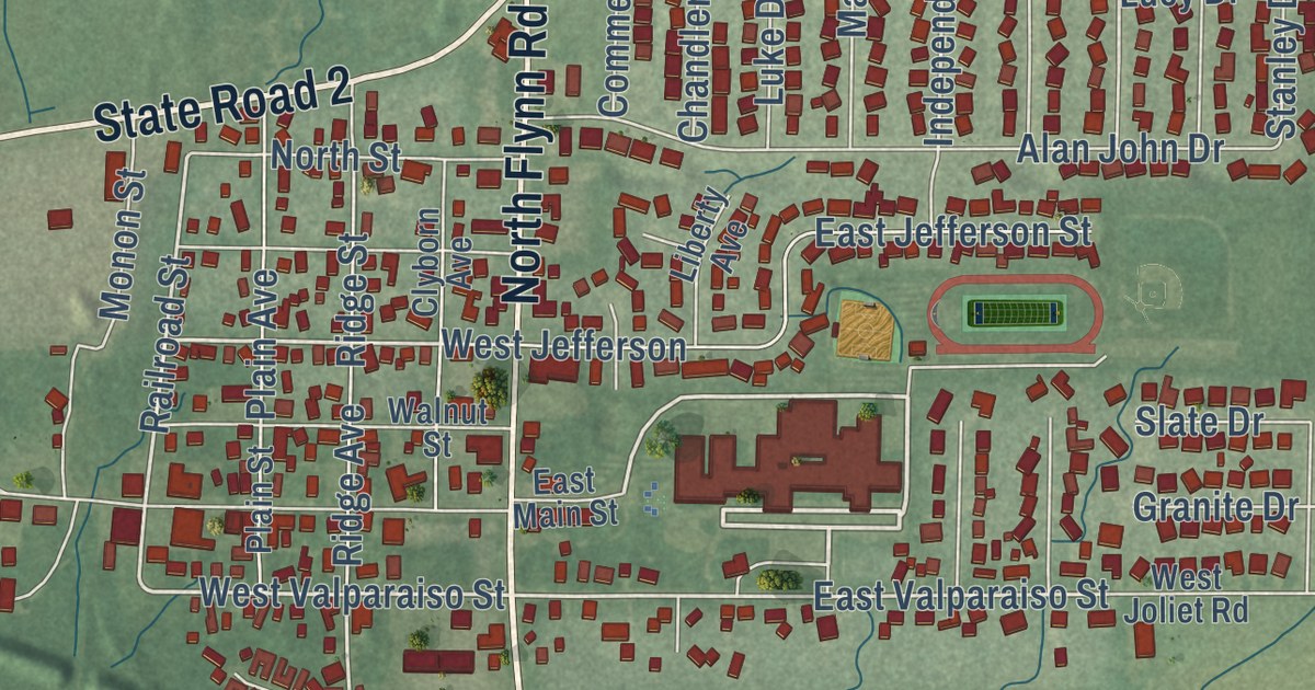
A detailed map of Westville, Indiana, showing every building in its true location, the roads by name, and shaded topographical relief.
Read More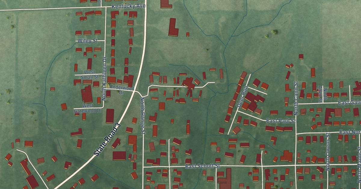
A detailed map of Westport, Indiana, showing every building in its true location, the roads by name, and shaded topographical relief.
Read More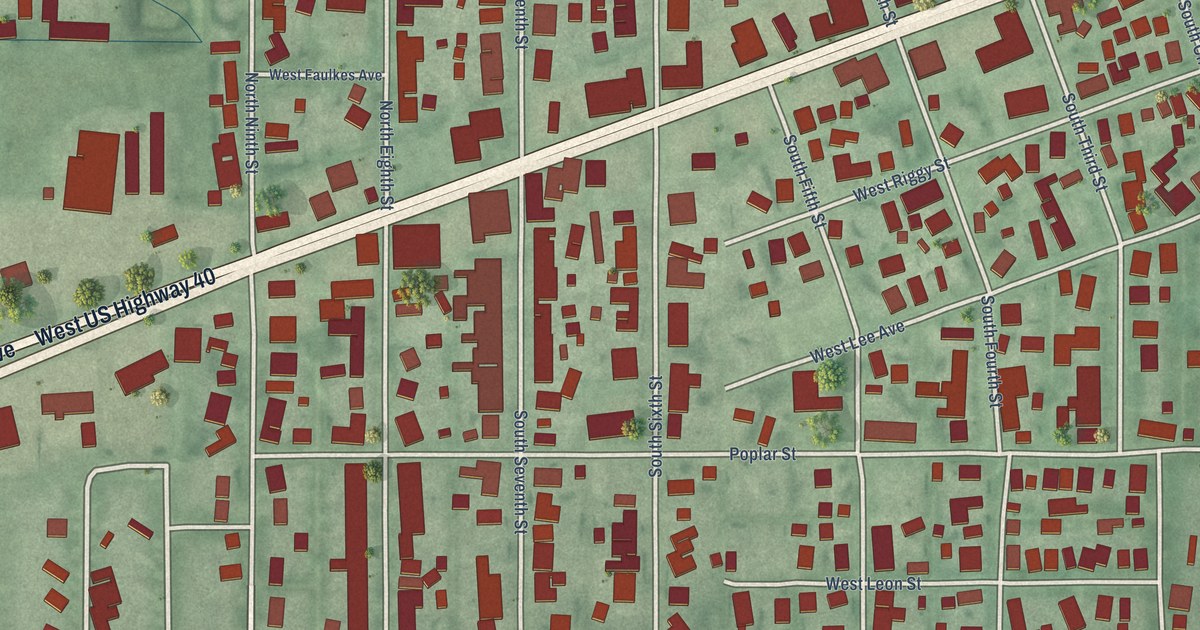
A detailed map of West Terre Haute, Indiana, showing every building in its true location, the roads by name, and shaded topographical relief.
Read More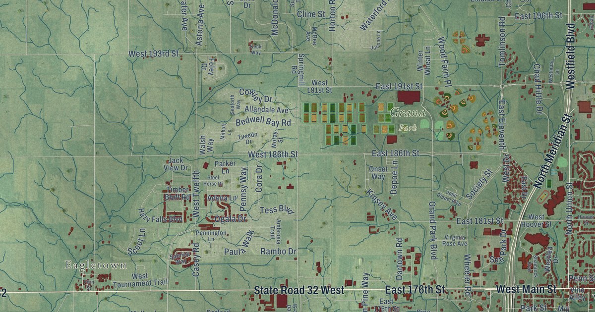
A detailed map of Westfield, Indiana, showing every building in its true location, the roads by name, and shaded topographical relief.
Read More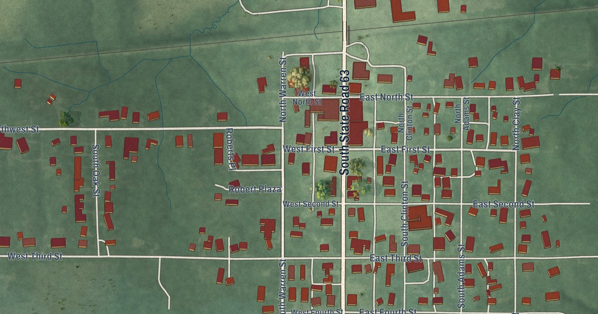
A detailed map of West Lebanon, Indiana, showing every building in its true location, the roads by name, and shaded topographical relief.
Read More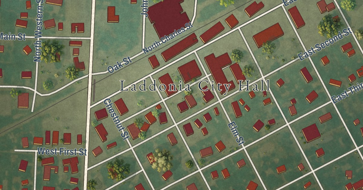
A detailed map of Laddonia, Missouri, showing every building in its true location, the roads by name, and shaded topographical relief.
Read More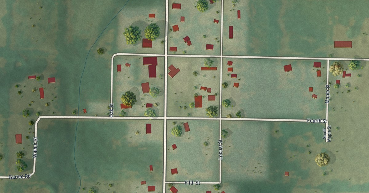
A detailed map of La Russell, Missouri, showing every building in its true location, the roads by name, and shaded topographical relief.
Read More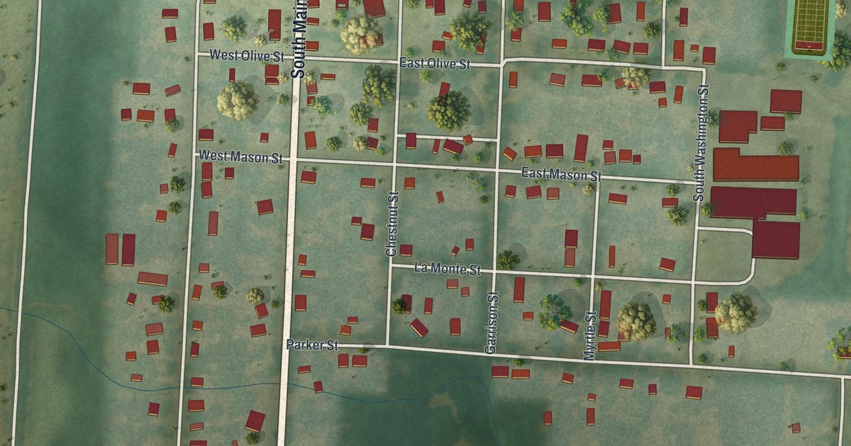
A detailed map of La Monte, Missouri, showing every building in its true location, the roads by name, and shaded topographical relief.
Read More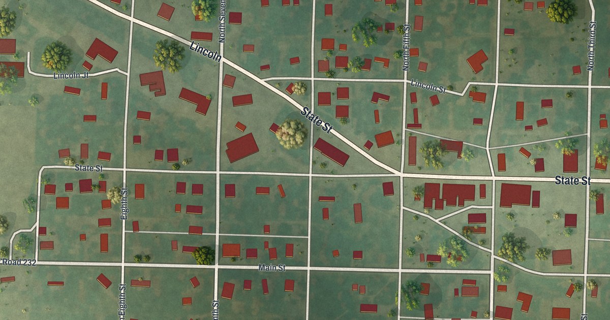
A detailed map of La Belle, Missouri, showing every building in its true location, the roads by name, and shaded topographical relief.
Read More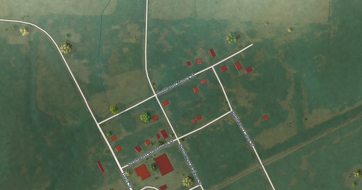
A detailed map of La Due, Missouri, showing every building in its true location, the roads by name, and shaded topographical relief.
Read More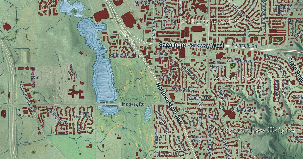
A detailed map of West Lafayette, Indiana, showing every building in its true location, the roads by name, and shaded topographical relief.
Read More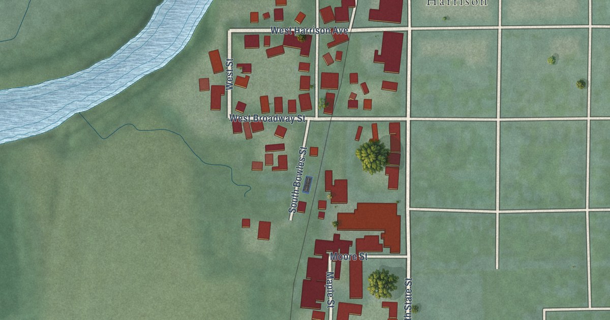
A detailed map of West Harrison, Indiana, showing every building in its true location, the roads by name, and shaded topographical relief.
Read More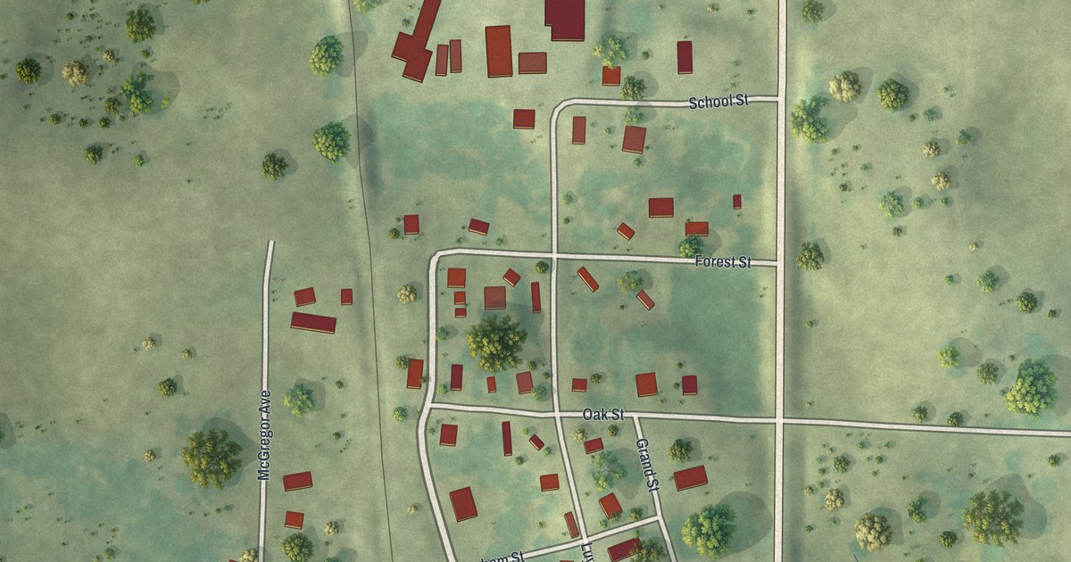
A detailed map of Koshkonong, Missouri, showing every building in its true location, the roads by name, and shaded topographical relief.
Read More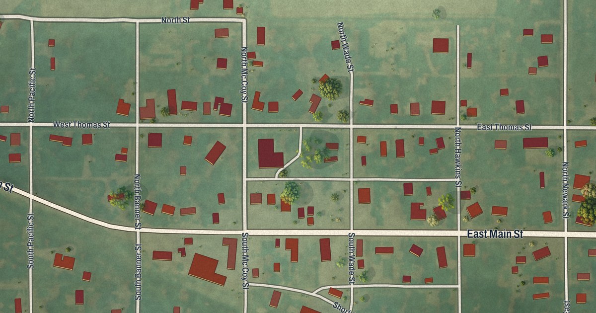
A detailed map of Knox City, Missouri, showing every building in its true location, the roads by name, and shaded topographical relief.
Read More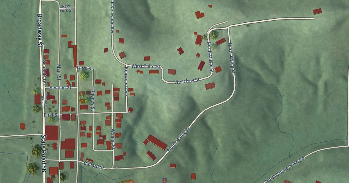
A detailed map of West Baden Springs, Indiana, showing every building in its true location, the roads by name, and shaded topographical relief.
Read More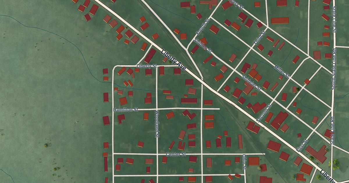
A detailed map of West College Corner, Indiana, showing every building in its true location, the roads by name, and shaded topographical relief.
Read More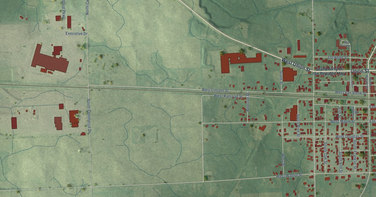
A detailed map of Waterloo, Indiana, showing every building in its true location, the roads by name, and shaded topographical relief.
Read More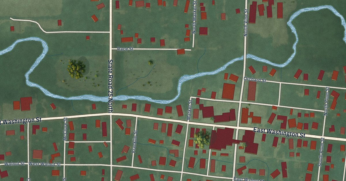
A detailed map of Waynetown, Indiana, showing every building in its true location, the roads by name, and shaded topographical relief.
Read More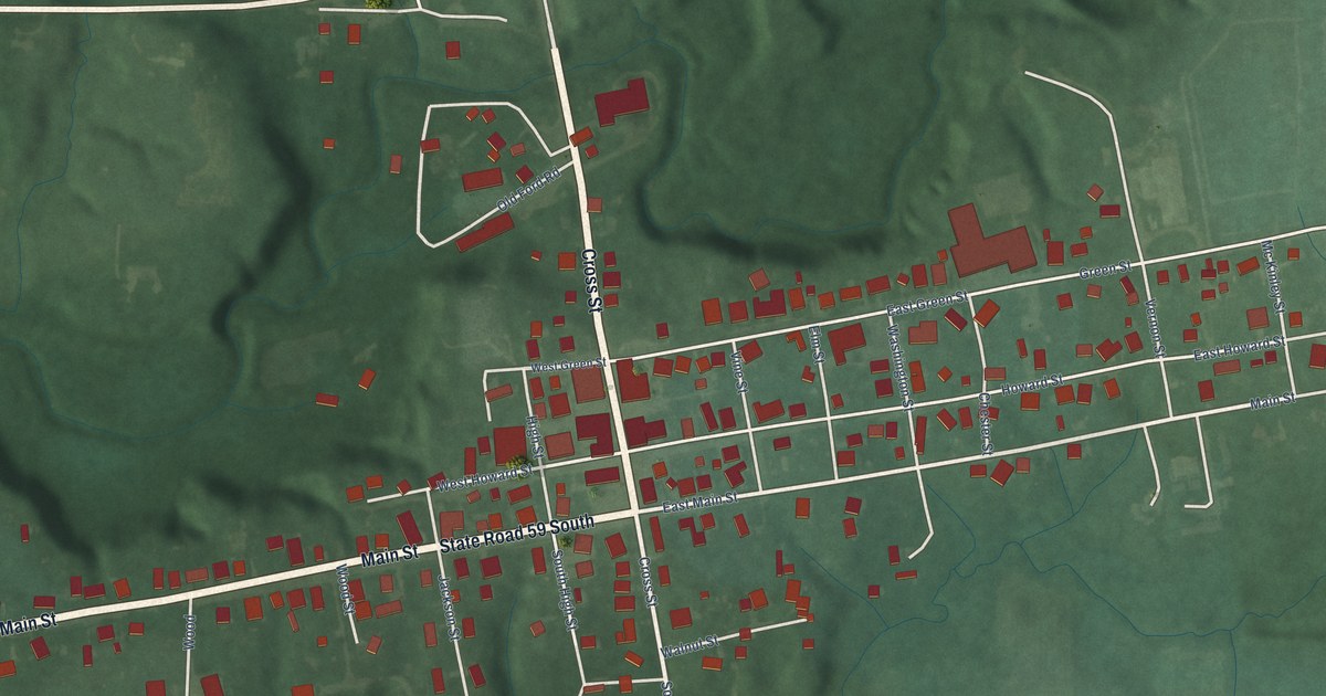
A detailed map of Waveland, Indiana, showing every building in its true location, the roads by name, and shaded topographical relief.
Read More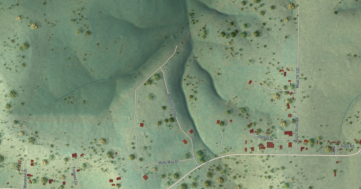
A detailed map of Kirbyville, Missouri, showing every building in its true location, the roads by name, and shaded topographical relief.
Read More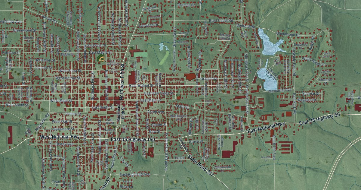
A detailed map of Washington, Indiana, showing every building in its true location, the roads by name, and shaded topographical relief.
Read More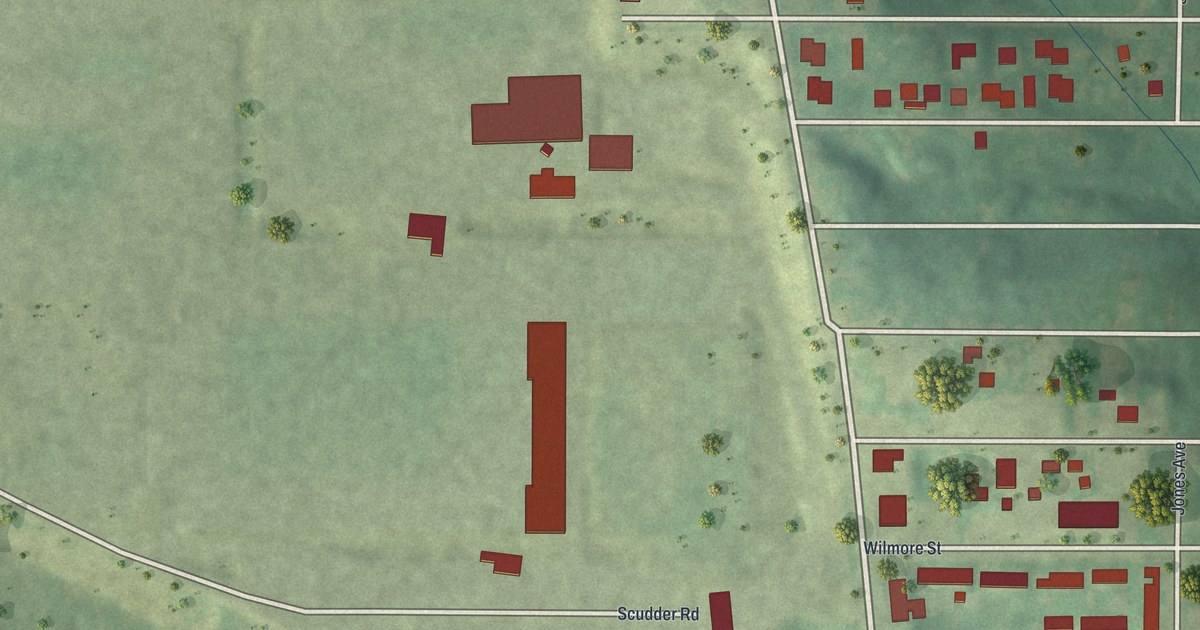
A detailed map of Kinloch, Missouri, showing every building in its true location, the roads by name, and shaded topographical relief.
Read More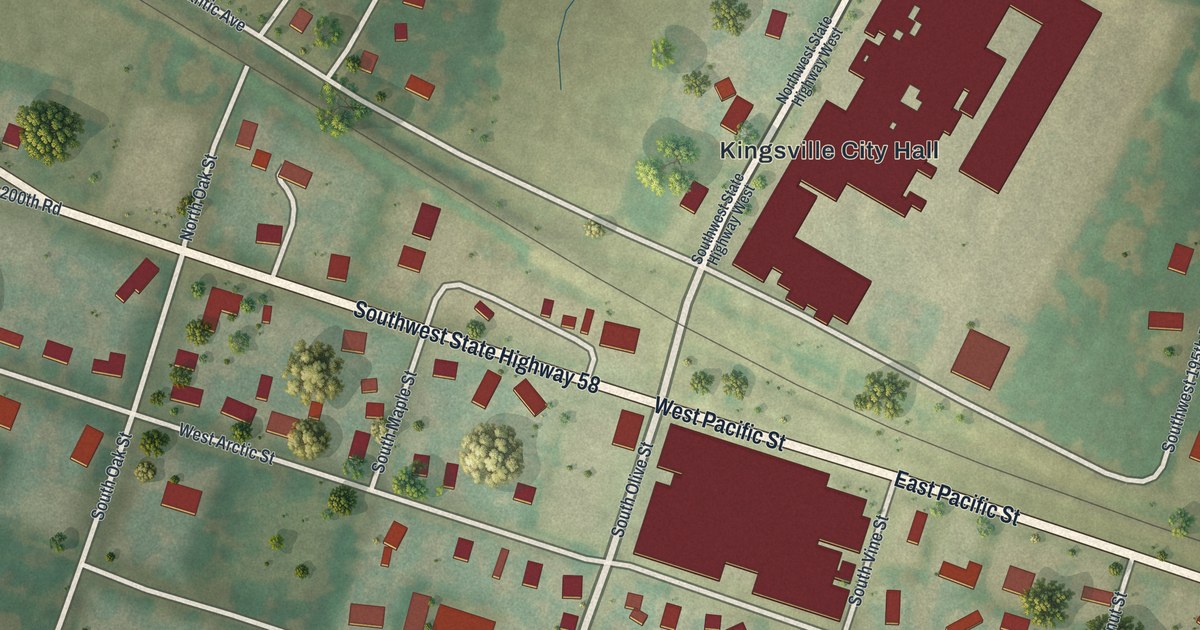
A detailed map of Kingsville, Missouri, showing every building in its true location, the roads by name, and shaded topographical relief.
Read More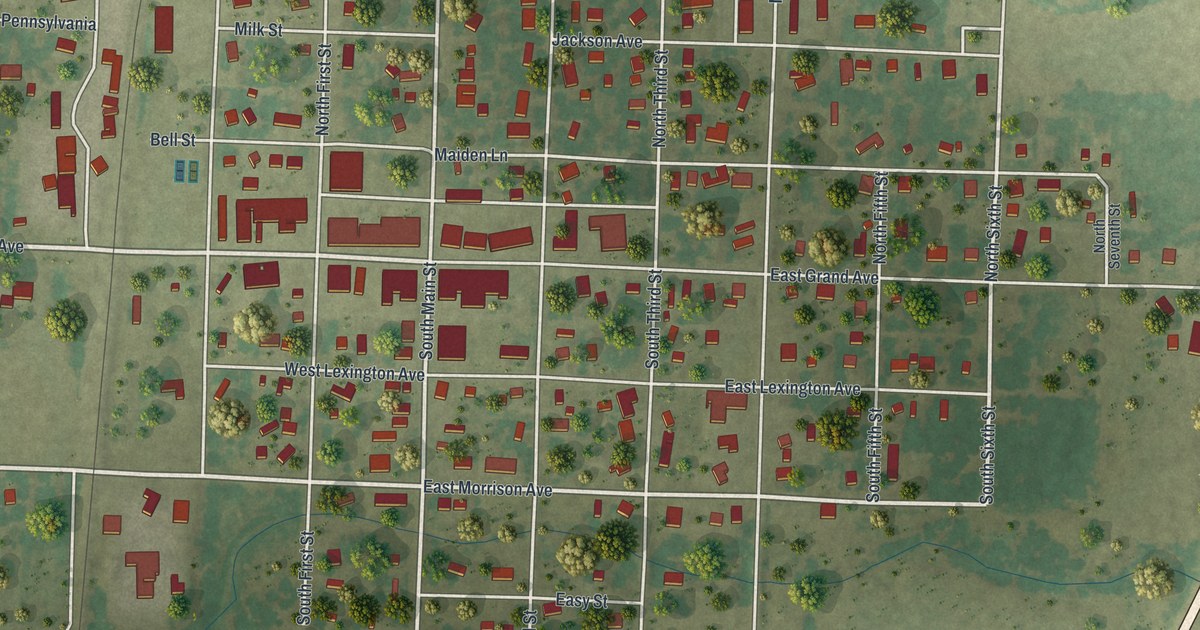
A detailed map of Jasper, Missouri, showing every building in its true location, the roads by name, and shaded topographical relief.
Read More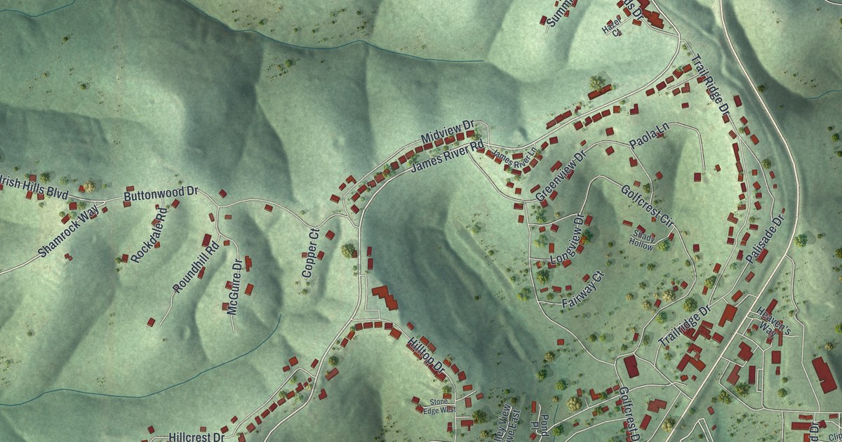
A detailed map of Kimberling City, Missouri, showing every building in its true location, the roads by name, and shaded topographical relief.
Read More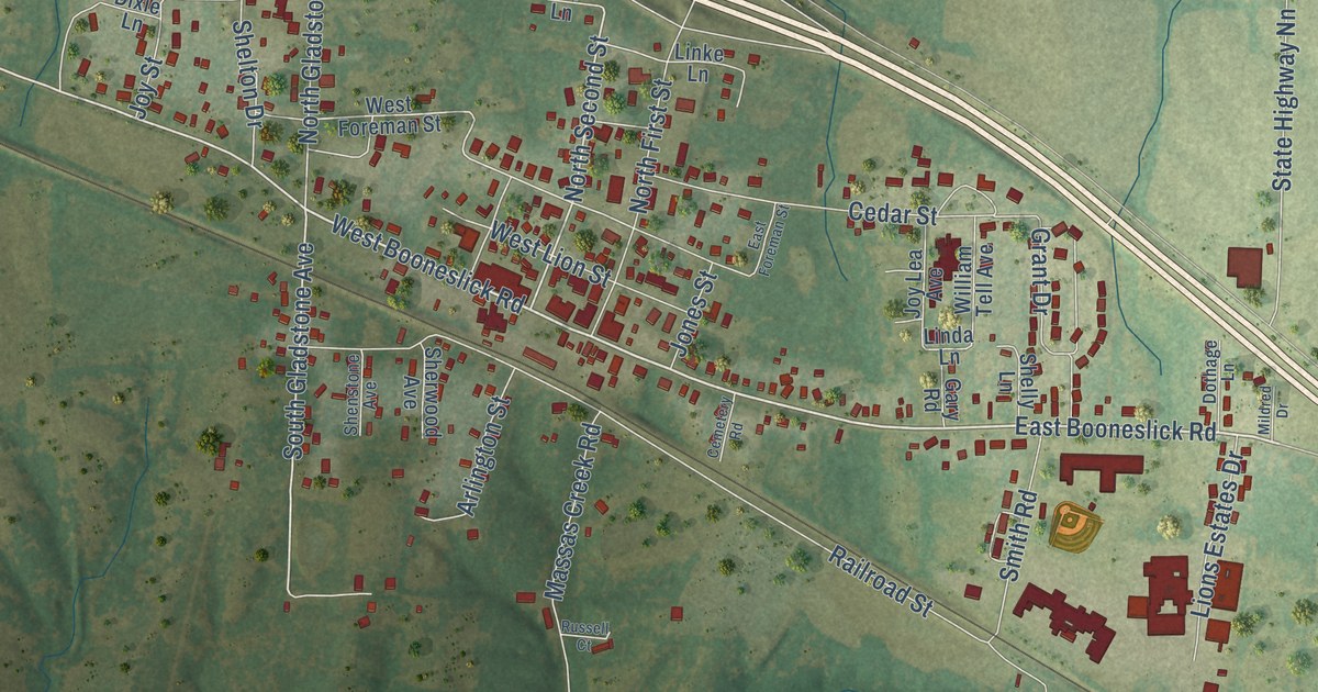
A detailed map of Jonesburg, Missouri, showing every building in its true location, the roads by name, and shaded topographical relief.
Read More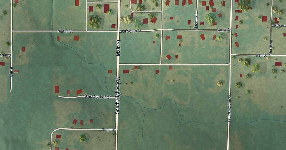
A detailed map of Jerico Springs, Missouri, showing every building in its true location, the roads by name, and shaded topographical relief.
Read More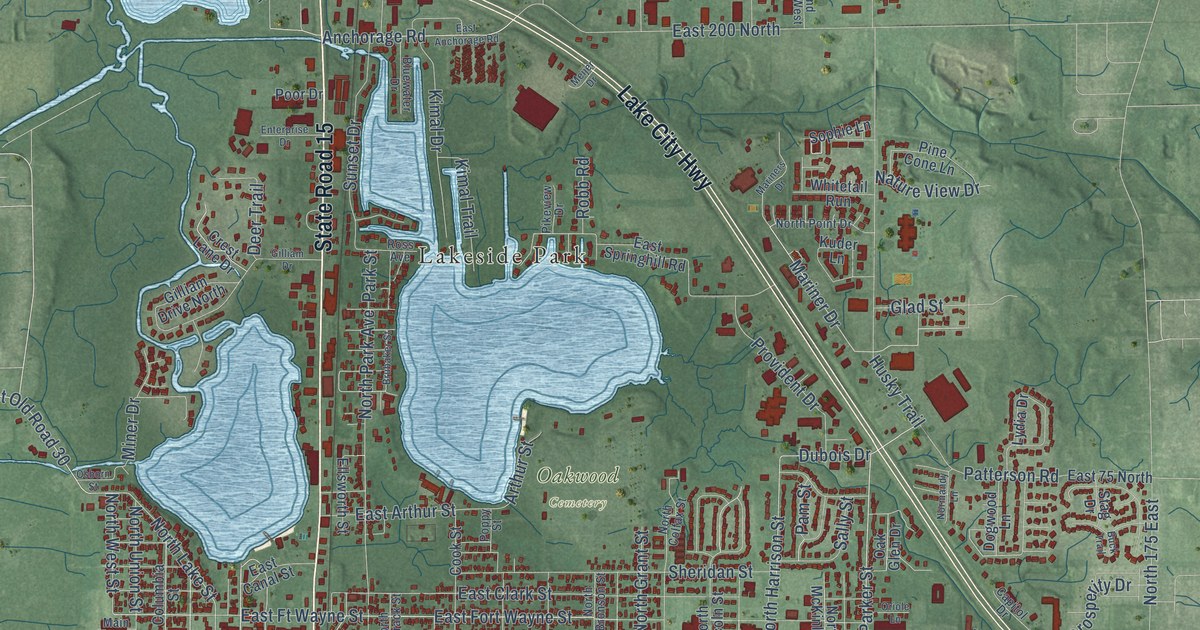
A detailed map of Warsaw, Indiana, showing every building in its true location, the roads by name, and shaded topographical relief.
Read More















