Detailed Map of Dutch John, Utah
A detailed map of Dutch John, Utah, showing every building in its true location, the roads by name, and shaded topographical relief.
Read More
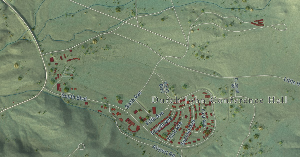
A detailed map of Dutch John, Utah, showing every building in its true location, the roads by name, and shaded topographical relief.
Read More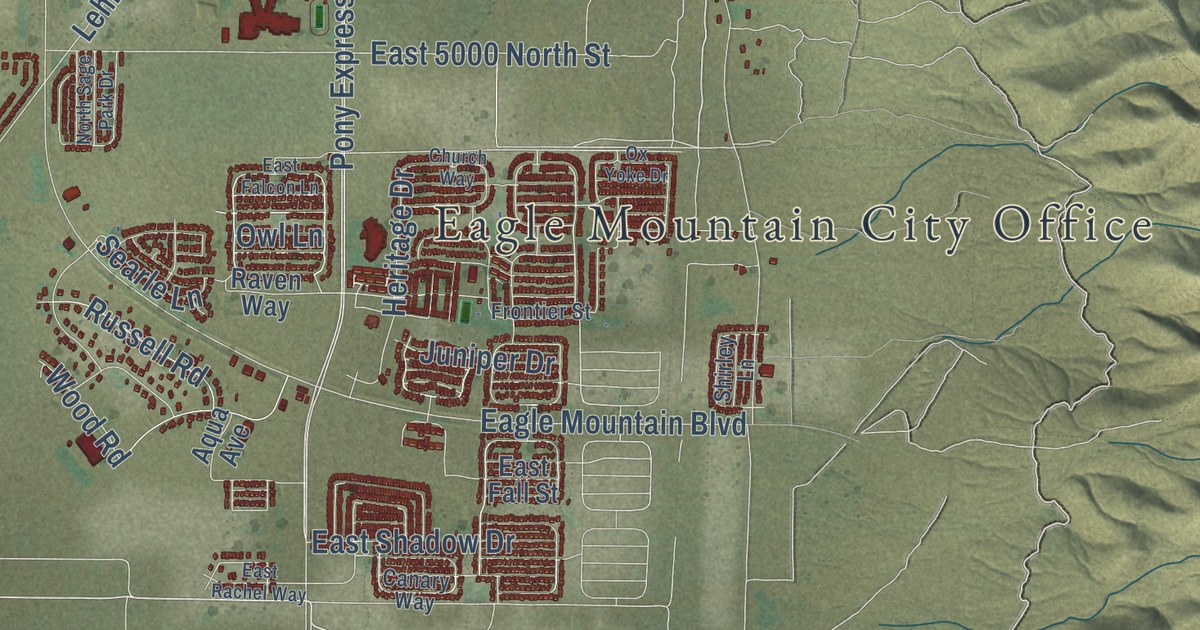
A detailed map of Eagle Mountain, Utah, showing every building in its true location, the roads by name, and shaded topographical relief.
Read More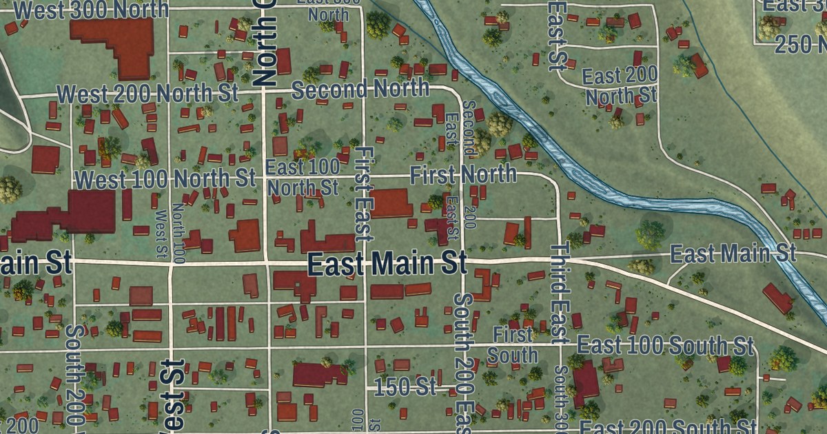
A detailed map of Duchesne, Utah, showing every building in its true location, the roads by name, and shaded topographical relief.
Read More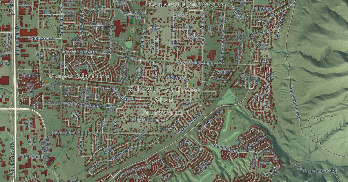
A detailed map of Draper, Utah, showing every building in its true location, the roads by name, and shaded topographical relief.
Read More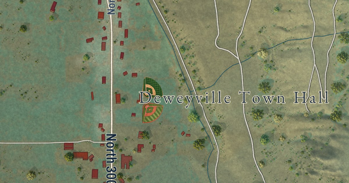
A detailed map of Deweyville, Utah, showing every building in its true location, the roads by name, and shaded topographical relief.
Read More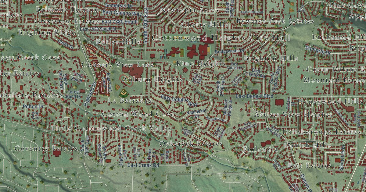
A detailed map of Cottonwood Heights, Utah, showing every building in its true location, the roads by name, and shaded topographical relief.
Read More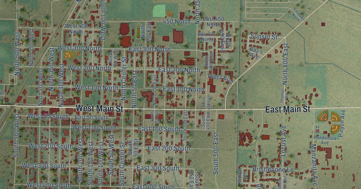
A detailed map of Delta, Utah, showing every building in its true location, the roads by name, and shaded topographical relief.
Read More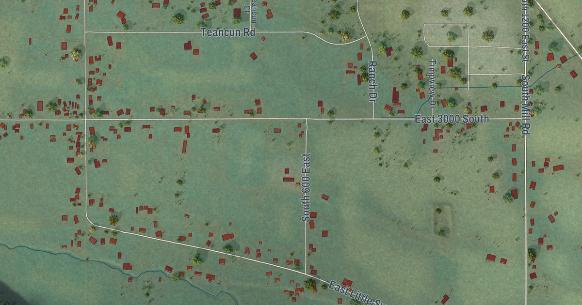
A detailed map of Daniel, Utah, showing every building in its true location, the roads by name, and shaded topographical relief.
Read More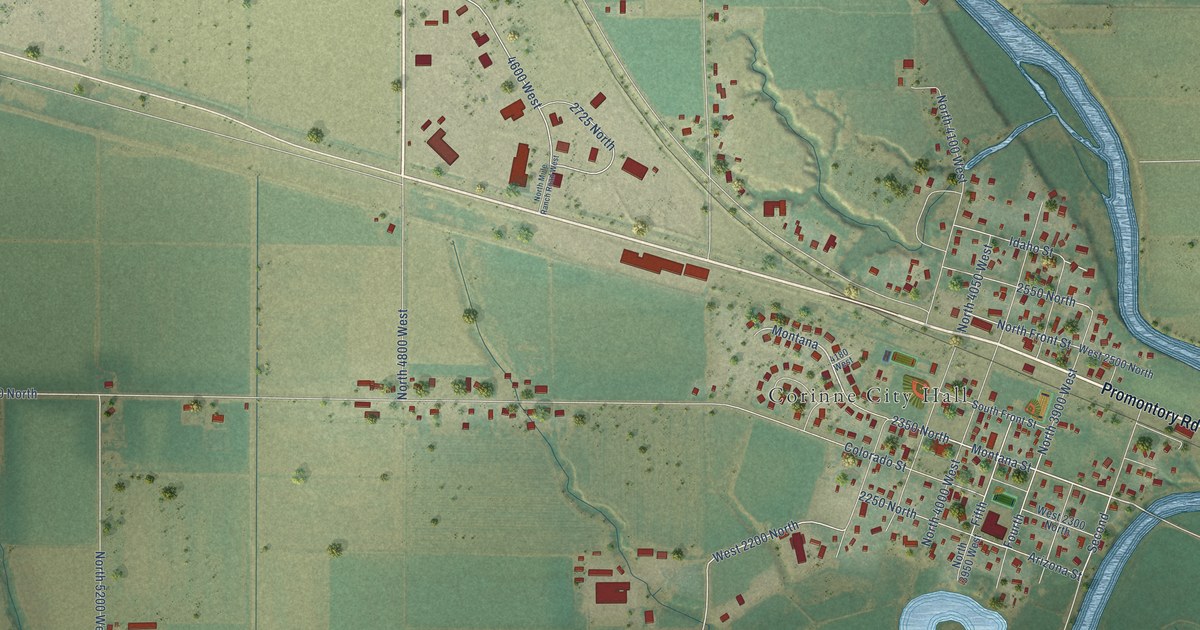
A detailed map of Corinne, Utah, showing every building in its true location, the roads by name, and shaded topographical relief.
Read More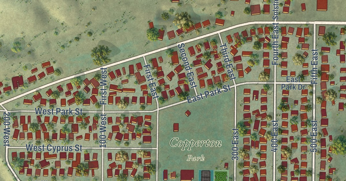
A detailed map of Copperton, Utah, showing every building in its true location, the roads by name, and shaded topographical relief.
Read More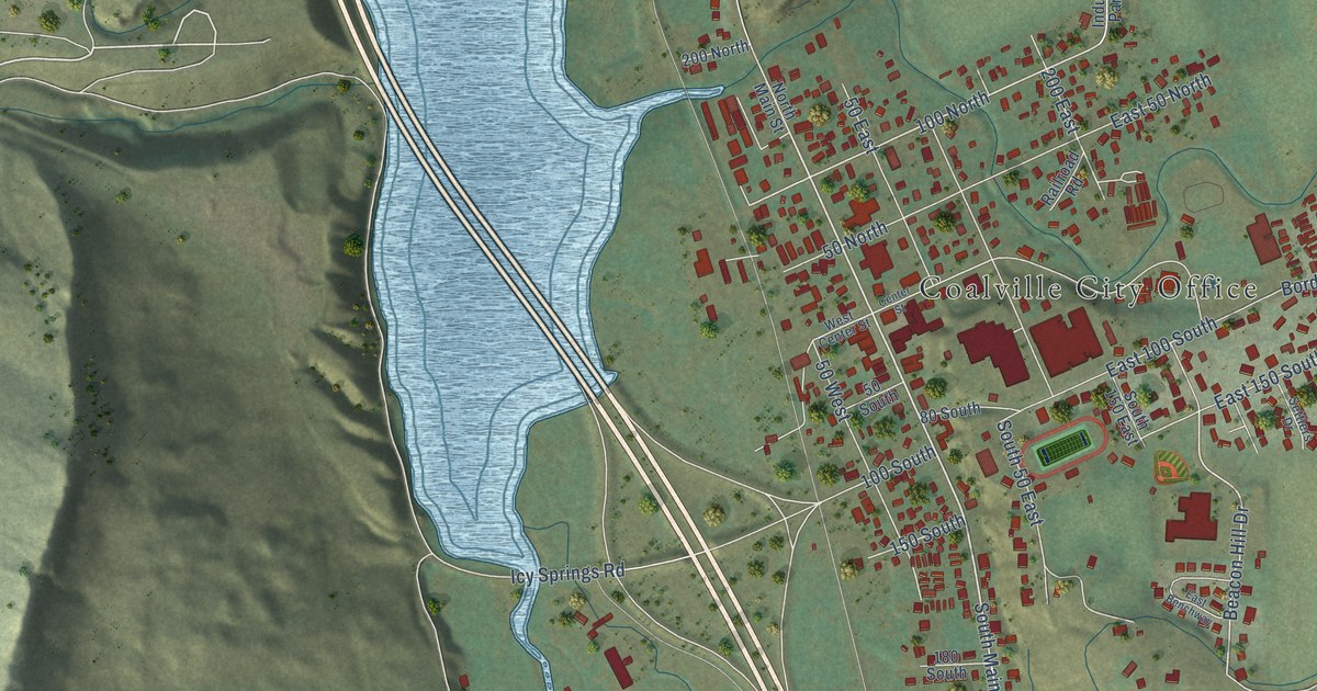
A detailed map of Coalville, Utah, showing every building in its true location, the roads by name, and shaded topographical relief.
Read More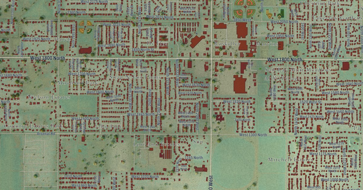
A detailed map of Clinton, Utah, showing every building in its true location, the roads by name, and shaded topographical relief.
Read More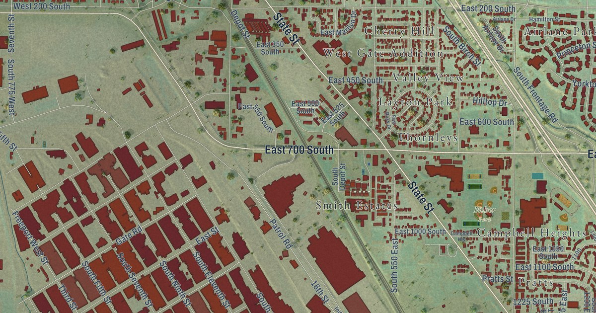
A detailed map of Clearfield, Utah, showing every building in its true location, the roads by name, and shaded topographical relief.
Read More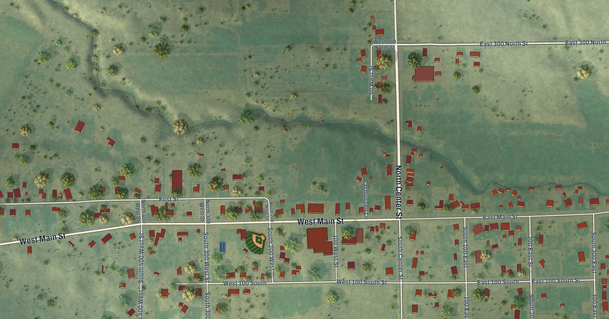
A detailed map of Cleveland, Utah, showing every building in its true location, the roads by name, and shaded topographical relief.
Read More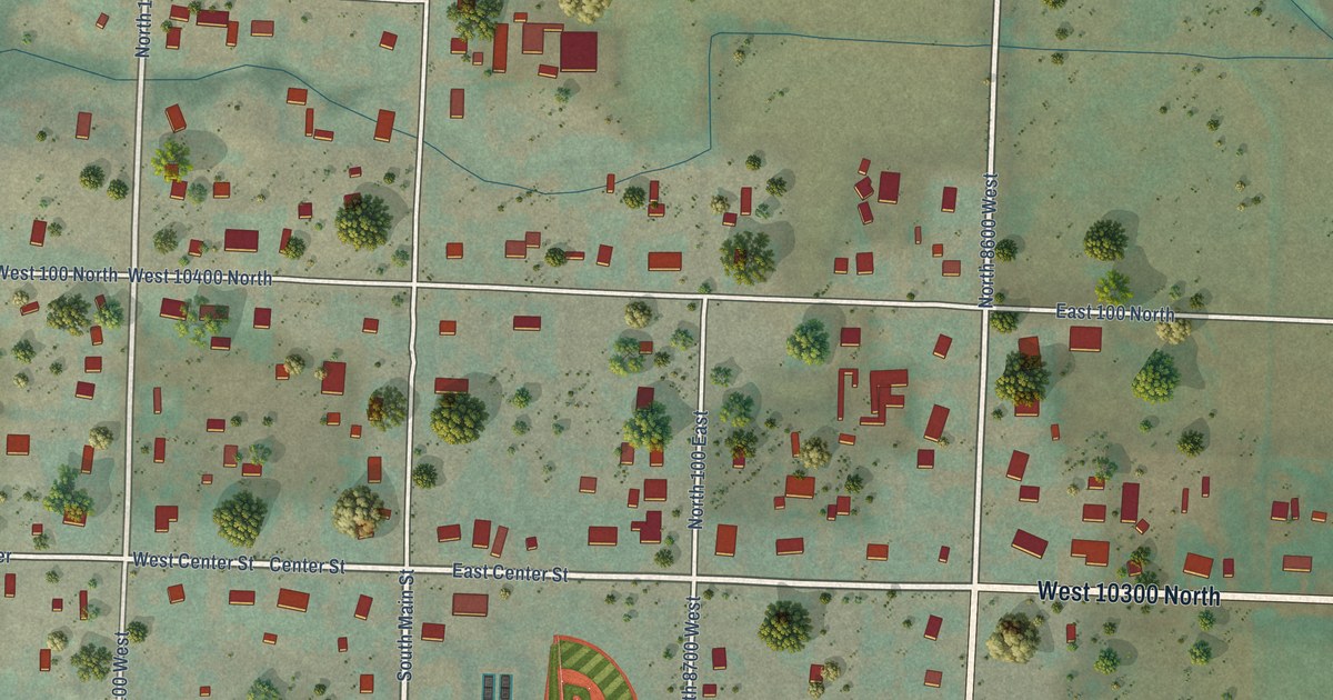
A detailed map of Clarkston, Utah, showing every building in its true location, the roads by name, and shaded topographical relief.
Read More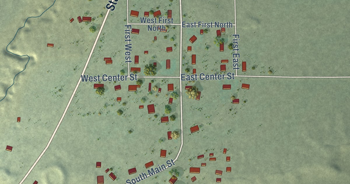
A detailed map of Clawson, Utah, showing every building in its true location, the roads by name, and shaded topographical relief.
Read More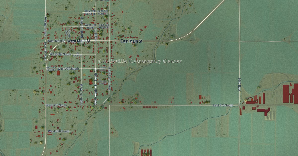
A detailed map of Circleville, Utah, showing every building in its true location, the roads by name, and shaded topographical relief.
Read More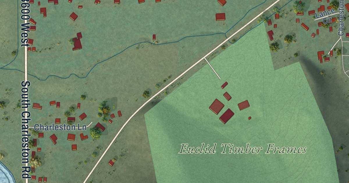
A detailed map of Charleston, Utah, showing every building in its true location, the roads by name, and shaded topographical relief.
Read More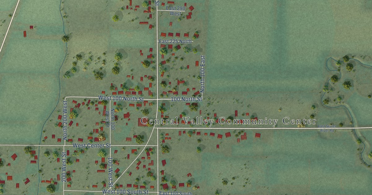
A detailed map of Central Valley, Utah, showing every building in its true location, the roads by name, and shaded topographical relief.
Read More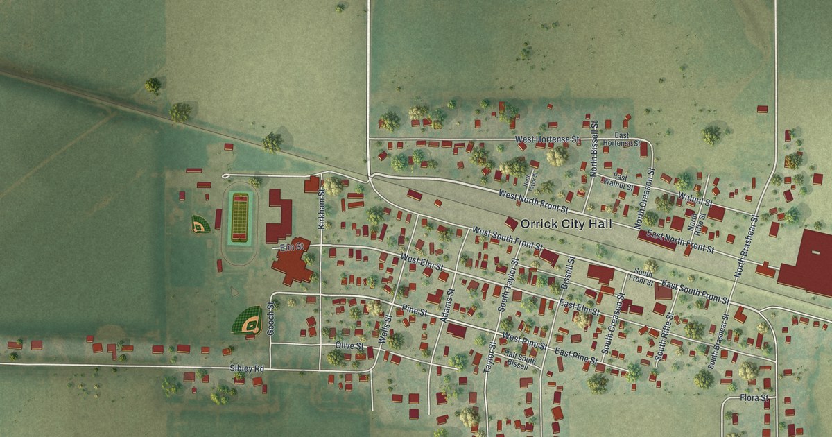
A detailed map of Orrick, Missouri, showing every building in its true location, the roads by name, and shaded topographical relief.
Read More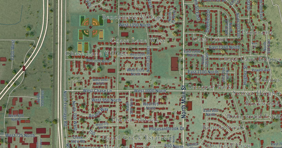
A detailed map of Centerville, Utah, showing every building in its true location, the roads by name, and shaded topographical relief.
Read More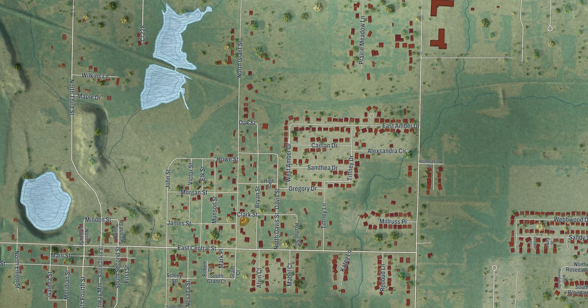
A detailed map of Oronogo, Missouri, showing every building in its true location, the roads by name, and shaded topographical relief.
Read More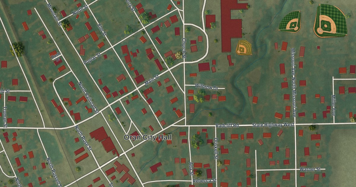
A detailed map of Oran, Missouri, showing every building in its true location, the roads by name, and shaded topographical relief.
Read More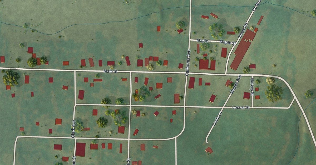
A detailed map of Olean, Missouri, showing every building in its true location, the roads by name, and shaded topographical relief.
Read More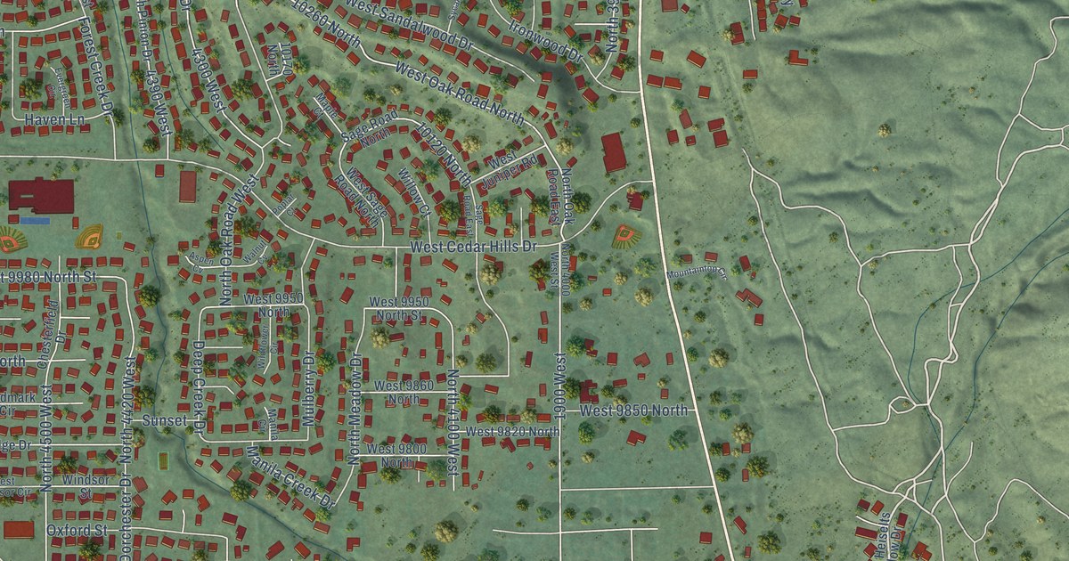
A detailed map of Cedar Hills, Utah, showing every building in its true location, the roads by name, and shaded topographical relief.
Read More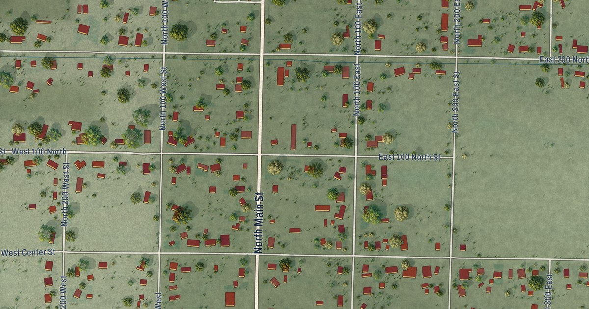
A detailed map of Centerfield, Utah, showing every building in its true location, the roads by name, and shaded topographical relief.
Read More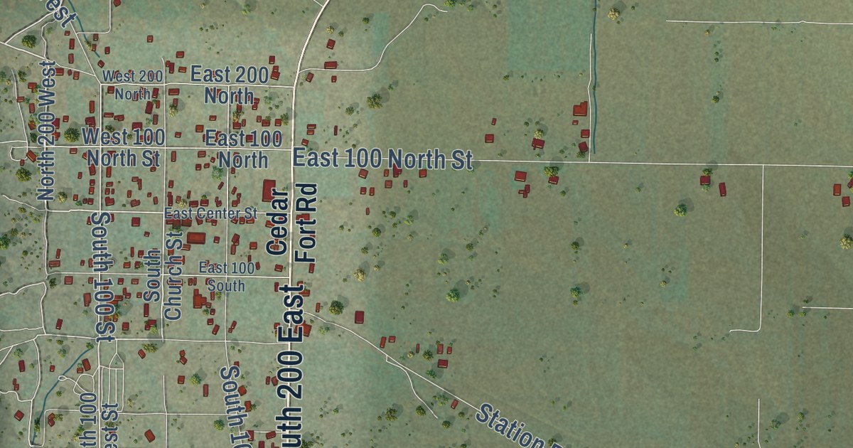
A detailed map of Cedar Fort, Utah, showing every building in its true location, the roads by name, and shaded topographical relief.
Read More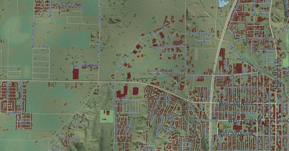
A detailed map of Cedar City, Utah, showing every building in its true location, the roads by name, and shaded topographical relief.
Read More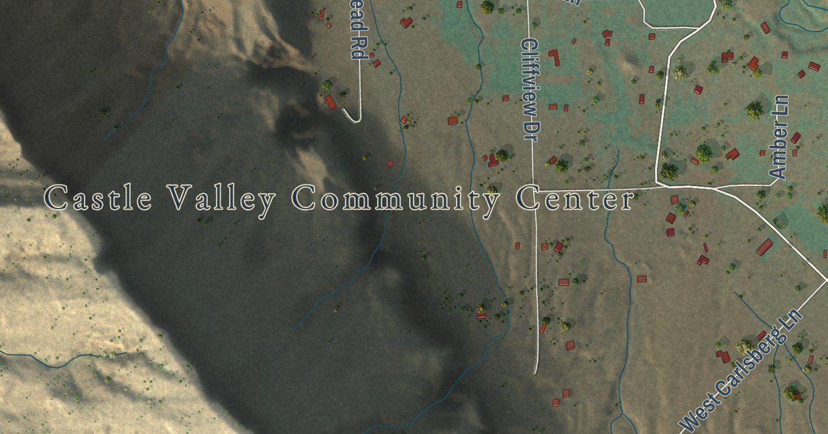
A detailed map of Castle Valley, Utah, showing every building in its true location, the roads by name, and shaded topographical relief.
Read More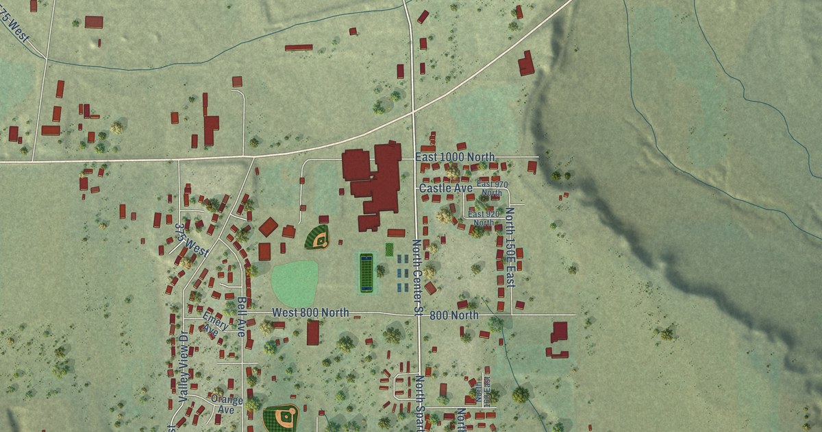
A detailed map of Castle Dale, Utah, showing every building in its true location, the roads by name, and shaded topographical relief.
Read More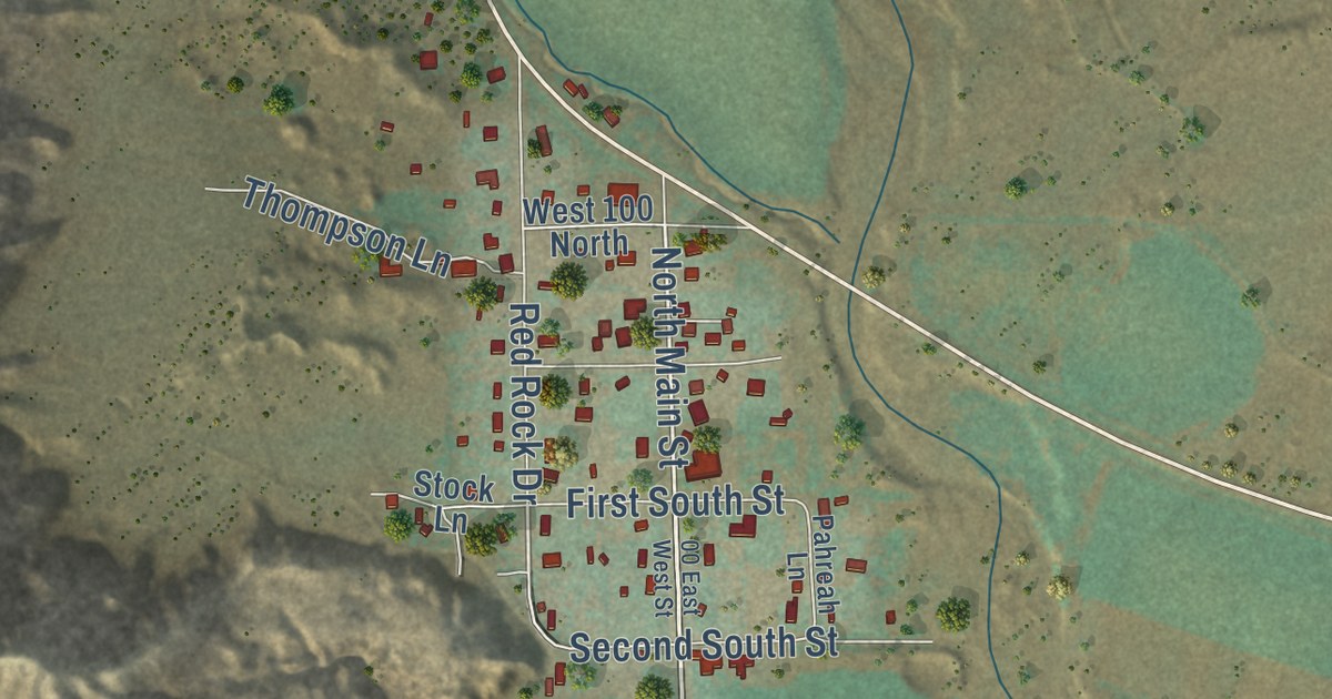
A detailed map of Cannonville, Utah, showing every building in its true location, the roads by name, and shaded topographical relief.
Read More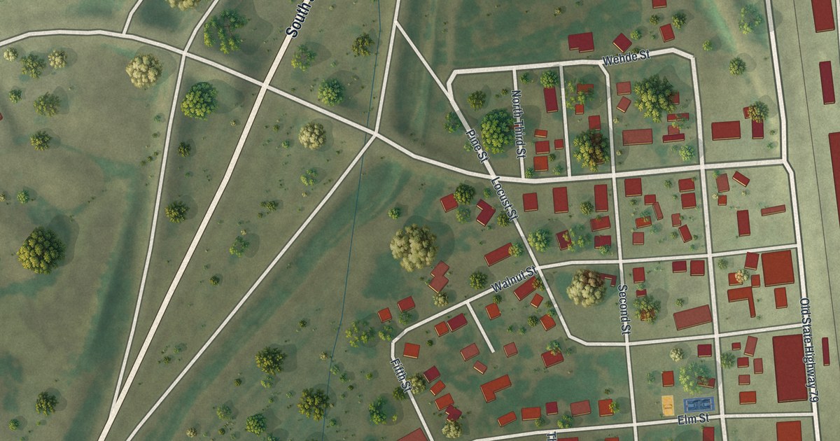
A detailed map of Old Monroe, Missouri, showing every building in its true location, the roads by name, and shaded topographical relief.
Read More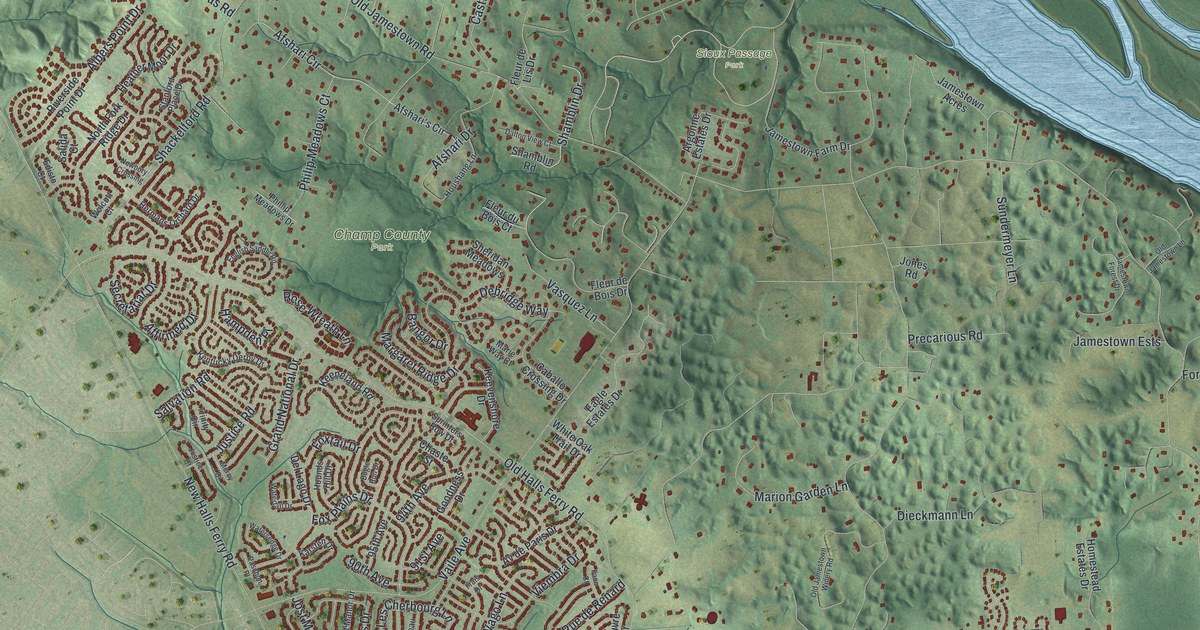
A detailed map of Old Jamestown, Missouri, showing every building in its true location, the roads by name, and shaded topographical relief.
Read More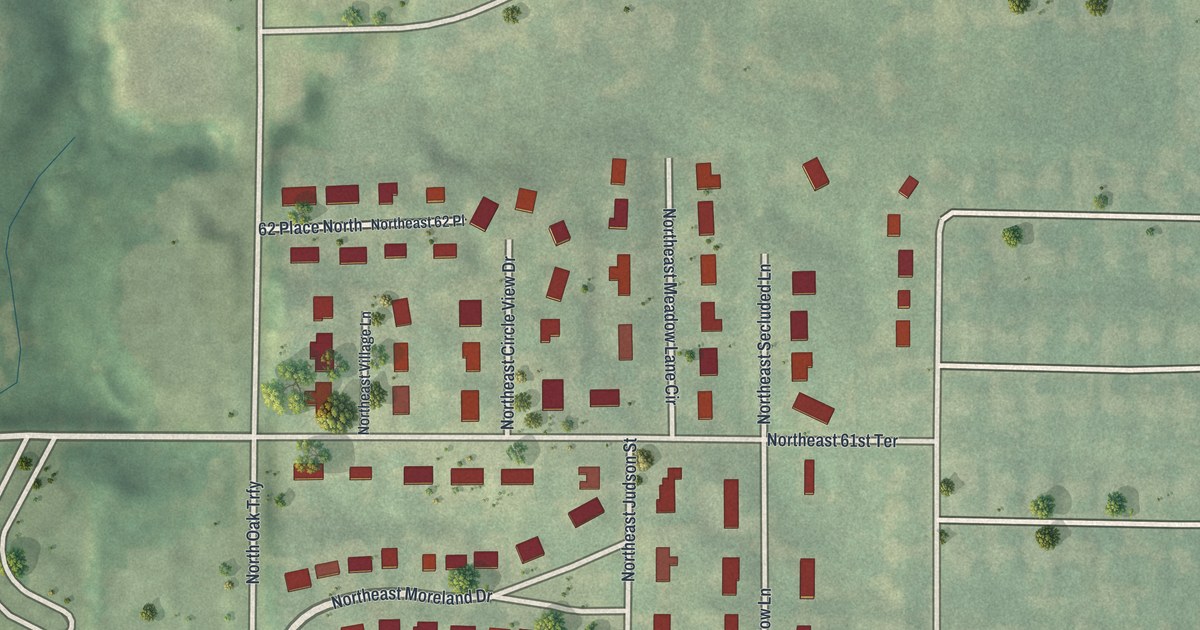
A detailed map of Oakwood Park, Missouri, showing every building in its true location, the roads by name, and shaded topographical relief.
Read More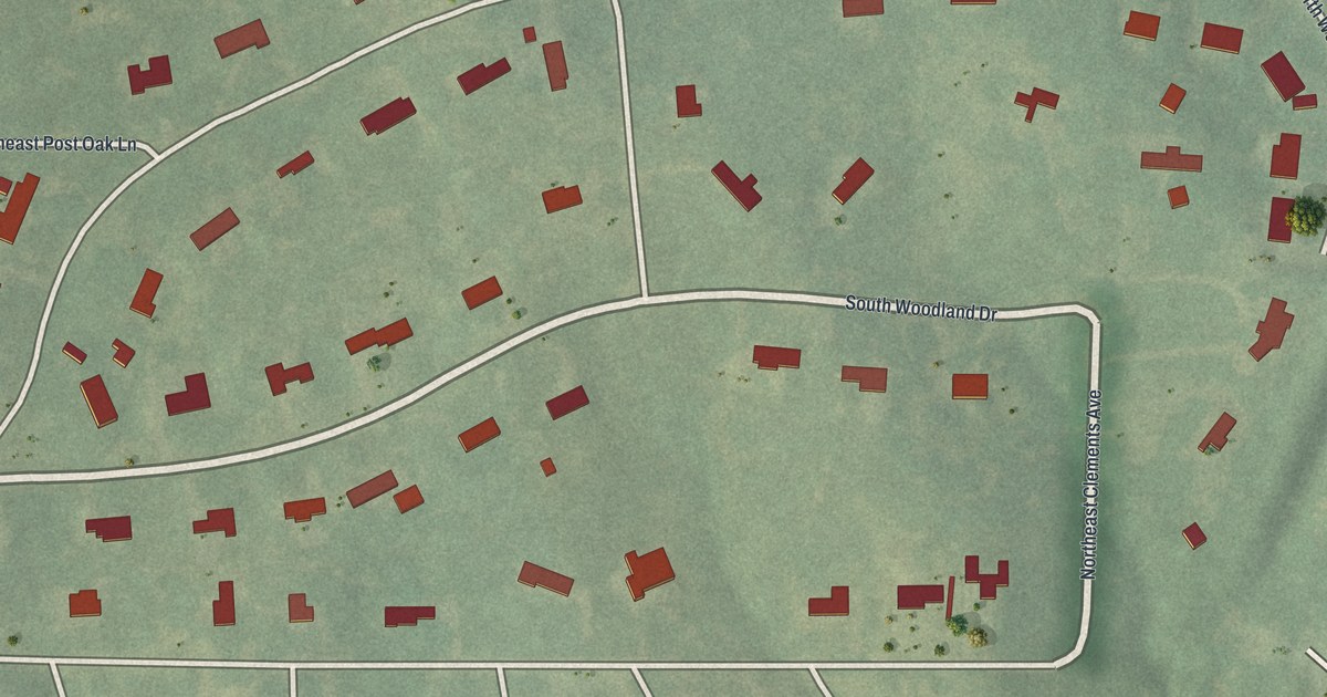
A detailed map of Oakwood, Missouri, showing every building in its true location, the roads by name, and shaded topographical relief.
Read More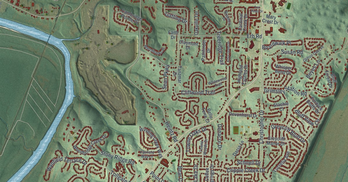
A detailed map of Oakville, Missouri, showing every building in its true location, the roads by name, and shaded topographical relief.
Read More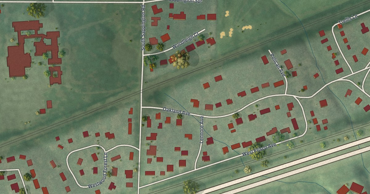
A detailed map of Oakland, Missouri, showing every building in its true location, the roads by name, and shaded topographical relief.
Read More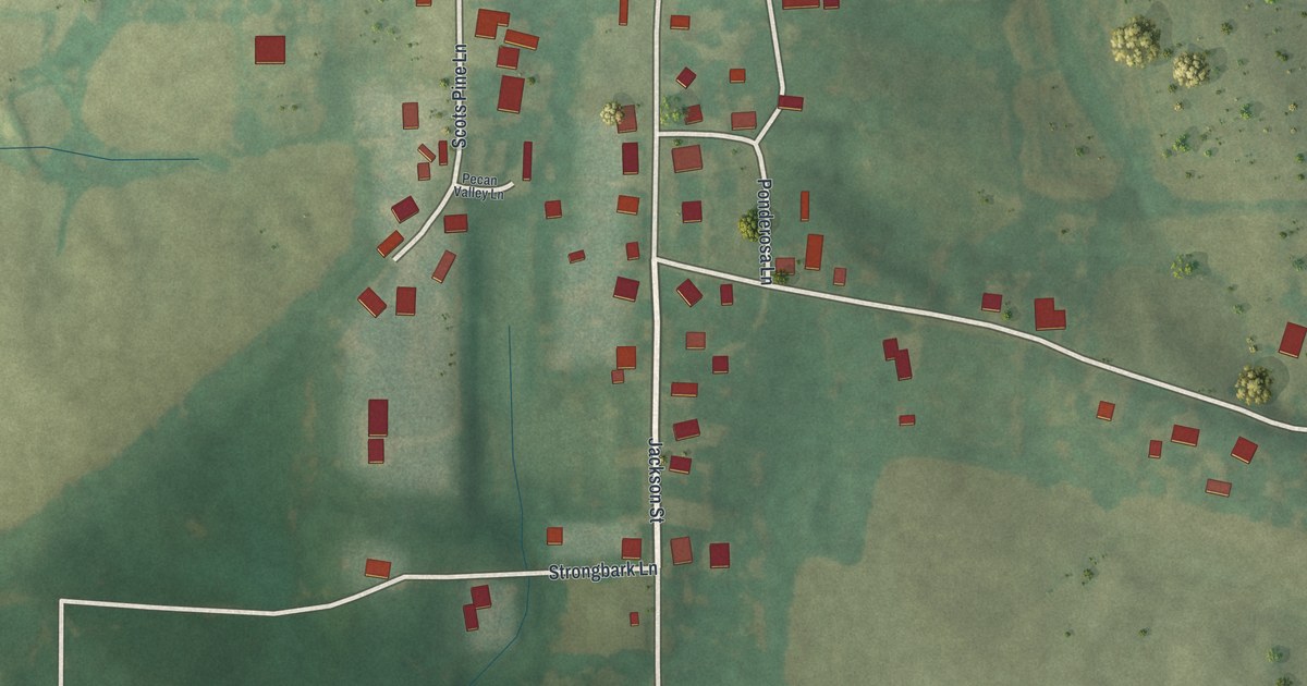
A detailed map of Oak Ridge, Missouri, showing every building in its true location, the roads by name, and shaded topographical relief.
Read More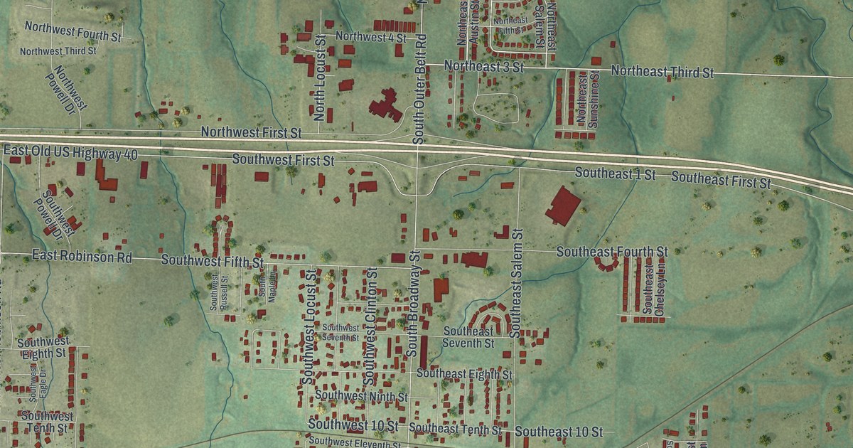
A detailed map of Oak Grove, Missouri, showing every building in its true location, the roads by name, and shaded topographical relief.
Read More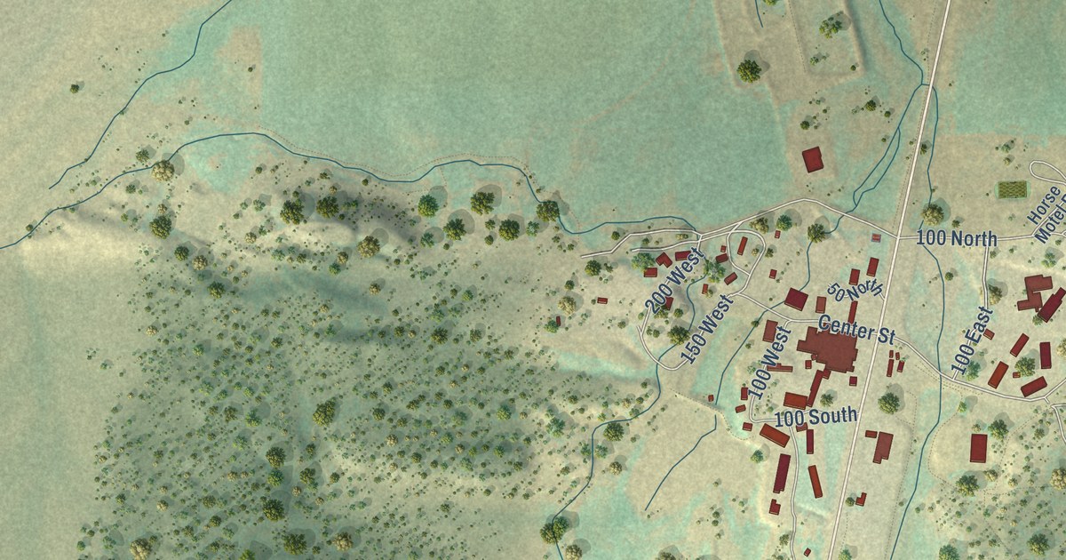
A detailed map of Bryce Canyon City, Utah, showing every building in its true location, the roads by name, and shaded topographical relief.
Read More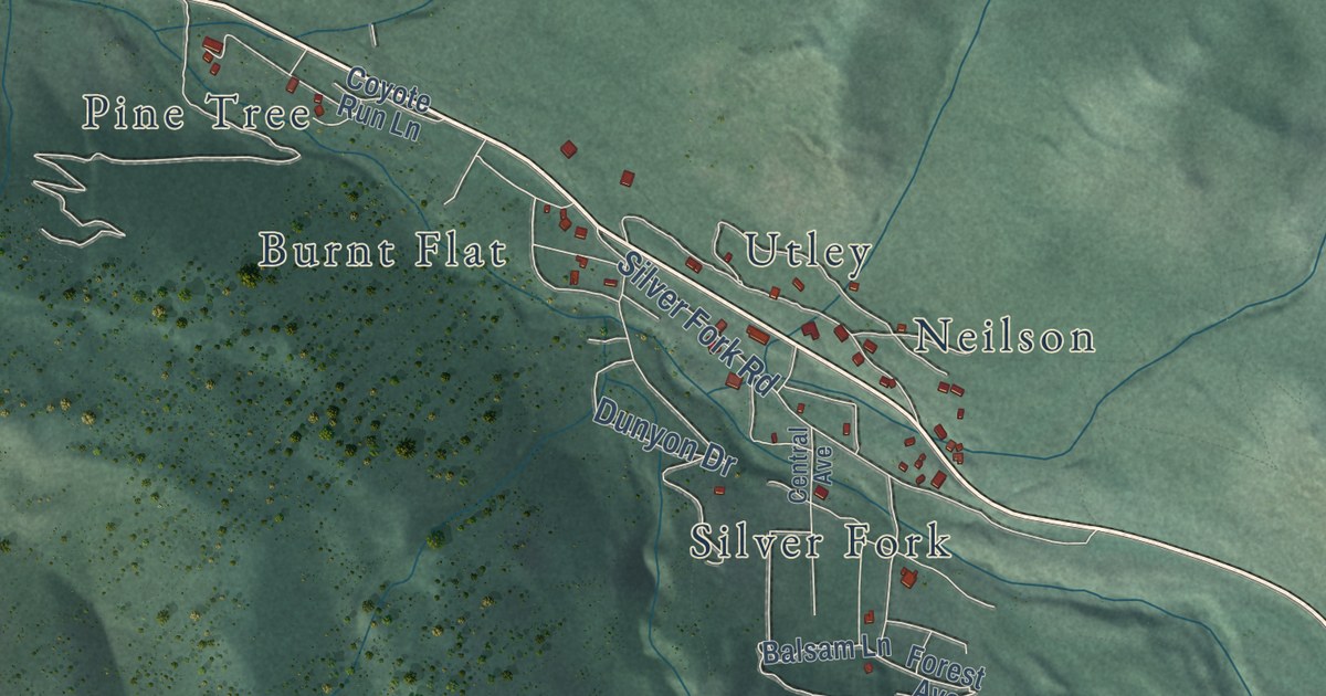
A detailed map of Brighton, Utah, showing every building in its true location, the roads by name, and shaded topographical relief.
Read More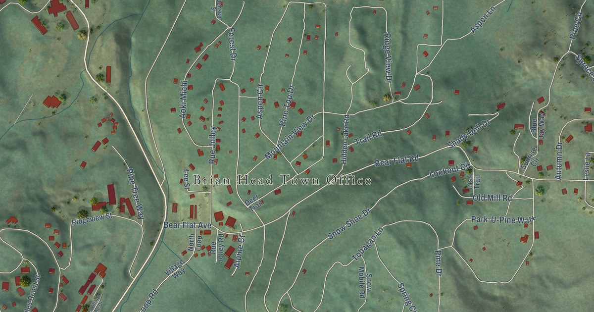
A detailed map of Brian Head, Utah, showing every building in its true location, the roads by name, and shaded topographical relief.
Read More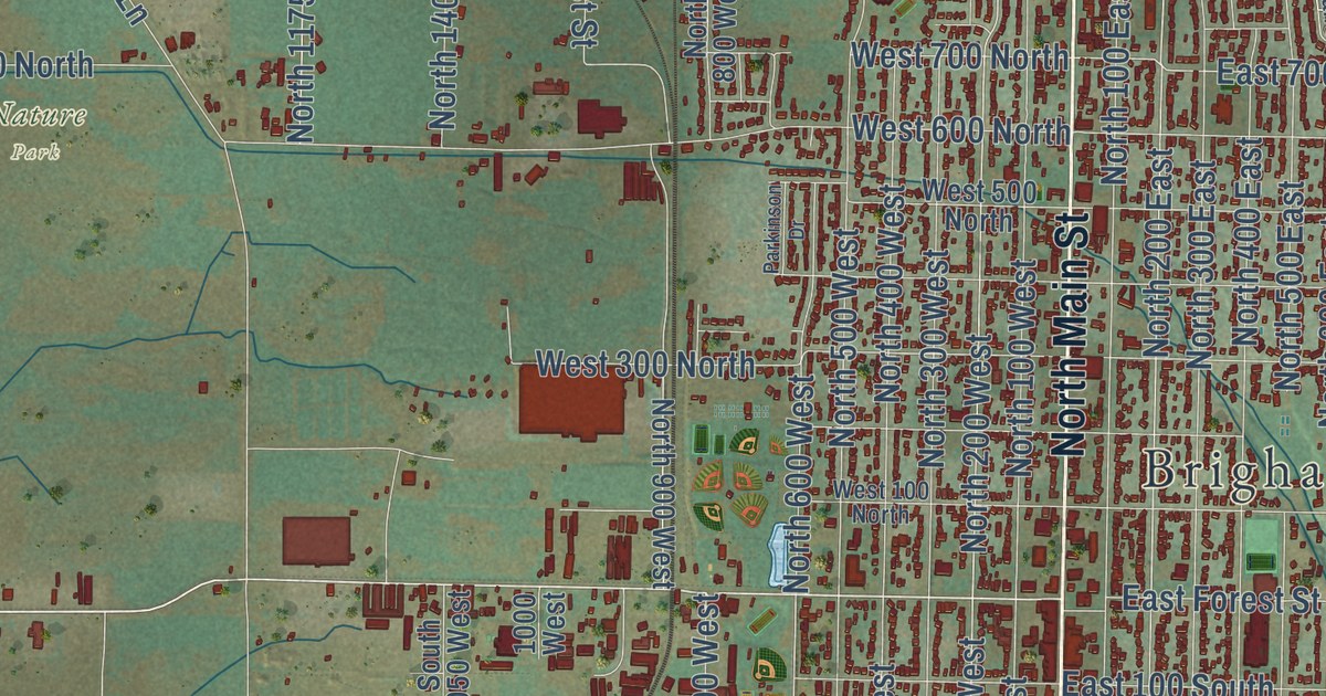
A detailed map of Brigham City, Utah, showing every building in its true location, the roads by name, and shaded topographical relief.
Read More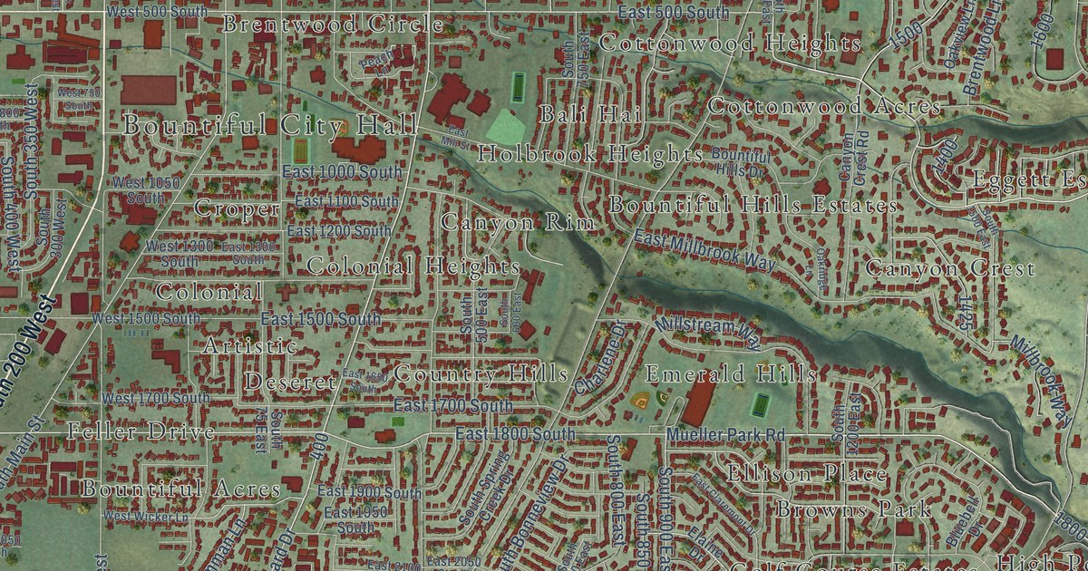
A detailed map of Bountiful, Utah, showing every building in its true location, the roads by name, and shaded topographical relief.
Read More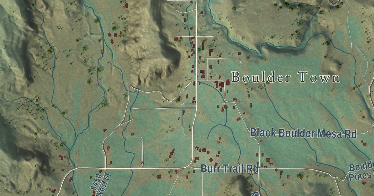
A detailed map of Boulder, Utah, showing every building in its true location, the roads by name, and shaded topographical relief.
Read More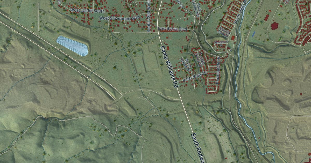
A detailed map of Bluffdale, Utah, showing every building in its true location, the roads by name, and shaded topographical relief.
Read More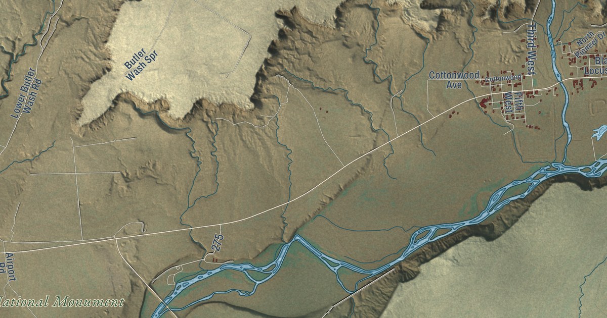
A detailed map of Bluff, Utah, showing every building in its true location, the roads by name, and shaded topographical relief.
Read More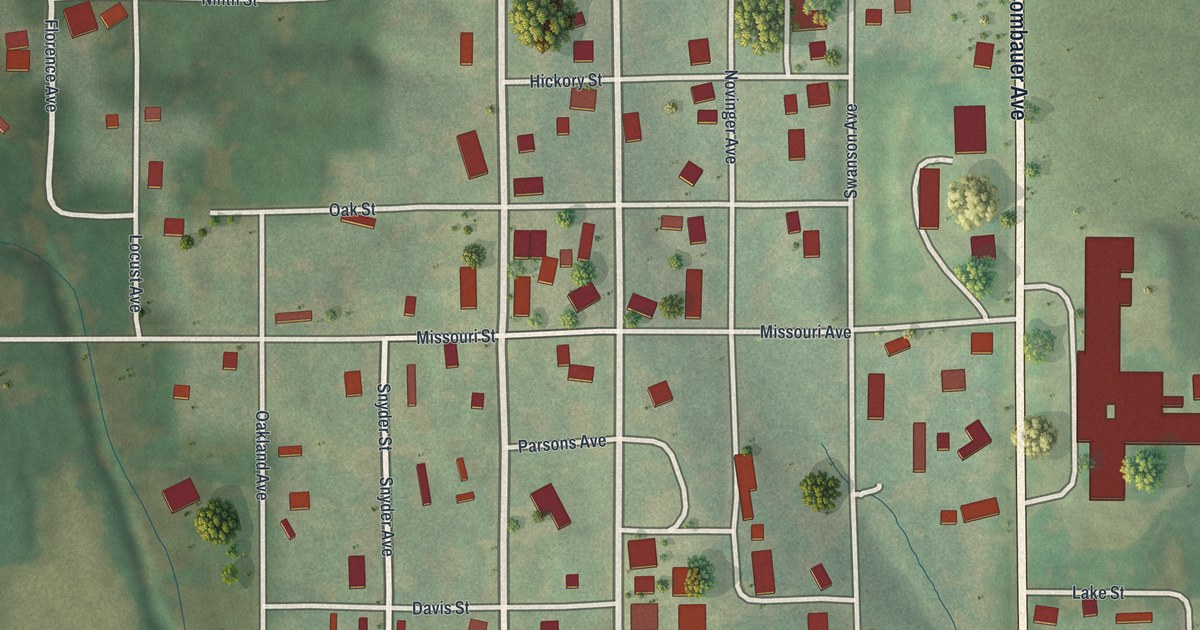
A detailed map of Novinger, Missouri, showing every building in its true location, the roads by name, and shaded topographical relief.
Read More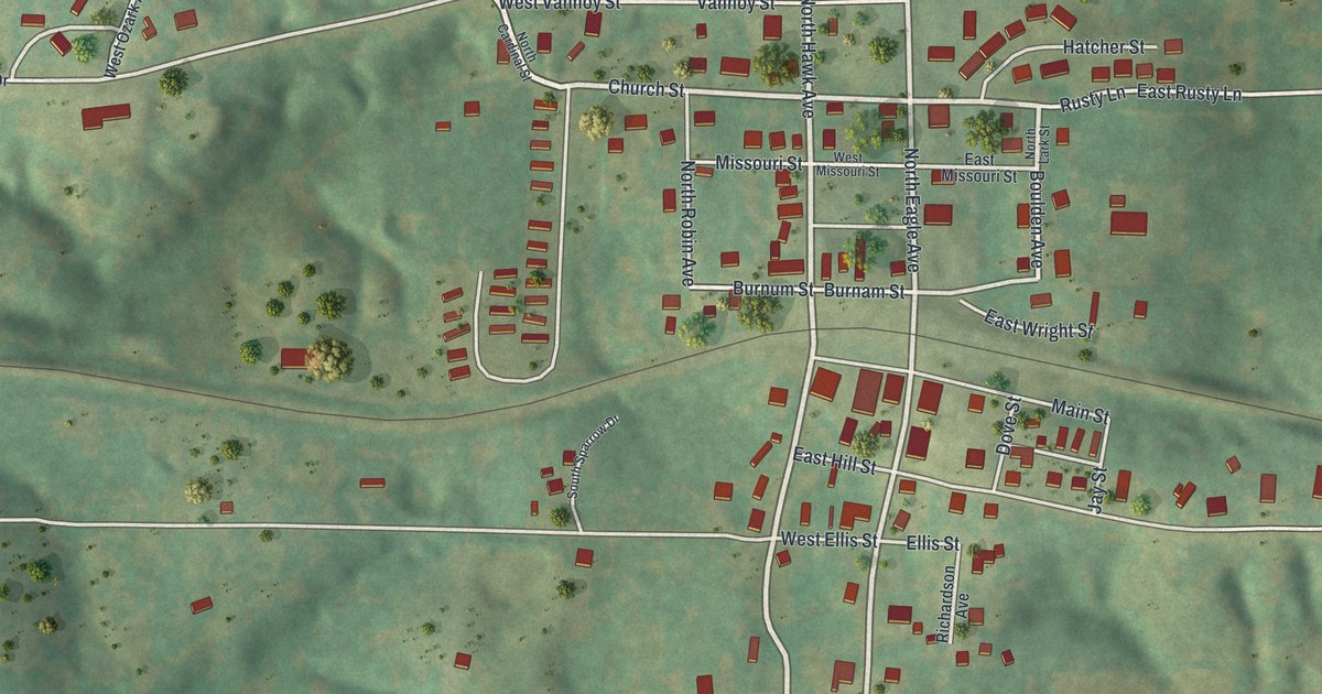
A detailed map of Norwood, Missouri, showing every building in its true location, the roads by name, and shaded topographical relief.
Read More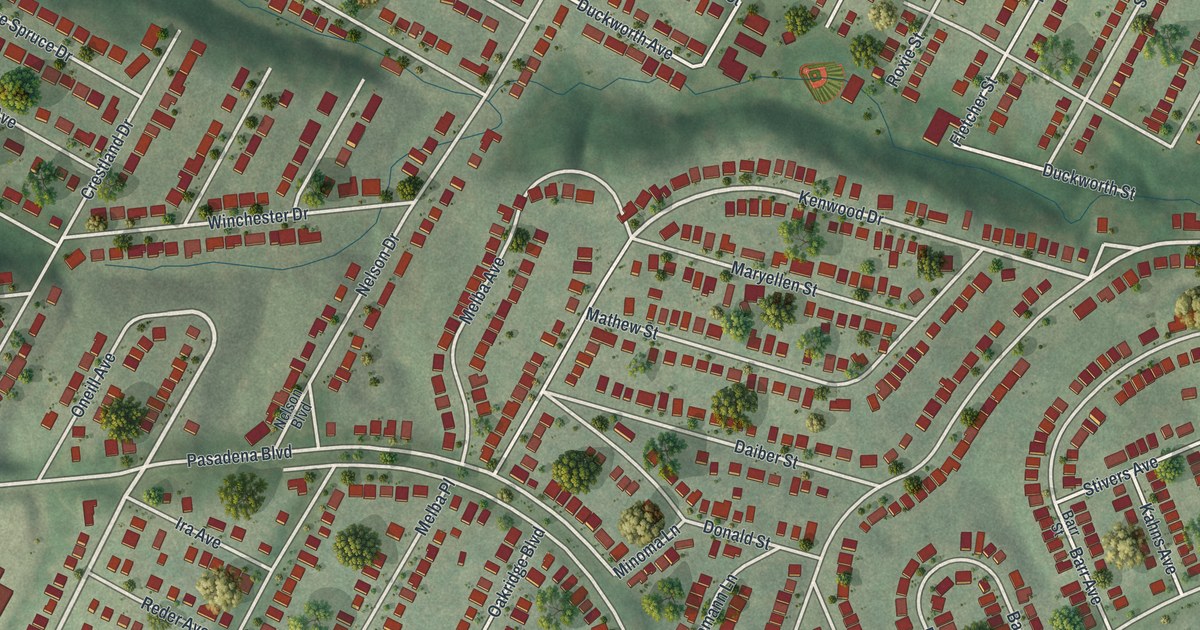
A detailed map of Northwoods, Missouri, showing every building in its true location, the roads by name, and shaded topographical relief.
Read More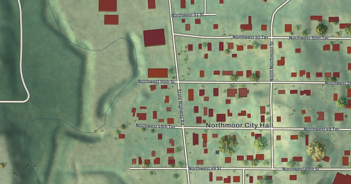
A detailed map of Northmoor, Missouri, showing every building in its true location, the roads by name, and shaded topographical relief.
Read More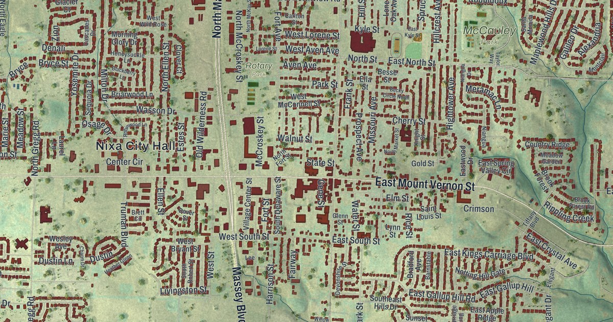
A detailed map of Nixa, Missouri, showing every building in its true location, the roads by name, and shaded topographical relief.
Read More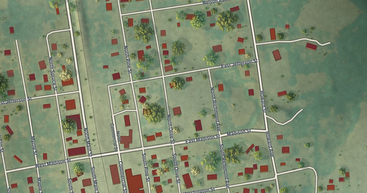
A detailed map of Niangua, Missouri, showing every building in its true location, the roads by name, and shaded topographical relief.
Read More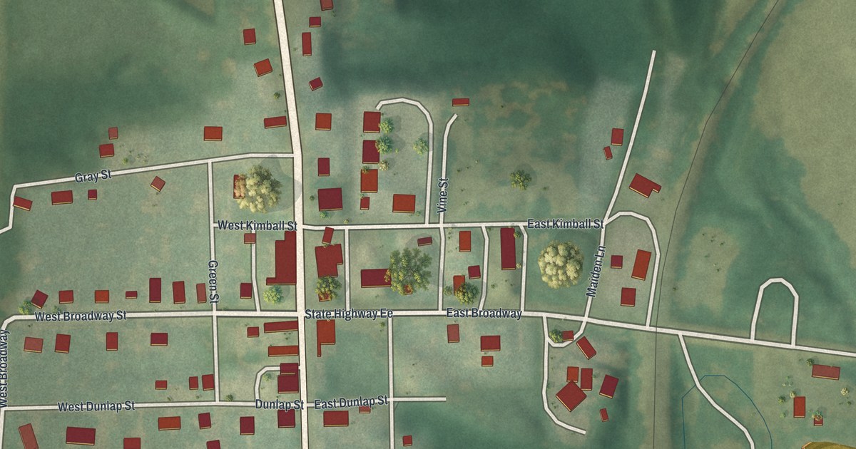
A detailed map of Newtown, Missouri, showing every building in its true location, the roads by name, and shaded topographical relief.
Read More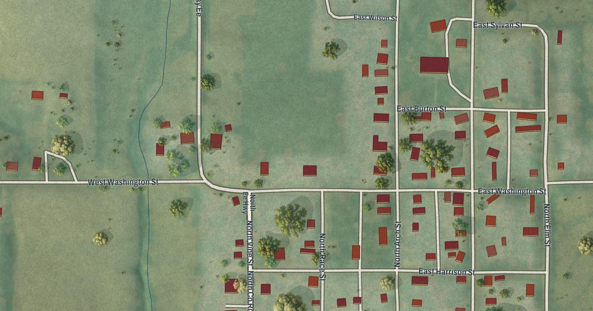
A detailed map of New Hampton, Missouri, showing every building in its true location, the roads by name, and shaded topographical relief.
Read More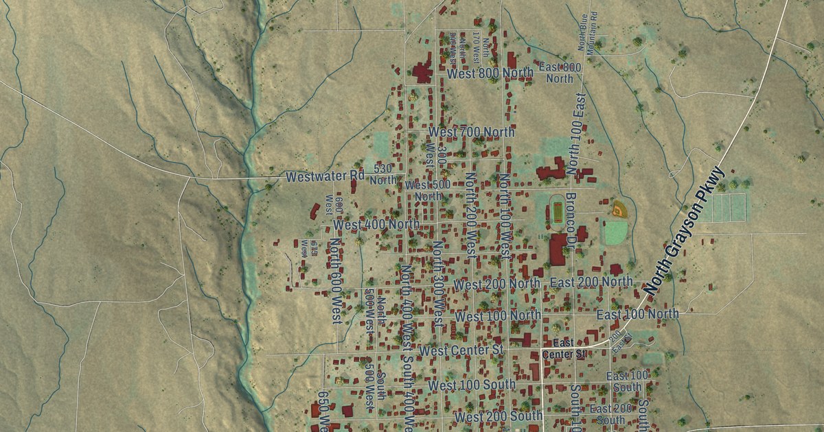
A detailed map of Blanding, Utah, showing every building in its true location, the roads by name, and shaded topographical relief.
Read More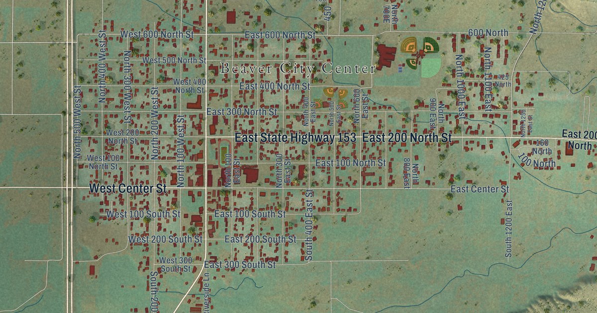
A detailed map of Beaver, Utah, showing every building in its true location, the roads by name, and shaded topographical relief.
Read More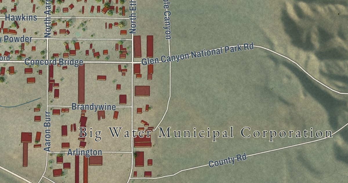
A detailed map of Big Water, Utah, showing every building in its true location, the roads by name, and shaded topographical relief.
Read More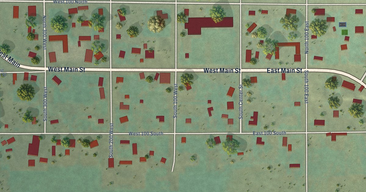
A detailed map of Bicknell, Utah, showing every building in its true location, the roads by name, and shaded topographical relief.
Read More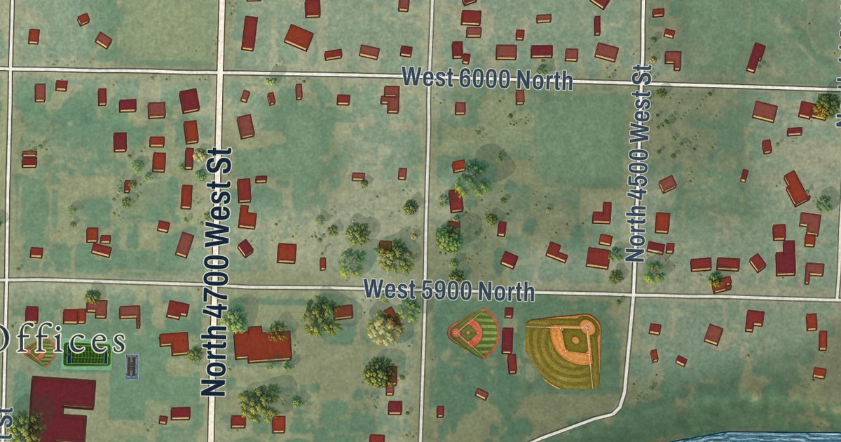
A detailed map of Bear River City, Utah, showing every building in its true location, the roads by name, and shaded topographical relief.
Read More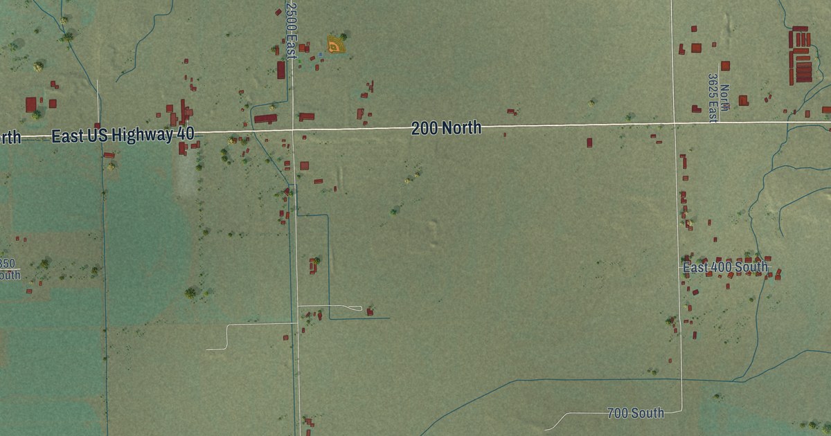
A detailed map of Ballard, Utah, showing every building in its true location, the roads by name, and shaded topographical relief.
Read More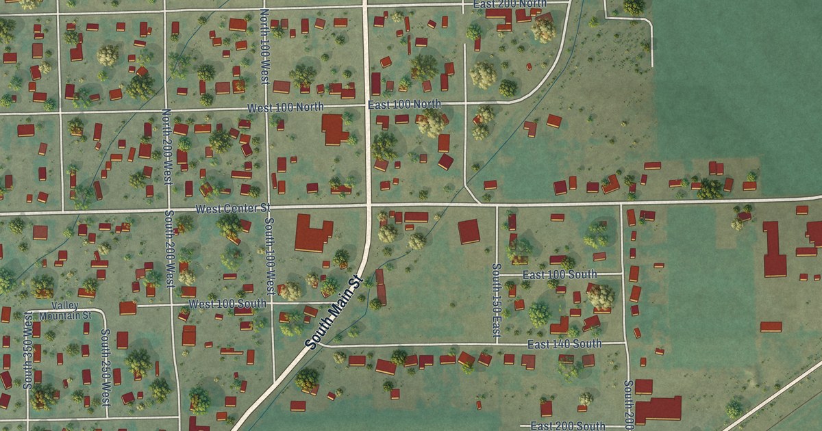
A detailed map of Aurora, Utah, showing every building in its true location, the roads by name, and shaded topographical relief.
Read More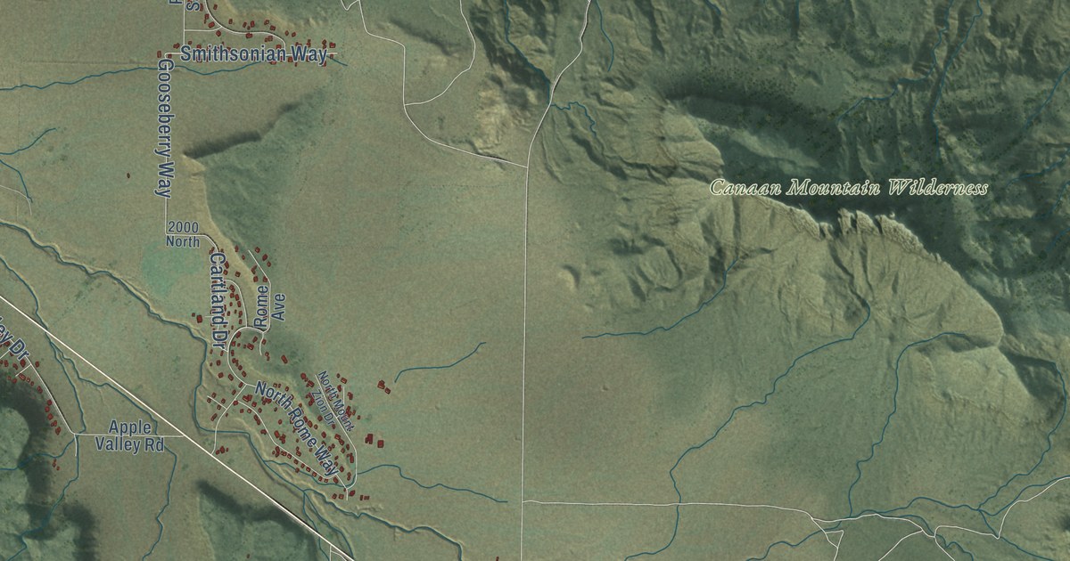
A detailed map of Apple Valley, Utah, showing every building in its true location, the roads by name, and shaded topographical relief.
Read More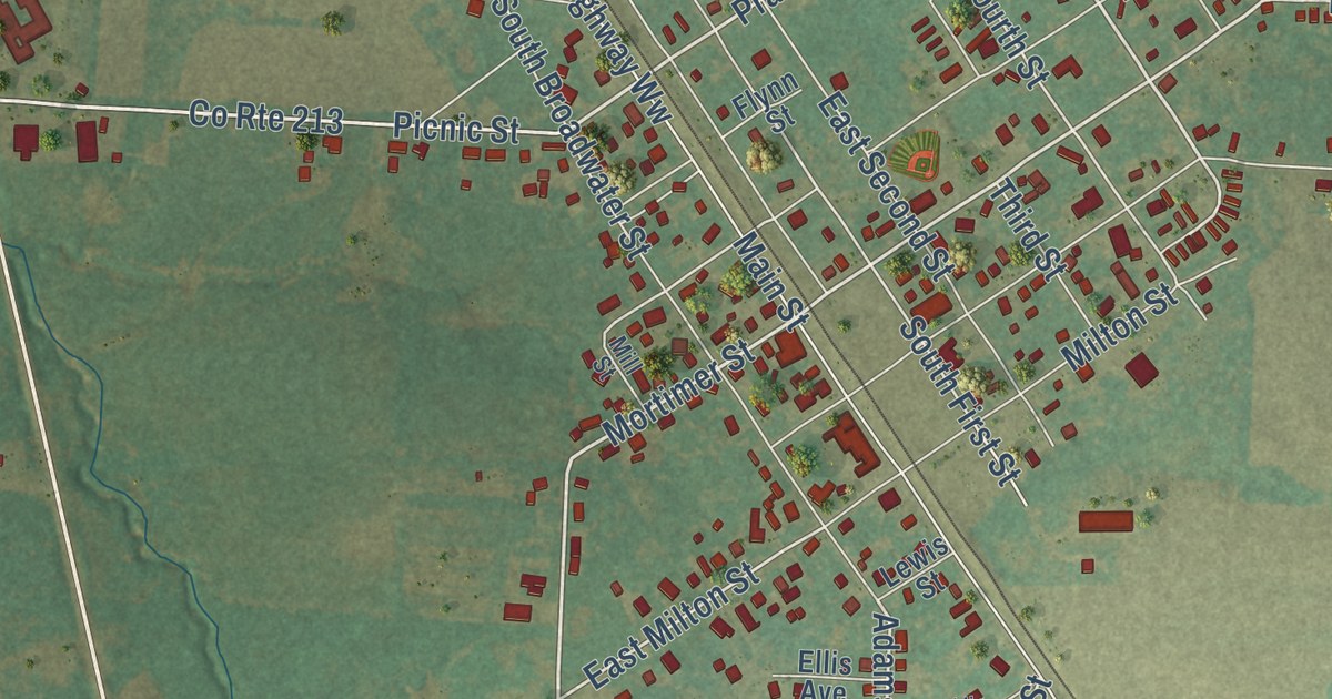
A detailed map of New Florence, Missouri, showing every building in its true location, the roads by name, and shaded topographical relief.
Read More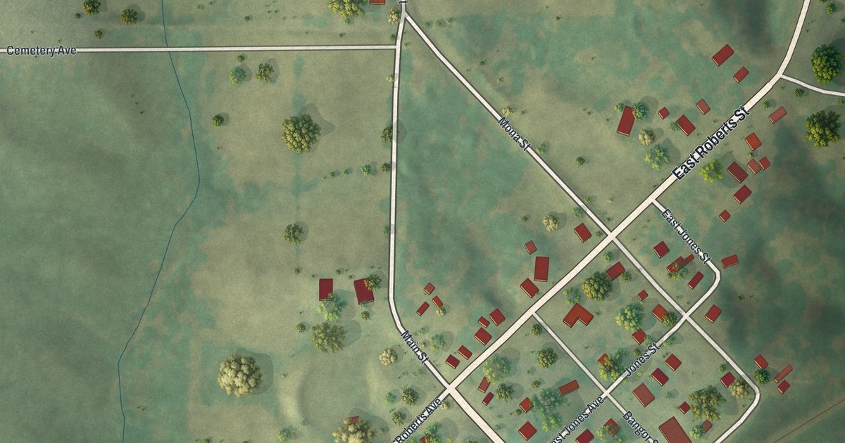
A detailed map of New Cambria, Missouri, showing every building in its true location, the roads by name, and shaded topographical relief.
Read More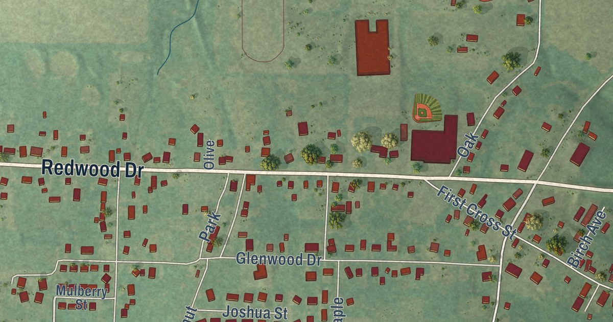
A detailed map of New Bloomfield, Missouri, showing every building in its true location, the roads by name, and shaded topographical relief.
Read More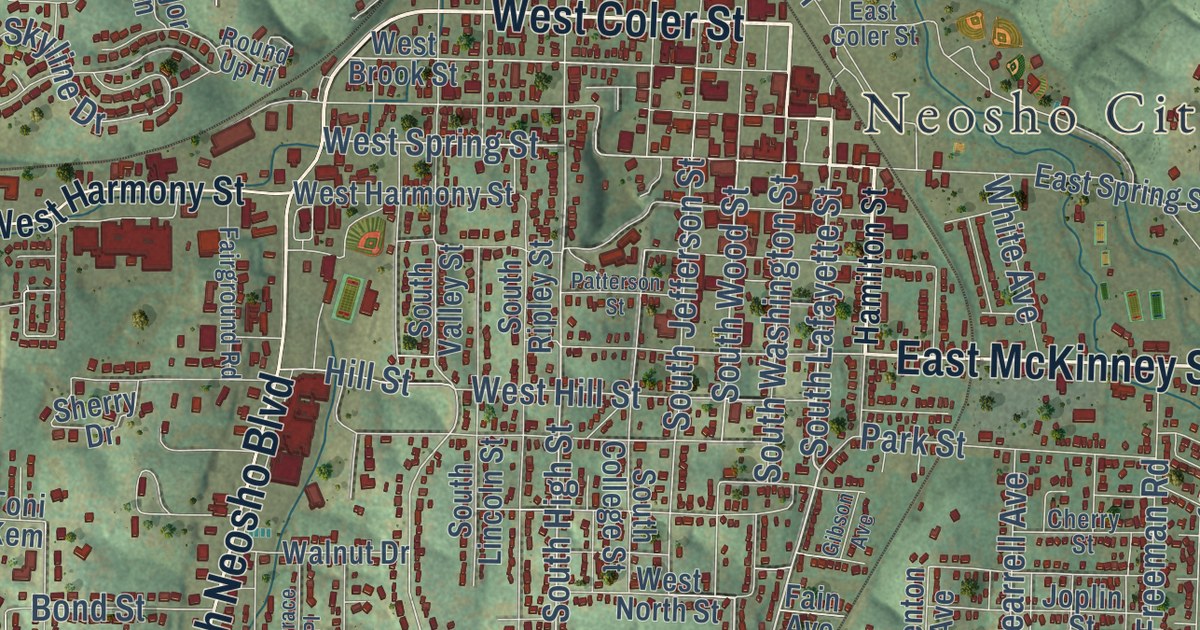
A detailed map of Neosho, Missouri, showing every building in its true location, the roads by name, and shaded topographical relief.
Read More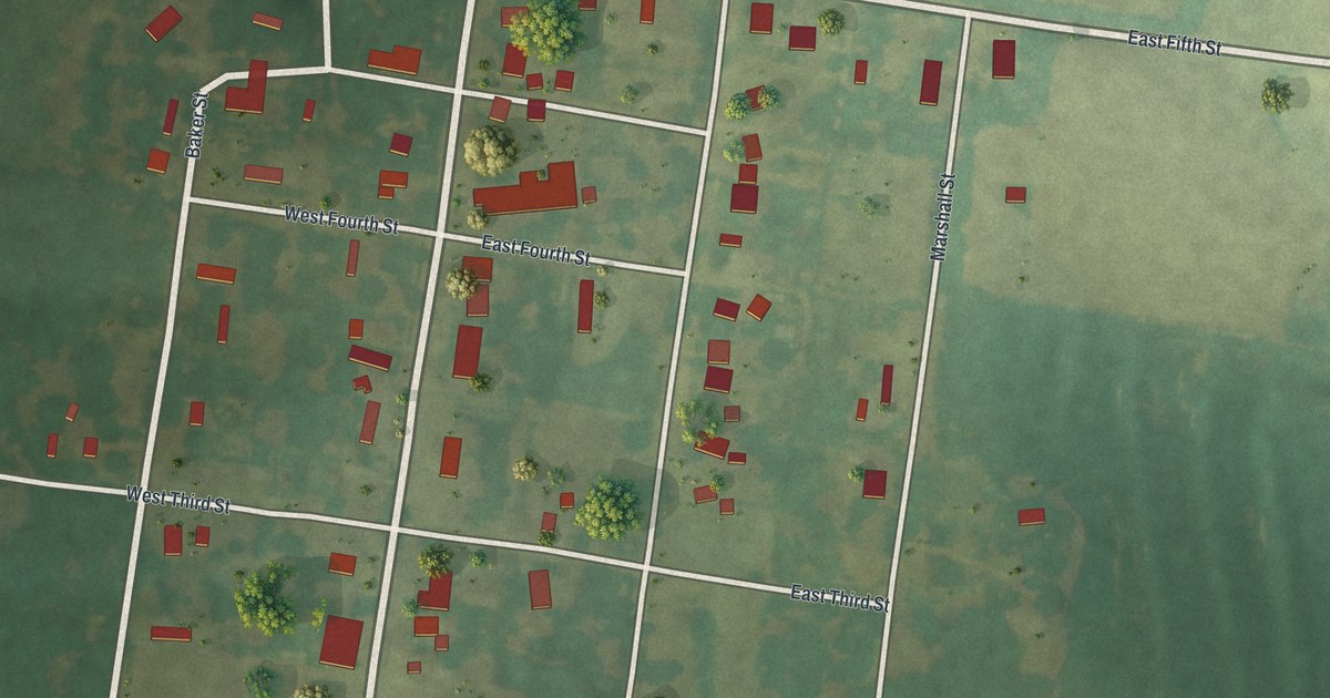
A detailed map of Nelson, Missouri, showing every building in its true location, the roads by name, and shaded topographical relief.
Read More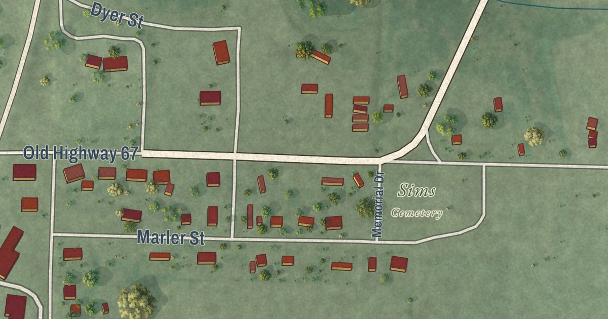
A detailed map of Neelyville, Missouri, showing every building in its true location, the roads by name, and shaded topographical relief.
Read More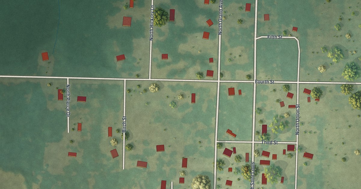
A detailed map of Neck City, Missouri, showing every building in its true location, the roads by name, and shaded topographical relief.
Read More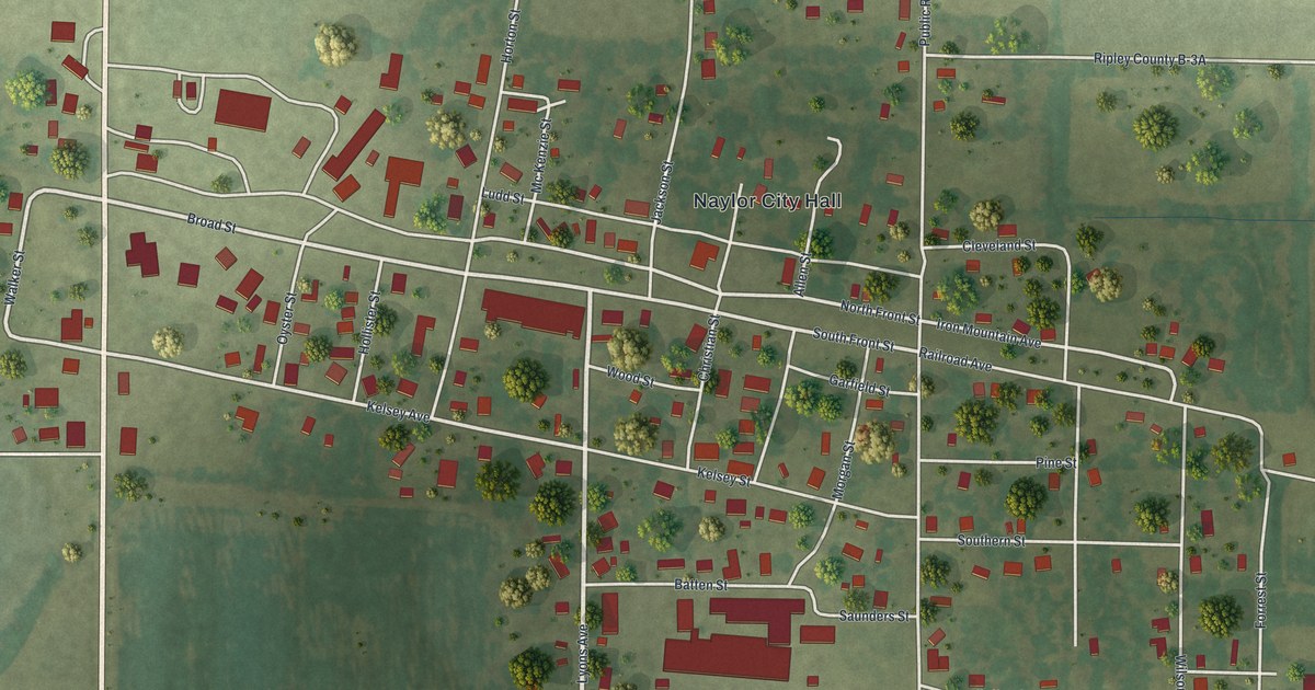
A detailed map of Naylor, Missouri, showing every building in its true location, the roads by name, and shaded topographical relief.
Read More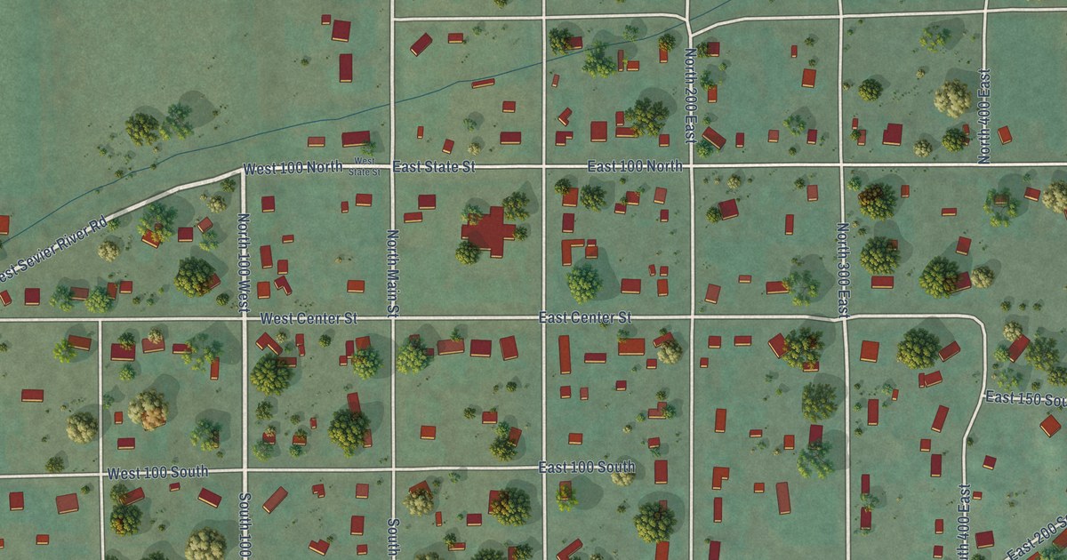
A detailed map of Annabella, Utah, showing every building in its true location, the roads by name, and shaded topographical relief.
Read More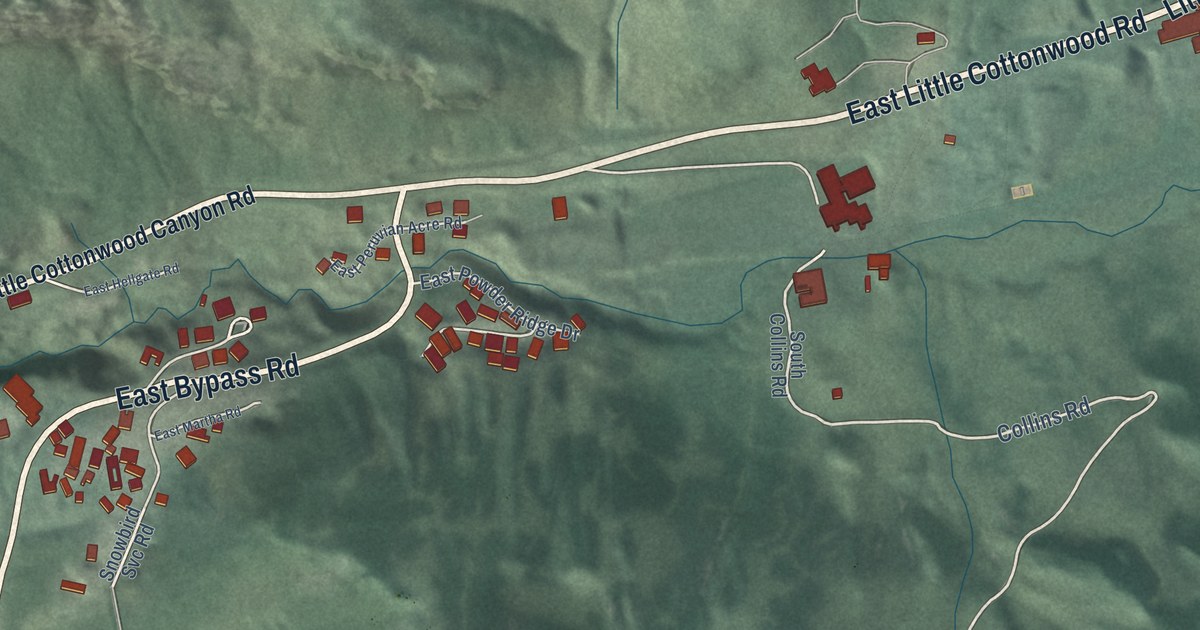
A detailed map of Alta, Utah, showing every building in its true location, the roads by name, and shaded topographical relief.
Read More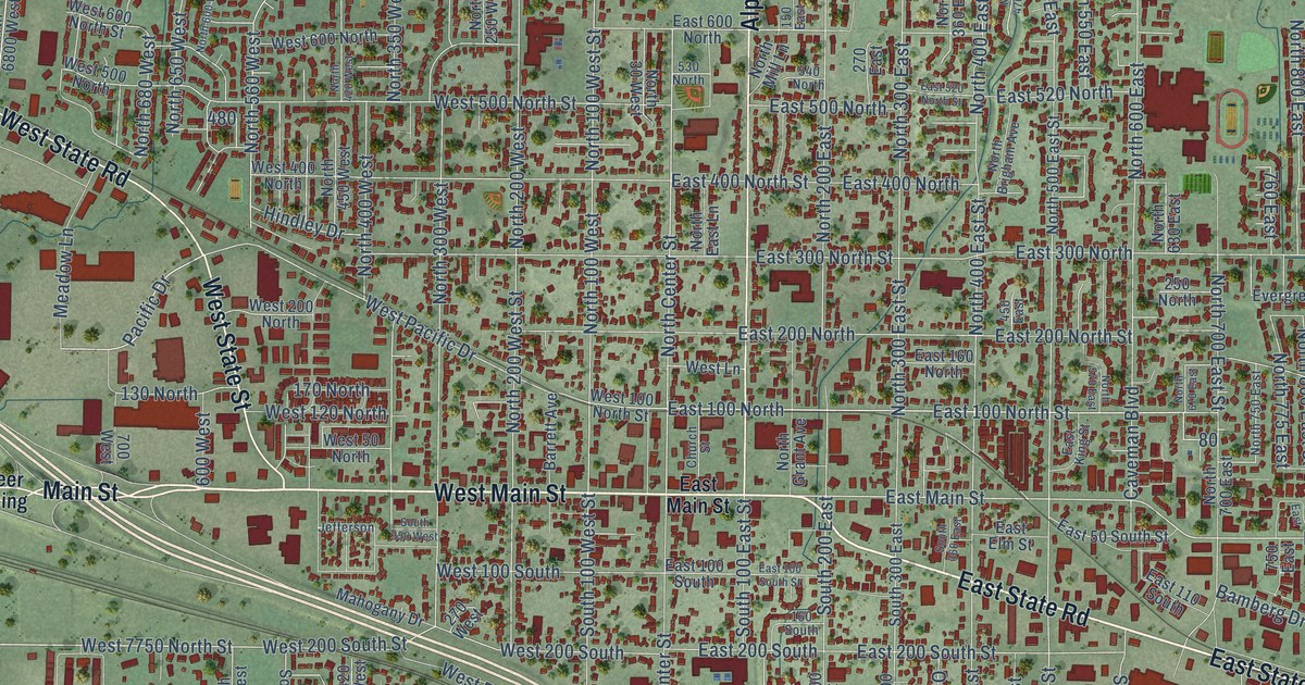
A detailed map of American Fork, Utah, showing every building in its true location, the roads by name, and shaded topographical relief.
Read More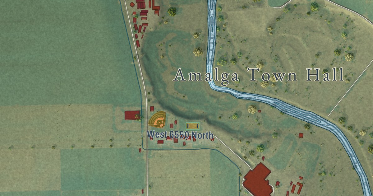
A detailed map of Amalga, Utah, showing every building in its true location, the roads by name, and shaded topographical relief.
Read More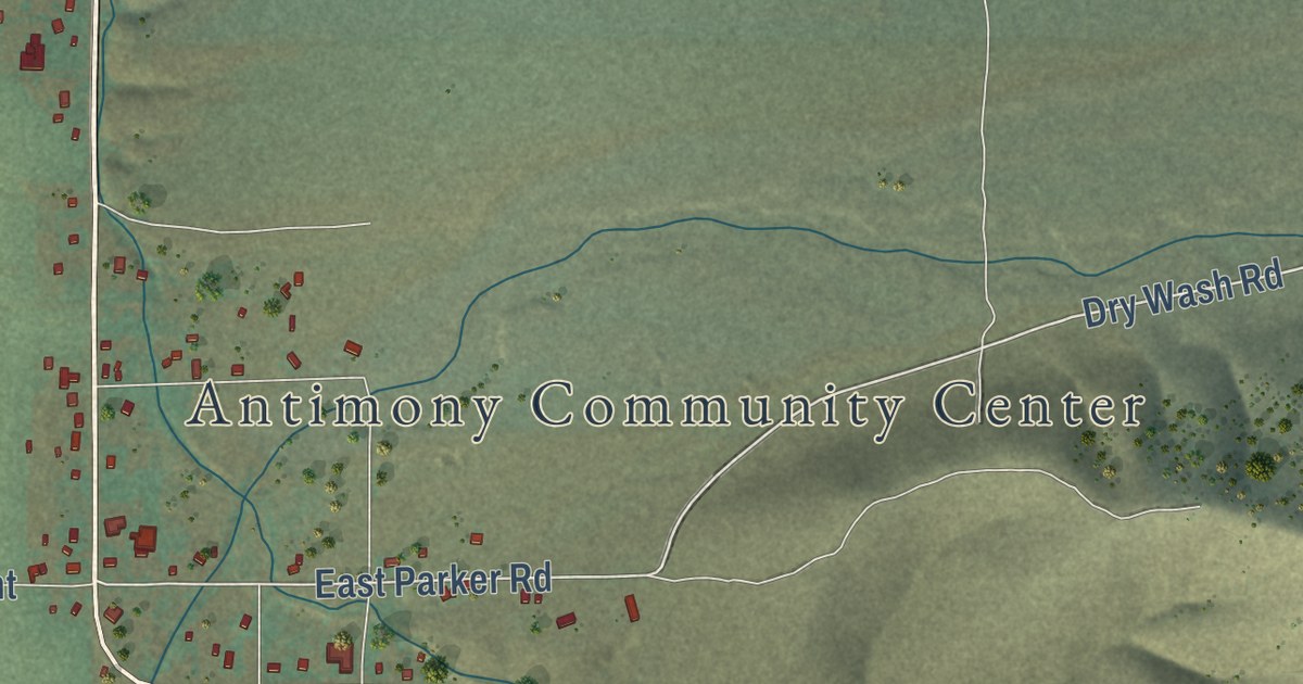
A detailed map of Antimony, Utah, showing every building in its true location, the roads by name, and shaded topographical relief.
Read More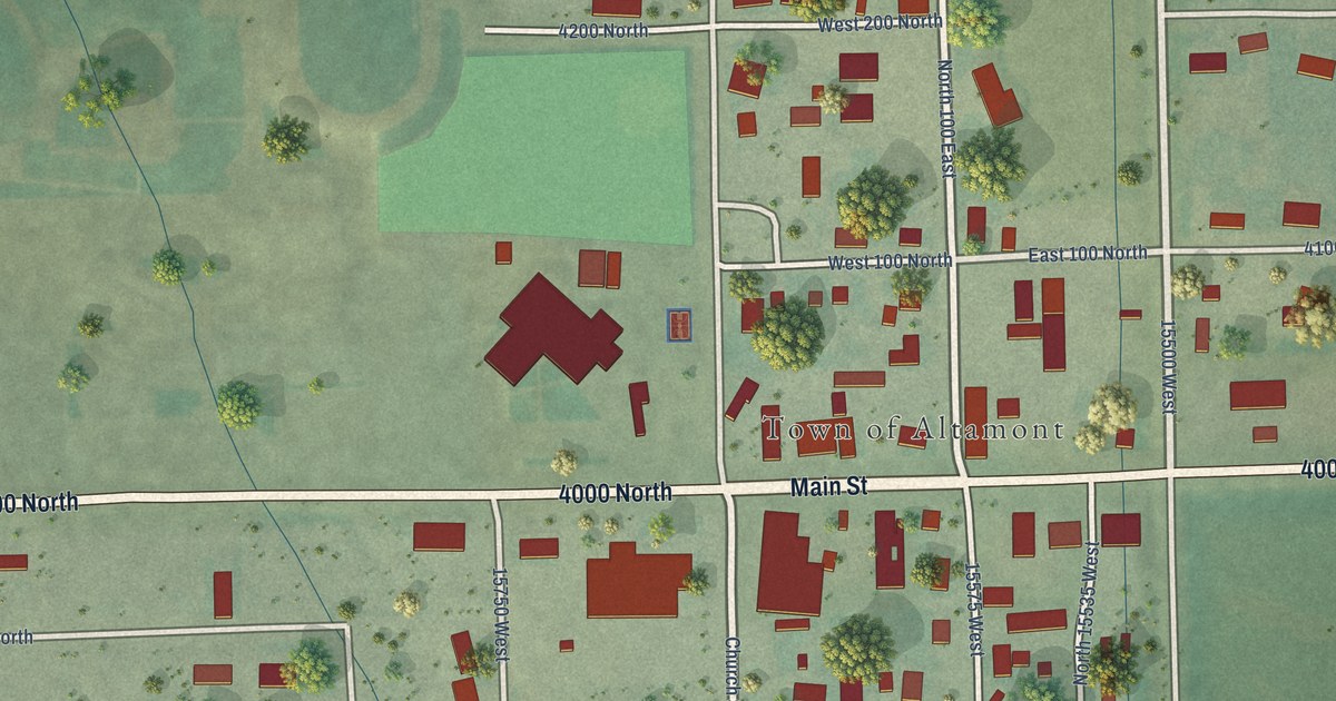
A detailed map of Altamont, Utah, showing every building in its true location, the roads by name, and shaded topographical relief.
Read More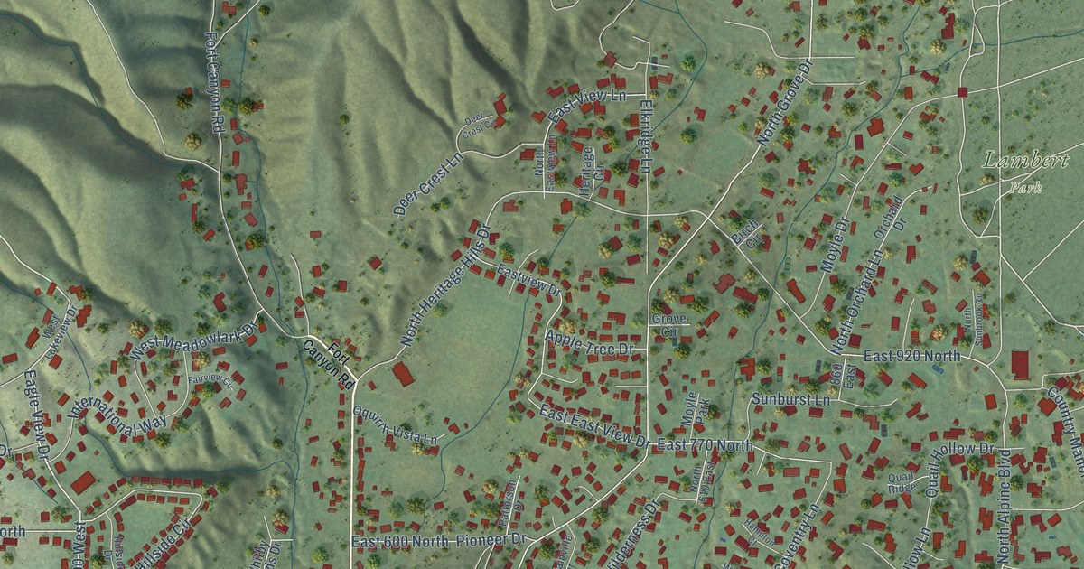
A detailed map of Alpine, Utah, showing every building in its true location, the roads by name, and shaded topographical relief.
Read More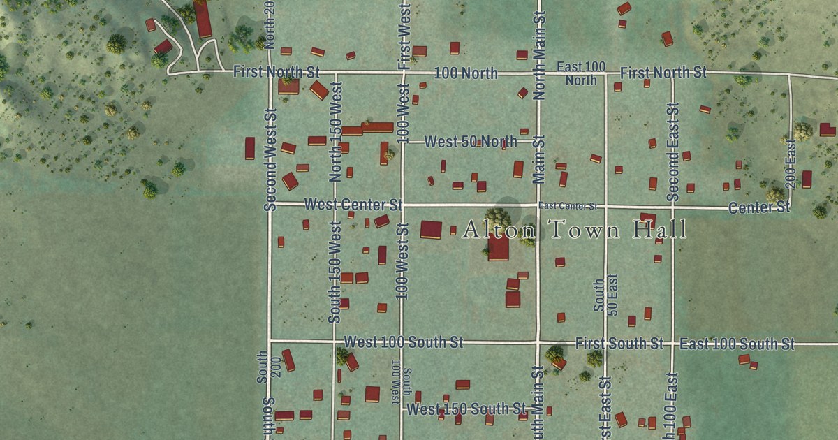
A detailed map of Alton, Utah, showing every building in its true location, the roads by name, and shaded topographical relief.
Read More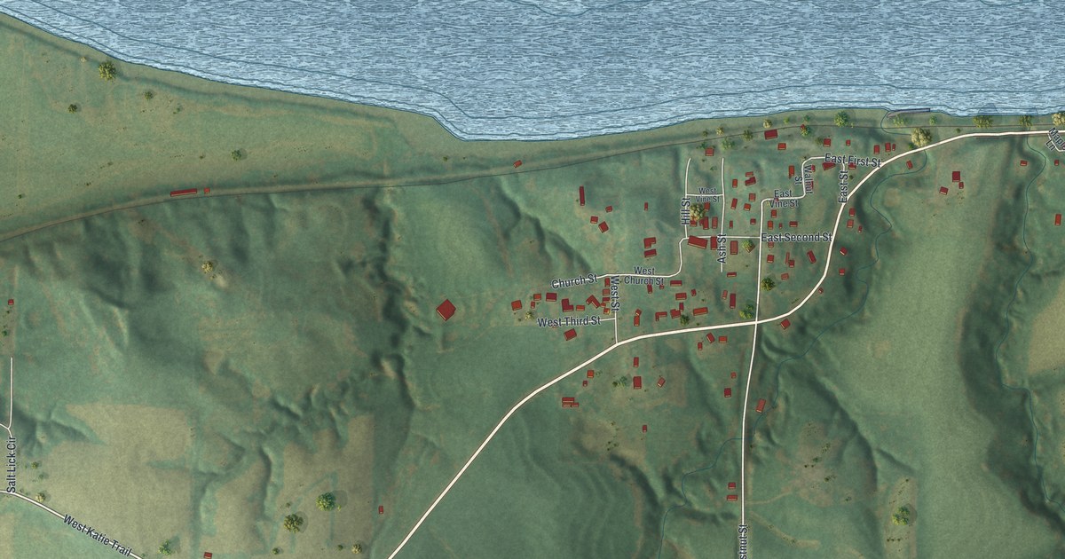
A detailed map of Napoleon, Missouri, showing every building in its true location, the roads by name, and shaded topographical relief.
Read More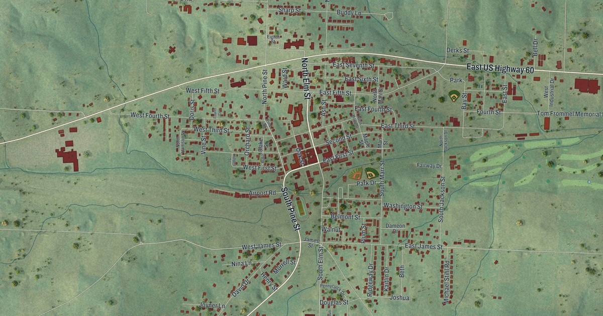
A detailed map of Mountain View, Missouri, showing every building in its true location, the roads by name, and shaded topographical relief.
Read More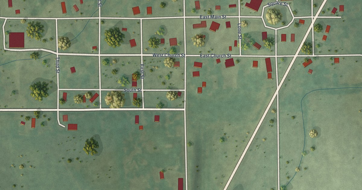
A detailed map of Mount Moriah, Missouri, showing every building in its true location, the roads by name, and shaded topographical relief.
Read More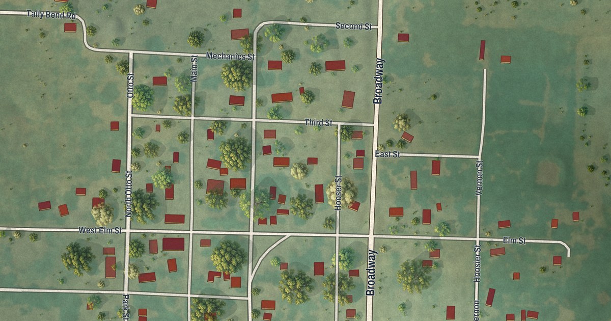
A detailed map of Moundville, Missouri, showing every building in its true location, the roads by name, and shaded topographical relief.
Read More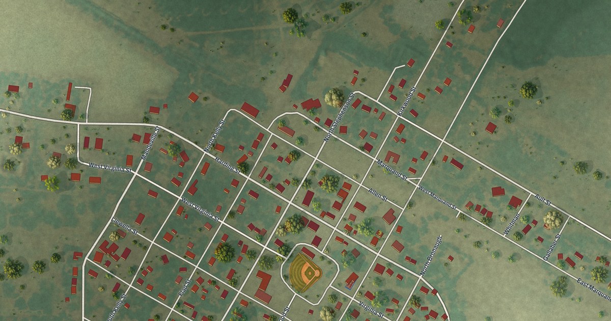
A detailed map of Morley, Missouri, showing every building in its true location, the roads by name, and shaded topographical relief.
Read More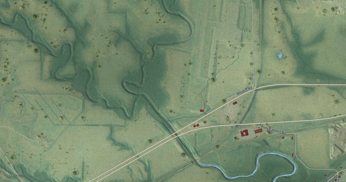
A detailed map of Mosby, Missouri, showing every building in its true location, the roads by name, and shaded topographical relief.
Read More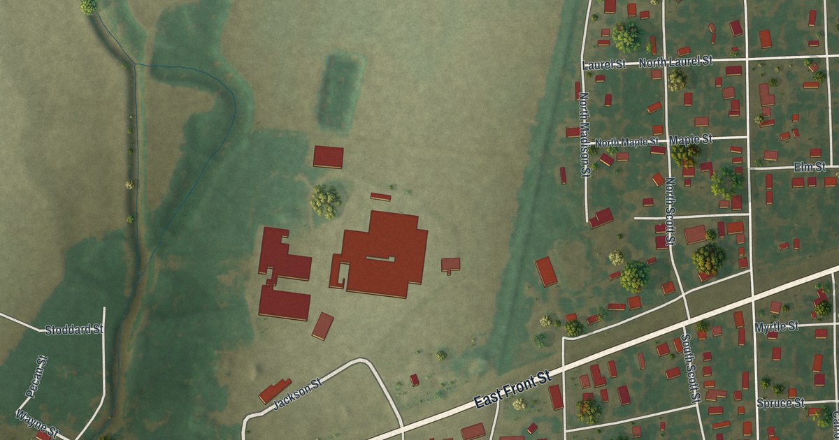
A detailed map of Morehouse, Missouri, showing every building in its true location, the roads by name, and shaded topographical relief.
Read More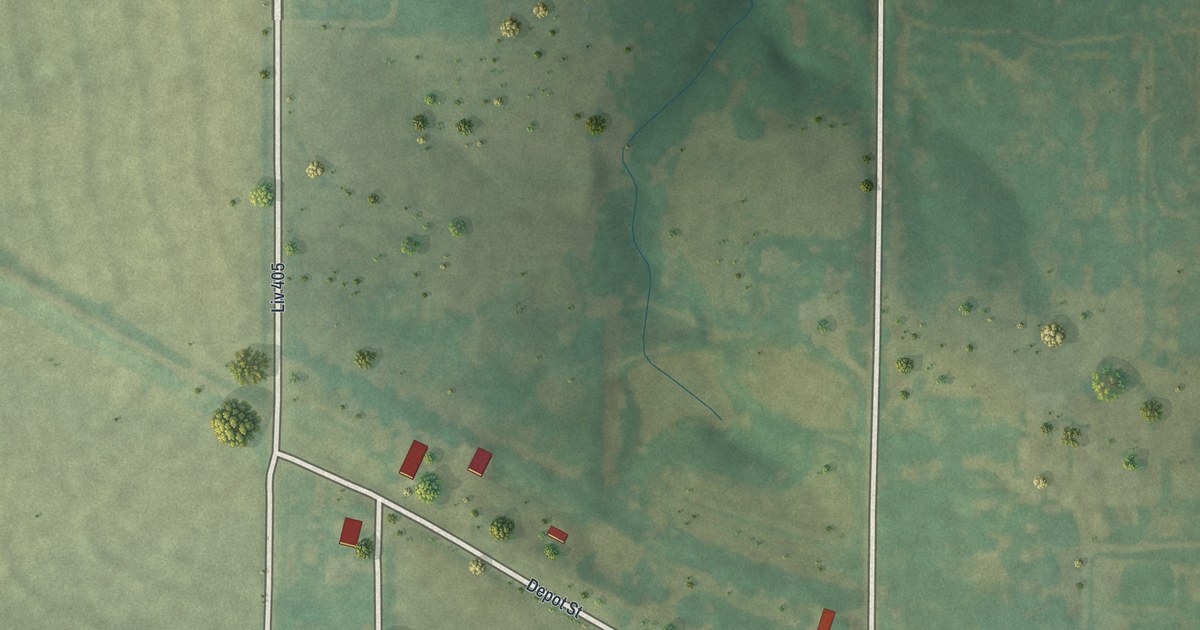
A detailed map of Mooresville, Missouri, showing every building in its true location, the roads by name, and shaded topographical relief.
Read More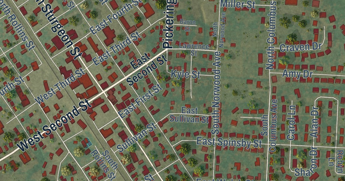
A detailed map of Montgomery City, Missouri, showing every building in its true location, the roads by name, and shaded topographical relief.
Read More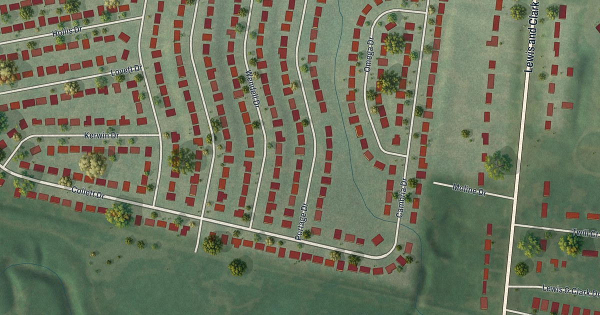
A detailed map of Moline Acres, Missouri, showing every building in its true location, the roads by name, and shaded topographical relief.
Read More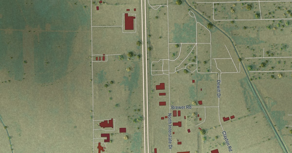
A detailed map of Miner, Missouri, showing every building in its true location, the roads by name, and shaded topographical relief.
Read More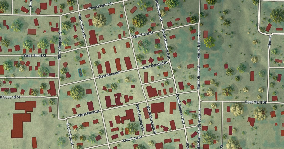
A detailed map of Miller, Missouri, showing every building in its true location, the roads by name, and shaded topographical relief.
Read More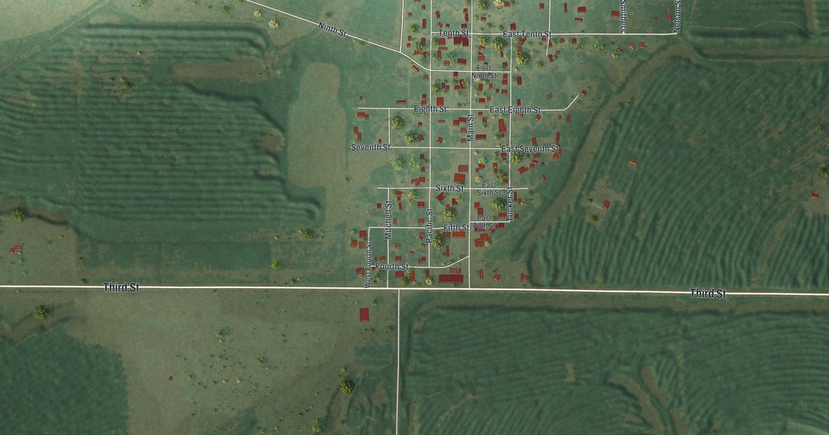
A detailed map of Mindenmines, Missouri, showing every building in its true location, the roads by name, and shaded topographical relief.
Read More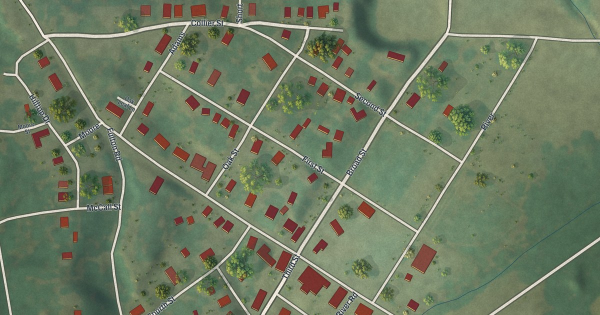
A detailed map of Mokane, Missouri, showing every building in its true location, the roads by name, and shaded topographical relief.
Read More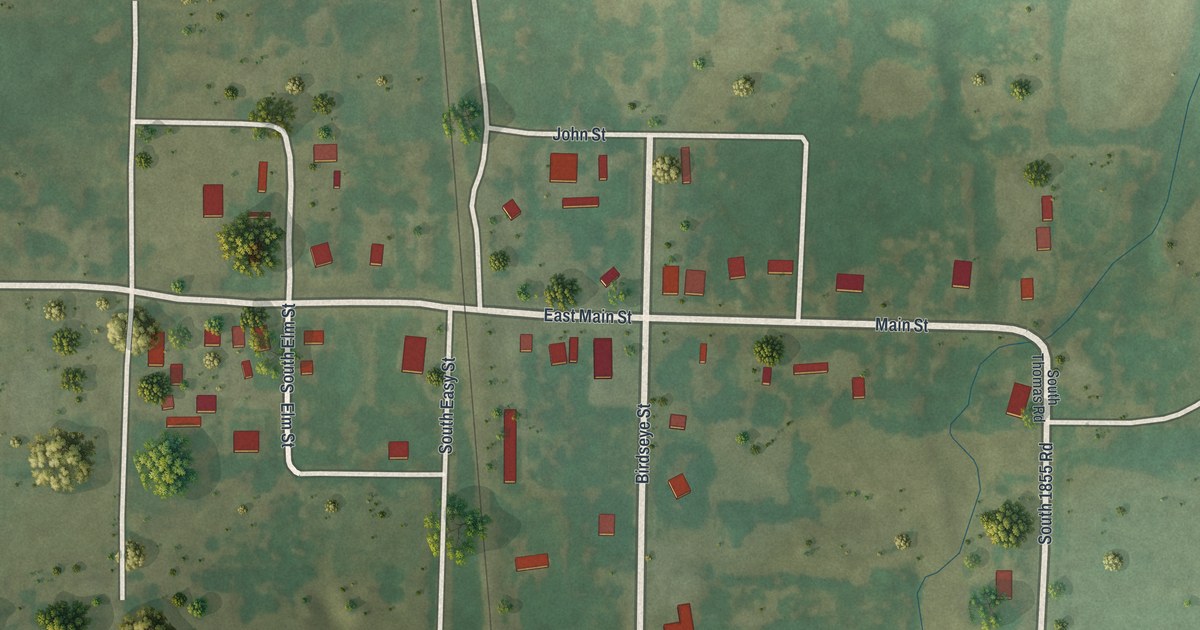
A detailed map of Milo, Missouri, showing every building in its true location, the roads by name, and shaded topographical relief.
Read More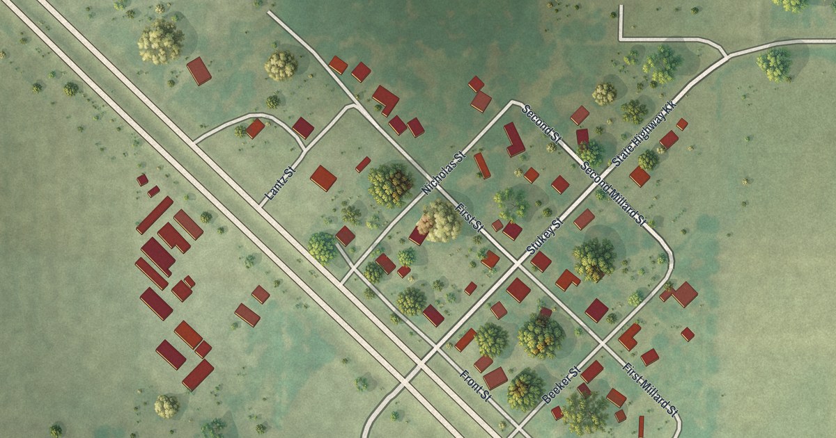
A detailed map of Millard, Missouri, showing every building in its true location, the roads by name, and shaded topographical relief.
Read More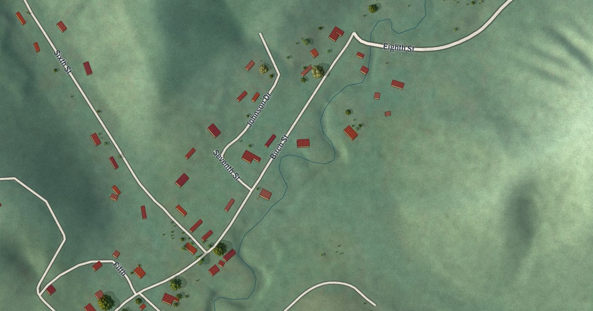
A detailed map of Mill Spring, Missouri, showing every building in its true location, the roads by name, and shaded topographical relief.
Read More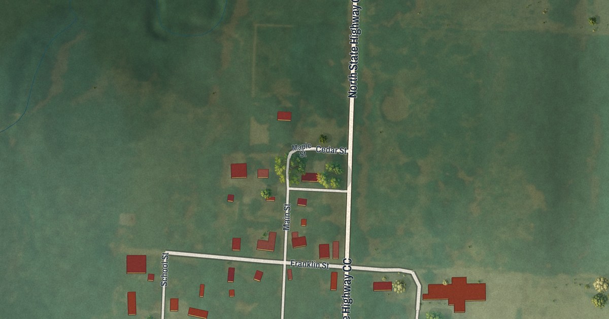
A detailed map of Milford, Missouri, showing every building in its true location, the roads by name, and shaded topographical relief.
Read More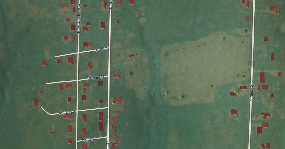
A detailed map of Middletown, Missouri, showing every building in its true location, the roads by name, and shaded topographical relief.
Read More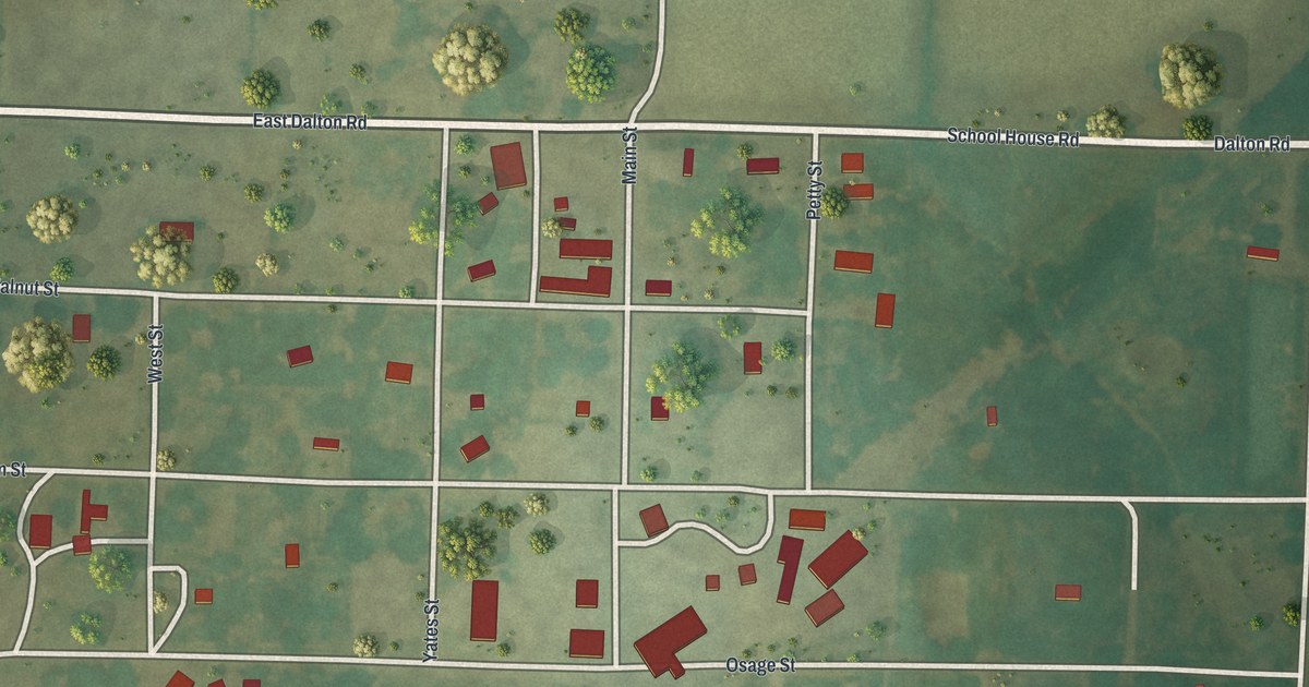
A detailed map of Metz, Missouri, showing every building in its true location, the roads by name, and shaded topographical relief.
Read More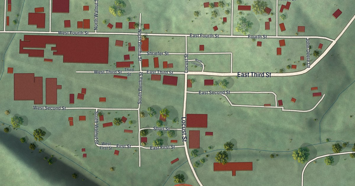
A detailed map of Meta, Missouri, showing every building in its true location, the roads by name, and shaded topographical relief.
Read More















