Detailed Map of Cusick, Washington
A detailed map of Cusick, Washington, showing every building in its true location, the roads by name, and shaded topographical relief.
Read More
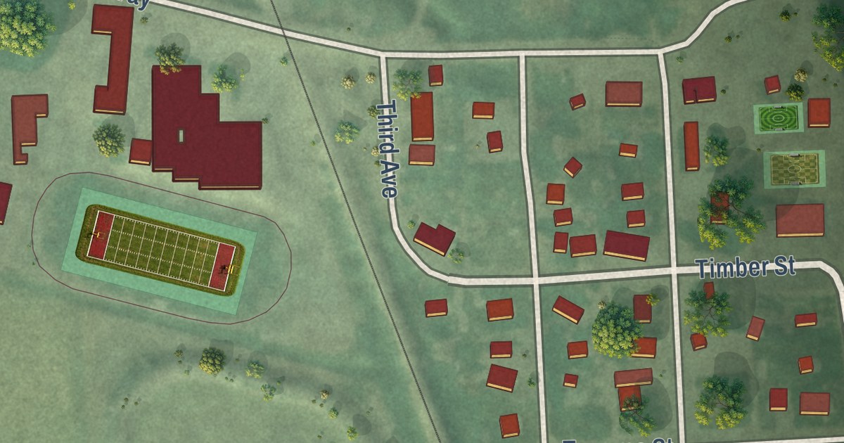
A detailed map of Cusick, Washington, showing every building in its true location, the roads by name, and shaded topographical relief.
Read More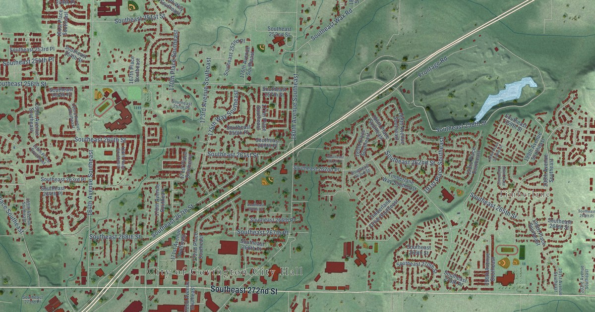
A detailed map of Covington, Washington, showing every building in its true location, the roads by name, and shaded topographical relief.
Read More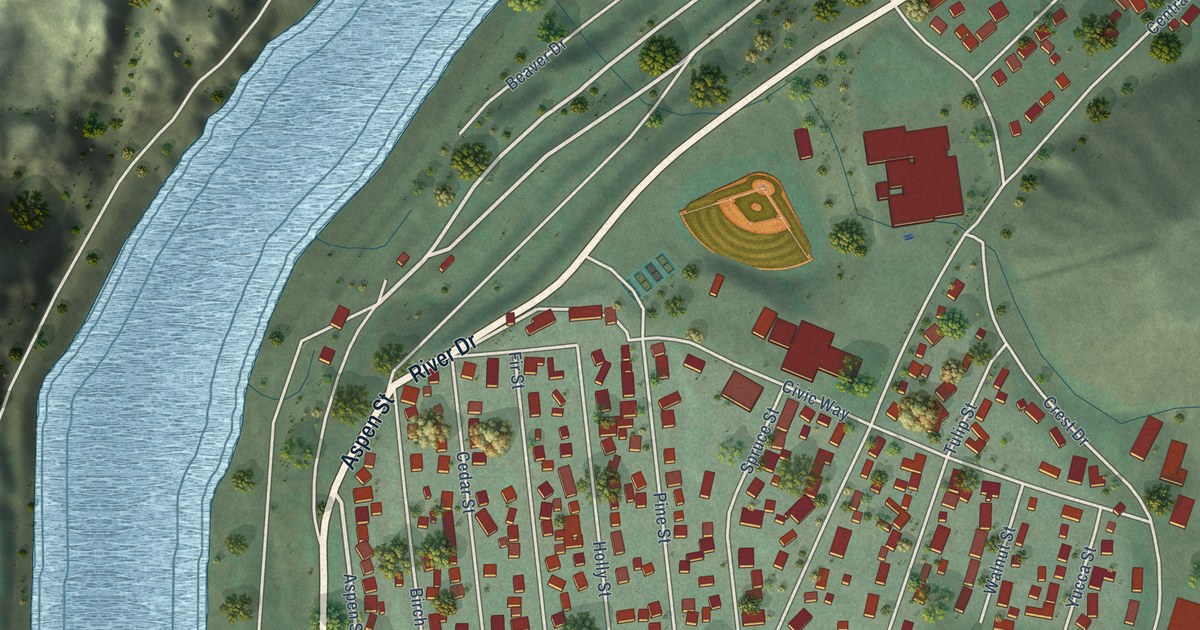
A detailed map of Coulee Dam, Washington, showing every building in its true location, the roads by name, and shaded topographical relief.
Read More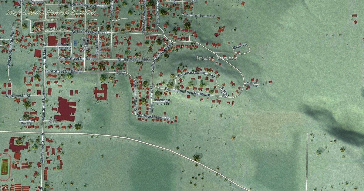
A detailed map of Coupeville, Washington, showing every building in its true location, the roads by name, and shaded topographical relief.
Read More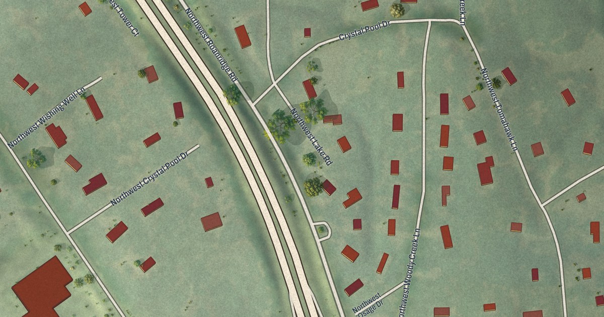
A detailed map of Platte Woods, Missouri, showing every building in its true location, the roads by name, and shaded topographical relief.
Read More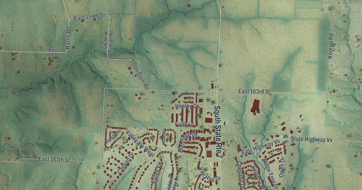
A detailed map of Pleasant Hill, Missouri, showing every building in its true location, the roads by name, and shaded topographical relief.
Read More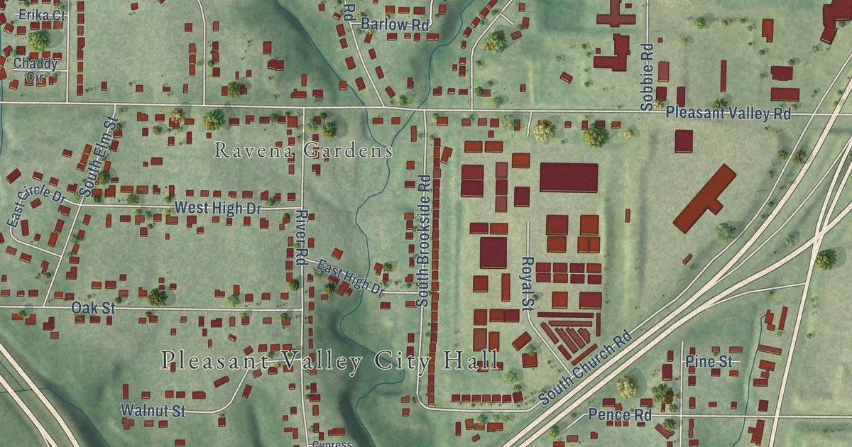
A detailed map of Pleasant Valley, Missouri, showing every building in its true location, the roads by name, and shaded topographical relief.
Read More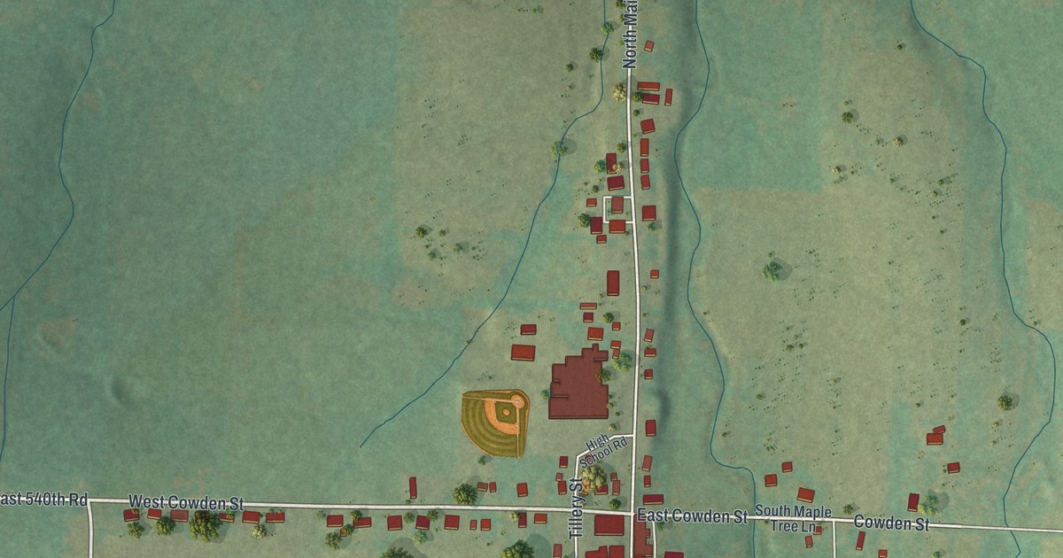
A detailed map of Pleasant Hope, Missouri, showing every building in its true location, the roads by name, and shaded topographical relief.
Read More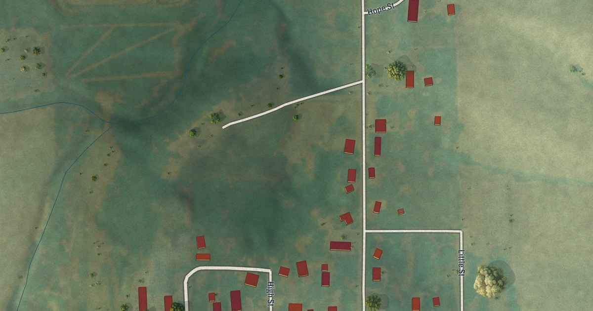
A detailed map of Pocahontas, Missouri, showing every building in its true location, the roads by name, and shaded topographical relief.
Read More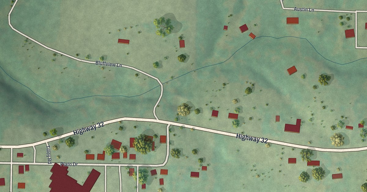
A detailed map of Plato, Missouri, showing every building in its true location, the roads by name, and shaded topographical relief.
Read More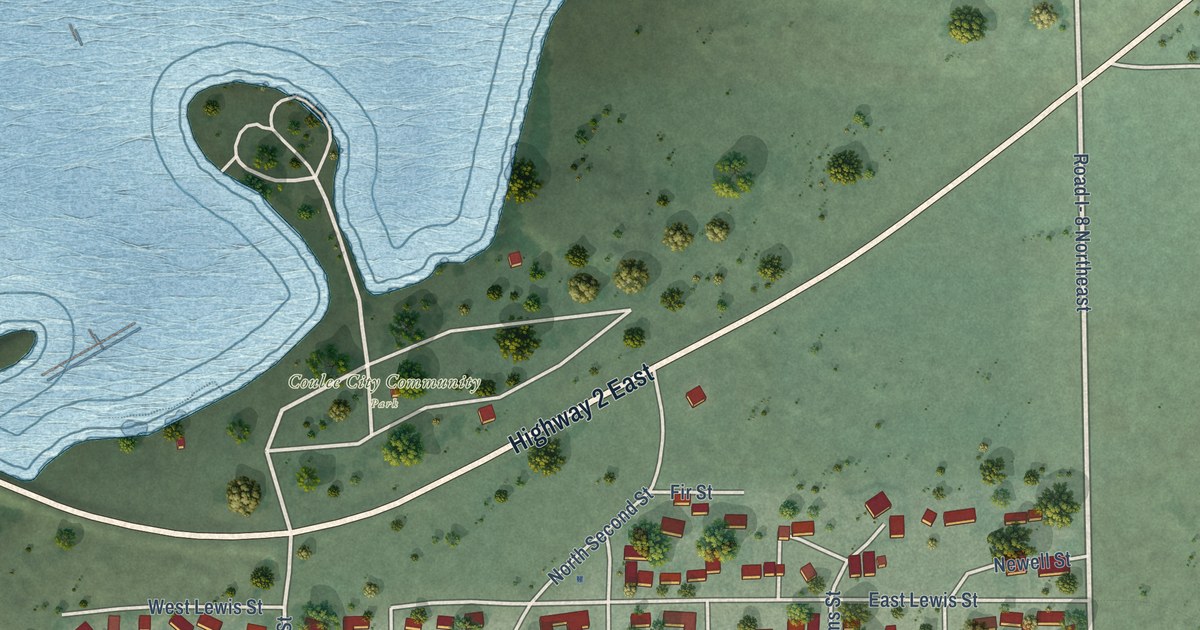
A detailed map of Coulee City, Washington, showing every building in its true location, the roads by name, and shaded topographical relief.
Read More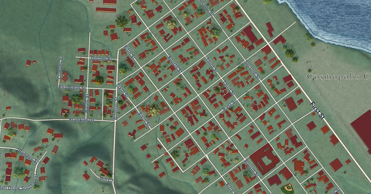
A detailed map of Cosmopolis, Washington, showing every building in its true location, the roads by name, and shaded topographical relief.
Read More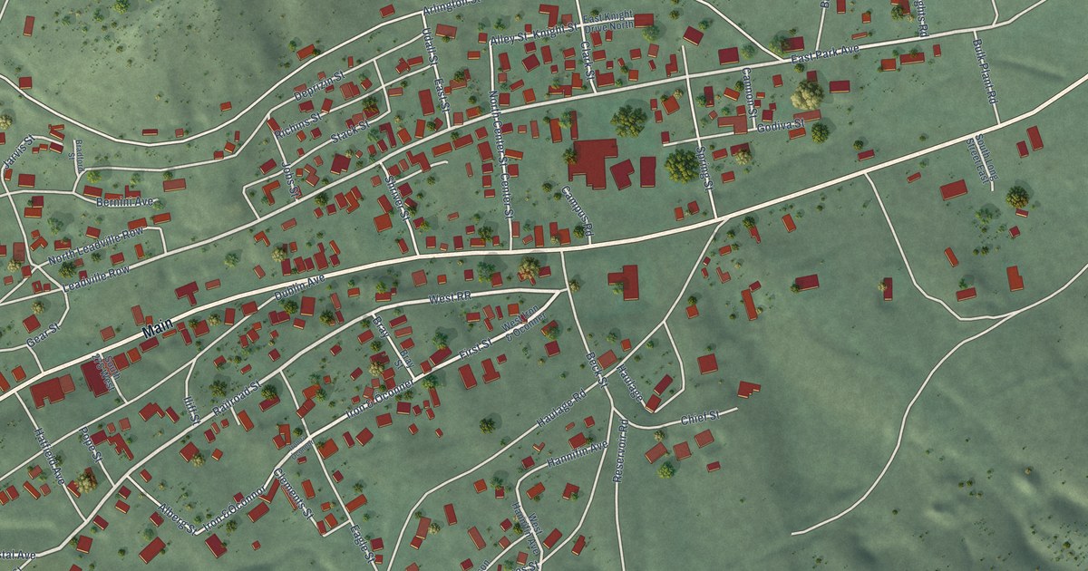
A detailed map of Eureka, Utah, showing every building in its true location, the roads by name, and shaded topographical relief.
Read More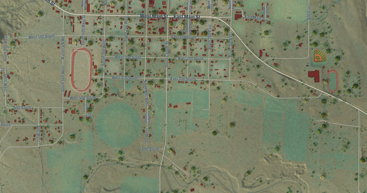
A detailed map of Escalante, Utah, showing every building in its true location, the roads by name, and shaded topographical relief.
Read More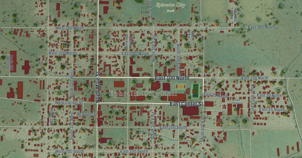
A detailed map of Ephraim, Utah, showing every building in its true location, the roads by name, and shaded topographical relief.
Read More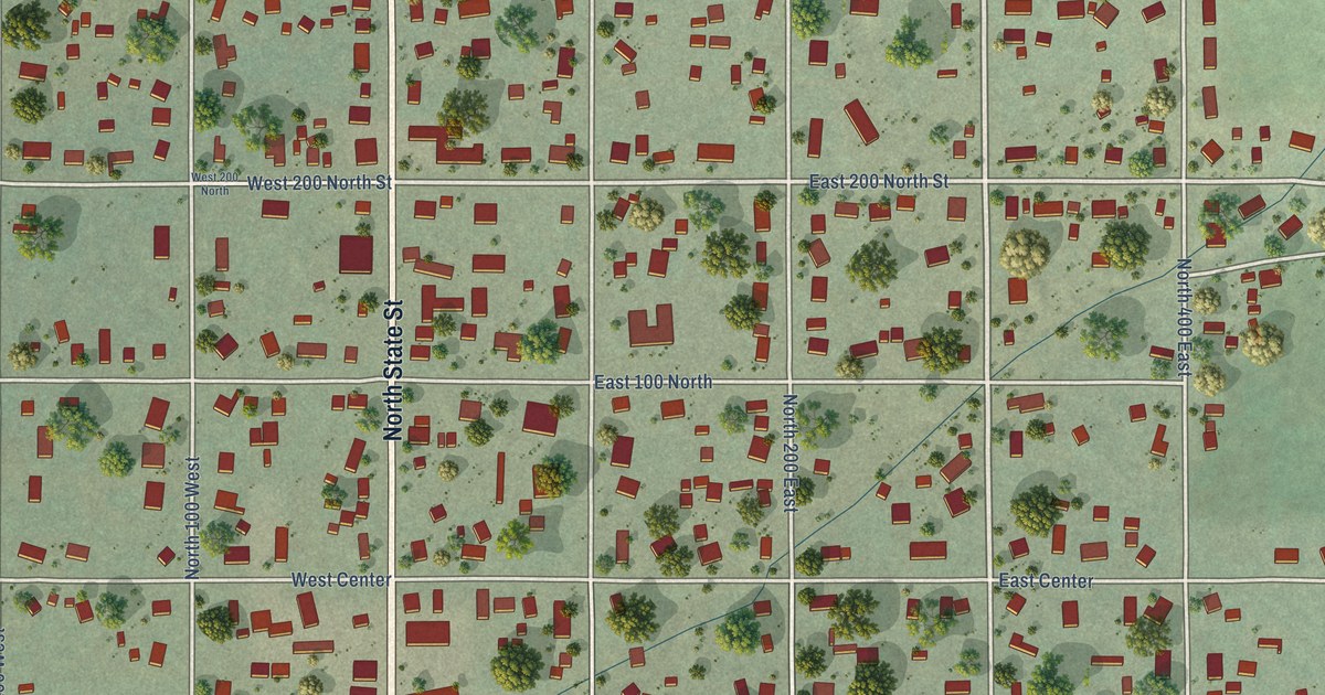
A detailed map of Fairview, Utah, showing every building in its true location, the roads by name, and shaded topographical relief.
Read More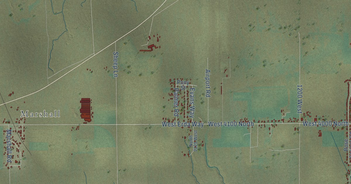
A detailed map of Erda, Utah, showing every building in its true location, the roads by name, and shaded topographical relief.
Read More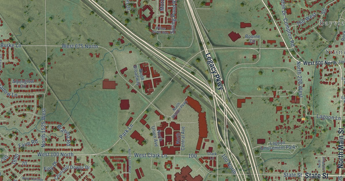
A detailed map of Farmington, Utah, showing every building in its true location, the roads by name, and shaded topographical relief.
Read More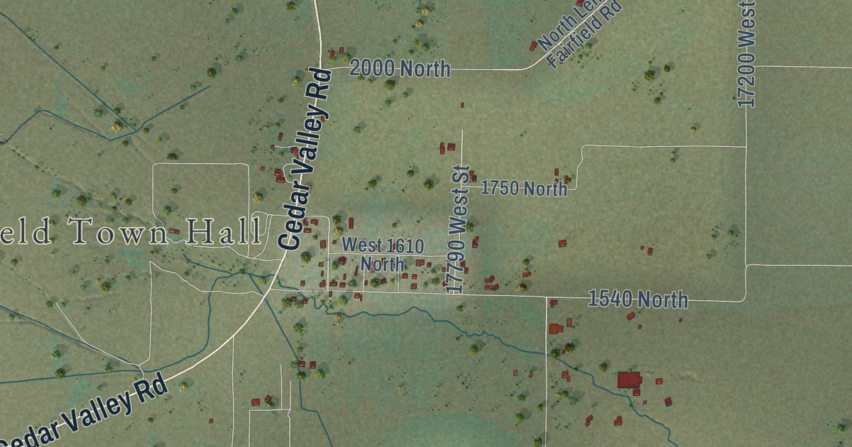
A detailed map of Fairfield, Utah, showing every building in its true location, the roads by name, and shaded topographical relief.
Read More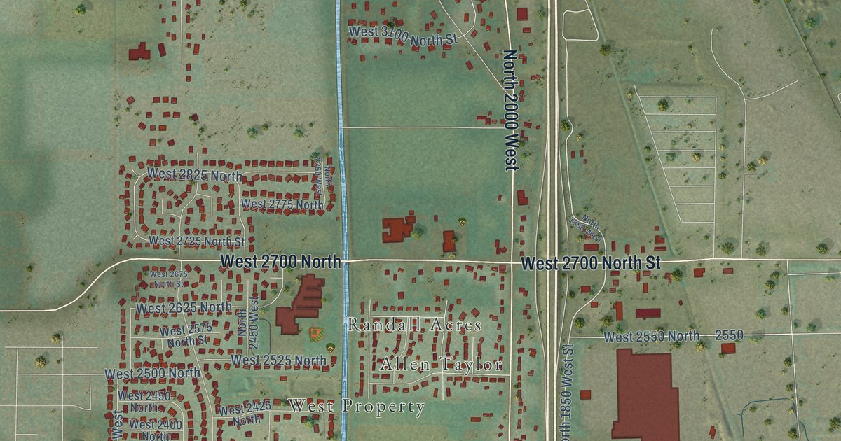
A detailed map of Farr West, Utah, showing every building in its true location, the roads by name, and shaded topographical relief.
Read More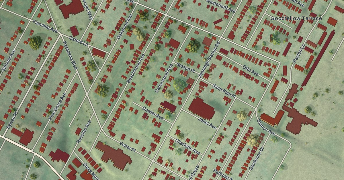
A detailed map of Pine Lawn, Missouri, showing every building in its true location, the roads by name, and shaded topographical relief.
Read More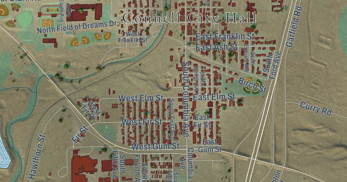
A detailed map of Connell, Washington, showing every building in its true location, the roads by name, and shaded topographical relief.
Read More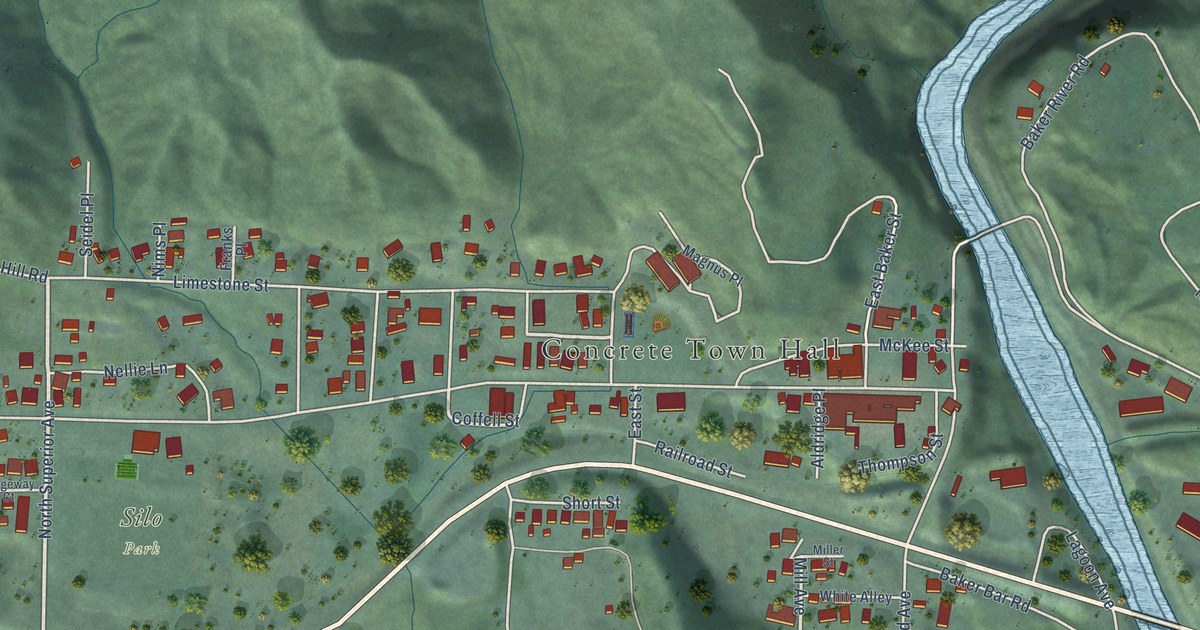
A detailed map of Concrete, Washington, showing every building in its true location, the roads by name, and shaded topographical relief.
Read More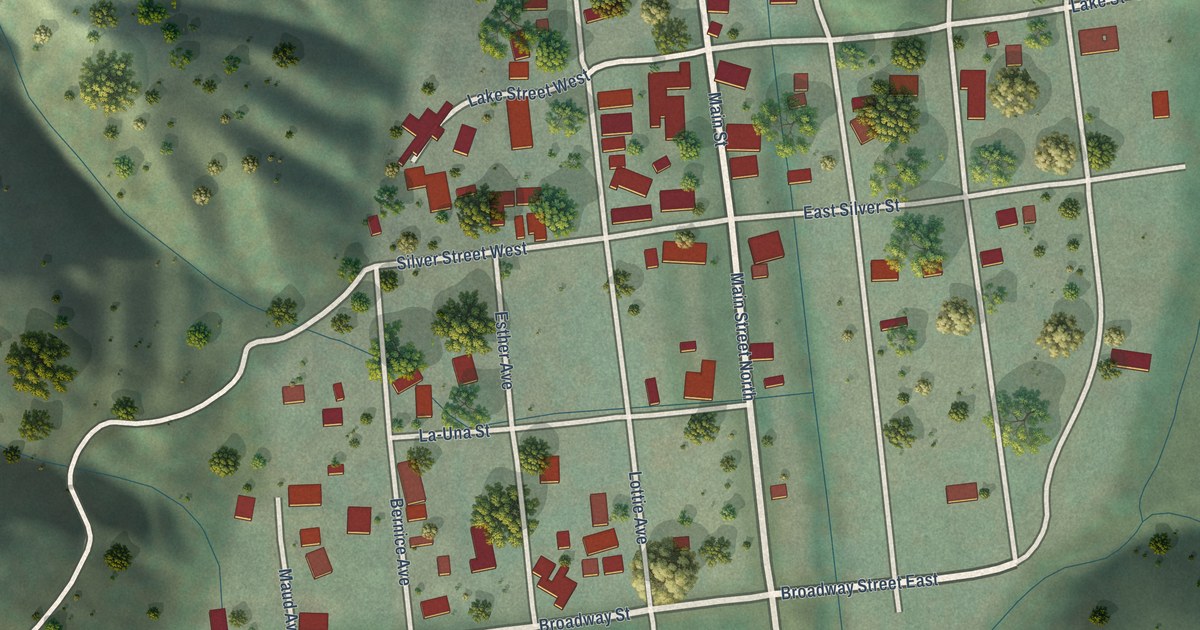
A detailed map of Conconully, Washington, showing every building in its true location, the roads by name, and shaded topographical relief.
Read More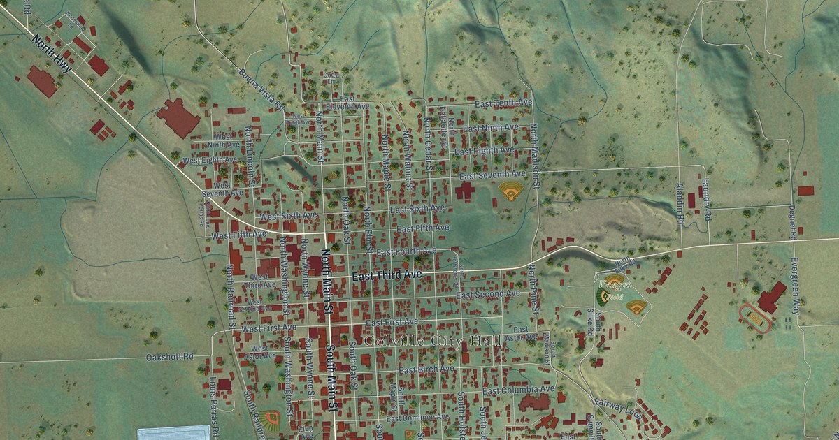
A detailed map of Colville, Washington, showing every building in its true location, the roads by name, and shaded topographical relief.
Read More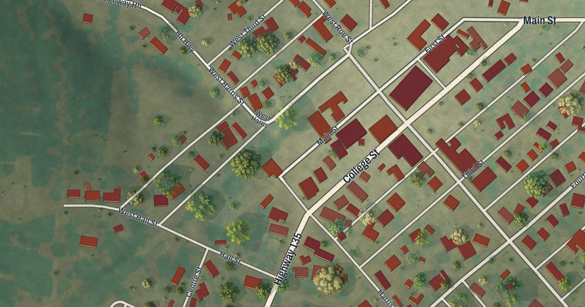
A detailed map of Pilot Grove, Missouri, showing every building in its true location, the roads by name, and shaded topographical relief.
Read More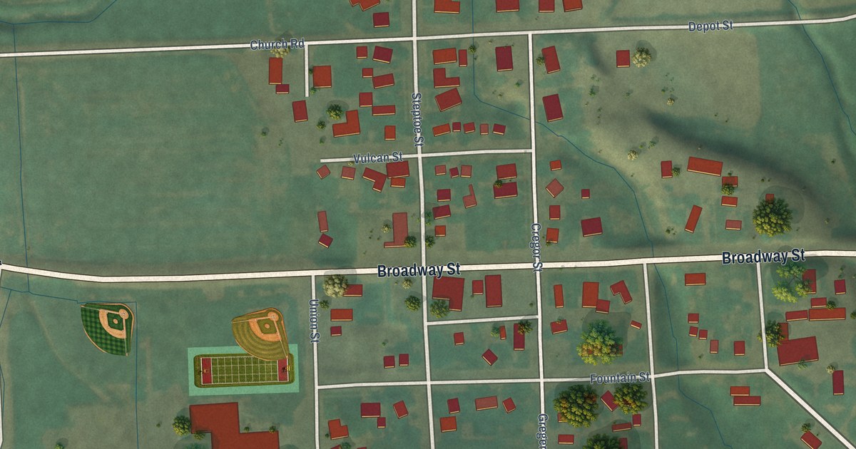
A detailed map of Colton, Washington, showing every building in its true location, the roads by name, and shaded topographical relief.
Read More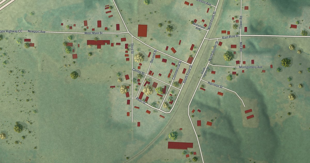
A detailed map of Phillipsburg, Missouri, showing every building in its true location, the roads by name, and shaded topographical relief.
Read More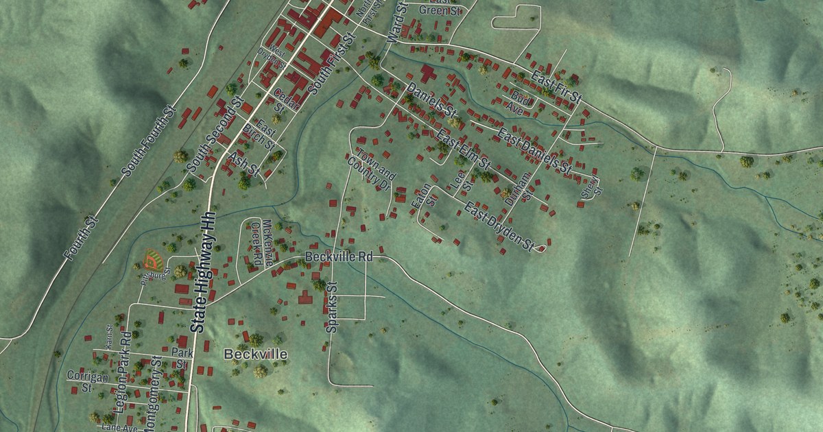
A detailed map of Piedmont, Missouri, showing every building in its true location, the roads by name, and shaded topographical relief.
Read More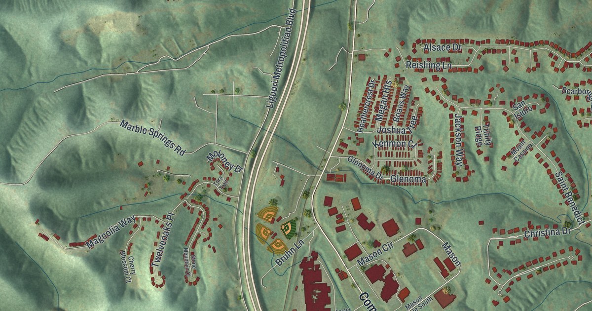
A detailed map of Pevely, Missouri, showing every building in its true location, the roads by name, and shaded topographical relief.
Read More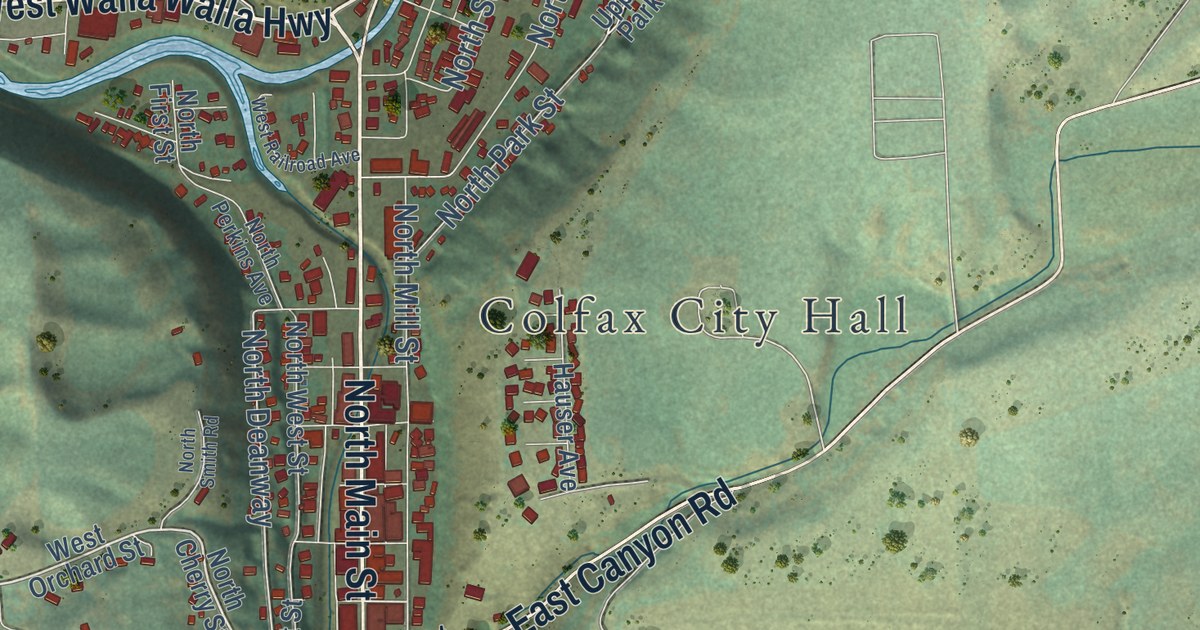
A detailed map of Colfax, Washington, showing every building in its true location, the roads by name, and shaded topographical relief.
Read More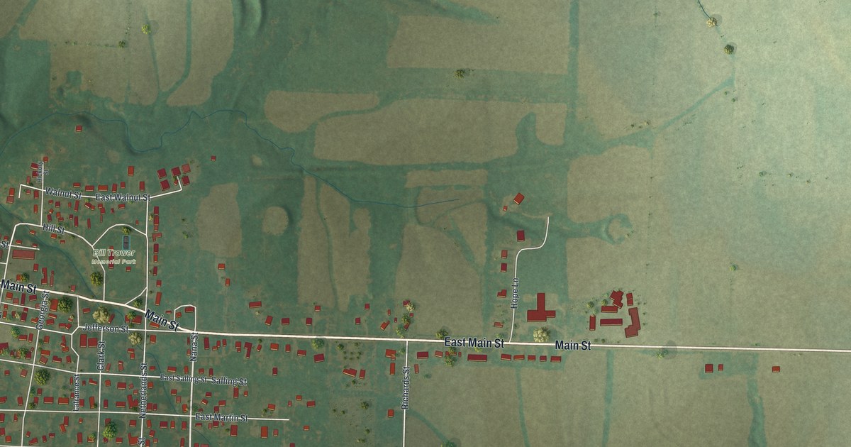
A detailed map of Perry, Missouri, showing every building in its true location, the roads by name, and shaded topographical relief.
Read More
A detailed map of Pendleton, Missouri, showing every building in its true location, the roads by name, and shaded topographical relief.
Read More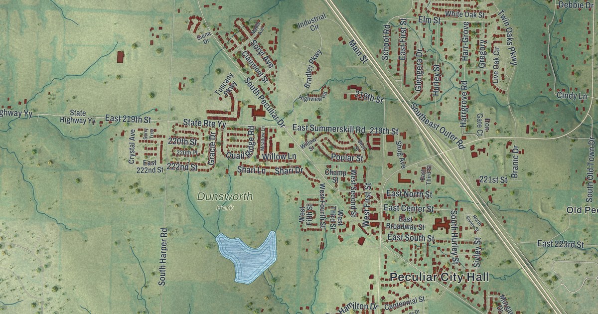
A detailed map of Peculiar, Missouri, showing every building in its true location, the roads by name, and shaded topographical relief.
Read More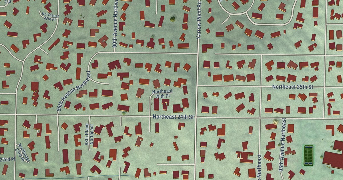
A detailed map of Clyde Hill, Washington, showing every building in its true location, the roads by name, and shaded topographical relief.
Read More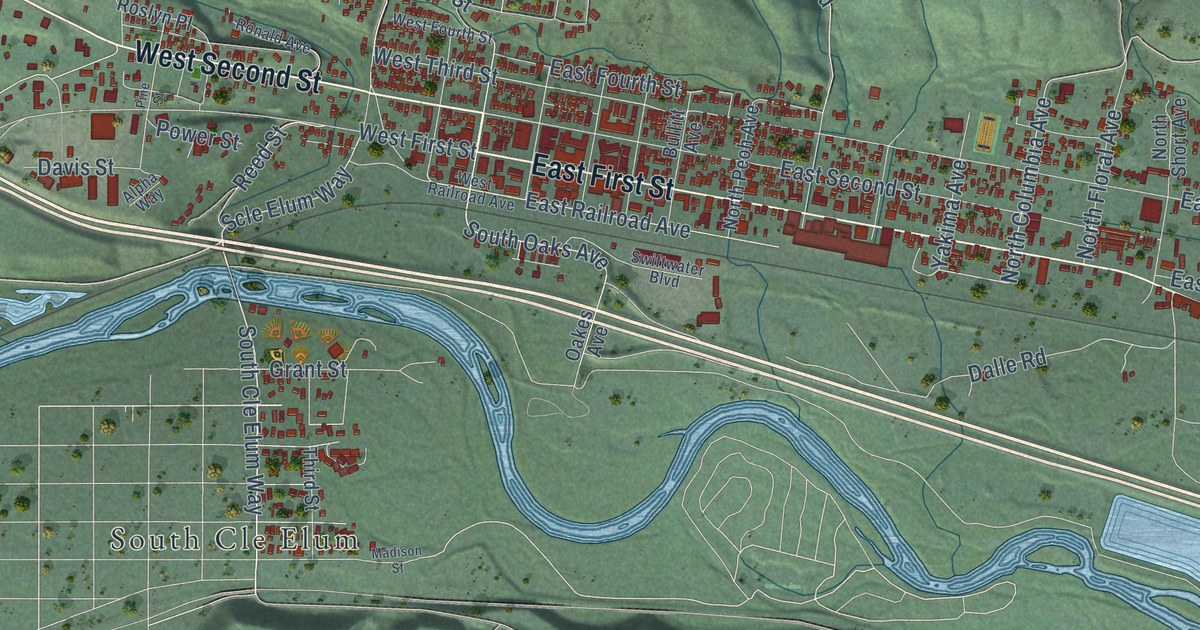
A detailed map of Cle Elum, Washington, showing every building in its true location, the roads by name, and shaded topographical relief.
Read More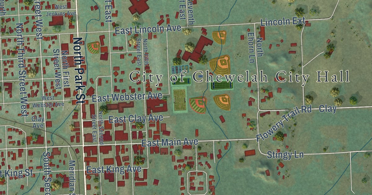
A detailed map of Chewelah, Washington, showing every building in its true location, the roads by name, and shaded topographical relief.
Read More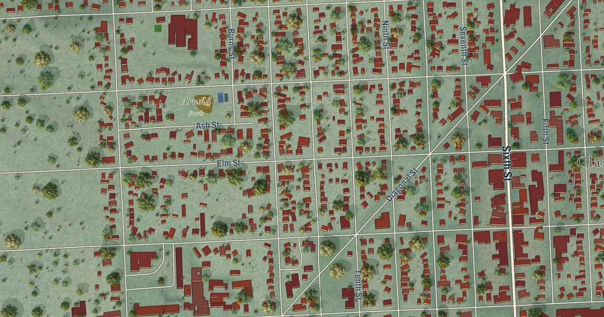
A detailed map of Clarkston, Washington, showing every building in its true location, the roads by name, and shaded topographical relief.
Read More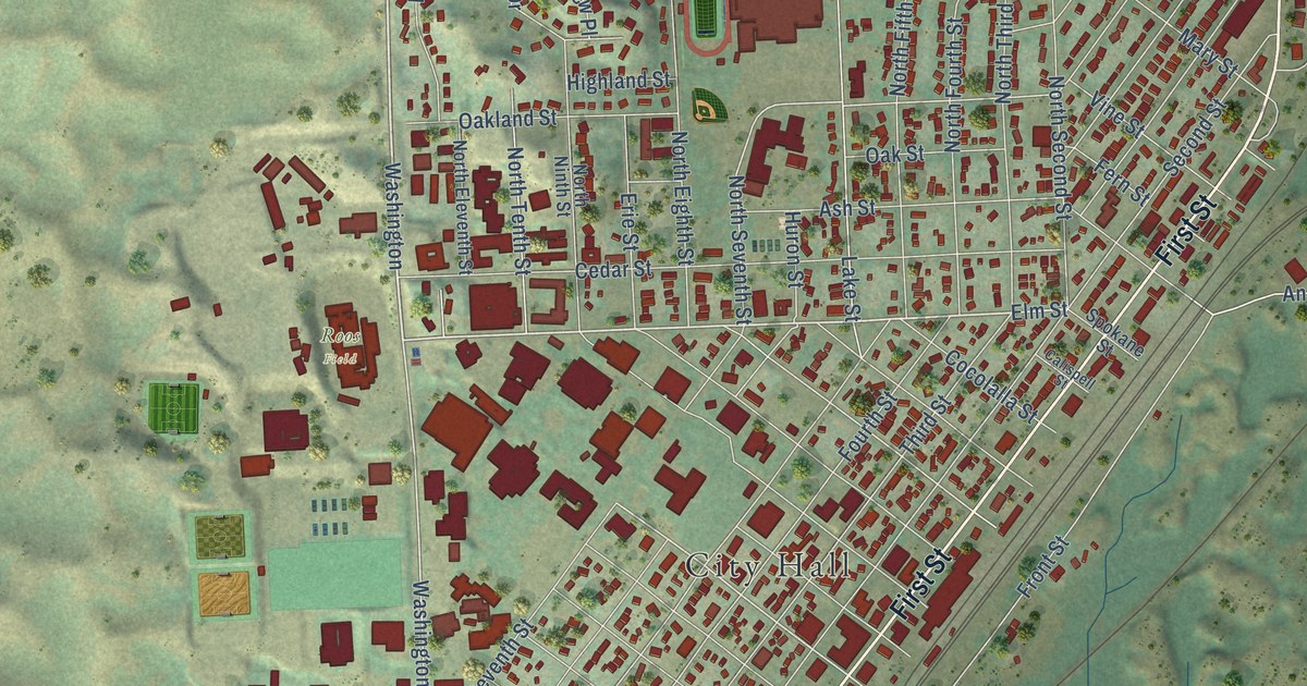
A detailed map of Cheney, Washington, showing every building in its true location, the roads by name, and shaded topographical relief.
Read More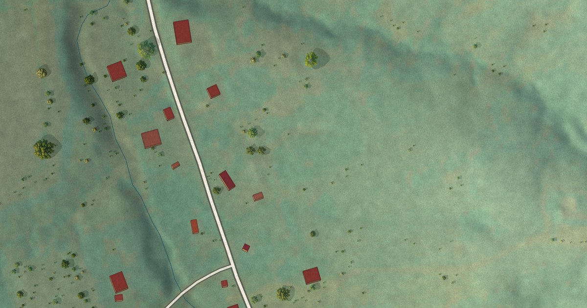
A detailed map of Paynesville, Missouri, showing every building in its true location, the roads by name, and shaded topographical relief.
Read More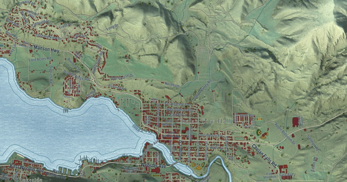
A detailed map of Chelan, Washington, showing every building in its true location, the roads by name, and shaded topographical relief.
Read More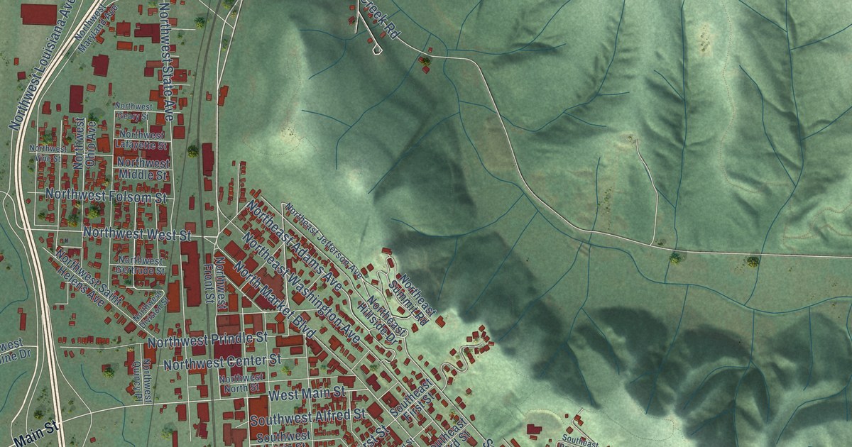
A detailed map of Chehalis, Washington, showing every building in its true location, the roads by name, and shaded topographical relief.
Read More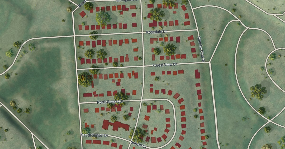
A detailed map of Pasadena Park, Missouri, showing every building in its true location, the roads by name, and shaded topographical relief.
Read More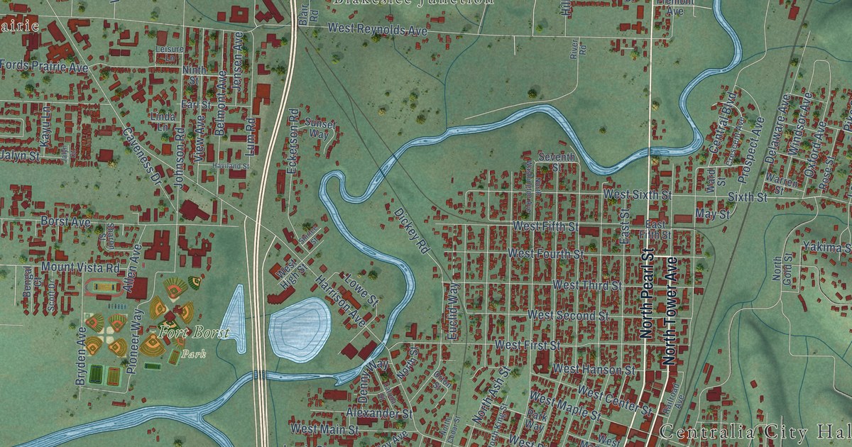
A detailed map of Centralia, Washington, showing every building in its true location, the roads by name, and shaded topographical relief.
Read More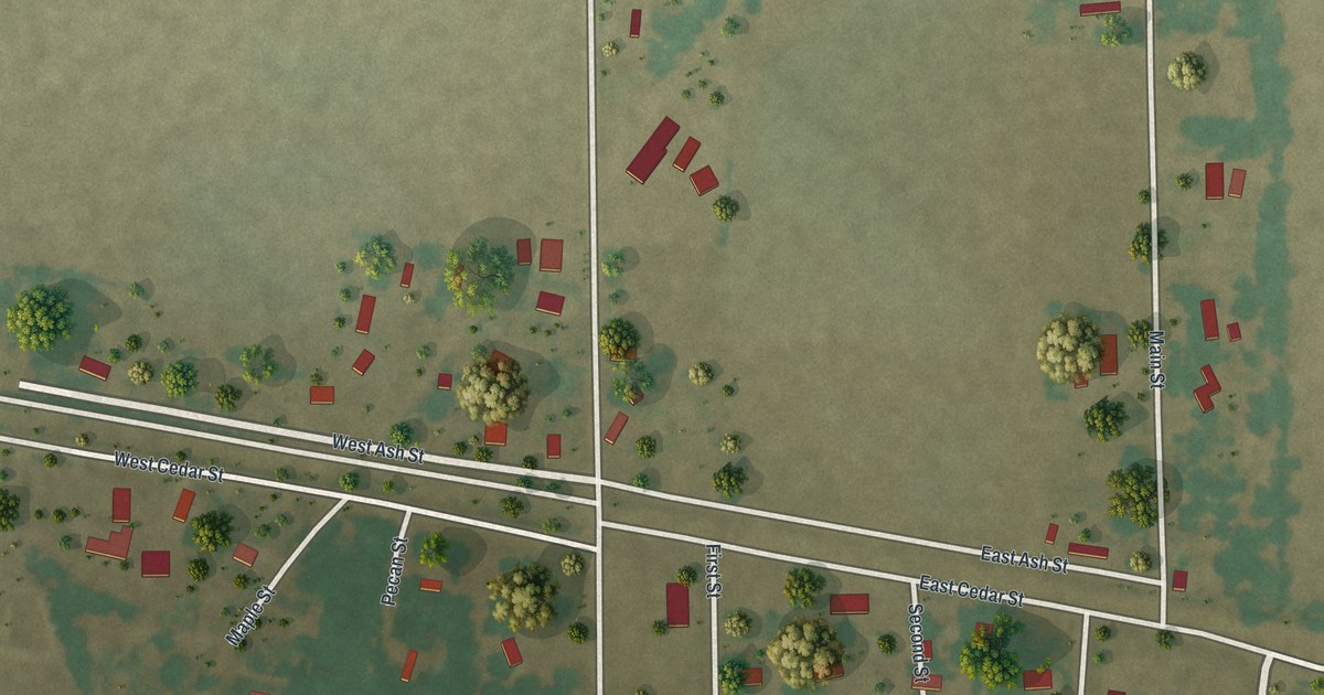
A detailed map of Pascola, Missouri, showing every building in its true location, the roads by name, and shaded topographical relief.
Read More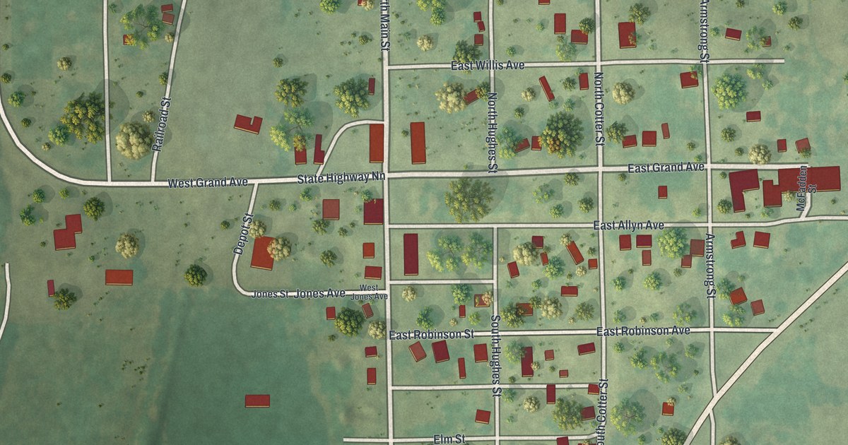
A detailed map of Parnell, Missouri, showing every building in its true location, the roads by name, and shaded topographical relief.
Read More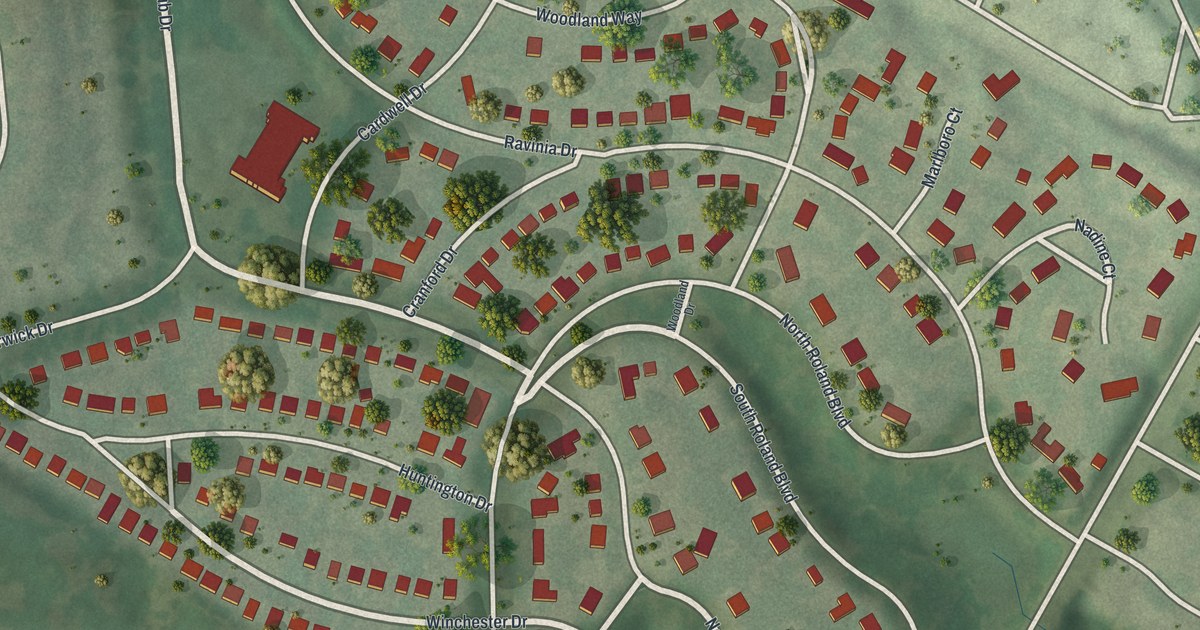
A detailed map of Pasadena Hills, Missouri, showing every building in its true location, the roads by name, and shaded topographical relief.
Read More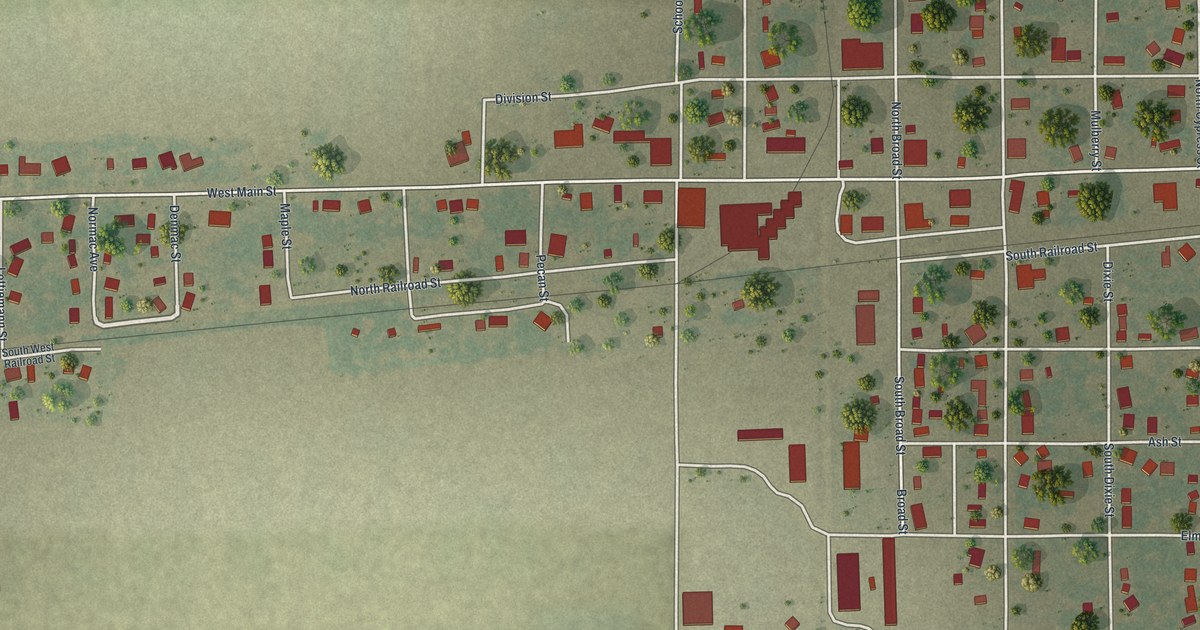
A detailed map of Parma, Missouri, showing every building in its true location, the roads by name, and shaded topographical relief.
Read More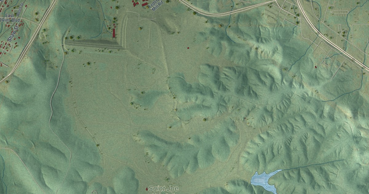
A detailed map of Park Hills, Missouri, showing every building in its true location, the roads by name, and shaded topographical relief.
Read More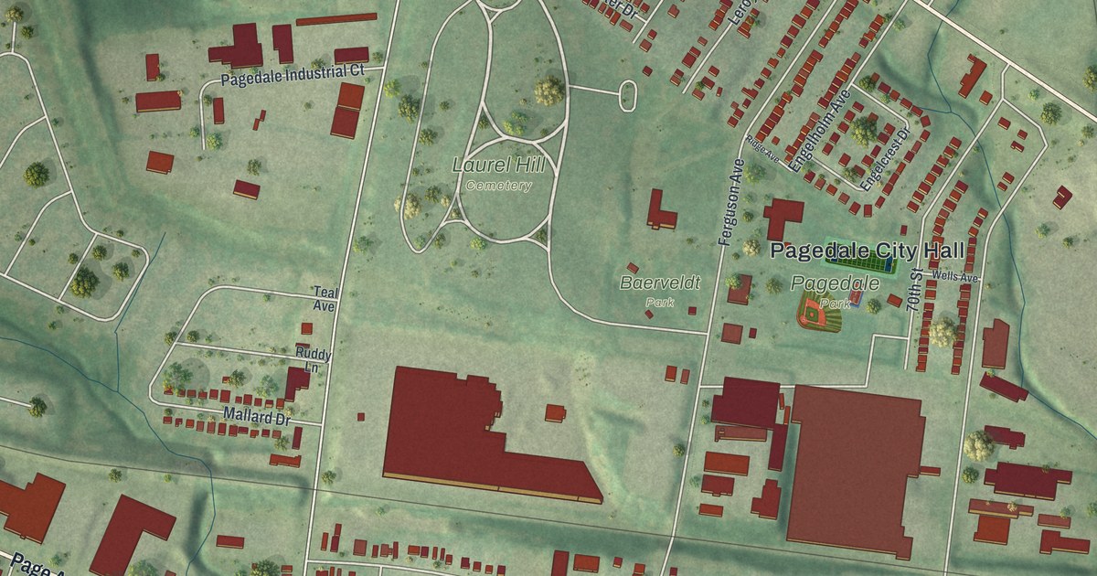
A detailed map of Pagedale, Missouri, showing every building in its true location, the roads by name, and shaded topographical relief.
Read More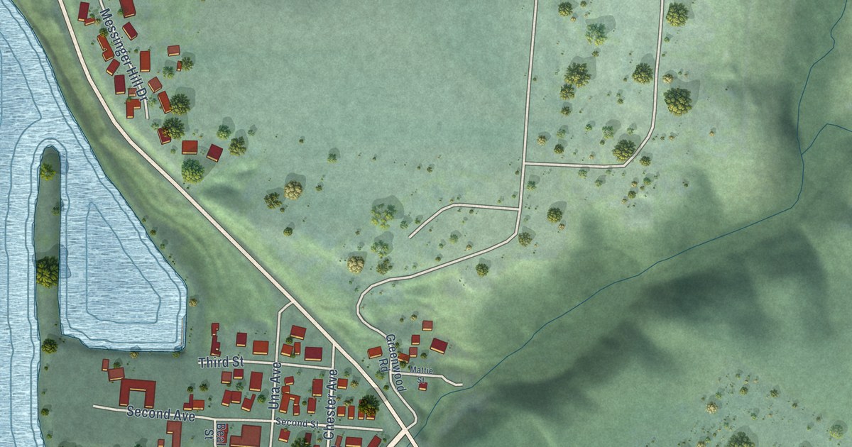
A detailed map of Cathlamet, Washington, showing every building in its true location, the roads by name, and shaded topographical relief.
Read More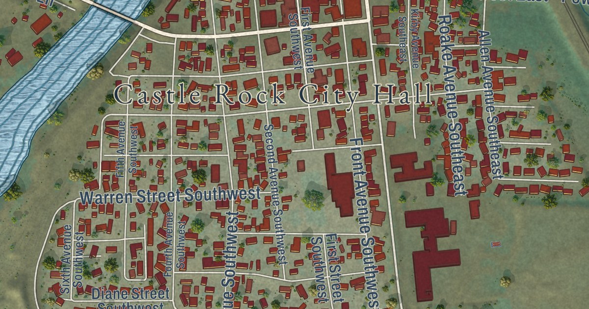
A detailed map of Castle Rock, Washington, showing every building in its true location, the roads by name, and shaded topographical relief.
Read More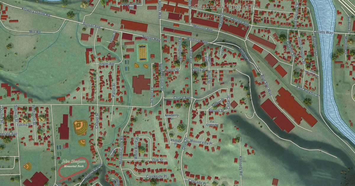
A detailed map of Cashmere, Washington, showing every building in its true location, the roads by name, and shaded topographical relief.
Read More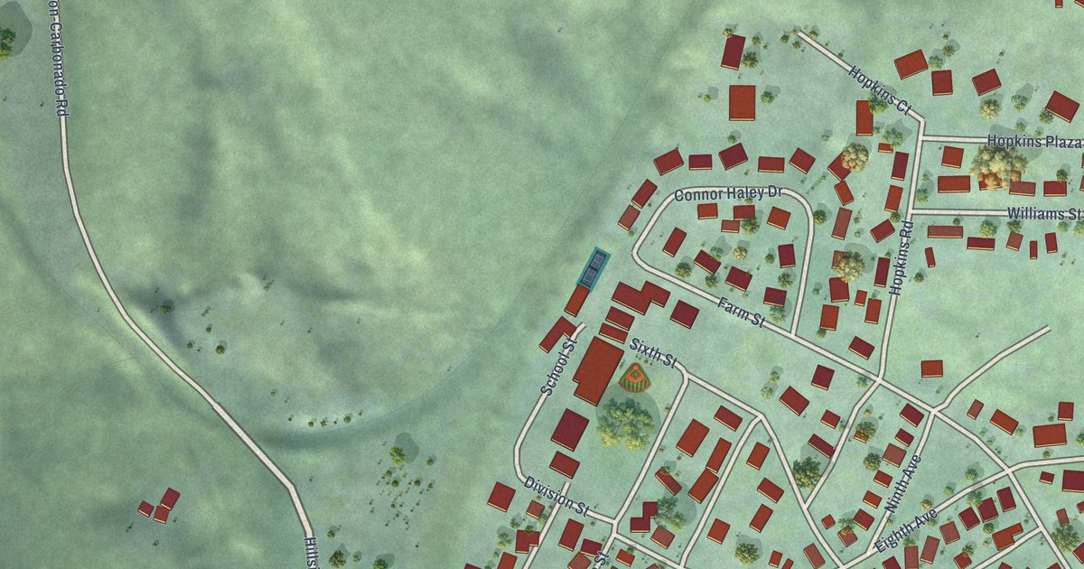
A detailed map of Carbonado, Washington, showing every building in its true location, the roads by name, and shaded topographical relief.
Read More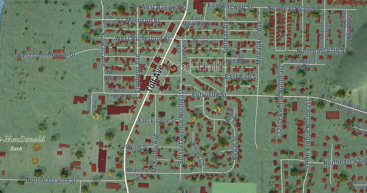
A detailed map of Carnation, Washington, showing every building in its true location, the roads by name, and shaded topographical relief.
Read More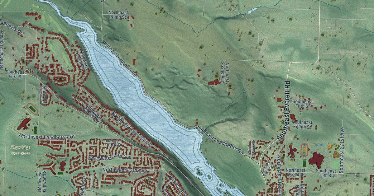
A detailed map of Camas, Washington, showing every building in its true location, the roads by name, and shaded topographical relief.
Read More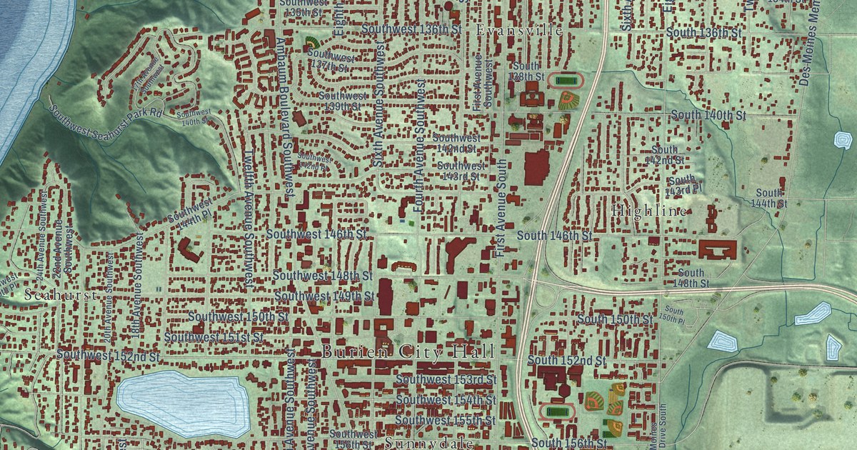
A detailed map of Burien, Washington, showing every building in its true location, the roads by name, and shaded topographical relief.
Read More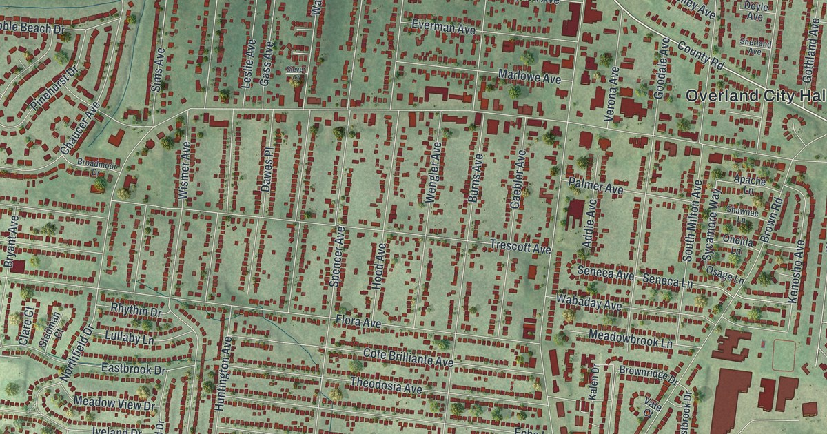
A detailed map of Overland, Missouri, showing every building in its true location, the roads by name, and shaded topographical relief.
Read More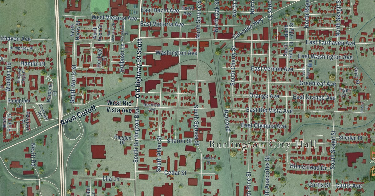
A detailed map of Burlington, Washington, showing every building in its true location, the roads by name, and shaded topographical relief.
Read More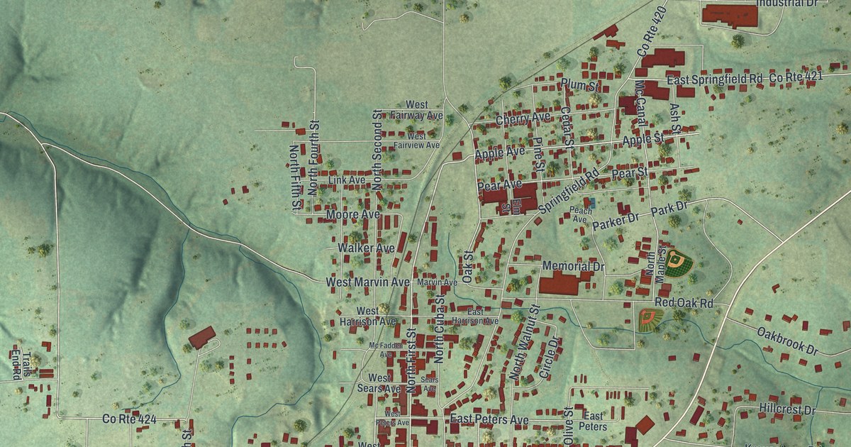
A detailed map of Owensville, Missouri, showing every building in its true location, the roads by name, and shaded topographical relief.
Read More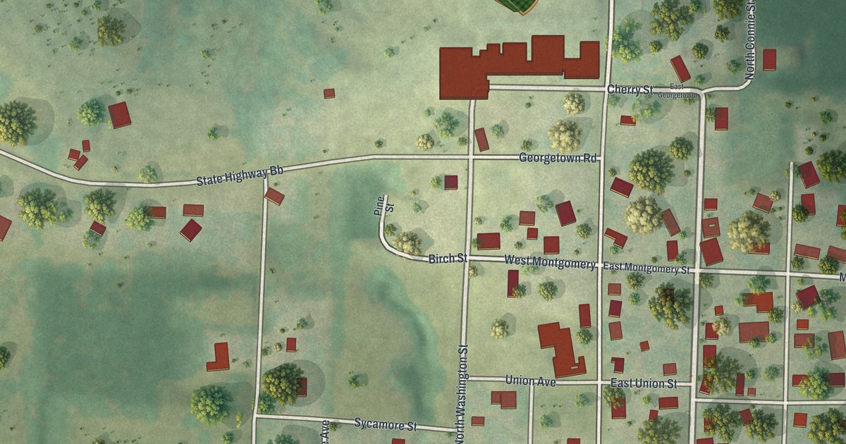
A detailed map of Otterville, Missouri, showing every building in its true location, the roads by name, and shaded topographical relief.
Read More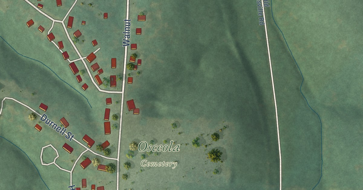
A detailed map of Osceola, Missouri, showing every building in its true location, the roads by name, and shaded topographical relief.
Read More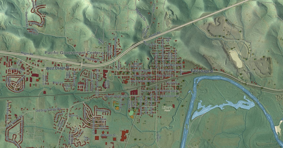
A detailed map of Pacific, Missouri, showing every building in its true location, the roads by name, and shaded topographical relief.
Read More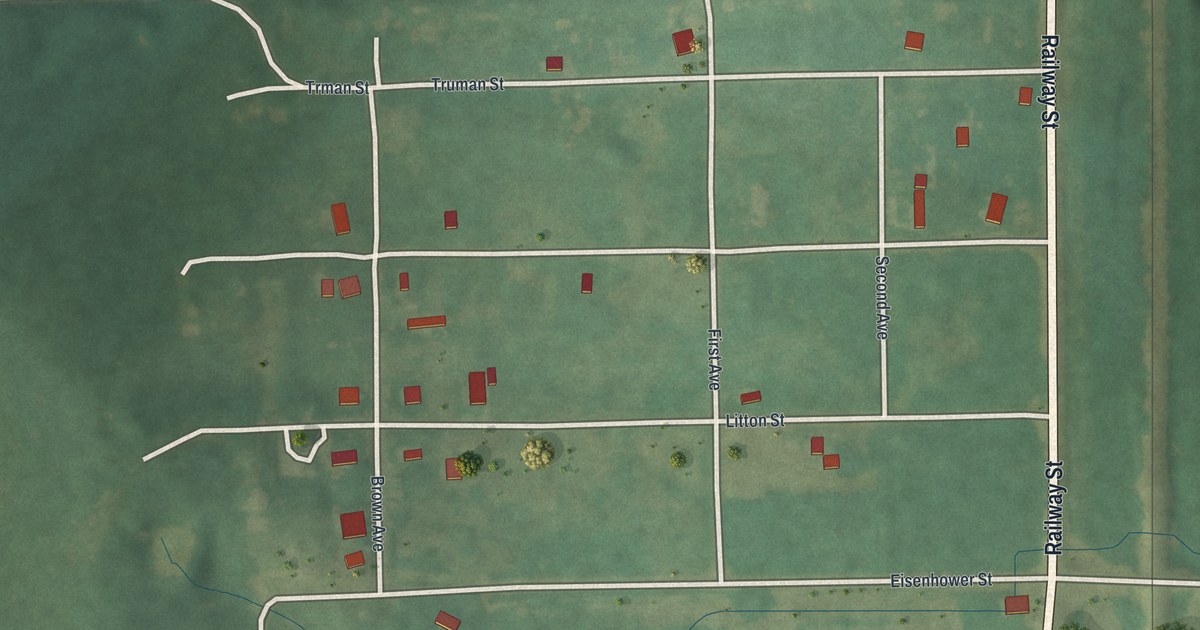
A detailed map of Osgood, Missouri, showing every building in its true location, the roads by name, and shaded topographical relief.
Read More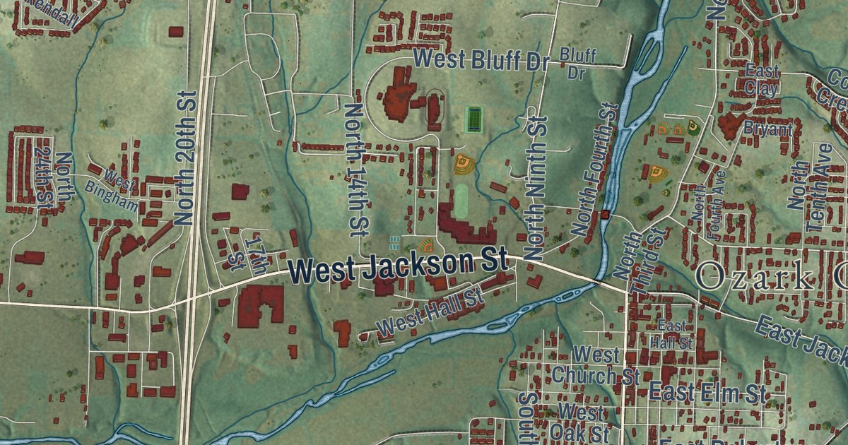
A detailed map of Ozark, Missouri, showing every building in its true location, the roads by name, and shaded topographical relief.
Read More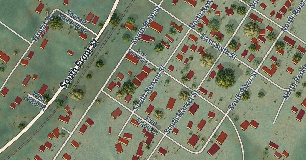
A detailed map of Bucoda, Washington, showing every building in its true location, the roads by name, and shaded topographical relief.
Read More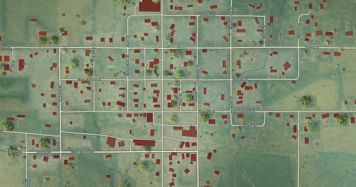
A detailed map of Osborn, Missouri, showing every building in its true location, the roads by name, and shaded topographical relief.
Read More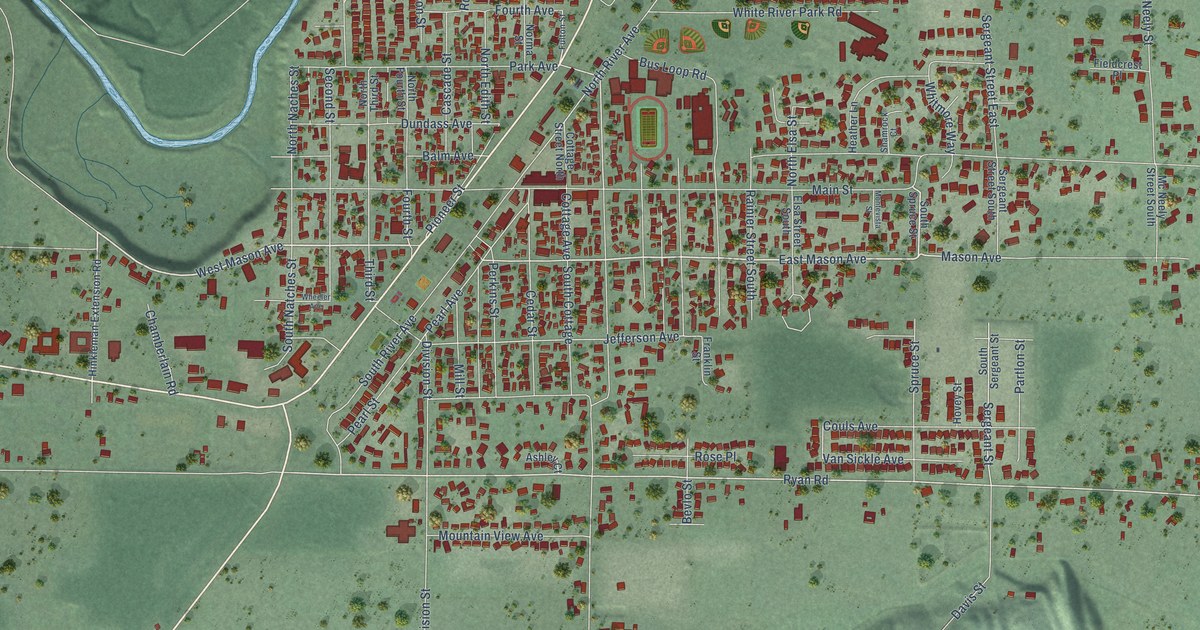
A detailed map of Buckley, Washington, showing every building in its true location, the roads by name, and shaded topographical relief.
Read More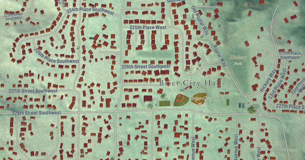
A detailed map of Brier, Washington, showing every building in its true location, the roads by name, and shaded topographical relief.
Read More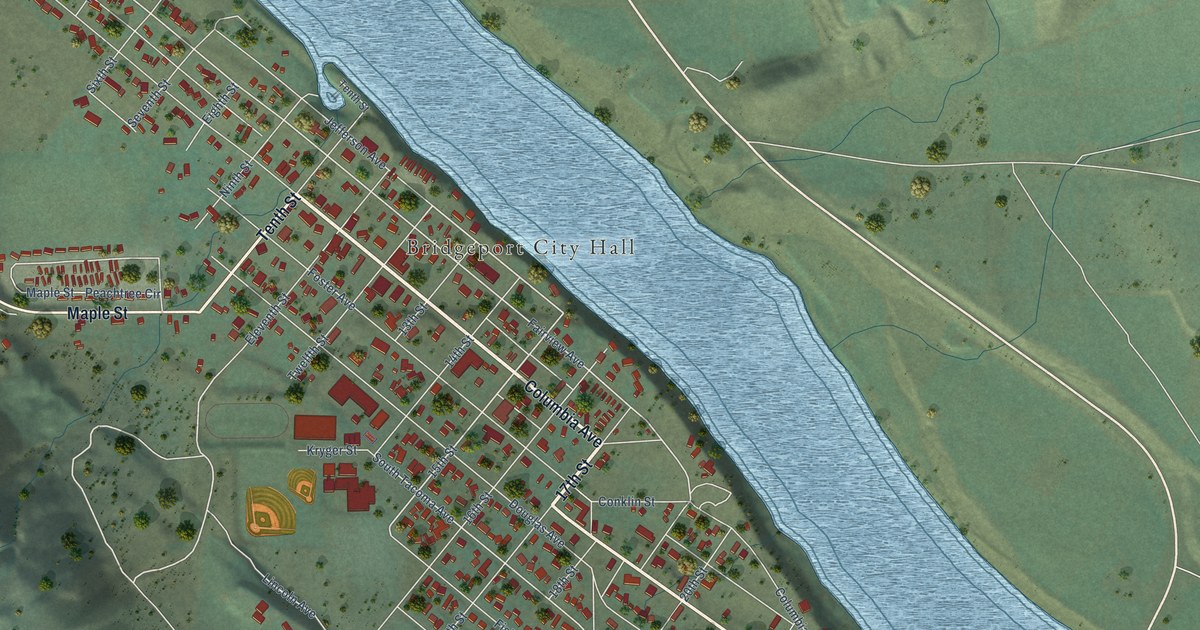
A detailed map of Bridgeport, Washington, showing every building in its true location, the roads by name, and shaded topographical relief.
Read More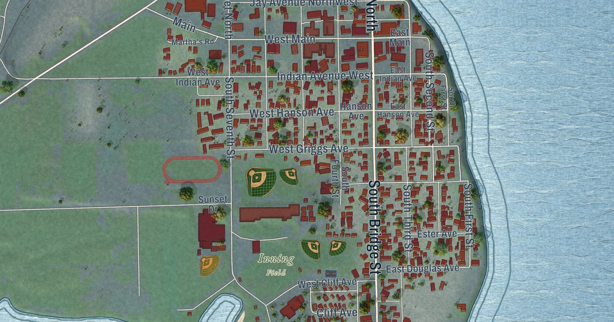
A detailed map of Brewster, Washington, showing every building in its true location, the roads by name, and shaded topographical relief.
Read More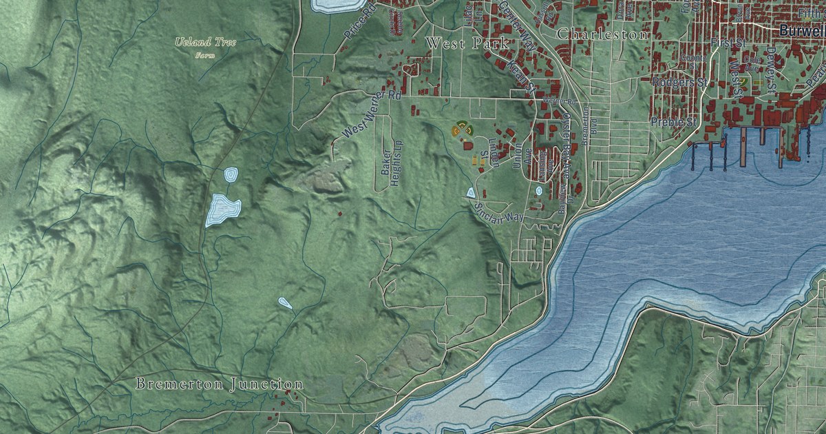
A detailed map of Bremerton, Washington, showing every building in its true location, the roads by name, and shaded topographical relief.
Read More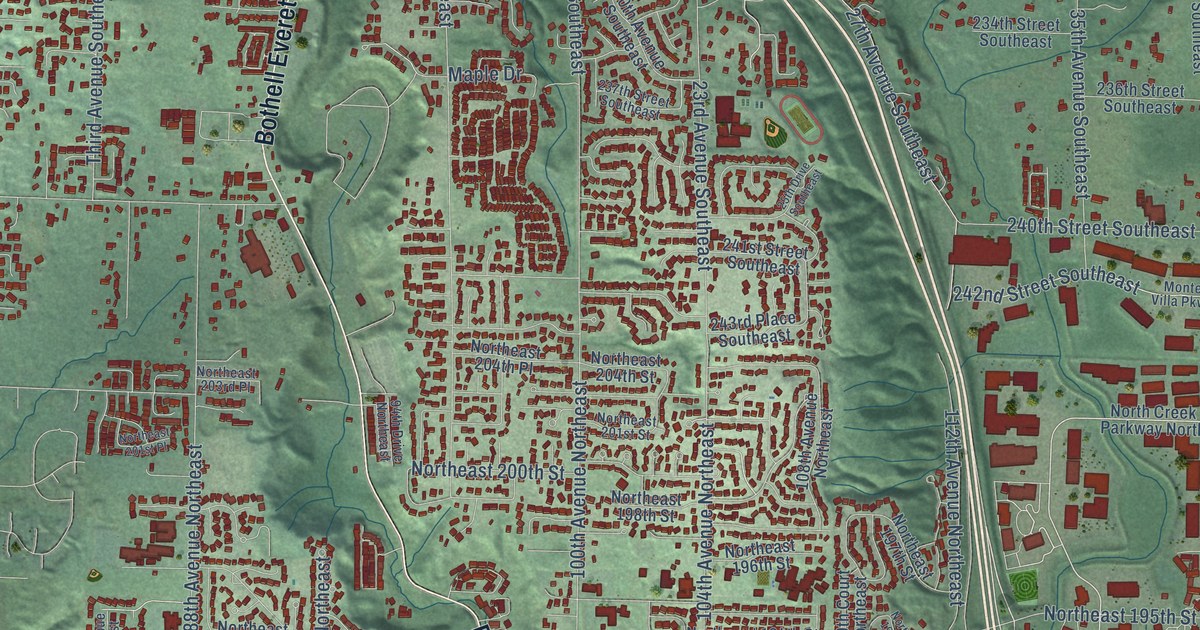
A detailed map of Bothell, Washington, showing every building in its true location, the roads by name, and shaded topographical relief.
Read More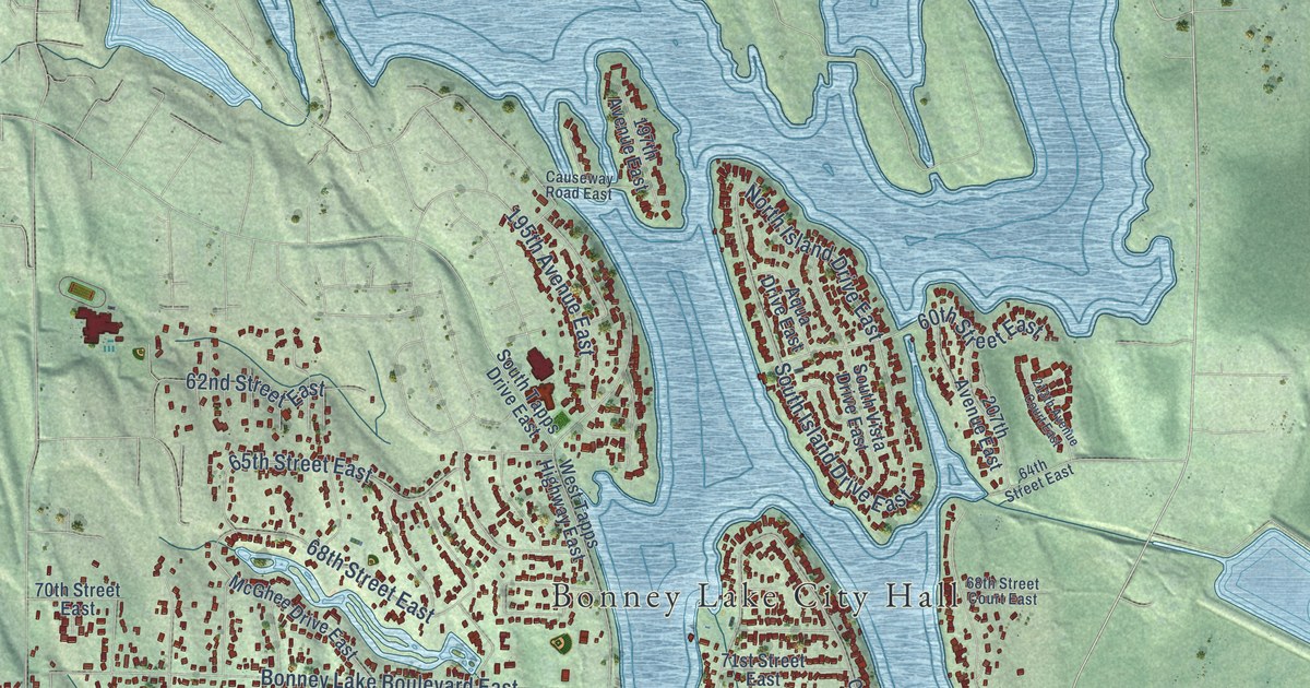
A detailed map of Bonney Lake, Washington, showing every building in its true location, the roads by name, and shaded topographical relief.
Read More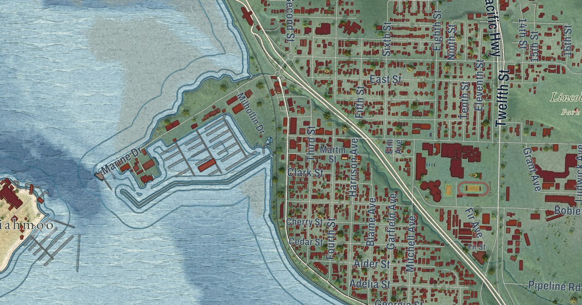
A detailed map of Blaine, Washington, showing every building in its true location, the roads by name, and shaded topographical relief.
Read More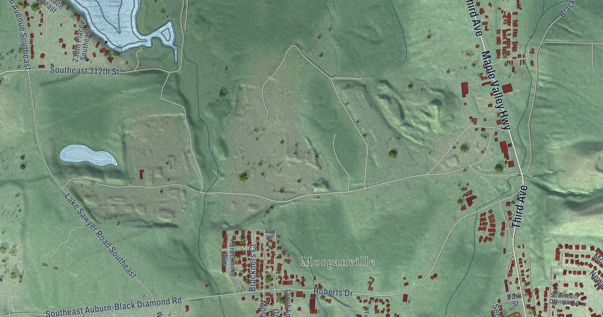
A detailed map of Black Diamond, Washington, showing every building in its true location, the roads by name, and shaded topographical relief.
Read More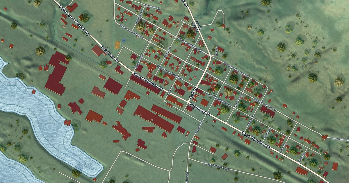
A detailed map of Bingen, Washington, showing every building in its true location, the roads by name, and shaded topographical relief.
Read More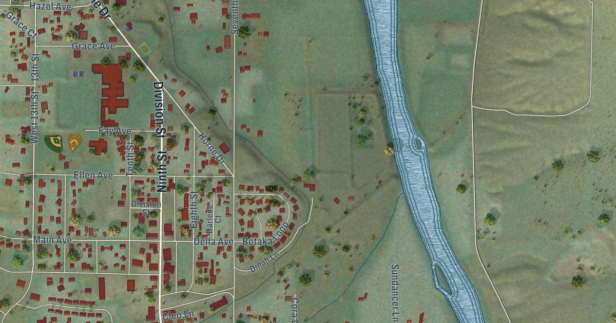
A detailed map of Benton City, Washington, showing every building in its true location, the roads by name, and shaded topographical relief.
Read More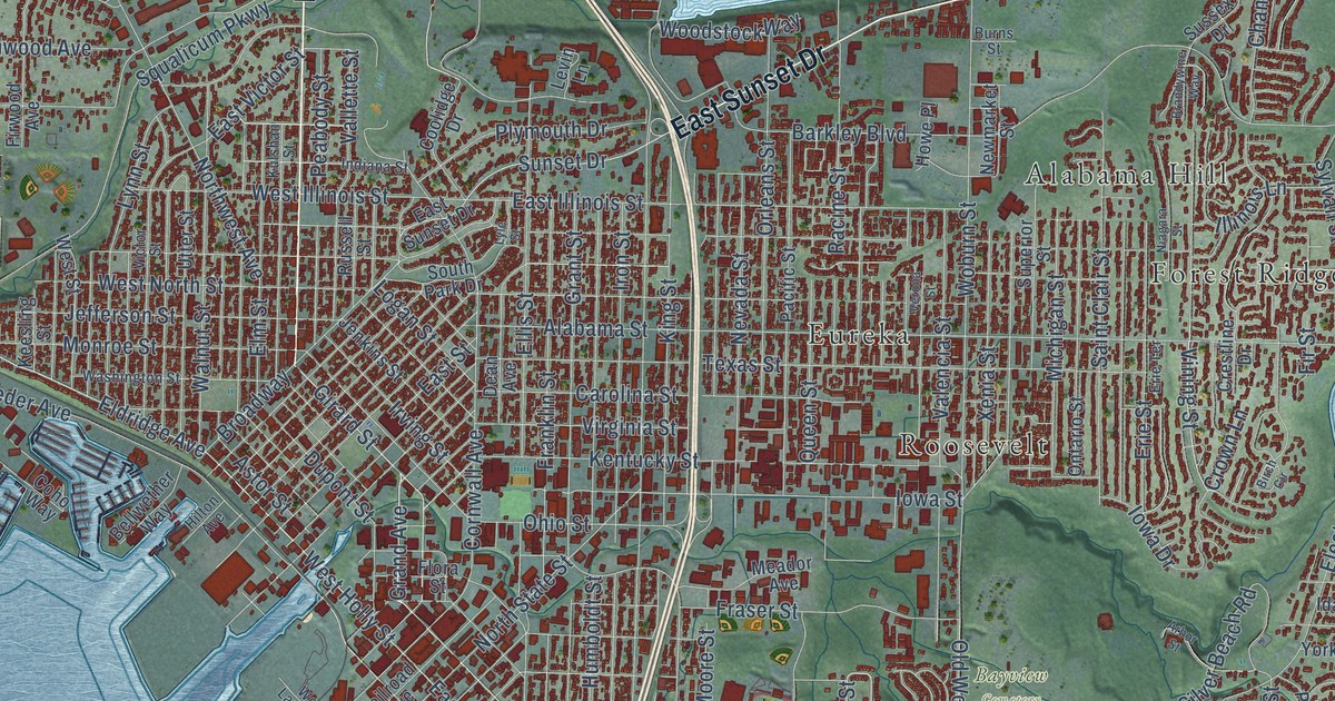
A detailed map of Bellingham, Washington, showing every building in its true location, the roads by name, and shaded topographical relief.
Read More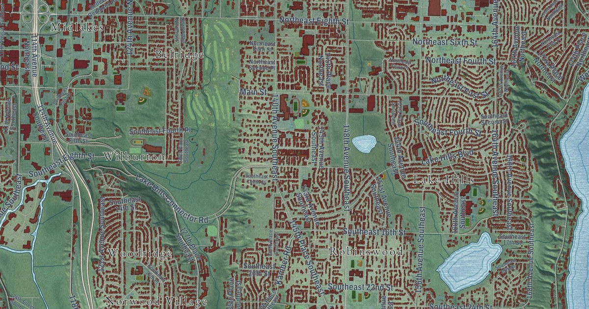
A detailed map of Bellevue, Washington, showing every building in its true location, the roads by name, and shaded topographical relief.
Read More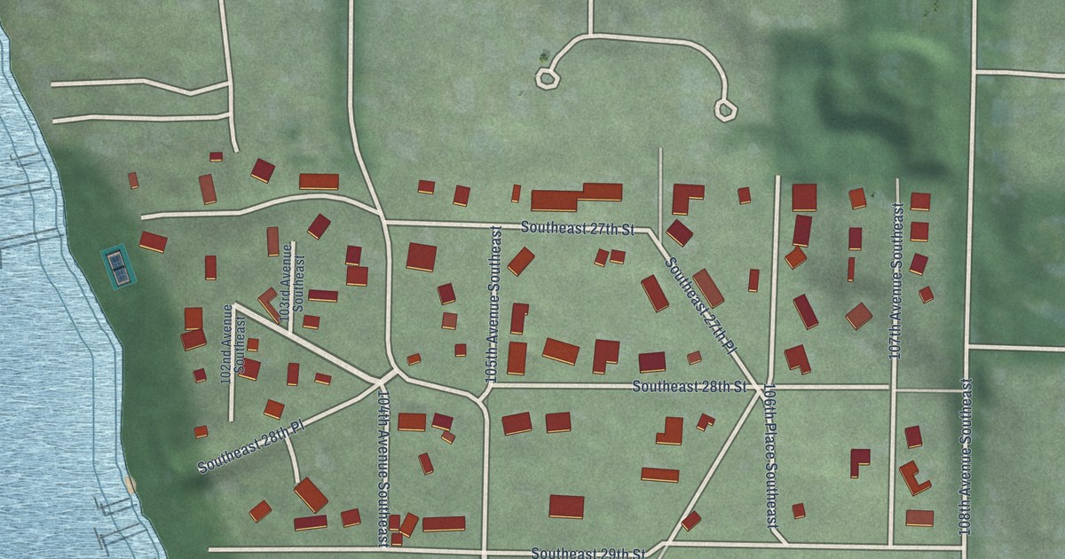
A detailed map of Beaux Arts Village, Washington, showing every building in its true location, the roads by name, and shaded topographical relief.
Read More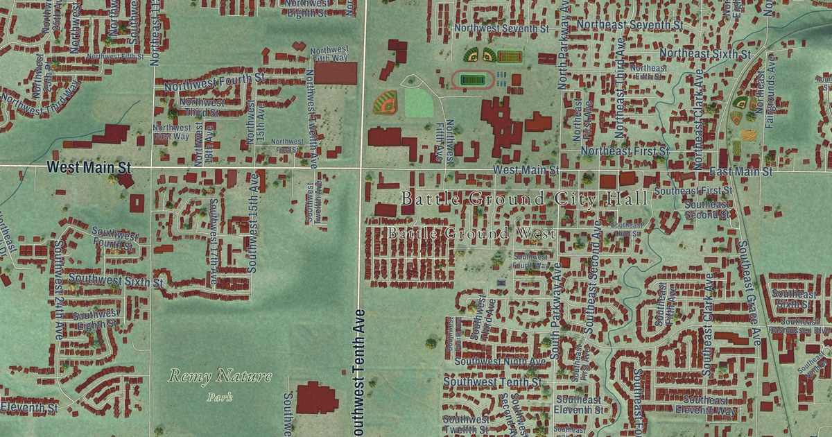
A detailed map of Battle Ground, Washington, showing every building in its true location, the roads by name, and shaded topographical relief.
Read More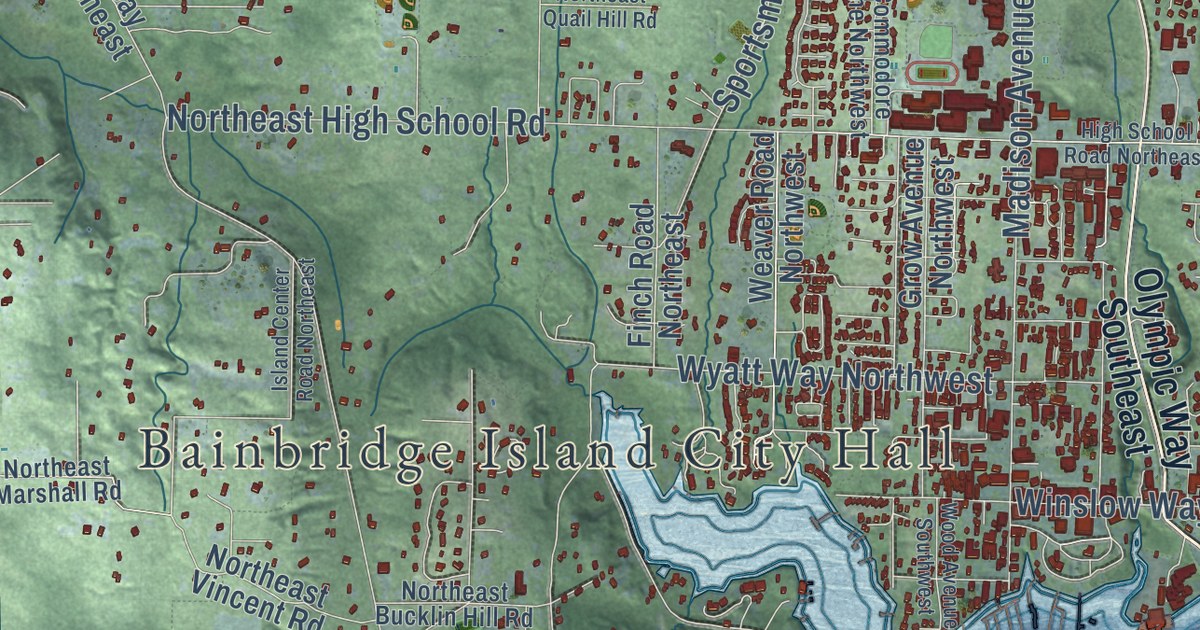
A detailed map of Bainbridge Island, Washington, showing every building in its true location, the roads by name, and shaded topographical relief.
Read More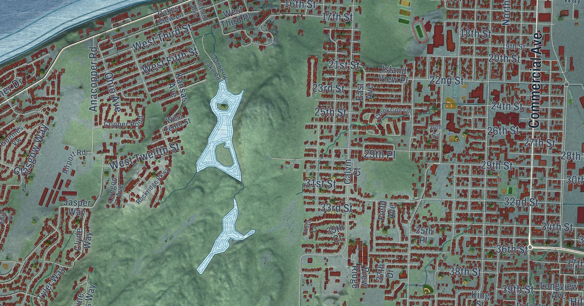
A detailed map of Anacortes, Washington, showing every building in its true location, the roads by name, and shaded topographical relief.
Read More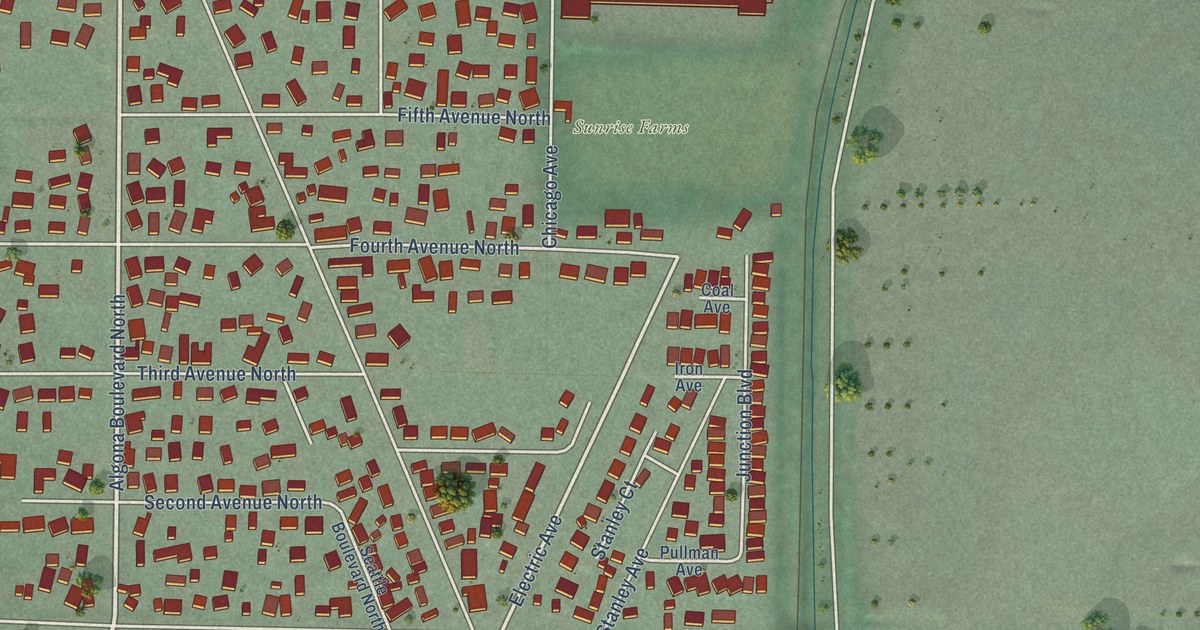
A detailed map of Algona, Washington, showing every building in its true location, the roads by name, and shaded topographical relief.
Read More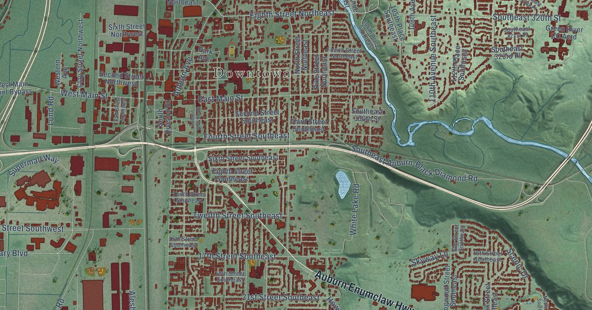
A detailed map of Auburn, Washington, showing every building in its true location, the roads by name, and shaded topographical relief.
Read More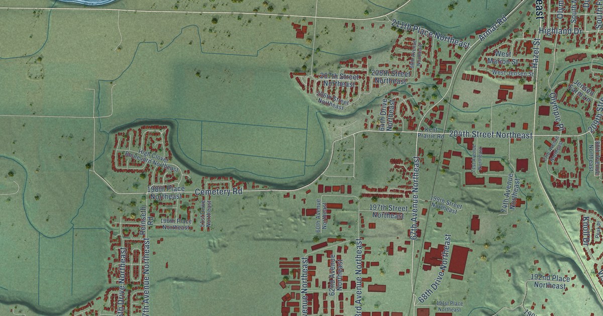
A detailed map of Arlington, Washington, showing every building in its true location, the roads by name, and shaded topographical relief.
Read More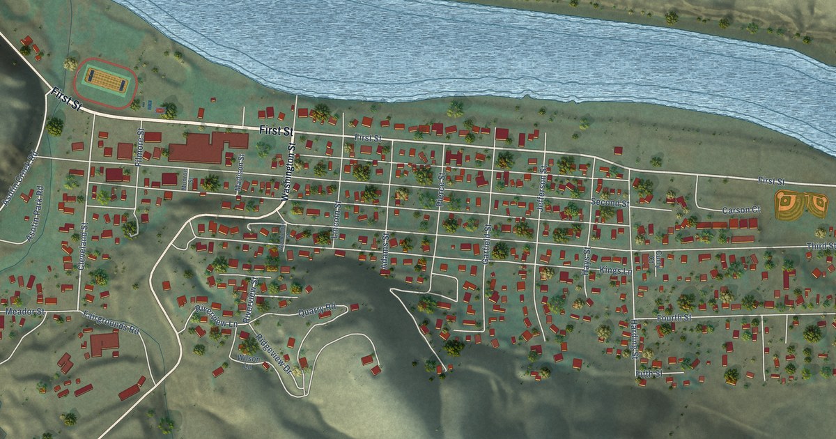
A detailed map of Asotin, Washington, showing every building in its true location, the roads by name, and shaded topographical relief.
Read More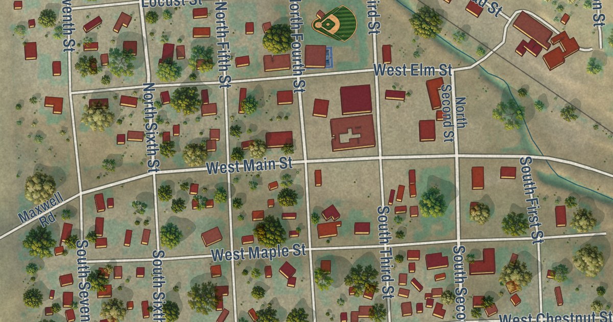
A detailed map of Almira, Washington, showing every building in its true location, the roads by name, and shaded topographical relief.
Read More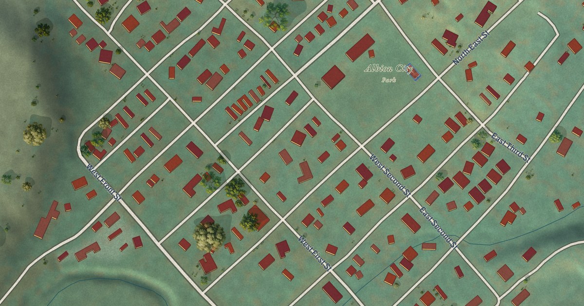
A detailed map of Albion, Washington, showing every building in its true location, the roads by name, and shaded topographical relief.
Read More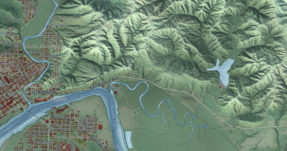
A detailed map of Aberdeen, Washington, showing every building in its true location, the roads by name, and shaded topographical relief.
Read More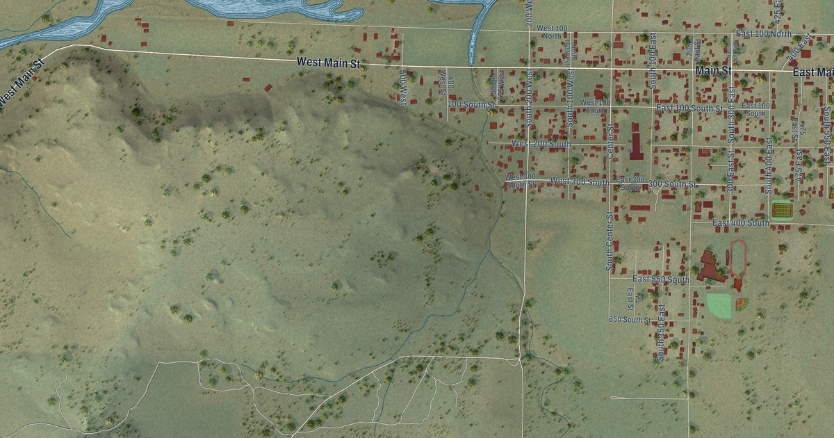
A detailed map of Enterprise, Utah, showing every building in its true location, the roads by name, and shaded topographical relief.
Read More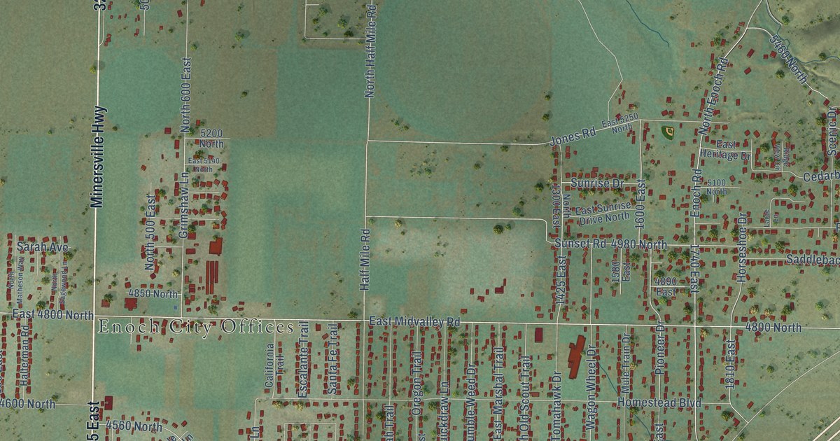
A detailed map of Enoch, Utah, showing every building in its true location, the roads by name, and shaded topographical relief.
Read More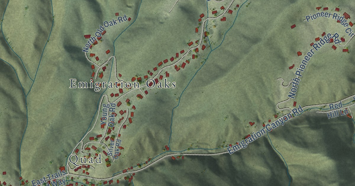
A detailed map of Emigration Canyon, Utah, showing every building in its true location, the roads by name, and shaded topographical relief.
Read More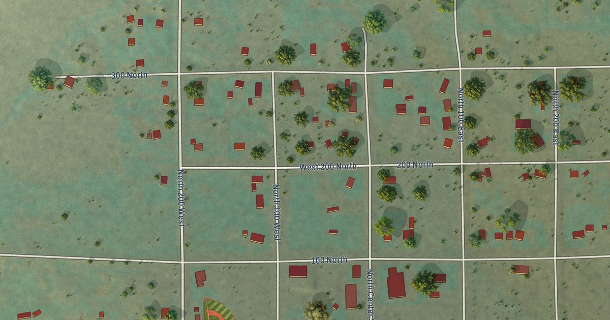
A detailed map of Emery, Utah, showing every building in its true location, the roads by name, and shaded topographical relief.
Read More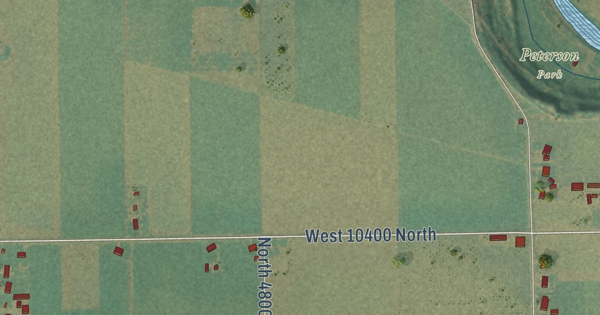
A detailed map of Elwood, Utah, showing every building in its true location, the roads by name, and shaded topographical relief.
Read More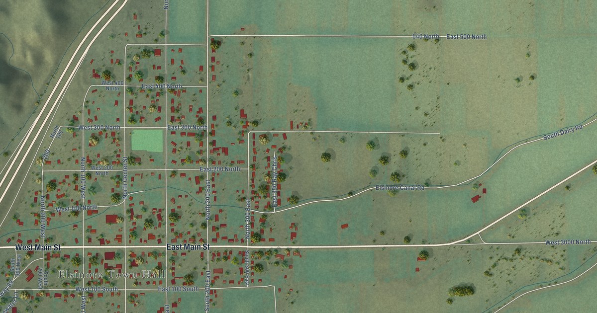
A detailed map of Elsinore, Utah, showing every building in its true location, the roads by name, and shaded topographical relief.
Read More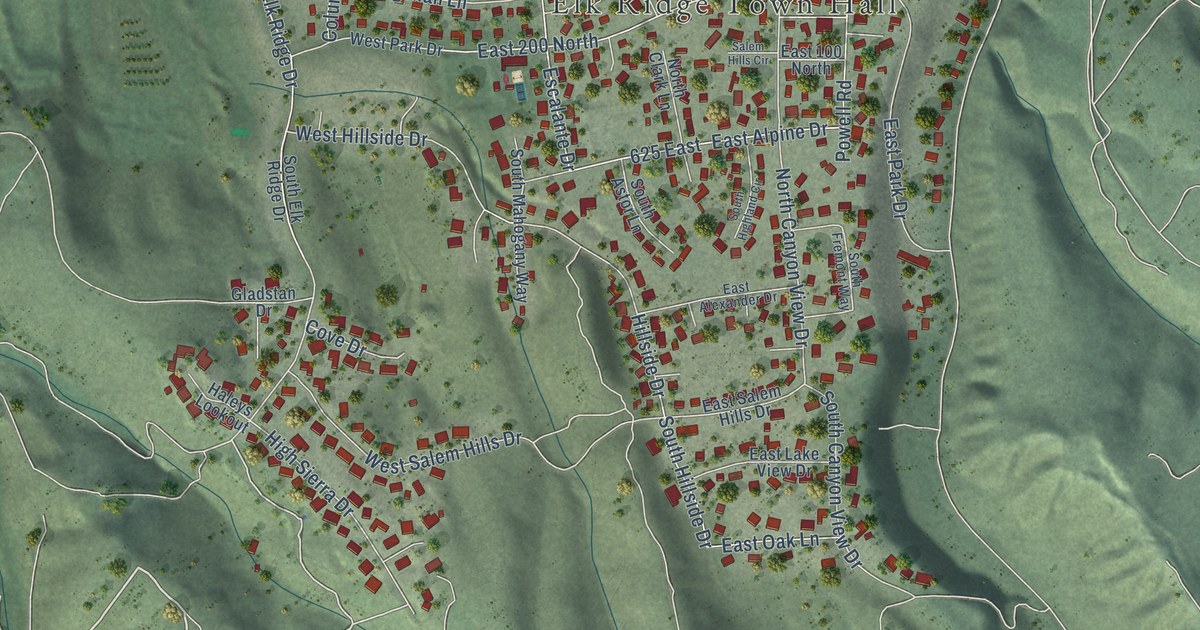
A detailed map of Elk Ridge, Utah, showing every building in its true location, the roads by name, and shaded topographical relief.
Read More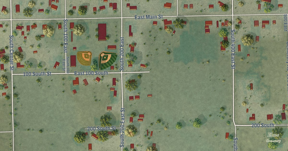
A detailed map of Elmo, Utah, showing every building in its true location, the roads by name, and shaded topographical relief.
Read More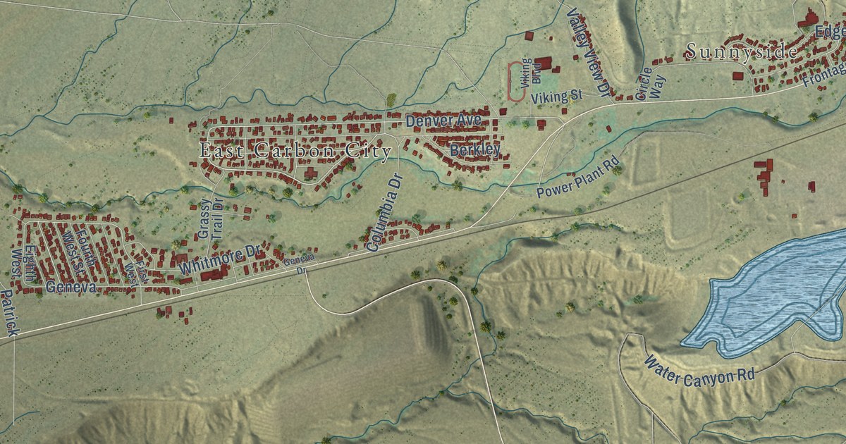
A detailed map of East Carbon, Utah, showing every building in its true location, the roads by name, and shaded topographical relief.
Read More















