Detailed Map of Farmington, Washington
A detailed map of Farmington, Washington, showing every building in its true location, the roads by name, and shaded topographical relief.
Read More
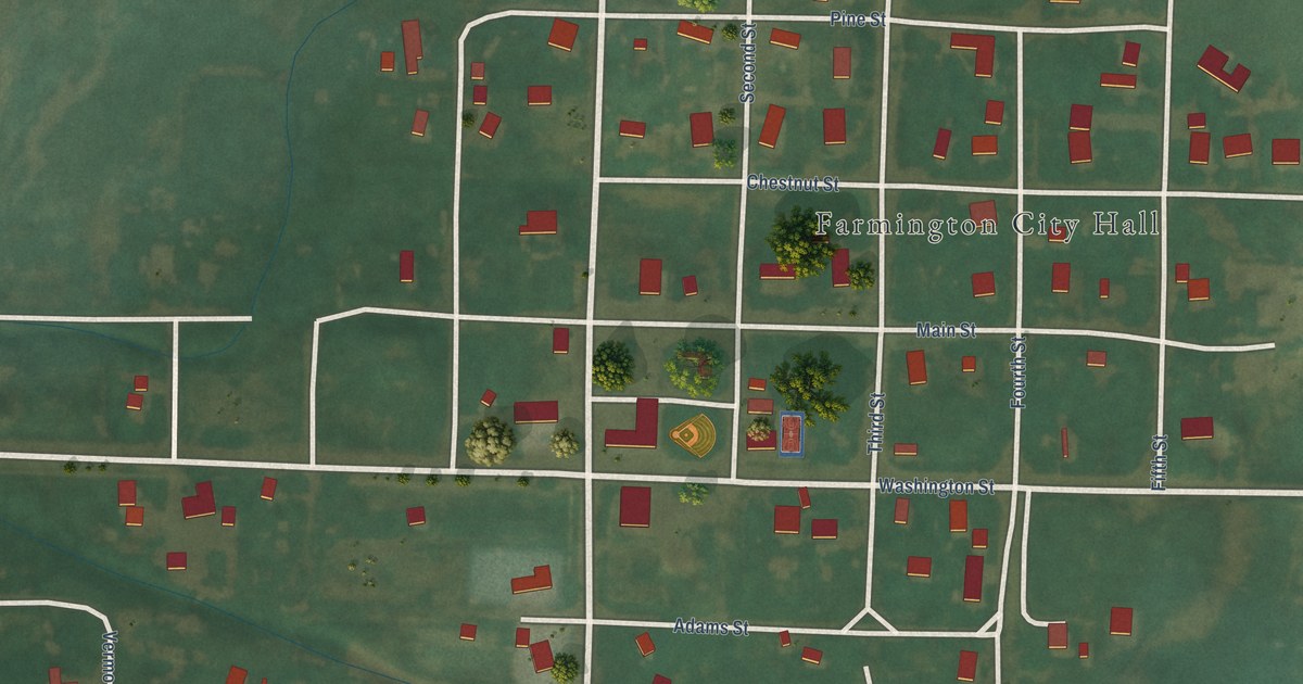
A detailed map of Farmington, Washington, showing every building in its true location, the roads by name, and shaded topographical relief.
Read More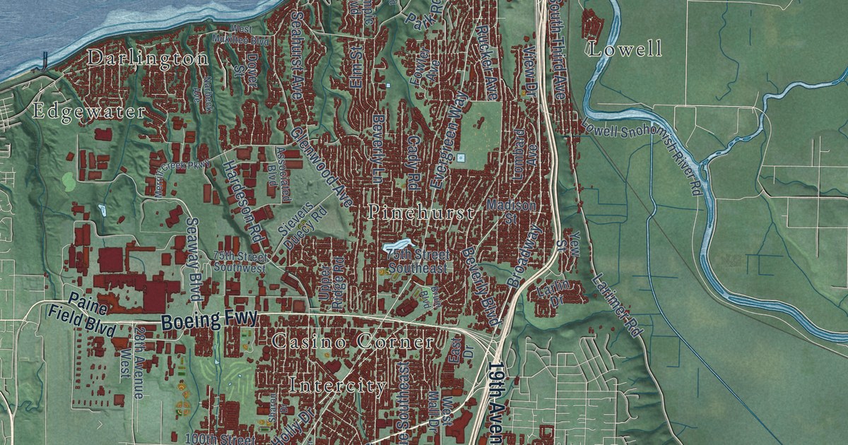
A detailed map of Everett, Washington, showing every building in its true location, the roads by name, and shaded topographical relief.
Read More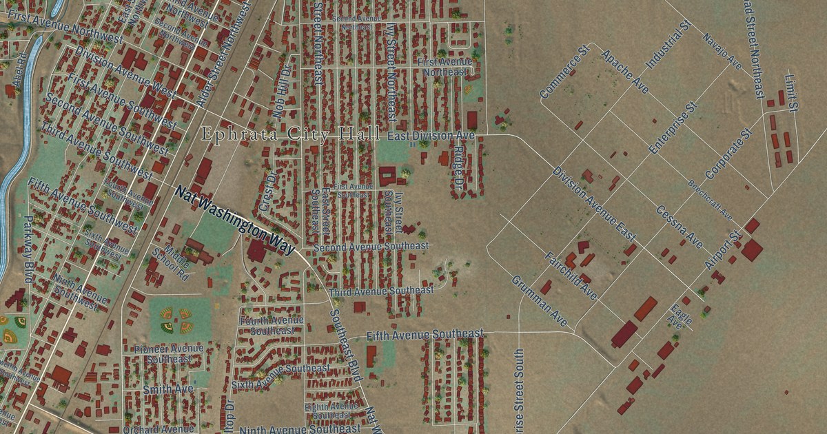
A detailed map of Ephrata, Washington, showing every building in its true location, the roads by name, and shaded topographical relief.
Read More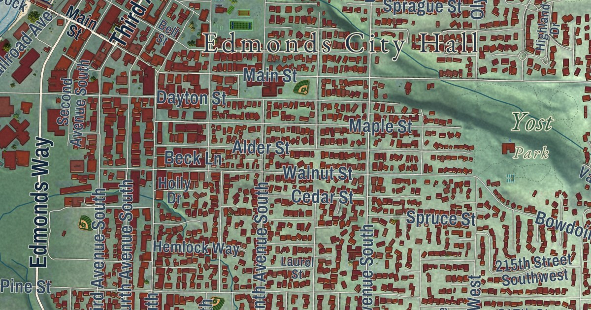
A detailed map of Edmonds, Washington, showing every building in its true location, the roads by name, and shaded topographical relief.
Read More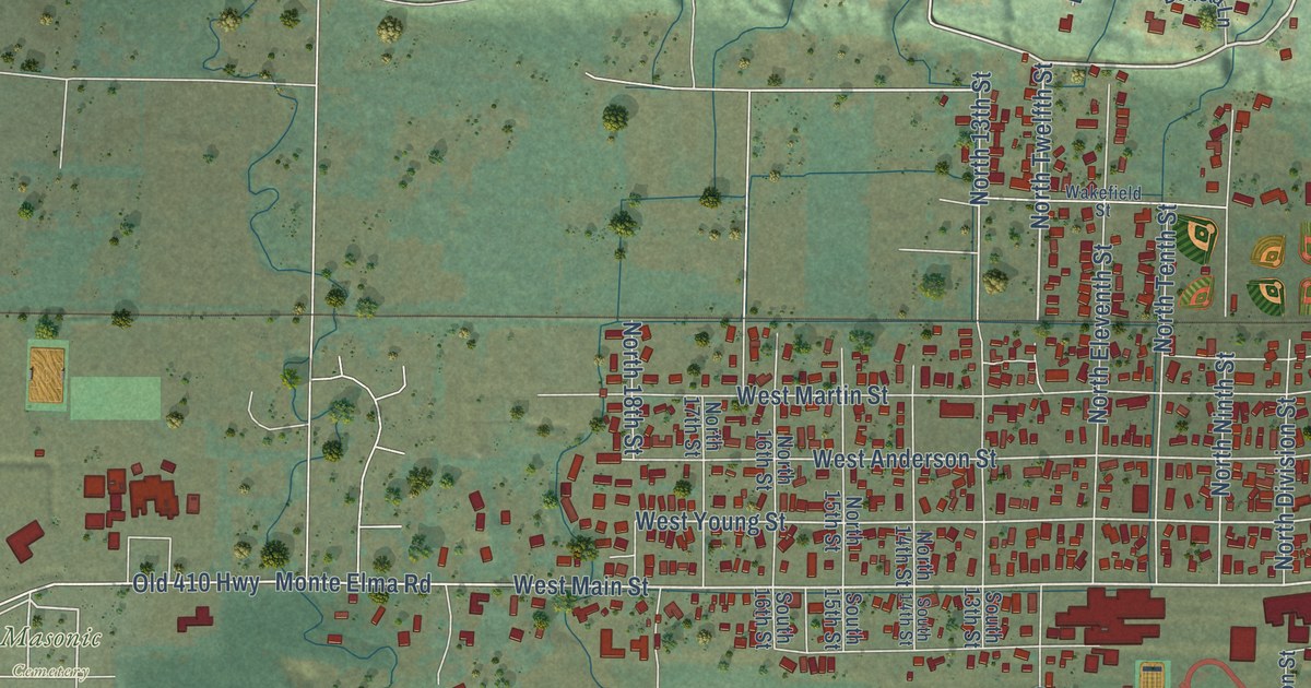
A detailed map of Elma, Washington, showing every building in its true location, the roads by name, and shaded topographical relief.
Read More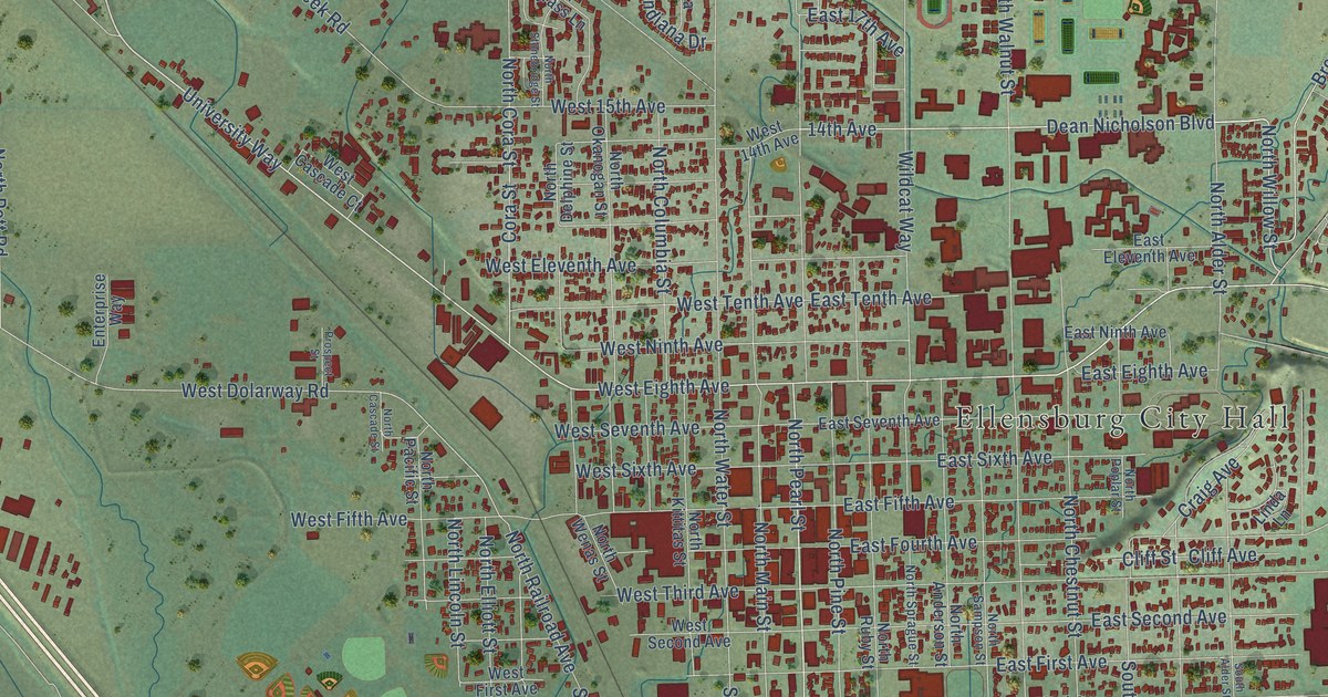
A detailed map of Ellensburg, Washington, showing every building in its true location, the roads by name, and shaded topographical relief.
Read More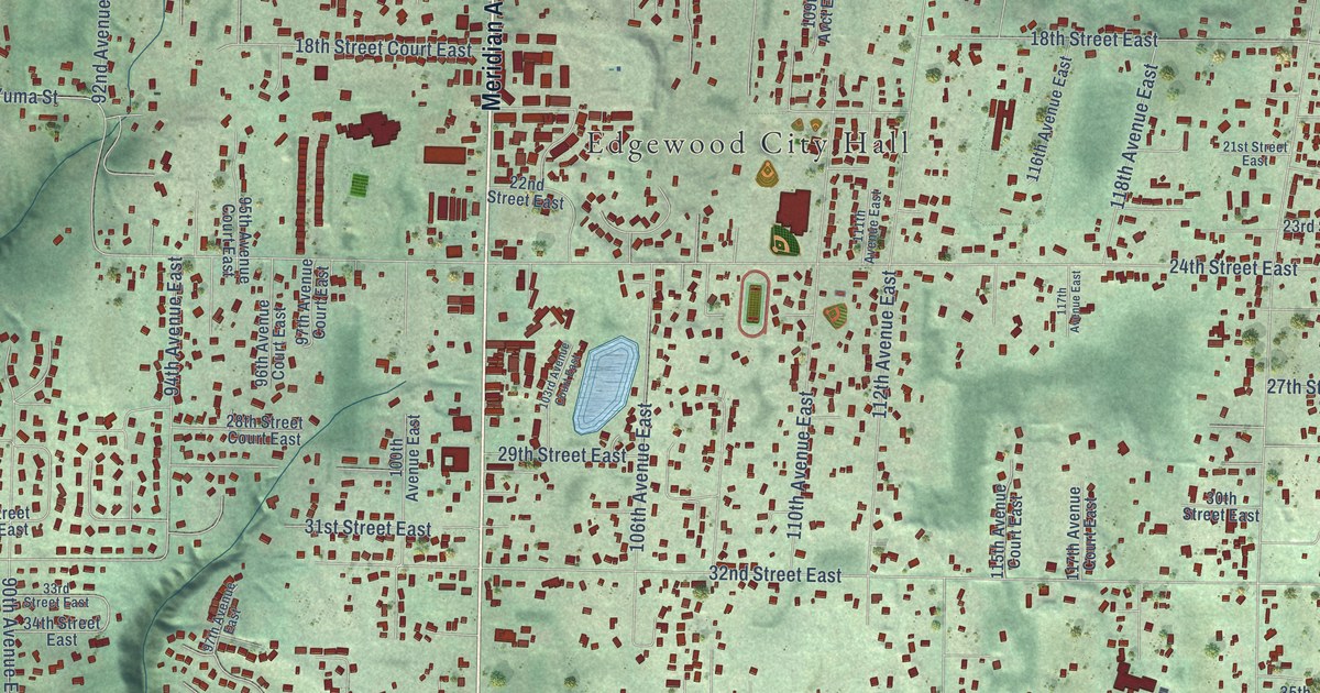
A detailed map of Edgewood, Washington, showing every building in its true location, the roads by name, and shaded topographical relief.
Read More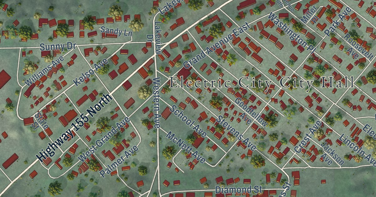
A detailed map of Electric City, Washington, showing every building in its true location, the roads by name, and shaded topographical relief.
Read More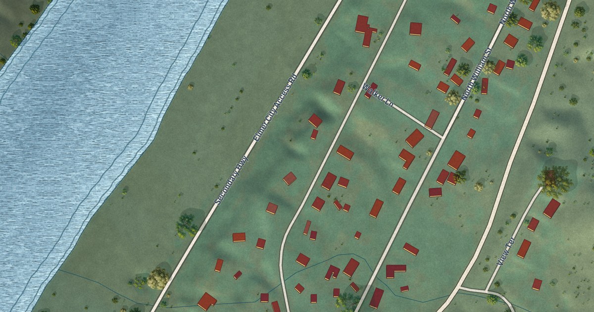
A detailed map of Elmer City, Washington, showing every building in its true location, the roads by name, and shaded topographical relief.
Read More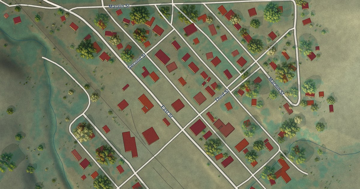
A detailed map of Endicott, Washington, showing every building in its true location, the roads by name, and shaded topographical relief.
Read More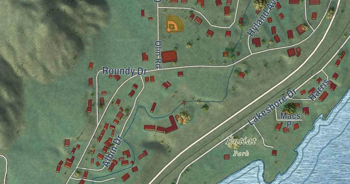
A detailed map of Entiat, Washington, showing every building in its true location, the roads by name, and shaded topographical relief.
Read More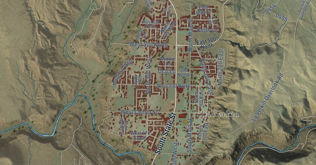
A detailed map of La Verkin, Utah, showing every building in its true location, the roads by name, and shaded topographical relief.
Read More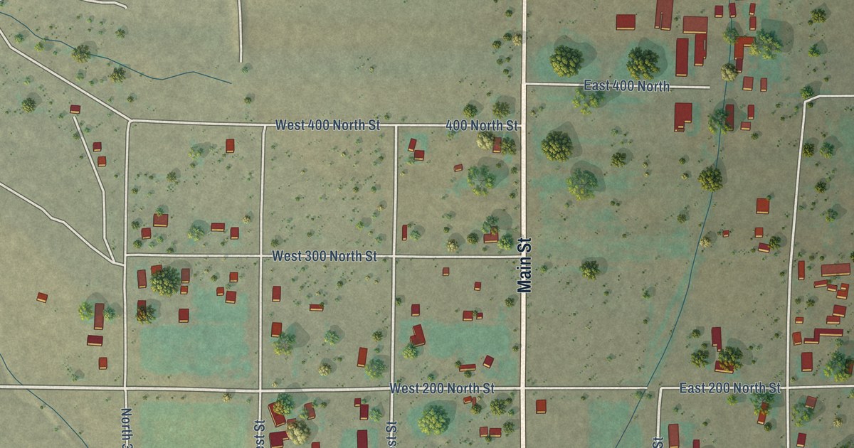
A detailed map of Koosharem, Utah, showing every building in its true location, the roads by name, and shaded topographical relief.
Read More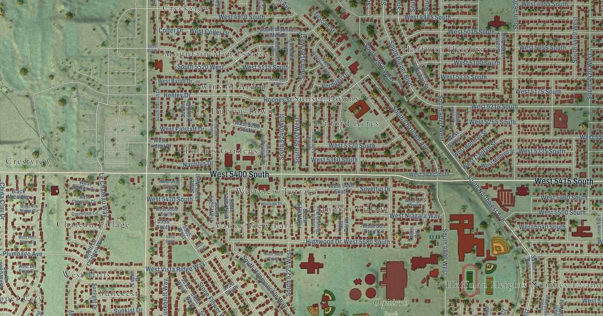
A detailed map of Kearns, Utah, showing every building in its true location, the roads by name, and shaded topographical relief.
Read More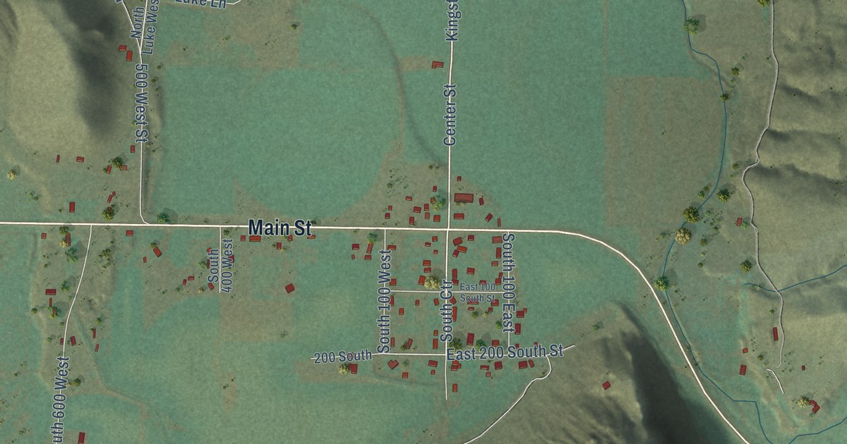
A detailed map of Kingston, Utah, showing every building in its true location, the roads by name, and shaded topographical relief.
Read More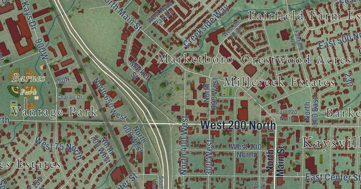
A detailed map of Kaysville, Utah, showing every building in its true location, the roads by name, and shaded topographical relief.
Read More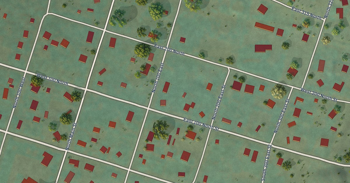
A detailed map of Kanarraville, Utah, showing every building in its true location, the roads by name, and shaded topographical relief.
Read More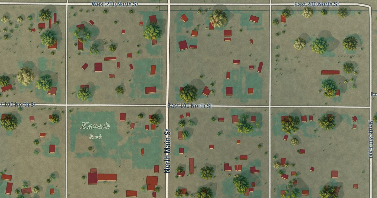
A detailed map of Kanosh, Utah, showing every building in its true location, the roads by name, and shaded topographical relief.
Read More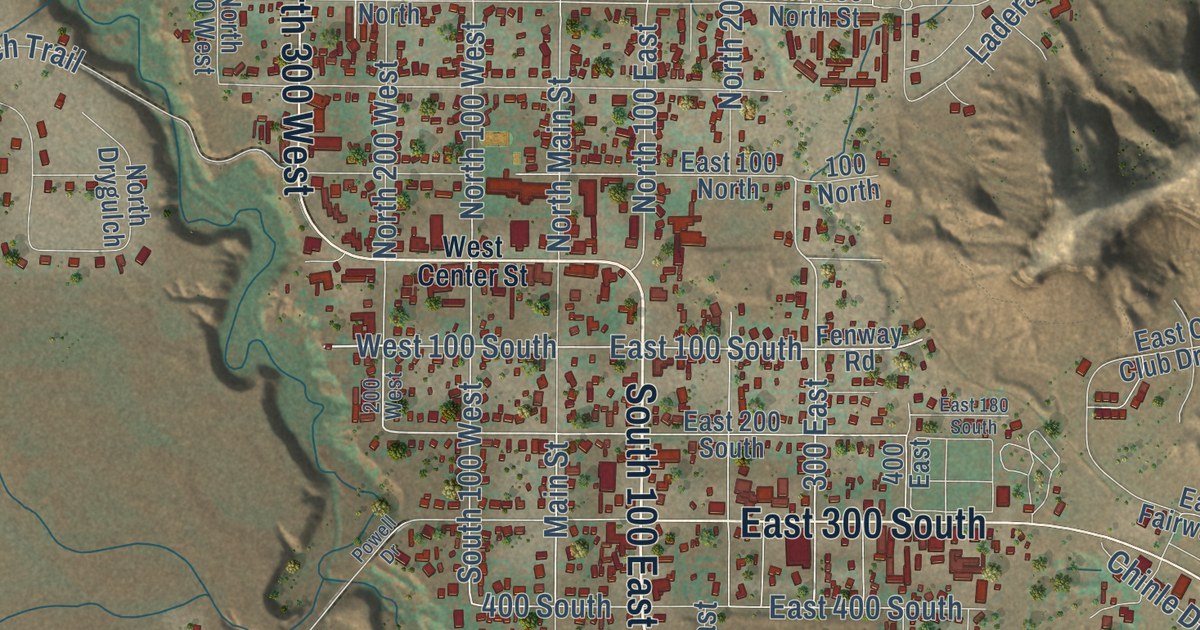
A detailed map of Kanab, Utah, showing every building in its true location, the roads by name, and shaded topographical relief.
Read More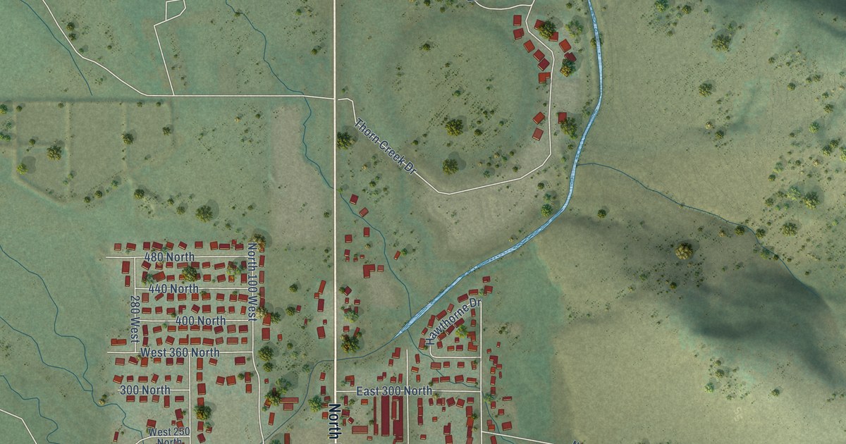
A detailed map of Kamas, Utah, showing every building in its true location, the roads by name, and shaded topographical relief.
Read More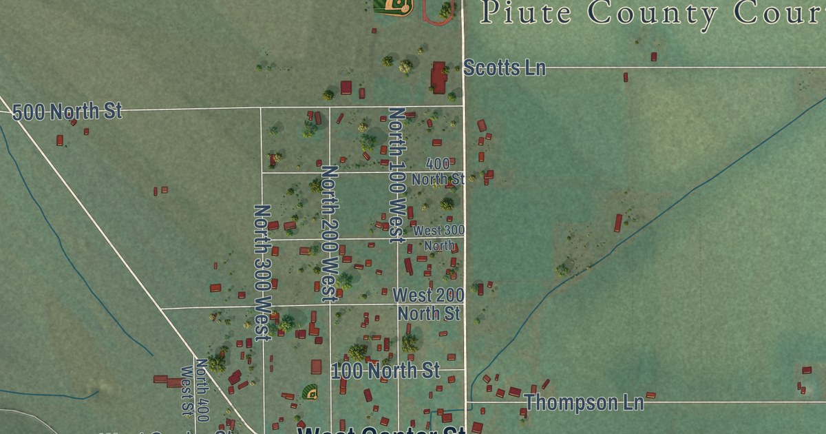
A detailed map of Junction, Utah, showing every building in its true location, the roads by name, and shaded topographical relief.
Read More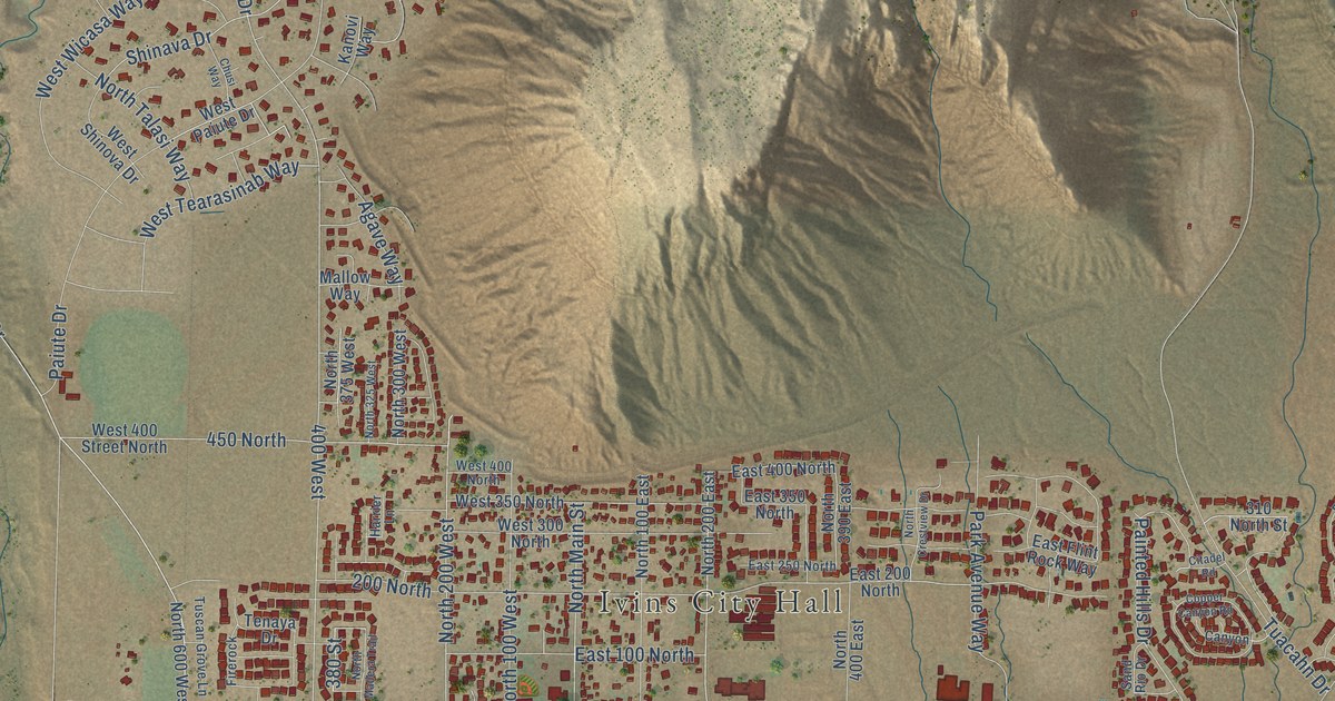
A detailed map of Ivins, Utah, showing every building in its true location, the roads by name, and shaded topographical relief.
Read More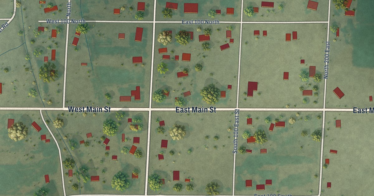
A detailed map of Joseph, Utah, showing every building in its true location, the roads by name, and shaded topographical relief.
Read More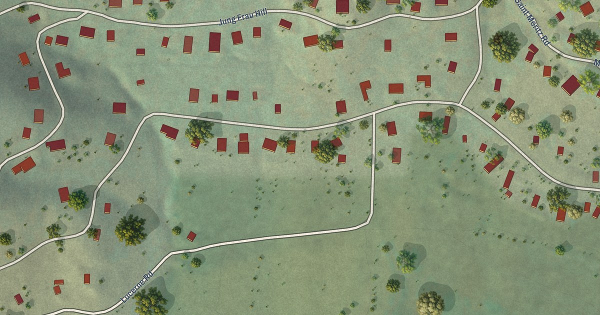
A detailed map of Interlaken, Utah, showing every building in its true location, the roads by name, and shaded topographical relief.
Read More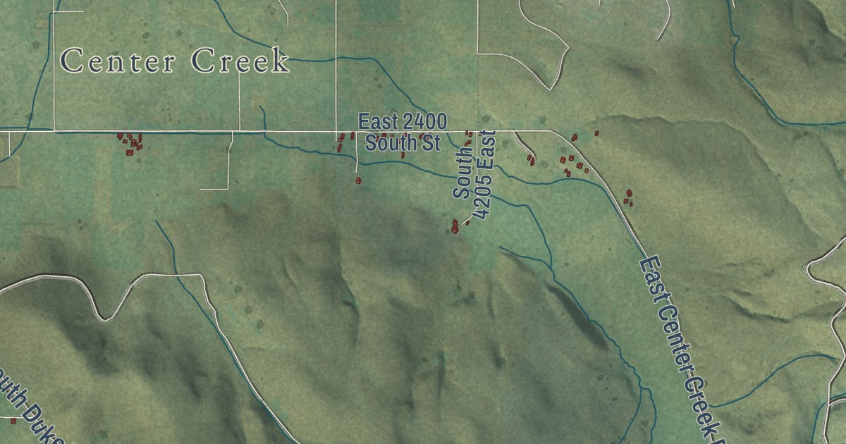
A detailed map of Independence, Utah, showing every building in its true location, the roads by name, and shaded topographical relief.
Read More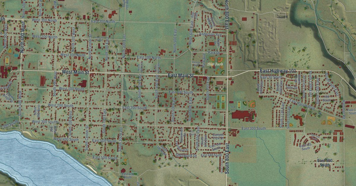
A detailed map of Hyrum, Utah, showing every building in its true location, the roads by name, and shaded topographical relief.
Read More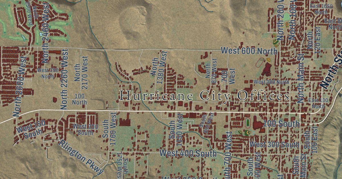
A detailed map of Hurricane, Utah, showing every building in its true location, the roads by name, and shaded topographical relief.
Read More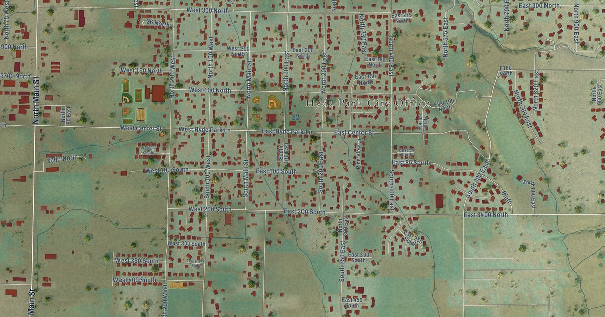
A detailed map of Hyde Park, Utah, showing every building in its true location, the roads by name, and shaded topographical relief.
Read More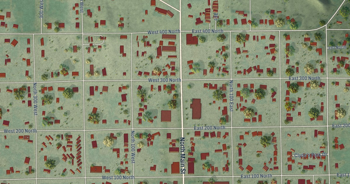
A detailed map of Huntington, Utah, showing every building in its true location, the roads by name, and shaded topographical relief.
Read More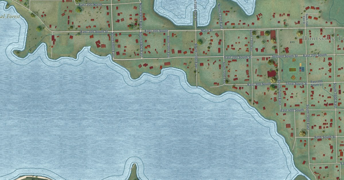
A detailed map of Huntsville, Utah, showing every building in its true location, the roads by name, and shaded topographical relief.
Read More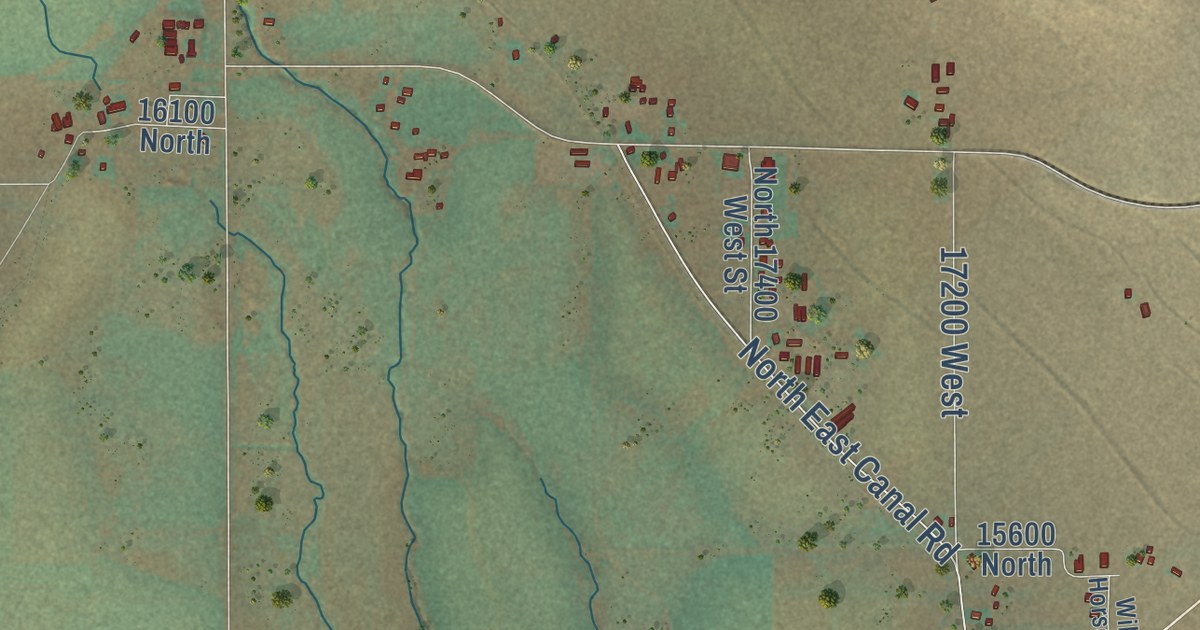
A detailed map of Howell, Utah, showing every building in its true location, the roads by name, and shaded topographical relief.
Read More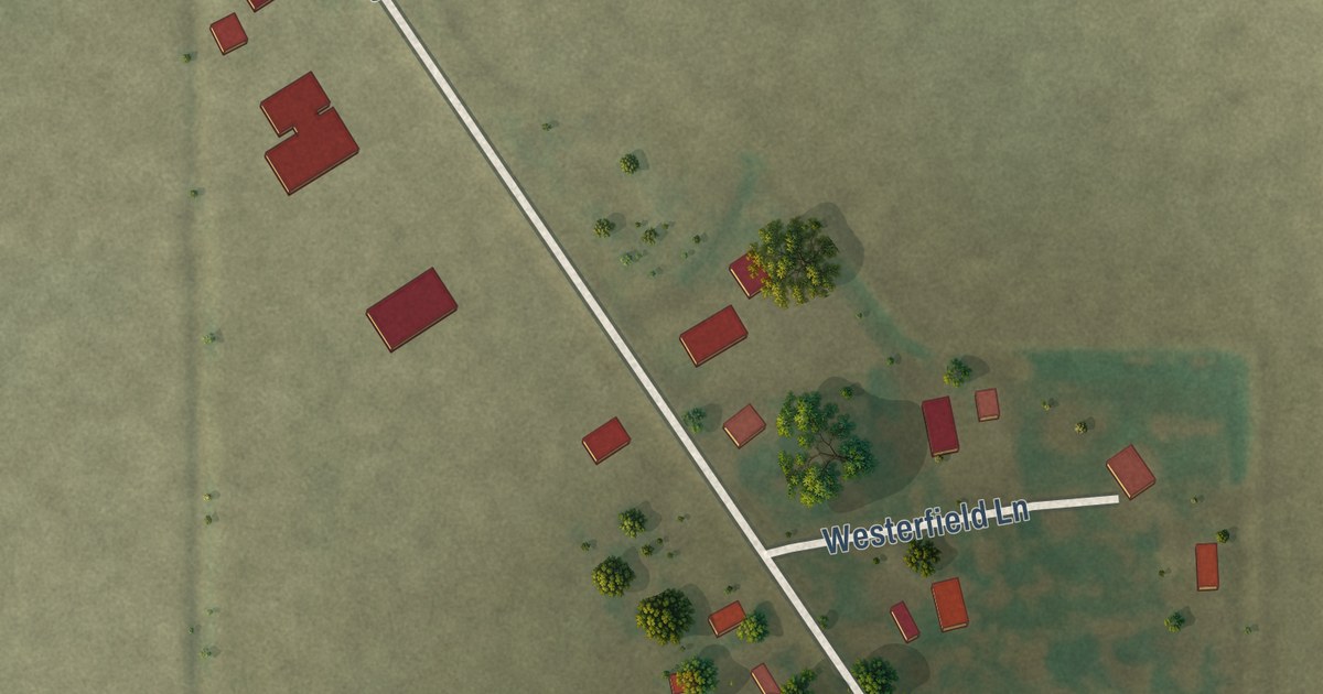
A detailed map of Rives, Missouri, showing every building in its true location, the roads by name, and shaded topographical relief.
Read More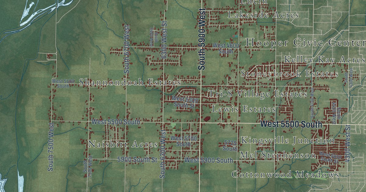
A detailed map of Hooper, Utah, showing every building in its true location, the roads by name, and shaded topographical relief.
Read More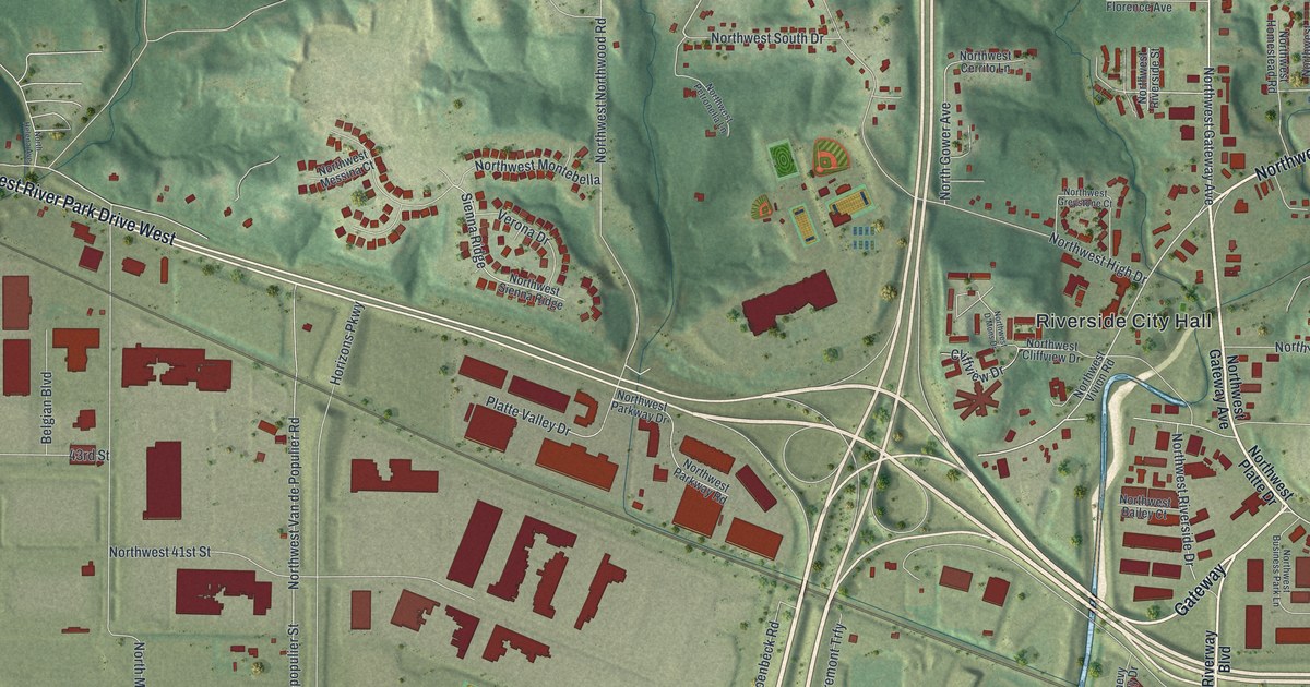
A detailed map of Riverside, Missouri, showing every building in its true location, the roads by name, and shaded topographical relief.
Read More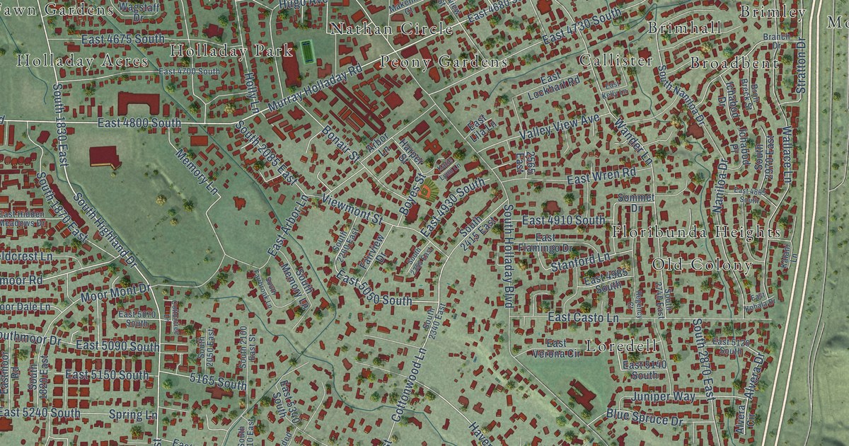
A detailed map of Holladay, Utah, showing every building in its true location, the roads by name, and shaded topographical relief.
Read More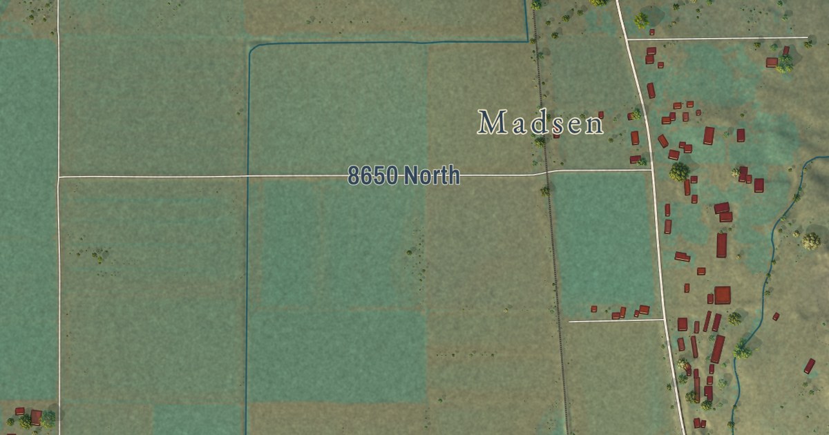
A detailed map of Honeyville, Utah, showing every building in its true location, the roads by name, and shaded topographical relief.
Read More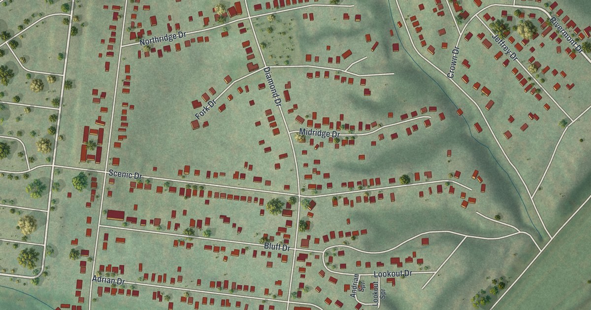
A detailed map of Riverview, Missouri, showing every building in its true location, the roads by name, and shaded topographical relief.
Read More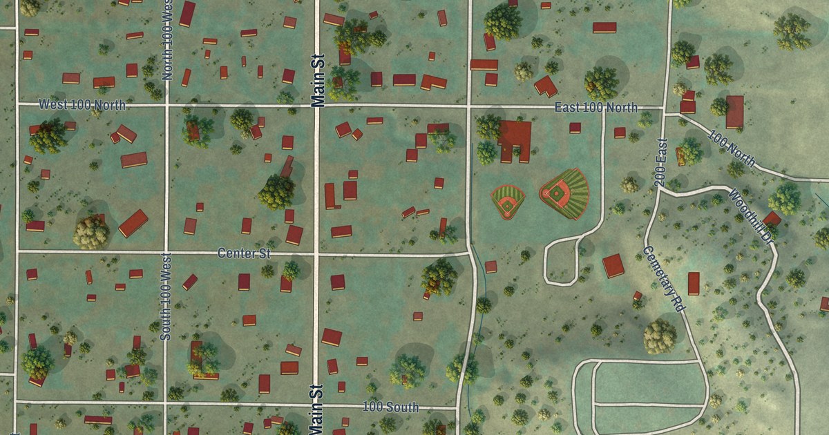
A detailed map of Holden, Utah, showing every building in its true location, the roads by name, and shaded topographical relief.
Read More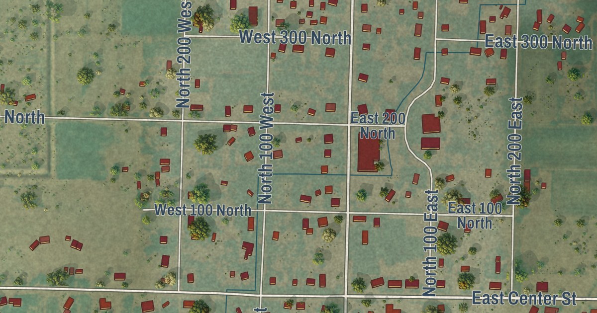
A detailed map of Hinckley, Utah, showing every building in its true location, the roads by name, and shaded topographical relief.
Read More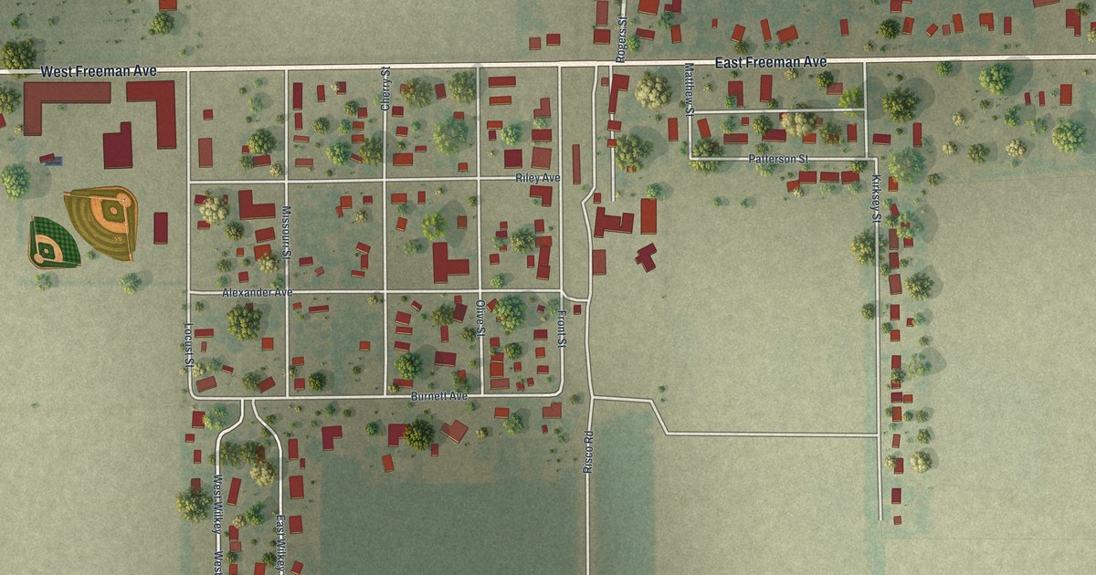
A detailed map of Risco, Missouri, showing every building in its true location, the roads by name, and shaded topographical relief.
Read More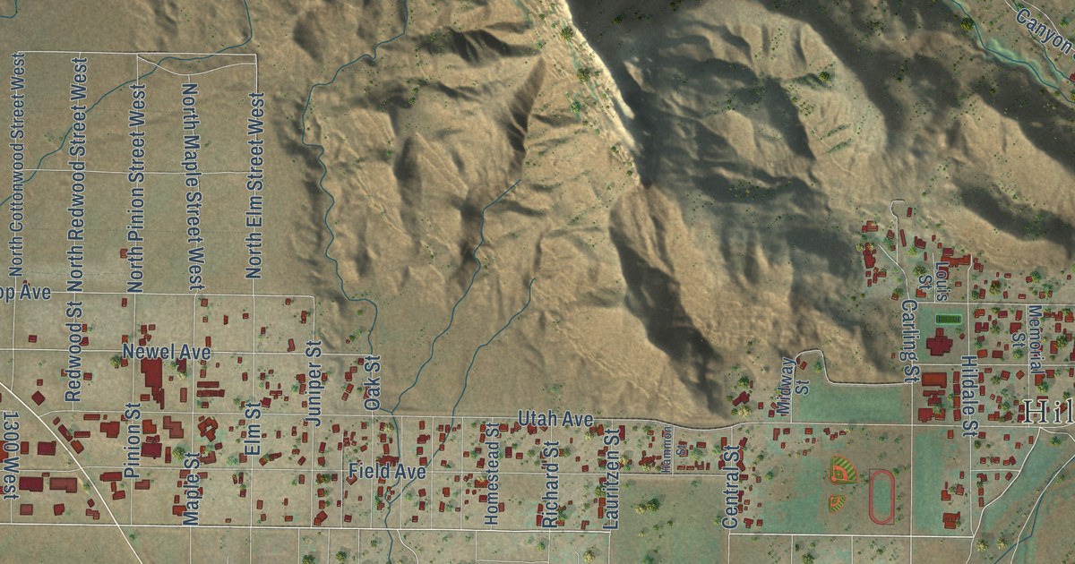
A detailed map of Hildale, Utah, showing every building in its true location, the roads by name, and shaded topographical relief.
Read More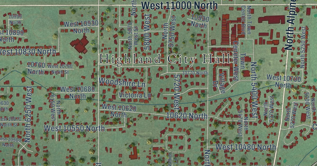
A detailed map of Highland, Utah, showing every building in its true location, the roads by name, and shaded topographical relief.
Read More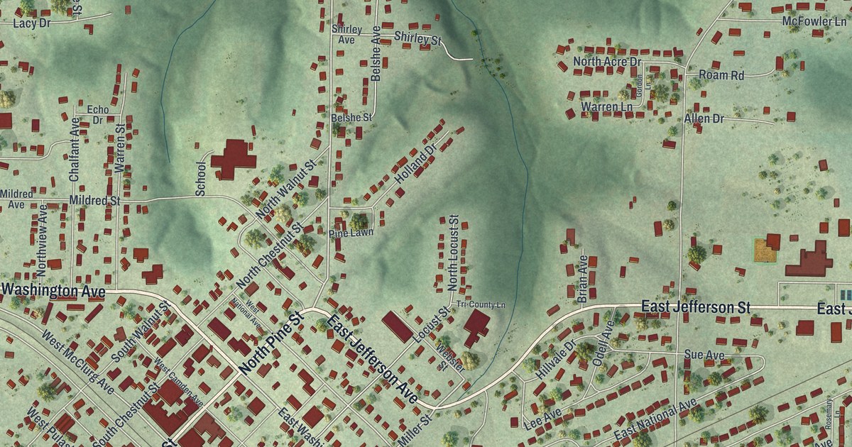
A detailed map of Richland, Missouri, showing every building in its true location, the roads by name, and shaded topographical relief.
Read More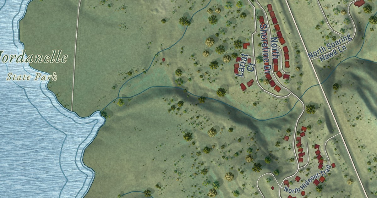
A detailed map of Hideout, Utah, showing every building in its true location, the roads by name, and shaded topographical relief.
Read More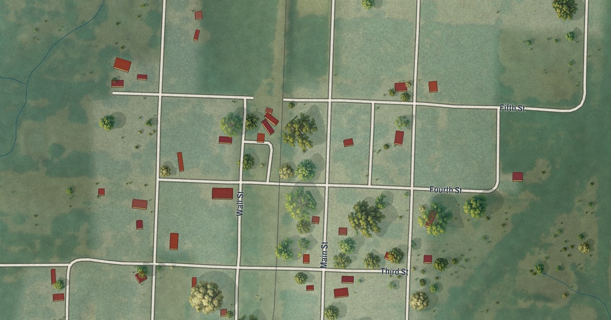
A detailed map of Richards, Missouri, showing every building in its true location, the roads by name, and shaded topographical relief.
Read More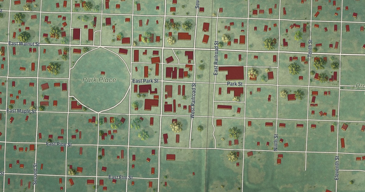
A detailed map of Rich Hill, Missouri, showing every building in its true location, the roads by name, and shaded topographical relief.
Read More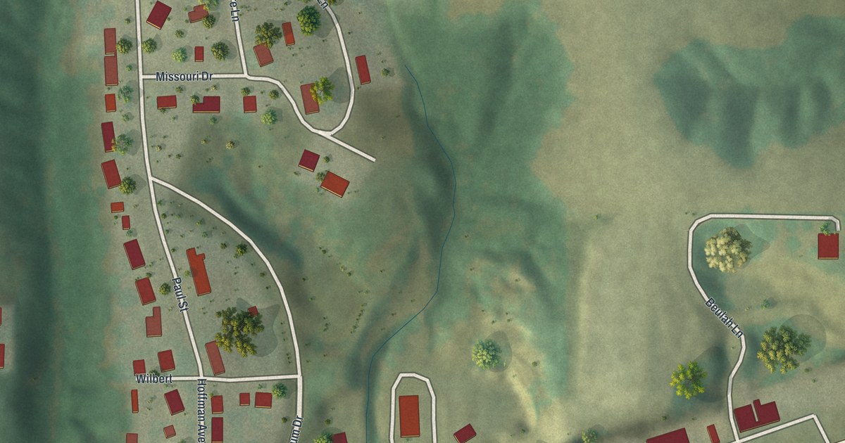
A detailed map of Rhineland, Missouri, showing every building in its true location, the roads by name, and shaded topographical relief.
Read More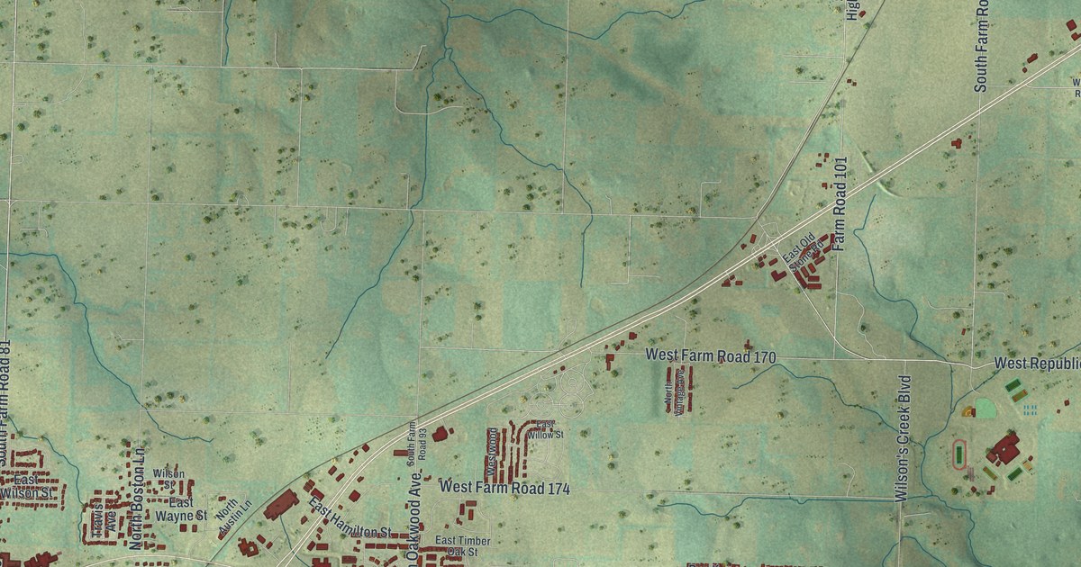
A detailed map of Republic, Missouri, showing every building in its true location, the roads by name, and shaded topographical relief.
Read More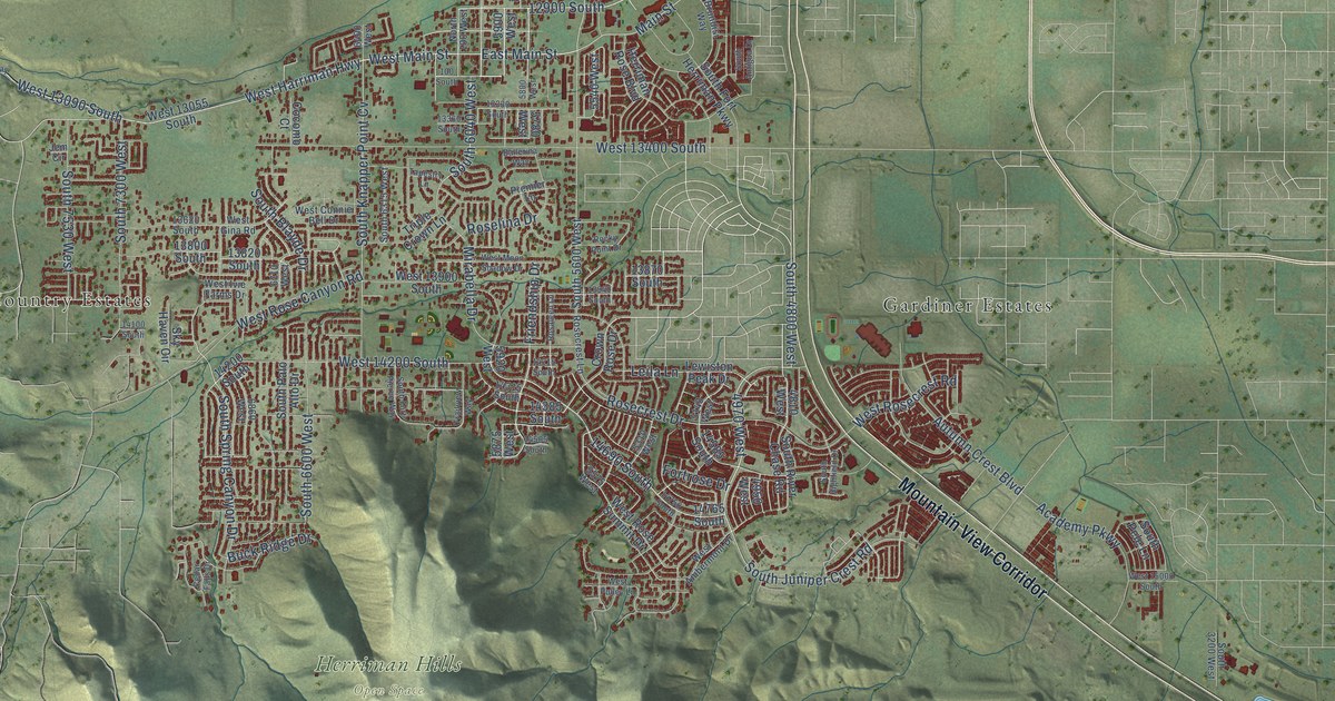
A detailed map of Herriman, Utah, showing every building in its true location, the roads by name, and shaded topographical relief.
Read More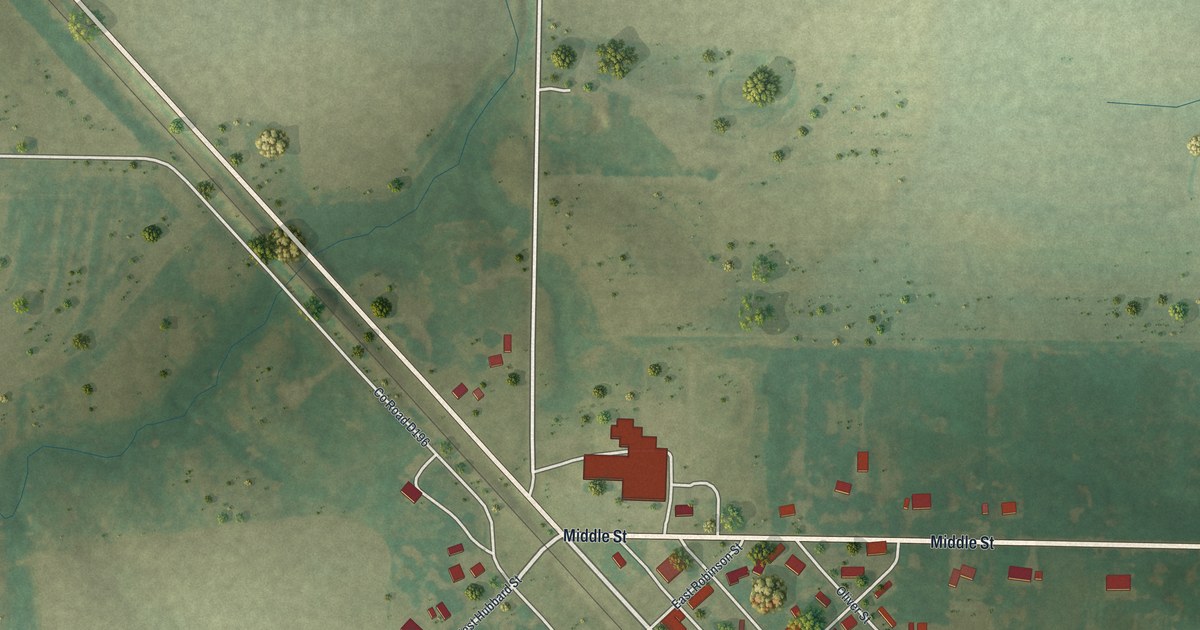
A detailed map of Renick, Missouri, showing every building in its true location, the roads by name, and shaded topographical relief.
Read More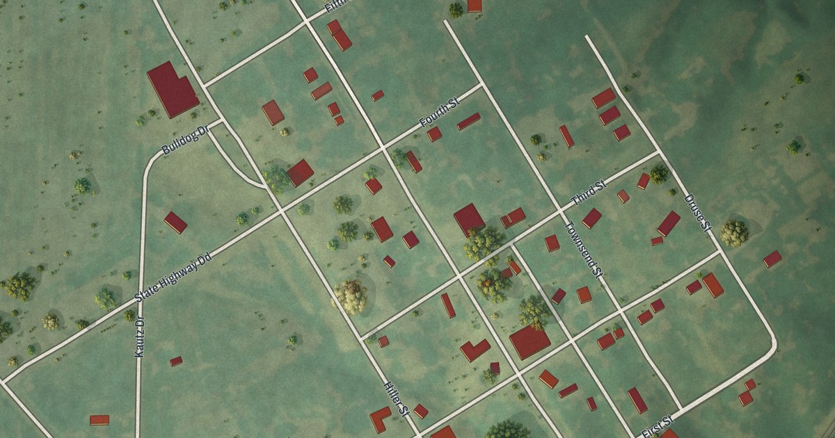
A detailed map of Revere, Missouri, showing every building in its true location, the roads by name, and shaded topographical relief.
Read More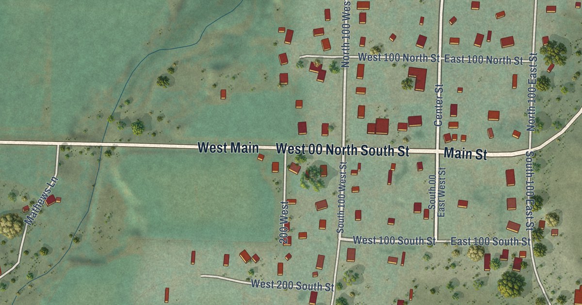
A detailed map of Henrieville, Utah, showing every building in its true location, the roads by name, and shaded topographical relief.
Read More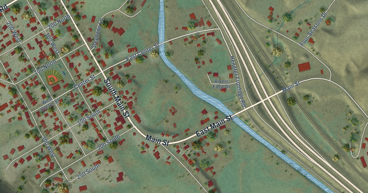
A detailed map of Henefer, Utah, showing every building in its true location, the roads by name, and shaded topographical relief.
Read More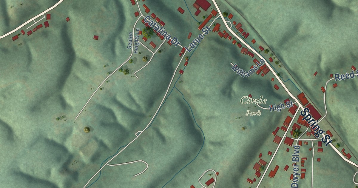
A detailed map of Reeds Spring, Missouri, showing every building in its true location, the roads by name, and shaded topographical relief.
Read More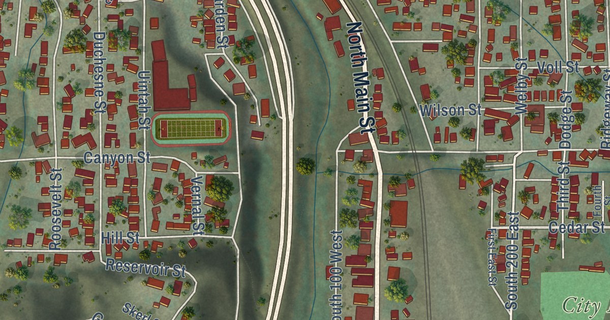
A detailed map of Helper, Utah, showing every building in its true location, the roads by name, and shaded topographical relief.
Read More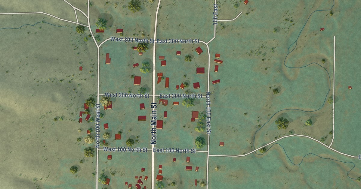
A detailed map of Hatch, Utah, showing every building in its true location, the roads by name, and shaded topographical relief.
Read More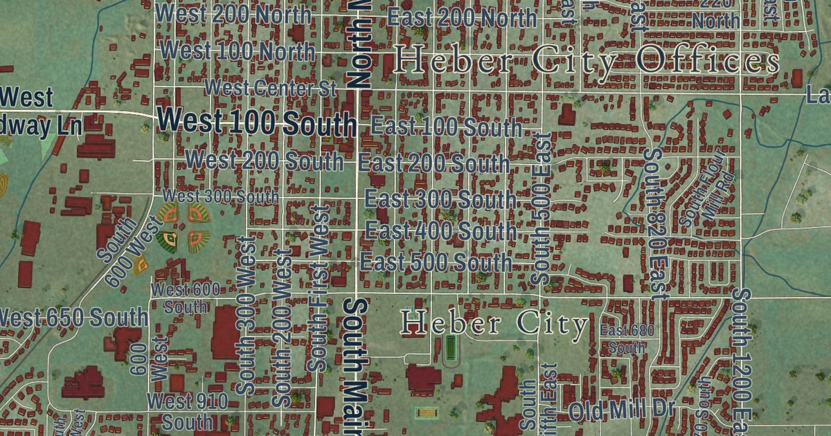
A detailed map of Heber, Utah, showing every building in its true location, the roads by name, and shaded topographical relief.
Read More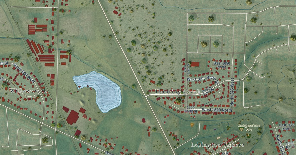
A detailed map of Harrisville, Utah, showing every building in its true location, the roads by name, and shaded topographical relief.
Read More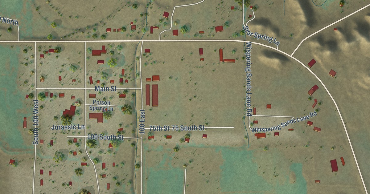
A detailed map of Hanksville, Utah, showing every building in its true location, the roads by name, and shaded topographical relief.
Read More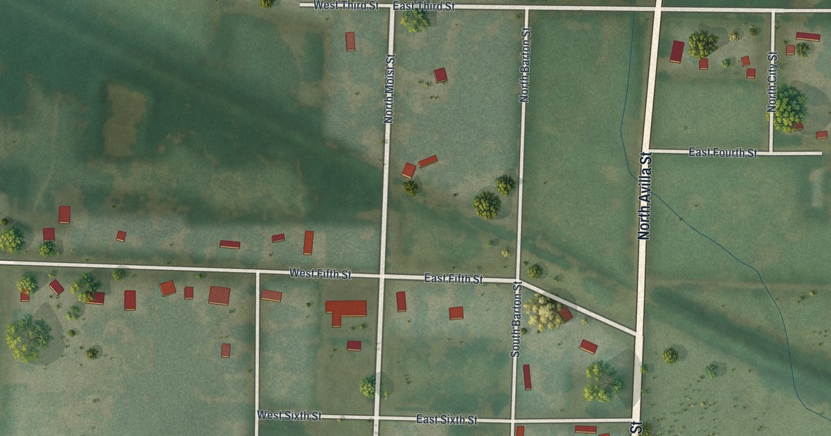
A detailed map of Reeds, Missouri, showing every building in its true location, the roads by name, and shaded topographical relief.
Read More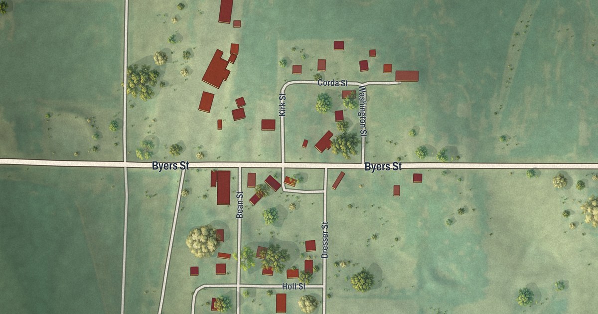
A detailed map of Rea, Missouri, showing every building in its true location, the roads by name, and shaded topographical relief.
Read More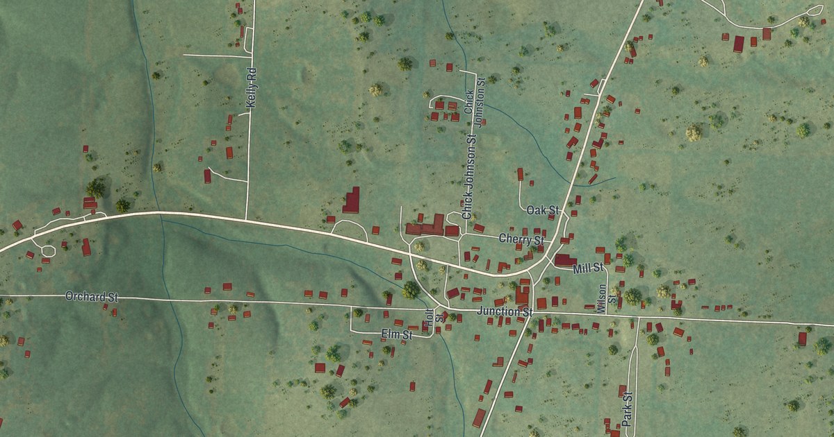
A detailed map of Raymondville, Missouri, showing every building in its true location, the roads by name, and shaded topographical relief.
Read More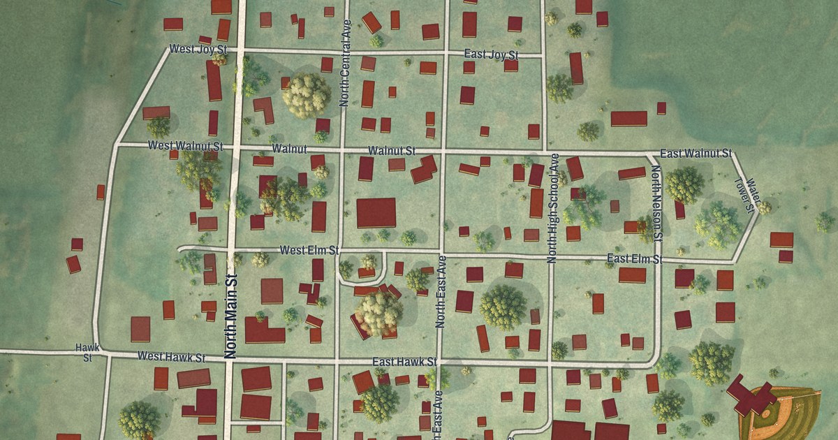
A detailed map of Ravenwood, Missouri, showing every building in its true location, the roads by name, and shaded topographical relief.
Read More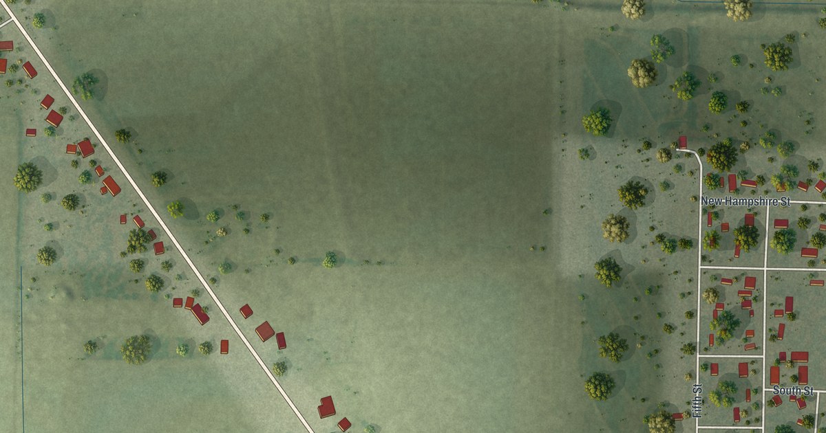
A detailed map of Qulin, Missouri, showing every building in its true location, the roads by name, and shaded topographical relief.
Read More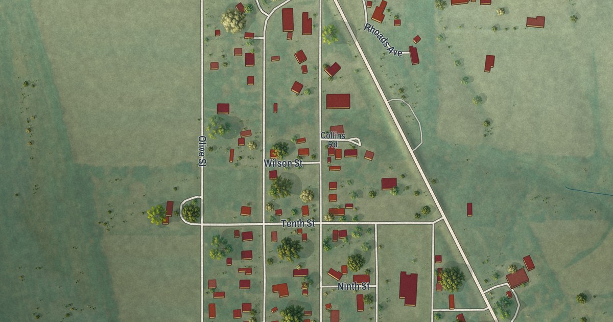
A detailed map of Queen City, Missouri, showing every building in its true location, the roads by name, and shaded topographical relief.
Read More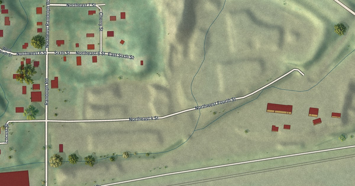
A detailed map of Randolph, Missouri, showing every building in its true location, the roads by name, and shaded topographical relief.
Read More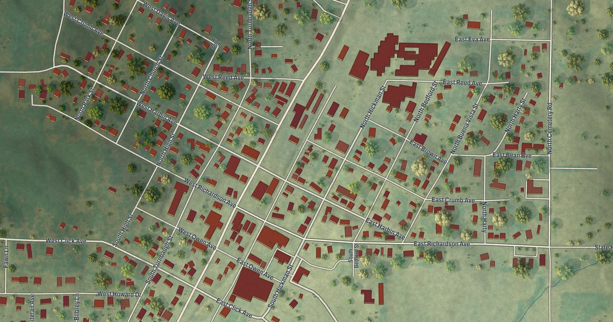
A detailed map of Puxico, Missouri, showing every building in its true location, the roads by name, and shaded topographical relief.
Read More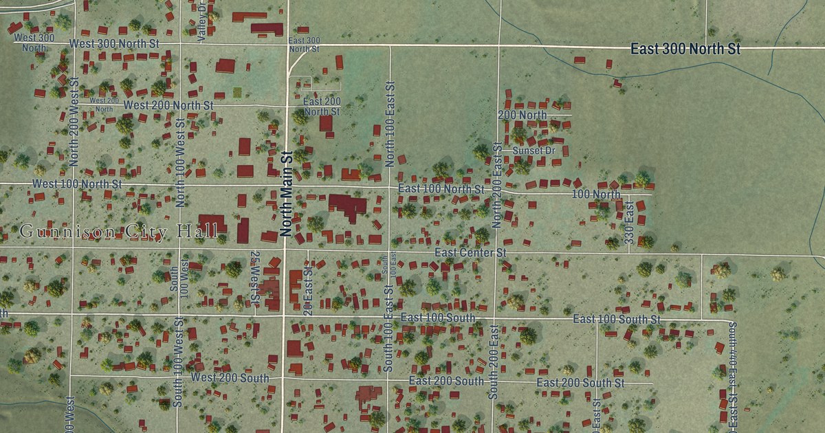
A detailed map of Gunnison, Utah, showing every building in its true location, the roads by name, and shaded topographical relief.
Read More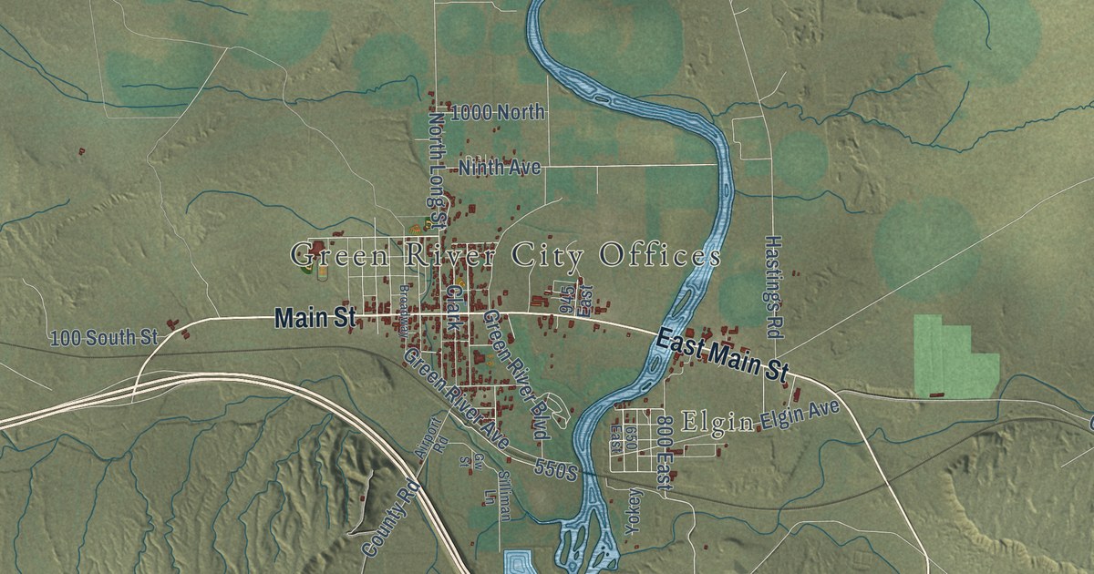
A detailed map of Green River, Utah, showing every building in its true location, the roads by name, and shaded topographical relief.
Read More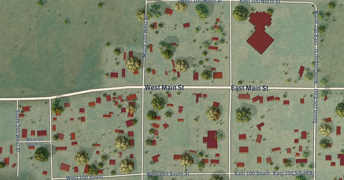
A detailed map of Goshen, Utah, showing every building in its true location, the roads by name, and shaded topographical relief.
Read More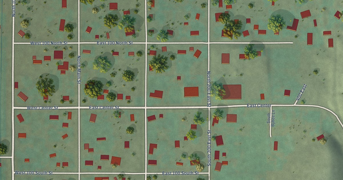
A detailed map of Glenwood, Utah, showing every building in its true location, the roads by name, and shaded topographical relief.
Read More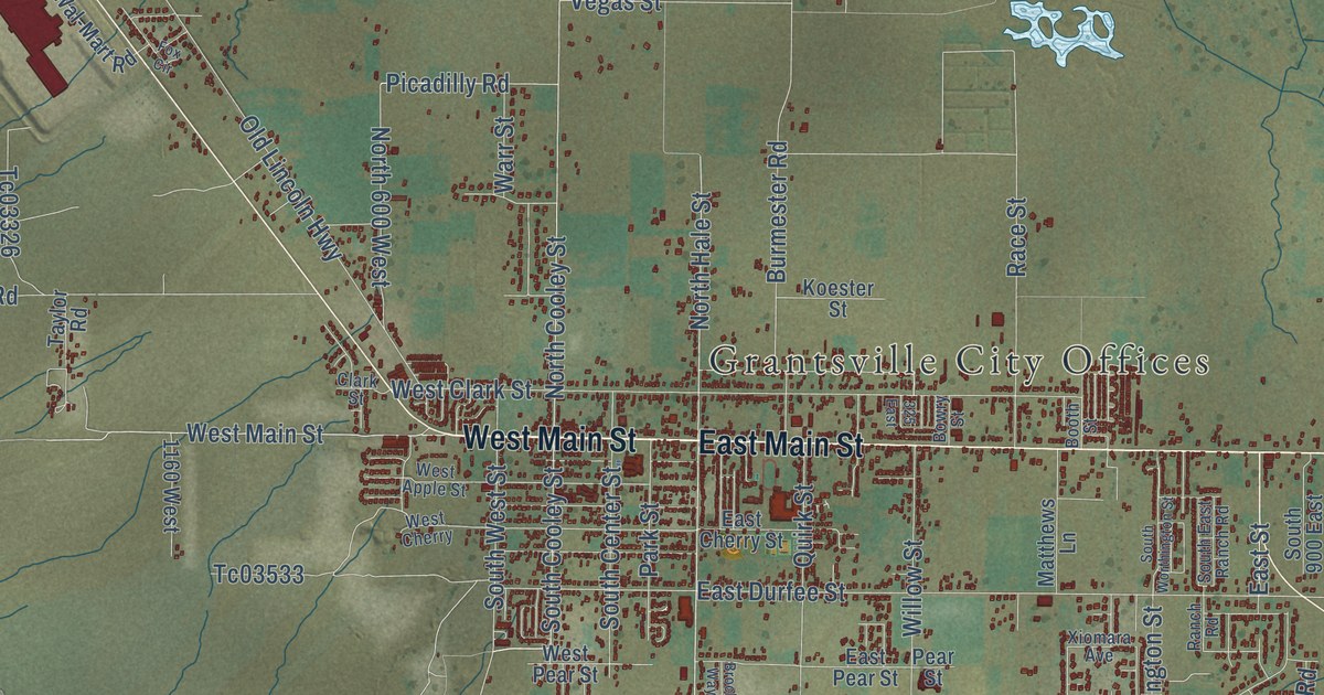
A detailed map of Grantsville, Utah, showing every building in its true location, the roads by name, and shaded topographical relief.
Read More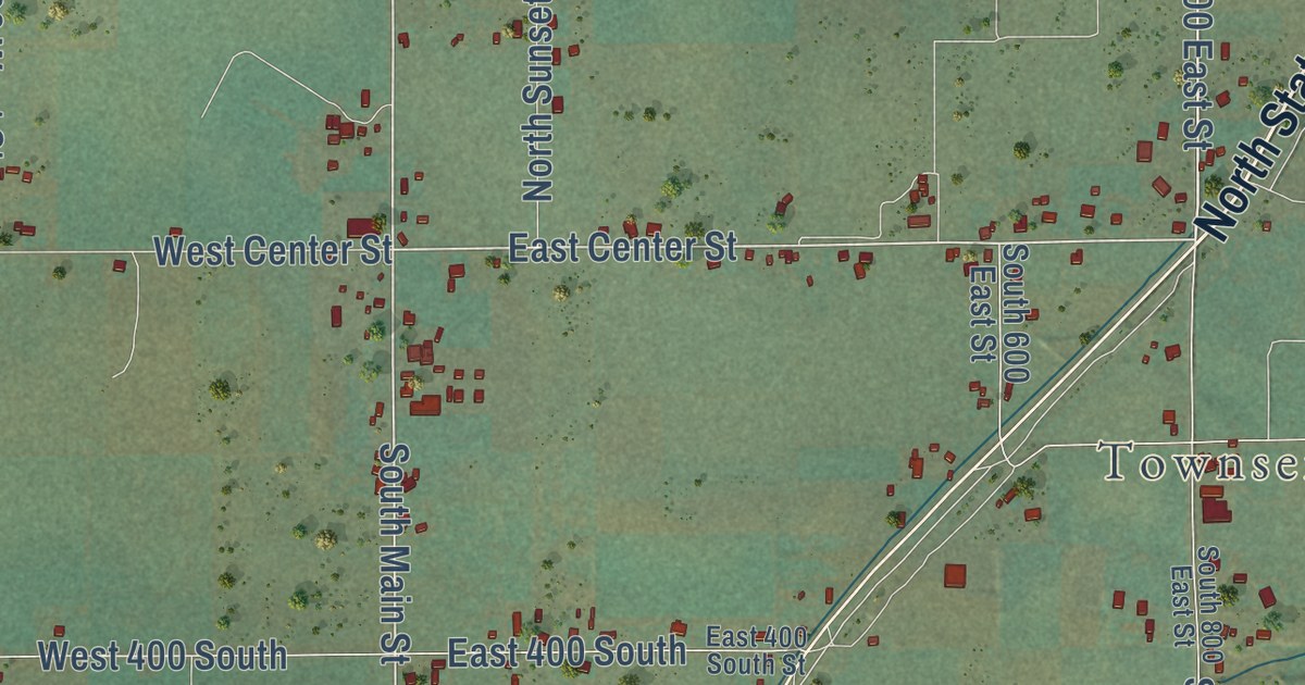
A detailed map of Genola, Utah, showing every building in its true location, the roads by name, and shaded topographical relief.
Read More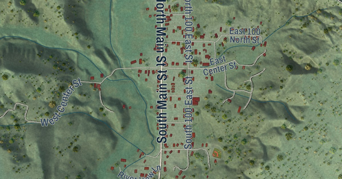
A detailed map of Glendale, Utah, showing every building in its true location, the roads by name, and shaded topographical relief.
Read More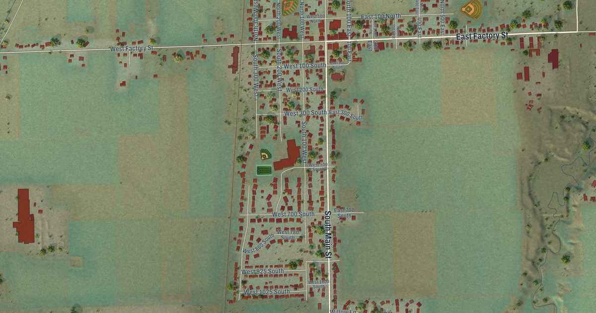
A detailed map of Garland, Utah, showing every building in its true location, the roads by name, and shaded topographical relief.
Read More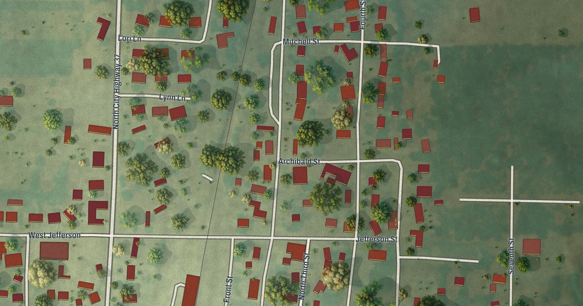
A detailed map of Purdy, Missouri, showing every building in its true location, the roads by name, and shaded topographical relief.
Read More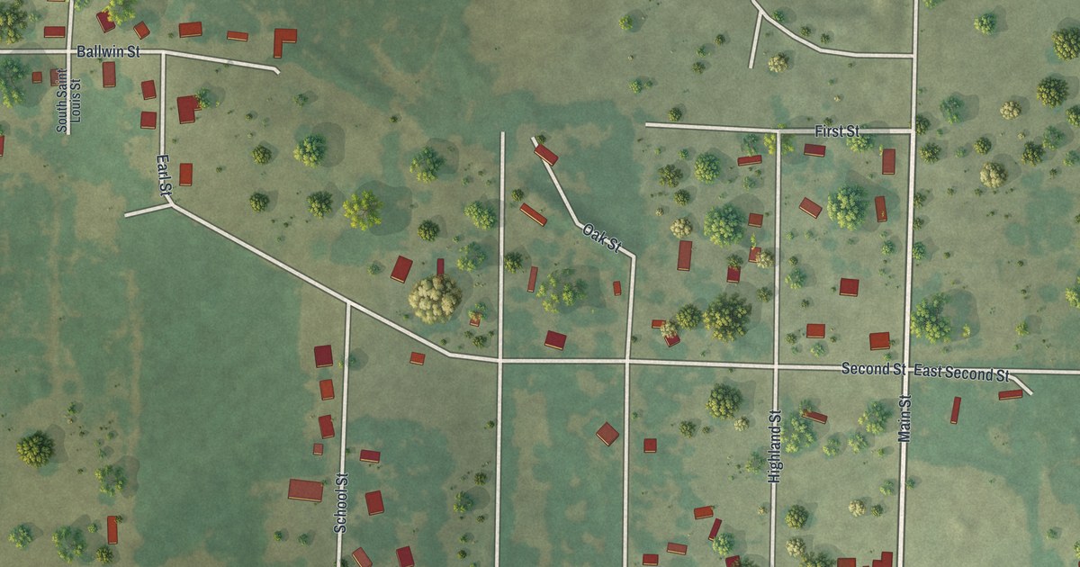
A detailed map of Purcell, Missouri, showing every building in its true location, the roads by name, and shaded topographical relief.
Read More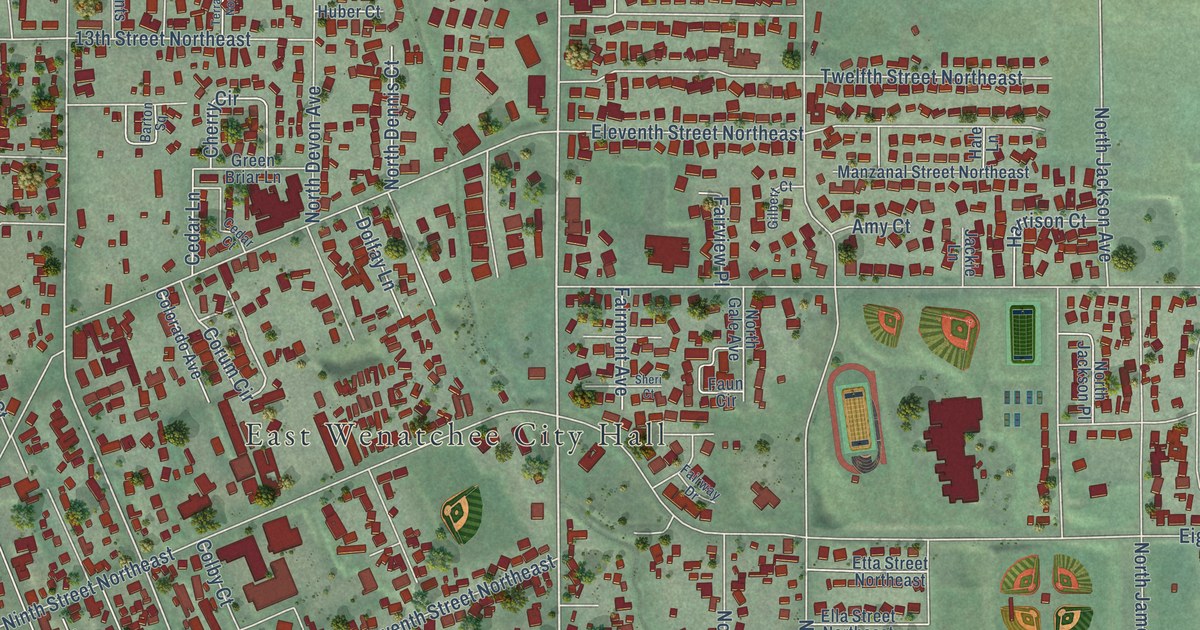
A detailed map of East Wenatchee, Washington, showing every building in its true location, the roads by name, and shaded topographical relief.
Read More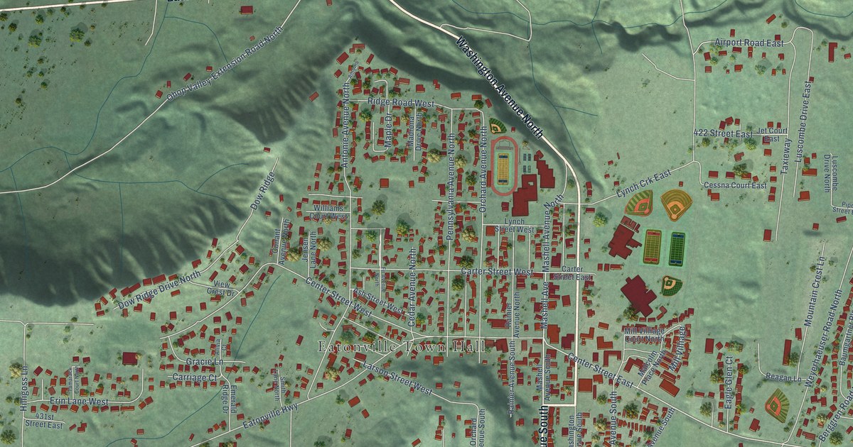
A detailed map of Eatonville, Washington, showing every building in its true location, the roads by name, and shaded topographical relief.
Read More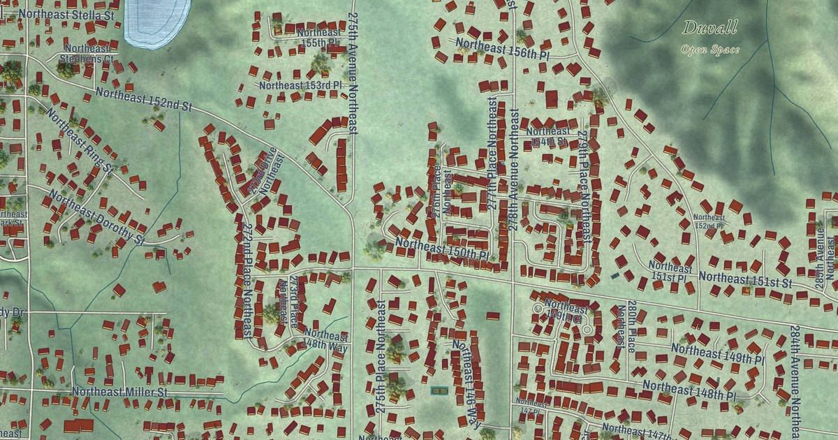
A detailed map of Duvall, Washington, showing every building in its true location, the roads by name, and shaded topographical relief.
Read More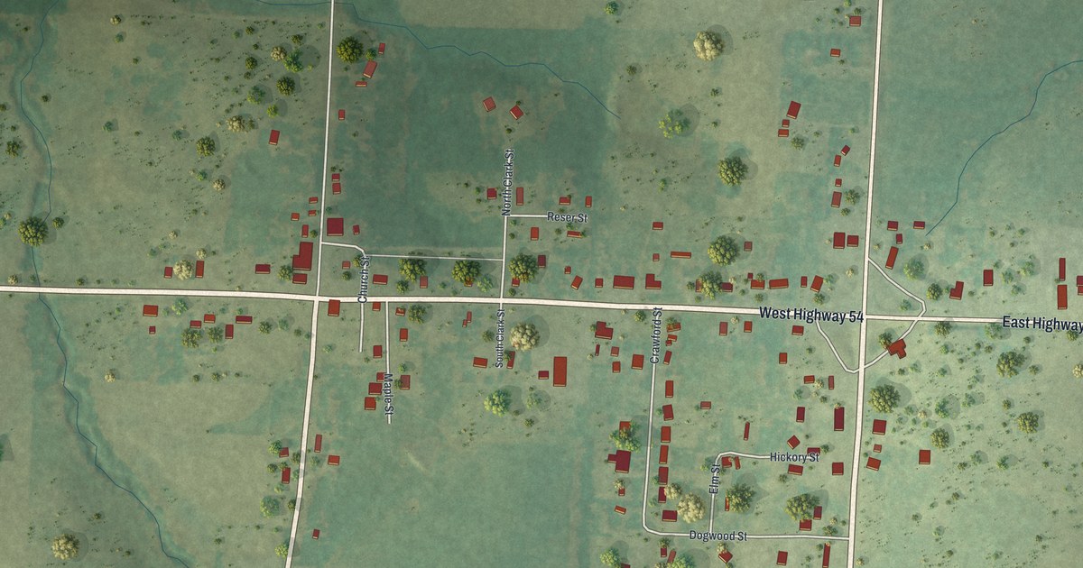
A detailed map of Preston, Missouri, showing every building in its true location, the roads by name, and shaded topographical relief.
Read More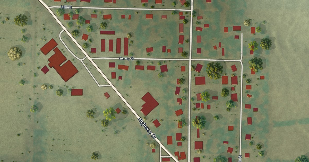
A detailed map of Prairie Home, Missouri, showing every building in its true location, the roads by name, and shaded topographical relief.
Read More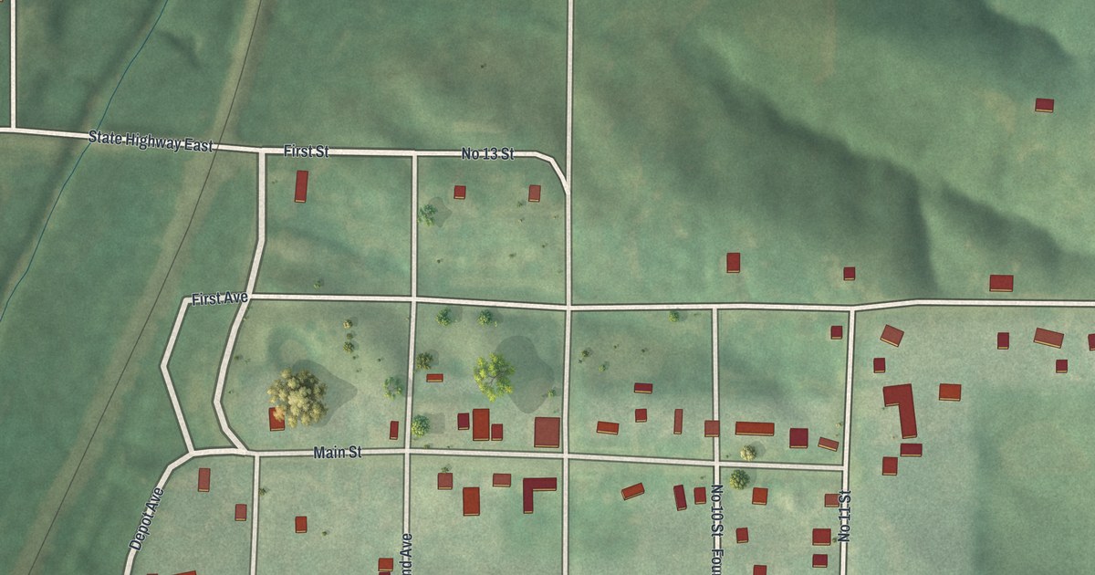
A detailed map of Powersville, Missouri, showing every building in its true location, the roads by name, and shaded topographical relief.
Read More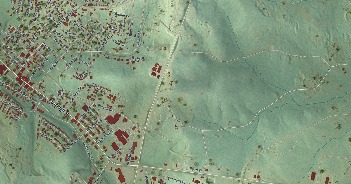
A detailed map of Potosi, Missouri, showing every building in its true location, the roads by name, and shaded topographical relief.
Read More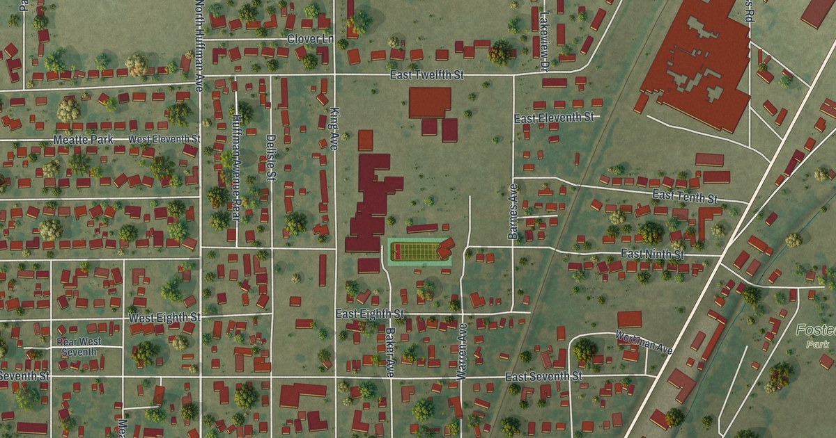
A detailed map of Portageville, Missouri, showing every building in its true location, the roads by name, and shaded topographical relief.
Read More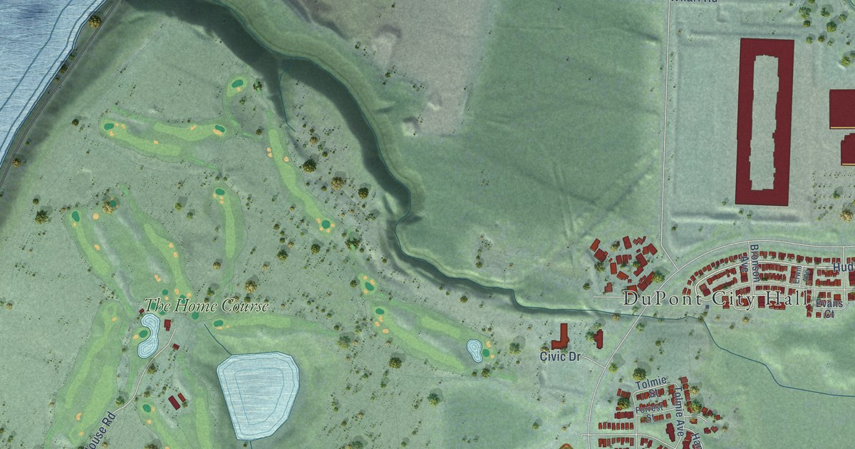
A detailed map of DuPont, Washington, showing every building in its true location, the roads by name, and shaded topographical relief.
Read More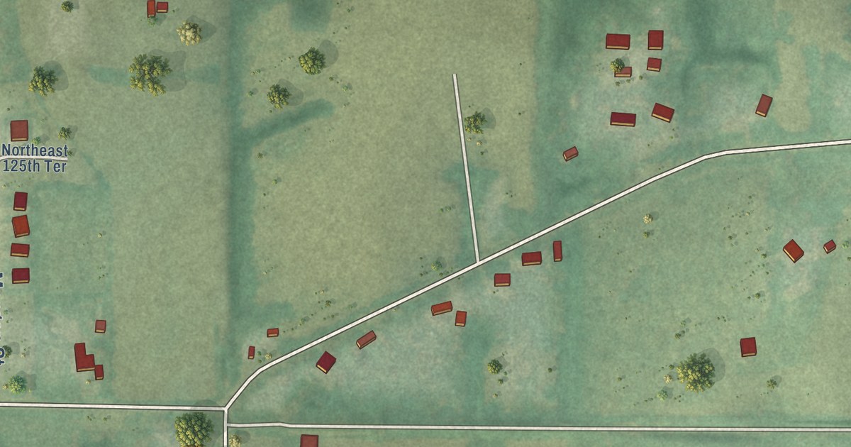
A detailed map of Prathersville, Missouri, showing every building in its true location, the roads by name, and shaded topographical relief.
Read More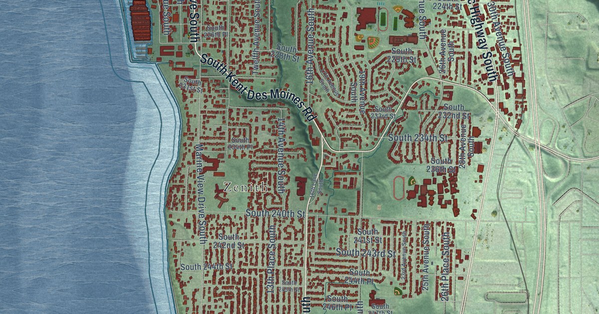
A detailed map of Des Moines, Washington, showing every building in its true location, the roads by name, and shaded topographical relief.
Read More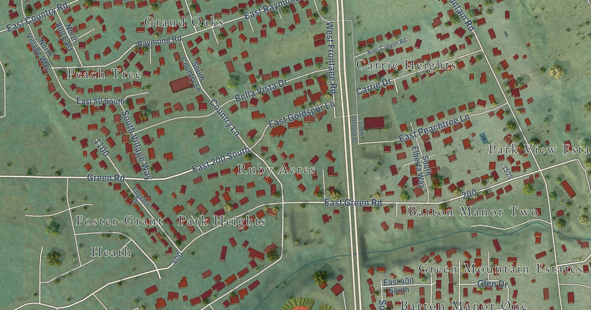
A detailed map of Fruit Heights, Utah, showing every building in its true location, the roads by name, and shaded topographical relief.
Read More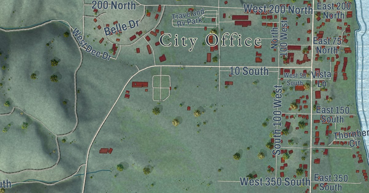
A detailed map of Garden City, Utah, showing every building in its true location, the roads by name, and shaded topographical relief.
Read More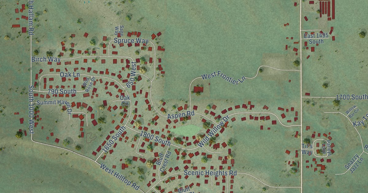
A detailed map of Francis, Utah, showing every building in its true location, the roads by name, and shaded topographical relief.
Read More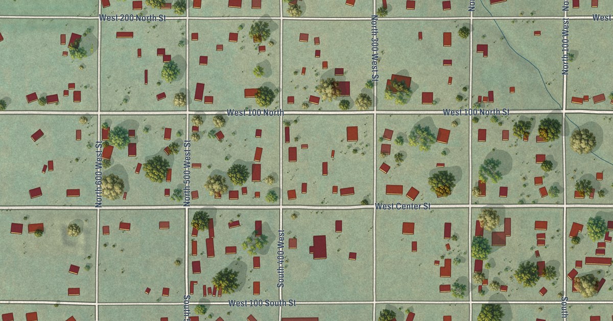
A detailed map of Fountain Green, Utah, showing every building in its true location, the roads by name, and shaded topographical relief.
Read More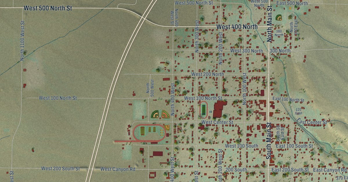
A detailed map of Fillmore, Utah, showing every building in its true location, the roads by name, and shaded topographical relief.
Read More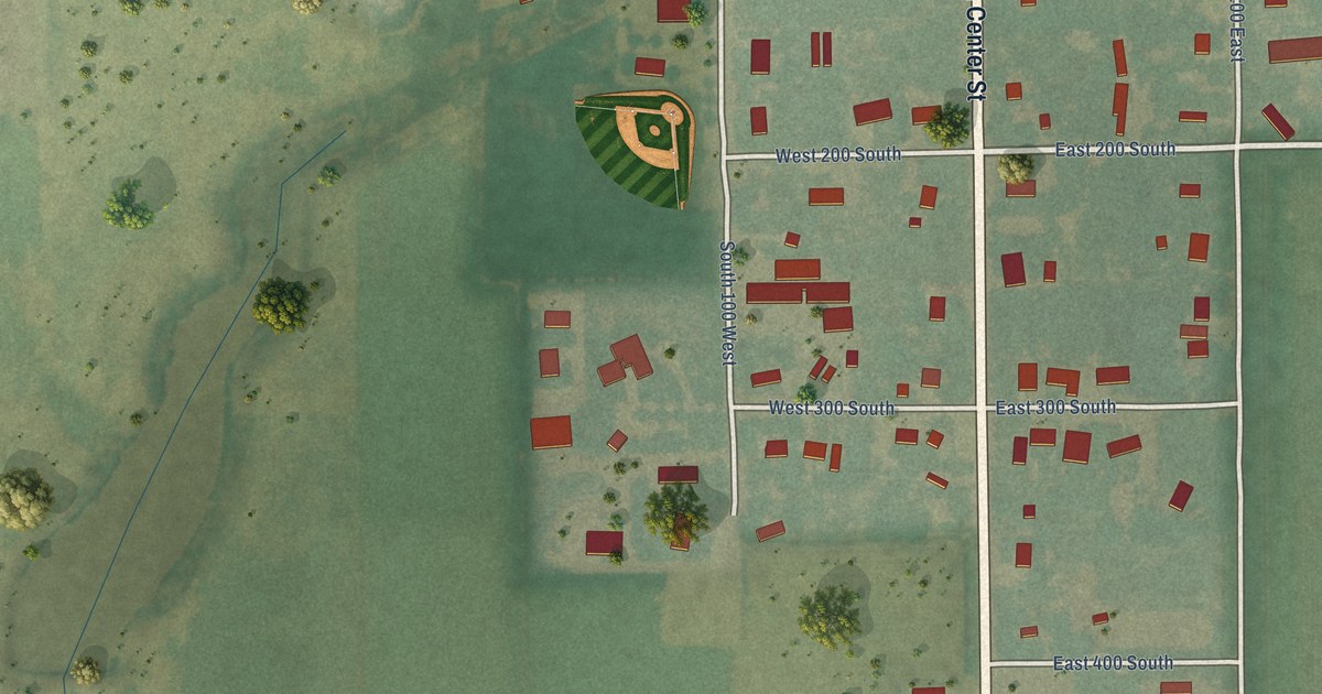
A detailed map of Fielding, Utah, showing every building in its true location, the roads by name, and shaded topographical relief.
Read More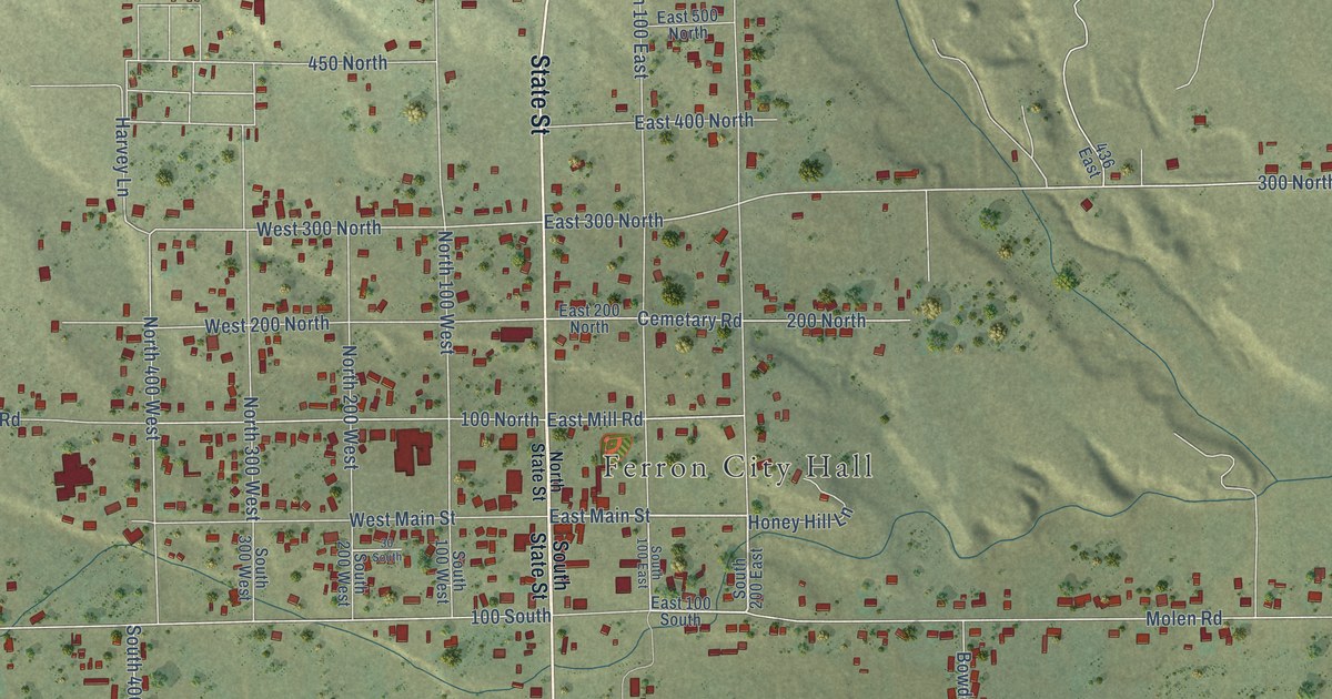
A detailed map of Ferron, Utah, showing every building in its true location, the roads by name, and shaded topographical relief.
Read More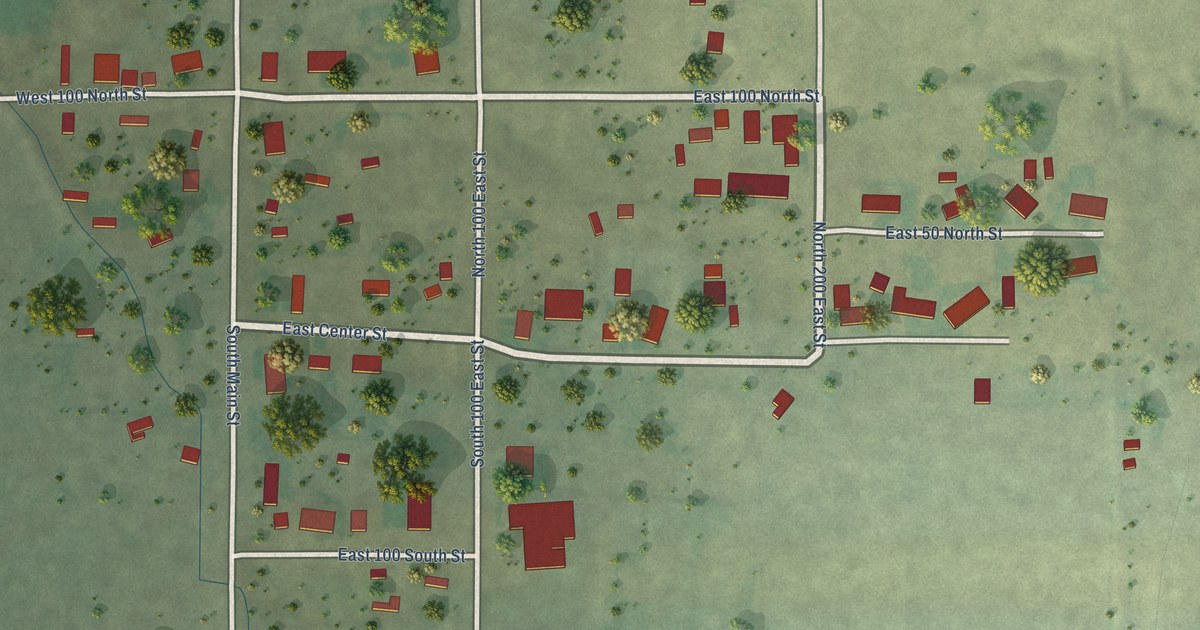
A detailed map of Fayette, Utah, showing every building in its true location, the roads by name, and shaded topographical relief.
Read More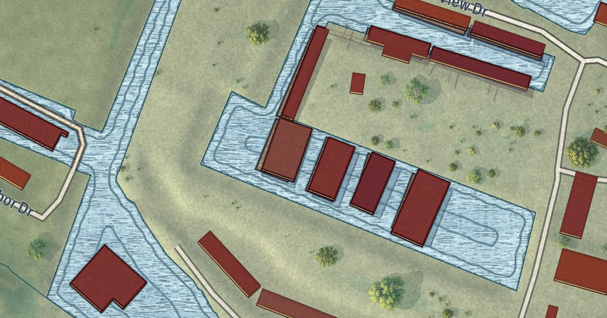
A detailed map of Portage Des Sioux, Missouri, showing every building in its true location, the roads by name, and shaded topographical relief.
Read More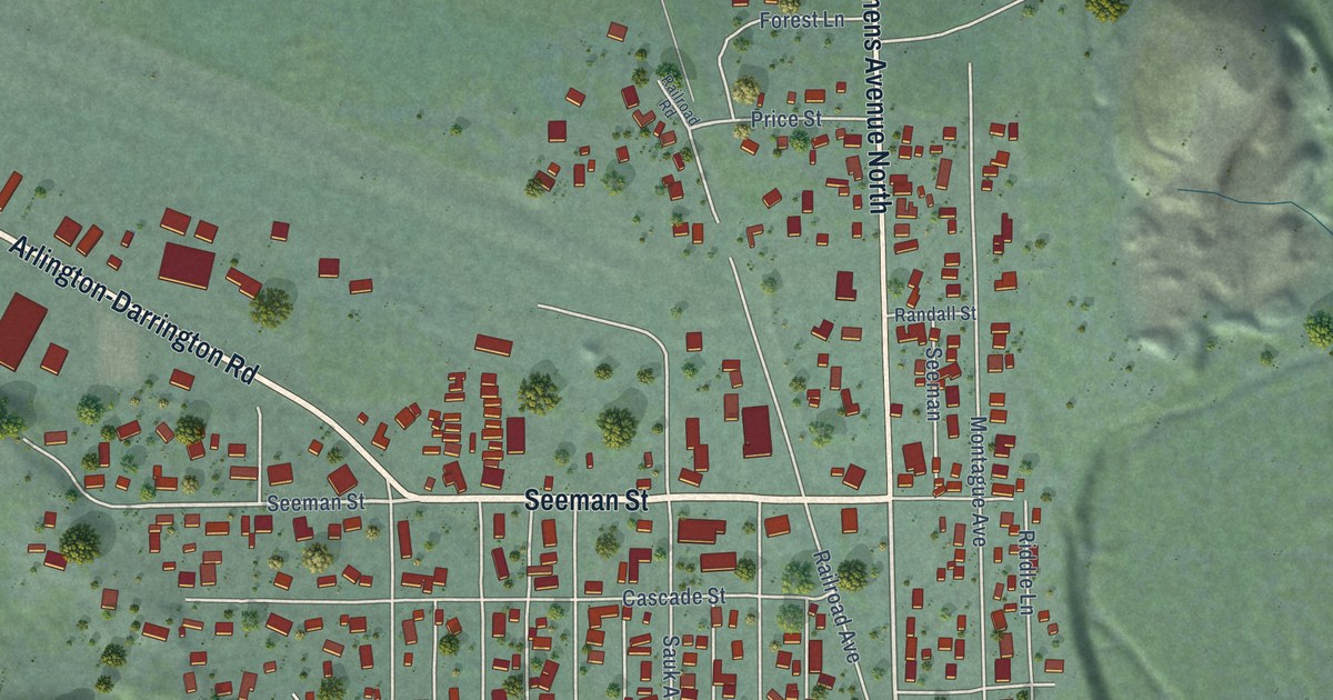
A detailed map of Darrington, Washington, showing every building in its true location, the roads by name, and shaded topographical relief.
Read More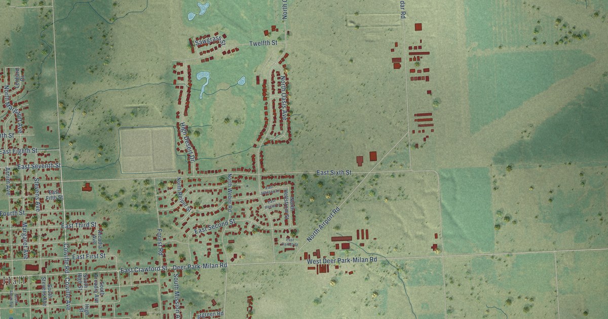
A detailed map of Deer Park, Washington, showing every building in its true location, the roads by name, and shaded topographical relief.
Read More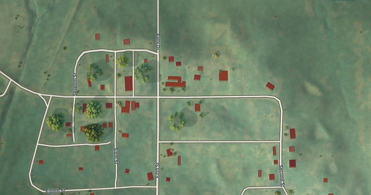
A detailed map of Pollock, Missouri, showing every building in its true location, the roads by name, and shaded topographical relief.
Read More















