Detailed Map of Spickard, Missouri
A detailed map of Spickard, Missouri, showing every building in its true location, the roads by name, and shaded topographical relief.
Read More
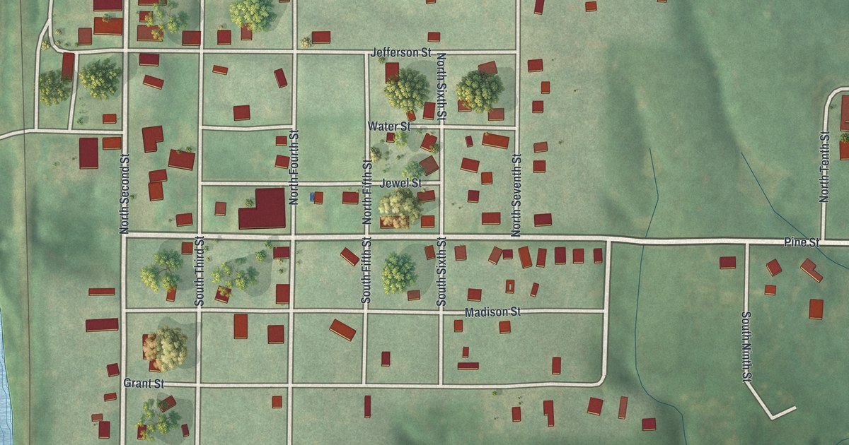
A detailed map of Spickard, Missouri, showing every building in its true location, the roads by name, and shaded topographical relief.
Read More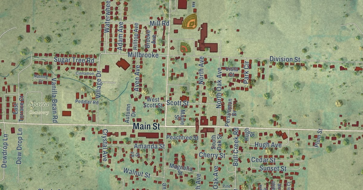
A detailed map of Sparta, Missouri, showing every building in its true location, the roads by name, and shaded topographical relief.
Read More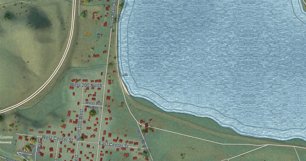
A detailed map of Mantua, Utah, showing every building in its true location, the roads by name, and shaded topographical relief.
Read More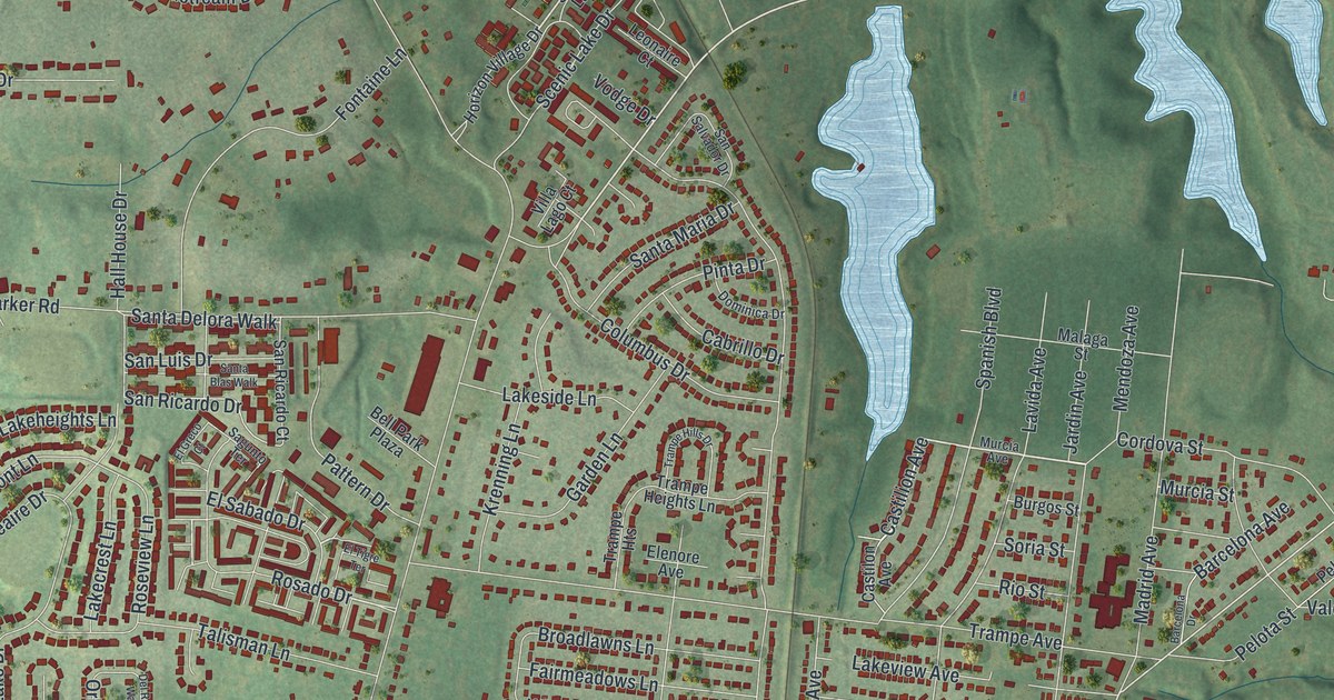
A detailed map of Spanish Lake, Missouri, showing every building in its true location, the roads by name, and shaded topographical relief.
Read More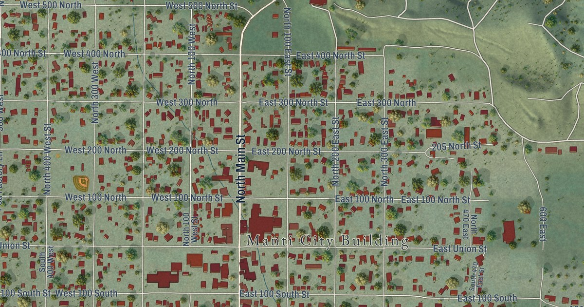
A detailed map of Manti, Utah, showing every building in its true location, the roads by name, and shaded topographical relief.
Read More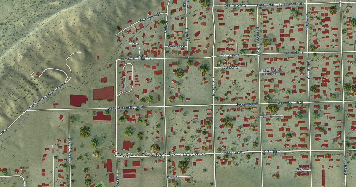
A detailed map of Manila, Utah, showing every building in its true location, the roads by name, and shaded topographical relief.
Read More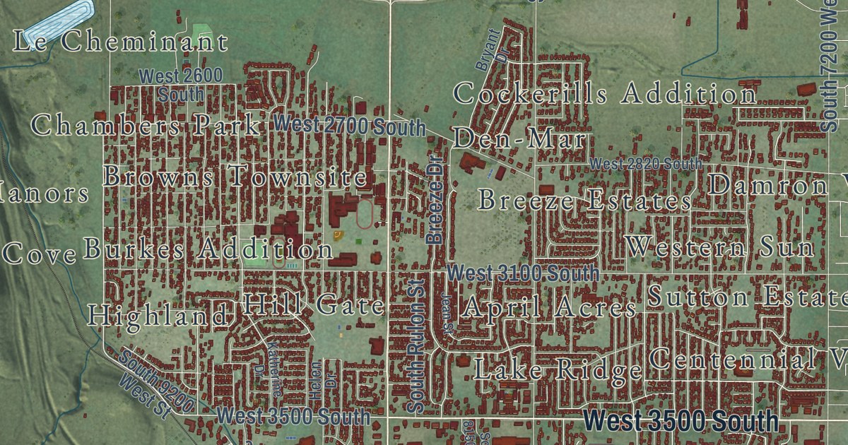
A detailed map of Magna, Utah, showing every building in its true location, the roads by name, and shaded topographical relief.
Read More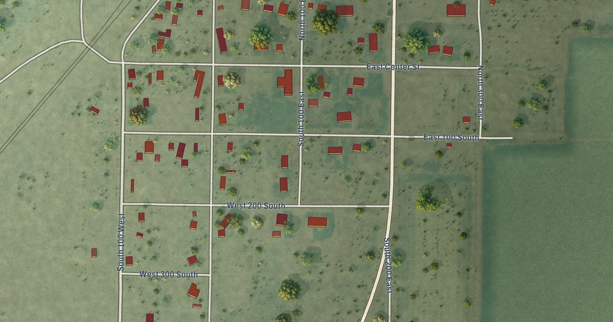
A detailed map of Lynndyl, Utah, showing every building in its true location, the roads by name, and shaded topographical relief.
Read More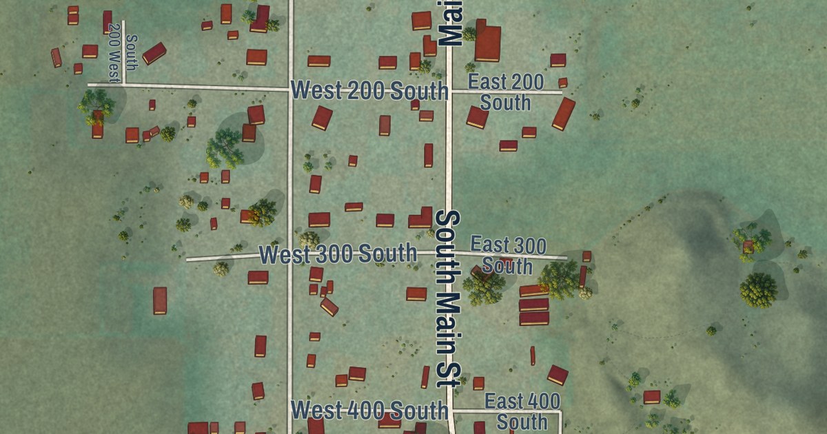
A detailed map of Lyman, Utah, showing every building in its true location, the roads by name, and shaded topographical relief.
Read More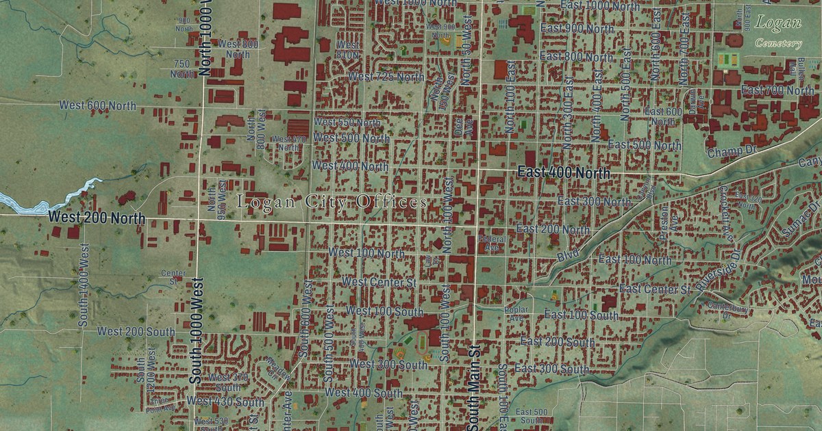
A detailed map of Logan, Utah, showing every building in its true location, the roads by name, and shaded topographical relief.
Read More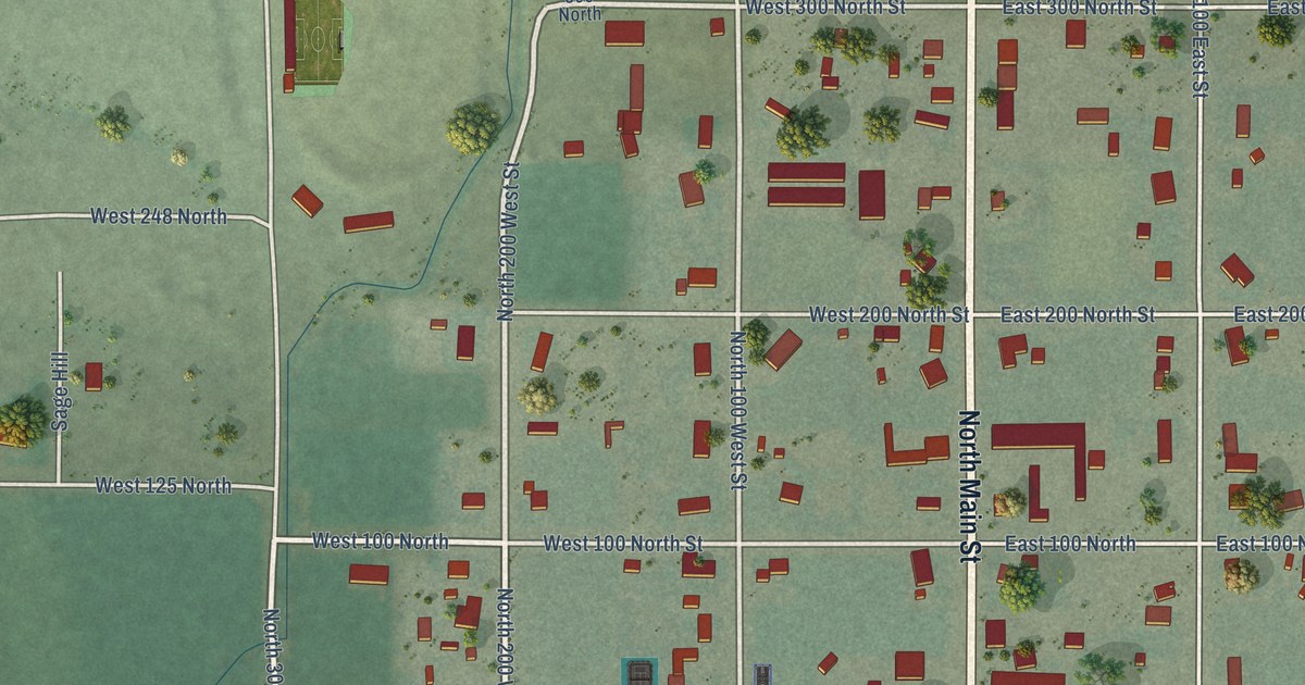
A detailed map of Loa, Utah, showing every building in its true location, the roads by name, and shaded topographical relief.
Read More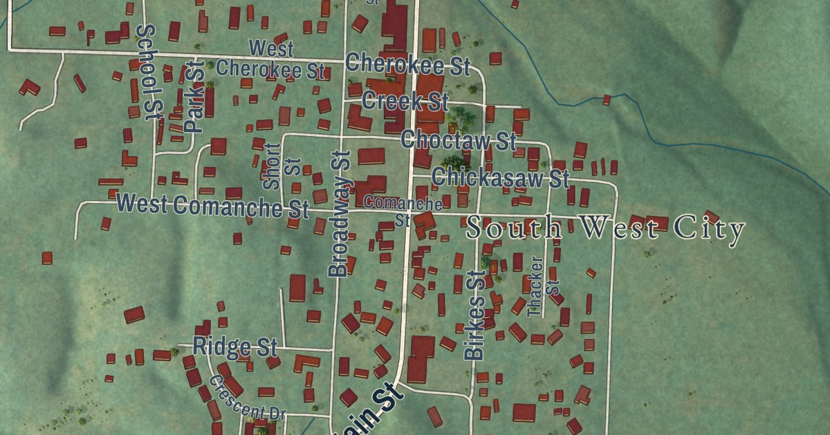
A detailed map of Southwest City, Missouri, showing every building in its true location, the roads by name, and shaded topographical relief.
Read More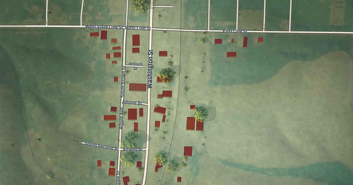
A detailed map of South Lineville, Missouri, showing every building in its true location, the roads by name, and shaded topographical relief.
Read More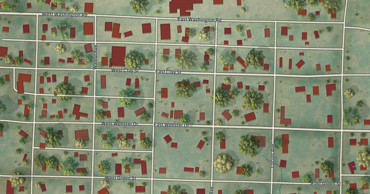
A detailed map of Smithton, Missouri, showing every building in its true location, the roads by name, and shaded topographical relief.
Read More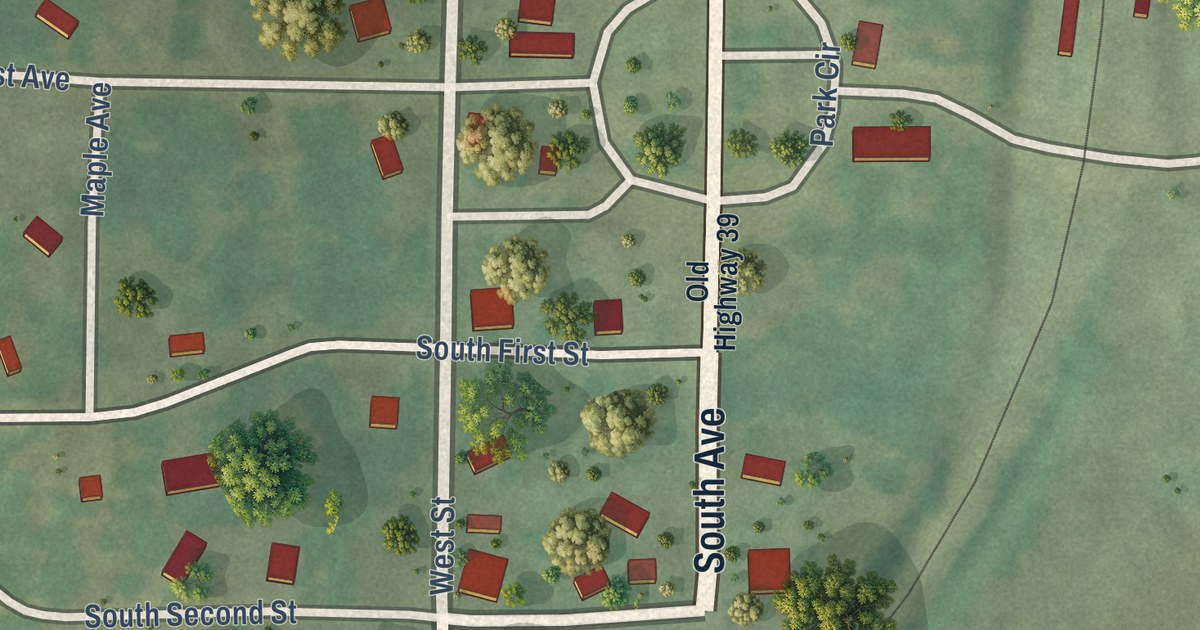
A detailed map of South Greenfield, Missouri, showing every building in its true location, the roads by name, and shaded topographical relief.
Read More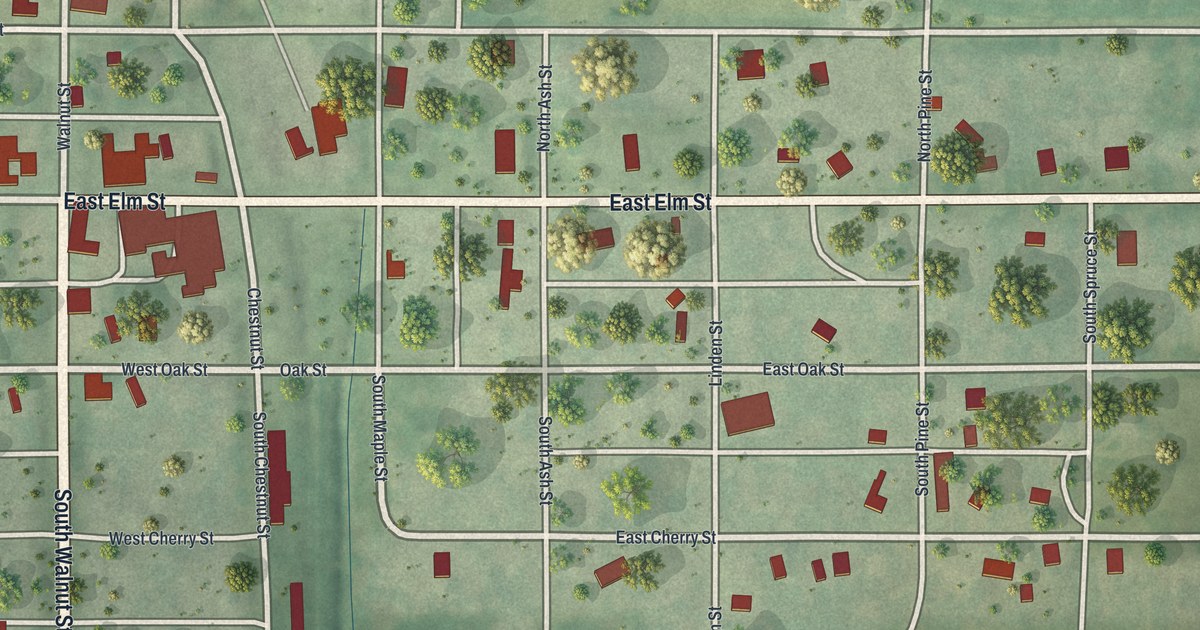
A detailed map of Skidmore, Missouri, showing every building in its true location, the roads by name, and shaded topographical relief.
Read More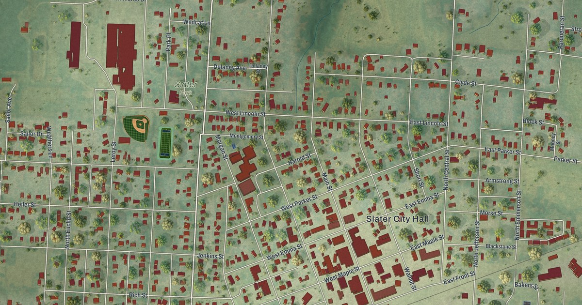
A detailed map of Slater, Missouri, showing every building in its true location, the roads by name, and shaded topographical relief.
Read More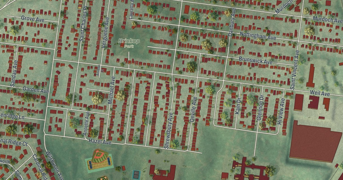
A detailed map of Shrewsbury, Missouri, showing every building in its true location, the roads by name, and shaded topographical relief.
Read More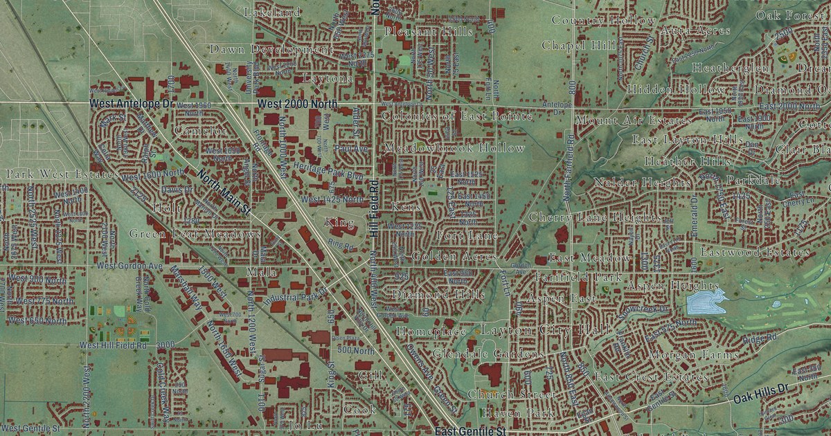
A detailed map of Layton, Utah, showing every building in its true location, the roads by name, and shaded topographical relief.
Read More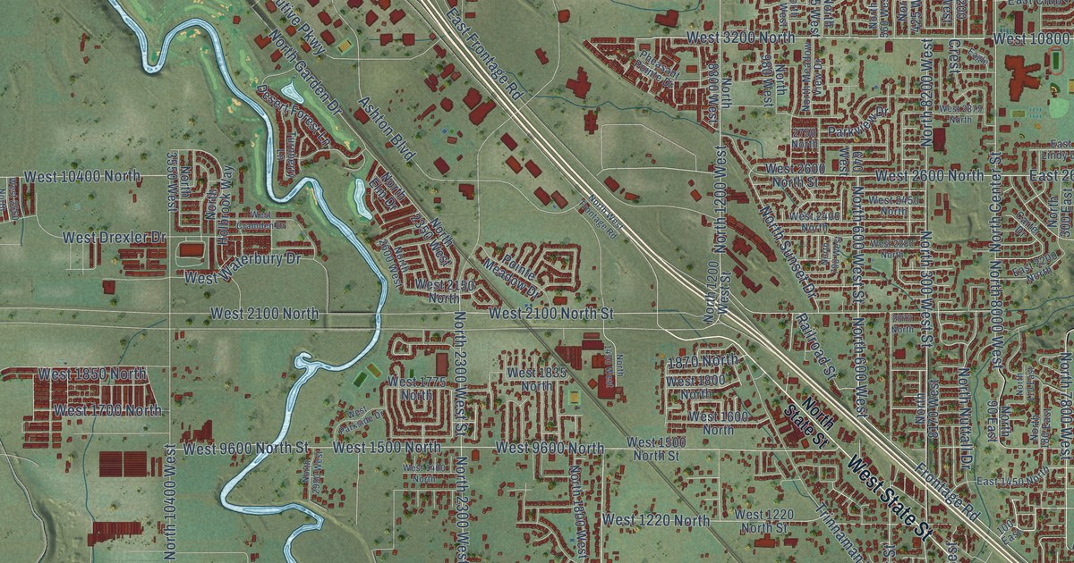
A detailed map of Lehi, Utah, showing every building in its true location, the roads by name, and shaded topographical relief.
Read More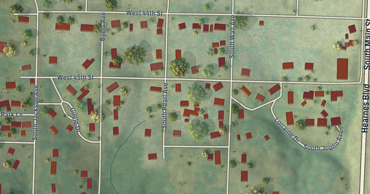
A detailed map of Shoal Creek Drive, Missouri, showing every building in its true location, the roads by name, and shaded topographical relief.
Read More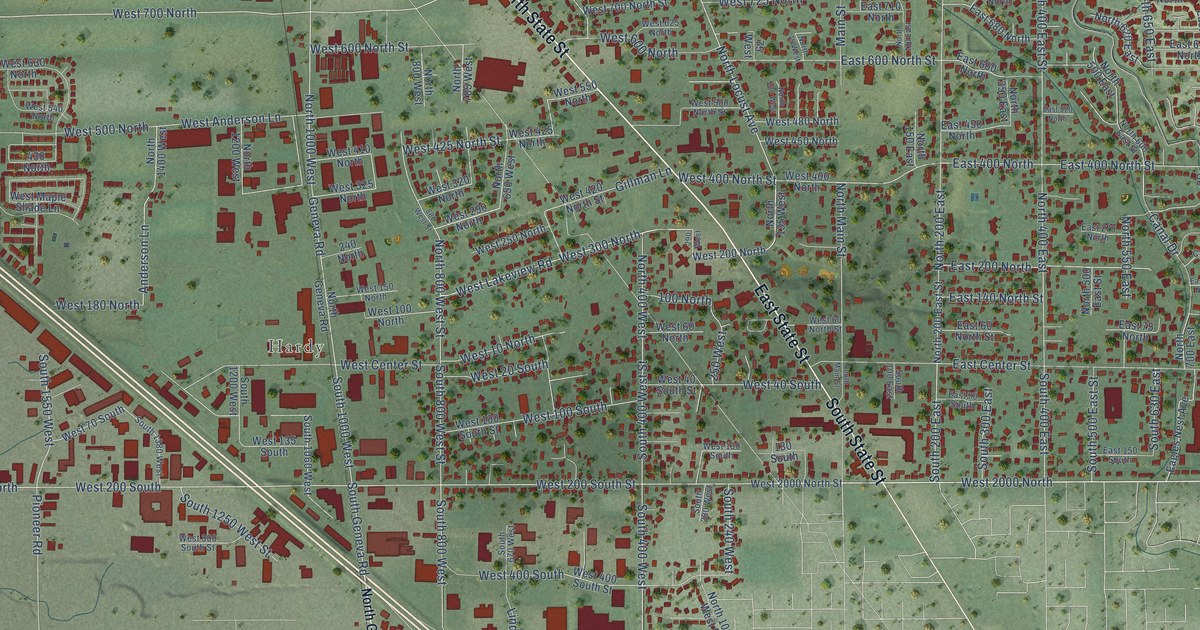
A detailed map of Lindon, Utah, showing every building in its true location, the roads by name, and shaded topographical relief.
Read More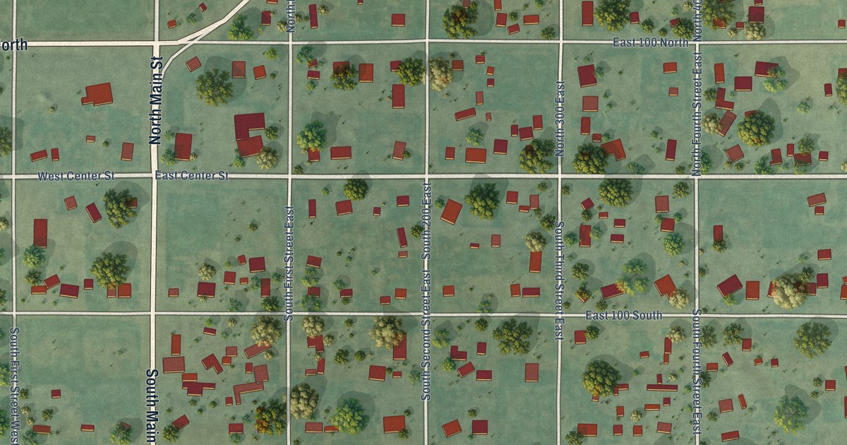
A detailed map of Levan, Utah, showing every building in its true location, the roads by name, and shaded topographical relief.
Read More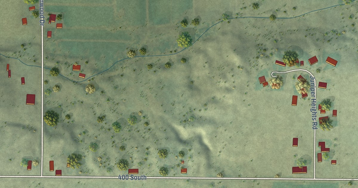
A detailed map of Leamington, Utah, showing every building in its true location, the roads by name, and shaded topographical relief.
Read More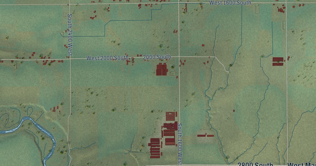
A detailed map of Lewiston, Utah, showing every building in its true location, the roads by name, and shaded topographical relief.
Read More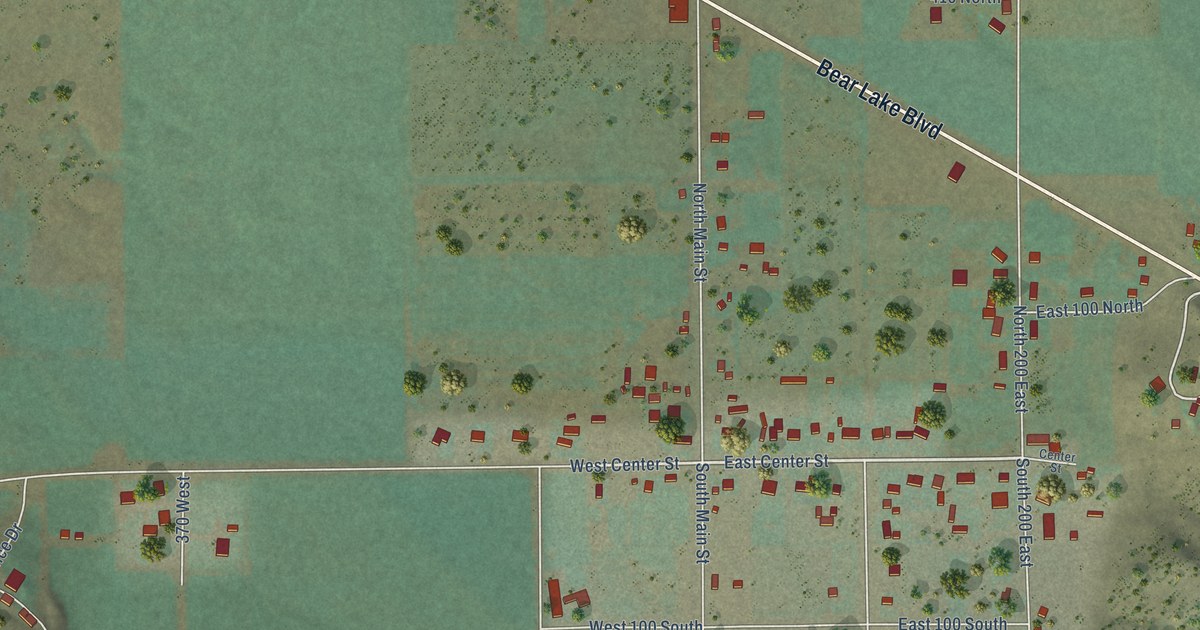
A detailed map of Laketown, Utah, showing every building in its true location, the roads by name, and shaded topographical relief.
Read More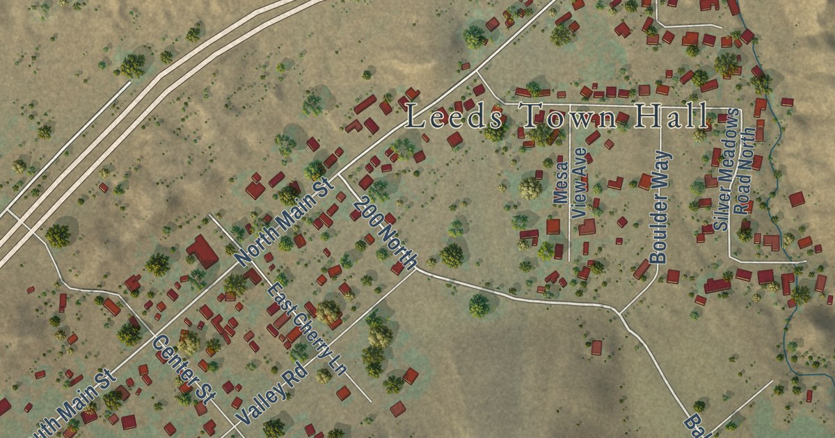
A detailed map of Leeds, Utah, showing every building in its true location, the roads by name, and shaded topographical relief.
Read More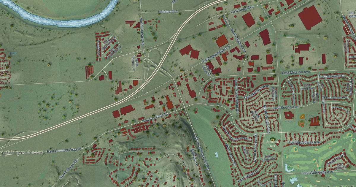
A detailed map of Liberty Lake, Washington, showing every building in its true location, the roads by name, and shaded topographical relief.
Read More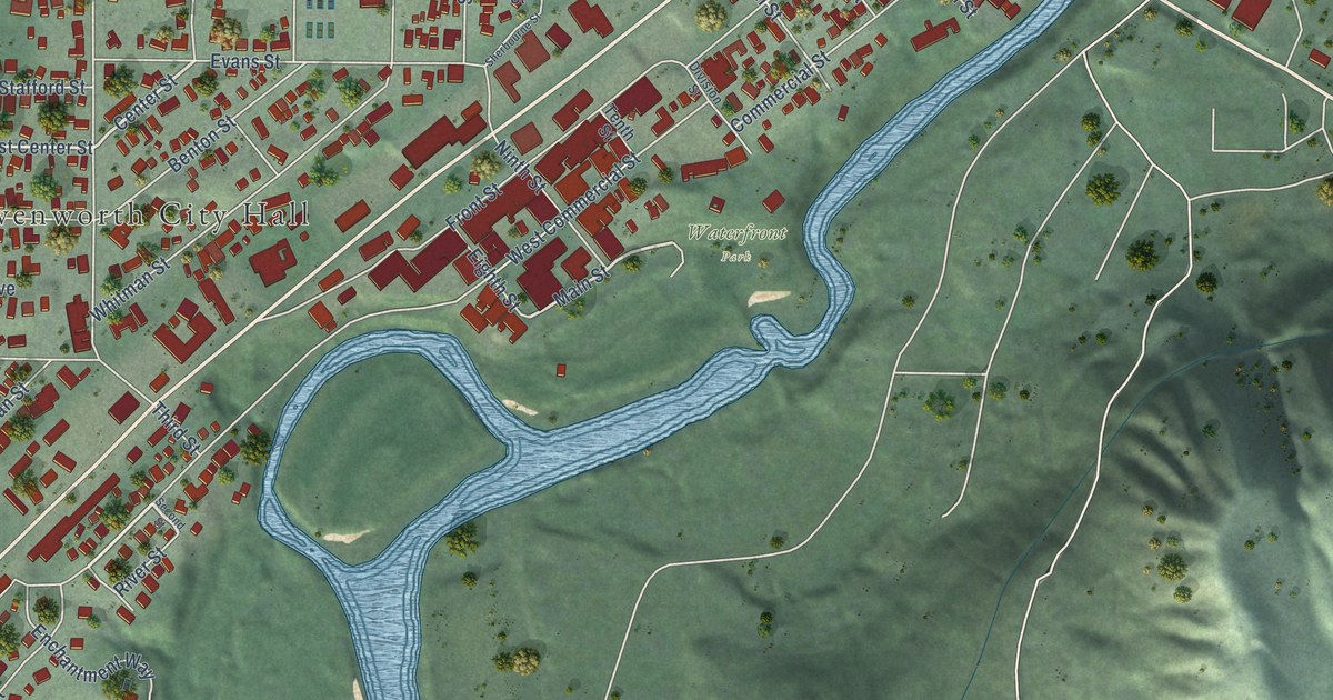
A detailed map of Leavenworth, Washington, showing every building in its true location, the roads by name, and shaded topographical relief.
Read More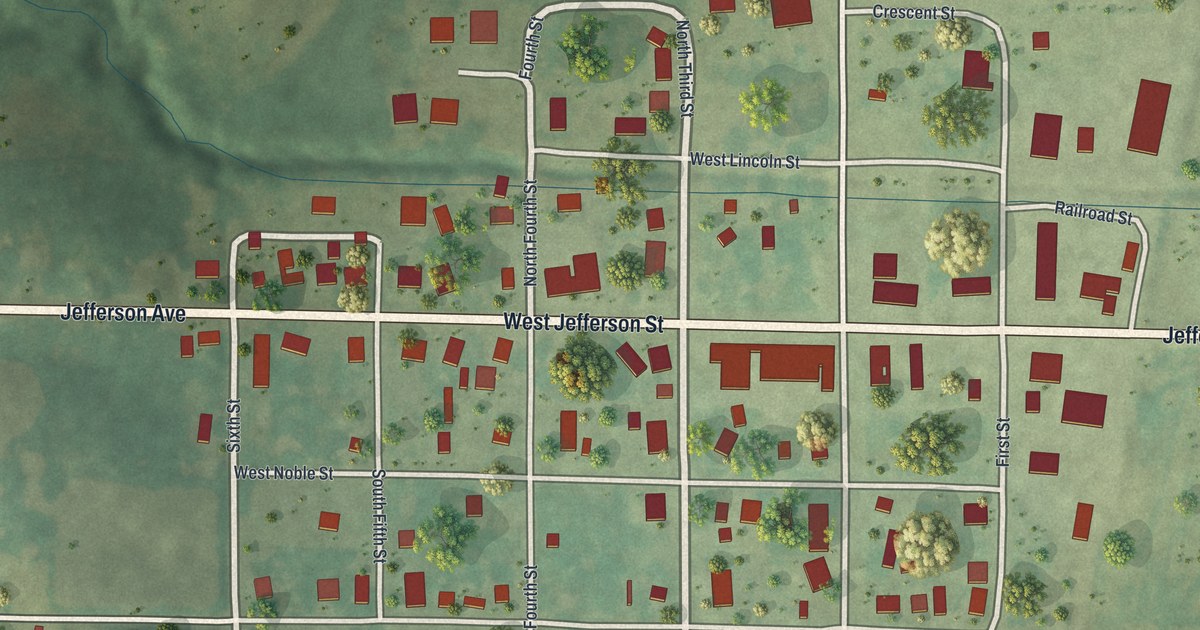
A detailed map of Sheridan, Missouri, showing every building in its true location, the roads by name, and shaded topographical relief.
Read More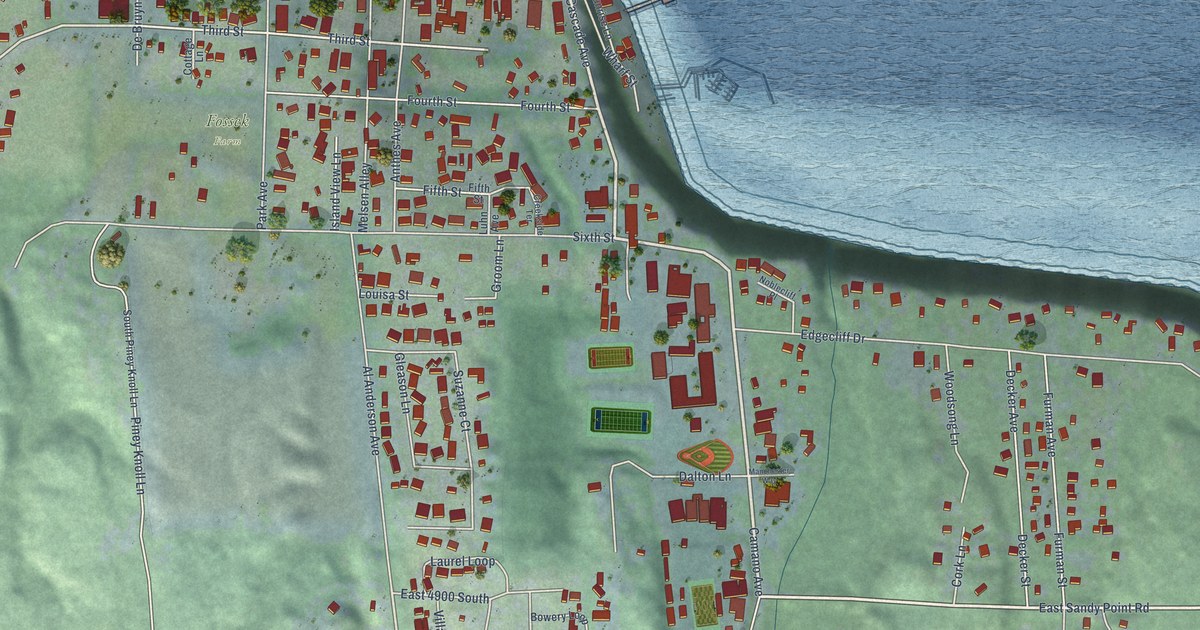
A detailed map of Langley, Washington, showing every building in its true location, the roads by name, and shaded topographical relief.
Read More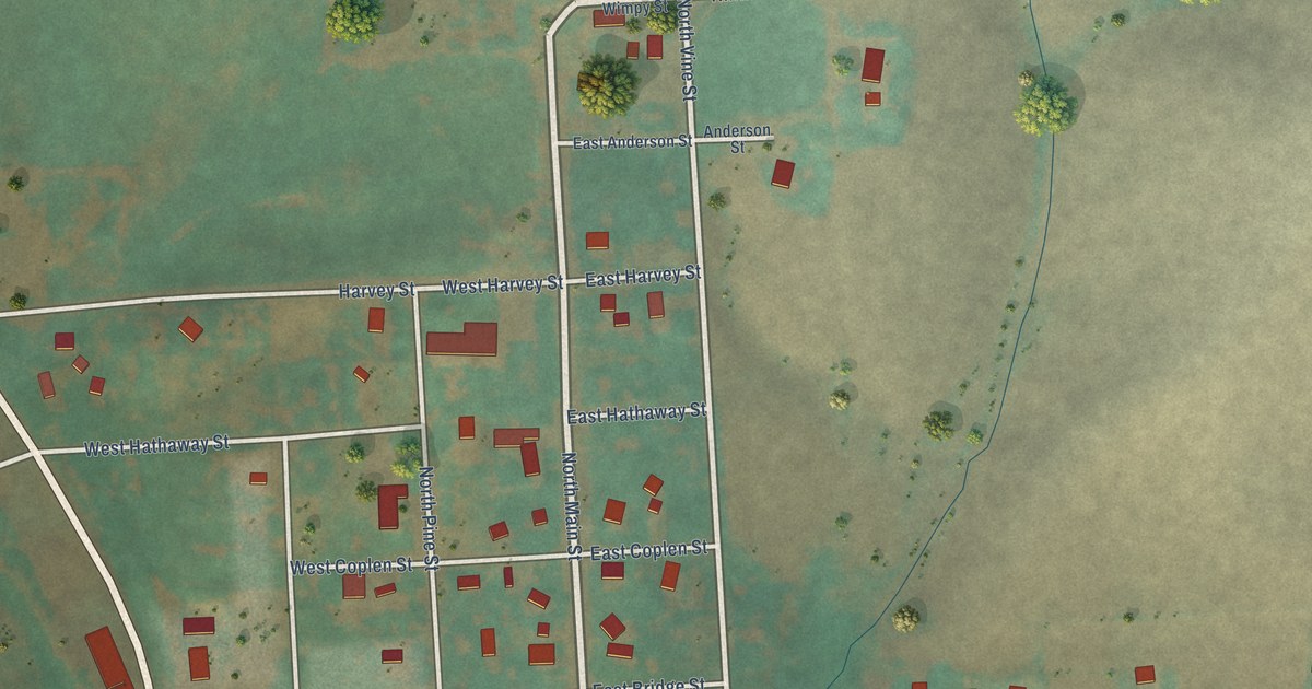
A detailed map of Latah, Washington, showing every building in its true location, the roads by name, and shaded topographical relief.
Read More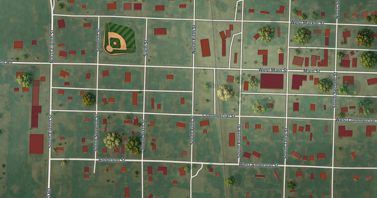
A detailed map of Sheldon, Missouri, showing every building in its true location, the roads by name, and shaded topographical relief.
Read More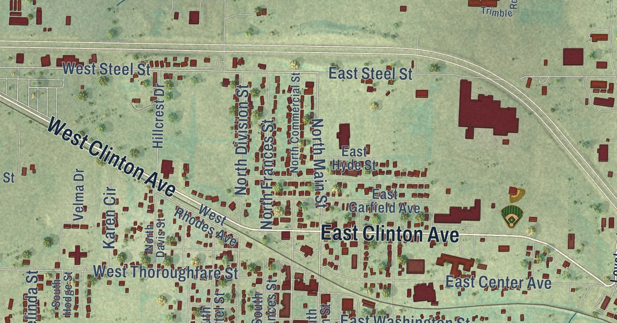
A detailed map of Seymour, Missouri, showing every building in its true location, the roads by name, and shaded topographical relief.
Read More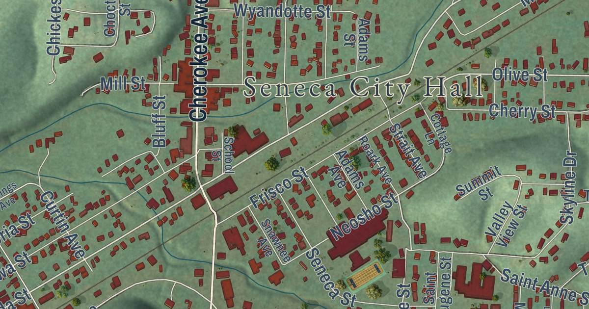
A detailed map of Seneca, Missouri, showing every building in its true location, the roads by name, and shaded topographical relief.
Read More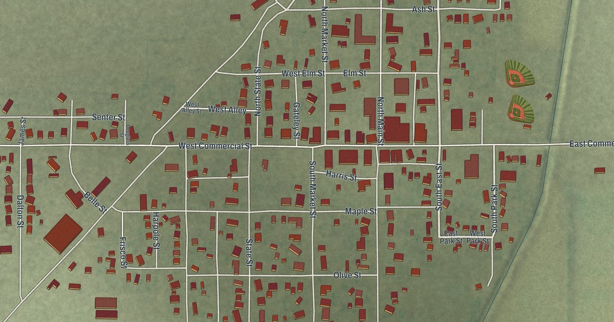
A detailed map of Senath, Missouri, showing every building in its true location, the roads by name, and shaded topographical relief.
Read More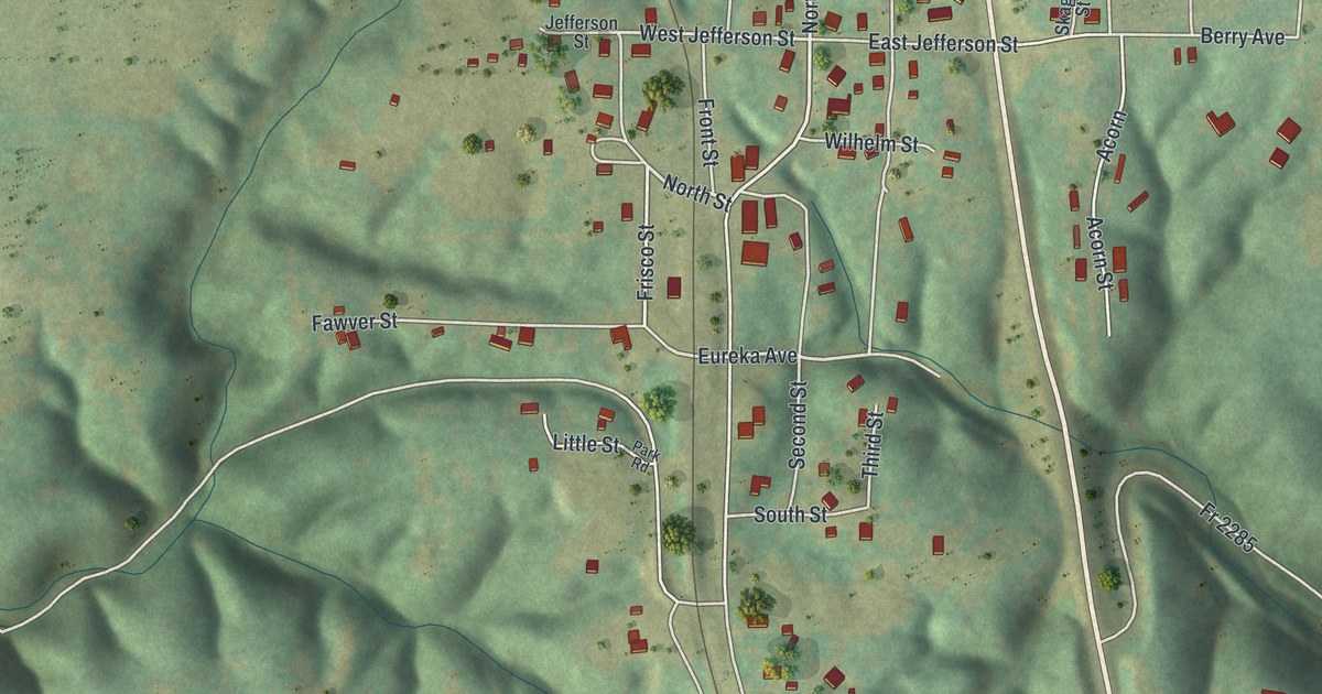
A detailed map of Seligman, Missouri, showing every building in its true location, the roads by name, and shaded topographical relief.
Read More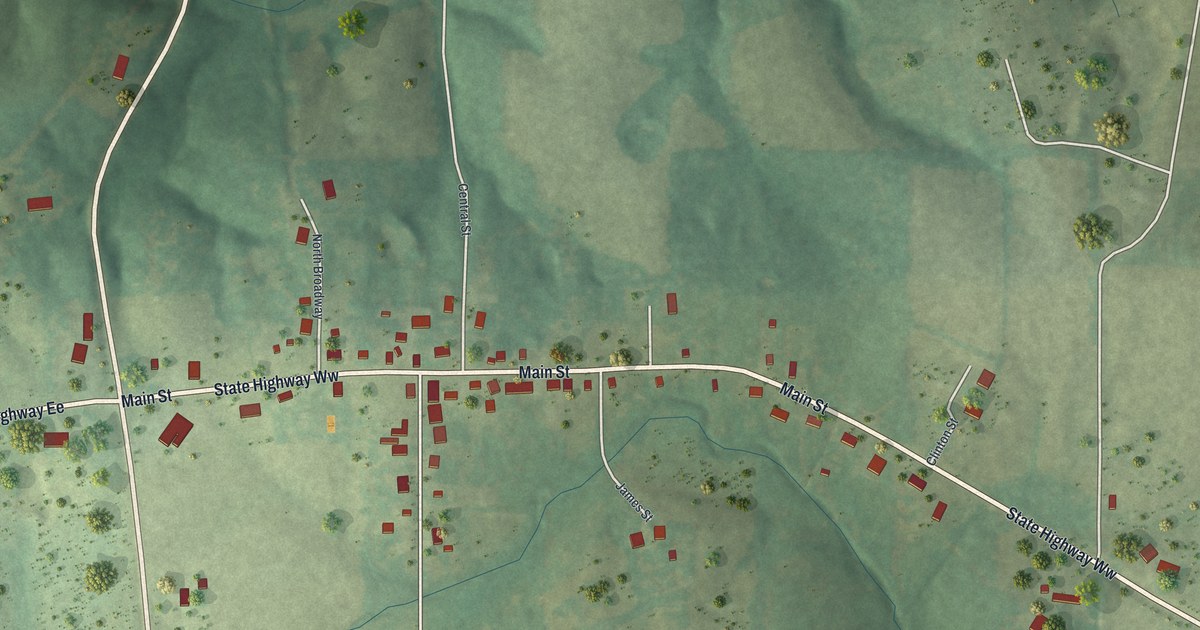
A detailed map of Sedgewickville, Missouri, showing every building in its true location, the roads by name, and shaded topographical relief.
Read More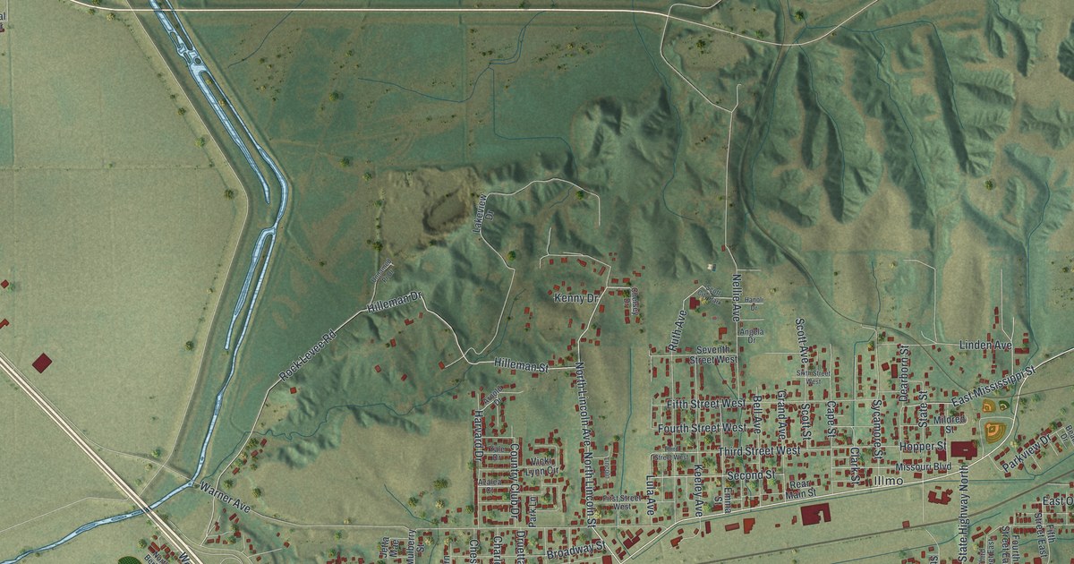
A detailed map of Scott City, Missouri, showing every building in its true location, the roads by name, and shaded topographical relief.
Read More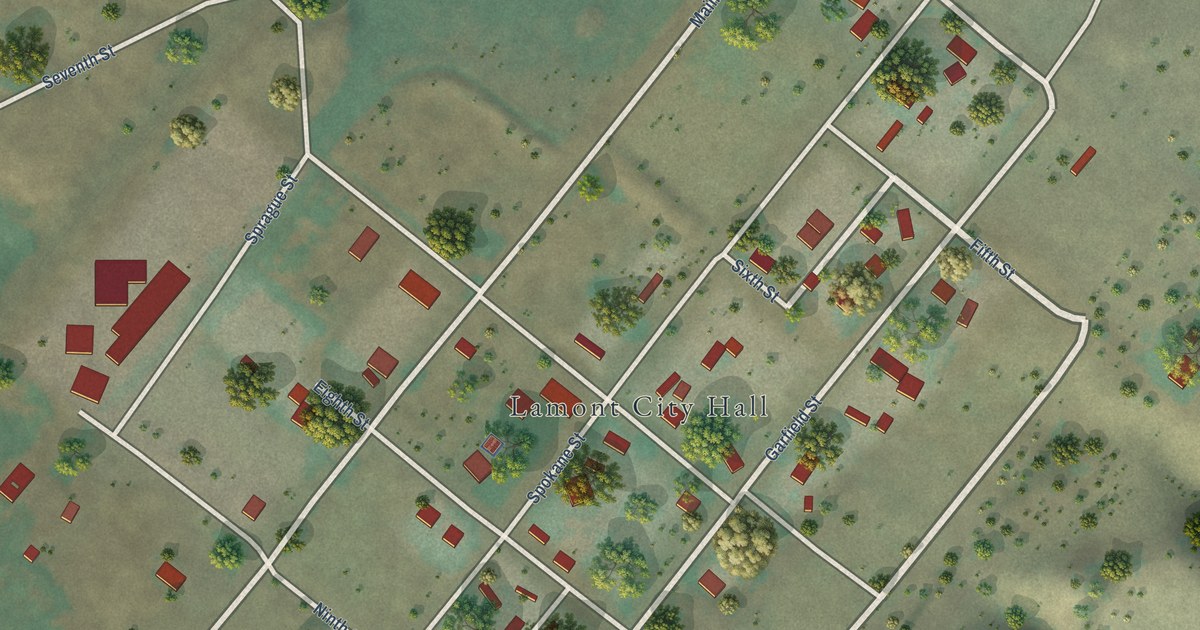
A detailed map of Lamont, Washington, showing every building in its true location, the roads by name, and shaded topographical relief.
Read More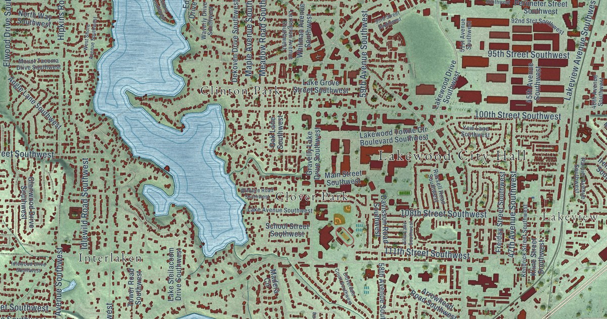
A detailed map of Lakewood, Washington, showing every building in its true location, the roads by name, and shaded topographical relief.
Read More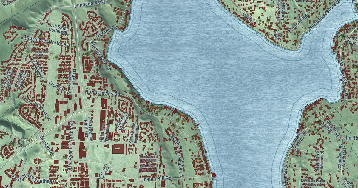
A detailed map of Lake Stevens, Washington, showing every building in its true location, the roads by name, and shaded topographical relief.
Read More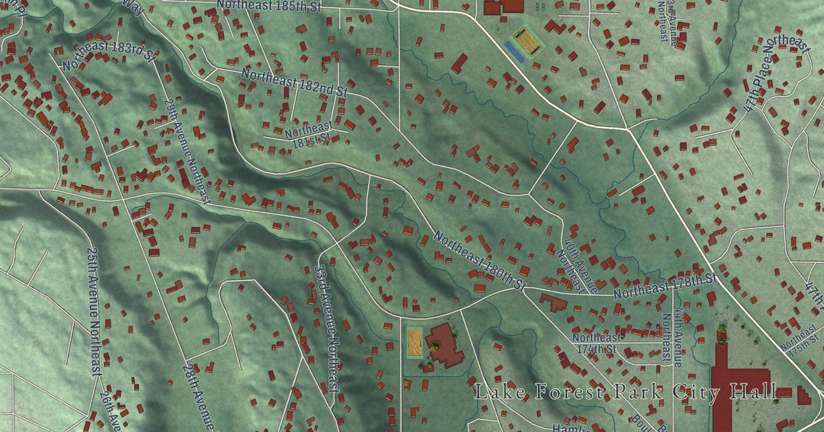
A detailed map of Lake Forest Park, Washington, showing every building in its true location, the roads by name, and shaded topographical relief.
Read More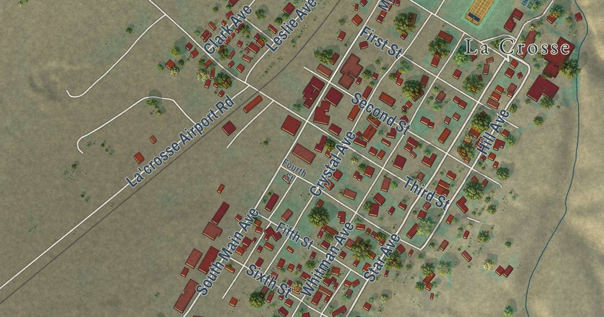
A detailed map of LaCrosse, Washington, showing every building in its true location, the roads by name, and shaded topographical relief.
Read More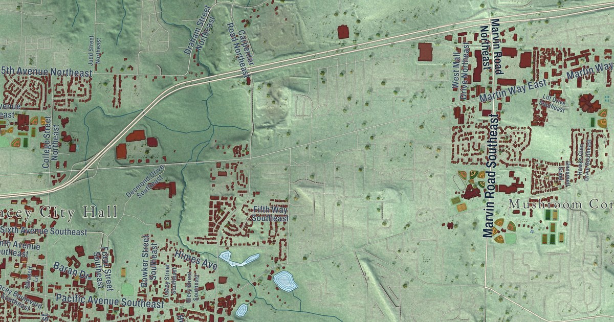
A detailed map of Lacey, Washington, showing every building in its true location, the roads by name, and shaded topographical relief.
Read More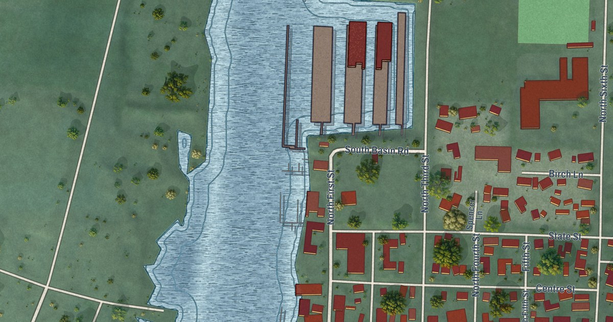
A detailed map of La Conner, Washington, showing every building in its true location, the roads by name, and shaded topographical relief.
Read More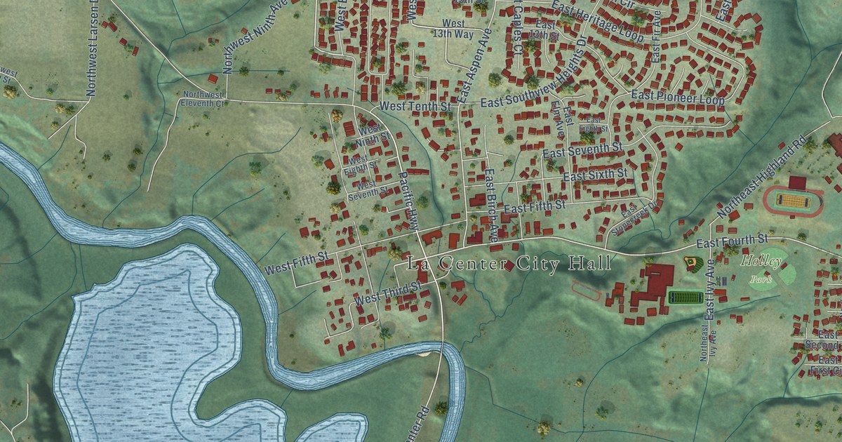
A detailed map of La Center, Washington, showing every building in its true location, the roads by name, and shaded topographical relief.
Read More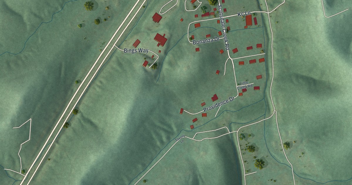
A detailed map of Scotsdale, Missouri, showing every building in its true location, the roads by name, and shaded topographical relief.
Read More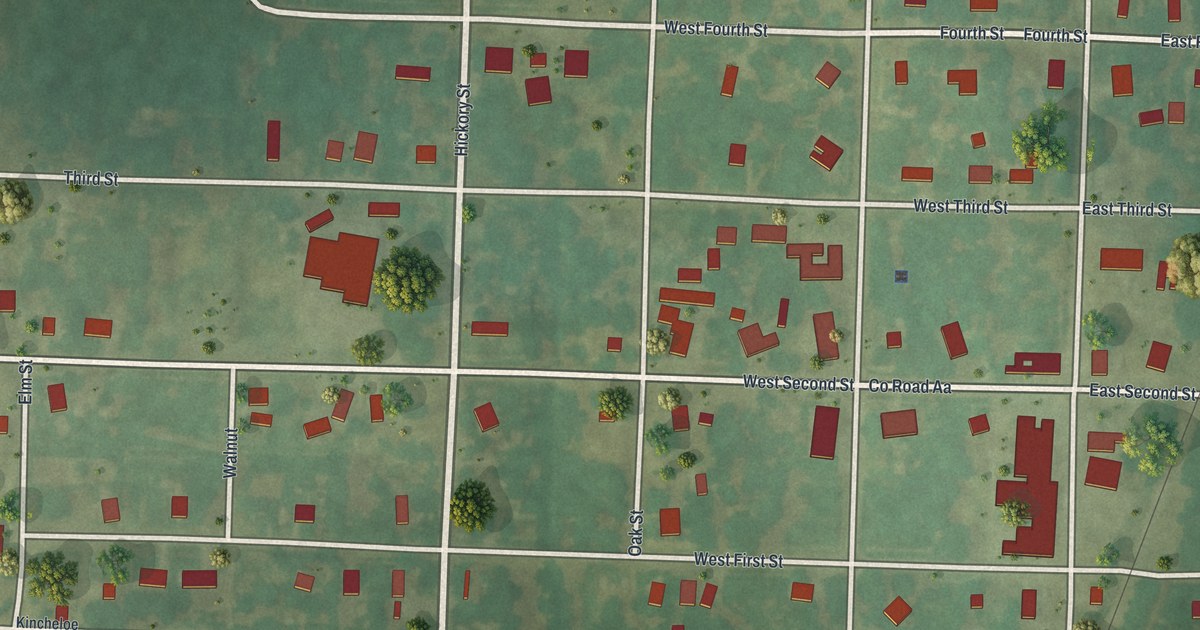
A detailed map of Schell City, Missouri, showing every building in its true location, the roads by name, and shaded topographical relief.
Read More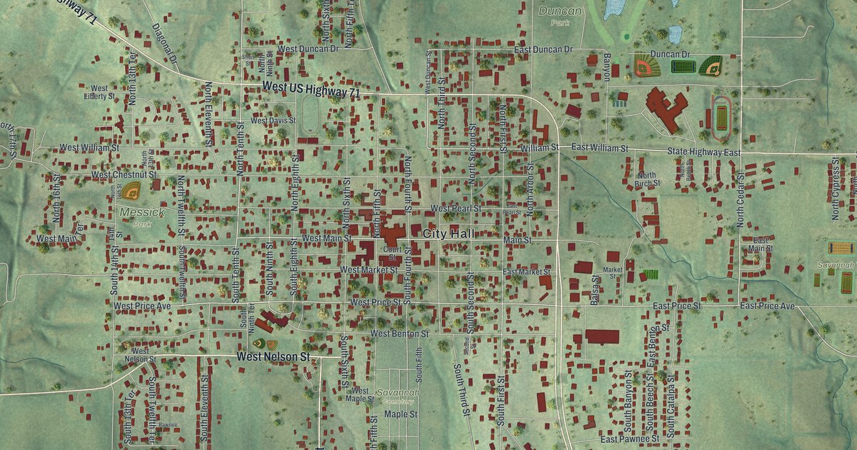
A detailed map of Savannah, Missouri, showing every building in its true location, the roads by name, and shaded topographical relief.
Read More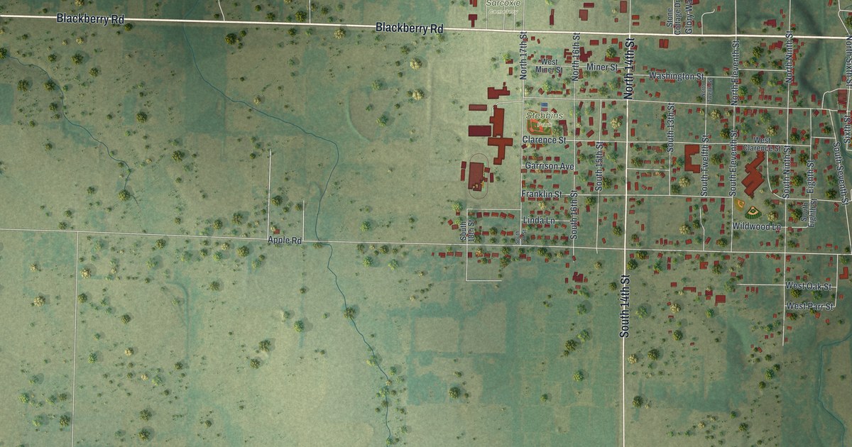
A detailed map of Sarcoxie, Missouri, showing every building in its true location, the roads by name, and shaded topographical relief.
Read More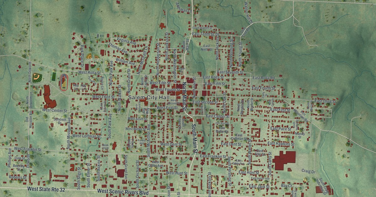
A detailed map of Salem, Missouri, showing every building in its true location, the roads by name, and shaded topographical relief.
Read More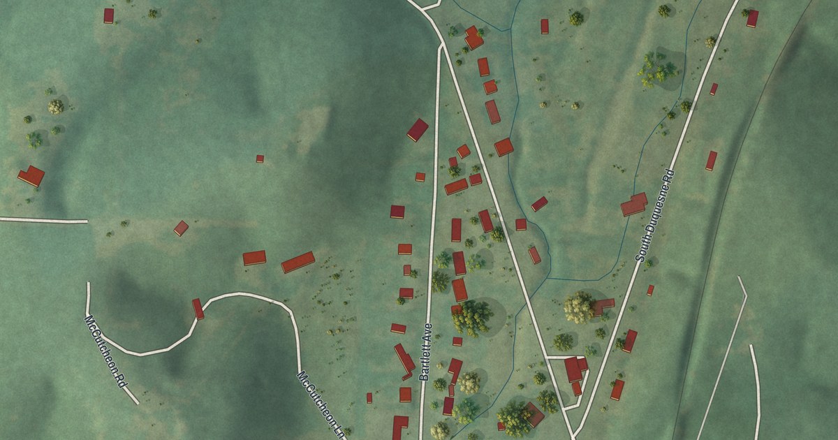
A detailed map of Saginaw, Missouri, showing every building in its true location, the roads by name, and shaded topographical relief.
Read More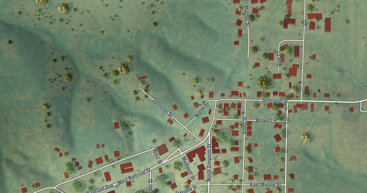
A detailed map of Russellville, Missouri, showing every building in its true location, the roads by name, and shaded topographical relief.
Read More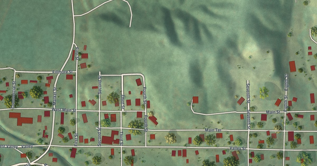
A detailed map of Rushville, Missouri, showing every building in its true location, the roads by name, and shaded topographical relief.
Read More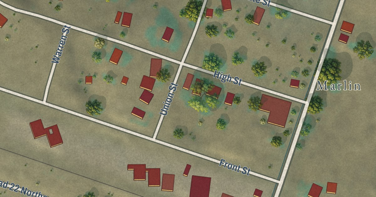
A detailed map of Krupp, Washington, showing every building in its true location, the roads by name, and shaded topographical relief.
Read More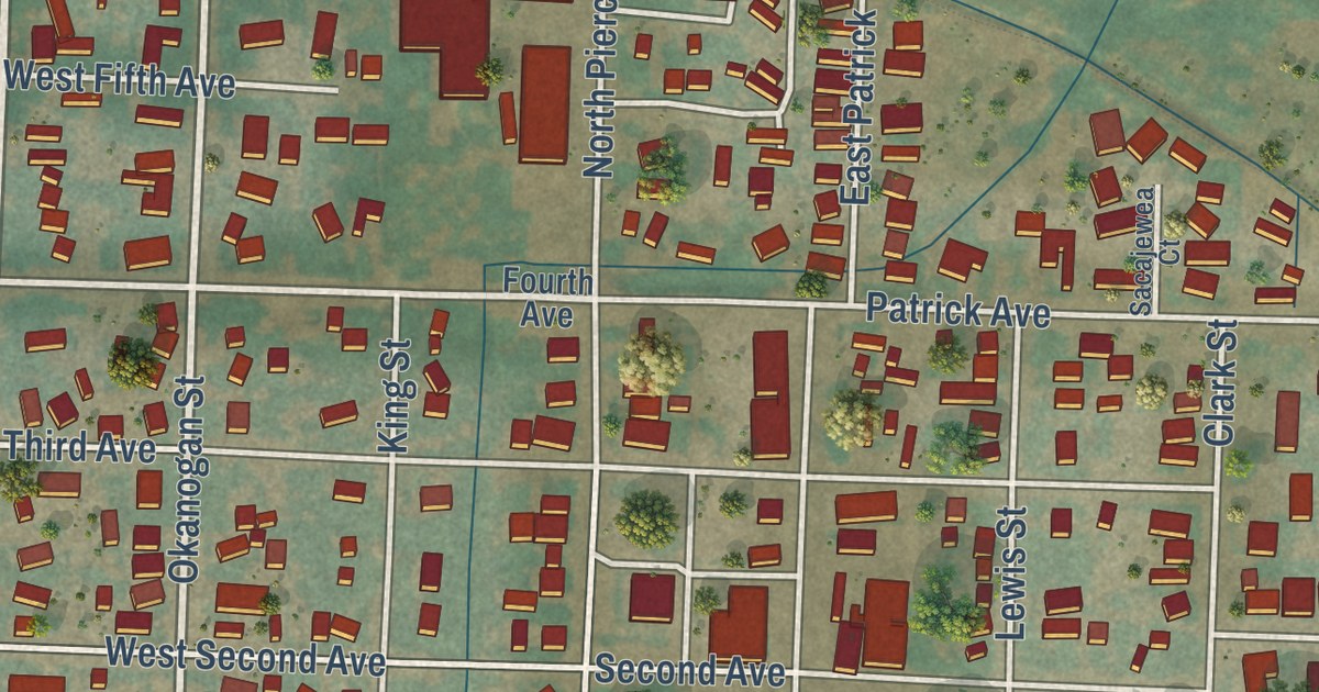
A detailed map of Kittitas, Washington, showing every building in its true location, the roads by name, and shaded topographical relief.
Read More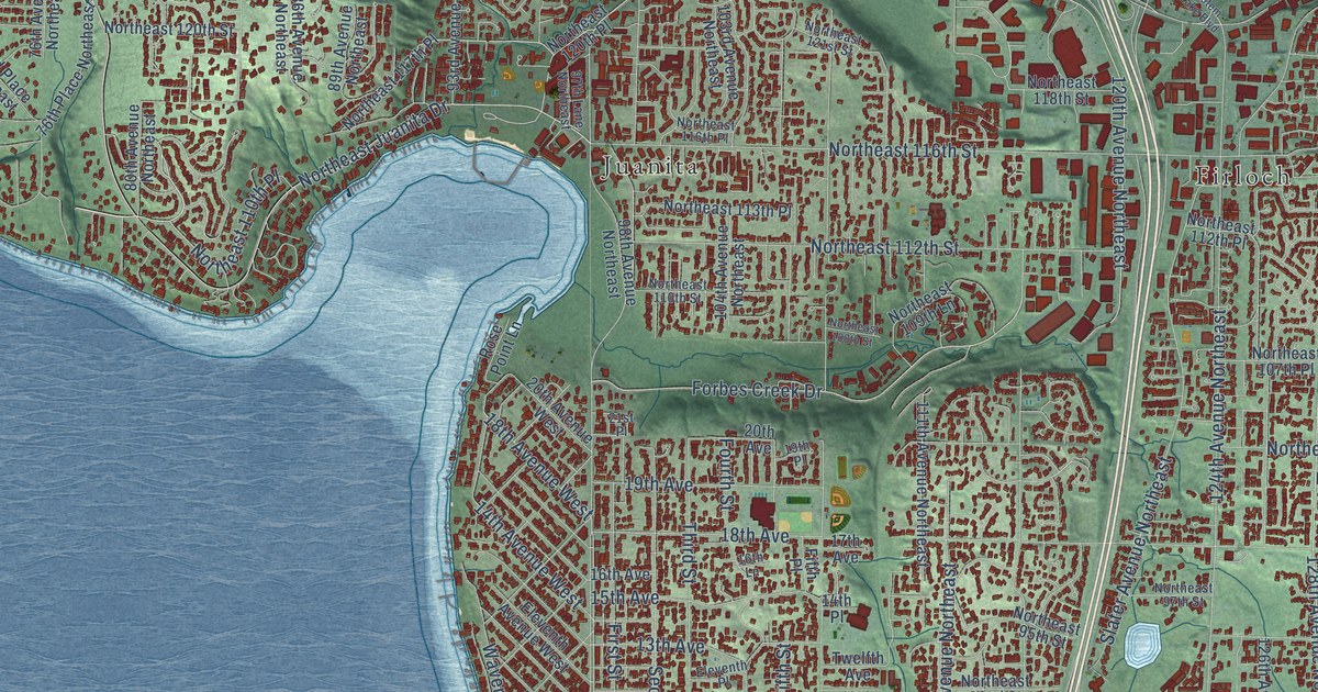
A detailed map of Kirkland, Washington, showing every building in its true location, the roads by name, and shaded topographical relief.
Read More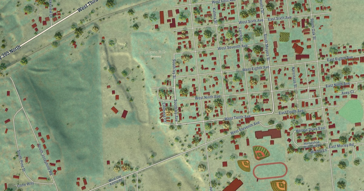
A detailed map of Kettle Falls, Washington, showing every building in its true location, the roads by name, and shaded topographical relief.
Read More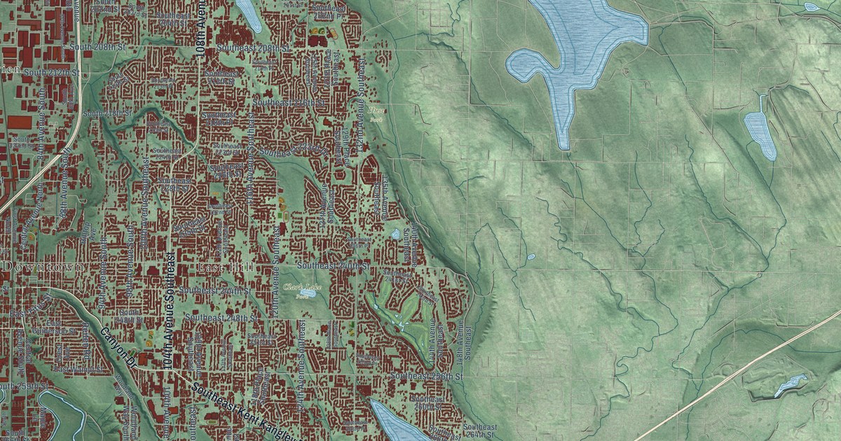
A detailed map of Kent, Washington, showing every building in its true location, the roads by name, and shaded topographical relief.
Read More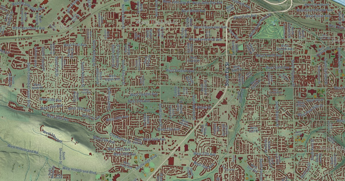
A detailed map of Kennewick, Washington, showing every building in its true location, the roads by name, and shaded topographical relief.
Read More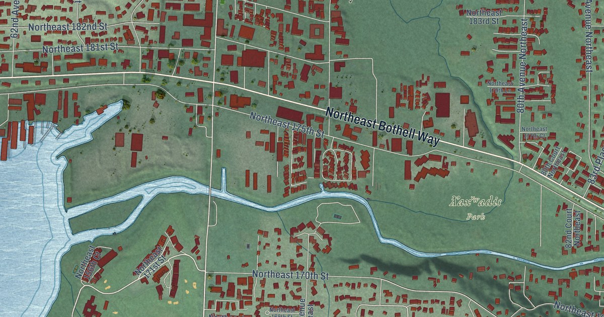
A detailed map of Kenmore, Washington, showing every building in its true location, the roads by name, and shaded topographical relief.
Read More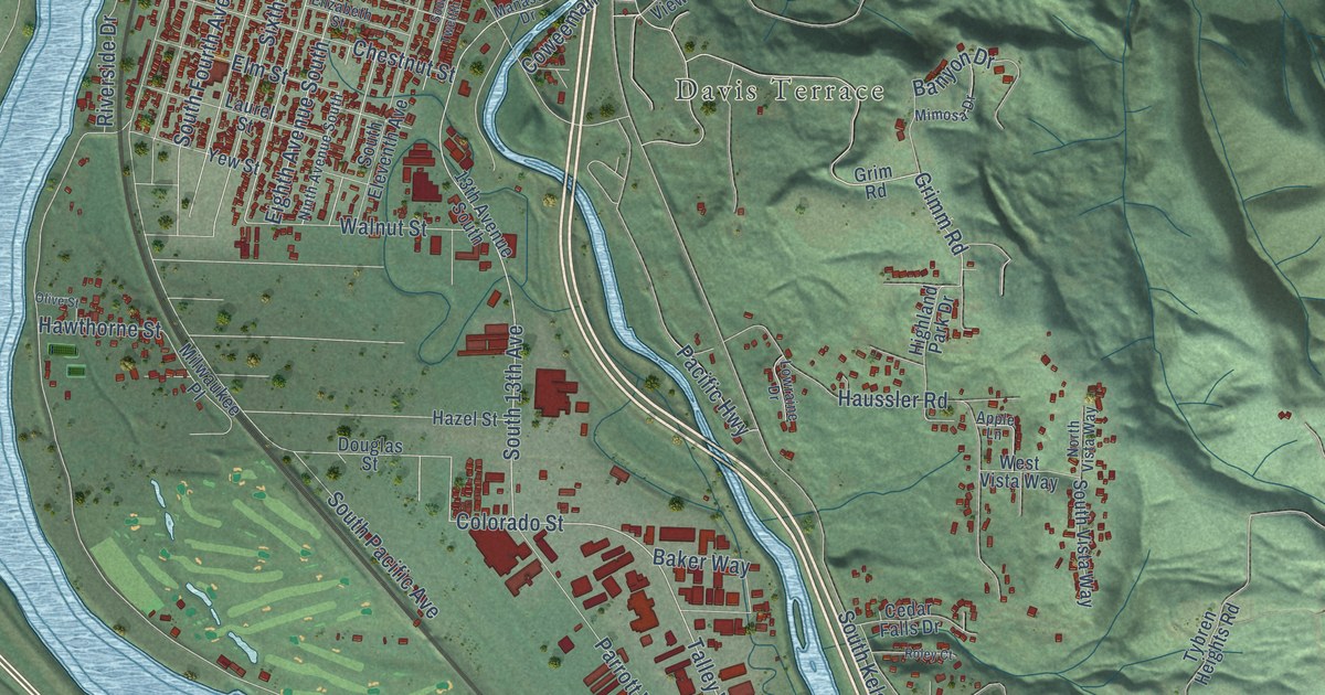
A detailed map of Kelso, Washington, showing every building in its true location, the roads by name, and shaded topographical relief.
Read More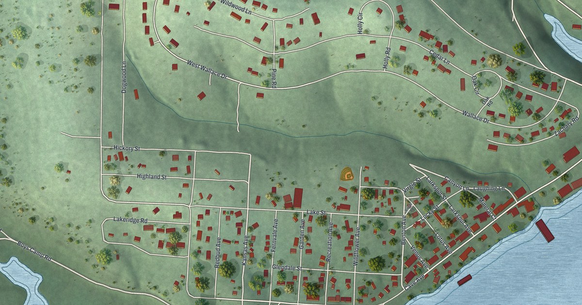
A detailed map of Rockaway Beach, Missouri, showing every building in its true location, the roads by name, and shaded topographical relief.
Read More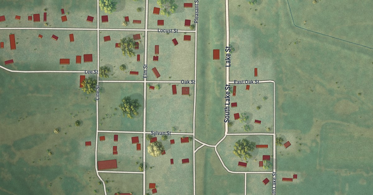
A detailed map of Rosendale, Missouri, showing every building in its true location, the roads by name, and shaded topographical relief.
Read More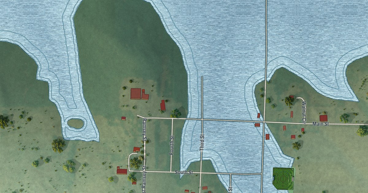
A detailed map of Roscoe, Missouri, showing every building in its true location, the roads by name, and shaded topographical relief.
Read More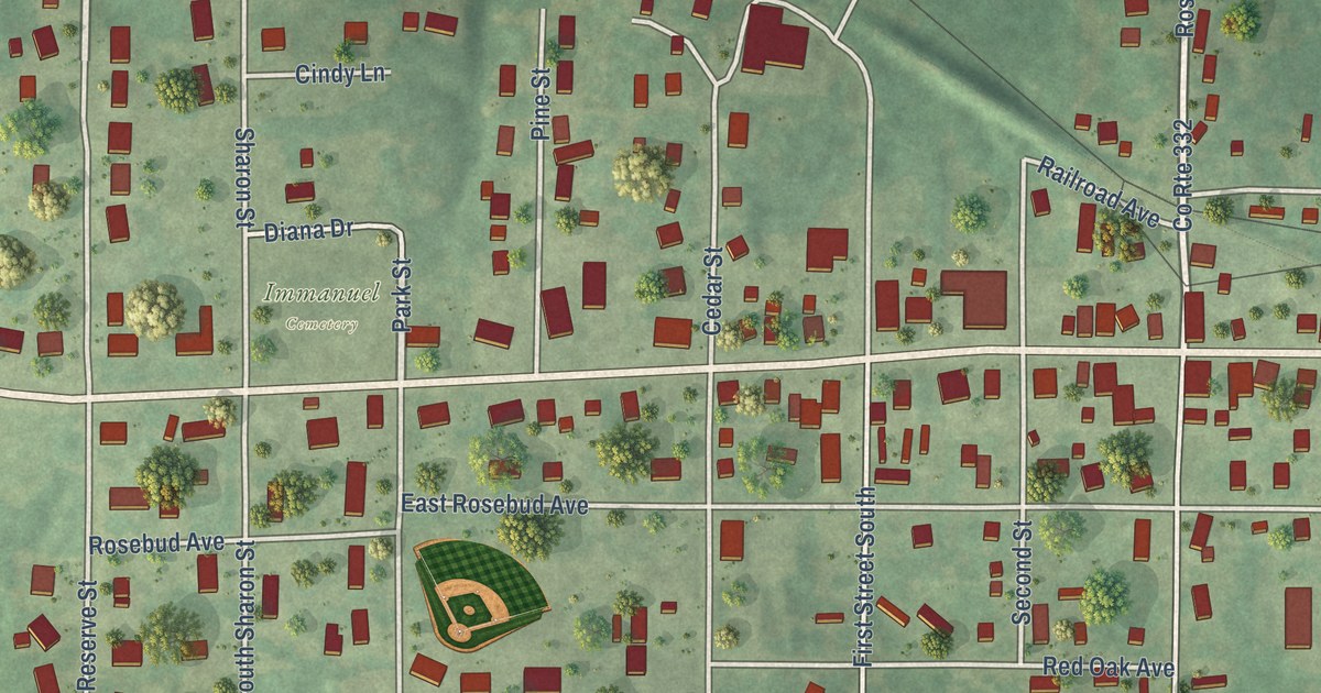
A detailed map of Rosebud, Missouri, showing every building in its true location, the roads by name, and shaded topographical relief.
Read More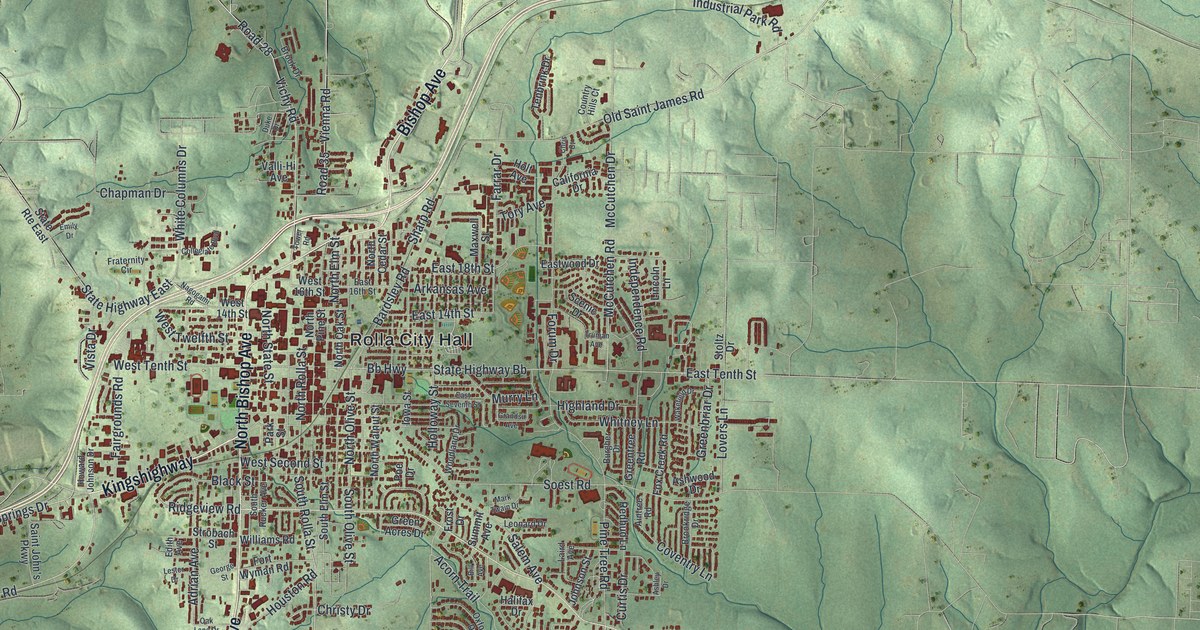
A detailed map of Rolla, Missouri, showing every building in its true location, the roads by name, and shaded topographical relief.
Read More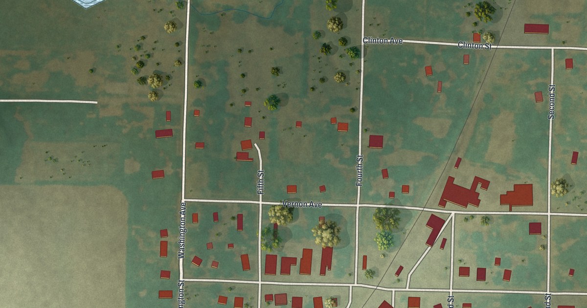
A detailed map of Rockville, Missouri, showing every building in its true location, the roads by name, and shaded topographical relief.
Read More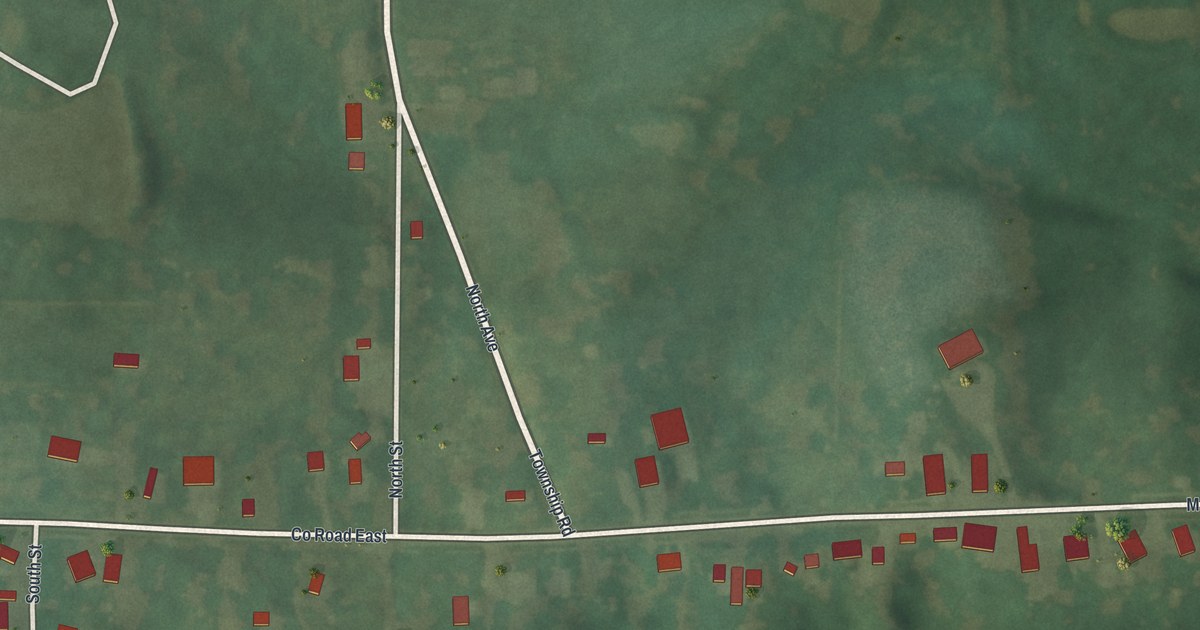
A detailed map of Rothville, Missouri, showing every building in its true location, the roads by name, and shaded topographical relief.
Read More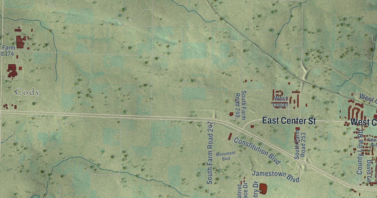
A detailed map of Rogersville, Missouri, showing every building in its true location, the roads by name, and shaded topographical relief.
Read More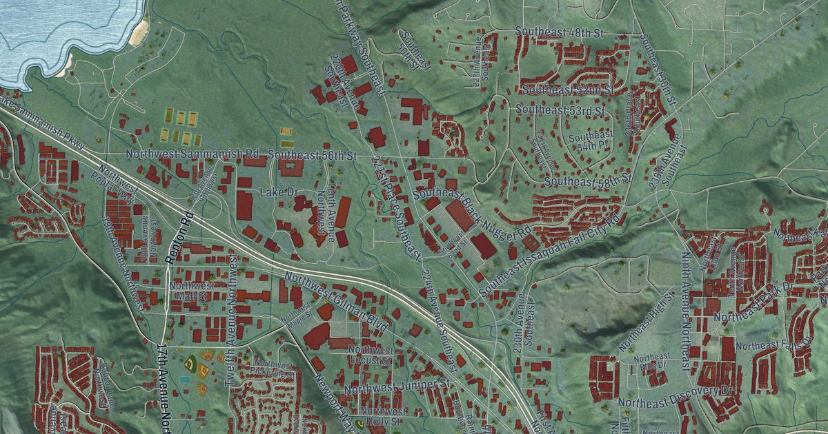
A detailed map of Issaquah, Washington, showing every building in its true location, the roads by name, and shaded topographical relief.
Read More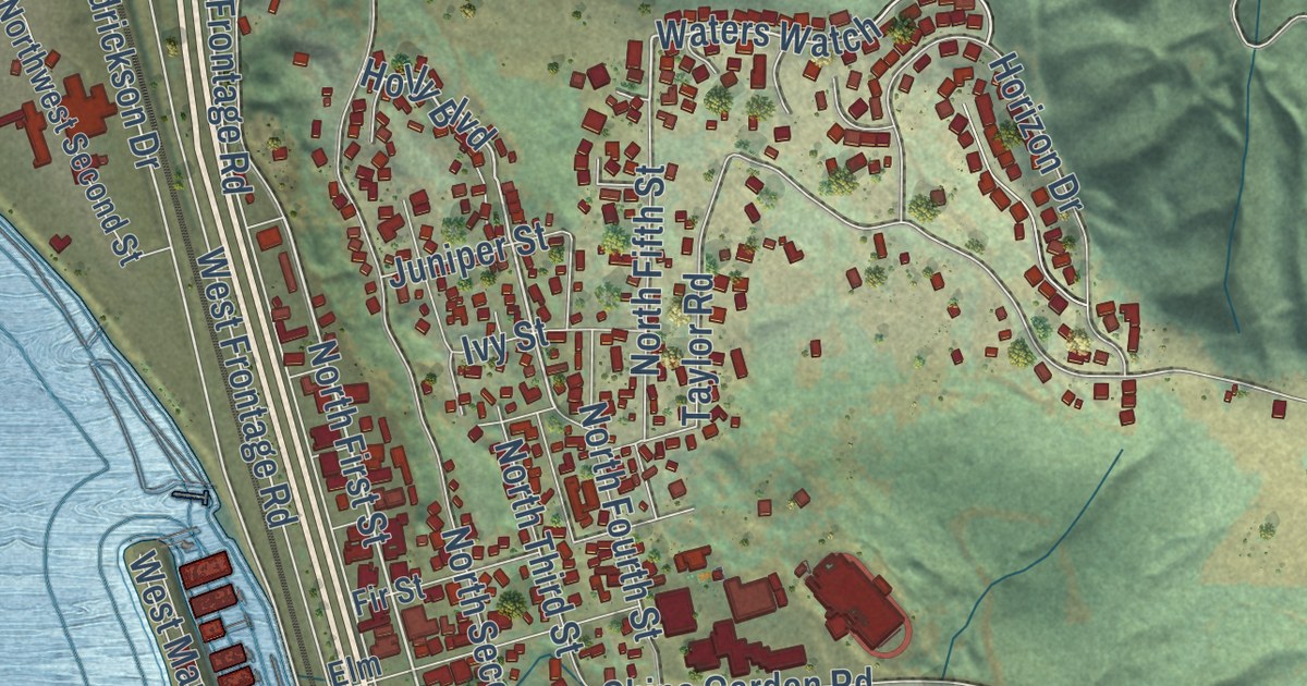
A detailed map of Kalama, Washington, showing every building in its true location, the roads by name, and shaded topographical relief.
Read More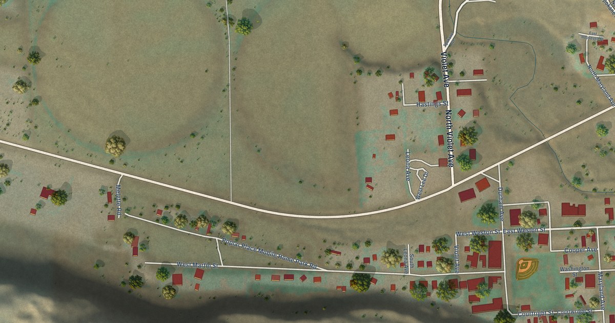
A detailed map of Kahlotus, Washington, showing every building in its true location, the roads by name, and shaded topographical relief.
Read More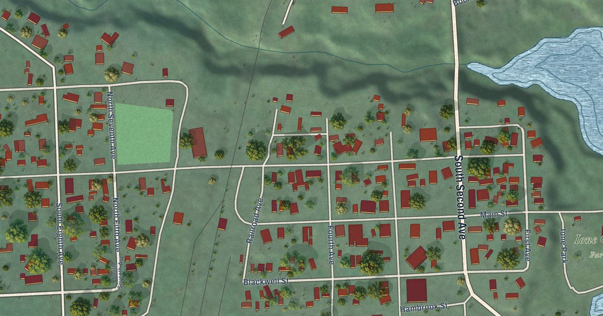
A detailed map of Ione, Washington, showing every building in its true location, the roads by name, and shaded topographical relief.
Read More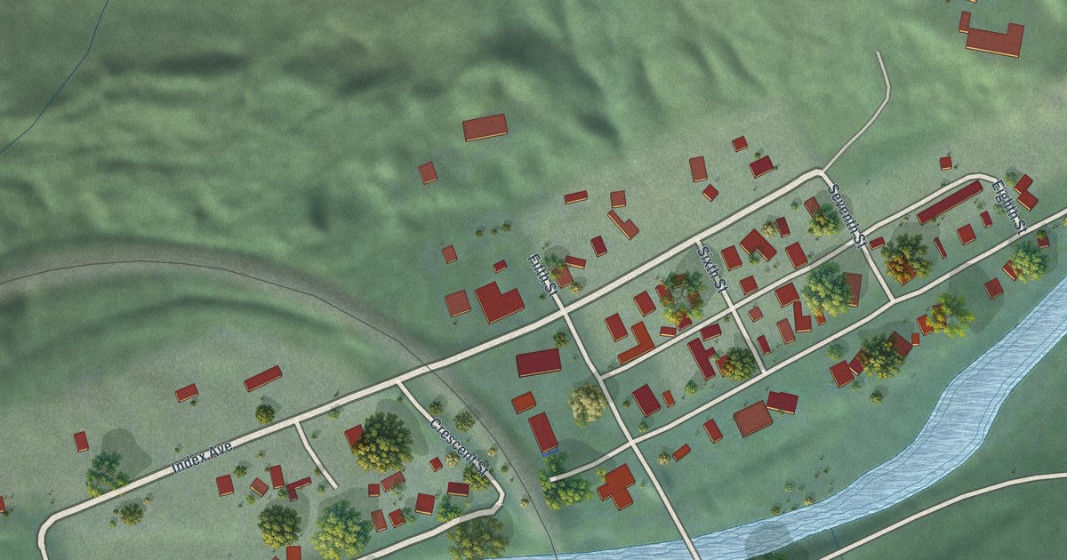
A detailed map of Index, Washington, showing every building in its true location, the roads by name, and shaded topographical relief.
Read More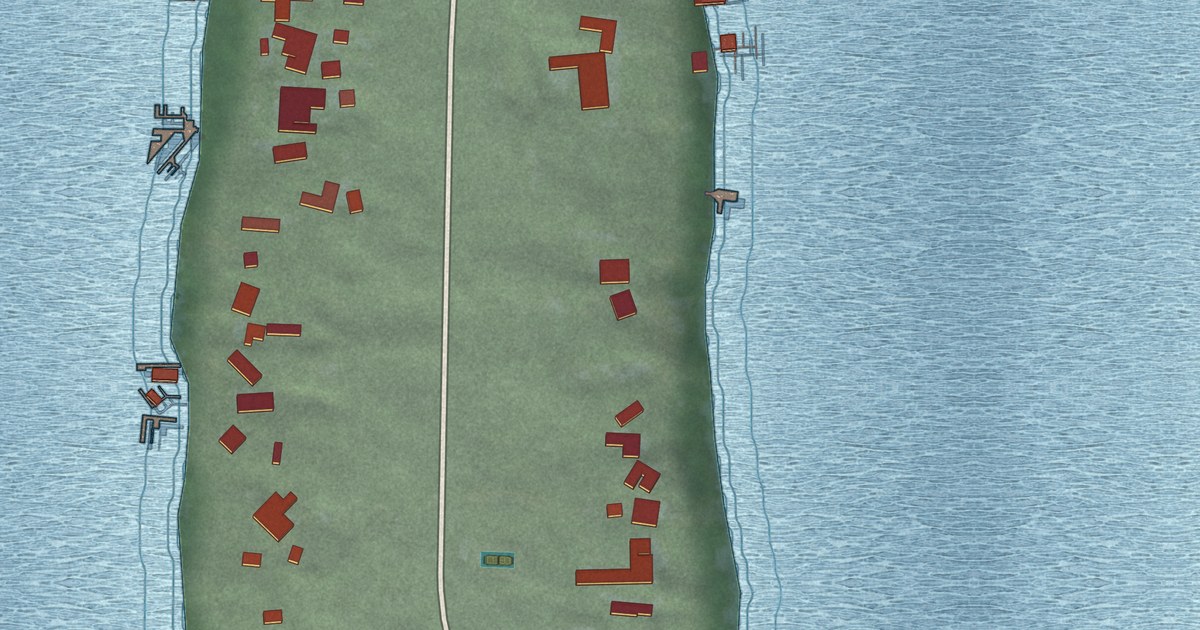
A detailed map of Hunts Point, Washington, showing every building in its true location, the roads by name, and shaded topographical relief.
Read More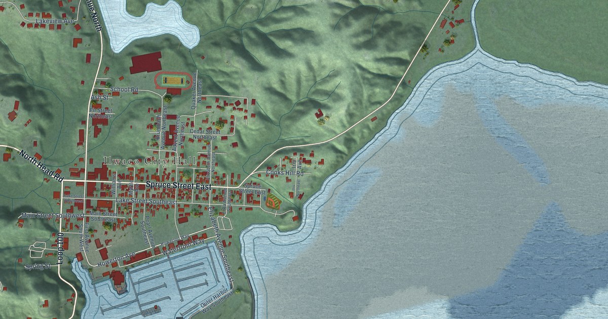
A detailed map of Ilwaco, Washington, showing every building in its true location, the roads by name, and shaded topographical relief.
Read More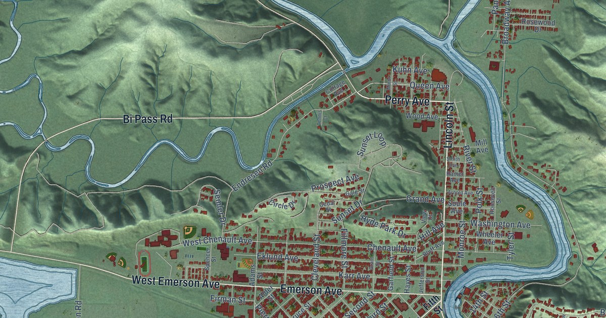
A detailed map of Hoquiam, Washington, showing every building in its true location, the roads by name, and shaded topographical relief.
Read More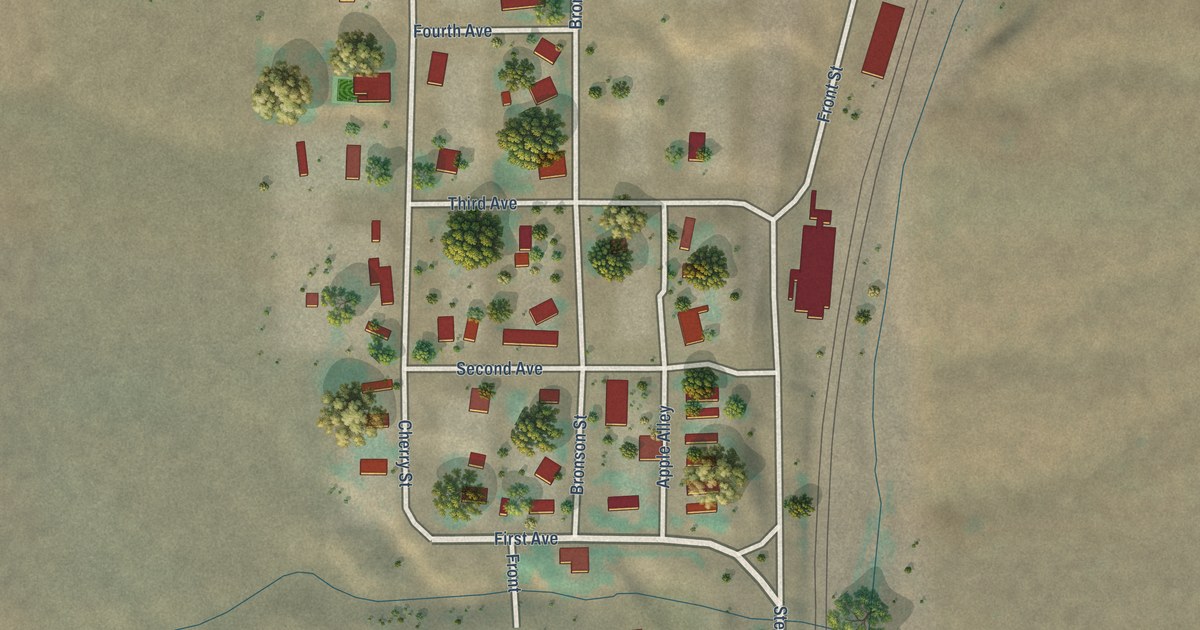
A detailed map of Hatton, Washington, showing every building in its true location, the roads by name, and shaded topographical relief.
Read More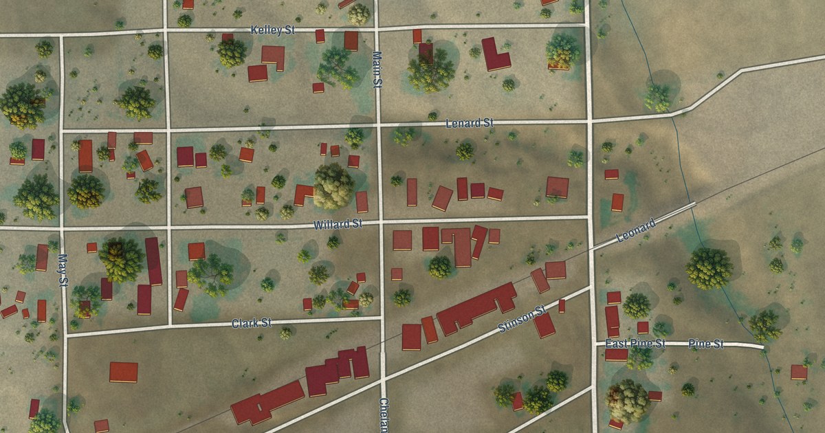
A detailed map of Hartline, Washington, showing every building in its true location, the roads by name, and shaded topographical relief.
Read More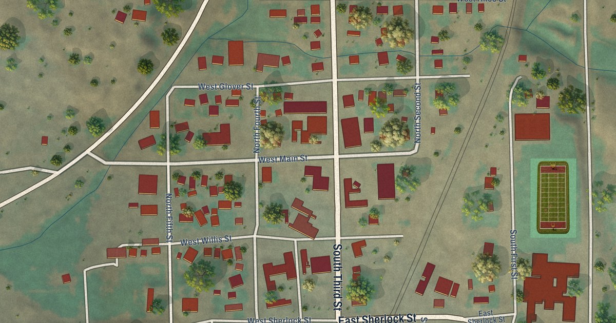
A detailed map of Harrington, Washington, showing every building in its true location, the roads by name, and shaded topographical relief.
Read More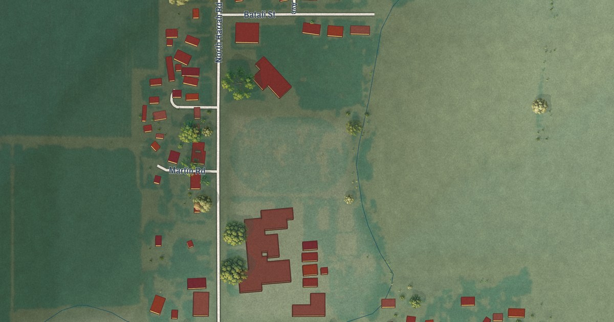
A detailed map of Harrah, Washington, showing every building in its true location, the roads by name, and shaded topographical relief.
Read More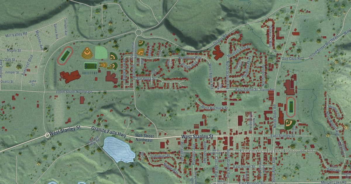
A detailed map of Granite Falls, Washington, showing every building in its true location, the roads by name, and shaded topographical relief.
Read More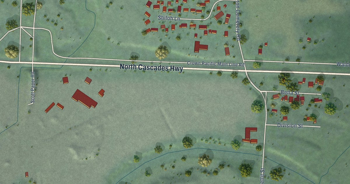
A detailed map of Hamilton, Washington, showing every building in its true location, the roads by name, and shaded topographical relief.
Read More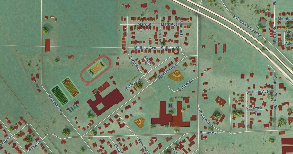
A detailed map of Granger, Washington, showing every building in its true location, the roads by name, and shaded topographical relief.
Read More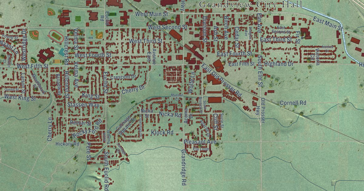
A detailed map of Grandview, Washington, showing every building in its true location, the roads by name, and shaded topographical relief.
Read More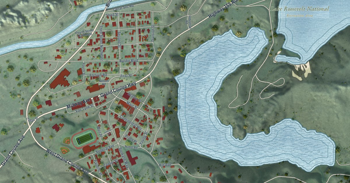
A detailed map of Grand Coulee, Washington, showing every building in its true location, the roads by name, and shaded topographical relief.
Read More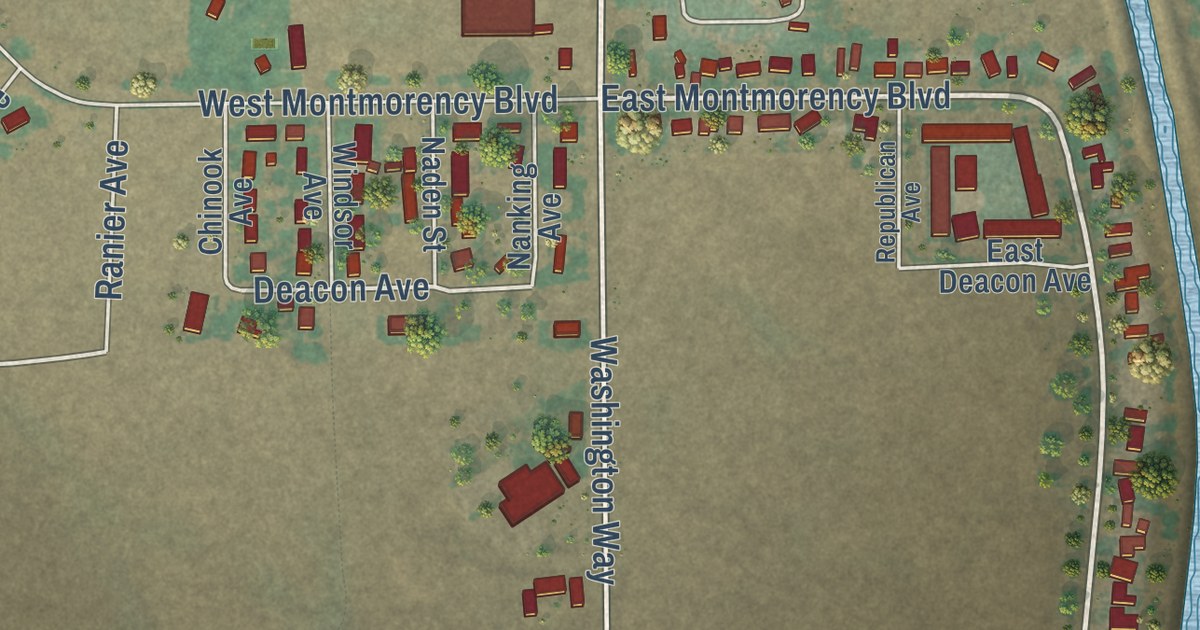
A detailed map of George, Washington, showing every building in its true location, the roads by name, and shaded topographical relief.
Read More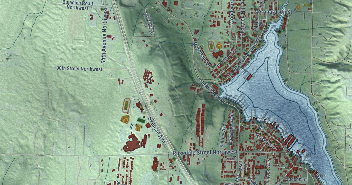
A detailed map of Gig Harbor, Washington, showing every building in its true location, the roads by name, and shaded topographical relief.
Read More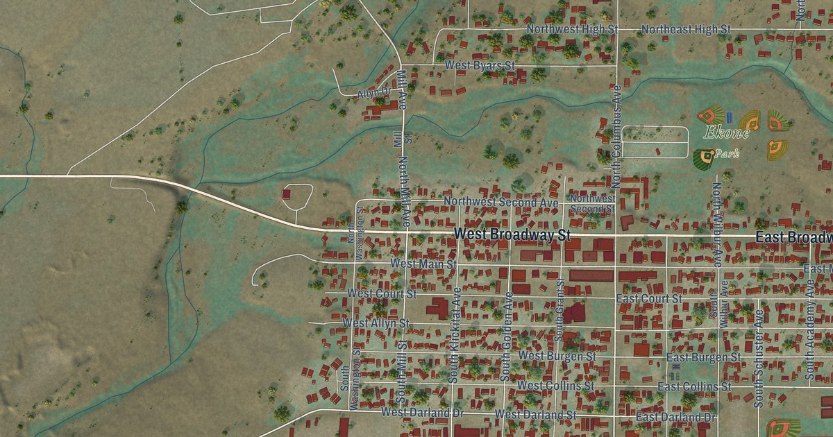
A detailed map of Goldendale, Washington, showing every building in its true location, the roads by name, and shaded topographical relief.
Read More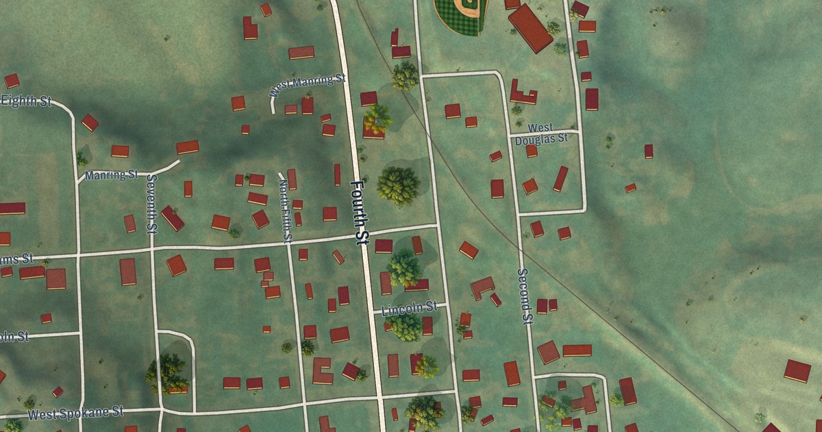
A detailed map of Garfield, Washington, showing every building in its true location, the roads by name, and shaded topographical relief.
Read More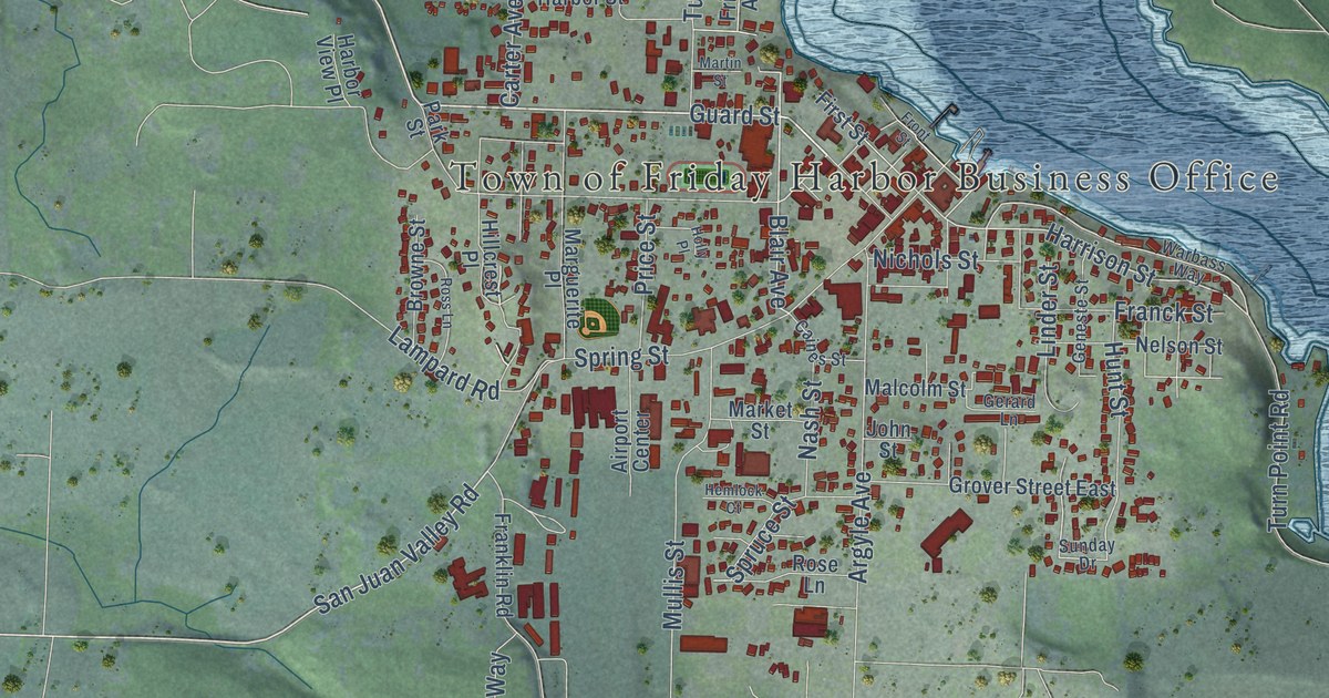
A detailed map of Friday Harbor, Washington, showing every building in its true location, the roads by name, and shaded topographical relief.
Read More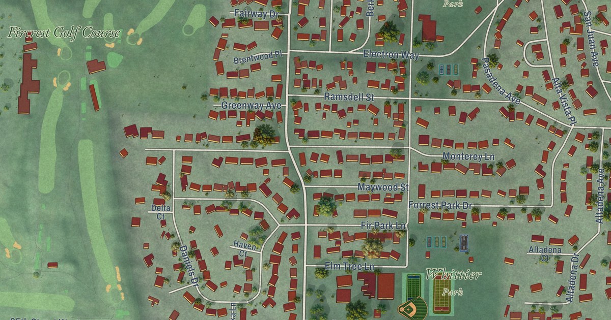
A detailed map of Fircrest, Washington, showing every building in its true location, the roads by name, and shaded topographical relief.
Read More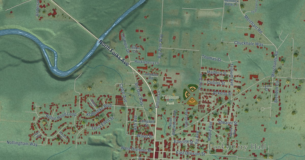
A detailed map of Forks, Washington, showing every building in its true location, the roads by name, and shaded topographical relief.
Read More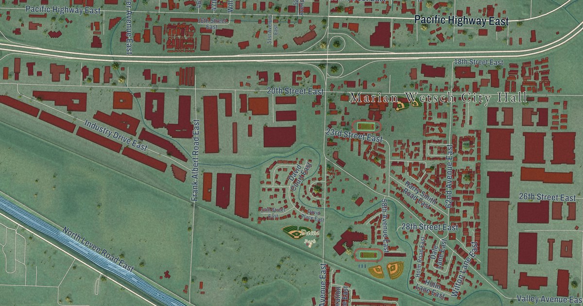
A detailed map of Fife, Washington, showing every building in its true location, the roads by name, and shaded topographical relief.
Read More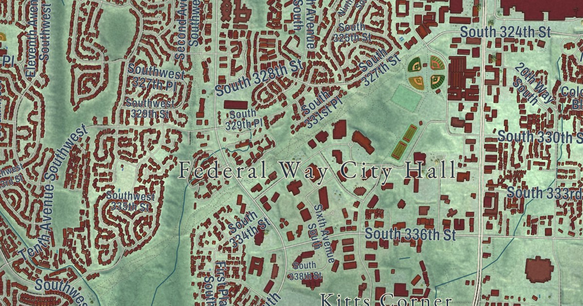
A detailed map of Federal Way, Washington, showing every building in its true location, the roads by name, and shaded topographical relief.
Read More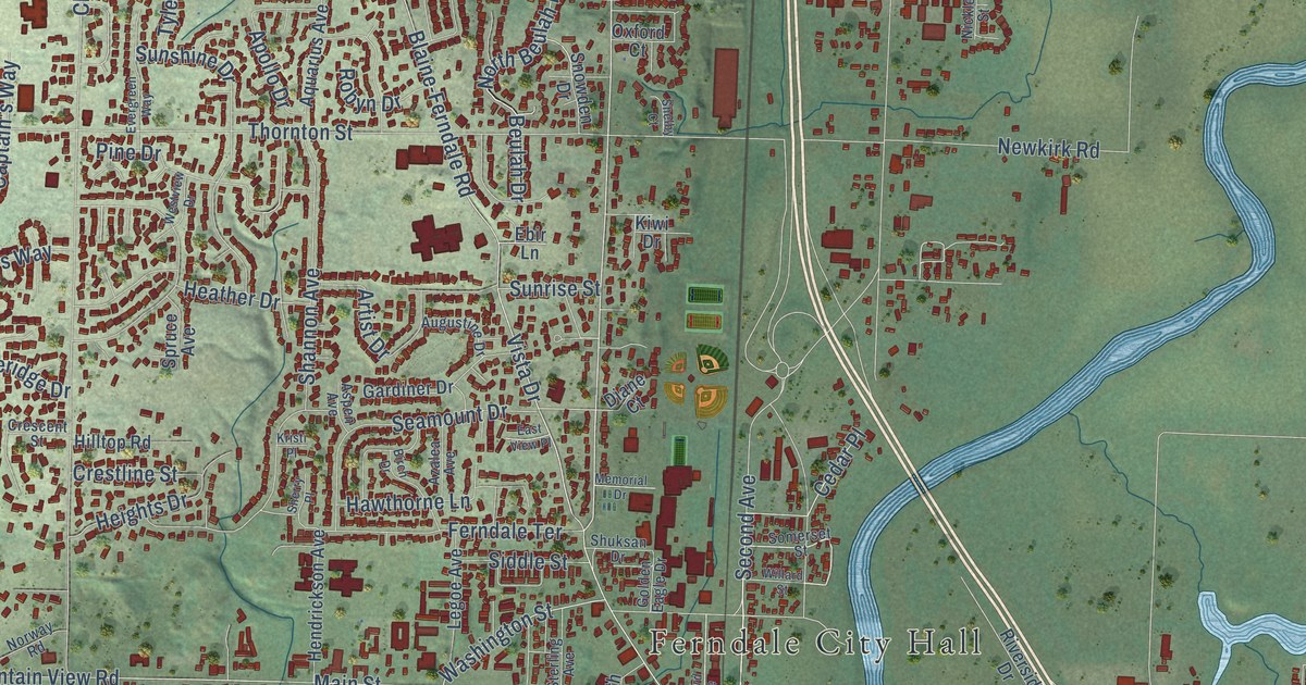
A detailed map of Ferndale, Washington, showing every building in its true location, the roads by name, and shaded topographical relief.
Read More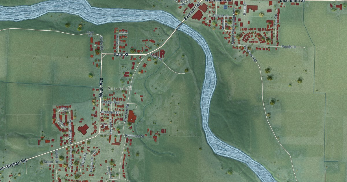
A detailed map of Everson, Washington, showing every building in its true location, the roads by name, and shaded topographical relief.
Read More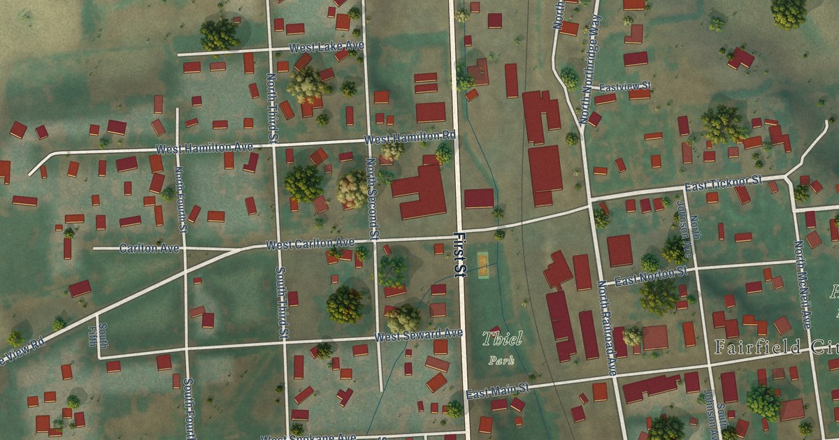
A detailed map of Fairfield, Washington, showing every building in its true location, the roads by name, and shaded topographical relief.
Read More















