Detailed Map of Price, Utah
A detailed map of Price, Utah, showing every building in its true location, the roads by name, and shaded topographical relief.
Read More
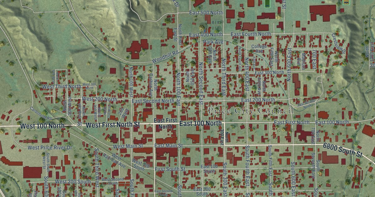
A detailed map of Price, Utah, showing every building in its true location, the roads by name, and shaded topographical relief.
Read More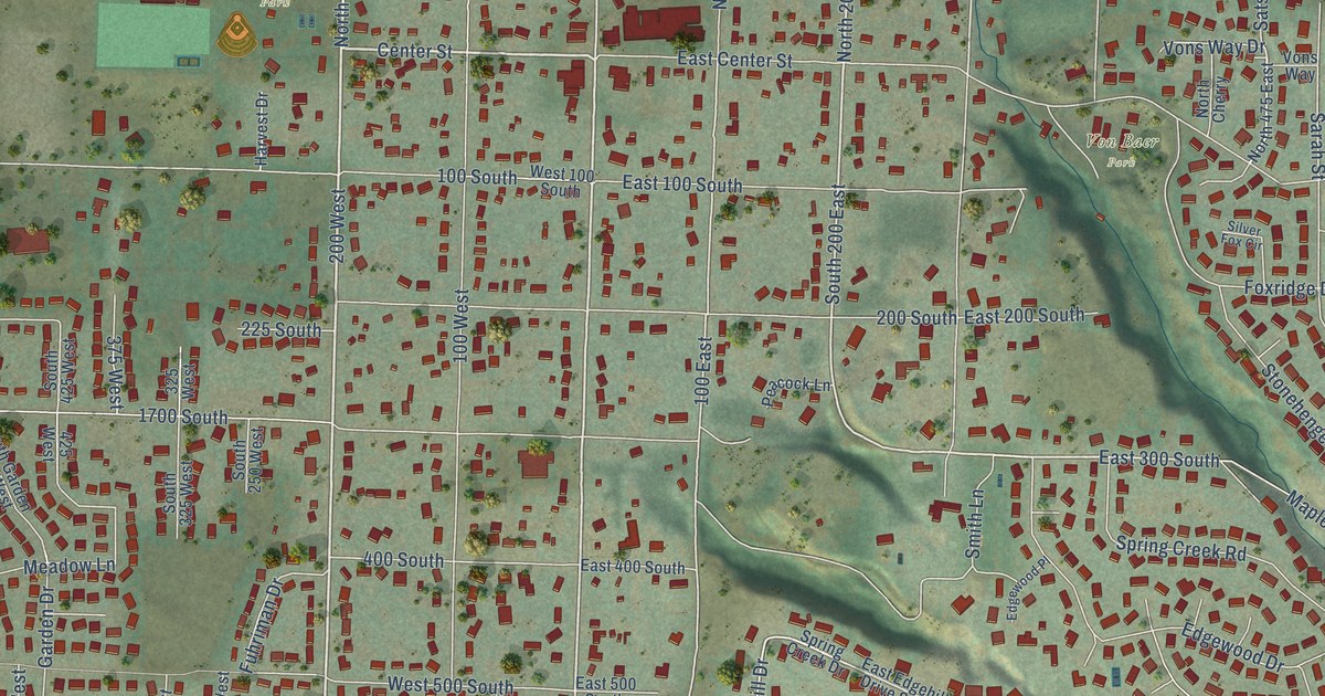
A detailed map of Providence, Utah, showing every building in its true location, the roads by name, and shaded topographical relief.
Read More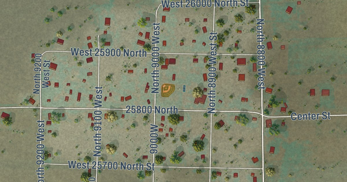
A detailed map of Portage, Utah, showing every building in its true location, the roads by name, and shaded topographical relief.
Read More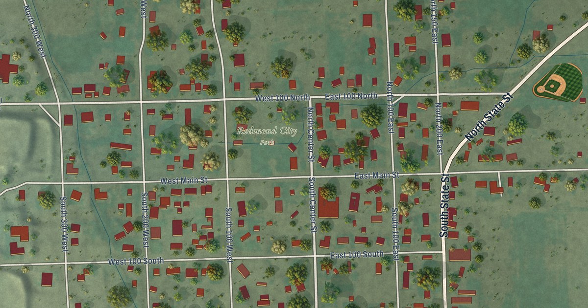
A detailed map of Redmond, Utah, showing every building in its true location, the roads by name, and shaded topographical relief.
Read More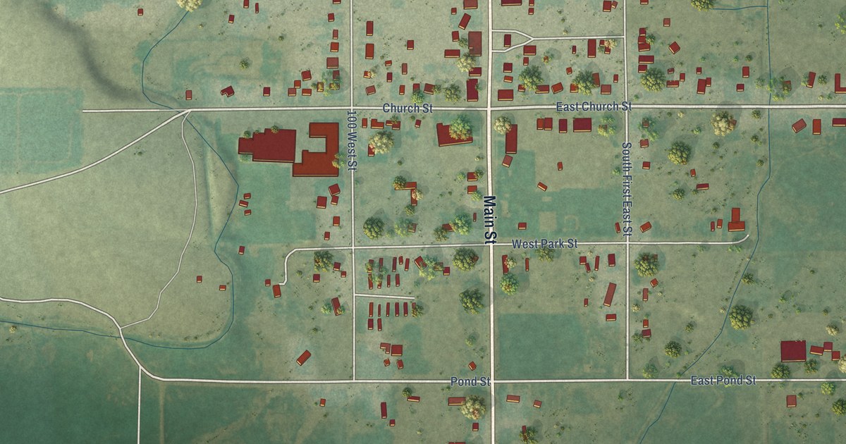
A detailed map of Randolph, Utah, showing every building in its true location, the roads by name, and shaded topographical relief.
Read More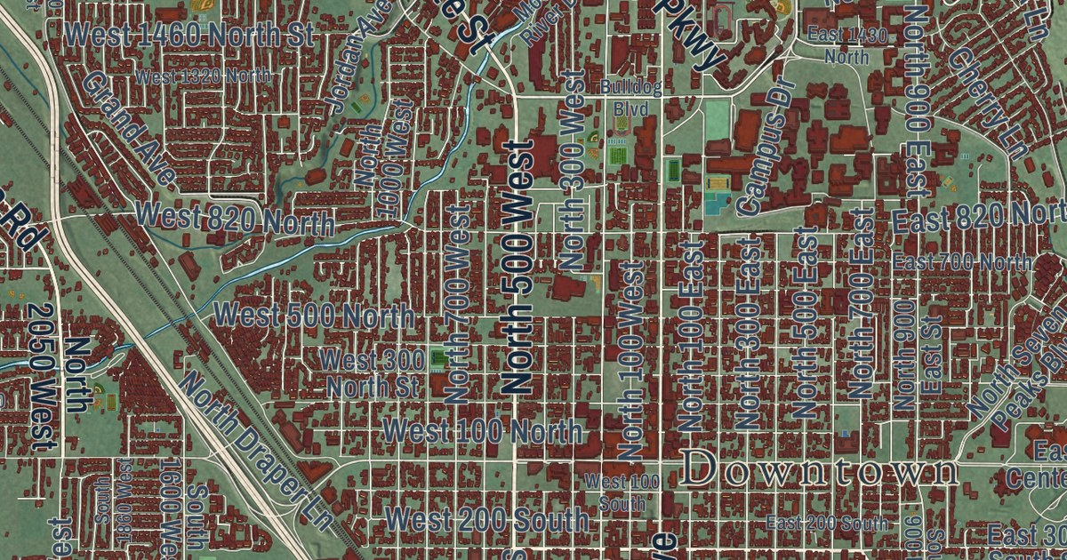
A detailed map of Provo, Utah, showing every building in its true location, the roads by name, and shaded topographical relief.
Read More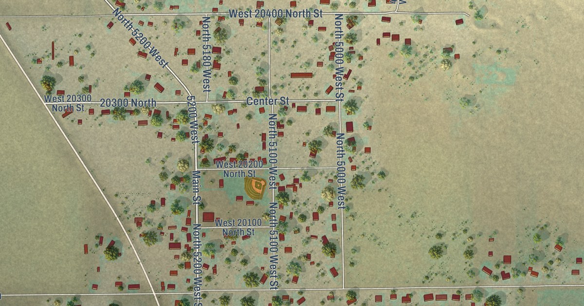
A detailed map of Plymouth, Utah, showing every building in its true location, the roads by name, and shaded topographical relief.
Read More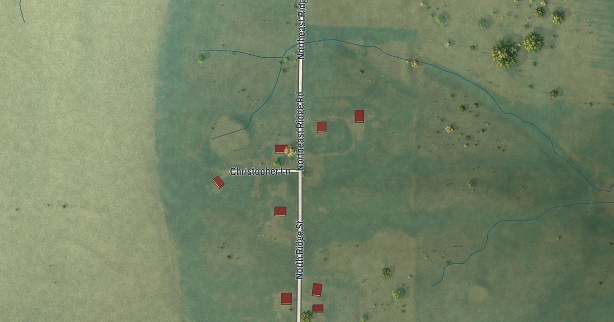
A detailed map of Turney, Missouri, showing every building in its true location, the roads by name, and shaded topographical relief.
Read More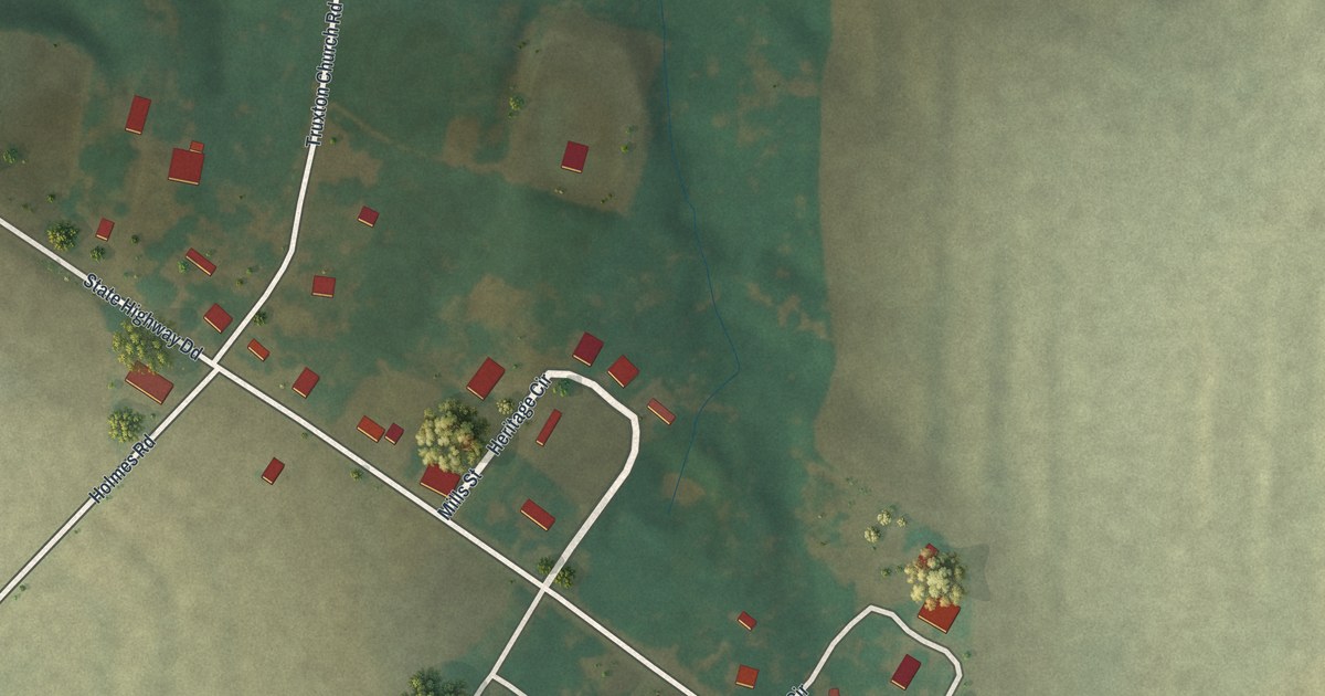
A detailed map of Truxton, Missouri, showing every building in its true location, the roads by name, and shaded topographical relief.
Read More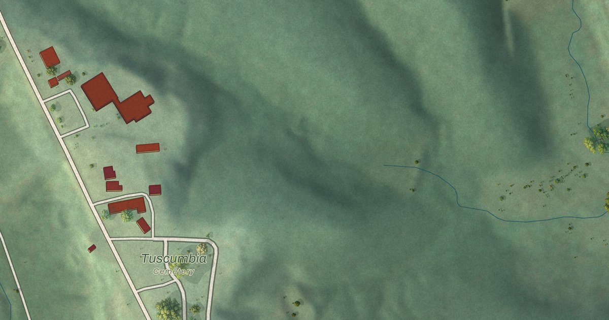
A detailed map of Tuscumbia, Missouri, showing every building in its true location, the roads by name, and shaded topographical relief.
Read More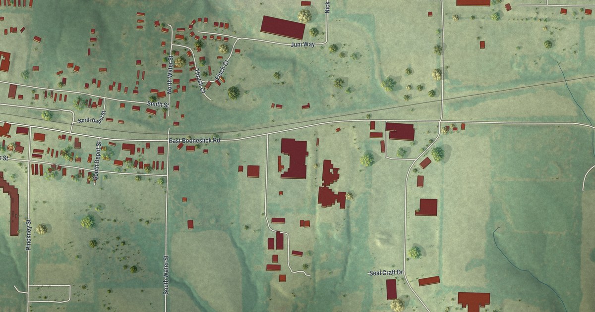
A detailed map of Truesdale, Missouri, showing every building in its true location, the roads by name, and shaded topographical relief.
Read More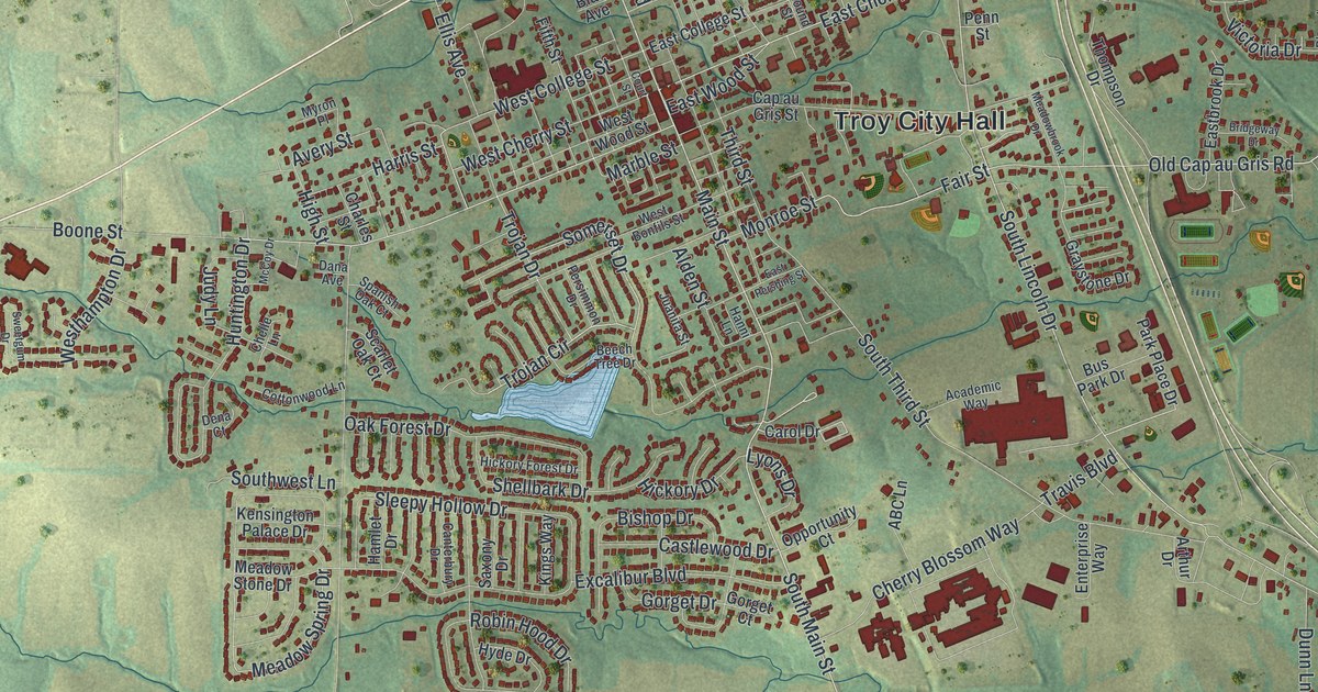
A detailed map of Troy, Missouri, showing every building in its true location, the roads by name, and shaded topographical relief.
Read More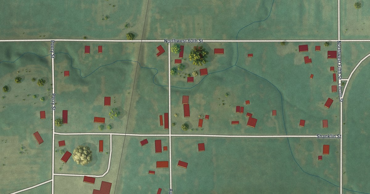
A detailed map of Tindall, Missouri, showing every building in its true location, the roads by name, and shaded topographical relief.
Read More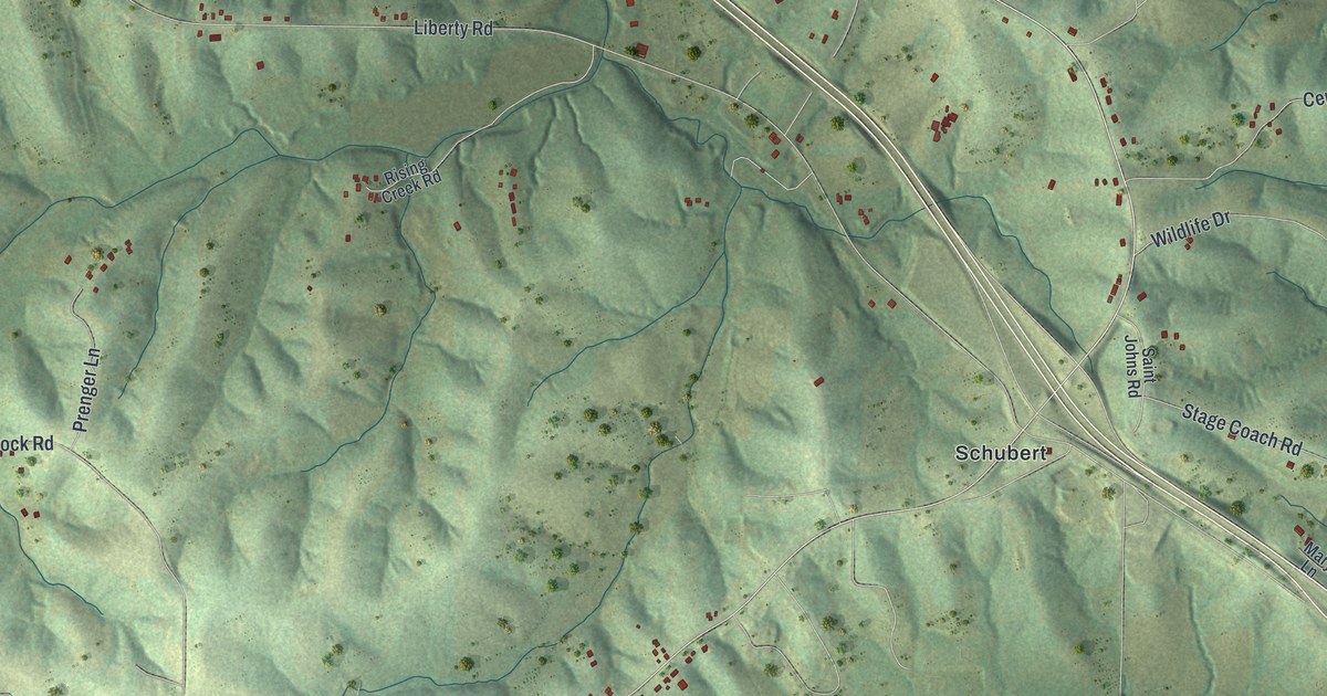
A detailed map of Taos, Missouri, showing every building in its true location, the roads by name, and shaded topographical relief.
Read More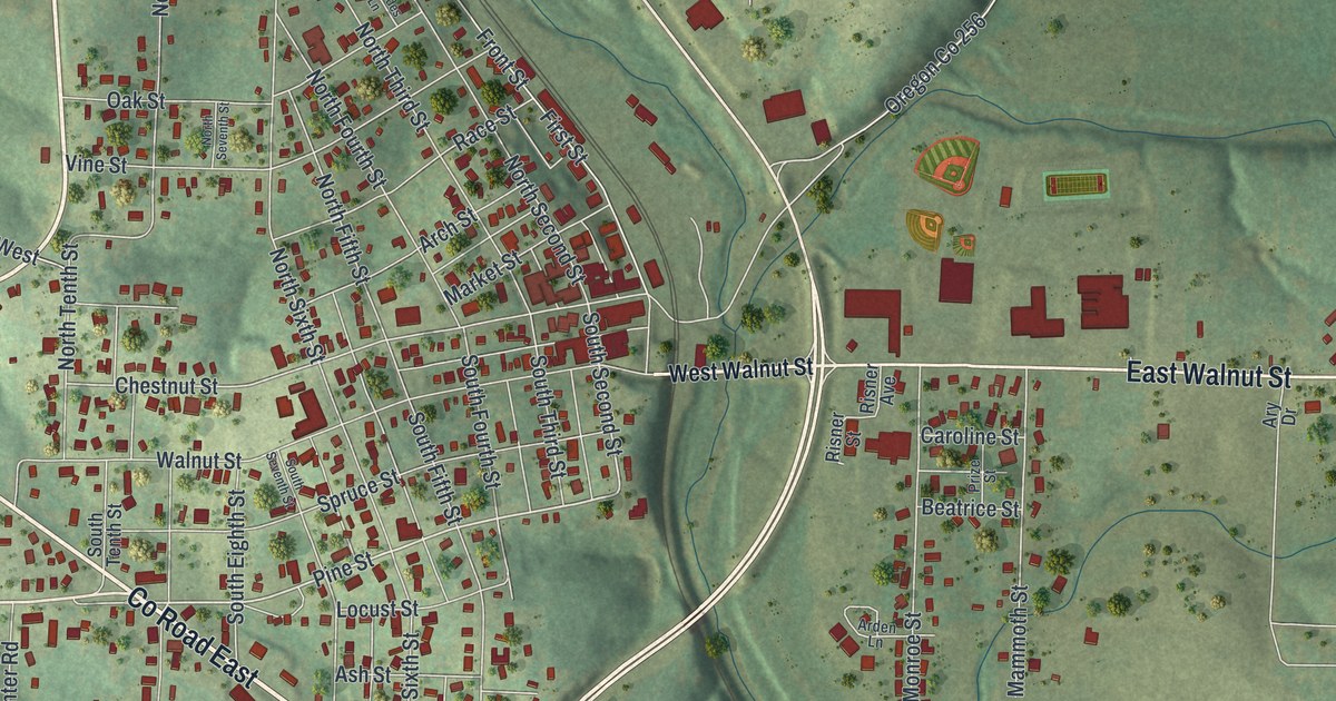
A detailed map of Thayer, Missouri, showing every building in its true location, the roads by name, and shaded topographical relief.
Read More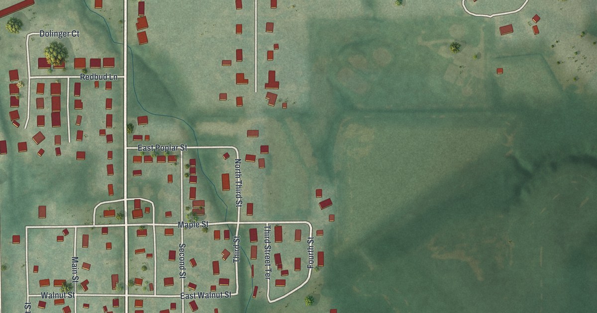
A detailed map of Trimble, Missouri, showing every building in its true location, the roads by name, and shaded topographical relief.
Read More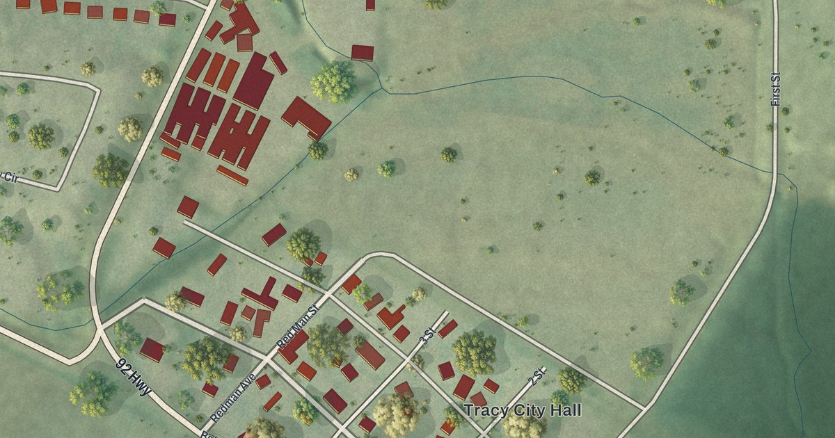
A detailed map of Tracy, Missouri, showing every building in its true location, the roads by name, and shaded topographical relief.
Read More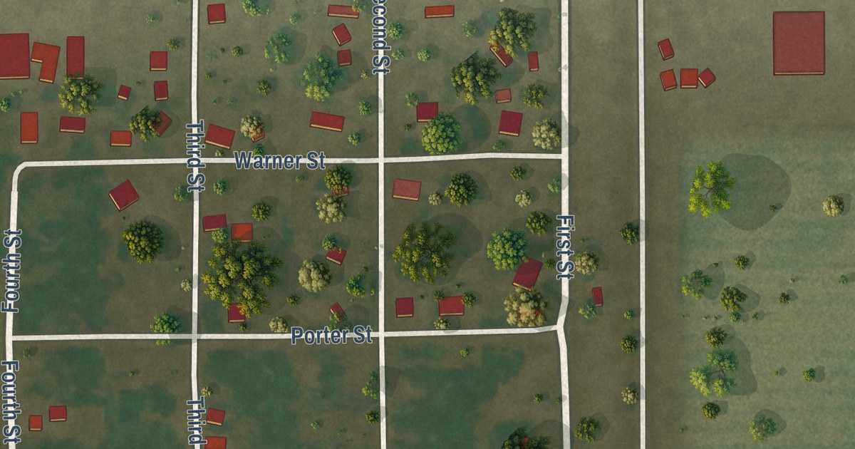
A detailed map of Tallapoosa, Missouri, showing every building in its true location, the roads by name, and shaded topographical relief.
Read More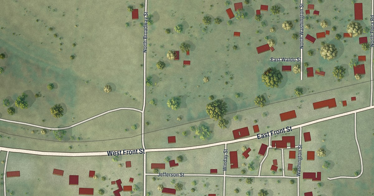
A detailed map of Syracuse, Missouri, showing every building in its true location, the roads by name, and shaded topographical relief.
Read More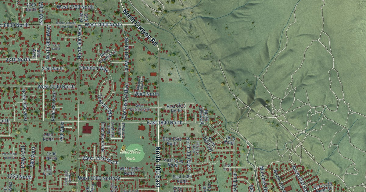
A detailed map of Pleasant Grove, Utah, showing every building in its true location, the roads by name, and shaded topographical relief.
Read More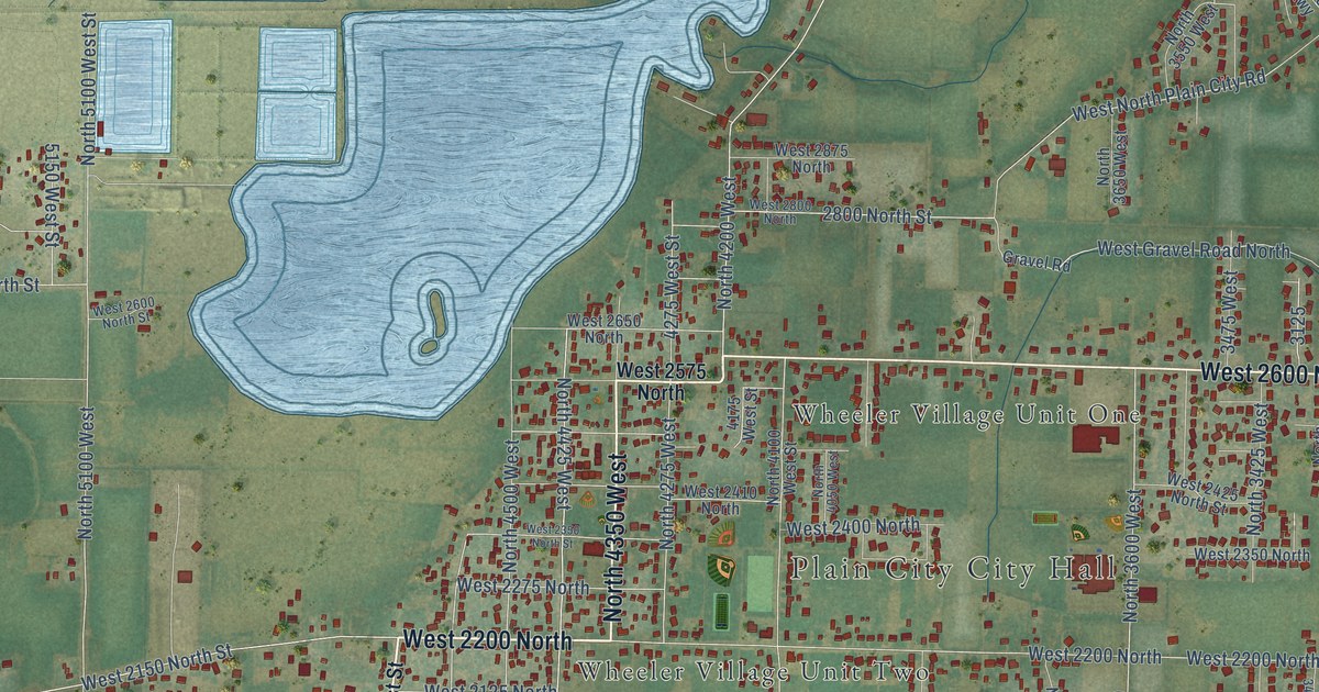
A detailed map of Plain City, Utah, showing every building in its true location, the roads by name, and shaded topographical relief.
Read More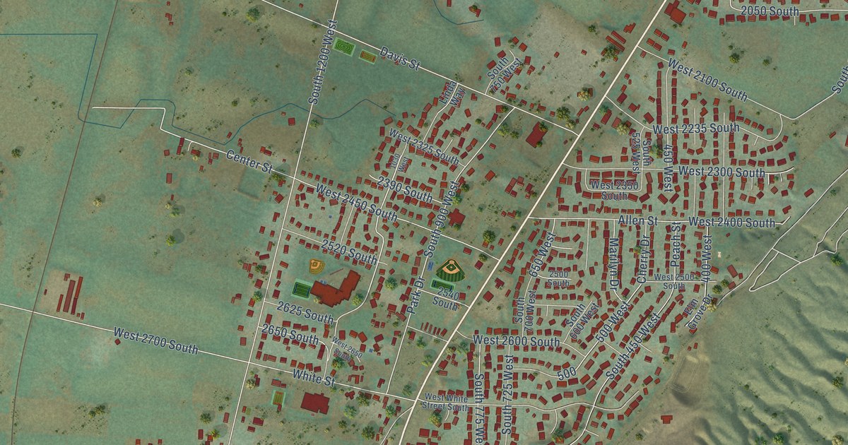
A detailed map of Perry, Utah, showing every building in its true location, the roads by name, and shaded topographical relief.
Read More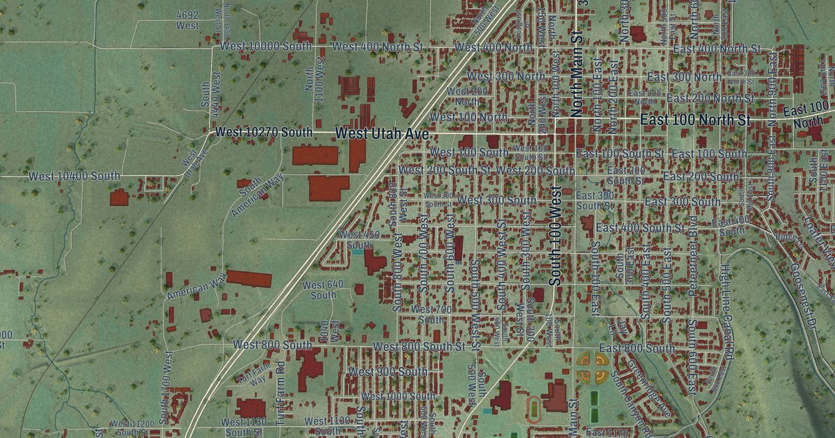
A detailed map of Payson, Utah, showing every building in its true location, the roads by name, and shaded topographical relief.
Read More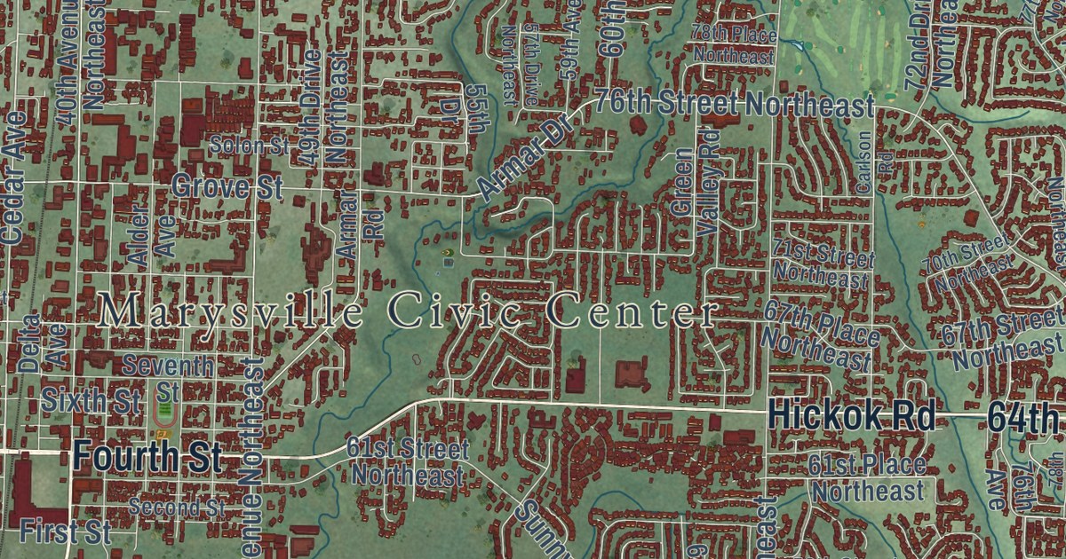
A detailed map of Marysville, Washington, showing every building in its true location, the roads by name, and shaded topographical relief.
Read More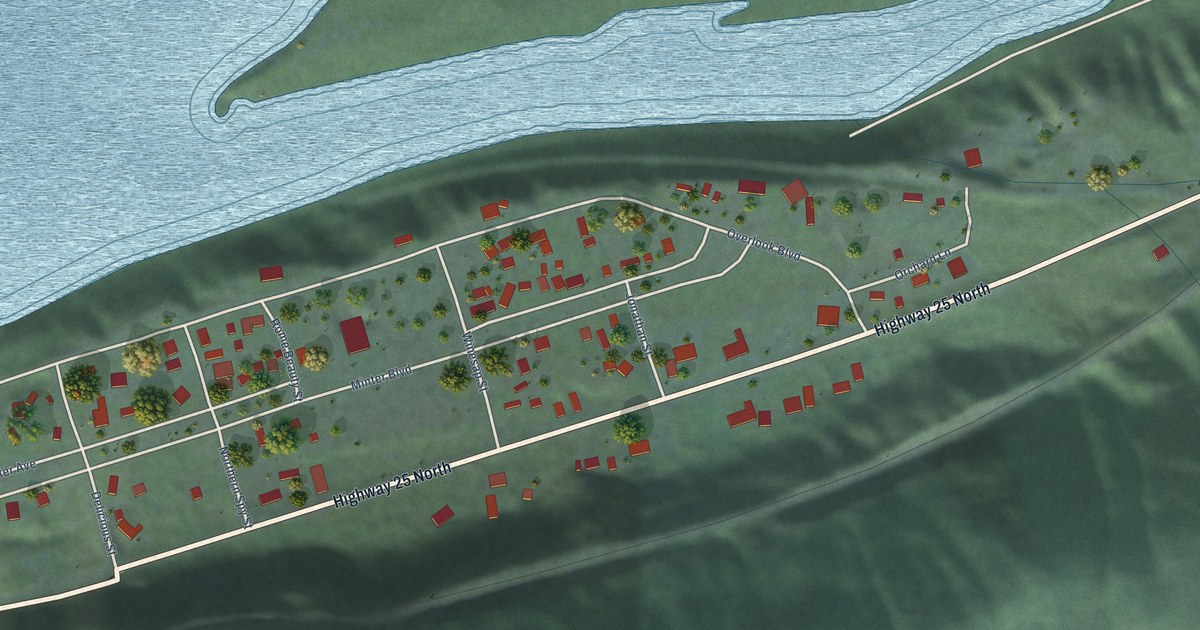
A detailed map of Marcus, Washington, showing every building in its true location, the roads by name, and shaded topographical relief.
Read More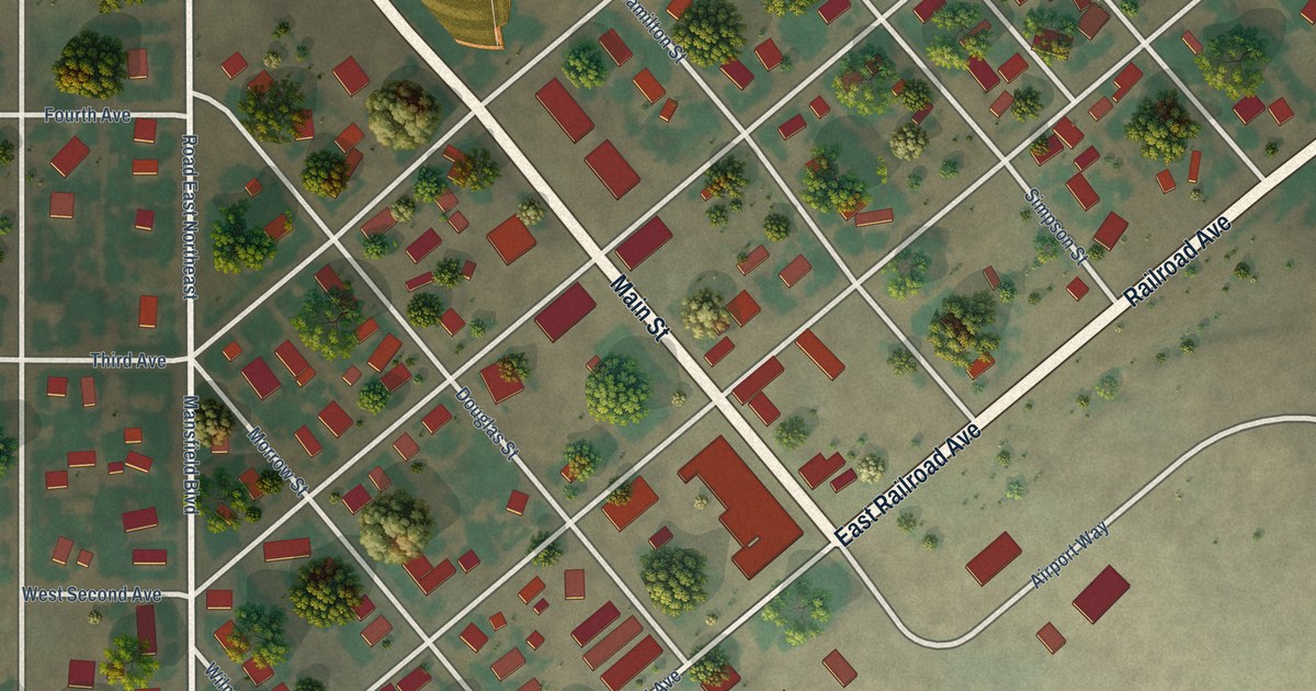
A detailed map of Mansfield, Washington, showing every building in its true location, the roads by name, and shaded topographical relief.
Read More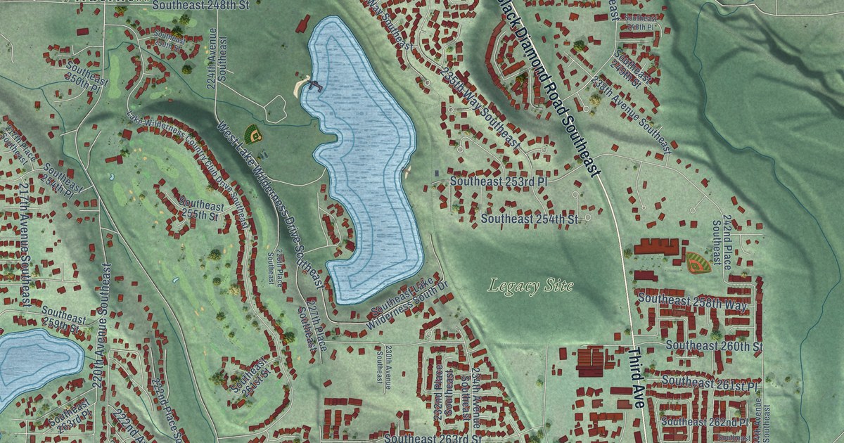
A detailed map of Maple Valley, Washington, showing every building in its true location, the roads by name, and shaded topographical relief.
Read More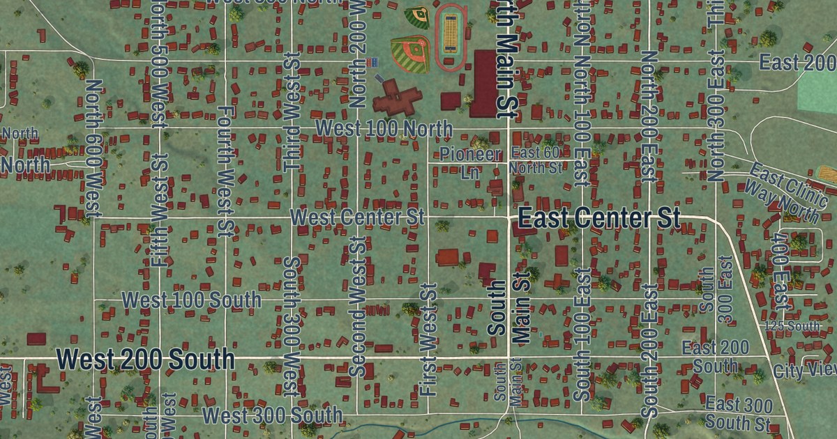
A detailed map of Parowan, Utah, showing every building in its true location, the roads by name, and shaded topographical relief.
Read More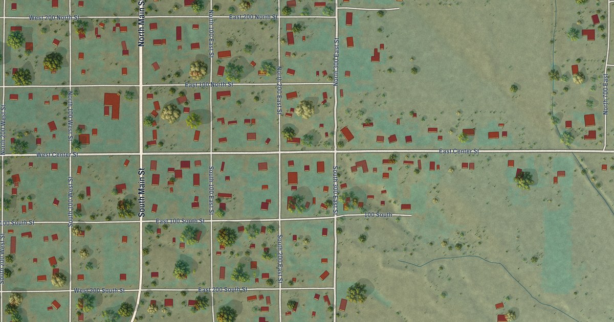
A detailed map of Paragonah, Utah, showing every building in its true location, the roads by name, and shaded topographical relief.
Read More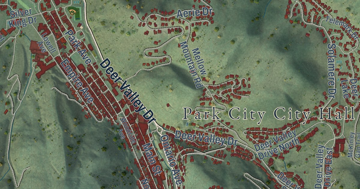
A detailed map of Park City, Utah, showing every building in its true location, the roads by name, and shaded topographical relief.
Read More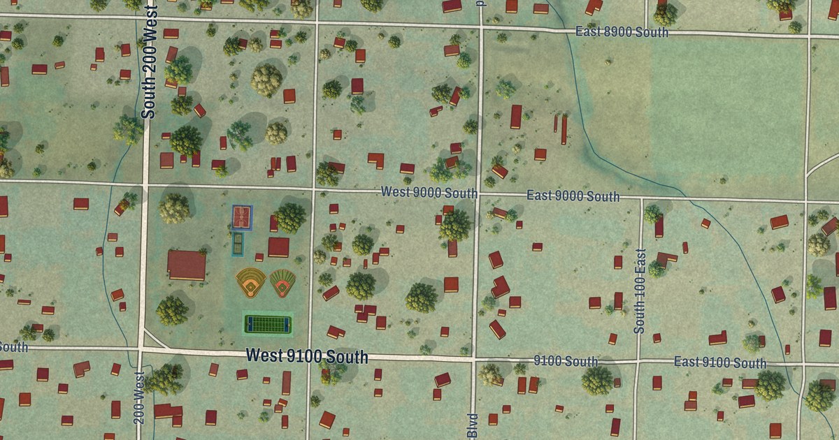
A detailed map of Paradise, Utah, showing every building in its true location, the roads by name, and shaded topographical relief.
Read More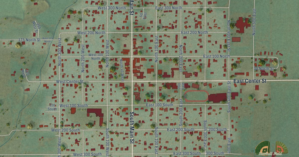
A detailed map of Panguitch, Utah, showing every building in its true location, the roads by name, and shaded topographical relief.
Read More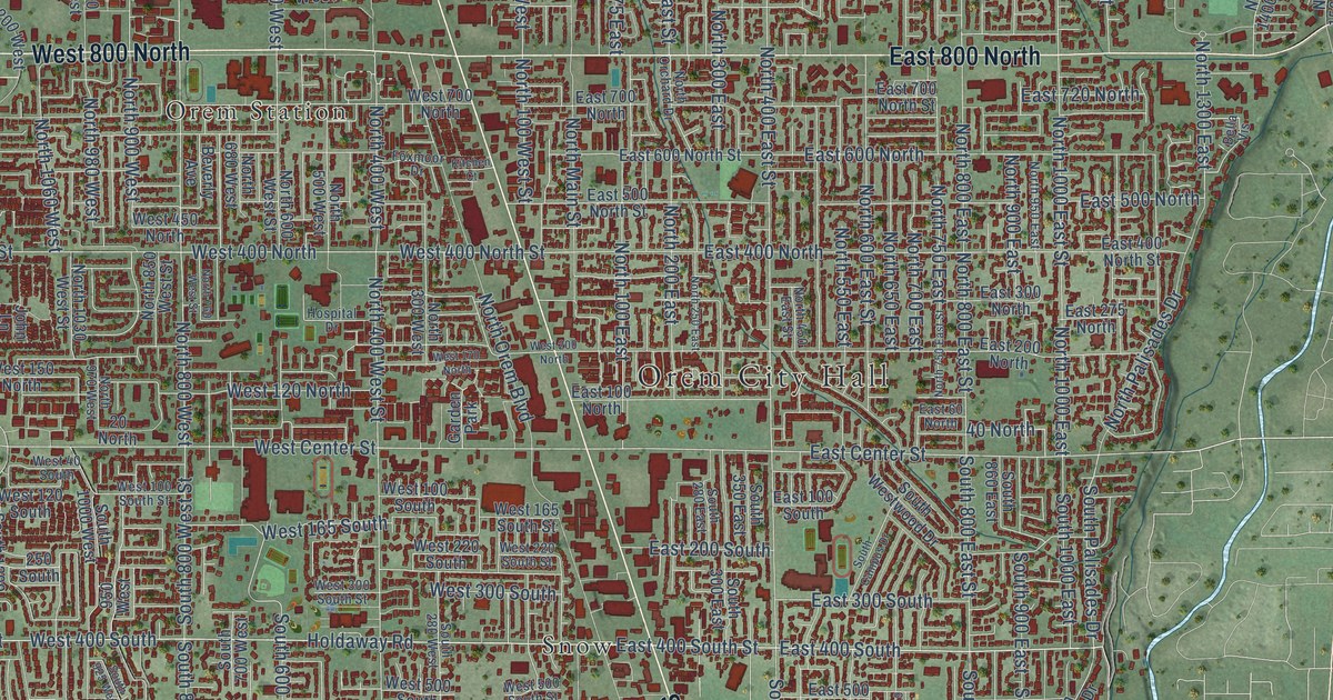
A detailed map of Orem, Utah, showing every building in its true location, the roads by name, and shaded topographical relief.
Read More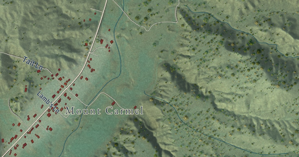
A detailed map of Orderville, Utah, showing every building in its true location, the roads by name, and shaded topographical relief.
Read More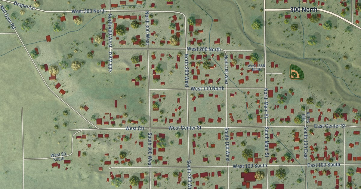
A detailed map of Orangeville, Utah, showing every building in its true location, the roads by name, and shaded topographical relief.
Read More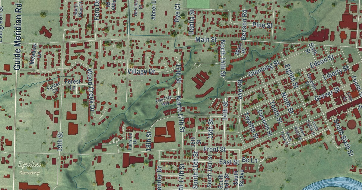
A detailed map of Lynden, Washington, showing every building in its true location, the roads by name, and shaded topographical relief.
Read More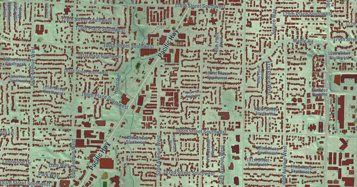
A detailed map of Lynnwood, Washington, showing every building in its true location, the roads by name, and shaded topographical relief.
Read More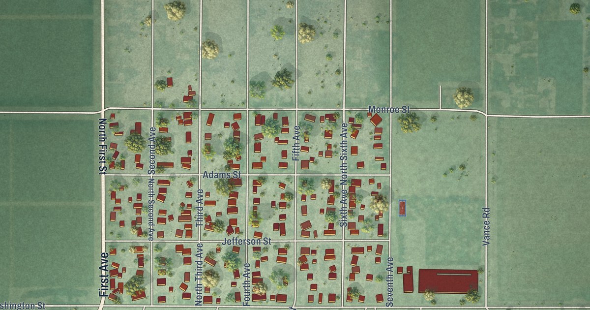
A detailed map of Mabton, Washington, showing every building in its true location, the roads by name, and shaded topographical relief.
Read More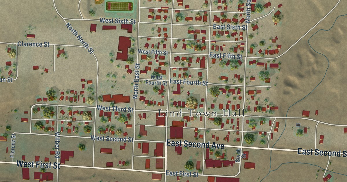
A detailed map of Lind, Washington, showing every building in its true location, the roads by name, and shaded topographical relief.
Read More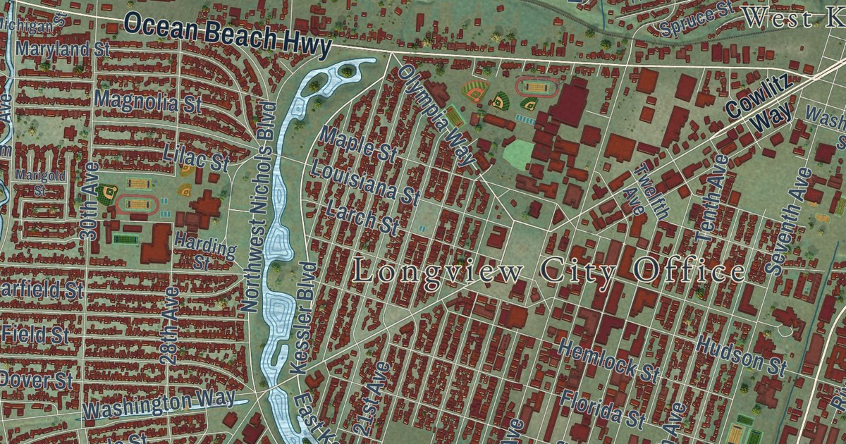
A detailed map of Longview, Washington, showing every building in its true location, the roads by name, and shaded topographical relief.
Read More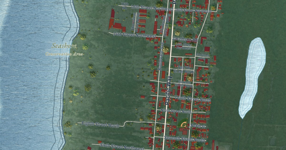
A detailed map of Long Beach, Washington, showing every building in its true location, the roads by name, and shaded topographical relief.
Read More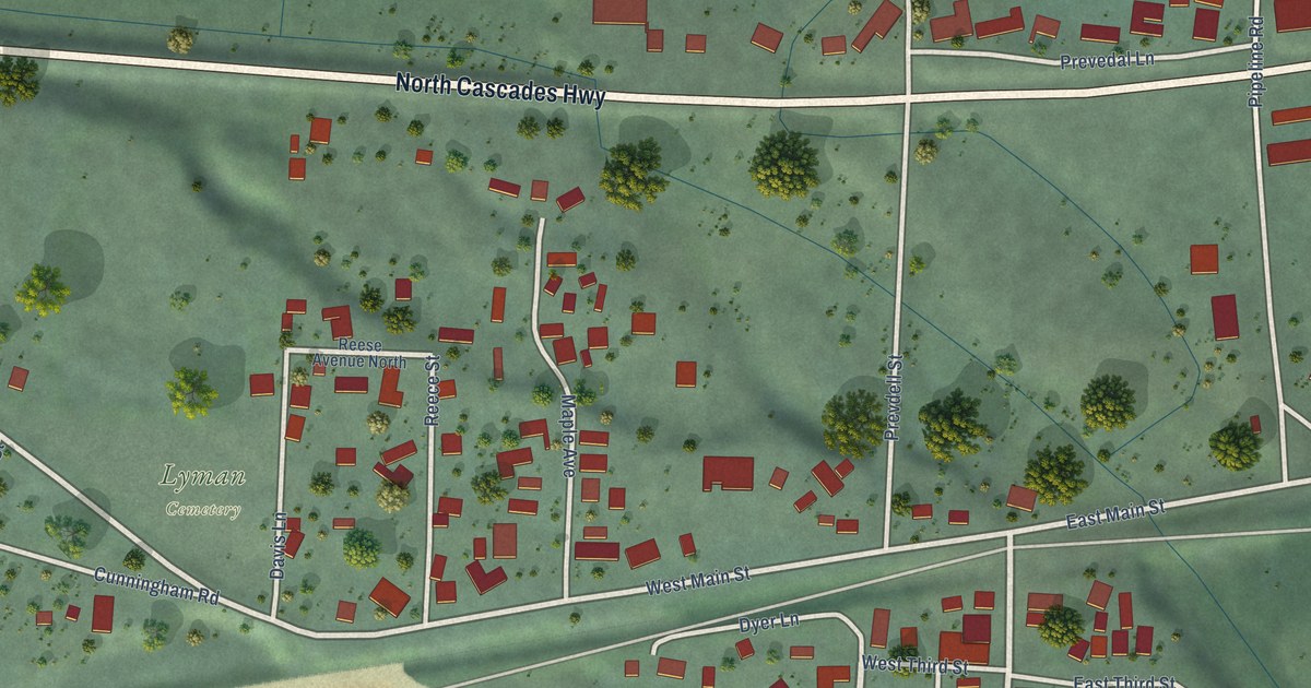
A detailed map of Lyman, Washington, showing every building in its true location, the roads by name, and shaded topographical relief.
Read More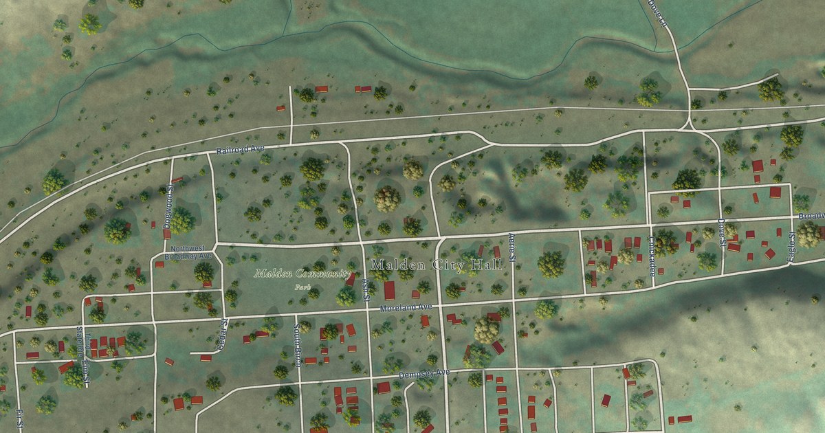
A detailed map of Malden, Washington, showing every building in its true location, the roads by name, and shaded topographical relief.
Read More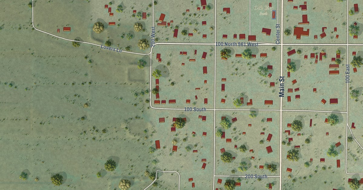
A detailed map of Oak City, Utah, showing every building in its true location, the roads by name, and shaded topographical relief.
Read More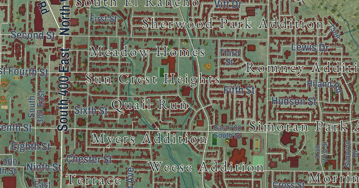
A detailed map of Ogden, Utah, showing every building in its true location, the roads by name, and shaded topographical relief.
Read More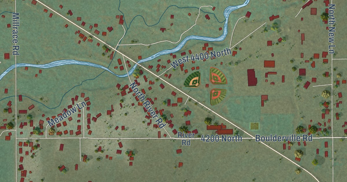
A detailed map of Oakley, Utah, showing every building in its true location, the roads by name, and shaded topographical relief.
Read More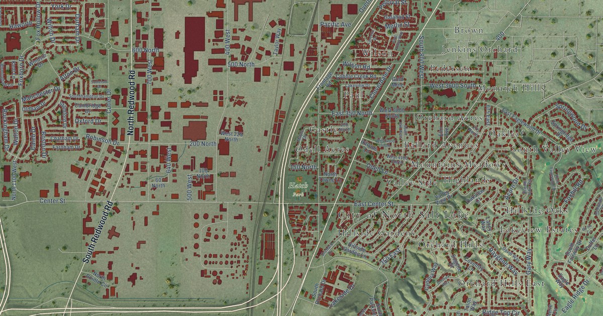
A detailed map of North Salt Lake, Utah, showing every building in its true location, the roads by name, and shaded topographical relief.
Read More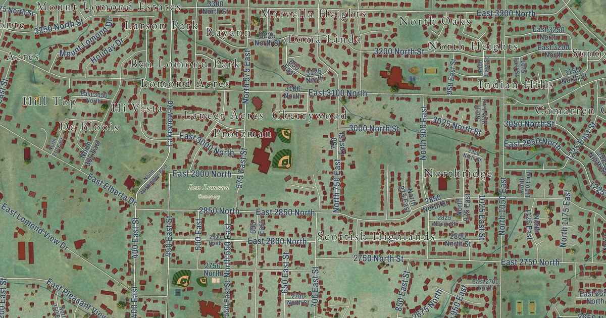
A detailed map of North Ogden, Utah, showing every building in its true location, the roads by name, and shaded topographical relief.
Read More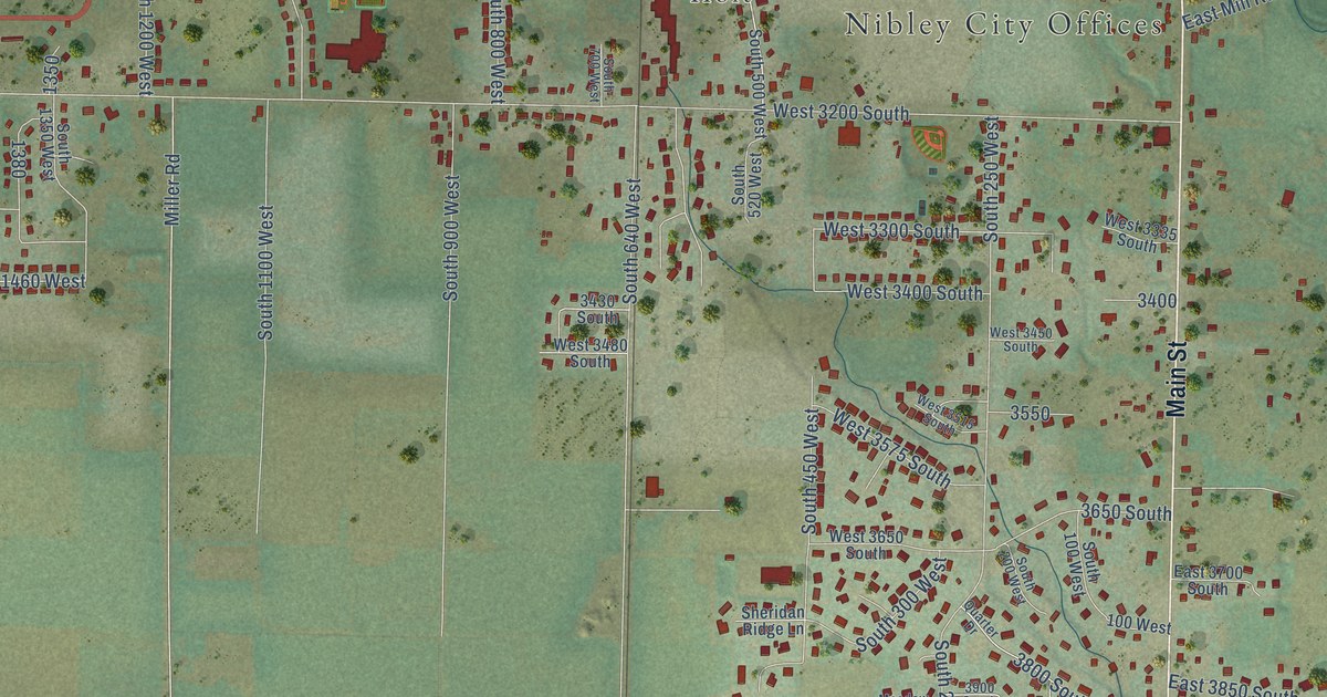
A detailed map of Nibley, Utah, showing every building in its true location, the roads by name, and shaded topographical relief.
Read More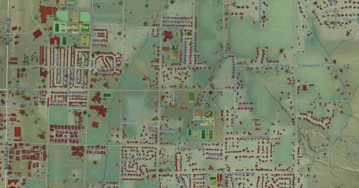
A detailed map of North Logan, Utah, showing every building in its true location, the roads by name, and shaded topographical relief.
Read More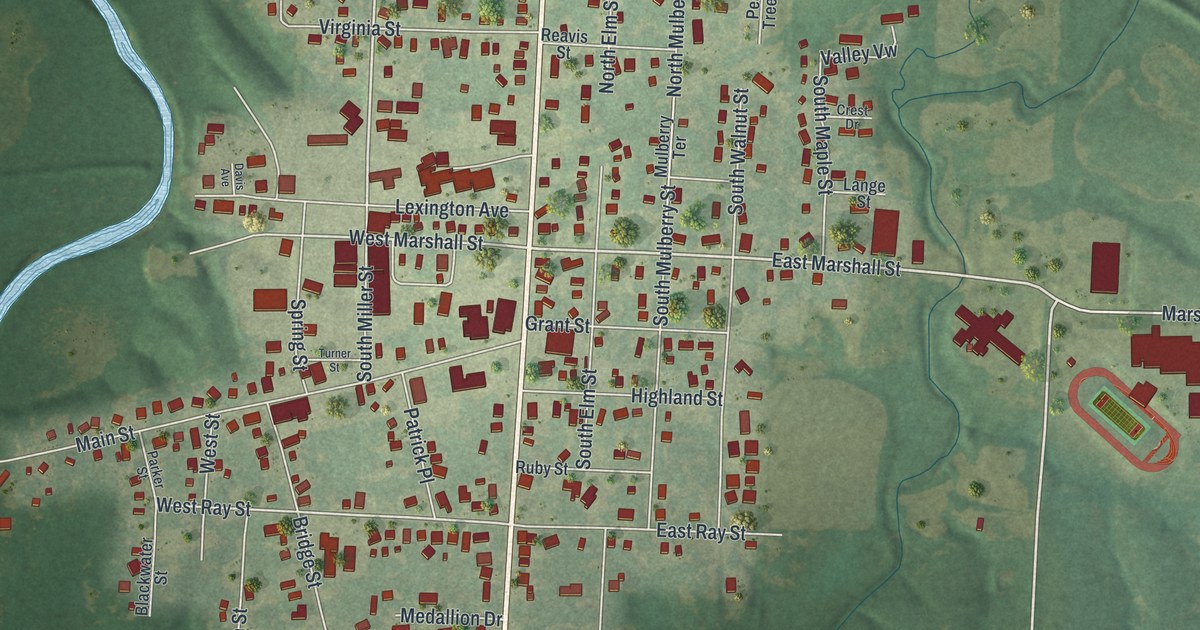
A detailed map of Sweet Springs, Missouri, showing every building in its true location, the roads by name, and shaded topographical relief.
Read More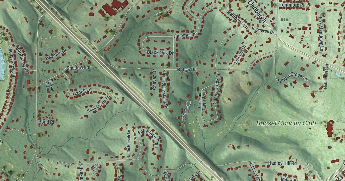
A detailed map of Sunset Hills, Missouri, showing every building in its true location, the roads by name, and shaded topographical relief.
Read More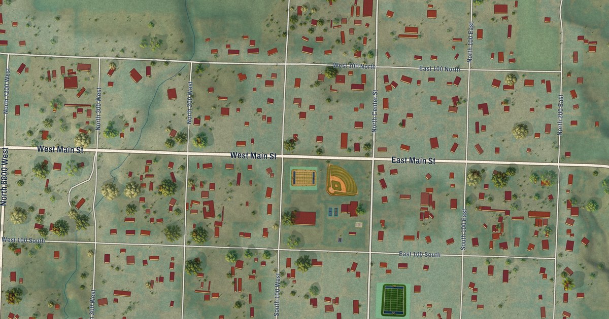
A detailed map of Newton, Utah, showing every building in its true location, the roads by name, and shaded topographical relief.
Read More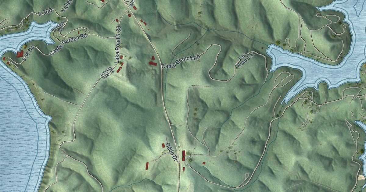
A detailed map of Sunrise Beach, Missouri, showing every building in its true location, the roads by name, and shaded topographical relief.
Read More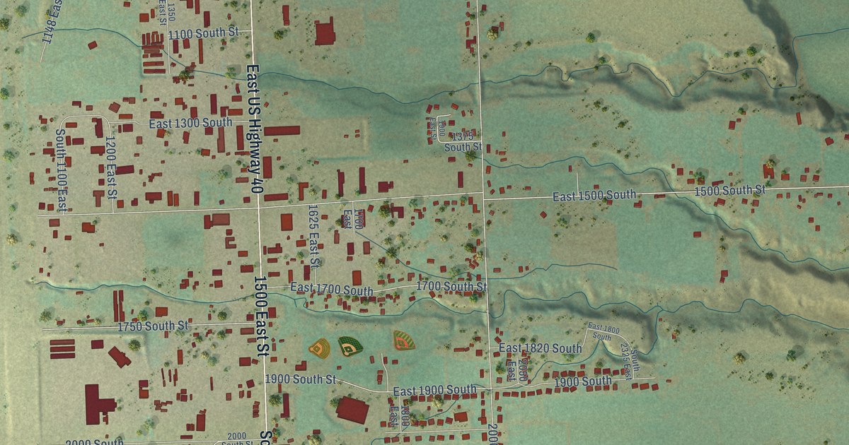
A detailed map of Naples, Utah, showing every building in its true location, the roads by name, and shaded topographical relief.
Read More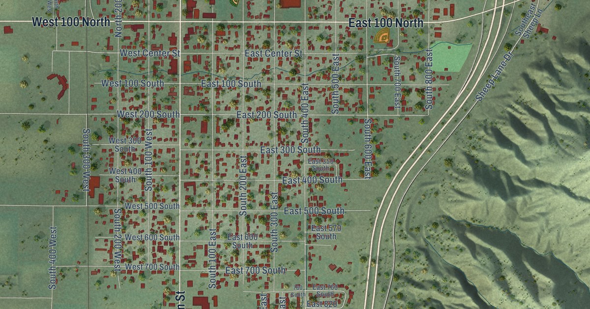
A detailed map of Nephi, Utah, showing every building in its true location, the roads by name, and shaded topographical relief.
Read More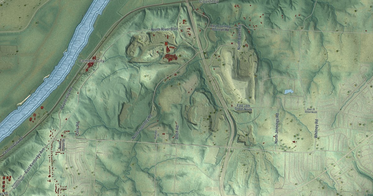
A detailed map of Sugar Creek, Missouri, showing every building in its true location, the roads by name, and shaded topographical relief.
Read More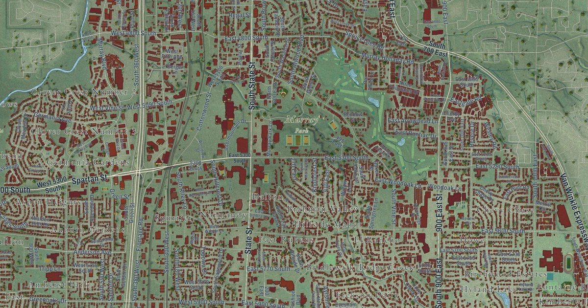
A detailed map of Murray, Utah, showing every building in its true location, the roads by name, and shaded topographical relief.
Read More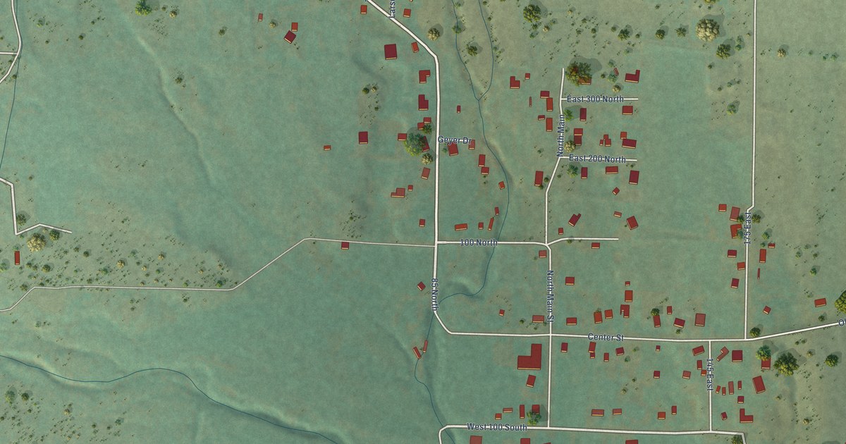
A detailed map of New Harmony, Utah, showing every building in its true location, the roads by name, and shaded topographical relief.
Read More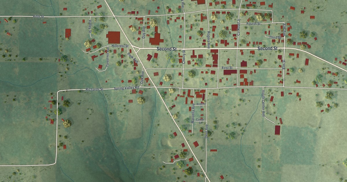
A detailed map of Summersville, Missouri, showing every building in its true location, the roads by name, and shaded topographical relief.
Read More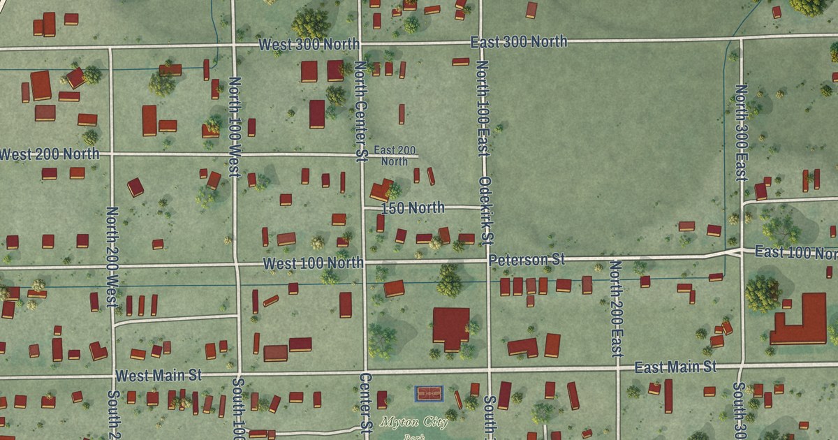
A detailed map of Myton, Utah, showing every building in its true location, the roads by name, and shaded topographical relief.
Read More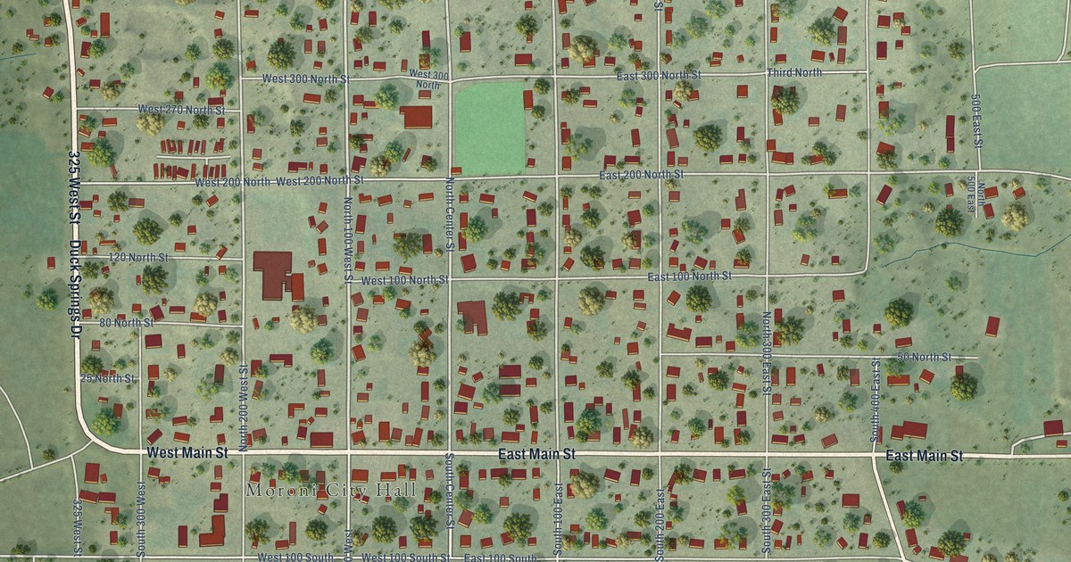
A detailed map of Moroni, Utah, showing every building in its true location, the roads by name, and shaded topographical relief.
Read More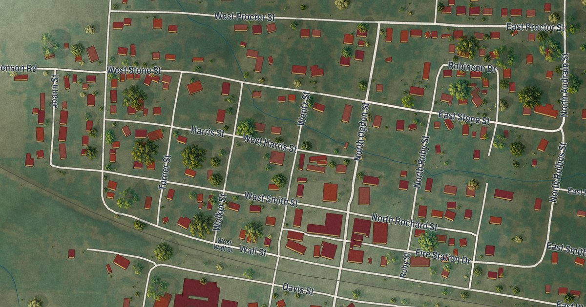
A detailed map of Sturgeon, Missouri, showing every building in its true location, the roads by name, and shaded topographical relief.
Read More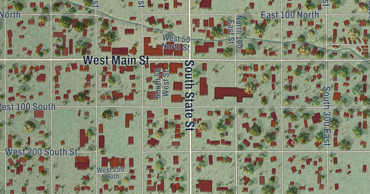
A detailed map of Mount Pleasant, Utah, showing every building in its true location, the roads by name, and shaded topographical relief.
Read More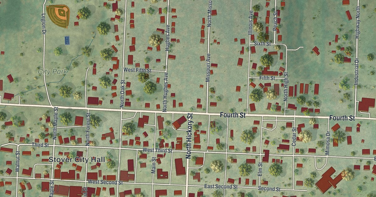
A detailed map of Stover, Missouri, showing every building in its true location, the roads by name, and shaded topographical relief.
Read More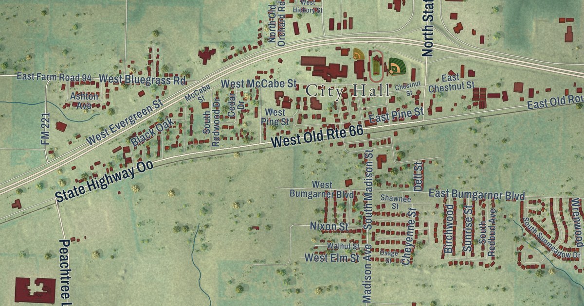
A detailed map of Strafford, Missouri, showing every building in its true location, the roads by name, and shaded topographical relief.
Read More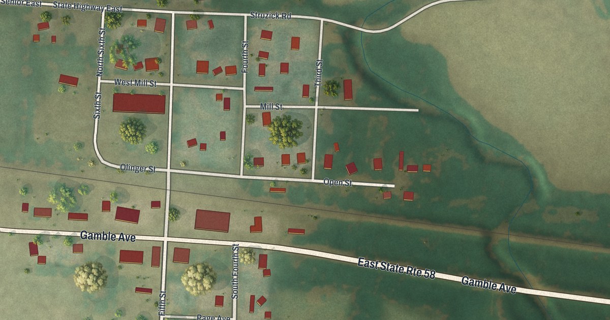
A detailed map of Strasburg, Missouri, showing every building in its true location, the roads by name, and shaded topographical relief.
Read More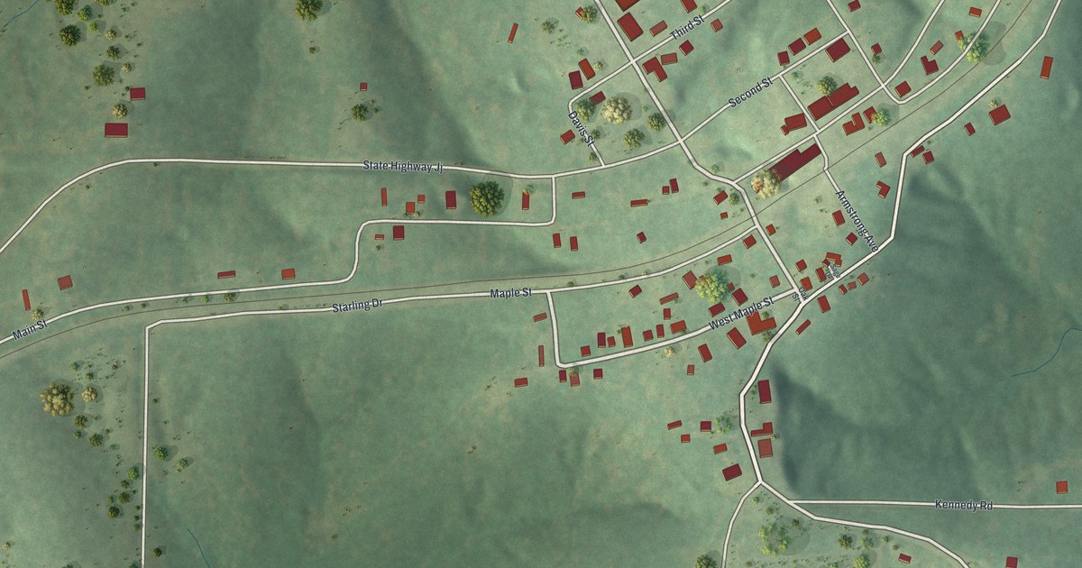
A detailed map of Stoutland, Missouri, showing every building in its true location, the roads by name, and shaded topographical relief.
Read More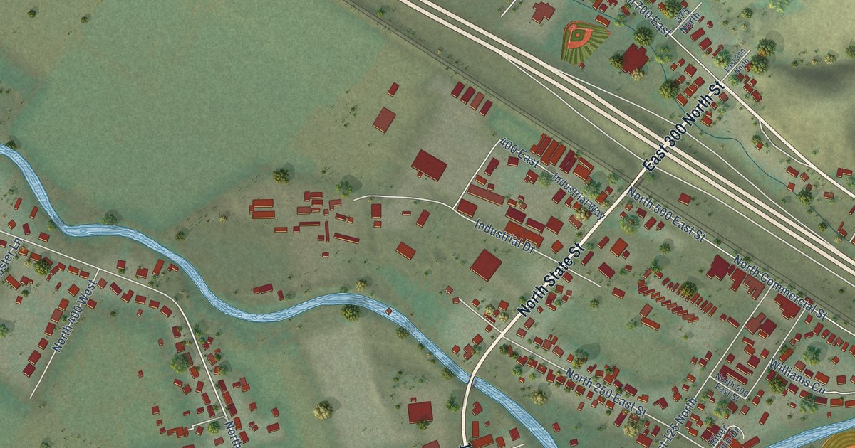
A detailed map of Morgan, Utah, showing every building in its true location, the roads by name, and shaded topographical relief.
Read More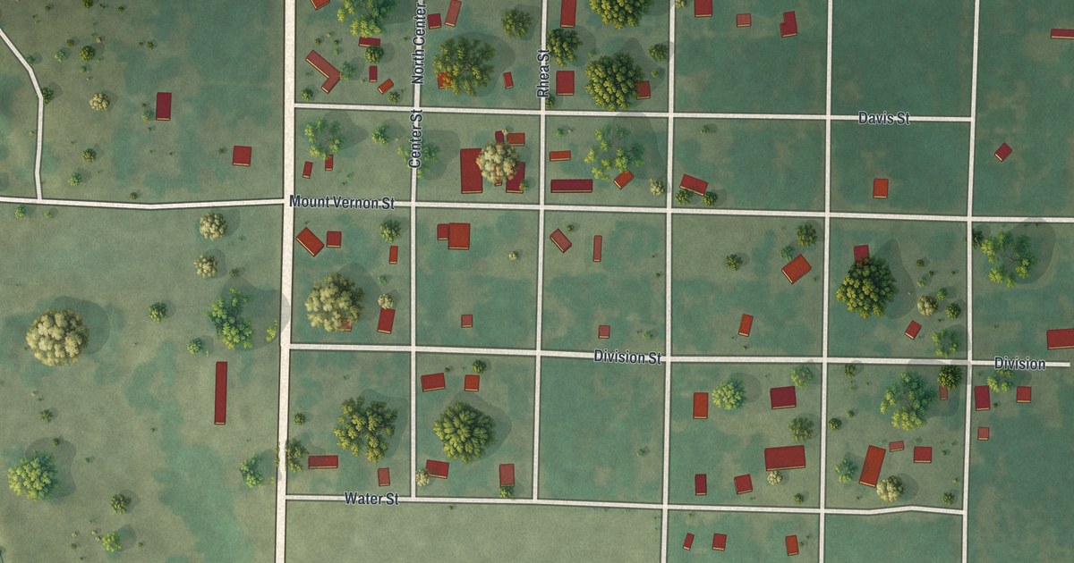
A detailed map of Stotts City, Missouri, showing every building in its true location, the roads by name, and shaded topographical relief.
Read More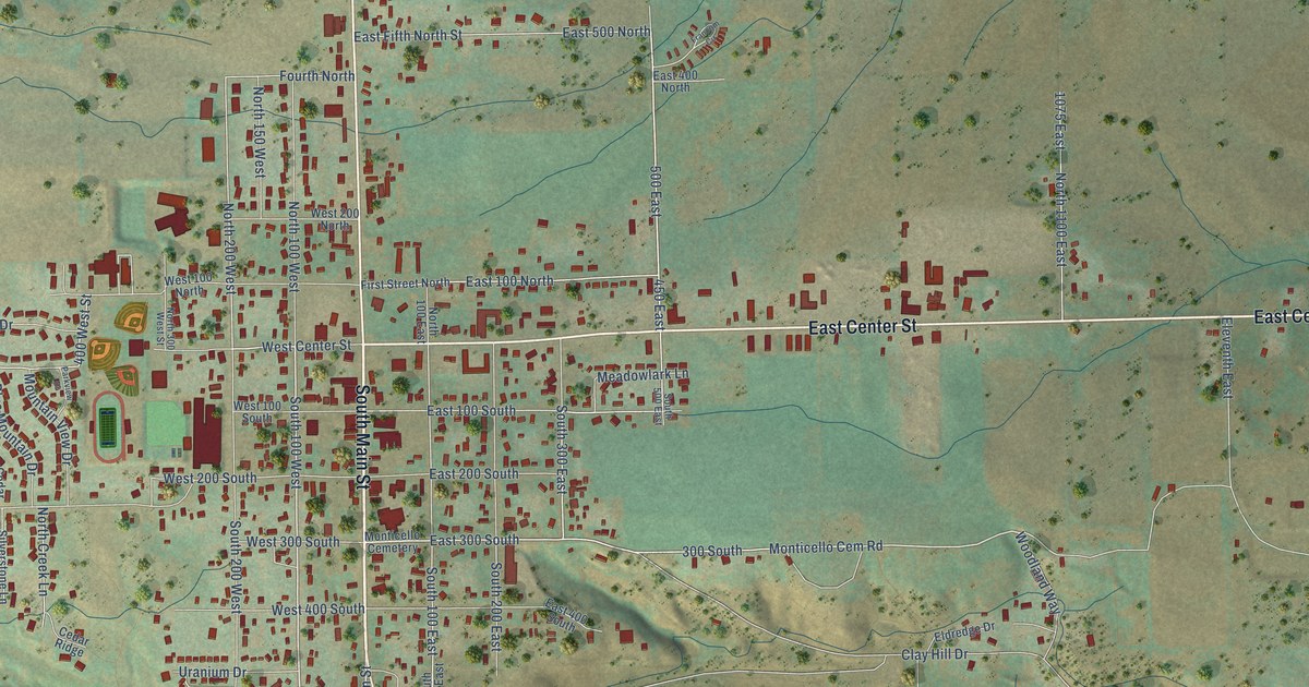
A detailed map of Monticello, Utah, showing every building in its true location, the roads by name, and shaded topographical relief.
Read More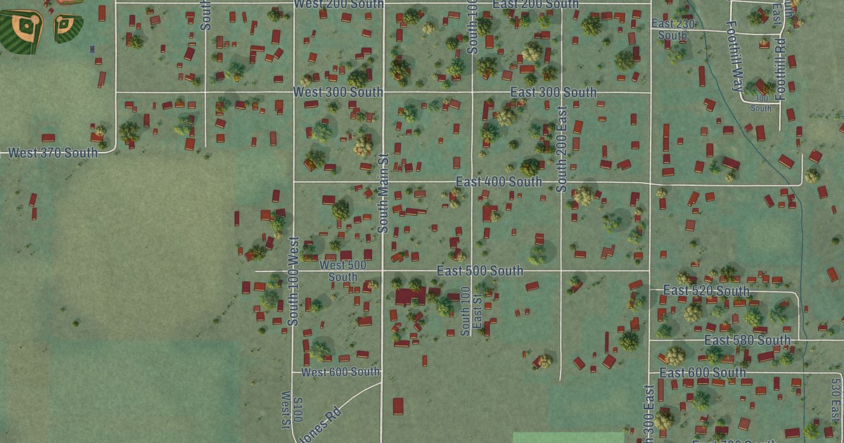
A detailed map of Monroe, Utah, showing every building in its true location, the roads by name, and shaded topographical relief.
Read More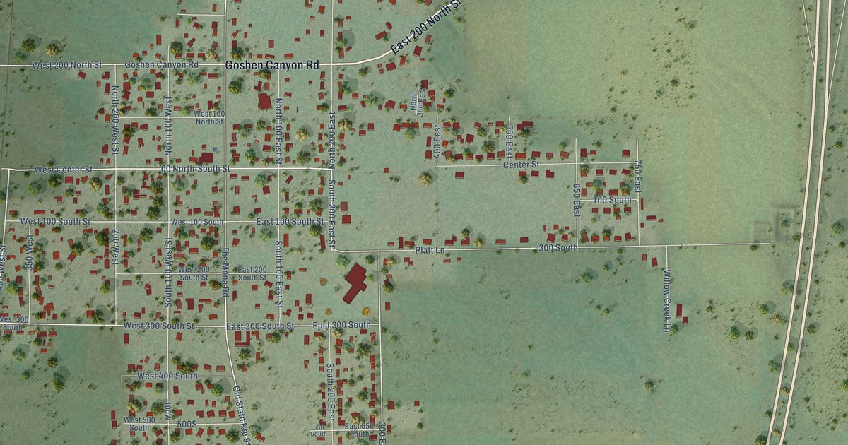
A detailed map of Mona, Utah, showing every building in its true location, the roads by name, and shaded topographical relief.
Read More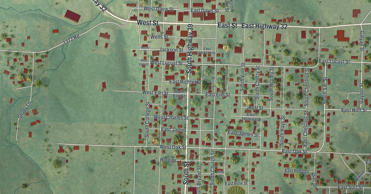
A detailed map of Stockton, Missouri, showing every building in its true location, the roads by name, and shaded topographical relief.
Read More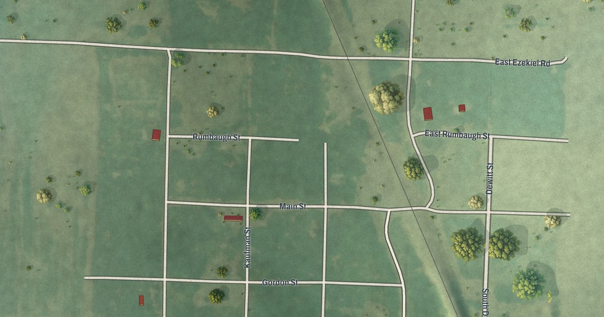
A detailed map of Stotesbury, Missouri, showing every building in its true location, the roads by name, and shaded topographical relief.
Read More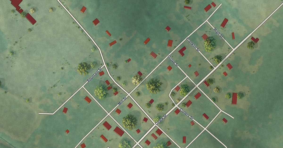
A detailed map of Stella, Missouri, showing every building in its true location, the roads by name, and shaded topographical relief.
Read More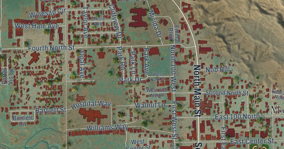
A detailed map of Moab, Utah, showing every building in its true location, the roads by name, and shaded topographical relief.
Read More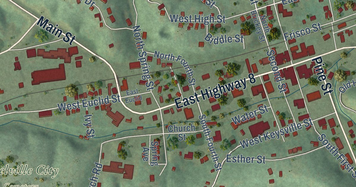
A detailed map of Steelville, Missouri, showing every building in its true location, the roads by name, and shaded topographical relief.
Read More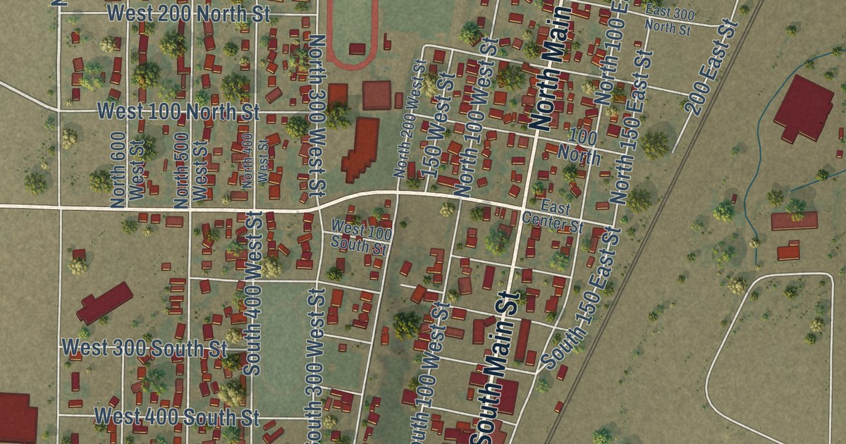
A detailed map of Milford, Utah, showing every building in its true location, the roads by name, and shaded topographical relief.
Read More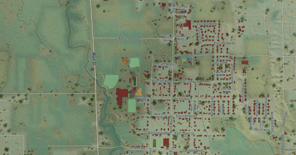
A detailed map of Millville, Utah, showing every building in its true location, the roads by name, and shaded topographical relief.
Read More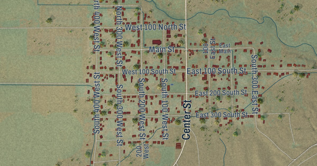
A detailed map of Minersville, Utah, showing every building in its true location, the roads by name, and shaded topographical relief.
Read More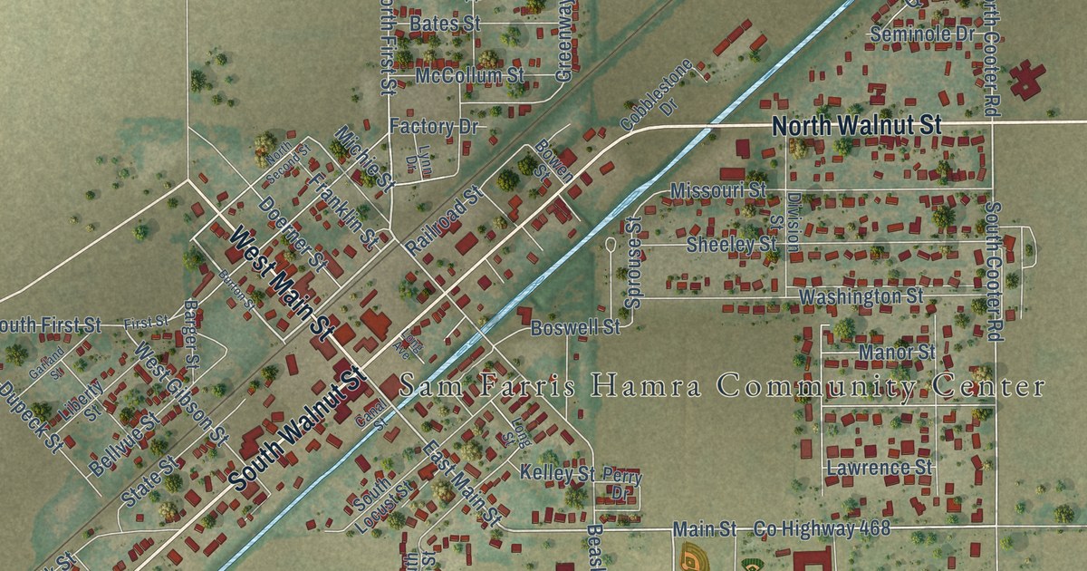
A detailed map of Steele, Missouri, showing every building in its true location, the roads by name, and shaded topographical relief.
Read More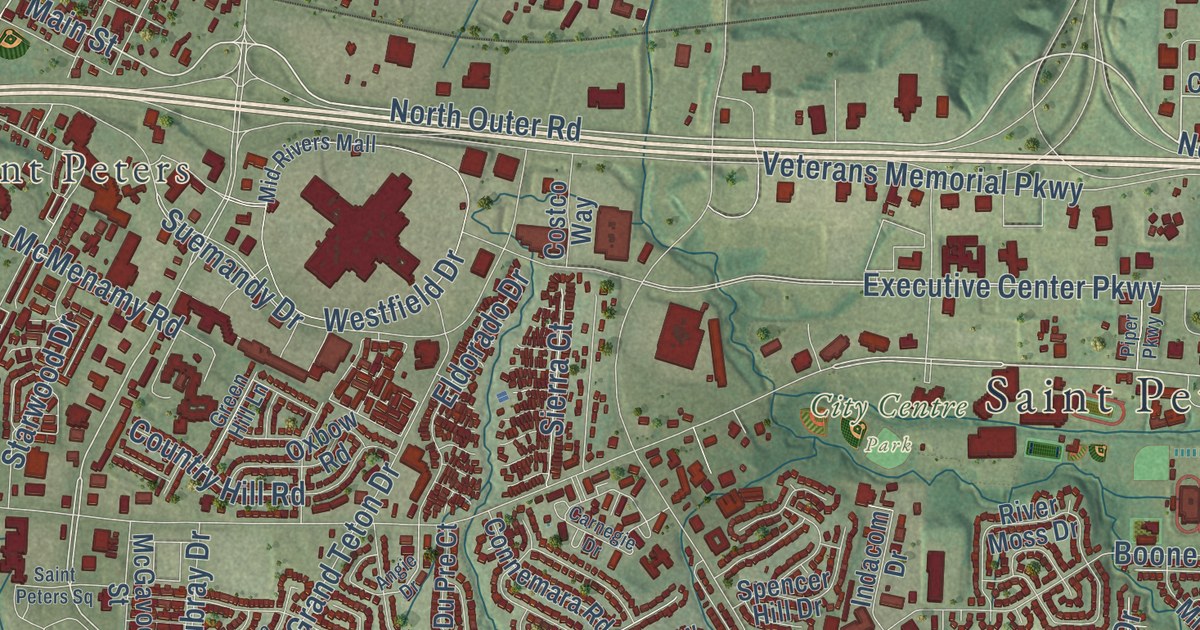
A detailed map of St. Peters, Missouri, showing every building in its true location, the roads by name, and shaded topographical relief.
Read More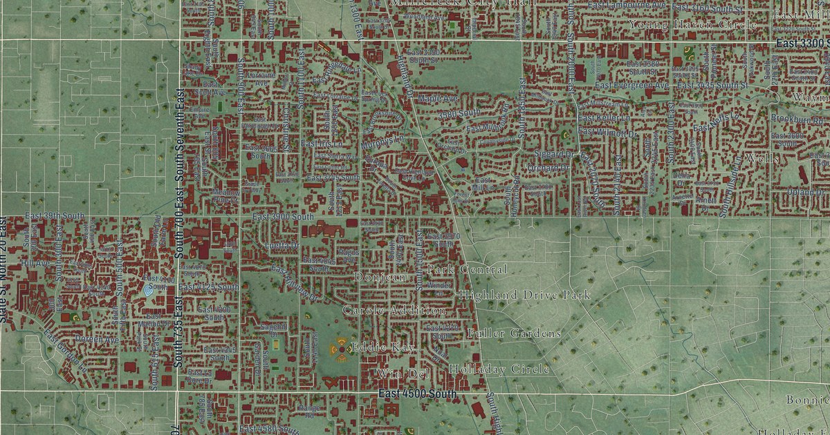
A detailed map of Millcreek, Utah, showing every building in its true location, the roads by name, and shaded topographical relief.
Read More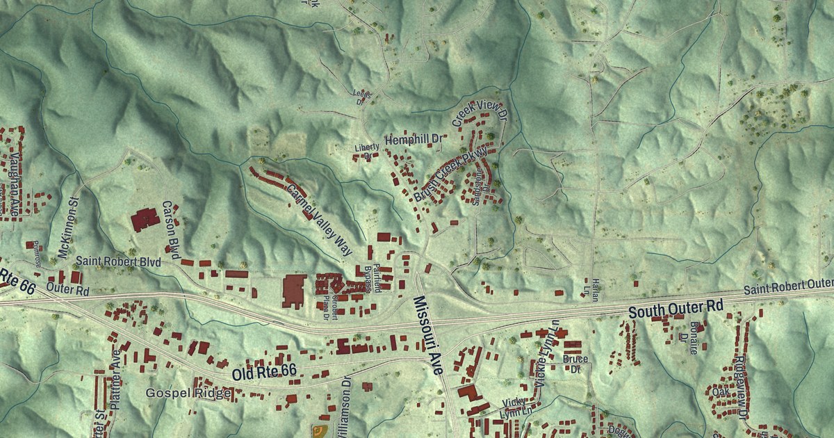
A detailed map of St. Robert, Missouri, showing every building in its true location, the roads by name, and shaded topographical relief.
Read More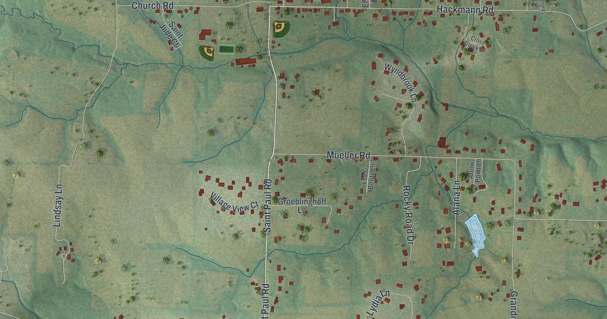
A detailed map of St. Paul, Missouri, showing every building in its true location, the roads by name, and shaded topographical relief.
Read More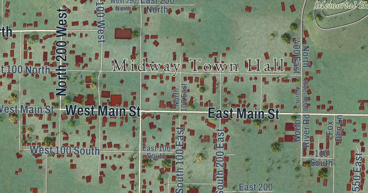
A detailed map of Midway, Utah, showing every building in its true location, the roads by name, and shaded topographical relief.
Read More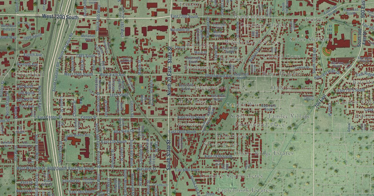
A detailed map of Midvale, Utah, showing every building in its true location, the roads by name, and shaded topographical relief.
Read More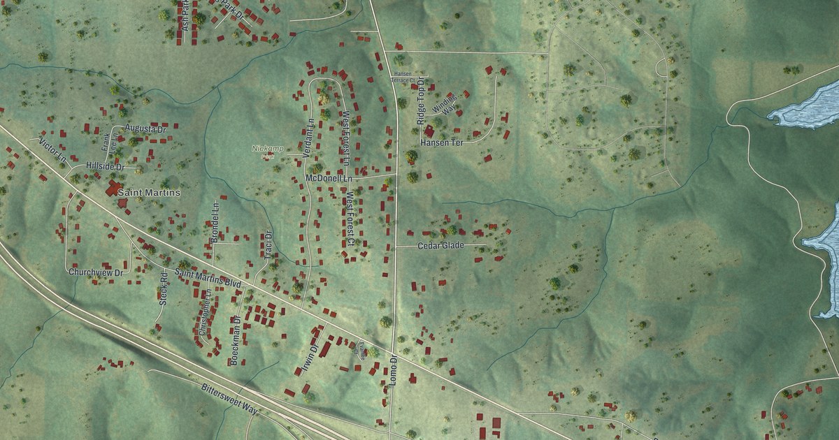
A detailed map of St. Martins, Missouri, showing every building in its true location, the roads by name, and shaded topographical relief.
Read More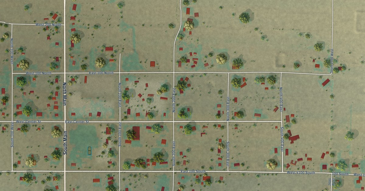
A detailed map of Meadow, Utah, showing every building in its true location, the roads by name, and shaded topographical relief.
Read More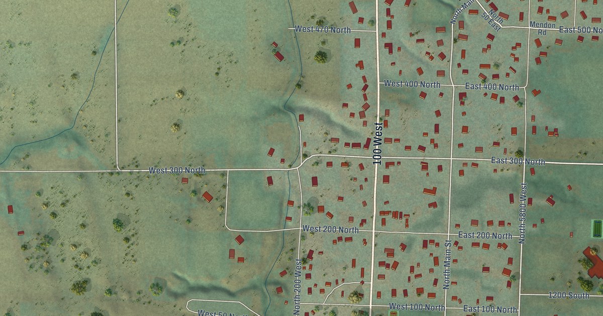
A detailed map of Mendon, Utah, showing every building in its true location, the roads by name, and shaded topographical relief.
Read More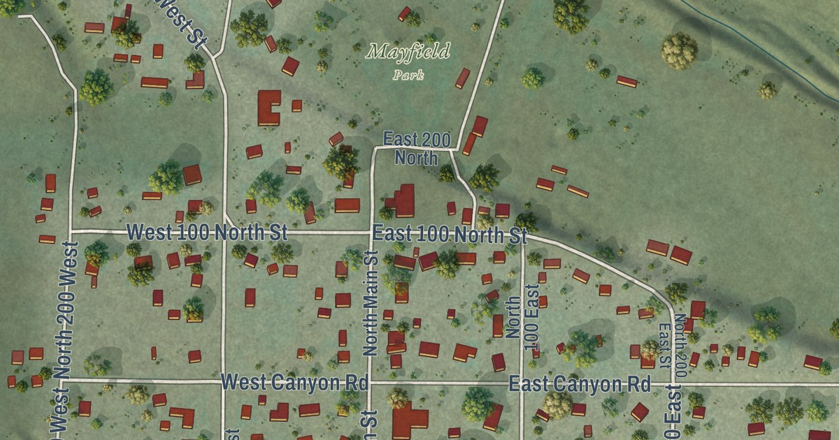
A detailed map of Mayfield, Utah, showing every building in its true location, the roads by name, and shaded topographical relief.
Read More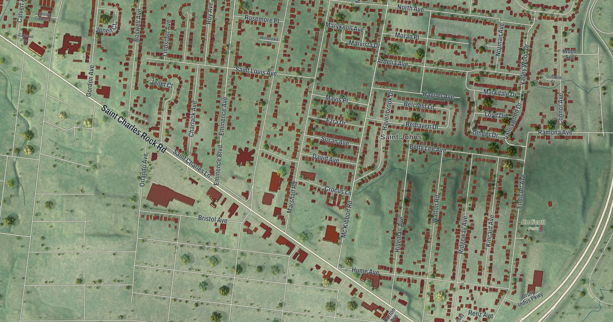
A detailed map of St. John, Missouri, showing every building in its true location, the roads by name, and shaded topographical relief.
Read More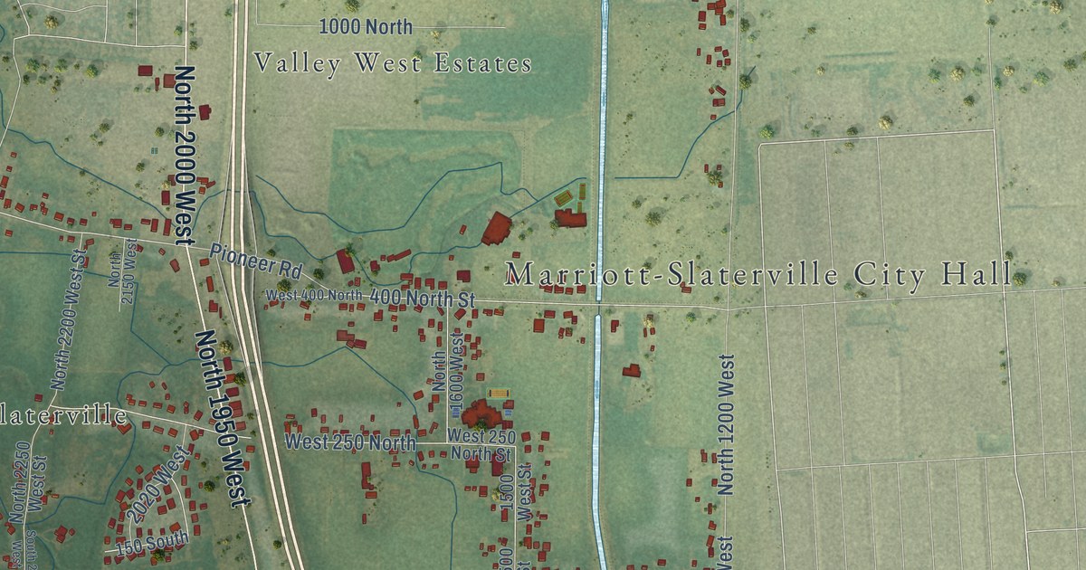
A detailed map of Marriott-Slaterville, Utah, showing every building in its true location, the roads by name, and shaded topographical relief.
Read More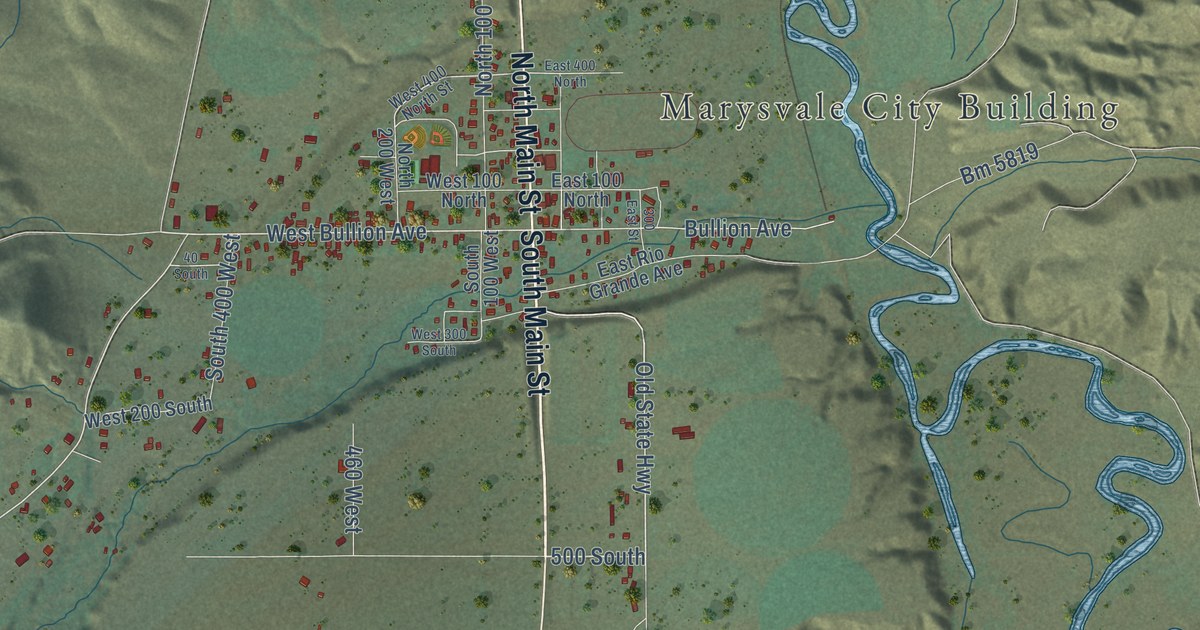
A detailed map of Marysvale, Utah, showing every building in its true location, the roads by name, and shaded topographical relief.
Read More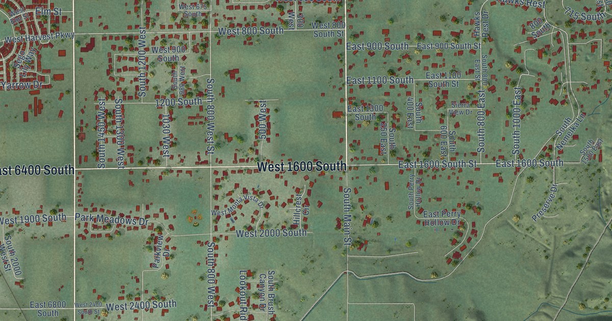
A detailed map of Mapleton, Utah, showing every building in its true location, the roads by name, and shaded topographical relief.
Read More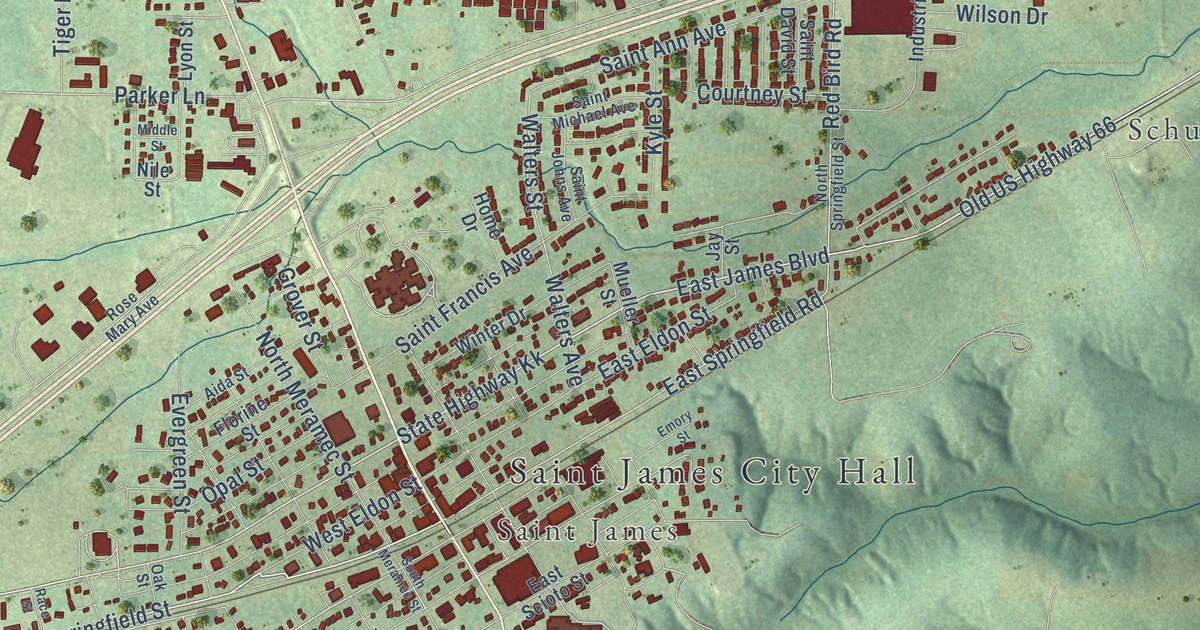
A detailed map of St. James, Missouri, showing every building in its true location, the roads by name, and shaded topographical relief.
Read More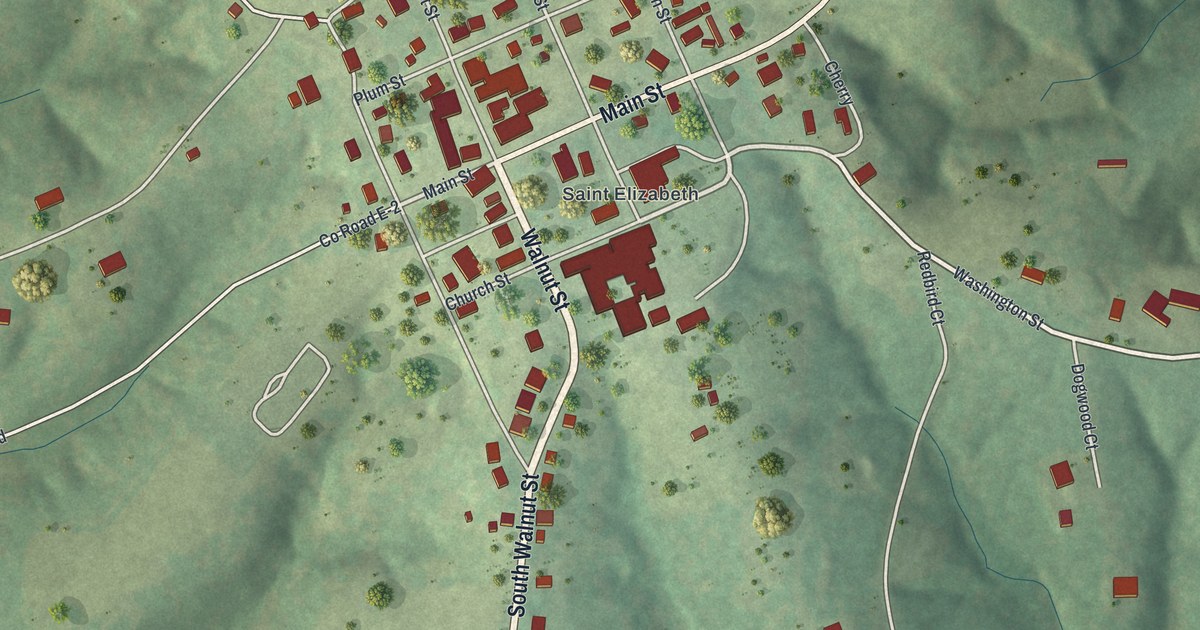
A detailed map of St. Elizabeth, Missouri, showing every building in its true location, the roads by name, and shaded topographical relief.
Read More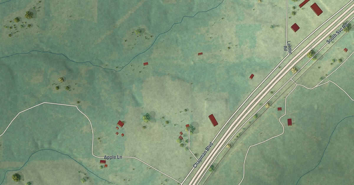
A detailed map of St. Cloud, Missouri, showing every building in its true location, the roads by name, and shaded topographical relief.
Read More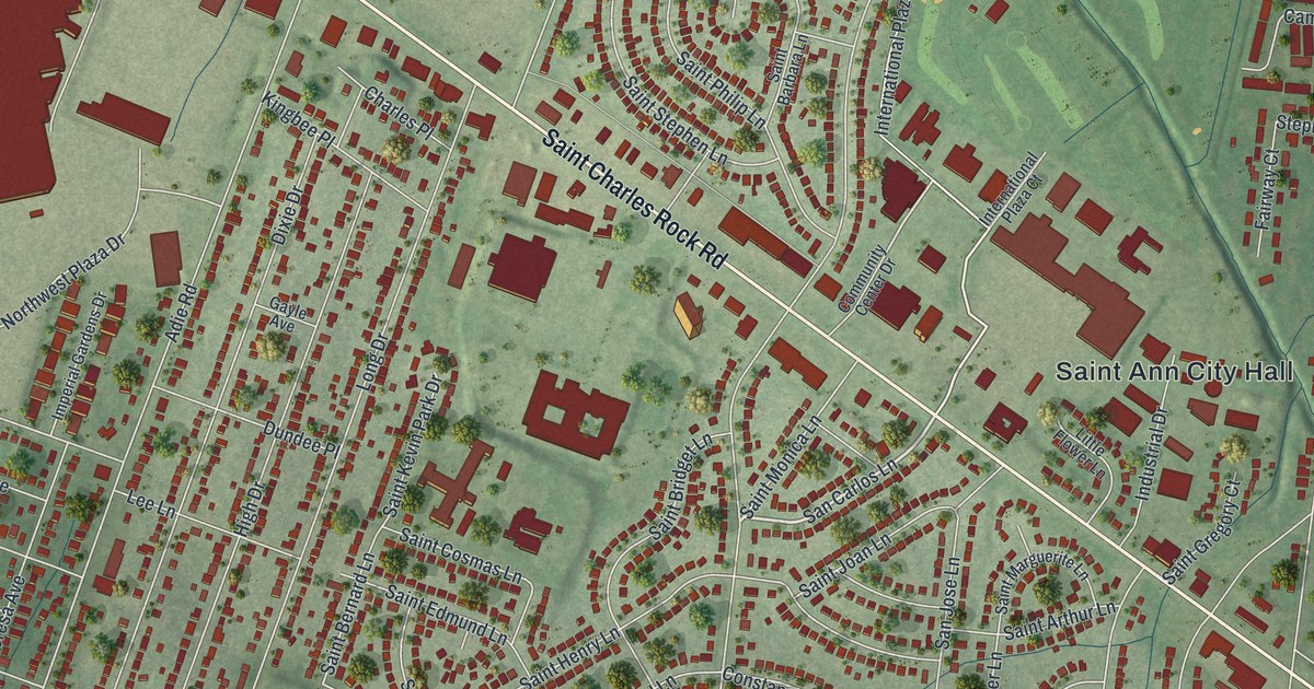
A detailed map of St. Ann, Missouri, showing every building in its true location, the roads by name, and shaded topographical relief.
Read More















