Detailed Map of Wallsburg, Utah
A detailed map of Wallsburg, Utah, showing every building in its true location, the roads by name, and shaded topographical relief.
Read More
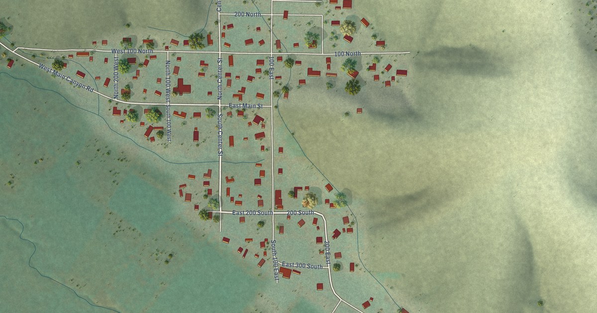
A detailed map of Wallsburg, Utah, showing every building in its true location, the roads by name, and shaded topographical relief.
Read More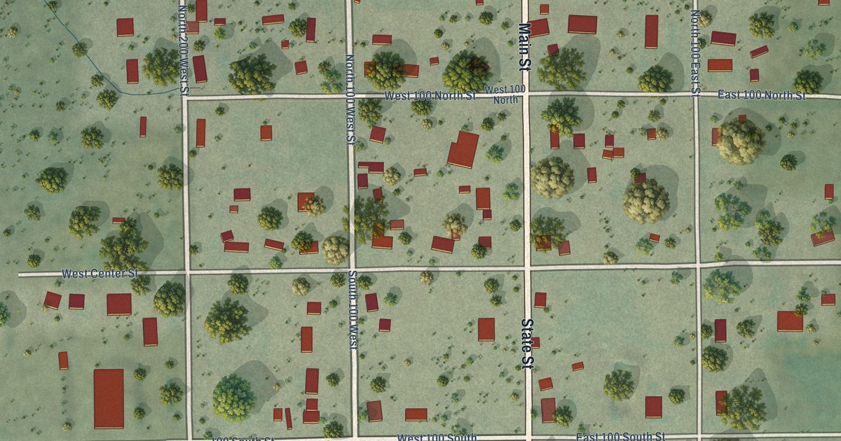
A detailed map of Wales, Utah, showing every building in its true location, the roads by name, and shaded topographical relief.
Read More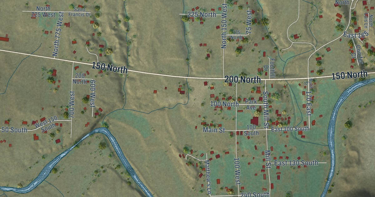
A detailed map of Virgin, Utah, showing every building in its true location, the roads by name, and shaded topographical relief.
Read More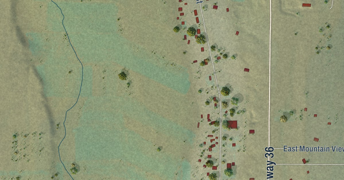
A detailed map of Vernon, Utah, showing every building in its true location, the roads by name, and shaded topographical relief.
Read More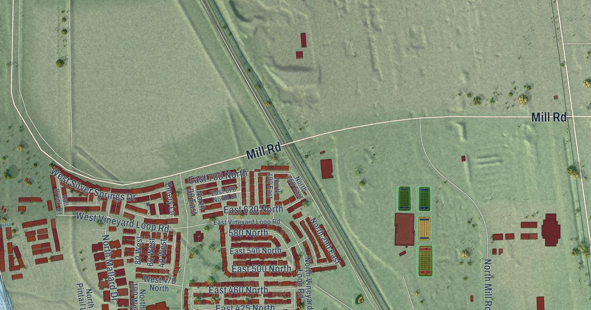
A detailed map of Vineyard, Utah, showing every building in its true location, the roads by name, and shaded topographical relief.
Read More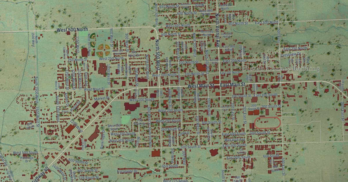
A detailed map of Vernal, Utah, showing every building in its true location, the roads by name, and shaded topographical relief.
Read More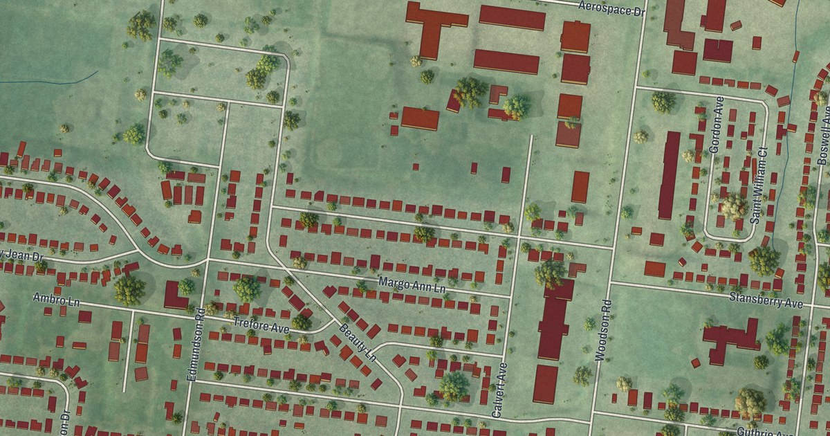
A detailed map of Woodson Terrace, Missouri, showing every building in its true location, the roads by name, and shaded topographical relief.
Read More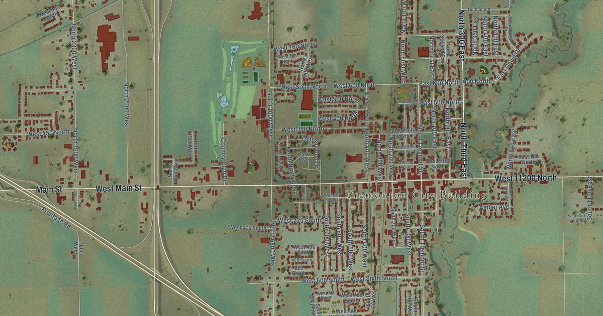
A detailed map of Tremonton, Utah, showing every building in its true location, the roads by name, and shaded topographical relief.
Read More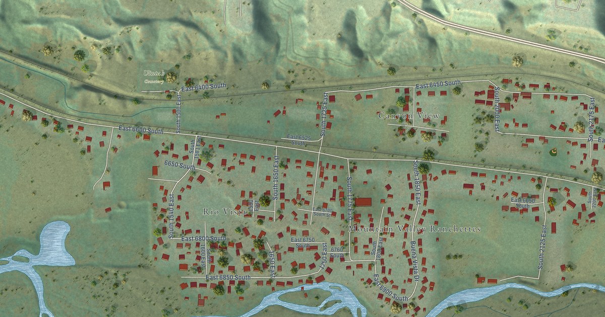
A detailed map of Uintah, Utah, showing every building in its true location, the roads by name, and shaded topographical relief.
Read More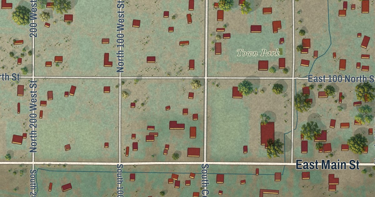
A detailed map of Torrey, Utah, showing every building in its true location, the roads by name, and shaded topographical relief.
Read More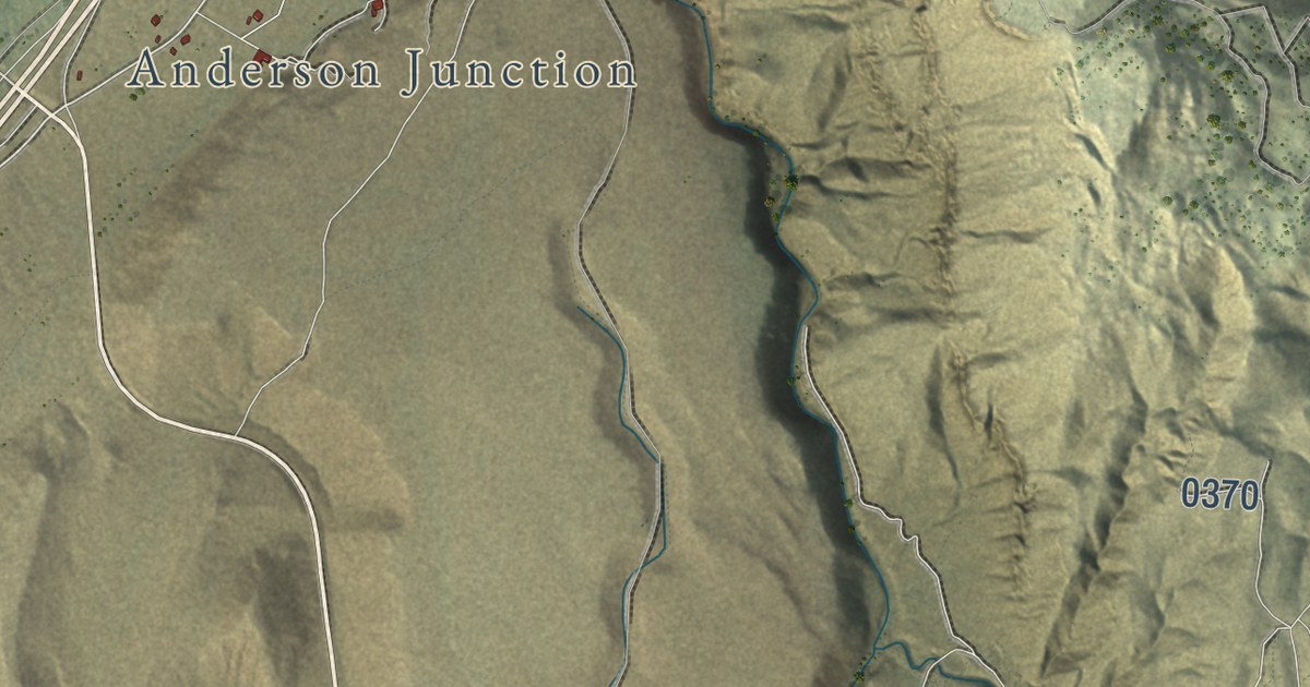
A detailed map of Toquerville, Utah, showing every building in its true location, the roads by name, and shaded topographical relief.
Read More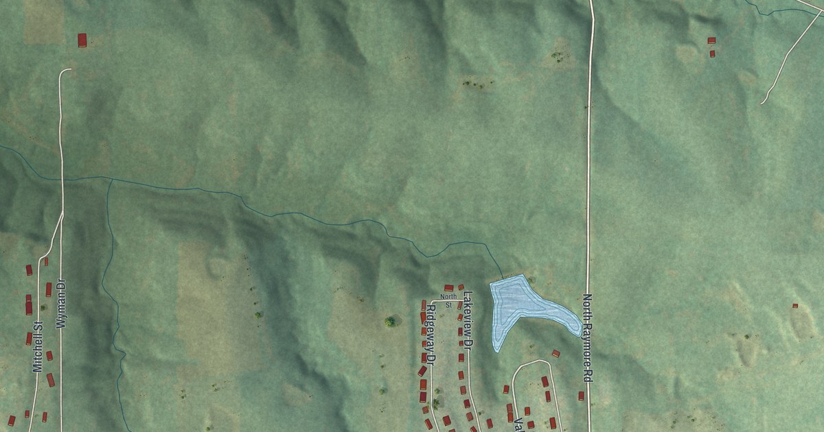
A detailed map of Wood Heights, Missouri, showing every building in its true location, the roads by name, and shaded topographical relief.
Read More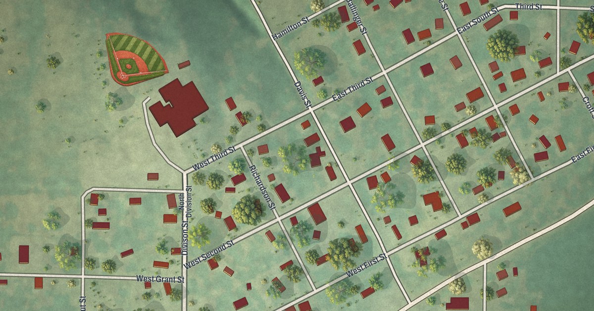
A detailed map of Winston, Missouri, showing every building in its true location, the roads by name, and shaded topographical relief.
Read More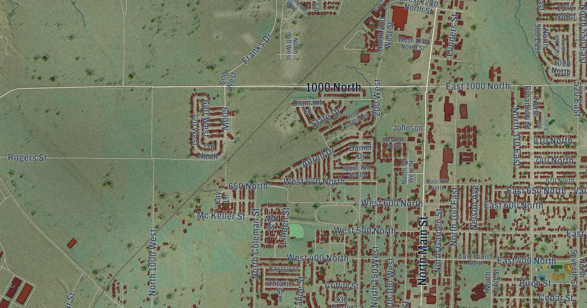
A detailed map of Tooele, Utah, showing every building in its true location, the roads by name, and shaded topographical relief.
Read More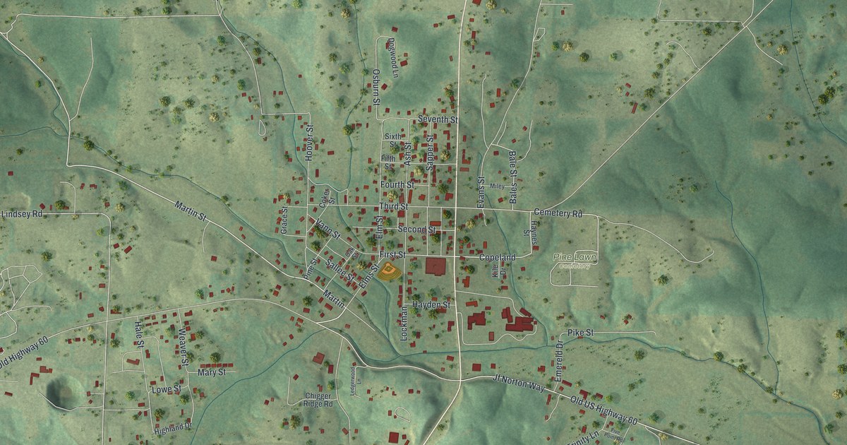
A detailed map of Winona, Missouri, showing every building in its true location, the roads by name, and shaded topographical relief.
Read More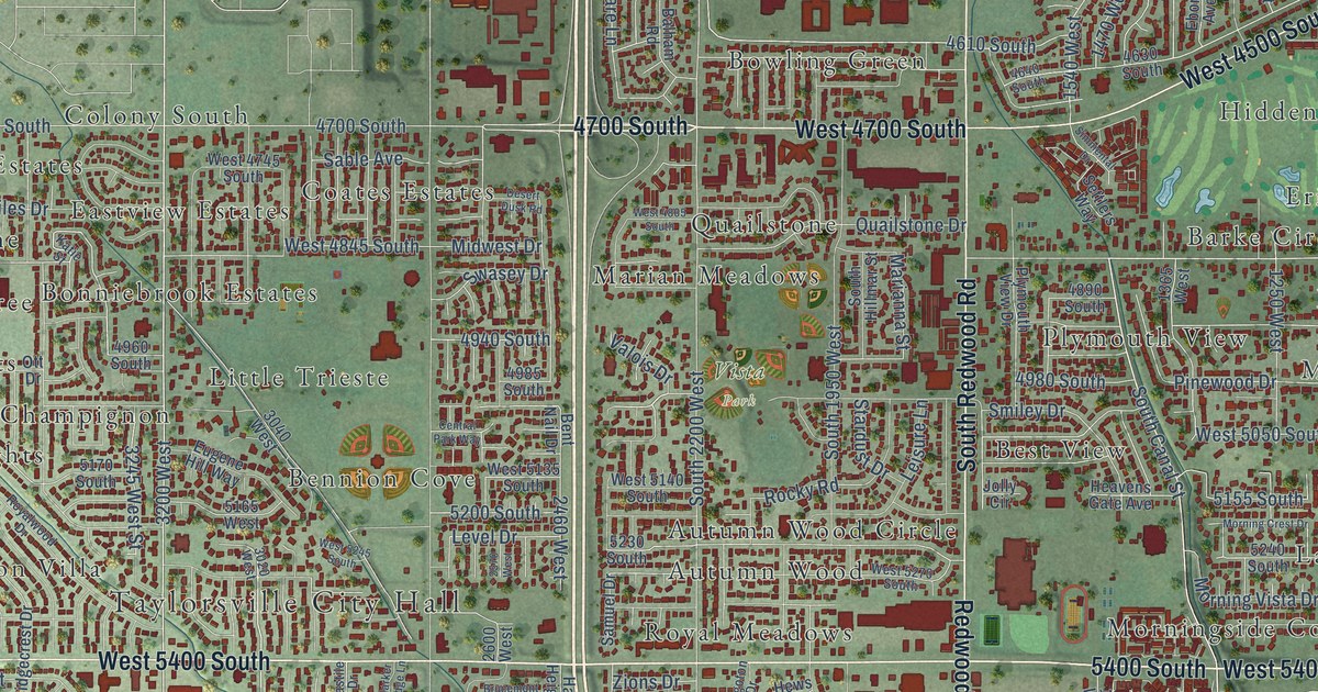
A detailed map of Taylorsville, Utah, showing every building in its true location, the roads by name, and shaded topographical relief.
Read More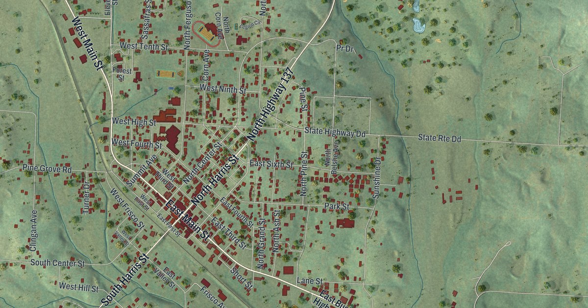
A detailed map of Willow Springs, Missouri, showing every building in its true location, the roads by name, and shaded topographical relief.
Read More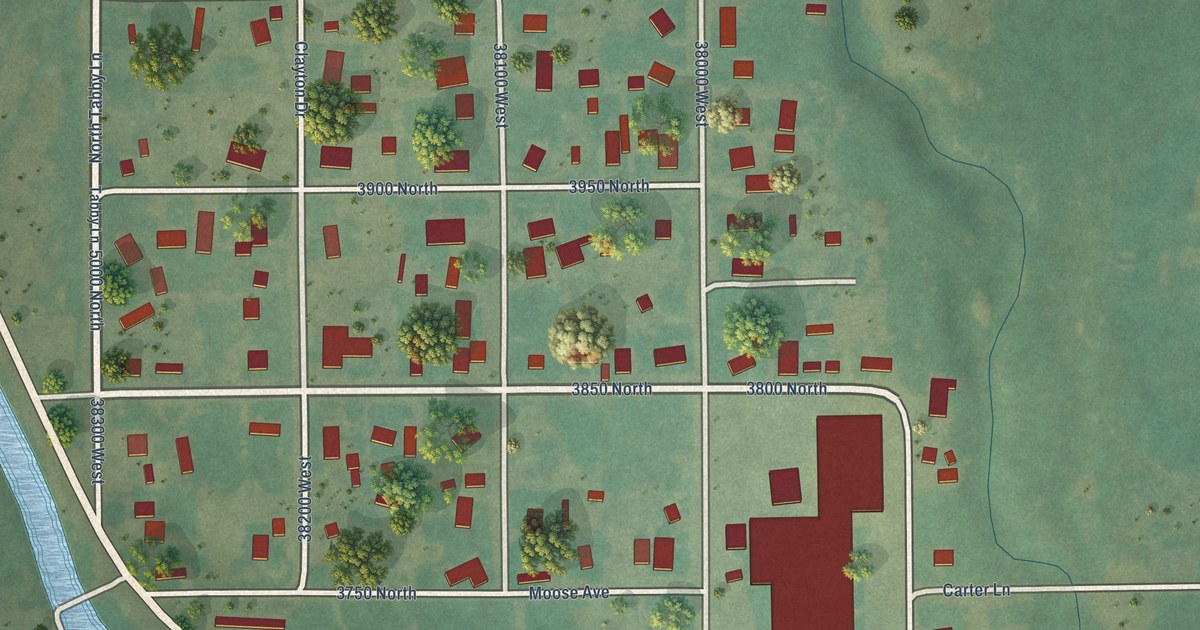
A detailed map of Tabiona, Utah, showing every building in its true location, the roads by name, and shaded topographical relief.
Read More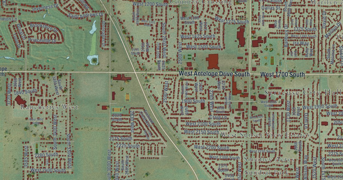
A detailed map of Syracuse, Utah, showing every building in its true location, the roads by name, and shaded topographical relief.
Read More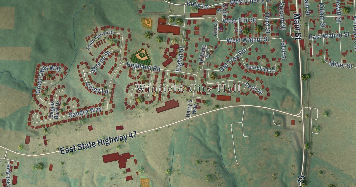
A detailed map of Winfield, Missouri, showing every building in its true location, the roads by name, and shaded topographical relief.
Read More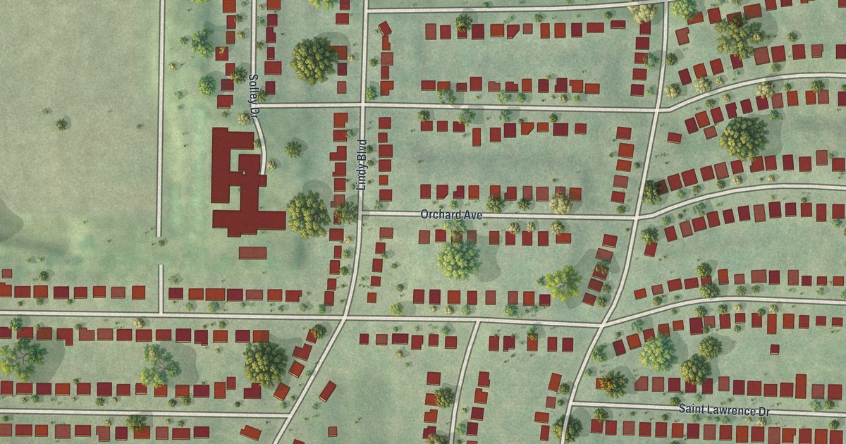
A detailed map of Winchester, Missouri, showing every building in its true location, the roads by name, and shaded topographical relief.
Read More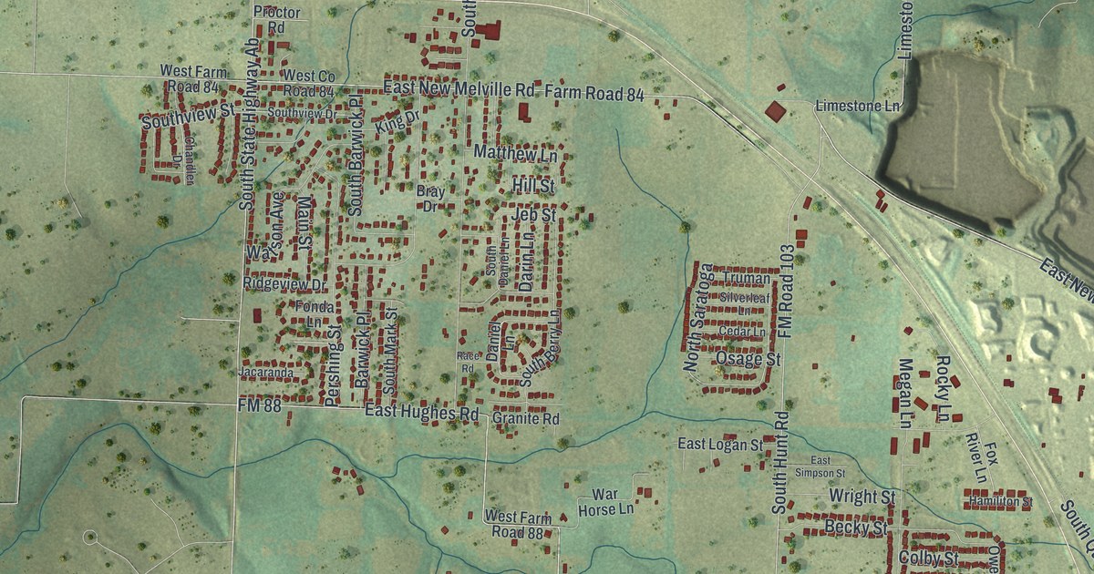
A detailed map of Willard, Missouri, showing every building in its true location, the roads by name, and shaded topographical relief.
Read More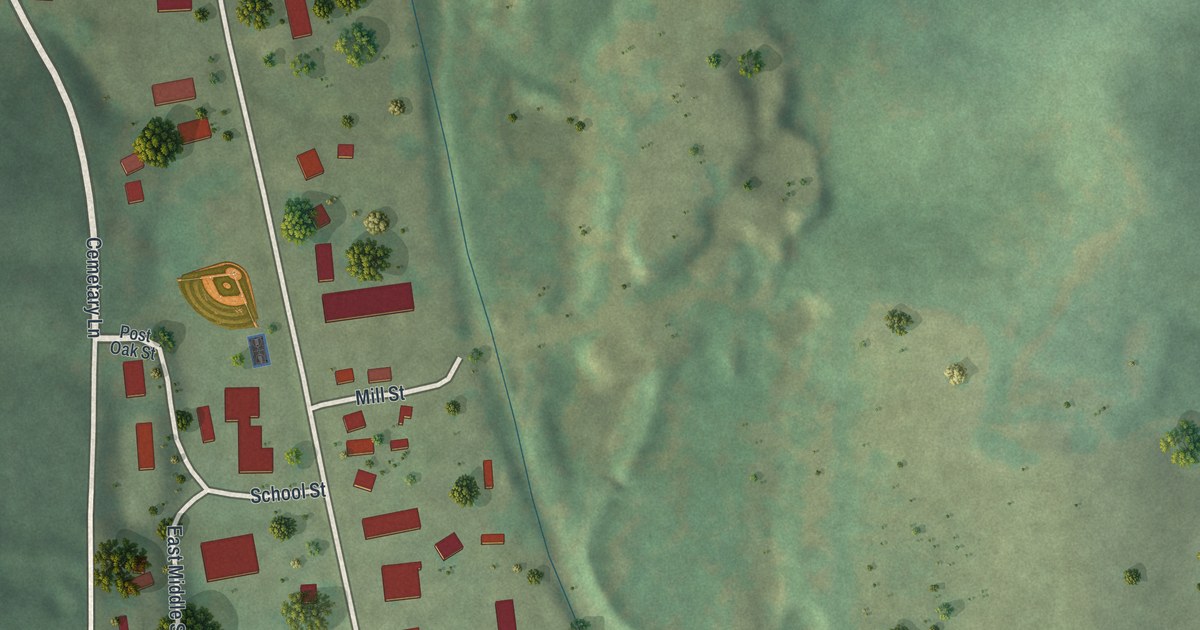
A detailed map of Williamsville, Missouri, showing every building in its true location, the roads by name, and shaded topographical relief.
Read More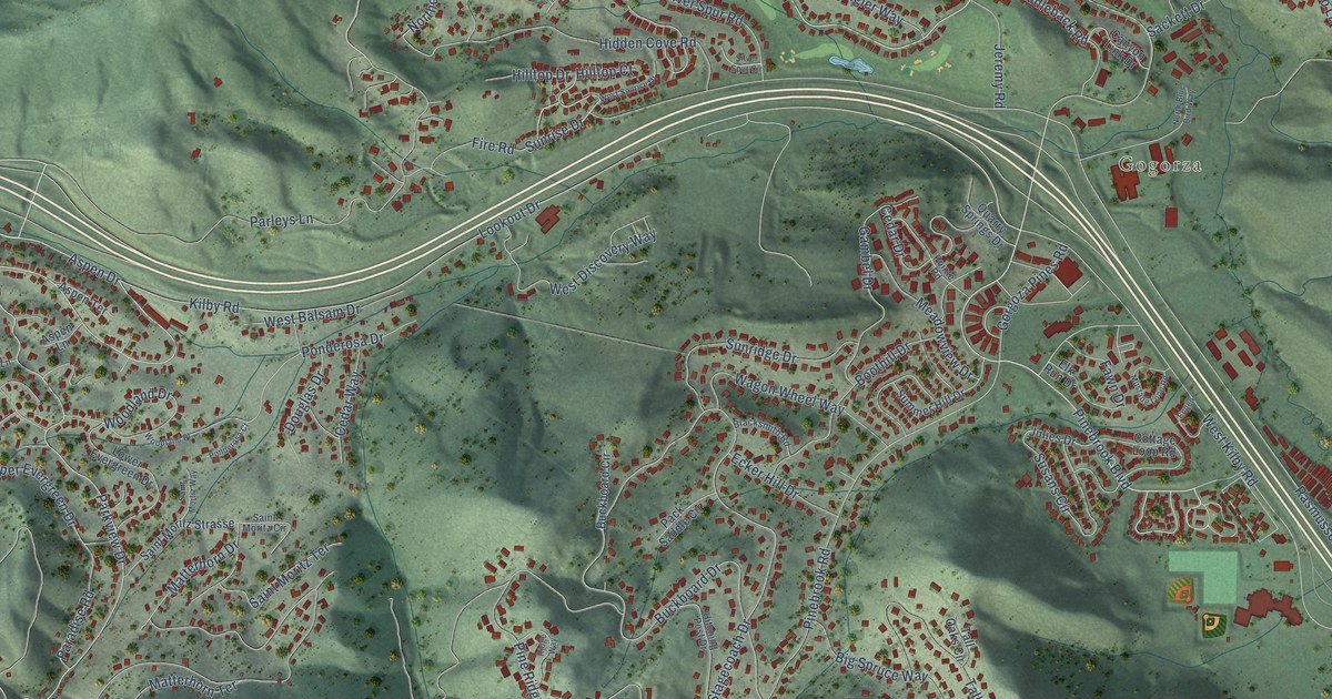
A detailed map of Summit Park, Utah, showing every building in its true location, the roads by name, and shaded topographical relief.
Read More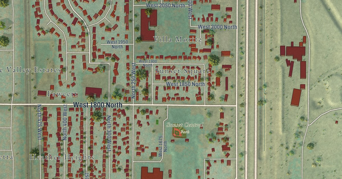
A detailed map of Sunset, Utah, showing every building in its true location, the roads by name, and shaded topographical relief.
Read More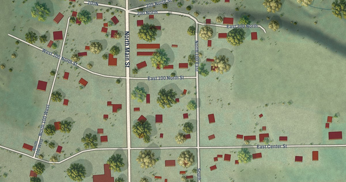
A detailed map of Sterling, Utah, showing every building in its true location, the roads by name, and shaded topographical relief.
Read More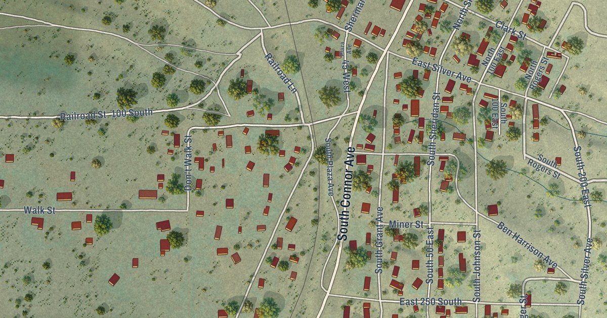
A detailed map of Stockton, Utah, showing every building in its true location, the roads by name, and shaded topographical relief.
Read More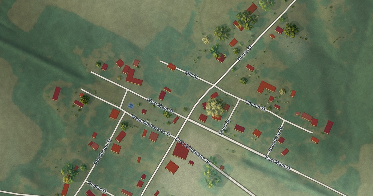
A detailed map of Whitewater, Missouri, showing every building in its true location, the roads by name, and shaded topographical relief.
Read More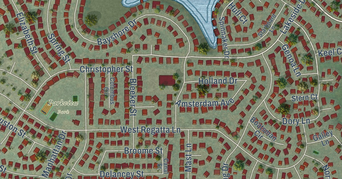
A detailed map of Stansbury Park, Utah, showing every building in its true location, the roads by name, and shaded topographical relief.
Read More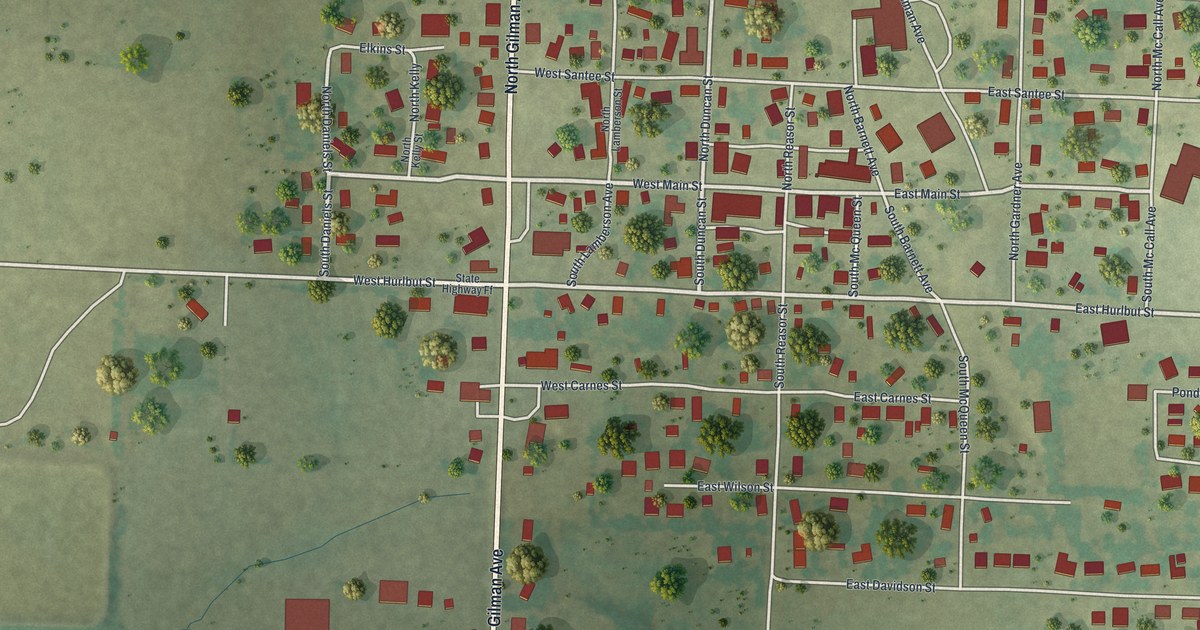
A detailed map of Wheaton, Missouri, showing every building in its true location, the roads by name, and shaded topographical relief.
Read More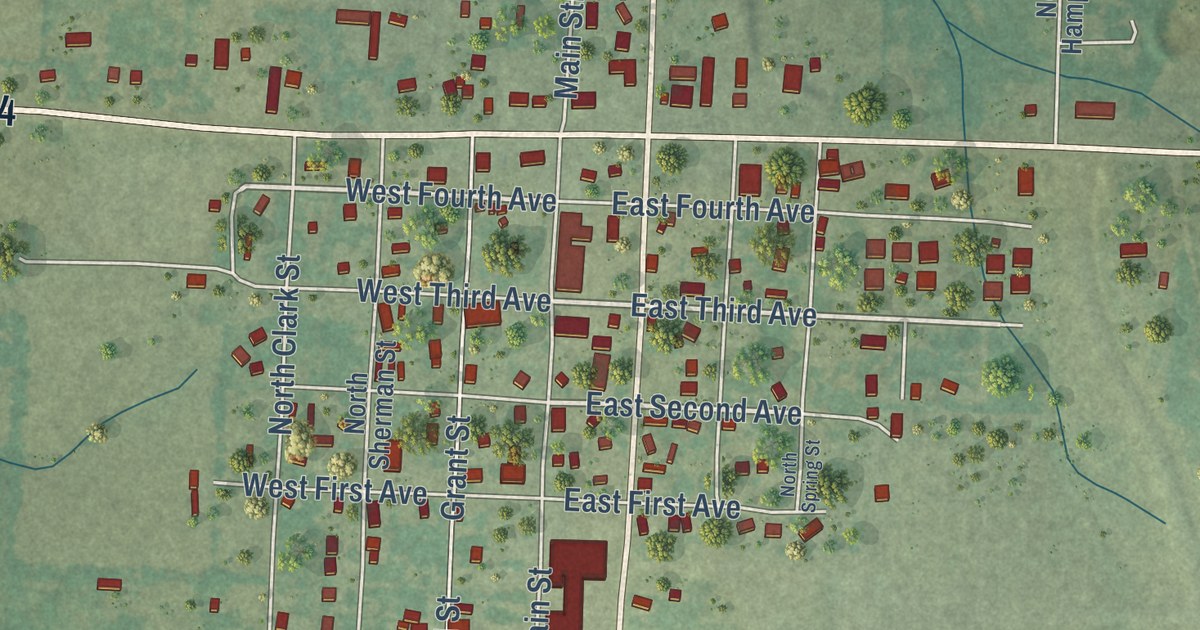
A detailed map of Wheatland, Missouri, showing every building in its true location, the roads by name, and shaded topographical relief.
Read More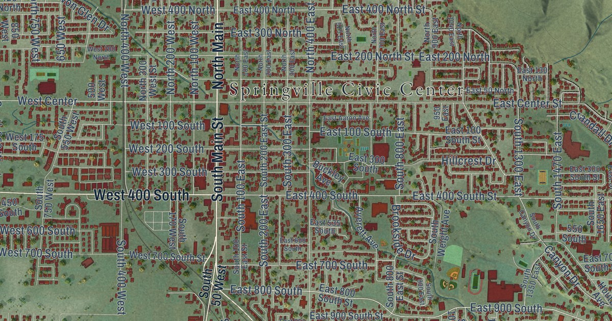
A detailed map of Springville, Utah, showing every building in its true location, the roads by name, and shaded topographical relief.
Read More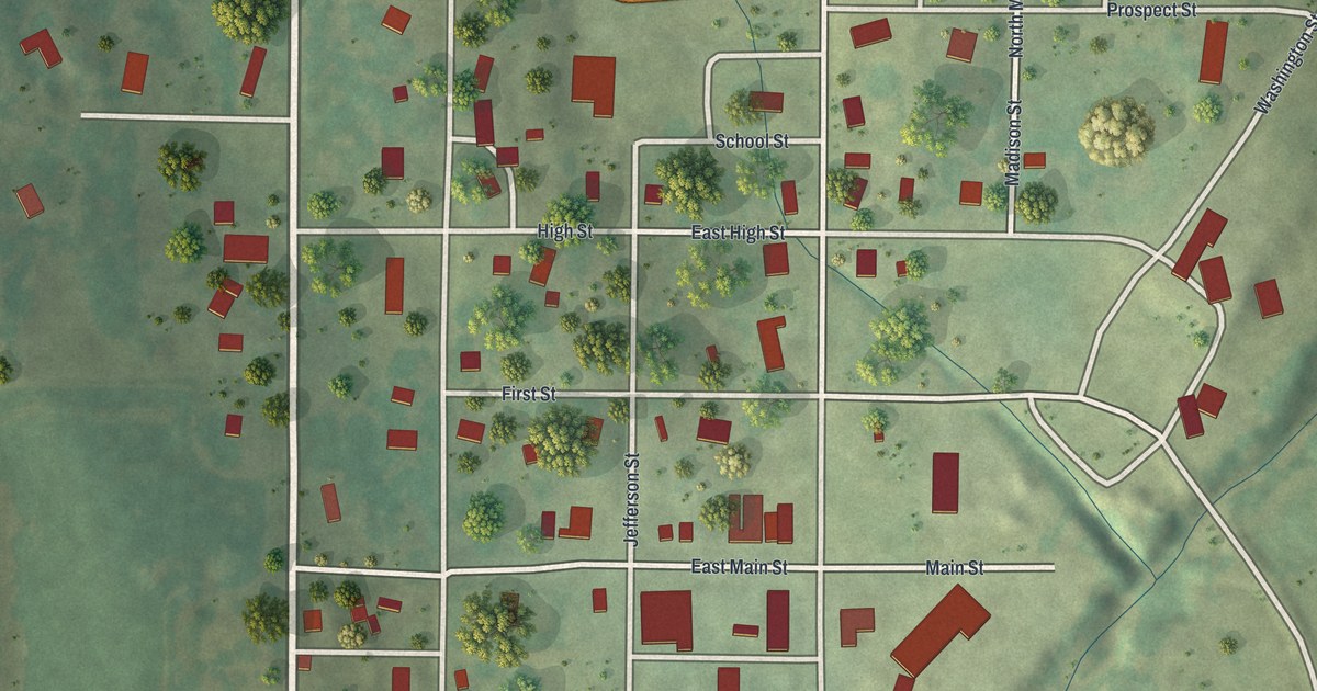
A detailed map of Westboro, Missouri, showing every building in its true location, the roads by name, and shaded topographical relief.
Read More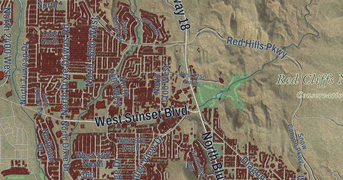
A detailed map of St. George, Utah, showing every building in its true location, the roads by name, and shaded topographical relief.
Read More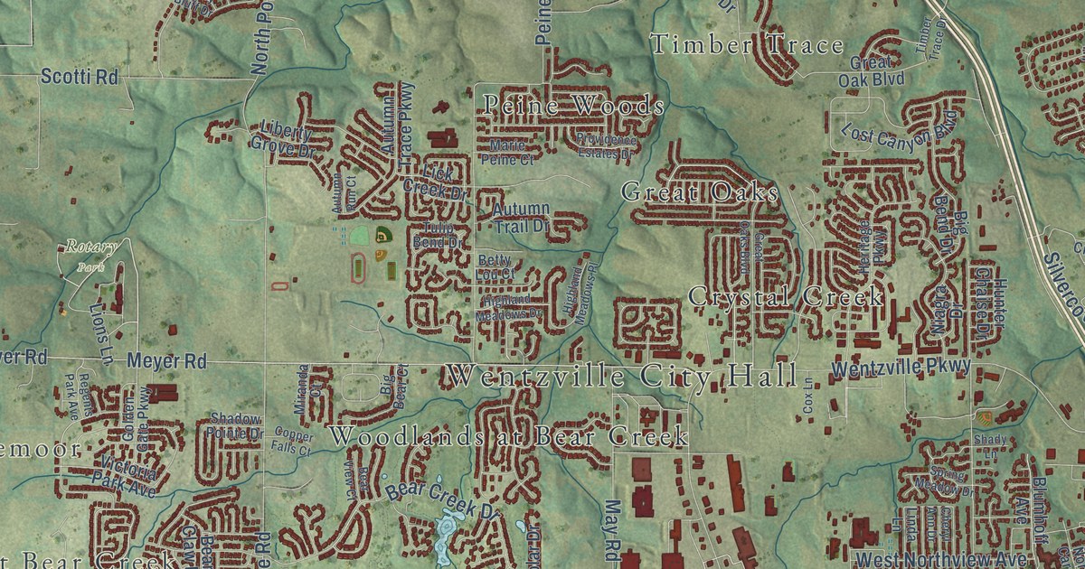
A detailed map of Wentzville, Missouri, showing every building in its true location, the roads by name, and shaded topographical relief.
Read More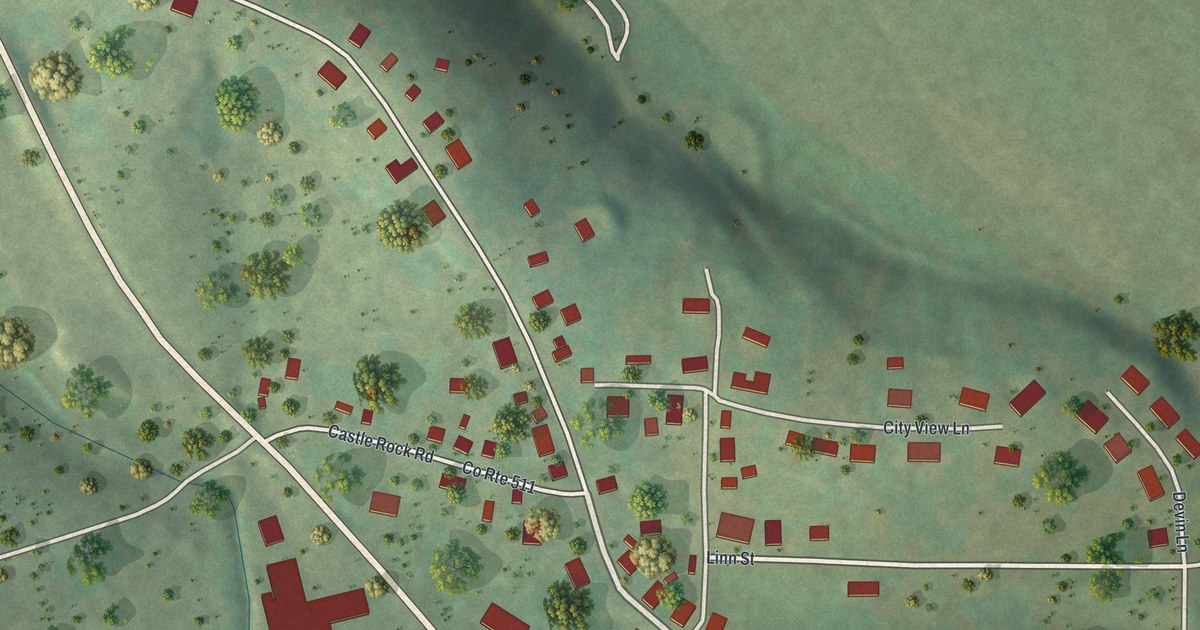
A detailed map of Westphalia, Missouri, showing every building in its true location, the roads by name, and shaded topographical relief.
Read More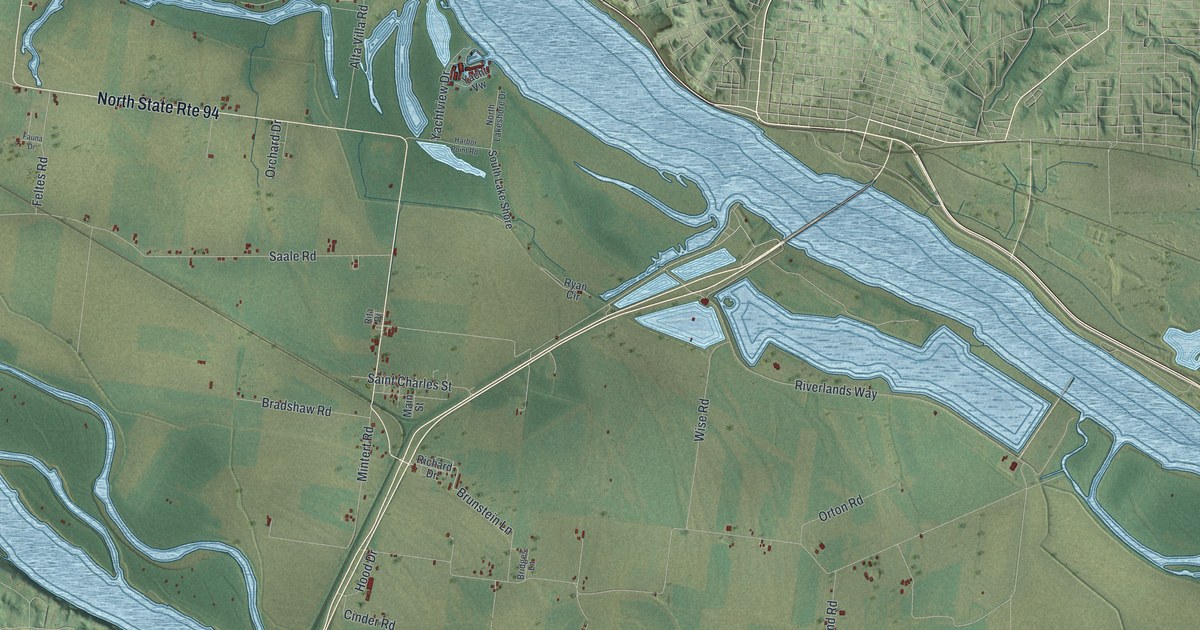
A detailed map of West Alton, Missouri, showing every building in its true location, the roads by name, and shaded topographical relief.
Read More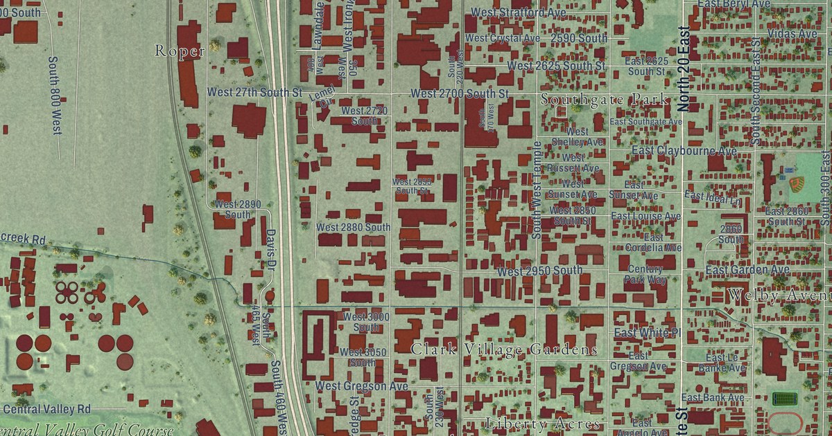
A detailed map of South Salt Lake, Utah, showing every building in its true location, the roads by name, and shaded topographical relief.
Read More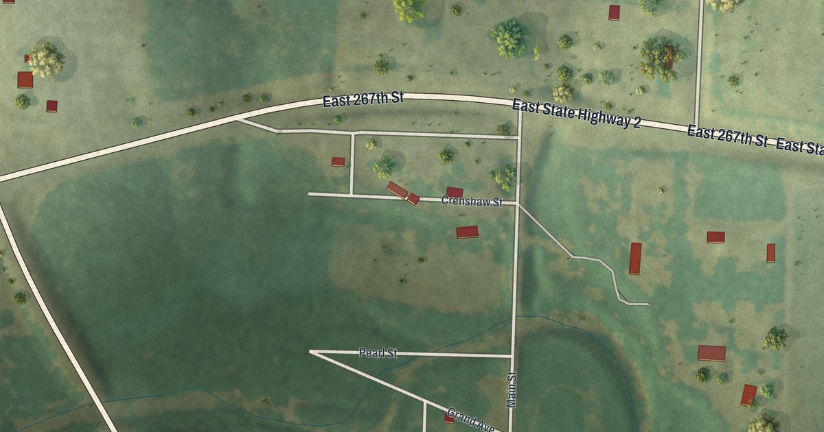
A detailed map of West Line, Missouri, showing every building in its true location, the roads by name, and shaded topographical relief.
Read More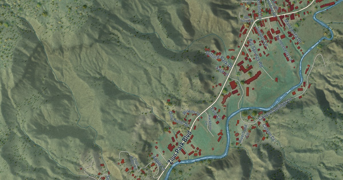
A detailed map of Springdale, Utah, showing every building in its true location, the roads by name, and shaded topographical relief.
Read More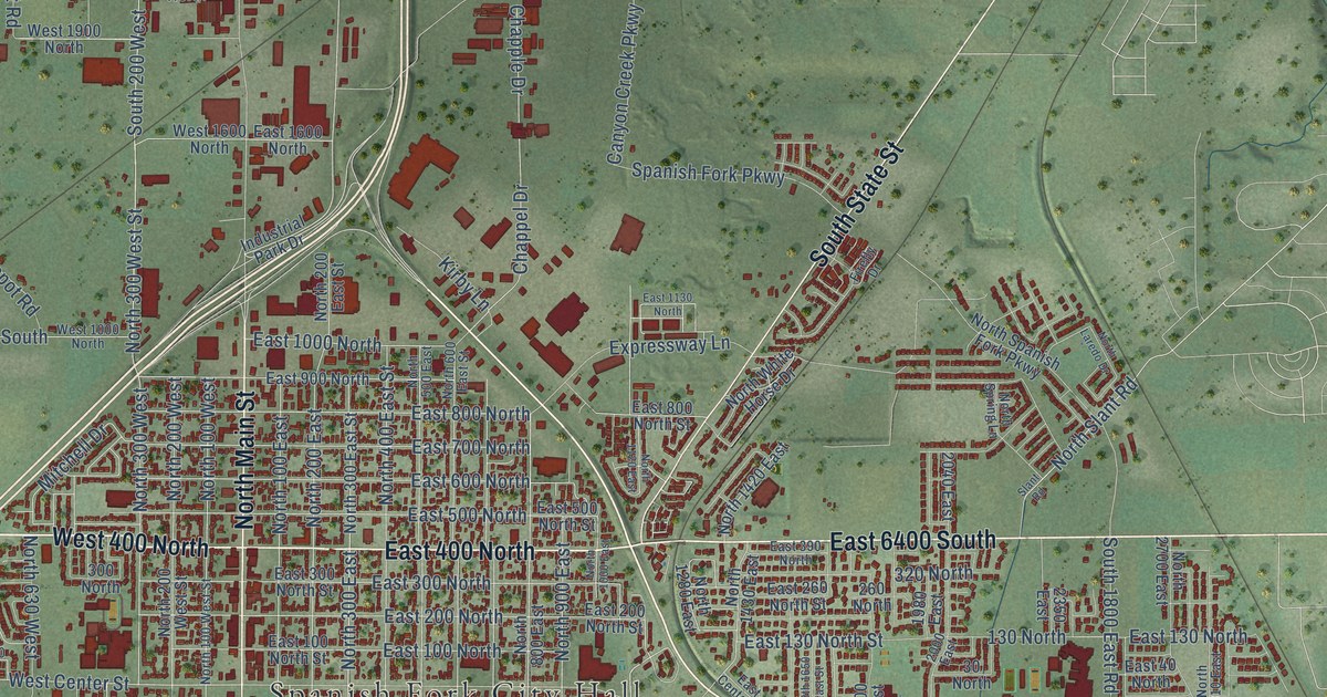
A detailed map of Spanish Fork, Utah, showing every building in its true location, the roads by name, and shaded topographical relief.
Read More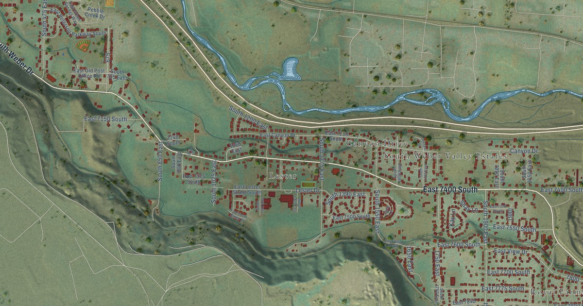
A detailed map of South Weber, Utah, showing every building in its true location, the roads by name, and shaded topographical relief.
Read More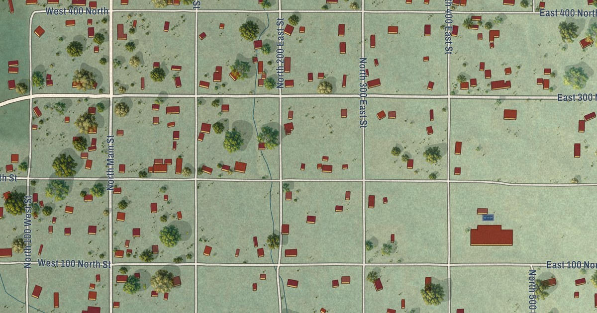
A detailed map of Spring City, Utah, showing every building in its true location, the roads by name, and shaded topographical relief.
Read More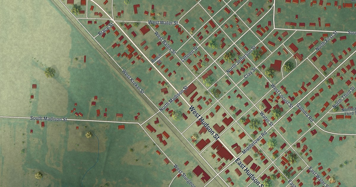
A detailed map of Wellsville, Missouri, showing every building in its true location, the roads by name, and shaded topographical relief.
Read More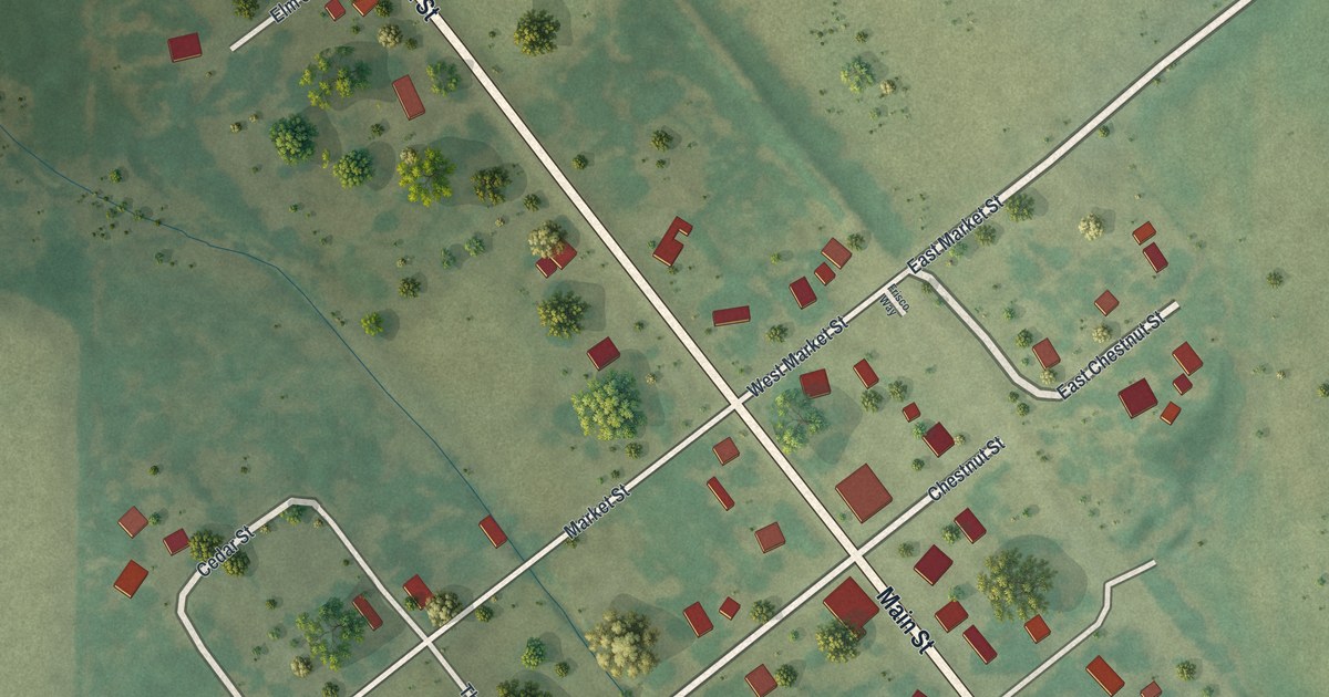
A detailed map of Wentworth, Missouri, showing every building in its true location, the roads by name, and shaded topographical relief.
Read More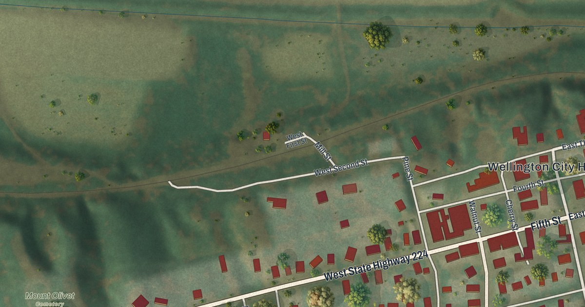
A detailed map of Wellington, Missouri, showing every building in its true location, the roads by name, and shaded topographical relief.
Read More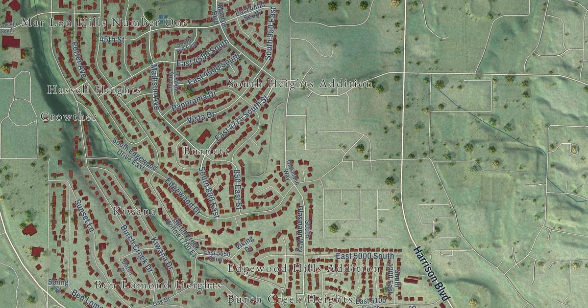
A detailed map of South Ogden, Utah, showing every building in its true location, the roads by name, and shaded topographical relief.
Read More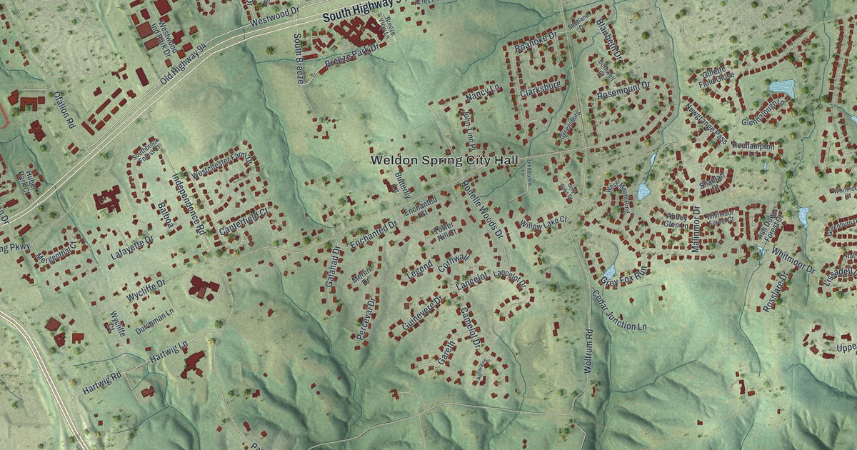
A detailed map of Weldon Spring, Missouri, showing every building in its true location, the roads by name, and shaded topographical relief.
Read More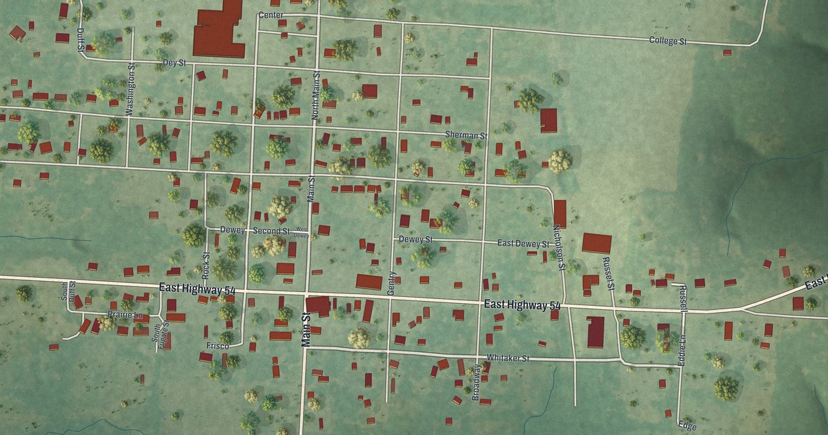
A detailed map of Weaubleau, Missouri, showing every building in its true location, the roads by name, and shaded topographical relief.
Read More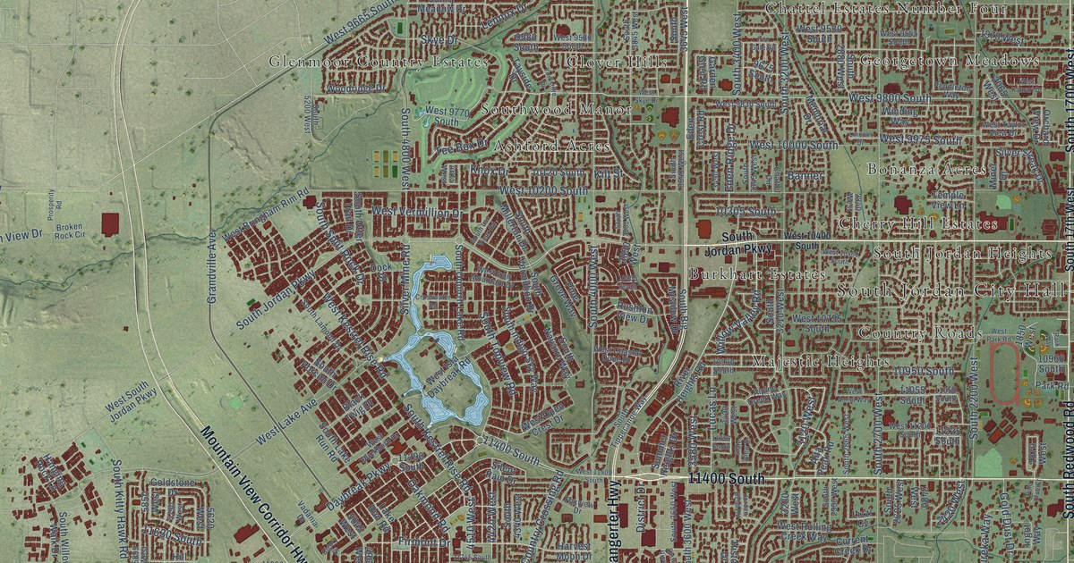
A detailed map of South Jordan, Utah, showing every building in its true location, the roads by name, and shaded topographical relief.
Read More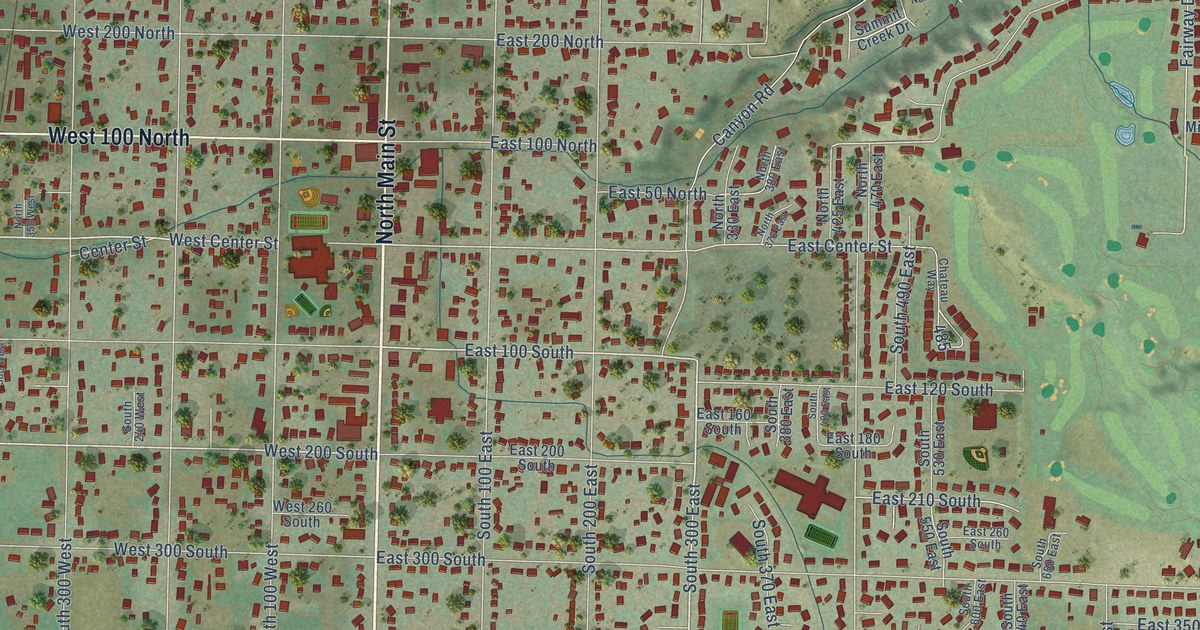
A detailed map of Smithfield, Utah, showing every building in its true location, the roads by name, and shaded topographical relief.
Read More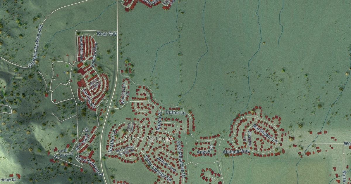
A detailed map of Snyderville, Utah, showing every building in its true location, the roads by name, and shaded topographical relief.
Read More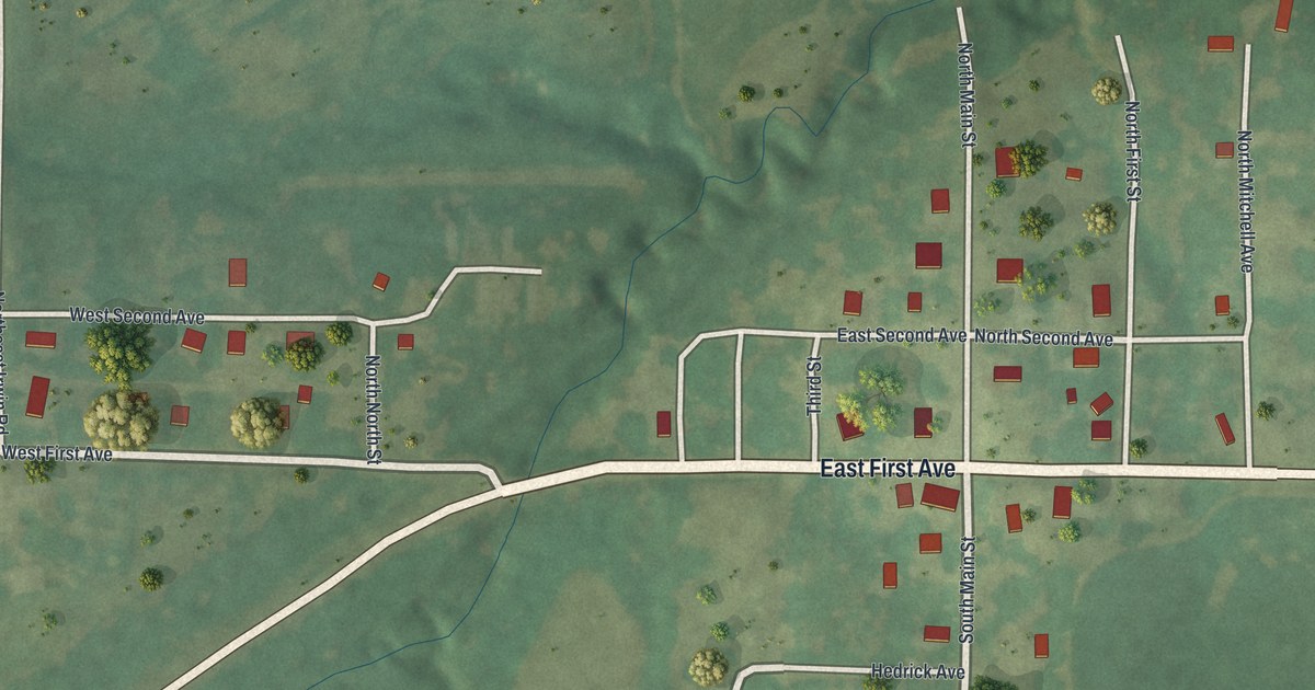
A detailed map of Weatherby, Missouri, showing every building in its true location, the roads by name, and shaded topographical relief.
Read More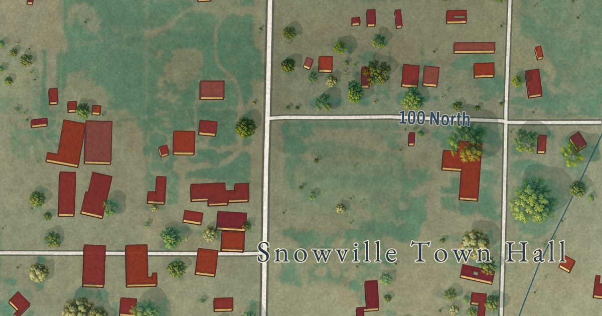
A detailed map of Snowville, Utah, showing every building in its true location, the roads by name, and shaded topographical relief.
Read More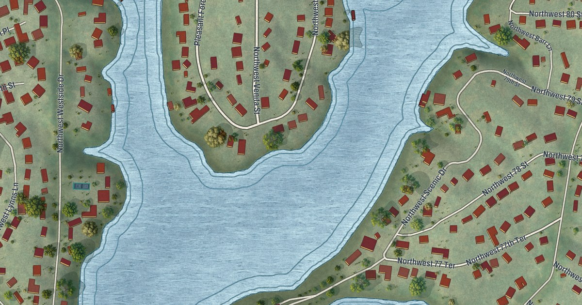
A detailed map of Weatherby Lake, Missouri, showing every building in its true location, the roads by name, and shaded topographical relief.
Read More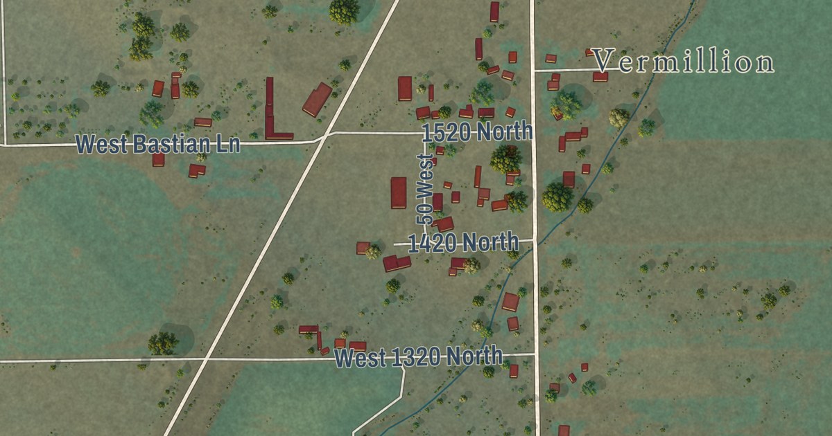
A detailed map of Sigurd, Utah, showing every building in its true location, the roads by name, and shaded topographical relief.
Read More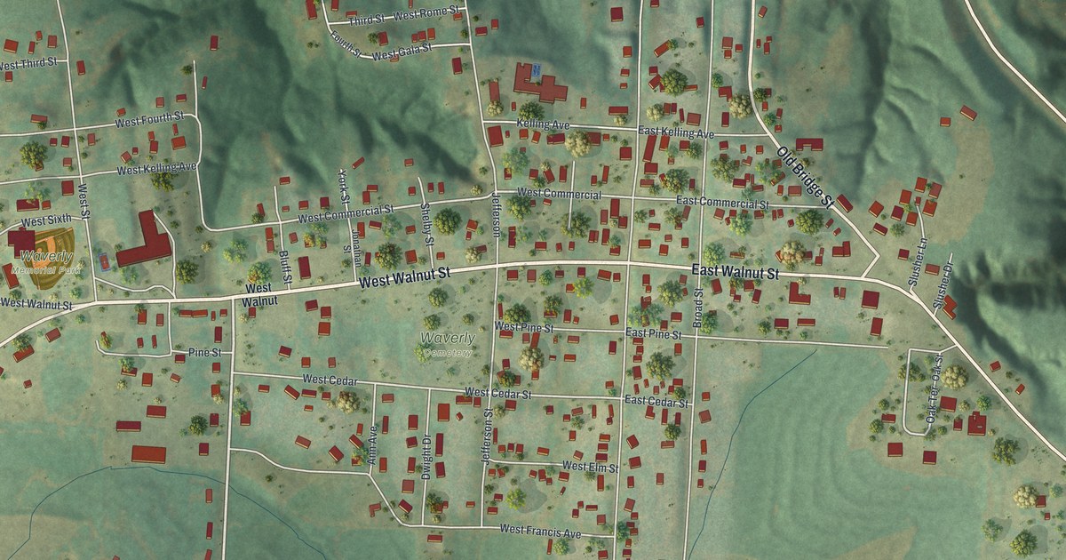
A detailed map of Waverly, Missouri, showing every building in its true location, the roads by name, and shaded topographical relief.
Read More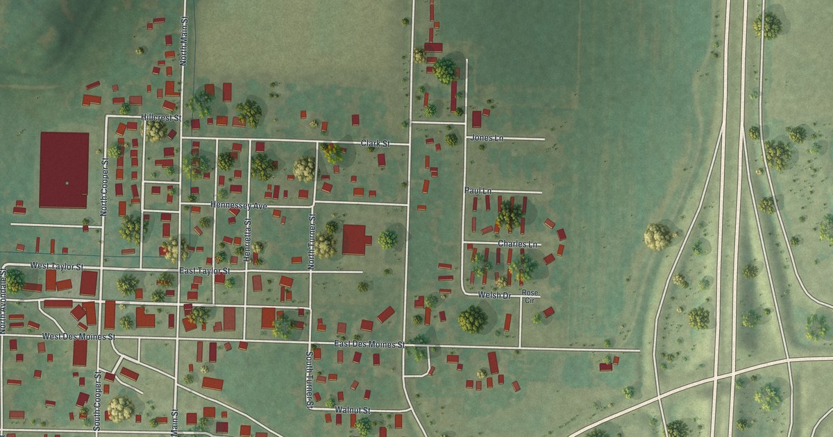
A detailed map of Wayland, Missouri, showing every building in its true location, the roads by name, and shaded topographical relief.
Read More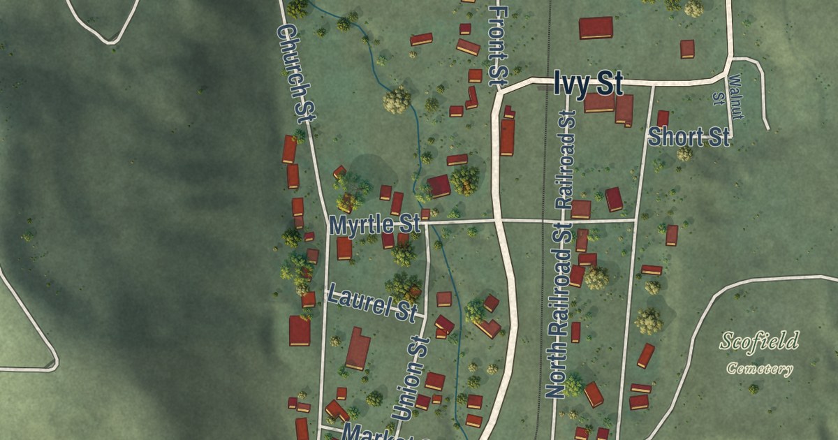
A detailed map of Scofield, Utah, showing every building in its true location, the roads by name, and shaded topographical relief.
Read More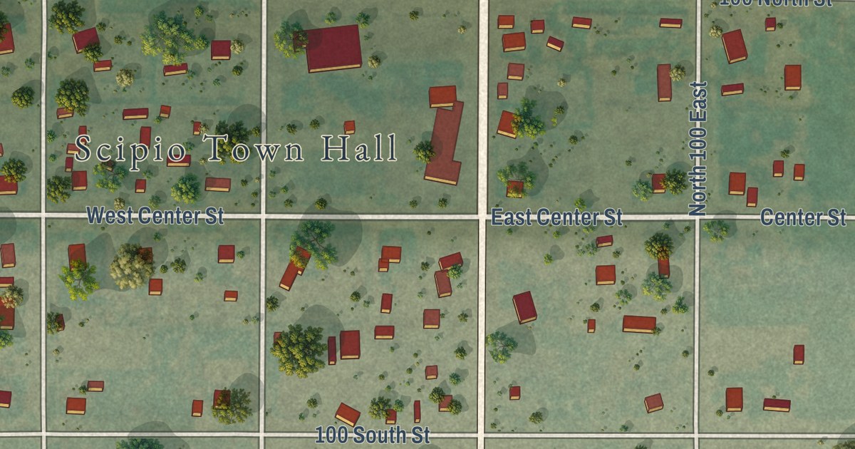
A detailed map of Scipio, Utah, showing every building in its true location, the roads by name, and shaded topographical relief.
Read More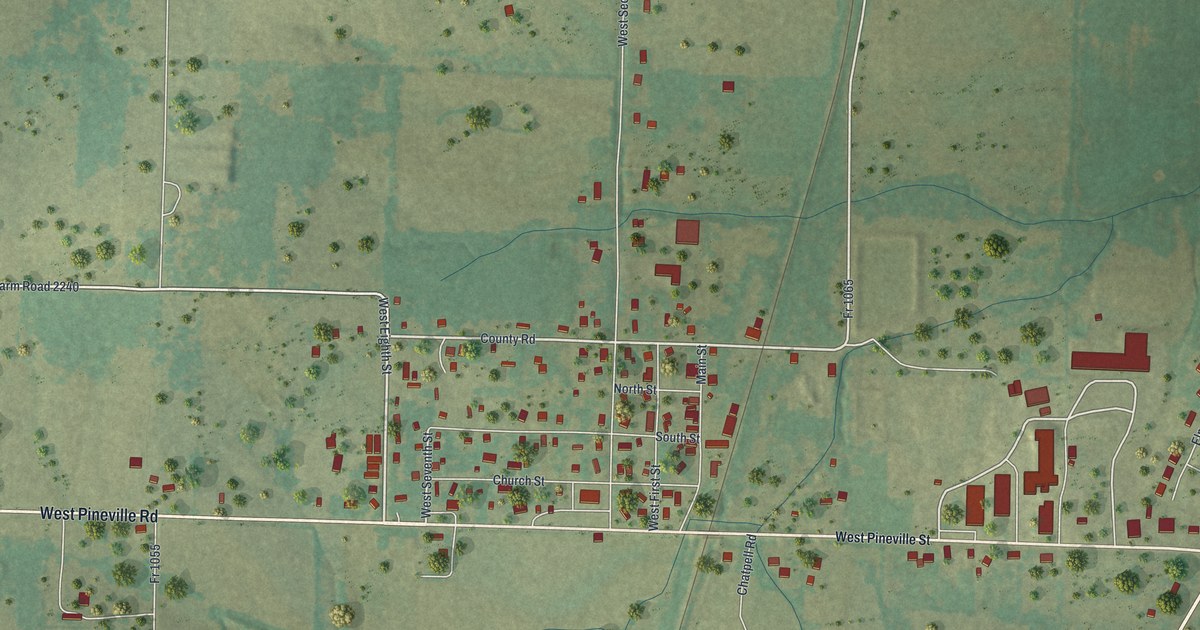
A detailed map of Washburn, Missouri, showing every building in its true location, the roads by name, and shaded topographical relief.
Read More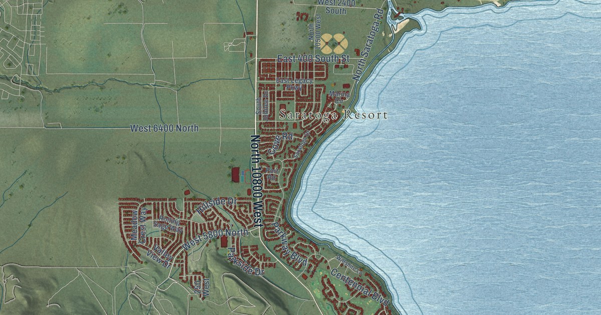
A detailed map of Saratoga Springs, Utah, showing every building in its true location, the roads by name, and shaded topographical relief.
Read More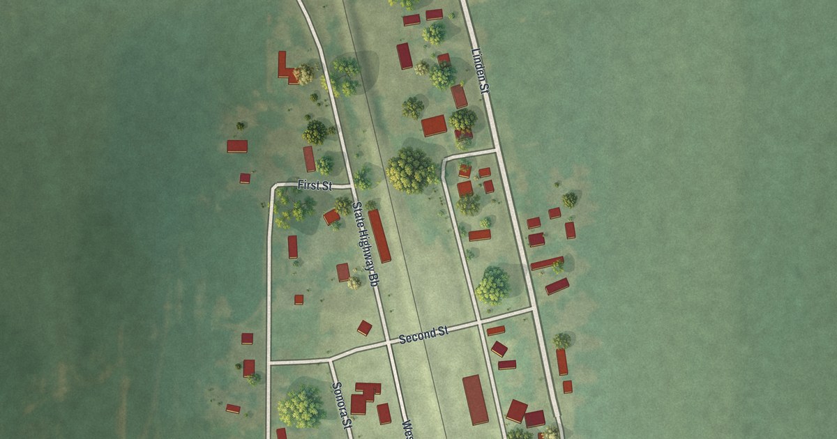
A detailed map of Watson, Missouri, showing every building in its true location, the roads by name, and shaded topographical relief.
Read More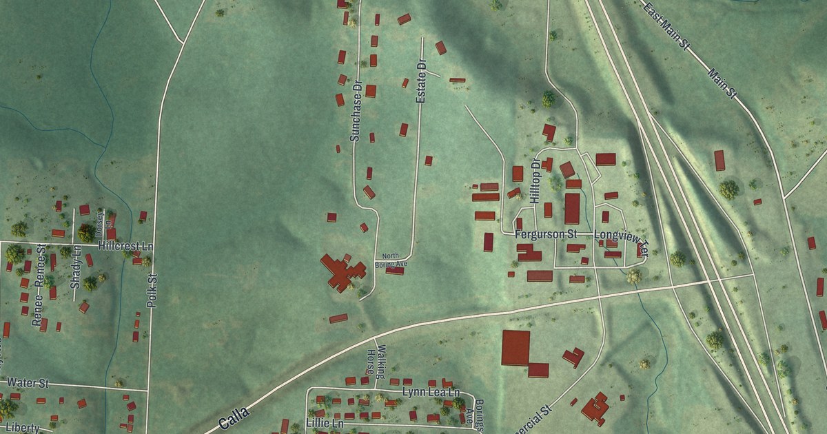
A detailed map of Warsaw, Missouri, showing every building in its true location, the roads by name, and shaded topographical relief.
Read More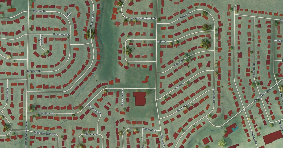
A detailed map of Warson Woods, Missouri, showing every building in its true location, the roads by name, and shaded topographical relief.
Read More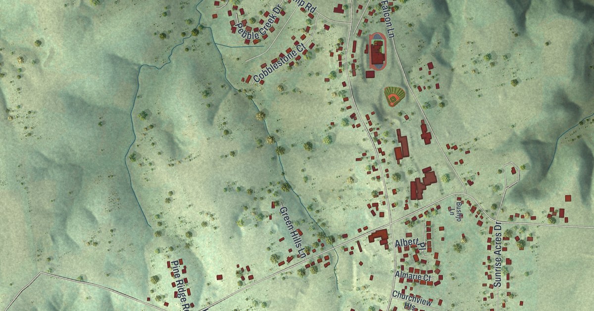
A detailed map of Wardsville, Missouri, showing every building in its true location, the roads by name, and shaded topographical relief.
Read More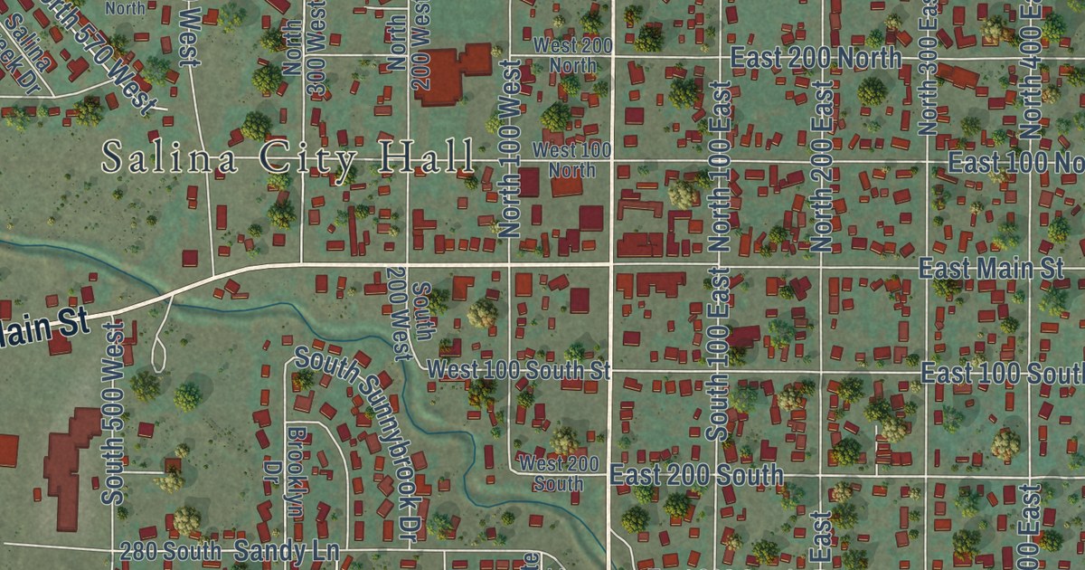
A detailed map of Salina, Utah, showing every building in its true location, the roads by name, and shaded topographical relief.
Read More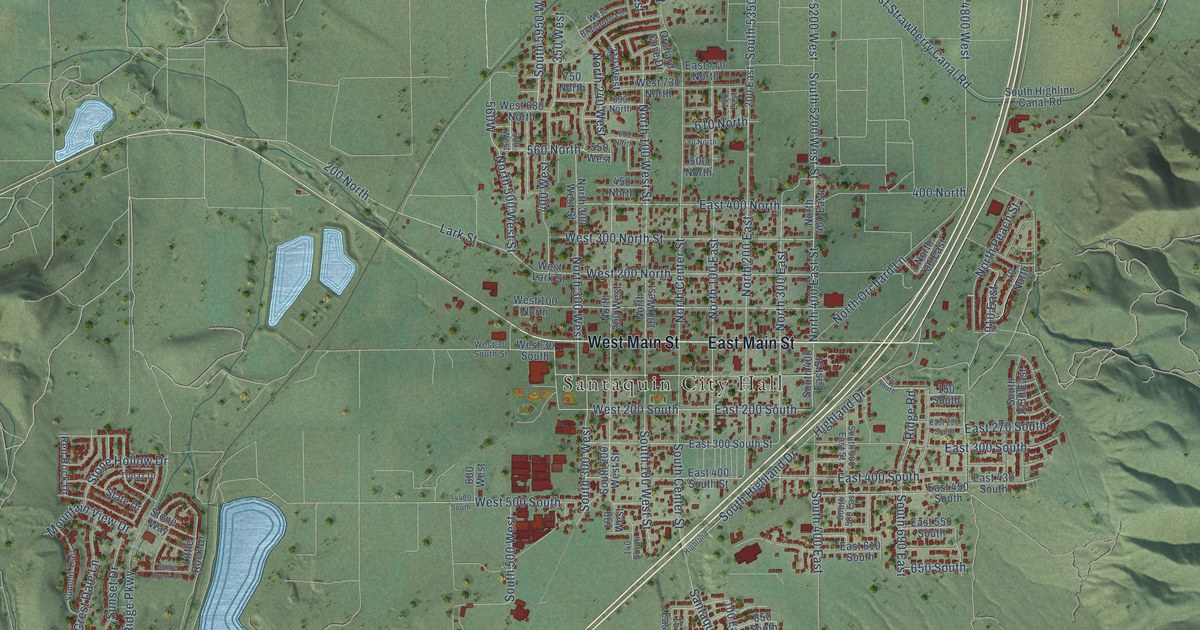
A detailed map of Santaquin, Utah, showing every building in its true location, the roads by name, and shaded topographical relief.
Read More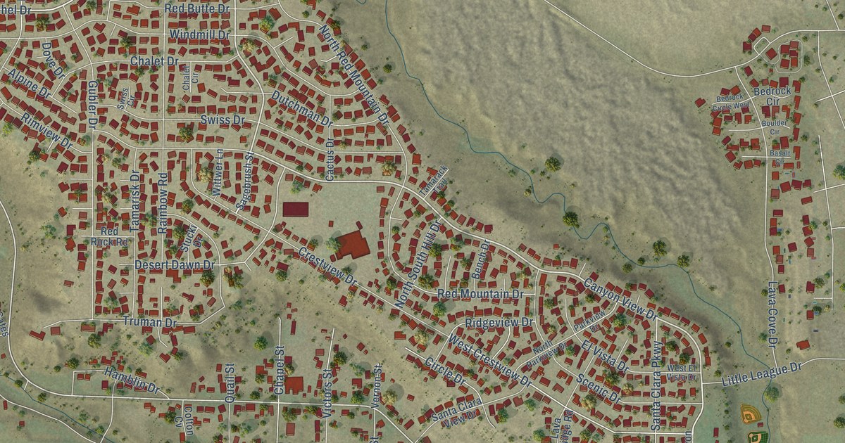
A detailed map of Santa Clara, Utah, showing every building in its true location, the roads by name, and shaded topographical relief.
Read More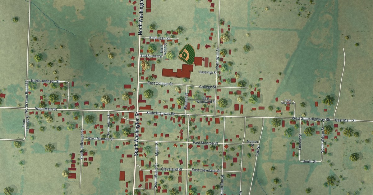
A detailed map of Walnut Grove, Missouri, showing every building in its true location, the roads by name, and shaded topographical relief.
Read More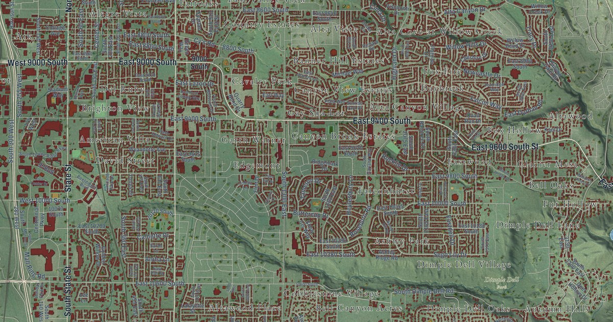
A detailed map of Sandy, Utah, showing every building in its true location, the roads by name, and shaded topographical relief.
Read More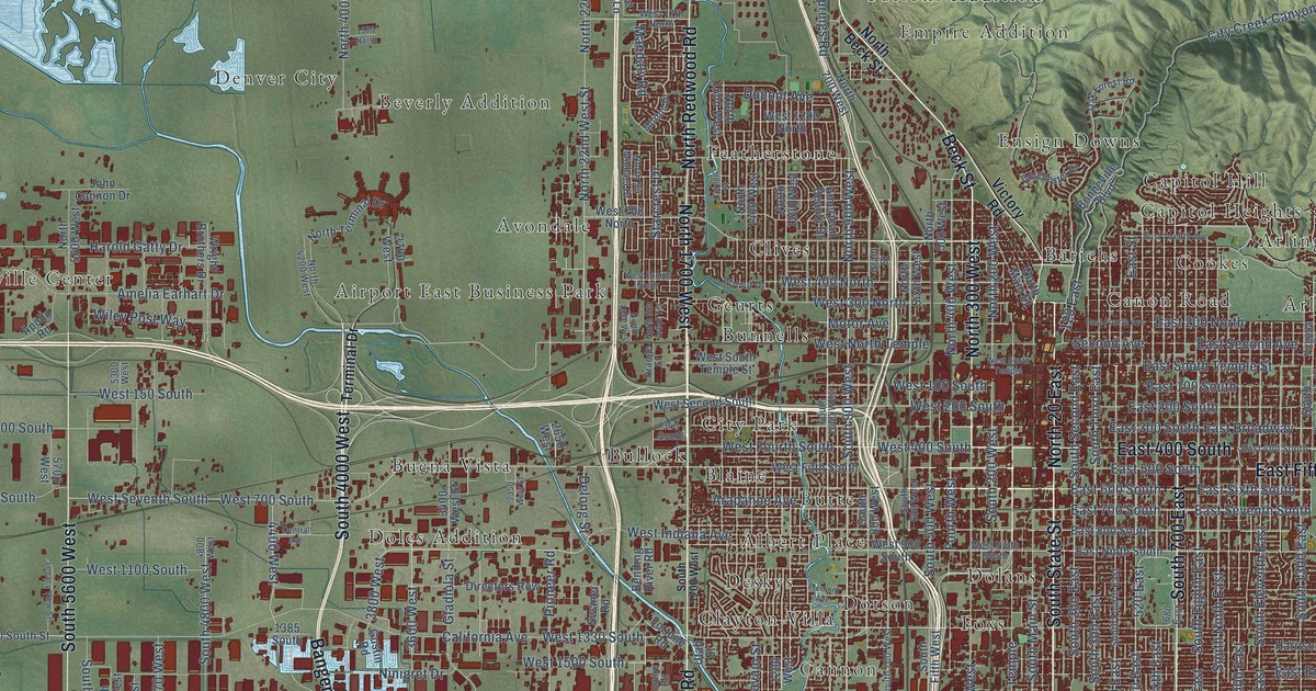
A detailed map of Salt Lake City, Utah, showing every building in its true location, the roads by name, and shaded topographical relief.
Read More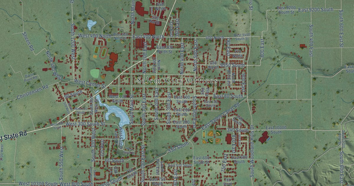
A detailed map of Salem, Utah, showing every building in its true location, the roads by name, and shaded topographical relief.
Read More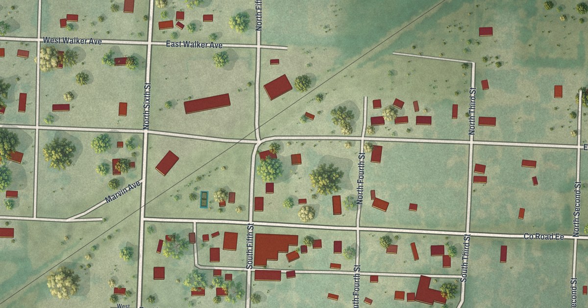
A detailed map of Walker, Missouri, showing every building in its true location, the roads by name, and shaded topographical relief.
Read More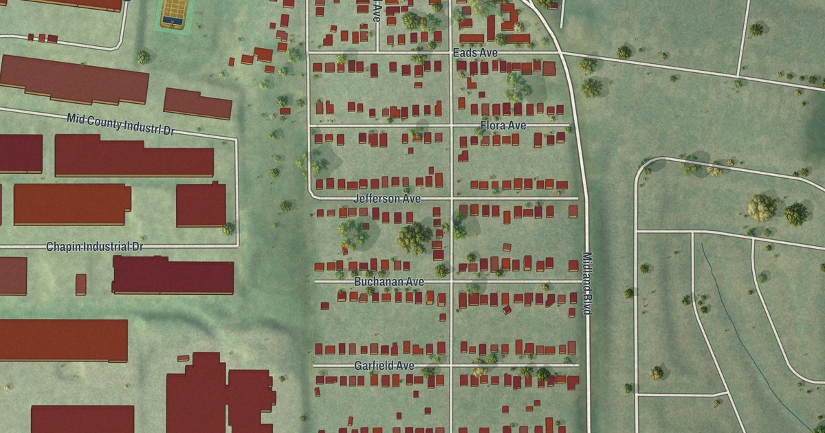
A detailed map of Vinita Park, Missouri, showing every building in its true location, the roads by name, and shaded topographical relief.
Read More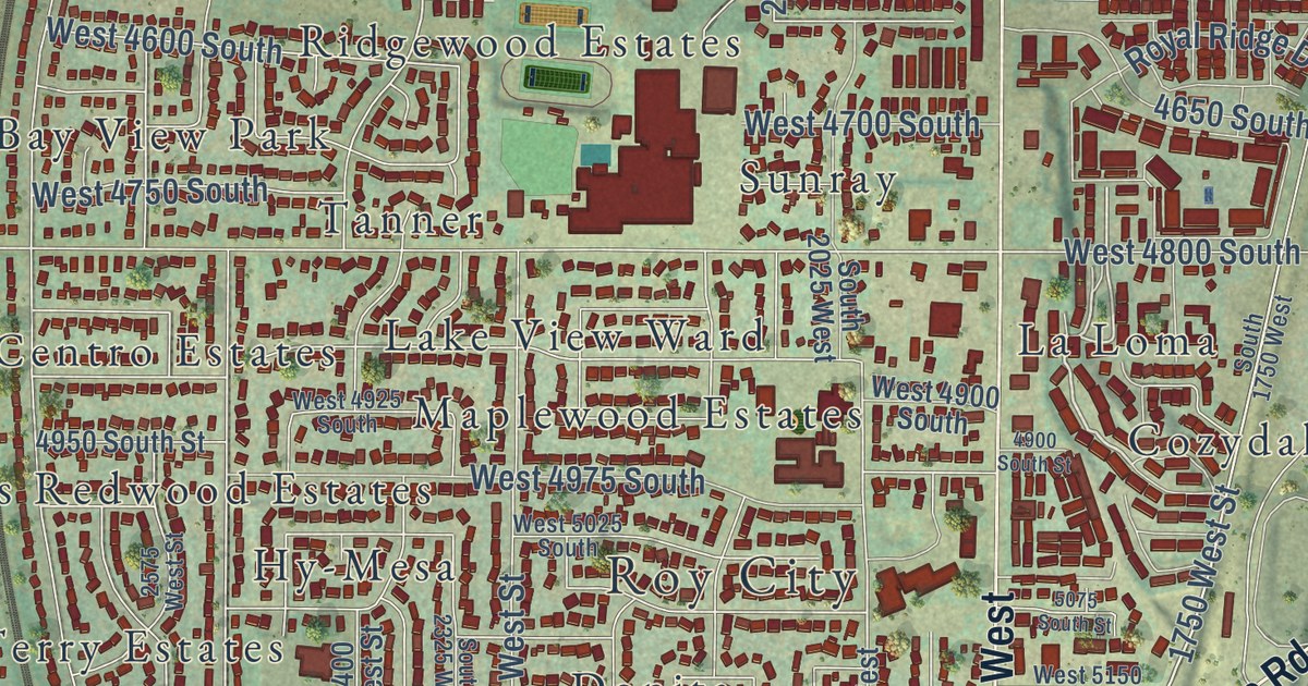
A detailed map of Roy, Utah, showing every building in its true location, the roads by name, and shaded topographical relief.
Read More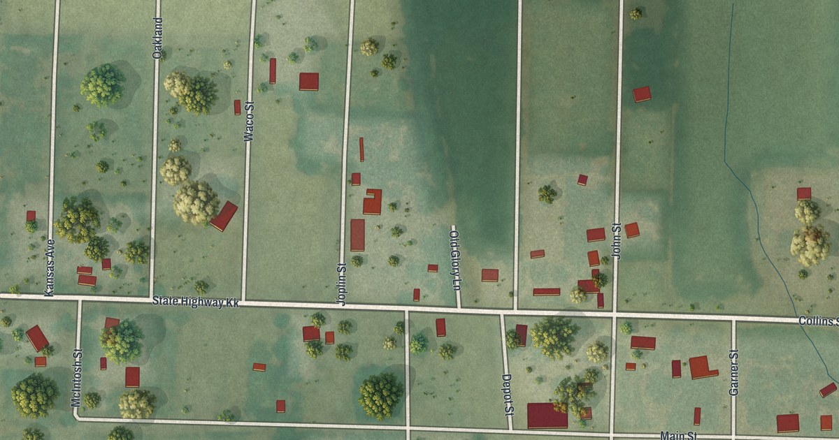
A detailed map of Waco, Missouri, showing every building in its true location, the roads by name, and shaded topographical relief.
Read More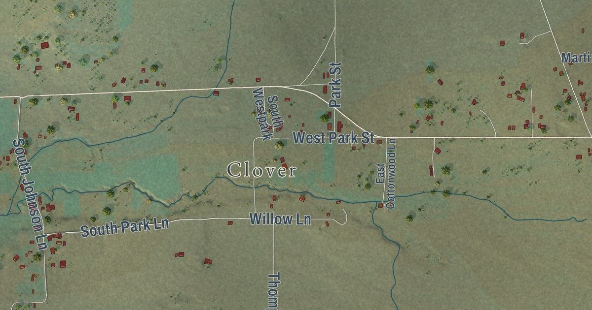
A detailed map of Rush Valley, Utah, showing every building in its true location, the roads by name, and shaded topographical relief.
Read More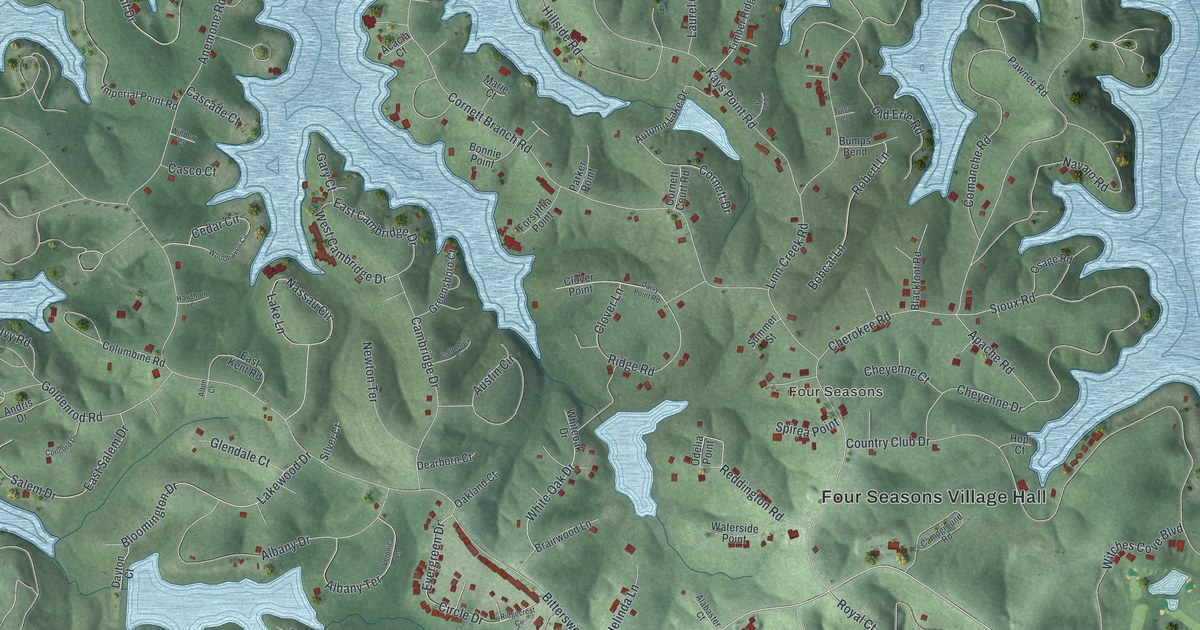
A detailed map of Four Seasons, Missouri, showing every building in its true location, the roads by name, and shaded topographical relief.
Read More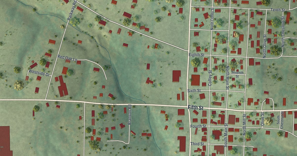
A detailed map of Vienna, Missouri, showing every building in its true location, the roads by name, and shaded topographical relief.
Read More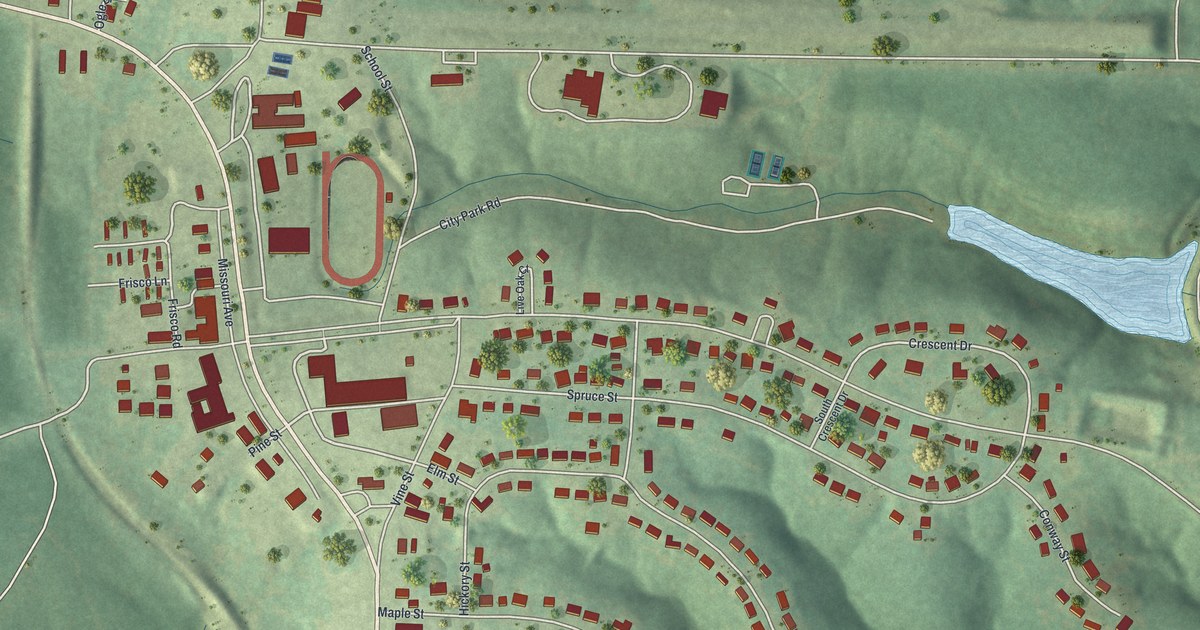
A detailed map of Viburnum, Missouri, showing every building in its true location, the roads by name, and shaded topographical relief.
Read More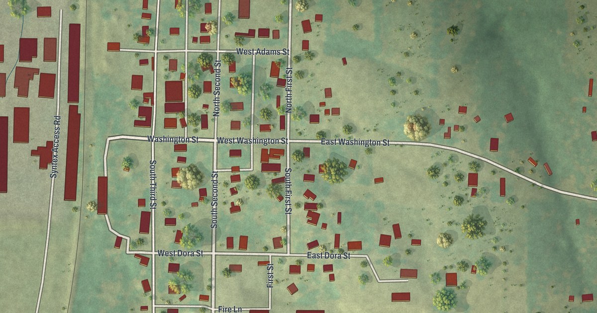
A detailed map of Verona, Missouri, showing every building in its true location, the roads by name, and shaded topographical relief.
Read More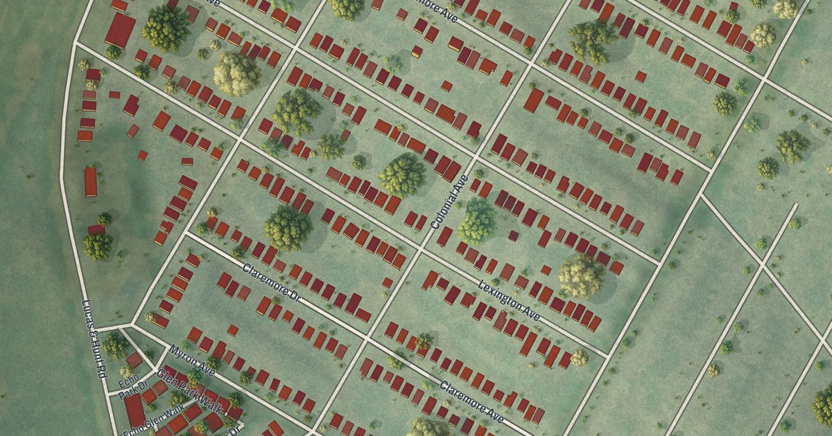
A detailed map of Velda City, Missouri, showing every building in its true location, the roads by name, and shaded topographical relief.
Read More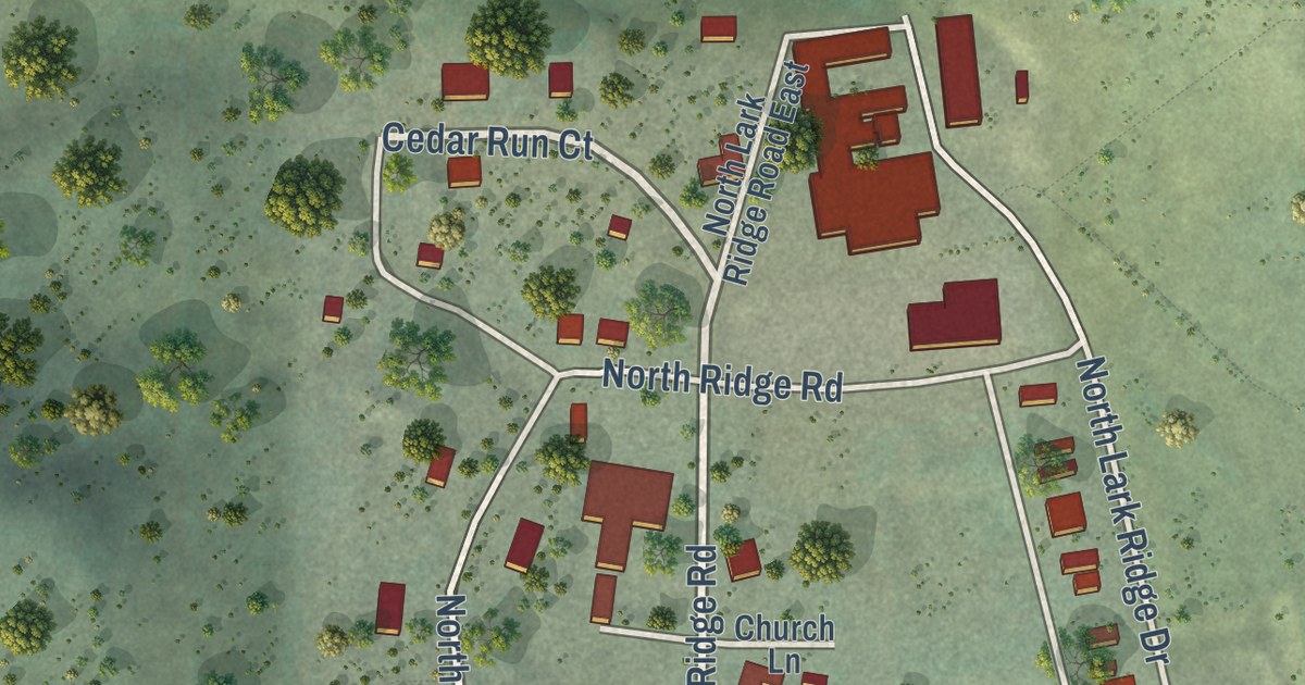
A detailed map of Rocky Ridge, Utah, showing every building in its true location, the roads by name, and shaded topographical relief.
Read More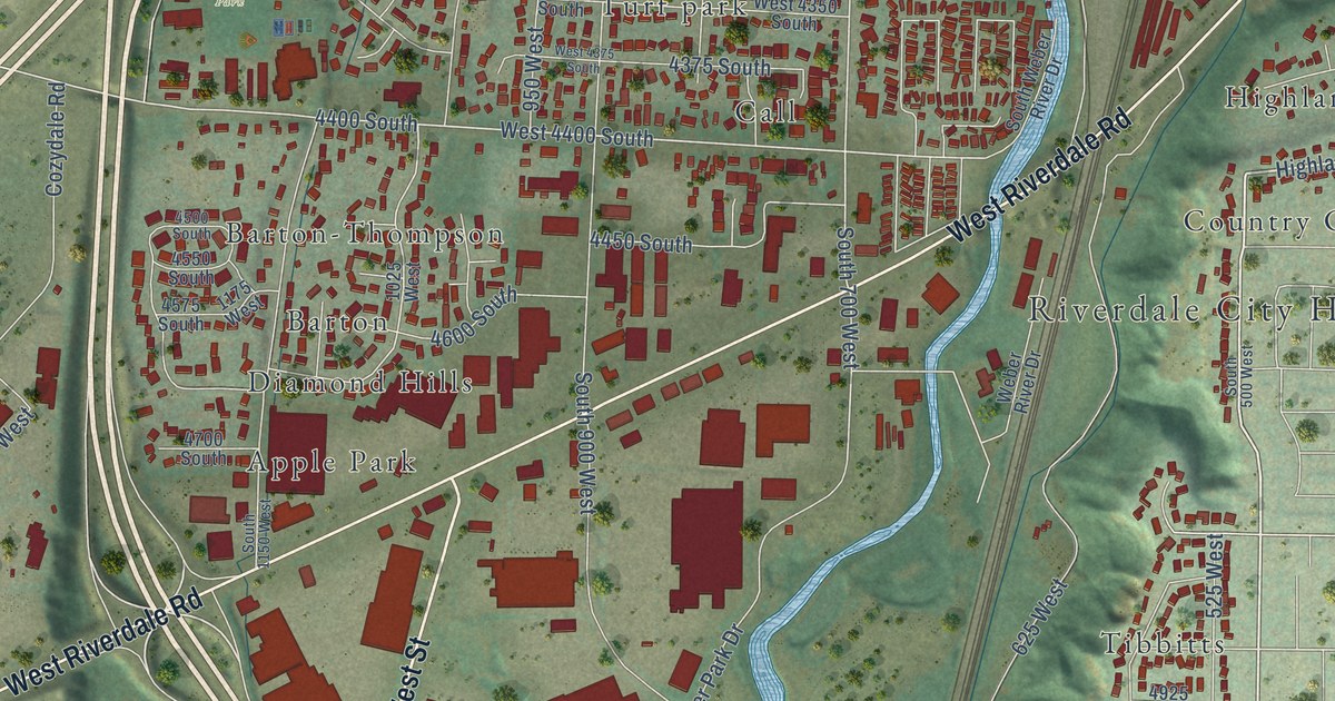
A detailed map of Riverdale, Utah, showing every building in its true location, the roads by name, and shaded topographical relief.
Read More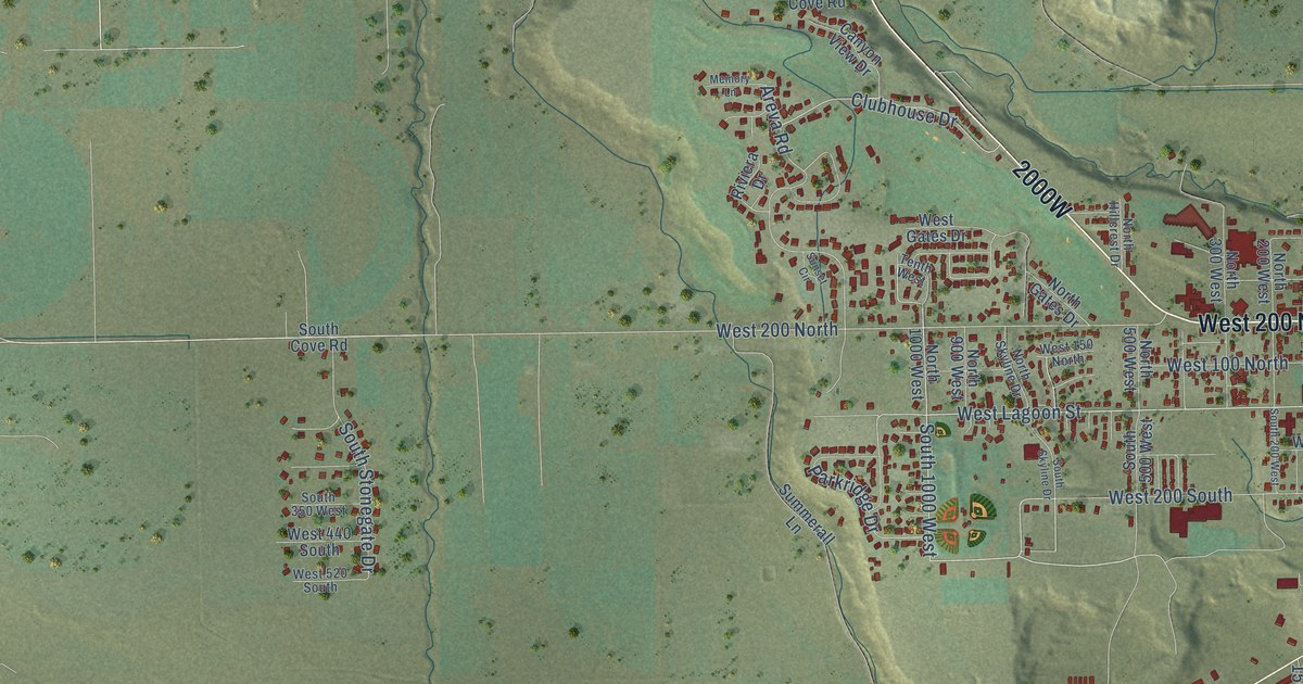
A detailed map of Roosevelt, Utah, showing every building in its true location, the roads by name, and shaded topographical relief.
Read More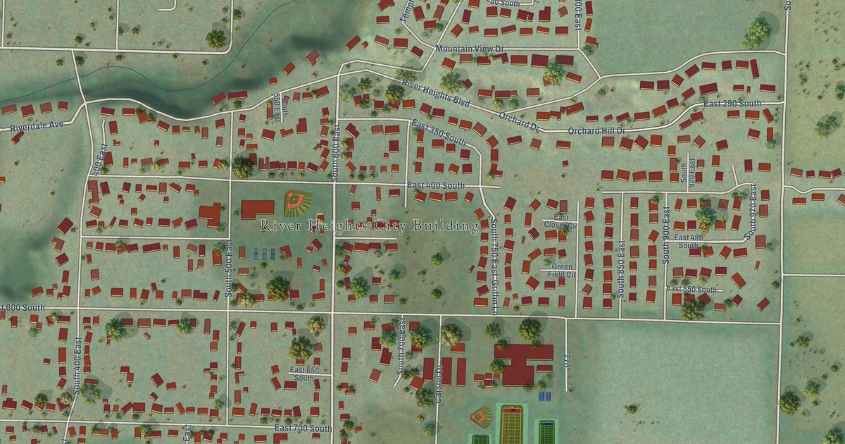
A detailed map of River Heights, Utah, showing every building in its true location, the roads by name, and shaded topographical relief.
Read More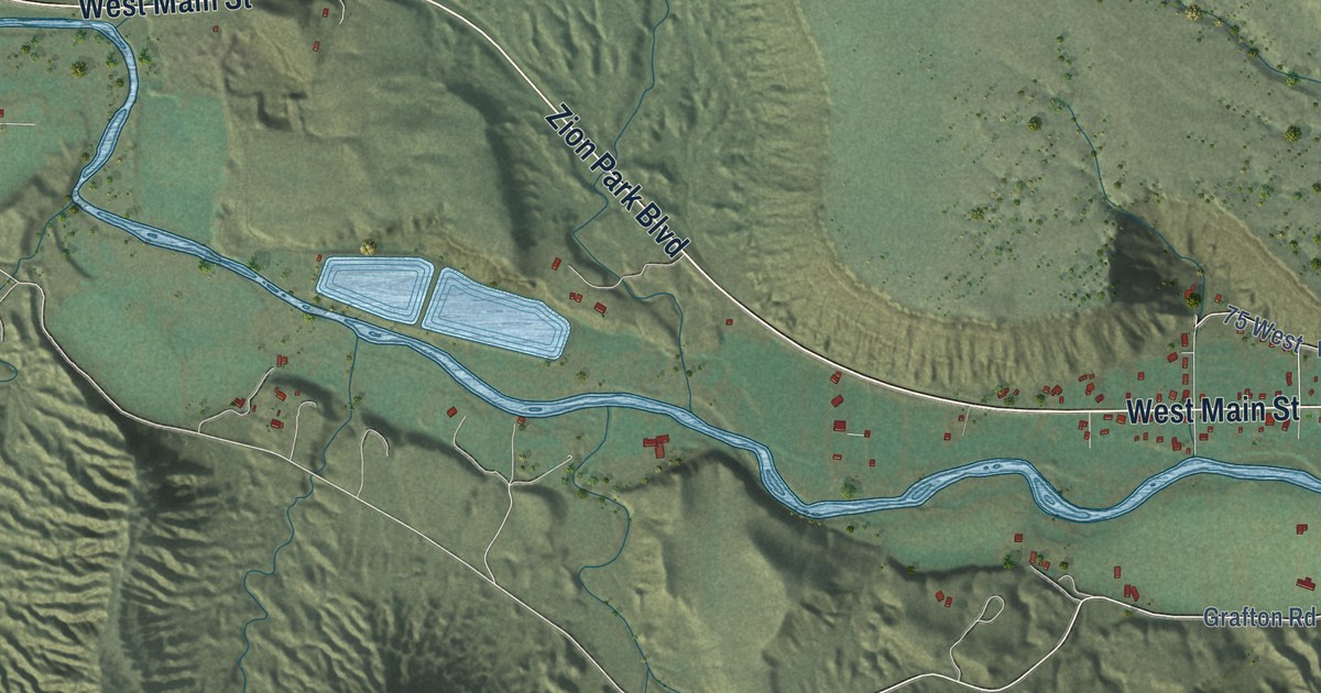
A detailed map of Rockville, Utah, showing every building in its true location, the roads by name, and shaded topographical relief.
Read More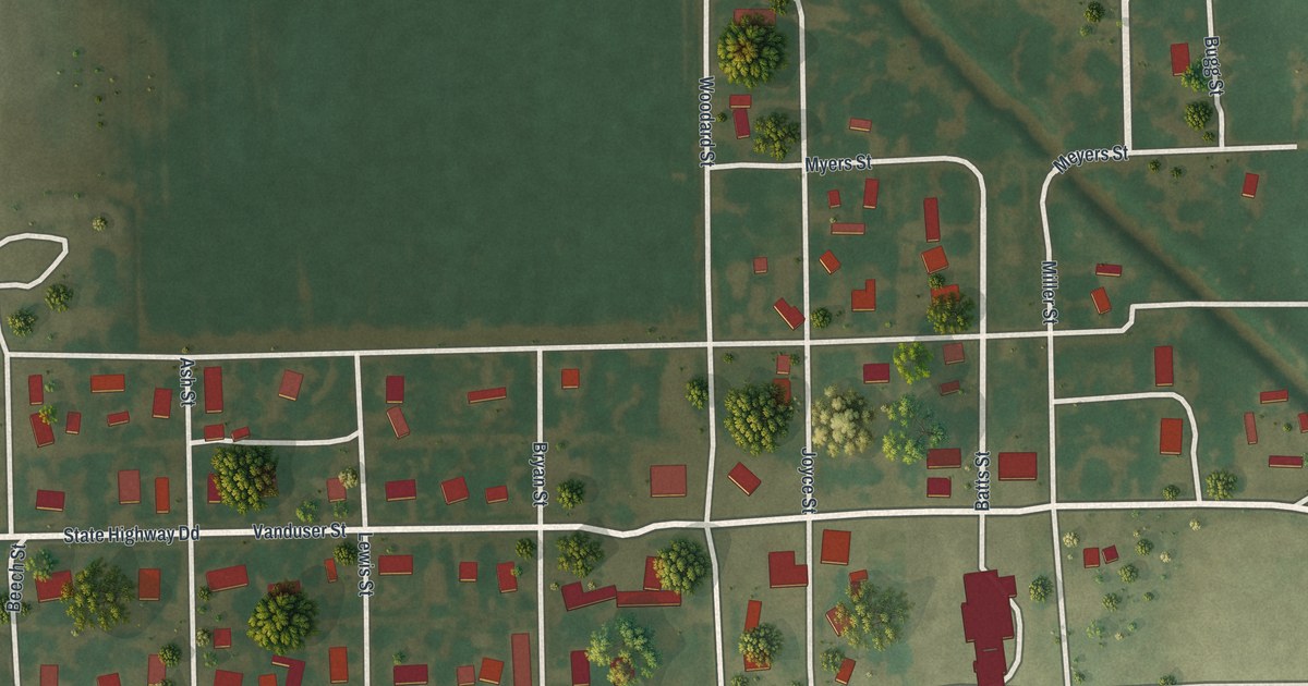
A detailed map of Vanduser, Missouri, showing every building in its true location, the roads by name, and shaded topographical relief.
Read More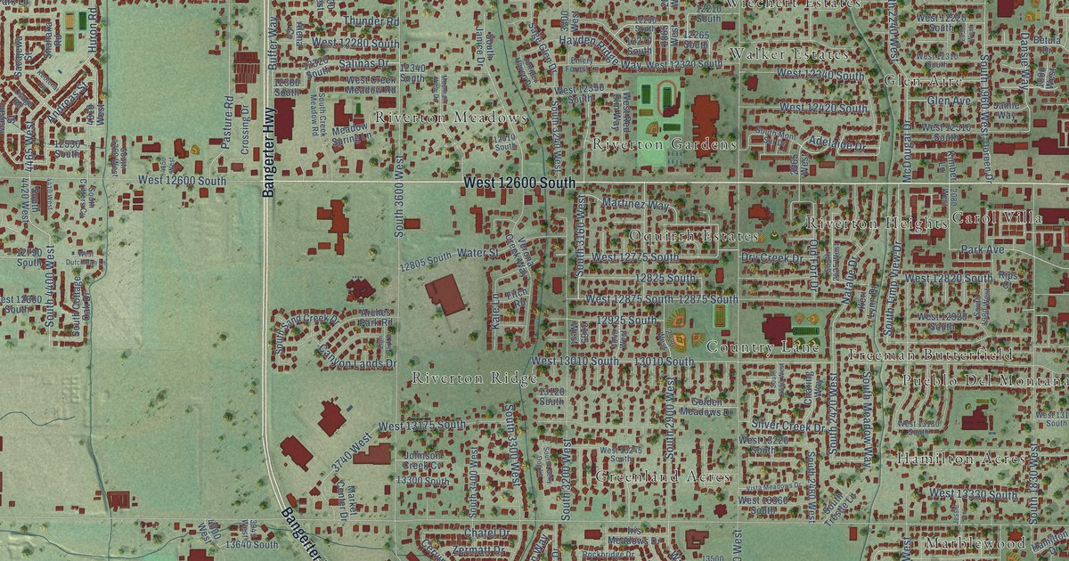
A detailed map of Riverton, Utah, showing every building in its true location, the roads by name, and shaded topographical relief.
Read More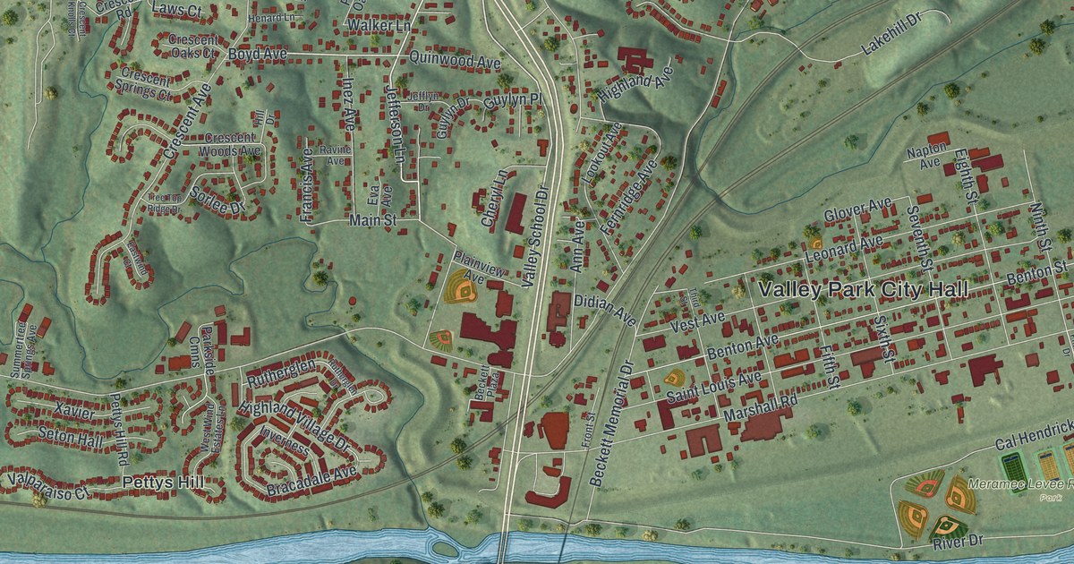
A detailed map of Valley Park, Missouri, showing every building in its true location, the roads by name, and shaded topographical relief.
Read More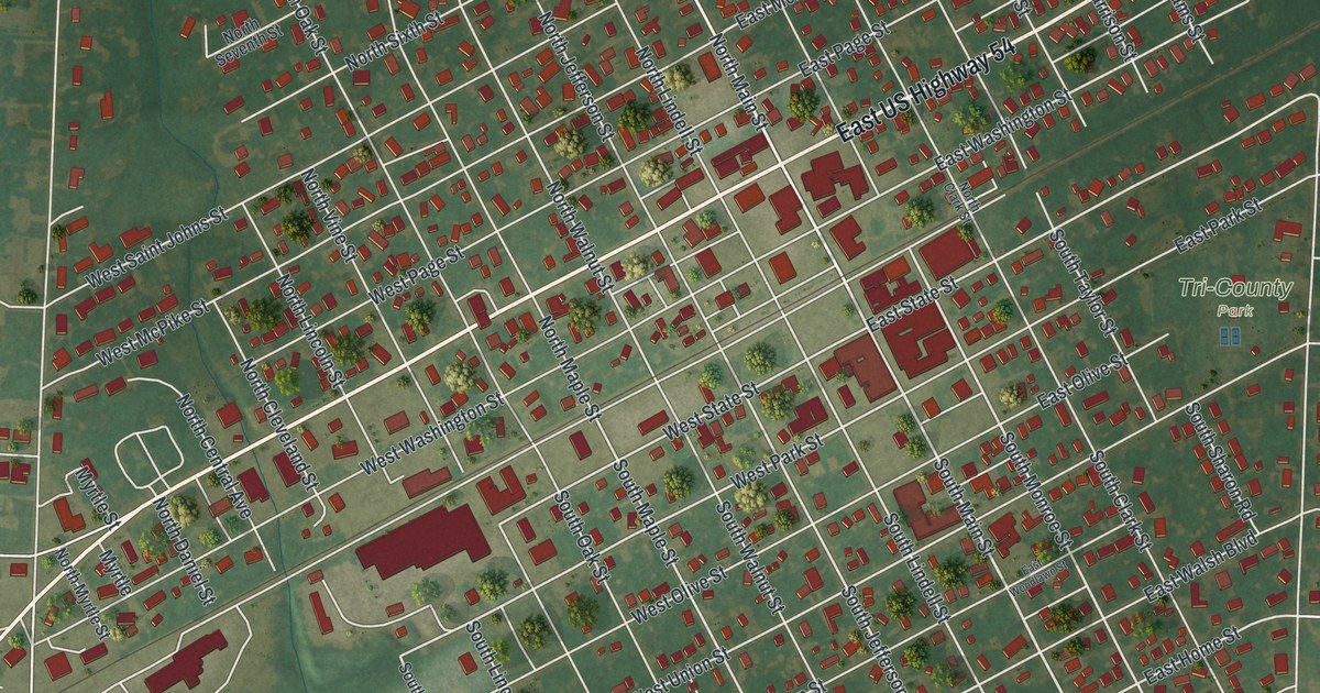
A detailed map of Vandalia, Missouri, showing every building in its true location, the roads by name, and shaded topographical relief.
Read More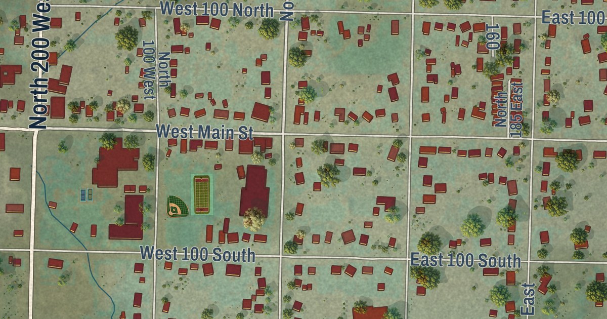
A detailed map of Richmond, Utah, showing every building in its true location, the roads by name, and shaded topographical relief.
Read More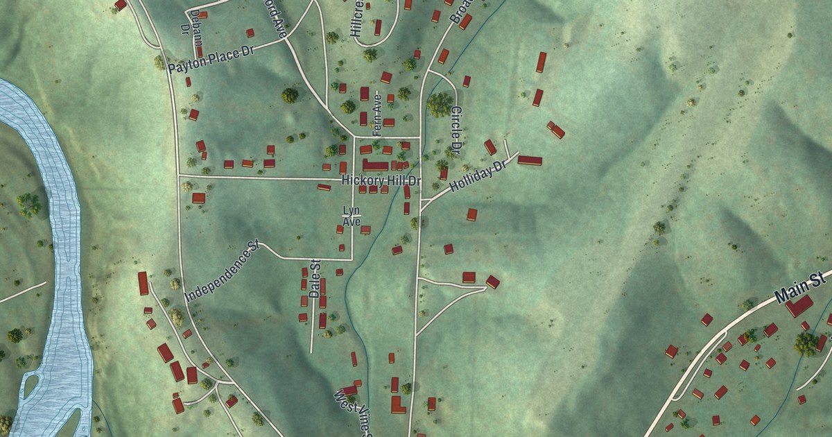
A detailed map of Van Buren, Missouri, showing every building in its true location, the roads by name, and shaded topographical relief.
Read More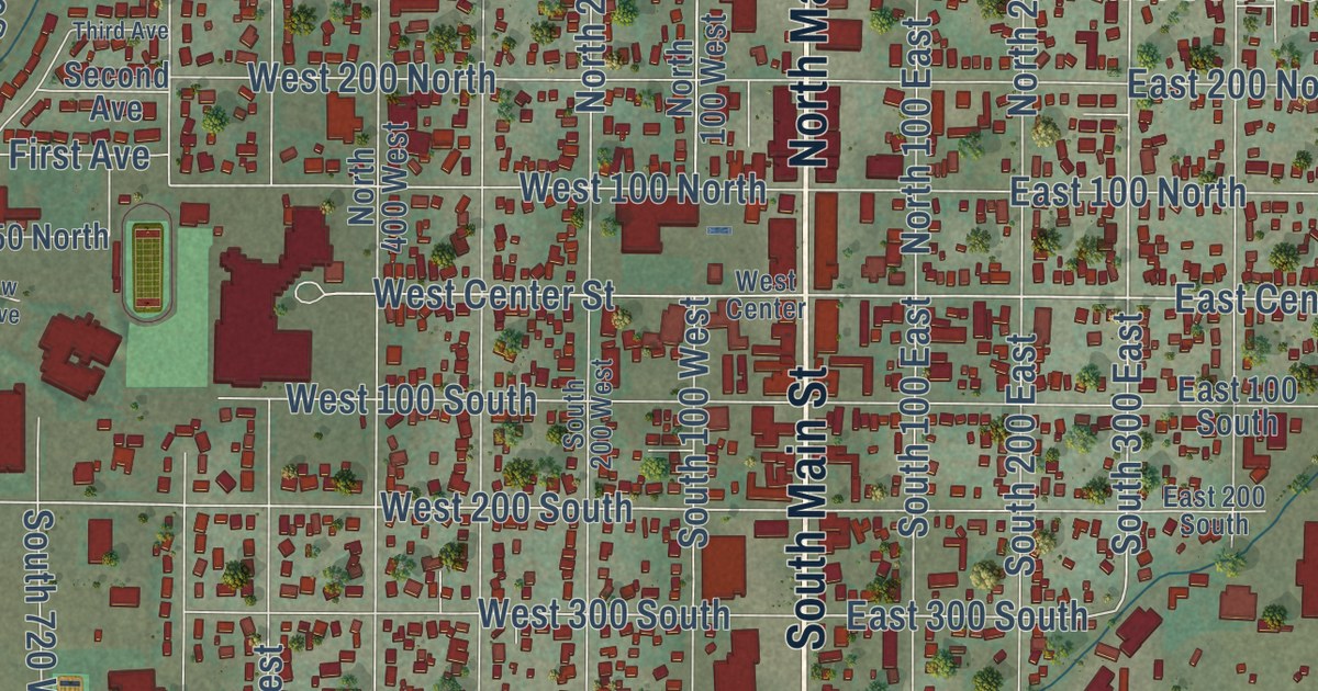
A detailed map of Richfield, Utah, showing every building in its true location, the roads by name, and shaded topographical relief.
Read More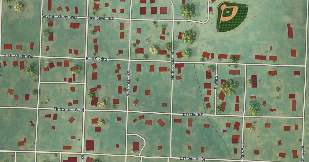
A detailed map of Urich, Missouri, showing every building in its true location, the roads by name, and shaded topographical relief.
Read More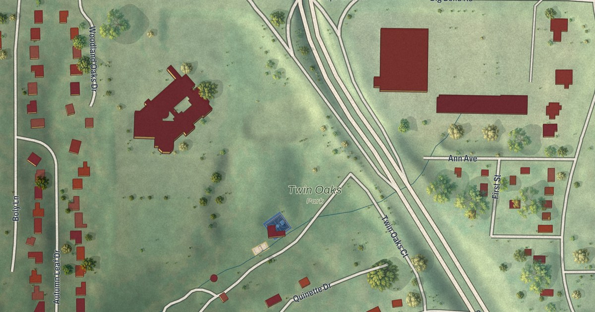
A detailed map of Twin Oaks, Missouri, showing every building in its true location, the roads by name, and shaded topographical relief.
Read More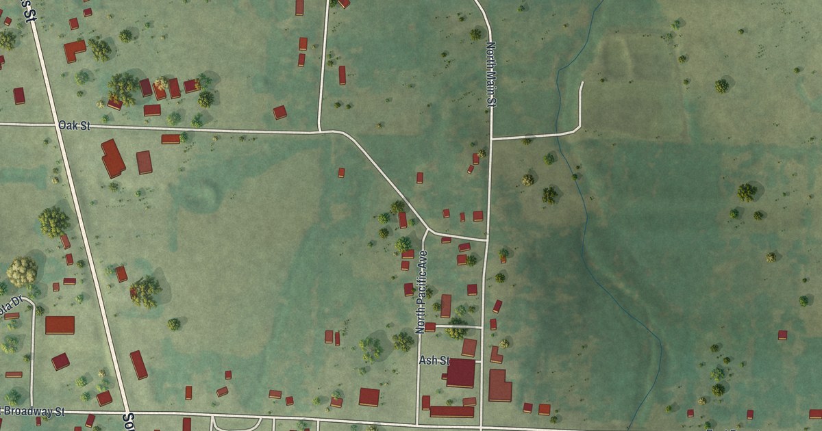
A detailed map of Urbana, Missouri, showing every building in its true location, the roads by name, and shaded topographical relief.
Read More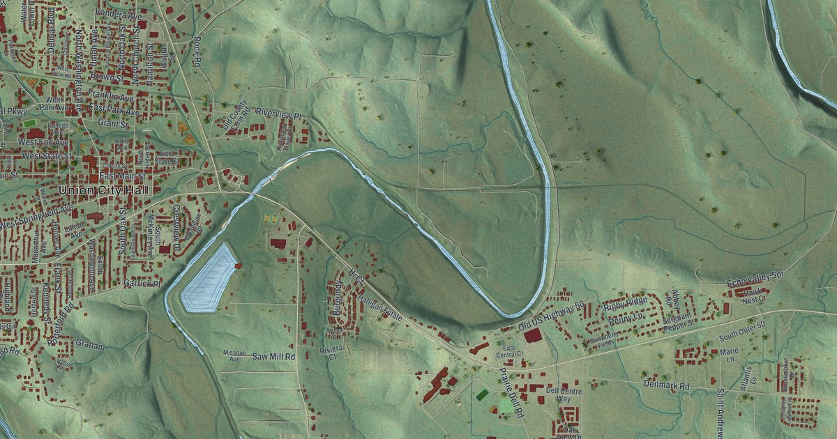
A detailed map of Union, Missouri, showing every building in its true location, the roads by name, and shaded topographical relief.
Read More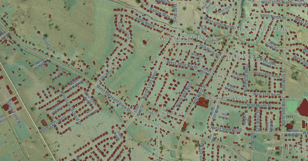
A detailed map of Pleasant View, Utah, showing every building in its true location, the roads by name, and shaded topographical relief.
Read More















