Detailed Map of Clifton, Idaho
A detailed map of Clifton, Idaho, showing every building in its true location, the roads by name, and shaded topographical relief.
Read More
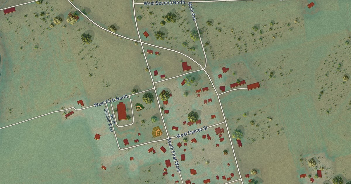
A detailed map of Clifton, Idaho, showing every building in its true location, the roads by name, and shaded topographical relief.
Read More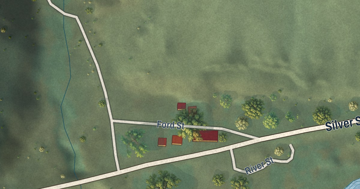
A detailed map of Clayton, Idaho, showing every building in its true location, the roads by name, and shaded topographical relief.
Read More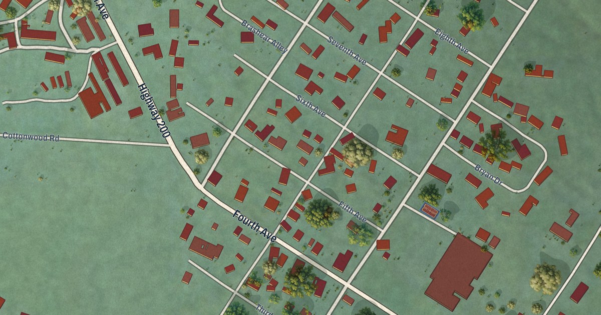
A detailed map of Clark Fork, Idaho, showing every building in its true location, the roads by name, and shaded topographical relief.
Read More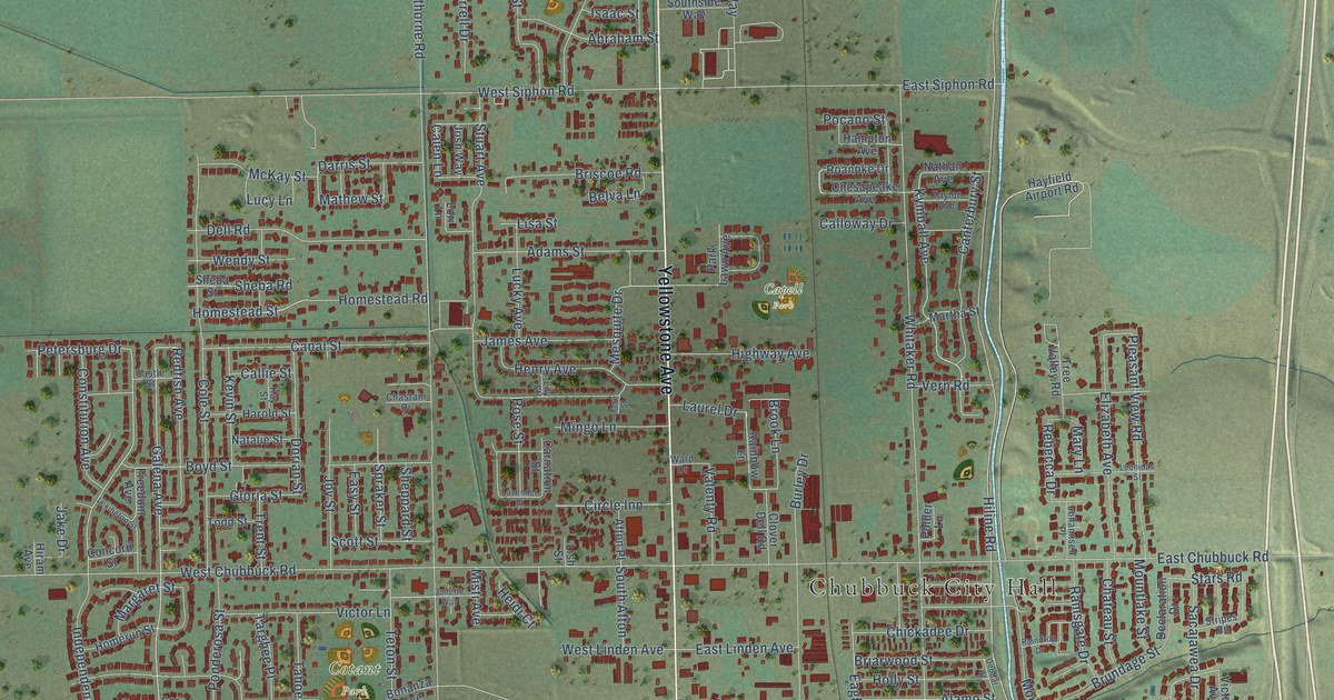
A detailed map of Chubbuck, Idaho, showing every building in its true location, the roads by name, and shaded topographical relief.
Read More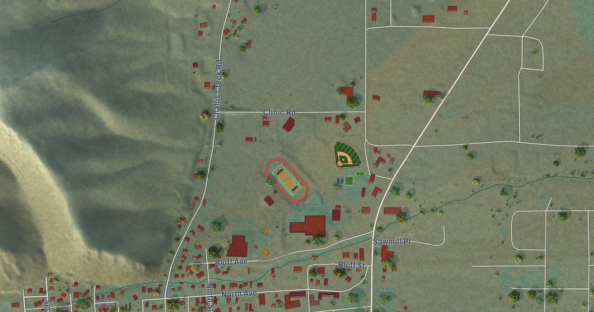
A detailed map of Challis, Idaho, showing every building in its true location, the roads by name, and shaded topographical relief.
Read More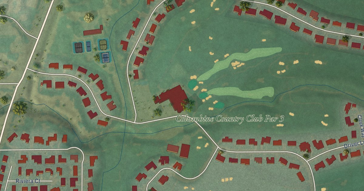
A detailed map of Columbine Valley, Colorado, showing every building in its true location, the roads by name, and shaded topographical relief.
Read More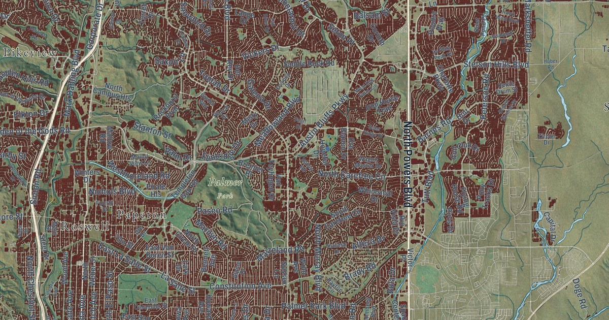
A detailed map of Colorado Springs, Colorado, showing every building in its true location, the roads by name, and shaded topographical relief.
Read More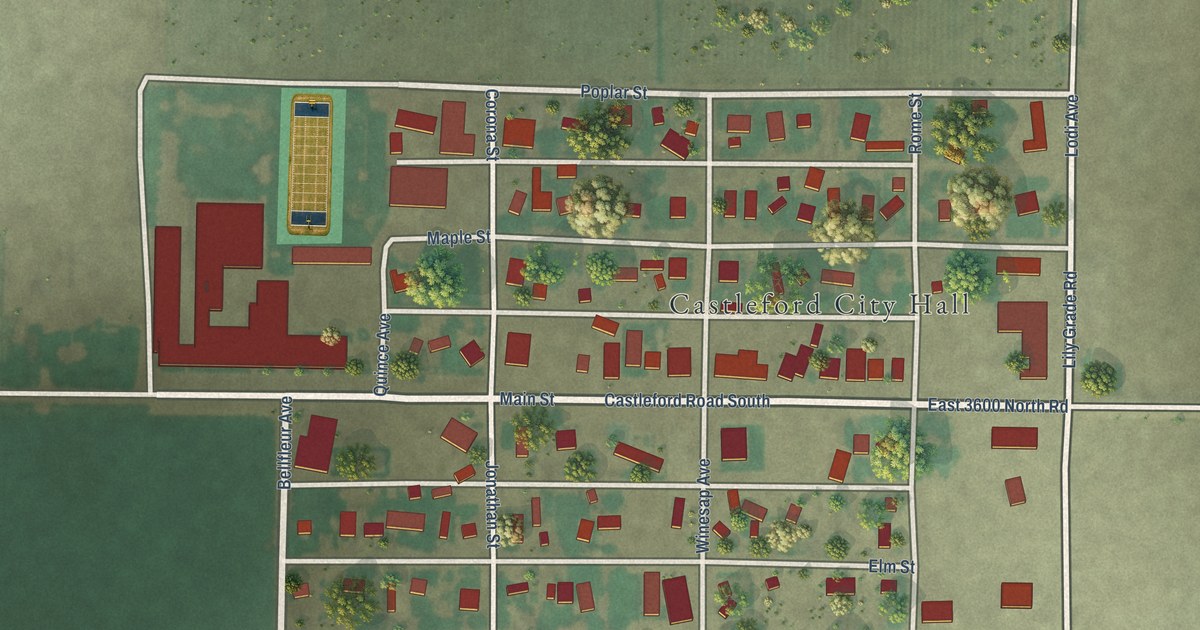
A detailed map of Castleford, Idaho, showing every building in its true location, the roads by name, and shaded topographical relief.
Read More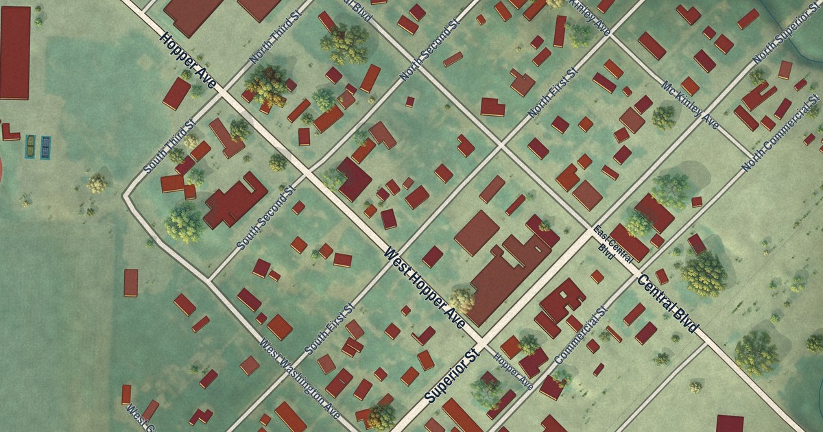
A detailed map of Cambridge, Idaho, showing every building in its true location, the roads by name, and shaded topographical relief.
Read More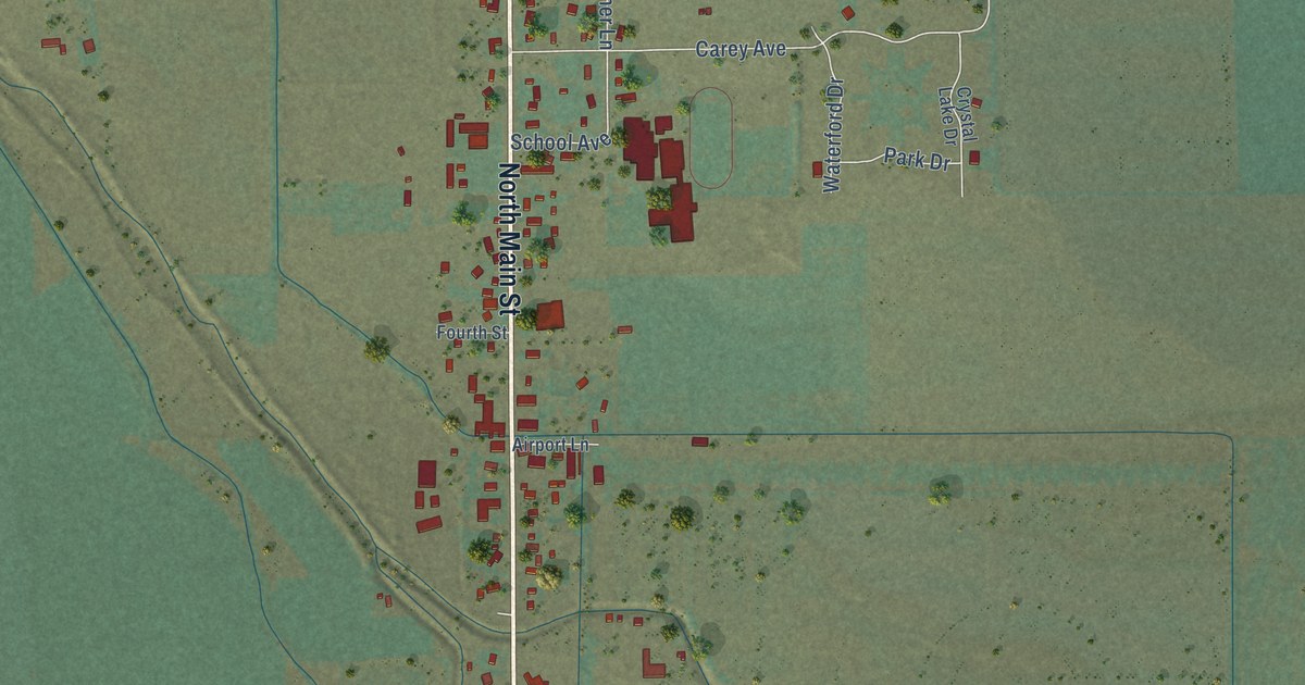
A detailed map of Carey, Idaho, showing every building in its true location, the roads by name, and shaded topographical relief.
Read More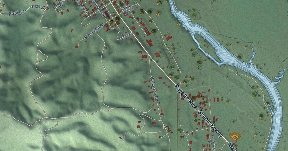
A detailed map of Cascade, Idaho, showing every building in its true location, the roads by name, and shaded topographical relief.
Read More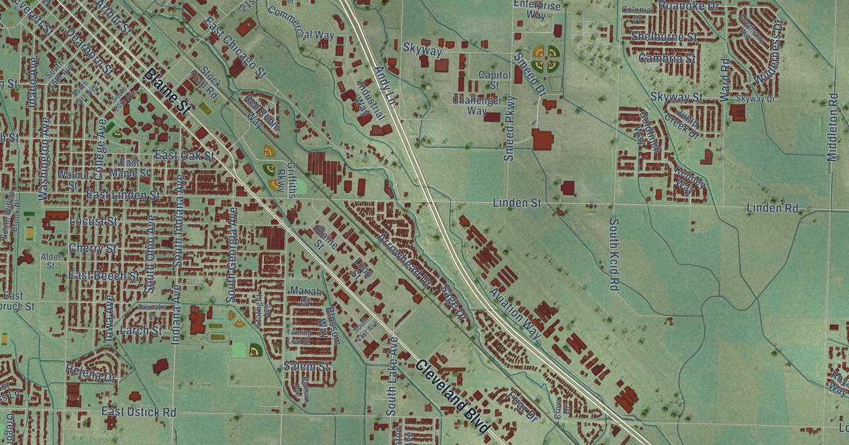
A detailed map of Caldwell, Idaho, showing every building in its true location, the roads by name, and shaded topographical relief.
Read More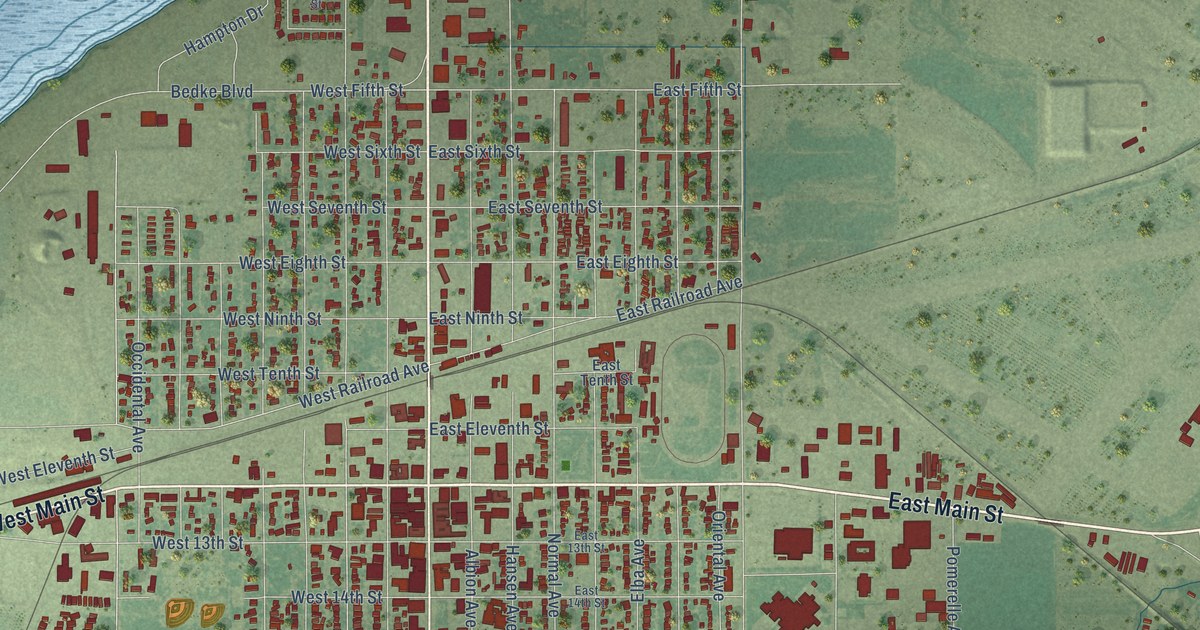
A detailed map of Burley, Idaho, showing every building in its true location, the roads by name, and shaded topographical relief.
Read More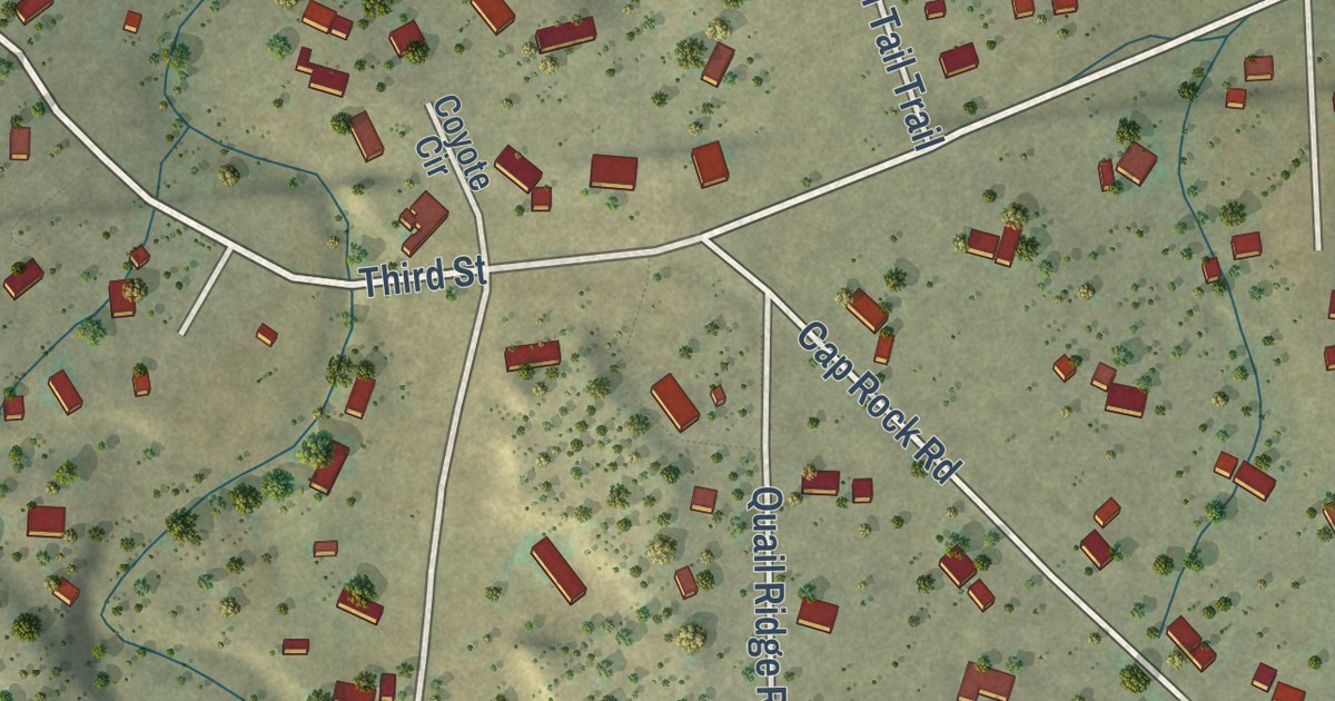
A detailed map of Coal Creek, Colorado, showing every building in its true location, the roads by name, and shaded topographical relief.
Read More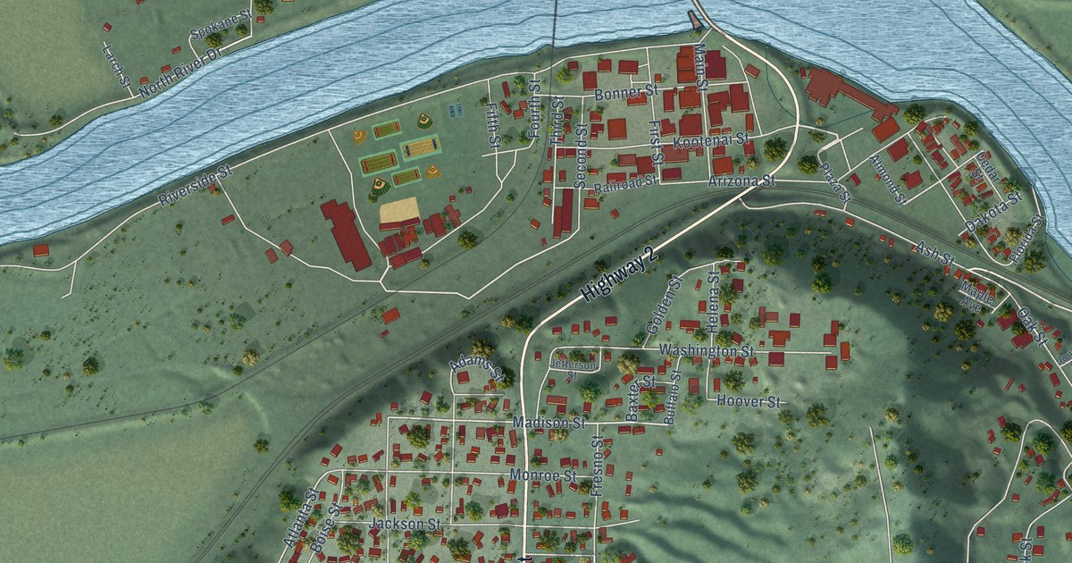
A detailed map of Bonners Ferry, Idaho, showing every building in its true location, the roads by name, and shaded topographical relief.
Read More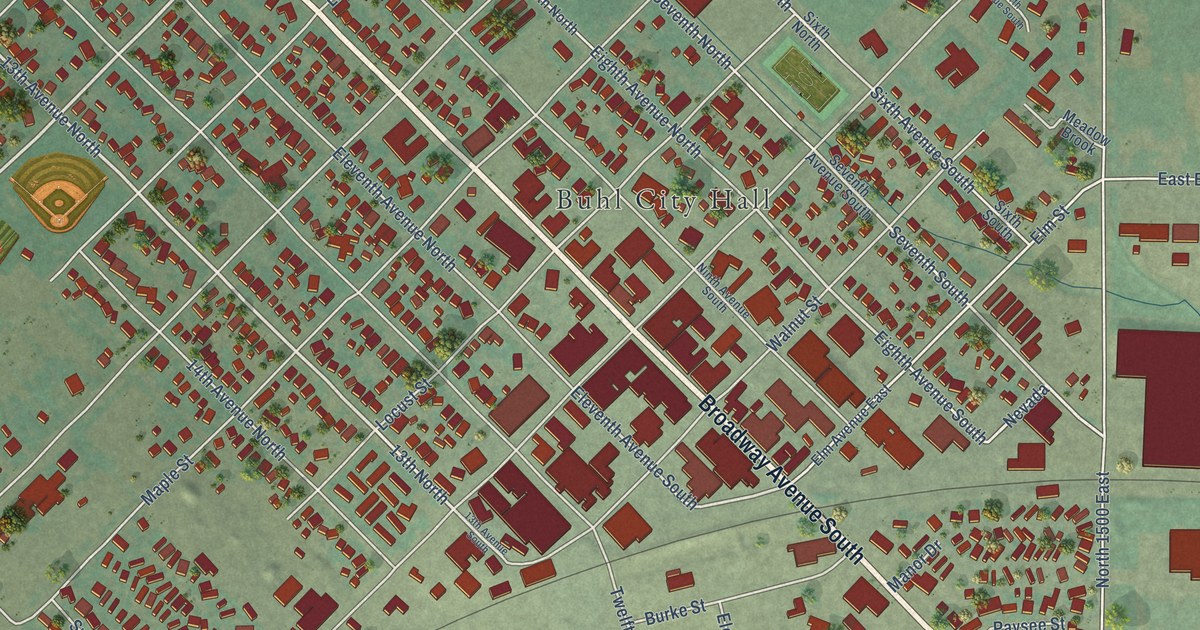
A detailed map of Buhl, Idaho, showing every building in its true location, the roads by name, and shaded topographical relief.
Read More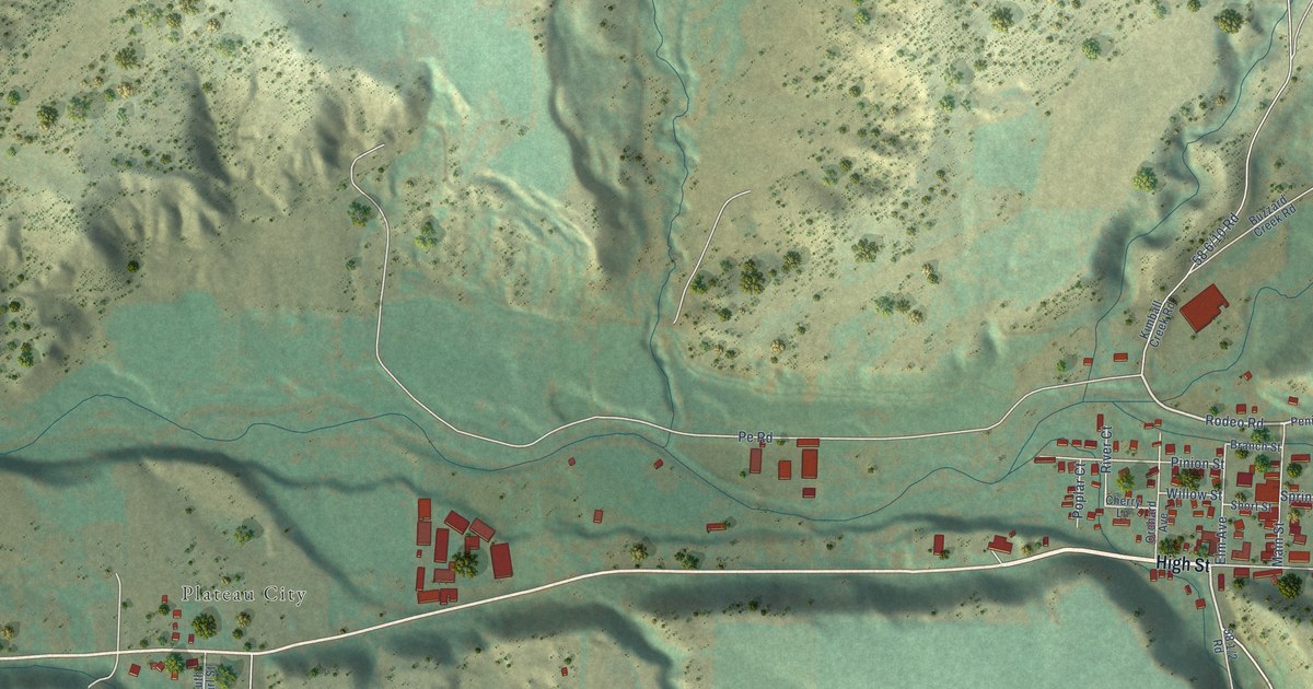
A detailed map of Collbran, Colorado, showing every building in its true location, the roads by name, and shaded topographical relief.
Read More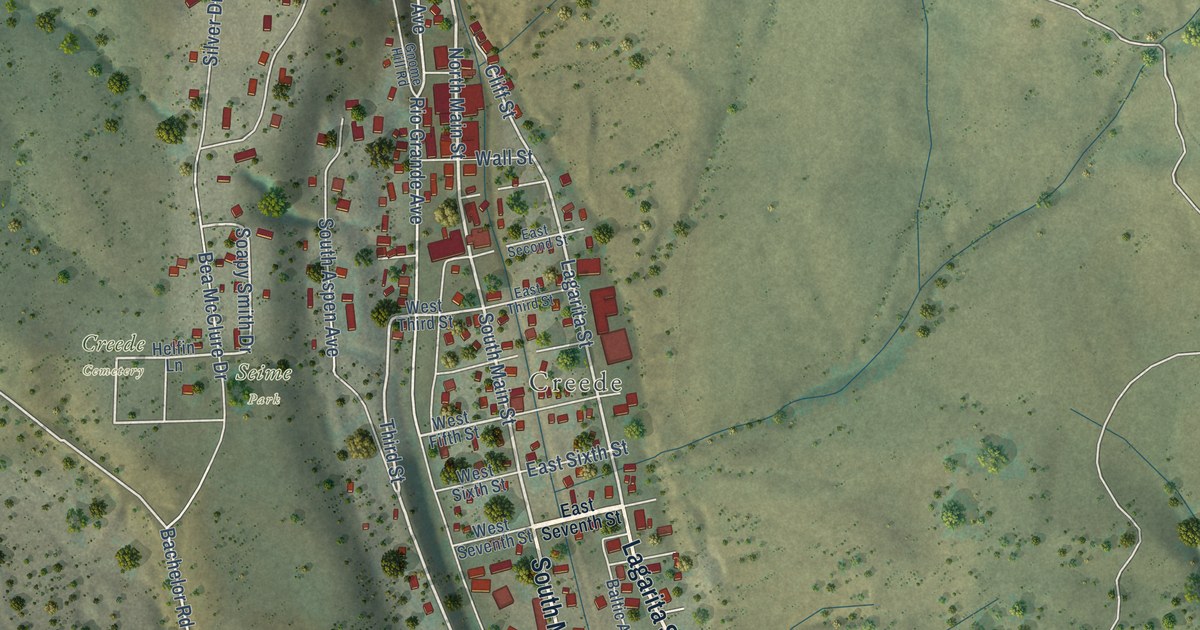
A detailed map of Creede, Colorado, showing every building in its true location, the roads by name, and shaded topographical relief.
Read More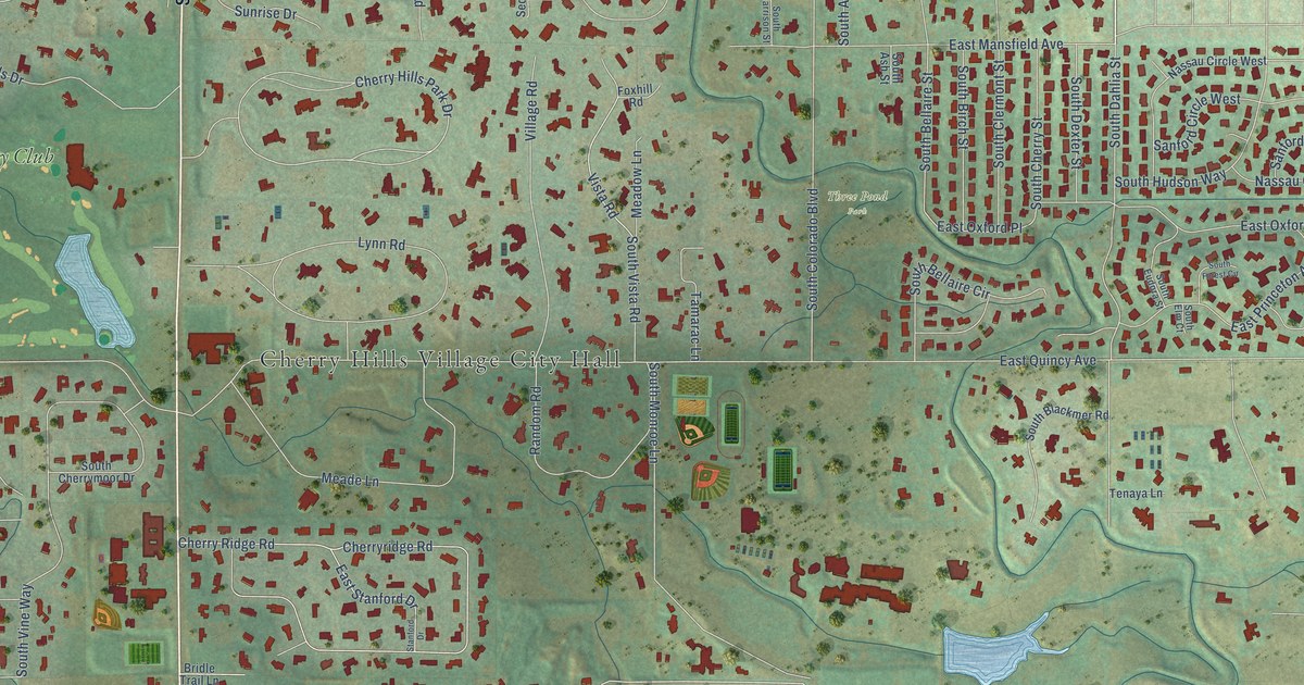
A detailed map of Cherry Hills Village, Colorado, showing every building in its true location, the roads by name, and shaded topographical relief.
Read More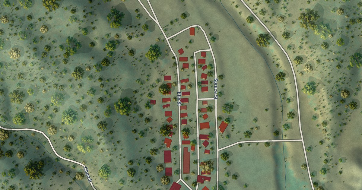
A detailed map of Cokedale, Colorado, showing every building in its true location, the roads by name, and shaded topographical relief.
Read More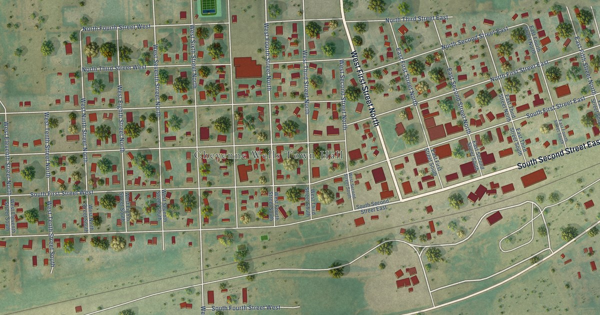
A detailed map of Cheyenne Wells, Colorado, showing every building in its true location, the roads by name, and shaded topographical relief.
Read More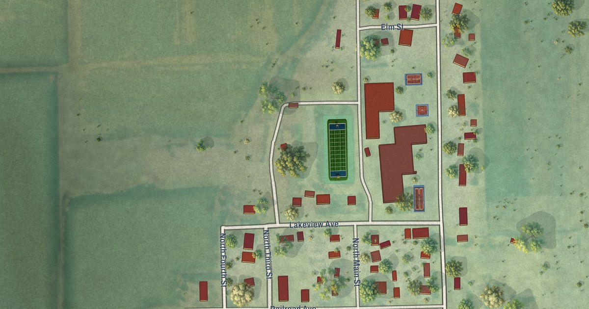
A detailed map of Cheraw, Colorado, showing every building in its true location, the roads by name, and shaded topographical relief.
Read More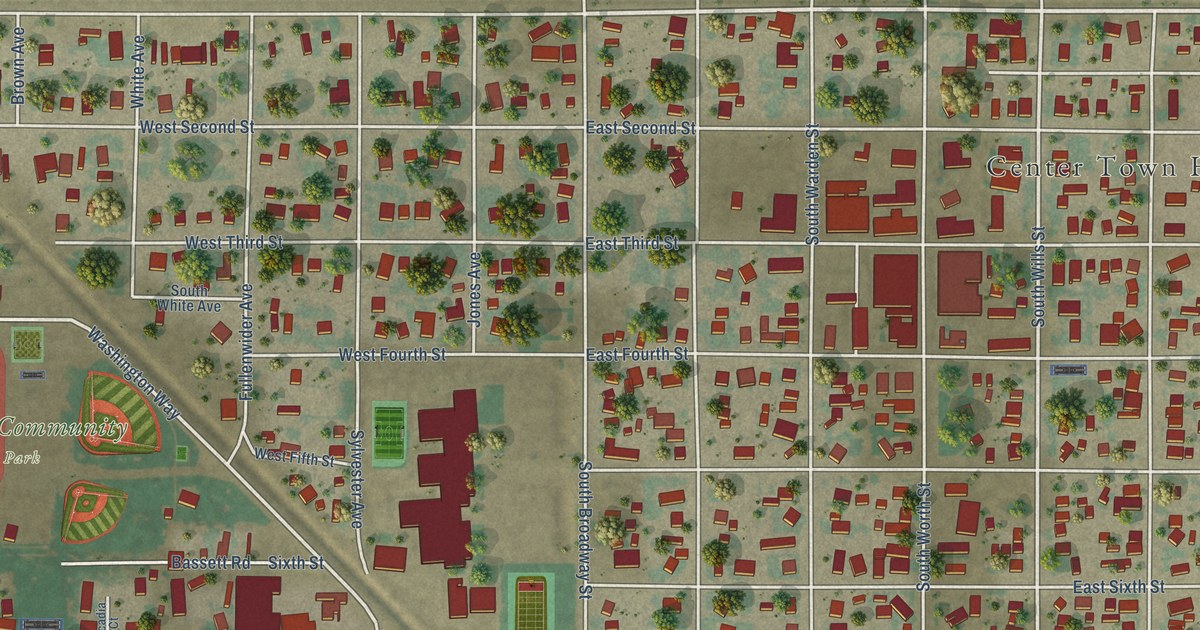
A detailed map of Center, Colorado, showing every building in its true location, the roads by name, and shaded topographical relief.
Read More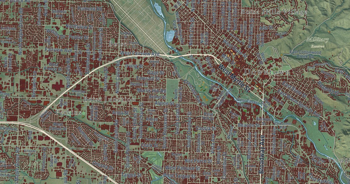
A detailed map of Boise, Idaho, showing every building in its true location, the roads by name, and shaded topographical relief.
Read More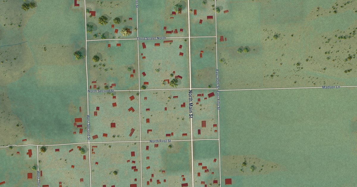
A detailed map of Bloomington, Idaho, showing every building in its true location, the roads by name, and shaded topographical relief.
Read More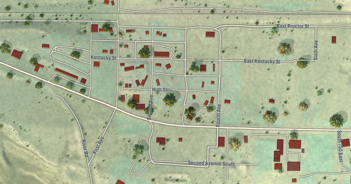
A detailed map of Bliss, Idaho, showing every building in its true location, the roads by name, and shaded topographical relief.
Read More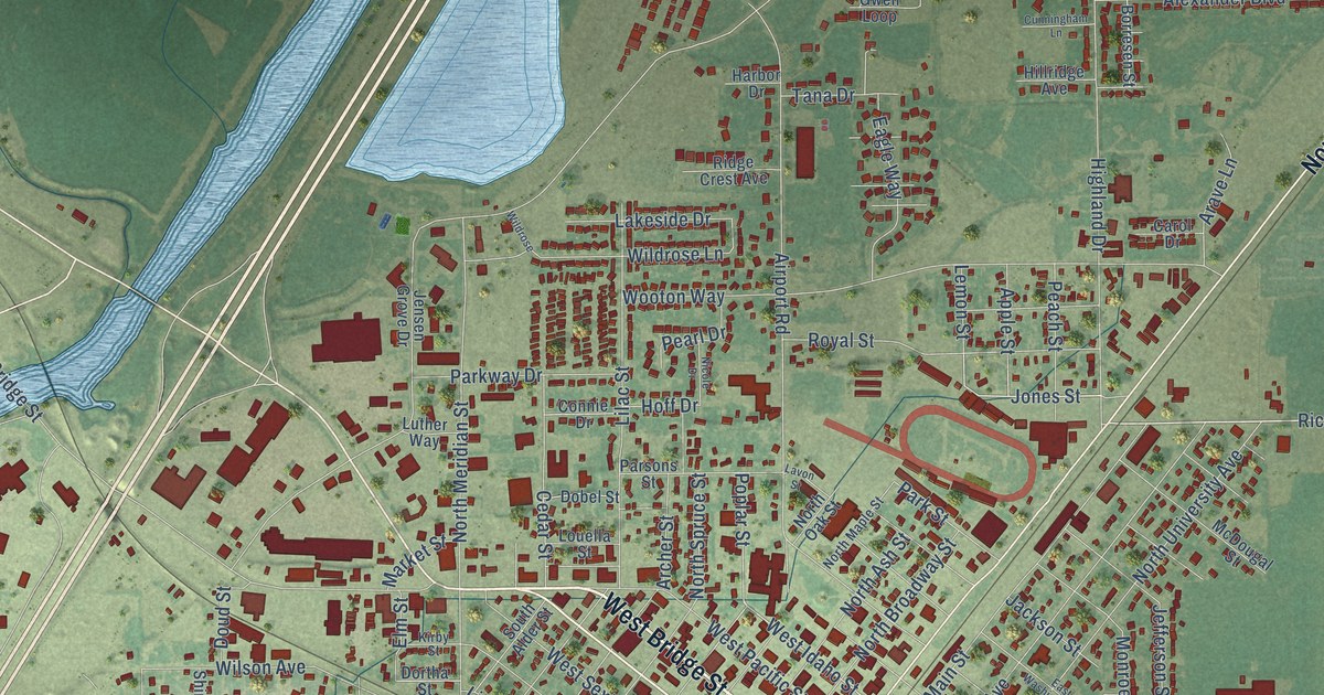
A detailed map of Blackfoot, Idaho, showing every building in its true location, the roads by name, and shaded topographical relief.
Read More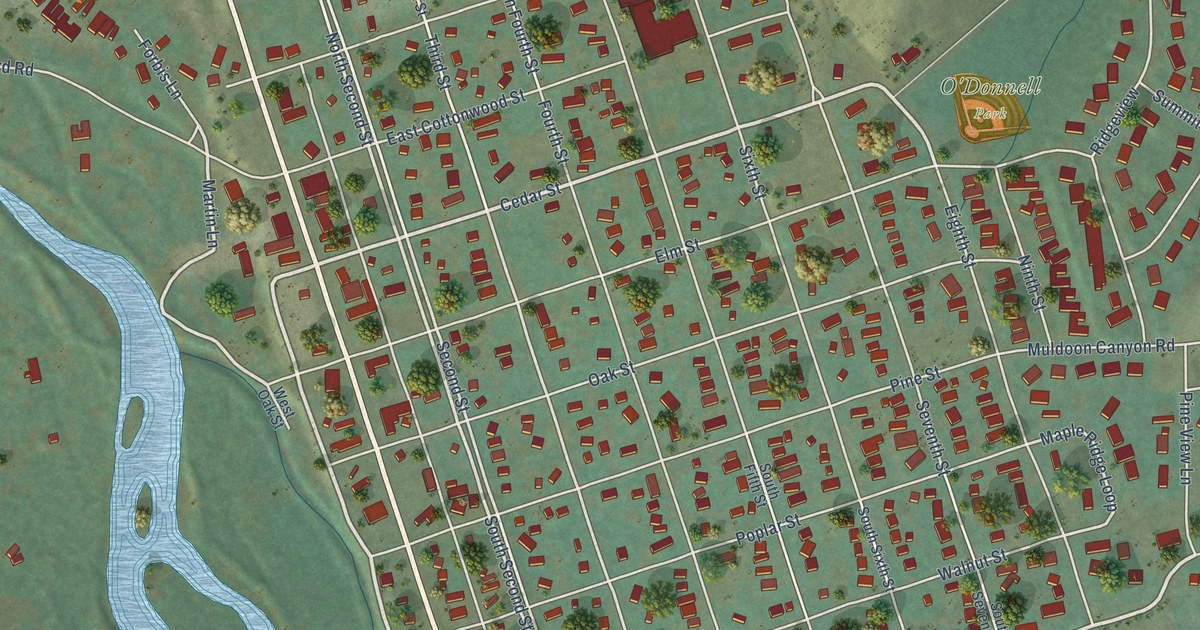
A detailed map of Bellevue, Idaho, showing every building in its true location, the roads by name, and shaded topographical relief.
Read More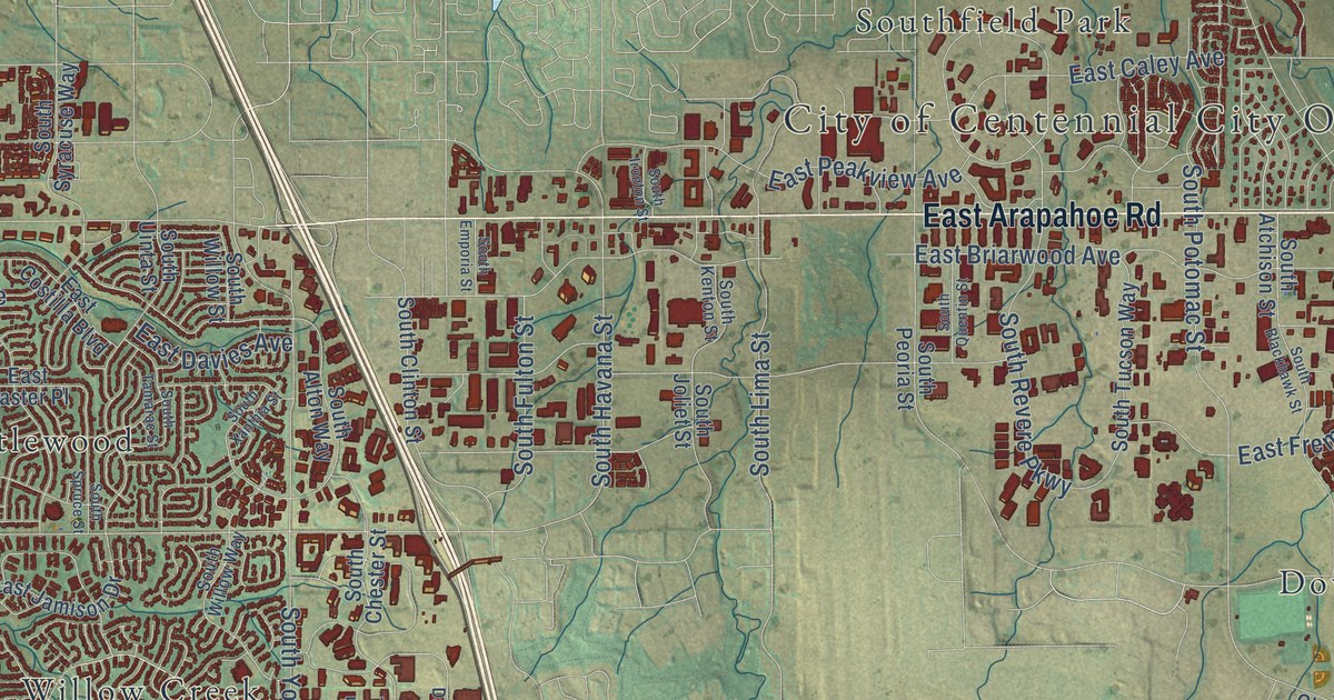
A detailed map of Centennial, Colorado, showing every building in its true location, the roads by name, and shaded topographical relief.
Read More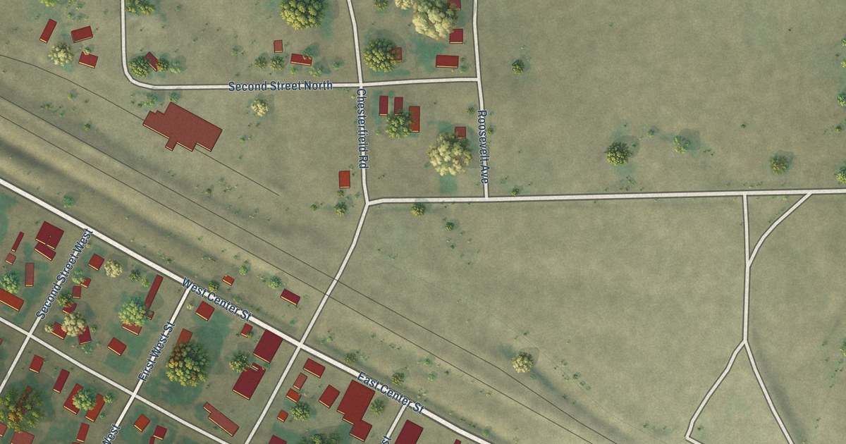
A detailed map of Bancroft, Idaho, showing every building in its true location, the roads by name, and shaded topographical relief.
Read More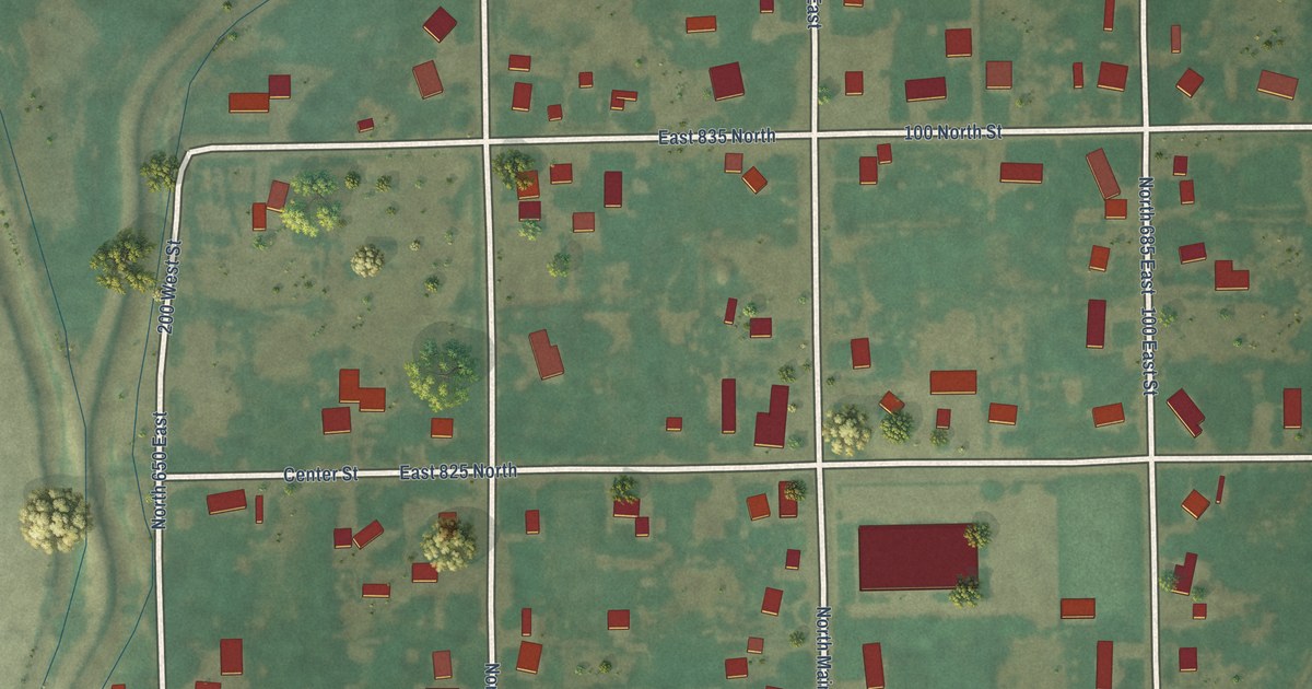
A detailed map of Basalt, Idaho, showing every building in its true location, the roads by name, and shaded topographical relief.
Read More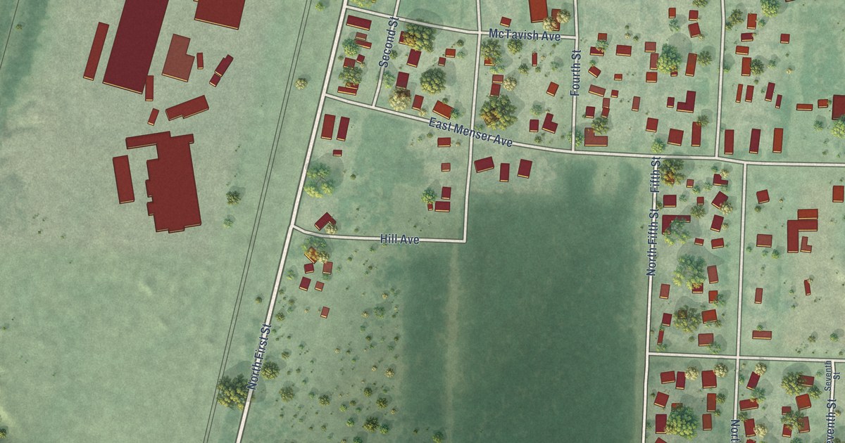
A detailed map of Athol, Idaho, showing every building in its true location, the roads by name, and shaded topographical relief.
Read More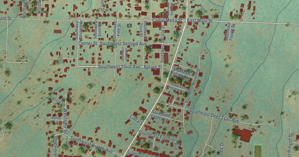
A detailed map of Cedaredge, Colorado, showing every building in its true location, the roads by name, and shaded topographical relief.
Read More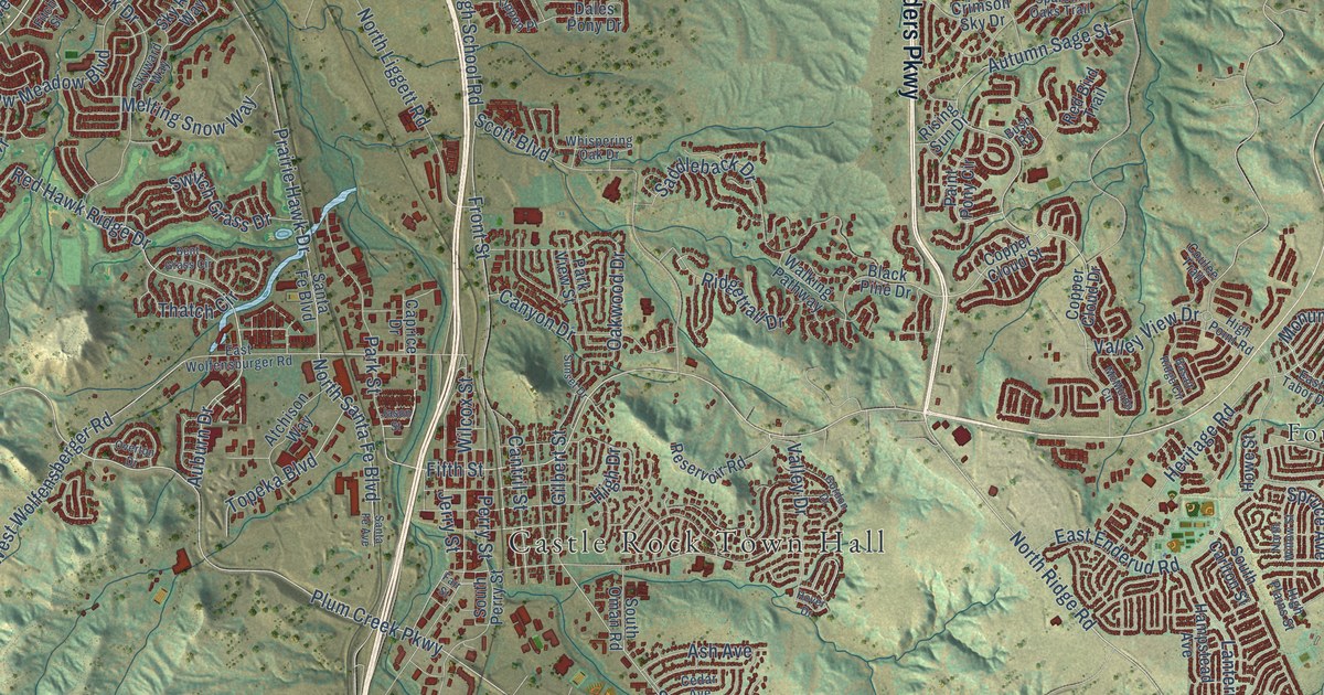
A detailed map of Castle Rock, Colorado, showing every building in its true location, the roads by name, and shaded topographical relief.
Read More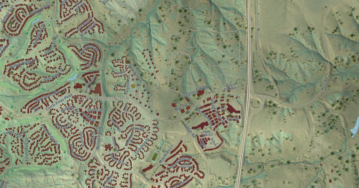
A detailed map of Castle Pines, Colorado, showing every building in its true location, the roads by name, and shaded topographical relief.
Read More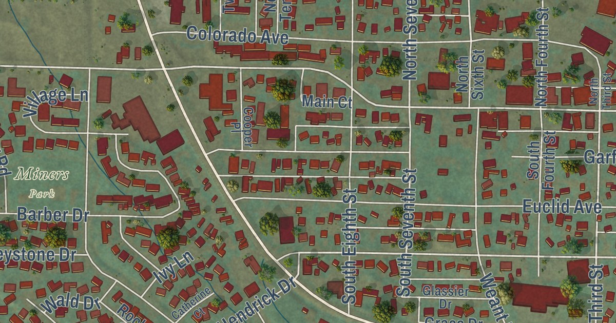
A detailed map of Carbondale, Colorado, showing every building in its true location, the roads by name, and shaded topographical relief.
Read More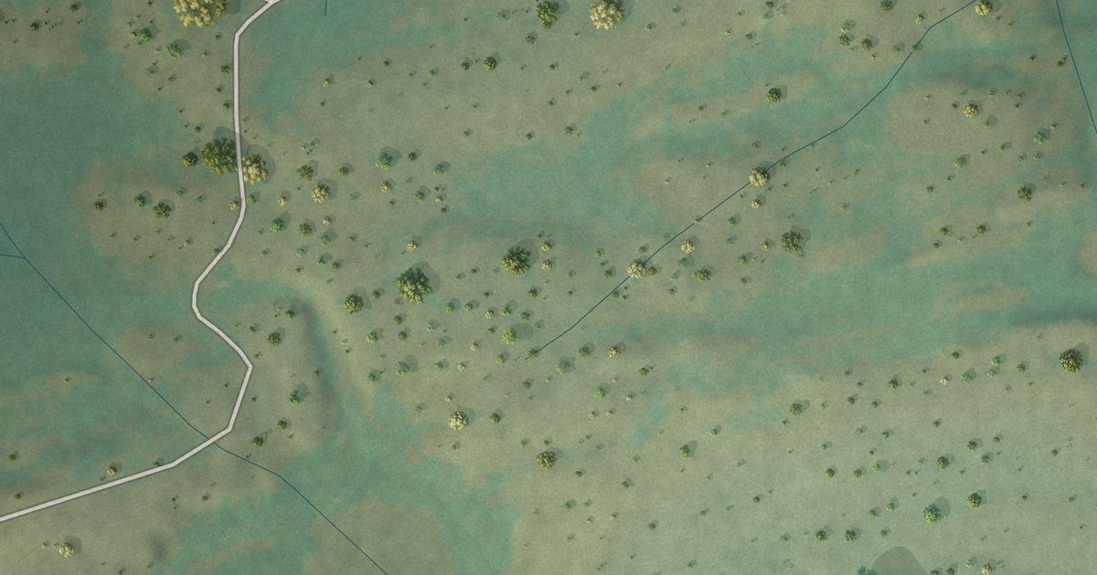
A detailed map of Carbonate, Colorado, showing every building in its true location, the roads by name, and shaded topographical relief.
Read More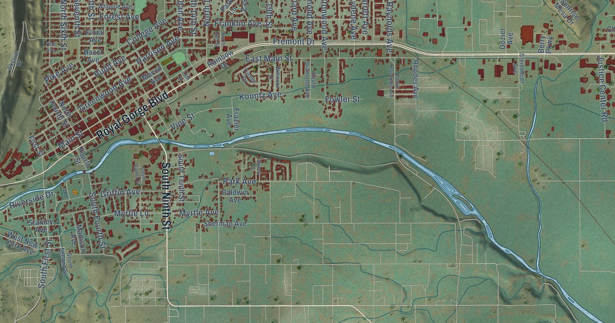
A detailed map of Cañon City, Colorado, showing every building in its true location, the roads by name, and shaded topographical relief.
Read More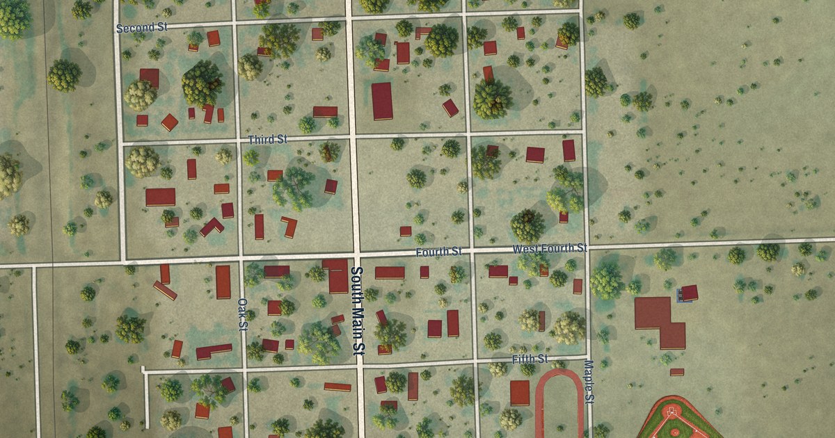
A detailed map of Campo, Colorado, showing every building in its true location, the roads by name, and shaded topographical relief.
Read More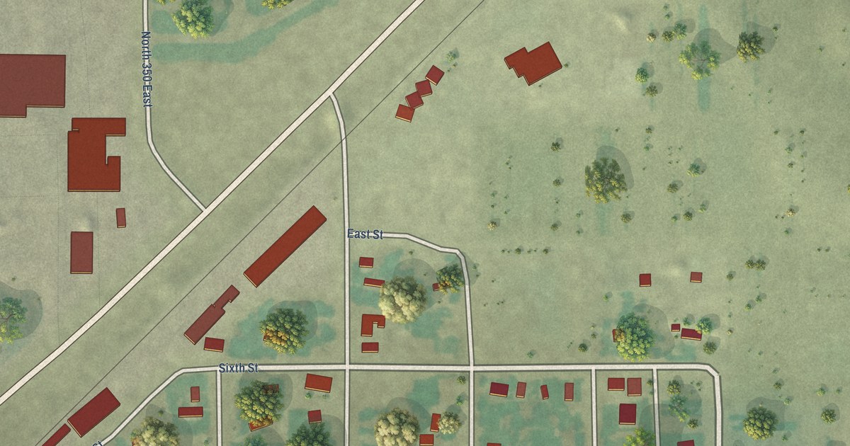
A detailed map of Acequia, Idaho, showing every building in its true location, the roads by name, and shaded topographical relief.
Read More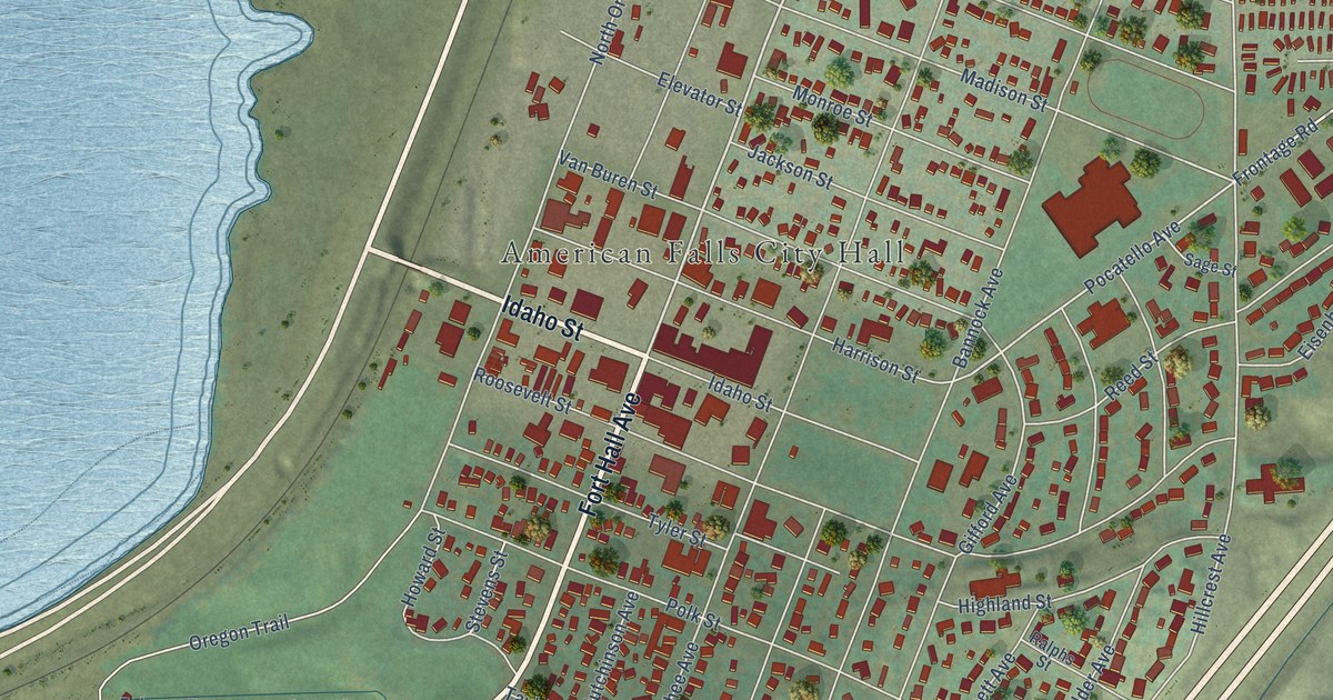
A detailed map of American Falls, Idaho, showing every building in its true location, the roads by name, and shaded topographical relief.
Read More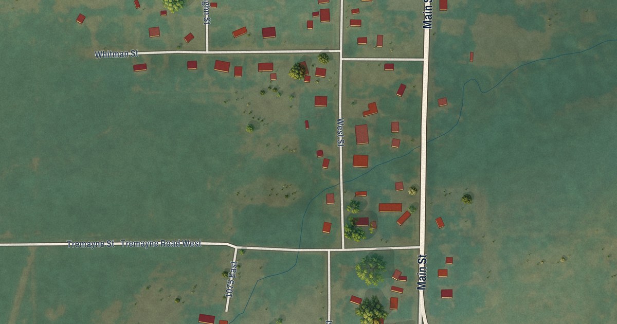
A detailed map of Albion, Idaho, showing every building in its true location, the roads by name, and shaded topographical relief.
Read More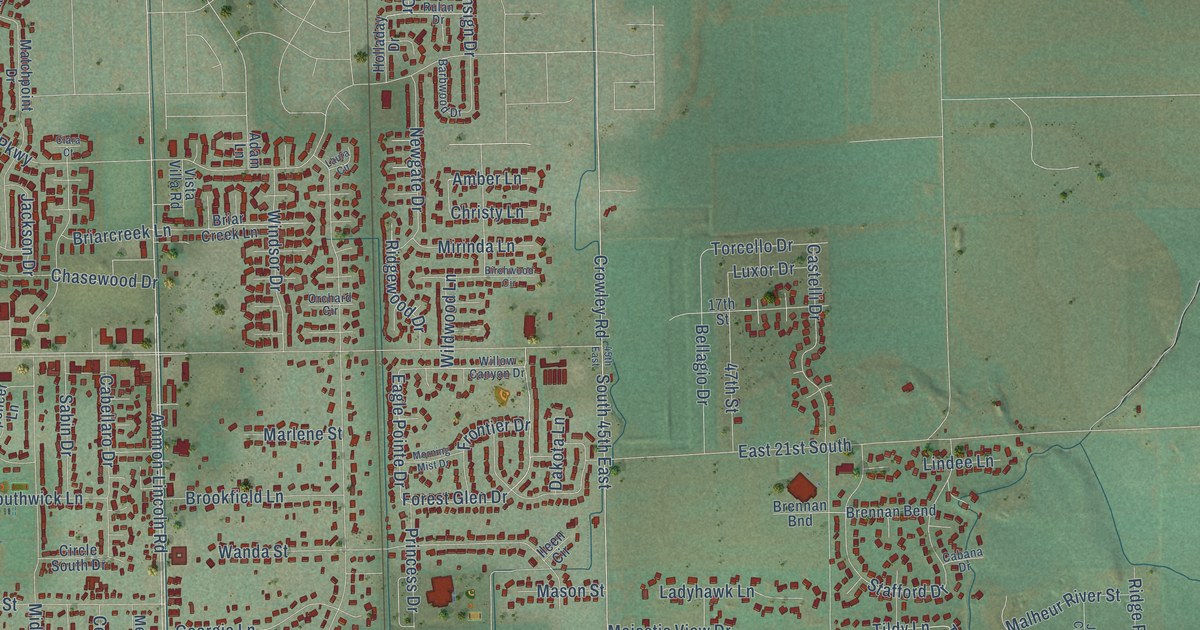
A detailed map of Ammon, Idaho, showing every building in its true location, the roads by name, and shaded topographical relief.
Read More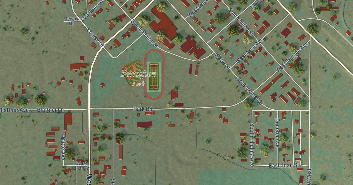
A detailed map of Arco, Idaho, showing every building in its true location, the roads by name, and shaded topographical relief.
Read More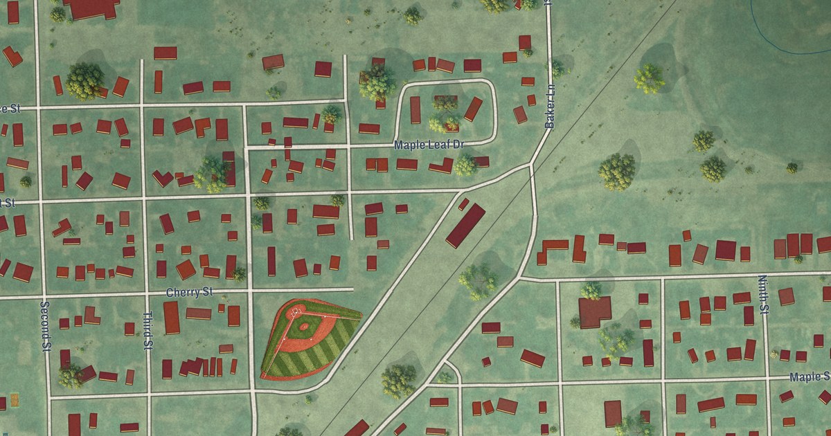
A detailed map of Ashton, Idaho, showing every building in its true location, the roads by name, and shaded topographical relief.
Read More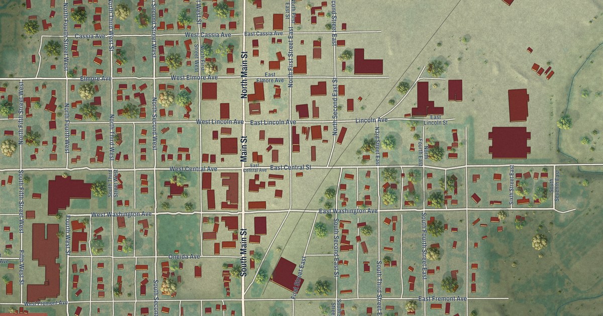
A detailed map of Aberdeen, Idaho, showing every building in its true location, the roads by name, and shaded topographical relief.
Read More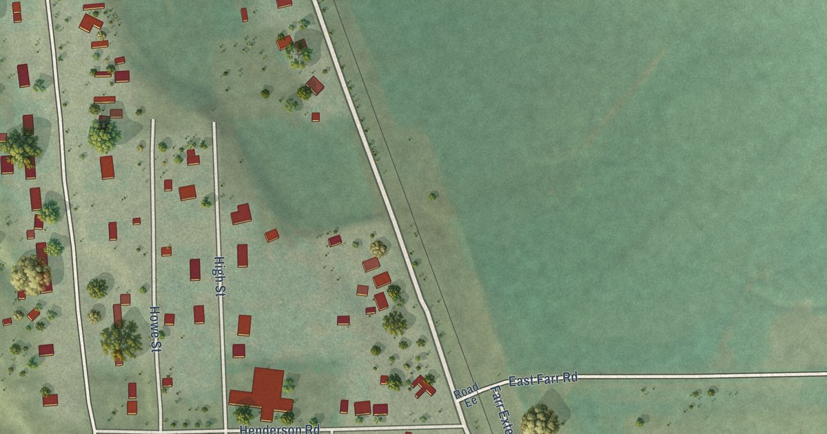
A detailed map of Arimo, Idaho, showing every building in its true location, the roads by name, and shaded topographical relief.
Read More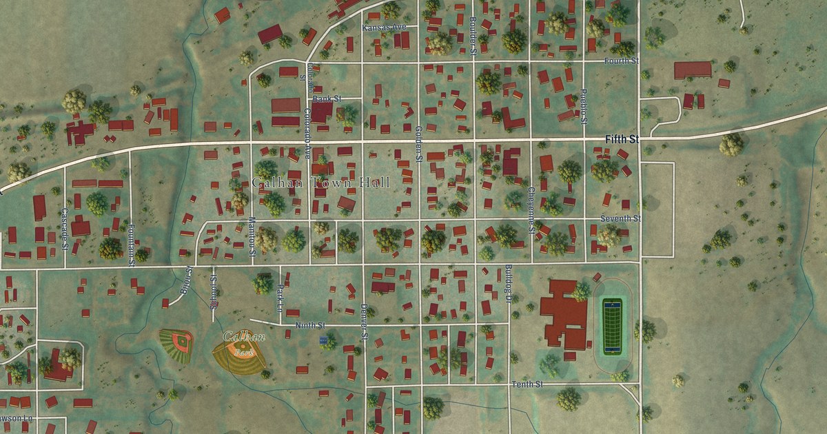
A detailed map of Calhan, Colorado, showing every building in its true location, the roads by name, and shaded topographical relief.
Read More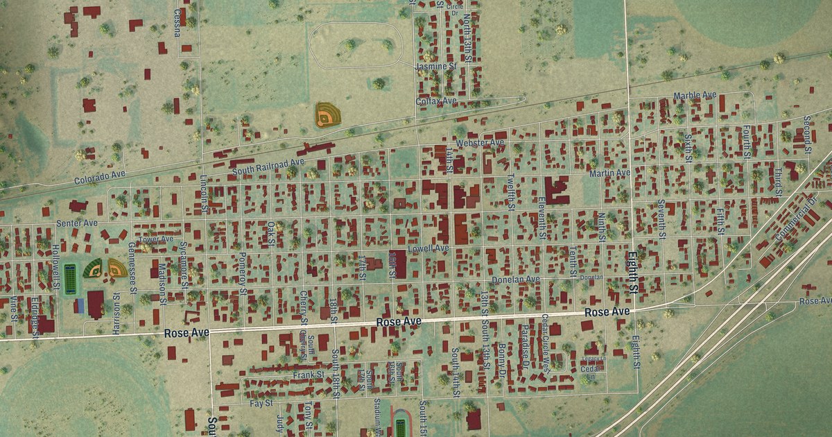
A detailed map of Burlington, Colorado, showing every building in its true location, the roads by name, and shaded topographical relief.
Read More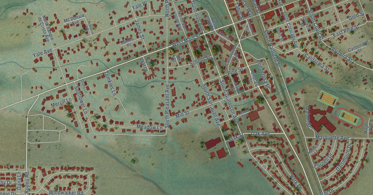
A detailed map of Buena Vista, Colorado, showing every building in its true location, the roads by name, and shaded topographical relief.
Read More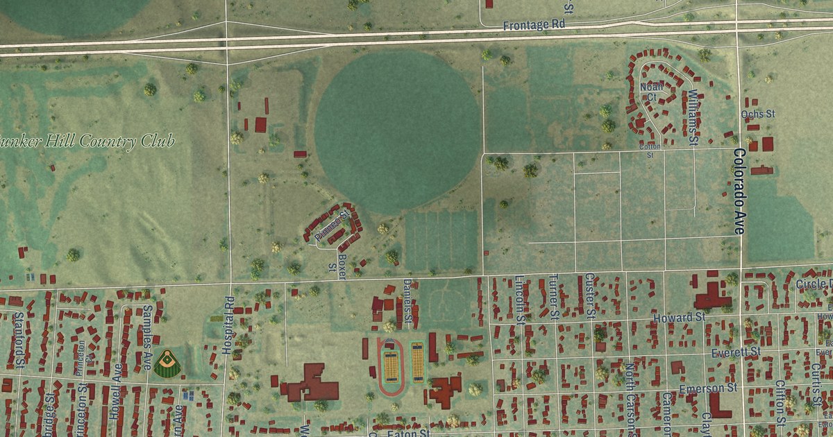
A detailed map of Brush, Colorado, showing every building in its true location, the roads by name, and shaded topographical relief.
Read More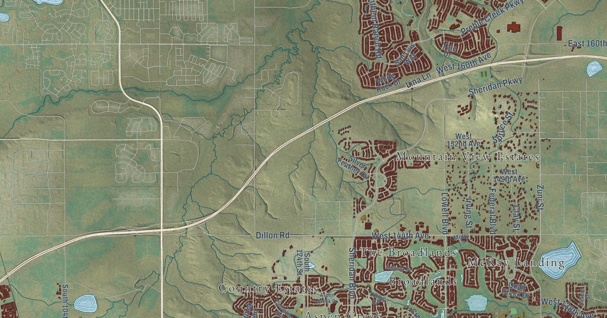
A detailed map of Broomfield, Colorado, showing every building in its true location, the roads by name, and shaded topographical relief.
Read More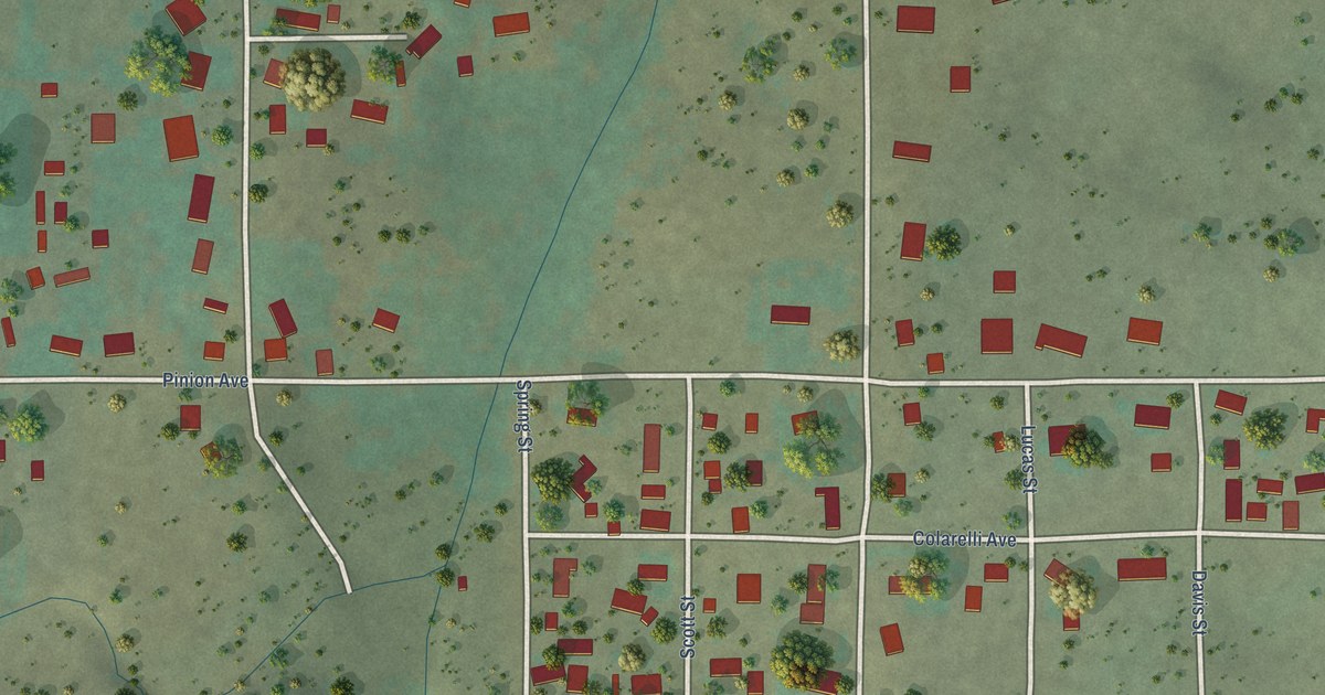
A detailed map of Brookside, Colorado, showing every building in its true location, the roads by name, and shaded topographical relief.
Read More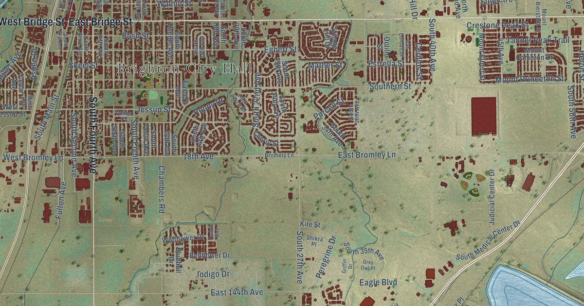
A detailed map of Brighton, Colorado, showing every building in its true location, the roads by name, and shaded topographical relief.
Read More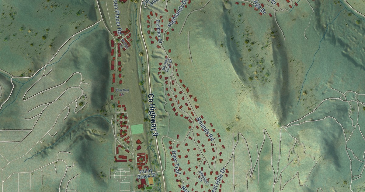
A detailed map of Breckenridge, Colorado, showing every building in its true location, the roads by name, and shaded topographical relief.
Read More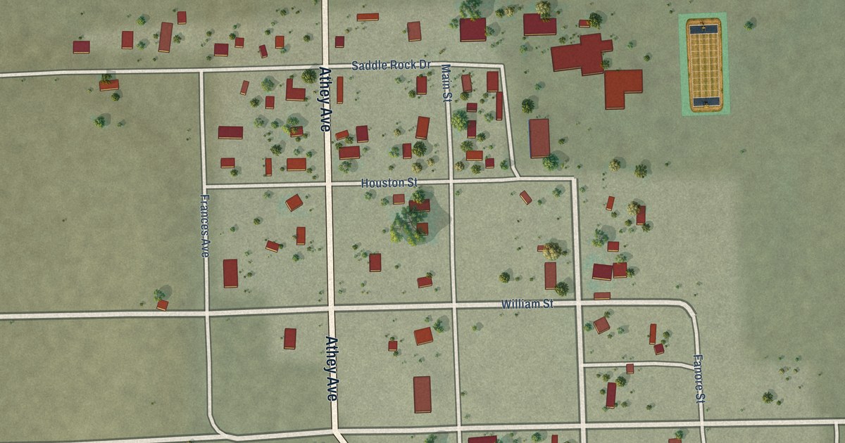
A detailed map of Branson, Colorado, showing every building in its true location, the roads by name, and shaded topographical relief.
Read More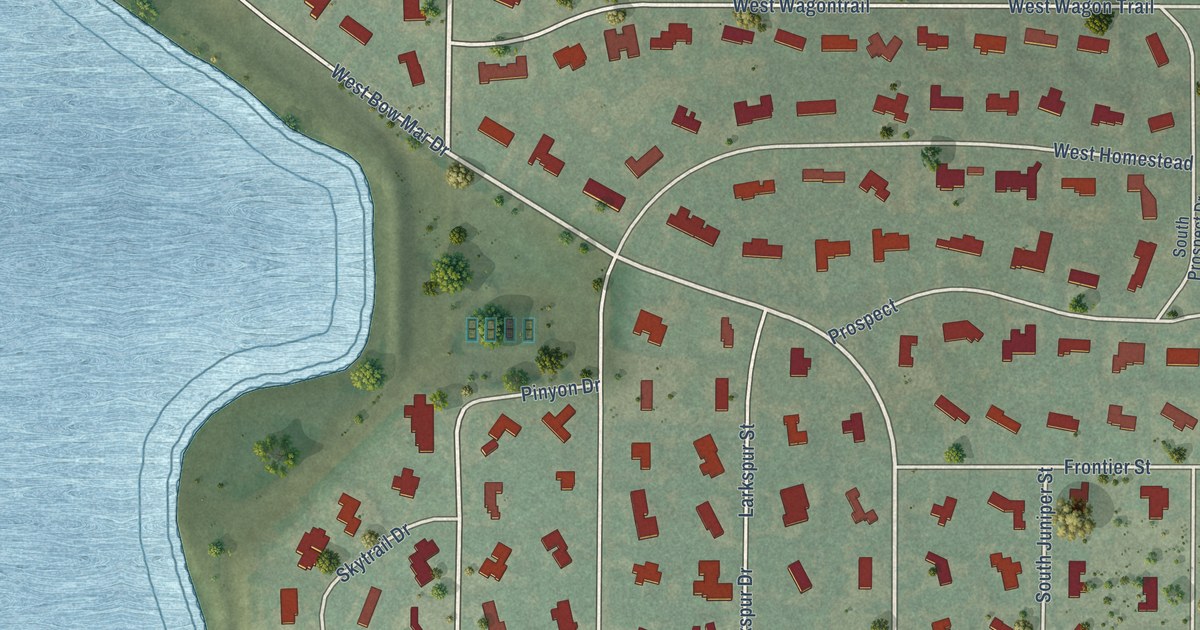
A detailed map of Bow Mar, Colorado, showing every building in its true location, the roads by name, and shaded topographical relief.
Read More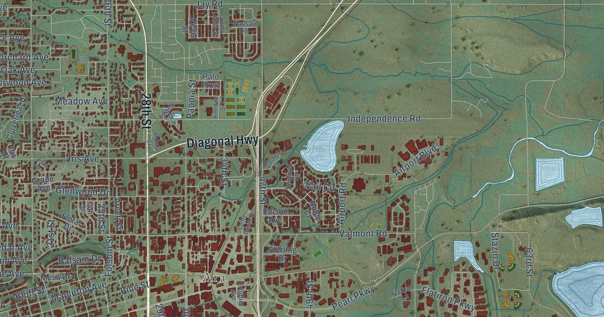
A detailed map of Boulder, Colorado, showing every building in its true location, the roads by name, and shaded topographical relief.
Read More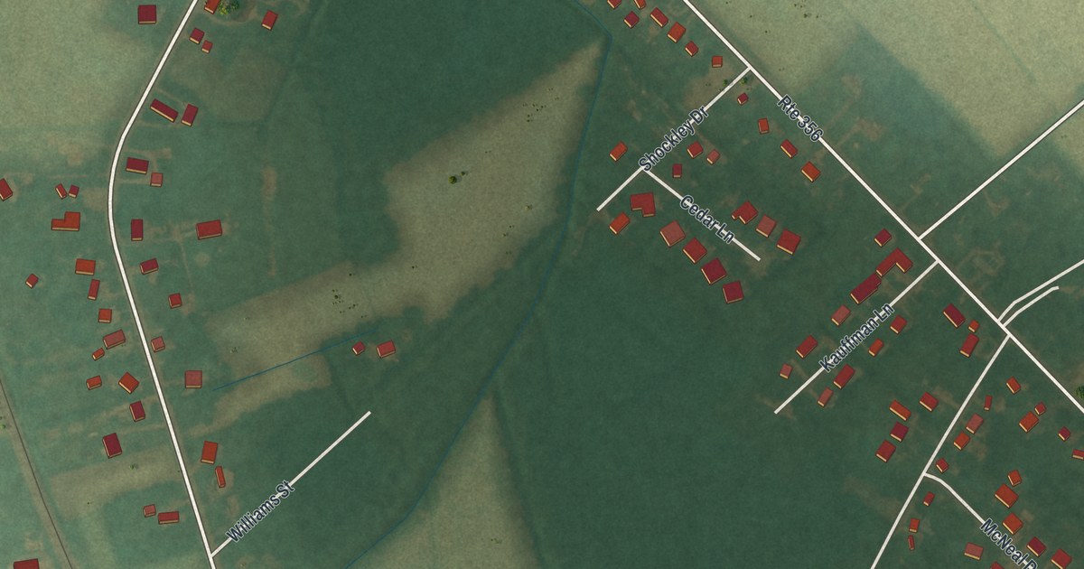
A detailed map of Frankford, Delaware, showing every building in its true location, the roads by name, and shaded topographical relief.
Read More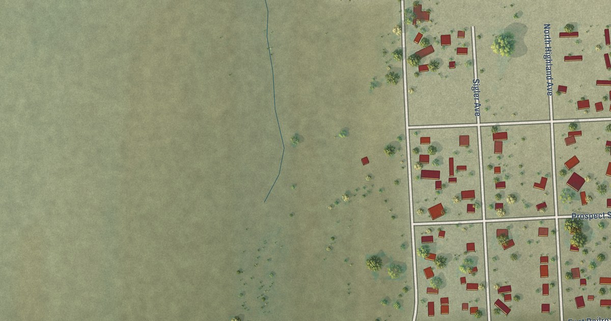
A detailed map of Boone, Colorado, showing every building in its true location, the roads by name, and shaded topographical relief.
Read More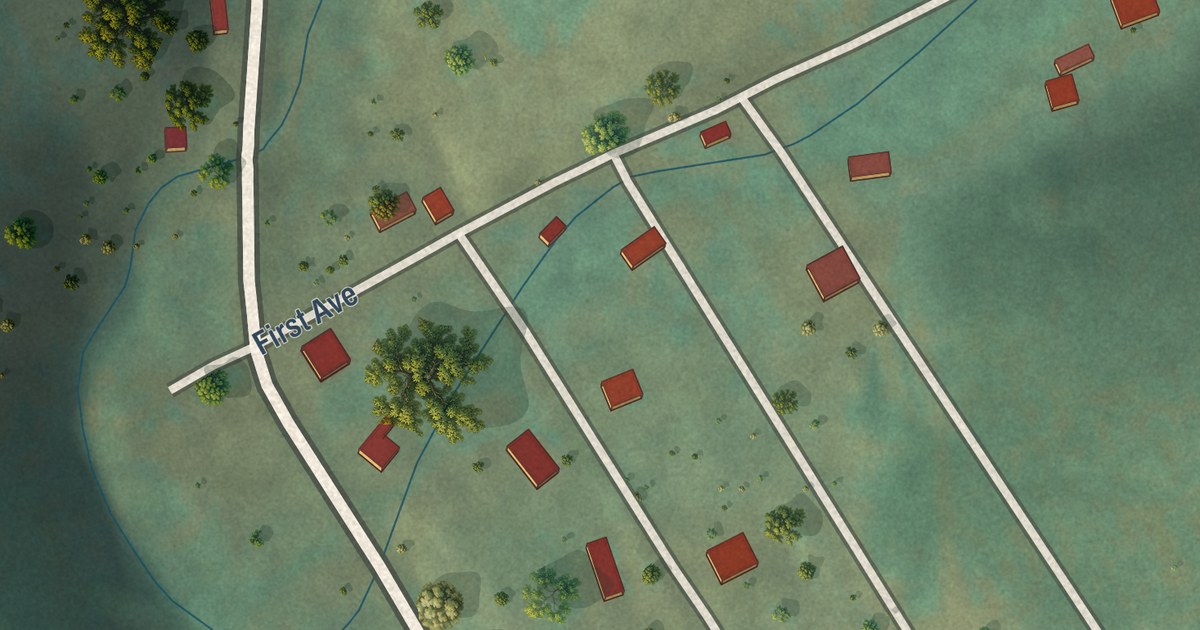
A detailed map of Bonanza, Colorado, showing every building in its true location, the roads by name, and shaded topographical relief.
Read More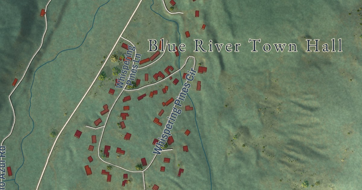
A detailed map of Blue River, Colorado, showing every building in its true location, the roads by name, and shaded topographical relief.
Read More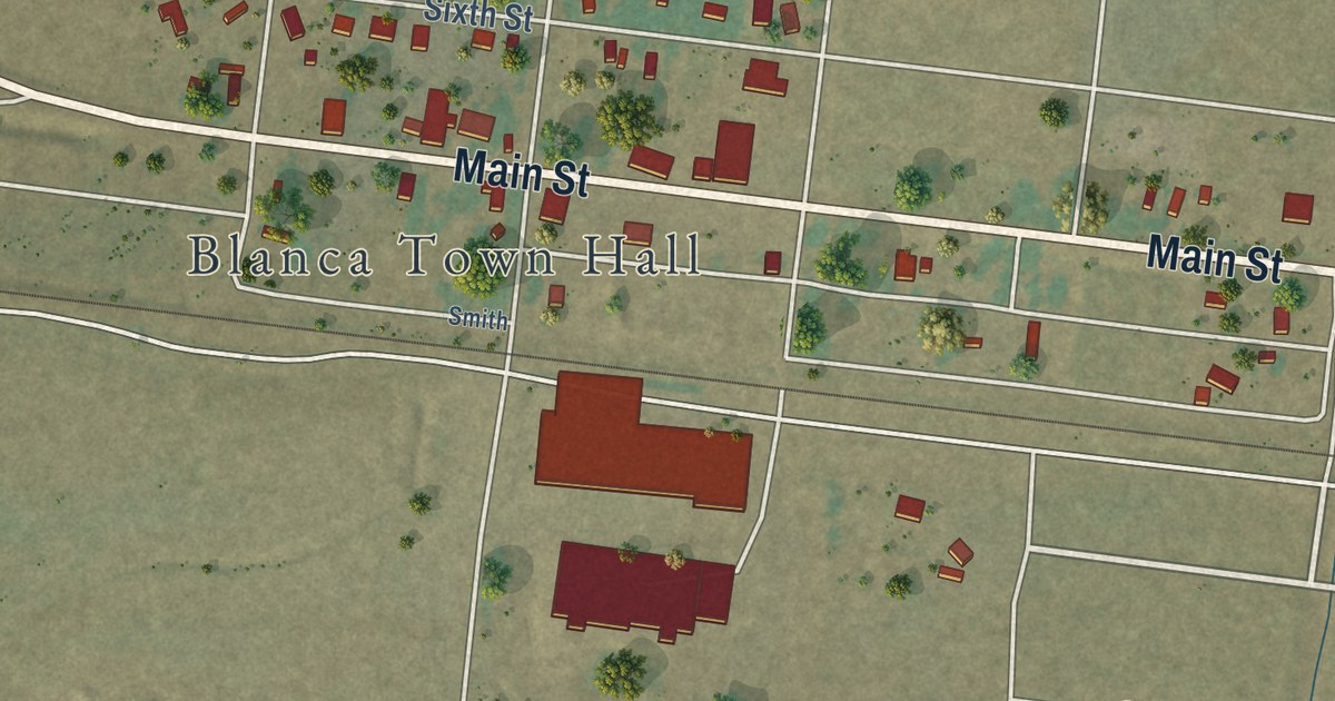
A detailed map of Blanca, Colorado, showing every building in its true location, the roads by name, and shaded topographical relief.
Read More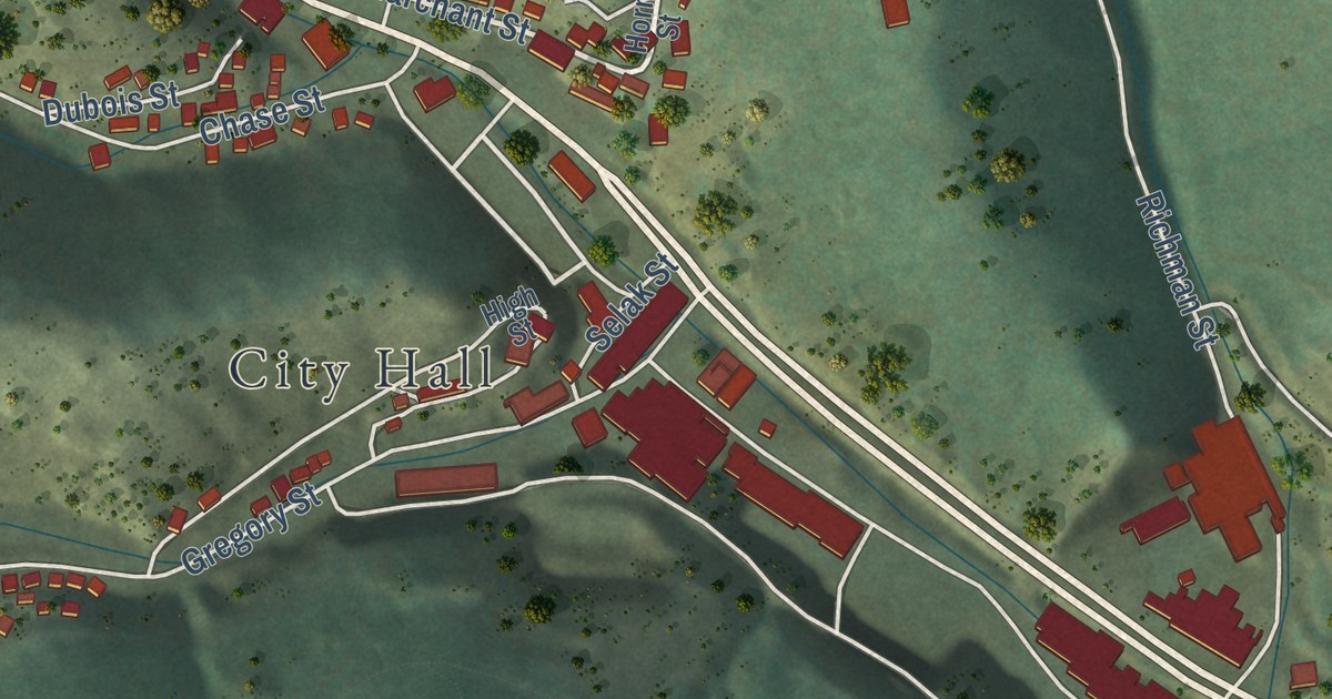
A detailed map of Black Hawk, Colorado, showing every building in its true location, the roads by name, and shaded topographical relief.
Read More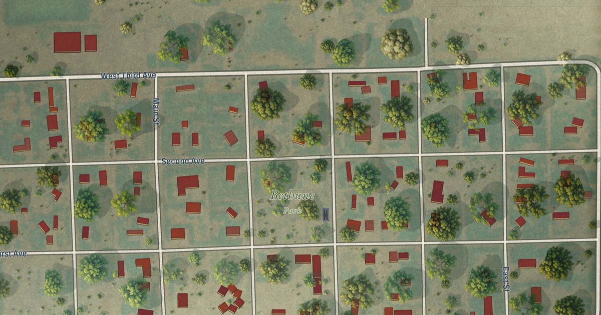
A detailed map of Bethune, Colorado, showing every building in its true location, the roads by name, and shaded topographical relief.
Read More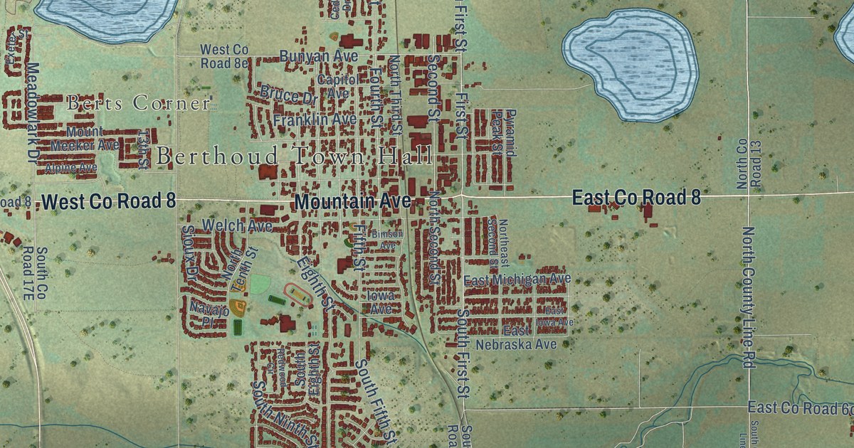
A detailed map of Berthoud, Colorado, showing every building in its true location, the roads by name, and shaded topographical relief.
Read More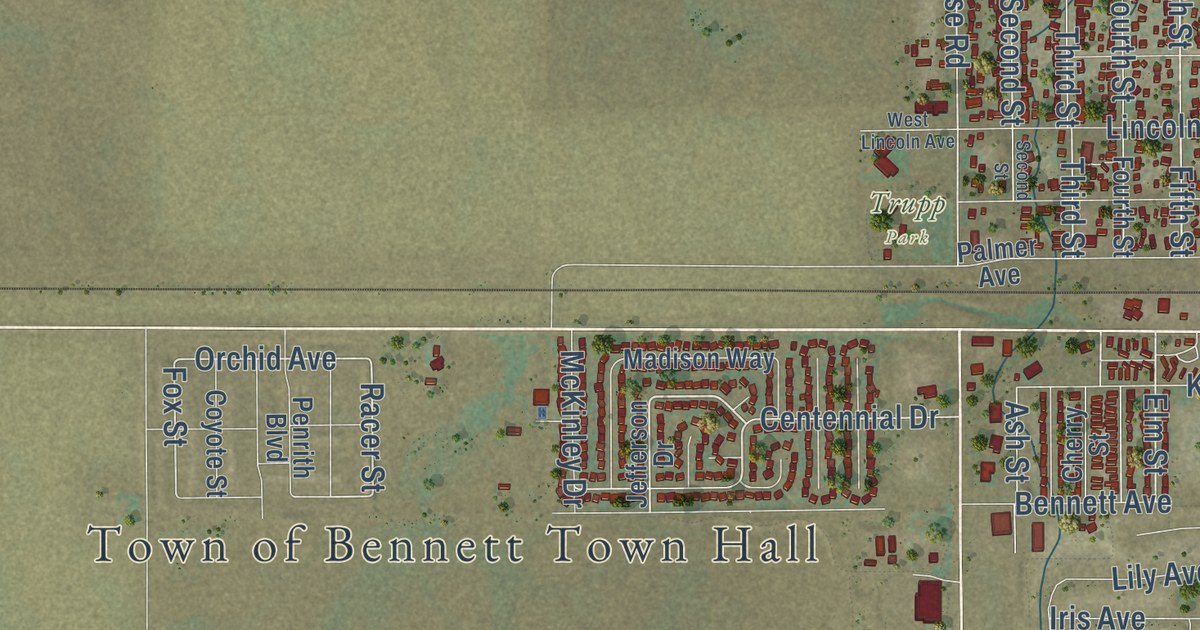
A detailed map of Bennett, Colorado, showing every building in its true location, the roads by name, and shaded topographical relief.
Read More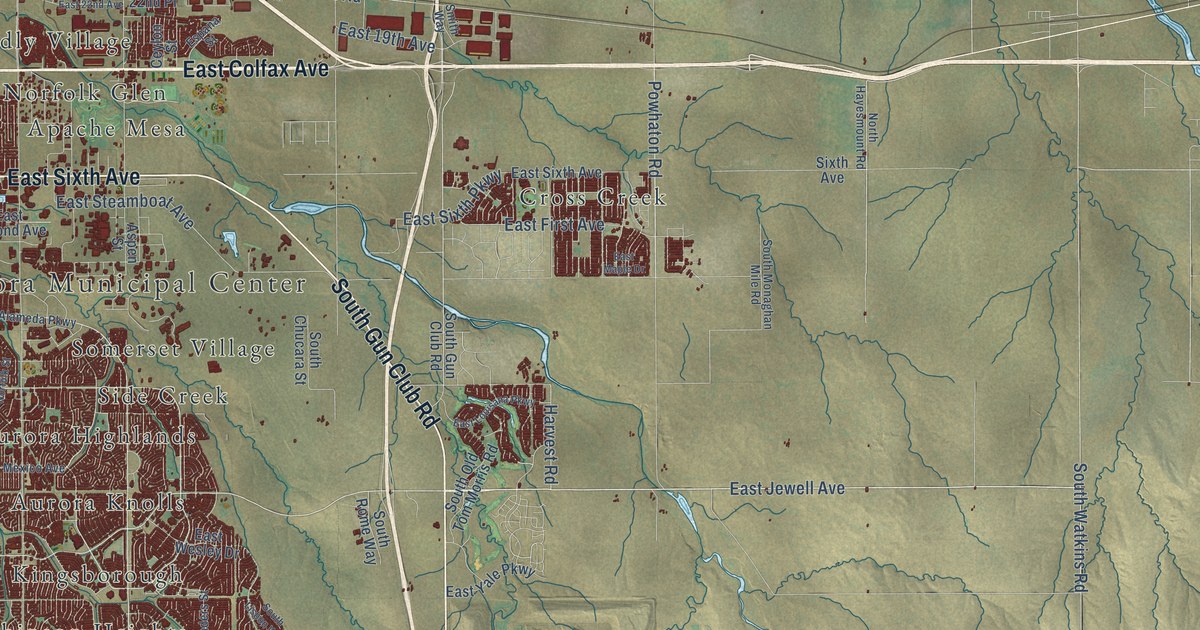
A detailed map of Aurora, Colorado, showing every building in its true location, the roads by name, and shaded topographical relief.
Read More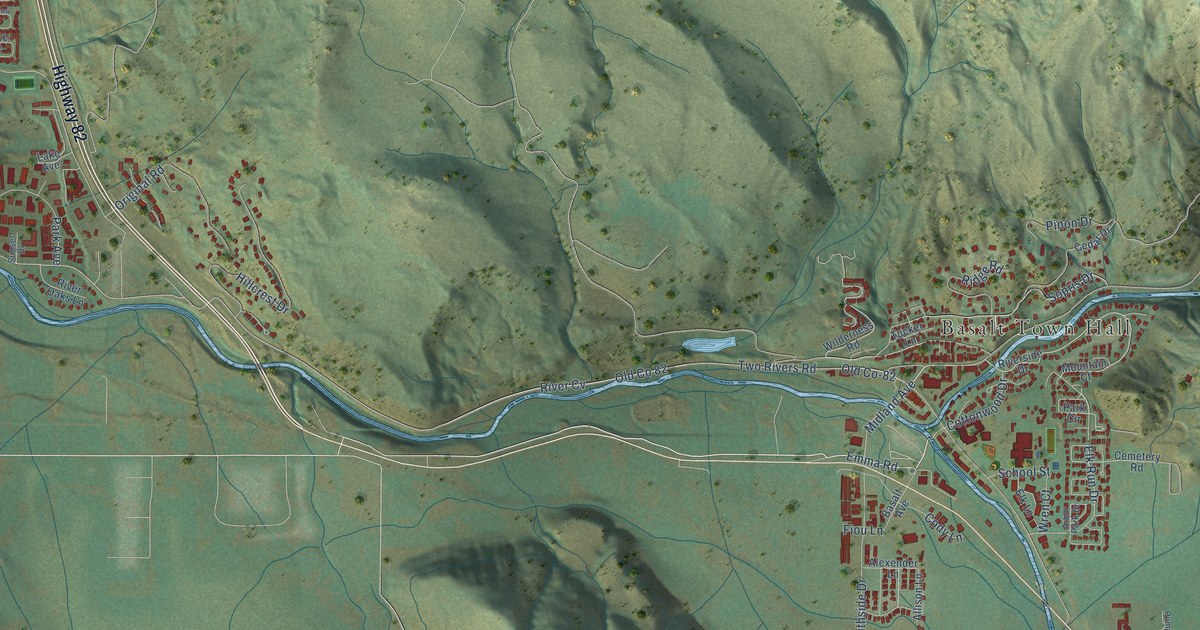
A detailed map of Basalt, Colorado, showing every building in its true location, the roads by name, and shaded topographical relief.
Read More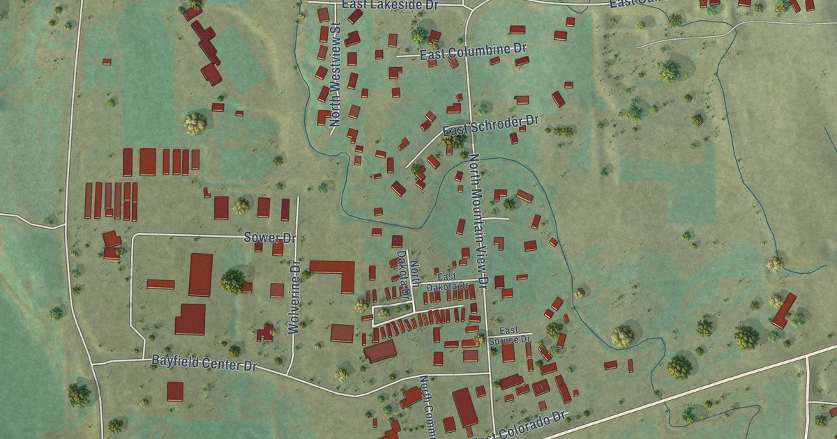
A detailed map of Bayfield, Colorado, showing every building in its true location, the roads by name, and shaded topographical relief.
Read More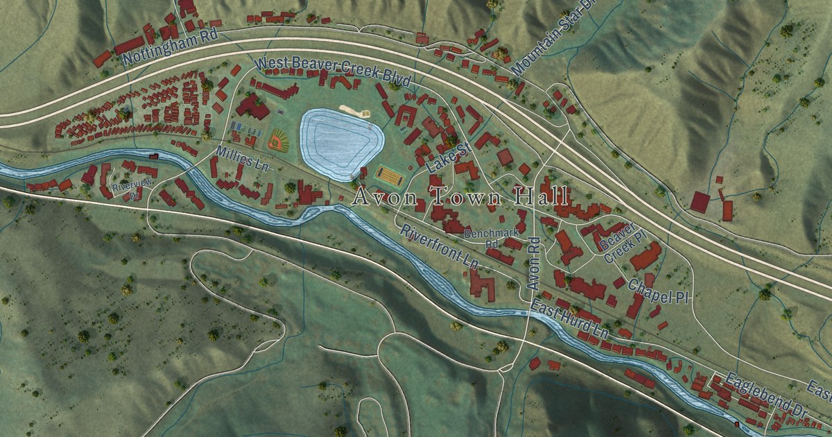
A detailed map of Avon, Colorado, showing every building in its true location, the roads by name, and shaded topographical relief.
Read More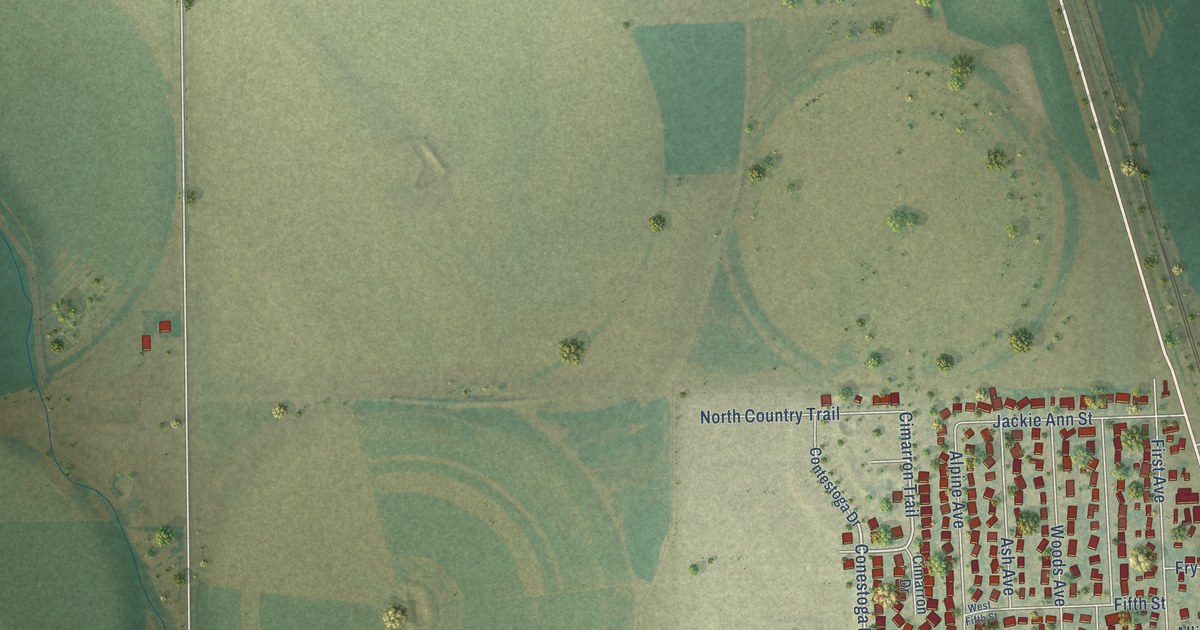
A detailed map of Ault, Colorado, showing every building in its true location, the roads by name, and shaded topographical relief.
Read More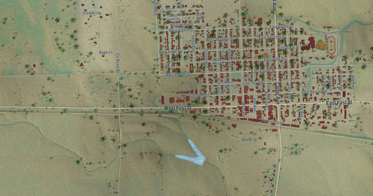
A detailed map of Akron, Colorado, showing every building in its true location, the roads by name, and shaded topographical relief.
Read More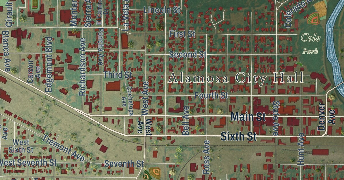
A detailed map of Alamosa, Colorado, showing every building in its true location, the roads by name, and shaded topographical relief.
Read More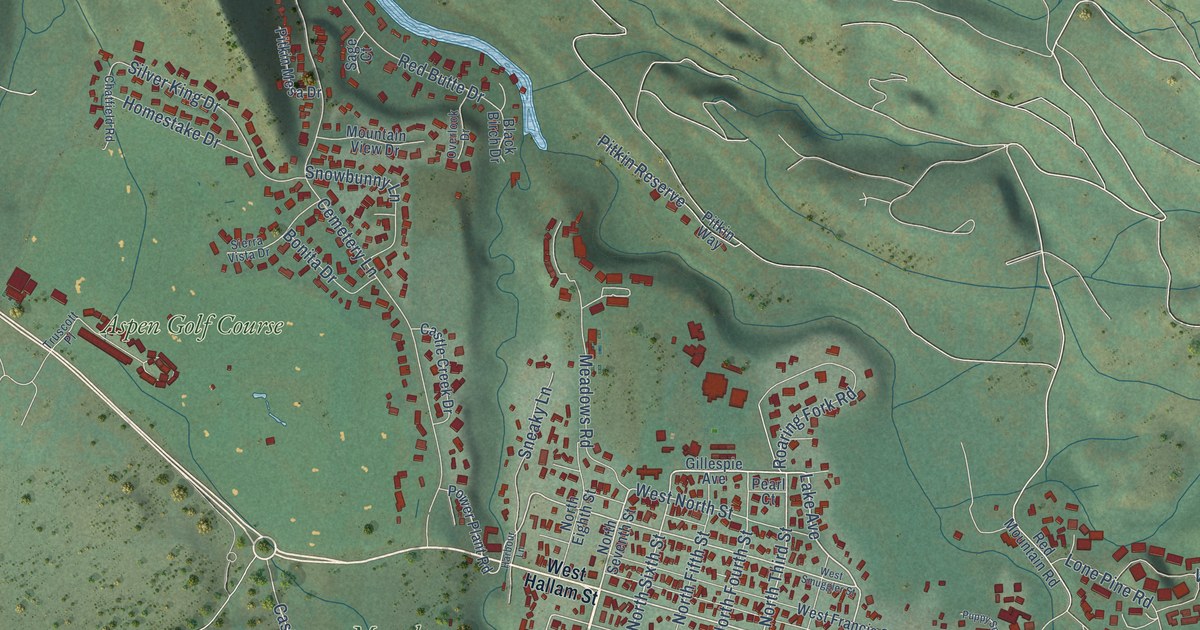
A detailed map of Aspen, Colorado, showing every building in its true location, the roads by name, and shaded topographical relief.
Read More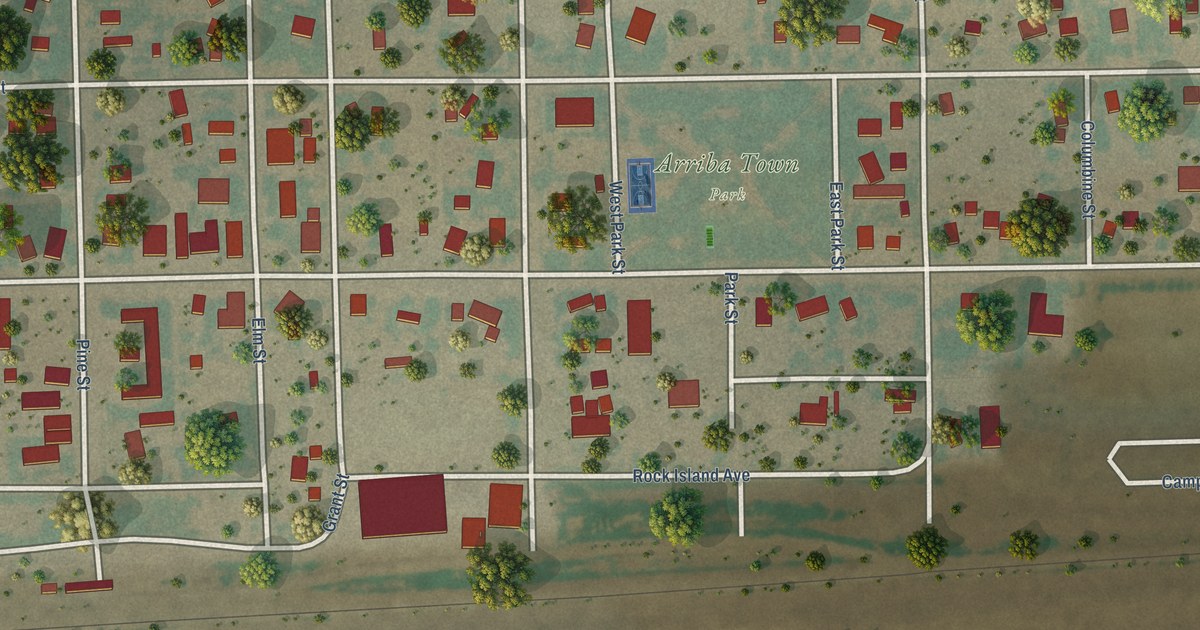
A detailed map of Arriba, Colorado, showing every building in its true location, the roads by name, and shaded topographical relief.
Read More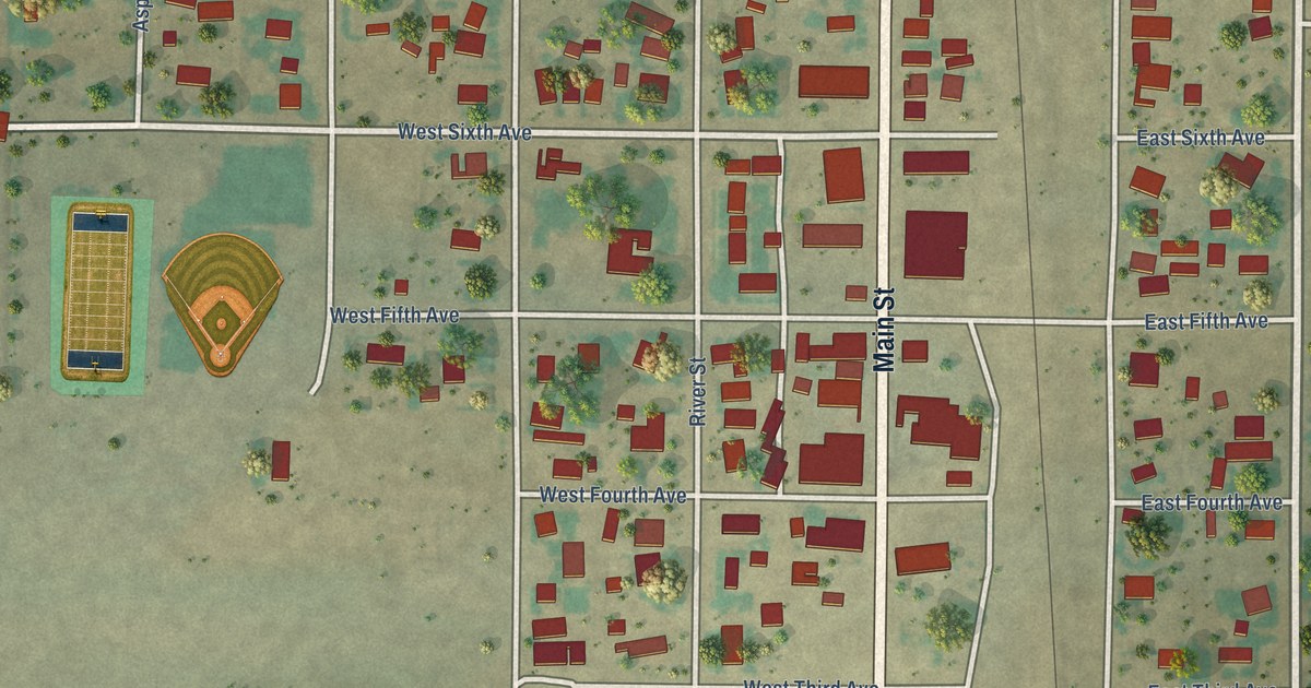
A detailed map of Antonito, Colorado, showing every building in its true location, the roads by name, and shaded topographical relief.
Read More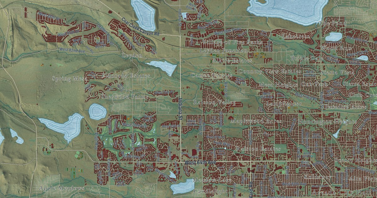
A detailed map of Arvada, Colorado, showing every building in its true location, the roads by name, and shaded topographical relief.
Read More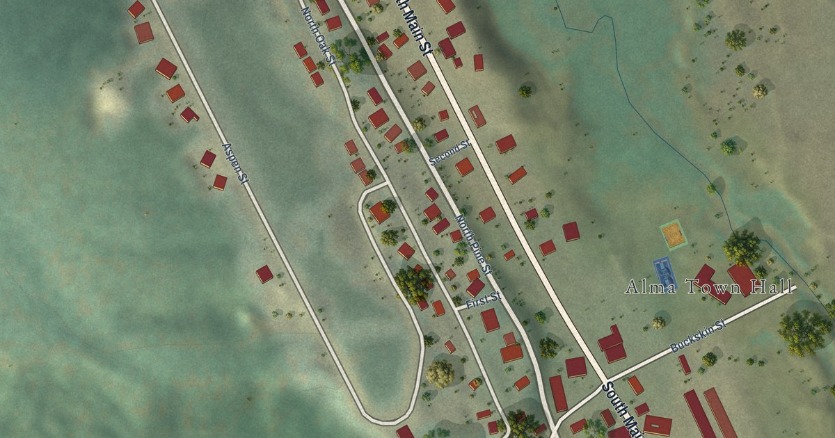
A detailed map of Alma, Colorado, showing every building in its true location, the roads by name, and shaded topographical relief.
Read More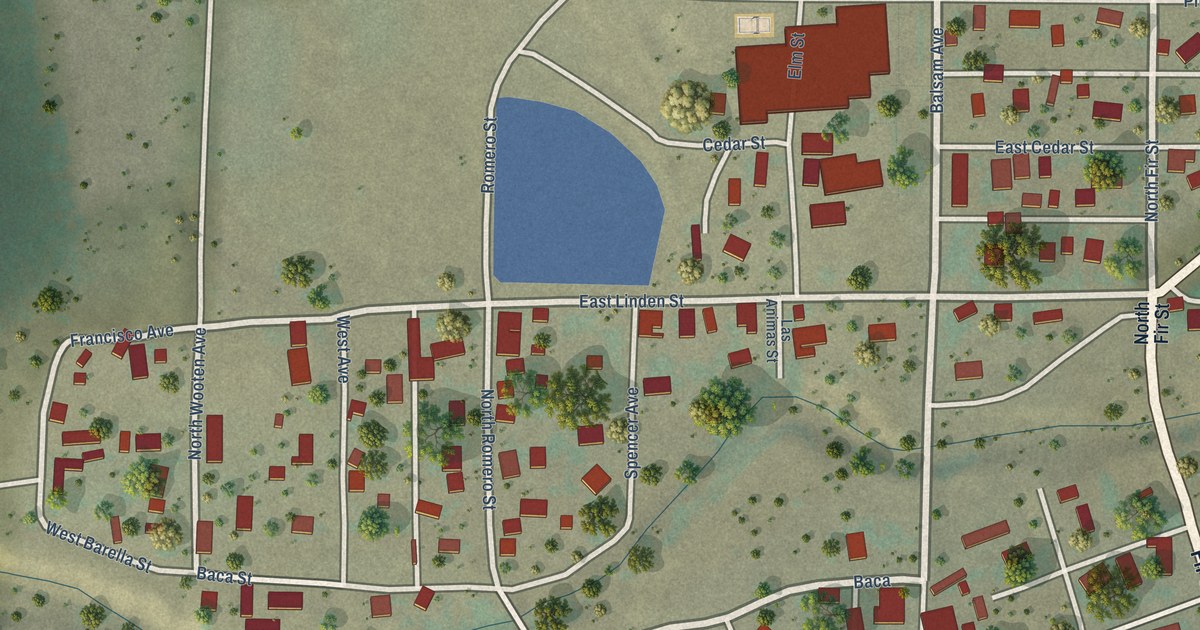
A detailed map of Aguilar, Colorado, showing every building in its true location, the roads by name, and shaded topographical relief.
Read More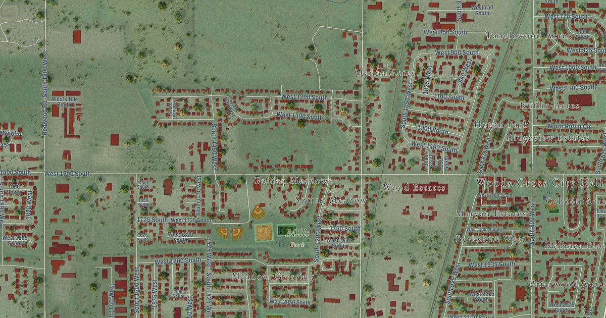
A detailed map of Woods Cross, Utah, showing every building in its true location, the roads by name, and shaded topographical relief.
Read More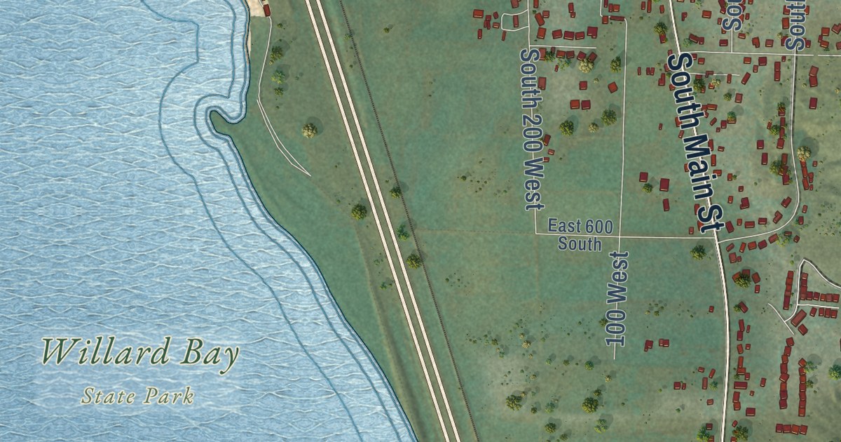
A detailed map of Willard, Utah, showing every building in its true location, the roads by name, and shaded topographical relief.
Read More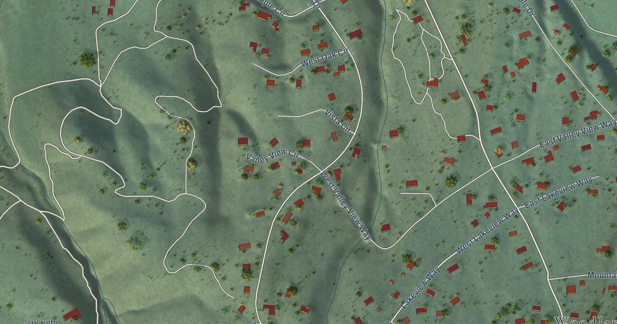
A detailed map of Woodland Hills, Utah, showing every building in its true location, the roads by name, and shaded topographical relief.
Read More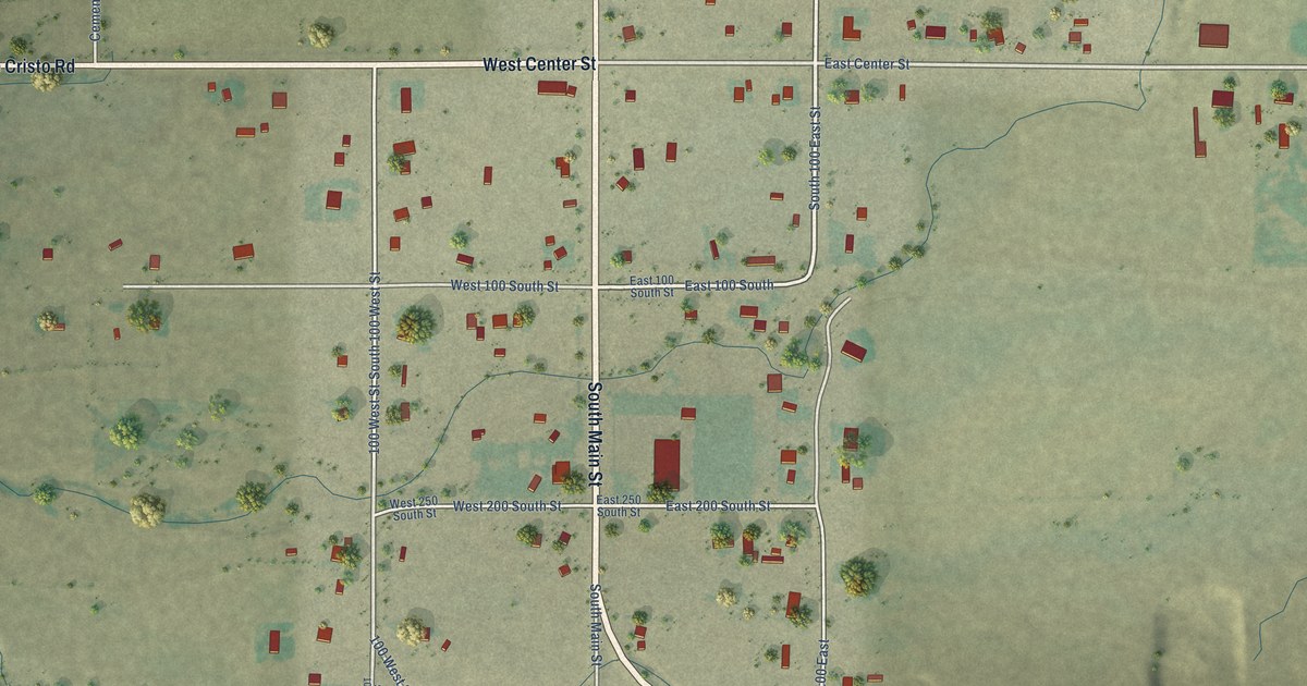
A detailed map of Woodruff, Utah, showing every building in its true location, the roads by name, and shaded topographical relief.
Read More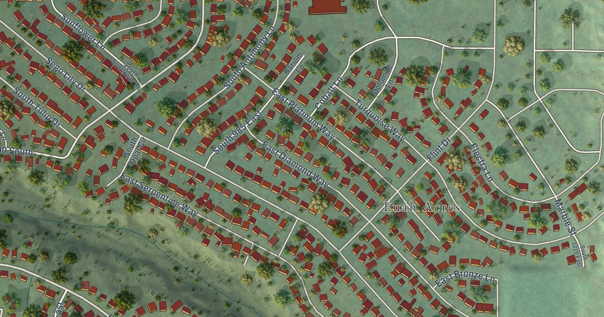
A detailed map of White City, Utah, showing every building in its true location, the roads by name, and shaded topographical relief.
Read More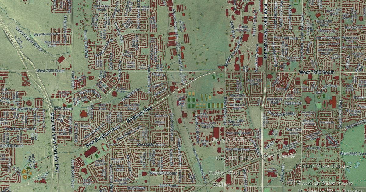
A detailed map of West Jordan, Utah, showing every building in its true location, the roads by name, and shaded topographical relief.
Read More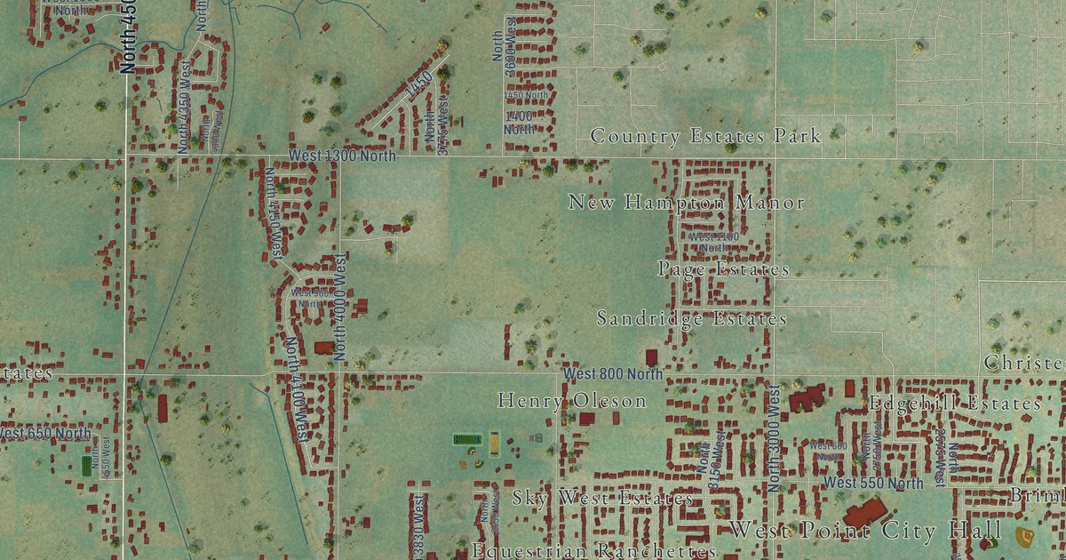
A detailed map of West Point, Utah, showing every building in its true location, the roads by name, and shaded topographical relief.
Read More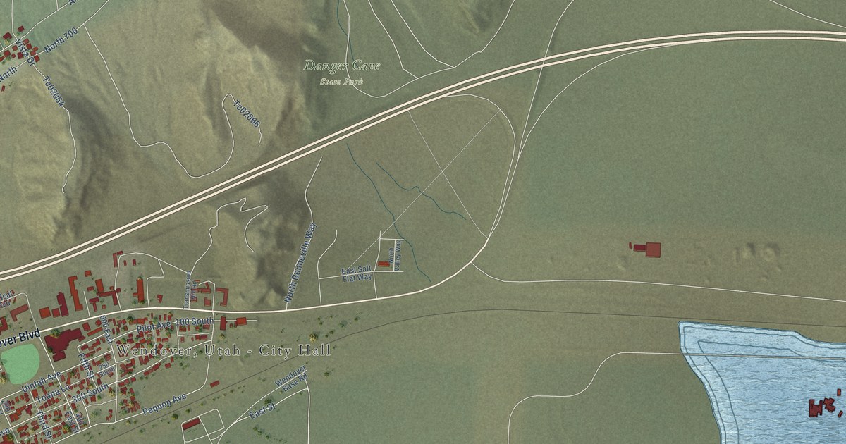
A detailed map of Wendover, Utah, showing every building in its true location, the roads by name, and shaded topographical relief.
Read More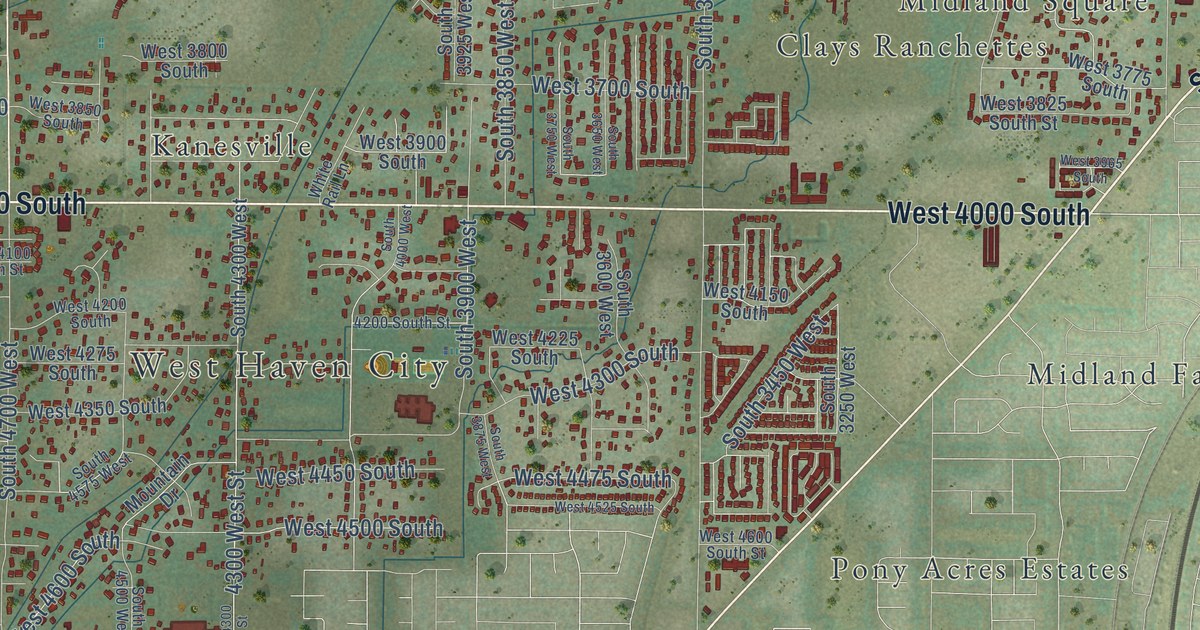
A detailed map of West Haven, Utah, showing every building in its true location, the roads by name, and shaded topographical relief.
Read More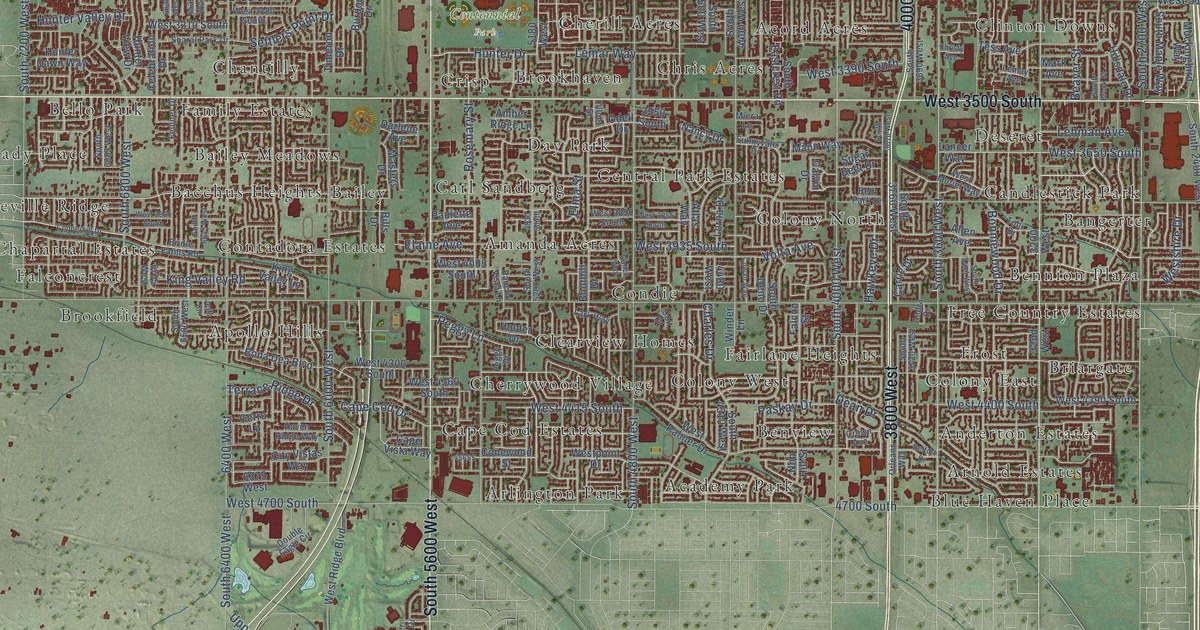
A detailed map of West Valley City, Utah, showing every building in its true location, the roads by name, and shaded topographical relief.
Read More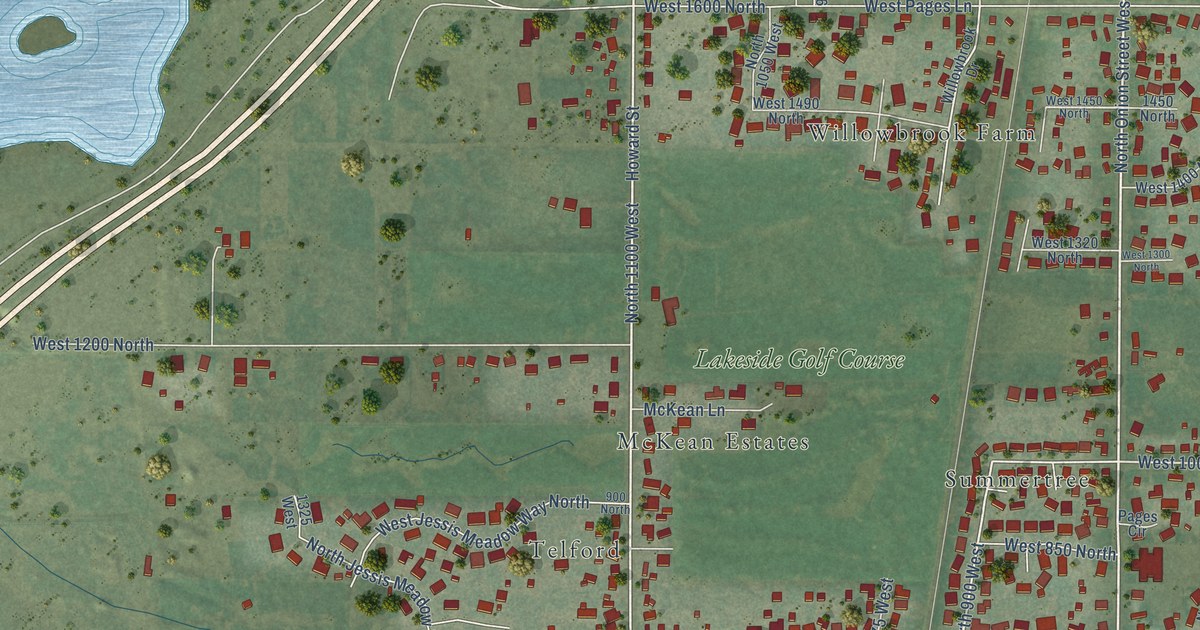
A detailed map of West Bountiful, Utah, showing every building in its true location, the roads by name, and shaded topographical relief.
Read More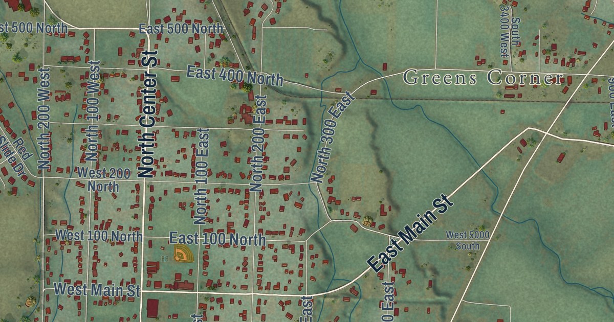
A detailed map of Wellsville, Utah, showing every building in its true location, the roads by name, and shaded topographical relief.
Read More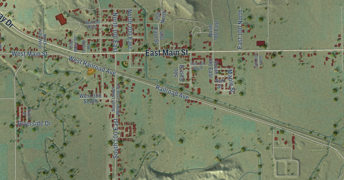
A detailed map of Wellington, Utah, showing every building in its true location, the roads by name, and shaded topographical relief.
Read More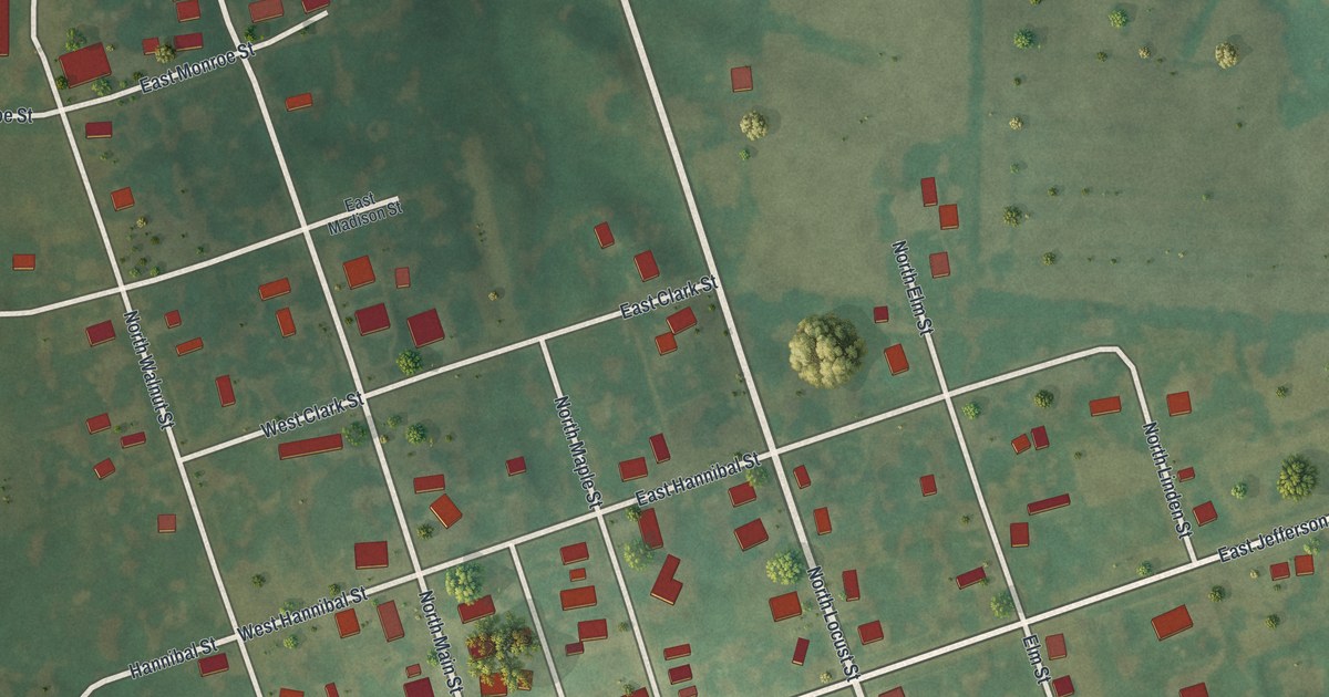
A detailed map of Wyaconda, Missouri, showing every building in its true location, the roads by name, and shaded topographical relief.
Read More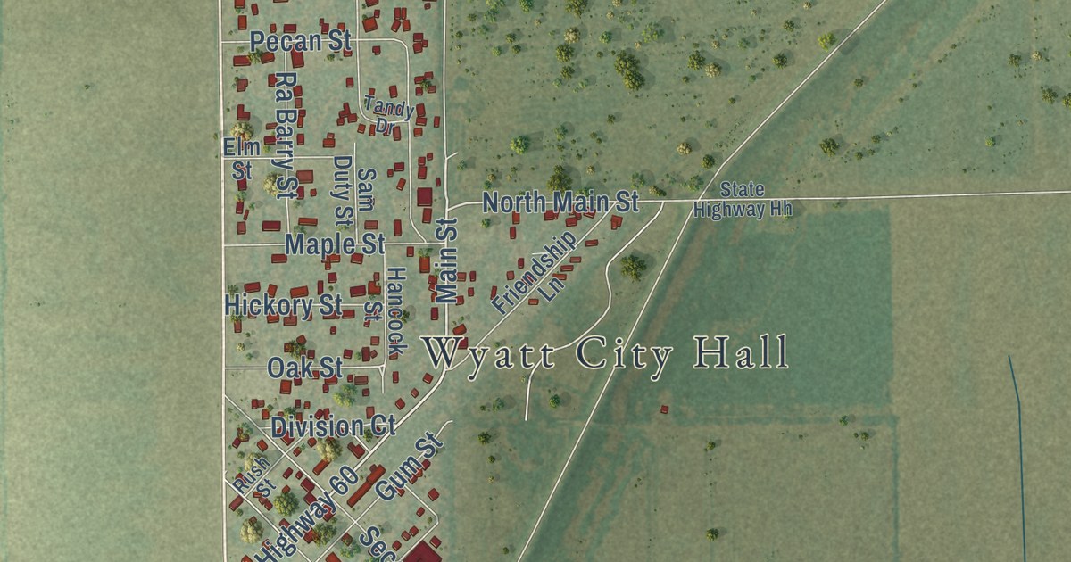
A detailed map of Wyatt, Missouri, showing every building in its true location, the roads by name, and shaded topographical relief.
Read More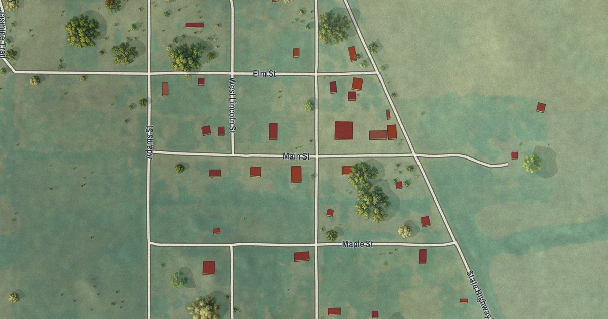
A detailed map of Worth, Missouri, showing every building in its true location, the roads by name, and shaded topographical relief.
Read More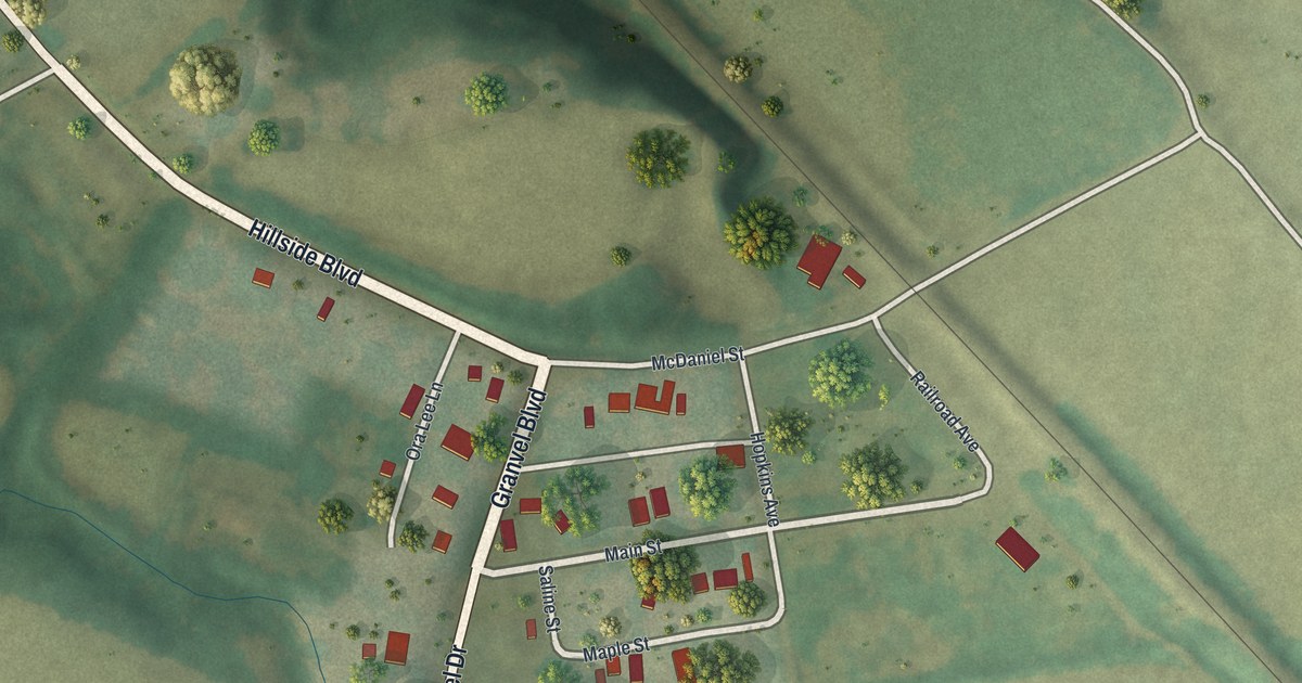
A detailed map of Wooldridge, Missouri, showing every building in its true location, the roads by name, and shaded topographical relief.
Read More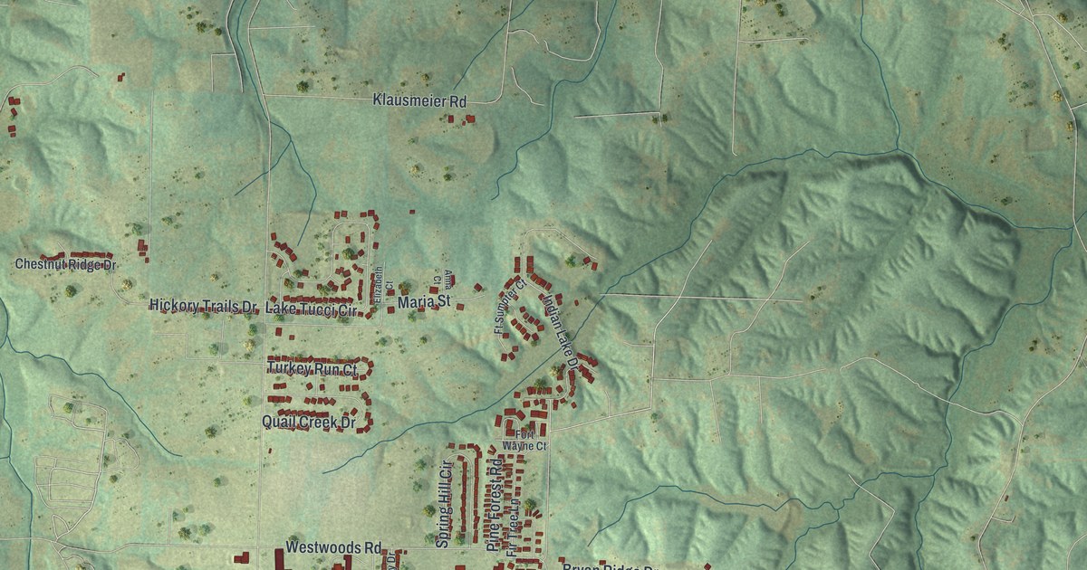
A detailed map of Wright City, Missouri, showing every building in its true location, the roads by name, and shaded topographical relief.
Read More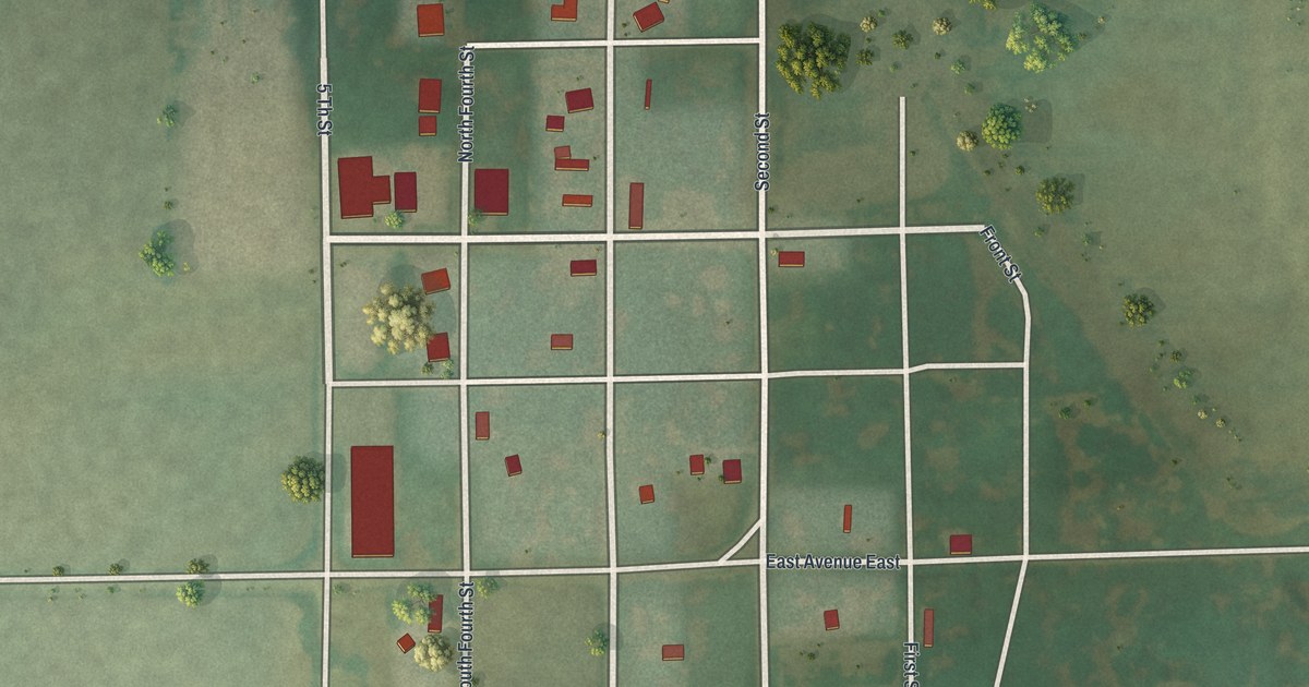
A detailed map of Worthington, Missouri, showing every building in its true location, the roads by name, and shaded topographical relief.
Read More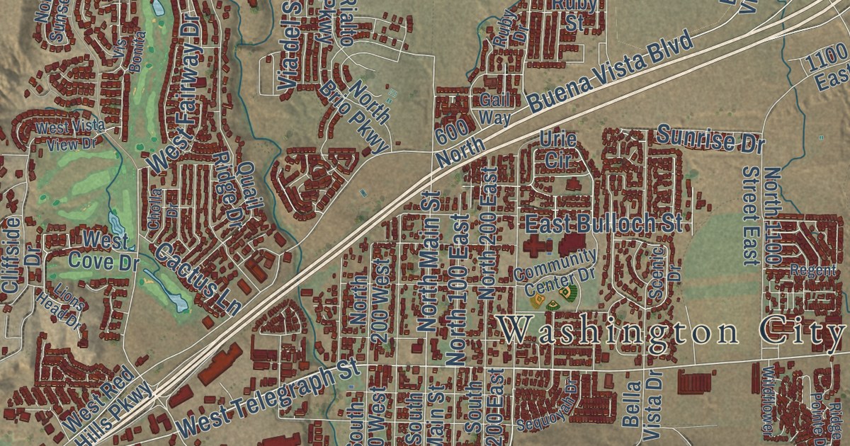
A detailed map of Washington, Utah, showing every building in its true location, the roads by name, and shaded topographical relief.
Read More















