Detailed Map of Freeman, Washington
A detailed map of Freeman, Washington, showing every building in its true location, the roads by name, and shaded topographical relief.
Read More
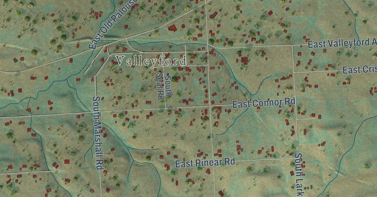
A detailed map of Freeman, Washington, showing every building in its true location, the roads by name, and shaded topographical relief.
Read More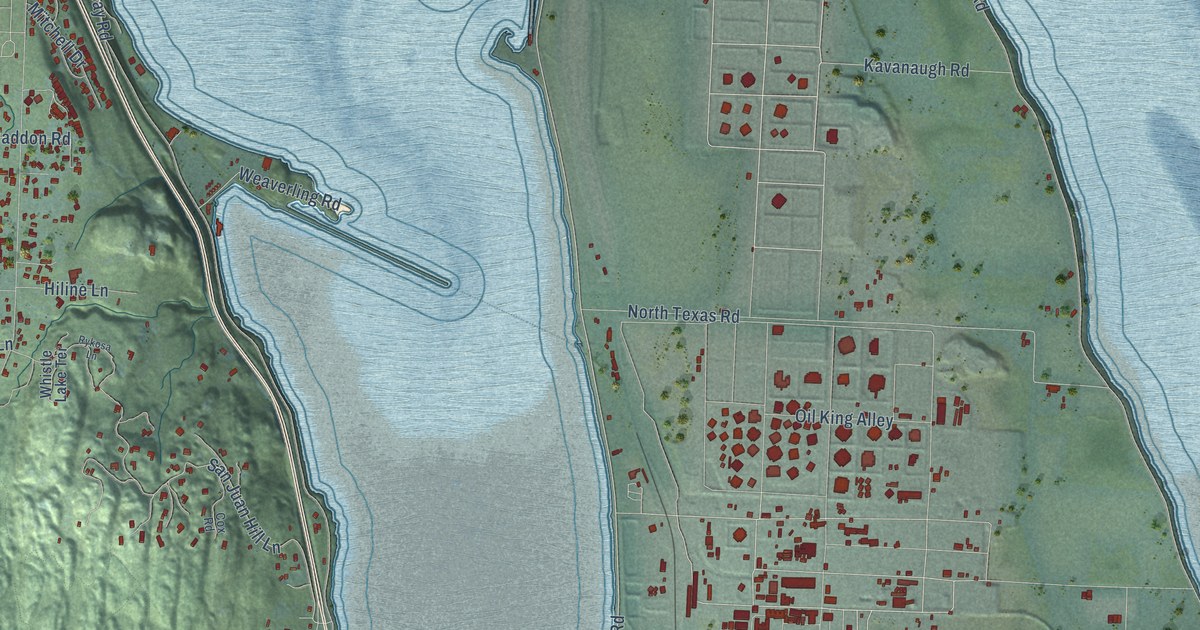
A detailed map of Fidalgo, Washington, showing every building in its true location, the roads by name, and shaded topographical relief.
Read More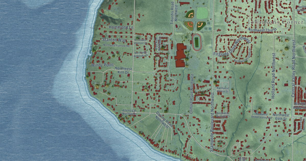
A detailed map of Fairview, Washington, showing every building in its true location, the roads by name, and shaded topographical relief.
Read More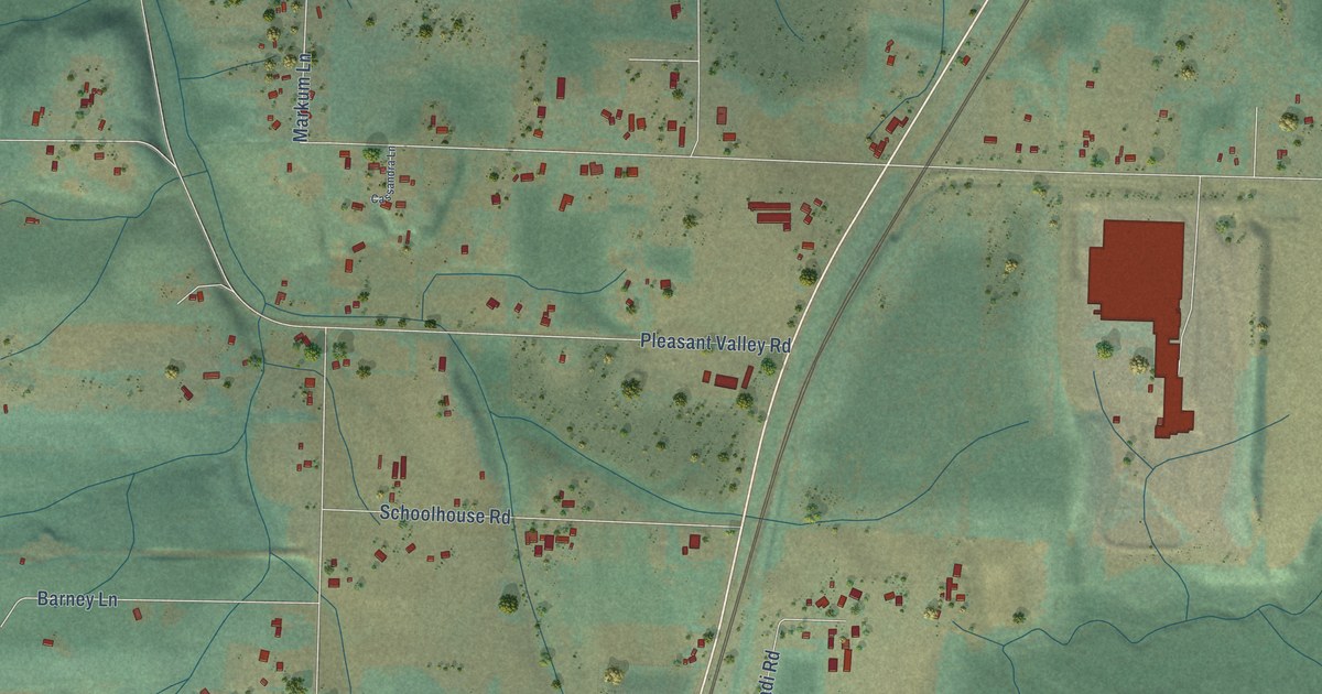
A detailed map of Evaline, Washington, showing every building in its true location, the roads by name, and shaded topographical relief.
Read More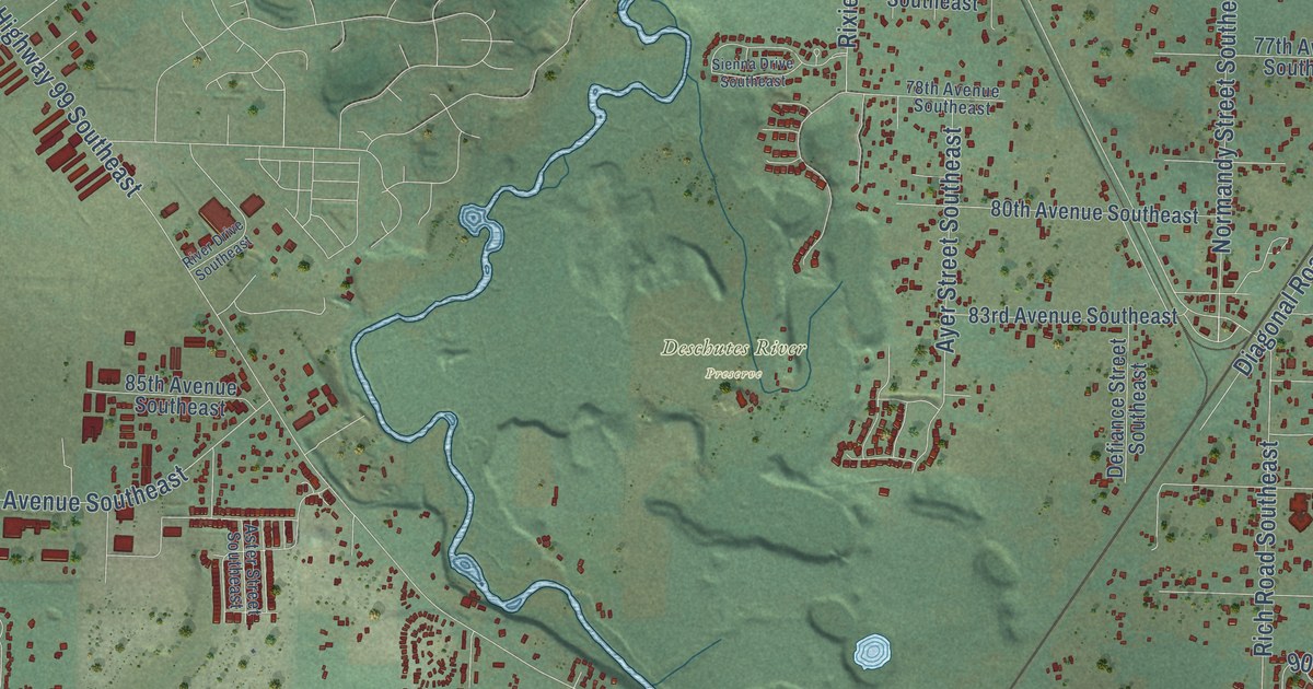
A detailed map of East Olympia, Washington, showing every building in its true location, the roads by name, and shaded topographical relief.
Read More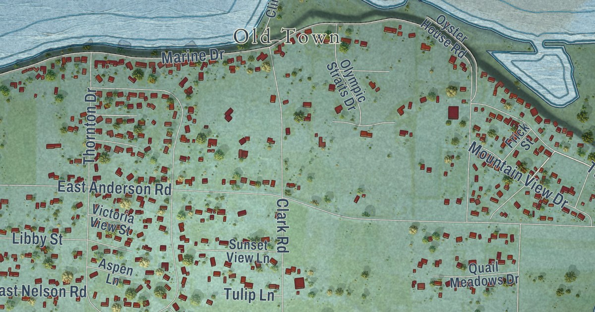
A detailed map of Dungeness, Washington, showing every building in its true location, the roads by name, and shaded topographical relief.
Read More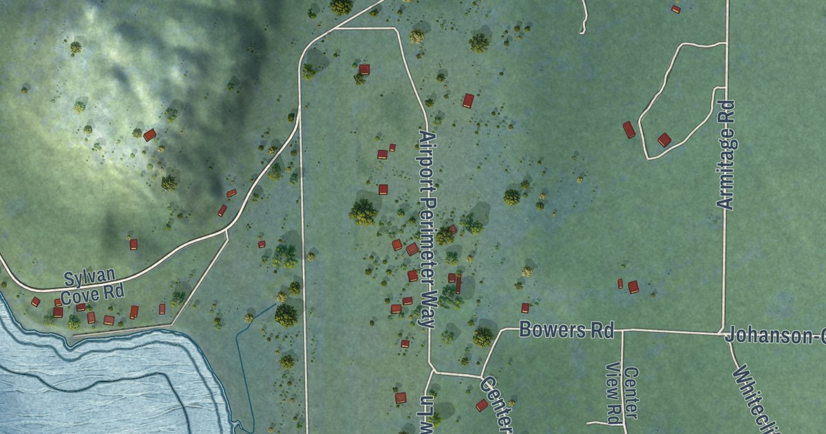
A detailed map of Decatur, Washington, showing every building in its true location, the roads by name, and shaded topographical relief.
Read More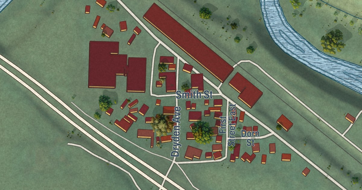
A detailed map of Dryden, Washington, showing every building in its true location, the roads by name, and shaded topographical relief.
Read More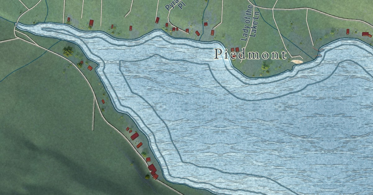
A detailed map of Crescent, Washington, showing every building in its true location, the roads by name, and shaded topographical relief.
Read More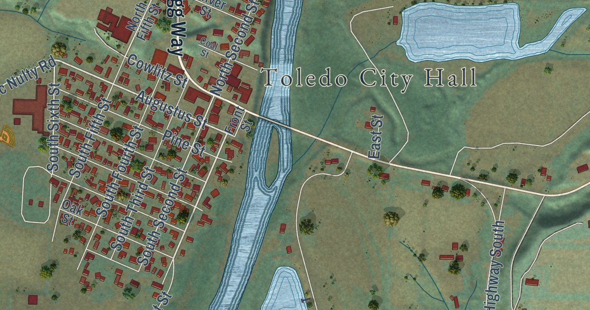
A detailed map of Cowlitz, Washington, showing every building in its true location, the roads by name, and shaded topographical relief.
Read More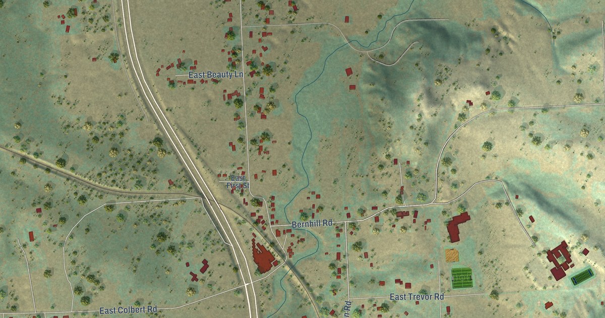
A detailed map of Colbert, Washington, showing every building in its true location, the roads by name, and shaded topographical relief.
Read More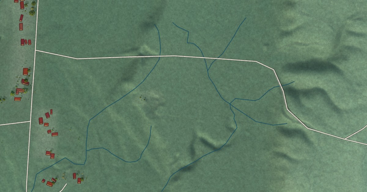
A detailed map of Clearwater, Washington, showing every building in its true location, the roads by name, and shaded topographical relief.
Read More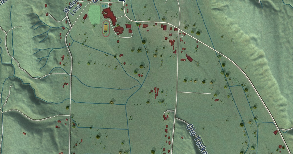
A detailed map of Chimacum, Washington, showing every building in its true location, the roads by name, and shaded topographical relief.
Read More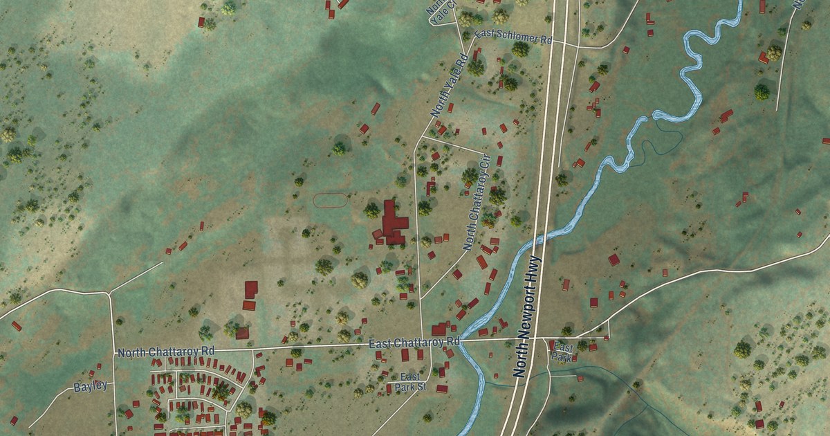
A detailed map of Chattaroy, Washington, showing every building in its true location, the roads by name, and shaded topographical relief.
Read More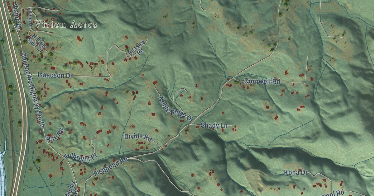
A detailed map of Carrolls, Washington, showing every building in its true location, the roads by name, and shaded topographical relief.
Read More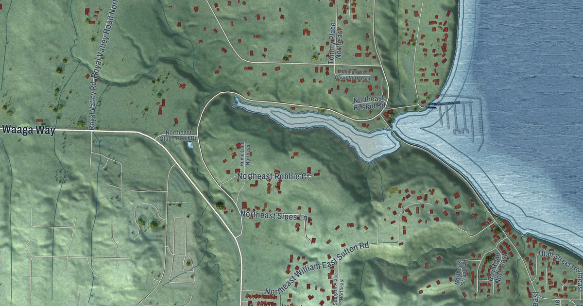
A detailed map of Brownsville, Washington, showing every building in its true location, the roads by name, and shaded topographical relief.
Read More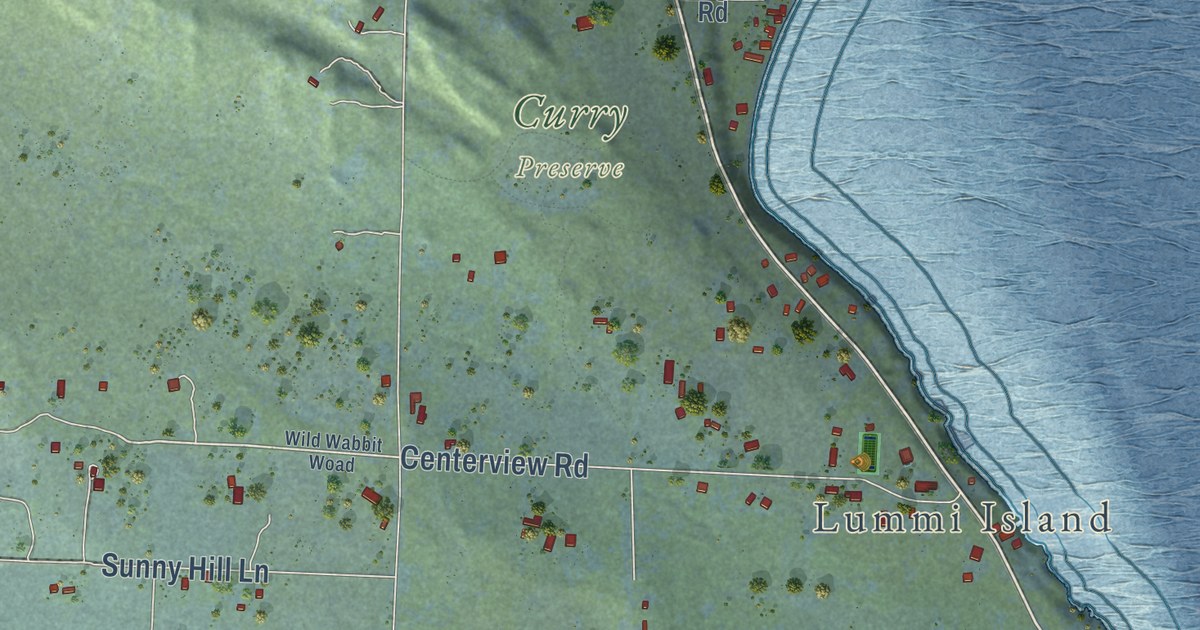
A detailed map of Beach, Washington, showing every building in its true location, the roads by name, and shaded topographical relief.
Read More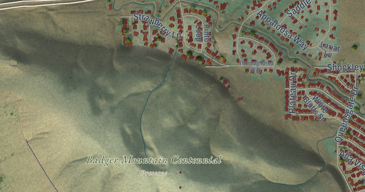
A detailed map of Badger, Washington, showing every building in its true location, the roads by name, and shaded topographical relief.
Read More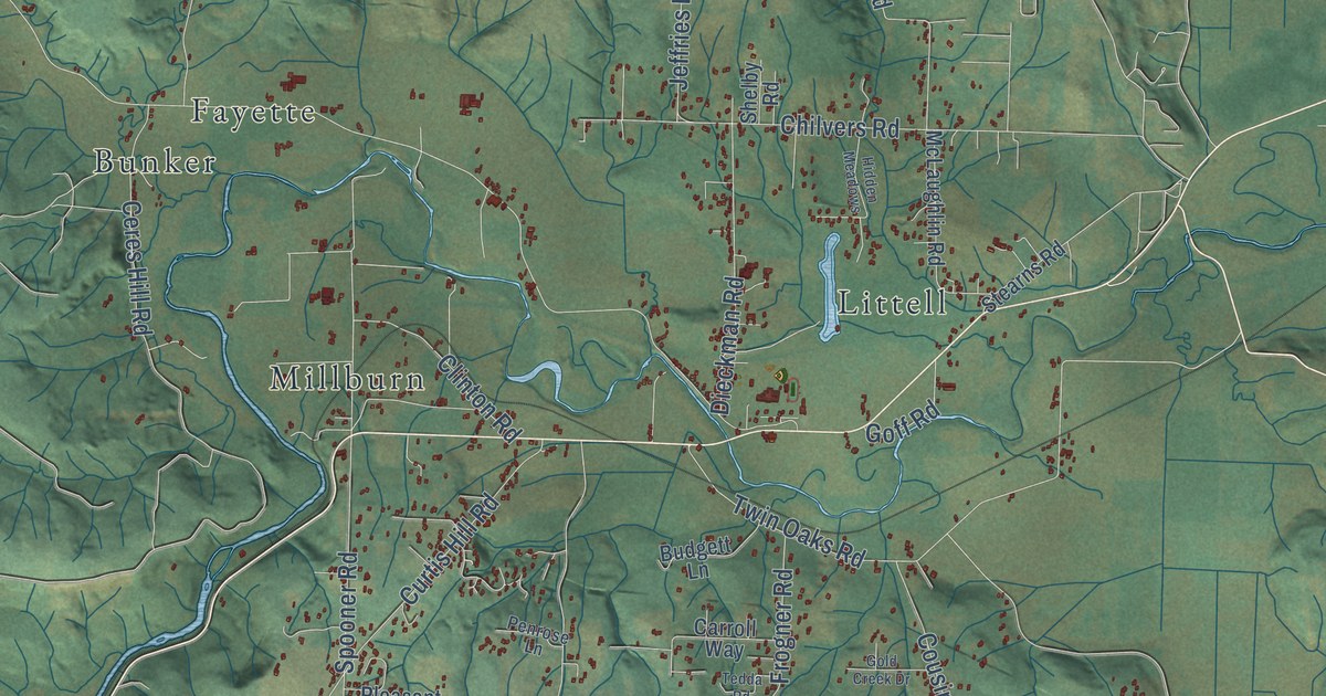
A detailed map of Adna, Washington, showing every building in its true location, the roads by name, and shaded topographical relief.
Read More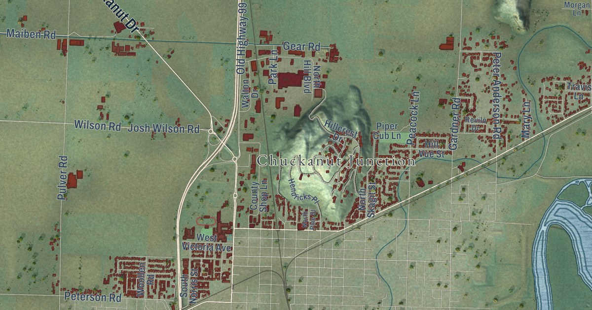
A detailed map of Allen, Washington, showing every building in its true location, the roads by name, and shaded topographical relief.
Read More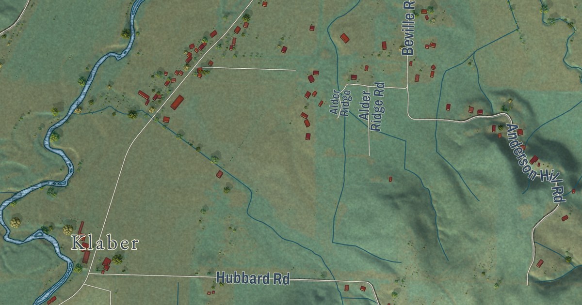
A detailed map of Boistfort, Washington, showing every building in its true location, the roads by name, and shaded topographical relief.
Read More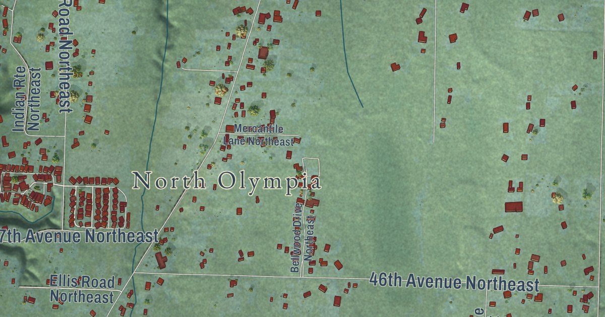
A detailed map of Boston Harbor, Washington, showing every building in its true location, the roads by name, and shaded topographical relief.
Read More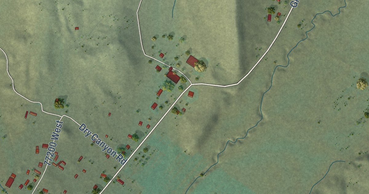
A detailed map of Grouse Creek, Utah, showing every building in its true location, the roads by name, and shaded topographical relief.
Read More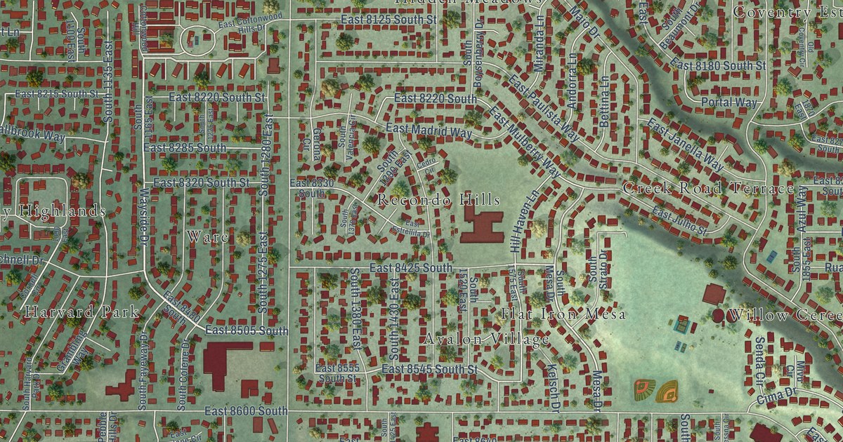
A detailed map of Peruvian Park, Utah, showing every building in its true location, the roads by name, and shaded topographical relief.
Read More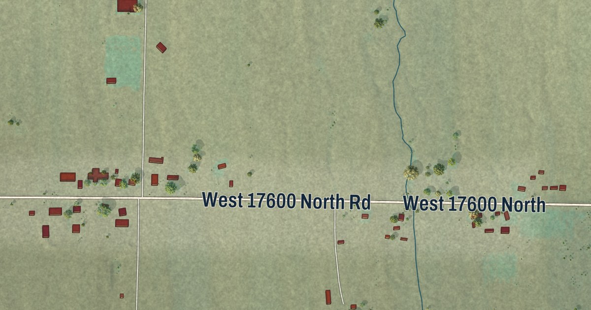
A detailed map of Park Valley, Utah, showing every building in its true location, the roads by name, and shaded topographical relief.
Read More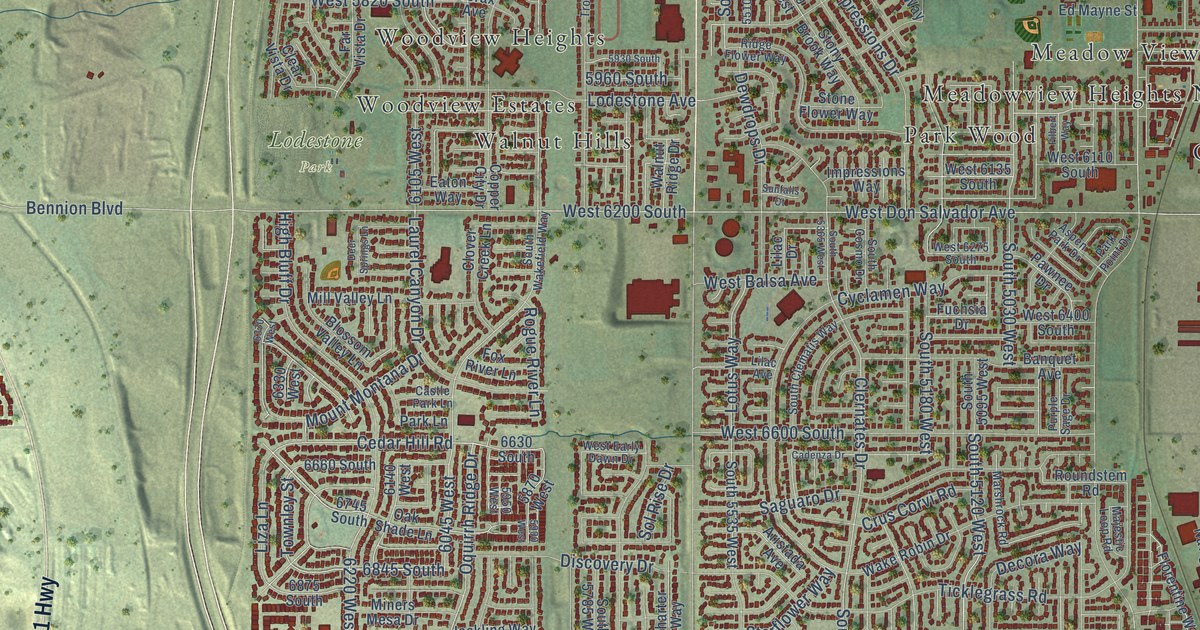
A detailed map of Oquirrh, Utah, showing every building in its true location, the roads by name, and shaded topographical relief.
Read More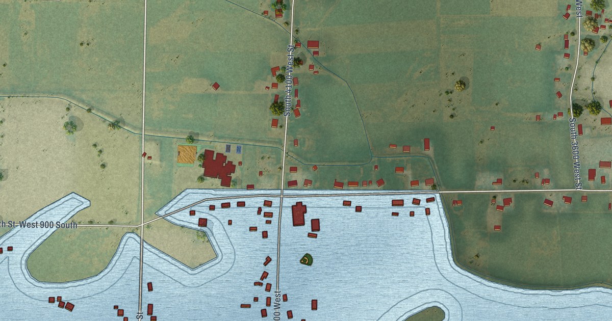
A detailed map of West Weber, Utah, showing every building in its true location, the roads by name, and shaded topographical relief.
Read More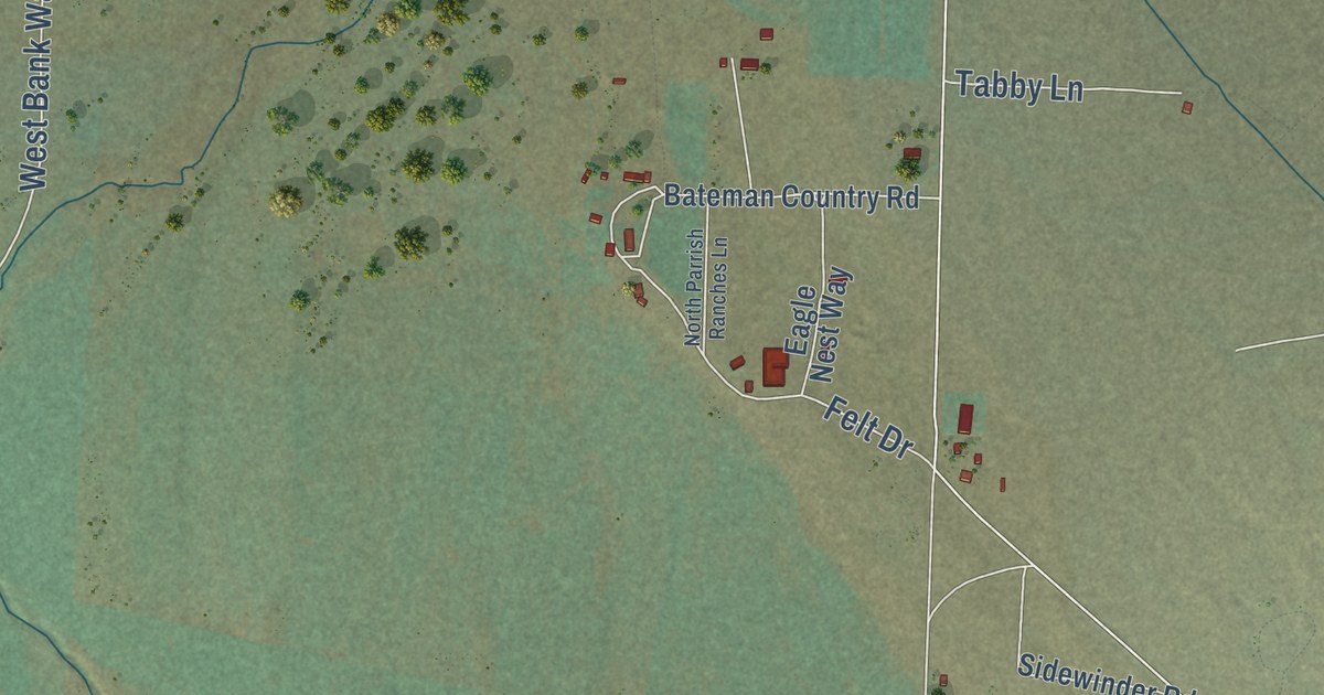
A detailed map of Ibapah, Utah, showing every building in its true location, the roads by name, and shaded topographical relief.
Read More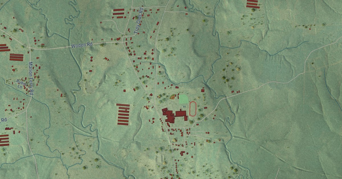
A detailed map of Woden, Texas, showing every building in its true location, the roads by name, and shaded topographical relief.
Read More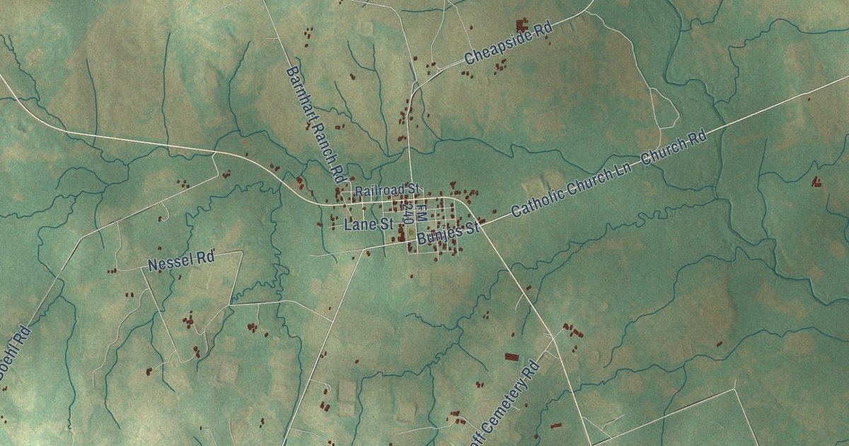
A detailed map of Westhoff, Texas, showing every building in its true location, the roads by name, and shaded topographical relief.
Read More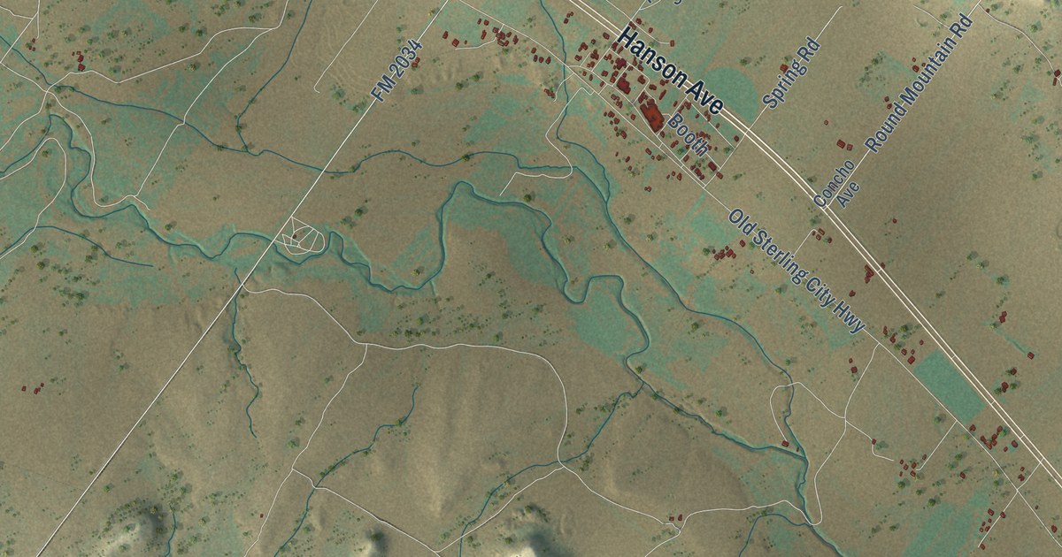
A detailed map of Water Valley, Texas, showing every building in its true location, the roads by name, and shaded topographical relief.
Read More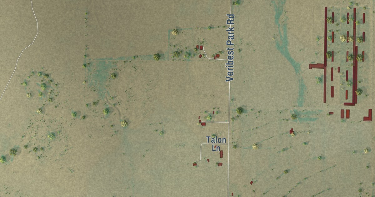
A detailed map of Veribest, Texas, showing every building in its true location, the roads by name, and shaded topographical relief.
Read More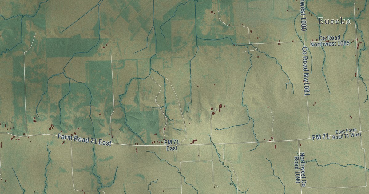
A detailed map of Sulphur Bluff, Texas, showing every building in its true location, the roads by name, and shaded topographical relief.
Read More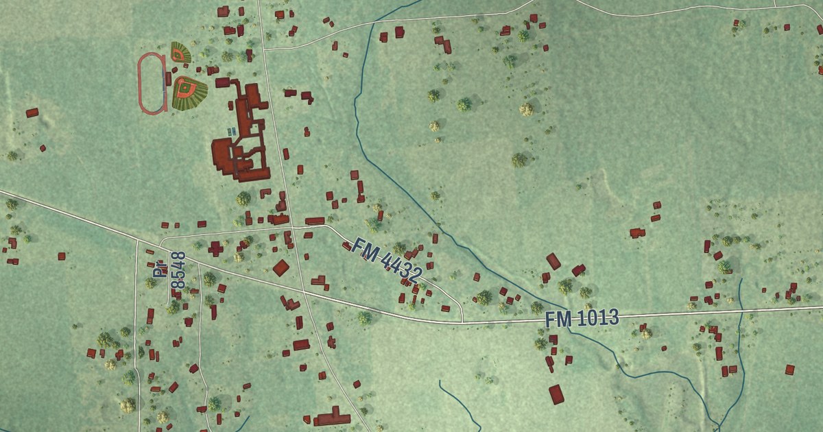
A detailed map of Spurger, Texas, showing every building in its true location, the roads by name, and shaded topographical relief.
Read More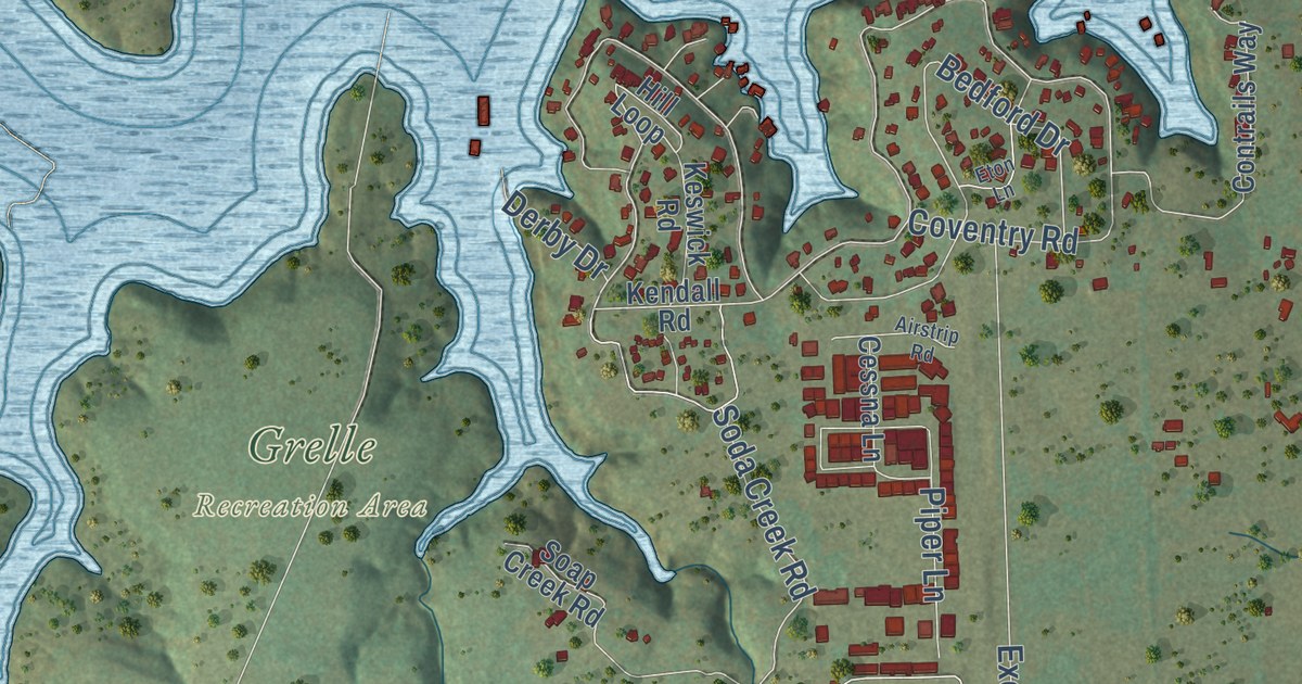
A detailed map of Spicewood, Texas, showing every building in its true location, the roads by name, and shaded topographical relief.
Read More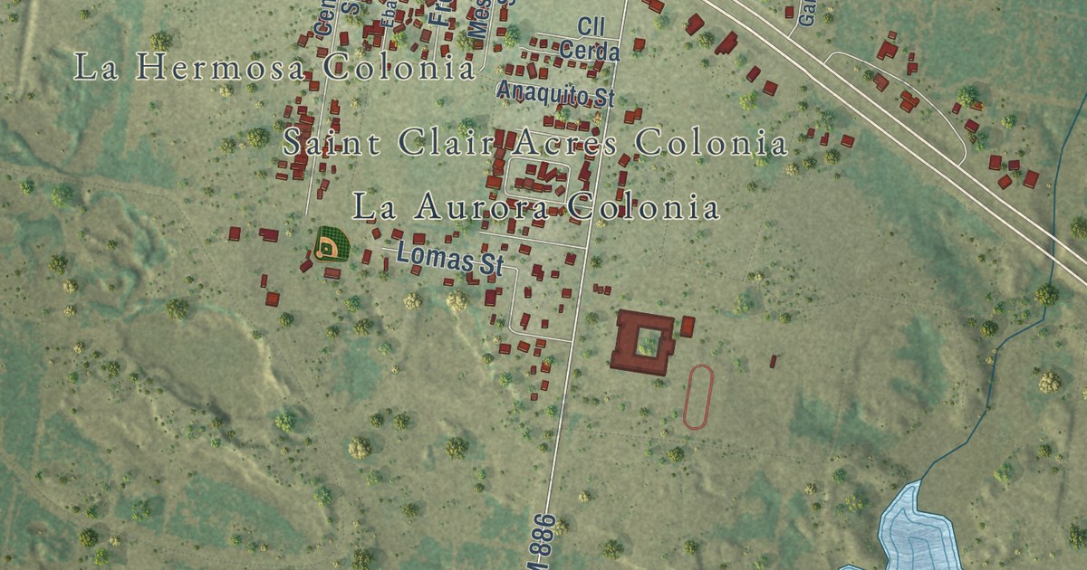
A detailed map of Sam Fordyce, Texas, showing every building in its true location, the roads by name, and shaded topographical relief.
Read More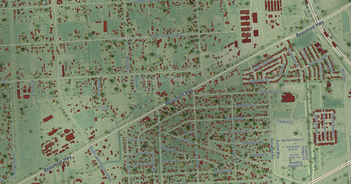
A detailed map of Royalwood, Texas, showing every building in its true location, the roads by name, and shaded topographical relief.
Read More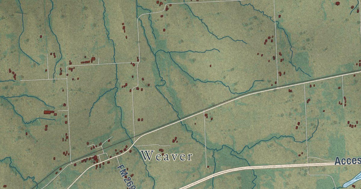
A detailed map of Saltillo, Texas, showing every building in its true location, the roads by name, and shaded topographical relief.
Read More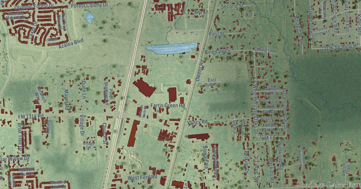
A detailed map of Porter, Texas, showing every building in its true location, the roads by name, and shaded topographical relief.
Read More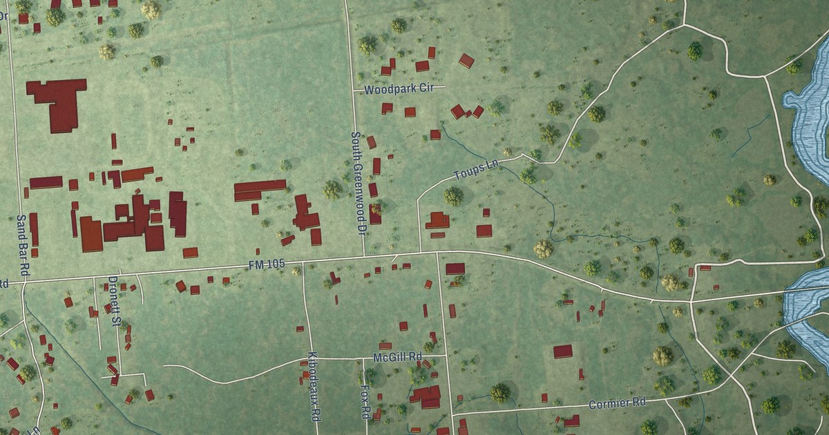
A detailed map of Orangefield, Texas, showing every building in its true location, the roads by name, and shaded topographical relief.
Read More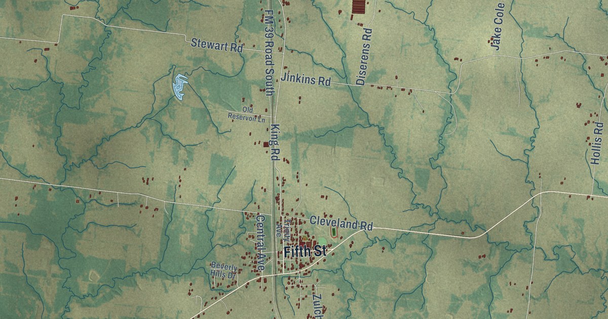
A detailed map of North Zulch, Texas, showing every building in its true location, the roads by name, and shaded topographical relief.
Read More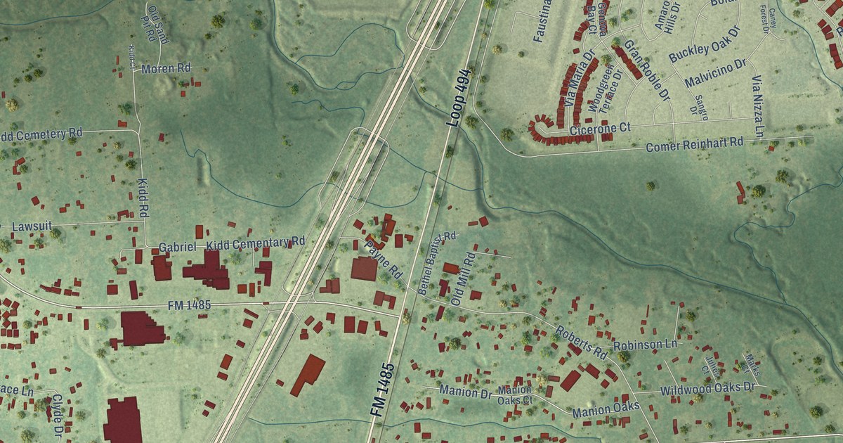
A detailed map of New Caney, Texas, showing every building in its true location, the roads by name, and shaded topographical relief.
Read More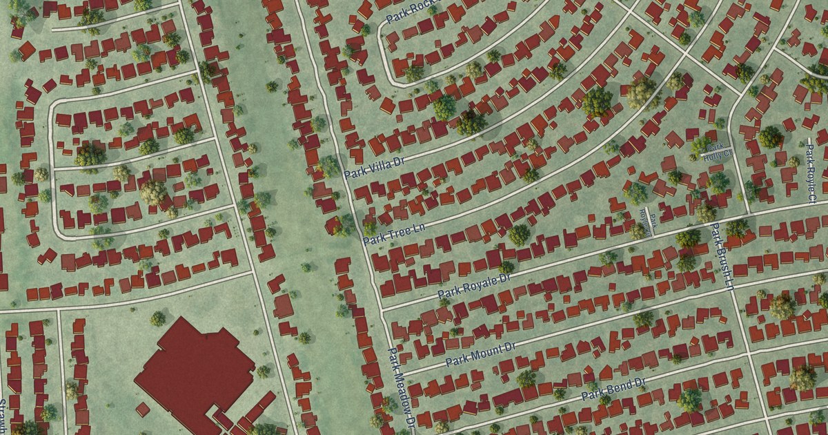
A detailed map of Memorial Parkway, Texas, showing every building in its true location, the roads by name, and shaded topographical relief.
Read More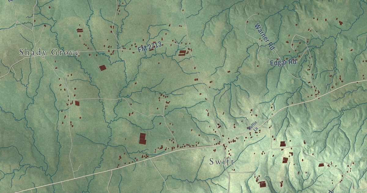
A detailed map of Martinsville, Texas, showing every building in its true location, the roads by name, and shaded topographical relief.
Read More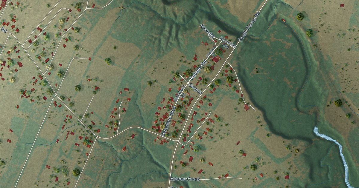
A detailed map of Losoya, Texas, showing every building in its true location, the roads by name, and shaded topographical relief.
Read More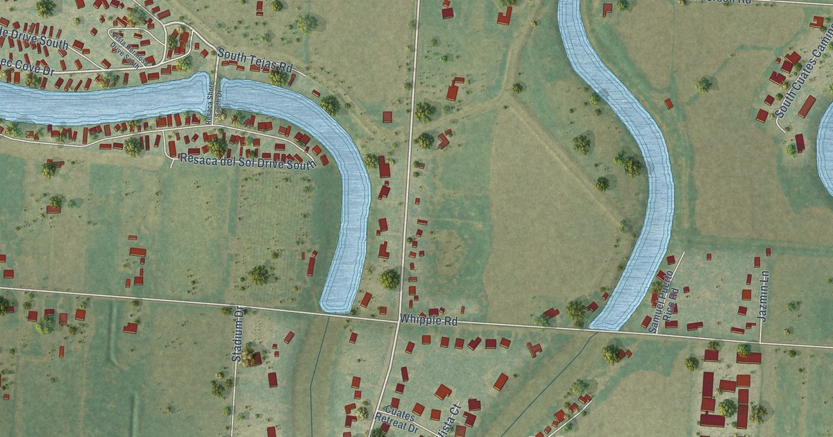
A detailed map of Los Cuates, Texas, showing every building in its true location, the roads by name, and shaded topographical relief.
Read More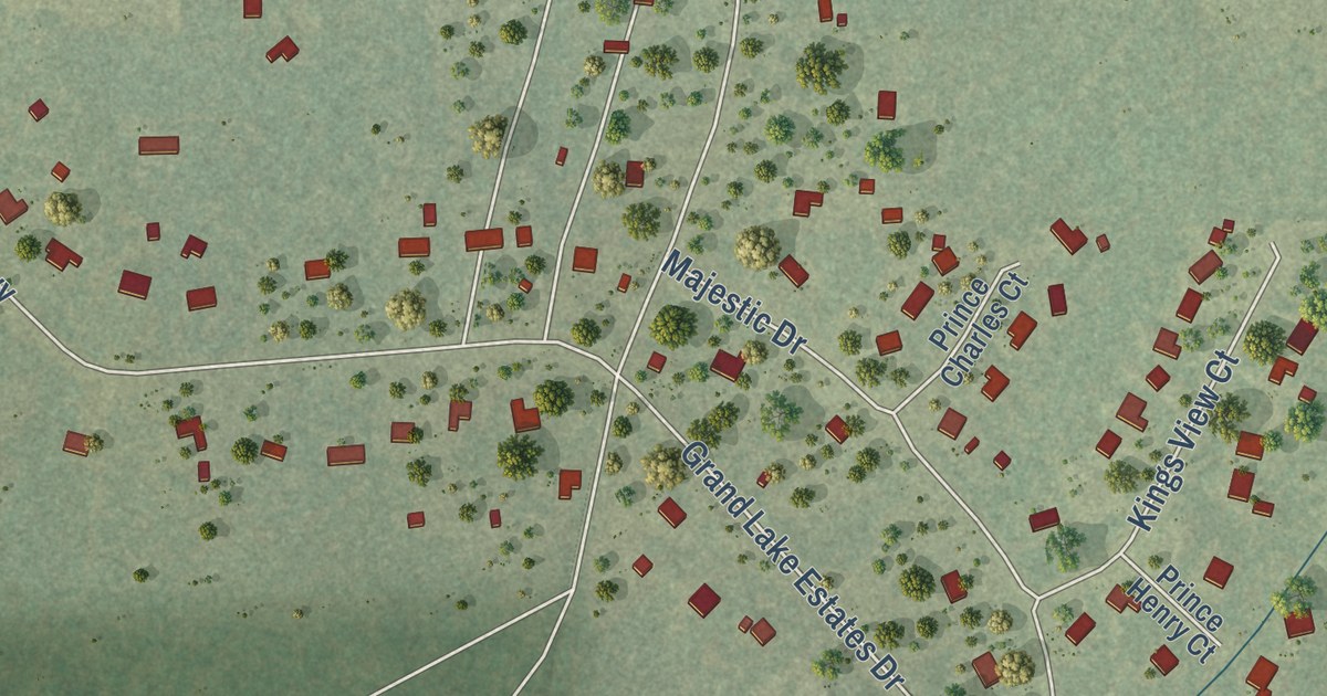
A detailed map of Keenan, Texas, showing every building in its true location, the roads by name, and shaded topographical relief.
Read More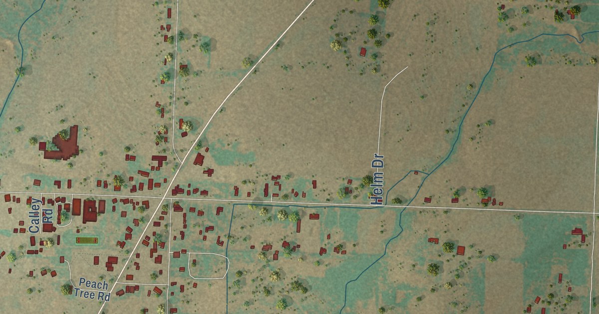
A detailed map of Ira, Texas, showing every building in its true location, the roads by name, and shaded topographical relief.
Read More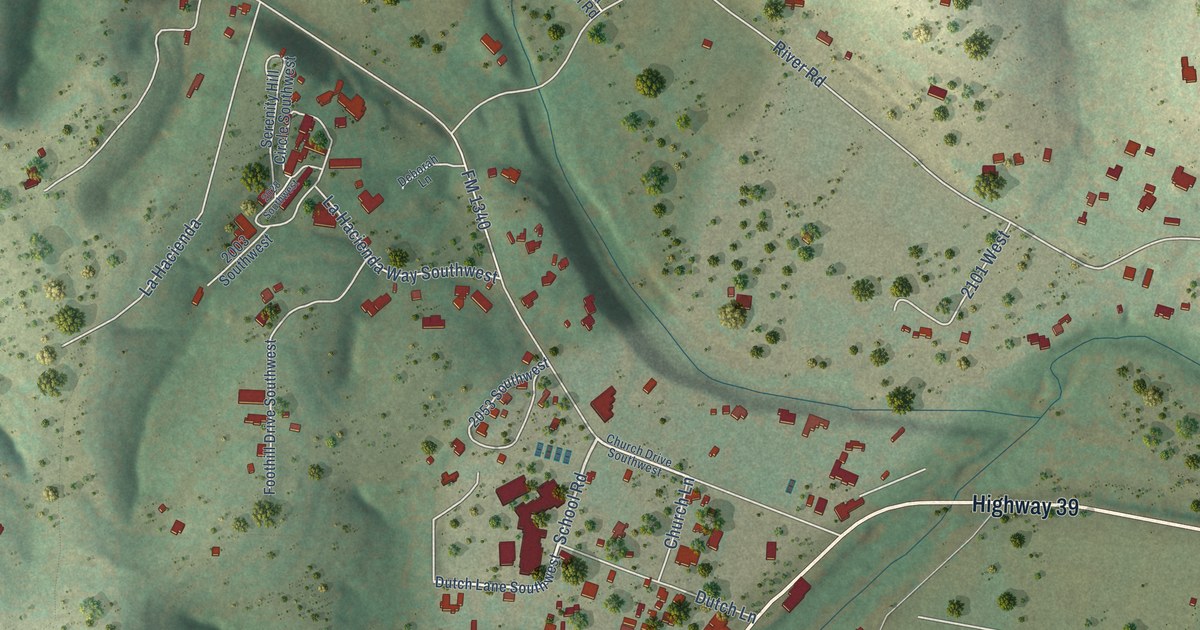
A detailed map of Hunt, Texas, showing every building in its true location, the roads by name, and shaded topographical relief.
Read More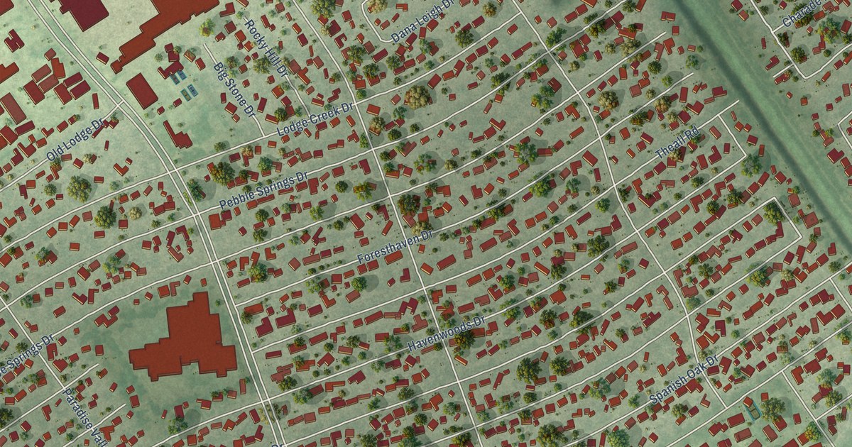
A detailed map of Greenwood Forest, Texas, showing every building in its true location, the roads by name, and shaded topographical relief.
Read More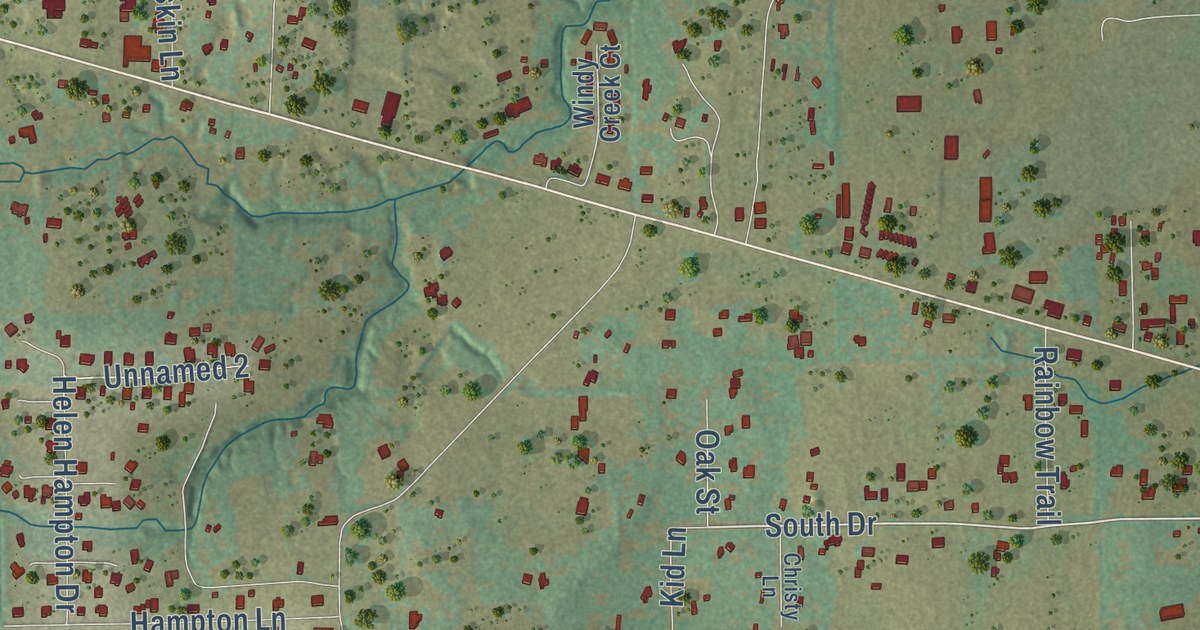
A detailed map of Goshen, Texas, showing every building in its true location, the roads by name, and shaded topographical relief.
Read More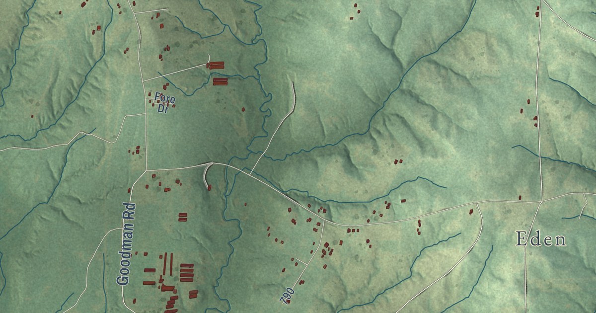
A detailed map of Douglass, Texas, showing every building in its true location, the roads by name, and shaded topographical relief.
Read More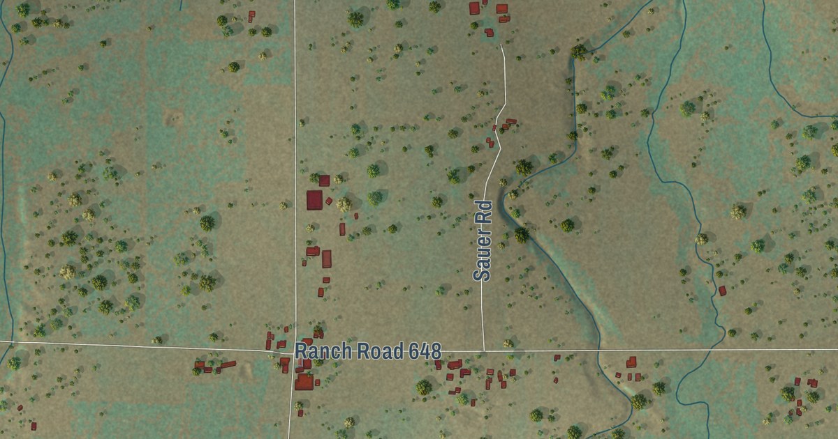
A detailed map of Doss, Texas, showing every building in its true location, the roads by name, and shaded topographical relief.
Read More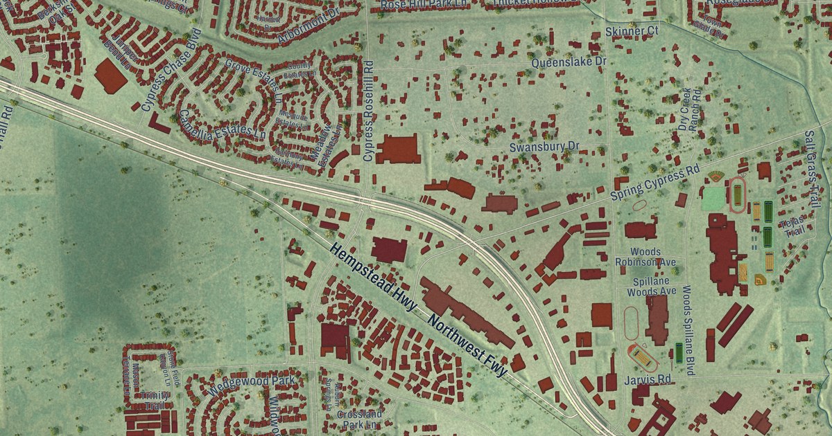
A detailed map of Cypress, Texas, showing every building in its true location, the roads by name, and shaded topographical relief.
Read More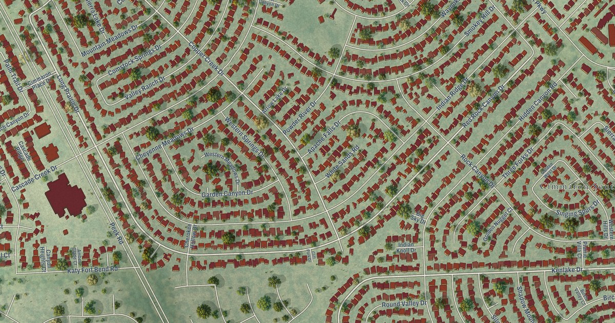
A detailed map of Cimarron, Texas, showing every building in its true location, the roads by name, and shaded topographical relief.
Read More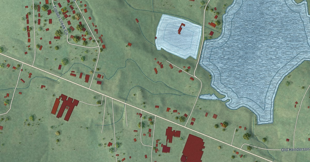
A detailed map of Chapel Hill, Texas, showing every building in its true location, the roads by name, and shaded topographical relief.
Read More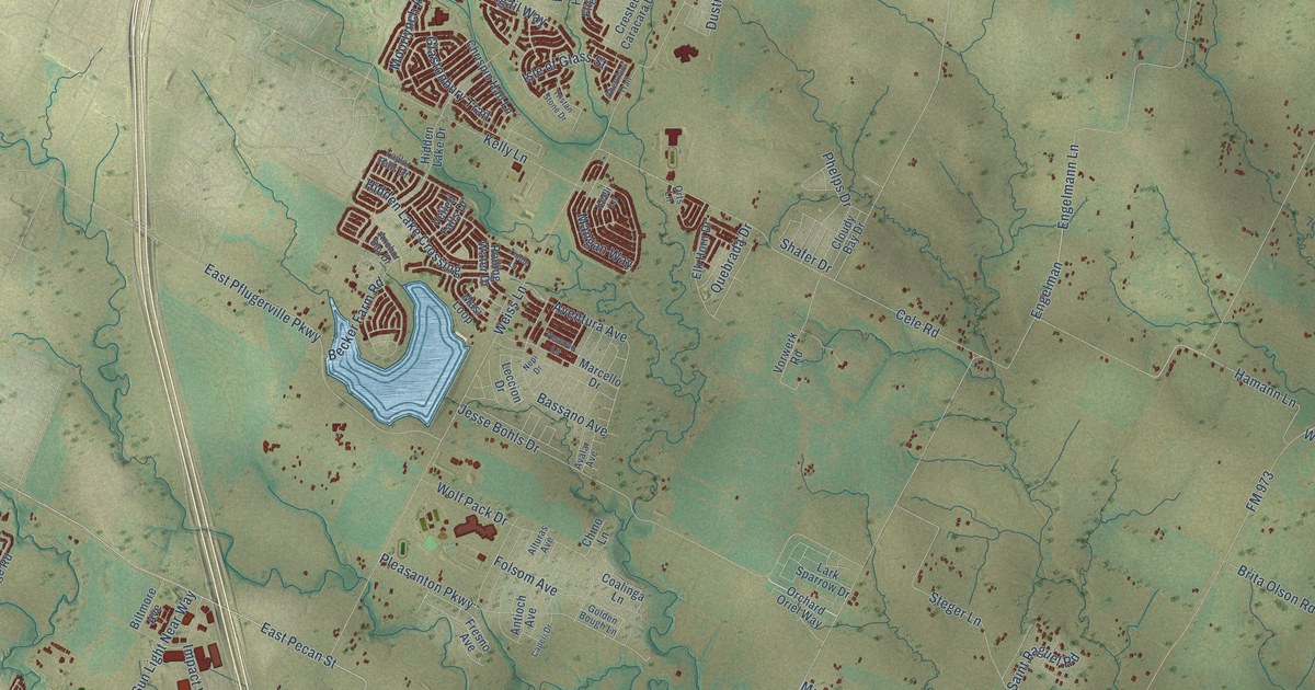
A detailed map of Cele, Texas, showing every building in its true location, the roads by name, and shaded topographical relief.
Read More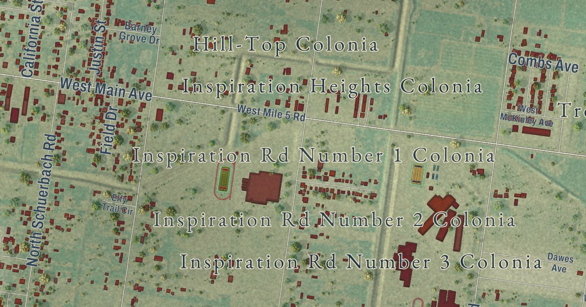
A detailed map of Cantu, Texas, showing every building in its true location, the roads by name, and shaded topographical relief.
Read More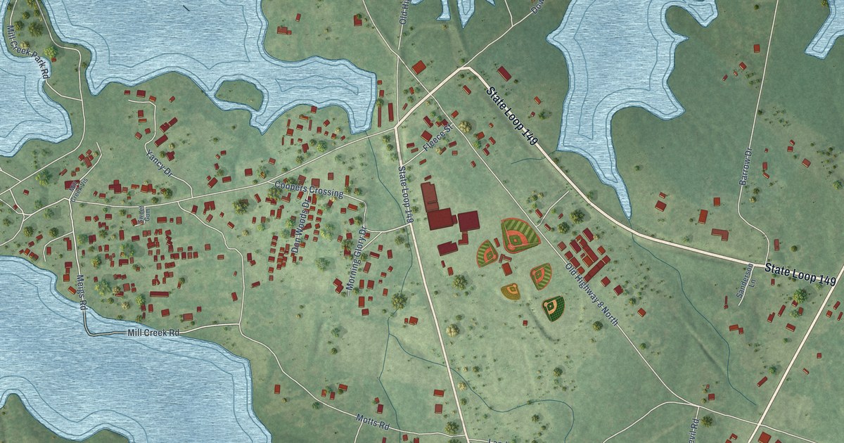
A detailed map of Brookeland, Texas, showing every building in its true location, the roads by name, and shaded topographical relief.
Read More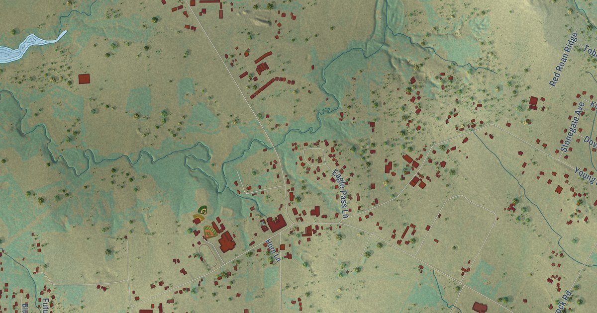
A detailed map of Brock, Texas, showing every building in its true location, the roads by name, and shaded topographical relief.
Read More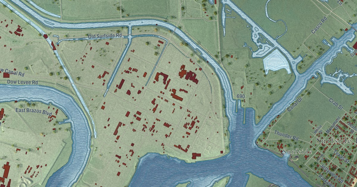
A detailed map of Brazosport, Texas, showing every building in its true location, the roads by name, and shaded topographical relief.
Read More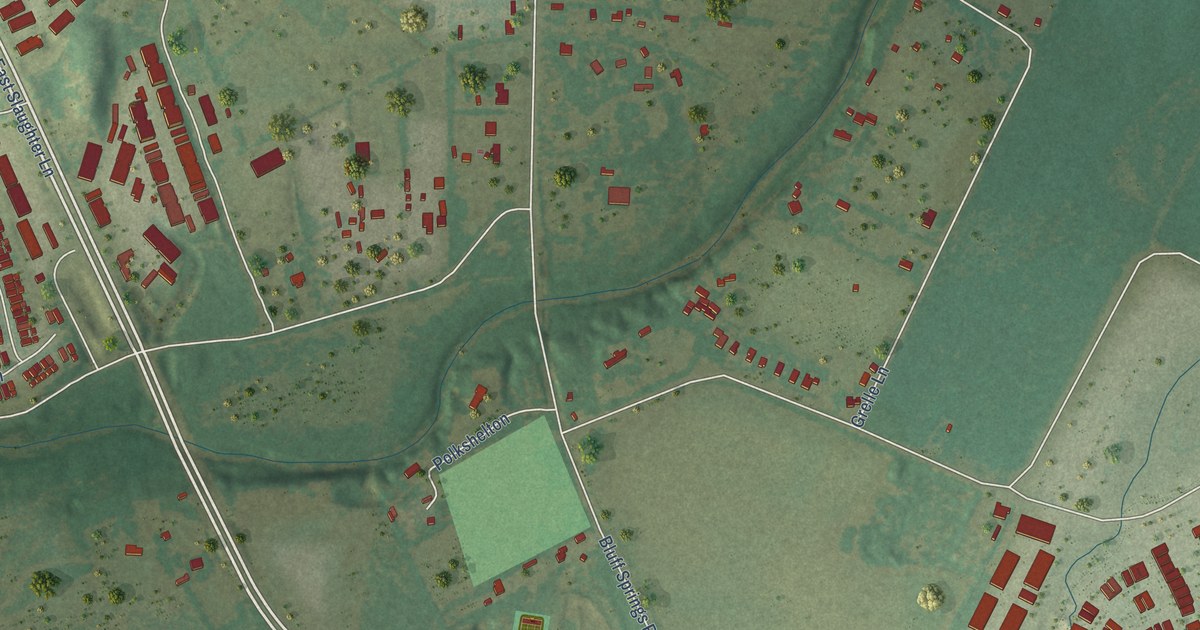
A detailed map of Bluff Springs, Texas, showing every building in its true location, the roads by name, and shaded topographical relief.
Read More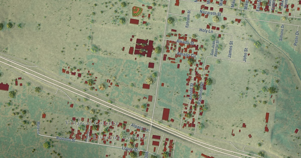
A detailed map of Alto Bonito, Texas, showing every building in its true location, the roads by name, and shaded topographical relief.
Read More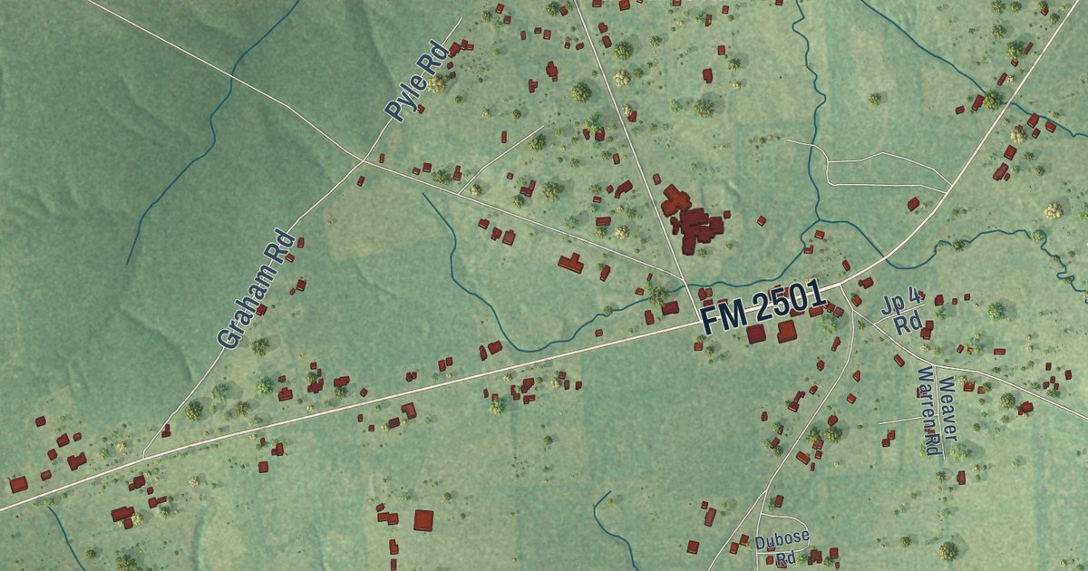
A detailed map of Apple Springs, Texas, showing every building in its true location, the roads by name, and shaded topographical relief.
Read More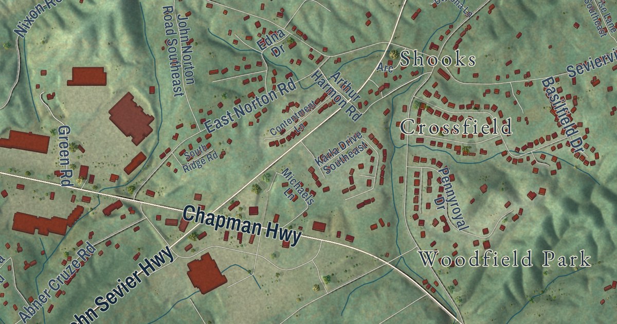
A detailed map of New Hopewell, Tennessee, showing every building in its true location, the roads by name, and shaded topographical relief.
Read More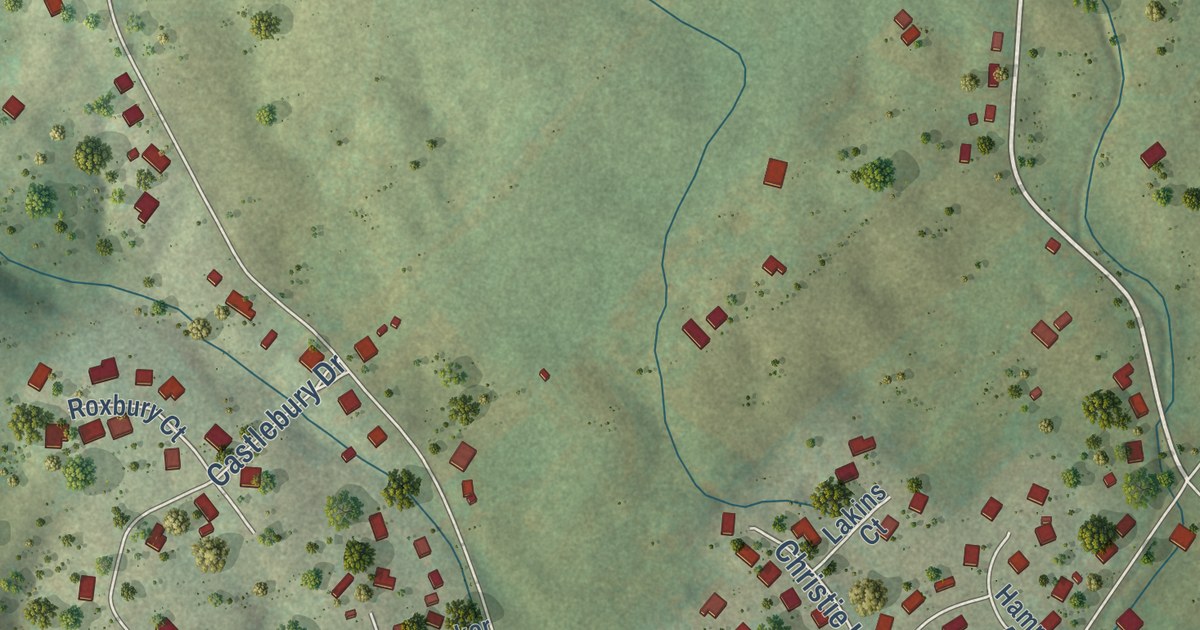
A detailed map of Mount Horeb, Tennessee, showing every building in its true location, the roads by name, and shaded topographical relief.
Read More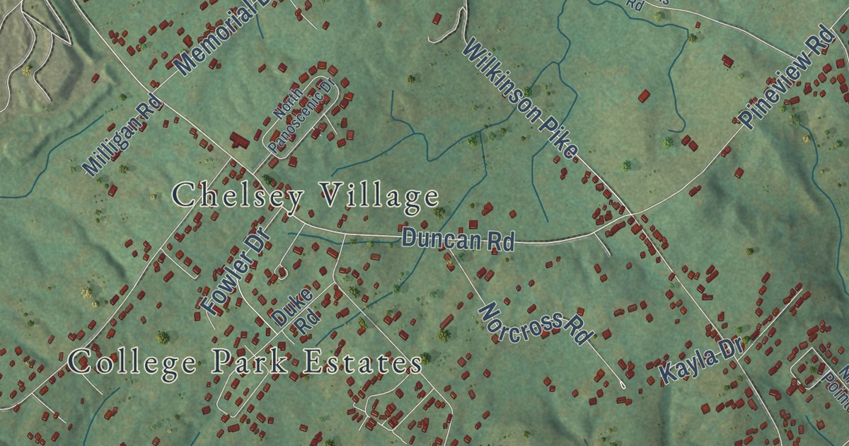
A detailed map of Montvale, Tennessee, showing every building in its true location, the roads by name, and shaded topographical relief.
Read More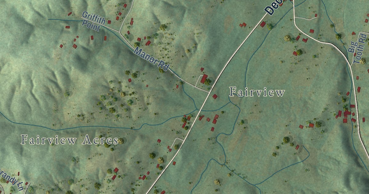
A detailed map of Midway, Tennessee, showing every building in its true location, the roads by name, and shaded topographical relief.
Read More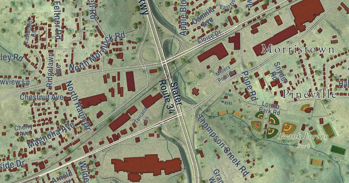
A detailed map of Marguerite, Tennessee, showing every building in its true location, the roads by name, and shaded topographical relief.
Read More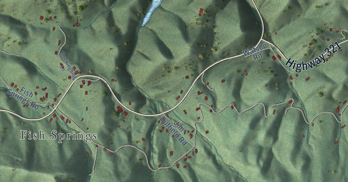
A detailed map of Little Milligan, Tennessee, showing every building in its true location, the roads by name, and shaded topographical relief.
Read More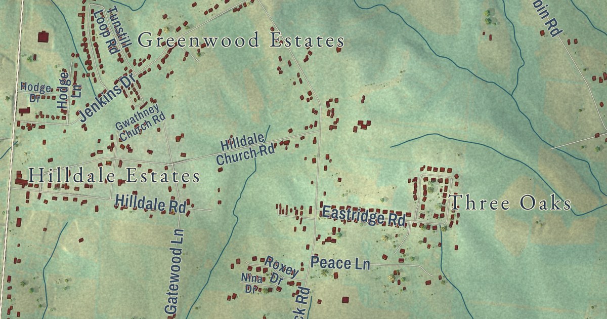
A detailed map of Lincoln, Tennessee, showing every building in its true location, the roads by name, and shaded topographical relief.
Read More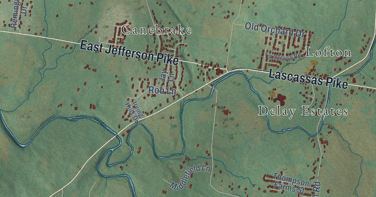
A detailed map of Lascassas, Tennessee, showing every building in its true location, the roads by name, and shaded topographical relief.
Read More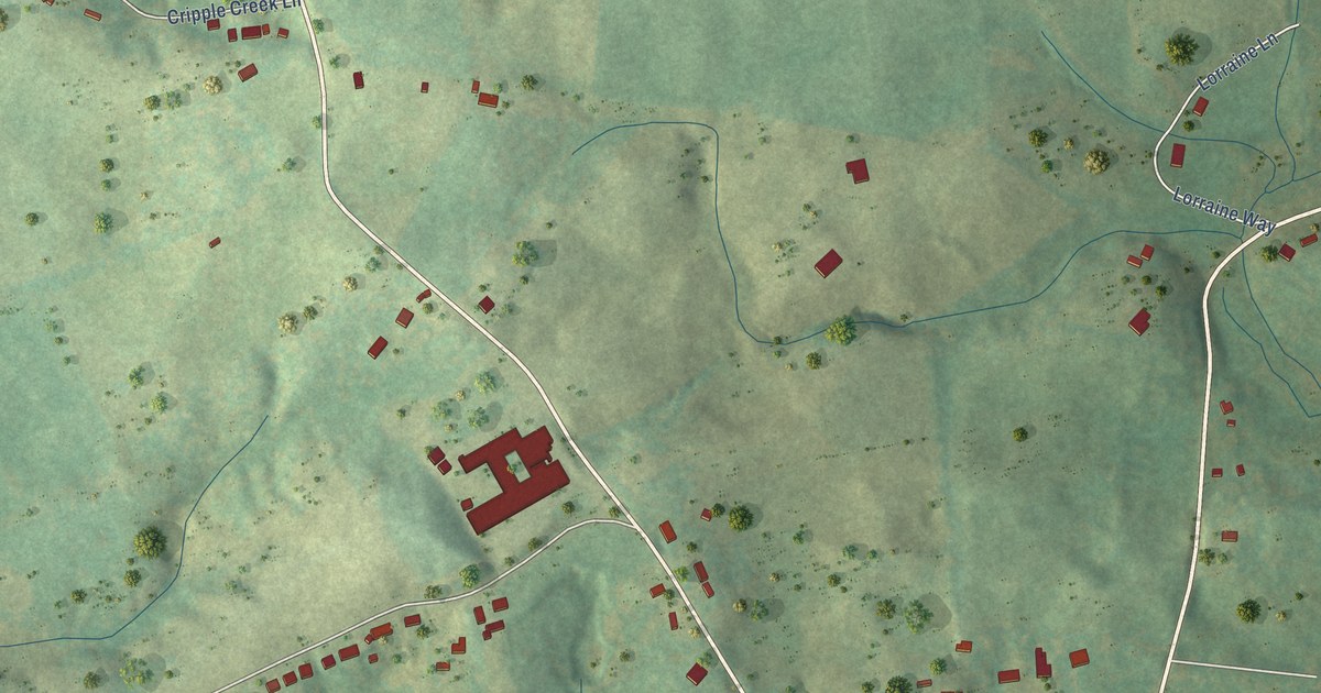
A detailed map of Lanier, Tennessee, showing every building in its true location, the roads by name, and shaded topographical relief.
Read More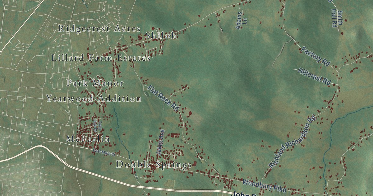
A detailed map of Kittrell, Tennessee, showing every building in its true location, the roads by name, and shaded topographical relief.
Read More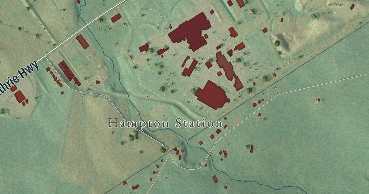
A detailed map of Kirkwood, Tennessee, showing every building in its true location, the roads by name, and shaded topographical relief.
Read More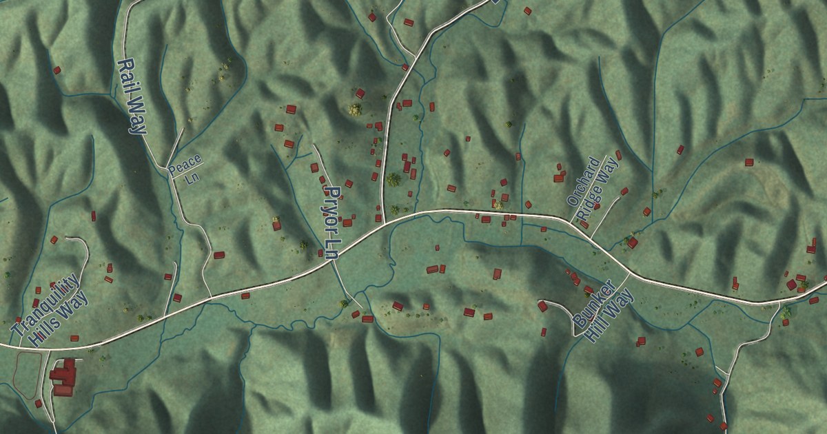
A detailed map of Jones Cove, Tennessee, showing every building in its true location, the roads by name, and shaded topographical relief.
Read More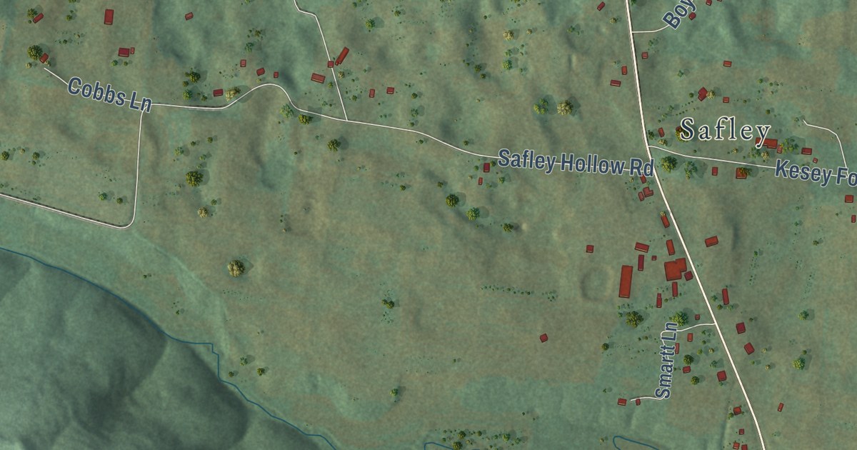
A detailed map of Irving College, Tennessee, showing every building in its true location, the roads by name, and shaded topographical relief.
Read More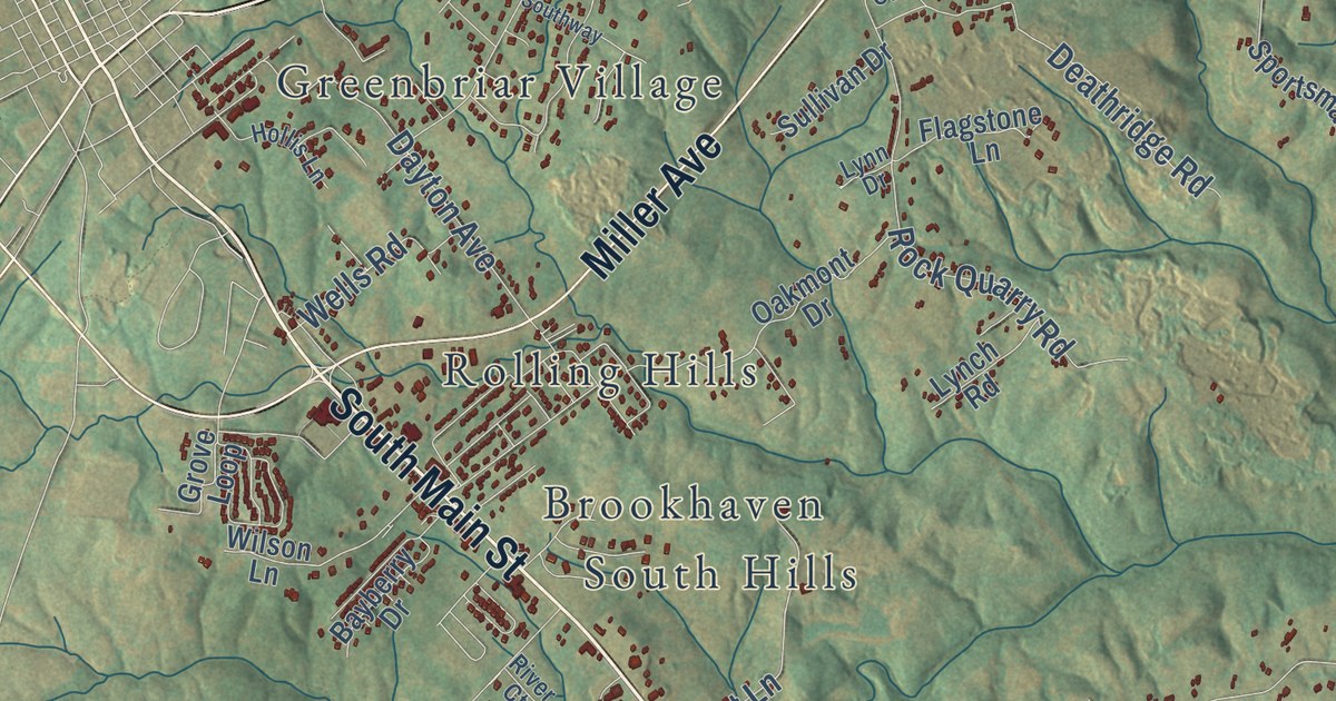
A detailed map of Homestead, Tennessee, showing every building in its true location, the roads by name, and shaded topographical relief.
Read More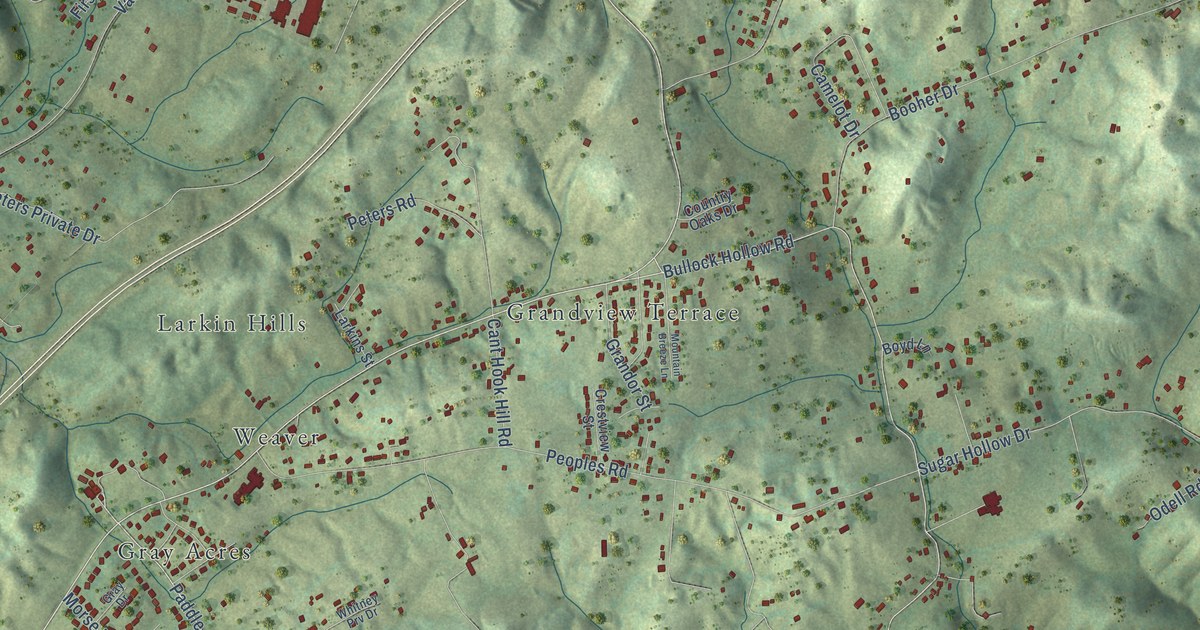
A detailed map of Holston View, Tennessee, showing every building in its true location, the roads by name, and shaded topographical relief.
Read More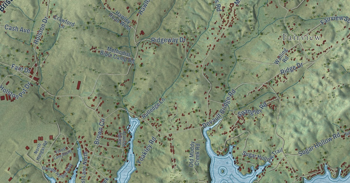
A detailed map of Holston, Tennessee, showing every building in its true location, the roads by name, and shaded topographical relief.
Read More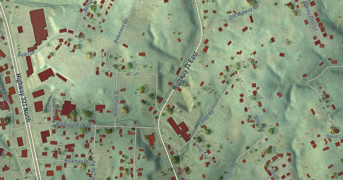
A detailed map of Highland Park, Tennessee, showing every building in its true location, the roads by name, and shaded topographical relief.
Read More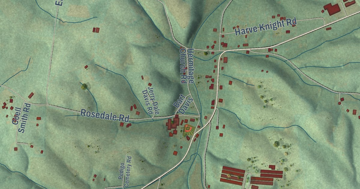
A detailed map of Hermitage Springs, Tennessee, showing every building in its true location, the roads by name, and shaded topographical relief.
Read More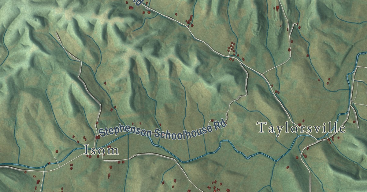
A detailed map of Hampshire, Tennessee, showing every building in its true location, the roads by name, and shaded topographical relief.
Read More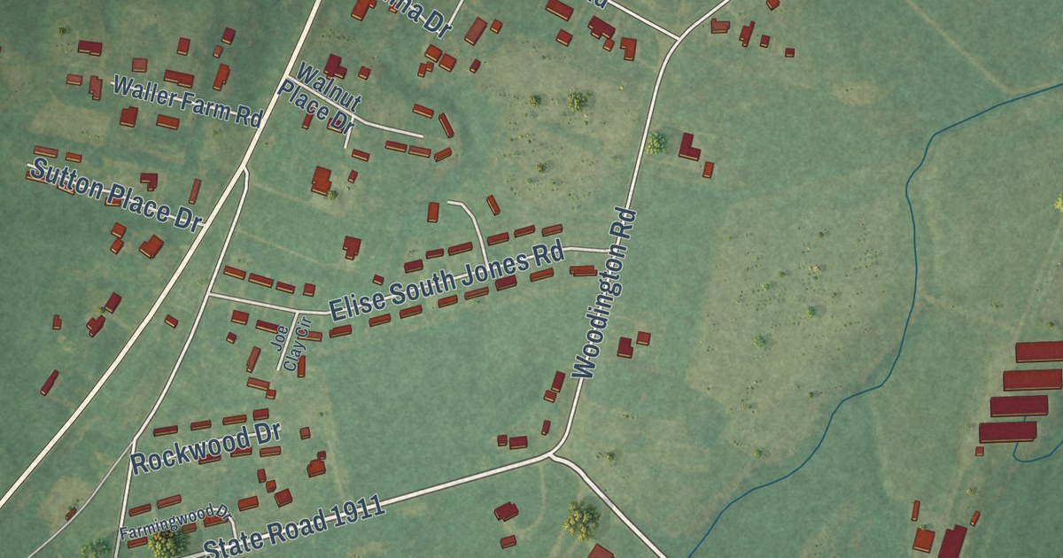
A detailed map of Woodington, North Carolina, showing every building in its true location, the roads by name, and shaded topographical relief.
Read More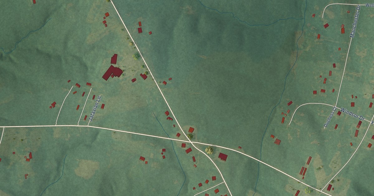
A detailed map of Wilton, North Carolina, showing every building in its true location, the roads by name, and shaded topographical relief.
Read More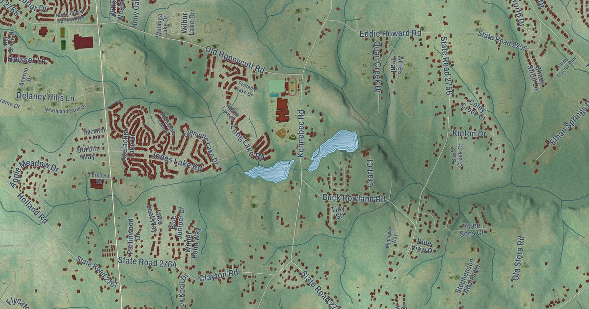
A detailed map of Willow Springs, North Carolina, showing every building in its true location, the roads by name, and shaded topographical relief.
Read More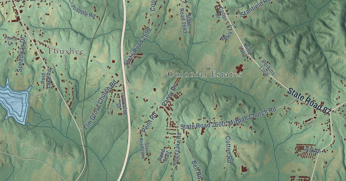
A detailed map of Williamsburg, North Carolina, showing every building in its true location, the roads by name, and shaded topographical relief.
Read More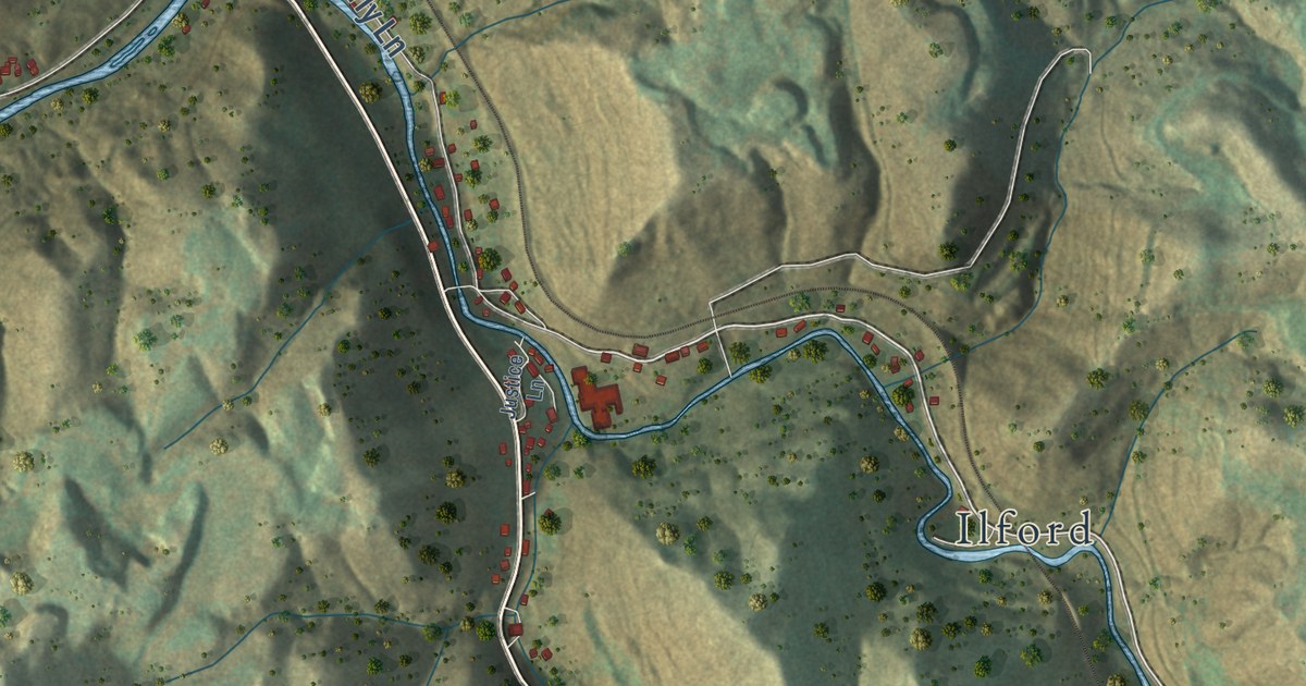
A detailed map of Habersham, Tennessee, showing every building in its true location, the roads by name, and shaded topographical relief.
Read More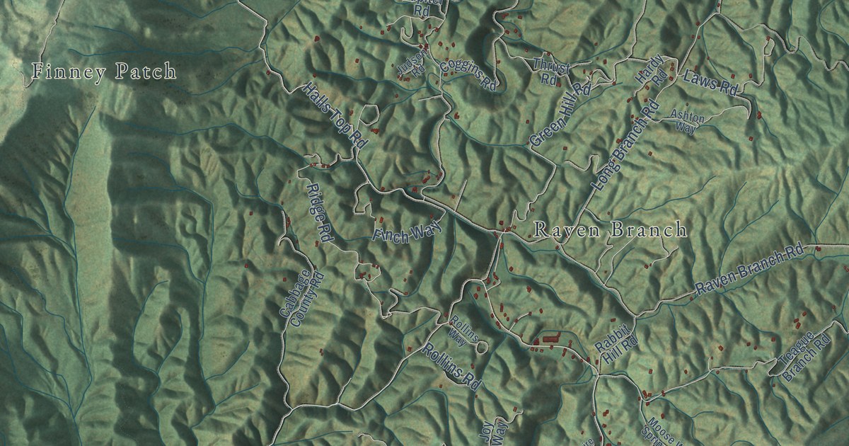
A detailed map of Grassy Fork, Tennessee, showing every building in its true location, the roads by name, and shaded topographical relief.
Read More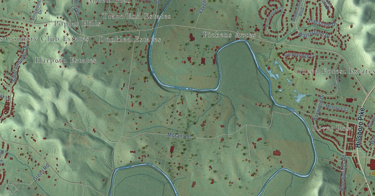
A detailed map of Grassland, Tennessee, showing every building in its true location, the roads by name, and shaded topographical relief.
Read More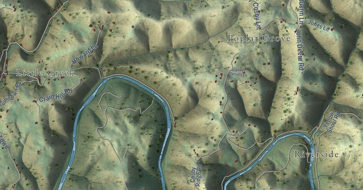
A detailed map of Forge Ridge, Tennessee, showing every building in its true location, the roads by name, and shaded topographical relief.
Read More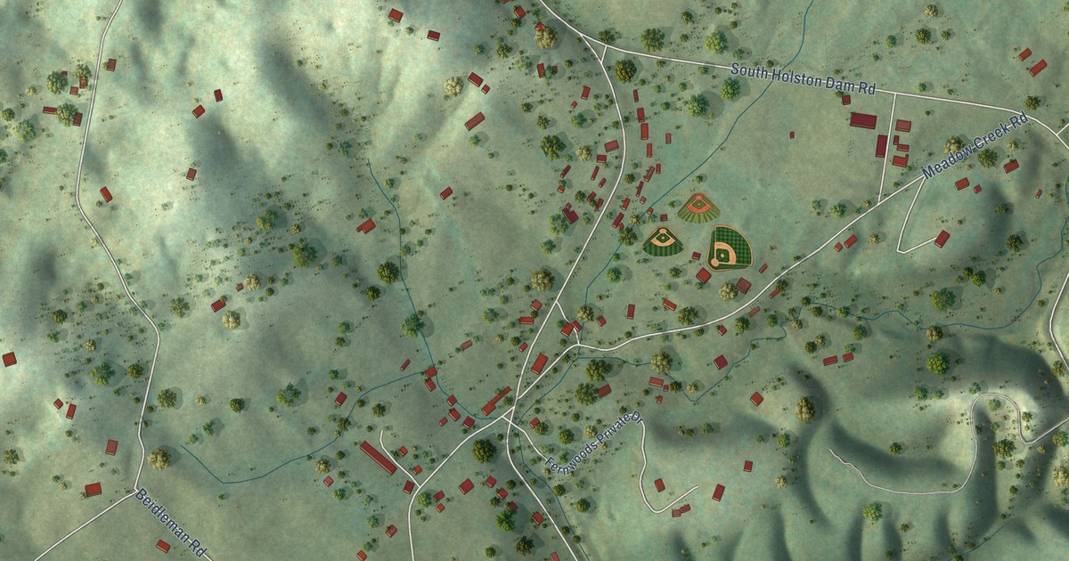
A detailed map of Emmett, Tennessee, showing every building in its true location, the roads by name, and shaded topographical relief.
Read More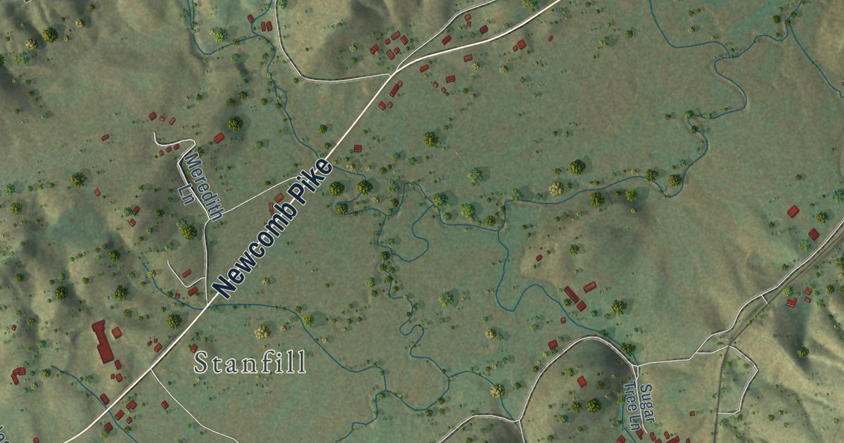
A detailed map of Elk Valley, Tennessee, showing every building in its true location, the roads by name, and shaded topographical relief.
Read More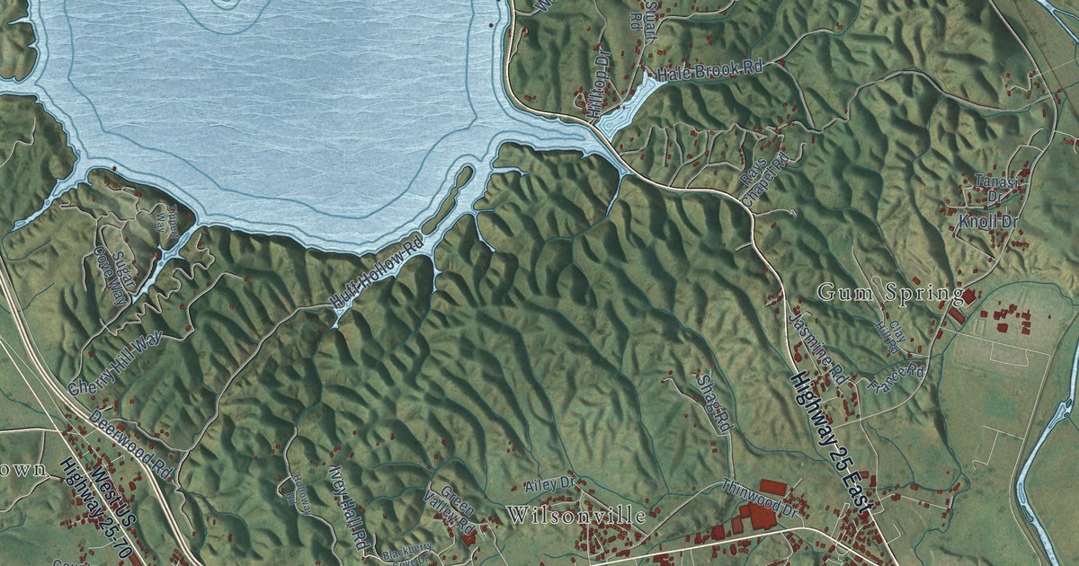
A detailed map of Edgemont, Tennessee, showing every building in its true location, the roads by name, and shaded topographical relief.
Read More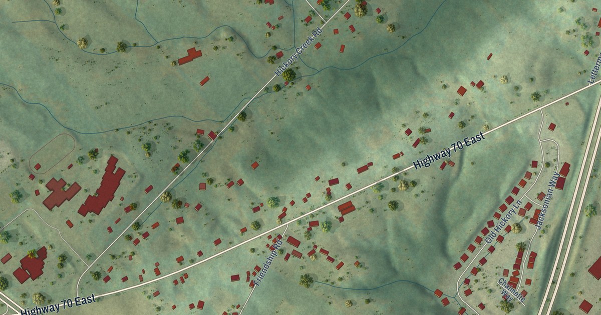
A detailed map of Eaton, Tennessee, showing every building in its true location, the roads by name, and shaded topographical relief.
Read More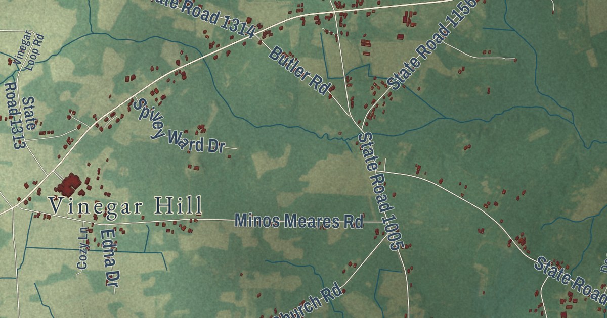
A detailed map of Williams, North Carolina, showing every building in its true location, the roads by name, and shaded topographical relief.
Read More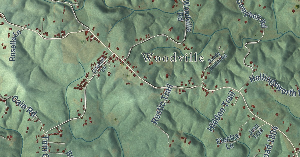
A detailed map of Westfield, North Carolina, showing every building in its true location, the roads by name, and shaded topographical relief.
Read More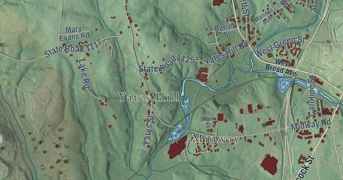
A detailed map of West Rockingham, North Carolina, showing every building in its true location, the roads by name, and shaded topographical relief.
Read More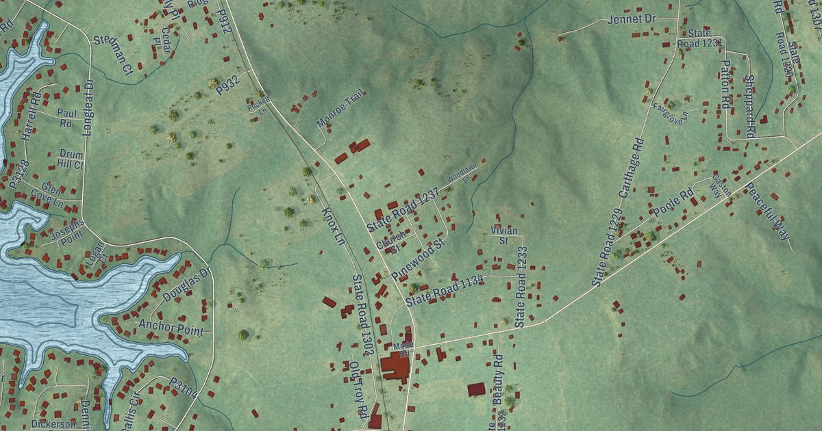
A detailed map of West End, North Carolina, showing every building in its true location, the roads by name, and shaded topographical relief.
Read More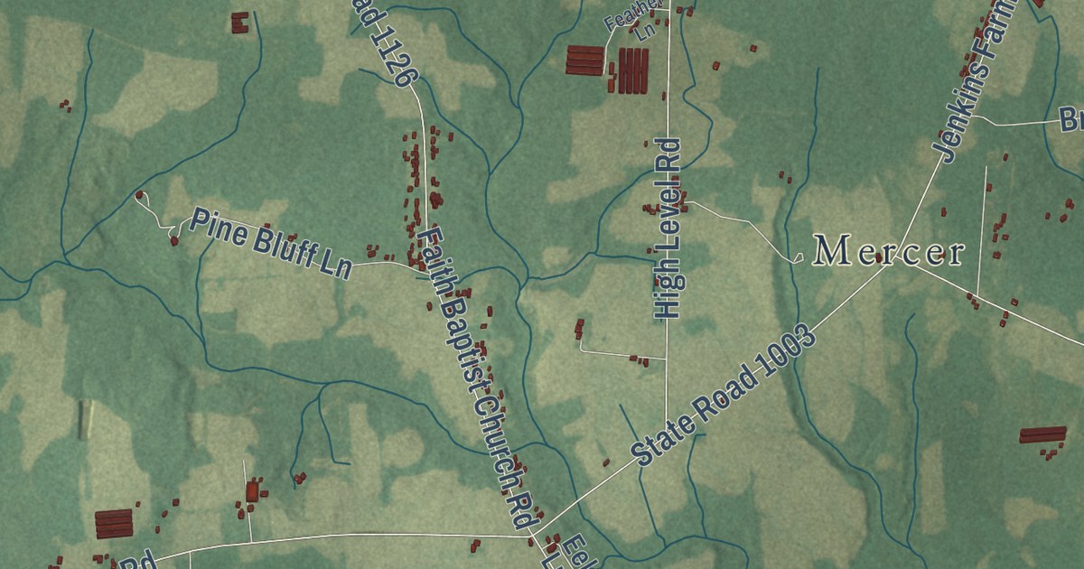
A detailed map of West Edgecombe, North Carolina, showing every building in its true location, the roads by name, and shaded topographical relief.
Read More















