Detailed Map of Weeksville, North Carolina
A detailed map of Weeksville, North Carolina, showing every building in its true location, the roads by name, and shaded topographical relief.
Read More
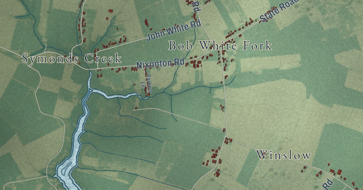
A detailed map of Weeksville, North Carolina, showing every building in its true location, the roads by name, and shaded topographical relief.
Read More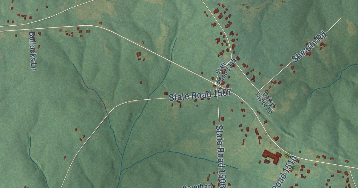
A detailed map of Vaughan, North Carolina, showing every building in its true location, the roads by name, and shaded topographical relief.
Read More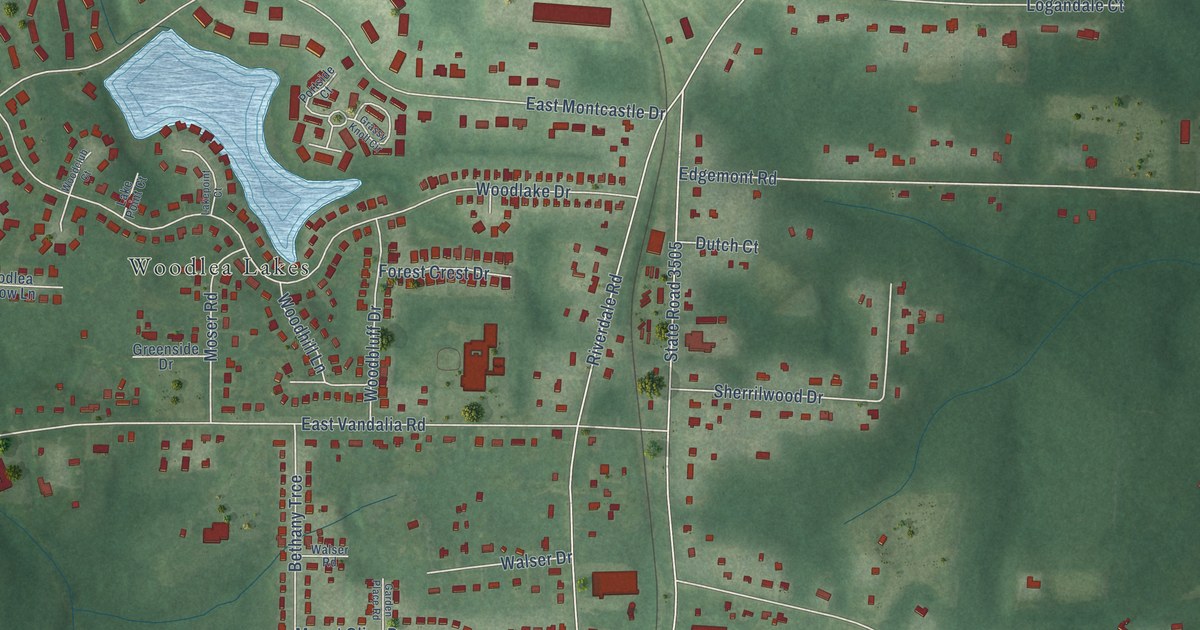
A detailed map of Vandalia, North Carolina, showing every building in its true location, the roads by name, and shaded topographical relief.
Read More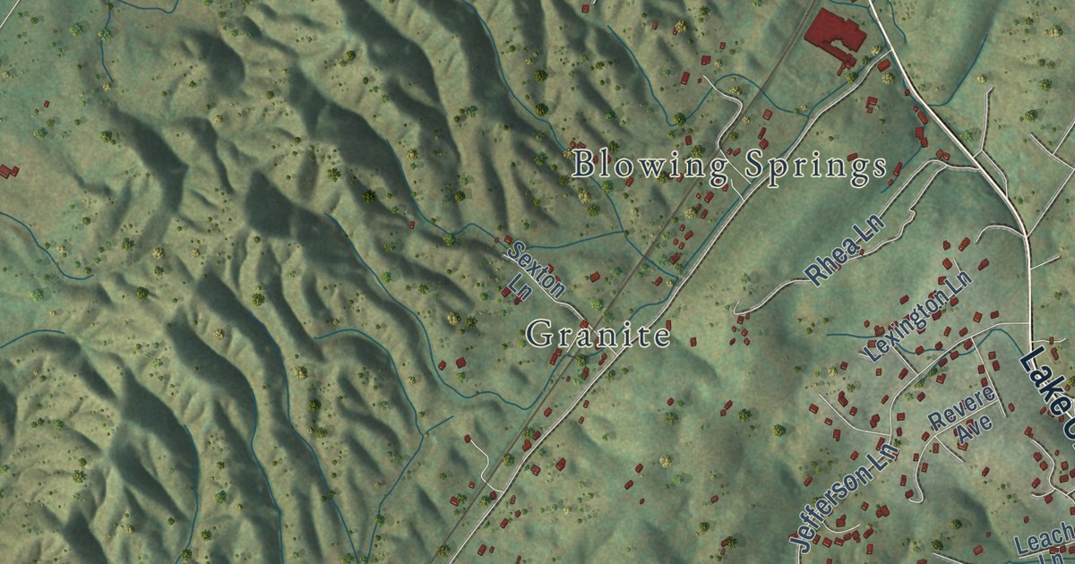
A detailed map of Dutch Valley, Tennessee, showing every building in its true location, the roads by name, and shaded topographical relief.
Read More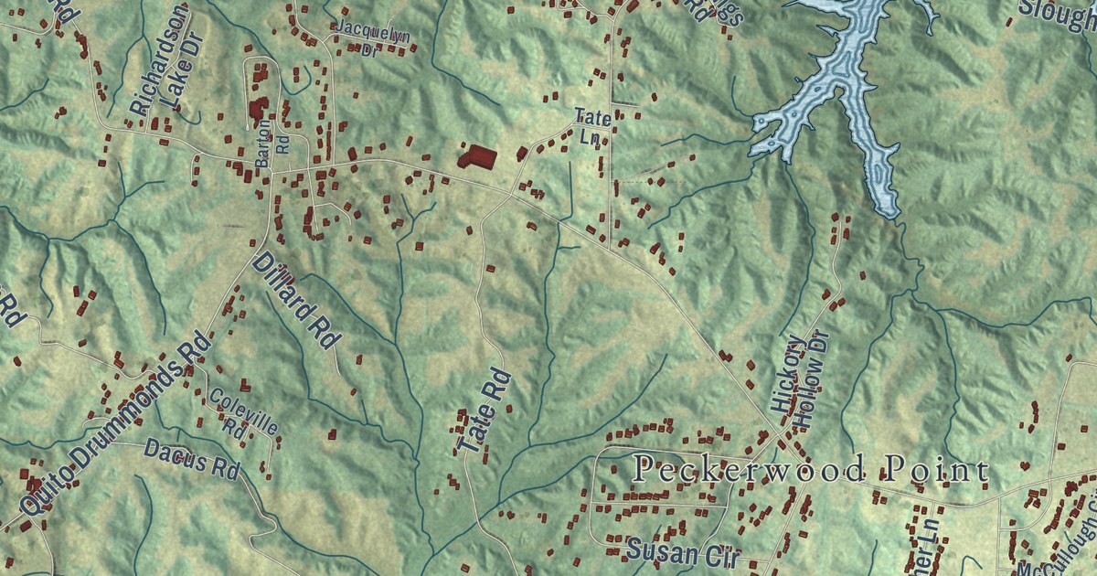
A detailed map of Drummonds, Tennessee, showing every building in its true location, the roads by name, and shaded topographical relief.
Read More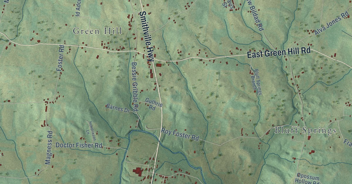
A detailed map of Dibrell, Tennessee, showing every building in its true location, the roads by name, and shaded topographical relief.
Read More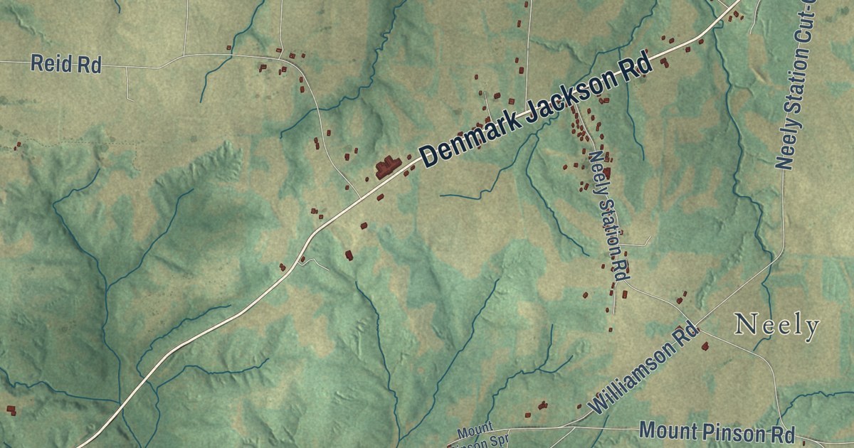
A detailed map of Denmark, Tennessee, showing every building in its true location, the roads by name, and shaded topographical relief.
Read More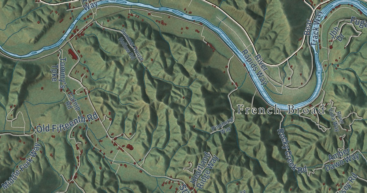
A detailed map of Del Rio, Tennessee, showing every building in its true location, the roads by name, and shaded topographical relief.
Read More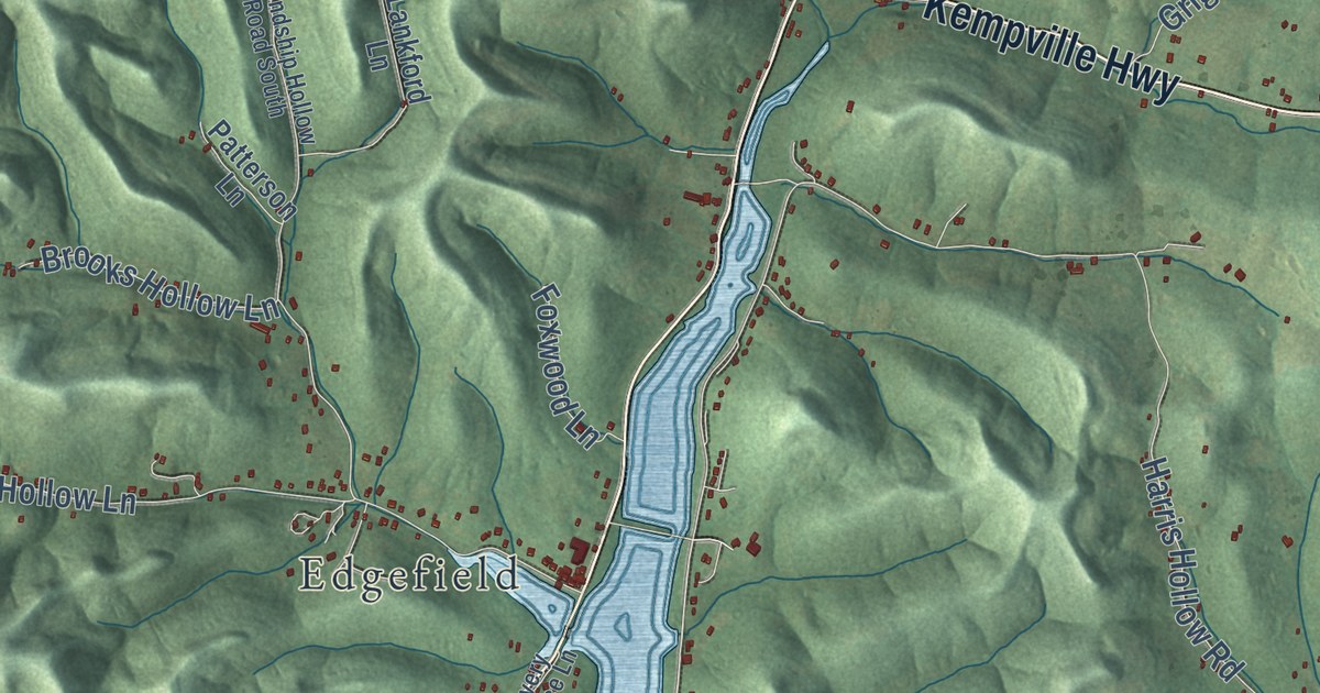
A detailed map of Defeated, Tennessee, showing every building in its true location, the roads by name, and shaded topographical relief.
Read More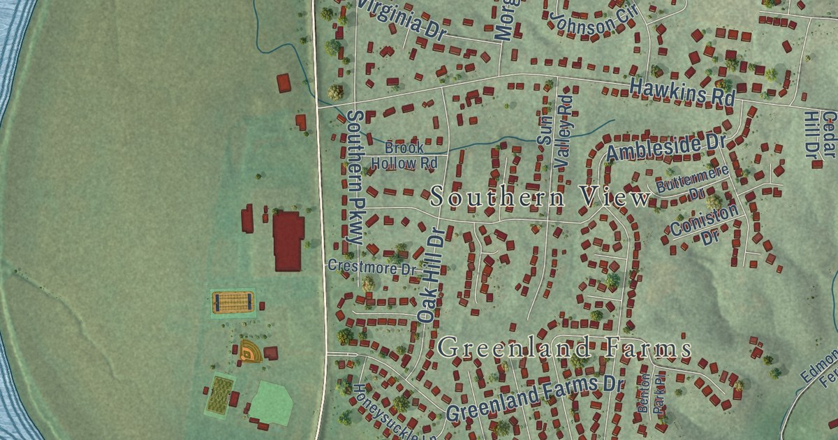
A detailed map of Cumberland Heights, Tennessee, showing every building in its true location, the roads by name, and shaded topographical relief.
Read More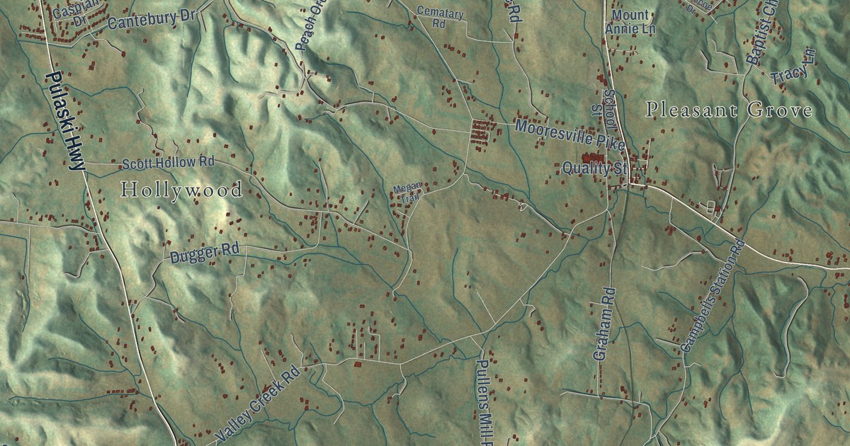
A detailed map of Culleoka, Tennessee, showing every building in its true location, the roads by name, and shaded topographical relief.
Read More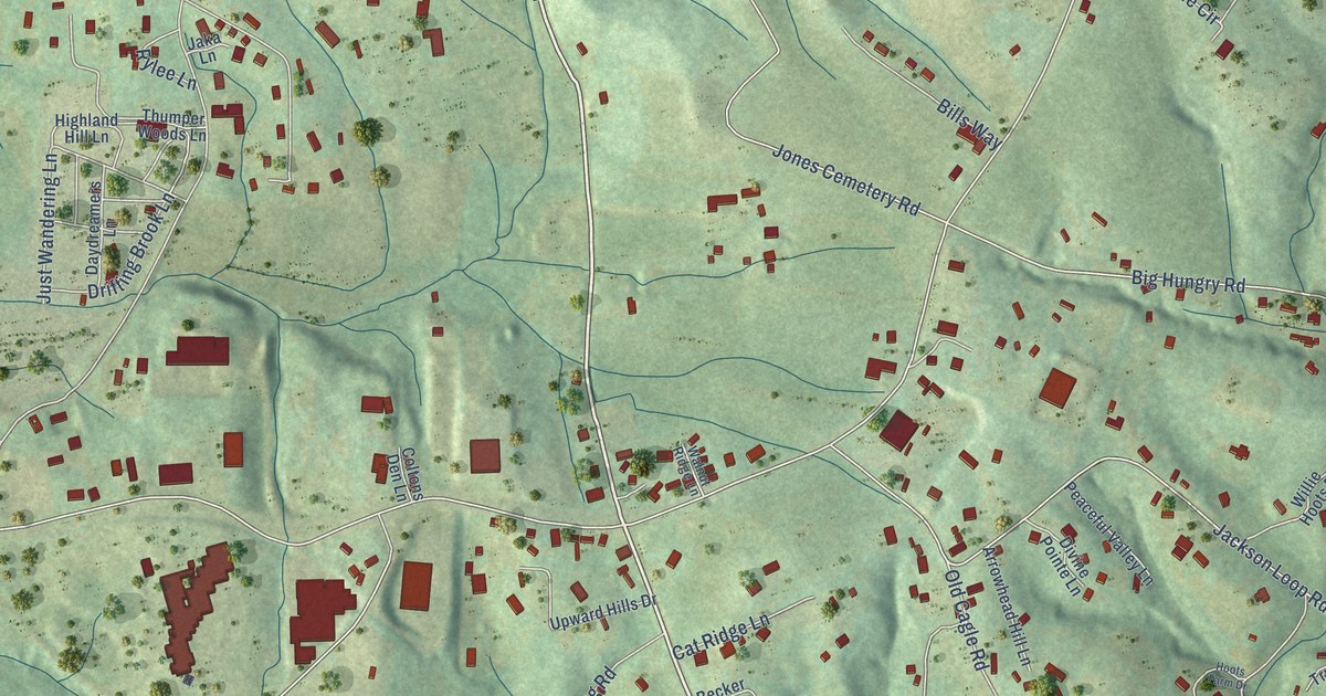
A detailed map of Upward, North Carolina, showing every building in its true location, the roads by name, and shaded topographical relief.
Read More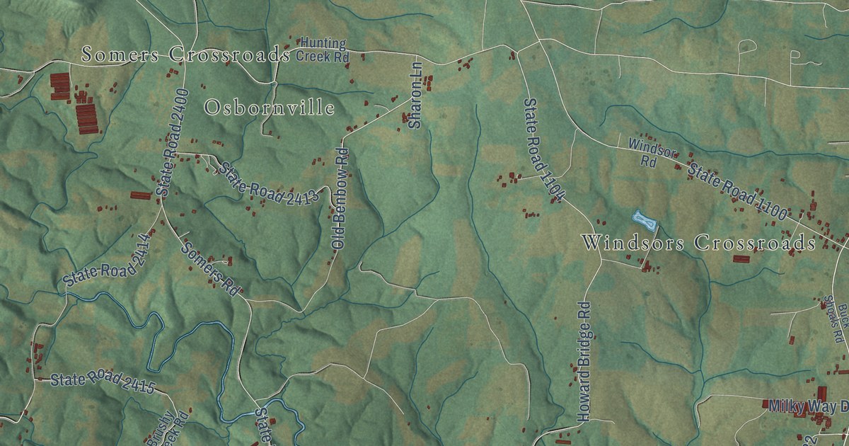
A detailed map of Union Grove, North Carolina, showing every building in its true location, the roads by name, and shaded topographical relief.
Read More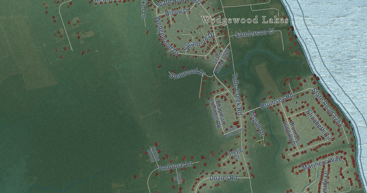
A detailed map of Tulls, North Carolina, showing every building in its true location, the roads by name, and shaded topographical relief.
Read More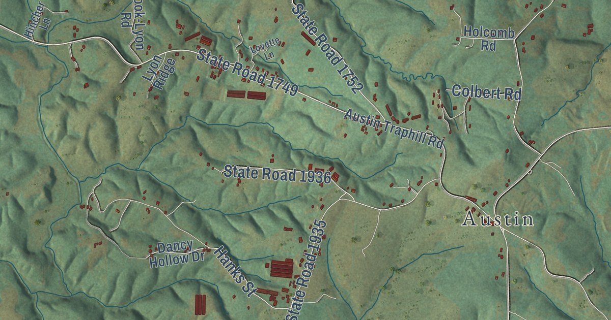
A detailed map of Traphill, North Carolina, showing every building in its true location, the roads by name, and shaded topographical relief.
Read More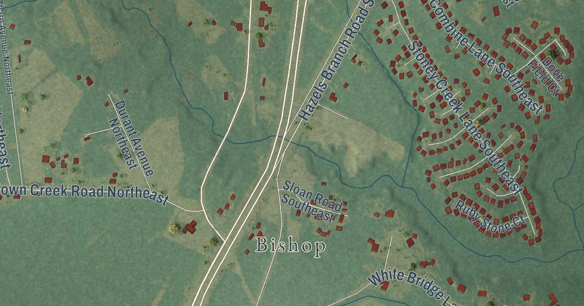
A detailed map of Town Creek, North Carolina, showing every building in its true location, the roads by name, and shaded topographical relief.
Read More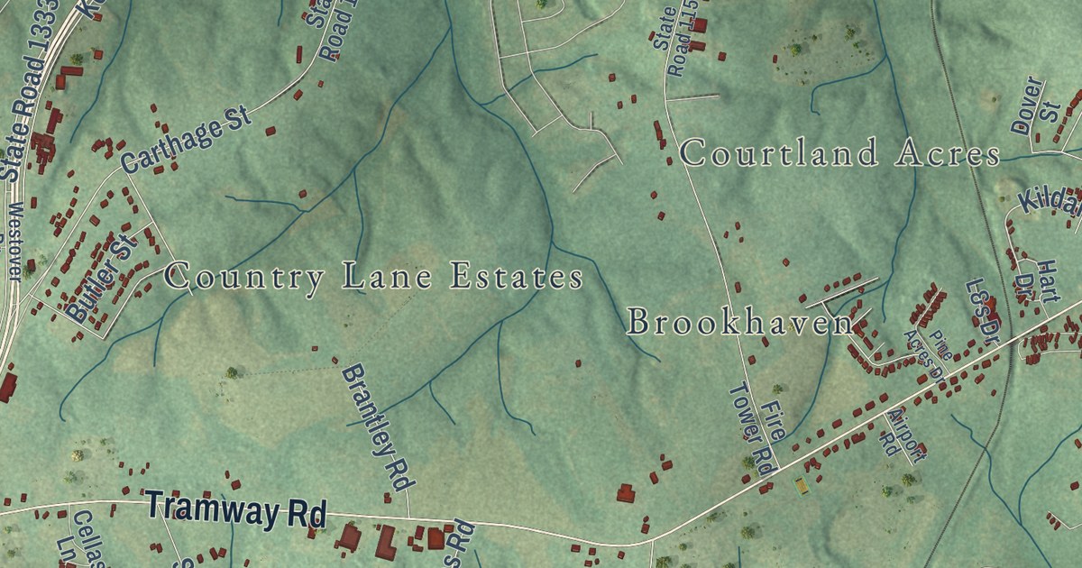
A detailed map of Tramway, North Carolina, showing every building in its true location, the roads by name, and shaded topographical relief.
Read More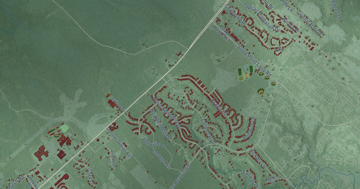
A detailed map of Topsail, North Carolina, showing every building in its true location, the roads by name, and shaded topographical relief.
Read More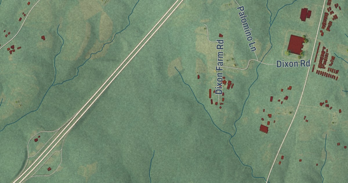
A detailed map of Tar River, North Carolina, showing every building in its true location, the roads by name, and shaded topographical relief.
Read More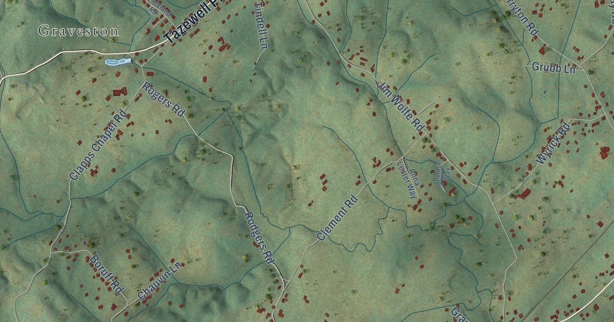
A detailed map of Corryton, Tennessee, showing every building in its true location, the roads by name, and shaded topographical relief.
Read More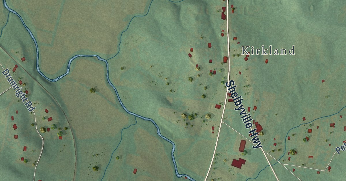
A detailed map of College Grove, Tennessee, showing every building in its true location, the roads by name, and shaded topographical relief.
Read More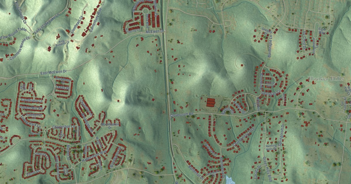
A detailed map of Clovercroft, Tennessee, showing every building in its true location, the roads by name, and shaded topographical relief.
Read More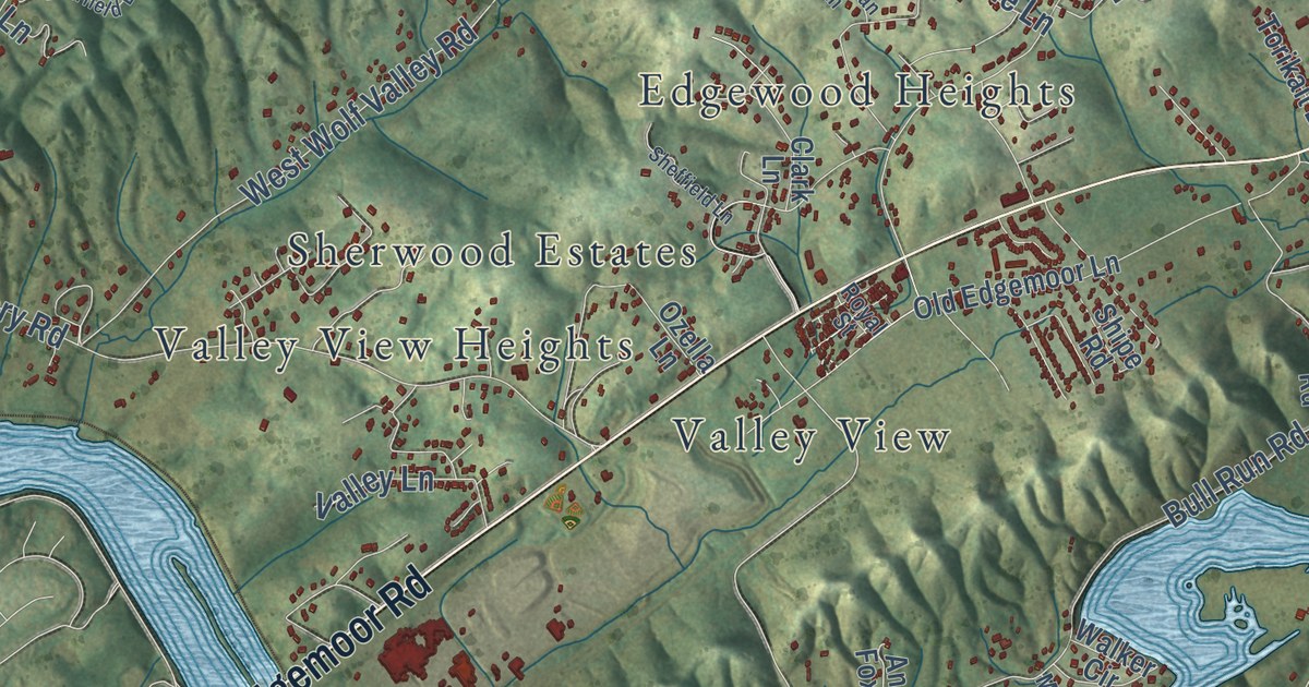
A detailed map of Claxton, Tennessee, showing every building in its true location, the roads by name, and shaded topographical relief.
Read More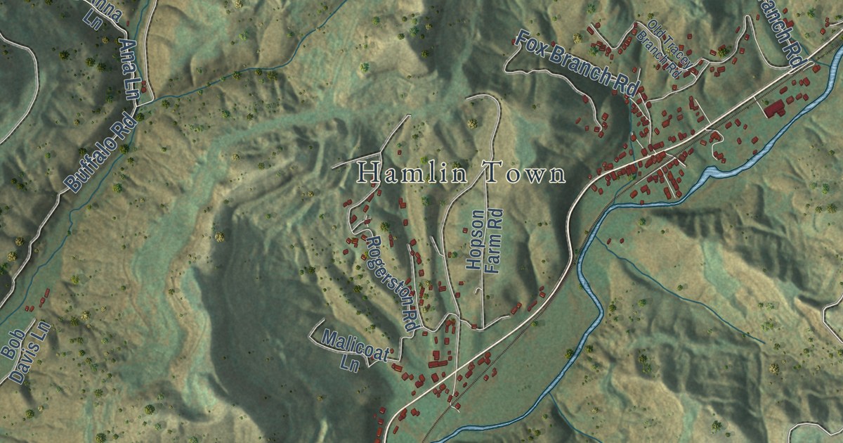
A detailed map of Clairfield, Tennessee, showing every building in its true location, the roads by name, and shaded topographical relief.
Read More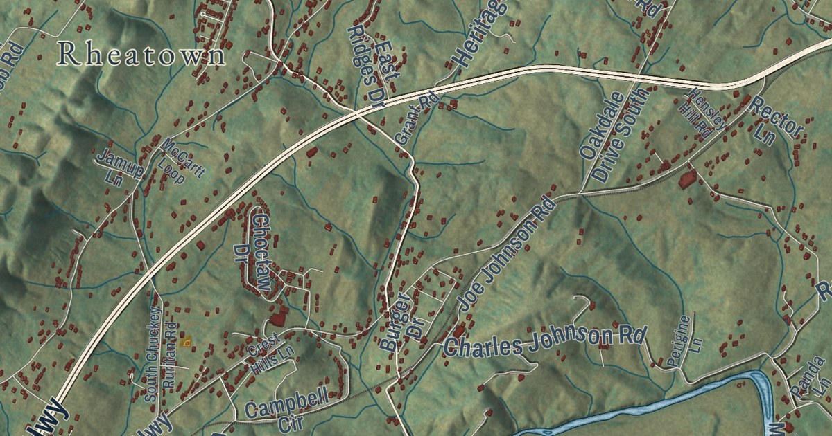
A detailed map of Chuckey, Tennessee, showing every building in its true location, the roads by name, and shaded topographical relief.
Read More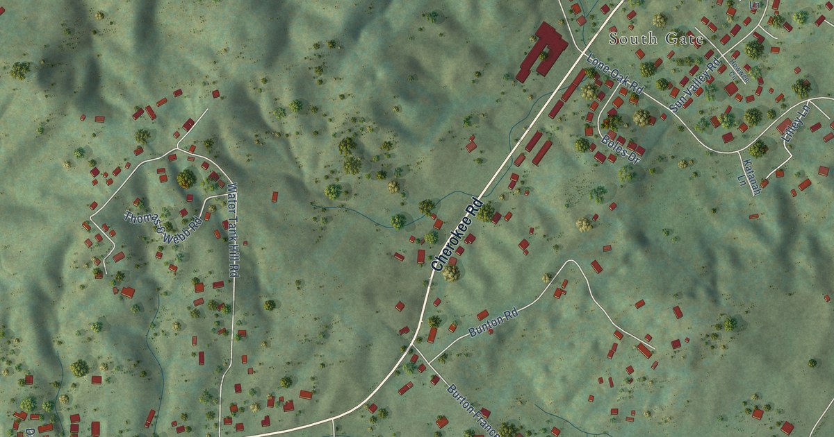
A detailed map of Cherokee, Tennessee, showing every building in its true location, the roads by name, and shaded topographical relief.
Read More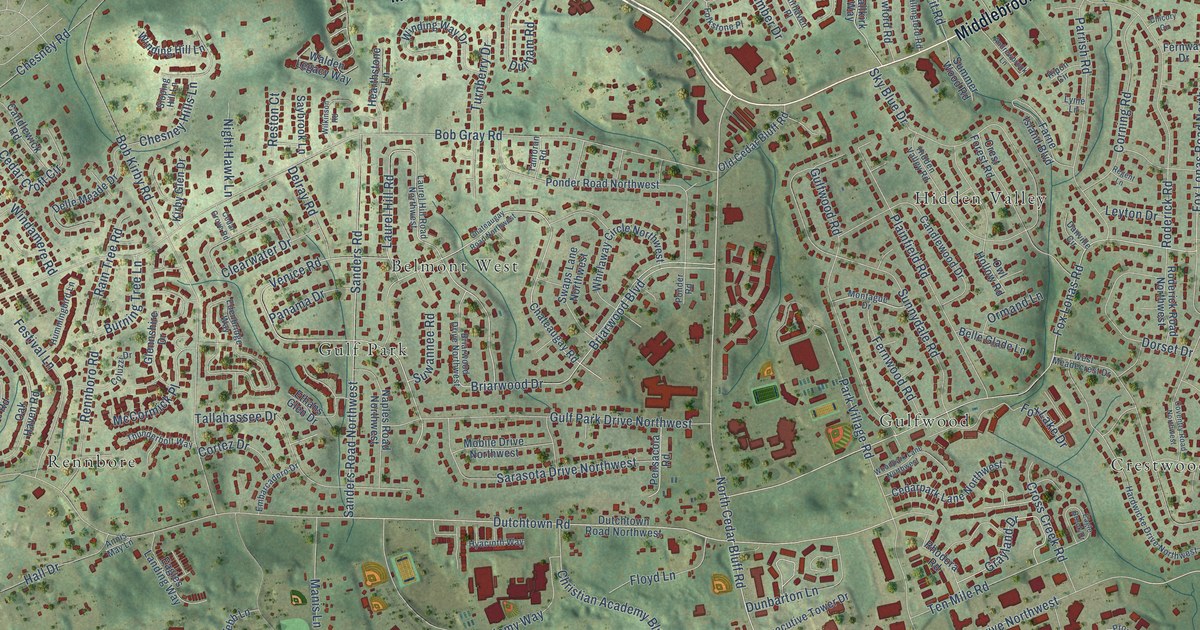
A detailed map of Cedar Bluff, Tennessee, showing every building in its true location, the roads by name, and shaded topographical relief.
Read More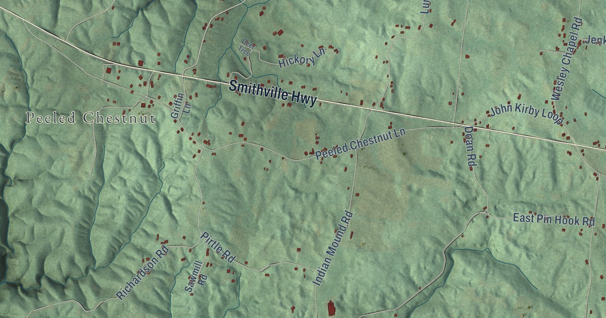
A detailed map of Cassville, Tennessee, showing every building in its true location, the roads by name, and shaded topographical relief.
Read More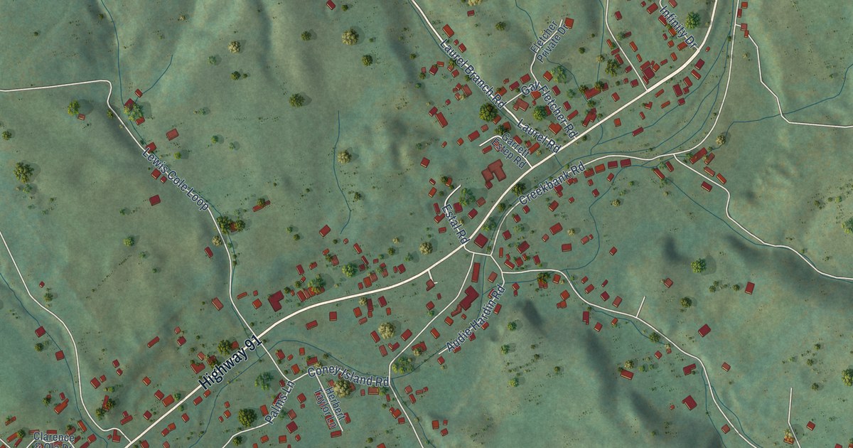
A detailed map of Carter, Tennessee, showing every building in its true location, the roads by name, and shaded topographical relief.
Read More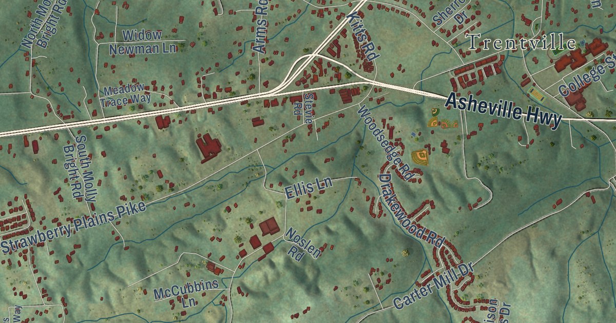
A detailed map of Carter, Tennessee, showing every building in its true location, the roads by name, and shaded topographical relief.
Read More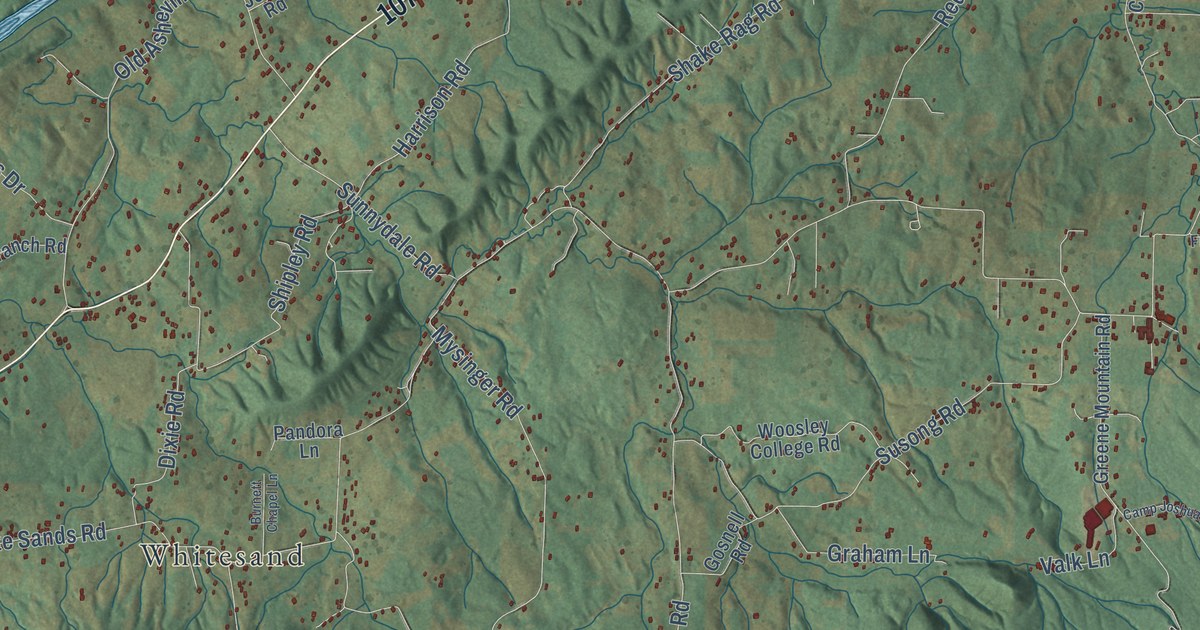
A detailed map of Camp Creek, Tennessee, showing every building in its true location, the roads by name, and shaded topographical relief.
Read More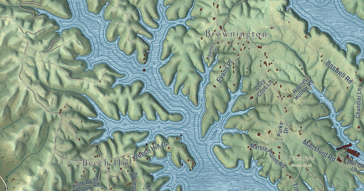
A detailed map of Broadview, Tennessee, showing every building in its true location, the roads by name, and shaded topographical relief.
Read More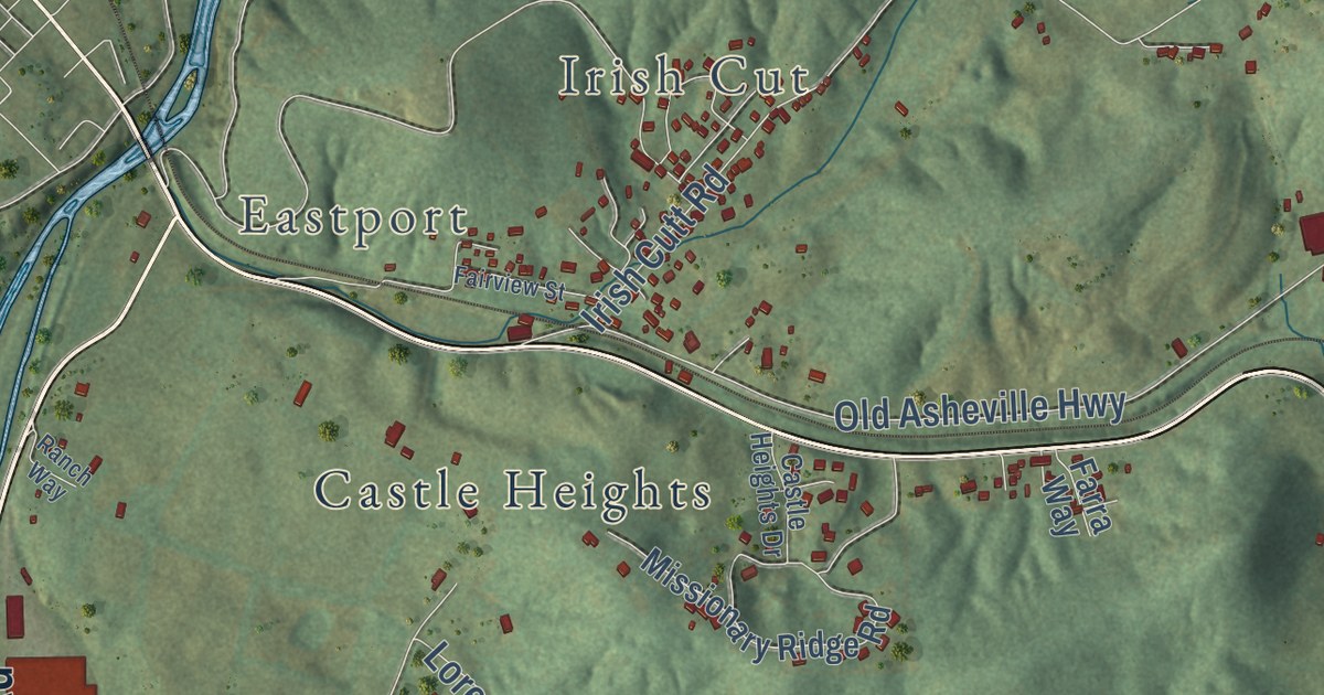
A detailed map of Bridgeport, Tennessee, showing every building in its true location, the roads by name, and shaded topographical relief.
Read More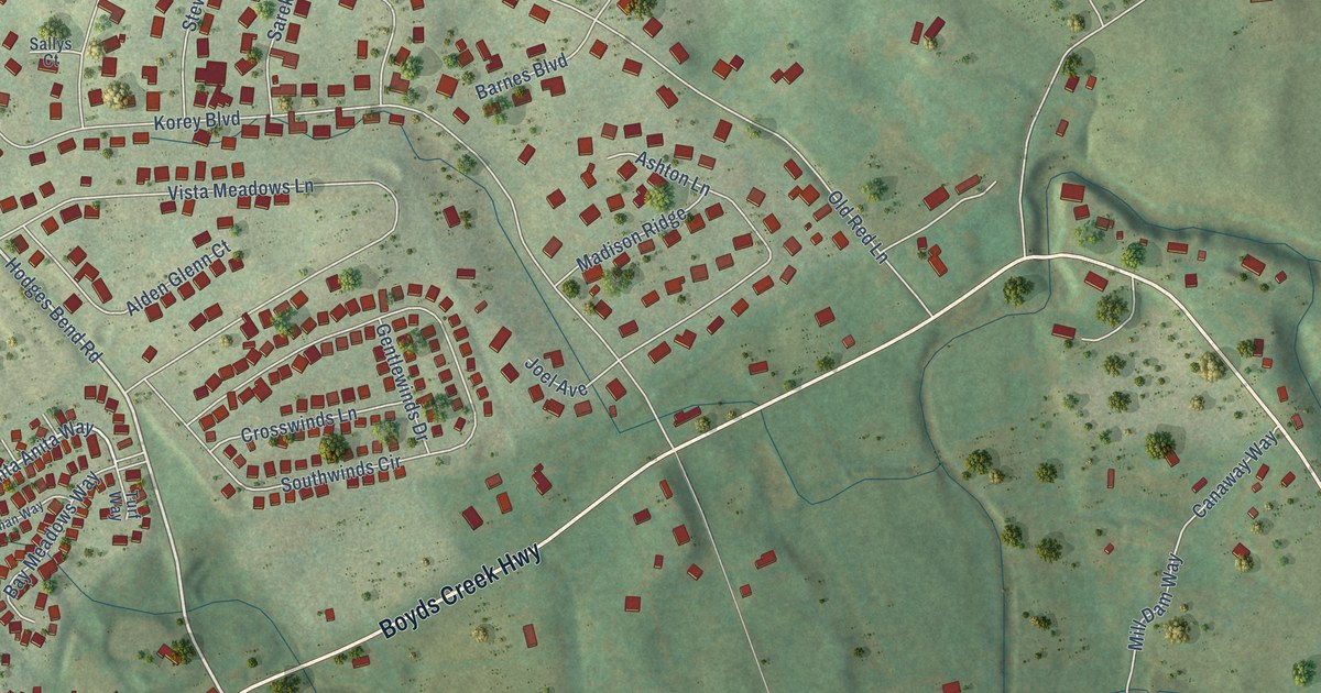
A detailed map of Boyds Creek, Tennessee, showing every building in its true location, the roads by name, and shaded topographical relief.
Read More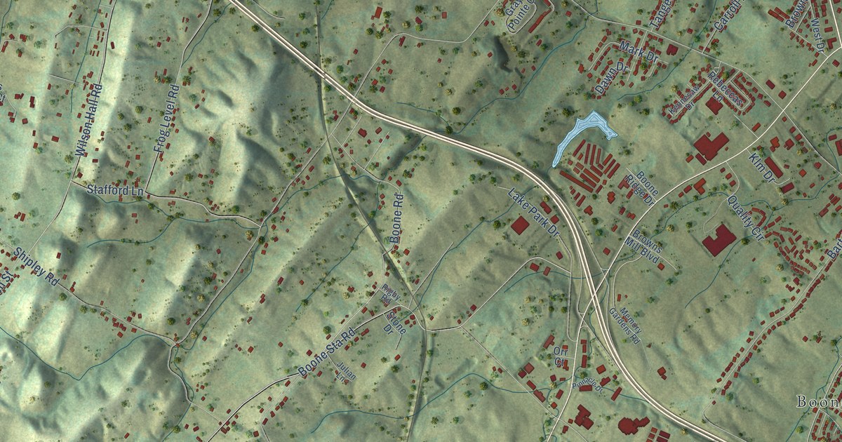
A detailed map of Boone, Tennessee, showing every building in its true location, the roads by name, and shaded topographical relief.
Read More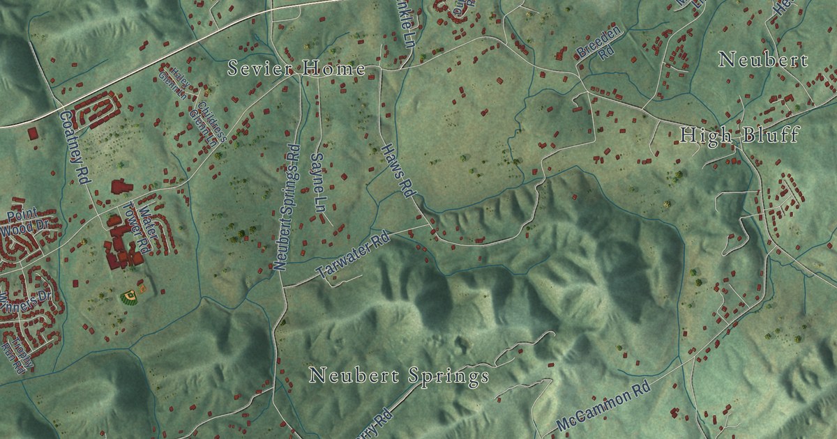
A detailed map of Bonny Kate, Tennessee, showing every building in its true location, the roads by name, and shaded topographical relief.
Read More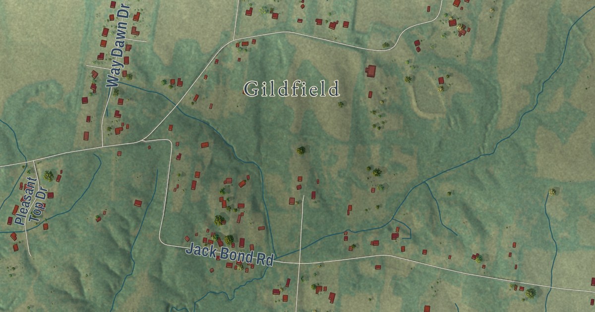
A detailed map of Bolton, Tennessee, showing every building in its true location, the roads by name, and shaded topographical relief.
Read More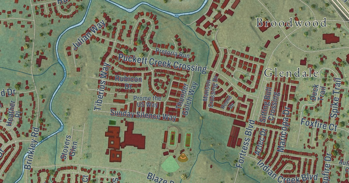
A detailed map of Blackman, Tennessee, showing every building in its true location, the roads by name, and shaded topographical relief.
Read More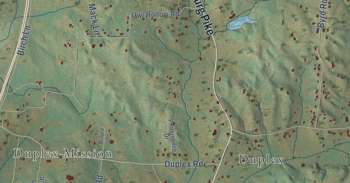
A detailed map of Bethesda, Tennessee, showing every building in its true location, the roads by name, and shaded topographical relief.
Read More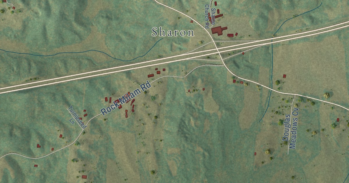
A detailed map of Bargerton, Tennessee, showing every building in its true location, the roads by name, and shaded topographical relief.
Read More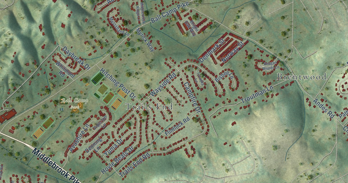
A detailed map of Ball Camp, Tennessee, showing every building in its true location, the roads by name, and shaded topographical relief.
Read More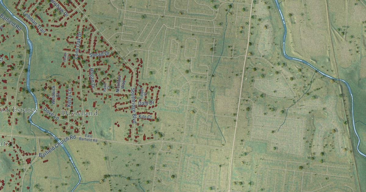
A detailed map of Barfield, Tennessee, showing every building in its true location, the roads by name, and shaded topographical relief.
Read More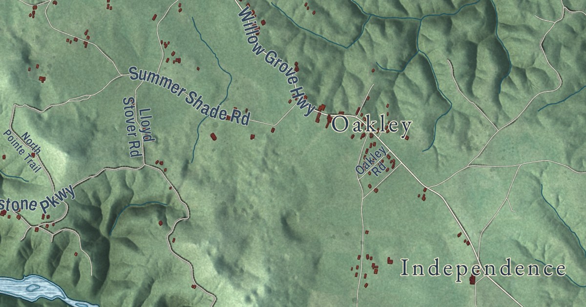
A detailed map of Allons, Tennessee, showing every building in its true location, the roads by name, and shaded topographical relief.
Read More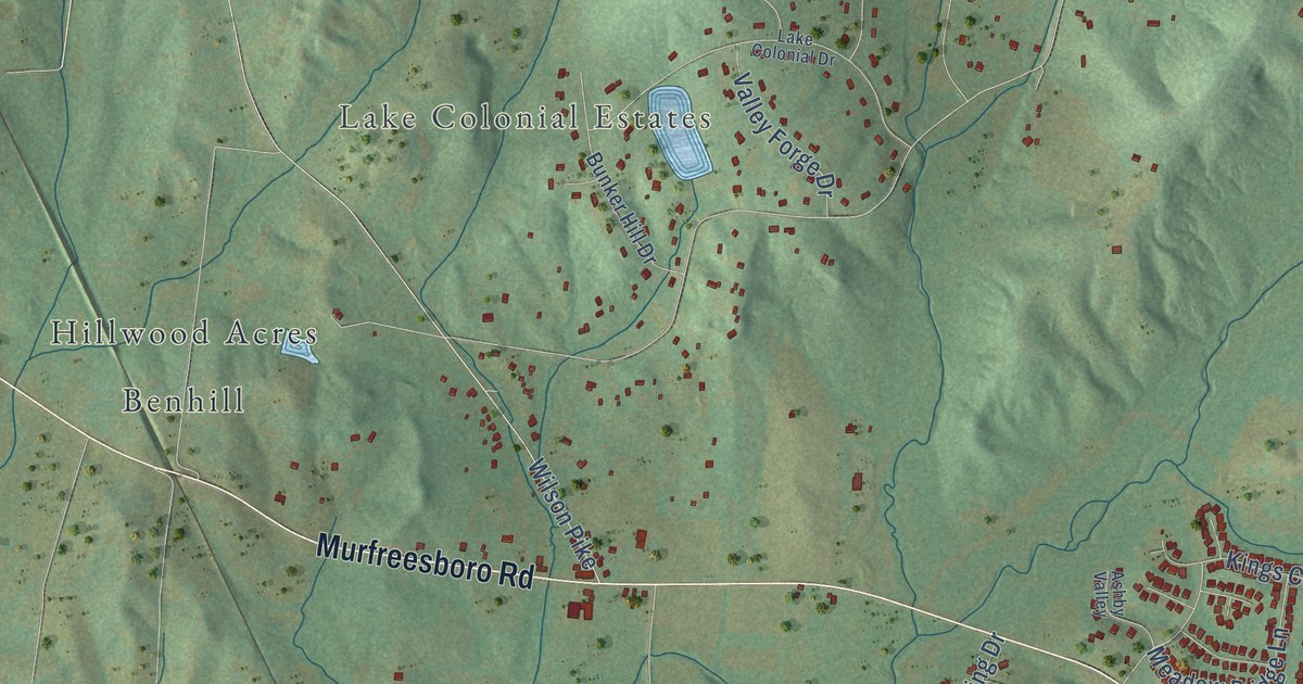
A detailed map of Arrington, Tennessee, showing every building in its true location, the roads by name, and shaded topographical relief.
Read More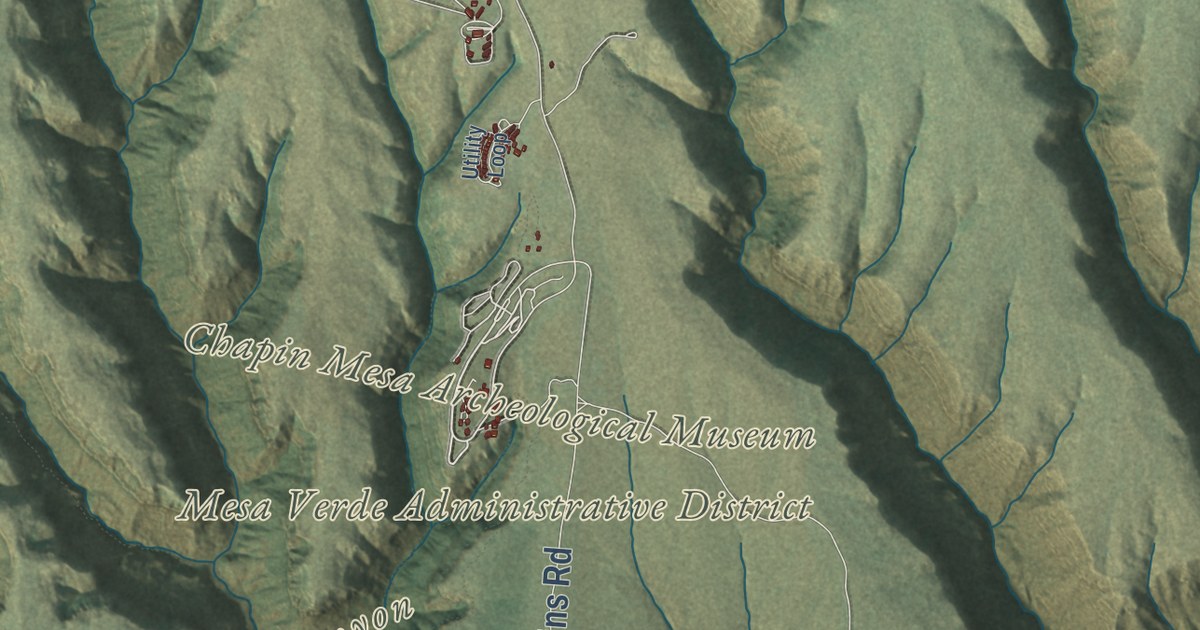
A detailed map of Mesa Verde National Park, from Point Lookout to Chapin and Wetherill mesas, with shaded relief and the canyons that hold its cliff dwellings.
Read More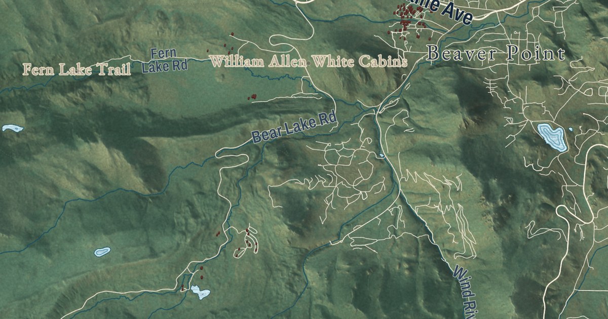
A detailed map of Rocky Mountain National Park, from Longs Peak to the Mummy Range and the Kawuneeche Valley, with shaded relief and Trail Ridge Road across the top.
Read More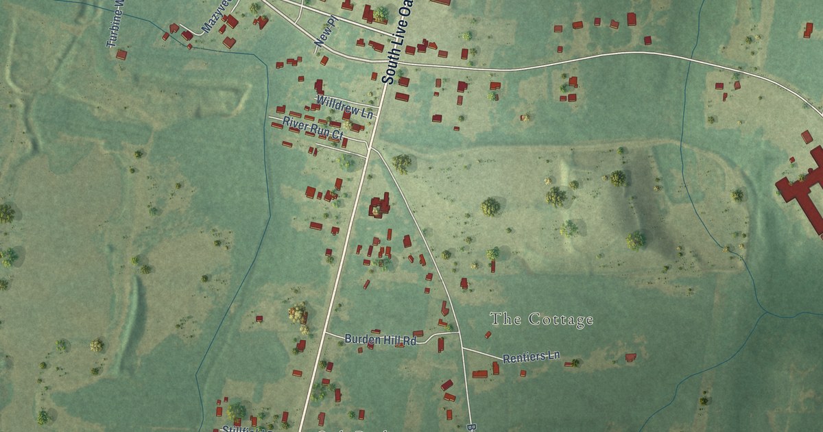
A detailed map of Whitesville, South Carolina, showing every building in its true location, the roads by name, and shaded topographical relief.
Read More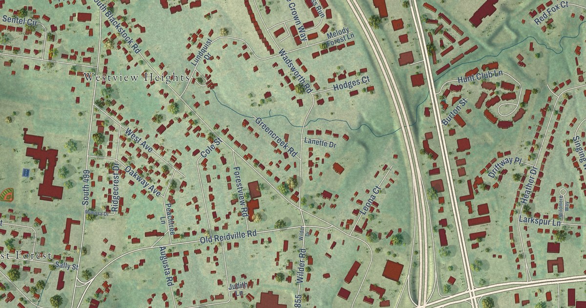
A detailed map of West View, South Carolina, showing every building in its true location, the roads by name, and shaded topographical relief.
Read More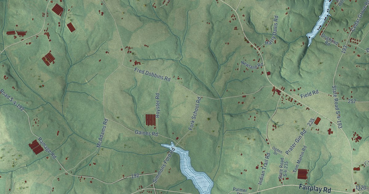
A detailed map of Townville, South Carolina, showing every building in its true location, the roads by name, and shaded topographical relief.
Read More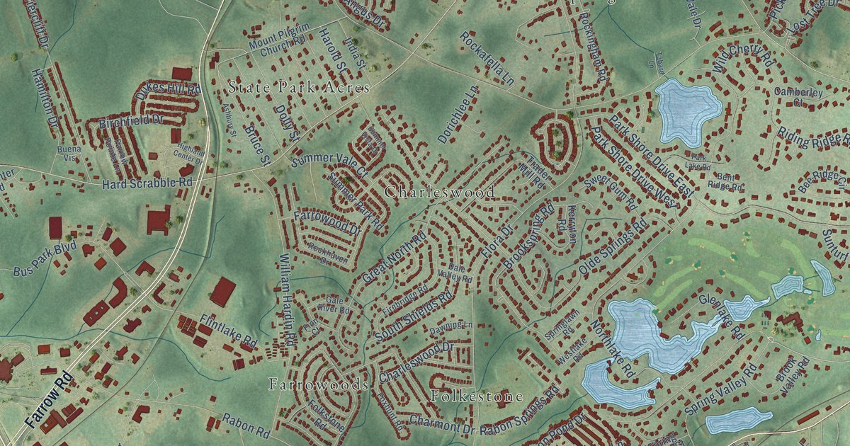
A detailed map of Spring Valley, South Carolina, showing every building in its true location, the roads by name, and shaded topographical relief.
Read More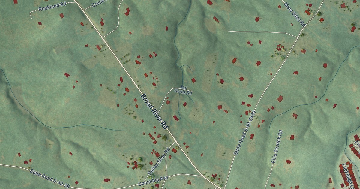
A detailed map of Spring Hill, South Carolina, showing every building in its true location, the roads by name, and shaded topographical relief.
Read More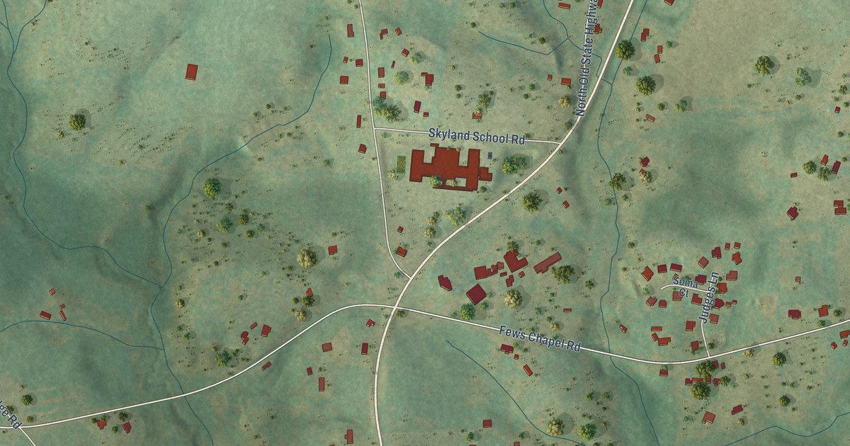
A detailed map of Skyland, South Carolina, showing every building in its true location, the roads by name, and shaded topographical relief.
Read More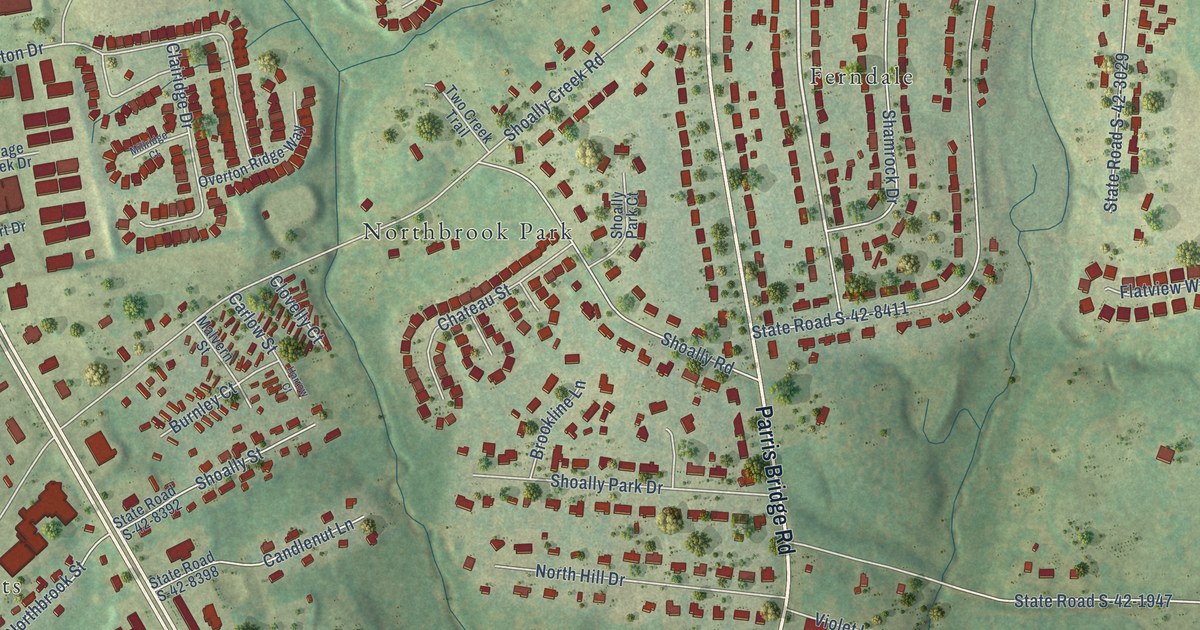
A detailed map of Shoally Creek, South Carolina, showing every building in its true location, the roads by name, and shaded topographical relief.
Read More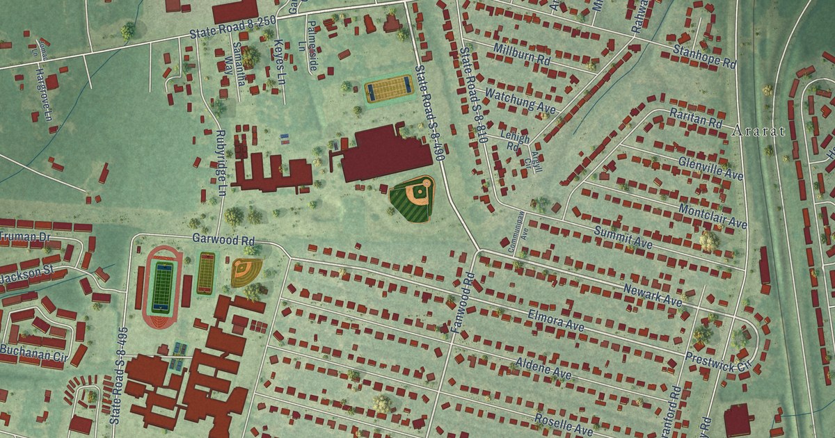
A detailed map of Sedgefield, South Carolina, showing every building in its true location, the roads by name, and shaded topographical relief.
Read More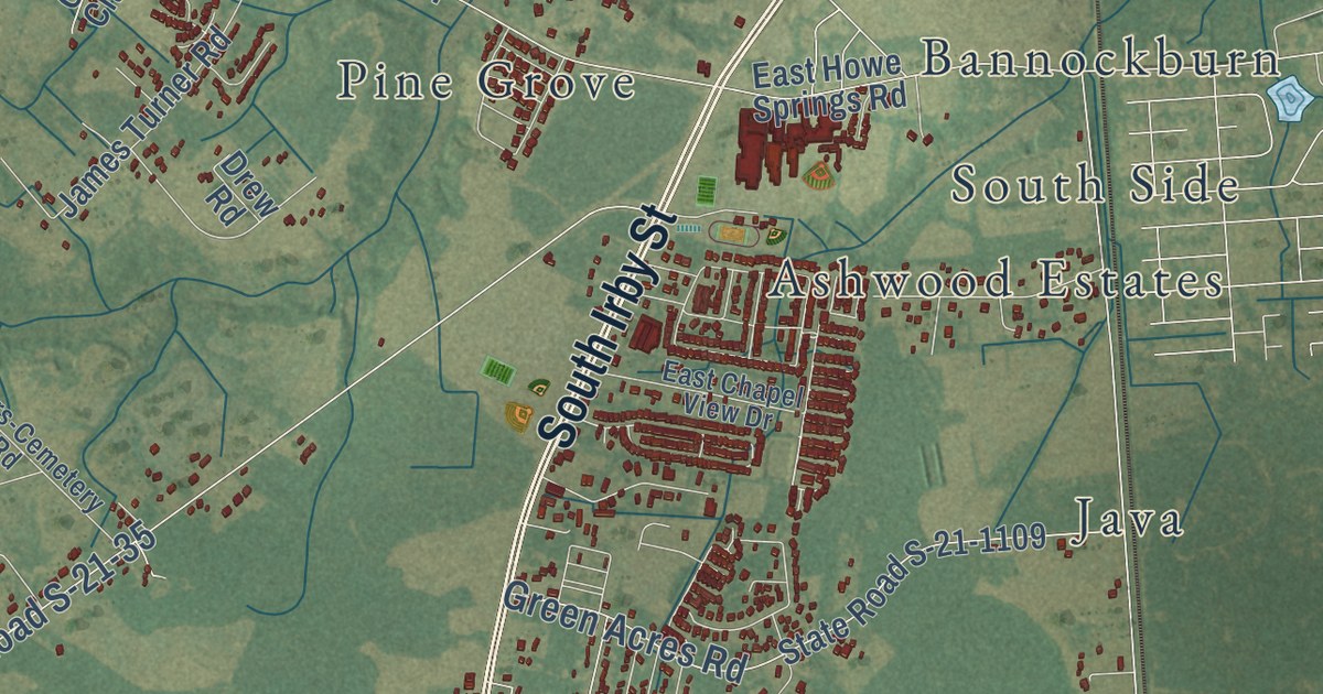
A detailed map of Savannah Grove, South Carolina, showing every building in its true location, the roads by name, and shaded topographical relief.
Read More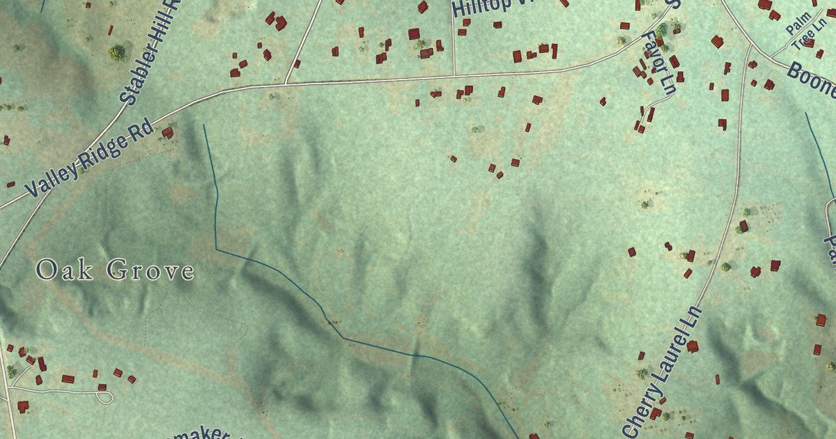
A detailed map of Sandy Run, South Carolina, showing every building in its true location, the roads by name, and shaded topographical relief.
Read More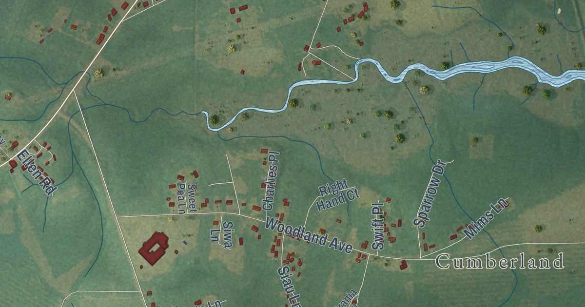
A detailed map of Sampit, South Carolina, showing every building in its true location, the roads by name, and shaded topographical relief.
Read More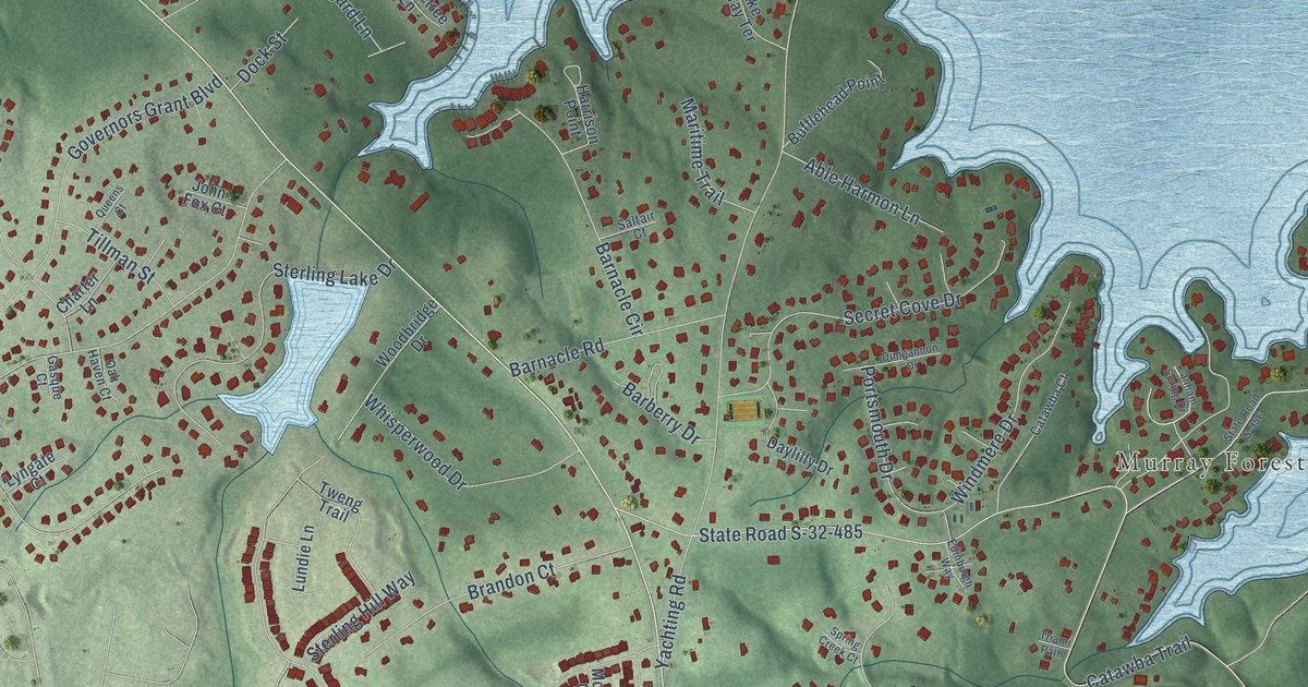
A detailed map of Providence, South Carolina, showing every building in its true location, the roads by name, and shaded topographical relief.
Read More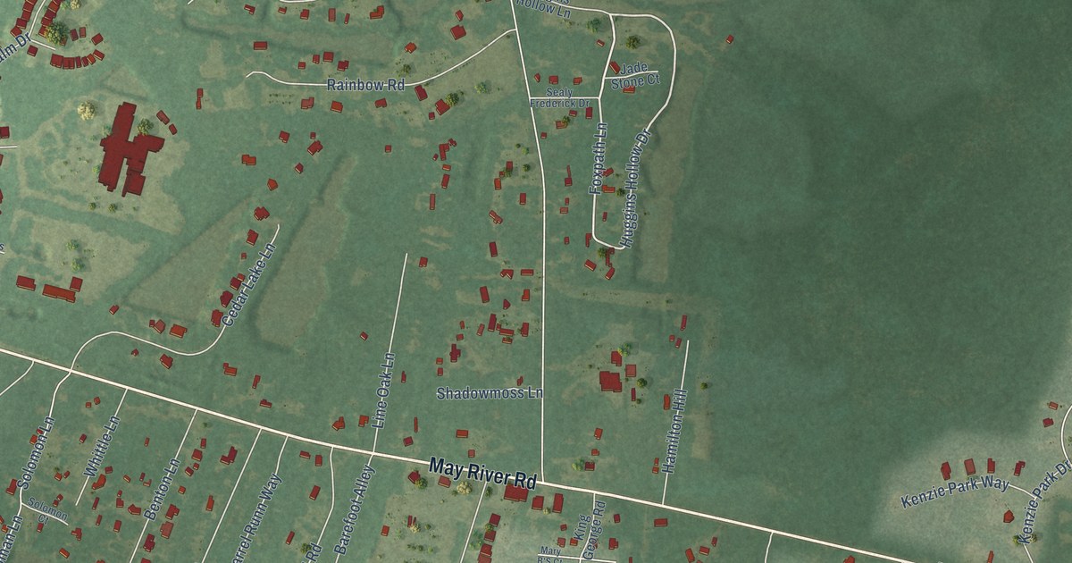
A detailed map of Pritchardville, South Carolina, showing every building in its true location, the roads by name, and shaded topographical relief.
Read More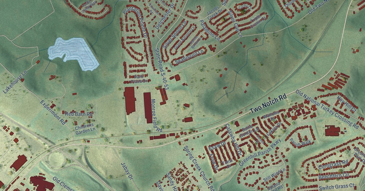
A detailed map of Pontiac, South Carolina, showing every building in its true location, the roads by name, and shaded topographical relief.
Read More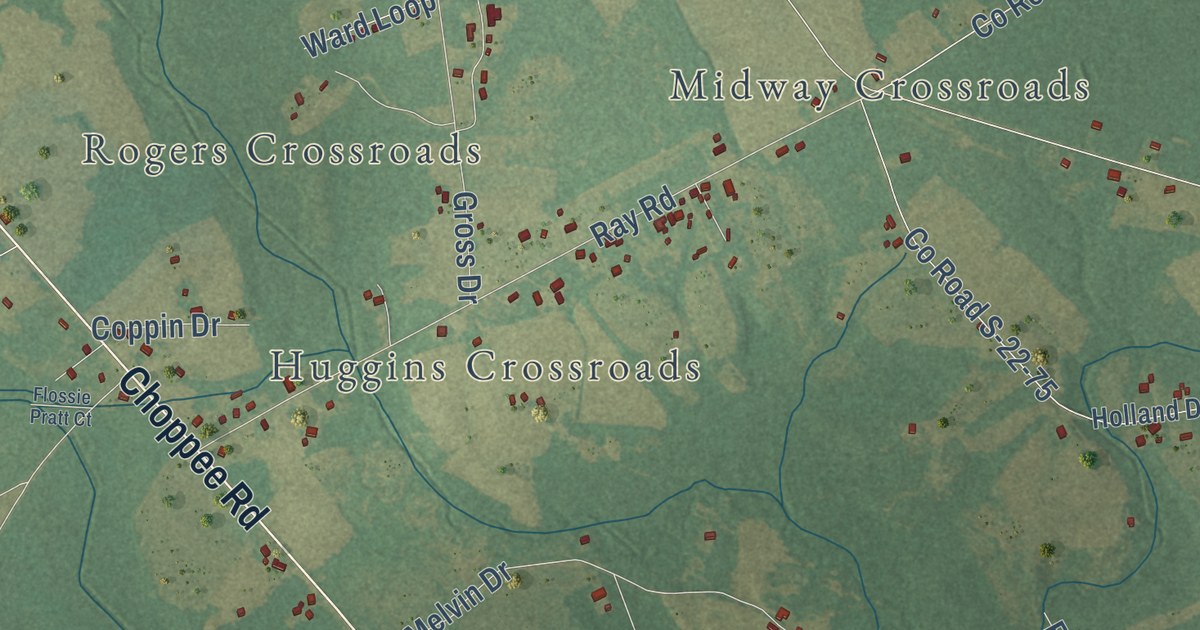
A detailed map of Pleasant Hill, South Carolina, showing every building in its true location, the roads by name, and shaded topographical relief.
Read More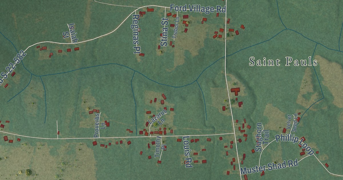
A detailed map of Plantersville, South Carolina, showing every building in its true location, the roads by name, and shaded topographical relief.
Read More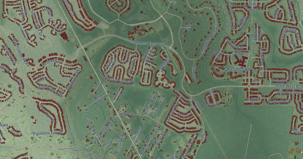
A detailed map of Philip, South Carolina, showing every building in its true location, the roads by name, and shaded topographical relief.
Read More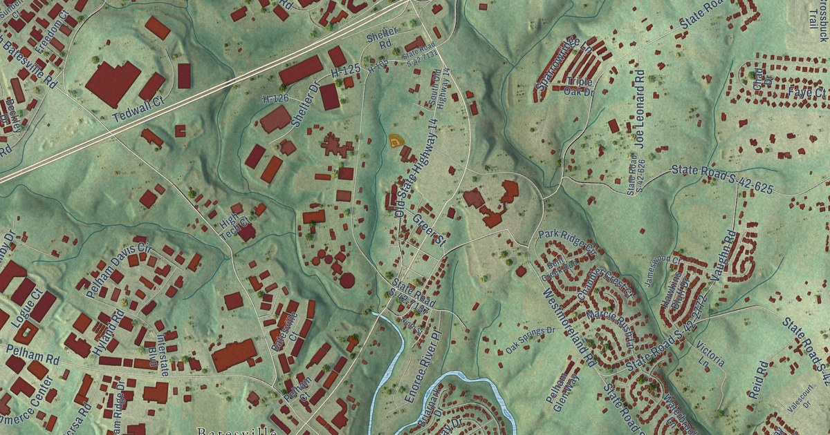
A detailed map of Pelham, South Carolina, showing every building in its true location, the roads by name, and shaded topographical relief.
Read More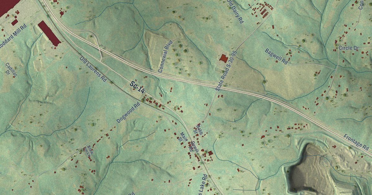
A detailed map of Owings, South Carolina, showing every building in its true location, the roads by name, and shaded topographical relief.
Read More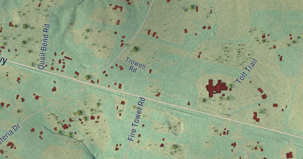
A detailed map of Oakwood, South Carolina, showing every building in its true location, the roads by name, and shaded topographical relief.
Read More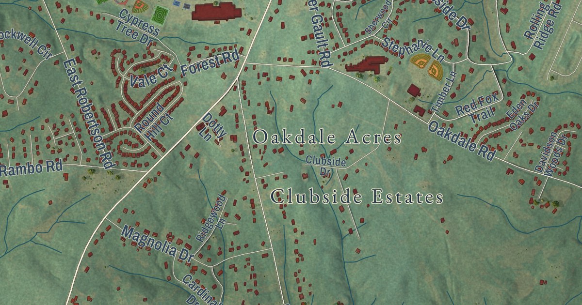
A detailed map of Oakdale, South Carolina, showing every building in its true location, the roads by name, and shaded topographical relief.
Read More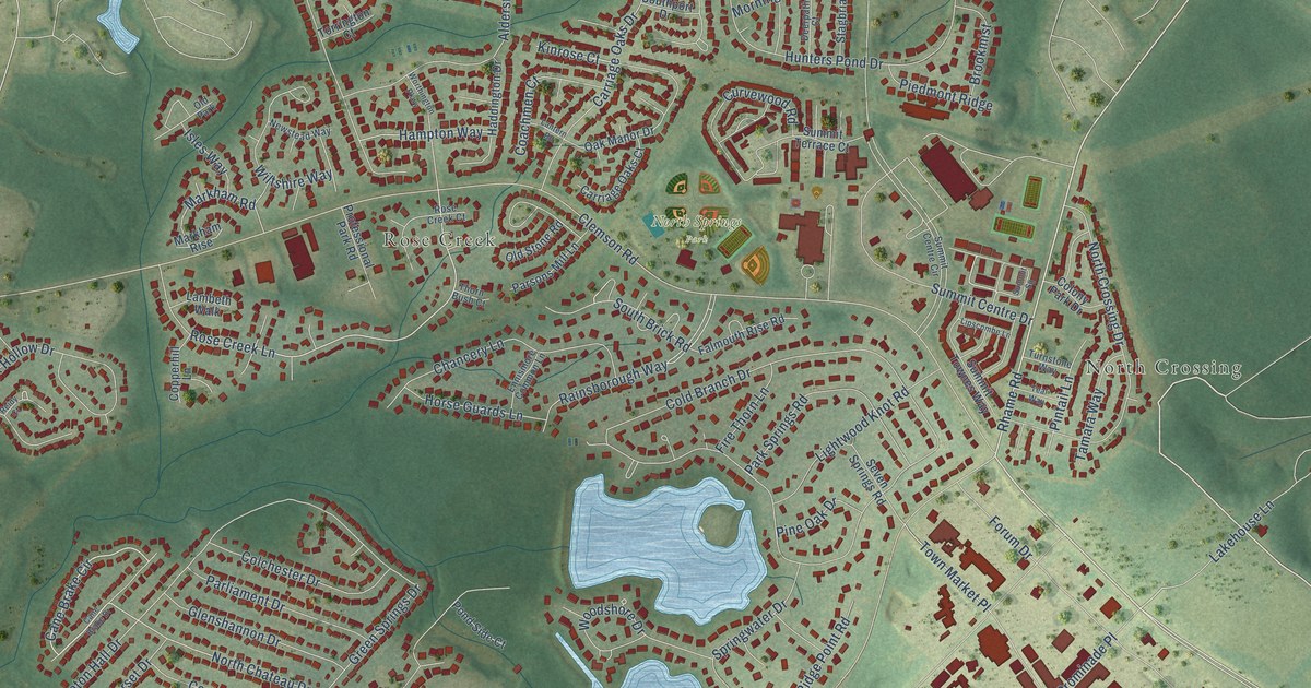
A detailed map of North Springs, South Carolina, showing every building in its true location, the roads by name, and shaded topographical relief.
Read More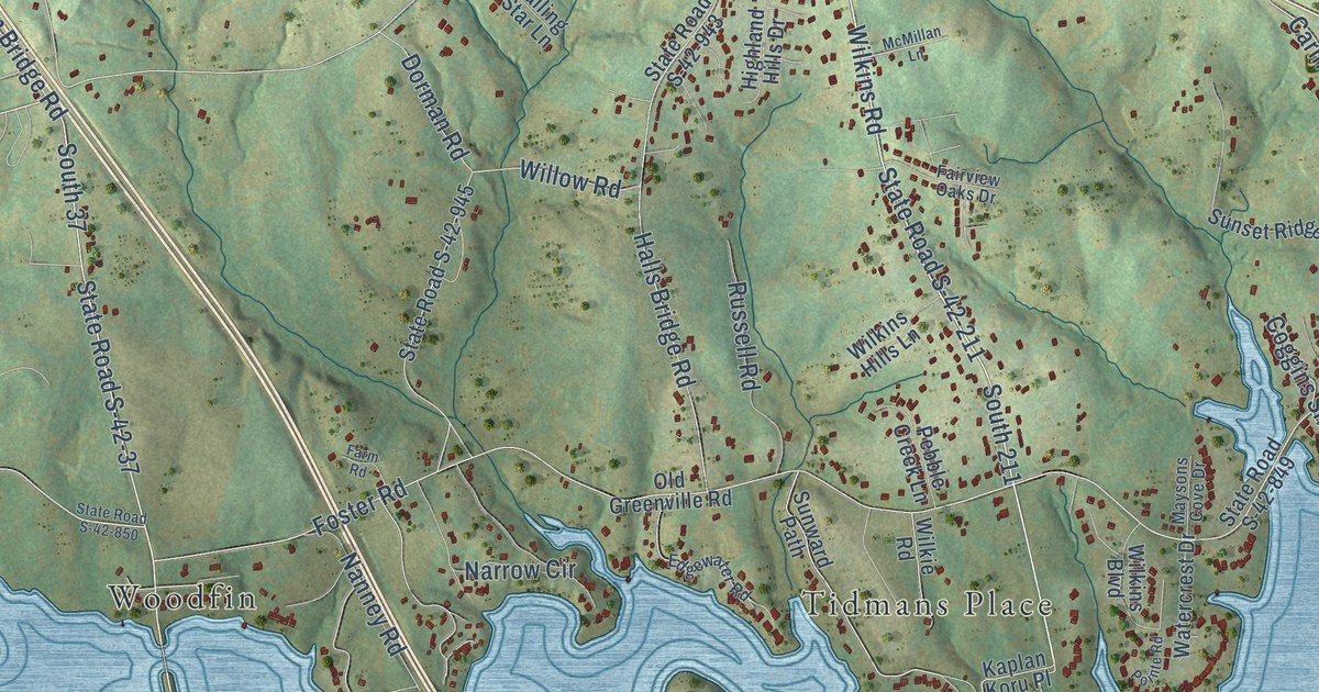
A detailed map of New Prospect, South Carolina, showing every building in its true location, the roads by name, and shaded topographical relief.
Read More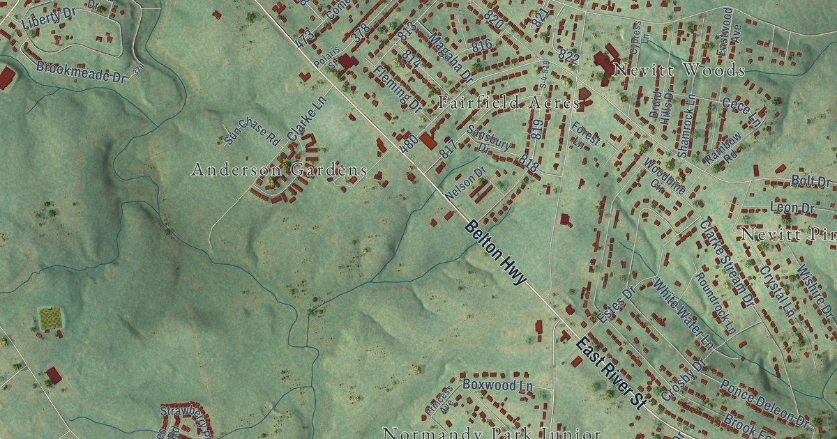
A detailed map of Nevitt Forest, South Carolina, showing every building in its true location, the roads by name, and shaded topographical relief.
Read More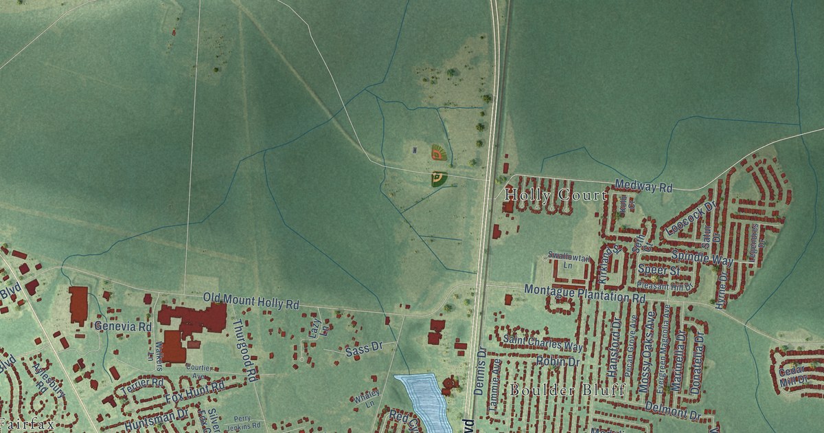
A detailed map of Mount Holly, South Carolina, showing every building in its true location, the roads by name, and shaded topographical relief.
Read More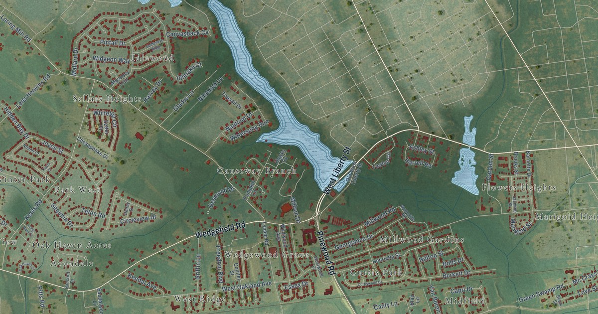
A detailed map of Millwood, South Carolina, showing every building in its true location, the roads by name, and shaded topographical relief.
Read More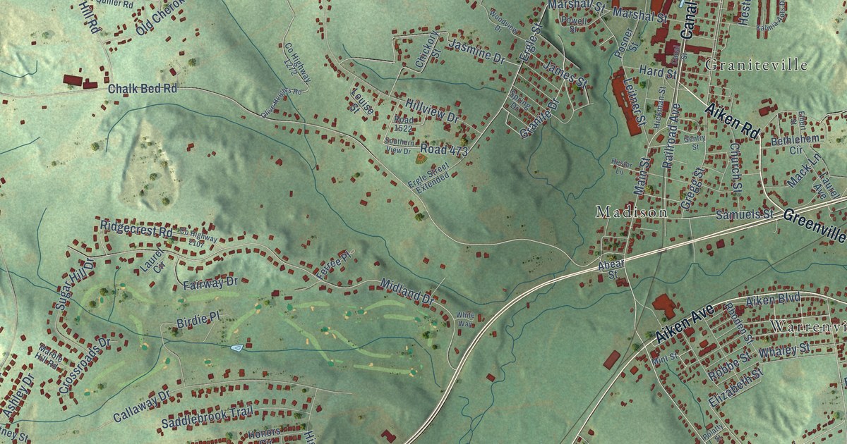
A detailed map of Midland Valley, South Carolina, showing every building in its true location, the roads by name, and shaded topographical relief.
Read More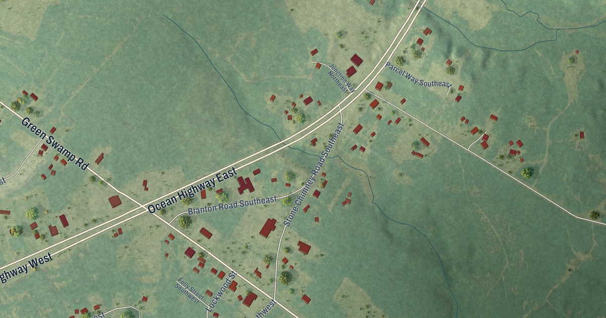
A detailed map of Supply, North Carolina, showing every building in its true location, the roads by name, and shaded topographical relief.
Read More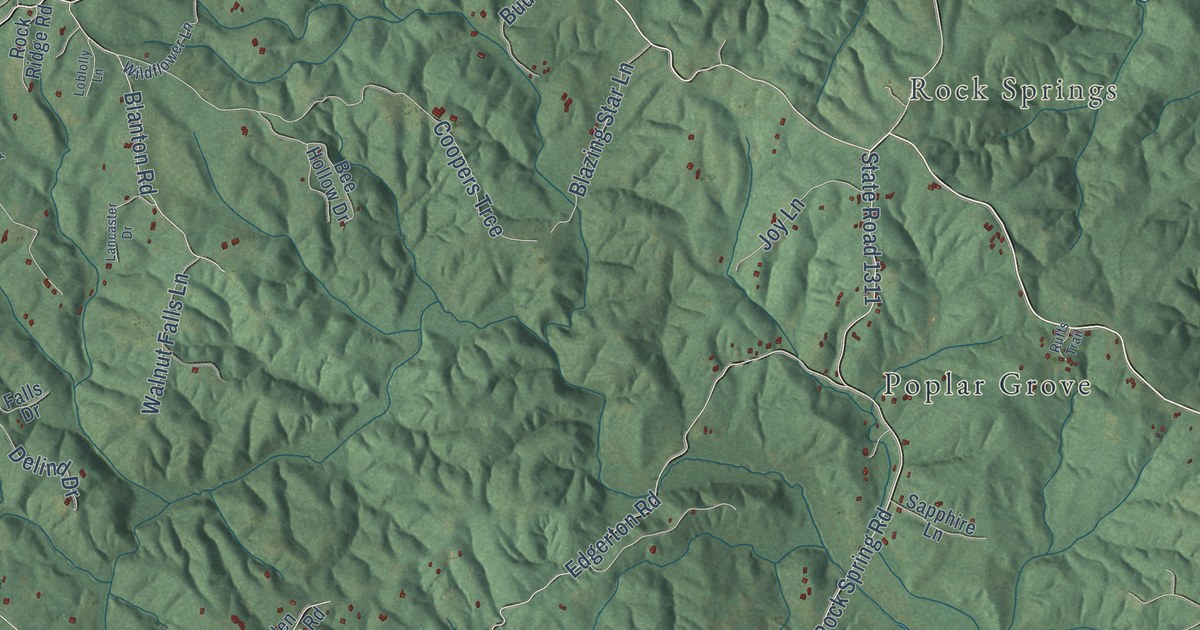
A detailed map of Sunny View, North Carolina, showing every building in its true location, the roads by name, and shaded topographical relief.
Read More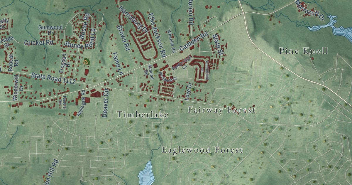
A detailed map of Stoney Point, North Carolina, showing every building in its true location, the roads by name, and shaded topographical relief.
Read More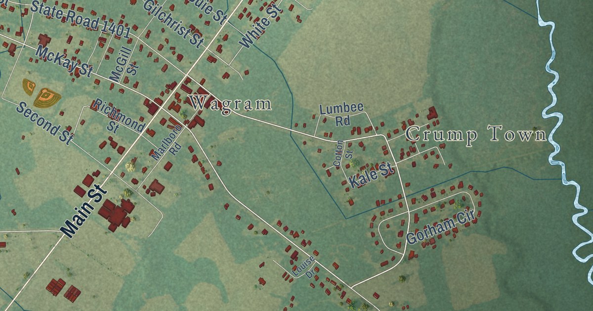
A detailed map of Spring Hill, North Carolina, showing every building in its true location, the roads by name, and shaded topographical relief.
Read More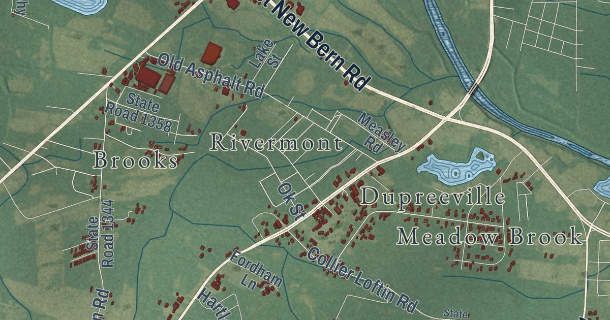
A detailed map of Southwood, North Carolina, showing every building in its true location, the roads by name, and shaded topographical relief.
Read More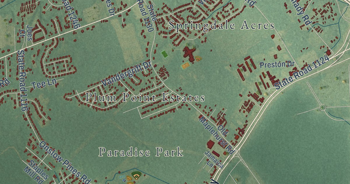
A detailed map of Southwest, North Carolina, showing every building in its true location, the roads by name, and shaded topographical relief.
Read More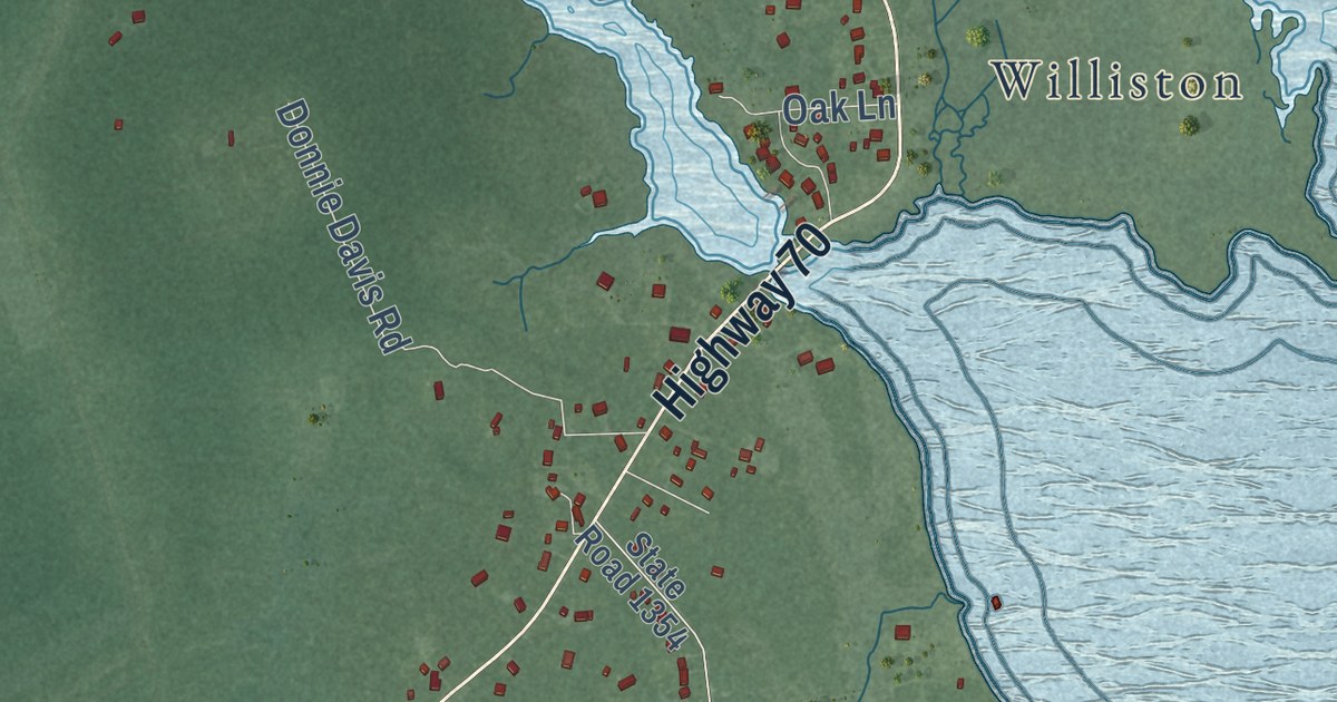
A detailed map of Smyrna, North Carolina, showing every building in its true location, the roads by name, and shaded topographical relief.
Read More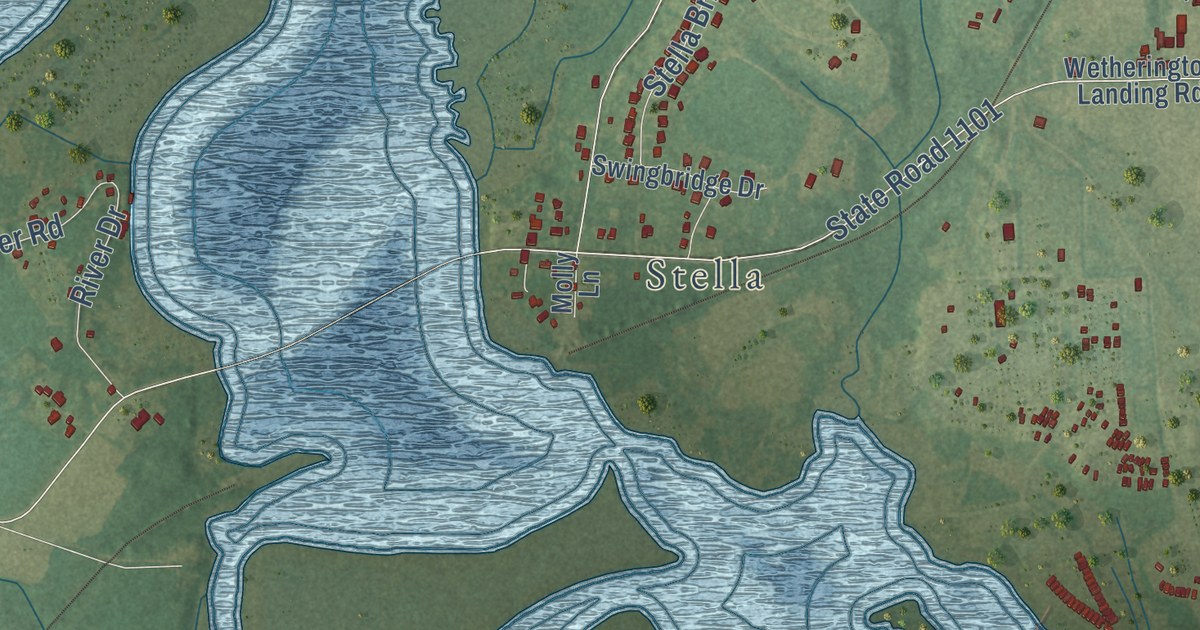
A detailed map of Silverdale, North Carolina, showing every building in its true location, the roads by name, and shaded topographical relief.
Read More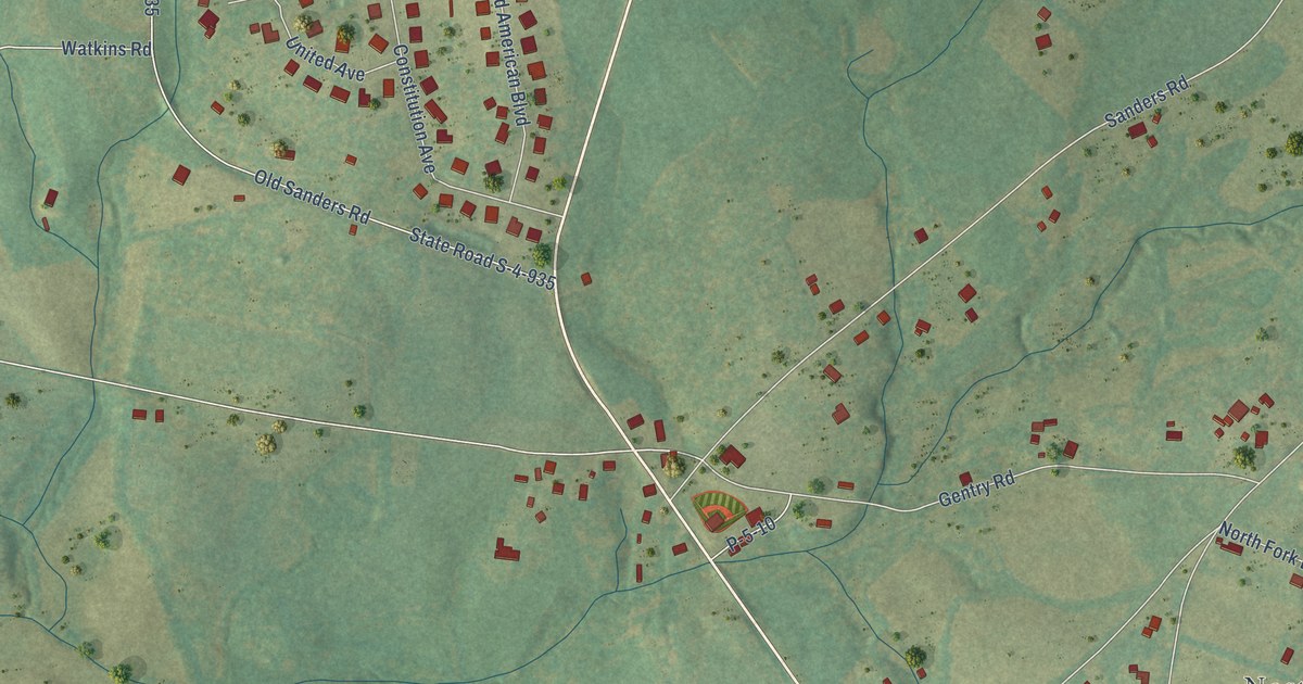
A detailed map of Lebanon, South Carolina, showing every building in its true location, the roads by name, and shaded topographical relief.
Read More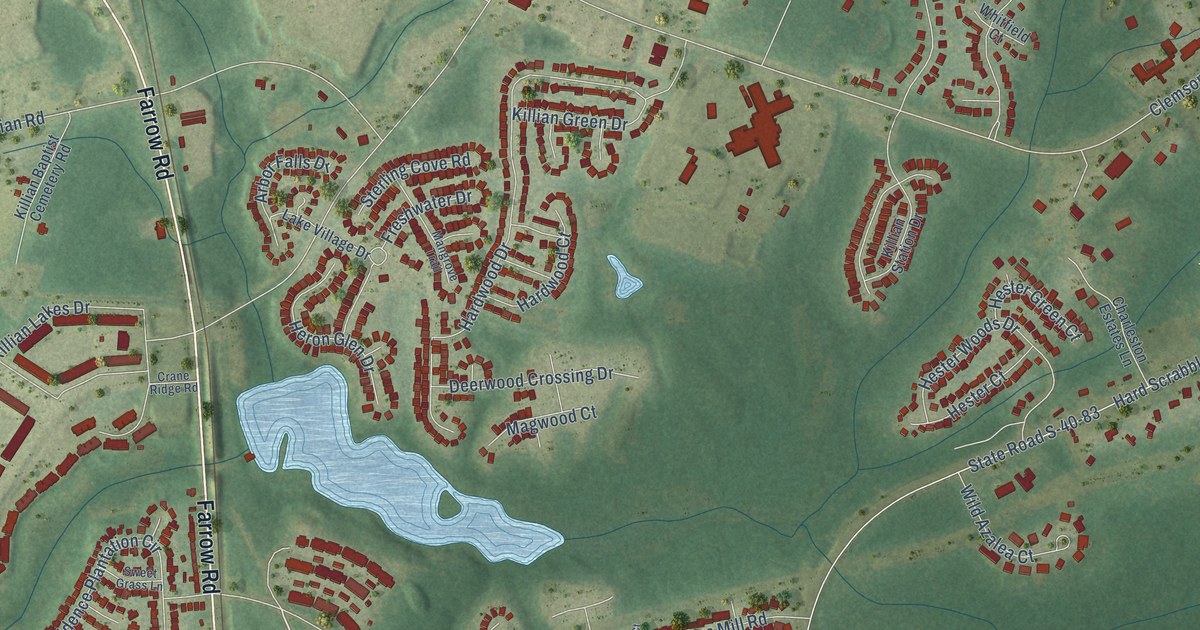
A detailed map of Killian, South Carolina, showing every building in its true location, the roads by name, and shaded topographical relief.
Read More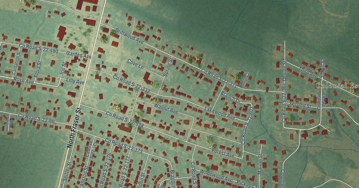
A detailed map of Kensington, South Carolina, showing every building in its true location, the roads by name, and shaded topographical relief.
Read More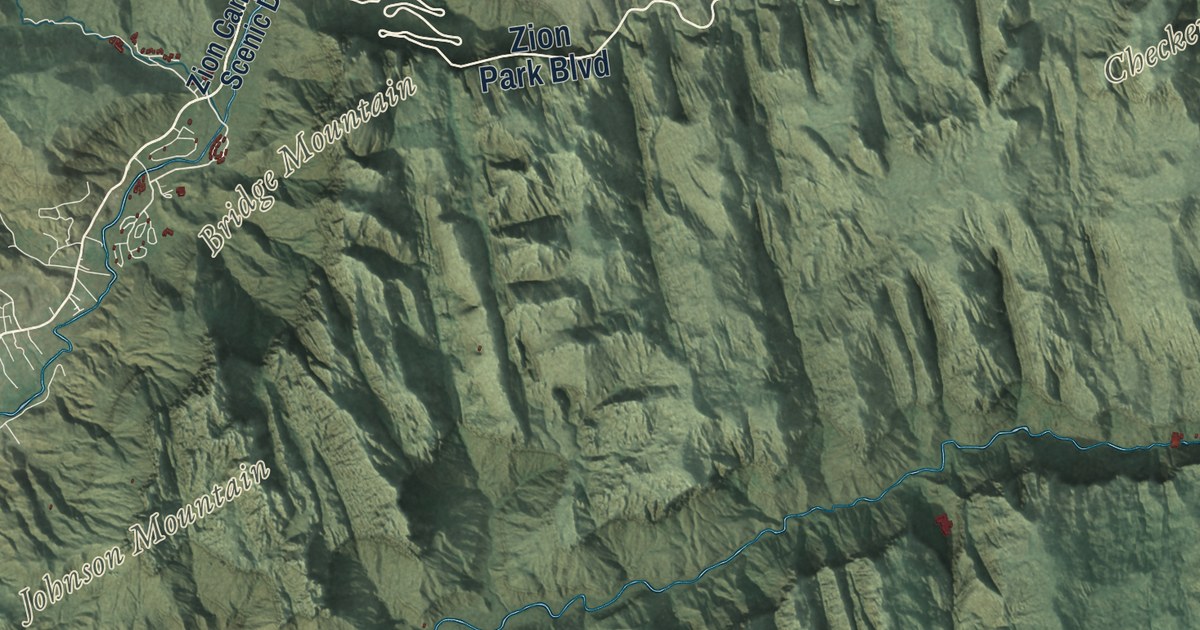
A detailed map of Zion National Park, from the Kolob Canyons to Zion Canyon, with shaded topographic relief and the names of its peaks, mesas and landmarks.
Read More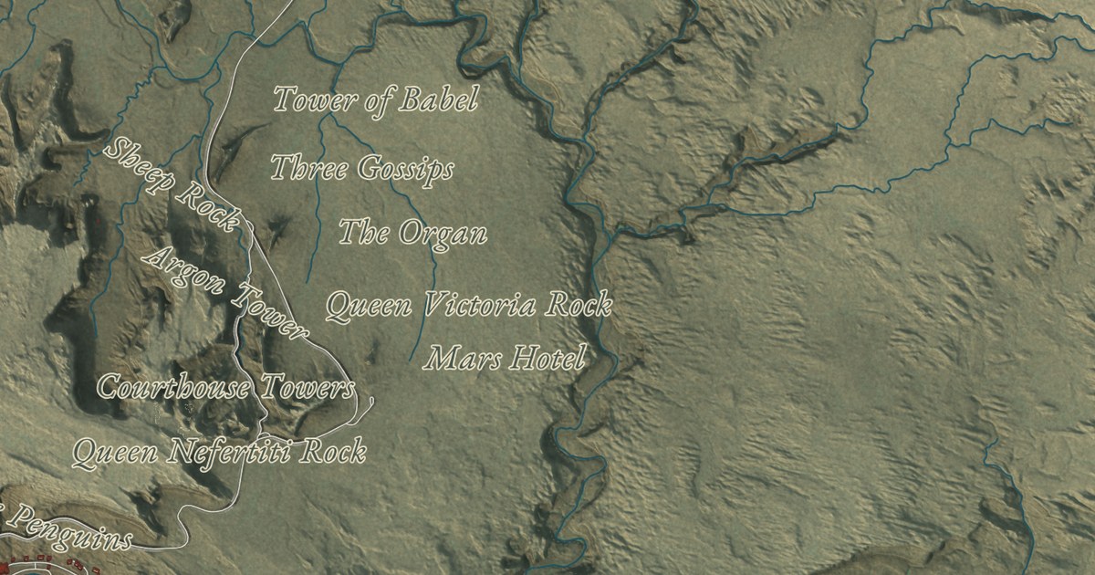
A detailed map of Arches National Park, from Courthouse Towers to Devils Garden, with shaded topographic relief and the names of its arches, fins and rock towers.
Read More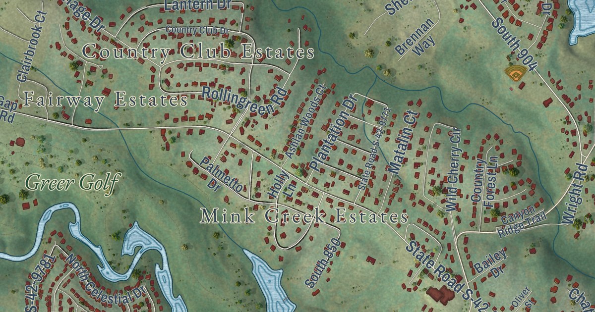
A detailed map of Holly Springs, South Carolina, showing every building in its true location, the roads by name, and shaded topographical relief.
Read More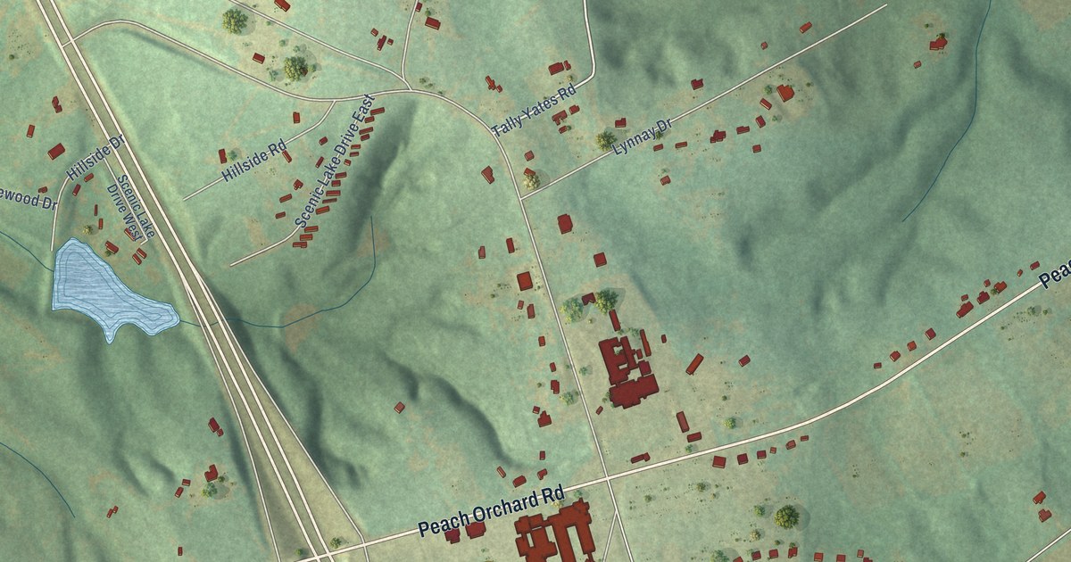
A detailed map of Hillcrest, South Carolina, showing every building in its true location, the roads by name, and shaded topographical relief.
Read More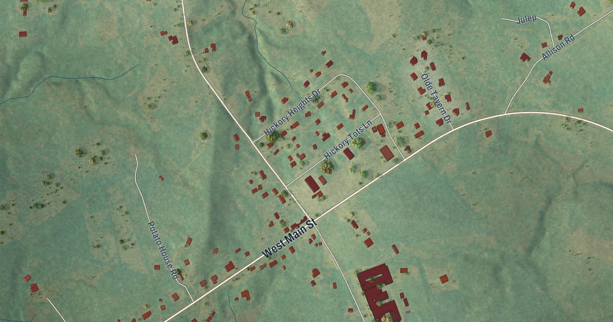
A detailed map of Hickory Tavern, South Carolina, showing every building in its true location, the roads by name, and shaded topographical relief.
Read More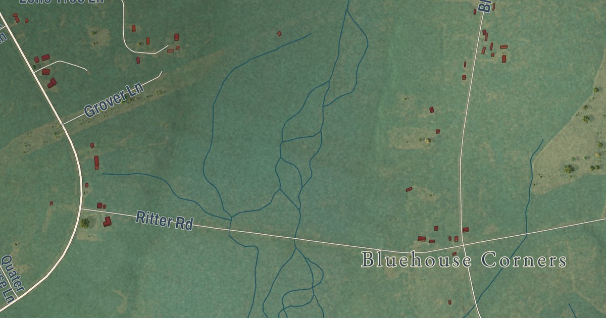
A detailed map of Hendersonville, South Carolina, showing every building in its true location, the roads by name, and shaded topographical relief.
Read More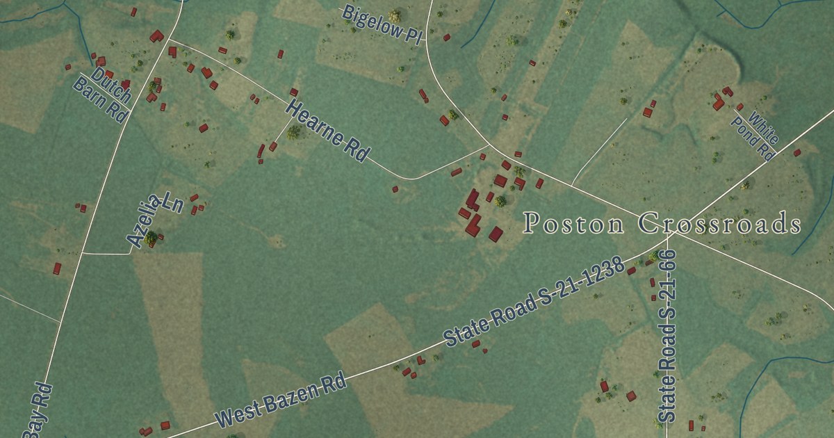
A detailed map of Hannah, South Carolina, showing every building in its true location, the roads by name, and shaded topographical relief.
Read More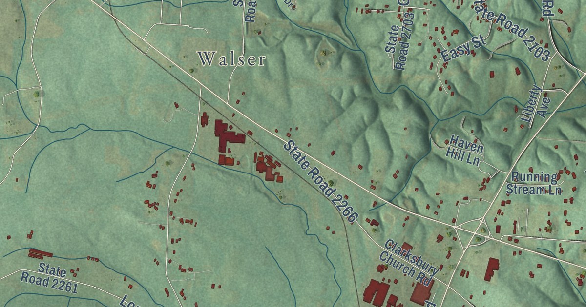
A detailed map of Silver Valley, North Carolina, showing every building in its true location, the roads by name, and shaded topographical relief.
Read More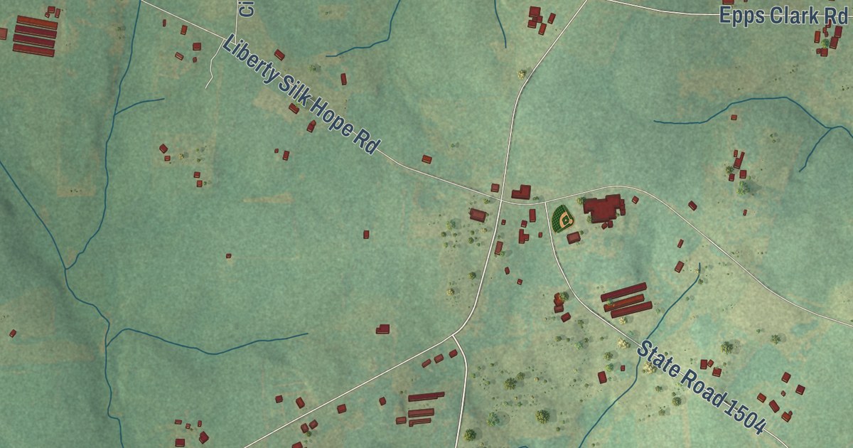
A detailed map of Silk Hope, North Carolina, showing every building in its true location, the roads by name, and shaded topographical relief.
Read More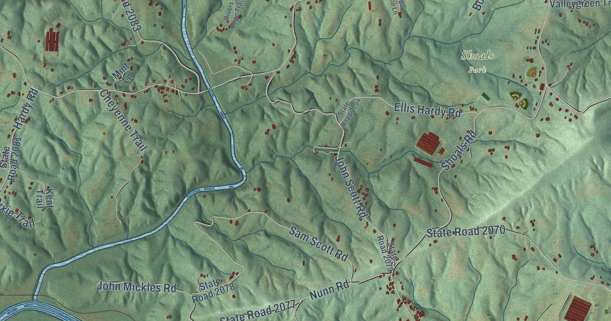
A detailed map of Shoals, North Carolina, showing every building in its true location, the roads by name, and shaded topographical relief.
Read More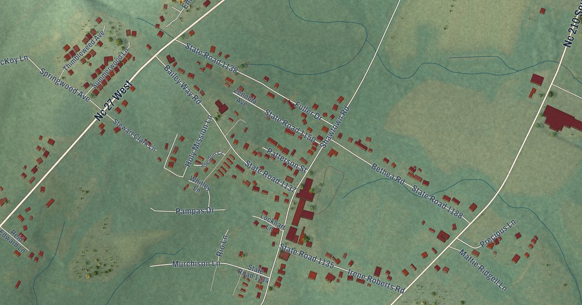
A detailed map of Shawtown, North Carolina, showing every building in its true location, the roads by name, and shaded topographical relief.
Read More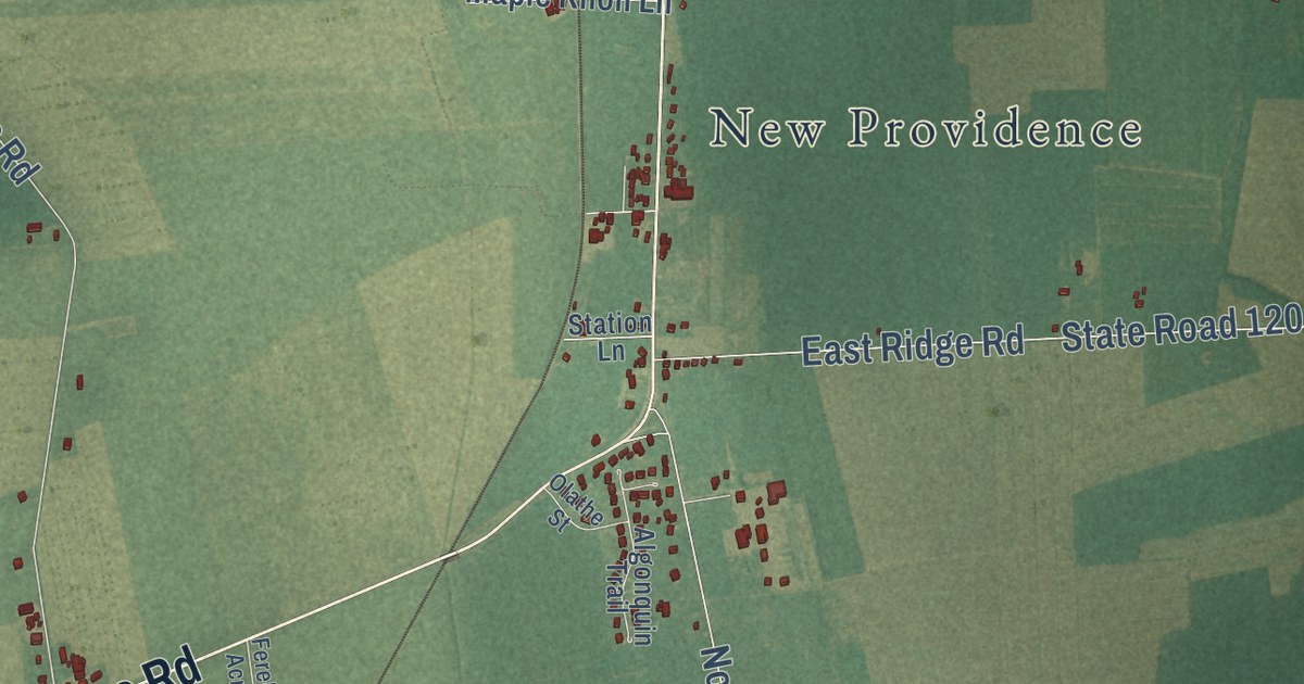
A detailed map of Shawboro, North Carolina, showing every building in its true location, the roads by name, and shaded topographical relief.
Read More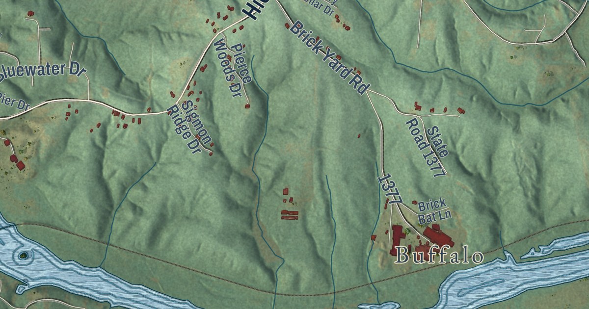
A detailed map of Sharon, North Carolina, showing every building in its true location, the roads by name, and shaded topographical relief.
Read More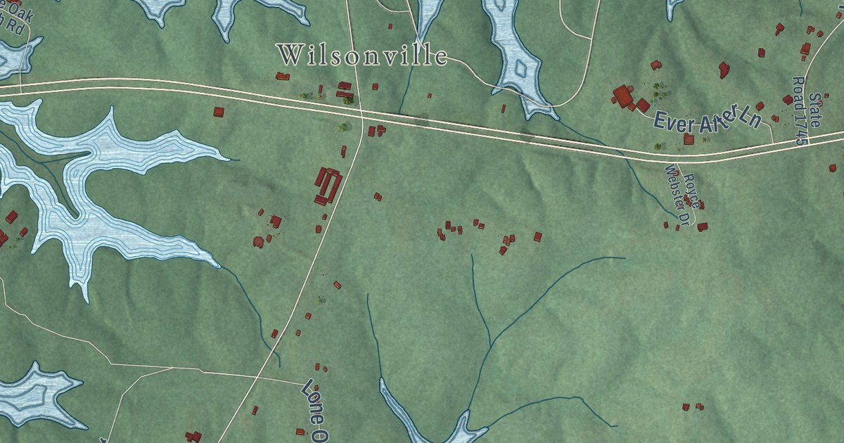
A detailed map of Seaforth, North Carolina, showing every building in its true location, the roads by name, and shaded topographical relief.
Read More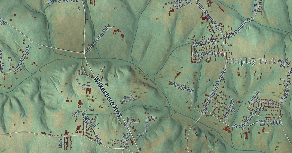
A detailed map of Scotts, North Carolina, showing every building in its true location, the roads by name, and shaded topographical relief.
Read More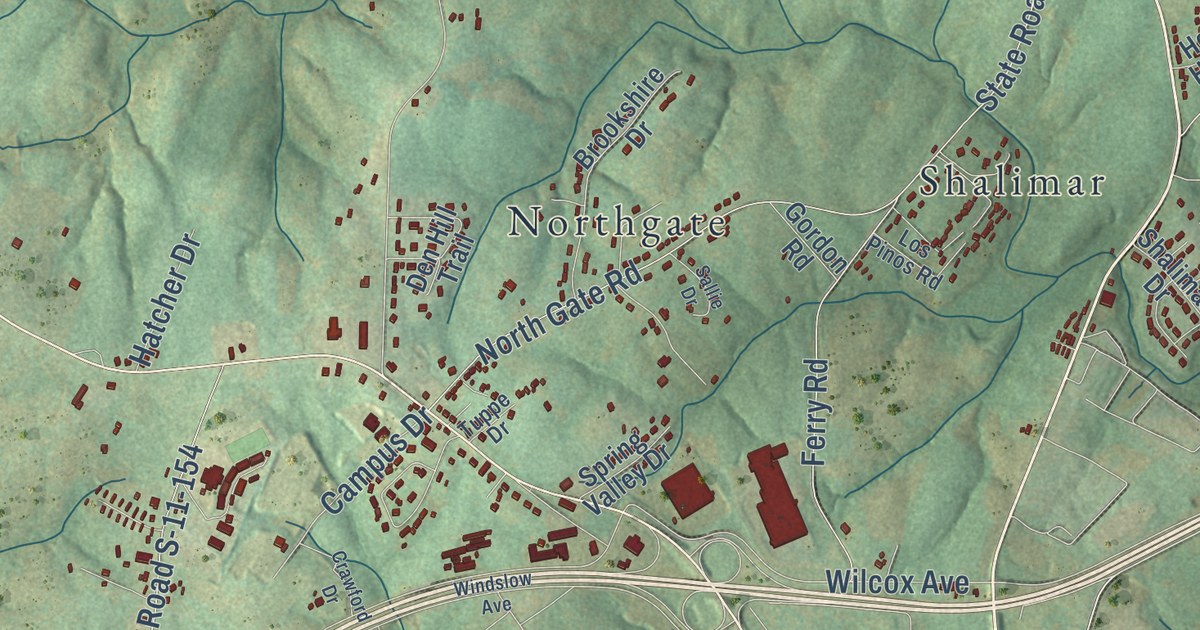
A detailed map of Grassy Pond, South Carolina, showing every building in its true location, the roads by name, and shaded topographical relief.
Read More















