Detailed Map of Goucher, South Carolina
A detailed map of Goucher, South Carolina, showing every building in its true location, the roads by name, and shaded topographical relief.
Read More
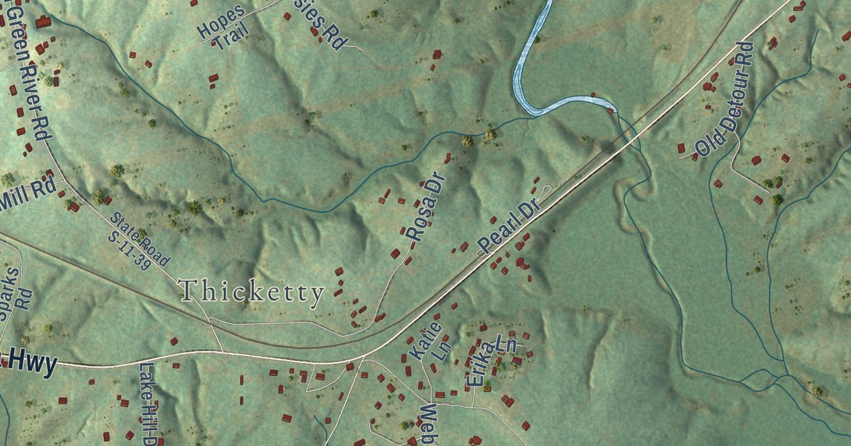
A detailed map of Goucher, South Carolina, showing every building in its true location, the roads by name, and shaded topographical relief.
Read More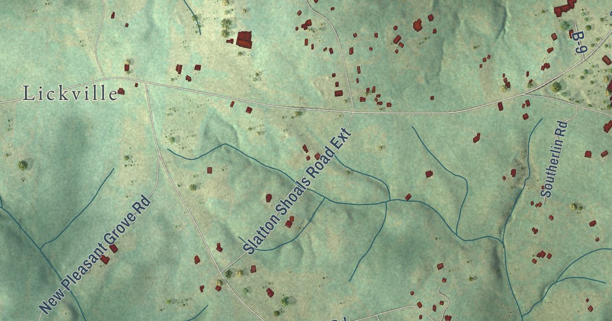
A detailed map of Fork Shoals, South Carolina, showing every building in its true location, the roads by name, and shaded topographical relief.
Read More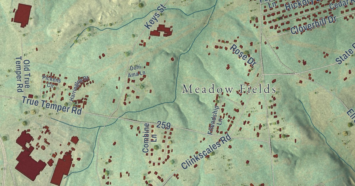
A detailed map of Flat Rock, South Carolina, showing every building in its true location, the roads by name, and shaded topographical relief.
Read More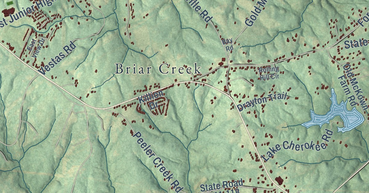
A detailed map of Draytonville, South Carolina, showing every building in its true location, the roads by name, and shaded topographical relief.
Read More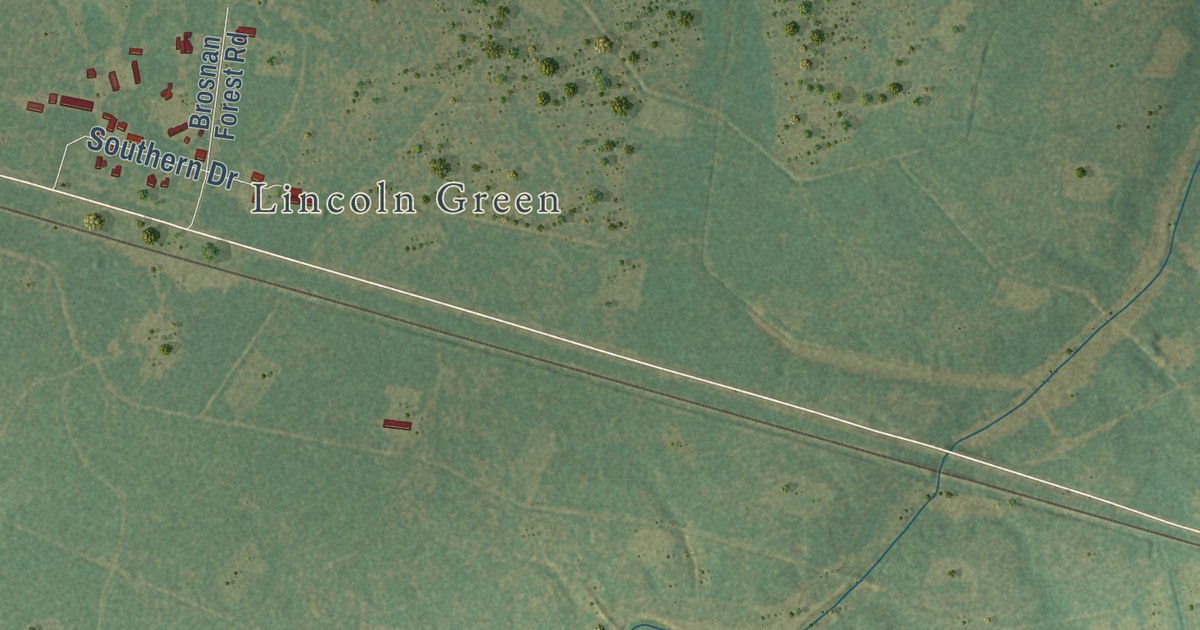
A detailed map of Dorchester, South Carolina, showing every building in its true location, the roads by name, and shaded topographical relief.
Read More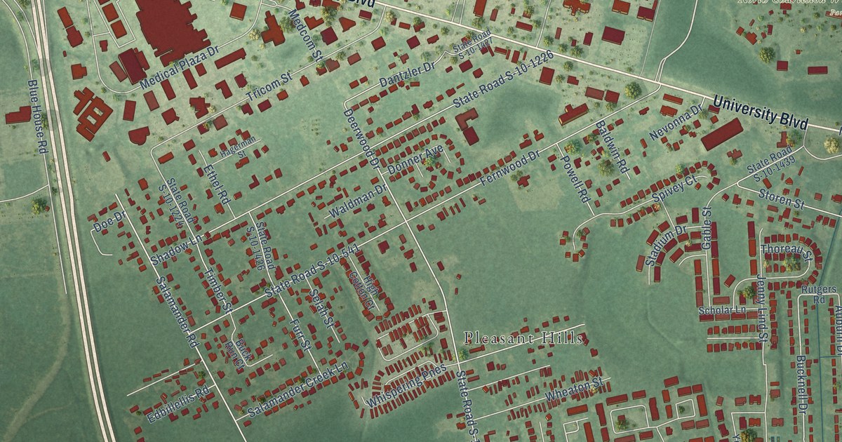
A detailed map of Deer Park, South Carolina, showing every building in its true location, the roads by name, and shaded topographical relief.
Read More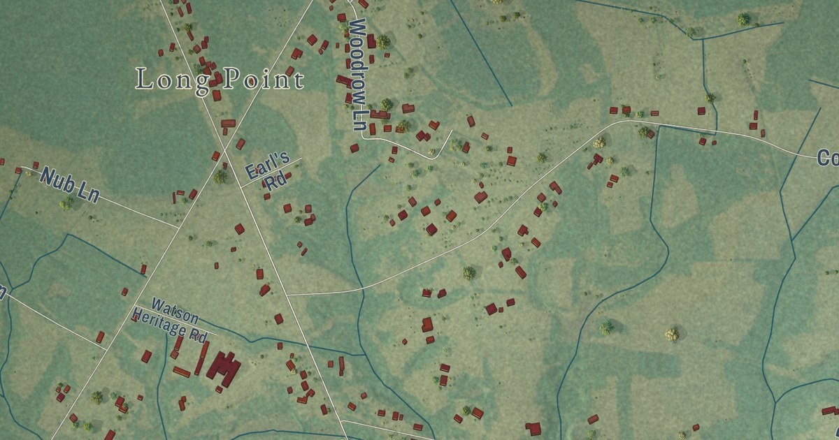
A detailed map of Daisy, South Carolina, showing every building in its true location, the roads by name, and shaded topographical relief.
Read More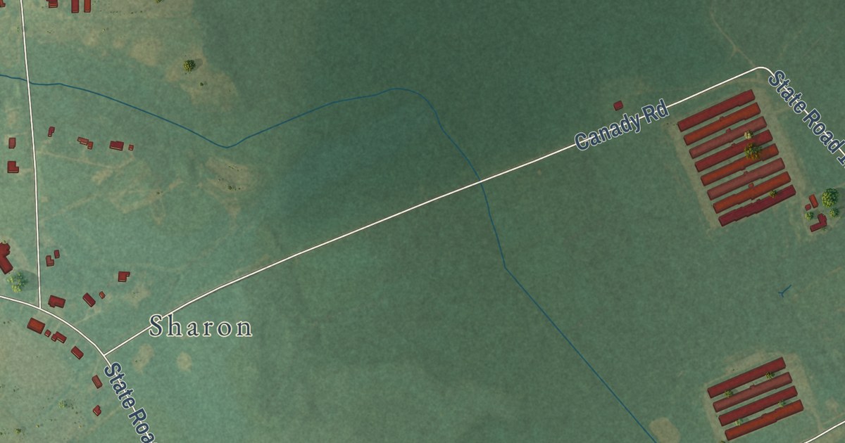
A detailed map of Savannah, North Carolina, showing every building in its true location, the roads by name, and shaded topographical relief.
Read More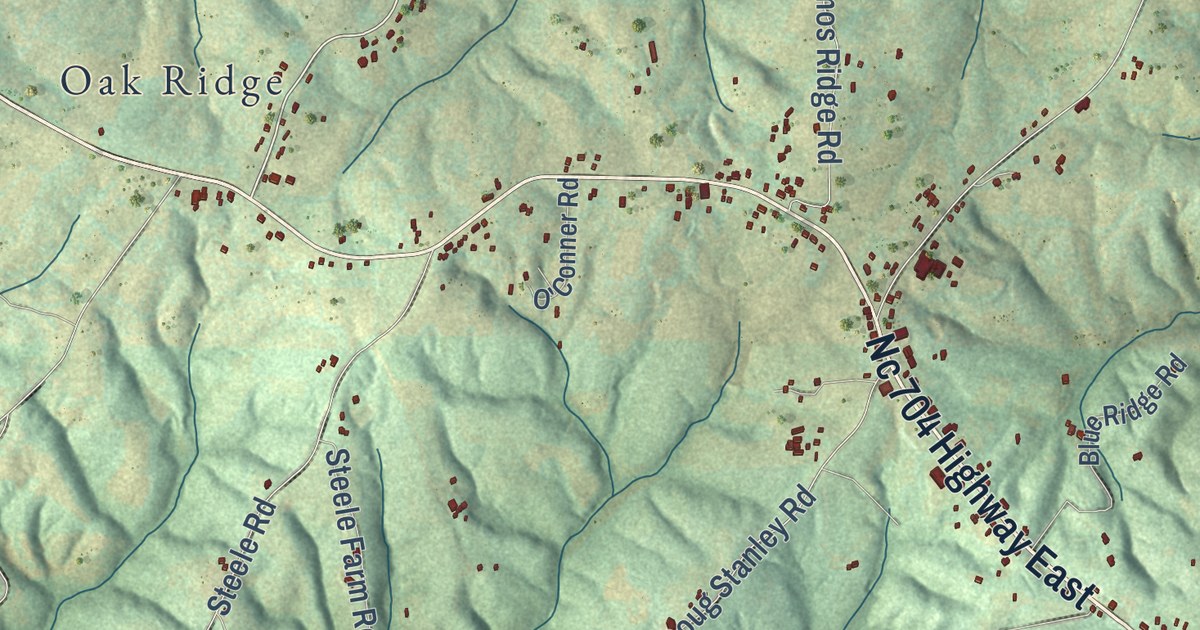
A detailed map of Sandy Ridge, North Carolina, showing every building in its true location, the roads by name, and shaded topographical relief.
Read More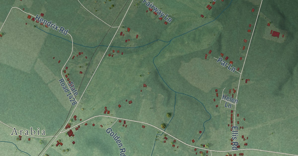
A detailed map of Sandy Grove, North Carolina, showing every building in its true location, the roads by name, and shaded topographical relief.
Read More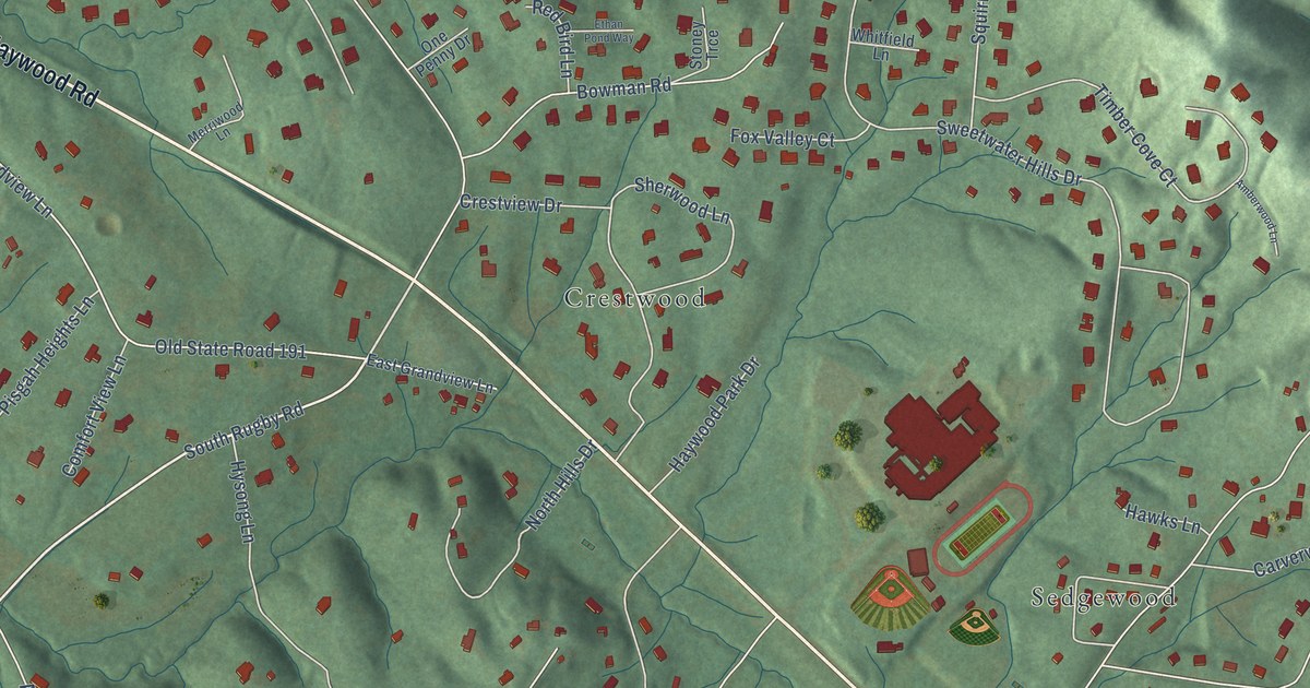
A detailed map of Rugby, North Carolina, showing every building in its true location, the roads by name, and shaded topographical relief.
Read More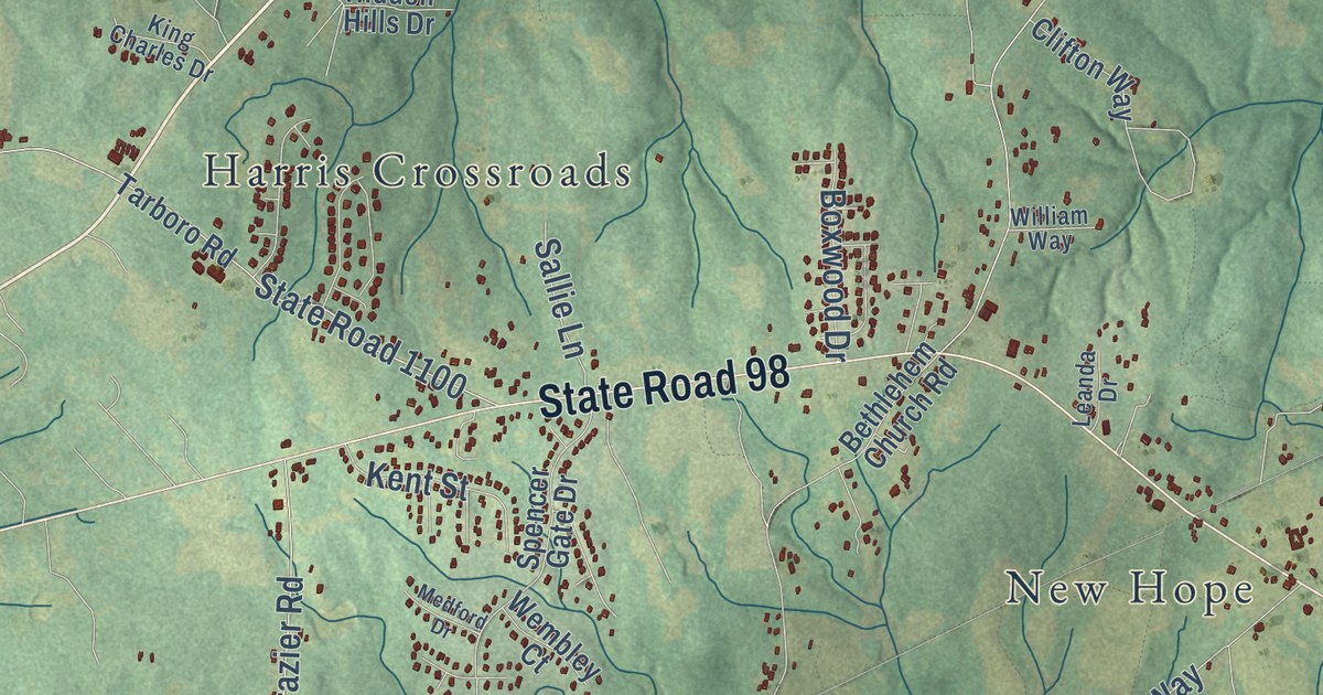
A detailed map of Royal, North Carolina, showing every building in its true location, the roads by name, and shaded topographical relief.
Read More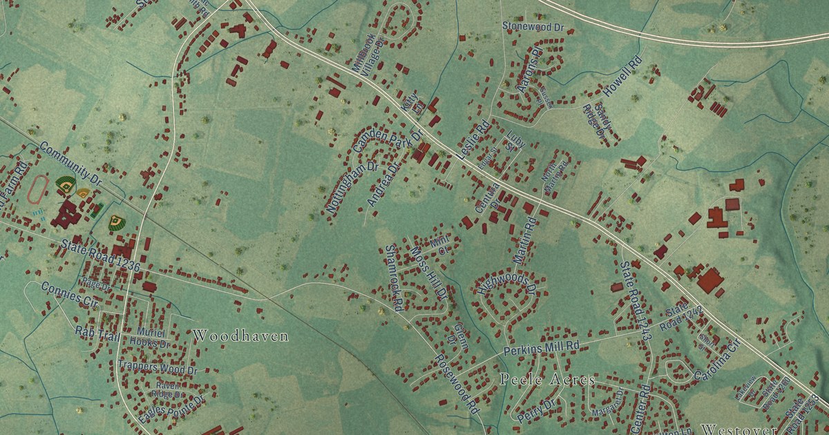
A detailed map of Rosewood, North Carolina, showing every building in its true location, the roads by name, and shaded topographical relief.
Read More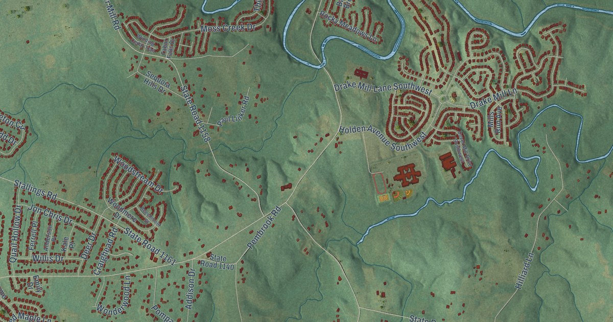
A detailed map of Rocky River, North Carolina, showing every building in its true location, the roads by name, and shaded topographical relief.
Read More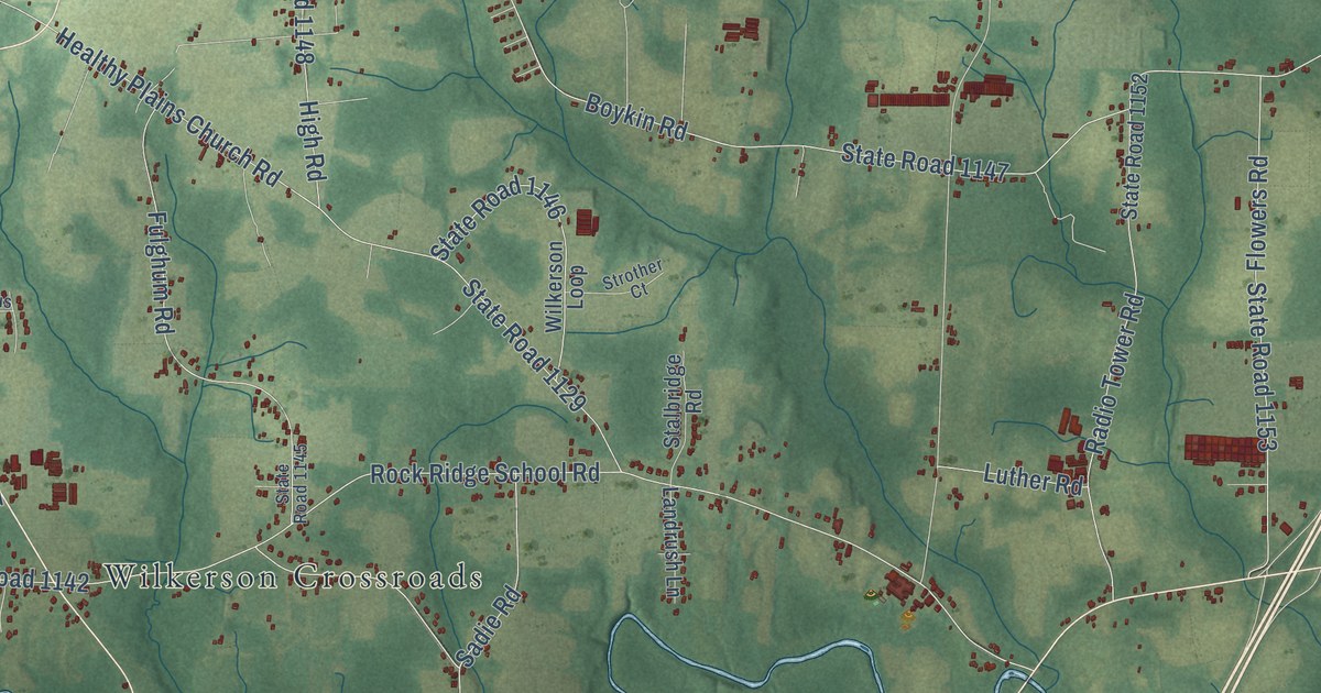
A detailed map of Rock Ridge, North Carolina, showing every building in its true location, the roads by name, and shaded topographical relief.
Read More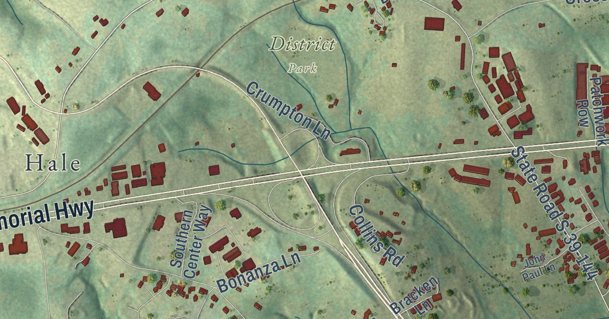
A detailed map of Crosswell, South Carolina, showing every building in its true location, the roads by name, and shaded topographical relief.
Read More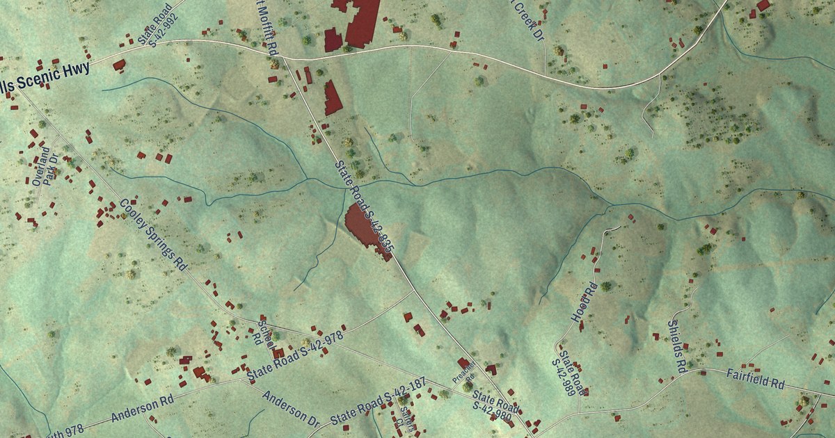
A detailed map of Cooley Springs, South Carolina, showing every building in its true location, the roads by name, and shaded topographical relief.
Read More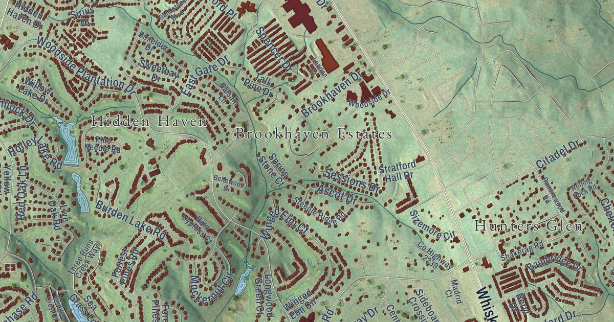
A detailed map of Chukker Creek, South Carolina, showing every building in its true location, the roads by name, and shaded topographical relief.
Read More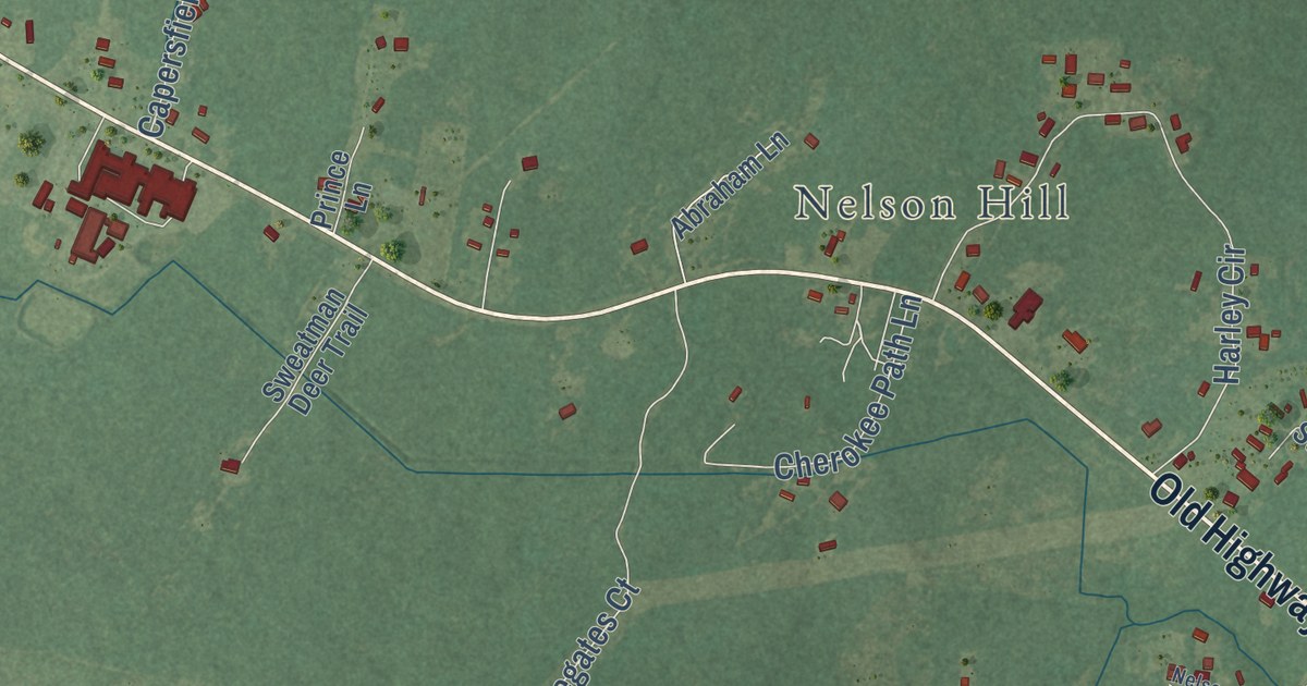
A detailed map of Cross, South Carolina, showing every building in its true location, the roads by name, and shaded topographical relief.
Read More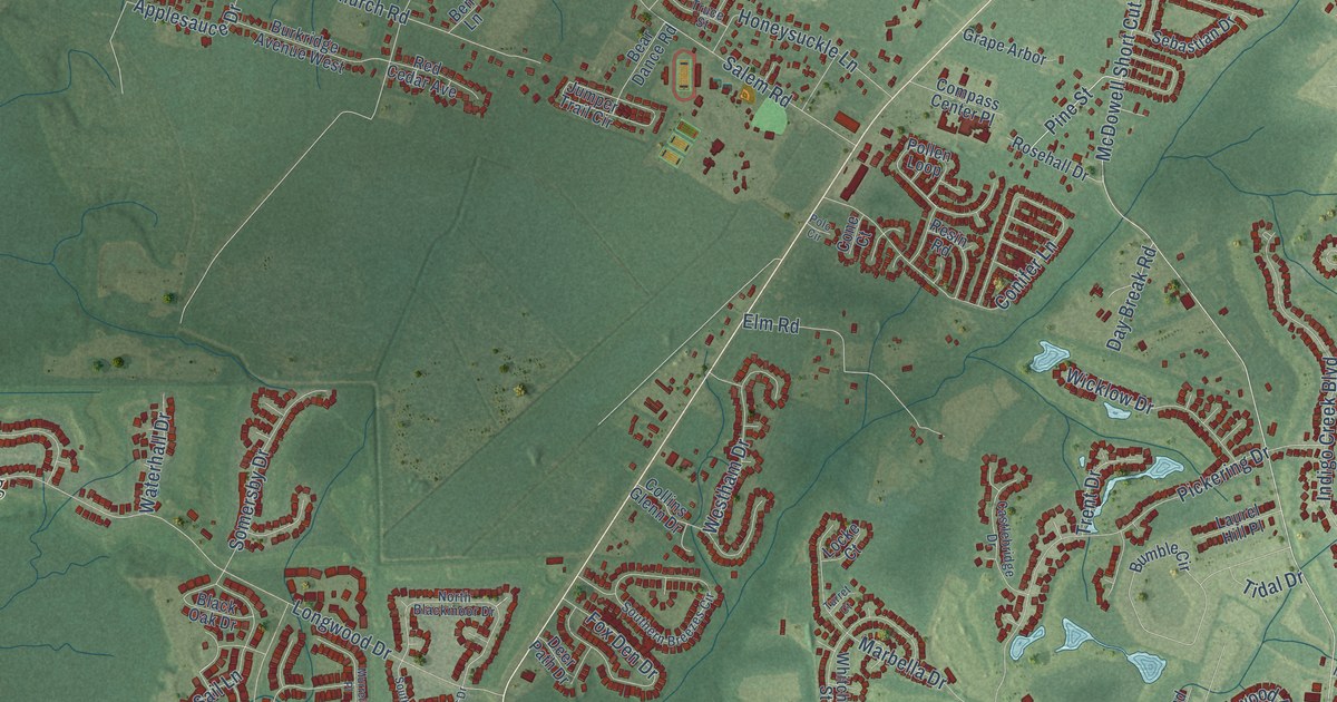
A detailed map of Burgess, South Carolina, showing every building in its true location, the roads by name, and shaded topographical relief.
Read More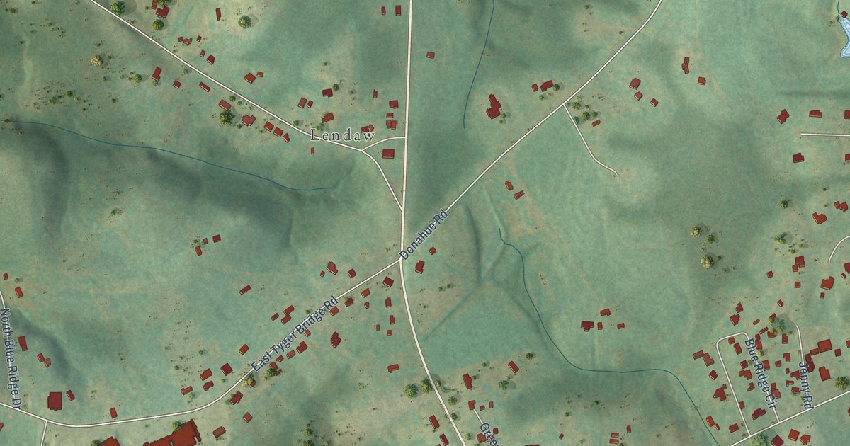
A detailed map of Blue Ridge, South Carolina, showing every building in its true location, the roads by name, and shaded topographical relief.
Read More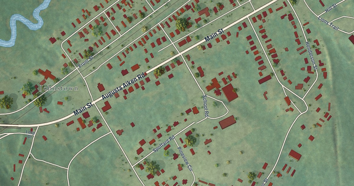
A detailed map of Bath, South Carolina, showing every building in its true location, the roads by name, and shaded topographical relief.
Read More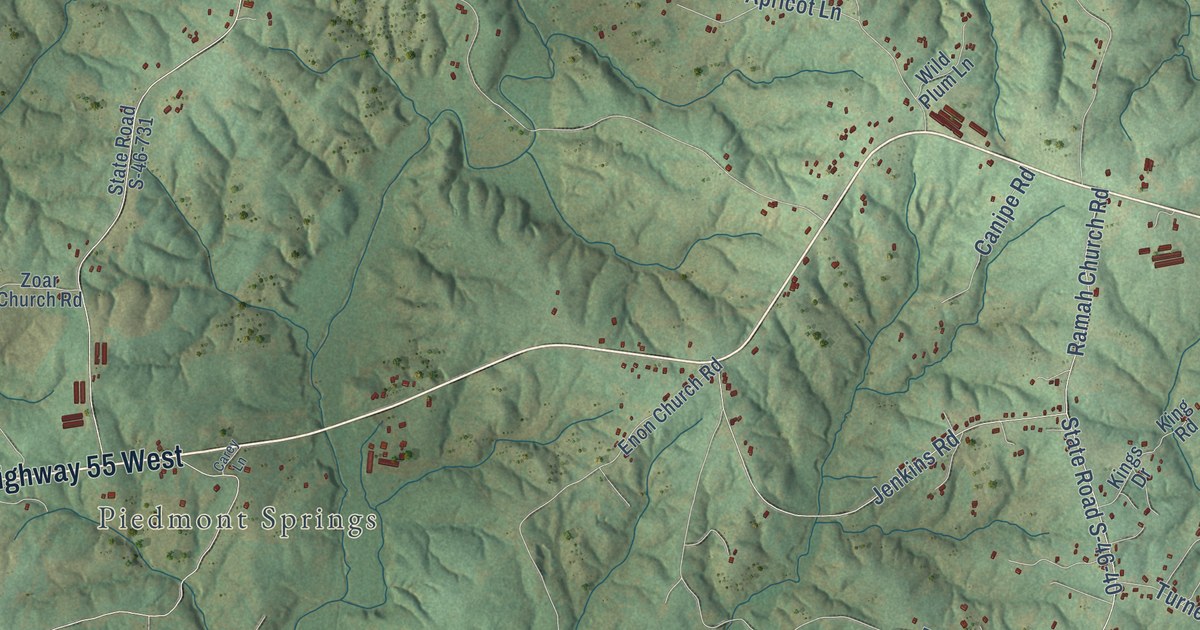
A detailed map of Bethany, South Carolina, showing every building in its true location, the roads by name, and shaded topographical relief.
Read More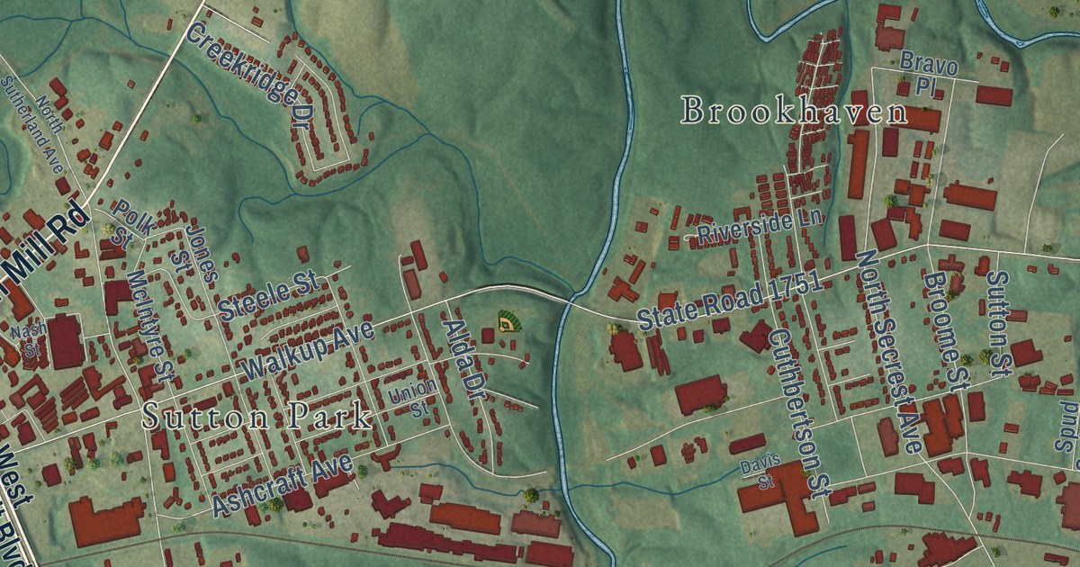
A detailed map of Rock Rest, North Carolina, showing every building in its true location, the roads by name, and shaded topographical relief.
Read More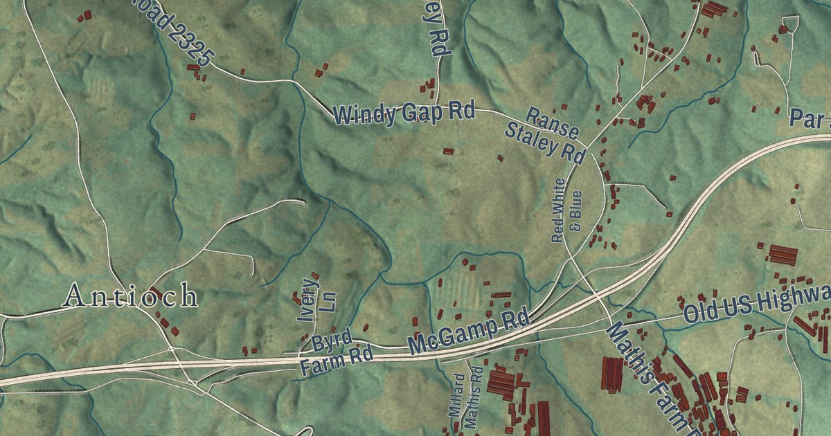
A detailed map of Roaring River, North Carolina, showing every building in its true location, the roads by name, and shaded topographical relief.
Read More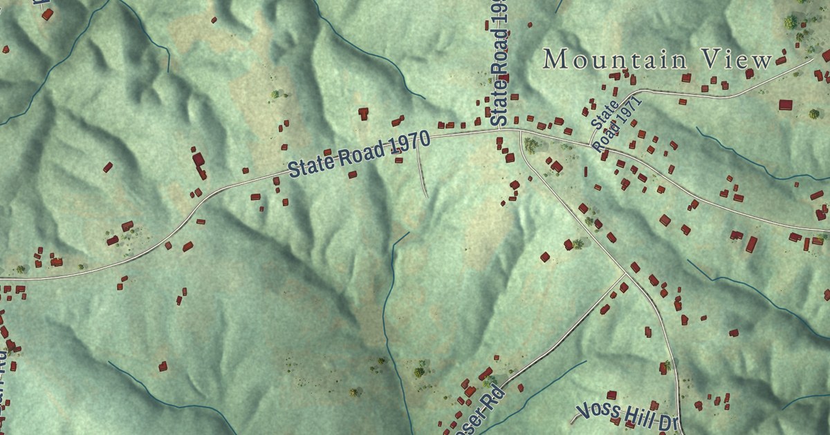
A detailed map of Poplar Springs, North Carolina, showing every building in its true location, the roads by name, and shaded topographical relief.
Read More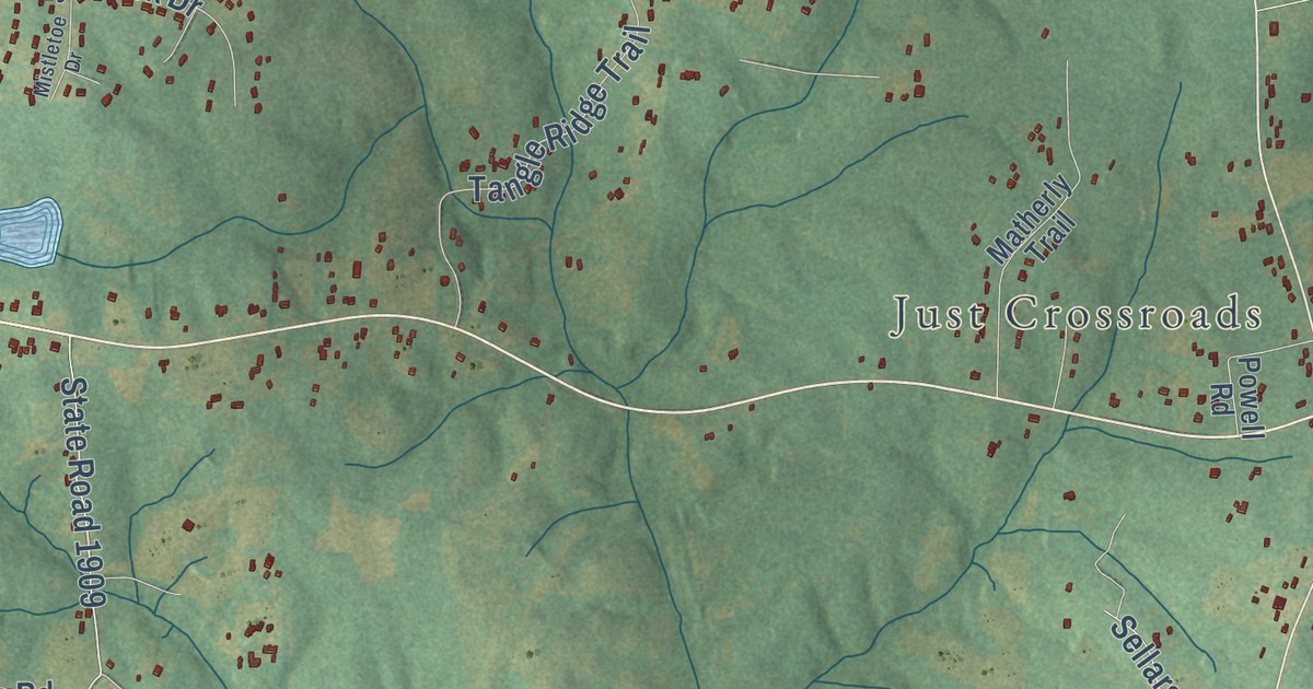
A detailed map of Pleasant Grove, North Carolina, showing every building in its true location, the roads by name, and shaded topographical relief.
Read More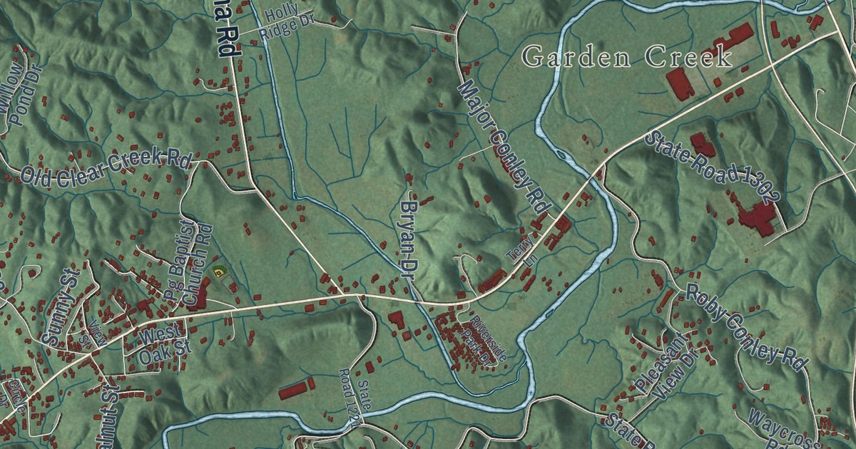
A detailed map of Pleasant Gardens, North Carolina, showing every building in its true location, the roads by name, and shaded topographical relief.
Read More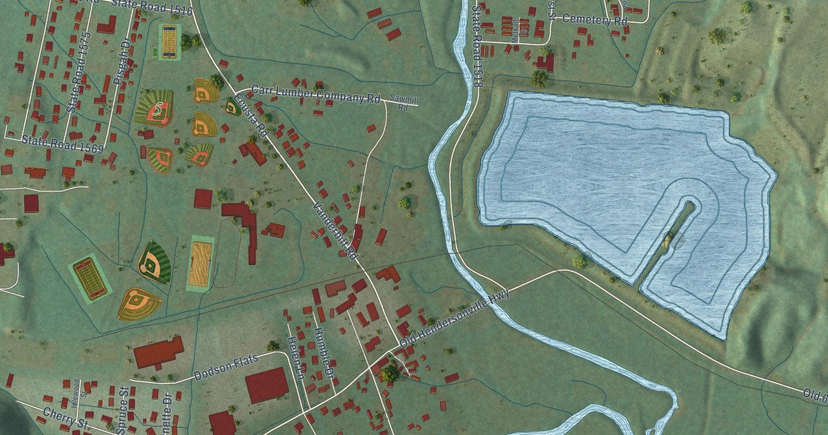
A detailed map of Pisgah Forest, North Carolina, showing every building in its true location, the roads by name, and shaded topographical relief.
Read More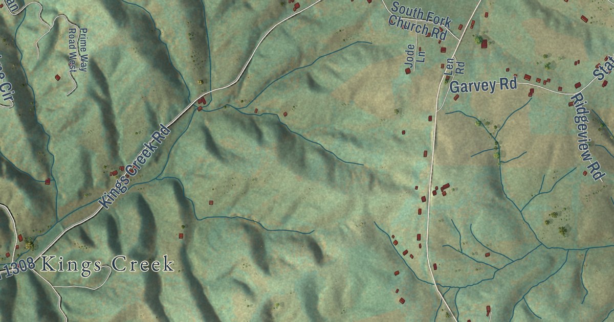
A detailed map of Piney Creek, North Carolina, showing every building in its true location, the roads by name, and shaded topographical relief.
Read More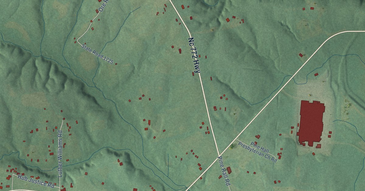
A detailed map of Pine Hall, North Carolina, showing every building in its true location, the roads by name, and shaded topographical relief.
Read More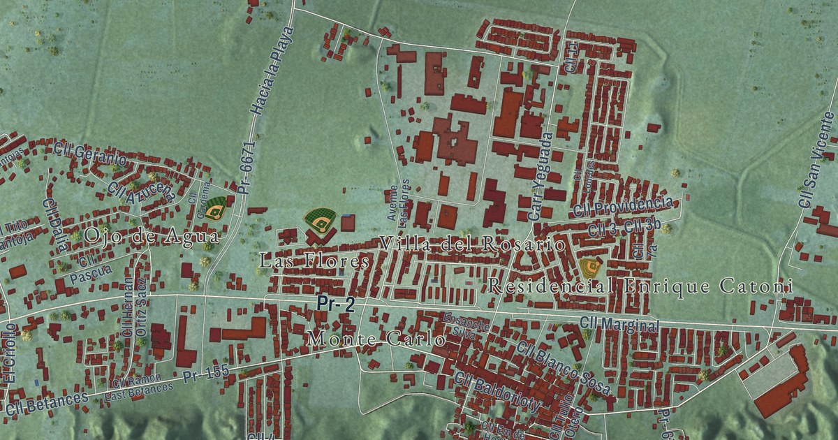
A detailed map of Sandin, Puerto Rico, showing every building in its true location, the roads by name, and shaded topographical relief.
Read More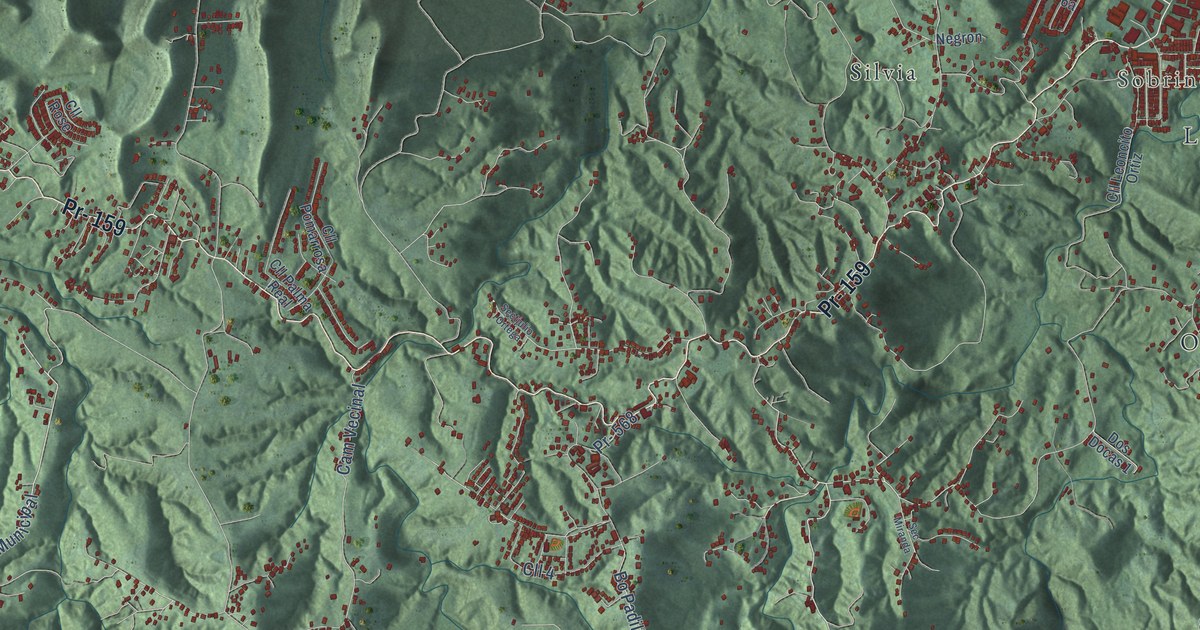
A detailed map of Padilla, Puerto Rico, showing every building in its true location, the roads by name, and shaded topographical relief.
Read More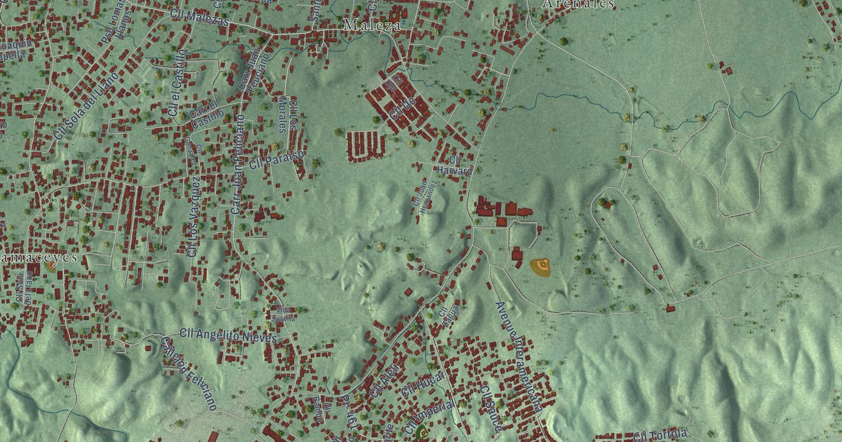
A detailed map of Feliciano, Puerto Rico, showing every building in its true location, the roads by name, and shaded topographical relief.
Read More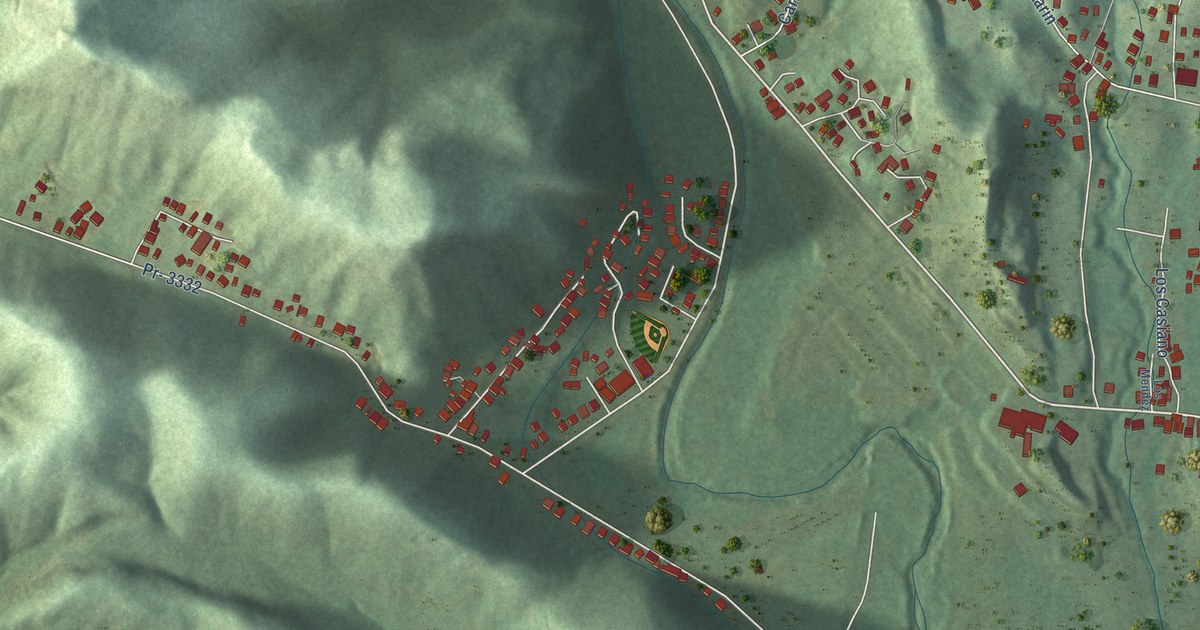
A detailed map of Magueyes, Puerto Rico, showing every building in its true location, the roads by name, and shaded topographical relief.
Read More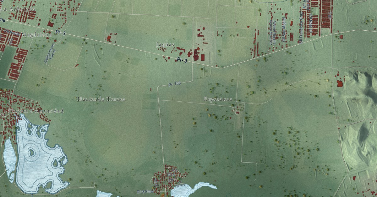
A detailed map of Las Mareas, Puerto Rico, showing every building in its true location, the roads by name, and shaded topographical relief.
Read More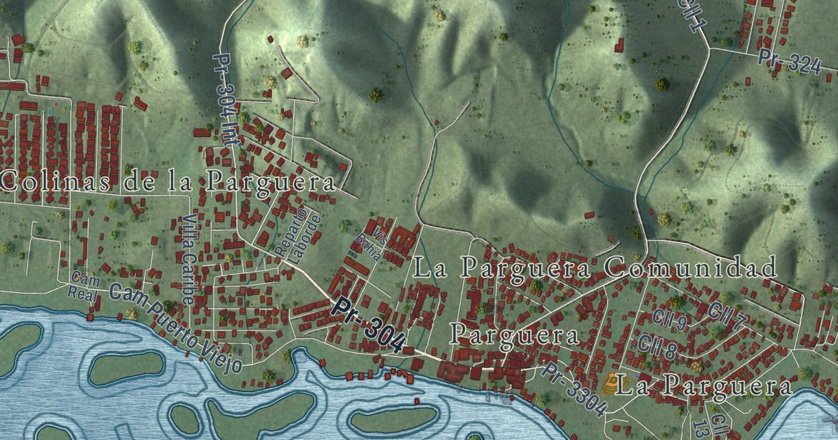
A detailed map of Olivares, Puerto Rico, showing every building in its true location, the roads by name, and shaded topographical relief.
Read More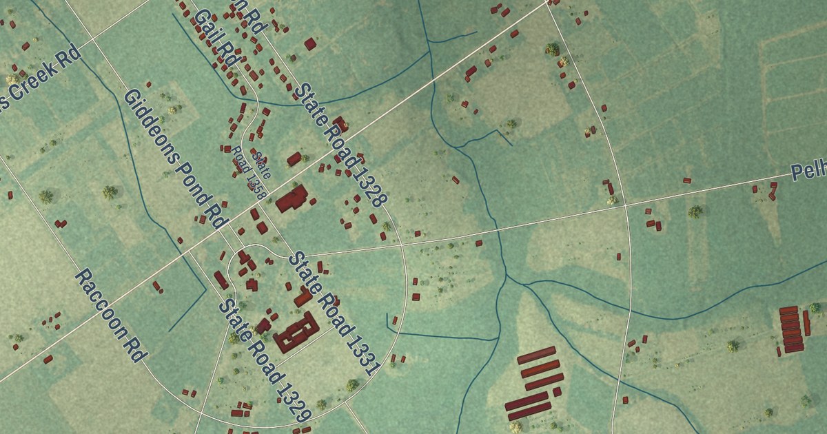
A detailed map of Penderlea, North Carolina, showing every building in its true location, the roads by name, and shaded topographical relief.
Read More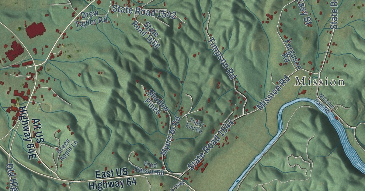
A detailed map of Peachtree, North Carolina, showing every building in its true location, the roads by name, and shaded topographical relief.
Read More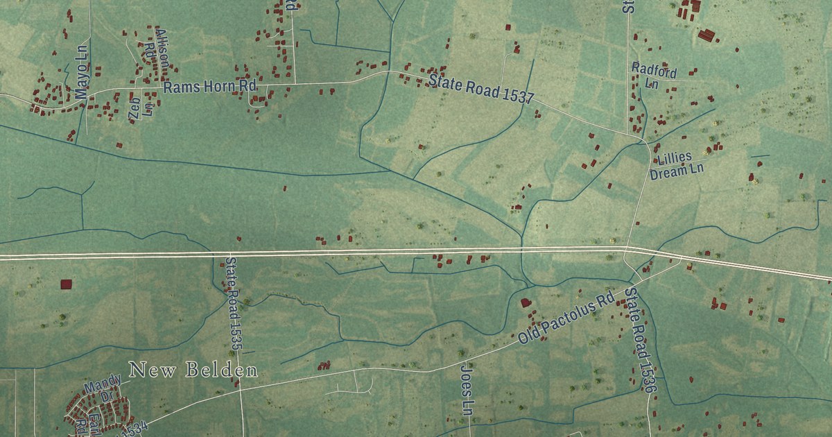
A detailed map of Pactolus, North Carolina, showing every building in its true location, the roads by name, and shaded topographical relief.
Read More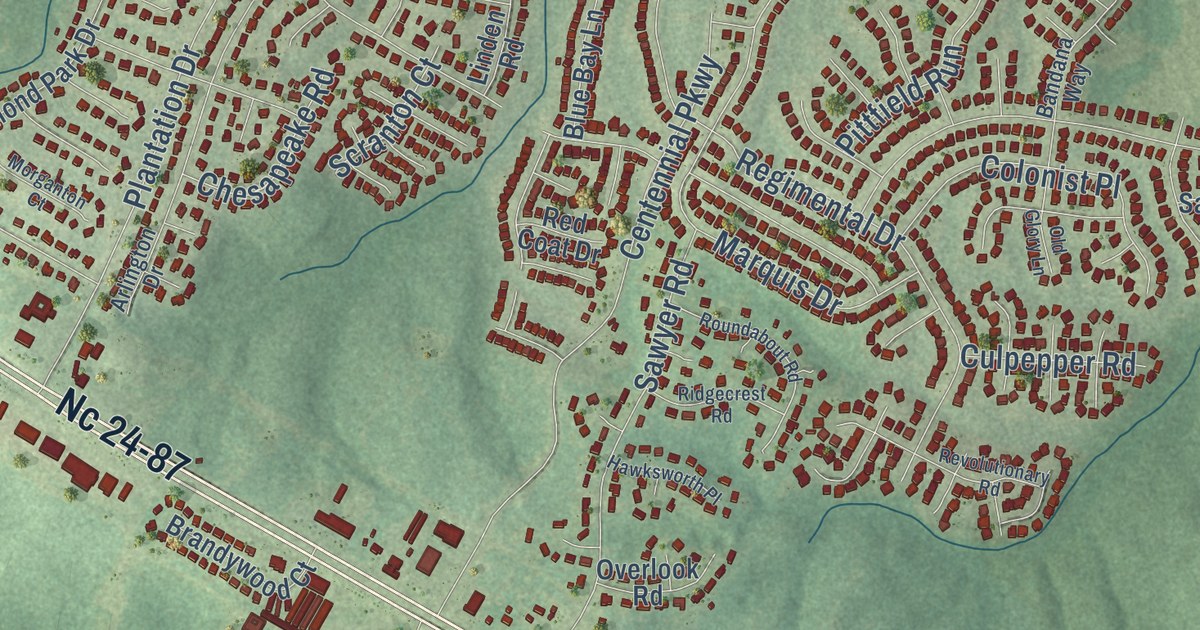
A detailed map of Overhills, North Carolina, showing every building in its true location, the roads by name, and shaded topographical relief.
Read More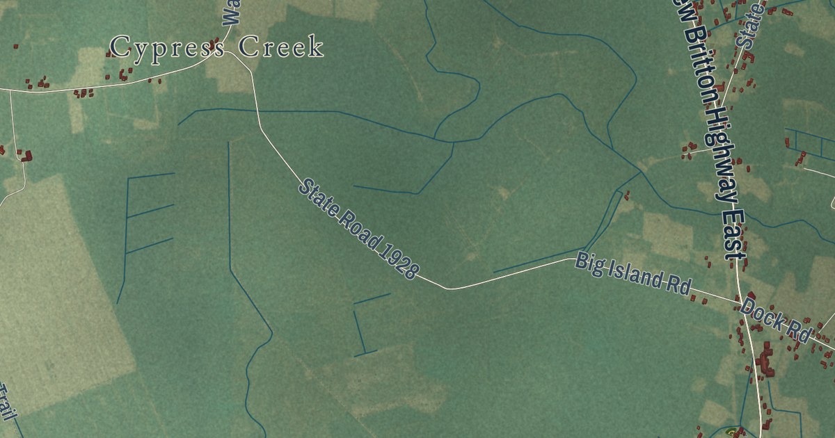
A detailed map of Old Dock, North Carolina, showing every building in its true location, the roads by name, and shaded topographical relief.
Read More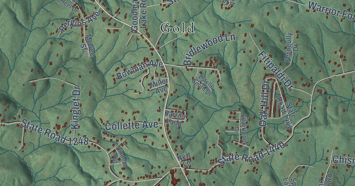
A detailed map of Oak Hill, North Carolina, showing every building in its true location, the roads by name, and shaded topographical relief.
Read More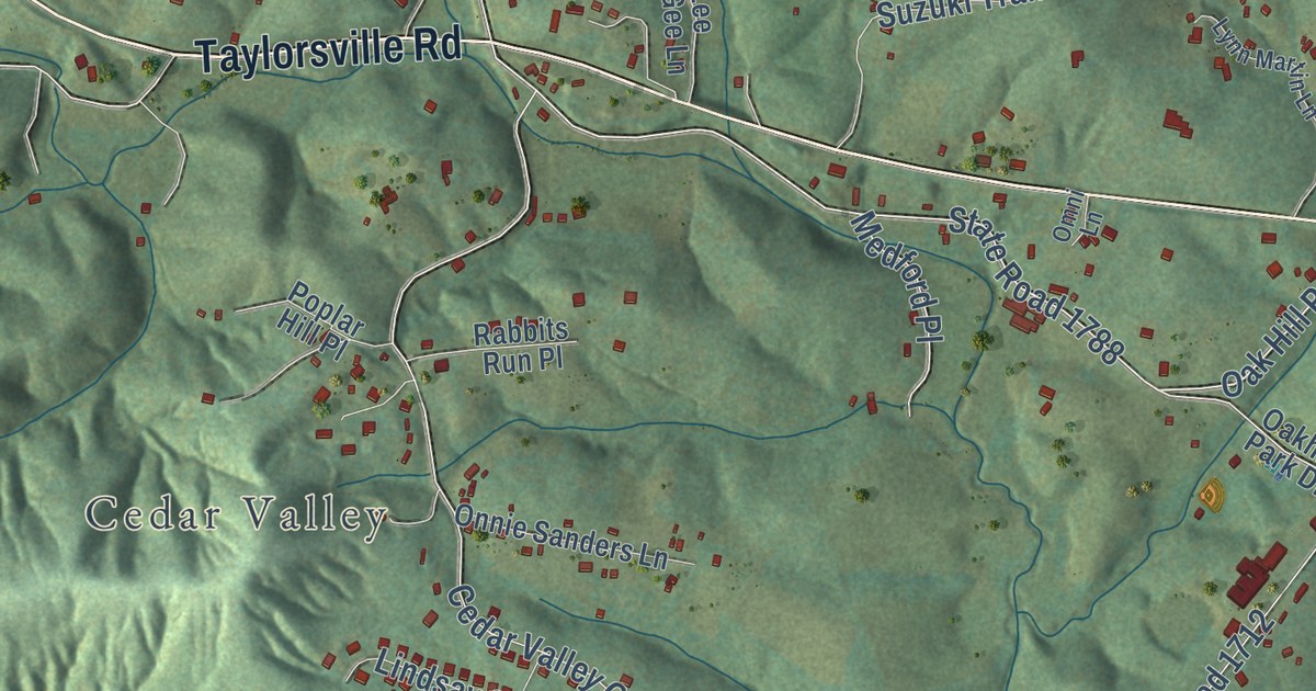
A detailed map of Oak Hill, North Carolina, showing every building in its true location, the roads by name, and shaded topographical relief.
Read More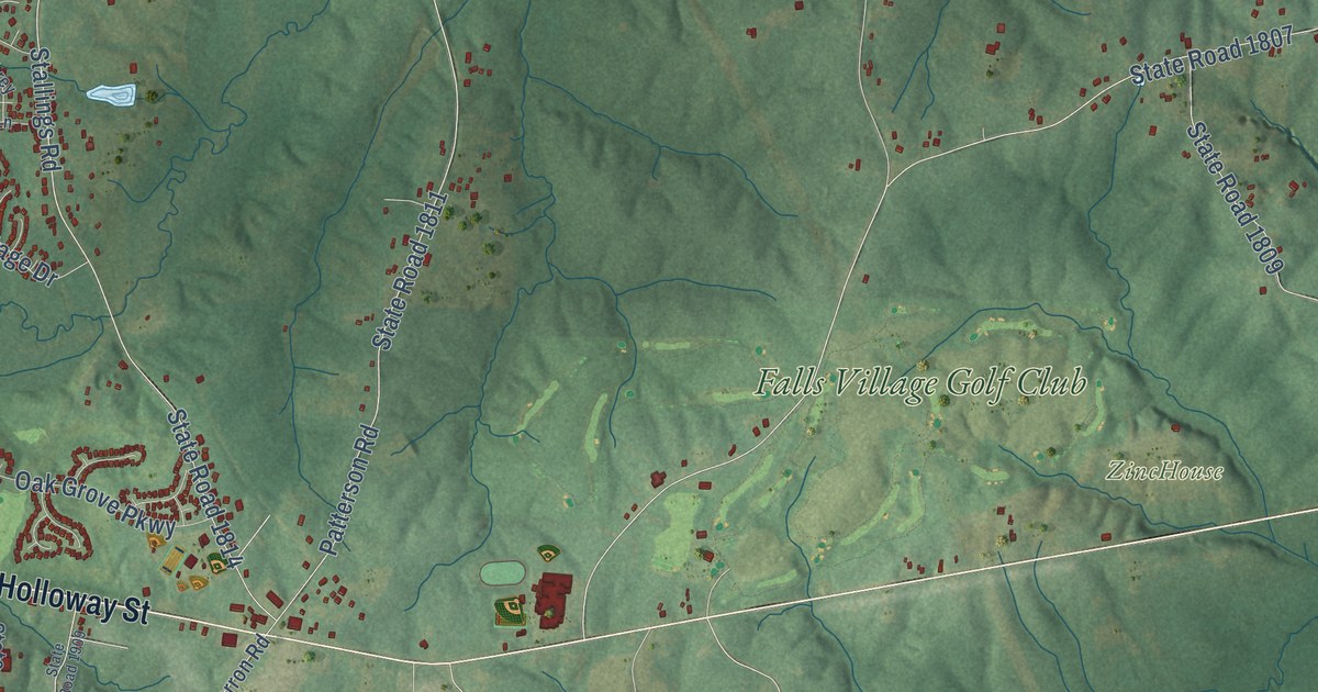
A detailed map of Oak Grove, North Carolina, showing every building in its true location, the roads by name, and shaded topographical relief.
Read More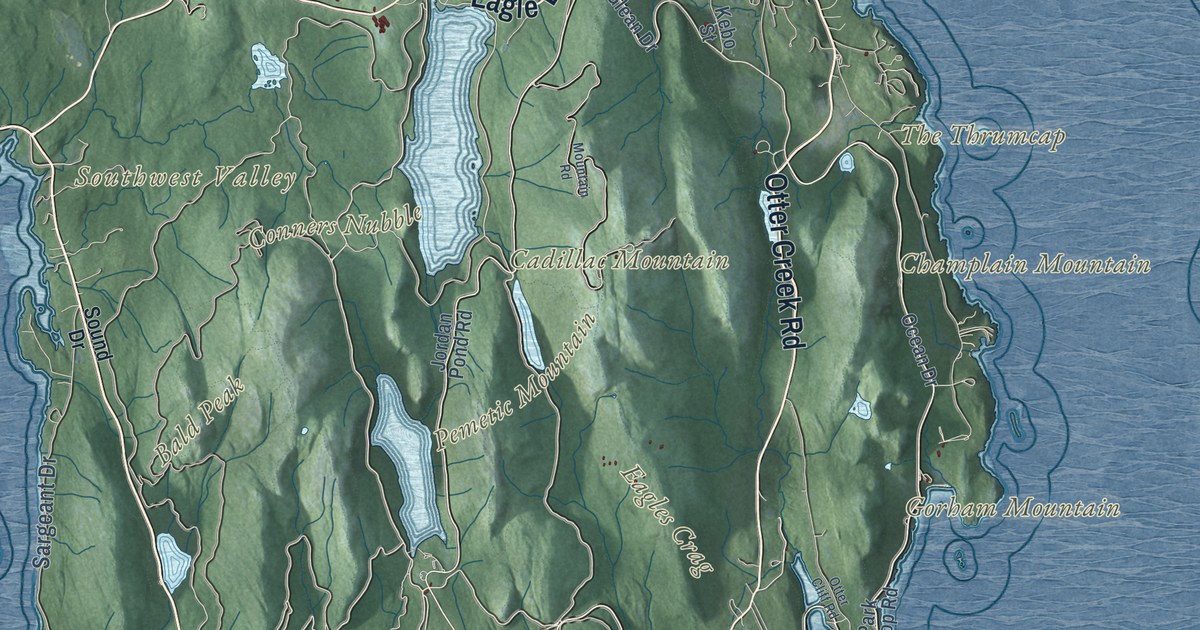
A detailed map of Acadia National Park on Mount Desert Island and the Schoodic Peninsula, from Cadillac Mountain to Bass Harbor Head, with shaded relief and the islands offshore.
Read More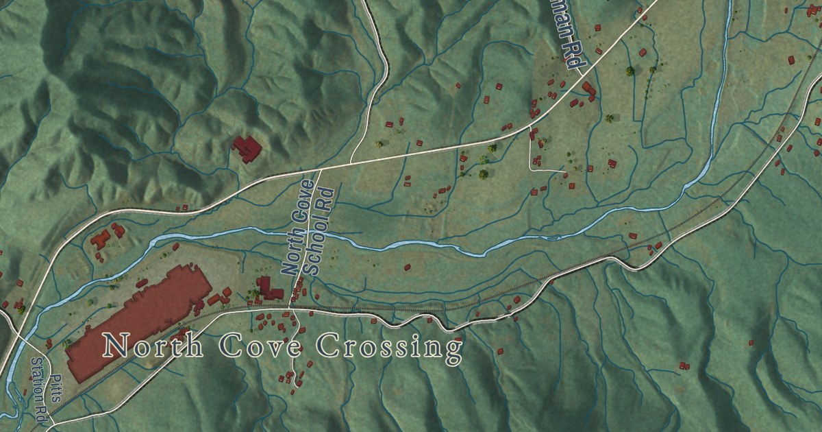
A detailed map of North Cove, North Carolina, showing every building in its true location, the roads by name, and shaded topographical relief.
Read More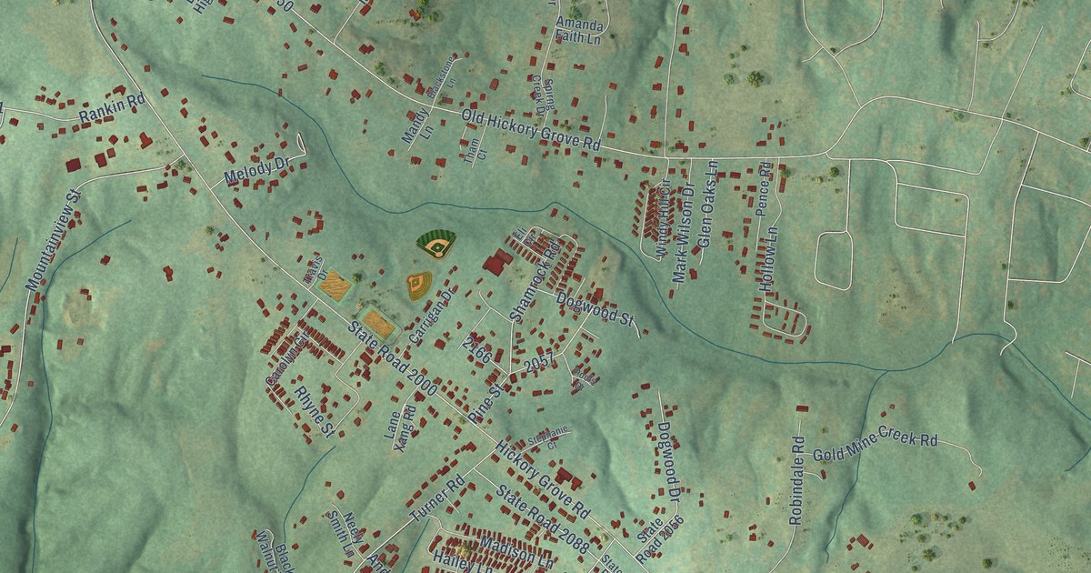
A detailed map of North Belmont, North Carolina, showing every building in its true location, the roads by name, and shaded topographical relief.
Read More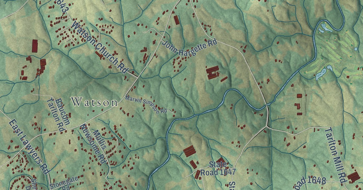
A detailed map of New Salem, North Carolina, showing every building in its true location, the roads by name, and shaded topographical relief.
Read More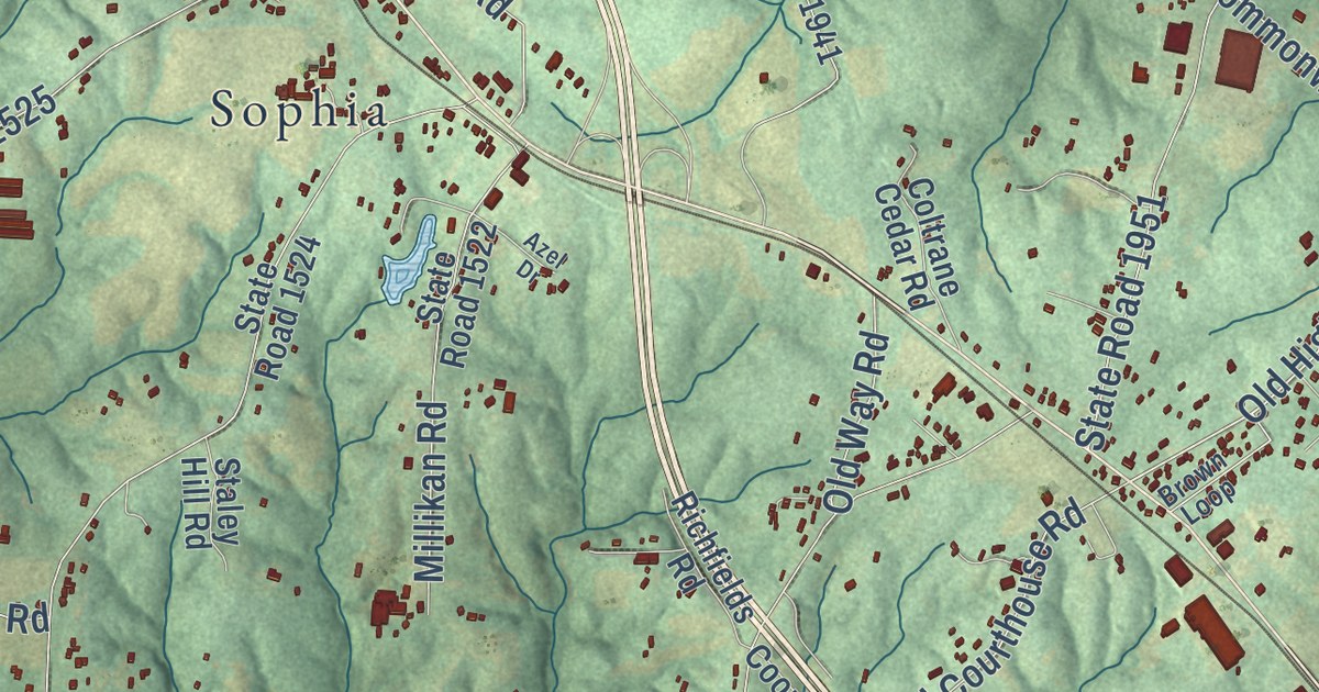
A detailed map of New Market, North Carolina, showing every building in its true location, the roads by name, and shaded topographical relief.
Read More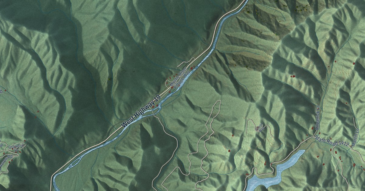
A detailed map of Nantahala, North Carolina, showing every building in its true location, the roads by name, and shaded topographical relief.
Read More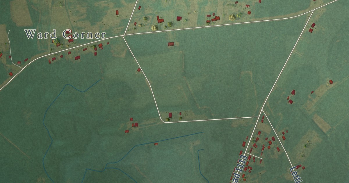
A detailed map of Nakina, North Carolina, showing every building in its true location, the roads by name, and shaded topographical relief.
Read More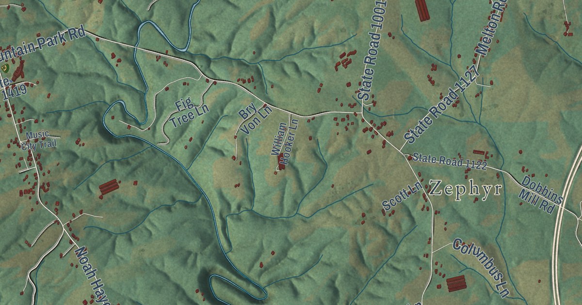
A detailed map of Mountain Park, North Carolina, showing every building in its true location, the roads by name, and shaded topographical relief.
Read More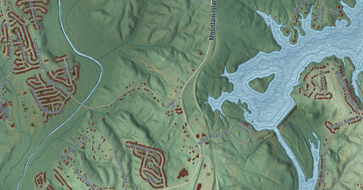
A detailed map of Mountain Island, North Carolina, showing every building in its true location, the roads by name, and shaded topographical relief.
Read More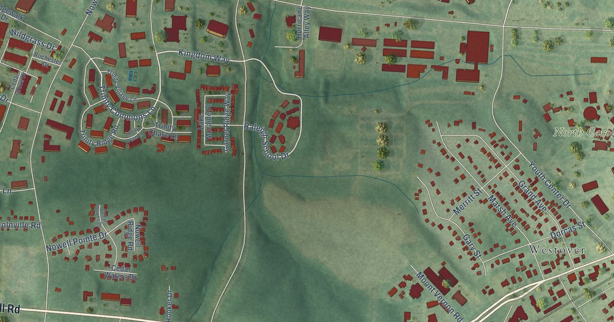
A detailed map of Mount Vernon, North Carolina, showing every building in its true location, the roads by name, and shaded topographical relief.
Read More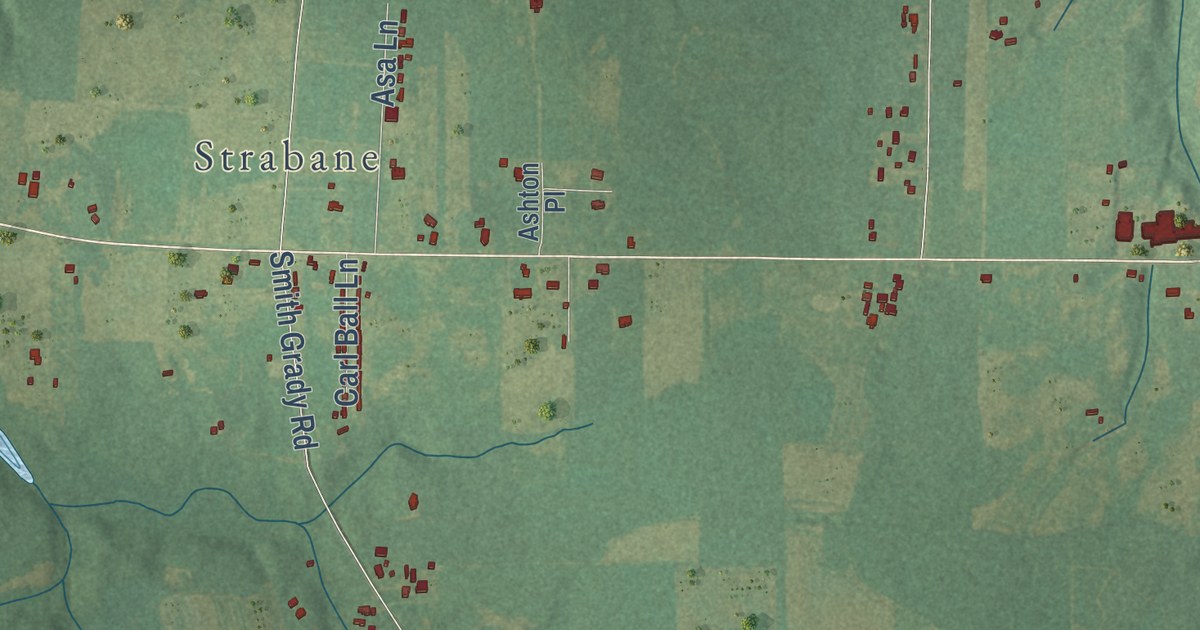
A detailed map of Moss Hill, North Carolina, showing every building in its true location, the roads by name, and shaded topographical relief.
Read More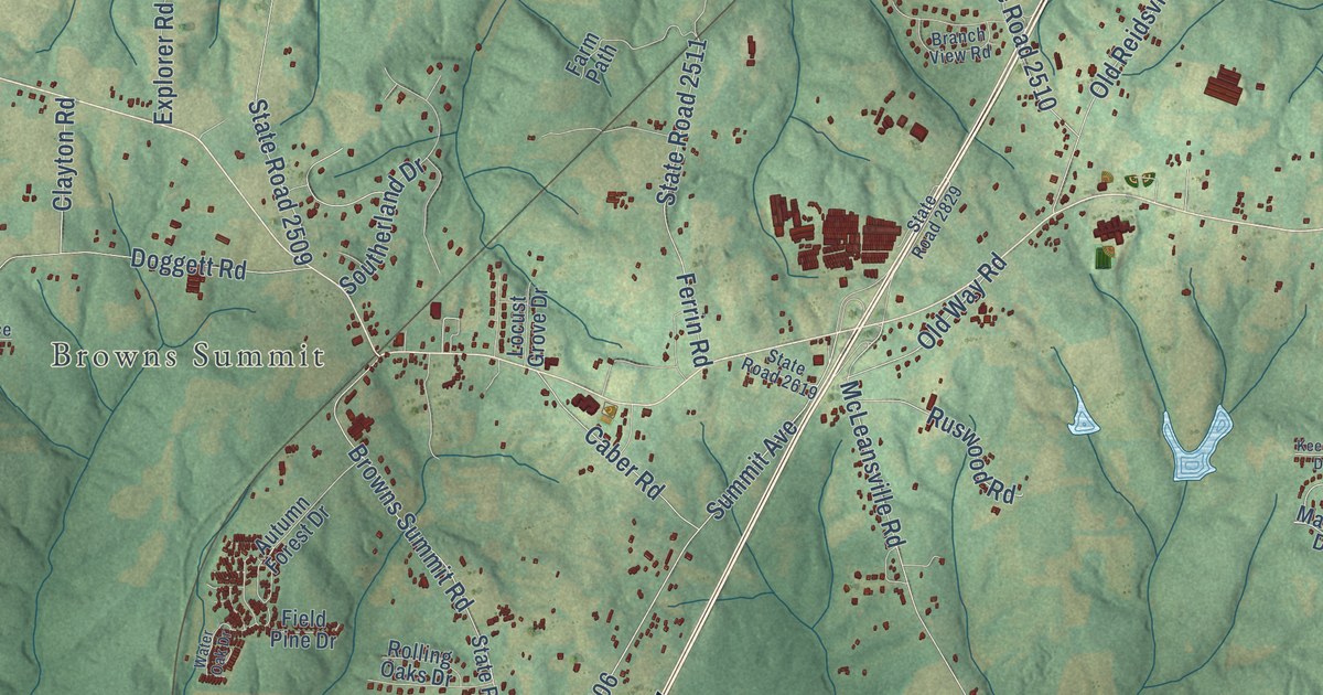
A detailed map of Monticello, North Carolina, showing every building in its true location, the roads by name, and shaded topographical relief.
Read More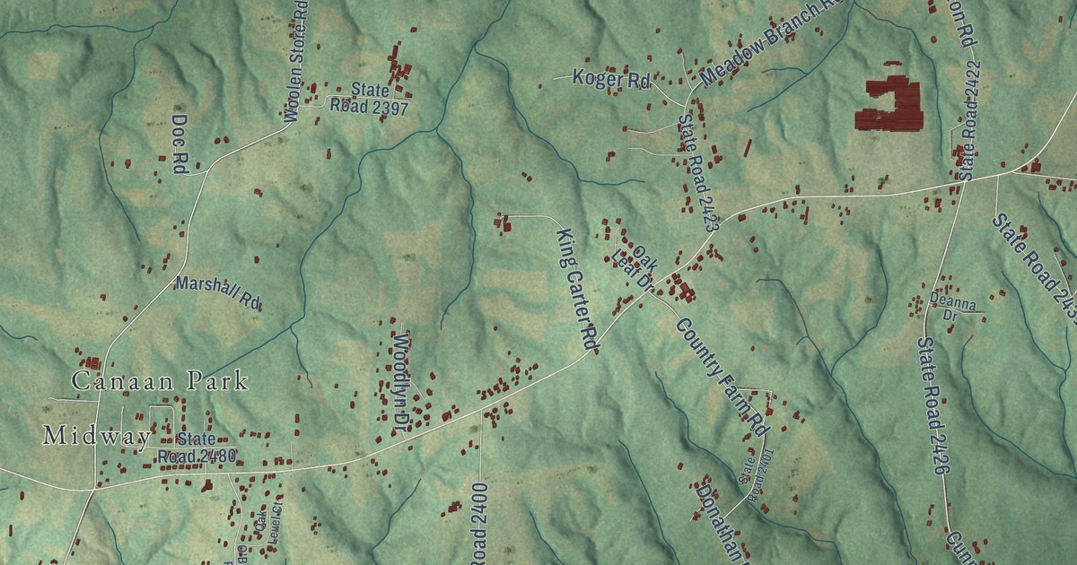
A detailed map of Monroeton, North Carolina, showing every building in its true location, the roads by name, and shaded topographical relief.
Read More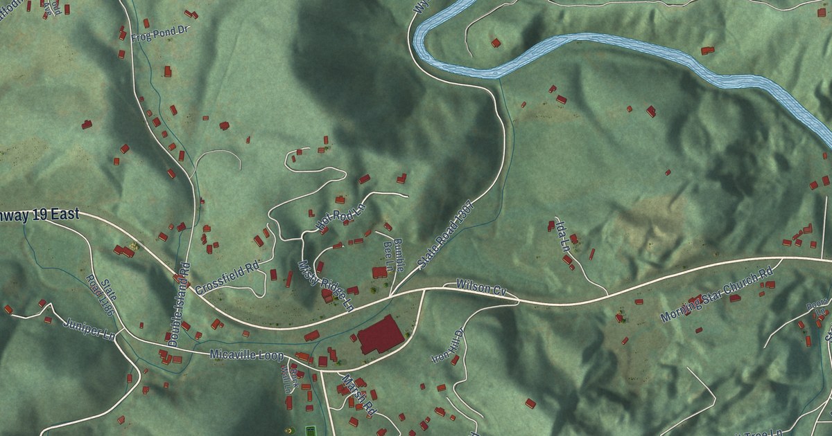
A detailed map of Micaville, North Carolina, showing every building in its true location, the roads by name, and shaded topographical relief.
Read More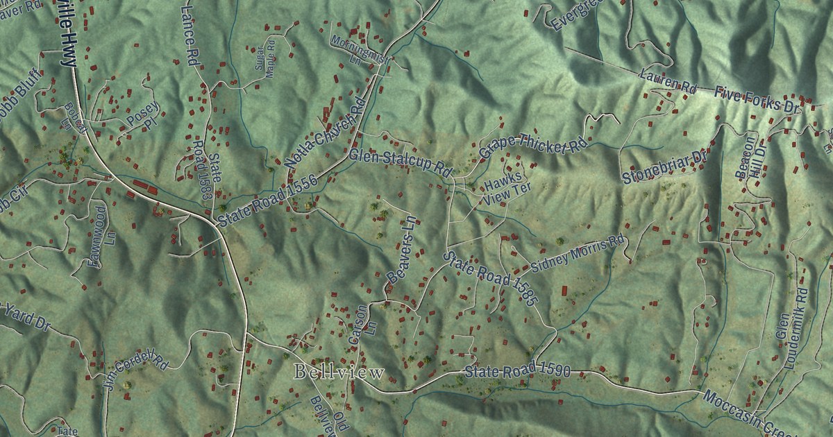
A detailed map of Martins Creek, North Carolina, showing every building in its true location, the roads by name, and shaded topographical relief.
Read More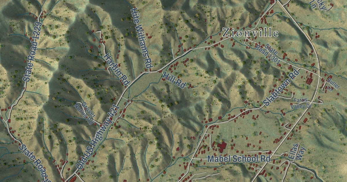
A detailed map of Mabel, North Carolina, showing every building in its true location, the roads by name, and shaded topographical relief.
Read More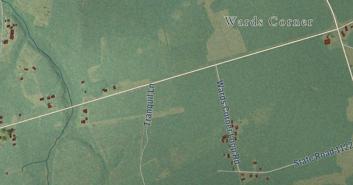
A detailed map of Malpass Corner, North Carolina, showing every building in its true location, the roads by name, and shaded topographical relief.
Read More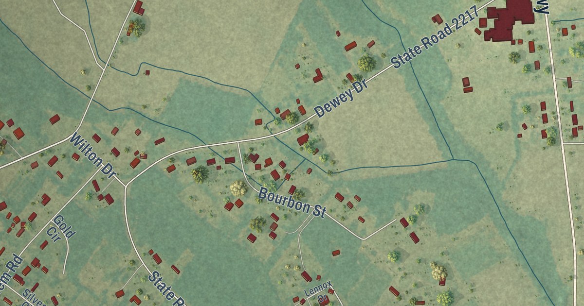
A detailed map of Long Branch, North Carolina, showing every building in its true location, the roads by name, and shaded topographical relief.
Read More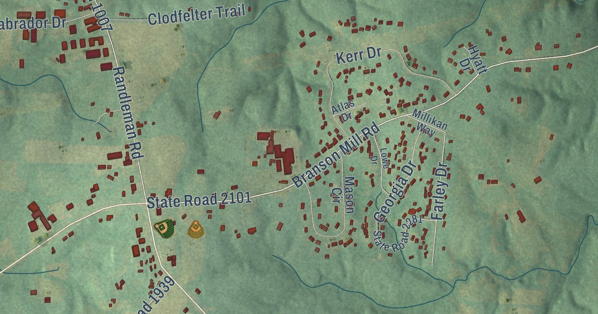
A detailed map of Level Cross, North Carolina, showing every building in its true location, the roads by name, and shaded topographical relief.
Read More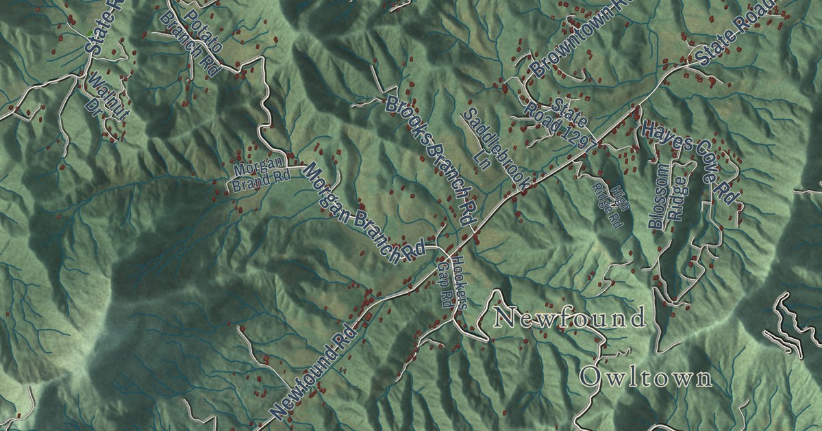
A detailed map of Leicester, North Carolina, showing every building in its true location, the roads by name, and shaded topographical relief.
Read More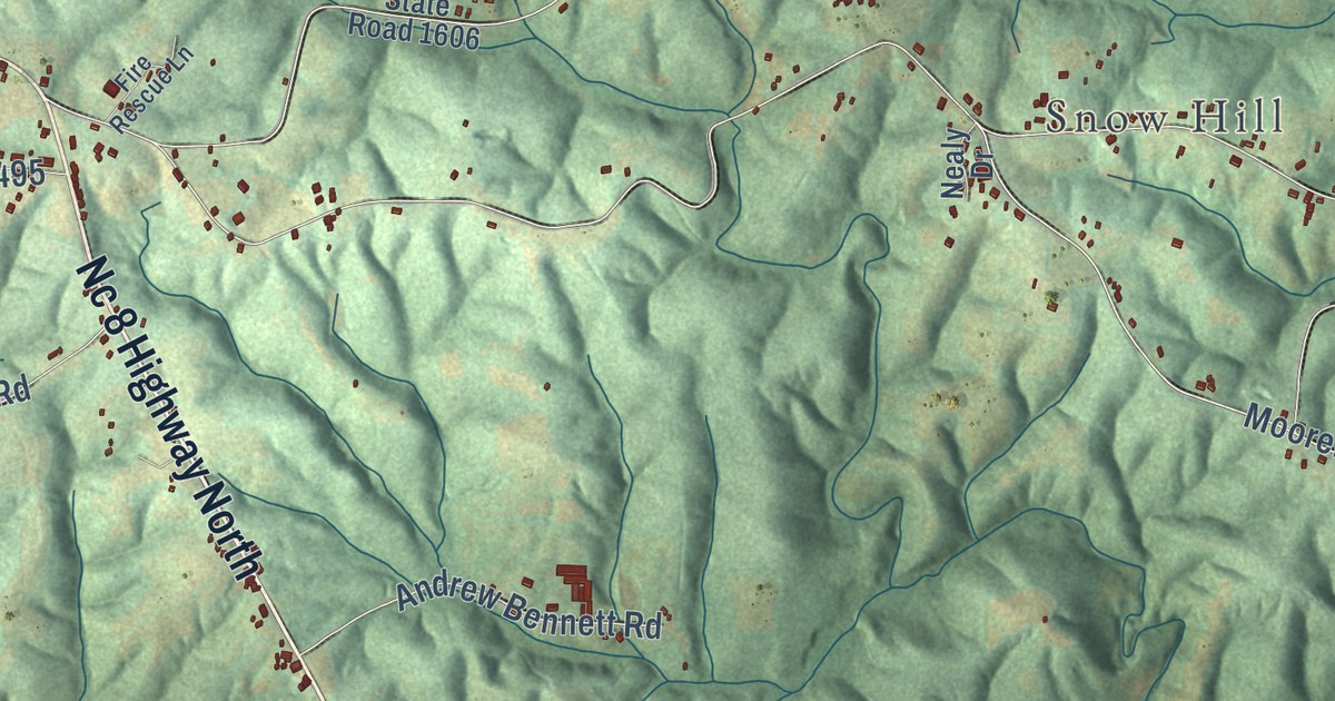
A detailed map of Lawsonville, North Carolina, showing every building in its true location, the roads by name, and shaded topographical relief.
Read More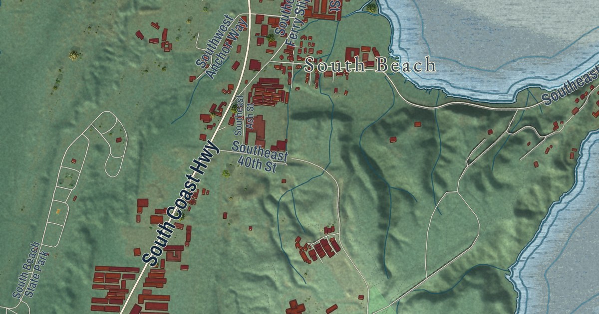
A detailed map of Yaquina, Oregon, showing every building in its true location, the roads by name, and shaded topographical relief.
Read More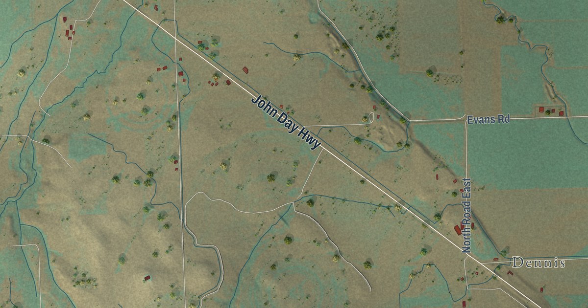
A detailed map of Willowcreek, Oregon, showing every building in its true location, the roads by name, and shaded topographical relief.
Read More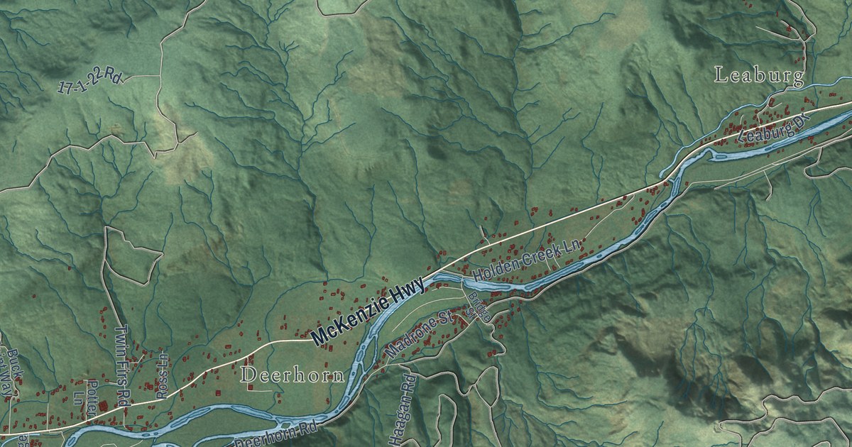
A detailed map of Walterville, Oregon, showing every building in its true location, the roads by name, and shaded topographical relief.
Read More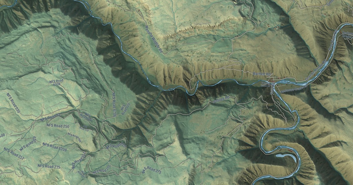
A detailed map of Troy, Oregon, showing every building in its true location, the roads by name, and shaded topographical relief.
Read More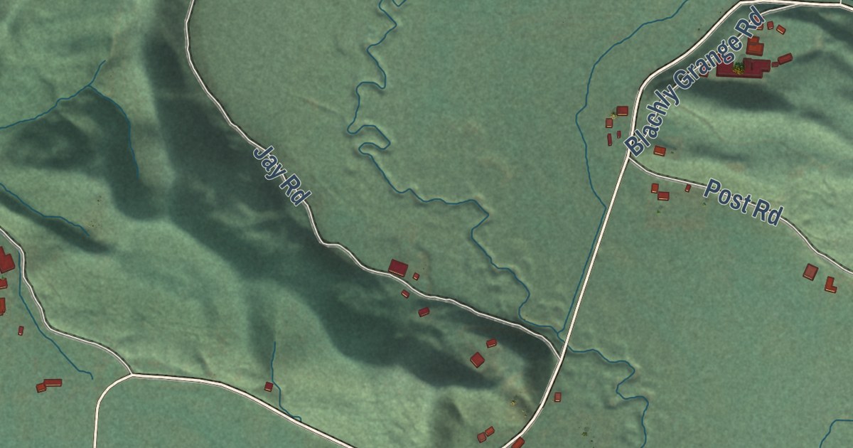
A detailed map of Triangle Lake, Oregon, showing every building in its true location, the roads by name, and shaded topographical relief.
Read More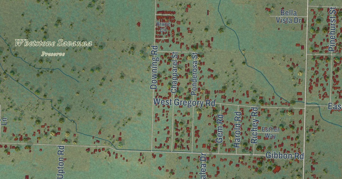
A detailed map of Table Rock, Oregon, showing every building in its true location, the roads by name, and shaded topographical relief.
Read More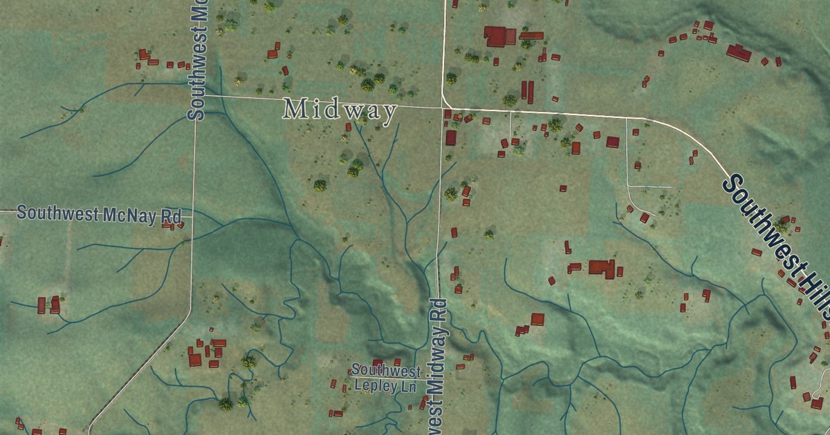
A detailed map of Scholls, Oregon, showing every building in its true location, the roads by name, and shaded topographical relief.
Read More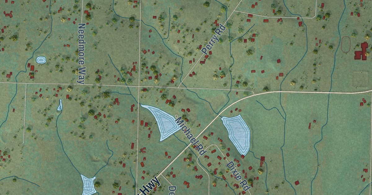
A detailed map of Sams Valley, Oregon, showing every building in its true location, the roads by name, and shaded topographical relief.
Read More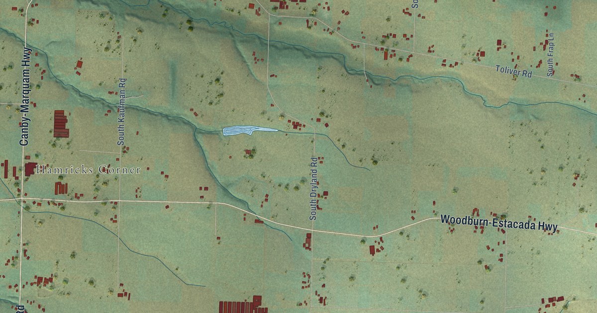
A detailed map of Rural Dell, Oregon, showing every building in its true location, the roads by name, and shaded topographical relief.
Read More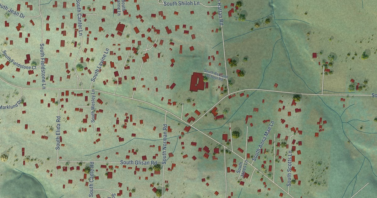
A detailed map of Redland, Oregon, showing every building in its true location, the roads by name, and shaded topographical relief.
Read More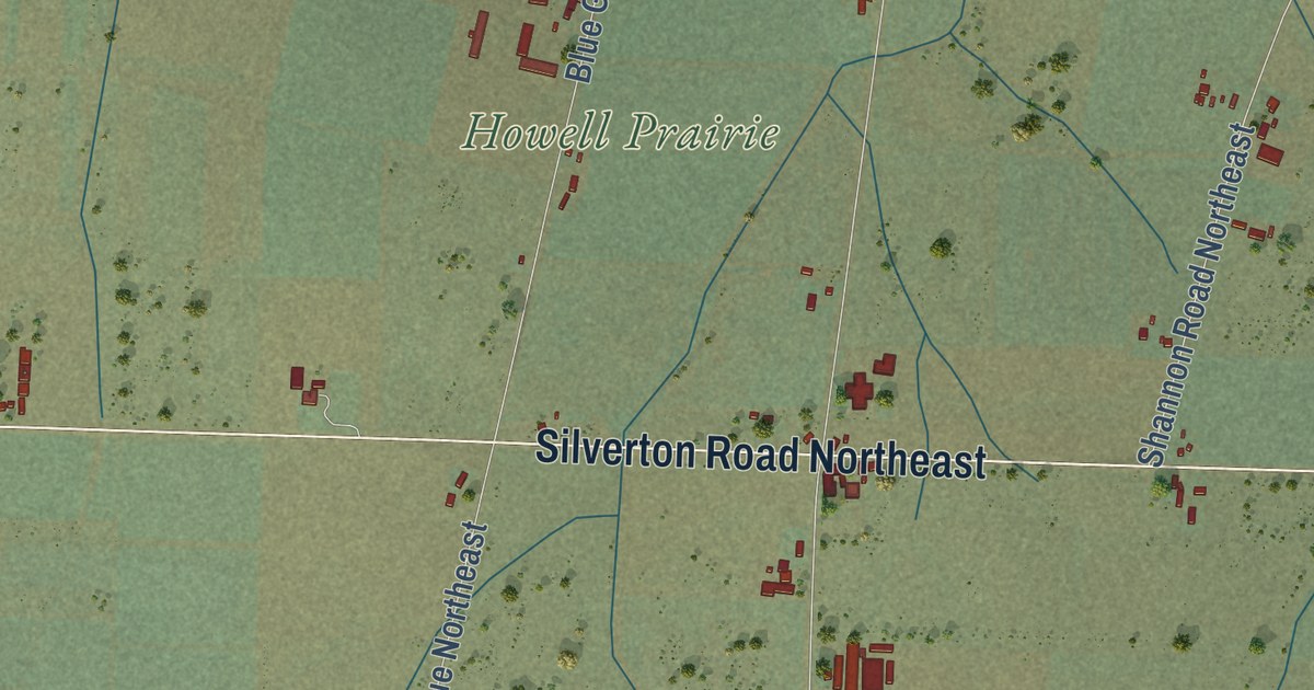
A detailed map of Pratum, Oregon, showing every building in its true location, the roads by name, and shaded topographical relief.
Read More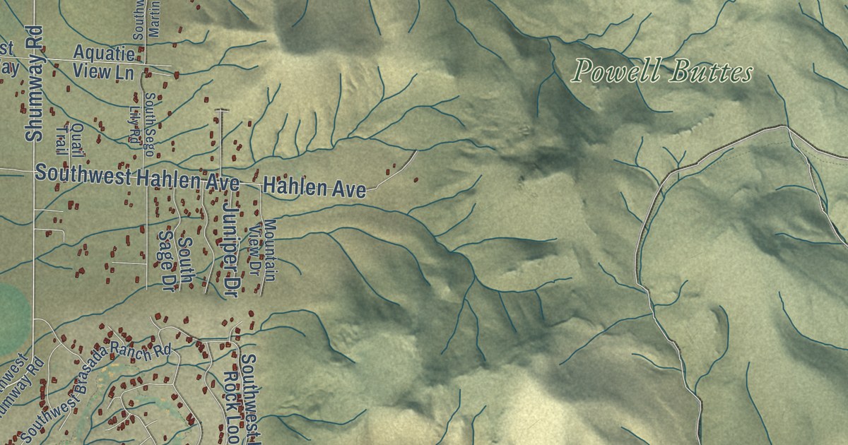
A detailed map of Powell Butte, Oregon, showing every building in its true location, the roads by name, and shaded topographical relief.
Read More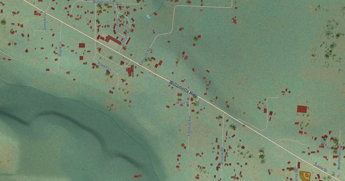
A detailed map of Pleasant Hill, Oregon, showing every building in its true location, the roads by name, and shaded topographical relief.
Read More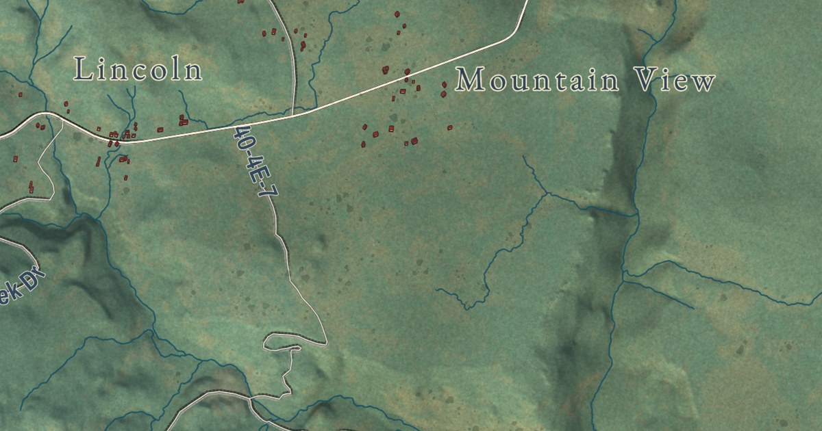
A detailed map of Pinehurst, Oregon, showing every building in its true location, the roads by name, and shaded topographical relief.
Read More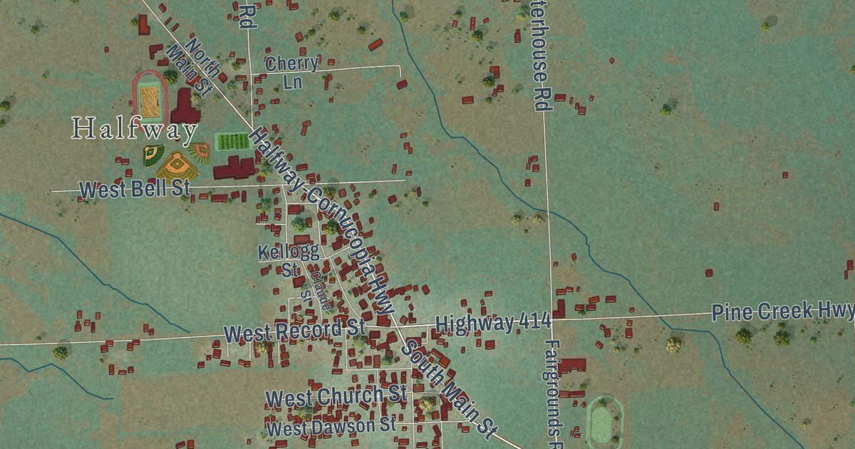
A detailed map of Pine, Oregon, showing every building in its true location, the roads by name, and shaded topographical relief.
Read More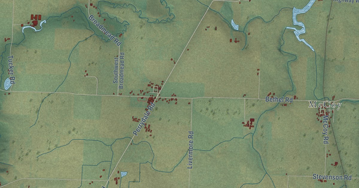
A detailed map of Perrydale, Oregon, showing every building in its true location, the roads by name, and shaded topographical relief.
Read More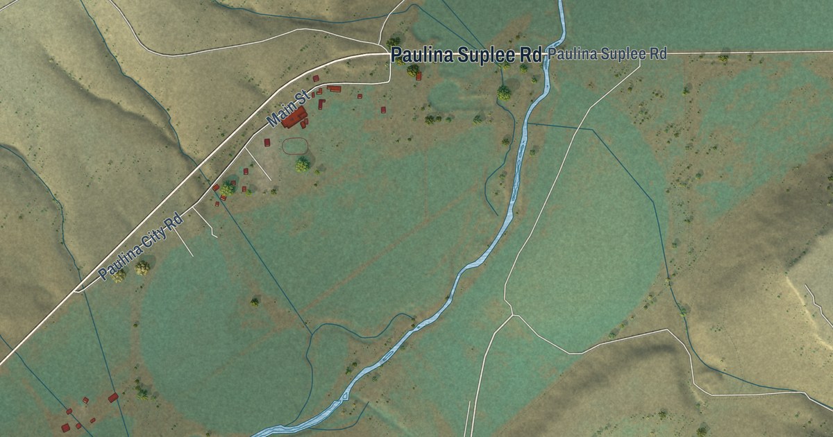
A detailed map of Paulina, Oregon, showing every building in its true location, the roads by name, and shaded topographical relief.
Read More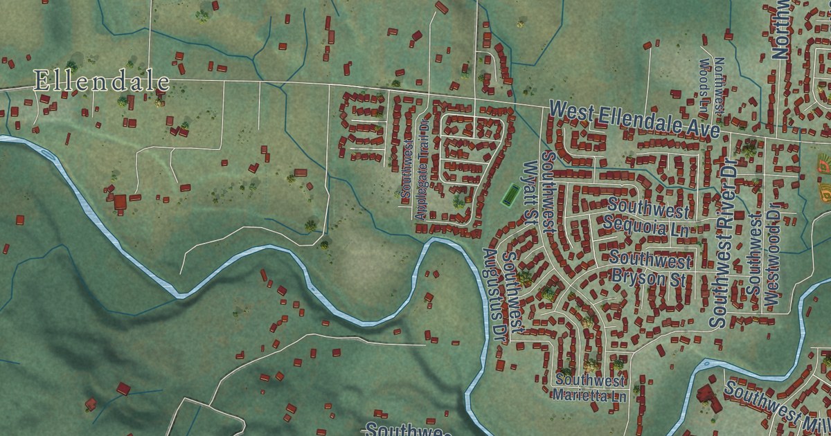
A detailed map of Oakdale, Oregon, showing every building in its true location, the roads by name, and shaded topographical relief.
Read More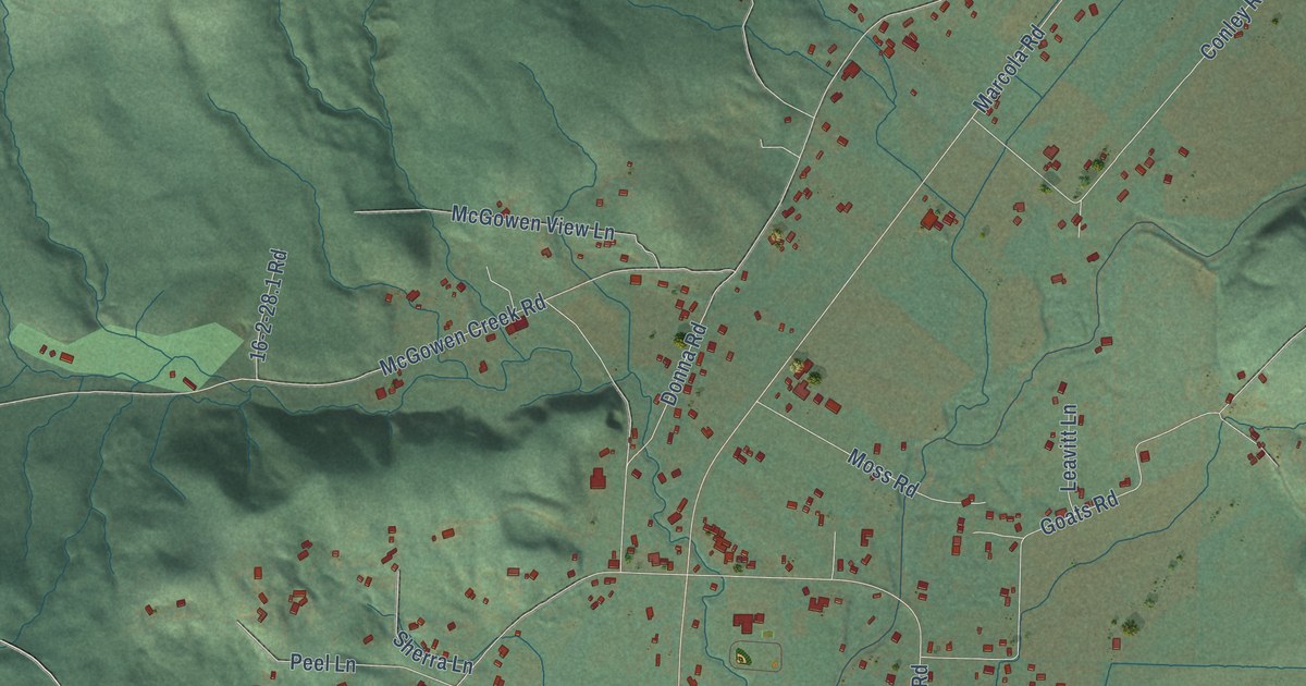
A detailed map of Mohawk, Oregon, showing every building in its true location, the roads by name, and shaded topographical relief.
Read More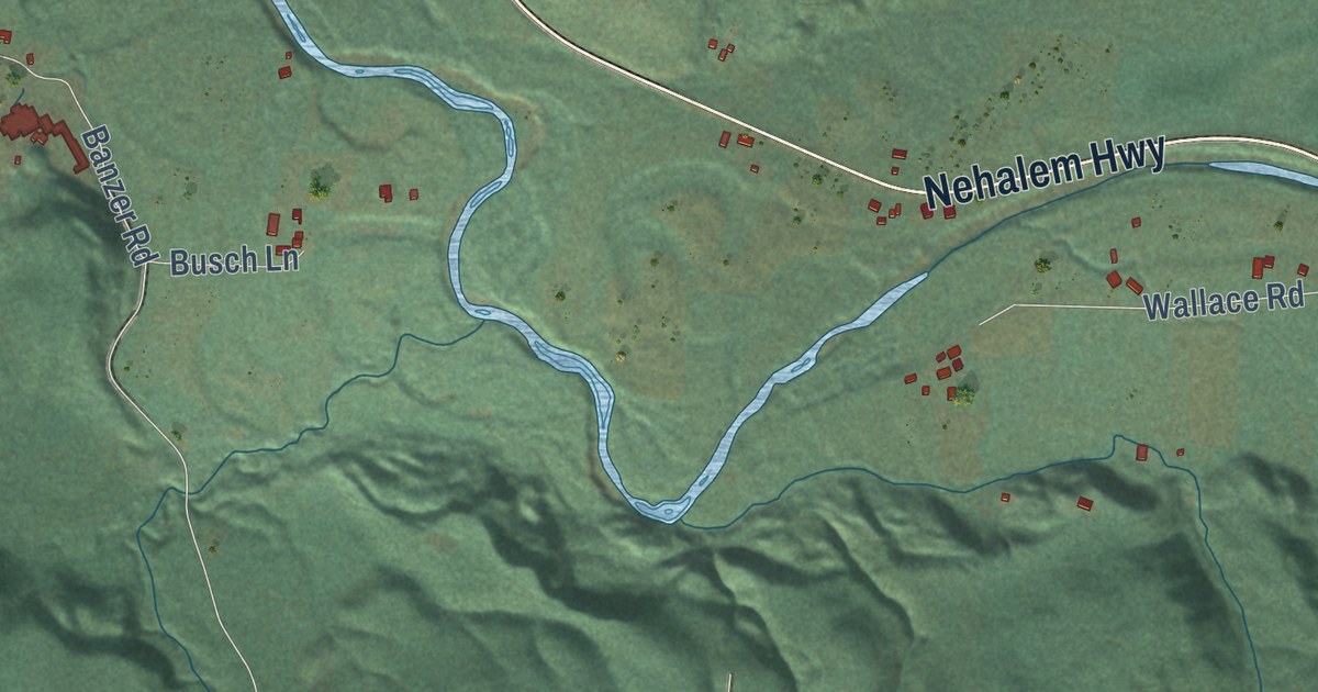
A detailed map of Mist, Oregon, showing every building in its true location, the roads by name, and shaded topographical relief.
Read More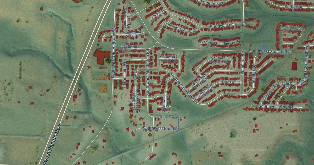
A detailed map of Middleton, Oregon, showing every building in its true location, the roads by name, and shaded topographical relief.
Read More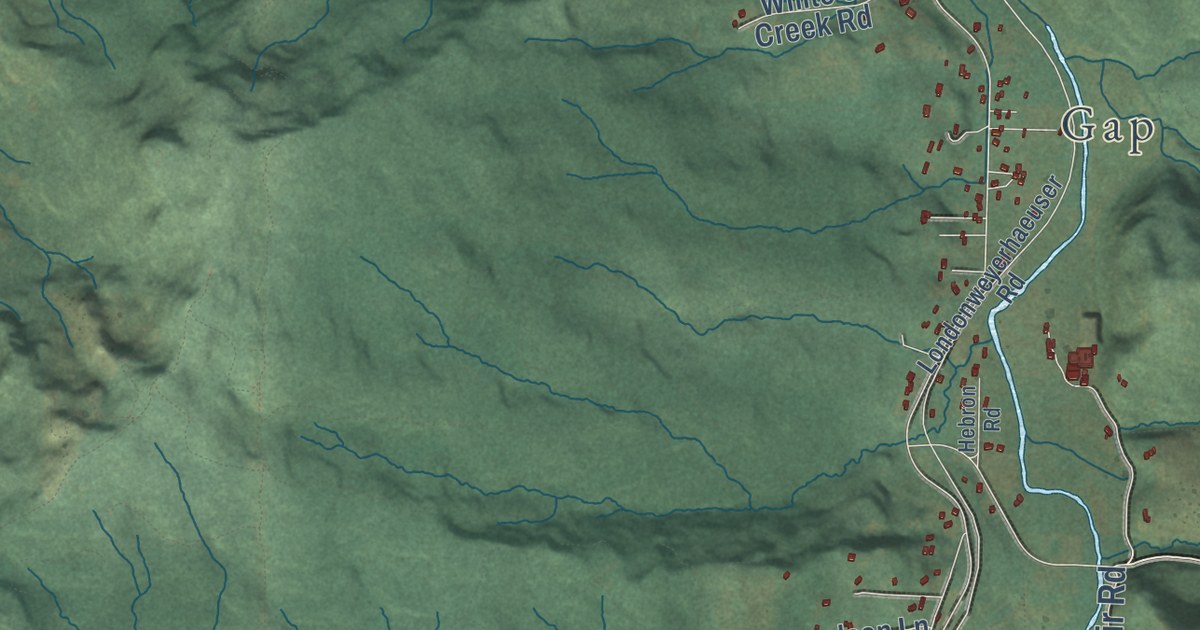
A detailed map of London, Oregon, showing every building in its true location, the roads by name, and shaded topographical relief.
Read More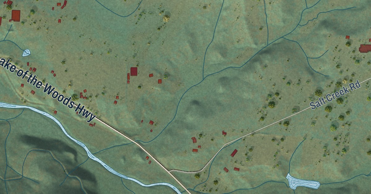
A detailed map of Lake Creek, Oregon, showing every building in its true location, the roads by name, and shaded topographical relief.
Read More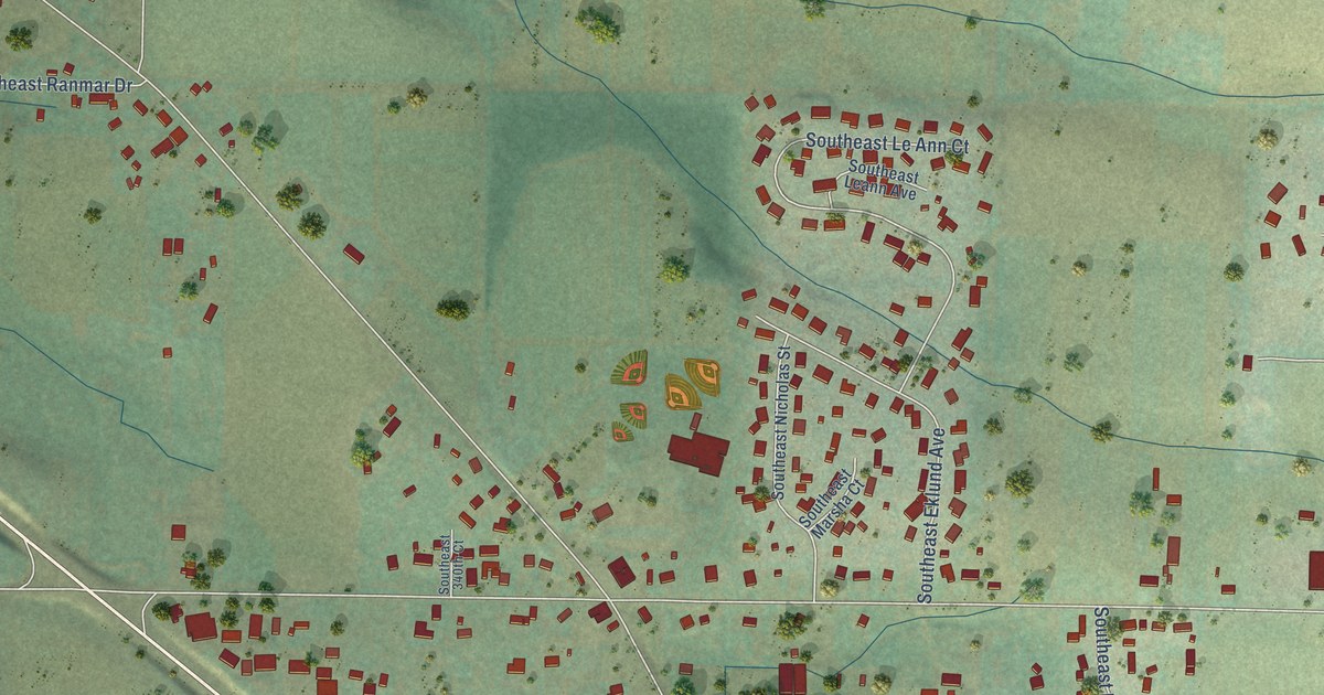
A detailed map of Kelso, Oregon, showing every building in its true location, the roads by name, and shaded topographical relief.
Read More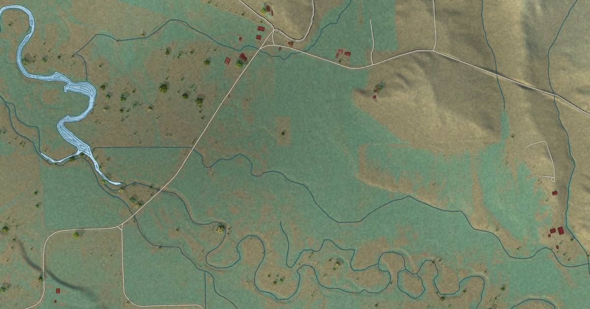
A detailed map of Keating, Oregon, showing every building in its true location, the roads by name, and shaded topographical relief.
Read More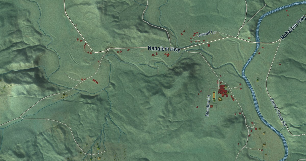
A detailed map of Jewell, Oregon, showing every building in its true location, the roads by name, and shaded topographical relief.
Read More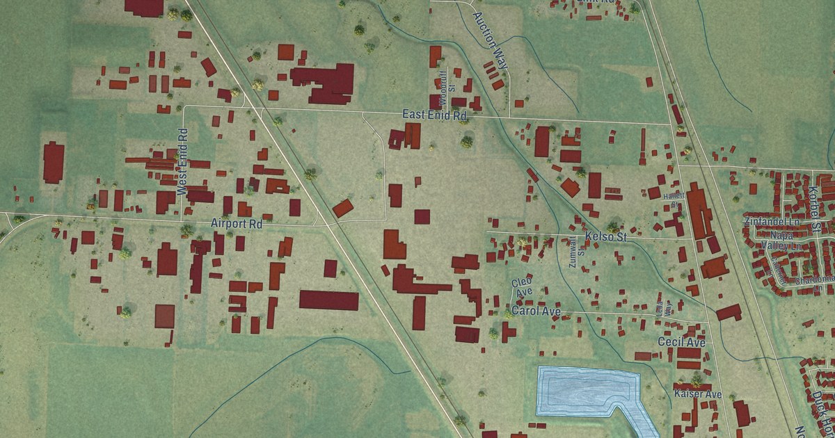
A detailed map of Irving, Oregon, showing every building in its true location, the roads by name, and shaded topographical relief.
Read More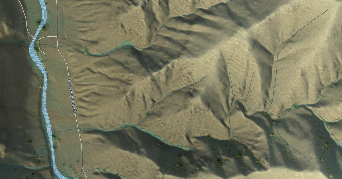
A detailed map of Imnaha, Oregon, showing every building in its true location, the roads by name, and shaded topographical relief.
Read More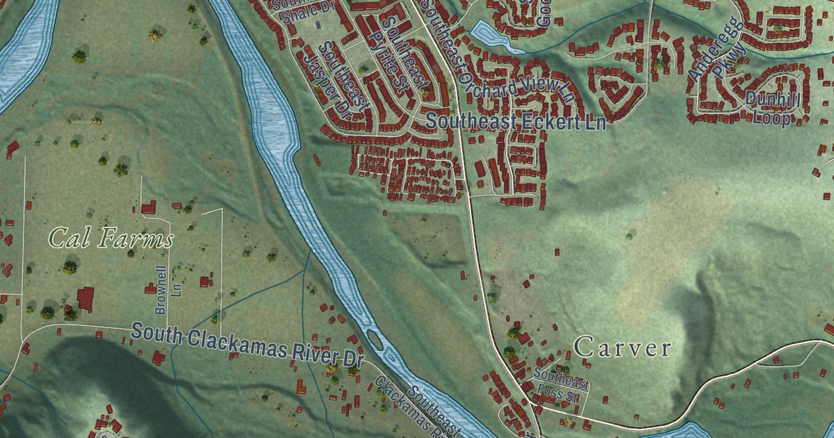
A detailed map of Holcomb, Oregon, showing every building in its true location, the roads by name, and shaded topographical relief.
Read More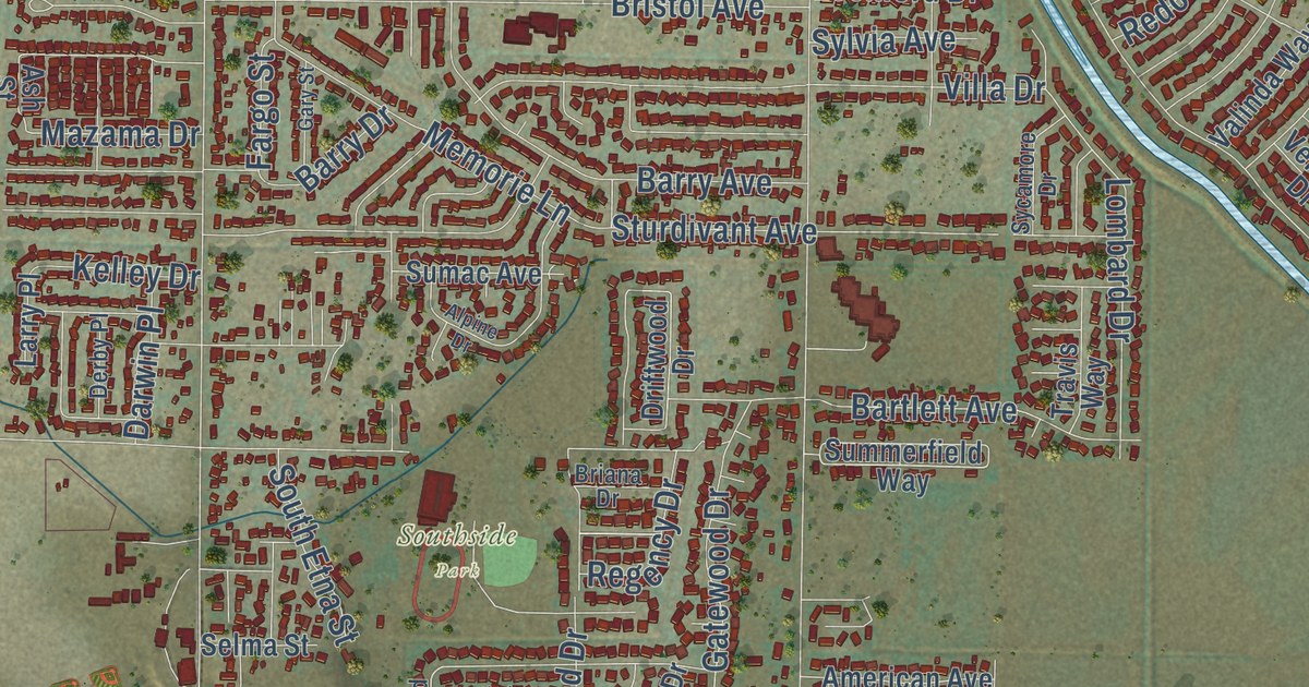
A detailed map of Henley, Oregon, showing every building in its true location, the roads by name, and shaded topographical relief.
Read More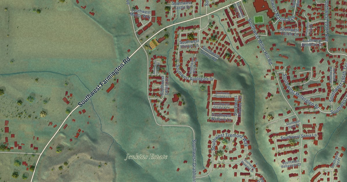
A detailed map of Hazeldale, Oregon, showing every building in its true location, the roads by name, and shaded topographical relief.
Read More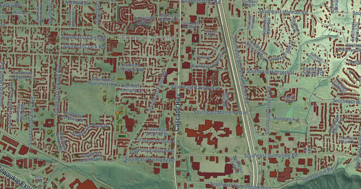
A detailed map of Harmony, Oregon, showing every building in its true location, the roads by name, and shaded topographical relief.
Read More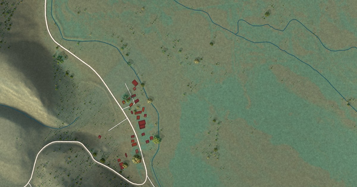
A detailed map of Frenchglen, Oregon, showing every building in its true location, the roads by name, and shaded topographical relief.
Read More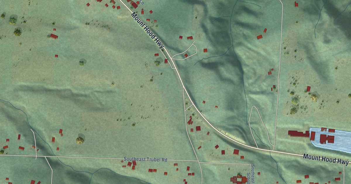
A detailed map of Firwood, Oregon, showing every building in its true location, the roads by name, and shaded topographical relief.
Read More















