Detailed Map of Ferndale, Oregon
A detailed map of Ferndale, Oregon, showing every building in its true location, the roads by name, and shaded topographical relief.
Read More
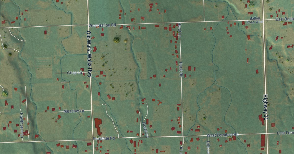
A detailed map of Ferndale, Oregon, showing every building in its true location, the roads by name, and shaded topographical relief.
Read More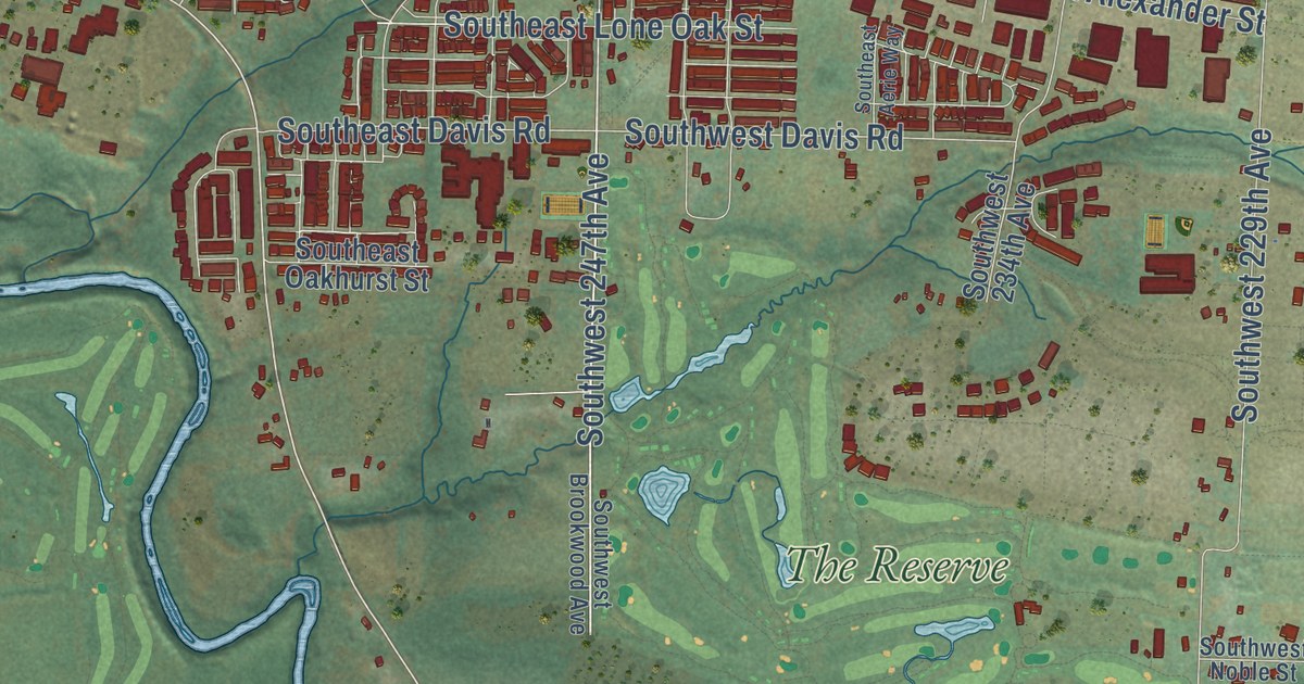
A detailed map of Farmington, Oregon, showing every building in its true location, the roads by name, and shaded topographical relief.
Read More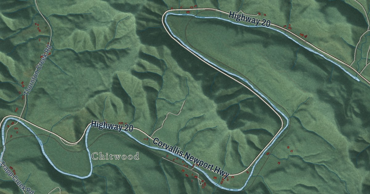
A detailed map of Eddyville, Oregon, showing every building in its true location, the roads by name, and shaded topographical relief.
Read More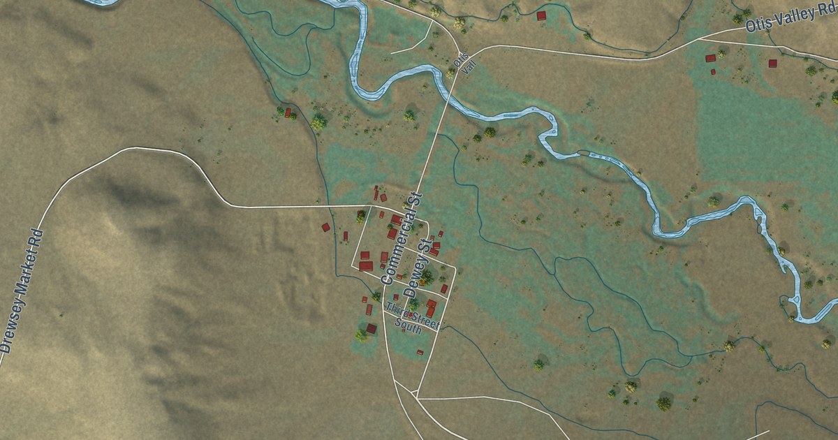
A detailed map of Drewsey, Oregon, showing every building in its true location, the roads by name, and shaded topographical relief.
Read More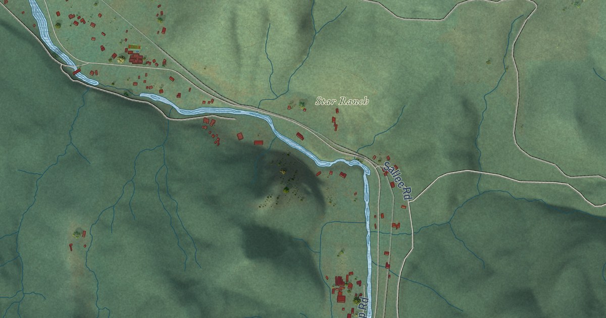
A detailed map of Dorena, Oregon, showing every building in its true location, the roads by name, and shaded topographical relief.
Read More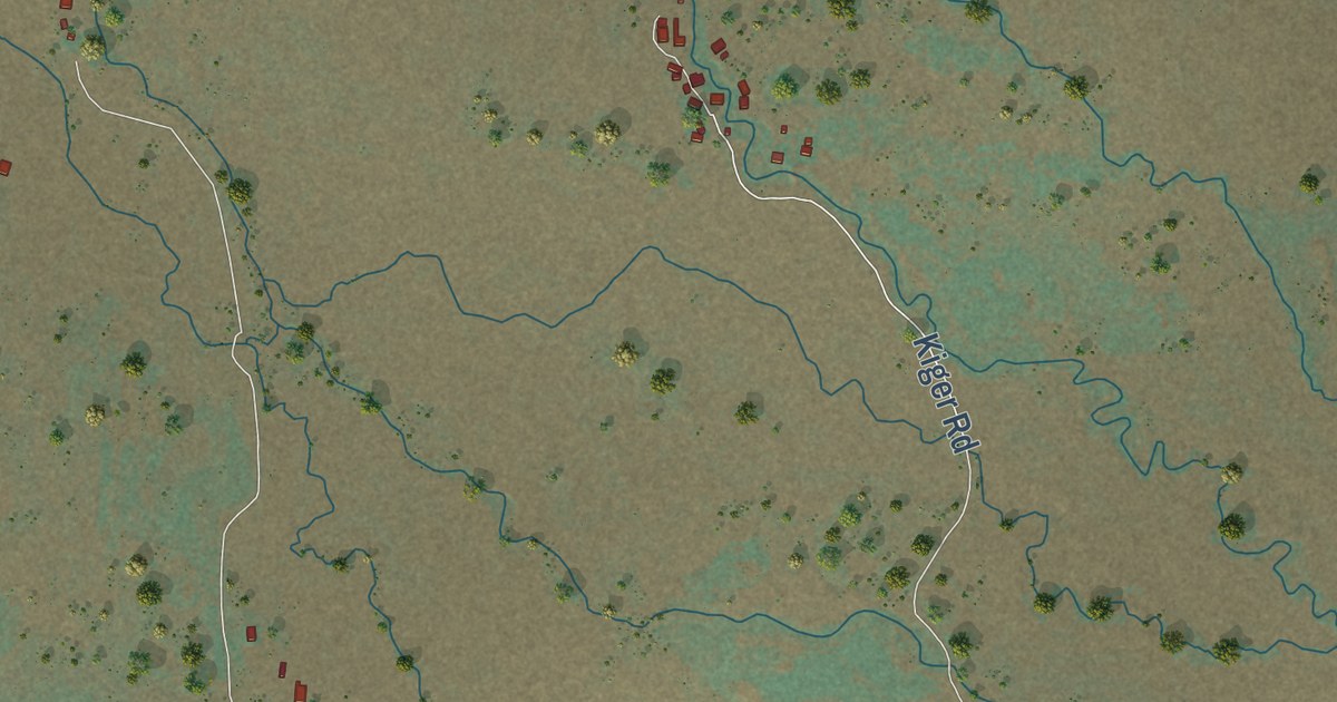
A detailed map of Diamond, Oregon, showing every building in its true location, the roads by name, and shaded topographical relief.
Read More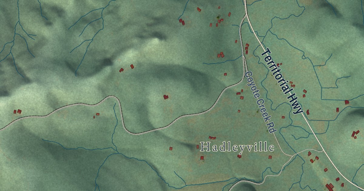
A detailed map of Crow, Oregon, showing every building in its true location, the roads by name, and shaded topographical relief.
Read More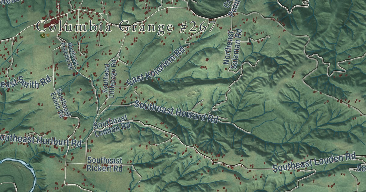
A detailed map of Corbett, Oregon, showing every building in its true location, the roads by name, and shaded topographical relief.
Read More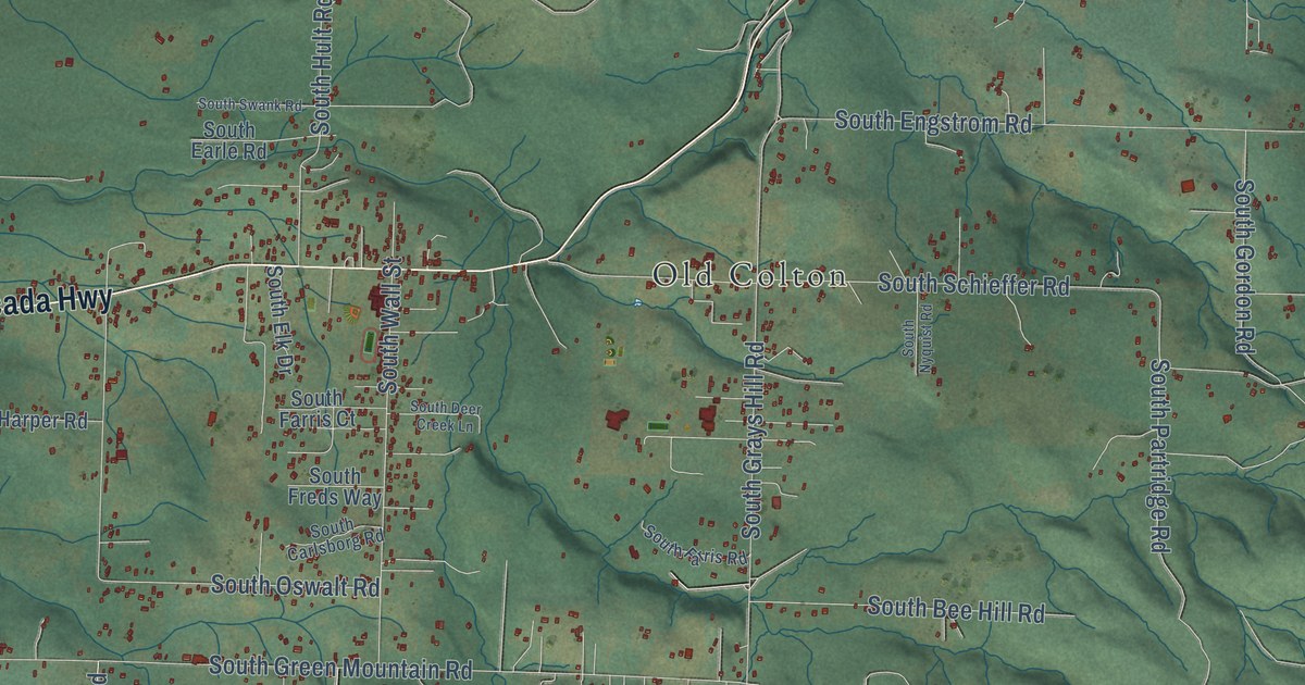
A detailed map of Colton, Oregon, showing every building in its true location, the roads by name, and shaded topographical relief.
Read More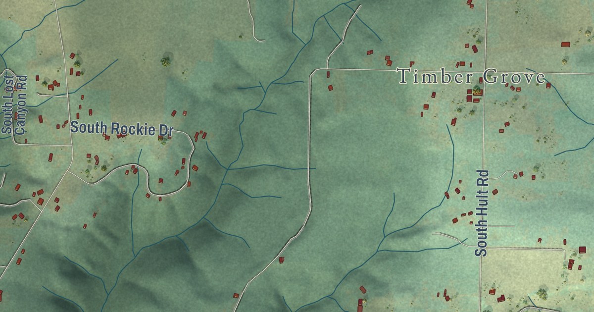
A detailed map of Clarkes, Oregon, showing every building in its true location, the roads by name, and shaded topographical relief.
Read More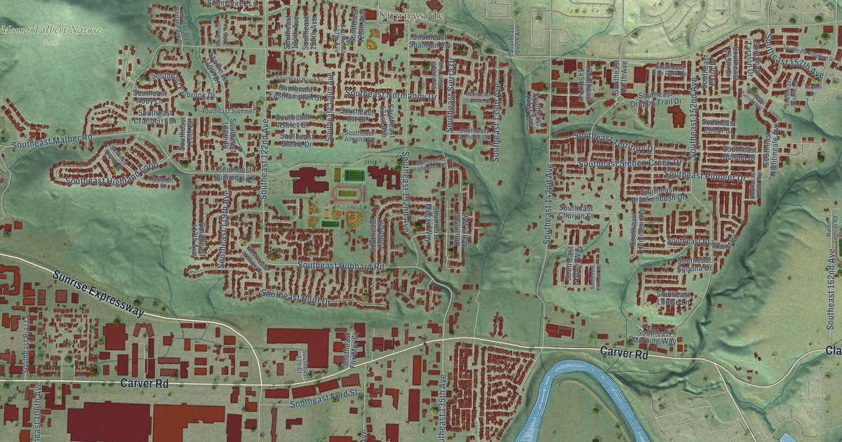
A detailed map of Clackamas, Oregon, showing every building in its true location, the roads by name, and shaded topographical relief.
Read More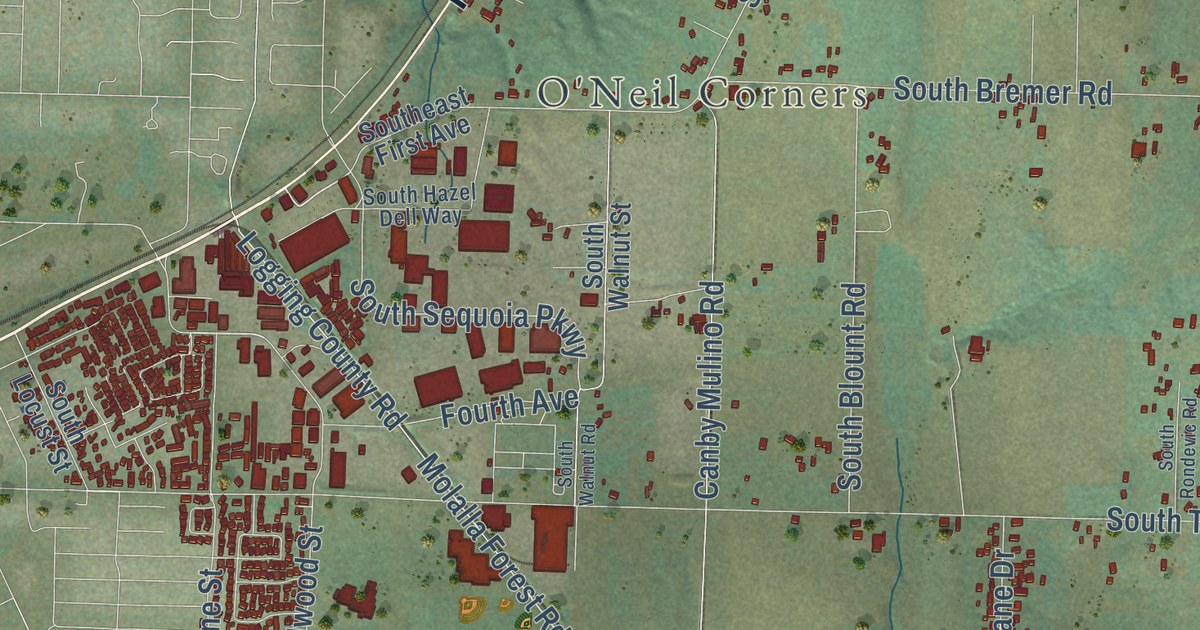
A detailed map of Carus, Oregon, showing every building in its true location, the roads by name, and shaded topographical relief.
Read More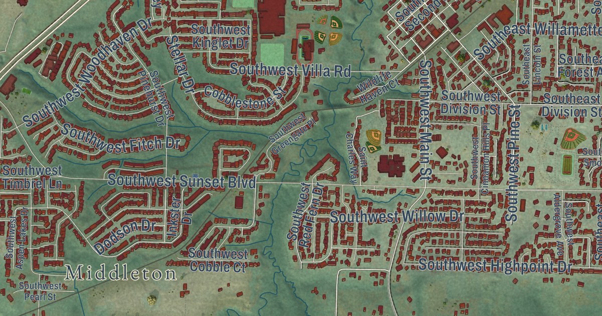
A detailed map of Chehalem, Oregon, showing every building in its true location, the roads by name, and shaded topographical relief.
Read More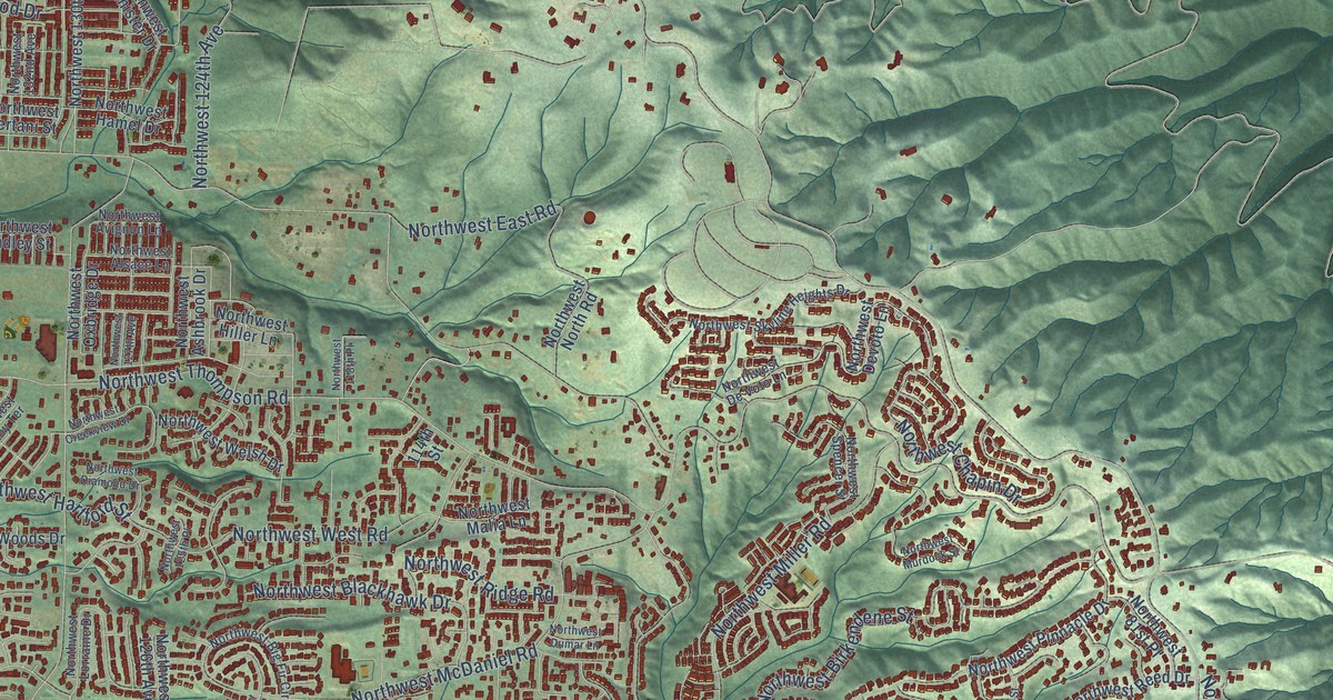
A detailed map of Bonny Slope, Oregon, showing every building in its true location, the roads by name, and shaded topographical relief.
Read More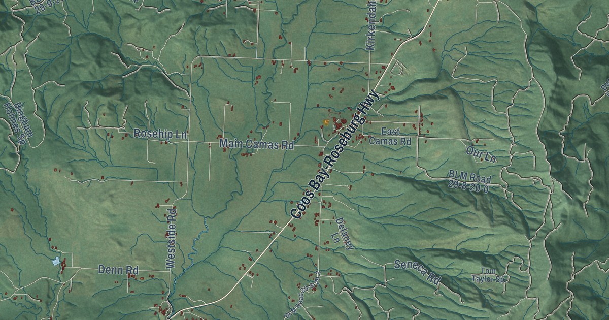
A detailed map of Camas Valley, Oregon, showing every building in its true location, the roads by name, and shaded topographical relief.
Read More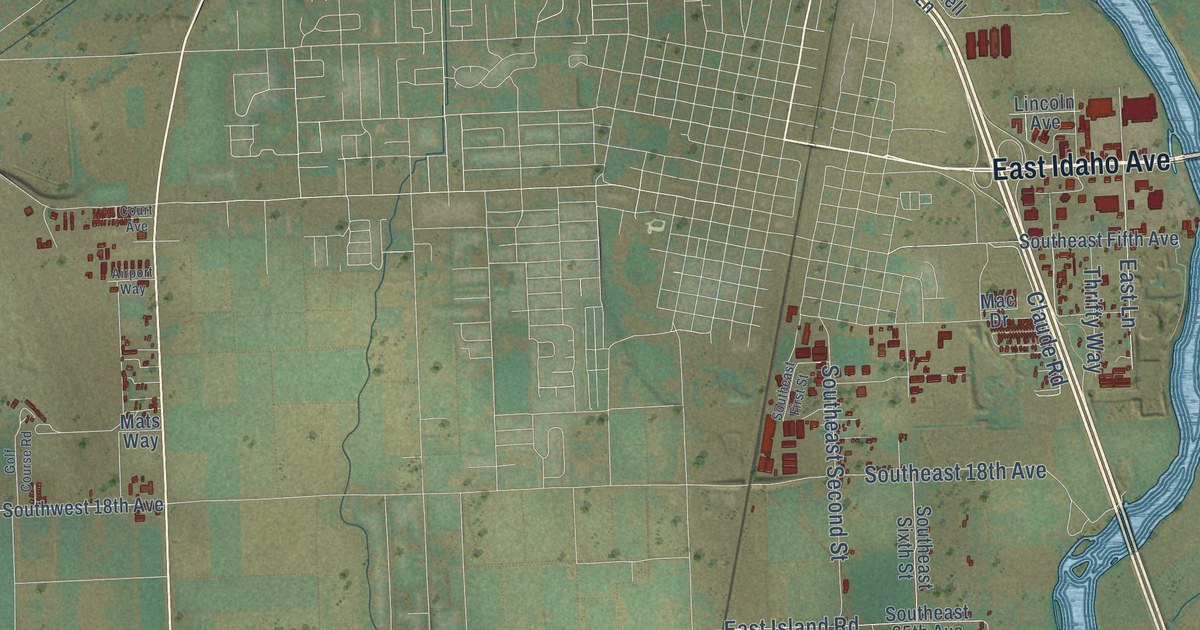
A detailed map of Cairo, Oregon, showing every building in its true location, the roads by name, and shaded topographical relief.
Read More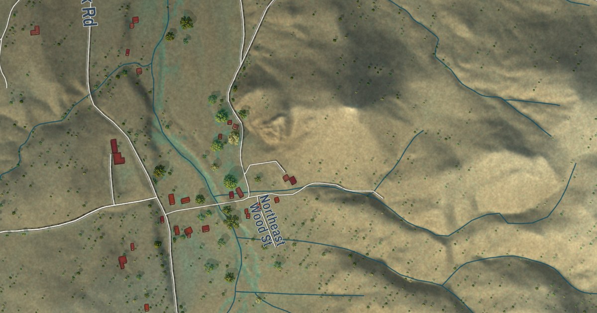
A detailed map of Ashwood, Oregon, showing every building in its true location, the roads by name, and shaded topographical relief.
Read More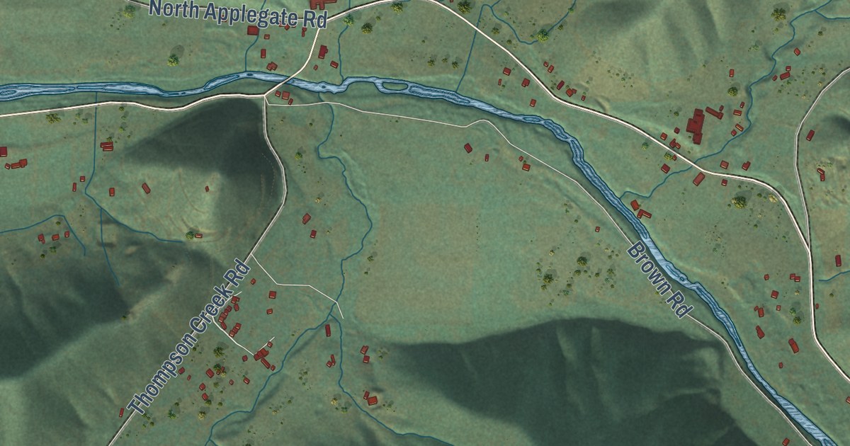
A detailed map of Applegate, Oregon, showing every building in its true location, the roads by name, and shaded topographical relief.
Read More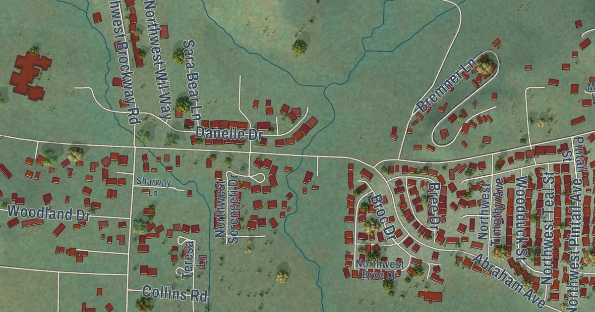
A detailed map of Brockway, Oregon, showing every building in its true location, the roads by name, and shaded topographical relief.
Read More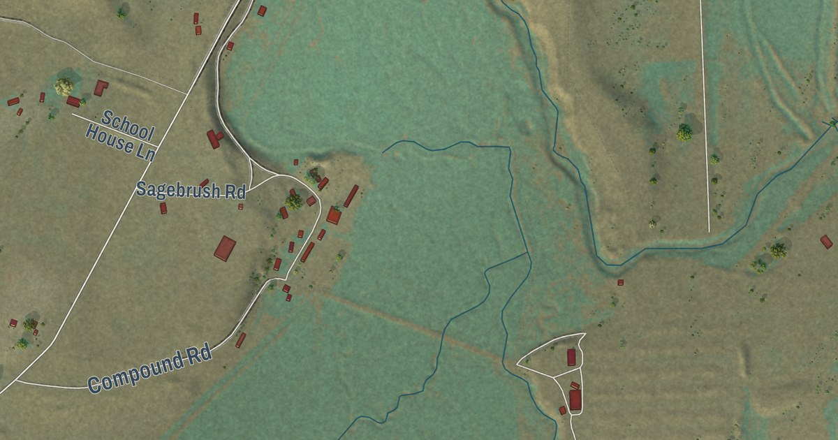
A detailed map of Adel, Oregon, showing every building in its true location, the roads by name, and shaded topographical relief.
Read More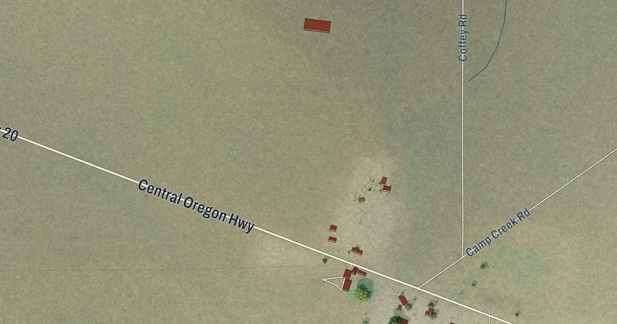
A detailed map of Brothers, Oregon, showing every building in its true location, the roads by name, and shaded topographical relief.
Read More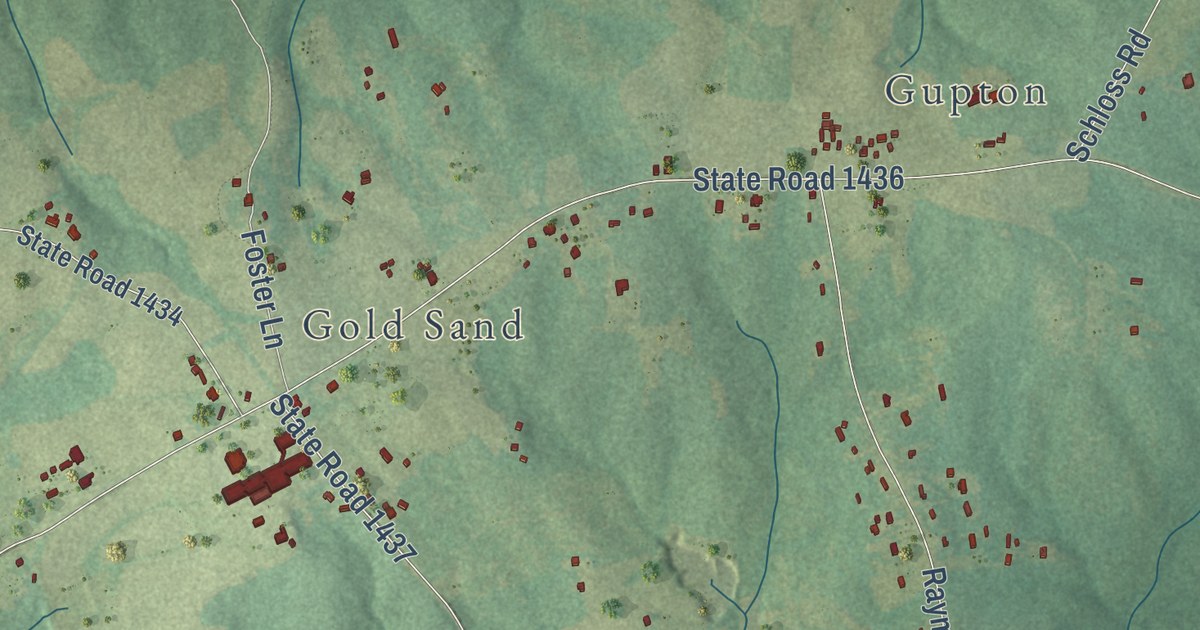
A detailed map of Laurel, North Carolina, showing every building in its true location, the roads by name, and shaded topographical relief.
Read More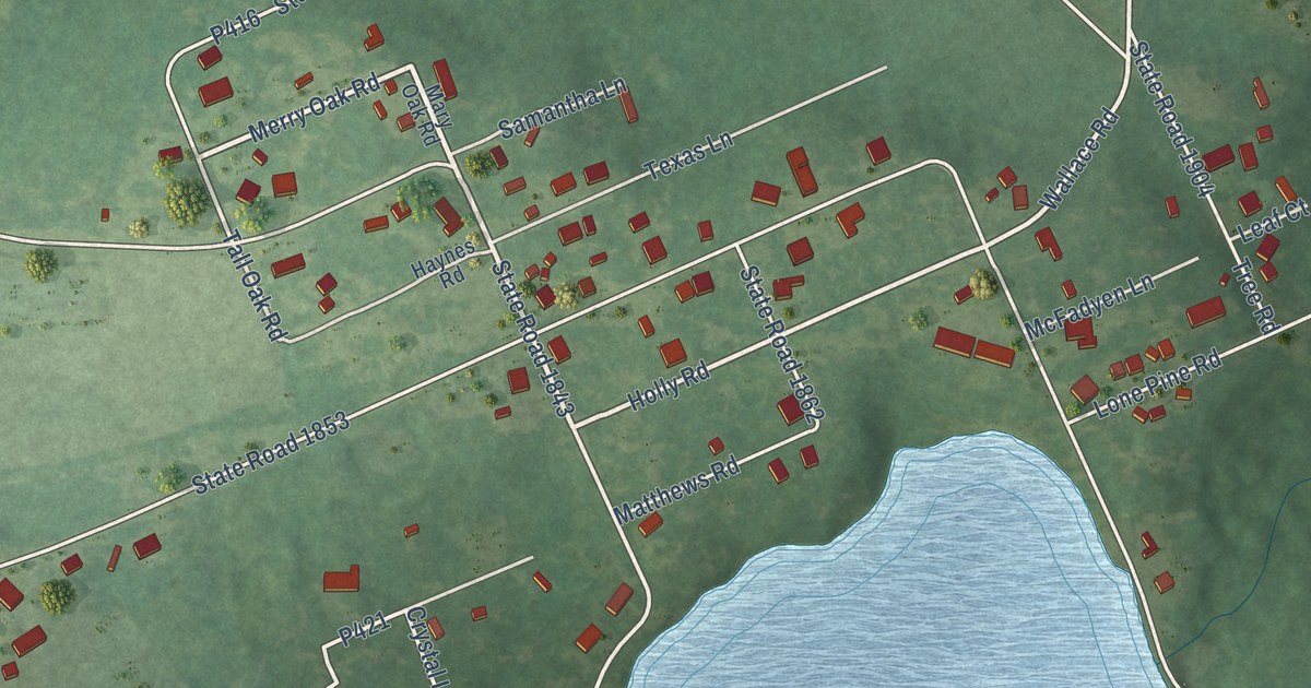
A detailed map of Lakeview, North Carolina, showing every building in its true location, the roads by name, and shaded topographical relief.
Read More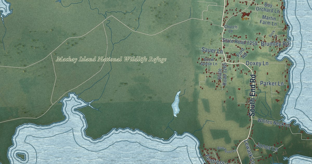
A detailed map of Knotts Island, North Carolina, showing every building in its true location, the roads by name, and shaded topographical relief.
Read More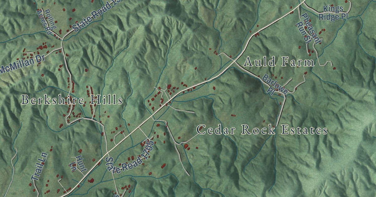
A detailed map of Kings Creek, North Carolina, showing every building in its true location, the roads by name, and shaded topographical relief.
Read More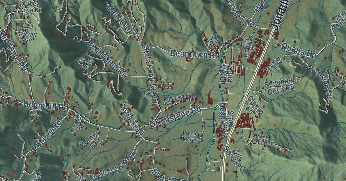
A detailed map of Jonathan, North Carolina, showing every building in its true location, the roads by name, and shaded topographical relief.
Read More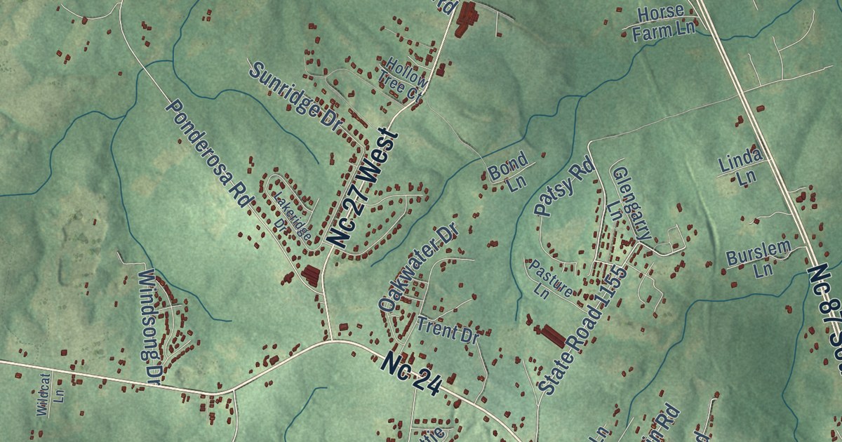
A detailed map of Johnsonville, North Carolina, showing every building in its true location, the roads by name, and shaded topographical relief.
Read More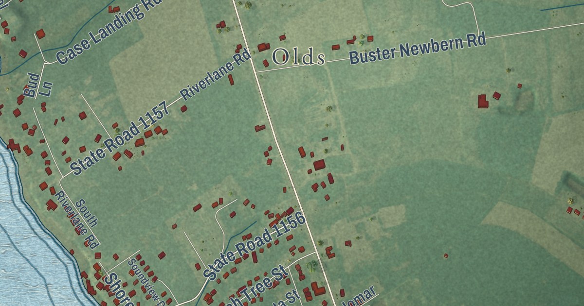
A detailed map of Jarvisburg, North Carolina, showing every building in its true location, the roads by name, and shaded topographical relief.
Read More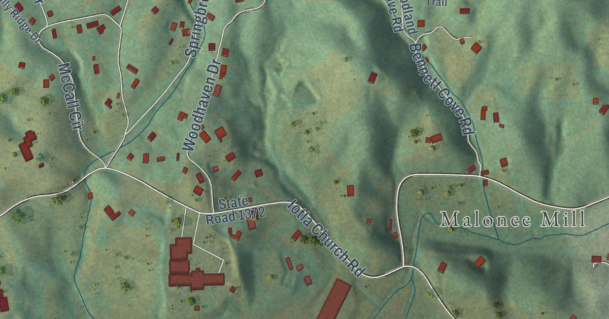
A detailed map of Iotla, North Carolina, showing every building in its true location, the roads by name, and shaded topographical relief.
Read More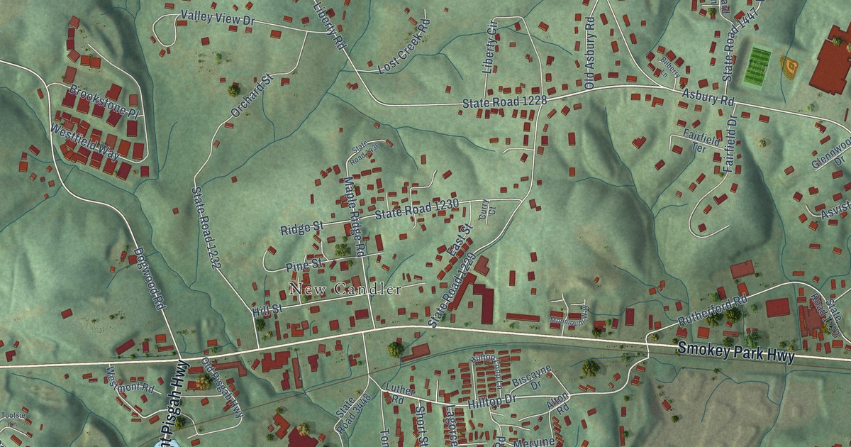
A detailed map of Hominy, North Carolina, showing every building in its true location, the roads by name, and shaded topographical relief.
Read More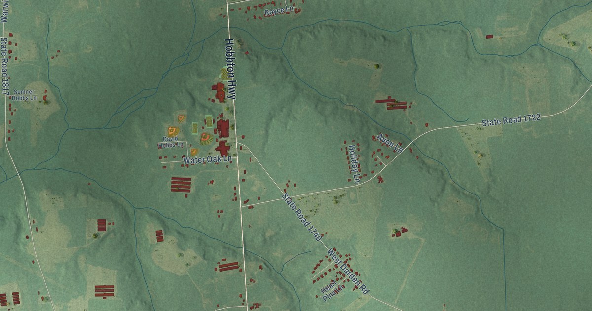
A detailed map of Hobbton, North Carolina, showing every building in its true location, the roads by name, and shaded topographical relief.
Read More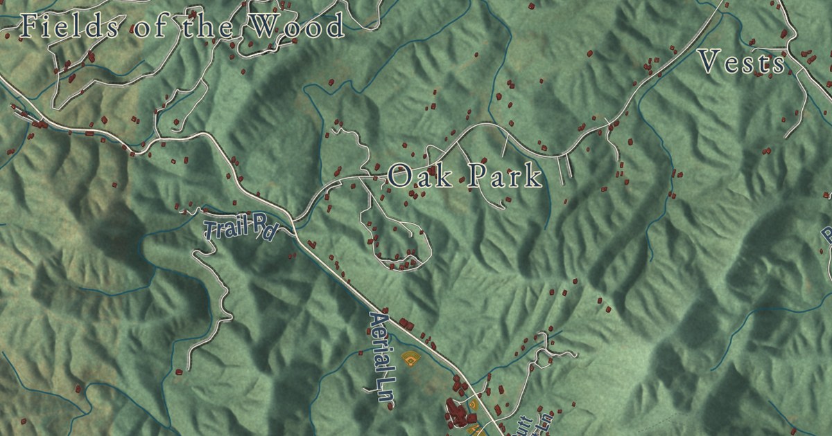
A detailed map of Hiwassee, North Carolina, showing every building in its true location, the roads by name, and shaded topographical relief.
Read More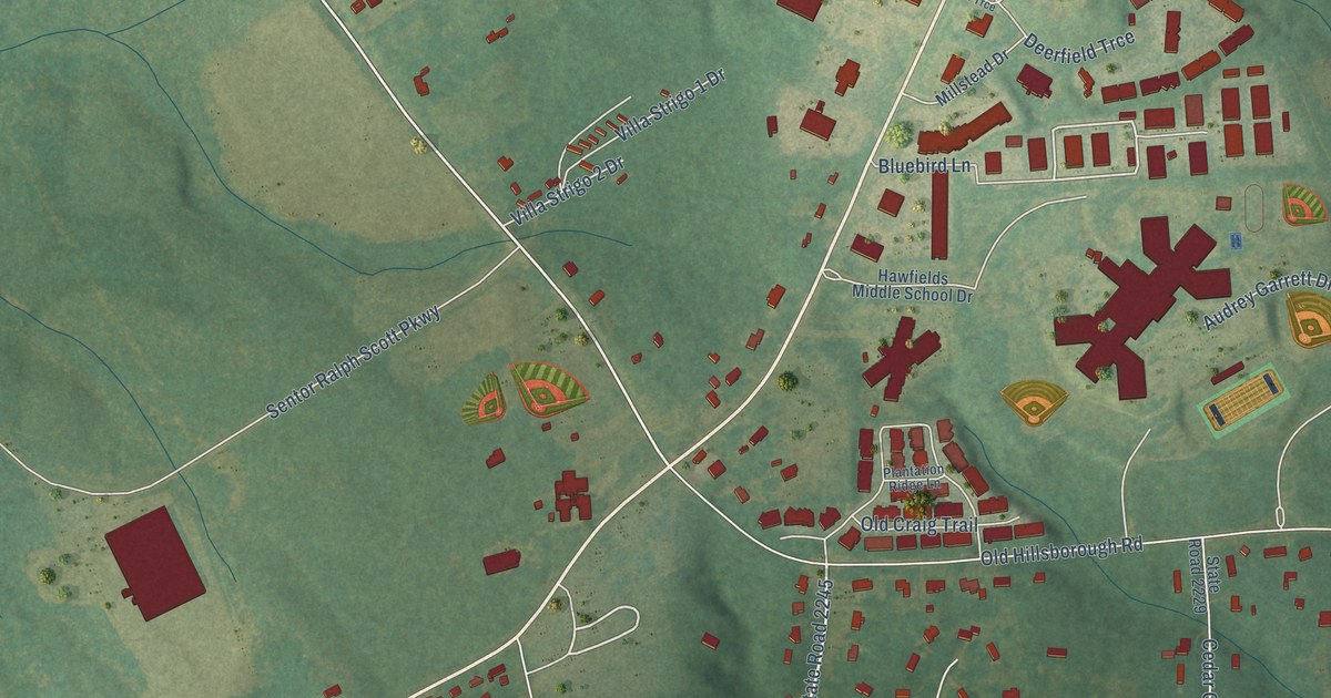
A detailed map of Hawfields, North Carolina, showing every building in its true location, the roads by name, and shaded topographical relief.
Read More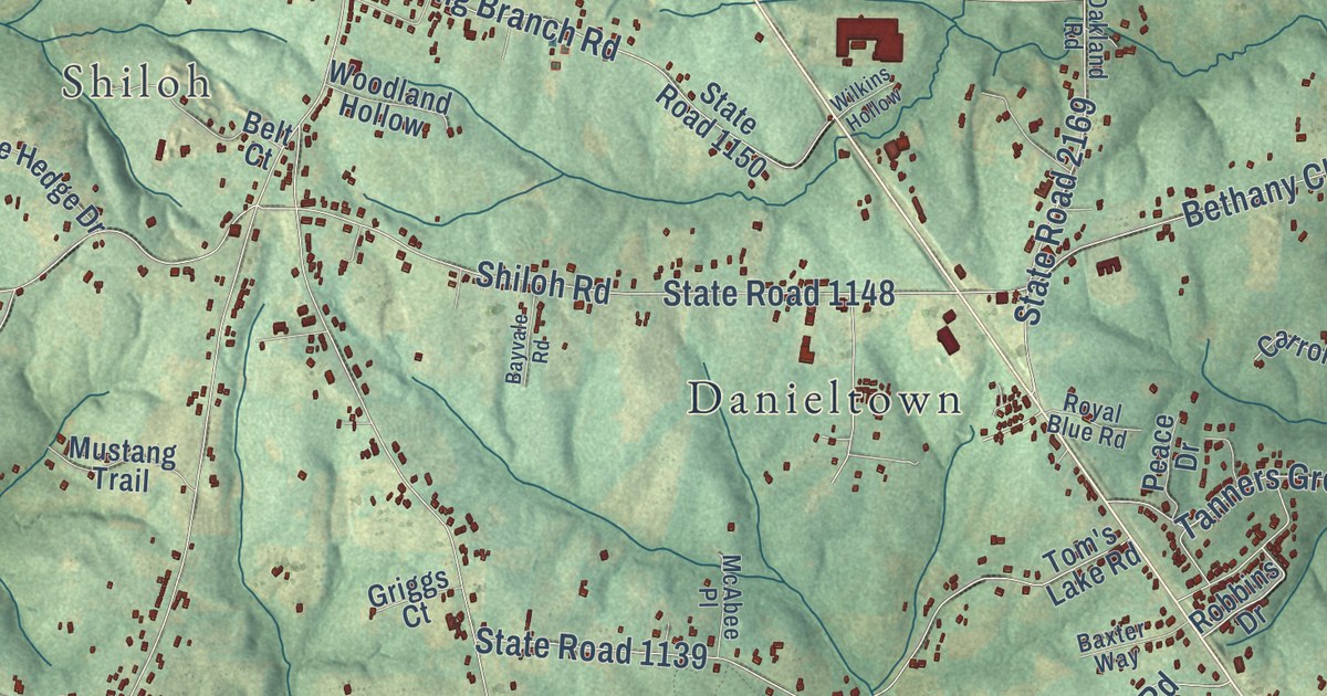
A detailed map of Harris, North Carolina, showing every building in its true location, the roads by name, and shaded topographical relief.
Read More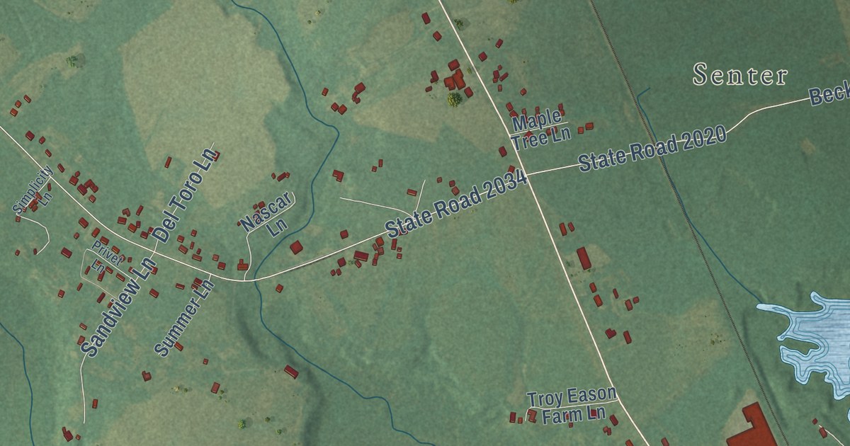
A detailed map of Harnett, North Carolina, showing every building in its true location, the roads by name, and shaded topographical relief.
Read More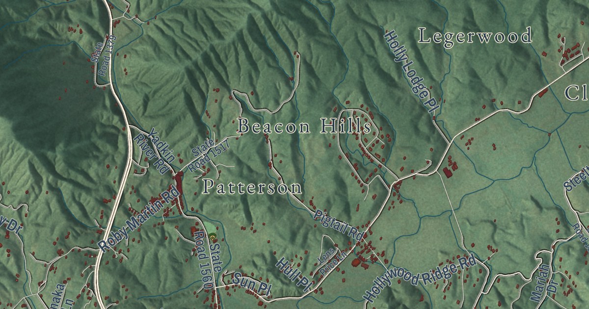
A detailed map of Happy Valley, North Carolina, showing every building in its true location, the roads by name, and shaded topographical relief.
Read More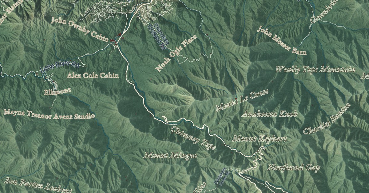
A detailed map of Great Smoky Mountains National Park on both sides of the North Carolina and Tennessee line, from Cades Cove to Kuwohi and Mount Le Conte, with shaded relief.
Read More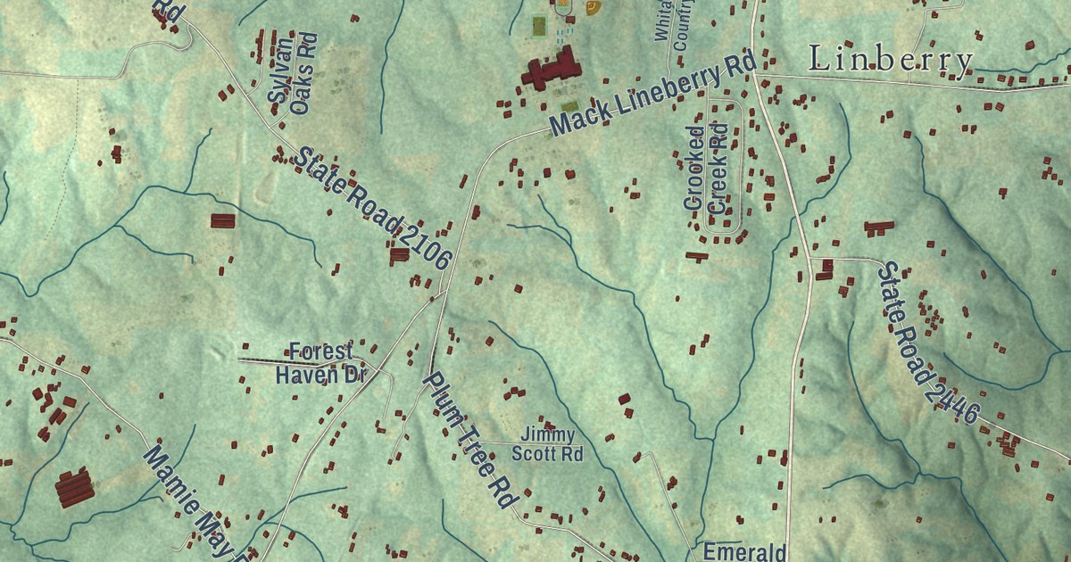
A detailed map of Grays Chapel, North Carolina, showing every building in its true location, the roads by name, and shaded topographical relief.
Read More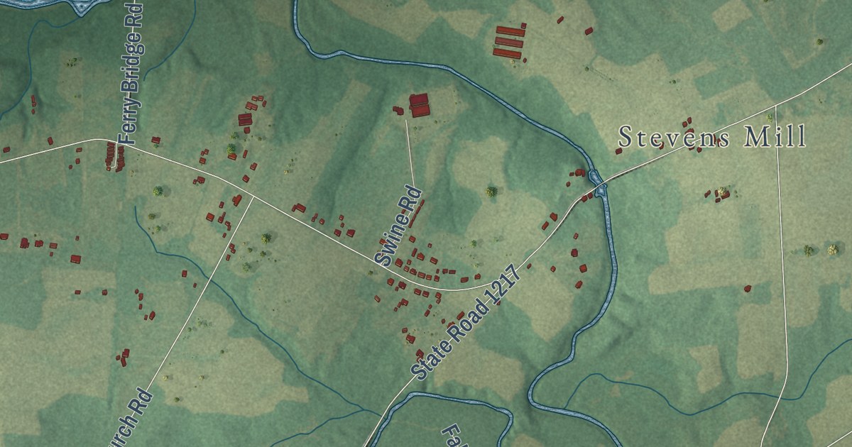
A detailed map of Grantham, North Carolina, showing every building in its true location, the roads by name, and shaded topographical relief.
Read More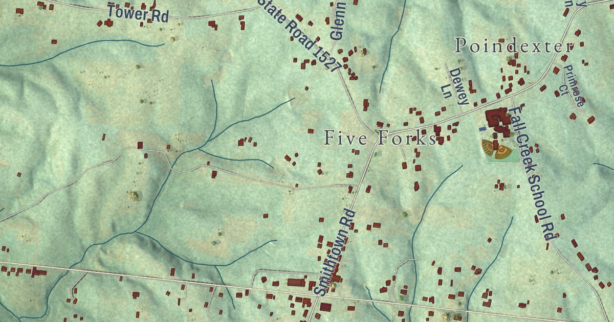
A detailed map of Forbush, North Carolina, showing every building in its true location, the roads by name, and shaded topographical relief.
Read More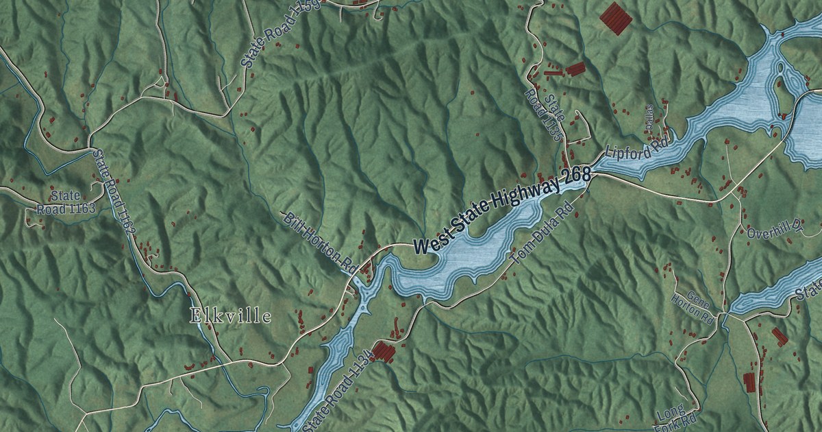
A detailed map of Ferguson, North Carolina, showing every building in its true location, the roads by name, and shaded topographical relief.
Read More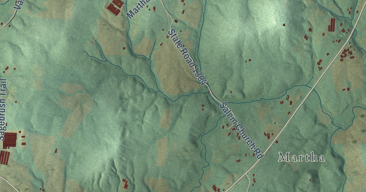
A detailed map of Farmer, North Carolina, showing every building in its true location, the roads by name, and shaded topographical relief.
Read More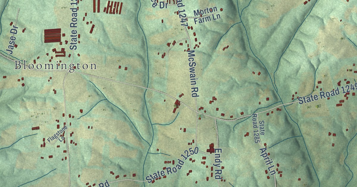
A detailed map of Endy, North Carolina, showing every building in its true location, the roads by name, and shaded topographical relief.
Read More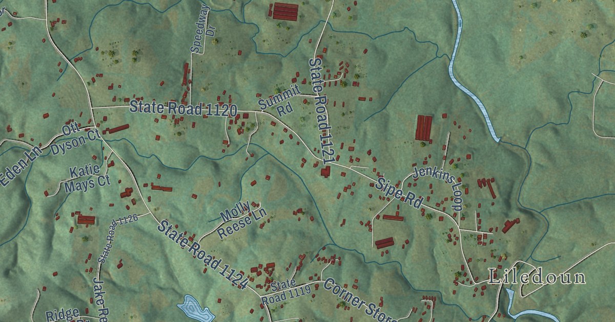
A detailed map of Ellendale, North Carolina, showing every building in its true location, the roads by name, and shaded topographical relief.
Read More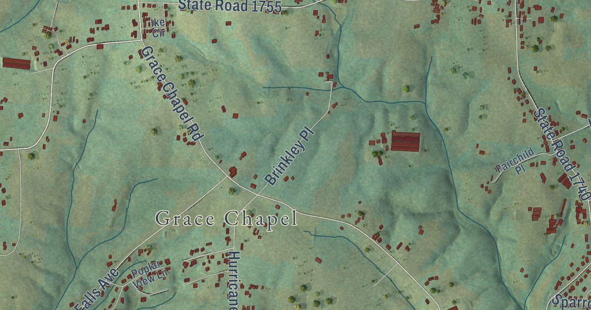
A detailed map of Dudley Shoals, North Carolina, showing every building in its true location, the roads by name, and shaded topographical relief.
Read More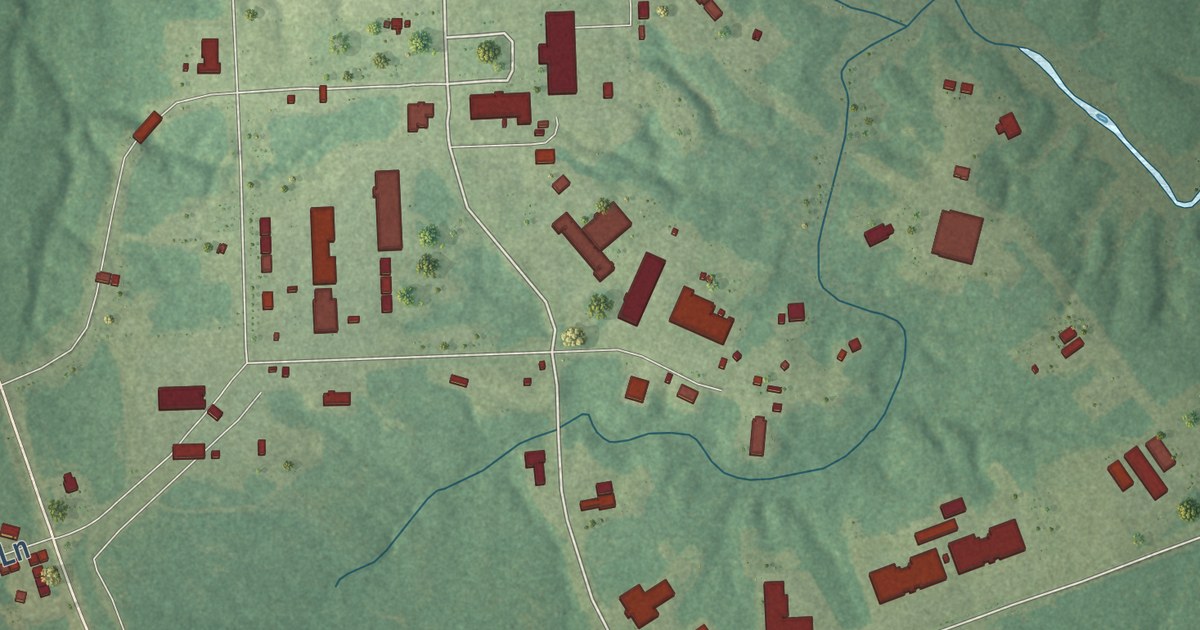
A detailed map of Dixon, North Carolina, showing every building in its true location, the roads by name, and shaded topographical relief.
Read More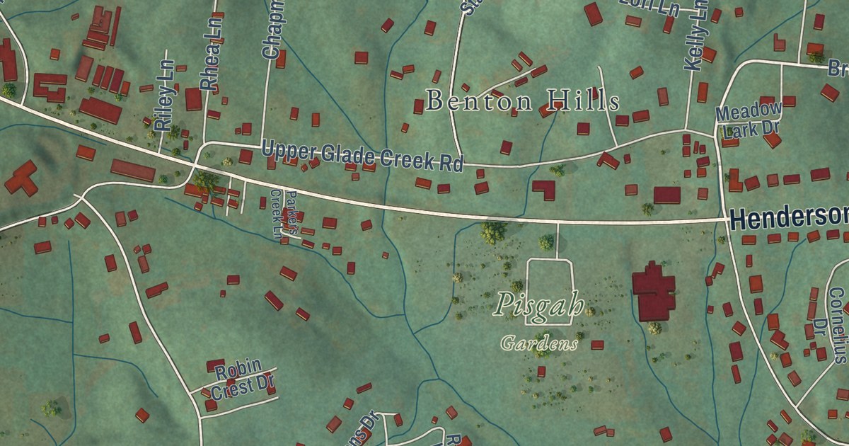
A detailed map of Davidson River, North Carolina, showing every building in its true location, the roads by name, and shaded topographical relief.
Read More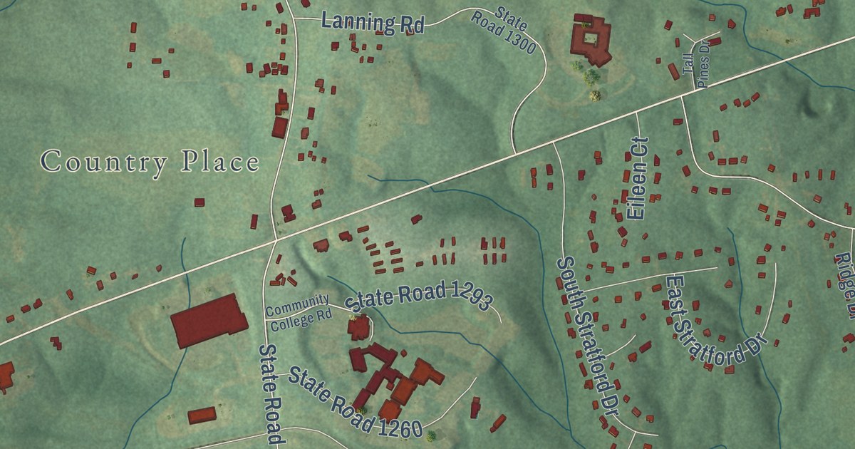
A detailed map of Dabney, North Carolina, showing every building in its true location, the roads by name, and shaded topographical relief.
Read More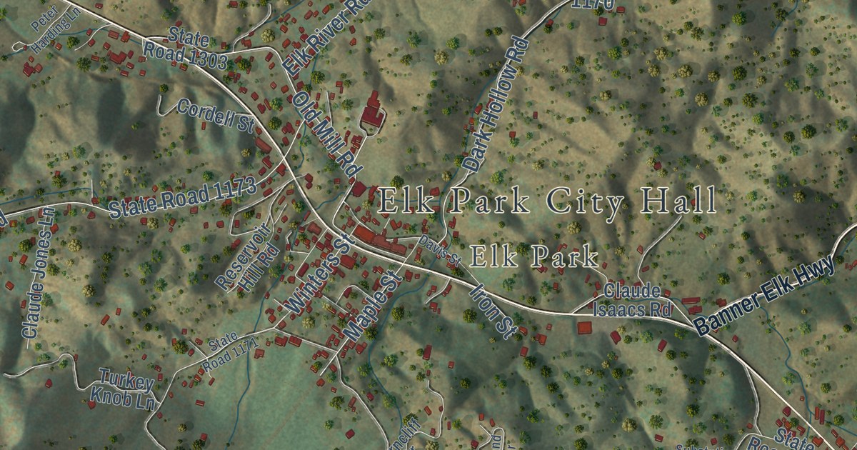
A detailed map of Cranberry, North Carolina, showing every building in its true location, the roads by name, and shaded topographical relief.
Read More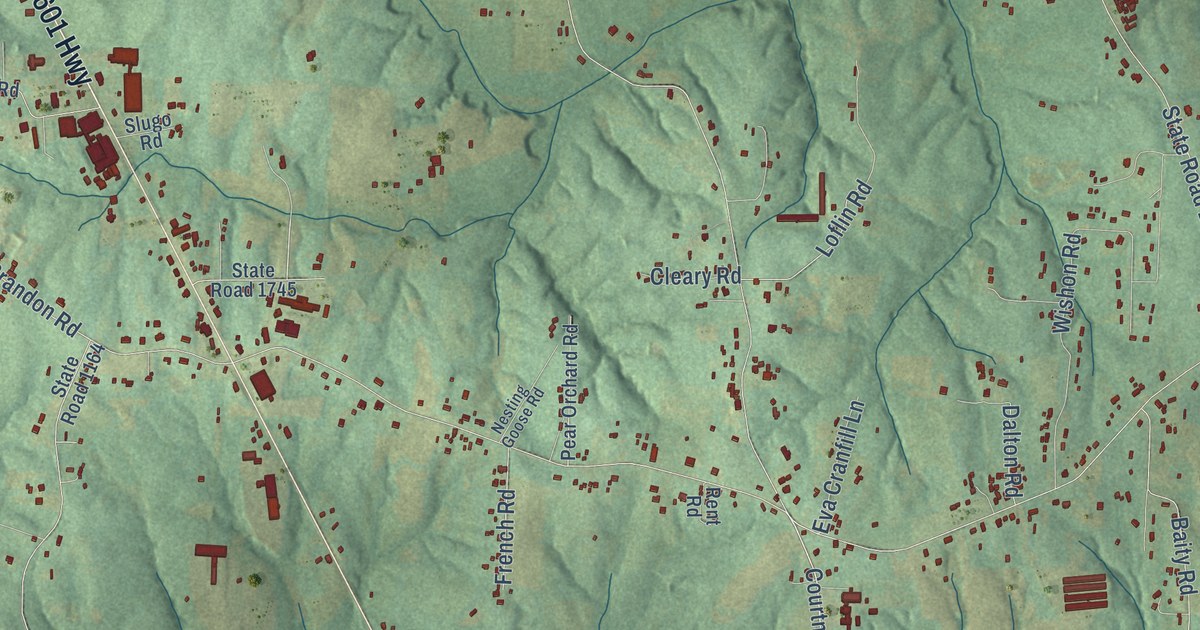
A detailed map of Courtney, North Carolina, showing every building in its true location, the roads by name, and shaded topographical relief.
Read More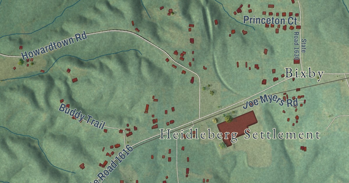
A detailed map of Cornatzer, North Carolina, showing every building in its true location, the roads by name, and shaded topographical relief.
Read More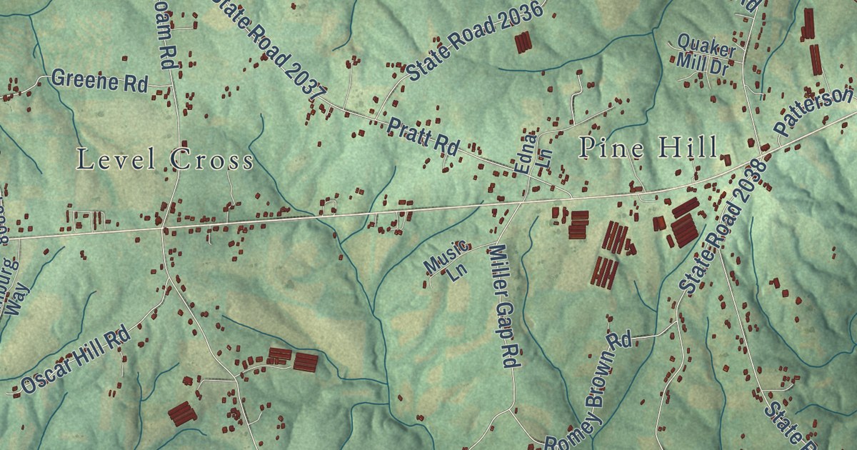
A detailed map of Copeland, North Carolina, showing every building in its true location, the roads by name, and shaded topographical relief.
Read More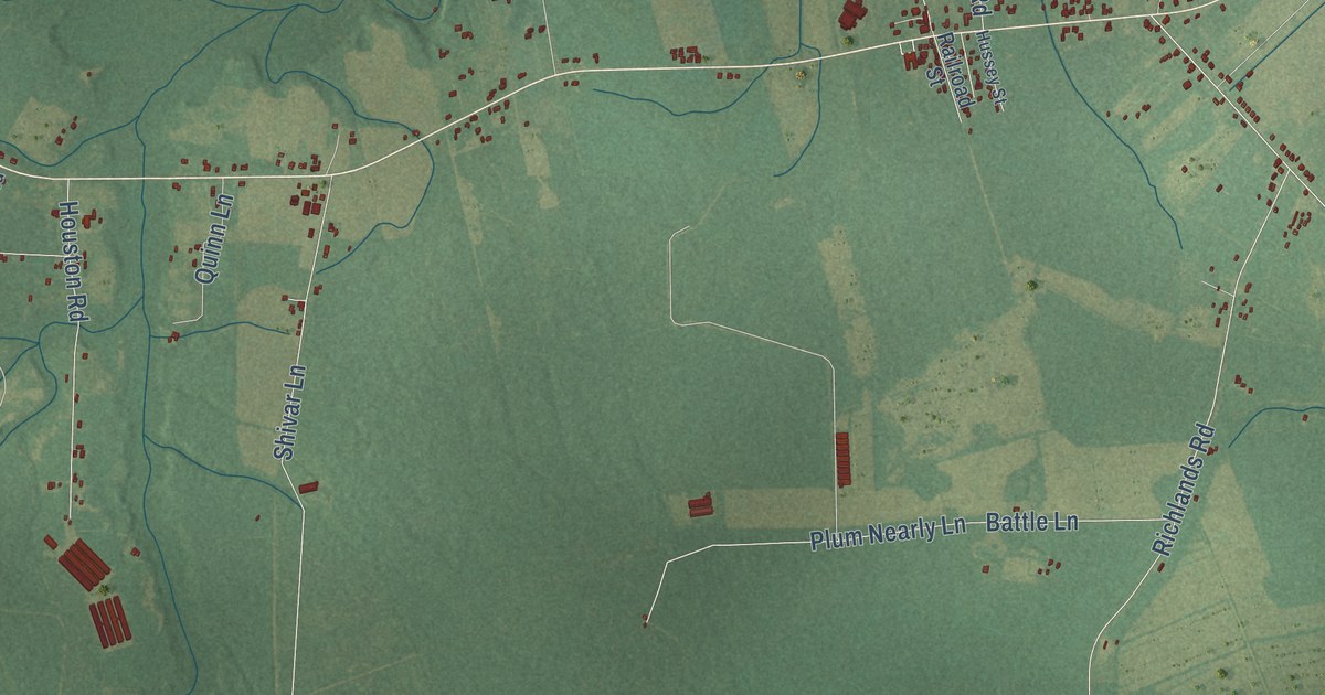
A detailed map of Comfort, North Carolina, showing every building in its true location, the roads by name, and shaded topographical relief.
Read More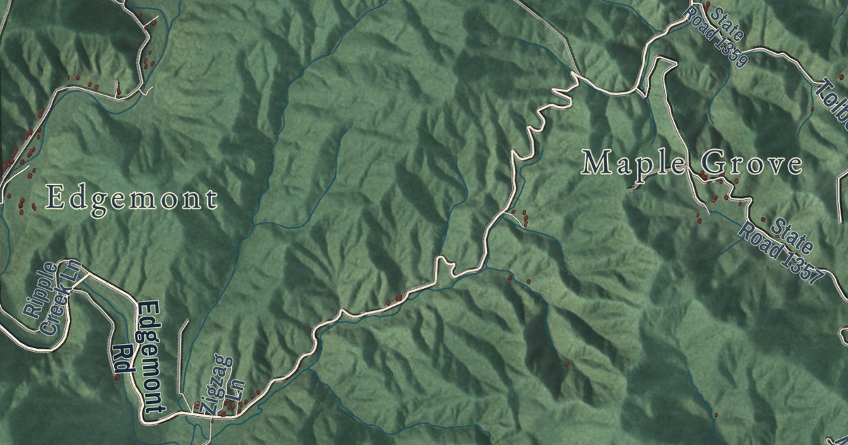
A detailed map of Collettsville, North Carolina, showing every building in its true location, the roads by name, and shaded topographical relief.
Read More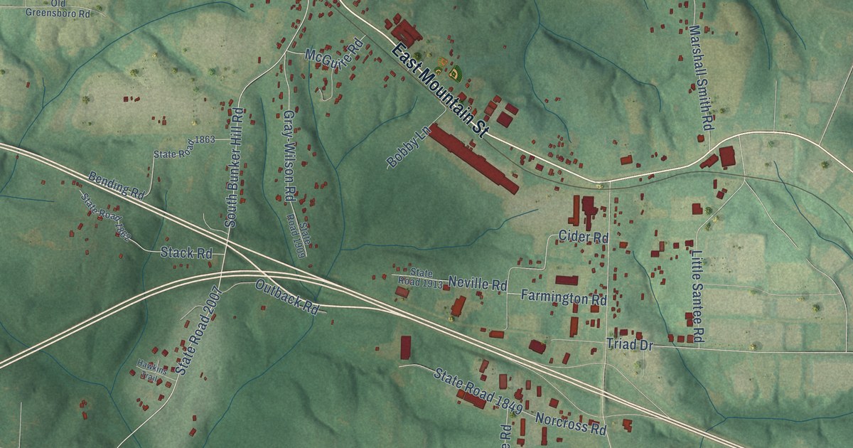
A detailed map of Colfax, North Carolina, showing every building in its true location, the roads by name, and shaded topographical relief.
Read More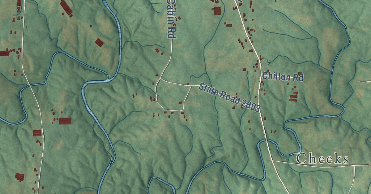
A detailed map of Coleridge, North Carolina, showing every building in its true location, the roads by name, and shaded topographical relief.
Read More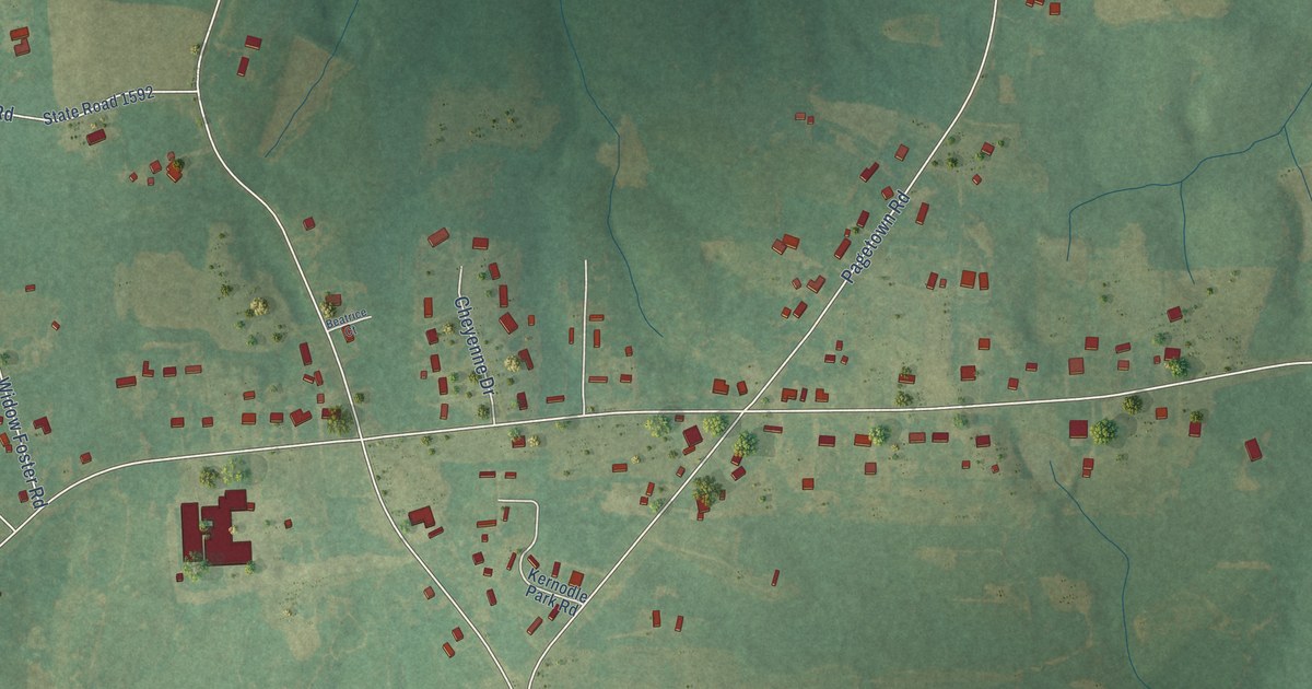
A detailed map of Clover Garden, North Carolina, showing every building in its true location, the roads by name, and shaded topographical relief.
Read More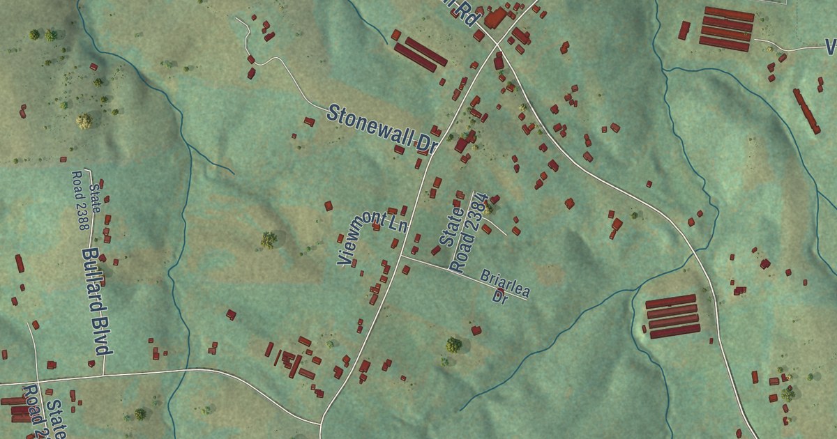
A detailed map of Clingman, North Carolina, showing every building in its true location, the roads by name, and shaded topographical relief.
Read More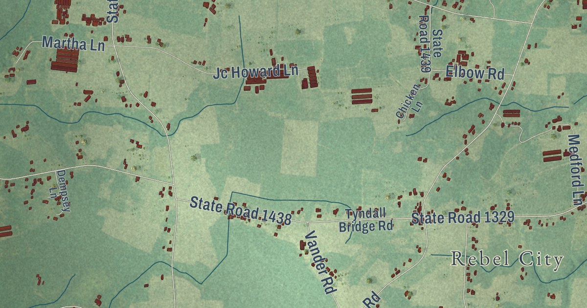
A detailed map of Clement, North Carolina, showing every building in its true location, the roads by name, and shaded topographical relief.
Read More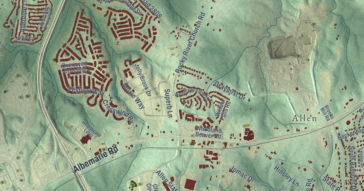
A detailed map of Clear Creek, North Carolina, showing every building in its true location, the roads by name, and shaded topographical relief.
Read More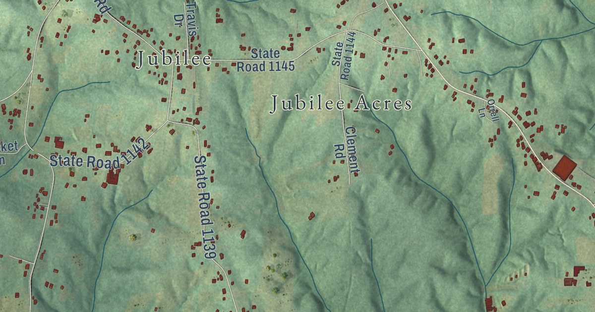
A detailed map of Churchland, North Carolina, showing every building in its true location, the roads by name, and shaded topographical relief.
Read More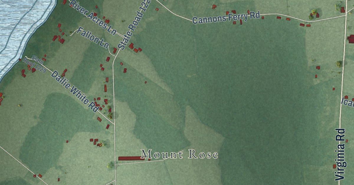
A detailed map of Chowan, North Carolina, showing every building in its true location, the roads by name, and shaded topographical relief.
Read More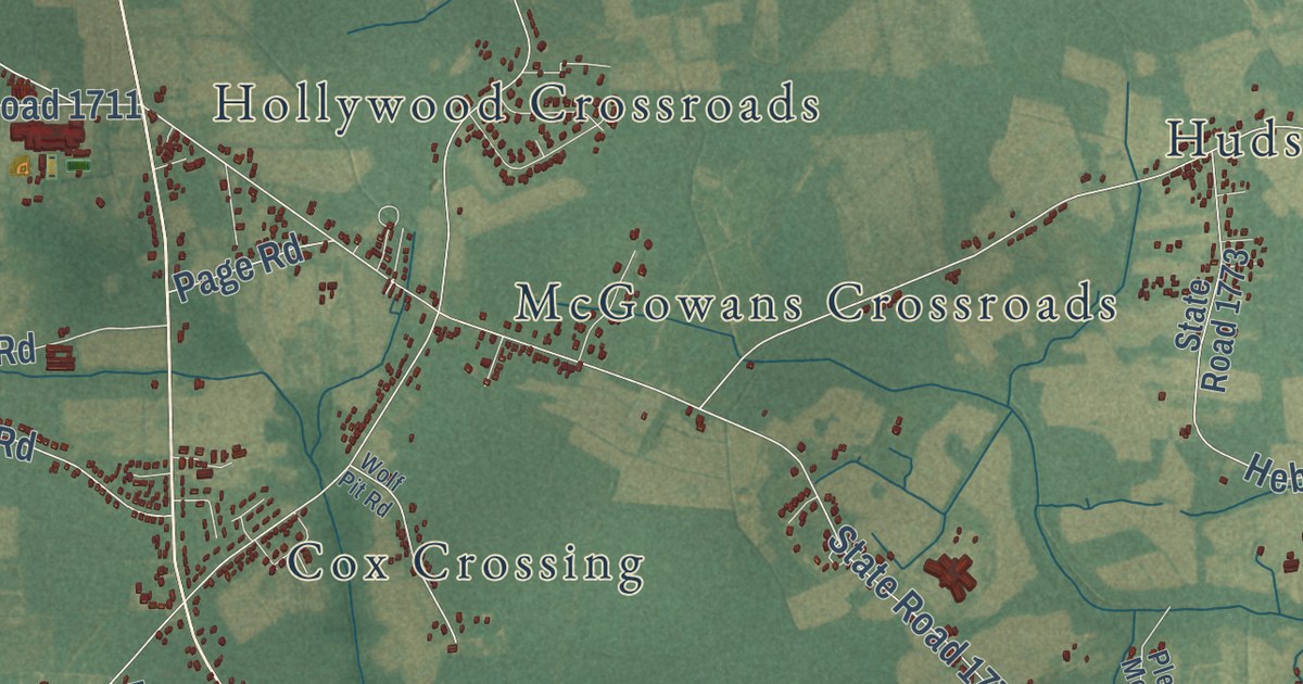
A detailed map of Chicod, North Carolina, showing every building in its true location, the roads by name, and shaded topographical relief.
Read More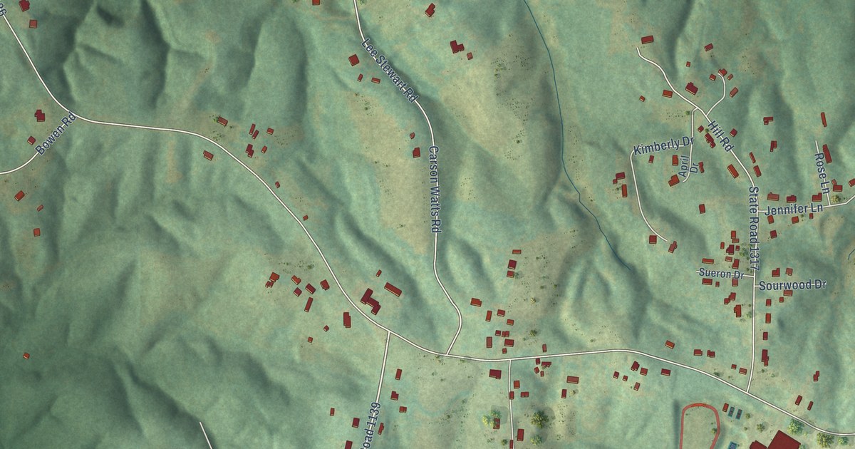
A detailed map of Chestnut Grove, North Carolina, showing every building in its true location, the roads by name, and shaded topographical relief.
Read More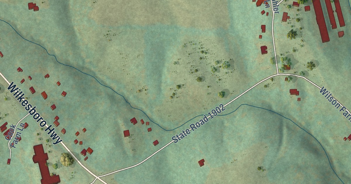
A detailed map of Central, North Carolina, showing every building in its true location, the roads by name, and shaded topographical relief.
Read More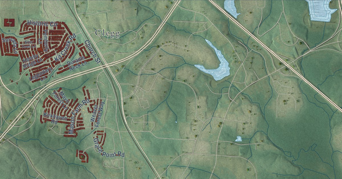
A detailed map of Carpenter, North Carolina, showing every building in its true location, the roads by name, and shaded topographical relief.
Read More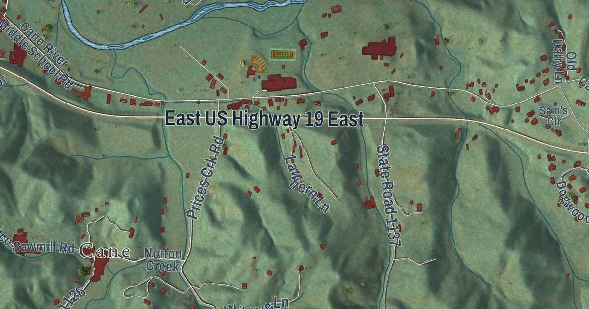
A detailed map of Cane River, North Carolina, showing every building in its true location, the roads by name, and shaded topographical relief.
Read More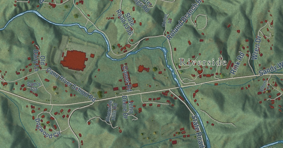
A detailed map of Cane, North Carolina, showing every building in its true location, the roads by name, and shaded topographical relief.
Read More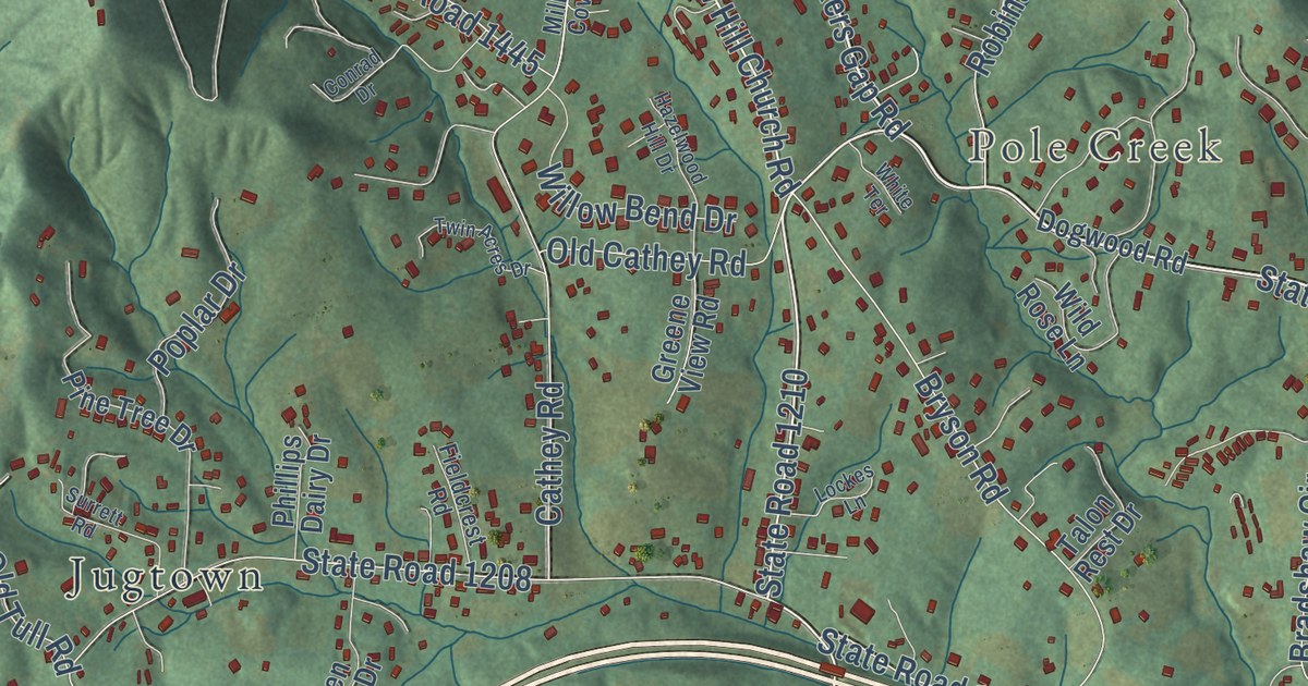
A detailed map of Candler, North Carolina, showing every building in its true location, the roads by name, and shaded topographical relief.
Read More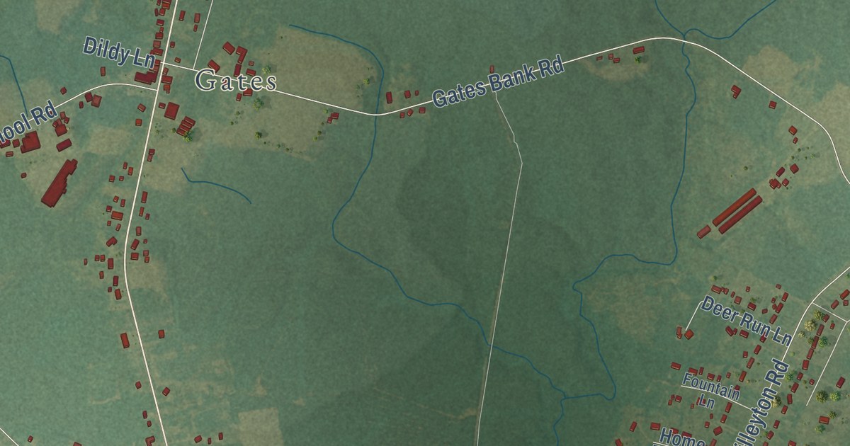
A detailed map of Buckland, North Carolina, showing every building in its true location, the roads by name, and shaded topographical relief.
Read More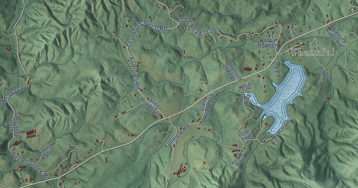
A detailed map of Boomer, North Carolina, showing every building in its true location, the roads by name, and shaded topographical relief.
Read More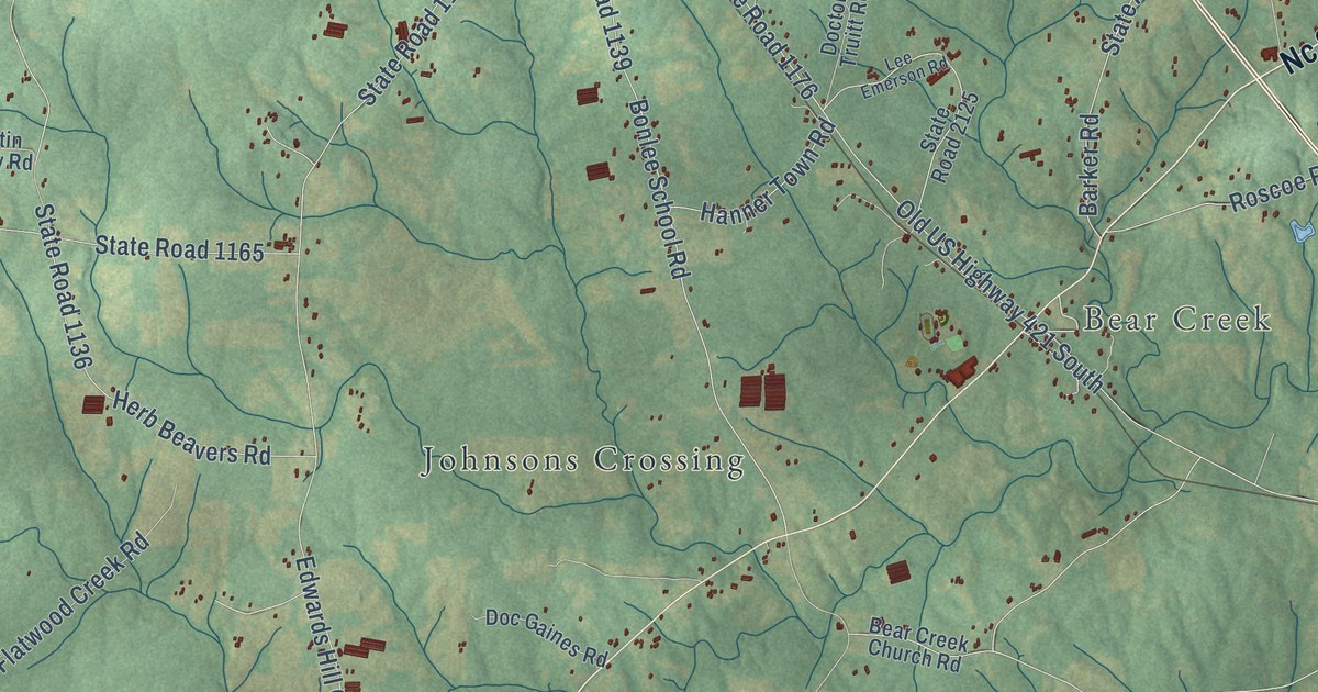
A detailed map of Bonlee, North Carolina, showing every building in its true location, the roads by name, and shaded topographical relief.
Read More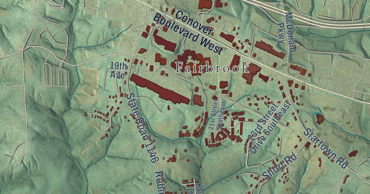
A detailed map of Blackburn, North Carolina, showing every building in its true location, the roads by name, and shaded topographical relief.
Read More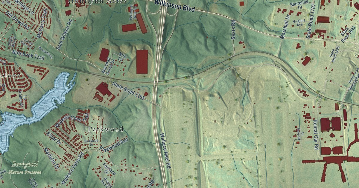
A detailed map of Berryhill, North Carolina, showing every building in its true location, the roads by name, and shaded topographical relief.
Read More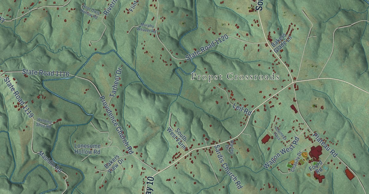
A detailed map of Banoak, North Carolina, showing every building in its true location, the roads by name, and shaded topographical relief.
Read More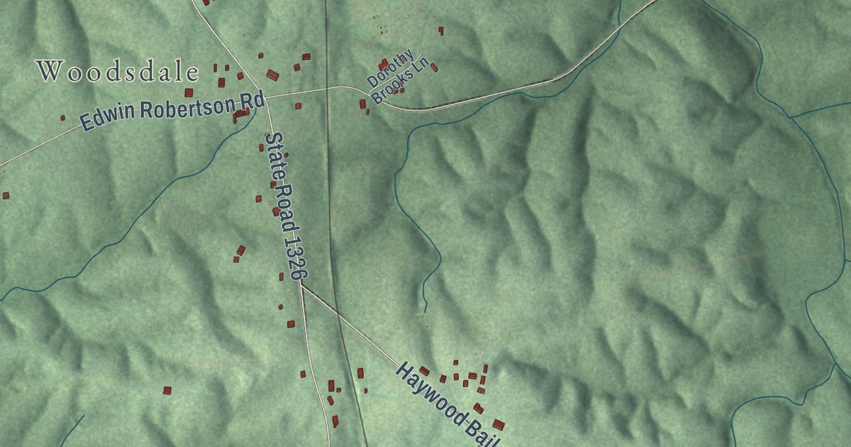
A detailed map of Bethel Hill, North Carolina, showing every building in its true location, the roads by name, and shaded topographical relief.
Read More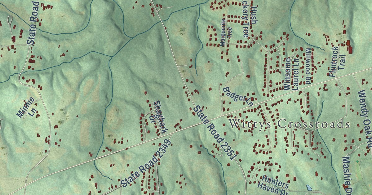
A detailed map of Bethany, North Carolina, showing every building in its true location, the roads by name, and shaded topographical relief.
Read More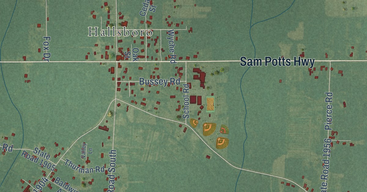
A detailed map of Artesia, North Carolina, showing every building in its true location, the roads by name, and shaded topographical relief.
Read More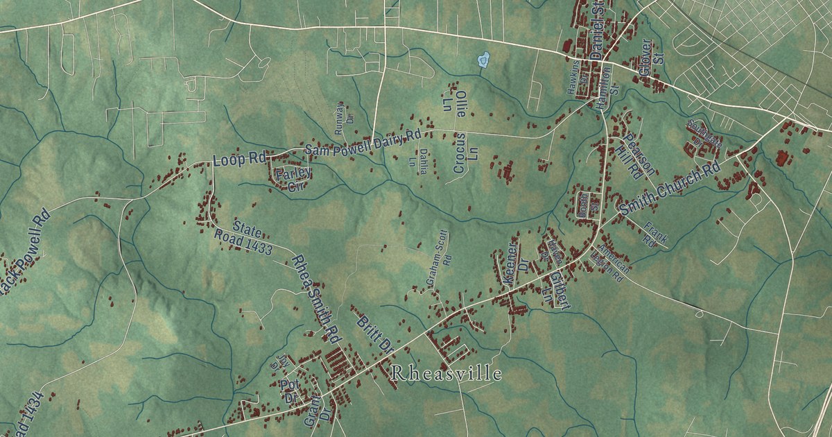
A detailed map of Aurelian Springs, North Carolina, showing every building in its true location, the roads by name, and shaded topographical relief.
Read More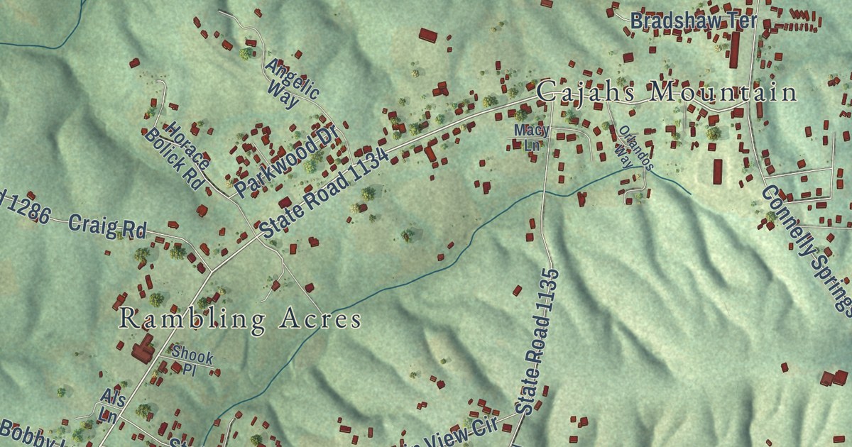
A detailed map of Baton, North Carolina, showing every building in its true location, the roads by name, and shaded topographical relief.
Read More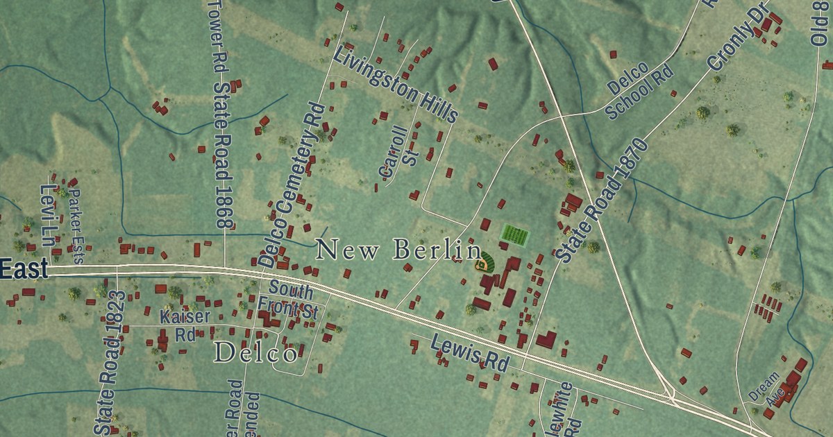
A detailed map of Acme, North Carolina, showing every building in its true location, the roads by name, and shaded topographical relief.
Read More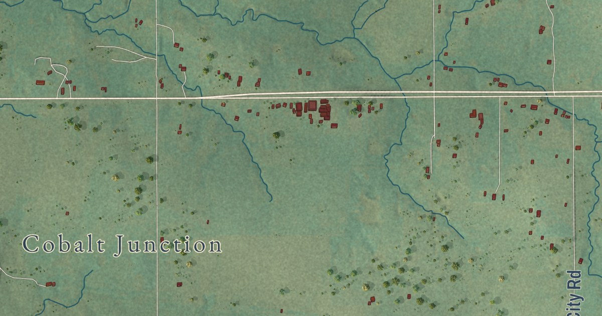
A detailed map of Zaneis, Oklahoma, showing every building in its true location, the roads by name, and shaded topographical relief.
Read More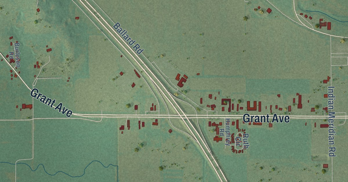
A detailed map of Whitebead, Oklahoma, showing every building in its true location, the roads by name, and shaded topographical relief.
Read More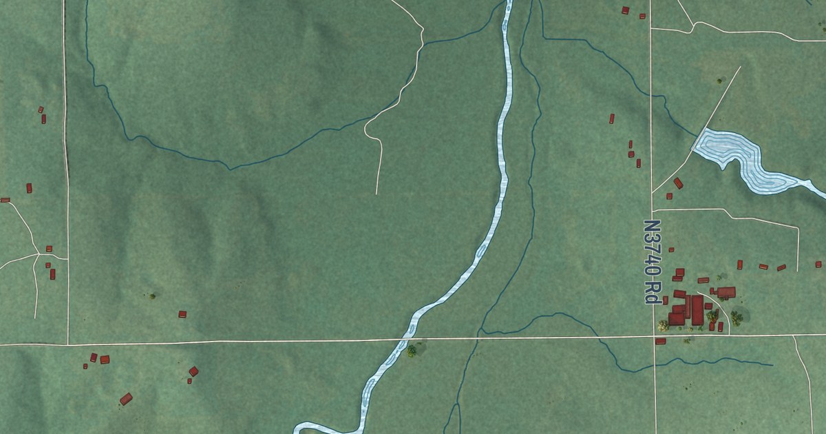
A detailed map of Mason, Oklahoma, showing every building in its true location, the roads by name, and shaded topographical relief.
Read More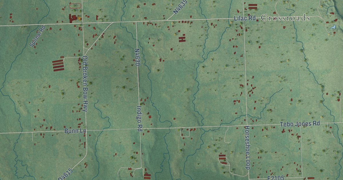
A detailed map of Holly Creek, Oklahoma, showing every building in its true location, the roads by name, and shaded topographical relief.
Read More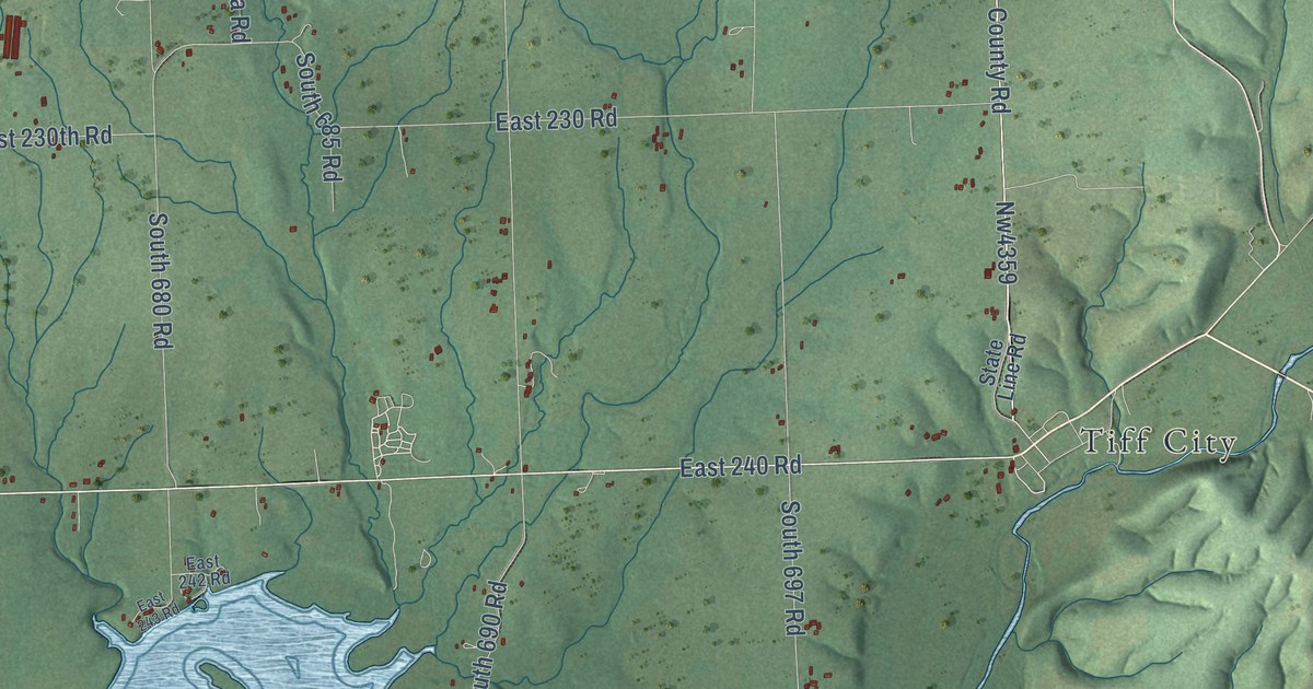
A detailed map of Turkey Ford, Oklahoma, showing every building in its true location, the roads by name, and shaded topographical relief.
Read More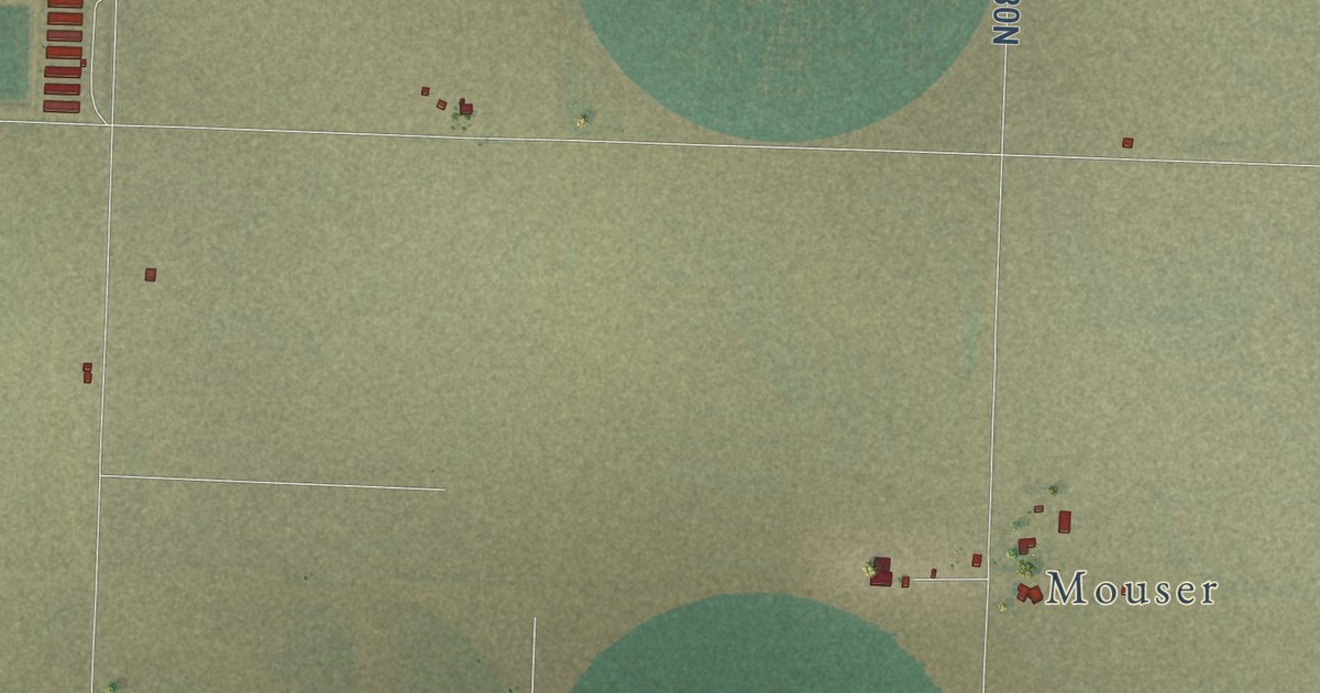
A detailed map of Straight, Oklahoma, showing every building in its true location, the roads by name, and shaded topographical relief.
Read More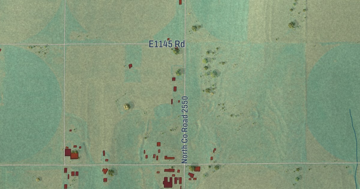
A detailed map of Sickles, Oklahoma, showing every building in its true location, the roads by name, and shaded topographical relief.
Read More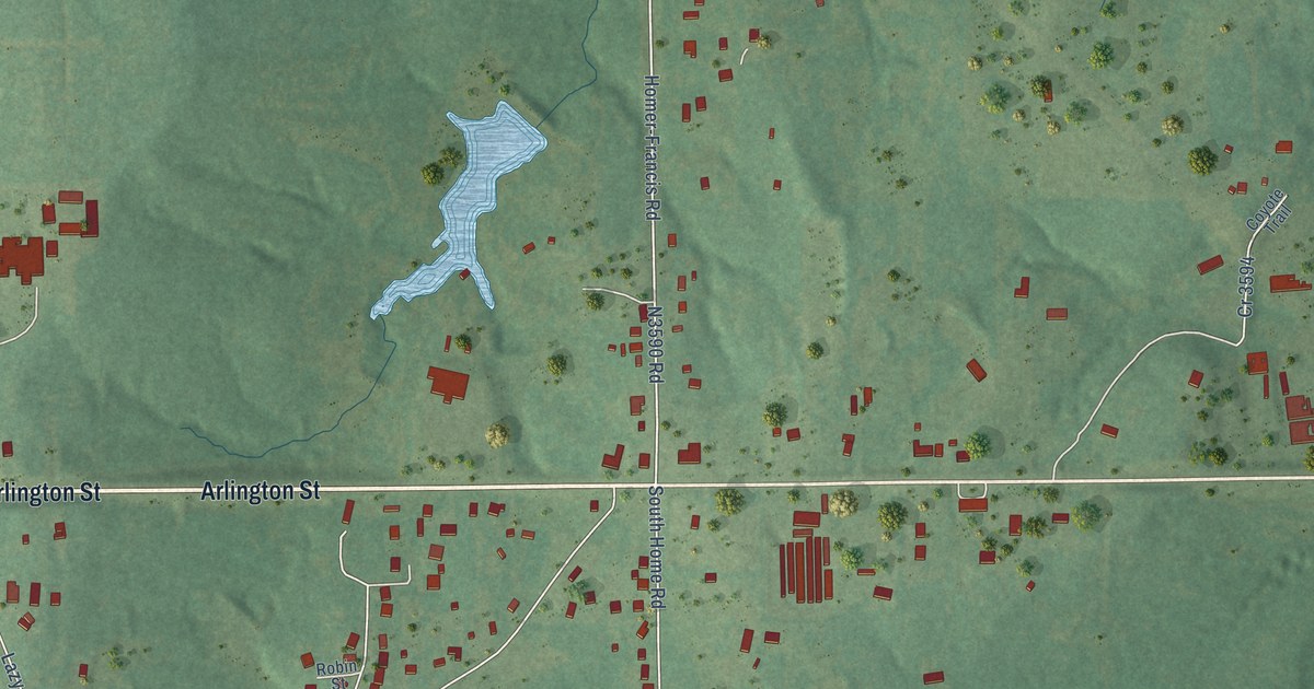
A detailed map of Homer, Oklahoma, showing every building in its true location, the roads by name, and shaded topographical relief.
Read More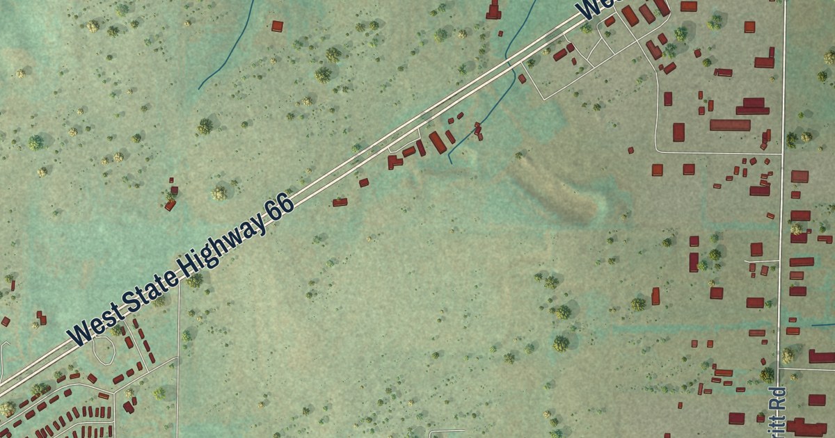
A detailed map of Merritt, Oklahoma, showing every building in its true location, the roads by name, and shaded topographical relief.
Read More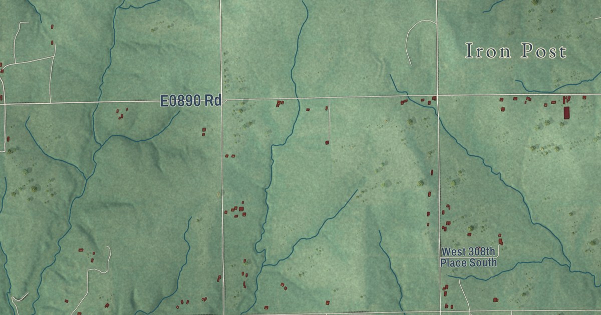
A detailed map of Gypsy, Oklahoma, showing every building in its true location, the roads by name, and shaded topographical relief.
Read More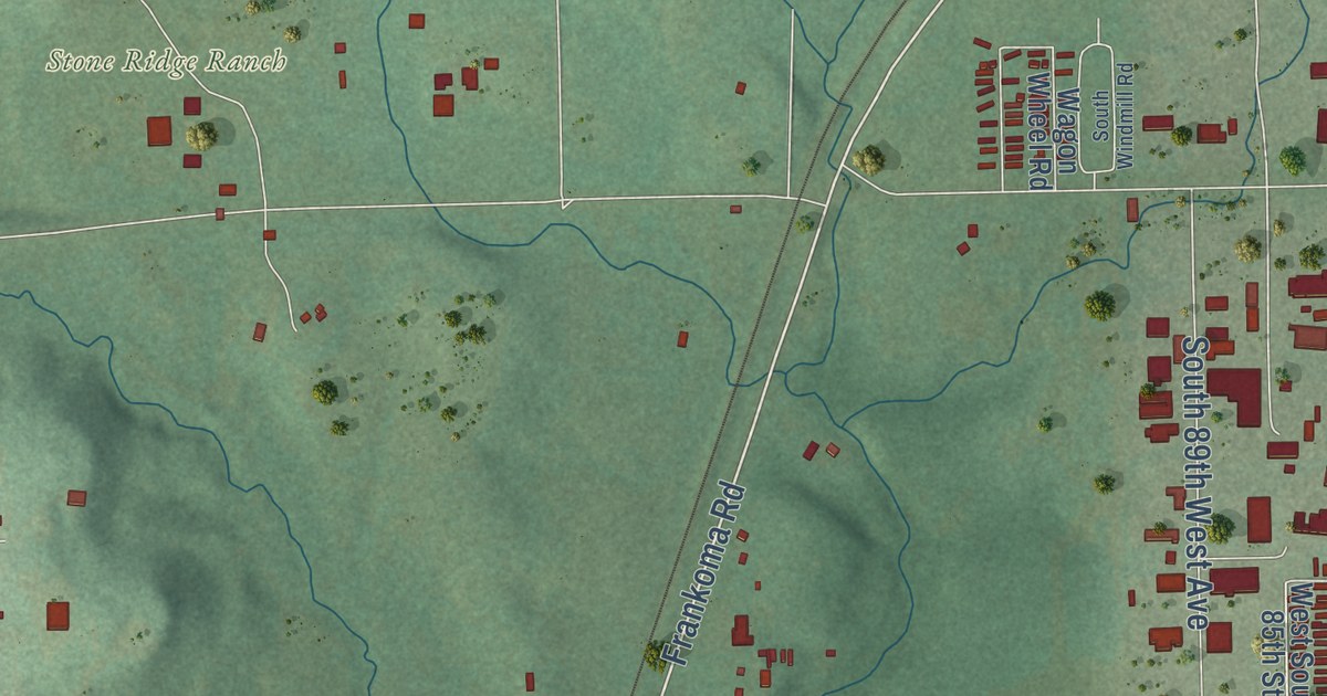
A detailed map of Bowden, Oklahoma, showing every building in its true location, the roads by name, and shaded topographical relief.
Read More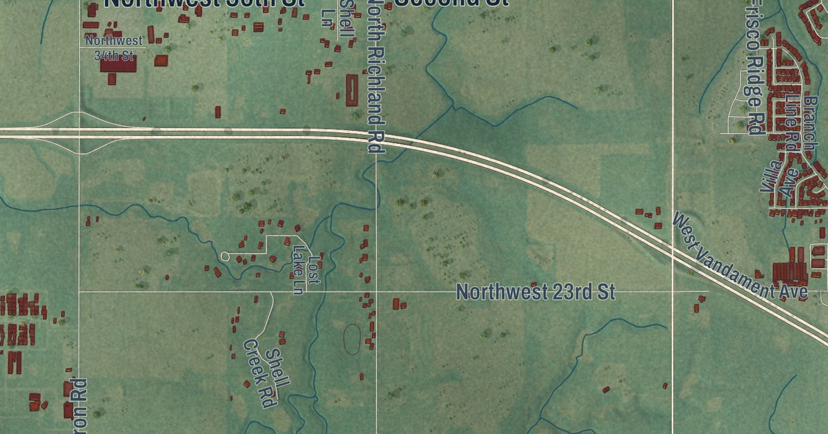
A detailed map of Banner, Oklahoma, showing every building in its true location, the roads by name, and shaded topographical relief.
Read More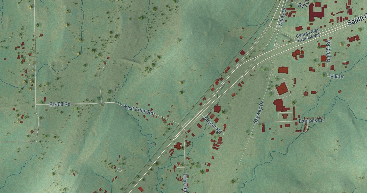
A detailed map of Frink, Oklahoma, showing every building in its true location, the roads by name, and shaded topographical relief.
Read More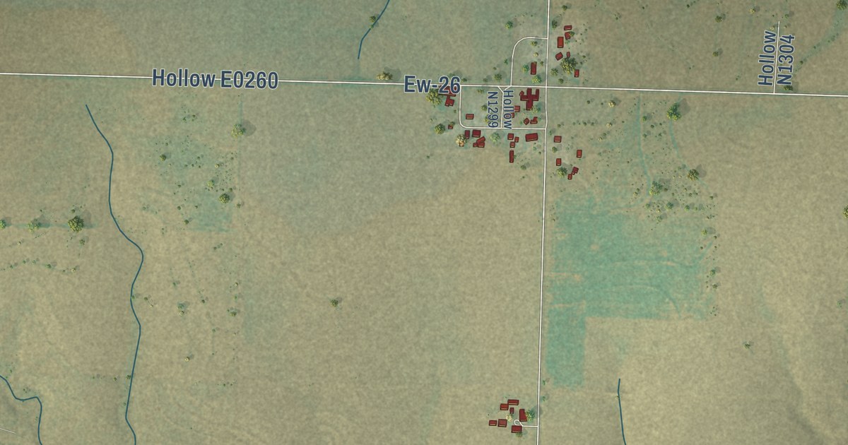
A detailed map of Balko, Oklahoma, showing every building in its true location, the roads by name, and shaded topographical relief.
Read More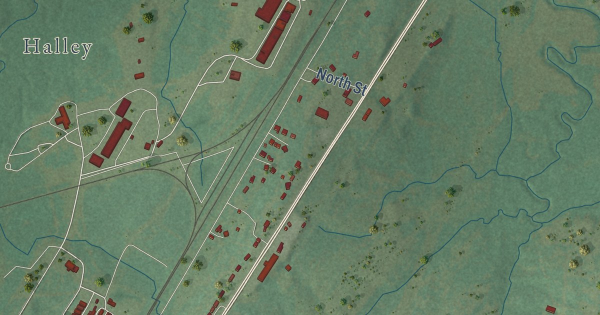
A detailed map of Chambers, Oklahoma, showing every building in its true location, the roads by name, and shaded topographical relief.
Read More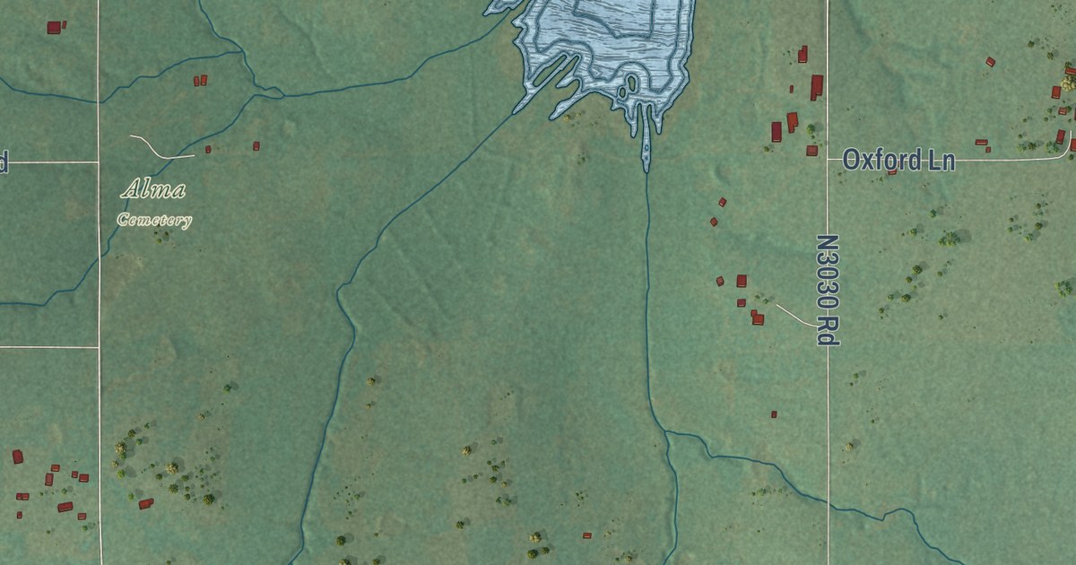
A detailed map of Alma, Oklahoma, showing every building in its true location, the roads by name, and shaded topographical relief.
Read More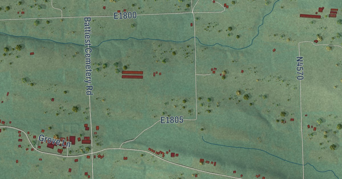
A detailed map of Battiest, Oklahoma, showing every building in its true location, the roads by name, and shaded topographical relief.
Read More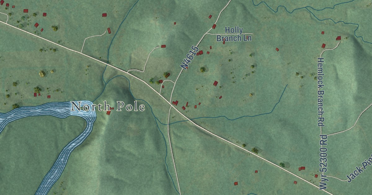
A detailed map of Glover, Oklahoma, showing every building in its true location, the roads by name, and shaded topographical relief.
Read More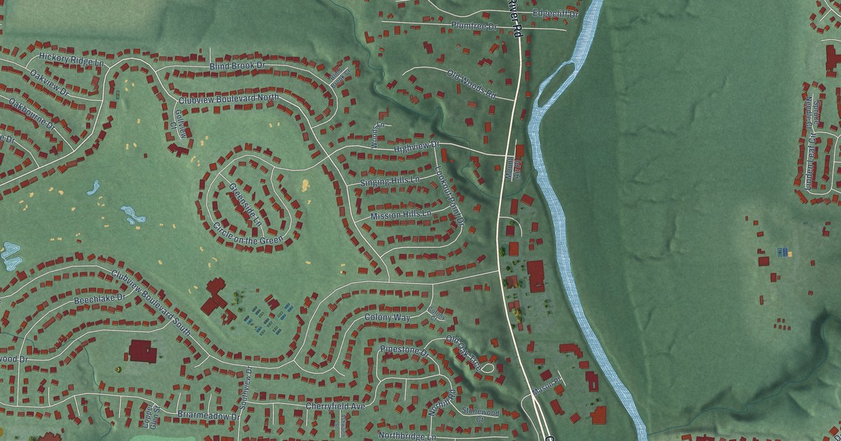
A detailed map of Worthington Hills, Ohio, showing every building in its true location, the roads by name, and shaded topographical relief.
Read More















