Detailed Map of Willowville, Ohio
A detailed map of Willowville, Ohio, showing every building in its true location, the roads by name, and shaded topographical relief.
Read More
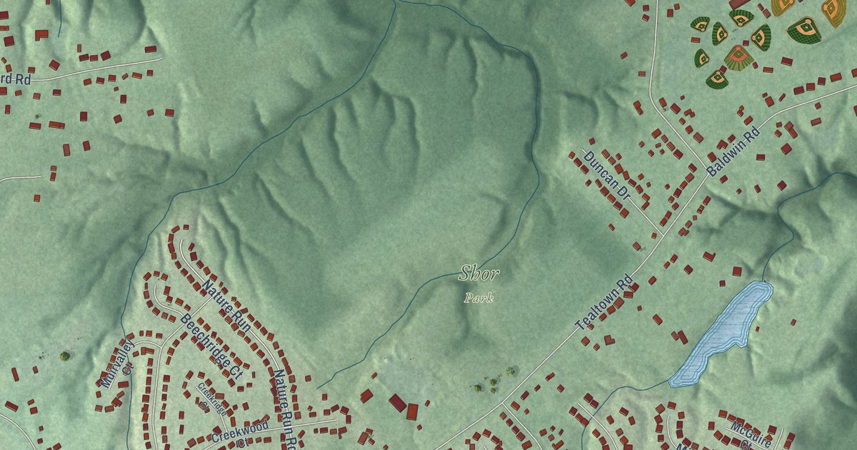
A detailed map of Willowville, Ohio, showing every building in its true location, the roads by name, and shaded topographical relief.
Read More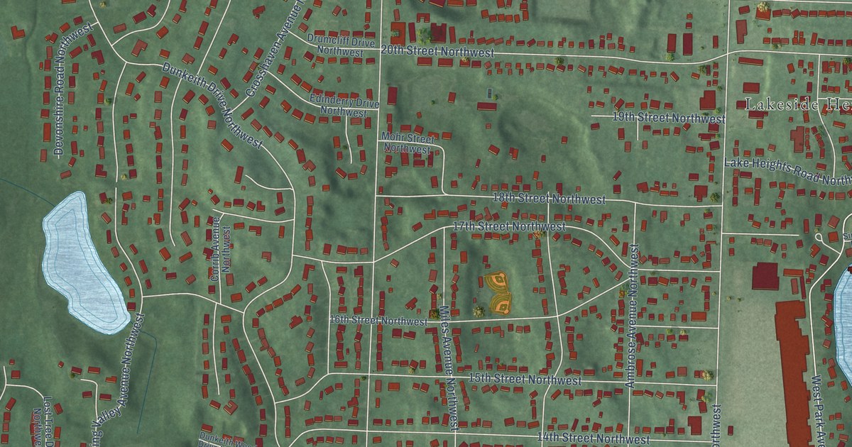
A detailed map of Whipple Heights, Ohio, showing every building in its true location, the roads by name, and shaded topographical relief.
Read More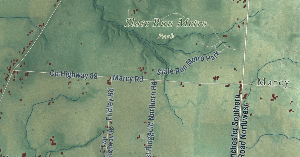
A detailed map of Walnut, Ohio, showing every building in its true location, the roads by name, and shaded topographical relief.
Read More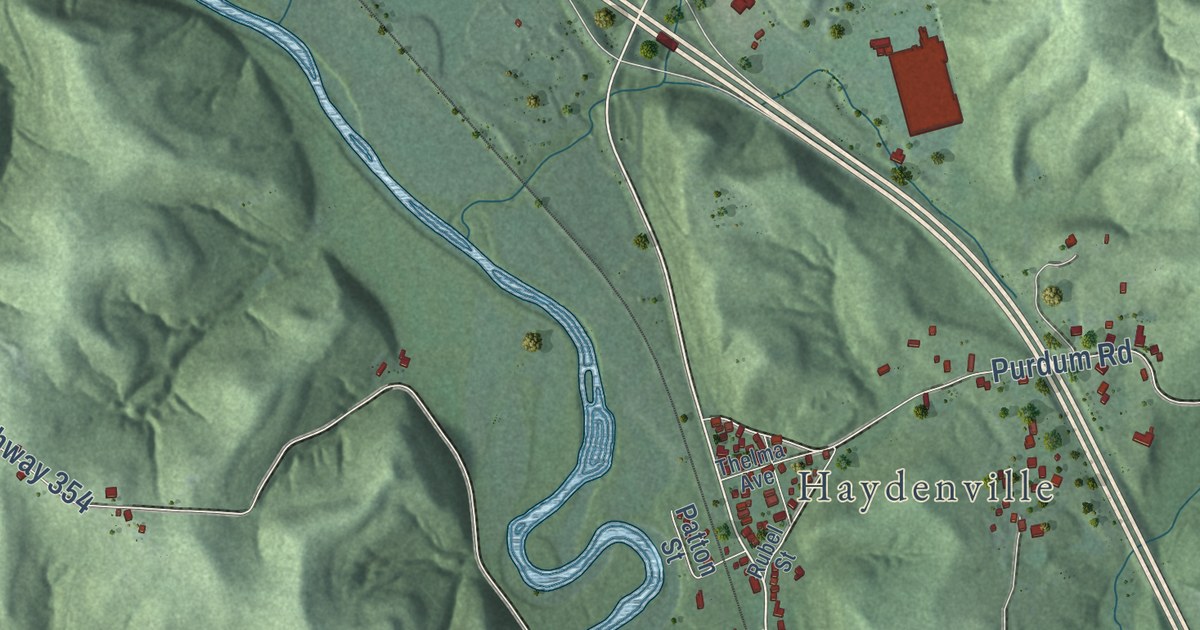
A detailed map of Union Furnace, Ohio, showing every building in its true location, the roads by name, and shaded topographical relief.
Read More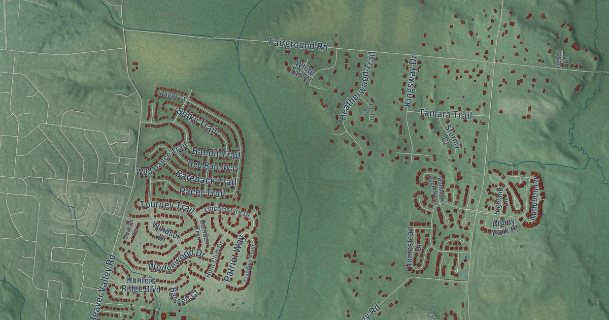
A detailed map of Trebein, Ohio, showing every building in its true location, the roads by name, and shaded topographical relief.
Read More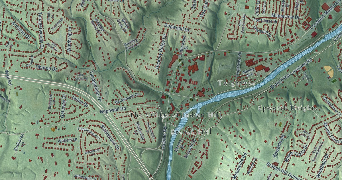
A detailed map of Symmes, Ohio, showing every building in its true location, the roads by name, and shaded topographical relief.
Read More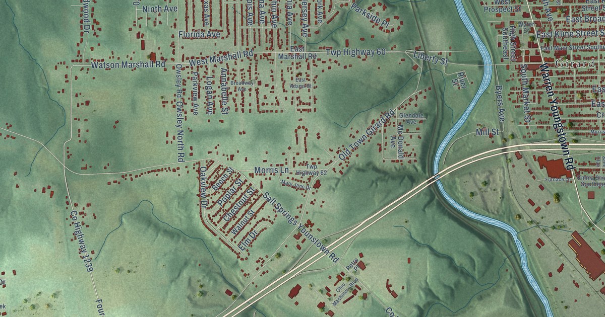
A detailed map of Summit, Ohio, showing every building in its true location, the roads by name, and shaded topographical relief.
Read More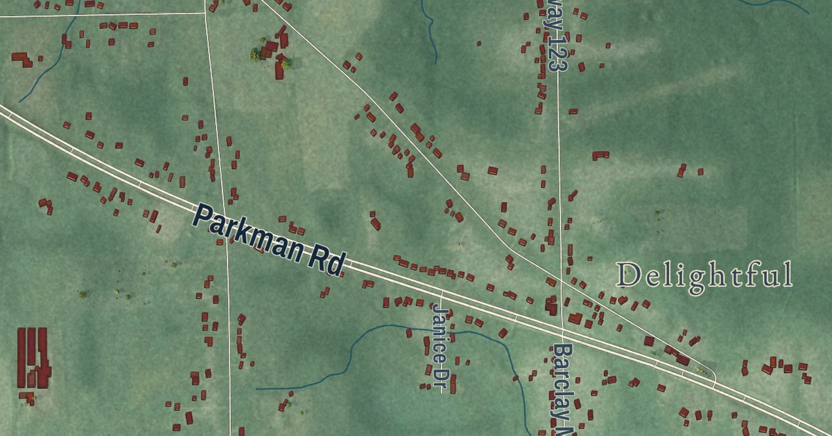
A detailed map of Southington, Ohio, showing every building in its true location, the roads by name, and shaded topographical relief.
Read More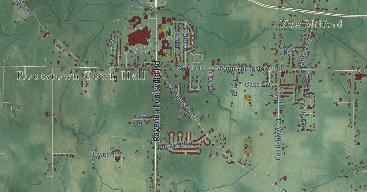
A detailed map of Rootstown, Ohio, showing every building in its true location, the roads by name, and shaded topographical relief.
Read More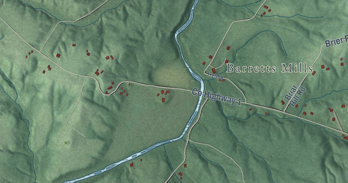
A detailed map of Rainsboro, Ohio, showing every building in its true location, the roads by name, and shaded topographical relief.
Read More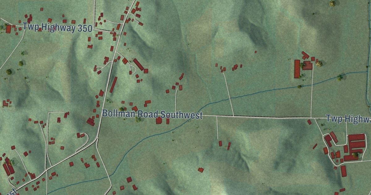
A detailed map of Ragersville, Ohio, showing every building in its true location, the roads by name, and shaded topographical relief.
Read More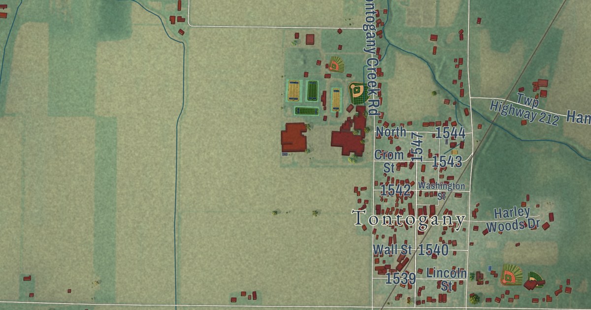
A detailed map of Otsego, Ohio, showing every building in its true location, the roads by name, and shaded topographical relief.
Read More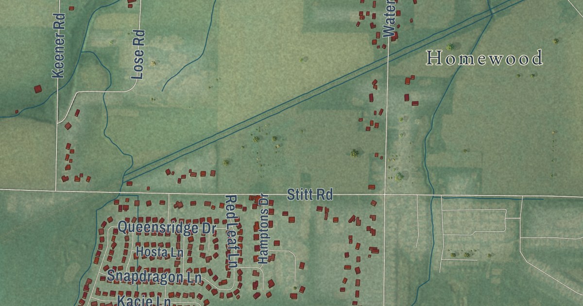
A detailed map of Monclova, Ohio, showing every building in its true location, the roads by name, and shaded topographical relief.
Read More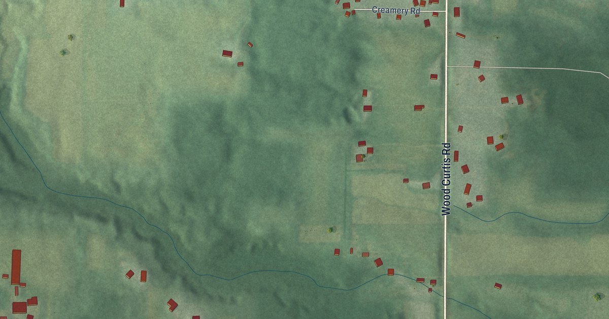
A detailed map of Mesopotamia, Ohio, showing every building in its true location, the roads by name, and shaded topographical relief.
Read More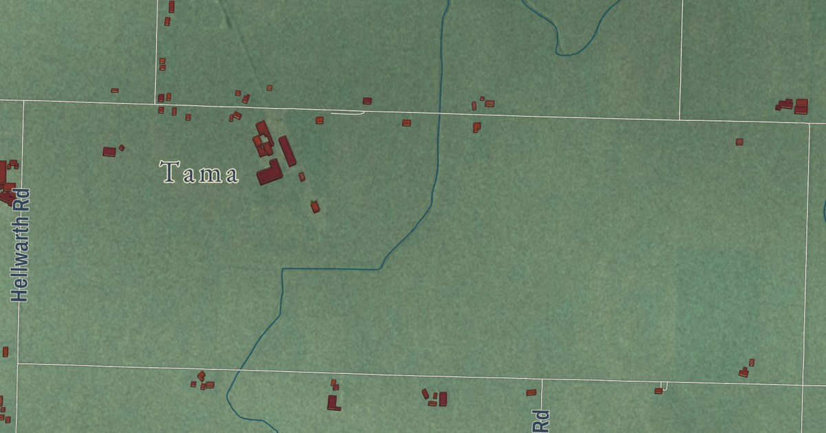
A detailed map of Mercer, Ohio, showing every building in its true location, the roads by name, and shaded topographical relief.
Read More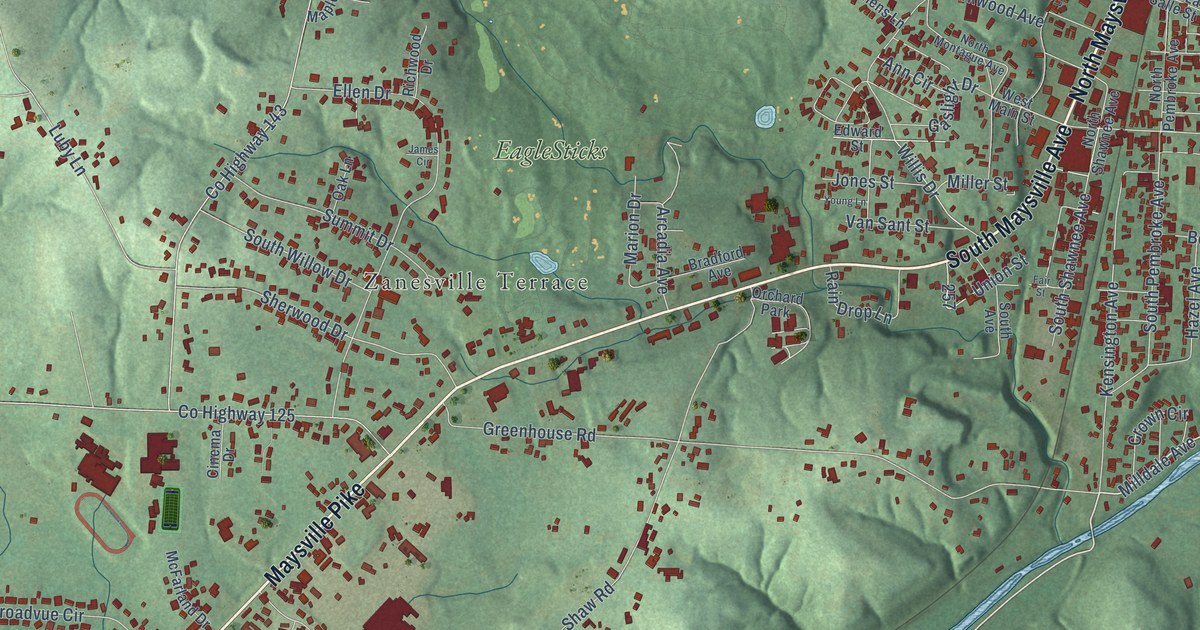
A detailed map of Maysville, Ohio, showing every building in its true location, the roads by name, and shaded topographical relief.
Read More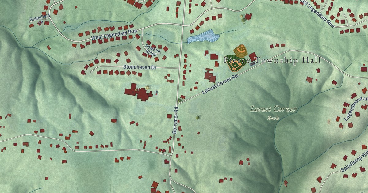
A detailed map of Locust Corner, Ohio, showing every building in its true location, the roads by name, and shaded topographical relief.
Read More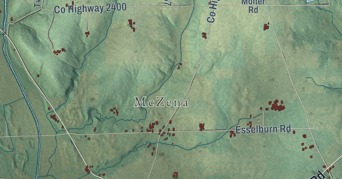
A detailed map of Lakeville, Ohio, showing every building in its true location, the roads by name, and shaded topographical relief.
Read More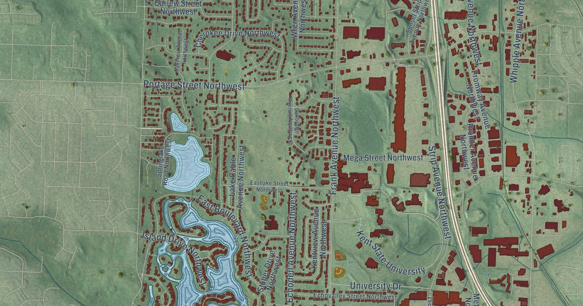
A detailed map of Lake Cable, Ohio, showing every building in its true location, the roads by name, and shaded topographical relief.
Read More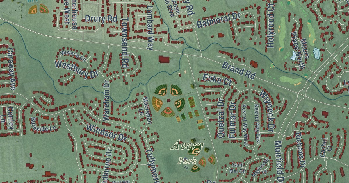
A detailed map of Jerome, Ohio, showing every building in its true location, the roads by name, and shaded topographical relief.
Read More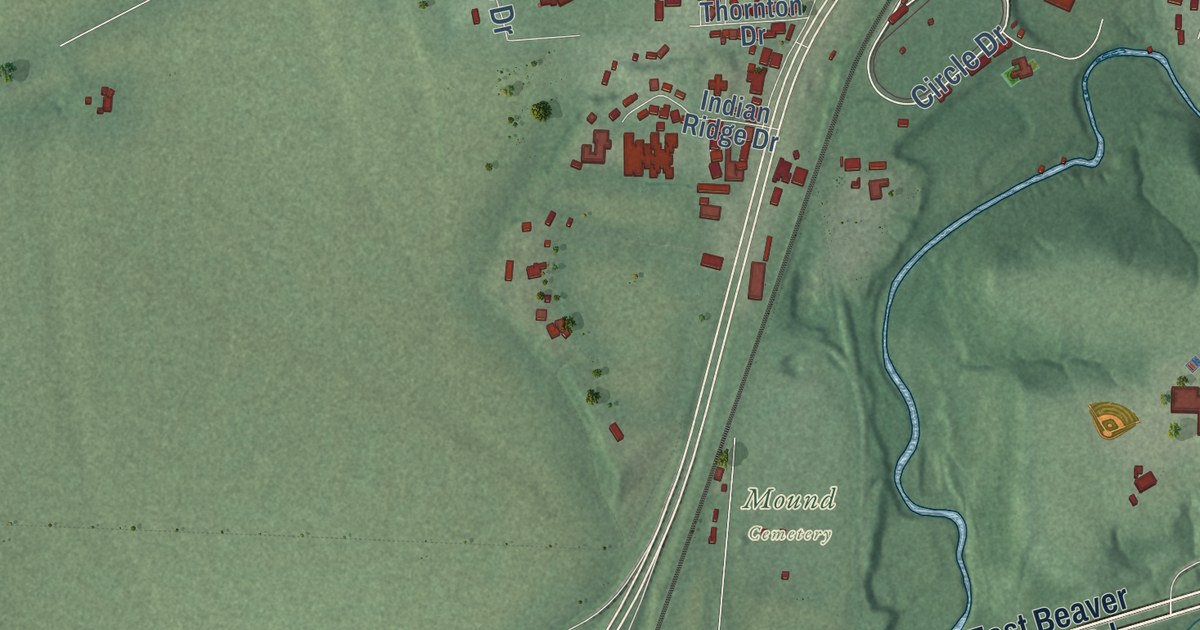
A detailed map of Jasper, Ohio, showing every building in its true location, the roads by name, and shaded topographical relief.
Read More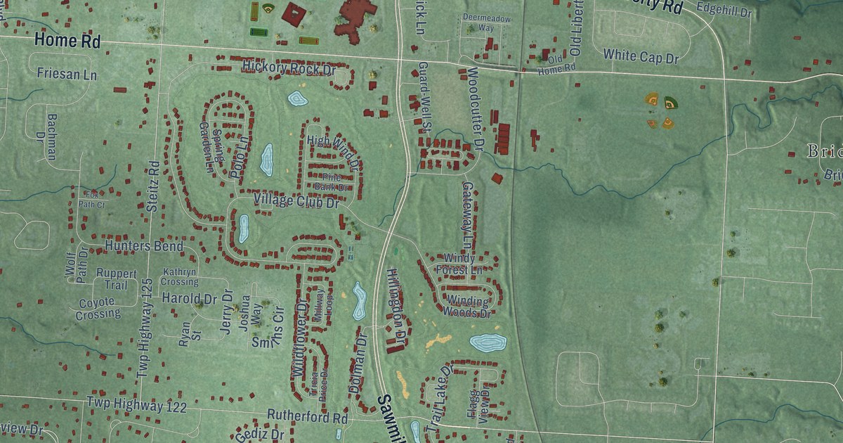
A detailed map of Hyatts, Ohio, showing every building in its true location, the roads by name, and shaded topographical relief.
Read More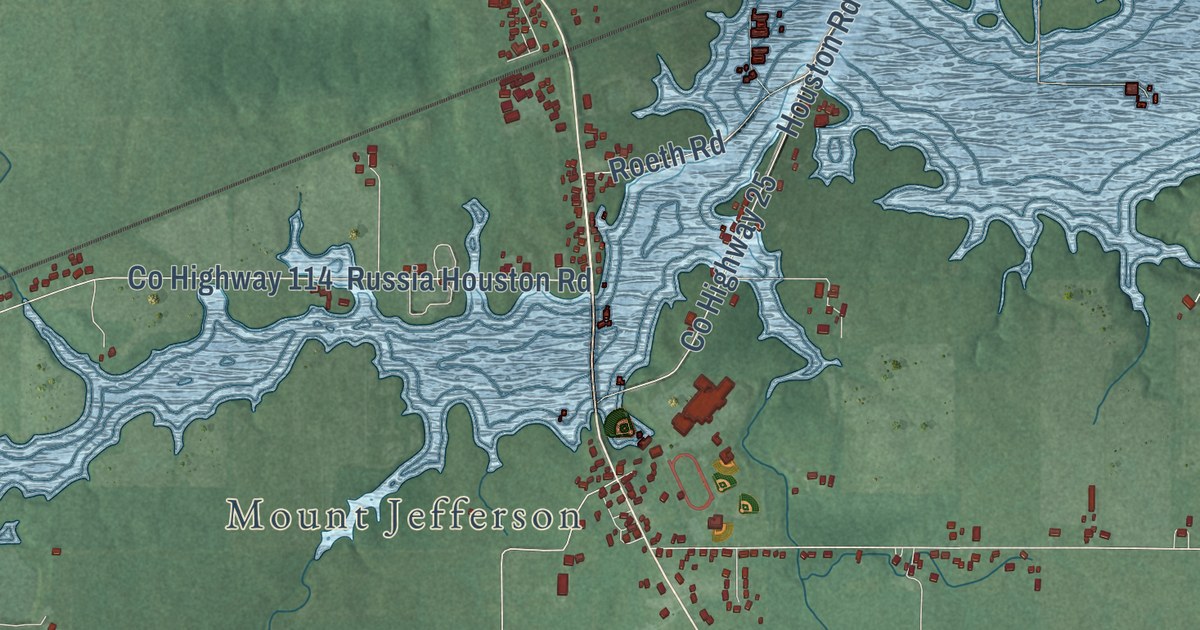
A detailed map of Houston, Ohio, showing every building in its true location, the roads by name, and shaded topographical relief.
Read More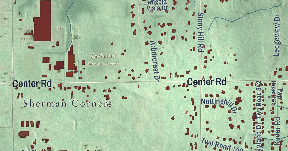
A detailed map of Hinckley, Ohio, showing every building in its true location, the roads by name, and shaded topographical relief.
Read More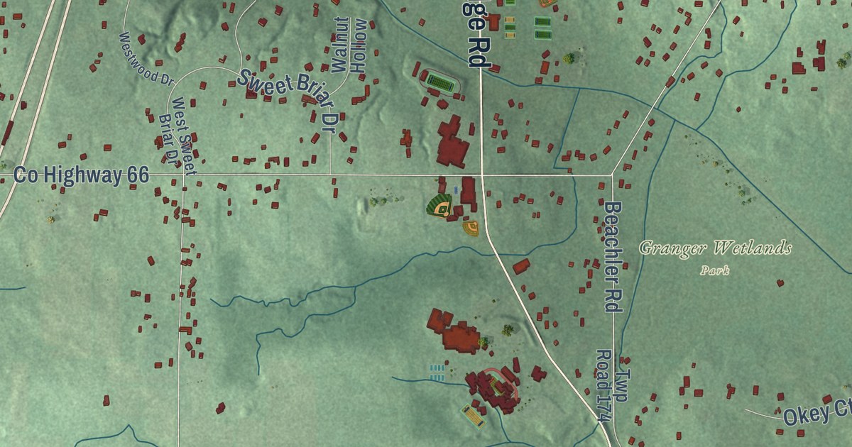
A detailed map of Granger, Ohio, showing every building in its true location, the roads by name, and shaded topographical relief.
Read More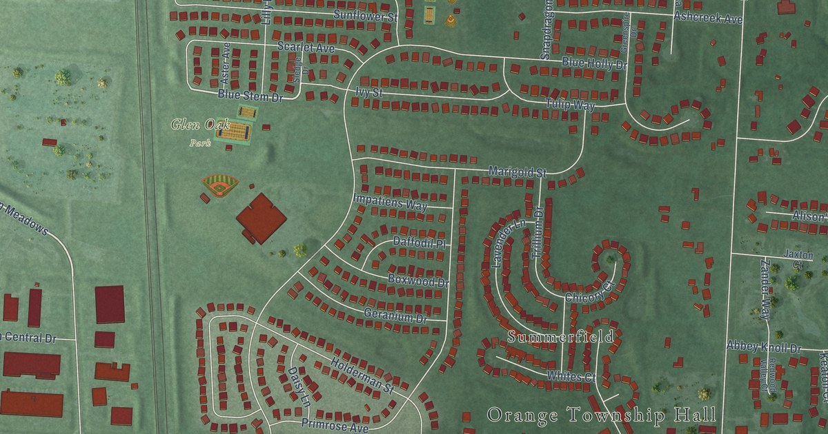
A detailed map of Glen Oak, Ohio, showing every building in its true location, the roads by name, and shaded topographical relief.
Read More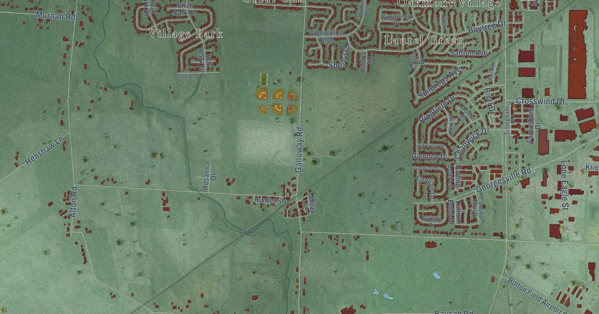
A detailed map of Galloway, Ohio, showing every building in its true location, the roads by name, and shaded topographical relief.
Read More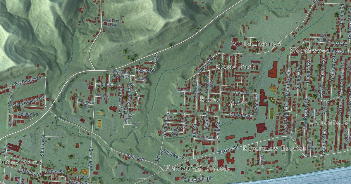
A detailed map of Fairland, Ohio, showing every building in its true location, the roads by name, and shaded topographical relief.
Read More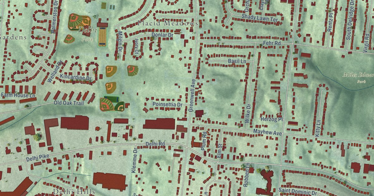
A detailed map of Delhi, Ohio, showing every building in its true location, the roads by name, and shaded topographical relief.
Read More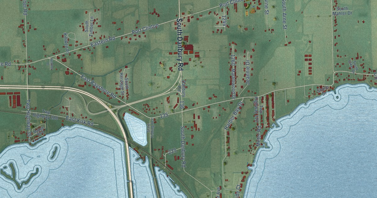
A detailed map of Danbury, Ohio, showing every building in its true location, the roads by name, and shaded topographical relief.
Read More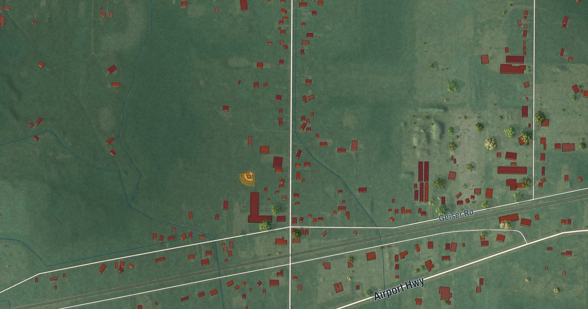
A detailed map of Crissey, Ohio, showing every building in its true location, the roads by name, and shaded topographical relief.
Read More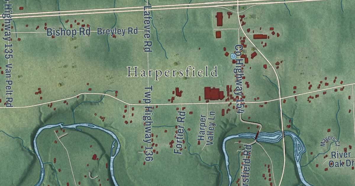
A detailed map of Cork, Ohio, showing every building in its true location, the roads by name, and shaded topographical relief.
Read More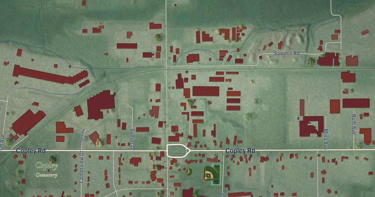
A detailed map of Copley, Ohio, showing every building in its true location, the roads by name, and shaded topographical relief.
Read More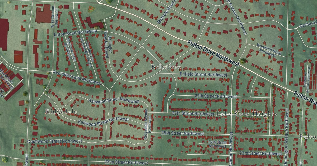
A detailed map of Avondale, Ohio, showing every building in its true location, the roads by name, and shaded topographical relief.
Read More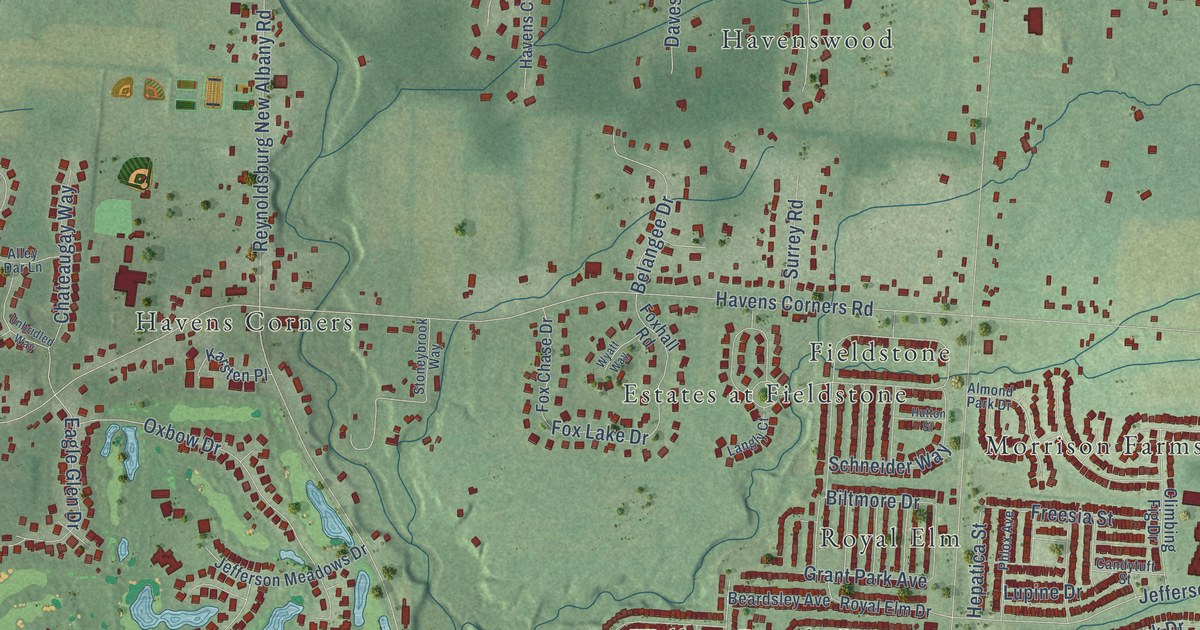
A detailed map of Blacklick, Ohio, showing every building in its true location, the roads by name, and shaded topographical relief.
Read More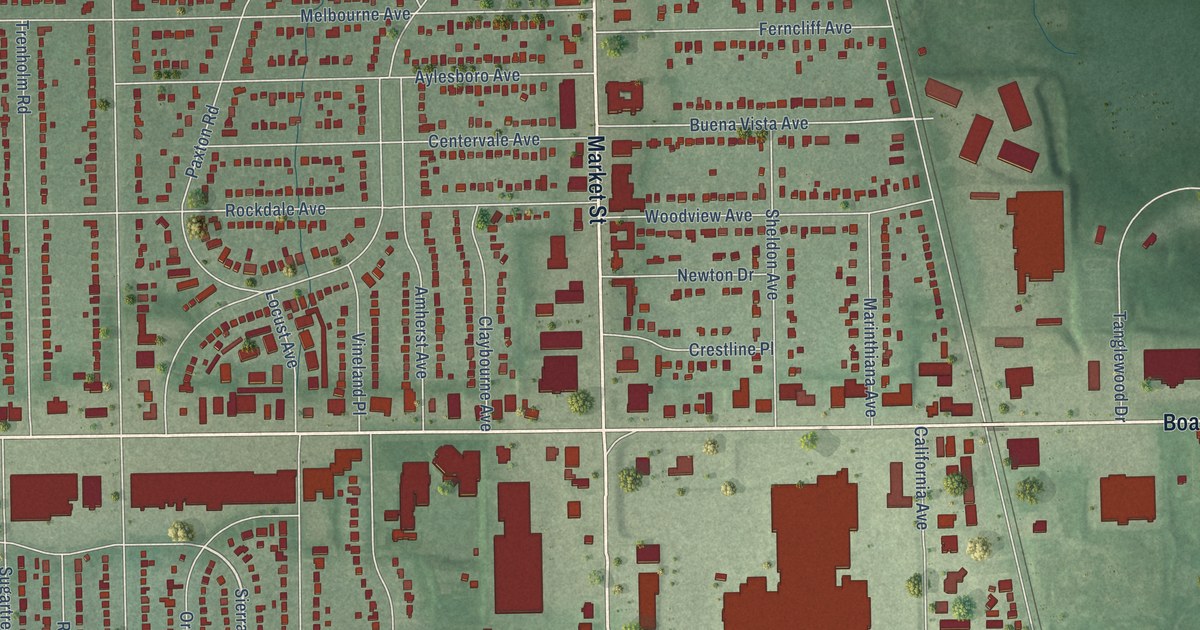
A detailed map of Boardman, Ohio, showing every building in its true location, the roads by name, and shaded topographical relief.
Read More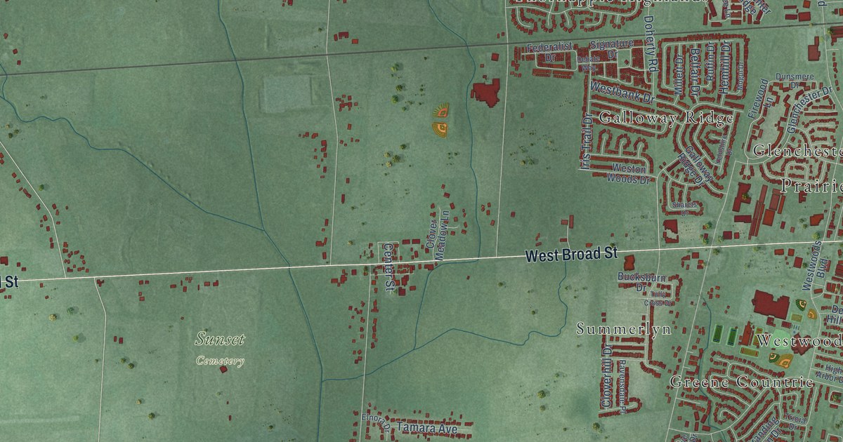
A detailed map of Alton, Ohio, showing every building in its true location, the roads by name, and shaded topographical relief.
Read More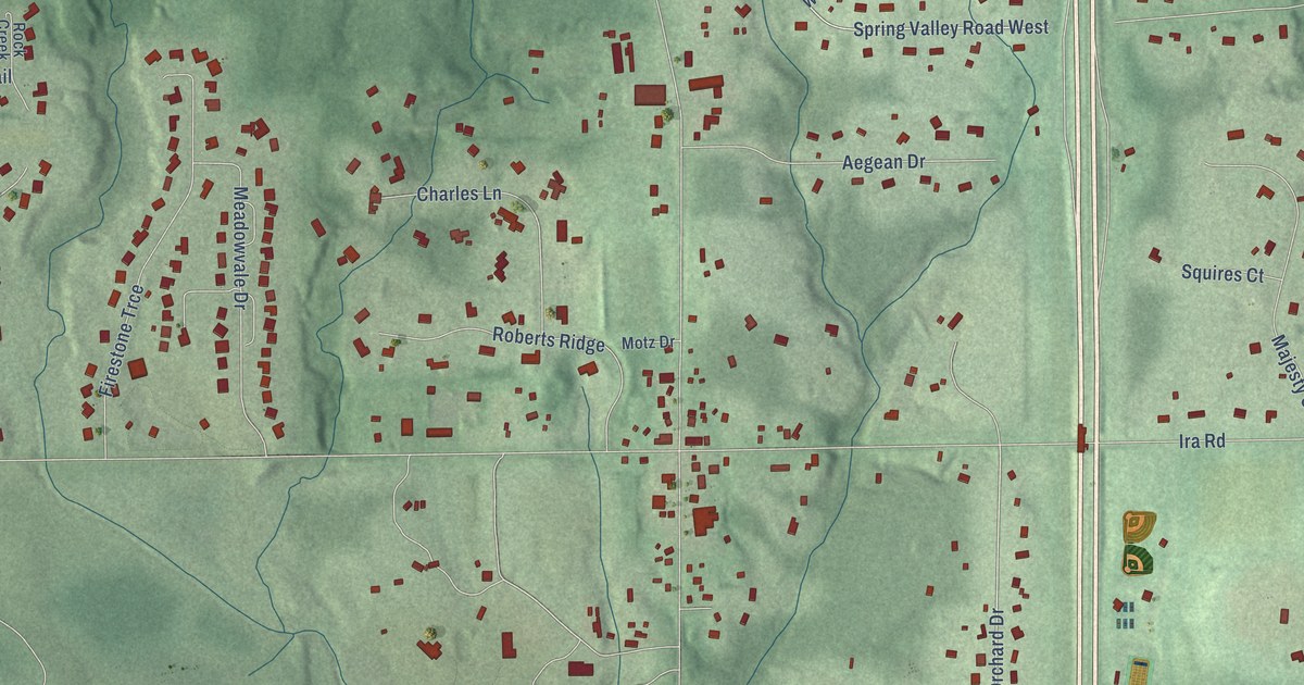
A detailed map of Bath, Ohio, showing every building in its true location, the roads by name, and shaded topographical relief.
Read More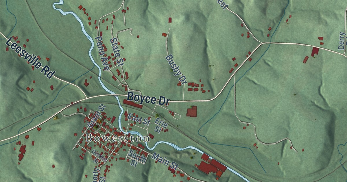
A detailed map of Conotton, Ohio, showing every building in its true location, the roads by name, and shaded topographical relief.
Read More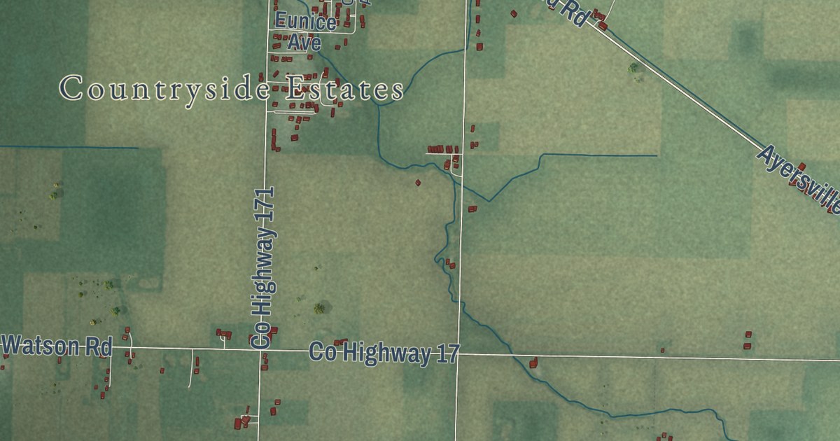
A detailed map of Ayersville, Ohio, showing every building in its true location, the roads by name, and shaded topographical relief.
Read More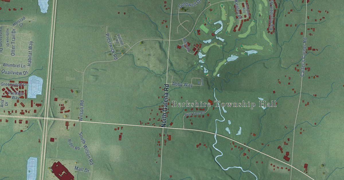
A detailed map of Berkshire, Ohio, showing every building in its true location, the roads by name, and shaded topographical relief.
Read More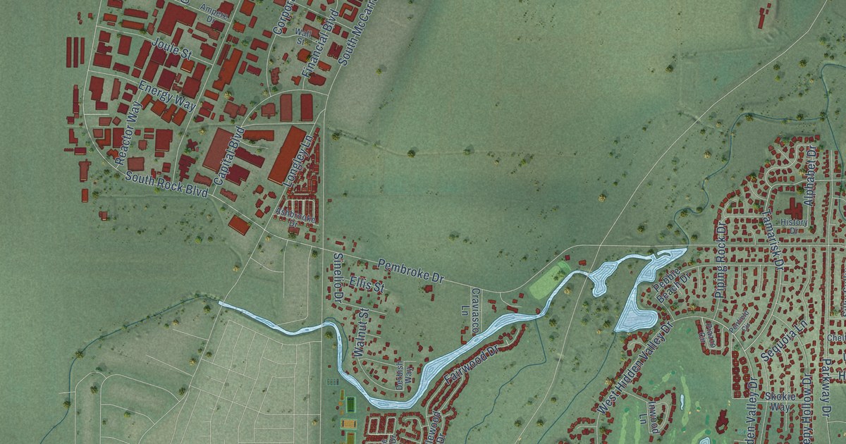
A detailed map of Hidden Valley, Nevada, showing every building in its true location, the roads by name, and shaded topographical relief.
Read More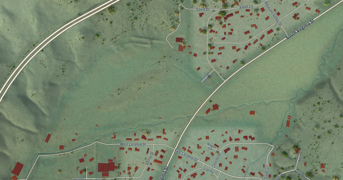
A detailed map of Pleasant Valley, Nevada, showing every building in its true location, the roads by name, and shaded topographical relief.
Read More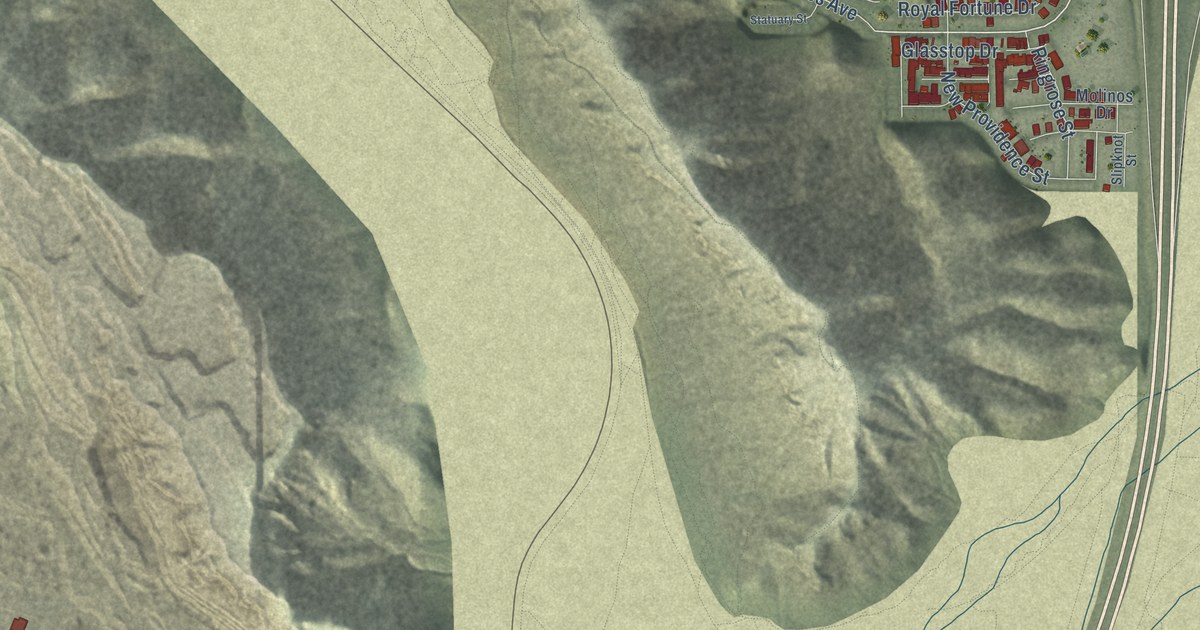
A detailed map of Sloan, Nevada, showing every building in its true location, the roads by name, and shaded topographical relief.
Read More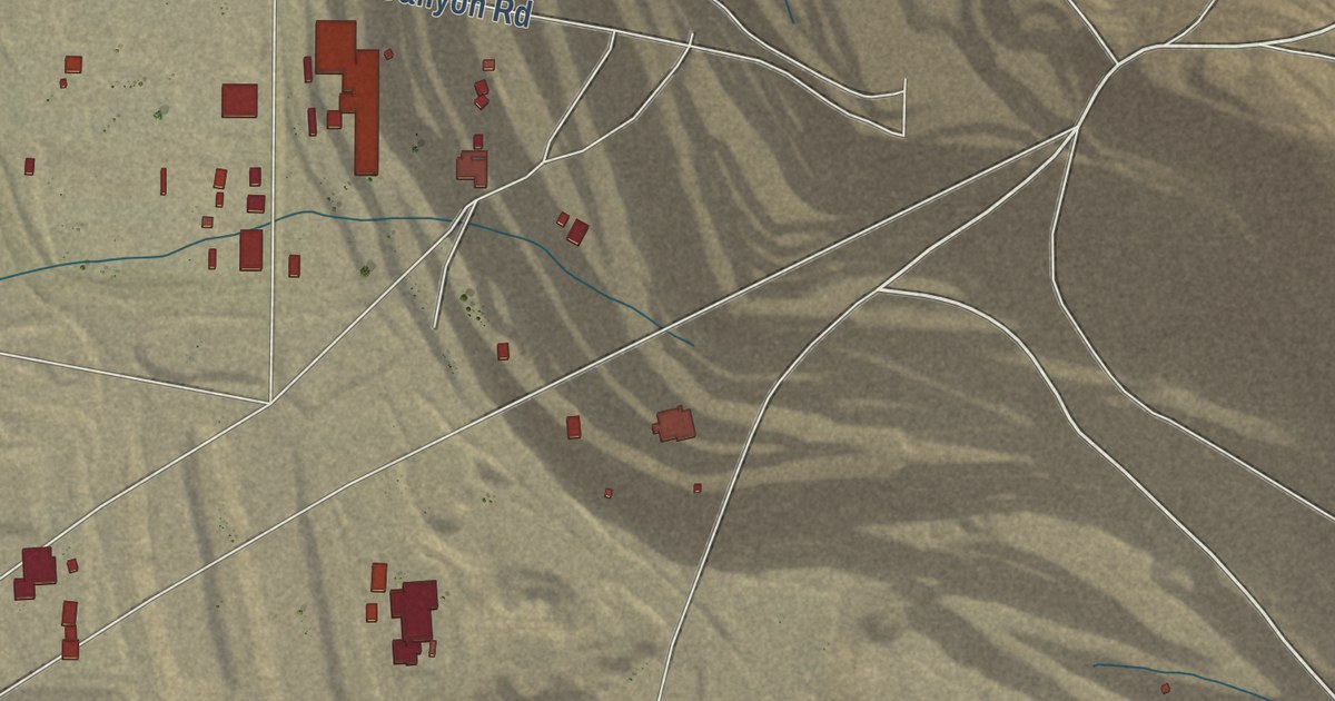
A detailed map of Round Mountain, Nevada, showing every building in its true location, the roads by name, and shaded topographical relief.
Read More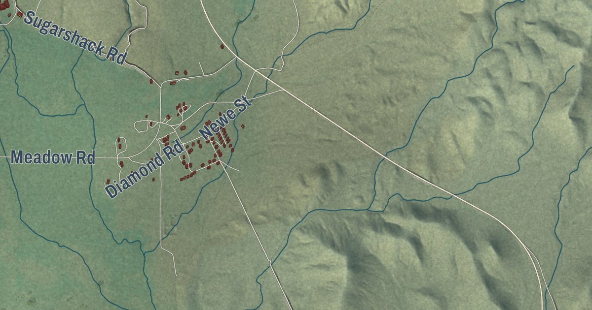
A detailed map of Duckwater, Nevada, showing every building in its true location, the roads by name, and shaded topographical relief.
Read More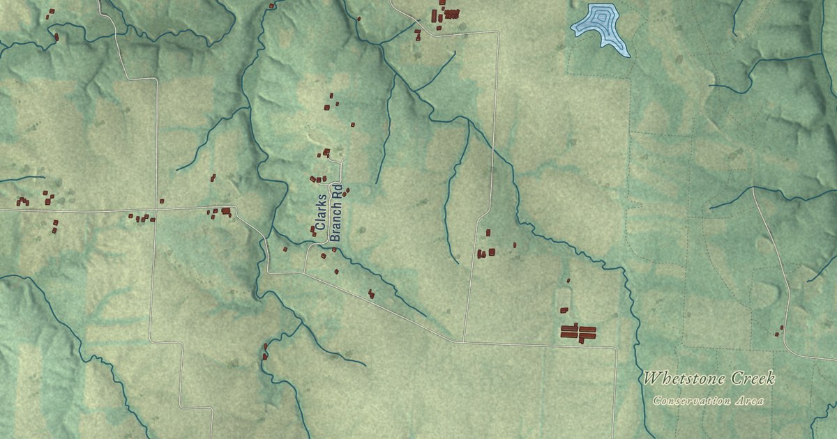
A detailed map of Williamsburg, Missouri, showing every building in its true location, the roads by name, and shaded topographical relief.
Read More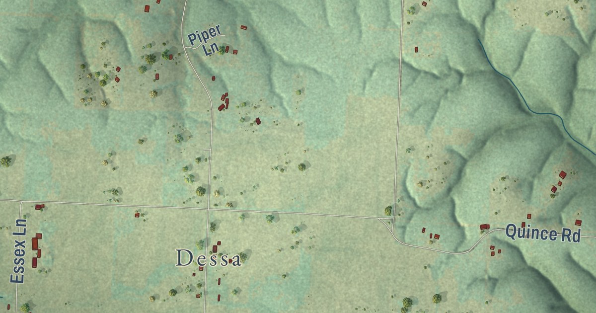
A detailed map of Westview, Missouri, showing every building in its true location, the roads by name, and shaded topographical relief.
Read More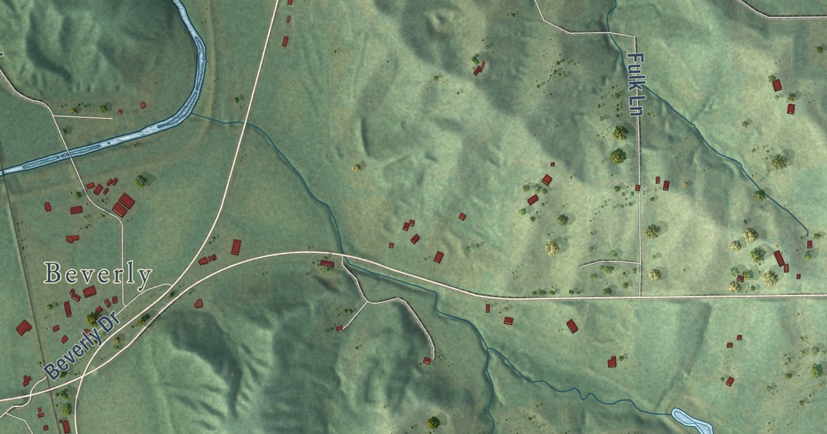
A detailed map of West Platte, Missouri, showing every building in its true location, the roads by name, and shaded topographical relief.
Read More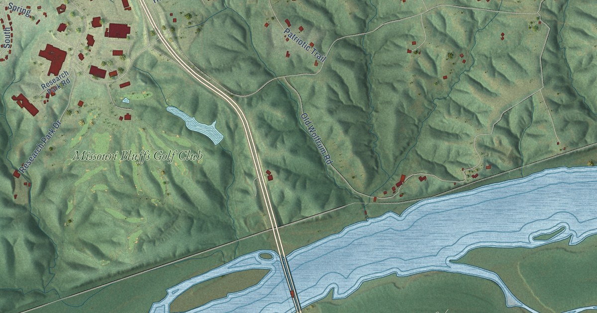
A detailed map of Weldon, Missouri, showing every building in its true location, the roads by name, and shaded topographical relief.
Read More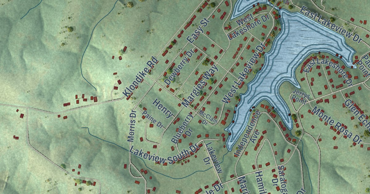
A detailed map of Vineland, Missouri, showing every building in its true location, the roads by name, and shaded topographical relief.
Read More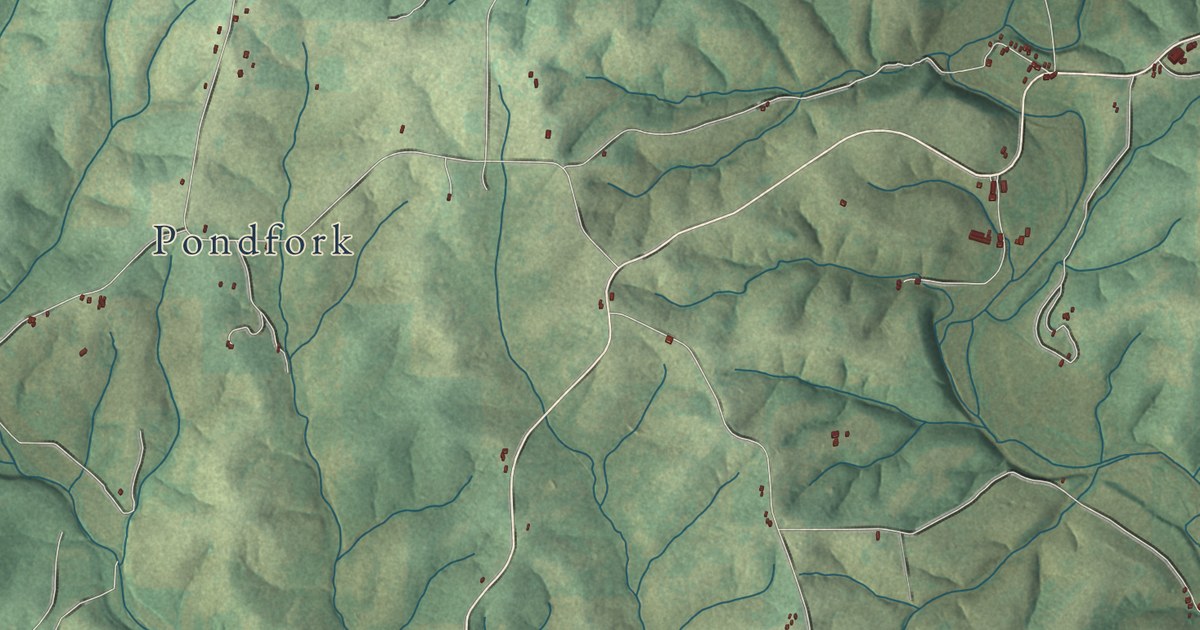
A detailed map of Thornfield, Missouri, showing every building in its true location, the roads by name, and shaded topographical relief.
Read More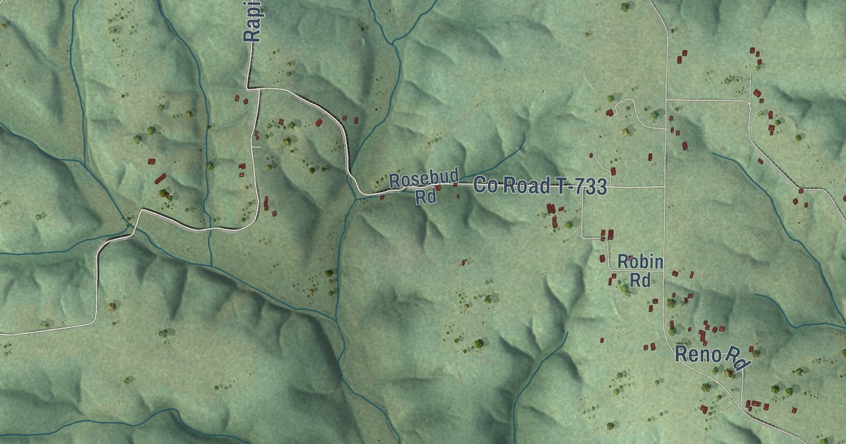
A detailed map of Swedeborg, Missouri, showing every building in its true location, the roads by name, and shaded topographical relief.
Read More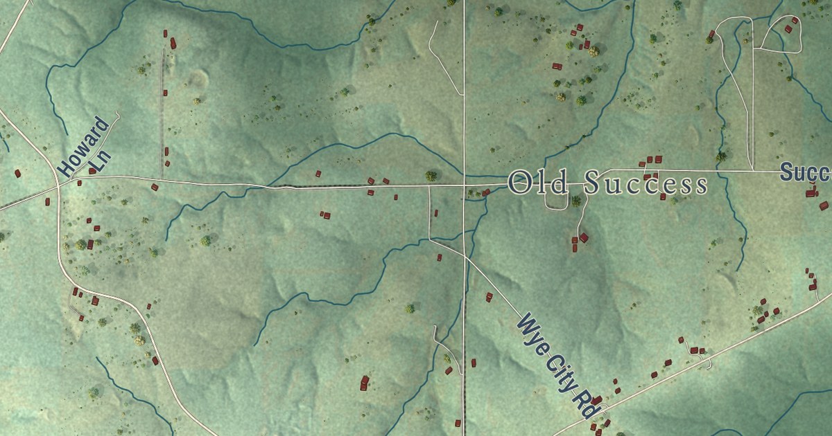
A detailed map of Success, Missouri, showing every building in its true location, the roads by name, and shaded topographical relief.
Read More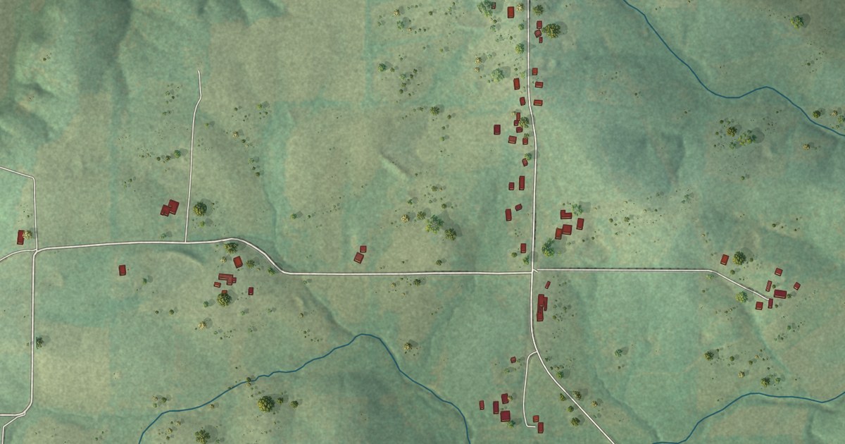
A detailed map of Strain, Missouri, showing every building in its true location, the roads by name, and shaded topographical relief.
Read More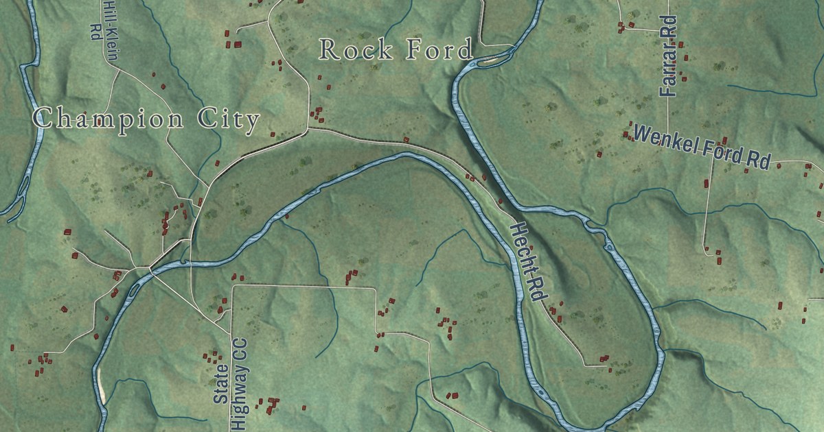
A detailed map of Spring Bluff, Missouri, showing every building in its true location, the roads by name, and shaded topographical relief.
Read More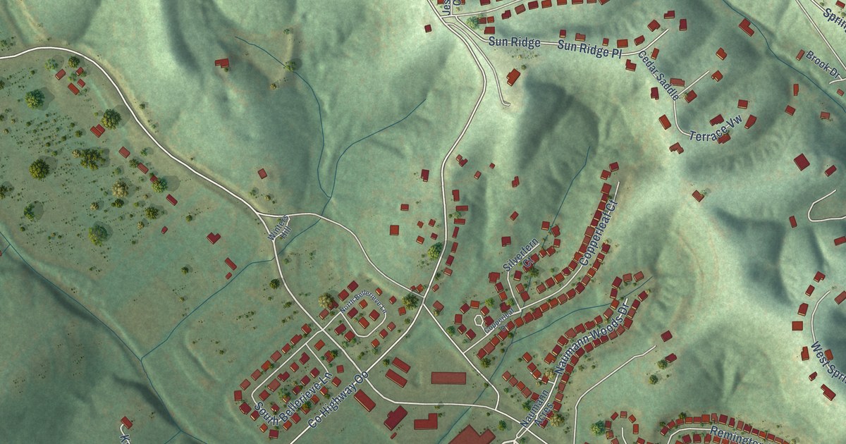
A detailed map of Seckman, Missouri, showing every building in its true location, the roads by name, and shaded topographical relief.
Read More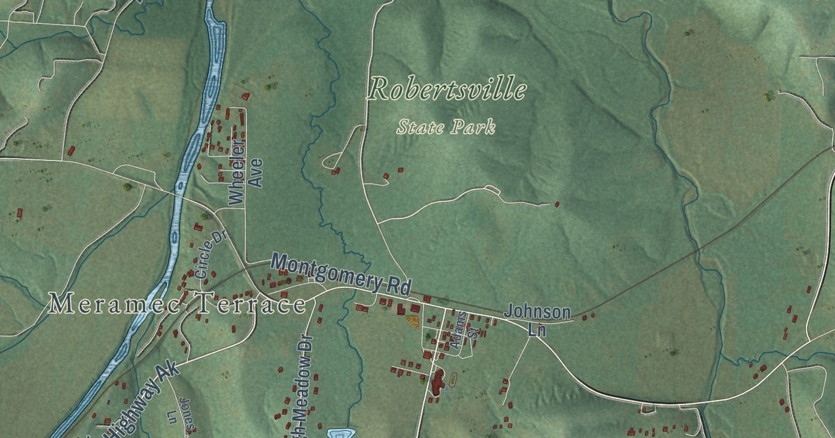
A detailed map of Robertsville, Missouri, showing every building in its true location, the roads by name, and shaded topographical relief.
Read More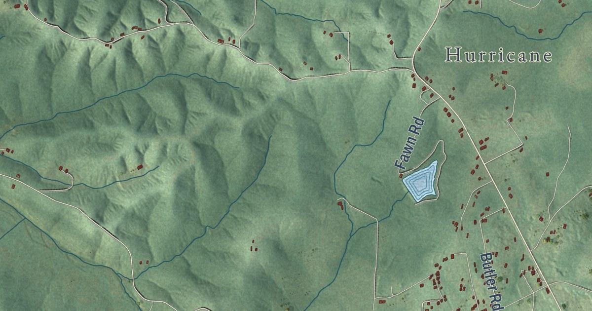
A detailed map of Richwoods, Missouri, showing every building in its true location, the roads by name, and shaded topographical relief.
Read More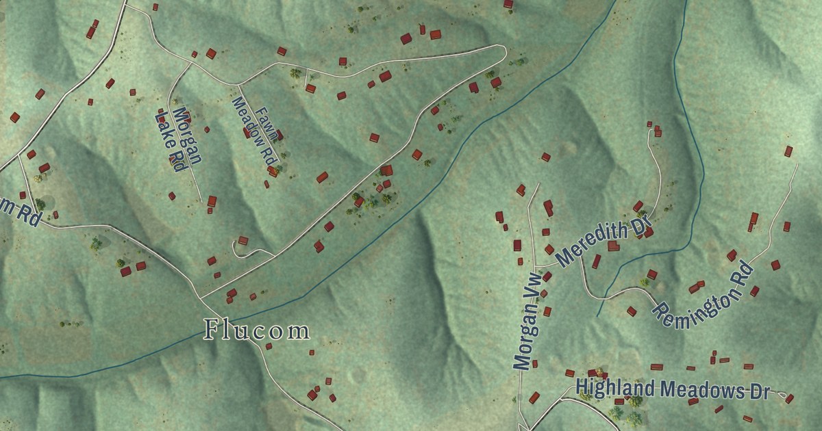
A detailed map of Plattin, Missouri, showing every building in its true location, the roads by name, and shaded topographical relief.
Read More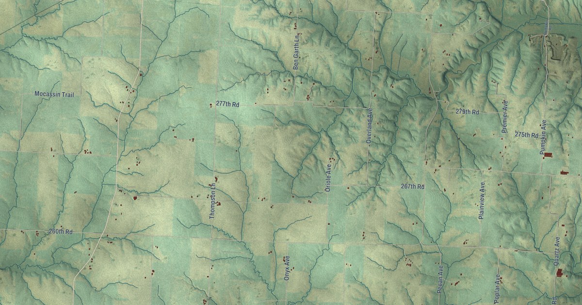
A detailed map of Orearville, Missouri, showing every building in its true location, the roads by name, and shaded topographical relief.
Read More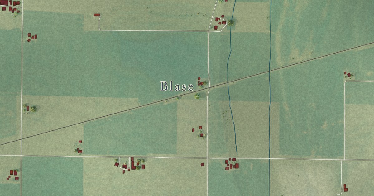
A detailed map of Orchard Farm, Missouri, showing every building in its true location, the roads by name, and shaded topographical relief.
Read More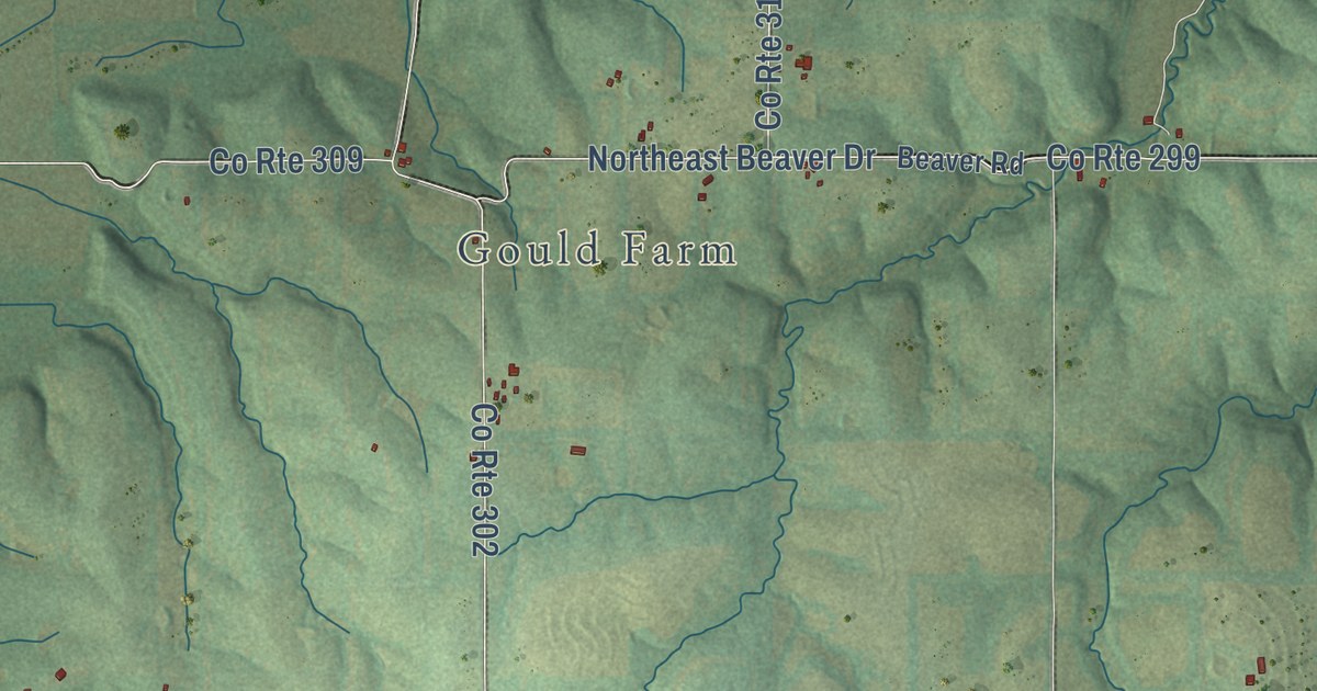
A detailed map of New York, Missouri, showing every building in its true location, the roads by name, and shaded topographical relief.
Read More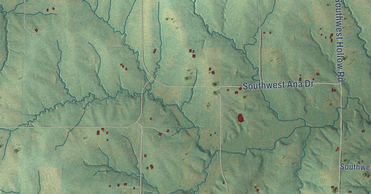
A detailed map of Mirabile, Missouri, showing every building in its true location, the roads by name, and shaded topographical relief.
Read More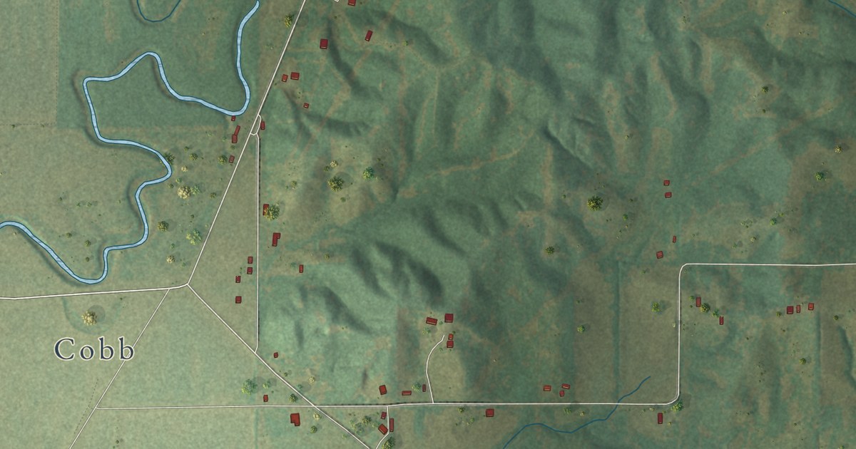
A detailed map of Mingo, Missouri, showing every building in its true location, the roads by name, and shaded topographical relief.
Read More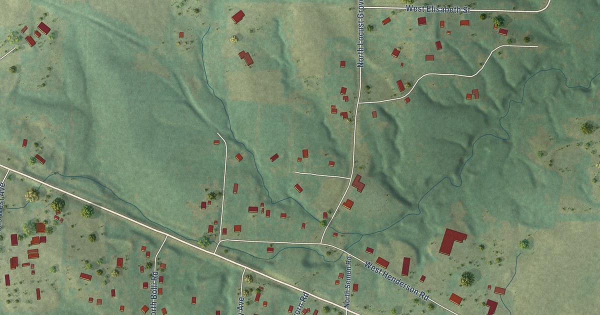
A detailed map of Midway, Missouri, showing every building in its true location, the roads by name, and shaded topographical relief.
Read More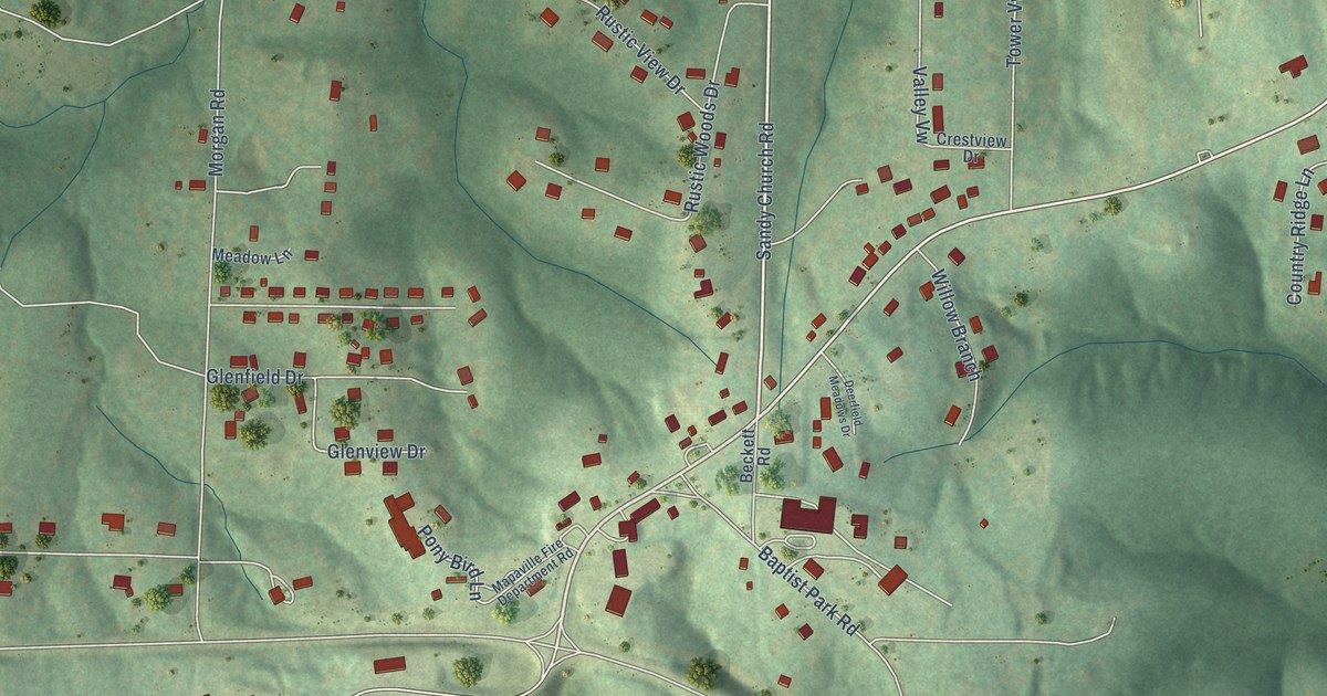
A detailed map of Mapaville, Missouri, showing every building in its true location, the roads by name, and shaded topographical relief.
Read More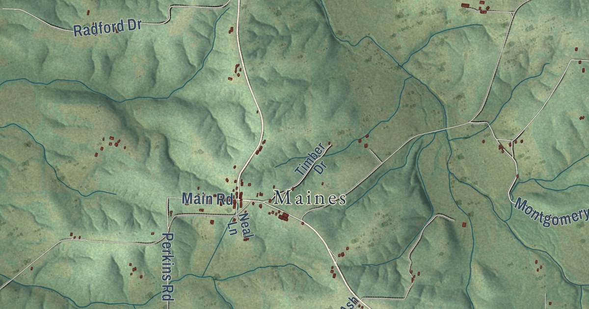
A detailed map of Manes, Missouri, showing every building in its true location, the roads by name, and shaded topographical relief.
Read More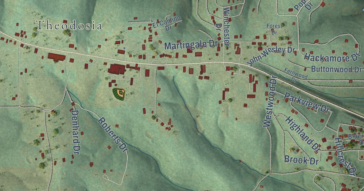
A detailed map of Lutie, Missouri, showing every building in its true location, the roads by name, and shaded topographical relief.
Read More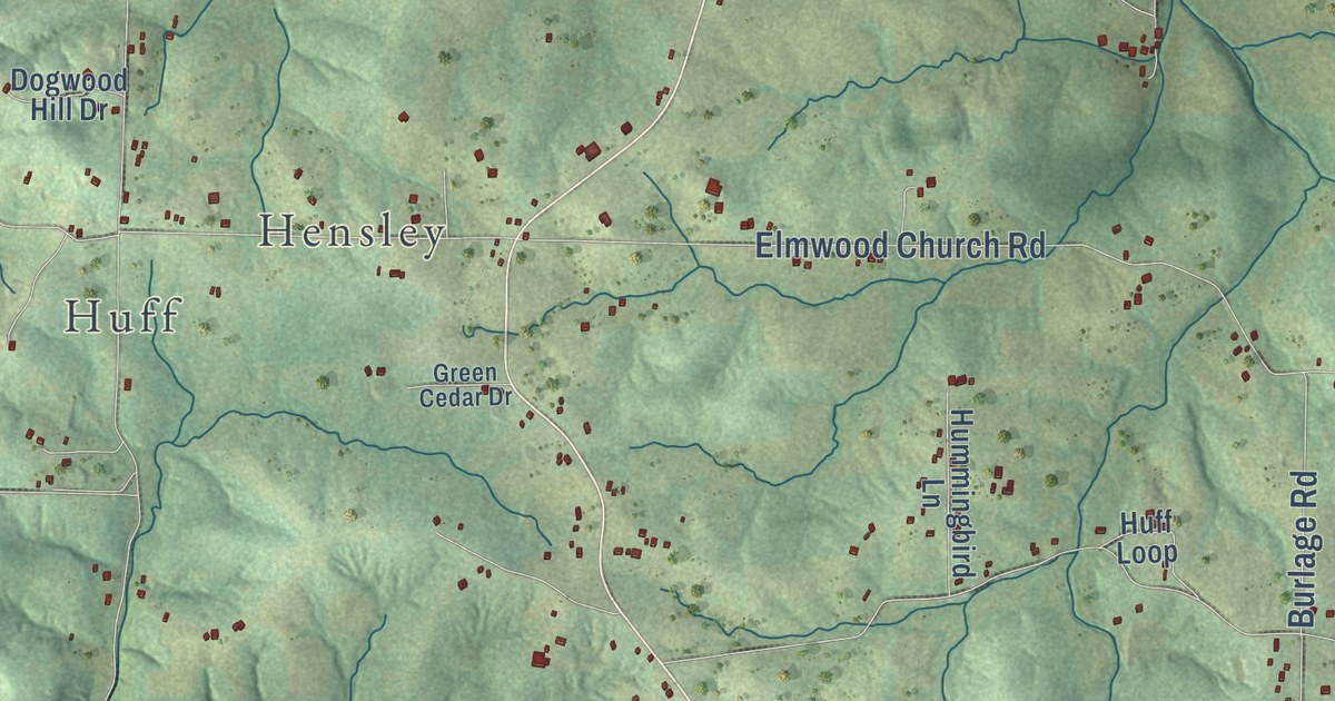
A detailed map of Lonedell, Missouri, showing every building in its true location, the roads by name, and shaded topographical relief.
Read More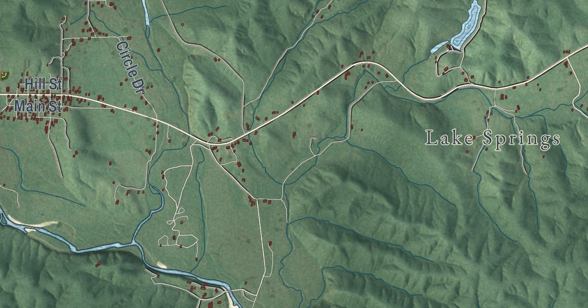
A detailed map of Lesterville, Missouri, showing every building in its true location, the roads by name, and shaded topographical relief.
Read More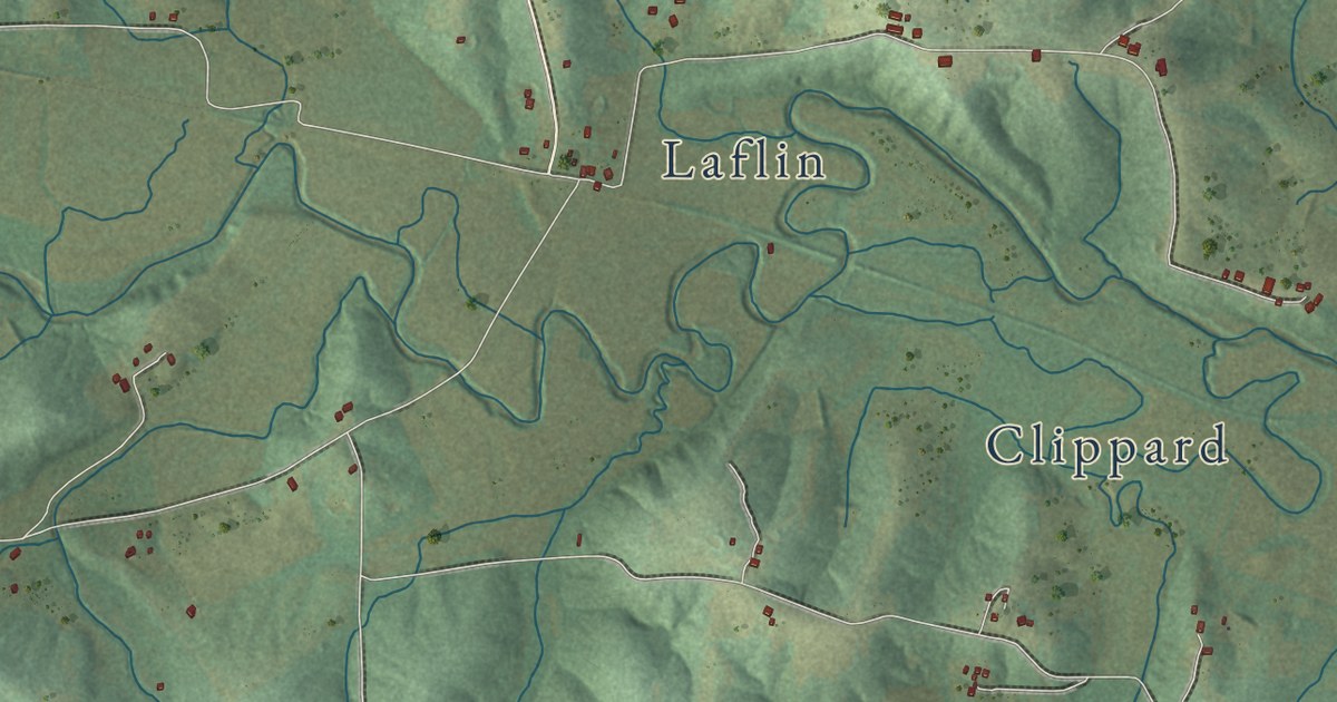
A detailed map of Leopold, Missouri, showing every building in its true location, the roads by name, and shaded topographical relief.
Read More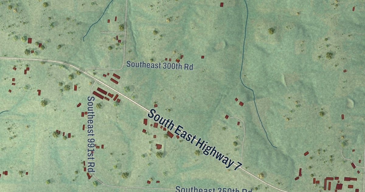
A detailed map of Leesville, Missouri, showing every building in its true location, the roads by name, and shaded topographical relief.
Read More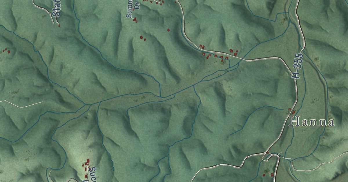
A detailed map of Laquey, Missouri, showing every building in its true location, the roads by name, and shaded topographical relief.
Read More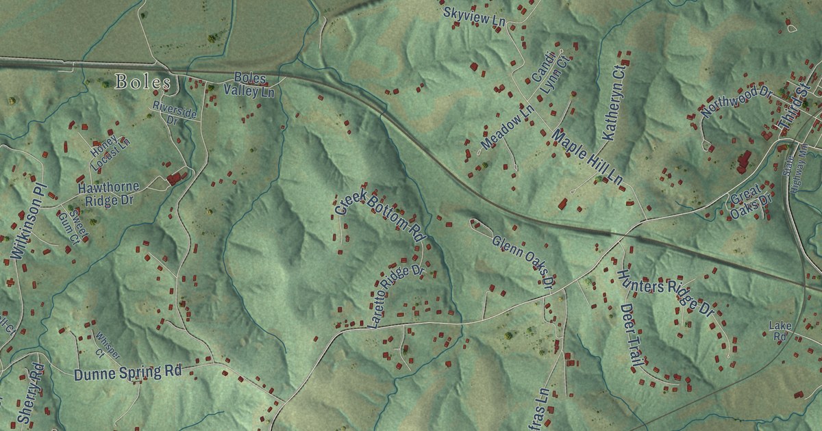
A detailed map of Labadie, Missouri, showing every building in its true location, the roads by name, and shaded topographical relief.
Read More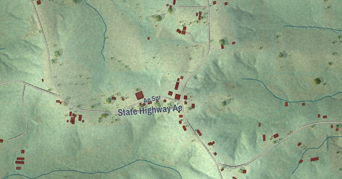
A detailed map of Japan, Missouri, showing every building in its true location, the roads by name, and shaded topographical relief.
Read More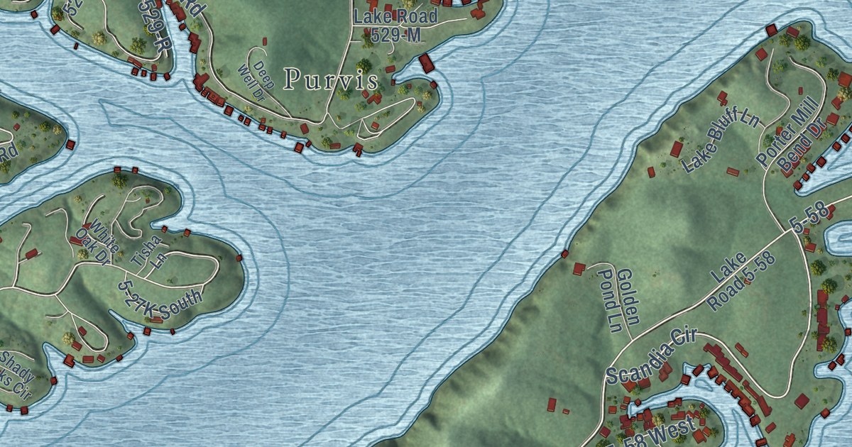
A detailed map of Hurricane Deck, Missouri, showing every building in its true location, the roads by name, and shaded topographical relief.
Read More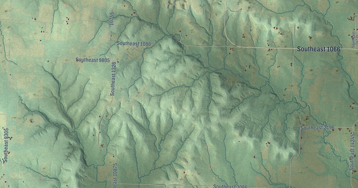
A detailed map of Hudson, Missouri, showing every building in its true location, the roads by name, and shaded topographical relief.
Read More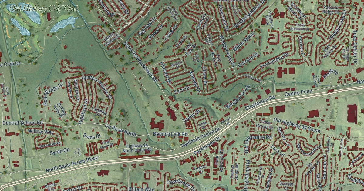
A detailed map of Howell, Missouri, showing every building in its true location, the roads by name, and shaded topographical relief.
Read More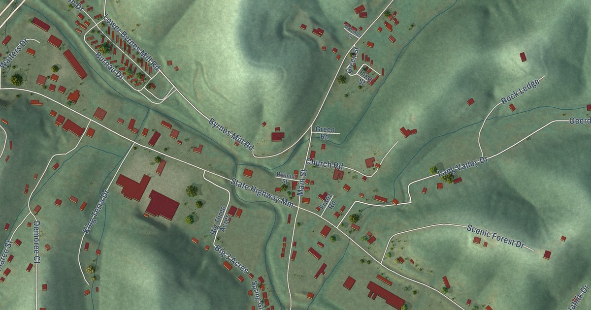
A detailed map of House Springs, Missouri, showing every building in its true location, the roads by name, and shaded topographical relief.
Read More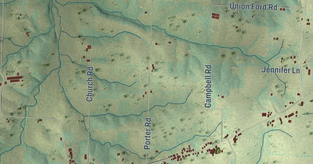
A detailed map of High Point, Missouri, showing every building in its true location, the roads by name, and shaded topographical relief.
Read More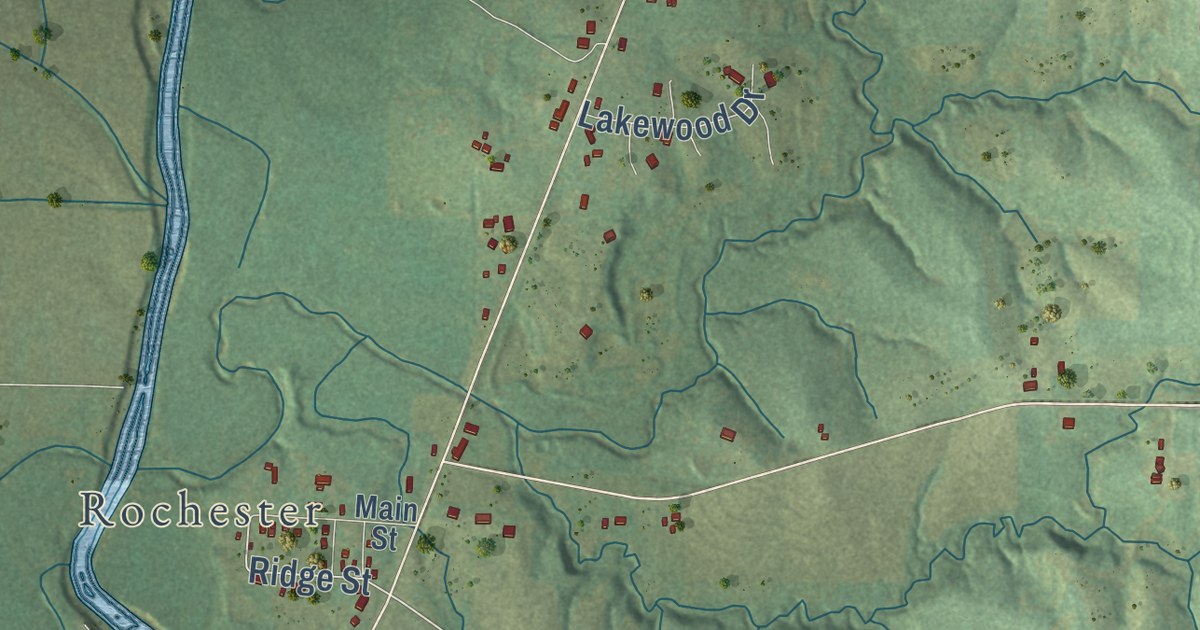
A detailed map of Helena, Missouri, showing every building in its true location, the roads by name, and shaded topographical relief.
Read More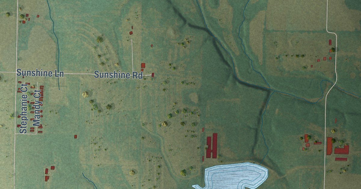
A detailed map of Hatton, Missouri, showing every building in its true location, the roads by name, and shaded topographical relief.
Read More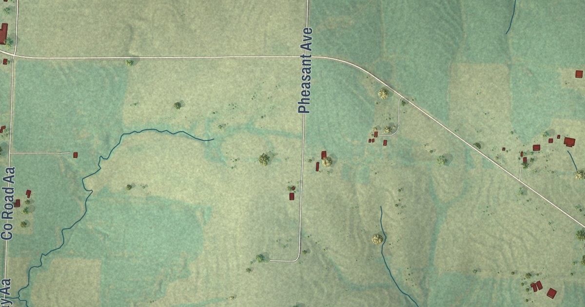
A detailed map of Hardeman, Missouri, showing every building in its true location, the roads by name, and shaded topographical relief.
Read More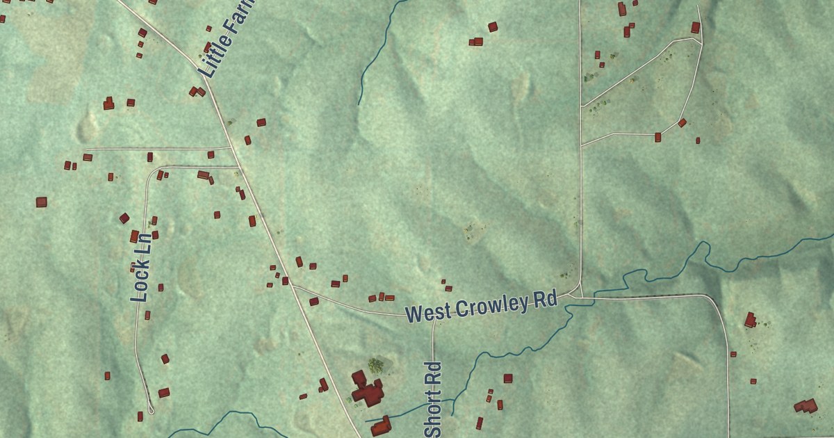
A detailed map of Elkhorn, Missouri, showing every building in its true location, the roads by name, and shaded topographical relief.
Read More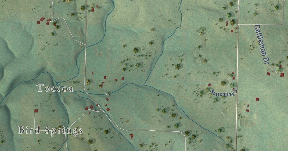
A detailed map of Dora, Missouri, showing every building in its true location, the roads by name, and shaded topographical relief.
Read More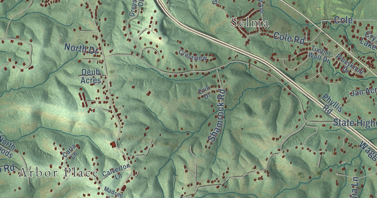
A detailed map of Danby, Missouri, showing every building in its true location, the roads by name, and shaded topographical relief.
Read More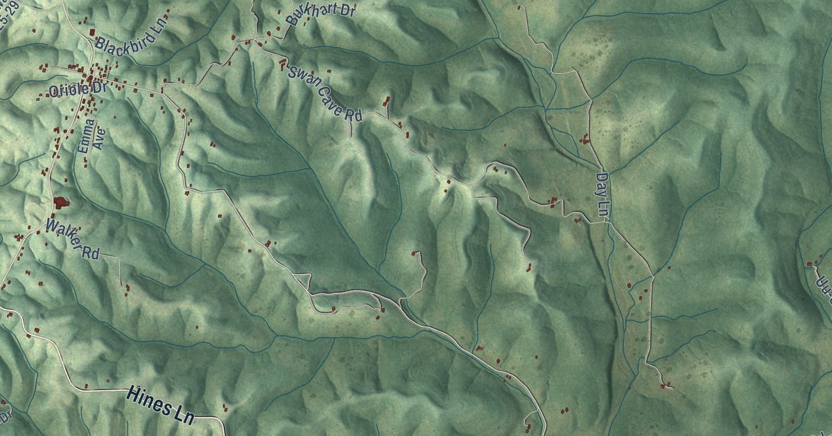
A detailed map of Chadwick, Missouri, showing every building in its true location, the roads by name, and shaded topographical relief.
Read More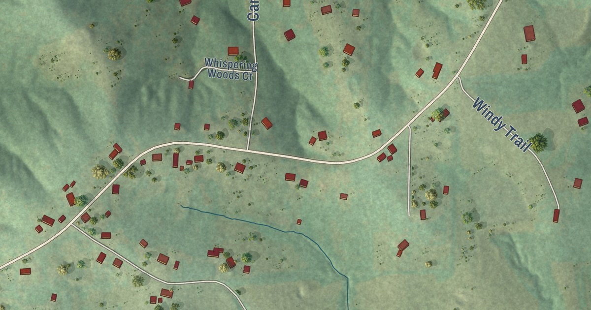
A detailed map of Campbellton, Missouri, showing every building in its true location, the roads by name, and shaded topographical relief.
Read More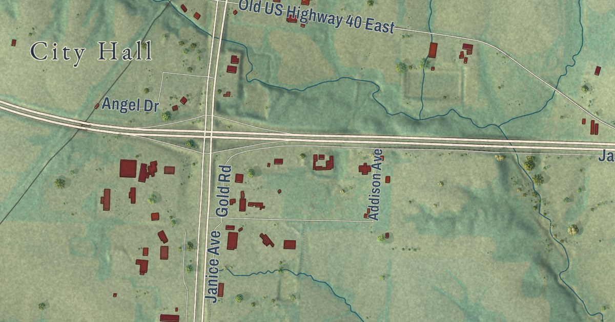
A detailed map of Callaway, Missouri, showing every building in its true location, the roads by name, and shaded topographical relief.
Read More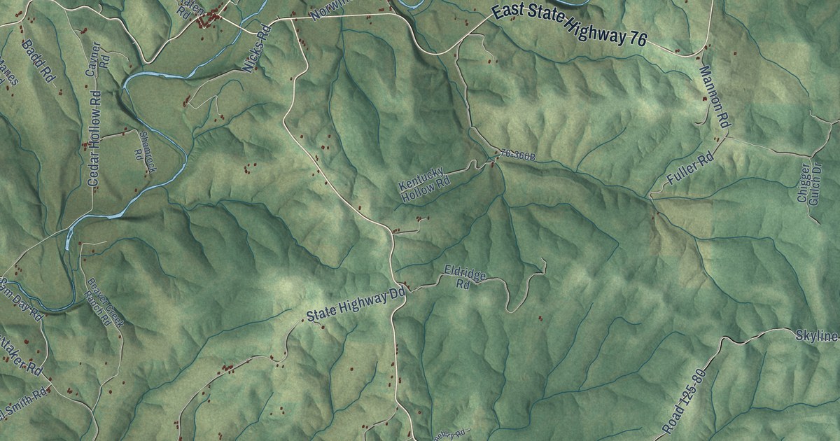
A detailed map of Bradleyville, Missouri, showing every building in its true location, the roads by name, and shaded topographical relief.
Read More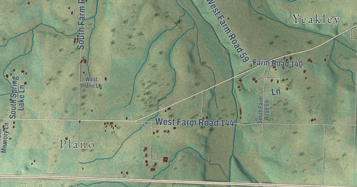
A detailed map of Bois D’Arc, Missouri, showing every building in its true location, the roads by name, and shaded topographical relief.
Read More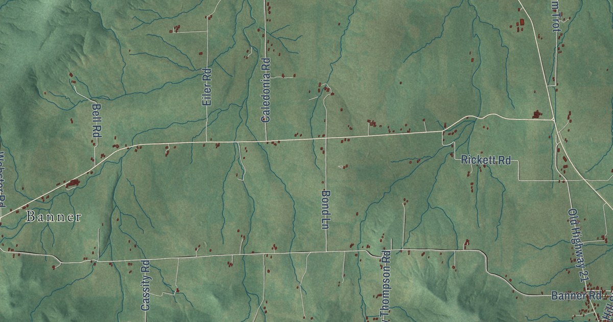
A detailed map of Belleview, Missouri, showing every building in its true location, the roads by name, and shaded topographical relief.
Read More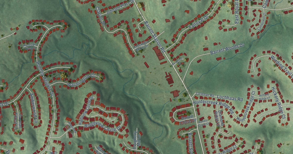
A detailed map of Barretts, Missouri, showing every building in its true location, the roads by name, and shaded topographical relief.
Read More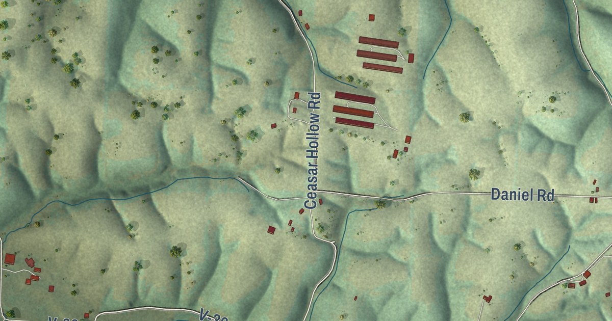
A detailed map of Abesville, Missouri, showing every building in its true location, the roads by name, and shaded topographical relief.
Read More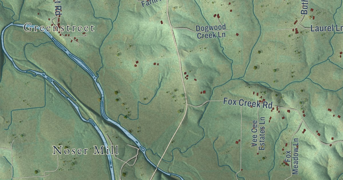
A detailed map of Beaufort, Missouri, showing every building in its true location, the roads by name, and shaded topographical relief.
Read More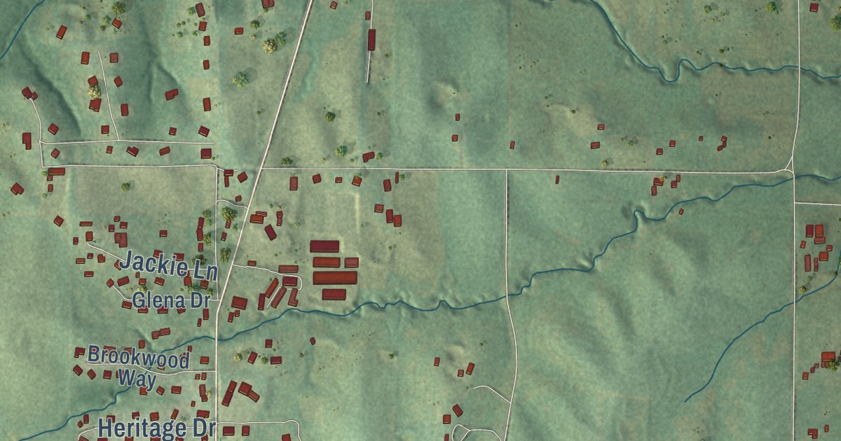
A detailed map of Avenue City, Missouri, showing every building in its true location, the roads by name, and shaded topographical relief.
Read More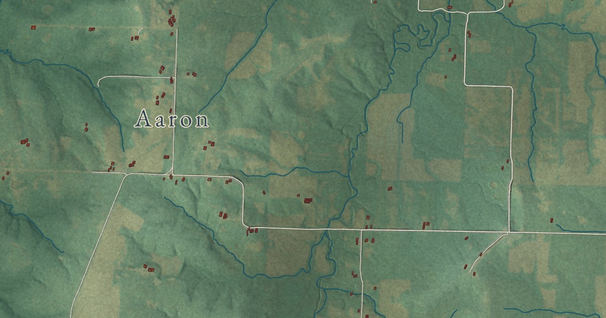
A detailed map of Ballard, Missouri, showing every building in its true location, the roads by name, and shaded topographical relief.
Read More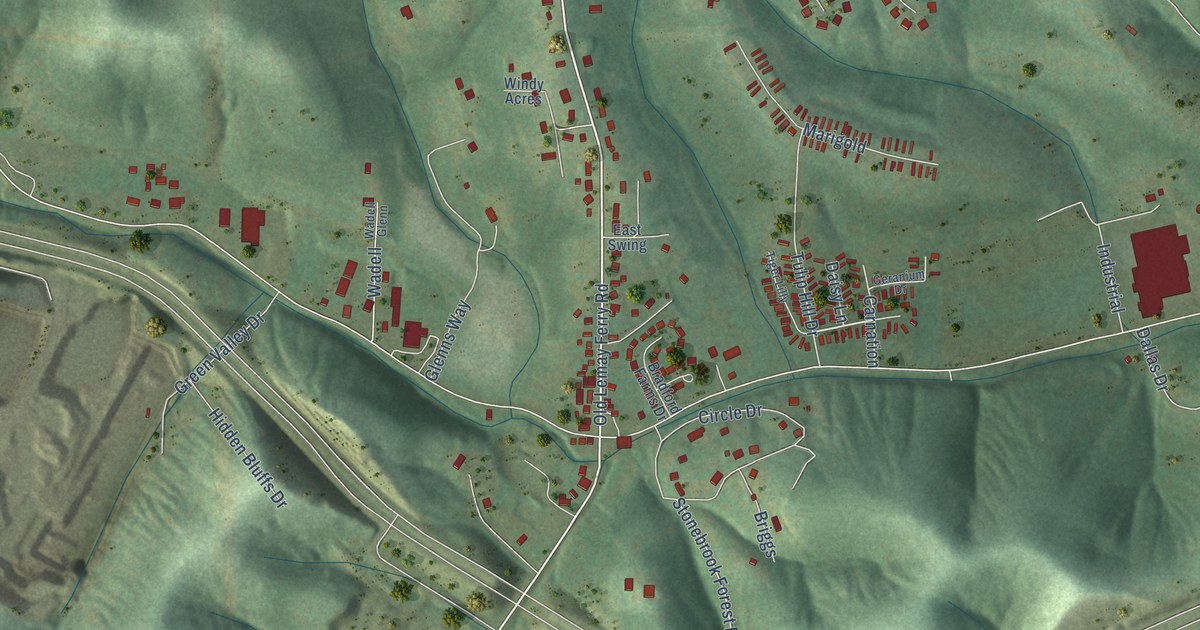
A detailed map of Antonia, Missouri, showing every building in its true location, the roads by name, and shaded topographical relief.
Read More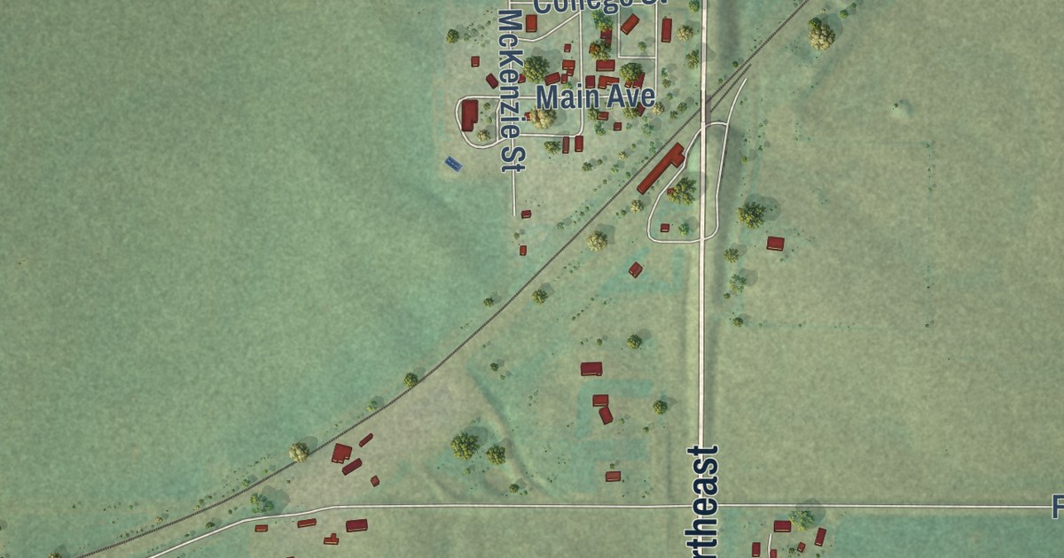
A detailed map of Sterling, North Dakota, showing every building in its true location, the roads by name, and shaded topographical relief.
Read More















