Detailed Map of Twin Buttes, North Dakota
A detailed map of Twin Buttes, North Dakota, showing every building in its true location, the roads by name, and shaded topographical relief.
Read More
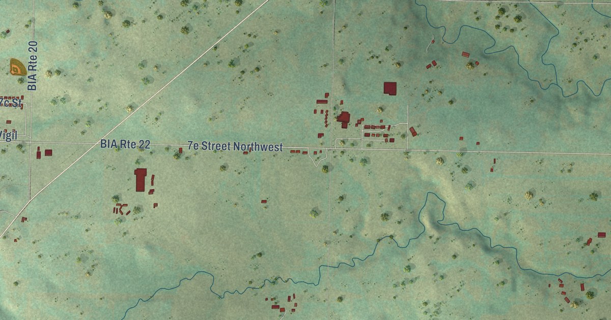
A detailed map of Twin Buttes, North Dakota, showing every building in its true location, the roads by name, and shaded topographical relief.
Read More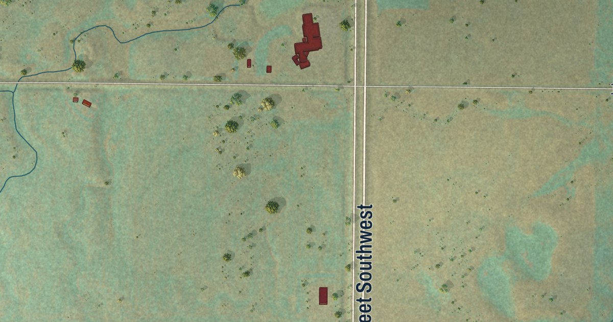
A detailed map of South Prairie, North Dakota, showing every building in its true location, the roads by name, and shaded topographical relief.
Read More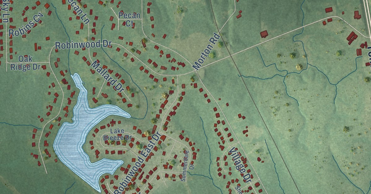
A detailed map of Wortham, Mississippi, showing every building in its true location, the roads by name, and shaded topographical relief.
Read More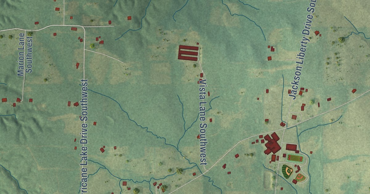
A detailed map of West Lincoln, Mississippi, showing every building in its true location, the roads by name, and shaded topographical relief.
Read More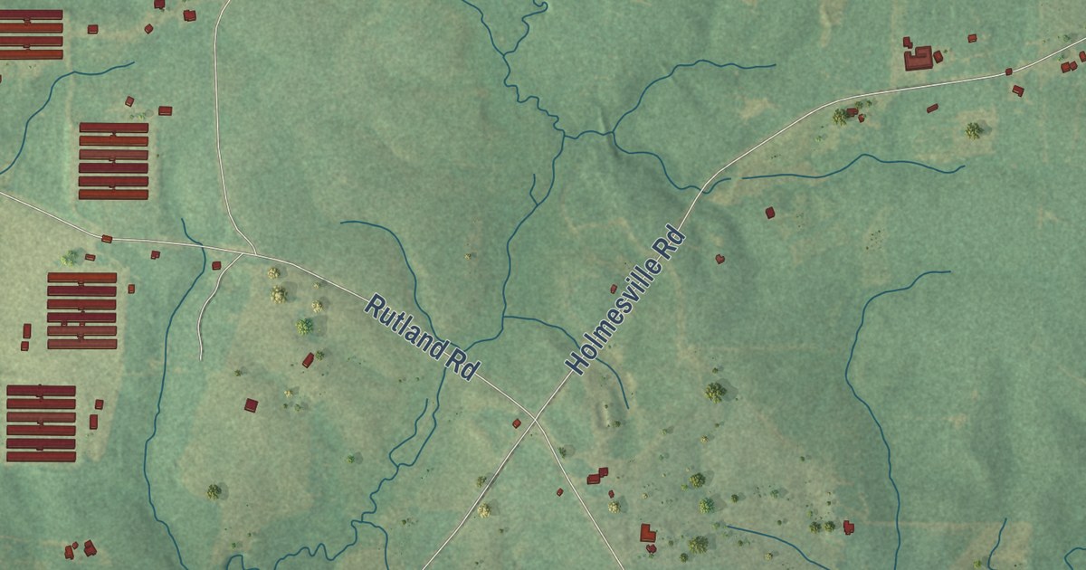
A detailed map of Topeka, Mississippi, showing every building in its true location, the roads by name, and shaded topographical relief.
Read More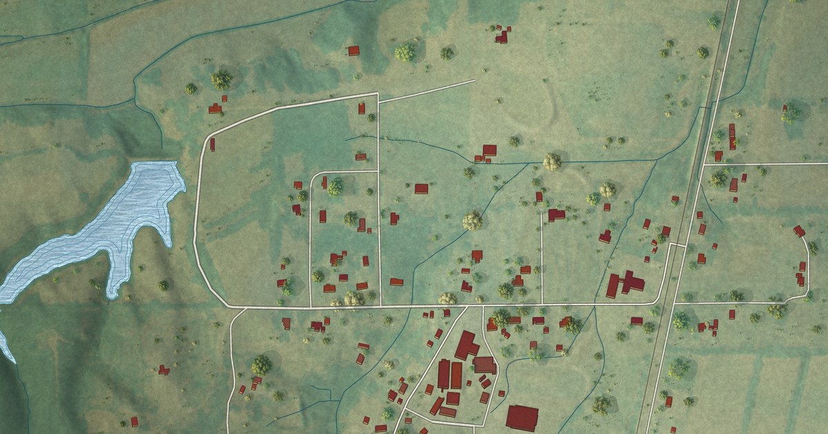
A detailed map of Thrasher, Mississippi, showing every building in its true location, the roads by name, and shaded topographical relief.
Read More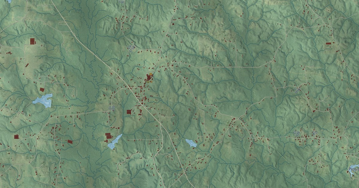
A detailed map of Stringer, Mississippi, showing every building in its true location, the roads by name, and shaded topographical relief.
Read More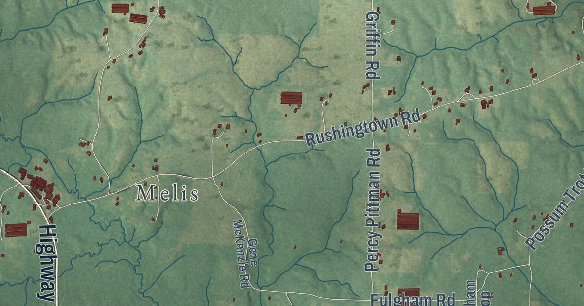
A detailed map of Salem, Mississippi, showing every building in its true location, the roads by name, and shaded topographical relief.
Read More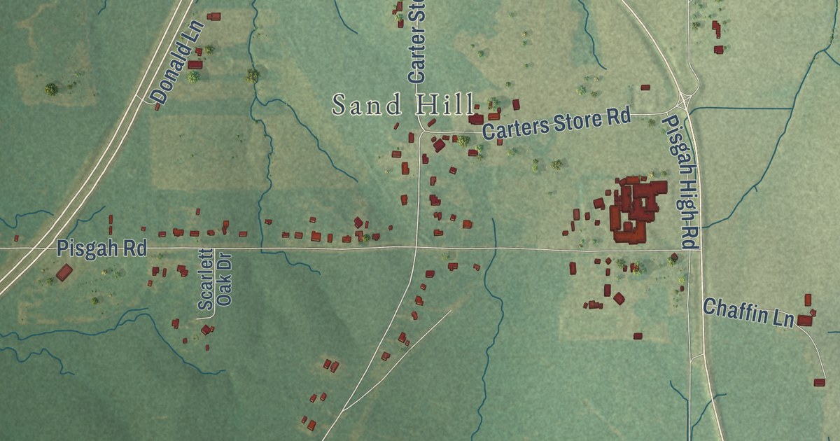
A detailed map of Pisgah, Mississippi, showing every building in its true location, the roads by name, and shaded topographical relief.
Read More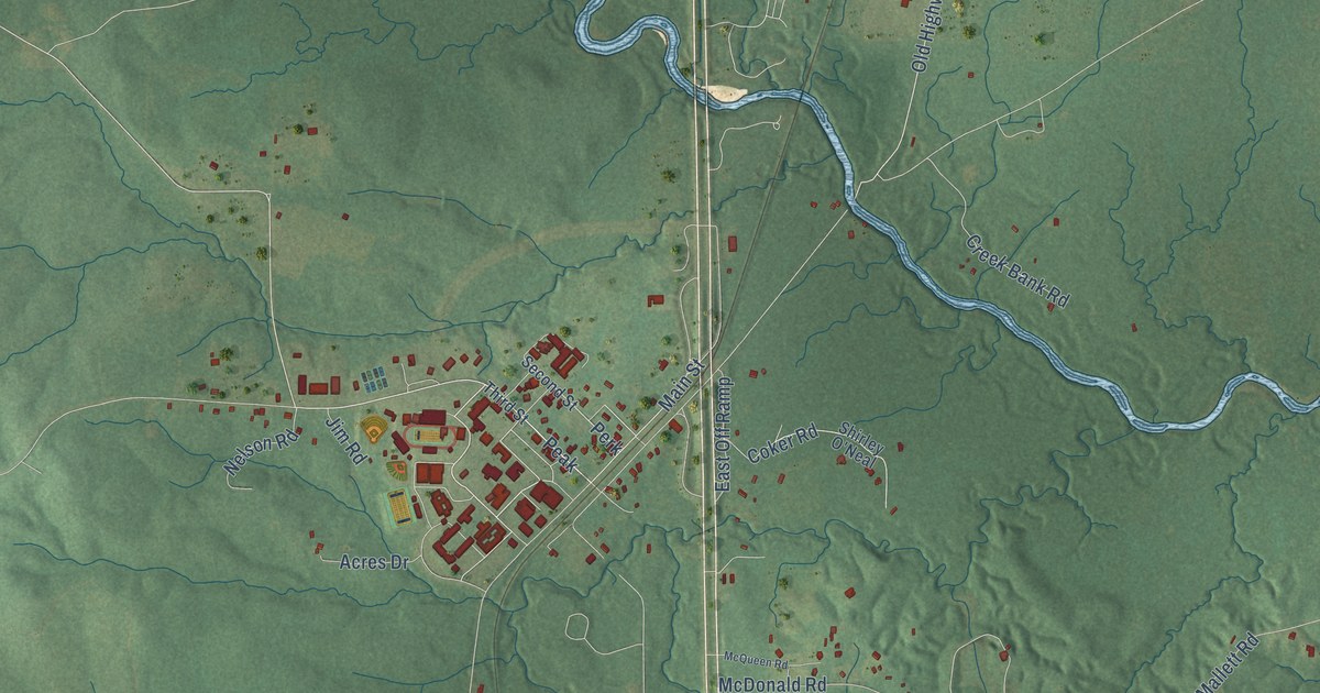
A detailed map of Perkinston, Mississippi, showing every building in its true location, the roads by name, and shaded topographical relief.
Read More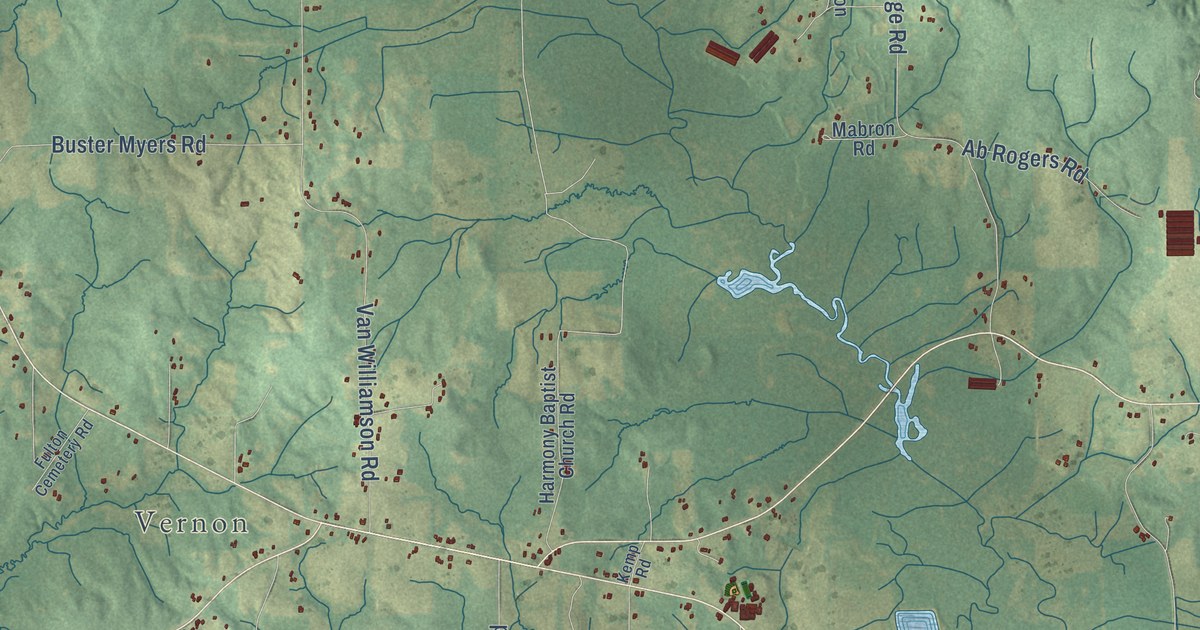
A detailed map of Nanih Waiya, Mississippi, showing every building in its true location, the roads by name, and shaded topographical relief.
Read More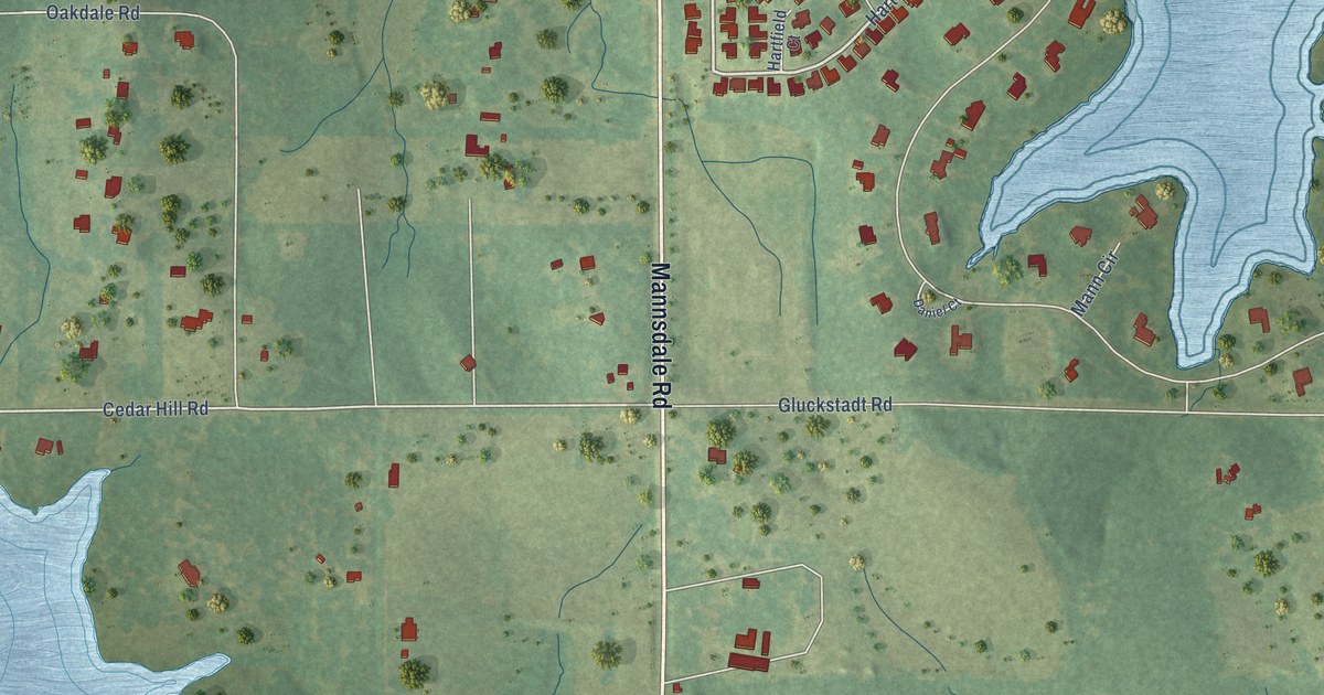
A detailed map of Mannsdale, Mississippi, showing every building in its true location, the roads by name, and shaded topographical relief.
Read More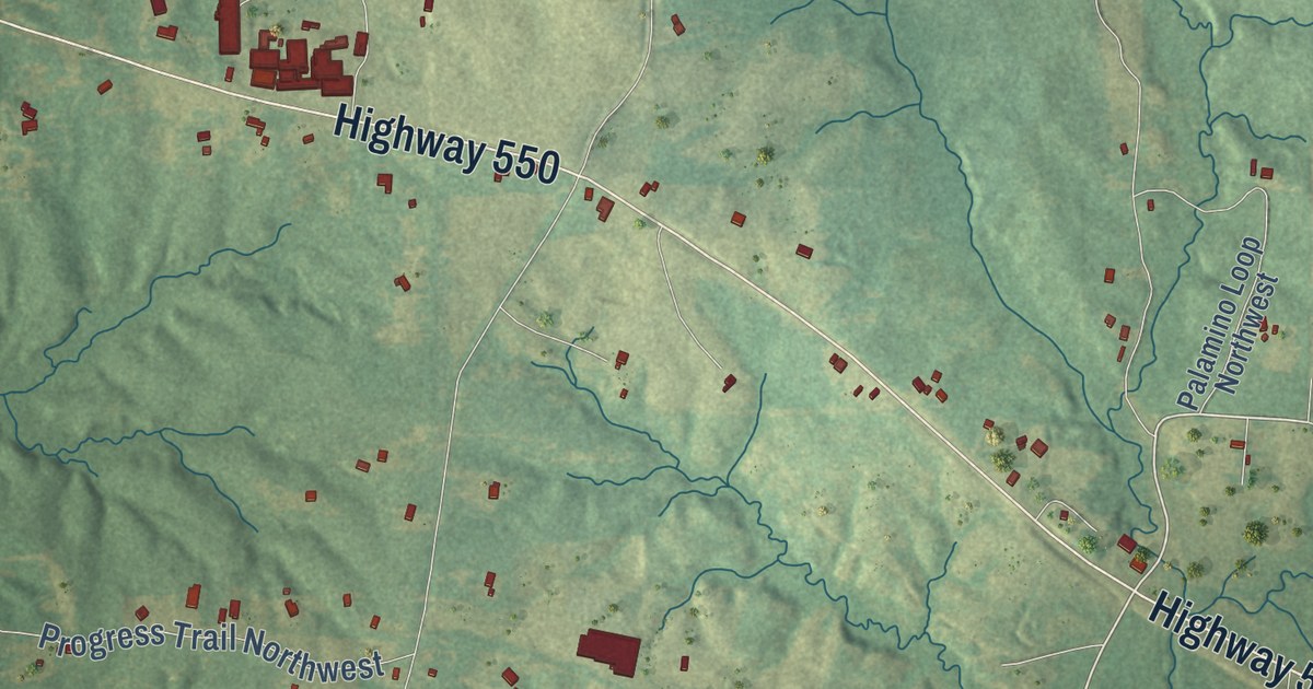
A detailed map of Loyd Star, Mississippi, showing every building in its true location, the roads by name, and shaded topographical relief.
Read More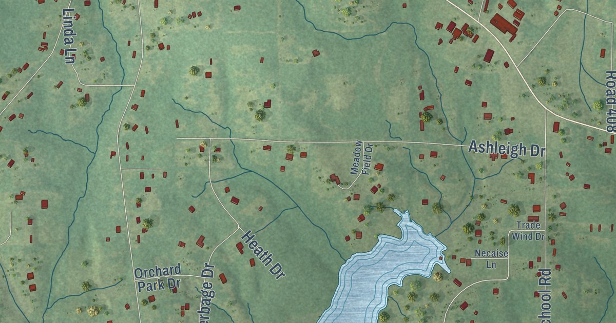
A detailed map of Lizana, Mississippi, showing every building in its true location, the roads by name, and shaded topographical relief.
Read More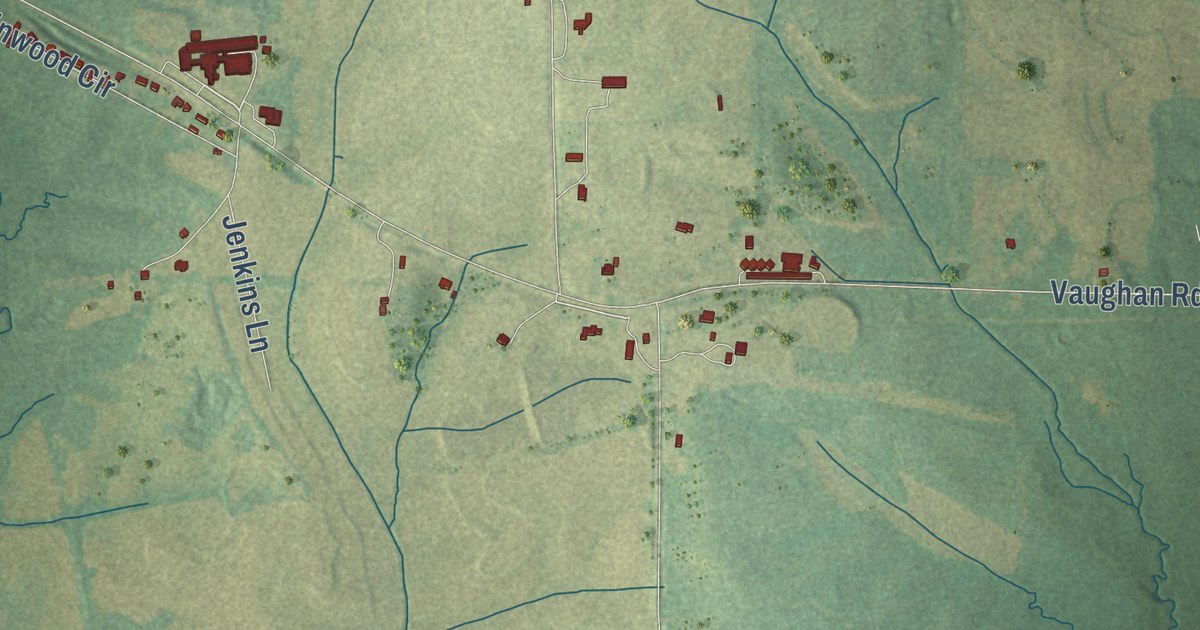
A detailed map of Linwood, Mississippi, showing every building in its true location, the roads by name, and shaded topographical relief.
Read More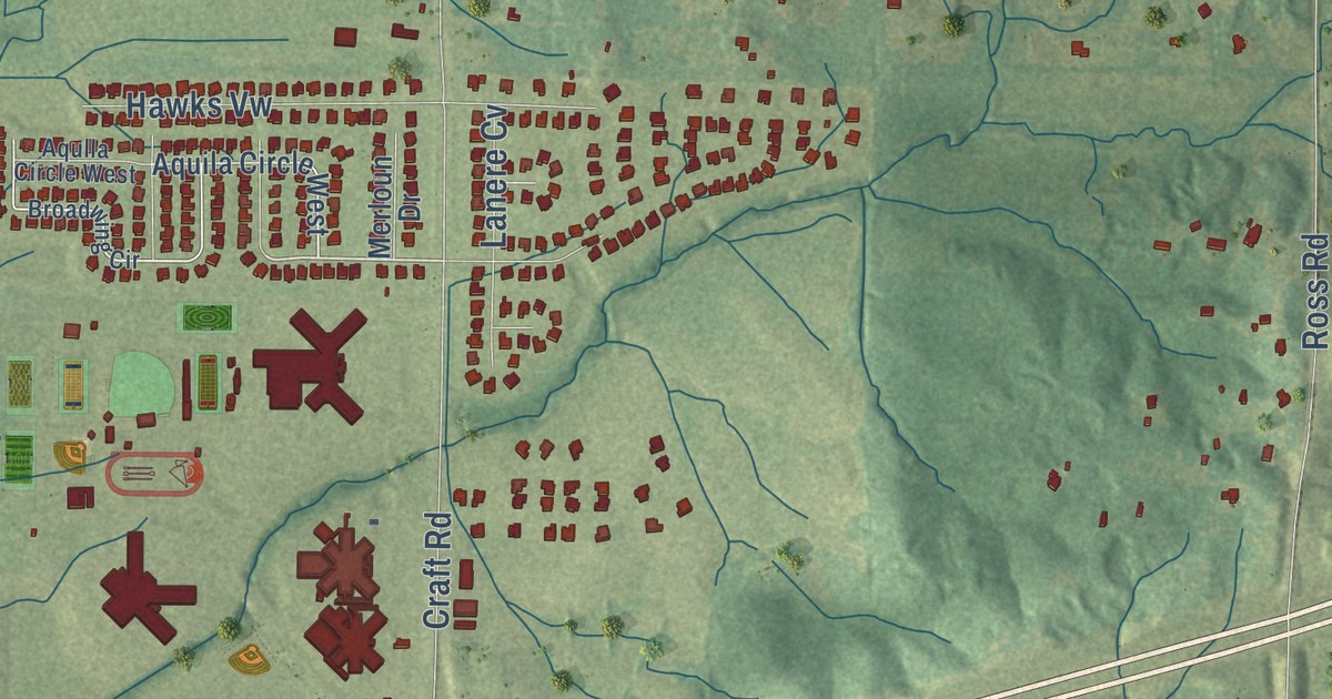
A detailed map of Lewisburg, Mississippi, showing every building in its true location, the roads by name, and shaded topographical relief.
Read More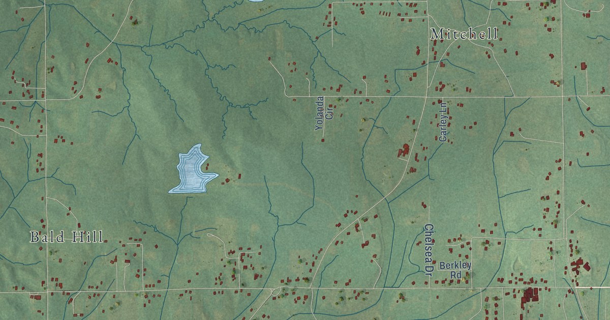
A detailed map of Ingomar, Mississippi, showing every building in its true location, the roads by name, and shaded topographical relief.
Read More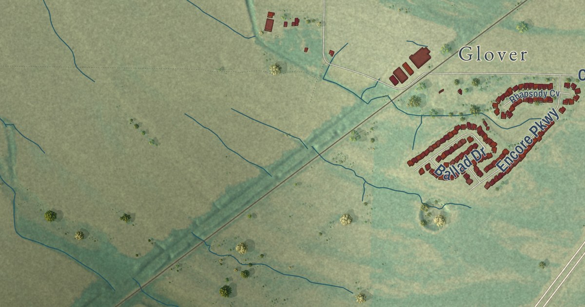
A detailed map of Lake Cormorant, Mississippi, showing every building in its true location, the roads by name, and shaded topographical relief.
Read More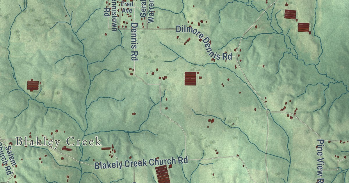
A detailed map of Hopewell, Mississippi, showing every building in its true location, the roads by name, and shaded topographical relief.
Read More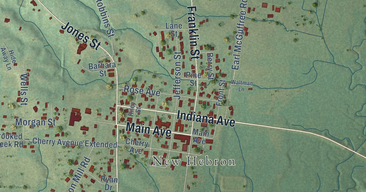
A detailed map of Hebron, Mississippi, showing every building in its true location, the roads by name, and shaded topographical relief.
Read More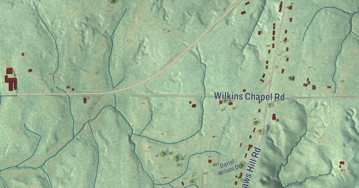
A detailed map of Galena, Mississippi, showing every building in its true location, the roads by name, and shaded topographical relief.
Read More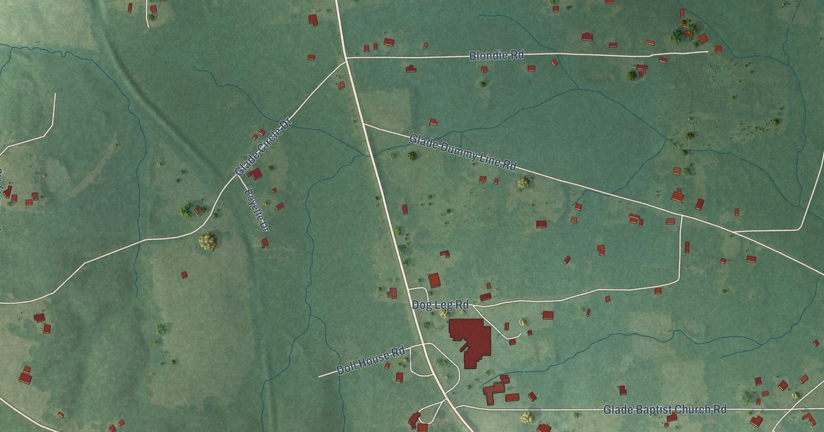
A detailed map of Glade, Mississippi, showing every building in its true location, the roads by name, and shaded topographical relief.
Read More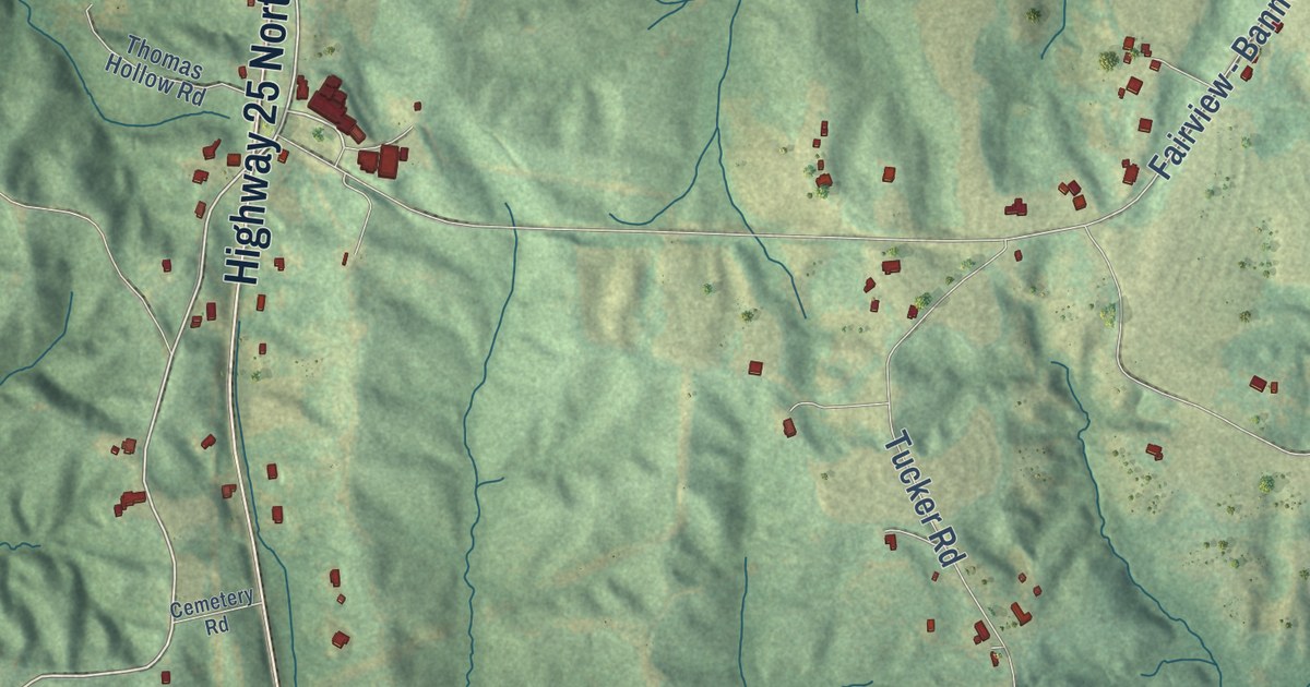
A detailed map of Fairview, Mississippi, showing every building in its true location, the roads by name, and shaded topographical relief.
Read More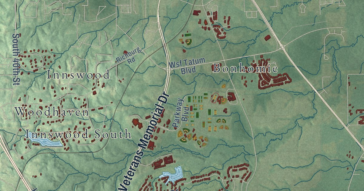
A detailed map of Dixie, Mississippi, showing every building in its true location, the roads by name, and shaded topographical relief.
Read More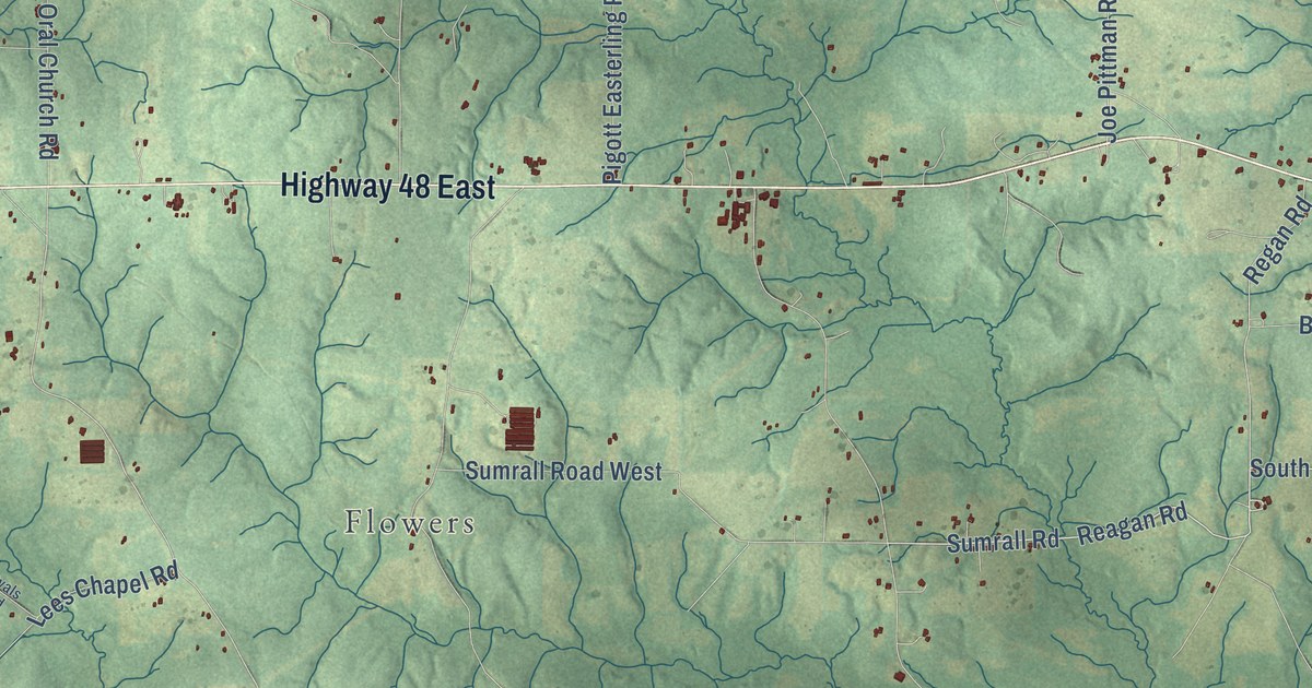
A detailed map of Dexter, Mississippi, showing every building in its true location, the roads by name, and shaded topographical relief.
Read More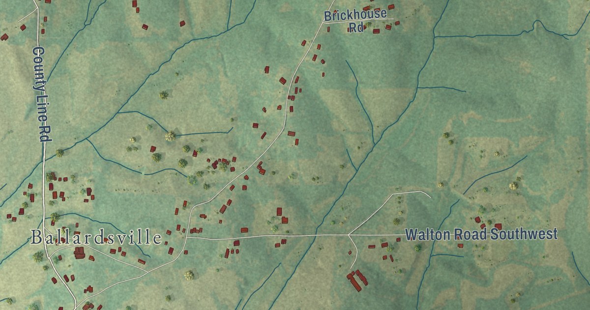
A detailed map of Dorsey, Mississippi, showing every building in its true location, the roads by name, and shaded topographical relief.
Read More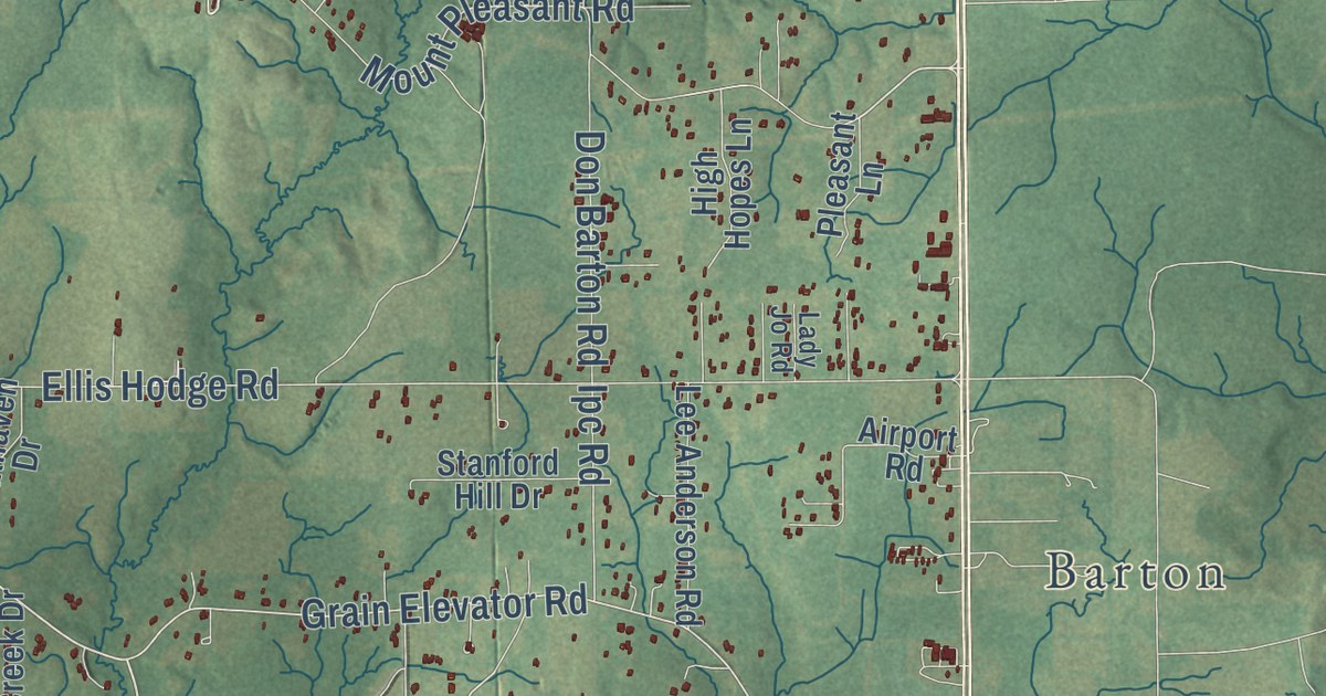
A detailed map of Central, Mississippi, showing every building in its true location, the roads by name, and shaded topographical relief.
Read More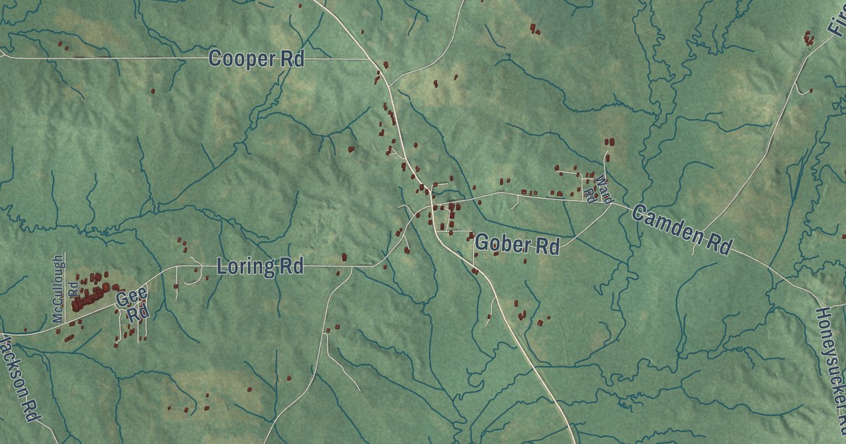
A detailed map of Camden, Mississippi, showing every building in its true location, the roads by name, and shaded topographical relief.
Read More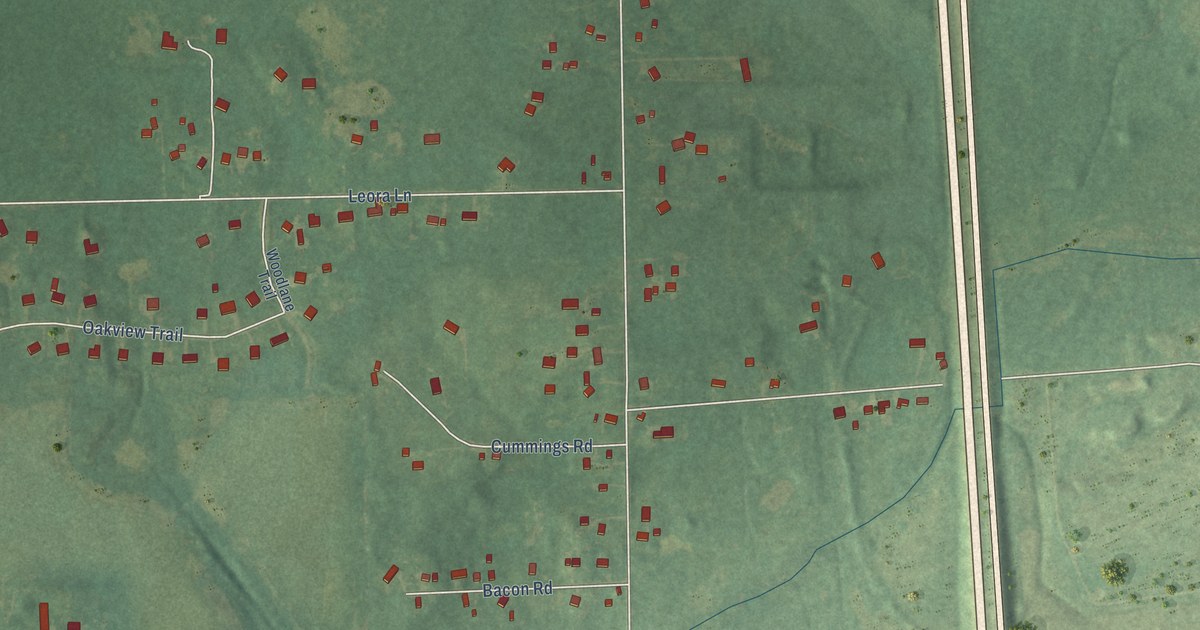
A detailed map of Woodville, Michigan, showing every building in its true location, the roads by name, and shaded topographical relief.
Read More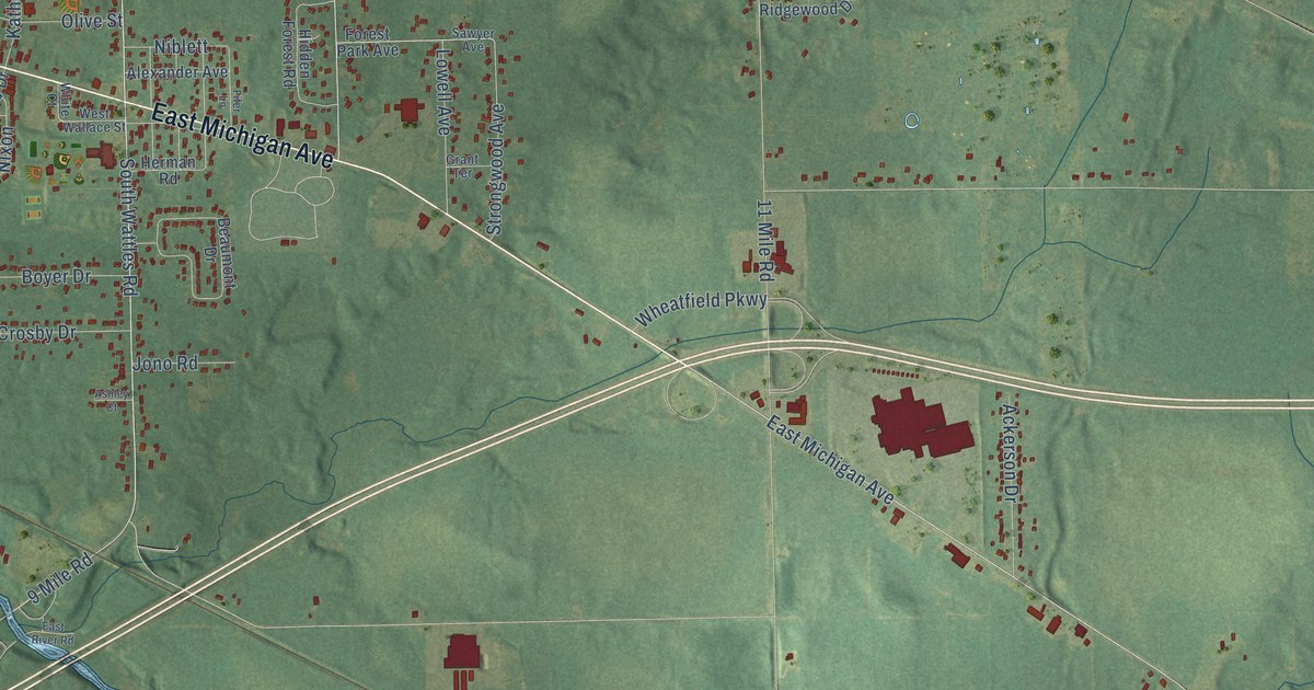
A detailed map of Wattles Park, Michigan, showing every building in its true location, the roads by name, and shaded topographical relief.
Read More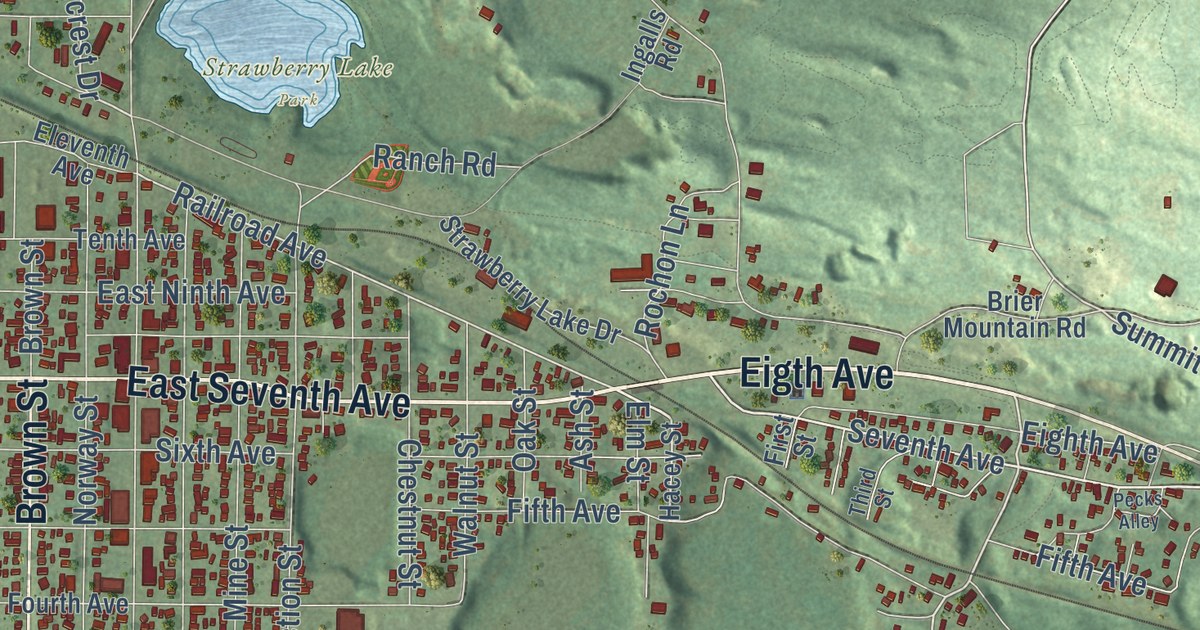
A detailed map of Vulcan, Michigan, showing every building in its true location, the roads by name, and shaded topographical relief.
Read More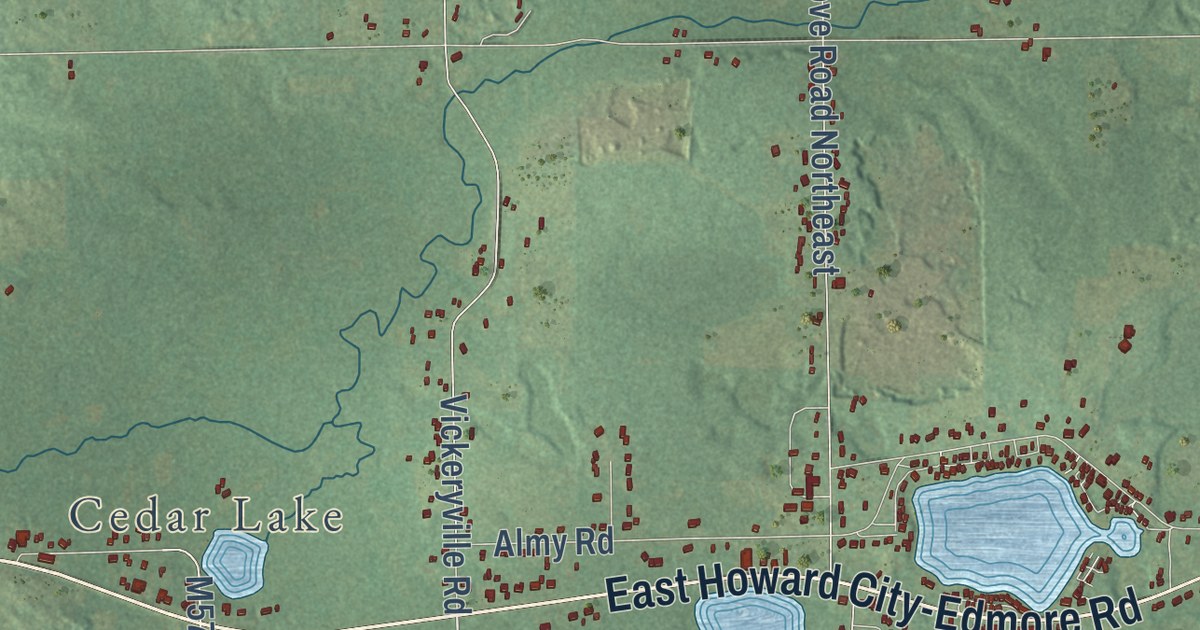
A detailed map of Vestaburg, Michigan, showing every building in its true location, the roads by name, and shaded topographical relief.
Read More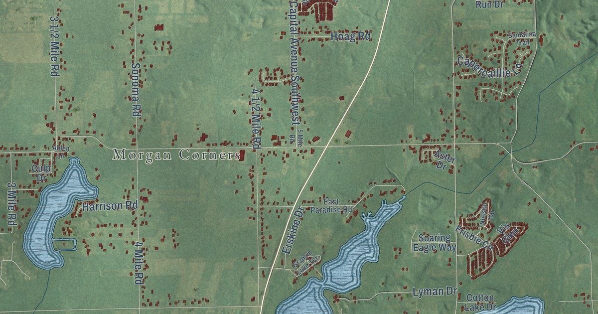
A detailed map of Sonoma, Michigan, showing every building in its true location, the roads by name, and shaded topographical relief.
Read More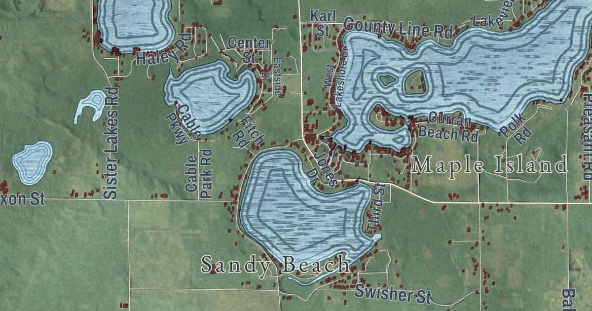
A detailed map of Sister Lakes, Michigan, showing every building in its true location, the roads by name, and shaded topographical relief.
Read More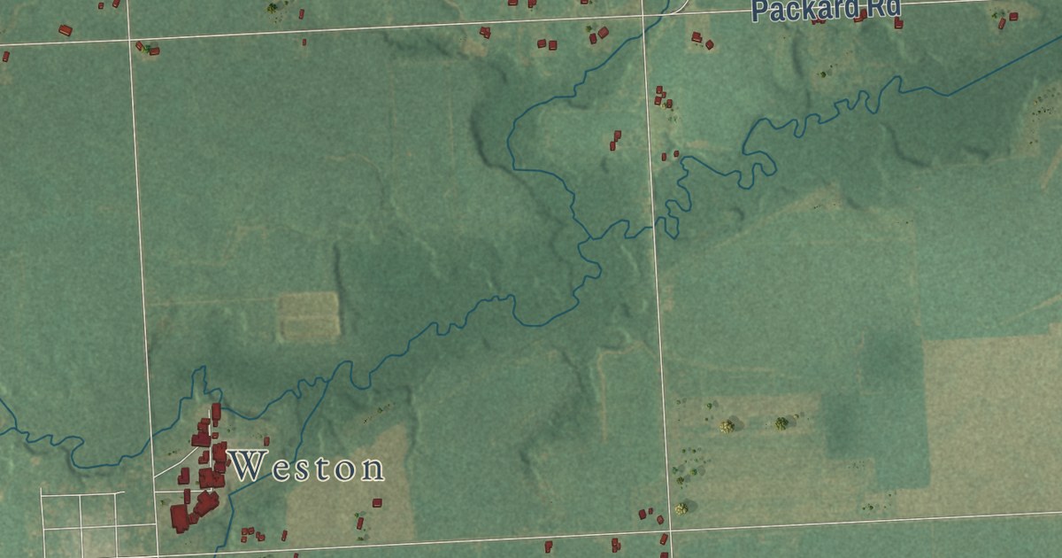
A detailed map of Sand Creek, Michigan, showing every building in its true location, the roads by name, and shaded topographical relief.
Read More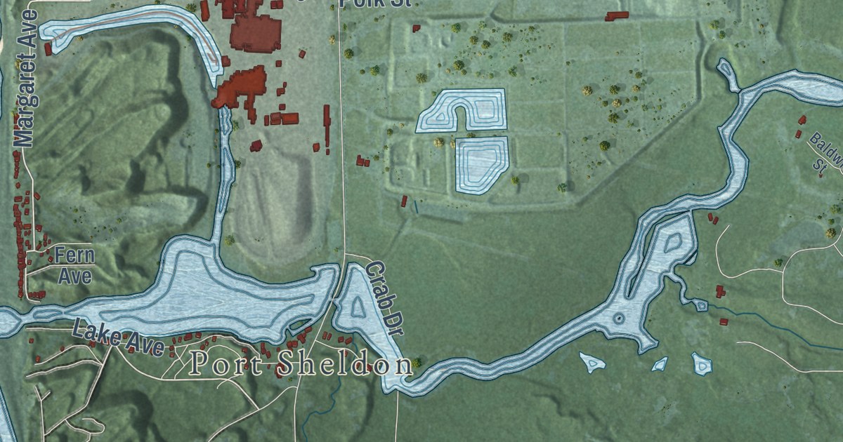
A detailed map of Rosy Mound, Michigan, showing every building in its true location, the roads by name, and shaded topographical relief.
Read More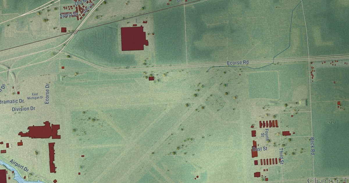
A detailed map of Rawsonville, Michigan, showing every building in its true location, the roads by name, and shaded topographical relief.
Read More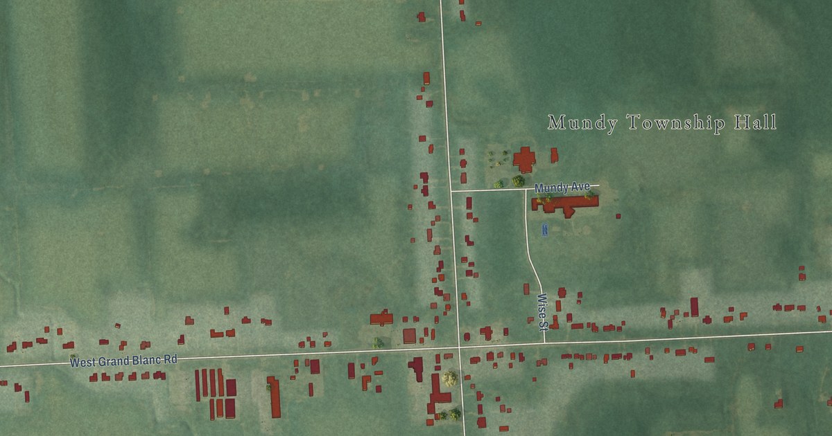
A detailed map of Rankin, Michigan, showing every building in its true location, the roads by name, and shaded topographical relief.
Read More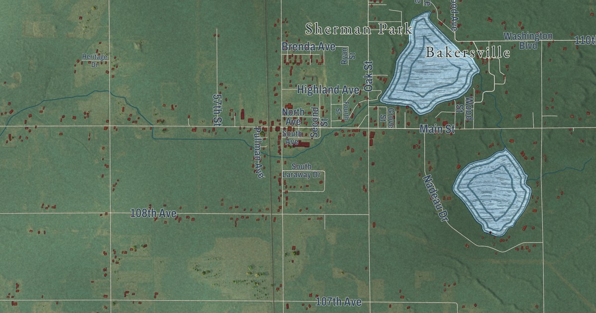
A detailed map of Pullman, Michigan, showing every building in its true location, the roads by name, and shaded topographical relief.
Read More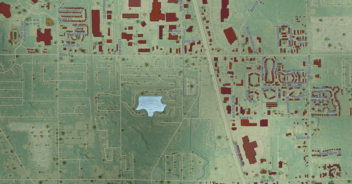
A detailed map of Pine Creek, Michigan, showing every building in its true location, the roads by name, and shaded topographical relief.
Read More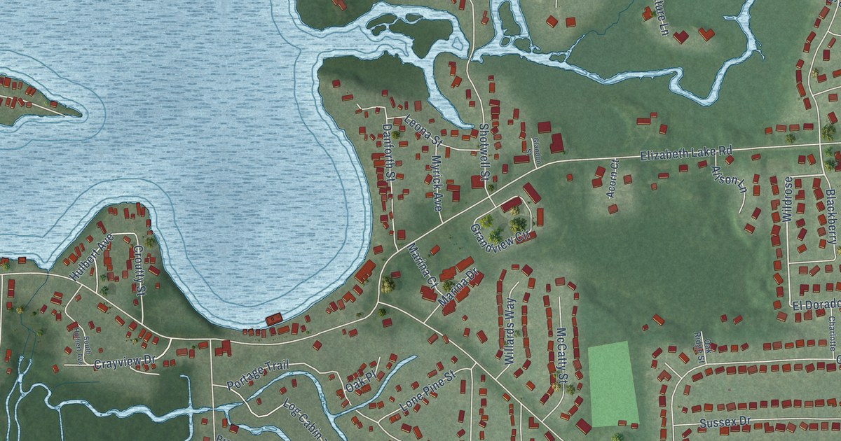
A detailed map of Oxbow, Michigan, showing every building in its true location, the roads by name, and shaded topographical relief.
Read More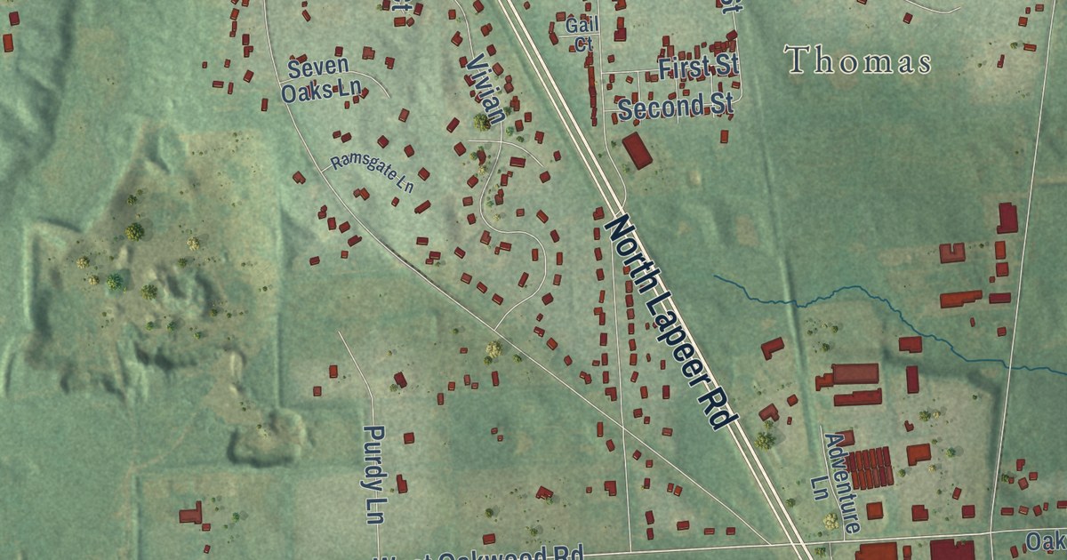
A detailed map of Oakwood, Michigan, showing every building in its true location, the roads by name, and shaded topographical relief.
Read More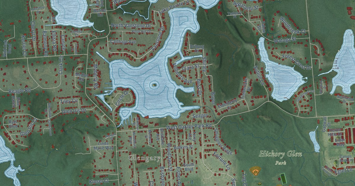
A detailed map of Oakley Park, Michigan, showing every building in its true location, the roads by name, and shaded topographical relief.
Read More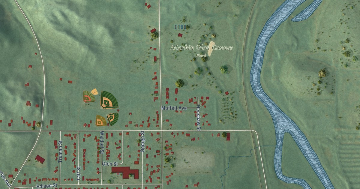
A detailed map of Northwood, Michigan, showing every building in its true location, the roads by name, and shaded topographical relief.
Read More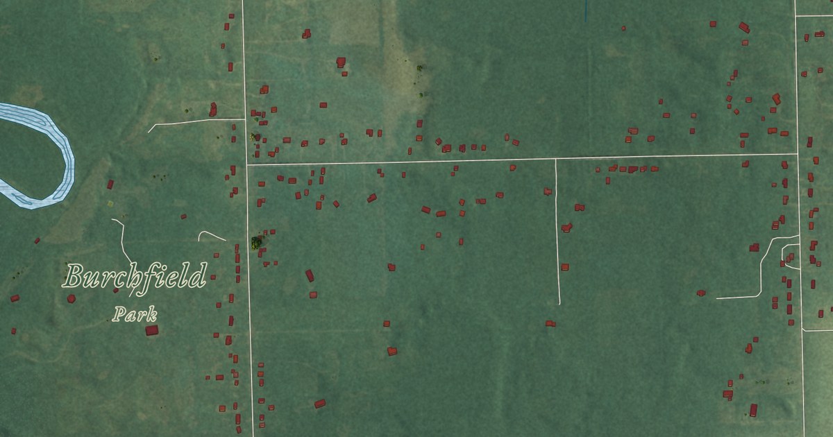
A detailed map of North Aurelius, Michigan, showing every building in its true location, the roads by name, and shaded topographical relief.
Read More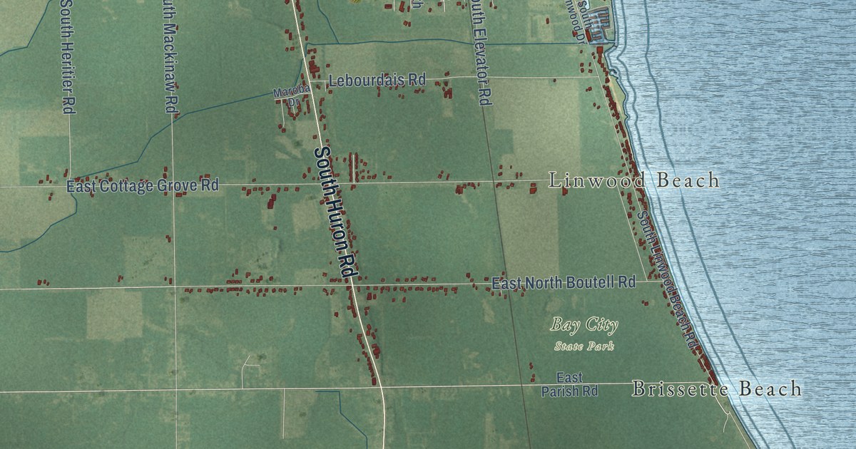
A detailed map of Linwood, Michigan, showing every building in its true location, the roads by name, and shaded topographical relief.
Read More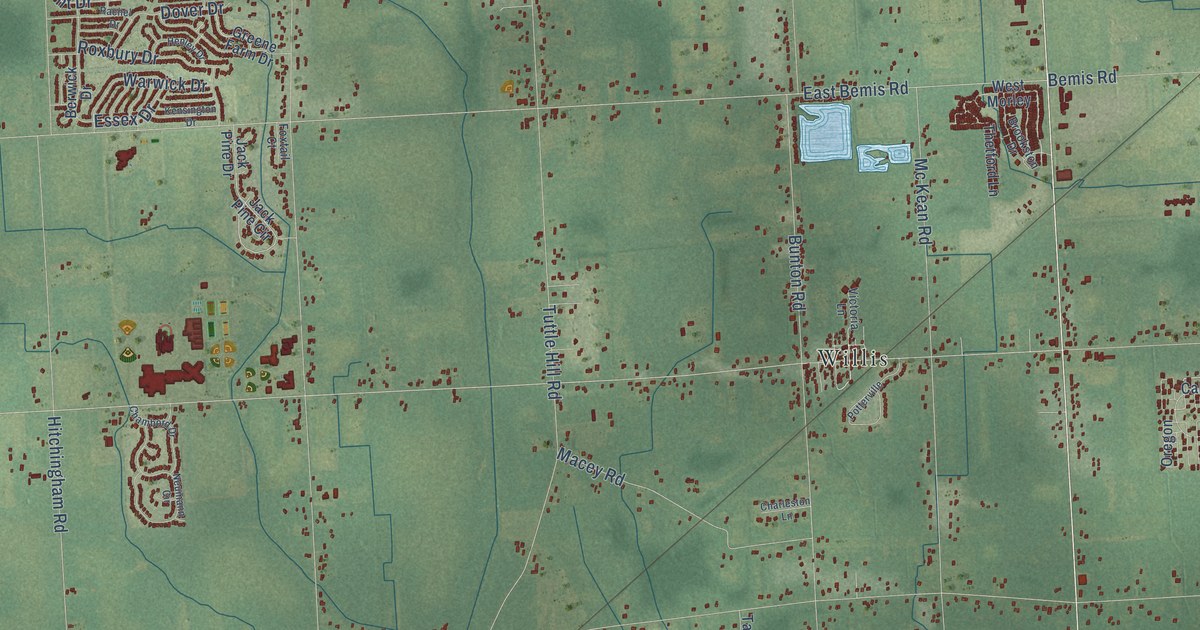
A detailed map of Lincoln, Michigan, showing every building in its true location, the roads by name, and shaded topographical relief.
Read More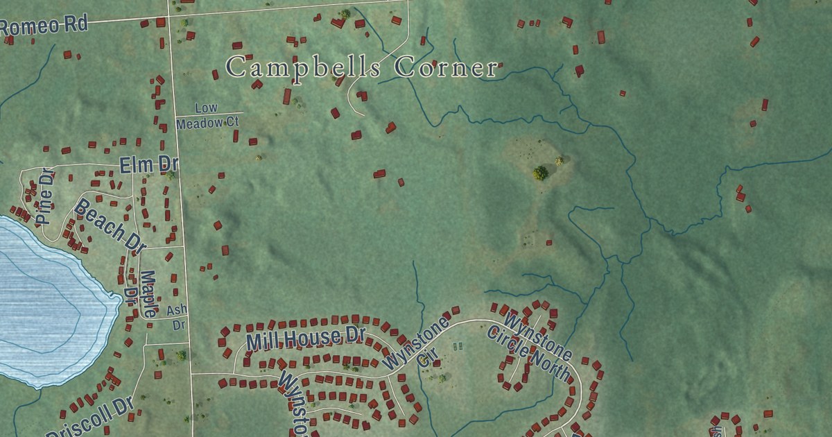
A detailed map of Lakeville, Michigan, showing every building in its true location, the roads by name, and shaded topographical relief.
Read More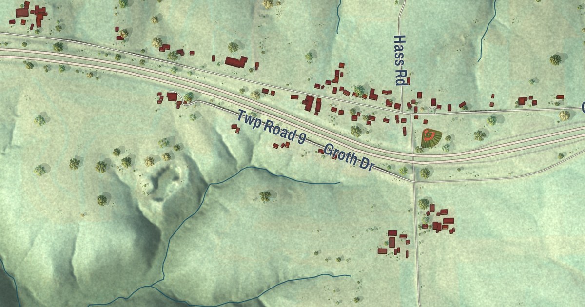
A detailed map of Ridgeway, Minnesota, showing every building in its true location, the roads by name, and shaded topographical relief.
Read More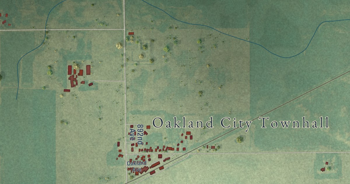
A detailed map of Oakland, Minnesota, showing every building in its true location, the roads by name, and shaded topographical relief.
Read More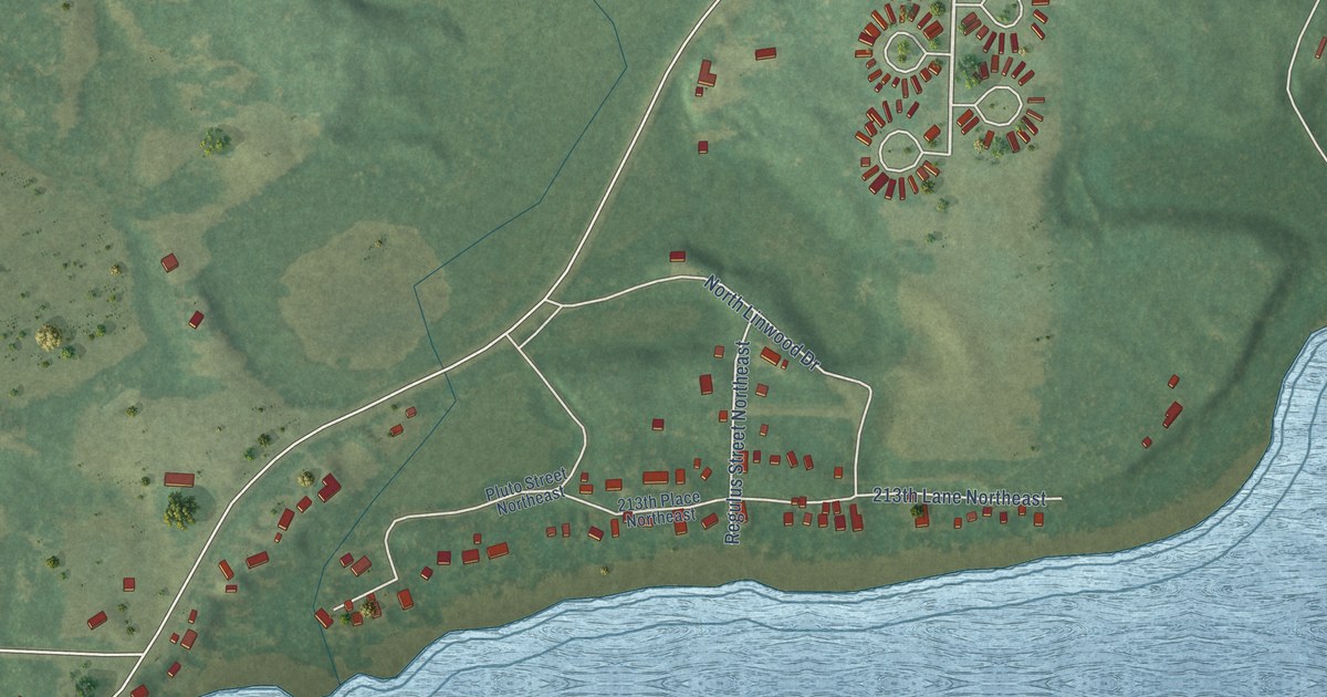
A detailed map of Linwood, Minnesota, showing every building in its true location, the roads by name, and shaded topographical relief.
Read More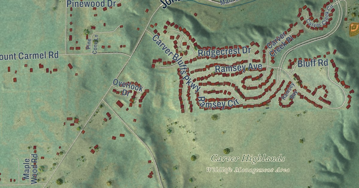
A detailed map of East Union, Minnesota, showing every building in its true location, the roads by name, and shaded topographical relief.
Read More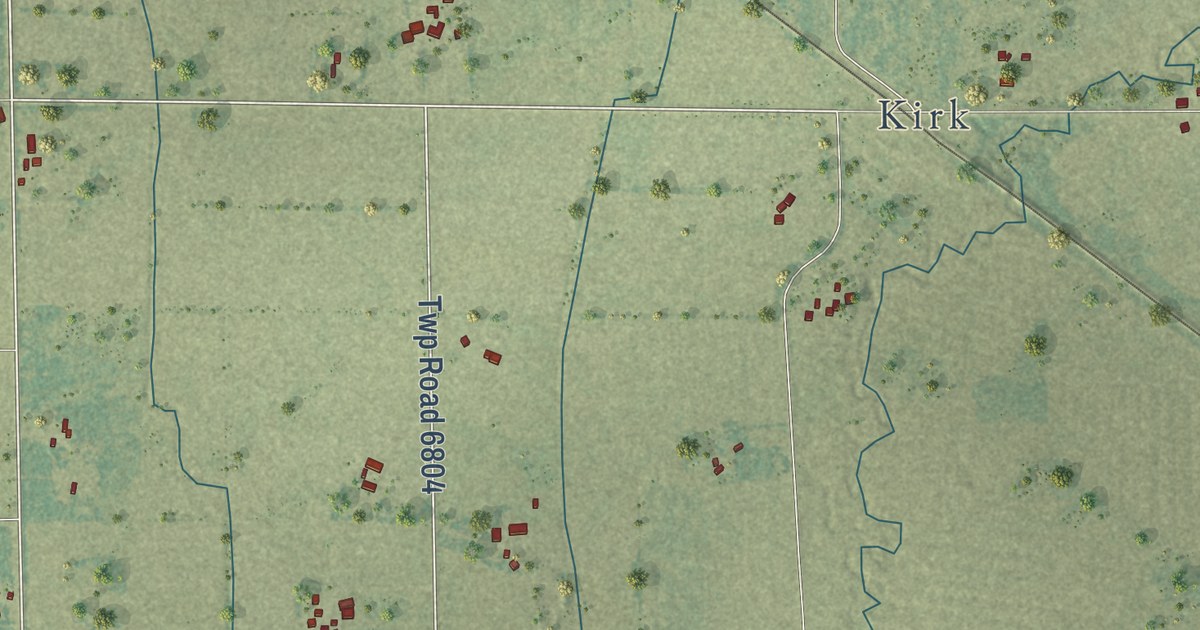
A detailed map of Cherry, Minnesota, showing every building in its true location, the roads by name, and shaded topographical relief.
Read More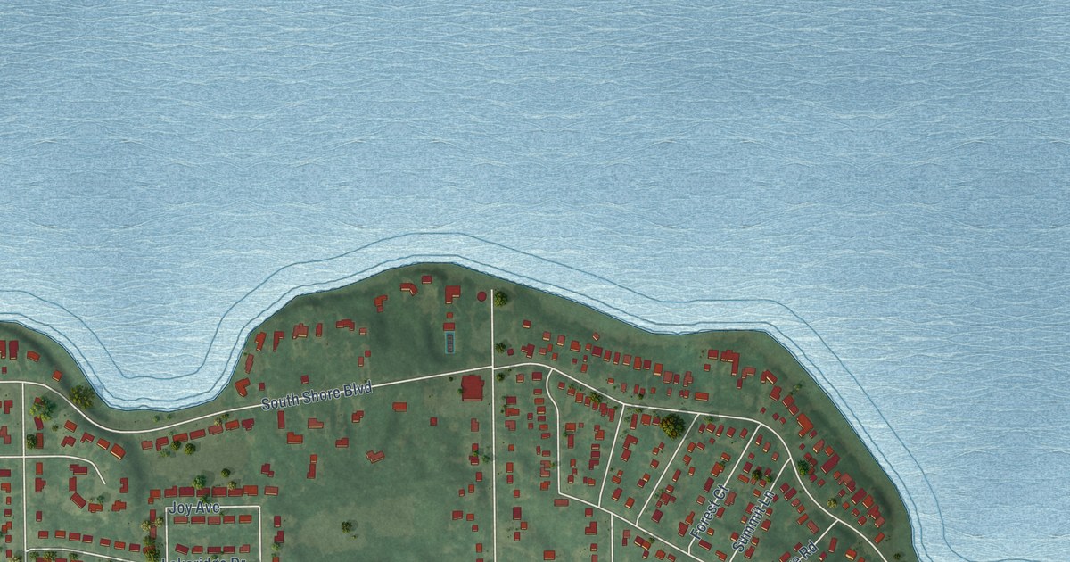
A detailed map of Bellaire, Minnesota, showing every building in its true location, the roads by name, and shaded topographical relief.
Read More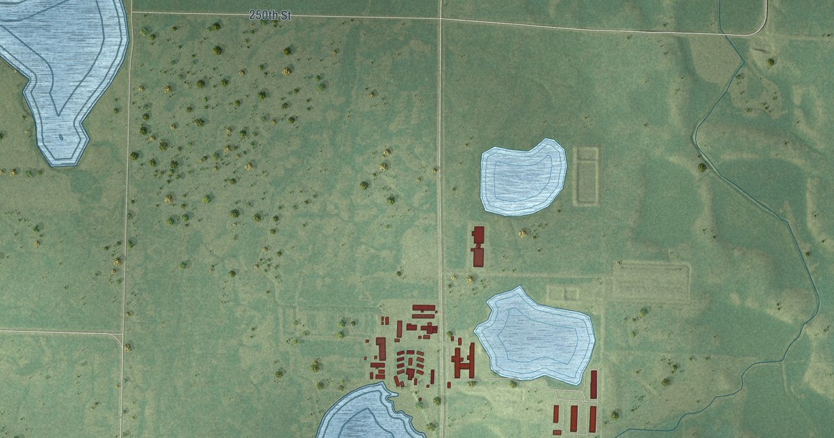
A detailed map of Big Stone Colony, Minnesota, showing every building in its true location, the roads by name, and shaded topographical relief.
Read More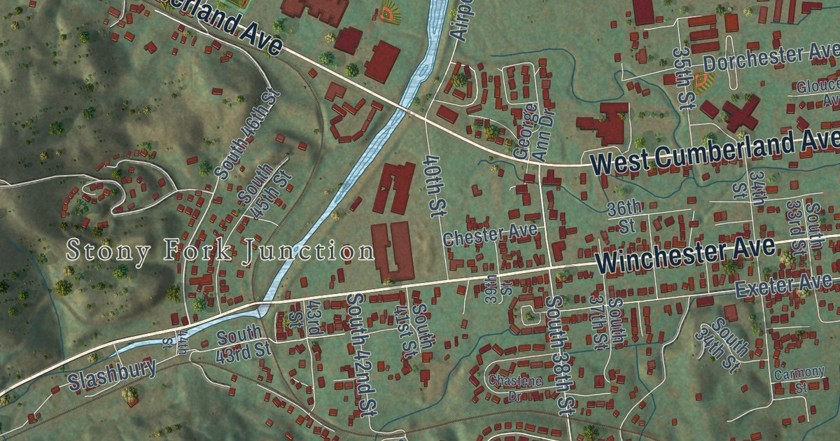
A detailed map of Yellow Creek, Kentucky, showing every building in its true location, the roads by name, and shaded topographical relief.
Read More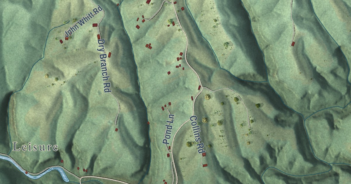
A detailed map of Wrigley, Kentucky, showing every building in its true location, the roads by name, and shaded topographical relief.
Read More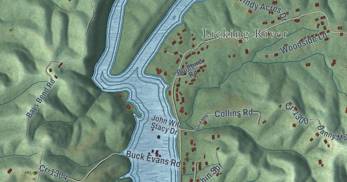
A detailed map of Woodsbend, Kentucky, showing every building in its true location, the roads by name, and shaded topographical relief.
Read More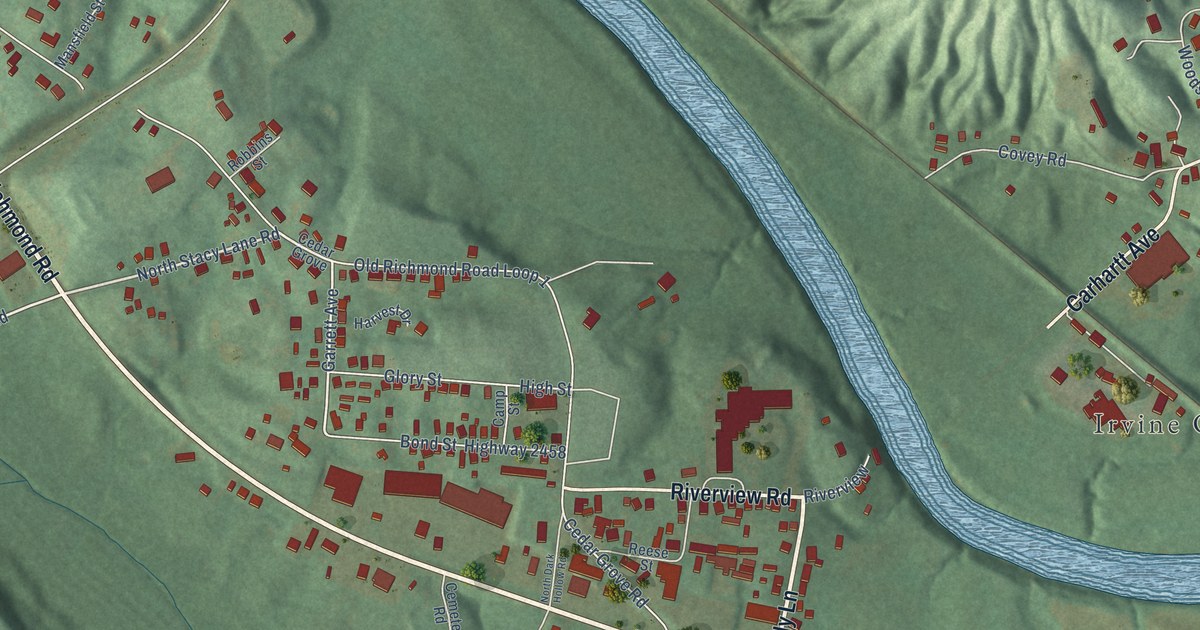
A detailed map of West Irvine, Kentucky, showing every building in its true location, the roads by name, and shaded topographical relief.
Read More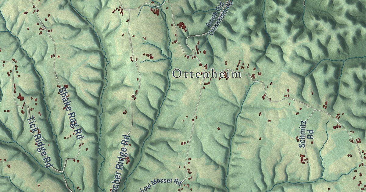
A detailed map of Waynesburg, Kentucky, showing every building in its true location, the roads by name, and shaded topographical relief.
Read More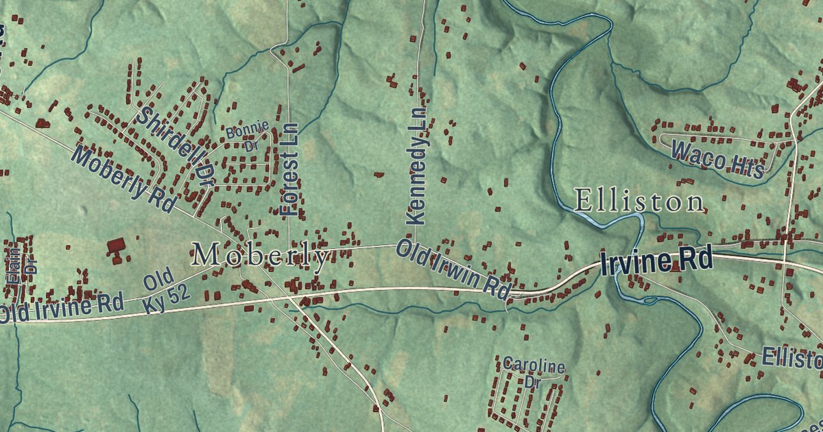
A detailed map of Waco, Kentucky, showing every building in its true location, the roads by name, and shaded topographical relief.
Read More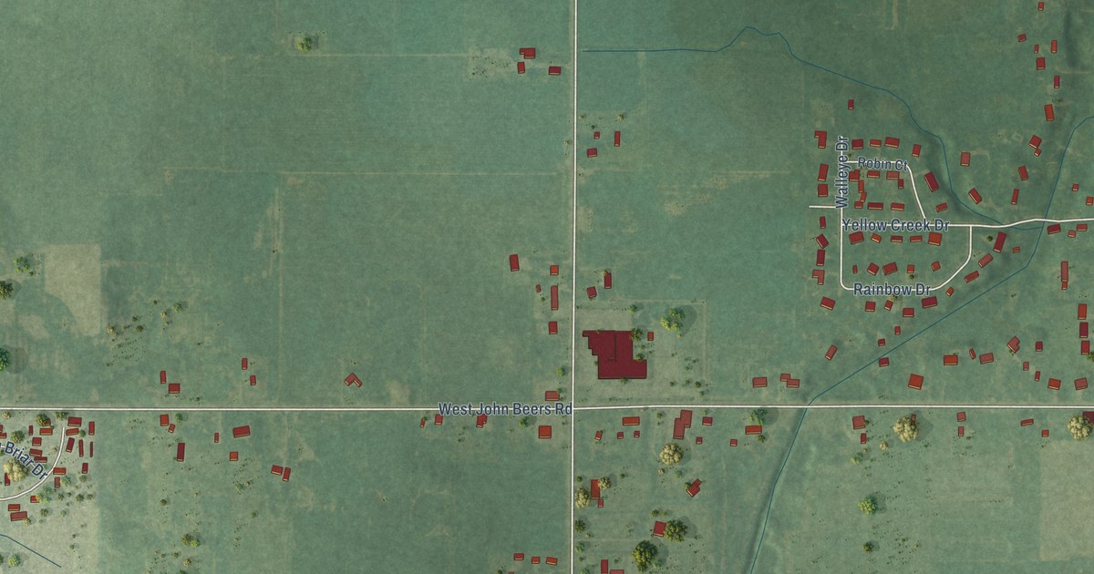
A detailed map of Hollywood, Michigan, showing every building in its true location, the roads by name, and shaded topographical relief.
Read More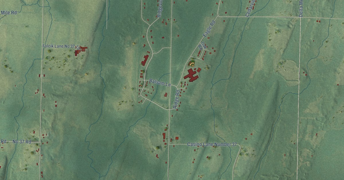
A detailed map of Hannahville, Michigan, showing every building in its true location, the roads by name, and shaded topographical relief.
Read More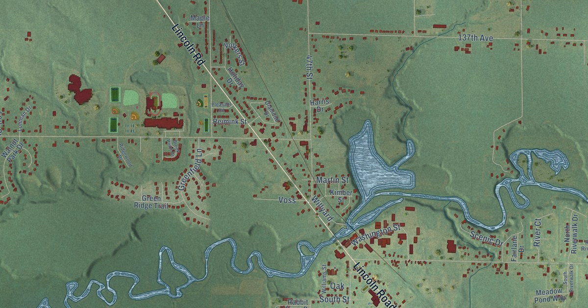
A detailed map of Hamilton, Michigan, showing every building in its true location, the roads by name, and shaded topographical relief.
Read More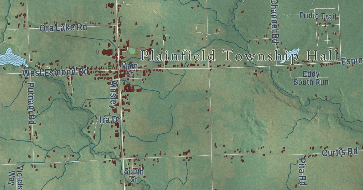
A detailed map of Hale, Michigan, showing every building in its true location, the roads by name, and shaded topographical relief.
Read More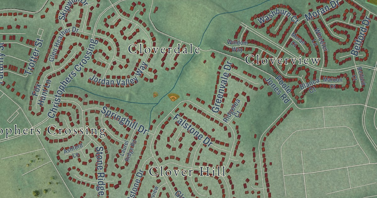
A detailed map of Yellow Springs, Maryland, showing every building in its true location, the roads by name, and shaded topographical relief.
Read More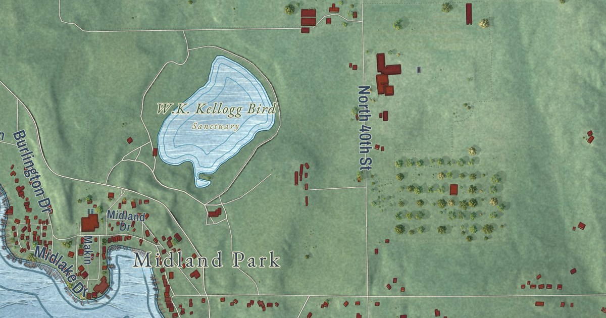
A detailed map of Gull Lake, Michigan, showing every building in its true location, the roads by name, and shaded topographical relief.
Read More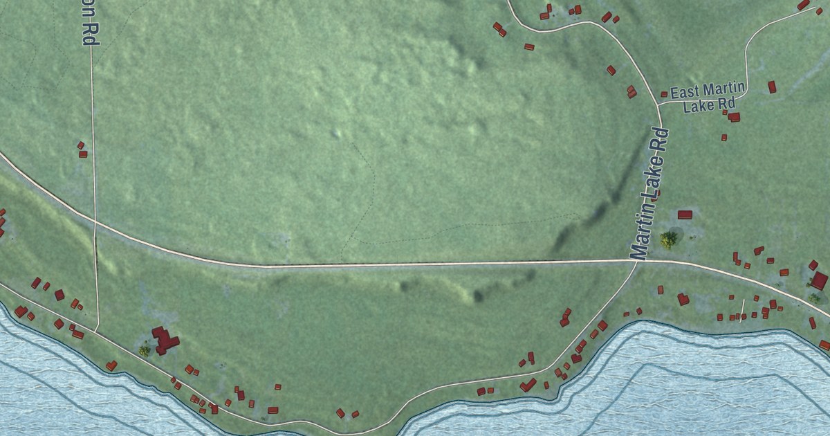
A detailed map of Gros Cap, Michigan, showing every building in its true location, the roads by name, and shaded topographical relief.
Read More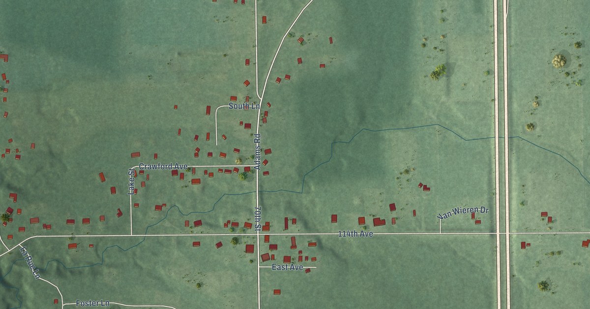
A detailed map of Glenn, Michigan, showing every building in its true location, the roads by name, and shaded topographical relief.
Read More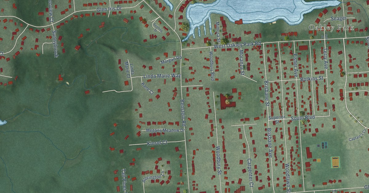
A detailed map of Glengary, Michigan, showing every building in its true location, the roads by name, and shaded topographical relief.
Read More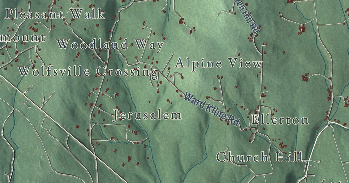
A detailed map of Wolfsville, Maryland, showing every building in its true location, the roads by name, and shaded topographical relief.
Read More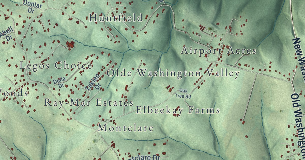
A detailed map of Winfield, Maryland, showing every building in its true location, the roads by name, and shaded topographical relief.
Read More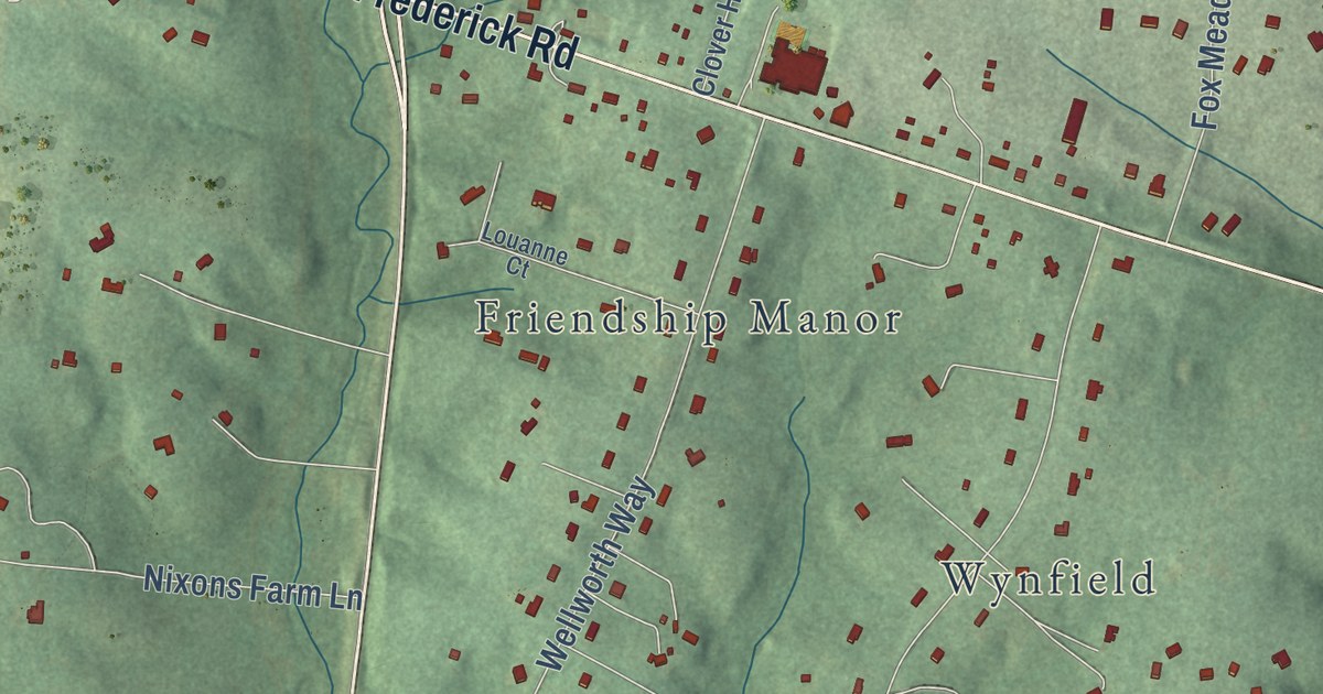
A detailed map of West Friendship, Maryland, showing every building in its true location, the roads by name, and shaded topographical relief.
Read More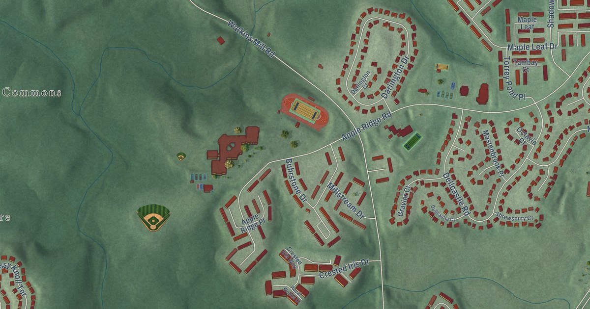
A detailed map of Watkins Mill, Maryland, showing every building in its true location, the roads by name, and shaded topographical relief.
Read More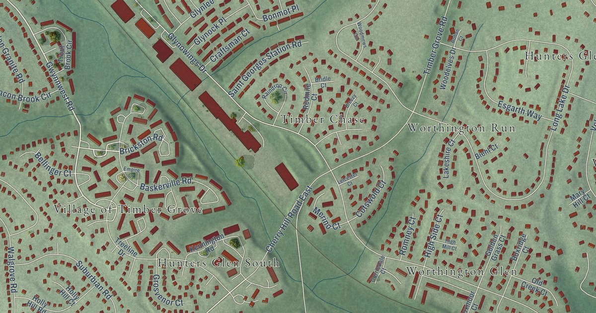
A detailed map of Timber Grove, Maryland, showing every building in its true location, the roads by name, and shaded topographical relief.
Read More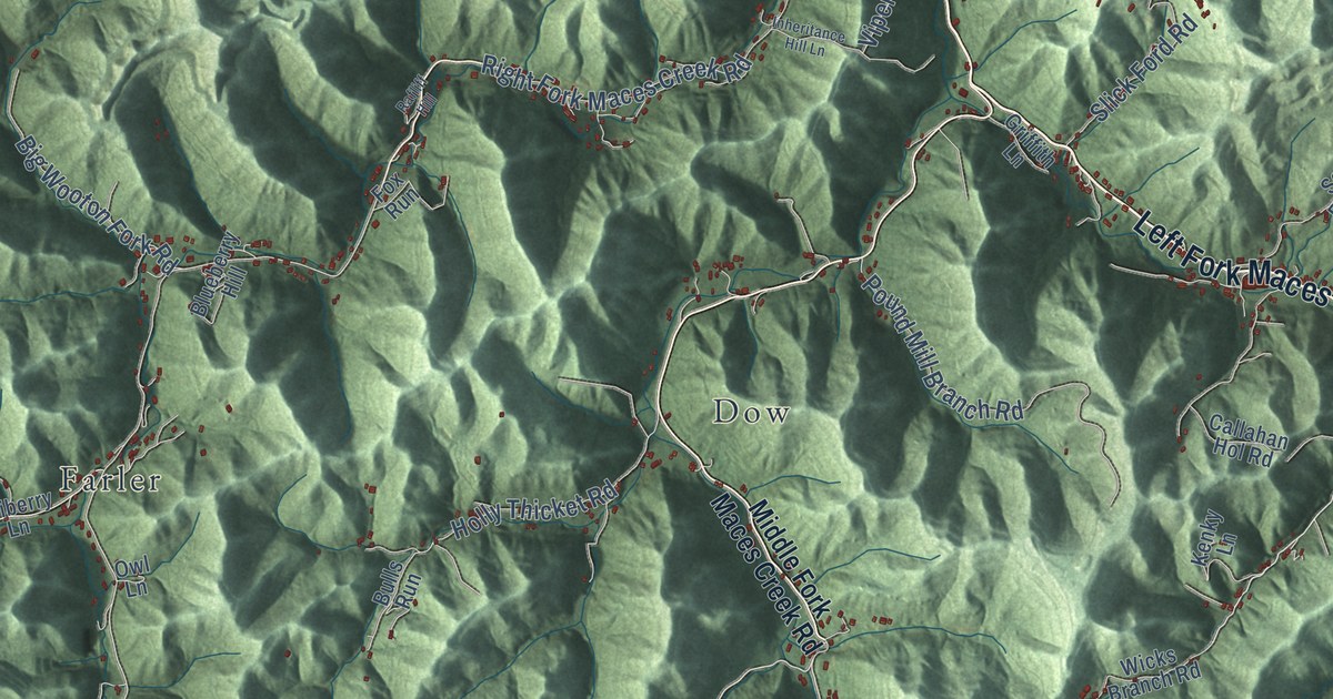
A detailed map of Viper, Kentucky, showing every building in its true location, the roads by name, and shaded topographical relief.
Read More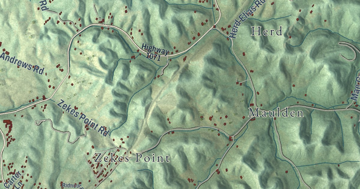
A detailed map of Tyner, Kentucky, showing every building in its true location, the roads by name, and shaded topographical relief.
Read More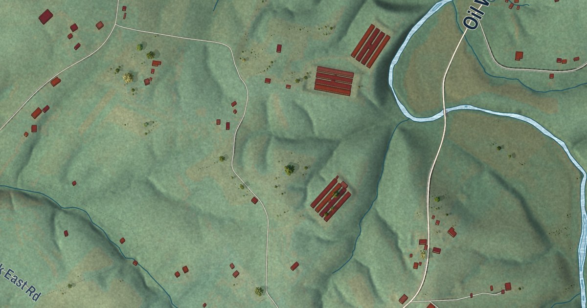
A detailed map of Tracy, Kentucky, showing every building in its true location, the roads by name, and shaded topographical relief.
Read More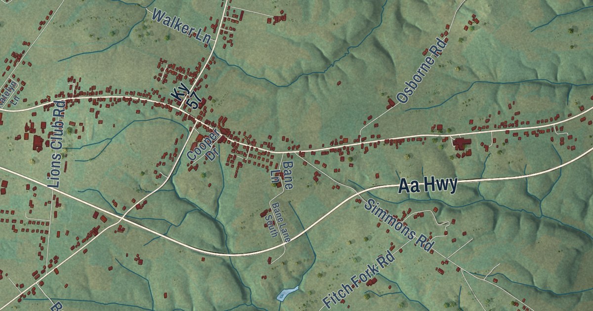
A detailed map of Tollesboro, Kentucky, showing every building in its true location, the roads by name, and shaded topographical relief.
Read More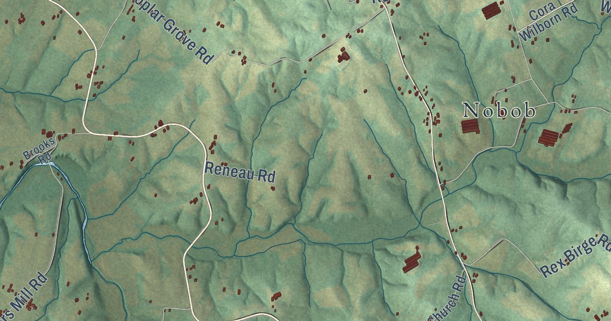
A detailed map of Temple Hill, Kentucky, showing every building in its true location, the roads by name, and shaded topographical relief.
Read More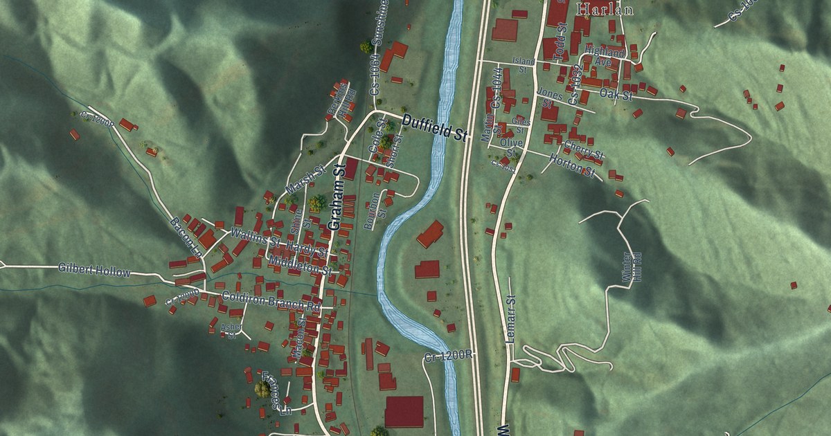
A detailed map of Sunshine, Kentucky, showing every building in its true location, the roads by name, and shaded topographical relief.
Read More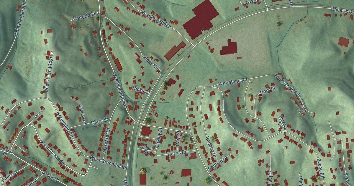
A detailed map of Summit, Kentucky, showing every building in its true location, the roads by name, and shaded topographical relief.
Read More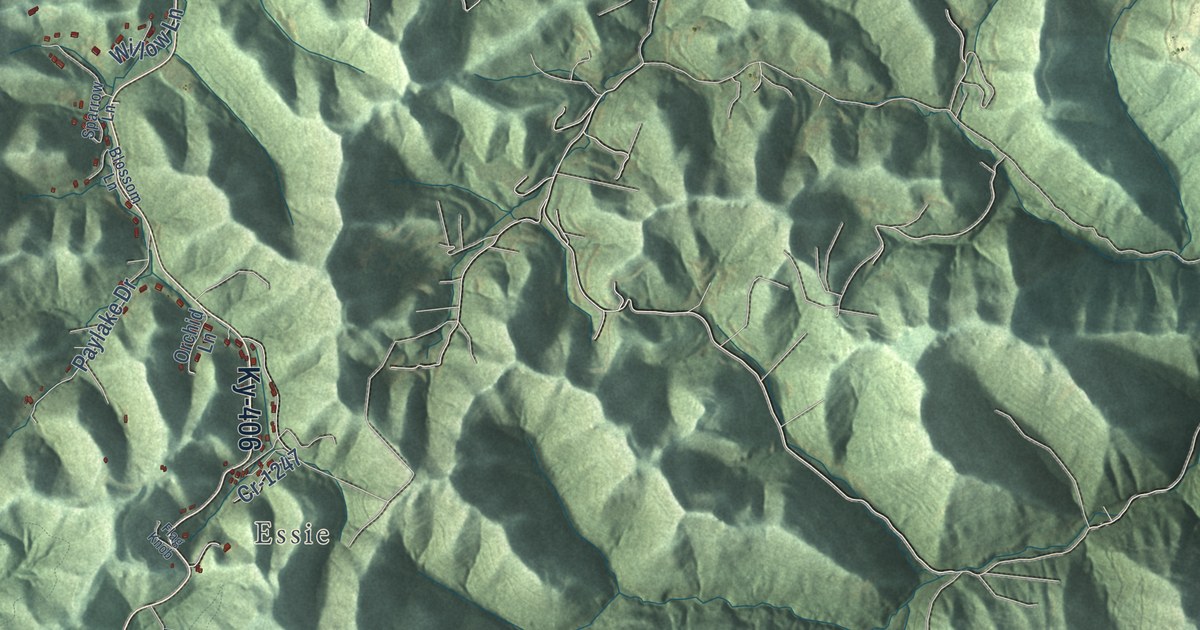
A detailed map of Stinnett, Kentucky, showing every building in its true location, the roads by name, and shaded topographical relief.
Read More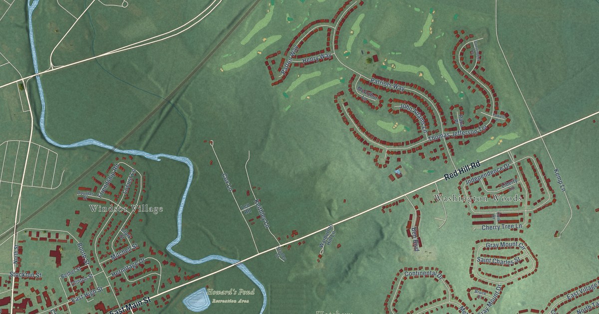
A detailed map of Thomson Estates, Maryland, showing every building in its true location, the roads by name, and shaded topographical relief.
Read More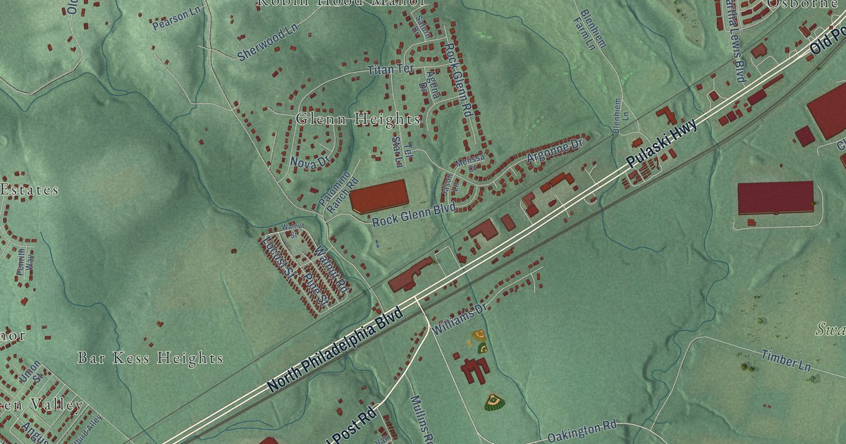
A detailed map of Swan Creek, Maryland, showing every building in its true location, the roads by name, and shaded topographical relief.
Read More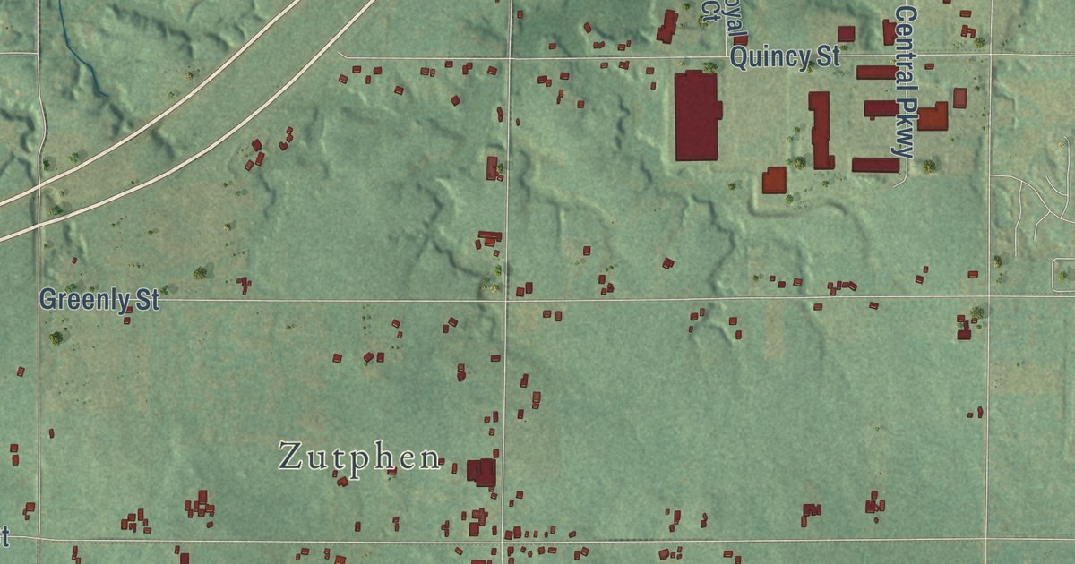
A detailed map of Forest Grove, Michigan, showing every building in its true location, the roads by name, and shaded topographical relief.
Read More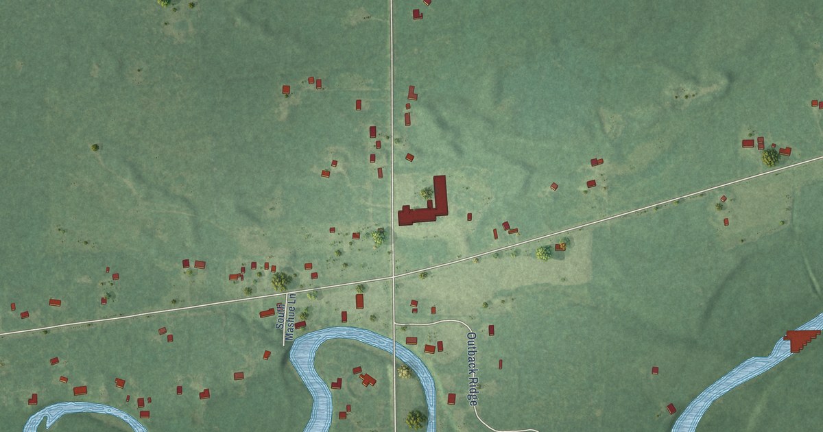
A detailed map of Floyd, Michigan, showing every building in its true location, the roads by name, and shaded topographical relief.
Read More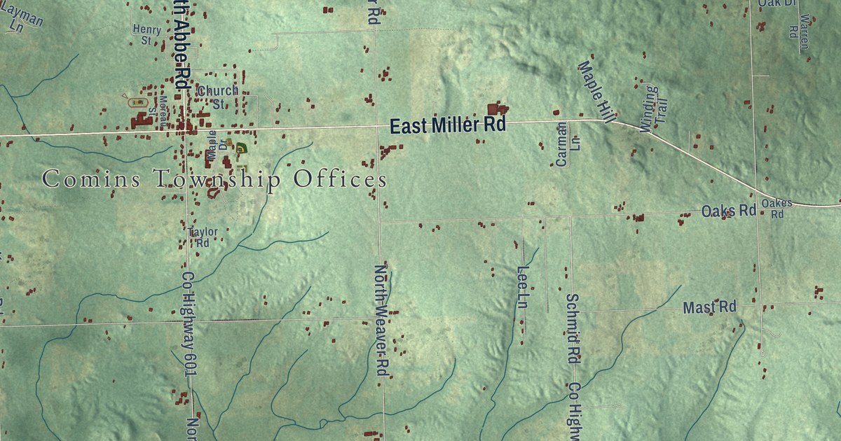
A detailed map of Fairview, Michigan, showing every building in its true location, the roads by name, and shaded topographical relief.
Read More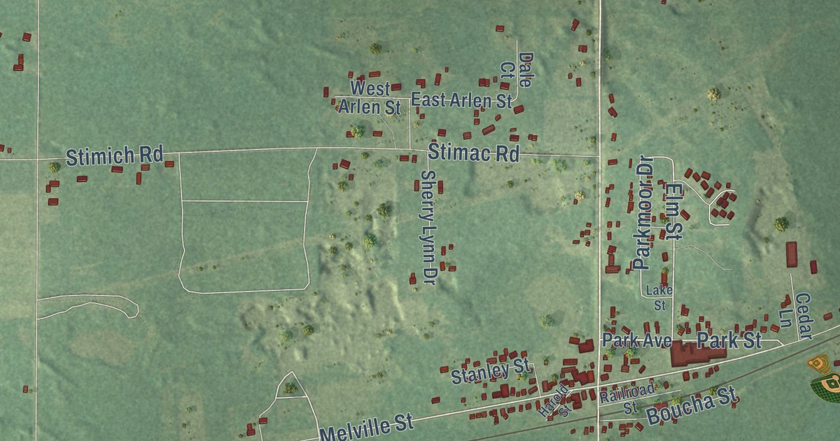
A detailed map of Engadine, Michigan, showing every building in its true location, the roads by name, and shaded topographical relief.
Read More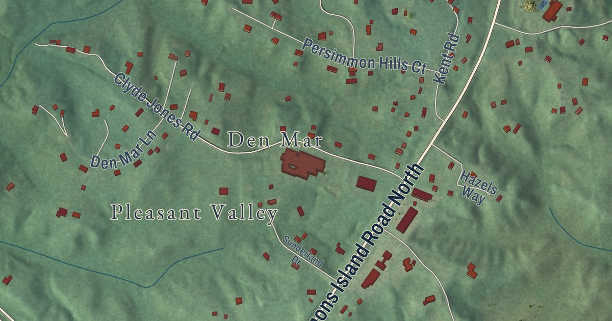
A detailed map of Sunderland, Maryland, showing every building in its true location, the roads by name, and shaded topographical relief.
Read More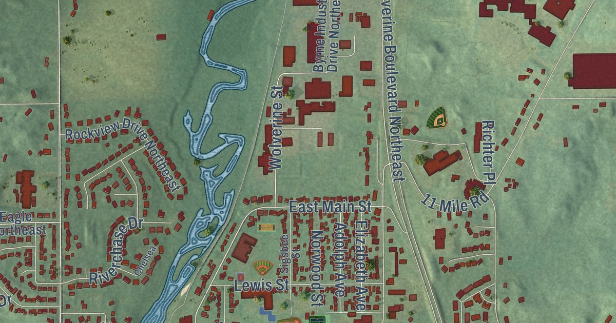
A detailed map of Edgerton, Michigan, showing every building in its true location, the roads by name, and shaded topographical relief.
Read More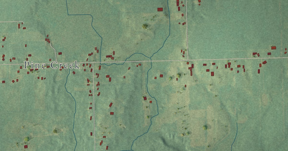
A detailed map of East Leroy, Michigan, showing every building in its true location, the roads by name, and shaded topographical relief.
Read More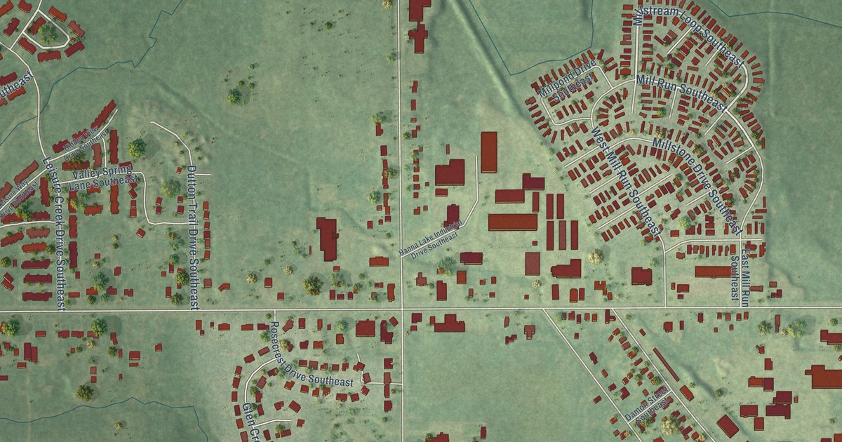
A detailed map of Dutton, Michigan, showing every building in its true location, the roads by name, and shaded topographical relief.
Read More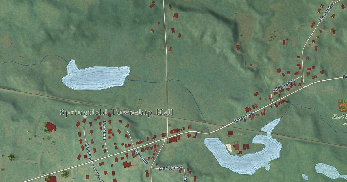
A detailed map of Davisburg, Michigan, showing every building in its true location, the roads by name, and shaded topographical relief.
Read More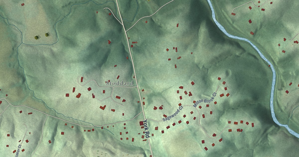
A detailed map of Sparks, Maryland, showing every building in its true location, the roads by name, and shaded topographical relief.
Read More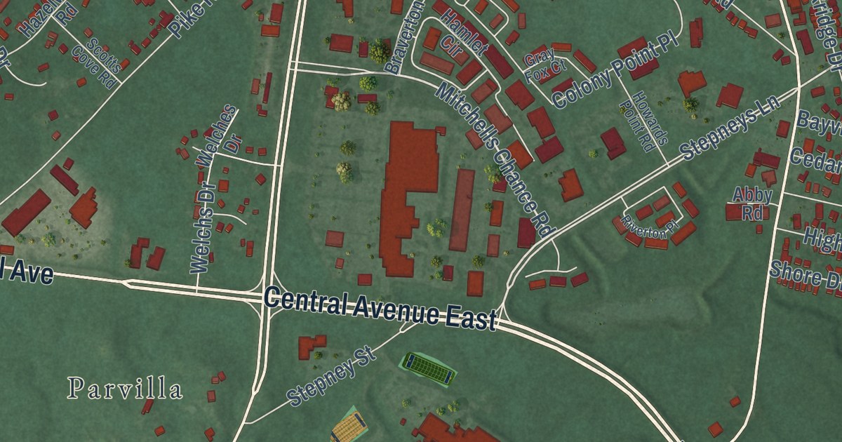
A detailed map of South River, Maryland, showing every building in its true location, the roads by name, and shaded topographical relief.
Read More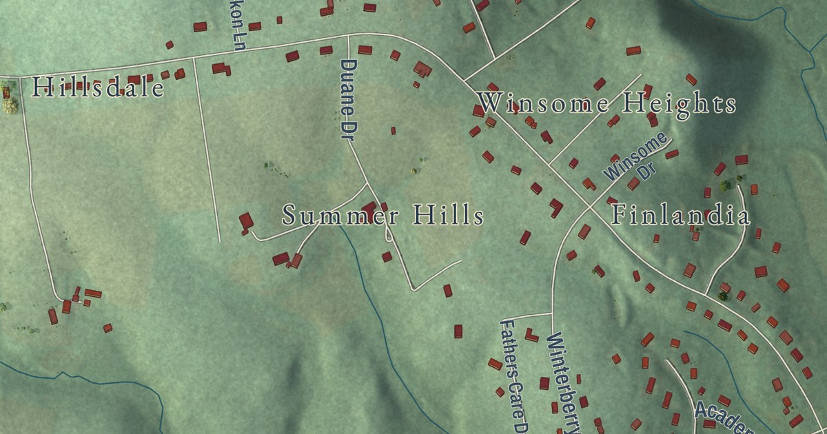
A detailed map of Shiloh, Maryland, showing every building in its true location, the roads by name, and shaded topographical relief.
Read More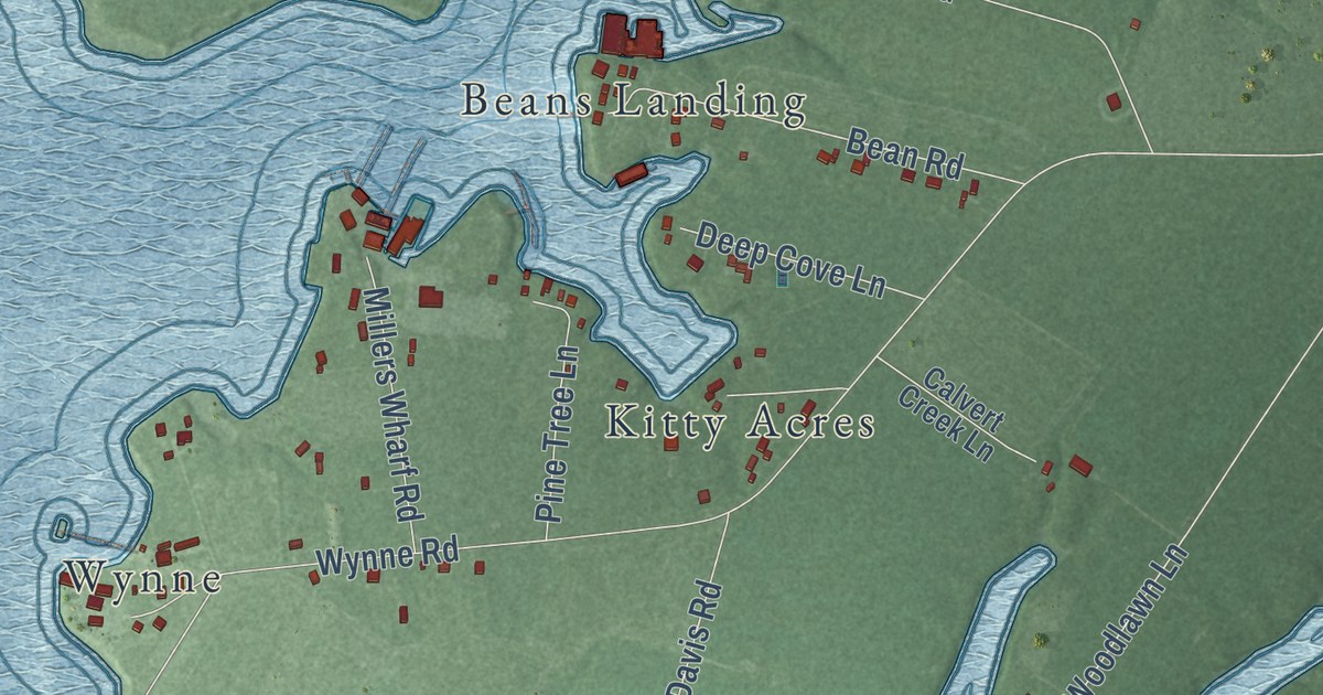
A detailed map of Ridge, Maryland, showing every building in its true location, the roads by name, and shaded topographical relief.
Read More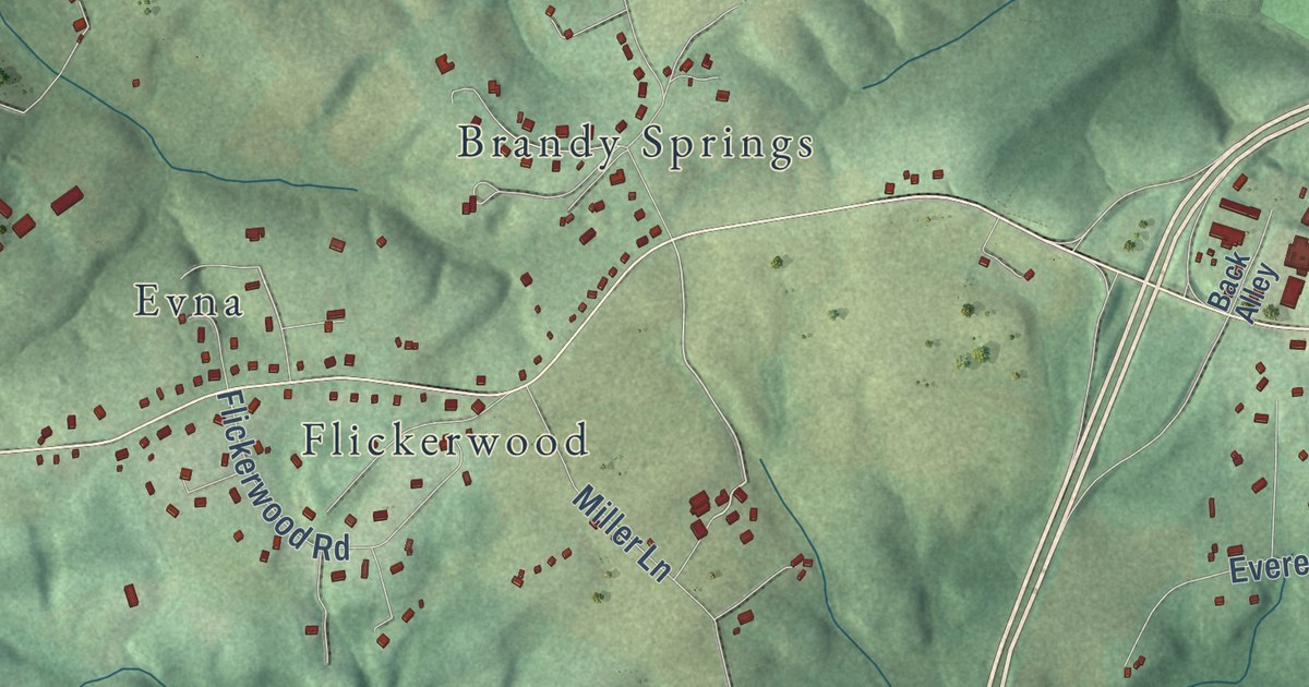
A detailed map of Prettyboy, Maryland, showing every building in its true location, the roads by name, and shaded topographical relief.
Read More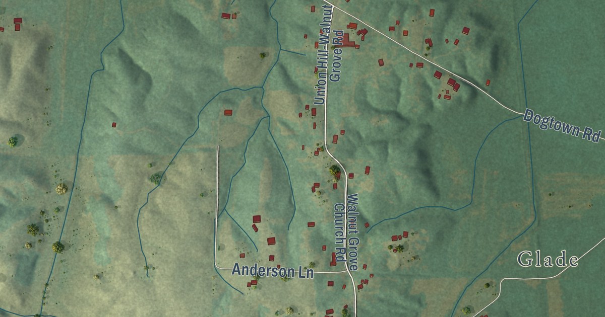
A detailed map of South Marshall, Kentucky, showing every building in its true location, the roads by name, and shaded topographical relief.
Read More















