Detailed Map of South Irvine, Kentucky
A detailed map of South Irvine, Kentucky, showing every building in its true location, the roads by name, and shaded topographical relief.
Read More
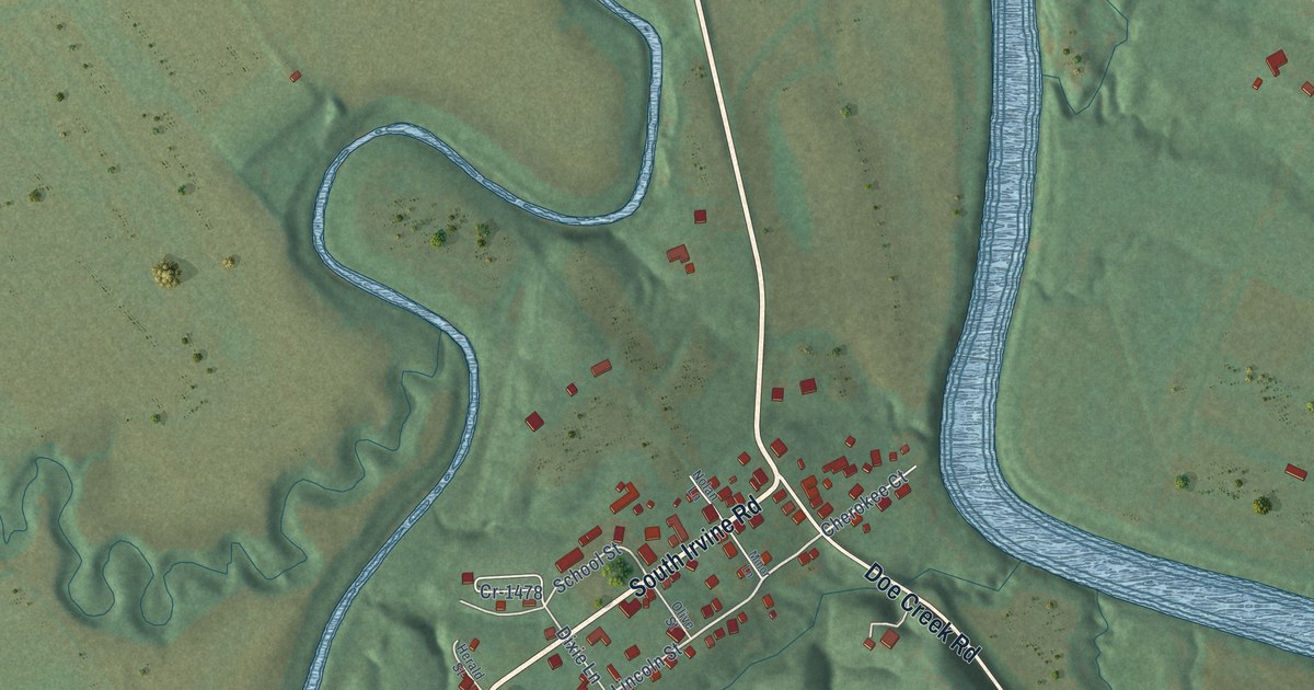
A detailed map of South Irvine, Kentucky, showing every building in its true location, the roads by name, and shaded topographical relief.
Read More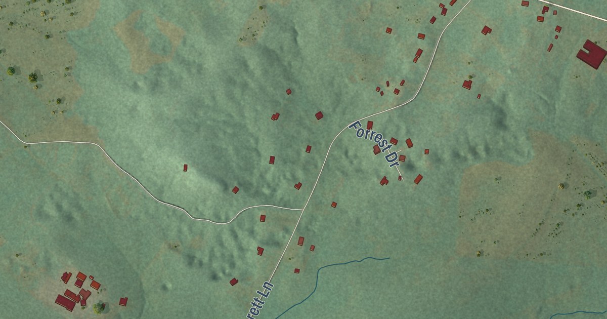
A detailed map of Sinking Fork, Kentucky, showing every building in its true location, the roads by name, and shaded topographical relief.
Read More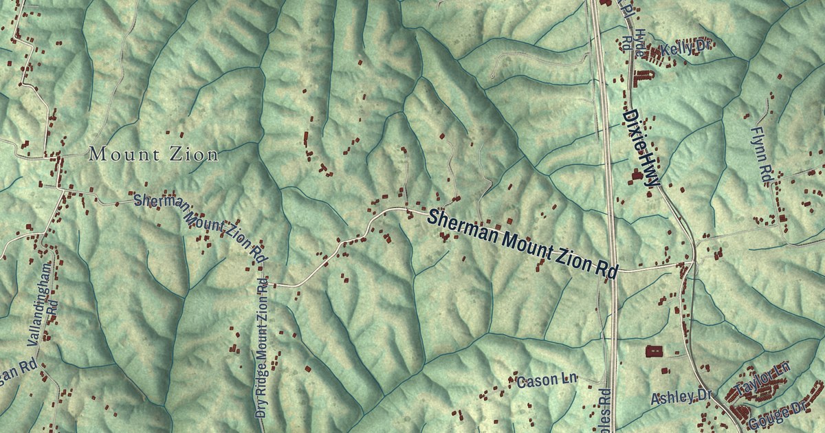
A detailed map of Sherman, Kentucky, showing every building in its true location, the roads by name, and shaded topographical relief.
Read More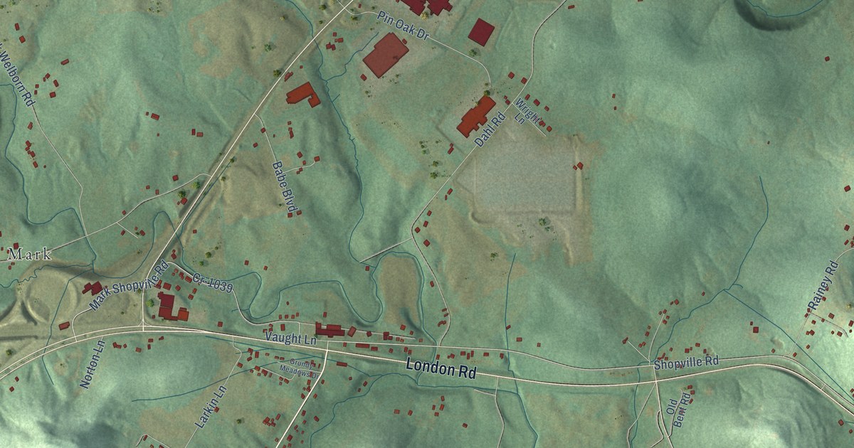
A detailed map of Shopville, Kentucky, showing every building in its true location, the roads by name, and shaded topographical relief.
Read More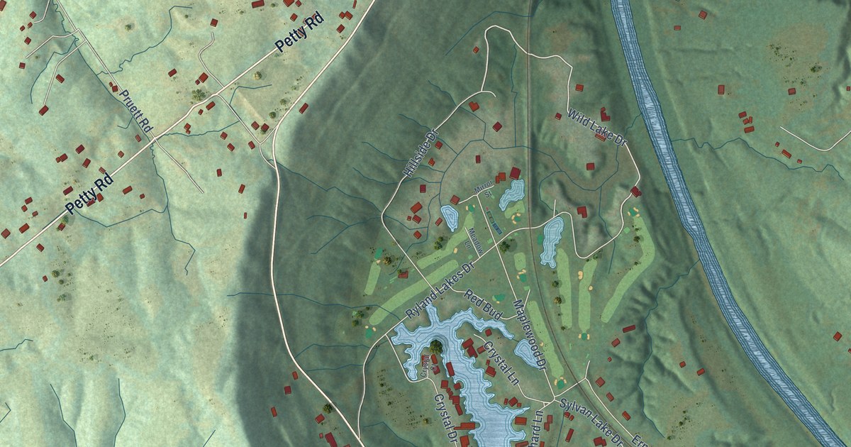
A detailed map of Ryland, Kentucky, showing every building in its true location, the roads by name, and shaded topographical relief.
Read More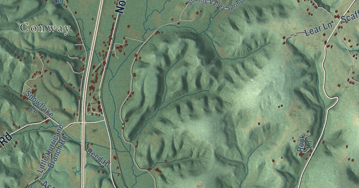
A detailed map of Roundstone, Kentucky, showing every building in its true location, the roads by name, and shaded topographical relief.
Read More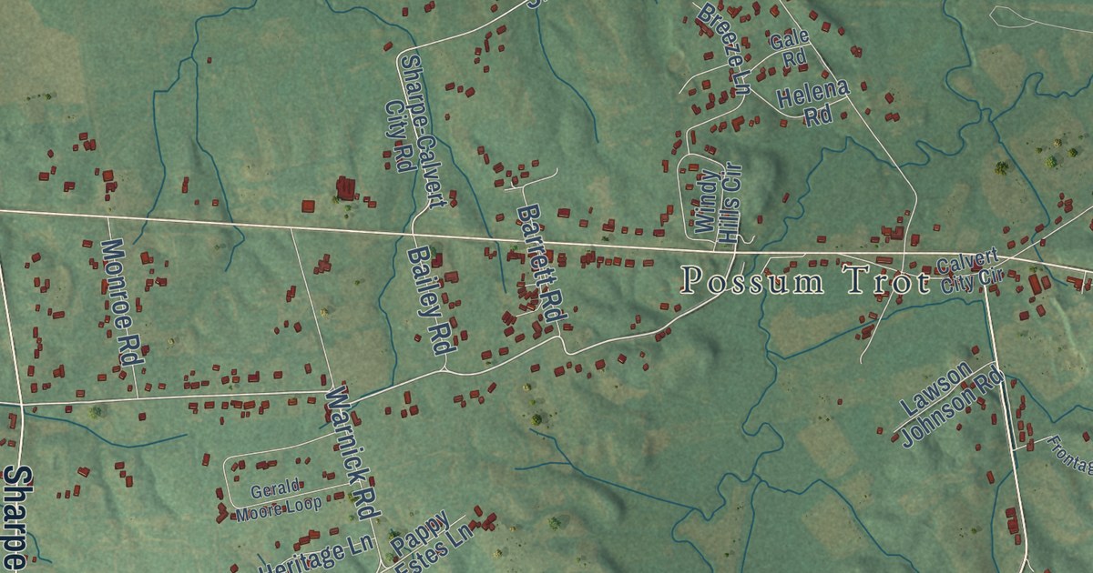
A detailed map of Sharpe, Kentucky, showing every building in its true location, the roads by name, and shaded topographical relief.
Read More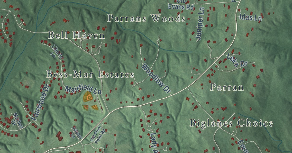
A detailed map of Plum Point, Maryland, showing every building in its true location, the roads by name, and shaded topographical relief.
Read More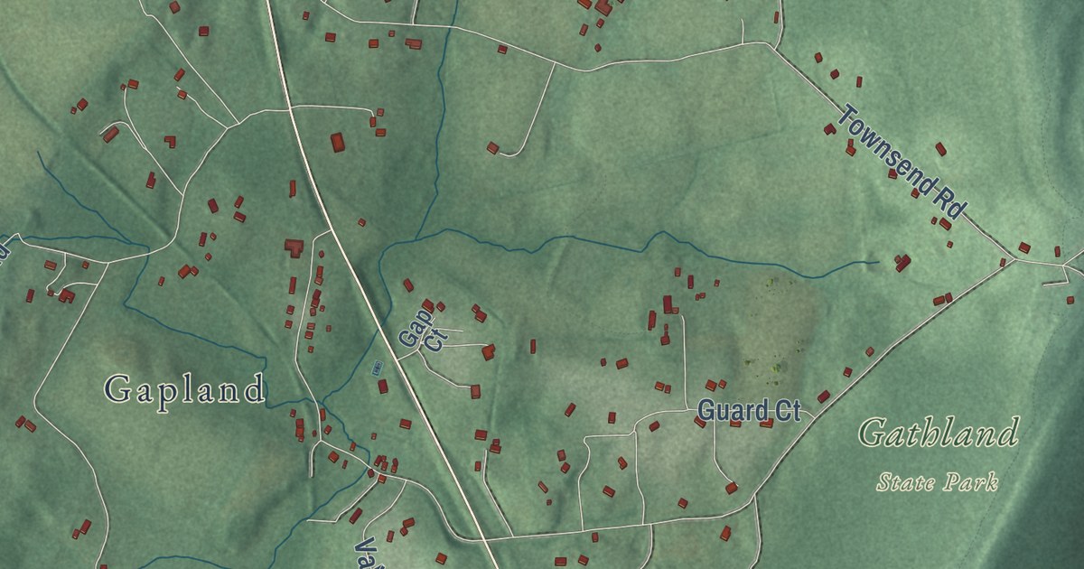
A detailed map of Pleasant Valley, Maryland, showing every building in its true location, the roads by name, and shaded topographical relief.
Read More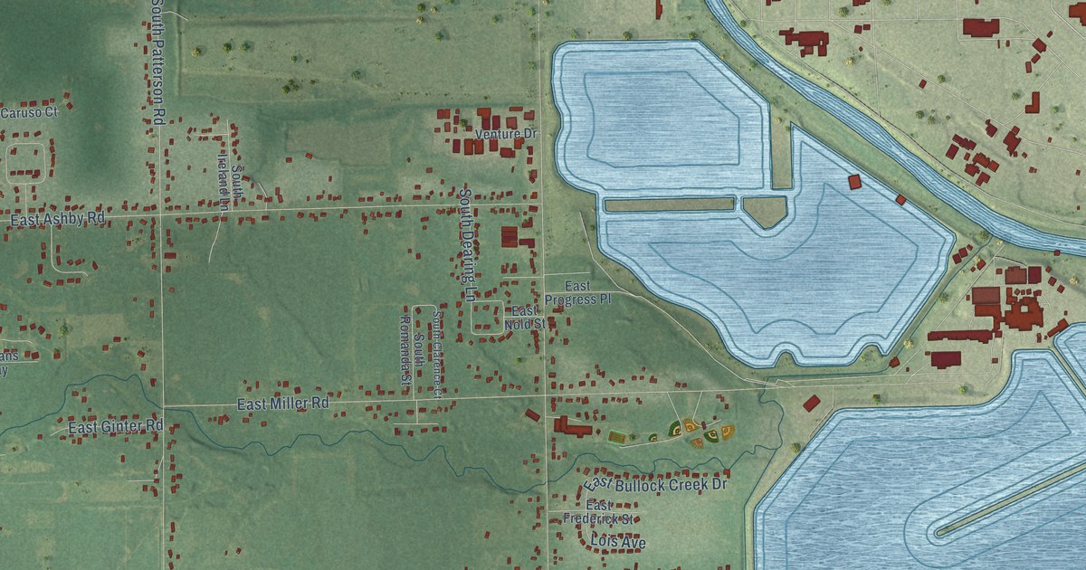
A detailed map of Bullock Creek, Michigan, showing every building in its true location, the roads by name, and shaded topographical relief.
Read More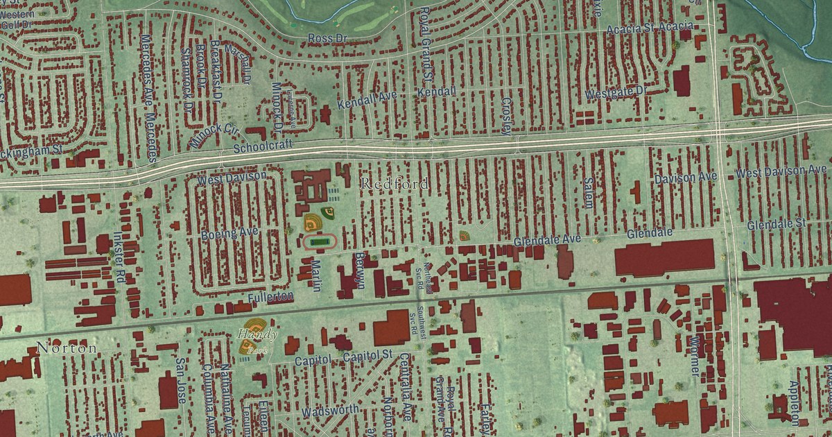
A detailed map of Beech, Michigan, showing every building in its true location, the roads by name, and shaded topographical relief.
Read More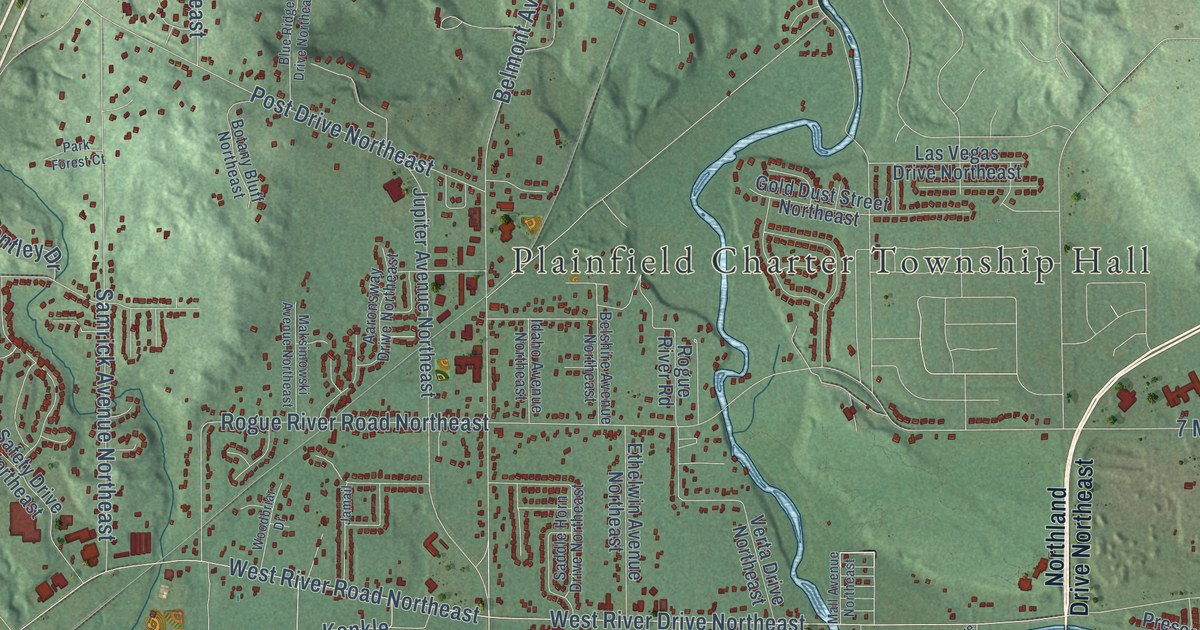
A detailed map of Belmont, Michigan, showing every building in its true location, the roads by name, and shaded topographical relief.
Read More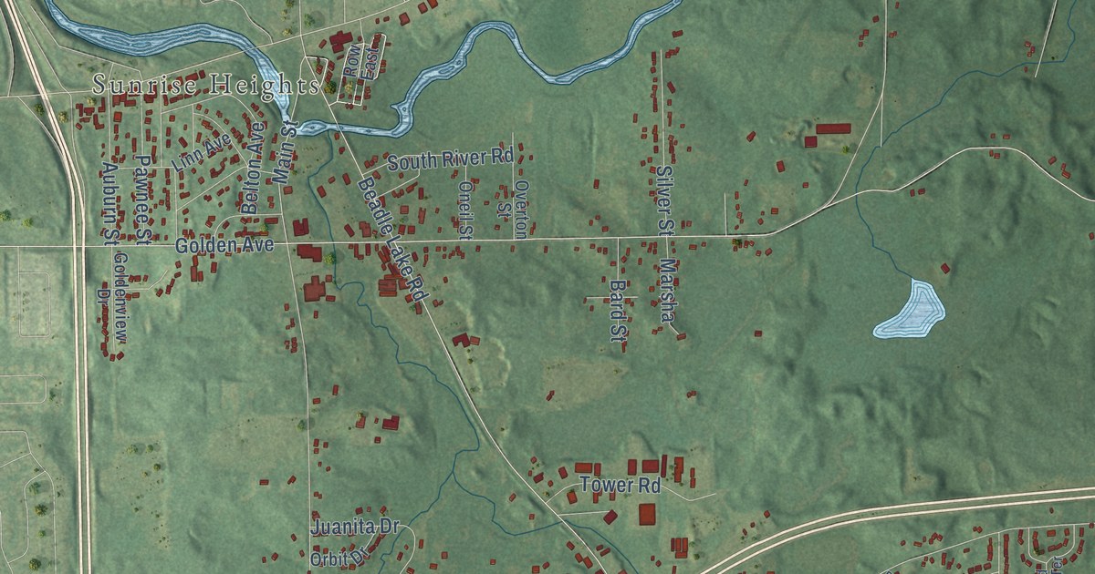
A detailed map of Beadle Lake, Michigan, showing every building in its true location, the roads by name, and shaded topographical relief.
Read More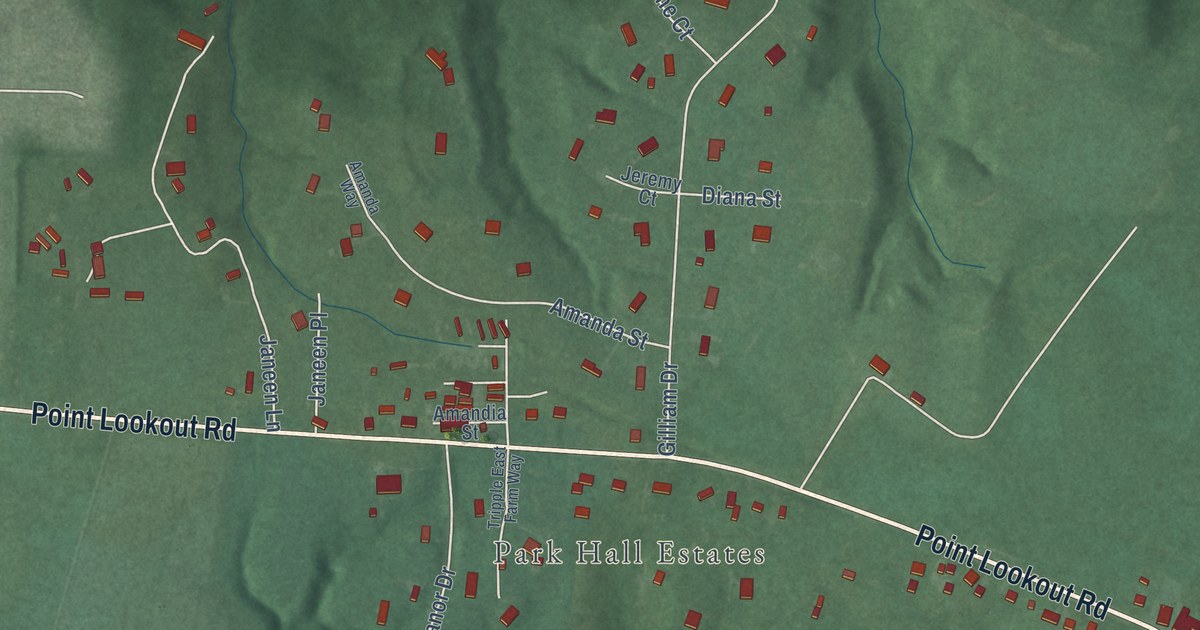
A detailed map of Park Hall, Maryland, showing every building in its true location, the roads by name, and shaded topographical relief.
Read More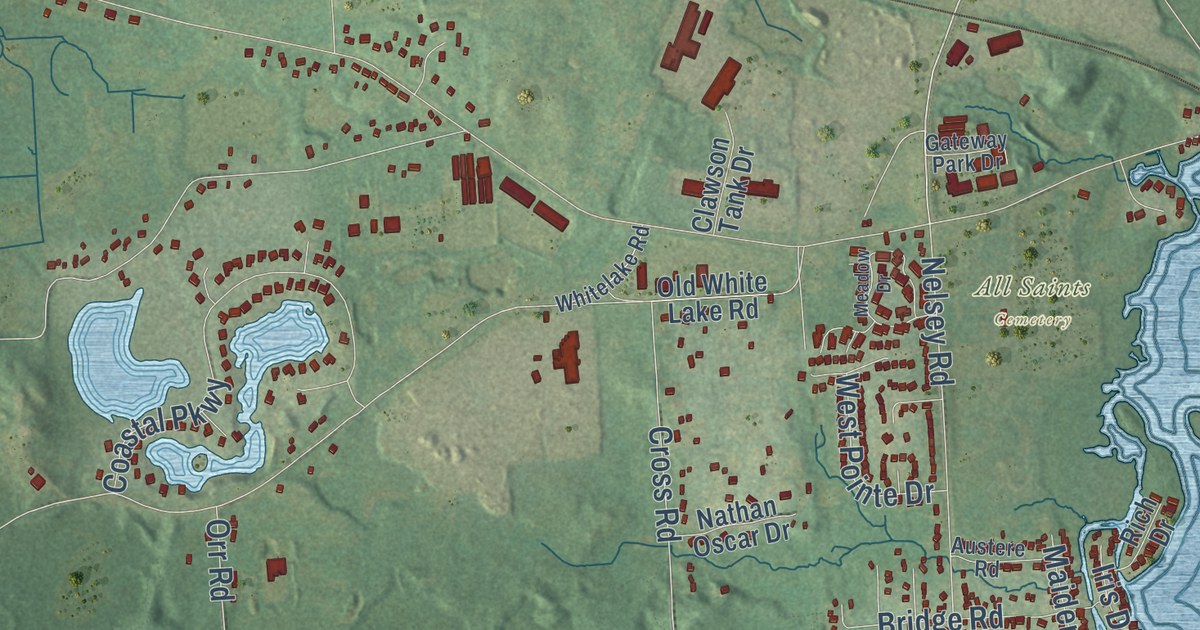
A detailed map of Andersonville, Michigan, showing every building in its true location, the roads by name, and shaded topographical relief.
Read More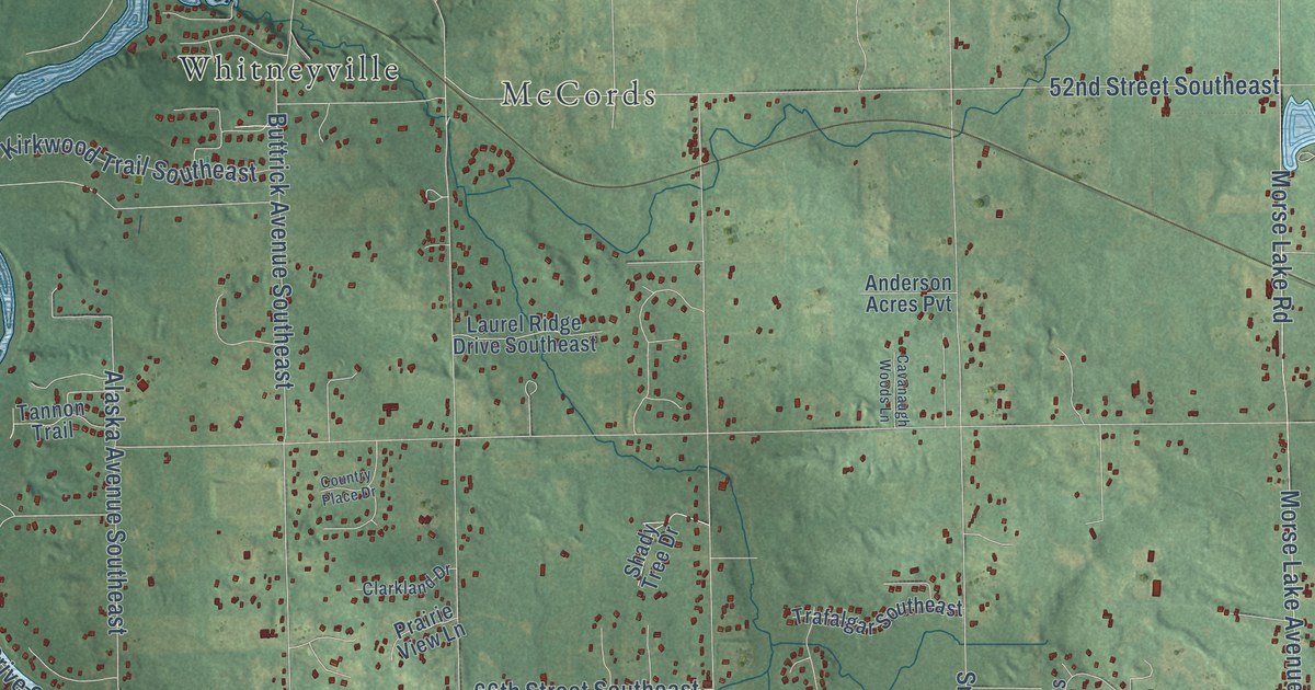
A detailed map of Alto, Michigan, showing every building in its true location, the roads by name, and shaded topographical relief.
Read More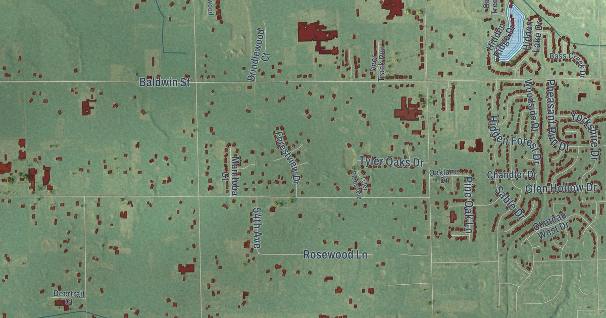
A detailed map of Bauer, Michigan, showing every building in its true location, the roads by name, and shaded topographical relief.
Read More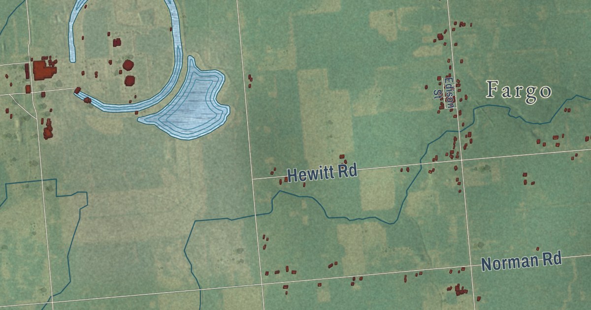
A detailed map of Avoca, Michigan, showing every building in its true location, the roads by name, and shaded topographical relief.
Read More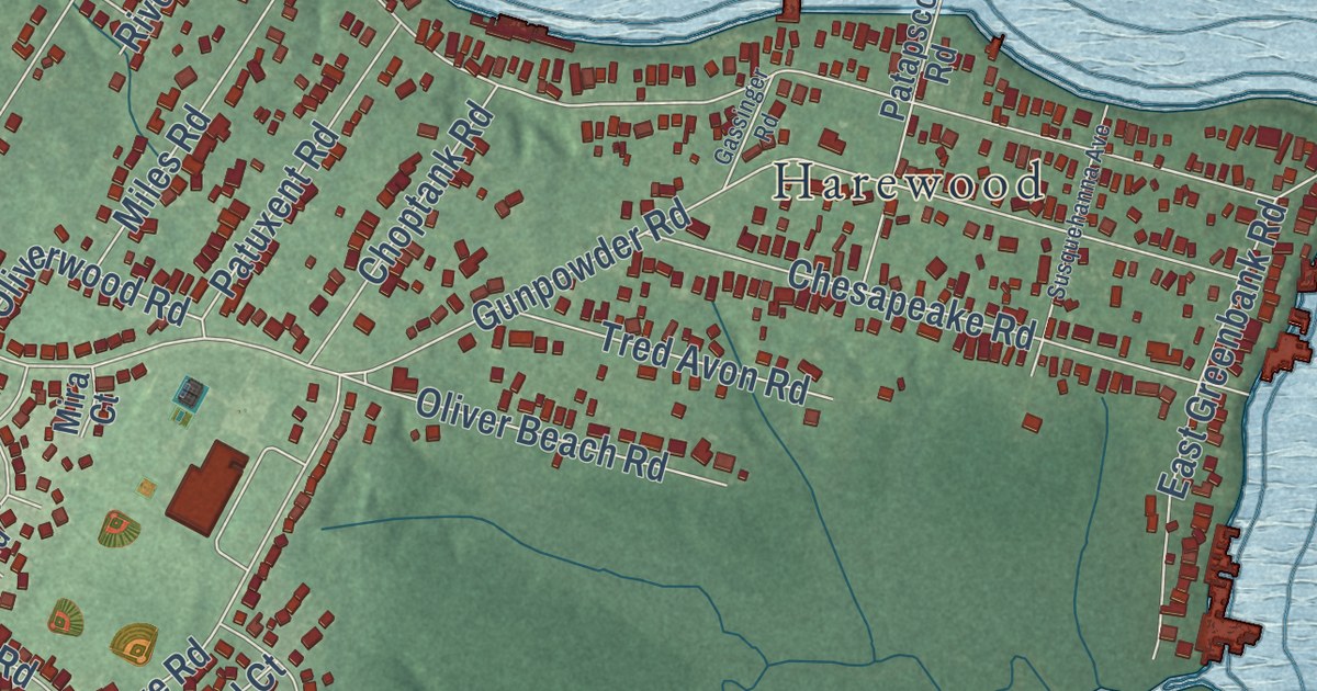
A detailed map of Oliver Beach, Maryland, showing every building in its true location, the roads by name, and shaded topographical relief.
Read More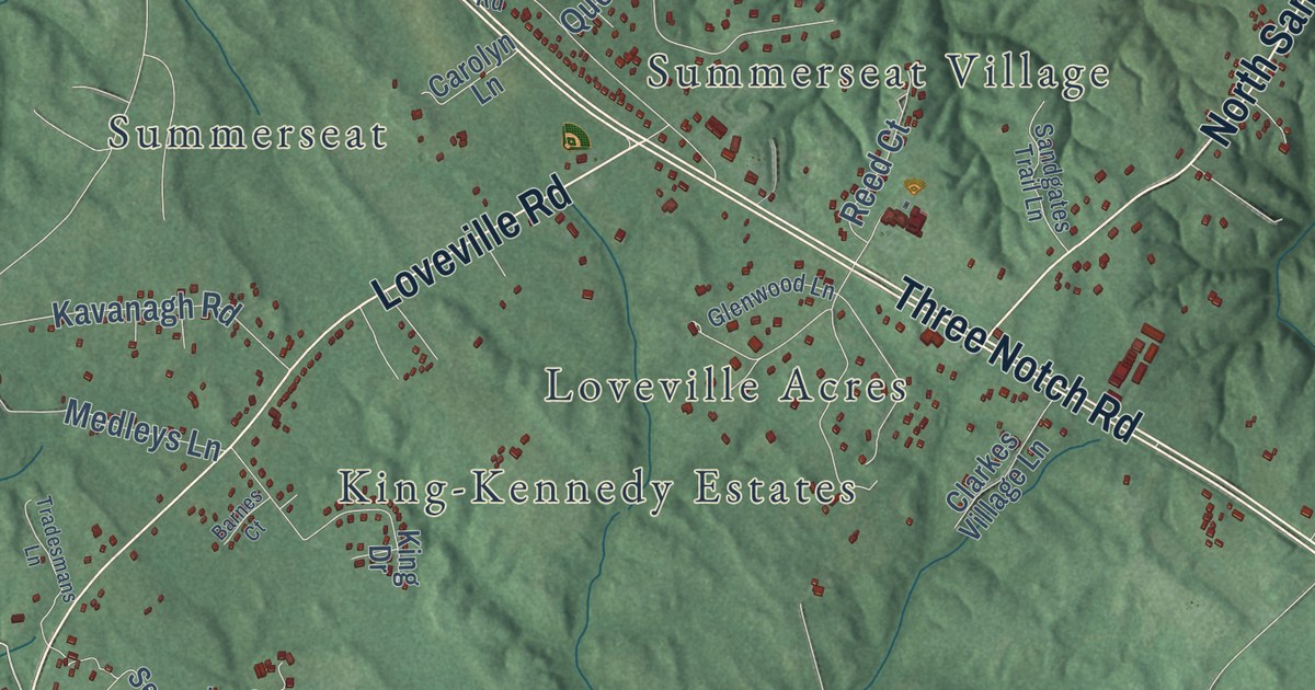
A detailed map of Oakville, Maryland, showing every building in its true location, the roads by name, and shaded topographical relief.
Read More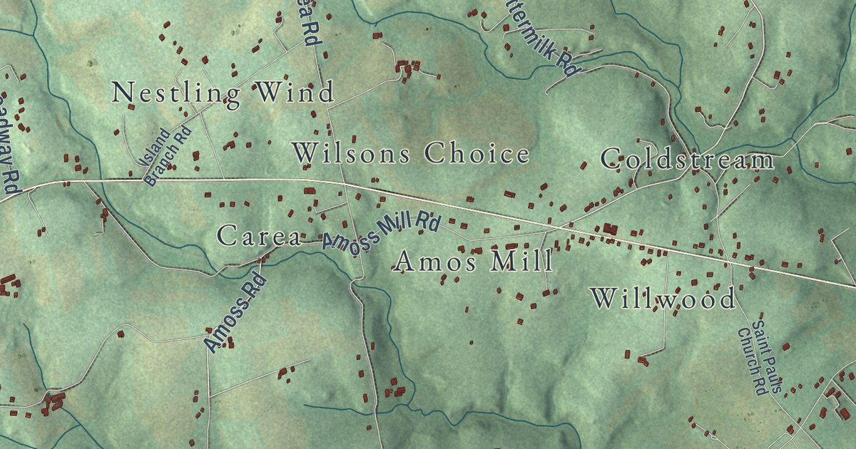
A detailed map of Norrisville, Maryland, showing every building in its true location, the roads by name, and shaded topographical relief.
Read More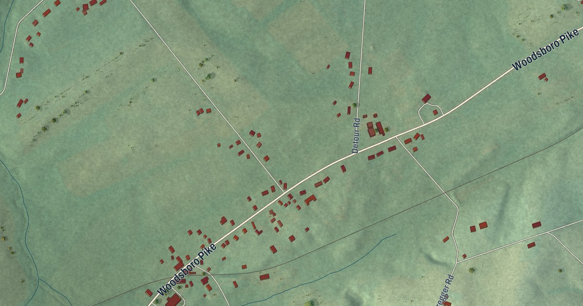
A detailed map of New Midway, Maryland, showing every building in its true location, the roads by name, and shaded topographical relief.
Read More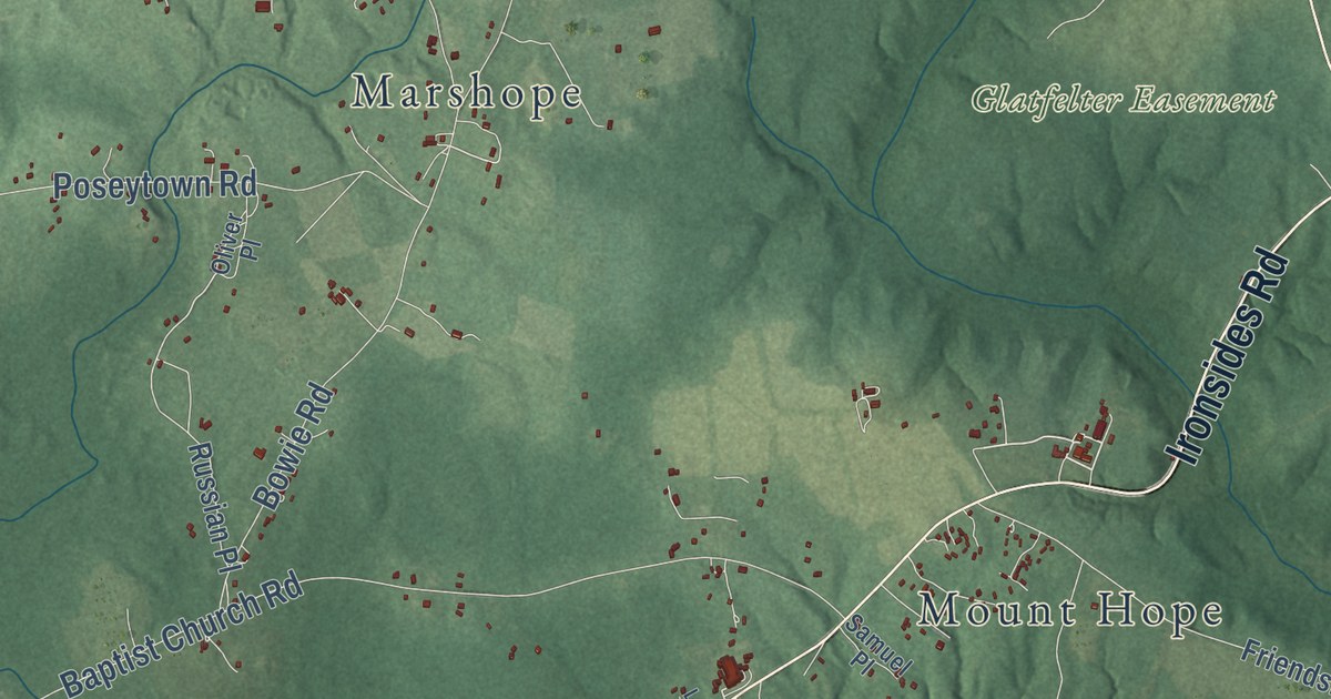
A detailed map of Nanjemoy, Maryland, showing every building in its true location, the roads by name, and shaded topographical relief.
Read More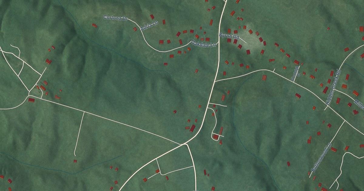
A detailed map of Mutual, Maryland, showing every building in its true location, the roads by name, and shaded topographical relief.
Read More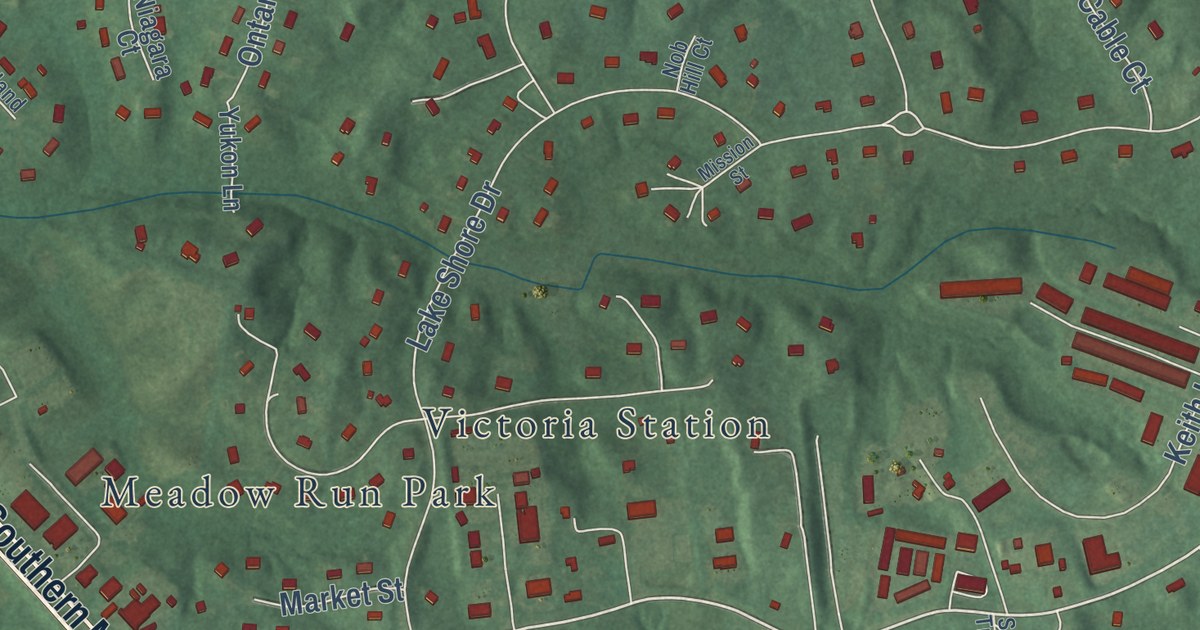
A detailed map of Mount Harmony, Maryland, showing every building in its true location, the roads by name, and shaded topographical relief.
Read More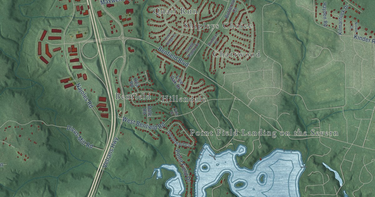
A detailed map of Millersville, Maryland, showing every building in its true location, the roads by name, and shaded topographical relief.
Read More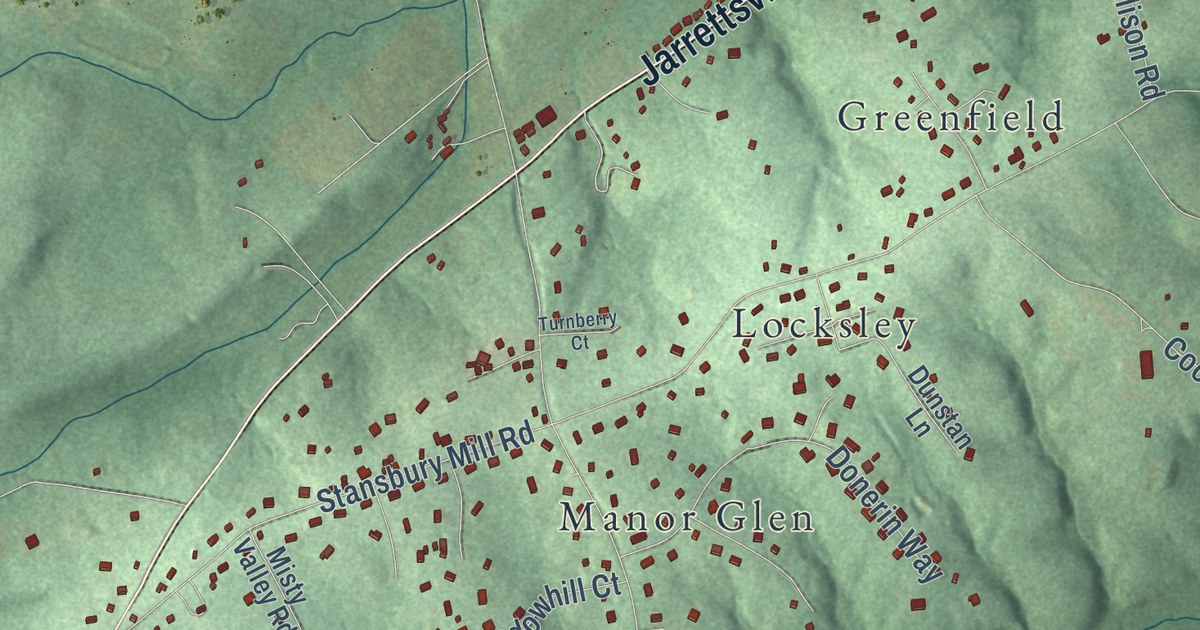
A detailed map of Manor, Maryland, showing every building in its true location, the roads by name, and shaded topographical relief.
Read More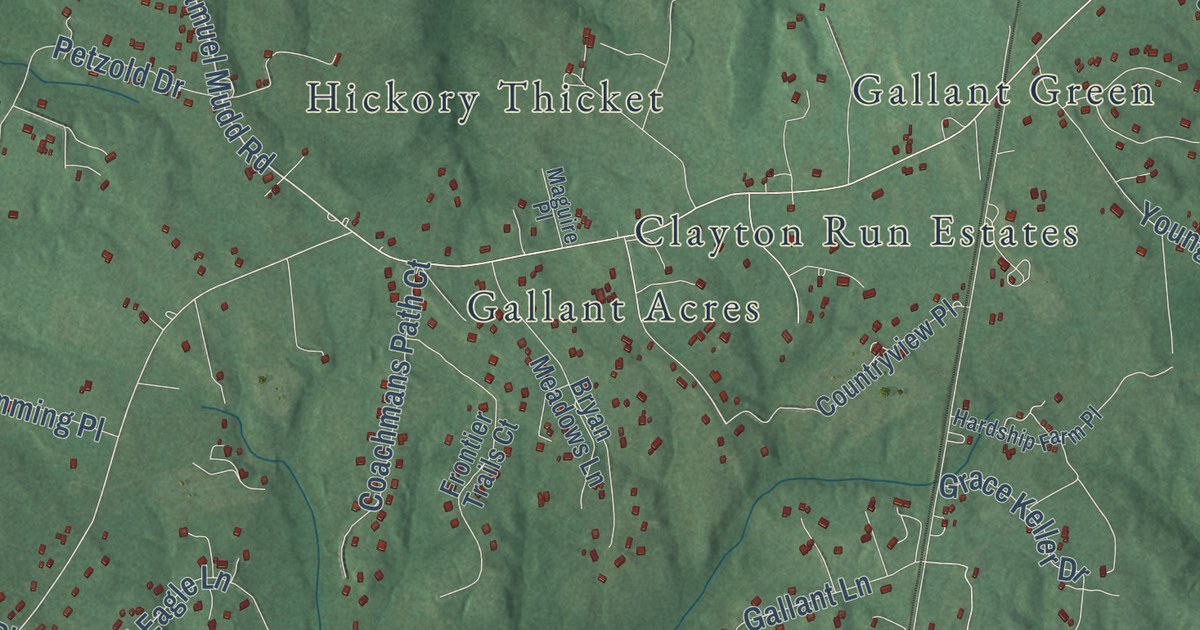
A detailed map of Malcolm, Maryland, showing every building in its true location, the roads by name, and shaded topographical relief.
Read More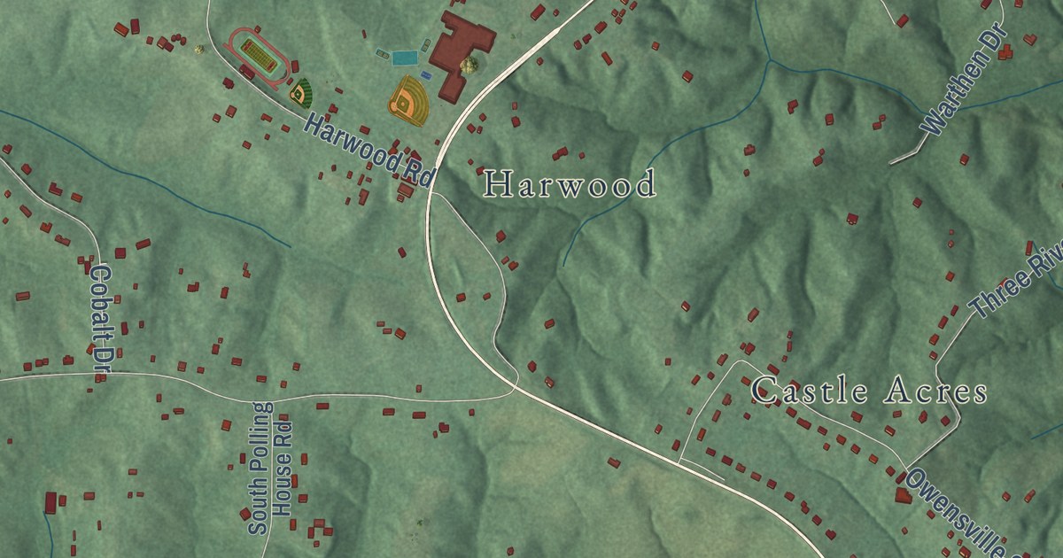
A detailed map of Lothian, Maryland, showing every building in its true location, the roads by name, and shaded topographical relief.
Read More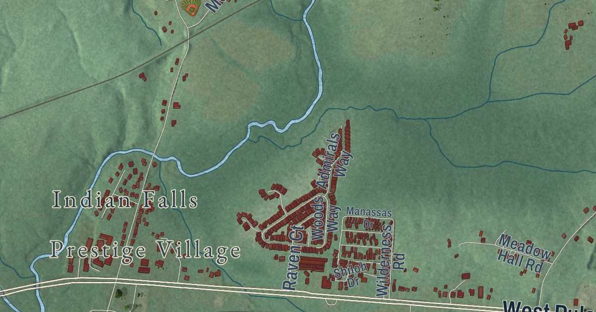
A detailed map of Leeds, Maryland, showing every building in its true location, the roads by name, and shaded topographical relief.
Read More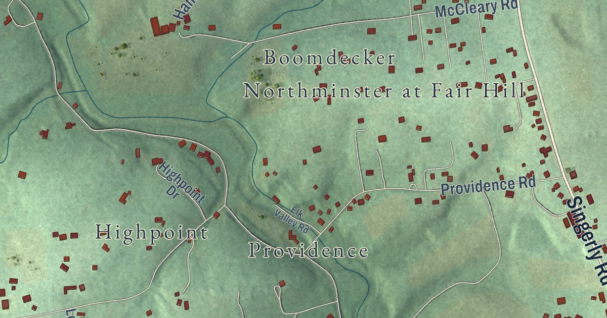
A detailed map of Kenmore, Maryland, showing every building in its true location, the roads by name, and shaded topographical relief.
Read More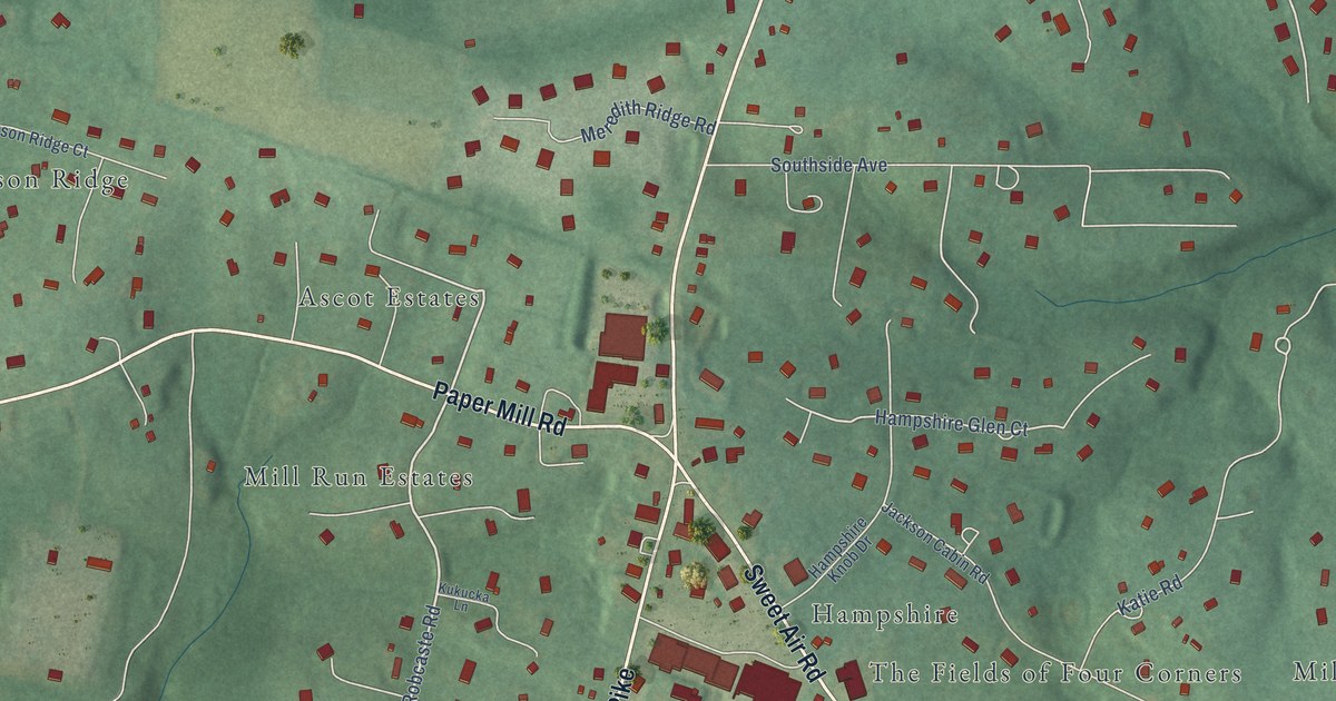
A detailed map of Jacksonville, Maryland, showing every building in its true location, the roads by name, and shaded topographical relief.
Read More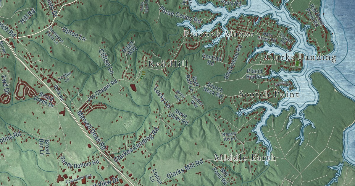
A detailed map of Hollywood, Maryland, showing every building in its true location, the roads by name, and shaded topographical relief.
Read More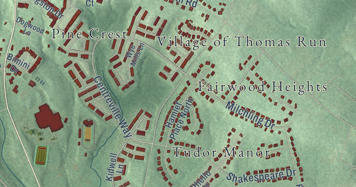
A detailed map of Hickory, Maryland, showing every building in its true location, the roads by name, and shaded topographical relief.
Read More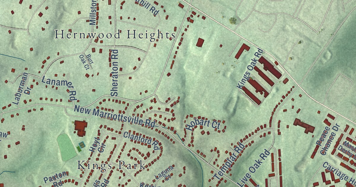
A detailed map of Hernwood, Maryland, showing every building in its true location, the roads by name, and shaded topographical relief.
Read More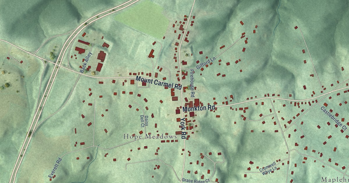
A detailed map of Hereford, Maryland, showing every building in its true location, the roads by name, and shaded topographical relief.
Read More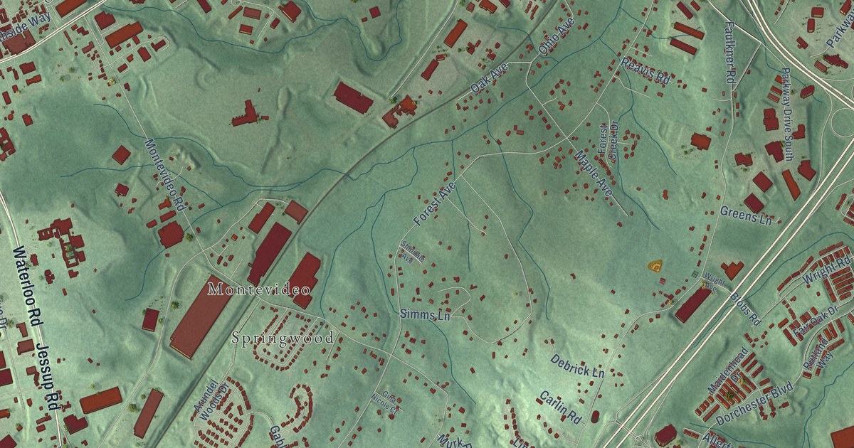
A detailed map of Hanover Hills, Maryland, showing every building in its true location, the roads by name, and shaded topographical relief.
Read More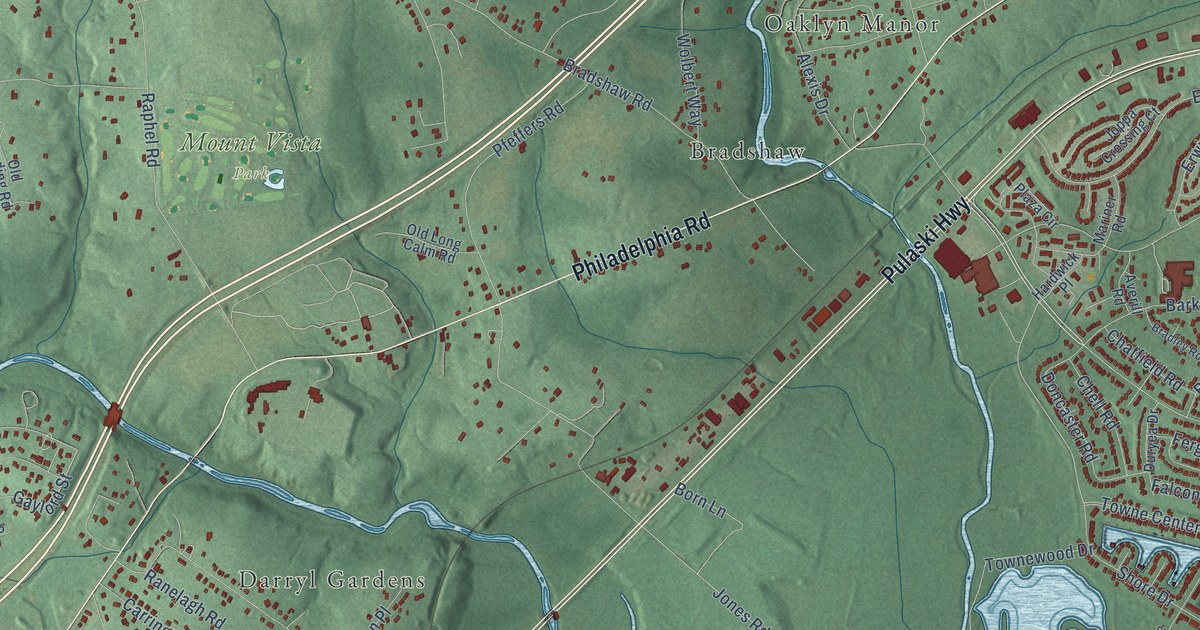
A detailed map of Gunpowder, Maryland, showing every building in its true location, the roads by name, and shaded topographical relief.
Read More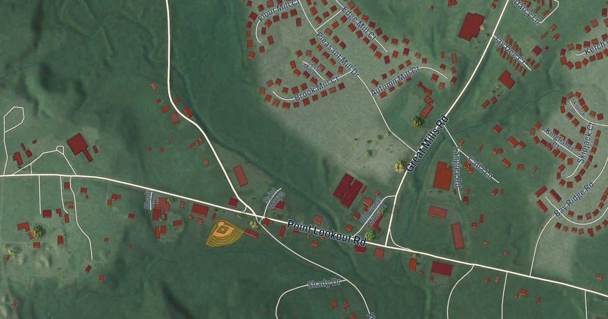
A detailed map of Great Mills, Maryland, showing every building in its true location, the roads by name, and shaded topographical relief.
Read More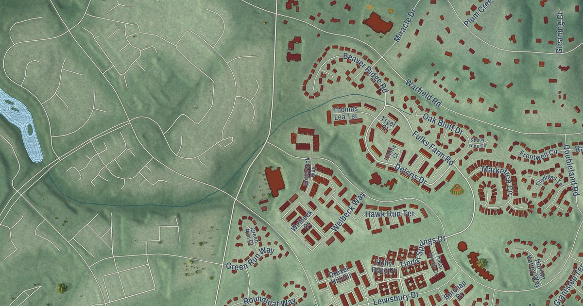
A detailed map of Goshen, Maryland, showing every building in its true location, the roads by name, and shaded topographical relief.
Read More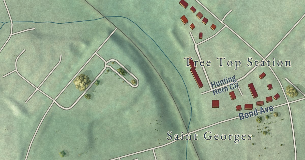
A detailed map of Glyndon, Maryland, showing every building in its true location, the roads by name, and shaded topographical relief.
Read More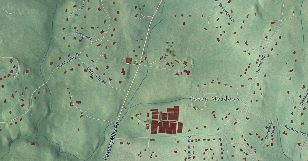
A detailed map of Glenwood, Maryland, showing every building in its true location, the roads by name, and shaded topographical relief.
Read More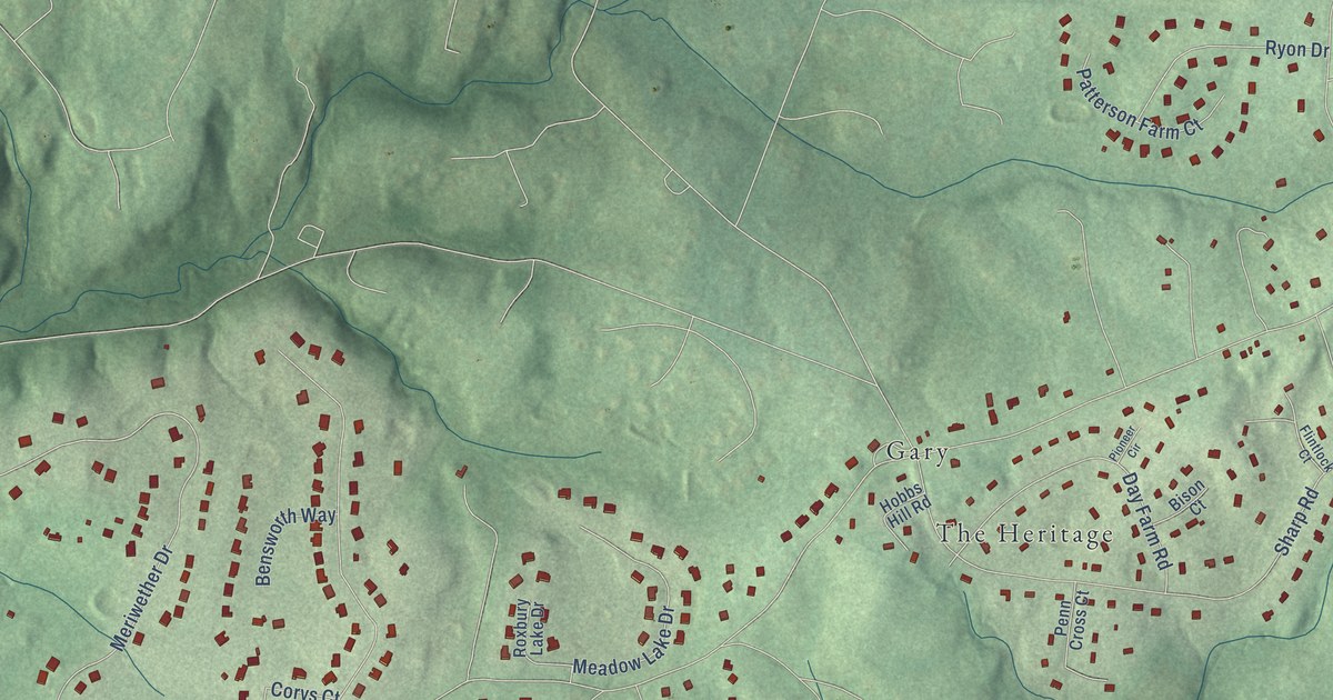
A detailed map of Glenelg, Maryland, showing every building in its true location, the roads by name, and shaded topographical relief.
Read More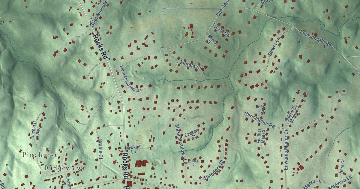
A detailed map of Forest Hill, Maryland, showing every building in its true location, the roads by name, and shaded topographical relief.
Read More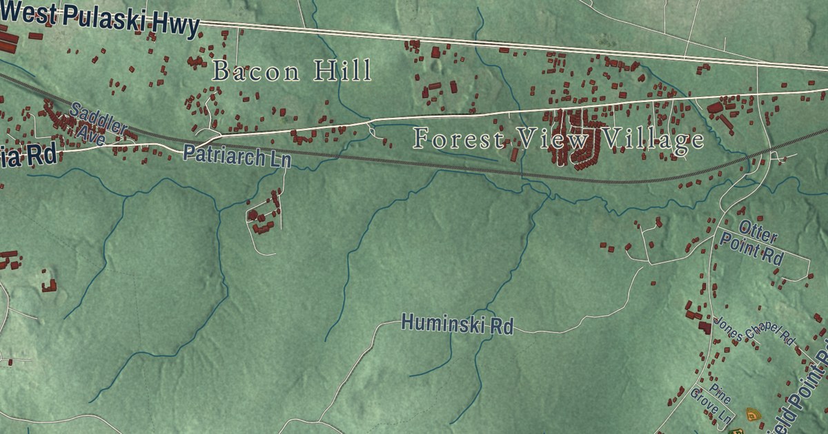
A detailed map of Elk Neck, Maryland, showing every building in its true location, the roads by name, and shaded topographical relief.
Read More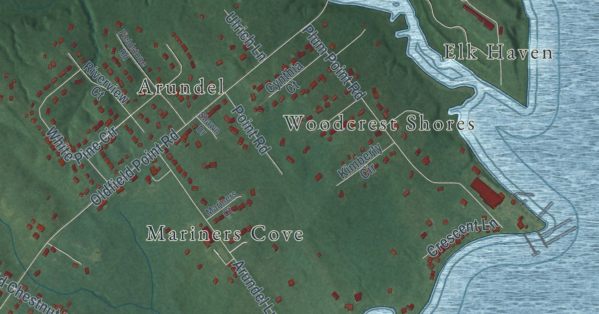
A detailed map of Elk, Maryland, showing every building in its true location, the roads by name, and shaded topographical relief.
Read More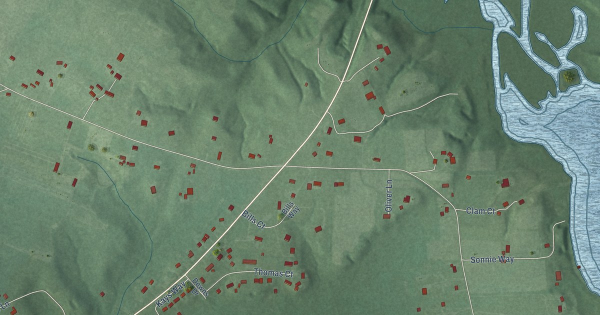
A detailed map of Dynard, Maryland, showing every building in its true location, the roads by name, and shaded topographical relief.
Read More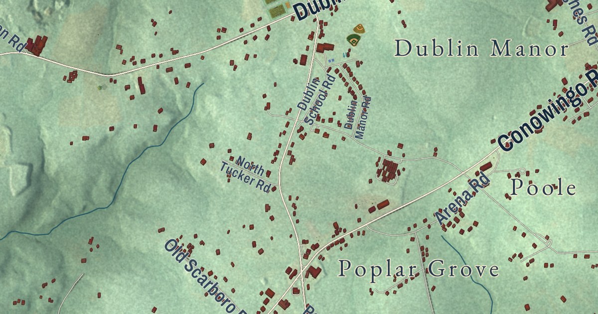
A detailed map of Dublin, Maryland, showing every building in its true location, the roads by name, and shaded topographical relief.
Read More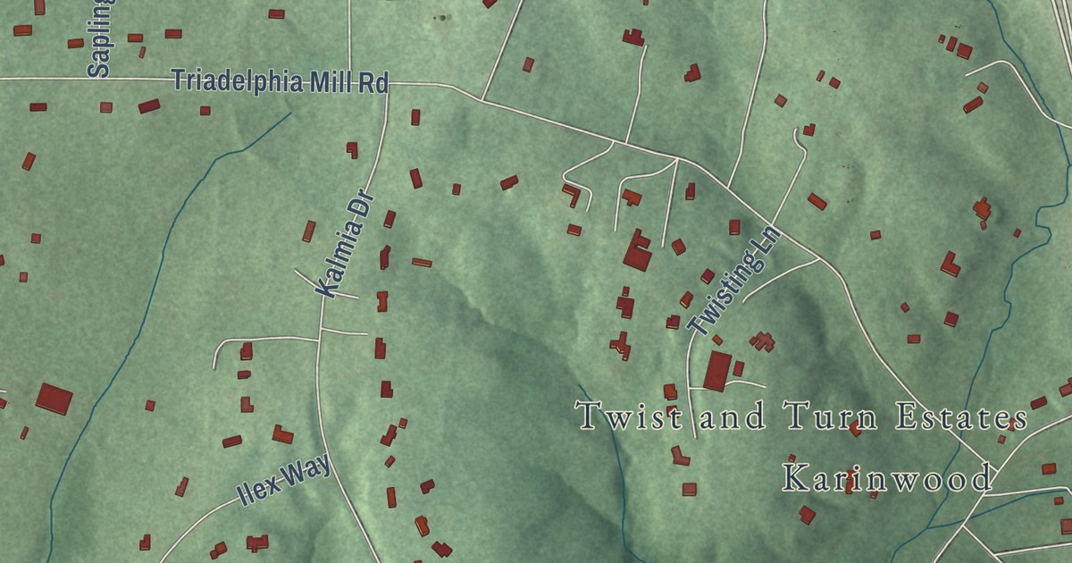
A detailed map of Dayton, Maryland, showing every building in its true location, the roads by name, and shaded topographical relief.
Read More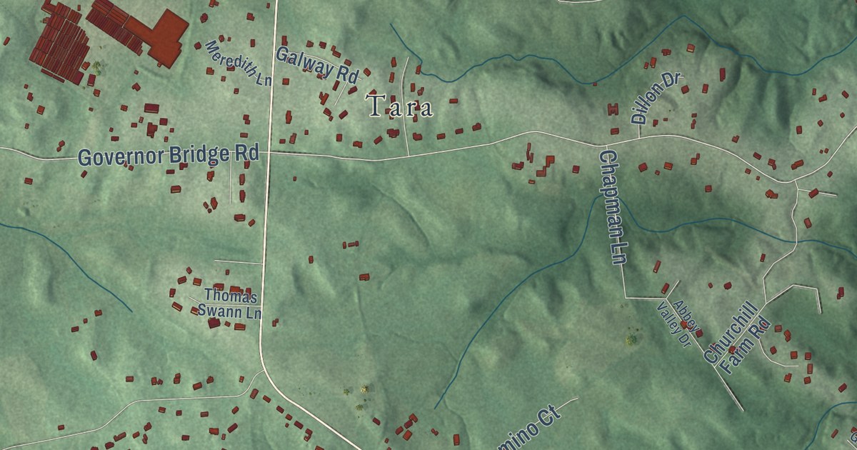
A detailed map of Davidsonville, Maryland, showing every building in its true location, the roads by name, and shaded topographical relief.
Read More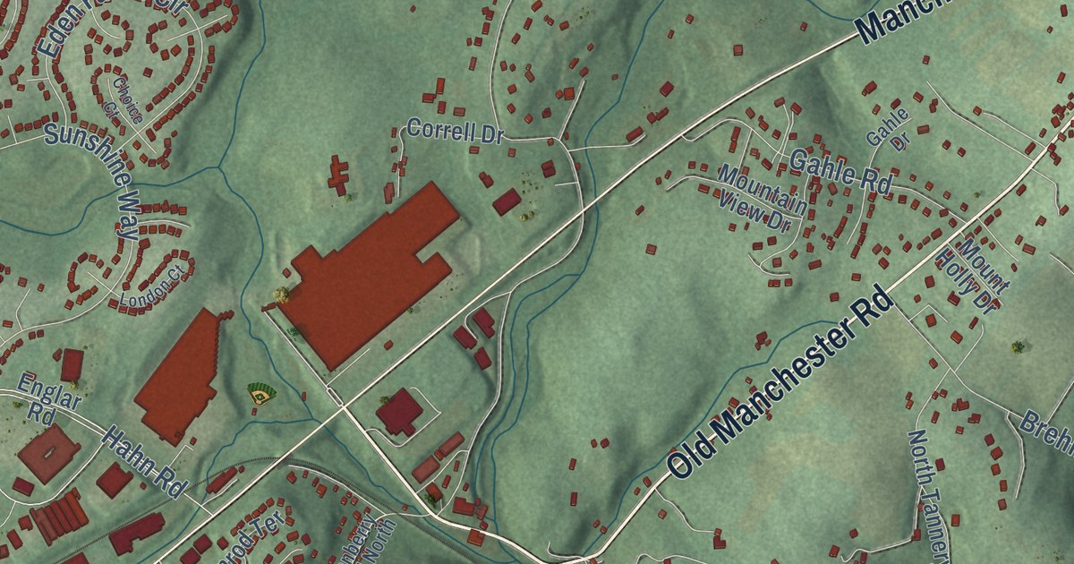
A detailed map of Cranberry, Maryland, showing every building in its true location, the roads by name, and shaded topographical relief.
Read More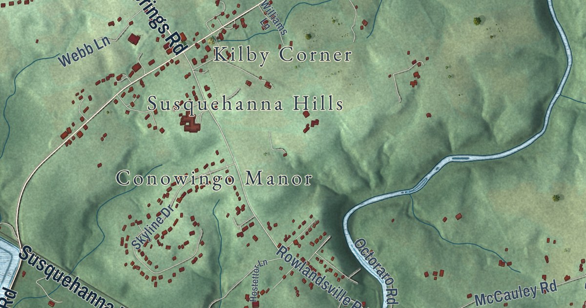
A detailed map of Conowingo, Maryland, showing every building in its true location, the roads by name, and shaded topographical relief.
Read More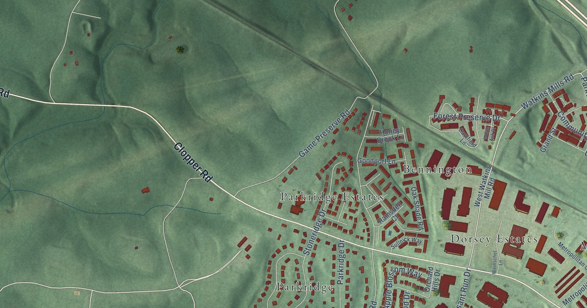
A detailed map of Clopper, Maryland, showing every building in its true location, the roads by name, and shaded topographical relief.
Read More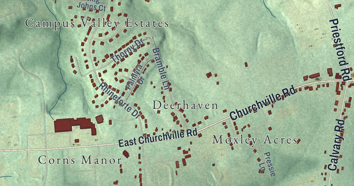
A detailed map of Churchville, Maryland, showing every building in its true location, the roads by name, and shaded topographical relief.
Read More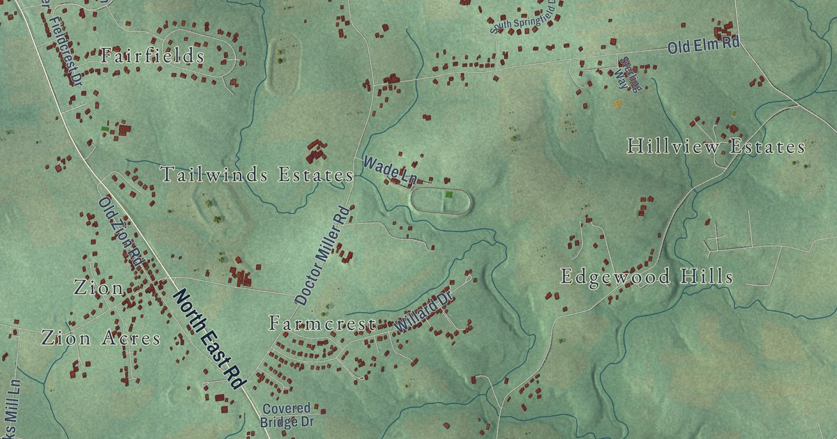
A detailed map of Calvert, Maryland, showing every building in its true location, the roads by name, and shaded topographical relief.
Read More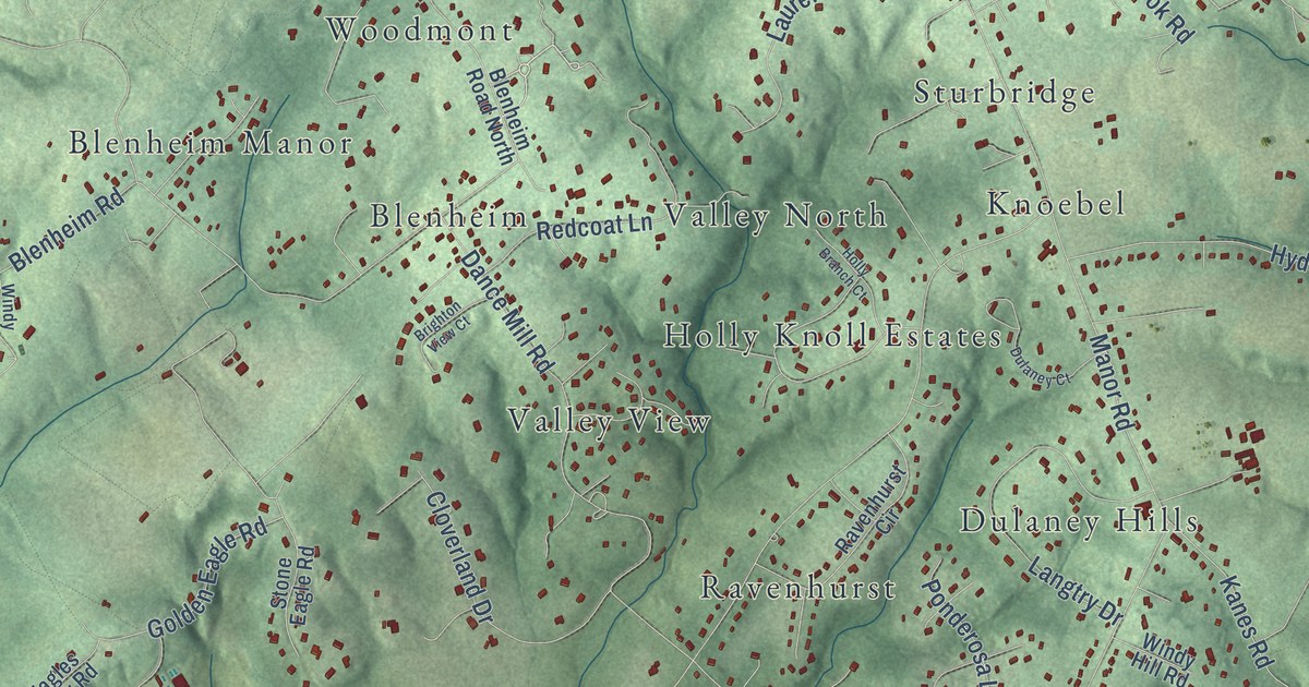
A detailed map of Carroll Manor, Maryland, showing every building in its true location, the roads by name, and shaded topographical relief.
Read More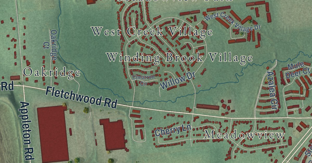
A detailed map of Cecil Manor, Maryland, showing every building in its true location, the roads by name, and shaded topographical relief.
Read More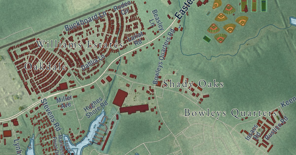
A detailed map of Chase, Maryland, showing every building in its true location, the roads by name, and shaded topographical relief.
Read More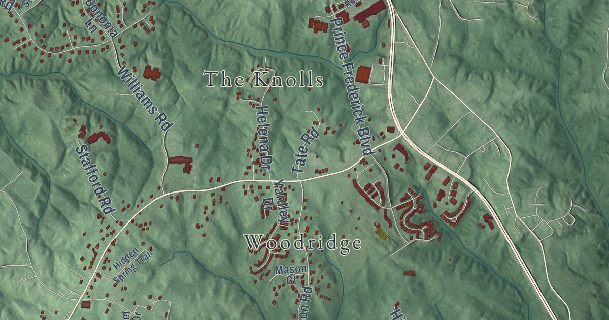
A detailed map of Barstow, Maryland, showing every building in its true location, the roads by name, and shaded topographical relief.
Read More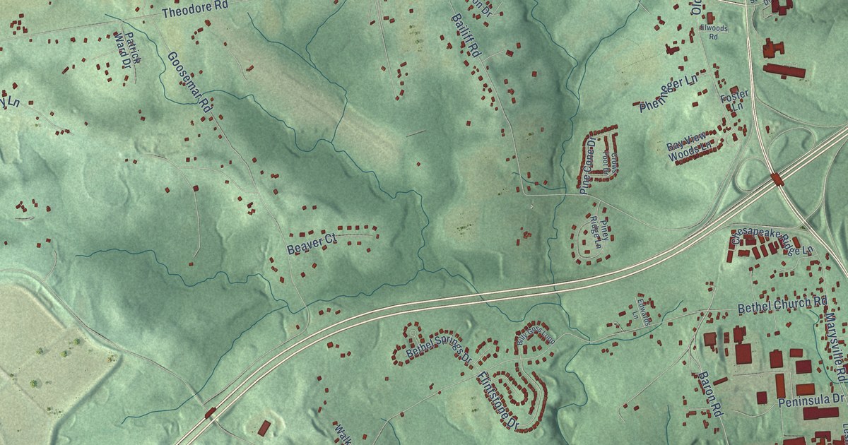
A detailed map of Bay View, Maryland, showing every building in its true location, the roads by name, and shaded topographical relief.
Read More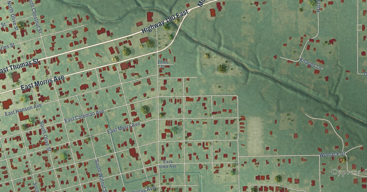
A detailed map of Woodland Park, Louisiana, showing every building in its true location, the roads by name, and shaded topographical relief.
Read More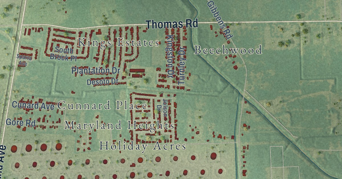
A detailed map of White Hills, Louisiana, showing every building in its true location, the roads by name, and shaded topographical relief.
Read More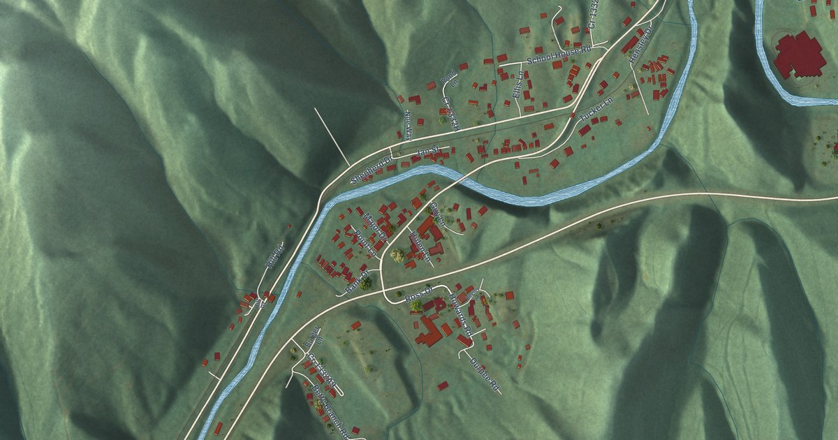
A detailed map of Rosspoint, Kentucky, showing every building in its true location, the roads by name, and shaded topographical relief.
Read More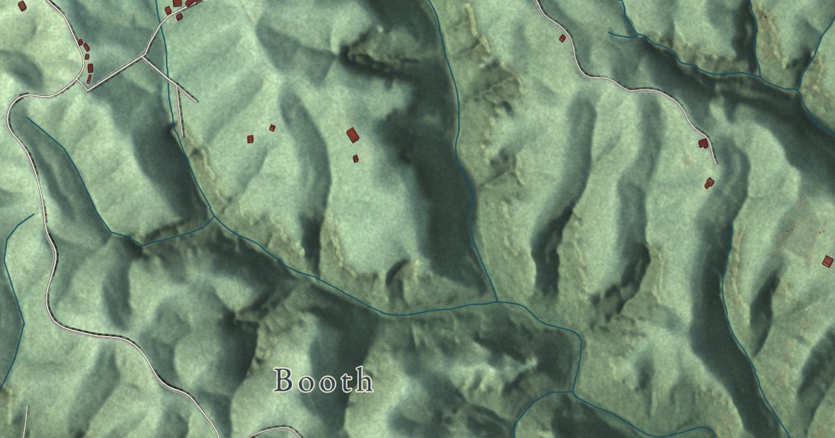
A detailed map of Rogers, Kentucky, showing every building in its true location, the roads by name, and shaded topographical relief.
Read More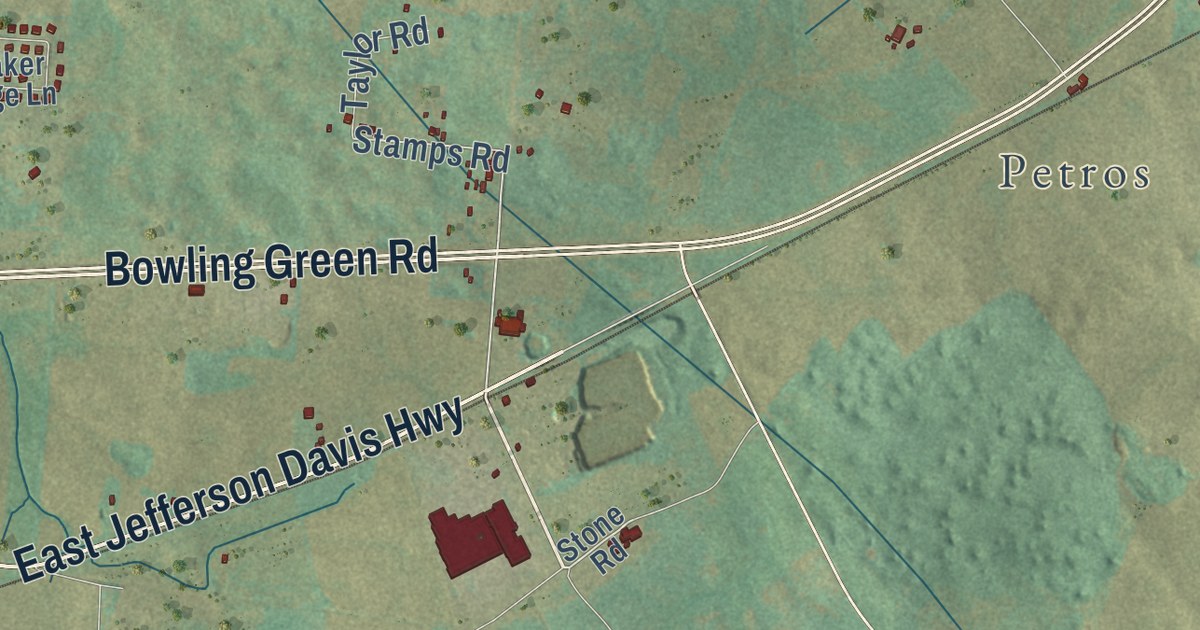
A detailed map of Rockfield, Kentucky, showing every building in its true location, the roads by name, and shaded topographical relief.
Read More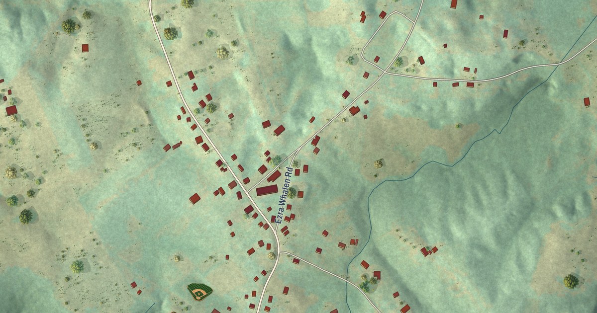
A detailed map of Richardsville, Kentucky, showing every building in its true location, the roads by name, and shaded topographical relief.
Read More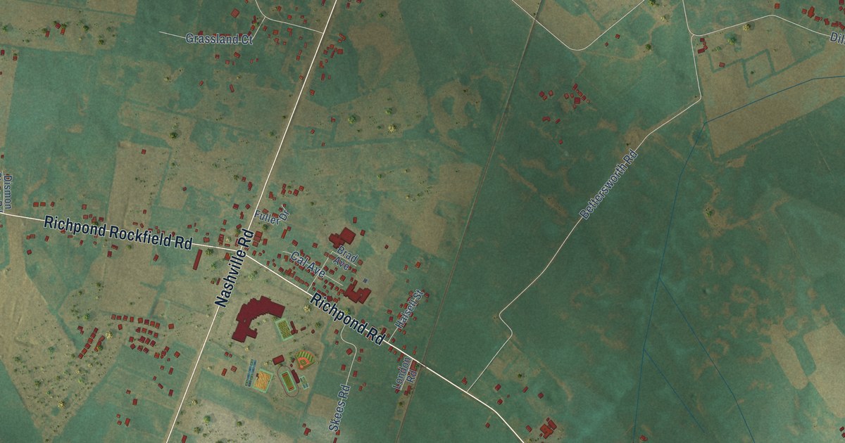
A detailed map of Rich Pond, Kentucky, showing every building in its true location, the roads by name, and shaded topographical relief.
Read More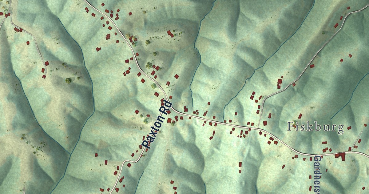
A detailed map of Piner, Kentucky, showing every building in its true location, the roads by name, and shaded topographical relief.
Read More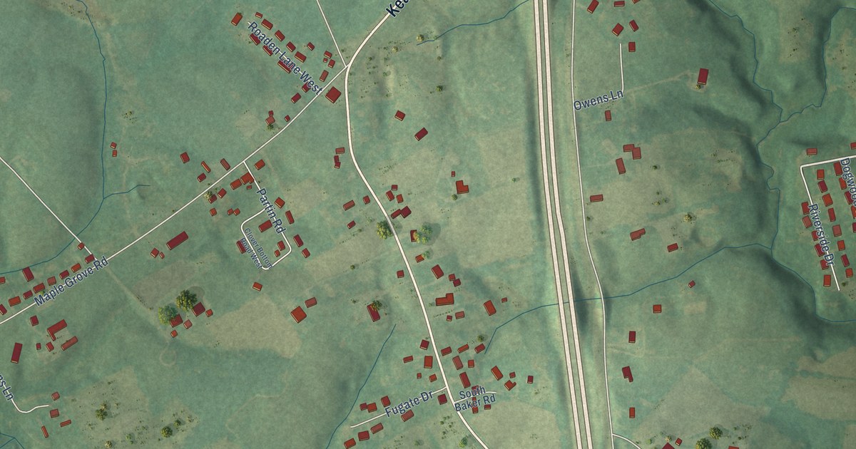
A detailed map of Pine Grove, Kentucky, showing every building in its true location, the roads by name, and shaded topographical relief.
Read More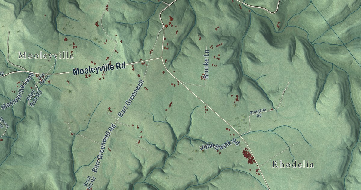
A detailed map of Payneville, Kentucky, showing every building in its true location, the roads by name, and shaded topographical relief.
Read More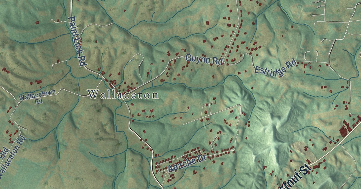
A detailed map of Paint Lick, Kentucky, showing every building in its true location, the roads by name, and shaded topographical relief.
Read More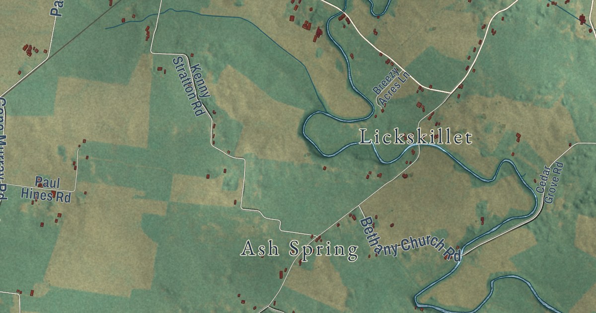
A detailed map of Olmstead, Kentucky, showing every building in its true location, the roads by name, and shaded topographical relief.
Read More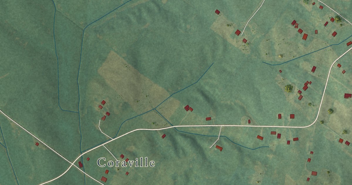
A detailed map of Niagara, Kentucky, showing every building in its true location, the roads by name, and shaded topographical relief.
Read More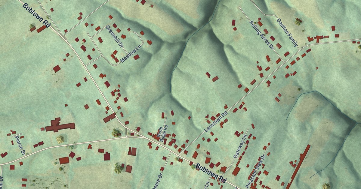
A detailed map of Nancy, Kentucky, showing every building in its true location, the roads by name, and shaded topographical relief.
Read More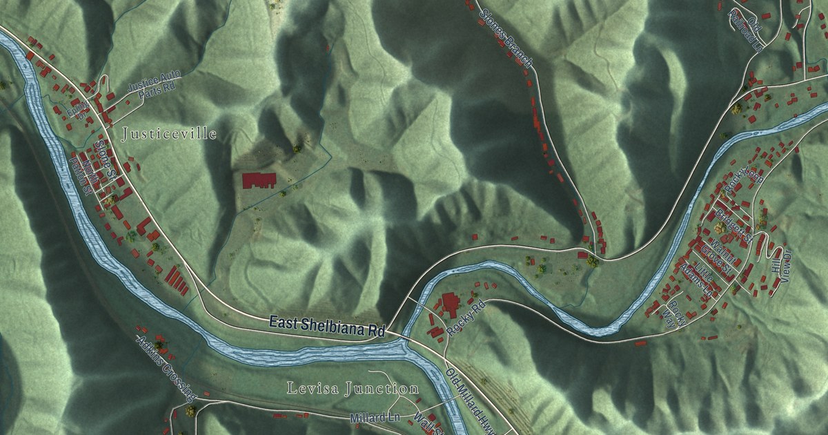
A detailed map of Millard, Kentucky, showing every building in its true location, the roads by name, and shaded topographical relief.
Read More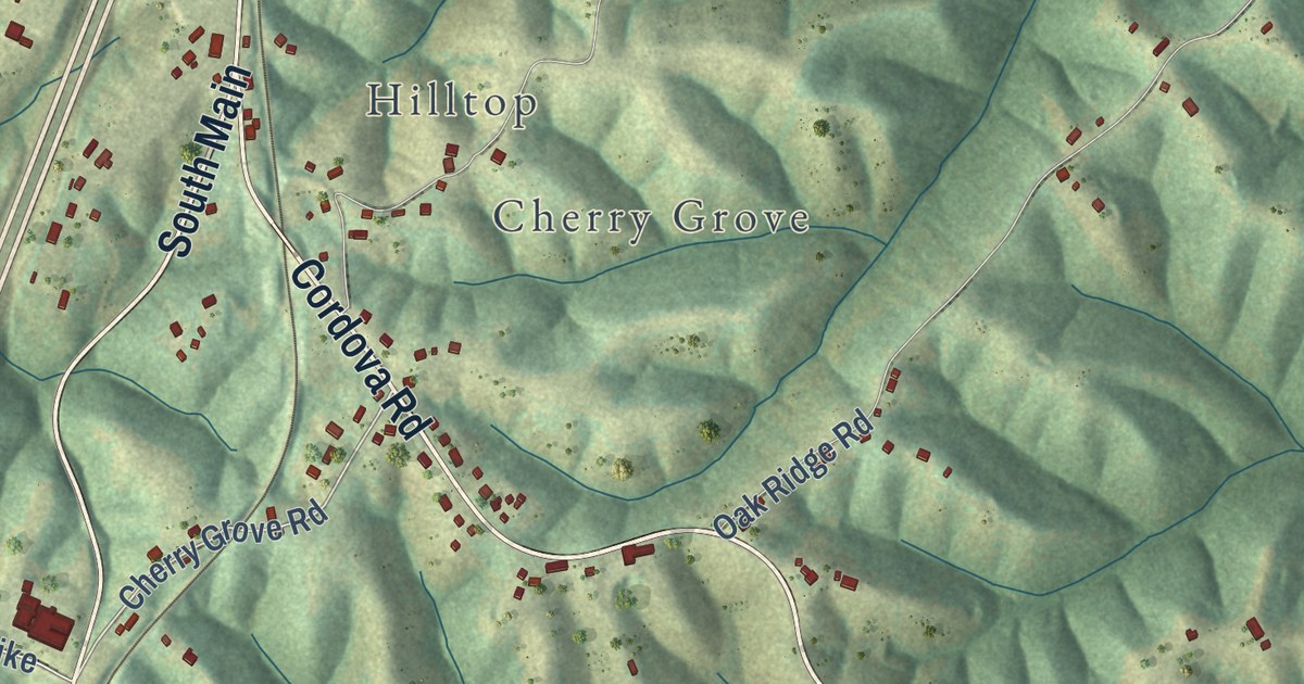
A detailed map of Mason, Kentucky, showing every building in its true location, the roads by name, and shaded topographical relief.
Read More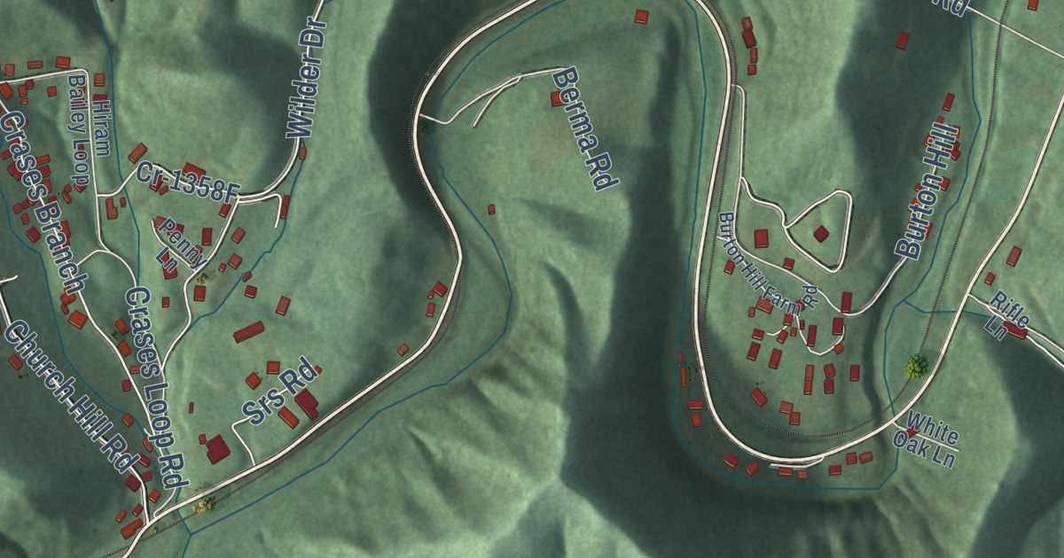
A detailed map of Letcher, Kentucky, showing every building in its true location, the roads by name, and shaded topographical relief.
Read More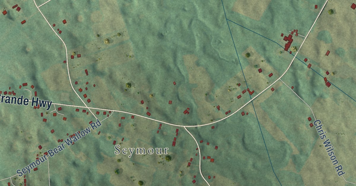
A detailed map of LeGrande, Kentucky, showing every building in its true location, the roads by name, and shaded topographical relief.
Read More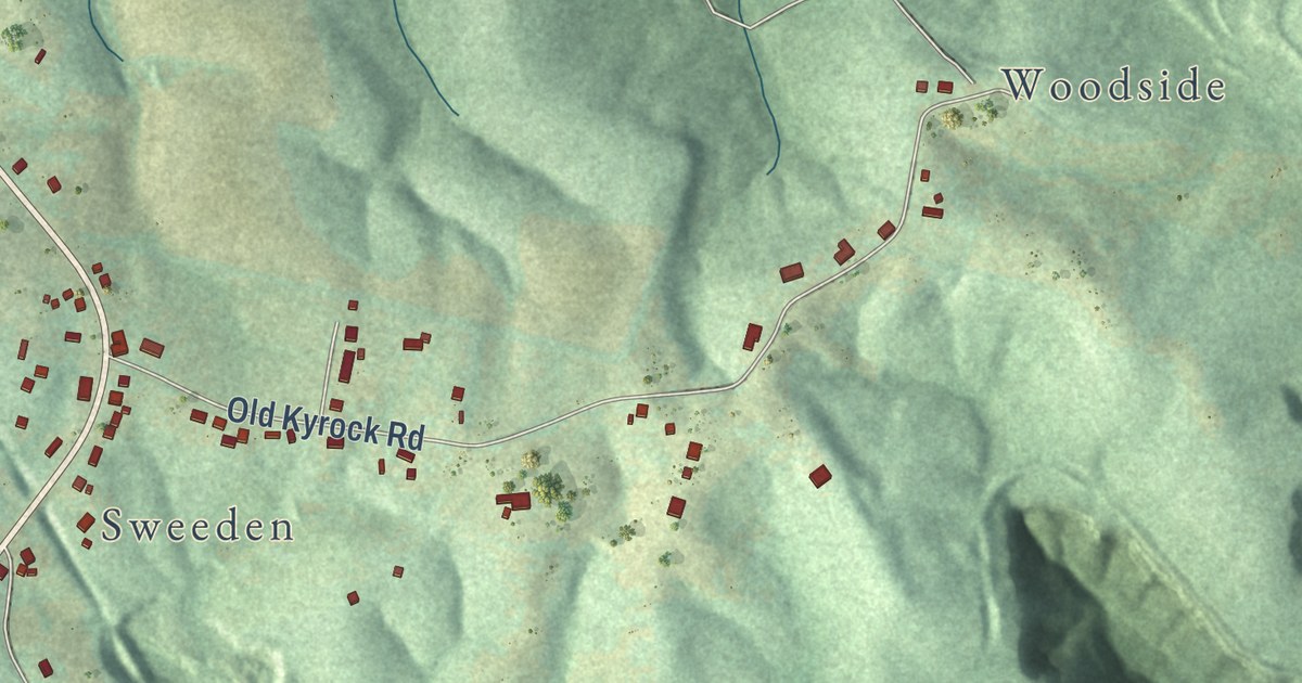
A detailed map of Kyrock, Kentucky, showing every building in its true location, the roads by name, and shaded topographical relief.
Read More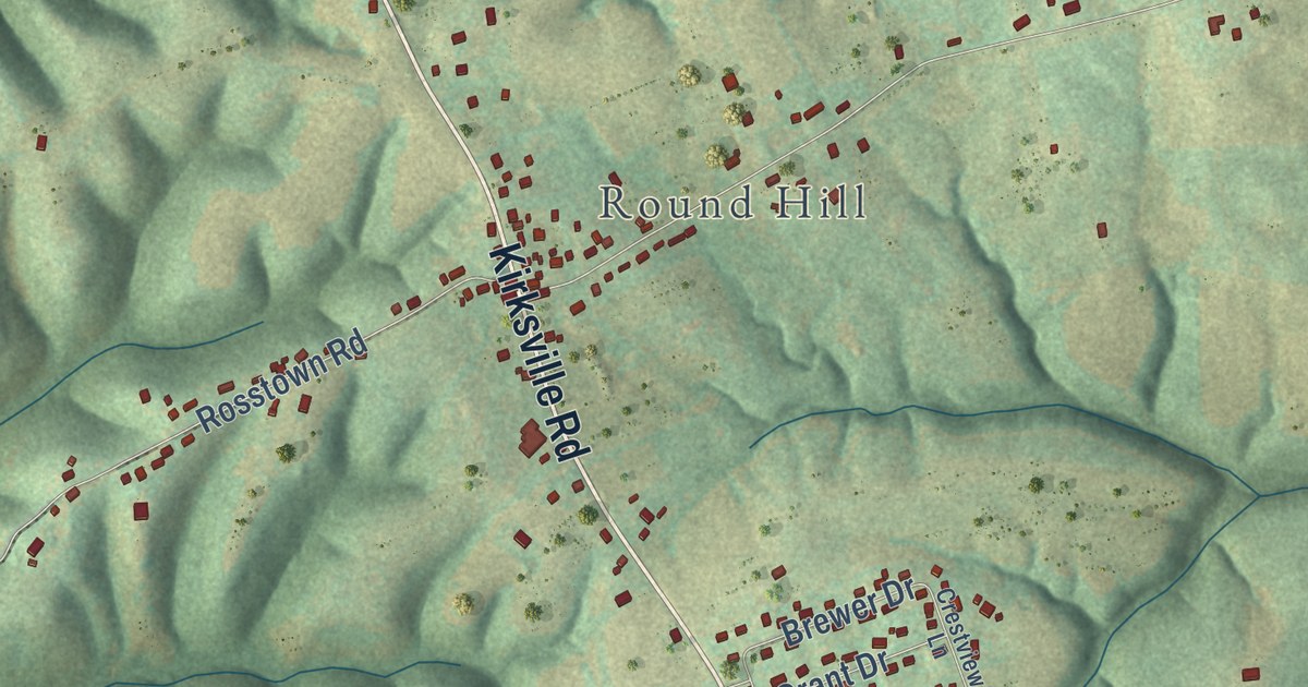
A detailed map of Kirksville, Kentucky, showing every building in its true location, the roads by name, and shaded topographical relief.
Read More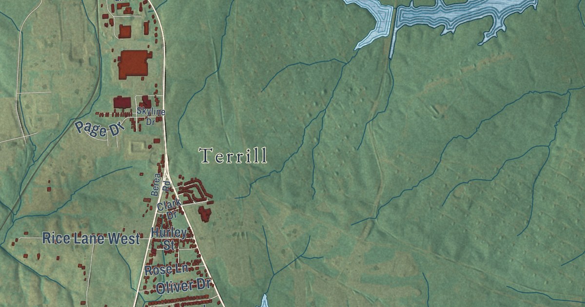
A detailed map of Kingston, Kentucky, showing every building in its true location, the roads by name, and shaded topographical relief.
Read More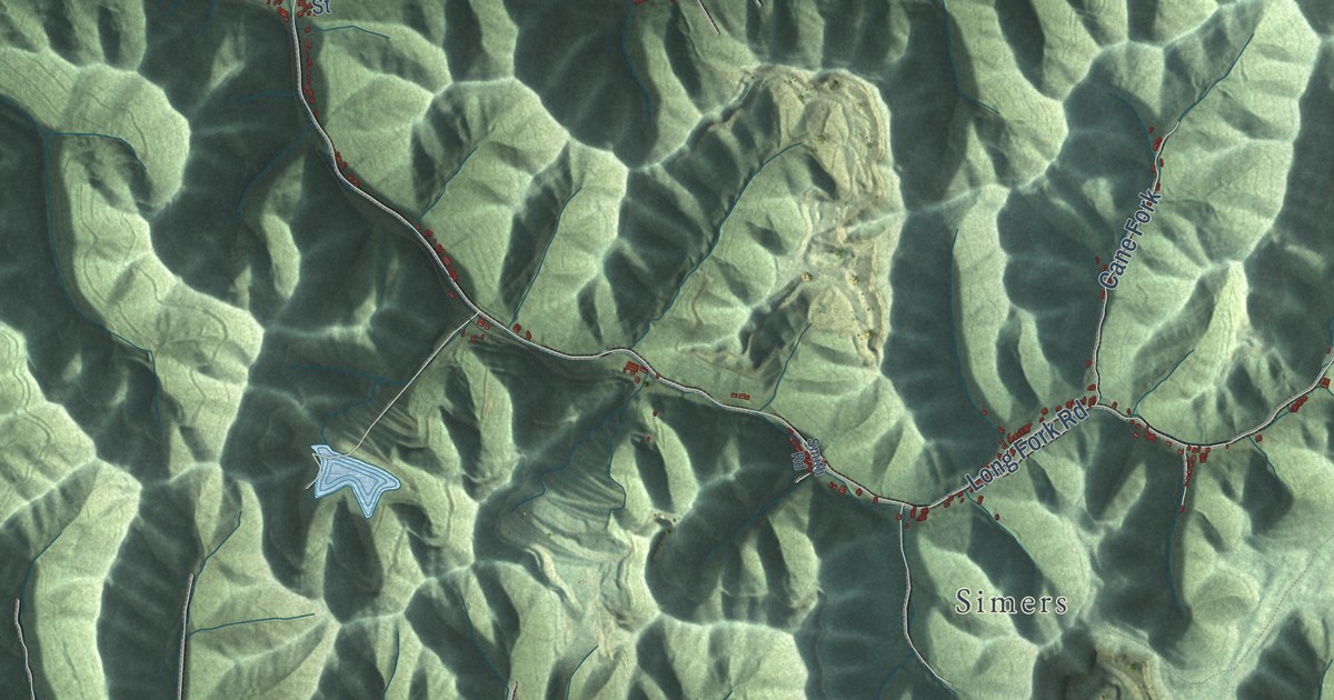
A detailed map of Kimper, Kentucky, showing every building in its true location, the roads by name, and shaded topographical relief.
Read More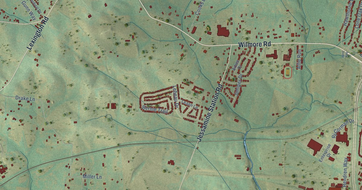
A detailed map of Jessamine, Kentucky, showing every building in its true location, the roads by name, and shaded topographical relief.
Read More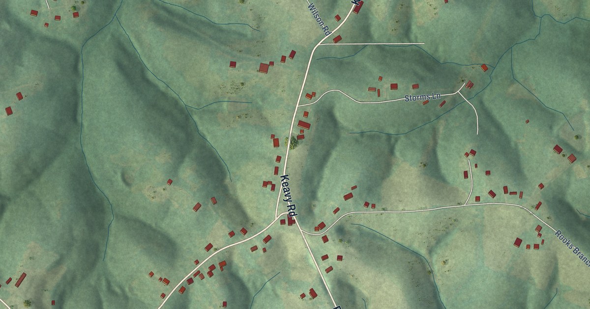
A detailed map of Keavy, Kentucky, showing every building in its true location, the roads by name, and shaded topographical relief.
Read More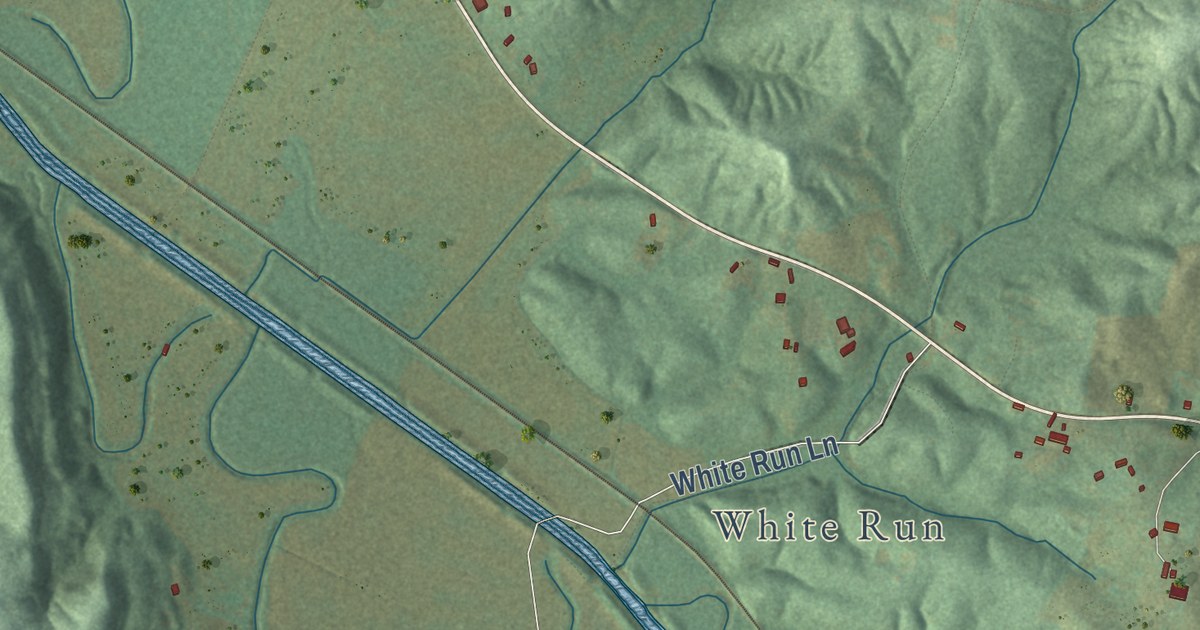
A detailed map of Horse Branch, Kentucky, showing every building in its true location, the roads by name, and shaded topographical relief.
Read More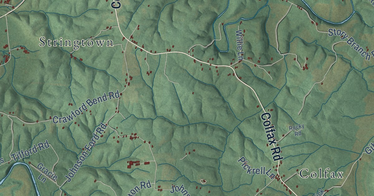
A detailed map of Hillsboro, Kentucky, showing every building in its true location, the roads by name, and shaded topographical relief.
Read More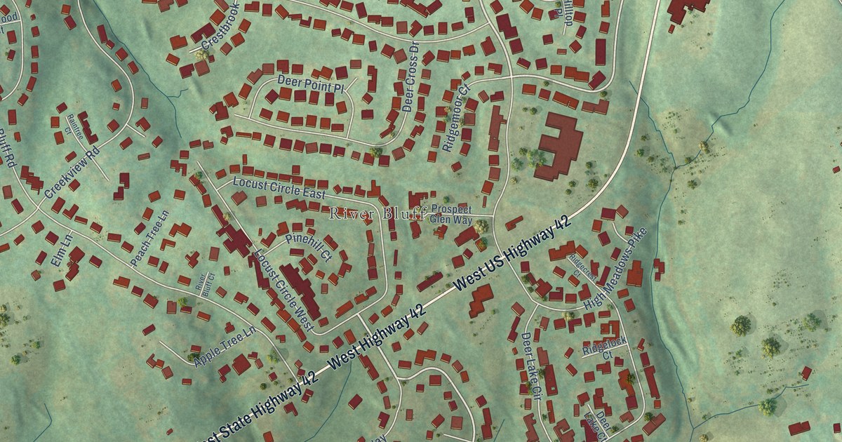
A detailed map of Hillcrest, Kentucky, showing every building in its true location, the roads by name, and shaded topographical relief.
Read More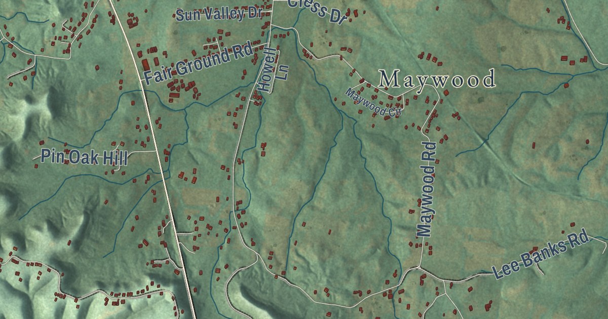
A detailed map of Highland, Kentucky, showing every building in its true location, the roads by name, and shaded topographical relief.
Read More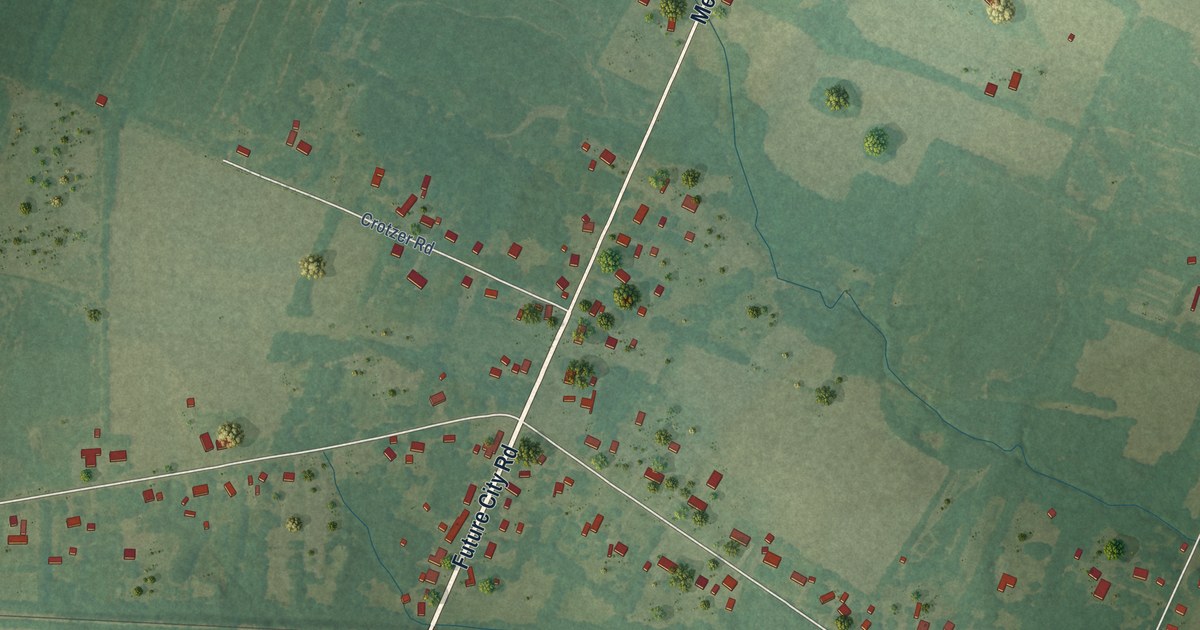
A detailed map of Heath, Kentucky, showing every building in its true location, the roads by name, and shaded topographical relief.
Read More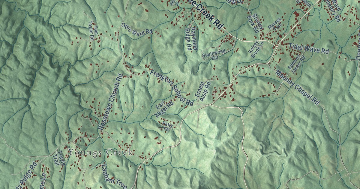
A detailed map of Grove, Kentucky, showing every building in its true location, the roads by name, and shaded topographical relief.
Read More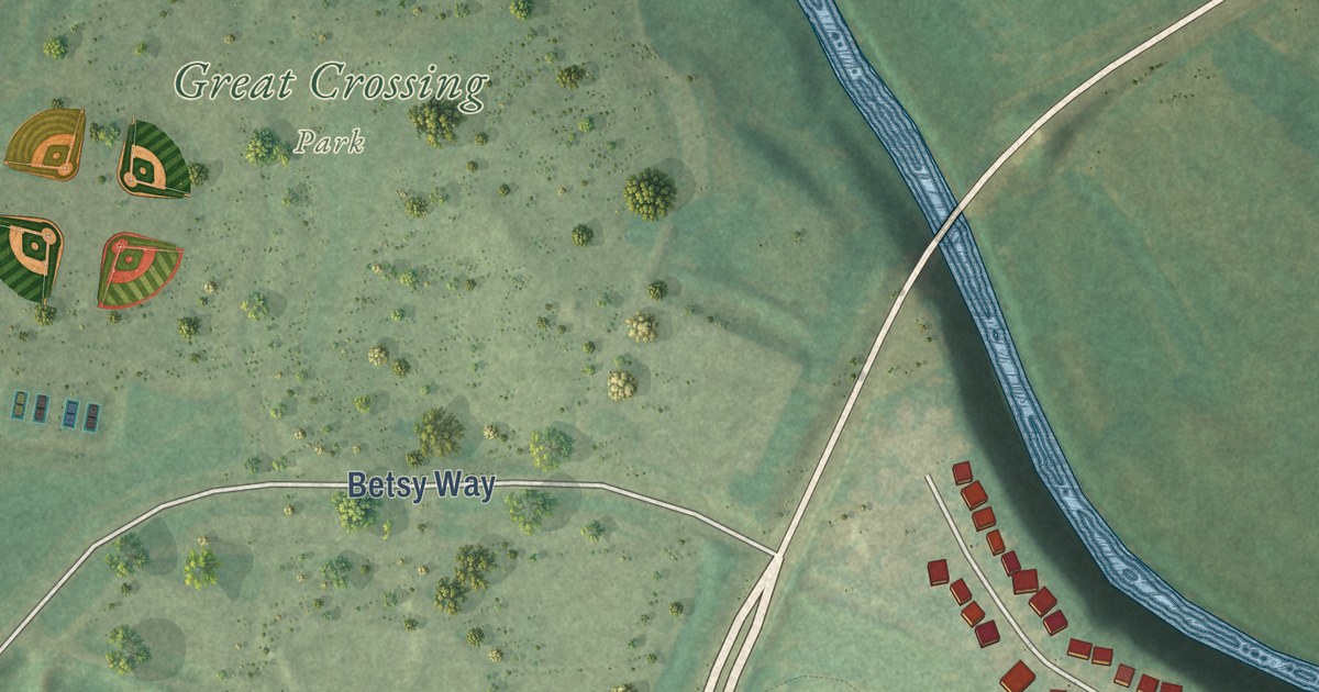
A detailed map of Great Crossing, Kentucky, showing every building in its true location, the roads by name, and shaded topographical relief.
Read More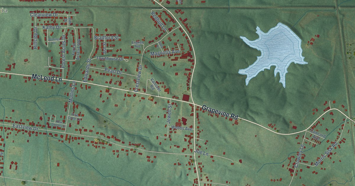
A detailed map of Grapevine, Kentucky, showing every building in its true location, the roads by name, and shaded topographical relief.
Read More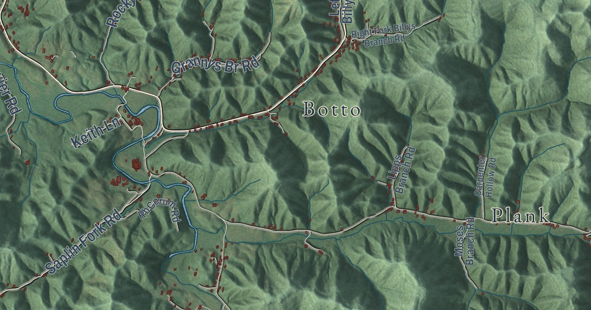
A detailed map of Goose Rock, Kentucky, showing every building in its true location, the roads by name, and shaded topographical relief.
Read More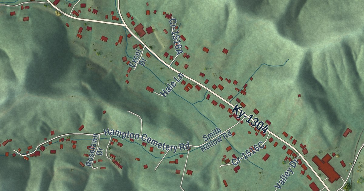
A detailed map of Girdler, Kentucky, showing every building in its true location, the roads by name, and shaded topographical relief.
Read More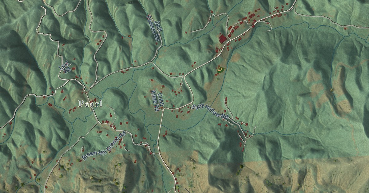
A detailed map of Frakes, Kentucky, showing every building in its true location, the roads by name, and shaded topographical relief.
Read More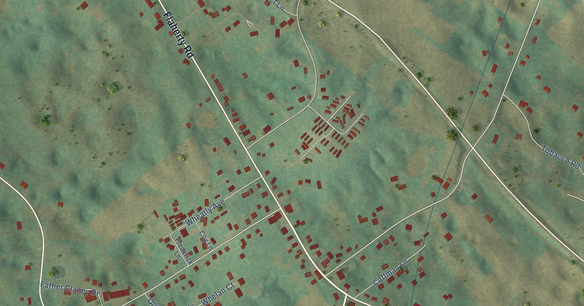
A detailed map of Flaherty, Kentucky, showing every building in its true location, the roads by name, and shaded topographical relief.
Read More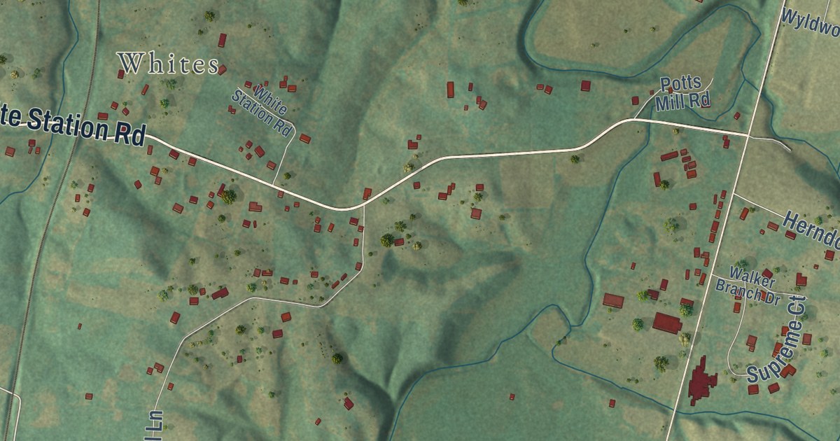
A detailed map of Farristown, Kentucky, showing every building in its true location, the roads by name, and shaded topographical relief.
Read More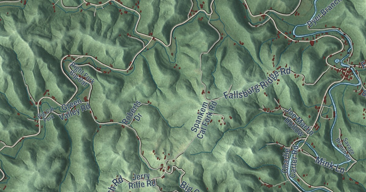
A detailed map of Fallsburg, Kentucky, showing every building in its true location, the roads by name, and shaded topographical relief.
Read More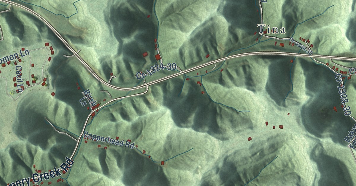
A detailed map of Emmalena, Kentucky, showing every building in its true location, the roads by name, and shaded topographical relief.
Read More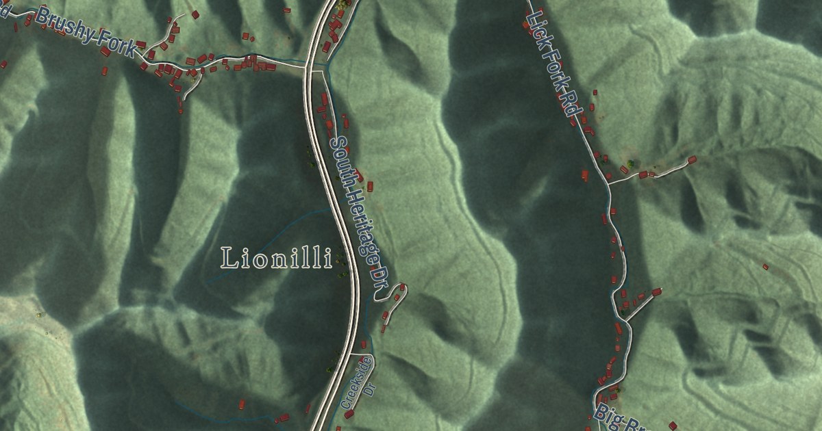
A detailed map of Dorton, Kentucky, showing every building in its true location, the roads by name, and shaded topographical relief.
Read More















