Detailed Map of Dewitt, Kentucky
A detailed map of Dewitt, Kentucky, showing every building in its true location, the roads by name, and shaded topographical relief.
Read More
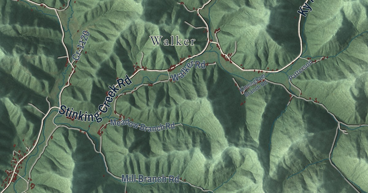
A detailed map of Dewitt, Kentucky, showing every building in its true location, the roads by name, and shaded topographical relief.
Read More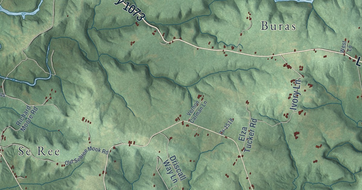
A detailed map of Custer, Kentucky, showing every building in its true location, the roads by name, and shaded topographical relief.
Read More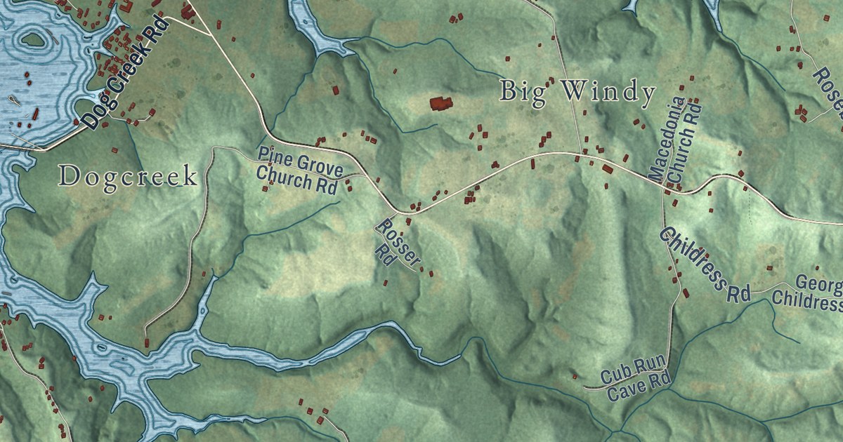
A detailed map of Cub Run, Kentucky, showing every building in its true location, the roads by name, and shaded topographical relief.
Read More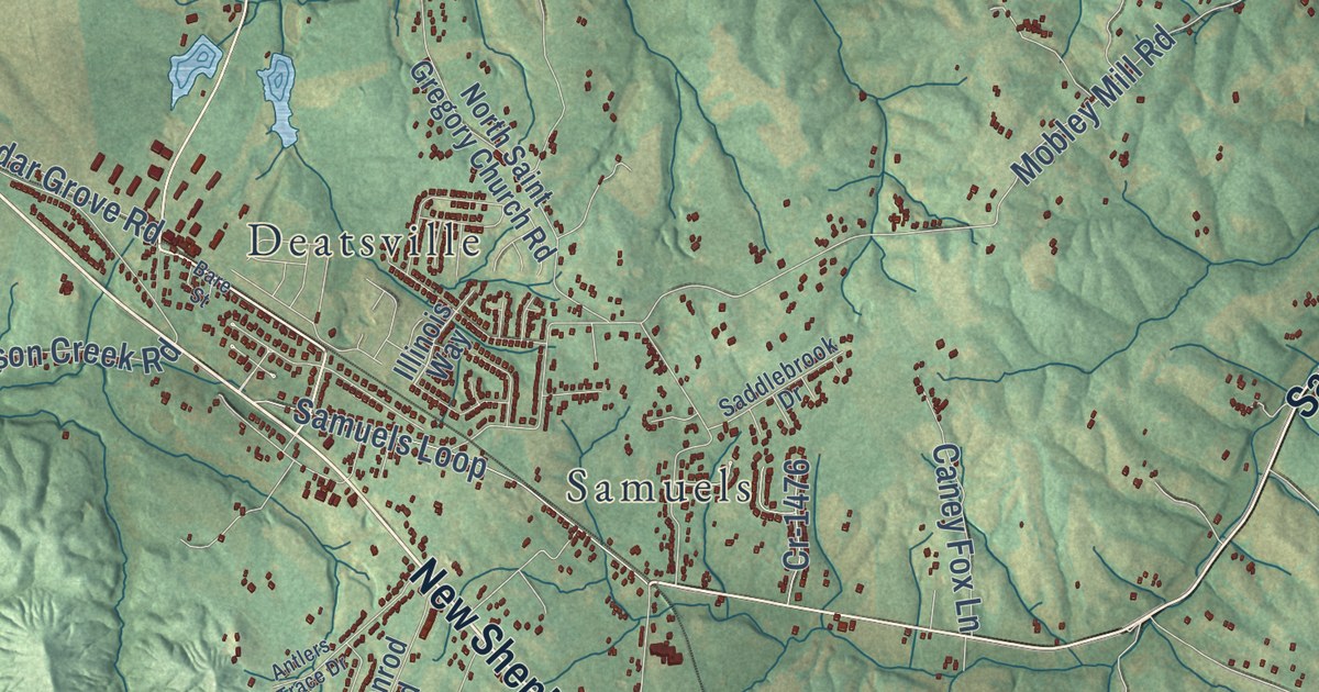
A detailed map of Coxs Creek, Kentucky, showing every building in its true location, the roads by name, and shaded topographical relief.
Read More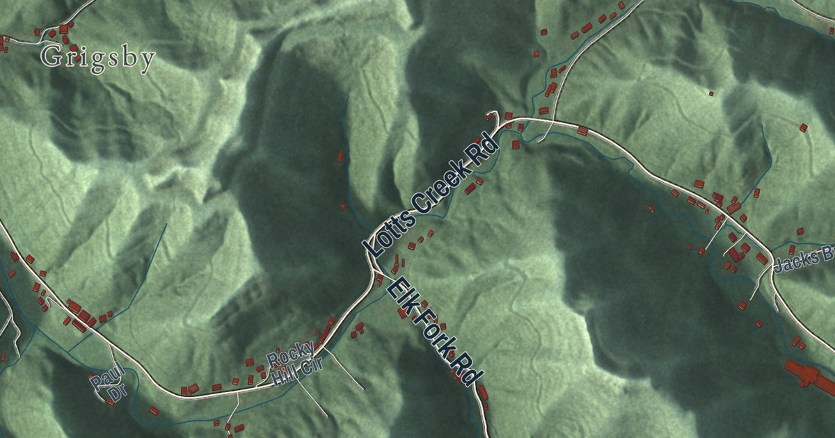
A detailed map of Cordia, Kentucky, showing every building in its true location, the roads by name, and shaded topographical relief.
Read More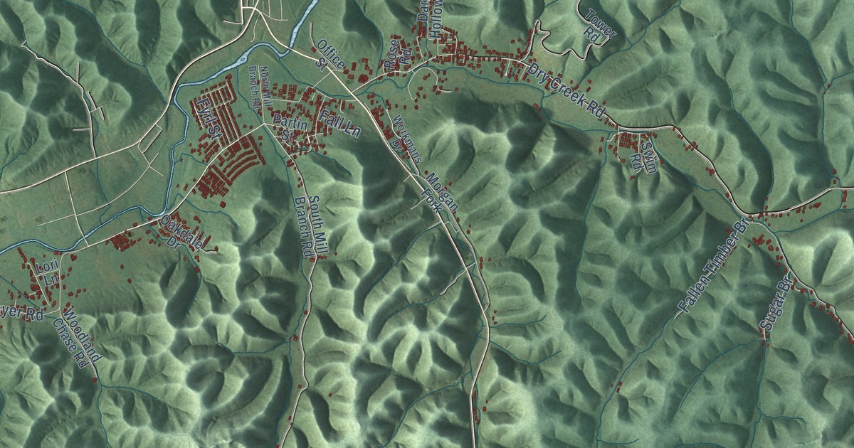
A detailed map of Clearfield, Kentucky, showing every building in its true location, the roads by name, and shaded topographical relief.
Read More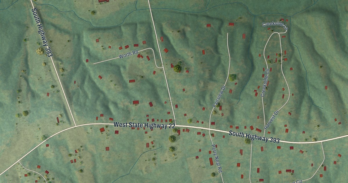
A detailed map of Centerfield, Kentucky, showing every building in its true location, the roads by name, and shaded topographical relief.
Read More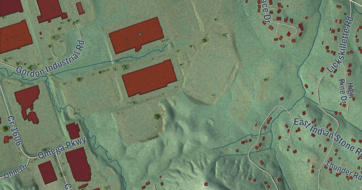
A detailed map of Cedar Grove, Kentucky, showing every building in its true location, the roads by name, and shaded topographical relief.
Read More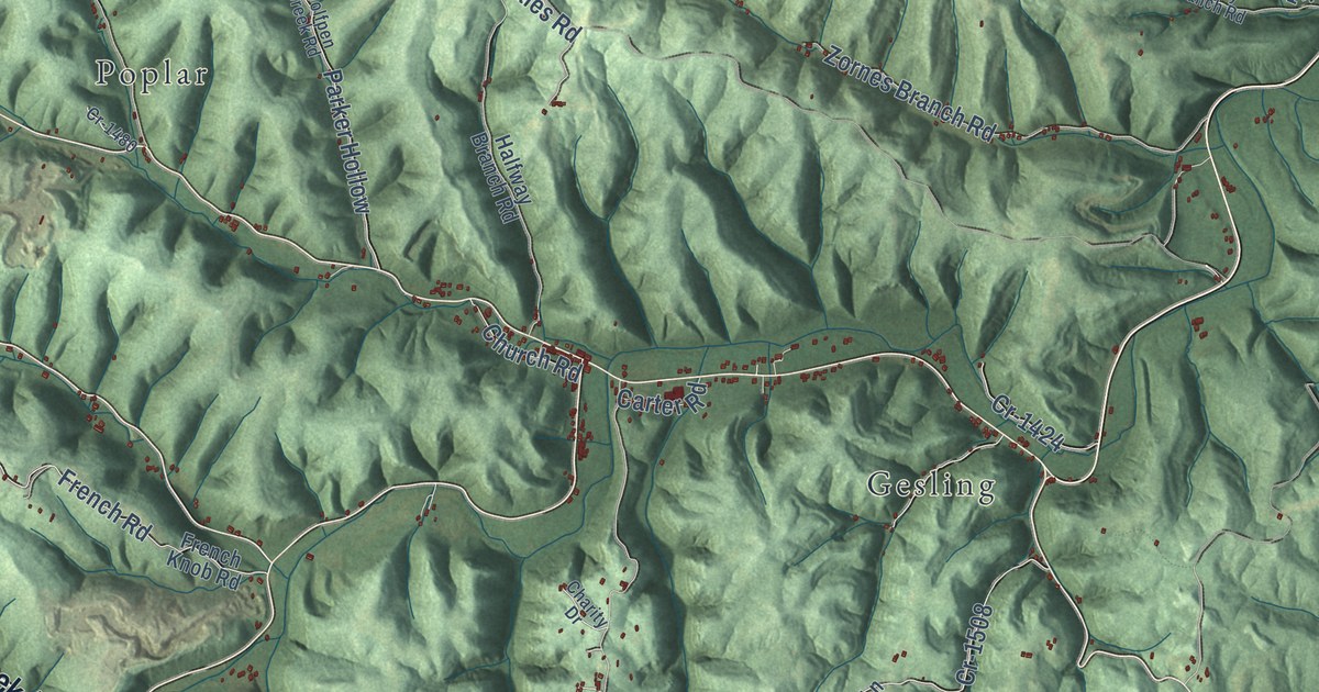
A detailed map of Carter, Kentucky, showing every building in its true location, the roads by name, and shaded topographical relief.
Read More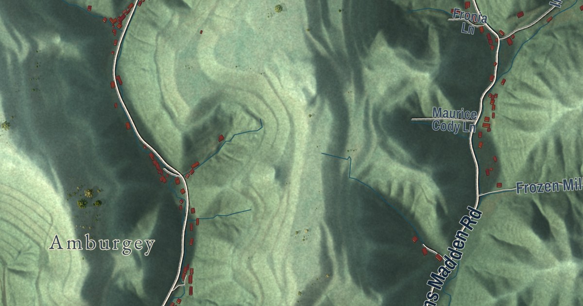
A detailed map of Carr Creek, Kentucky, showing every building in its true location, the roads by name, and shaded topographical relief.
Read More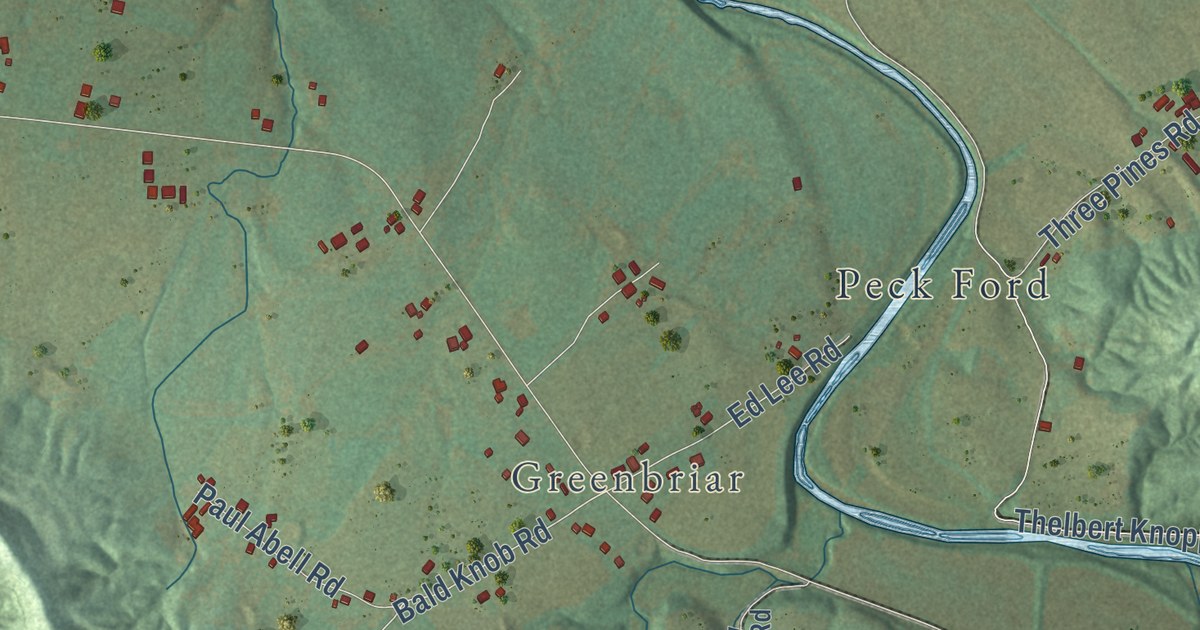
A detailed map of Calvary, Kentucky, showing every building in its true location, the roads by name, and shaded topographical relief.
Read More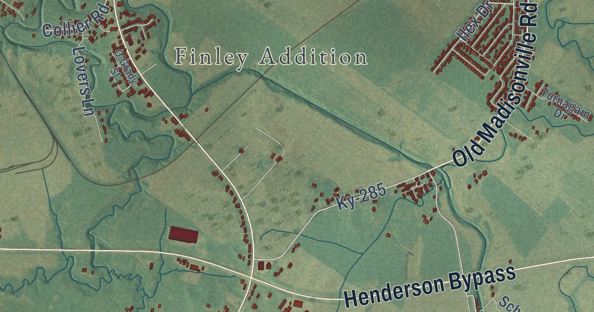
A detailed map of Cairo, Kentucky, showing every building in its true location, the roads by name, and shaded topographical relief.
Read More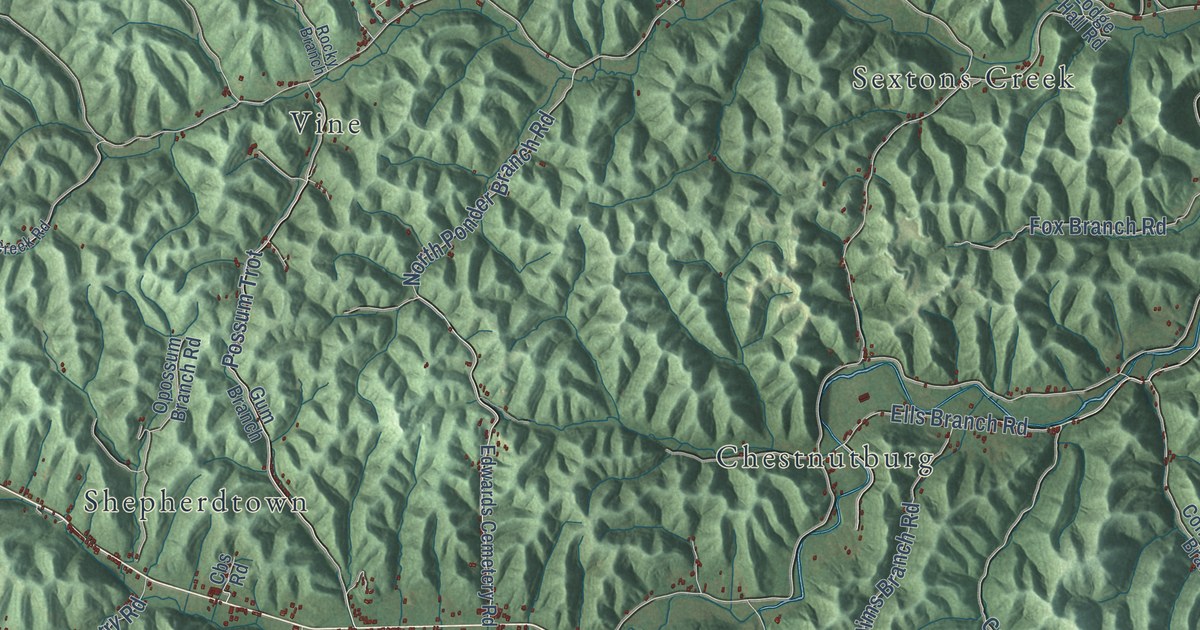
A detailed map of Burning Springs, Kentucky, showing every building in its true location, the roads by name, and shaded topographical relief.
Read More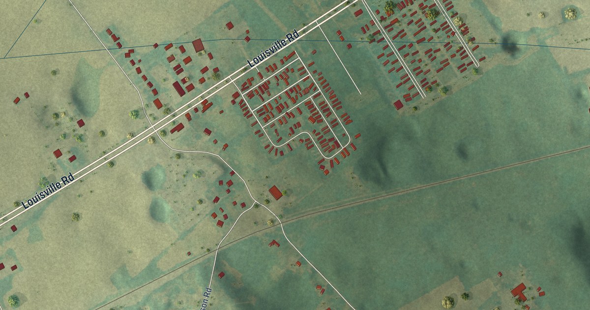
A detailed map of Bristow, Kentucky, showing every building in its true location, the roads by name, and shaded topographical relief.
Read More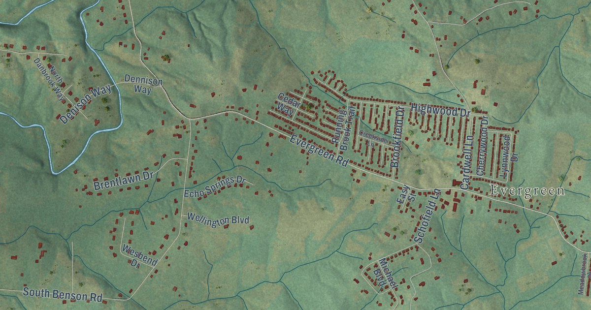
A detailed map of Bridgeport, Kentucky, showing every building in its true location, the roads by name, and shaded topographical relief.
Read More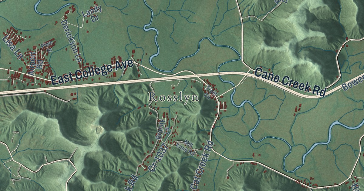
A detailed map of Bowen, Kentucky, showing every building in its true location, the roads by name, and shaded topographical relief.
Read More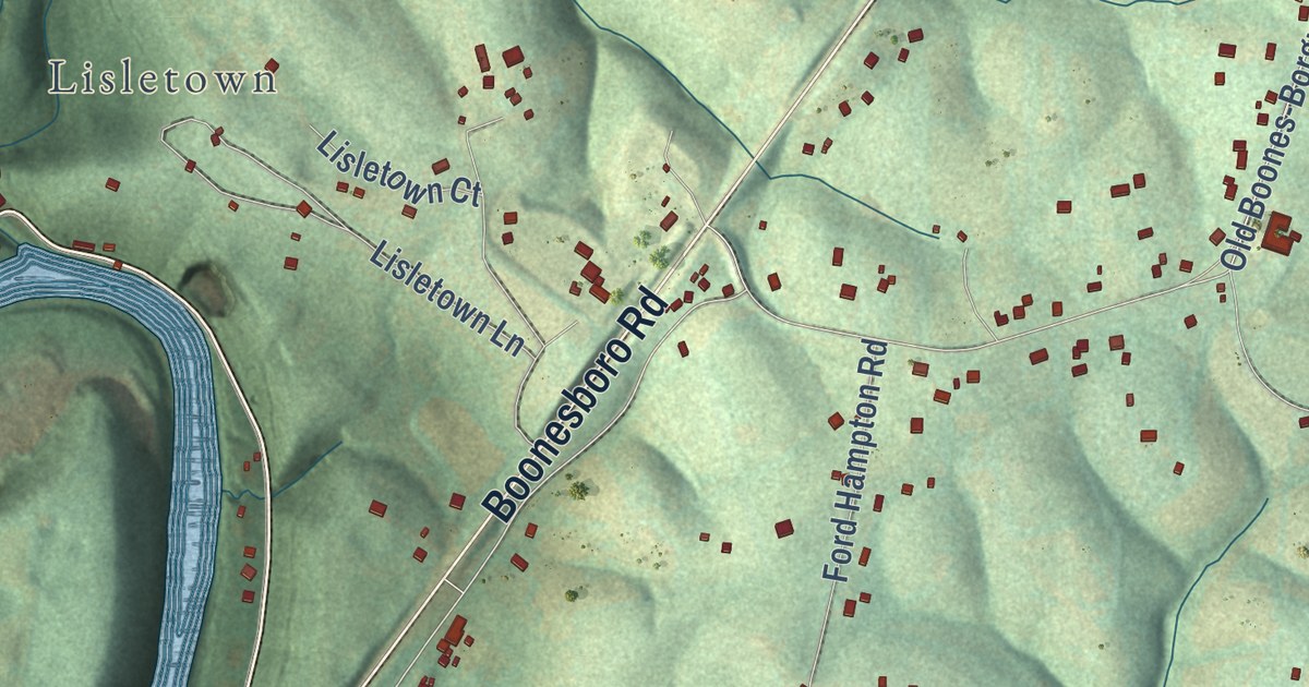
A detailed map of Boonesborough, Kentucky, showing every building in its true location, the roads by name, and shaded topographical relief.
Read More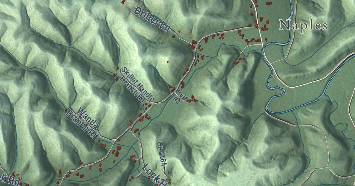
A detailed map of Argillite, Kentucky, showing every building in its true location, the roads by name, and shaded topographical relief.
Read More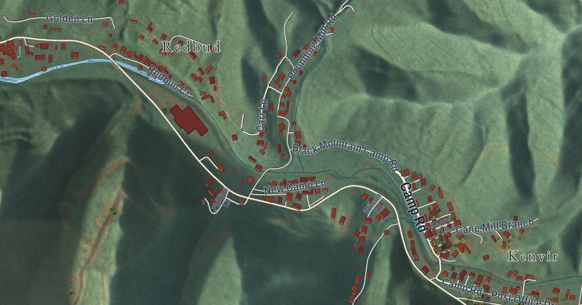
A detailed map of Black Mountain, Kentucky, showing every building in its true location, the roads by name, and shaded topographical relief.
Read More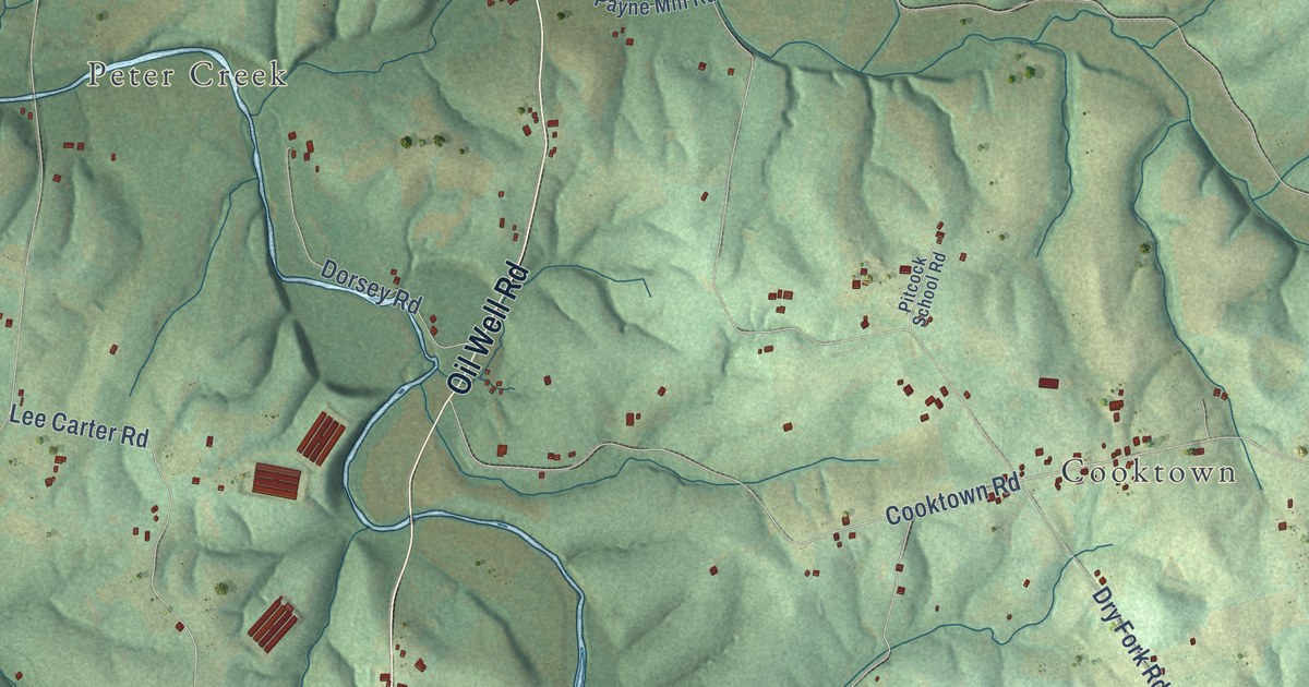
A detailed map of Austin, Kentucky, showing every building in its true location, the roads by name, and shaded topographical relief.
Read More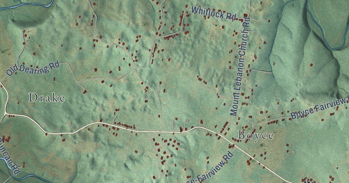
A detailed map of Alvaton, Kentucky, showing every building in its true location, the roads by name, and shaded topographical relief.
Read More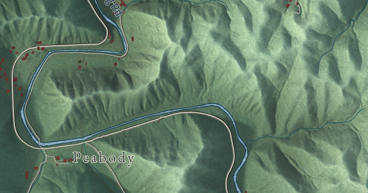
A detailed map of Big Creek, Kentucky, showing every building in its true location, the roads by name, and shaded topographical relief.
Read More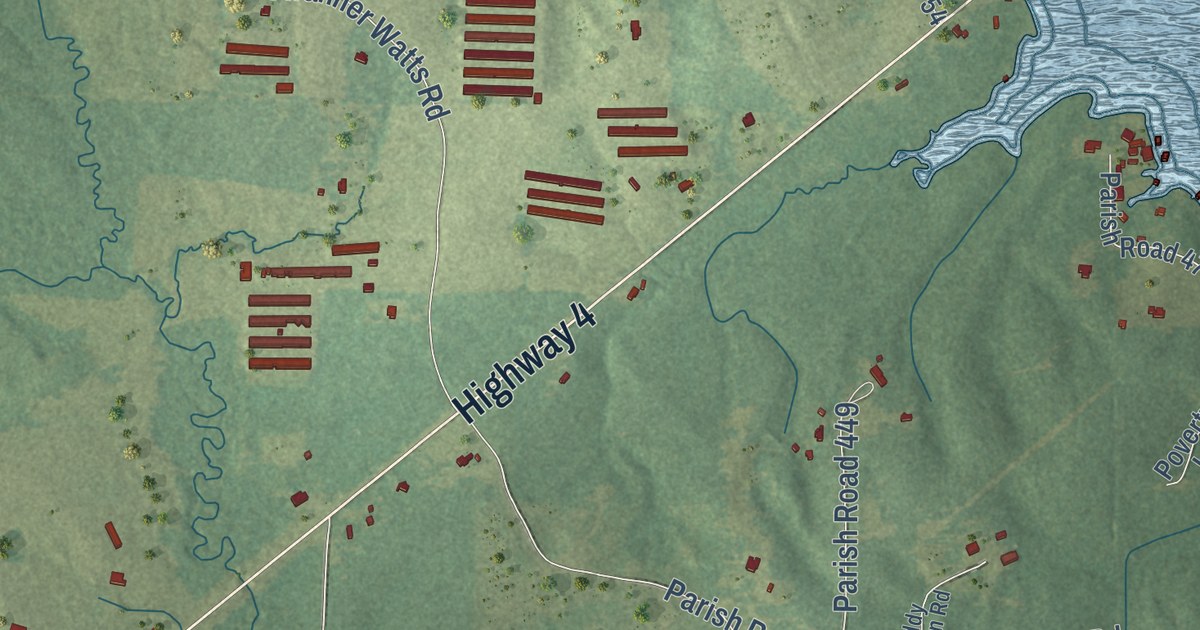
A detailed map of Weston, Louisiana, showing every building in its true location, the roads by name, and shaded topographical relief.
Read More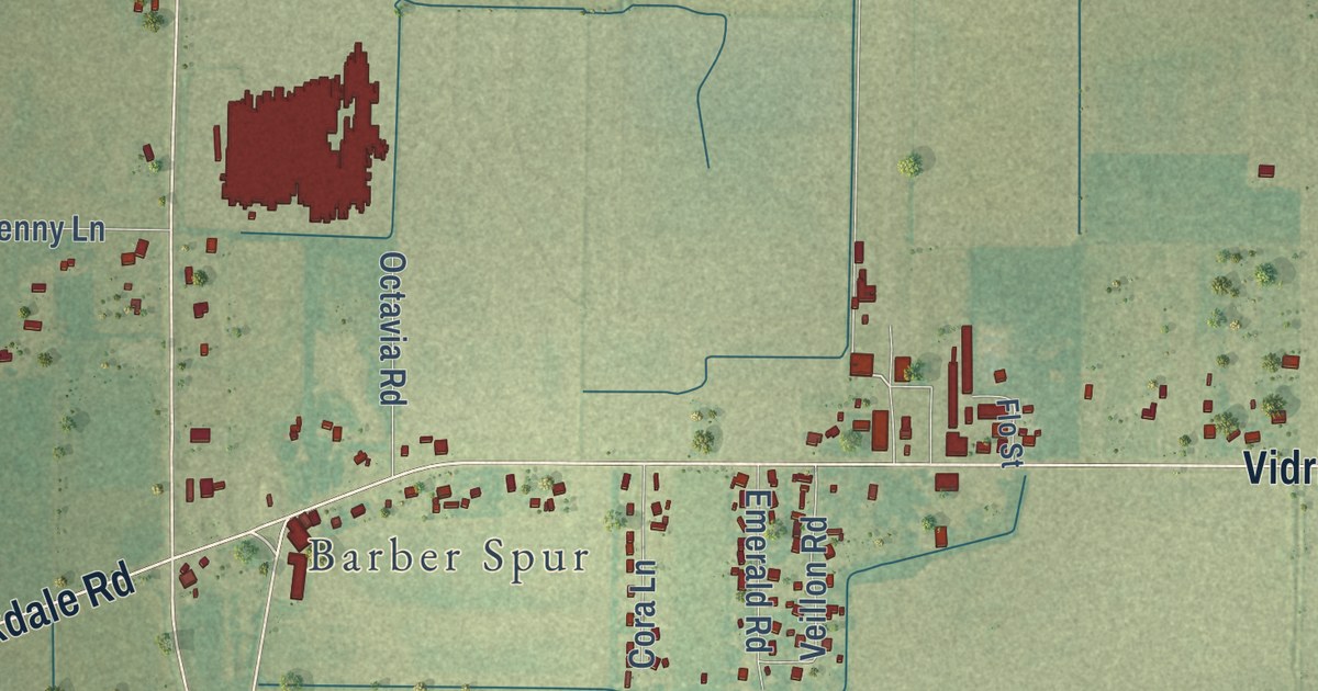
A detailed map of Vidrine, Louisiana, showing every building in its true location, the roads by name, and shaded topographical relief.
Read More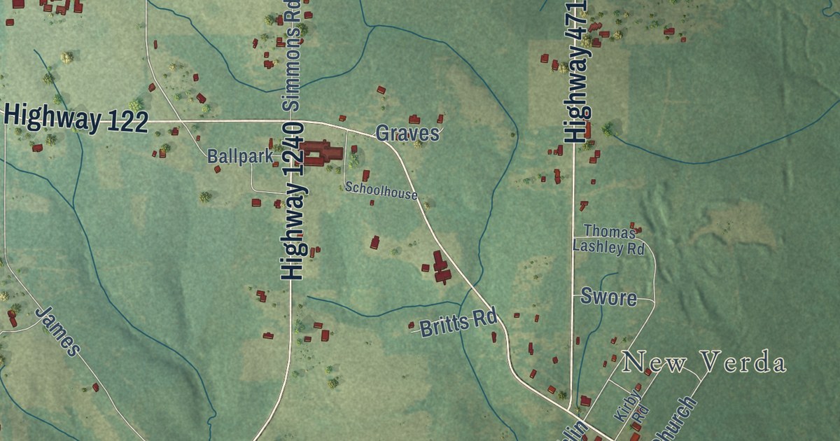
A detailed map of Verda, Louisiana, showing every building in its true location, the roads by name, and shaded topographical relief.
Read More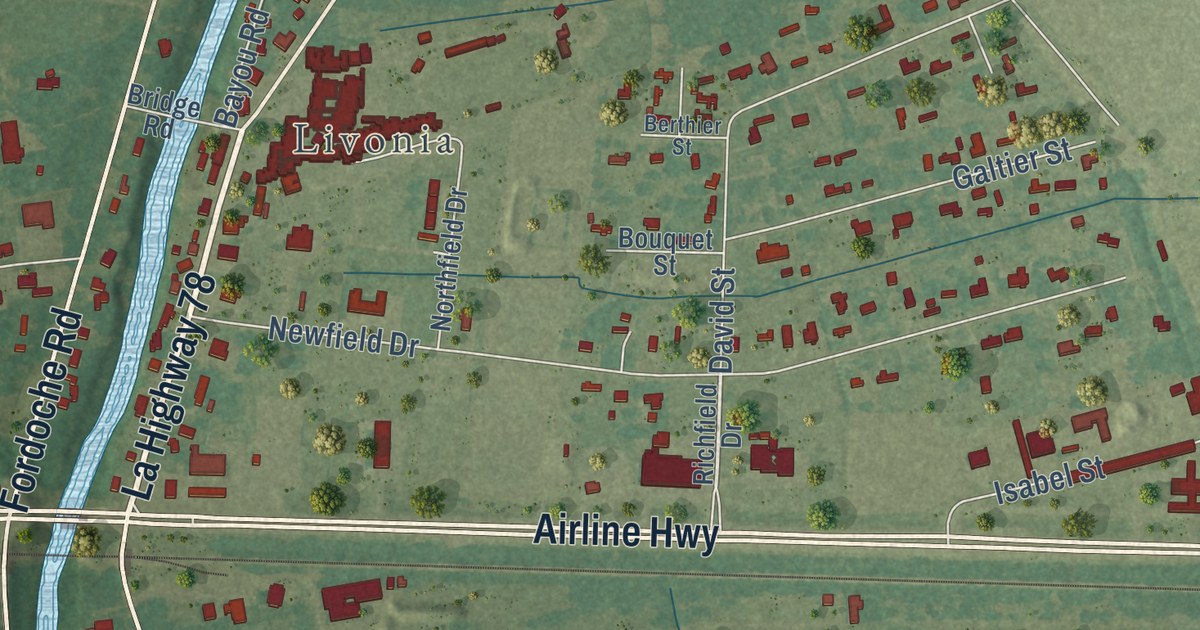
A detailed map of Valverda, Louisiana, showing every building in its true location, the roads by name, and shaded topographical relief.
Read More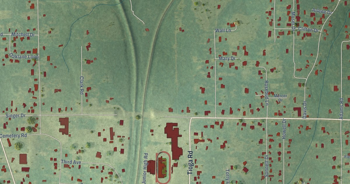
A detailed map of Tioga, Louisiana, showing every building in its true location, the roads by name, and shaded topographical relief.
Read More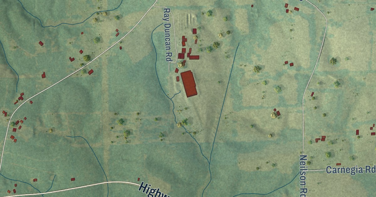
A detailed map of Thomas, Louisiana, showing every building in its true location, the roads by name, and shaded topographical relief.
Read More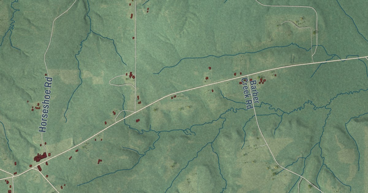
A detailed map of Summerfield, Louisiana, showing every building in its true location, the roads by name, and shaded topographical relief.
Read More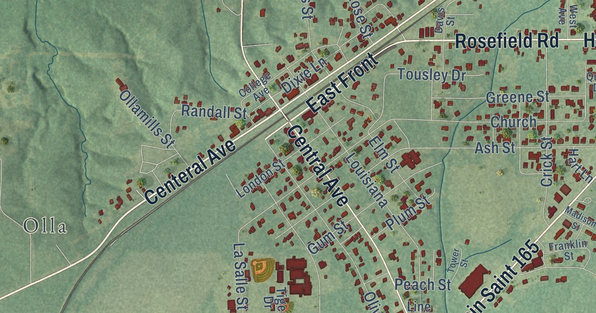
A detailed map of Standard, Louisiana, showing every building in its true location, the roads by name, and shaded topographical relief.
Read More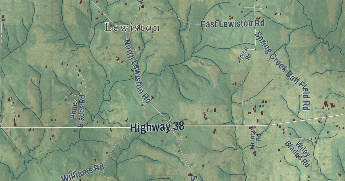
A detailed map of Spring Creek, Louisiana, showing every building in its true location, the roads by name, and shaded topographical relief.
Read More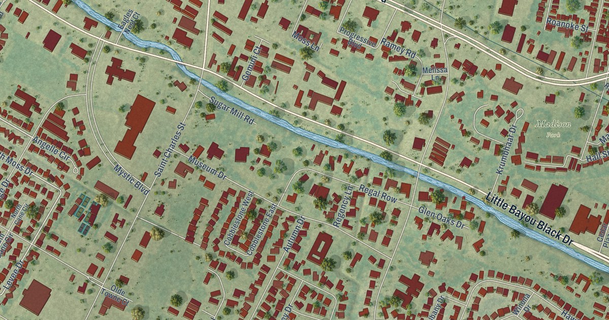
A detailed map of Southdown, Louisiana, showing every building in its true location, the roads by name, and shaded topographical relief.
Read More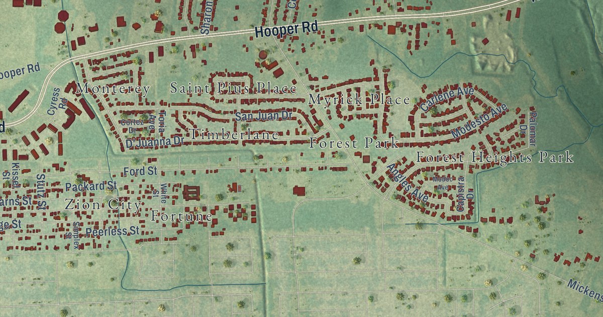
A detailed map of Sharon Hills, Louisiana, showing every building in its true location, the roads by name, and shaded topographical relief.
Read More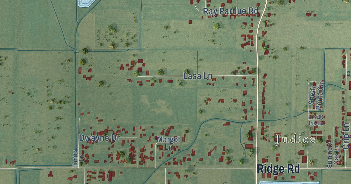
A detailed map of Ridge, Louisiana, showing every building in its true location, the roads by name, and shaded topographical relief.
Read More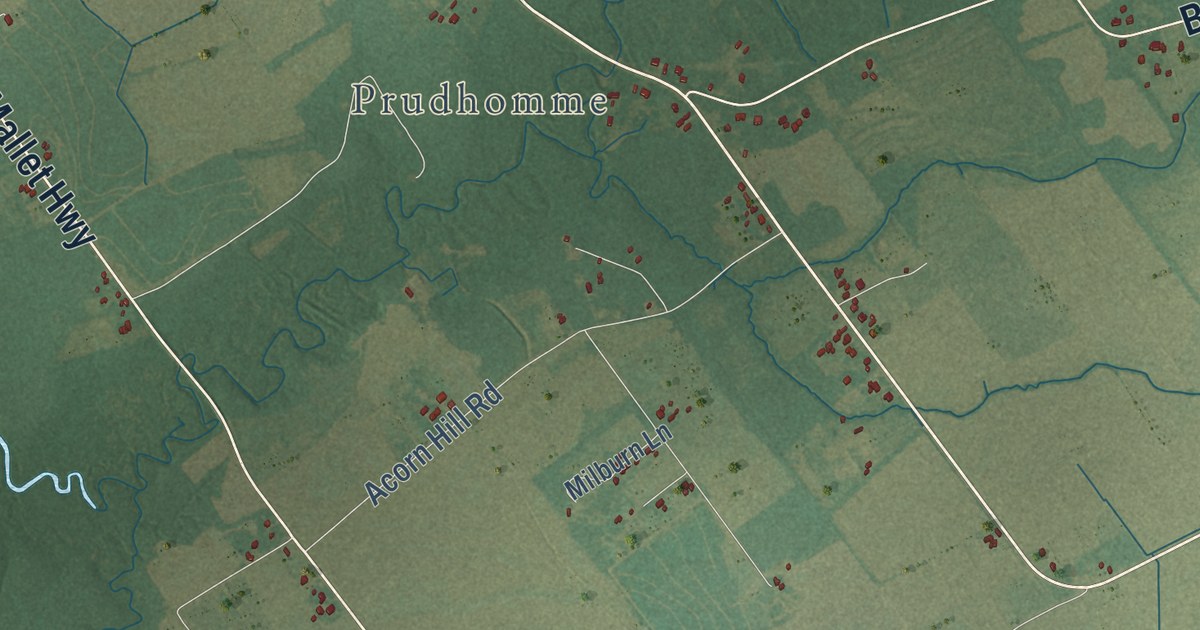
A detailed map of Richard, Louisiana, showing every building in its true location, the roads by name, and shaded topographical relief.
Read More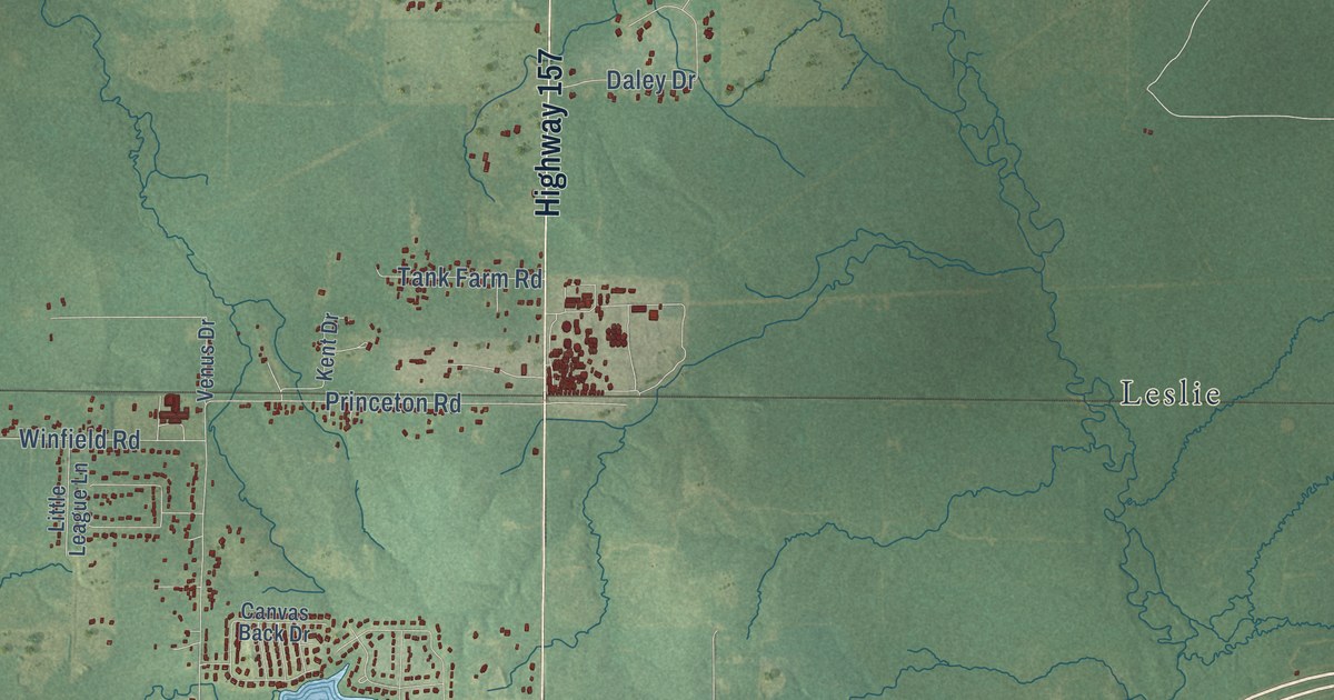
A detailed map of Princeton, Louisiana, showing every building in its true location, the roads by name, and shaded topographical relief.
Read More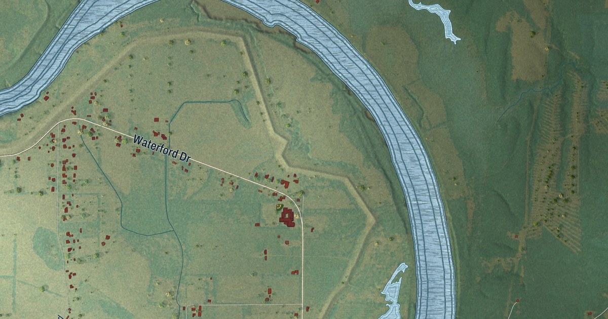
A detailed map of Poland, Louisiana, showing every building in its true location, the roads by name, and shaded topographical relief.
Read More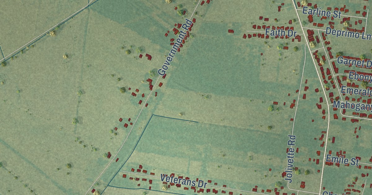
A detailed map of Plaisance, Louisiana, showing every building in its true location, the roads by name, and shaded topographical relief.
Read More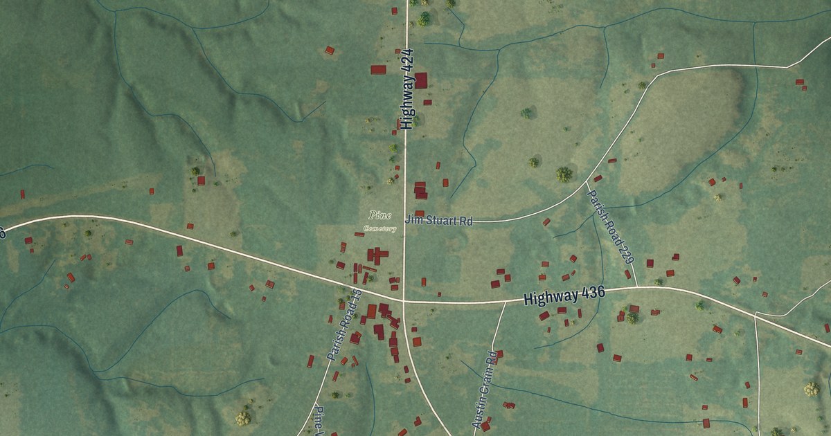
A detailed map of Pine, Louisiana, showing every building in its true location, the roads by name, and shaded topographical relief.
Read More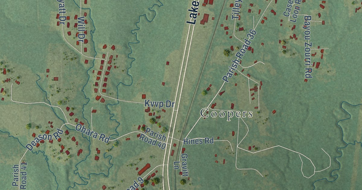
A detailed map of Pickering, Louisiana, showing every building in its true location, the roads by name, and shaded topographical relief.
Read More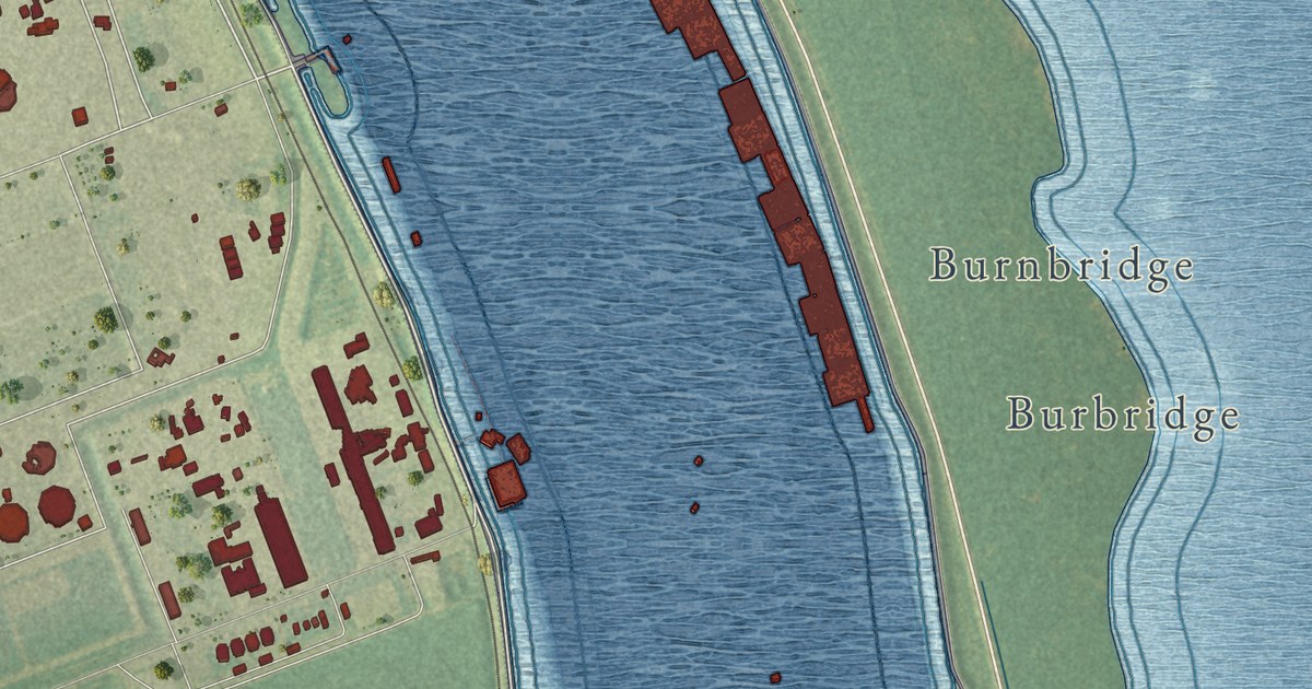
A detailed map of Phoenix, Louisiana, showing every building in its true location, the roads by name, and shaded topographical relief.
Read More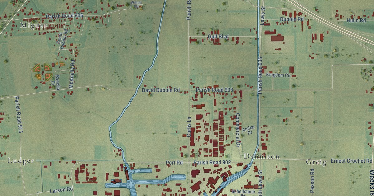
A detailed map of Pesson, Louisiana, showing every building in its true location, the roads by name, and shaded topographical relief.
Read More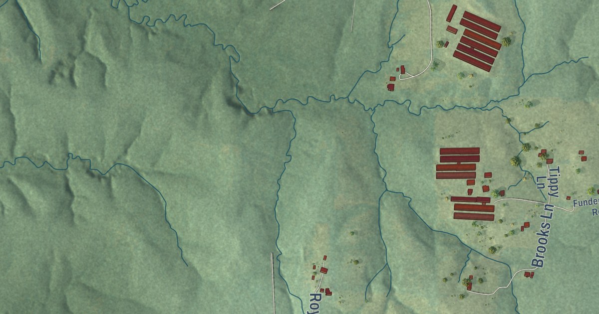
A detailed map of Negreet, Louisiana, showing every building in its true location, the roads by name, and shaded topographical relief.
Read More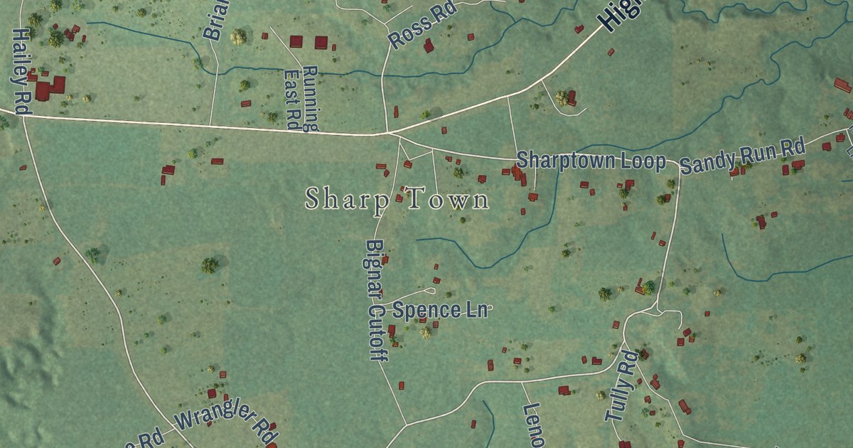
A detailed map of Nebo, Louisiana, showing every building in its true location, the roads by name, and shaded topographical relief.
Read More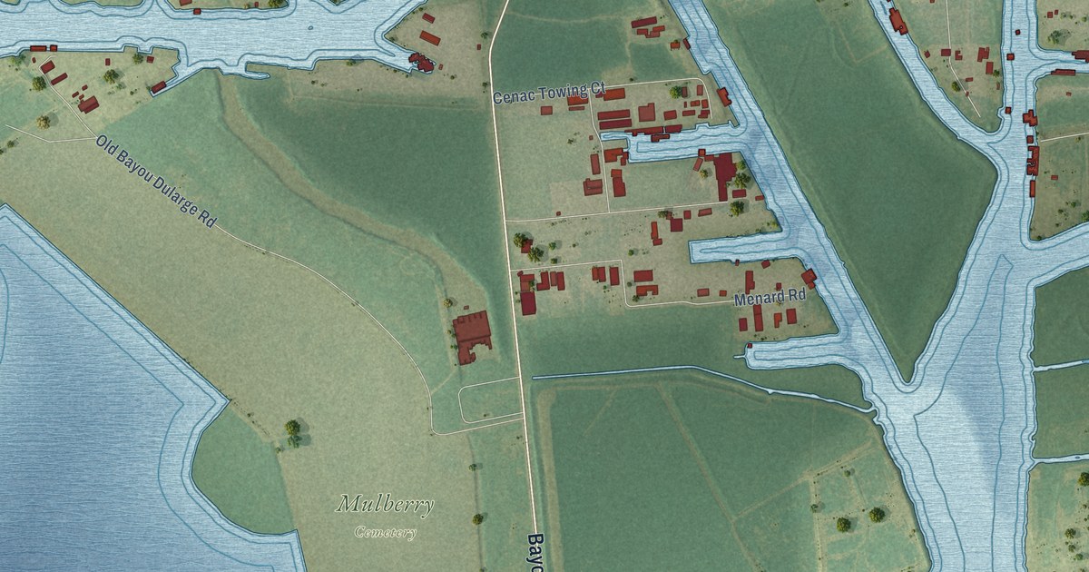
A detailed map of Mulberry, Louisiana, showing every building in its true location, the roads by name, and shaded topographical relief.
Read More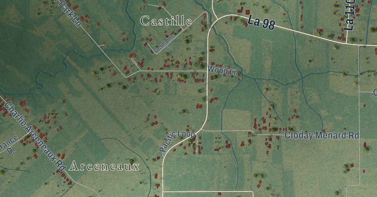
A detailed map of Mire, Louisiana, showing every building in its true location, the roads by name, and shaded topographical relief.
Read More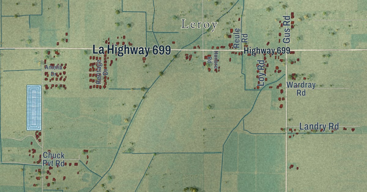
A detailed map of Meaux, Louisiana, showing every building in its true location, the roads by name, and shaded topographical relief.
Read More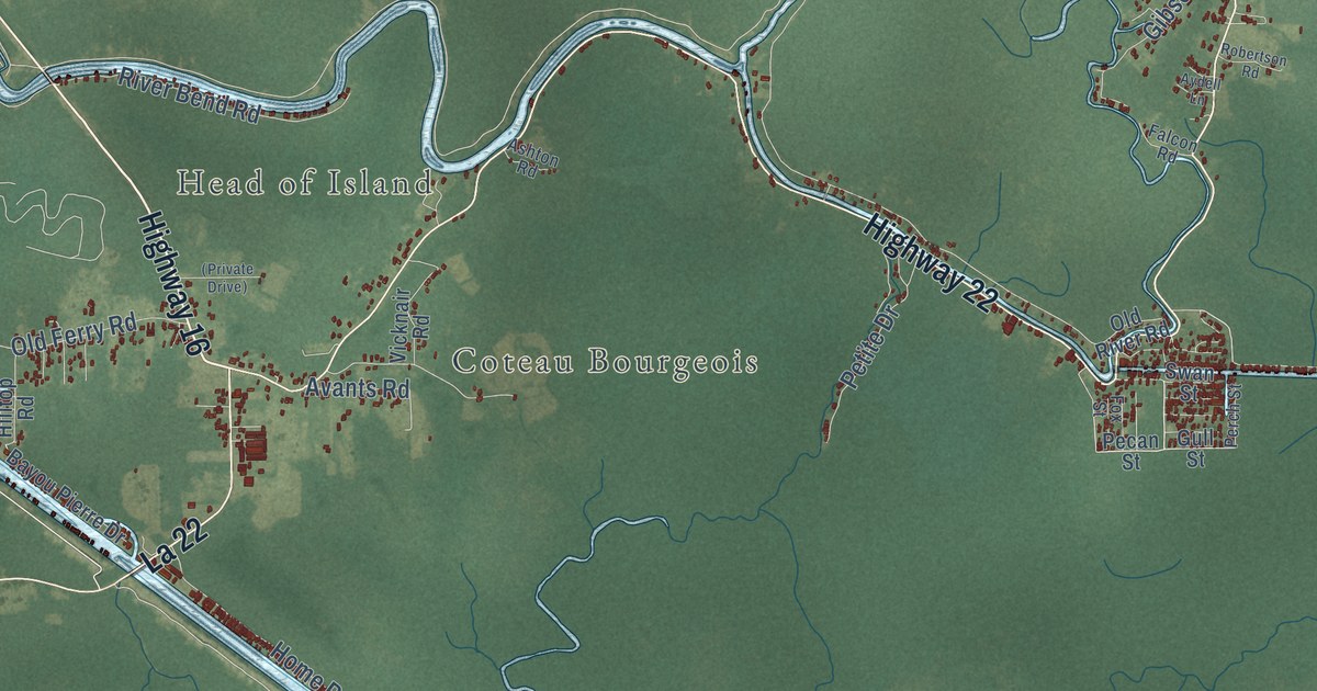
A detailed map of Maurepas, Louisiana, showing every building in its true location, the roads by name, and shaded topographical relief.
Read More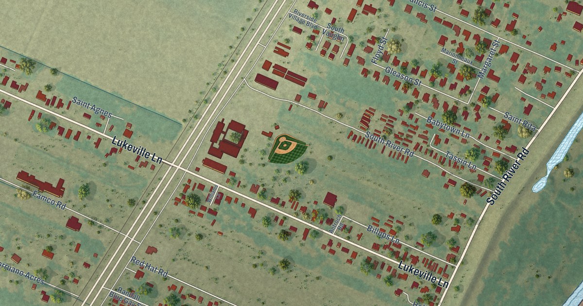
A detailed map of Lukeville, Louisiana, showing every building in its true location, the roads by name, and shaded topographical relief.
Read More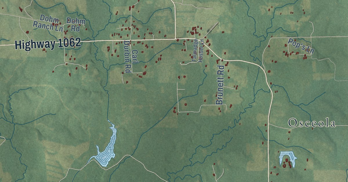
A detailed map of Loranger, Louisiana, showing every building in its true location, the roads by name, and shaded topographical relief.
Read More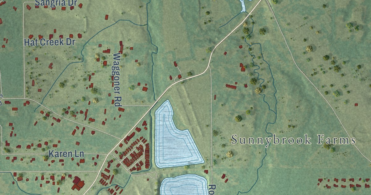
A detailed map of Lenwil, Louisiana, showing every building in its true location, the roads by name, and shaded topographical relief.
Read More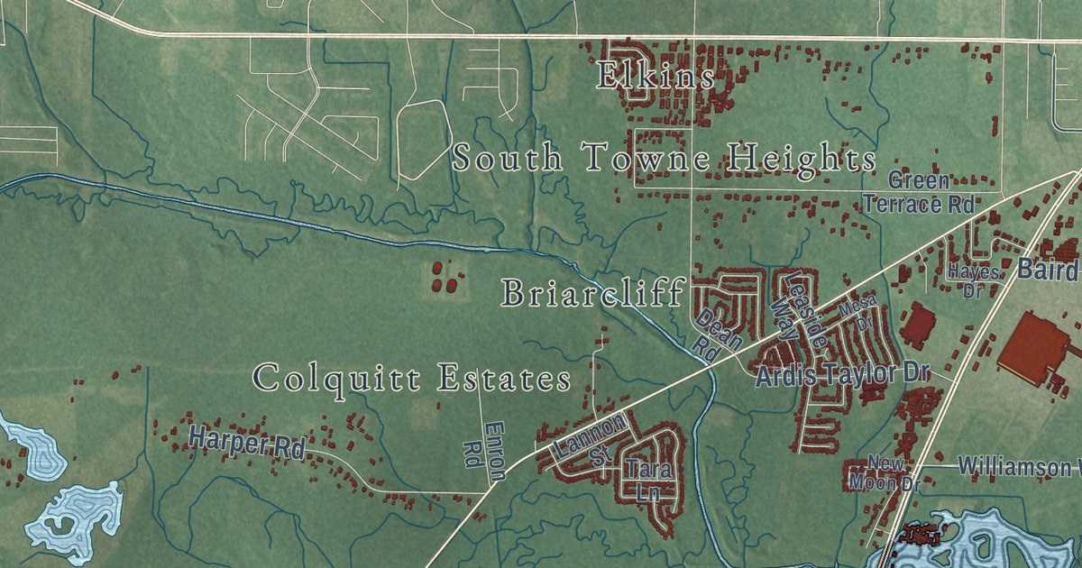
A detailed map of Keithville, Louisiana, showing every building in its true location, the roads by name, and shaded topographical relief.
Read More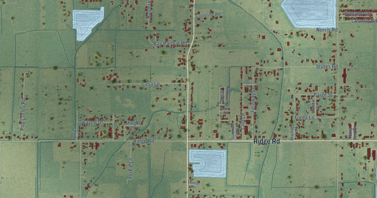
A detailed map of Judice, Louisiana, showing every building in its true location, the roads by name, and shaded topographical relief.
Read More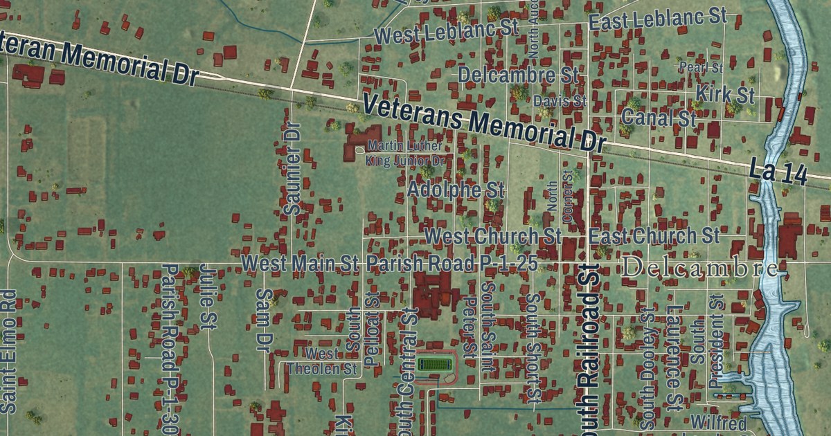
A detailed map of Jefferson Island, Louisiana, showing every building in its true location, the roads by name, and shaded topographical relief.
Read More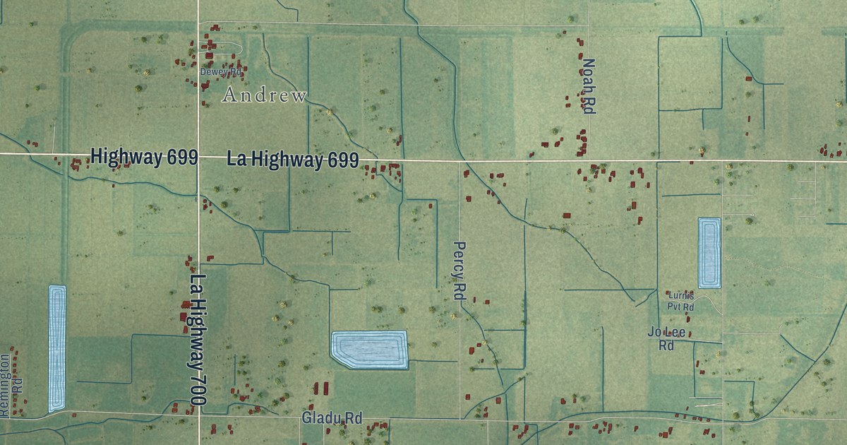
A detailed map of Indian Bayou, Louisiana, showing every building in its true location, the roads by name, and shaded topographical relief.
Read More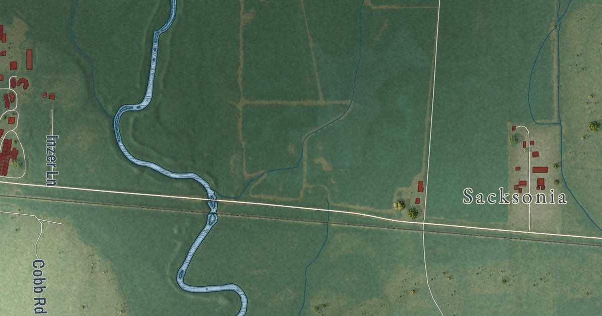
A detailed map of Holly Ridge, Louisiana, showing every building in its true location, the roads by name, and shaded topographical relief.
Read More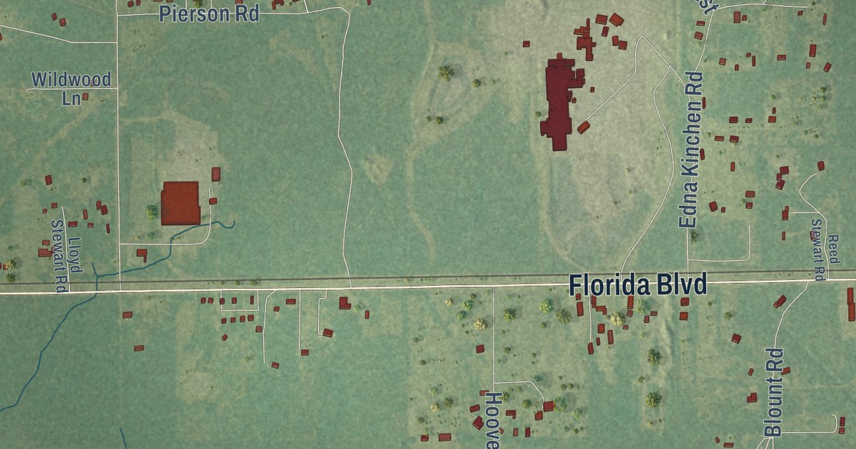
A detailed map of Holden, Louisiana, showing every building in its true location, the roads by name, and shaded topographical relief.
Read More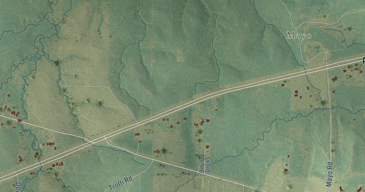
A detailed map of Hicks, Louisiana, showing every building in its true location, the roads by name, and shaded topographical relief.
Read More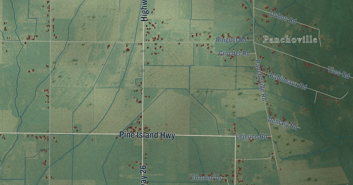
A detailed map of Hathaway, Louisiana, showing every building in its true location, the roads by name, and shaded topographical relief.
Read More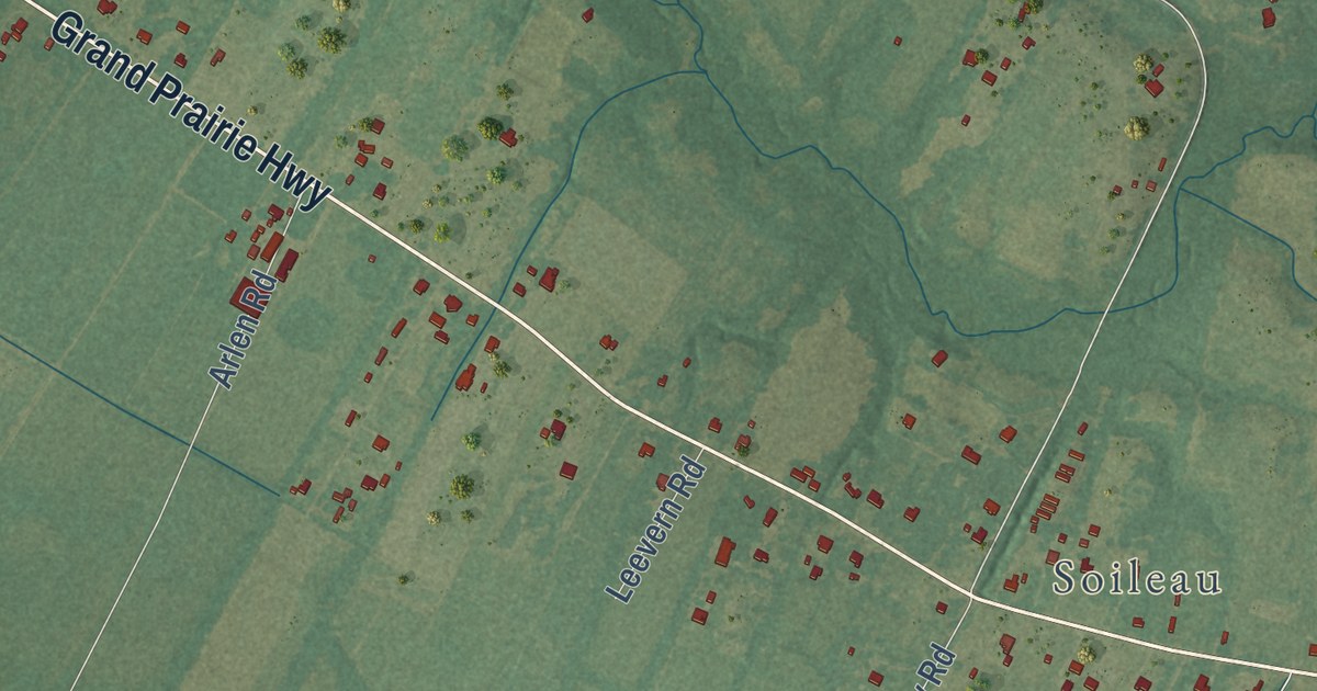
A detailed map of Grand Prairie, Louisiana, showing every building in its true location, the roads by name, and shaded topographical relief.
Read More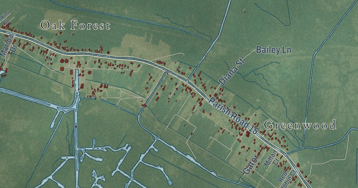
A detailed map of Gibson, Louisiana, showing every building in its true location, the roads by name, and shaded topographical relief.
Read More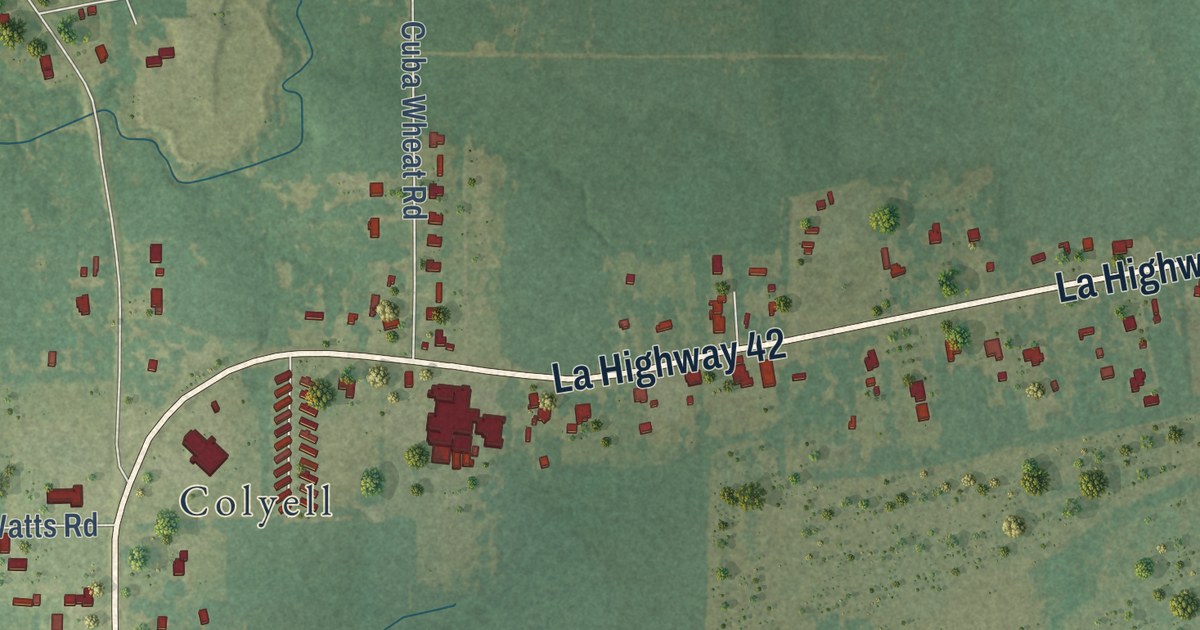
A detailed map of Frost, Louisiana, showing every building in its true location, the roads by name, and shaded topographical relief.
Read More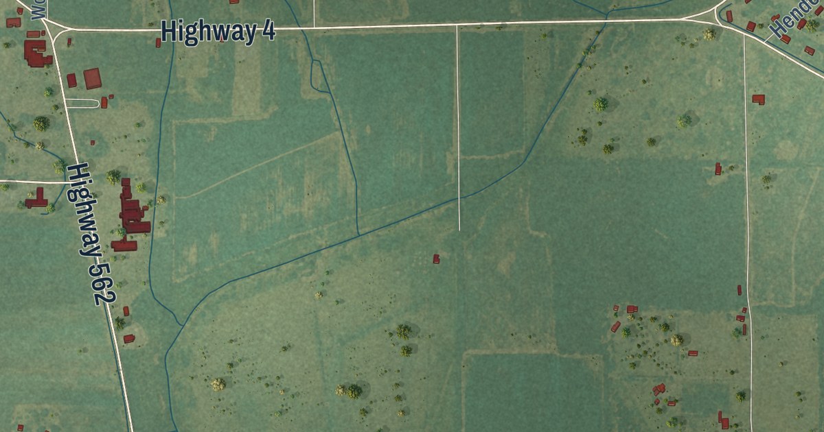
A detailed map of Fort Necessity, Louisiana, showing every building in its true location, the roads by name, and shaded topographical relief.
Read More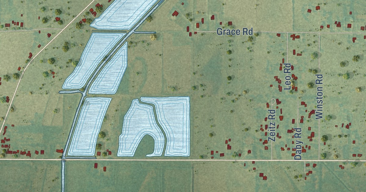
A detailed map of Forked Island, Louisiana, showing every building in its true location, the roads by name, and shaded topographical relief.
Read More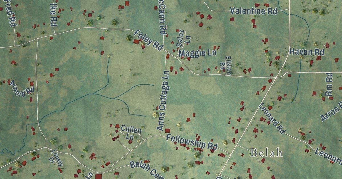
A detailed map of Fellowship, Louisiana, showing every building in its true location, the roads by name, and shaded topographical relief.
Read More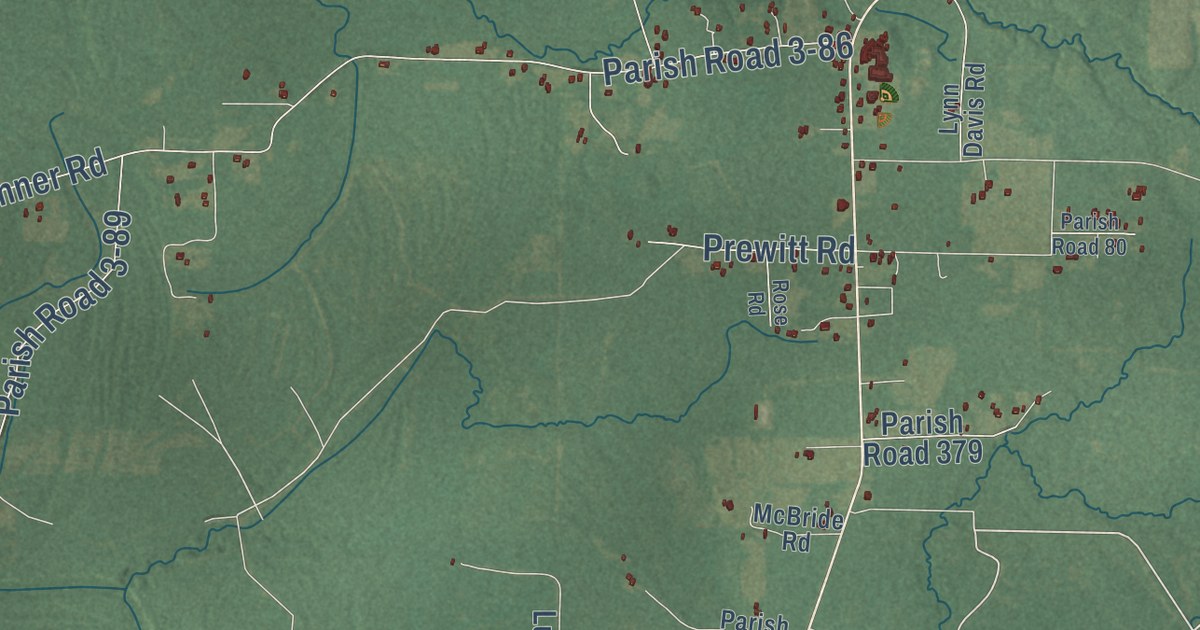
A detailed map of Evans, Louisiana, showing every building in its true location, the roads by name, and shaded topographical relief.
Read More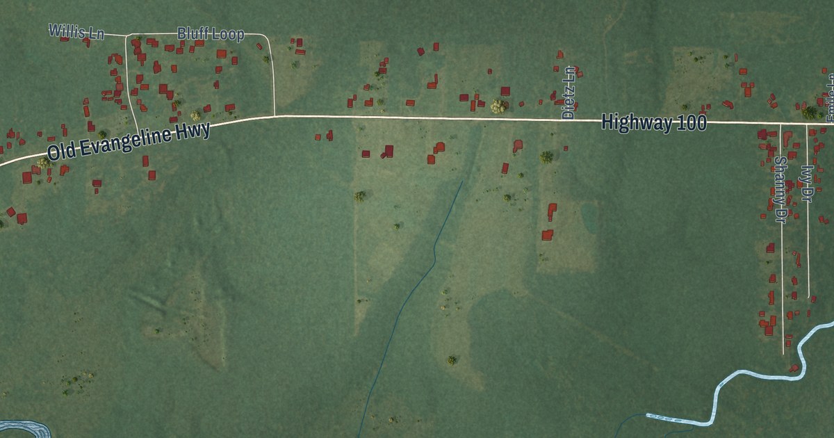
A detailed map of Evangeline, Louisiana, showing every building in its true location, the roads by name, and shaded topographical relief.
Read More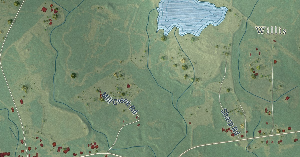
A detailed map of Enon, Louisiana, showing every building in its true location, the roads by name, and shaded topographical relief.
Read More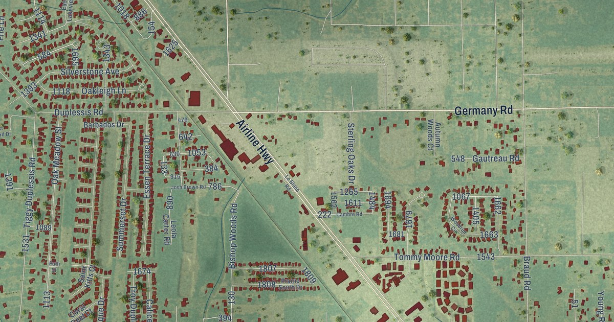
A detailed map of Duplessis, Louisiana, showing every building in its true location, the roads by name, and shaded topographical relief.
Read More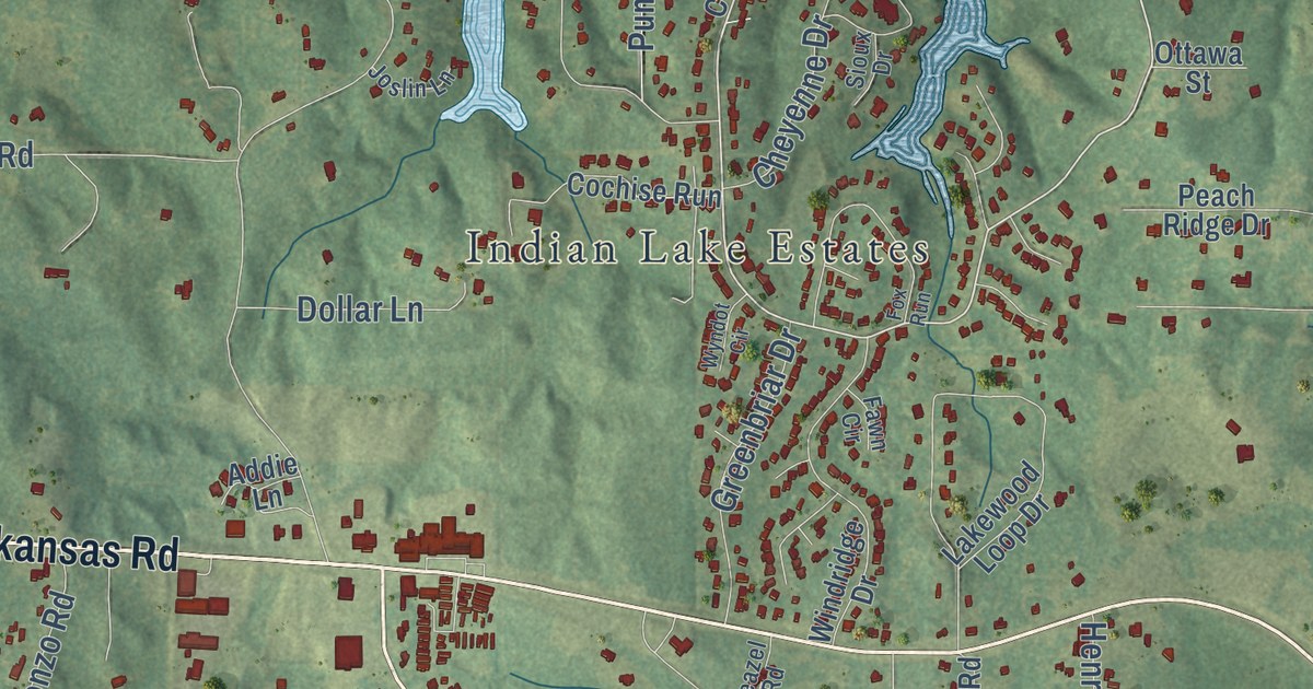
A detailed map of Drew, Louisiana, showing every building in its true location, the roads by name, and shaded topographical relief.
Read More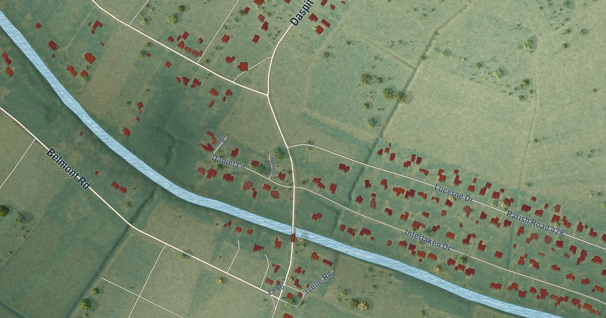
A detailed map of Daspit, Louisiana, showing every building in its true location, the roads by name, and shaded topographical relief.
Read More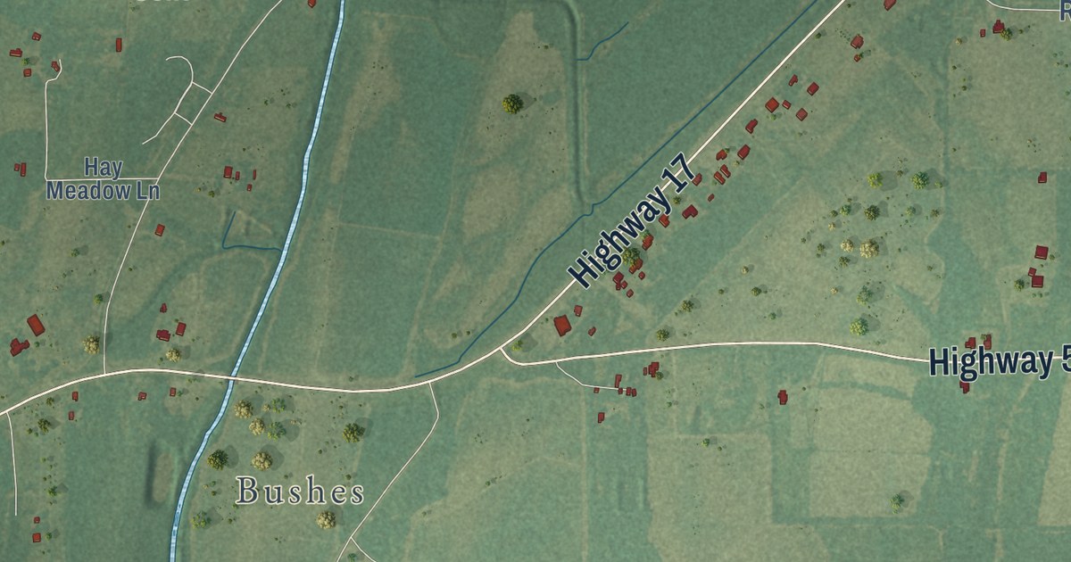
A detailed map of Crowville, Louisiana, showing every building in its true location, the roads by name, and shaded topographical relief.
Read More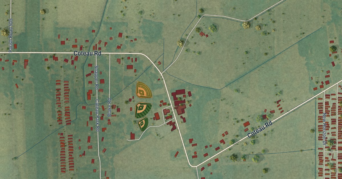
A detailed map of Coteau, Louisiana, showing every building in its true location, the roads by name, and shaded topographical relief.
Read More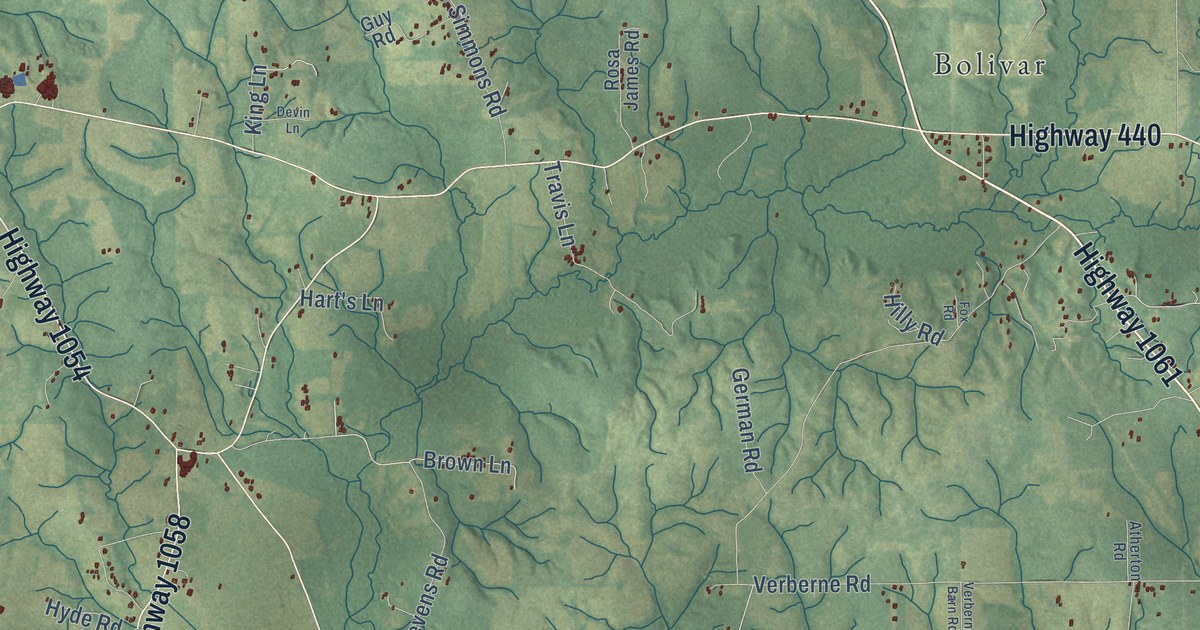
A detailed map of Chesbrough, Louisiana, showing every building in its true location, the roads by name, and shaded topographical relief.
Read More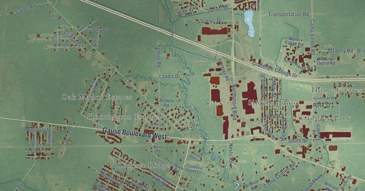
A detailed map of Carolyn Park, Louisiana, showing every building in its true location, the roads by name, and shaded topographical relief.
Read More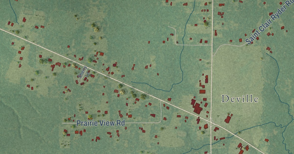
A detailed map of Buckeye, Louisiana, showing every building in its true location, the roads by name, and shaded topographical relief.
Read More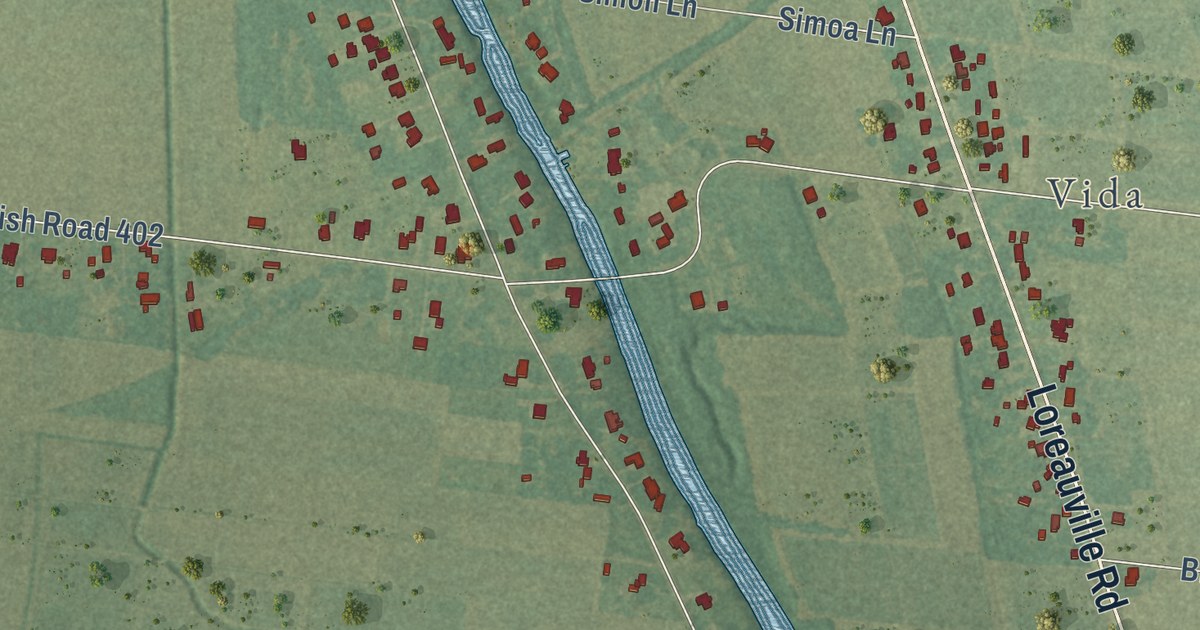
A detailed map of Belle Place, Louisiana, showing every building in its true location, the roads by name, and shaded topographical relief.
Read More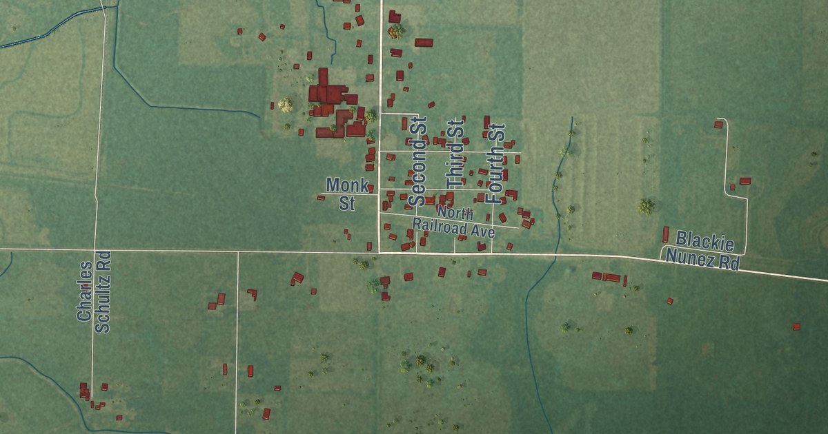
A detailed map of Bell City, Louisiana, showing every building in its true location, the roads by name, and shaded topographical relief.
Read More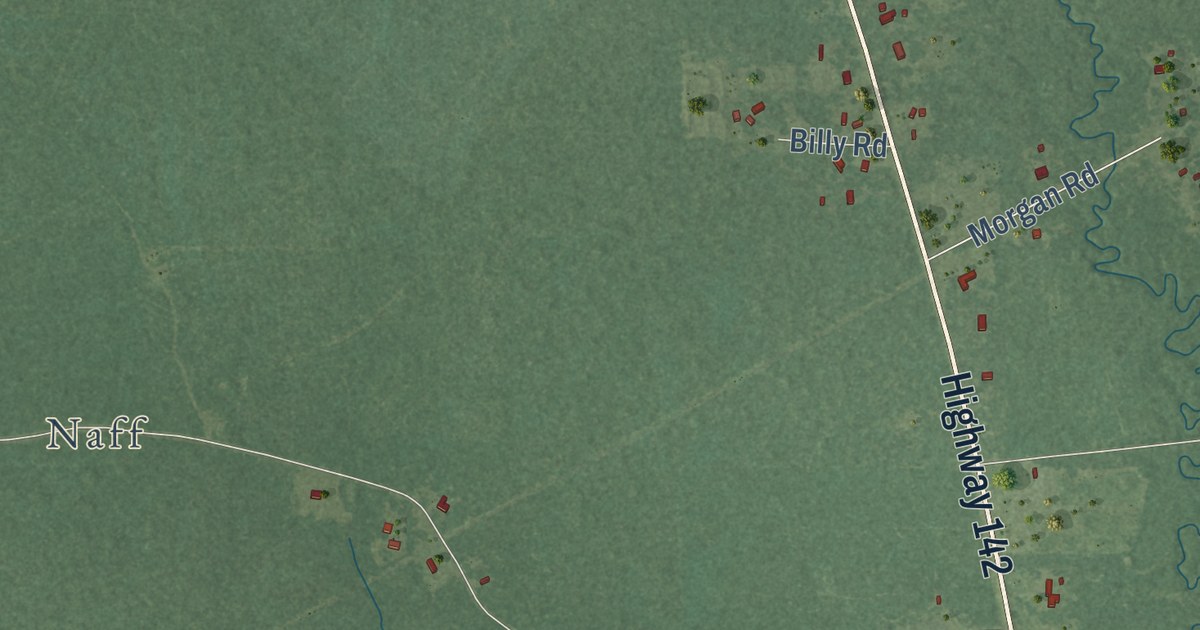
A detailed map of Beekman, Louisiana, showing every building in its true location, the roads by name, and shaded topographical relief.
Read More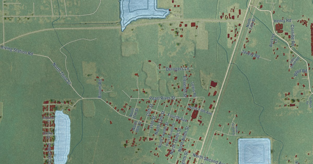
A detailed map of Alton, Louisiana, showing every building in its true location, the roads by name, and shaded topographical relief.
Read More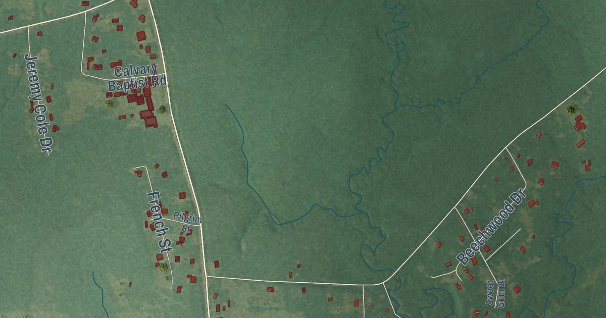
A detailed map of Bayou Chicot, Louisiana, showing every building in its true location, the roads by name, and shaded topographical relief.
Read More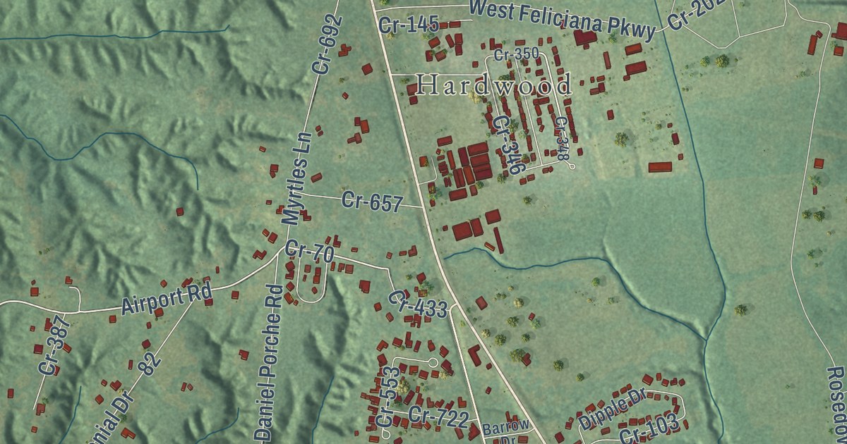
A detailed map of Bains, Louisiana, showing every building in its true location, the roads by name, and shaded topographical relief.
Read More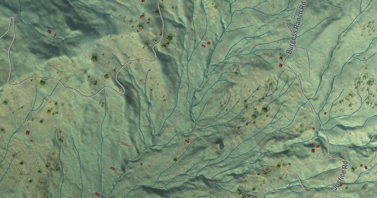
A detailed map of Zenia, California, showing every building in its true location, the roads by name, and shaded topographical relief.
Read More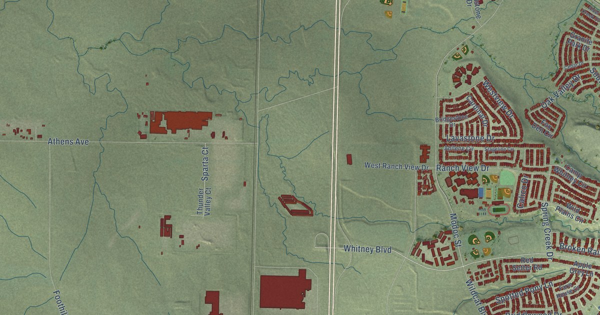
A detailed map of Whitney, California, showing every building in its true location, the roads by name, and shaded topographical relief.
Read More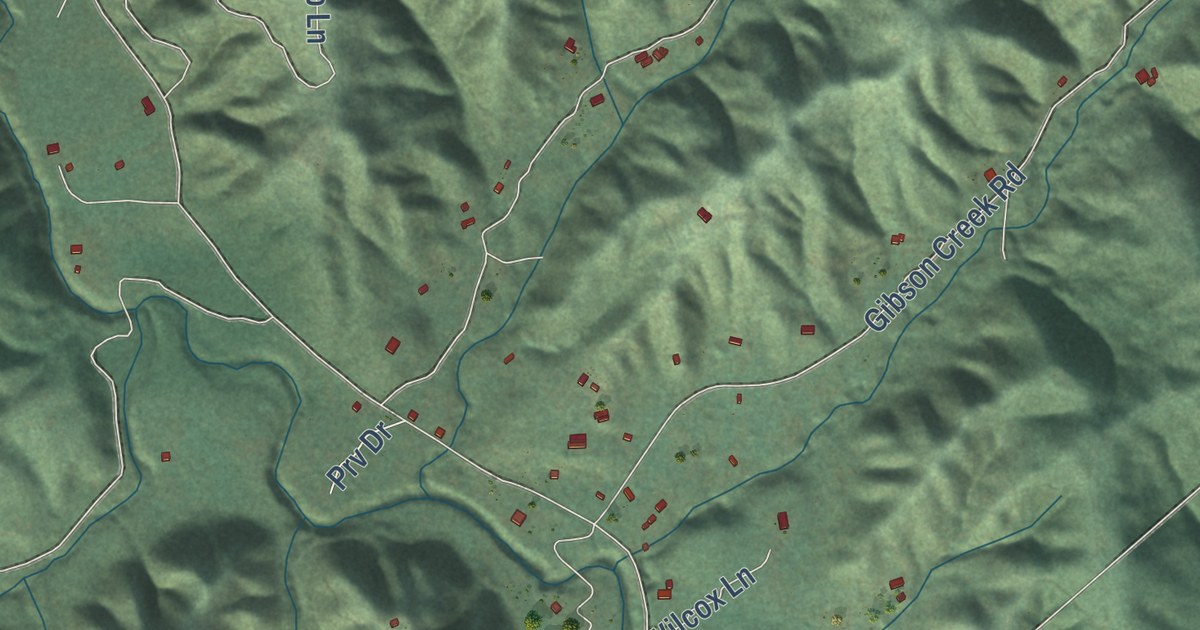
A detailed map of Whitethorn, California, showing every building in its true location, the roads by name, and shaded topographical relief.
Read More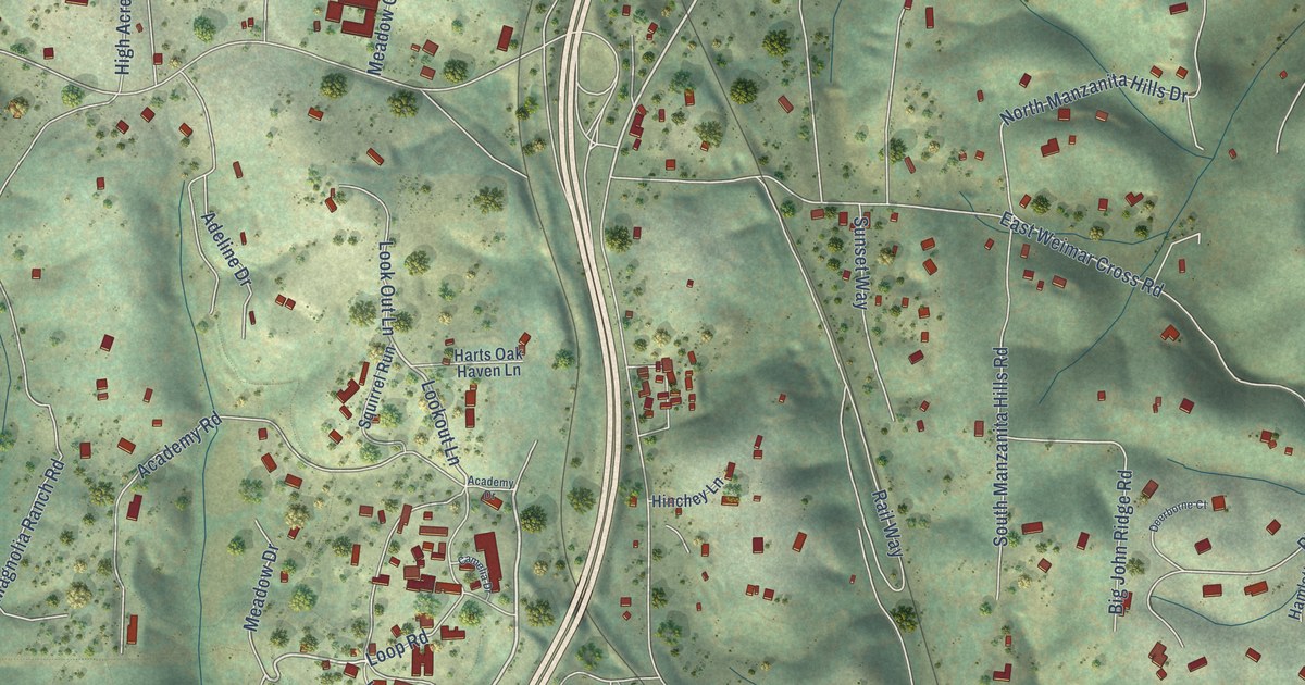
A detailed map of Weimar, California, showing every building in its true location, the roads by name, and shaded topographical relief.
Read More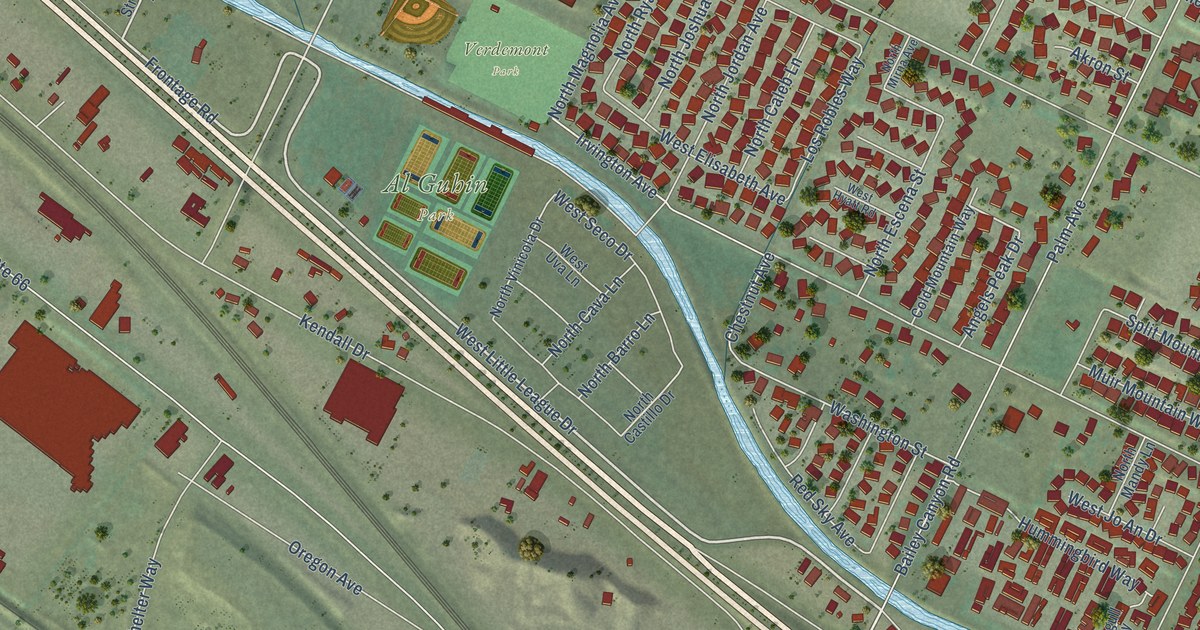
A detailed map of Verdemont, California, showing every building in its true location, the roads by name, and shaded topographical relief.
Read More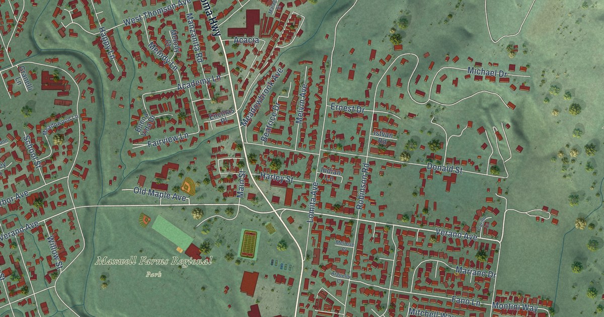
A detailed map of Verano, California, showing every building in its true location, the roads by name, and shaded topographical relief.
Read More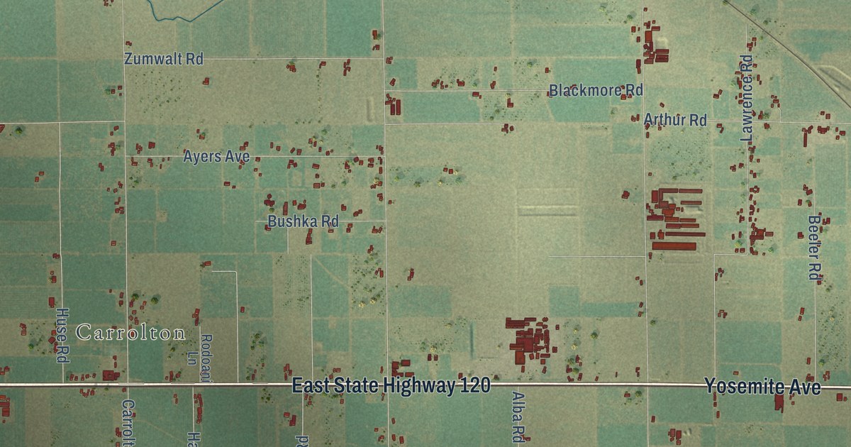
A detailed map of Van Allen, California, showing every building in its true location, the roads by name, and shaded topographical relief.
Read More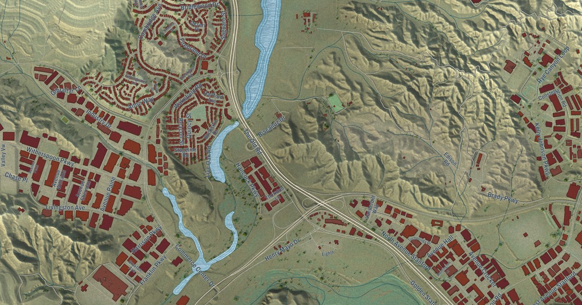
A detailed map of Valencia, California, showing every building in its true location, the roads by name, and shaded topographical relief.
Read More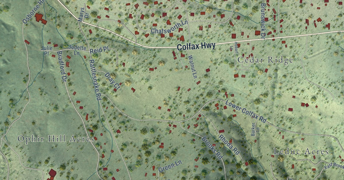
A detailed map of Union Hill, California, showing every building in its true location, the roads by name, and shaded topographical relief.
Read More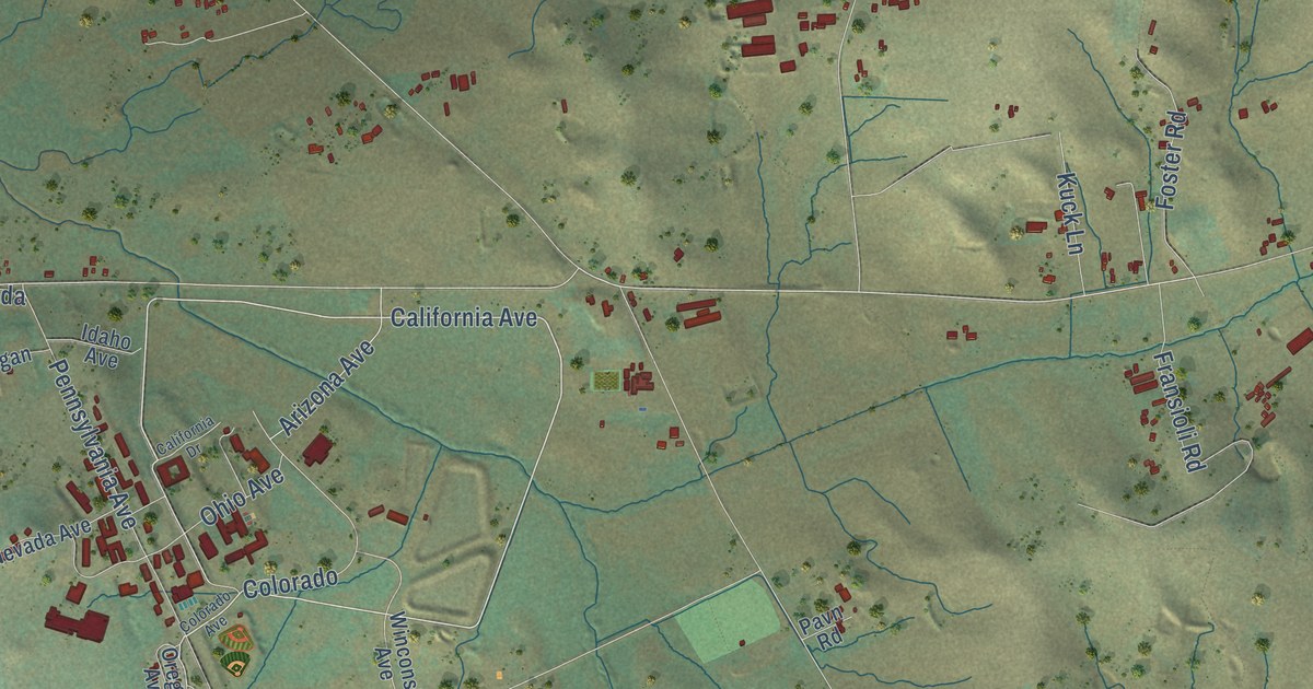
A detailed map of Two Rock, California, showing every building in its true location, the roads by name, and shaded topographical relief.
Read More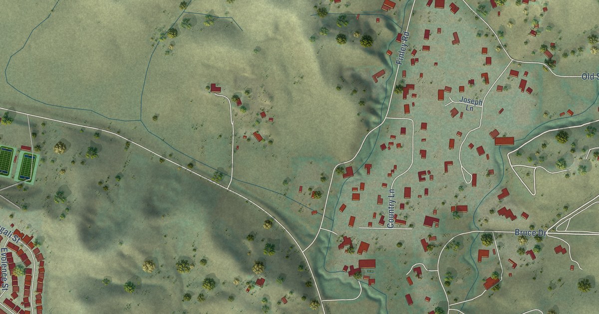
A detailed map of Tassajara, California, showing every building in its true location, the roads by name, and shaded topographical relief.
Read More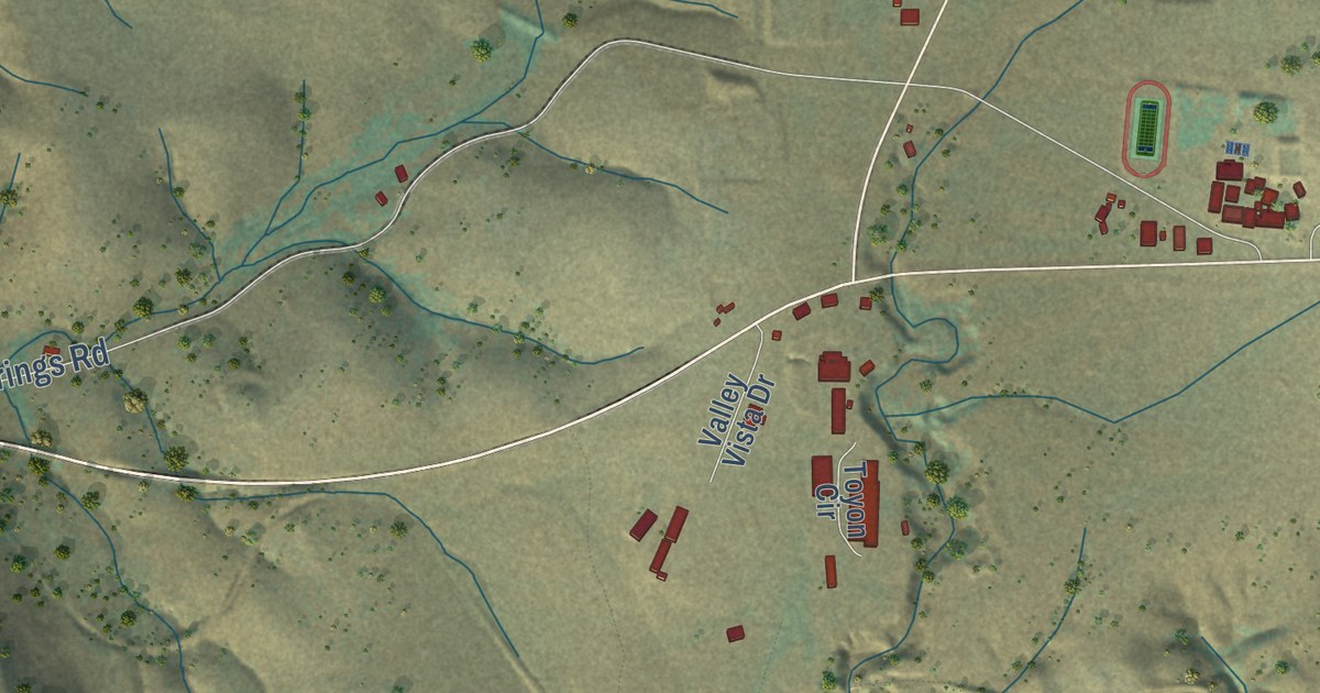
A detailed map of Toyon, California, showing every building in its true location, the roads by name, and shaded topographical relief.
Read More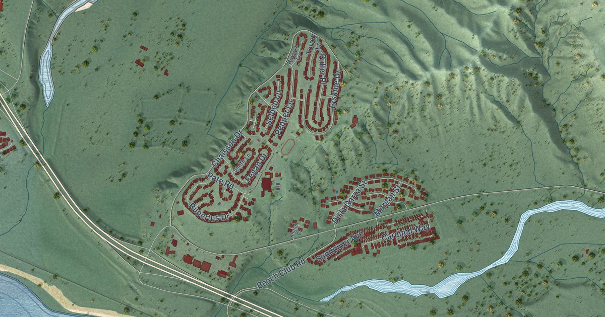
A detailed map of San Onofre, California, showing every building in its true location, the roads by name, and shaded topographical relief.
Read More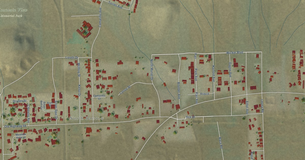
A detailed map of Skyline North, California, showing every building in its true location, the roads by name, and shaded topographical relief.
Read More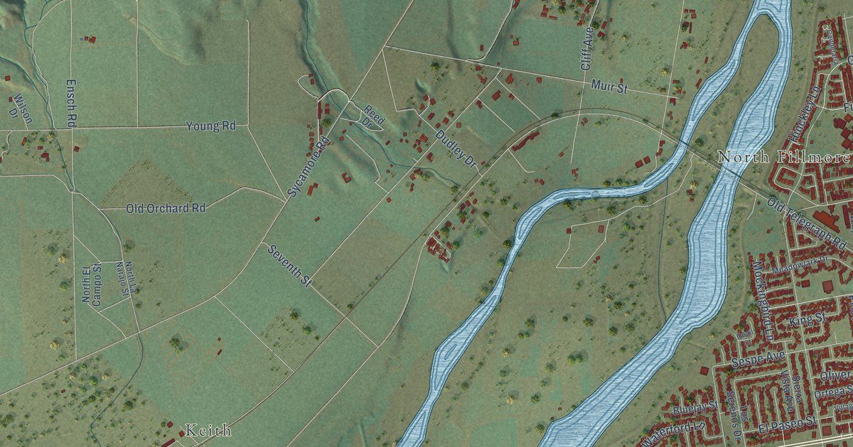
A detailed map of Sespe, California, showing every building in its true location, the roads by name, and shaded topographical relief.
Read More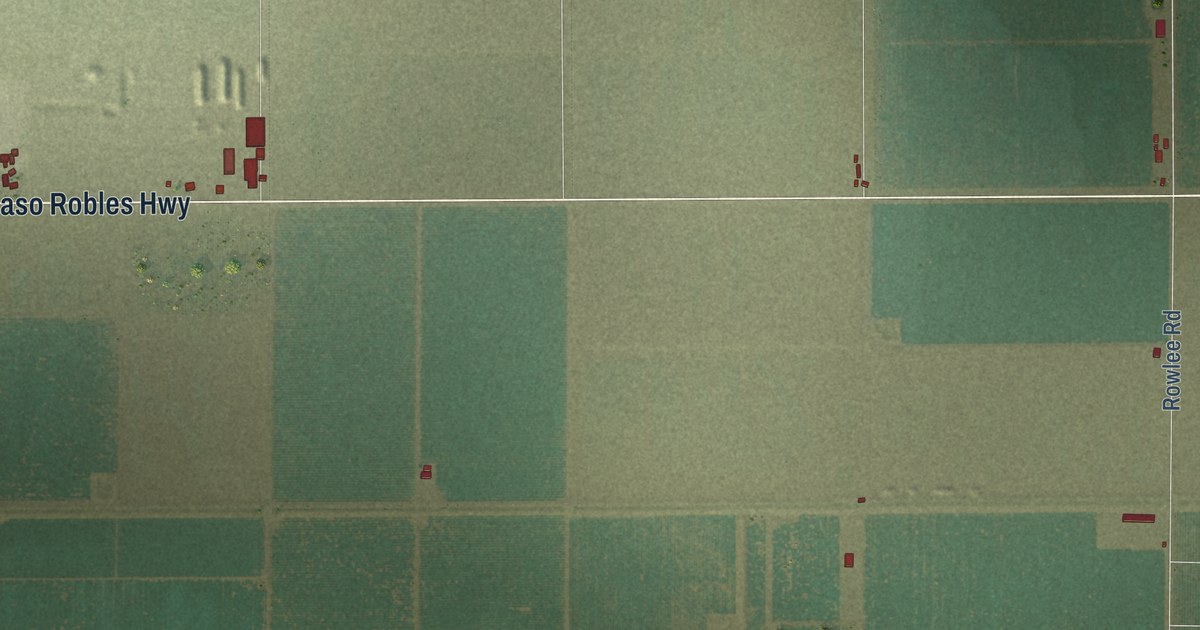
A detailed map of Semitropic, California, showing every building in its true location, the roads by name, and shaded topographical relief.
Read More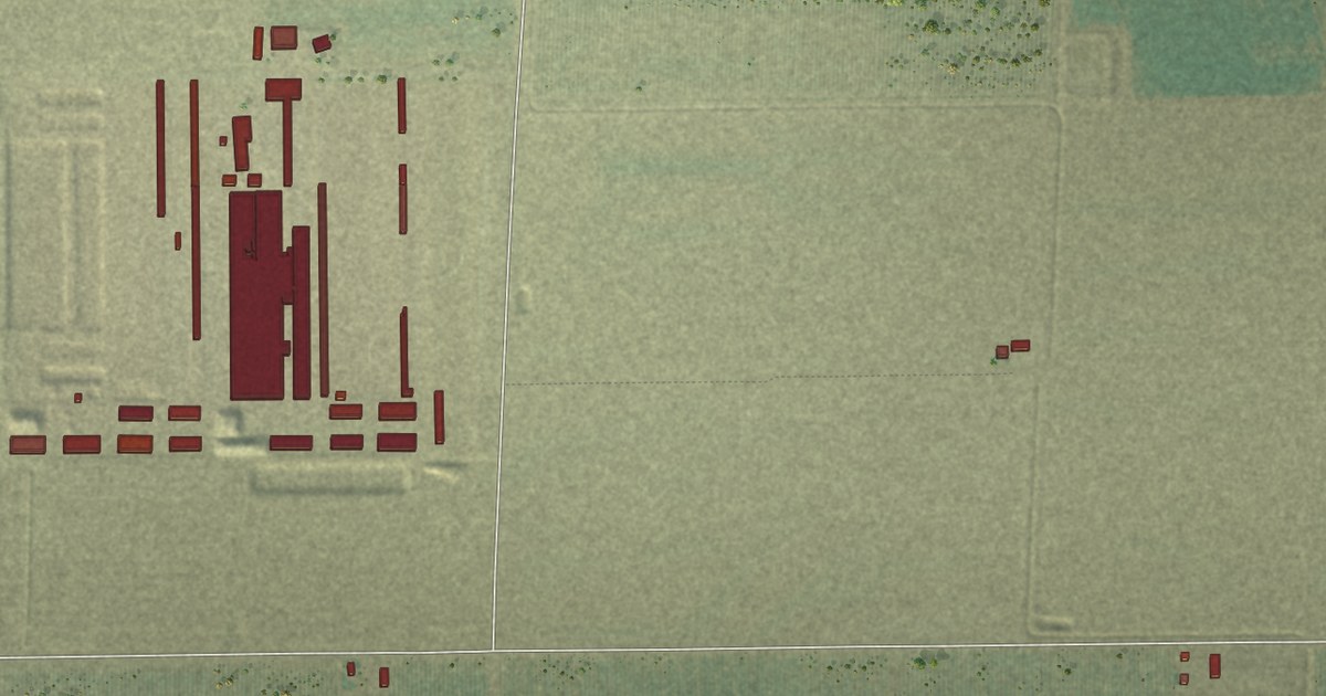
A detailed map of Saucelito, California, showing every building in its true location, the roads by name, and shaded topographical relief.
Read More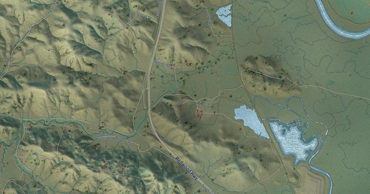
A detailed map of San Antonio, California, showing every building in its true location, the roads by name, and shaded topographical relief.
Read More















