Detailed Map of Rucker, California
A detailed map of Rucker, California, showing every building in its true location, the roads by name, and shaded topographical relief.
Read More
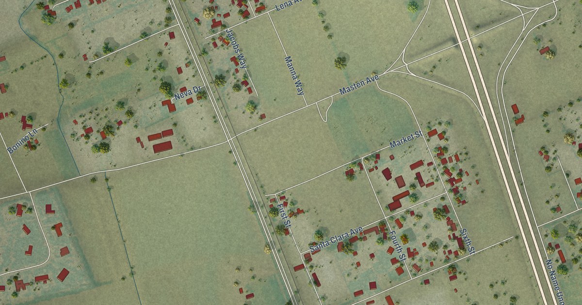
A detailed map of Rucker, California, showing every building in its true location, the roads by name, and shaded topographical relief.
Read More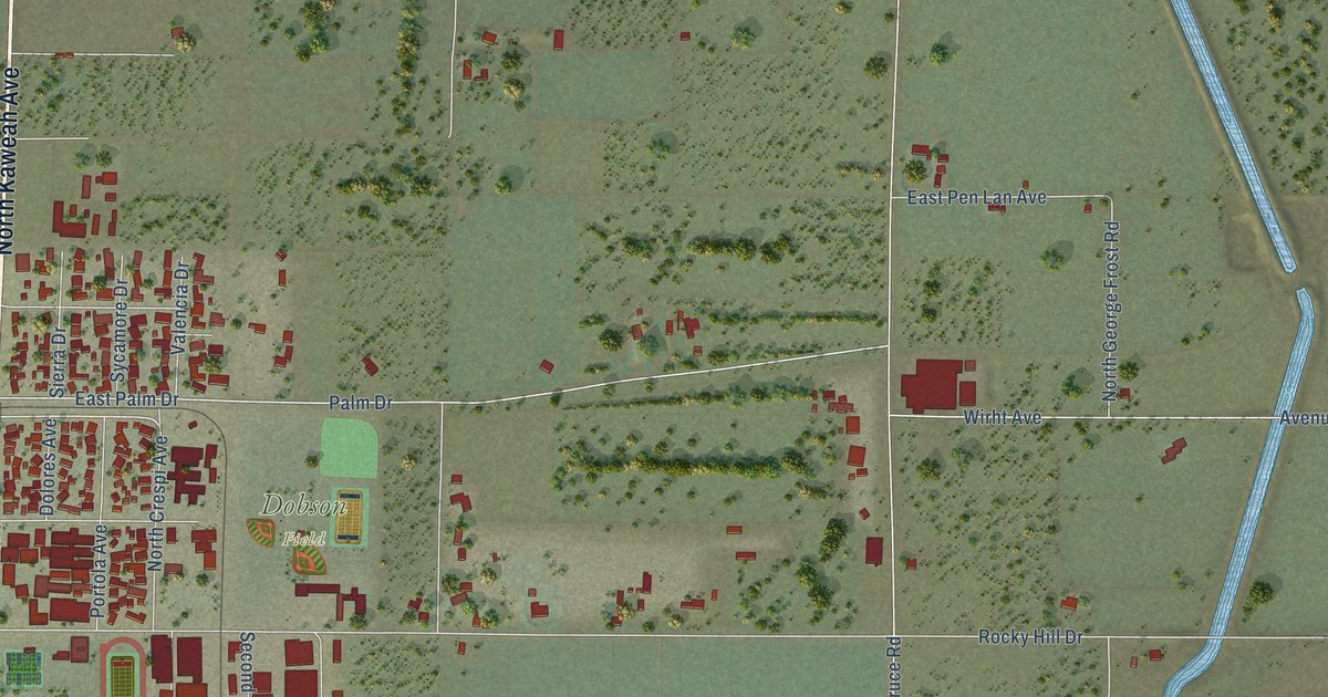
A detailed map of Rocky Hill, California, showing every building in its true location, the roads by name, and shaded topographical relief.
Read More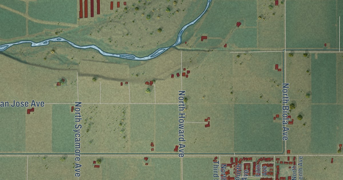
A detailed map of Ripperdan, California, showing every building in its true location, the roads by name, and shaded topographical relief.
Read More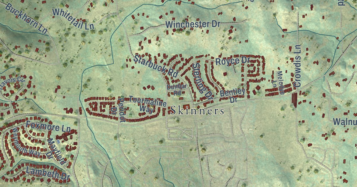
A detailed map of Rescue, California, showing every building in its true location, the roads by name, and shaded topographical relief.
Read More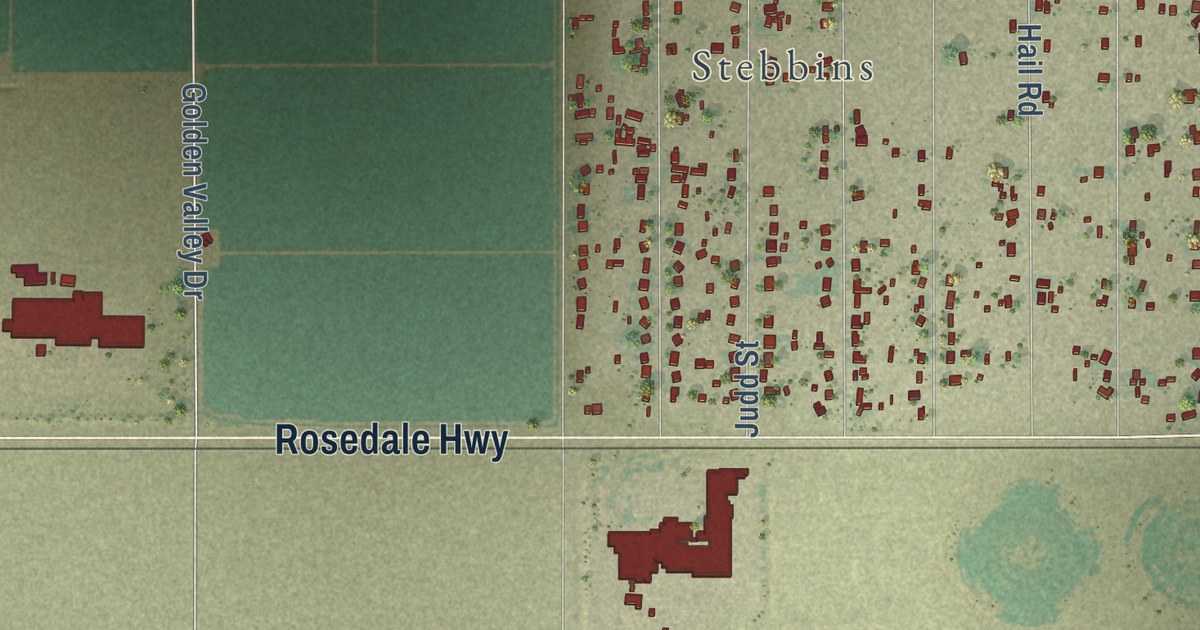
A detailed map of Rio Bravo, California, showing every building in its true location, the roads by name, and shaded topographical relief.
Read More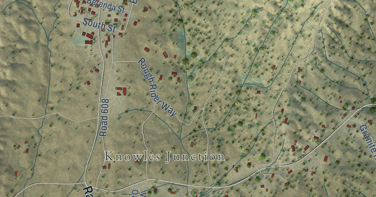
A detailed map of Raymond, California, showing every building in its true location, the roads by name, and shaded topographical relief.
Read More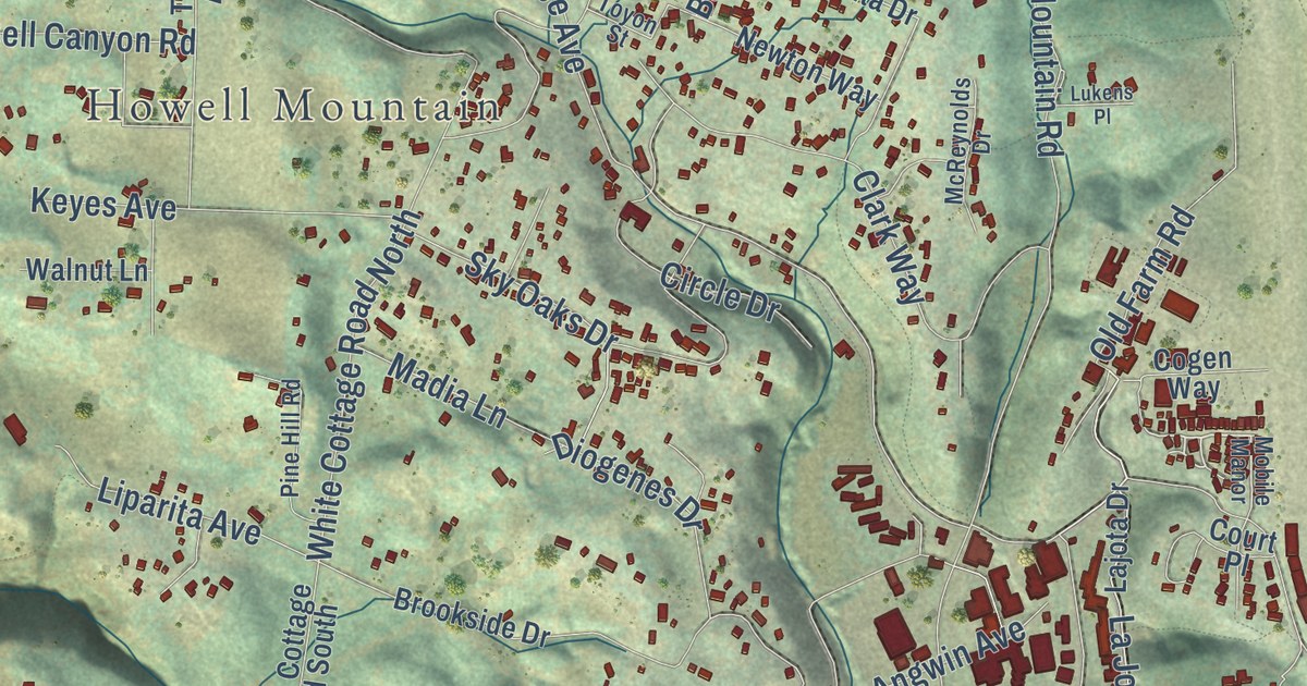
A detailed map of Pope Valley, California, showing every building in its true location, the roads by name, and shaded topographical relief.
Read More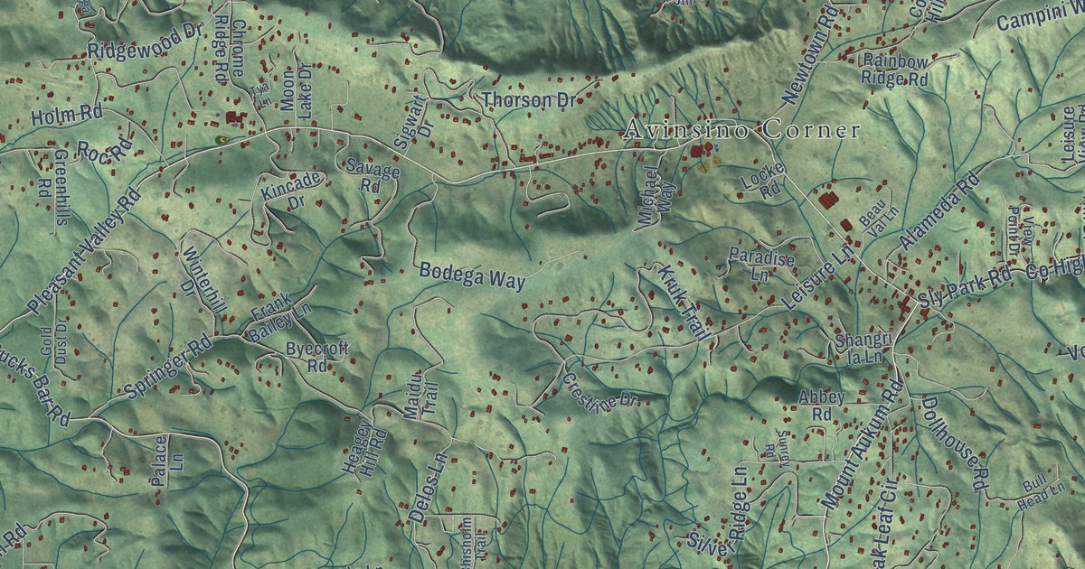
A detailed map of Pleasant Valley, California, showing every building in its true location, the roads by name, and shaded topographical relief.
Read More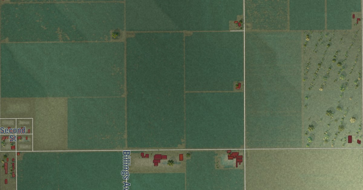
A detailed map of Pond, California, showing every building in its true location, the roads by name, and shaded topographical relief.
Read More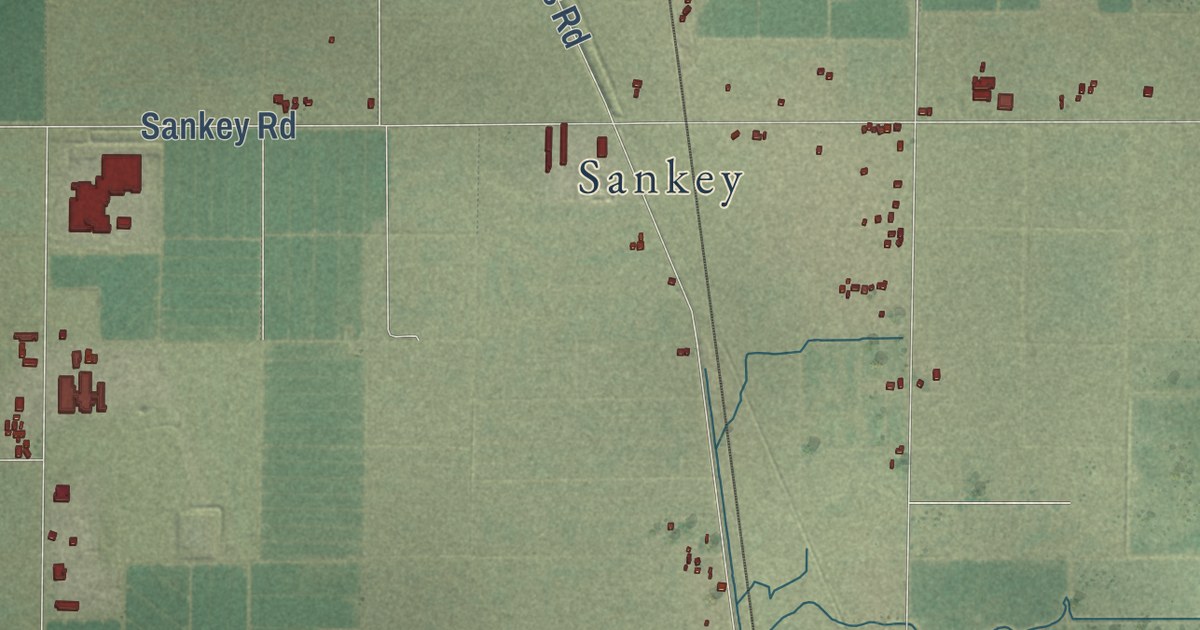
A detailed map of Pleasant Grove, California, showing every building in its true location, the roads by name, and shaded topographical relief.
Read More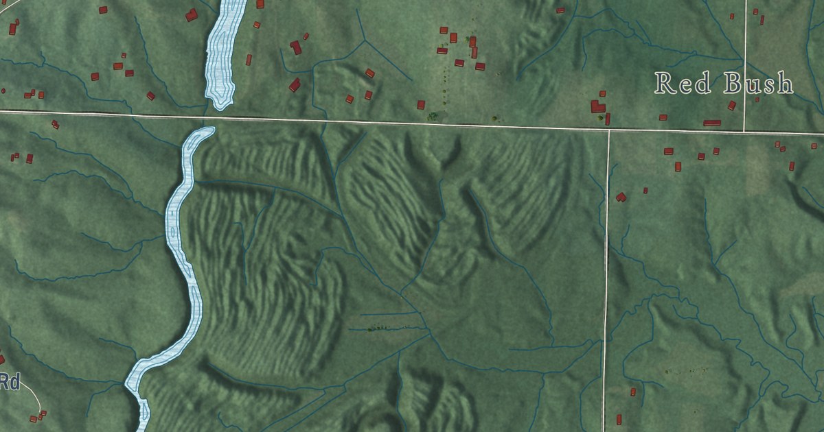
A detailed map of Yankeetown, Indiana, showing every building in its true location, the roads by name, and shaded topographical relief.
Read More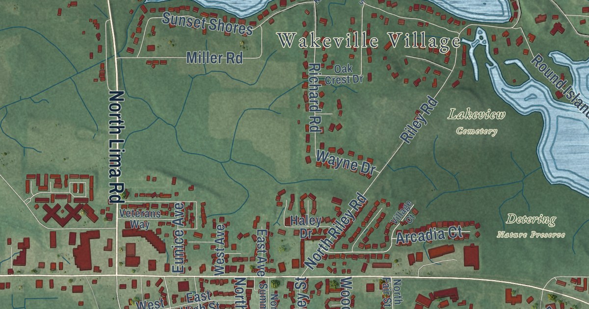
A detailed map of Wayne Center, Indiana, showing every building in its true location, the roads by name, and shaded topographical relief.
Read More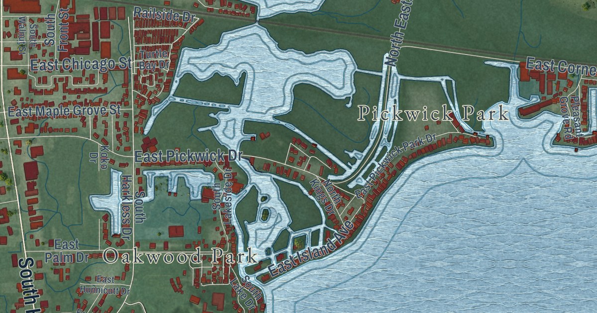
A detailed map of Wawasee, Indiana, showing every building in its true location, the roads by name, and shaded topographical relief.
Read More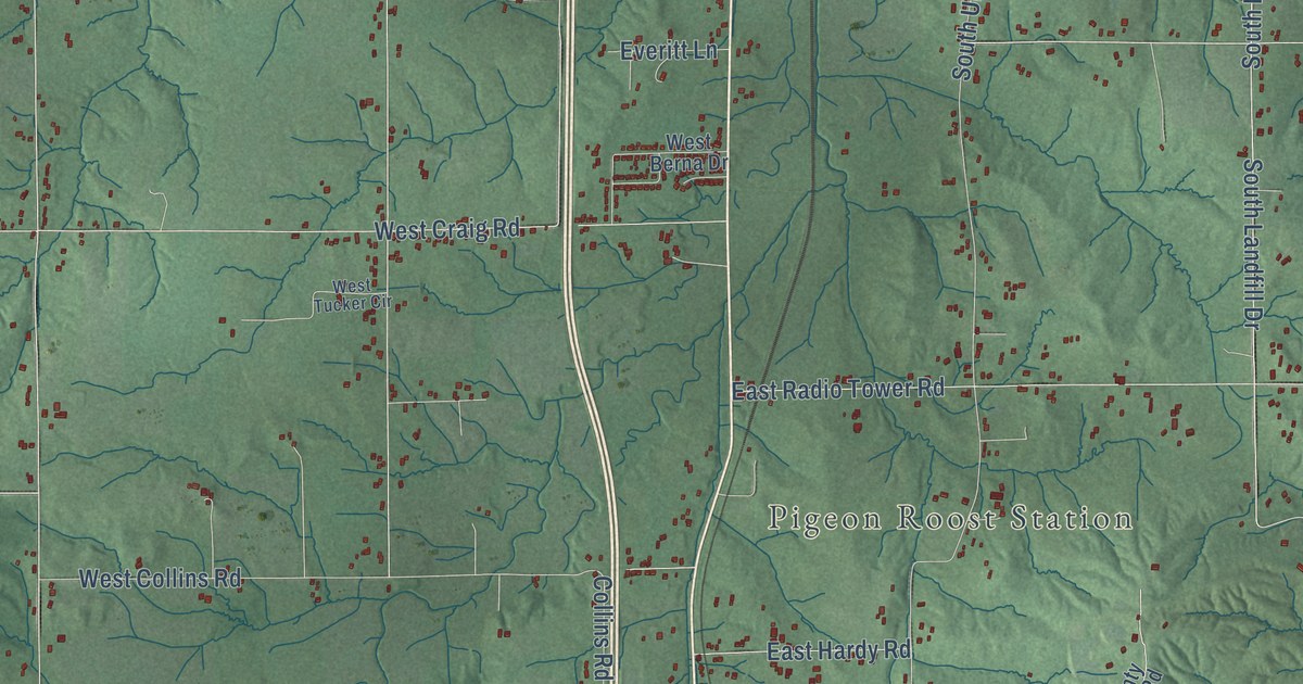
A detailed map of Vienna, Indiana, showing every building in its true location, the roads by name, and shaded topographical relief.
Read More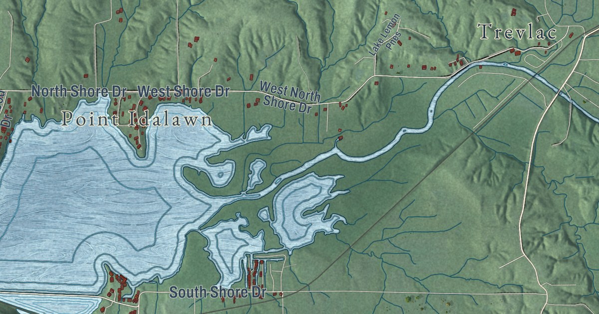
A detailed map of Unionville, Indiana, showing every building in its true location, the roads by name, and shaded topographical relief.
Read More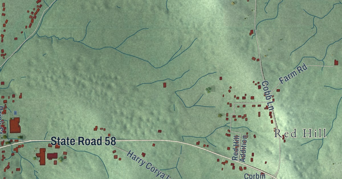
A detailed map of Springville, Indiana, showing every building in its true location, the roads by name, and shaded topographical relief.
Read More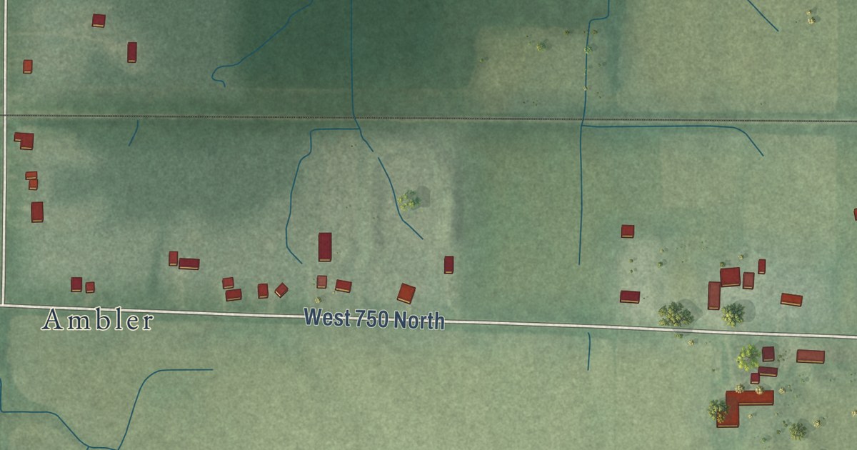
A detailed map of Springfield, Indiana, showing every building in its true location, the roads by name, and shaded topographical relief.
Read More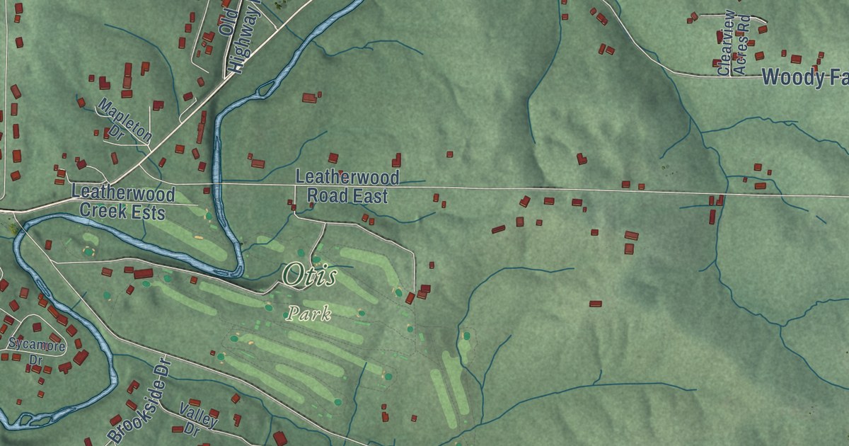
A detailed map of Shawswick, Indiana, showing every building in its true location, the roads by name, and shaded topographical relief.
Read More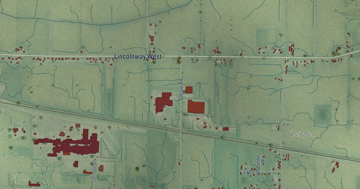
A detailed map of Olive, Indiana, showing every building in its true location, the roads by name, and shaded topographical relief.
Read More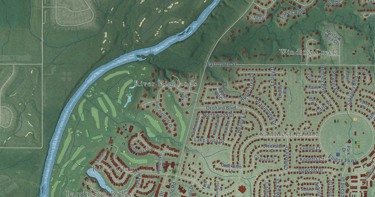
A detailed map of New Britton, Indiana, showing every building in its true location, the roads by name, and shaded topographical relief.
Read More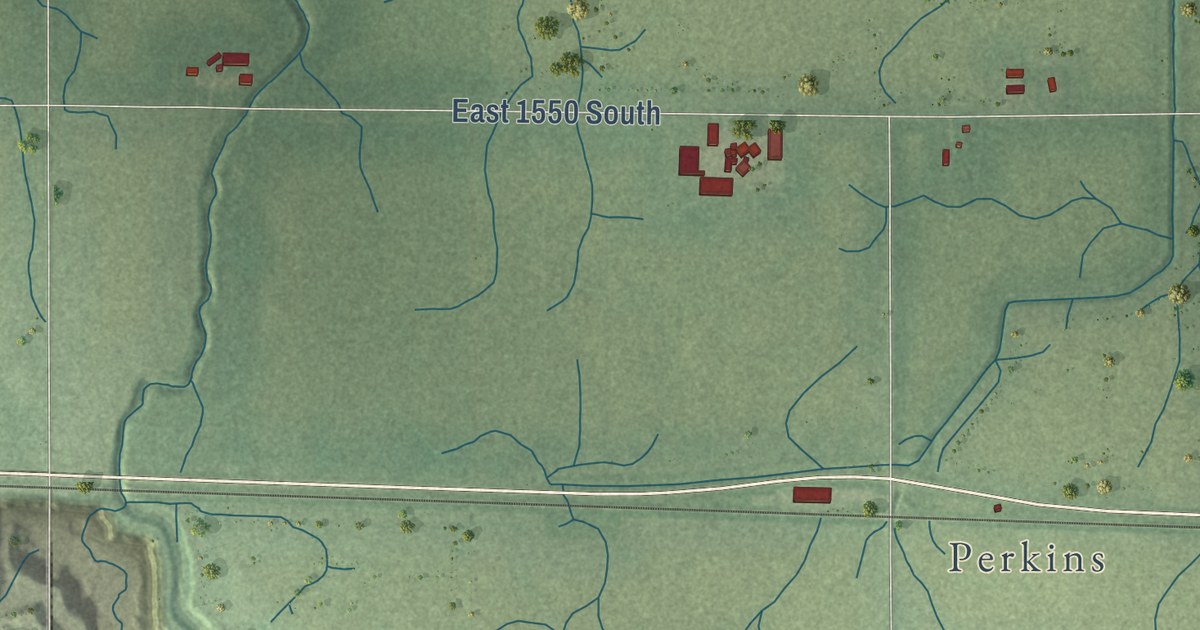
A detailed map of Newton, Indiana, showing every building in its true location, the roads by name, and shaded topographical relief.
Read More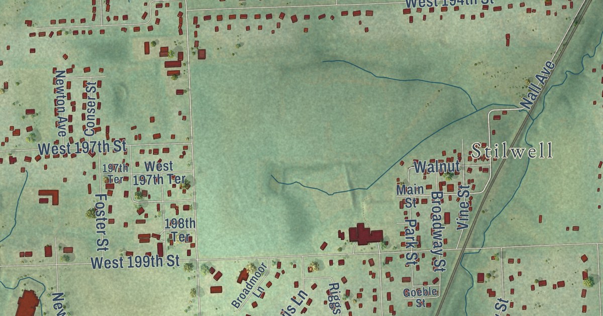
A detailed map of Aubry, Kansas, showing every building in its true location, the roads by name, and shaded topographical relief.
Read More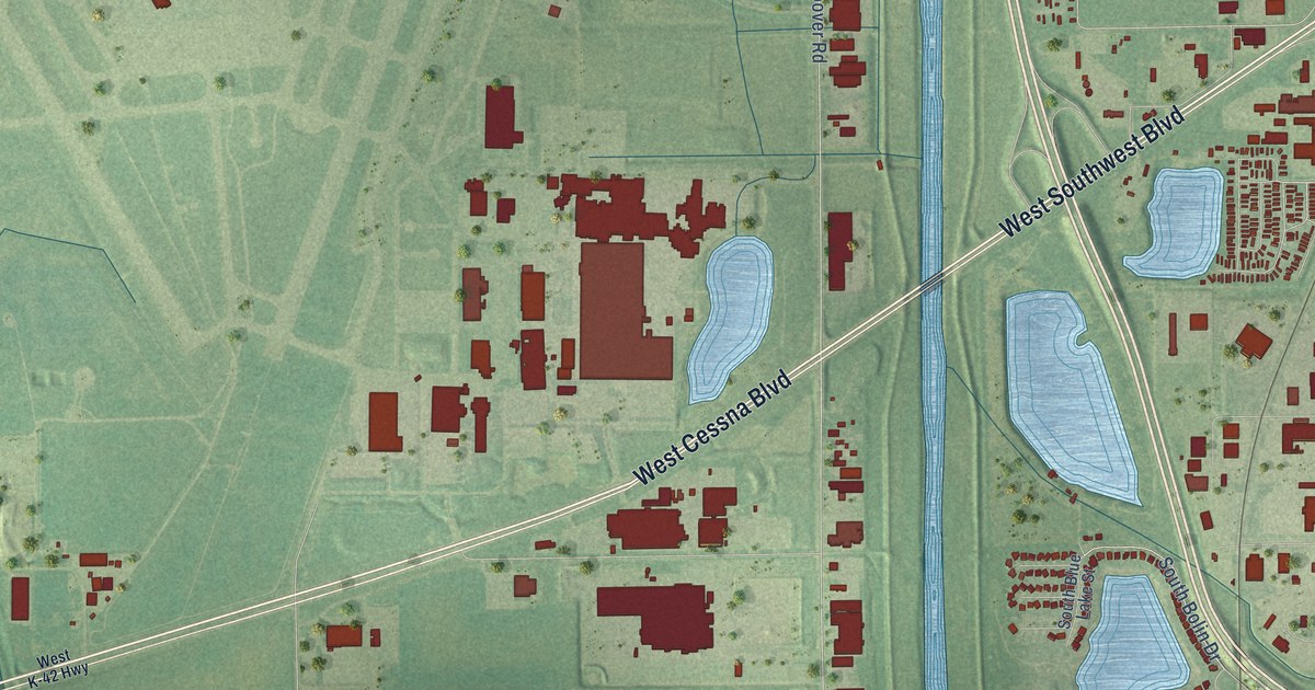
A detailed map of Cessna, Kansas, showing every building in its true location, the roads by name, and shaded topographical relief.
Read More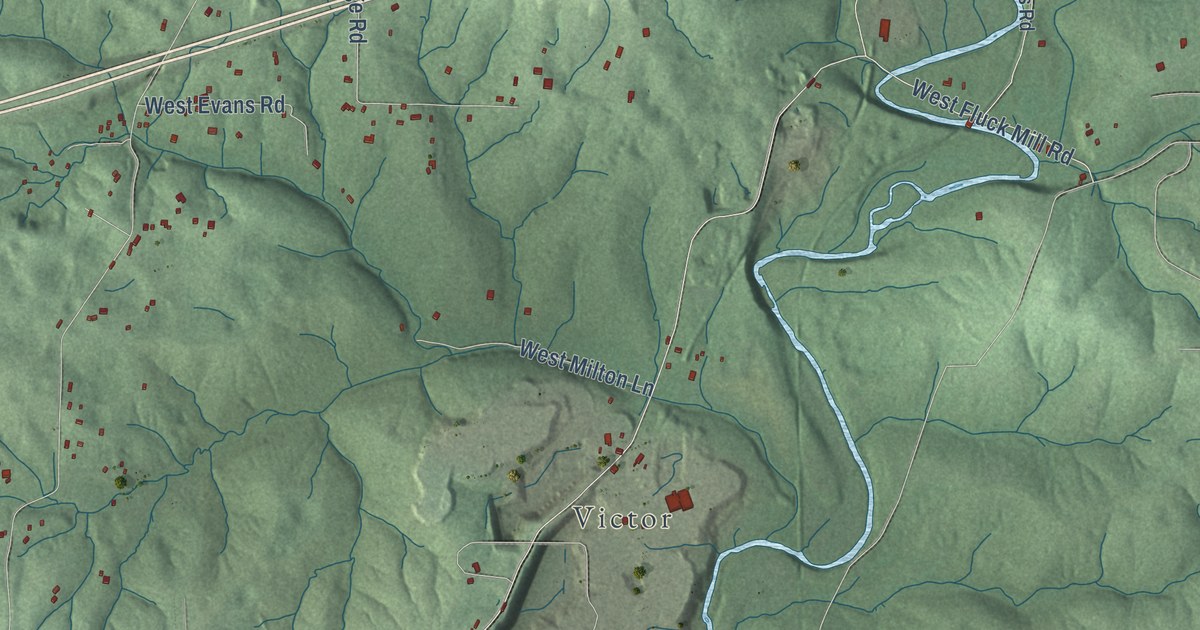
A detailed map of Clear Creek, Indiana, showing every building in its true location, the roads by name, and shaded topographical relief.
Read More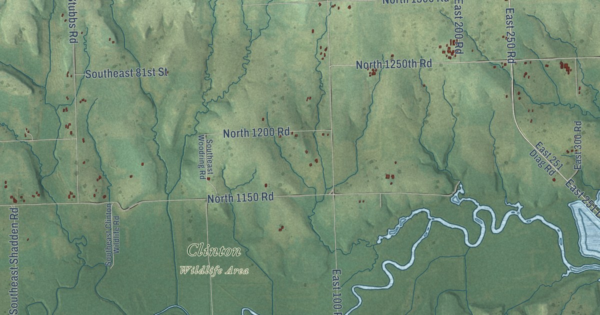
A detailed map of Berryton, Kansas, showing every building in its true location, the roads by name, and shaded topographical relief.
Read More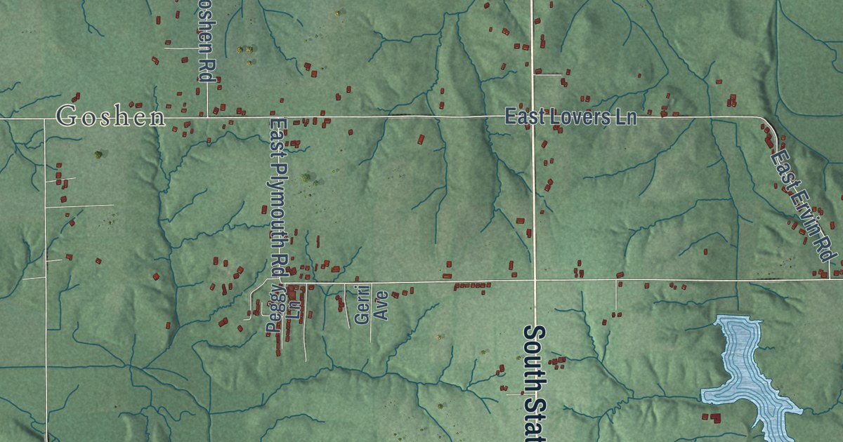
A detailed map of Lexington, Indiana, showing every building in its true location, the roads by name, and shaded topographical relief.
Read More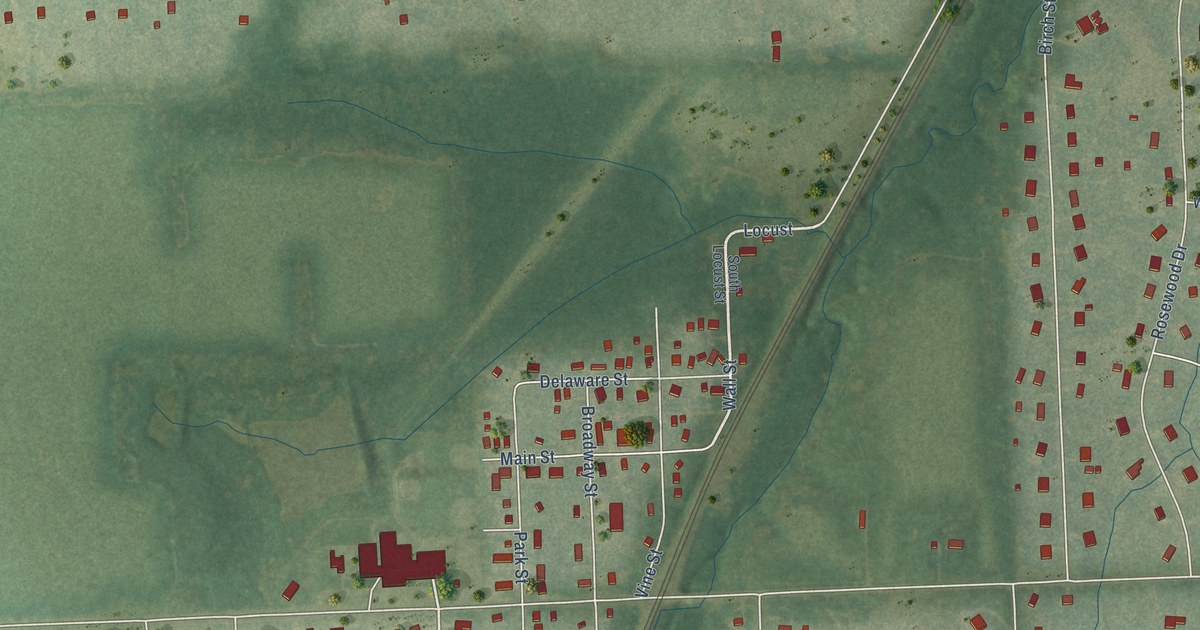
A detailed map of Stilwell, Kansas, showing every building in its true location, the roads by name, and shaded topographical relief.
Read More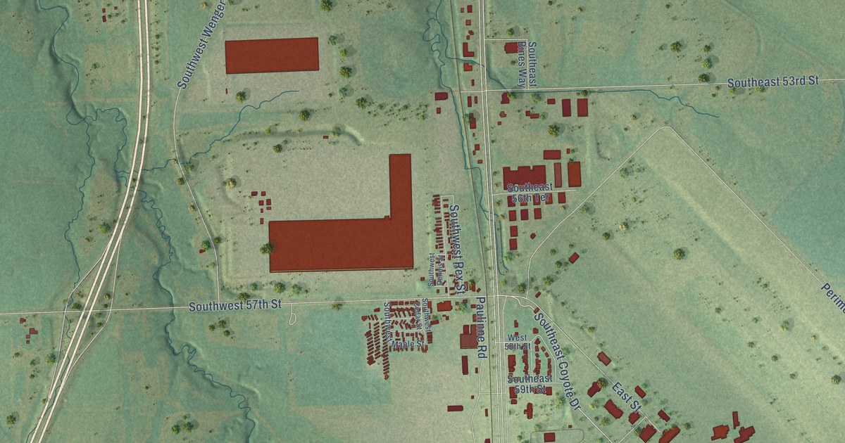
A detailed map of Pauline, Kansas, showing every building in its true location, the roads by name, and shaded topographical relief.
Read More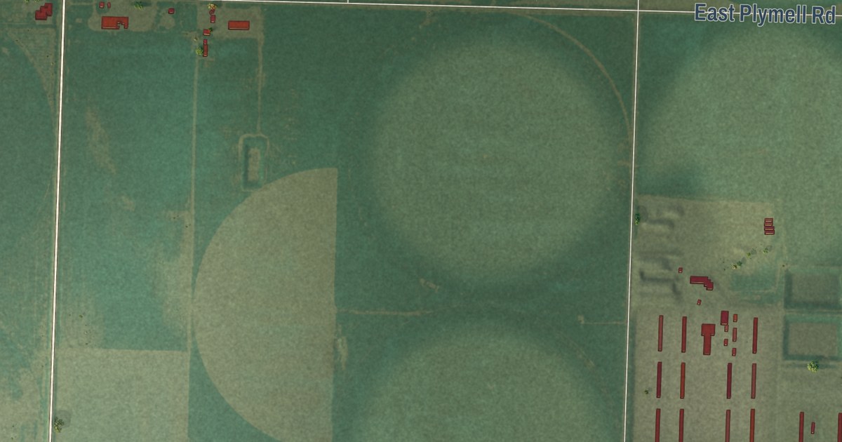
A detailed map of Plymell, Kansas, showing every building in its true location, the roads by name, and shaded topographical relief.
Read More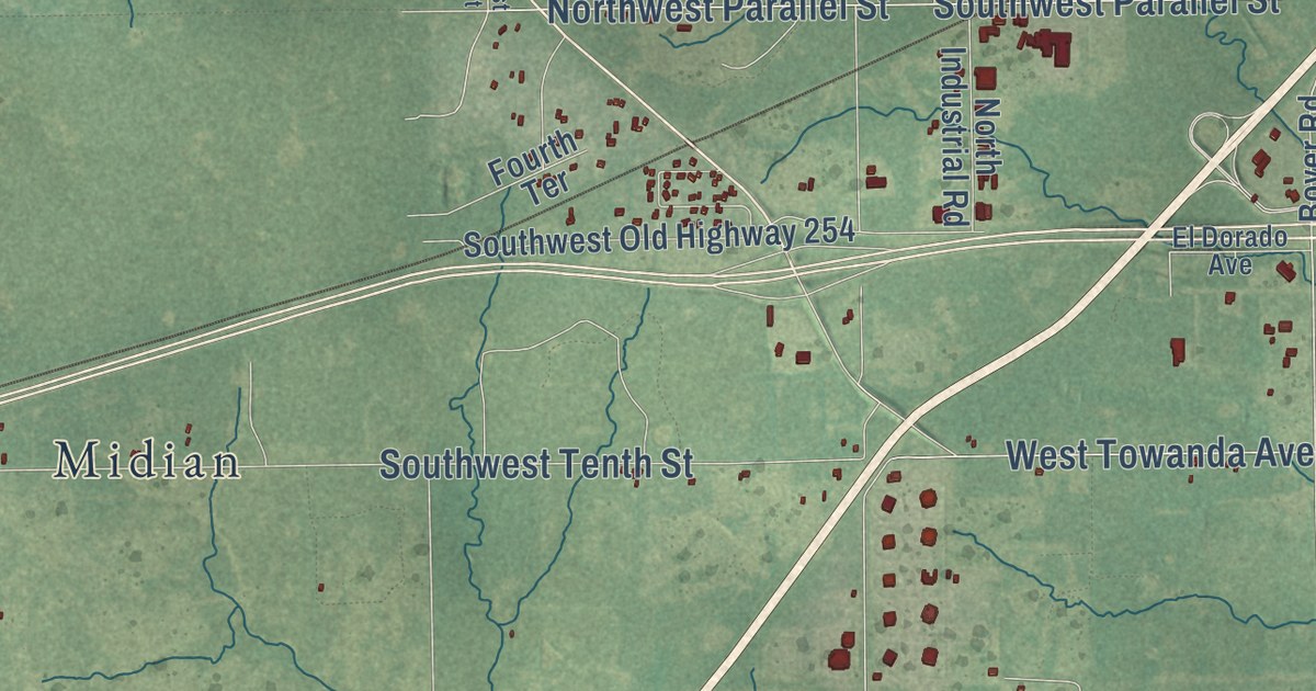
A detailed map of Oil Hill, Kansas, showing every building in its true location, the roads by name, and shaded topographical relief.
Read More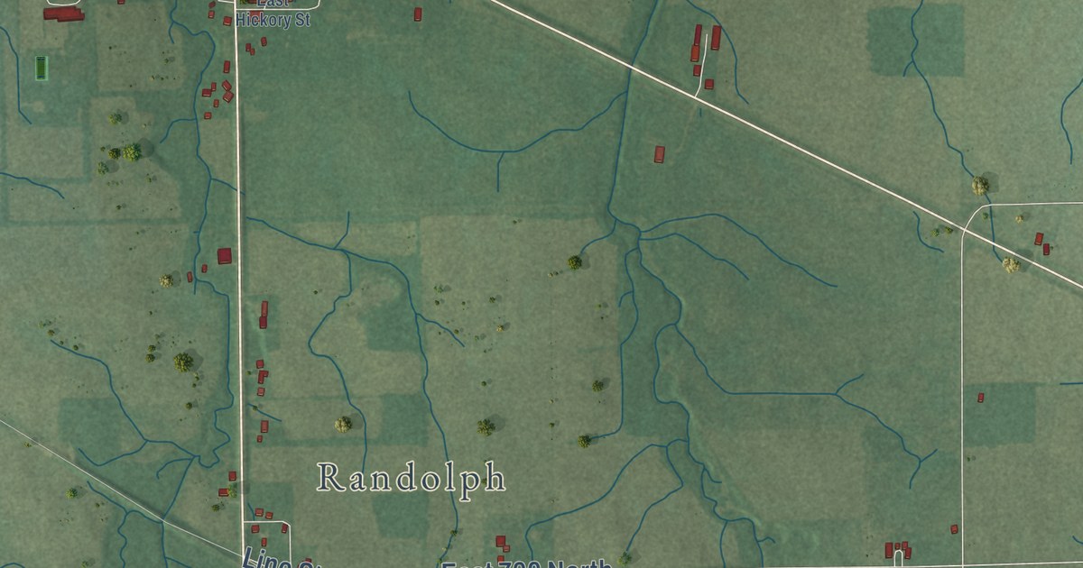
A detailed map of Deerfield, Indiana, showing every building in its true location, the roads by name, and shaded topographical relief.
Read More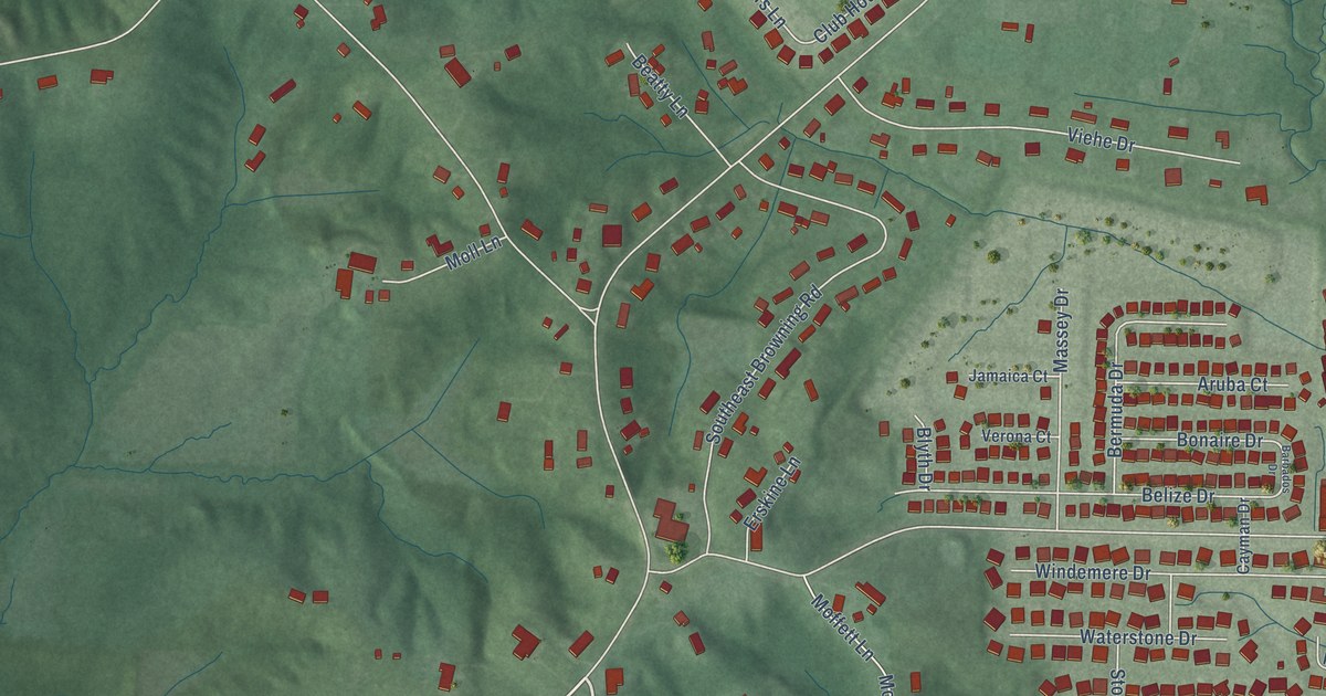
A detailed map of McCutchanville, Indiana, showing every building in its true location, the roads by name, and shaded topographical relief.
Read More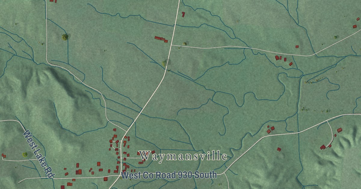
A detailed map of Mount Healthy, Indiana, showing every building in its true location, the roads by name, and shaded topographical relief.
Read More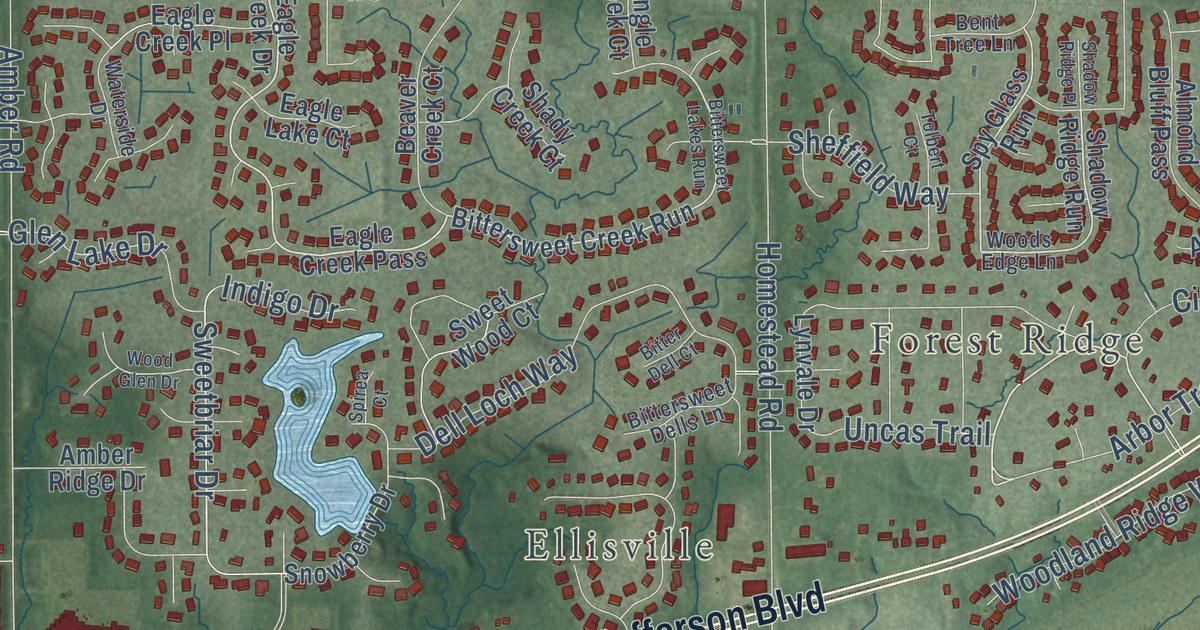
A detailed map of Aboite, Indiana, showing every building in its true location, the roads by name, and shaded topographical relief.
Read More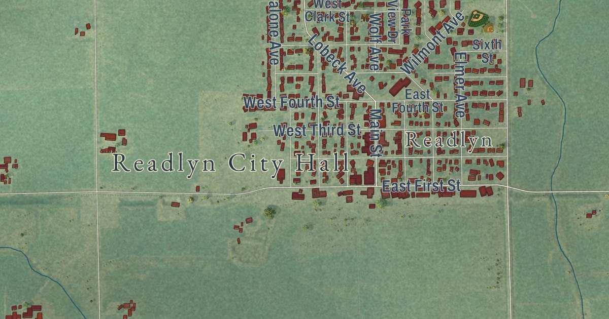
A detailed map of Wapsie, Iowa, showing every building in its true location, the roads by name, and shaded topographical relief.
Read More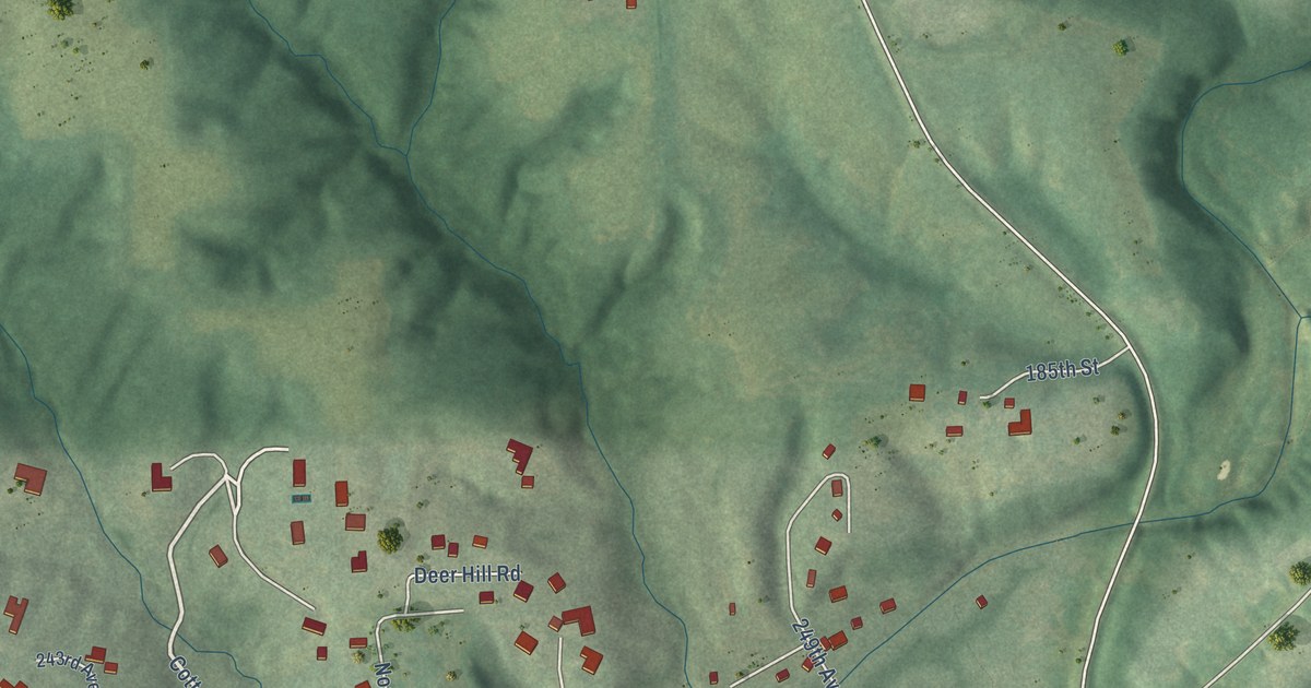
A detailed map of Pleasant Valley, Iowa, showing every building in its true location, the roads by name, and shaded topographical relief.
Read More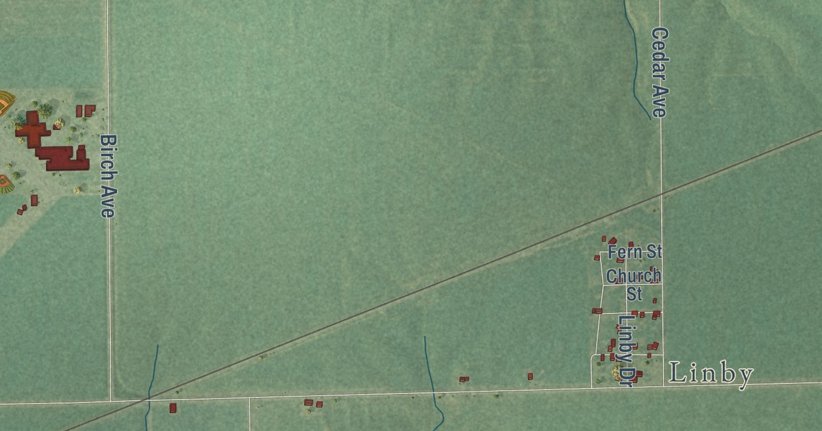
A detailed map of Pekin, Iowa, showing every building in its true location, the roads by name, and shaded topographical relief.
Read More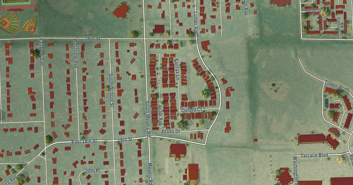
A detailed map of York Center, Illinois, showing every building in its true location, the roads by name, and shaded topographical relief.
Read More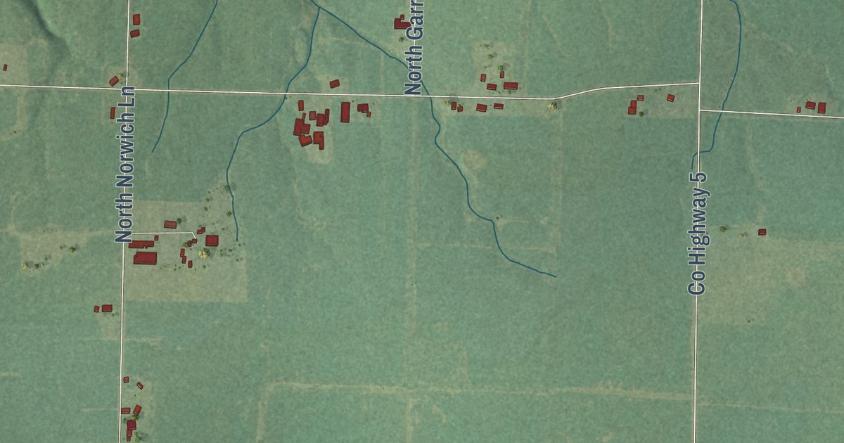
A detailed map of Spring Garden, Illinois, showing every building in its true location, the roads by name, and shaded topographical relief.
Read More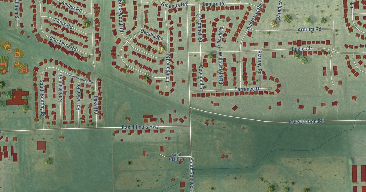
A detailed map of Spencer, Illinois, showing every building in its true location, the roads by name, and shaded topographical relief.
Read More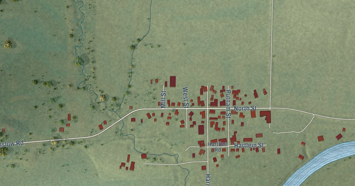
A detailed map of Shirland, Illinois, showing every building in its true location, the roads by name, and shaded topographical relief.
Read More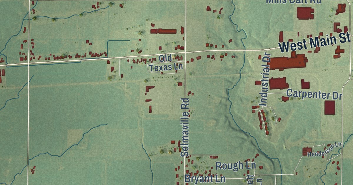
A detailed map of Selmaville, Illinois, showing every building in its true location, the roads by name, and shaded topographical relief.
Read More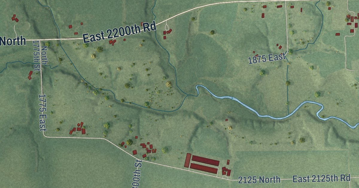
A detailed map of Scottland, Illinois, showing every building in its true location, the roads by name, and shaded topographical relief.
Read More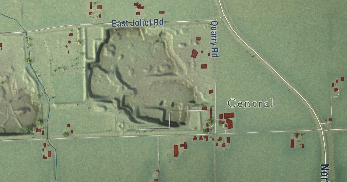
A detailed map of Saratoga, Illinois, showing every building in its true location, the roads by name, and shaded topographical relief.
Read More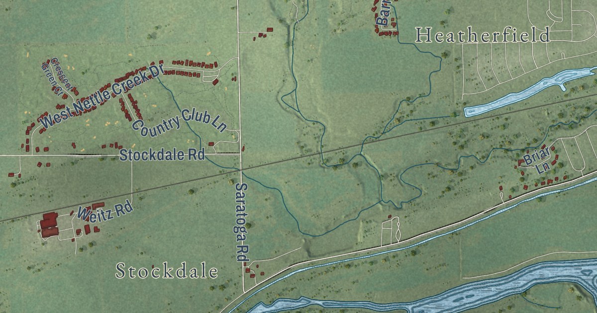
A detailed map of Nettle Creek, Illinois, showing every building in its true location, the roads by name, and shaded topographical relief.
Read More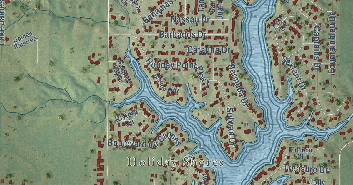
A detailed map of Midway, Illinois, showing every building in its true location, the roads by name, and shaded topographical relief.
Read More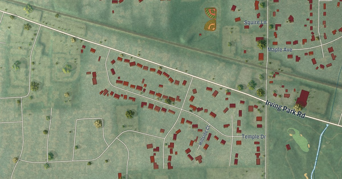
A detailed map of Medinah, Illinois, showing every building in its true location, the roads by name, and shaded topographical relief.
Read More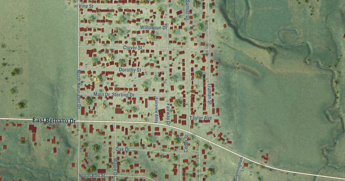
A detailed map of Meadowbrook, Illinois, showing every building in its true location, the roads by name, and shaded topographical relief.
Read More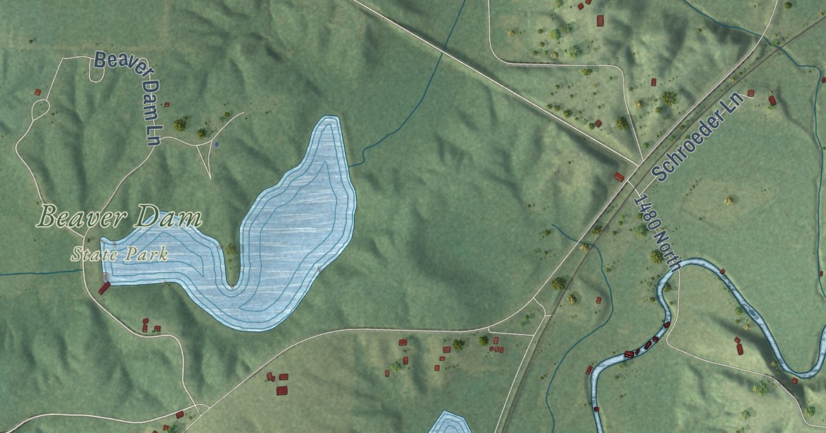
A detailed map of Macoupin, Illinois, showing every building in its true location, the roads by name, and shaded topographical relief.
Read More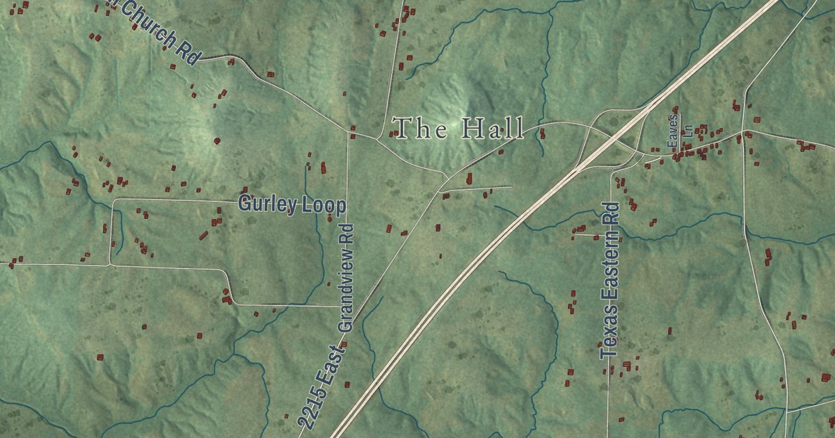
A detailed map of Lick Creek, Illinois, showing every building in its true location, the roads by name, and shaded topographical relief.
Read More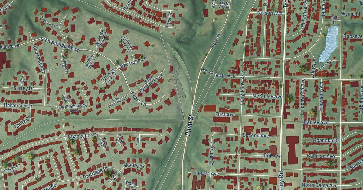
A detailed map of Leclaire, Illinois, showing every building in its true location, the roads by name, and shaded topographical relief.
Read More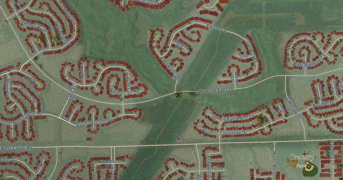
A detailed map of Lakewood Falls, Illinois, showing every building in its true location, the roads by name, and shaded topographical relief.
Read More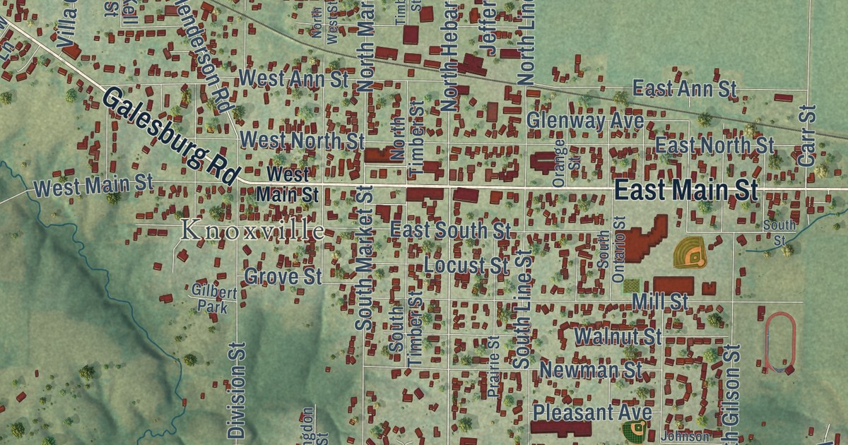
A detailed map of Knox, Illinois, showing every building in its true location, the roads by name, and shaded topographical relief.
Read More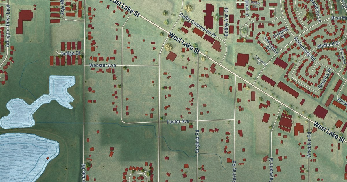
A detailed map of Keeneyville, Illinois, showing every building in its true location, the roads by name, and shaded topographical relief.
Read More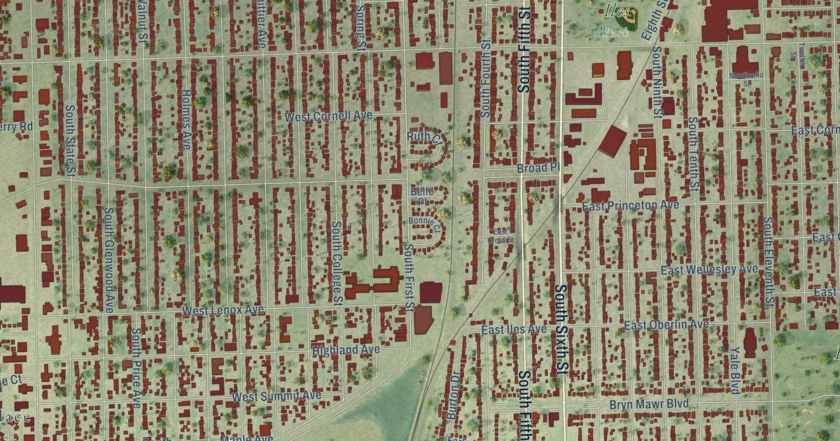
A detailed map of Iles, Illinois, showing every building in its true location, the roads by name, and shaded topographical relief.
Read More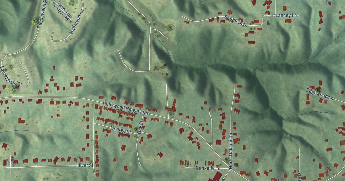
A detailed map of Hollywood Heights, Illinois, showing every building in its true location, the roads by name, and shaded topographical relief.
Read More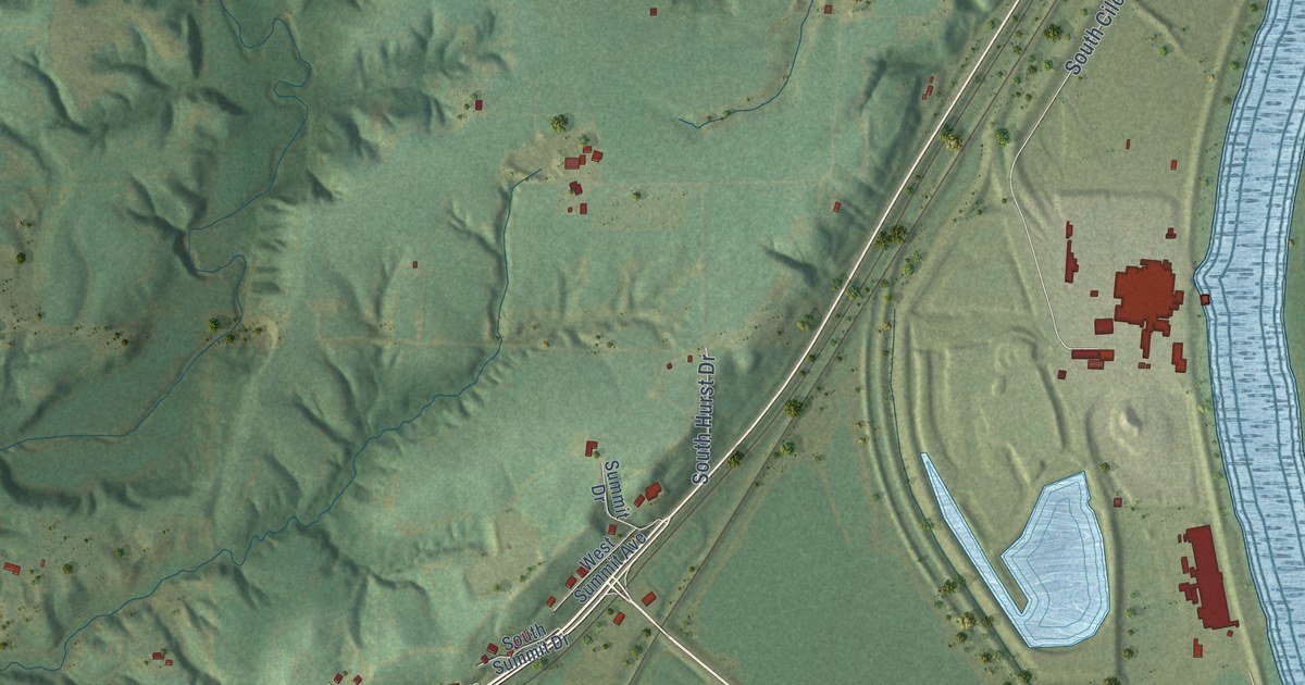
A detailed map of Hollis, Illinois, showing every building in its true location, the roads by name, and shaded topographical relief.
Read More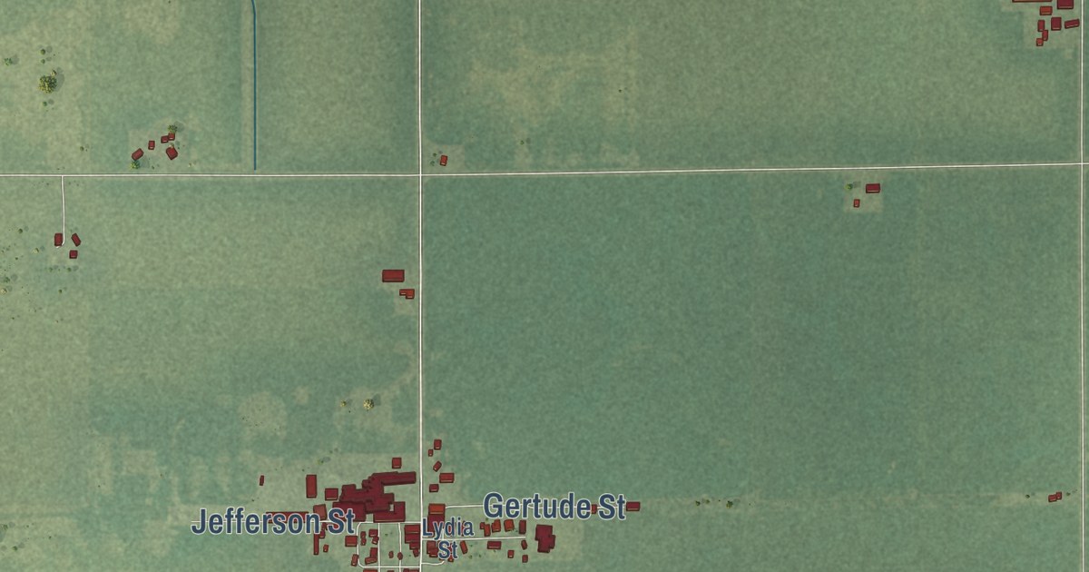
A detailed map of Graymont, Illinois, showing every building in its true location, the roads by name, and shaded topographical relief.
Read More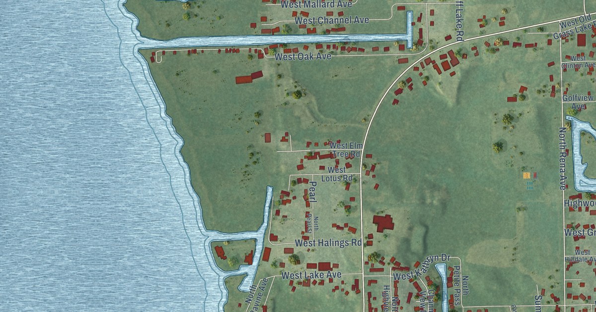
A detailed map of Grass Lake, Illinois, showing every building in its true location, the roads by name, and shaded topographical relief.
Read More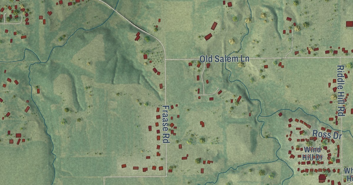
A detailed map of Farmingdale, Illinois, showing every building in its true location, the roads by name, and shaded topographical relief.
Read More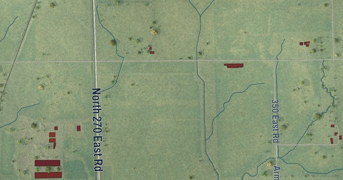
A detailed map of Ellis, Illinois, showing every building in its true location, the roads by name, and shaded topographical relief.
Read More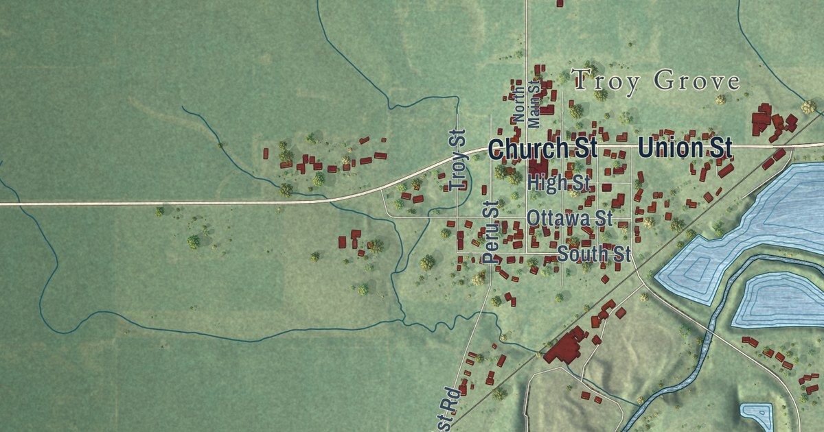
A detailed map of Dimmick, Illinois, showing every building in its true location, the roads by name, and shaded topographical relief.
Read More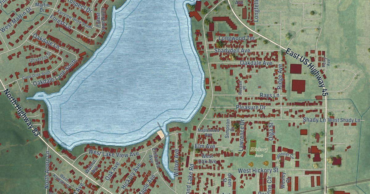
A detailed map of Diamond Lake, Illinois, showing every building in its true location, the roads by name, and shaded topographical relief.
Read More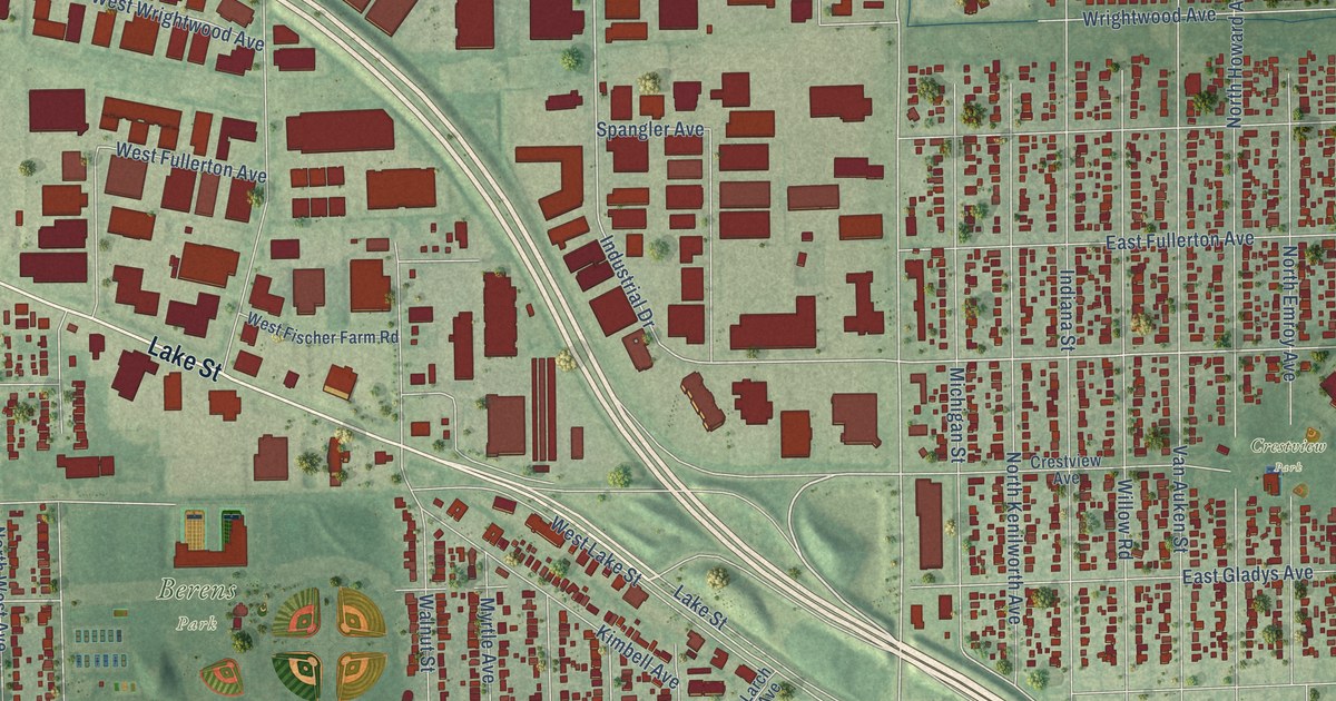
A detailed map of Churchville, Illinois, showing every building in its true location, the roads by name, and shaded topographical relief.
Read More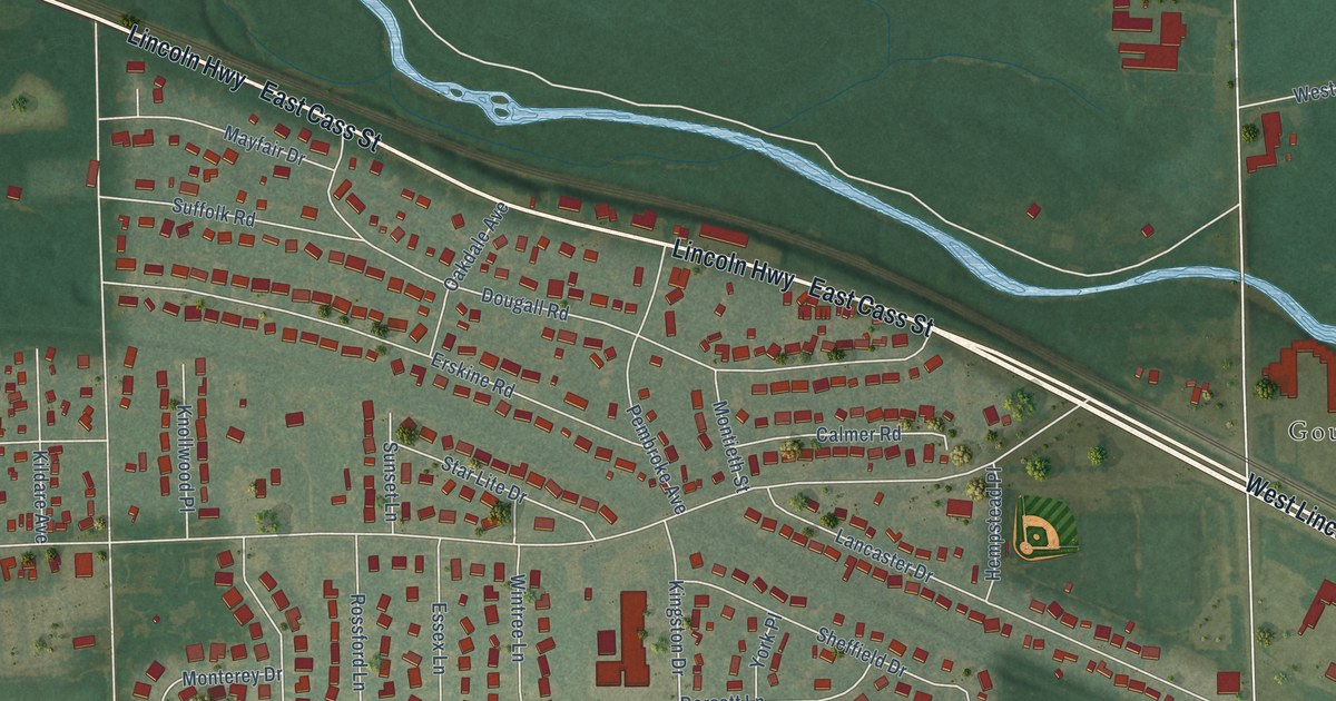
A detailed map of Cherry Hill, Illinois, showing every building in its true location, the roads by name, and shaded topographical relief.
Read More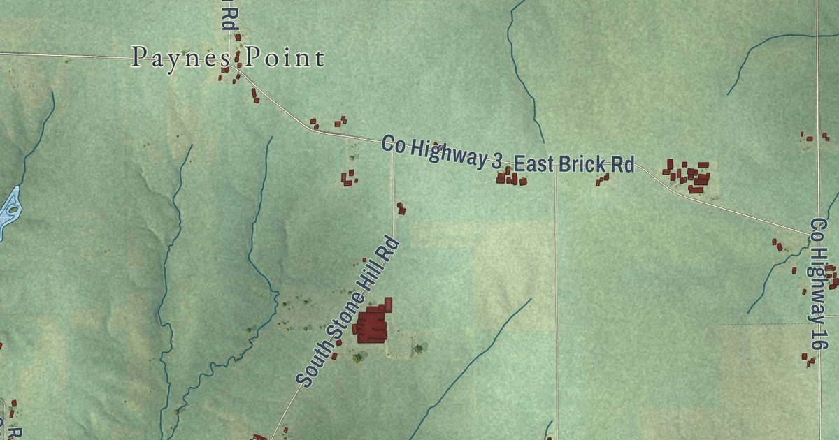
A detailed map of Chana, Illinois, showing every building in its true location, the roads by name, and shaded topographical relief.
Read More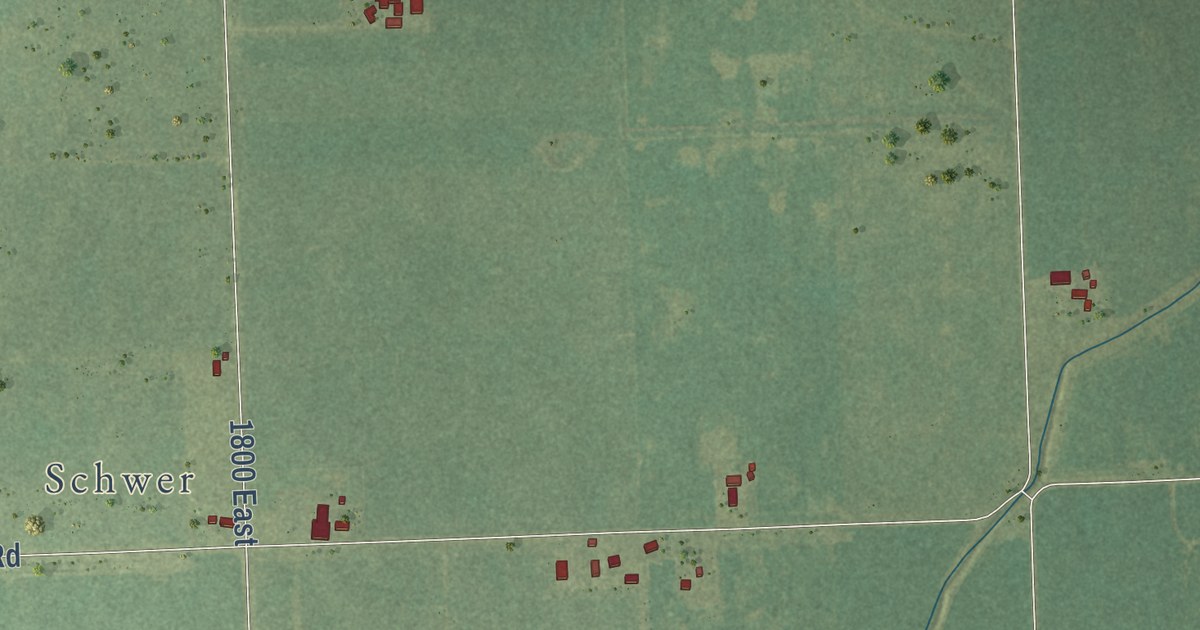
A detailed map of Bryce, Illinois, showing every building in its true location, the roads by name, and shaded topographical relief.
Read More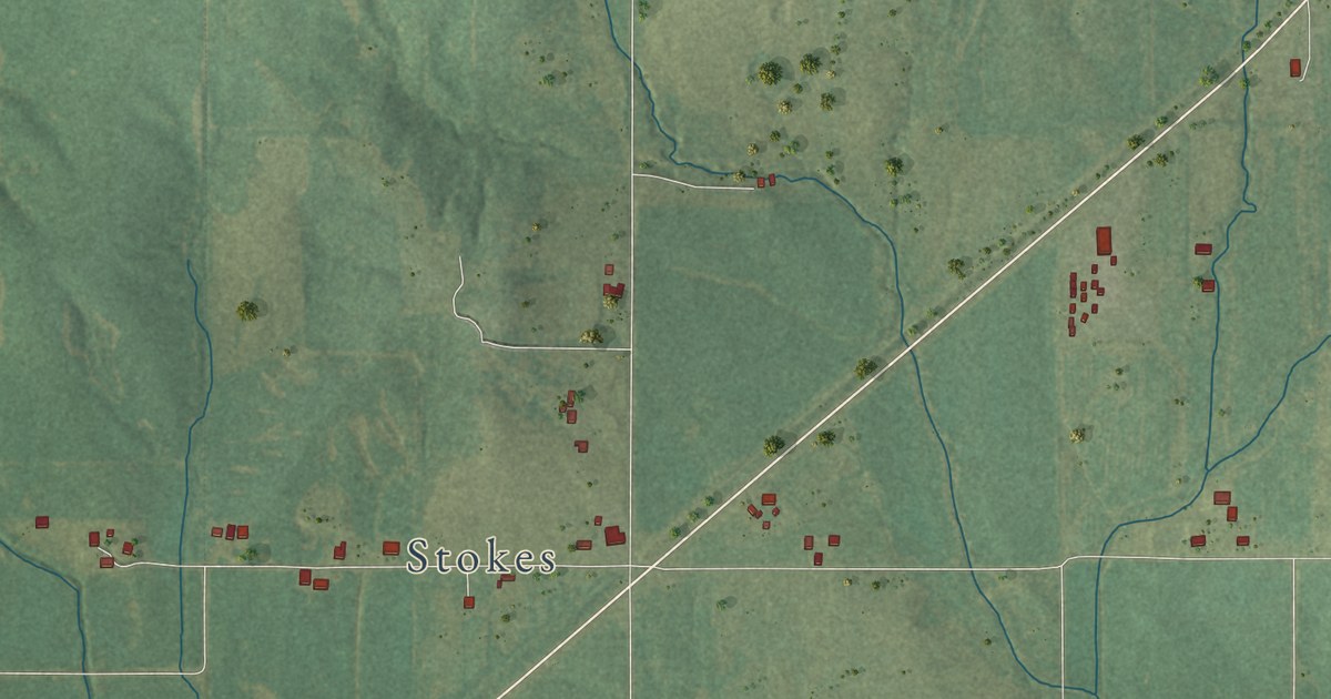
A detailed map of Brownsville, Illinois, showing every building in its true location, the roads by name, and shaded topographical relief.
Read More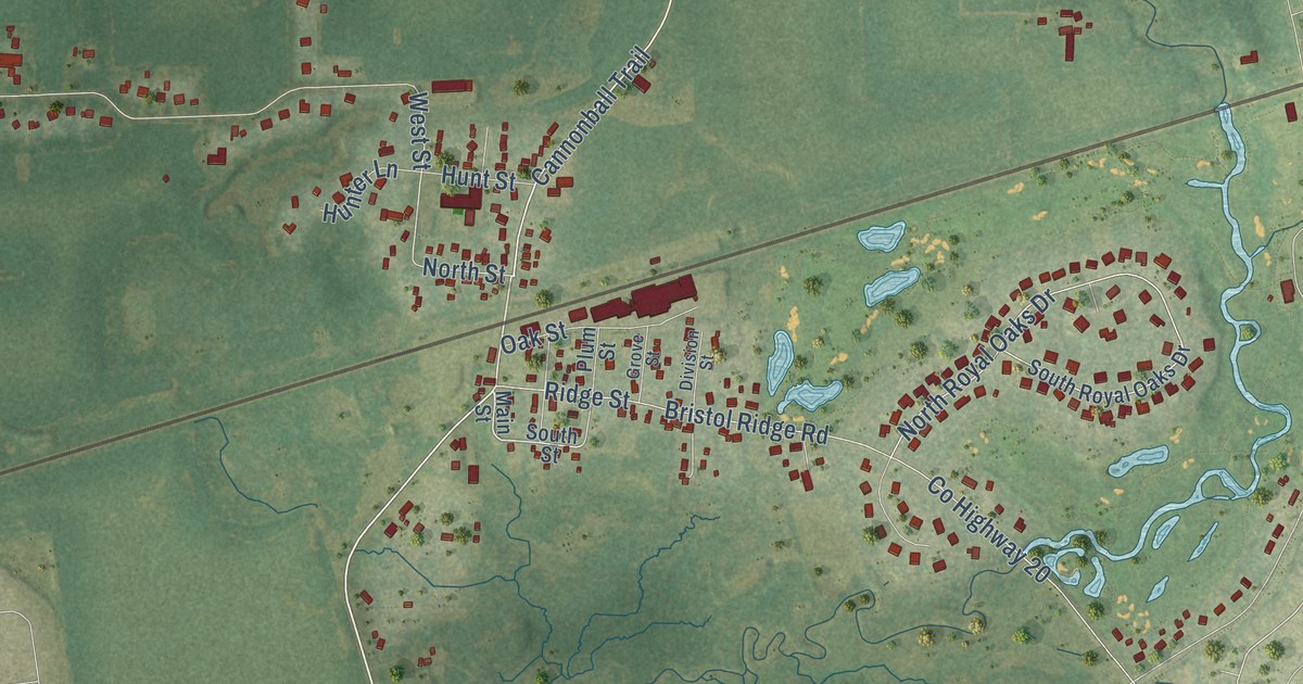
A detailed map of Bristol, Illinois, showing every building in its true location, the roads by name, and shaded topographical relief.
Read More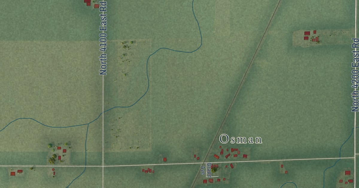
A detailed map of Blue Ridge, Illinois, showing every building in its true location, the roads by name, and shaded topographical relief.
Read More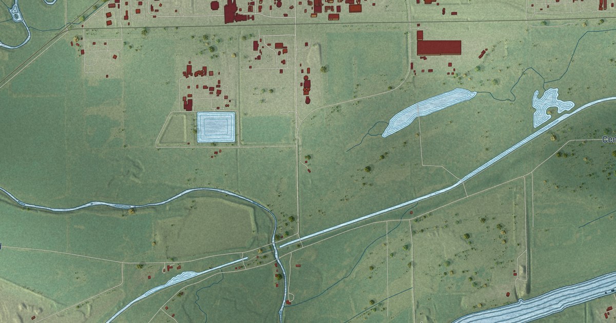
A detailed map of Aux Sable, Illinois, showing every building in its true location, the roads by name, and shaded topographical relief.
Read More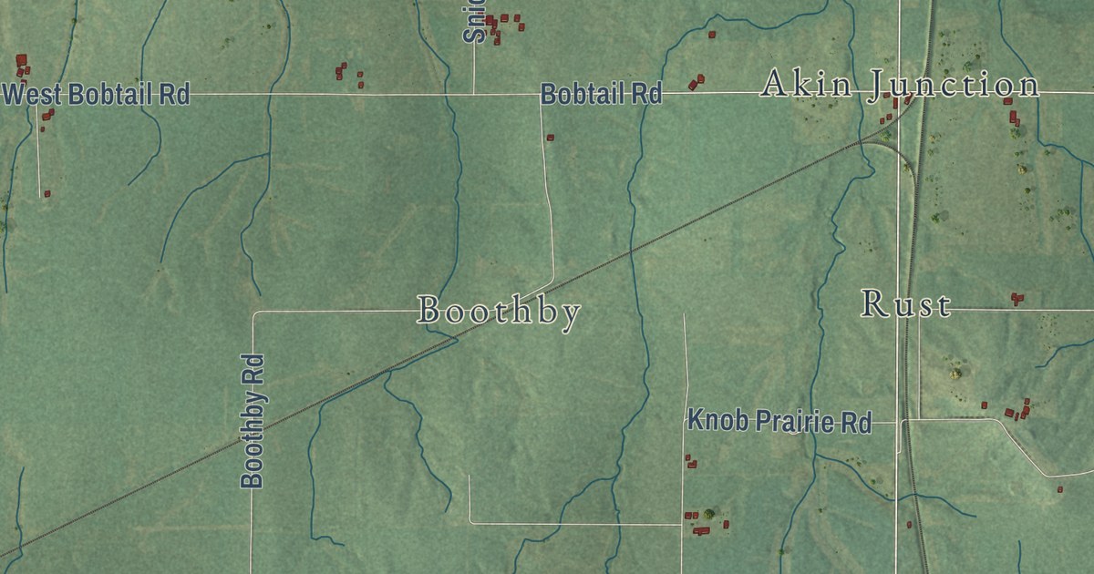
A detailed map of Akin, Illinois, showing every building in its true location, the roads by name, and shaded topographical relief.
Read More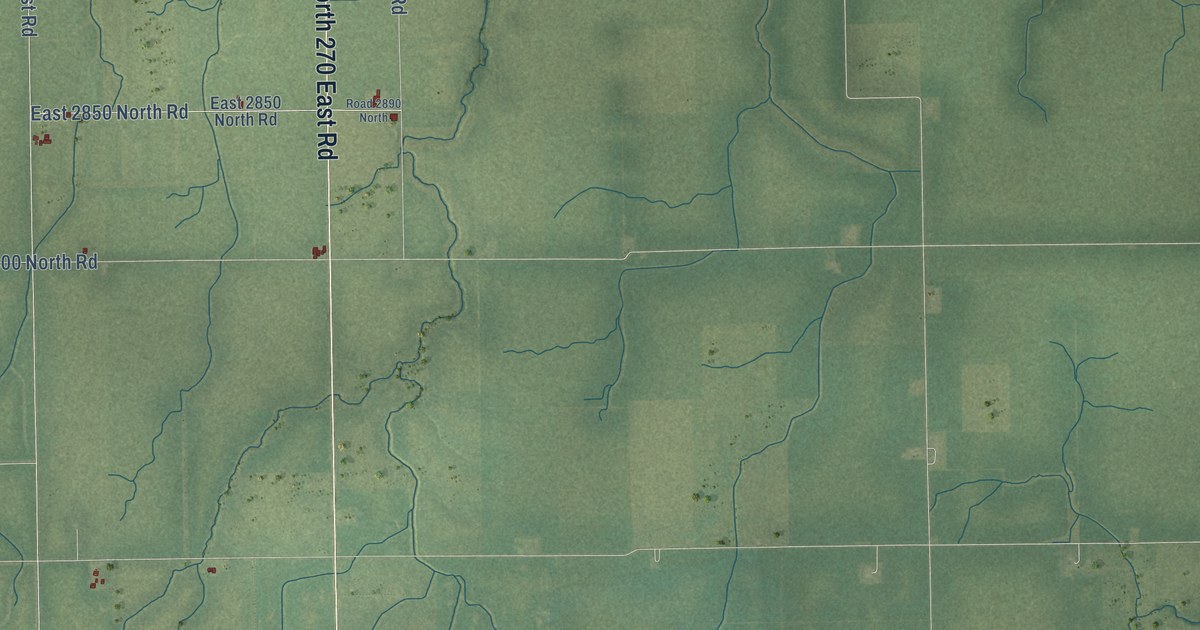
A detailed map of Armstrong, Illinois, showing every building in its true location, the roads by name, and shaded topographical relief.
Read More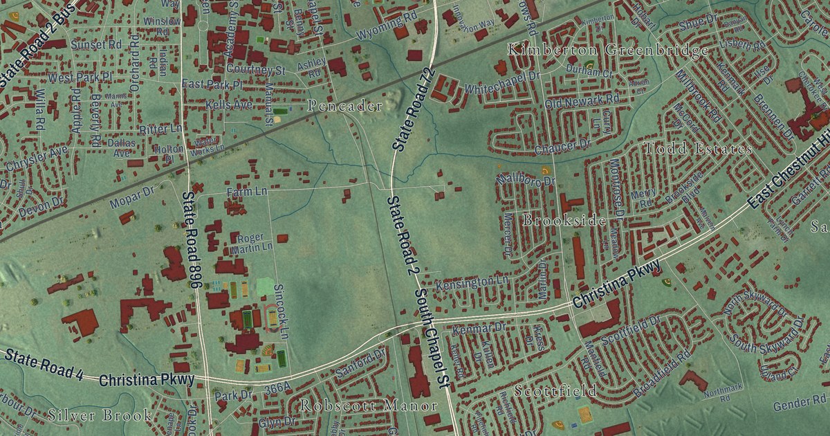
A detailed map of Wilson, Delaware, showing every building in its true location, the roads by name, and shaded topographical relief.
Read More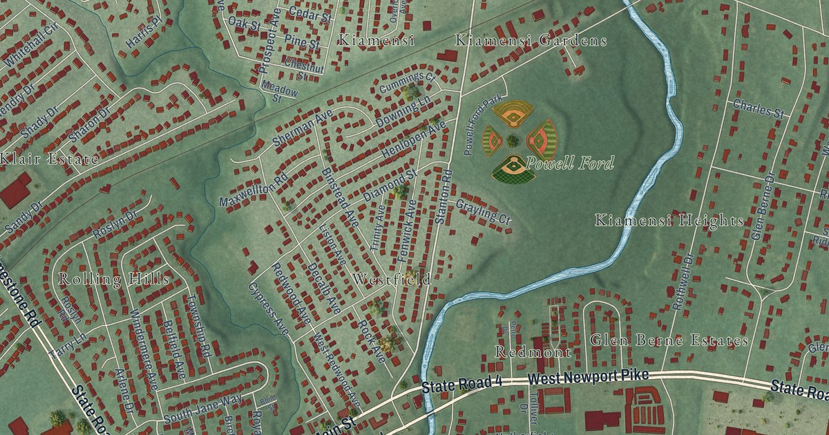
A detailed map of Stanton, Delaware, showing every building in its true location, the roads by name, and shaded topographical relief.
Read More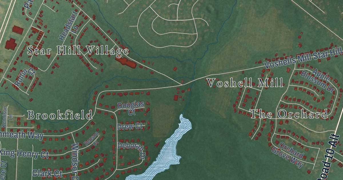
A detailed map of Star Hill, Delaware, showing every building in its true location, the roads by name, and shaded topographical relief.
Read More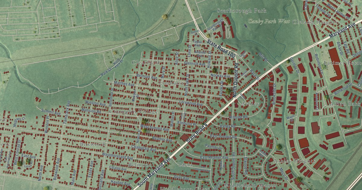
A detailed map of Richardson Park, Delaware, showing every building in its true location, the roads by name, and shaded topographical relief.
Read More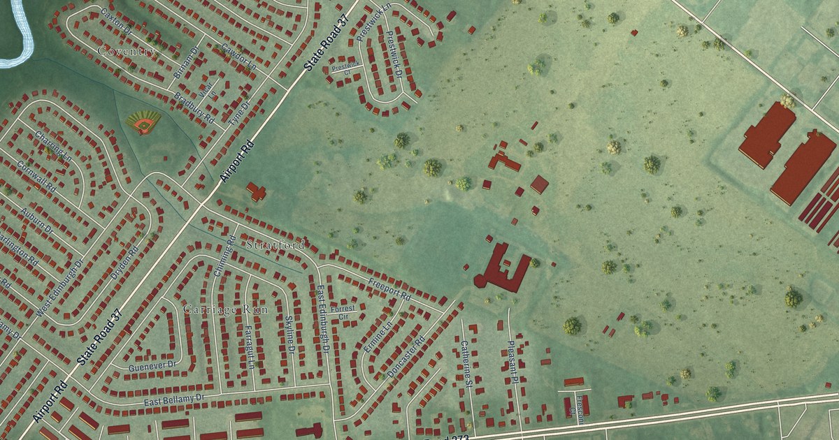
A detailed map of Pleasantville, Delaware, showing every building in its true location, the roads by name, and shaded topographical relief.
Read More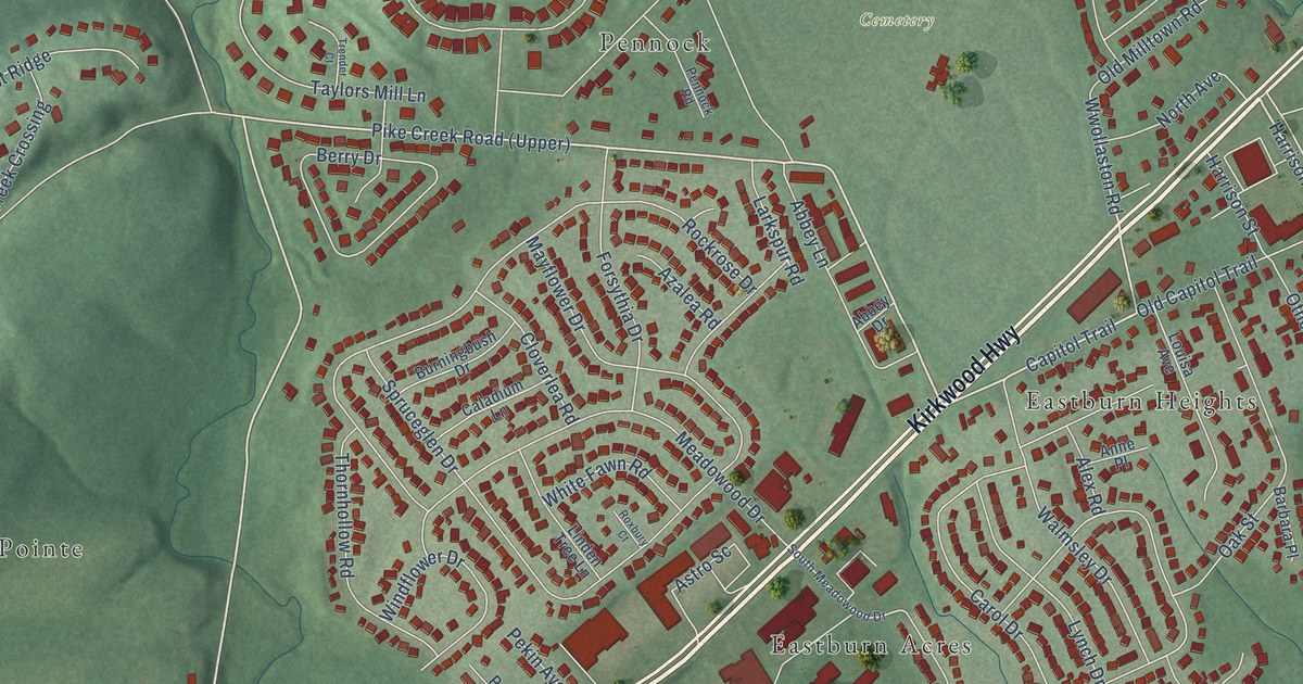
A detailed map of Meadowood, Delaware, showing every building in its true location, the roads by name, and shaded topographical relief.
Read More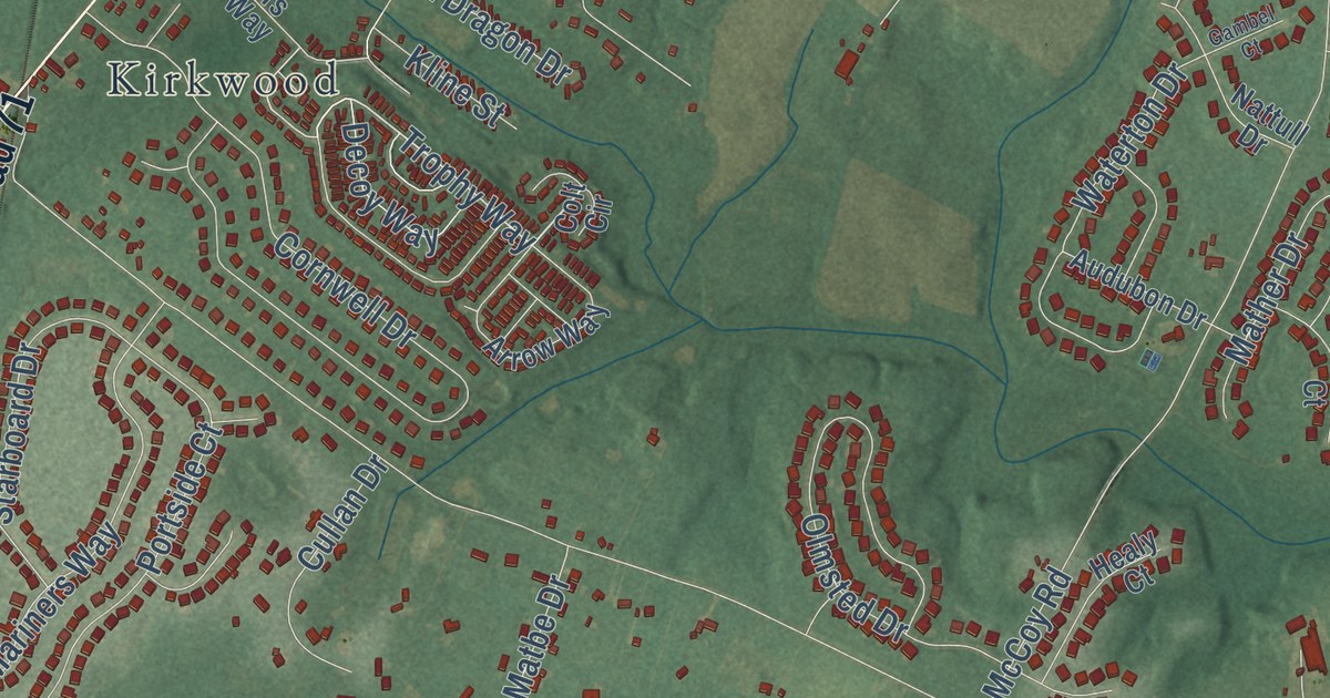
A detailed map of Lorewood Grove, Delaware, showing every building in its true location, the roads by name, and shaded topographical relief.
Read More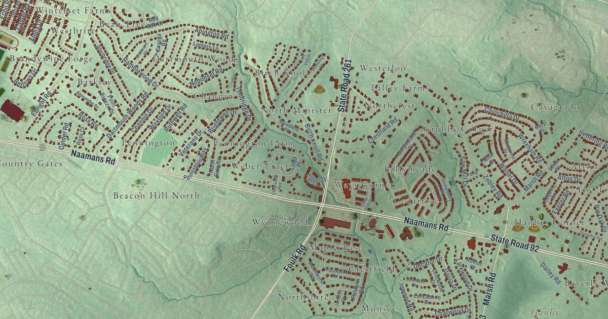
A detailed map of Lancashire, Delaware, showing every building in its true location, the roads by name, and shaded topographical relief.
Read More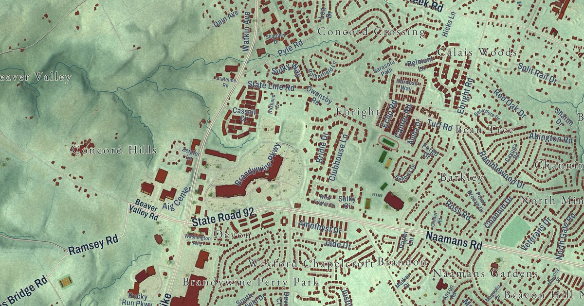
A detailed map of Brandywine, Delaware, showing every building in its true location, the roads by name, and shaded topographical relief.
Read More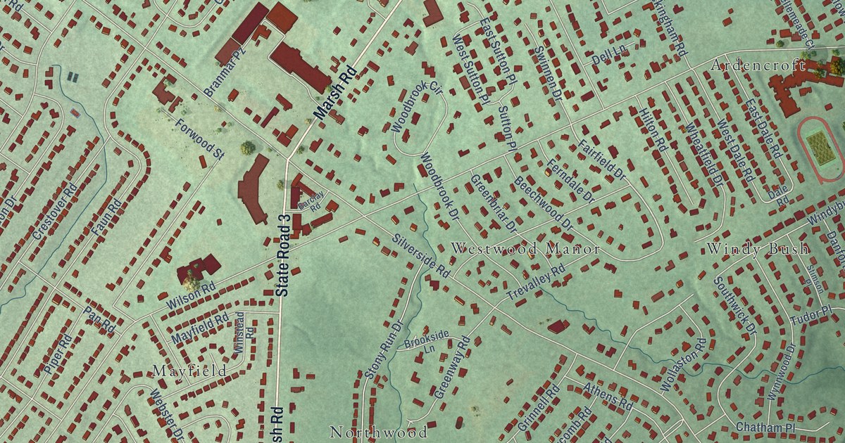
A detailed map of Forwood, Delaware, showing every building in its true location, the roads by name, and shaded topographical relief.
Read More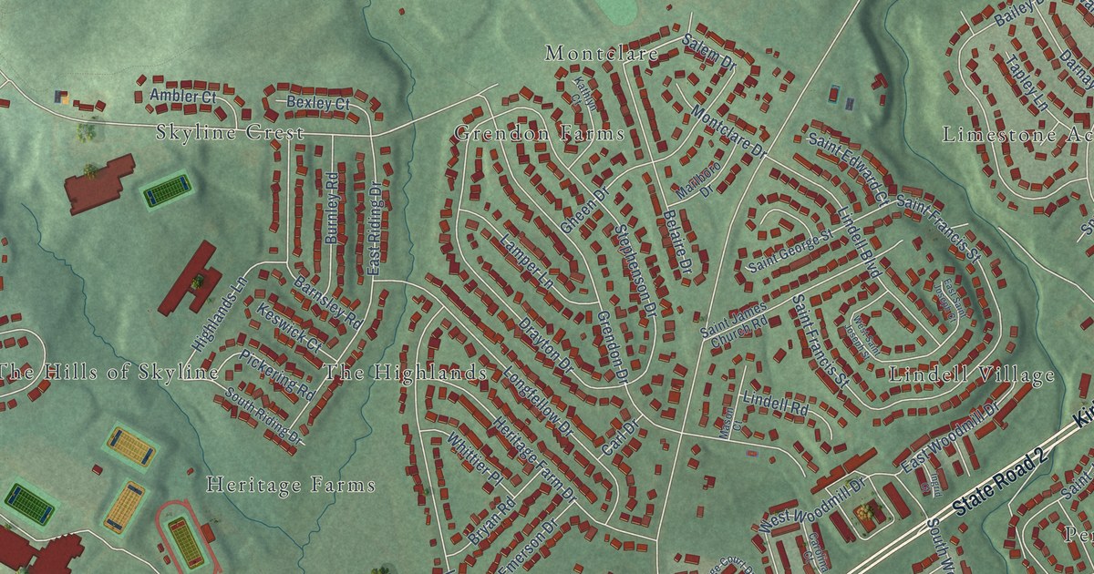
A detailed map of Heritage, Delaware, showing every building in its true location, the roads by name, and shaded topographical relief.
Read More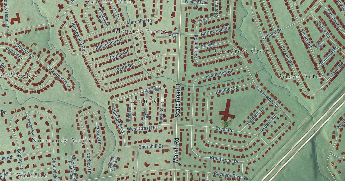
A detailed map of Carrcroft, Delaware, showing every building in its true location, the roads by name, and shaded topographical relief.
Read More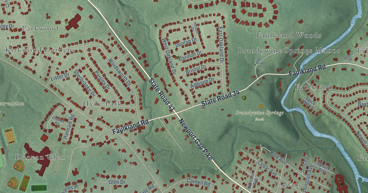
A detailed map of Brandywine Springs, Delaware, showing every building in its true location, the roads by name, and shaded topographical relief.
Read More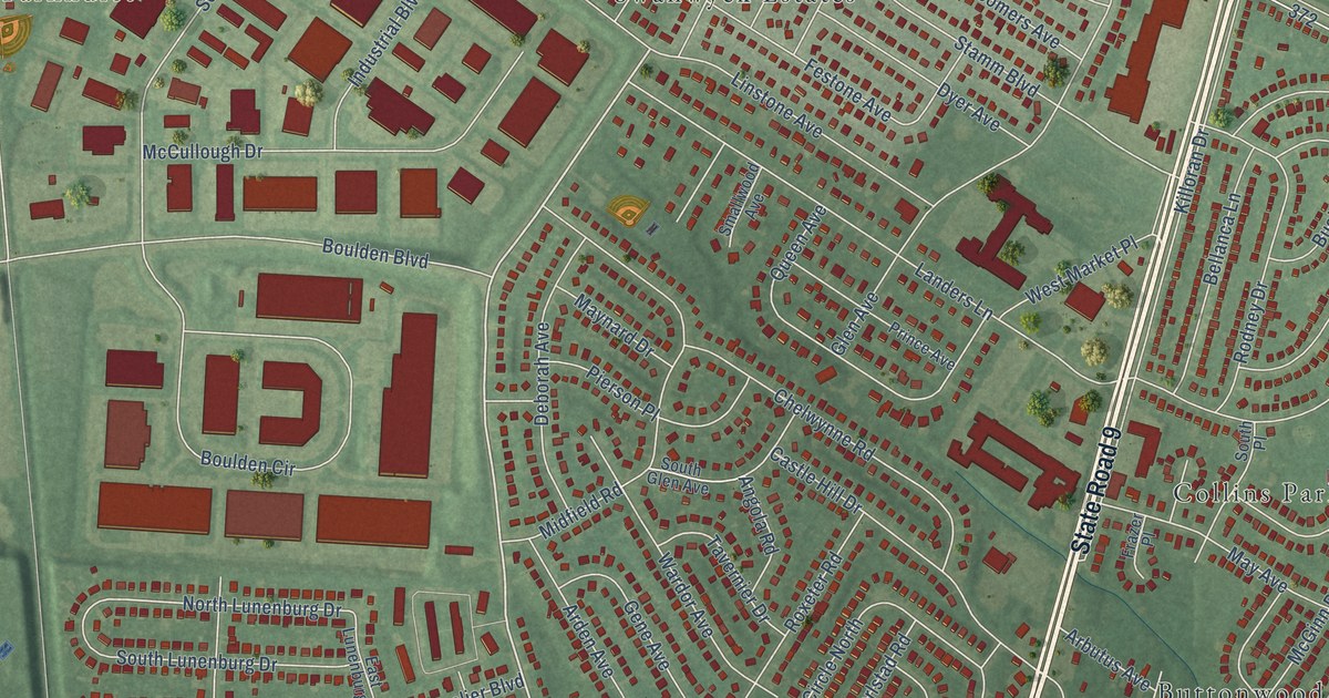
A detailed map of Castle Hills, Delaware, showing every building in its true location, the roads by name, and shaded topographical relief.
Read More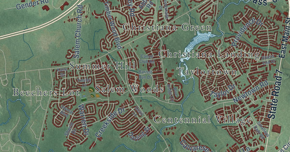
A detailed map of Christiana, Delaware, showing every building in its true location, the roads by name, and shaded topographical relief.
Read More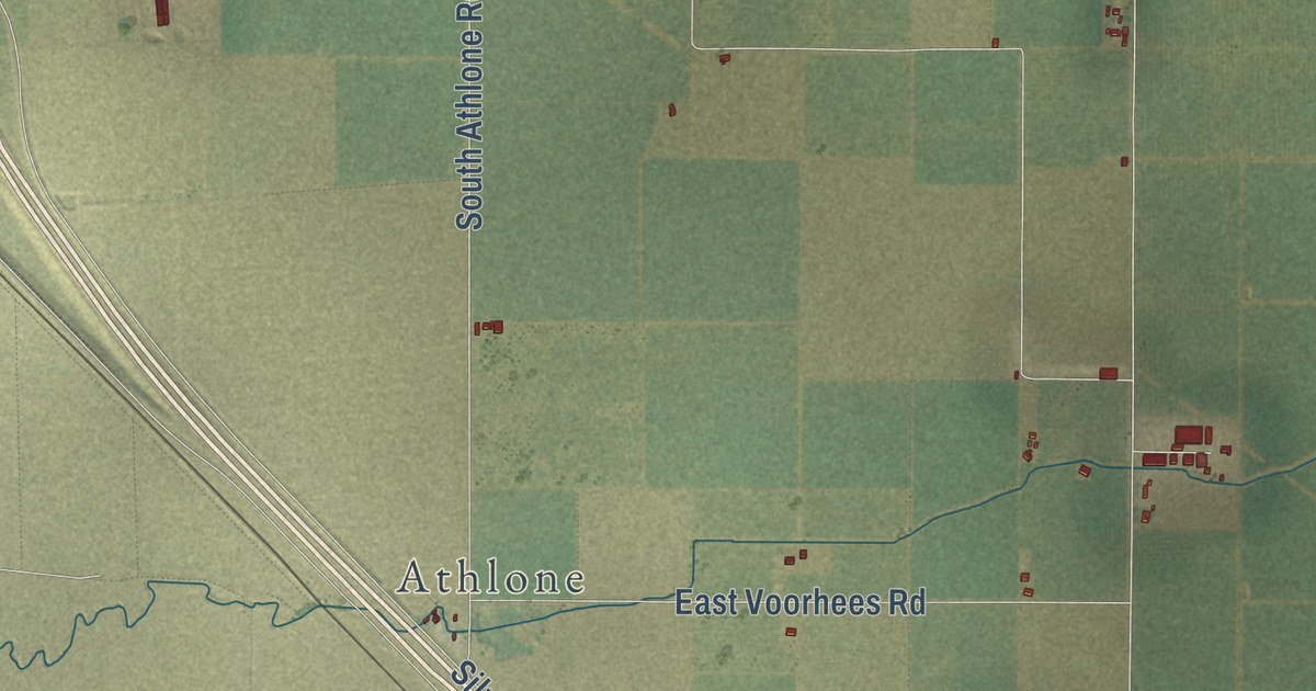
A detailed map of Plainsburg, California, showing every building in its true location, the roads by name, and shaded topographical relief.
Read More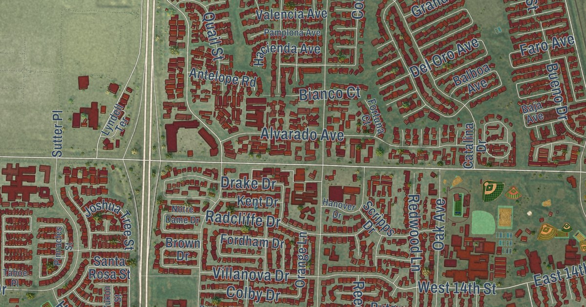
A detailed map of Plainfield, California, showing every building in its true location, the roads by name, and shaded topographical relief.
Read More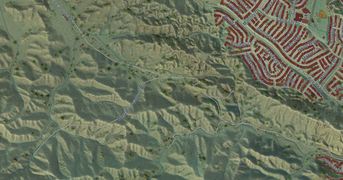
A detailed map of Pico, California, showing every building in its true location, the roads by name, and shaded topographical relief.
Read More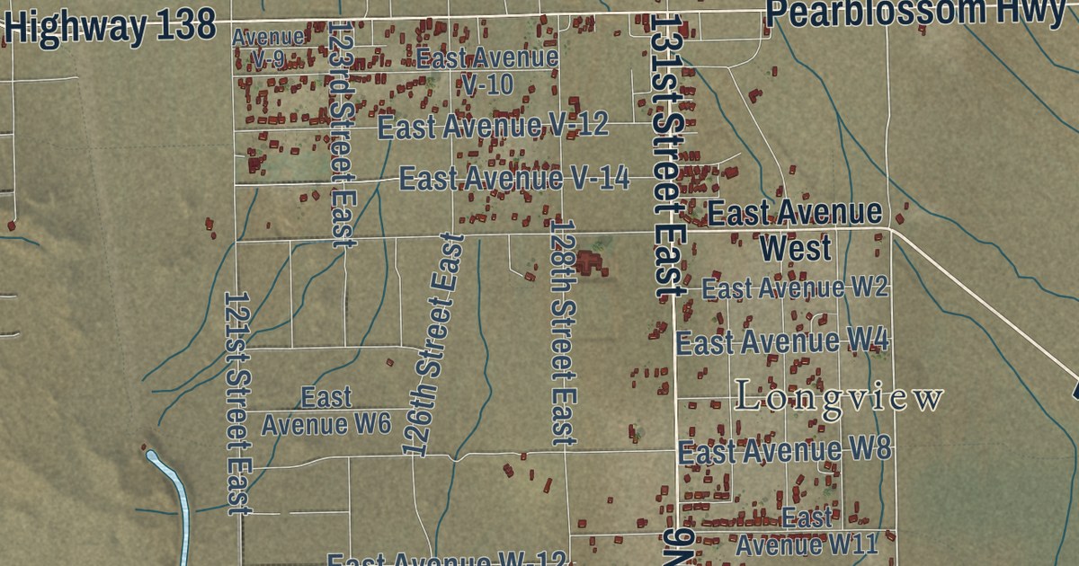
A detailed map of Pearblossom, California, showing every building in its true location, the roads by name, and shaded topographical relief.
Read More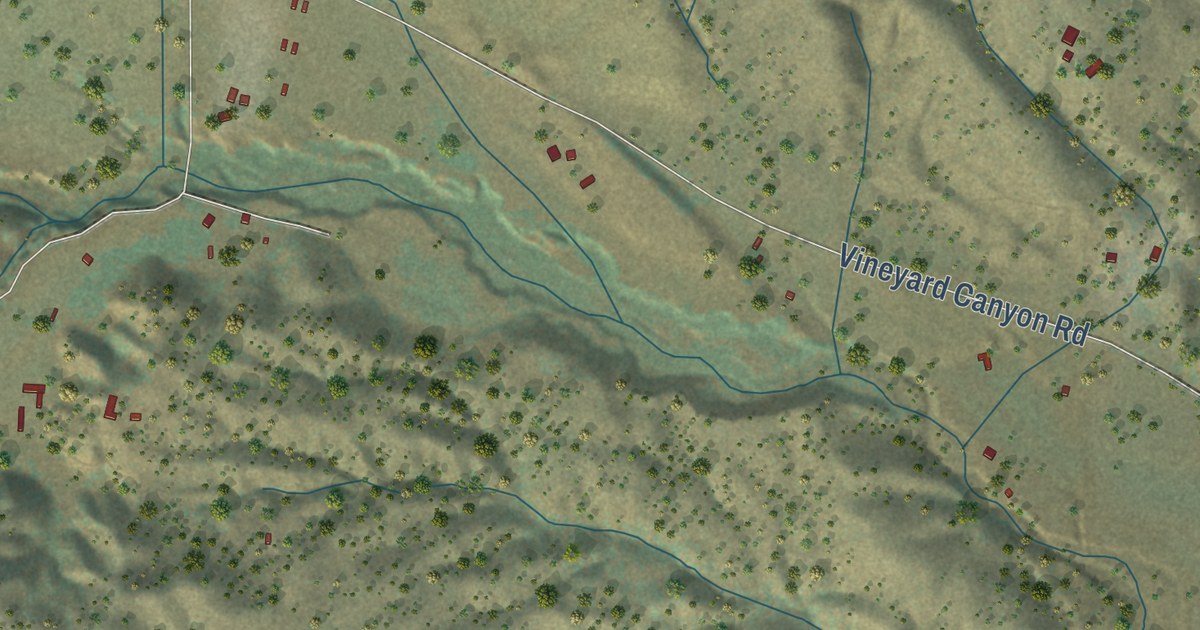
A detailed map of Parkfield, California, showing every building in its true location, the roads by name, and shaded topographical relief.
Read More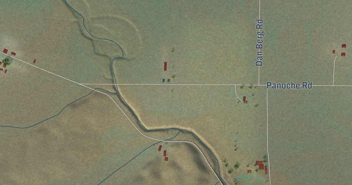
A detailed map of Panoche, California, showing every building in its true location, the roads by name, and shaded topographical relief.
Read More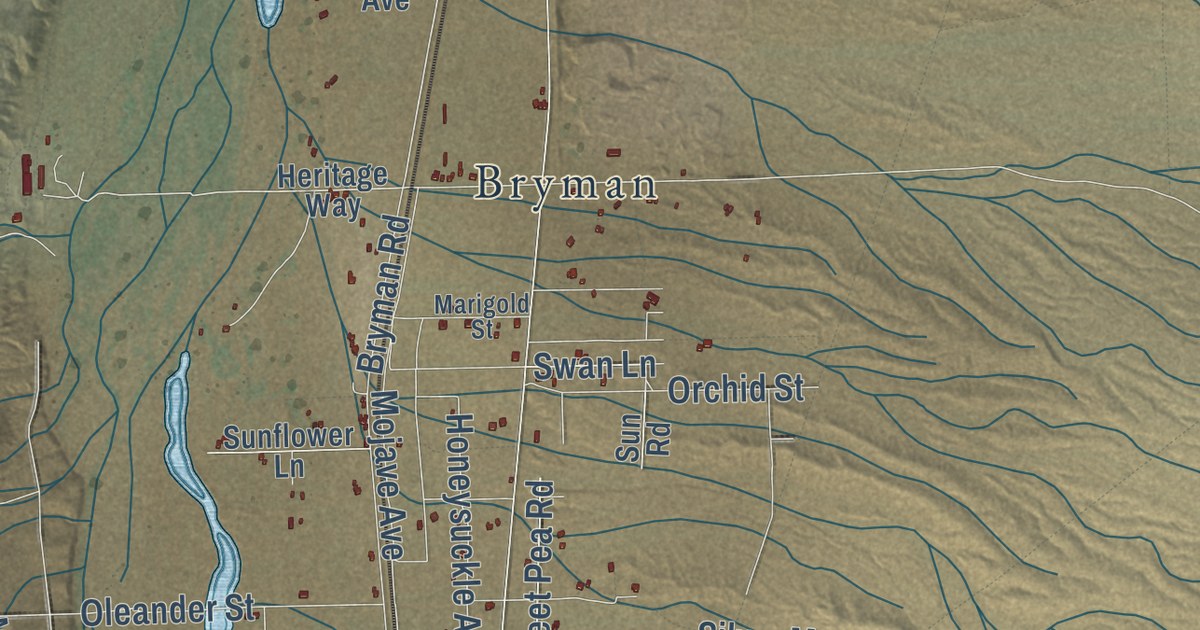
A detailed map of Oro Grande, California, showing every building in its true location, the roads by name, and shaded topographical relief.
Read More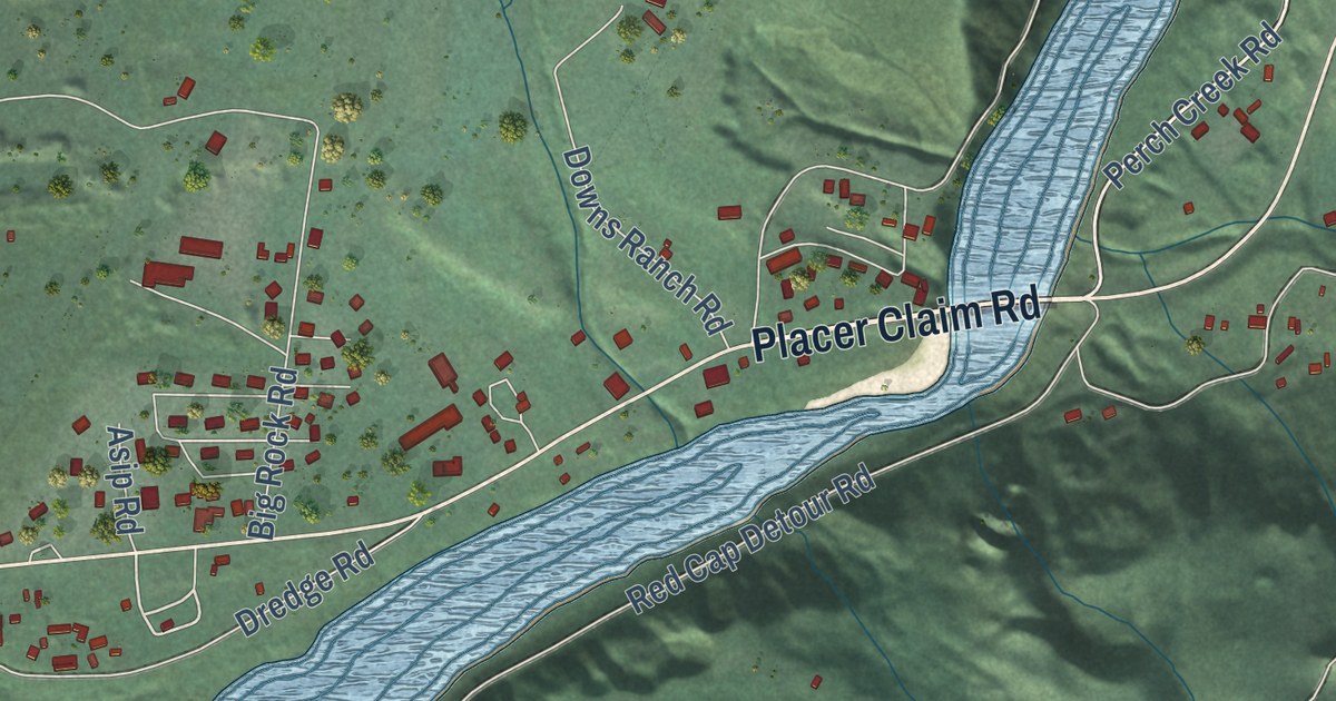
A detailed map of Orleans, California, showing every building in its true location, the roads by name, and shaded topographical relief.
Read More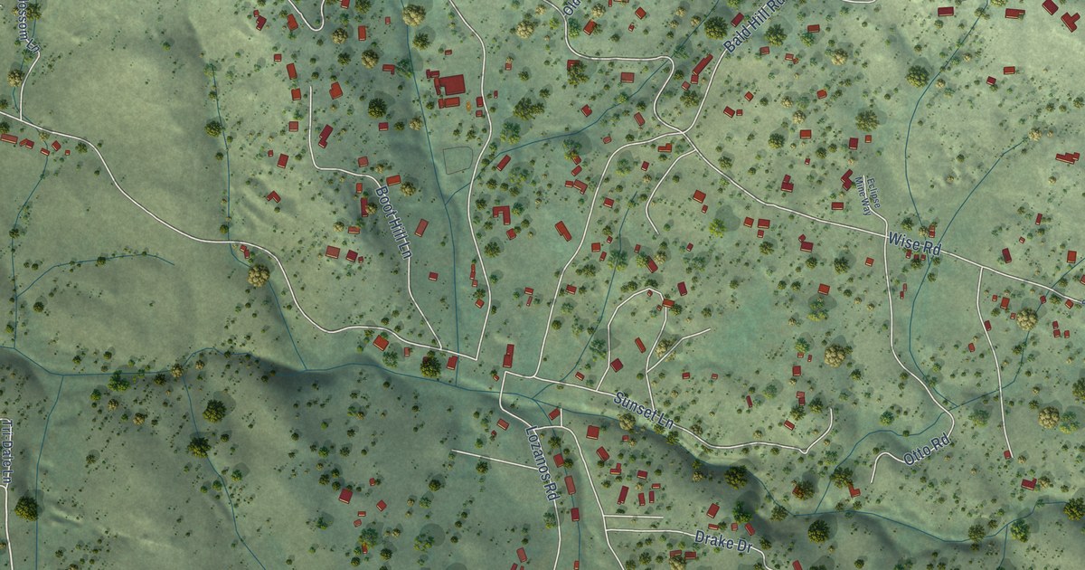
A detailed map of Ophir, California, showing every building in its true location, the roads by name, and shaded topographical relief.
Read More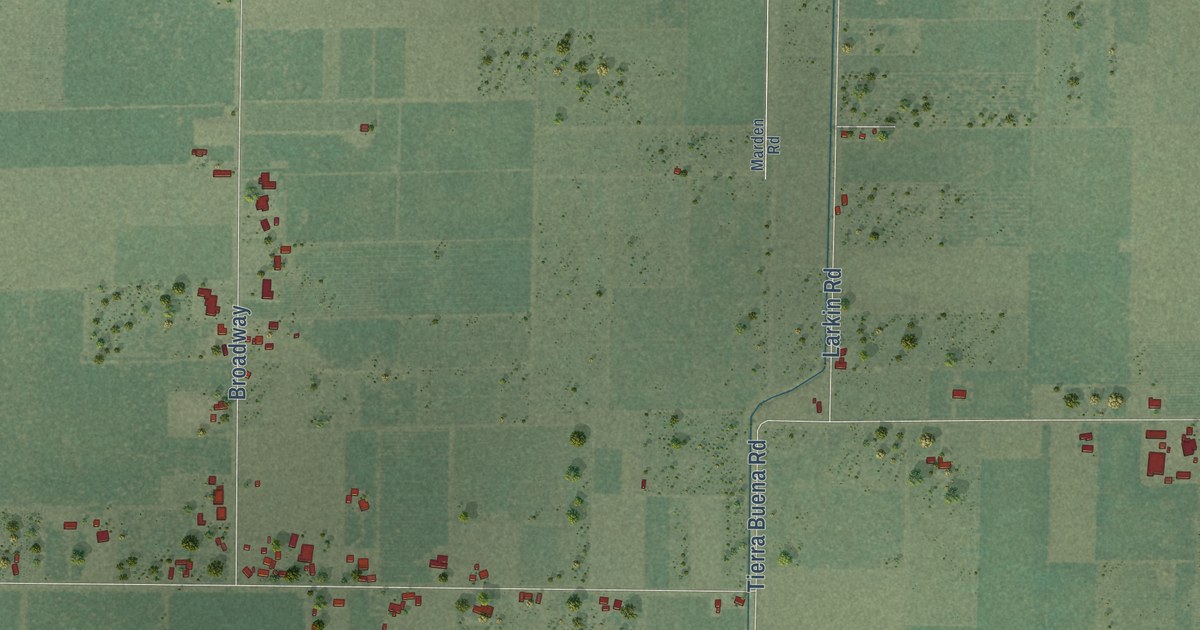
A detailed map of Nuestro, California, showing every building in its true location, the roads by name, and shaded topographical relief.
Read More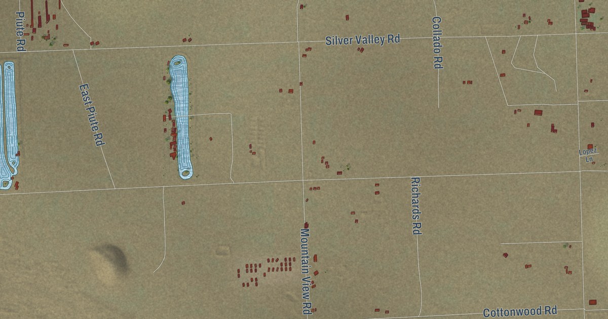
A detailed map of Newberry Springs, California, showing every building in its true location, the roads by name, and shaded topographical relief.
Read More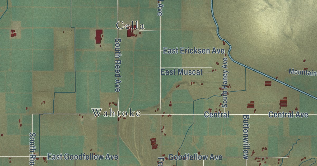
A detailed map of Navelencia, California, showing every building in its true location, the roads by name, and shaded topographical relief.
Read More















