Detailed Map of Natividad, California
A detailed map of Natividad, California, showing every building in its true location, the roads by name, and shaded topographical relief.
Read More
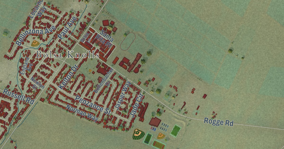
A detailed map of Natividad, California, showing every building in its true location, the roads by name, and shaded topographical relief.
Read More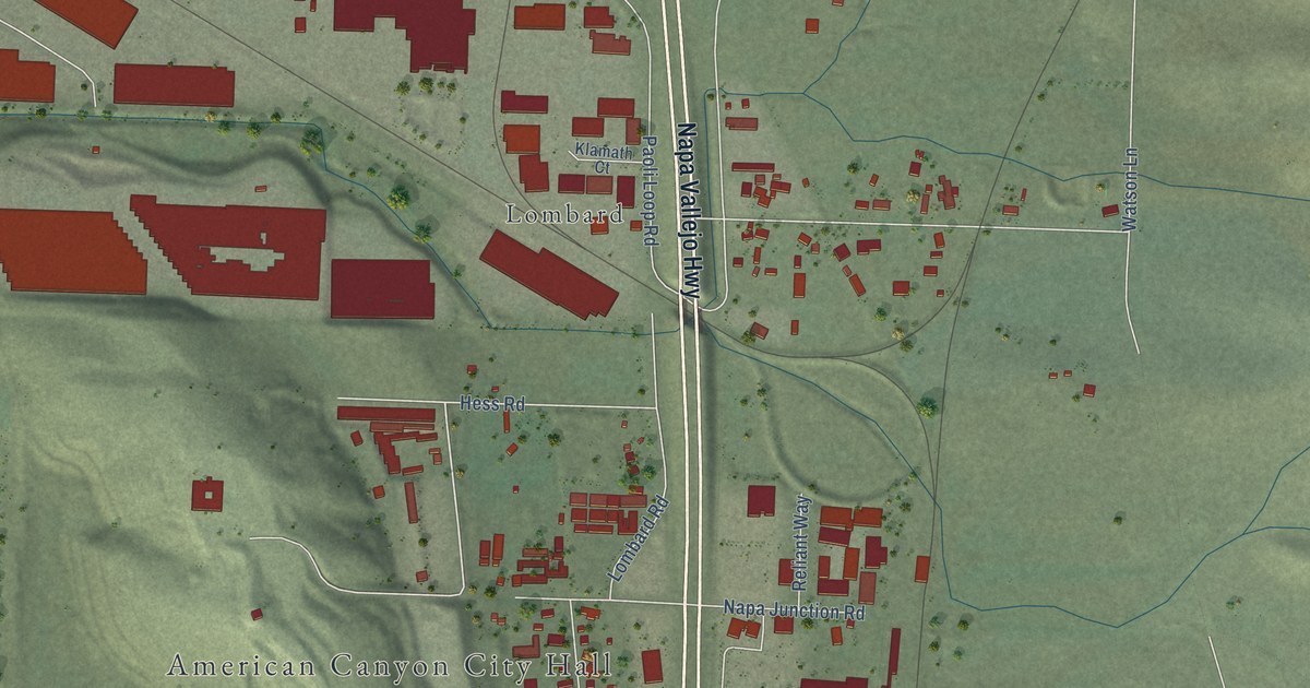
A detailed map of Napa Junction, California, showing every building in its true location, the roads by name, and shaded topographical relief.
Read More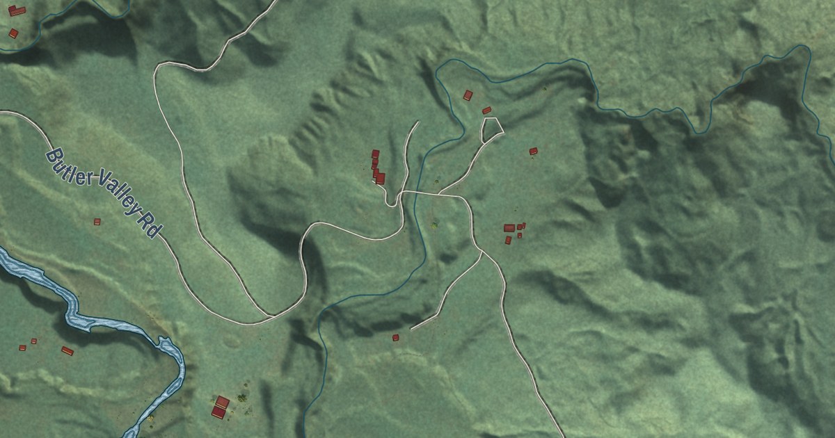
A detailed map of Maple Creek, California, showing every building in its true location, the roads by name, and shaded topographical relief.
Read More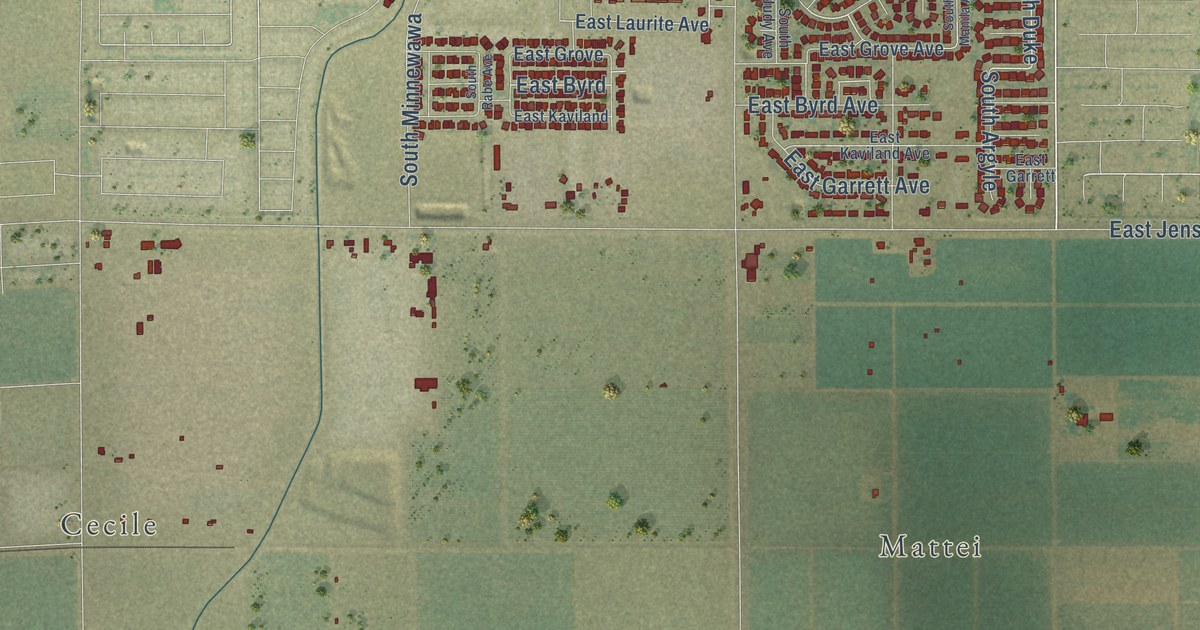
A detailed map of Lone Star, California, showing every building in its true location, the roads by name, and shaded topographical relief.
Read More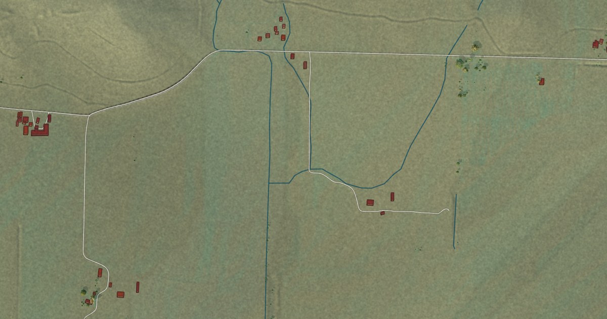
A detailed map of Little Shasta, California, showing every building in its true location, the roads by name, and shaded topographical relief.
Read More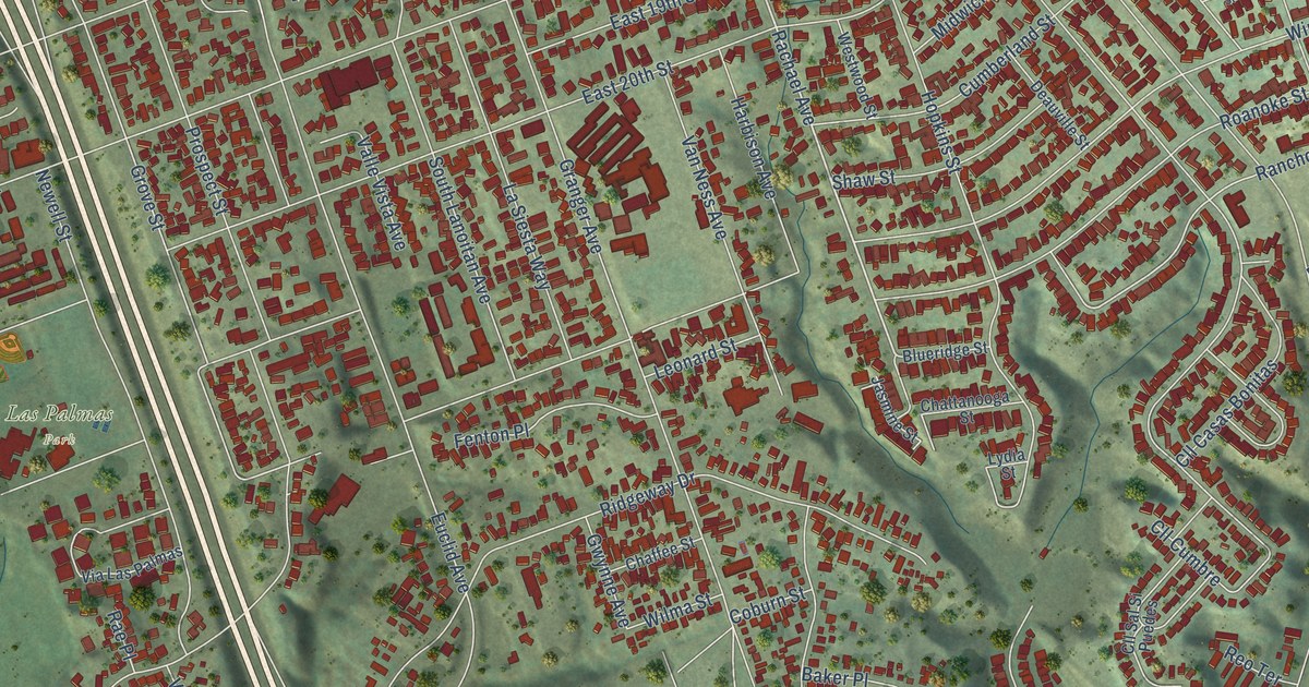
A detailed map of Lincoln Acres, California, showing every building in its true location, the roads by name, and shaded topographical relief.
Read More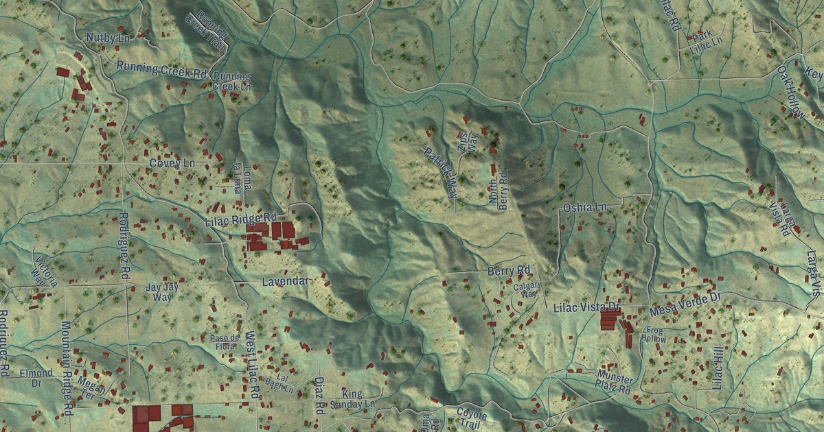
A detailed map of Lilac, California, showing every building in its true location, the roads by name, and shaded topographical relief.
Read More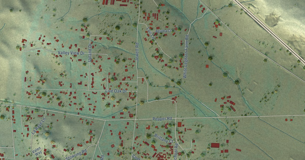
A detailed map of Liberty, California, showing every building in its true location, the roads by name, and shaded topographical relief.
Read More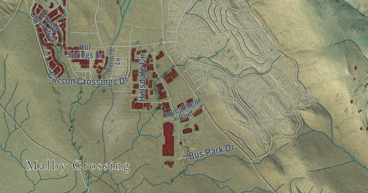
A detailed map of Latrobe, California, showing every building in its true location, the roads by name, and shaded topographical relief.
Read More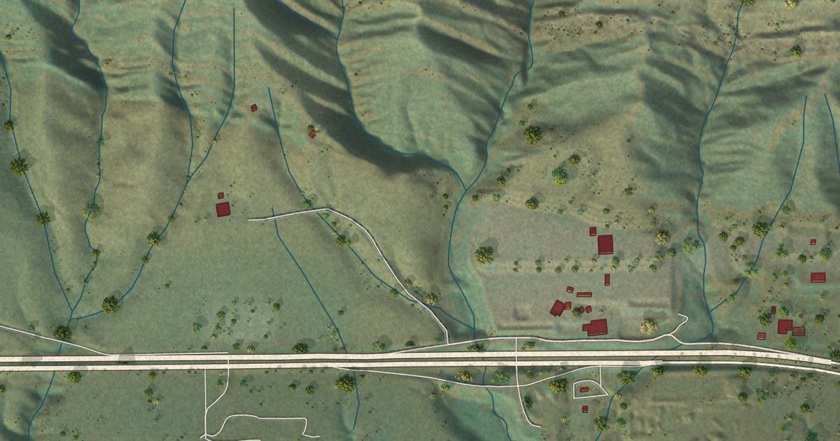
A detailed map of Las Cruces, California, showing every building in its true location, the roads by name, and shaded topographical relief.
Read More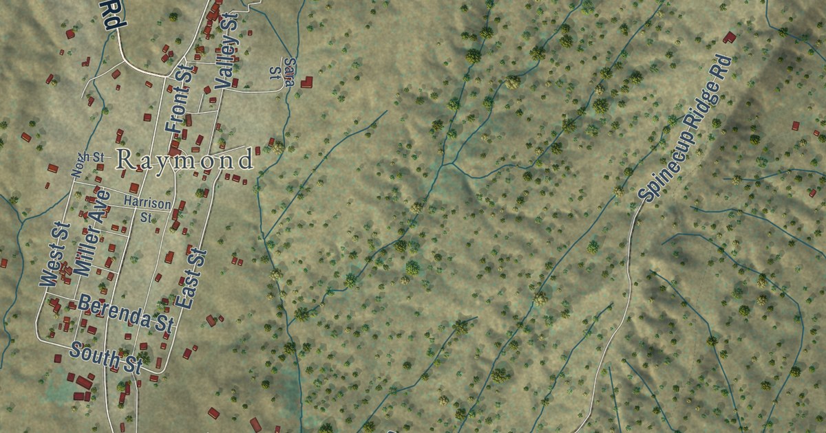
A detailed map of Knowles, California, showing every building in its true location, the roads by name, and shaded topographical relief.
Read More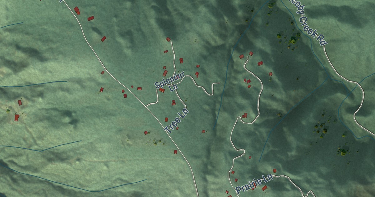
A detailed map of Kneeland, California, showing every building in its true location, the roads by name, and shaded topographical relief.
Read More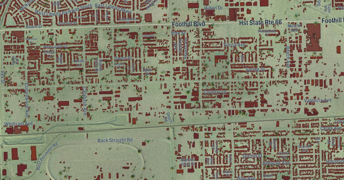
A detailed map of Kaiser, California, showing every building in its true location, the roads by name, and shaded topographical relief.
Read More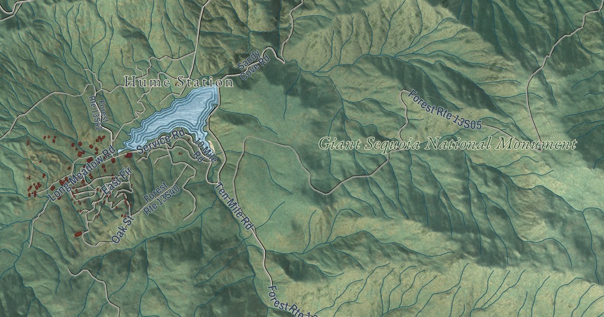
A detailed map of Hume, California, showing every building in its true location, the roads by name, and shaded topographical relief.
Read More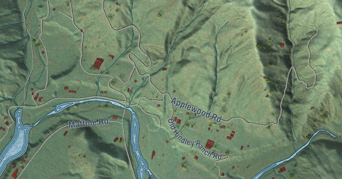
A detailed map of Honeydew, California, showing every building in its true location, the roads by name, and shaded topographical relief.
Read More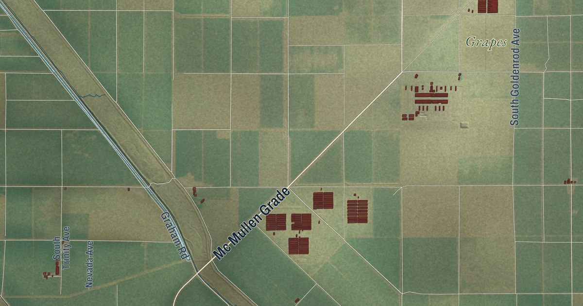
A detailed map of Helm, California, showing every building in its true location, the roads by name, and shaded topographical relief.
Read More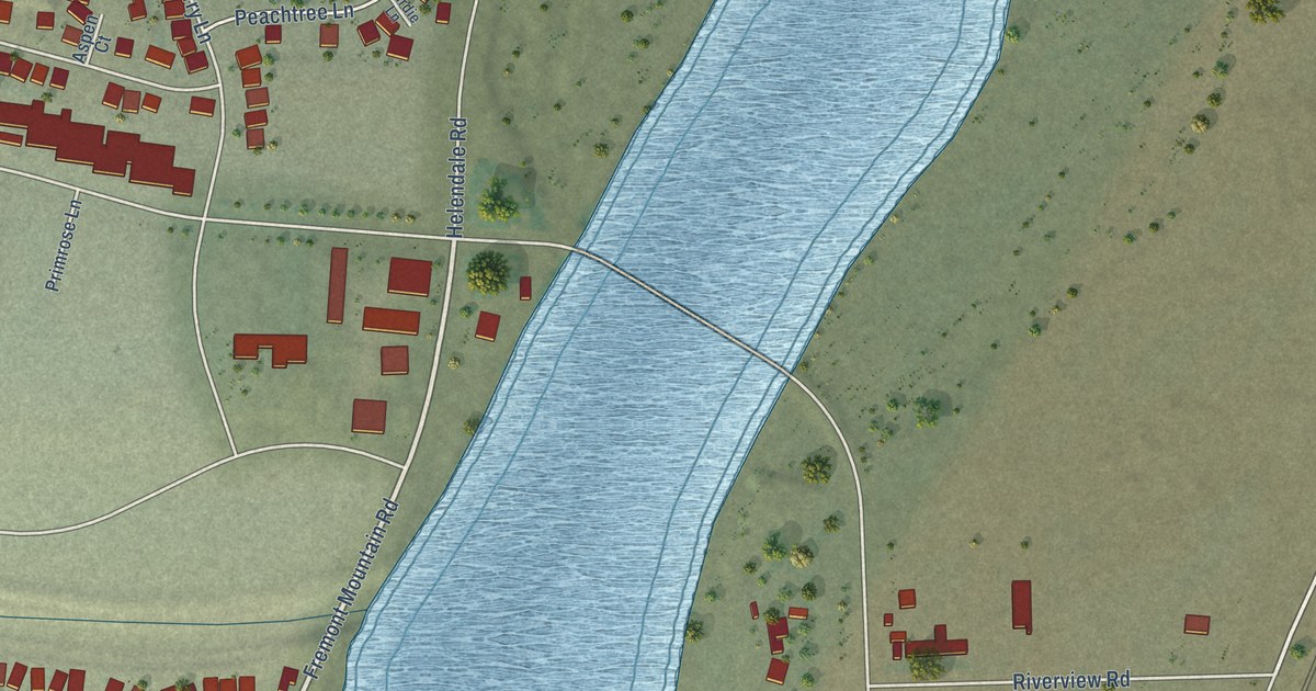
A detailed map of Helendale, California, showing every building in its true location, the roads by name, and shaded topographical relief.
Read More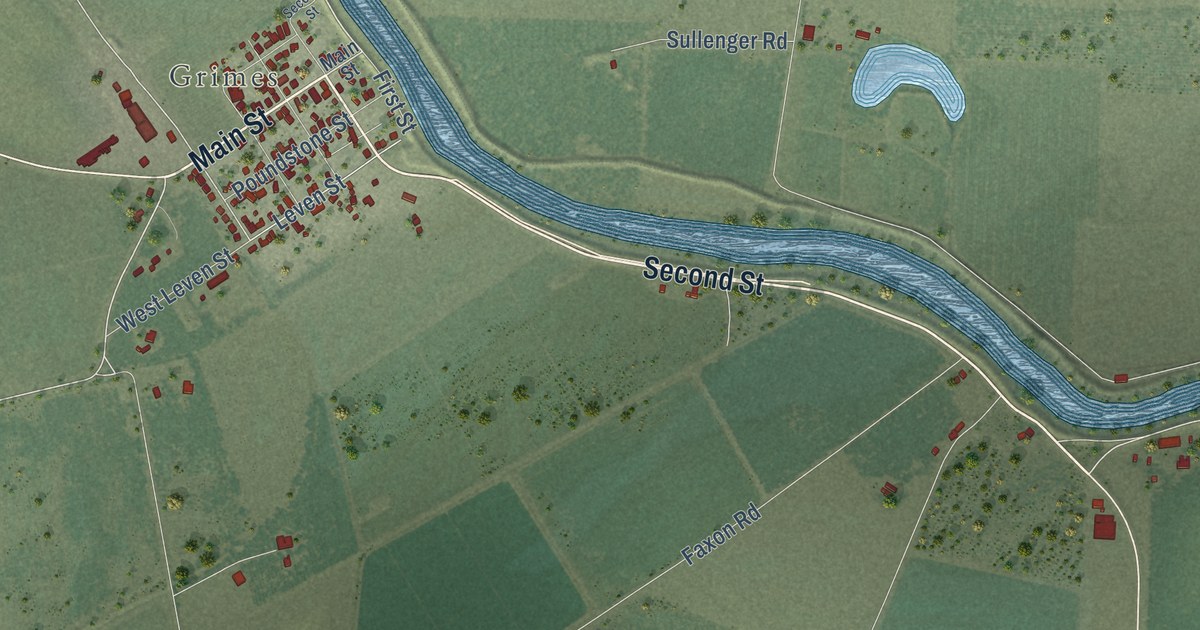
A detailed map of Grand Island, California, showing every building in its true location, the roads by name, and shaded topographical relief.
Read More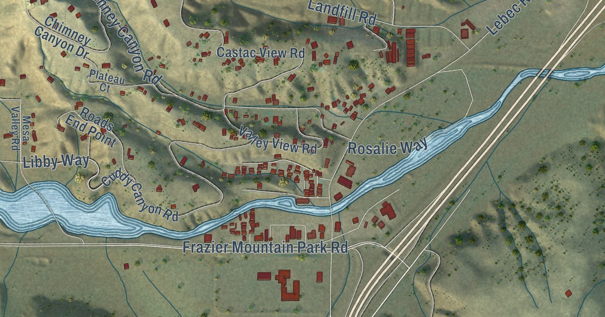
A detailed map of Gorman, California, showing every building in its true location, the roads by name, and shaded topographical relief.
Read More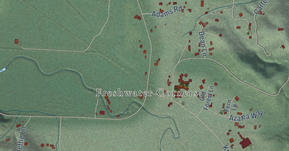
A detailed map of Freshwater, California, showing every building in its true location, the roads by name, and shaded topographical relief.
Read More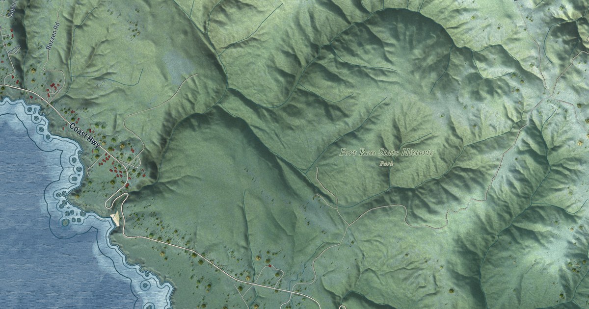
A detailed map of Fort Ross, California, showing every building in its true location, the roads by name, and shaded topographical relief.
Read More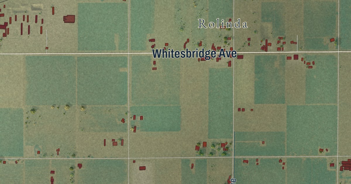
A detailed map of Floyd, California, showing every building in its true location, the roads by name, and shaded topographical relief.
Read More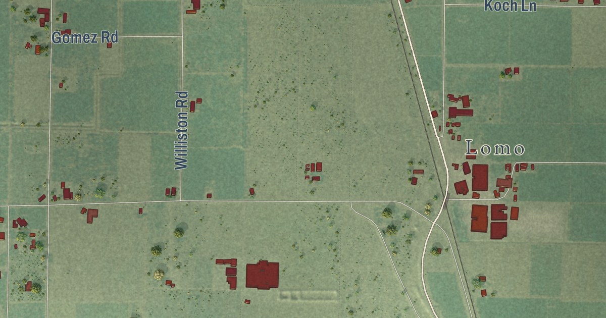
A detailed map of Encinal, California, showing every building in its true location, the roads by name, and shaded topographical relief.
Read More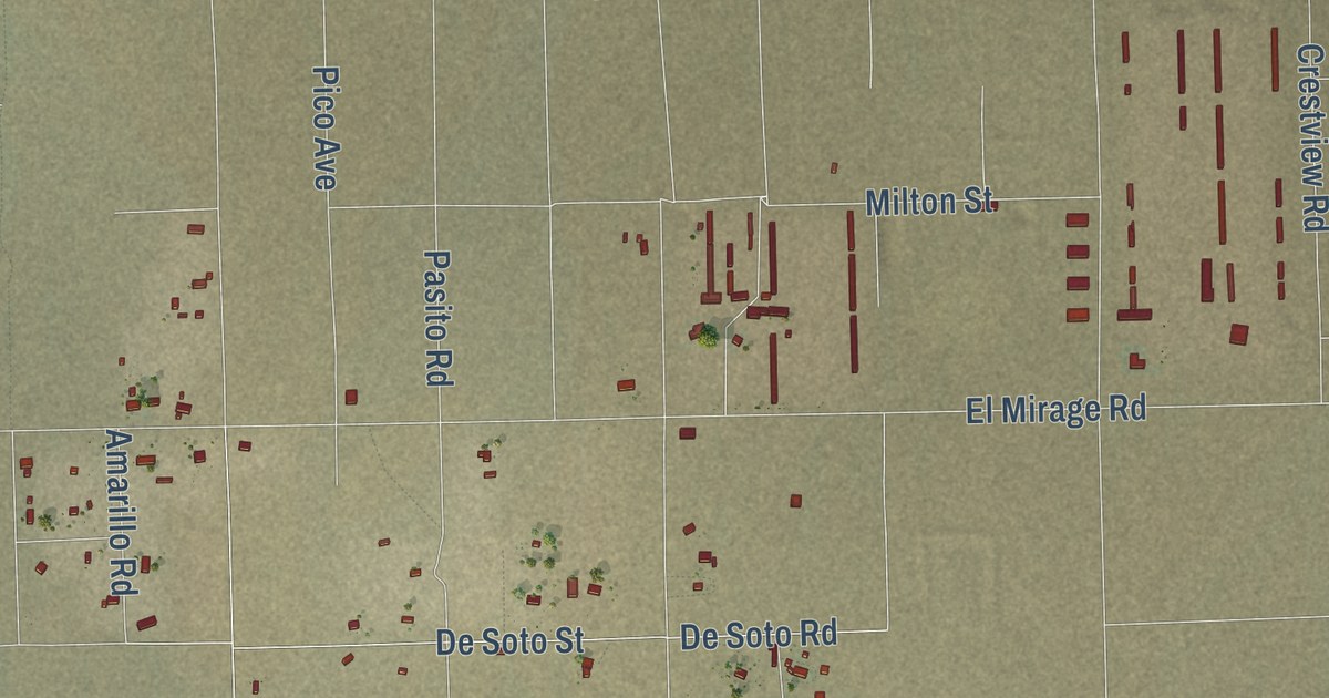
A detailed map of El Mirage, California, showing every building in its true location, the roads by name, and shaded topographical relief.
Read More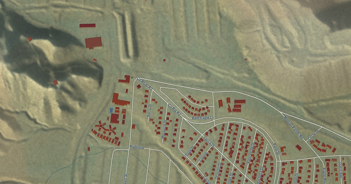
A detailed map of Eagle Mountain, California, showing every building in its true location, the roads by name, and shaded topographical relief.
Read More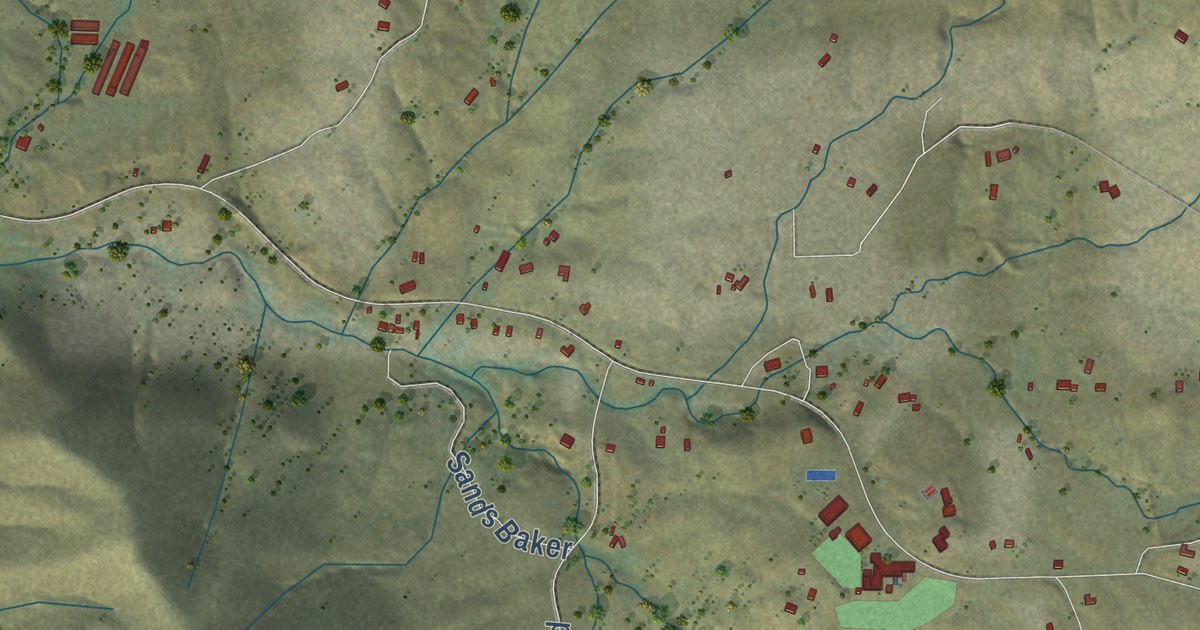
A detailed map of Dunlap, California, showing every building in its true location, the roads by name, and shaded topographical relief.
Read More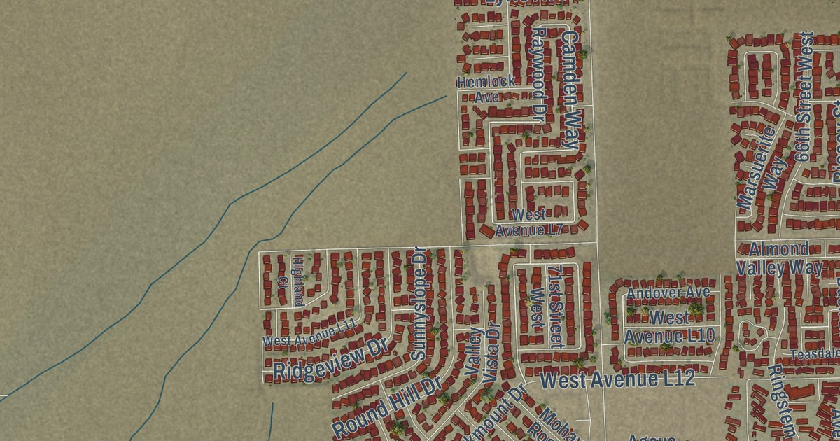
A detailed map of Del Sur, California, showing every building in its true location, the roads by name, and shaded topographical relief.
Read More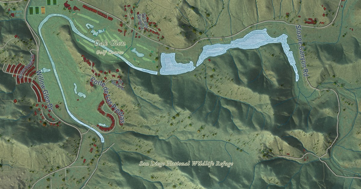
A detailed map of Dehesa, California, showing every building in its true location, the roads by name, and shaded topographical relief.
Read More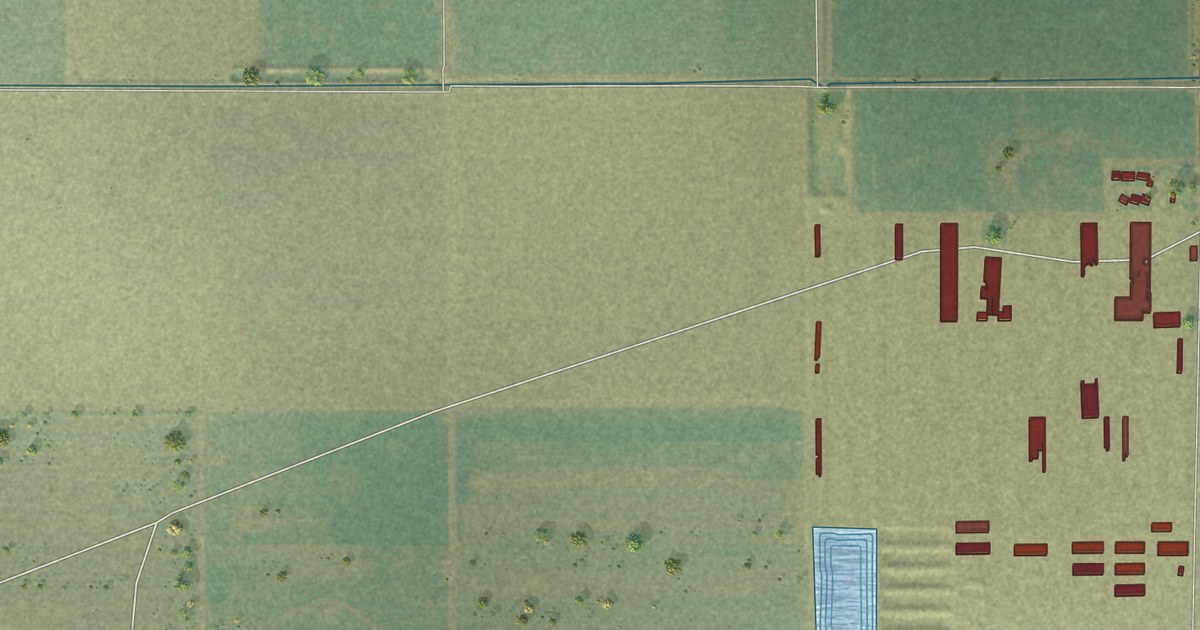
A detailed map of Dairyland, California, showing every building in its true location, the roads by name, and shaded topographical relief.
Read More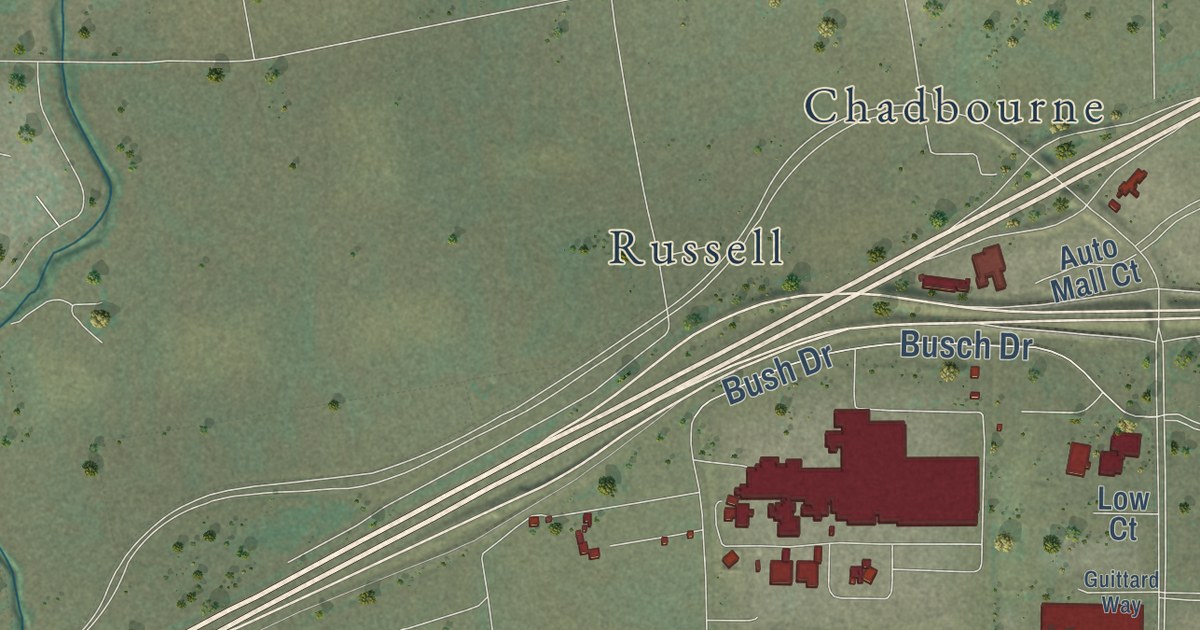
A detailed map of Cordelia, California, showing every building in its true location, the roads by name, and shaded topographical relief.
Read More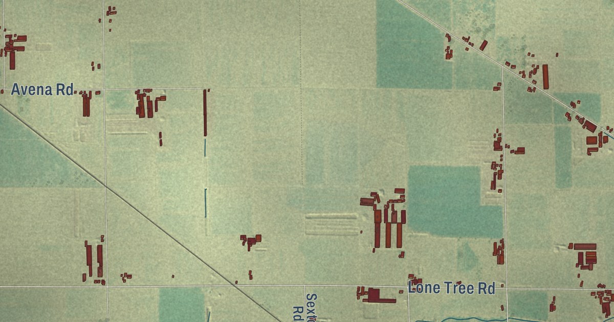
A detailed map of Collegeville, California, showing every building in its true location, the roads by name, and shaded topographical relief.
Read More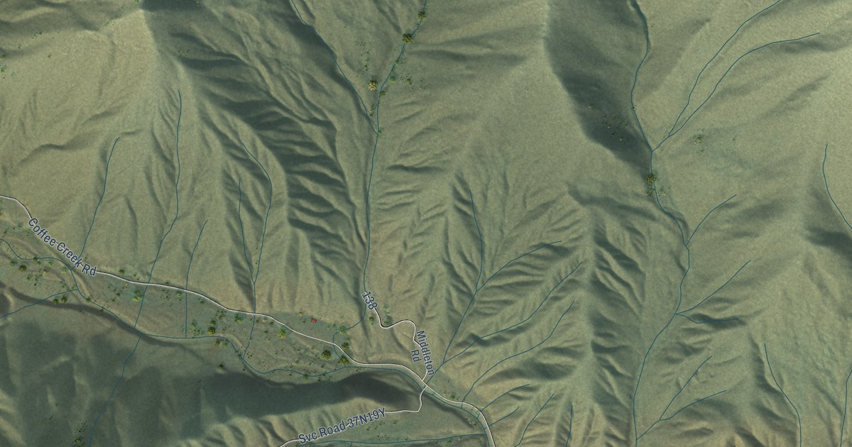
A detailed map of Coffee, California, showing every building in its true location, the roads by name, and shaded topographical relief.
Read More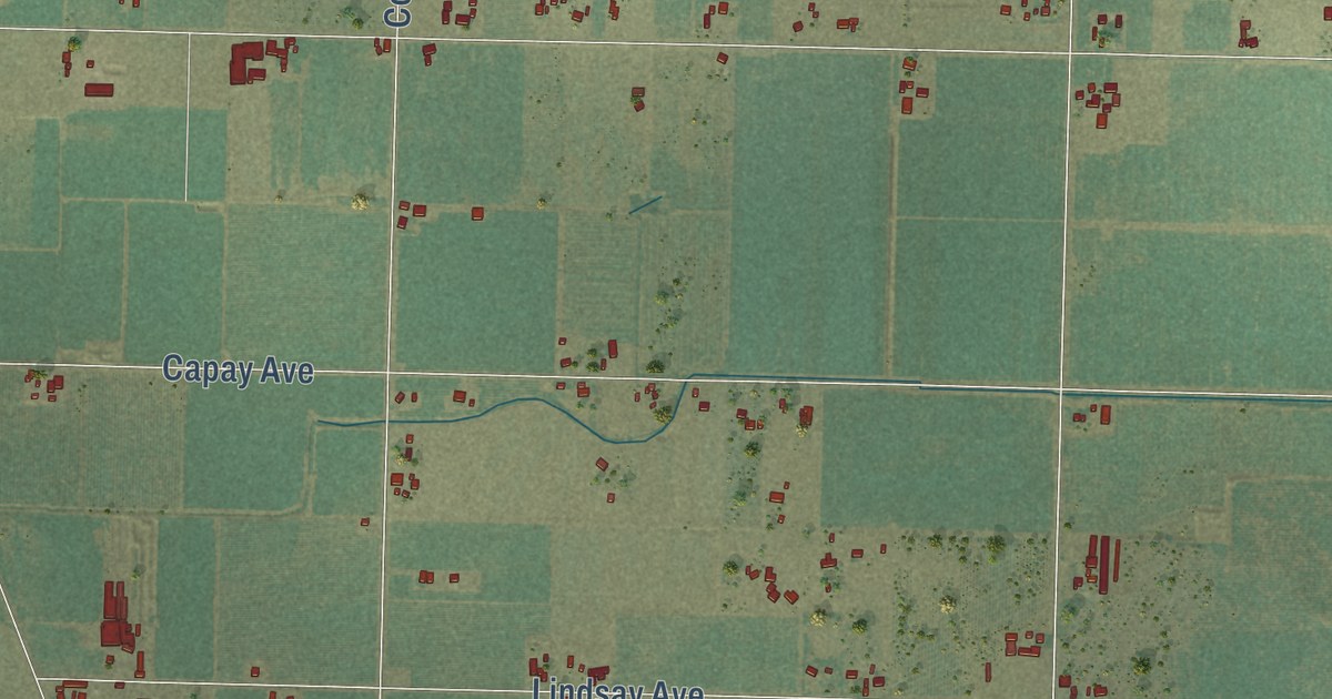
A detailed map of Capay, California, showing every building in its true location, the roads by name, and shaded topographical relief.
Read More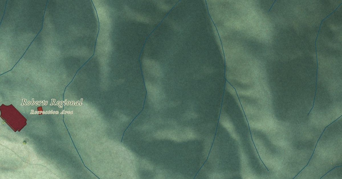
A detailed map of Canyon, California, showing every building in its true location, the roads by name, and shaded topographical relief.
Read More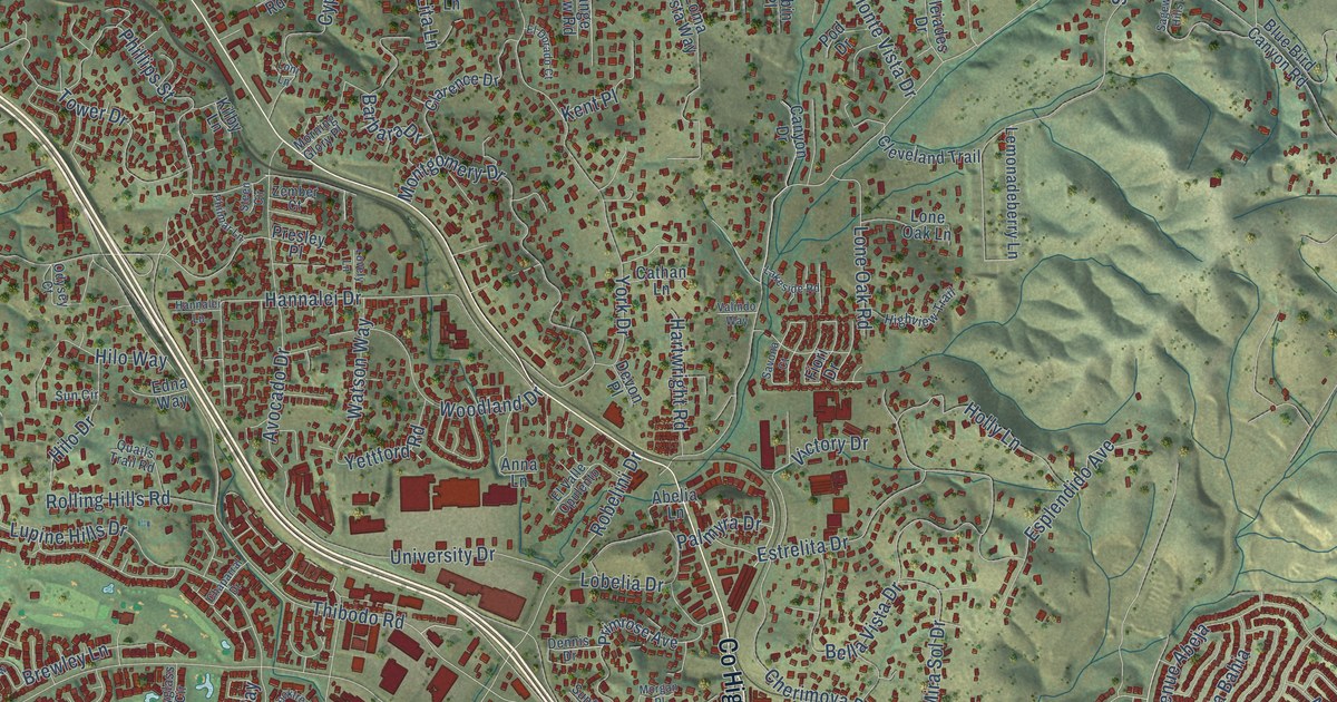
A detailed map of Buena, California, showing every building in its true location, the roads by name, and shaded topographical relief.
Read More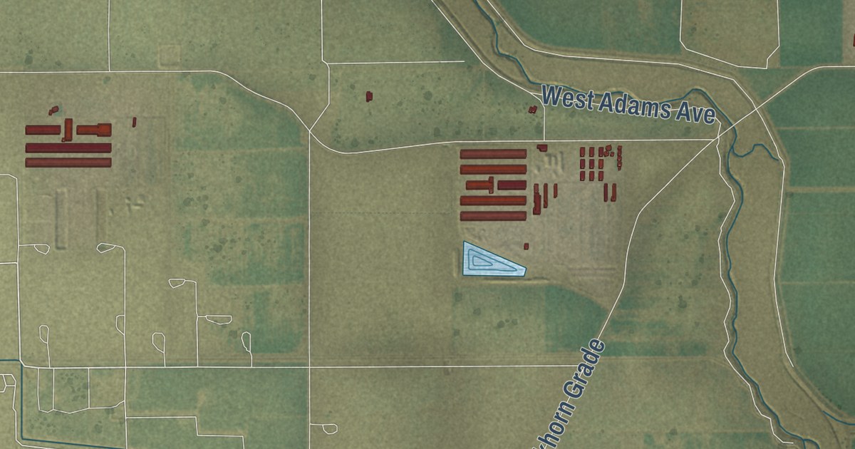
A detailed map of Burrel, California, showing every building in its true location, the roads by name, and shaded topographical relief.
Read More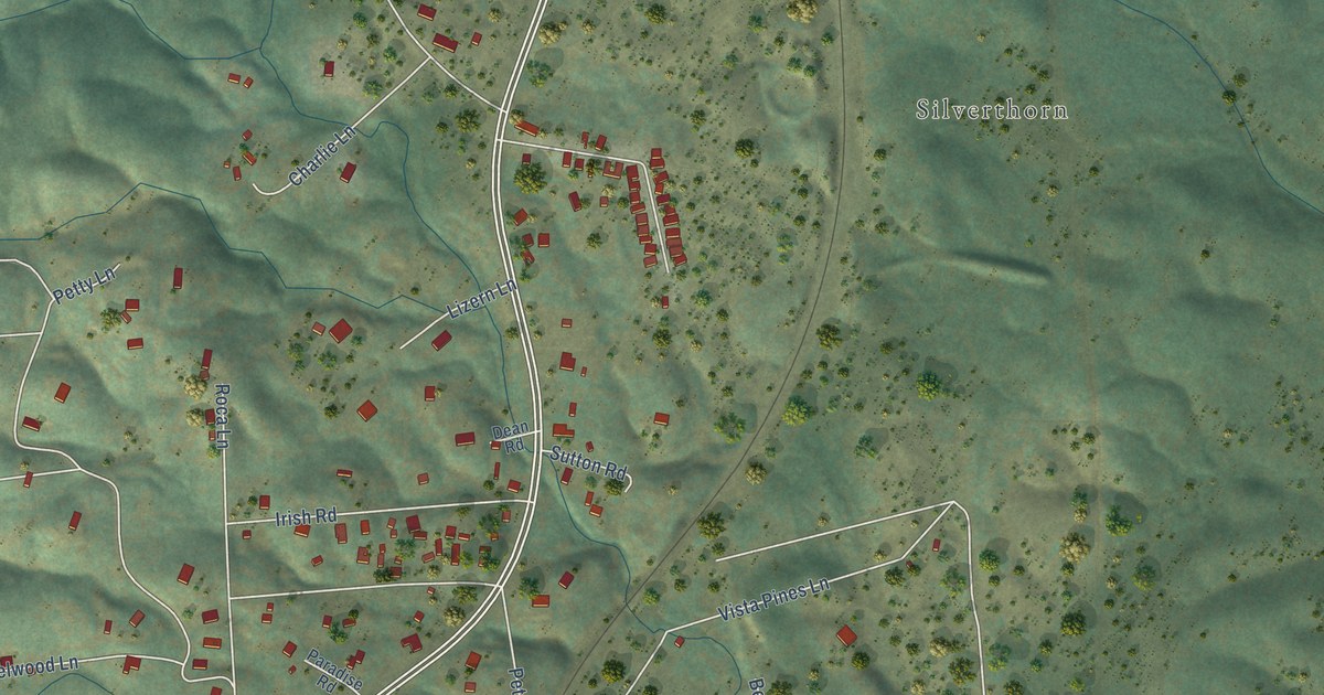
A detailed map of Buckeye, California, showing every building in its true location, the roads by name, and shaded topographical relief.
Read More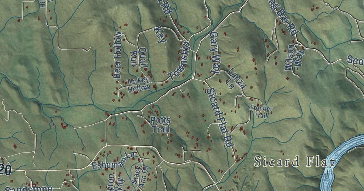
A detailed map of Browns Valley, California, showing every building in its true location, the roads by name, and shaded topographical relief.
Read More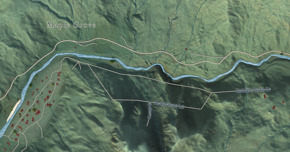
A detailed map of Bridgeville, California, showing every building in its true location, the roads by name, and shaded topographical relief.
Read More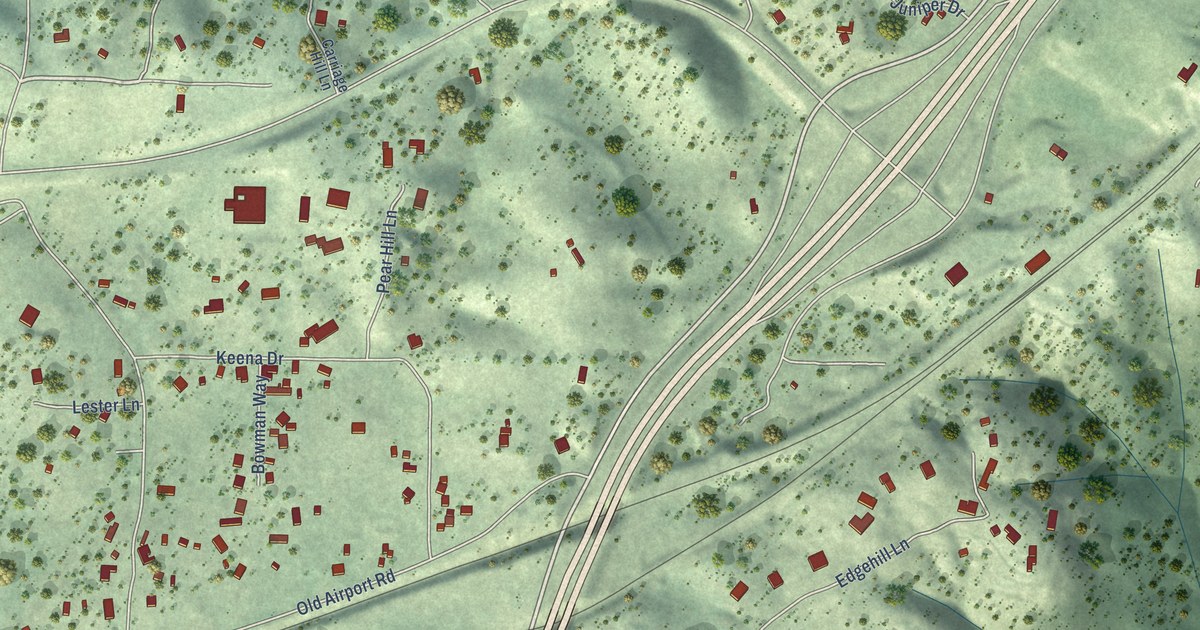
A detailed map of Bowman, California, showing every building in its true location, the roads by name, and shaded topographical relief.
Read More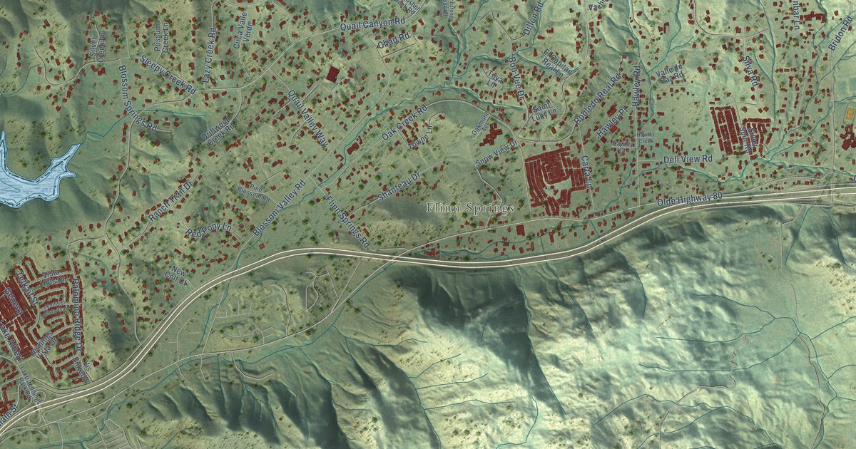
A detailed map of Blossom Valley, California, showing every building in its true location, the roads by name, and shaded topographical relief.
Read More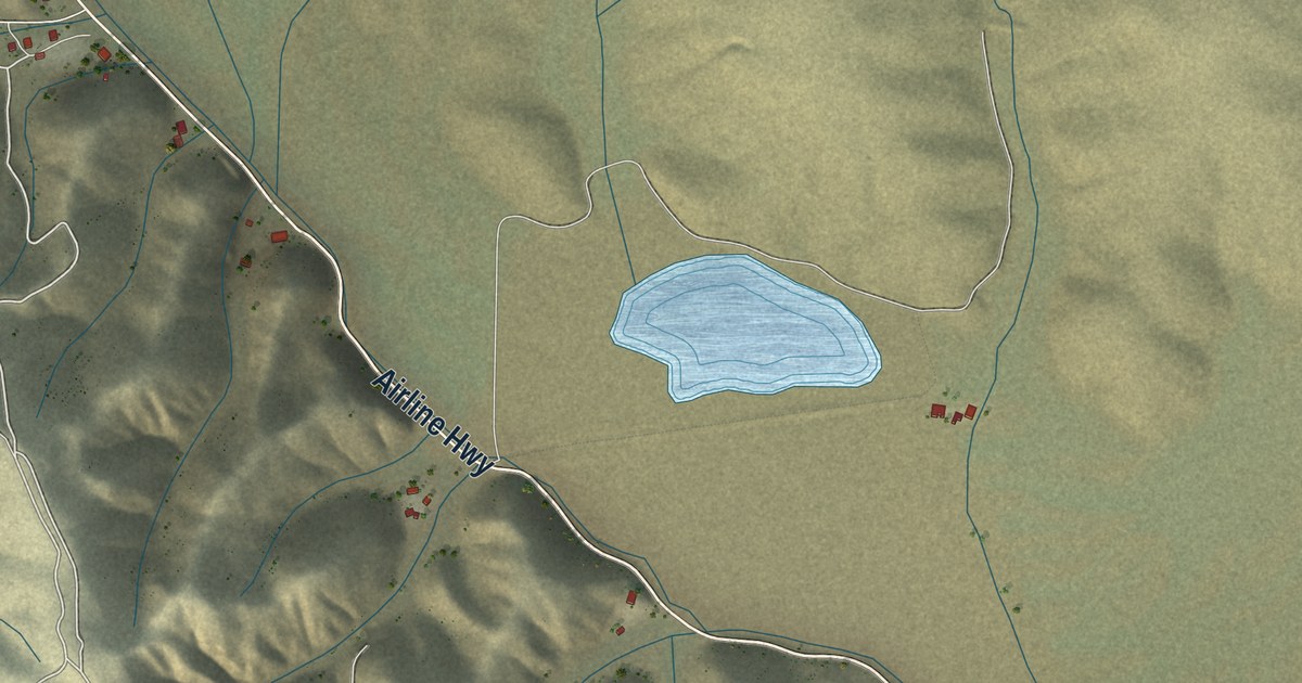
A detailed map of Bitterwater, California, showing every building in its true location, the roads by name, and shaded topographical relief.
Read More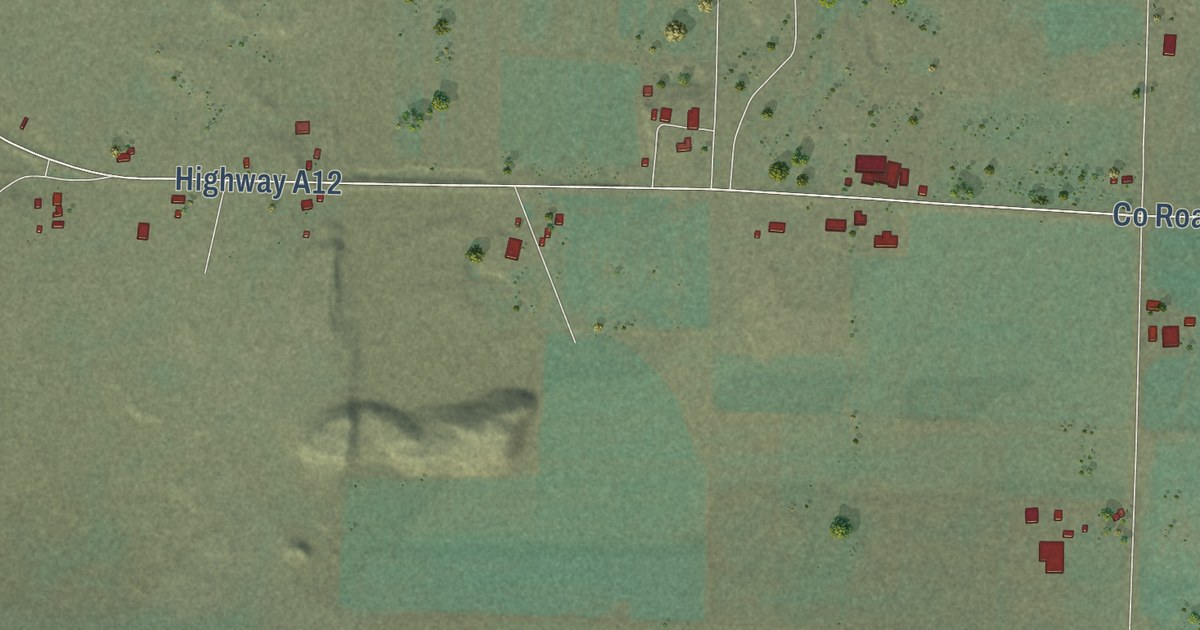
A detailed map of Big Springs, California, showing every building in its true location, the roads by name, and shaded topographical relief.
Read More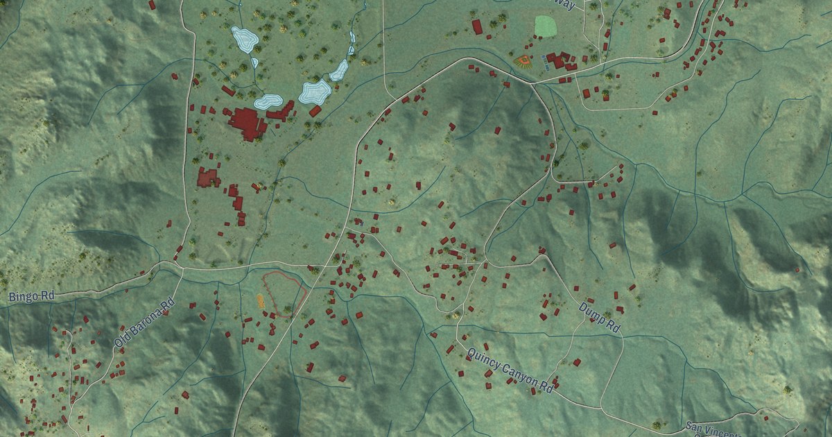
A detailed map of Barona, California, showing every building in its true location, the roads by name, and shaded topographical relief.
Read More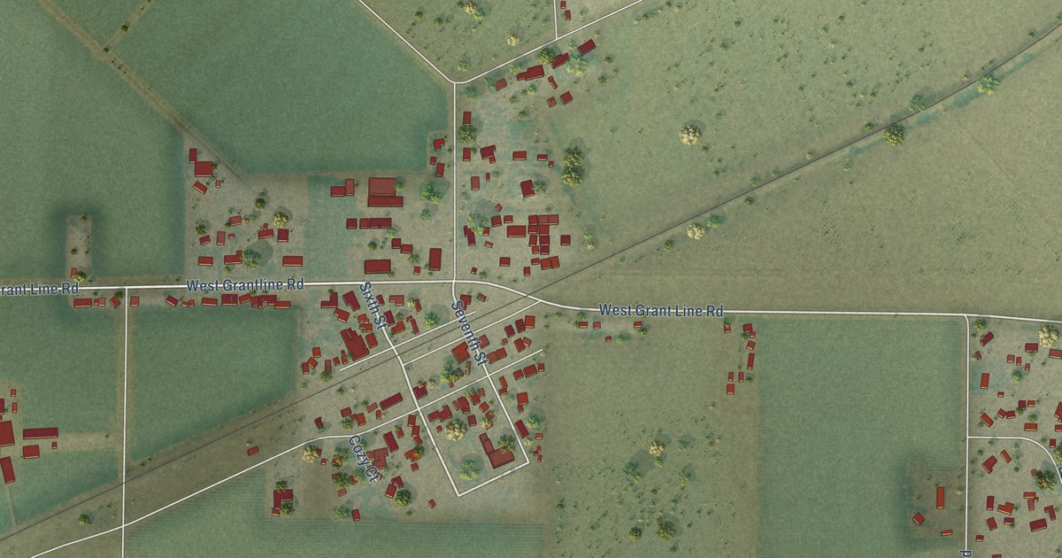
A detailed map of Banta, California, showing every building in its true location, the roads by name, and shaded topographical relief.
Read More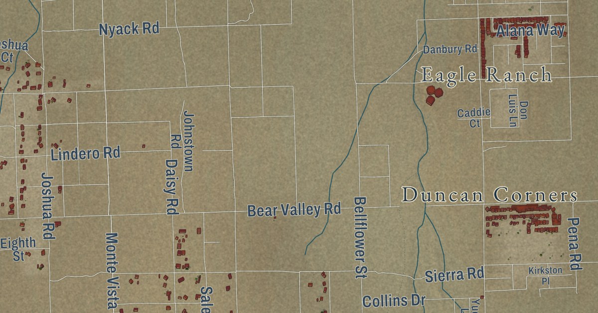
A detailed map of Baldy Mesa, California, showing every building in its true location, the roads by name, and shaded topographical relief.
Read More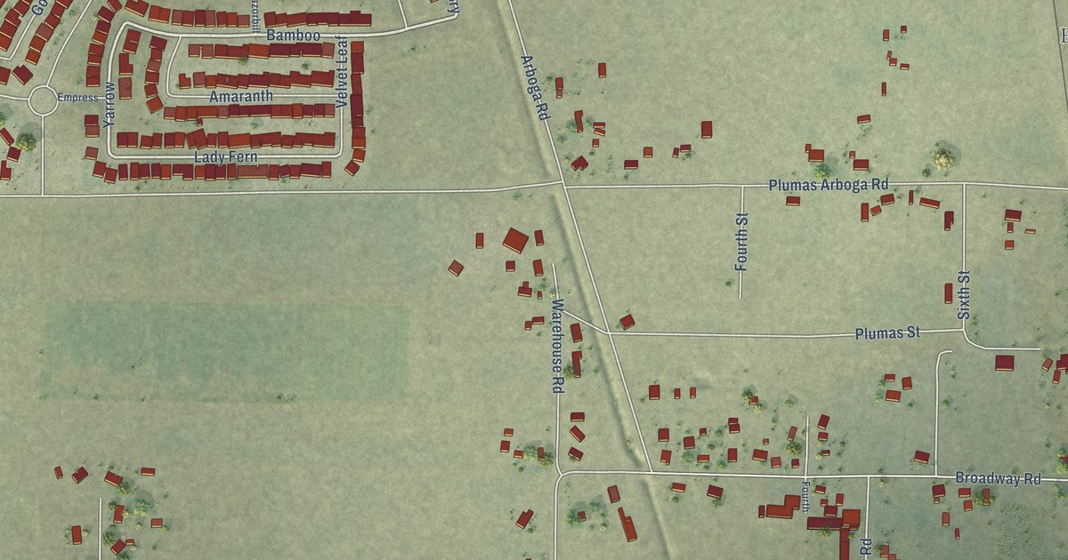
A detailed map of Arboga, California, showing every building in its true location, the roads by name, and shaded topographical relief.
Read More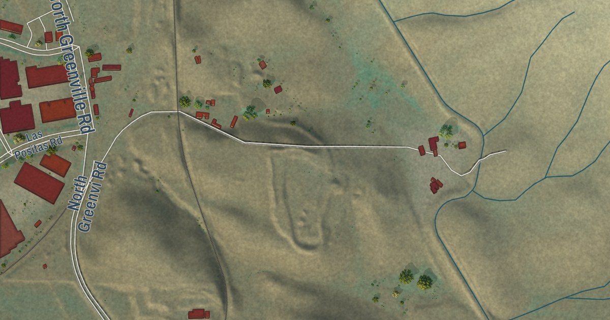
A detailed map of Altamont, California, showing every building in its true location, the roads by name, and shaded topographical relief.
Read More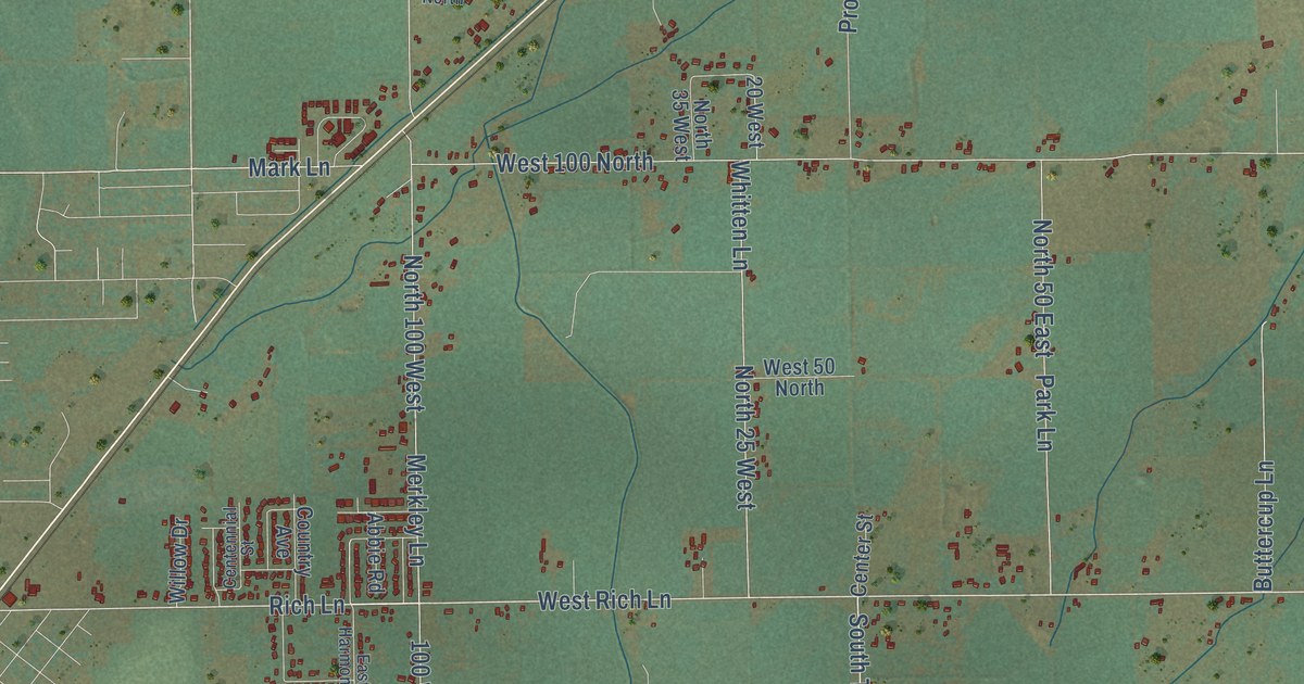
A detailed map of Wapello, Idaho, showing every building in its true location, the roads by name, and shaded topographical relief.
Read More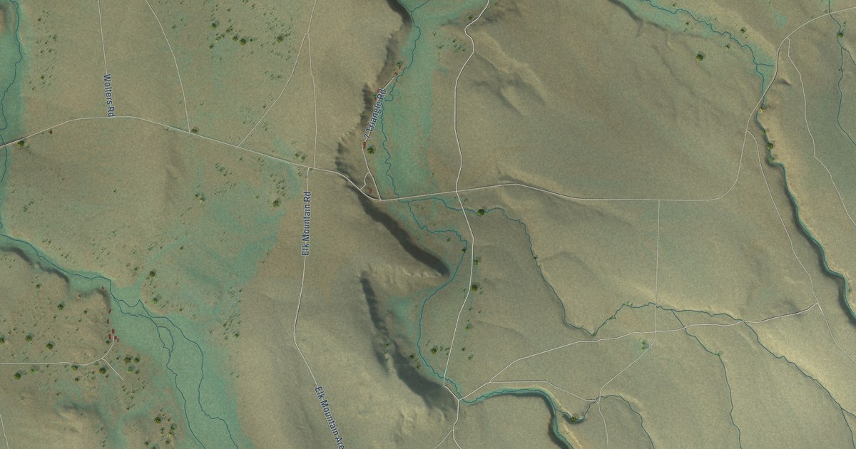
A detailed map of Three Creek, Idaho, showing every building in its true location, the roads by name, and shaded topographical relief.
Read More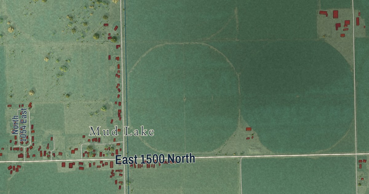
A detailed map of Terreton, Idaho, showing every building in its true location, the roads by name, and shaded topographical relief.
Read More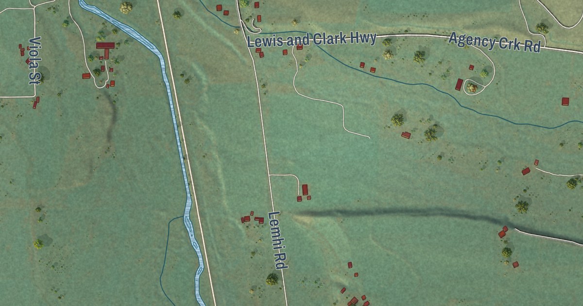
A detailed map of Tendoy, Idaho, showing every building in its true location, the roads by name, and shaded topographical relief.
Read More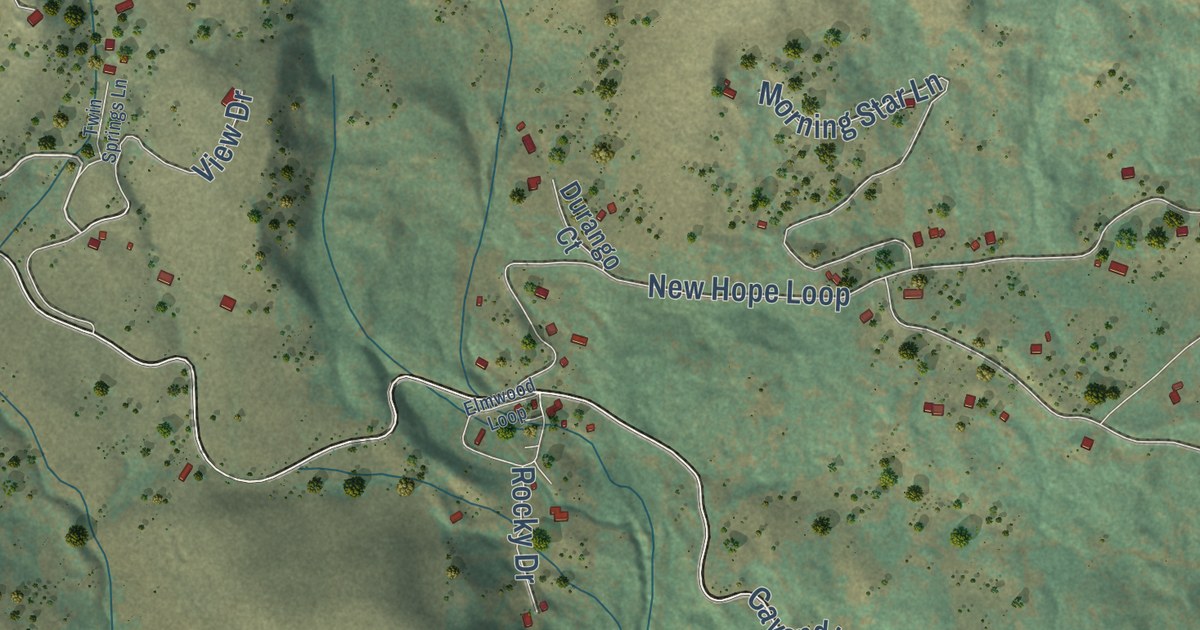
A detailed map of Teakean, Idaho, showing every building in its true location, the roads by name, and shaded topographical relief.
Read More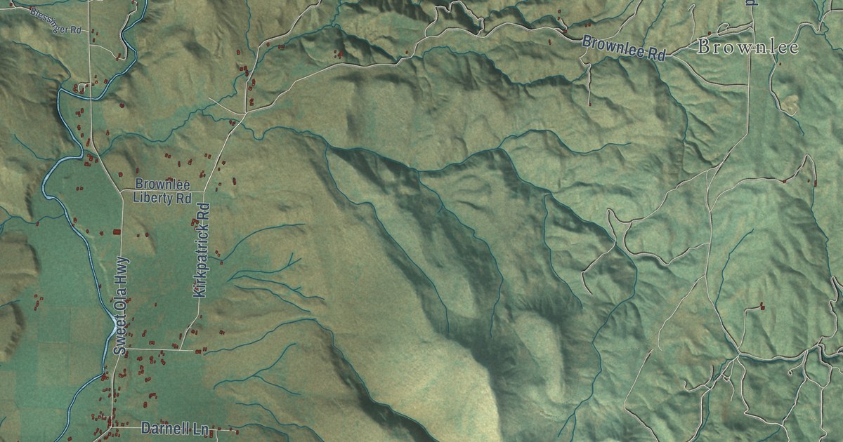
A detailed map of Sweet, Idaho, showing every building in its true location, the roads by name, and shaded topographical relief.
Read More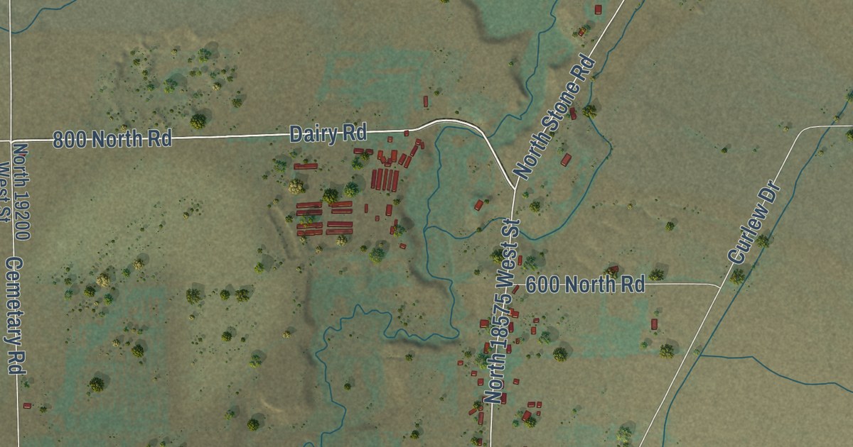
A detailed map of Stone, Idaho, showing every building in its true location, the roads by name, and shaded topographical relief.
Read More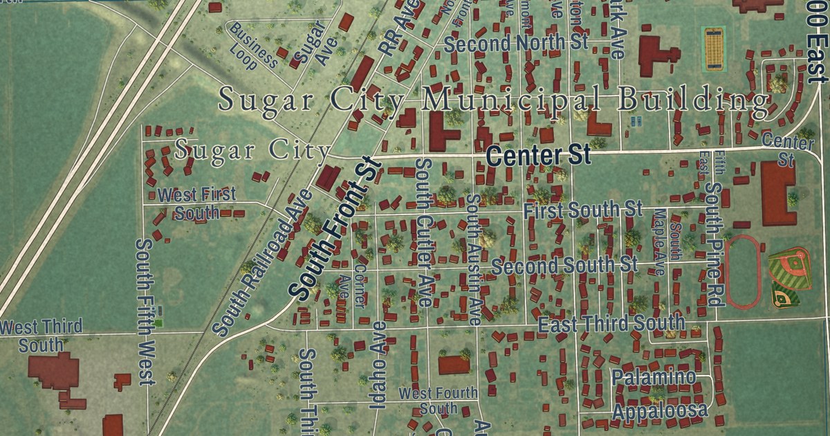
A detailed map of Salem, Idaho, showing every building in its true location, the roads by name, and shaded topographical relief.
Read More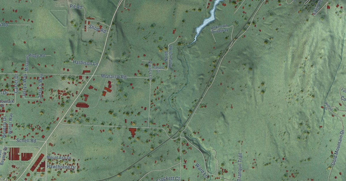
A detailed map of Sagle, Idaho, showing every building in its true location, the roads by name, and shaded topographical relief.
Read More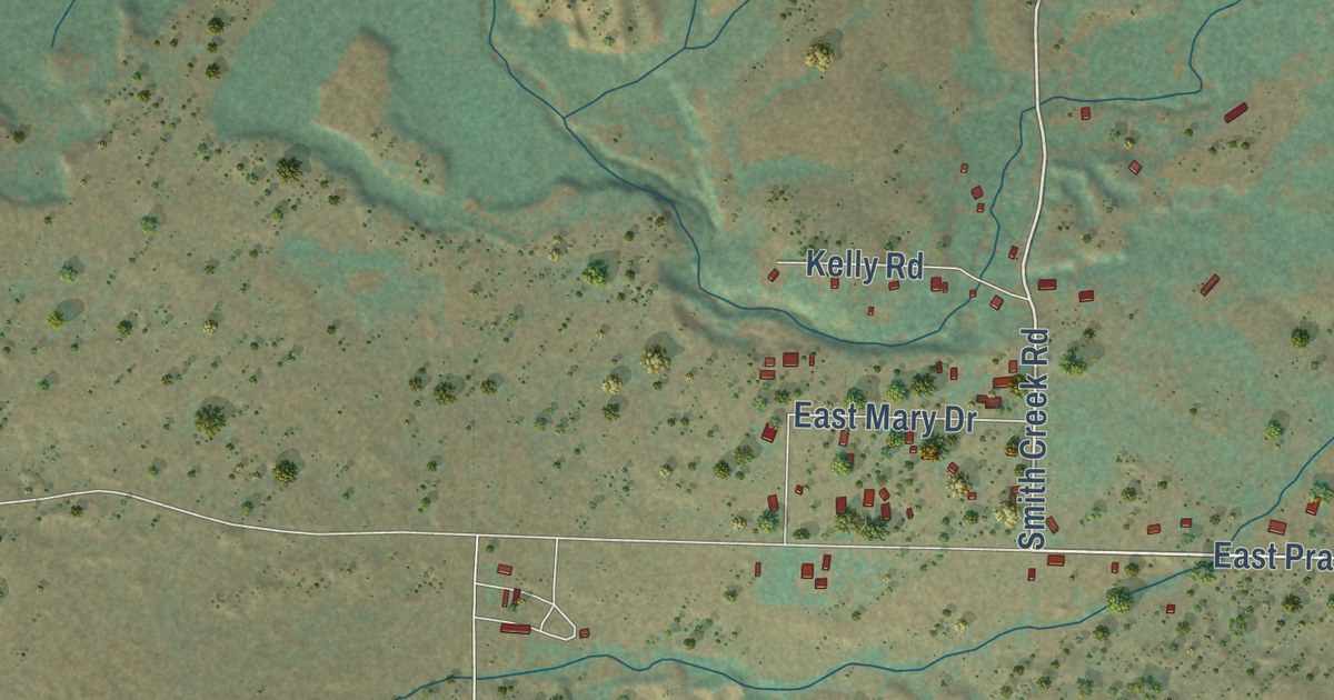
A detailed map of Prairie, Idaho, showing every building in its true location, the roads by name, and shaded topographical relief.
Read More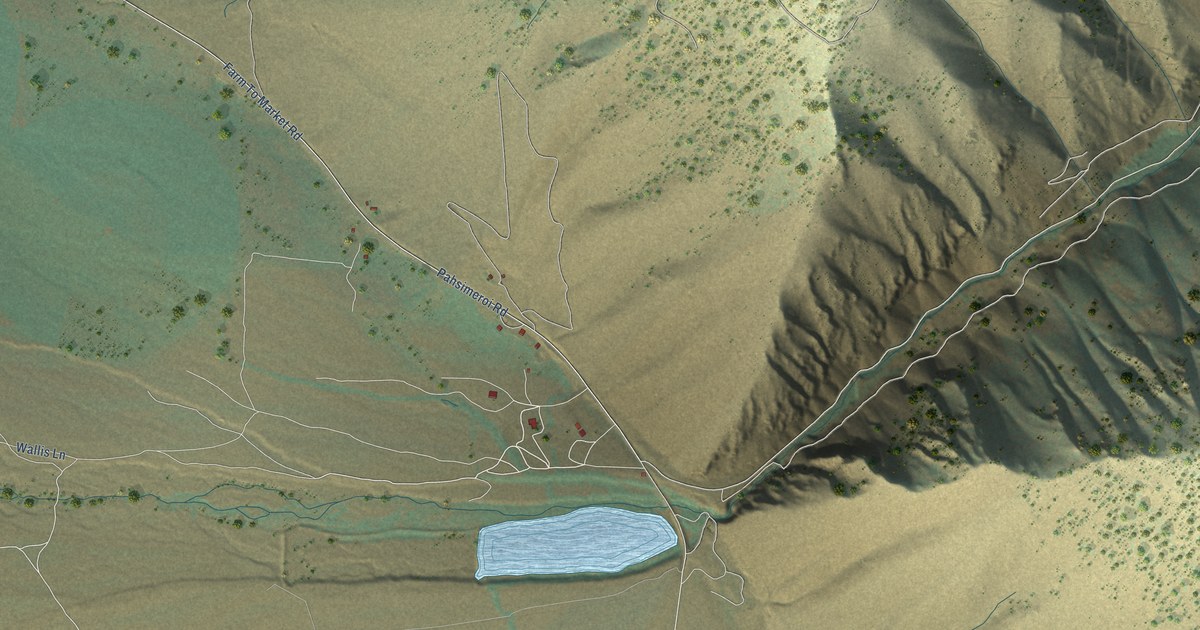
A detailed map of Patterson, Idaho, showing every building in its true location, the roads by name, and shaded topographical relief.
Read More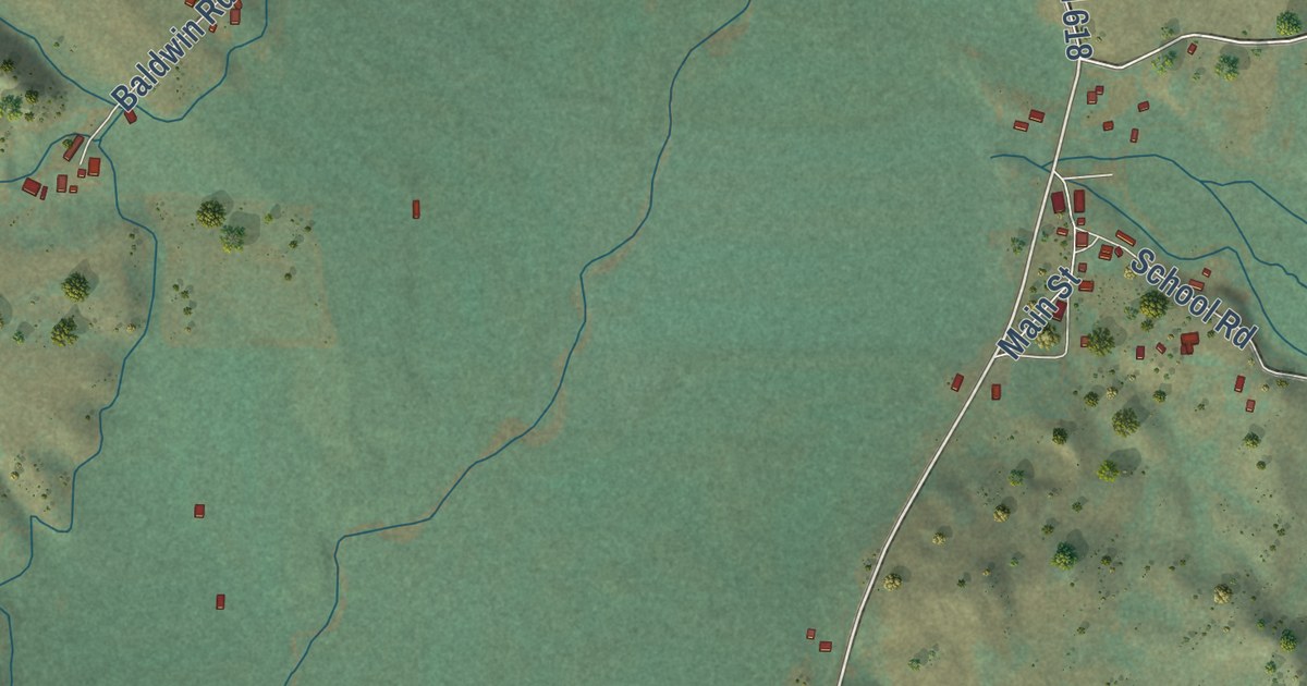
A detailed map of Ola, Idaho, showing every building in its true location, the roads by name, and shaded topographical relief.
Read More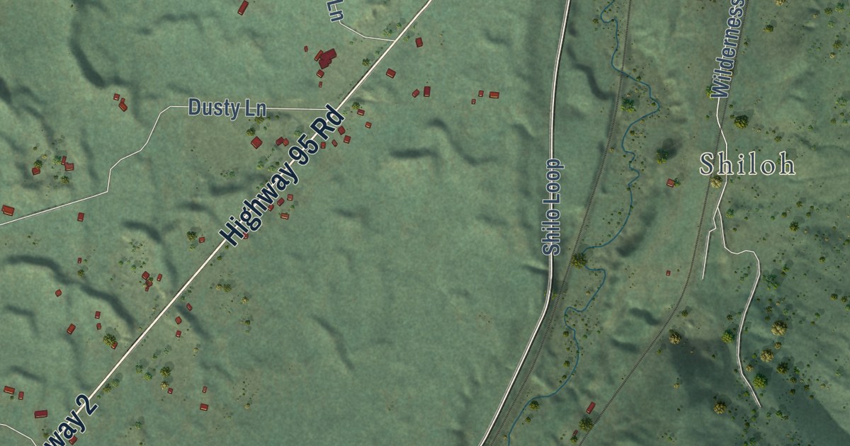
A detailed map of Naples, Idaho, showing every building in its true location, the roads by name, and shaded topographical relief.
Read More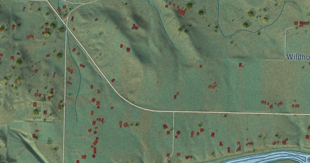
A detailed map of Montour, Idaho, showing every building in its true location, the roads by name, and shaded topographical relief.
Read More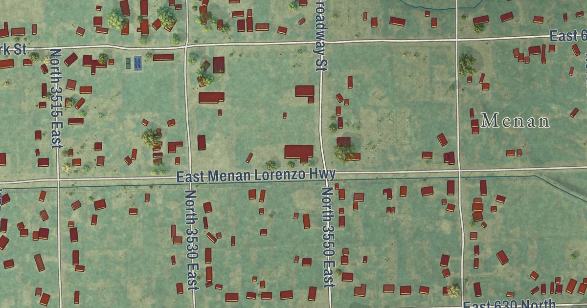
A detailed map of Midway, Idaho, showing every building in its true location, the roads by name, and shaded topographical relief.
Read More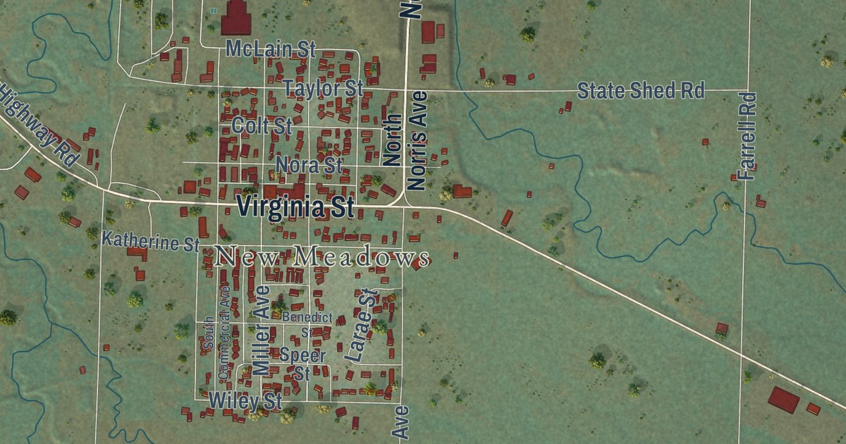
A detailed map of Meadows, Idaho, showing every building in its true location, the roads by name, and shaded topographical relief.
Read More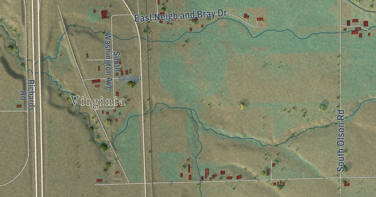
A detailed map of Marsh Valley, Idaho, showing every building in its true location, the roads by name, and shaded topographical relief.
Read More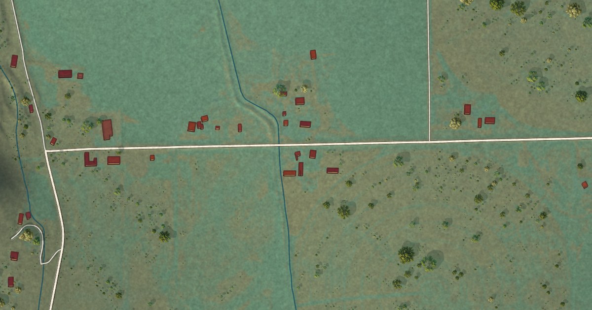
A detailed map of Howe, Idaho, showing every building in its true location, the roads by name, and shaded topographical relief.
Read More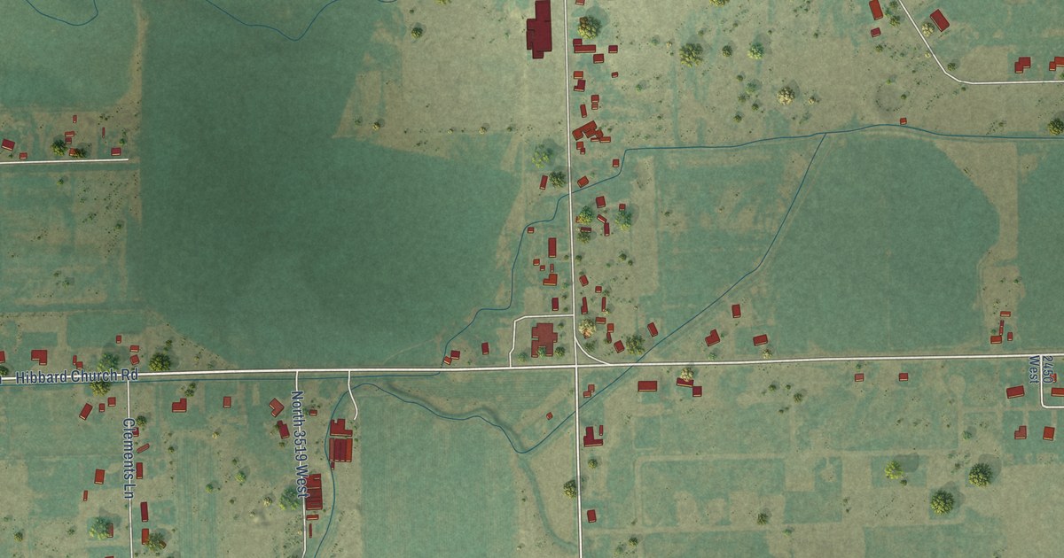
A detailed map of Hibbard, Idaho, showing every building in its true location, the roads by name, and shaded topographical relief.
Read More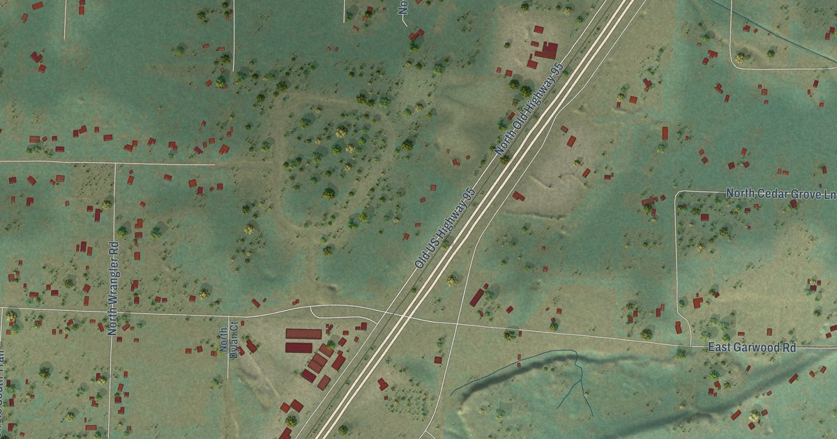
A detailed map of Garwood, Idaho, showing every building in its true location, the roads by name, and shaded topographical relief.
Read More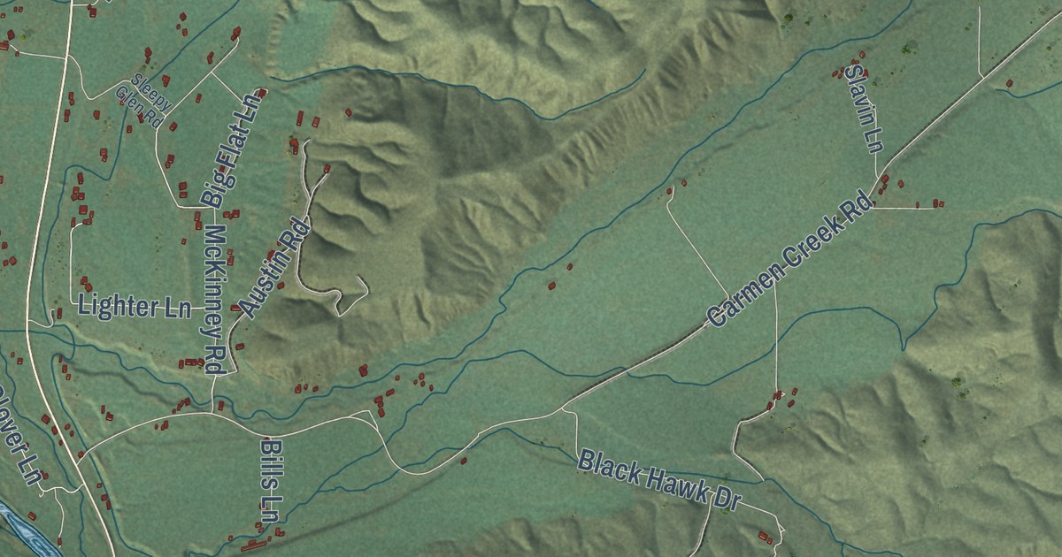
A detailed map of Carmen, Idaho, showing every building in its true location, the roads by name, and shaded topographical relief.
Read More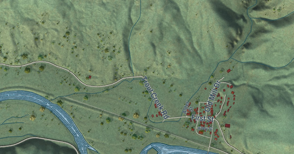
A detailed map of Calder, Idaho, showing every building in its true location, the roads by name, and shaded topographical relief.
Read More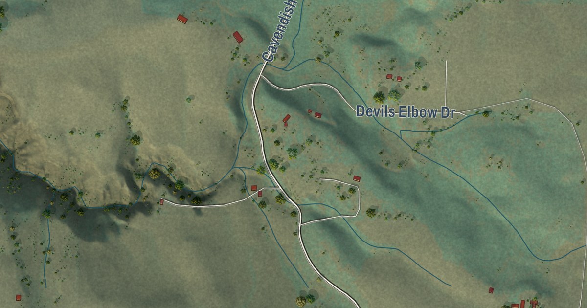
A detailed map of Cavendish, Idaho, showing every building in its true location, the roads by name, and shaded topographical relief.
Read More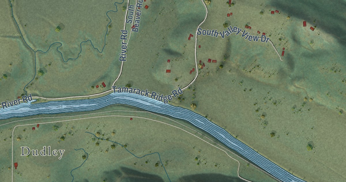
A detailed map of Canyon, Idaho, showing every building in its true location, the roads by name, and shaded topographical relief.
Read More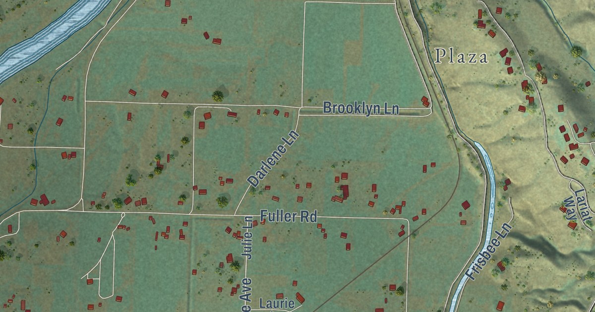
A detailed map of Black Canyon, Idaho, showing every building in its true location, the roads by name, and shaded topographical relief.
Read More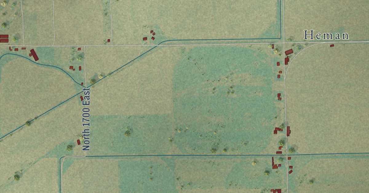
A detailed map of Egin, Idaho, showing every building in its true location, the roads by name, and shaded topographical relief.
Read More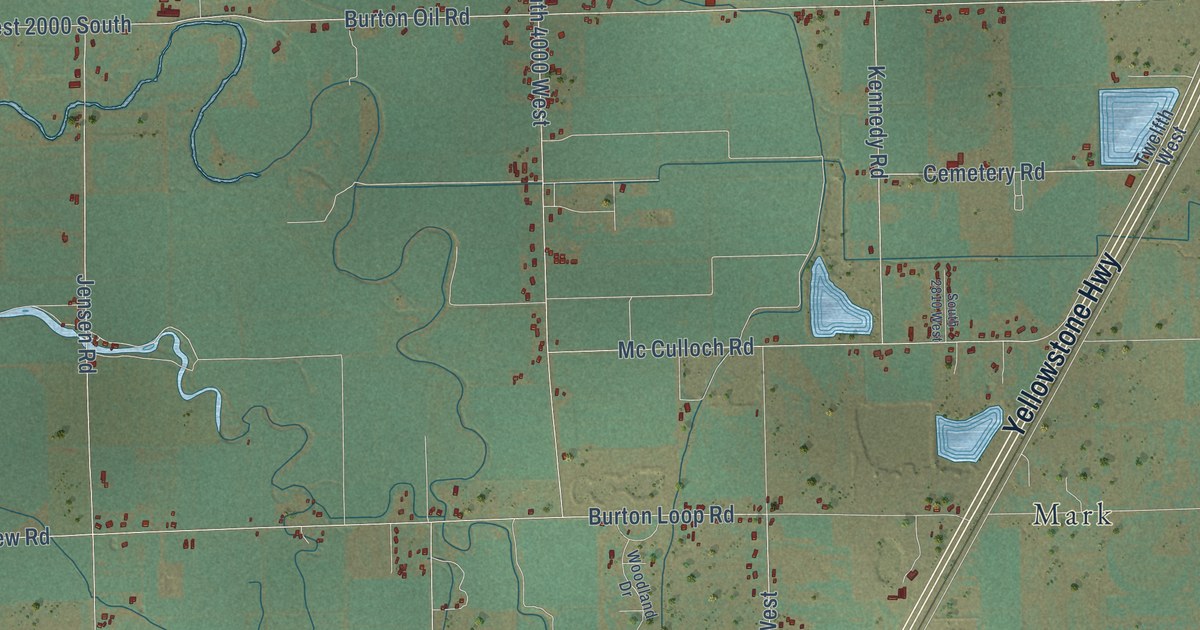
A detailed map of Burton, Idaho, showing every building in its true location, the roads by name, and shaded topographical relief.
Read More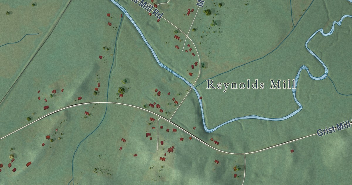
A detailed map of Winterboro, Alabama, showing every building in its true location, the roads by name, and shaded topographical relief.
Read More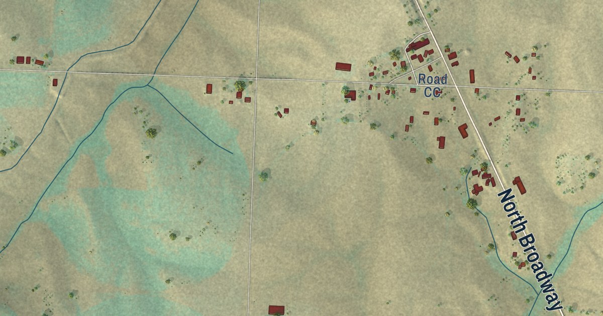
A detailed map of Pleasant View, Colorado, showing every building in its true location, the roads by name, and shaded topographical relief.
Read More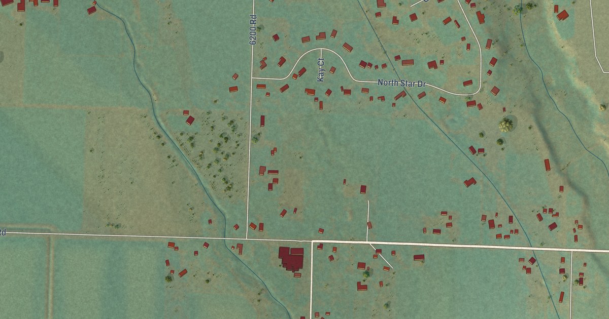
A detailed map of Oak Grove, Colorado, showing every building in its true location, the roads by name, and shaded topographical relief.
Read More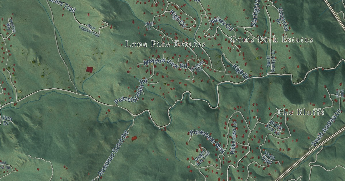
A detailed map of Marshdale, Colorado, showing every building in its true location, the roads by name, and shaded topographical relief.
Read More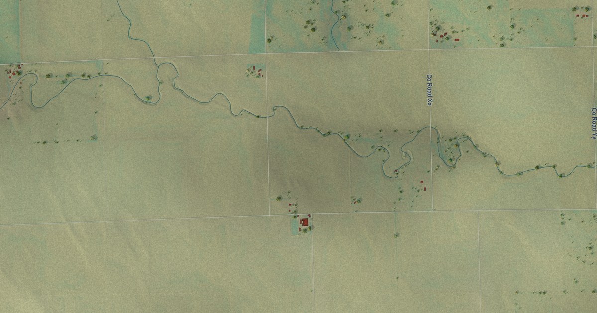
A detailed map of Lone Star, Colorado, showing every building in its true location, the roads by name, and shaded topographical relief.
Read More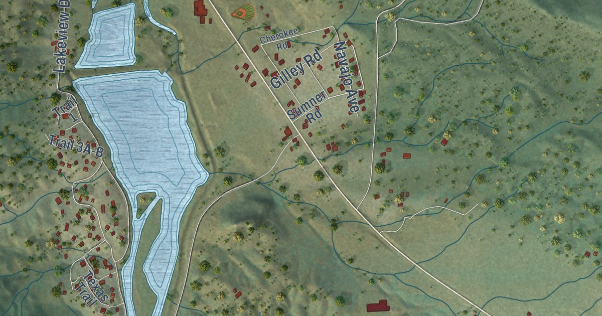
A detailed map of Lake George, Colorado, showing every building in its true location, the roads by name, and shaded topographical relief.
Read More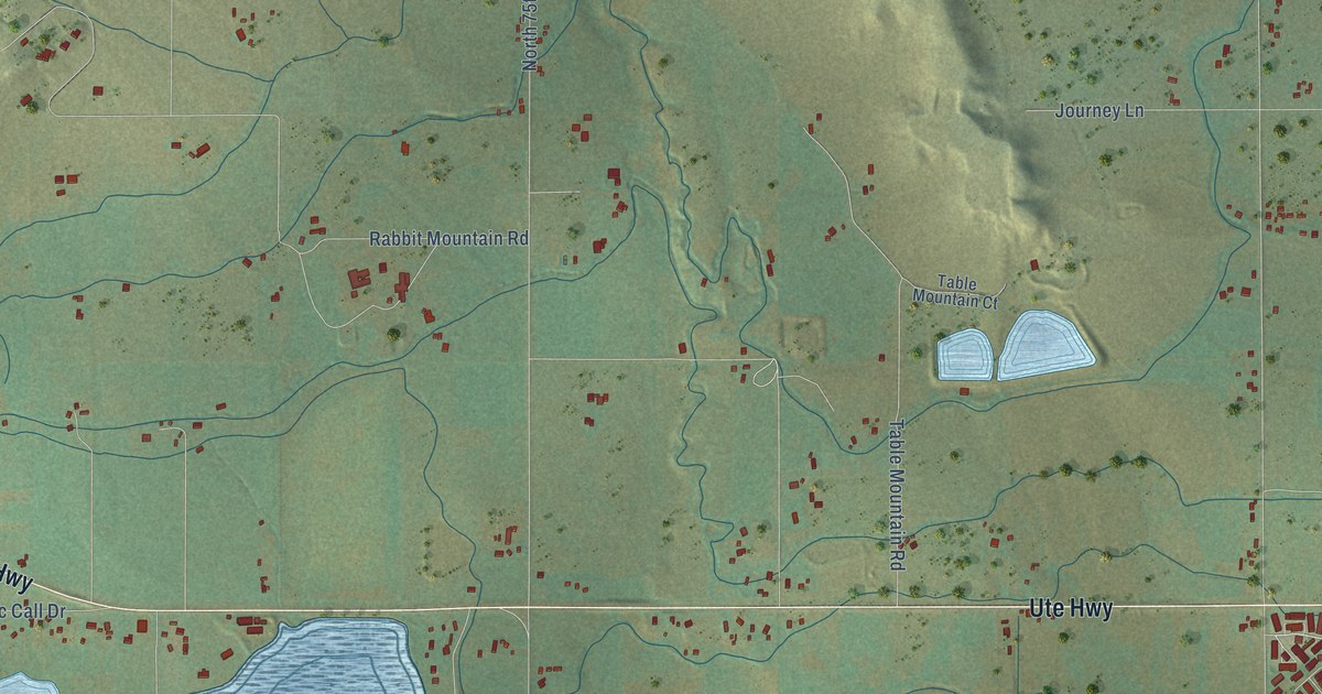
A detailed map of Hygiene, Colorado, showing every building in its true location, the roads by name, and shaded topographical relief.
Read More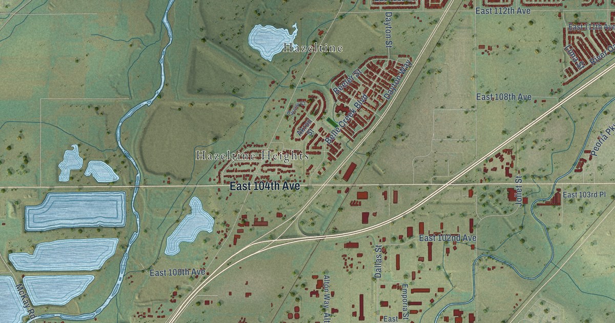
A detailed map of Henderson, Colorado, showing every building in its true location, the roads by name, and shaded topographical relief.
Read More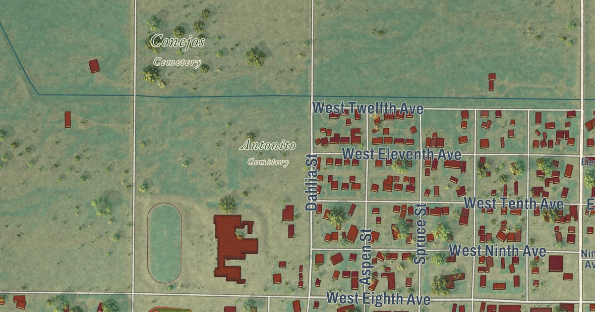
A detailed map of Guadalupe, Colorado, showing every building in its true location, the roads by name, and shaded topographical relief.
Read More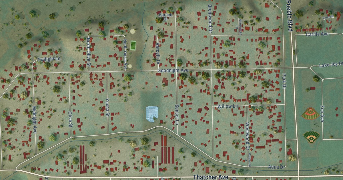
A detailed map of Goodnight, Colorado, showing every building in its true location, the roads by name, and shaded topographical relief.
Read More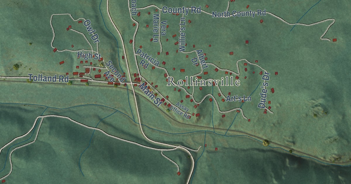
A detailed map of Gilpin, Colorado, showing every building in its true location, the roads by name, and shaded topographical relief.
Read More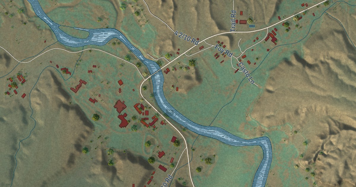
A detailed map of Gateway, Colorado, showing every building in its true location, the roads by name, and shaded topographical relief.
Read More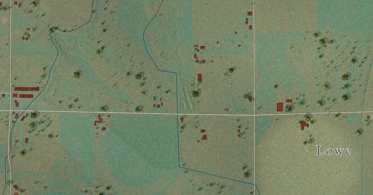
A detailed map of Galeton, Colorado, showing every building in its true location, the roads by name, and shaded topographical relief.
Read More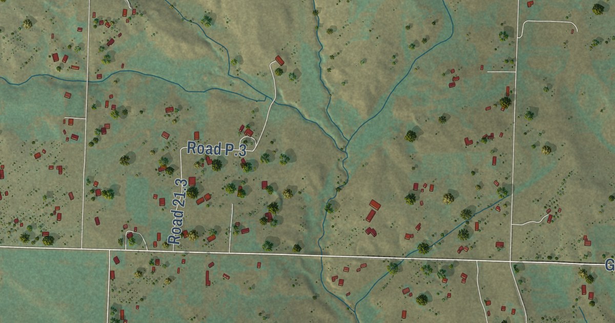
A detailed map of Arriola, Colorado, showing every building in its true location, the roads by name, and shaded topographical relief.
Read More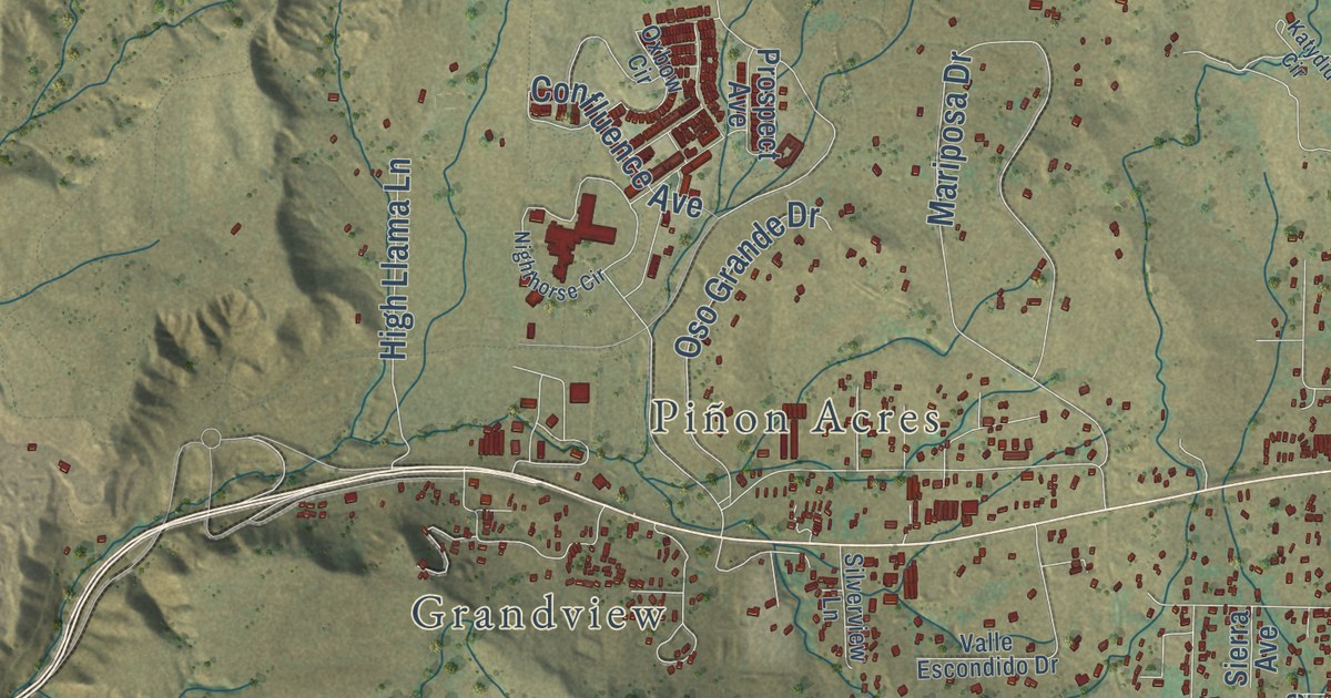
A detailed map of Florida, Colorado, showing every building in its true location, the roads by name, and shaded topographical relief.
Read More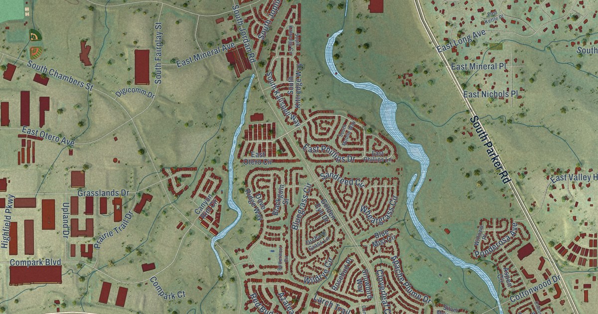
A detailed map of Cottonwood, Colorado, showing every building in its true location, the roads by name, and shaded topographical relief.
Read More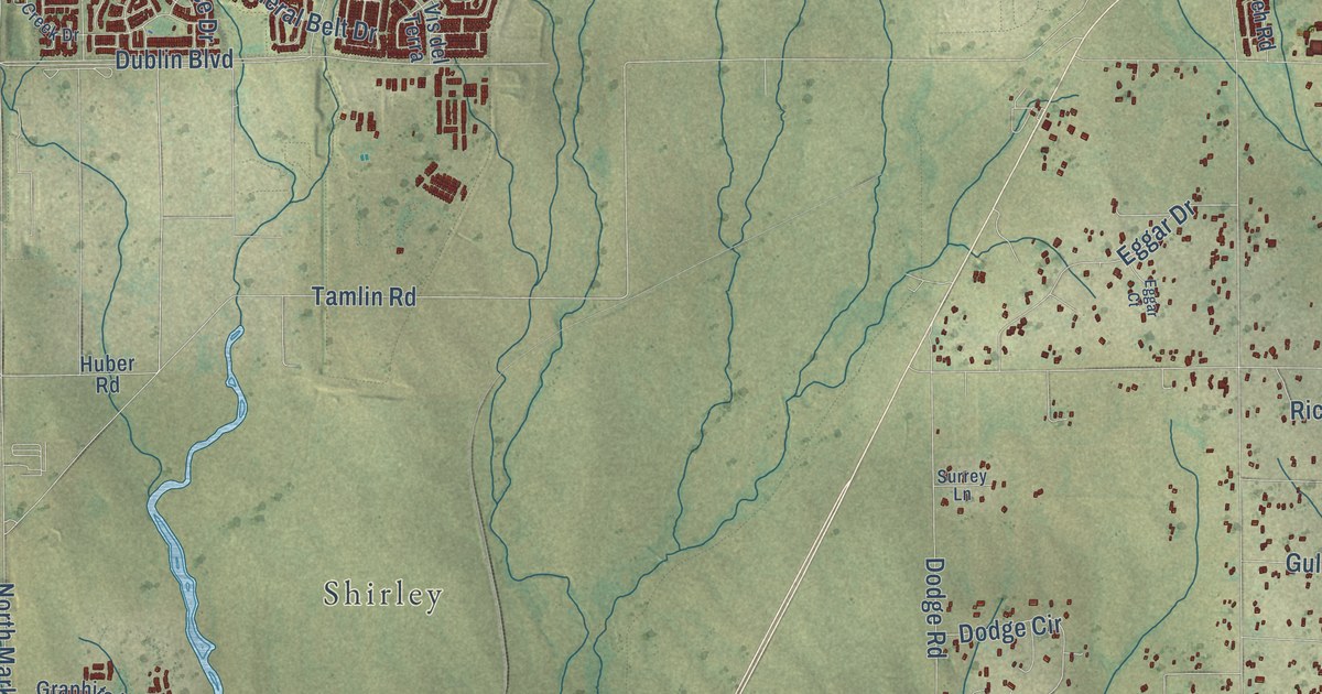
A detailed map of Falcon, Colorado, showing every building in its true location, the roads by name, and shaded topographical relief.
Read More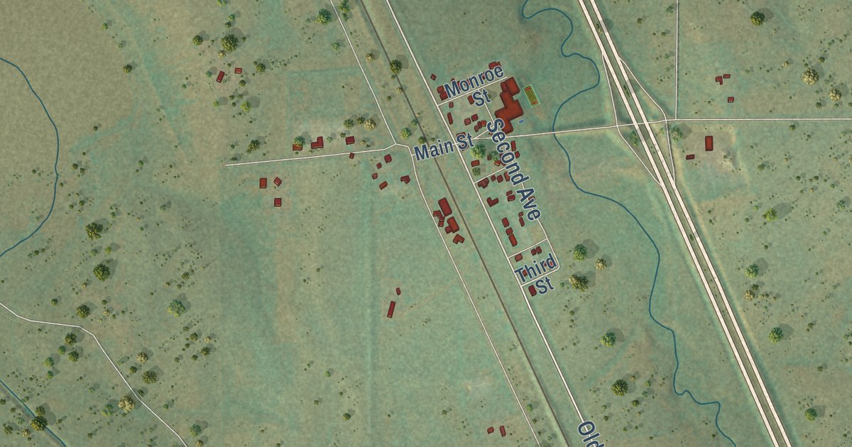
A detailed map of Agate, Colorado, showing every building in its true location, the roads by name, and shaded topographical relief.
Read More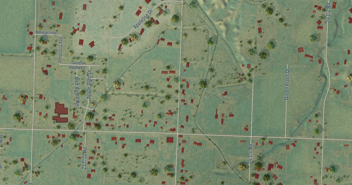
A detailed map of Appleton, Colorado, showing every building in its true location, the roads by name, and shaded topographical relief.
Read More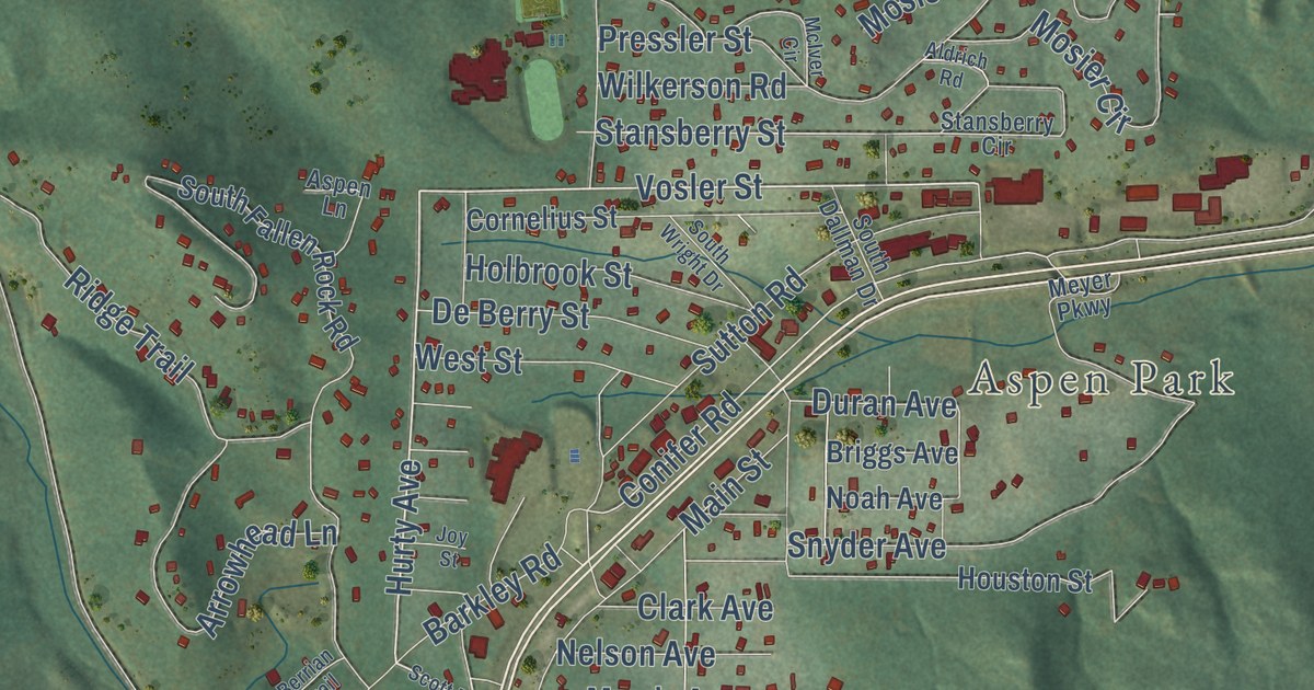
A detailed map of Conifer, Colorado, showing every building in its true location, the roads by name, and shaded topographical relief.
Read More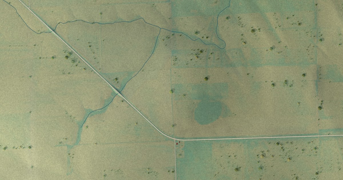
A detailed map of Arickaree, Colorado, showing every building in its true location, the roads by name, and shaded topographical relief.
Read More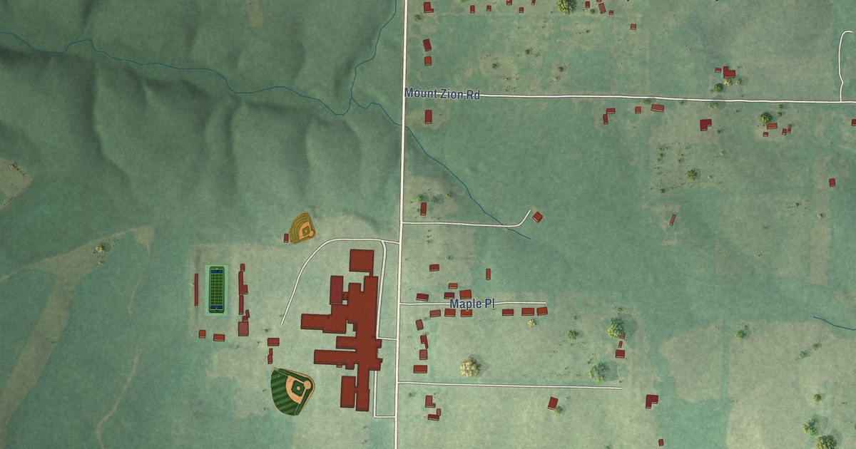
A detailed map of Wilson, Alabama, showing every building in its true location, the roads by name, and shaded topographical relief.
Read More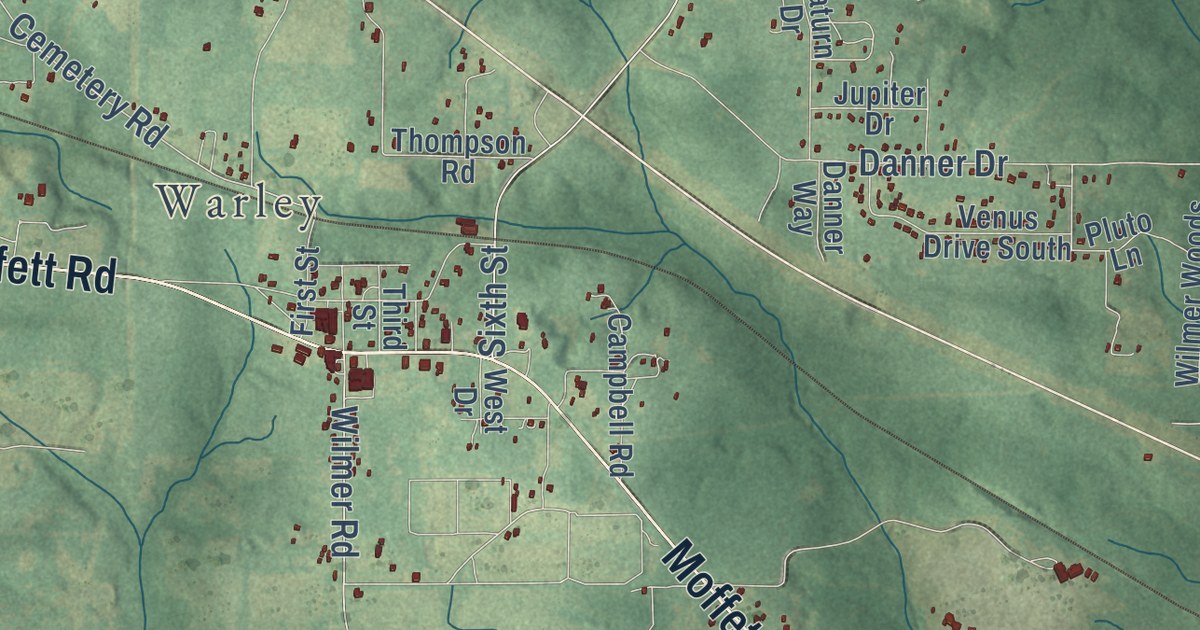
A detailed map of Wilmer, Alabama, showing every building in its true location, the roads by name, and shaded topographical relief.
Read More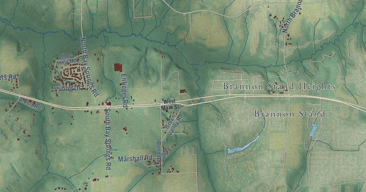
A detailed map of Wicksburg, Alabama, showing every building in its true location, the roads by name, and shaded topographical relief.
Read More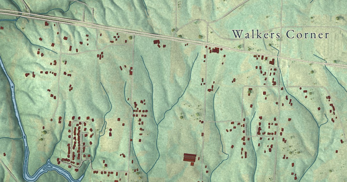
A detailed map of Welti, Alabama, showing every building in its true location, the roads by name, and shaded topographical relief.
Read More















