Detailed Map of Dupuyer, Montana
A detailed map of Dupuyer, Montana, showing every building in its true location, the roads by name, and shaded topographical relief.
Read More
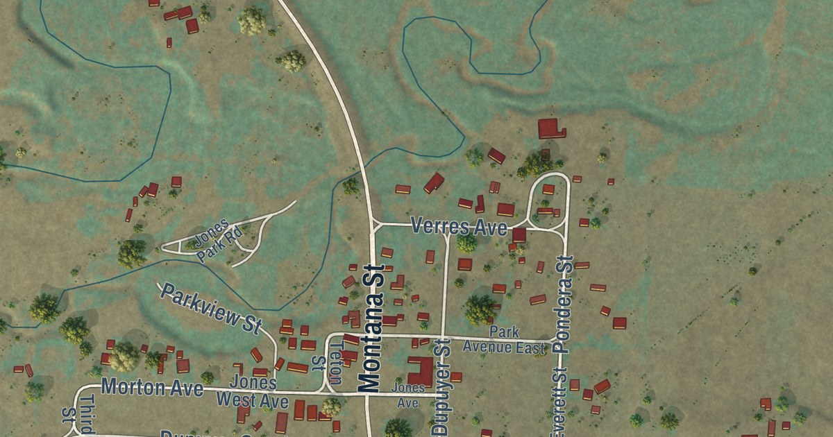
A detailed map of Dupuyer, Montana, showing every building in its true location, the roads by name, and shaded topographical relief.
Read More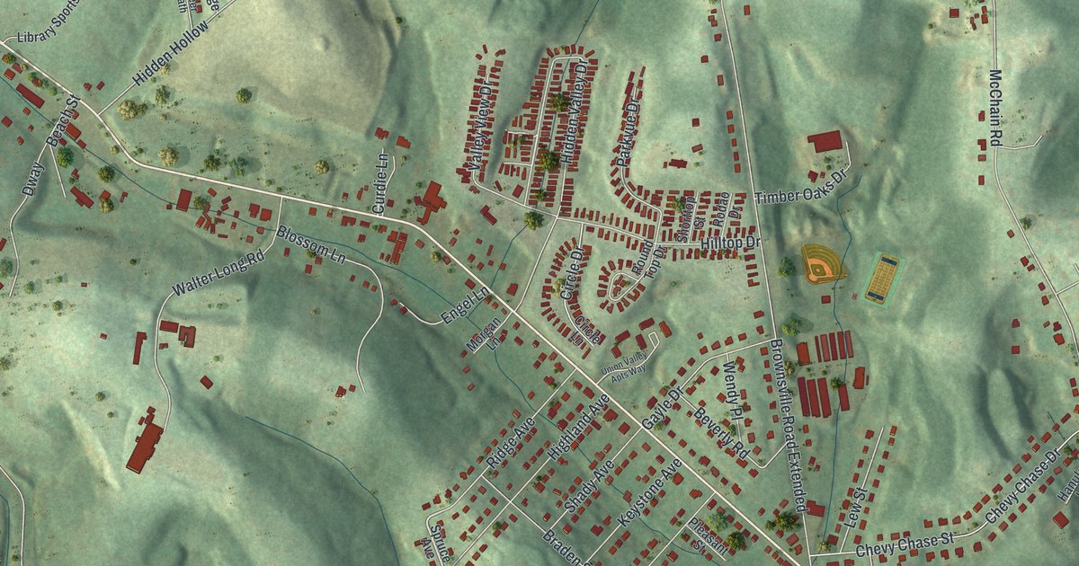
A detailed map of Gastonville, Pennsylvania, showing every building in its true location, the roads by name, and shaded topographical relief.
Read More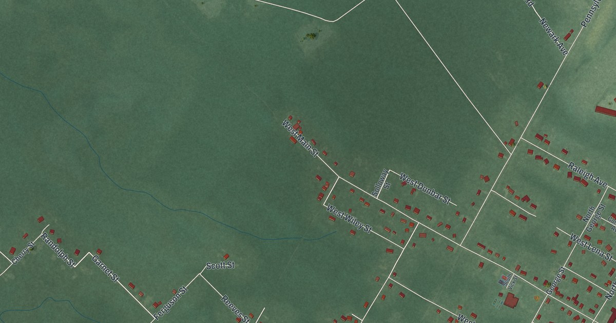
A detailed map of Whitesboro, New Jersey, showing every building in its true location, the roads by name, and shaded topographical relief.
Read More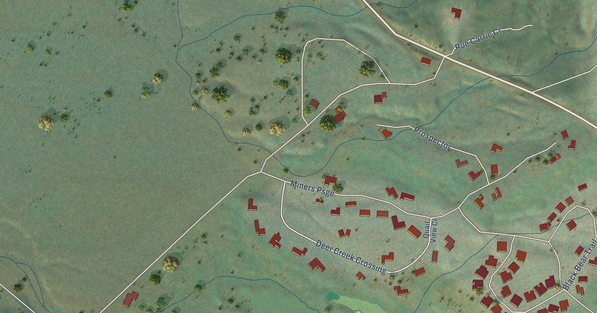
A detailed map of Whitehawk, California, showing every building in its true location, the roads by name, and shaded topographical relief.
Read More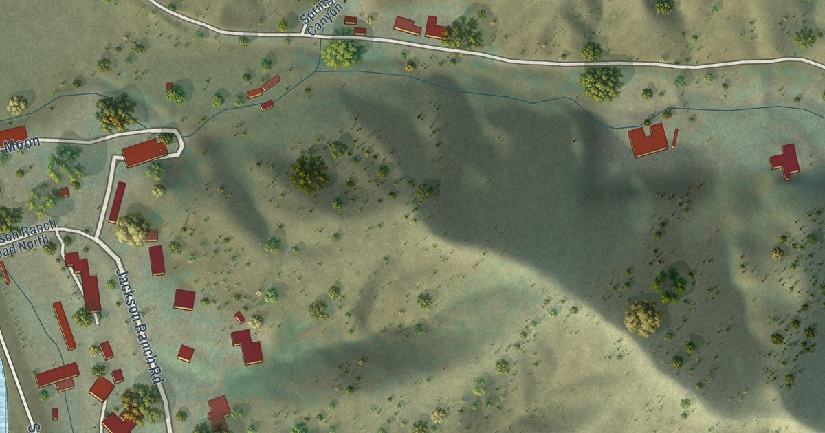
A detailed map of Williams Canyon, California, showing every building in its true location, the roads by name, and shaded topographical relief.
Read More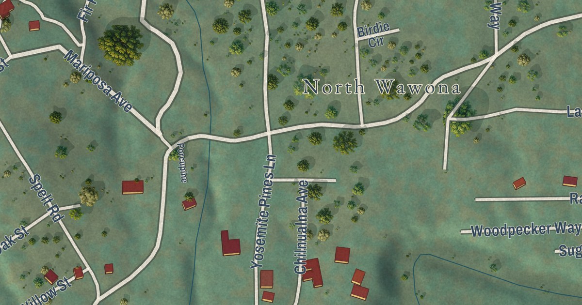
A detailed map of Wawona, California, showing every building in its true location, the roads by name, and shaded topographical relief.
Read More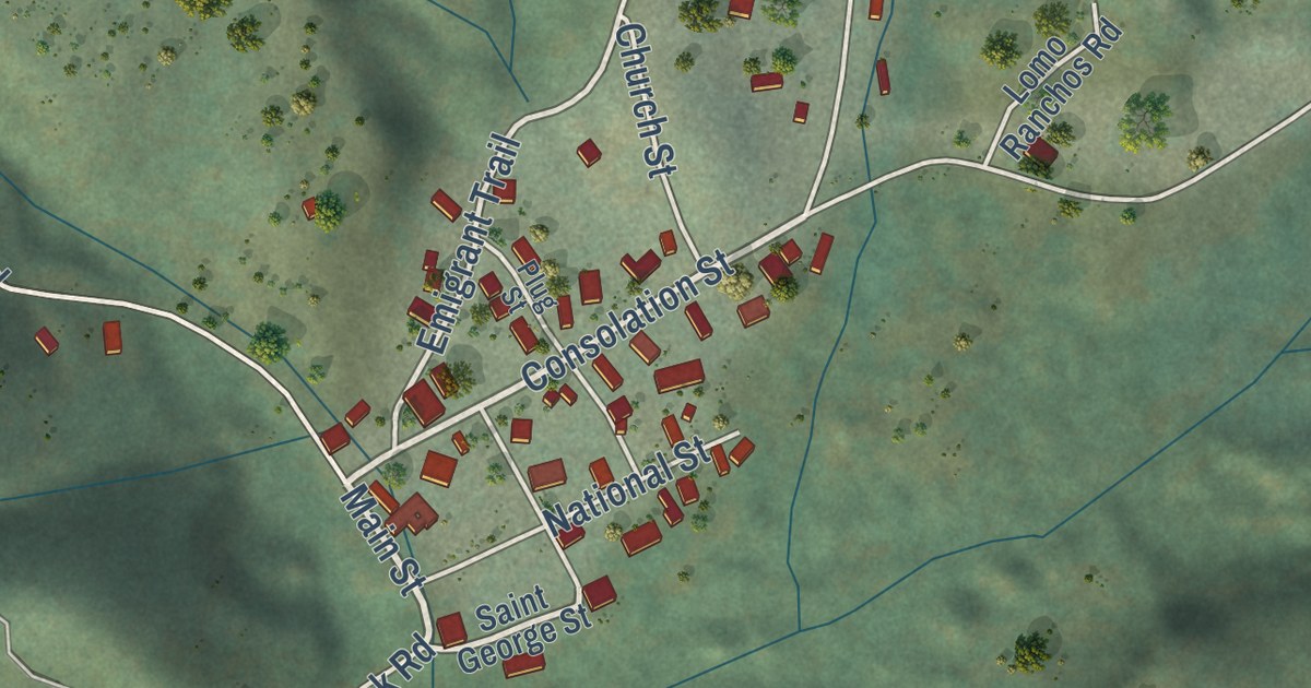
A detailed map of Volcano, California, showing every building in its true location, the roads by name, and shaded topographical relief.
Read More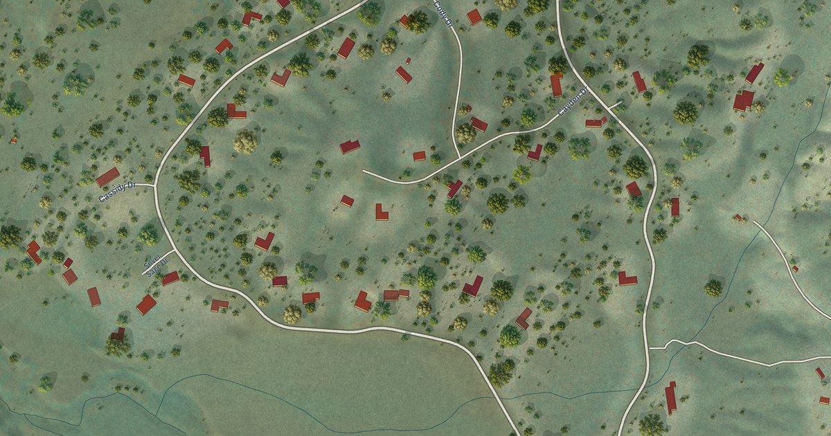
A detailed map of Valley Ranch, California, showing every building in its true location, the roads by name, and shaded topographical relief.
Read More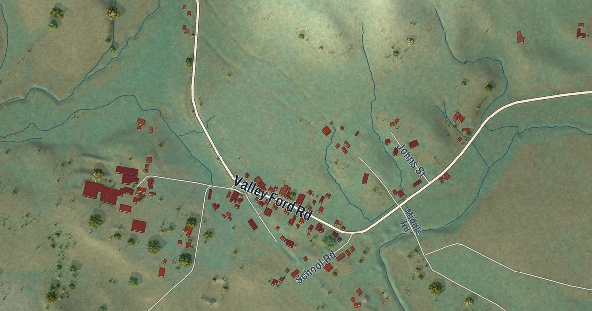
A detailed map of Valley Ford, California, showing every building in its true location, the roads by name, and shaded topographical relief.
Read More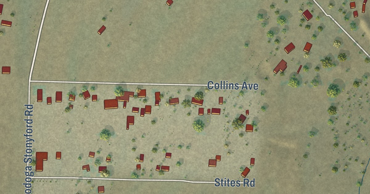
A detailed map of Stonyford, California, showing every building in its true location, the roads by name, and shaded topographical relief.
Read More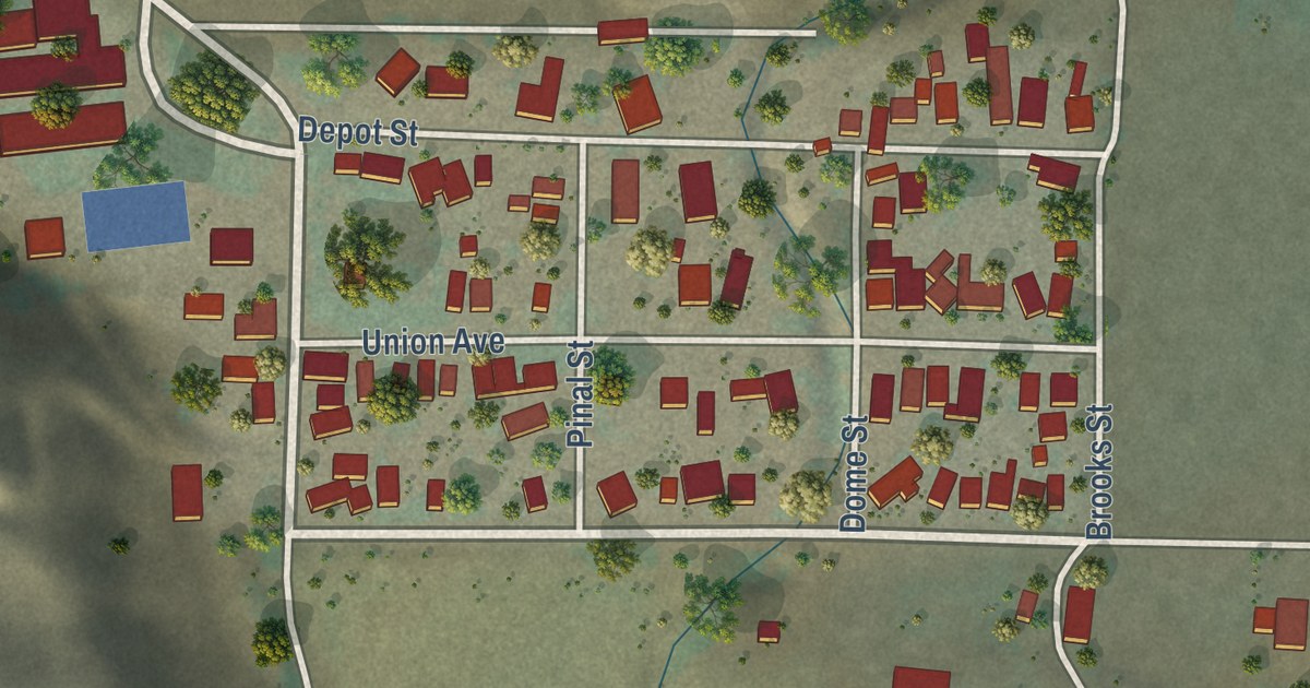
A detailed map of Sisquoc, California, showing every building in its true location, the roads by name, and shaded topographical relief.
Read More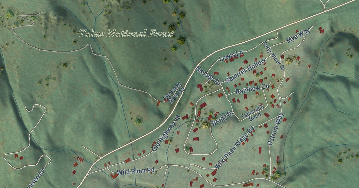
A detailed map of Sierra City, California, showing every building in its true location, the roads by name, and shaded topographical relief.
Read More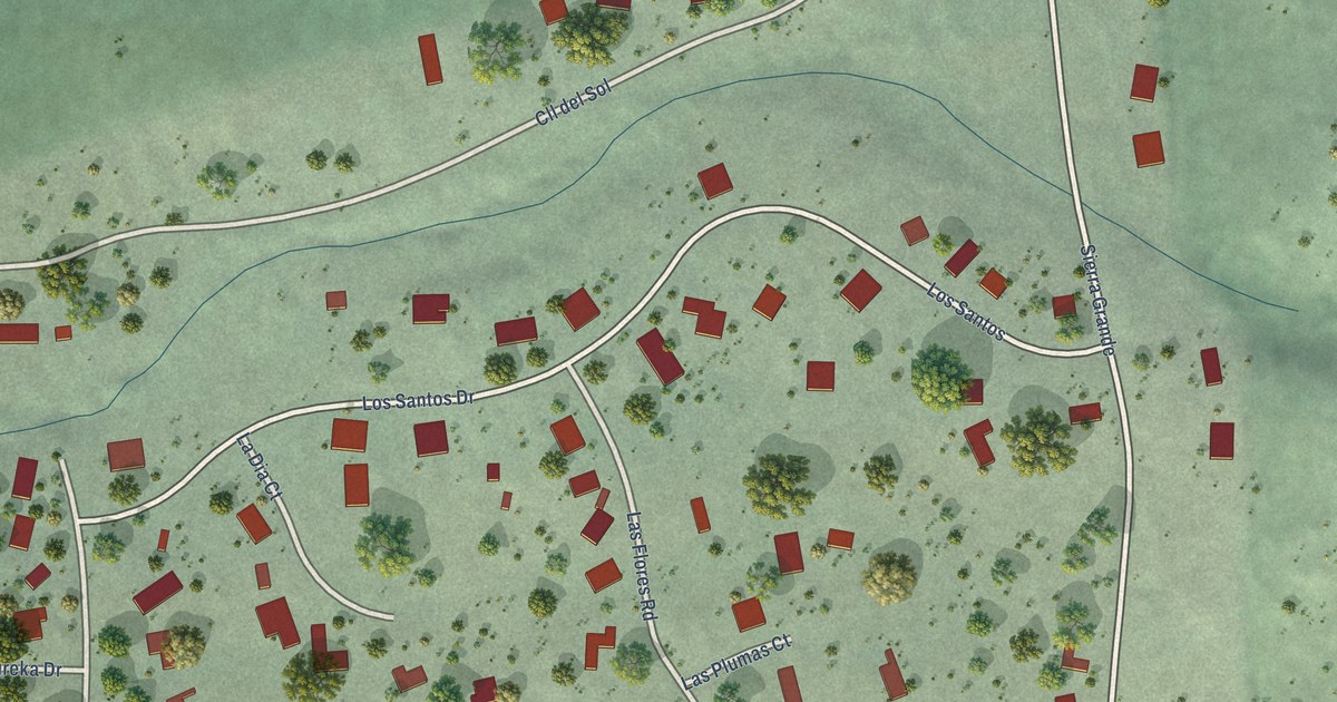
A detailed map of Sereno del Mar, California, showing every building in its true location, the roads by name, and shaded topographical relief.
Read More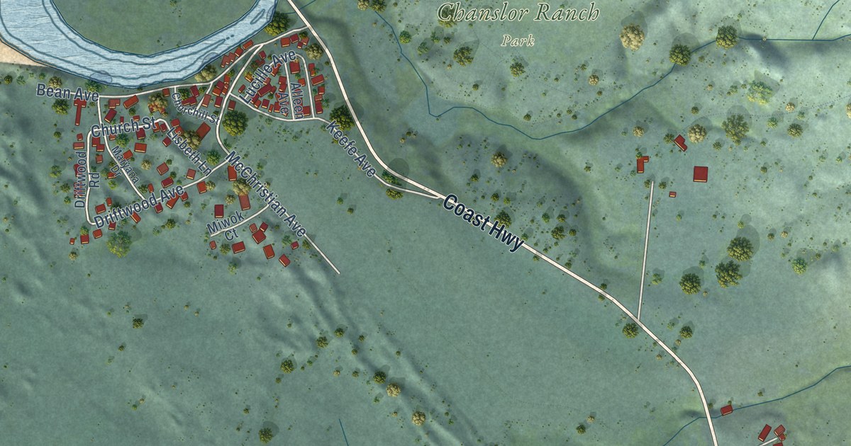
A detailed map of Salmon Creek, California, showing every building in its true location, the roads by name, and shaded topographical relief.
Read More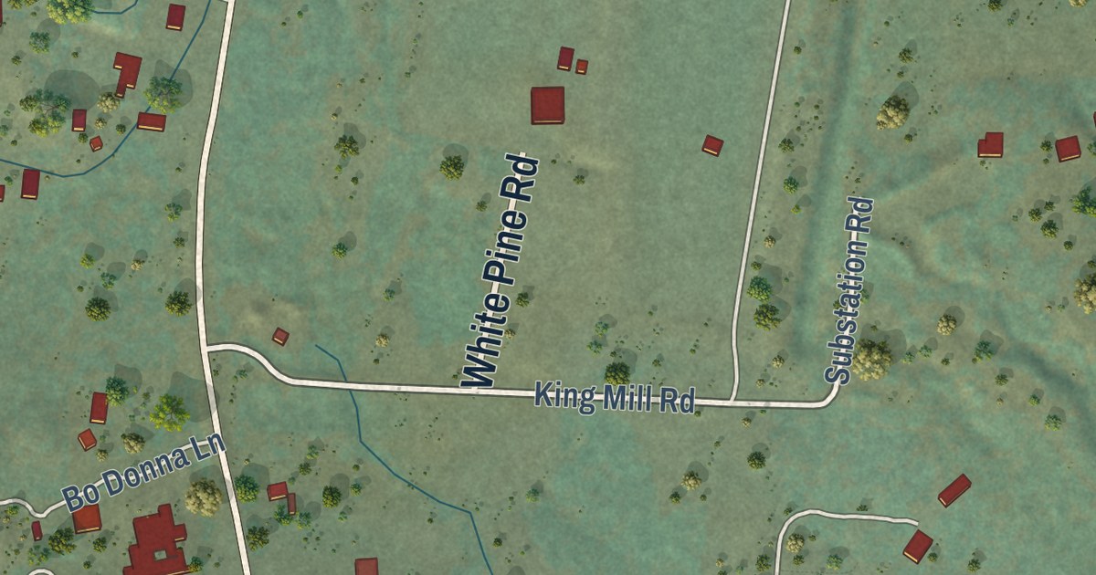
A detailed map of Round Mountain, California, showing every building in its true location, the roads by name, and shaded topographical relief.
Read More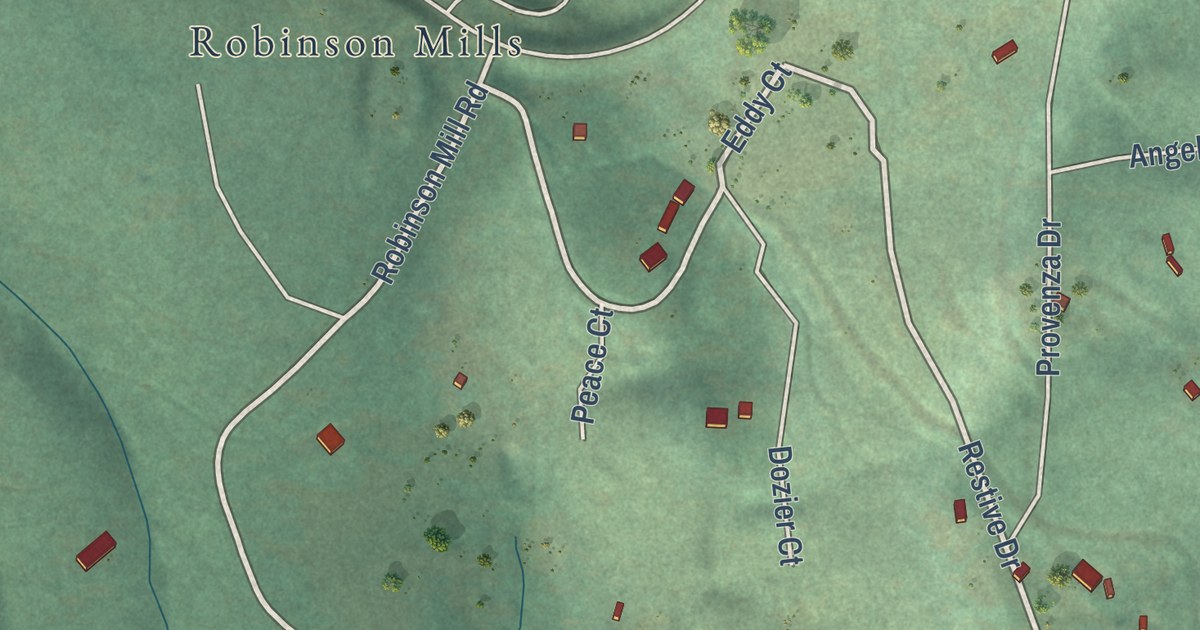
A detailed map of Robinson Mill, California, showing every building in its true location, the roads by name, and shaded topographical relief.
Read More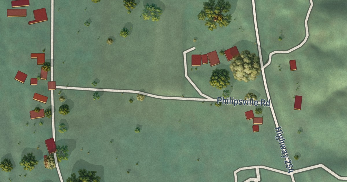
A detailed map of Phillipsville, California, showing every building in its true location, the roads by name, and shaded topographical relief.
Read More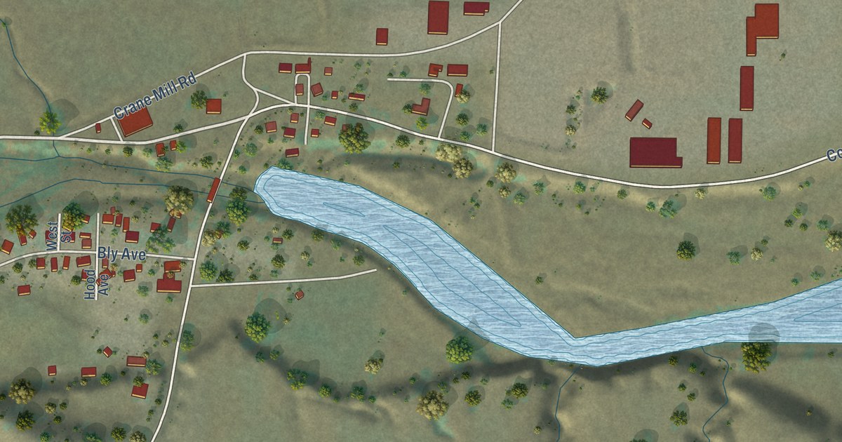
A detailed map of Paskenta, California, showing every building in its true location, the roads by name, and shaded topographical relief.
Read More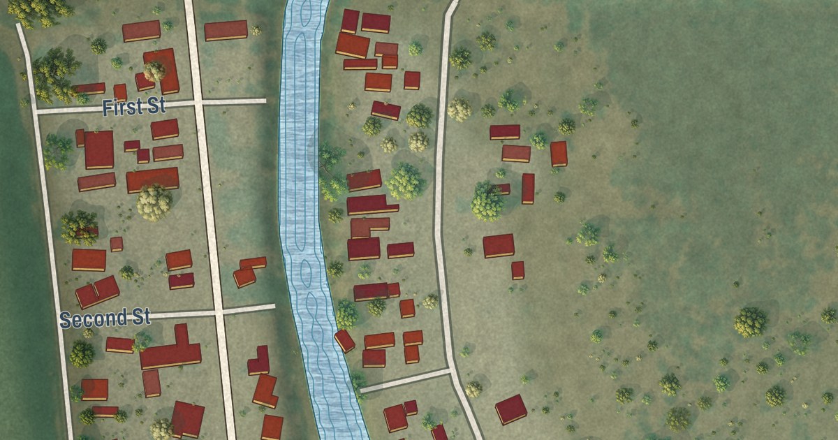
A detailed map of Palo Verde, California, showing every building in its true location, the roads by name, and shaded topographical relief.
Read More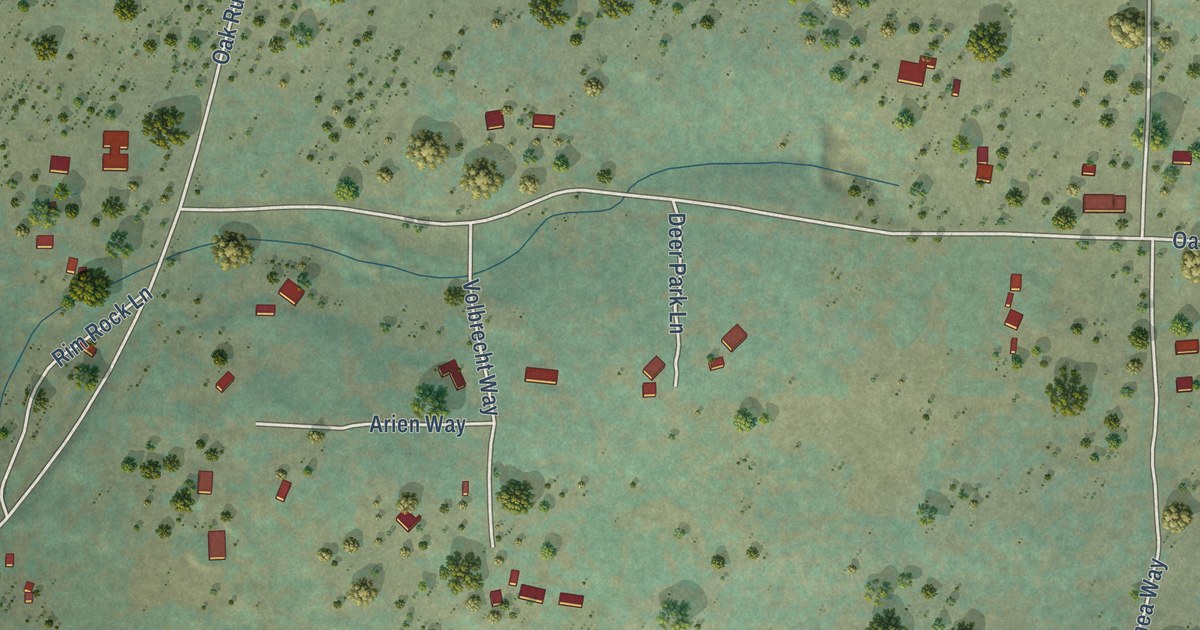
A detailed map of Oak Run, California, showing every building in its true location, the roads by name, and shaded topographical relief.
Read More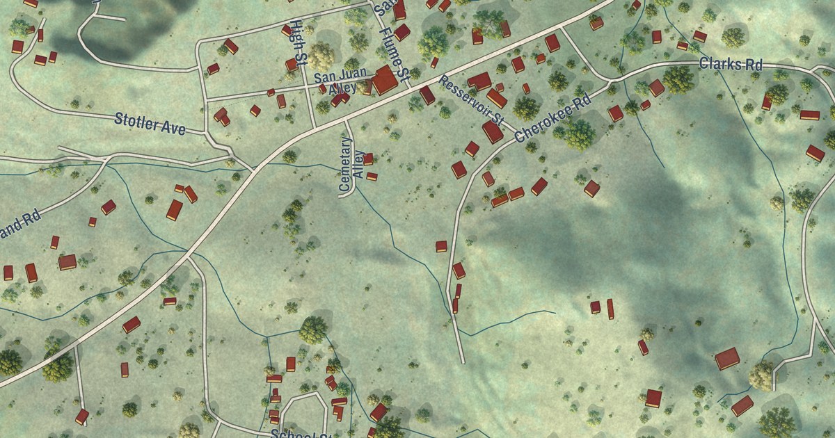
A detailed map of North San Juan, California, showing every building in its true location, the roads by name, and shaded topographical relief.
Read More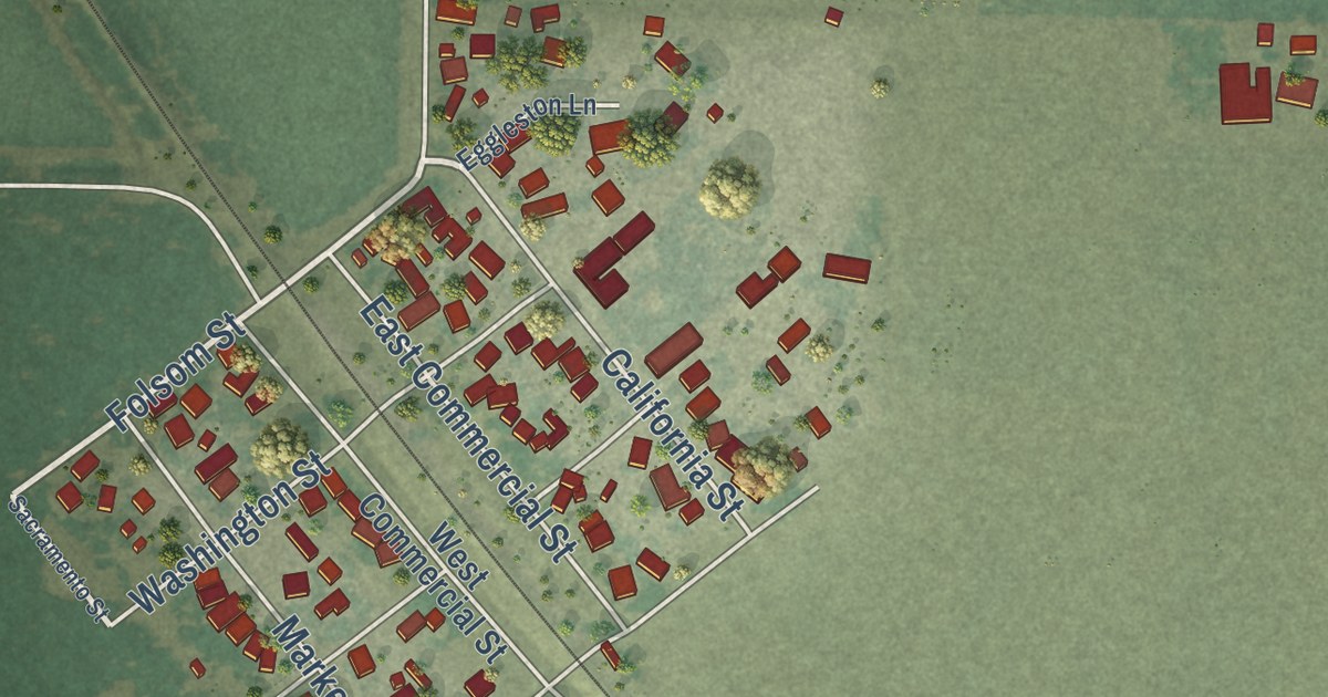
A detailed map of Nord, California, showing every building in its true location, the roads by name, and shaded topographical relief.
Read More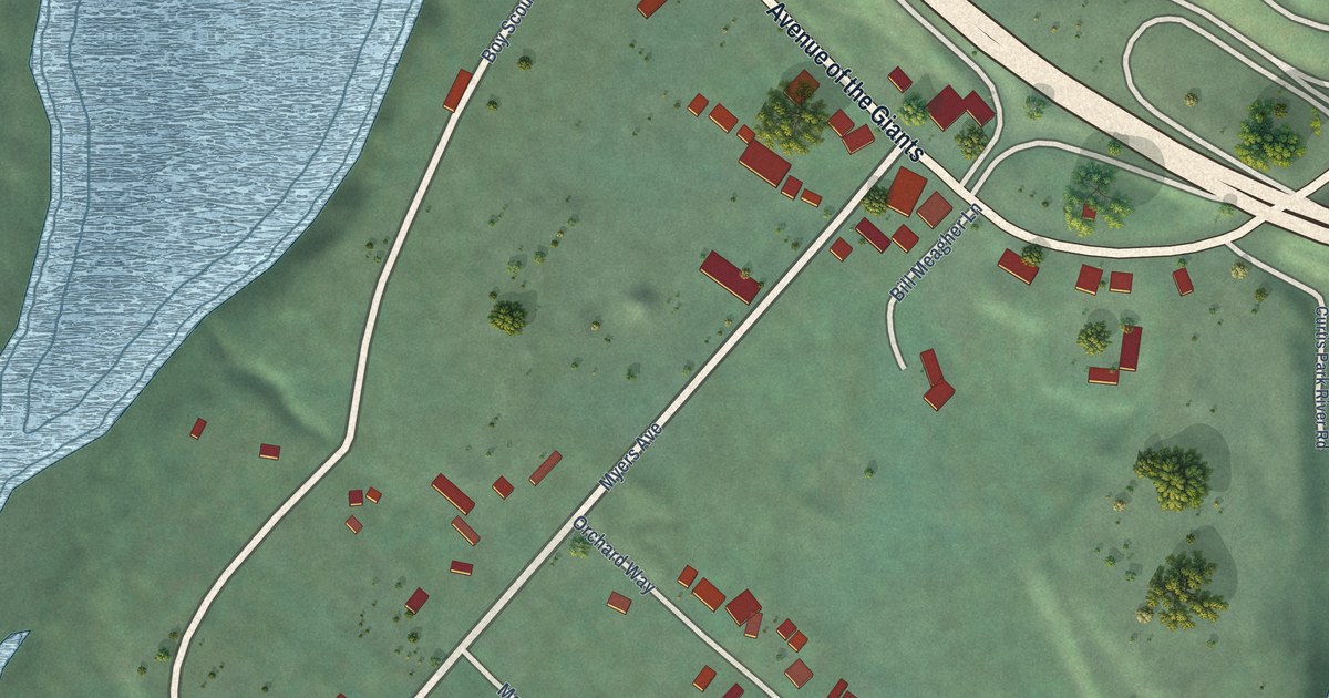
A detailed map of Myers Flat, California, showing every building in its true location, the roads by name, and shaded topographical relief.
Read More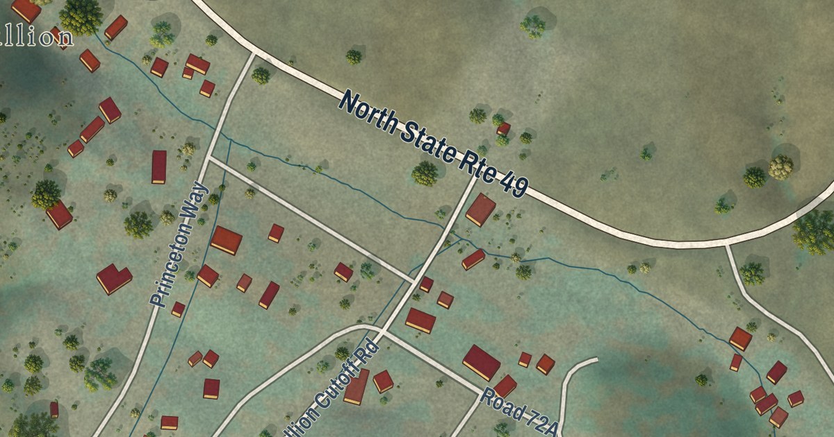
A detailed map of Mt. Bullion, California, showing every building in its true location, the roads by name, and shaded topographical relief.
Read More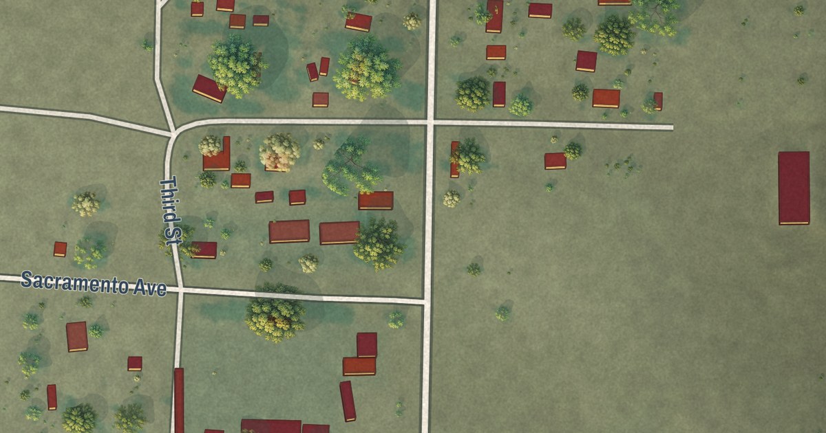
A detailed map of Mount Hebron, California, showing every building in its true location, the roads by name, and shaded topographical relief.
Read More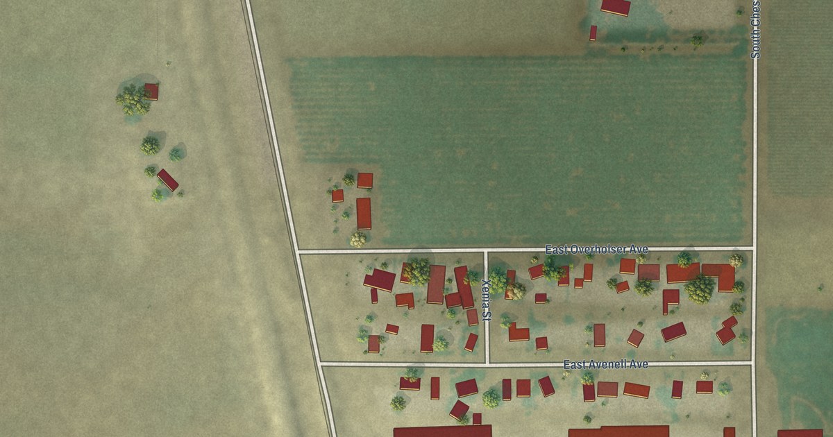
A detailed map of Monmouth, California, showing every building in its true location, the roads by name, and shaded topographical relief.
Read More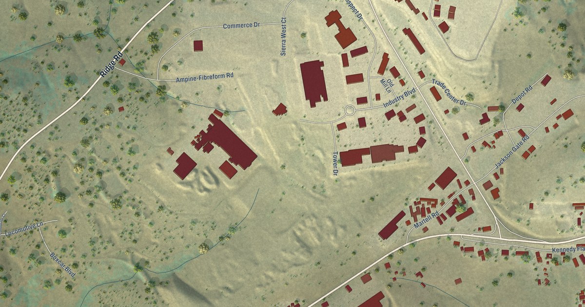
A detailed map of Martell, California, showing every building in its true location, the roads by name, and shaded topographical relief.
Read More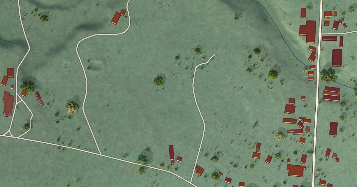
A detailed map of Manchester, California, showing every building in its true location, the roads by name, and shaded topographical relief.
Read More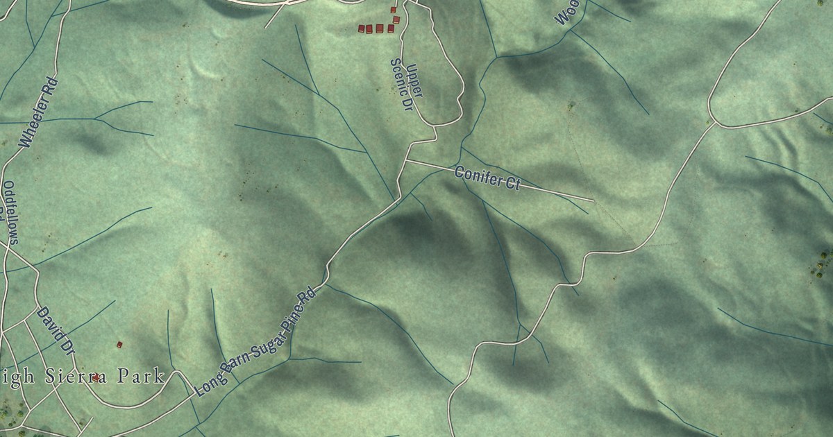
A detailed map of Long Barn, California, showing every building in its true location, the roads by name, and shaded topographical relief.
Read More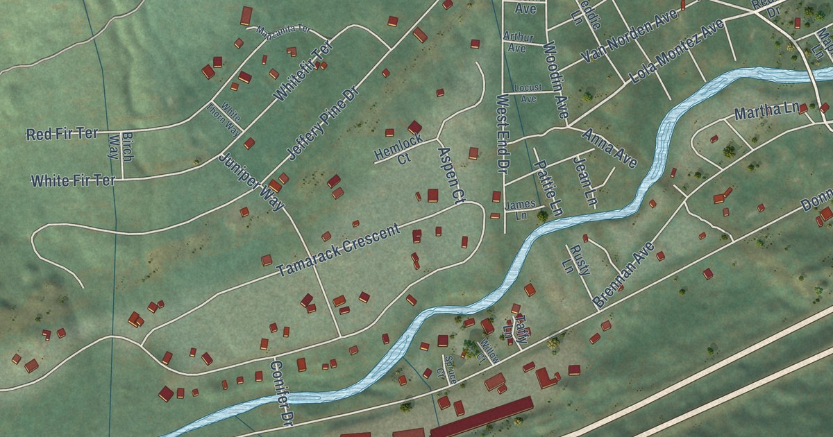
A detailed map of Kingvale, California, showing every building in its true location, the roads by name, and shaded topographical relief.
Read More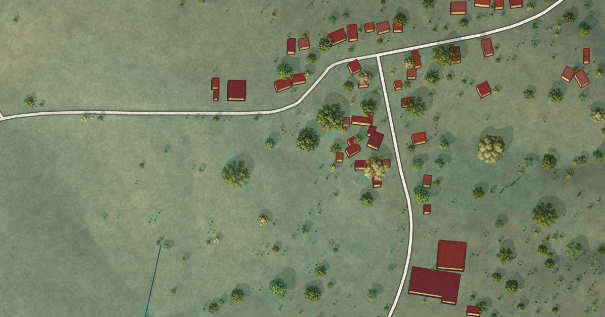
A detailed map of Igo, California, showing every building in its true location, the roads by name, and shaded topographical relief.
Read More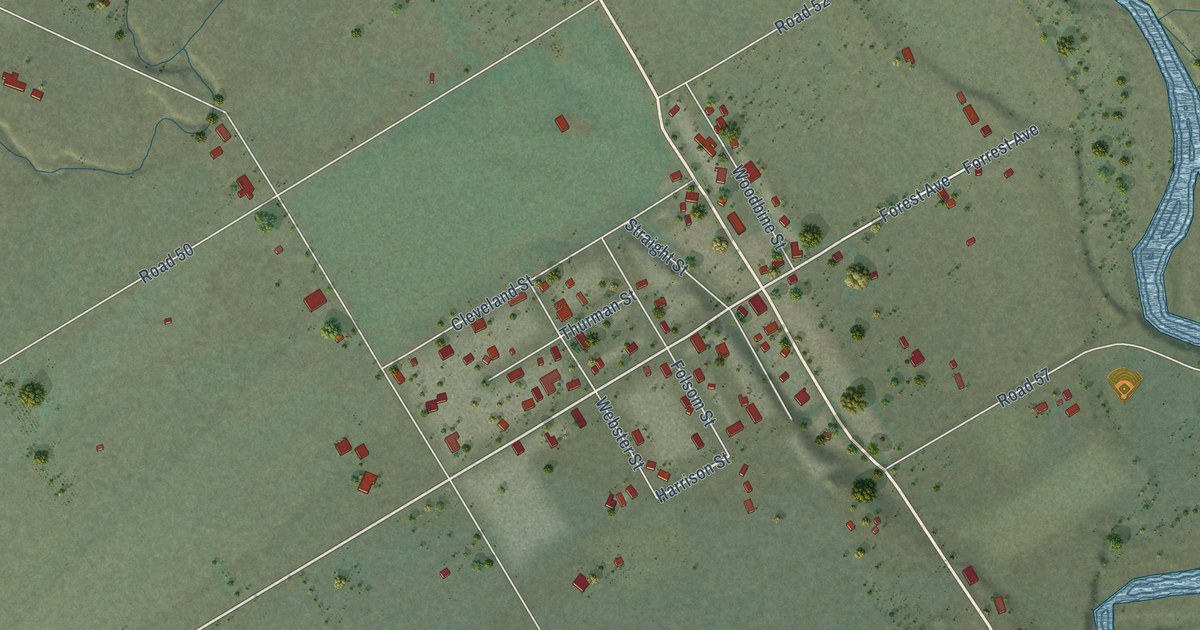
A detailed map of Guinda, California, showing every building in its true location, the roads by name, and shaded topographical relief.
Read More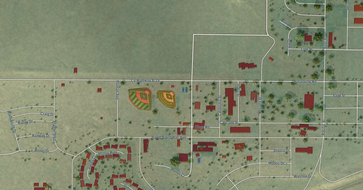
A detailed map of Herlong, California, showing every building in its true location, the roads by name, and shaded topographical relief.
Read More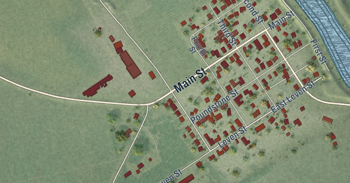
A detailed map of Grimes, California, showing every building in its true location, the roads by name, and shaded topographical relief.
Read More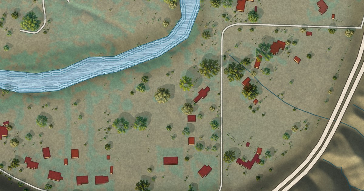
A detailed map of Goodmanville, California, showing every building in its true location, the roads by name, and shaded topographical relief.
Read More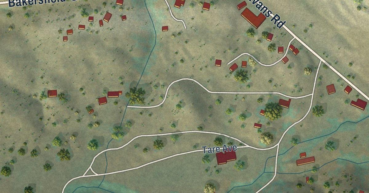
A detailed map of Glennville, California, showing every building in its true location, the roads by name, and shaded topographical relief.
Read More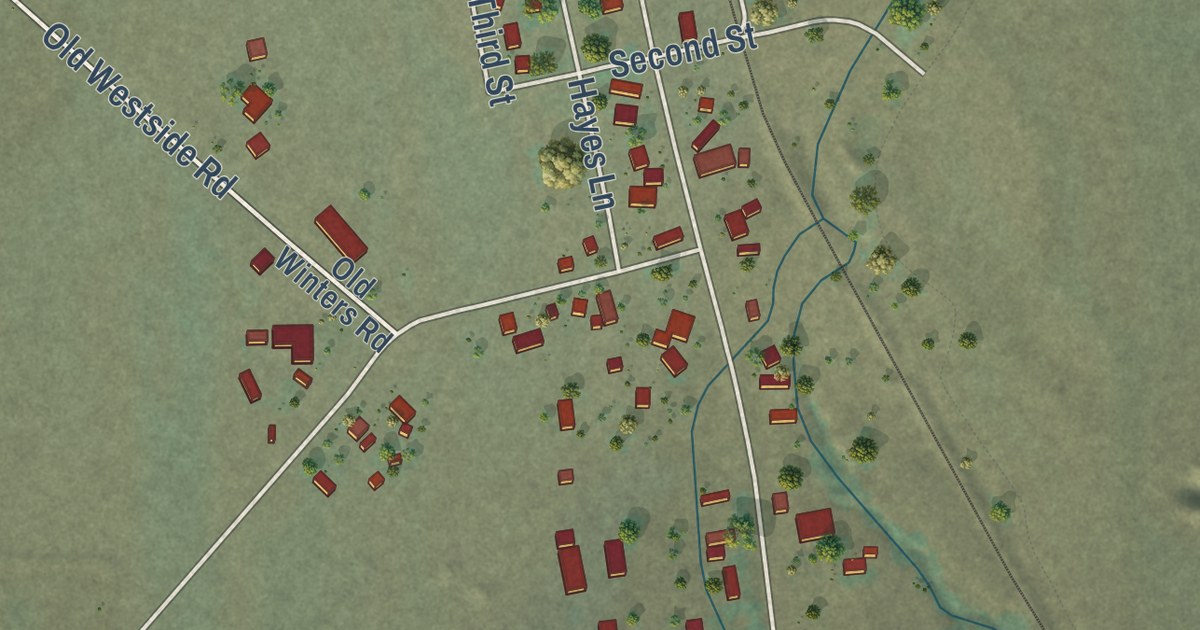
A detailed map of Gazelle, California, showing every building in its true location, the roads by name, and shaded topographical relief.
Read More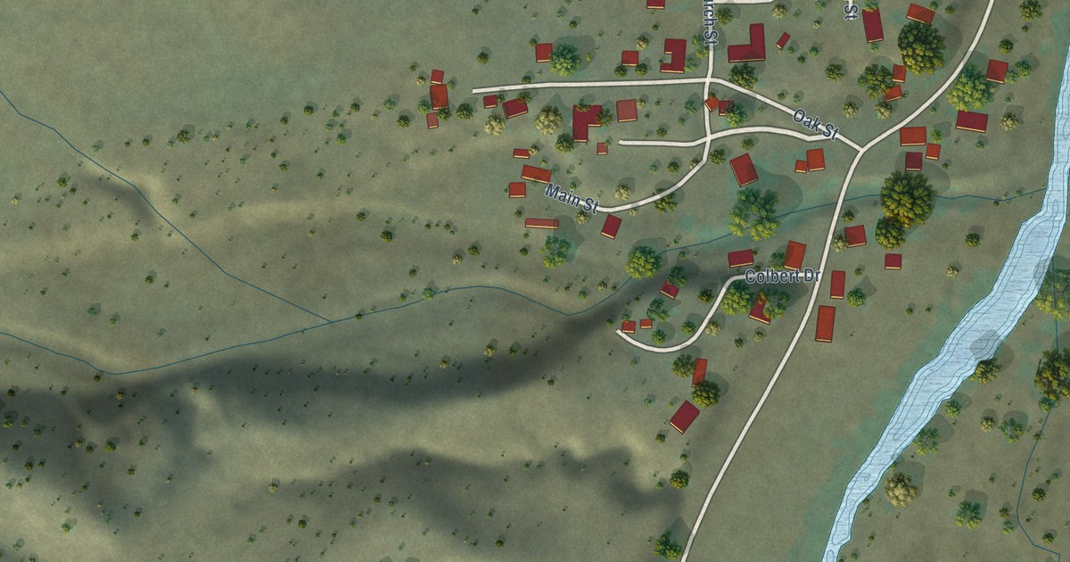
A detailed map of Elk Creek, California, showing every building in its true location, the roads by name, and shaded topographical relief.
Read More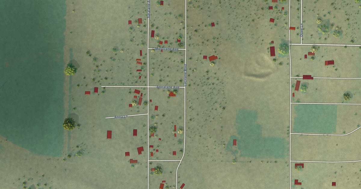
A detailed map of Daphnedale Park, California, showing every building in its true location, the roads by name, and shaded topographical relief.
Read More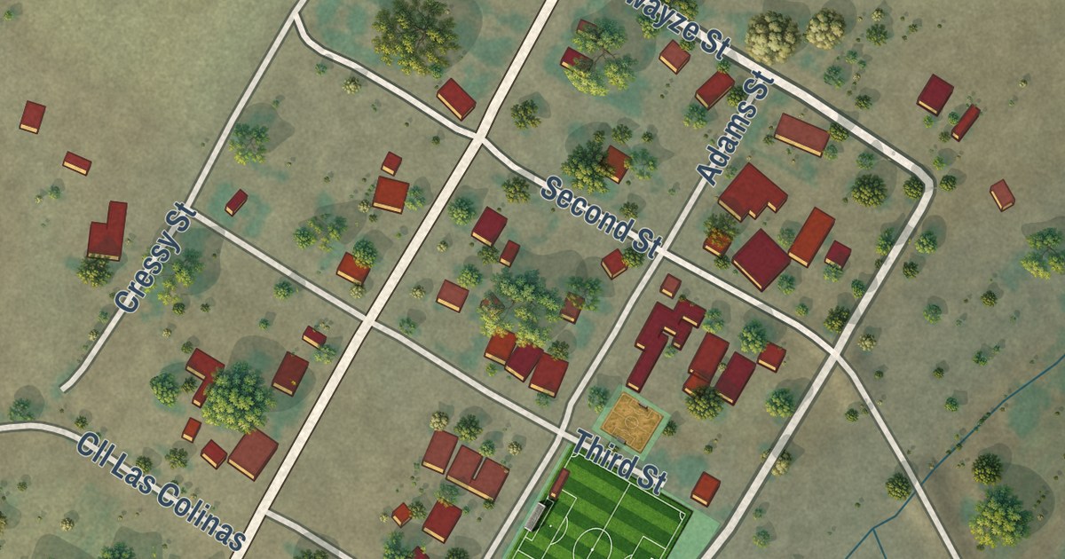
A detailed map of Creston, California, showing every building in its true location, the roads by name, and shaded topographical relief.
Read More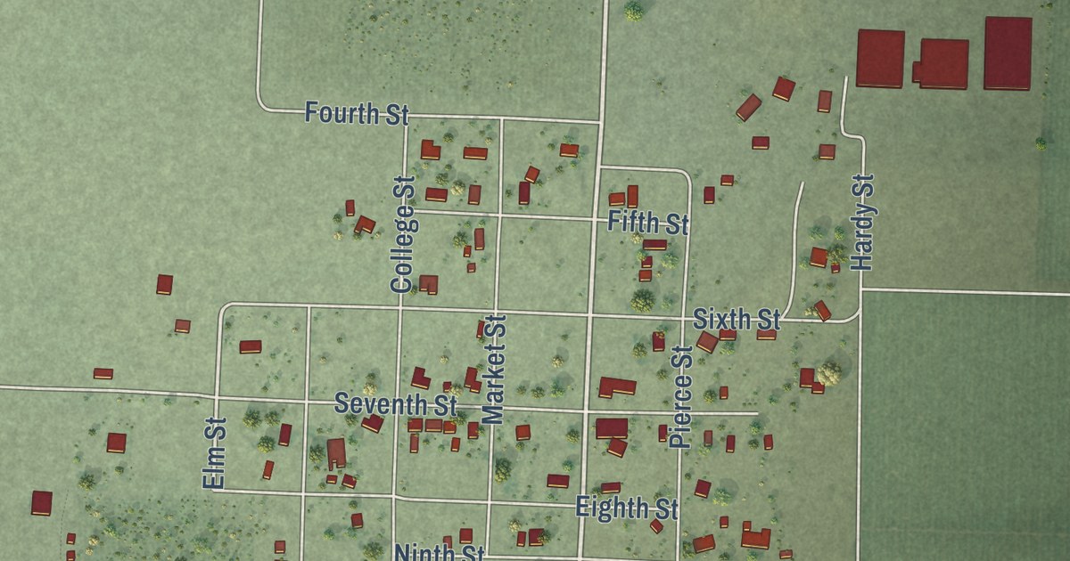
A detailed map of College City, California, showing every building in its true location, the roads by name, and shaded topographical relief.
Read More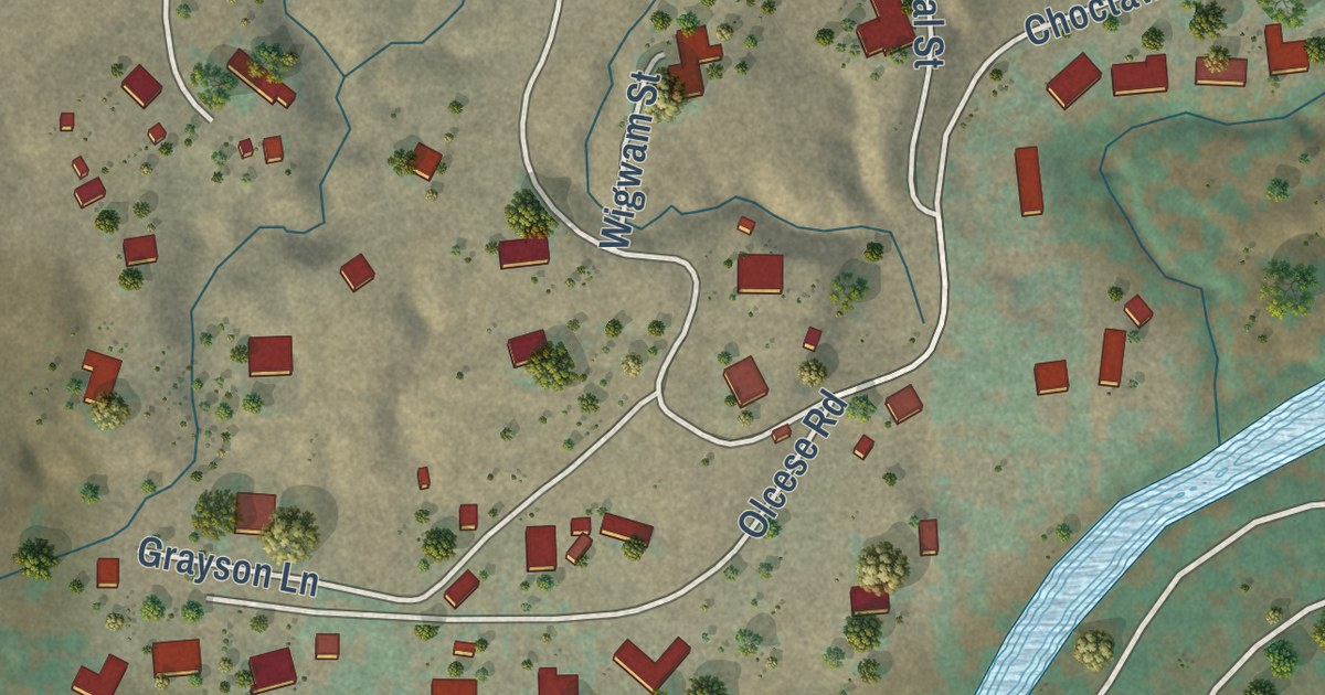
A detailed map of Choctaw Valley, California, showing every building in its true location, the roads by name, and shaded topographical relief.
Read More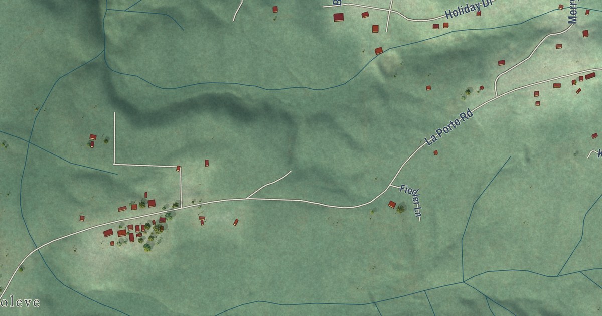
A detailed map of Clipper Mills, California, showing every building in its true location, the roads by name, and shaded topographical relief.
Read More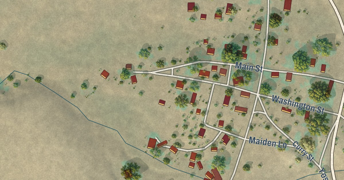
A detailed map of Chinese Camp, California, showing every building in its true location, the roads by name, and shaded topographical relief.
Read More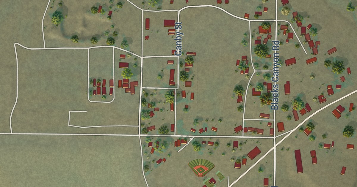
A detailed map of Canby, California, showing every building in its true location, the roads by name, and shaded topographical relief.
Read More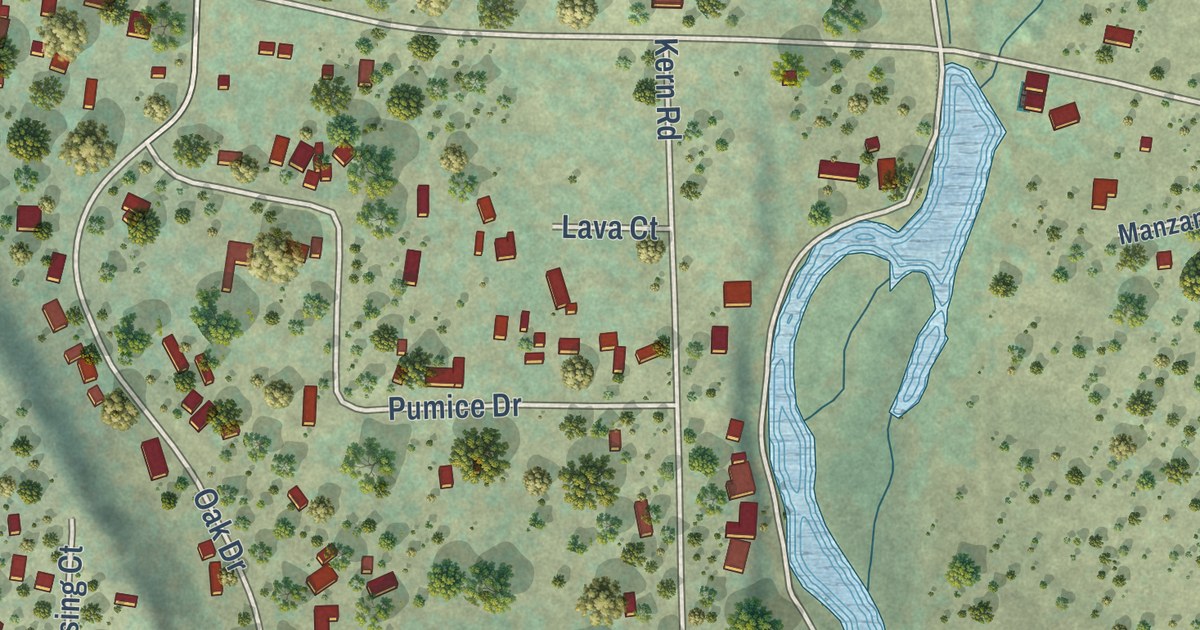
A detailed map of Cassel, California, showing every building in its true location, the roads by name, and shaded topographical relief.
Read More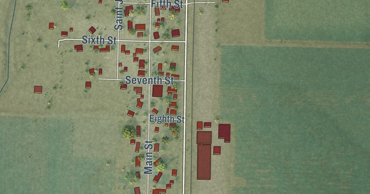
A detailed map of Artois, California, showing every building in its true location, the roads by name, and shaded topographical relief.
Read More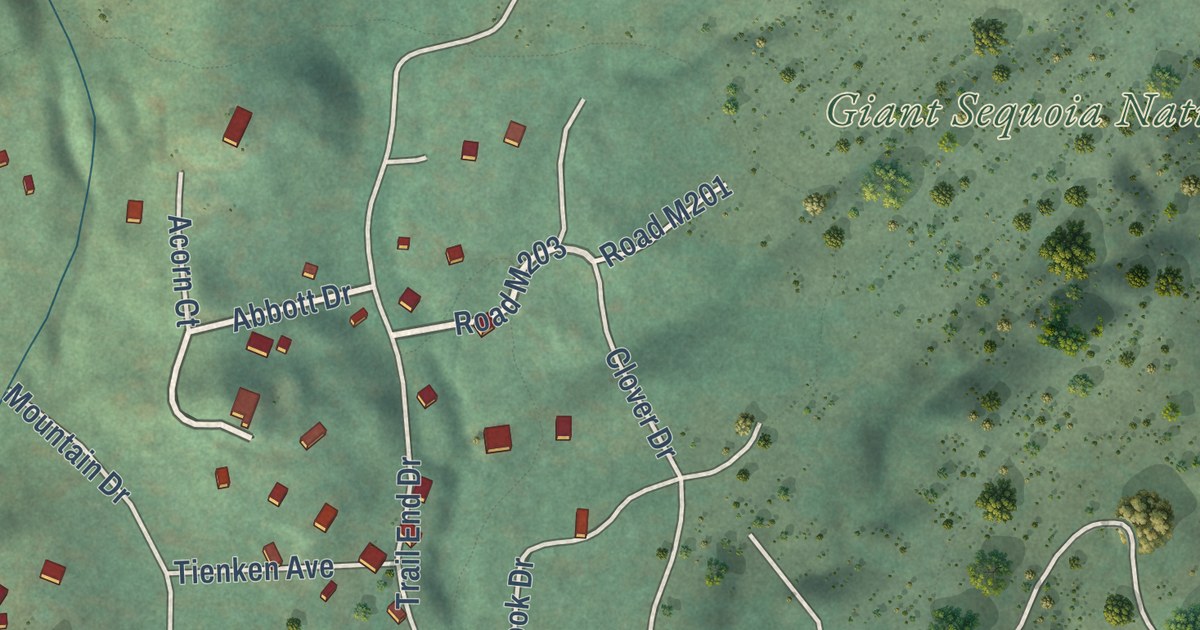
A detailed map of Camp Nelson, California, showing every building in its true location, the roads by name, and shaded topographical relief.
Read More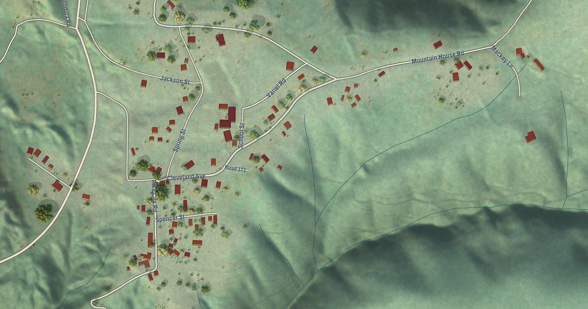
A detailed map of Camptonville, California, showing every building in its true location, the roads by name, and shaded topographical relief.
Read More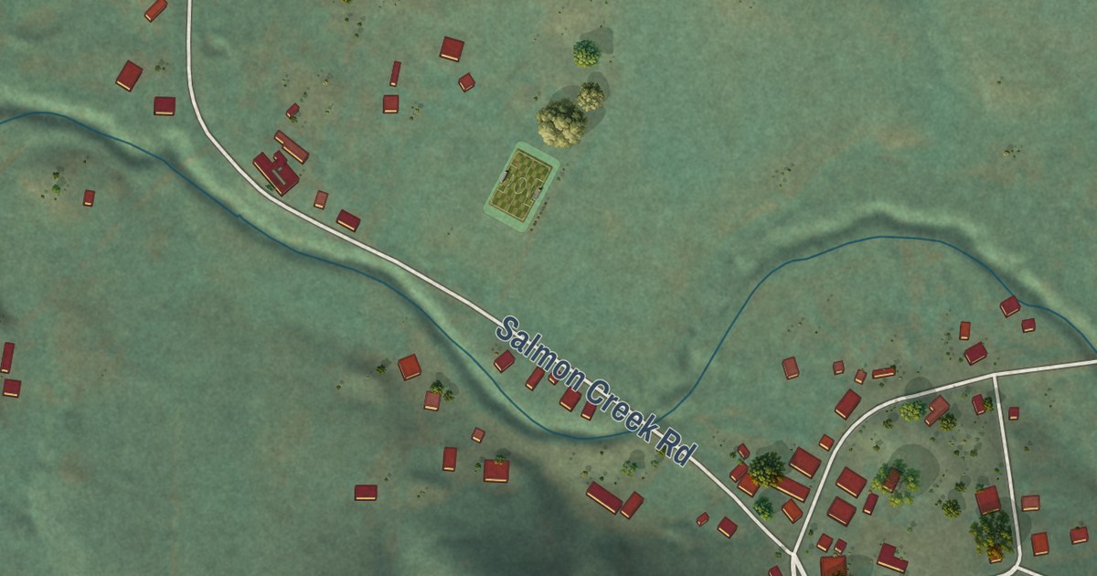
A detailed map of Bodega, California, showing every building in its true location, the roads by name, and shaded topographical relief.
Read More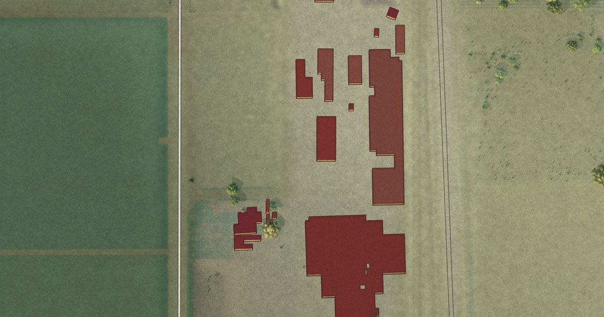
A detailed map of Bowles, California, showing every building in its true location, the roads by name, and shaded topographical relief.
Read More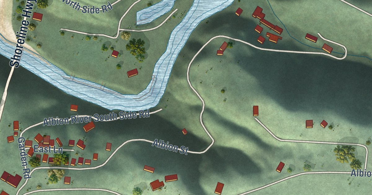
A detailed map of Albion, California, showing every building in its true location, the roads by name, and shaded topographical relief.
Read More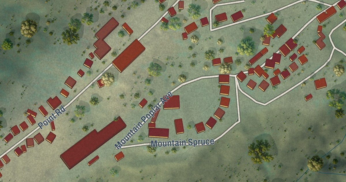
A detailed map of Big Creek, California, showing every building in its true location, the roads by name, and shaded topographical relief.
Read More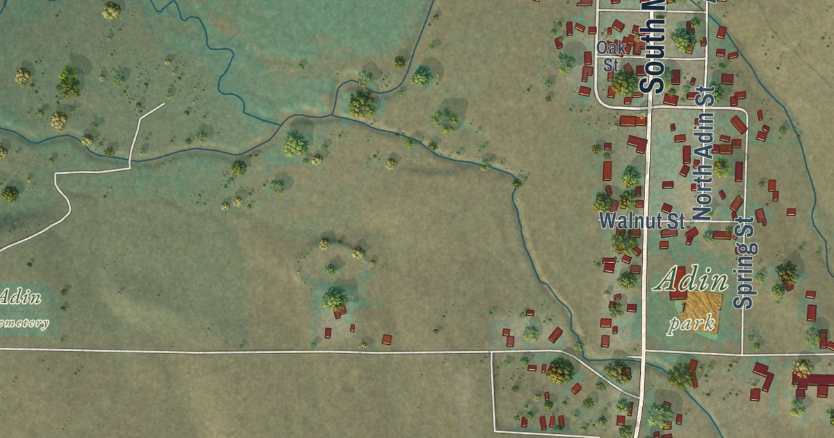
A detailed map of Adin, California, showing every building in its true location, the roads by name, and shaded topographical relief.
Read More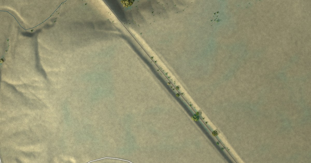
A detailed map of Powder River, Wyoming, showing every building in its true location, the roads by name, and shaded topographical relief.
Read More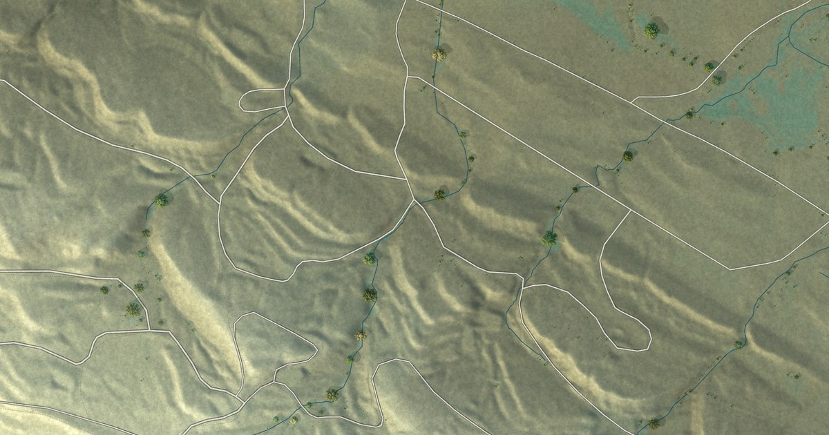
A detailed map of Owl Creek, Wyoming, showing every building in its true location, the roads by name, and shaded topographical relief.
Read More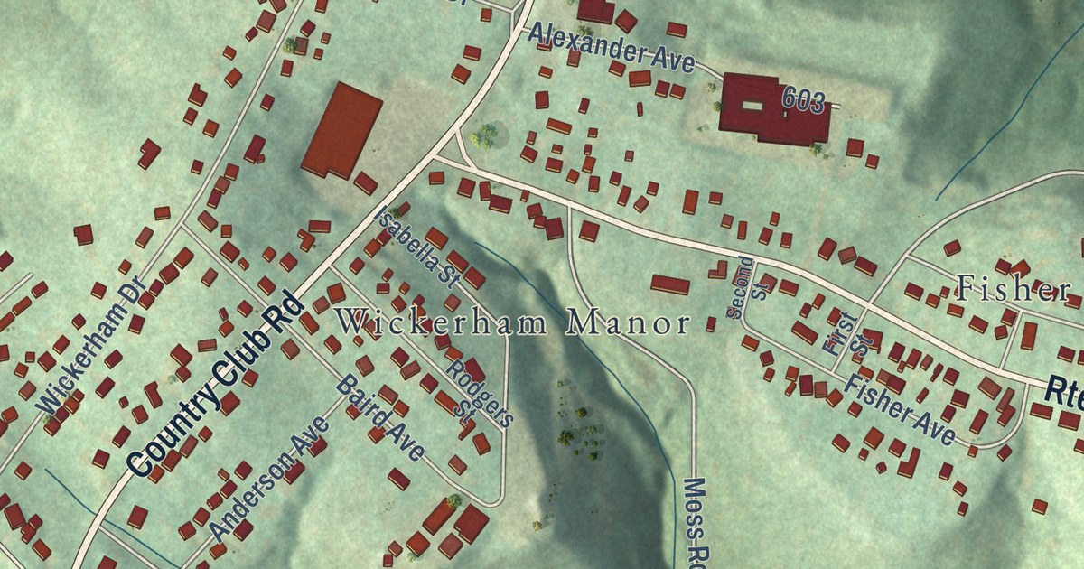
A detailed map of Wickerham Manor-Fisher, Pennsylvania, showing every building in its true location, the roads by name, and shaded topographical relief.
Read More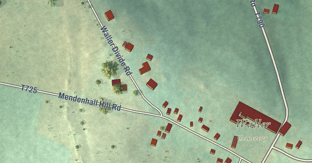
A detailed map of Waller, Pennsylvania, showing every building in its true location, the roads by name, and shaded topographical relief.
Read More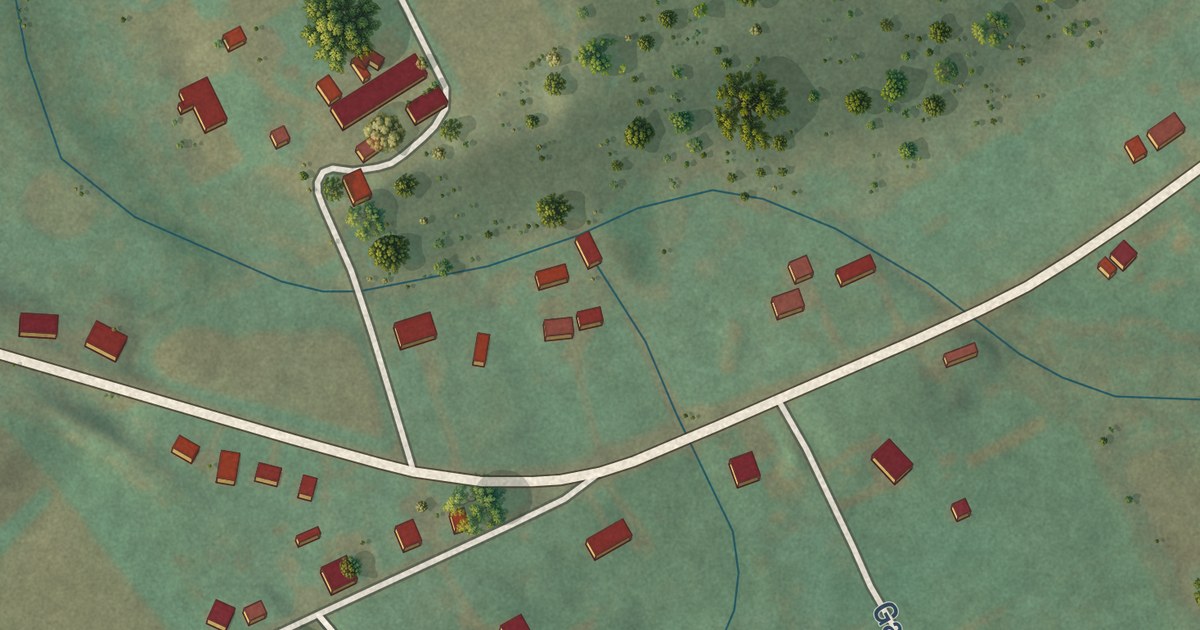
A detailed map of Wagner, Pennsylvania, showing every building in its true location, the roads by name, and shaded topographical relief.
Read More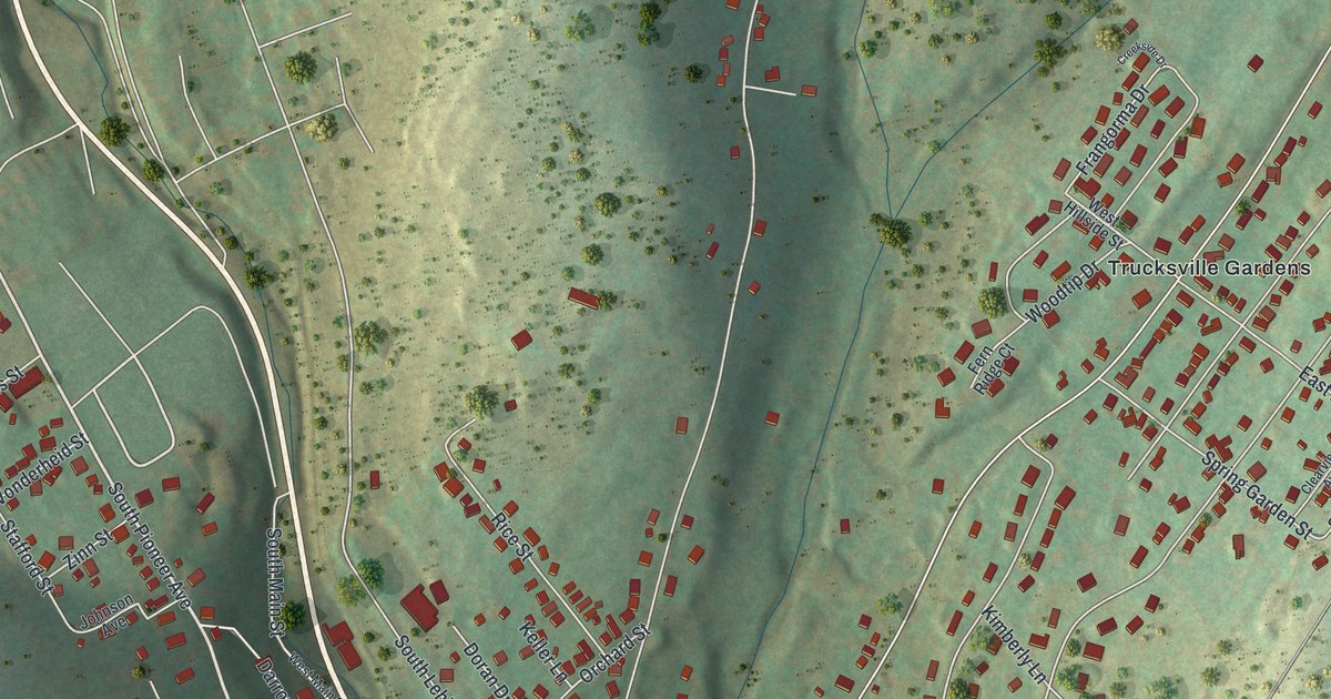
A detailed map of Trucksville, Pennsylvania, showing every building in its true location, the roads by name, and shaded topographical relief.
Read More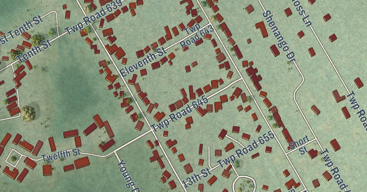
A detailed map of Reynolds Heights, Pennsylvania, showing every building in its true location, the roads by name, and shaded topographical relief.
Read More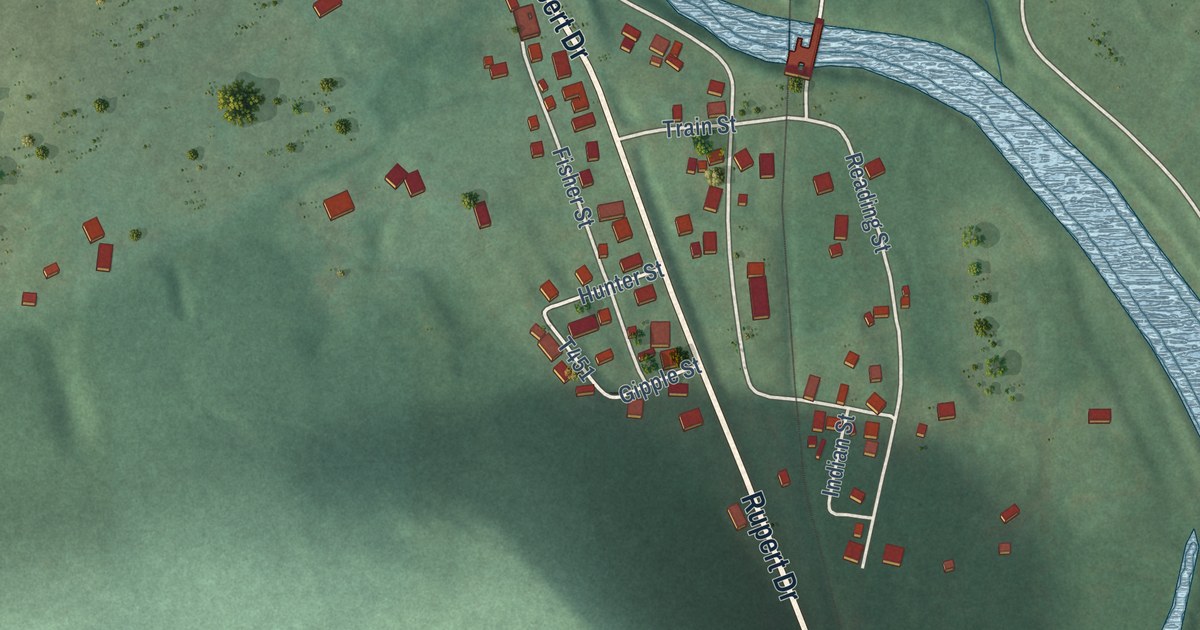
A detailed map of Rupert, Pennsylvania, showing every building in its true location, the roads by name, and shaded topographical relief.
Read More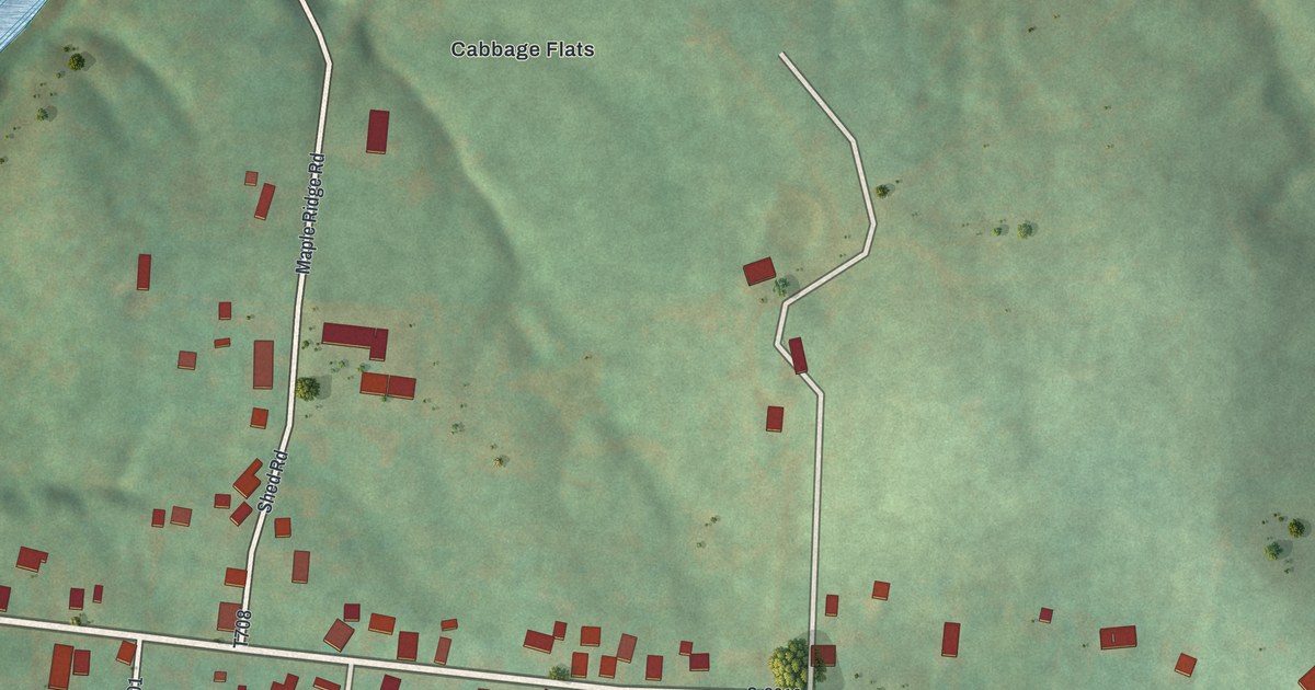
A detailed map of Mapletown, Pennsylvania, showing every building in its true location, the roads by name, and shaded topographical relief.
Read More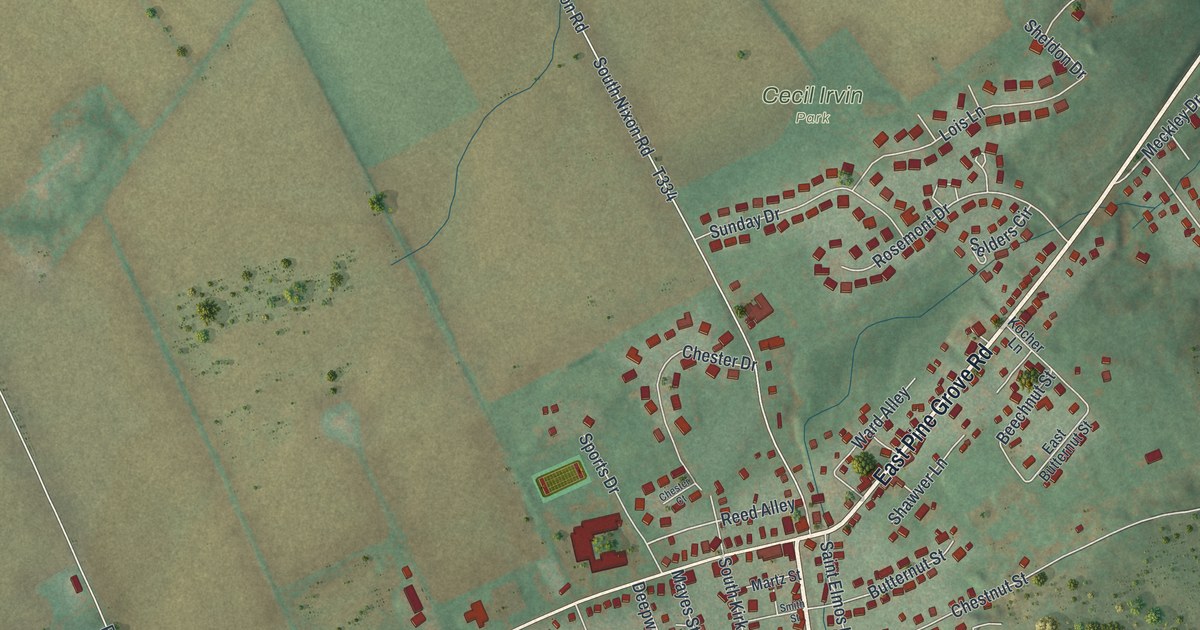
A detailed map of Pine Grove Mills, Pennsylvania, showing every building in its true location, the roads by name, and shaded topographical relief.
Read More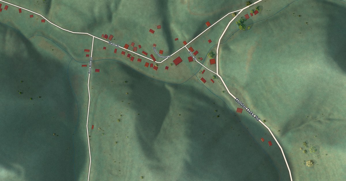
A detailed map of New Freeport, Pennsylvania, showing every building in its true location, the roads by name, and shaded topographical relief.
Read More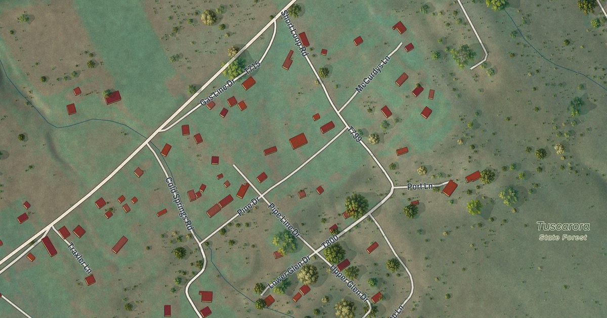
A detailed map of Longfellow, Pennsylvania, showing every building in its true location, the roads by name, and shaded topographical relief.
Read More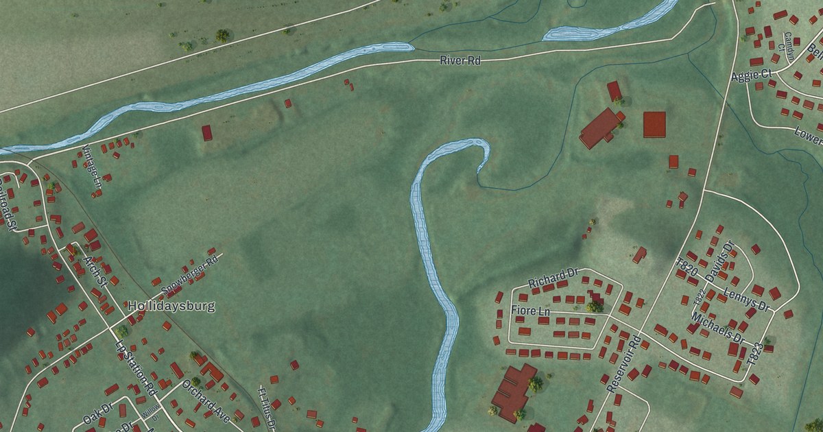
A detailed map of Loop, Pennsylvania, showing every building in its true location, the roads by name, and shaded topographical relief.
Read More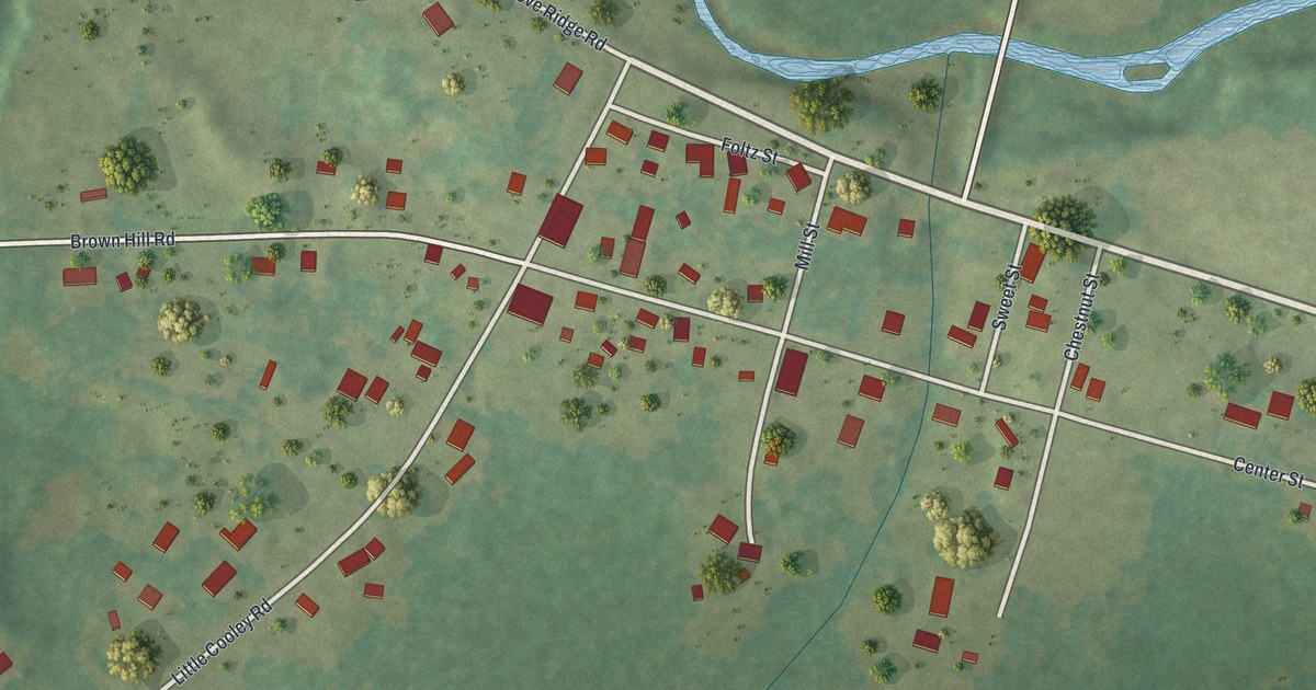
A detailed map of Lincolnville, Pennsylvania, showing every building in its true location, the roads by name, and shaded topographical relief.
Read More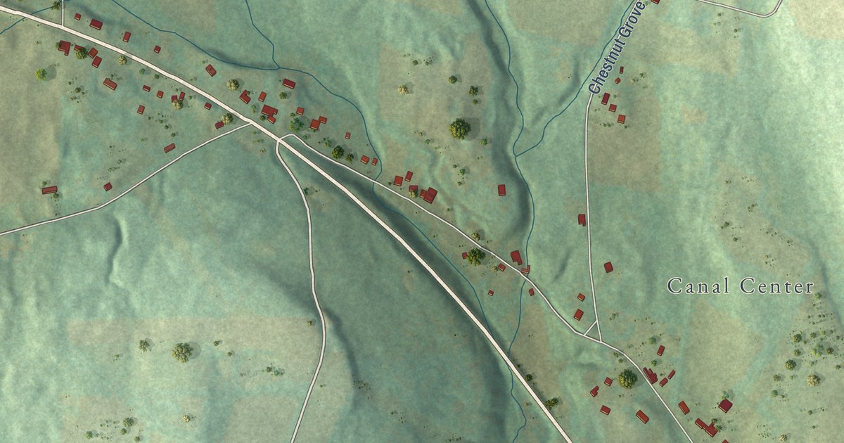
A detailed map of Hannasville, Pennsylvania, showing every building in its true location, the roads by name, and shaded topographical relief.
Read More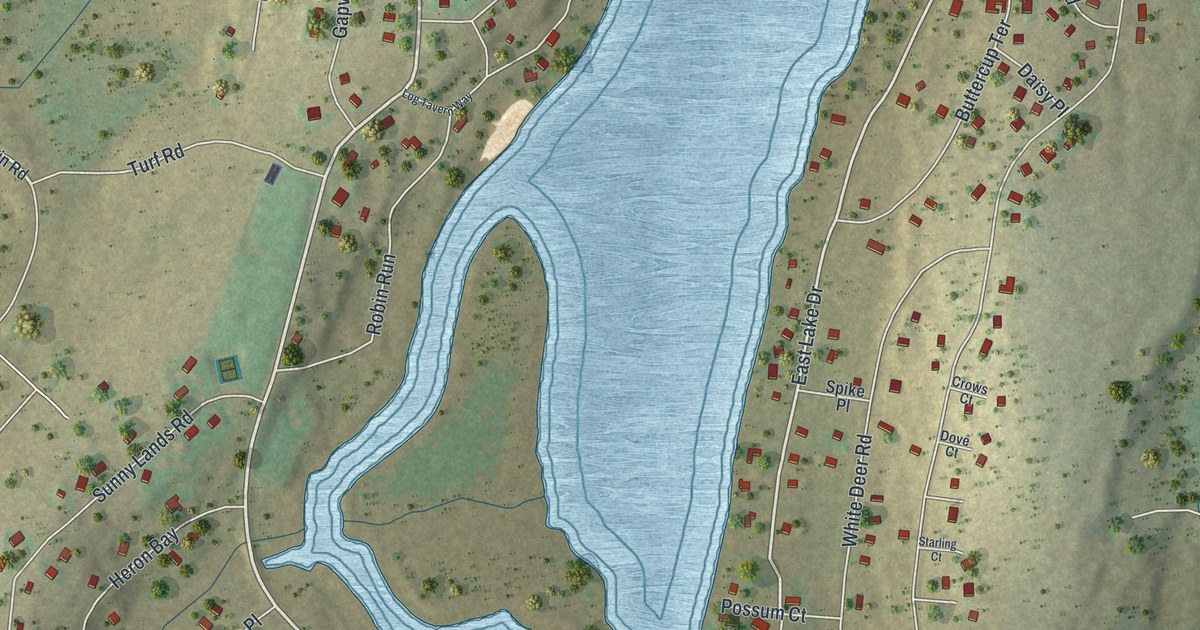
A detailed map of Gold Key Lake, Pennsylvania, showing every building in its true location, the roads by name, and shaded topographical relief.
Read More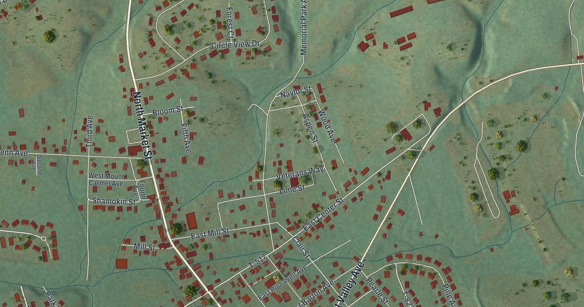
A detailed map of Elysburg, Pennsylvania, showing every building in its true location, the roads by name, and shaded topographical relief.
Read More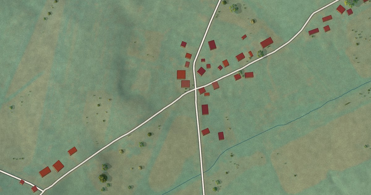
A detailed map of Edie, Pennsylvania, showing every building in its true location, the roads by name, and shaded topographical relief.
Read More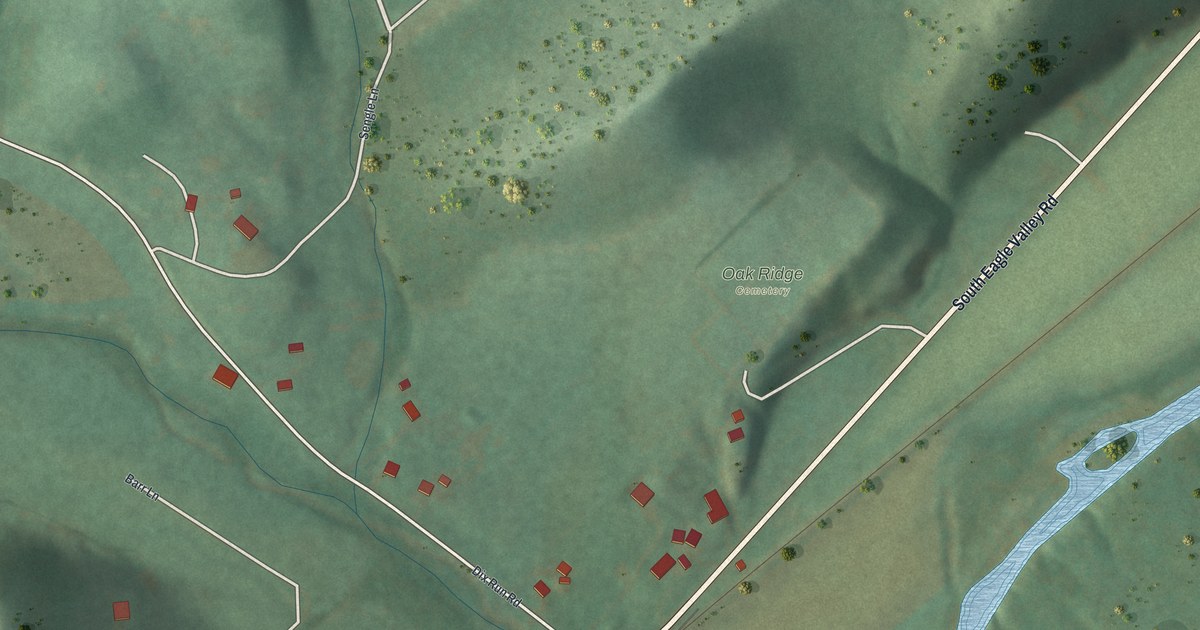
A detailed map of Eagle Creek, Pennsylvania, showing every building in its true location, the roads by name, and shaded topographical relief.
Read More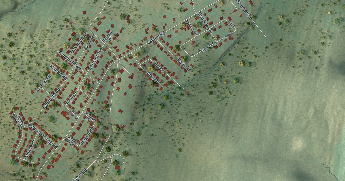
A detailed map of Chinchilla, Pennsylvania, showing every building in its true location, the roads by name, and shaded topographical relief.
Read More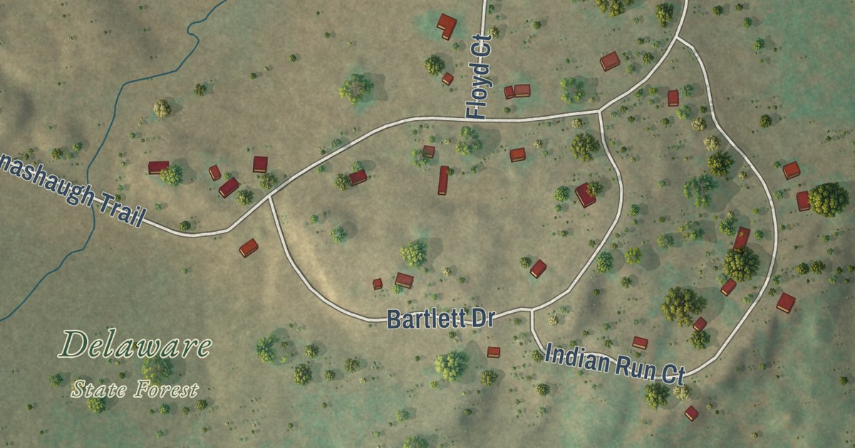
A detailed map of Conashaugh Lakes, Pennsylvania, showing every building in its true location, the roads by name, and shaded topographical relief.
Read More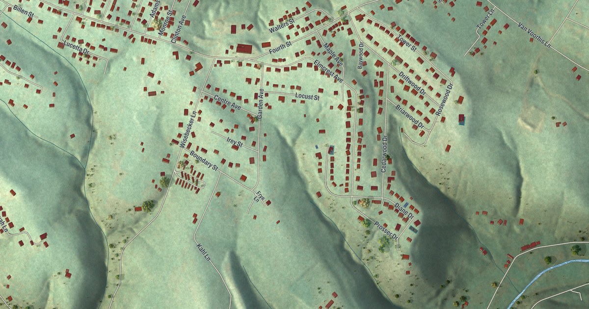
A detailed map of Baidland, Pennsylvania, showing every building in its true location, the roads by name, and shaded topographical relief.
Read More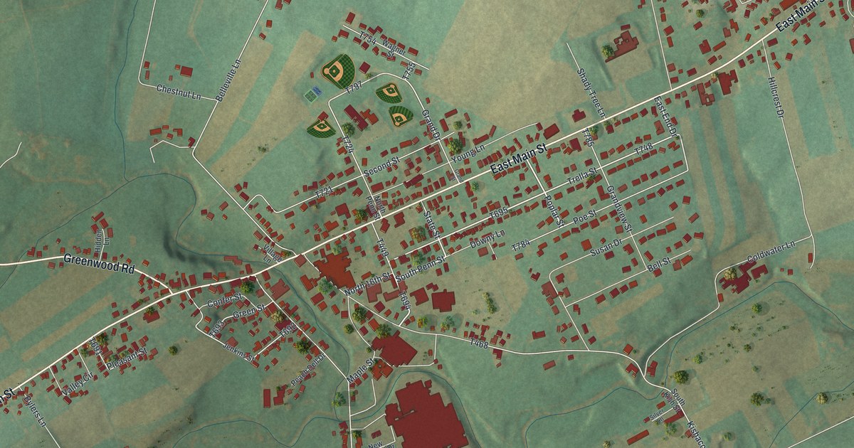
A detailed map of Belleville, Pennsylvania, showing every building in its true location, the roads by name, and shaded topographical relief.
Read More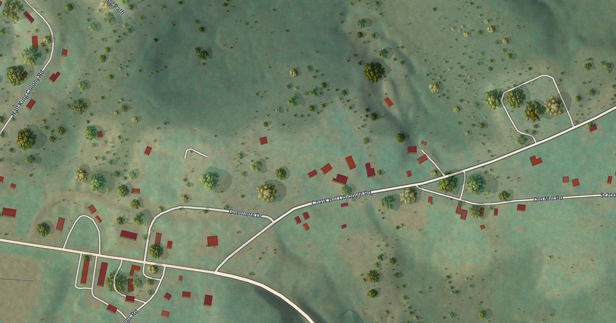
A detailed map of Chalkhill, Pennsylvania, showing every building in its true location, the roads by name, and shaded topographical relief.
Read More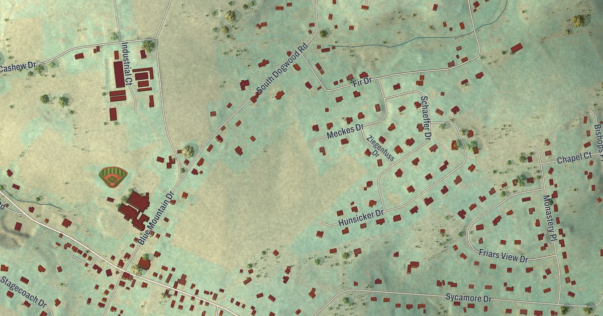
A detailed map of Cherryville, Pennsylvania, showing every building in its true location, the roads by name, and shaded topographical relief.
Read More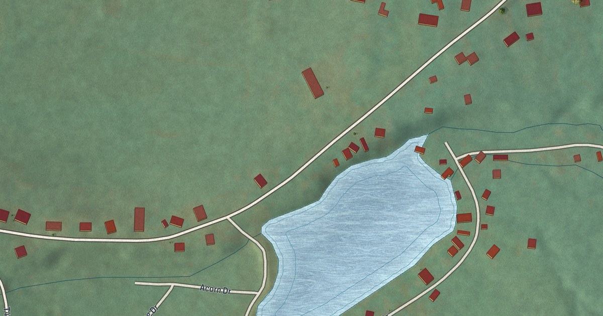
A detailed map of Beurys Lake, Pennsylvania, showing every building in its true location, the roads by name, and shaded topographical relief.
Read More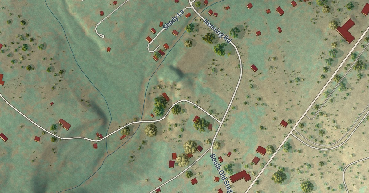
A detailed map of Albrightsville, Pennsylvania, showing every building in its true location, the roads by name, and shaded topographical relief.
Read More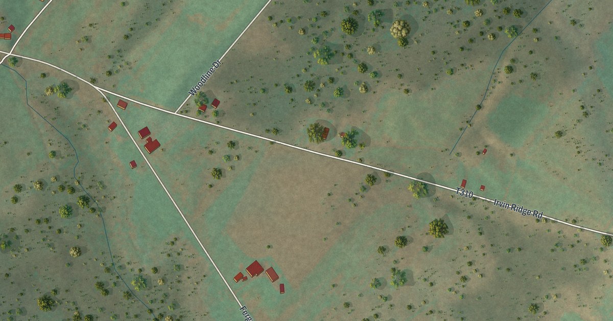
A detailed map of Atkinson Mills, Pennsylvania, showing every building in its true location, the roads by name, and shaded topographical relief.
Read More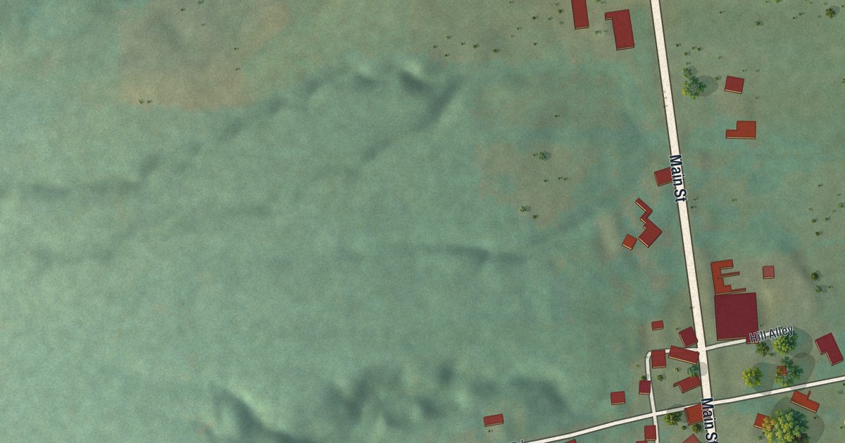
A detailed map of Adamsville, Pennsylvania, showing every building in its true location, the roads by name, and shaded topographical relief.
Read More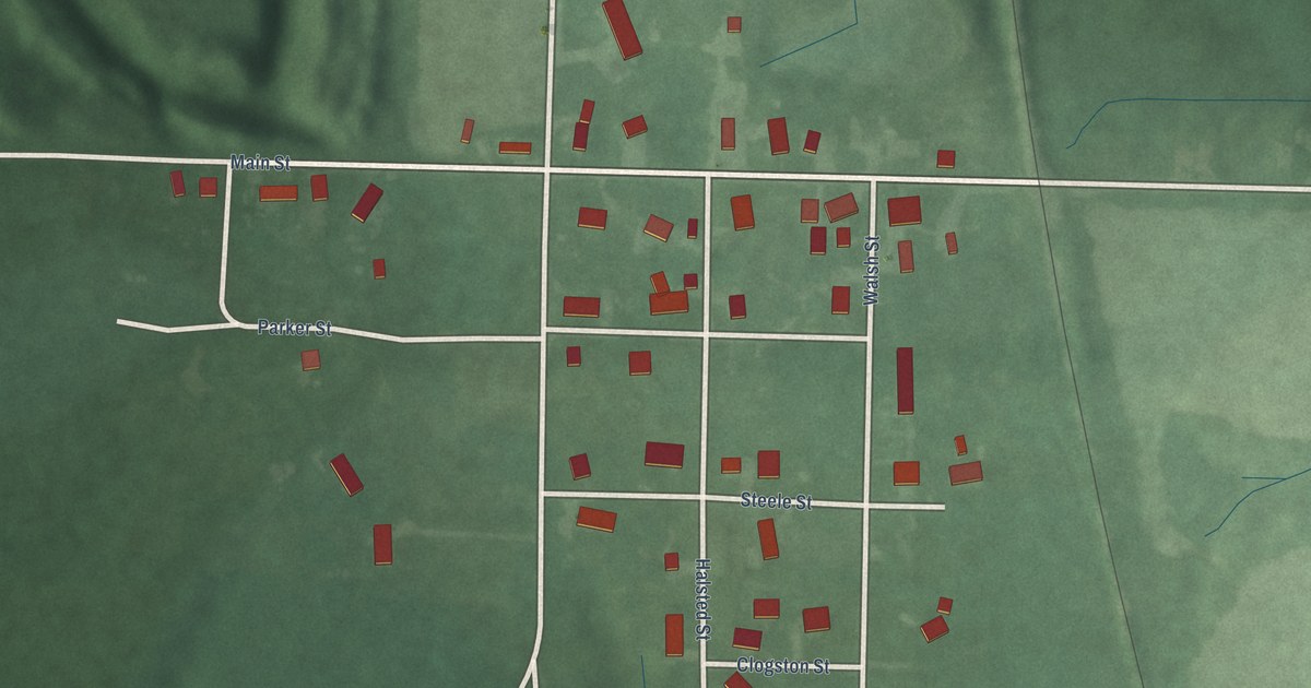
A detailed map of Vicksburg, Indiana, showing every building in its true location, the roads by name, and shaded topographical relief.
Read More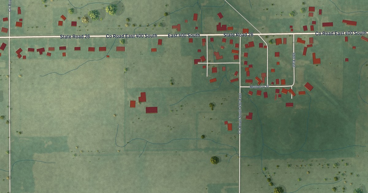
A detailed map of Hemlock, Indiana, showing every building in its true location, the roads by name, and shaded topographical relief.
Read More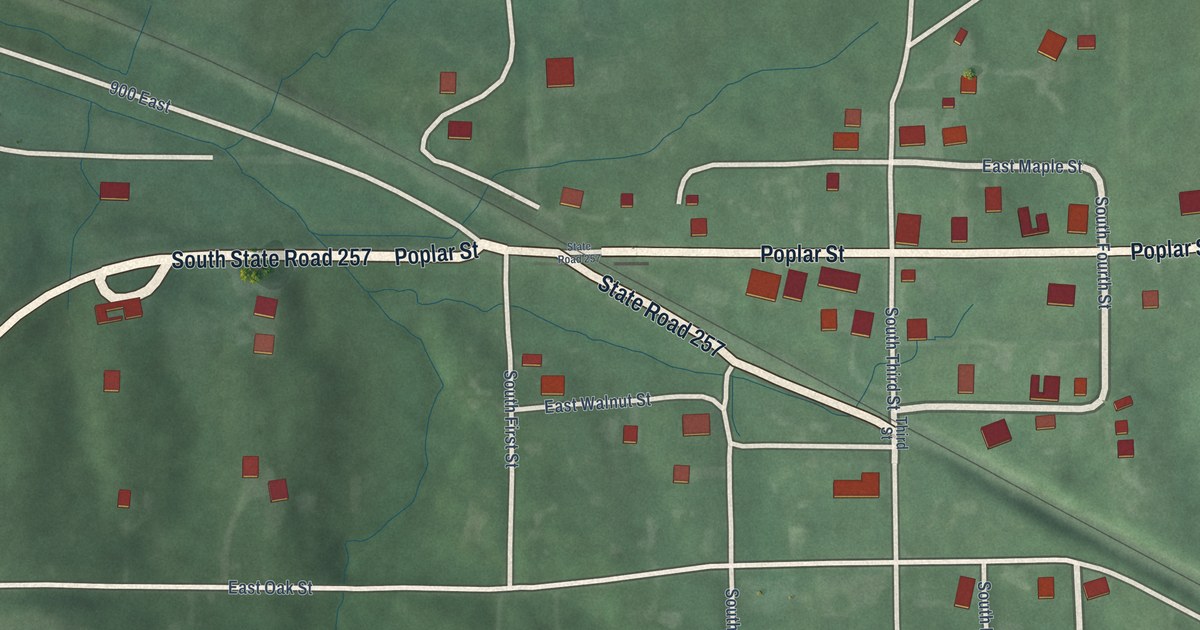
A detailed map of Velpen, Indiana, showing every building in its true location, the roads by name, and shaded topographical relief.
Read More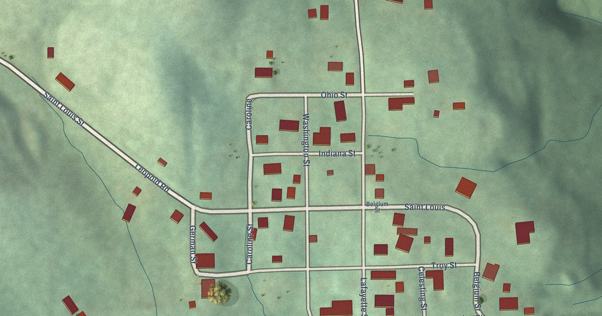
A detailed map of Leopold, Indiana, showing every building in its true location, the roads by name, and shaded topographical relief.
Read More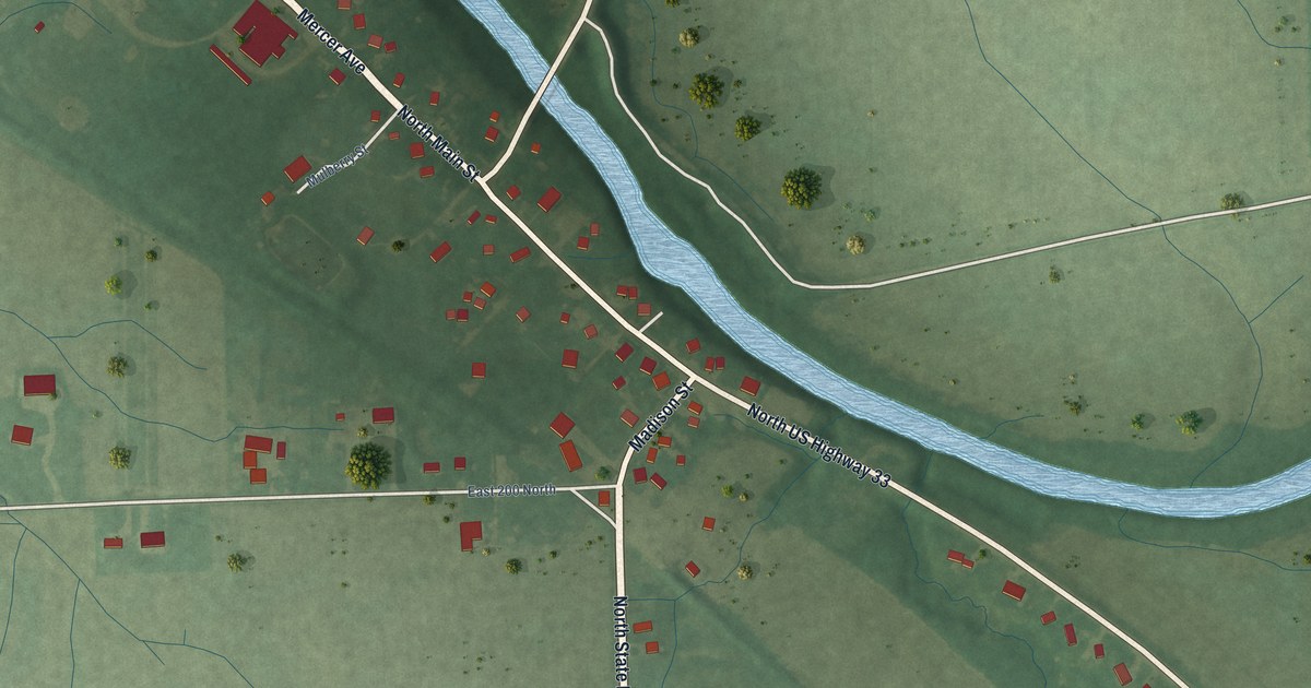
A detailed map of Pleasant Mills, Indiana, showing every building in its true location, the roads by name, and shaded topographical relief.
Read More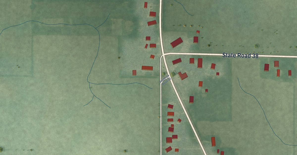
A detailed map of Antioch, Indiana, showing every building in its true location, the roads by name, and shaded topographical relief.
Read More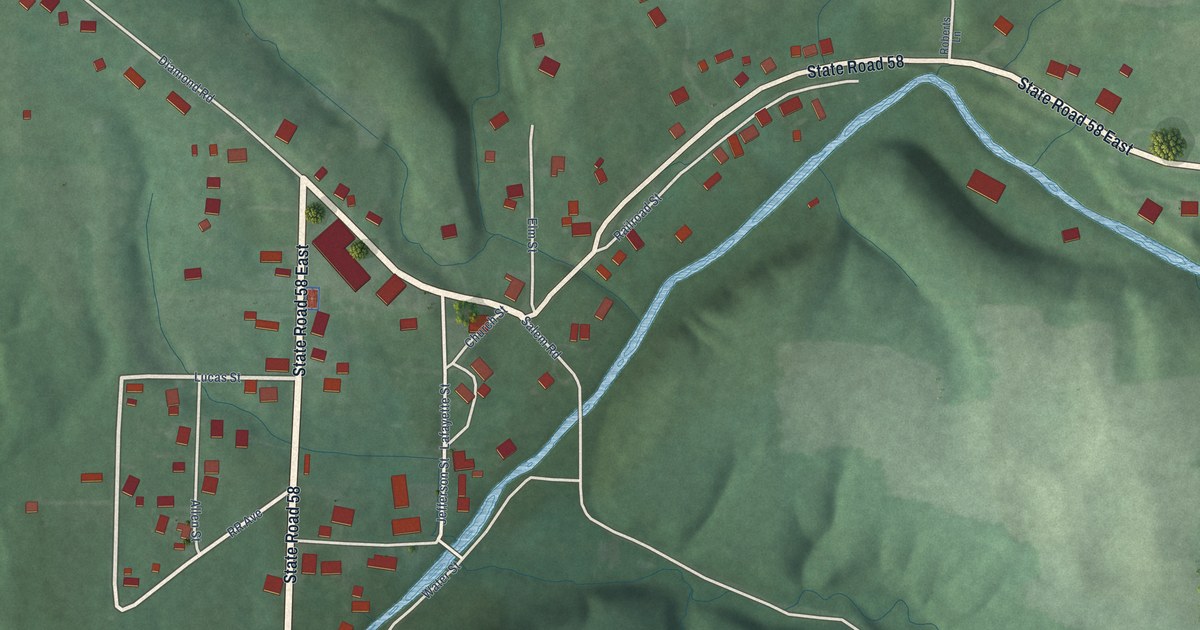
A detailed map of Heltonville, Indiana, showing every building in its true location, the roads by name, and shaded topographical relief.
Read More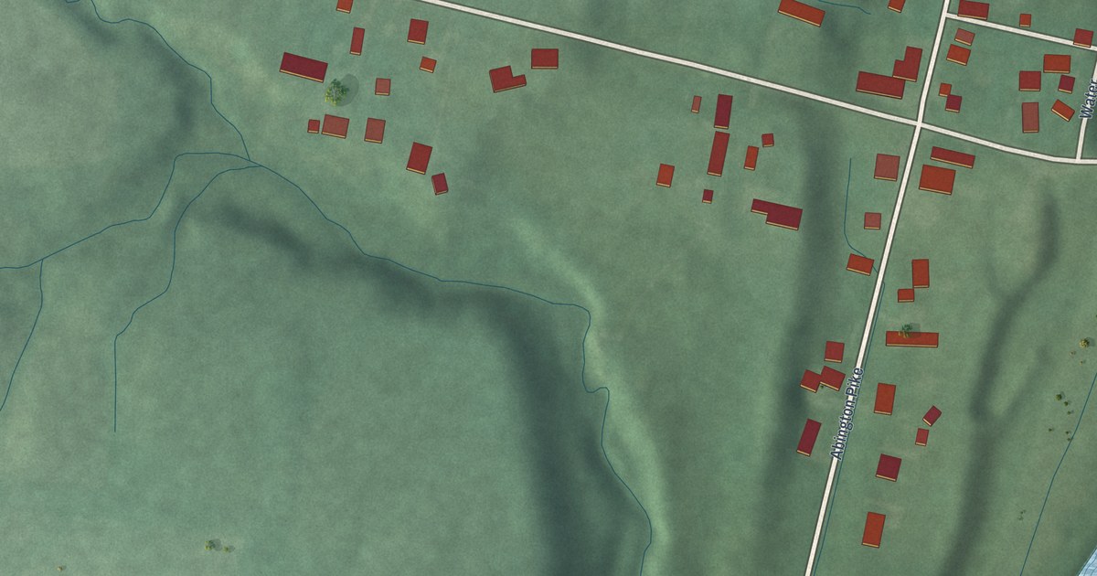
A detailed map of Abington, Indiana, showing every building in its true location, the roads by name, and shaded topographical relief.
Read More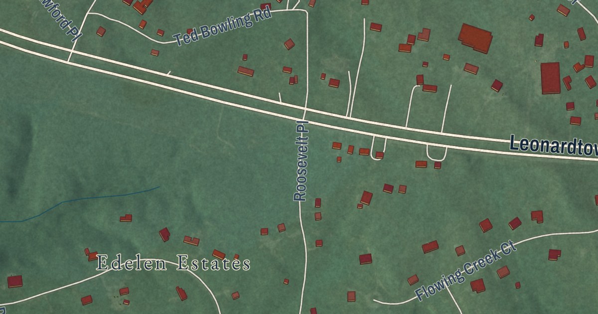
A detailed map of Bryantown, Maryland, showing every building in its true location, the roads by name, and shaded topographical relief.
Read More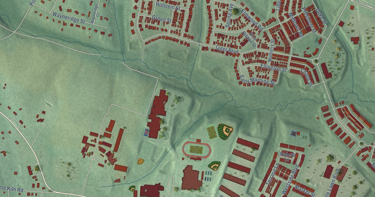
A detailed map of Fulton, Maryland, showing every building in its true location, the roads by name, and shaded topographical relief.
Read More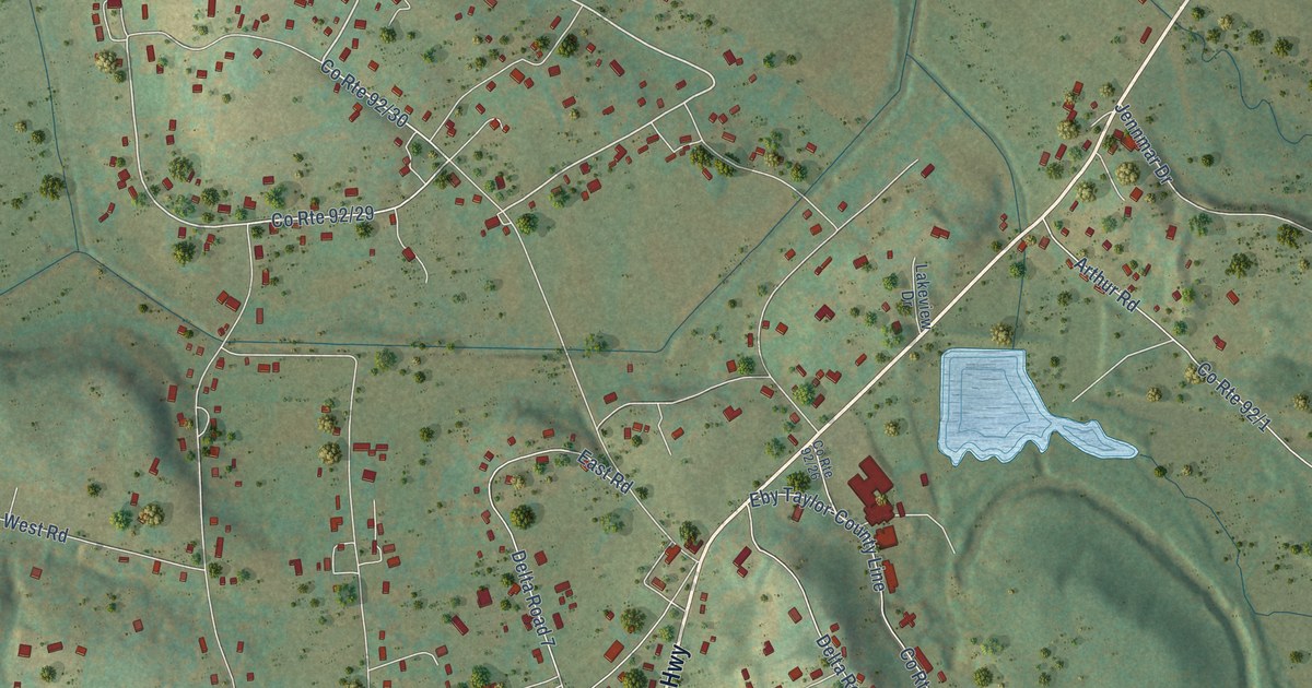
A detailed map of Arthurdale, West Virginia, showing every building in its true location, the roads by name, and shaded topographical relief.
Read More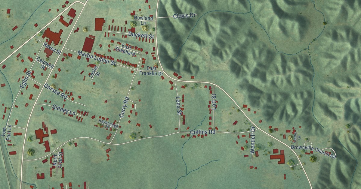
A detailed map of Banks Springs, Louisiana, showing every building in its true location, the roads by name, and shaded topographical relief.
Read More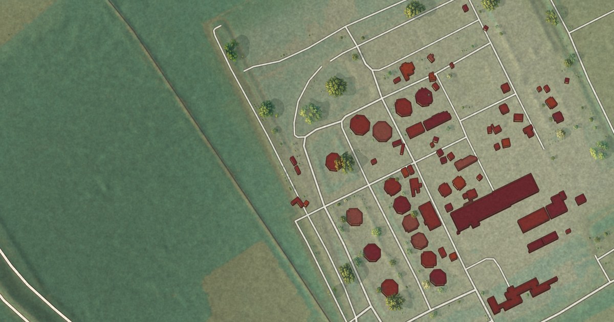
A detailed map of Romeville, Louisiana, showing every building in its true location, the roads by name, and shaded topographical relief.
Read More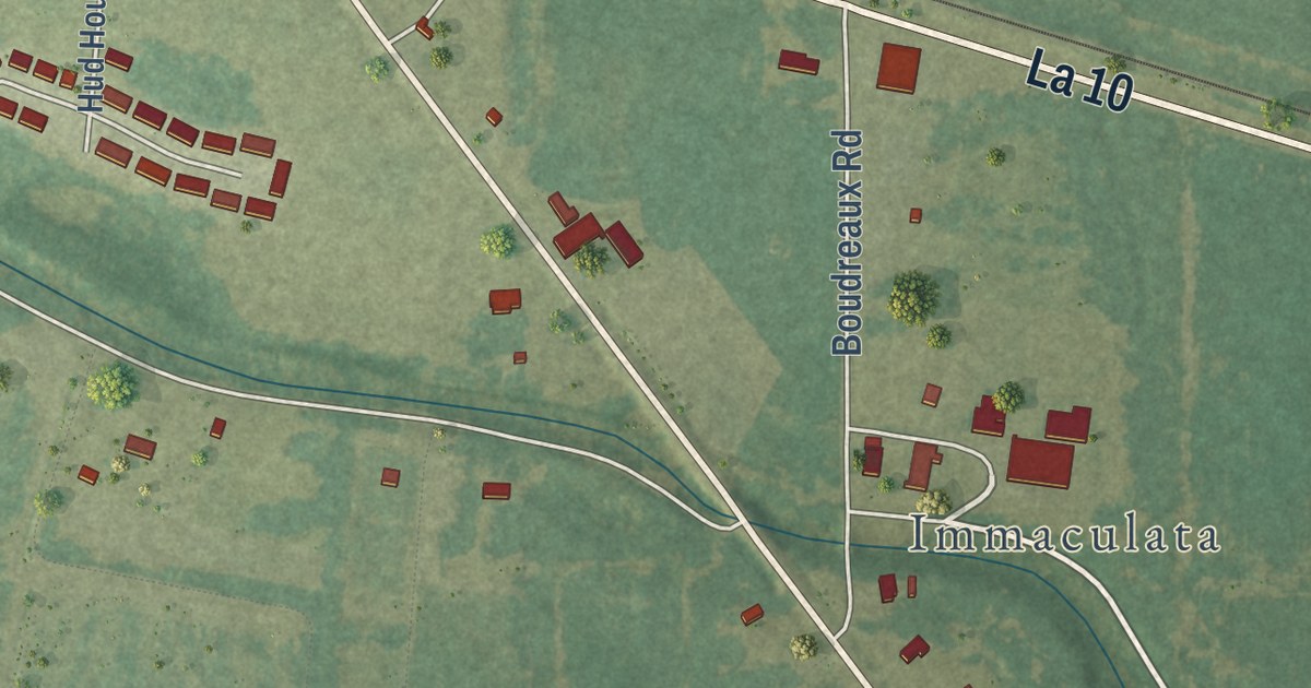
A detailed map of Lebeau, Louisiana, showing every building in its true location, the roads by name, and shaded topographical relief.
Read More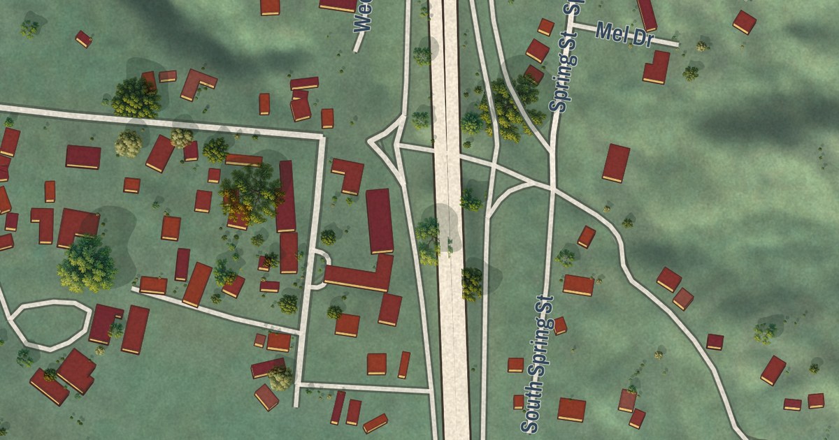
A detailed map of Weott, California, showing every building in its true location, the roads by name, and shaded topographical relief.
Read More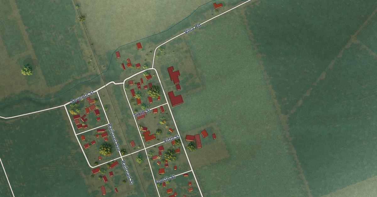
A detailed map of Vina, California, showing every building in its true location, the roads by name, and shaded topographical relief.
Read More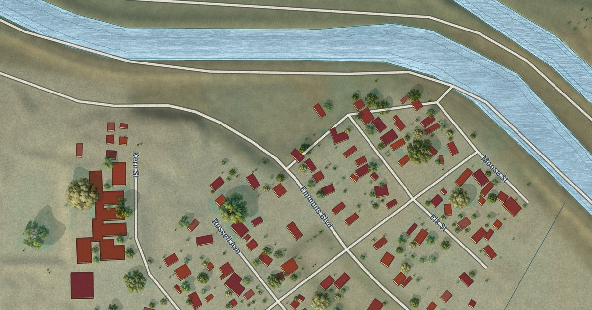
A detailed map of Tupman, California, showing every building in its true location, the roads by name, and shaded topographical relief.
Read More















