Detailed Map of Smartsville, California
A detailed map of Smartsville, California, showing every building in its true location, the roads by name, and shaded topographical relief.
Read More
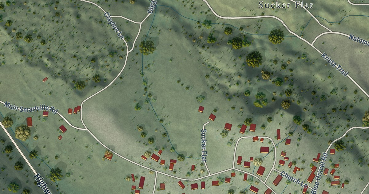
A detailed map of Smartsville, California, showing every building in its true location, the roads by name, and shaded topographical relief.
Read More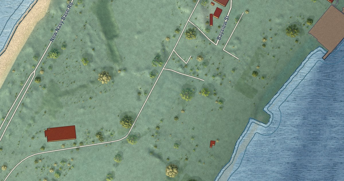
A detailed map of Samoa, California, showing every building in its true location, the roads by name, and shaded topographical relief.
Read More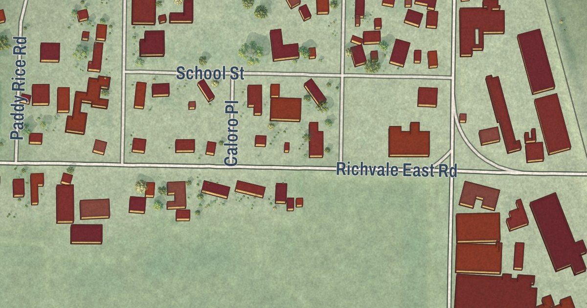
A detailed map of Richvale, California, showing every building in its true location, the roads by name, and shaded topographical relief.
Read More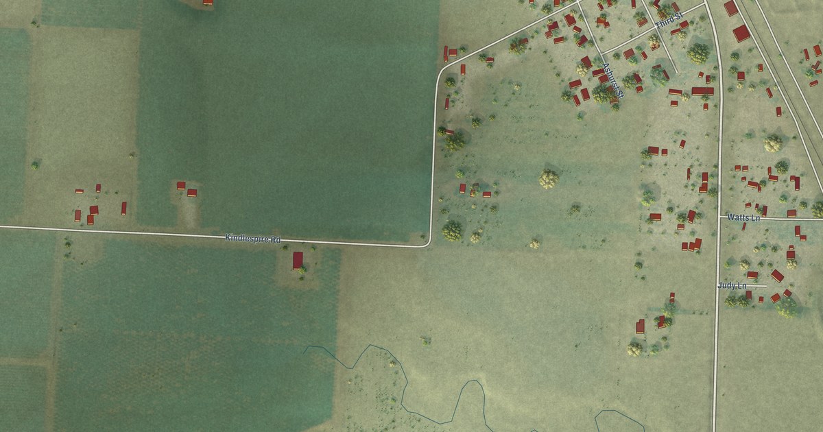
A detailed map of Proberta, California, showing every building in its true location, the roads by name, and shaded topographical relief.
Read More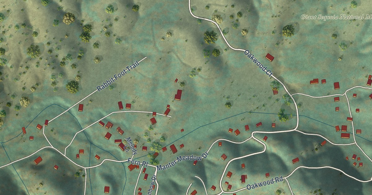
A detailed map of Pine Flat, California, showing every building in its true location, the roads by name, and shaded topographical relief.
Read More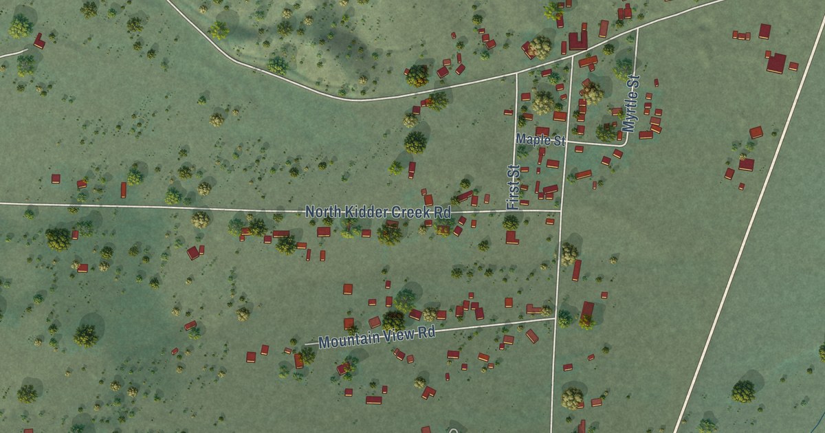
A detailed map of Greenview, California, showing every building in its true location, the roads by name, and shaded topographical relief.
Read More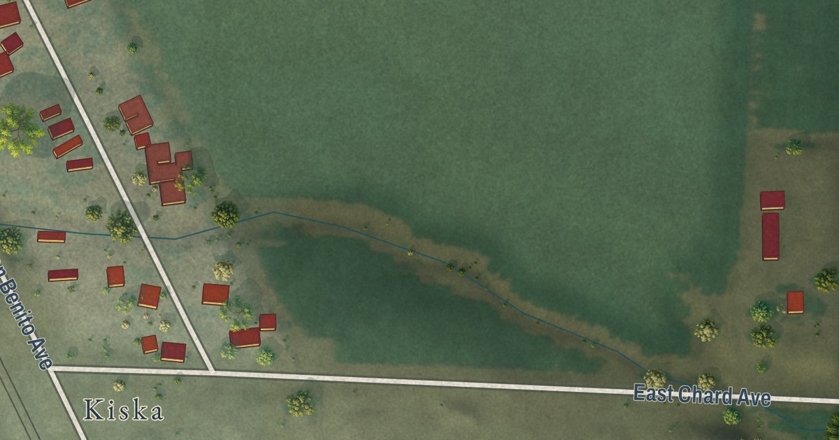
A detailed map of Las Flores, California, showing every building in its true location, the roads by name, and shaded topographical relief.
Read More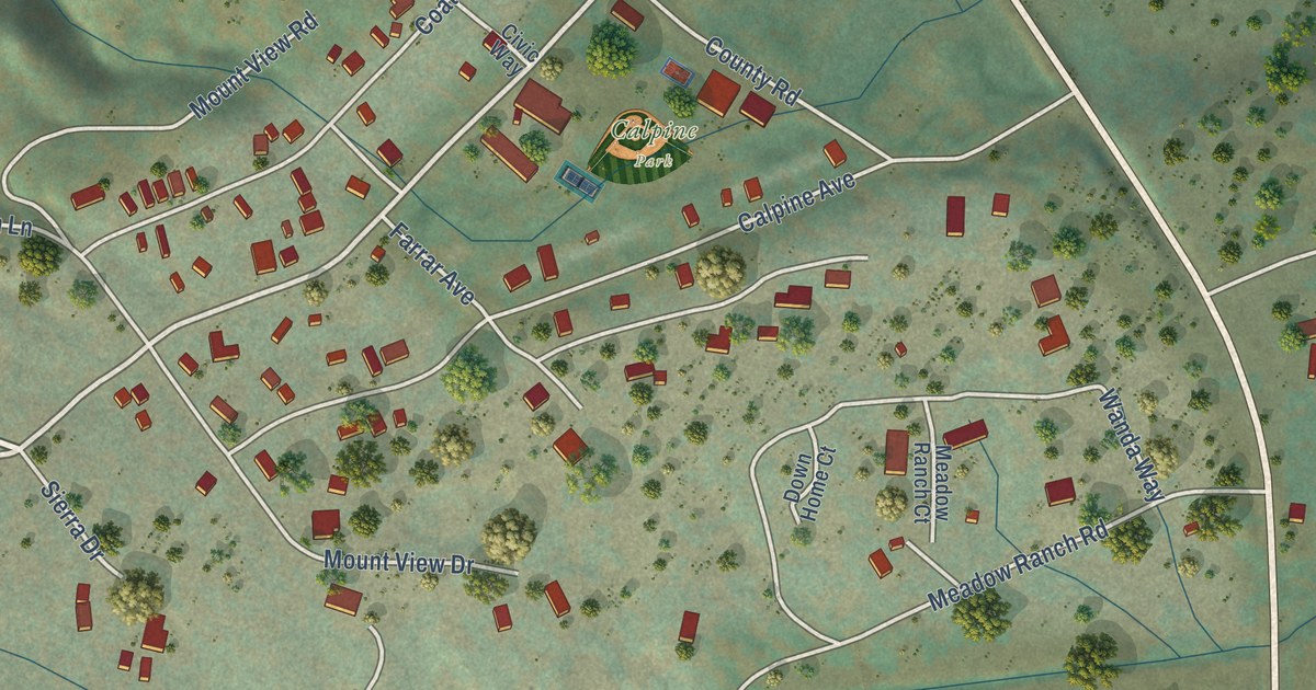
A detailed map of Calpine, California, showing every building in its true location, the roads by name, and shaded topographical relief.
Read More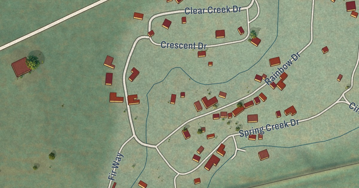
A detailed map of Clear Creek, California, showing every building in its true location, the roads by name, and shaded topographical relief.
Read More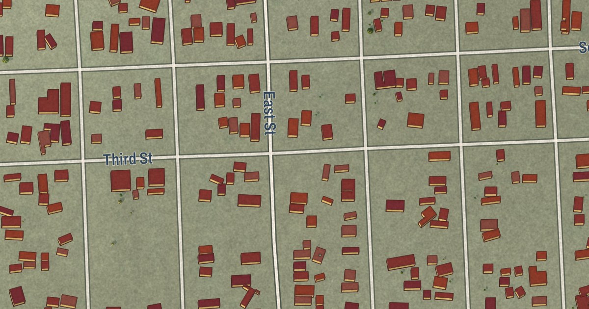
A detailed map of Bombay Beach, California, showing every building in its true location, the roads by name, and shaded topographical relief.
Read More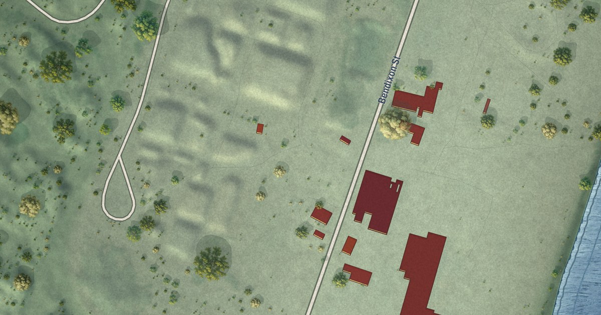
A detailed map of Fairhaven, California, showing every building in its true location, the roads by name, and shaded topographical relief.
Read More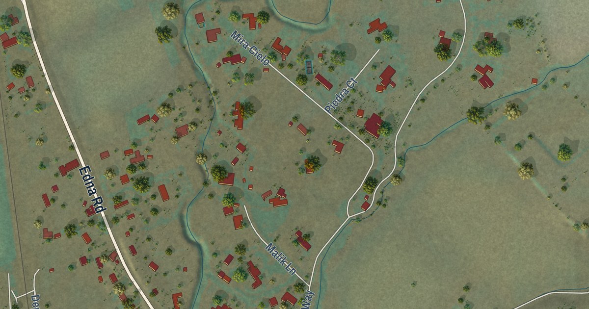
A detailed map of Edna, California, showing every building in its true location, the roads by name, and shaded topographical relief.
Read More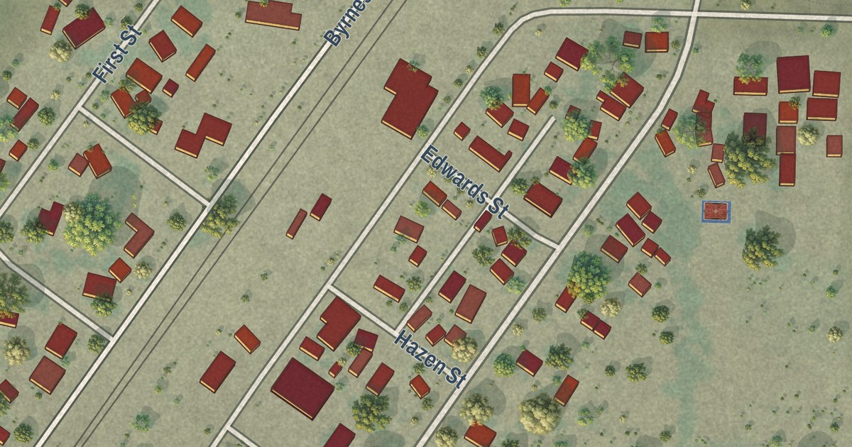
A detailed map of Elmira, California, showing every building in its true location, the roads by name, and shaded topographical relief.
Read More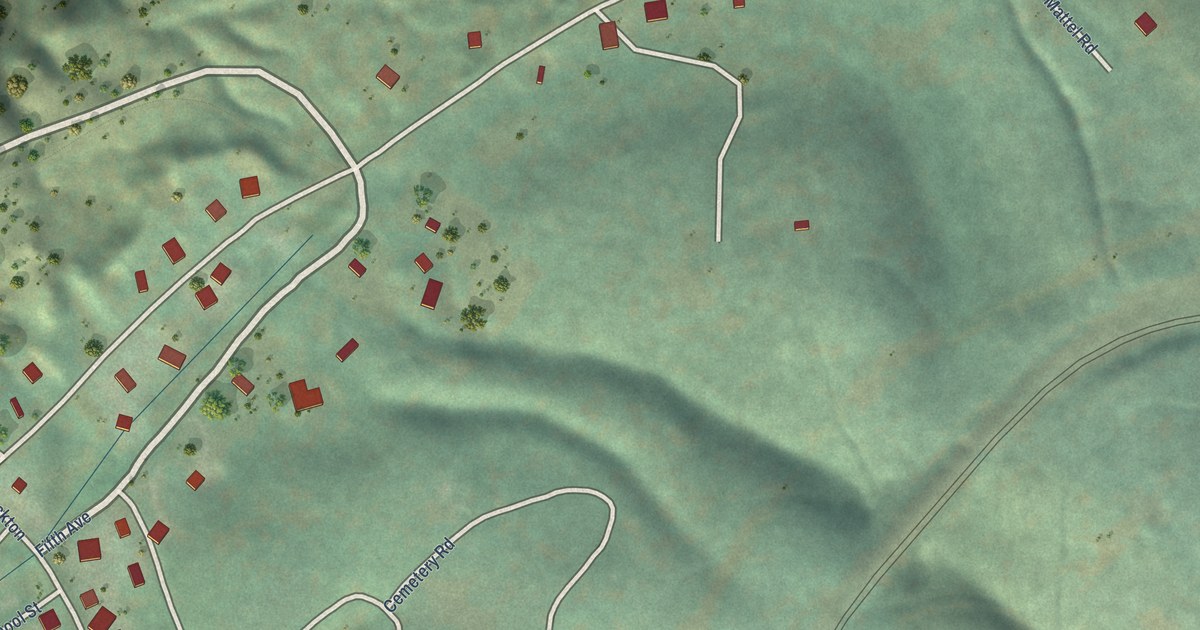
A detailed map of Dutch Flat, California, showing every building in its true location, the roads by name, and shaded topographical relief.
Read More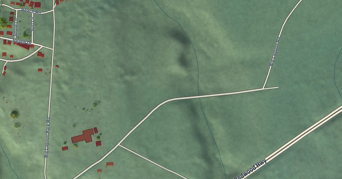
A detailed map of Big Lagoon, California, showing every building in its true location, the roads by name, and shaded topographical relief.
Read More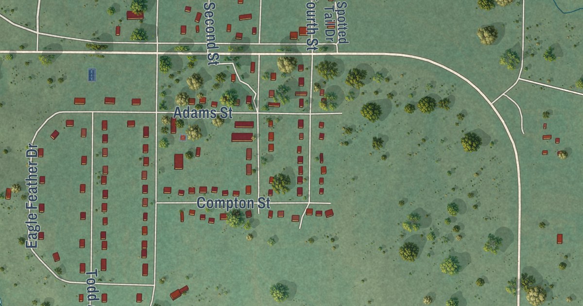
A detailed map of Parmelee, South Dakota, showing every building in its true location, the roads by name, and shaded topographical relief.
Read More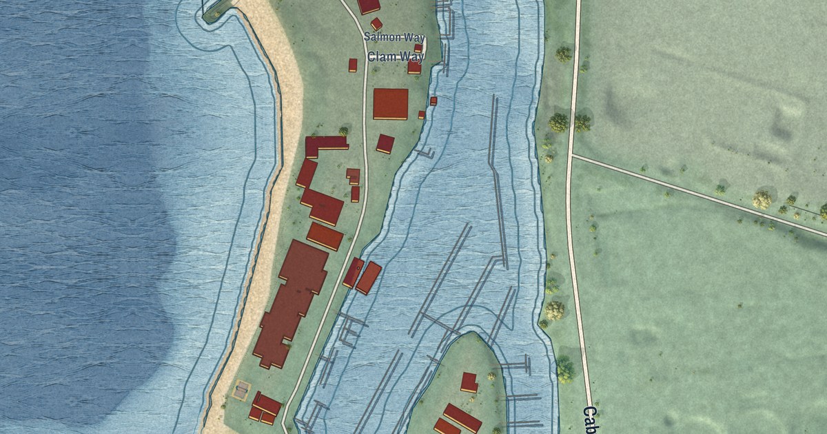
A detailed map of Moss Landing, California, showing every building in its true location, the roads by name, and shaded topographical relief.
Read More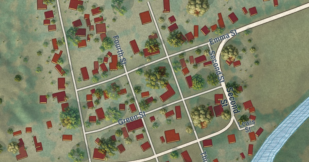
A detailed map of Snelling, California, showing every building in its true location, the roads by name, and shaded topographical relief.
Read More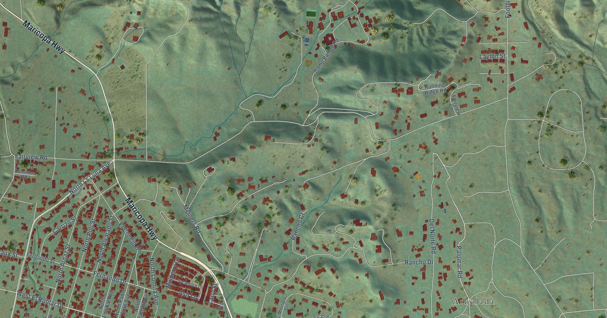
A detailed map of Meiners Oaks, California, showing every building in its true location, the roads by name, and shaded topographical relief.
Read More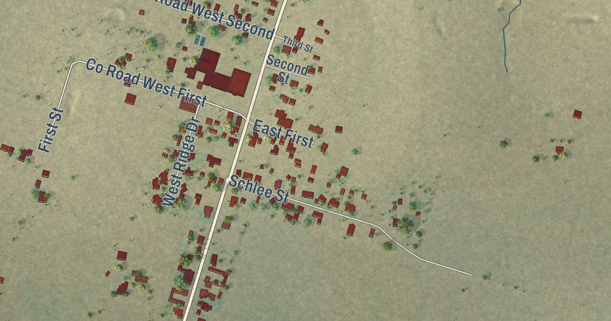
A detailed map of Priddy, Texas, showing every building in its true location, the roads by name, and shaded topographical relief.
Read More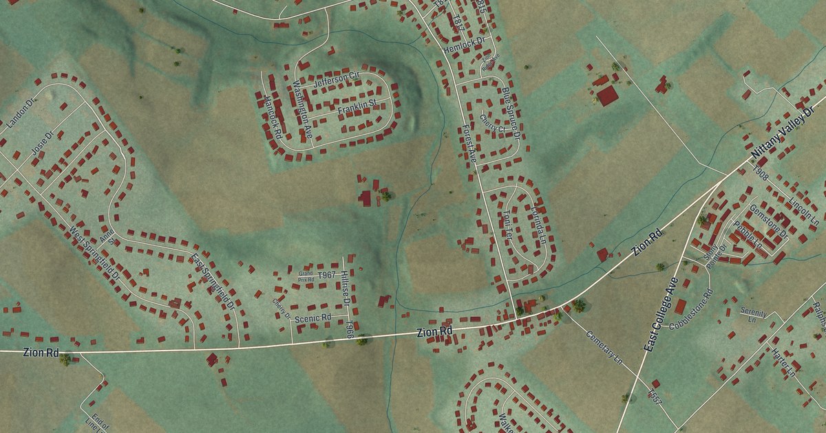
A detailed map of Zion, Pennsylvania, showing every building in its true location, the roads by name, and shaded topographical relief.
Read More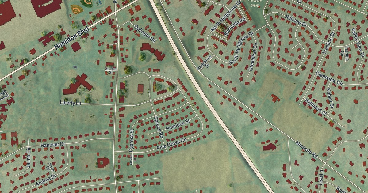
A detailed map of Wescosville, Pennsylvania, showing every building in its true location, the roads by name, and shaded topographical relief.
Read More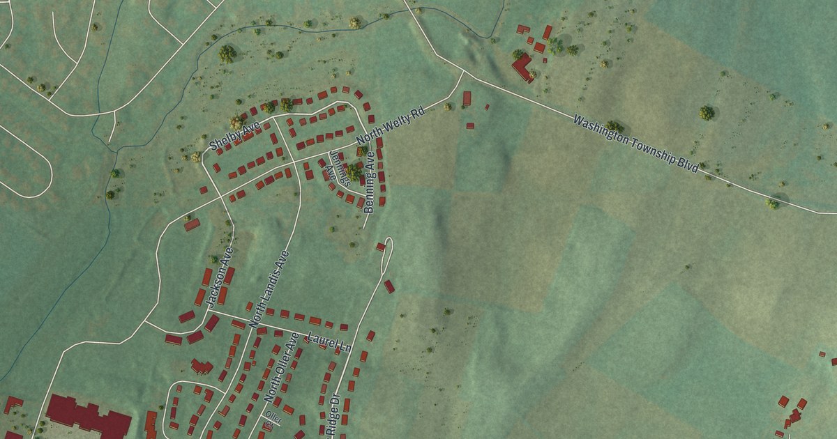
A detailed map of Wayne Heights, Pennsylvania, showing every building in its true location, the roads by name, and shaded topographical relief.
Read More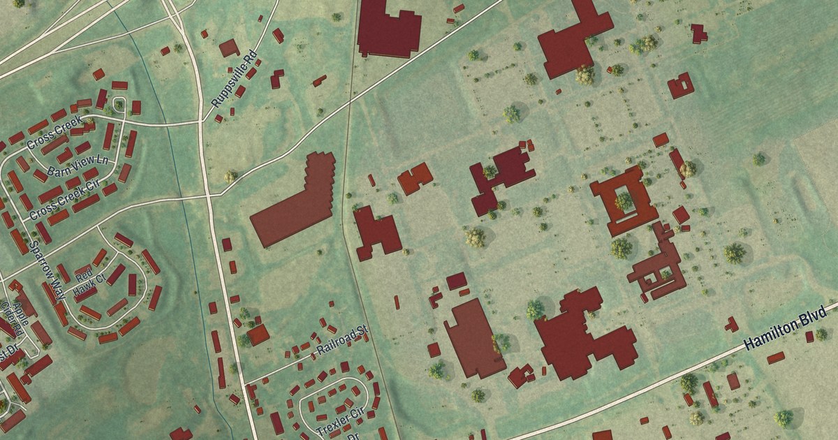
A detailed map of Trexlertown, Pennsylvania, showing every building in its true location, the roads by name, and shaded topographical relief.
Read More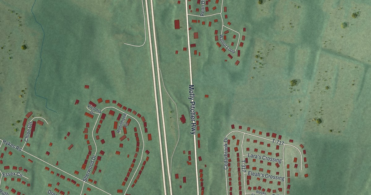
A detailed map of State Line, Pennsylvania, showing every building in its true location, the roads by name, and shaded topographical relief.
Read More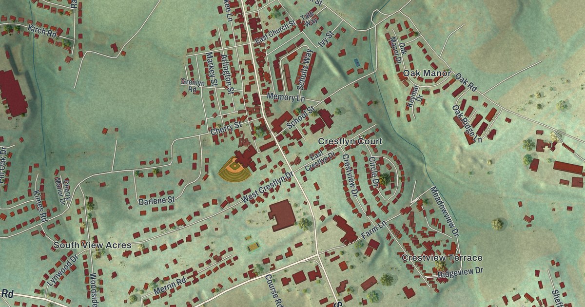
A detailed map of Spry, Pennsylvania, showing every building in its true location, the roads by name, and shaded topographical relief.
Read More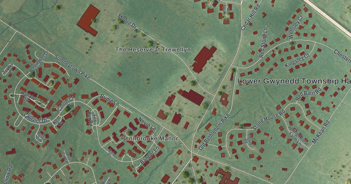
A detailed map of Spring House, Pennsylvania, showing every building in its true location, the roads by name, and shaded topographical relief.
Read More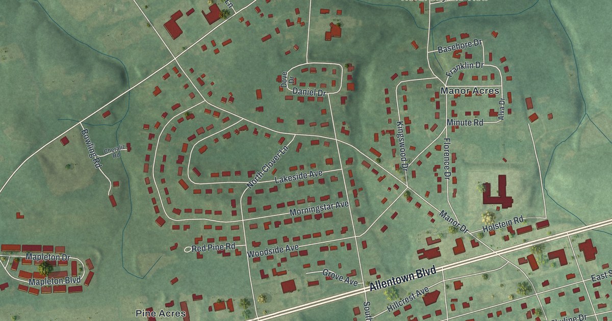
A detailed map of Skyline View, Pennsylvania, showing every building in its true location, the roads by name, and shaded topographical relief.
Read More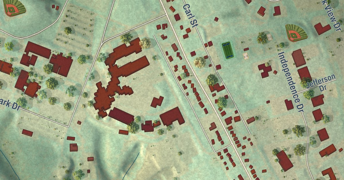
A detailed map of Schnecksville, Pennsylvania, showing every building in its true location, the roads by name, and shaded topographical relief.
Read More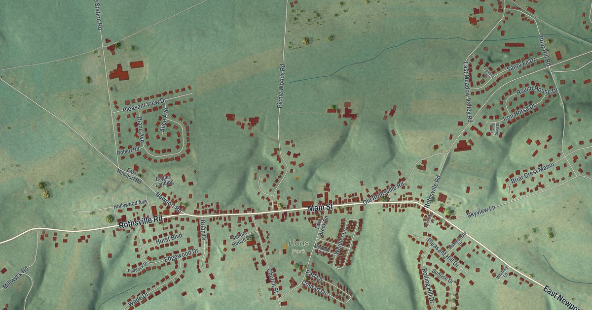
A detailed map of Rothsville, Pennsylvania, showing every building in its true location, the roads by name, and shaded topographical relief.
Read More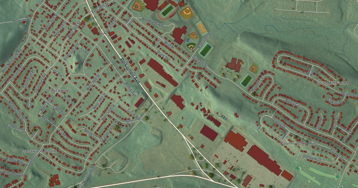
A detailed map of Reiffton, Pennsylvania, showing every building in its true location, the roads by name, and shaded topographical relief.
Read More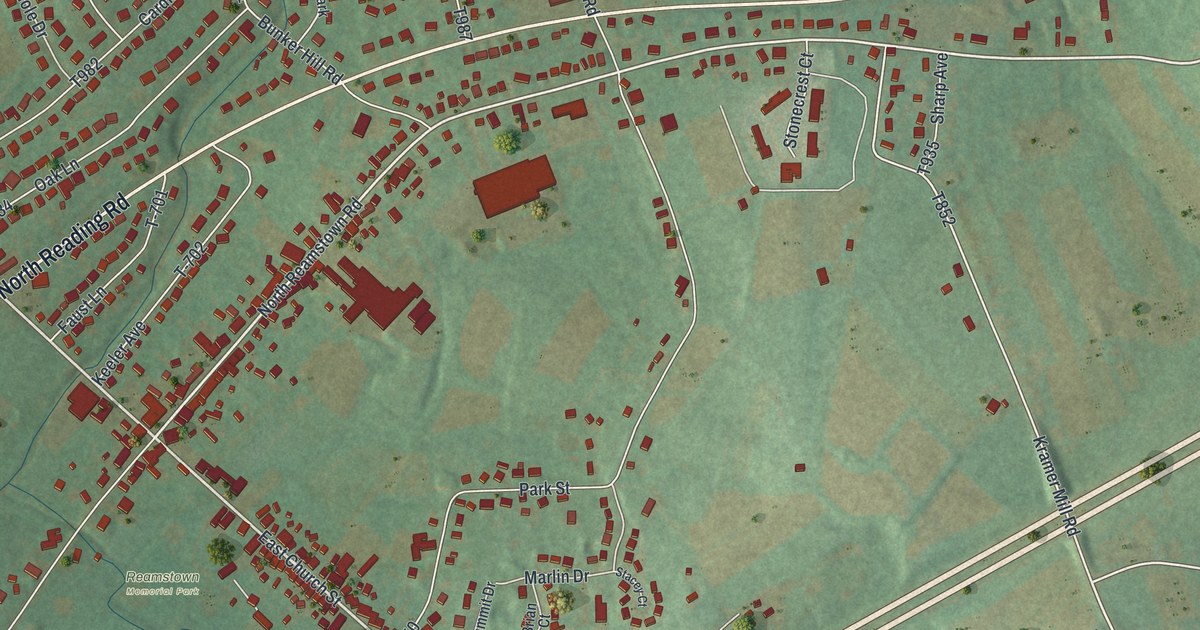
A detailed map of Reamstown, Pennsylvania, showing every building in its true location, the roads by name, and shaded topographical relief.
Read More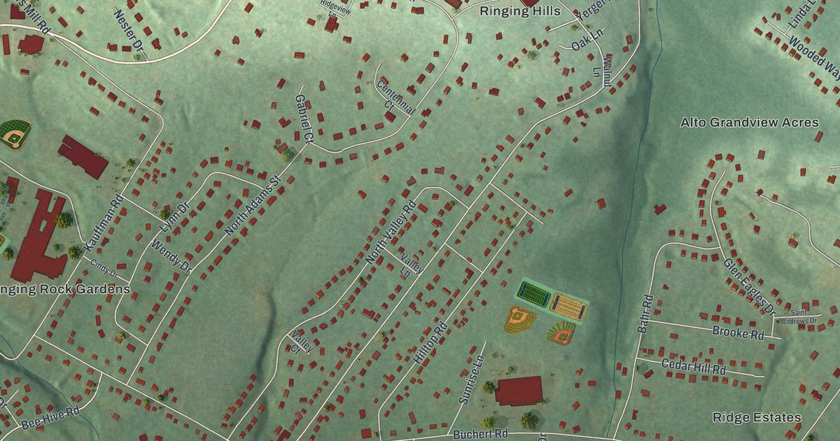
A detailed map of Pottsgrove, Pennsylvania, showing every building in its true location, the roads by name, and shaded topographical relief.
Read More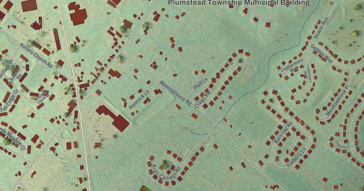
A detailed map of Plumsteadville, Pennsylvania, showing every building in its true location, the roads by name, and shaded topographical relief.
Read More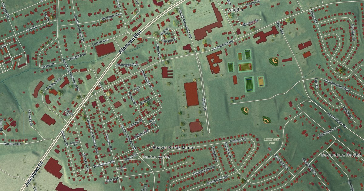
A detailed map of Paxtonia, Pennsylvania, showing every building in its true location, the roads by name, and shaded topographical relief.
Read More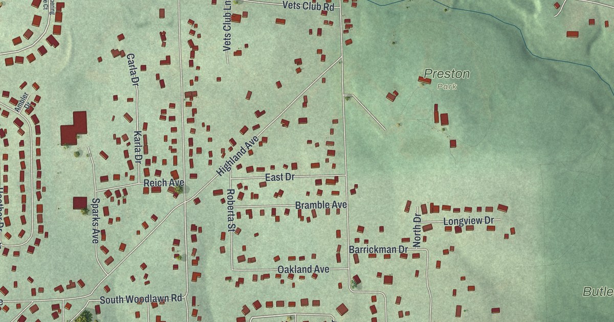
A detailed map of Meridian, Pennsylvania, showing every building in its true location, the roads by name, and shaded topographical relief.
Read More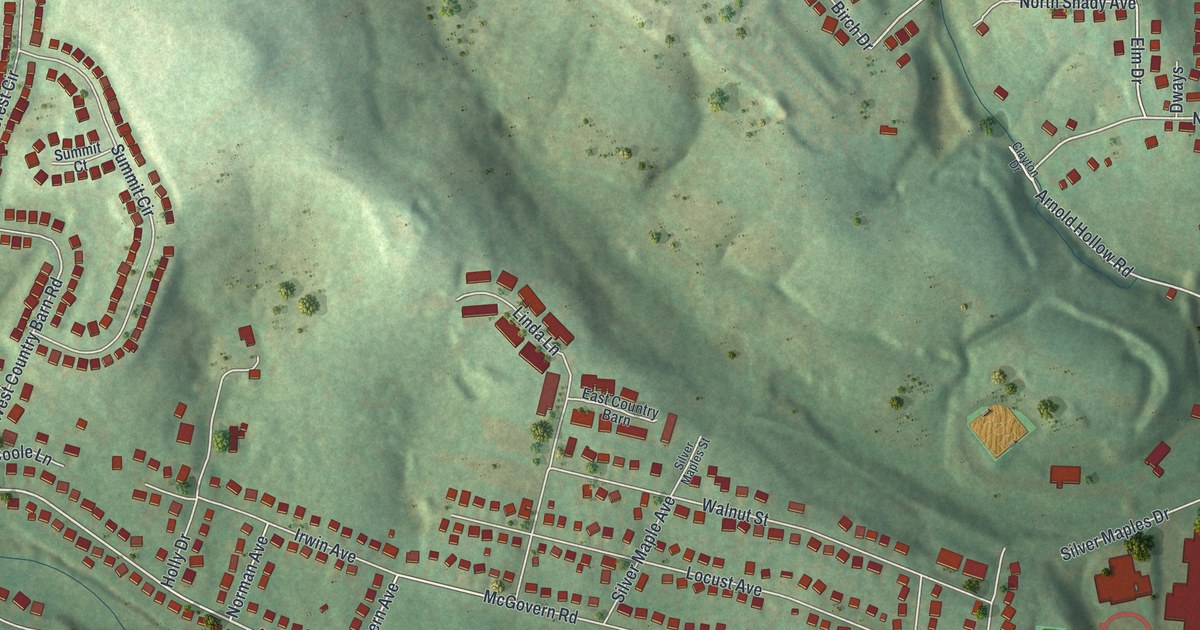
A detailed map of McGovern, Pennsylvania, showing every building in its true location, the roads by name, and shaded topographical relief.
Read More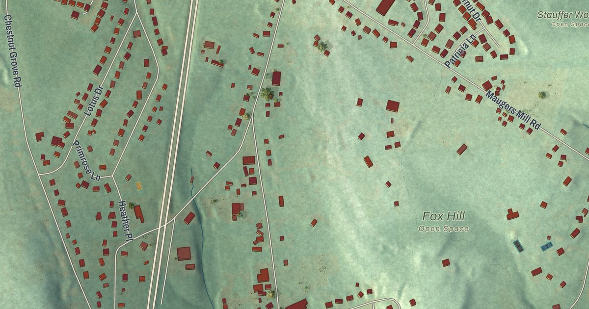
A detailed map of Halfway House, Pennsylvania, showing every building in its true location, the roads by name, and shaded topographical relief.
Read More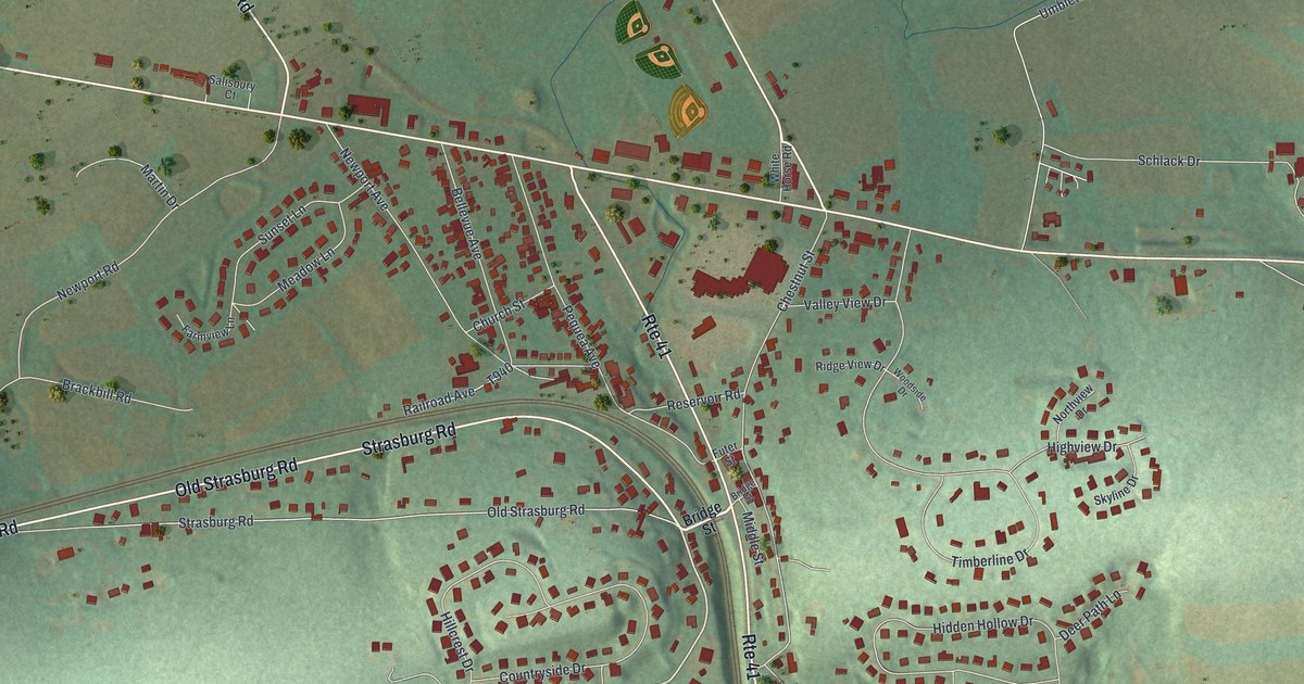
A detailed map of Gap, Pennsylvania, showing every building in its true location, the roads by name, and shaded topographical relief.
Read More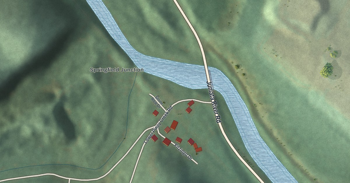
A detailed map of Ganister, Pennsylvania, showing every building in its true location, the roads by name, and shaded topographical relief.
Read More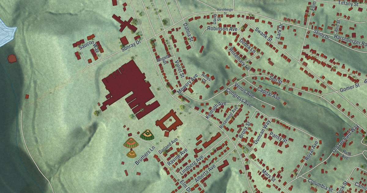
A detailed map of Elim, Pennsylvania, showing every building in its true location, the roads by name, and shaded topographical relief.
Read More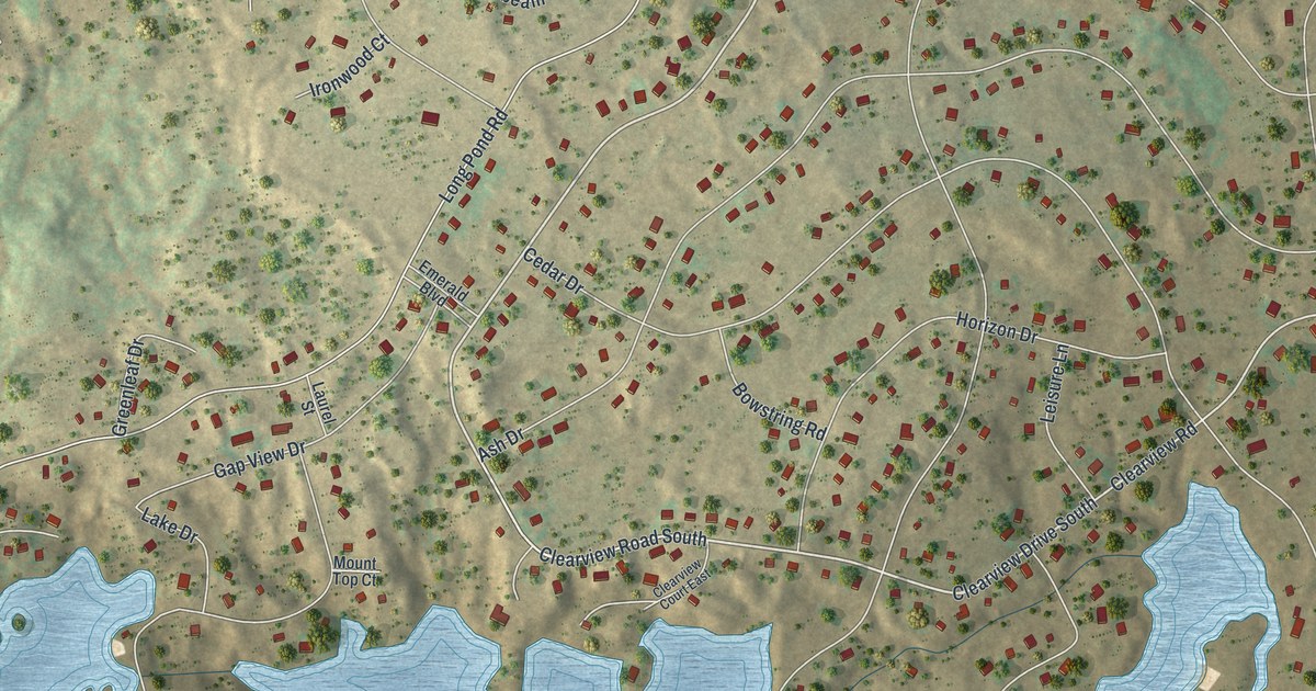
A detailed map of Emerald Lakes, Pennsylvania, showing every building in its true location, the roads by name, and shaded topographical relief.
Read More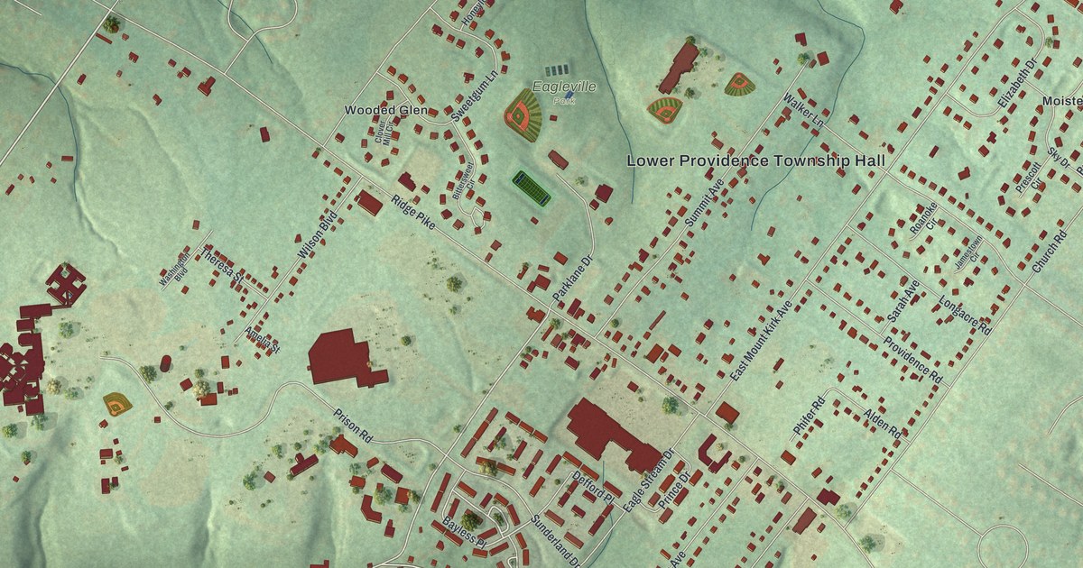
A detailed map of Eagleville, Pennsylvania, showing every building in its true location, the roads by name, and shaded topographical relief.
Read More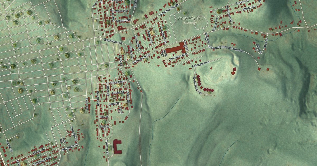
A detailed map of East Uniontown, Pennsylvania, showing every building in its true location, the roads by name, and shaded topographical relief.
Read More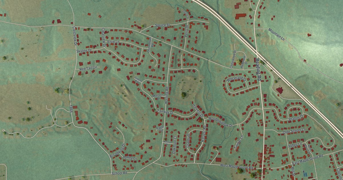
A detailed map of Bowmansville, Pennsylvania, showing every building in its true location, the roads by name, and shaded topographical relief.
Read More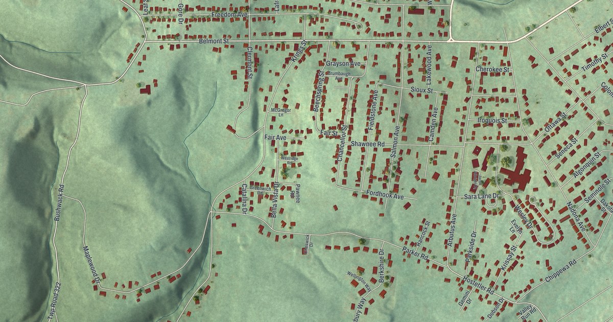
A detailed map of Belmont, Pennsylvania, showing every building in its true location, the roads by name, and shaded topographical relief.
Read More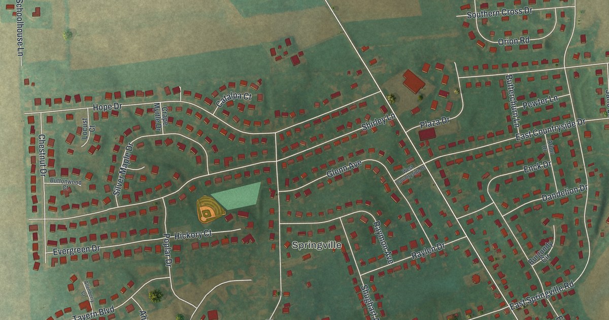
A detailed map of Boiling Springs, Pennsylvania, showing every building in its true location, the roads by name, and shaded topographical relief.
Read More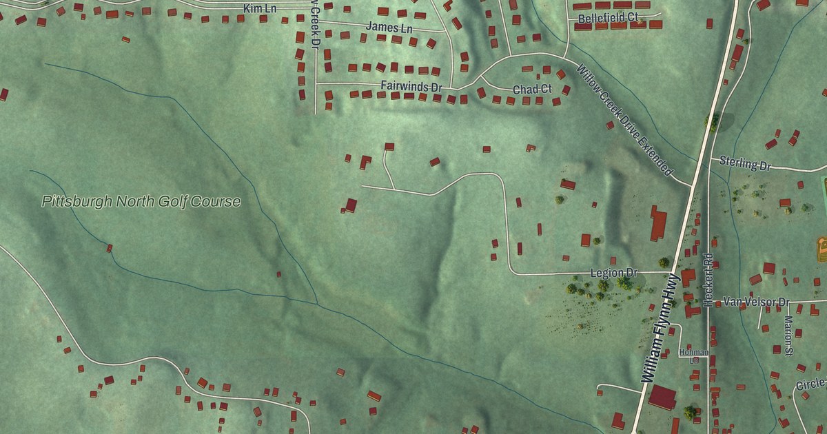
A detailed map of Bakerstown, Pennsylvania, showing every building in its true location, the roads by name, and shaded topographical relief.
Read More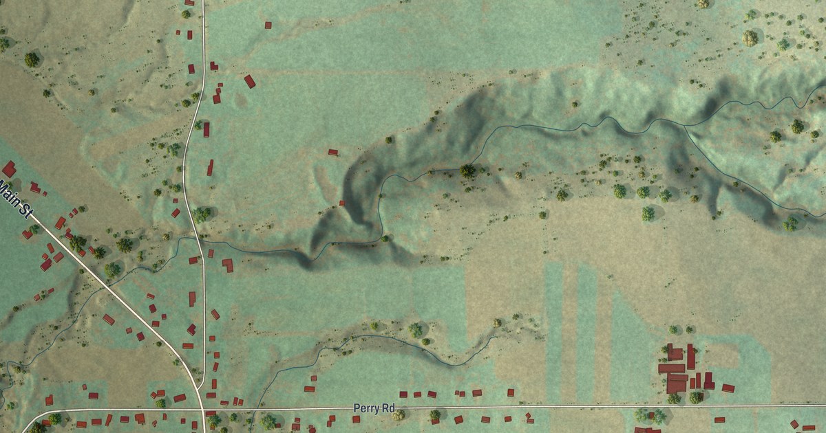
A detailed map of Strykersville, New York, showing every building in its true location, the roads by name, and shaded topographical relief.
Read More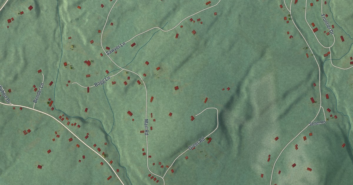
A detailed map of Walker Valley, New York, showing every building in its true location, the roads by name, and shaded topographical relief.
Read More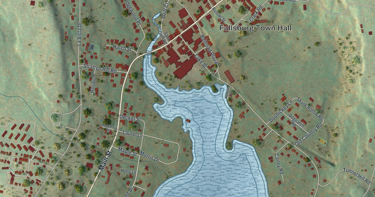
A detailed map of South Fallsburg, New York, showing every building in its true location, the roads by name, and shaded topographical relief.
Read More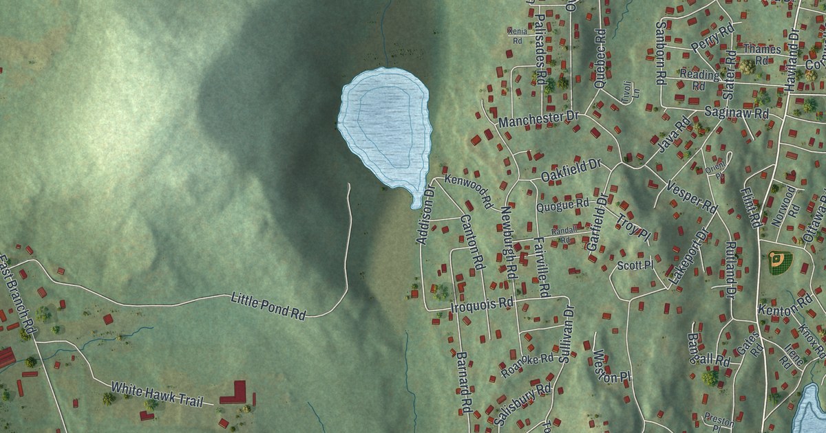
A detailed map of Putnam Lake, New York, showing every building in its true location, the roads by name, and shaded topographical relief.
Read More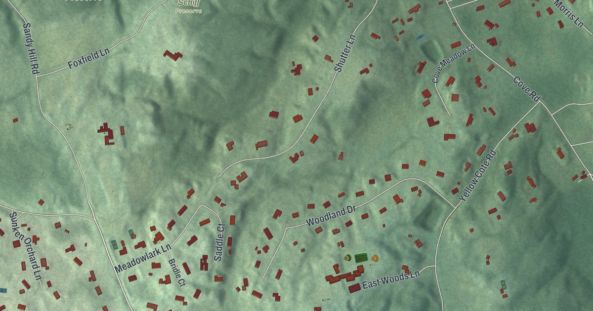
A detailed map of Oyster Bay Cove, New York, showing every building in its true location, the roads by name, and shaded topographical relief.
Read More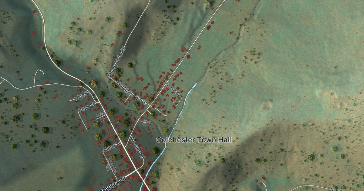
A detailed map of Downsville, New York, showing every building in its true location, the roads by name, and shaded topographical relief.
Read More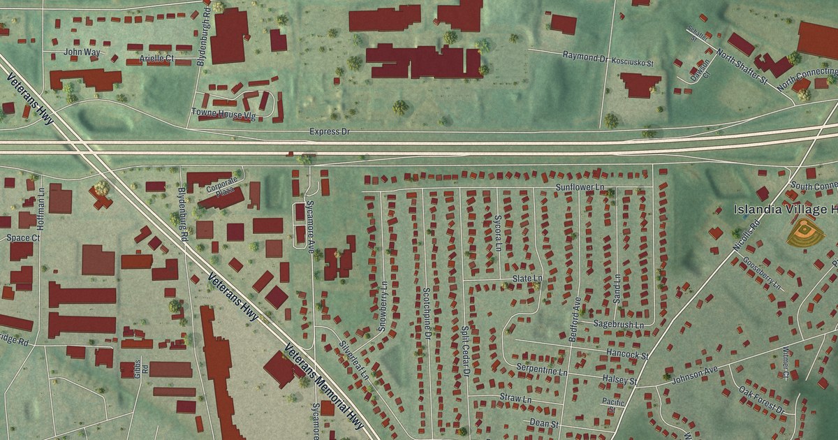
A detailed map of Islandia, New York, showing every building in its true location, the roads by name, and shaded topographical relief.
Read More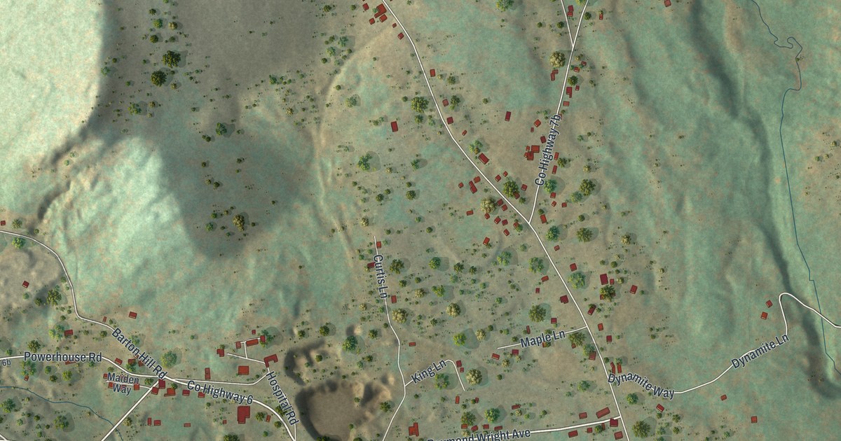
A detailed map of Mineville, New York, showing every building in its true location, the roads by name, and shaded topographical relief.
Read More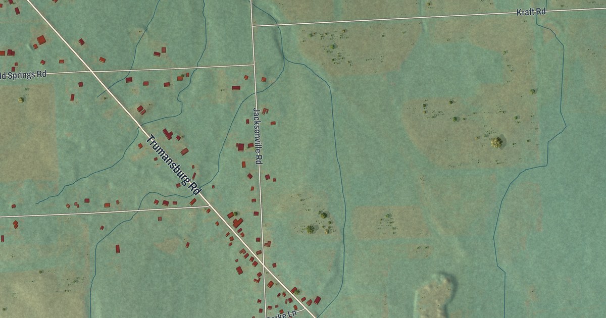
A detailed map of Jacksonville, New York, showing every building in its true location, the roads by name, and shaded topographical relief.
Read More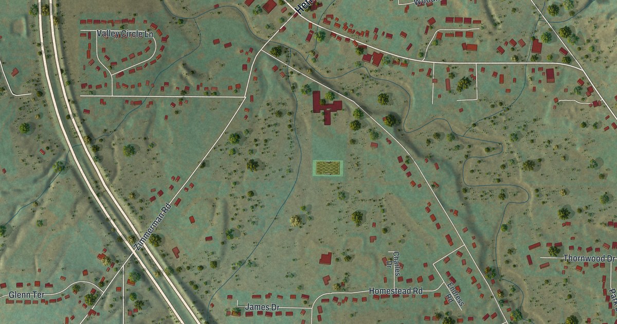
A detailed map of North Boston, New York, showing every building in its true location, the roads by name, and shaded topographical relief.
Read More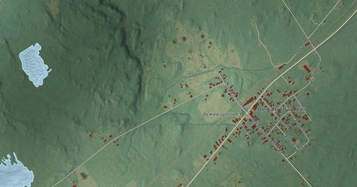
A detailed map of DeKalb Junction, New York, showing every building in its true location, the roads by name, and shaded topographical relief.
Read More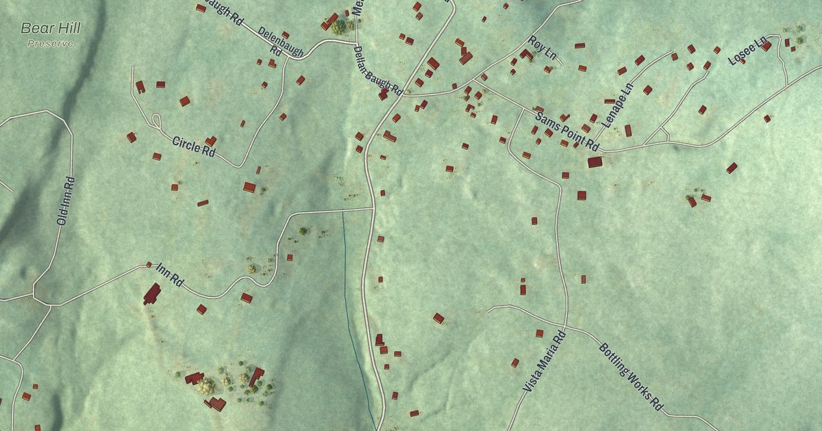
A detailed map of Cragsmoor, New York, showing every building in its true location, the roads by name, and shaded topographical relief.
Read More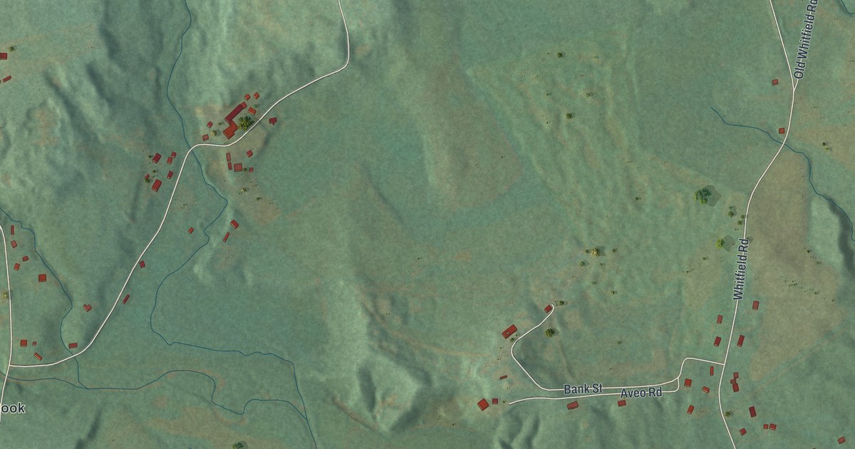
A detailed map of Accord, New York, showing every building in its true location, the roads by name, and shaded topographical relief.
Read More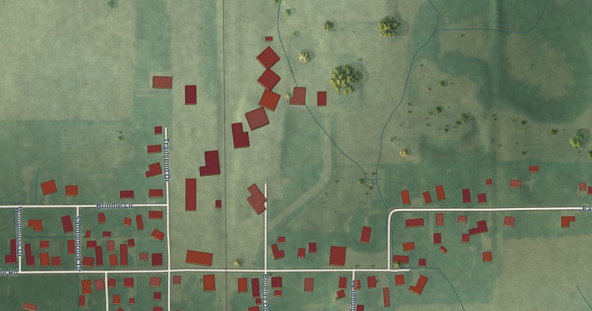
A detailed map of Oakville, Indiana, showing every building in its true location, the roads by name, and shaded topographical relief.
Read More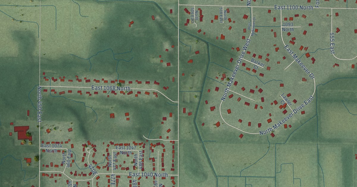
A detailed map of Roselawn, Indiana, showing every building in its true location, the roads by name, and shaded topographical relief.
Read More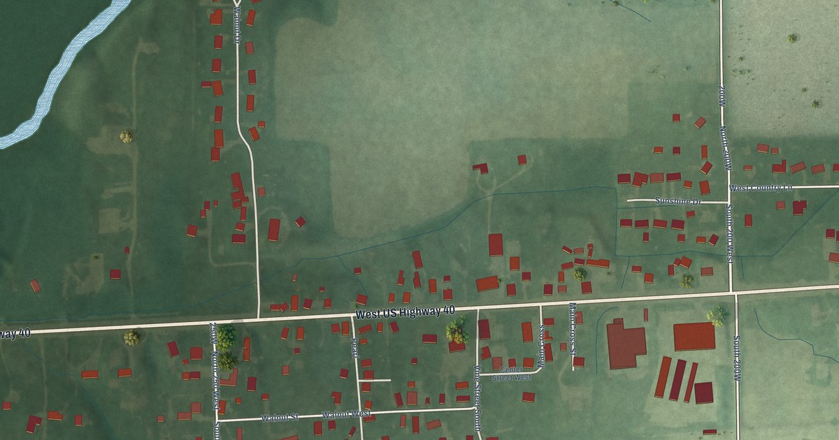
A detailed map of Philadelphia, Indiana, showing every building in its true location, the roads by name, and shaded topographical relief.
Read More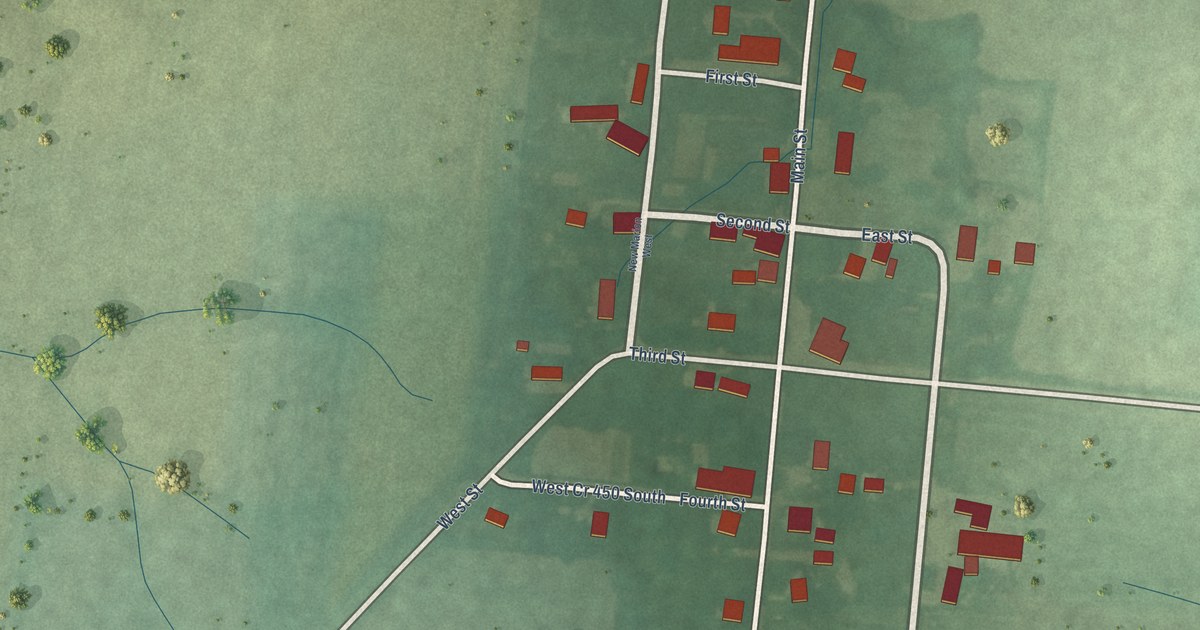
A detailed map of New Marion, Indiana, showing every building in its true location, the roads by name, and shaded topographical relief.
Read More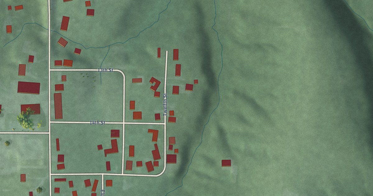
A detailed map of Hashtown, Indiana, showing every building in its true location, the roads by name, and shaded topographical relief.
Read More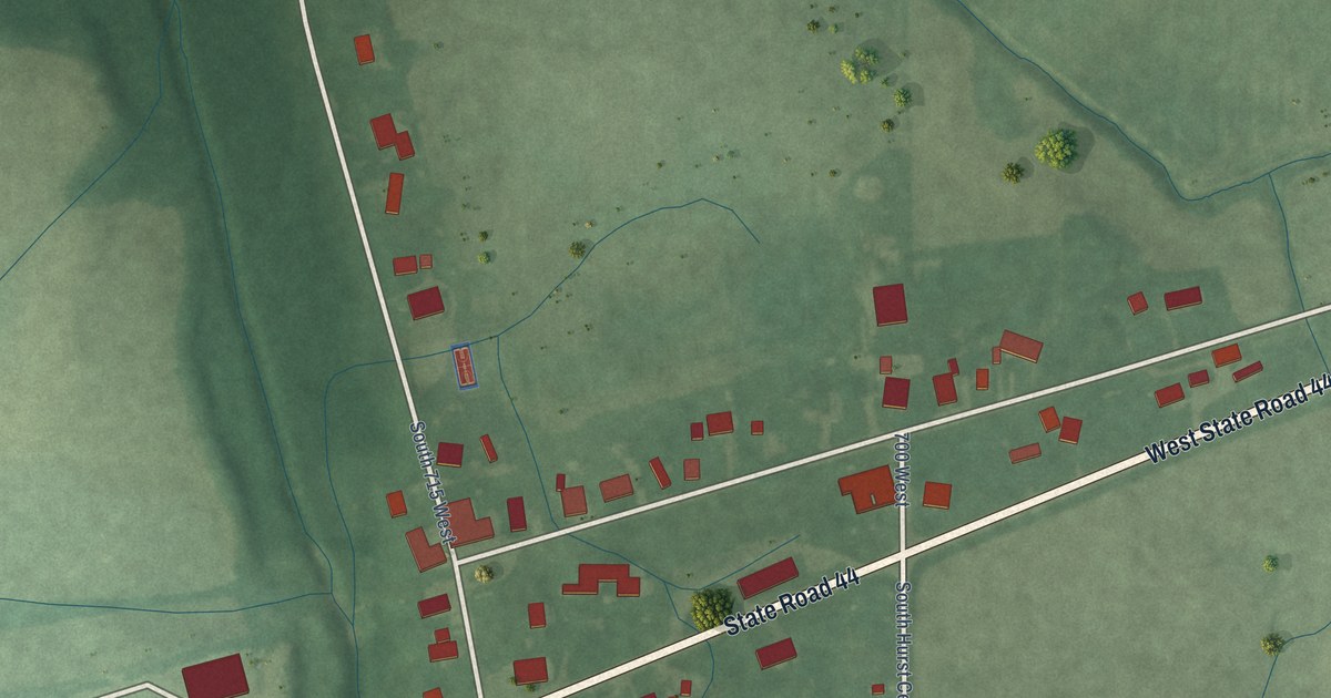
A detailed map of Homer, Indiana, showing every building in its true location, the roads by name, and shaded topographical relief.
Read More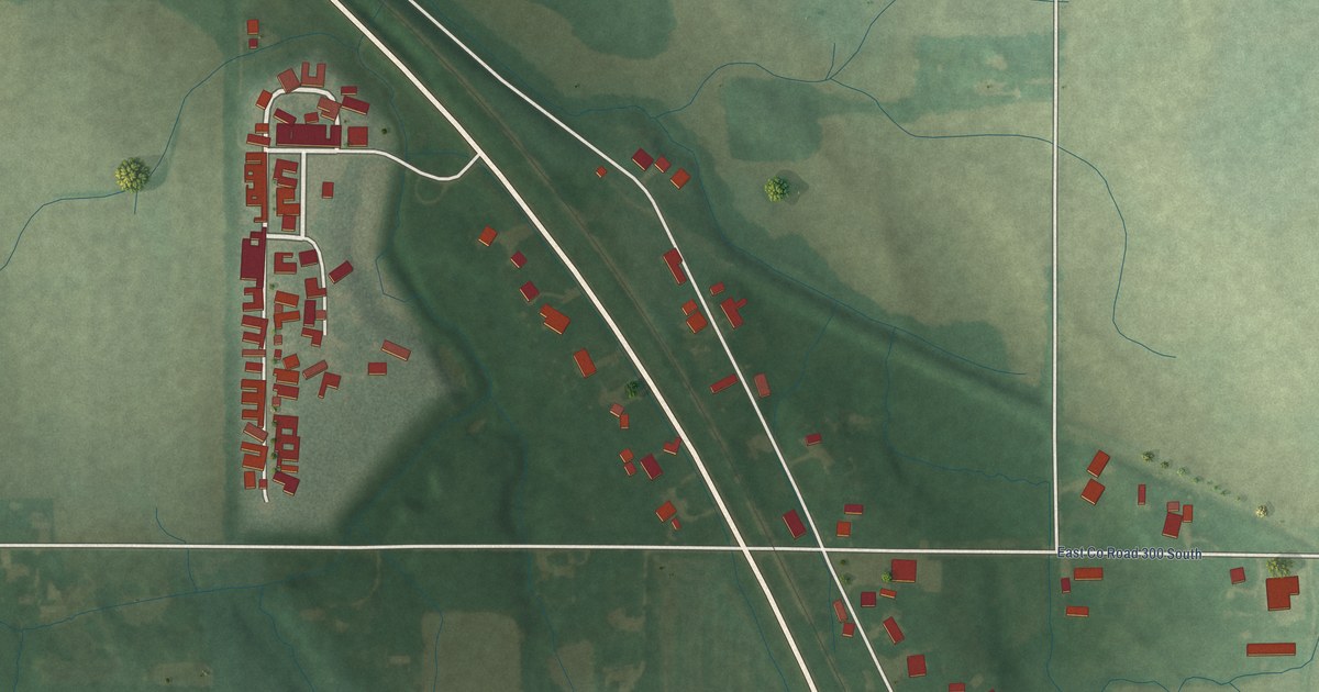
A detailed map of Anoka, Indiana, showing every building in its true location, the roads by name, and shaded topographical relief.
Read More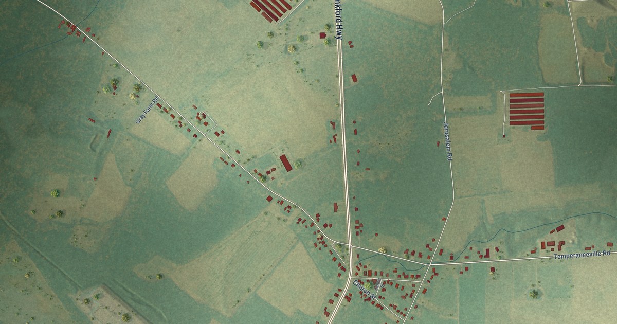
A detailed map of Temperanceville, Virginia, showing every building in its true location, the roads by name, and shaded topographical relief.
Read More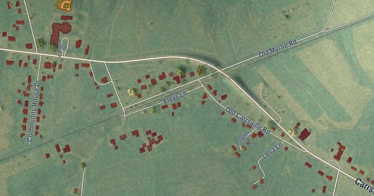
A detailed map of Carrsville, Virginia, showing every building in its true location, the roads by name, and shaded topographical relief.
Read More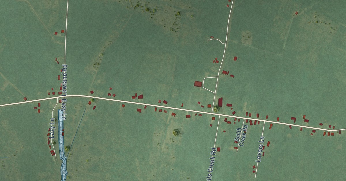
A detailed map of Hobucken, North Carolina, showing every building in its true location, the roads by name, and shaded topographical relief.
Read More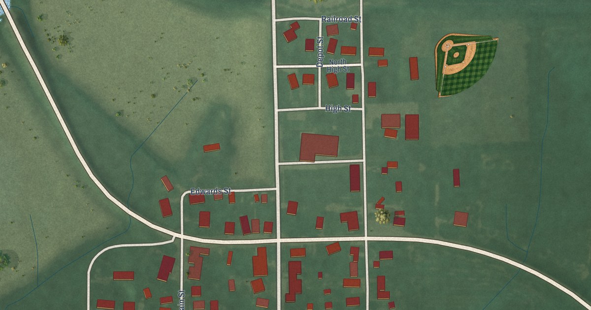
A detailed map of Williamsburg, Indiana, showing every building in its true location, the roads by name, and shaded topographical relief.
Read More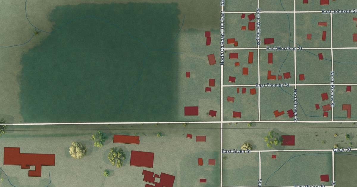
A detailed map of Scircleville, Indiana, showing every building in its true location, the roads by name, and shaded topographical relief.
Read More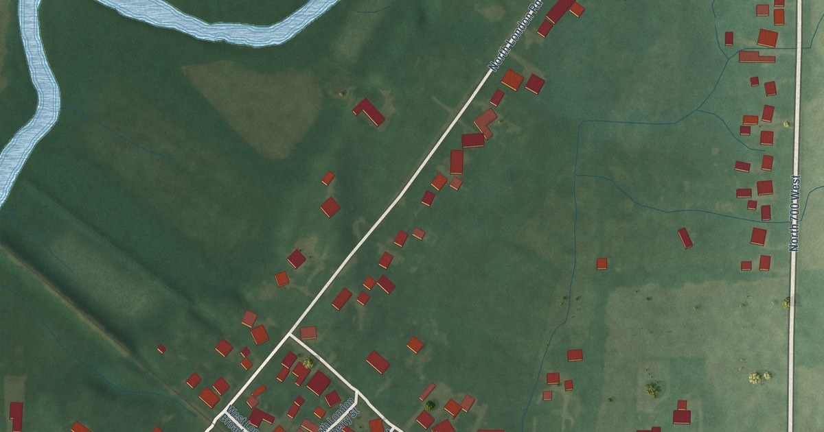
A detailed map of London, Indiana, showing every building in its true location, the roads by name, and shaded topographical relief.
Read More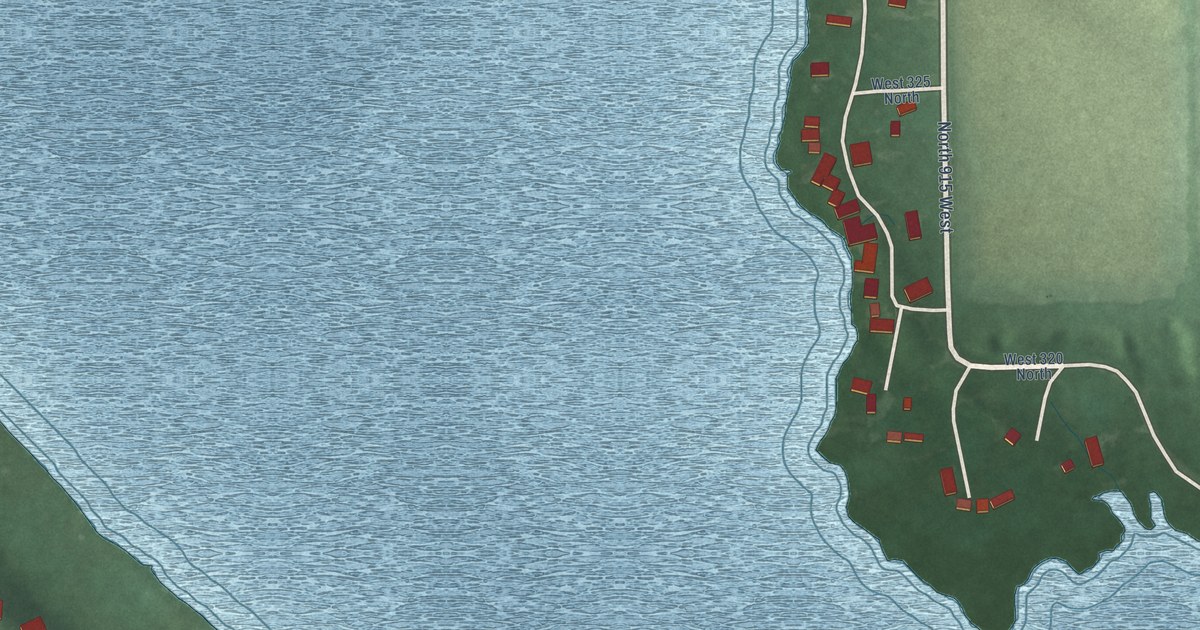
A detailed map of Shipshewana Lake, Indiana, showing every building in its true location, the roads by name, and shaded topographical relief.
Read More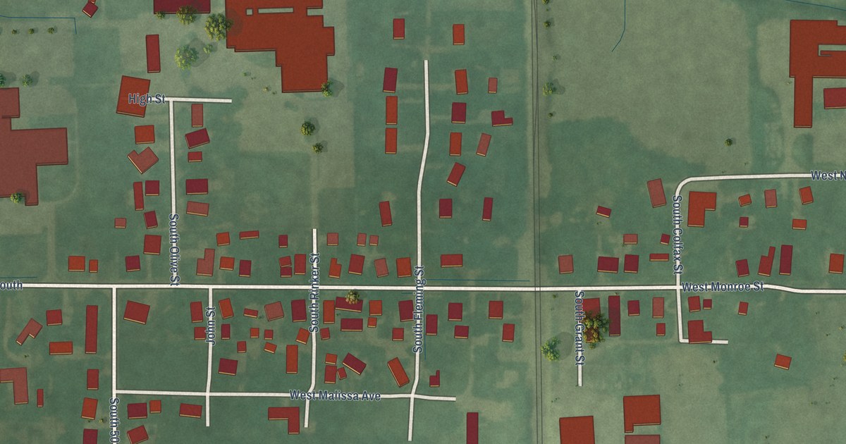
A detailed map of Cowan, Indiana, showing every building in its true location, the roads by name, and shaded topographical relief.
Read More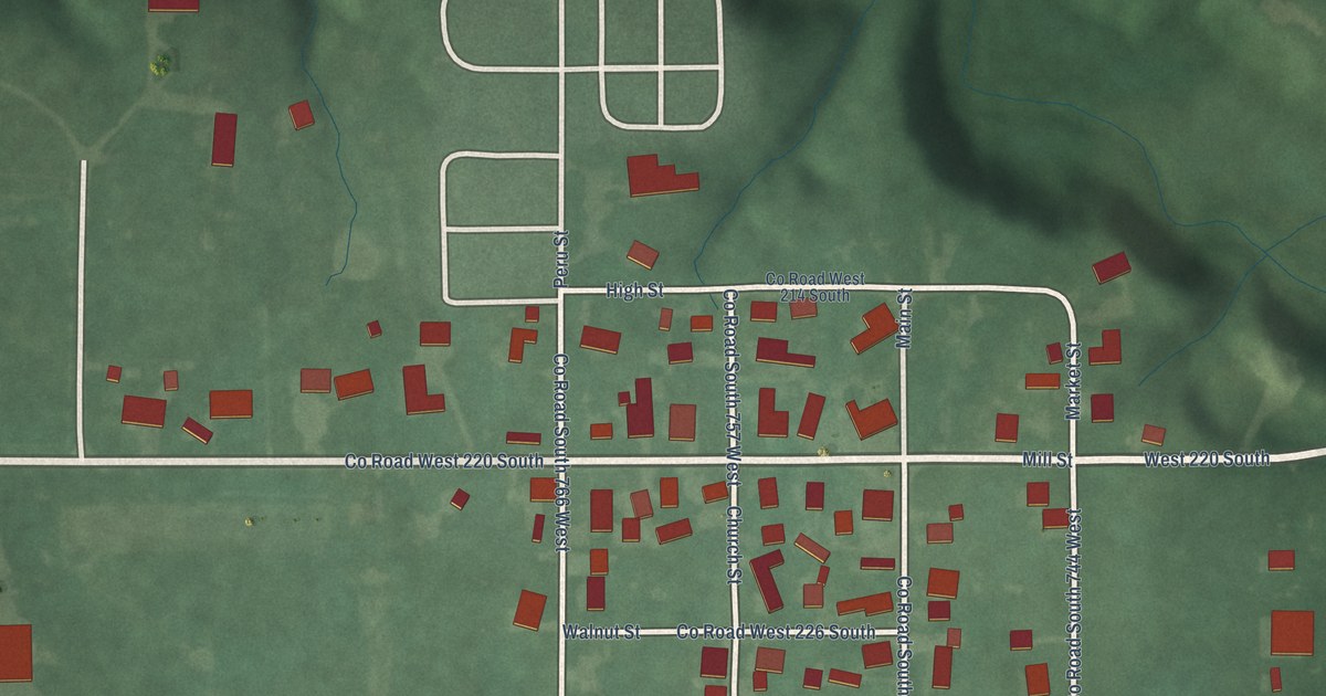
A detailed map of New London, Indiana, showing every building in its true location, the roads by name, and shaded topographical relief.
Read More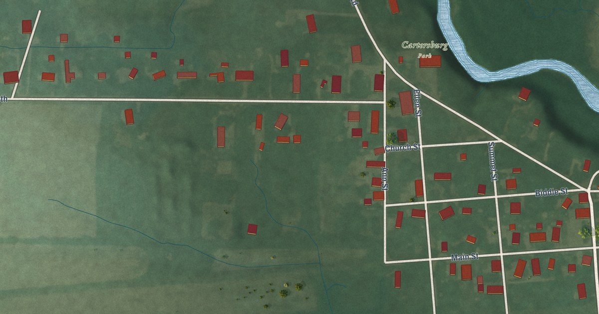
A detailed map of Cartersburg, Indiana, showing every building in its true location, the roads by name, and shaded topographical relief.
Read More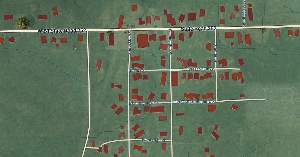
A detailed map of Flat Rock, Indiana, showing every building in its true location, the roads by name, and shaded topographical relief.
Read More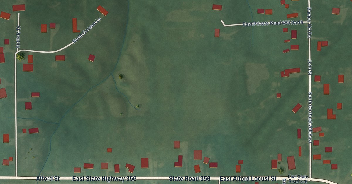
A detailed map of Alford, Indiana, showing every building in its true location, the roads by name, and shaded topographical relief.
Read More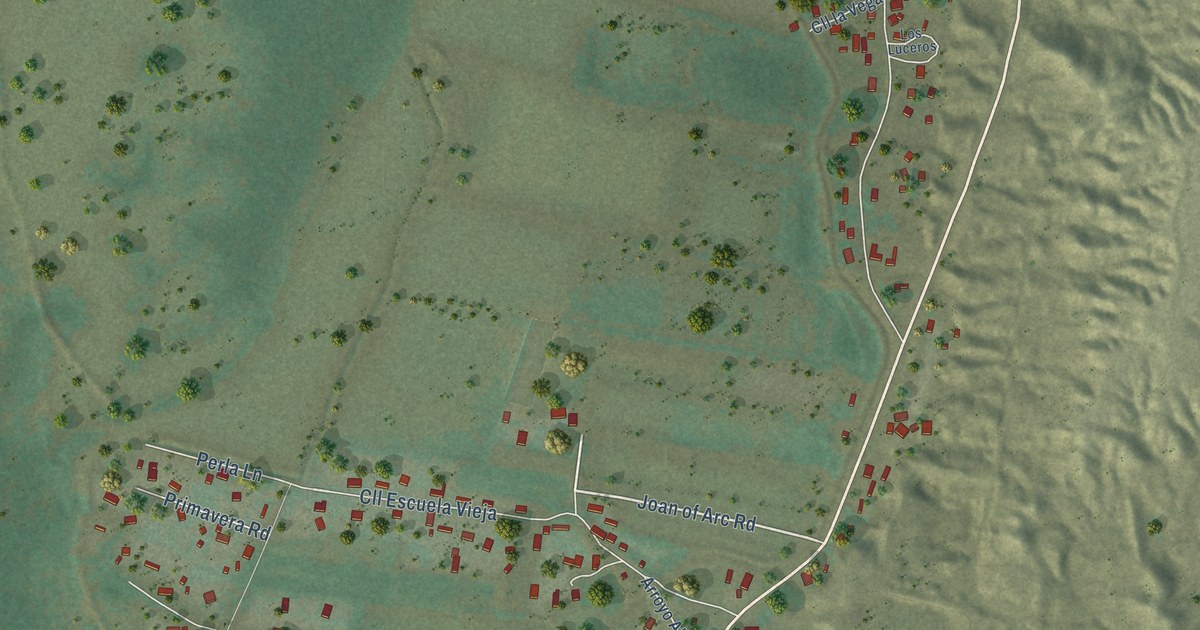
A detailed map of Peña Blanca, New Mexico, showing every building in its true location, the roads by name, and shaded topographical relief.
Read More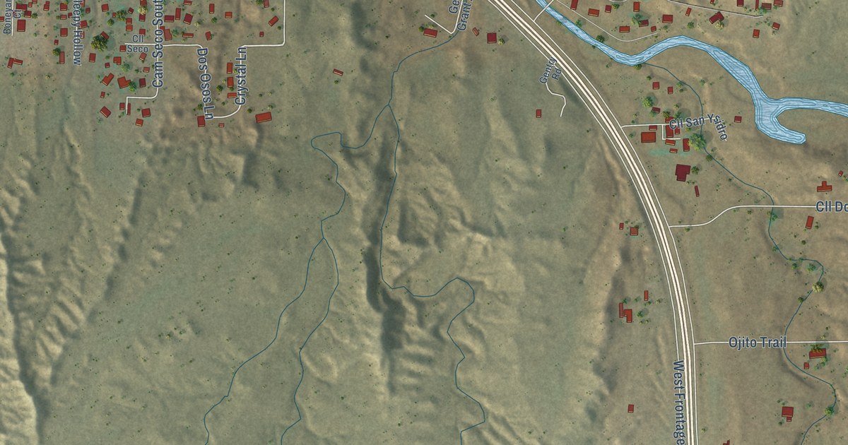
A detailed map of El Valle de Arroyo Seco, New Mexico, showing every building in its true location, the roads by name, and shaded topographical relief.
Read More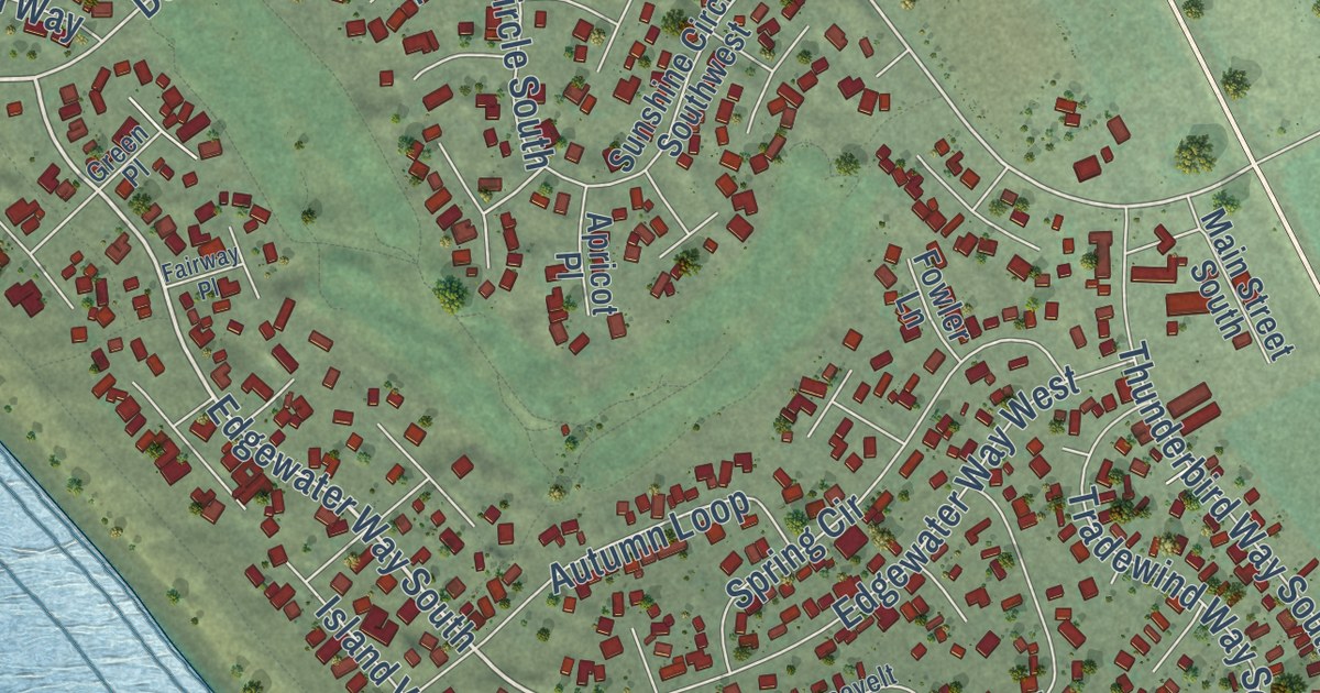
A detailed map of Desert Aire, Washington, showing every building in its true location, the roads by name, and shaded topographical relief.
Read More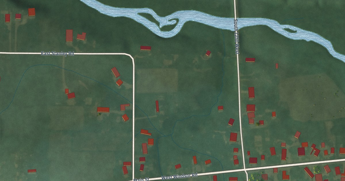
A detailed map of Windsor, Indiana, showing every building in its true location, the roads by name, and shaded topographical relief.
Read More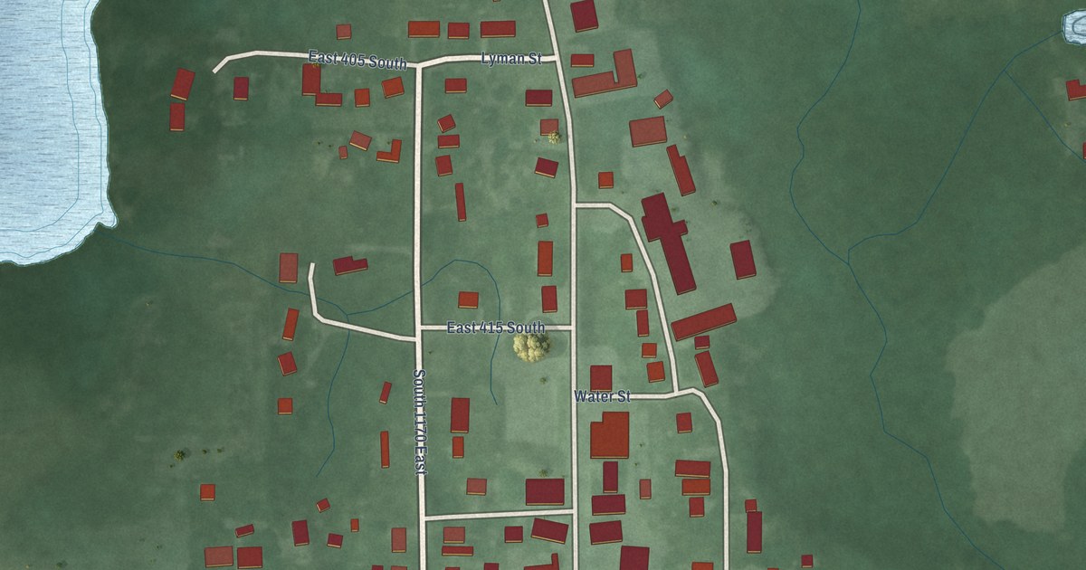
A detailed map of Stroh, Indiana, showing every building in its true location, the roads by name, and shaded topographical relief.
Read More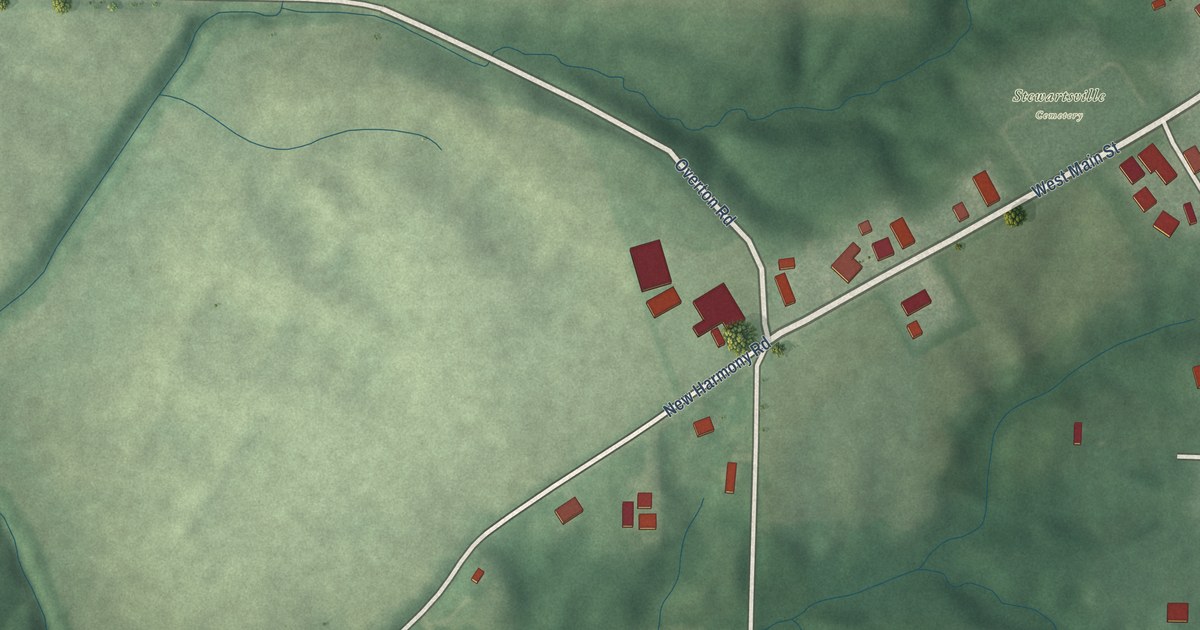
A detailed map of Stewartsville, Indiana, showing every building in its true location, the roads by name, and shaded topographical relief.
Read More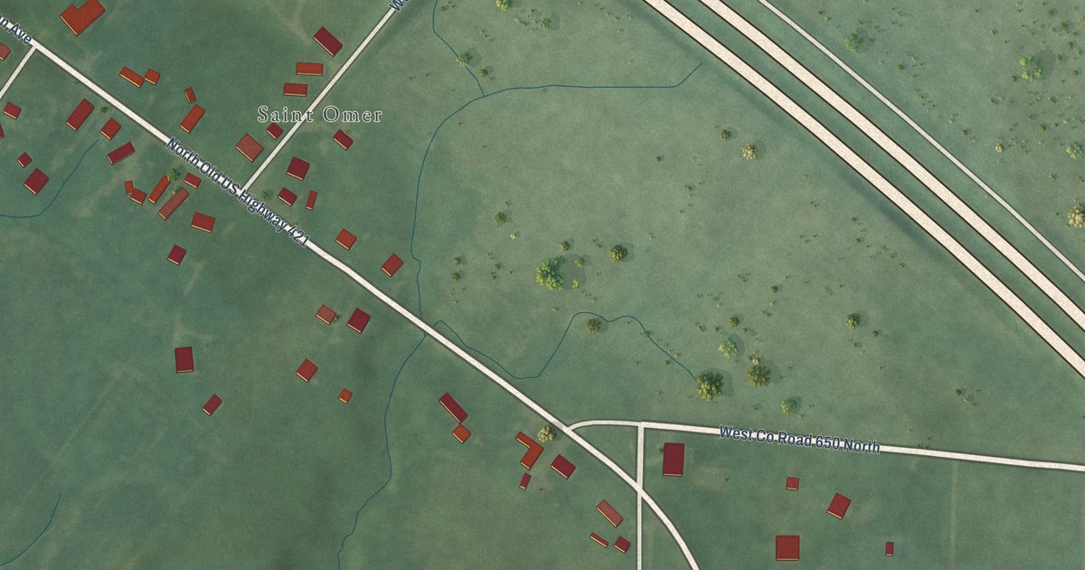
A detailed map of St. Omer, Indiana, showing every building in its true location, the roads by name, and shaded topographical relief.
Read More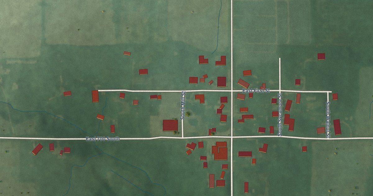
A detailed map of Spartanburg, Indiana, showing every building in its true location, the roads by name, and shaded topographical relief.
Read More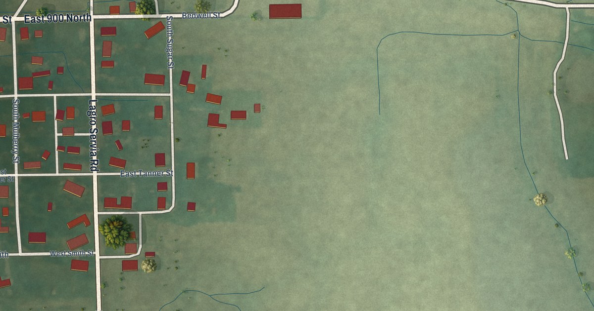
A detailed map of Servia, Indiana, showing every building in its true location, the roads by name, and shaded topographical relief.
Read More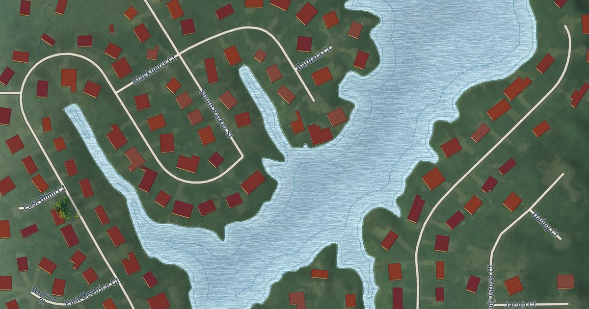
A detailed map of Lakewood, Indiana, showing every building in its true location, the roads by name, and shaded topographical relief.
Read More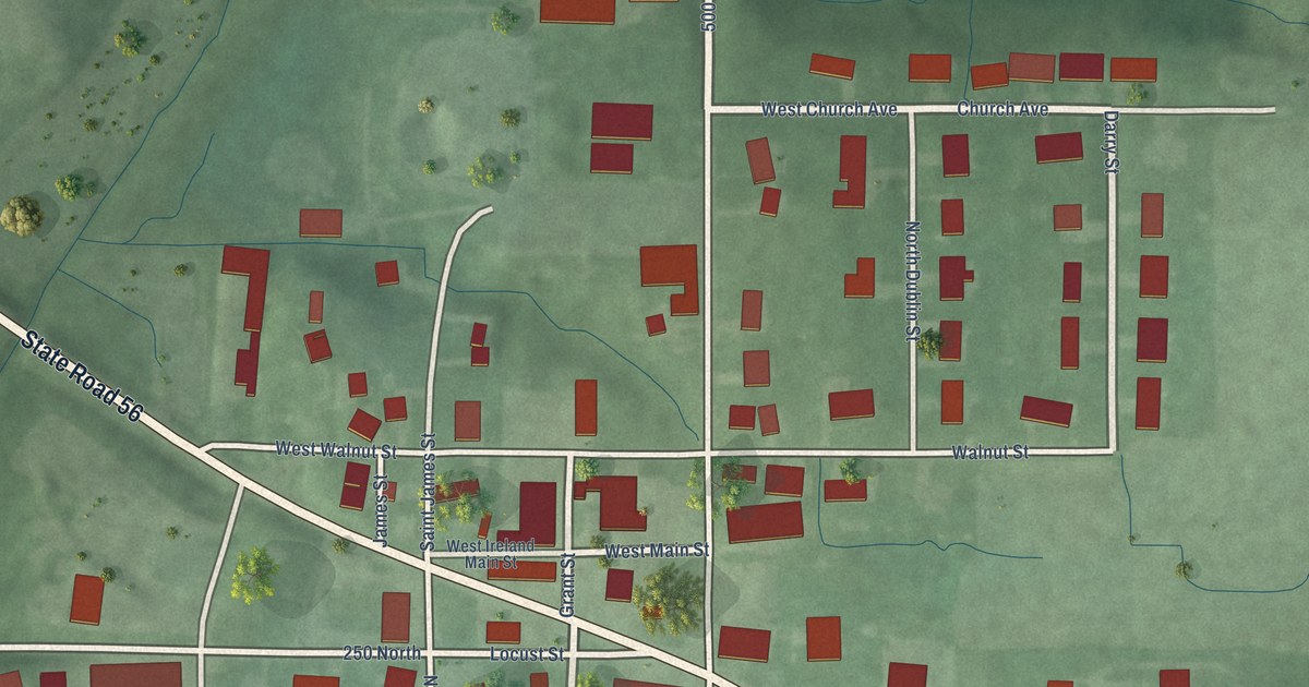
A detailed map of Ireland, Indiana, showing every building in its true location, the roads by name, and shaded topographical relief.
Read More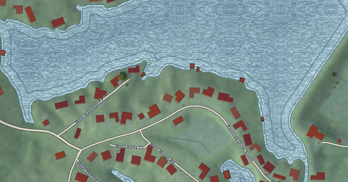
A detailed map of Harrison Lake, Indiana, showing every building in its true location, the roads by name, and shaded topographical relief.
Read More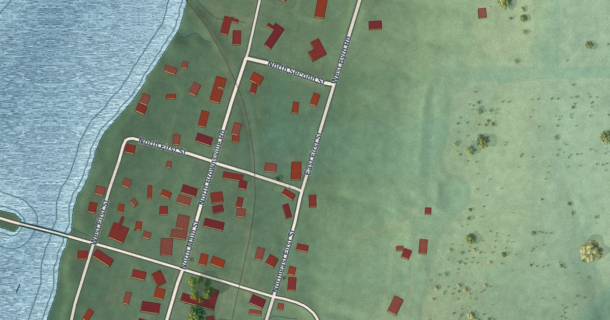
A detailed map of Brownsville, Indiana, showing every building in its true location, the roads by name, and shaded topographical relief.
Read More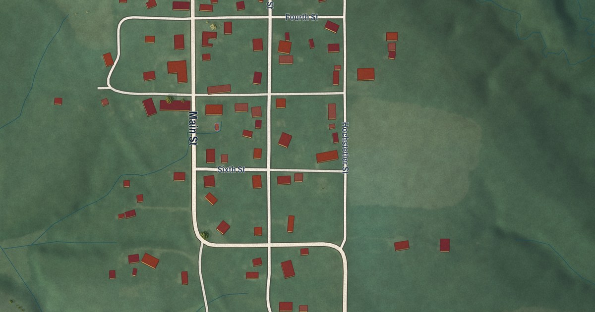
A detailed map of Coal City, Indiana, showing every building in its true location, the roads by name, and shaded topographical relief.
Read More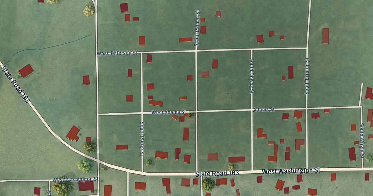
A detailed map of Centenary, Indiana, showing every building in its true location, the roads by name, and shaded topographical relief.
Read More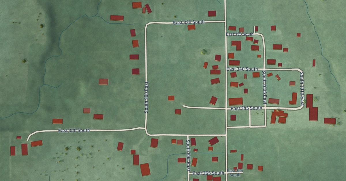
A detailed map of Grammer, Indiana, showing every building in its true location, the roads by name, and shaded topographical relief.
Read More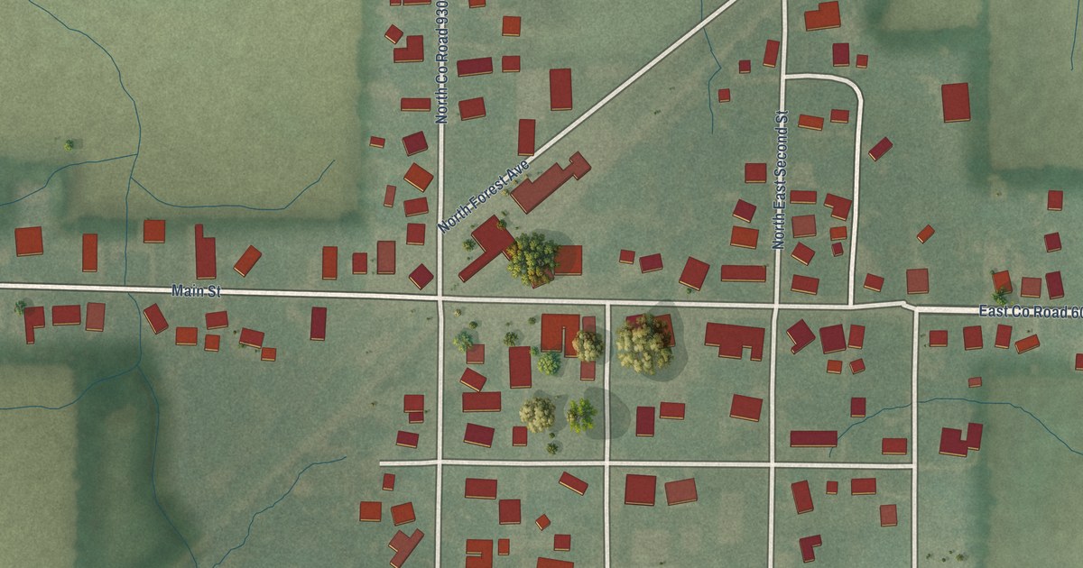
A detailed map of Forest, Indiana, showing every building in its true location, the roads by name, and shaded topographical relief.
Read More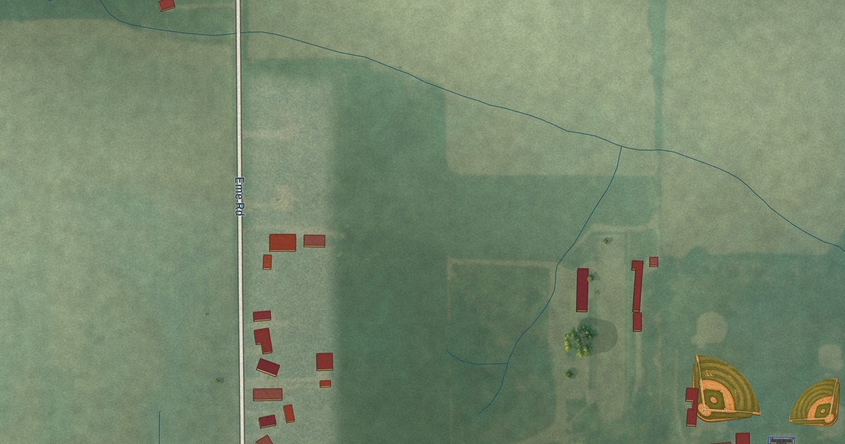
A detailed map of Arcola, Indiana, showing every building in its true location, the roads by name, and shaded topographical relief.
Read More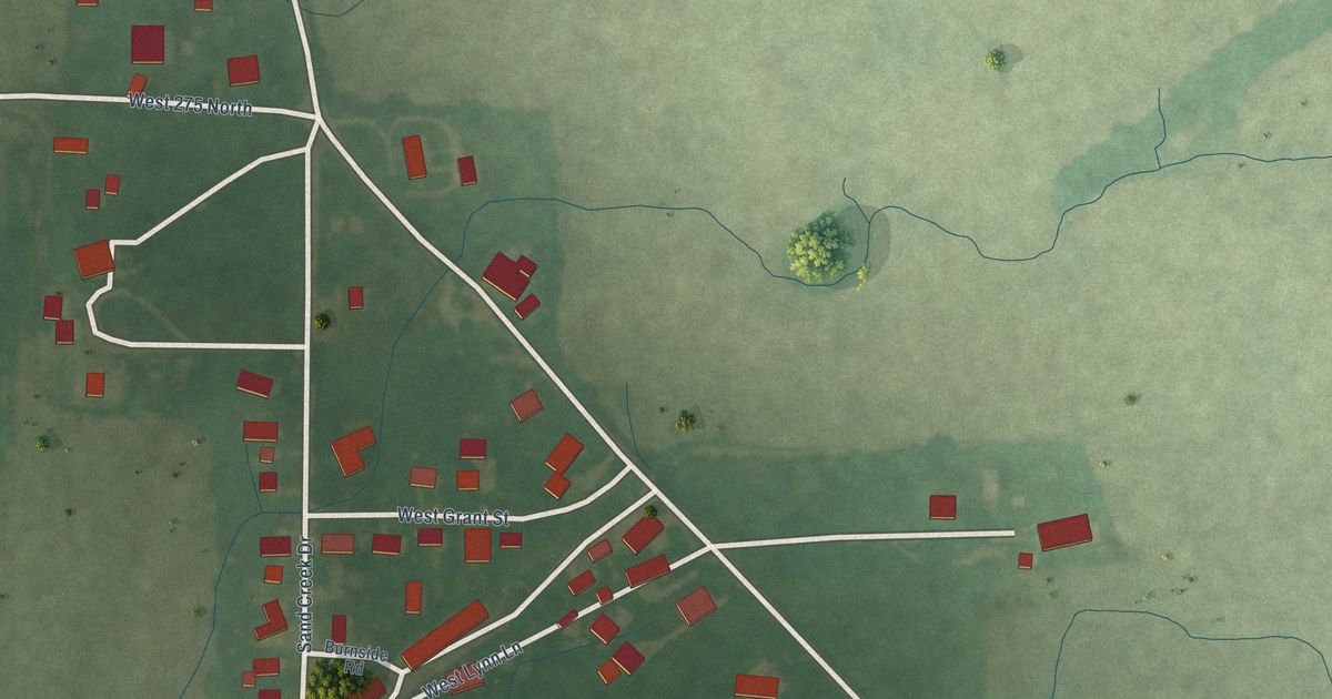
A detailed map of Boggstown, Indiana, showing every building in its true location, the roads by name, and shaded topographical relief.
Read More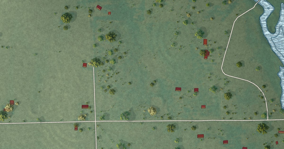
A detailed map of Duchess Landing, Oklahoma, showing every building in its true location, the roads by name, and shaded topographical relief.
Read More















