Detailed Map of Briartown, Oklahoma
A detailed map of Briartown, Oklahoma, showing every building in its true location, the roads by name, and shaded topographical relief.
Read More
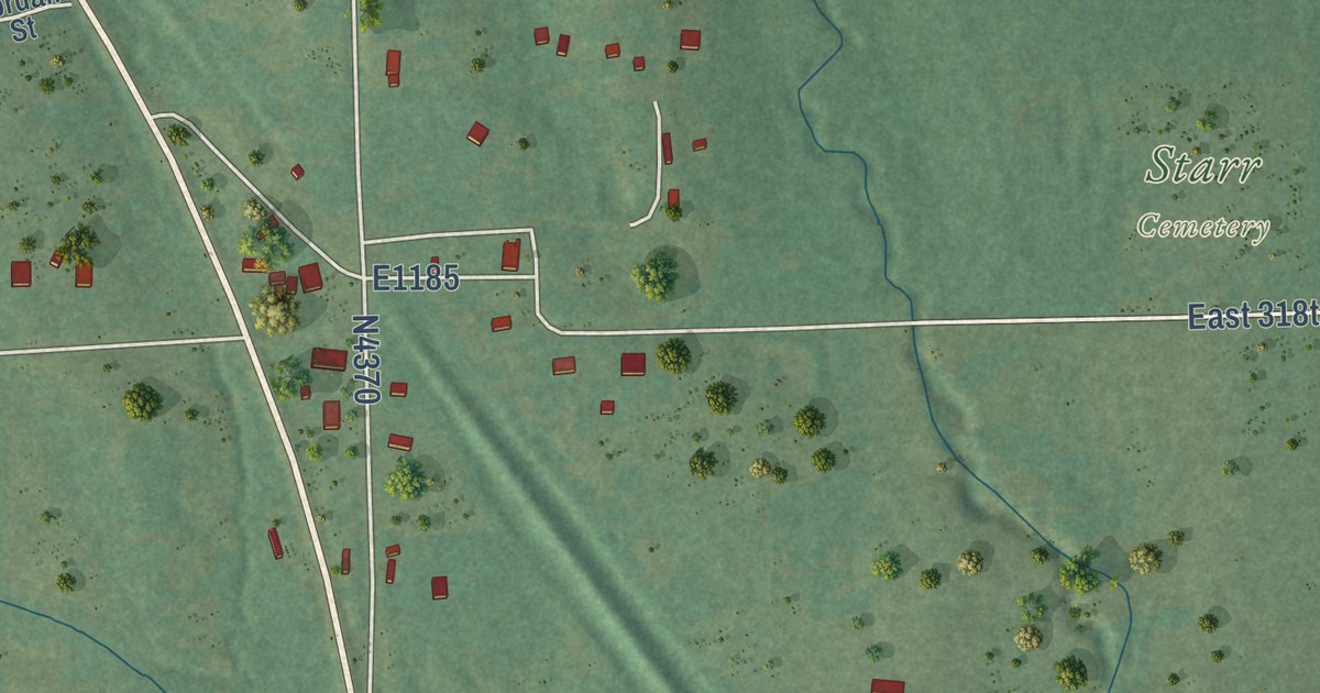
A detailed map of Briartown, Oklahoma, showing every building in its true location, the roads by name, and shaded topographical relief.
Read More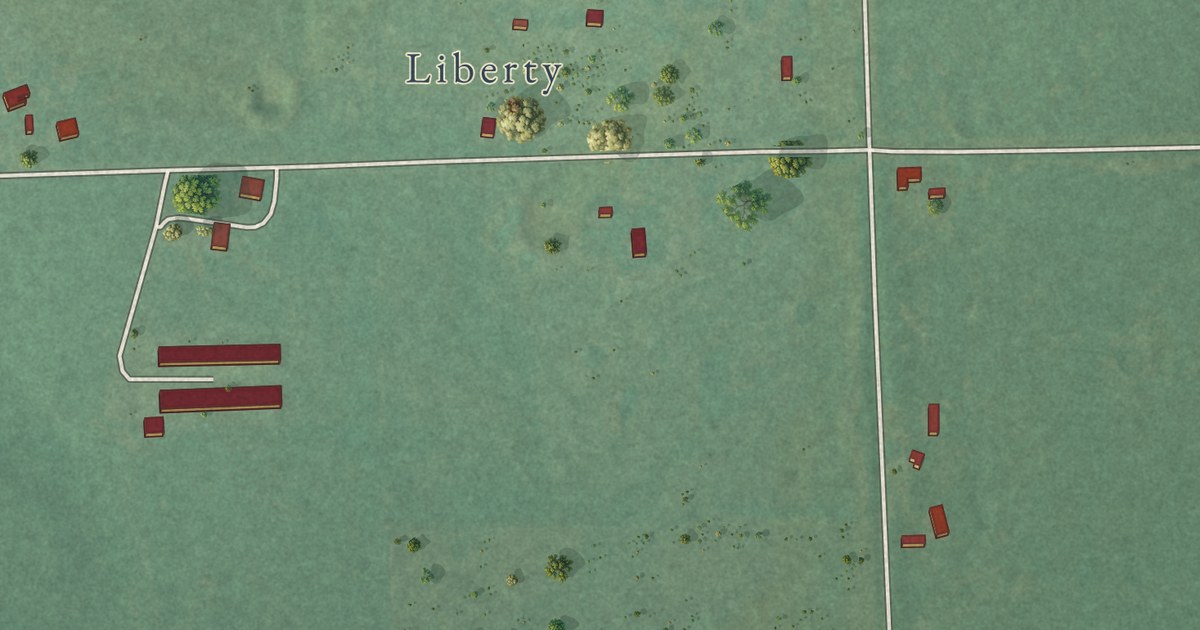
A detailed map of Johnson Prairie, Oklahoma, showing every building in its true location, the roads by name, and shaded topographical relief.
Read More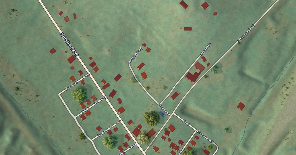
A detailed map of Westland, Pennsylvania, showing every building in its true location, the roads by name, and shaded topographical relief.
Read More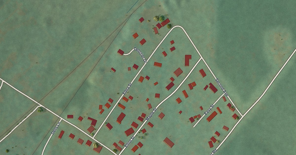
A detailed map of Vicksburg, Pennsylvania, showing every building in its true location, the roads by name, and shaded topographical relief.
Read More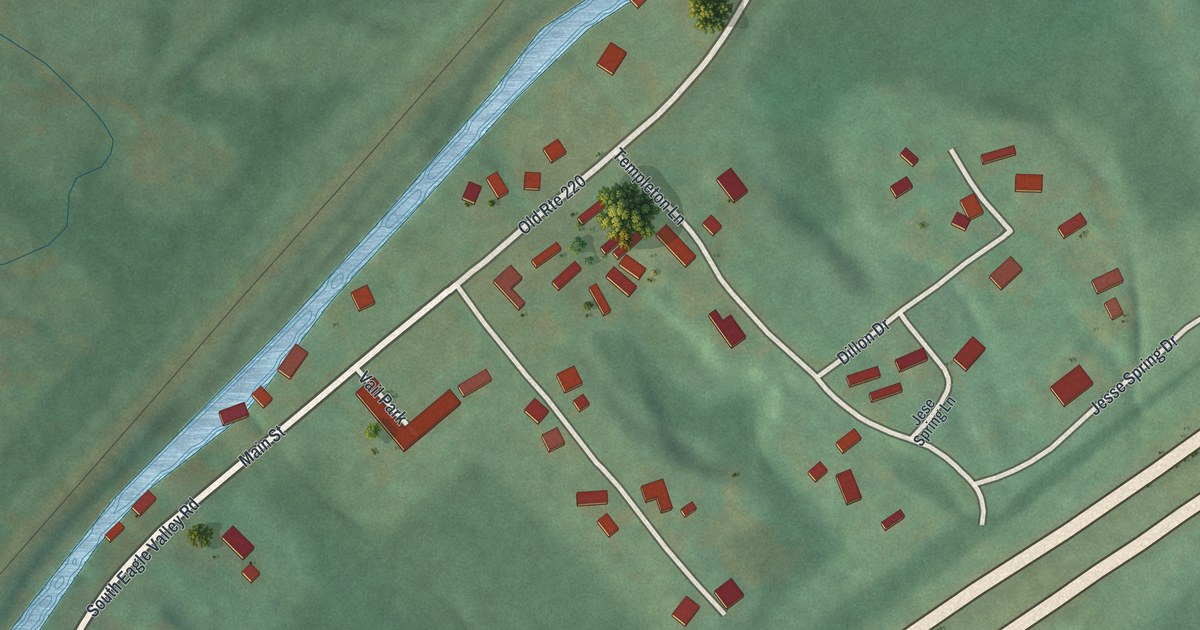
A detailed map of Vail, Pennsylvania, showing every building in its true location, the roads by name, and shaded topographical relief.
Read More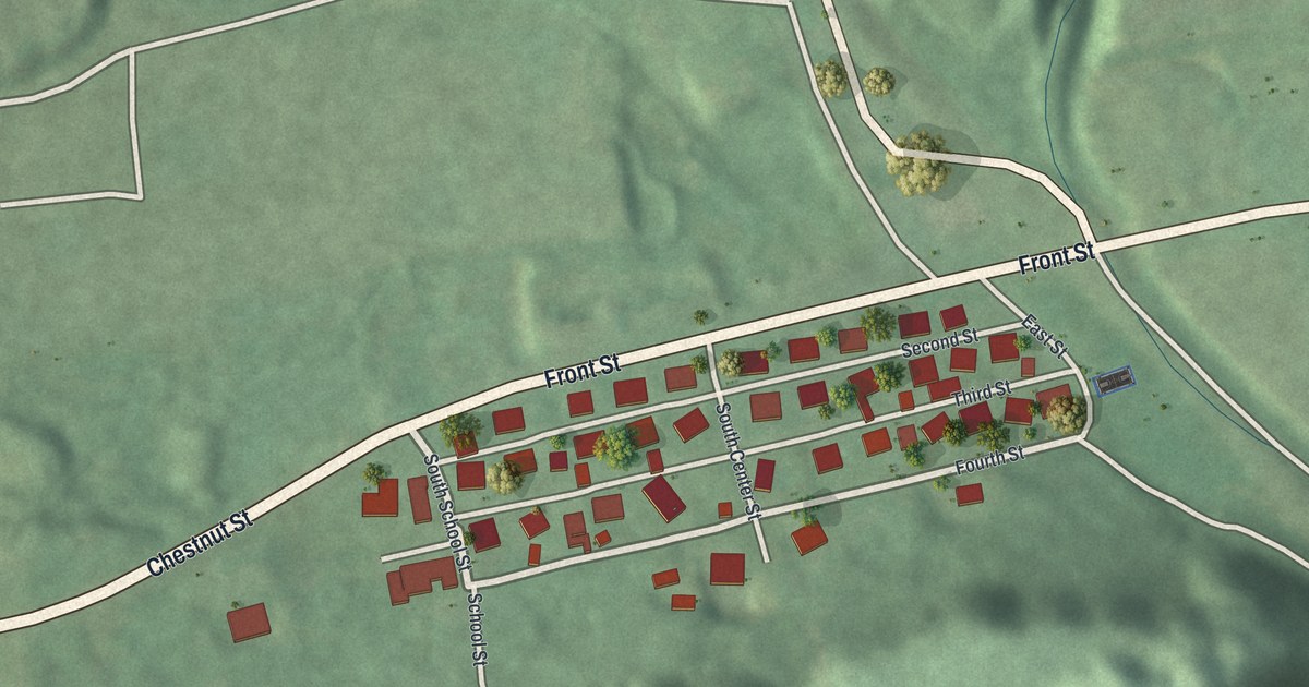
A detailed map of Strong, Pennsylvania, showing every building in its true location, the roads by name, and shaded topographical relief.
Read More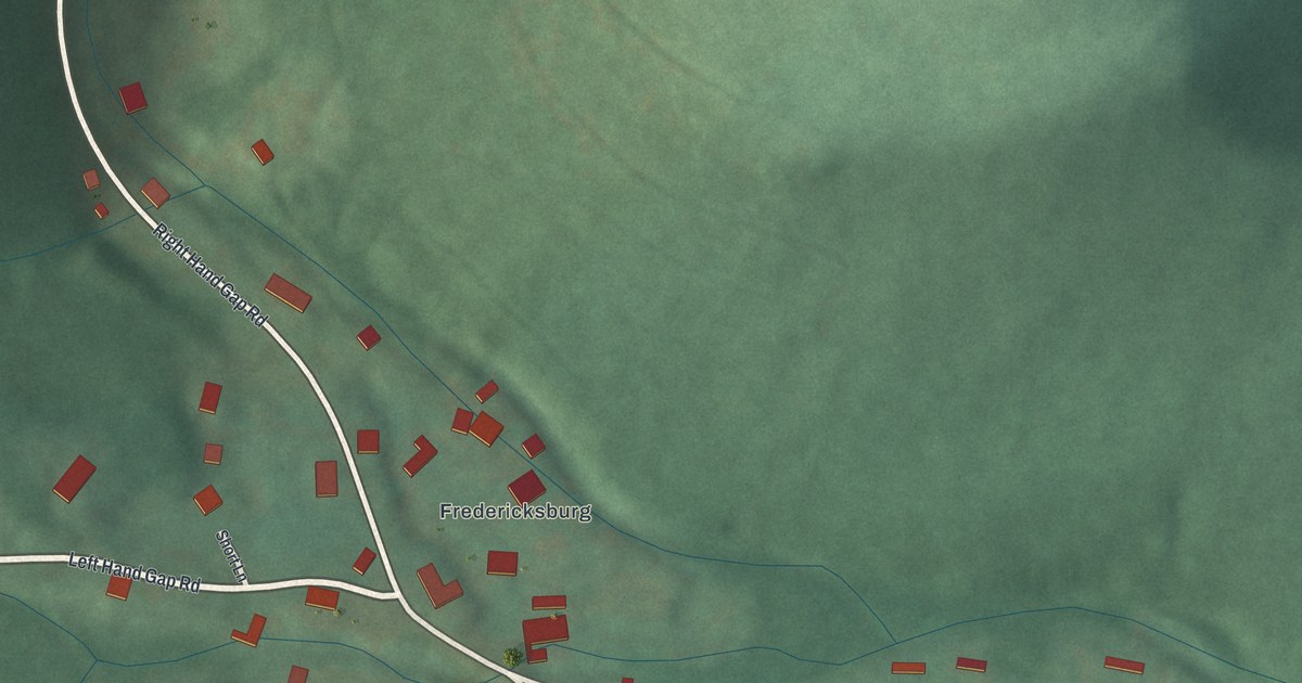
A detailed map of Ski Gap, Pennsylvania, showing every building in its true location, the roads by name, and shaded topographical relief.
Read More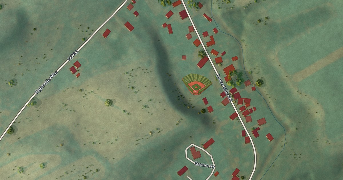
A detailed map of Siglerville, Pennsylvania, showing every building in its true location, the roads by name, and shaded topographical relief.
Read More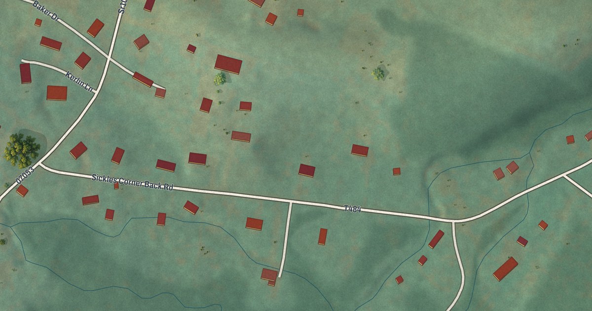
A detailed map of Sickles Corner, Pennsylvania, showing every building in its true location, the roads by name, and shaded topographical relief.
Read More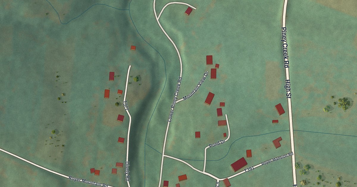
A detailed map of Royer, Pennsylvania, showing every building in its true location, the roads by name, and shaded topographical relief.
Read More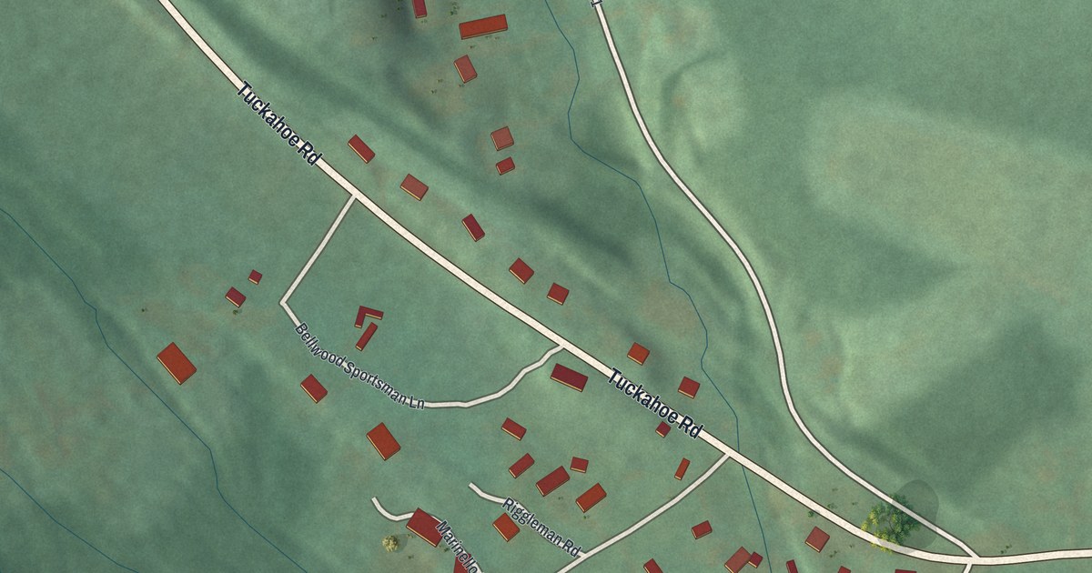
A detailed map of Roots, Pennsylvania, showing every building in its true location, the roads by name, and shaded topographical relief.
Read More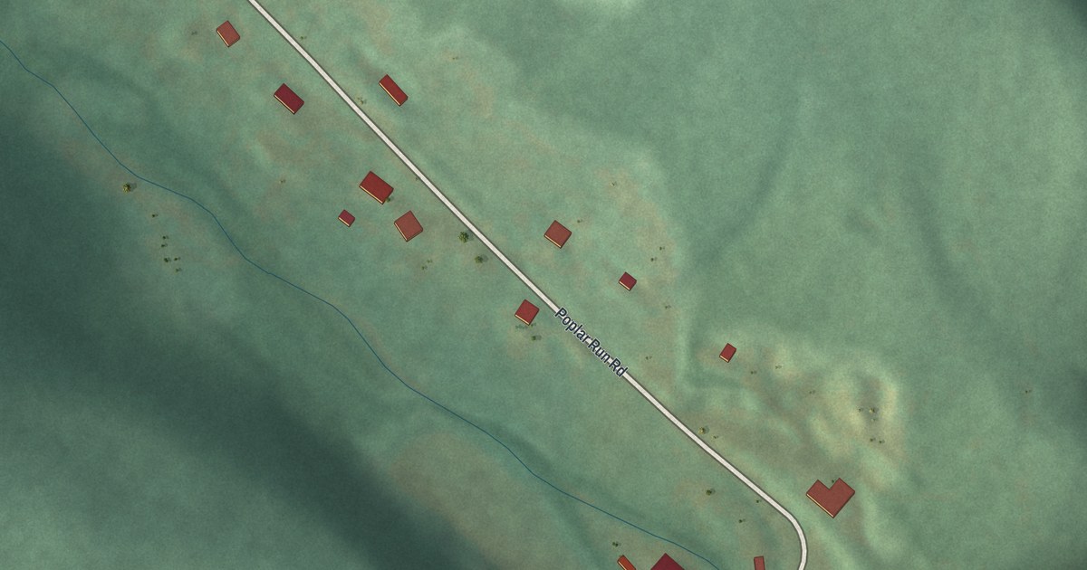
A detailed map of Puzzletown, Pennsylvania, showing every building in its true location, the roads by name, and shaded topographical relief.
Read More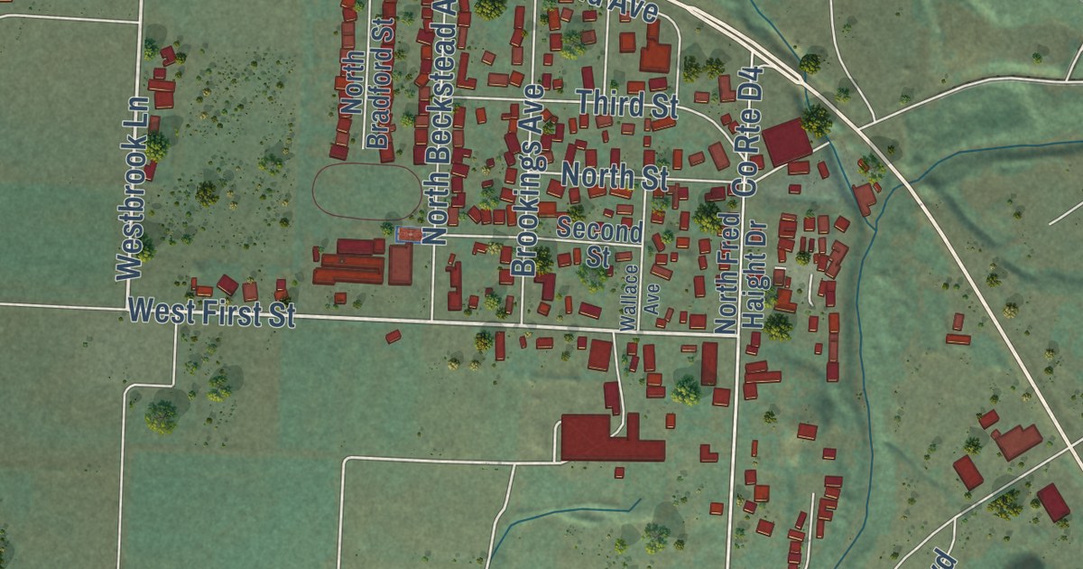
A detailed map of Smith River, California, showing every building in its true location, the roads by name, and shaded topographical relief.
Read More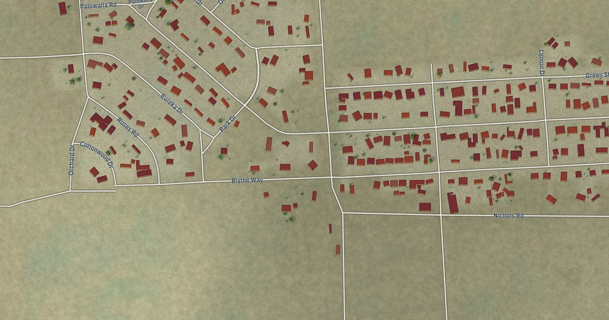
A detailed map of Mesa Verde, California, showing every building in its true location, the roads by name, and shaded topographical relief.
Read More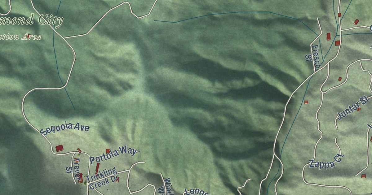
A detailed map of Lompico, California, showing every building in its true location, the roads by name, and shaded topographical relief.
Read More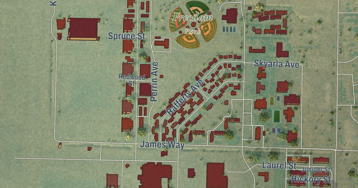
A detailed map of McClellan Park, California, showing every building in its true location, the roads by name, and shaded topographical relief.
Read More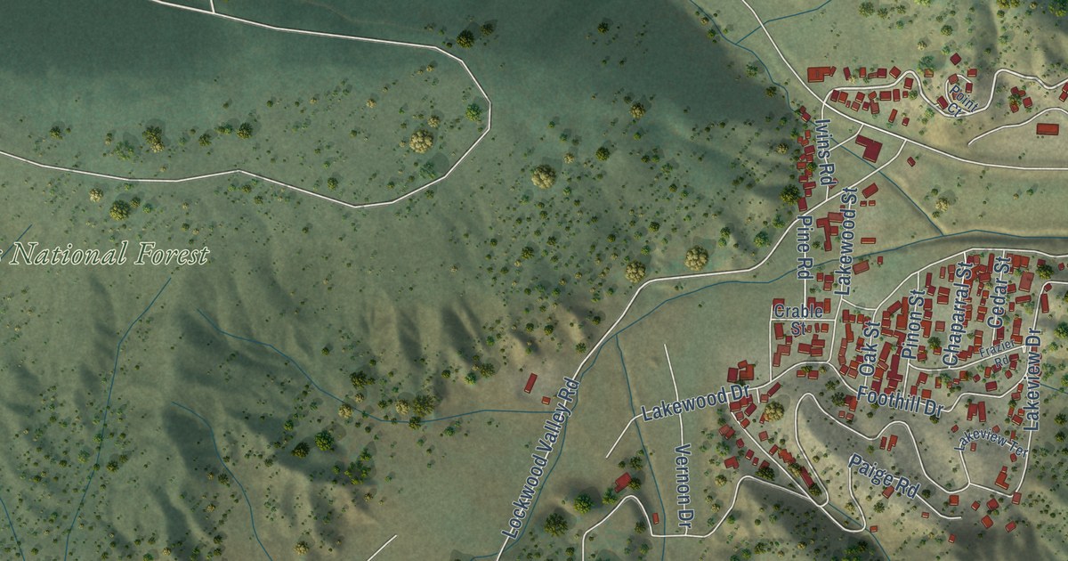
A detailed map of Lake of the Woods, California, showing every building in its true location, the roads by name, and shaded topographical relief.
Read More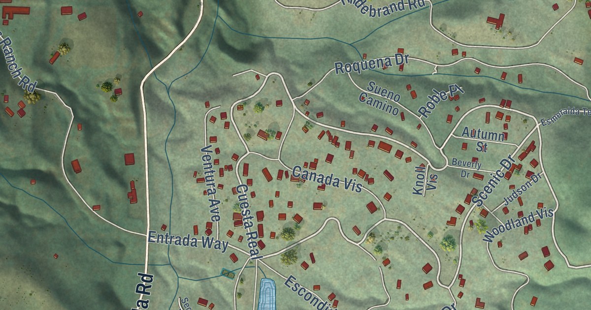
A detailed map of La Honda, California, showing every building in its true location, the roads by name, and shaded topographical relief.
Read More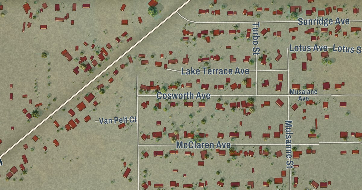
A detailed map of Dustin Acres, California, showing every building in its true location, the roads by name, and shaded topographical relief.
Read More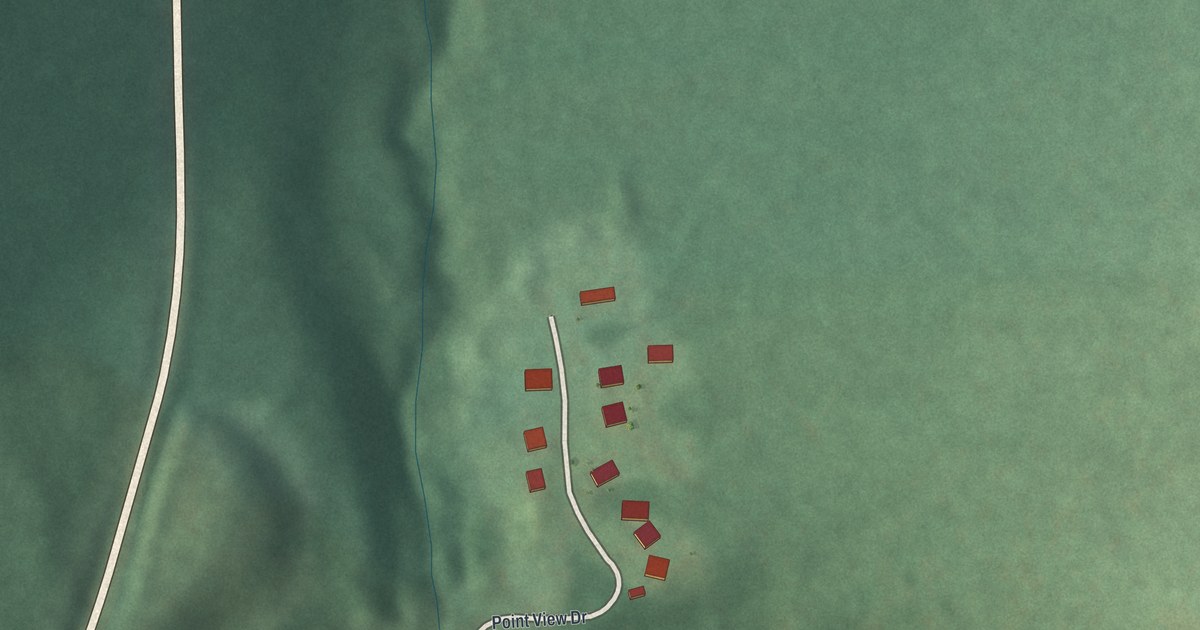
A detailed map of Point View, Pennsylvania, showing every building in its true location, the roads by name, and shaded topographical relief.
Read More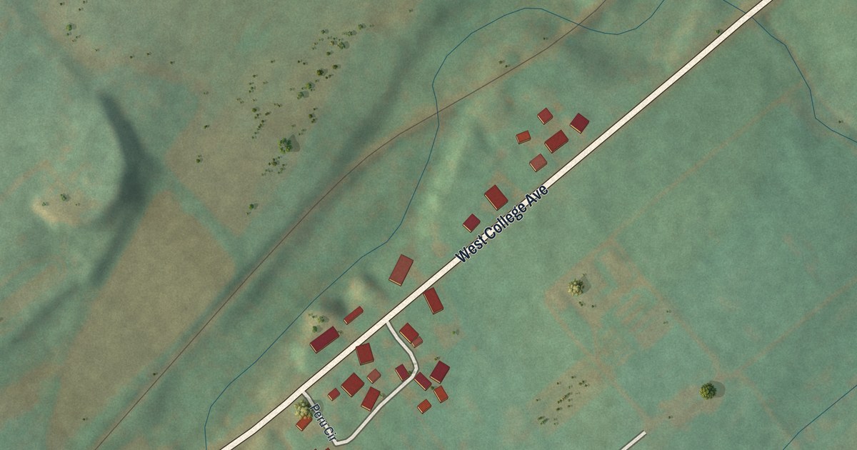
A detailed map of Peru, Pennsylvania, showing every building in its true location, the roads by name, and shaded topographical relief.
Read More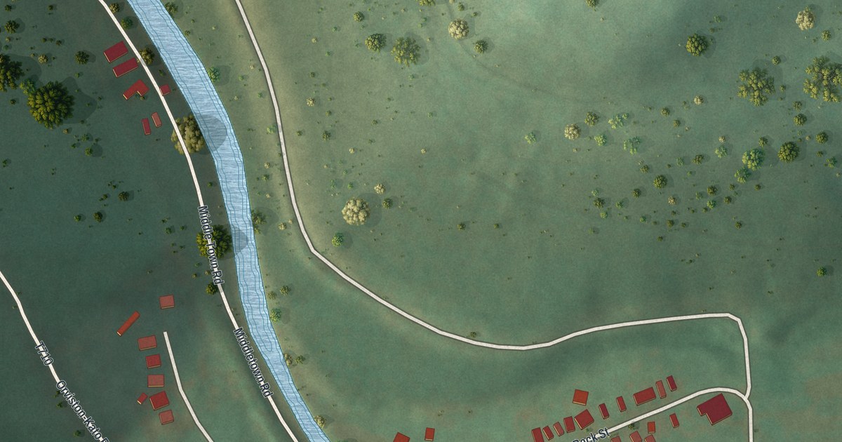
A detailed map of Orviston, Pennsylvania, showing every building in its true location, the roads by name, and shaded topographical relief.
Read More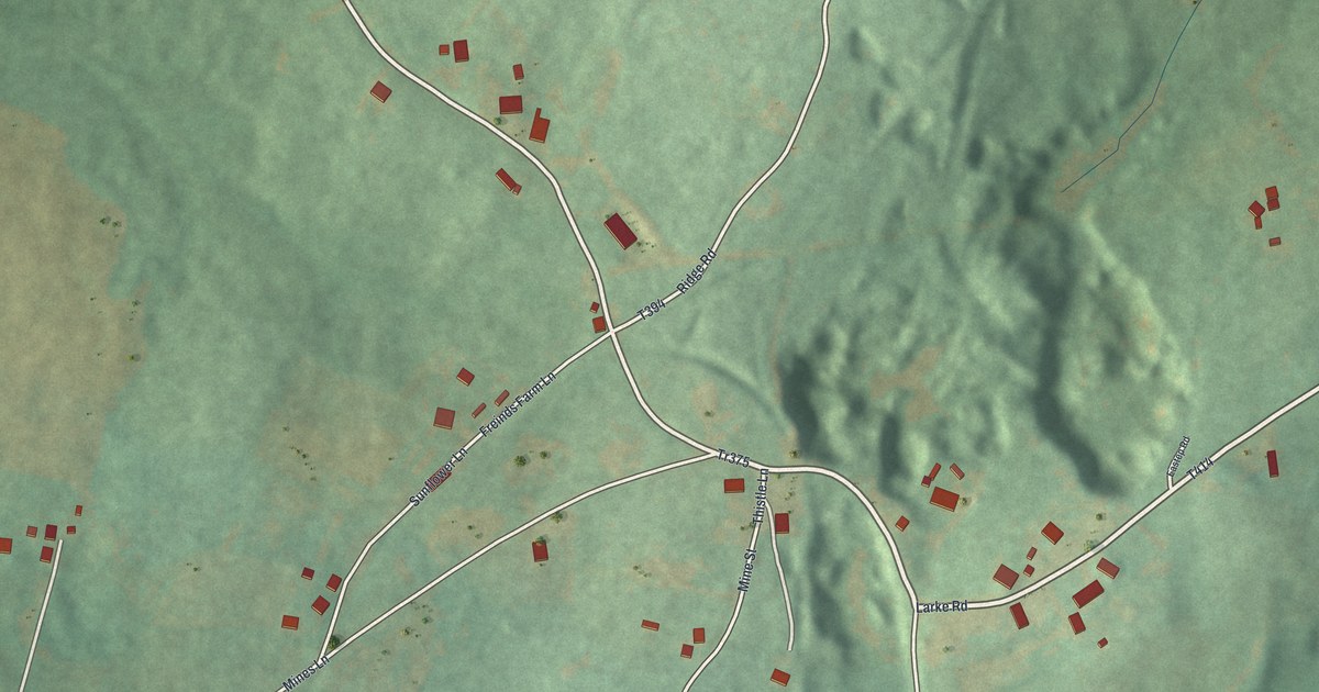
A detailed map of Oreminea, Pennsylvania, showing every building in its true location, the roads by name, and shaded topographical relief.
Read More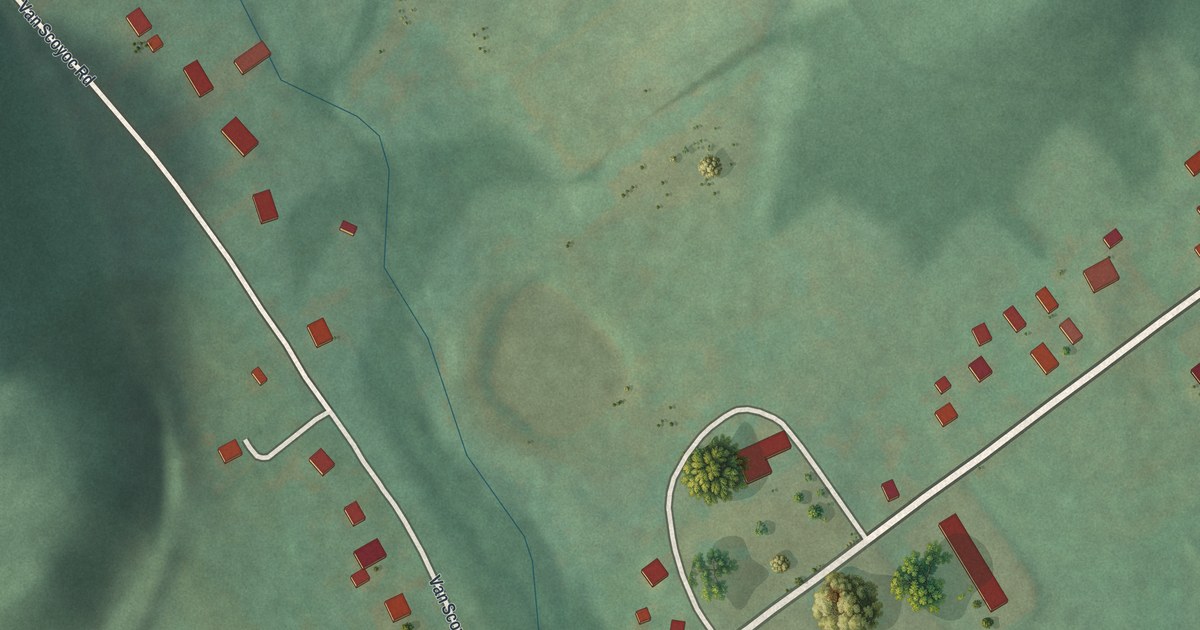
A detailed map of Olivia, Pennsylvania, showing every building in its true location, the roads by name, and shaded topographical relief.
Read More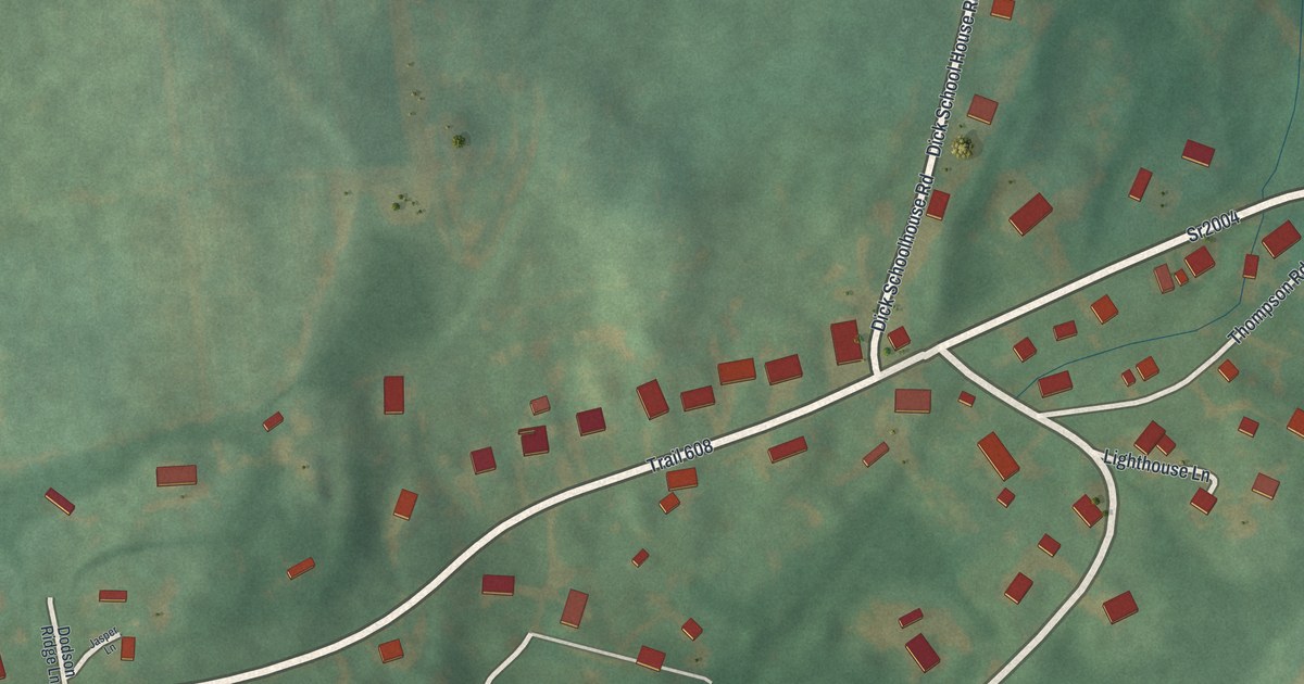
A detailed map of Ore Hill, Pennsylvania, showing every building in its true location, the roads by name, and shaded topographical relief.
Read More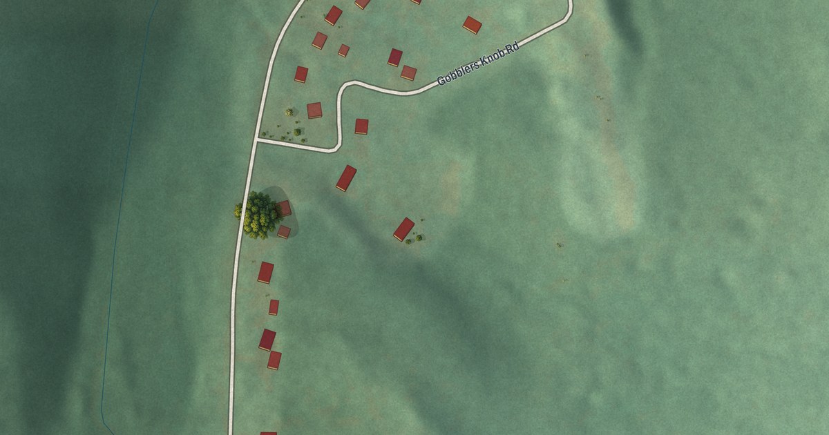
A detailed map of Moores Mill, Pennsylvania, showing every building in its true location, the roads by name, and shaded topographical relief.
Read More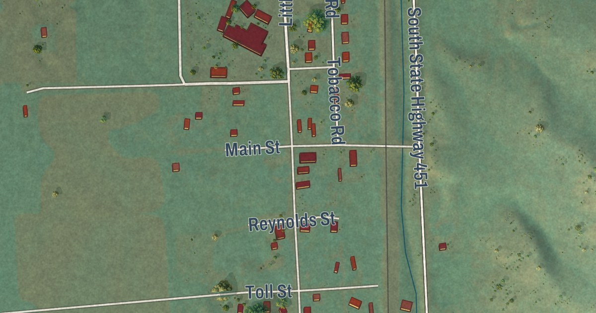
A detailed map of Wyola, Montana, showing every building in its true location, the roads by name, and shaded topographical relief.
Read More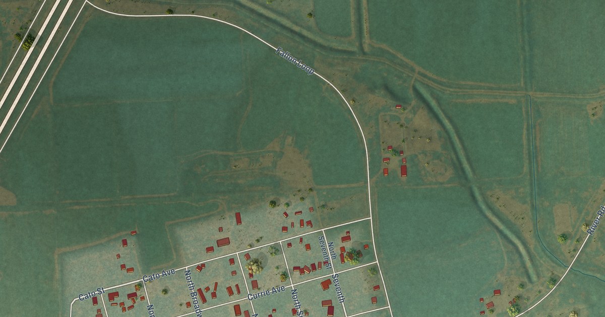
A detailed map of Fallon, Montana, showing every building in its true location, the roads by name, and shaded topographical relief.
Read More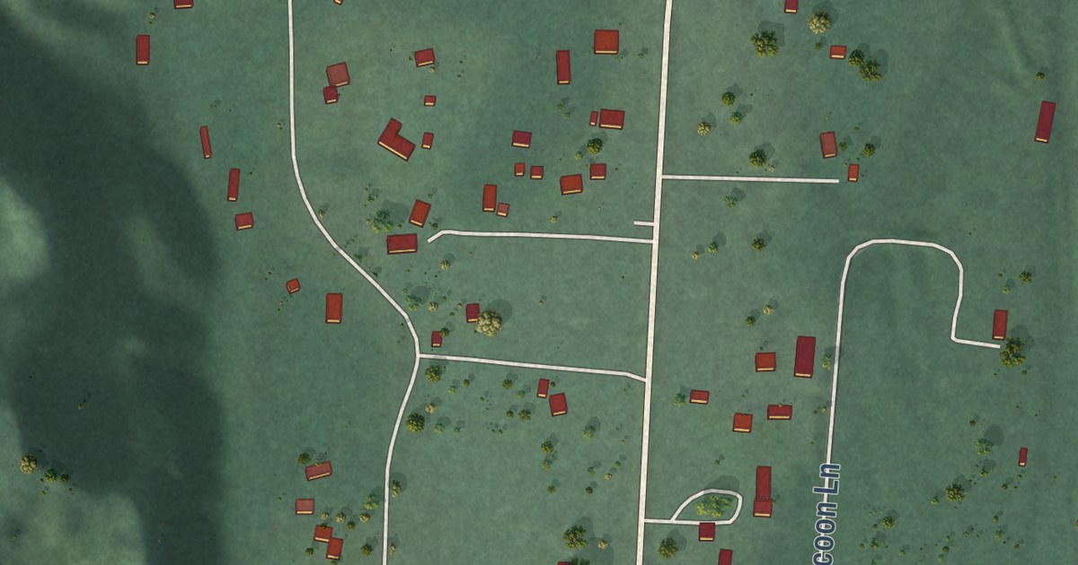
A detailed map of Belknap, Montana, showing every building in its true location, the roads by name, and shaded topographical relief.
Read More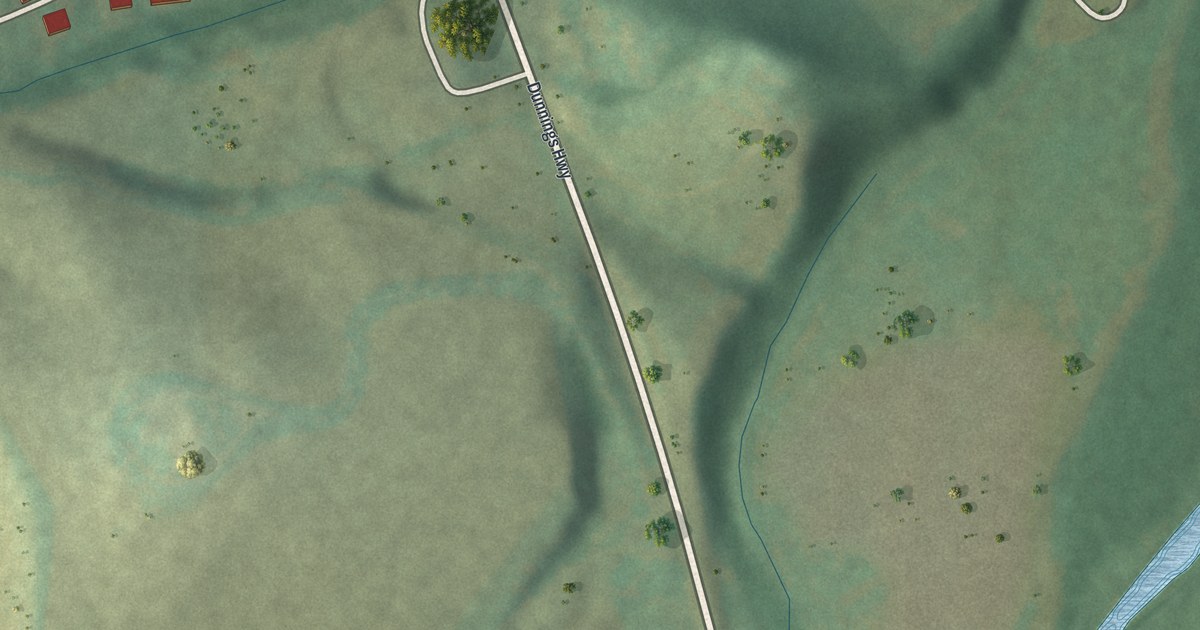
A detailed map of Leamersville, Pennsylvania, showing every building in its true location, the roads by name, and shaded topographical relief.
Read More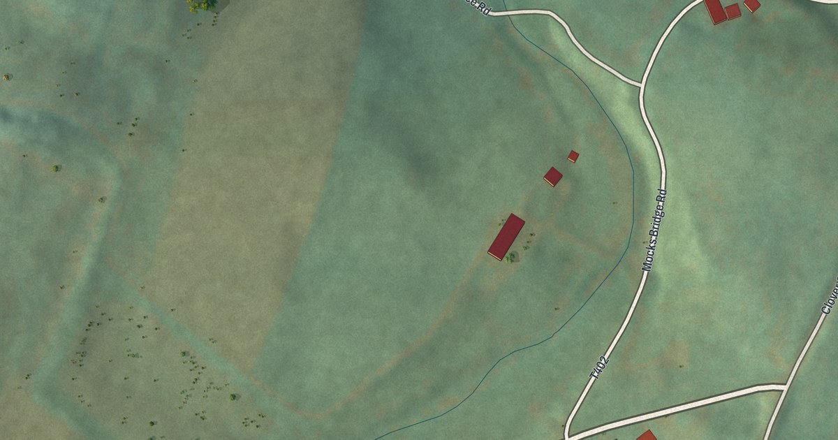
A detailed map of Larke, Pennsylvania, showing every building in its true location, the roads by name, and shaded topographical relief.
Read More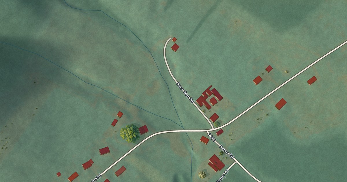
A detailed map of Jugtown, Pennsylvania, showing every building in its true location, the roads by name, and shaded topographical relief.
Read More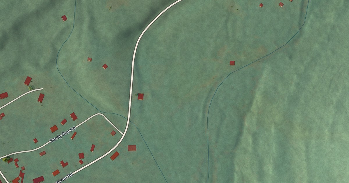
A detailed map of Jamison City, Pennsylvania, showing every building in its true location, the roads by name, and shaded topographical relief.
Read More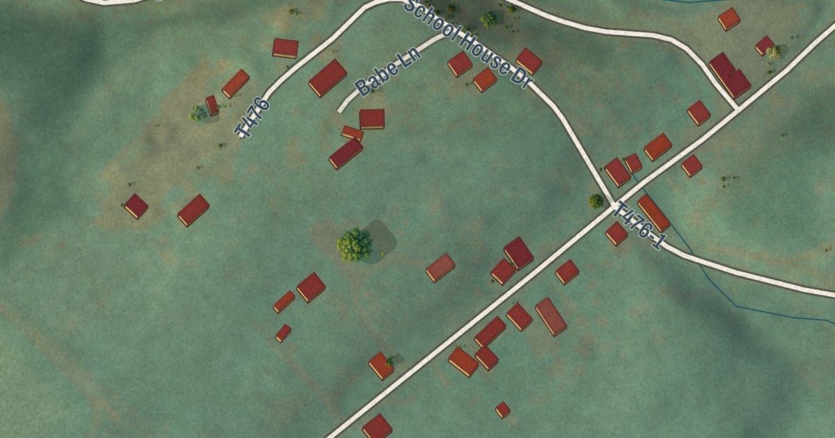
A detailed map of Jacksonville, Pennsylvania, showing every building in its true location, the roads by name, and shaded topographical relief.
Read More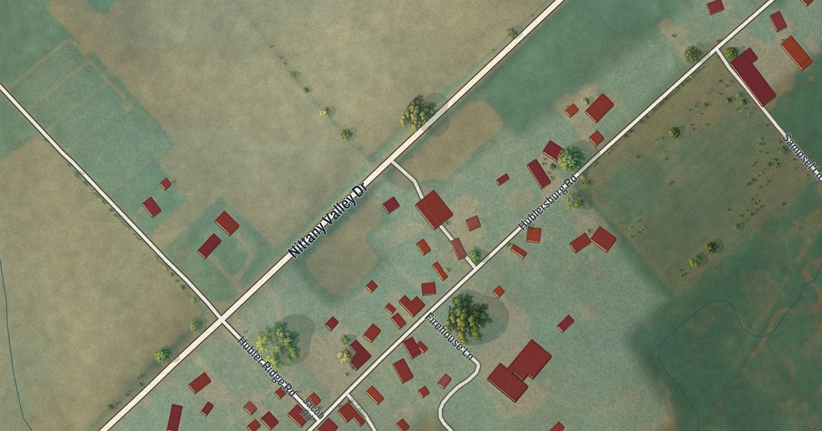
A detailed map of Hublersburg, Pennsylvania, showing every building in its true location, the roads by name, and shaded topographical relief.
Read More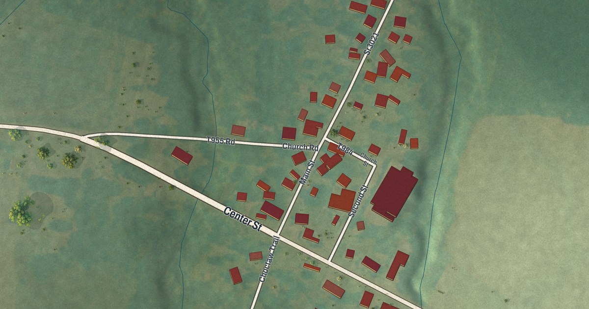
A detailed map of Geneva, Pennsylvania, showing every building in its true location, the roads by name, and shaded topographical relief.
Read More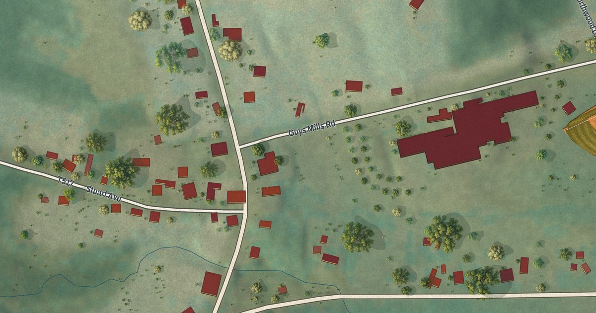
A detailed map of Guys Mills, Pennsylvania, showing every building in its true location, the roads by name, and shaded topographical relief.
Read More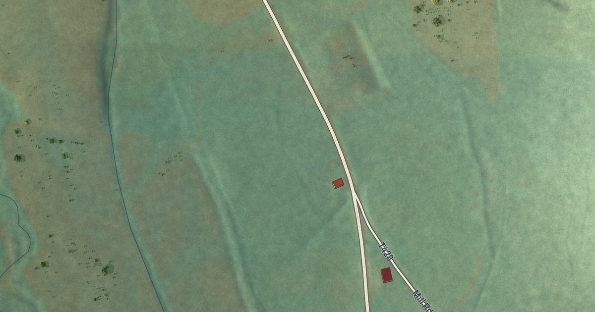
A detailed map of Eyers Grove, Pennsylvania, showing every building in its true location, the roads by name, and shaded topographical relief.
Read More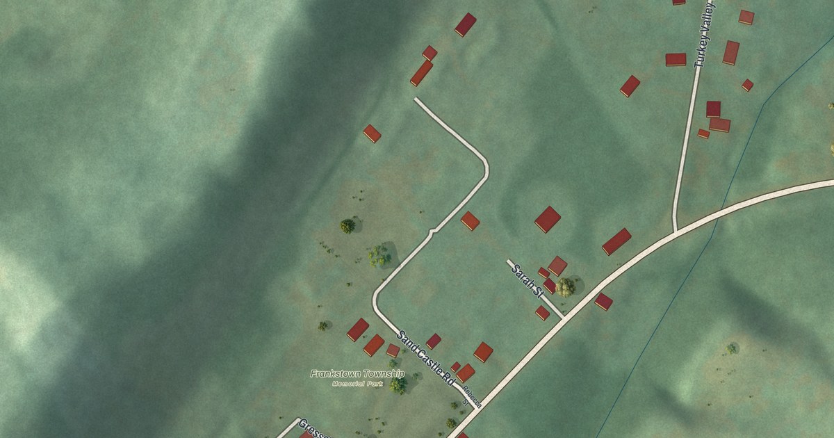
A detailed map of Geeseytown, Pennsylvania, showing every building in its true location, the roads by name, and shaded topographical relief.
Read More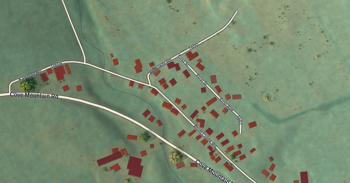
A detailed map of East Sharpsburg, Pennsylvania, showing every building in its true location, the roads by name, and shaded topographical relief.
Read More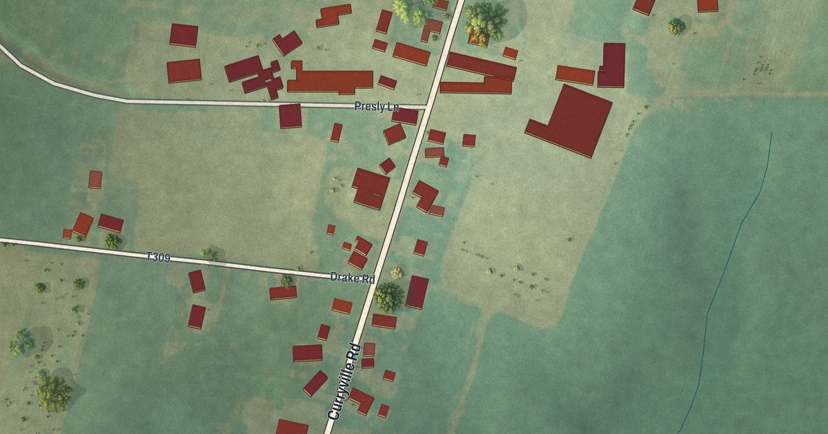
A detailed map of Curryville, Pennsylvania, showing every building in its true location, the roads by name, and shaded topographical relief.
Read More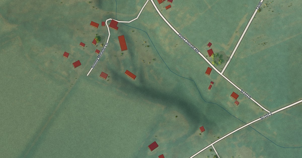
A detailed map of Culp, Pennsylvania, showing every building in its true location, the roads by name, and shaded topographical relief.
Read More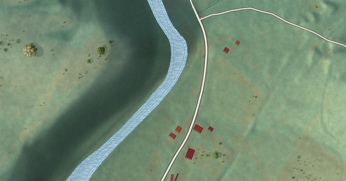
A detailed map of Cove Forge, Pennsylvania, showing every building in its true location, the roads by name, and shaded topographical relief.
Read More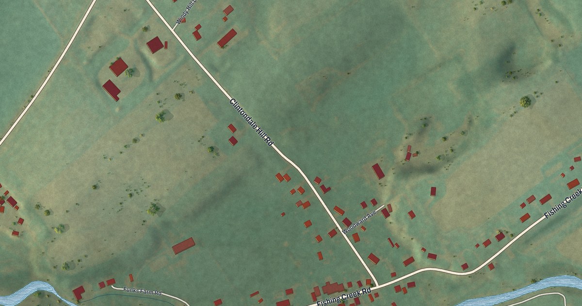
A detailed map of Clintondale, Pennsylvania, showing every building in its true location, the roads by name, and shaded topographical relief.
Read More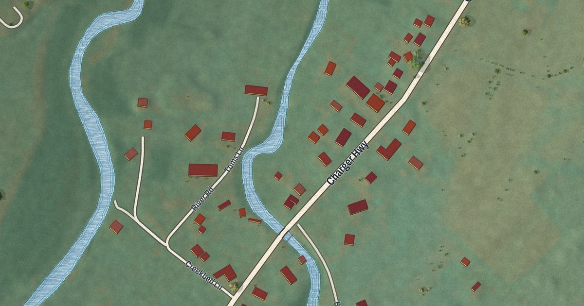
A detailed map of Brooks Mill, Pennsylvania, showing every building in its true location, the roads by name, and shaded topographical relief.
Read More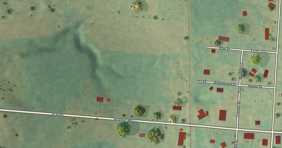
A detailed map of Atlantic, Pennsylvania, showing every building in its true location, the roads by name, and shaded topographical relief.
Read More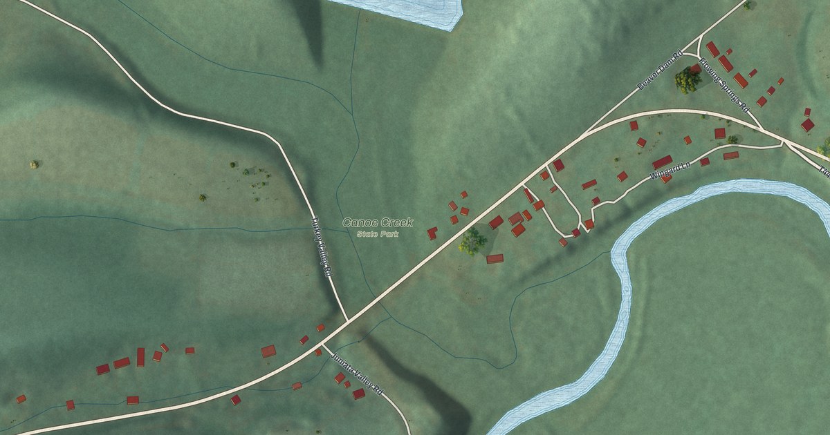
A detailed map of Canoe Creek, Pennsylvania, showing every building in its true location, the roads by name, and shaded topographical relief.
Read More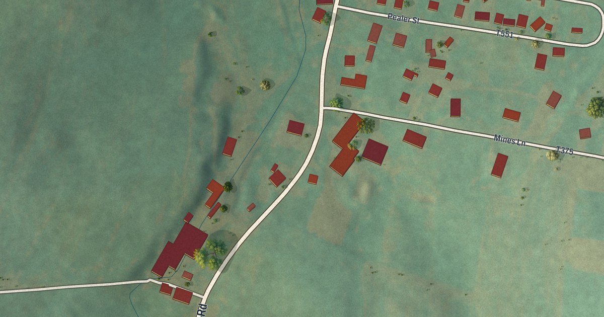
A detailed map of Clappertown, Pennsylvania, showing every building in its true location, the roads by name, and shaded topographical relief.
Read More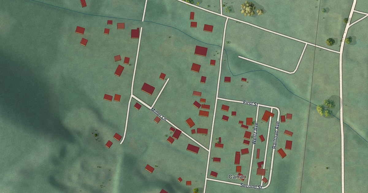
A detailed map of Canan Station, Pennsylvania, showing every building in its true location, the roads by name, and shaded topographical relief.
Read More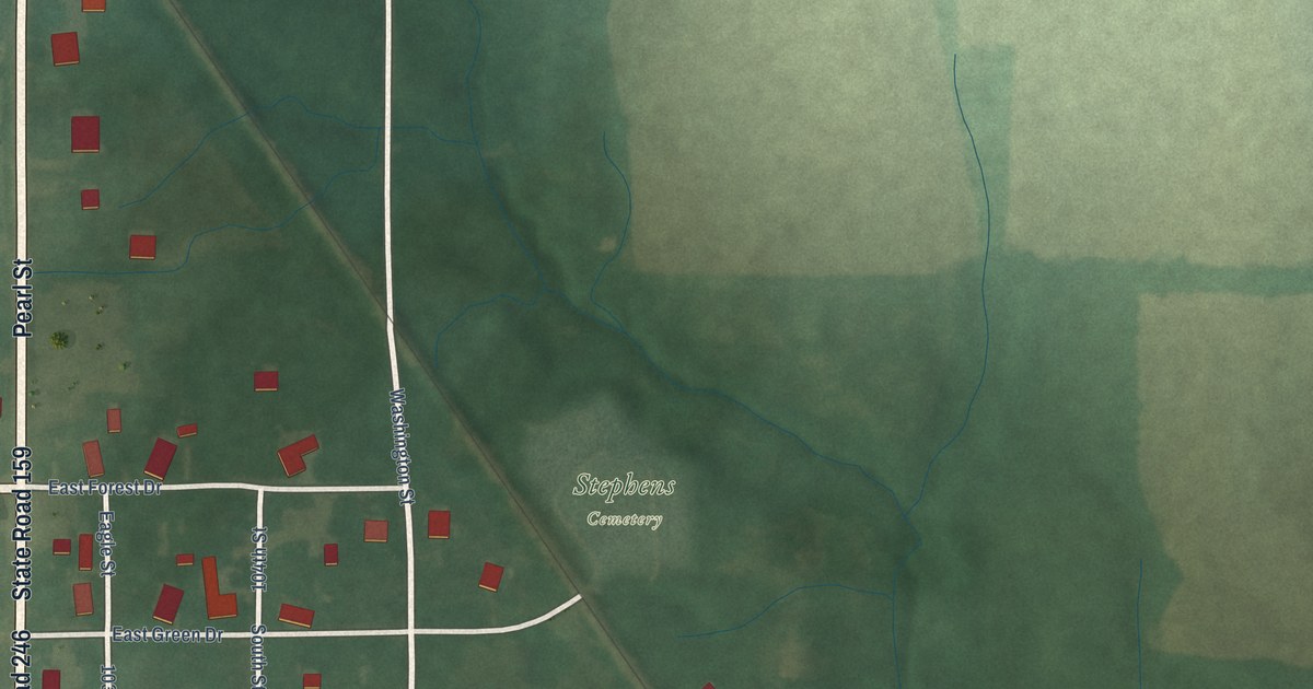
A detailed map of Lewis, Indiana, showing every building in its true location, the roads by name, and shaded topographical relief.
Read More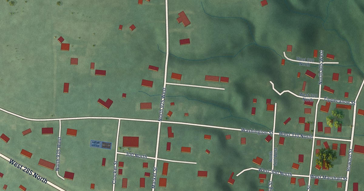
A detailed map of Pittsburg, Indiana, showing every building in its true location, the roads by name, and shaded topographical relief.
Read More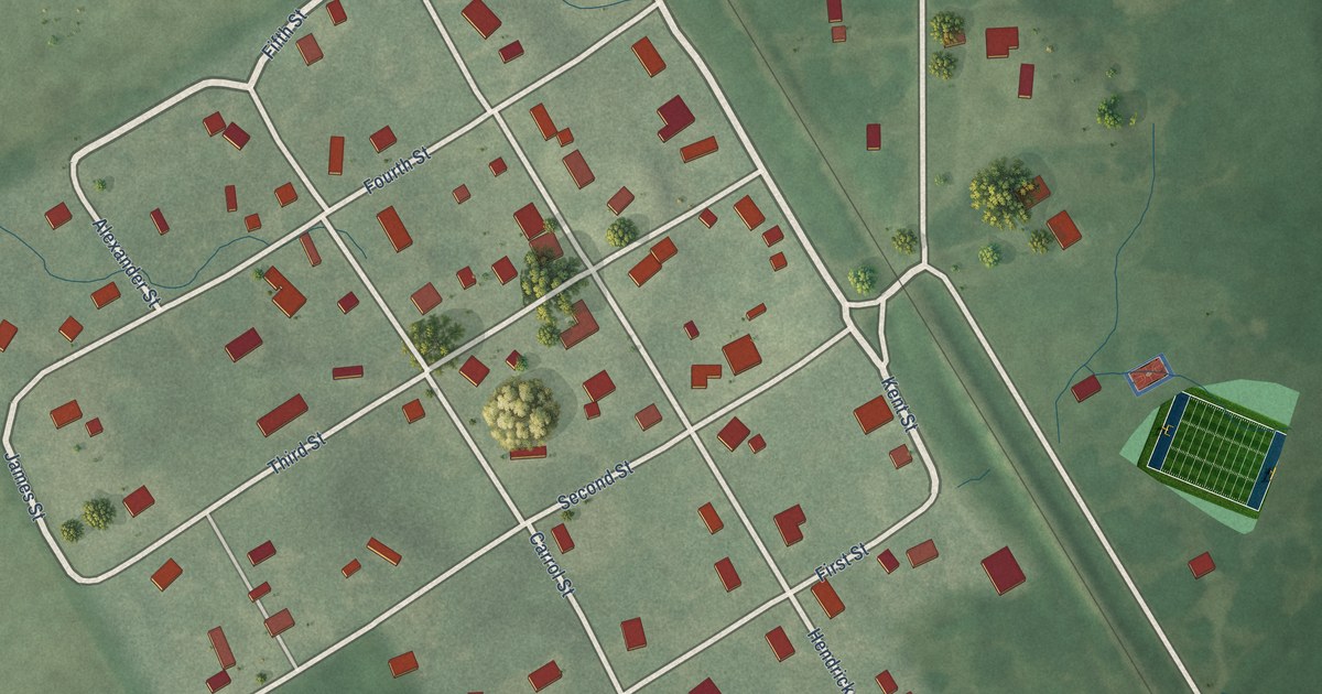
A detailed map of Fair Oaks, Indiana, showing every building in its true location, the roads by name, and shaded topographical relief.
Read More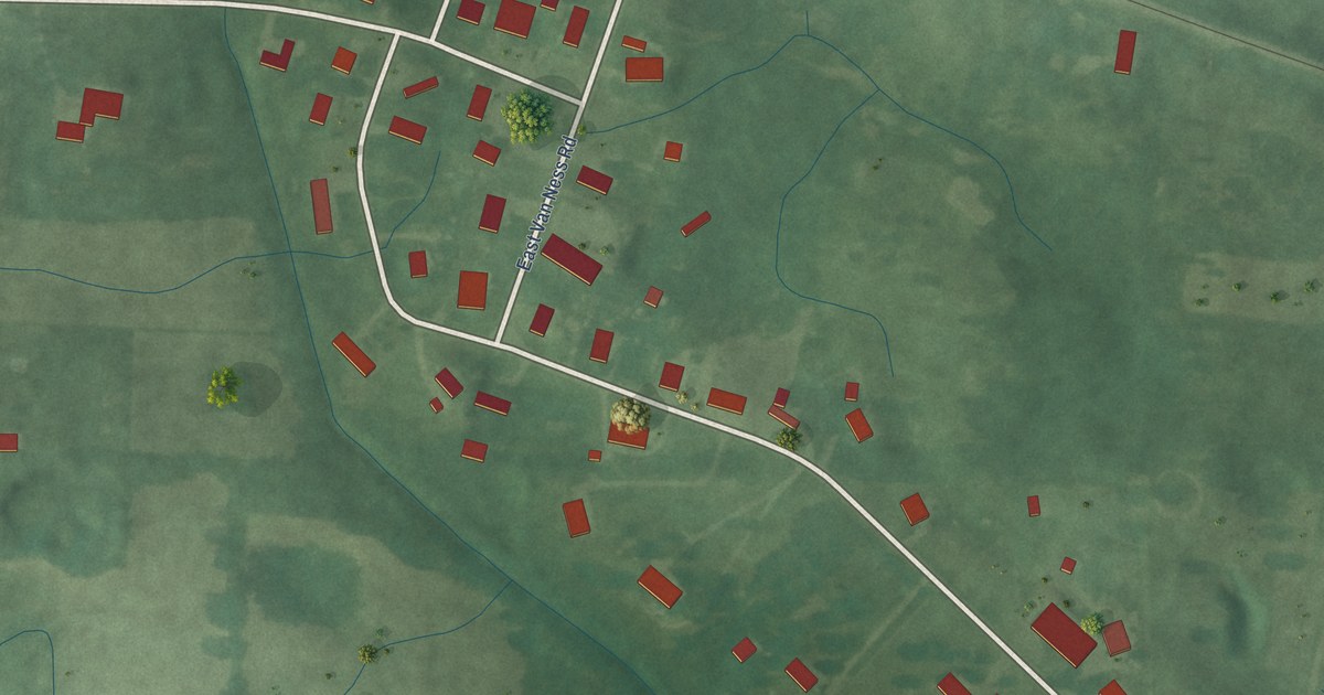
A detailed map of Wooster, Indiana, showing every building in its true location, the roads by name, and shaded topographical relief.
Read More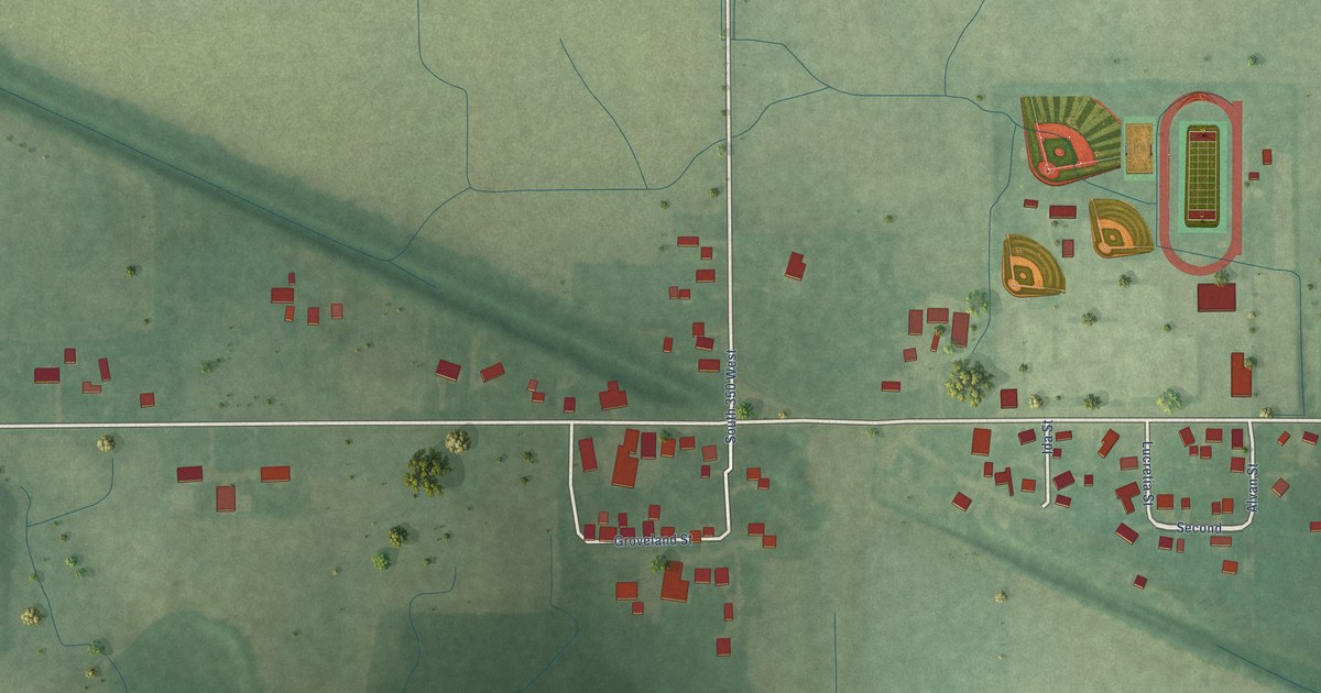
A detailed map of Boone Grove, Indiana, showing every building in its true location, the roads by name, and shaded topographical relief.
Read More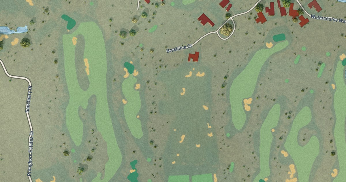
A detailed map of Pronghorn, Oregon, showing every building in its true location, the roads by name, and shaded topographical relief.
Read More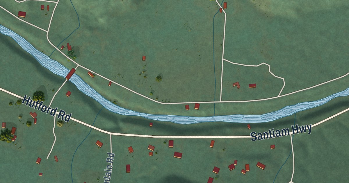
A detailed map of Cascadia, Oregon, showing every building in its true location, the roads by name, and shaded topographical relief.
Read More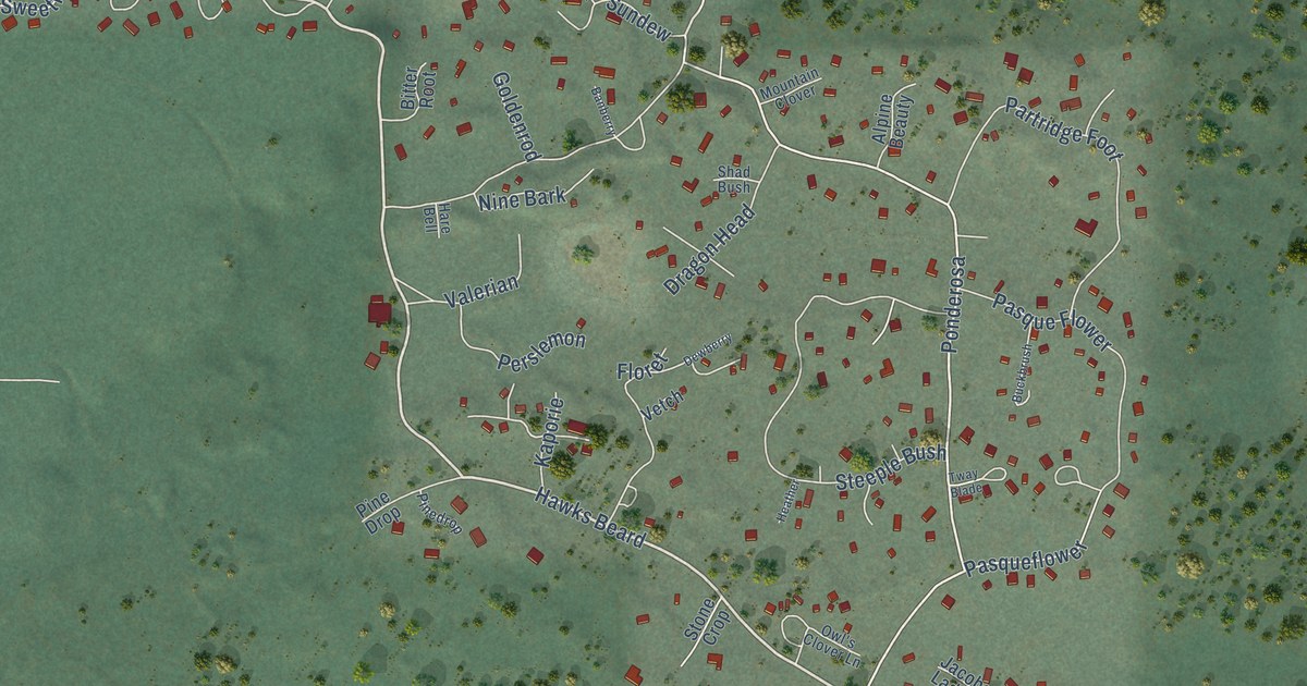
A detailed map of Black Butte Ranch, Oregon, showing every building in its true location, the roads by name, and shaded topographical relief.
Read More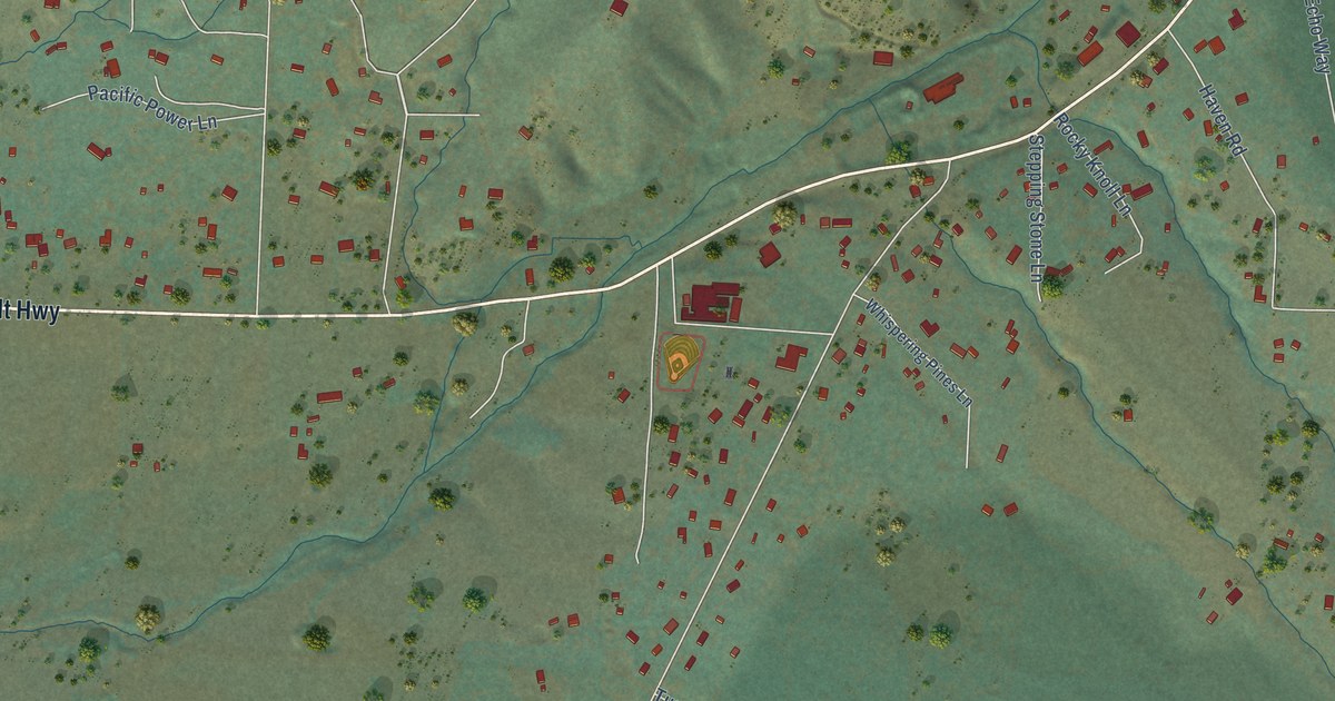
A detailed map of Ruch, Oregon, showing every building in its true location, the roads by name, and shaded topographical relief.
Read More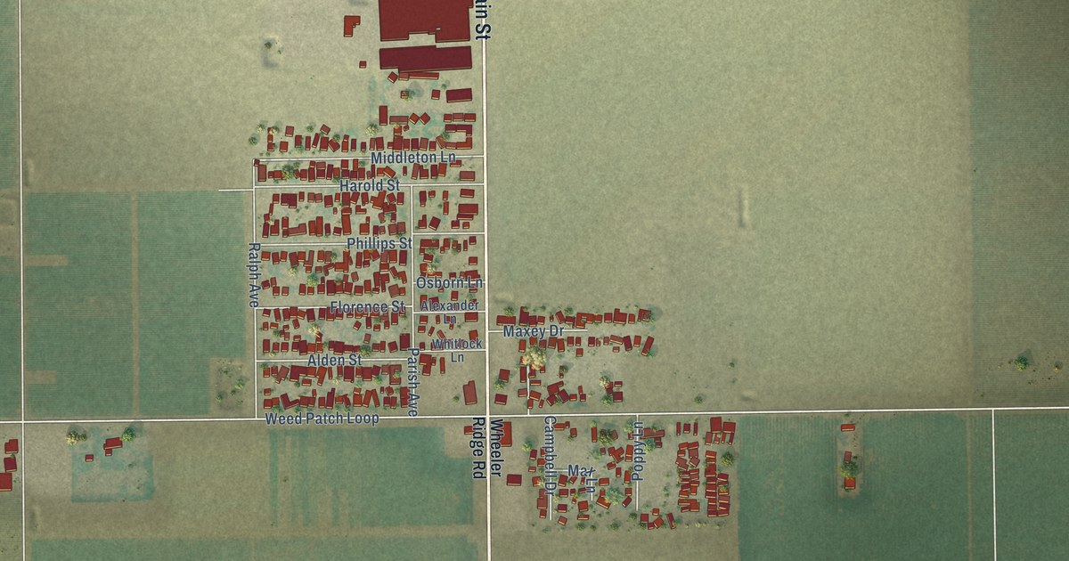
A detailed map of Weedpatch, California, showing every building in its true location, the roads by name, and shaded topographical relief.
Read More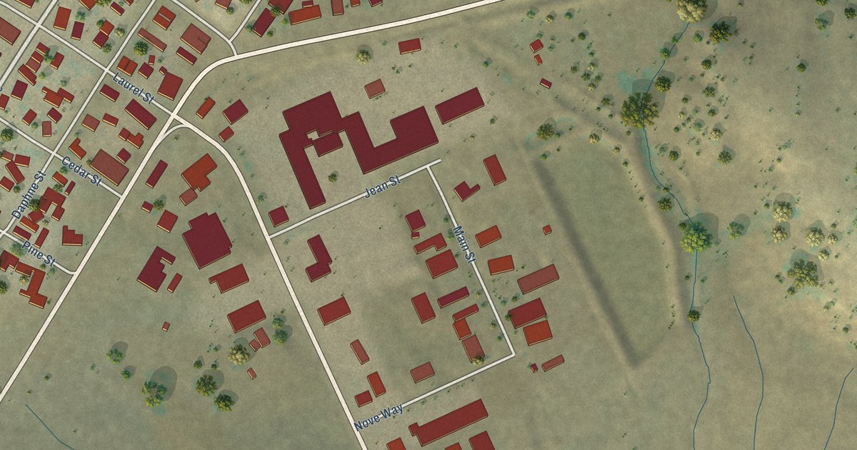
A detailed map of Valley Springs, California, showing every building in its true location, the roads by name, and shaded topographical relief.
Read More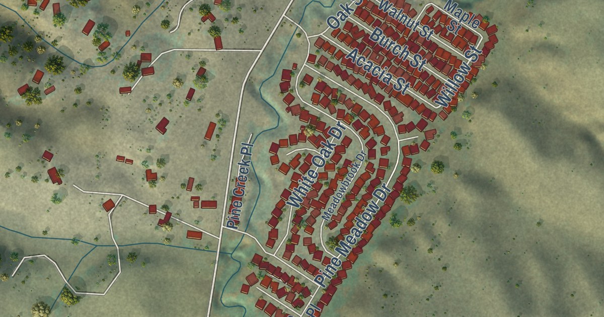
A detailed map of Pine Canyon, California, showing every building in its true location, the roads by name, and shaded topographical relief.
Read More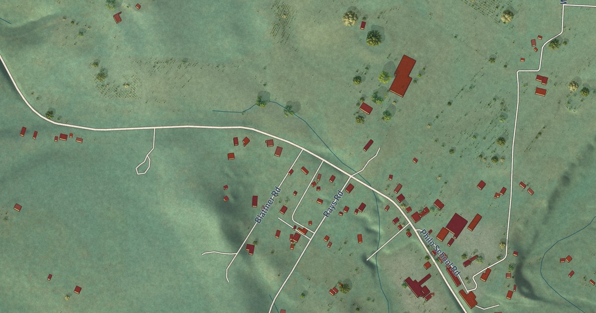
A detailed map of Philo, California, showing every building in its true location, the roads by name, and shaded topographical relief.
Read More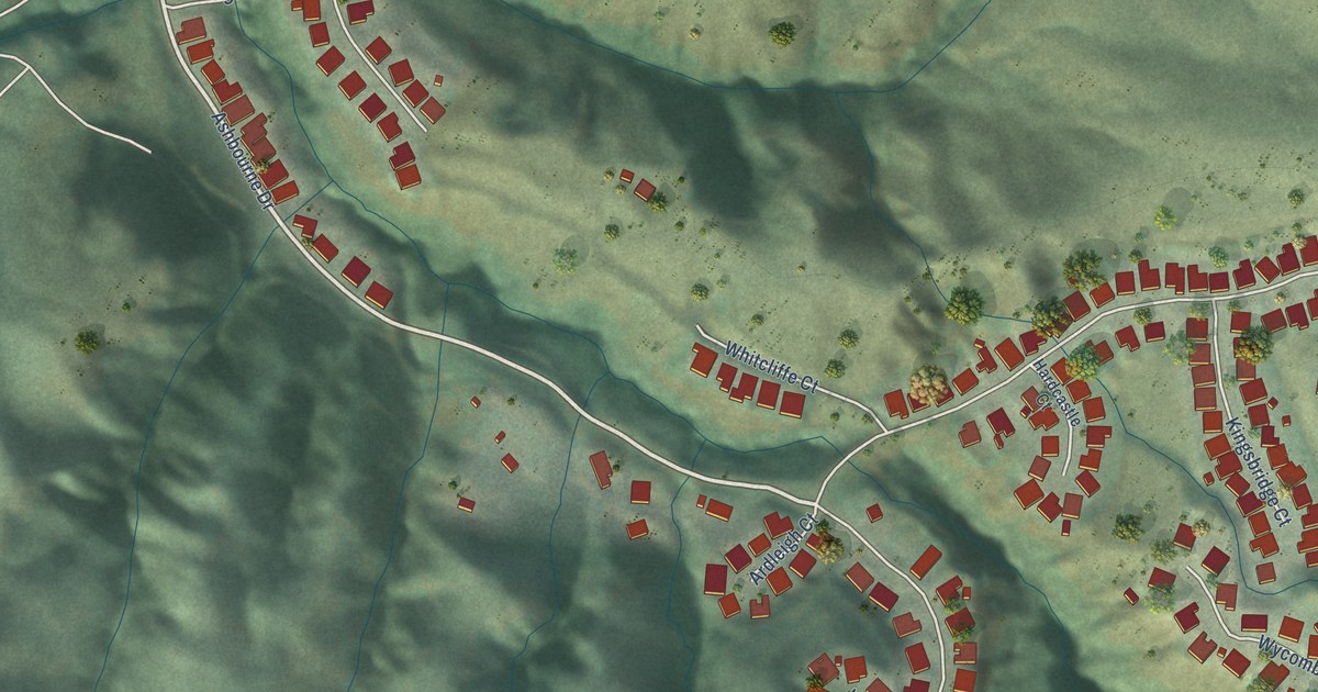
A detailed map of Norris Canyon, California, showing every building in its true location, the roads by name, and shaded topographical relief.
Read More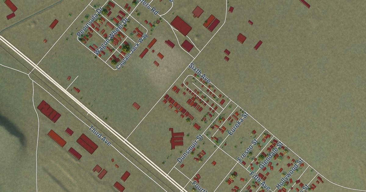
A detailed map of Newell, California, showing every building in its true location, the roads by name, and shaded topographical relief.
Read More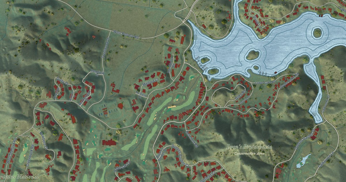
A detailed map of Lake Sherwood, California, showing every building in its true location, the roads by name, and shaded topographical relief.
Read More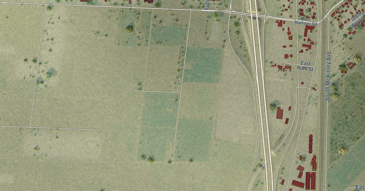
A detailed map of French Camp, California, showing every building in its true location, the roads by name, and shaded topographical relief.
Read More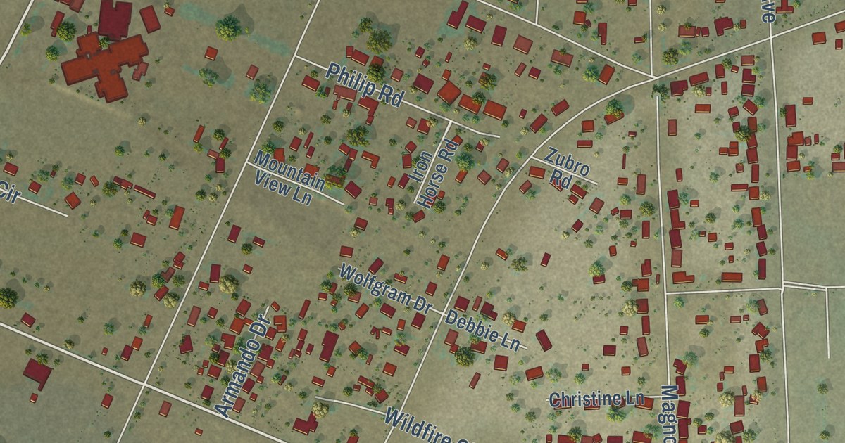
A detailed map of Lakeview, California, showing every building in its true location, the roads by name, and shaded topographical relief.
Read More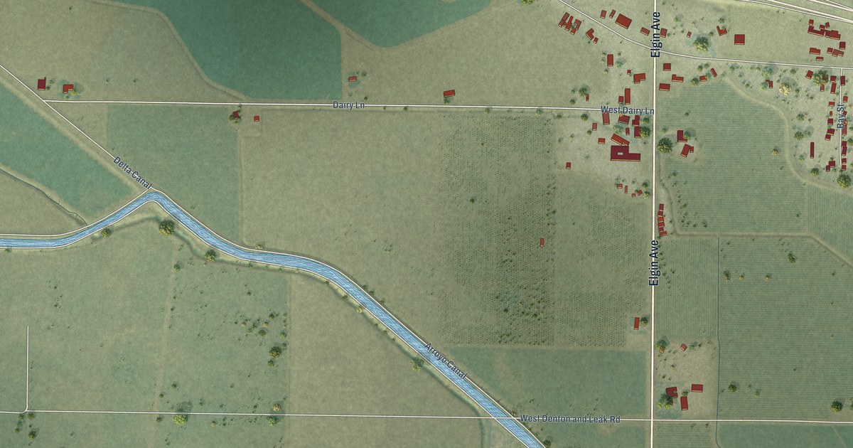
A detailed map of Dos Palos Y, California, showing every building in its true location, the roads by name, and shaded topographical relief.
Read More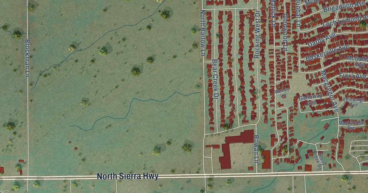
A detailed map of Dixon Lane-MeadowCreek, California, showing every building in its true location, the roads by name, and shaded topographical relief.
Read More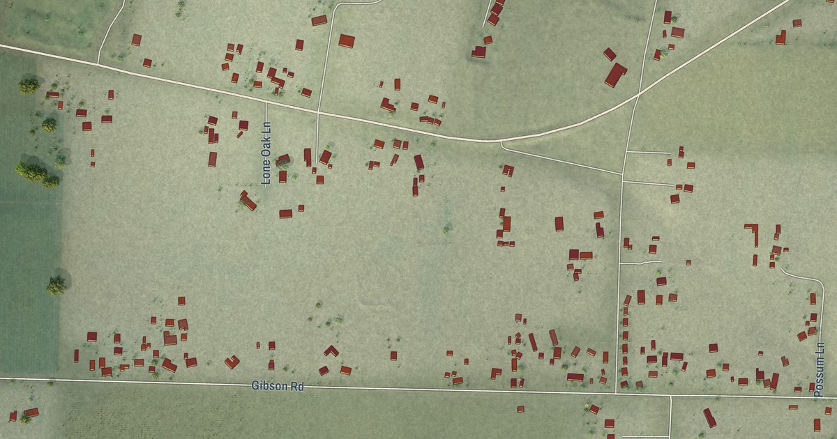
A detailed map of Monument Hills, California, showing every building in its true location, the roads by name, and shaded topographical relief.
Read More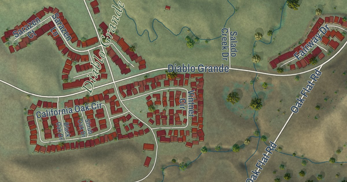
A detailed map of Diablo Grande, California, showing every building in its true location, the roads by name, and shaded topographical relief.
Read More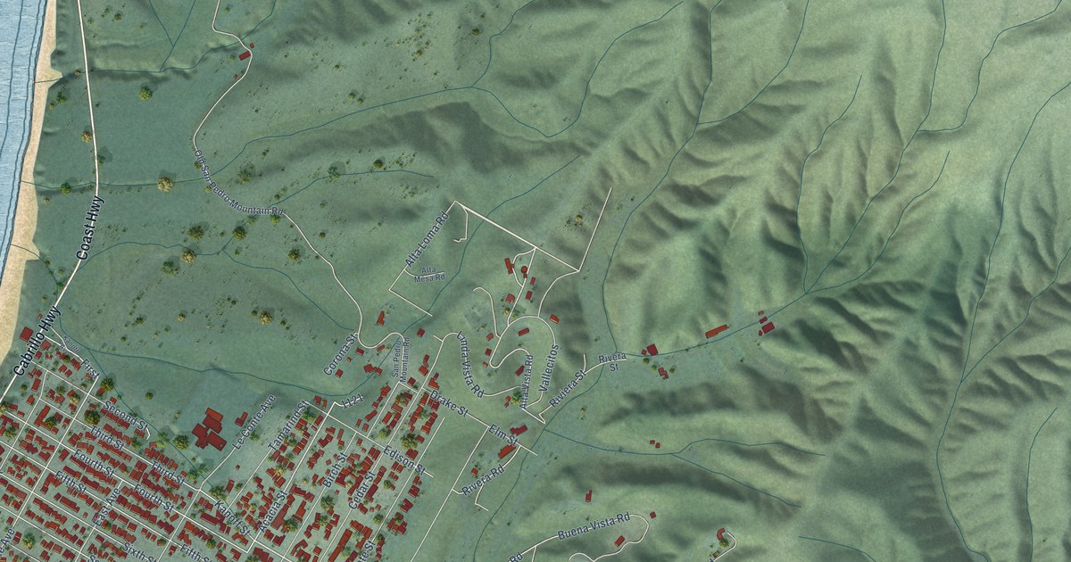
A detailed map of Montara, California, showing every building in its true location, the roads by name, and shaded topographical relief.
Read More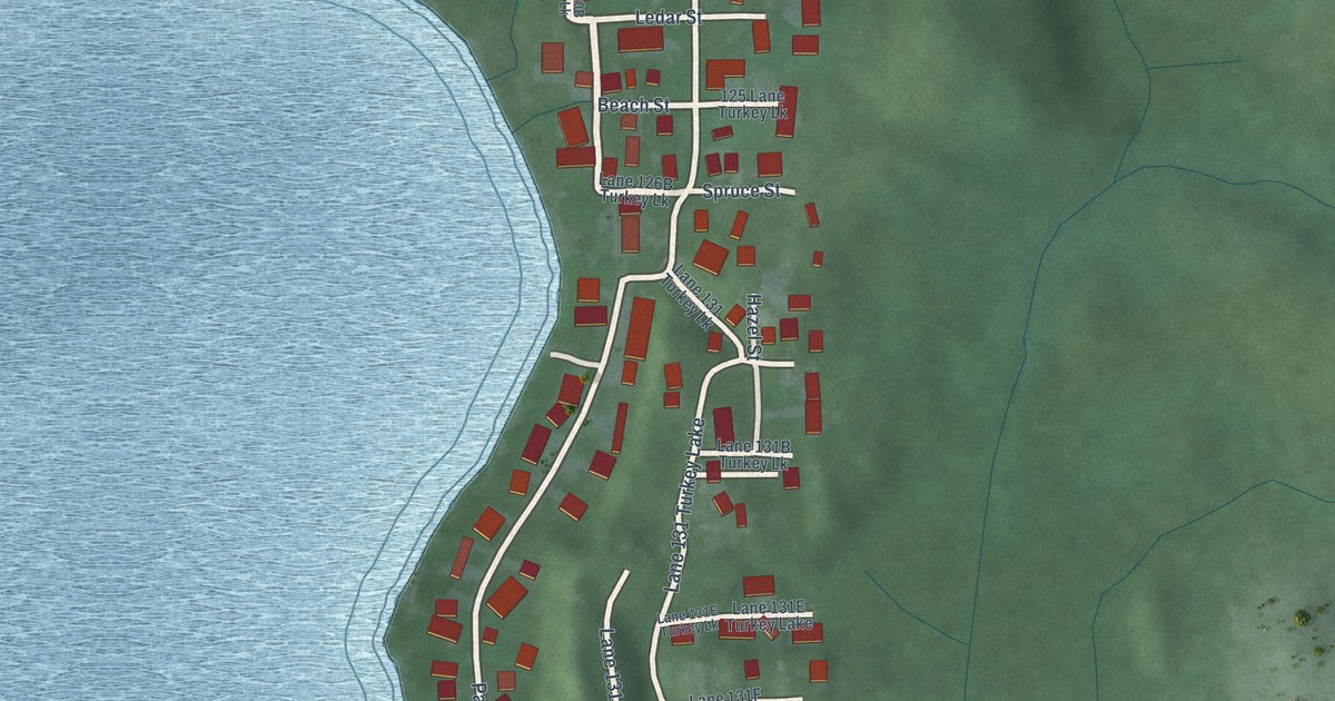
A detailed map of Wildwood, Indiana, showing every building in its true location, the roads by name, and shaded topographical relief.
Read More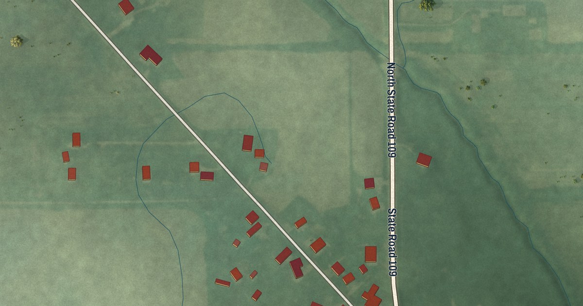
A detailed map of Warrington, Indiana, showing every building in its true location, the roads by name, and shaded topographical relief.
Read More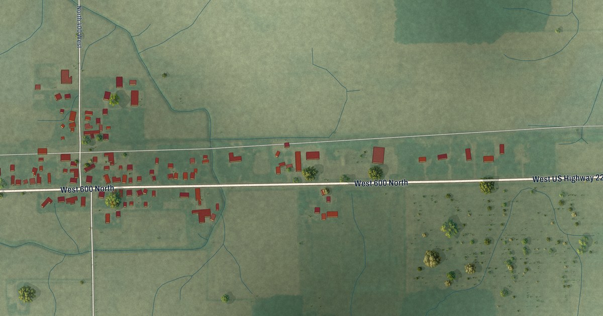
A detailed map of Preble, Indiana, showing every building in its true location, the roads by name, and shaded topographical relief.
Read More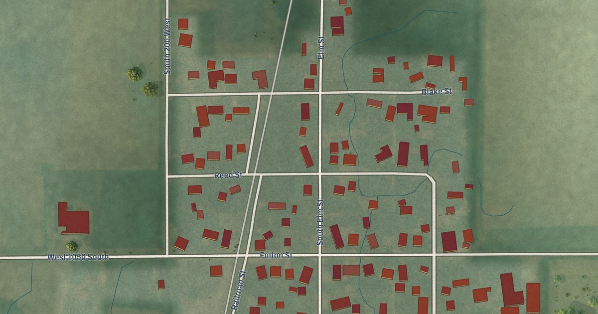
A detailed map of Miami, Indiana, showing every building in its true location, the roads by name, and shaded topographical relief.
Read More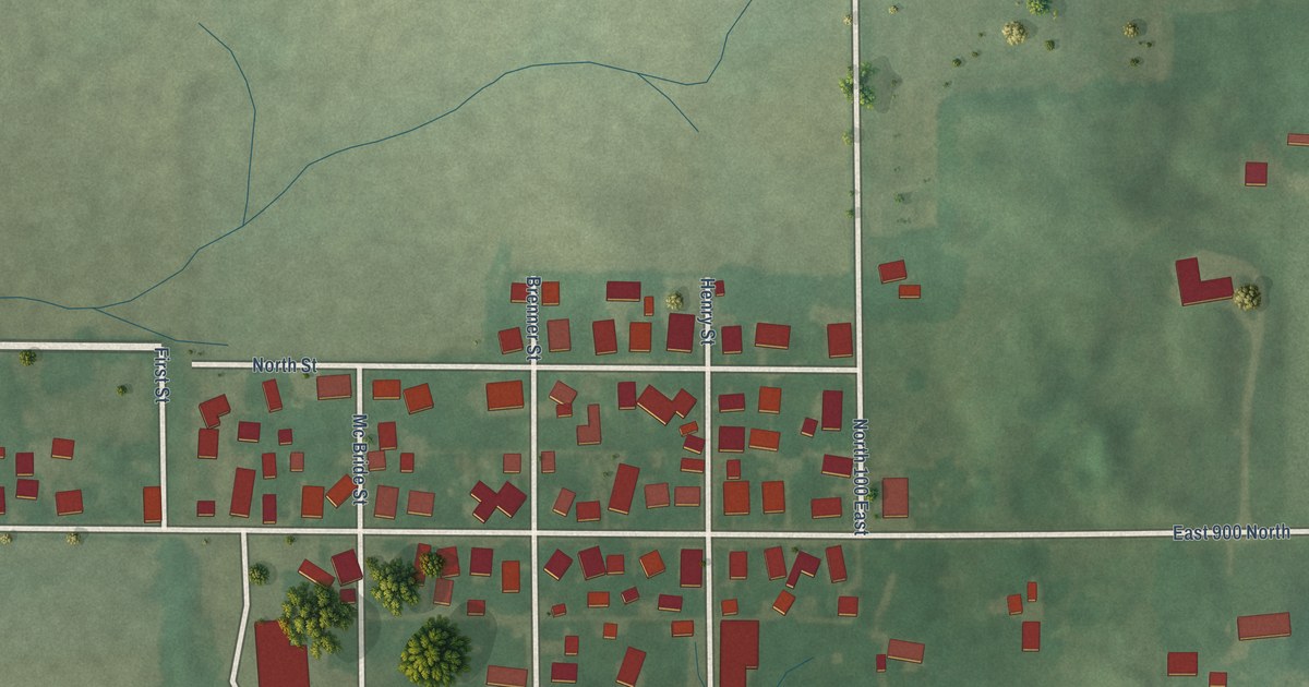
A detailed map of Mays, Indiana, showing every building in its true location, the roads by name, and shaded topographical relief.
Read More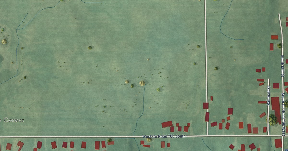
A detailed map of Letts, Indiana, showing every building in its true location, the roads by name, and shaded topographical relief.
Read More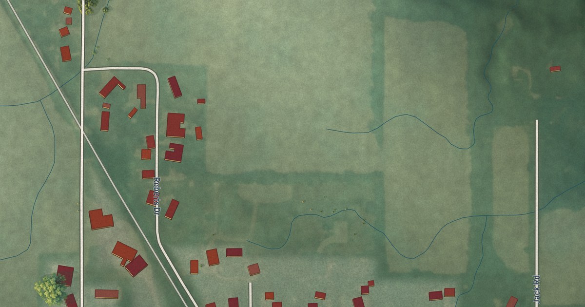
A detailed map of Hortonville, Indiana, showing every building in its true location, the roads by name, and shaded topographical relief.
Read More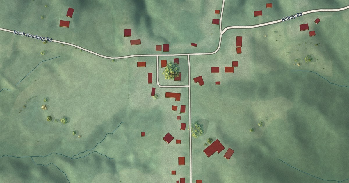
A detailed map of Hamburg, Indiana, showing every building in its true location, the roads by name, and shaded topographical relief.
Read More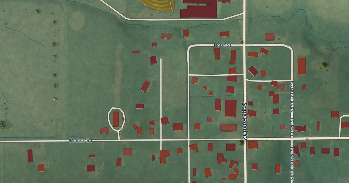
A detailed map of Eminence, Indiana, showing every building in its true location, the roads by name, and shaded topographical relief.
Read More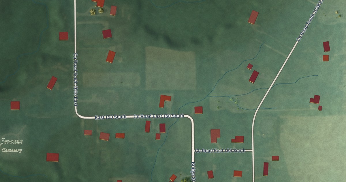
A detailed map of Jerome, Indiana, showing every building in its true location, the roads by name, and shaded topographical relief.
Read More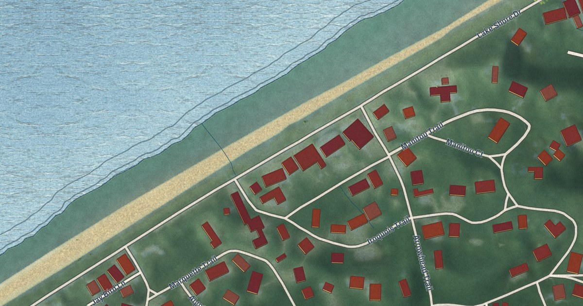
A detailed map of Duneland Beach, Indiana, showing every building in its true location, the roads by name, and shaded topographical relief.
Read More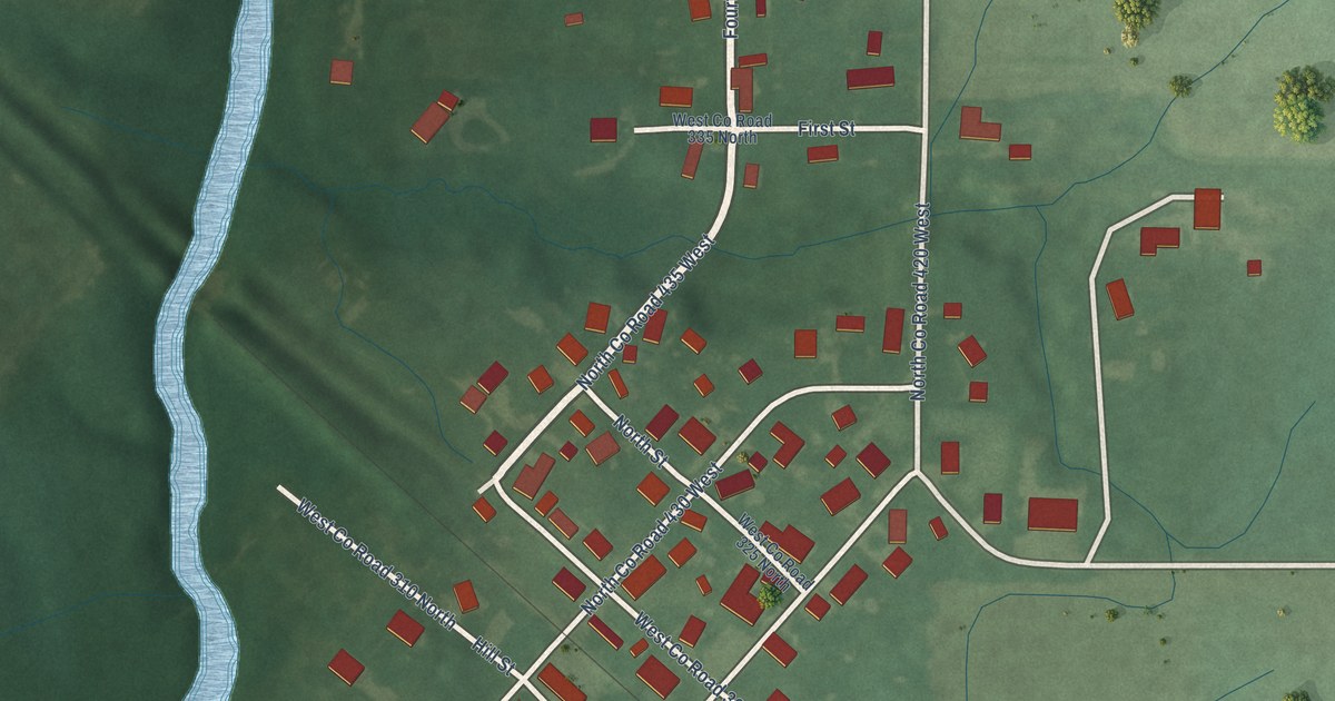
A detailed map of Adams, Indiana, showing every building in its true location, the roads by name, and shaded topographical relief.
Read More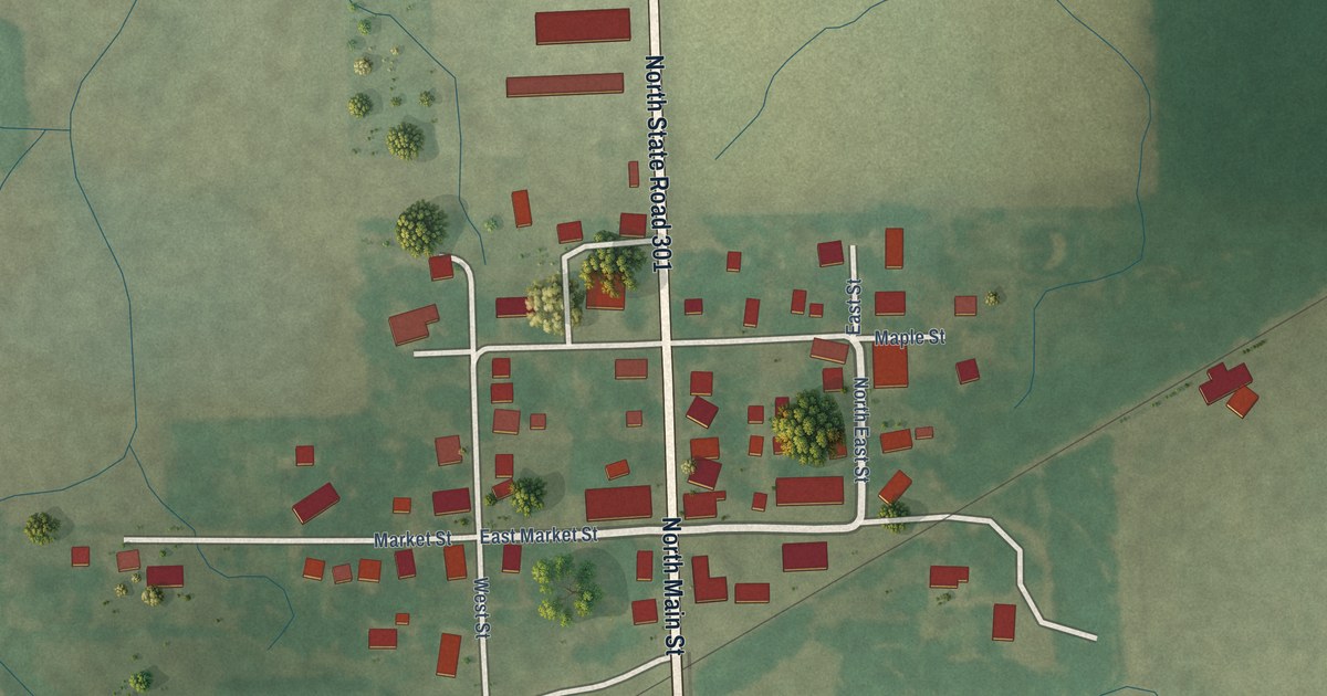
A detailed map of Craigville, Indiana, showing every building in its true location, the roads by name, and shaded topographical relief.
Read More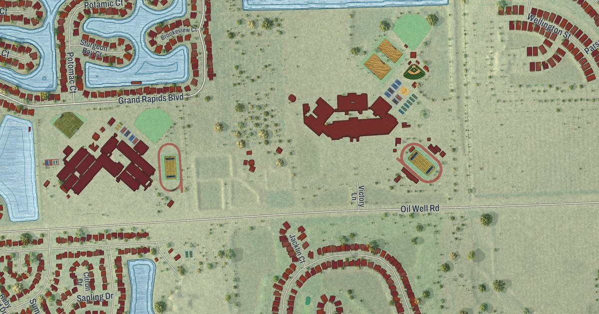
A detailed map of Orangetree, Florida, showing every building in its true location, the roads by name, and shaded topographical relief.
Read More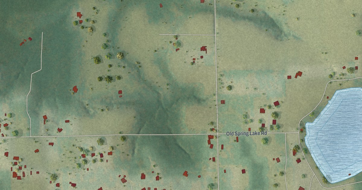
A detailed map of Spring Lake, Florida, showing every building in its true location, the roads by name, and shaded topographical relief.
Read More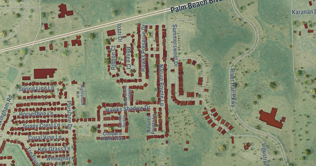
A detailed map of Olga, Florida, showing every building in its true location, the roads by name, and shaded topographical relief.
Read More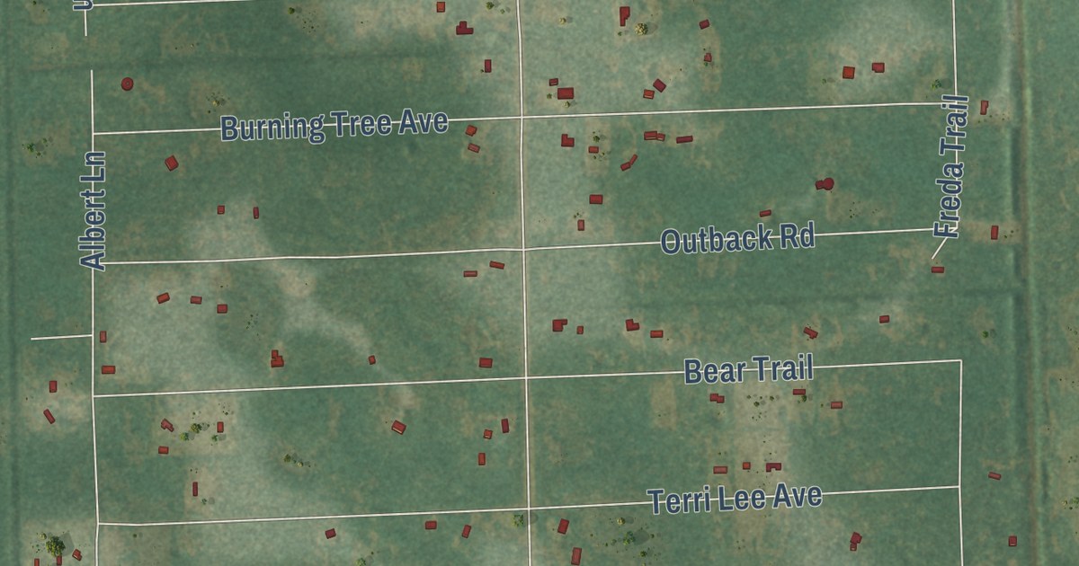
A detailed map of West Canaveral Groves, Florida, showing every building in its true location, the roads by name, and shaded topographical relief.
Read More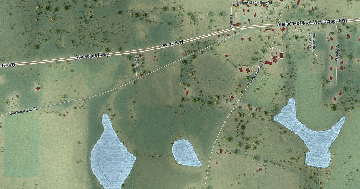
A detailed map of Waukeenah, Florida, showing every building in its true location, the roads by name, and shaded topographical relief.
Read More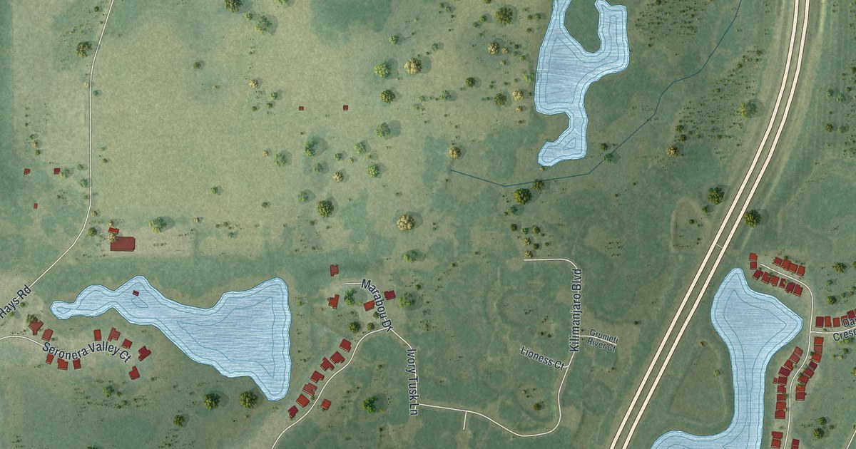
A detailed map of Quail Ridge, Florida, showing every building in its true location, the roads by name, and shaded topographical relief.
Read More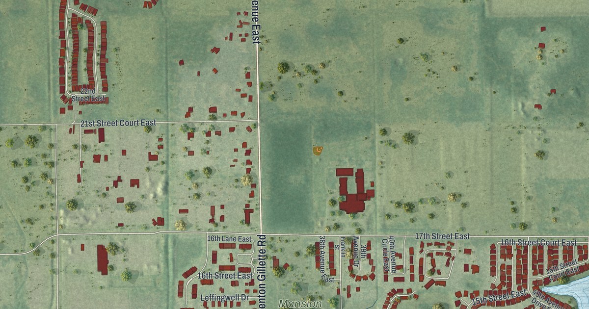
A detailed map of Ellenton, Florida, showing every building in its true location, the roads by name, and shaded topographical relief.
Read More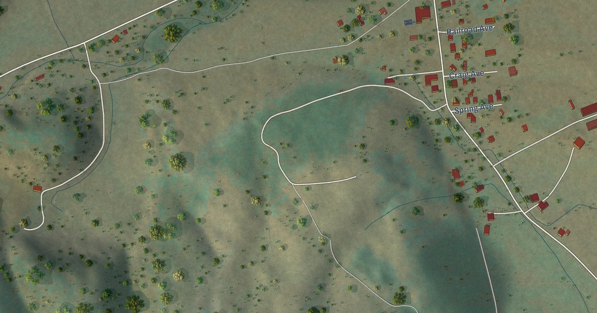
A detailed map of Deerfield, Virginia, showing every building in its true location, the roads by name, and shaded topographical relief.
Read More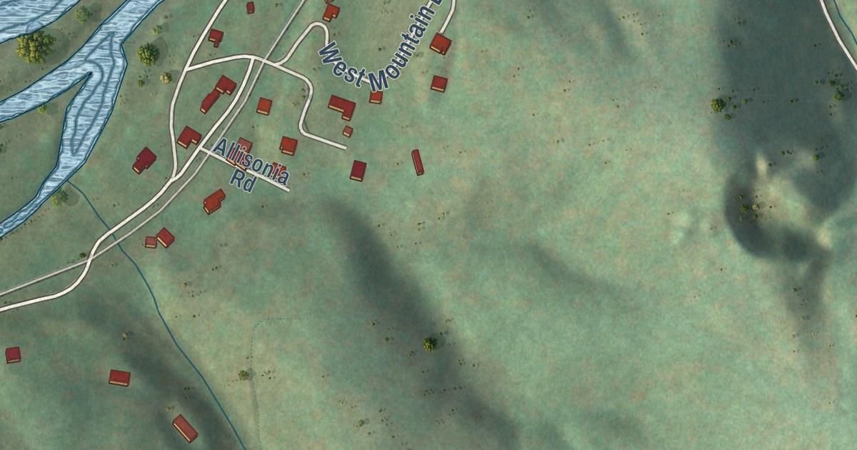
A detailed map of Allisonia, Virginia, showing every building in its true location, the roads by name, and shaded topographical relief.
Read More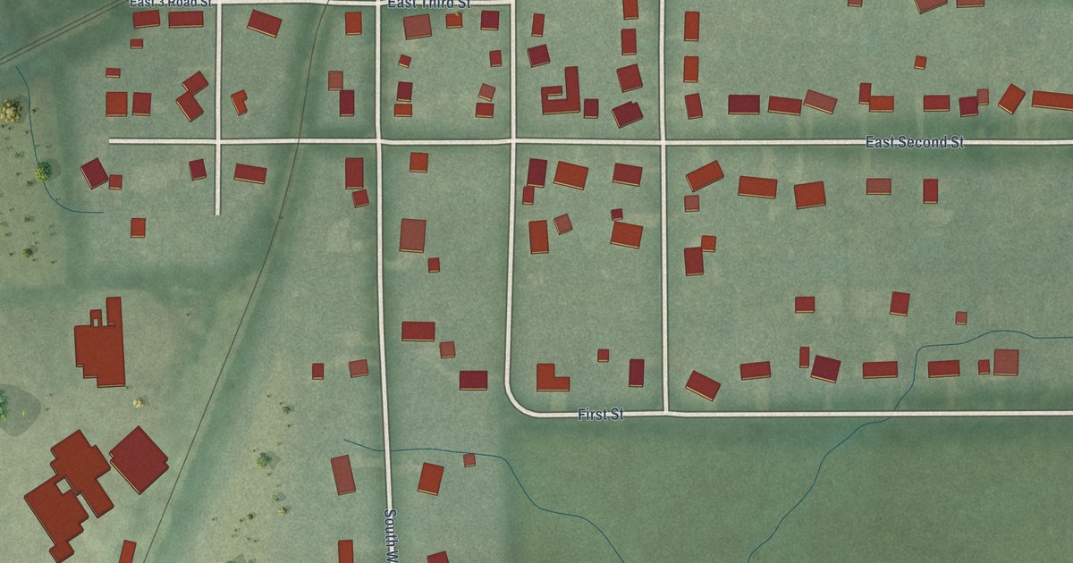
A detailed map of Wellsboro, Indiana, showing every building in its true location, the roads by name, and shaded topographical relief.
Read More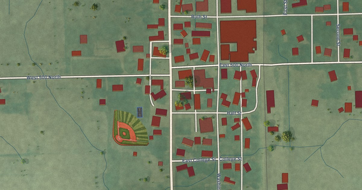
A detailed map of Urbana, Indiana, showing every building in its true location, the roads by name, and shaded topographical relief.
Read More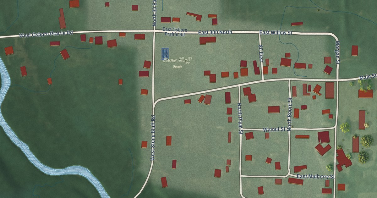
A detailed map of Stone Bluff, Indiana, showing every building in its true location, the roads by name, and shaded topographical relief.
Read More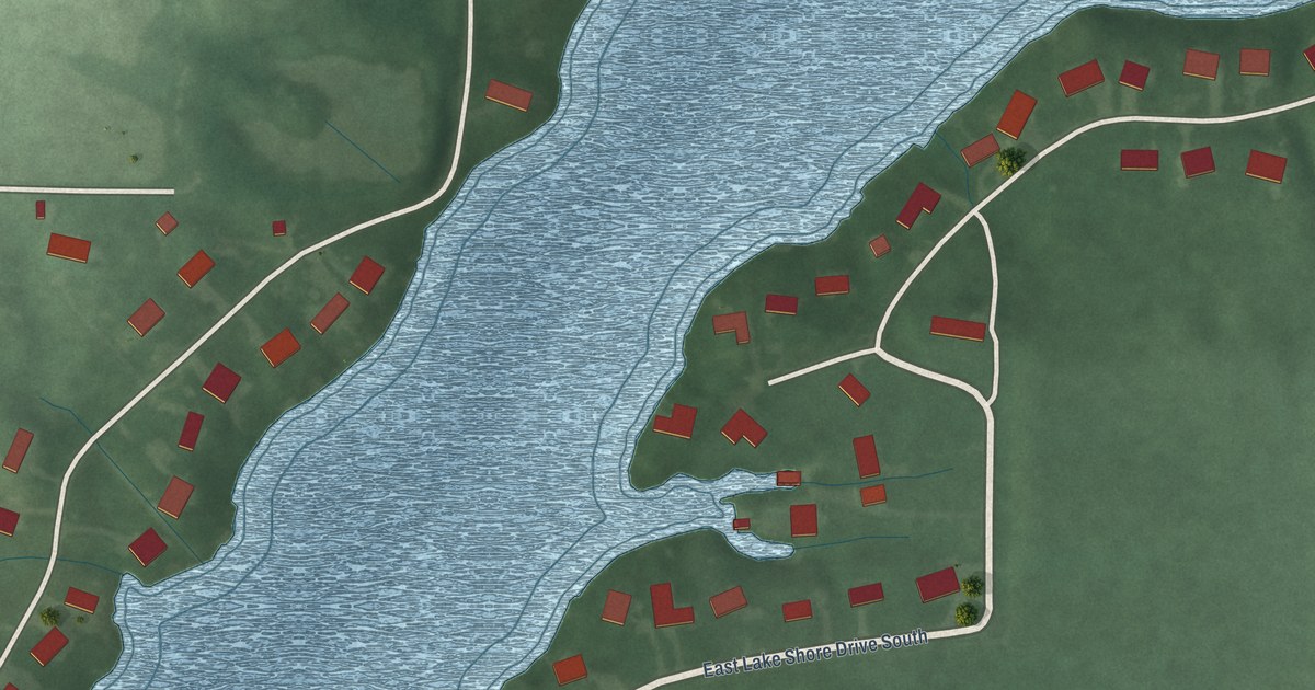
A detailed map of Schaefer Lake, Indiana, showing every building in its true location, the roads by name, and shaded topographical relief.
Read More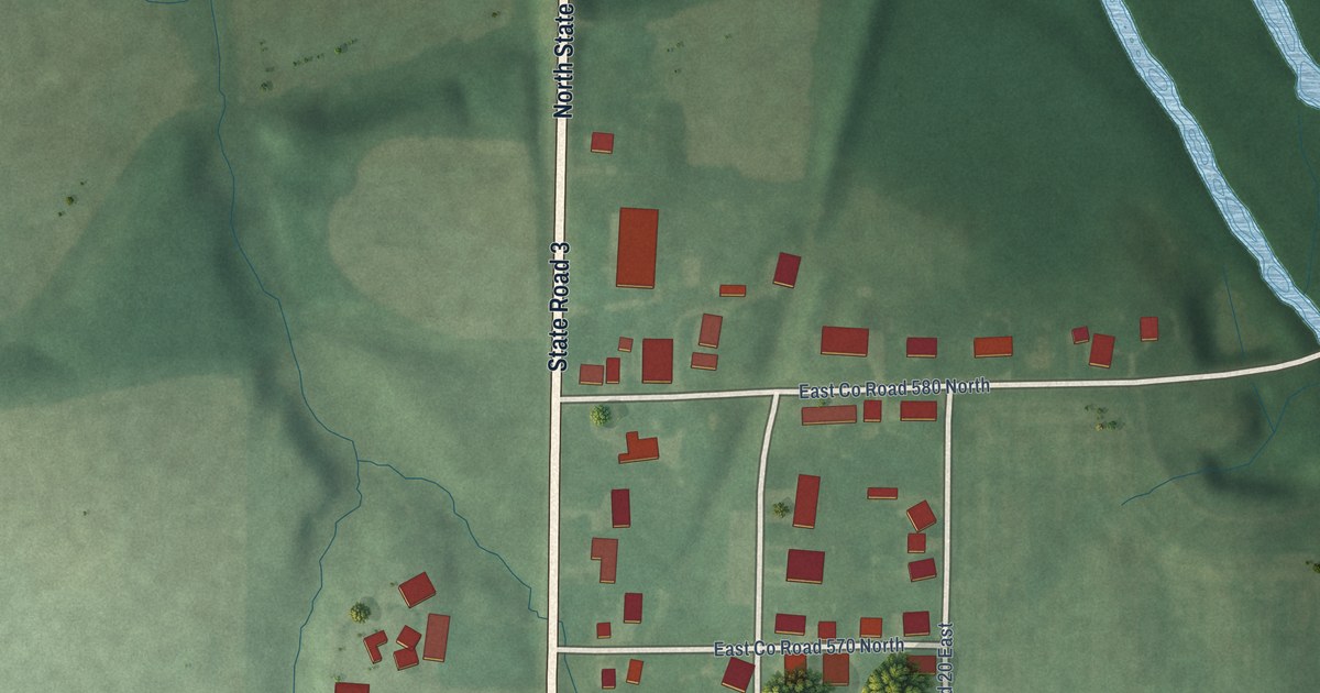
A detailed map of Sandusky, Indiana, showing every building in its true location, the roads by name, and shaded topographical relief.
Read More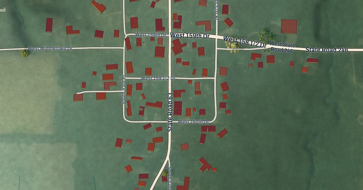
A detailed map of Prairie Creek, Indiana, showing every building in its true location, the roads by name, and shaded topographical relief.
Read More















