Detailed Map of Pleasant View Village, Indiana
A detailed map of Pleasant View Village, Indiana, showing every building in its true location, the roads by name, and shaded topographical relief.
Read More
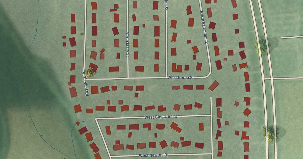
A detailed map of Pleasant View Village, Indiana, showing every building in its true location, the roads by name, and shaded topographical relief.
Read More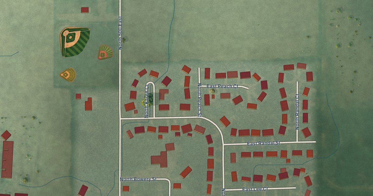
A detailed map of Petersville, Indiana, showing every building in its true location, the roads by name, and shaded topographical relief.
Read More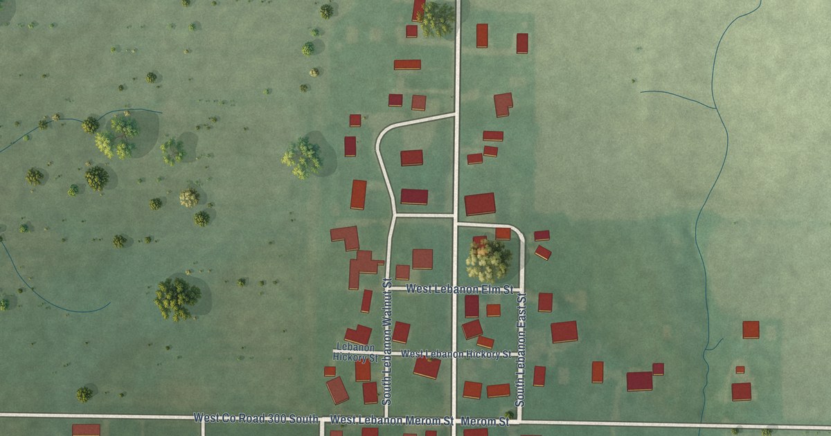
A detailed map of New Lebanon, Indiana, showing every building in its true location, the roads by name, and shaded topographical relief.
Read More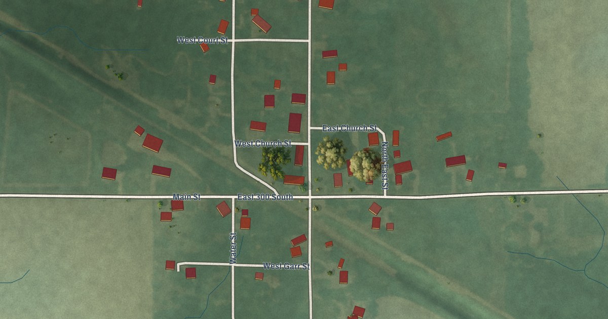
A detailed map of Millgrove, Indiana, showing every building in its true location, the roads by name, and shaded topographical relief.
Read More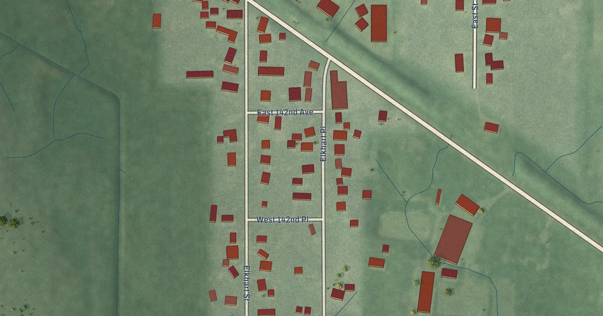
A detailed map of Leroy, Indiana, showing every building in its true location, the roads by name, and shaded topographical relief.
Read More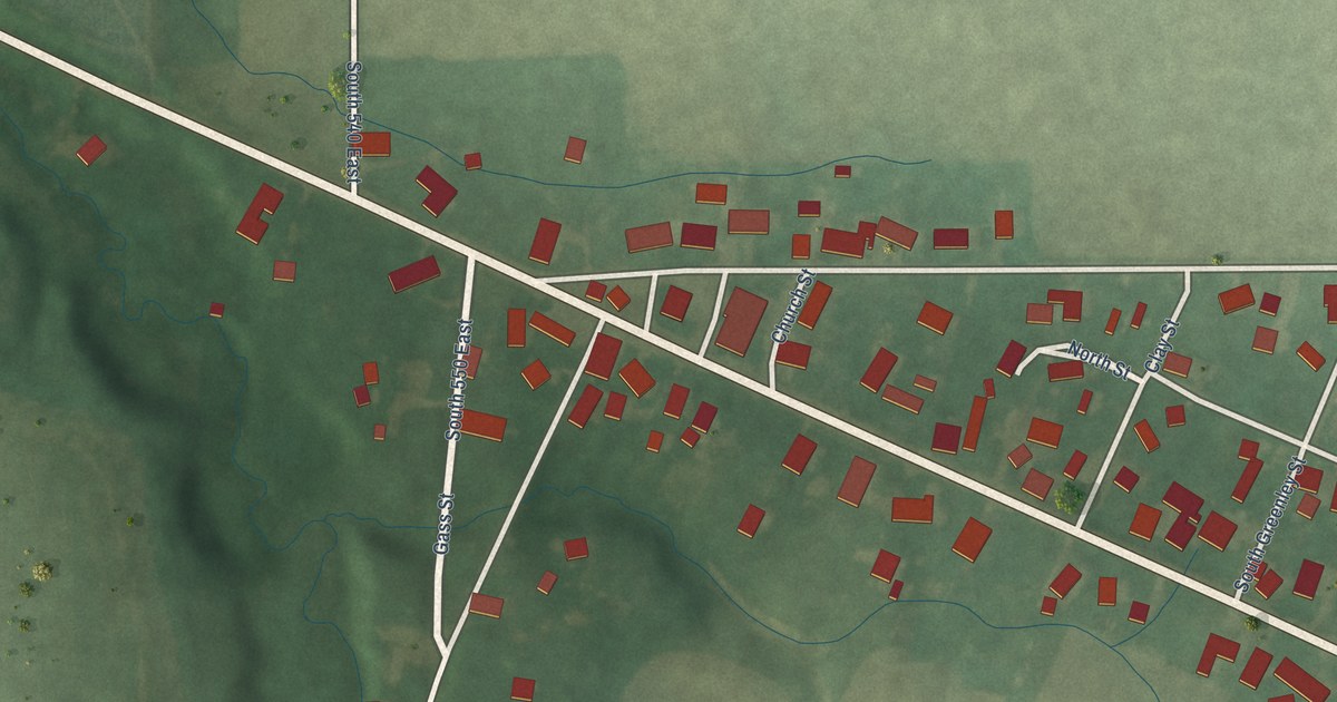
A detailed map of Mace, Indiana, showing every building in its true location, the roads by name, and shaded topographical relief.
Read More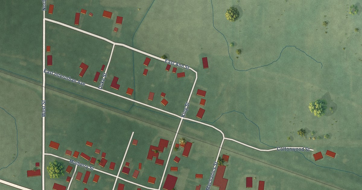
A detailed map of Gwynneville, Indiana, showing every building in its true location, the roads by name, and shaded topographical relief.
Read More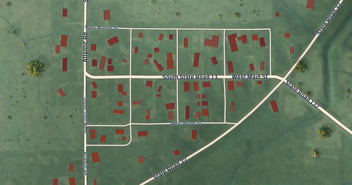
A detailed map of Fishersburg, Indiana, showing every building in its true location, the roads by name, and shaded topographical relief.
Read More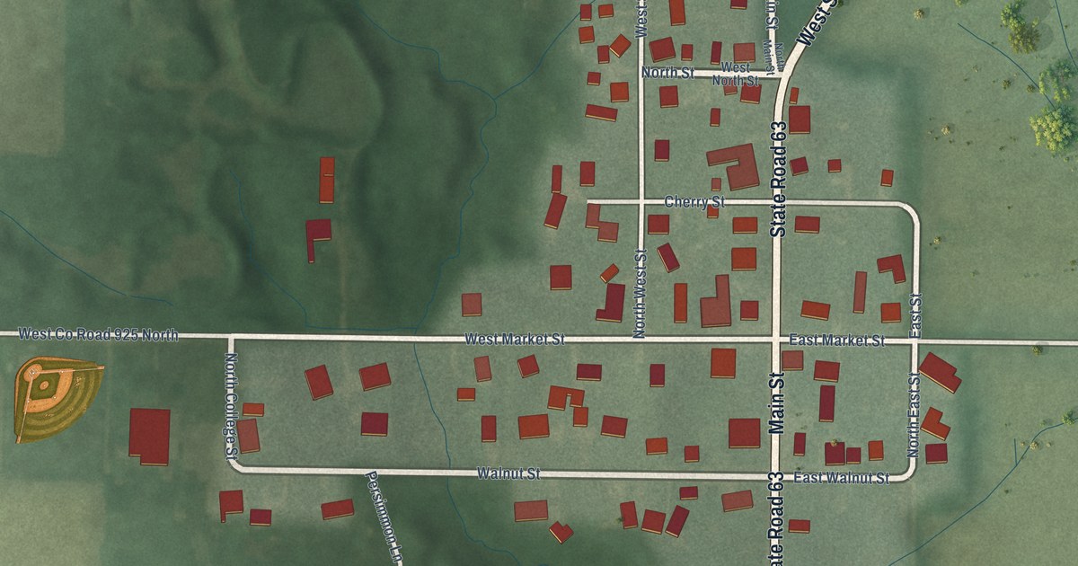
A detailed map of Fairbanks, Indiana, showing every building in its true location, the roads by name, and shaded topographical relief.
Read More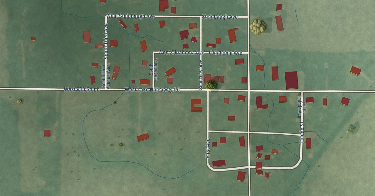
A detailed map of Cates, Indiana, showing every building in its true location, the roads by name, and shaded topographical relief.
Read More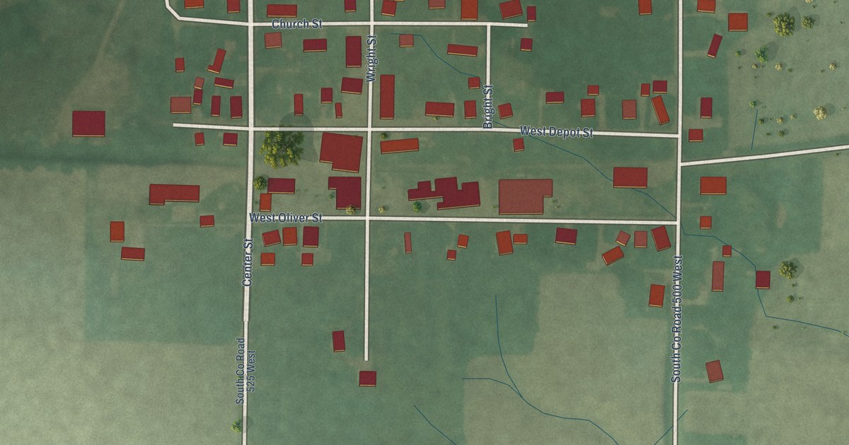
A detailed map of Cory, Indiana, showing every building in its true location, the roads by name, and shaded topographical relief.
Read More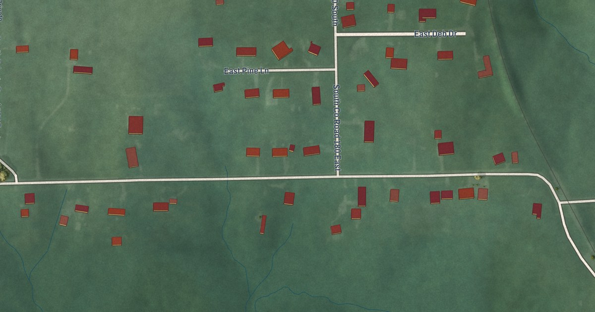
A detailed map of Grayford, Indiana, showing every building in its true location, the roads by name, and shaded topographical relief.
Read More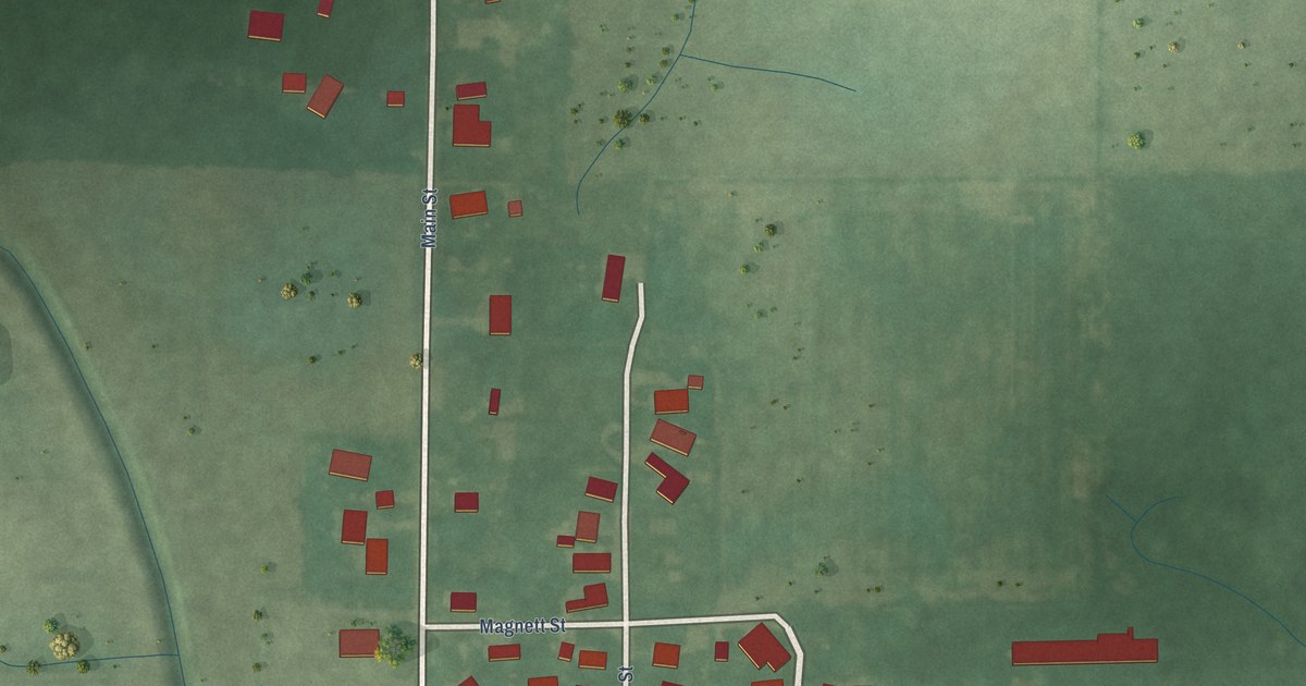
A detailed map of Goldsmith, Indiana, showing every building in its true location, the roads by name, and shaded topographical relief.
Read More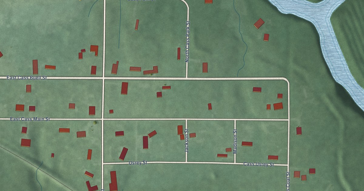
A detailed map of Cass, Indiana, showing every building in its true location, the roads by name, and shaded topographical relief.
Read More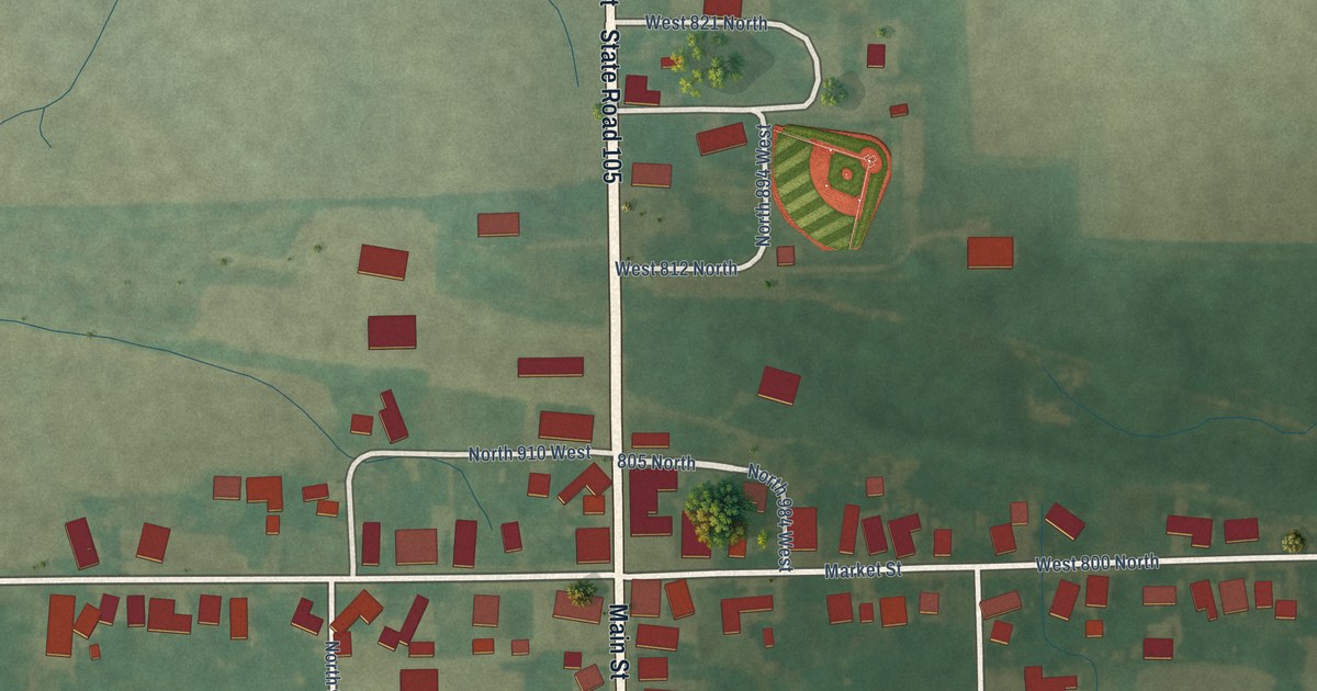
A detailed map of Bippus, Indiana, showing every building in its true location, the roads by name, and shaded topographical relief.
Read More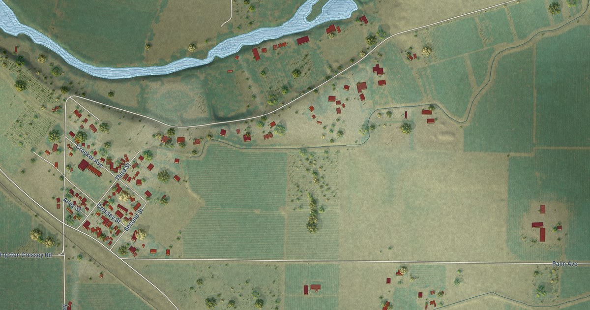
A detailed map of Cressey, California, showing every building in its true location, the roads by name, and shaded topographical relief.
Read More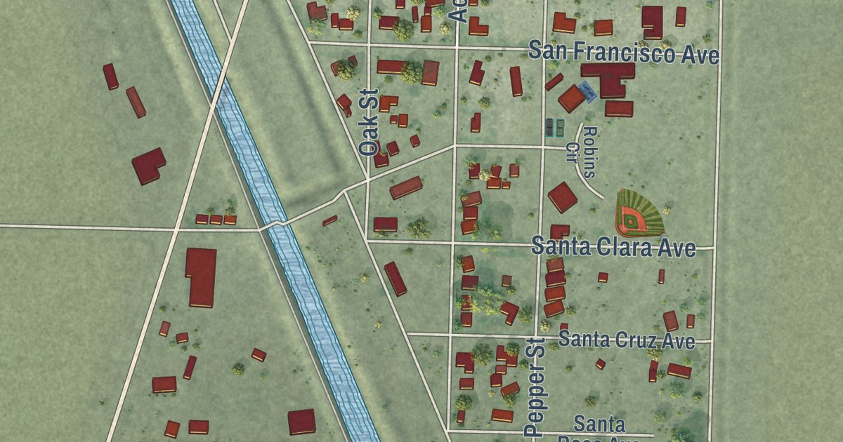
A detailed map of Robbins, California, showing every building in its true location, the roads by name, and shaded topographical relief.
Read More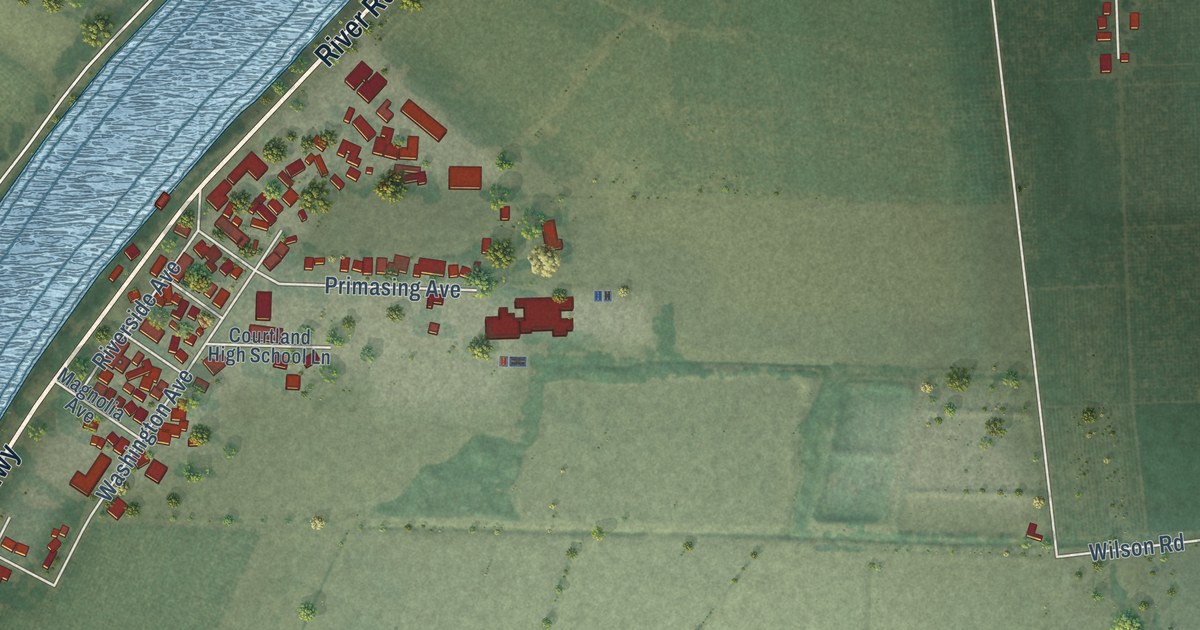
A detailed map of Courtland, California, showing every building in its true location, the roads by name, and shaded topographical relief.
Read More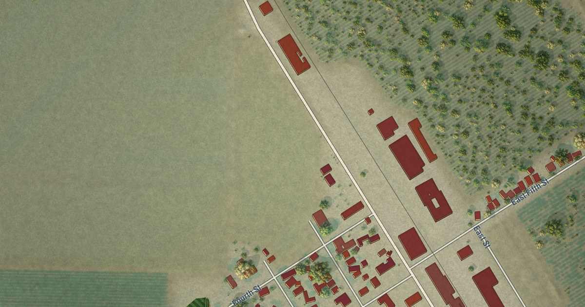
A detailed map of Crows Landing, California, showing every building in its true location, the roads by name, and shaded topographical relief.
Read More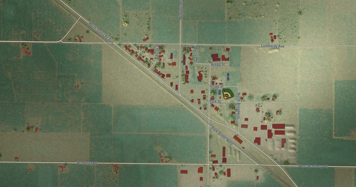
A detailed map of Ballico, California, showing every building in its true location, the roads by name, and shaded topographical relief.
Read More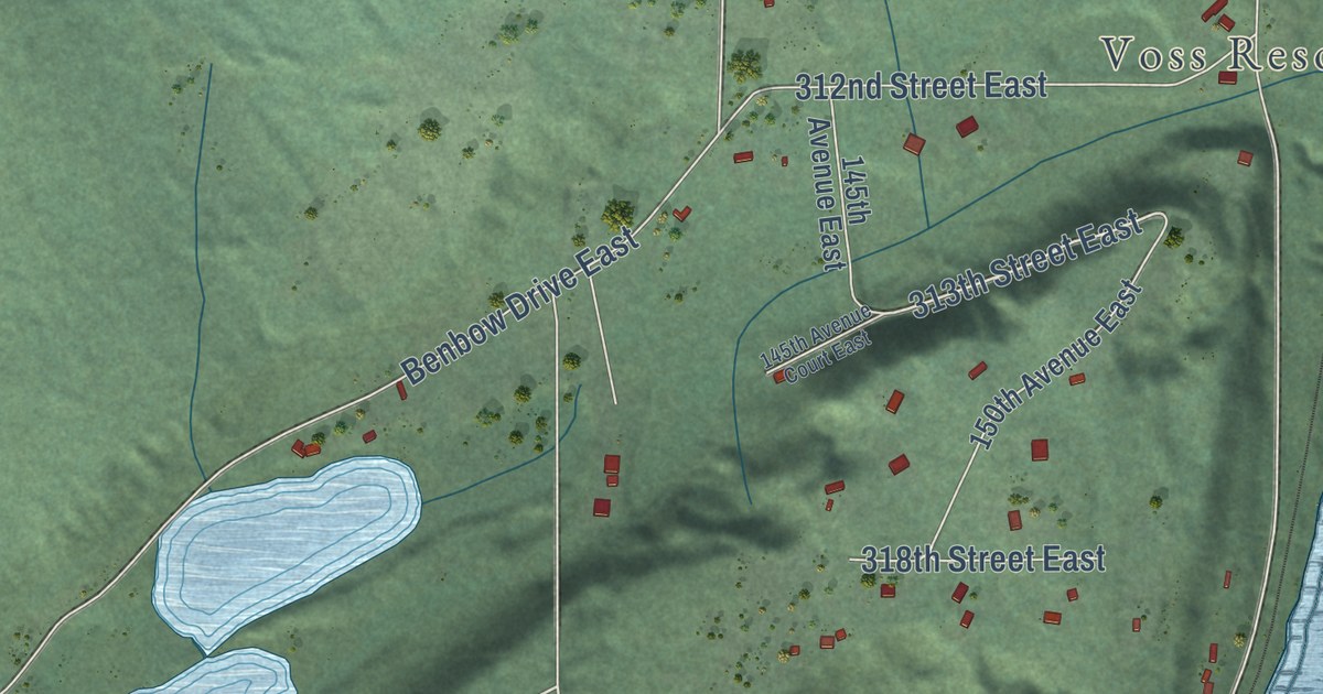
A detailed map of Kapowsin, Washington, showing every building in its true location, the roads by name, and shaded topographical relief.
Read More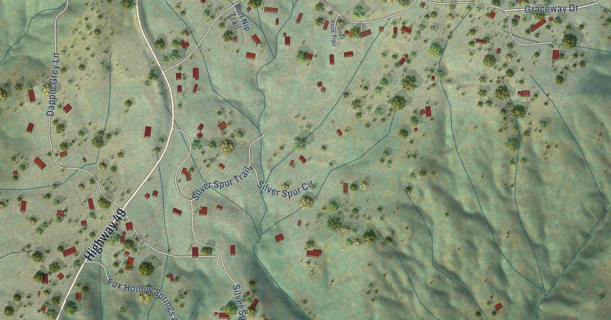
A detailed map of Nipinnawasee, California, showing every building in its true location, the roads by name, and shaded topographical relief.
Read More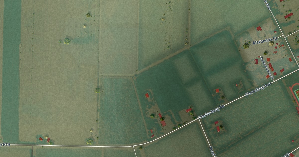
A detailed map of Clarksburg, California, showing every building in its true location, the roads by name, and shaded topographical relief.
Read More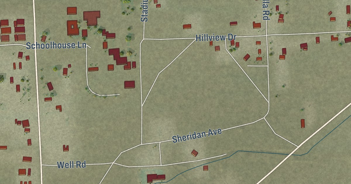
A detailed map of Baker, California, showing every building in its true location, the roads by name, and shaded topographical relief.
Read More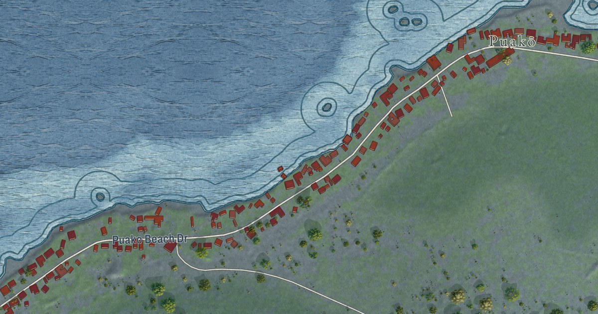
A detailed map of Puako, Hawaii, showing every building in its true location, the roads by name, and shaded topographical relief.
Read More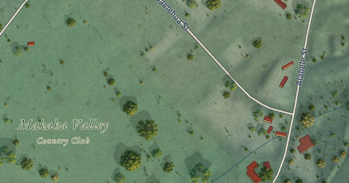
A detailed map of Makaha Valley, Hawaii, showing every building in its true location, the roads by name, and shaded topographical relief.
Read More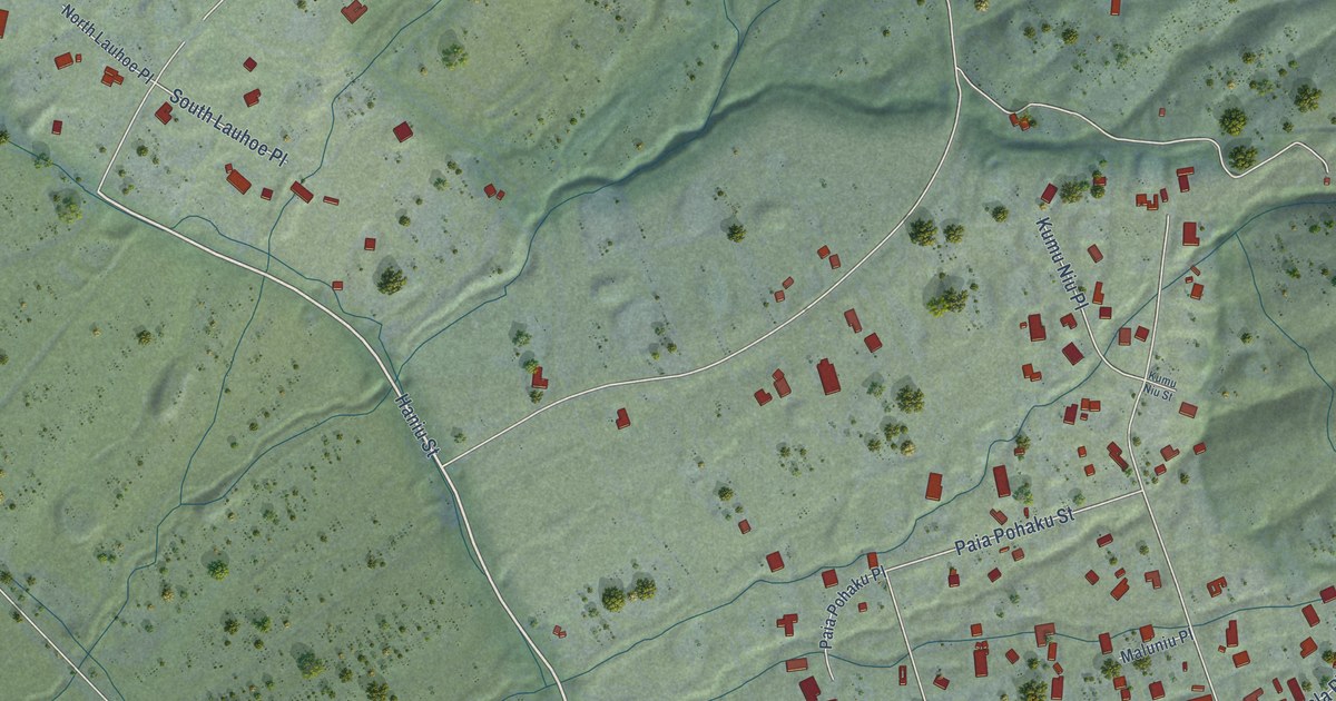
A detailed map of Launiupoko, Hawaii, showing every building in its true location, the roads by name, and shaded topographical relief.
Read More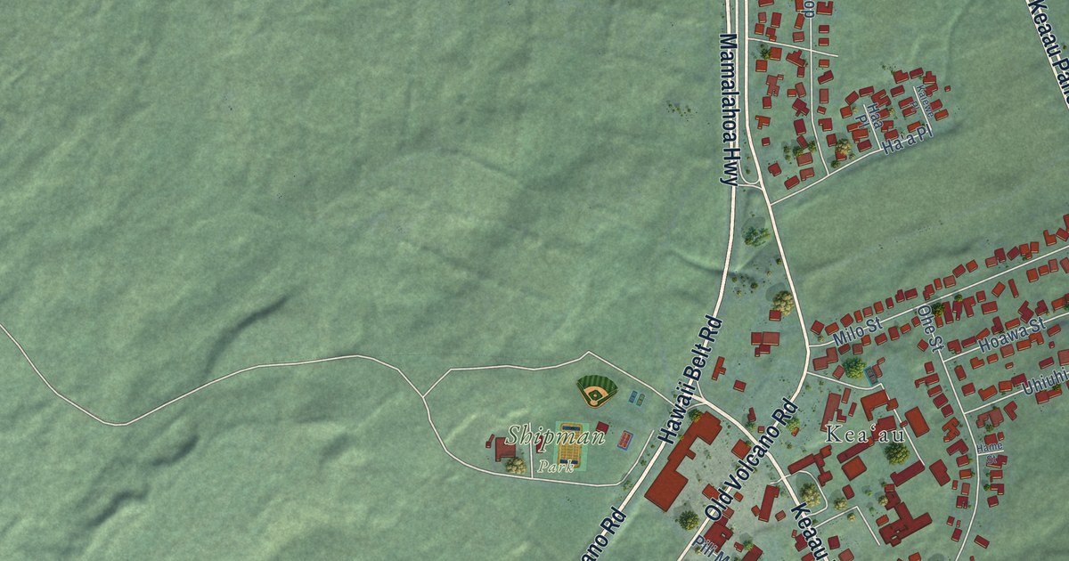
A detailed map of Keaau, Hawaii, showing every building in its true location, the roads by name, and shaded topographical relief.
Read More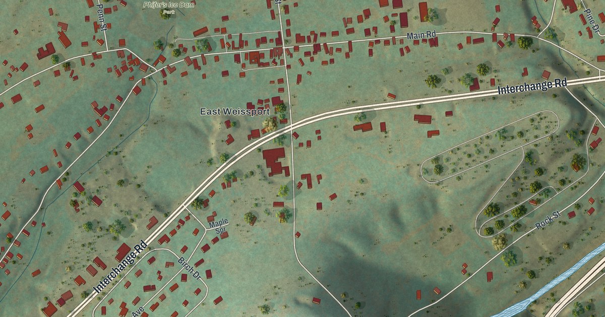
A detailed map of Weissport East, Pennsylvania, showing every building in its true location, the roads by name, and shaded topographical relief.
Read More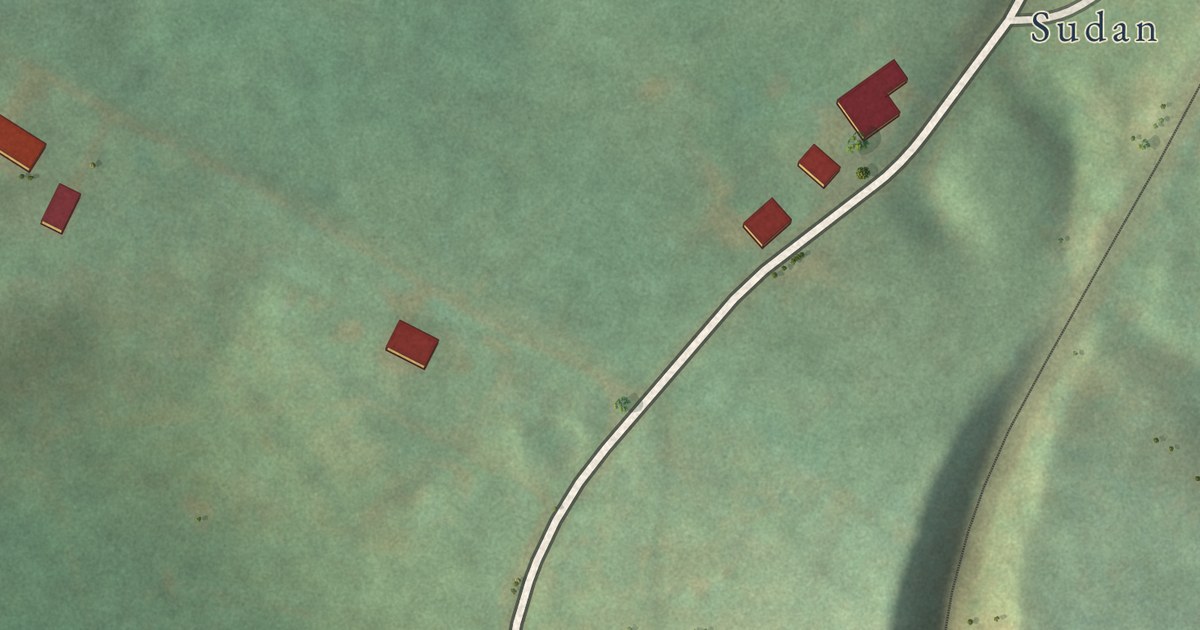
A detailed map of Van Voorhis, Pennsylvania, showing every building in its true location, the roads by name, and shaded topographical relief.
Read More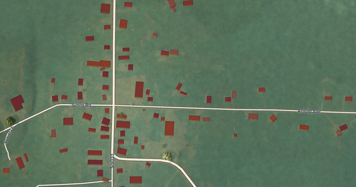
A detailed map of Tylersburg, Pennsylvania, showing every building in its true location, the roads by name, and shaded topographical relief.
Read More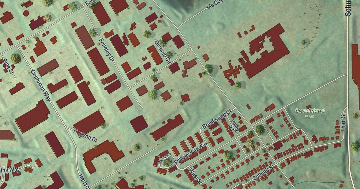
A detailed map of Swedeland, Pennsylvania, showing every building in its true location, the roads by name, and shaded topographical relief.
Read More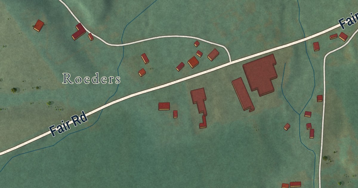
A detailed map of Summit Station, Pennsylvania, showing every building in its true location, the roads by name, and shaded topographical relief.
Read More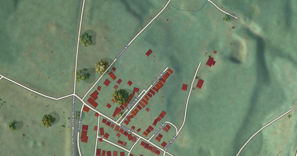
A detailed map of Sproul, Pennsylvania, showing every building in its true location, the roads by name, and shaded topographical relief.
Read More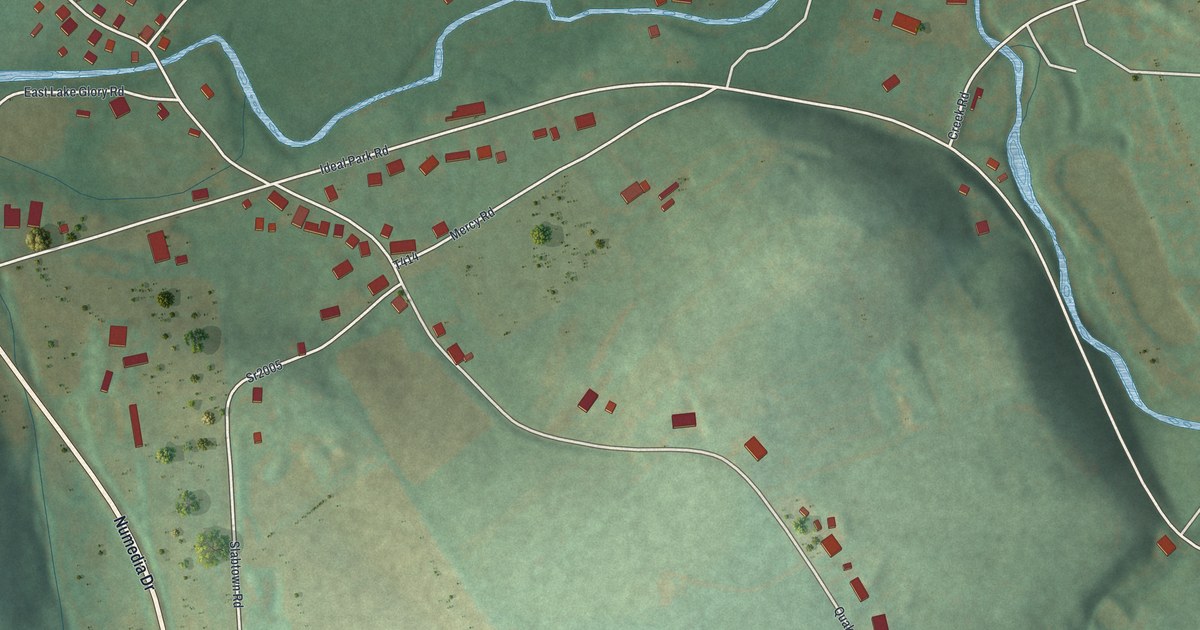
A detailed map of Slabtown, Pennsylvania, showing every building in its true location, the roads by name, and shaded topographical relief.
Read More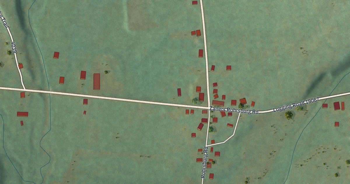
A detailed map of Rohrsburg, Pennsylvania, showing every building in its true location, the roads by name, and shaded topographical relief.
Read More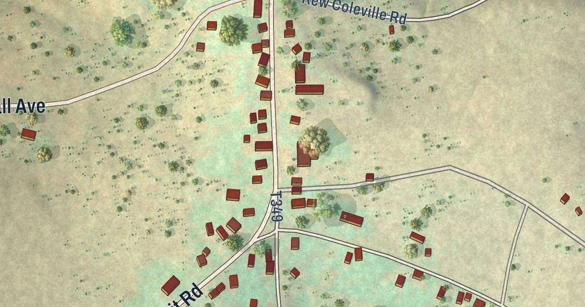
A detailed map of Rew, Pennsylvania, showing every building in its true location, the roads by name, and shaded topographical relief.
Read More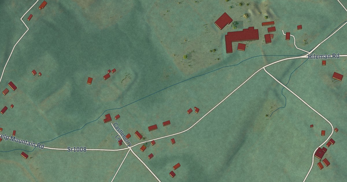
A detailed map of Skelp, Pennsylvania, showing every building in its true location, the roads by name, and shaded topographical relief.
Read More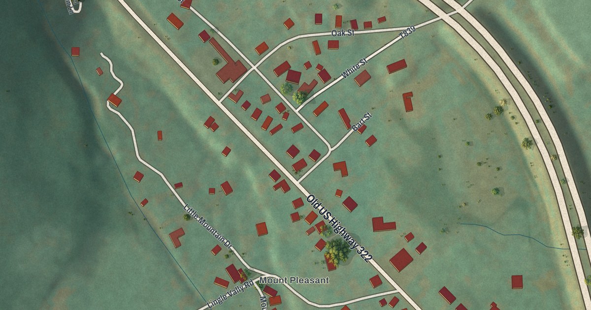
A detailed map of Potlicker Flats, Pennsylvania, showing every building in its true location, the roads by name, and shaded topographical relief.
Read More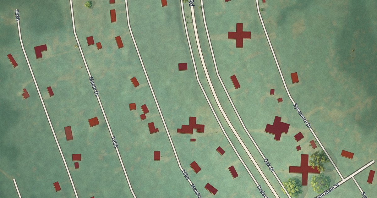
A detailed map of Pine Glen, Pennsylvania, showing every building in its true location, the roads by name, and shaded topographical relief.
Read More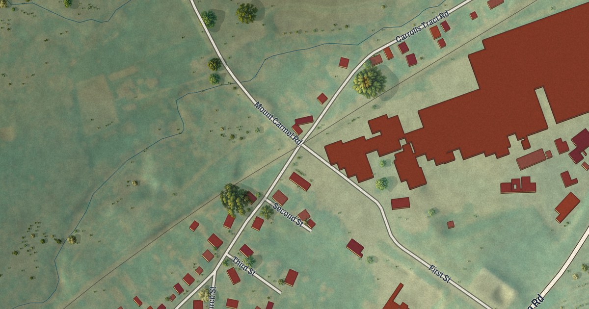
A detailed map of Orrtanna, Pennsylvania, showing every building in its true location, the roads by name, and shaded topographical relief.
Read More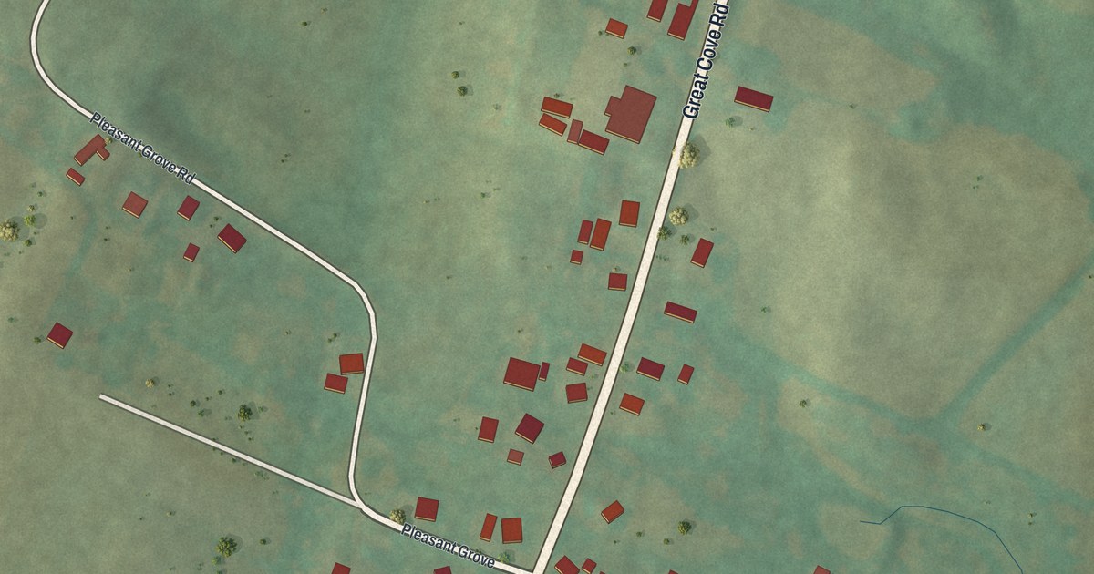
A detailed map of Needmore, Pennsylvania, showing every building in its true location, the roads by name, and shaded topographical relief.
Read More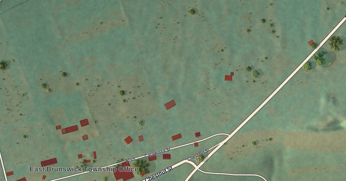
A detailed map of McKeansburg, Pennsylvania, showing every building in its true location, the roads by name, and shaded topographical relief.
Read More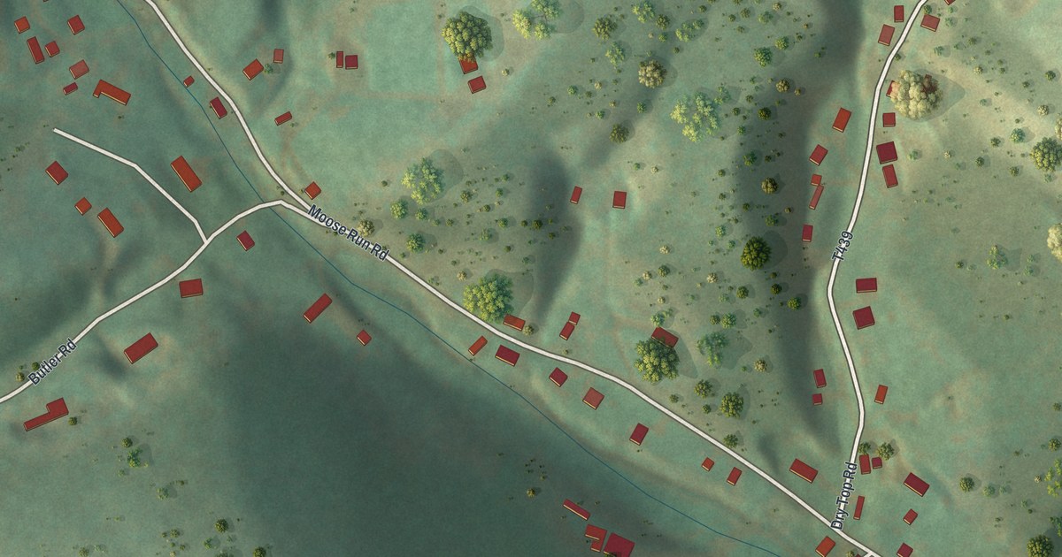
A detailed map of Moose Run, Pennsylvania, showing every building in its true location, the roads by name, and shaded topographical relief.
Read More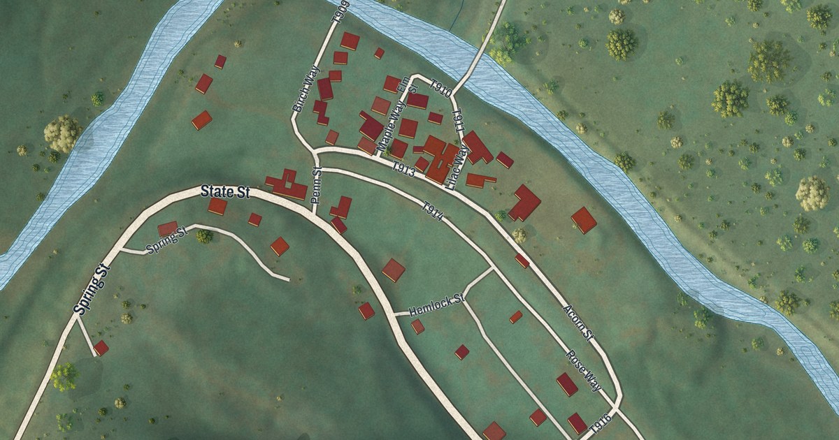
A detailed map of Monument, Pennsylvania, showing every building in its true location, the roads by name, and shaded topographical relief.
Read More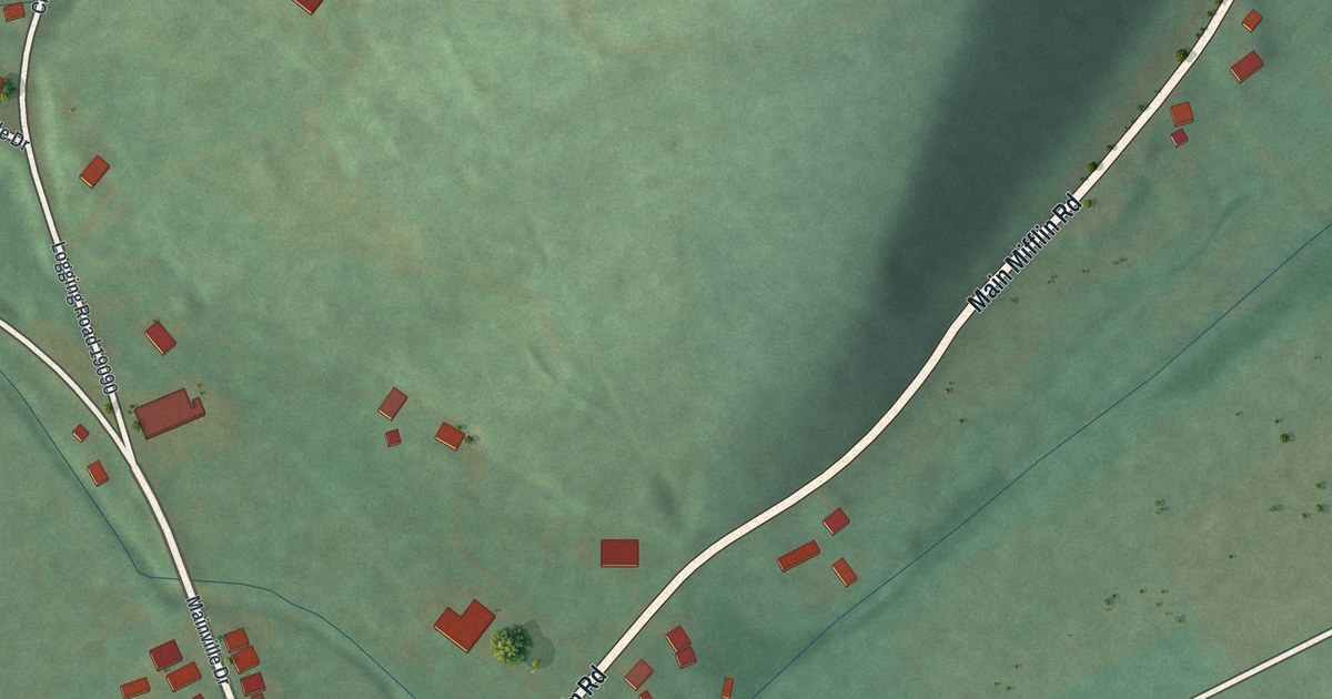
A detailed map of Mainville, Pennsylvania, showing every building in its true location, the roads by name, and shaded topographical relief.
Read More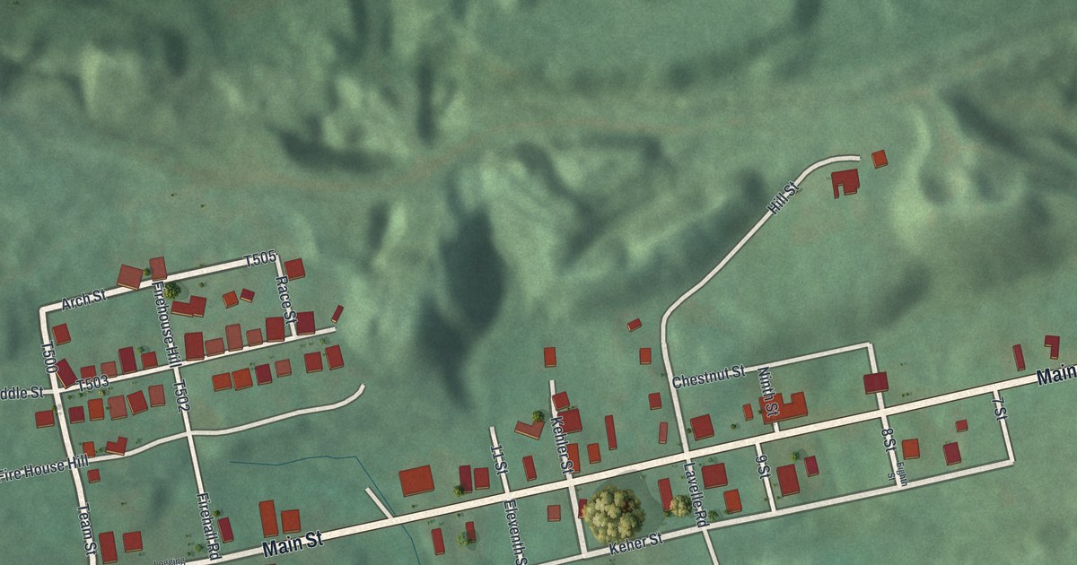
A detailed map of Locustdale, Pennsylvania, showing every building in its true location, the roads by name, and shaded topographical relief.
Read More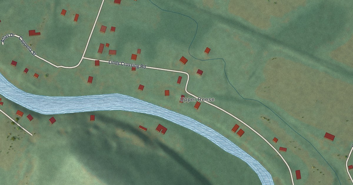
A detailed map of Linds Crossing, Pennsylvania, showing every building in its true location, the roads by name, and shaded topographical relief.
Read More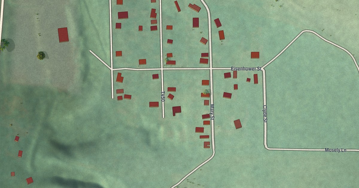
A detailed map of Kiskimere, Pennsylvania, showing every building in its true location, the roads by name, and shaded topographical relief.
Read More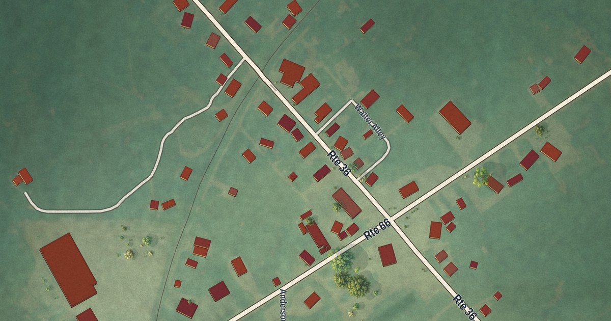
A detailed map of Leeper, Pennsylvania, showing every building in its true location, the roads by name, and shaded topographical relief.
Read More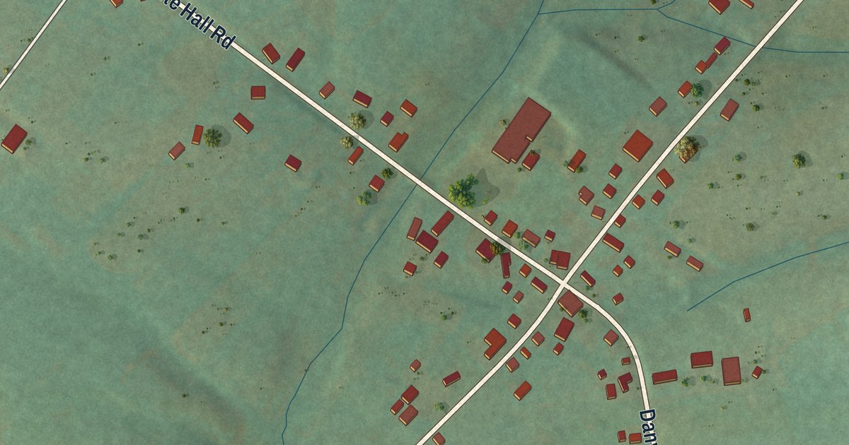
A detailed map of Jerseytown, Pennsylvania, showing every building in its true location, the roads by name, and shaded topographical relief.
Read More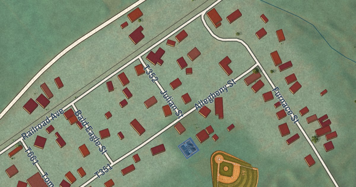
A detailed map of Julian, Pennsylvania, showing every building in its true location, the roads by name, and shaded topographical relief.
Read More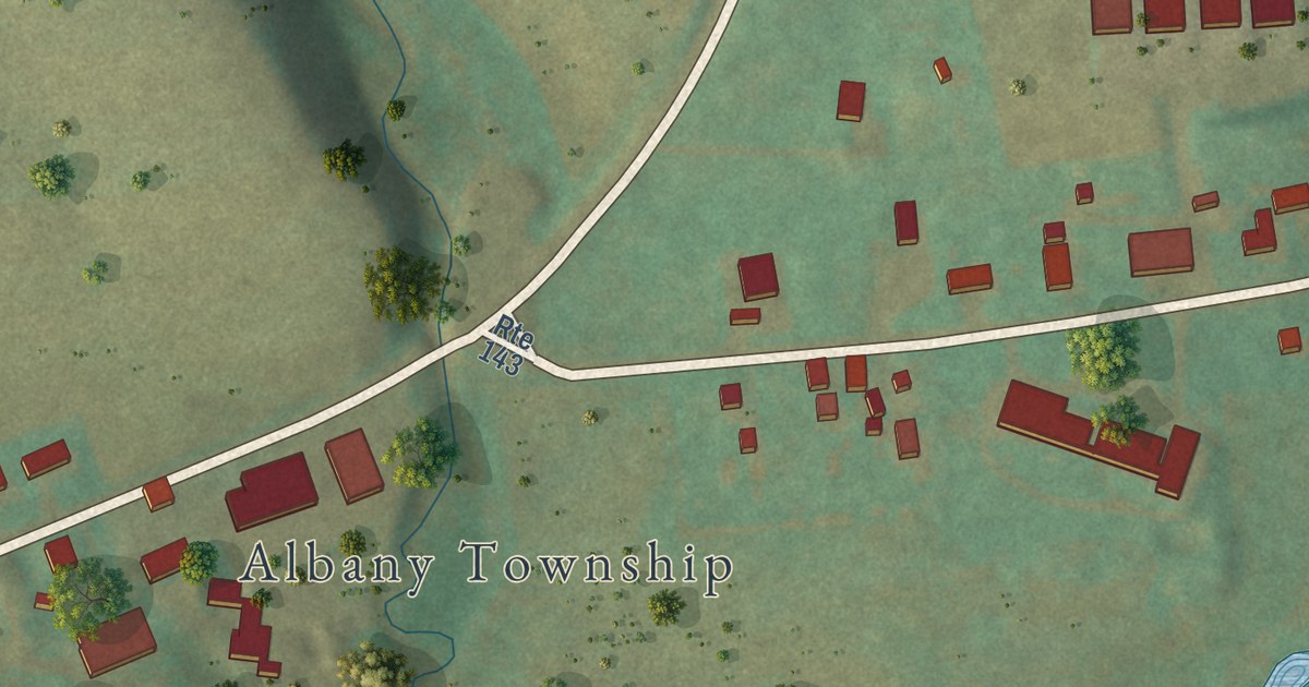
A detailed map of Kempton, Pennsylvania, showing every building in its true location, the roads by name, and shaded topographical relief.
Read More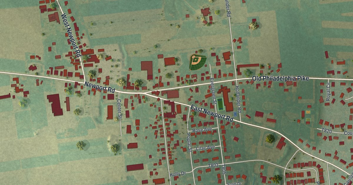
A detailed map of Intercourse, Pennsylvania, showing every building in its true location, the roads by name, and shaded topographical relief.
Read More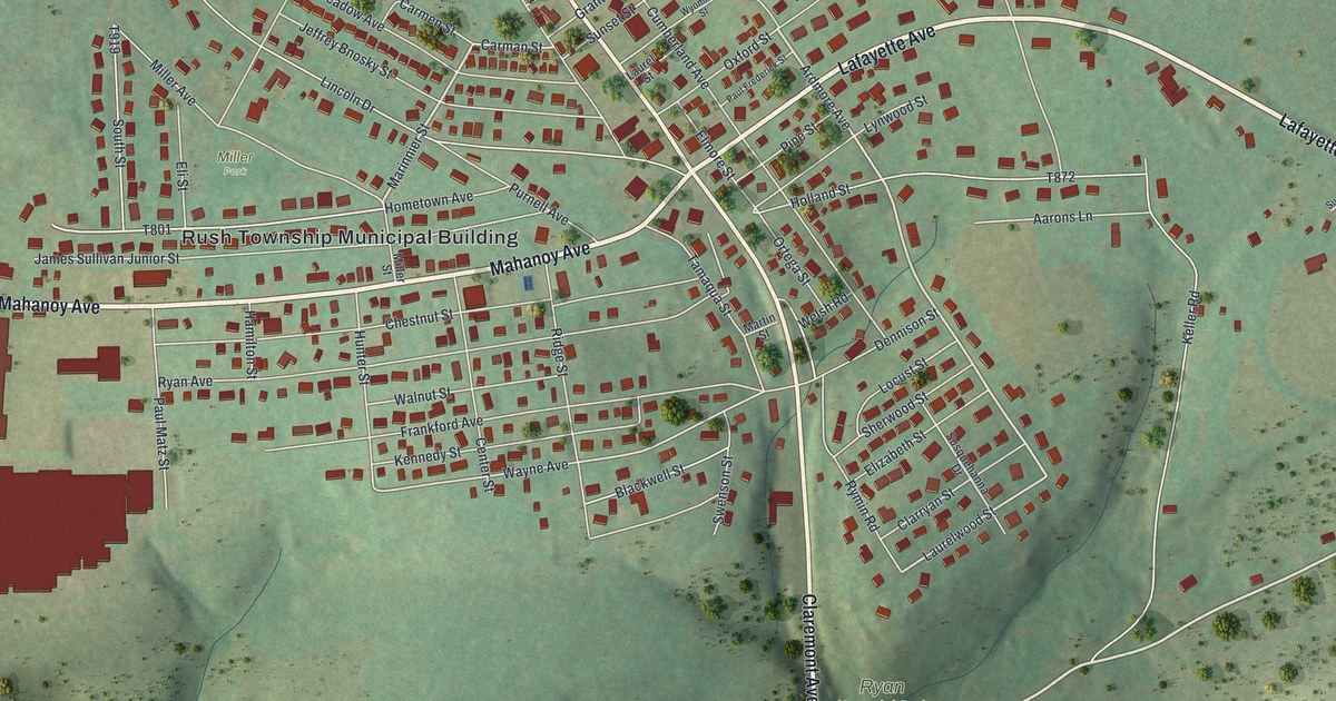
A detailed map of Hometown, Pennsylvania, showing every building in its true location, the roads by name, and shaded topographical relief.
Read More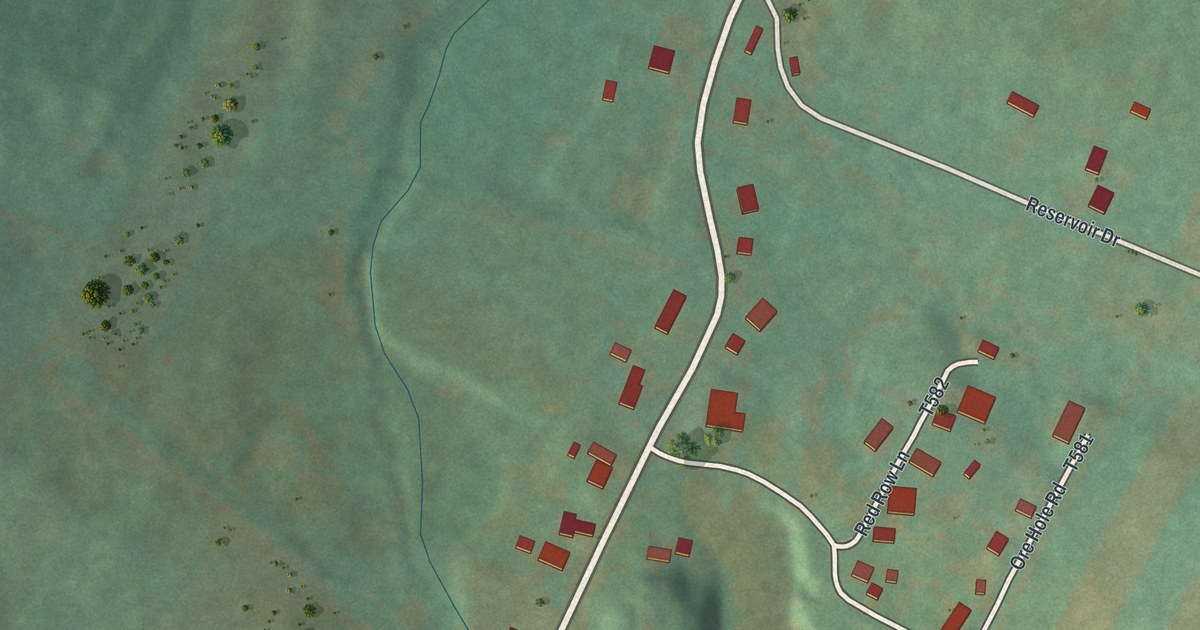
A detailed map of Henrietta, Pennsylvania, showing every building in its true location, the roads by name, and shaded topographical relief.
Read More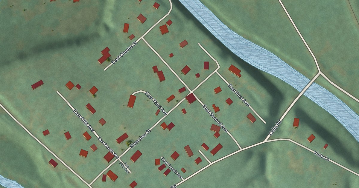
A detailed map of Hazen, Pennsylvania, showing every building in its true location, the roads by name, and shaded topographical relief.
Read More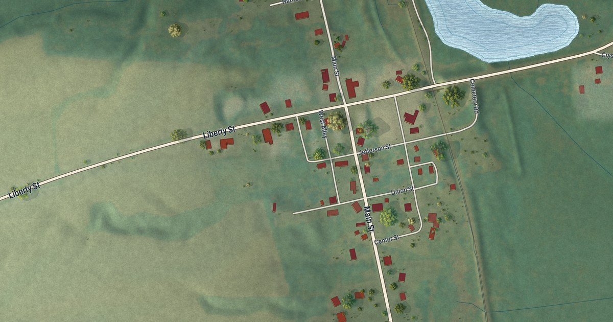
A detailed map of Hartstown, Pennsylvania, showing every building in its true location, the roads by name, and shaded topographical relief.
Read More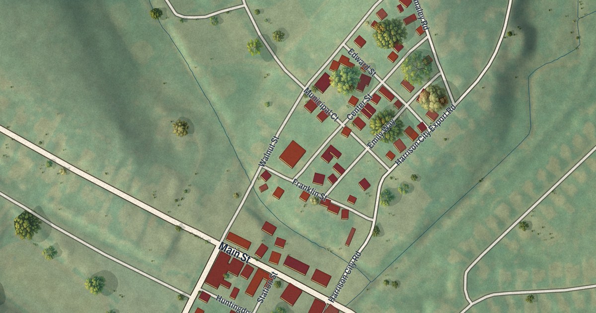
A detailed map of Harrison City, Pennsylvania, showing every building in its true location, the roads by name, and shaded topographical relief.
Read More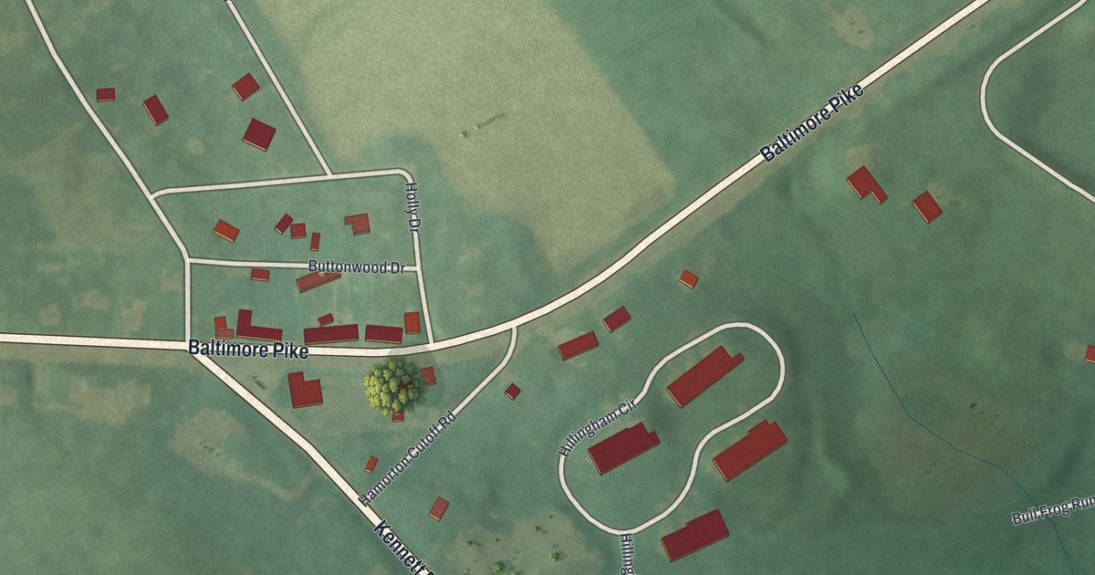
A detailed map of Hamorton, Pennsylvania, showing every building in its true location, the roads by name, and shaded topographical relief.
Read More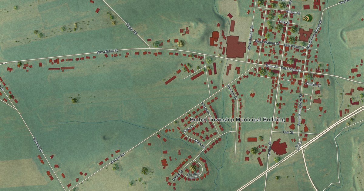
A detailed map of Fredericksburg, Pennsylvania, showing every building in its true location, the roads by name, and shaded topographical relief.
Read More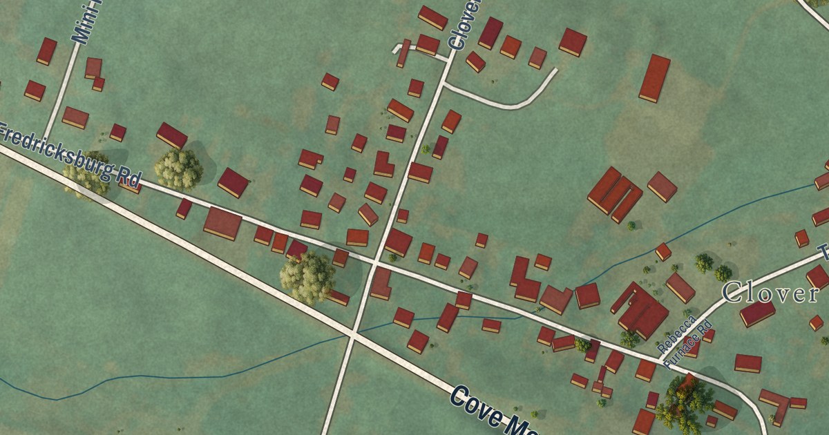
A detailed map of Fredericksburg, Pennsylvania, showing every building in its true location, the roads by name, and shaded topographical relief.
Read More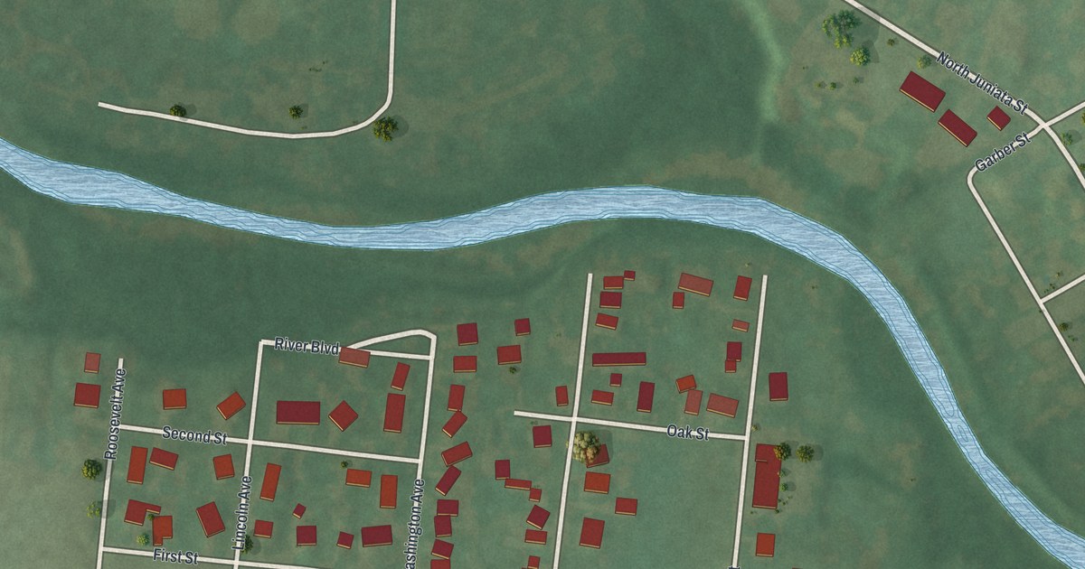
A detailed map of Fort Fetter, Pennsylvania, showing every building in its true location, the roads by name, and shaded topographical relief.
Read More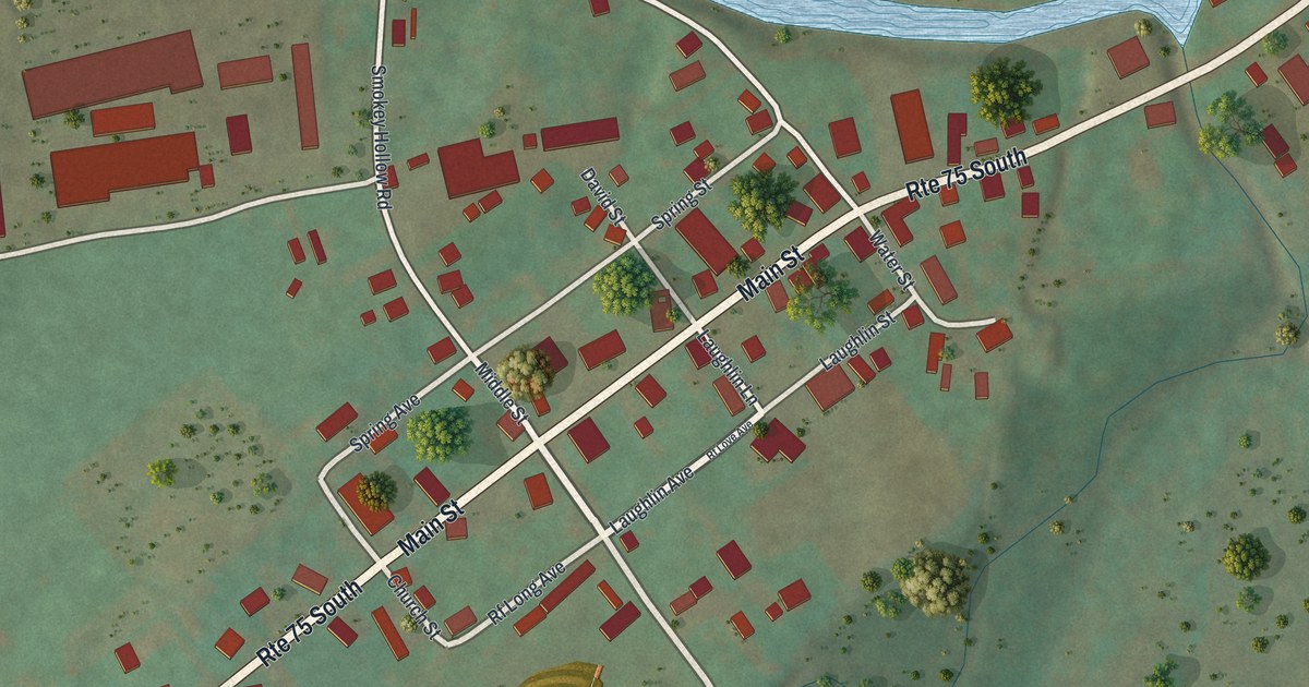
A detailed map of East Waterford, Pennsylvania, showing every building in its true location, the roads by name, and shaded topographical relief.
Read More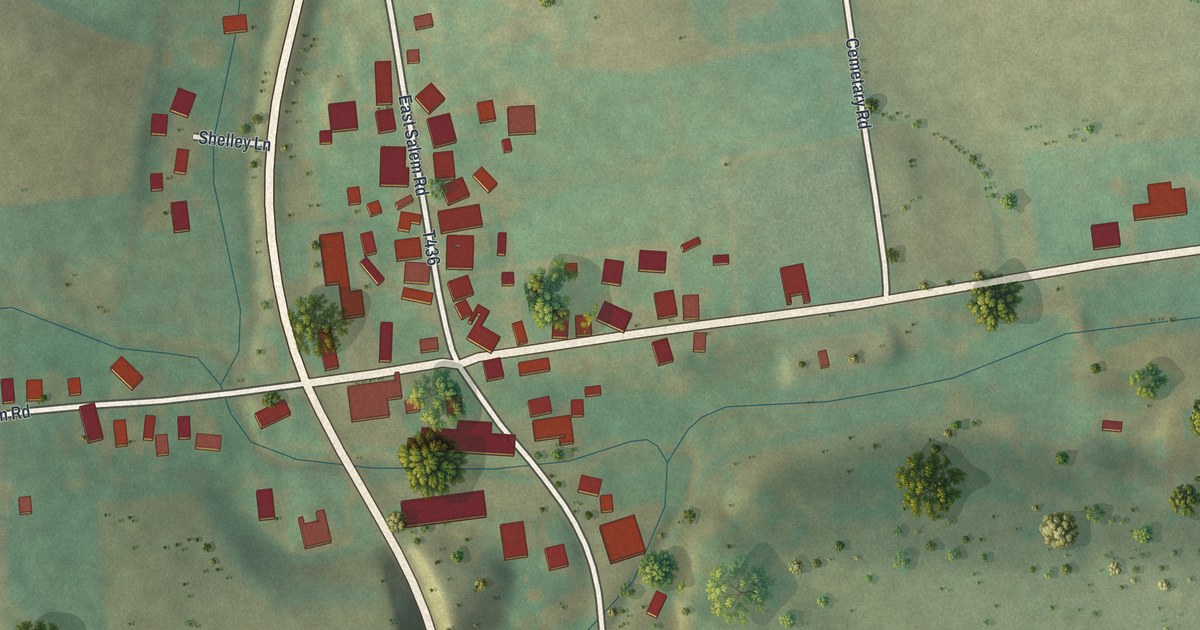
A detailed map of East Salem, Pennsylvania, showing every building in its true location, the roads by name, and shaded topographical relief.
Read More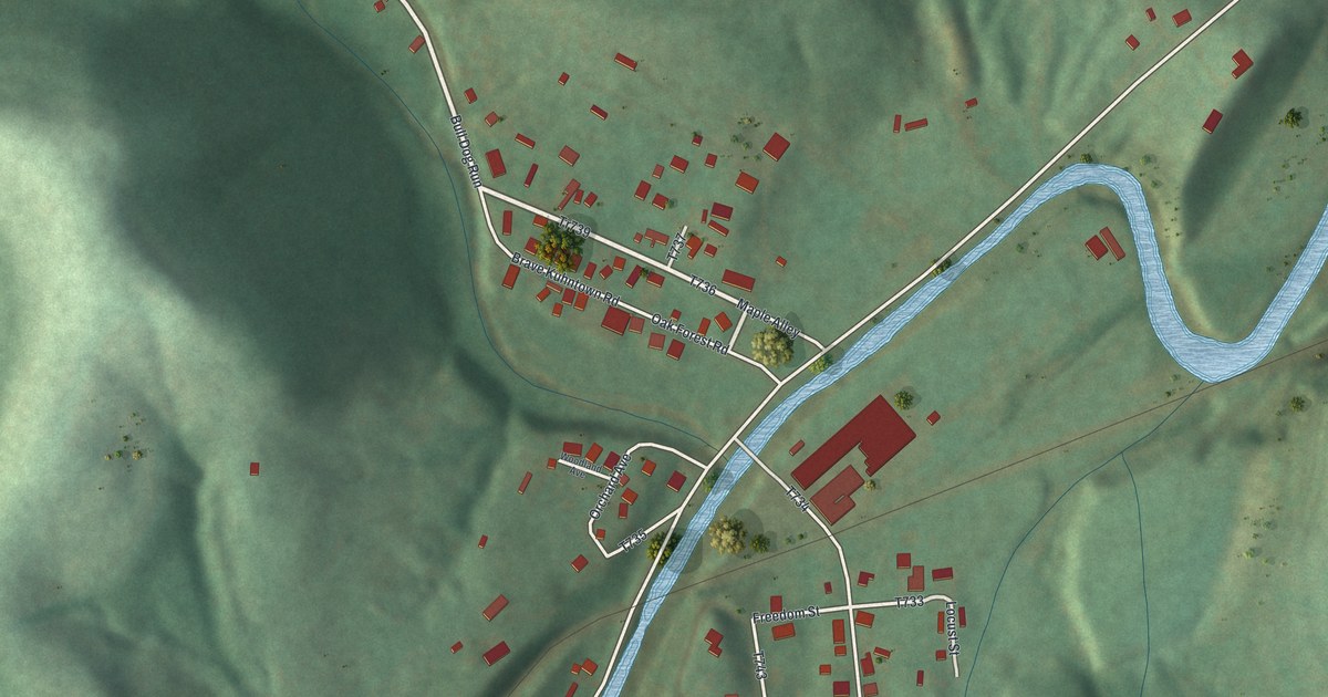
A detailed map of Brave, Pennsylvania, showing every building in its true location, the roads by name, and shaded topographical relief.
Read More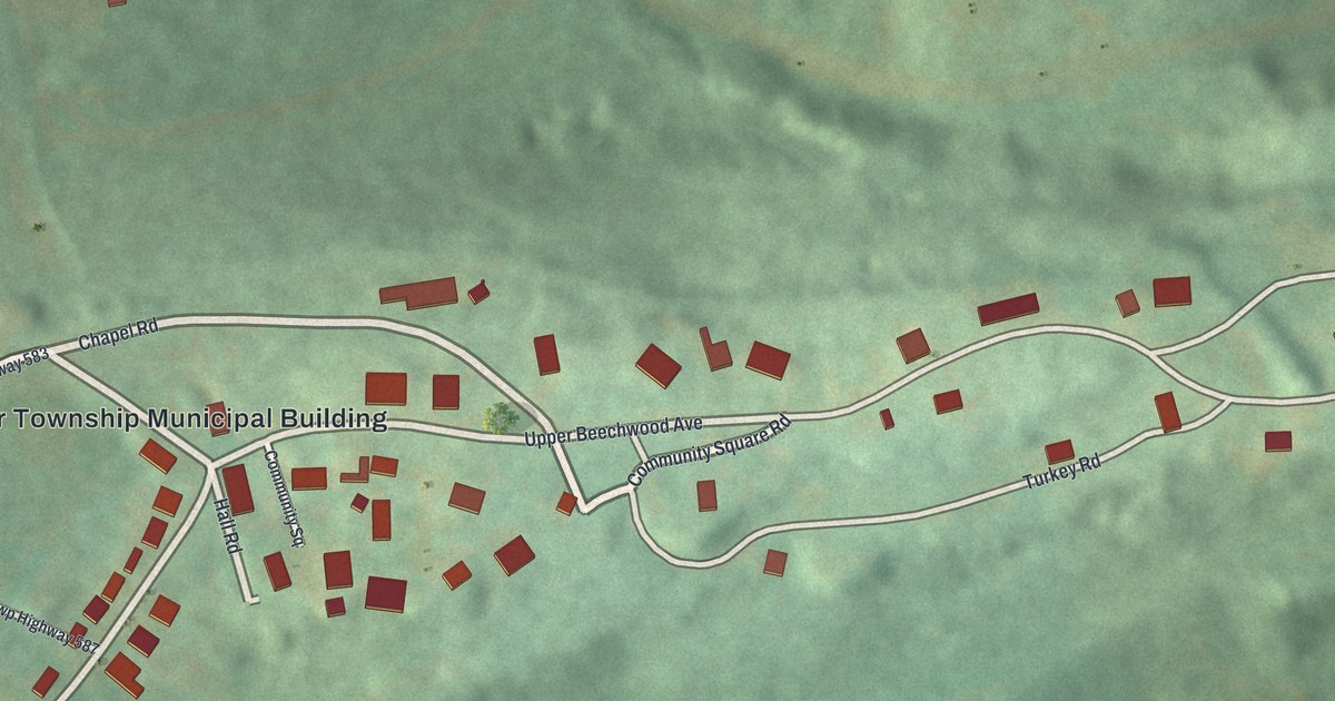
A detailed map of Buck Run, Pennsylvania, showing every building in its true location, the roads by name, and shaded topographical relief.
Read More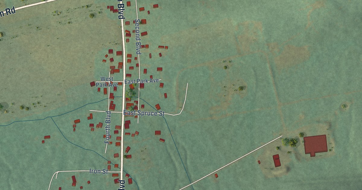
A detailed map of Brandonville, Pennsylvania, showing every building in its true location, the roads by name, and shaded topographical relief.
Read More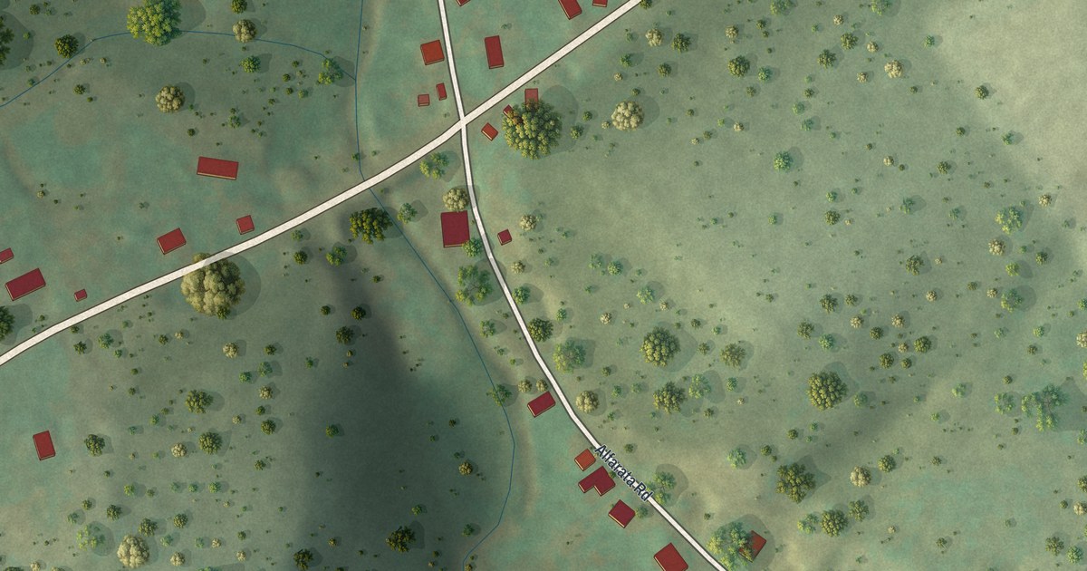
A detailed map of Alfarata, Pennsylvania, showing every building in its true location, the roads by name, and shaded topographical relief.
Read More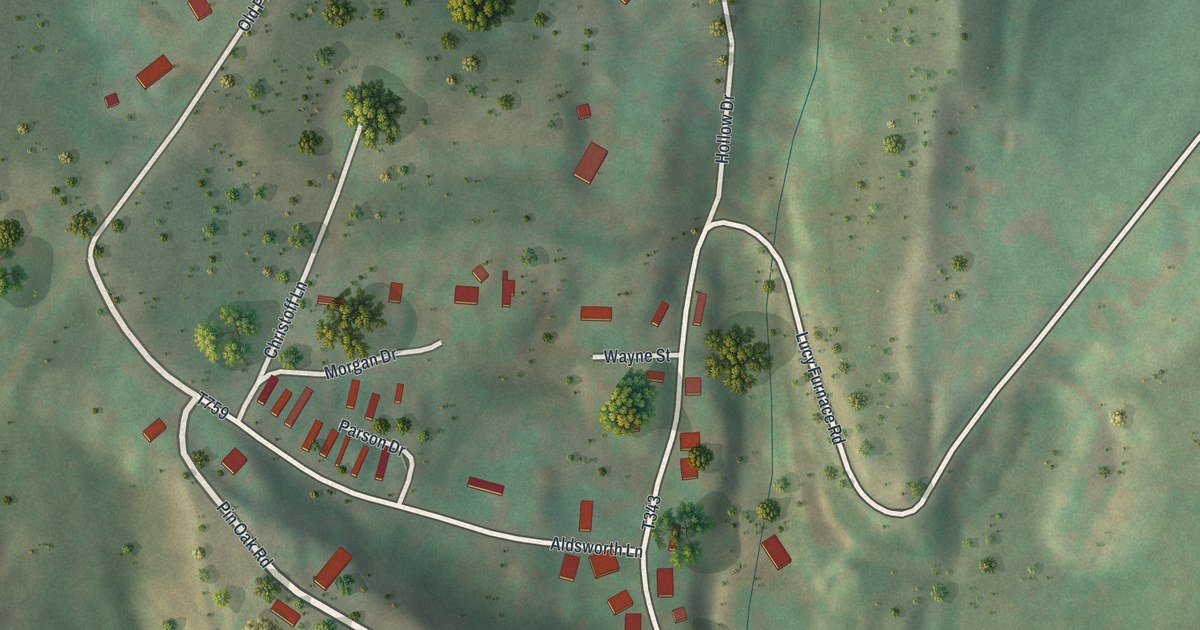
A detailed map of Cedar Crest, Pennsylvania, showing every building in its true location, the roads by name, and shaded topographical relief.
Read More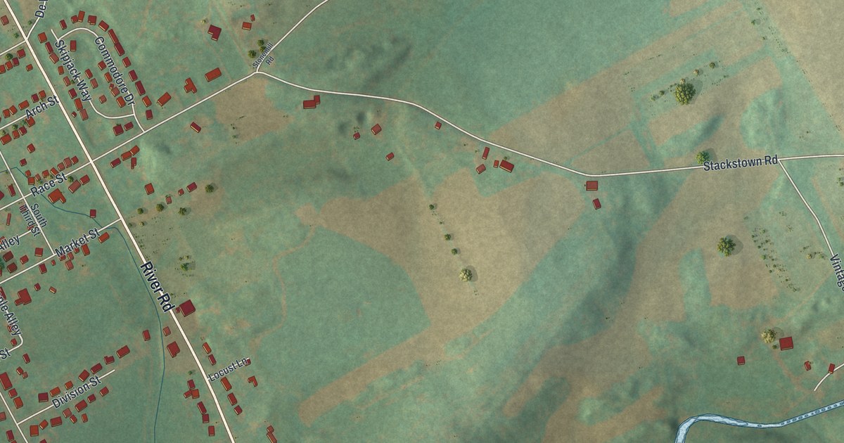
A detailed map of Bainbridge, Pennsylvania, showing every building in its true location, the roads by name, and shaded topographical relief.
Read More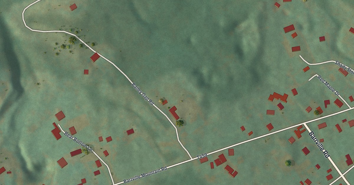
A detailed map of Barrville, Pennsylvania, showing every building in its true location, the roads by name, and shaded topographical relief.
Read More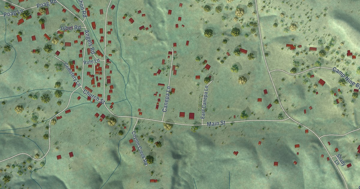
A detailed map of Vallecito, California, showing every building in its true location, the roads by name, and shaded topographical relief.
Read More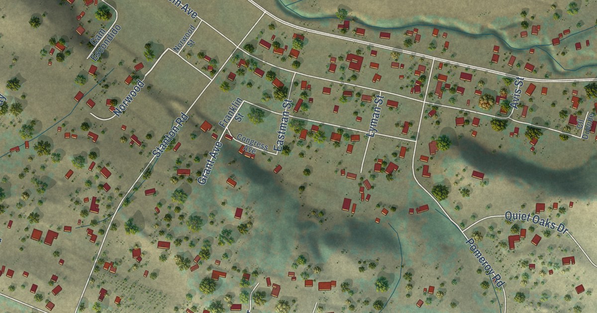
A detailed map of Los Berros, California, showing every building in its true location, the roads by name, and shaded topographical relief.
Read More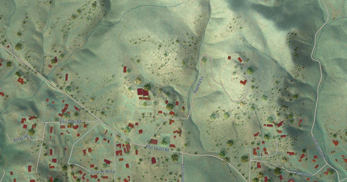
A detailed map of Elfin Forest, California, showing every building in its true location, the roads by name, and shaded topographical relief.
Read More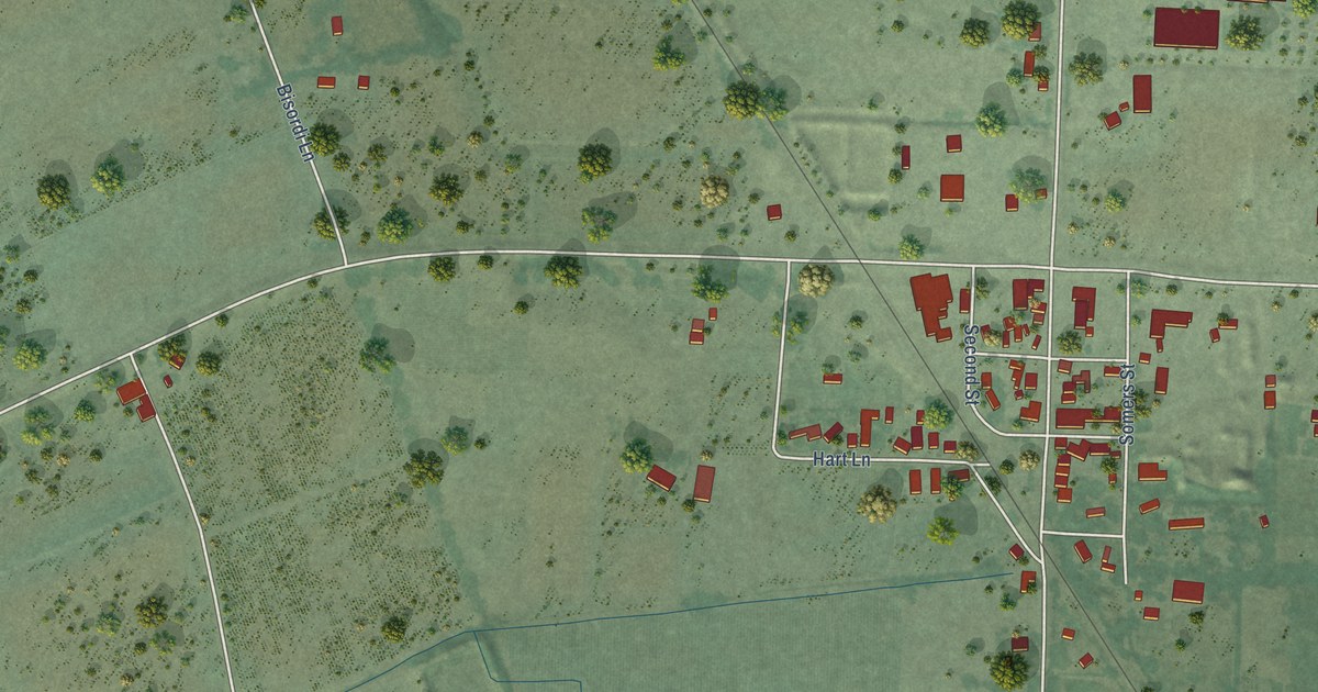
A detailed map of Fulton, California, showing every building in its true location, the roads by name, and shaded topographical relief.
Read More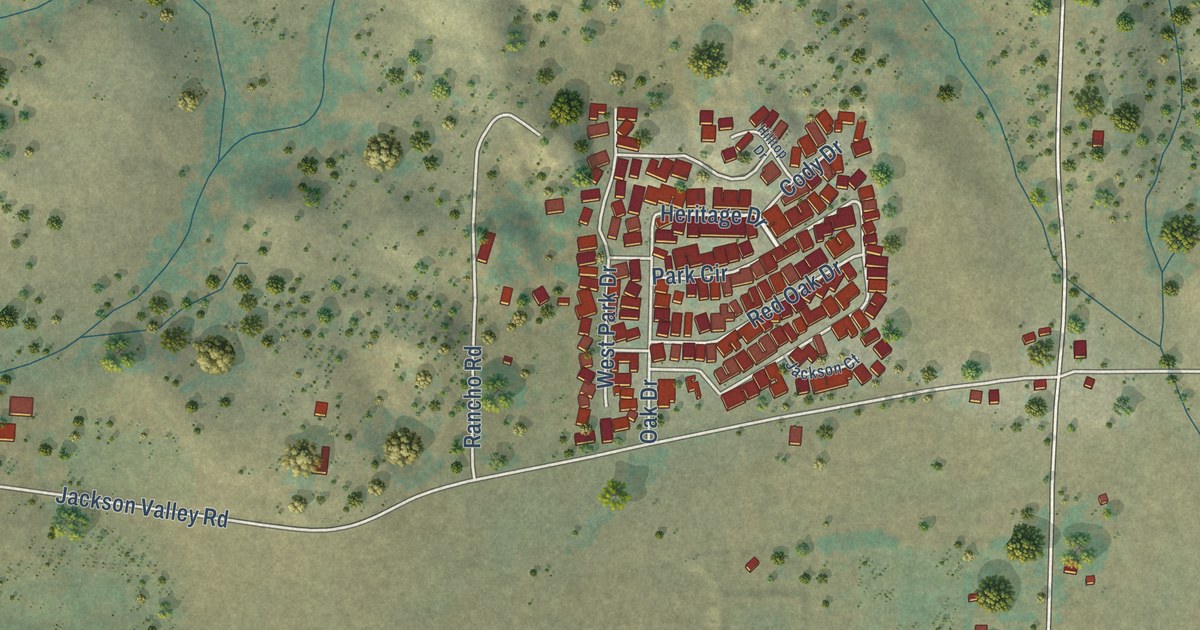
A detailed map of Buena Vista, California, showing every building in its true location, the roads by name, and shaded topographical relief.
Read More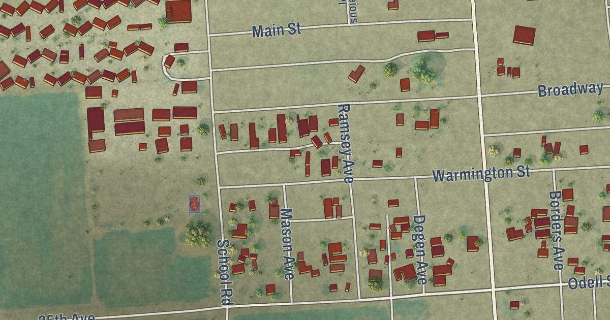
A detailed map of Ripley, California, showing every building in its true location, the roads by name, and shaded topographical relief.
Read More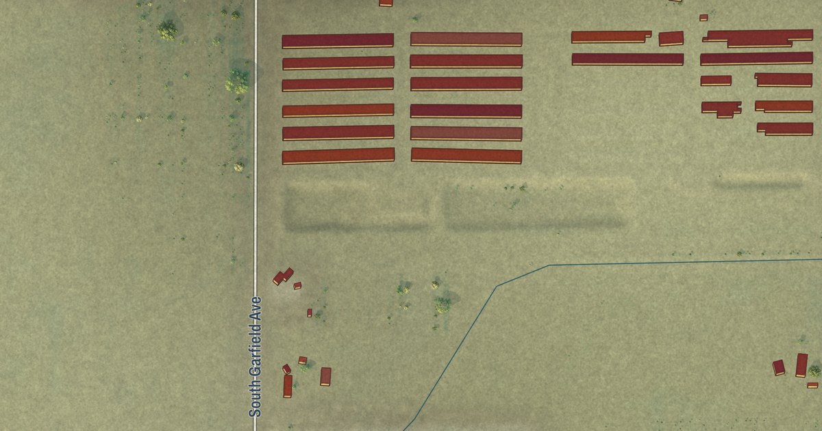
A detailed map of Lanare, California, showing every building in its true location, the roads by name, and shaded topographical relief.
Read More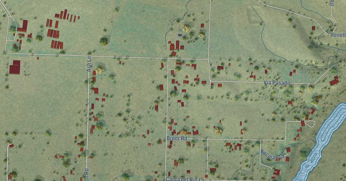
A detailed map of Bend, California, showing every building in its true location, the roads by name, and shaded topographical relief.
Read More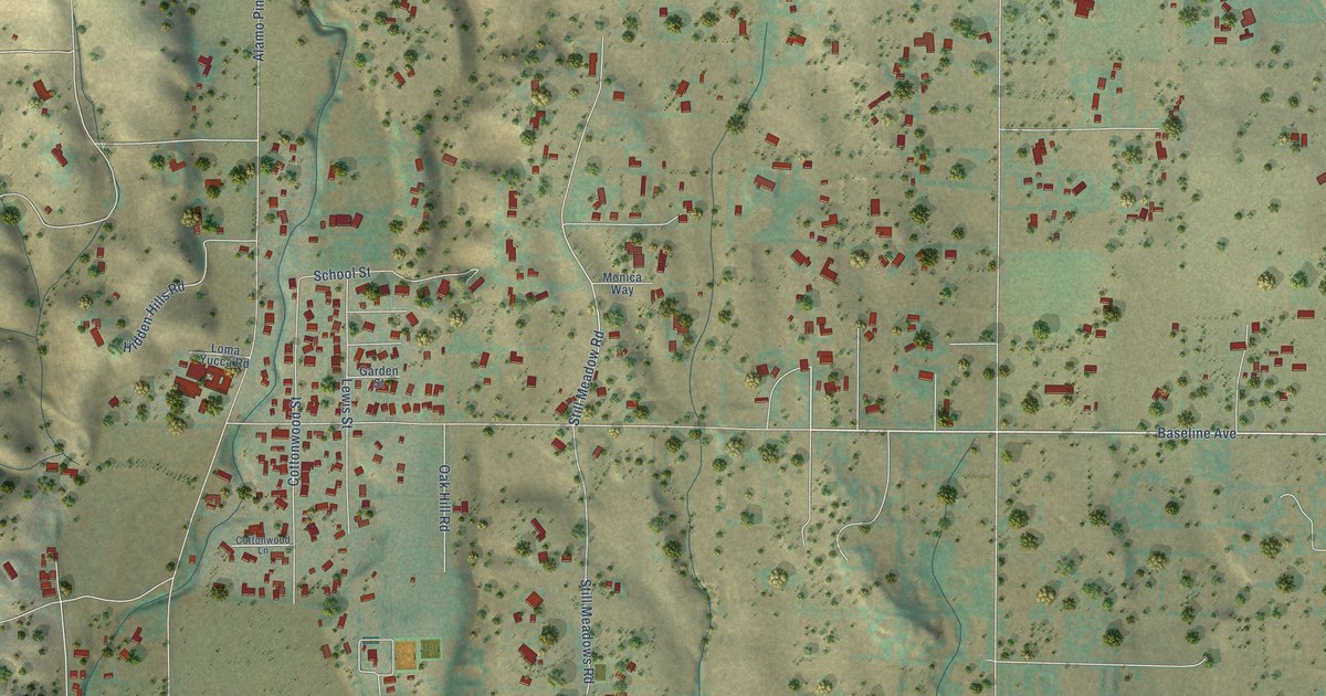
A detailed map of Ballard, California, showing every building in its true location, the roads by name, and shaded topographical relief.
Read More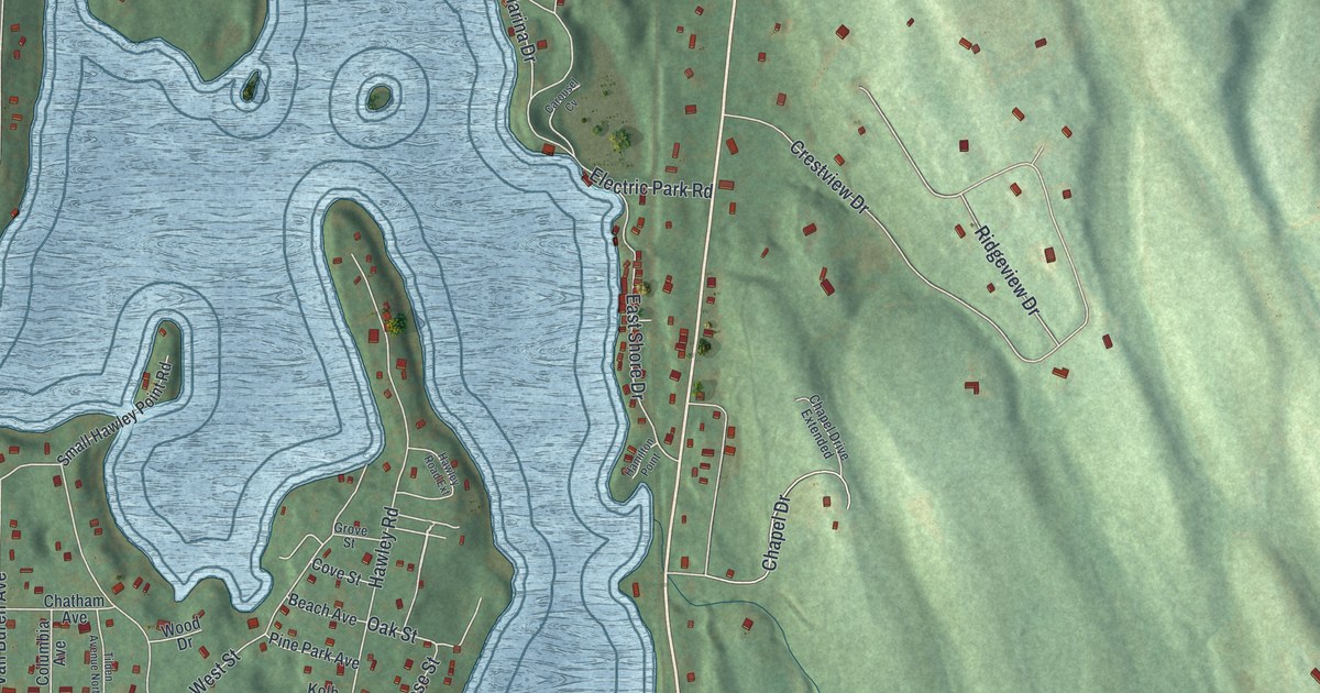
A detailed map of Niverville, New York, showing every building in its true location, the roads by name, and shaded topographical relief.
Read More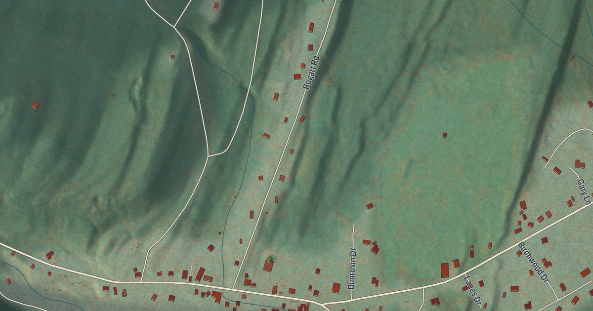
A detailed map of Palenville, New York, showing every building in its true location, the roads by name, and shaded topographical relief.
Read More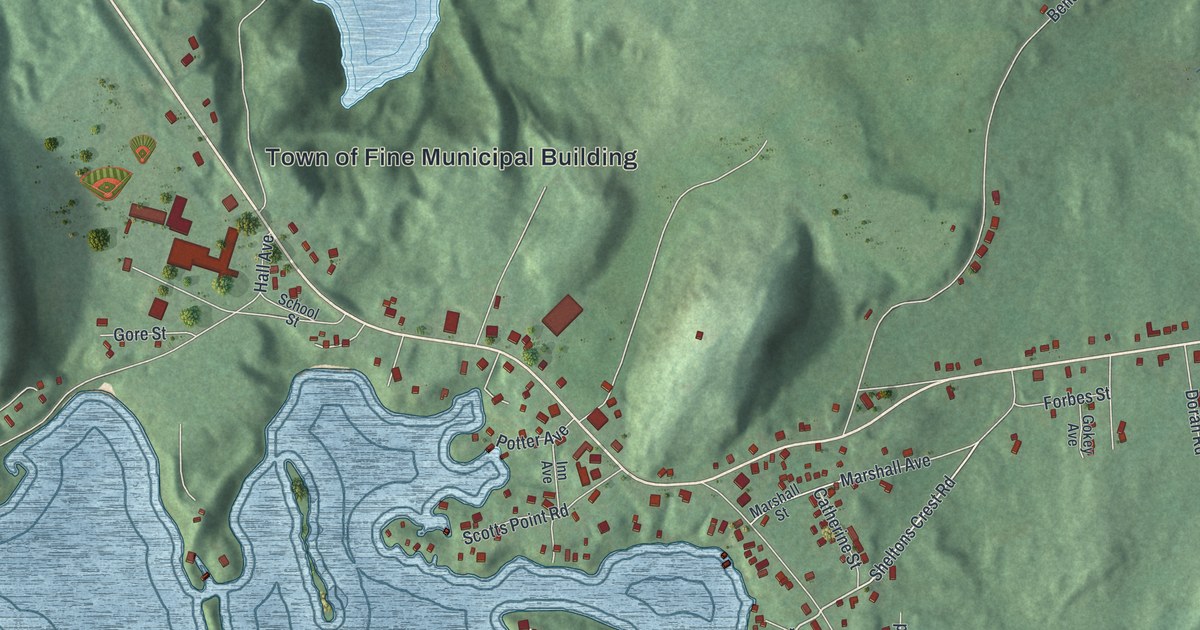
A detailed map of Star Lake, New York, showing every building in its true location, the roads by name, and shaded topographical relief.
Read More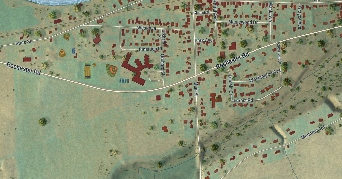
A detailed map of Gasport, New York, showing every building in its true location, the roads by name, and shaded topographical relief.
Read More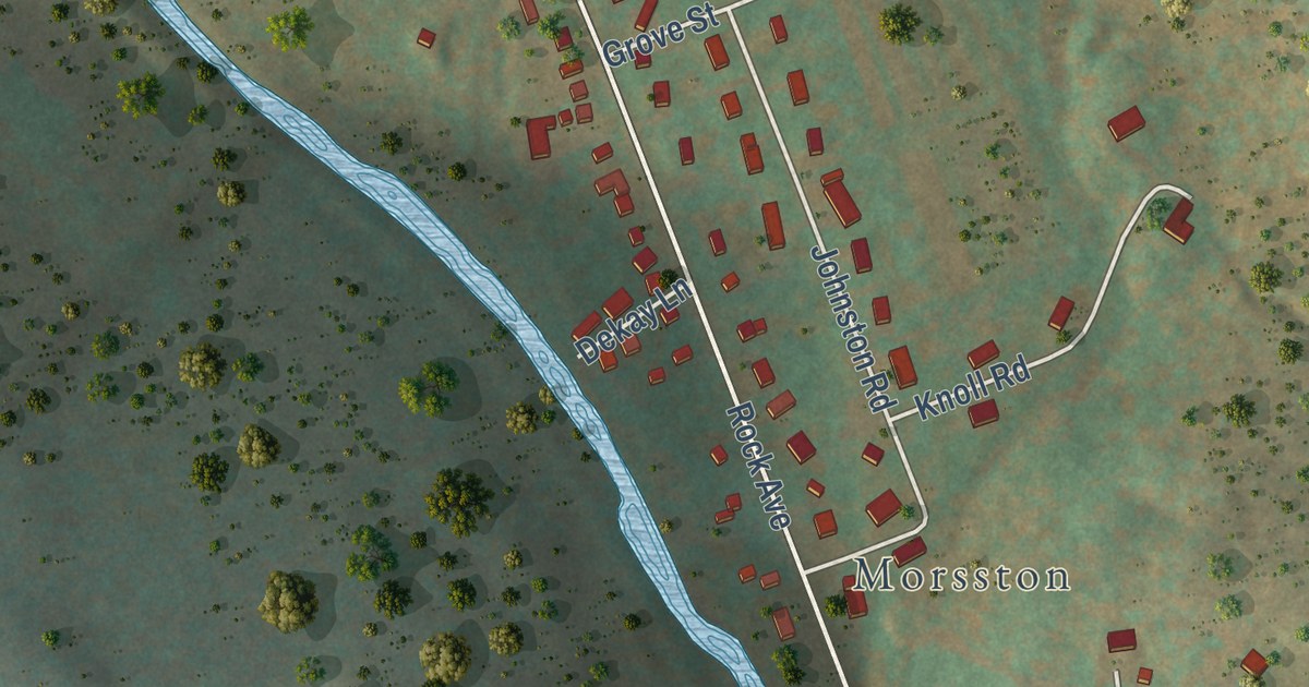
A detailed map of Livingston Manor, New York, showing every building in its true location, the roads by name, and shaded topographical relief.
Read More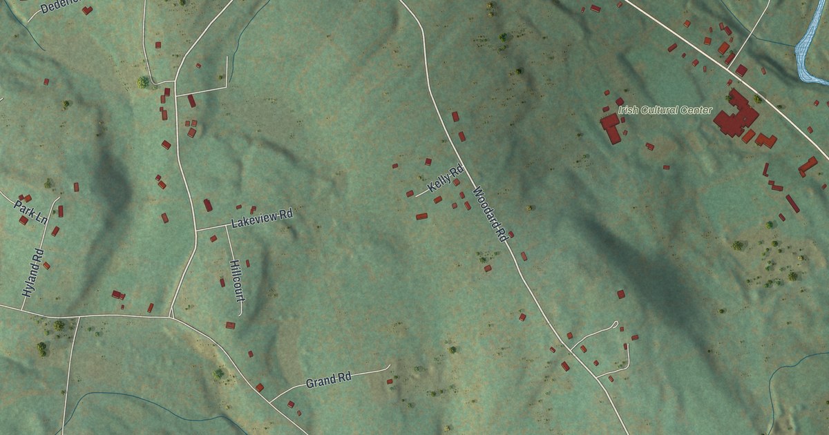
A detailed map of East Durham, New York, showing every building in its true location, the roads by name, and shaded topographical relief.
Read More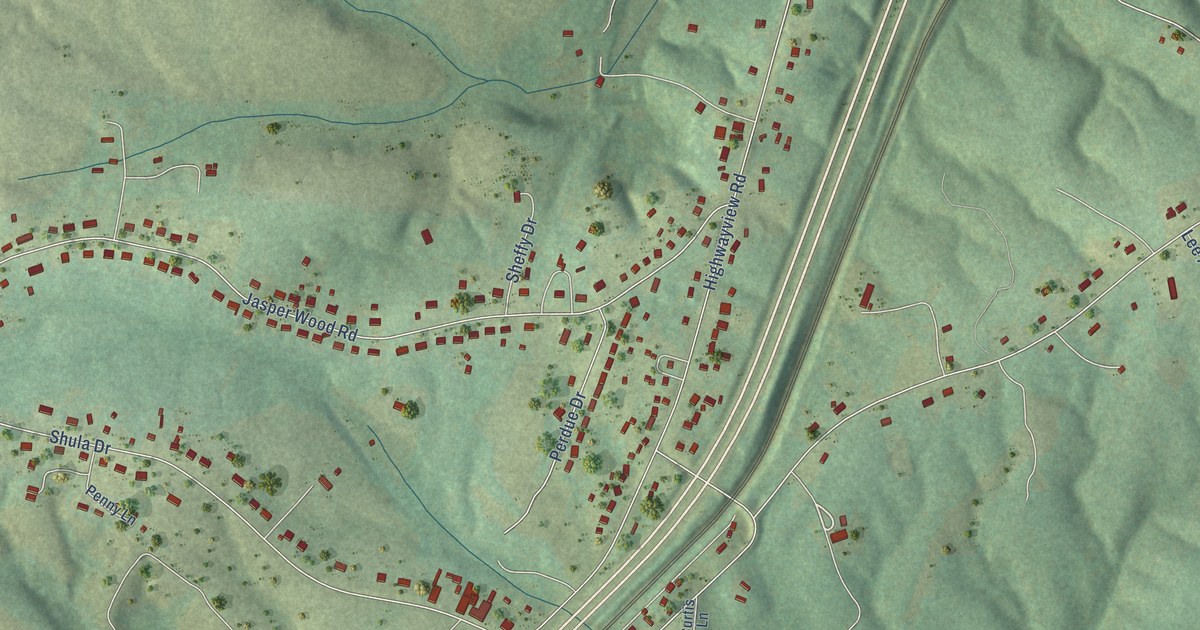
A detailed map of Motley, Virginia, showing every building in its true location, the roads by name, and shaded topographical relief.
Read More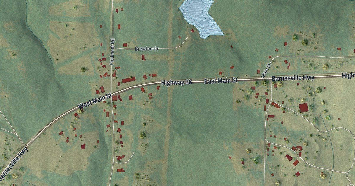
A detailed map of The Rock, Georgia, showing every building in its true location, the roads by name, and shaded topographical relief.
Read More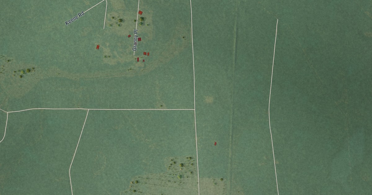
A detailed map of Waverly, Georgia, showing every building in its true location, the roads by name, and shaded topographical relief.
Read More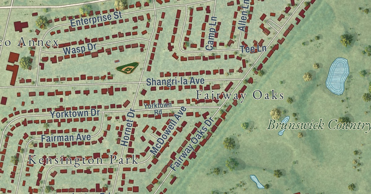
A detailed map of Country Club Estates, Georgia, showing every building in its true location, the roads by name, and shaded topographical relief.
Read More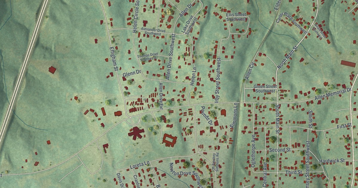
A detailed map of Hardwick, Georgia, showing every building in its true location, the roads by name, and shaded topographical relief.
Read More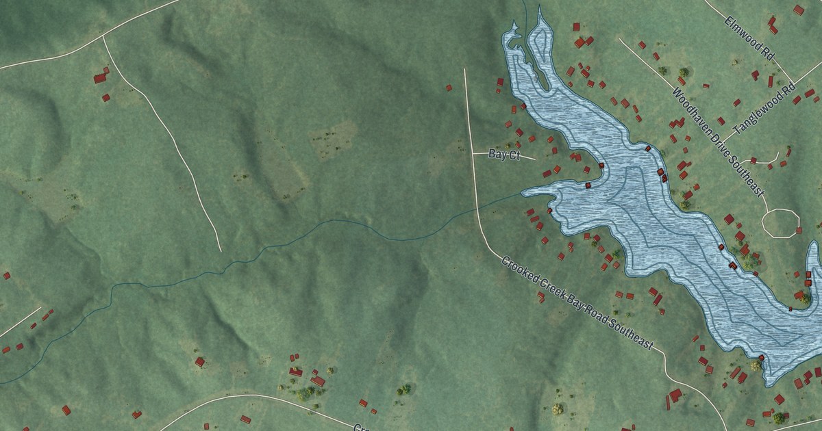
A detailed map of Crooked Creek, Georgia, showing every building in its true location, the roads by name, and shaded topographical relief.
Read More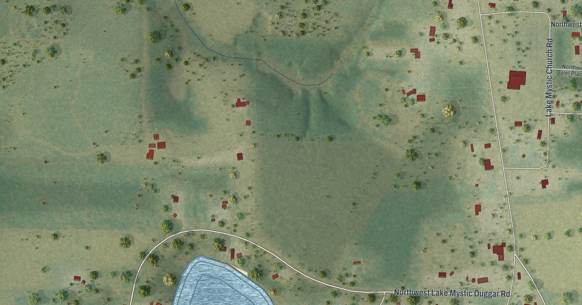
A detailed map of Lake Mystic, Florida, showing every building in its true location, the roads by name, and shaded topographical relief.
Read More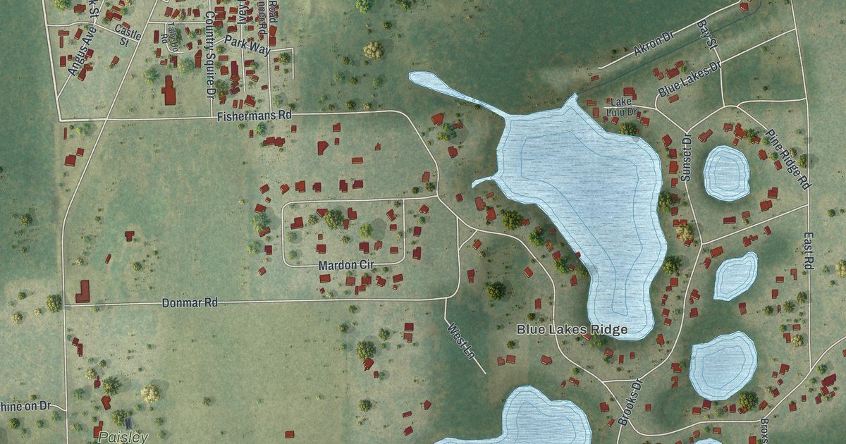
A detailed map of Paisley, Florida, showing every building in its true location, the roads by name, and shaded topographical relief.
Read More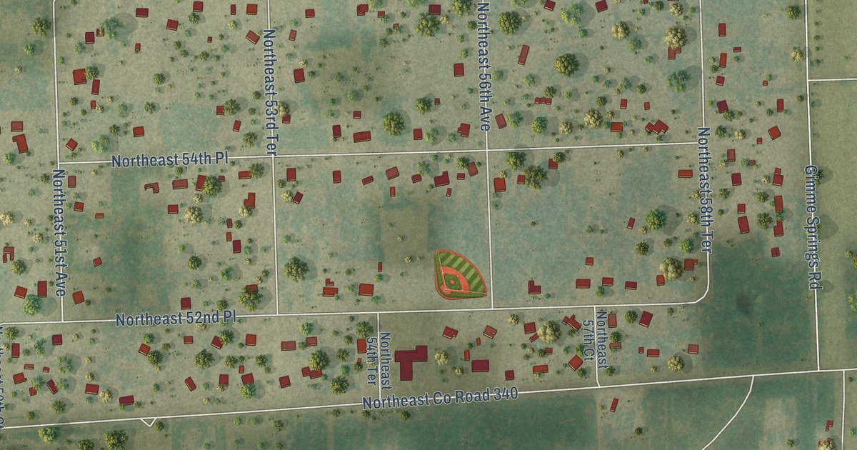
A detailed map of Spring Ridge, Florida, showing every building in its true location, the roads by name, and shaded topographical relief.
Read More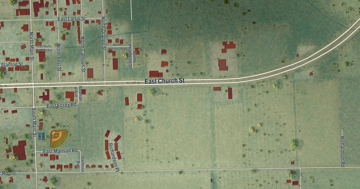
A detailed map of Hastings, Florida, showing every building in its true location, the roads by name, and shaded topographical relief.
Read More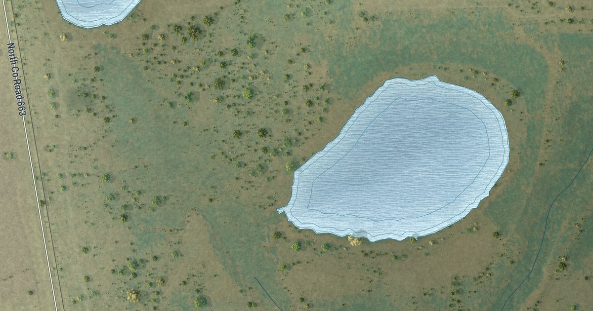
A detailed map of Fort Green, Florida, showing every building in its true location, the roads by name, and shaded topographical relief.
Read More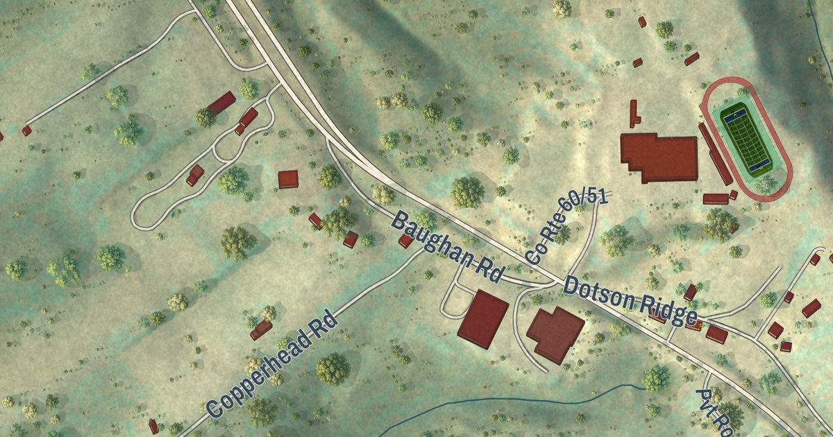
A detailed map of Hico, West Virginia, showing every building in its true location, the roads by name, and shaded topographical relief.
Read More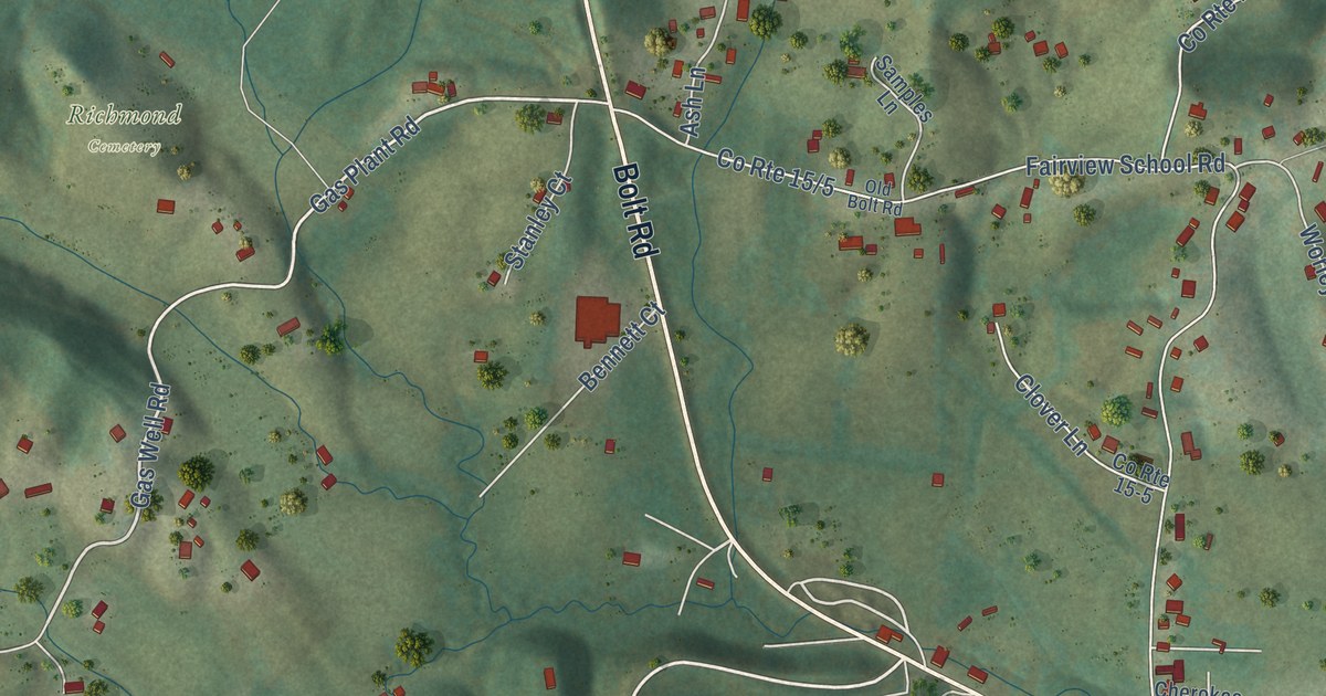
A detailed map of Bolt, West Virginia, showing every building in its true location, the roads by name, and shaded topographical relief.
Read More















