Detailed Map of Tuleta, Texas
A detailed map of Tuleta, Texas, showing every building in its true location, the roads by name, and shaded topographical relief.
Read More
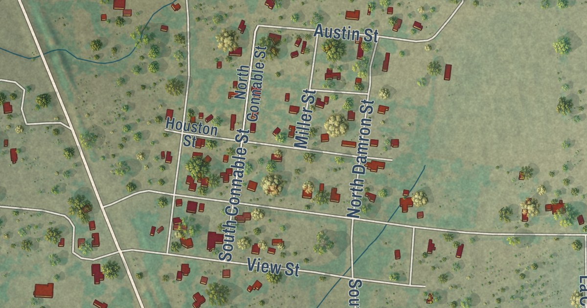
A detailed map of Tuleta, Texas, showing every building in its true location, the roads by name, and shaded topographical relief.
Read More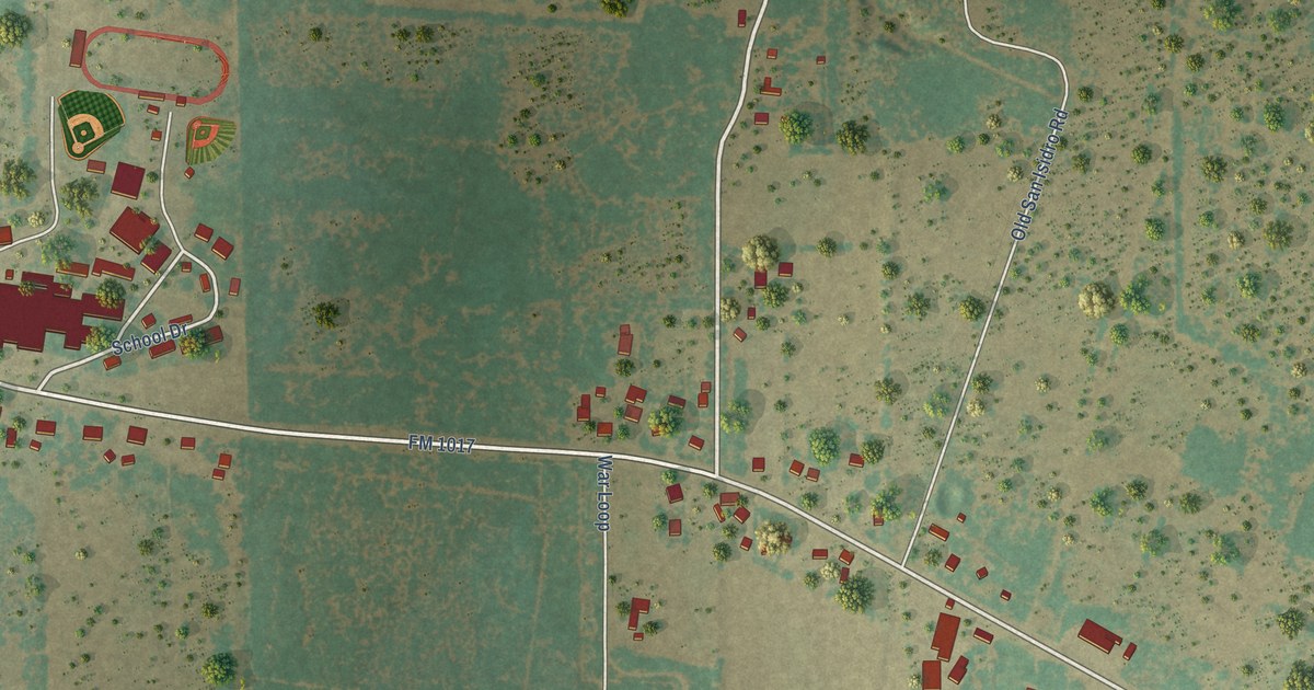
A detailed map of San Isidro, Texas, showing every building in its true location, the roads by name, and shaded topographical relief.
Read More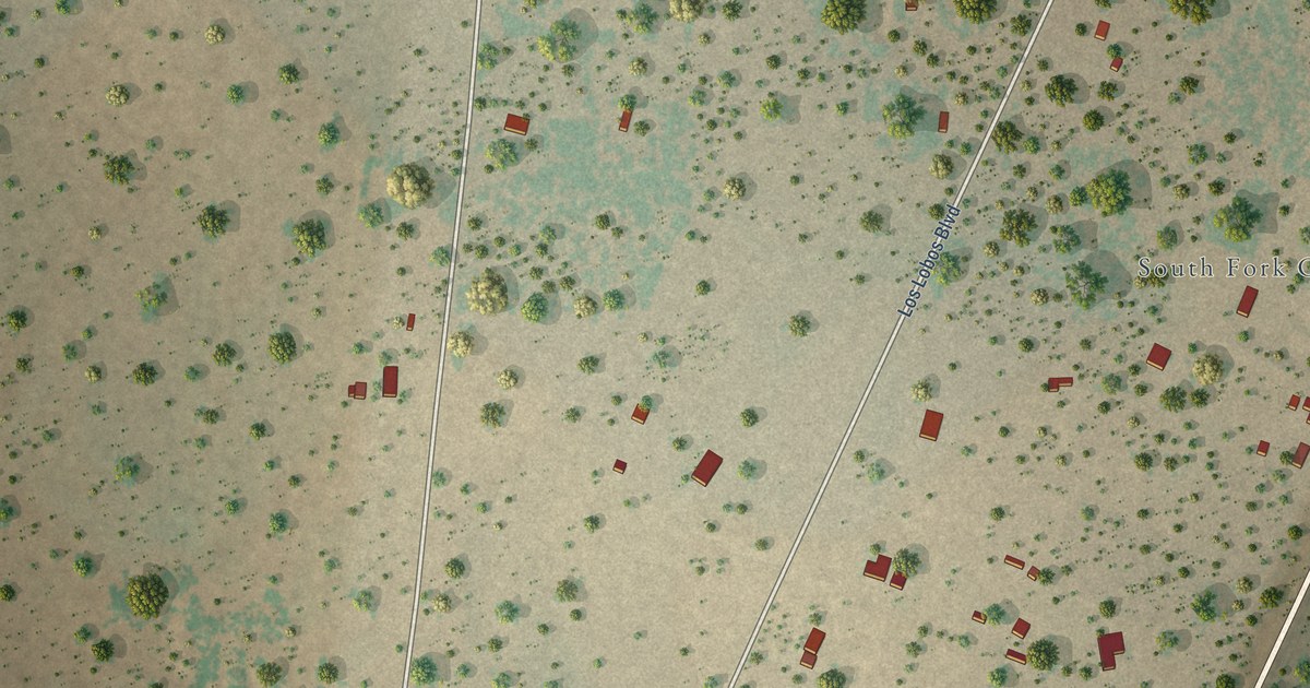
A detailed map of South Fork Estates, Texas, showing every building in its true location, the roads by name, and shaded topographical relief.
Read More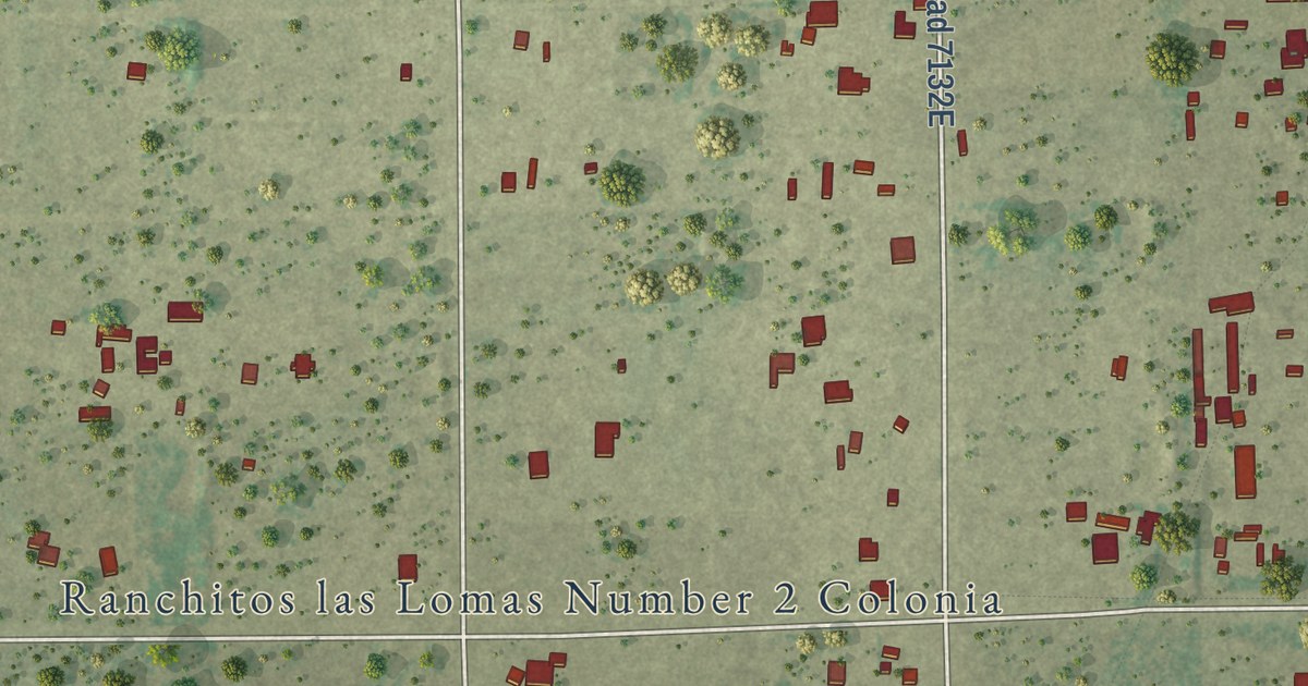
A detailed map of Ranchitos Las Lomas, Texas, showing every building in its true location, the roads by name, and shaded topographical relief.
Read More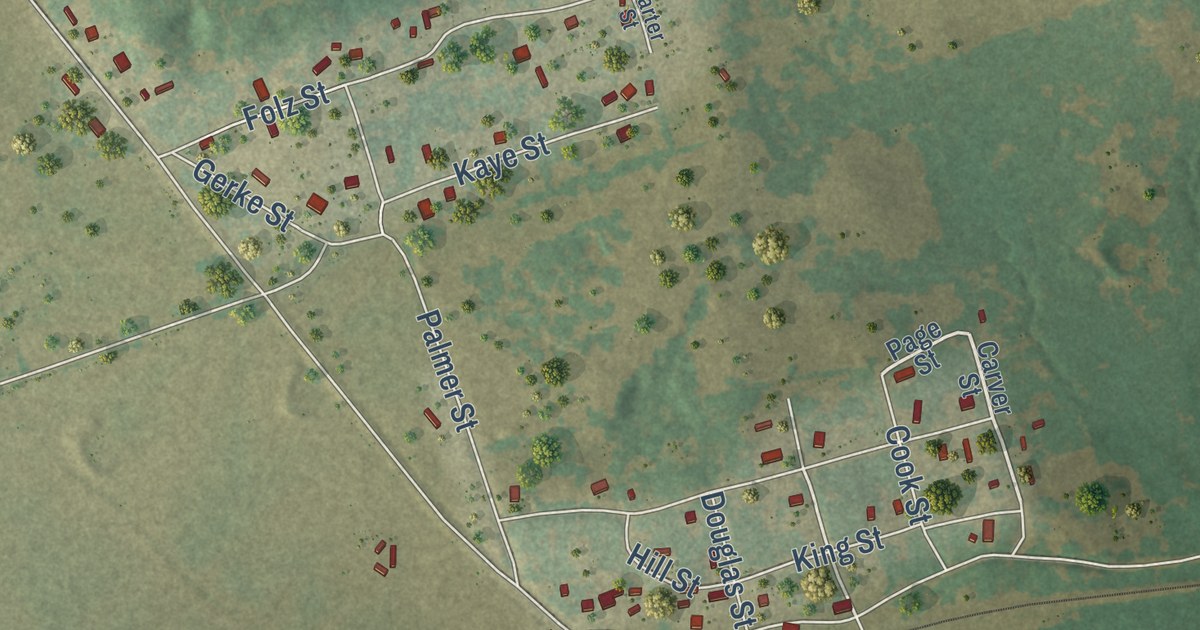
A detailed map of Clay, Texas, showing every building in its true location, the roads by name, and shaded topographical relief.
Read More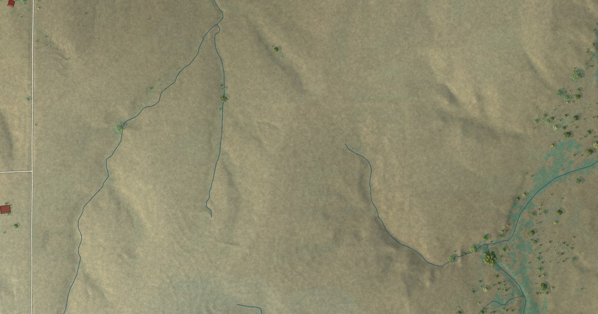
A detailed map of Lipscomb, Texas, showing every building in its true location, the roads by name, and shaded topographical relief.
Read More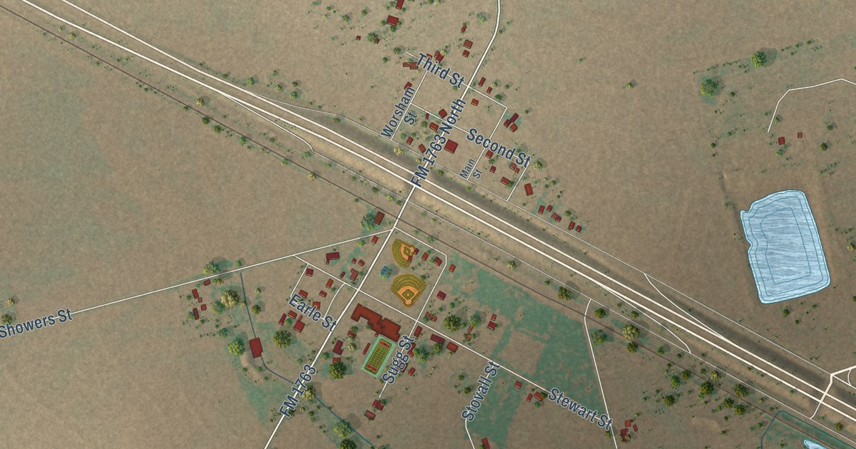
A detailed map of Harrold, Texas, showing every building in its true location, the roads by name, and shaded topographical relief.
Read More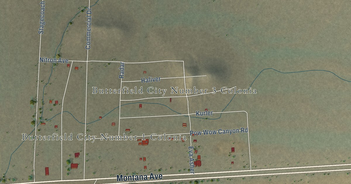
A detailed map of Butterfield, Texas, showing every building in its true location, the roads by name, and shaded topographical relief.
Read More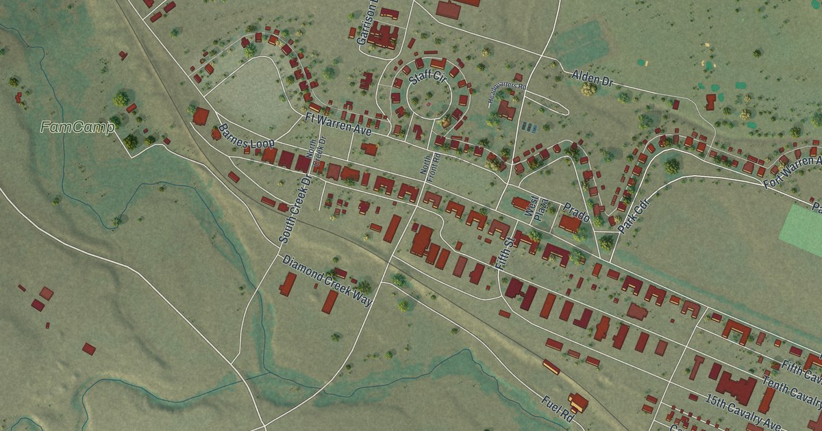
A detailed map of Warren AFB, Wyoming, showing every building in its true location, the roads by name, and shaded topographical relief.
Read More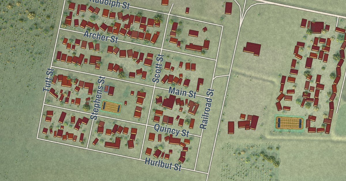
A detailed map of Madison, California, showing every building in its true location, the roads by name, and shaded topographical relief.
Read More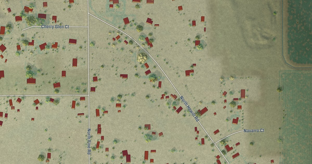
A detailed map of Peters, California, showing every building in its true location, the roads by name, and shaded topographical relief.
Read More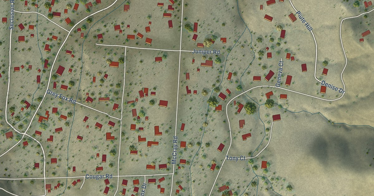
A detailed map of Squirrel Mountain Valley, California, showing every building in its true location, the roads by name, and shaded topographical relief.
Read More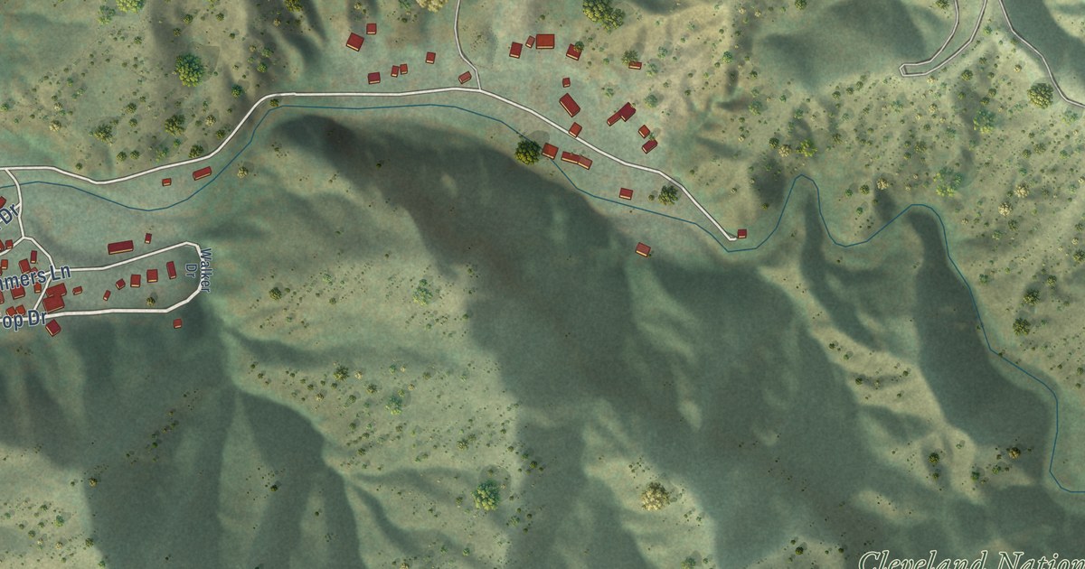
A detailed map of Modjeska, California, showing every building in its true location, the roads by name, and shaded topographical relief.
Read More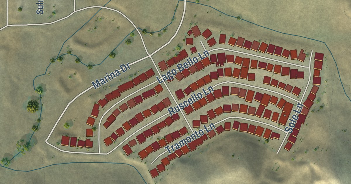
A detailed map of Millerton, California, showing every building in its true location, the roads by name, and shaded topographical relief.
Read More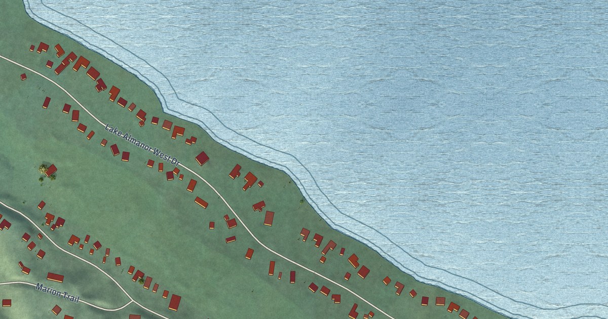
A detailed map of Lake Almanor West, California, showing every building in its true location, the roads by name, and shaded topographical relief.
Read More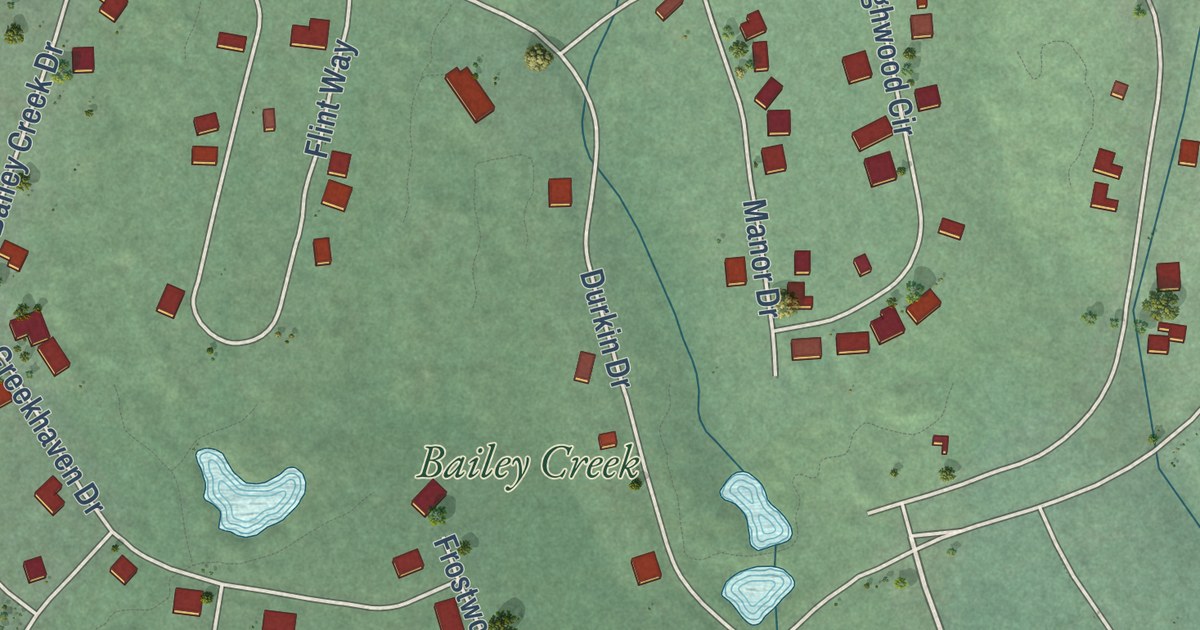
A detailed map of Lake Almanor Peninsula, California, showing every building in its true location, the roads by name, and shaded topographical relief.
Read More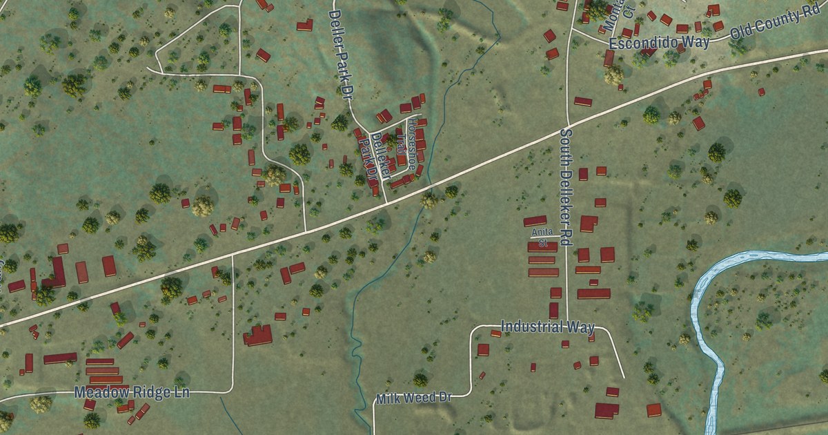
A detailed map of Delleker, California, showing every building in its true location, the roads by name, and shaded topographical relief.
Read More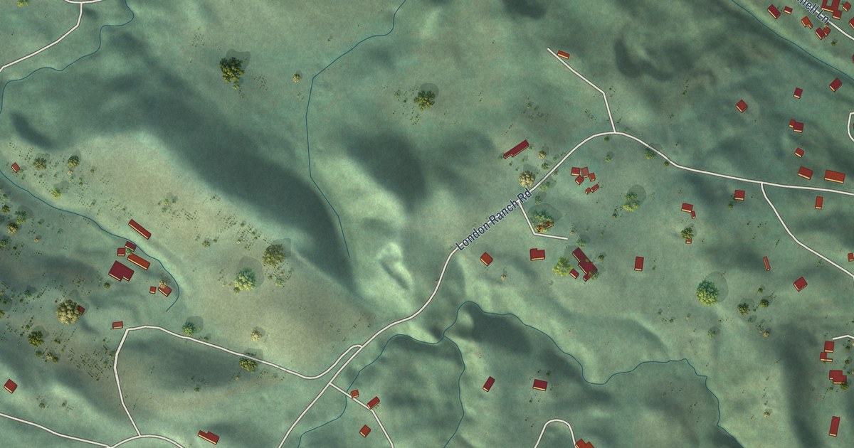
A detailed map of Glen Ellen, California, showing every building in its true location, the roads by name, and shaded topographical relief.
Read More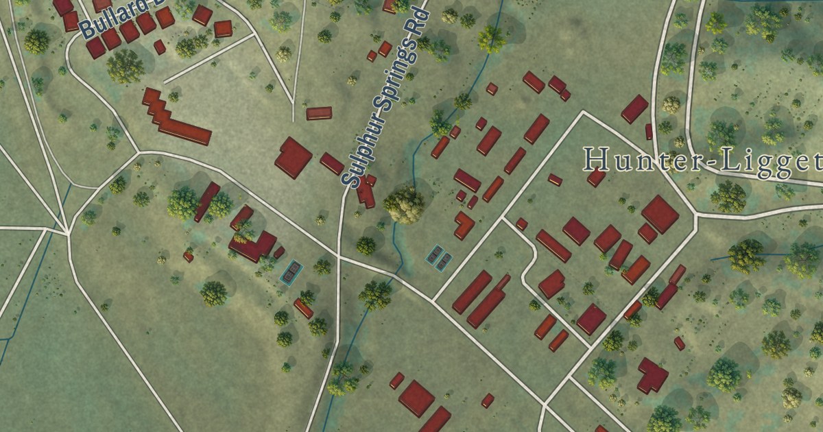
A detailed map of Fort Hunter Liggett, California, showing every building in its true location, the roads by name, and shaded topographical relief.
Read More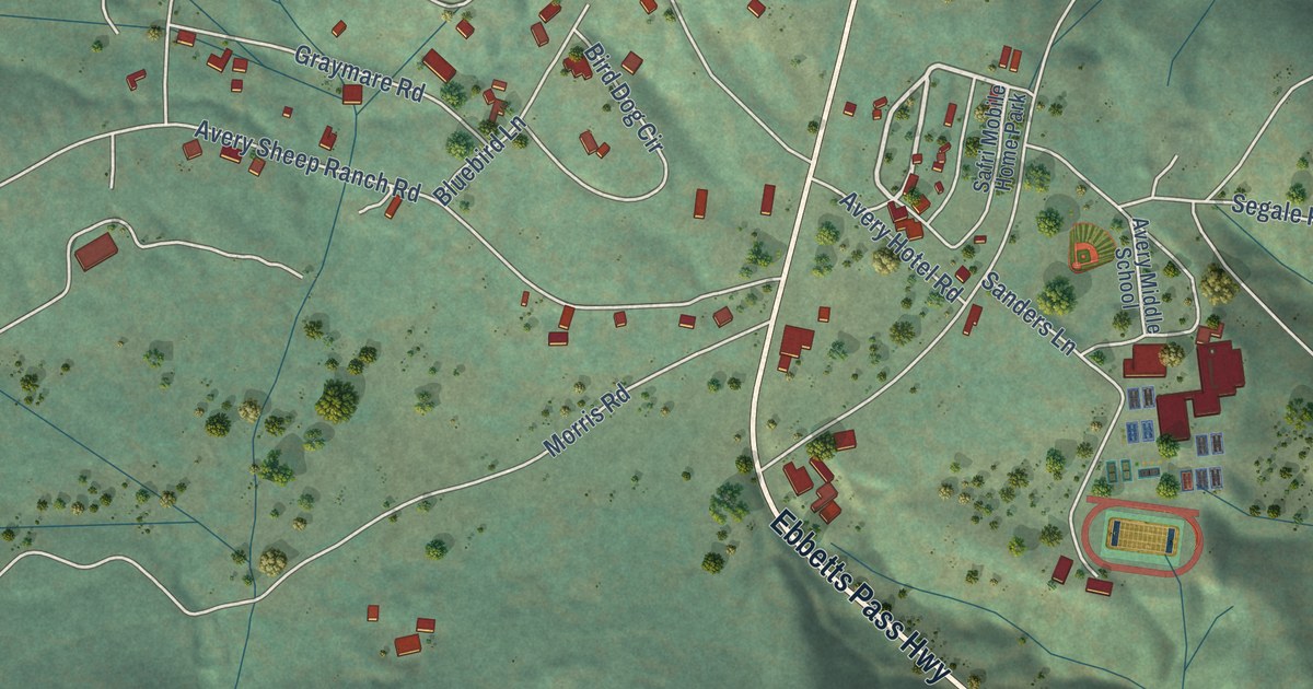
A detailed map of Avery, California, showing every building in its true location, the roads by name, and shaded topographical relief.
Read More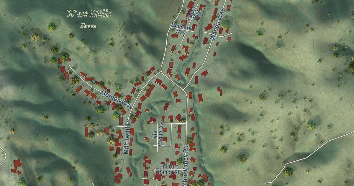
A detailed map of Alhambra Valley, California, showing every building in its true location, the roads by name, and shaded topographical relief.
Read More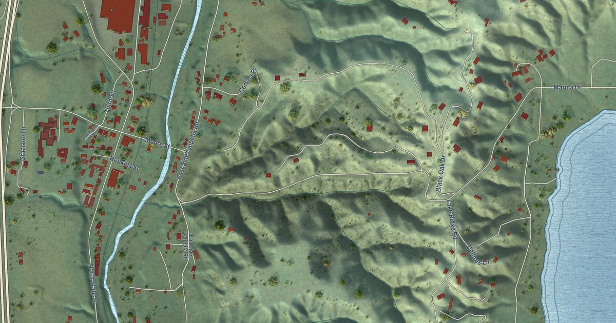
A detailed map of Calpella, California, showing every building in its true location, the roads by name, and shaded topographical relief.
Read More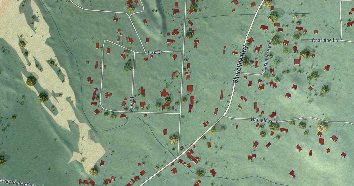
A detailed map of Cleone, California, showing every building in its true location, the roads by name, and shaded topographical relief.
Read More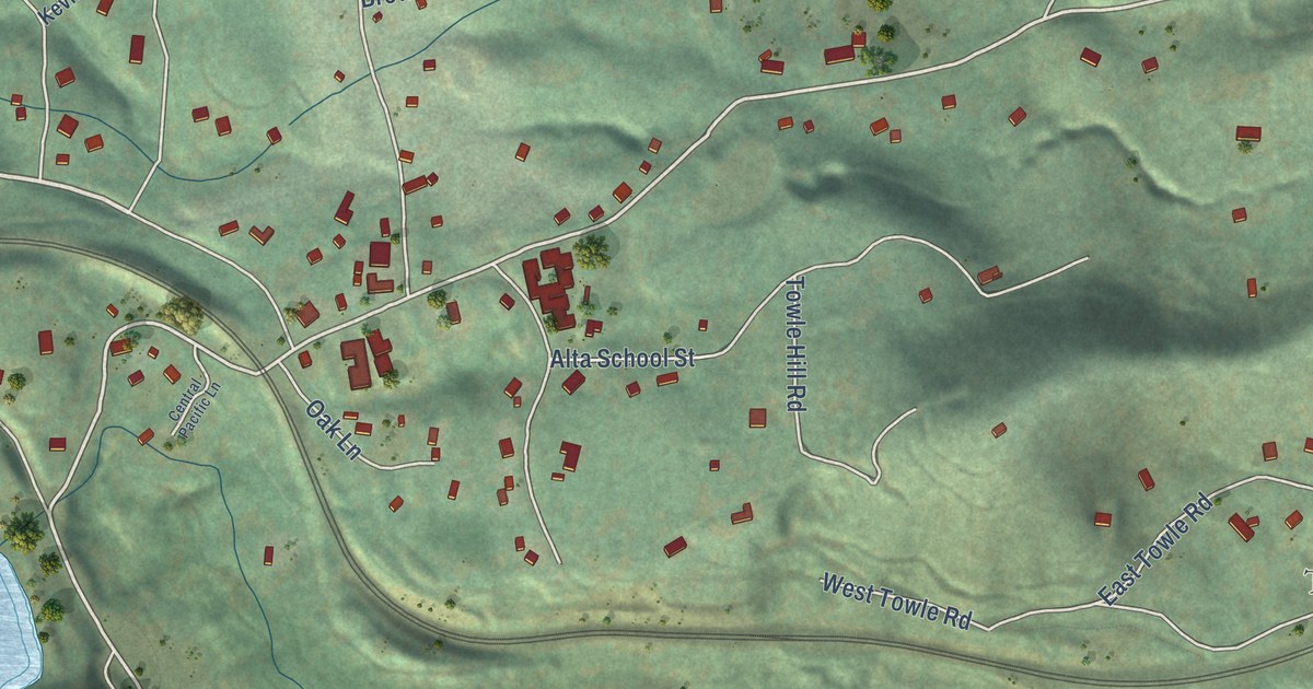
A detailed map of Alta, California, showing every building in its true location, the roads by name, and shaded topographical relief.
Read More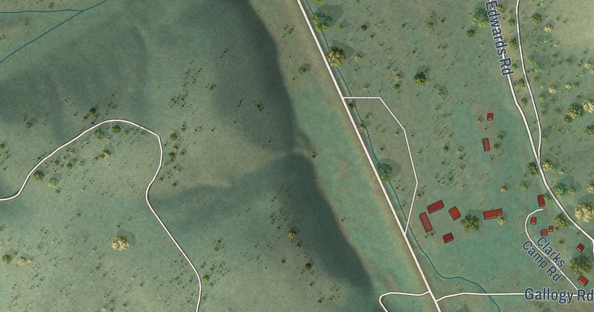
A detailed map of Sula, Montana, showing every building in its true location, the roads by name, and shaded topographical relief.
Read More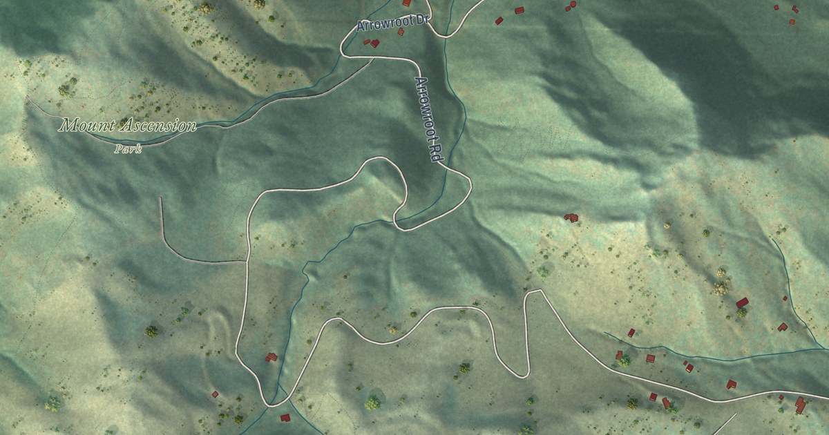
A detailed map of South Hills, Montana, showing every building in its true location, the roads by name, and shaded topographical relief.
Read More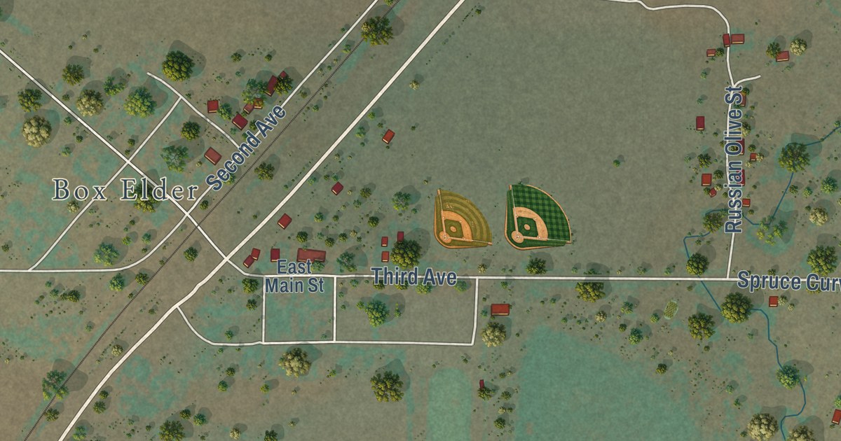
A detailed map of Rocky Boy West, Montana, showing every building in its true location, the roads by name, and shaded topographical relief.
Read More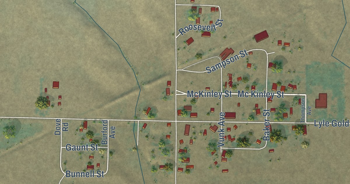
A detailed map of Centerville, Washington, showing every building in its true location, the roads by name, and shaded topographical relief.
Read More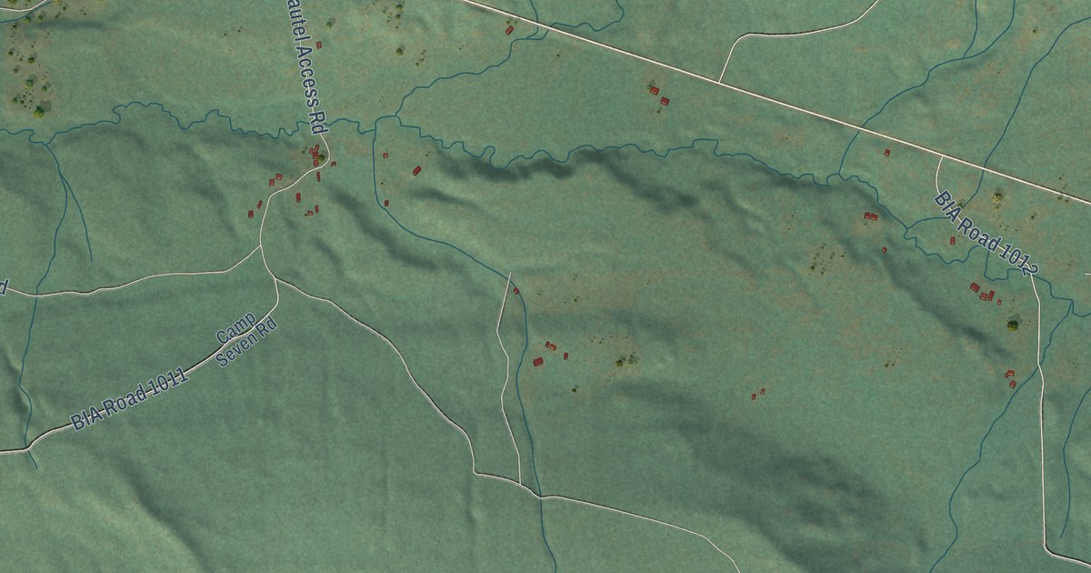
A detailed map of Disautel, Washington, showing every building in its true location, the roads by name, and shaded topographical relief.
Read More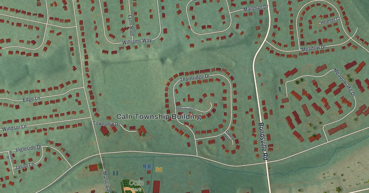
A detailed map of Thorndale, Pennsylvania, showing every building in its true location, the roads by name, and shaded topographical relief.
Read More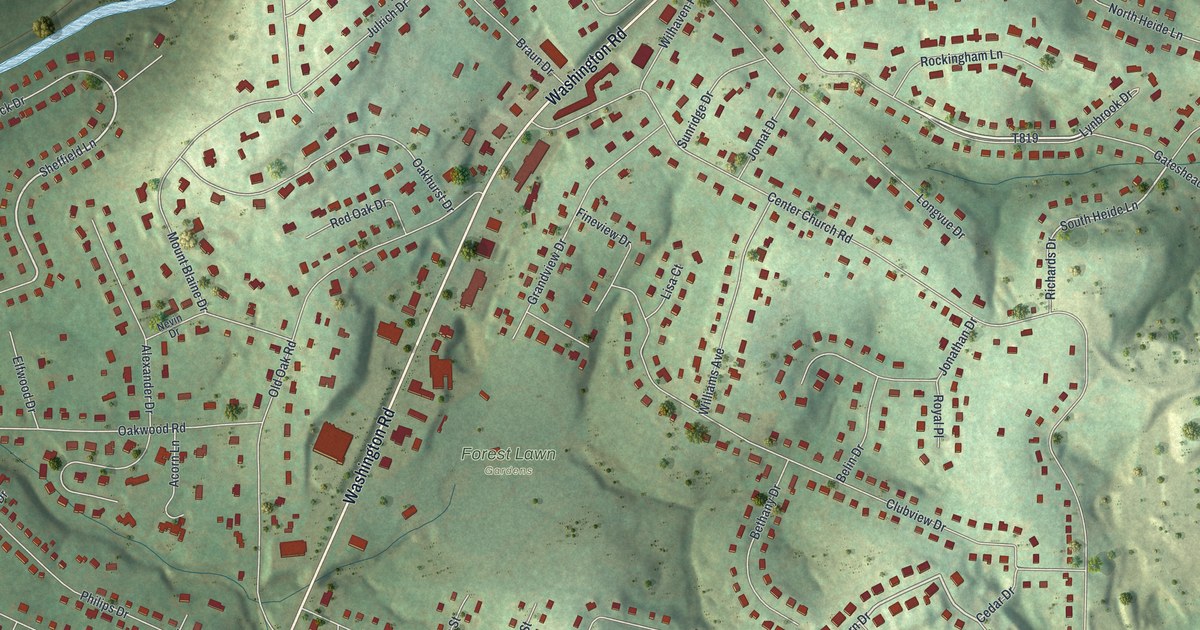
A detailed map of Thompsonville, Pennsylvania, showing every building in its true location, the roads by name, and shaded topographical relief.
Read More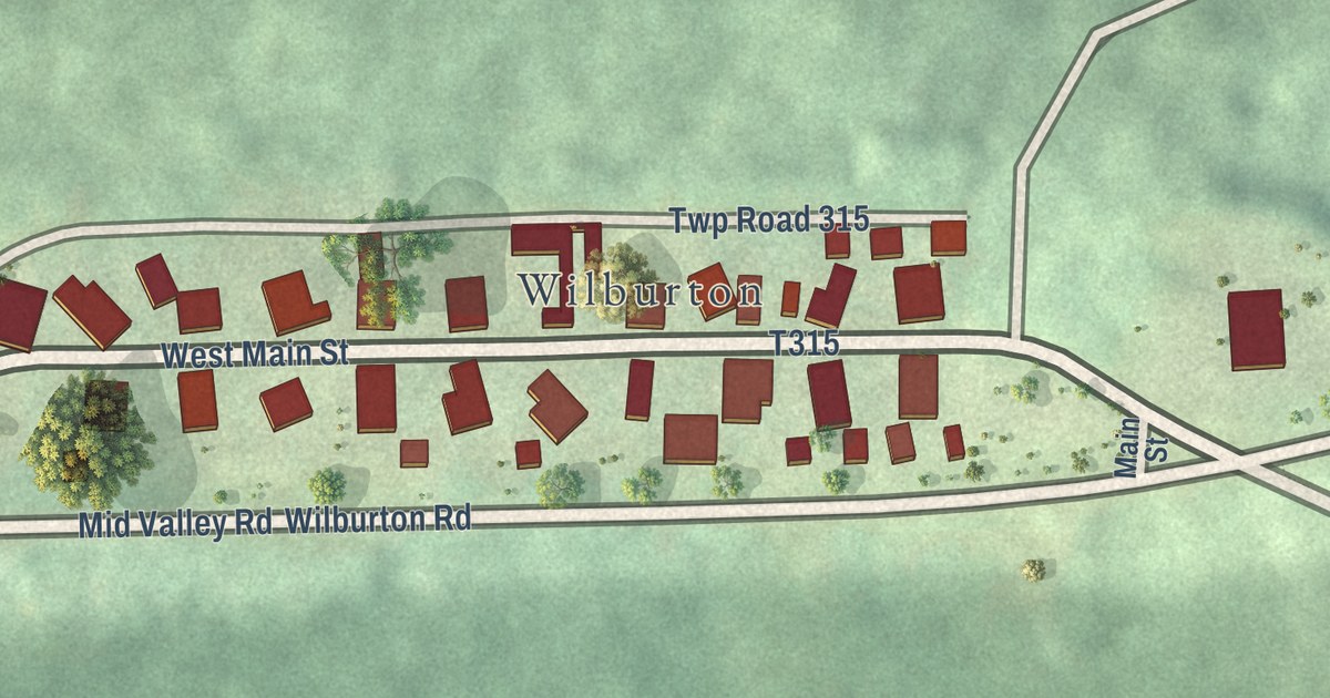
A detailed map of Wilburton Number Two, Pennsylvania, showing every building in its true location, the roads by name, and shaded topographical relief.
Read More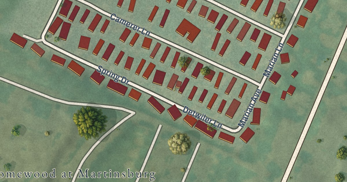
A detailed map of Spring Drive Mobile Home Park, Pennsylvania, showing every building in its true location, the roads by name, and shaded topographical relief.
Read More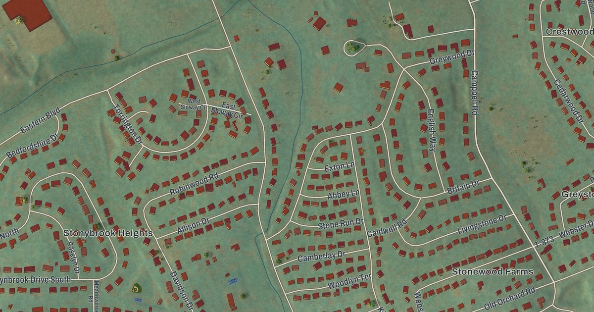
A detailed map of Stonybrook, Pennsylvania, showing every building in its true location, the roads by name, and shaded topographical relief.
Read More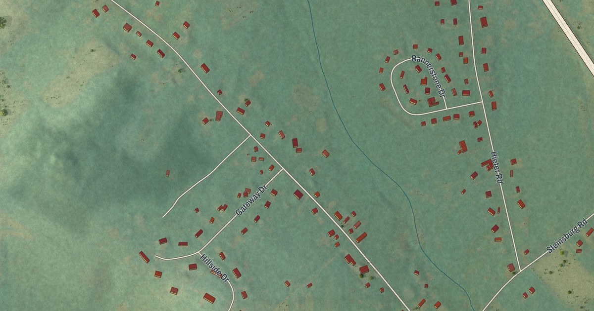
A detailed map of Spinnerstown, Pennsylvania, showing every building in its true location, the roads by name, and shaded topographical relief.
Read More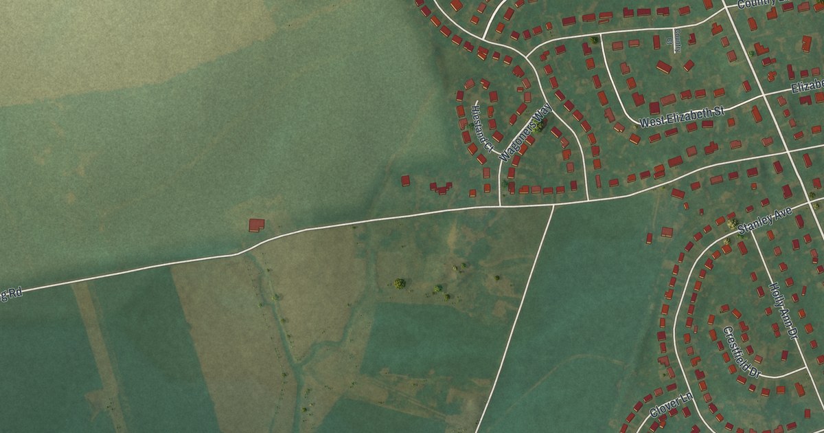
A detailed map of Salunga, Pennsylvania, showing every building in its true location, the roads by name, and shaded topographical relief.
Read More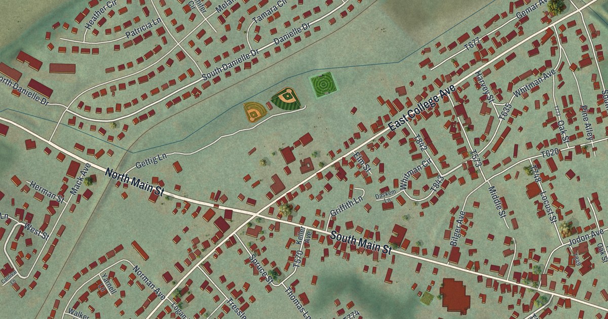
A detailed map of Pleasant Gap, Pennsylvania, showing every building in its true location, the roads by name, and shaded topographical relief.
Read More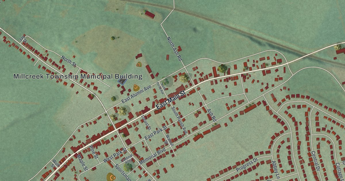
A detailed map of Newmanstown, Pennsylvania, showing every building in its true location, the roads by name, and shaded topographical relief.
Read More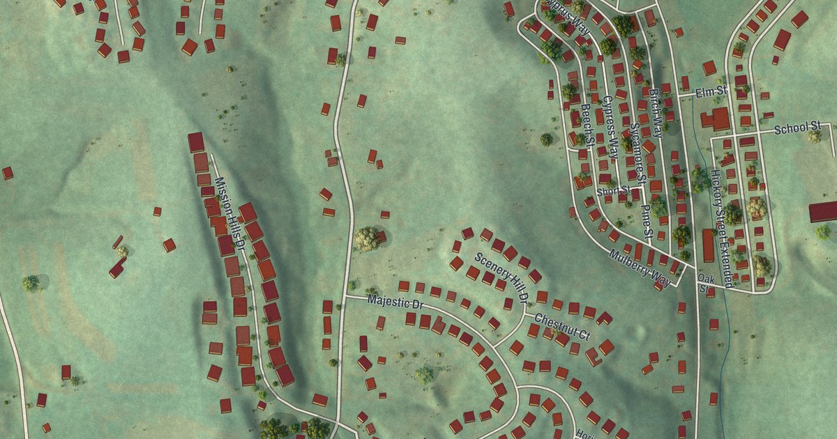
A detailed map of Muse, Pennsylvania, showing every building in its true location, the roads by name, and shaded topographical relief.
Read More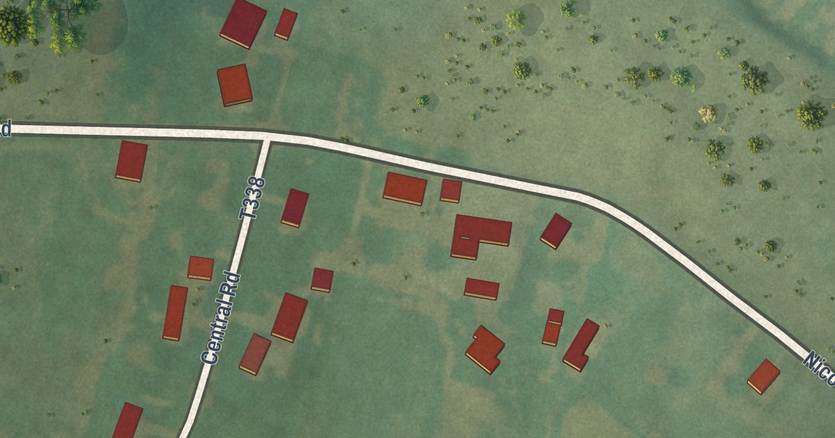
A detailed map of Martinsburg Junction, Pennsylvania, showing every building in its true location, the roads by name, and shaded topographical relief.
Read More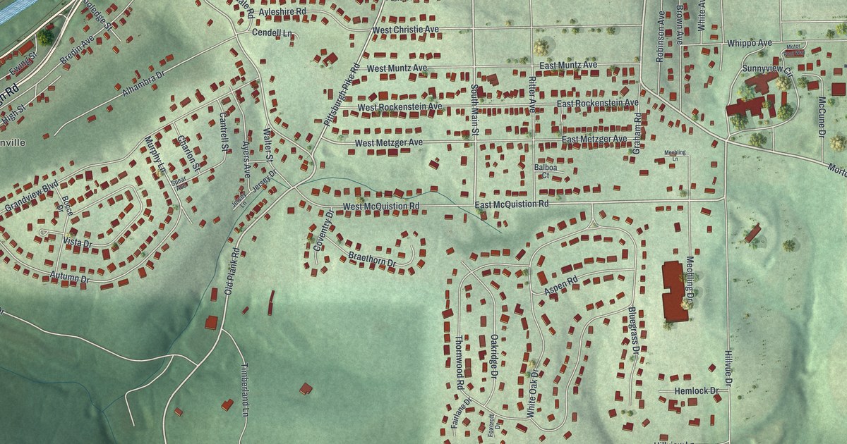
A detailed map of Meadowood, Pennsylvania, showing every building in its true location, the roads by name, and shaded topographical relief.
Read More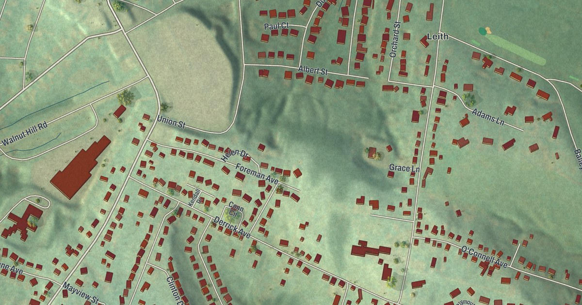
A detailed map of Leith-Hatfield, Pennsylvania, showing every building in its true location, the roads by name, and shaded topographical relief.
Read More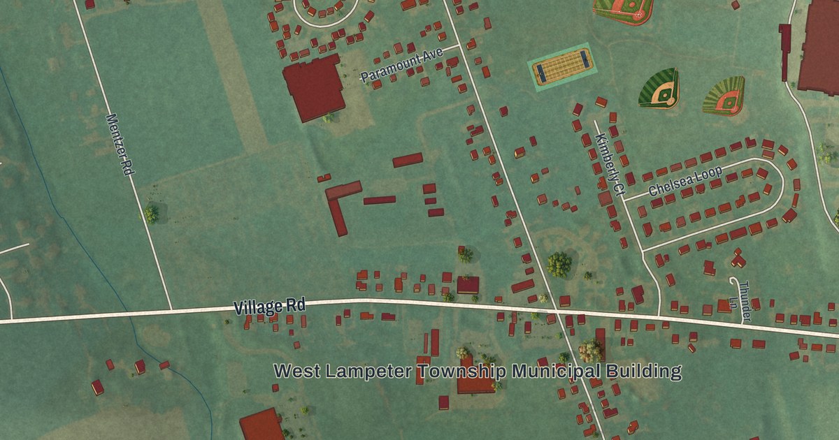
A detailed map of Lampeter, Pennsylvania, showing every building in its true location, the roads by name, and shaded topographical relief.
Read More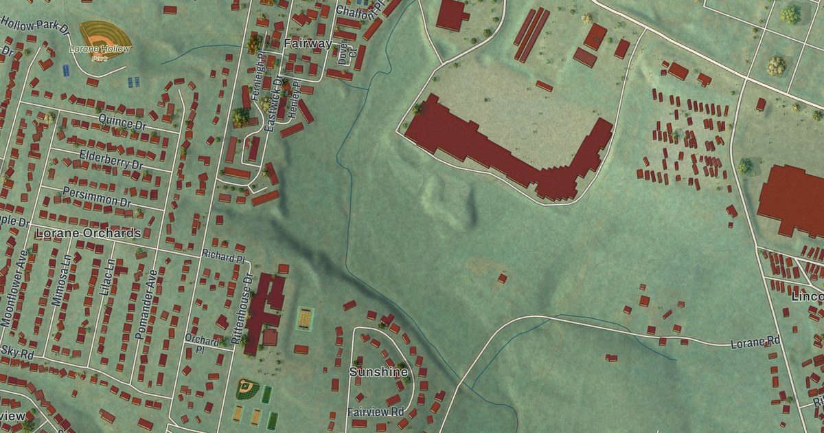
A detailed map of Lorane, Pennsylvania, showing every building in its true location, the roads by name, and shaded topographical relief.
Read More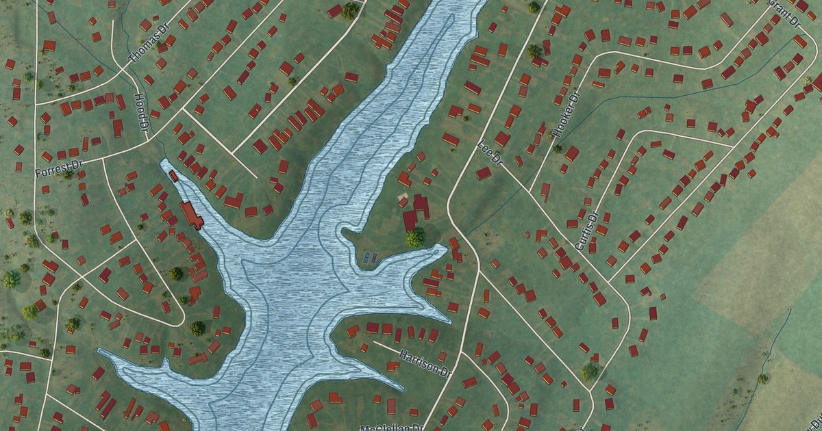
A detailed map of Lake Heritage, Pennsylvania, showing every building in its true location, the roads by name, and shaded topographical relief.
Read More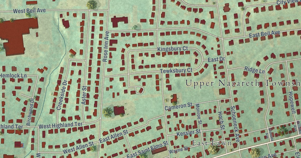
A detailed map of Eastlawn Gardens, Pennsylvania, showing every building in its true location, the roads by name, and shaded topographical relief.
Read More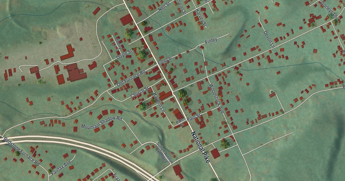
A detailed map of Hopwood, Pennsylvania, showing every building in its true location, the roads by name, and shaded topographical relief.
Read More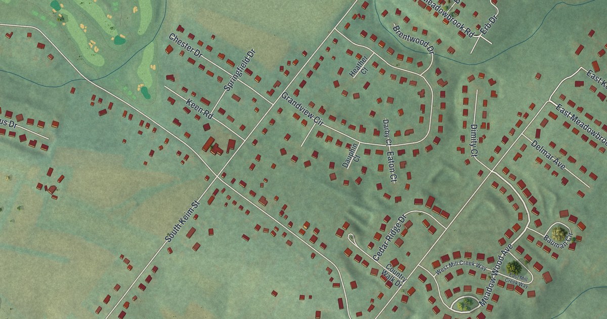
A detailed map of Kenilworth, Pennsylvania, showing every building in its true location, the roads by name, and shaded topographical relief.
Read More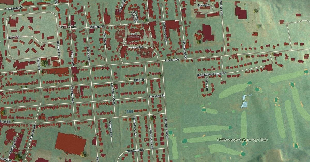
A detailed map of Kenmar, Pennsylvania, showing every building in its true location, the roads by name, and shaded topographical relief.
Read More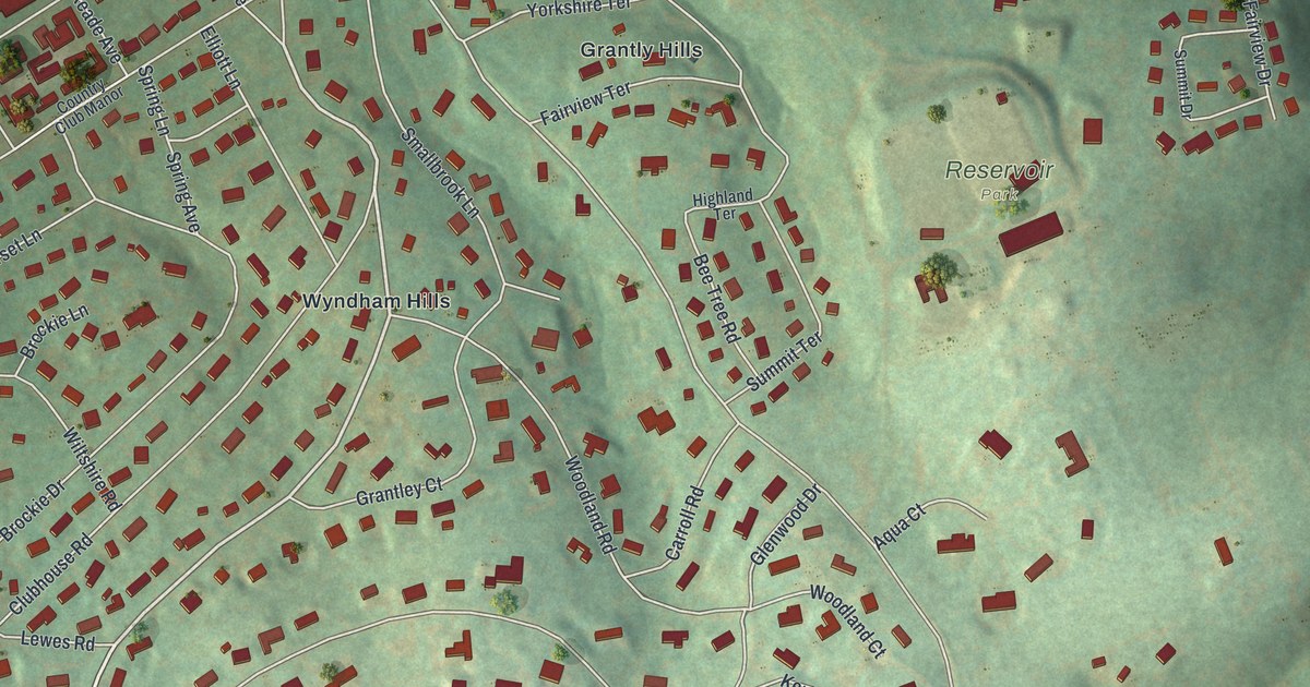
A detailed map of Grantley, Pennsylvania, showing every building in its true location, the roads by name, and shaded topographical relief.
Read More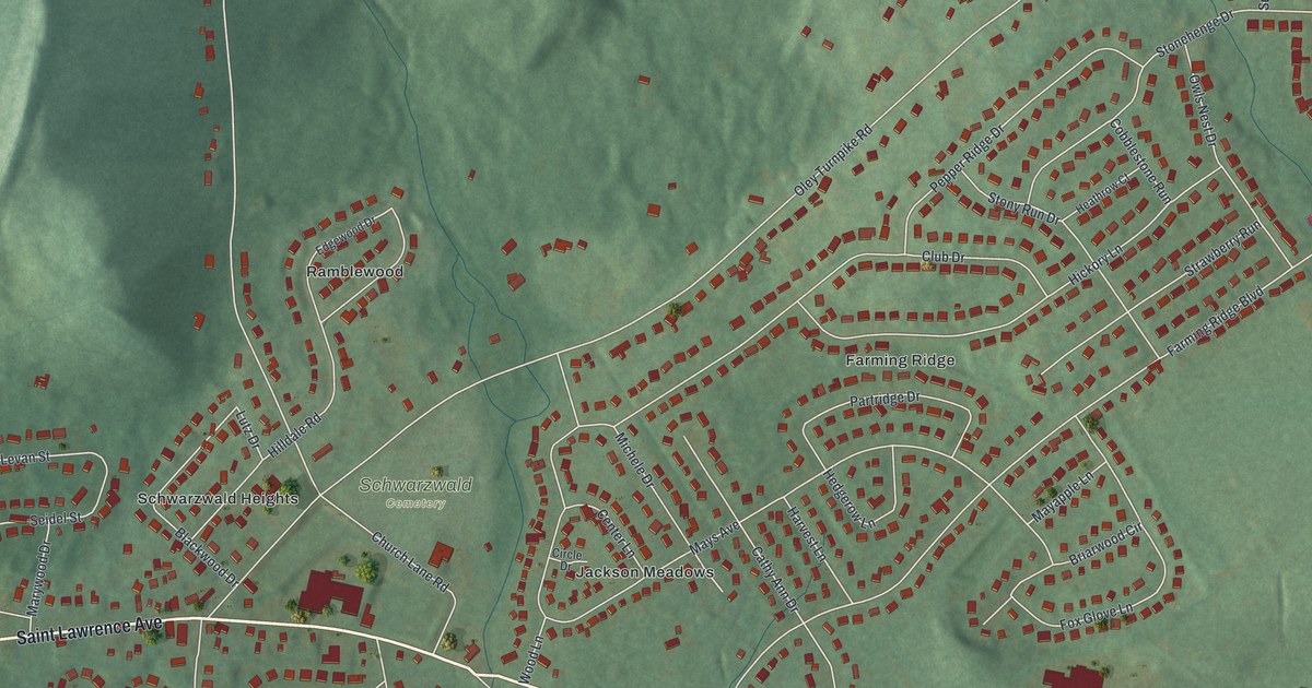
A detailed map of Jacksonwald, Pennsylvania, showing every building in its true location, the roads by name, and shaded topographical relief.
Read More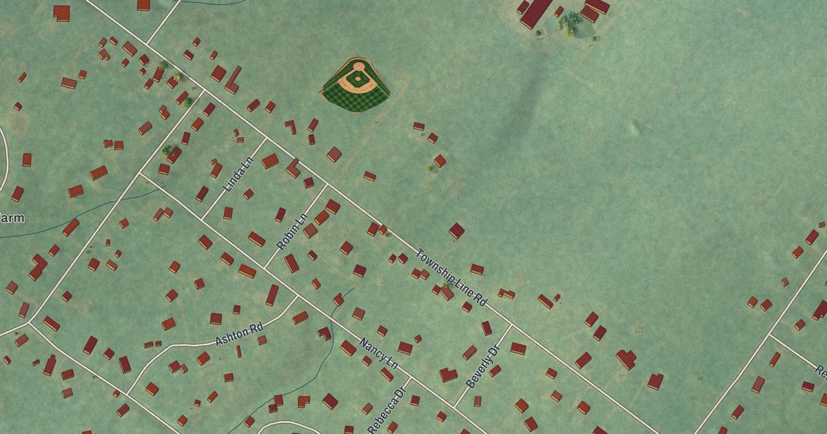
A detailed map of Evansburg, Pennsylvania, showing every building in its true location, the roads by name, and shaded topographical relief.
Read More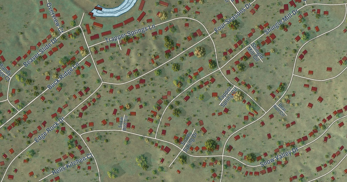
A detailed map of Beech Mountain Lakes, Pennsylvania, showing every building in its true location, the roads by name, and shaded topographical relief.
Read More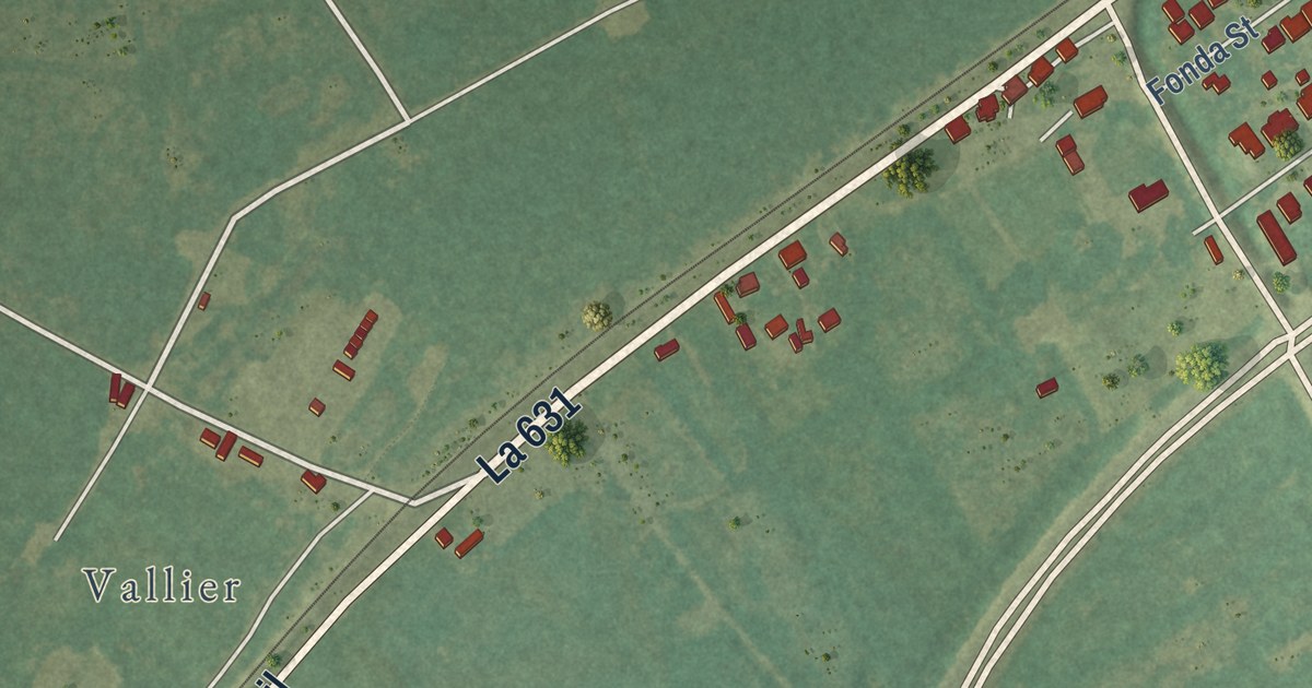
A detailed map of Paradis, Louisiana, showing every building in its true location, the roads by name, and shaded topographical relief.
Read More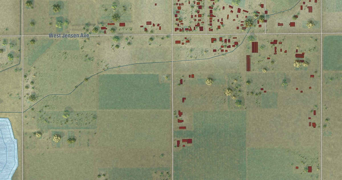
A detailed map of West Park, California, showing every building in its true location, the roads by name, and shaded topographical relief.
Read More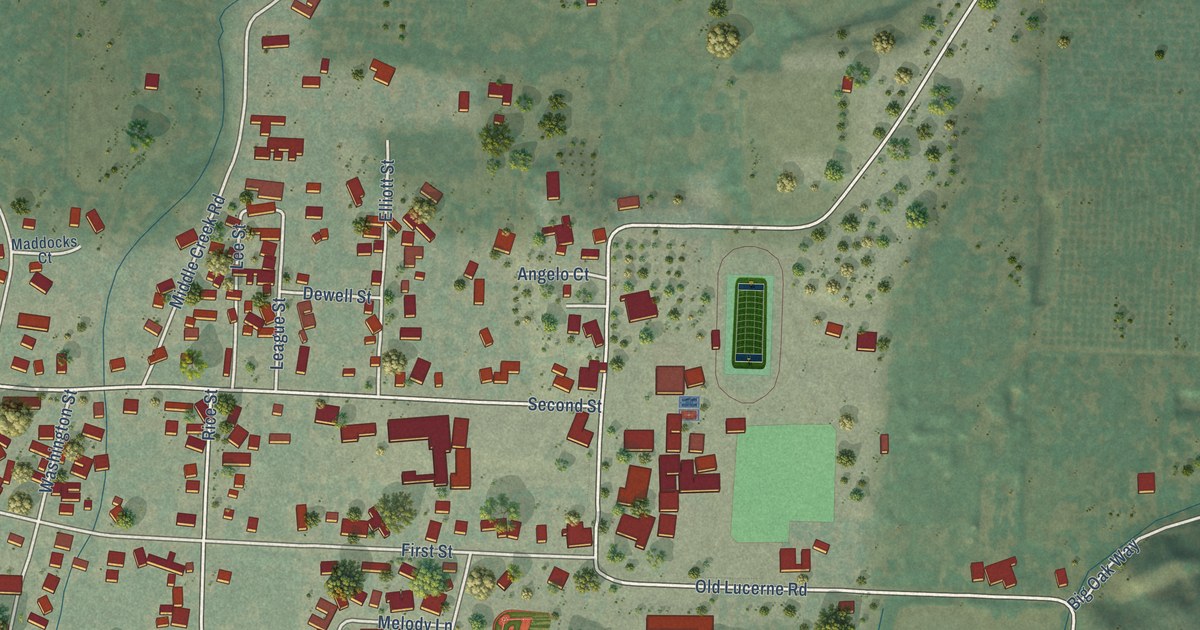
A detailed map of Upper Lake, California, showing every building in its true location, the roads by name, and shaded topographical relief.
Read More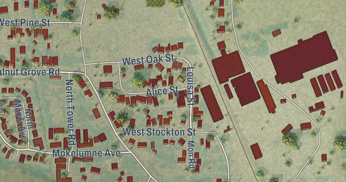
A detailed map of Thornton, California, showing every building in its true location, the roads by name, and shaded topographical relief.
Read More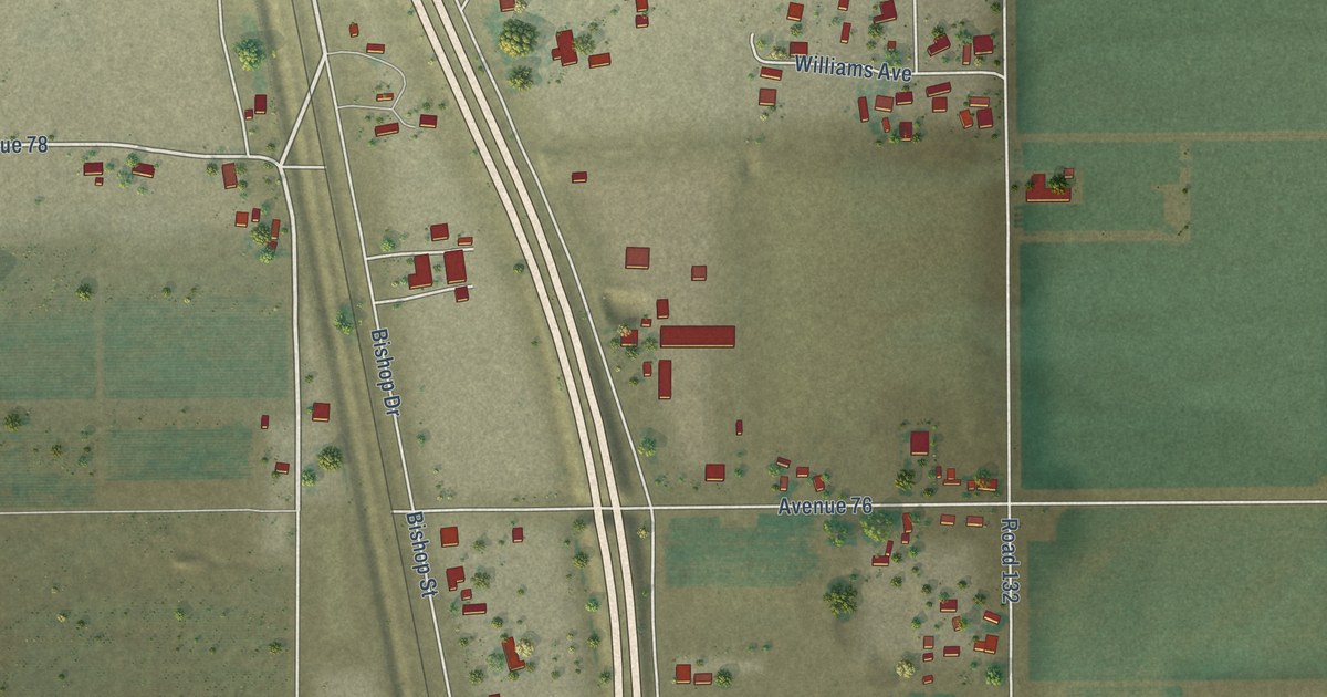
A detailed map of Teviston, California, showing every building in its true location, the roads by name, and shaded topographical relief.
Read More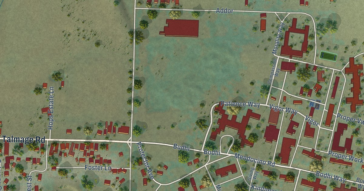
A detailed map of Talmage, California, showing every building in its true location, the roads by name, and shaded topographical relief.
Read More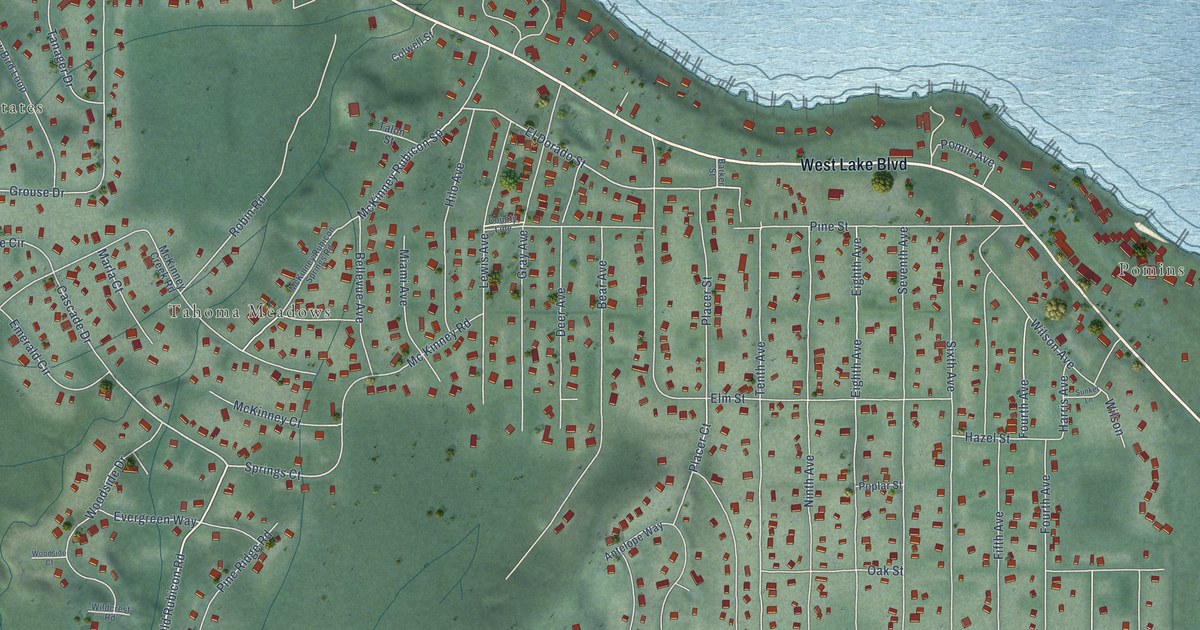
A detailed map of Tahoma, California, showing every building in its true location, the roads by name, and shaded topographical relief.
Read More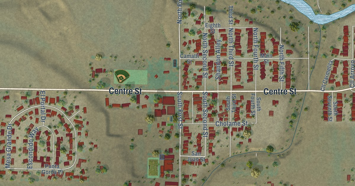
A detailed map of Shandon, California, showing every building in its true location, the roads by name, and shaded topographical relief.
Read More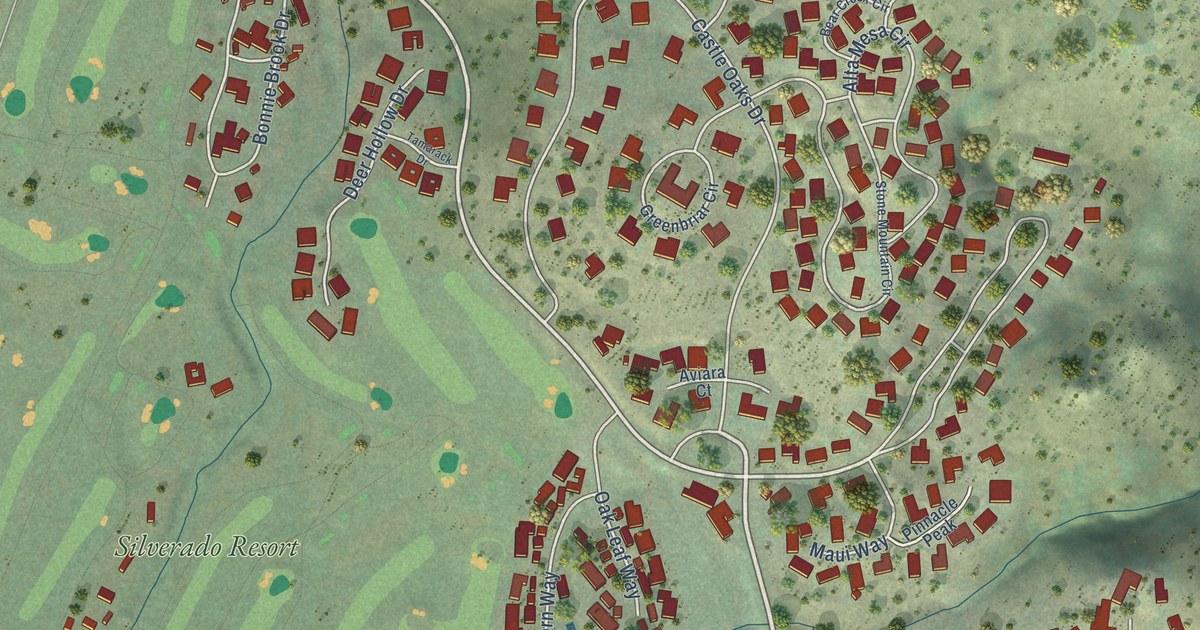
A detailed map of Silverado Resort, California, showing every building in its true location, the roads by name, and shaded topographical relief.
Read More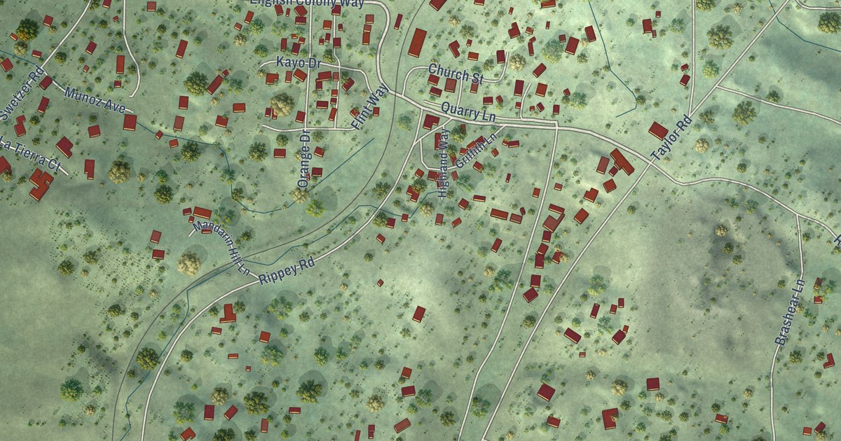
A detailed map of Penryn, California, showing every building in its true location, the roads by name, and shaded topographical relief.
Read More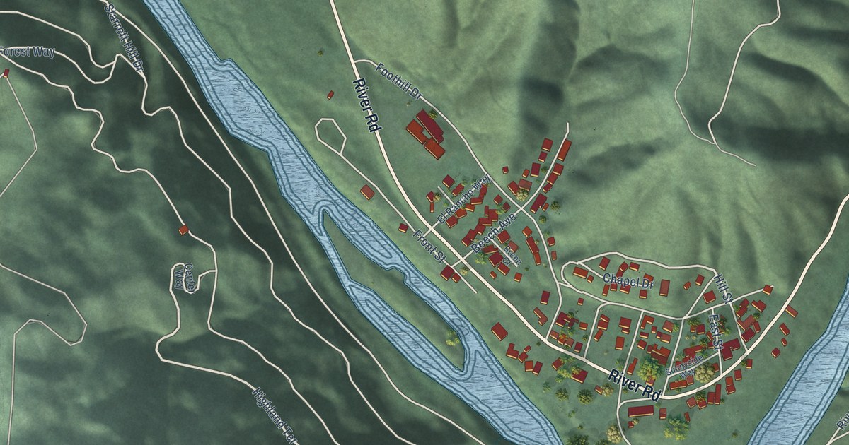
A detailed map of Monte Rio, California, showing every building in its true location, the roads by name, and shaded topographical relief.
Read More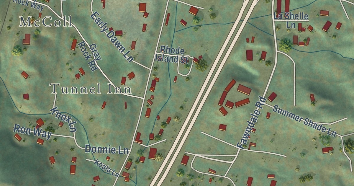
A detailed map of Mountain Gate, California, showing every building in its true location, the roads by name, and shaded topographical relief.
Read More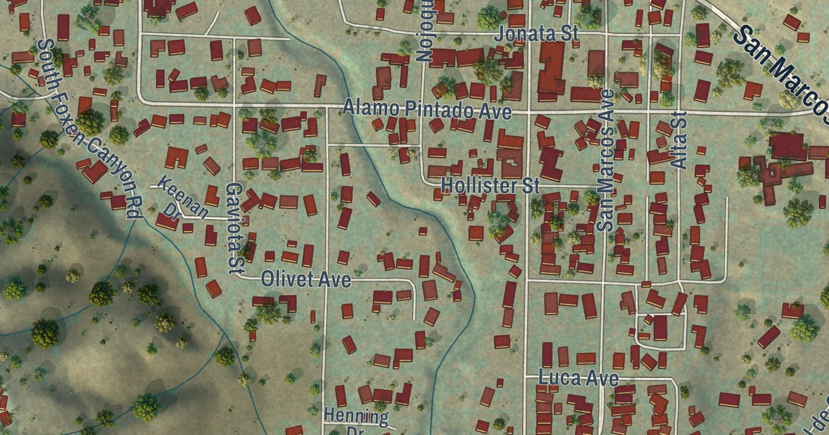
A detailed map of Los Olivos, California, showing every building in its true location, the roads by name, and shaded topographical relief.
Read More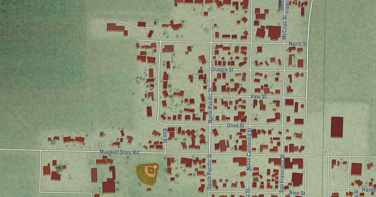
A detailed map of Maxwell, California, showing every building in its true location, the roads by name, and shaded topographical relief.
Read More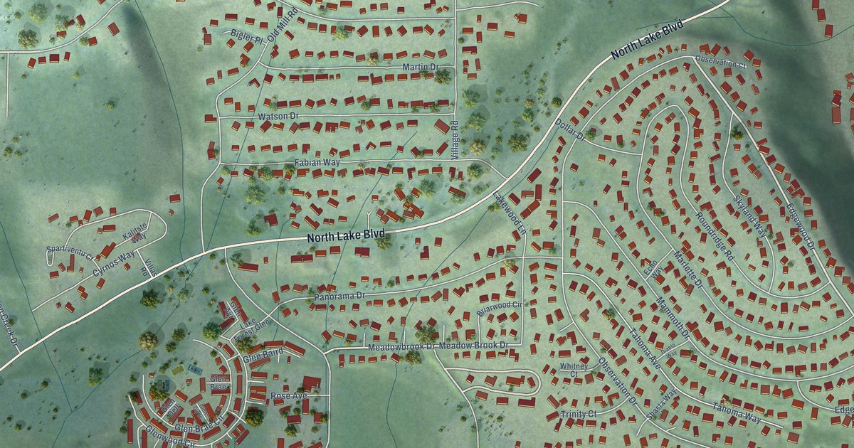
A detailed map of Dollar Point, California, showing every building in its true location, the roads by name, and shaded topographical relief.
Read More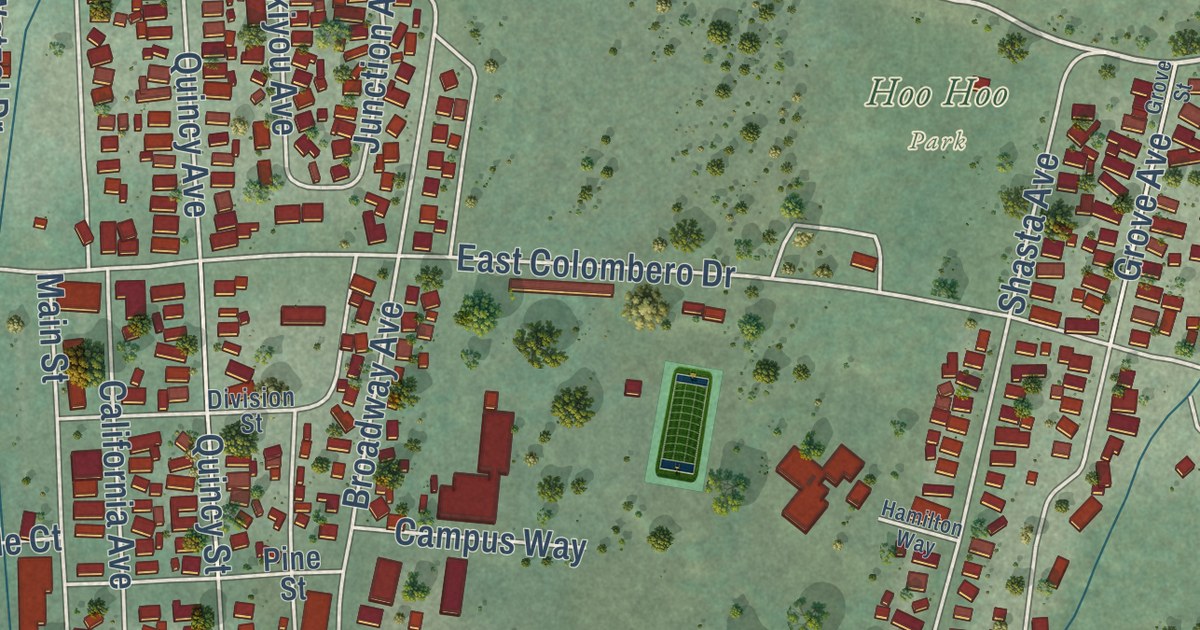
A detailed map of McCloud, California, showing every building in its true location, the roads by name, and shaded topographical relief.
Read More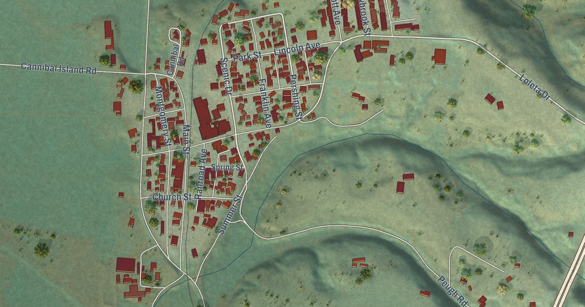
A detailed map of Loleta, California, showing every building in its true location, the roads by name, and shaded topographical relief.
Read More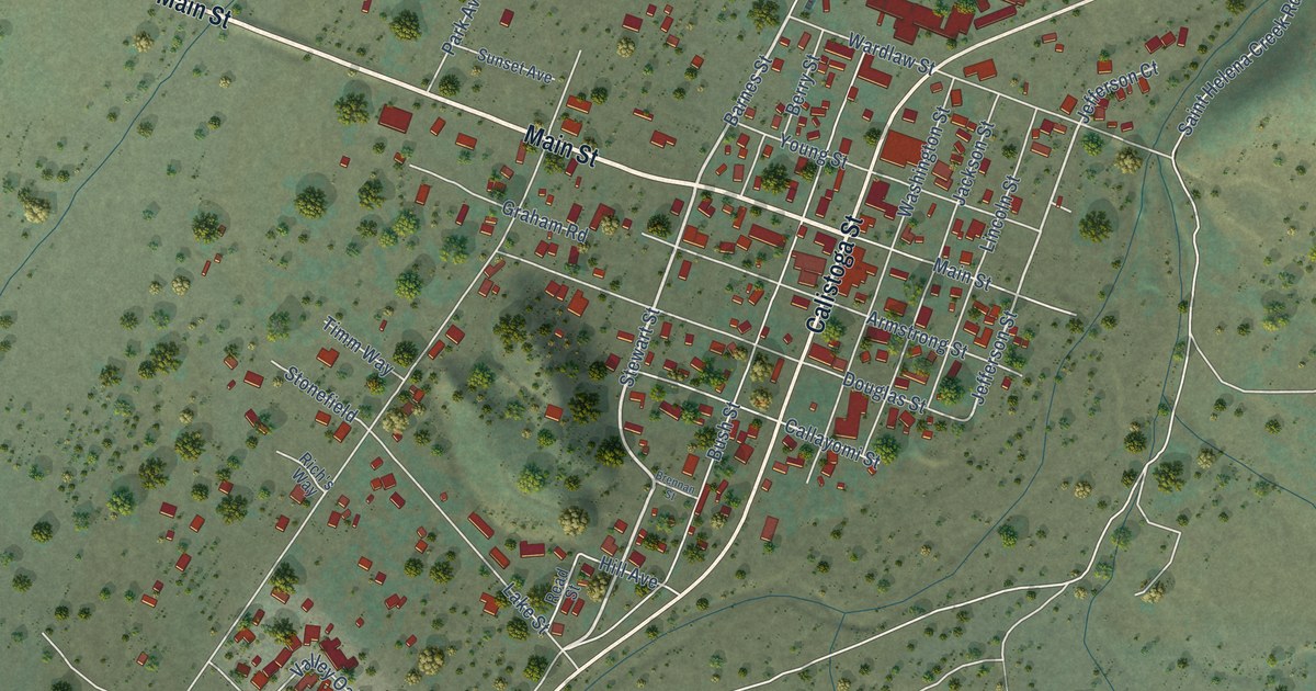
A detailed map of Middletown, California, showing every building in its true location, the roads by name, and shaded topographical relief.
Read More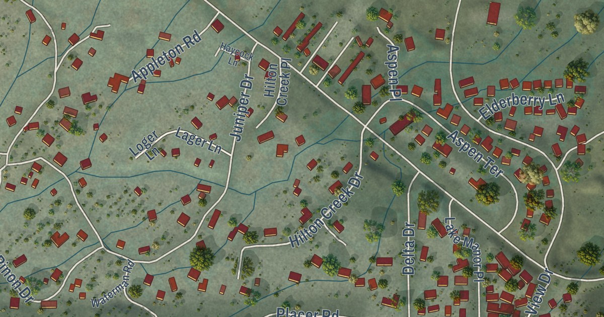
A detailed map of Crowley Lake, California, showing every building in its true location, the roads by name, and shaded topographical relief.
Read More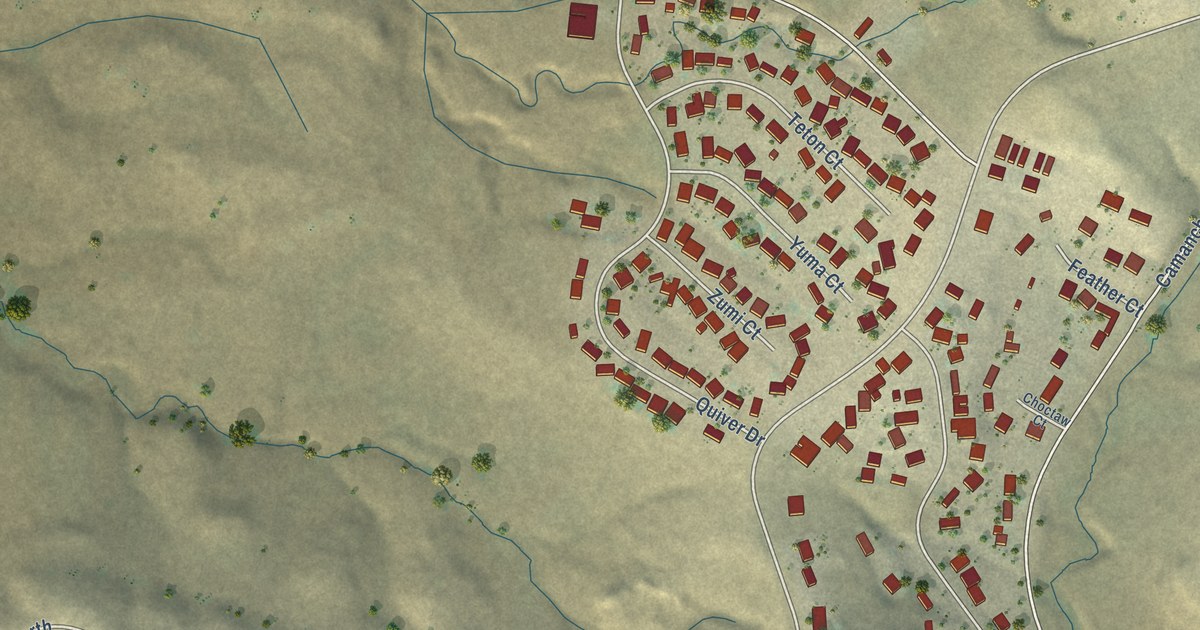
A detailed map of Camanche North Shore, California, showing every building in its true location, the roads by name, and shaded topographical relief.
Read More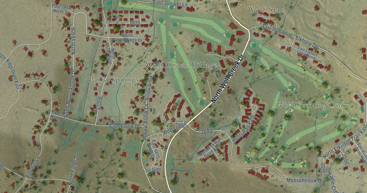
A detailed map of Wolf Creek, Utah, showing every building in its true location, the roads by name, and shaded topographical relief.
Read More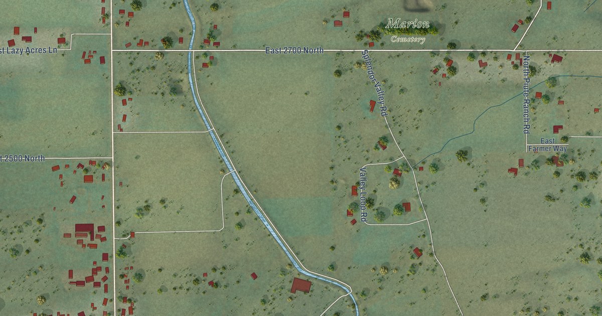
A detailed map of Marion, Utah, showing every building in its true location, the roads by name, and shaded topographical relief.
Read More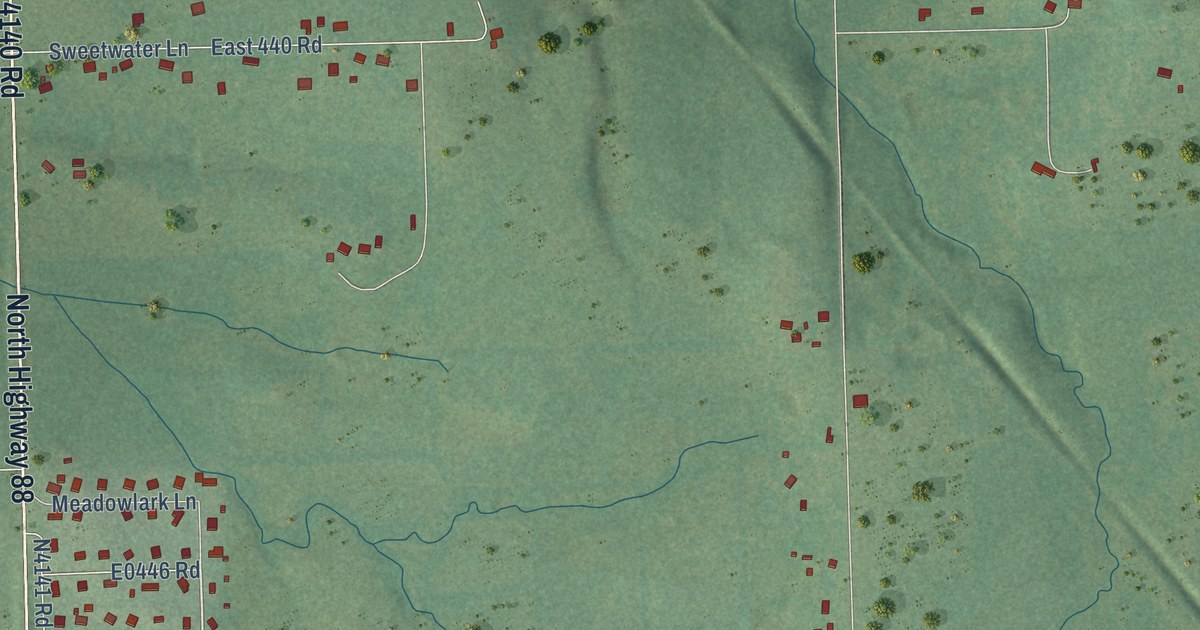
A detailed map of Sequoyah, Oklahoma, showing every building in its true location, the roads by name, and shaded topographical relief.
Read More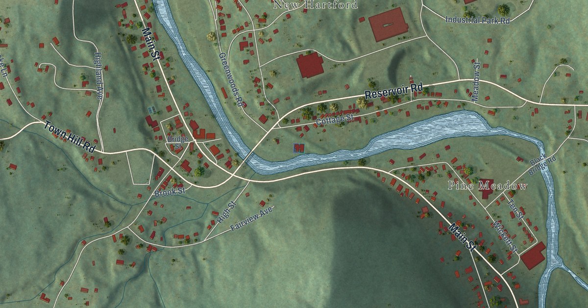
A detailed map of New Hartford Center, Connecticut, showing every building in its true location, the roads by name, and shaded topographical relief.
Read More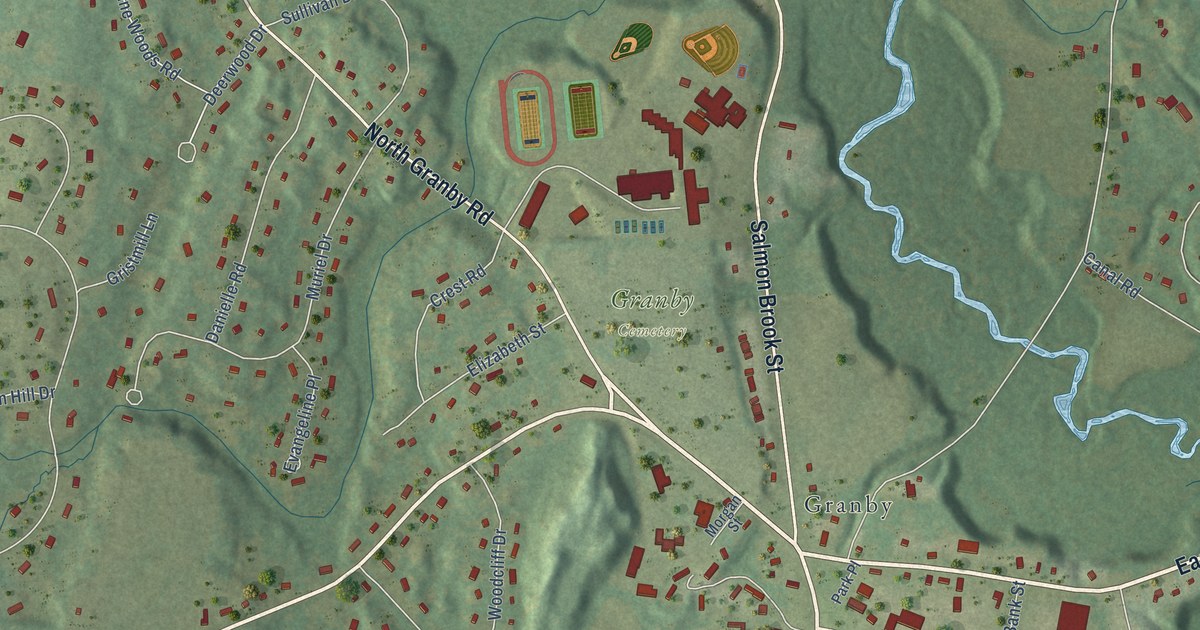
A detailed map of Salmon Brook, Connecticut, showing every building in its true location, the roads by name, and shaded topographical relief.
Read More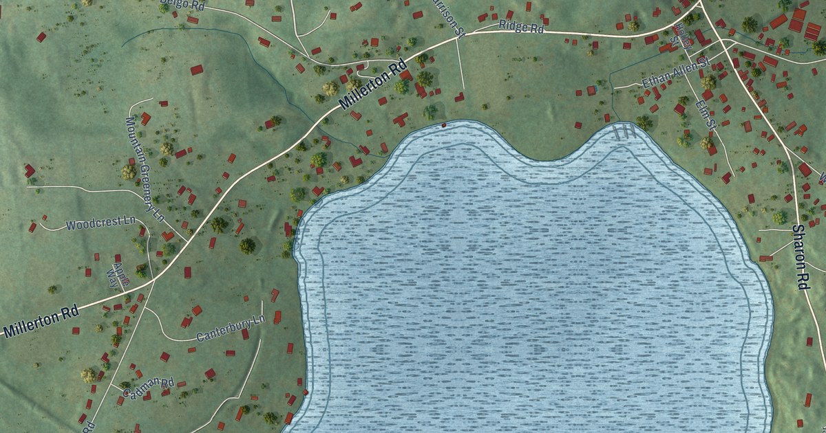
A detailed map of Lakeville, Connecticut, showing every building in its true location, the roads by name, and shaded topographical relief.
Read More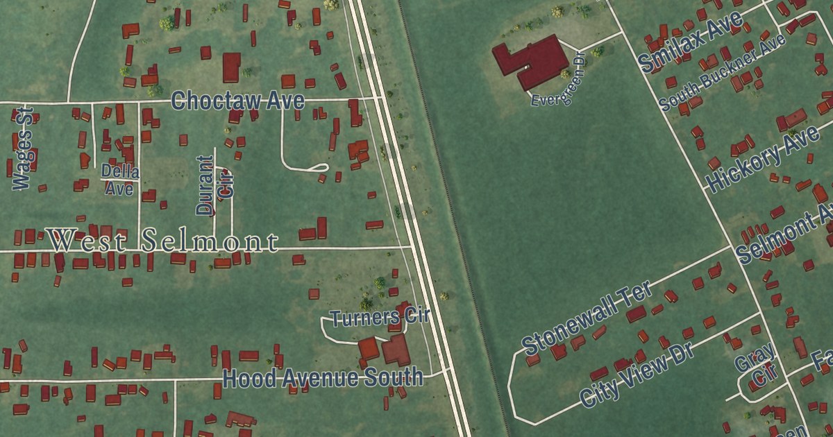
A detailed map of Selmont-West Selmont, Alabama, showing every building in its true location, the roads by name, and shaded topographical relief.
Read More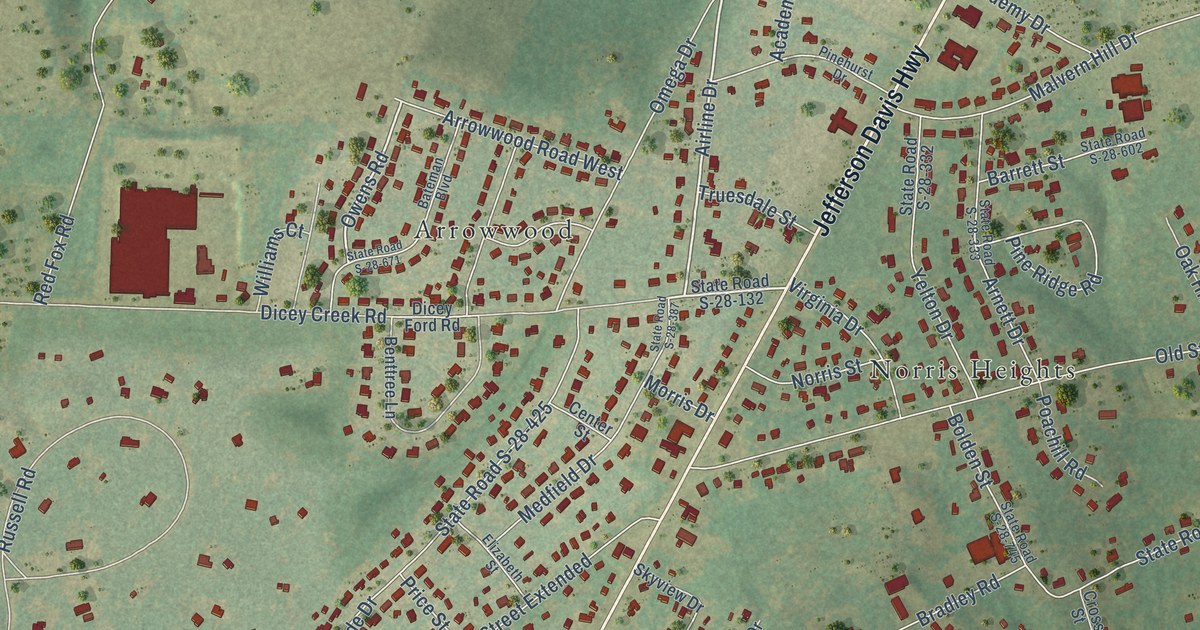
A detailed map of East Camden, South Carolina, showing every building in its true location, the roads by name, and shaded topographical relief.
Read More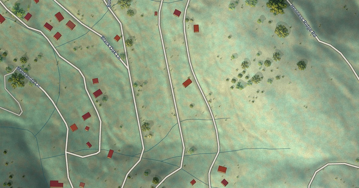
A detailed map of Yosemite West, California, showing every building in its true location, the roads by name, and shaded topographical relief.
Read More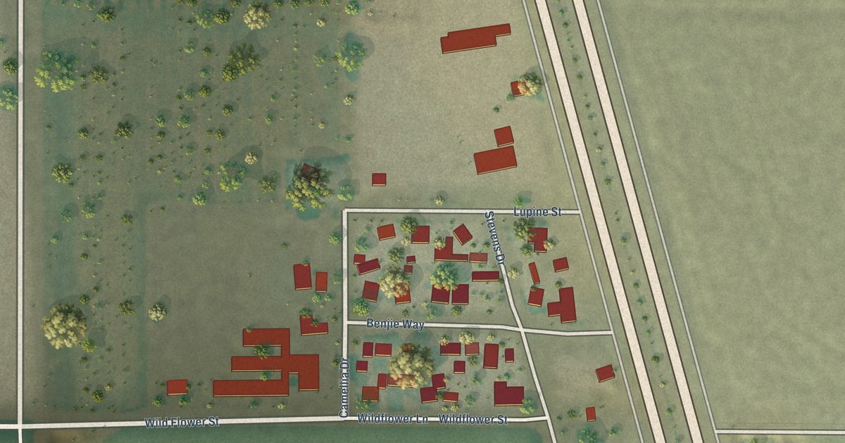
A detailed map of Mettler, California, showing every building in its true location, the roads by name, and shaded topographical relief.
Read More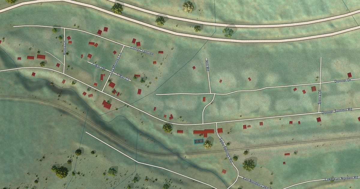
A detailed map of Soda Springs, California, showing every building in its true location, the roads by name, and shaded topographical relief.
Read More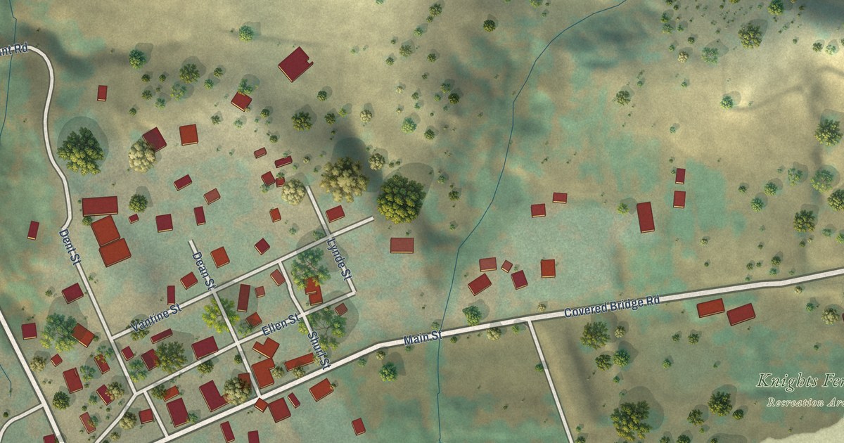
A detailed map of Knights Ferry, California, showing every building in its true location, the roads by name, and shaded topographical relief.
Read More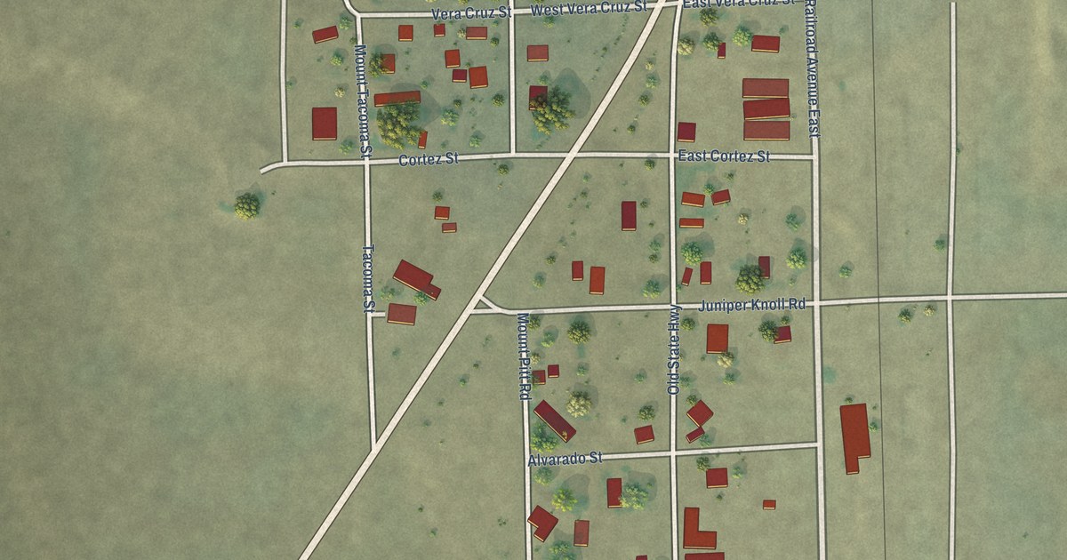
A detailed map of Macdoel, California, showing every building in its true location, the roads by name, and shaded topographical relief.
Read More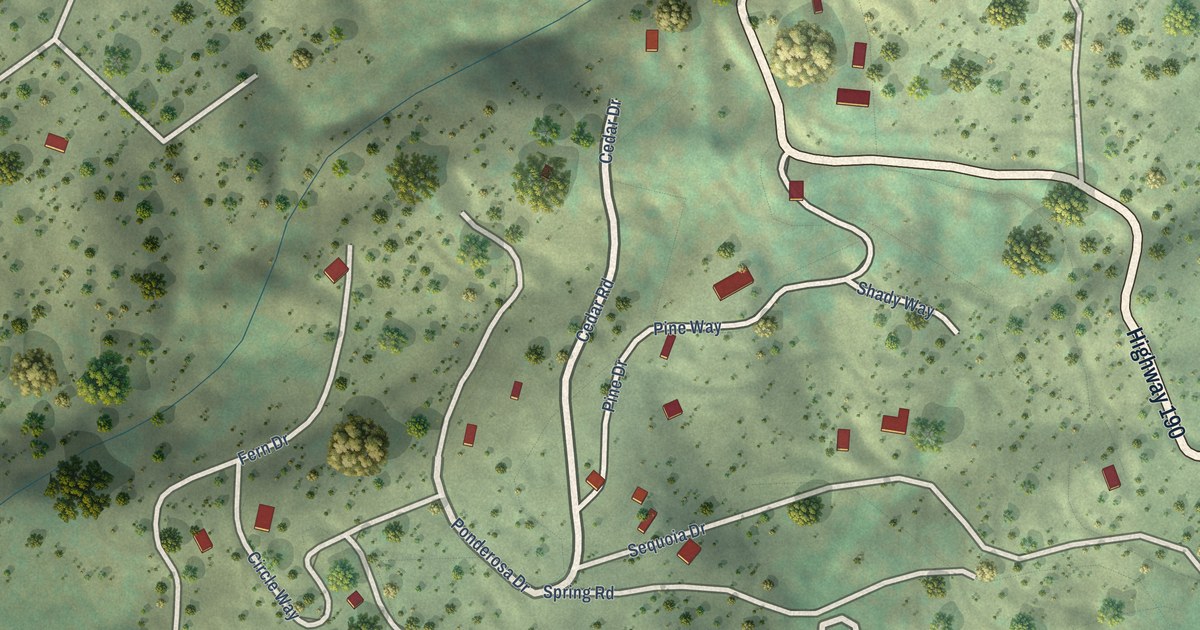
A detailed map of Cedar Slope, California, showing every building in its true location, the roads by name, and shaded topographical relief.
Read More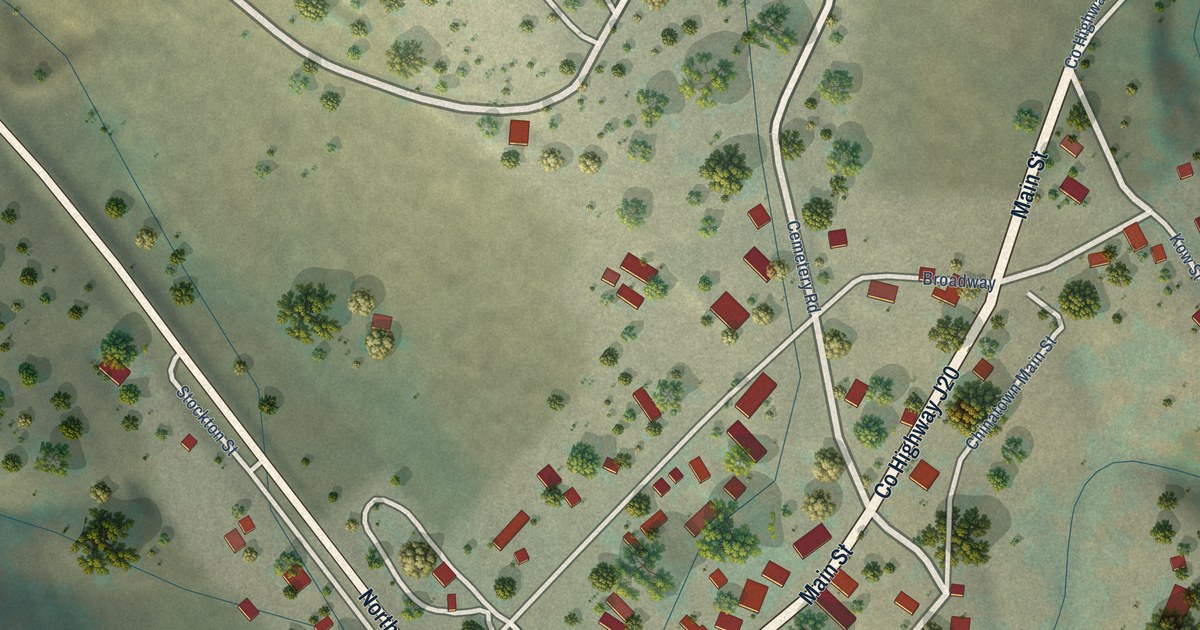
A detailed map of Coulterville, California, showing every building in its true location, the roads by name, and shaded topographical relief.
Read More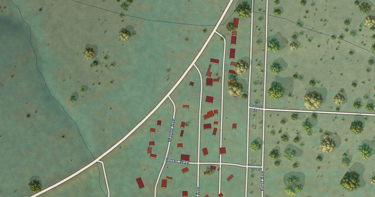
A detailed map of Carrick, California, showing every building in its true location, the roads by name, and shaded topographical relief.
Read More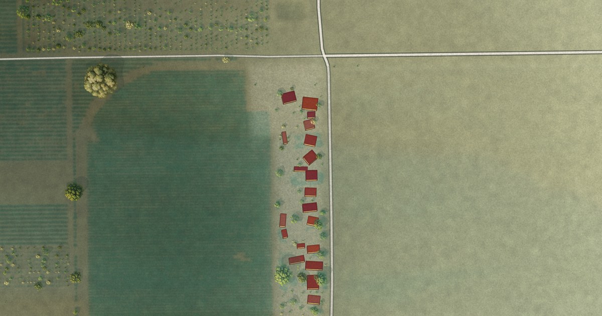
A detailed map of Jovista, California, showing every building in its true location, the roads by name, and shaded topographical relief.
Read More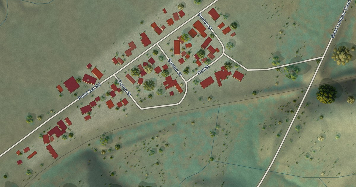
A detailed map of Casmalia, California, showing every building in its true location, the roads by name, and shaded topographical relief.
Read More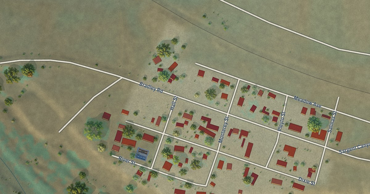
A detailed map of Bradley, California, showing every building in its true location, the roads by name, and shaded topographical relief.
Read More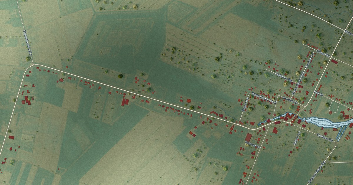
A detailed map of Engelhard, North Carolina, showing every building in its true location, the roads by name, and shaded topographical relief.
Read More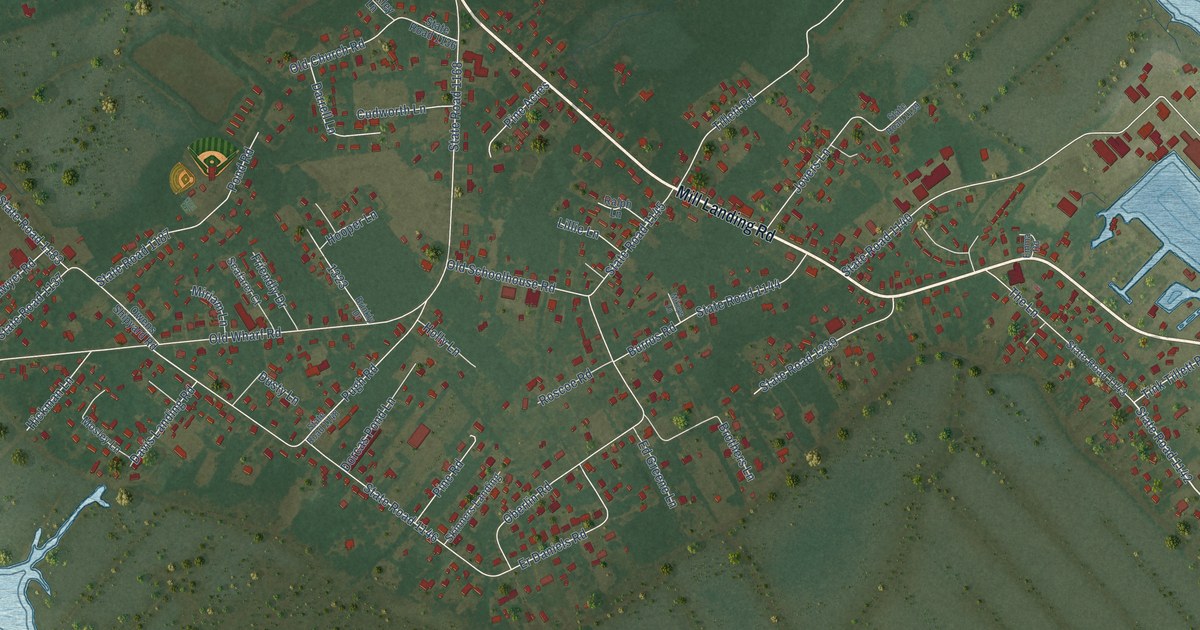
A detailed map of Wanchese, North Carolina, showing every building in its true location, the roads by name, and shaded topographical relief.
Read More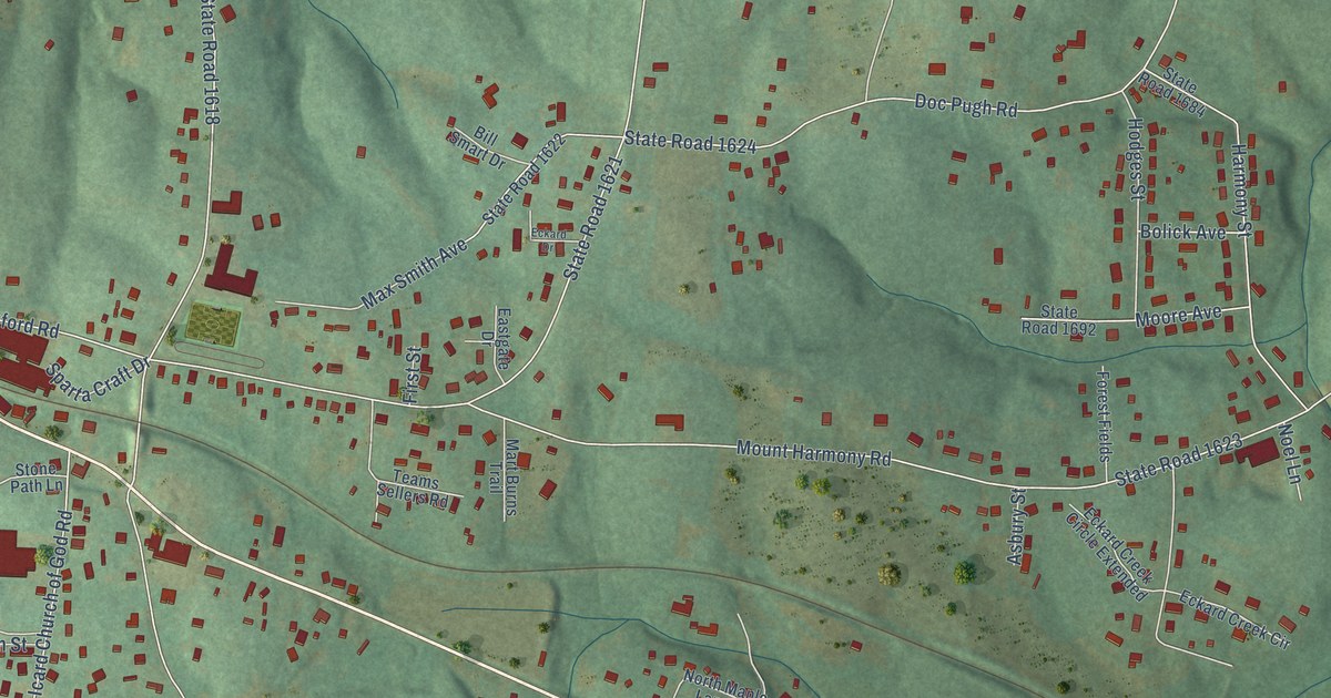
A detailed map of Icard, North Carolina, showing every building in its true location, the roads by name, and shaded topographical relief.
Read More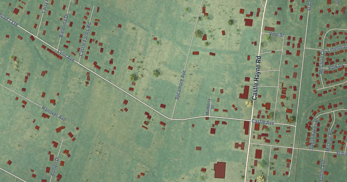
A detailed map of Castle Hayne, North Carolina, showing every building in its true location, the roads by name, and shaded topographical relief.
Read More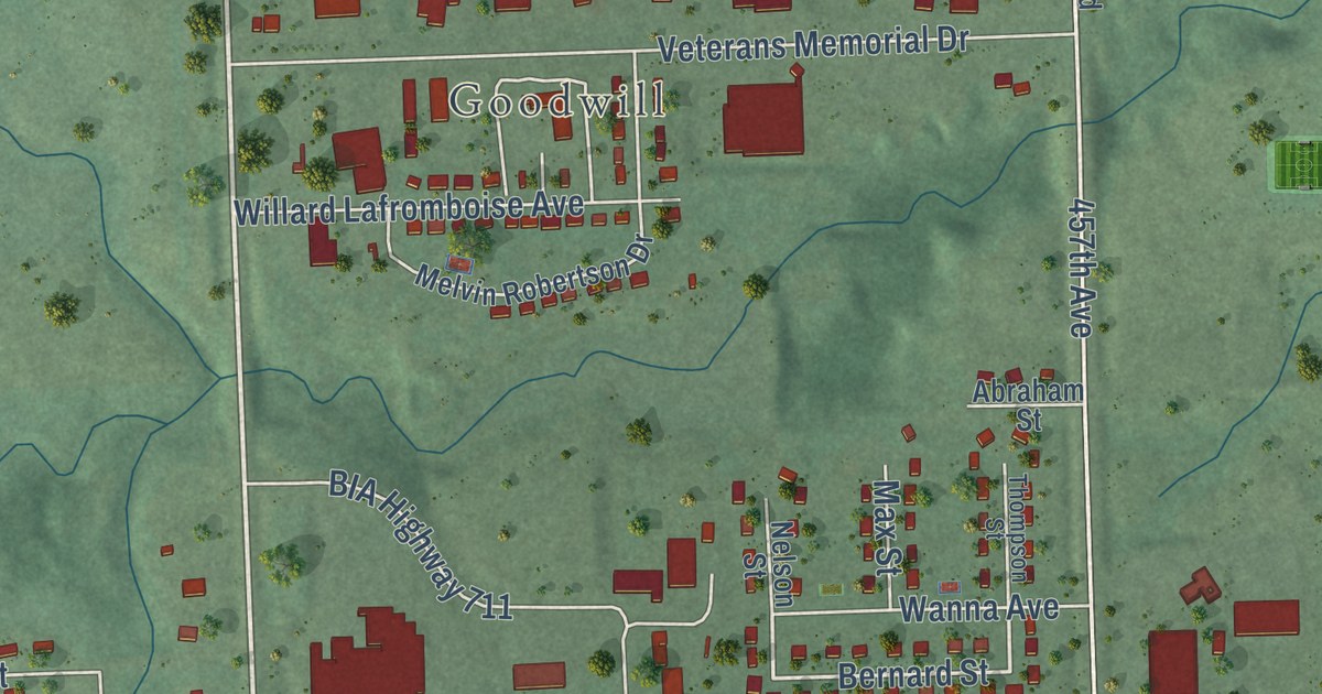
A detailed map of Agency Village, South Dakota, showing every building in its true location, the roads by name, and shaded topographical relief.
Read More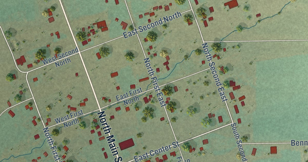
A detailed map of Bennington, Idaho, showing every building in its true location, the roads by name, and shaded topographical relief.
Read More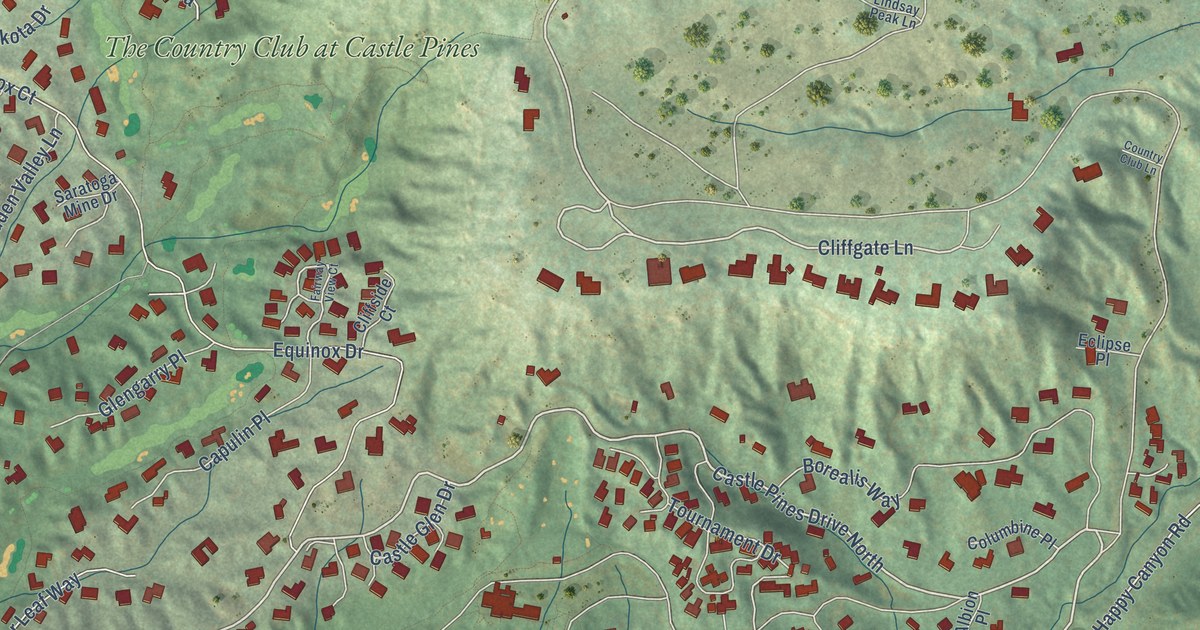
A detailed map of Castle Pines Village, Colorado, showing every building in its true location, the roads by name, and shaded topographical relief.
Read More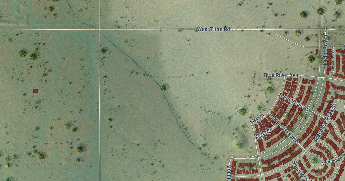
A detailed map of Sterling Ranch, Colorado, showing every building in its true location, the roads by name, and shaded topographical relief.
Read More















