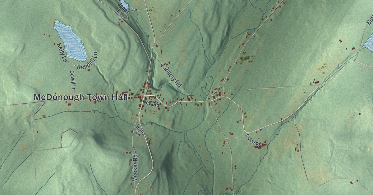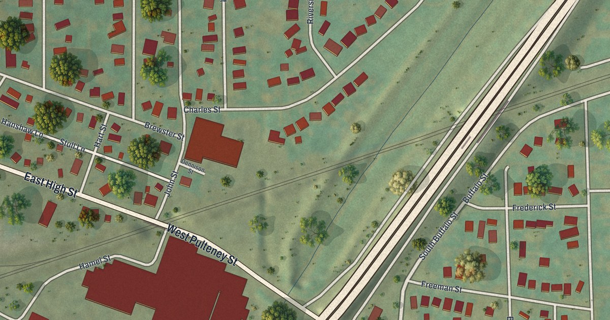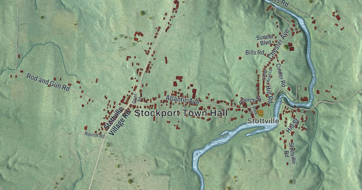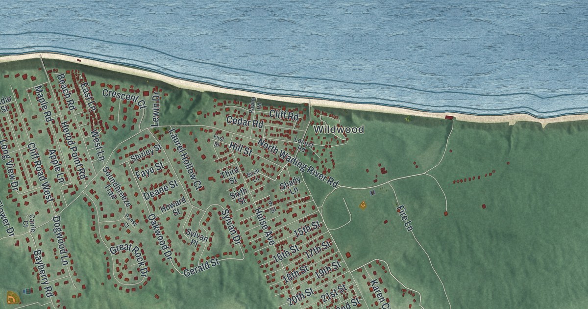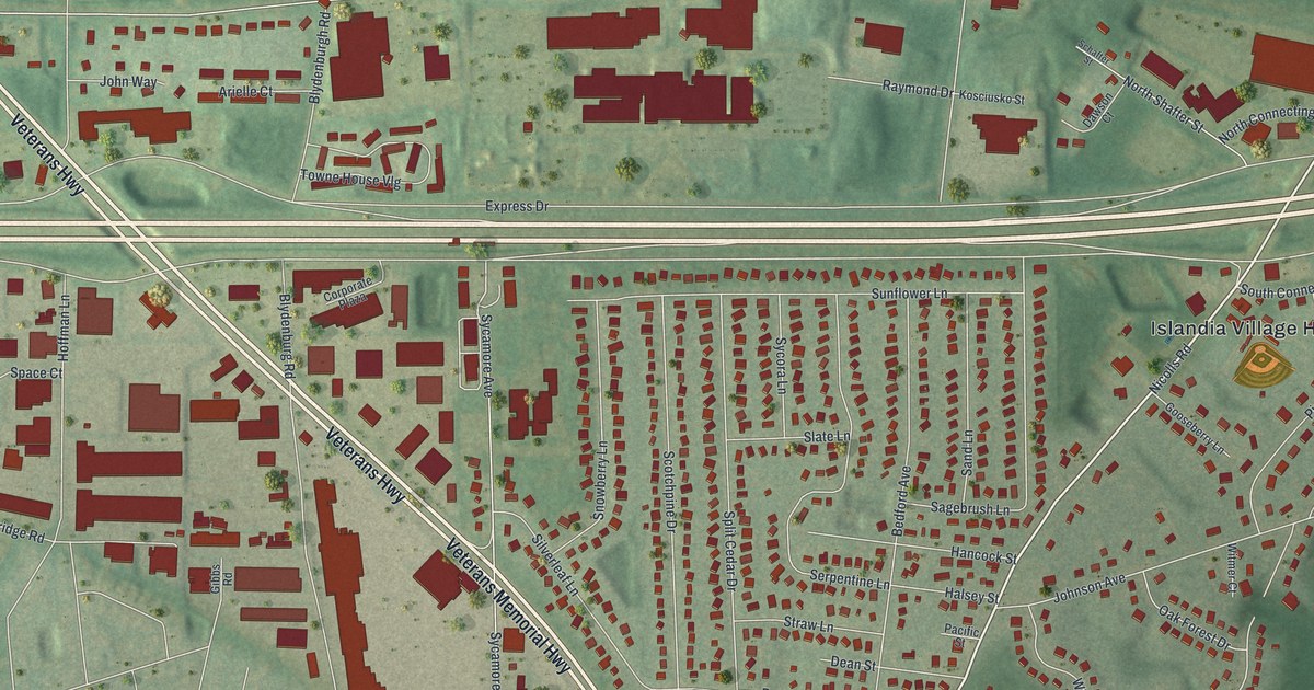
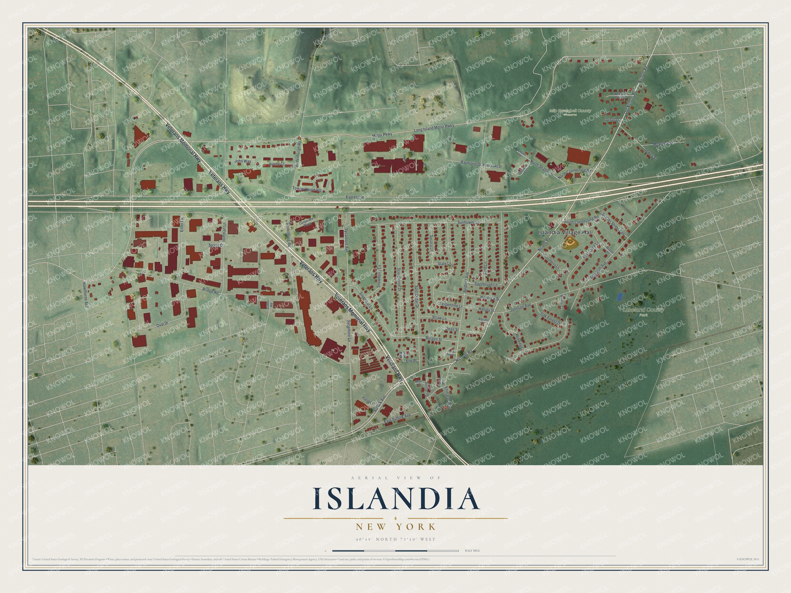
This beautifully detailed map of Islandia, New York was created in 2026 using aerial imagery combined with modern topographical, census, street and landmark data. It's a modern aerial view of Islandia in Suffolk County, New York, that combines modern data with a vintage aesthetic. The roads feature printed names, and if you look closely you can find your exact house accurately shown in its correct location.
Explore an aerial view of Islandia, New York
On this map you'll find Islandia Village Hall, Islip Greenbelt County Preserve, Lakeland County Park, Veterans Highway, Veterans Memorial Highway, Old Nichols Road, Nicholls Road, Nichols Road, Suffolk Avenue, Nicolls Road, Ehrhardt Way, Bergen Street, and more. Each red shape is a building, so zoom in on the preview and look for yours.
Islandia is a village in Suffolk County. The Census Bureau counted 3,567 people here in 2020. Islandia sits about 2 miles northeast of Central Islip, 2 miles southeast of Hauppauge and 2 miles west of Ronkonkoma. The map prints the town name in its title panel, with the coordinates below it.
Take a closer look at the Islandia map
Names on this map
These names are printed on this map.
Places: Islandia Village Hall, Islip Greenbelt County Preserve and Lakeland County Park.
Streets and roads: Veterans Highway, Veterans Memorial Highway, Old Nichols Road, Nicholls Road, Nichols Road, Suffolk Avenue, Nicolls Road, Ehrhardt Way, Bergen Street, Long Island Motor Pwky, Motor Parkway, Express Drive.
More street names, A to Z
Arielle Court, Bedford Avenue, Blazer Drive, Blydenburgh Road, Blydenburg Road, Brandon Crest Court, Bridge Road, Corporate Plaza, Dawson Court, Dean Street, Dewey Street, East Suffolk Avenue, Elaine Place, Elm Place, Enter Lane, Gibbs Road, Gooseberry Lane, Halsey Street, Hancock Street, Hawthorne Avenue, Hoffman Lane, Johnson Avenue, John Way, Kosciusko Street, Max Court, McArthur Street, North Connecting Road, North Shafter Street, Oak Forest Drive, Oval Drive, Pacific Street, Patco Court, Pine Boulevard, Pine Cone Lane, Raymond Drive, Sagebrush Lane, Saint Marks Circle, Sampson Avenue, Sand Lane, Schafter Street, Scotchpine Drive, Serpentine Lane, Shafter Street East, Silverleaf Lane, Slate Lane, Snowberry Lane, South Connecting Road, Space Court, Split Cedar Drive, Straw Lane, Sunflower Lane, Sutton Place, Sycamore Avenue, Sycamore Lane, Sycora Lane, Towne House Vlg, Ursula Court, Winding Lane, Witmer Court.
See it on a wall
The Islandia map as a framed print. Swipe for more.


Created by KNOWOL in 2026. The buildings are small red shapes, the roads carry their printed names, and shaded relief shows the shape of the land. The title panel reads "AERIAL VIEW OF ISLANDIA, NEW YORK" with 40°48' NORTH 73°10' WEST.
It suits a den, a classroom or a front hall, and it makes a gift for anyone with Islandia roots. Open the preview and find the block you know. See sizes and frames for the Islandia map.