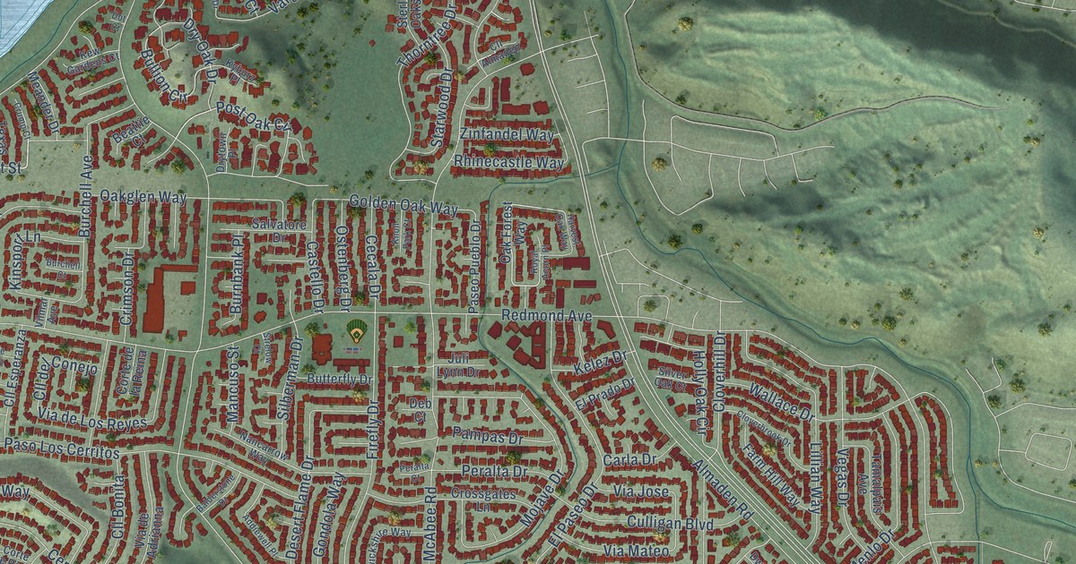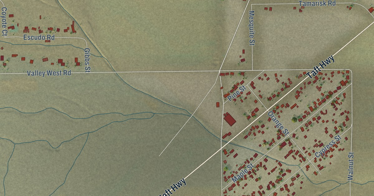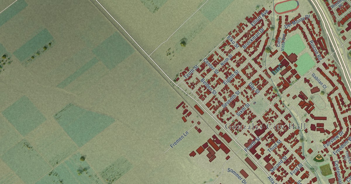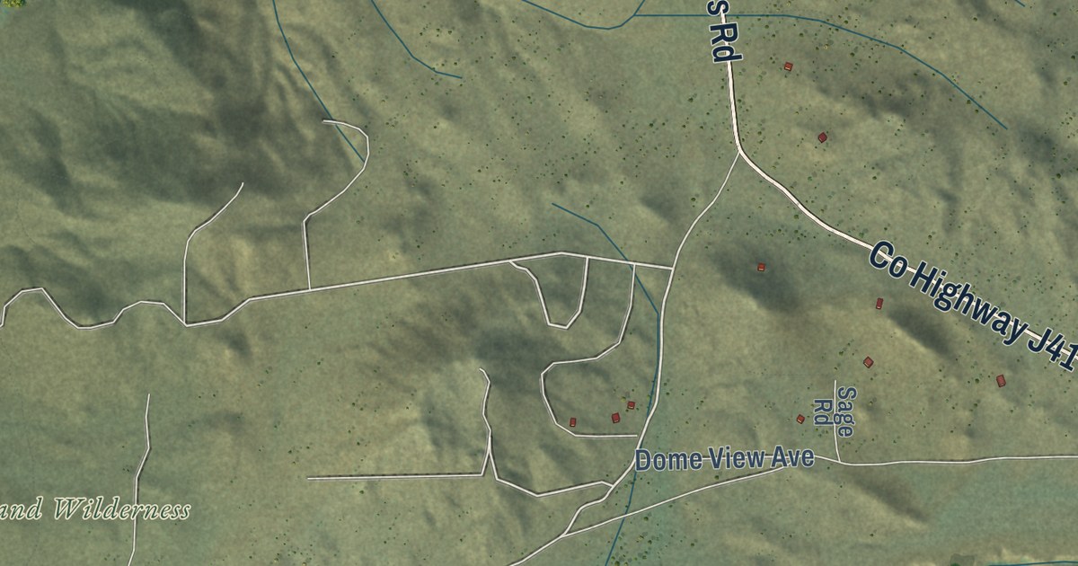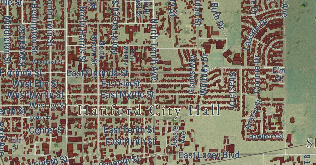
This beautifully detailed map of Hanford, California was created in 2026 using aerial imagery combined with modern topographical, census, street and landmark data. It’s a one-of-a-kind view of Hanford that combines accurate data with a vintage aesthetic. The map shows every building in its true location, many of the roads carry their names, and the shaded topographic relief shows the shape of the land.
Explore an aerial view of Hanford, California
On the map you’ll find Hanford City Hall, Pitco, Hanford Del Arroyo Estates, Shell, and Fort Roosevelt, along with Eighth Avenue, Central Valley Highway, Tenth Avenue, North Douty Street, North Tenth Avenue, East Grangeville Boulevard, West Seventh Street, and more. If you look closely you can even find your house accurately drawn in its correct location. Zoom in on the preview to look for yours.
Did you know this piece of Hanford, California history?
From the National Park Service: "The Hanford Carnegie Library is one of a nationwide series of philanthropic library construction projects funded by Scottish-American industrialist Andrew Carnegie (1835-1919). It served as the community's library from 1905 to 1971."
Take a closer look at the Hanford map
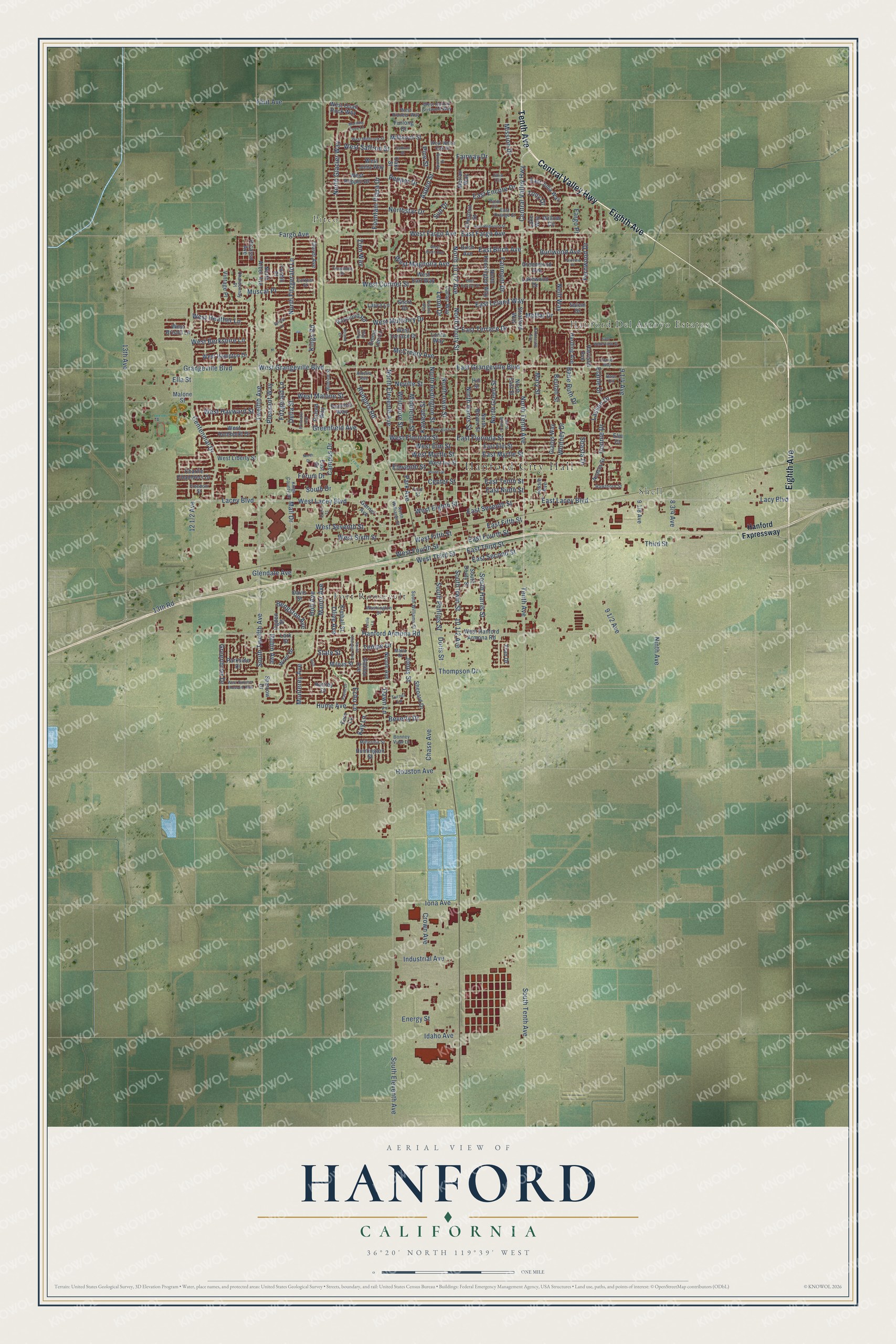
Street and place names on the Hanford, California map
These names are printed on the map of Hanford, California.
Places: Hanford City Hall, Pitco, Hanford Del Arroyo Estates, Shell and Fort Roosevelt.
Streets and roads: Eighth Avenue, Central Valley Highway, Tenth Avenue, North Douty Street, North Tenth Avenue, West Seventh Street, East Seventh Street, South Tenth Avenue, West Grangeville Boulevard, East Grangeville Boulevard, Neill Way, East Terrace Drive.
More street names, A to Z
13th Avenue, 13th Road, Acacia Street, Amelia Avenue, Aspen Street, Babe Ruth Drive, Bass Circle, Bengston Avenue, Beulah Street, Beverly Drive, Birch Avenue, Bonney View Lane, Bristol Lane, Burlwood Avenue, Campus Drive, Carter Way, Centennial Drive, Center Street, Chardonnay Place, Charlie Chambers Drive, Chase Avenue, Chestnut Street, Claret Avenue, Connie Drive, Cortner Street, Crown Avenue, Davis Street, Dawn Lane, Della Street, Dominic Way, Doris Street, East Birch Avenue, East Cortner Street, East Drive, East Elm Street, East Encore Drive, East Fargo Avenue, East Fifth Street, East Florinda Street, East Fourth Street, East Julia Way, East Lacey Boulevard, East Leland Way, East Myrtle Street, East Ninth Street, East Orange Street, East Redwood Street, East Second Street, East Tenth Street, East Third Street, East Waterview Street, Echo Lane, Elaine Drive, Eleventh Street, Ella Street, Elm Court, Emma Lee Lane, Energy Street, Fairmont Drive, Fairview Place, Fairway Drive, Fargo Avenue, Fargo Place, Fern Lane, Fernwood Drive, Fitzgerald Lane, Flint Avenue, Ford Street, Forum Drive, Fountain Plaza Drive, Foxhill Place, Fran Drive, Freedom Street, Furlong Drive, Galileo Avenue, Garner Avenue, Gladys Way, Glendale Avenue, Grangeville Boulevard, Greenbrier Drive, Greenfield Avenue, Greenwood Avenue, Hanford Armona Road, Hanford Expressway, Hardcastle Avenue, Harding Avenue, Harrison Avenue, Hartley Drive, Hawthorn Street, Hill Street, Holt, Holt Avenue, Hoover Way, Houston Avenue, Hume Avenue, Huntington Street, Idaho Avenue, Industrial Avenue, Iona Avenue, Jessie Avenue, Jones Street, Julia Circle, Kaweah Street, Kay Lane, Kimball Street, Kings County Drive, Kings Road, Lacey Boulevard, Lacy Boulevard, Lake Way, Lakewood Drive, Lark Street, Lassen Drive, Laura Lane, Leoni Drive, Leslie Lane, Lorita Way, Mall Drive, Malone Street, Malta Street, Manor Avenue, Mary Street, McCreary Avenue, Merlan Way, Middleton Street, Mildred Street, Millbrook Street, Millerton Street, Milpas Street, Mission Drive, Moffat Drive, Monterey Avenue, Morning Dove Lane, Muscat Place, Neville Street, Nicole Avenue, Ninth Avenue, North Arbor Avenue, North Brown Street, North Drive, North East Street, North Eleventh Avenue, North Fitzgerald Lane, North Glacier Way, North Green Street, North Harris Street, North Irwin Street, North Kensington Way, North Redington Street, Northstar Drive, North White Street, North Williams Street, Oaks Street, Ogden Street, Olive Avenue, Oxford Way, Palm Circle, Park Avenue, Parkside Drive, Payne Drive, Pepper Drive, Peralta Way, Picasso Avenue, Pine Street, Pleasant Way, Porter Street, Princeton Avenue, Raymond Road, Robin Avenue, Rodgers Road, Roland Drive, Ryan Way, Saffron Street, Salem Drive, Shasta Drive, Shepard Drive, Short Drive, South Anacapa Avenue, South Douty Street, South Drive, South Eleventh Avenue, South Harris Street, South Irwin Street, South Phillips Street, South Twelfth Avenue, South Williams Street, Spalding Drive, Sparrow Drive, State Street, Stratford Way, Sun Drive, Tempe Drive, Third Street, Thompson Drive, Tony Drive, Turner Lane, Twelfth Avenue, Vintage Place, Washington Street, West Berkshire Lane, West Birch Avenue, West Bristol Lane, West Bush Street, West Cortner Street, West Earl Way, West Eighth Street, West Elm Street, West Fargo Avenue, West Fifth Street, West Florinda Street, West Fourth Street, West Hampton Drive, West Hanford Armona Road, West Harold Griswold Way, West Hayward Street, West Heather Lane, West Humboldt Drive, West Ivy Street, West Julia Way, West Lacey Boulevard, West Liberty Street, West Magnolia Avenue, West Malone Street, West Millbrook Street, West Mulberry Drive, West Myrtle Street, West Pepper Drive, West Pioneer Way, West Quail Rock Way, West Saffron Street, West Sixth Street, West Summer Blossom Way, West Terrace Drive, West Third Street, West White Oak Drive, Whitmore Street, Whitney Drive, Willow Circle, Wren Drive, Yosemite Drive, Zion Way.
See the Hanford, California map on a wall
The Hanford map as an 18 x 24 inch print in a black frame.

This beautifully detailed map of Hanford makes an attractive addition to your office, library, or den, and it can even be used to teach children the geography and history of the area. It also makes a great gift for anyone with Hanford roots. When you’re done exploring, click here to get your copy of the Hanford map.