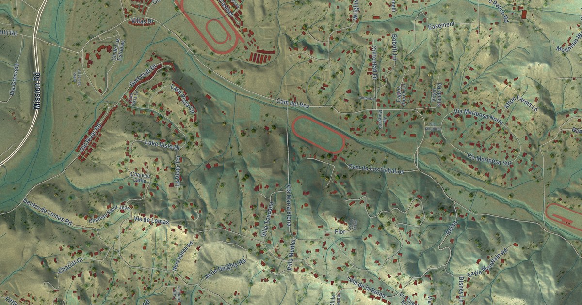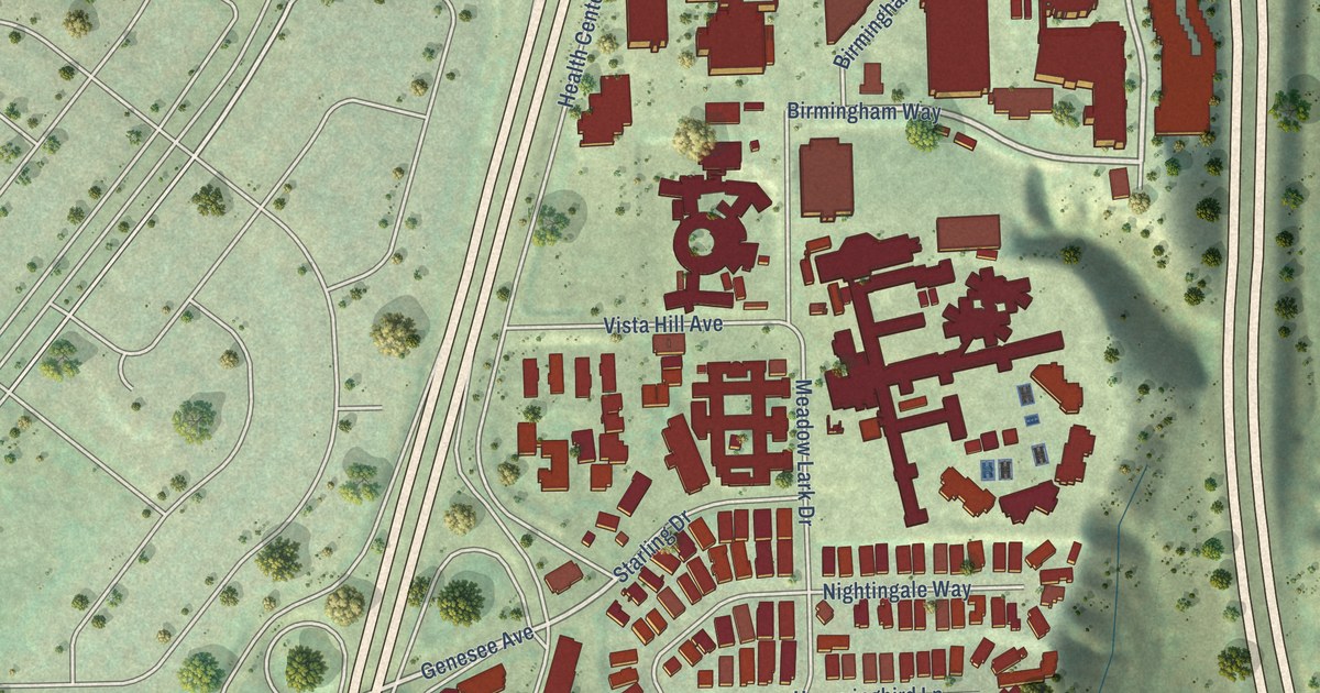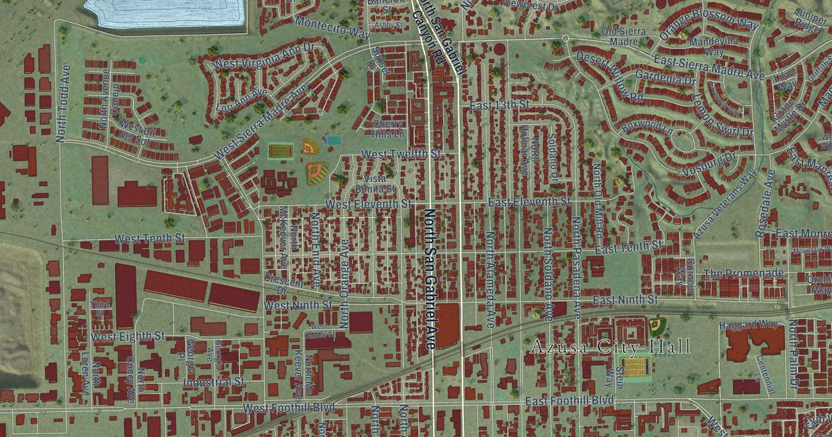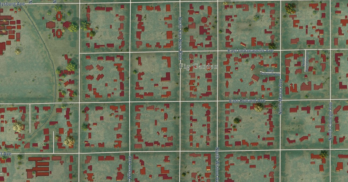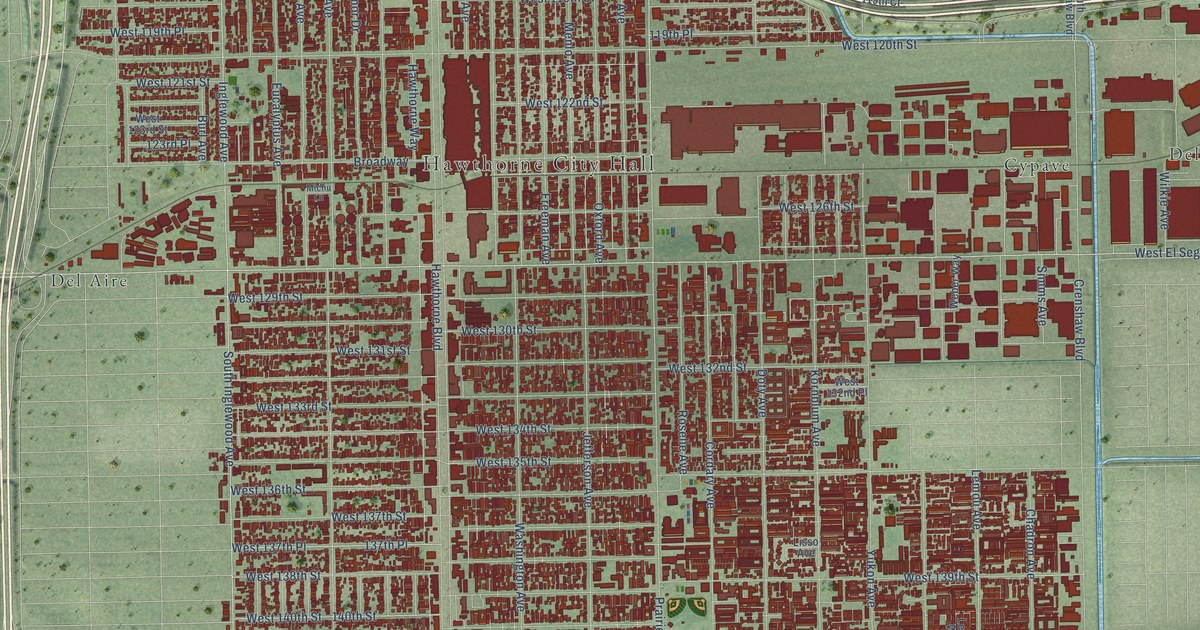
This beautifully detailed map of Hawthorne, California was created in 2026 using aerial imagery combined with modern topographical, census, street and landmark data. It’s a one-of-a-kind view of Hawthorne that combines accurate data with a vintage aesthetic. The map shows every building in its true location, many of the roads carry their names, and the shaded topographic relief shows the shape of the land.
Explore an aerial view of Hawthorne, California
On the map you’ll find Hawthorne City Hall, Holly Park, Cypave, Del Aire, and Delta, along with West Imperial Highway, West El Segundo Boulevard, South Aviation Boulevard, West Rosecrans Avenue, South Truro Avenue, Aviation Boulevard, Prairie Avenue, and more. If you look closely you can even find your house accurately drawn in its correct location. Zoom in on the preview to look for yours.
Did you know this piece of Hawthorne, California history?
From the Los Angeles County Planning: "In 1906, Benjamin Harding and H.D. Lombard founded the present-day City of Hawthorne as the Hawthorne Improvement Company on 80 acres of barley fields."
Take a closer look at the Hawthorne map
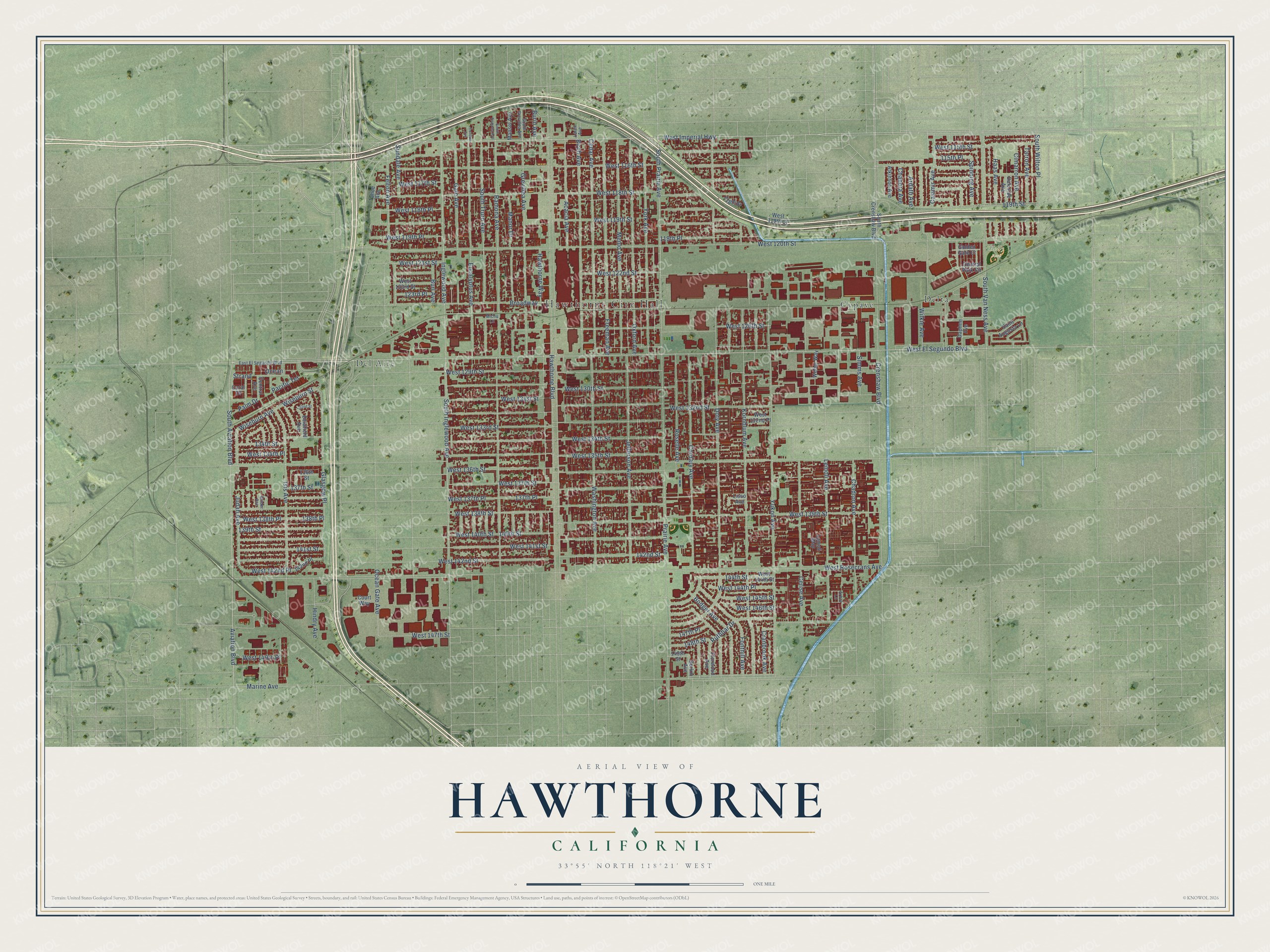
Street and place names on the Hawthorne, California map
These names are printed on the map of Hawthorne, California.
Places: Hawthorne City Hall, Holly Park, Cypave, Del Aire and Delta.
Streets and roads: West Imperial Highway, West El Segundo Boulevard, South Aviation Boulevard, West Rosecrans Avenue, South Truro Avenue, Aviation Boulevard, Prairie Avenue, South Prairie Avenue, West 144th Place, Hawthorne Boulevard, West 120th Street, West 135th Street.
More street names, A to Z
115th Place, 118th Street, 119th Place, 119th Street, 123rd Place, 132nd Street, 134th Street, 136th Street, 137th Place, 137th Street, 138th Place, 139th Street, 140th Street, 141st Street, 142nd Place, 142nd Street, 144th Street, 147th Place, 148th Street, 149th Street, Acacia Avenue, Arbor Lane, Ardath Avenue, Atkinson Avenue, Birch Avenue, Bodger Avenue, Broadway, Burin Avenue, Burl Avenue, Casimir Avenue, Cedar Avenue, Central Avenue, Central Park Circle, Cerise Avenue, Chadron Avenue, Chanera Avenue, Cimarron Avenue, Condon Avenue, Coral Drive, Cordary Avenue, Court Way, Cranbrook Avenue, Crenshaw Boulevard, Daleside Avenue, Daphne Avenue, Delafield Avenue, Doty Avenue, East El Segundo Boulevard, Eucalyptus Avenue, Felton Avenue, Florwood Avenue, Fonthill Avenue, Freeman Avenue, Gale Avenue, Gerkin Avenue, Glasgow Place, Golden Gate Court, Grevillea Avenue, Grider Avenue, Haas Avenue, Hawthorne Way, Hindry Avenue, Inglewood Avenue, Isis Avenue, Jefferson Avenue, Judah Avenue, Kornblum Avenue, Larch Avenue, Lemoli Avenue, Lemoli Way, Lisso Avenue, Manor Drive, Mansel Avenue, Marine Avenue, Menlo Avenue, Michu Lane, Ocean, Ocean Gate Avenue, Oxford Avenue, Pacific Terrace, Palm Drive, Ramona Avenue, Roselle Avenue, Ruthbar Drive, Saint Augusta Lane, Simms Avenue, South Crenshaw Boulevard, South Firmona Avenue, South Grevillea Avenue, South Inglewood Avenue, South Van Ness Avenue, South Wilton Place, Spinning Avenue, Strand, Sundale Avenue, Tahoe Avenue, Tarron Avenue, Washington Avenue, Weber Way, West 115th Street, West 116th Street, West 117th Street, West 118th Place, West 118th Street, West 119th Court, West 119th Place, West 119th Street, West 121st Street, West 122nd Street, West 123rd Street, West 126th Street, West 129th Street, West 130th Street, West 131st Street, West 132nd Place, West 132nd Street, West 133rd Street, West 134th Place, West 134th Street, West 136th Street, West 137th Place, West 137th Street, West 138th Place, West 138th Street, West 139th Street, West 140th Street, West 141st Street, West 142nd Place, West 142nd Street, West 144th Street, West 145th Street, West 146th Street, West 147th Street, West 149th Place, Wilkie Avenue, Wiseburn Avenue, Wiseburn Street, York Avenue, Yukon Avenue.
See the Hawthorne, California map on a wall
The Hawthorne map as an 18 x 24 inch print in a black frame.

This beautifully detailed map of Hawthorne makes an attractive addition to your office, library, or den, and it can even be used to teach children the geography and history of the area. It also makes a great gift for anyone with Hawthorne roots. When you’re done exploring, click here to get your copy of the Hawthorne map.