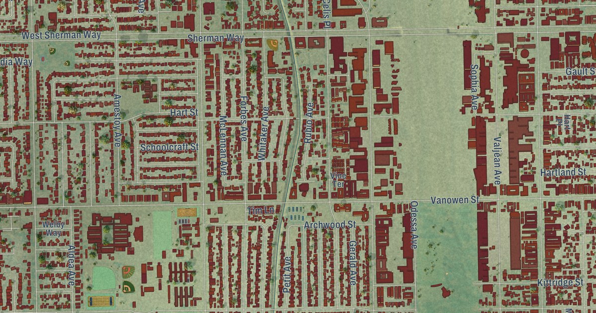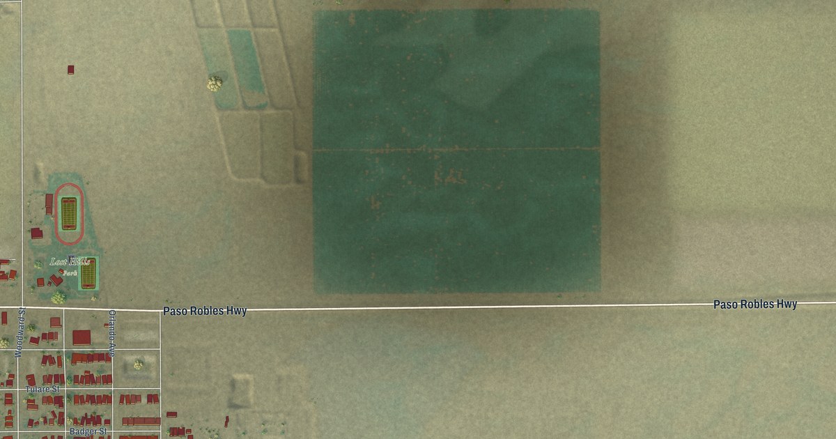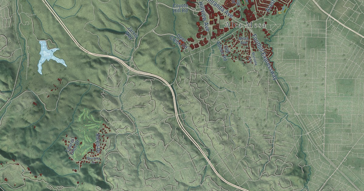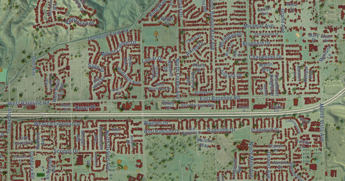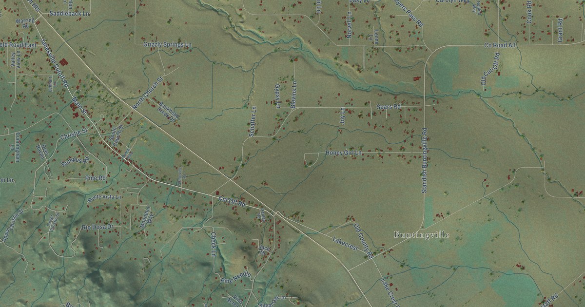
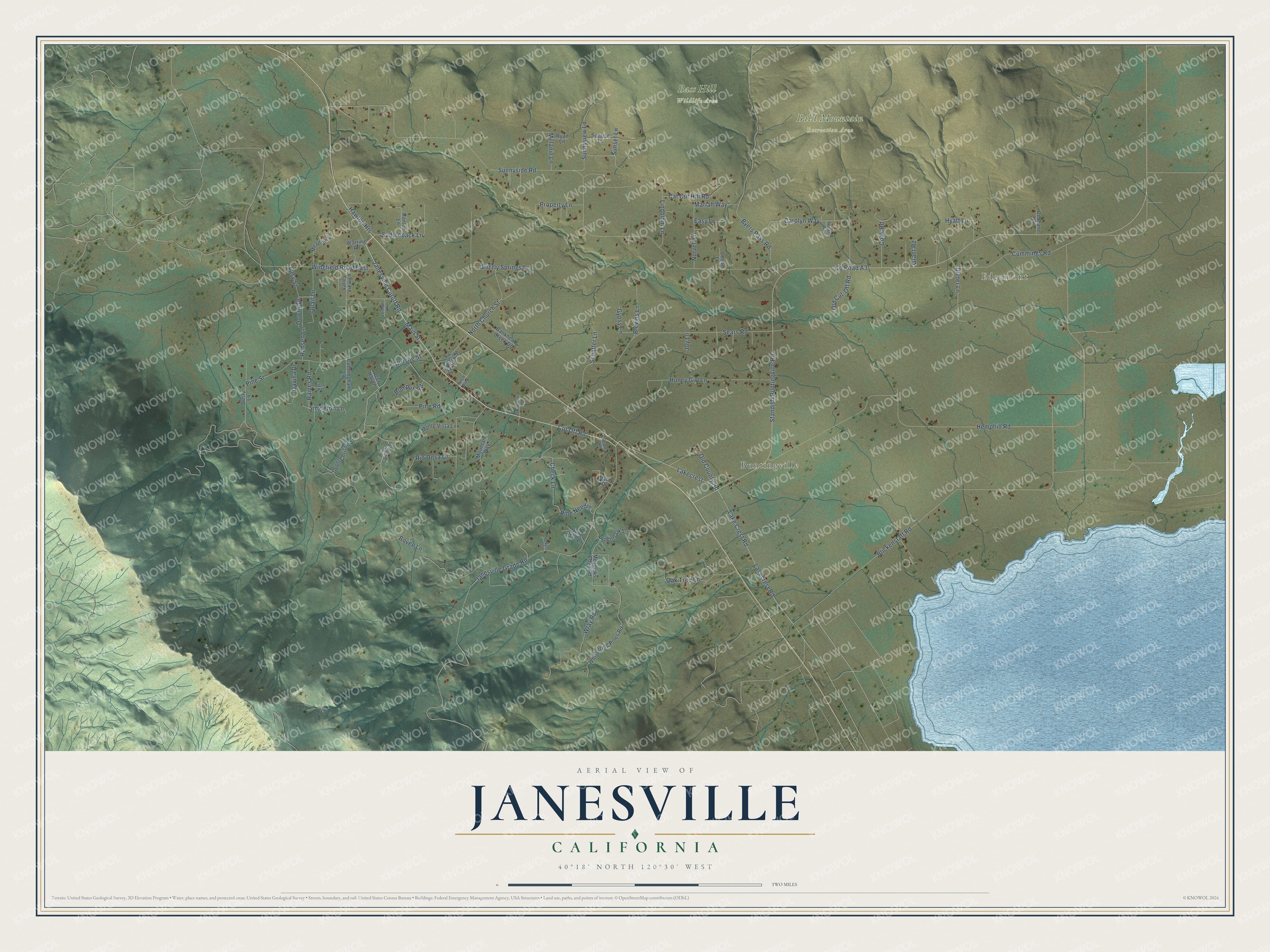
This beautifully detailed map of Janesville, California was created in 2026 using aerial imagery combined with modern topographical, census, street and landmark data. It's a modern aerial view of Janesville in Lassen County, California, that combines modern data with a vintage aesthetic. The roads feature printed names, and if you look closely you can find your exact house accurately shown in its correct location.
Explore an aerial view of Janesville, California
On this map you'll find Edgemont, Buntingville, Bald Mountain Recreation Area, Bass Hill Wildlife Area, Lakecrest, Cut Off Road, Janesville Cutoff Road, Main Street, Cummings Road, Christie Street, Pine Road, Check Lane, and more. Each red shape is a building, so zoom in on the preview and look for yours.
Here is a piece of Janesville history. Old settlers never agreed on which Jane gave Janesville its name. Henry E. Lomas said the settlement at Bankhead's was named for Mrs. Jane Bankhead, the wife of Malcom Bankhead. Smith J. Hill and his wife said Hill and L. N. Breed named it for their daughter, Jane Agnes, who was born there. County historian A. M. Fairfield, who taught school in Janesville for years, found reliable people on both sides. He left readers to judge for themselves. That's from the 1916 Pioneer History of Lassen County.
Janesville is a community in Lassen County. The Census Bureau counted 2,461 people here in 2020.
Take a closer look at the Janesville map
Names on this map
These names are printed on this map.
Places: Edgemont, Buntingville, Bald Mountain Recreation Area and Bass Hill Wildlife Area.
Streets and roads: Lakecrest, Cut Off Road, Janesville Cutoff Road, Main Street, Cummings Road, Christie Street, Pine Road, Check Lane, Saddleback Lane, County Road A3, Standish Buntingville Road, Sunnyside Road.
More street names, A to Z
Bankhead Creek Drive, Blevins Lane, Blickenstaff Road, Bovee Lane, Bumpus Road, Byers Pass Road, Carolyn Way, Cat Cut Hill Road, Cook Road, Cunningham Lane, Davina Drive, Deer Haven, Deshane Lane, Dieter Lane, Downs Drive, Dusty Lane, Easy Lane, Easy Street, Grant Road, Grizzly Springs Lane, Gypsy Lane, Hanlon Lane, Hansen Lane, Hawton Heights, Hemphill Road, Honey Girl Lane, Hyatt Lane, Jace Drive, Jackpot Lane, Janesville Grade Road, Joy Lane, Lake Crest Road, Lakecrest Road, Lenhart Lane, Leone Lane, Lindblom Lane, Lower Christie Street, Mariah Way, Meadow Lane, Meadows Edge Road, Melanie Lane, Monte Vista Lane, Mountain Way, Noland Way, North Church Street, Norvell Lane, Oak Tree Lane, Old County Road, Old Cut-Off Road, Pedley Road, Pine Acre Lane, Pine Needle, Pine Street, Property Lane, Quail Lane, Raines Road, Ranch Alley, Rio Dosa Drive, Ryan Lane, Schaffer Lane, Sears Road, Silent Oak Lane, Singleton Lane, Somerville Road, South Church Street, Sunnyview Lane, Sunrise Lane, Sunset Lane, Tietz Road, Upper Christie Street, Valley View Lane, Warring Road, Whispering Pines Road, Wingfield Road East, Wray Road.
See it on a wall
The Janesville map as a framed print. Swipe for more.


Created by KNOWOL in 2026. The buildings are small red shapes, the roads carry their printed names, and shaded relief shows the shape of the land. The title panel reads "AERIAL VIEW OF JANESVILLE, CALIFORNIA" with 40°18' NORTH 120°30' WEST.
It suits a den, a classroom or a front hall, and it makes a gift for anyone with Janesville roots. Open the preview and find the block you know. See sizes and frames for the Janesville map.