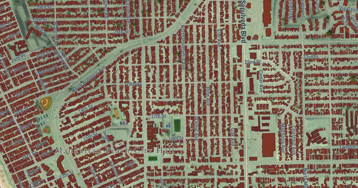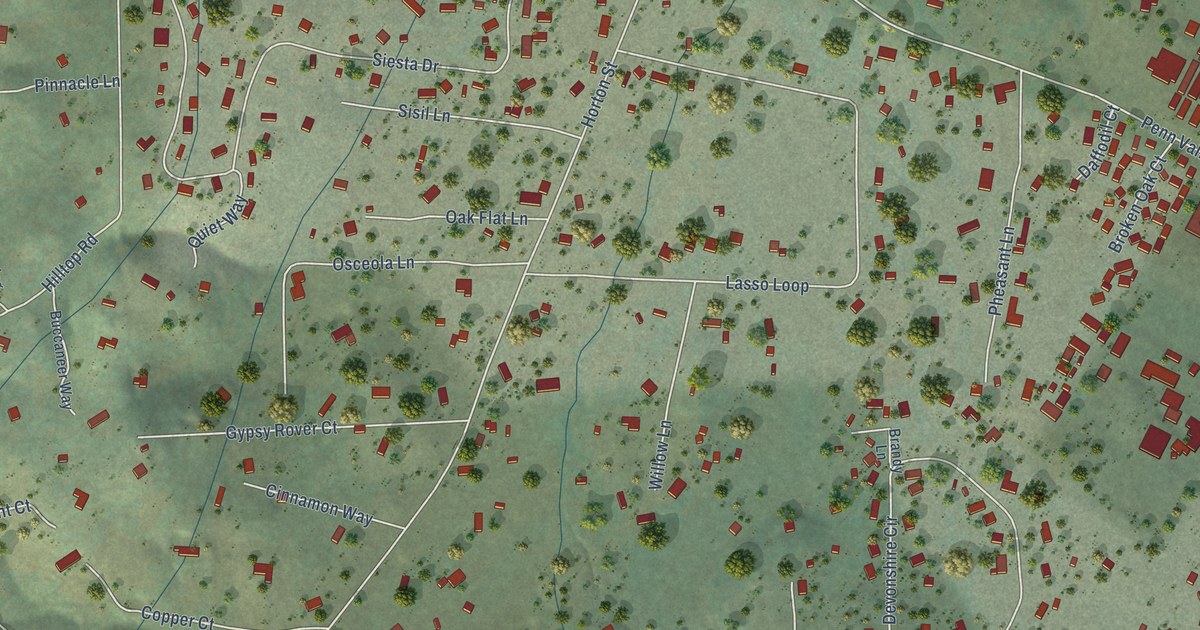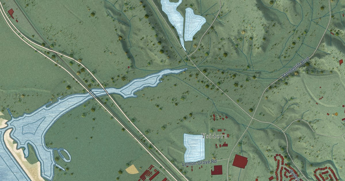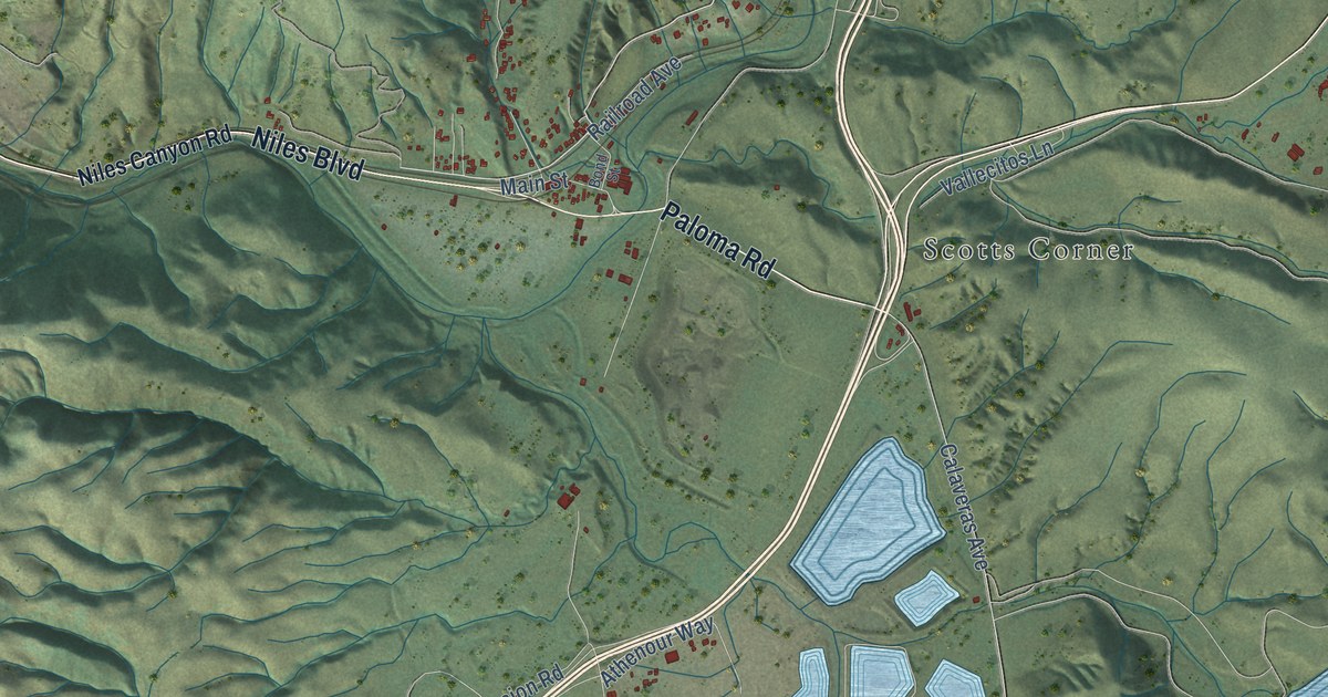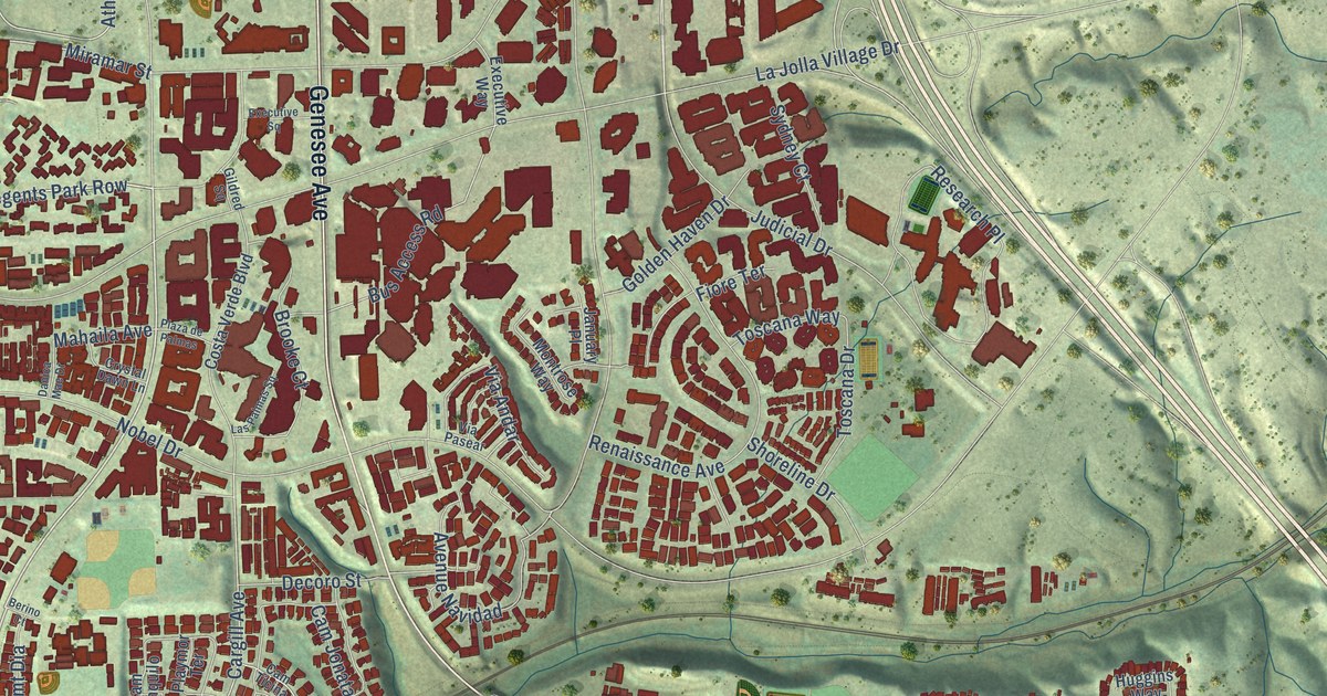
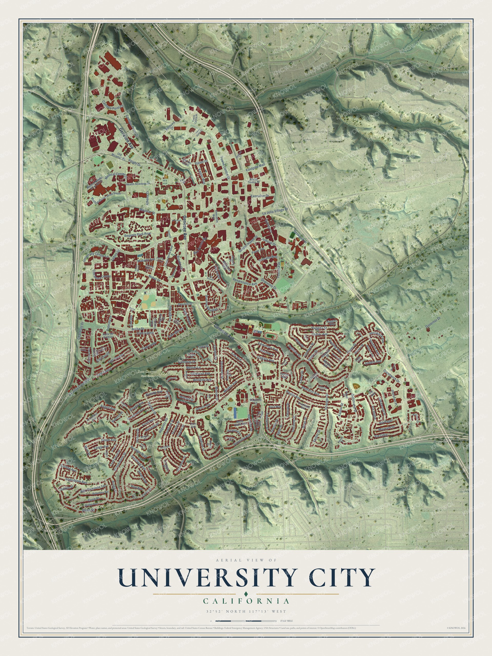
This beautifully detailed map of University City, California was created in 2026 using aerial imagery combined with modern topographical, census, street and landmark data. It’s a one-of-a-kind view of University City that combines accurate data with a vintage aesthetic. The map shows every building in its true location, many of the roads carry their names, and the shaded topographic relief shows the shape of the land.
Explore an aerial view of University City, California
On the map you’ll find Rose Canyon Open Space, Cam Glorita, and Athena Cr, along with Genesee Avenue, Regents Road, La Jolla Colony Drive, Arriba Street, Charmant Drive, Miramar Street, Cargill Avenue, Dunant Street, Bunche Avenue, and more. If you look closely you can even find your house accurately drawn in its correct location. Zoom in on the preview to look for yours.
Did You Know?
From Internet Archive: "George Weeks, manager of the Detroit Universal Film Co., will leave here the first week in March for California to take in the Panama-Pacific Exposition at San Francisco as well as the formal opening of University City."
University City is a place in San Diego County.
Take a closer look at the University City map
Names on this map
These names are printed on this map.
Places: Rose Canyon Open Space.
Streets and roads: Genesee Avenue, Regents Road, La Jolla Colony Drive, Arriba Street, Cam Glorita, Athena Cr, Charmant Drive, Miramar Street, Cargill Avenue, Dunant Street, Bunche Avenue, Stresemann Street.
More street names, A to Z
Agee Street, Angell Avenue, Arnoldson Avenue, Avenue Navidad, Award Row, Barkla Street, Benhurst Avenue, Berino Court, Bloch Street, Bothe Avenue, Bragg Street, Brannick Place, Branting Street, Briand Avenue, Bromfield Avenue, Brooke Court, Buisson Street, Bus Access Road, Calgary Avenue, Cam Calma, Cam Jonata, Cam Lindo, Campus Point Court, Campus Point Drive, Camrose Avenue, Cam Ticina, Cam Tranquilo, Carnegie Court, Carnegie Place, Carnegie Street, Cascade Street, Cather Avenue, Cather Court, Charae Street, Cmt Araya, Cmt Baeza, Cmt Cassis, Cmt Davila, Cmt del Zafiro, Cmt Dia, Cmt Meliado, Cmt Pantoja, Cmt Plaza Centro, Cmt Silvela, Cmt Terviso, Cmt Zabala, Combe Way, Condon Drive, Costa Verde Boulevard, Cozzens Street, Crystal Dawn Lane, Curie Place, Curie Street, Curie Way, Dalen Avenue, Danica Mae Drive, Decoro Street, Dennison Street, Dirac Street, Ducommun Avenue, Easter Way, Eastgate Mall, Edmonton Avenue, Enders Avenue, Erlanger Street, Eton Avenue, Executive Drive, Executive Square, Executive Way, Farley Drive, Ferber Street, Fez Street, Fiore Terrace, Fisk Avenue, Florey Court, Florey Street, Fried Avenue, Galloway Drive, Gildred Square, Gobat Avenue, Golden Haven Drive, Governor Drive, Greenwich Drive, Gullstrand Street, Haber Street, Haworth Street, Health Sciences Drive, Honors Drive, Huggins Street, Huggins Way, Ithaca Place, January Place, Judicial Court, Judicial Drive, Kantor Court, Kantor Street, Lahitte Court, La Jolla Village Drive, Lakewood Street, Lamas Street, Lange Avenue, Las Palmas Square, Lebon Drive, Lipmann Street, Lord Cecil Street, Mahaila Avenue, Maynard Street, Medical Center Drive, Medical Center Drive North, Medical Center Drive South, Mercer Lane, Mercer Street, Millikin Avenue, Monarch Court, Montrose Way, Mott Street, Murphy Avenue, Nexus Centre Drive, Nobel Drive, Notre Dame Avenue, Occidental Street, Ohm Court, Old Miramar Road, Palmilla Drive, Panel Court, Pauling Avenue, Pavlov Avenue, Pennant Way, Pire Avenue, Playmor Terrace, Plaza de Palmas, Porte de Palmas, Quidde Avenue, Radcliffe Drive, Radcliffe Lane, Ramsay Avenue, Raya Way, Red Deer Street, Regents Park Row, Renaissance Avenue, Renault Place, Renault Street, Research Place, Robbins Street, Robbins Way, Rous Street, San Clemente Terrace, Sandburg Avenue, Schenley Terrace, Scripps Street, Shoreham Place, Shoreline Drive, Soderblom Avenue, Stadium Street, Steinbeck Avenue, Stetson Avenue, Stettler Way, Sydney Court, Syracuse Avenue, Syracuse Lane, Syracuse Way, Tamilynn Street, Teasdale Avenue, Tony Drive, Toscana Drive, Toscana Way, Towne Centre Court, Towne Centre Drive, Towne Centre Place, Tula Court, Tulane Street, University Center Lane, Via Andar, Via Cinta, Via Lapiz, Via Papel, Via Pasear, Via Regla, Villanova Avenue, Vision Drive, Voight Drive, Weller Street, Wellesly Avenue, Wellesly Place, Welmer Place, Werner Street, Westerra Court, Whipple Avenue, Willard Street, Wolfstar Court, Zenako Street.
See it on a wall
The University City map as a framed print. Swipe for more.


This beautifully detailed map of University City makes an attractive addition to your office, library, or den, and it can even be used to teach children the geography and history of the area. It also makes a great gift for someone who left University City and still calls it home. When you’re done exploring, click here to get your copy of the University City map.