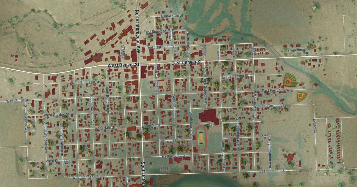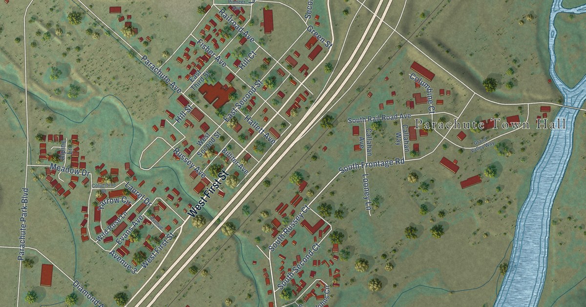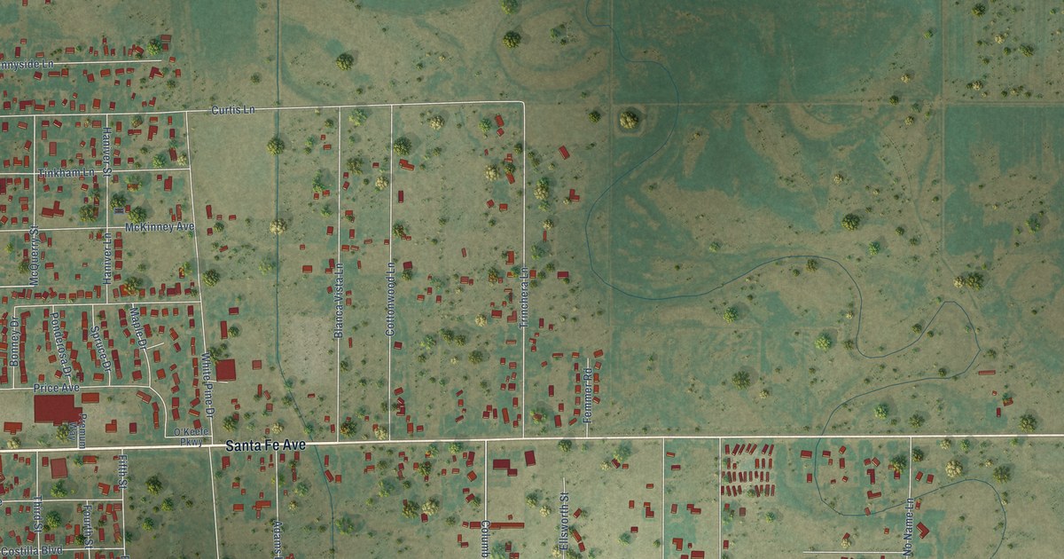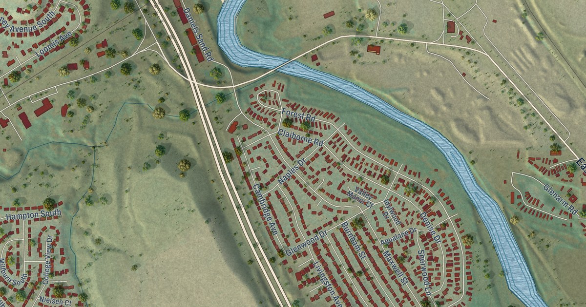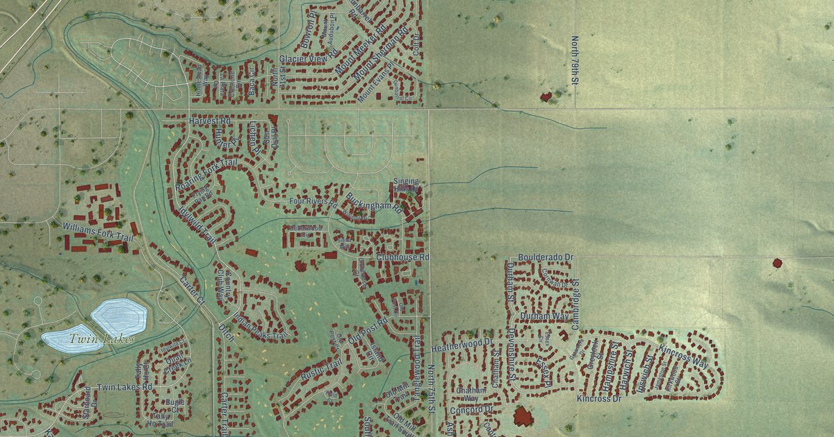
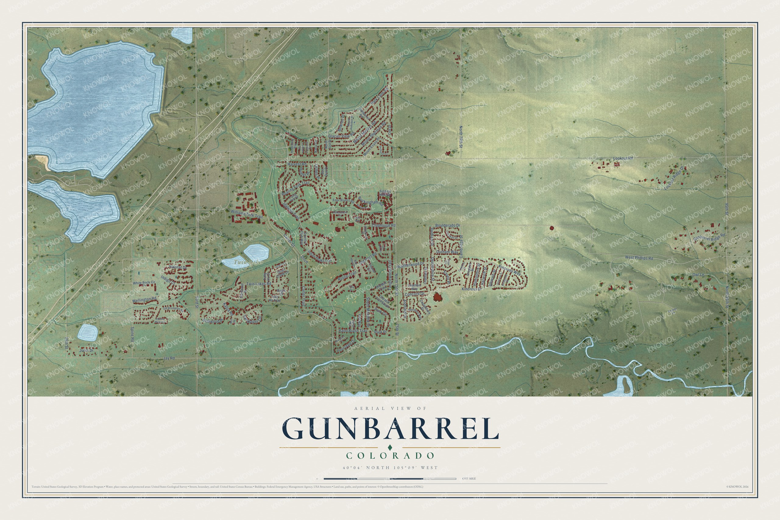
This beautifully detailed map of Gunbarrel, Colorado was created in 2026 using aerial imagery combined with modern topographical, census, street and landmark data. It's a modern aerial view of Gunbarrel in Boulder County, Colorado, that combines modern data with a vintage aesthetic. The roads feature printed names, and if you look closely you can find your exact house accurately shown in its correct location.
Explore an aerial view of Gunbarrel, Colorado
On this map you'll find Twin Lakes, Devonshire Street, Durham Street, Twin Lakes Road, Idylwild Trail, Kincross Way, West Phillips Road, Boulderado Drive, Indigo Court, Sandpiper Circle, Lookout Road, Jay Road, and more. Each red shape is a building, so zoom in on the preview and look for yours.
Here is a piece of Gunbarrel history. Gunbarrel takes its name from Gunbarrel Road. As the story goes, settler Alonzo N. Allen took apart his cabin, loaded the logs on a wagon and cut a straight line across the prairie toward a big cottonwood on the St. Vrain River, and the ruts were said to be straight as a gunbarrel. The area stayed mostly ranch land until IBM moved to Boulder County in 1965, and housing for its workers set off the suburban growth that followed. That's from the Left Hand Valley Courier.
Gunbarrel is a community in Boulder County. The Census Bureau counted 9,554 people here in 2020.
Take a closer look at the Gunbarrel map
Names on this map
These names are printed on this map.
Places: Twin Lakes.
Streets and roads: Devonshire Street, Durham Street, Twin Lakes Road, Idylwild Trail, Kincross Way, West Phillips Road, Boulderado Drive, Indigo Court, Sandpiper Circle, Lookout Road, Jay Road, 95th Street.
More street names, A to Z
55th Street, 63rd Street, 75th Street, Aberdeen Way, Ashfield Drive, Baca Circle, Bluegrass Court, Bowron Place, Buckingham Road, Bugle Court, Cambridge Street, Canterbury Drive, Carter Court, Carter Trail, Cedarwood Circle, Chatham Street, Chatham Way, Chelsea Manor Court, Clubhouse Court, Clubhouse Road, Colt Drive, Concord Drive, Cornwall Drive, Country Club Way, Crestone Circle, Ditch, Driftwood Place, Durham Way, Essex Circle, Essex Place, Field Court, Four Rivers Road, Frying Pan Road, Glacier View Road, Grasmere Drive, Greylock Street, Gunbarrel Circle, Gunbarrel Ridge Road, Gunbarrel Road, Habitat Drive, Hampshire Street, Harvest Road, Harwich Street, Heatherwood Drive, Homestead Way, Hunter Place, Idylwild Court, Indian Peaks Trail, Ipswich Street, Island Circle, Jameston Street, Juhls Drive, Kalua Road, Kestrel Lane, Kincross Drive, Kirkwood Street, La Plata Circle, Lariat Way, Lichen Place, Lookout Ridge Drive, Mast Road, Mount Audubon Place, Mount Evans Place, Mount Meeker Road, Mount Sherman Road, North 71st Street, North 75th Street, North 79th Street, North 95th Street, Old Brompton Road, Old Mill Trail, Old Mill Trail South, Old Post Circle, Old Post Court, Old Post Road, Owl Lane, Paint Brush Trail, Pali Way, Park Circle, Park Lane Road, Park Place, Petursdale Court, Quail Creek Lane, Roaring Fork Trail, Rustic Trail, Siena Way, Singing Hills Drive, South Meadow Drive, Spine Road, Starboard Drive, Sun Dial Place, Tally Ho Court, Tally Ho Trail, Tanglewood Trail, Wellington Road, White Rock Circle, Williams Fork Trail, Windsor Drive.
See it on a wall
The Gunbarrel map as a framed print. Swipe for more.


Created by KNOWOL in 2026. The buildings are small red shapes, the roads carry their printed names, and shaded relief shows the shape of the land. The title panel reads "AERIAL VIEW OF GUNBARREL, COLORADO" with 40°04' NORTH 105°09' WEST.
It suits a den, a classroom or a front hall, and it makes a gift for anyone with Gunbarrel roots. Open the preview and find the block you know. See sizes and frames for the Gunbarrel map.