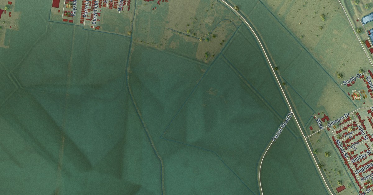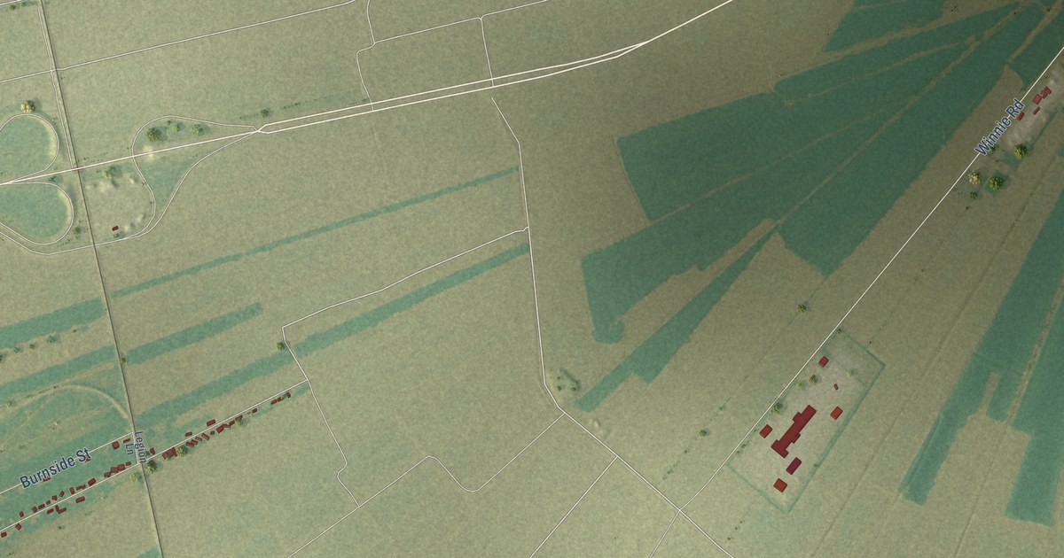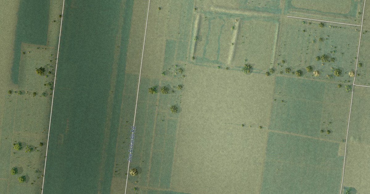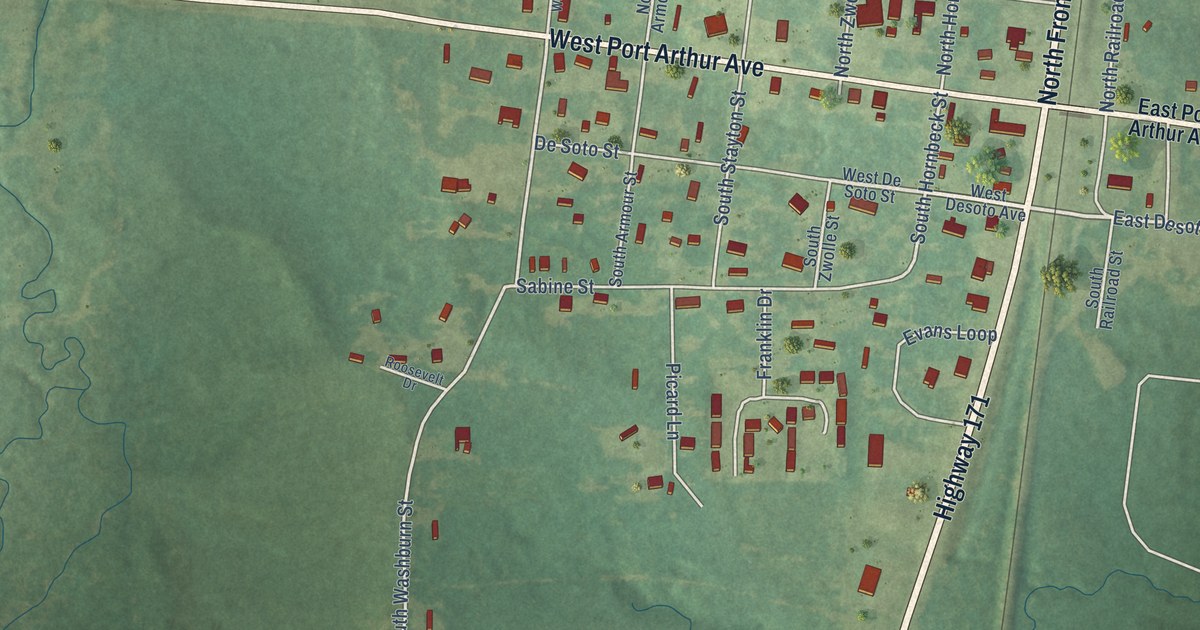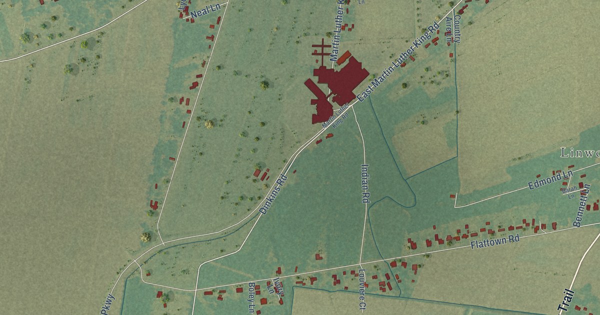
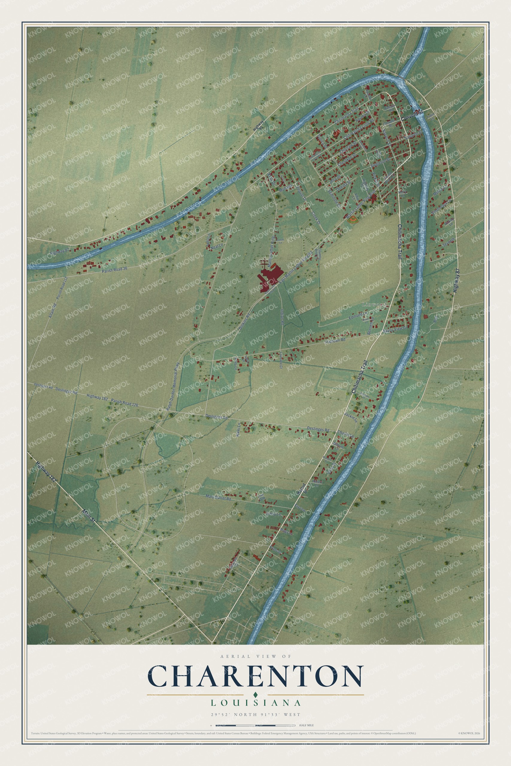
This beautifully detailed map of Charenton, Louisiana was created in 2026 using aerial imagery combined with modern topographical, census, street and landmark data. It's a modern aerial view of Charenton in St. Mary Parish, Louisiana, that combines modern data with a vintage aesthetic. The roads feature printed names, and if you look closely you can find your exact house accurately shown in its correct location.
Explore an aerial view of Charenton, Louisiana
On this map you'll find Linwood, Chitimacha Trail, Convent Street, Highway 87, Highway 182, Main Street, Martin Luther King Boulevard, East Martin Luther King Road, Dinkins Road, Navarro Street, Picket Street, Deslinges Road, and more. Each red shape is a building, so zoom in on the preview and look for yours.
Charenton is a community in St. Mary Parish. The Census Bureau counted 1,699 people here in 2020. Charenton sits about 2 miles northeast of Baldwin, 5 miles east of Sorrel and 6 miles north of Franklin. The map prints the town name in its title panel, with the coordinates below it.
Take a closer look at the Charenton map
Names on this map
These names are printed on this map.
Places: Linwood.
Streets and roads: Chitimacha Trail, Convent Street, Highway 87, Highway 182, Main Street, Martin Luther King Boulevard, East Martin Luther King Road, Dinkins Road, Navarro Street, Picket Street, Deslinges Road, Martin Luther King.
More street names, A to Z
Allain Road, Apache Lane, Babsso Road, Barah Lane, Bayou View Drive, Bayview, Bennett Lane, Boley Lane, Charlie Lane, Cherokee Street, Chitimacha Loop Road, Chitimarcha Loop Road, Choctaw Street, Collins Lane, Country Aire Lane, Coushatta Drive, Creek Drive, Desligner Road, Deslignes Road, Deslinger Road, Edmond Lane, Effie Lane, Elina Street, Emily Lane, Evans Drive, Flattown Road, Hebert Lane, Highway 90, Highway 317, Houma Drive, Indian Road, Ivory Lane, Jackie Lane, Jena Drive, Joe White Street, Kelly Drive, Kerry Lane, Live Oak, Louviere Court, Lydia Lane, Malcolm Street, Martin Luther King Road, Mary Garret Road, Melvin Lane, Miggy Lane, Miltons Lane, Mohawk, Neal Lane, Nikki Lane, Oneida Street, Parish Road 36, Parish Road 113, Parish Road 117, Parish Road 126, Pequot Drive, Ralph Darden Memorial Parkway, Rickey Lane, Robinson Lane, Rod, Rudolph Street, Sanaren Street, Seminole Drive, Seneca, Seventh, Simoneaux Lane, Singleton Street, Tobin Lane, Tunica Drive, Walnut Street.
See it on a wall
The Charenton map as a framed print. Swipe for more.


Created by KNOWOL in 2026. The buildings are small red shapes, the roads carry their printed names, and shaded relief shows the shape of the land. The title panel reads "AERIAL VIEW OF CHARENTON, LOUISIANA" with 29°52' NORTH 91°33' WEST.
It suits a den, a classroom or a front hall, and it makes a gift for anyone with Charenton roots. Open the preview and find the block you know. See sizes and frames for the Charenton map.