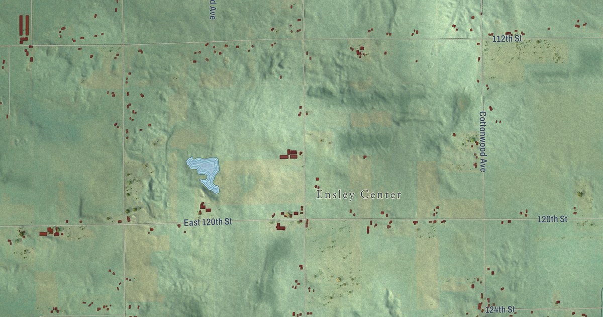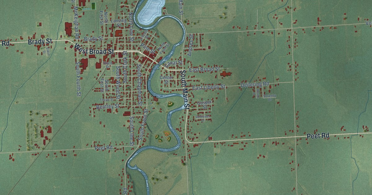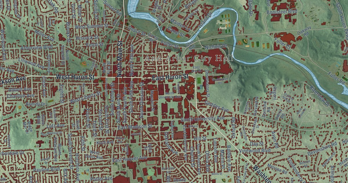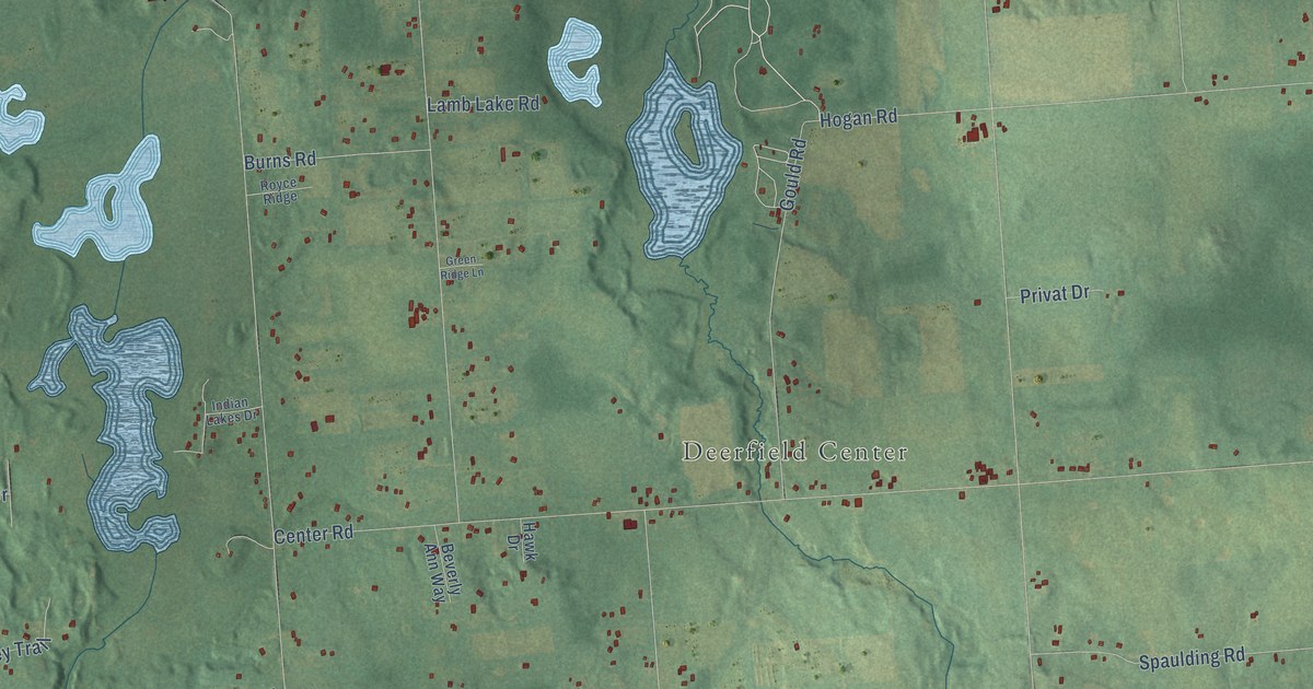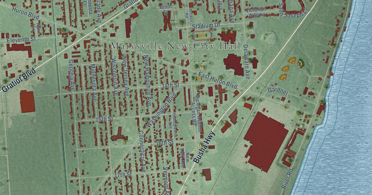
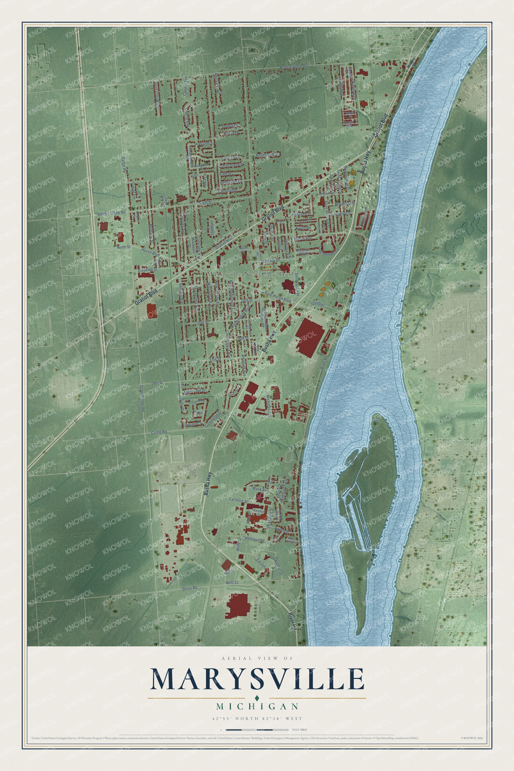
This beautifully detailed map of Marysville, Michigan was created in 2026 using aerial imagery combined with modern topographical, census, street and landmark data. It's a modern aerial view of Marysville in St. Clair County, Michigan, that combines modern data with a vintage aesthetic. The roads feature printed names, and if you look closely you can find your exact house accurately shown in its correct location.
Explore an aerial view of Marysville, Michigan
On this map you'll find Marysville New City Hall, Busha Highway, Gratiot Boulevard, River Road, Connecticut Avenue, Sixth Street, Fifth Street, Covington Court, Cardinal Drive, Wills Street, Emerald Court, Huron Boulevard, and more. Each red shape is a building, so zoom in on the preview and look for yours.
Marysville has a story worth telling. The record at arcgis.com puts it this way: "Remembered for its Flying Gray Goose radiator emblem, it utilized strong, lightweight molybdenum steel and was the first car to have back-up lights."
Marysville is a city in St. Clair County. The Census Bureau counted 9,997 people here in 2020.
Take a closer look at the Marysville map
Names on this map
These names are printed on this map.
Places: Marysville New City Hall.
Streets and roads: Busha Highway, Gratiot Boulevard, River Road, Connecticut Avenue, Sixth Street, Fifth Street, Covington Court, Cardinal Drive, Wills Street, Emerald Court, Huron Boulevard, 14th Street.
More street names, A to Z
15th Street, 16th Street, 17th Street, 18th Street, Access Road, Alexandra, Applegate Drive, April Lane, Aspen Drive, Beacon Drive, Bunce Avenue, Capitol Avenue, Carleton Street, Carolina Avenue, Colorado Avenue, Congress Street, Constitution Avenue, Crystal Lane, Cuttle Road, David Boulevard, Davis Road, Delaware Avenue, Drawbridge Court, East Huron Boulevard, Edison, Eighth Street, Eleventh Street, First Street, Forest Lane, Fourth Street, Gardner, Georgia Avenue, Gratiot Acc, Greenwood Street, Harbor View Drive, Hemlock, Hidden Village Lane, Hoffman Street, Hunter Court, Illinois Street, Independence Avenue, Indiana Avenue, Jennifer Boulevard, Joan Court, Joanwood Drive, Karen Boulevard, Karla Lane, Kelli, Kellie Boulevard, Kendall Street, Koula Road, Liberty Avenue, Lighthouse Court, Lomosney Lane, Lynwood Street, Mack Avenue, Marilyn Drive, Maywood Street, Michigan Avenue, Michigan Avenue Access Road, Military Street, Mills Street, Minnesota Avenue, Minnesota Court, Montana Street, Myrtlewood Street, New Hampshire Avenue, New Jersey Avenue, New York Avenue, Ninth Street, O'Conner Street, O'Riley Court, Ohio Street, Oregon Avenue, Oregone Avenue, Oriley Court, Pennsylvania Avenue, Pyramid Drive, Range Road, Ravenswood Road, Rella Rae Avenue, Rosewood Drive, Saint Bernard Street, Saint Clair Boulevard, Saint James Street, Saint Joseph Lane, Saint Lawrence Street, Saint Paul Street, Sandbar Drive, Sandpiper Lane, Smiths Creek Road, South Range Road, Stadium Drive, Stuart Drive, Tenth Street, Vermont Avenue, Vicksburg Street, Victorian Woods, Virginia, Washington Boulevard, Wills, Wills Court, Wisconsin Avenue.
Created by KNOWOL in 2026. The buildings are small red shapes, the roads carry their printed names, and shaded relief shows the shape of the land. The title panel reads "AERIAL VIEW OF MARYSVILLE, MICHIGAN" with 42°55' NORTH 82°28' WEST.
It looks right in a kitchen, an office or a den, and it's a gift for anyone who grew up in Marysville or moved away. Open the preview and find your street. See sizes and frames for the Marysville map.