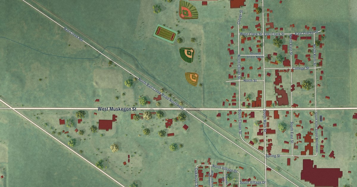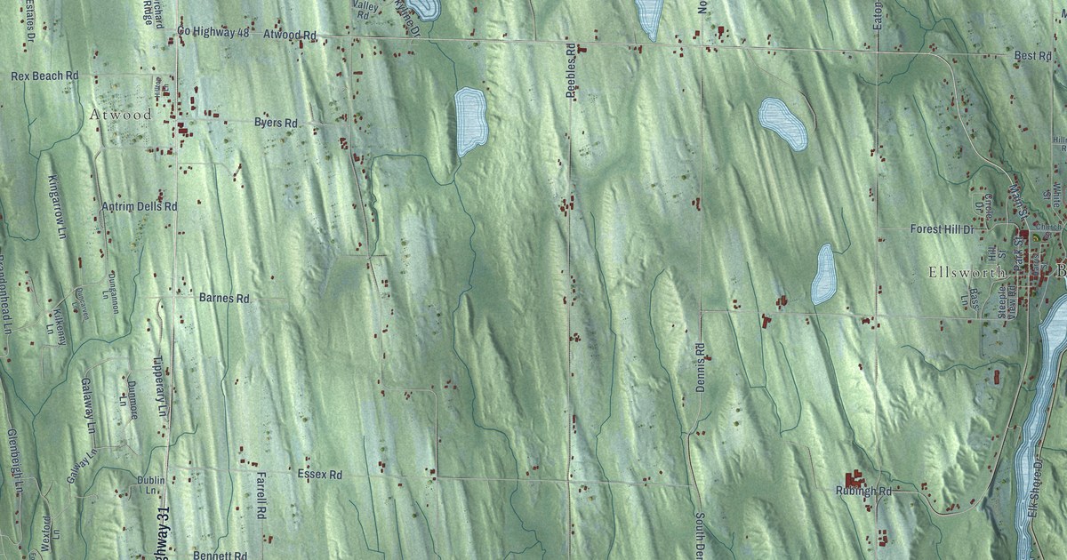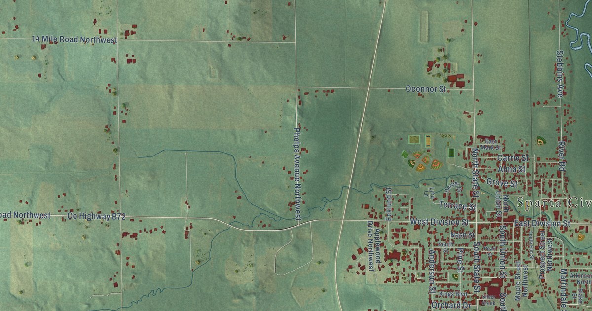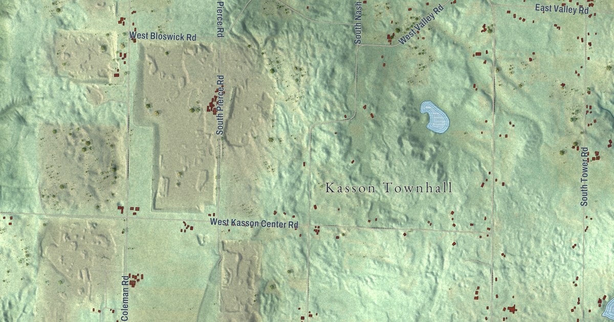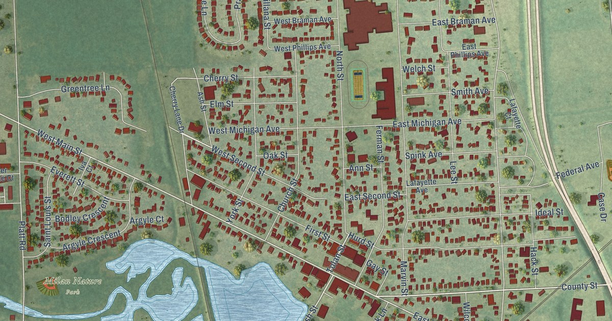
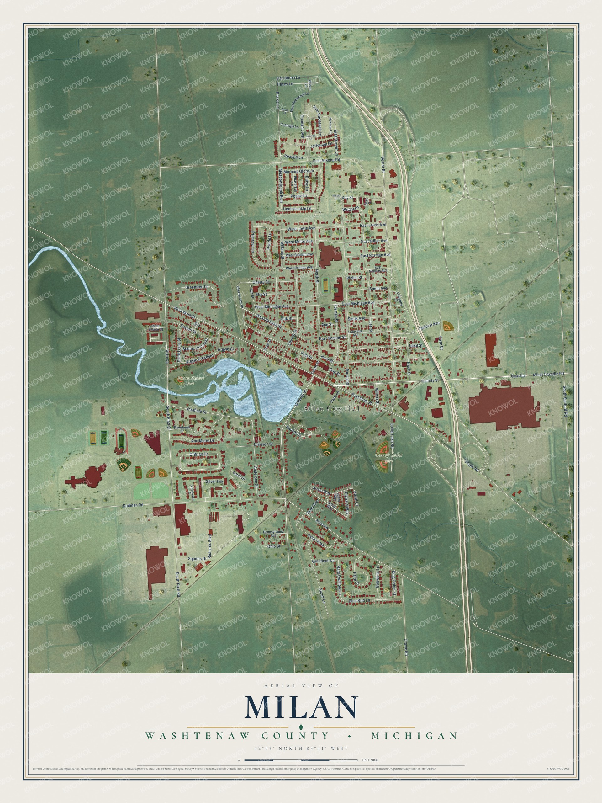
This beautifully detailed map of Milan, Michigan was created in 2026 using aerial imagery combined with modern topographical, census, street and landmark data. It's a modern aerial view of Milan in Washtenaw County, Michigan, that combines modern data with a vintage aesthetic. The roads feature printed names, and if you look closely you can find your exact house accurately shown in its correct location.
Explore an aerial view of Milan, Michigan
On this map you'll find Milan City Hall, Gump Lake Park, Milan Nature Park, Wabash Street, East Main Street, Tolan Street, West Main Street, County Street, West Second Street, Van Buren Lane, Platt Road, South Platt Street, and more. Each red shape is a building, so zoom in on the preview and look for yours.
Every town has a first chapter, and Milan is no exception. The History of Washtenaw County puts it this way: "Now there are three manufactories in the township, a cheese factory, a cider mill and a steam saw-mill at Mooreville, and a stave factory and a sash and blind factory at Milan."
Milan is a city in Washtenaw County. The Census Bureau counted 6,079 people here in 2020.
Take a closer look at the Milan map
Names on this map
These names are printed on this map.
Places: Milan City Hall, Gump Lake Park and Milan Nature Park.
Streets and roads: Wabash Street, East Main Street, Tolan Street, West Main Street, County Street, West Second Street, Van Buren Lane, Platt Road, South Platt Street, Kevin Way, Richard Way, Dexter Street.
More street names, A to Z
Allen Road, Anderson Street, Ann Marie Drive, Ann Street, Argyle Court, Argyle Crescent, Asher Pass, Ash Street, Barn Swallow Lane, Beavertail Lane, Blue Bird Lane, Bobwhite Lane, Bodley Crescent, Canfield Street, Case Drive, Cherry Lane Drive, Cherry Street, Church Street, Coolidge Lane, Crowe Road, Daisy Lane, Division Street, East Arkona Road, East Braman Avenue, East Lewis Avenue, East Michigan Avenue, East Miller Avenue, East Phillips Avenue, East Roosevelt Lane, East Second Street, Eisenhower Lane, Elm Street, Everett Street, Faith Court, Federal Avenue, Ferman Street, First Street, Gay Street, Goldfinch Lane, Grant Lane, Gray Court, Greentree Lane, Gump Lake Road, Hack Street, Hayes Lane, Honeysuckle Lane, Hurd Street, Ideal Street, Iva Court, Jackson Lane, Jefferson Lane, Jenny Way, Kathy Way, Kay Street, Kevin Court, King Fisher Street, Lafayette Avenue, Lafayette Court, Lauff Drive, Lee Street, Marvin Court, Marvin Street, McKinley Lane, Meadowbrook Boulevard, Milan Oakville Road, Morning Glory Lane, Neckel Court, North Street, O'Brian Drive, Oak Street, Oakville, Ohio Street, Park Lane, Pennsylvania Avenue, Pierce Lane, Plank Road, Poppy Lane, Prairie Lane, Primrose Lane, Reagan Lane, Redman Road, Reed Way, Richards Boulevard, Riverbend Drive, River Pointe Court, Saint Louis Street, Sarah Lane, Silver Fox, Smith Avenue, South Platt Road, South Sanford Road, Spink Avenue, Squires Drive, Stonehaven Court, Truman Loop, Welch Street, West Braman Avenue, West Lewis Avenue, West Michigan Avenue, West Miller Avenue, West Phillips Avenue, West Roosevelt Lane, Wilcox Street, Willana Street, Wilson Lane, Wright Lane, York Street.
Created by KNOWOL in 2026. The buildings are small red shapes, the roads carry their printed names, and shaded relief shows the shape of the land. The title panel reads "AERIAL VIEW OF MILAN, WASHTENAW COUNTY • MICHIGAN" with 42°05' NORTH 83°41' WEST.
Hang it in the hallway, the office or the cabin, or give it to someone who left Milan and still calls it home. Open the preview and look for a street you know. See sizes and frames for the Milan, Washtenaw County map.