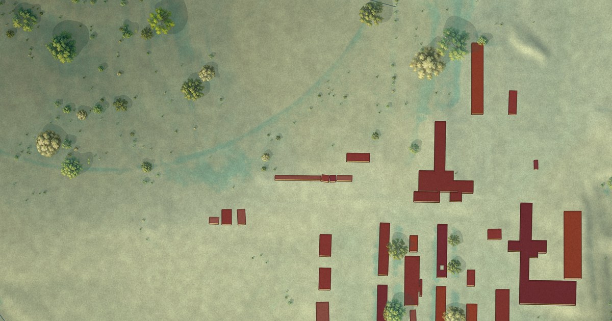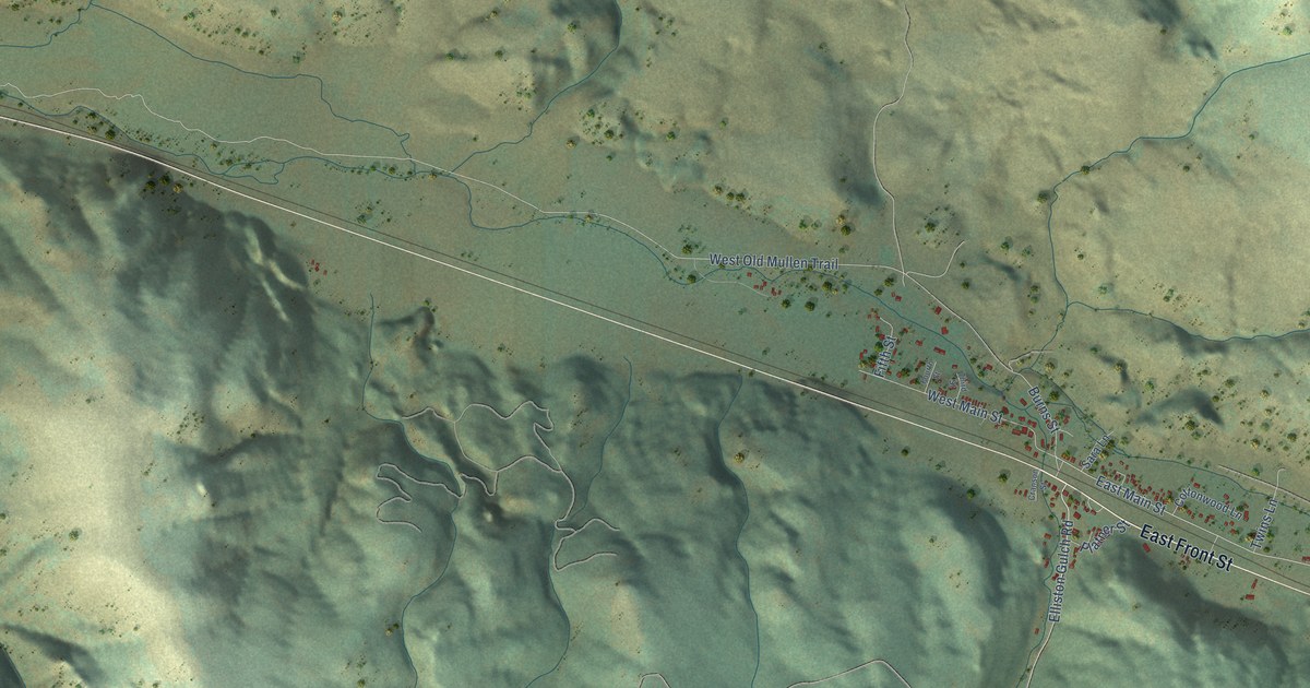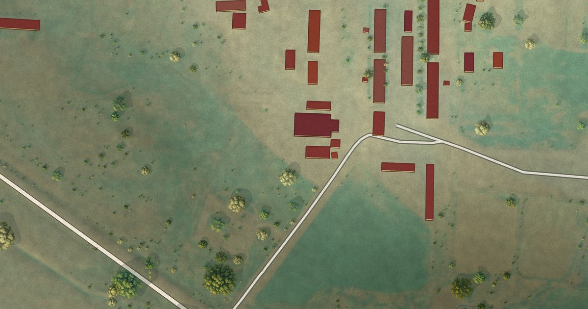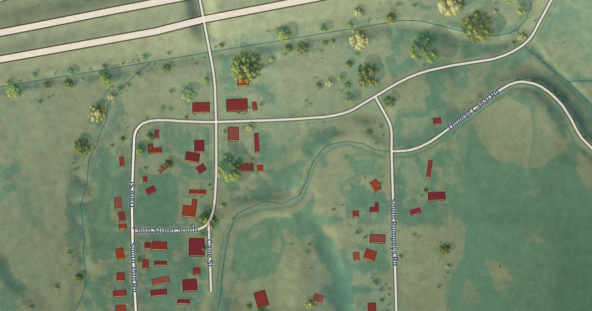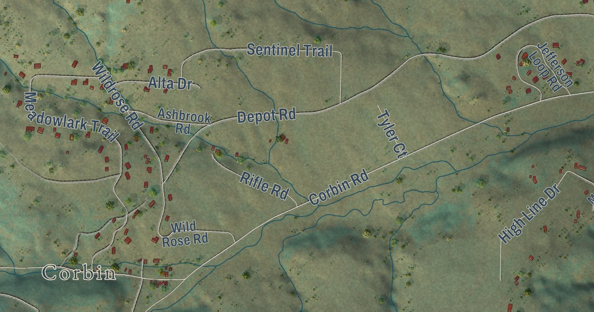
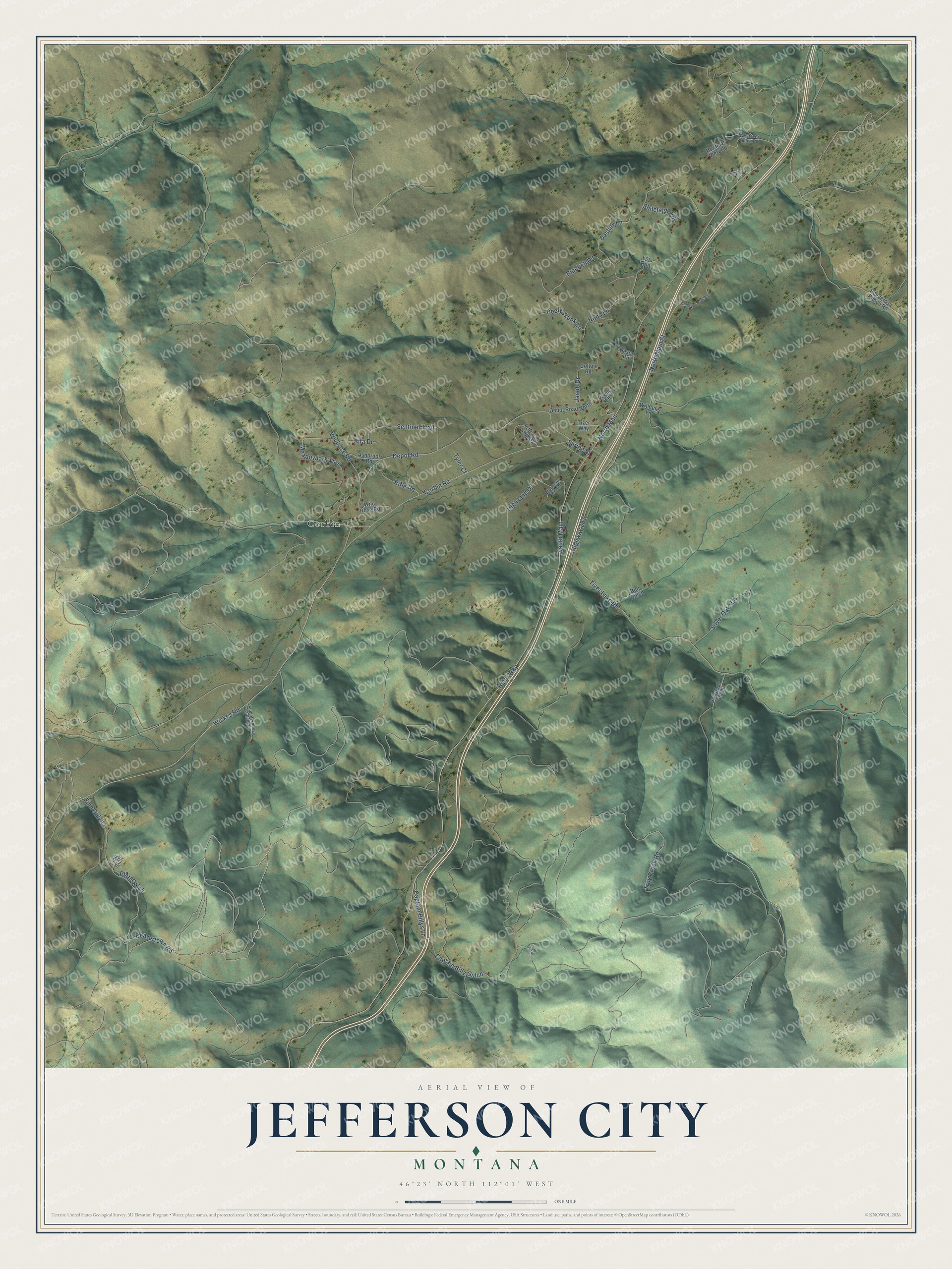
This beautifully detailed map of Jefferson City, Montana was created in 2026 using aerial imagery combined with modern topographical, census, street and landmark data. It’s a one-of-a-kind view of Jefferson City that combines accurate data with a vintage aesthetic. The map shows every building in its true location, many of the roads carry their names, and the shaded topographic relief shows the shape of the land.
Explore an aerial view of Jefferson City, Montana
On the map you’ll find Corbin, North Main, South Main, and Captain Billy Gulch, along with Wickes Road, Corbin Road, Highway 282, Troy Creek Road, North Main Street, Heidi Way, Tizer Lake Road, Destiny Lane, and more. If you look closely you can even find your house accurately drawn in its correct location. Zoom in on the preview to look for yours.
Did you know this piece of Jefferson City, Montana history?
Jefferson City began as a stop on the Fort Benton and Virginia City stage line and quickly grew into a settlement. It took its name when Jefferson County became one of Montana Territory's original counties on February 2, 1865, and mines in the area produced millions of dollars' worth of silver and gold in the late 1800s. That's from the Montana Historical Society.
Take a closer look at the Jefferson City map
Street and place names on the Jefferson City, Montana map
These names are printed on the map of Jefferson City, Montana.
Places: Corbin.
Streets and roads: Wickes Road, Corbin Road, North Main, Highway 282, South Main, Troy Creek Road, North Main Street, Heidi Way, Tizer Lake Road, Destiny Lane, Captain Billy Gulch, Depot Road.
More street names, A to Z
Alta Drive, Ashbrook Road, Beavertown Road, Beefy Skunk Lane, Bluebell Road, Bull Gulch, Captain Billys Lane, Colton Road, Depot Road North, Desert Road, Emerson Peak Road, Finn Gich, Finn Gulch, Fox Run, Golconda Gulch, High Line Drive, Hunter's View Road, Jacob Drive, Jefferson Loop Road, Meadowlark Trail, Mountain Aire Road, Nona Lane, Platt Gulch, Ponderosa Ranch Road, Rifle Road, Schmaus, Sentinel Trail, Shilelagh Road, Silver Gate Lane, Slaughterhouse Gulch Road, Spring Street, Tizer Way, Tyler Court, Vanek Lane, Westover Gulch Road, Wildrose Road, Wild Rose Road, Williams Lane.
See the Jefferson City, Montana map on a wall
The Jefferson City map as an 18 x 24 inch print in a black frame.

This beautifully detailed map of Jefferson City makes an attractive addition to your office, library, or den, and it can even be used to teach children the geography and history of the area. It also makes a great gift for someone who left Jefferson City and still calls it home. When you’re done exploring, click here to get your copy of the Jefferson City map.