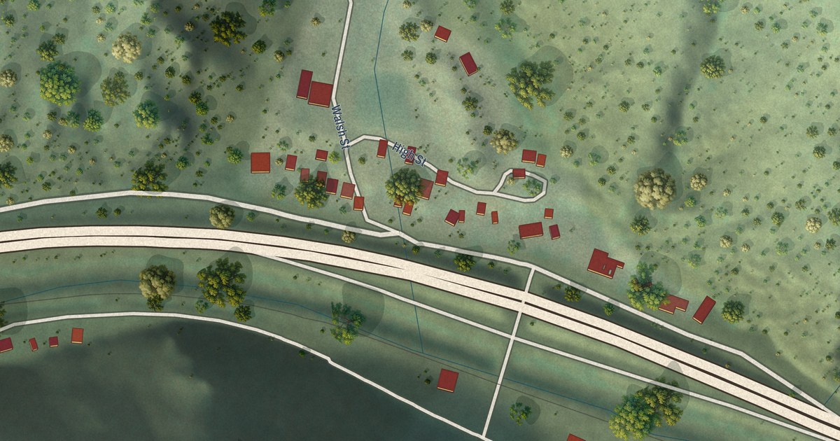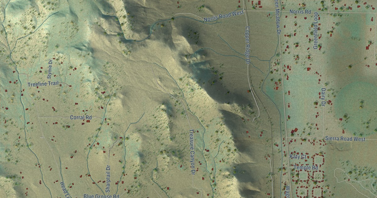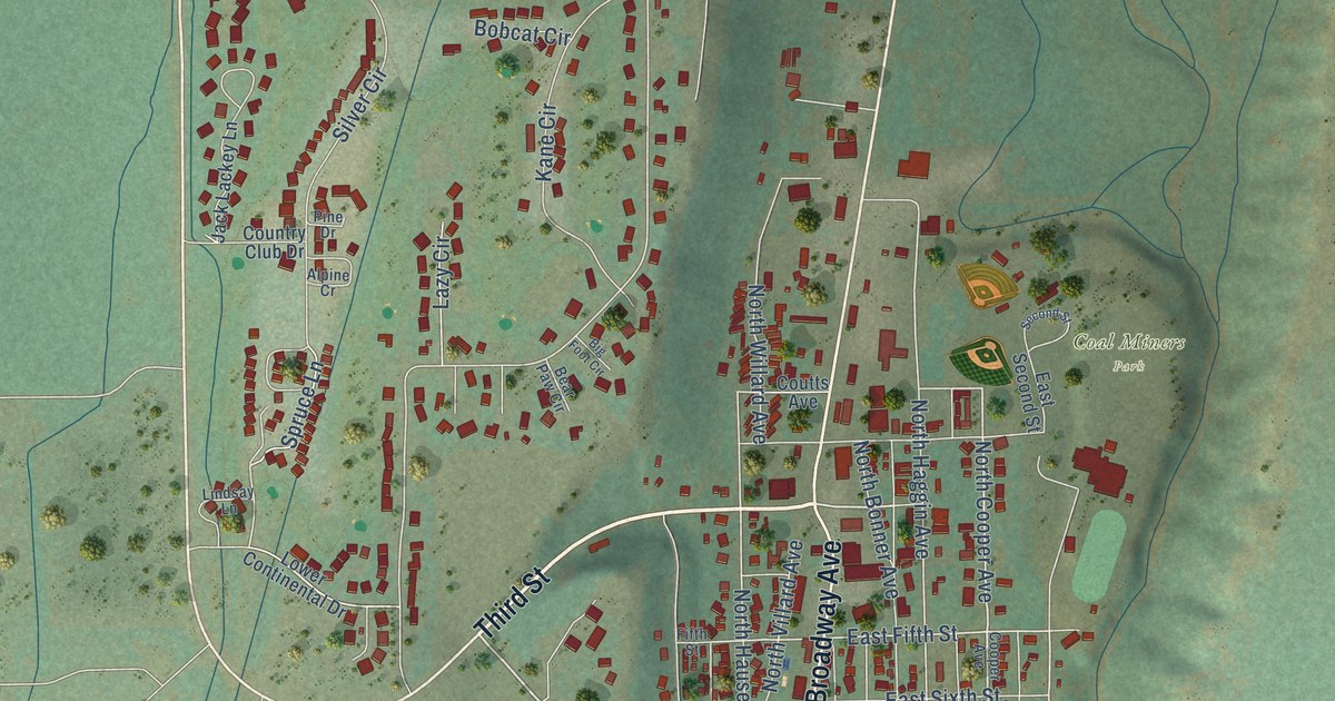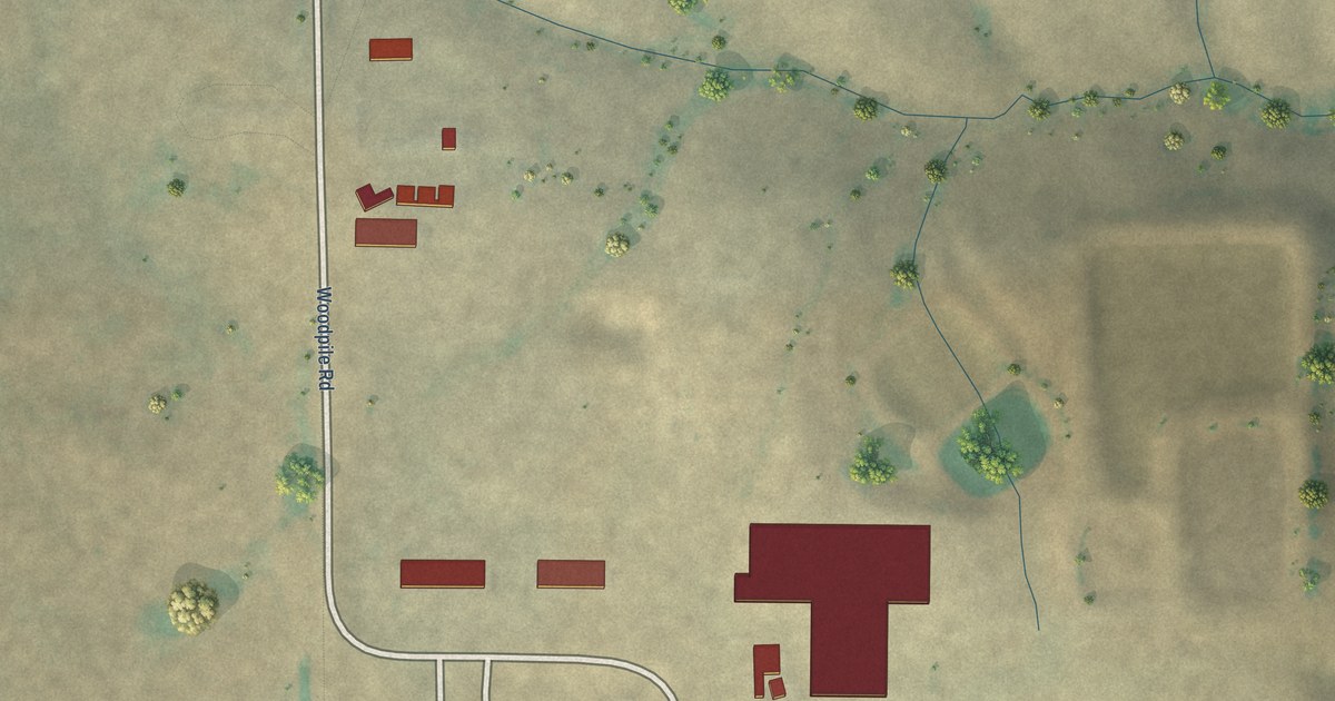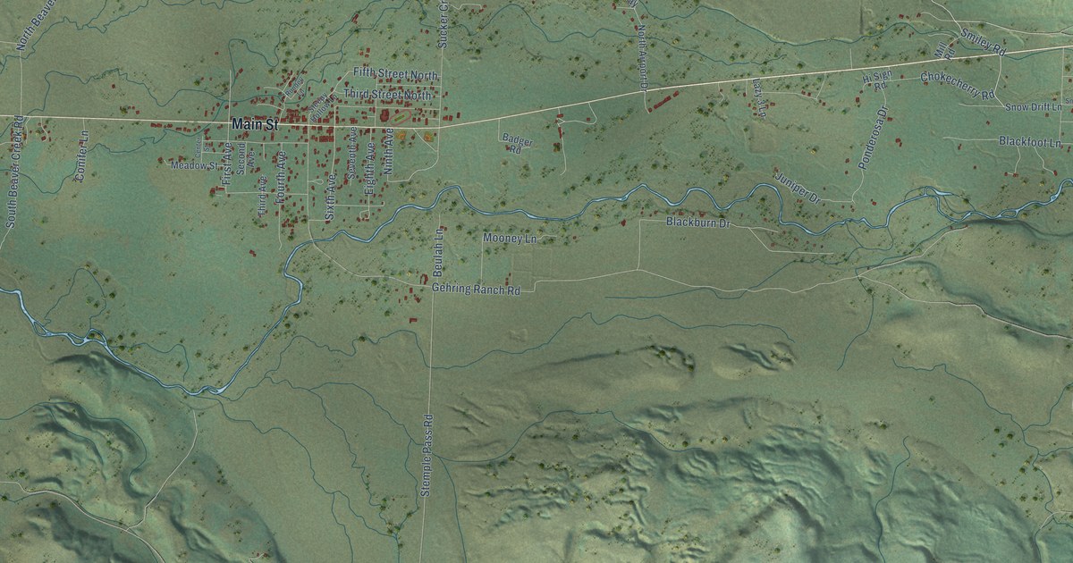
Lincoln is a community of 998 in Lewis and Clark County, Montana. This beautifully detailed map of Lincoln, Montana was created in 2026 using aerial imagery combined with modern topographical, census, street and landmark data. It's a modern aerial view of Lincoln in Lewis and Clark County, Montana, that combines modern data with a vintage aesthetic. The roads feature printed names, and if you look closely you can find your exact house accurately shown in its correct location.
Explore an aerial view of Lincoln, Montana
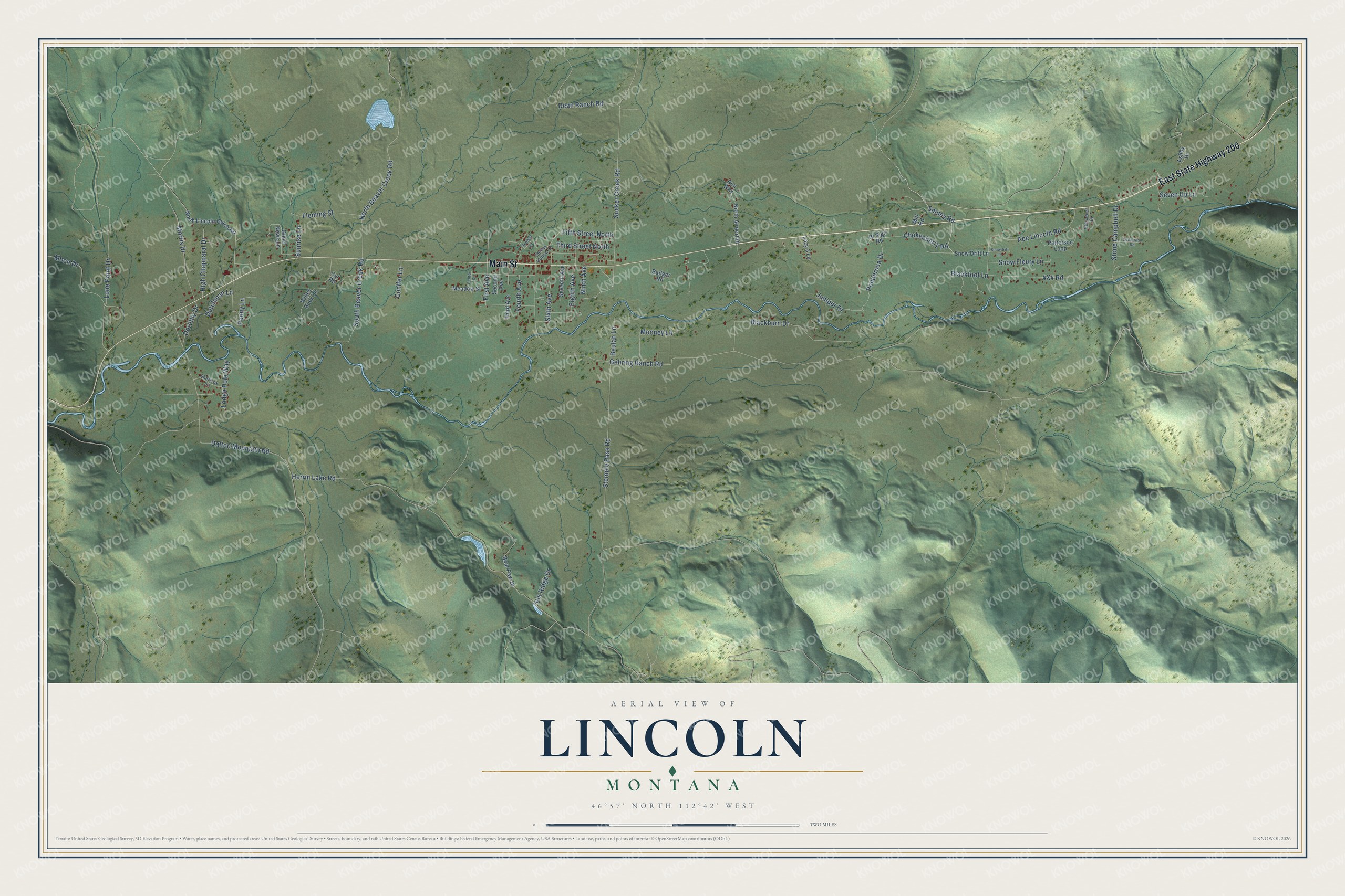
On this map you'll find East State Highway 200, Main Street, Smiley Road, Sixth Avenue, First Avenue, Stemple Pass Road, Herrin Lake Road, Gehring Ranch Road, Dalton Mountain Road, 4X4 Road, Sucker Creek Road, Blackburn Drive, and more. Each red shape is a building, so zoom in on the preview and look for yours.
Lincoln has a story worth telling. Lincoln's eight-sided community hall was dedicated on Lincoln's Birthday in 1918 with a dance. Volunteers spent two years building it under carpenter Tom Hensley, with logs dragged in from Stonewall Creek, and local musician Carter Rubottom's band played dances to raise money for it. Once the First World War was over, weekly dances there drew visitors from Helena and Great Falls, and the profits paid for a kitchen and dining room in 1920. That's from the Montana Historical Society.
Take a closer look at the Lincoln map
Names on this map
These names are printed on this map.
Streets and roads: East State Highway 200, Main Street, Smiley Road, Sixth Avenue, First Avenue, Stemple Pass Road, Herrin Lake Road, Gehring Ranch Road, Dalton Mountain Road, Sucker Creek Road, Blackburn Drive, South Beaver Creek Road.
More street names, A to Z
Abe Lincoln Road, Ashby Drive, Badger Road, Bear Paw Drive, Beulah Lane, Blackfoot Lane, Cedarrasa Road, Center Street, Chevrolet Drive, Chokecherry Road, Conifer Lane, Cyr Road, Dean Ranch Road, Dorothy Drive, Dutchman Lane, Eighth Avenue, Elk Ridge Drive, Fifth Street North, Fleming Street, Fourth Avenue, Good News Lane, High Chapparal Drive, Hi Sign Road, Juniper Drive, Lazy 3 Lane, Lodge Pole Way, Lone Point Drive, Meadow Street, Mill Road, Moon Drive, Mooney Lane, Morris Drive, Ninth Avenue, North Airport Drive, North Beaver Creek Road, North Lincoln Gulch Road, Patterson Loop, Penny Lane, Ponderosa Drive, Rundell Lane, Run Way, Second Avenue, Seventh Avenue, Seven Up Lane, Sherlock Lane, Sleepy Hollow Lane, Snow Drift Lane, Snowdrift Lane, Snow Fleury Lane, Stone Campbell Drive, Sunrise Lane, Third Avenue, Third Street North, Willey Buck Lane.
See it on a wall
The Lincoln map as a framed print. Swipe for more.


Created by KNOWOL in 2026. The buildings are small red shapes, the roads carry their printed names, and shaded relief shows the shape of the land. The title panel reads "AERIAL VIEW OF LINCOLN, MONTANA" with 46°57' NORTH 112°42' WEST.
It looks right in a kitchen, an office or a den, and it's a gift for anyone who grew up in Lincoln or moved away. Open the preview and find your street. See sizes and frames for the Lincoln map.