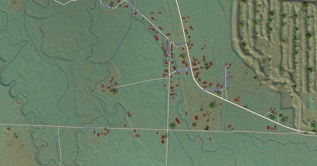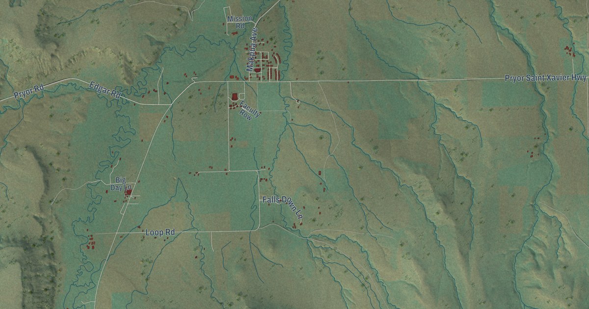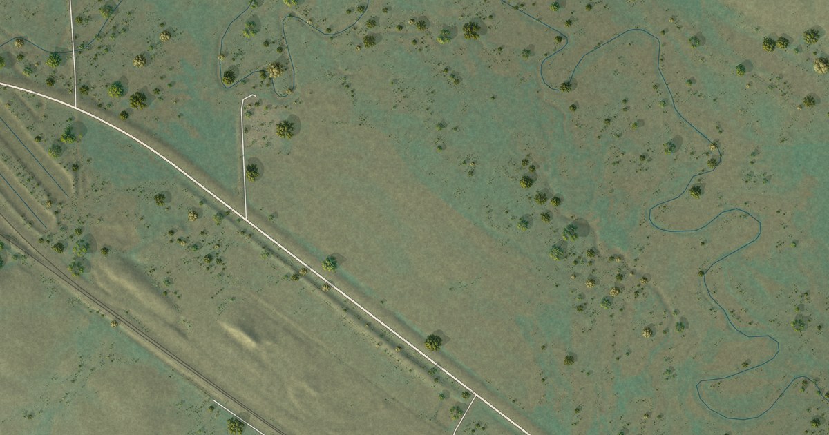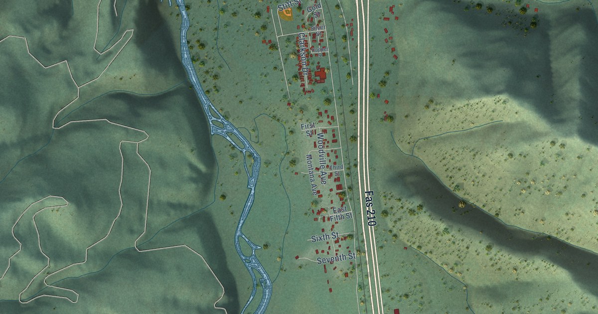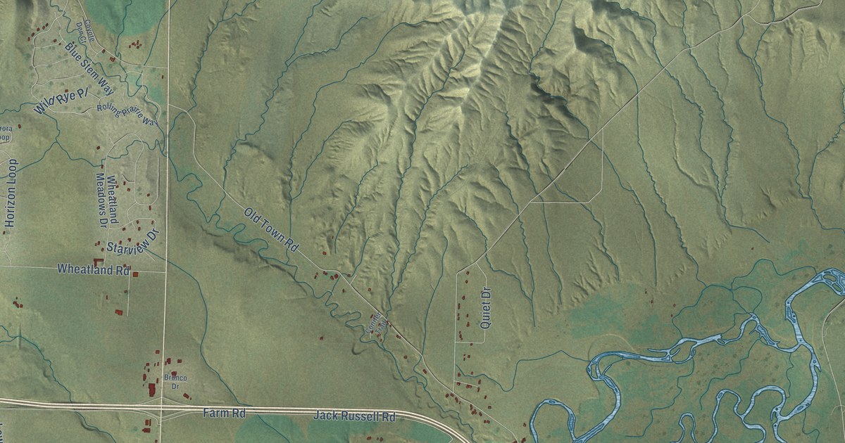
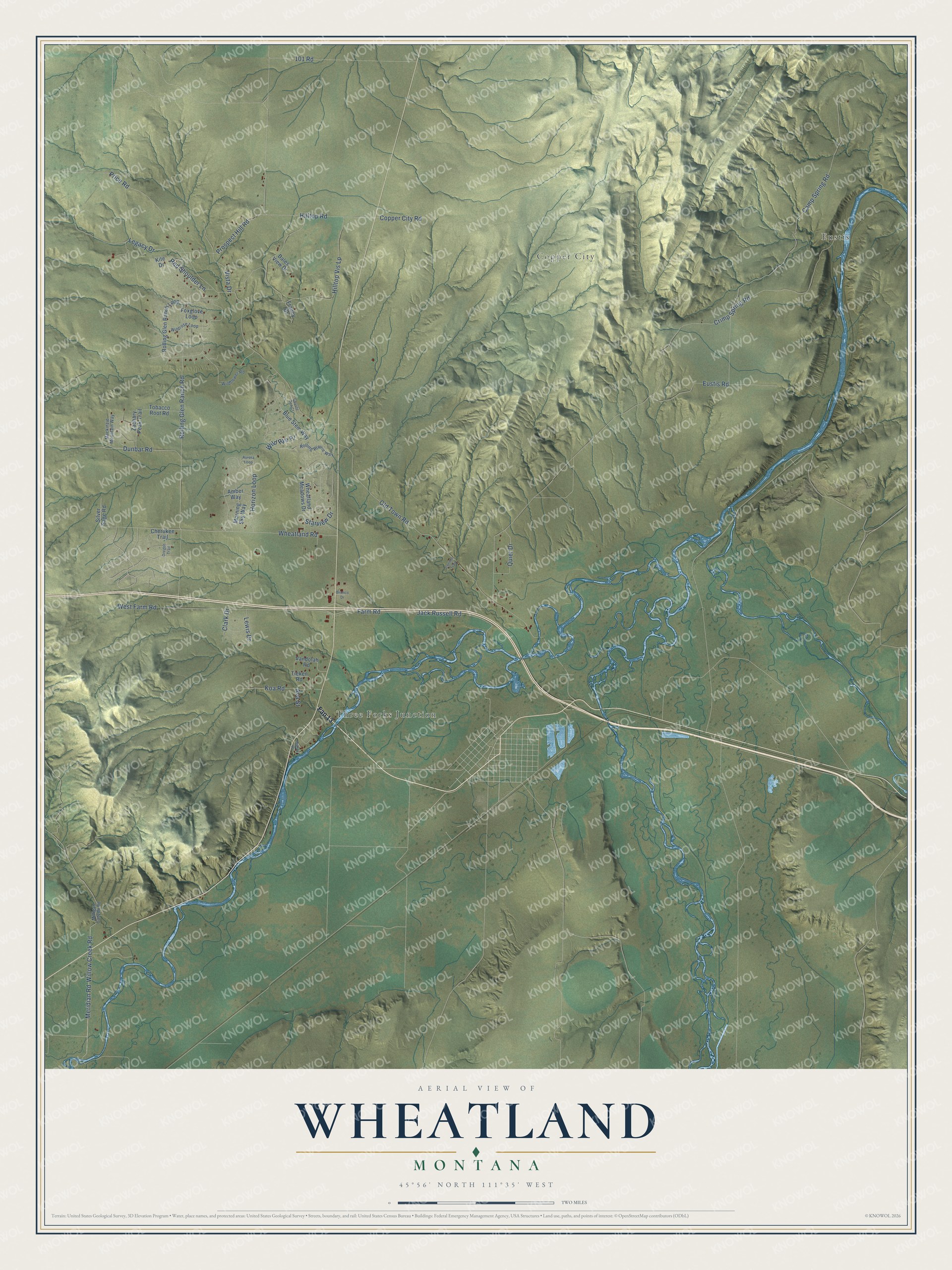
This beautifully detailed map of Wheatland, Montana was created in 2026 using aerial imagery combined with modern topographical, census, street and landmark data. It's a modern aerial view of Wheatland in Broadwater County, Montana, that combines modern data with a vintage aesthetic. The roads feature printed names, and if you look closely you can find your exact house accurately shown in its correct location.
Explore an aerial view of Wheatland, Montana
On this map you'll find Copper City, Three Forks Junction, Eustis, Willow Creek Road, Camp Spring Road, Eustis Road, Price Road, Old Town Road, Crimp Spring Road, Hilltop Road, Hilltop Vis Lp, Wheatland Road, and more. Each red shape is a building, so zoom in on the preview and look for yours.
Wheatland has a story worth telling. The Madison and Jefferson rivers come together to form the Three Forks of the Missouri, with the Gallatin joining them, and Lewis and Clark named the forks in 1805. Even in the 1930s, the exact point where the Madison and Jefferson met was hidden by thick willows. That's from the 1939 WPA guide to Montana.
Wheatland is a community in Broadwater County. The Census Bureau counted 1,103 people here in 2020.
Take a closer look at the Wheatland map
Names on this map
These names are printed on this map.
Places: Copper City, Three Forks Junction and Eustis.
Streets and roads: Willow Creek Road, Camp Spring Road, Eustis Road, Price Road, Old Town Road, Crimp Spring Road, Hilltop Road, Hilltop Vis Lp, Wheatland Road, Dunbar Road, West Farm Road, Horizon Loop.
More street names, A to Z
101 Road, Amber Way, Aurora Loop, Ava Street, Blue Stem Way, Bronco Drive, Bunny Drive, Cherokee Trail, Clark Drive, Conifer Trail, Copper City Road, Coyote Den Court, Dales View Drive, Fap 13, Farm Road, Foxglove Loop, Franny Drive, Jack Russell Road, Kite Drive, Koa Road, Legacy Drive, Lewis Drive, Mackinzie Mountain Way, Meridian Road, Milligan Canyon Road, Morning Sky Way, Oregon Trail, Prospect Hill Road, Quiet Drive, Red Shoulder Lane, Rolling Glen Ranch Loop, Rolling Glen Ranch Road, Rolling Prairie Way, Silver Sage Road, Starview Drive, Tieken Road, Tobacco Root Road, Vandolah Road, Vista Drive, Wheatland Meadows Drive, Wildflower Road, Wildrose Loop, Wild Rye Place, Zachary Peak Trail.
See it on a wall
The Wheatland map as a framed print. Swipe for more.


Created by KNOWOL in 2026. The buildings are small red shapes, the roads carry their printed names, and shaded relief shows the shape of the land. The title panel reads "AERIAL VIEW OF WHEATLAND, MONTANA" with 45°56' NORTH 111°35' WEST.
It looks right in a kitchen, an office or a den, and it's a gift for anyone who grew up in Wheatland or moved away. Open the preview and find your street. See sizes and frames for the Wheatland map.