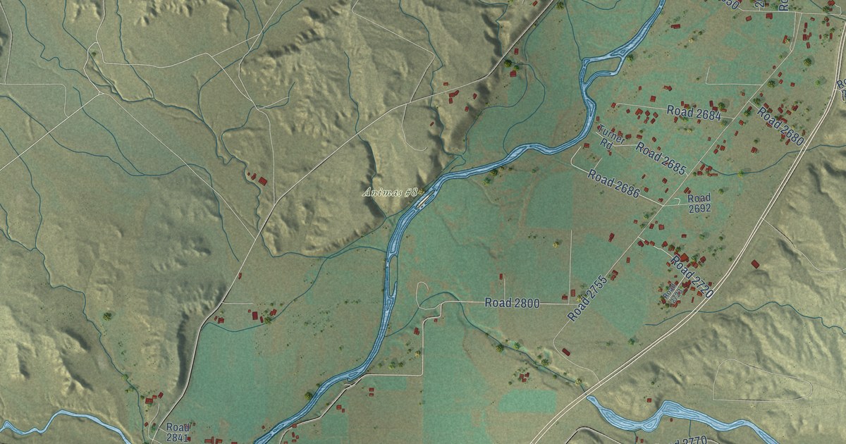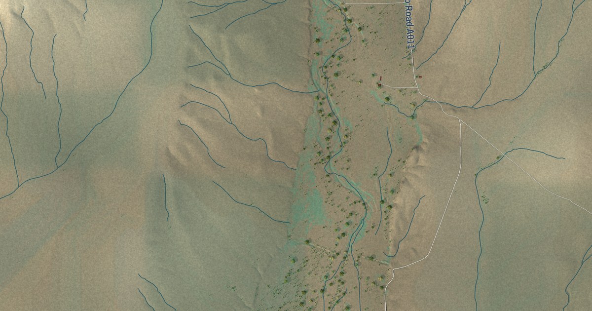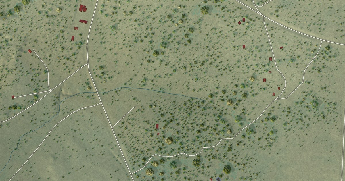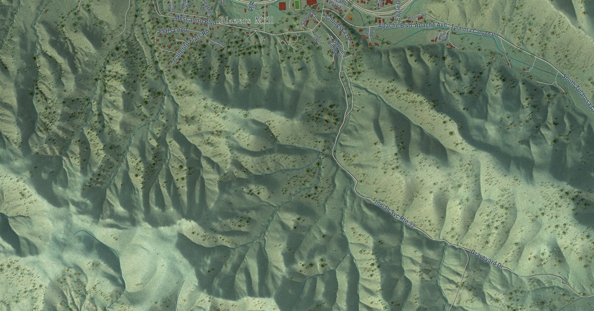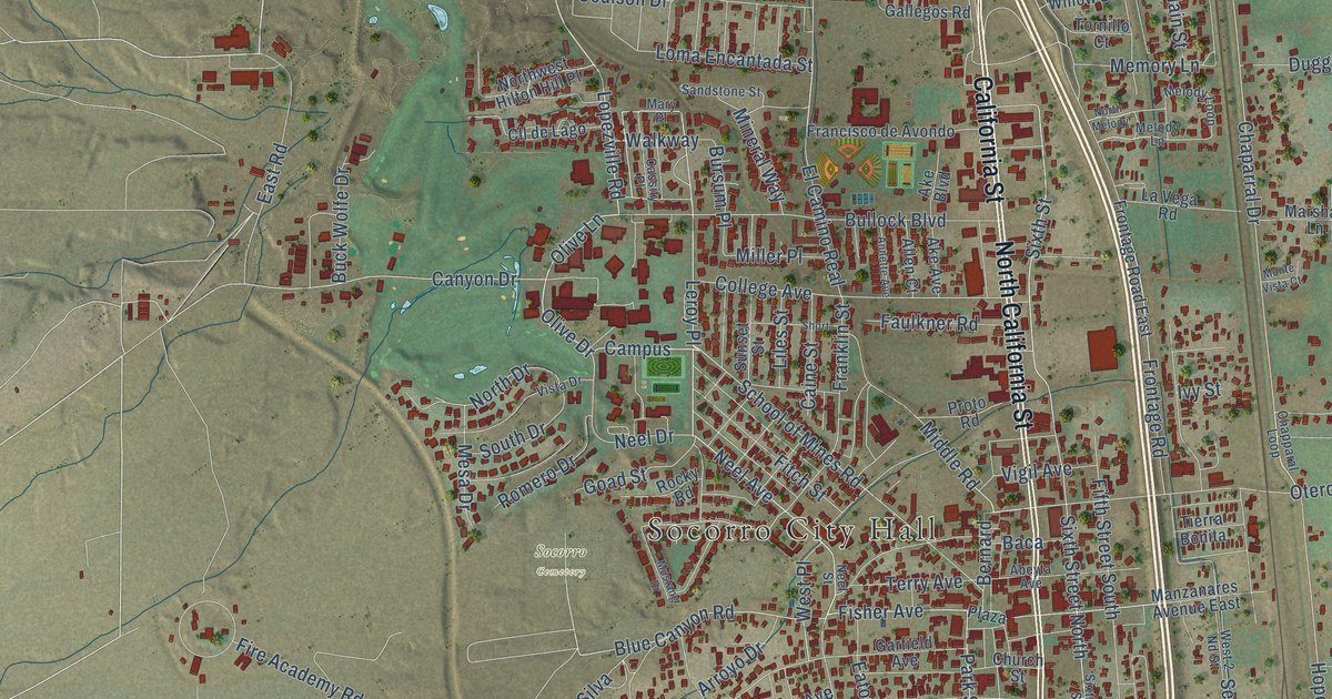
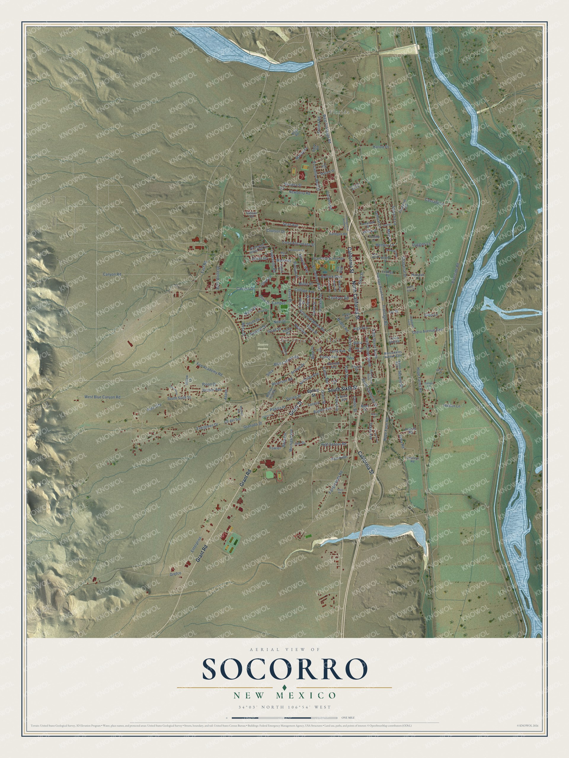
This beautifully detailed map of Socorro, New Mexico was created in 2026 using aerial imagery combined with modern topographical, census, street and landmark data. It’s a one-of-a-kind view of Socorro that combines accurate data with a vintage aesthetic. The map shows every building in its true location, many of the roads carry their names, and the shaded topographic relief shows the shape of the land.
Explore an aerial view of Socorro, New Mexico
On the map you’ll find Socorro City Hall, Florida, Socorro Cemetery, Leroy Place, and Campus, along with South Sixth Street, North California Street, California Street, Grant Road, Grant Street, Fisher Avenue, Neel Avenue, and more. If you look closely you can even find your house accurately drawn in its correct location. Zoom in on the preview to look for yours.
Did You Know?
From the City of Socorro: "Socorro (literally to give aid, to give succor) was indeed a source of help to the first expedition of Spanish families traveling north from Mexico in 1598, led by Don Juan de Oñate y Salazar."
Take a closer look at the Socorro map
Names on this map
These names are printed on this map.
Places: Socorro City Hall, Florida and Socorro Cemetery.
Streets and roads: South Sixth Street, North California Street, California Street, Grant Road, Grant Street, Leroy Place, Fisher Avenue, Neel Avenue, Campus, Olive Drive, Olive Lane, Lopezville Road.
More street names, A to Z
Abeyta Avenue, Ake Avenue, Ake Boulevard, Alice Road, Allen Court, Annette Avenue, Arroyo Drive, Aspen, Avenue de Adelina, Baca, Baca Avenue, Bagley Avenue, Belmont, Bernard, Blue Canyon Road, Buck Wolfe Drive, Bullock Boulevard, Bursum Place, Caine Street, Calixtro Road, Canyon Drive, Canyon Road, Cassady Lane, Cassity Place, Center Street, Central Avenue, Chaparral Drive, Chaparral Loop, Chapparal Loop, Charleys Road, Church Street, Cll de Lago, Cll del Sol, College Avenue, Cottonwood, Coulson Drive, Cuba Road, Dolores Road, Duggins Lane, East Road, Eaton Avenue, Ebler Road, El Camino Real, El Camino Real Street, Enterprise, Evergreen Drive, Fairgrounds Road, Fatima Road, Faulkner Road, Fifth Street South, Fire Academy Road, Fitch Street, Fowler, Francisco de Avondo, Franklin Street, Frontage Road, Frontage Road East, Frontage Road Northwest, Gallegos Road, Garfield Avenue, Gianera Street, Gibson Circle, Giles Lane, Goad Street, Granada Street, Grefco, Harold Drive, Hefner, Hidden Lane, High School Road, Hilltop Street, Hope Farm Road, Hope Farms Road, Ivy Street, Jim Street, Juniper Avenue, Kitt Place, La Vega Road, Lemitar Lane, Liles Street, Loma Encantada Street, Long Place, Lucero, Lucero Avenue, Main Street, Manzanares Avenue East, Mariposa, Marshall Lane, Mary Place, Meek Street, Melody Lane, Melody Loop, Memory Lane, Mesa Drive, Michigan Avenue, Middle Road, Miller Place, Mineral Way, Mitchell Avenue, Molina Hill Road, Monte Vista Court, Mustang Drive, Neel Drive, Neel Street, Newberry Road, Nicholas Avenue, North Drive, North Melody, Northwest Hilton Hill Place, Otero Avenue East, Padilla Place, Park City, Park Street, Pinon Drive, Plaza, Proto Road, Raychester, Reservoir Road, Riverside Road, Rocky Road, Romero Drive, Sandstone Street, Santa Fe Lane, School of Mines Road, Sean Avenue, Second Street, Short, Silva, Sixth Street, Sixth Street North, Sixth Street South, Skylark Drive, Smith Road, South California Street, South Drive, Spring Street, Sunset Street, Tafoya Lane, Tafoya Road, Tamarack Street, Terry Avenue, Texas Avenue, Tierra Bonita, Tornillo Court, Tyler Street, Vermont Avenue, Vigil Avenue, Vista Drive, Walkway, West 2 Nd Street, West Blue Canyon Road, West Frontage Road, West Place, Willow Lane, Willow Street.
See it on a wall
The Socorro map as a framed print. Swipe for more.


This beautifully detailed map of Socorro makes an attractive addition to your office, library, or den, and it can even be used to teach children the geography and history of the area. It also makes a great gift for anyone with Socorro roots. When you’re done exploring, click here to get your copy of the Socorro map.