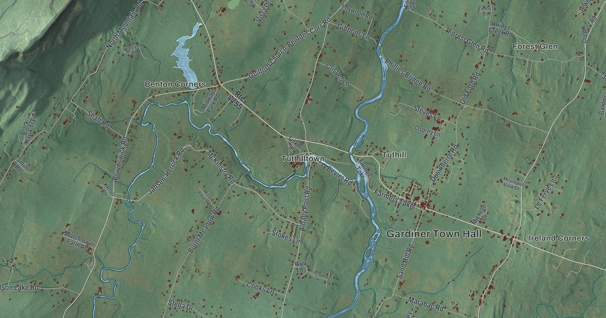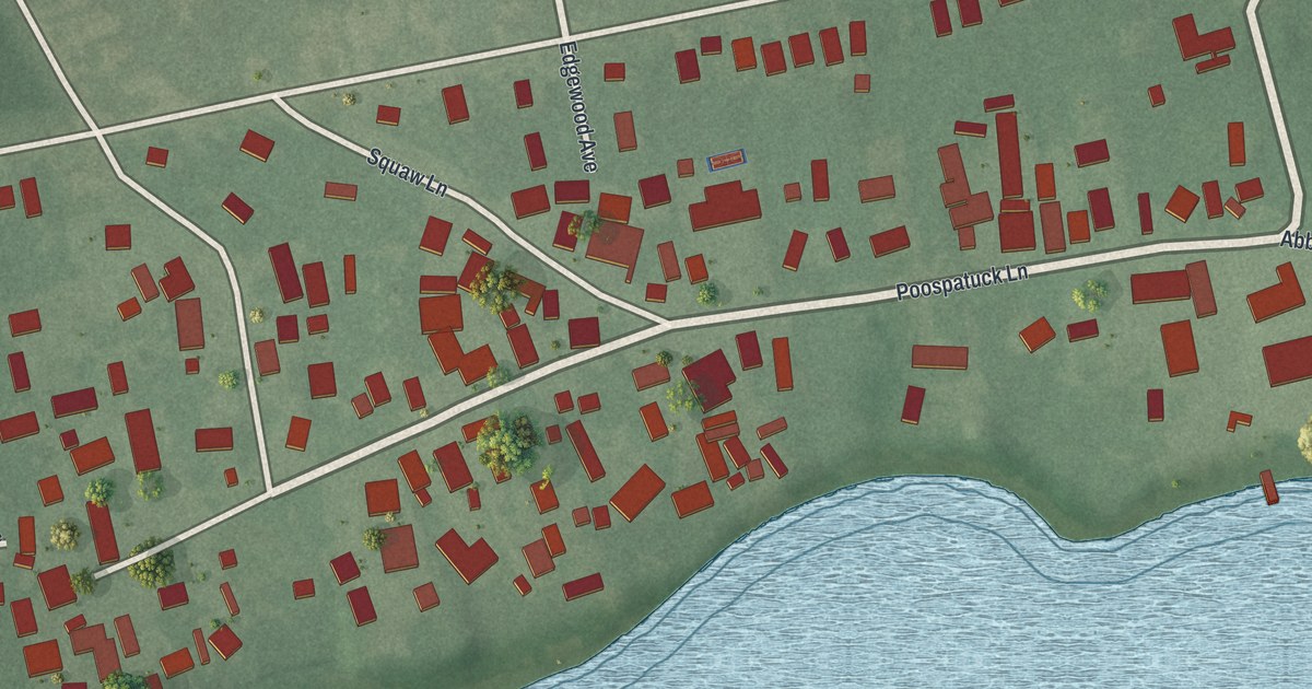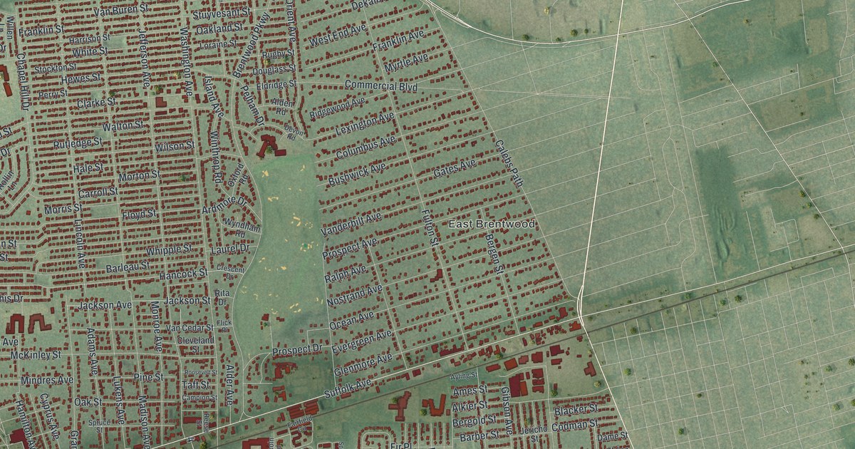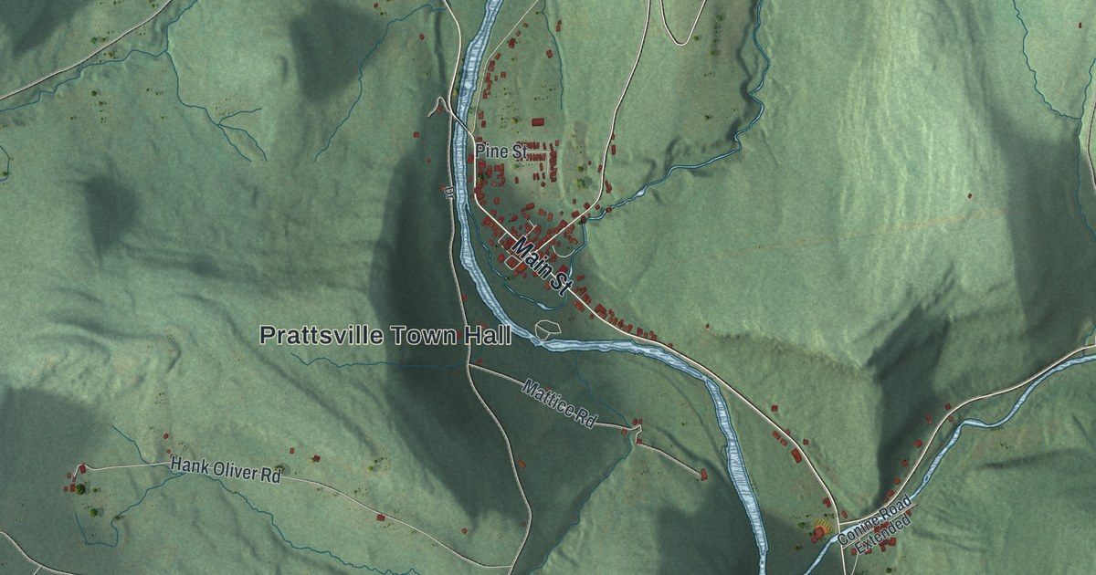
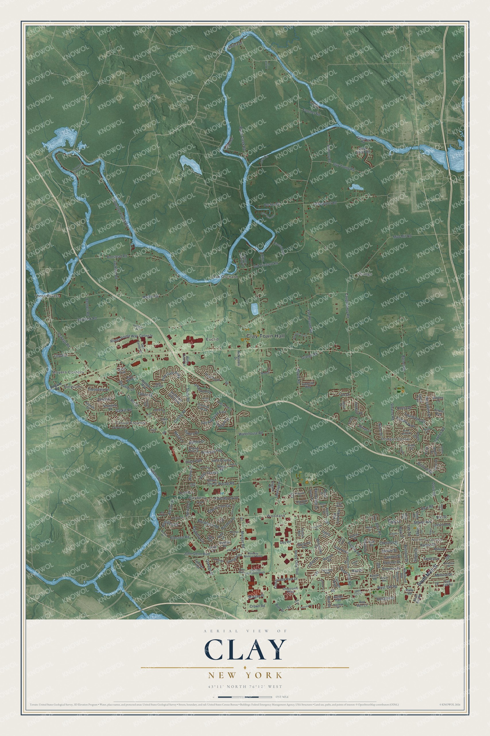
This beautifully detailed map of Clay, New York was created in 2026 using aerial imagery combined with modern topographical, census, street and landmark data. It’s a one-of-a-kind view of Clay that combines accurate data with a vintage aesthetic. The map shows every building in its true location, many of the roads carry their names, and the shaded topographic relief shows the shape of the land.
Explore an aerial view of Clay, New York
On the map you’ll find Clay Town Hall, North Syracuse, Bayberry, Belgium, Euclid, and Moyers Corners, along with Main Street, Belgium Road, Buckley Road, Pine Gate Parkway, and more. If you look closely you can even find your house accurately drawn in its correct location. Zoom in on the preview to look for yours.
Did You Know?
Clay honors Henry Clay, the American lawyer and statesman. The Onondaga Nation of the Iroquois Confederacy lived here first, and some descendants remain today. The area was once called West Cicero. It became its own town in 1827, when it split from Cicero.
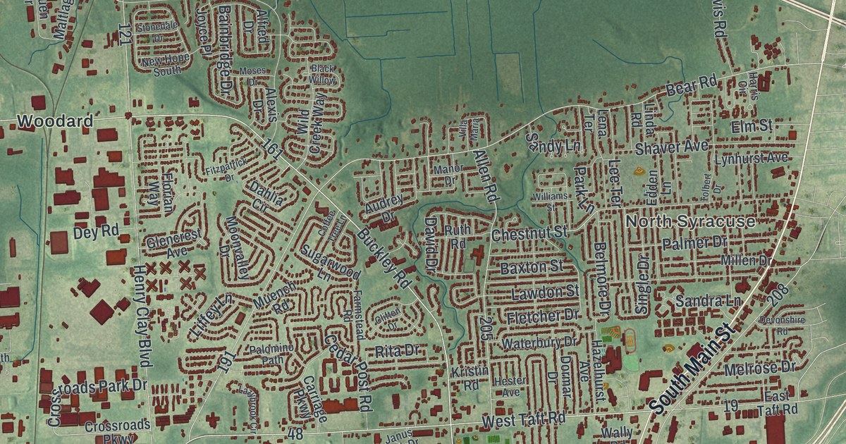
Take a closer look at the Clay map
Names on this map
These names are printed on this map.
Places: Clay Town Hall, North Syracuse, Clay Park, Bayberry, Belgium, Casual Estates, Euclid, Moyers Corners, Oak Orchard, Rodger Corner, Three Rivers, Woodard and Youngs.
Streets and roads: South Main Street, Buckley Road, Pine Gate Parkway, Caughdenoy Road, Henry Clay Boulevard, County Route 57, Morgan Road, Verplank Road, Wetzel Road, Gaskin Road, Bear Road, Black Creek Road.
More street names, A to Z
Alexis Drive, Alfred Drive, Allen Road, Altair Course, Amalfi Drive, Amor Drive, Anchor Drive, Anthony Road, Appaloosa Trail, Apricot Lane, Ashley Landing Drive, Astilbe Path, Audrey Drive, Avon Parkway, Avoss Lane, Azimuth Drive, Bainbridge Drive, Balboa Drive, Bamm Hollow Road, Barcaldine Drive, Baxton Street, Bayberry Circle, Bay Park Drive, Becker Road, Belgium Road, Bel Harbor Drive, Belmore Drive, Bennett Road, Bingley Lane, Blackberry Road, Black Brant Drive, Black Willow, Blueberry Road, Bonstead Road, Boulia Drive, Bowman Road, Boxford Road, Burnet Road, Burr Drive, Cairns Trail, Candlelight Lane, Caraway Drive, Carling Drive, Carling Road, Carriage Parkway, Casilina Drive, Cedar Post Road, Chateau Lane, Cherry Tree Circle, Chestnut Street, Clifton Drive, Cloister Court, Coconut Tree Drive, Coffee Tree Lane, Comstock Road, Crossroads Park Drive, Crossroads Parkway, Crown Road, Dahlia Circle, Dampier Circle, David Drive, Davis Road, Dell Center Drive, Devonshire Road, Dewline Road, Dey Road, Dolshire Drive, Dormar Drive, East Taft Road, Edden Lane, Elmcrest Road, Elm Street, Ernest Way, Ethel Road, Executive Drive, Fairway Drive East, Falcon Drive, Fancher Road, Farmstead Road, Fir Drive, Fireside Drive, Fitzpatrick Drive, Fletcher Drive, Florian Way, Forestbrook Drive, Fortuna Parkway, Foster Road, Ginger Road, Glencrest Avenue, Goguen Drive, Grampian Road, Grange Road, Guy Young Road, Hackberry Lane, Hallston Drive, Harris Circle, Hazelhurst Avenue, Hester Avenue, Holly Lane, Horseshoe Is Extended, Horseshoe Island Road, Ilex Lane, Jackson Road, Janus Park Drive, John Glenn Boulevard, Joyce Place, Junco Trail, Justin Drive, Kristin Road, Landsend Lane, Lark Path, Laurel Lane, Lawdon Street, Lawton Road, Lazybrook Circle, Lee Terrace, Lena Terrace, Libra Lane, Liffey Lane, Linda Lane, Linda Road, Lock Road, Long Leaf Trail, Loveland Drive, Luna Course, Lyle Drive, Lynhurst Avenue, Lynnville Way, Lyra Course, Maider Road, Maltlage Drive, Manor Drive, Maple Road, Marlin Drive, McIntosh Street, McNamara Drive, Melrose Drive, Mesa Lane, Millen Drive, Mirage Lane, Moonvalley Drive, Morgan Place, Moses Drive, Mud Mill Road, Muench Road, Newbury Place, New Hope South, Oak Orchard Road, Old Barn Road, Oldbury Road, Old Meadow Road, Opal Drive, Orangeport Road, Orion Path, Oswego Road, Oswego Street, Palmer Drive, Palomino Path, Park Lane, Piccadilly Square, Pisces Circle, Platinum Drive, Polaris Course, Princess Path, Provo Drive, Rc Acres Drive, Red Barn Circle, Rita Drive, Riverglen Road, River Island Drive, Riverside Road, Rivers Pointe Way, Riviera Drive, Rizzo Drive, Ruth Road, Sandra Lane, Sandy Lane, Shaver Avenue, Shoveler Lane, Single Drive, Snowdrop Road, Soule Road, South Bay Road, South Fancher Road, South Pine Gate Parkway, Stearns Road, Steelway Boulevard North, Steelway Boulevard South, Stepping Stone Lane, Stonedale Drive, Streamwood Drive, Sugarwood Lane, Swallow Path, Theodolite Drive, Tolbert Drive, Tommys Trail, Tourmaline Drive, Tree Line Drive, Trellis Brook Lane, Trina Circle, Van Heusen Road, Villa Maria, Vine Street, Wally Road, Walnut Place, Warbler Way, Water Board Lane, Waterbury Drive, Waterhouse Road, West Taft Road, Wild Creek Way, Williams Street, Willow Lane, Wood Duck Path, Woodside Lane, Zenith Drive.
See it on a wall
The Clay map as a framed print. Swipe for more.


This beautifully detailed map of Clay makes an attractive addition to your office, library, or den, and it can even be used to teach children the geography and history of the area. It also makes a great gift for someone who left Clay and still calls it home. When you’re done exploring, click here to get your copy of the Clay map.