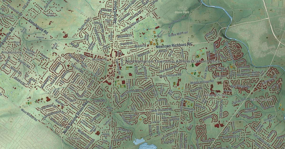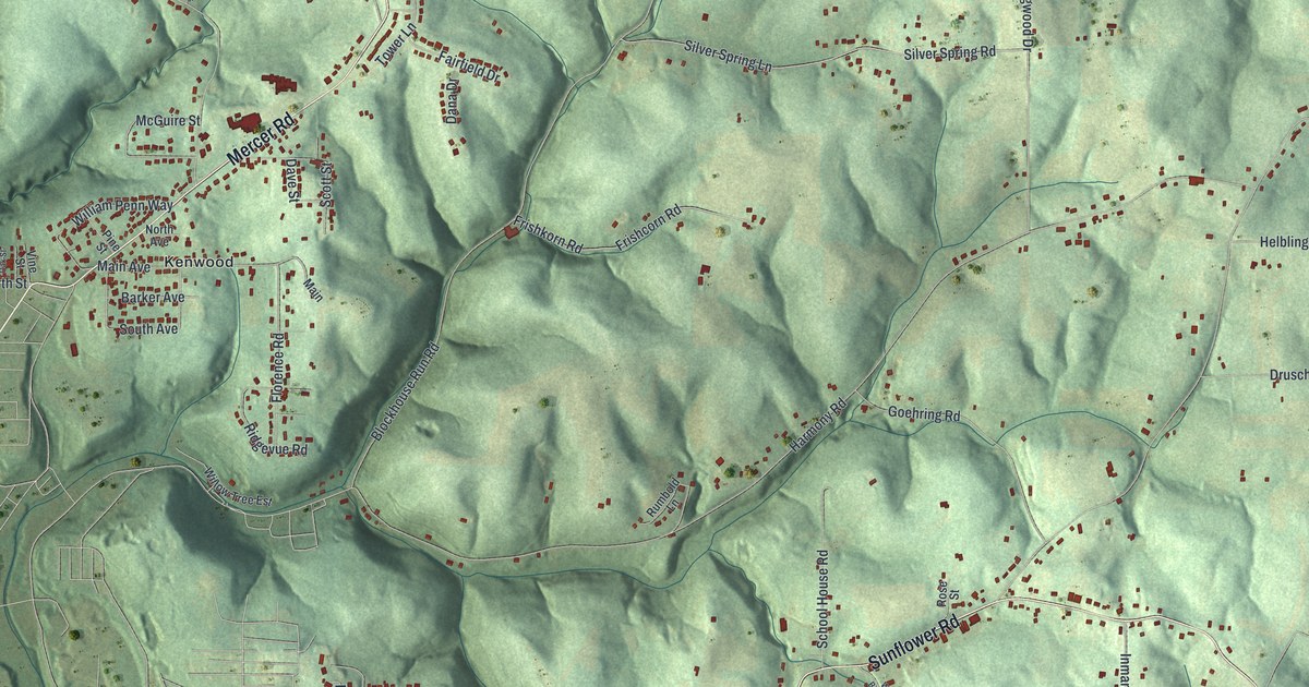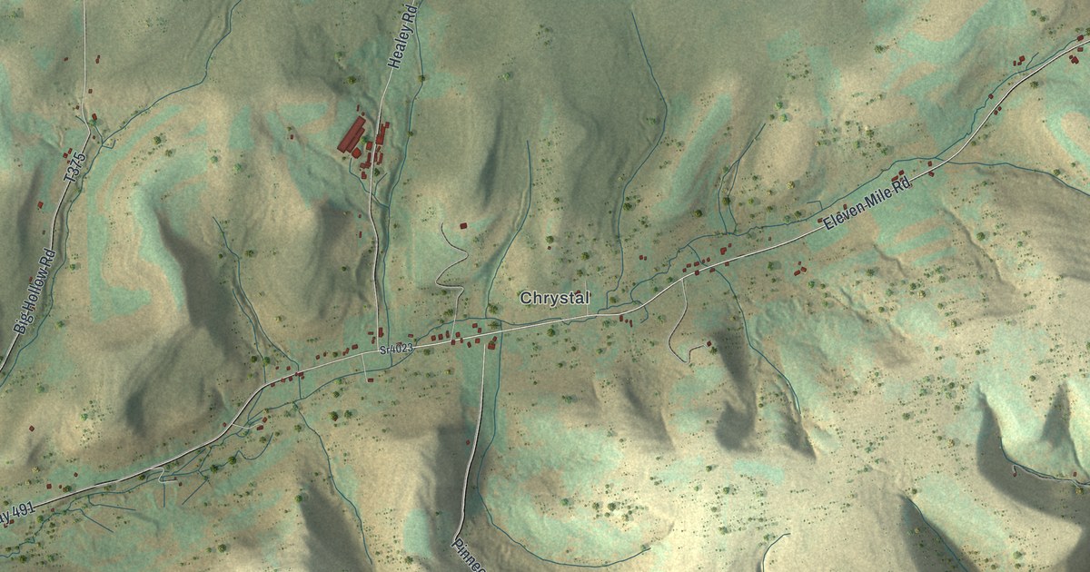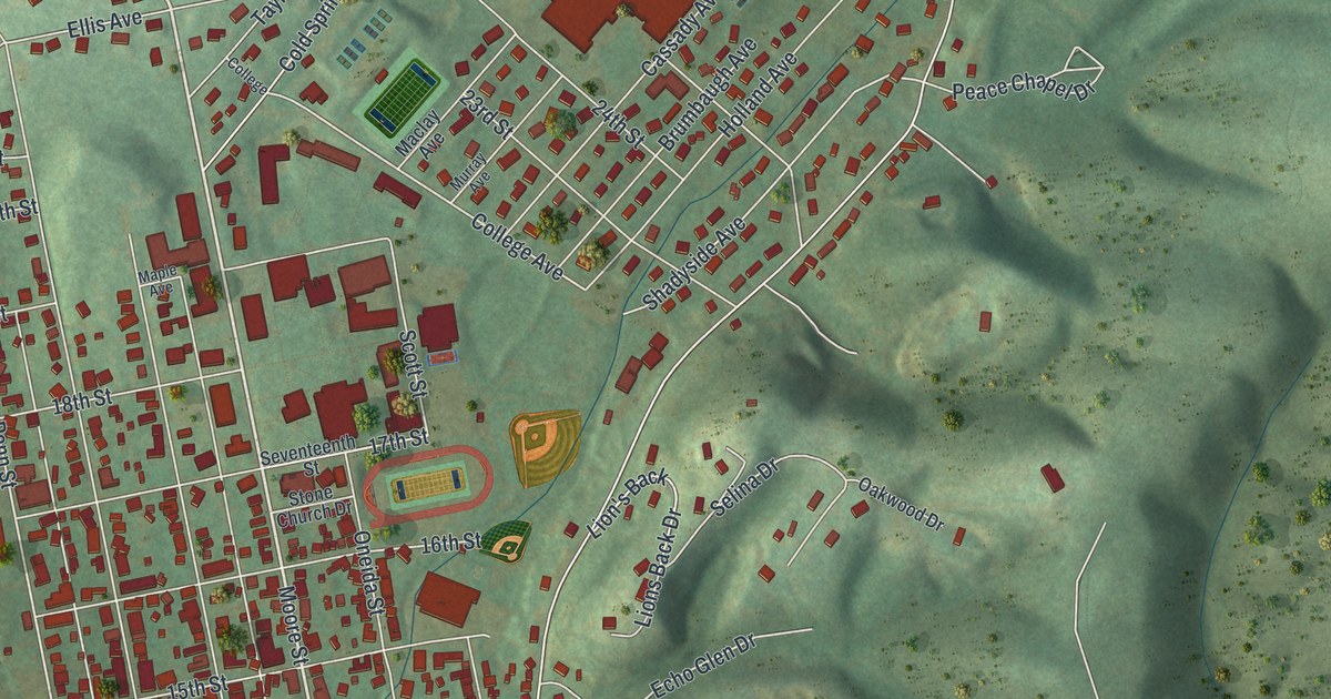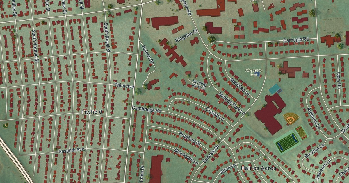
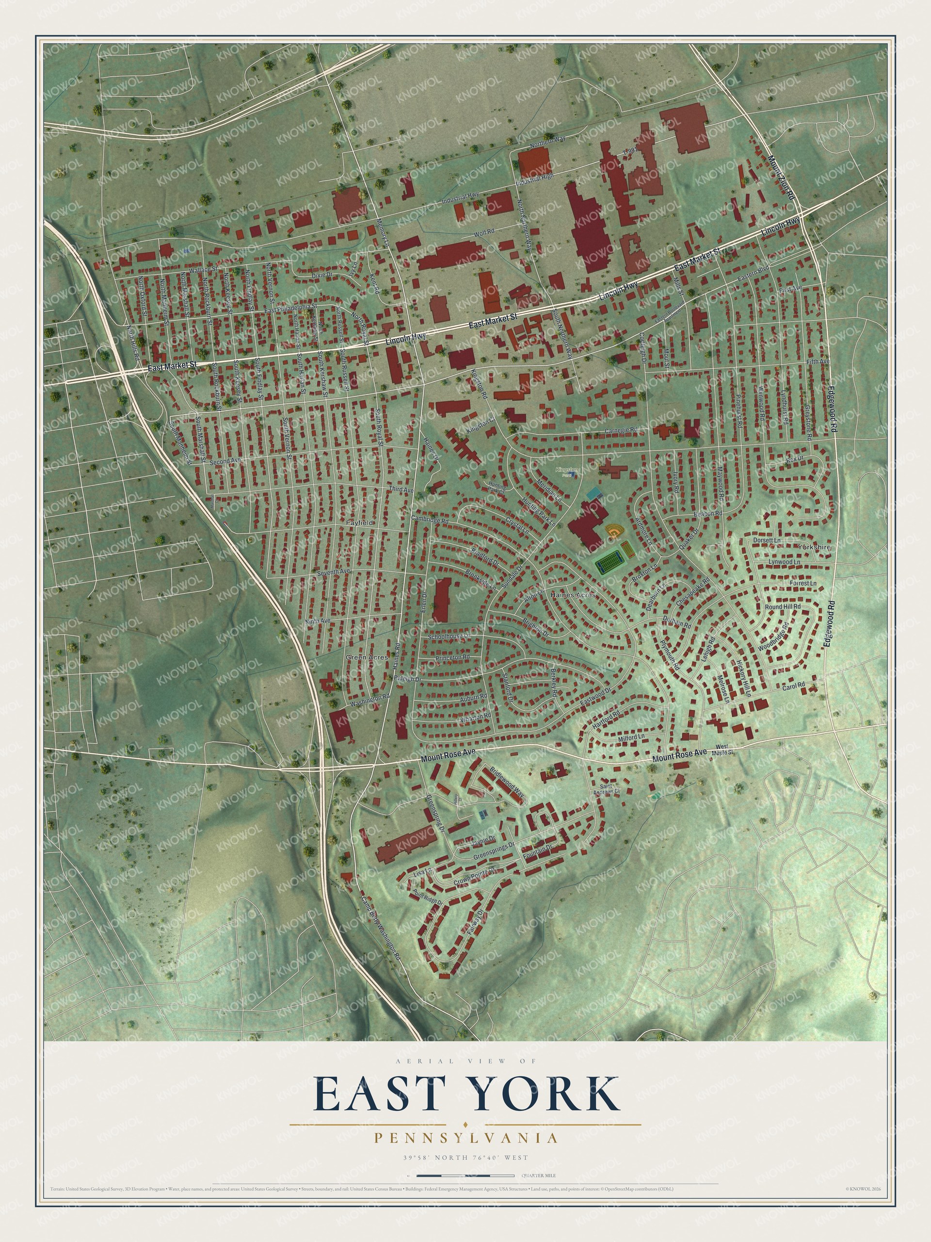
This beautifully detailed map of East York, Pennsylvania was created in 2026 using aerial imagery combined with modern topographical, census, street and landmark data. It's a modern aerial view of East York in York County, Pennsylvania, that combines modern data with a vintage aesthetic. The roads feature printed names, and if you look closely you can find your exact house accurately shown in its correct location.
Explore an aerial view of East York, Pennsylvania
On this map you'll find Kingston Park, Green Acres, Yorkshire, Fayfield, Haines Acres, East Market Street, Edgewood Road, Lincoln Highway, Mount Rose Avenue, Mount Zion Road, Eastern Boulevard, Memory Lane, and more. Each red shape is a building, so zoom in on the preview and look for yours.
East York is a community in York County. The Census Bureau counted 9,555 people here in 2020. East York sits about 2 miles northeast of Valley View, 2 miles north of Queens Gate and 2 miles southwest of Yorklyn. The map prints the town name in its title panel, with the coordinates below it.
Take a closer look at the East York map
Names on this map
These names are printed on this map.
Places: Kingston Park, Green Acres, Yorkshire, Fayfield and Haines Acres.
Streets and roads: East Market Street, Edgewood Road, Lincoln Highway, Mount Rose Avenue, Mount Zion Road, Eastern Boulevard, Memory Lane, Haines Road, South Marshall Street, South Manheim Street, Camp Betty Washington Road, East Philadelphia Street.
More street names, A to Z
Alton Lane, Ardmore Lane, Auburn Road, Beacon Road, Berkley Road, Bradford Drive, Bridlewood Way, Brighton Drive, Brookside Lane, Broxton Lane, Cambridge Road, Carnegie Road, Carol Road, Chesapeake Road, Cortleigh Drive, Crown Pointe Drive, Crystal Lane, Dearborn Lane, Dixie Drive, Dorsett Lane, Durham Road, Eastern Boulevard Apartment, Eastwood Drive, Erlen Drive, Fairway Drive, Fifth Avenue, First Avenue, Forrest Lane, Fountain Drive, Greenspring Drive, Greensprings Drive, Greystone Road, Haines Drive, Hartford Road, Hickory Hill Lane, Hillery Court, Hunting Park Court, Hunting Park Lane, Industrial High, Industrial Highway, Ivory Road, Ivy Lane, Jayme Drive, Kent Road, Kingston Court, Kingston Road, Lehigh Road, Lisa Lane, Lyndhurst Road, Lynwood Lane, Marshall Court, Maywood Road, Melrose Lane, Meridian Lane, Milford Lane, Mills Street, Moul Street, Ninth Avenue, Northern Way, North Findlay Street, North Harlan Street, North Hills Road, North Keesey Street, North Kershaw Street, North Manheim Street, North Marshall Street, North Northern Way, North Oxford Street, North Rockburn Street, North Royal Street, North Russell Street, North Vernon Street, Pinehurst Road, Plymouth Road, Point Ridge Drive, Princeton Road, Quaker Drive, Raleigh Drive, Rex Drive, Round Hill Road, Saint Andrews Court, Schoolhouse Lane, Second Avenue, Seventh Avenue, South Findlay Street, South Harlan Street, South Keesey Street, South Kershaw Street, South Northern Way, South Rockburn Street, South Royal Street, South Russell Street, South Vernon Street, Stanford Drive, Sundale Drive, T-991, Third Avenue, Wallace Street, Washington Road, West Maple Street, Wharton Road, Wolf Road, Woodbridge Road, Wynwood Road.
See it on a wall
The East York map as a framed print. Swipe for more.


Created by KNOWOL in 2026. The buildings are small red shapes, the roads carry their printed names, and shaded relief shows the shape of the land. The title panel reads "AERIAL VIEW OF EAST YORK, PENNSYLVANIA" with 39°58' NORTH 76°40' WEST.
Hang it in the hallway, the office or the cabin, or give it to someone who left East York and still calls it home. Open the preview and look for a street you know. See sizes and frames for the East York map.