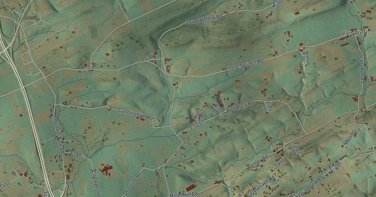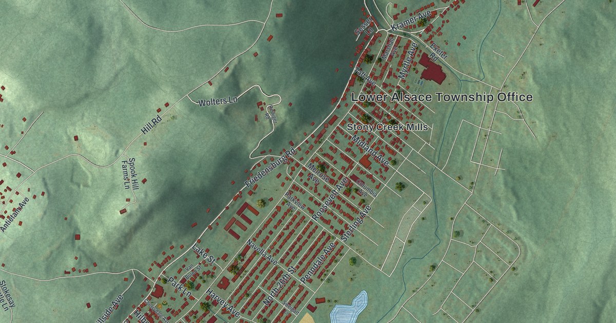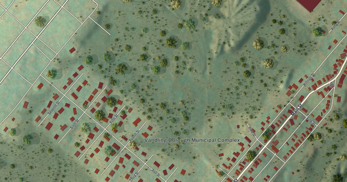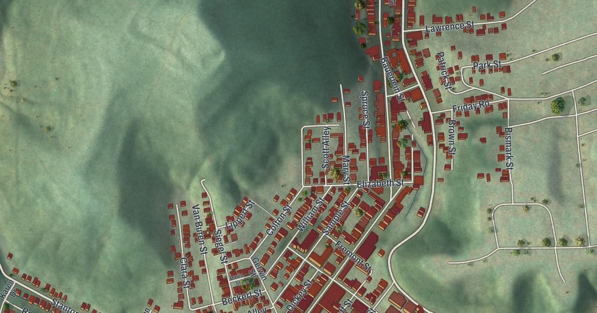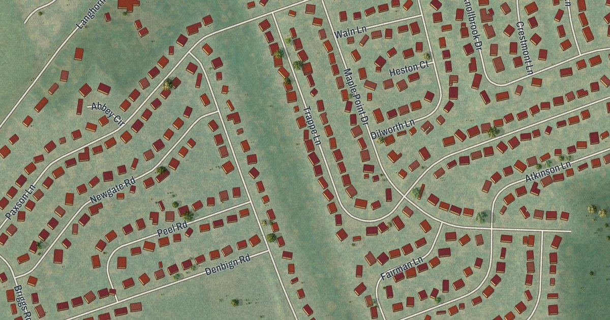
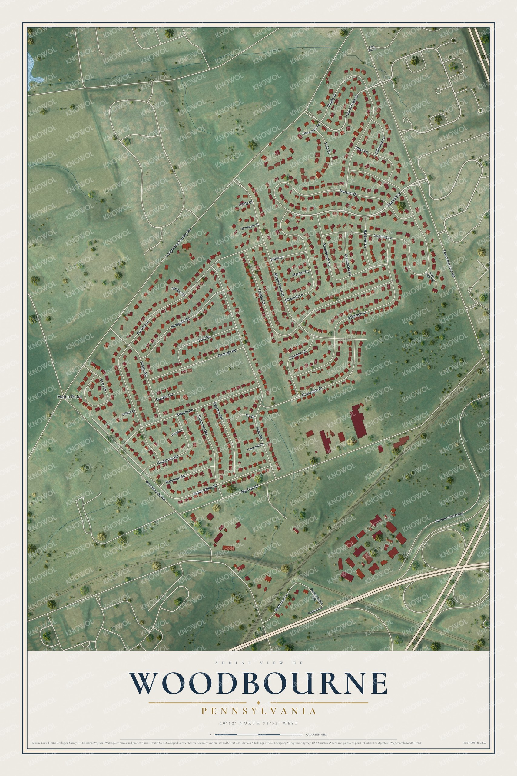
This beautifully detailed map of Woodbourne, Pennsylvania was created in 2026 using aerial imagery combined with modern topographical, census, street and landmark data. It's a modern aerial view of Woodbourne in Bucks County, Pennsylvania, that combines modern data with a vintage aesthetic. The roads feature printed names, and if you look closely you can find your exact house accurately shown in its correct location.
Explore an aerial view of Woodbourne, Pennsylvania
On this map you'll find Maple Point, Fawnhill Drive, Laurel Oaks Drive, Langhorne Yardley Road, Township Line Road, Big Oak Road, Woodbourne Road, Paxson Lane, Gunning Lane, Harpers Crossing, Maple Point Drive, Flint Road, and more. Each red shape is a building, so zoom in on the preview and look for yours.
Woodbourne is a community in Bucks County. The Census Bureau counted 3,710 people here in 2020. Woodbourne sits about 2 miles southwest of Woodside, 3 miles northwest of Fairless Hills and 3 miles northeast of Langhorne. The map prints the town name in its title panel, with the coordinates below it.
Take a closer look at the Woodbourne map
Names on this map
These names are printed on this map.
Places: Maple Point.
Streets and roads: Fawnhill Drive, Laurel Oaks Drive, Langhorne Yardley Road, Township Line Road, Big Oak Road, Woodbourne Road, Paxson Lane, Gunning Lane, Harpers Crossing, Maple Point Drive, Flint Road, Trappe Lane.
More street names, A to Z
Abbey Circle, Amity Court, Anita Circle, Apple Valley Drive, Atkinson Lane, Baldwin Lane, Bateman Road, Briggs Road, Butternut Lane, Chancery Road, Crestmont Lane, Croasdale Drive, Denbign Road, Dilworth Lane, Egerton Road, Erica Drive, Fairman Lane, Gladstone Road, Harwood Court, Heston Court, Hillbrook Lane, Ithan Lane, Ivy Court, Kilburn Road, Knollbrook Drive, Lollard Court, Markham Court, Newgate Road, Norsam Drive, Oakwynne Terrace, Peel Road, Pennsylvania Avenue, Pine Tree Terrace, Polo Drive, Polo Run Drive, Quaker Circle, Reading Avenue, Rugby Drive, Waln Lane.
See it on a wall
The Woodbourne map as a framed print. Swipe for more.


Created by KNOWOL in 2026. The buildings are small red shapes, the roads carry their printed names, and shaded relief shows the shape of the land. The title panel reads "AERIAL VIEW OF WOODBOURNE, PENNSYLVANIA" with 40°12' NORTH 74°53' WEST.
It suits a den, a classroom or a front hall, and it makes a gift for anyone with Woodbourne roots. Open the preview and find the block you know. See sizes and frames for the Woodbourne map.