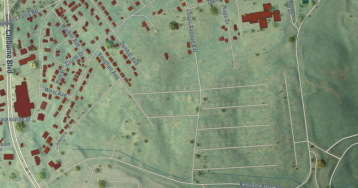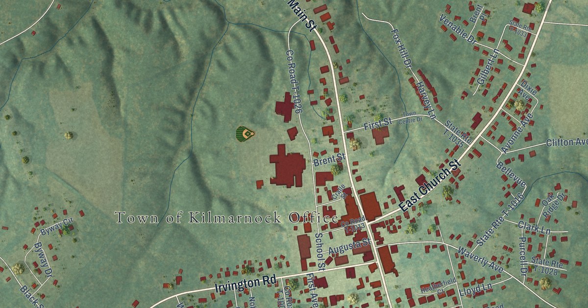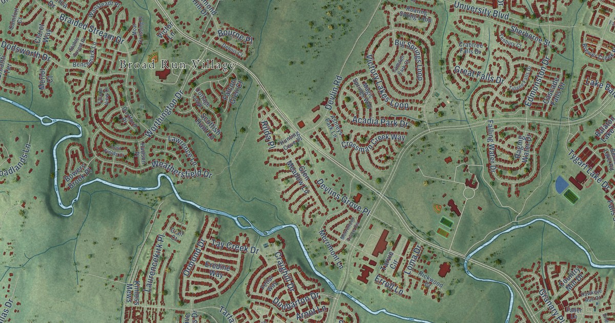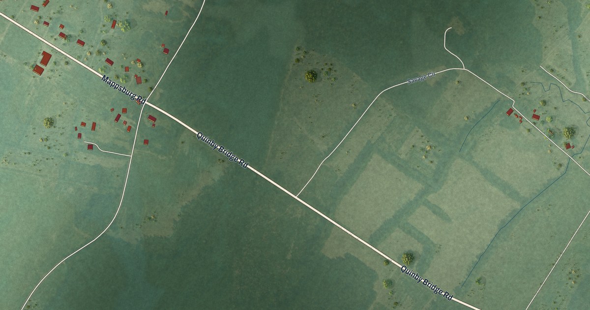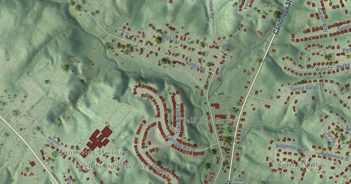
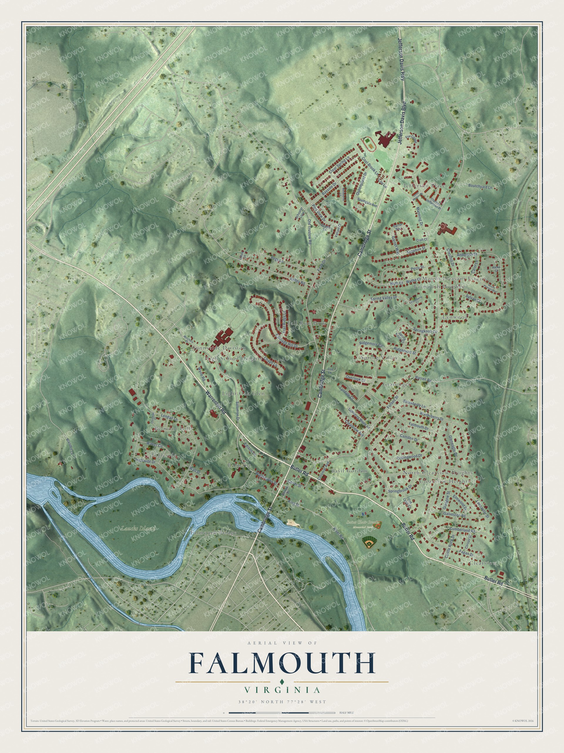
This beautifully detailed map of Falmouth, Virginia was created in 2026 using aerial imagery combined with modern topographical, census, street and landmark data. It's a modern aerial view of Falmouth in Stafford County, Virginia, that combines modern data with a vintage aesthetic. The roads feature printed names, and if you look closely you can find your exact house accurately shown in its correct location.
Explore an aerial view of Falmouth, Virginia
On this map you'll find Laucks Island, Saint Clair Brooks Memorial Park, Jefferson Place, Fall Run Park, Lynwood, Belmont Hills, Clearview Heights, Sunnyside Division, Falmouth Bridge, Clearview, Graninger, Basil Gordon, and more. Each red shape is a building, so zoom in on the preview and look for yours.
Falmouth is a community in Stafford County. The Census Bureau counted 4,956 people here in 2020. The map prints the town name in its title panel, with the coordinates below it.
Take a closer look at the Falmouth map
Names on this map
These names are printed on this map.
Places: Laucks Island, Saint Clair Brooks Memorial Park, Jefferson Place, Fall Run Park, Lynwood, Belmont Hills, Clearview Heights, Sunnyside Division, Falmouth Bridge, Clearview, Graninger, Basil Gordon, North Clearview Heights, Light Oak Glen, Mount Pleasant Estates, Belmont, Ingleside, High School Heights, Spring Valley and Falmouth Heights.
Streets and roads: Warrenton Road, Butler Road, Cambridge Street, Jefferson Davis Boulevard, Jefferson Davis Highway, Solomon Drive, King Street, Forbes Street, Old Truslow Road, Winterberry Drive, Ingleside Drive, Spring Valley Drive.
More street names, A to Z
Anderson Drive, Bayside Drive, Blaisdell Lane, Boutchyard Lane, Camden Drive, Carol Lane, Carriage Hill Drive, Carter Street, Castle Rock Drive, Chaps Lane, Christian Court, Clear Spring Lane, Clearview Avenue, Coe Lane, Collingwood Drive, Colonial Avenue, Cool Brook Lane, Corvair Street, Craft Court, Cresthill Drive, Crown Lane, Cumberland Road, Edison Lane, Elmwood Drive, Fagan Drive, Faith Drive, Falmouth Drive, Fox Chase, Galveston Road, Garnet Way, Garret Way, Glasgow Street, Gleneagle Drive, Gordon Street, Harrell Road, Hicks Court, James Madison Drive, Kelley Road, Lancaster Street, Lendall Lane, Lightining Maple Lane, Limox Lane, Lou Lane, Lyndale Court, Manning Drive, Melbourne Lane, Melchers Drive, Mount Pleasant Boulevard, Oak Crest Court, Overlook Court, Pegs Lane, Perry Street, Port View Drive, Queensland Drive, Ridgemore Circle, Ridgemore Street, River Road, Sapphire Street, Schooler Loop, Southgate Avenue, Springbrook Drive, Springknoll Circle, Spring Knoll Circle, Strawberry Lane, Sylvan Court, Thomas Jefferson Place, Trail Ridge Lane, Valiant Court, Wall Street, Walter Circle, Washington Street, Woodberry Court, Wyne Road, Wyth Court, Wythe Court.
See it on a wall
The Falmouth map as a framed print. Swipe for more.


Created by KNOWOL in 2026. The buildings are small red shapes, the roads carry their printed names, and shaded relief shows the shape of the land. The title panel reads "AERIAL VIEW OF FALMOUTH, VIRGINIA" with 38°20' NORTH 77°28' WEST.
It looks right in a kitchen, an office or a den, and it's a gift for anyone who grew up in Falmouth or moved away. Open the preview and find your street. See sizes and frames for the Falmouth map.