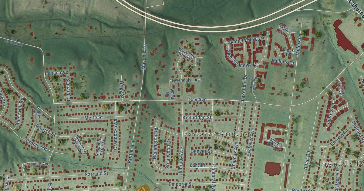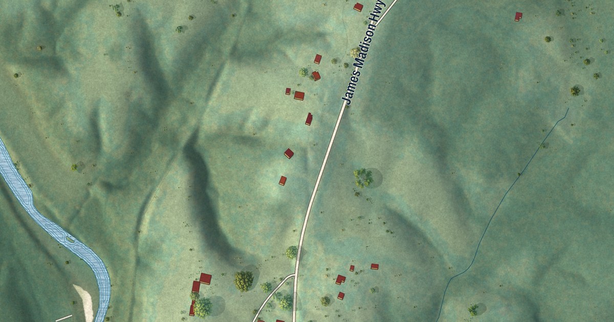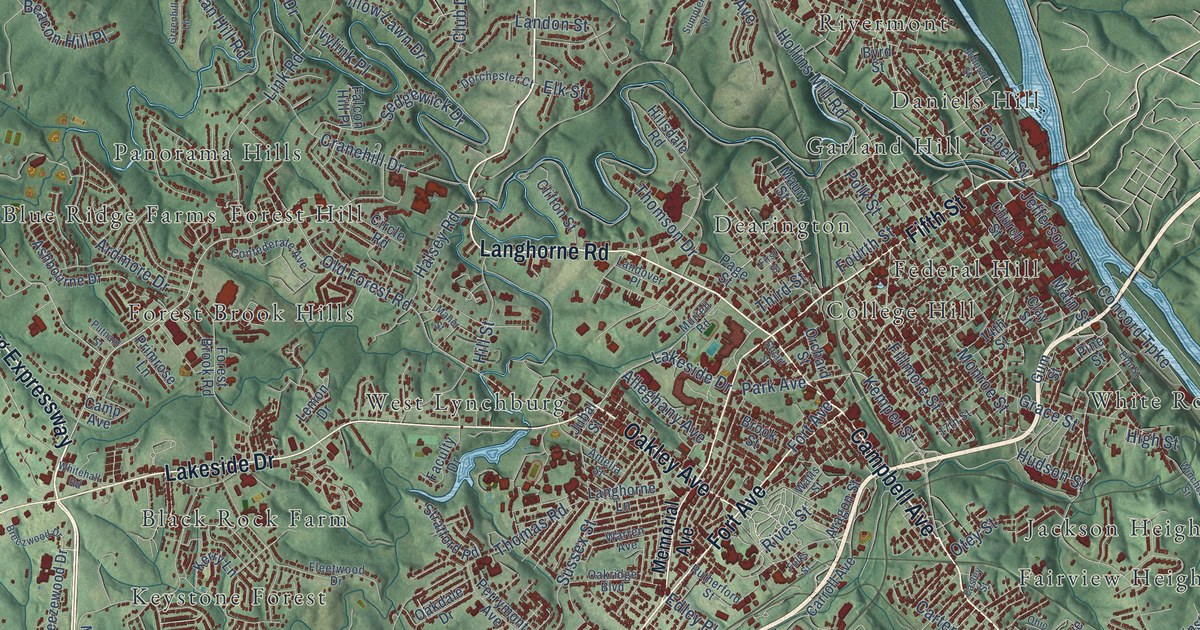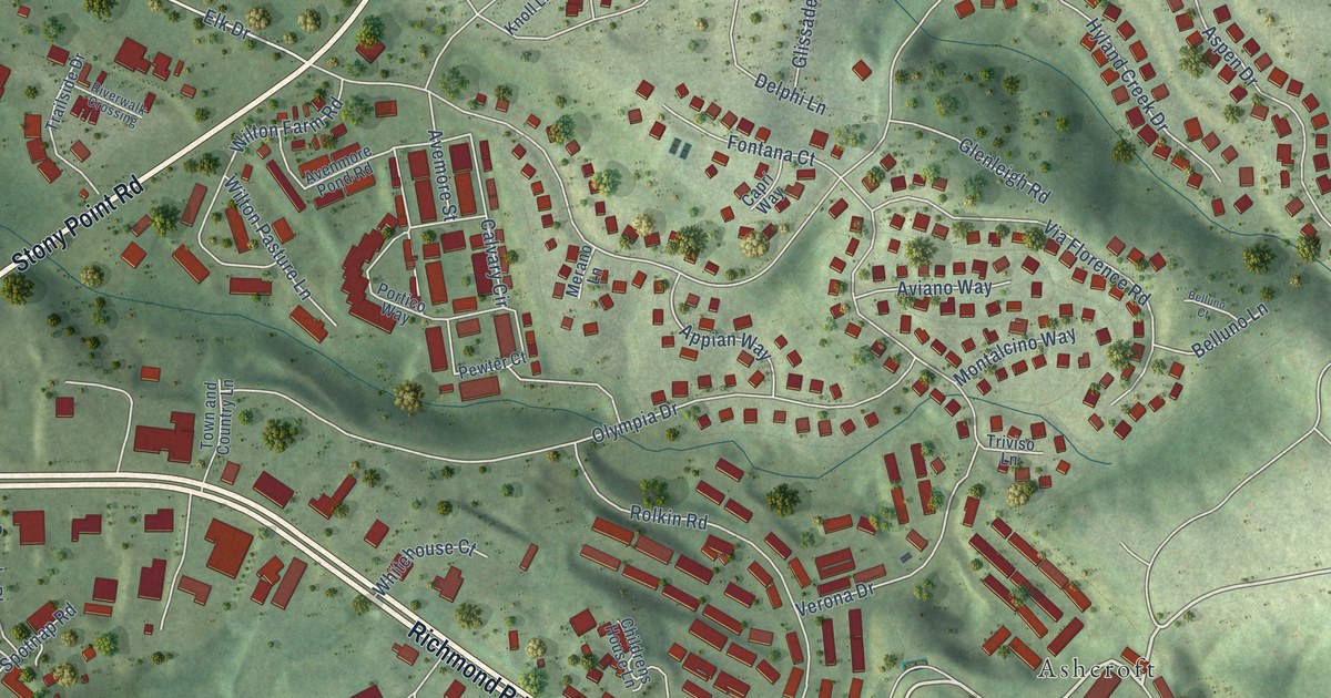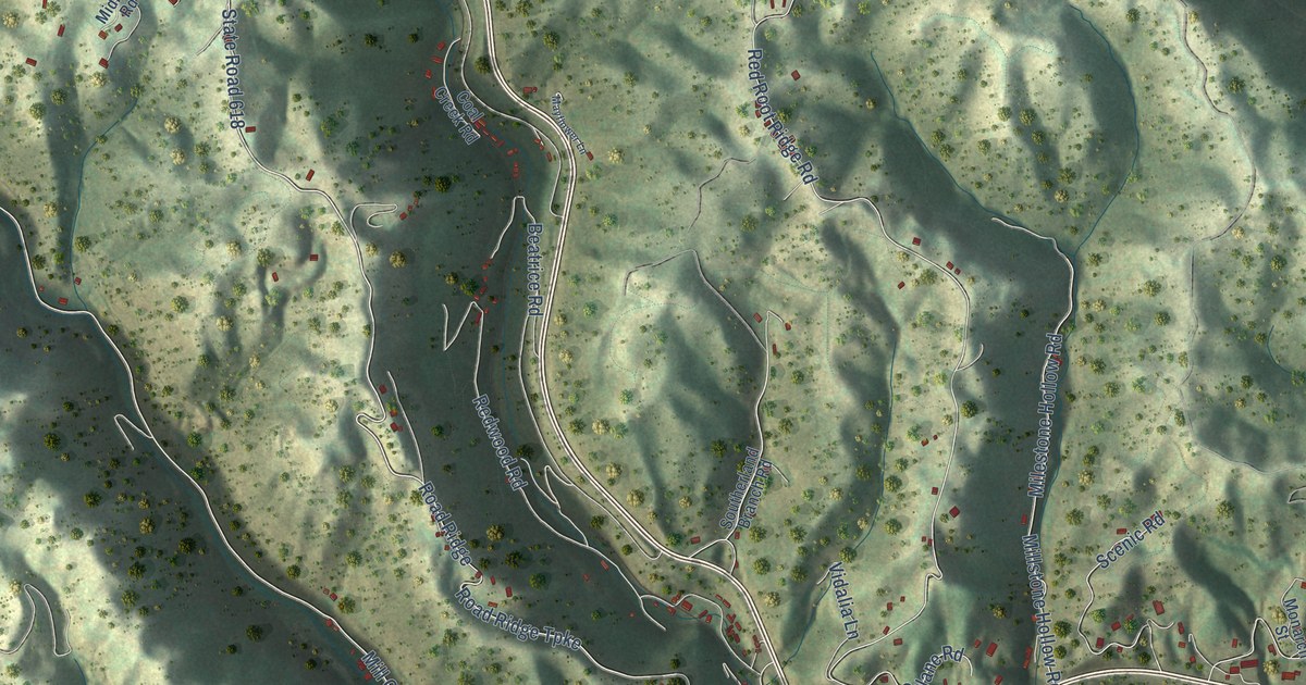
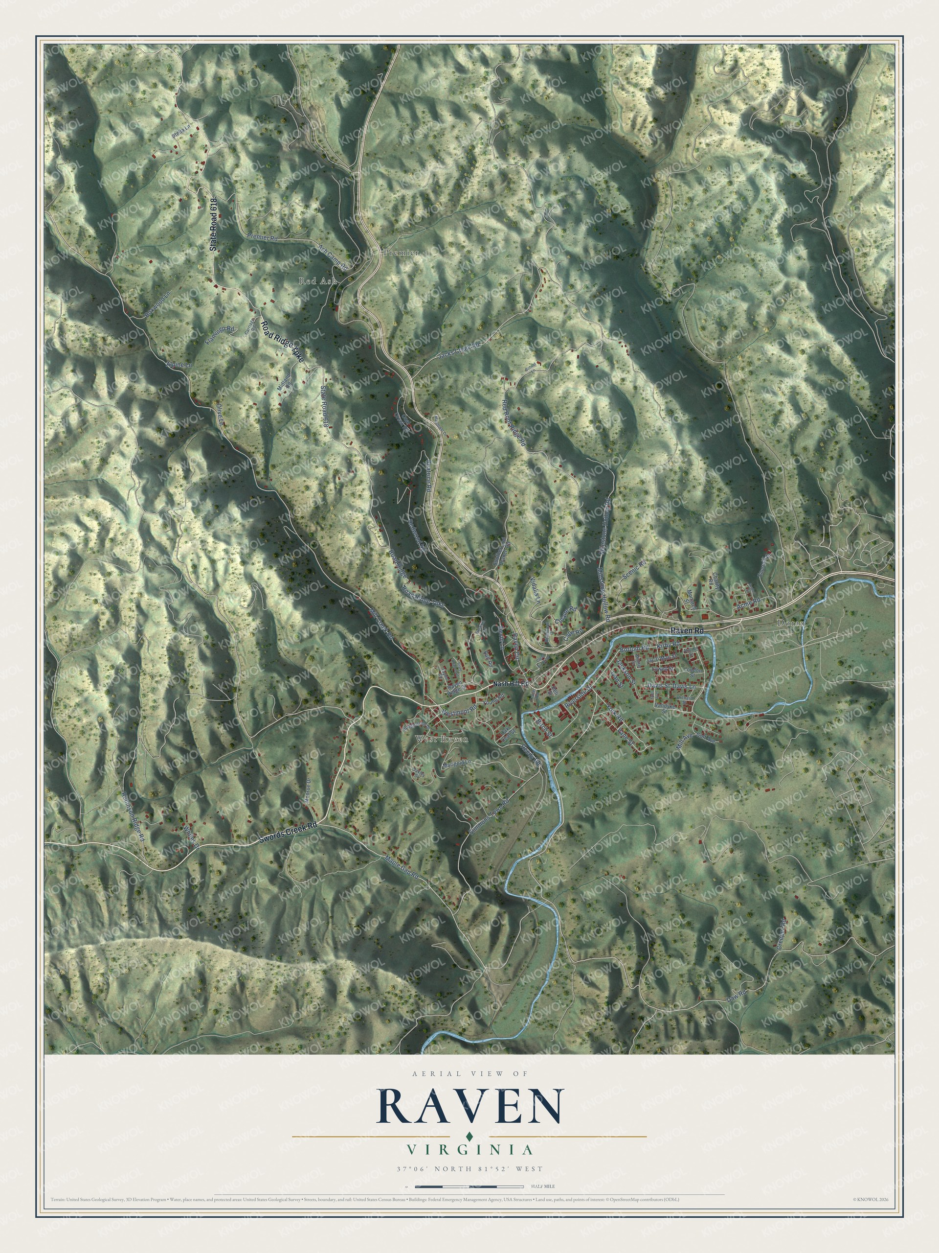
This beautifully detailed map of Raven, Virginia was created in 2026 using aerial imagery combined with modern topographical, census, street and landmark data. It's a modern aerial view of Raven in Tazewell County, Virginia, that combines modern data with a vintage aesthetic. The roads feature printed names, and if you look closely you can find your exact house accurately shown in its correct location.
Explore an aerial view of Raven, Virginia
On this map you'll find West Raven, Red Ash, Doran, Premier, Road Ridge Turnpike, State Road 618, Swords Creek Road, Raven Road, Bottom Road, York Road, Daw Road, Maple Gap Road, and more. Each red shape is a building, so zoom in on the preview and look for yours.
Here is a piece of Raven history. In 1906 J. N. Harman, a former state senator from Tazewell County, entered the coal business at Raven as director and general manager of the Coal Creek Coal Company. In 1907 he organized the Raven Collieries Company and the Raven Red Ash Coal Company and served as president of both. He later wrote the two-volume Annals of Tazewell County, published in 1922 and 1925. That's from the Harman family genealogy.
Raven is a community in Tazewell County. The Census Bureau counted 1,988 people here in 2020.
Take a closer look at the Raven map
Names on this map
These names are printed on this map.
Places: West Raven, Red Ash, Doran and Premier.
Streets and roads: Road Ridge Turnpike, State Road 618, Swords Creek Road, Raven Road, Bottom Road, York Road, Daw Road, Maple Gap Road, Vane Street, Davis Lane, Mill Creek Road, Davis Street.
More street names, A to Z
Acme Road, Alpine Lane, Ash Camp Road, Atmore Street, Avalon Street, Ball Road, Beatrice Road, Birch Street, Bobcat Lane, Boxwood Lane, Bridgestone Drive, Cape Road, Carriage Road, Charity Road, Clear Brook Drive, Coal Creek Road, Colane Road, Creeper Road, Deli Street, Devin Lane, Emerald Drive, Flamingo Road, Granada Lane, Gulf Avenue, Ivan Street, Jac & Mac Street, Jacks Creek Road, Jackson Street, Kirby Road, London Street, Lowell Street, Marigold Lane, Mayflower Lane, Midland Road, Milestone Hollow Road, Mill Avenue, Millstone Hollow Road, Miniter Street, Monarch Street, Monroe Drive, Nash Hill Road, Oak Leaf Street, Oakley Street, Olive Lane, Orchard Street, Premier Road, Raven Circle, Raven Ridge Drive, Red Root Ridge Road, Redwood Road, Reedy Road, Riverside Drive, Riverview Drive, Road Ridge, Robinson Ridge Road, Scenic Road, Simmons Town Road, Southerland Branch Road, State Road 1121, Stella Lane, Taylor Circle, Trailer Road, Tyler Avenue, Vandyke Street, Vidalia Lane, Westmont Road, Whites Drive, Young Road.
See it on a wall
The Raven map as a framed print. Swipe for more.


Created by KNOWOL in 2026. The buildings are small red shapes, the roads carry their printed names, and shaded relief shows the shape of the land. The title panel reads "AERIAL VIEW OF RAVEN, VIRGINIA" with 37°06' NORTH 81°52' WEST.
It suits a den, a classroom or a front hall, and it makes a gift for anyone with Raven roots. Open the preview and find the block you know. See sizes and frames for the Raven map.